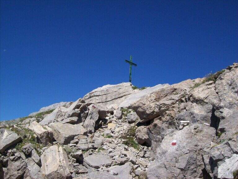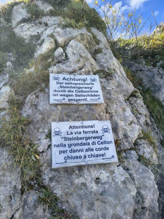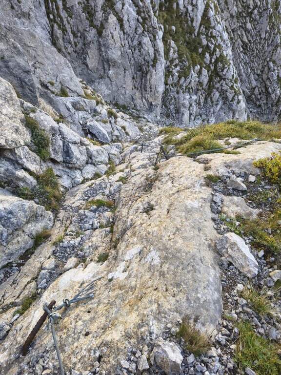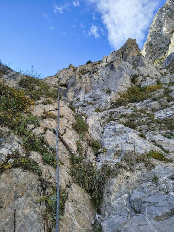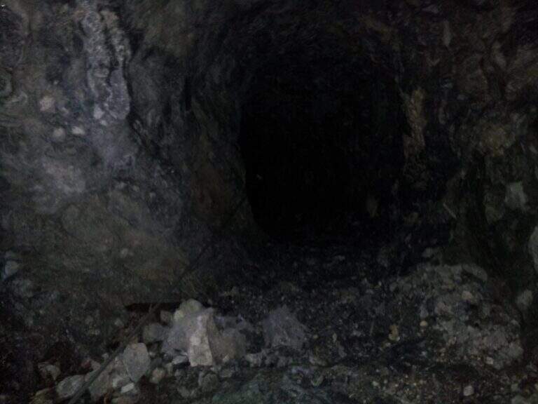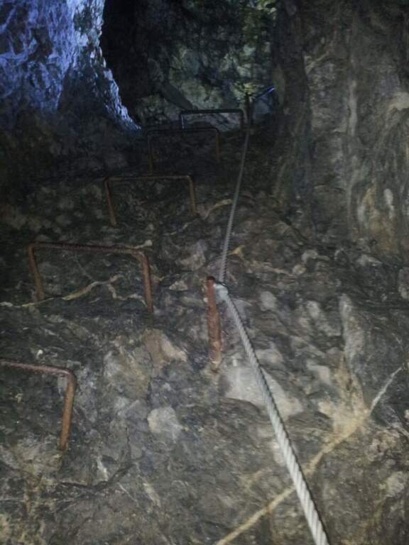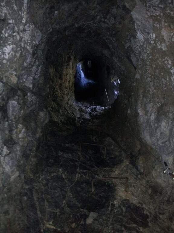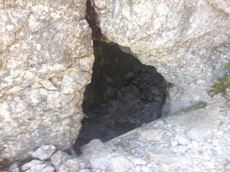
Caratteristica: Interesse storico

  • Sentiero Attrezzato del Gronton a Cima Bocche

    Sentiero Attrezzato del Gronton a Cima Bocche

    Vie Ferrate › Trentino-Alto Adige › Trento
    Sentiero Attrezzato del Gronton a Cima Bocche

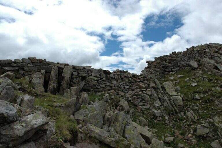
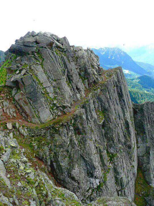
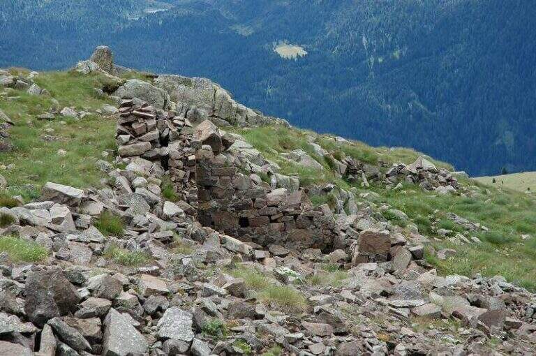
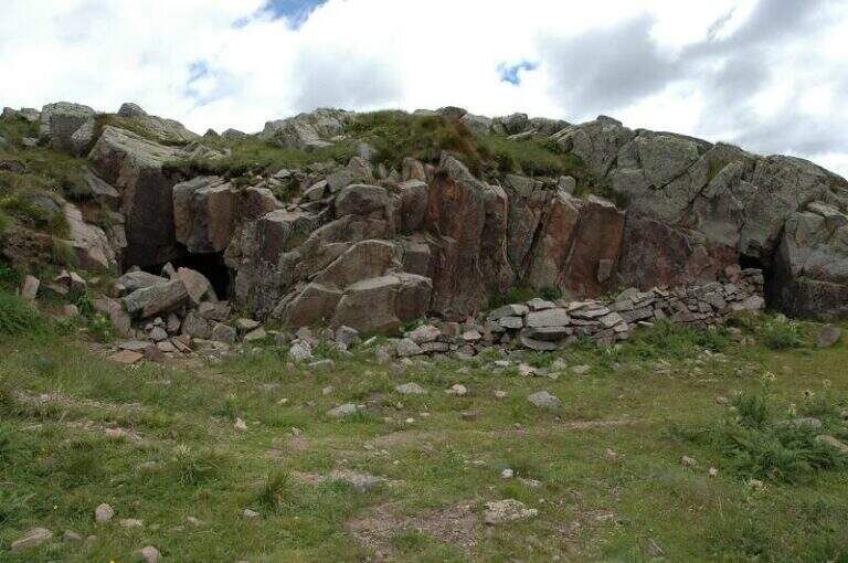
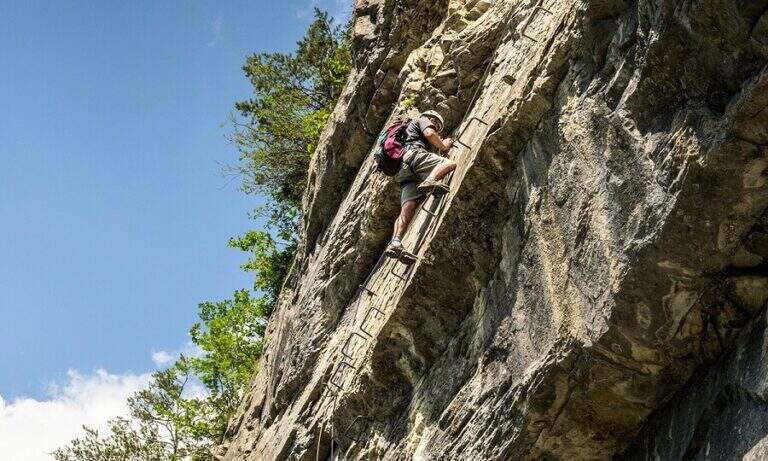
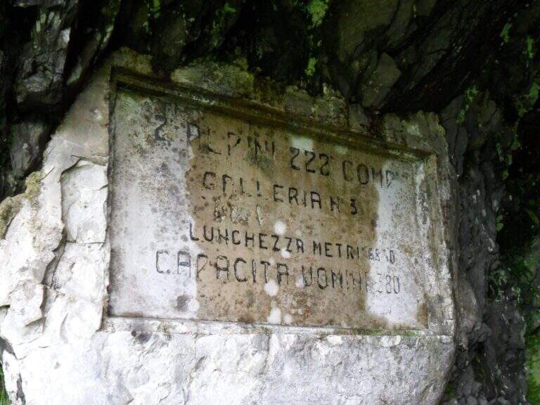
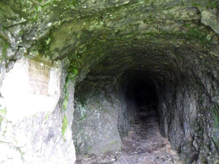
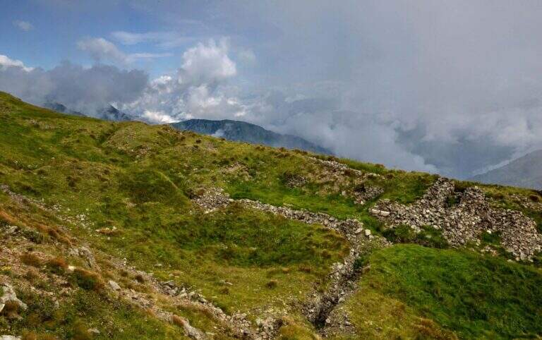
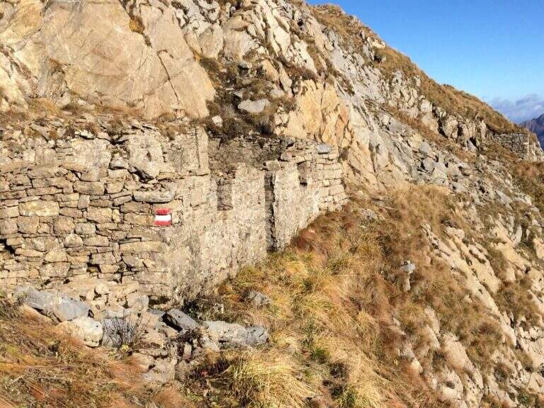
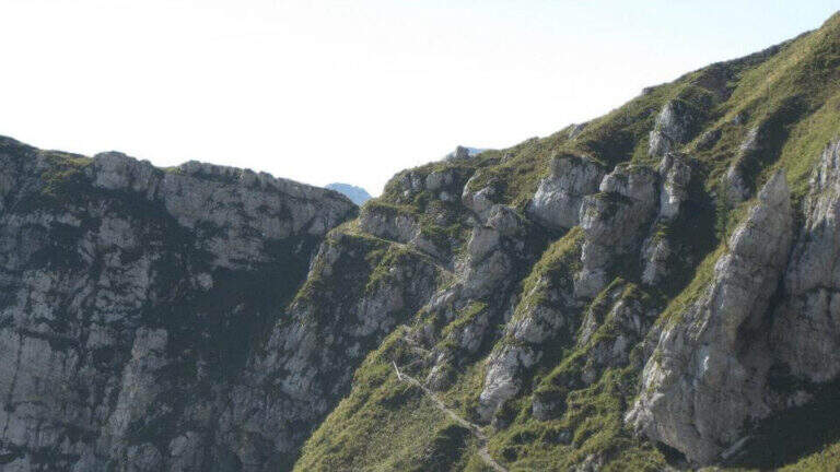
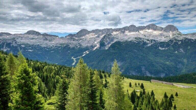
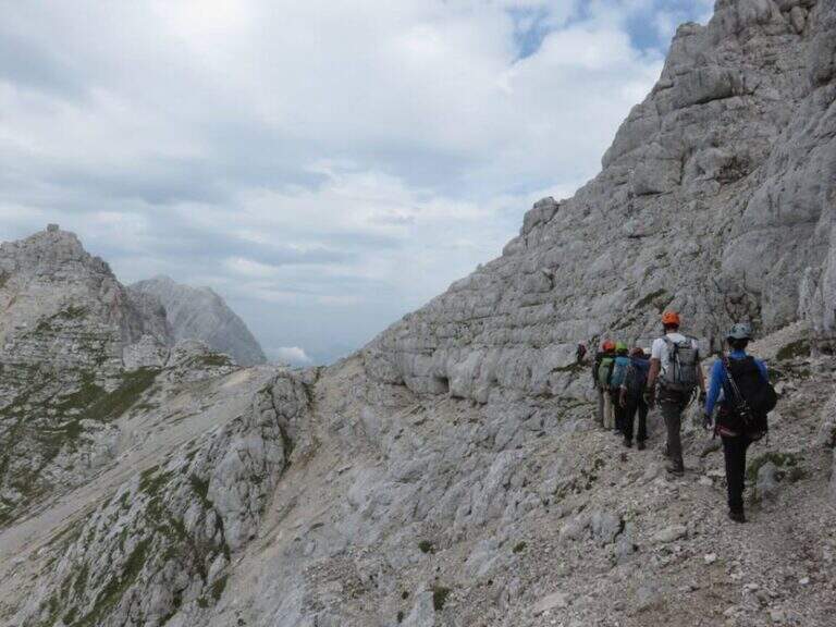
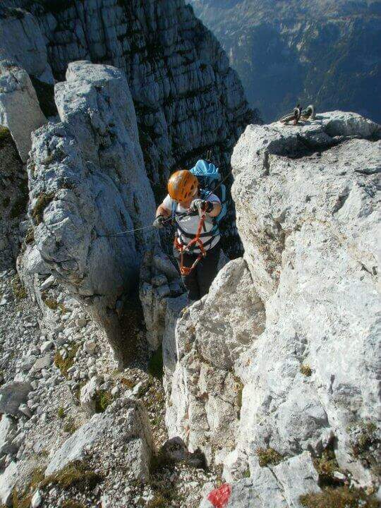
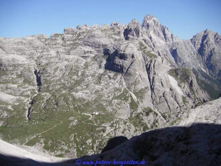
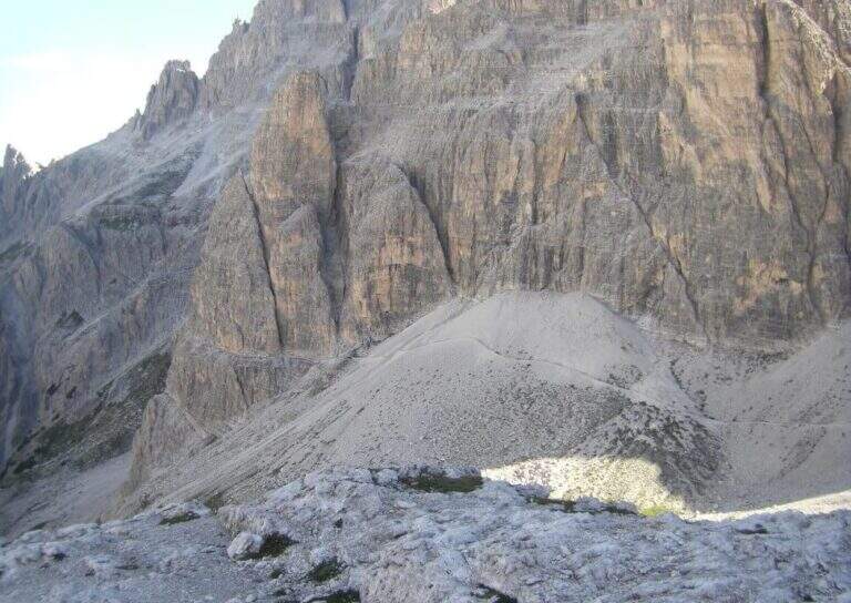
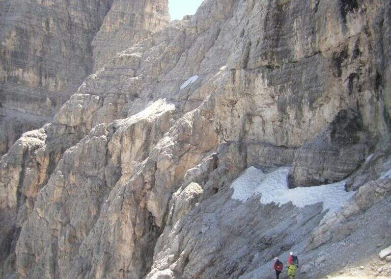
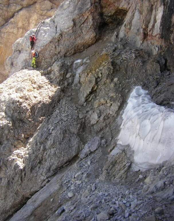
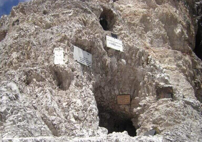
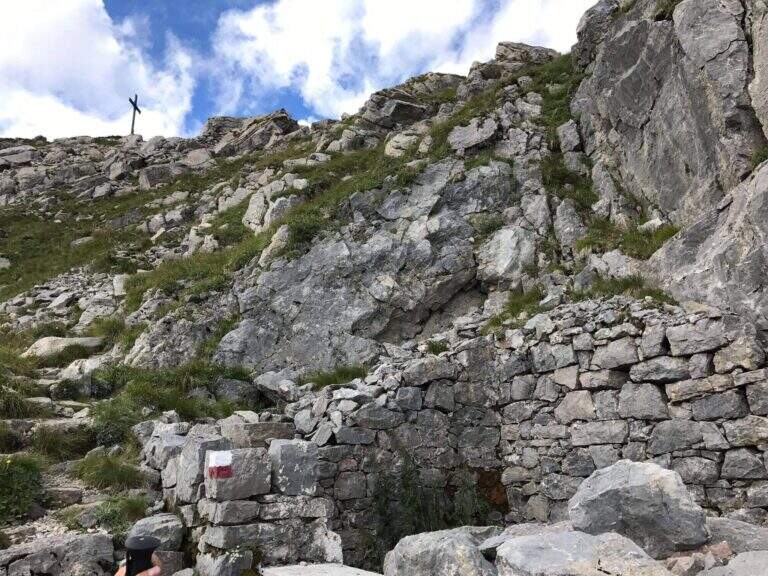
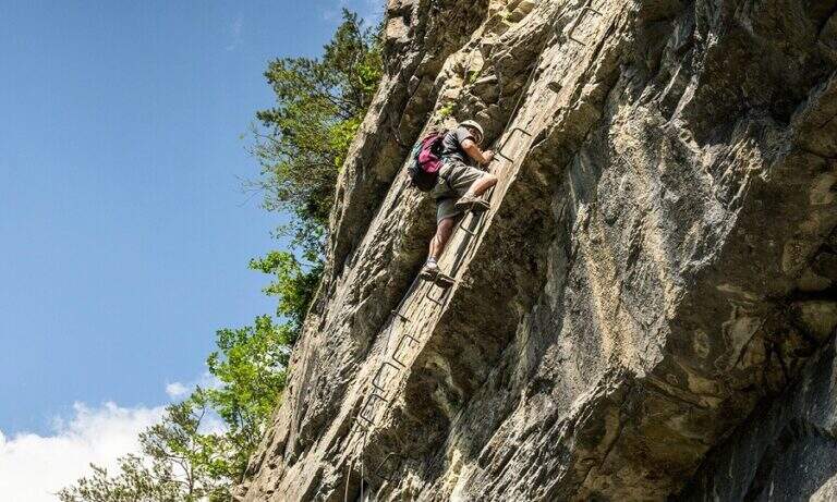
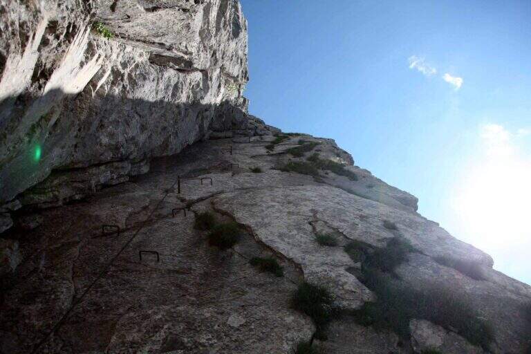
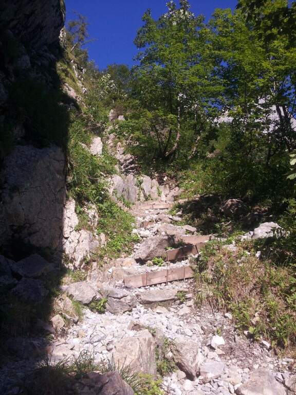
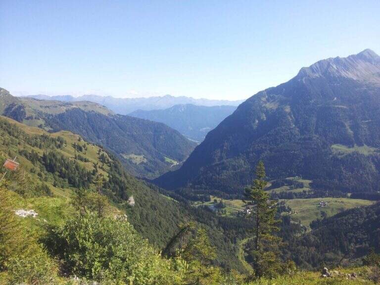
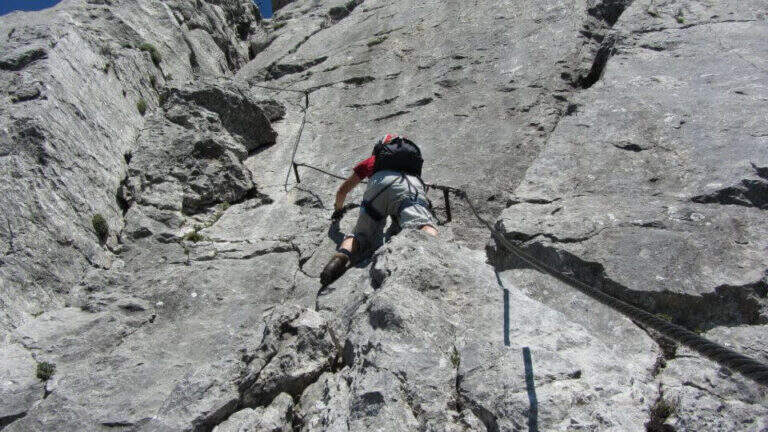
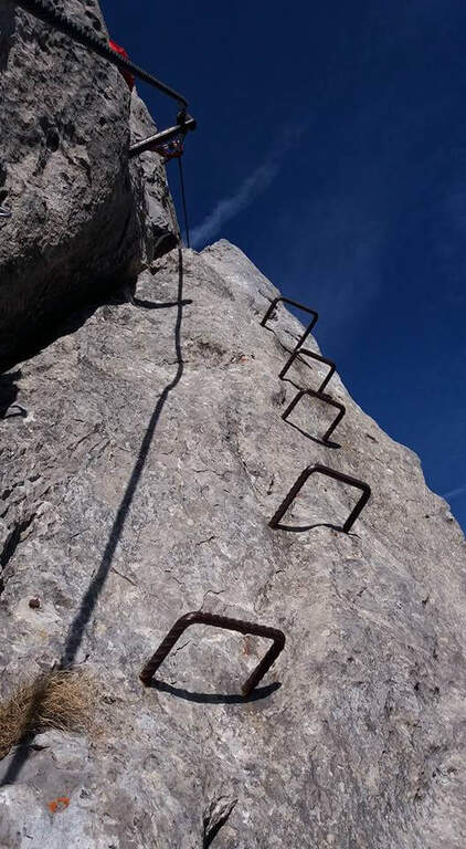
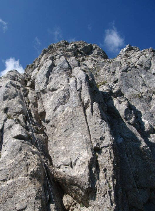
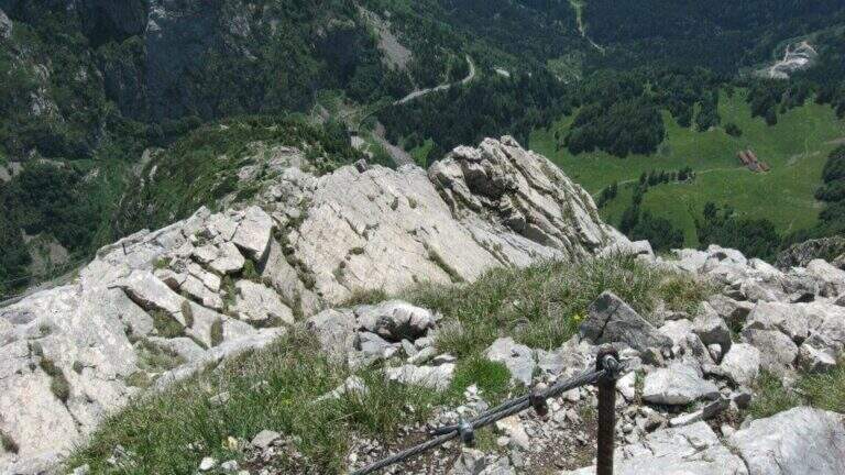
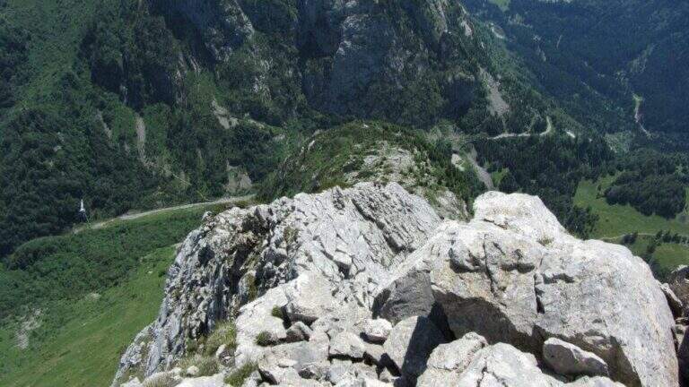
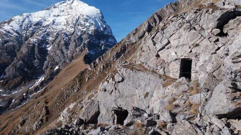
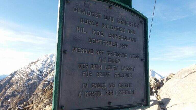
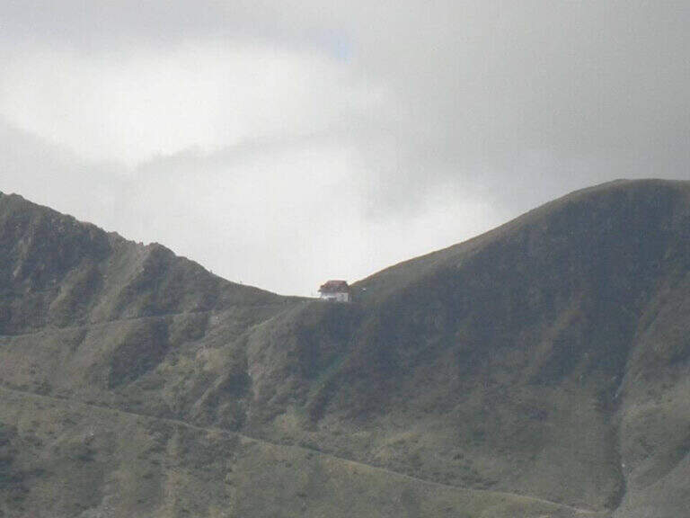
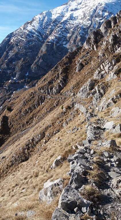
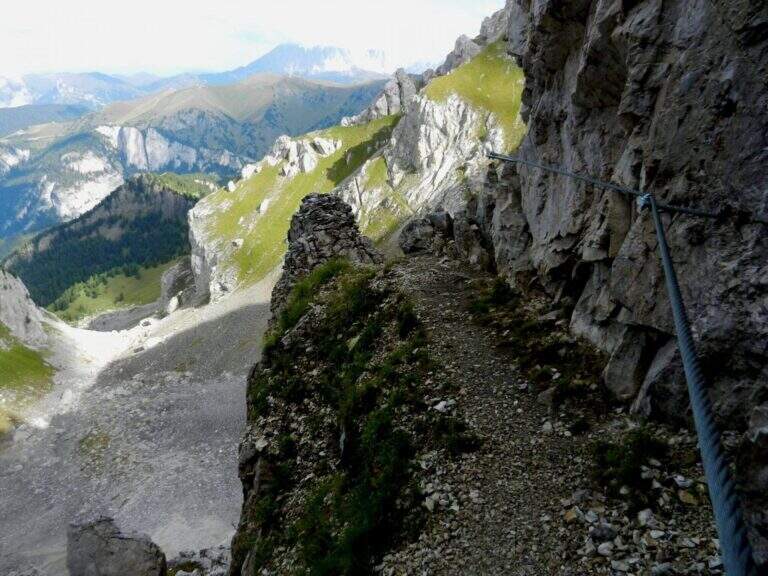
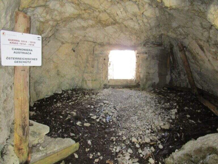
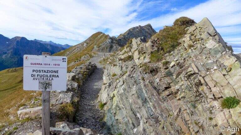
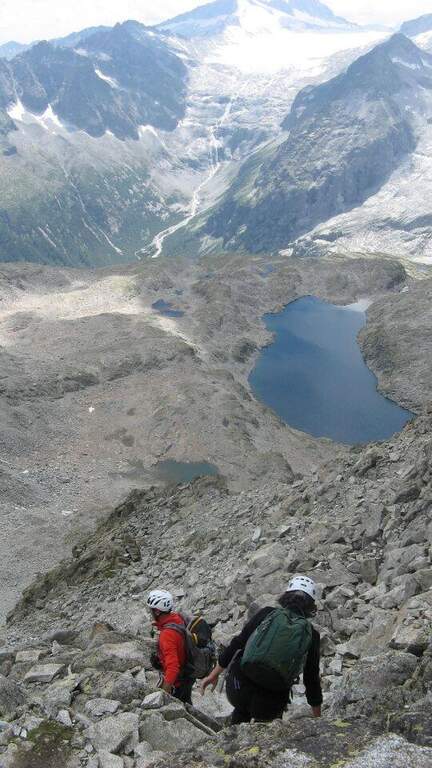
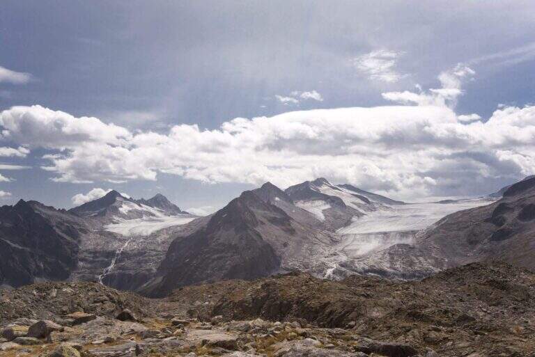
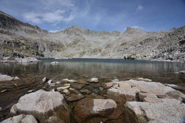
    The Gronton Path is a high-rise path that has no particular technical difficulties, but whose exhibition, constant throughout the itinerary, requires a certain mountain experience. Starting from the Lusia Pass, he climbs to Cima Bocche and descends to the Lakes of Lusia, winding on an Austrian defense line of the Great War.

    ▲Approach

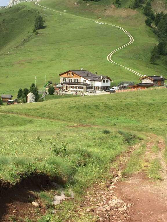
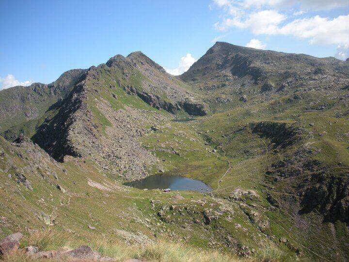
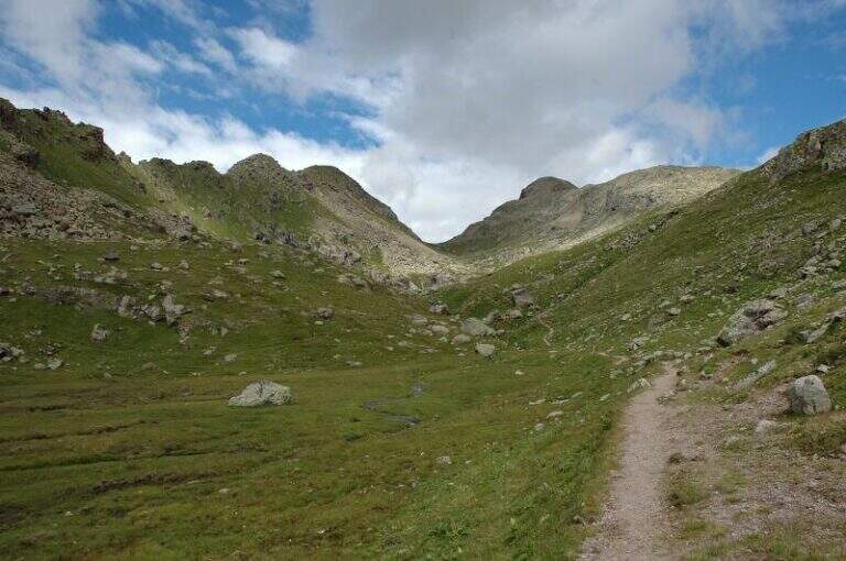
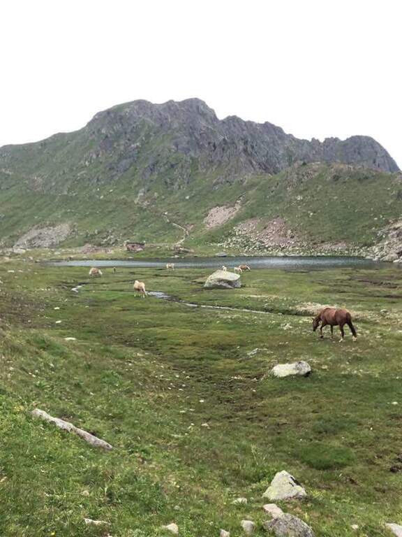
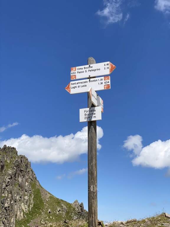
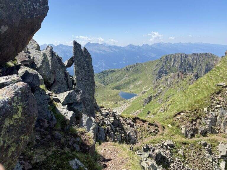
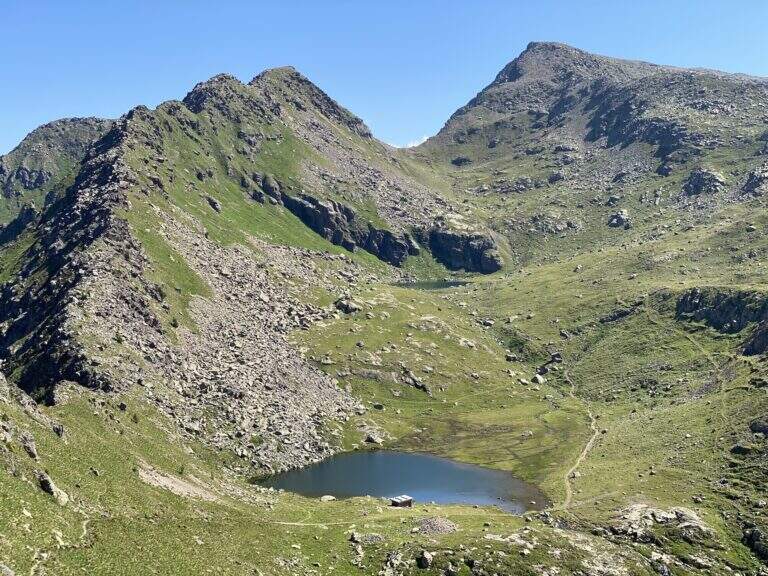
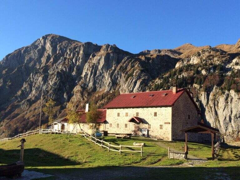
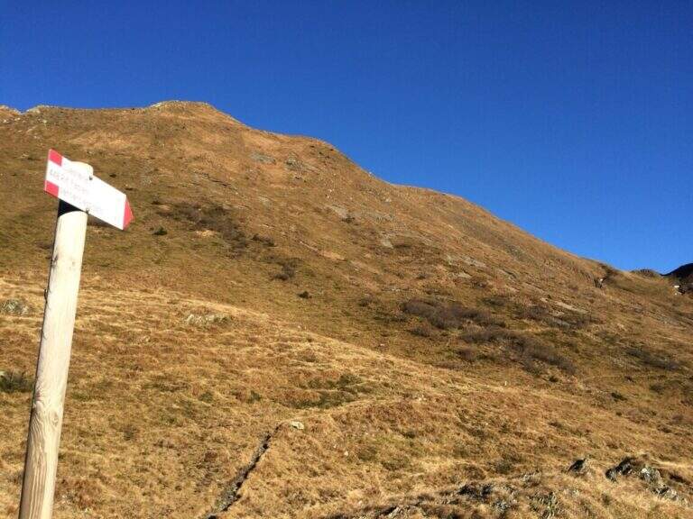
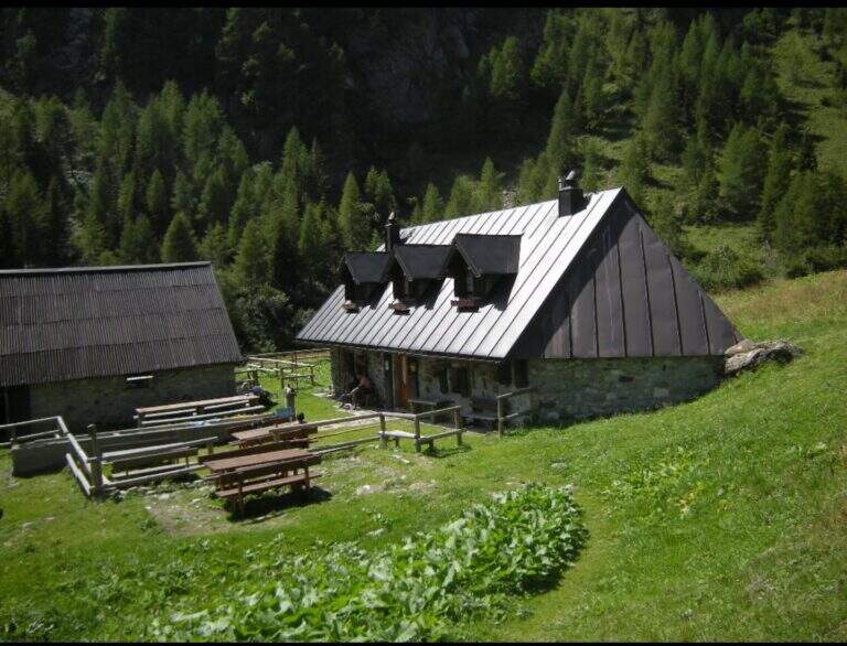
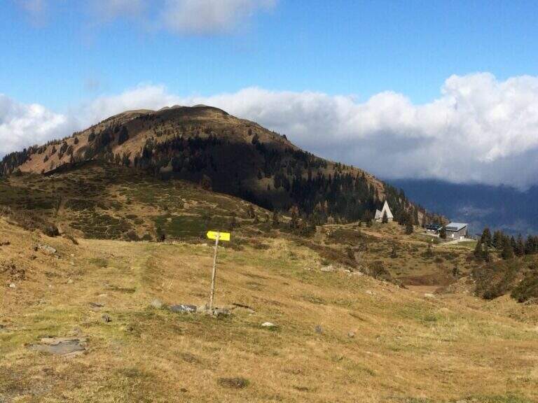
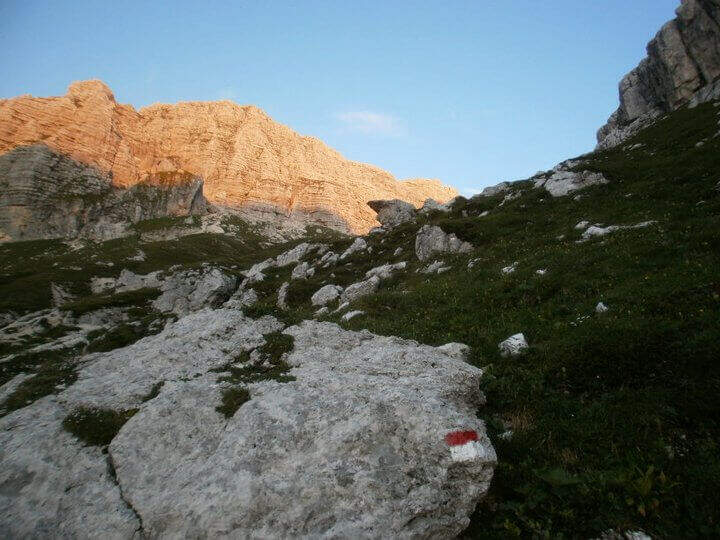
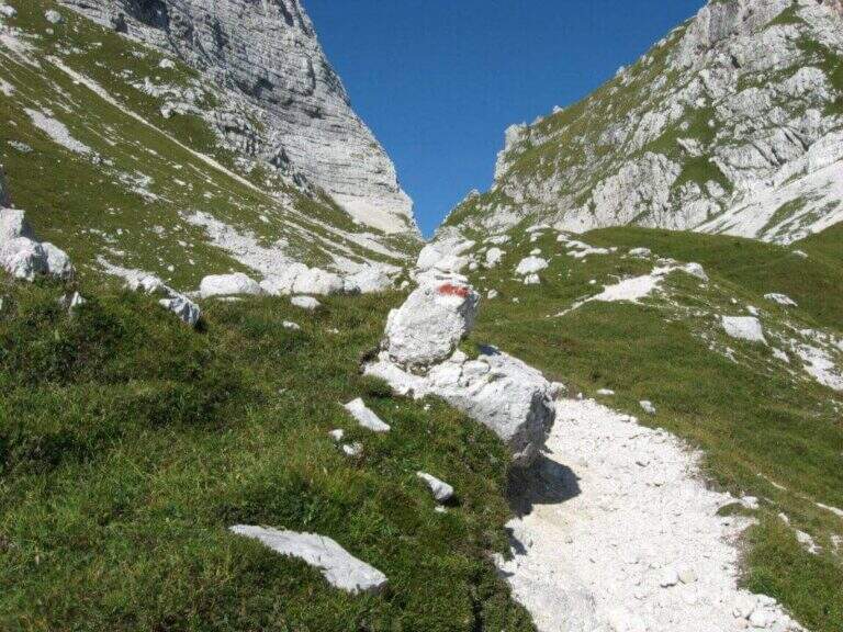
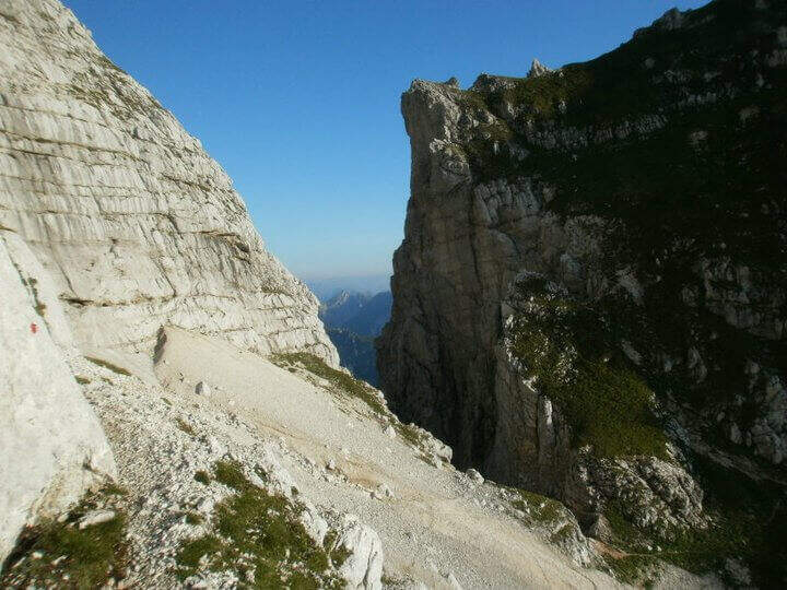
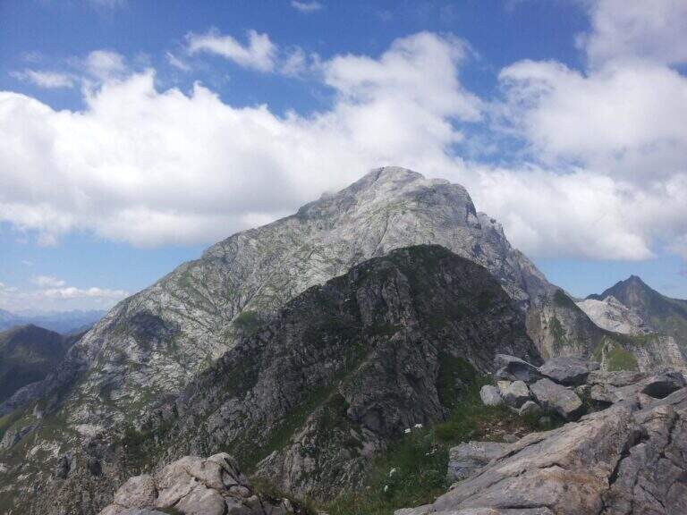
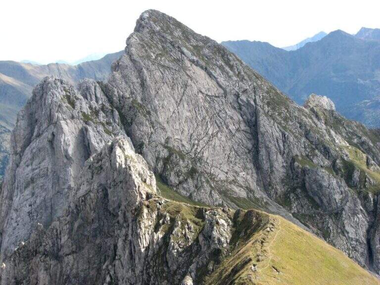
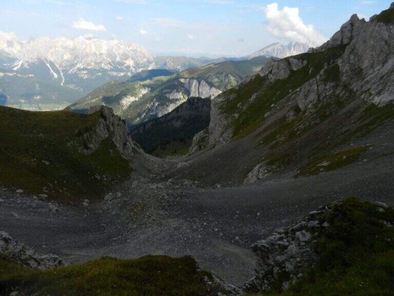
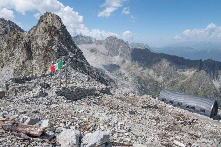
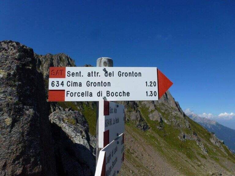
    The starting point is the Lusia Pass, which can be reached via a dirt road that is detached from the San Pellegrino Pass state near Moena (TN). From Moena we proceed towards Passo San Pellegrino for a few kilometers up to the ski lifts Lusia, usable to reach the refuge; those who go up by car take the dirt road that goes right after the passage under the slopes and walks it for a few kilometers up to the refuge (open up Google Maps). From the Rifugio al Passo Lusia (2055 m) we proceed south on the CAI 633 towards Cima Bocche, going up the meadows with a modest slope to the Sella Lusia (2360 m), from which you have an ideal view on the whole lap: on the left the ridge of Gronton, straight ahead Cima Bocche and down the lakes, along which you will return. From the saddle you descend to the Redolf Bivacco (2335 m), where at a crossroads you leave 633 (which will be the return path) and the CAI 634 is held left for the equipped Gronton, which begins at Forcella Cajerin (2365 m, 1h30 from the Lusia Refuge).

    ▲The path

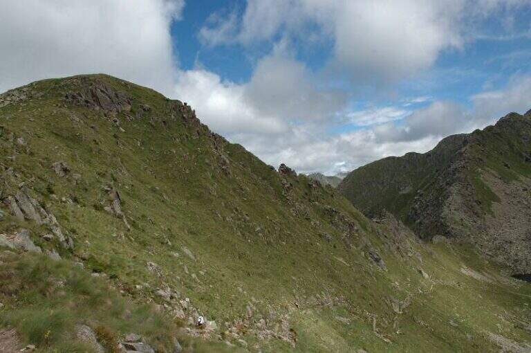
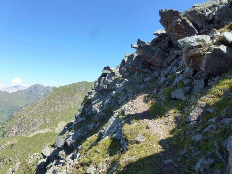
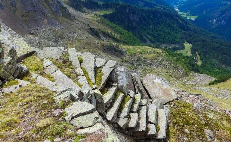
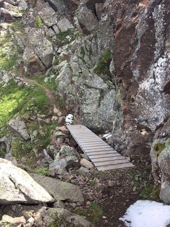
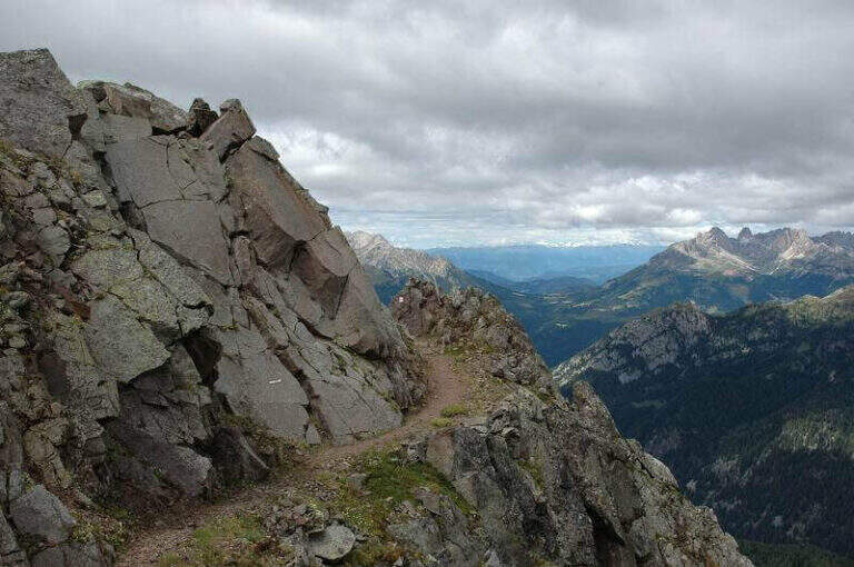
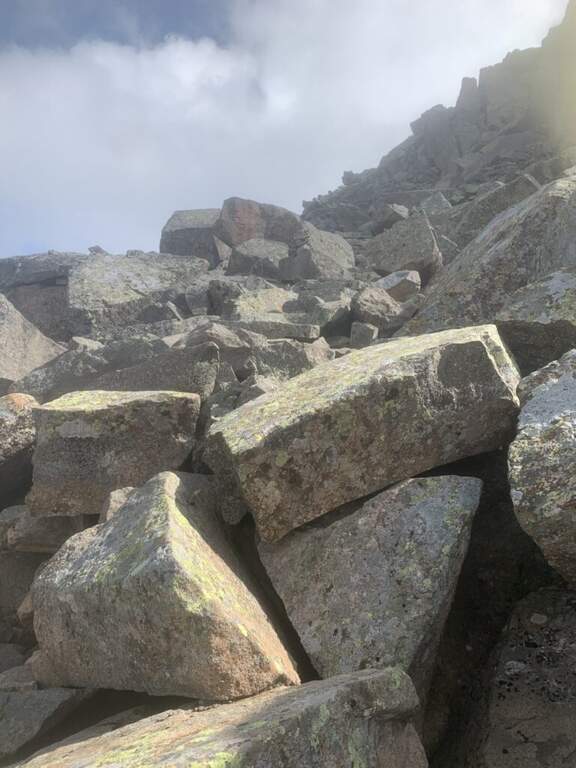
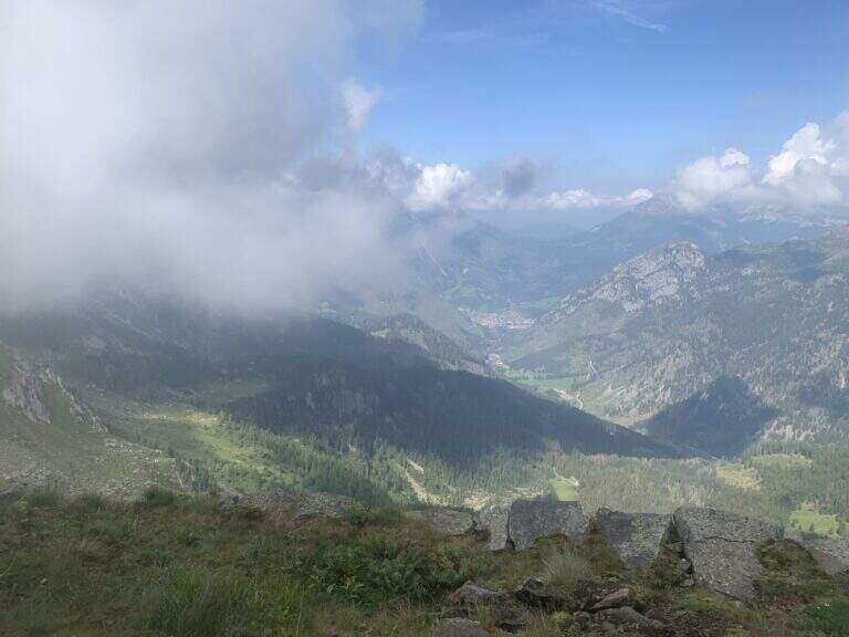
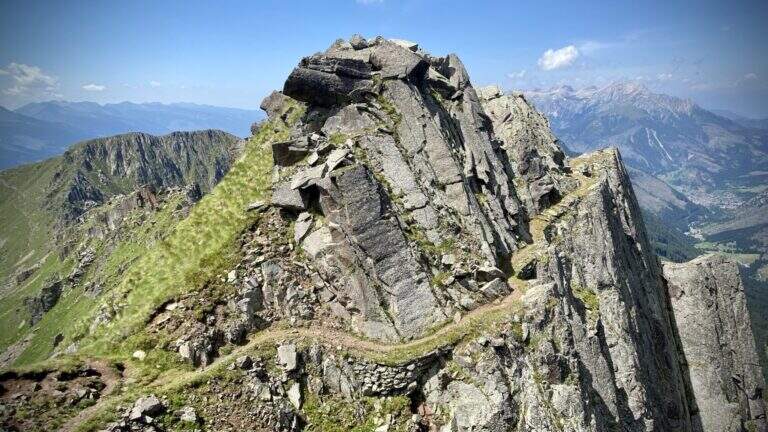
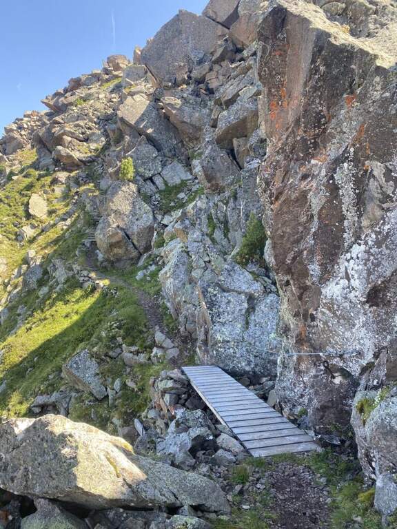
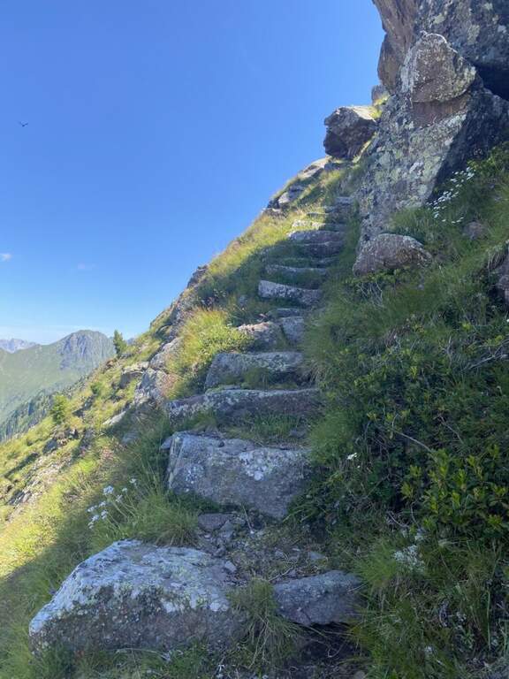
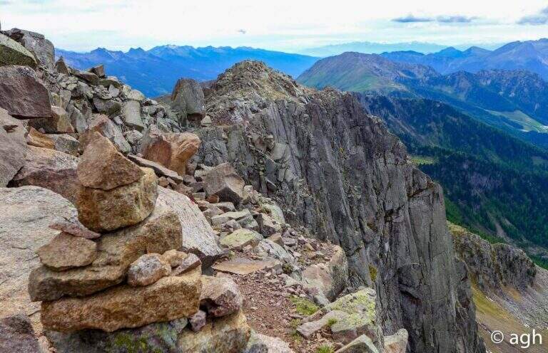
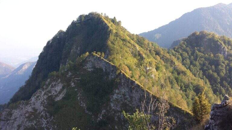
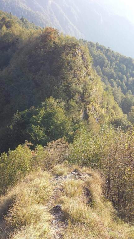
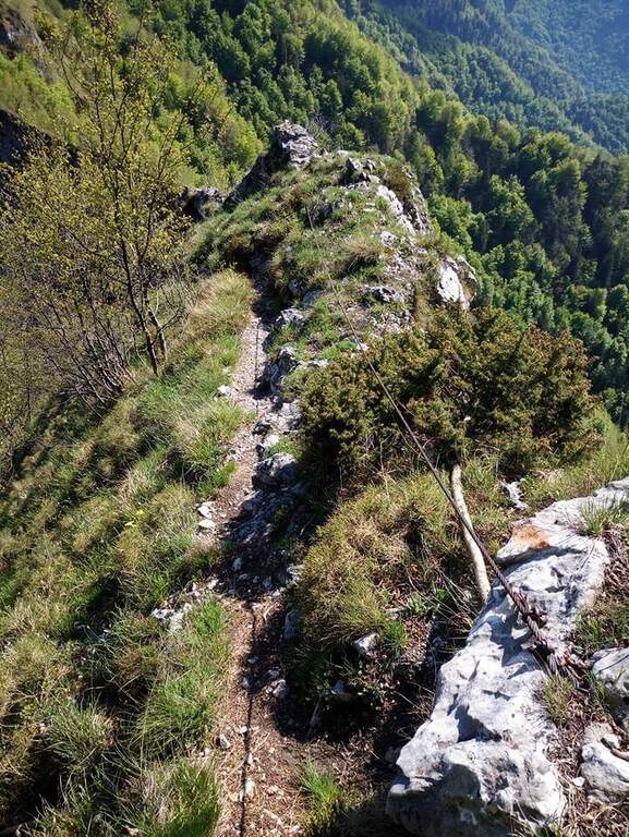
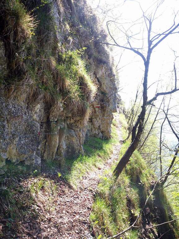
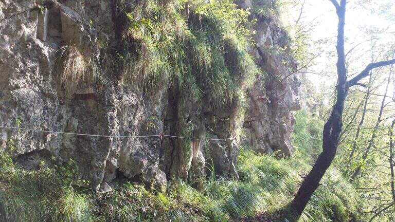
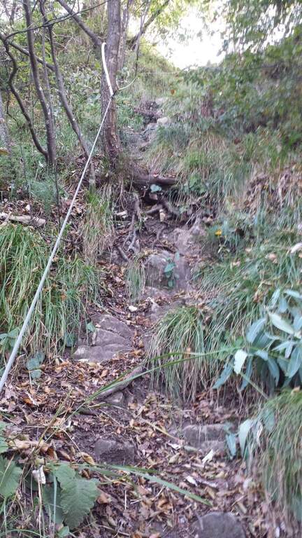
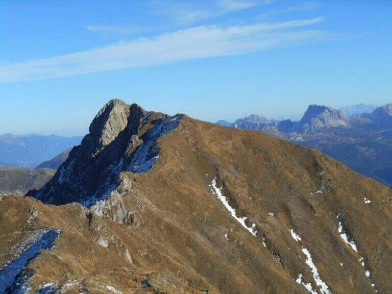
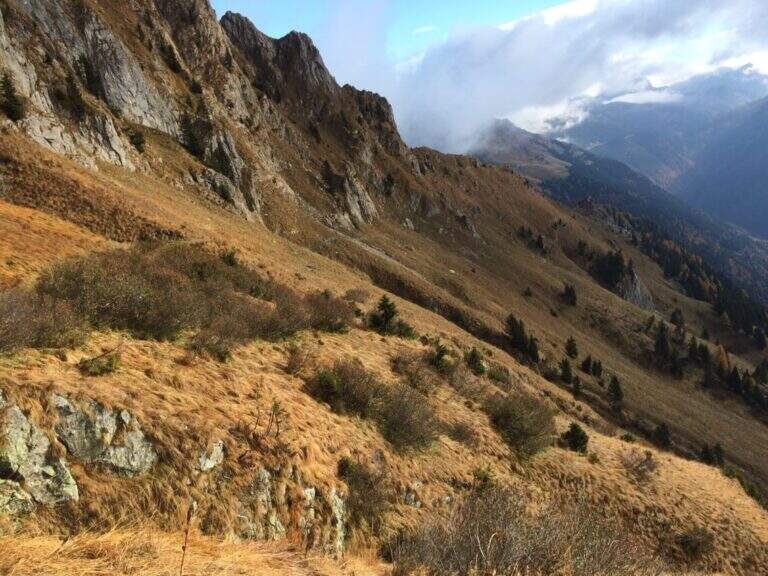
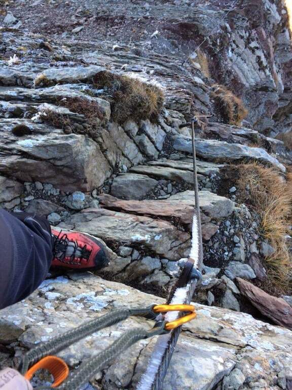
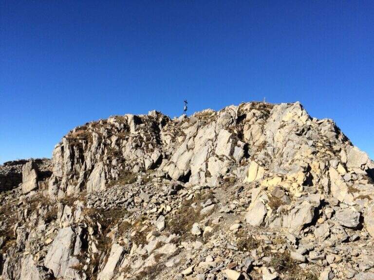
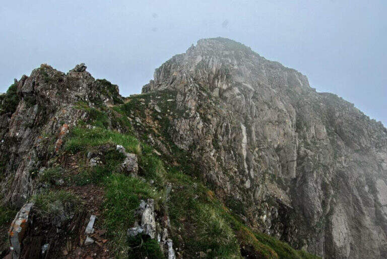
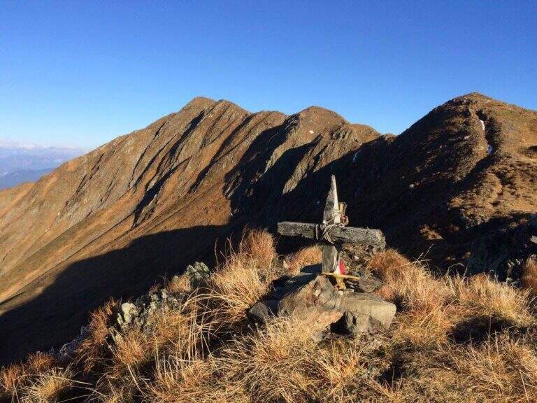
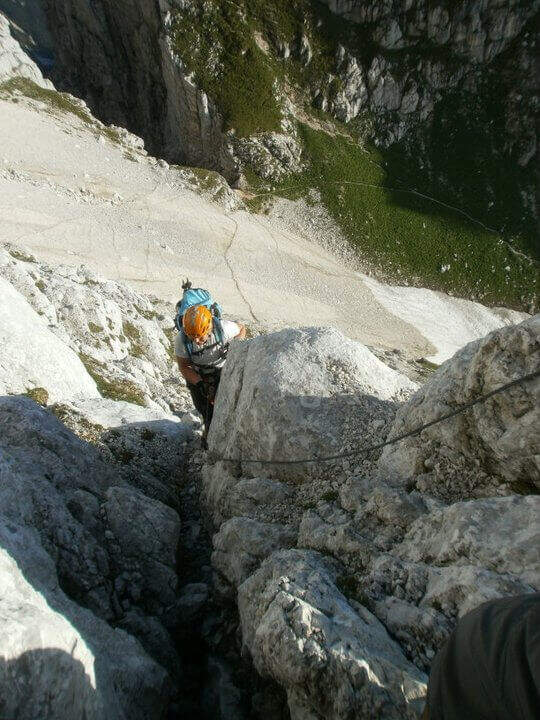
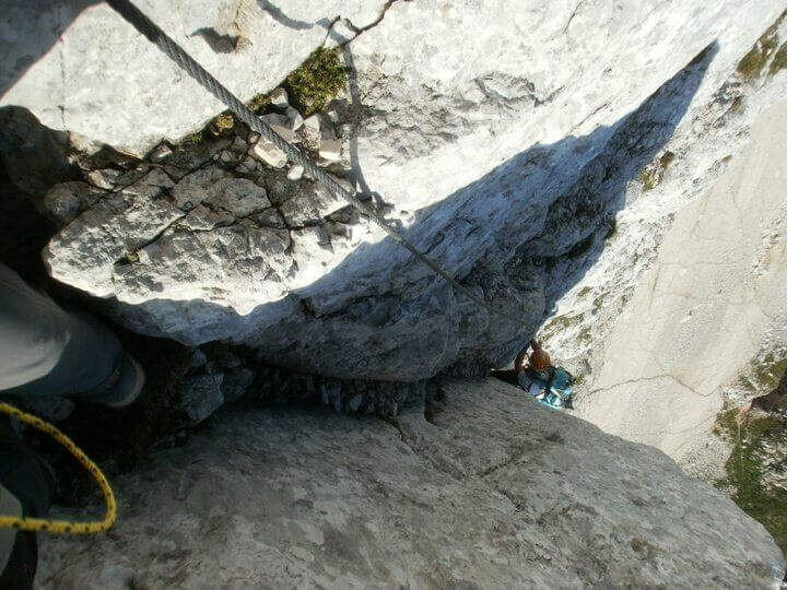
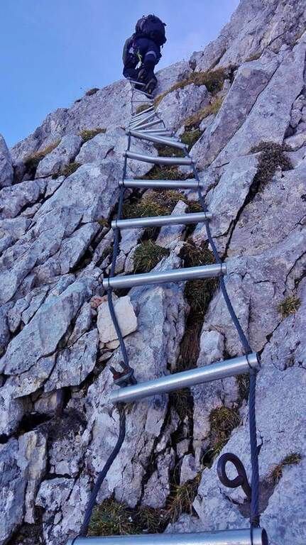
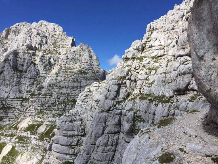
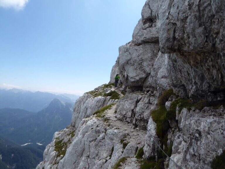
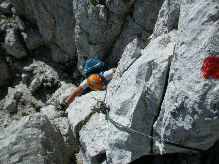
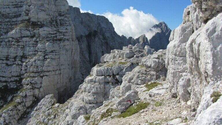
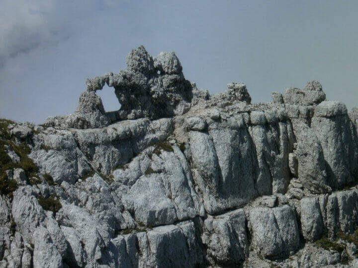
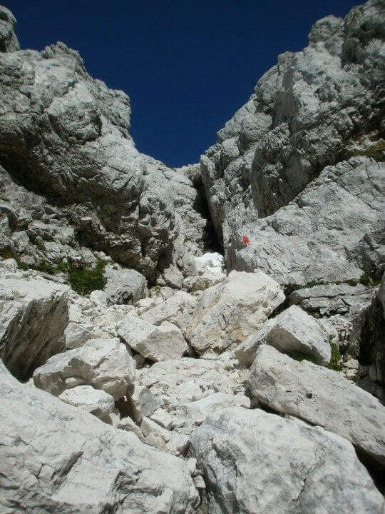
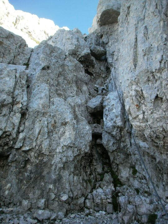
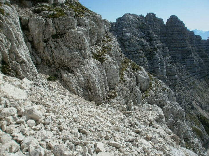
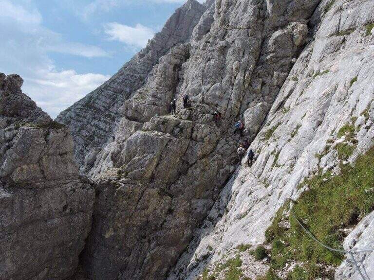
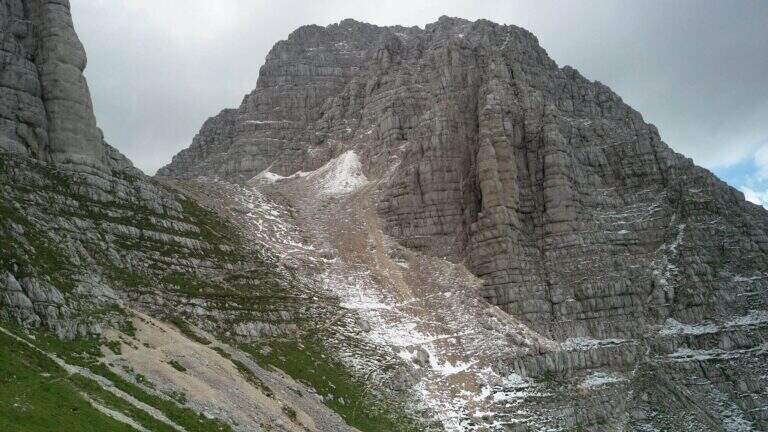
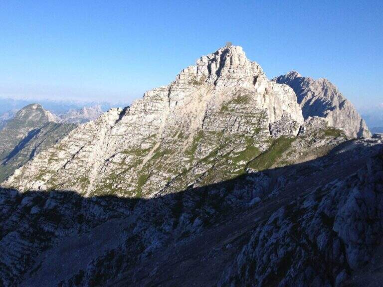
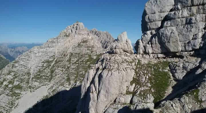
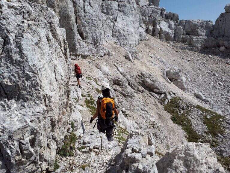
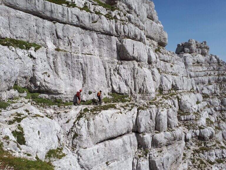
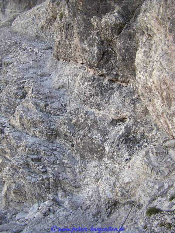
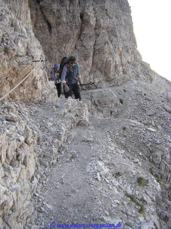
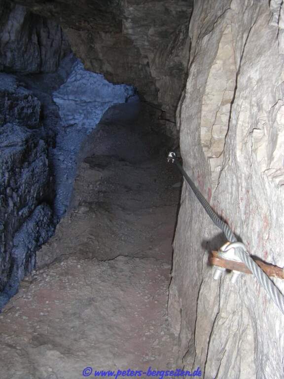
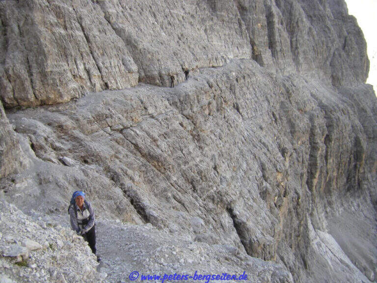
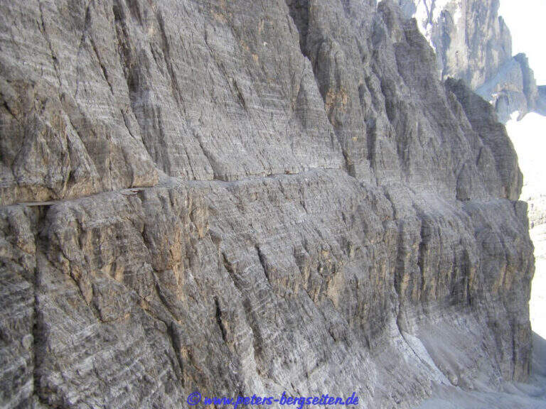
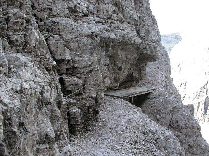
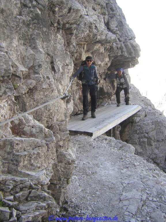
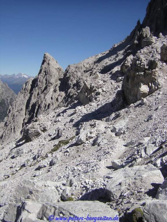
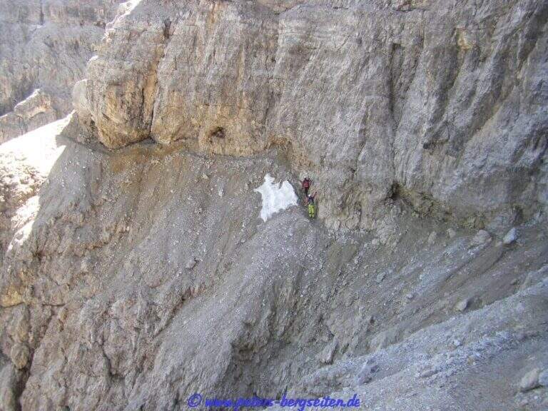
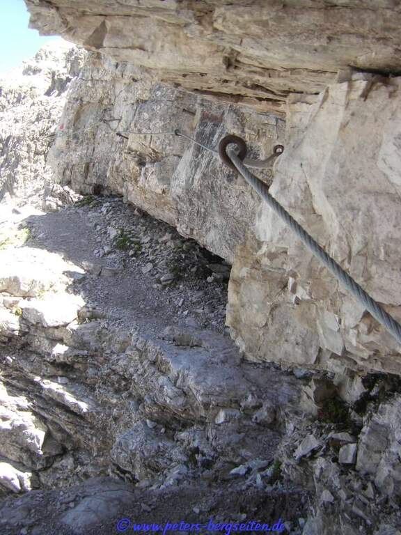
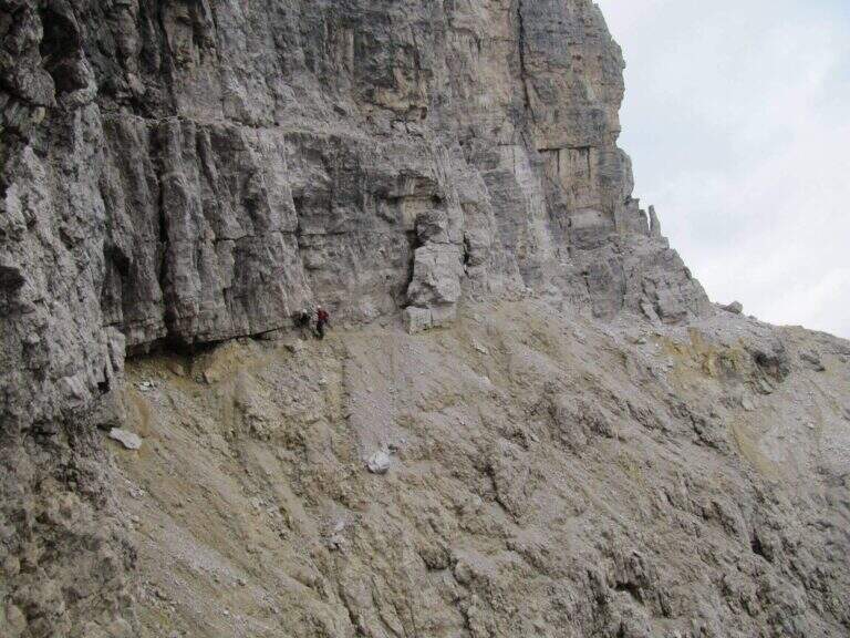
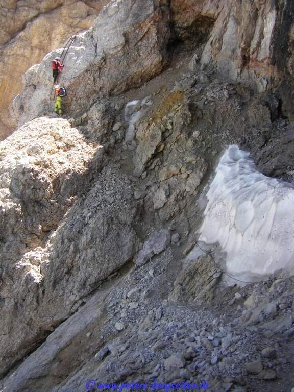
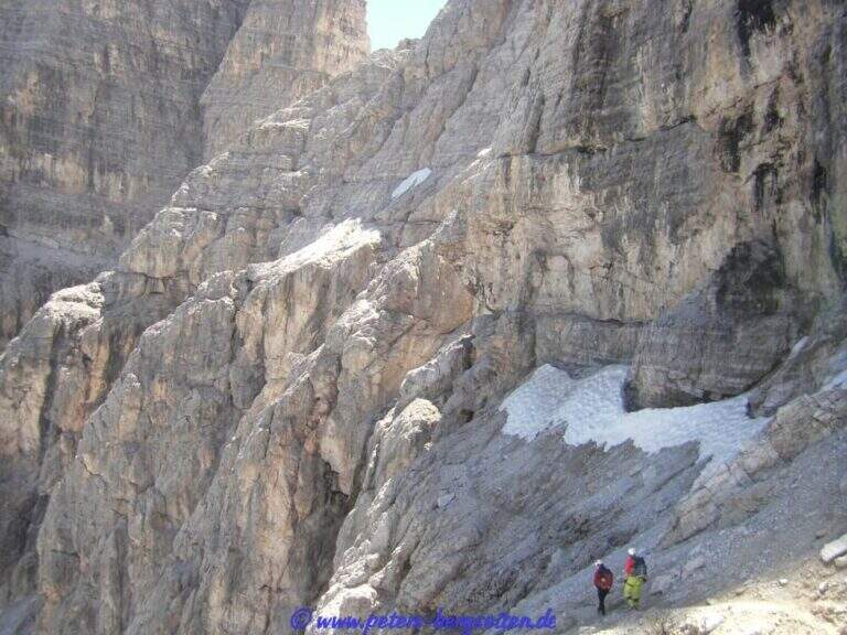
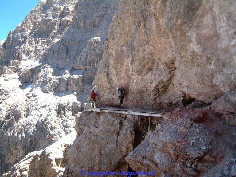
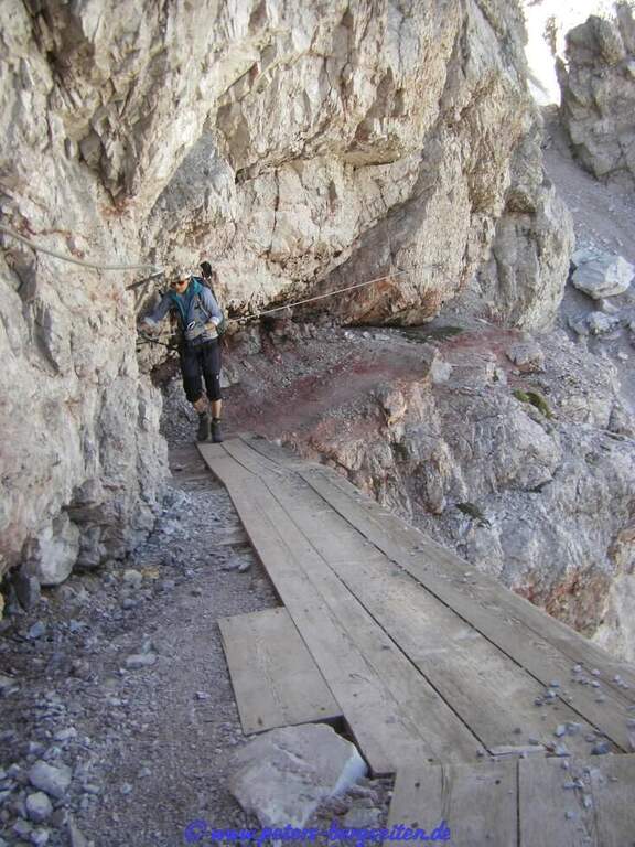
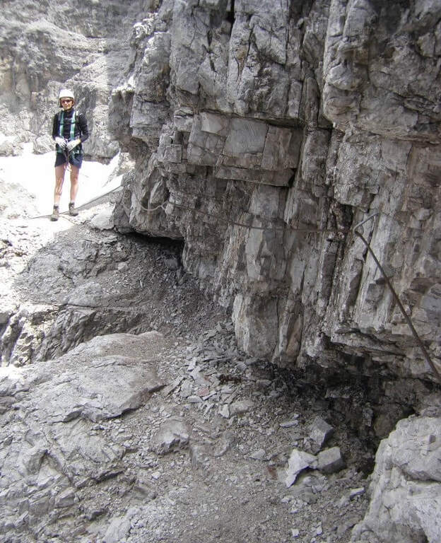
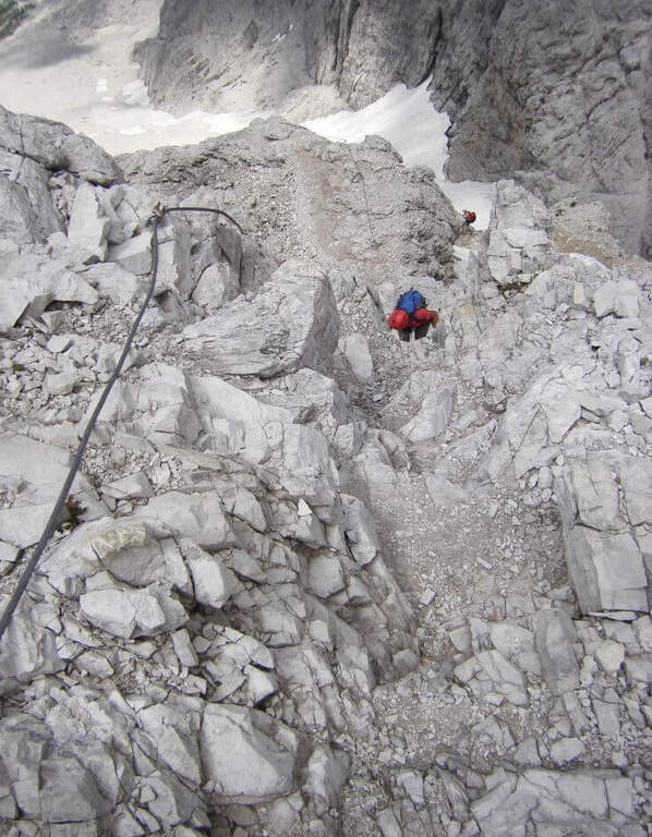
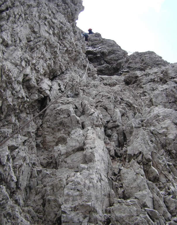
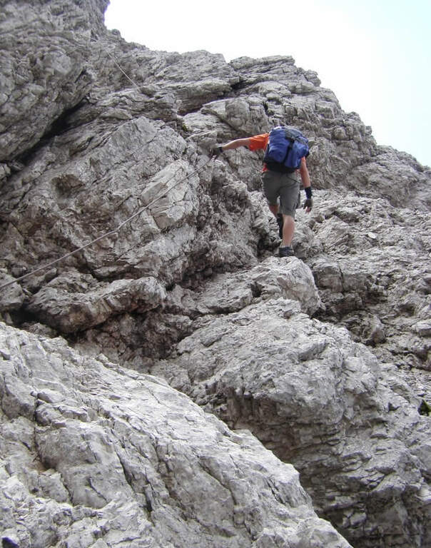
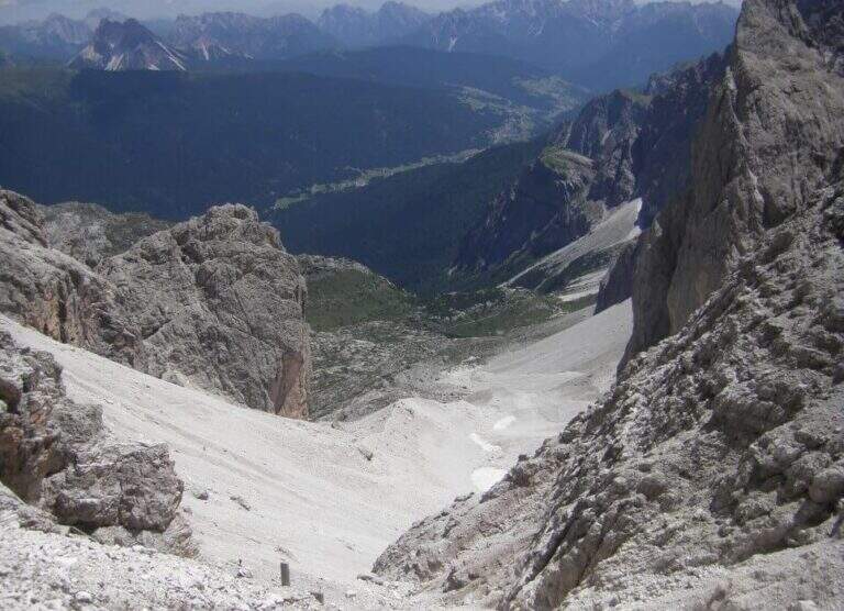
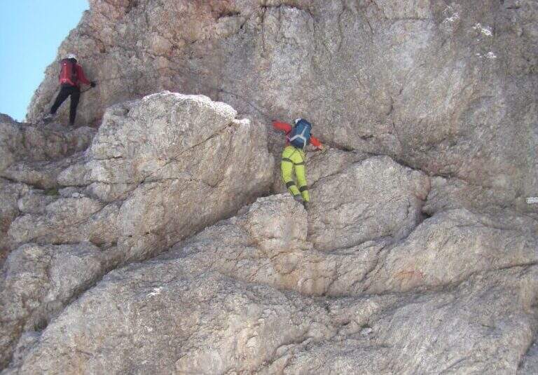
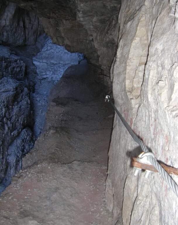
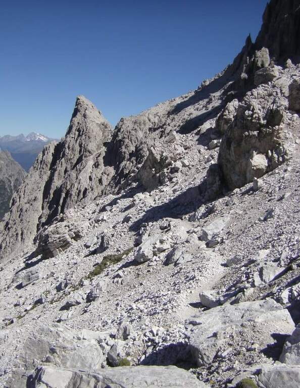
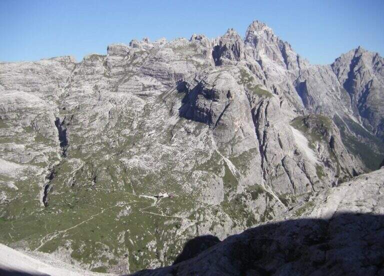
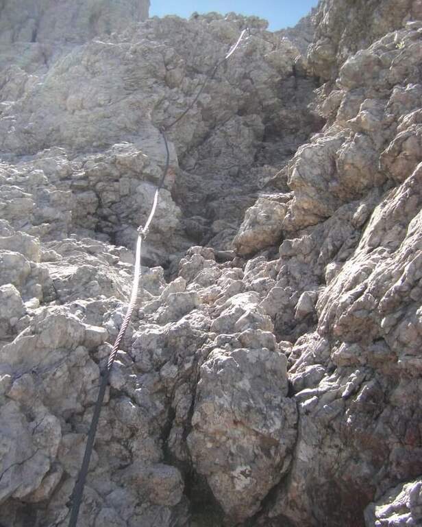
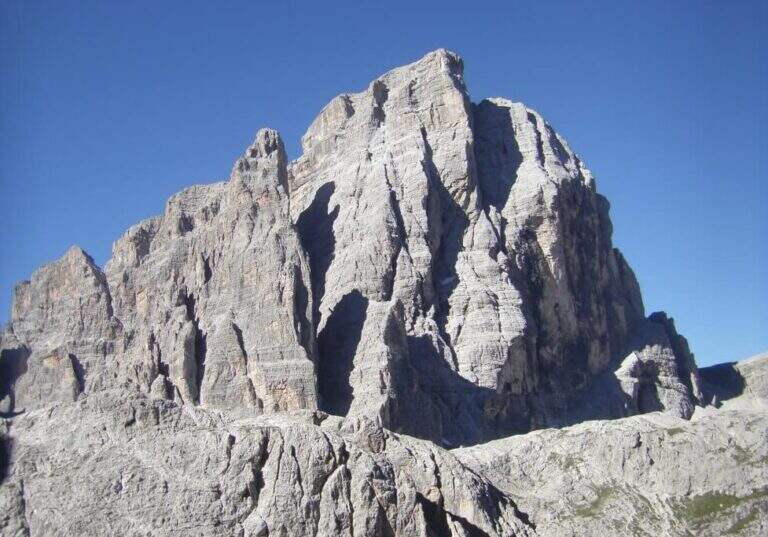
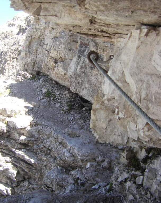
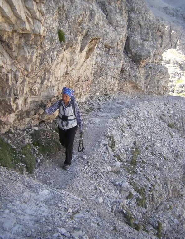
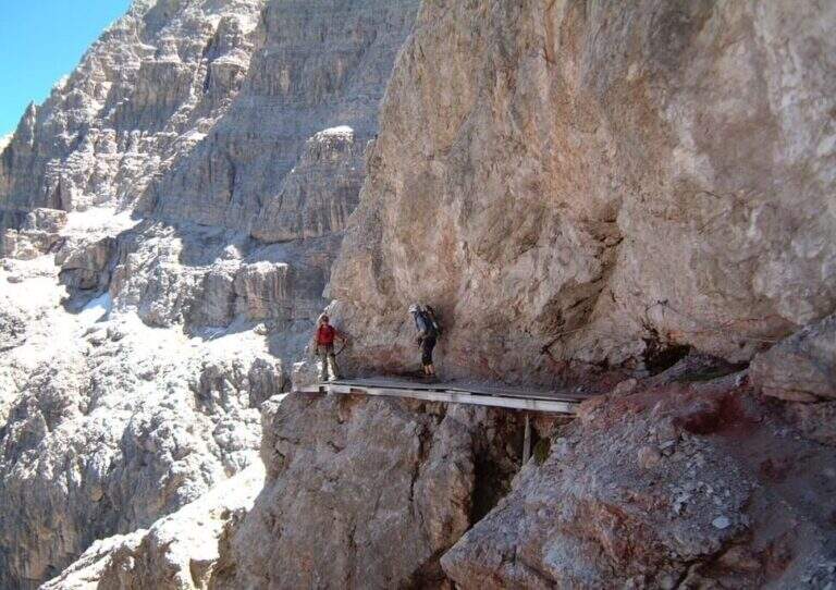
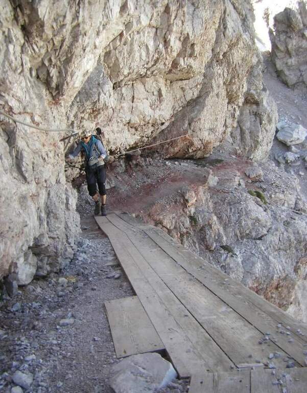
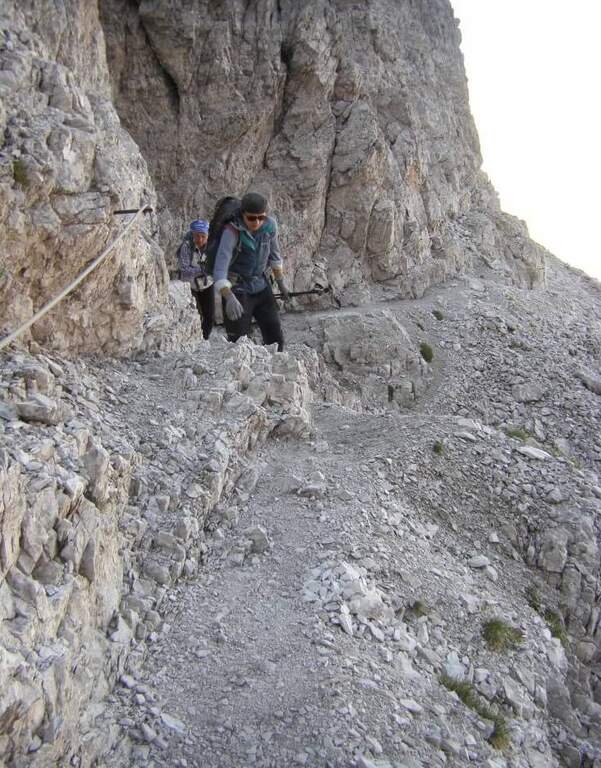
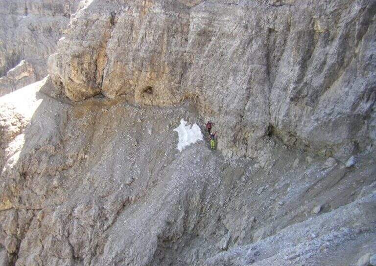
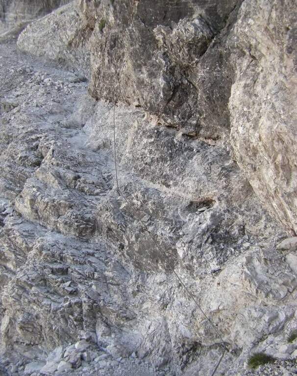
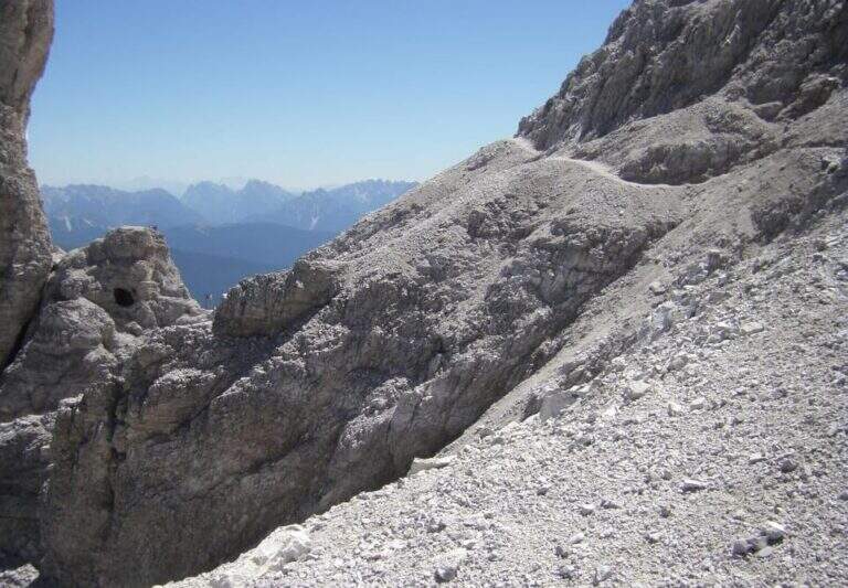
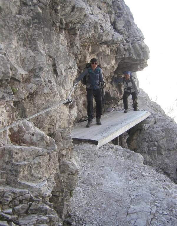
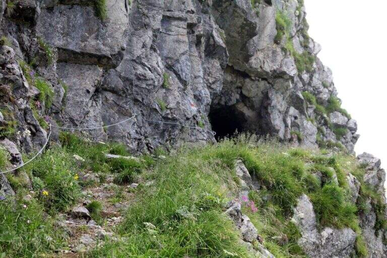
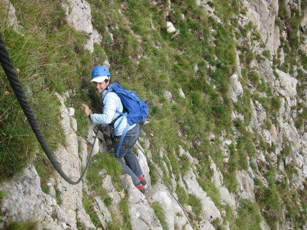
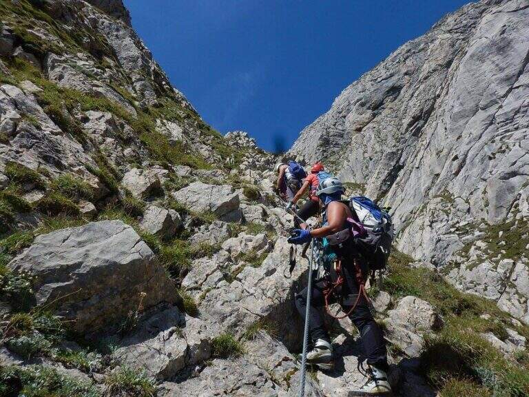
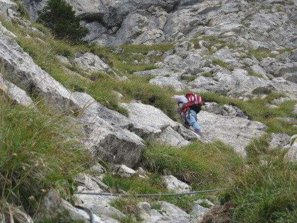
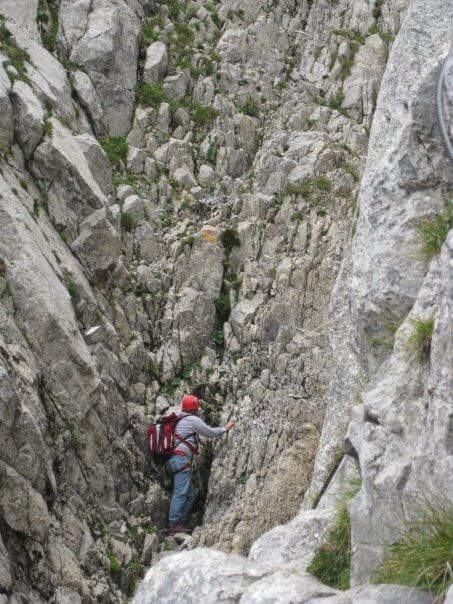
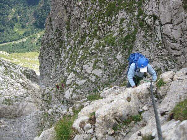
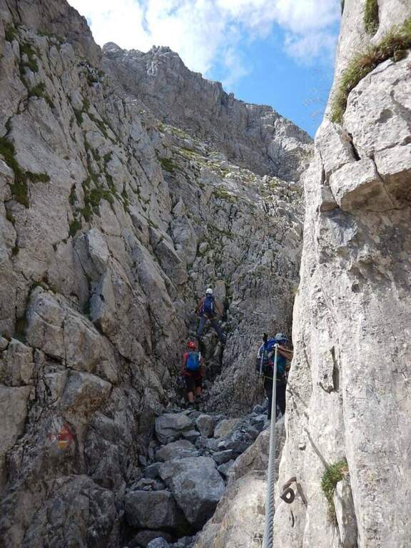
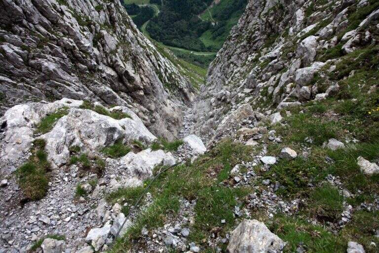
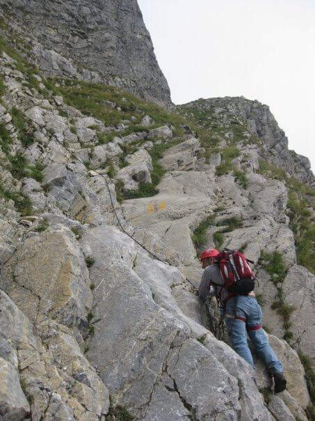
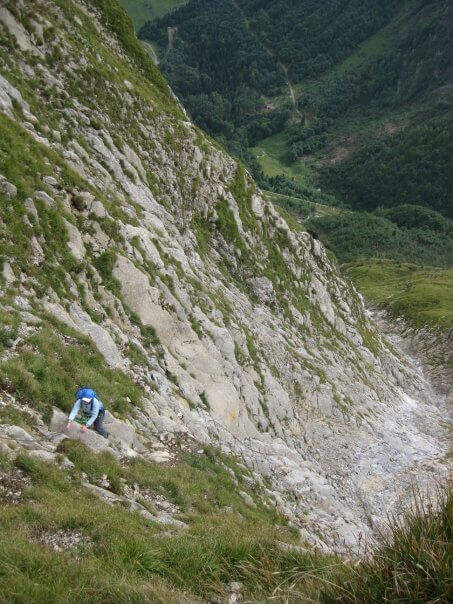
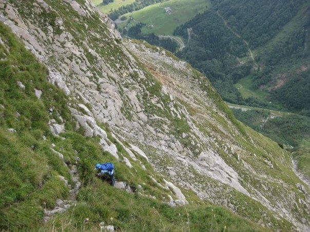
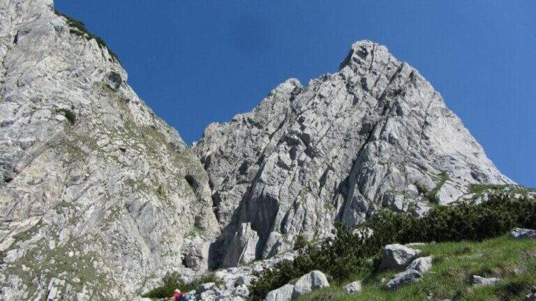
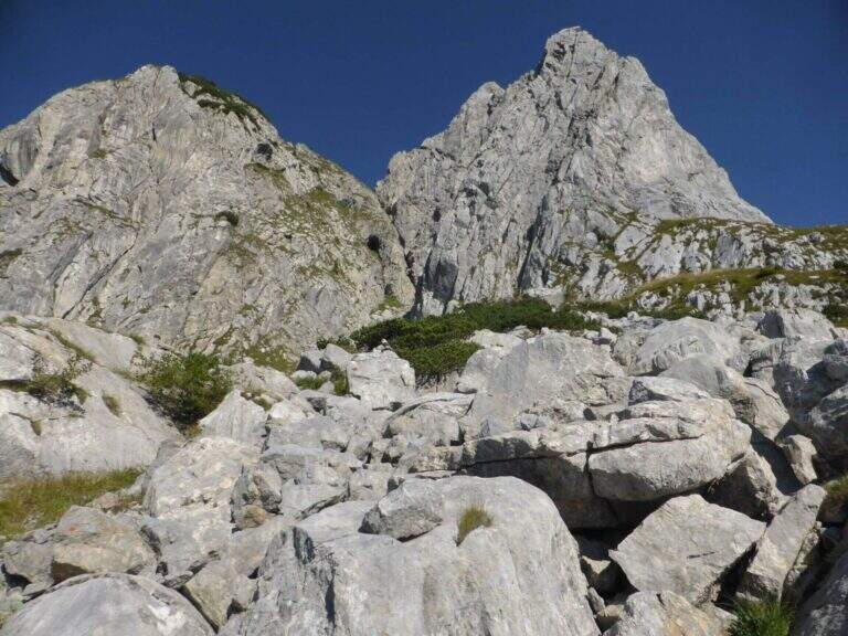
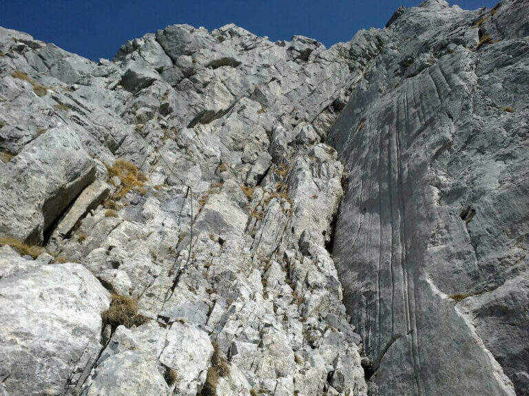
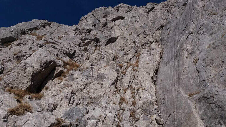
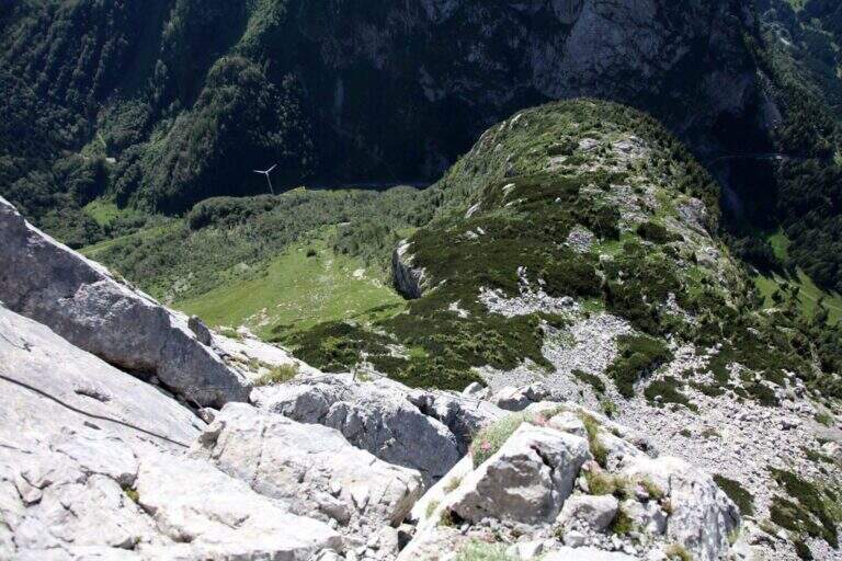
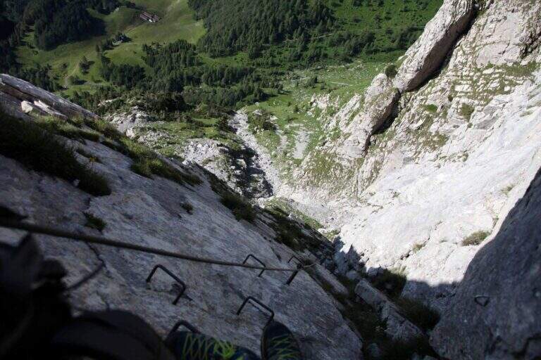
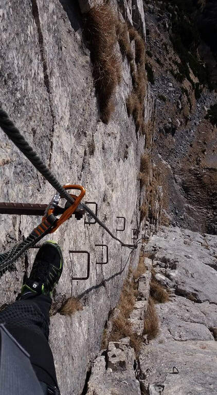
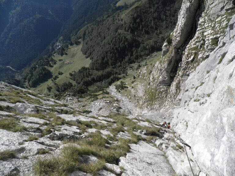
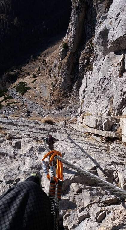
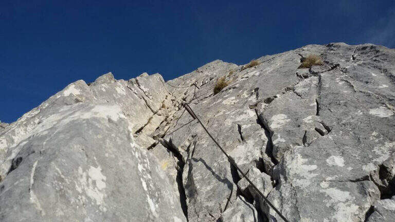
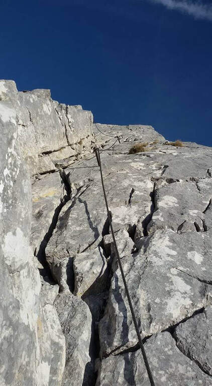
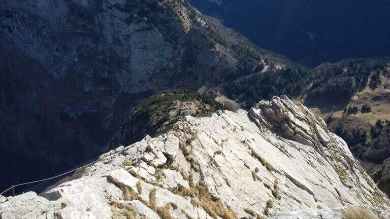
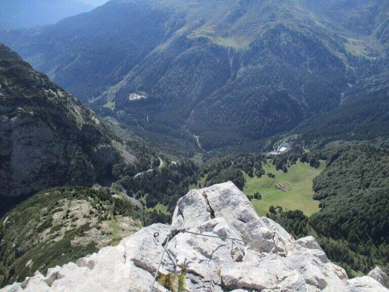
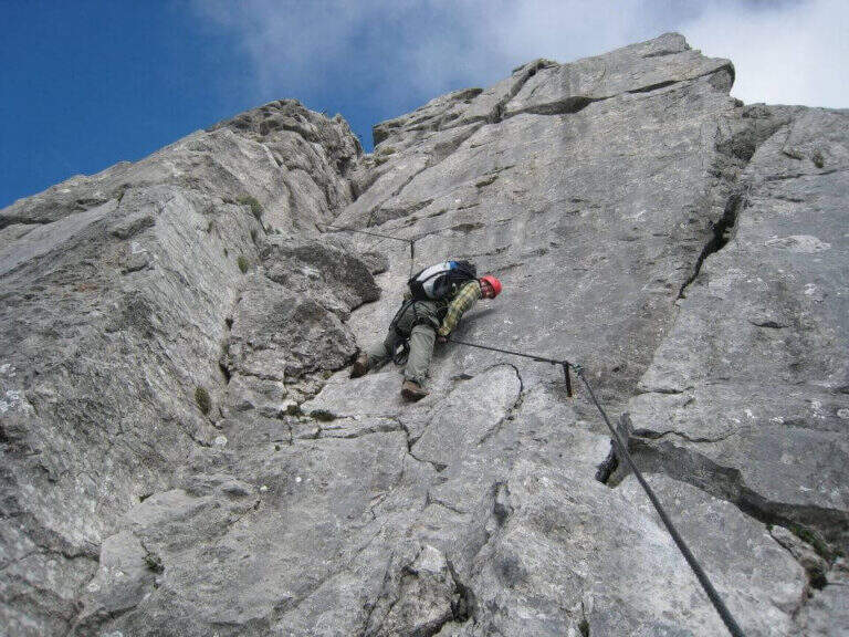
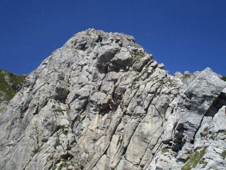
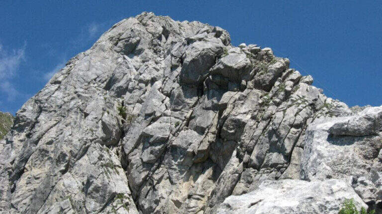
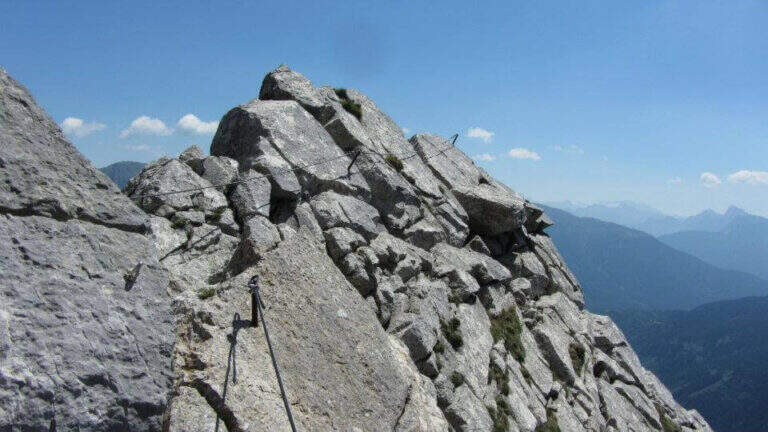
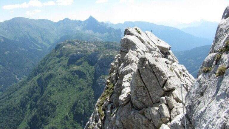
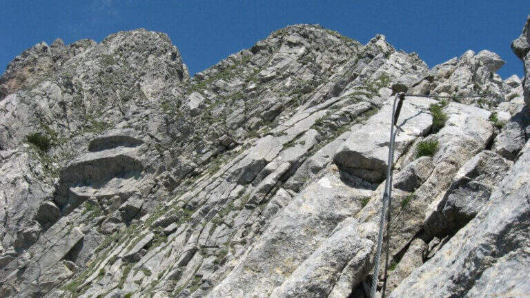
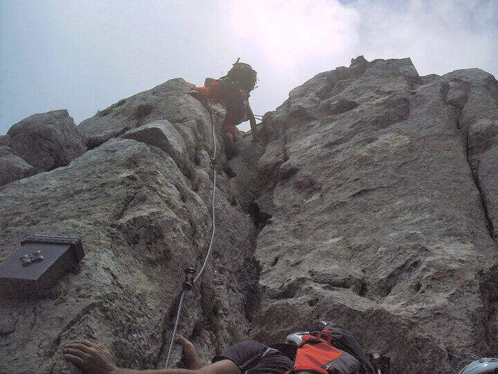
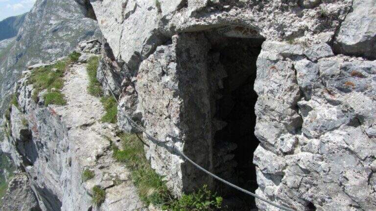
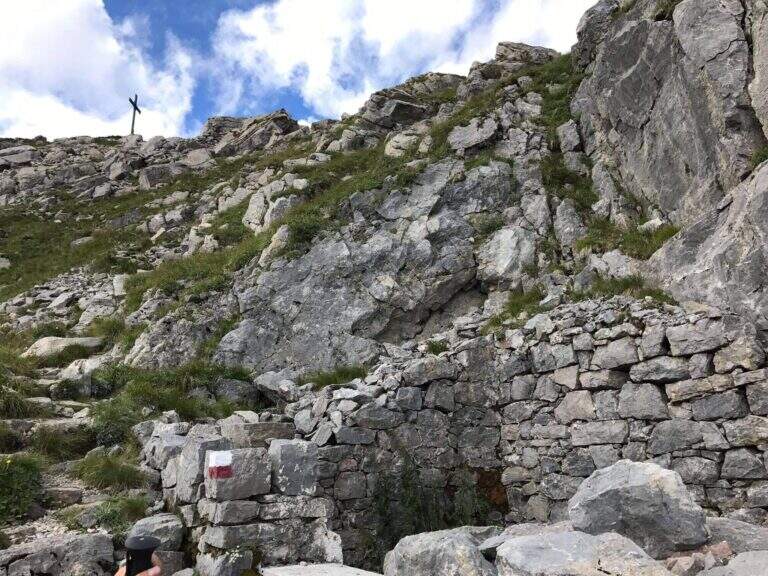
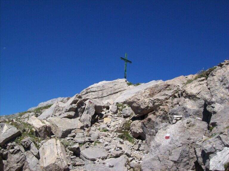
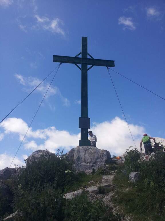
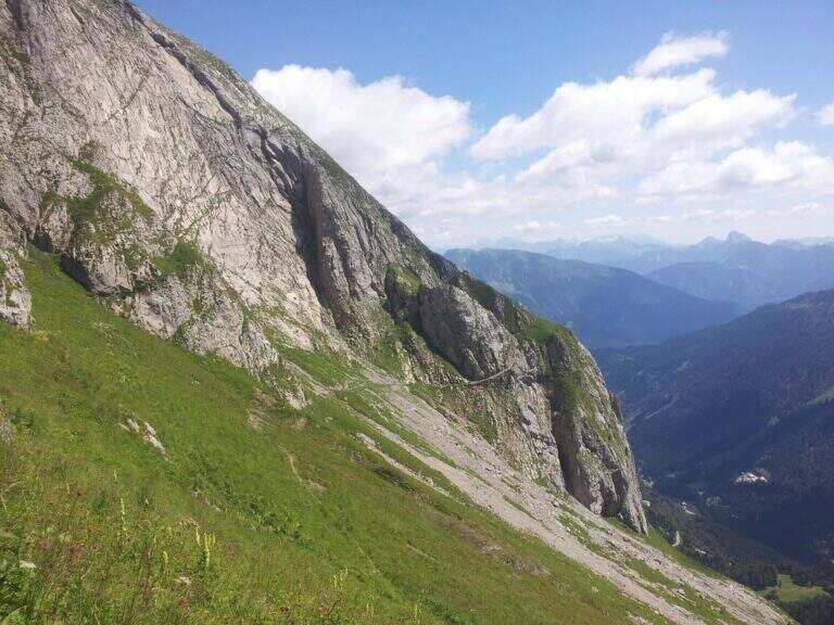
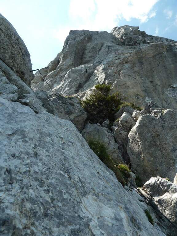
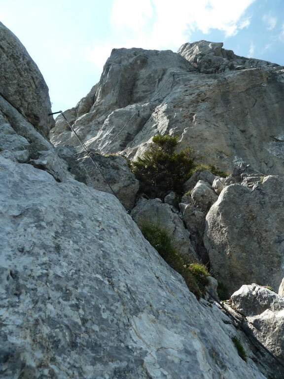
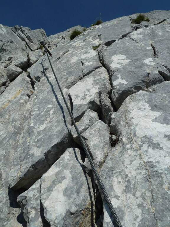
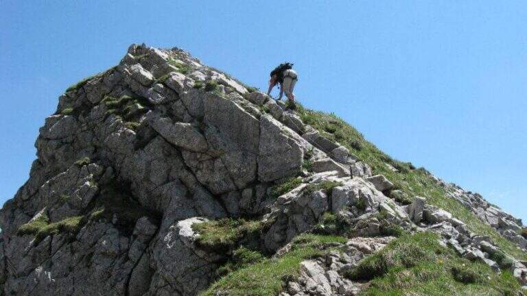
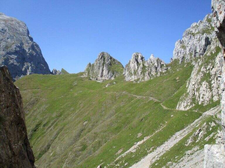
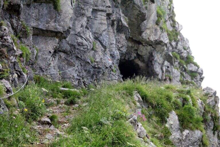
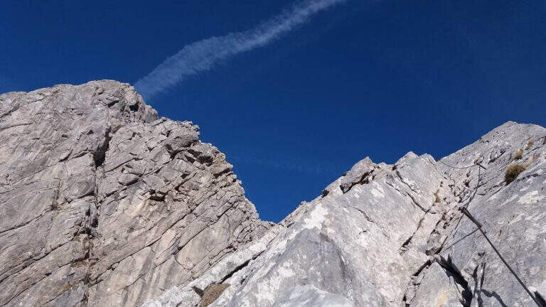
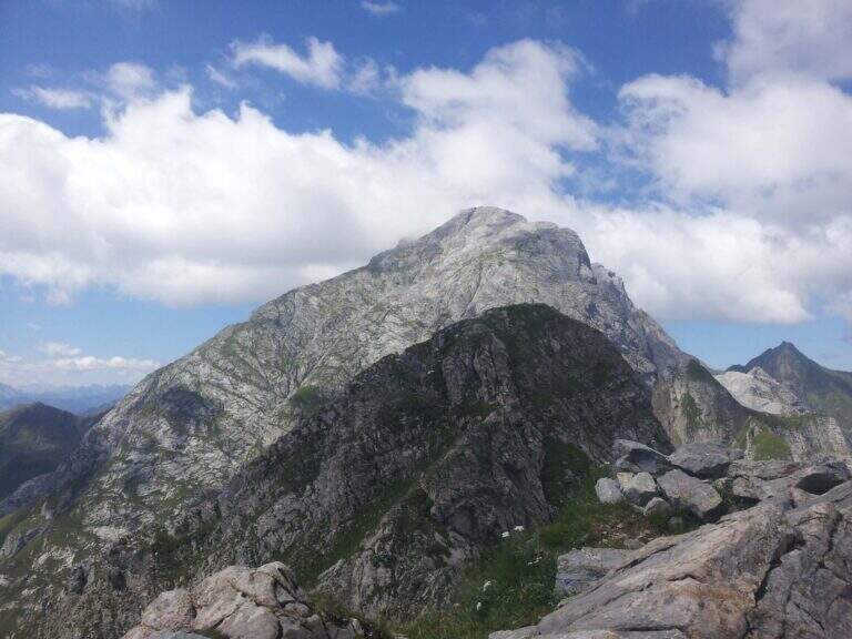
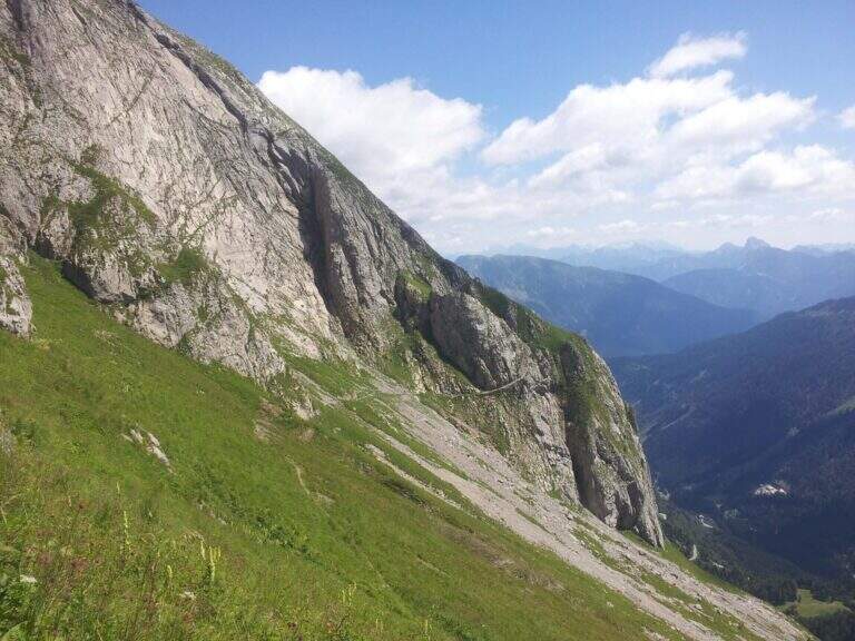
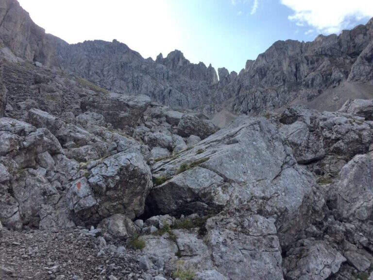
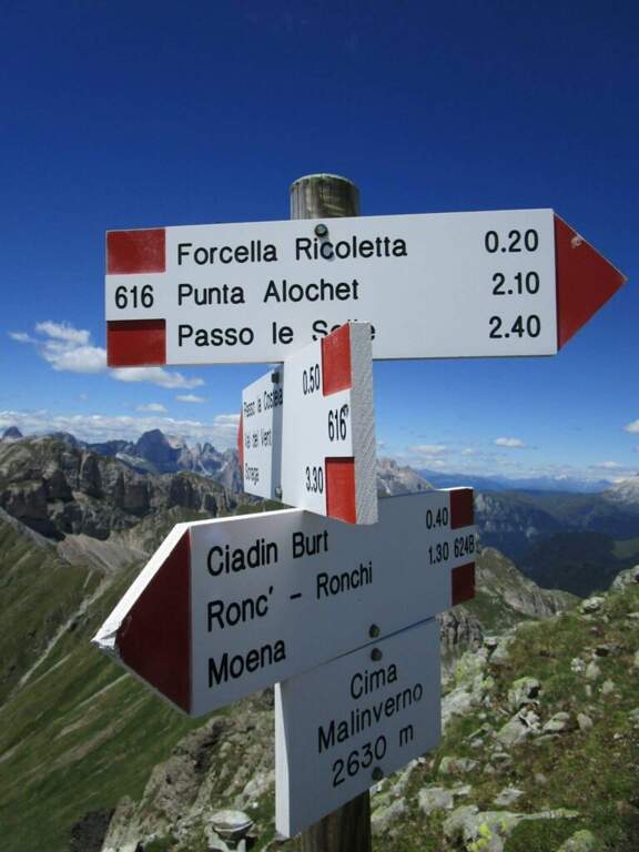
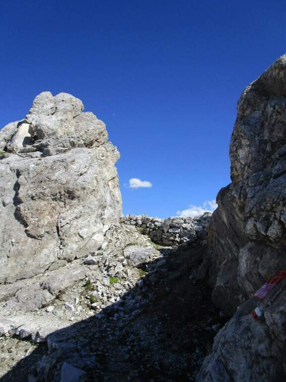
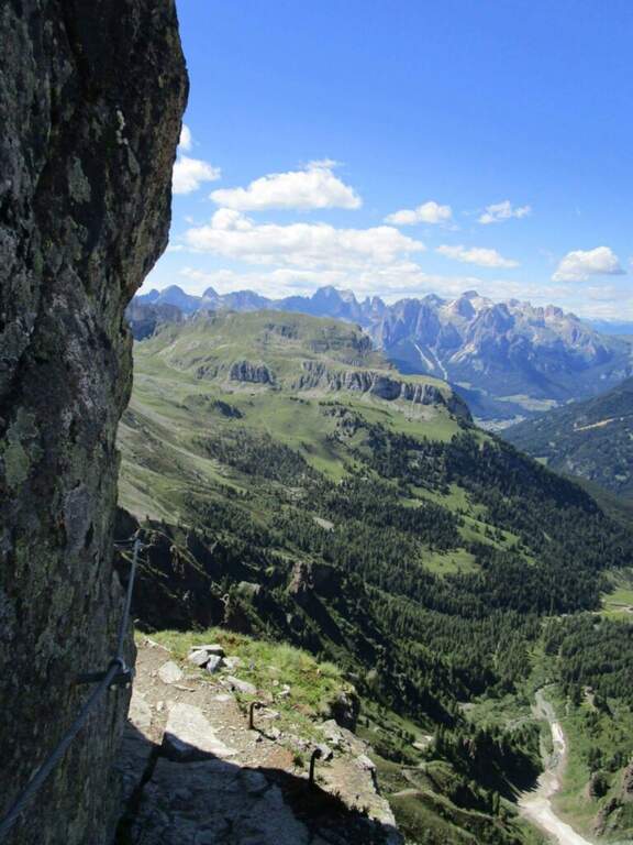
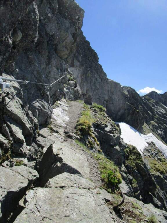
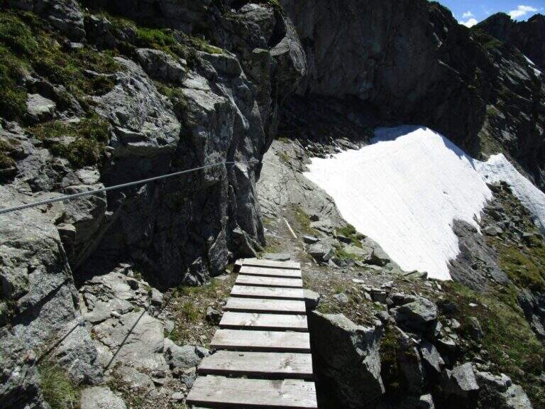
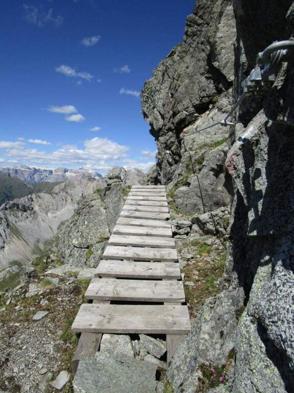
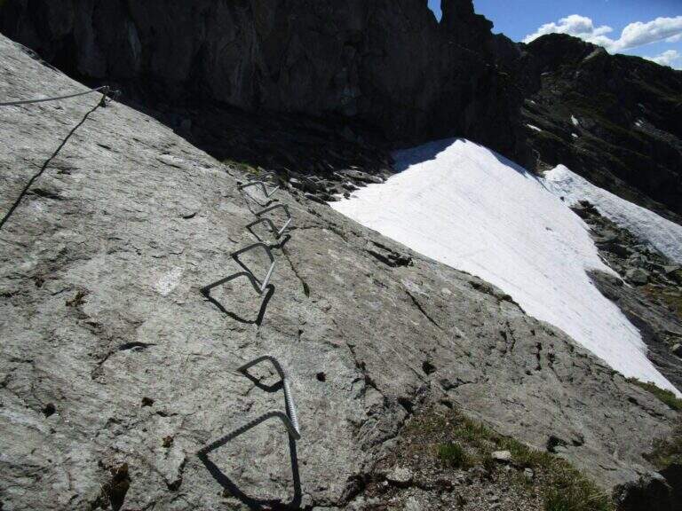
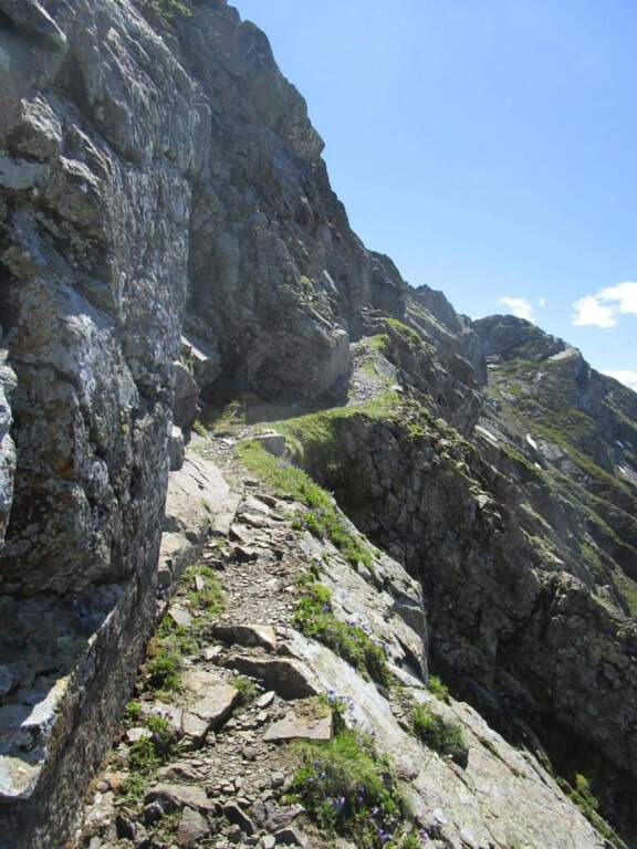
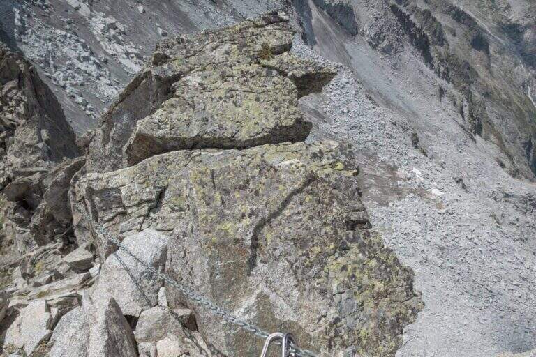
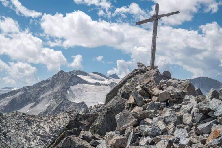
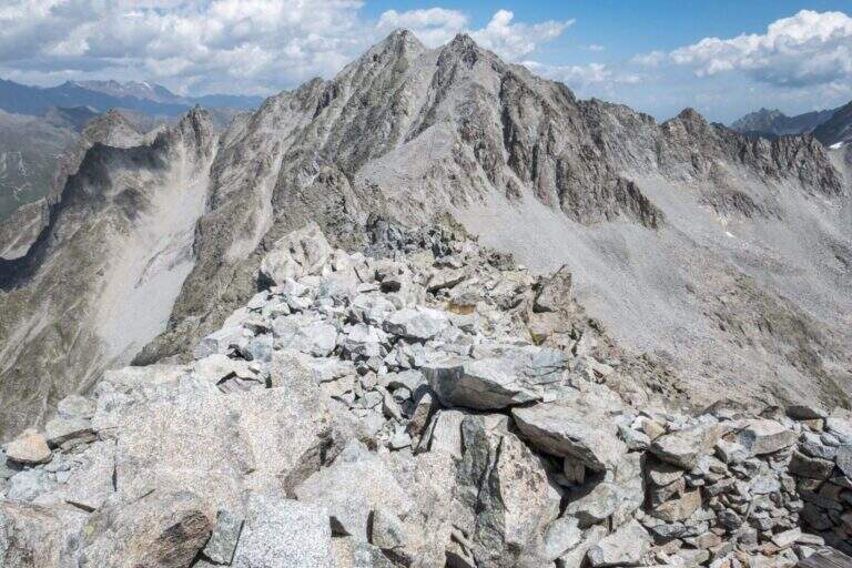
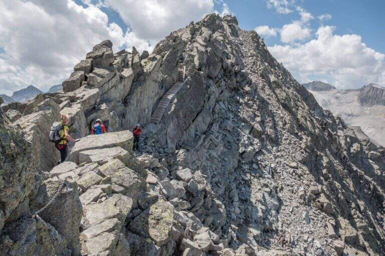
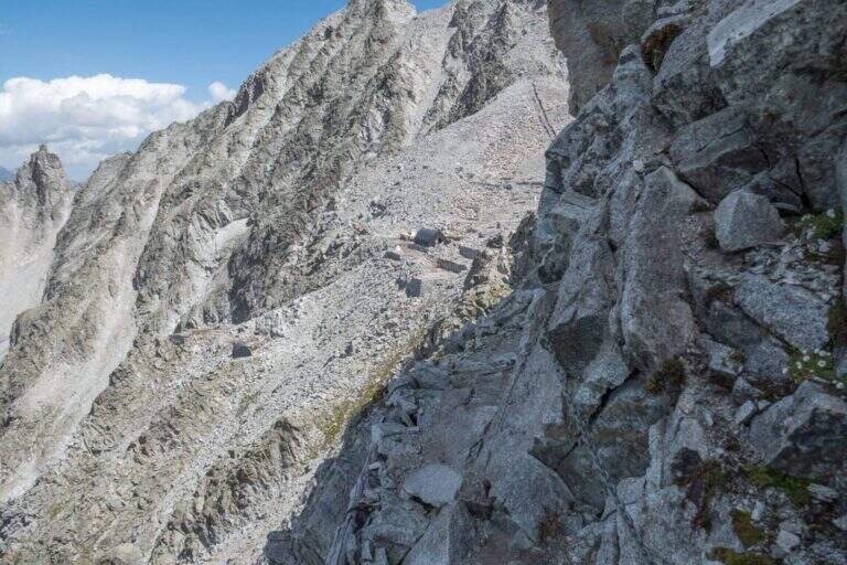
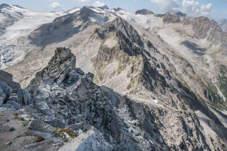
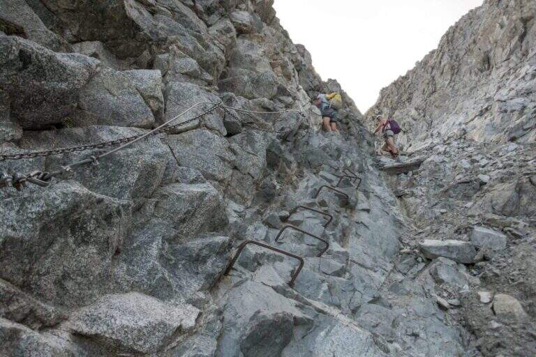
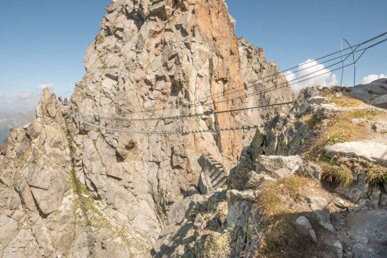
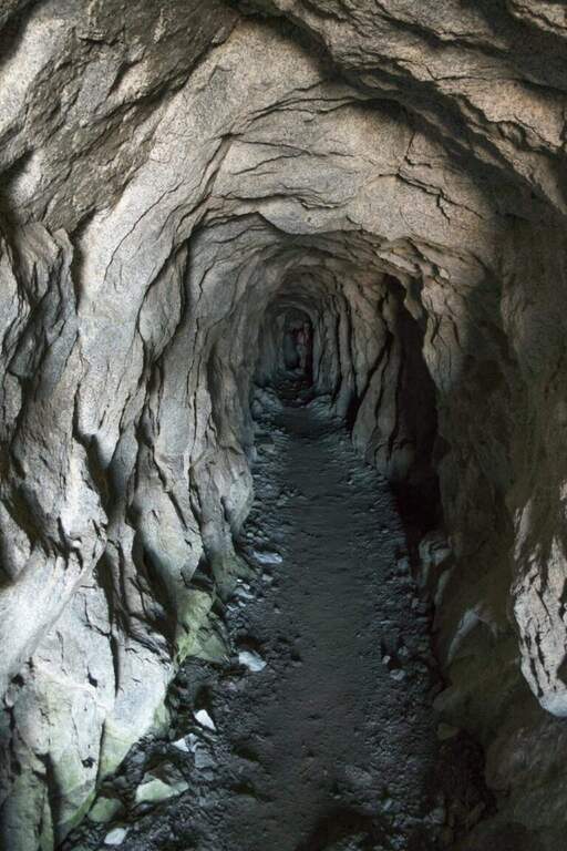
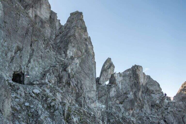
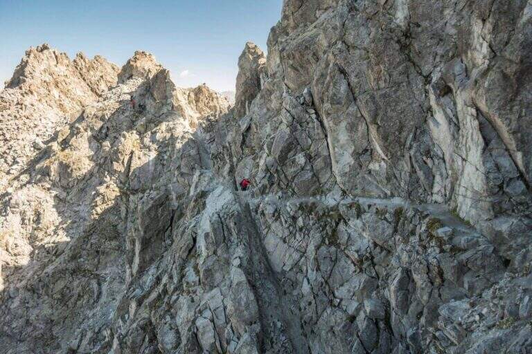
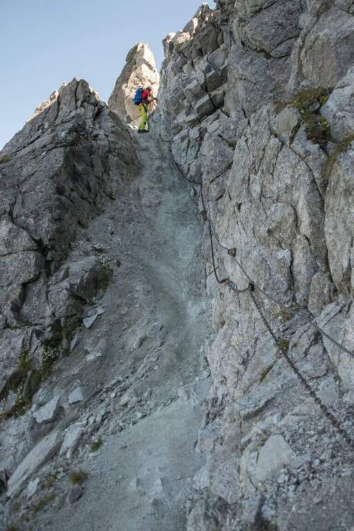
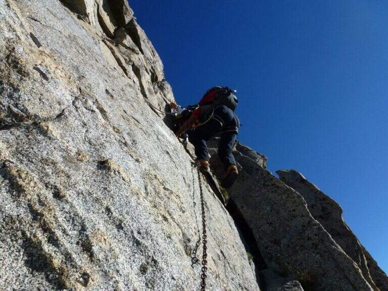
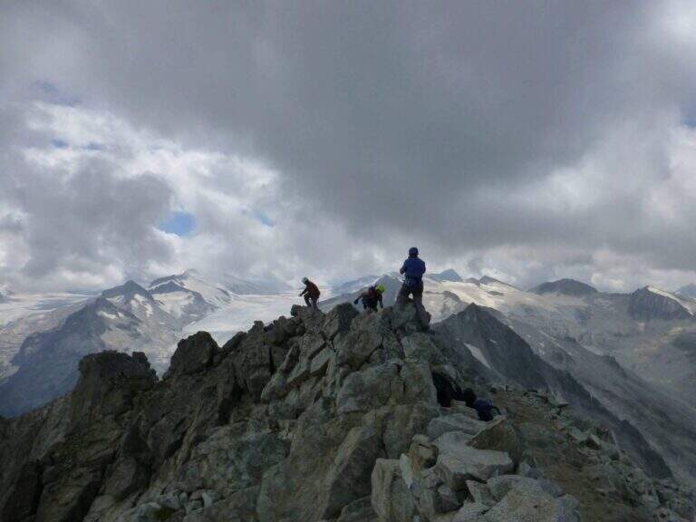
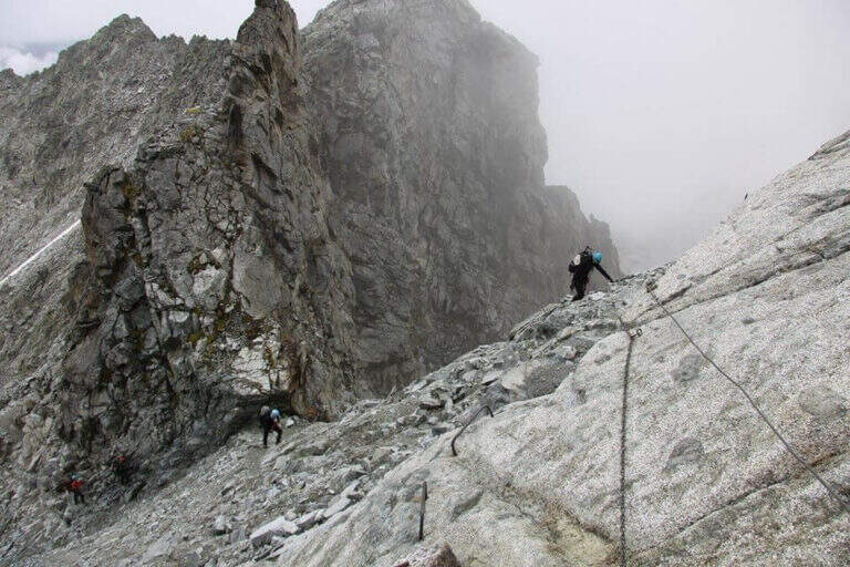
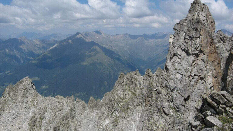
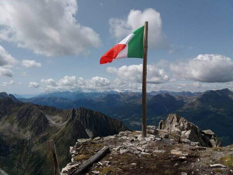
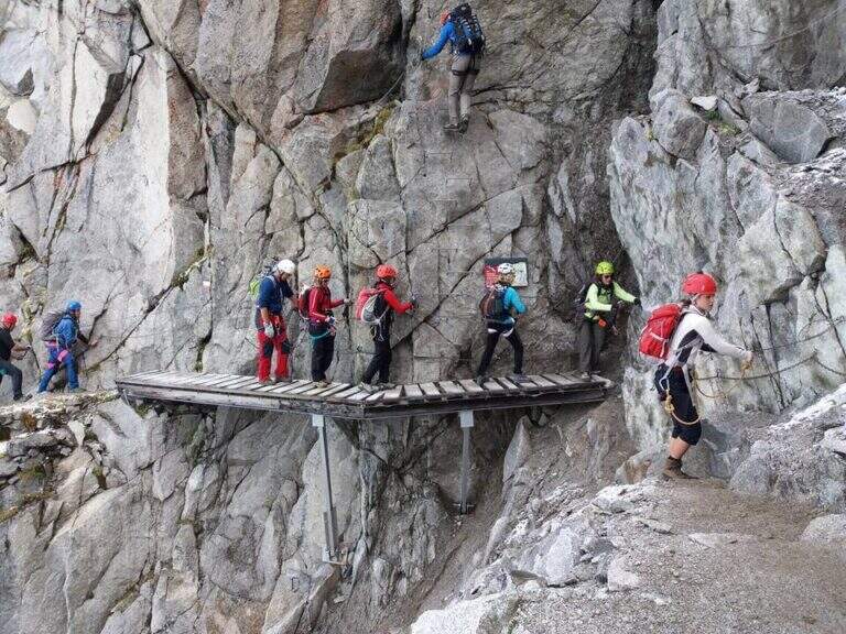
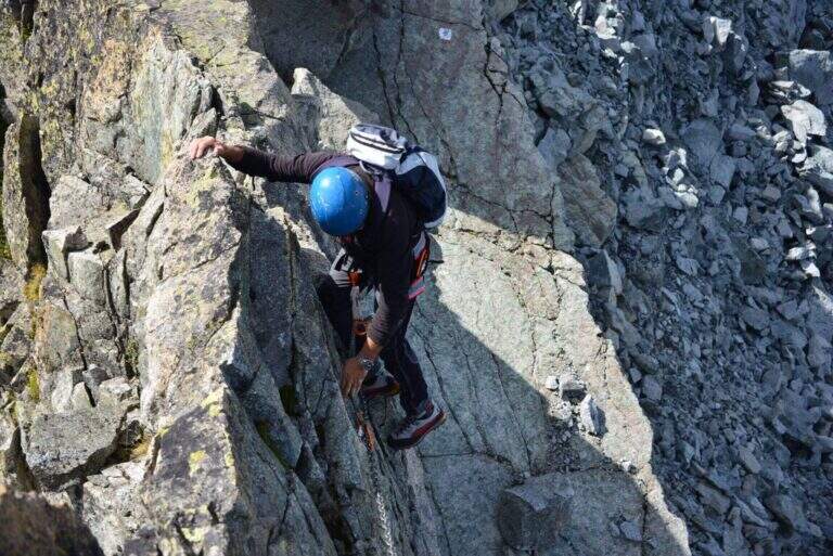
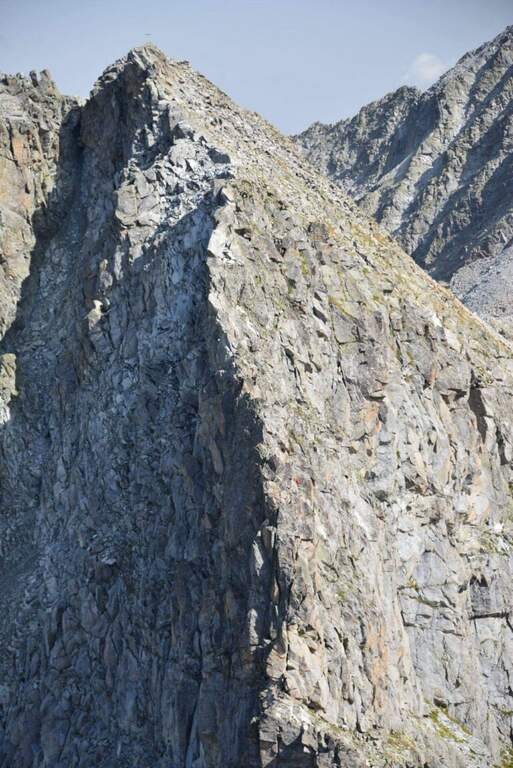
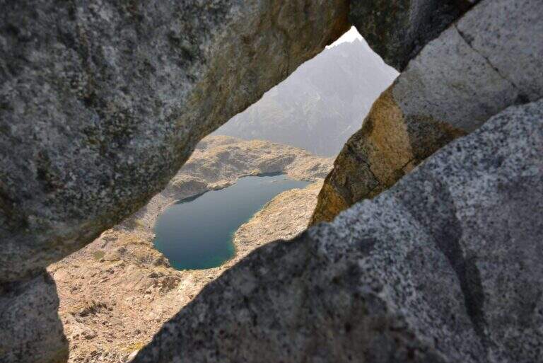
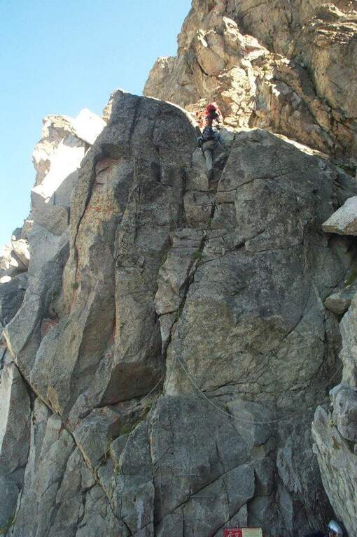
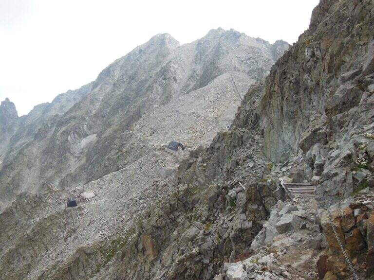
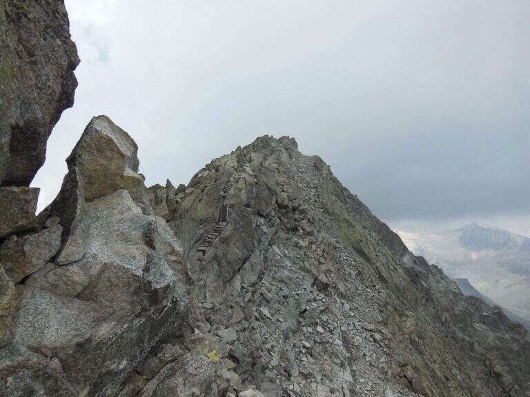
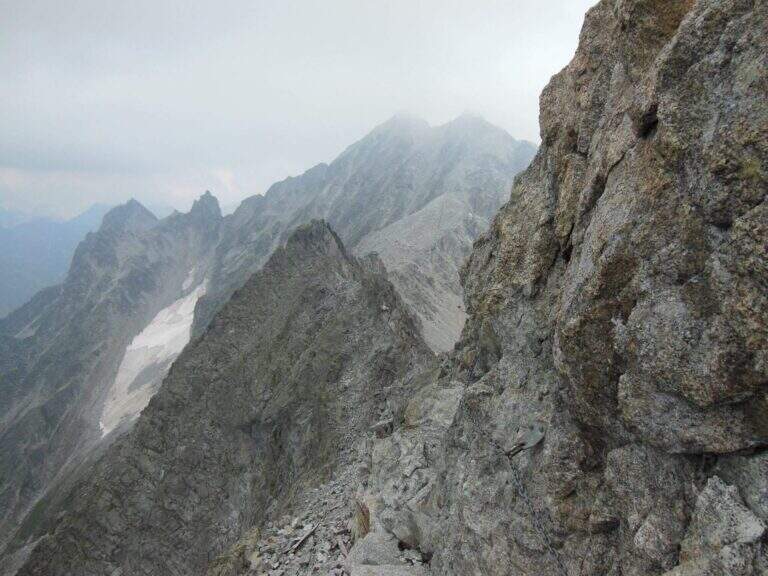
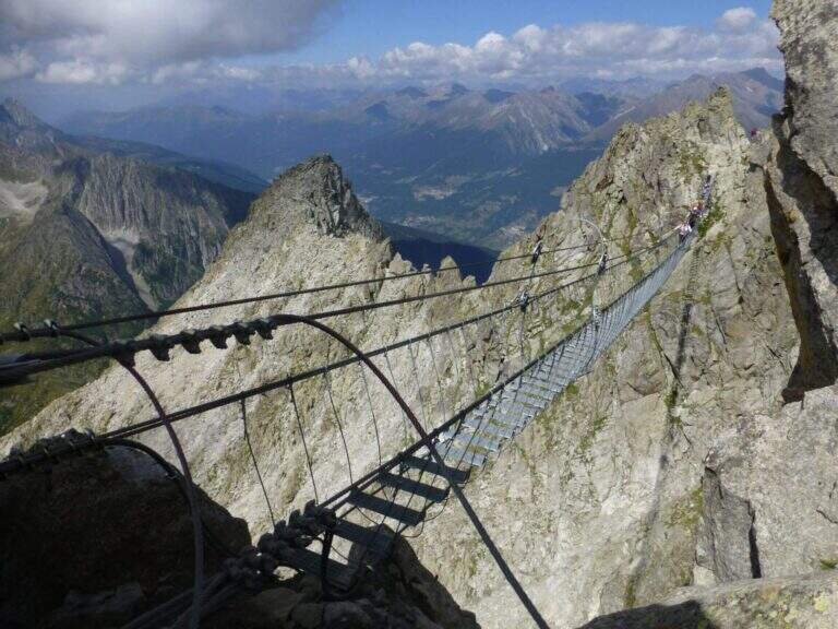
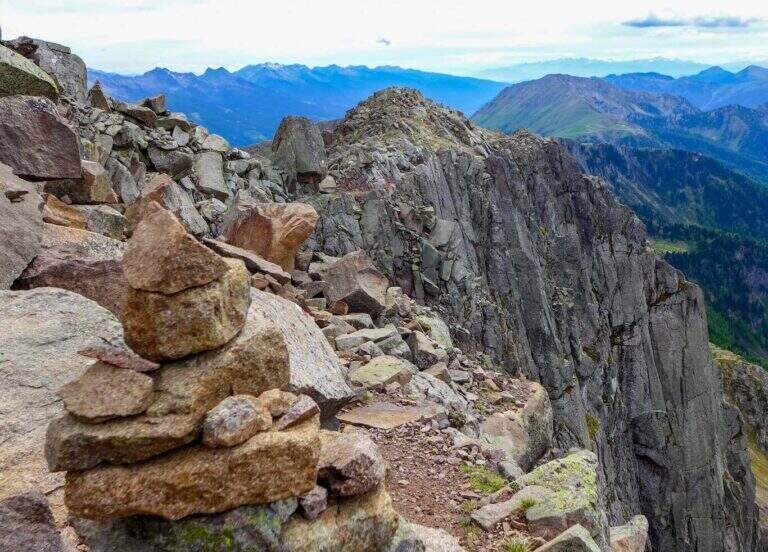
    From Forcella Cajerin, the equipped path generally develops under the ridge, except in the concluding section, and is protected at the most exposed points. Shortly after the beginning there is a nod exposed with the rope to the right, besides which there are passages on large blocks of rock alternating at certain levels, residues of the military activities of a century ago. A new nod is reached with a harmless bridge suspended by ropes, which leads to a clearly visible fork; overcoming the fork, you lose slightly altitude along an exposed and equipped nod. The ascent, not particularly steep, leads to the ridge, from which you can see the path just made and the underlying Lakes of Lusia; then you go along the most scenic section, an exposed hint that wanders a rocky spur, and a last stretch of crest up to a crossroads: to the right you descend towards the Forcella delle Bocche, to the left you climb to Cima Gronton (1h round and back, with other beautiful remains). The excursion continues to the Forcella delle Bocche (2543 m, 1h from the attack, 2h30 totals); just before, on the left, a crossroad allows you to climb to Cima Bocche (2745 m, 1h return, recommended climb, 3h30 total).

    ▲Character and difficulty

    There is no technical difficulties or vertical climbing situations; is a pleasant excursion, interesting from the historical and landscape point of view and less beat than many other of the nearby valleys. The only true note of commitment is the exhibition, present along the whole route and not indifferent.

    ⚠ The exhibition accompanies the whole itinerary, even with protections in the most critical traits: they serve mountain experience and steady pace.
    ▲Period and safety

    High mountain summer itinerary (max. 2622 m). The environment around the Lakes of Lusia is very characteristic; more than the technique, it is the exposure to demand attention.

    ▲Discipline

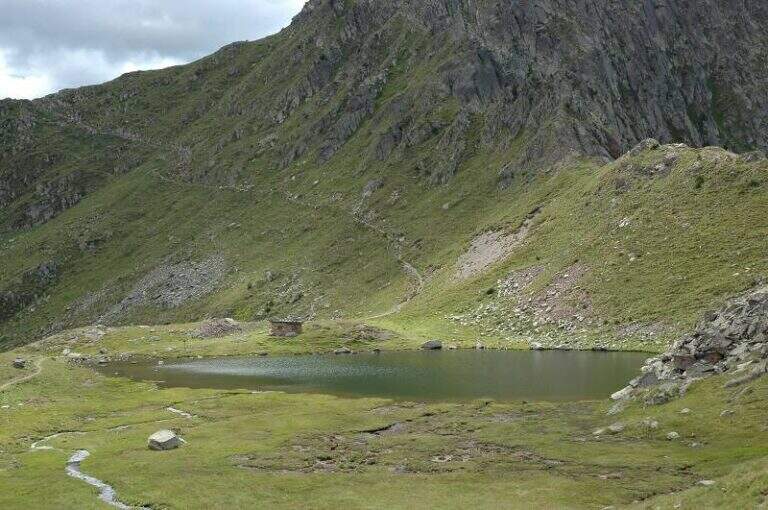
    From the Forcella delle Bocche you return along the path 633, which descends into the valley of the Lakes of Lusia — it is not uncommon to meet horses in the brado state — to the Forcella Lusia and then to the Rifugio al Passo Lusia (2h from Forcella Bocche; 4h30 total without the ascent to Cima Bocche, 5h30 with the ascent).

    ▲To match

    On the opposite side of the valley leading to Passo San Pellegrino there are two more challenging routes: theAlta Via Bepi Zac e l’Alta Via Bruno Federspiel.
    ▲Gallery
    Technical data
    • DifficultyEasy
    • RegionTrentino-Alto Adige
    • GroupLagorai – Chain of Bocche
    • Approach1:30 h
    • Ferrata1:00 h
    • Itinerary (a/r)4:30 h
    • Hardware level difference256 m
    • Route difference567 m
    • Max2622 m
    • Length13,4 Km
  • Sentiero Attrezzato degli Eroi al Monte Peurna

    Sentiero Attrezzato degli Eroi al Monte Peurna

    Vie Ferrate › Veneto › Belluno
    Sentiero Attrezzato degli Eroi al Monte Peurna

    The Athletic Path of the Heroes rises to Mount Peurna, in Val Schievenin. It is easy in the short stretches equipped, but ostic in the long stretches not protected on unstable background; the itinerary is not subject to punctual maintenance and sometimes it is difficult to identify. It runs in an area full of testimonies of the Great War.

    ▲Approach

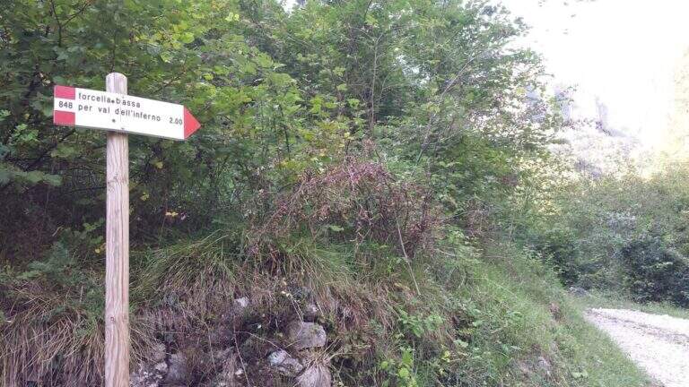
    You reach the Schievenin Valley, in the province of Belluno: from the Piave valley, near Quero, you proceed towards the east following the indications for Schievenin; arrived in the village you enter the valley on a narrow but paved road until a parking lot, beyond which there is no transit (attention to some colatoi and holes that can damage the low cars) (open up Google Maps). From the parking lot (515 m) you walk along the road to the north, on dirt road with signpost 848, following for Forcella Bassa; in proximity to a curve a track takes off to the left in the wood, without pole and signaled only by a small sign (15′ from the parking lot). The path 848 climbs along the Valley of Hell to Forcella Bassa: a stretch that at 2017 was rather poorly kept, with divel trees, trace at times difficult to spot and half-coast passes on slippery bottom and exposed on the left side. Adding Forcella Bassa (1044 m, 1h from the crossroads), the left is held on the longest path of the Heroes (AV8 carts), of which you only walk a stretch; southward, on the eastern side of the Peurna, the path has stretches on grass and insidious and unprotected soil. Attached the east wall, on the south-eastern side you reach the first equipped stretch (1h15 from Forcella Bassa, 2h30 total).

    ▲The path

    The first equipped stretch develops in the ridge, with the cable to the right: it descends along this stretch until an easy and wide equipped nod. Continue on the path south to the second stretch equipped, where you go up a very steep passage on slippery bottom, protected for safety. Beyond this point the equipment ends and with them the equipped part of the Heroes Path (30′ from the attack, 3h total).

    ▲Character and difficulty

    Where protected, the itinerary does not have technical difficulties; the main difficulties are due to the numerous stretches of path on an insidious and unprotected background. It is also easy to lose the track: both approaching and returning there are points with fallen trees and traits invaded by tall orchards and herbs.

    ⚠ Itinerary little maintained and at times difficult to spot, with long stretches not protected on unstable, slippery and exposed background. Long trousers and telescopic poles are recommended; carefully evaluate weather and orientation capacity.
    ▲Period and safety

    Low altitude (maximum 1207 m): the route is accessible in most of the hiking season, but the conditions of the bottom and the vegetation can make it tiresome. Care in orientation is the main security factor.

    ▲Discipline

    Continue on a slight descent until you cross the path 843, you keep the left and shortly after the left following the signpost 839 that leads to Schievenin. Once the paved road runs along the way, you find yourself downstream from the parking lot, then you go up the road to the starting point (2h from the end of the equipment, 5h overall).

    ▲To match

    To the south, towards Bassano del Grappa, there are two ferrates that go up to the sacred area of Grappa, the Ferrata Sass Brusai e la Ferrata Guzzella; for something more challenging, although short Ferrata Santa Felicità. To the north you reach the Lagorai with the Ferrata Gabrielli in Cima d’Asta, while towards the Dolomites Feltrine lies Ferrata at Monte Coppolo.

    ▲Gallery
    Technical data
    • DifficultyEasy
    • RegionVeneto
    • GroupDolomiti Feltrine – Val Schievenin
    • Approach2:30 h
    • Ferrata0:30 h
    • Itinerary (a/r)5:00 h
    • Hardware level difference100 m
    • Route difference785 m
    • Max1207 m
    • Length9,1 Km
  • Path Trained at the Cuestalta (Hoher Trieb)

    Path Trained at the Cuestalta (Hoher Trieb)

    Vie Ferrate › Friuli-Venezia Giulia › Udine
    Path Trained at the Cuestalta (Hoher Trieb)

    The Sentiero Attrezzato al Cuestalta climbs to the homonymous mountain (Hoher Trieb in German), located on the border between Italy and Austria. It is a long but never excessively demanding itinerary, with a stretch of ridge equipped in the most exposed and vertical points, in a carnic environment rich in history of the Great War.

    ▲Approach

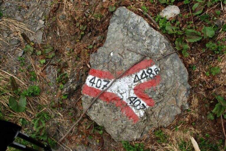
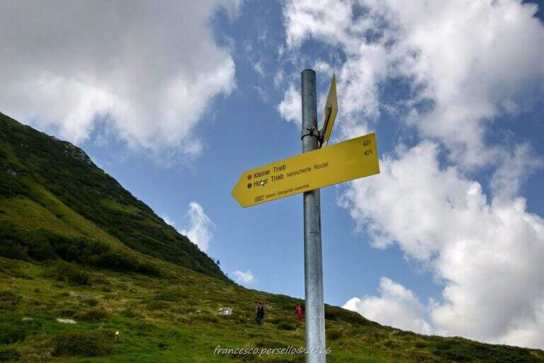
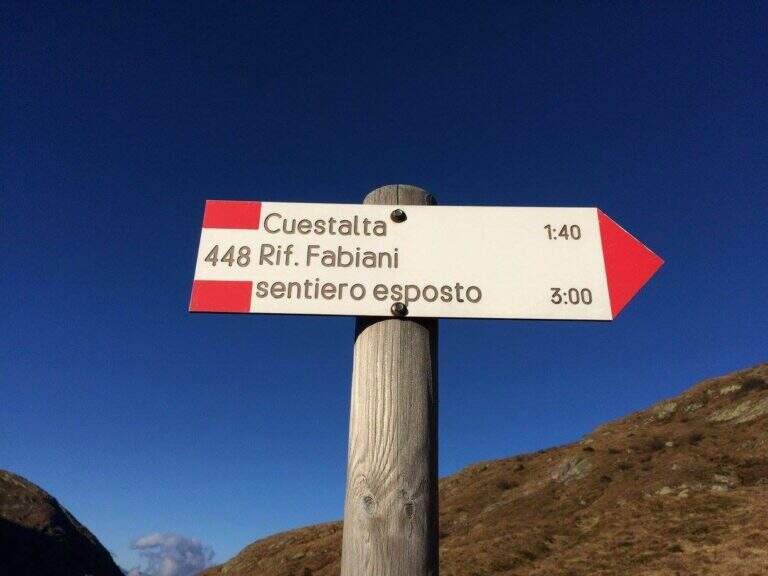
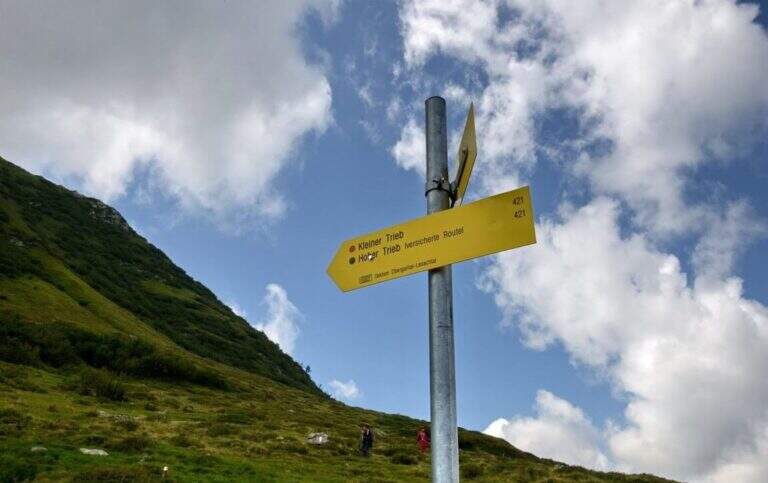
    Starting from Malga Pramosio, in the municipality of Paluzza (UD), reachable on a dirt road in good condition from the village of Claulis, along the state that from Tolmezzo rises to the Pass of Monte Croce Carnico; at the entrance of the village a clear sign indicates the Forest of Pramosio, and follow the road until the end at the malga, which also offers possibility of overnight stay (open up Google Maps). From Casera di Pramosio (1521 m) follow the path 407 to the east; immediately ignore the junction of 404 and cross the Sella di Cercevesa and the ruins of the homonymous house. At a new crossroads (1h15 from the parking lot) you leave the 407 that goes right and you stay on path 448, indicated as exposed, which cuts halfway the Cuestalta ridge (attention to the bottom in case of abundant rains). At a later crossroads, where on the left the 448 climbs to the normal Italian road, continue halfway on the 448th towards the Fabiani Refuge; the path bends towards the Red Crete, reached after a stretch of ridge a little exposed but not difficult (1770 m, 1h from the junction of 407, 2h15 total), and from here descend steeply to the Fabiani Refuge (1539 m, 2h40 total). From the refuge the path 454 climbs to Passo Pecol di Chiaula (1797 m, 3h total), border of State between Italy and Austria, with numerous testimonies of the Great War: tunnels, trenches and barracks. You descend now in the Austrian territory towards a refuge with a chapel; after a few minutes, ignore the traces on the left, it is advisable to descend to a signaled cross and follow on the left the sign for the Kleiner Trieb (path 421) going up towards Cima Medatte; steep, you reach the cross of Punta Medatte (2095 m, 1h from Passo Pecol di Chiaula, 4h total).

    ▲The path

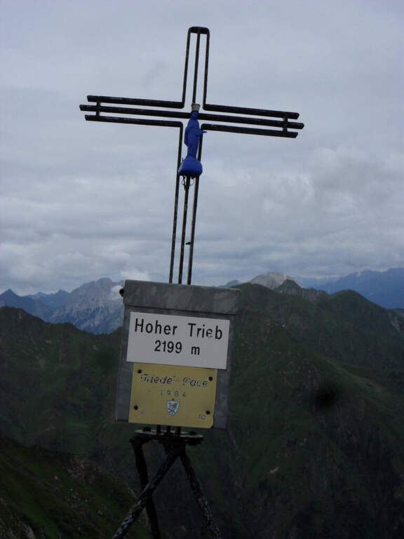
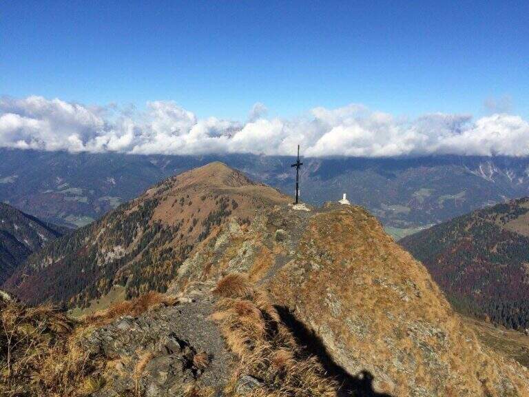
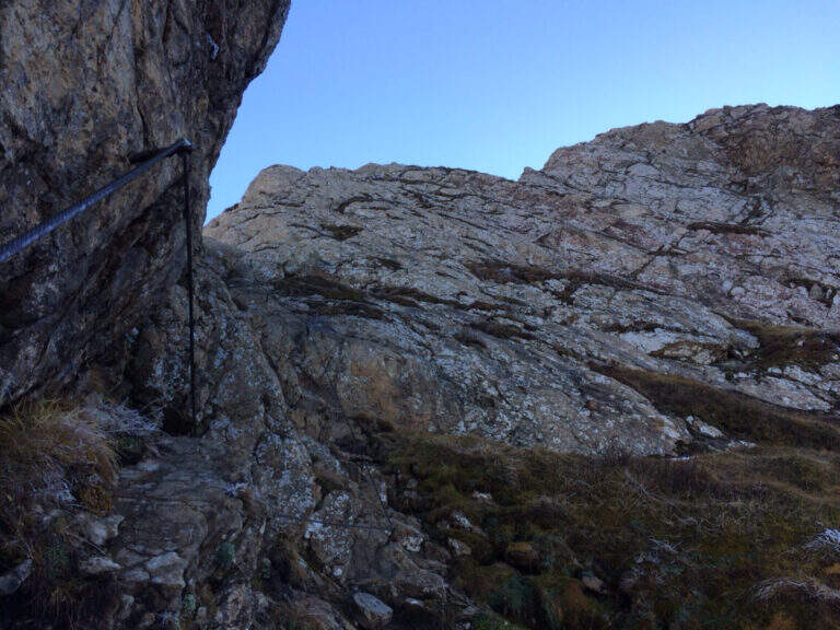
    Start here the ridge stretch with the equipped steps. Punta Medatte (Kleiner Trieb) is separated from the nearby Cuestalta (Hoher Trieb) by a saddle: descend along the ridge, equipped with handcuffed cable at the exposed points. From the saddle (10′ from Punta Medatte) starts the short ferrata that climbs to the Cuestalta: you pass some unprotected rocks until you meet the cable, which leads first on small rocks and then, from left to right, on a wall. The easy-level ferrata climbs on a very well-dressed crest, pleasant to climb; being a ridge path is exposed, but never excessively. The climb, very logical, deposits just below the top of the Cuestalta, signaled by a metal cross that is reached on the path (2199 m, 20′ from the saddle, 30′ from Punta Medatte, 4h30 overall).

    ▲Character and difficulty

    It is a beautiful itinerary that cuts a piece of the border of Italy-Austrian, long but not excessively challenging: the equipped part only serves to climb the ridge in the more vertical and exposed sections. The historical context, with the testimonies of the Great War, is one of its strengths.

    ⚠ Itinerary along (13 km, 6h15) in the border mountain environment: attention to the bottom of the half-coast stretches in case of abundant rains.
    ▲Period and safety

    Summer season, maximum altitude 2199 m. Despite no significant difficulties, long development requires good time management and attention to the weather, given the high mountain environment.

    ▲Discipline

    From the top of the Cuestalta you descend along the steep stretches, some ruins of trenches, up to the crossroads between the path 448 (normal Italian road) and the one that continues on the crest towards the Passo Pramosio. It remains on the latter, of crest only at exposed and free climbing traits, passing near Monte Scarniz (saw with a short deviation), up to Passo Pramosio (1785 m, 1h15 from Cuestalta, 5h30 overall). From the pass, visible a few hundred meters further downstream, you reach the Malga Pramosio with a stretch of path and then dirt road (6h15 overall).

    ▲To match

    Along this line there are other routes equipped, generally more difficult and athletic: in increasing order of commitment, relatively close, the Ferrata Steinbergerweg at Cellon, la Ferrata al Coglians e la Ferrata Senza Confini.

    ▲Gallery
    Technical data
    • DifficultyEasy
    • RegionFriuli-Venezia Giulia
    • GroupAlps Carnia
    • Approach4:00 h
    • Ferrata0:30 h
    • Itinerary (a/r)6:15 h
    • Hardware level difference150 m
    • Route difference678 m
    • Max2199 m
    • Length13 Km
  • Path Ceria Merlone at Modeon del Buinz

    Path Ceria Merlone at Modeon del Buinz

    Vie Ferrate › Friuli-Venezia Giulia › Udine
    Path Ceria Merlone at Modeon del Buinz
    Moderately Hard● OpenDescriptionComplexityMapsGallery

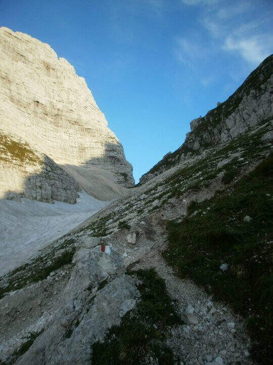
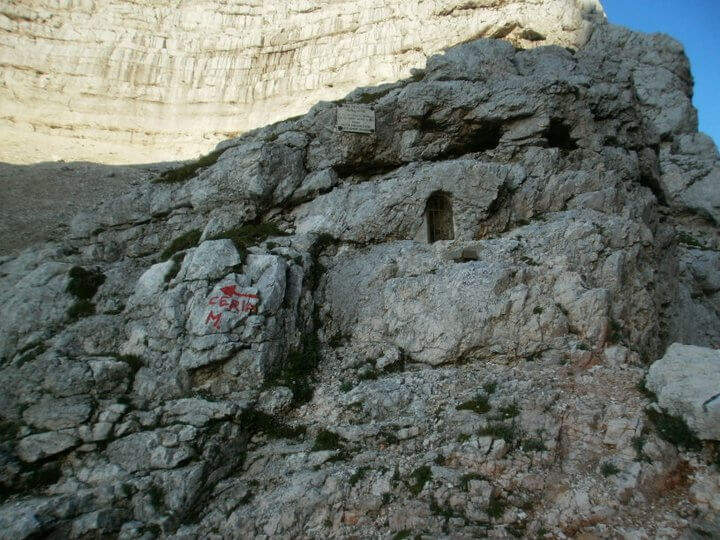
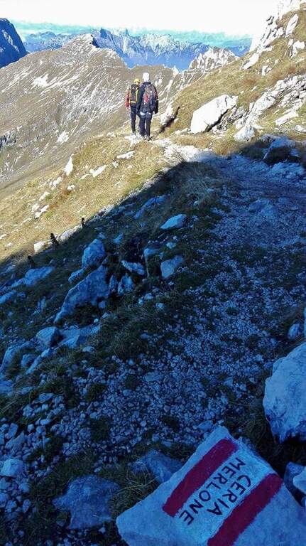
    The Ceria Merlone Trail is a long and panoramic route of the Julian Alps, starting from the Montasio plateau. After a long approach to the Forcella Lavinal dell’Orso, follow a magnificent ridge path that closes a large downhill ring to the Rifugio Brazzà. Numerous traits are not protected, and in some cases require short climbing passes: a superb path but to be experienced. The route is dedicated to the mountaineers Celestino Ceria and Ruggero Merlone, and was inaugurated in 1971 by the Cividale Alpine Battalion, in memory of the line held by the Alpini on this ridge during the Great War.

    ▲Approach

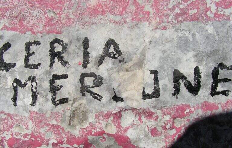
    It starts from a large parking lot along the road that connects Malga Montasio with Sella Nevea, on the Montasio plateau (UD). To get to Sella Nevea you reach Chiusaforte, 20 minutes from the Carnia-Tolmezzo exit of A23; from there follow the signs to Sella Nevea towards the east, you pass the bridge and you drive for 20 km to the village, where a hairpin a brown sign indicates the plateau of Montasio, to follow until the end of the road (open up Google Maps). The route is proposed here from the east (Forcella Lavinal dell’Orso) to the west (Cima Terrarossa), towards which many equipped sections run uphill. From the parking lot (about 1500 m) you climb on dirt road towards the Rifugio Brazzà; after a few minutes you cross a dirt road with 624 signpost that cuts right into a false plateau. Losing a little bit of altitude you pass the Casere Parte di Mezzo and then the Casere Larice (1479 m, 30′ from the parking lot); ignored a track to the right that goes down to Sella Nevea, you reach the Casere Cregnedul Refuge above (1515 m, 1h from the parking lot). It is snowed on the path 625 that climbs from Sella Nevea, it is held the left uphill, first in the forest and then pointing to the north; the south wall of the Cregnedul to Passo degli Scalini (2022 m, 1h from Casere Cregnedul Refuge, 2h totals). Passed the pass opens a valley: on the left you can see the Lavinal Forcella dell’Orso and the ridge of Ferrata Goitan. You cut the valley following the track and, on the opposite side, the white-red signs, going up with a certain affanno towards the fork; just before you follow a writing on rock and a trace that detaches to the left: here begins the Path Ceria Merlone (30′ from the Passo degli Scalini, about 2h30 total).

    ▲The path

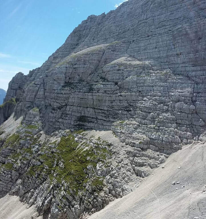
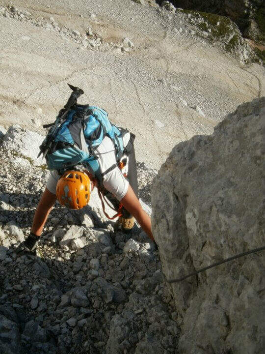
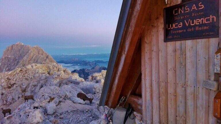
    The first goal is the Forcella Cregnedul, reached by gaining around 200 meters around the imposing walls of Punta Plagnis. It climbs on a pebble bottom up to a first stretch equipped that exceeds some rocks, a vertical wall and a tilted plaque; left behind the Lavinal Forcella dell'Orso, proceeds diagonally up to a fireplace equipped and a metal ladder resting on the rock, and in an alternation of passages on the right and on the left closes the first tiring section to the Forcella Cregnedul (2340 m). Now follow the trail on a wide unprotected nod that wanders the southern walls of Punta Plagnis, passing from the east to the west side: the passages are exposed but generally wide, except for a couple of forks and rocks on the west side where the path tightens; the most exposed sections have a handrail. With a stretch equipped downhill you descend a few meters, then walk on wide and comfortable cenges to the Forca de la Val (2352 m, 1h15 from Forcella Cregnedul), which separates the Modeon del Buinz from the Cima de la Puartate. You can climb equipped canals interspersed by detritic gland, holding to the south to avoid to the north the steep wall, in a stretch rich of exposed protected cenges; you reach a fork nestled and you begin to wander the southern wall of the Modeon del Buinz towards the Sella di Buinz, with in front of the Foronon del Buinz and its bivouac just below the summit. There is an exposed nod equipped, you climb a short stretch sprotetto on an unstable background, you walk a census and you take on the west wall of Modeon; along a wide ridge on the south side, on a slight ascent, you pass stretches equipped with rocks and easy rocky balconies up to the new and functional Bivacco Vuerich (2531 m, 1h15 from Forca de la Val, 3h45 from the attack). From the top of the Foronon del Buinz follow the wide ridge, walk through a walkway and start to lose altitude with easy passages of climbing, equipped in the most demanding cases; holding on the south side you walk exposed cenges usually not protected and you reach a new vertical stretch, with a well-equipped canal but well-dressed, followed by some rocks, up to the Forca de Lis Siens From the wide saddle the path runs on a false plateau between modest climbs on the south side to the crossroads marked with stone writing (2285 m, 15′ from Forca de Lis Siens, 5h from the attack) between the climb to Cima Terrarossa and the Path Ceria Merlone, where the equipped road ends.

    ▲Character and difficulty

    It has no particular technical difficulties, neither in the equipped or unprotected traits; however, it deserves great attention to the numerous passages exposed along the canals and canals. It develops entirely at altitude, with the Bivacco Vuerich halfway in excellent conditions, but with only two escape routes, both unmarked.

    ⚠ Itinerary very long (9h, 16 km) in high mountain environment, with many exposed and unprotected features and short climbing passes. The only two escape routes — in Forca de la Val towards the Conca di Casera Cregnedul and in Punta Plagnis for Plagnota — are steep and unmarked, to be used only in emergency. Start soon, with stable weather and good autonomy.
    ▲Period and safety

    High mountain summer itinerary in the Julian Alps (max. 2531 m). The equipment and signs are in good condition, but the development, exposure and scarcity of escape routes require experience, training and attention to the weather.

    ▲Discipline

    From the final crossroads (2285 m) the quickest descent is to the left, towards the plateau of Montasio; if you want you can climb to the nearby Cima Terrarossa (2420 m, 45′ return). Keeping the right and descending towards the plateau you reach the Rifugio Brazzà (1660 m, 1h15 from the end of the ferrata) and then parking (about 1h30 from the end, 9h overall).

    ▲To match

    The environment is suitable for several days: you can climb to the Jof in Montasio for the Ferrata Amalia and use the Ceria Merlone to return to the north side, or match it to Sentiero Attrezzato Leva overnight in a refuge or bivouac. From the Lavinal Fork of the Bear you can take the Ferrata Goitan towards the Jof Fuart. Staying in the Julian Alps we also signal Ferrata Julia at Canin e la Ferrata della Vita al Mangart.

    ▲Gallery
    Technical data
    • DifficultyModerately Hard
    • RegionFriuli-Venezia Giulia
    • GroupJulian Alps
    • Approach2:30 h
    • Ferrata5:00 h
    • Itinerary (a/r)9:00 h
    • Hardware level difference257 m
    • Route difference1031 m
    • Max2531 m
    • Length16 Km
  • Ferrata Strada degli Alpini

    Ferrata Strada degli Alpini

    Vie Ferrate › Trentino-Alto Adige › Bolzano
    Ferrata Strada degli Alpini
    Moderately Hard● OpenDescriptionComplexityMapsGallery

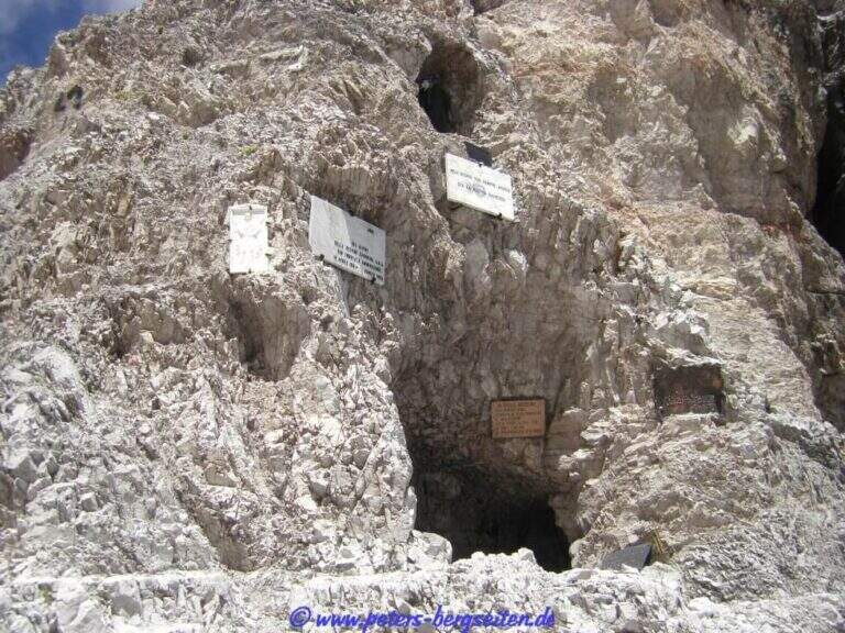
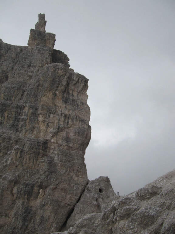
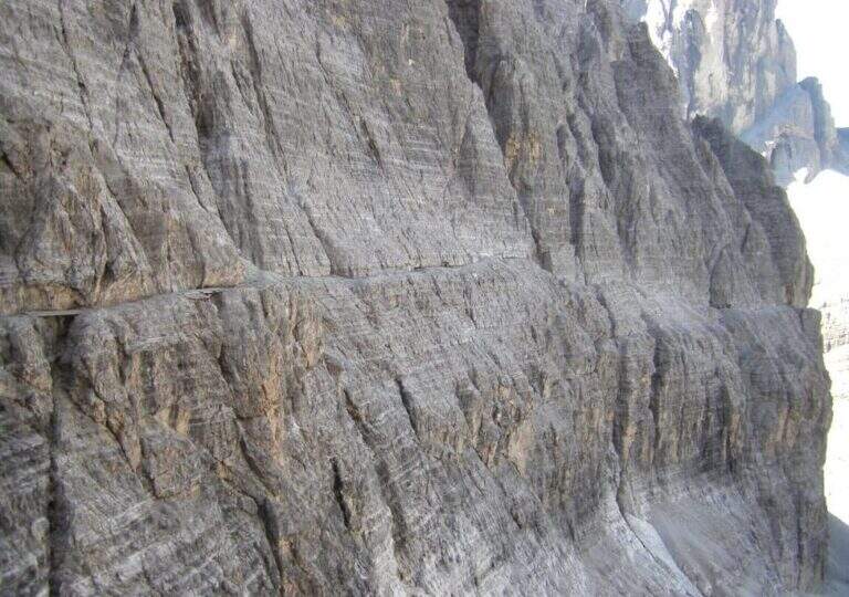
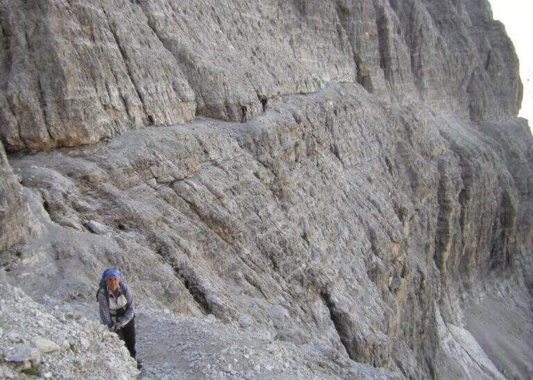
    La Ferrata Strada degli Alpini walk through a splendid itinerary in the Sesto Dolomites, going up the eastern slope of Val Fiscalina Alta from the Comici Refuge to Forcella Undici along the historic Cengia della Salvezza of the Great War. For large sections there is no particular difficulty; although exposed; ` a very long ring with high altitude difference, to be prepared with care and to go only if well trained.

    ▲Approach

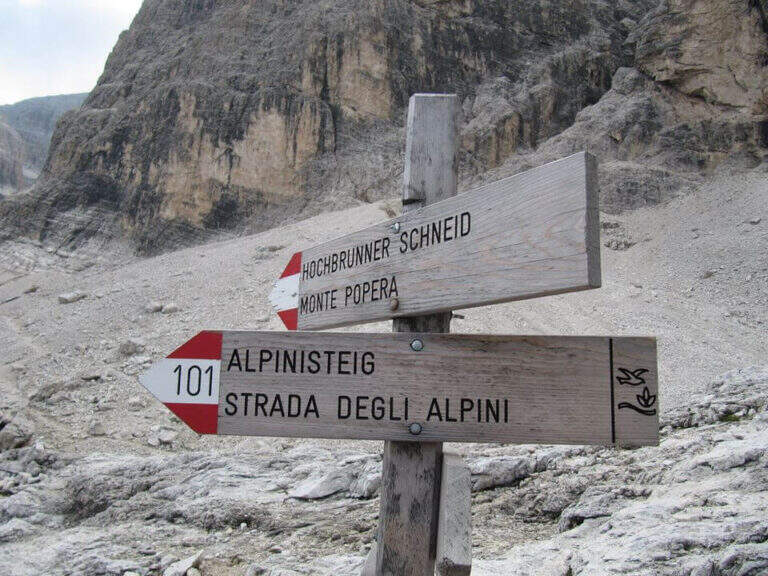
    Starting point l' Hotel Dolomitenhof in Val Fiscalina (1454 m), reachable from Moso in Val Pusteria. Open road signs on Google Maps. Follow the 102 road towards the south to the Rifugio al Fondo Valle (1548 m, 30'), then always 102 towards the south-west and at a crossroads you keep the left on the path 103 towards the Rifugio Comici, climbing along the left of the Val Fiscalina Bassa (on the opposite side you can see the ridge of the Strada degli Alpini) up to the Rifugio Comici (2224 m, 2h 30' from the parking ). From the hut continue on the 103 south, downhill and then on the left towards Forcella Giralba, on the left side of the Croda dei Toni; before the fork you will meet on the left the path 101 towards Monte Popera. Going up towards a fork and going down a few meters, at a crossroads (on the right the normal Popera) continue north to half-coast until the census of the' attack (1h from the Rifugio Comici).

    ▲The path

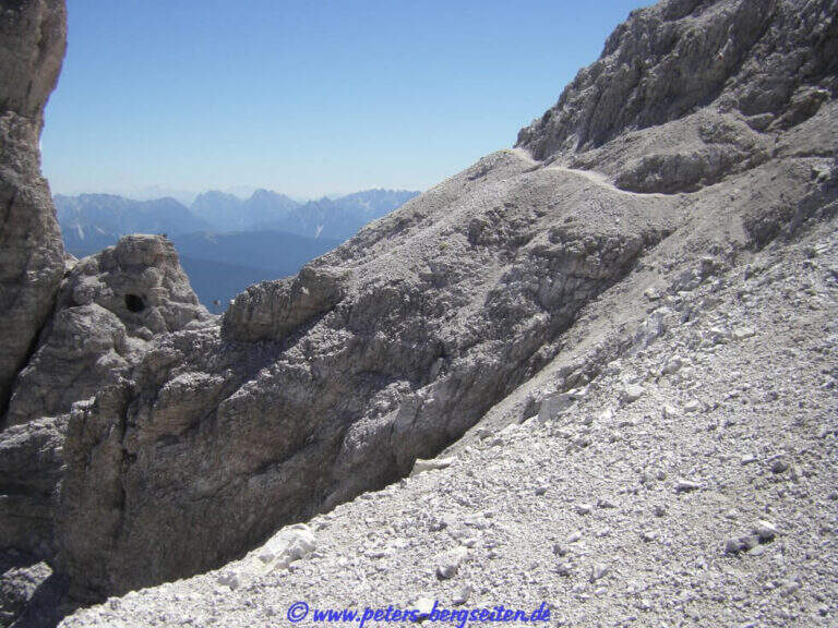
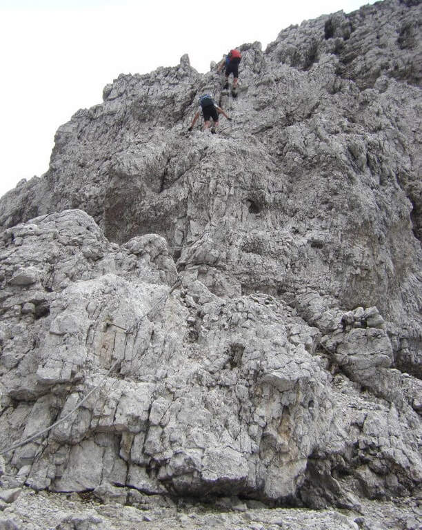
    The initial trait goes beyond easy rocks and then develops along the Cengia of Salvazza, carved into the rock during the Great War. First, a very wide nod, at times not equipped, to the più point; iconic: the nod abruptly turns into a rock retaliation and is circumvented from the ' inside, with the characteristic view that recalls a «spada». Exit on the opposite side, after some rocks, the nod continues between modest climbs along the west wall of the slopes of Cima Undici, with wonderful views on Cima Dodici and Val Fiscalina: generally wide, you walk without problems despite the precipice on the left. At a rocky roof it is lowered on a wooden catwalk; più forward, in a recess, a waterfall and, according to the season, a snowmaker. The census now continues without protection, uphill on a detritic background, it overcomes a new snowfall and reaches an old military muretto where the first stretch ends (1h 45' from' attack, 5h 15' total). Continue on unprotected nod, in falsepiano, up to Forcella Undici, where the ferrata ends with a 360° panorama; on Croda Rossa di Sesto, Cima Undici, Cima Twelve and Cima Uno (2h 30' from' attack, 6h totali).

    ▲Character and difficulty

    For the first two thirds the route does not present technically challenging passages: it develops above all on exposed but well equipped cenges. The most vertical and medium-difficult stretches meet downhill, especially towards Passo della Sentinella.

    ⚠ Some unprotected steps are exposed and require steady foot. The excursion is long and after the Rifugio Comici there are no other points of support until the return: taking place just under the 3000 m it goes only with stable time. It can be useful to have ramps if the snows are still present, often with hard snow.

    ▲Period and safety

    An official GPS track is not available for this route. The map of the 4Land Dolomites is useful.

    ▲History

    The Strada degli Alpini has its roots in the Great War, when the "Cengia della Salvezza" — originally a natural nod, then enlarged by the mountaineers — connected Forcella Giralba to the west terrace of Cima Undici to reach and strengthen the positions in view of the attack on the Passo della Sentinella, then the Italian-Austrian border. After the war Francesco Meneghello (CAI) brought to light the itinerary and in 1932 the CAI of Padua equipped it with metal ropes and ladders; the stretch from Forcella Undici to Passo della Sentinella was instead equipped by the CAI of Padua in the seventies.

    ▲Discipline

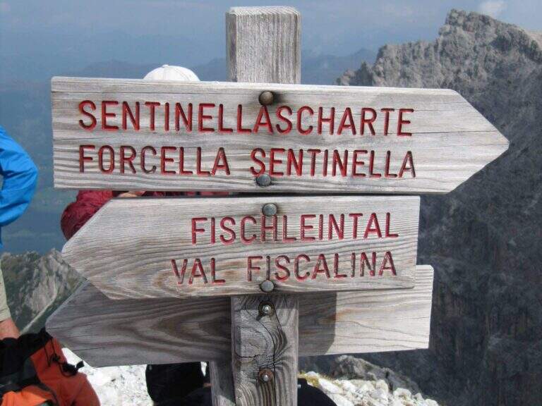
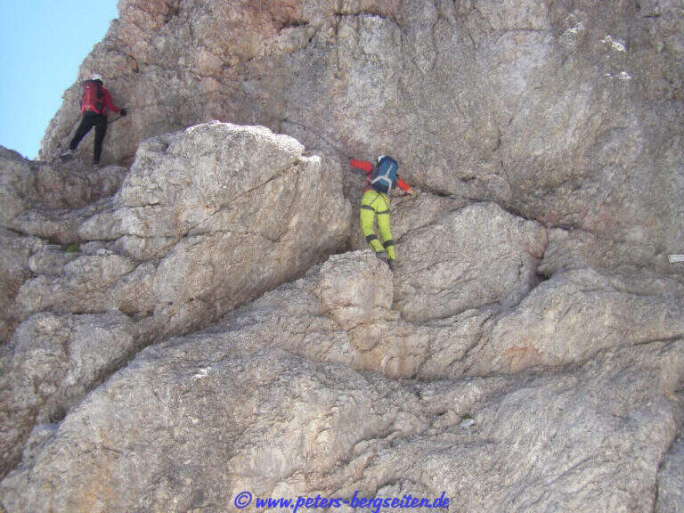
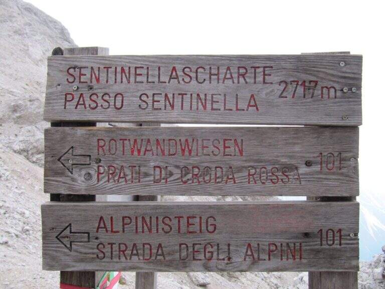
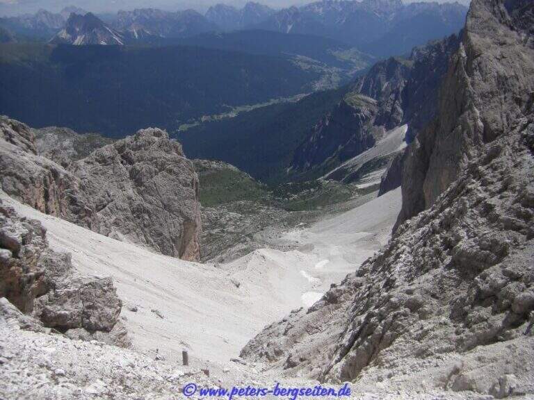
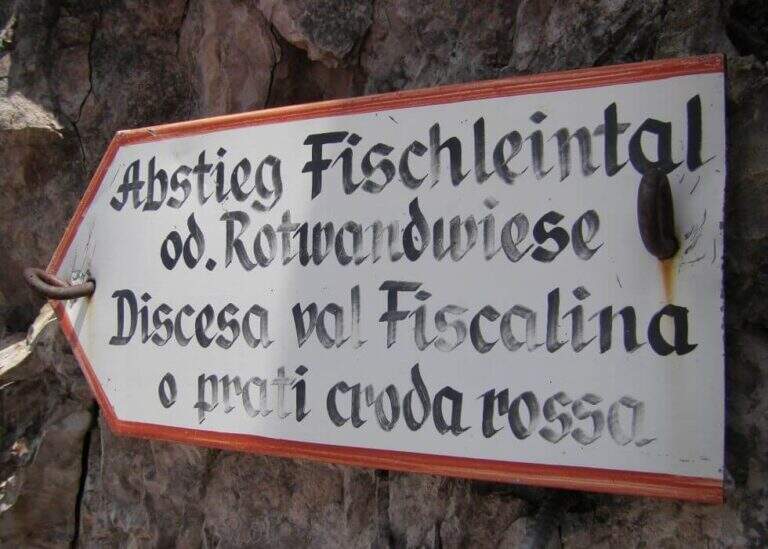
    From Forcella Eleven two options. The first follows the signpost 124 che, aggirando l'Elferschartespitze, scende in Val Fiscalina con un traverso attrezzato e un paio di canalini franosi, poi un vallone detritico con la Croda Rossa a destra, fino al parcheggio (1h 30' da Forcella Undici, 6h 45' totali). La seconda scende al Passo della Sentinella (anche detta Ferrata del Passo Sentinella): cenge, una scaletta, l'attraversamento di un canale, una lunga passerella di legno e balzi verticali in forte esposizione fino al passo (2717 m, 1h da Forcella Undici), ricco di resti bellici; si scende poi a sinistra nel Vallon Sentinella, dapprima molto ripido e attrezzato, fino al bivio con il sentiero 124 che riporta in Val Fiscalina e al parcheggio (8h totali).

    ▲To match

    Itinerary ideal to be inserted in several days: a classic match the Ferrata Roghel e la Cengia Gabriella towards the Rifugi Berti and Carducci, then using the Strada degli Alpini to return to the Berti from the Val Popera; or the climb to the Croda Rossa di Sesto for Ferrata Zandonella and the descent to the Costoni di Croda Rossa.

    ▲Gallery
    Technical data
    • DifficultyModerately Hard
    • RegionTrentino-Alto Adige
    • GroupSesto Dolomites
    • Approach3:30 h
    • Ferrata2:30 h
    • Itinerary (a/r)8:00 h
    • Hardware level difference337 m
    • Route difference1200 m
    • Max2717 m
    • Length11 Km
  • Ferrata Steinbergerweg

    Ferrata Steinbergerweg

    Vie Ferrate › Friuli-Venezia Giulia › Udine
    Ferrata Steinbergerweg
    Moderately Hard● OpenDescriptionComplexityMapsGallery

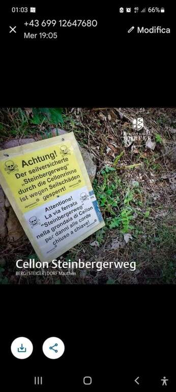
    La Ferrata Steinbergerweg retrace the historic climb on the north-eastern wall of the Crete Collinetta (Cellon), opened during the Great War by an Austrian military expedition led by Major Steinberger. Salt without excessive difficulty; long gorges and colatoi, and è of great historical interest for the numerous testimonies of the fighting. Difficultà medio-bassa in the equipped sections.

    ▲Approach

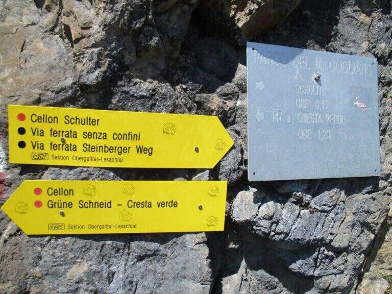
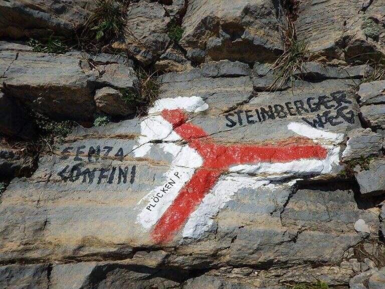
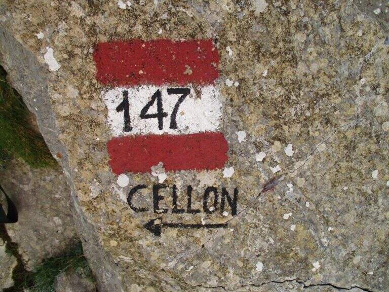
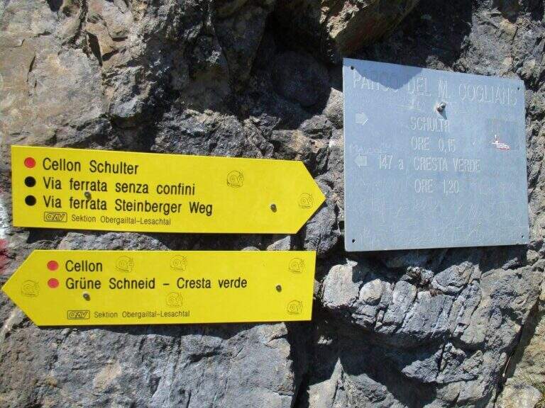
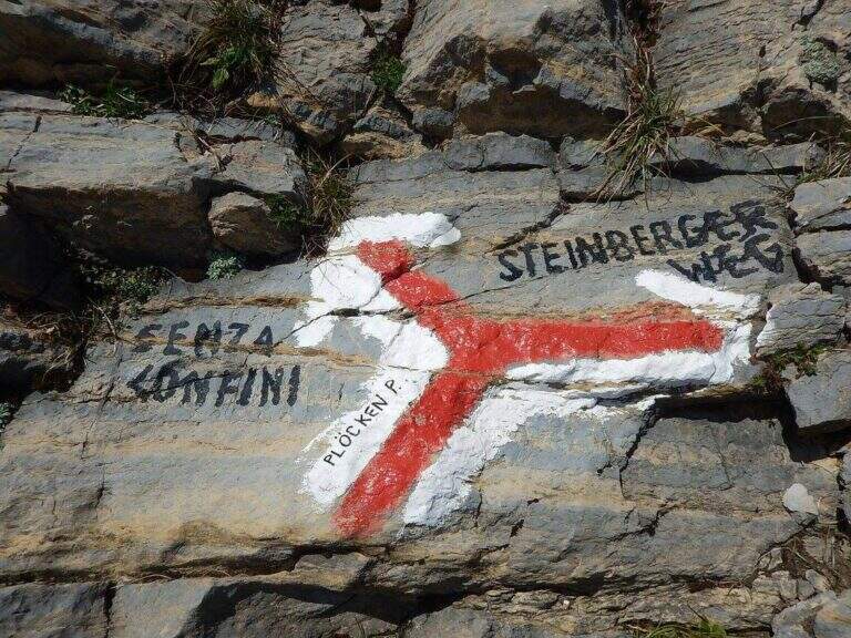
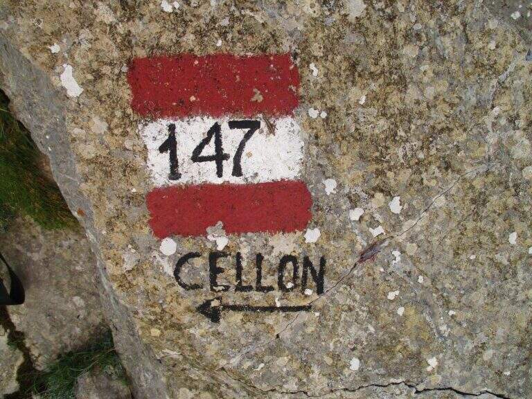
    Starting point the Passo di Monte Croce Carnico (1360 m), on the Italian-Austria border, reachable in about 40' from Tolmezzo (Udine) to the SS 52b. Open road signs on Google Maps. You can climb from the Austrian side (with the option of crossing the Cellon war tunnel, described in the sheet of the Ferrata Senza Confini) or from the Italian one, described here: longer but less challenging. From the parking lot follow the signs 146 on comfortable mule track on the southern side of the ridge, until you cross the path 147 for the Cellon (from the Marinelli Refuge); taken on 147 to the right you climb più decided along a war mule track with exposed cenges and short tunnels until the Schulter Contrafforte (1736 m). Continue on rocks and mug, paying attention not to lose the track, until a crossroads marked on rock (left the Senza Confini, right the Steinbergerweg): holding the right, on the gravel and then cutting in altitude the north-eastern wall, you reach l' attack, with a marble plate in German (1870 m, 1h 30' from the parking ).

    ▲The path

    The route follows the route followed by Austrian soldiers. A colatoio rises and gradually crosses left onto rocks and grass in discreet exposure (attention to the bottom and unstable rocks; the cable è instead it has been recently renovated). We then move to a gola rocky where we face many equipped stretches, with some free climbing passage (maximum I+) and unstable stones. The cable is found on the left side, climbing steep passages towards a short ridge, then a last colatory with l' aid of the rope up to a grassy saddle where the cables end and join the paths from the Senza Confini and the Italian side (2103 m, 1h from' attack, 2h 30' totali). On clear track you climb all' east anticyme and, among many remains of the Great War, to the summit of the Crete of Collinetta (2241 m, 20' from the end of the ferrata, about 3h totali), with metal cross and memorial plaque.

    ▲Character and difficulty

    Pleasant, medium-low difficulty and very climbing: apart from the initial cross-section and a couple of more vertical steps, it is devoid of objective difficulty.

    ⚠ Beware of the few unprotected steps where you climb and the unstable rocks along gorges and colatoi. The words "Creta di Collinetta" and "Cellon" are used indistinctly.

    ▲Period and safety

    GPS tracks (GPX and KMZ); the map of the Central Carnic Alps is useful for the area.

    ▲Discipline

    You return to the crossroads reached at the end of the ferrata and you go right on the path 147, Italian side, cutting horizontally; along the mule track you rejoin the path dell' approach to the parking lot (1h 30' from the summit, 4h 30' totali).

    ▲To match

    Shares a lot of approach and return with the most demanding Ferrata Senza Confini. From nearby Rifugio Marinelli you reach the attack of the difficult Ferrata to the north wall of Coglians; downstream of the pass the Path equipped Cuestalta. Further south, in the Carnic Prealps, the Cassiope, la Ferrata at the Clap Varmost e la 50 of the Clap.

    ▲Gallery
    Technical data
    • DifficultyModerately Hard
    • RegionFriuli-Venezia Giulia
    • GroupAlps Carnia
    • Approach1:30 h
    • Ferrata1:30 h
    • Itinerary (a/r)4:30 h
    • Hardware level difference358 m
    • Route difference868 m
    • Max2228 m
    • Length8,2 Km
  • Ferrata Senza Confini (Cellon)

    Ferrata Senza Confini (Cellon)

    Vie Ferrate › Friuli-Venezia Giulia › Udine
    Ferrata Senza Confini (Cellon)
    Very difficult● OpenDescriptionComplexityMapsGallery

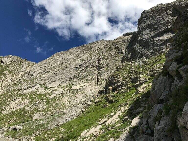
    La Ferrata Senza Confini sale al Cellon (Creta di Collinetta), al Passo di Monte Croce Carnico, sul confine tra Italia e Austria. È una via molto impegnativa, verticale, esposta e fisica, da evitare se non ben allenati e abituati all'esposizione, ma di forte interesse storico: l'itinerario consente di percorrere anche una lunga galleria bellica della Prima Guerra Mondiale. La vetta della Creta di Collinetta tocca i 2241 m.

    ▲Approach

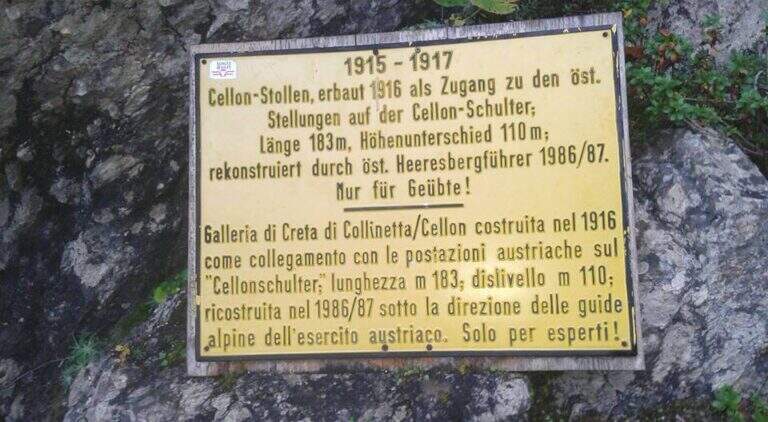
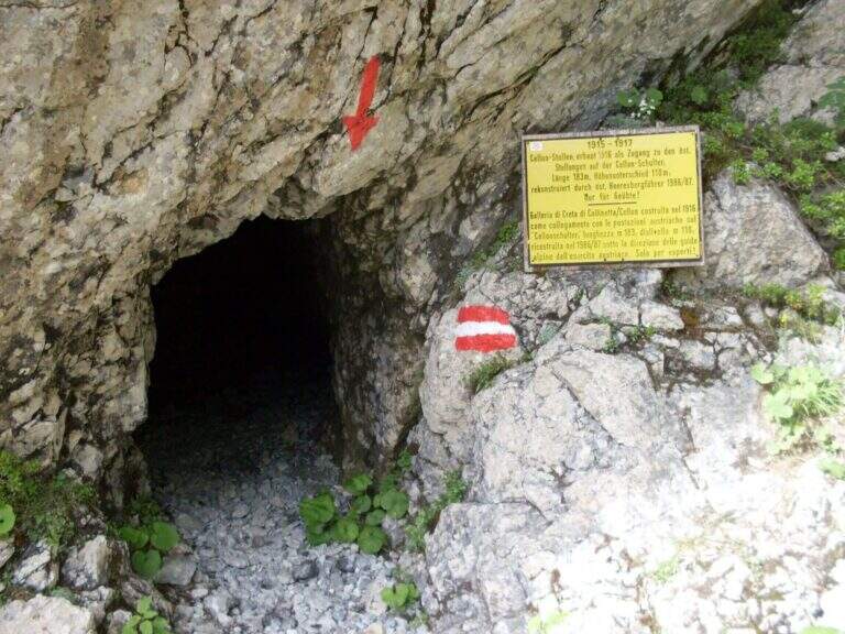
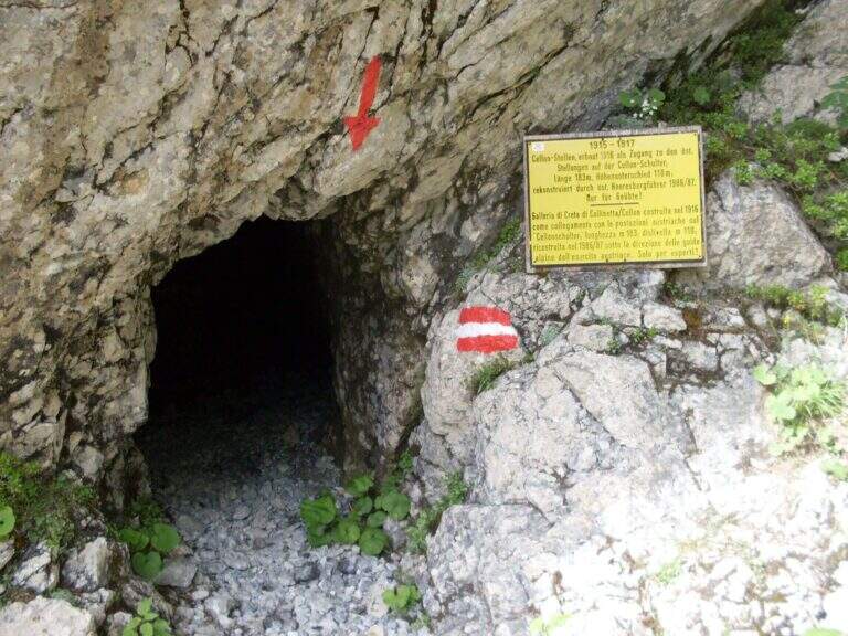
    Starting point the Passo di Monte Croce Carnico (1360 m), reachable in about 40' from Tolmezzo (Udine) to the SS 52b. Open road signs on Google Maps. L' itinerary begins in Austrian territory and falls from Italian territory. After passing the customs, on the western side of the pass, the CAI path towards the Crete of Collinetta; one ignores a first sign for the Without Confini on the left continuing straight towards the Gallery and the Canalone Steinbergerweg. After about 15' at a crossroads the sinistra is held steeply uphill towards the Schulter Gallery; a first steep stretch equipped with rope leads to war settlements and all' entrance of the Gallery of the Cellon (1541 m, about 30'). The gallery rises about 110 m of altitude difference on almost 200 m of development: steep interior, wet and slippery rock, equipped with rope for the whole length and with some brackets in the più traits; I'm sorry. It comes out in a little less than 30' from a narrow slit, you go through a stretch equipped and you reach a counterfeit war (1h from the parking lot). Keeping the right towards the top and, at a second crossroads marked on rock, still the left (on the right goes to the Steinbergerweg), continue between grass, mooring and stone up to a evident dihedron/fenditure diagonal where the ferrata begins, without tags (1h 30' from the parking lot).

    ▲The path

    L' attack è about 4 meters from the ground and must be reached climbing free on passages supported with good hooks. I took the cable, climb rocks leaning with some easy leap, then bend right into a channel at whose end the cable turns abruptly vertically at the base of a lungo, challenging and diedro plane: the plate è poor of natural hooks and equipped with distant brackets among themselves, which oblige a certain traction on the cable; ldisplay&39; Exit from the dihedron and move left on a challenging passage, you arrive on the ridge, plane, with view on the step. They follow più passages; easy that soon return on medium-difficult levels: tilted plates first to the left then to the right of the crest, an exposed edge and some diagonal plates to face in adherence and with good force of arms. At a c' framed rock; ` a first overhanging pass equipped only with rope, requiring agilità and strength; più forward a second strapiombo, initially with metal steps, then a diedron and a well-graded fireplace, both climbed on the left side. A stretch of crest supported with mughi invites you to rest; faithfully resumes the ridge, air, up to the book of signatures and a last dihedron, beyond which the equipment ends. A ridge path leads to some barracks of the Great War and a crossroads (2103 m, 1h 30' ); from here it rises to the summit of the Crete of Collinetta (2241 m, 20' from the end of the ferrata, about 3h totali), with metal cross and memorial plaque.

    ▲Character and difficulty

    Athletic and difficult to test: little climbing for long stretches, with individual high-level passages leading to a strong traction on the cable. It runs in part parallel to a historic Friulian climbing route (Mazzilis and De Infanti).

    ⚠ Suitable only for trained hikers, with force of arms and who do not suffer from dizziness: a couple of steps are very exposed. For the Cellon tunnel è indispensable a frontal stack, forché the first section è completely dark; the inner rock è wet and slippery.

    ▲Period and safety

    GPS tracks (GPX and KMZ); the map of the Central Carnic Alps is useful for the area. The words "Creta di Collinetta" and "Cellon" are used indistinctly.

    ▲Discipline

    You return to the crossroads reached at the end of the ferrata and you go right on the path 147, Italian side, cutting horizontally; then along the mule track you rejoin the path dell' approach and return to the parking lot (1h 30' from the summit, 4h 30' totali).

    ▲To match

    The itinerary shares approach and return with the neighbor Ferrata Steinbergerweg, assessable as a downhill option for experienced hikers. In Carnia, more south of the pass, the Path equipped Cuestalta and, reachable via Rifugio Romanin, la Ferrata del Coglians; further south, in the province of Udine, the Cassiopea al Torrione Comici, la 50° of the Clap e la Ferrata at the Clap Varmost.

    ▲Gallery
    Technical data
    • DifficultyVery difficult
    • RegionFriuli-Venezia Giulia
    • GroupAlps Carnia
    • Approach1:30 h
    • Ferrata50
    • Itinerary (a/r)5:30 h
    • Hardware level difference408 m
    • Route difference868 m
    • Max2228 m
    • Length6,8 Km
  • Ferrata di Cima Rocca

    Ferrata di Cima Rocca

    Vie Ferrate › Trentino Alto Adige › Trento
    Ferrata di Cima Rocca

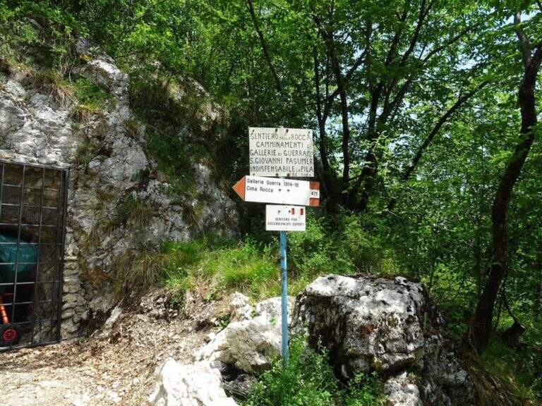
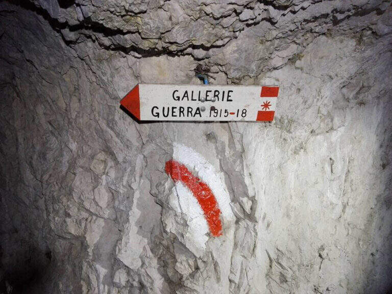
    La Ferrata di Cima Rocca è una breve via che ricalca un sentiero di guerra fino alla cima dell’omonimo monte, sopra l’Alto Garda. Si percorrono gallerie risalenti alla Prima Guerra Mondiale, ben segnalate al loro interno, per guadagnare quota e affacciarsi su un panorama splendido verso il Lago di Garda, il Monte Baldo e le Valli Giudicarie. Più che dalle difficoltà tecniche, la via è caratterizzata dal forte interesse storico.

    ▲Approach

    Punto di partenza il paese di Biacesa, a 4 km da Riva del Garda: da Riva si seguono le gallerie verso la Val di Ledro e, usciti dalla seconda, si raggiunge Biacesa; si imbocca via dei Dazi a destra e, a fine strada, si gira di nuovo a destra fino a un parco giochi con ampio parcheggio (starting point on Google Maps). Ci sono due avvicinamenti. Il più facile segue il CAI 417 verso nord e, dopo una decina di minuti, tiene la destra (CAI 460) verso la Chiesa di San Giovanni, sotto l’imponente parete di Cima Rocca (1h dal parcheggio); oltre la chiesa i segni bianco-rossi salgono a nord verso l’attacco (CAI 471). In alternativa si può salire per il CAI 470 (Sentiero dei Bech) fino al bivio col 417, poi a sinistra sul 471 — ben attrezzato nei tratti difficili — passando presso il Bivacco Accioni fino alla Chiesa di San Giovanni (1h 15′).

    ▲The path

    Dalla chiesa si salgono alcuni ripidi tornanti sul CAI 471 fino alla prima galleria, dove un cartello segna l’inizio del tratto attrezzato (10′ dalla chiesa). Si entra nella galleria, seguendo le indicazioni interne, e si esce sopra una scala metallica di 13 metri, nel bosco; si procede lungo ripidi canali terrosi e alcuni balzi rocciosi attrezzati fino alla seconda galleria, anch’essa ben segnalata all’interno. Usciti, si segue un sentiero a tratti attrezzato fino alla terza galleria, che per ora si ignora seguendo il CAI 471A che, lungo una trincea di guerra, conduce alla cima di Cima Rocca (1090 m, 45′ dalla Chiesa di San Giovanni, 2h totali).

    ▲Character and difficulty

    Via non difficile (Difficile come grado complessivo per via di alcuni tratti esposti), breve, con solo 70 m di dislivello attrezzato: il suo valore sta nelle gallerie e nelle trincee della Grande Guerra e nel panorama, più che nell’impegno tecnico.

    ⚠ È assolutamente necessario portare una torcia, idealmente frontale per avere le mani libere: si attraversano gallerie di guerra prive di illuminazione. Attenzione inoltre al caldo nei mesi estivi, vista la bassa quota e l’esposizione verso il Garda.
    ▲Period and safety

    Bassa quota dell’Alto Garda (massimo 1090 m): percorribile gran parte dell’anno, meglio nelle stagioni intermedie evitando il caldo estivo. Itinerario breve, 5,8 km e 672 m di dislivello, circa 3 ore complessive.

    ▲Discipline

    Da Cima Rocca si può scendere lungo l’itinerario di salita fino alla Chiesa di San Giovanni, oppure per il sentiero attrezzato che cala sulla parete nord verso Bocca Pasumer (attrezzato nei punti più esposti, non difficile); a un bivio, a sinistra, una lunga galleria di guerra di 300 m (torcia necessaria) porta all’imbocco della terza galleria non percorsa all’andata, mentre proseguendo dritti il CAI 460B riporta alla chiesa. Da qui si rientra in paese per uno dei due itinerari di avvicinamento (circa 1h 30′ dalla vetta, 3h totali).

    ▲To match

    Nell’Alto Garda, poco distante, si trovano la Ferrata di Cima Capi e la Ferrata di Colodri ad Arco.

    ▲Gallery
    Technical data
    • DifficultyHard
    • RegionTrentino Alto Adige
    • GroupAlto Garda – Val di Ledro
    • Approach1:15 h
    • Ferrata0:45 h
    • Itinerary (a/r)3:00 h
    • Hardware level difference70 m
    • Route difference672 m
    • Max1090 m
    • Length5,8 Km
  • Alta Via Bruno Federspiel

    Alta Via Bruno Federspiel

    Vie Ferrate › Trentino Alto Adige › Trento
    Alta Via Bruno Federspiel

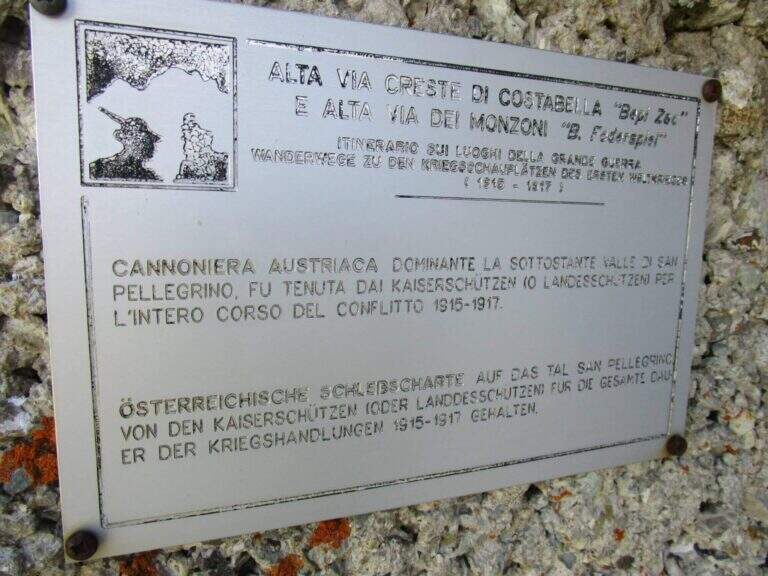
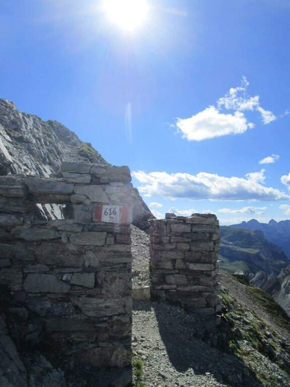
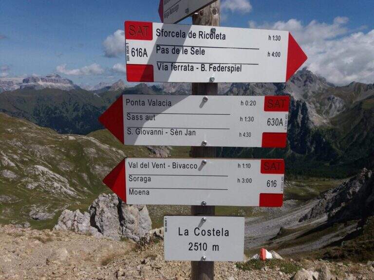
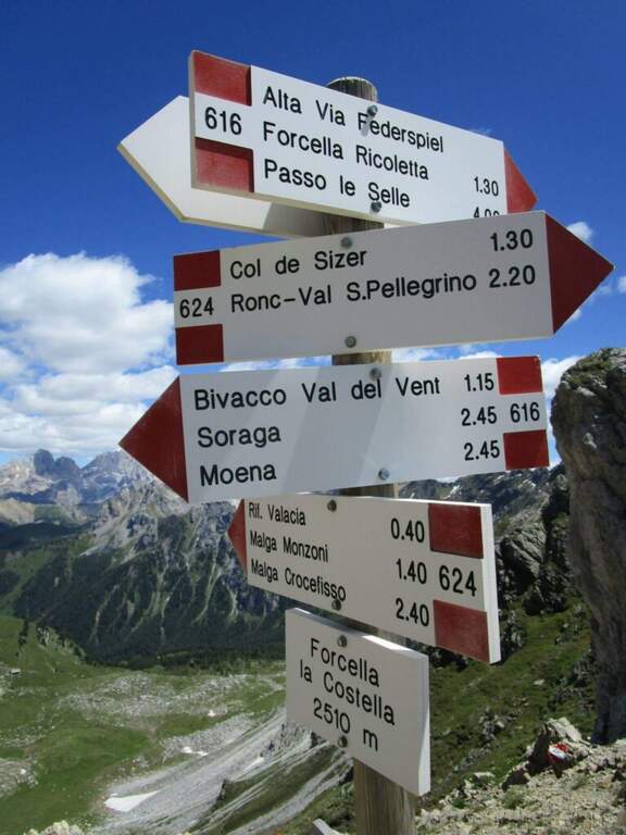
    L’Alta Via Bruno Federspiel e’ un impegnativo itinerario di cresta nei Monzoni, in provincia di Trento, che collega la Forcella de la Costela con il Passo delle Selle. I tratti attrezzati non sono di difficolta’ elevata, ma l’ambiente e’ esposto e fatto di continui saliscendi, e il percorso ha un forte valore storico: attraversa tratti dove erano posizionate le artiglierie austriache durante la Grande Guerra. La classifichiamo Moderatamente Difficile, con l’avvertenza che il dislivello reale e’ molto superiore a quello tra partenza e cima.

    ▲Approach

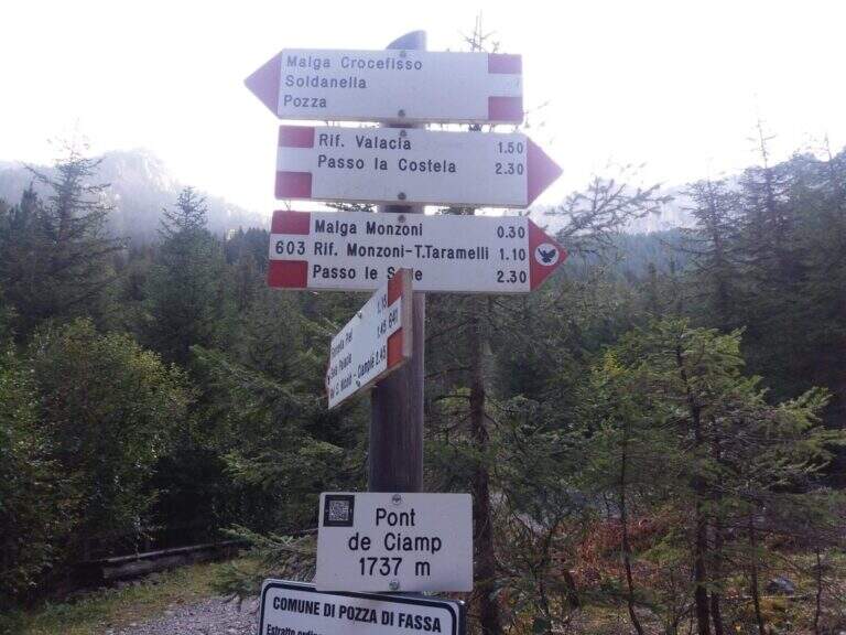
    Il punto di partenza e’ Malga Crocefisso, in Val San Nicolo’, valle perpendicolare alla Val di Fassa all’altezza di Pozza di Fassa (starting point on Google Maps). Se la strada non e’ chiusa si puo’ salire in Val Monzoni e parcheggiare nei pressi del primo tornante, altrimenti si lascia l’auto a Malga Crocefisso. Dal parcheggio si risale la strada della Val Monzoni, che coincide con il sentiero CAI 603, fino alla Baita Monzoni (1792 m, 45′ da Malga Crocefisso); si prosegue sul 603 fino a un bivio dove lo si lascia per imboccare a destra il CAI 624 in direzione di Punta Valacia e dell’omonimo rifugio (2275 m, 1h30′ totali). Poco oltre il rifugio si sale per ripido sentiero fino alla Forcella de la Costela (2529 m, 2h30′ totali), dove a sinistra, con segnavia CAI 616, ha inizio l’Alta Via Bruno Federspiel.
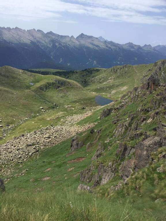
    ▲The path

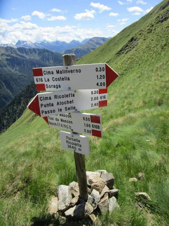
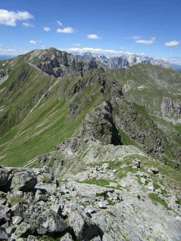
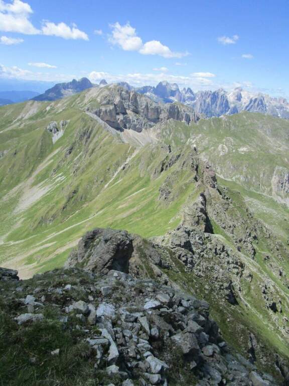
    Dalla Forcella de la Costela si ha davanti la lunga cresta da percorrere. Si parte su un sentiero inizialmente ampio che, salendo vicino alla cresta, si restringe e richiede piede fermo; si procede a mezzacosta accanto al filo per un buon tratto, mantenendo alta l’attenzione, fino a una forcella e poi a un tratto di cresta che porta allo Spiz del Malinvern (2630 m, 1h15′ dall’attacco, 3h45′ totali), dove si incontrano i primi tratti attrezzati. Da qui si potrebbe interrompere l’alta via scendendo a destra per il sentiero 624B verso Ronchi. Proseguendo, si scende verso est lungo una cresta erbosa fino alla Forcella Ricoletta (2431 m, 20′ dallo Spiz del Malinvern). Si continua in direzione dello Spiz de Tariciogn, che non si tocca lungo la via ma solo con una deviazione facoltativa, e si scende a una forcella dove riprendono i tratti attrezzati: si percorrono un paio di cenge esposte con passerelle in legno e alcuni tratti attrezzati non difficili vicino a uno spigolo, quindi un breve diedro da scendere e un facile traverso attrezzato. Si attraversa poi un tratto ricco di postazioni della Grande Guerra, raggiungibili con numerose deviazioni, e tra continui saliscendi si arriva al Passo delle Selle (3h dall’attacco, 5h30′ totali).

    ▲Character and difficulty

    L’impegno maggiore deriva dal dislivello complessivo: i continui saliscendi lungo la cresta sommano molto piu’ dislivello di quanto suggerisca la differenza tra partenza e punto piu’ alto. L’itinerario e’ meno frequentato del vicino Bepi Zac perche’ nel complesso piu’ esposto, soprattutto rispetto alla prima parte del Bepi Zac. Chi vuole risparmiare energie puo’ percorrerlo in senso inverso dal Passo San Pellegrino, usando gli impianti di risalita per raggiungere il Passo delle Selle.

    ⚠ Itinerario lungo ed esposto con molti saliscendi su cresta: serve buon allenamento e piede fermo, soprattutto nei tratti di mezzacosta stretti vicino al filo. Le cenge esposte con passerelle e i ghiaioni in discesa richiedono attenzione. Valutare meteo e residui di neve nei passaggi a nord a inizio stagione.
    ▲Period and safety

    Stagione utile dall’estate all’inizio autunno. Set da ferrata (imbracatura, kit, casco) per i tratti attrezzati, scarponi con buona aderenza per cresta ed erba, acqua e cibo per una giornata di 7-8 ore. Verificare se la strada della Val Monzoni e’ aperta e controllare il meteo: la cresta e’ esposta e poco riparata.

    ▲Discipline

    Dal Passo delle Selle (2528 m) ci sono due rientri a Malga Crocefisso. L’opzione piu’ semplice imbocca a sinistra, verso nord, il CAI 604 fino al Rifugio Taramelli (2040 m, 1h dal Passo delle Selle); si scende poi piegando a destra fino al bivio dell’andata verso il Rifugio Valacia e, passando accanto alla Baita Monzoni, si raggiunge Malga Crocefisso (1h45′ dal Passo delle Selle, 7h30′ totali). L’opzione piu’ impegnativa, che richiede ancora buona gamba, percorre il Sentiero Attrezzato Gino Badia (segnavia 640A) dal Passo delle Selle alla Forcella dell’Ort (2504 m, 1h), con alcuni tratti attrezzati e una delicata discesa su ripido ghiaione, fino al CAI 641 dove, tenendo la sinistra, si rientra sul sentiero 603 dell’andata e quindi a Malga Crocefisso (2h30′ dal Passo delle Selle, 8h15′ totali).

    ▲To match

    La cresta termina al Passo delle Selle e puo’ proseguire fino a Forcella Uomo lungo l’altra alta via della Grande Guerra, la Ferrata Bepi Zac. In alternativa la Federspiel si abbina alla Ferrata Gadotti al Sass Aut, in entrambi i casi con pernottamento in quota. Scendendo in Val San Nicolo’ si incontrano la difficile Ferrata Magnifici 4 e la Ferrata Kaiserjager al Col Ombert; spostandosi verso il Catinaccio si possono percorrere la Ferrata Santner, la Ferrata al Catinaccio d’Antermoia, la Ferrata Masare’ e la Ferrata Roda di Vael.

    ▲Gallery
    Technical data
    • Approach2:30 h
    • Duration3:00 h
    • Total itinerary7:30 h
    • Hardware level difference150 m
    • Route difference1037 m
    • Maximum altitude2647 m
    • Length17 Km
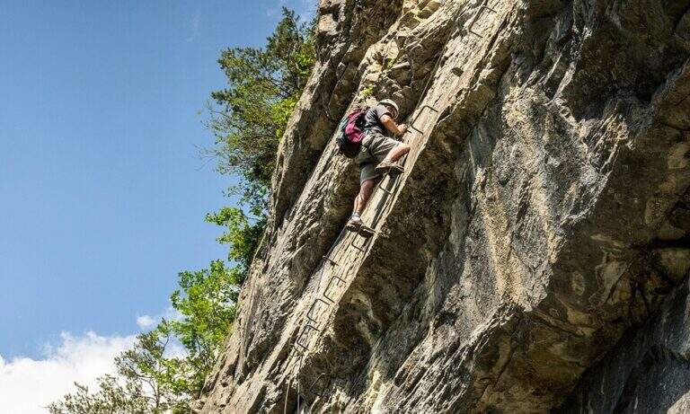
  • Ferrata at the Sentiero dei Fiori

    Ferrata at the Sentiero dei Fiori

    Vie Ferrate › Lombardy › Brescia
    Ferrata at the Sentiero dei Fiori

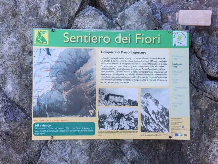
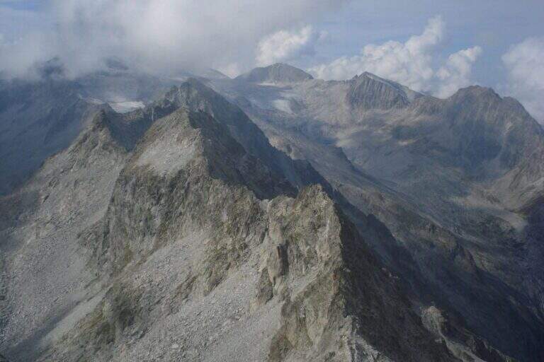
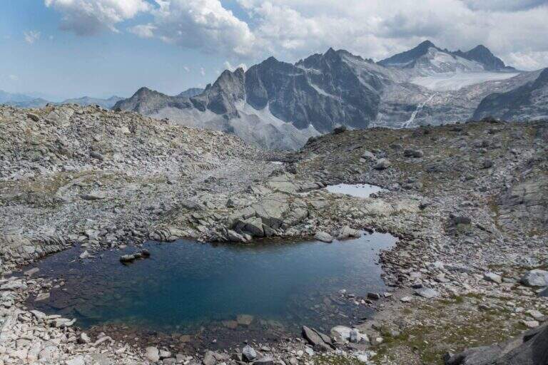
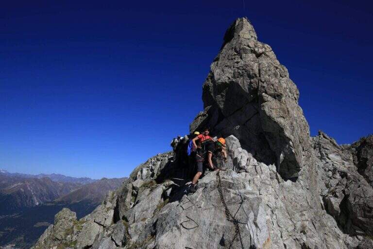
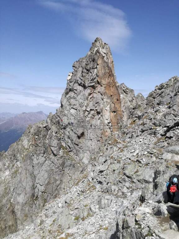
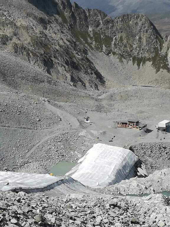
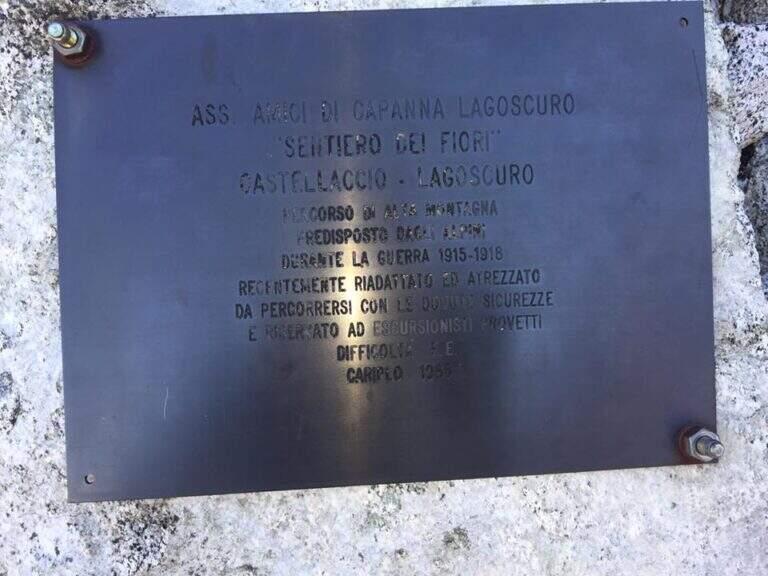
    The Ferrata al Sentiero dei Fiori is a splendid itinerary of high altitude ridge, around 3000 meters, on the group of Adamello: an equipped route where necessary, prepared by the Italian soldiers who had the front here during the First World War, with magnificent views on the glaciers of Presena and Pisgana. Technical difficulty is in a modest complex, with few exceptions in the final stretches, but the high mountain environment and snow can raise the real commitment very much; we classify it Difficult.

    ▲Approach

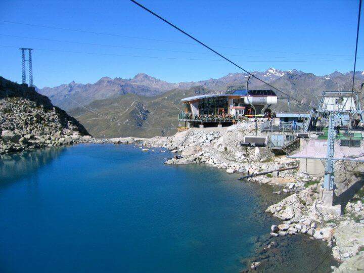
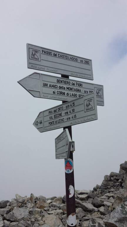
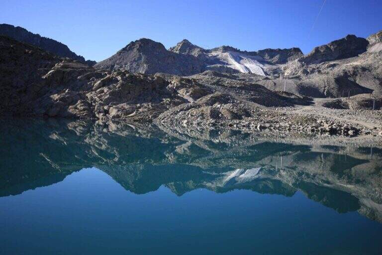
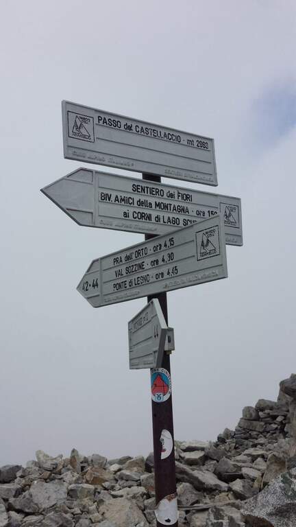
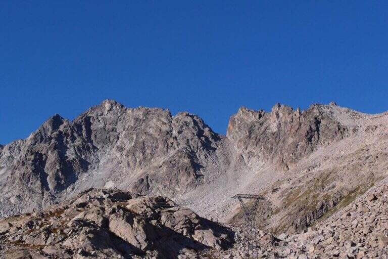
    From Passo del Tonale, on the border between the provinces of Trento and Brescia, reachable from Bolzano (2h) or Brescia (2h30′) on the SS42 or from Valtellina with the SS39 (1h45′ from Sondrio); park at the cable car at Passo Paradiso, on the Lombard side of the pass (starting point on Google Maps). Go up the cable car at Passo Paradiso (2585 m); go down, wander the small lake following the CAI 44 uphill towards Passo del Castellaccio. At an unmarked crossroads, where some CAI signs depart to the left, you go straight towards the pass along a well marked path, on high mountain terrain with some rocky not difficult, up to the Passo del Castellaccio (2963 m, 1h15′ from the mountain station of the cable car). Here you wear the harness, you leave the CAI 44 that goes down the opposite side (Value of Narcanello) and you start the ferrata.

    ▲The path

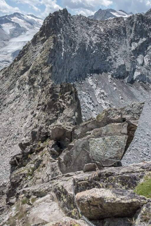
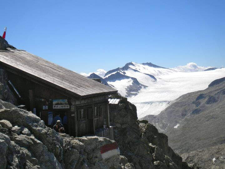
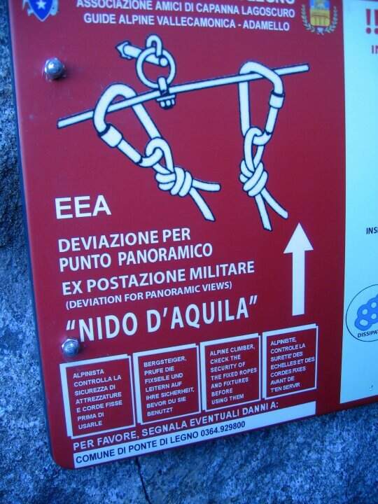
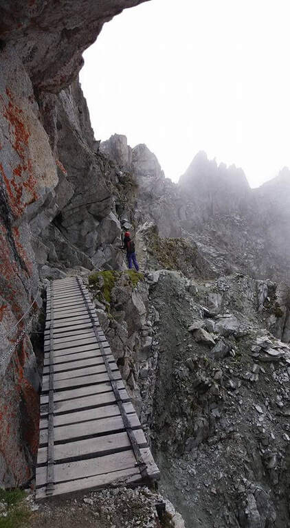
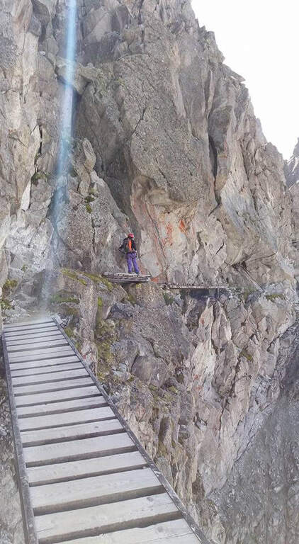
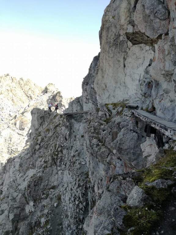
    From the pass we proceed south following signs and abundant traces. The first equipped section is a long mention with a series of ups and downs, without particular difficulties, which leads to a series of wooden walkways. On one of these, on the left, a row of brackets rises to a panoramic tip: it is a recommended deviation (about 10 minutes) that leads to the so-called eagle's nest, built for military purpose in the Great War; then it is returned to the street. This is how you reach the most iconic point of the route, the Gendarme di Casamadre, approached and surpassed by two long suspension bridges, stable and well constructed, with a connection between one and the other; those who did not want to walk the bridges can use a tunnel carved during the war that avoids them. Beyond the gendarme, a nod wanders a edge and descends a few meters, without any difficulty for the experienced hiker. Then there is a stretch where snow can be snow even in late season: if the cable is hidden from the snow the ice equipment becomes necessary (spring, peak, rope to preserve). Continue on a relatively easy path, marked by the war interventions that moderated the difficulties, until you find the equipment at a wall and some rocks; then, overcome some rocks sometimes unstable, you reach the Bivacco Amici della Montagna, usually open and managed in summer (3160 m, 1h15′ from the attack, 2h30′ total). Continuing you lose altitude to a first escape route: on the left you descend to Capanna Presena (1h, with equipped strokes) to take the second trunk of the cable car. Continuing on the path you face a half-coast stretch between rocks and descend along a war trench until the Lagoscuro Pass (2970 m, 30′ from the bivouac, 3h total), where a wooden chapel rises. From here those who want to continue south towards Cima Payer, on cenges and rocky balconies on the western side of the ridge wire, without great difficulty, until the cross of Cima Payer (3056 m). In addition, towards Passo Payer (2978 m), the difficulty really increases (it's the stretch that deserves the Difficile ranking): jumps and backward plates, the thread is thinned and you walk exposed downhill. The last part of the Sentiero dei Fiori, from Passo Payer to Passo del Lago di Pisgana (2933 m), rises on small rocks alternating with lean granitic plates, difficult to climb but supported by the chain, and runs a ridge equipped to not underestimate up to Punta Pisgana (3088 m), before descending to Passo del Lago di Pisgana.

    ▲Character and difficulty

    For most of the development the technical difficulties are modest: to make the difference are the quota, the exposure of some final traits and especially snowmaking. The stretch between Cima Payer and the Cima Lago Ghiacciato area is the most exposed and challenging and raises the overall commitment of the entire tour. In 2022 the path has been renewed after a maintenance period; signs have been installed that suggest to travel from the second station of the ovovia to the Passo Presena to the Passo del Castellaccio, that is in the opposite sense of this relationship: therefore, there are often hikers who proceed in the opposite direction and attention is needed to the crossings.

    ⚠ Itinerary around 3000 m: snow can cover the cables even in late season and in that case they serve ramps, peak and rope to proceed in preserved. Time and altitude can change quickly: bring adequate equipment to the high mountain. Beware of the crossings due to the sense of travel recommended by the signs and to the ridge equipped to Punta Pisgana, not to be underestimated.
    ▲Period and safety

    Useful season from late summer to early autumn, depending on snow. Complete hardware set (sharing, kit, helmet) and, when snow is present, ice equipment; high-altitude clothing and water and food supply for a long day. Organize the exit according to the hours of the cable car / cable car of Passo Paradiso and Passo Presena.

    ▲Discipline

    The Sentiero dei Fiori can be interrupted in several points, all returning to the Presena hut passing through the Maroccaro Pass. From the Lagoscuro Pass (approximately 2h from the beginning of the equipped stretch) you descend left towards the Scuro Lake, you go up to the Maroccaro Pass and go down to the snow of the Presena Glacier to the Presena hut (about 2h from the pass). From Passo Payer (1h from the Pass of Lagoscuro) you descend towards the Rifugio Citta’ di Trento al Mandrone and, just before the refuge, take the CAI 209 to the Passo di Maroccaro and then to the Capanna Presena (about 2h30′ from Passo Payer). From the Passo del Lago di Pisgana you descend left to the Rifugio Citta’ di Trento al Mandrone and then go up to the Passo di Maroccaro to get off at the Capanna Presena (about 3h15′ from the pass). From the Capanna Presena you return to the valley with the cable car. The entire round takes about 9h30′.

    ▲To match

    On the north side of Passo del Tonale there is the Alpine Path at Punta d’Albiolo. The Adamello group offers many equipped routes, including Ferrata Terzulli all’Adamello, the very difficult Ferrata al Corno del Grevo, Ferrata al Pizzo Badile Camuno and, on the Trentino side, the Ferrata Monte Nero alla Presanella.

    ▲Gallery
    Technical data
    • Approach1:15 h
    • Duration5:00 h
    • Total itinerary9:30 h
    • Hardware level difference150 m
    • Route difference490 m
    • Maximum altitude3088 m
    • Length15 Km
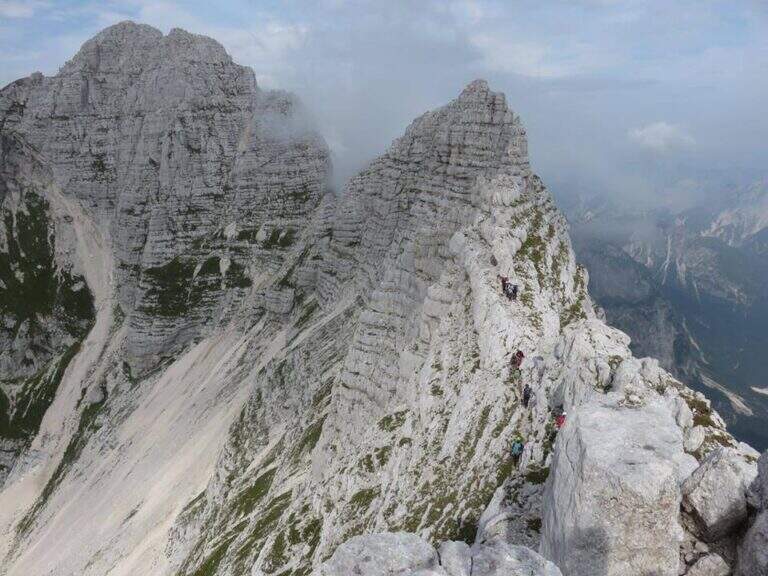
Need help? Write to us!