Caratteristica: Molto lunga

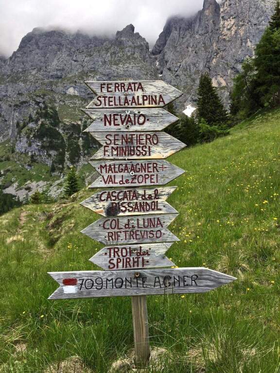
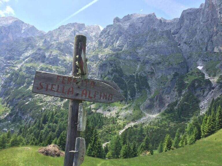
  • Ferrata Stella Alpina all’Agner

    Ferrata Stella Alpina at Agner

    Vie Ferrate › Veneto › Belluno
    Ferrata Stella Alpina at Agner
    Very difficult● OpenDescriptionComplexityMapsGallery

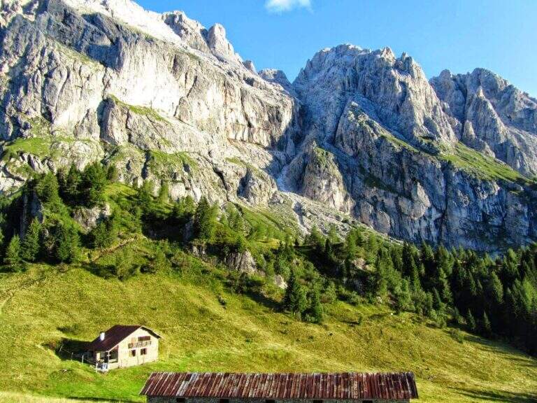
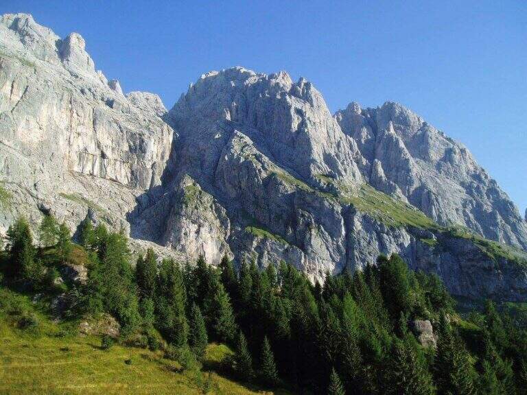
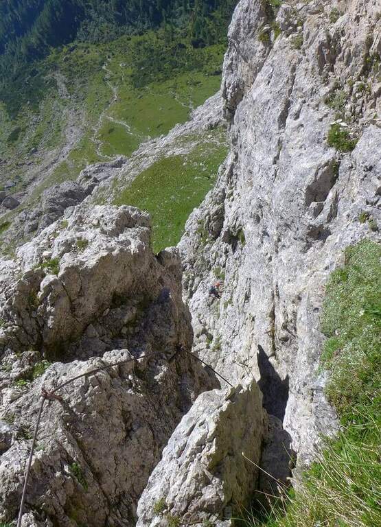
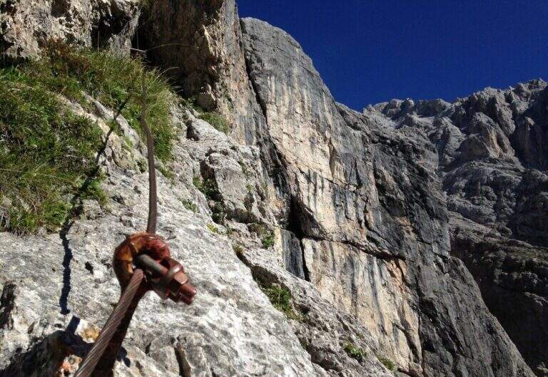
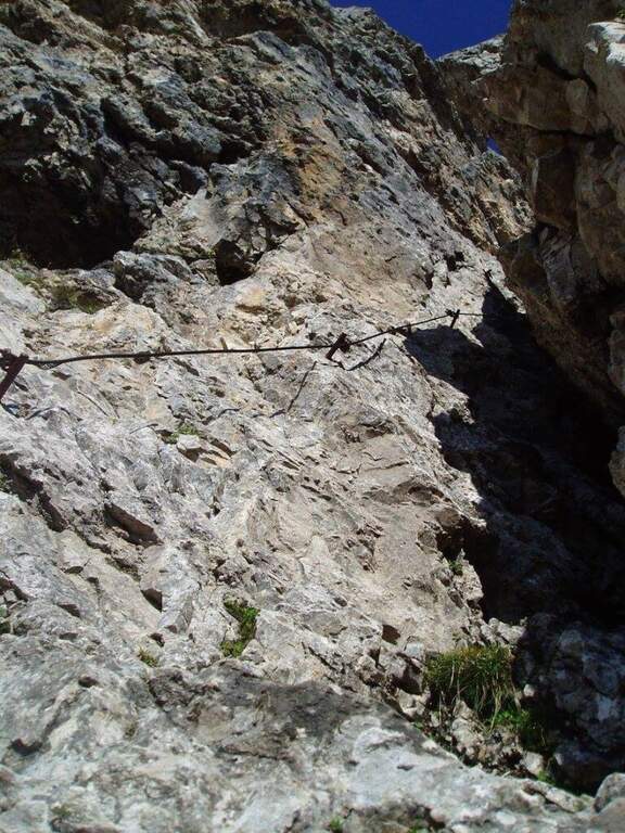
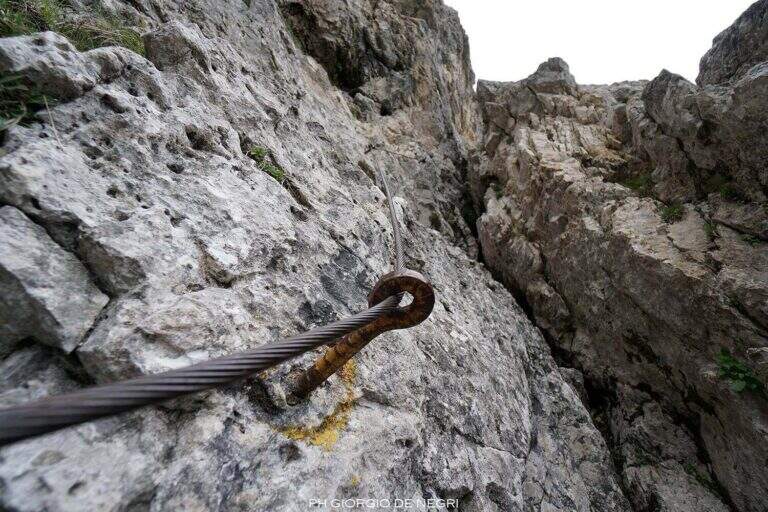
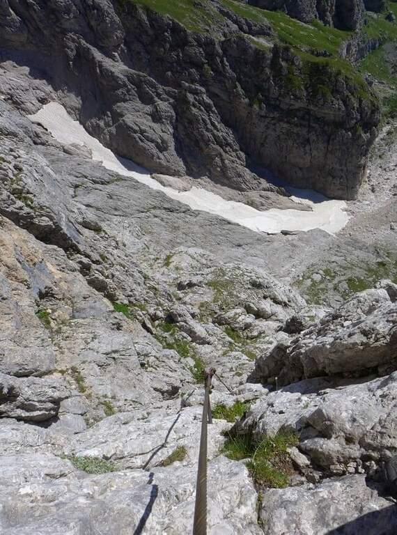
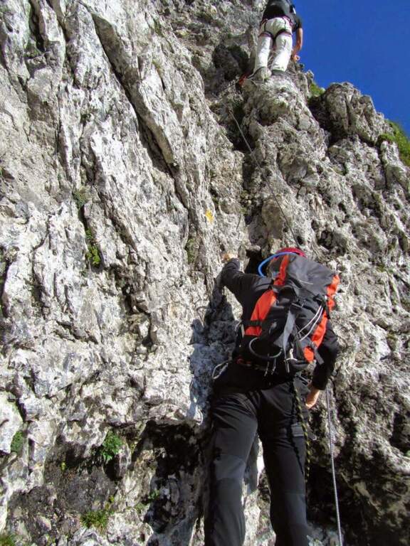
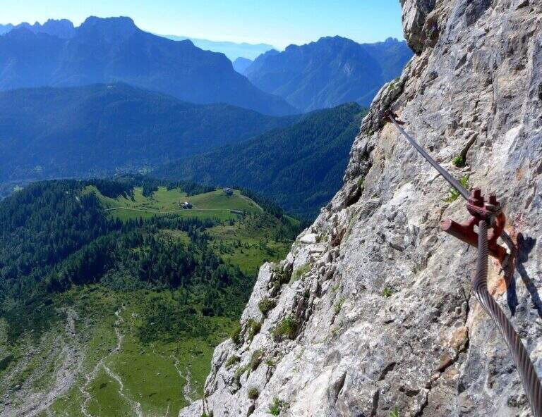
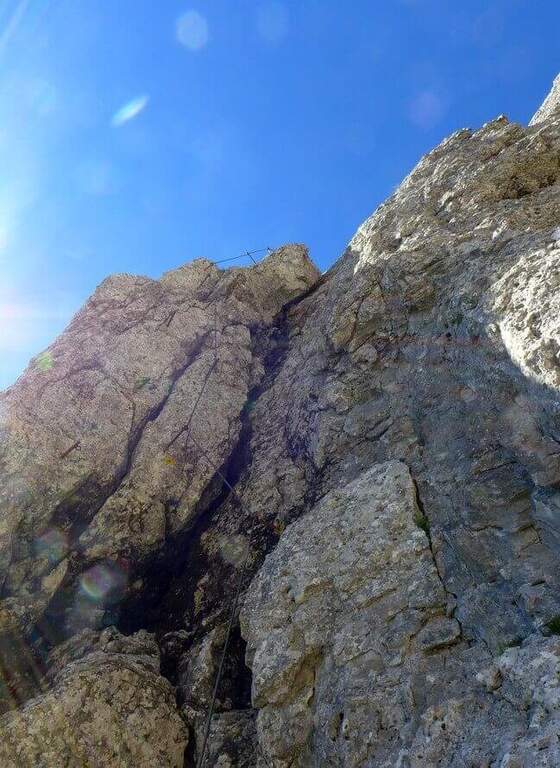
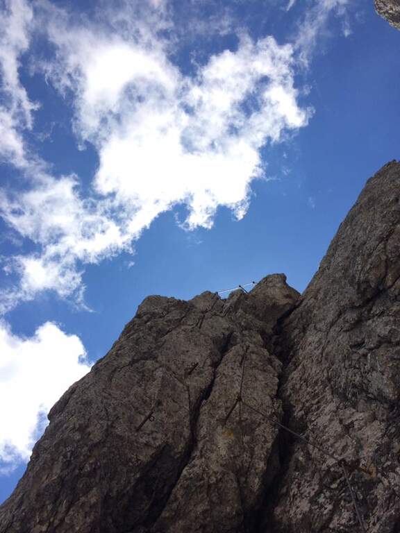
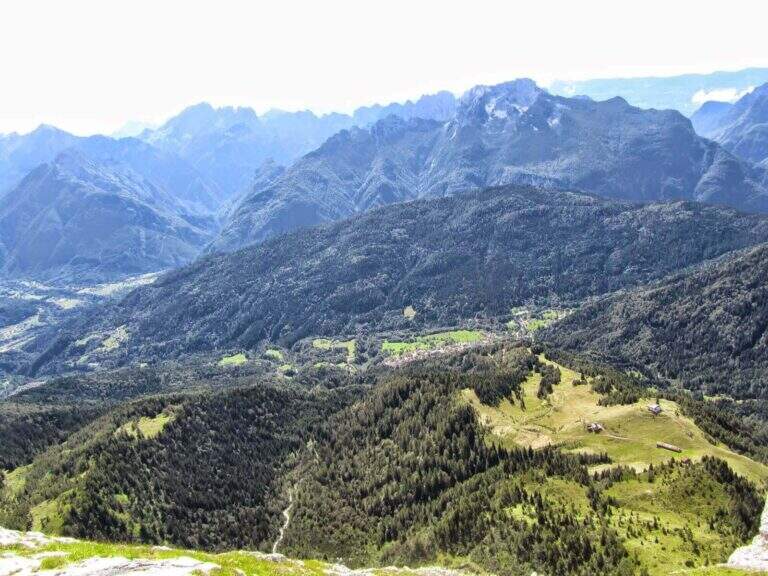
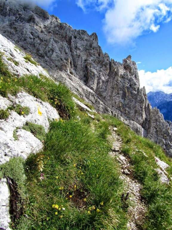
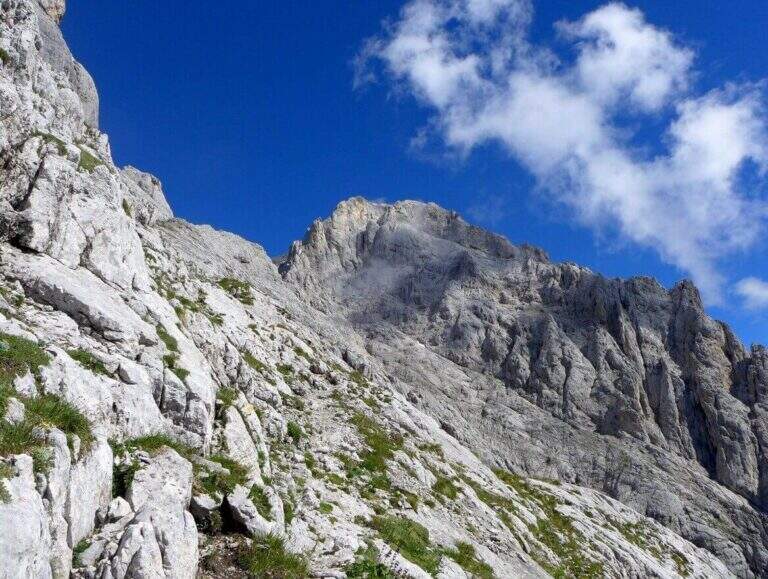
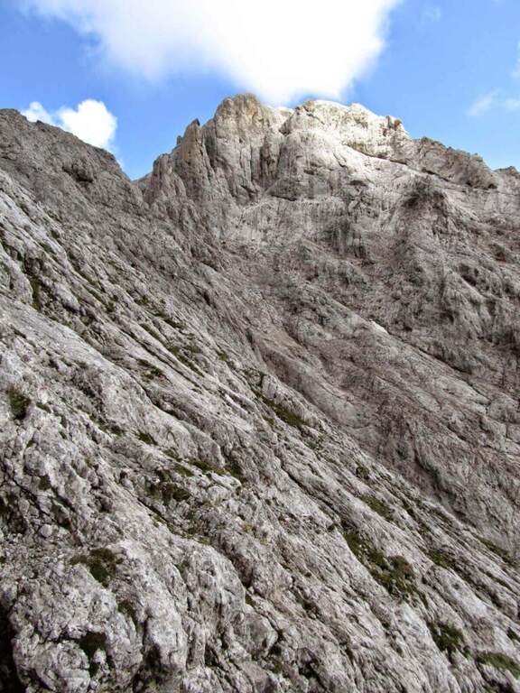
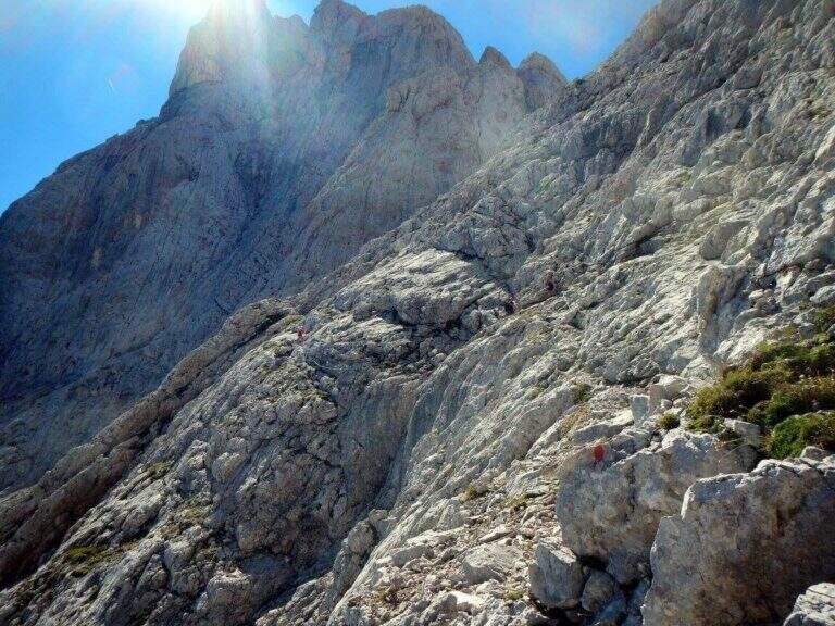
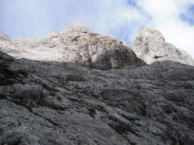
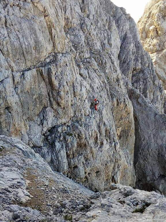
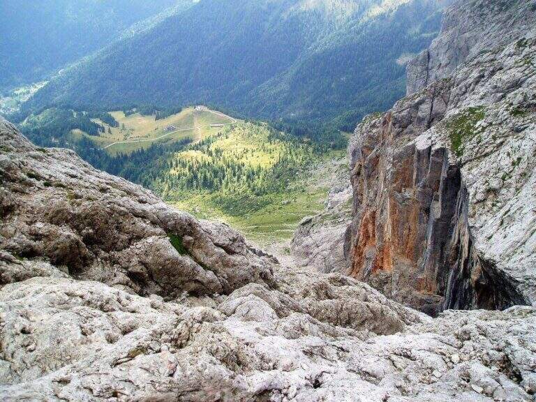
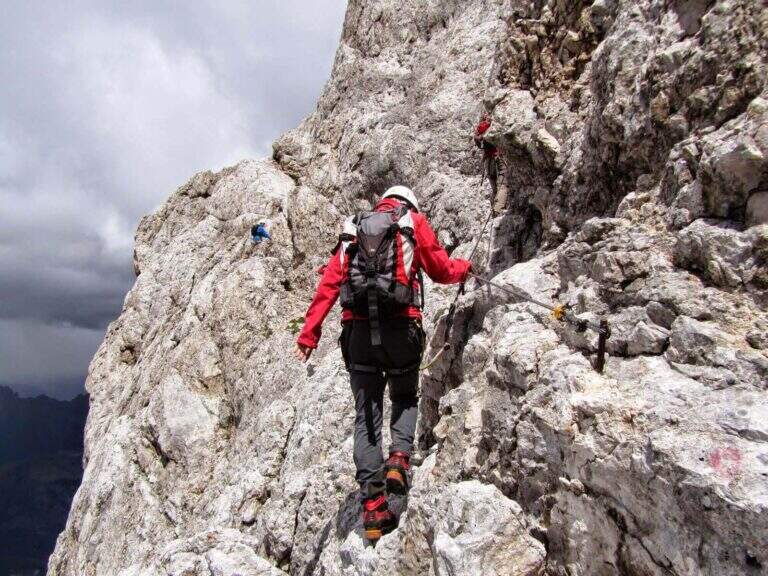
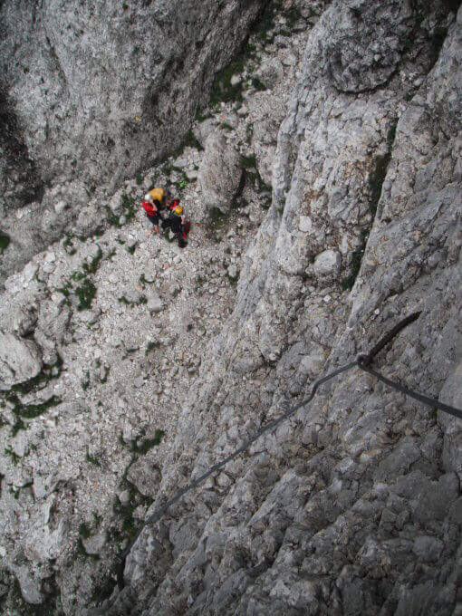
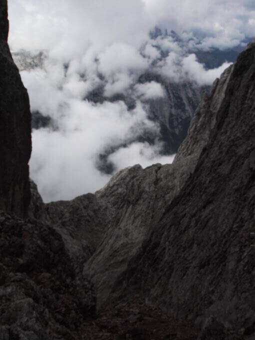
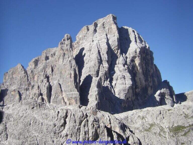
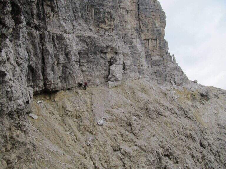
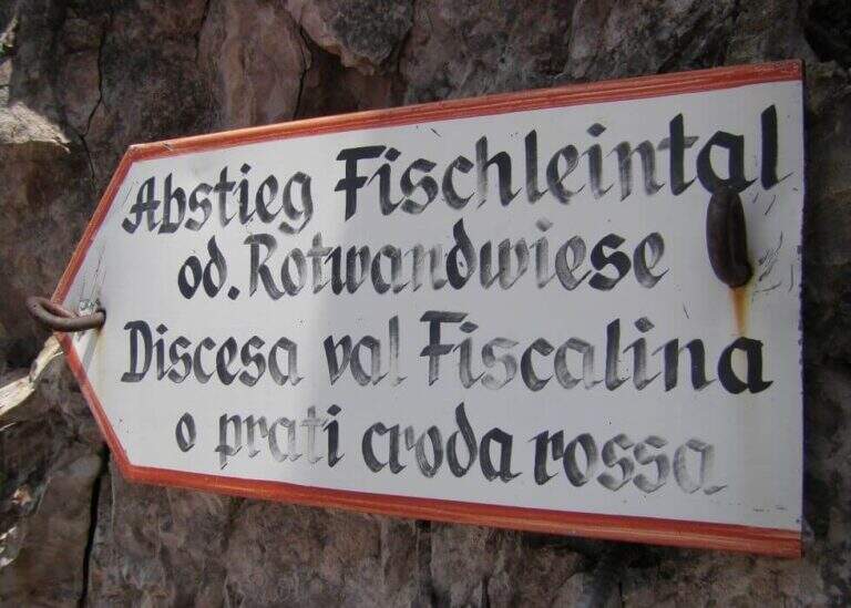
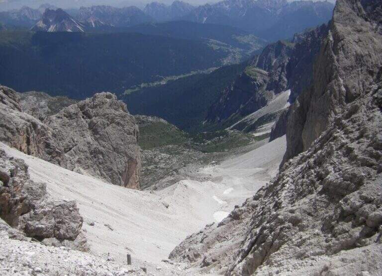
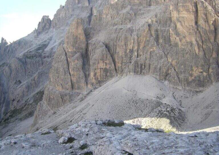
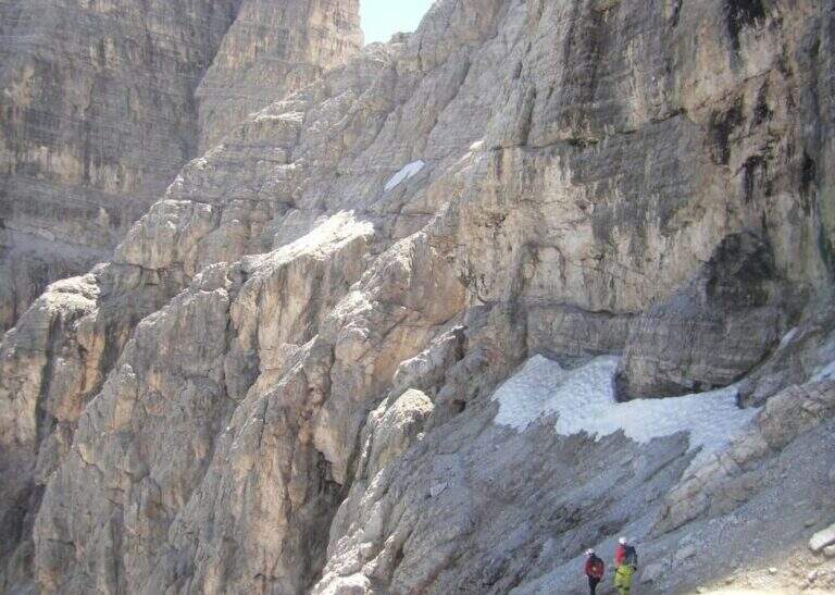
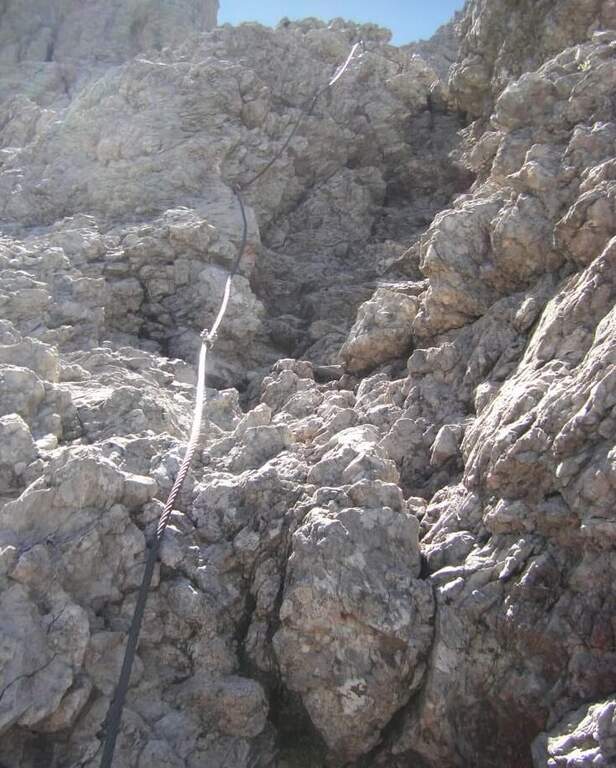
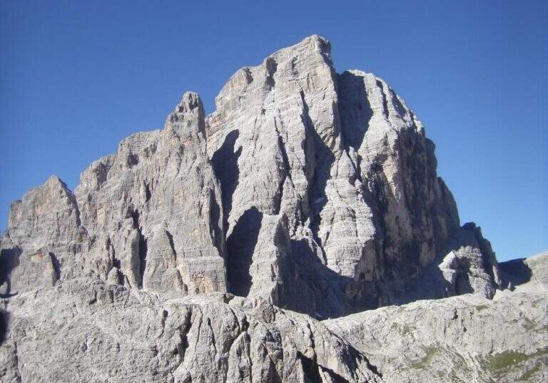
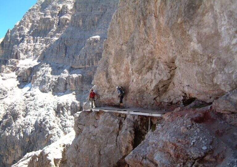
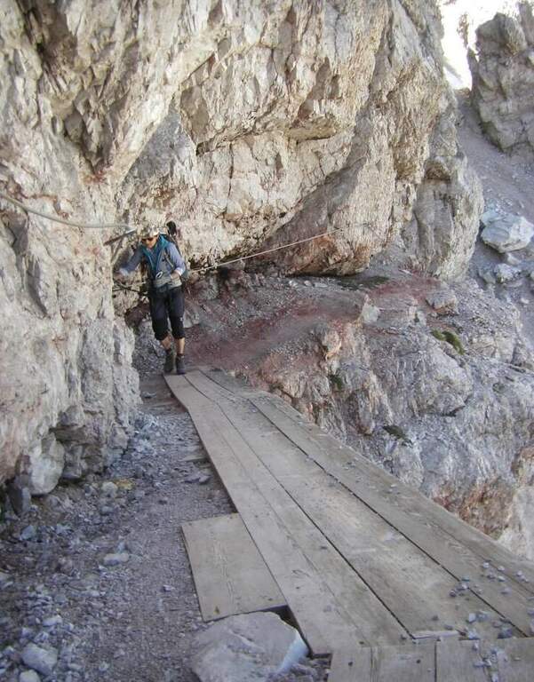
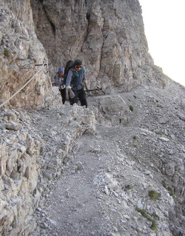
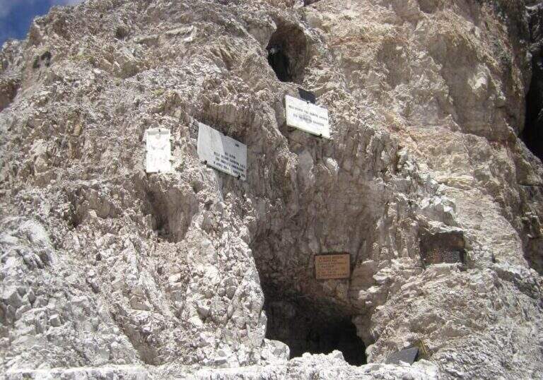
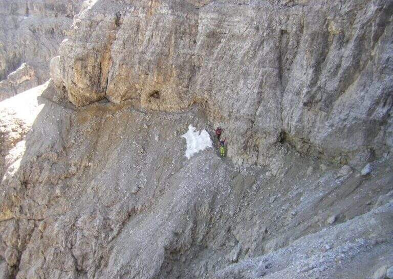
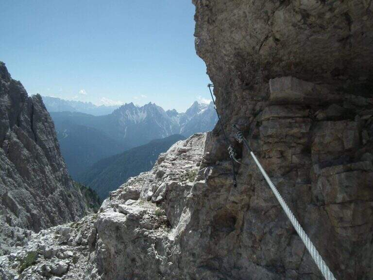
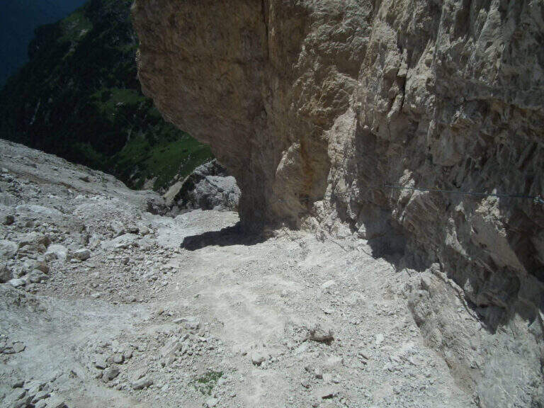
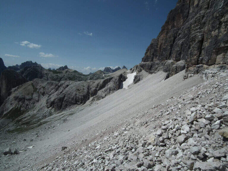
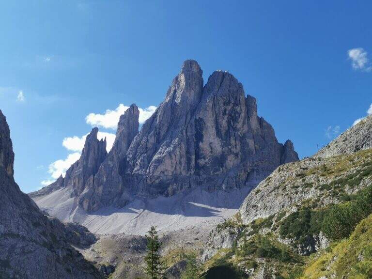
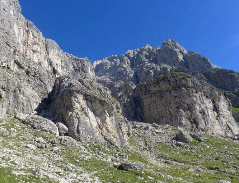
    La Ferrata Stella Alpina ` the equipped road that leads to Monte Agner, in the Pale di San Martino. The complete è tra i più challenging Italian landscape: more than 10 hours, reserved for very experienced hikers not only of ferrate but also of high mountain. At the difficulty and the stretch is added the long crossing of the Laste, the ascent all'Agner and the difficult descent along the Canalone.

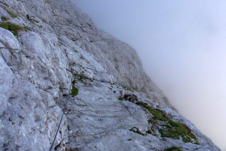
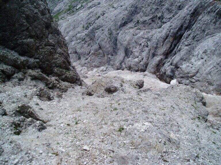
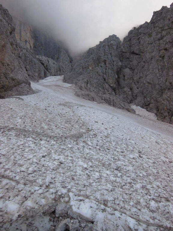
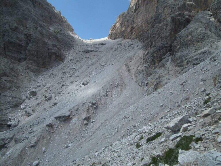
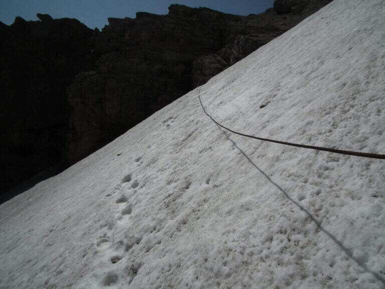
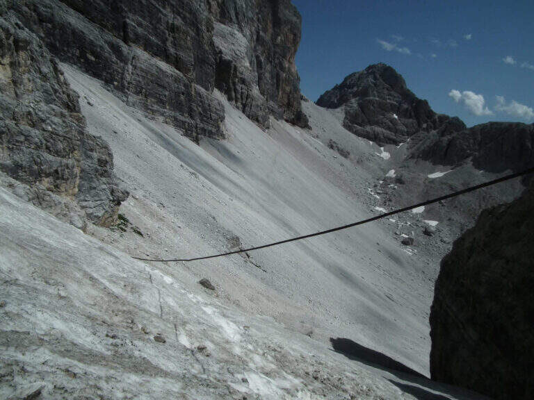
    ⚠ Itinerary very long (more than 10 hours, altitude difference almost 1700 m, peak 2872 m) and extremely serious. The crossing of the Laste è exposed, with signs often faded, and becomes prohibitive with fog; with wet è rocks; not recommended. The discesa along the Canalone è steep, on unstable gravel bottom, often with snow in the lower part: useful ramps and telescopic sticks. Face it only in good state of training and with stable weather; it is recommended to break it in two days (Bivacco Biasin in Forcella Pizzon).
    ▲Approach

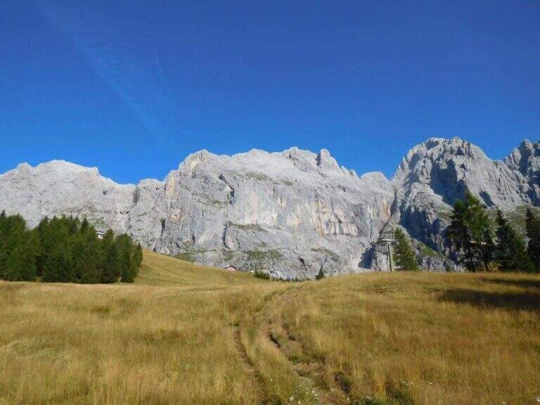
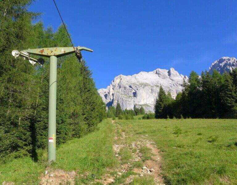
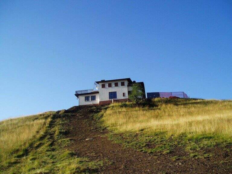
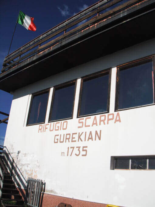
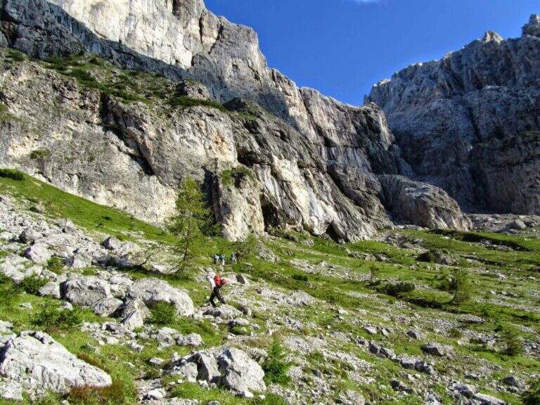
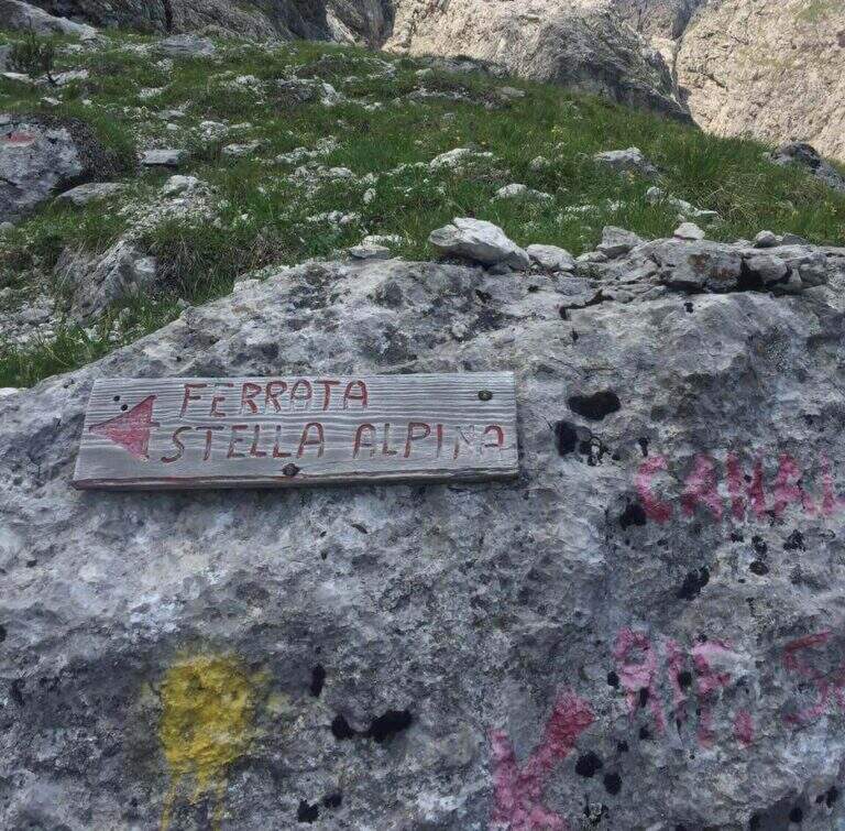
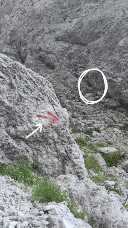
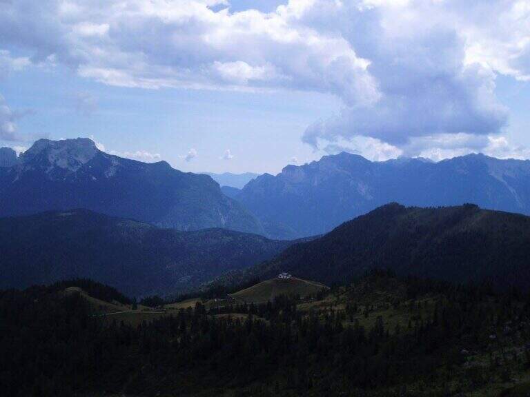
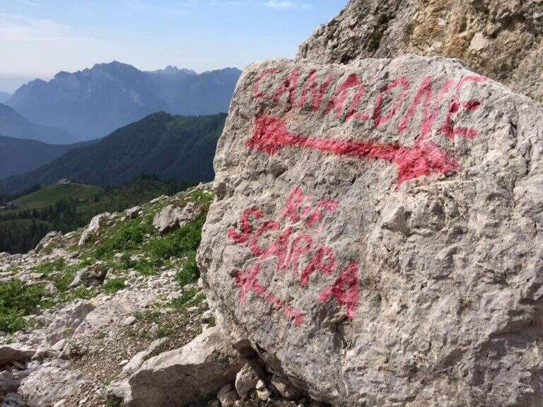
    The starting point is Frassanè (Belluno), at the foot of the Agner, reachable from Agordo or from Fiera di Primiero. Open road signs on Google Maps. In the village, from Via della Vittoria take via Domadore to a biforcation with CAI signposts (right on 771, left on 772) and park in a deck (1182 m). It goes up with 771 lungo la forestale, poi per prati lungo le piste da sci fino al Rifugio Scarpa (1735 m, 1h dal parcheggio). Dal rifugio, seguendo le indicazioni per la Ferrata e il Sentiero Miniussi, si raggiunge Malga Losch e si tiene la sinistra uscendo dal bosco; avvicinandosi alle bastionate dell'Agner, a un bivio (dove davanti si vede il nevaio del canalone di rientro) si segue a sinistra per l'attacco, al termine di una gola senza uscita, su roccette con bolli giallo-rossi e l'attraversamento di un canale fino al cartello romboidale (1955 m, 1h 45' dal parcheggio).

    ▲The path

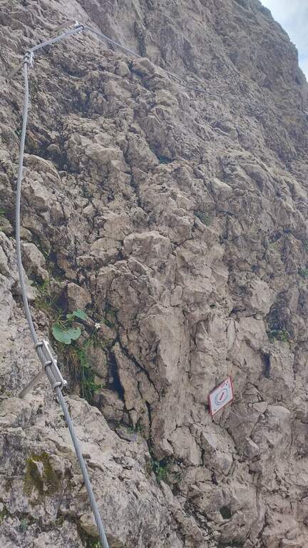
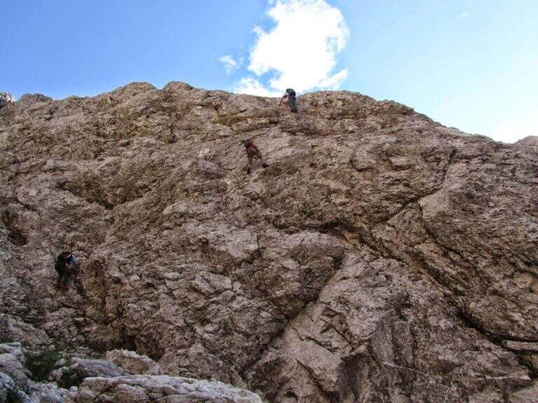
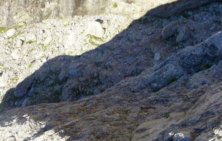
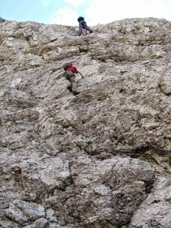
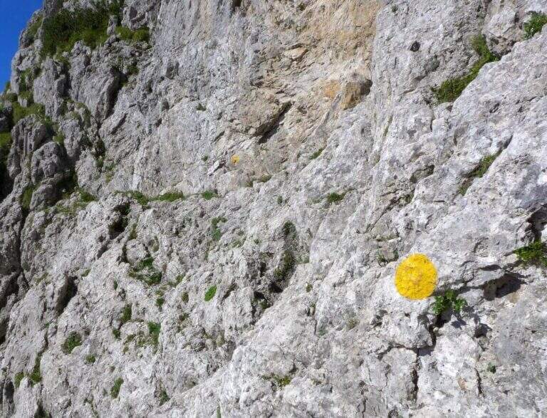
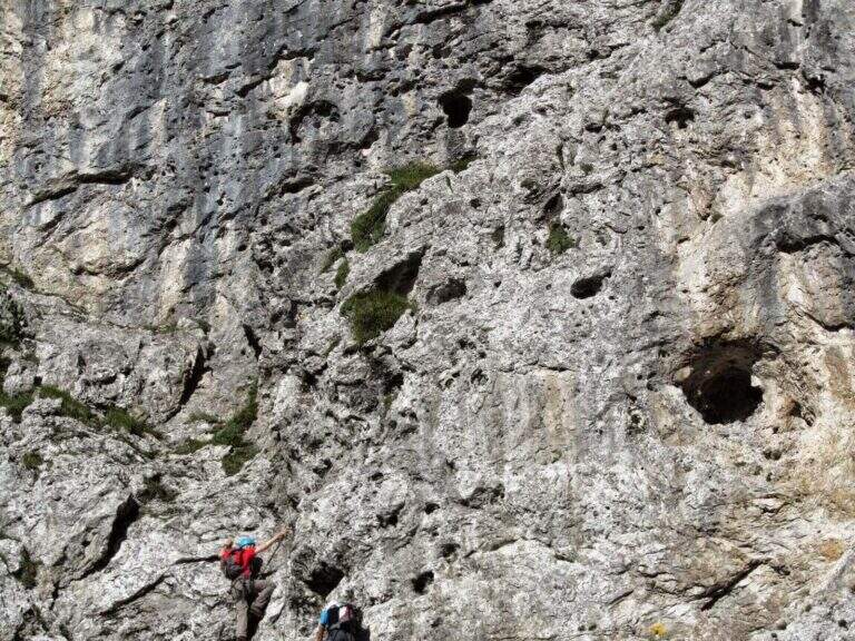
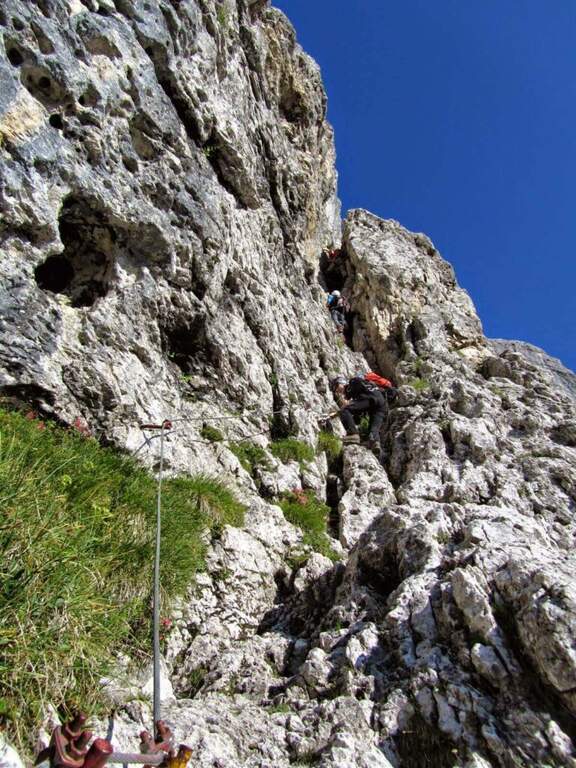
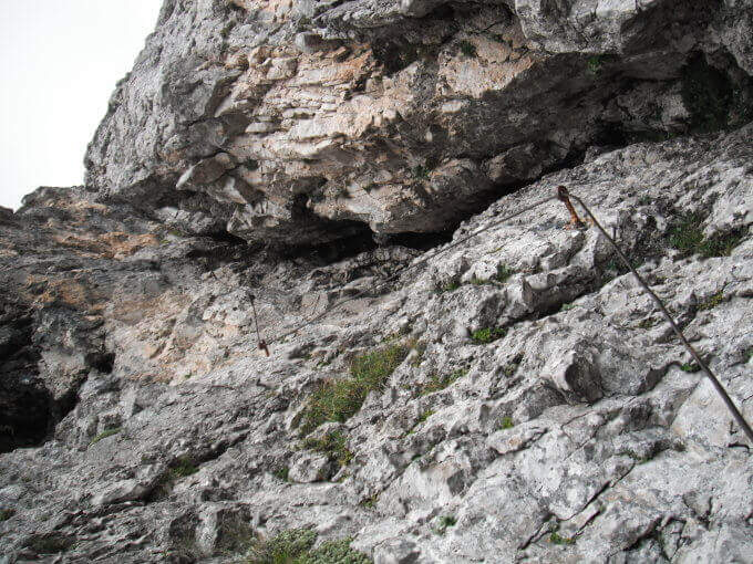
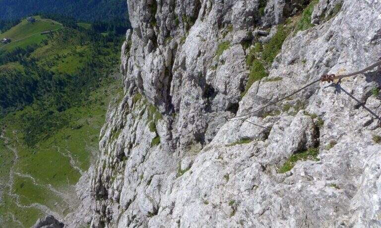
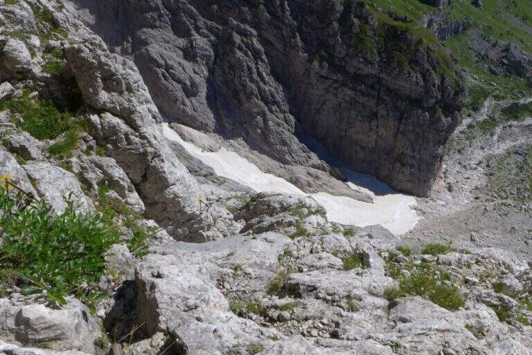
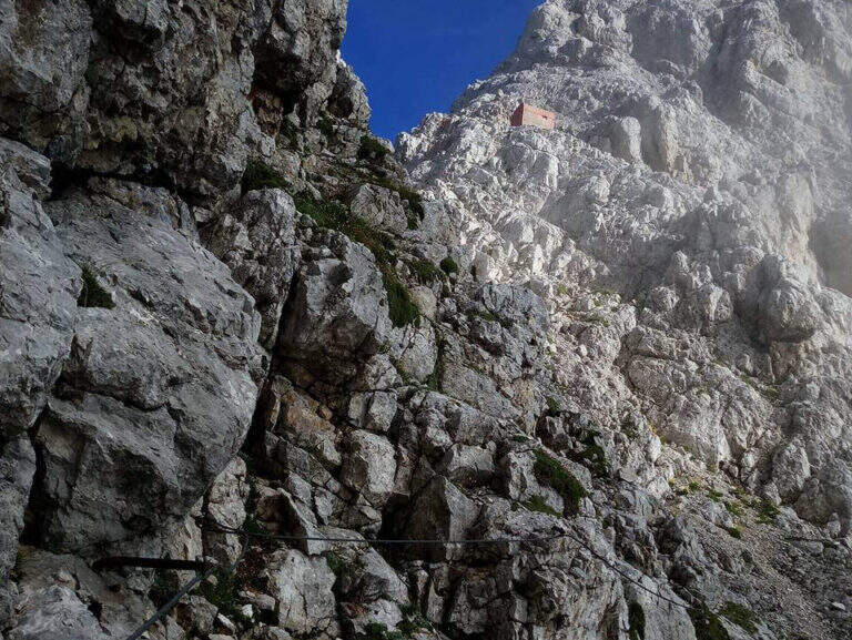
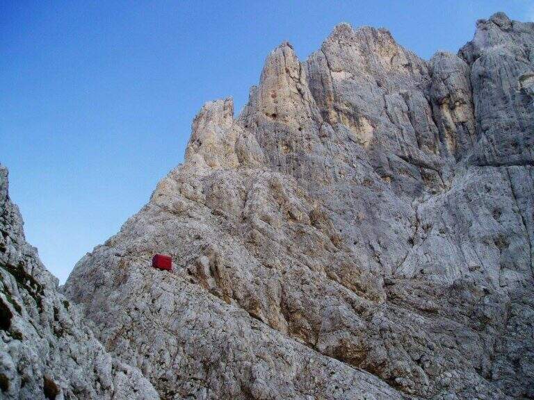
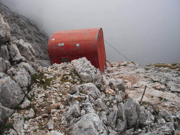
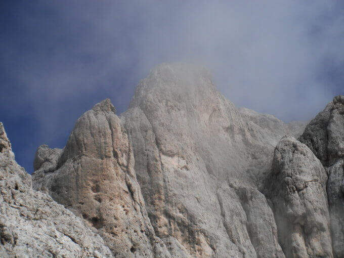
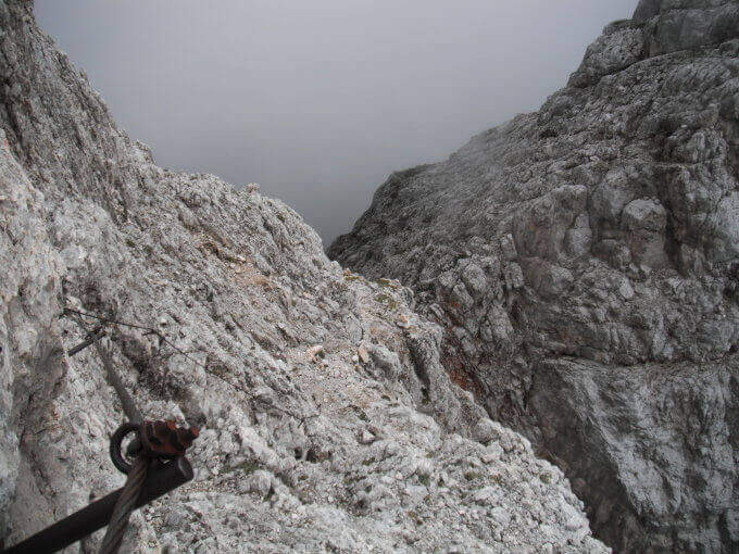
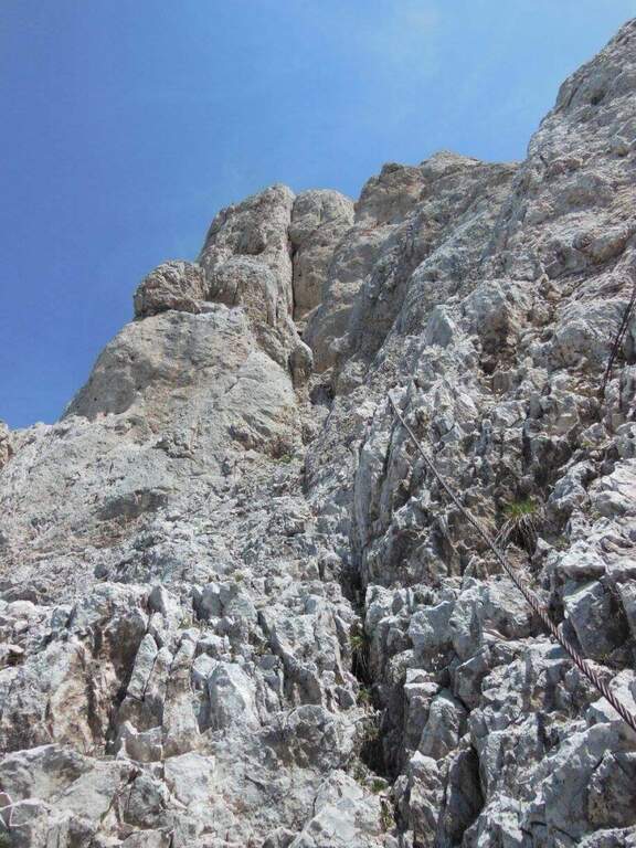
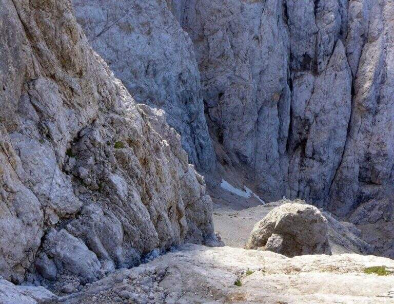
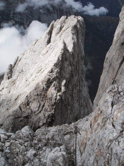
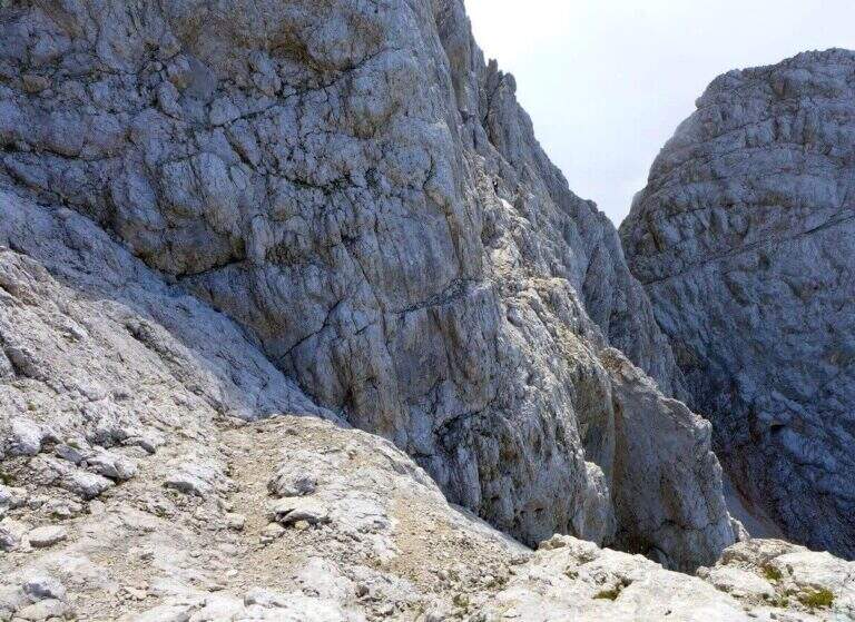
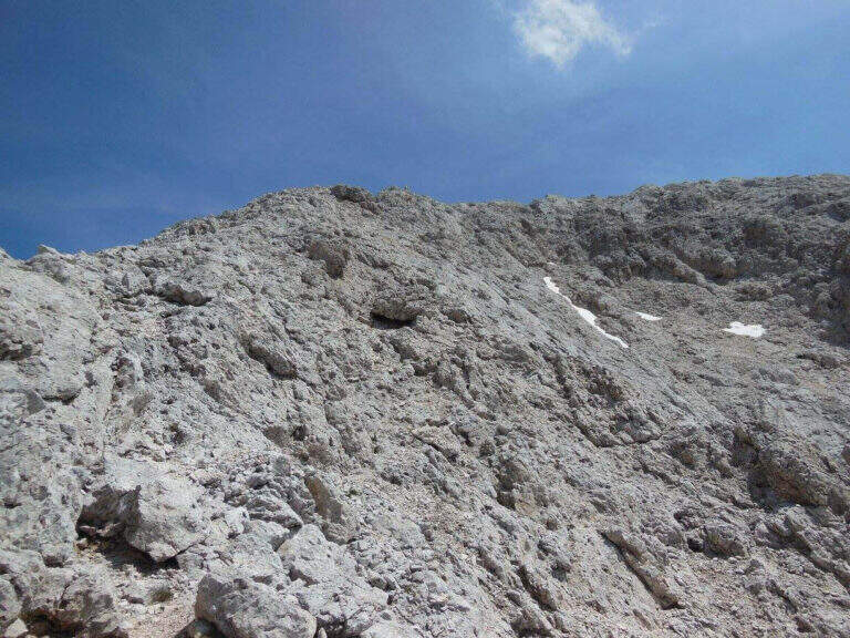
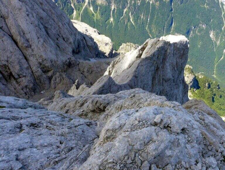
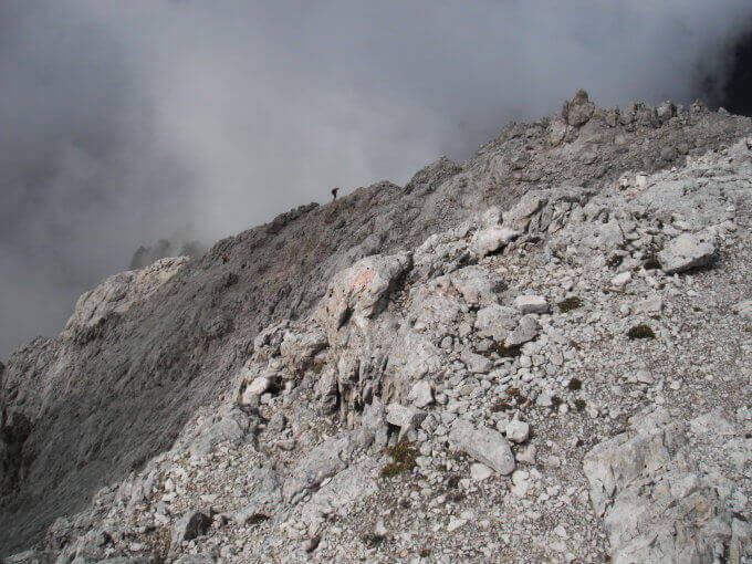
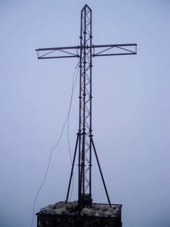
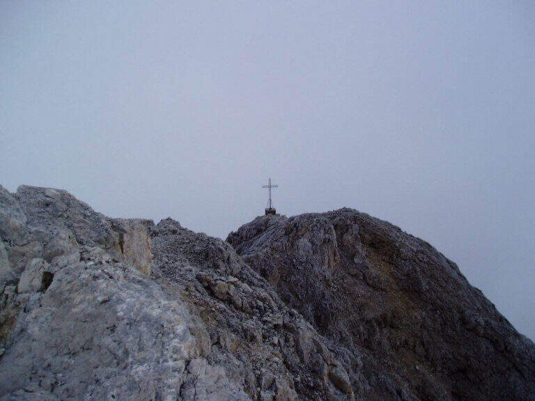
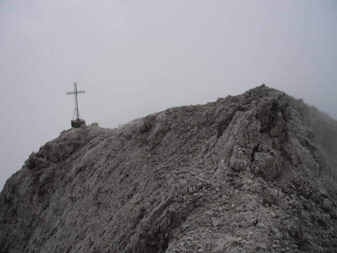
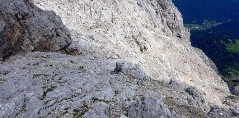
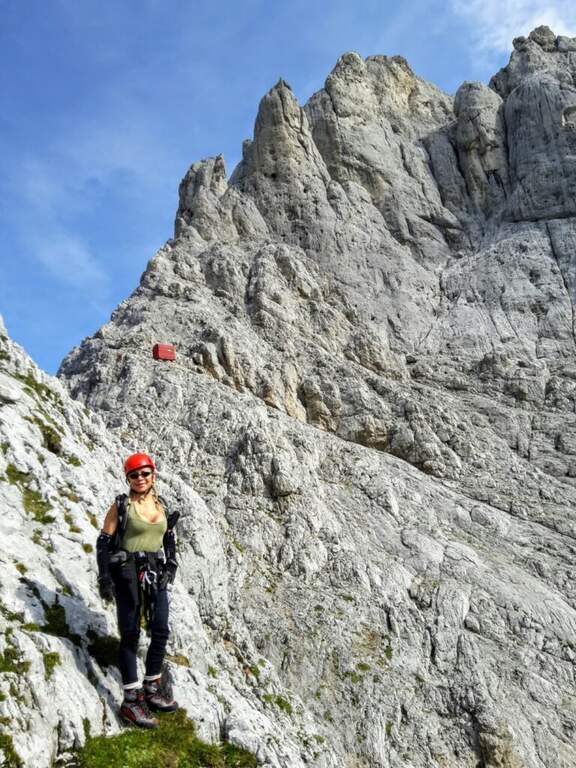
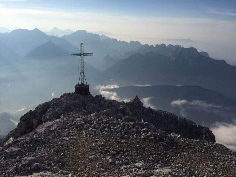
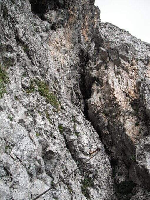
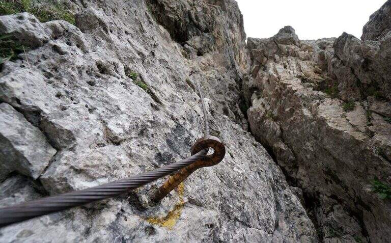
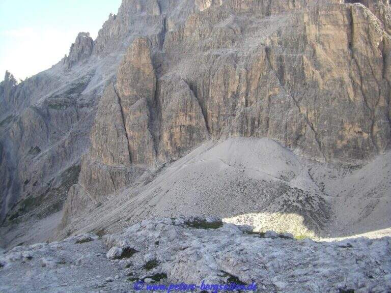
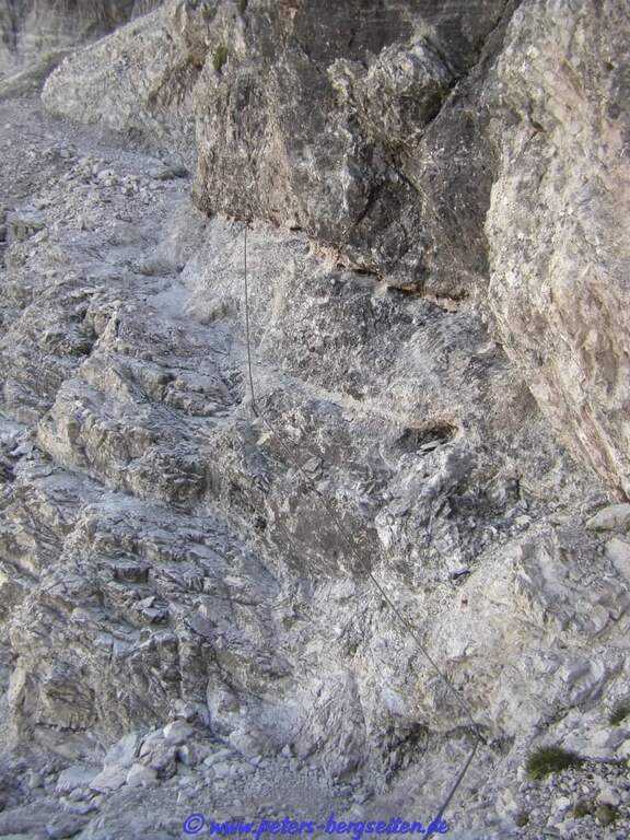
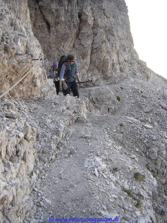
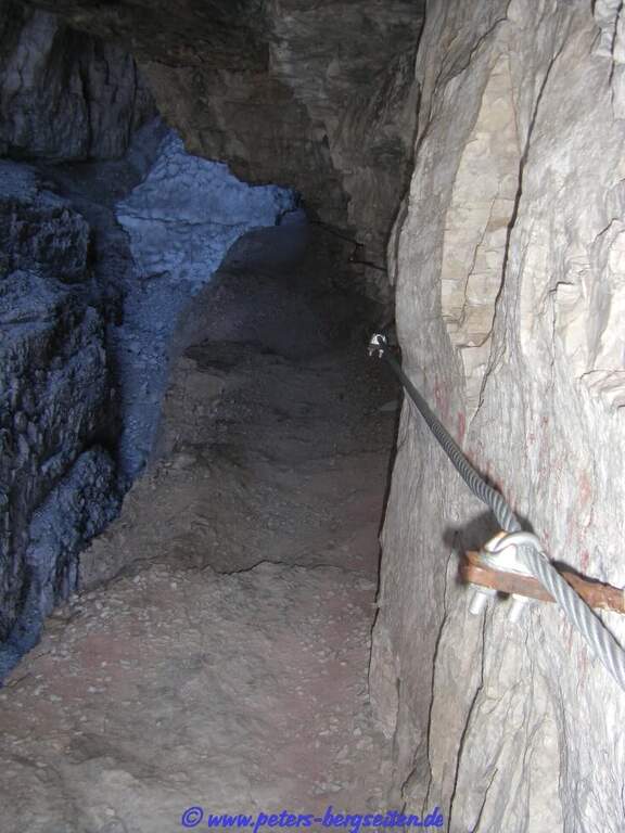
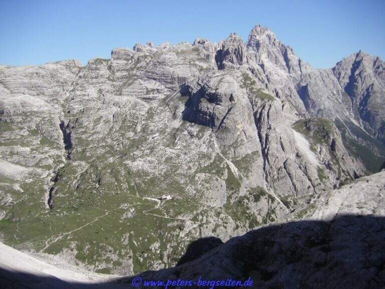
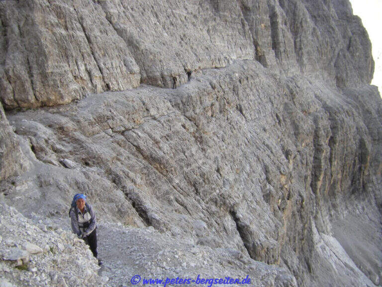
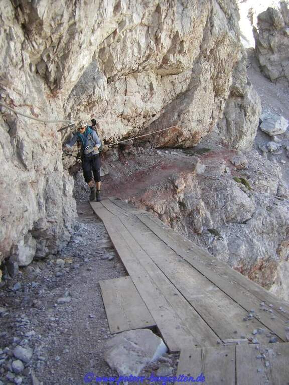
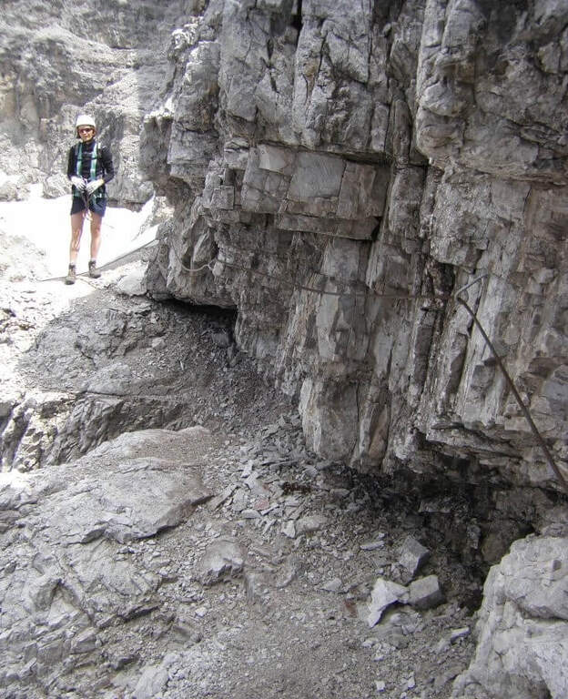
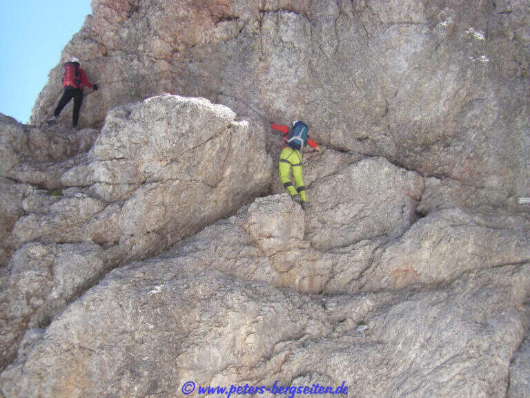
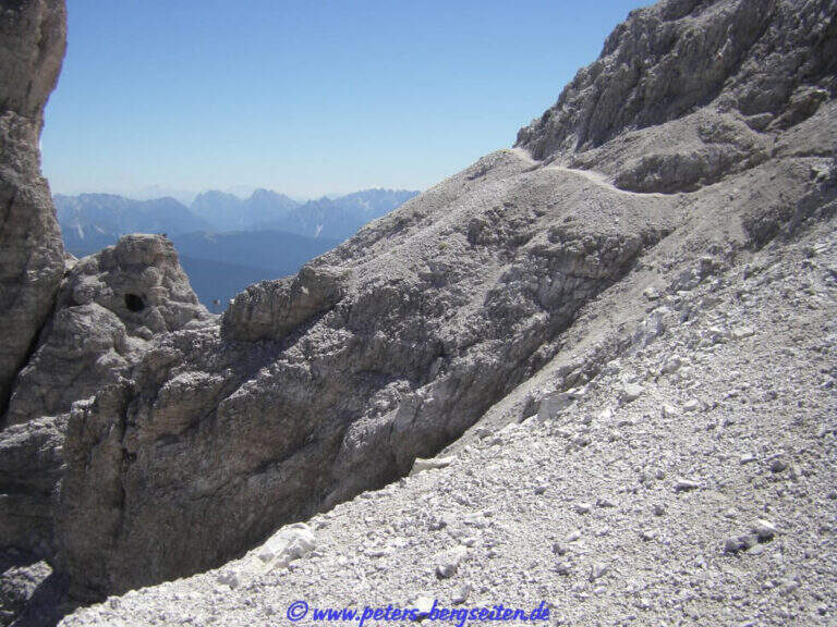
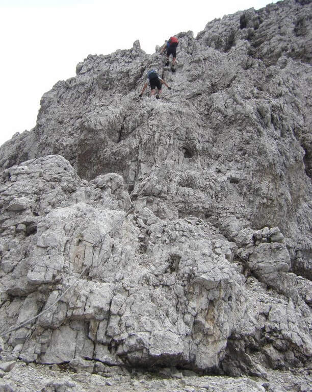
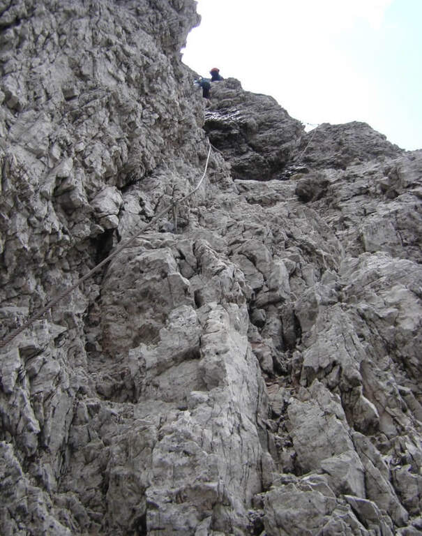
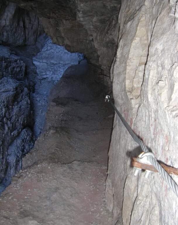
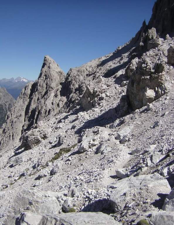
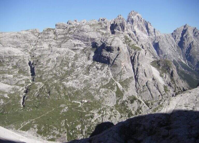
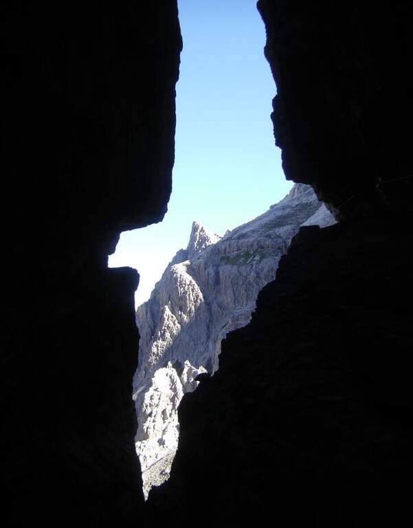
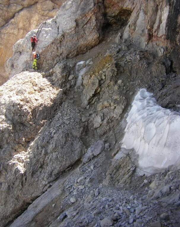
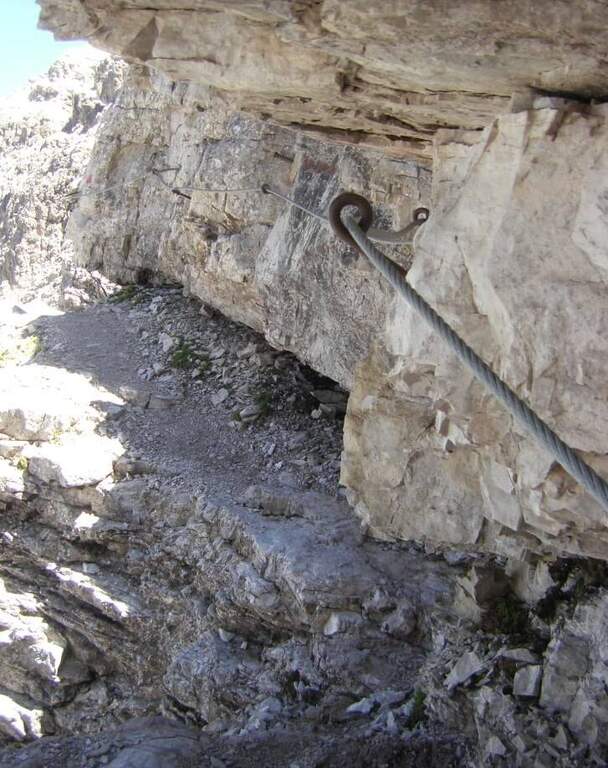
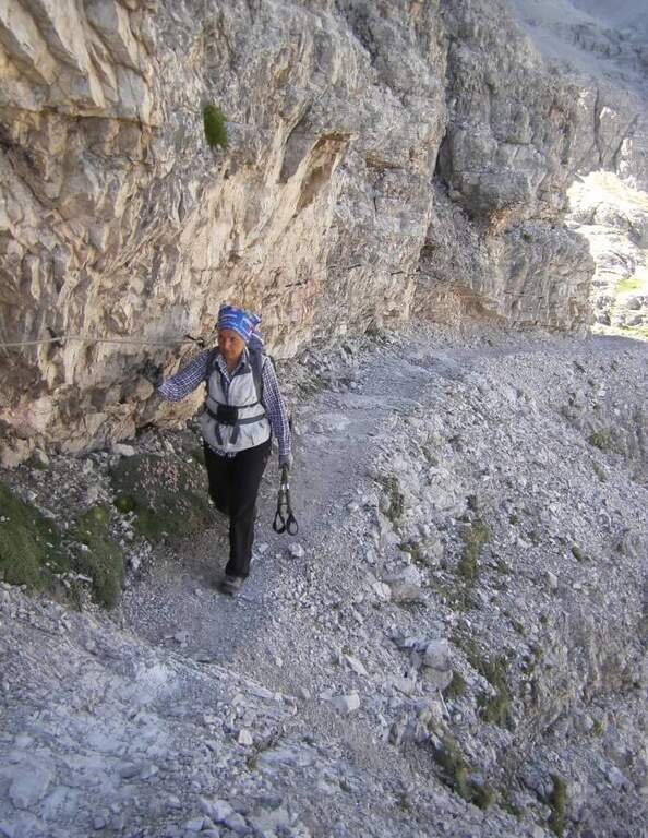
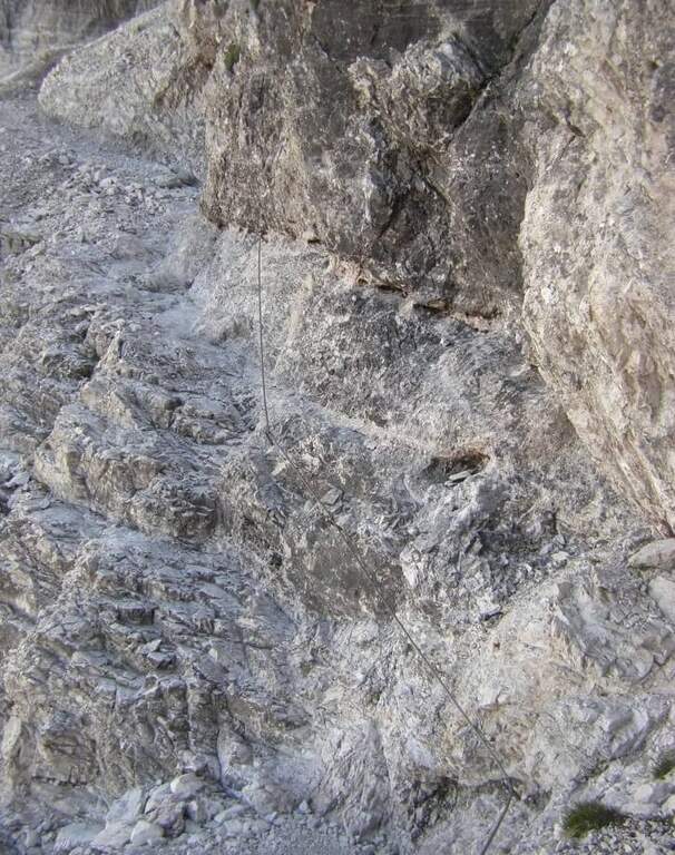
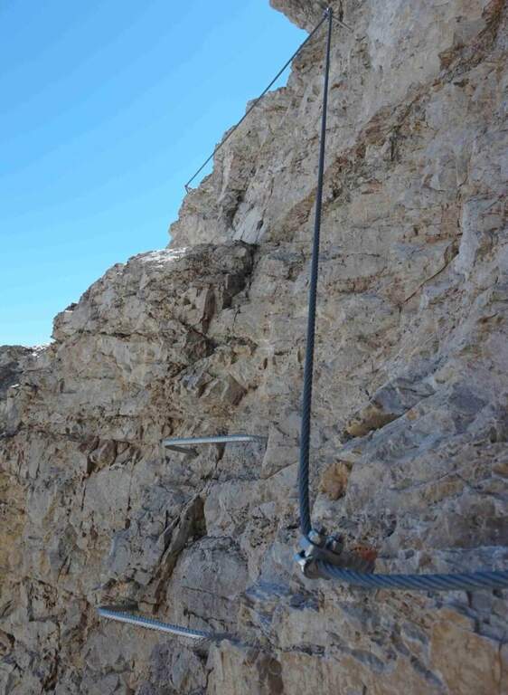
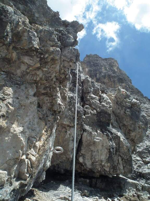
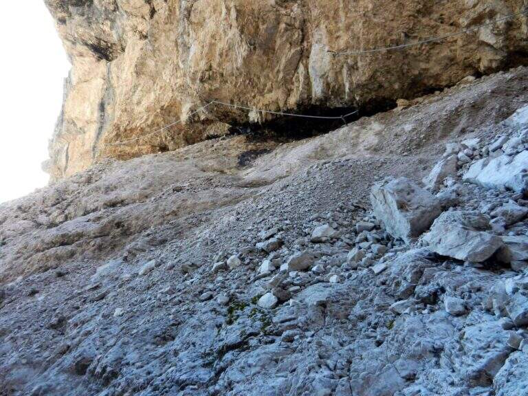
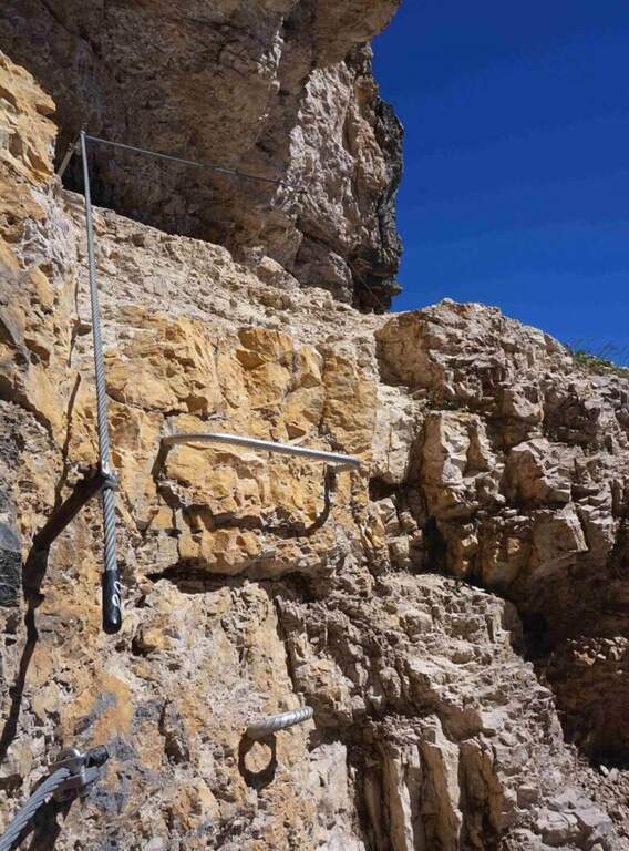
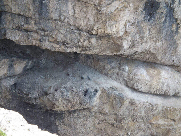
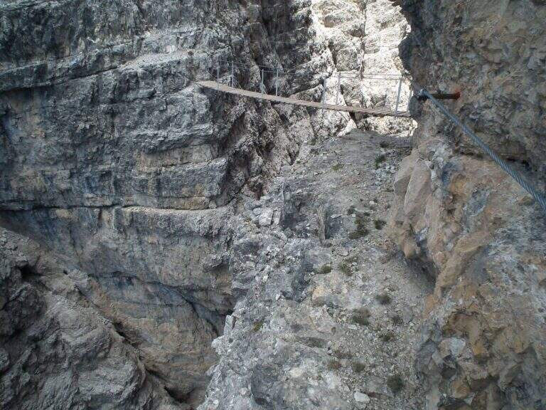
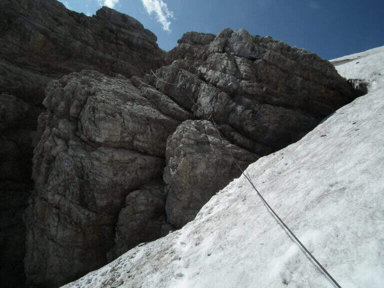
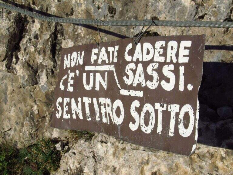
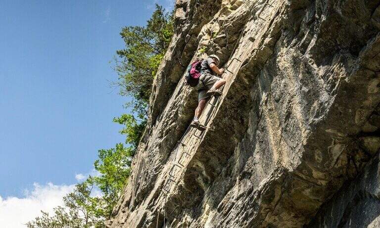
    La prima sezione supera un risalto roccioso, verticale ma appigliato, poi piega a destra su roccette e a sinistra; segue un tratto di collegamento su ghiaia, prato e roccia con vistosi bolli gialli. Si ritrovano le attrezzature presso un cartello che invita a non smuovere sassi: inizia la seconda e più impegnativa sezione. Dopo un tratto diagonale, il cavo sale verticale su una parete dagli appigli poco evidenti, poi traversa a destra verso il primo di una serie di camini, risalito in spaccata con l'aiuto di alcuni pioli. Si traversa a destra verso una stretta gola (attenzione agli zaini ingombranti), che si risale sul versante sinistro; seguono passaggi verticali in esposizione crescente, con il canalone innevato del rientro alle spalle. L'ultima sezione traversa a sinistra fino a un aereo spigolo con vista sul Rifugio Scarpa; si sale una parete verticale fino a un passaggio delicato e leggermente strapiombante lungo una fessura, da affrontare con agilità, poi il cavo piega a destra sotto il passaggio chiave: una placca verticale e liscia da risalire cercando i pochi appigli naturali e i pioli metallici. Gli ultimi metri esposti portano a «Le Laste» (2320 m, 1h 45' dall'attacco, 3h 30' totali). Inizia qui il lungo attraversamento delle Laste dell'Agner, su sentiero dapprima su sassi e prato poi su fondo roccioso, tutt'altro che banale (proibitivo con la nebbia): si seguono segni sbiaditi e ometti, fra roccette da arrampicare in libera e tratti attrezzati su placca e cengia, generalmente esposti e sconsigliati con roccia bagnata, fino al Bivacco Biasin a Forcella Pizzon (2645 m, 1h 45' dal termine della ferrata, 5h 15' totali). Per chi prosegue verso la vetta, si aggira la parete sud-occidentale dell'Agner su tratti attrezzati e un'esposta e aerea cengia, poi una rampa esposta ma non difficile e una traccia ripida fino alla croce sull'anticima dell'Agner (2872 m, 1h dal Bivacco Biasin, 6h 15' totali).

    ▲Character and difficulty

    The technical difficulties of the single stretch are "very difficult"; to these are added the objective difficulties of the Laste, the climb to the Agner and the difficult descent along the Canalone, in addition to a long approach and return. Overall it is one of the most demanding excursions in Italy.

    ▲Period and safety

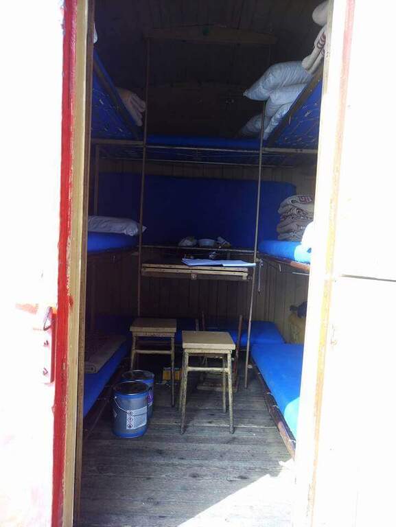
    GPS tracks (GPX and KMZ) are available. From Forcella Pizzon you can go back avoiding the climb to the summit. Bivacco Biasin is in good condition for overnight stays.

    ▲Discipline

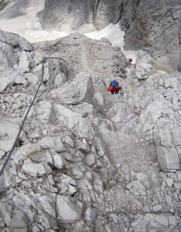
    Dalla vetta si torna a Forcella Pizzon e al Bivacco Biasin (45' dalla vetta), prestando attenzione al tratto tra cima e cengia per i pochi segni sbiaditi. Dal bivacco si scende ripidamente sul lato sinistro del canalone, su fondo sdrucciolevole con tratti attrezzati, fino a un bivio (segni sbiaditi su roccia): a destra il sentiero lungo il Canalone (qui descritto), a sinistra la via normale con segni gialli. Il Canalone scende a ripidi tornanti su ghiaione instabile, con nevaio nella parte bassa, fino in vista del Rifugio Scarpa e al bivio dell'attacco (1820 m, 1h 30' dal bivacco, 8h 30' totali); poi a ritroso fino al Rifugio Scarpa e, per il 771, al parcheggio (circa 10h totali).

    ▲To match

    Itinerary that alone engages comfortably two days. Staying in the Pale di San Martino you can reach Ferrata dell'Orsa in Val San Lucano or, in Val Canali, la Ferrata Buzzati, il Hunter's Path e la Ferrata del Canalone; towards Civetta la Yellow Flames, the extenuating Constantine, la Titus e l'Alleghesi.
    ▲Gallery
    Technical data
    • DifficultyVery difficult
    • RegionVeneto
    • GroupPale di San Martino
    • Approach1:45 h
    • Ferrata1:45 h
    • Itinerary (a/r)10:00 h
    • Hardware level difference346 m
    • Route difference1692 m
    • Max2872 m
    • Length14,4 Km
  • Ferrata Strada degli Alpini

    Ferrata Strada degli Alpini

    Vie Ferrate › Trentino-Alto Adige › Bolzano
    Ferrata Strada degli Alpini
    Moderately Hard● OpenDescriptionComplexityMapsGallery

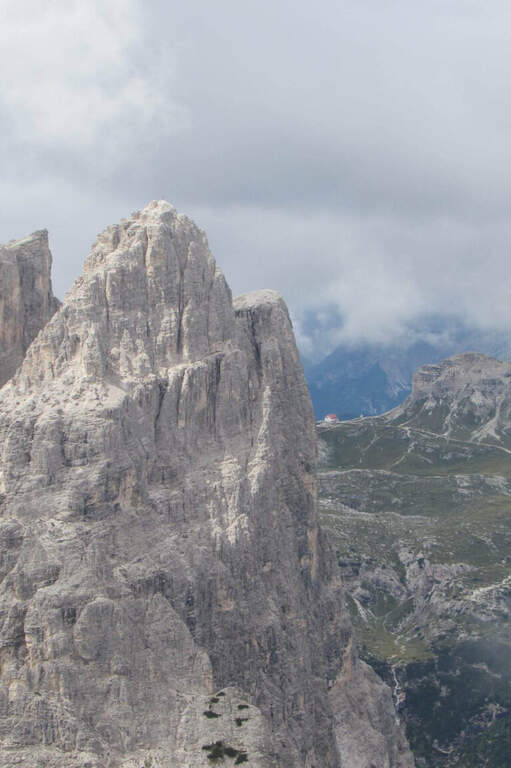
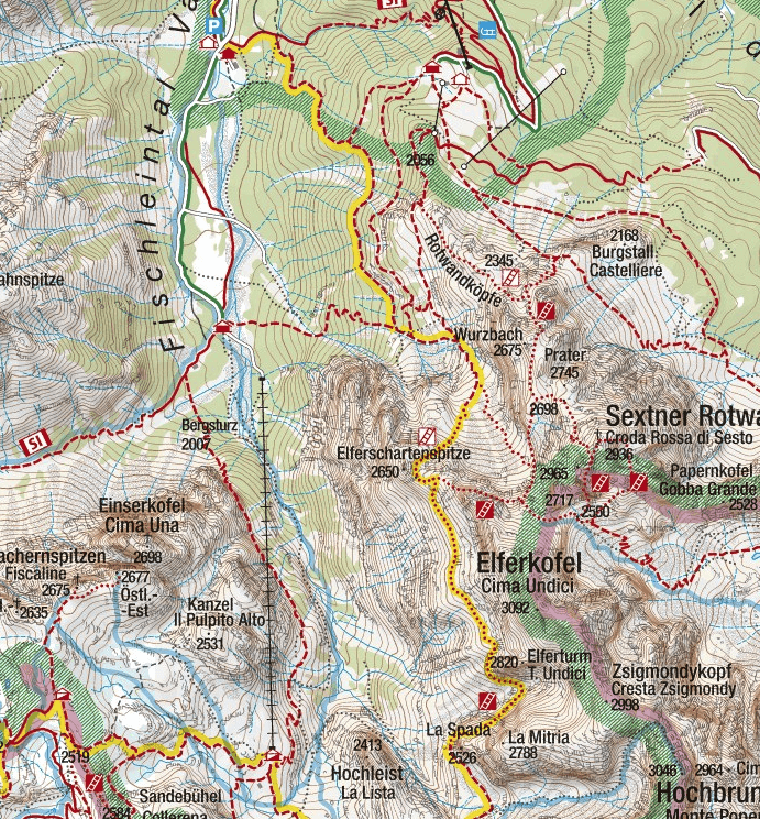
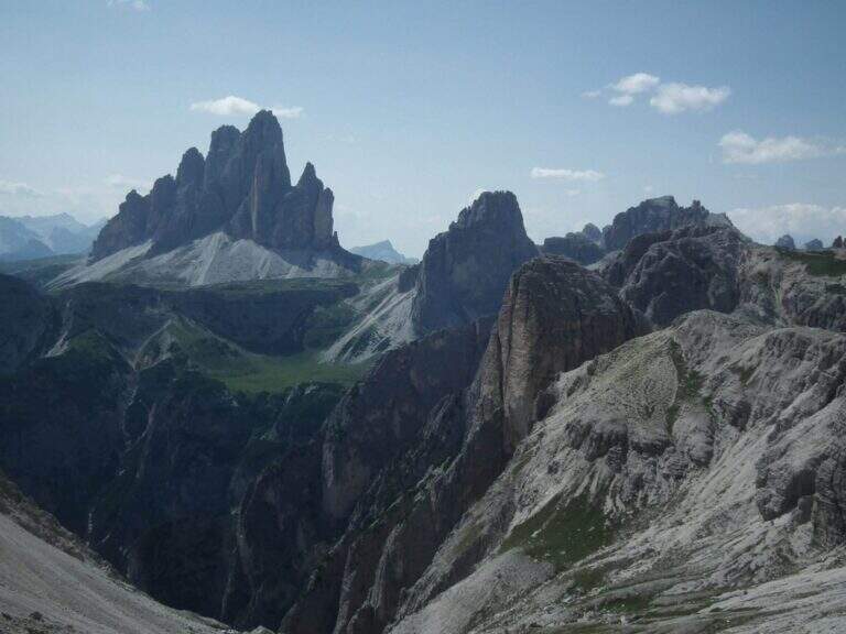
    La Ferrata Strada degli Alpini walk through a splendid itinerary in the Sesto Dolomites, going up the eastern slope of Val Fiscalina Alta from the Comici Refuge to Forcella Undici along the historic Cengia della Salvezza of the Great War. For large sections there is no particular difficulty; although exposed; ` a very long ring with high altitude difference, to be prepared with care and to go only if well trained.

    ▲Approach

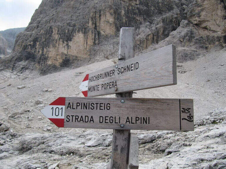
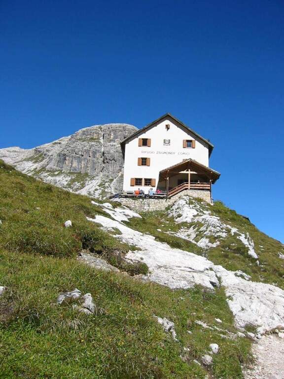
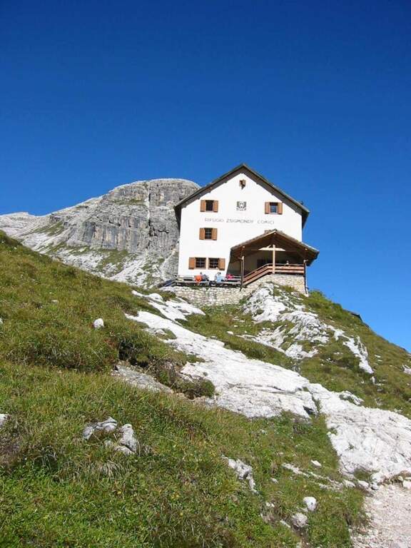
    Starting point l' Hotel Dolomitenhof in Val Fiscalina (1454 m), reachable from Moso in Val Pusteria. Open road signs on Google Maps. Follow the 102 road towards the south to the Rifugio al Fondo Valle (1548 m, 30'), then always 102 towards the south-west and at a crossroads you keep the left on the path 103 towards the Rifugio Comici, climbing along the left of the Val Fiscalina Bassa (on the opposite side you can see the ridge of the Strada degli Alpini) up to the Rifugio Comici (2224 m, 2h 30' from the parking ). From the hut continue on the 103 south, downhill and then on the left towards Forcella Giralba, on the left side of the Croda dei Toni; before the fork you will meet on the left the path 101 towards Monte Popera. Going up towards a fork and going down a few meters, at a crossroads (on the right the normal Popera) continue north to half-coast until the census of the' attack (1h from the Rifugio Comici).

    ▲The path

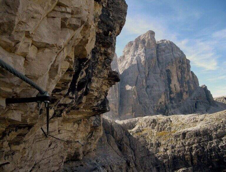
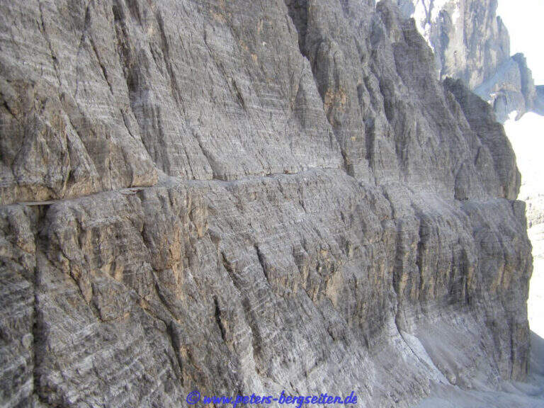
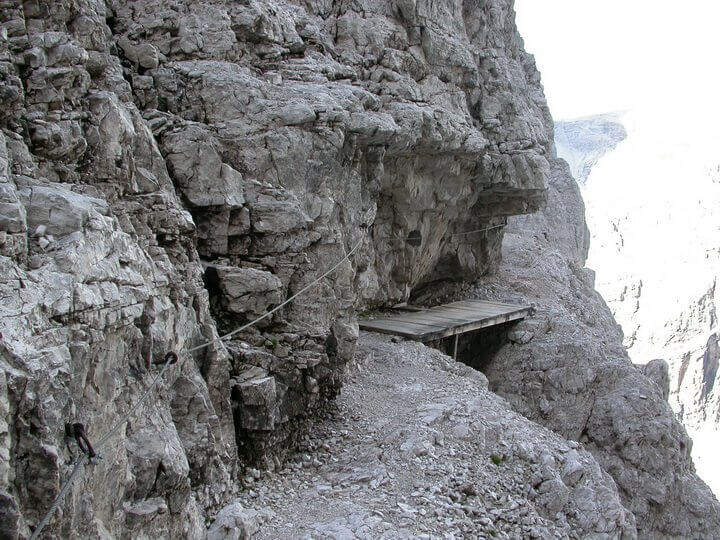
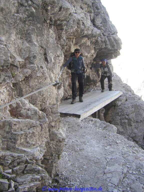
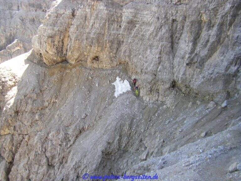
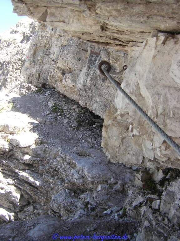
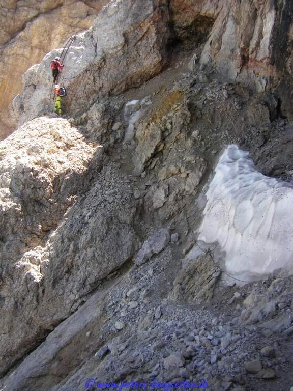
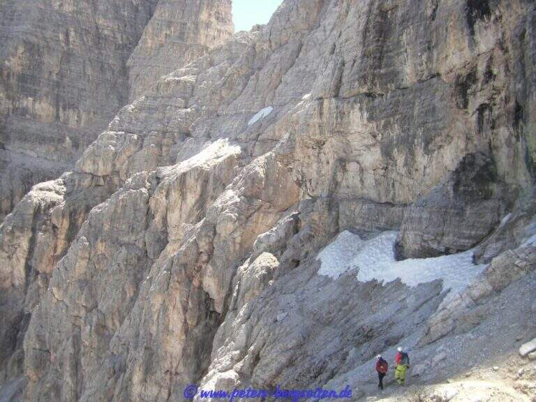
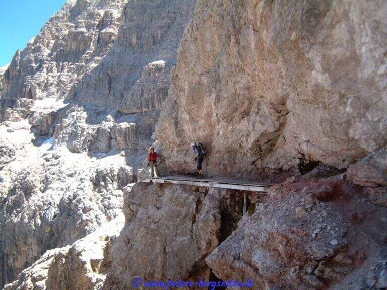
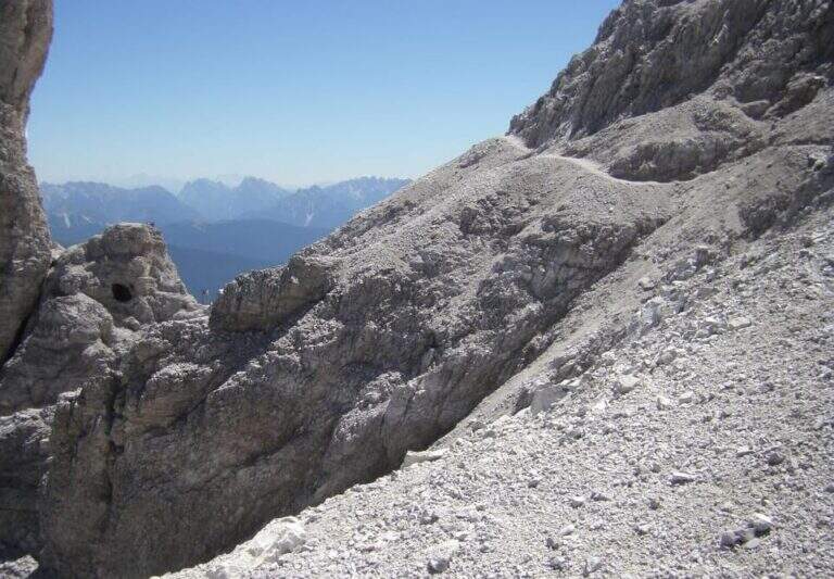
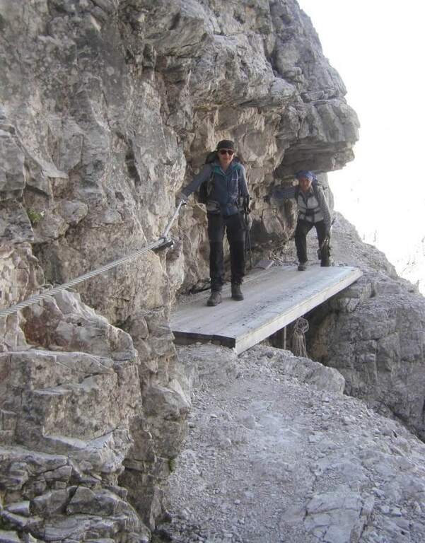
    The initial trait goes beyond easy rocks and then develops along the Cengia of Salvazza, carved into the rock during the Great War. First, a very wide nod, at times not equipped, to the più point; iconic: the nod abruptly turns into a rock retaliation and is circumvented from the ' inside, with the characteristic view that recalls a «spada». Exit on the opposite side, after some rocks, the nod continues between modest climbs along the west wall of the slopes of Cima Undici, with wonderful views on Cima Dodici and Val Fiscalina: generally wide, you walk without problems despite the precipice on the left. At a rocky roof it is lowered on a wooden catwalk; più forward, in a recess, a waterfall and, according to the season, a snowmaker. The census now continues without protection, uphill on a detritic background, it overcomes a new snowfall and reaches an old military muretto where the first stretch ends (1h 45' from' attack, 5h 15' total). Continue on unprotected nod, in falsepiano, up to Forcella Undici, where the ferrata ends with a 360° panorama; on Croda Rossa di Sesto, Cima Undici, Cima Twelve and Cima Uno (2h 30' from' attack, 6h totali).

    ▲Character and difficulty

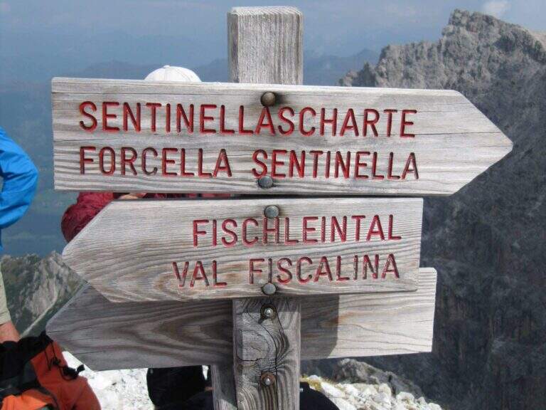
    For the first two thirds the route does not present technically challenging passages: it develops above all on exposed but well equipped cenges. The most vertical and medium-difficult stretches meet downhill, especially towards Passo della Sentinella.

    ⚠ Some unprotected steps are exposed and require steady foot. The excursion is long and after the Rifugio Comici there are no other points of support until the return: taking place just under the 3000 m it goes only with stable time. It can be useful to have ramps if the snows are still present, often with hard snow.

    ▲Period and safety

    An official GPS track is not available for this route. The map of the 4Land Dolomites is useful.

    ▲History

    The Strada degli Alpini has its roots in the Great War, when the "Cengia della Salvezza" — originally a natural nod, then enlarged by the mountaineers — connected Forcella Giralba to the west terrace of Cima Undici to reach and strengthen the positions in view of the attack on the Passo della Sentinella, then the Italian-Austrian border. After the war Francesco Meneghello (CAI) brought to light the itinerary and in 1932 the CAI of Padua equipped it with metal ropes and ladders; the stretch from Forcella Undici to Passo della Sentinella was instead equipped by the CAI of Padua in the seventies.

    ▲Discipline

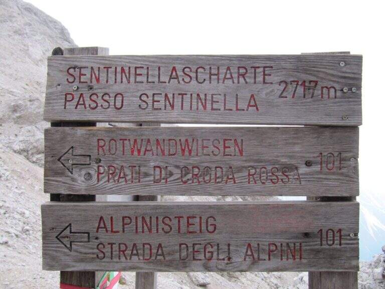
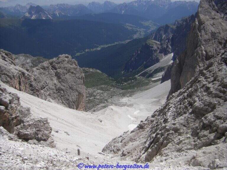
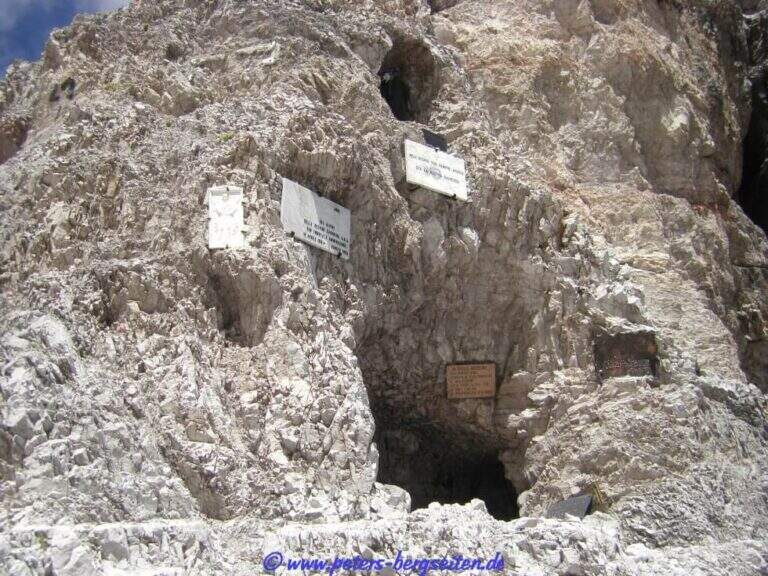
    From Forcella Eleven two options. The first follows the signpost 124 che, aggirando l'Elferschartespitze, scende in Val Fiscalina con un traverso attrezzato e un paio di canalini franosi, poi un vallone detritico con la Croda Rossa a destra, fino al parcheggio (1h 30' da Forcella Undici, 6h 45' totali). La seconda scende al Passo della Sentinella (anche detta Ferrata del Passo Sentinella): cenge, una scaletta, l'attraversamento di un canale, una lunga passerella di legno e balzi verticali in forte esposizione fino al passo (2717 m, 1h da Forcella Undici), ricco di resti bellici; si scende poi a sinistra nel Vallon Sentinella, dapprima molto ripido e attrezzato, fino al bivio con il sentiero 124 che riporta in Val Fiscalina e al parcheggio (8h totali).

    ▲To match

    Itinerary ideal to be inserted in several days: a classic match the Ferrata Roghel e la Cengia Gabriella towards the Rifugi Berti and Carducci, then using the Strada degli Alpini to return to the Berti from the Val Popera; or the climb to the Croda Rossa di Sesto for Ferrata Zandonella and the descent to the Costoni di Croda Rossa.

    ▲Gallery
    Technical data
    • DifficultyModerately Hard
    • RegionTrentino-Alto Adige
    • GroupSesto Dolomites
    • Approach3:30 h
    • Ferrata2:30 h
    • Itinerary (a/r)8:00 h
    • Hardware level difference337 m
    • Route difference1200 m
    • Max2717 m
    • Length11 Km
  • Ferrata Severino Casara (Croda dei Toni)

    Ferrata Severino Casara (Croda dei Toni)

    Vie Ferrate › Trentino-Alto Adige › Bolzano
    Ferrata Severino Casara (Croda dei Toni)

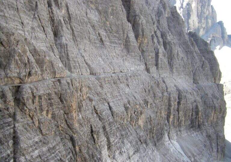
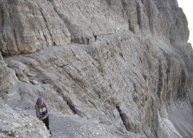
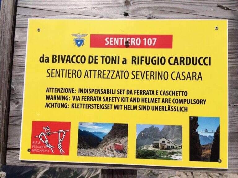
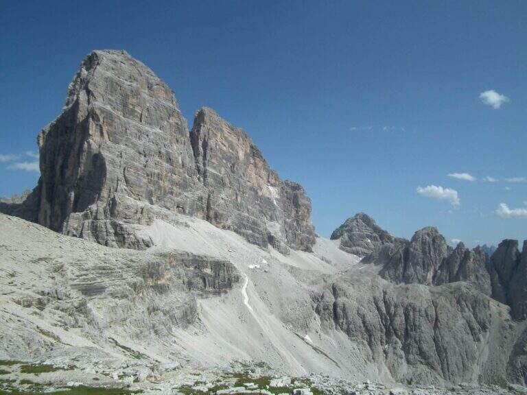
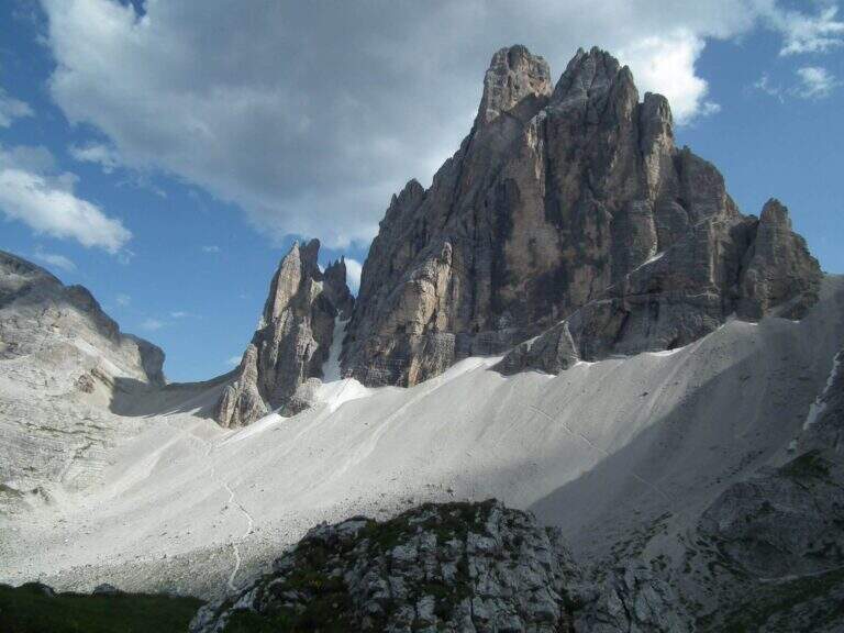
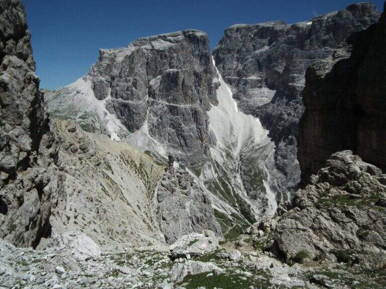
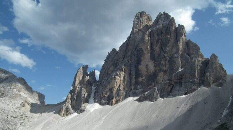
    La Ferrata Severino Casara (sentiero 107) connects the eastern side with the western side under Cima Twelve (Croda dei Toni), in the Dolomites of Sesto. È a route d' high mountain very challenging and tiring if route in the day (about 19 km, 10 hours, altitude difference 1350 m), exposed but without difficultà remarkable techniques in the equipped sections, in a spectacular environment in the presence of some of the pi&grave Dolomites peaks; Ardite.

    : Notice: A big landslide detached from the Witzenmann Tower in 2017 hit the last few meters of ferrata towards the Forcella de l'Agnel, making the formally unable. The section è only was put partly in safety with mountaineering ropes: the deviation è difficult and requires experience, not to be underestimated. Before you start checking out l' effective forcorribilità contacting Rifugi Comici e Carducci.
    ▲Approach

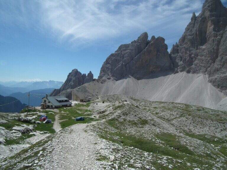
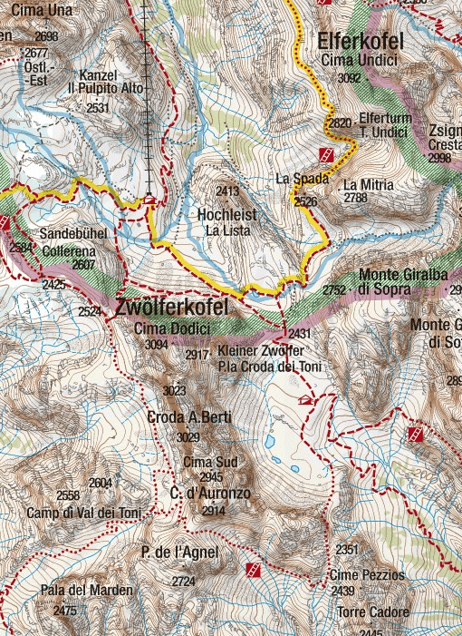
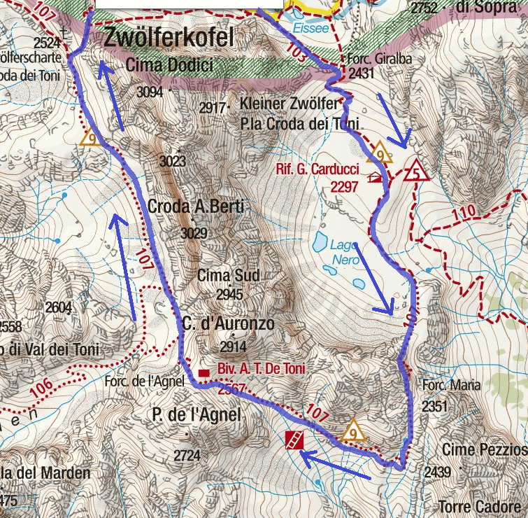
    Starting point l' Hotel Dolomitenhof in Val Fiscalina (1454 m), reachable from Moso in Val Pusteria. Open road signs on Google Maps. Follow the 102 road towards the south to the Rifugio al Fondo Valle (1548 m, 30'); continue on 102 towards the south-west and at a crossroads take the left on the path 103 towards the Rifugio Comici, constantly climbing the left of the Val Fiscalina Bassa (on the opposite side you can see the ridge of the Strada degli Alpini) up to the Rifugio Comici (2224 m, 2h 30' from the parking ). Continue on the 103 south, with the north wall of the Croda dei Toni in front, up to Forcella Giralba (2431 m); descend to the detritic valley at the Rifugio Carducci (2297 m, 3h 30' totali), start of path 107 «Sentiero Attrezzato Severino Casara».
    ▲The path

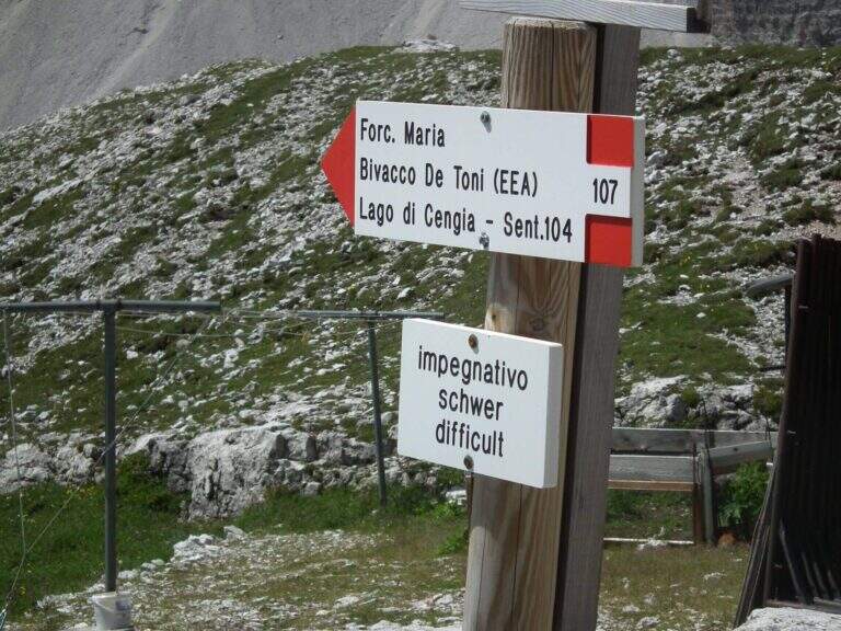
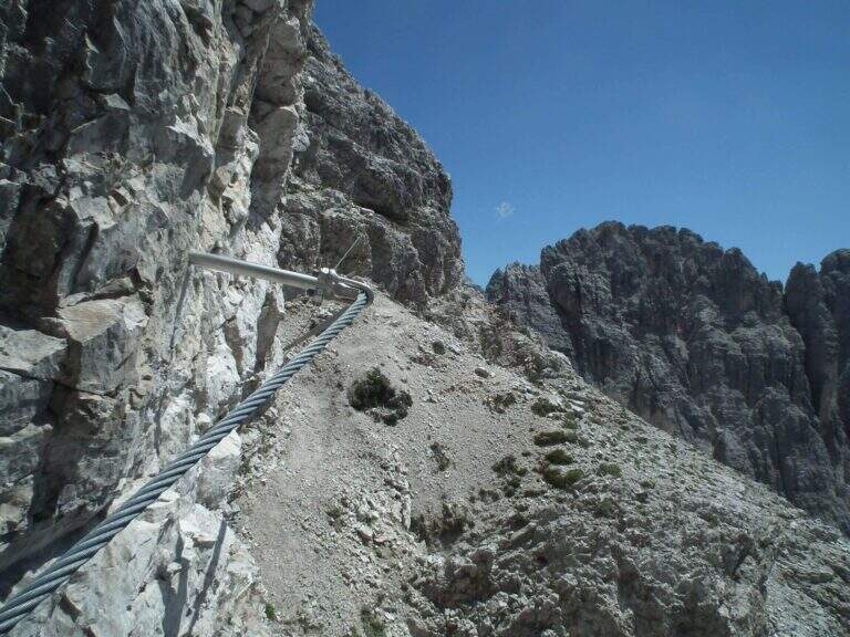
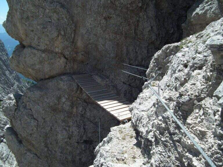
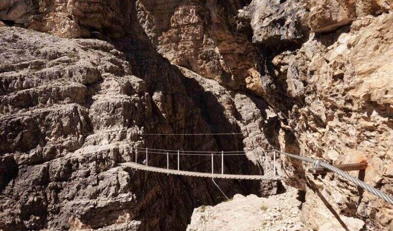
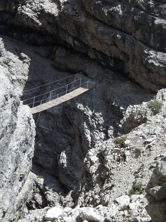
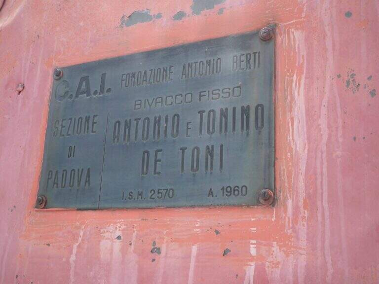
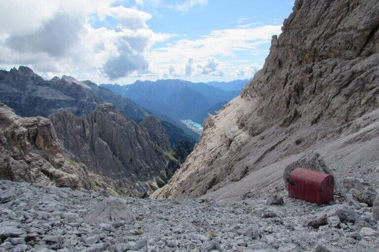
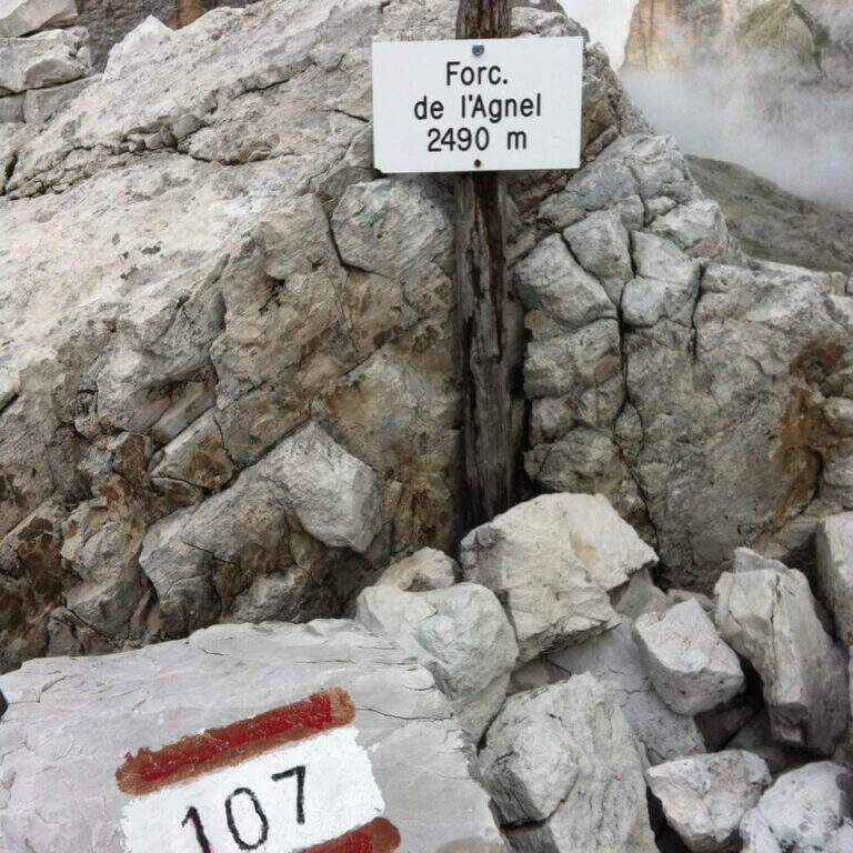
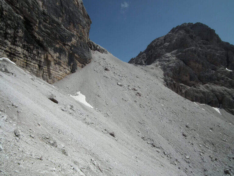
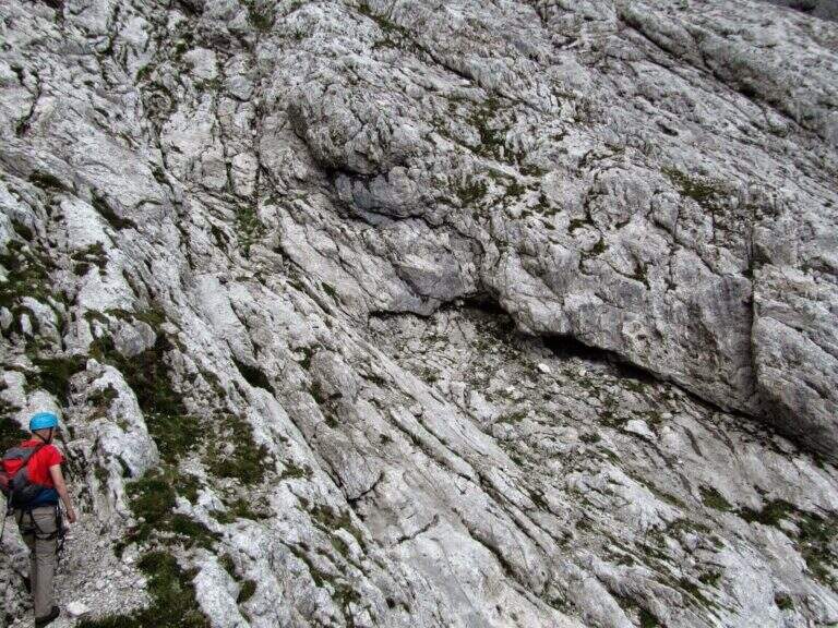
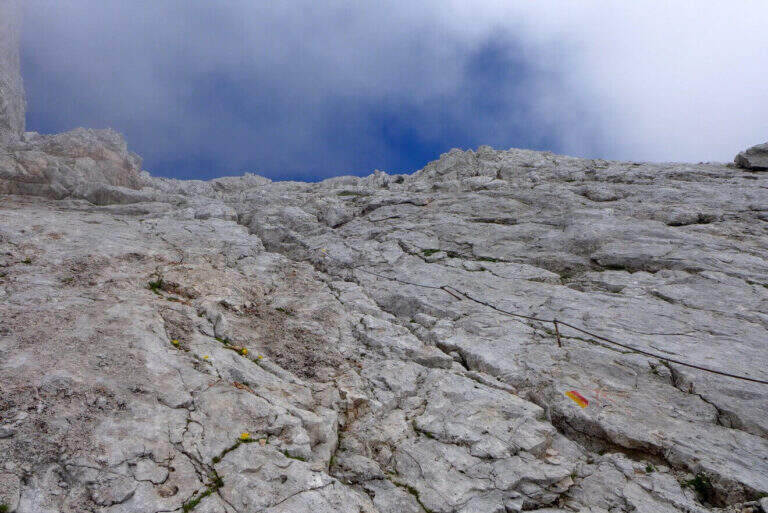
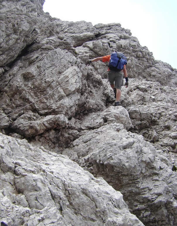
    Poco sopra il Rifugio Carducci iniziano le attrezzature. Si percorre un'esile cengia su fondo detritico lungo la parete sud-est della Croda dei Toni, alternando tratti attrezzati e sentiero, fino al bivio di Forcella Maria (2351 m, 45' dal rifugio) tra il vecchio 107 (chiuso per frane) e la via ferrata. Un traverso esposto ma non difficile porta a un primo ponte sospeso (fune a sinistra, ampie traversine di legno); si prosegue in orizzontale aggirando uno spigolo su cengia, con qualche balzo attrezzato con staffe e cambre. Verso metà itinerario si aggira lo spigolo sud e si procede verso nord-ovest su cengie esposte sulla Val Gravasecca, alternate a tratti di sentiero anche non attrezzato su terreno friabile. Sotto un caratteristico tetto roccioso si trova il passaggio chiave: in forte esposizione si raggiunge un angusto passaggio da fare a carponi (Passo del Gatto), scomodo ma non difficile. Oltre il tetto, roccette e una nuova cengia; la ferrata svolta a destra risalendo roccette arrampicabili, poi entra in una gola fino a un secondo ponte sospeso, più esposto del primo, con un salto di un paio di centinaia di metri sotto. Si sale un breve salto con due pioli e si esce dalla gola su cengia; un tratto in discesa su fondo instabile porta verso il canalone. Qui il percorso compie attualmente una deviazione con corde alpinistiche verso l'alto per aggirare la frana del 2017: tratto difficile, da non sottovalutare. Risalito il ripido ghiaione, con radi segni bianco-rossi, si raggiunge il Bivacco De Toni e poco oltre la Forcella de l'Agnel (2490 m, 2h 30' dal Carducci, 6h totali). Per chiudere l'anello verso il Rifugio Comici si attraversa a mezzacosta la parete occidentale della Croda dei Toni: si scende un ripido canalone franoso, si prosegue a mezzacosta ignorando le tracce che scendono verso Giralba, fino a un'insellatura dove, secondo la stagione, è presente un nevaio assicurato da una fune; si risale la sella detritica e, per cengia e cresta, si raggiunge la Forcella dei Toni (2524 m, 1h da Forcella de l'Agnel, 7h totali).

    ▲Character and difficulty

    Recent and well maintained equipment. The route does not offer technically difficult passages, but the high mountain environment, exposure, length and altitude difference make it very challenging. It is advisable to walk in this direction to face uphill the steep and slippery stretch between the end of the ferrata and the Forcella de l'Agnel.

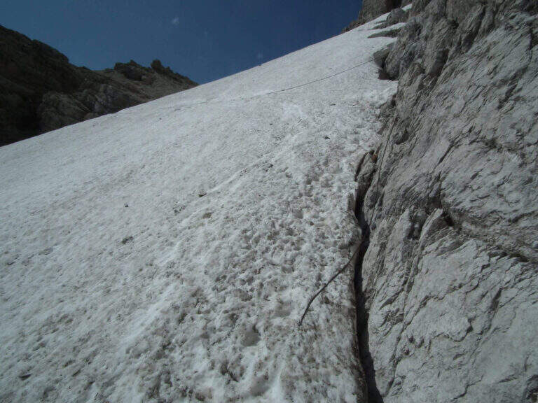
    ⚠ With fog or low clouds, be careful to identify the attack of the ropes that help to overcome the snow between Forcella de l'Agnel and Forcella dei Toni, also present in late season: the rope assures it, but for greater safety it can be possible to have with it the ramps.

    ▲Period and safety

    GPS tracks (GPX and KMZ) are available; the 4Land Dolomites map is useful for the area. Always check the status of the route with the Comic Refugees and Carducci.

    ▲History

    The ferrata, which connects the Rifugio Carducci with Bivacco De Toni, was inaugurated in 2015 and is dedicated to the alpinist Vicentino Severino Casara, a controversial figure but very great mountaineer of his time: he climbed in rope with Comici, opened over 300 routes, he was writer and director.

    ▲Discipline

    From Forcella dei Toni begins the long descent: you descend on the gravel to the right under the northern wall of Cima Twelve, you ignore two tracks eastward, you pass under the ramparts of the Collerena and, halfway, you reach the Rifugio Comici; from here to back on 103 until the parking lot (3h from Forcella dei Toni, 10h totali).

    ▲To match

    From Rifugio Carducci you can continue towards Ferrata alla Cengia Gabriella e la Ferrata Roghel; beyond Ferrata Zandonella to the Red Croda of Sesto and the Red Croda Costumes. From the Rifugio Fondo Valle, along the Val Sasso Vecchio, you can reach the Ferrata Hosp at Toblin Tower e la Innerkofler at Mount Paterno.

    ▲Gallery
    Technical data
    • DifficultyHard
    • RegionTrentino-Alto Adige
    • GroupSesto Dolomites
    • Approach3:30 h
    • Ferrata3:30 h
    • Itinerary (a/r)10:00 h
    • Hardware level difference260 m
    • Route difference1350 m
    • Max2556 m
    • Length19 Km
  • Ferrata Selvaggio Verde (Val Grande)

    Ferrata Selvaggio Verde (Val Grande)

    Vie Ferrate › Piemonte › Verbano-Cusio-Ossola
    Ferrata Selvaggio Verde (Val Grande)
    Moderately Hard● OpenDescriptionComplexityMapsGallery

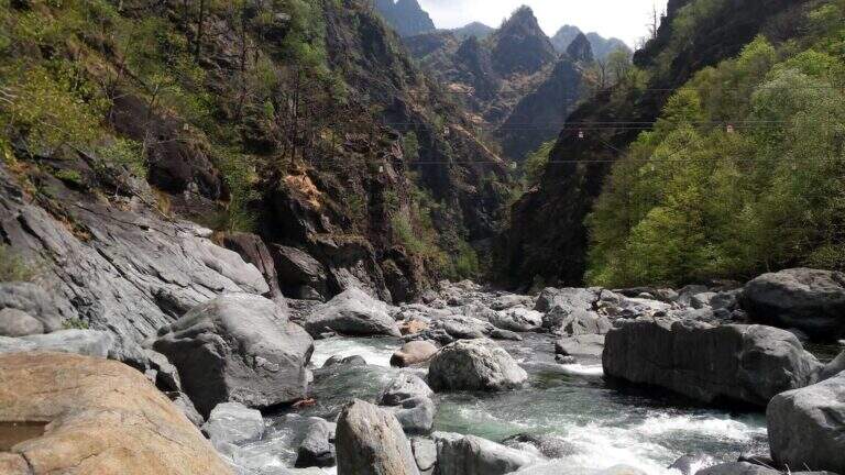
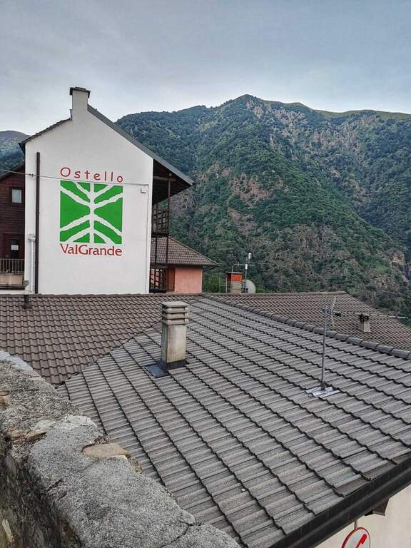
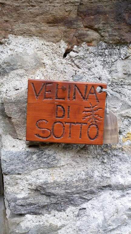
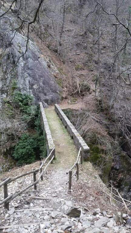
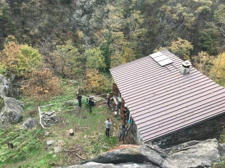
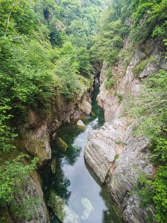
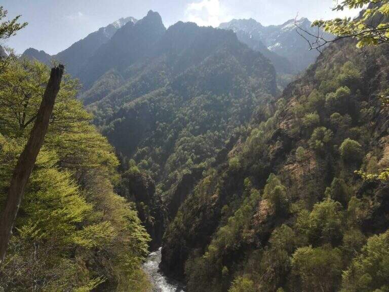
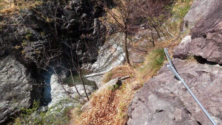
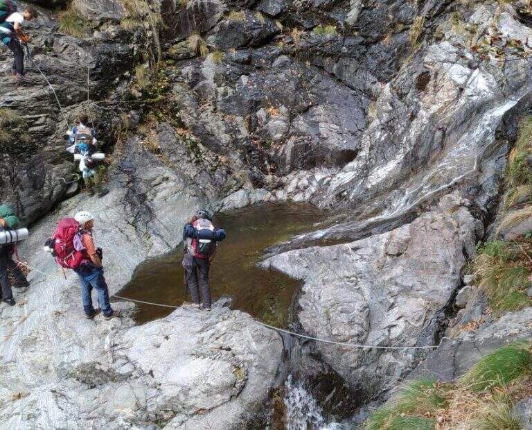
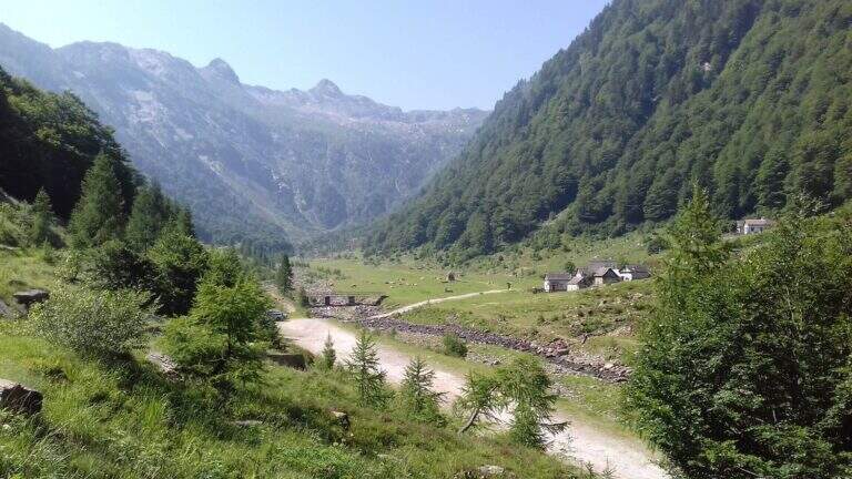
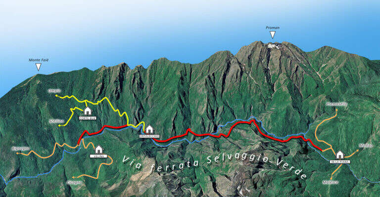
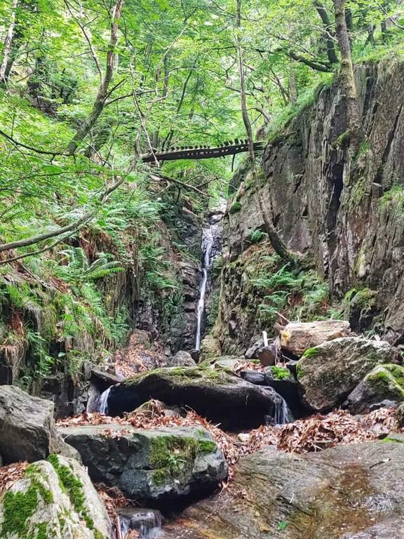
    Inaugurated in 2022, la Ferrata Selvaggio Verde along the long bore of the Rio Val Grande connecting with many stretches equipped «In the Piana» e «Ponte Velina». Non è né a modern né ferrata; a dolomitic way, but a long itinerary «selvaggio» in the heart of one of the più parks; beautiful in the Central Alps. Difficultly accessible on the day, it should be broken in two days using d' points; support along the route. The classification « always difficult to understand; is valid only for the equipped sections: to make it really challenging are the length and distance, for experienced and well trained hikers.

    ▲Approach

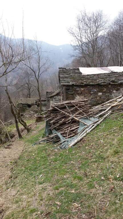
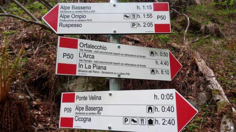
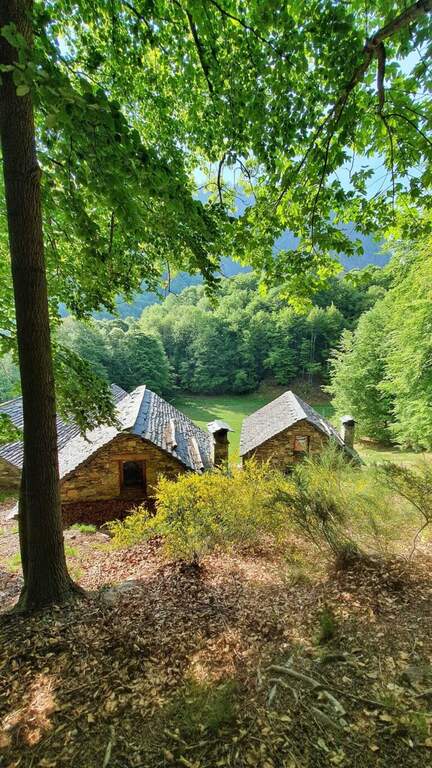
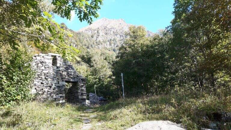
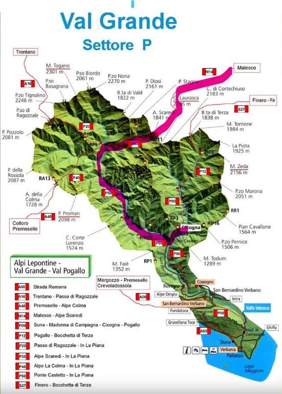
    L' itinerary can be arranged by più points; here we consider the departure from the village of Cicogna (VB) towards In La Piana and then down to the Loana Valley. Open road signs on Google Maps. The non è : l' ideal è have two cars. At the cemetery of Cicogna there is a dirt road for about fifteen minutes on a false plateau, over huts and alpine pastures, tillché it becomes a path that enters the park of the Val Grande with a series of uphills between ruins and old huts (some stretches già equipped for safety). Enjoy the Velina stream, you reach the ' Velina mountain pasture and then the Ponte Velina (about 3h from the parking lot), where the real route begins.
    ▲The path

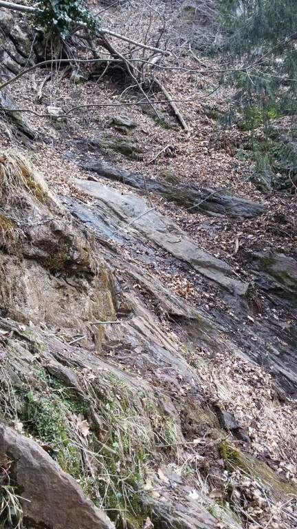
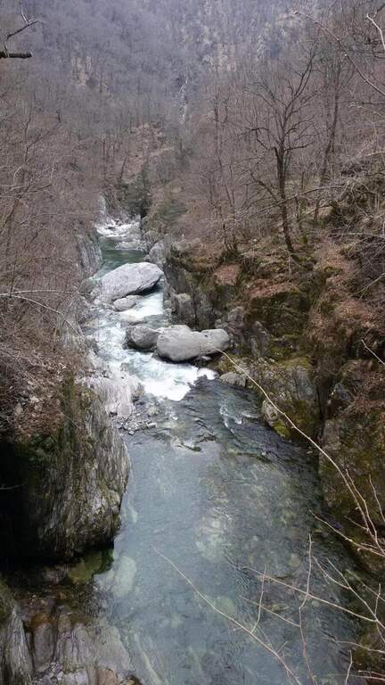
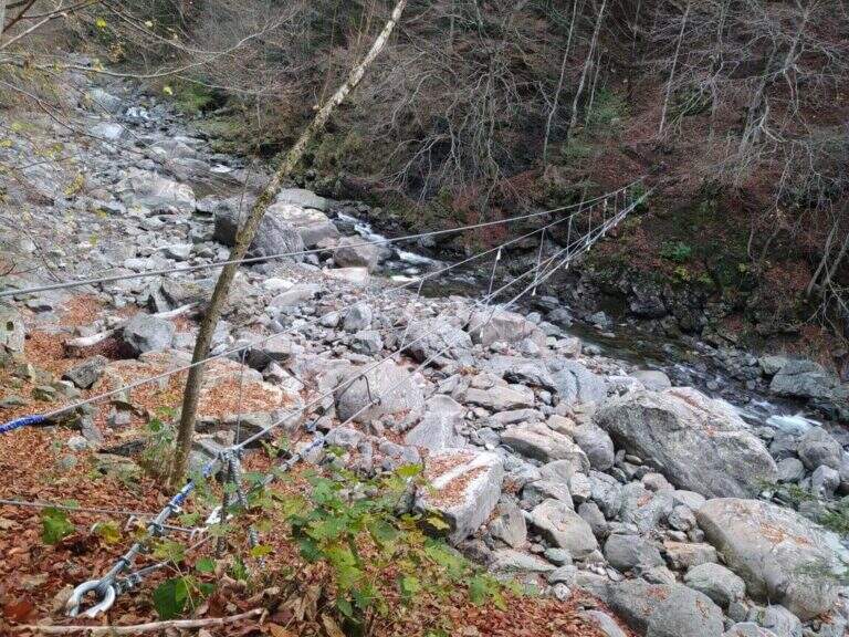
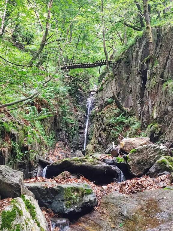
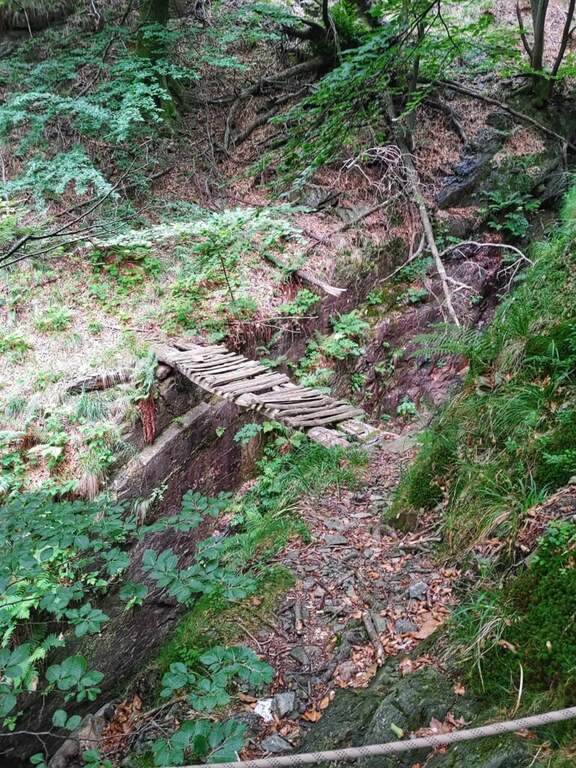
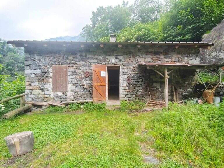
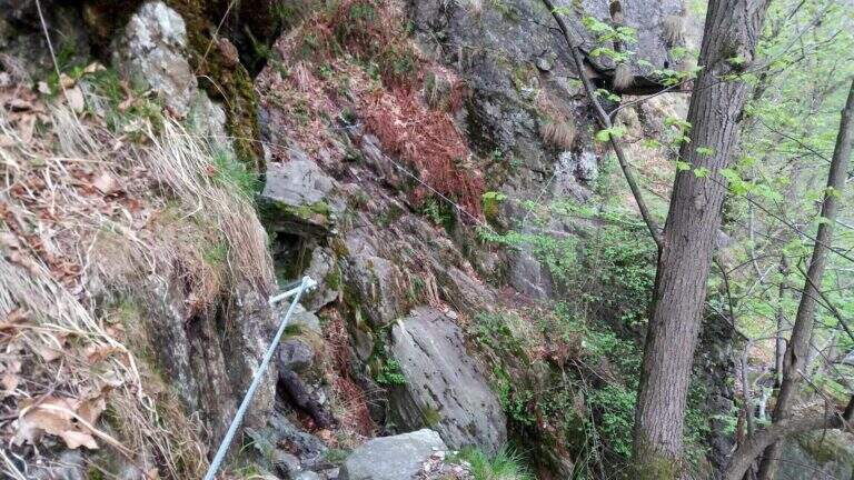
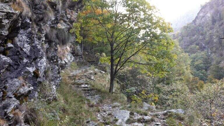
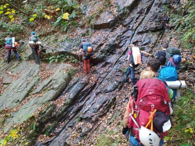
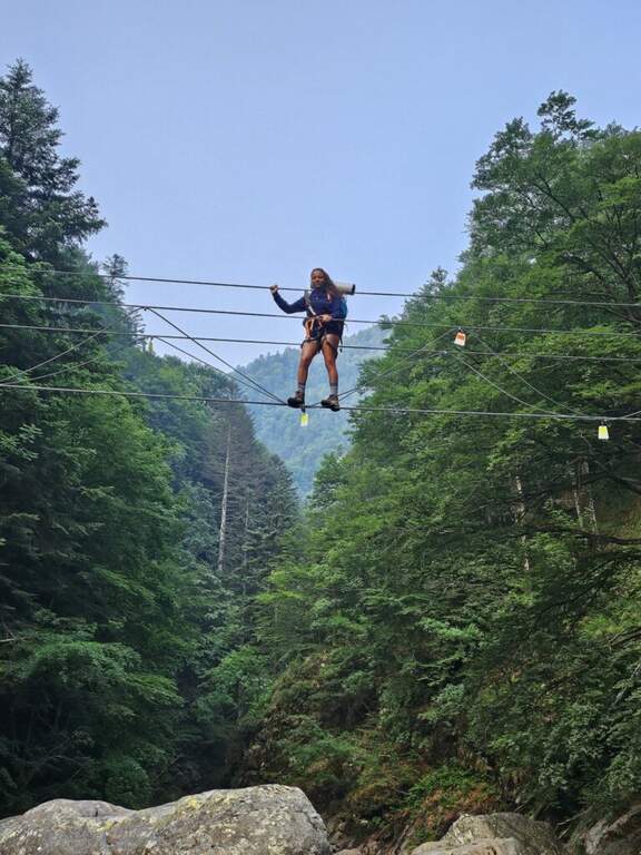
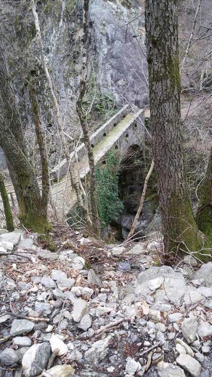
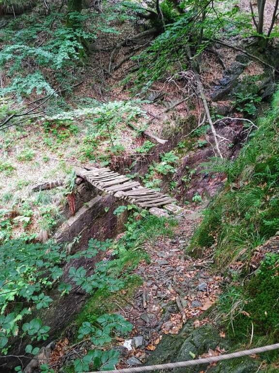
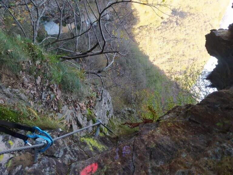
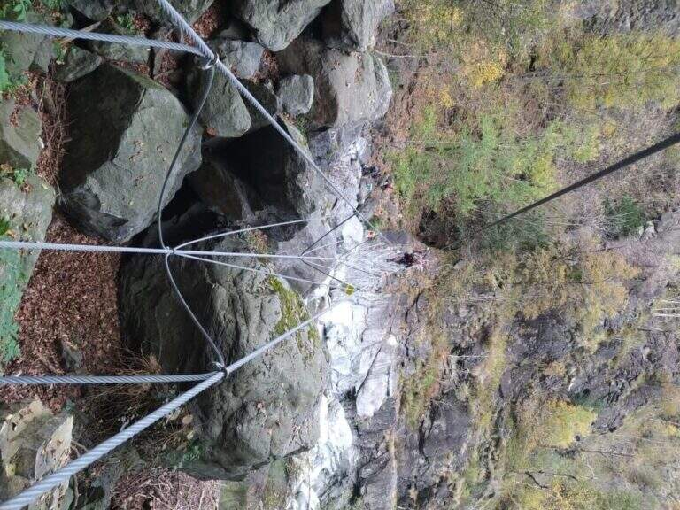
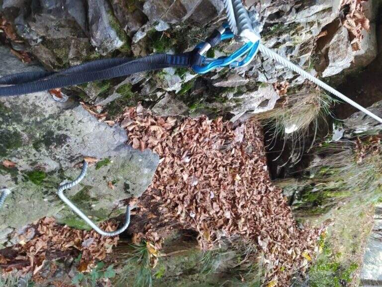
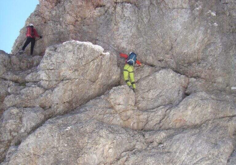
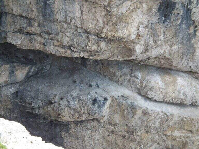
    The fully equipped stretch takes place between Ponte Velina (478 m) e Alpe In La Piana (895 m), faithfully following the Rio Val Grande in an isolated and wild environment. The distance is about 11 km for about 450 m of altitude difference, but among the continuous climbs the real difference is much greater. The equipped path is marked P50 and alternating stretches exposed to other exposed unprotected, with 2 suspension bridges, several wooden walkways rather old (to check its on-site hold), ladders and long stretches of path. About a third of the route, after 2h 30' from Ponte Velina, there is a stone bivouac in localities; Orphalecchio (590 m); just before a possible return route to Ompio and Sciellina, on the left, avoids the hole and the equipped sections. The road continues along the valley between very green walls, cliffs and exposed paths, with suspended bridges and a couple of cheeks; it is necessary to follow the red stamps and a trace at times hidden by the high grass. After about 7-8 hours from' start of the equipped section you reach Alpe In La Piana, where you can può bivacking (about 10h total).

    ▲Character and difficulty

    More than a ferrata, it is a long wild trekking with numerous stretches equipped, exposed and at times slippery.

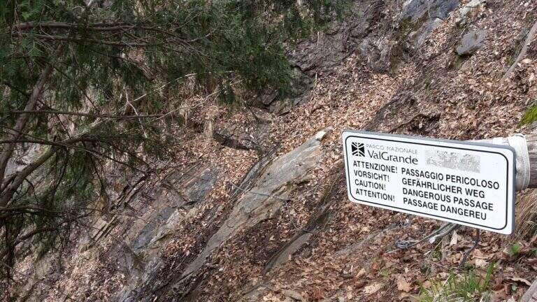
    ⚠ Itinerary long and isolated: the support points are not managed, so they serve food, sleeping bag and the necessary for the bivouac (the huts usually have stove, tables and tables). Cell phones have no cover on the whole route. Several wooden catwalks are old: check the seal on the spot. The area is a protected area (a section falls into the Monte Pedum Integral Reserve, in ZSC and ZPS of the Natura 2000 Network): do not leave waste.

    ▲Period and safety

    Given the absence of managed support points it is highly recommended to bring a map of the area to orientation (for cartography, map of Val Grande). Alternative starting points: Bignugno, Ruspesso or Sciellina; alternative return to Premosello or Mottac. The itinerary can also be routed in the opposite direction. An official GPS track is not available for this route.

    ▲Discipline

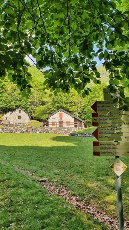
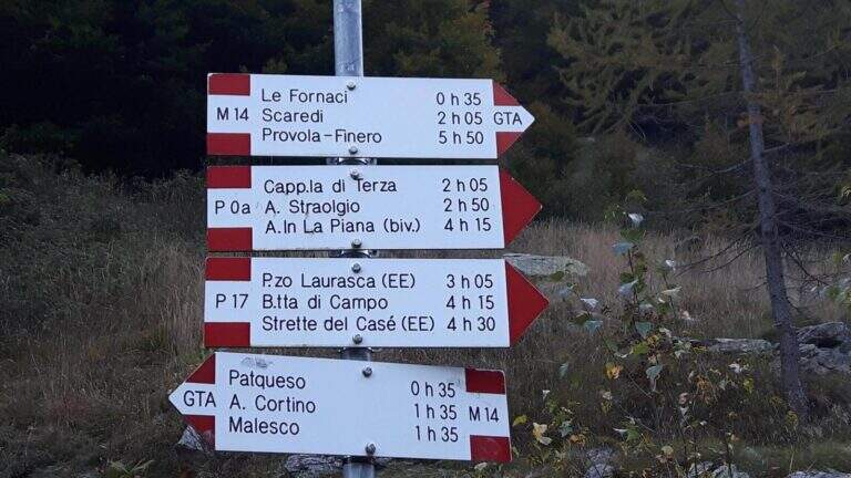
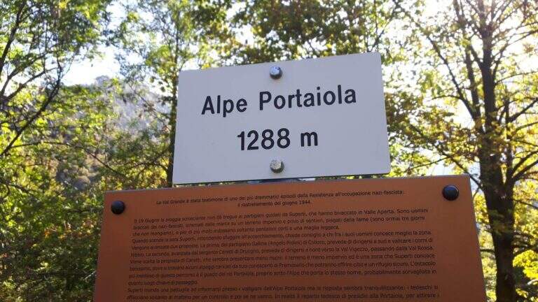
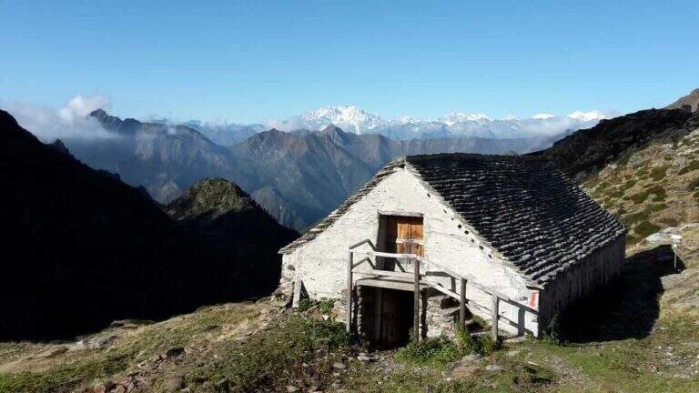
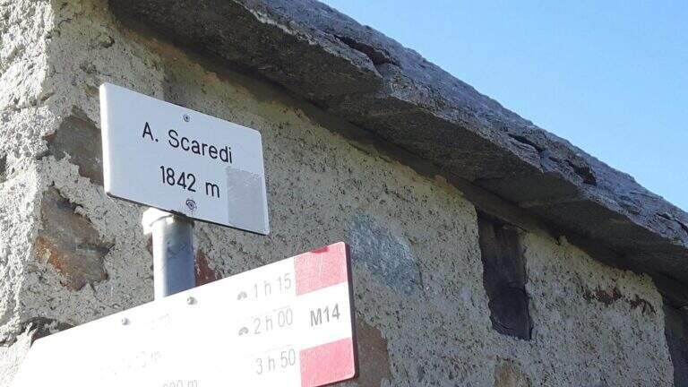
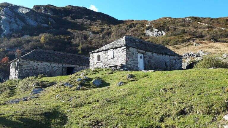
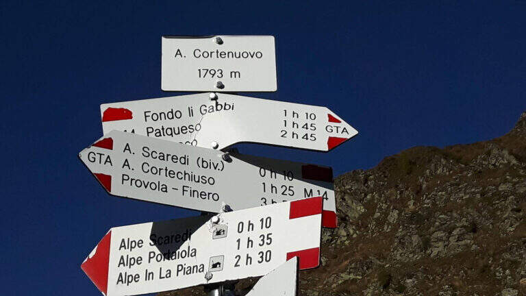
    Da Alpe In La Piana, per raggiungere il parcheggio in Valle Loana si calcolano circa 4h: si segue il sentiero P30 verso Alpe Scaredi e poi l'M14 verso Fondo Li Gabbi, dapprima in salita toccando Alpe Portaiola (1288 m, ruderi), Alpe Scaredi (1842 m) e Alpe Cortenuovo (1793 m), quindi in discesa (circa 14-15h complessive).

    ▲To match

    In Val Grande there are no real ferrates; wanting, between the streets of the Verbano and the Ossola signal the new Ferrata di Montorfano e la Ferrata Walserfall not far from Cicogna; further north the long climb of Ferrata at Pizzo d'Andolla; on Lake Maggiore Picasas e la Miccia near Baveno.

    ▲Gallery
    Technical data
    • DifficultyModerately Hard
    • RegionPiedmont
    • GroupVal Grande
    • Approach3:00 h
    • Ferrata8:00 h
    • Itinerary (a/r)15:30 h
    • Hardware level difference450 m
    • Route difference1500 m
    • Max1842 m
Need help? Write to us!