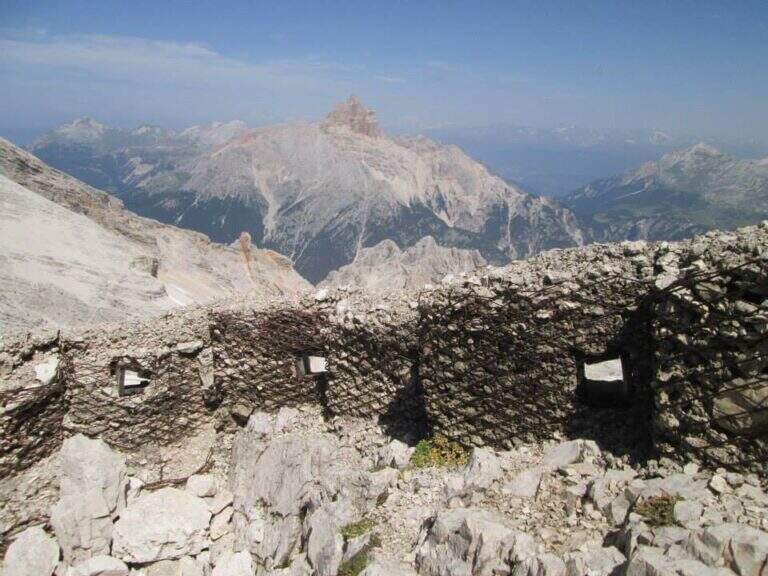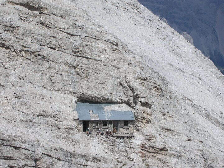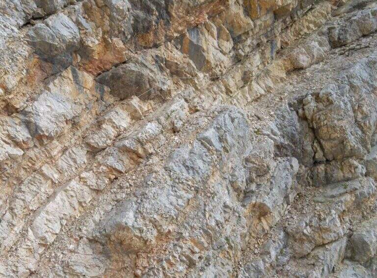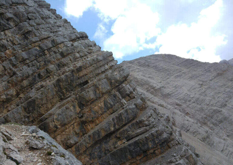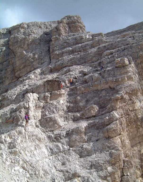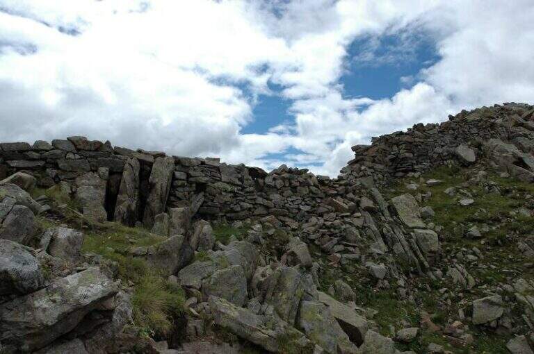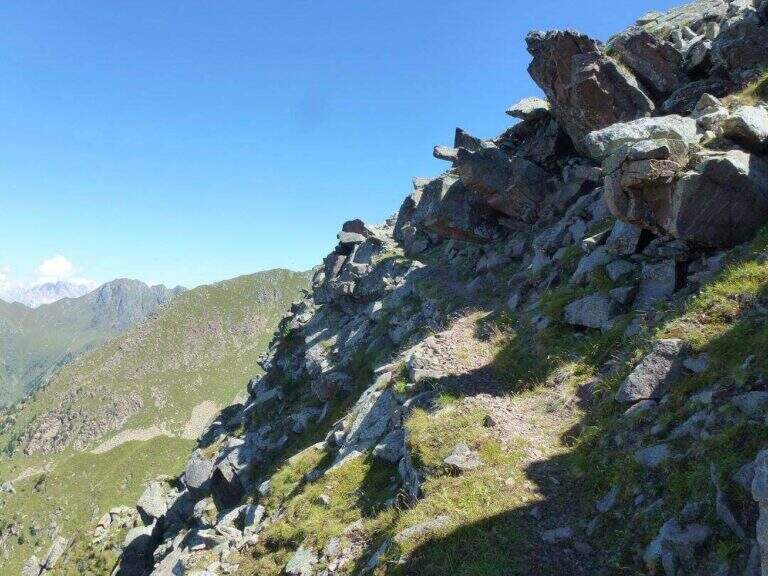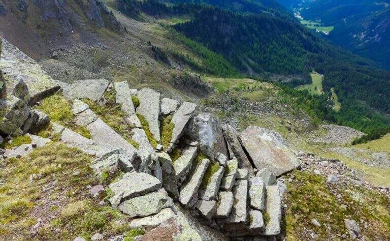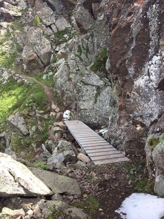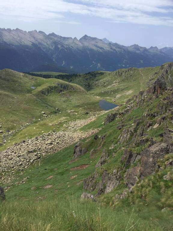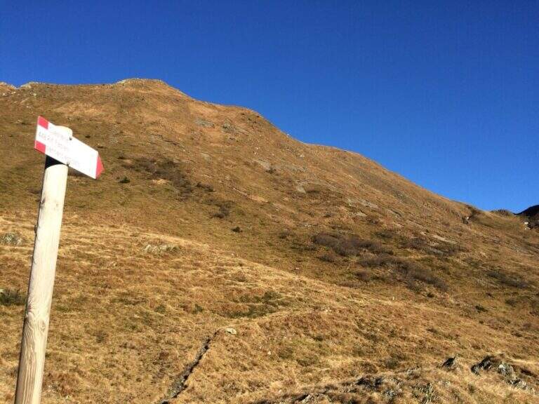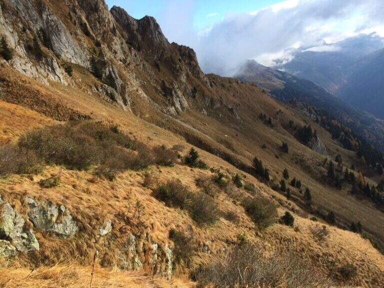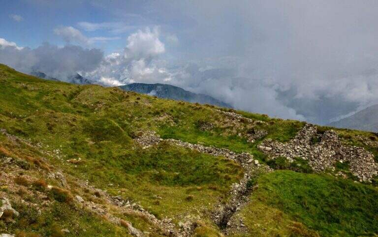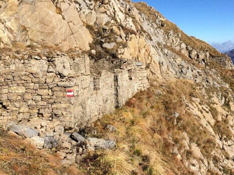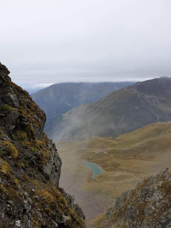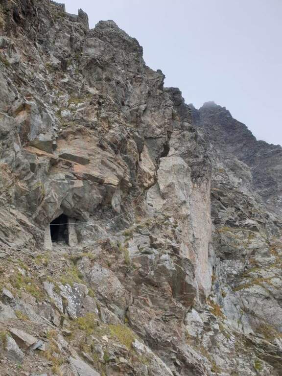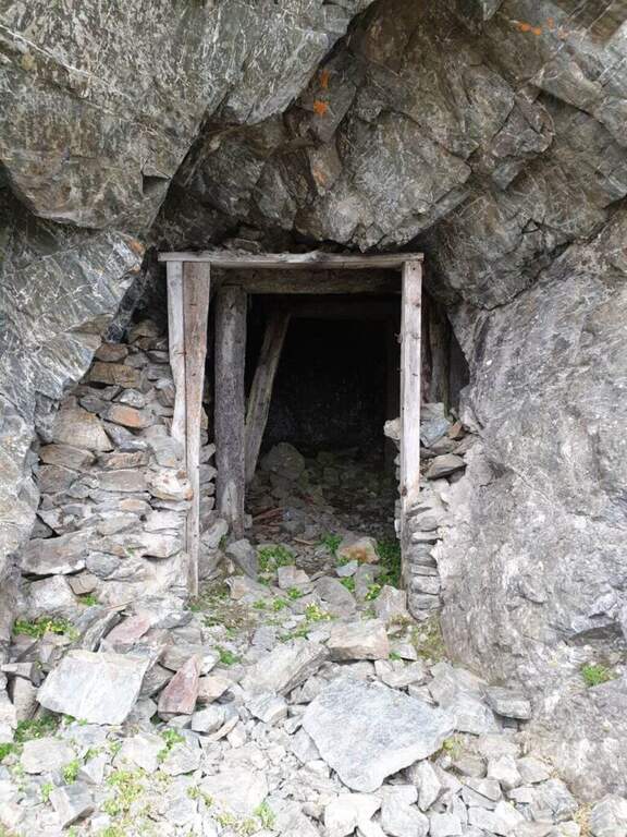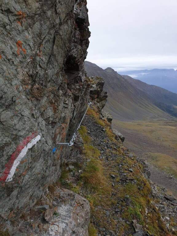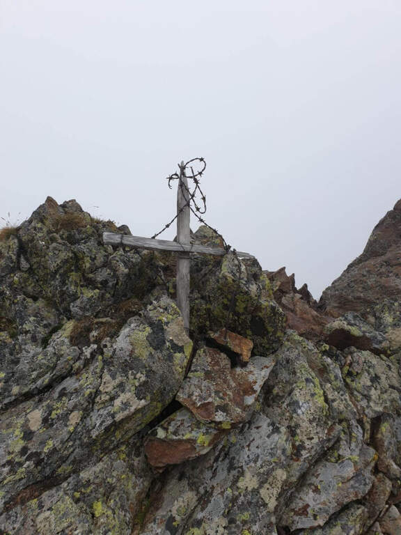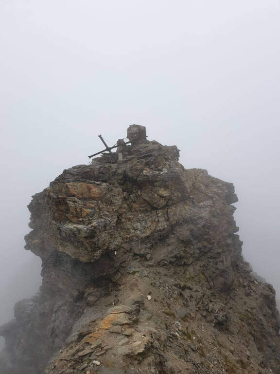
Caratteristica: Resti della Grande Guerra

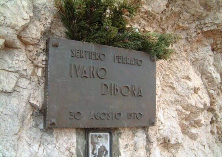
  • Ferrata Ivano Dibona al Cristallo

    Ferrata Ivano Dibona al Cristallo

    Vie Ferrate › Veneto › Belluno
    Ferrata Ivano Dibona al Cristallo
    Moderately Hard● OpenDescriptionComplexityMapsGallery

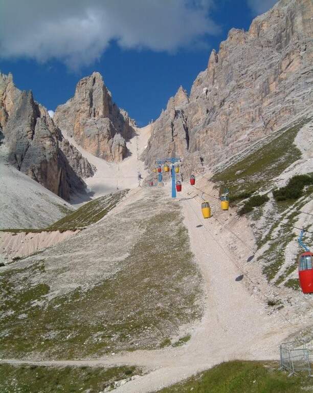
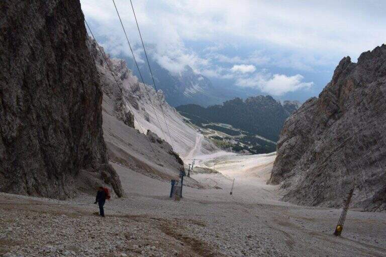
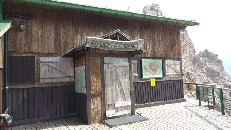
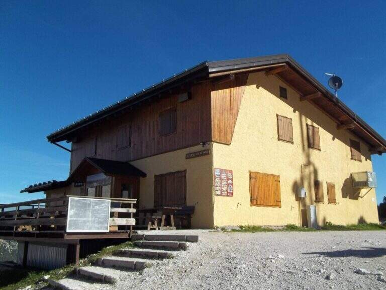
    viso Notice — The bidonvia that climbed to Forcella Staunies has been dismantled (July 2017) and is waiting for reconstruction to date to be allocated; the only way to reach the attack is today to trace the steep detritic valley of the Gran Staunies, on an unstable gravel bottom (at least 2h from the end of the chairlift). The Lorenzi refuge, at the beginning of the ferrata, is also closed. It is a long and challenging itinerary regardless: plan time and weather carefully.

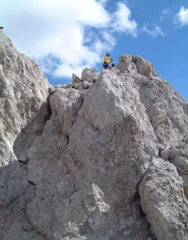
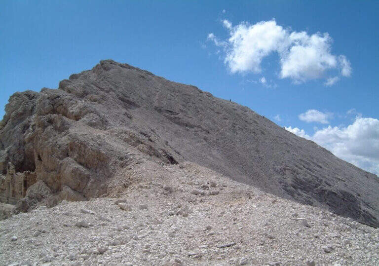
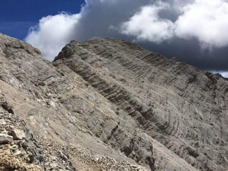
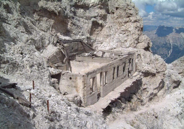
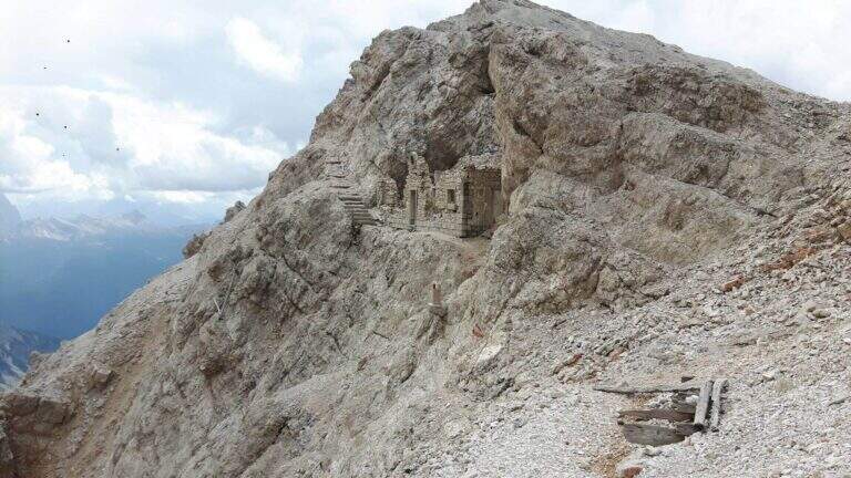
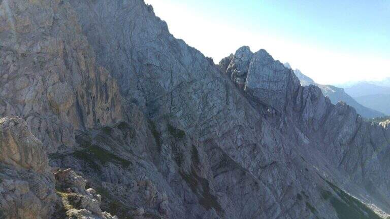
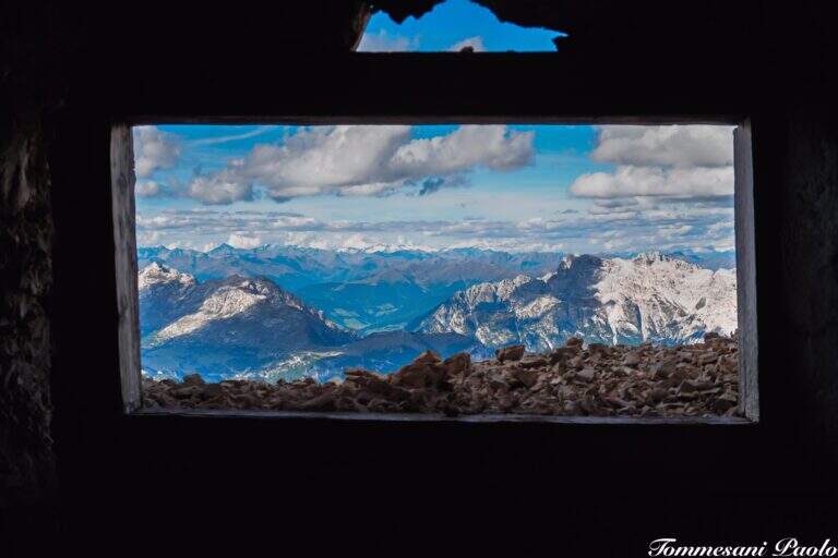
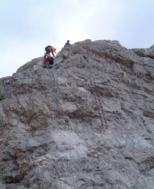
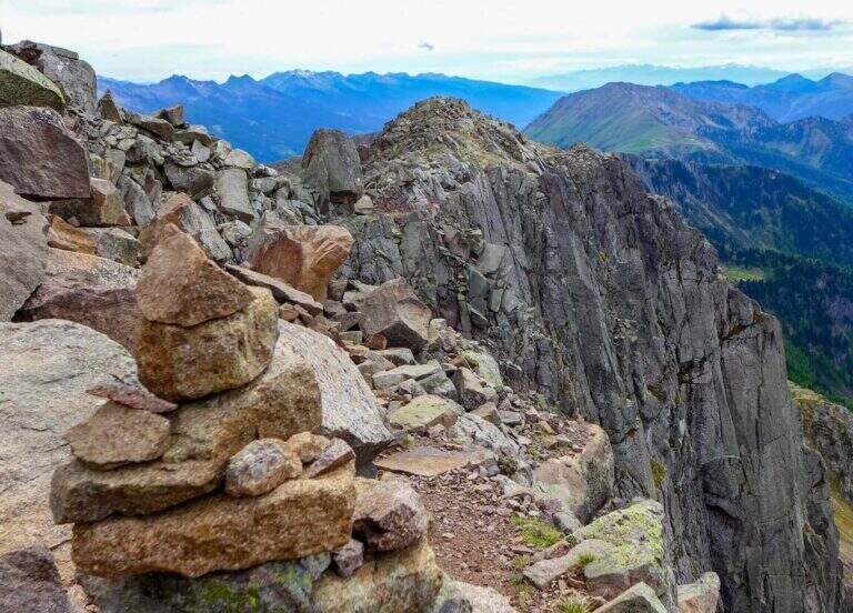
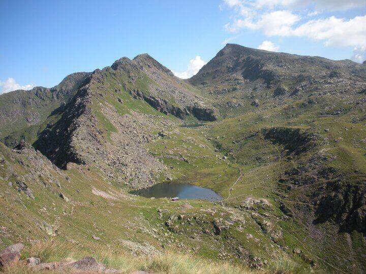
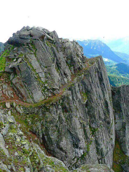
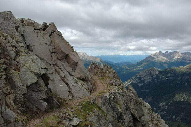
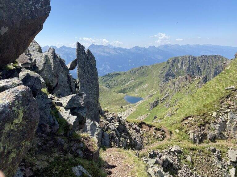
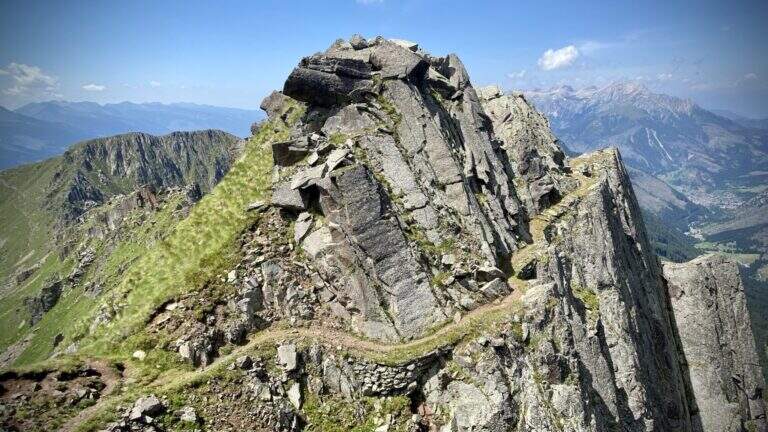
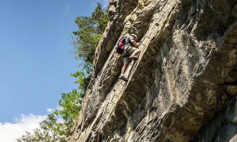
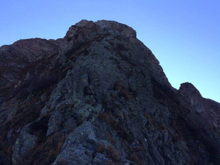
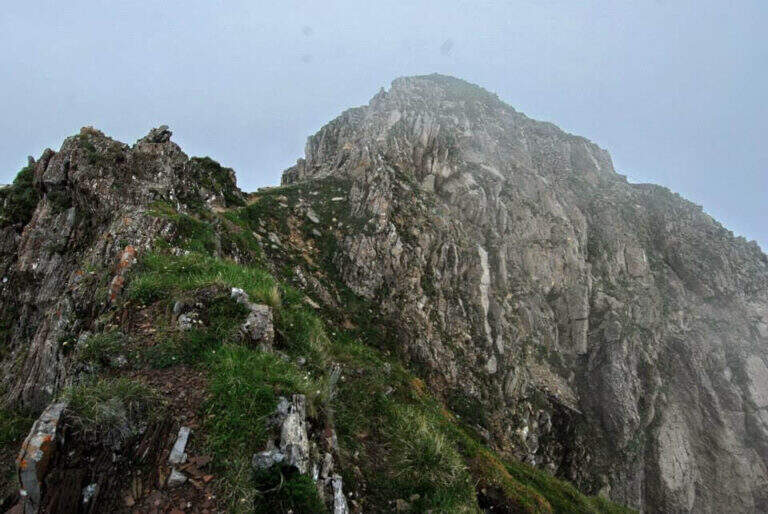
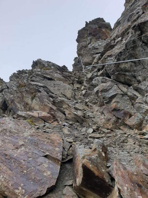
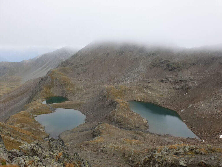
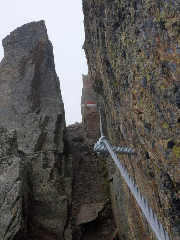
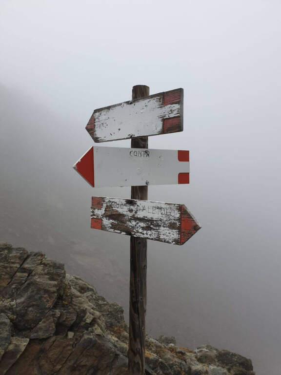
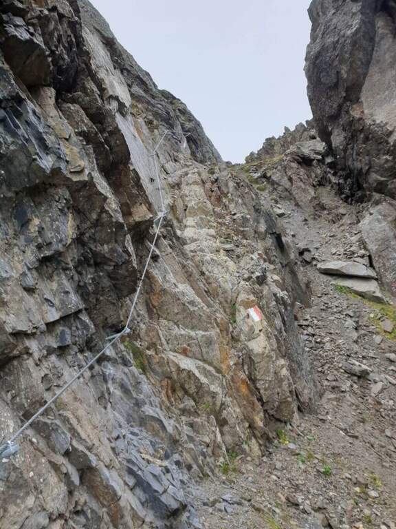
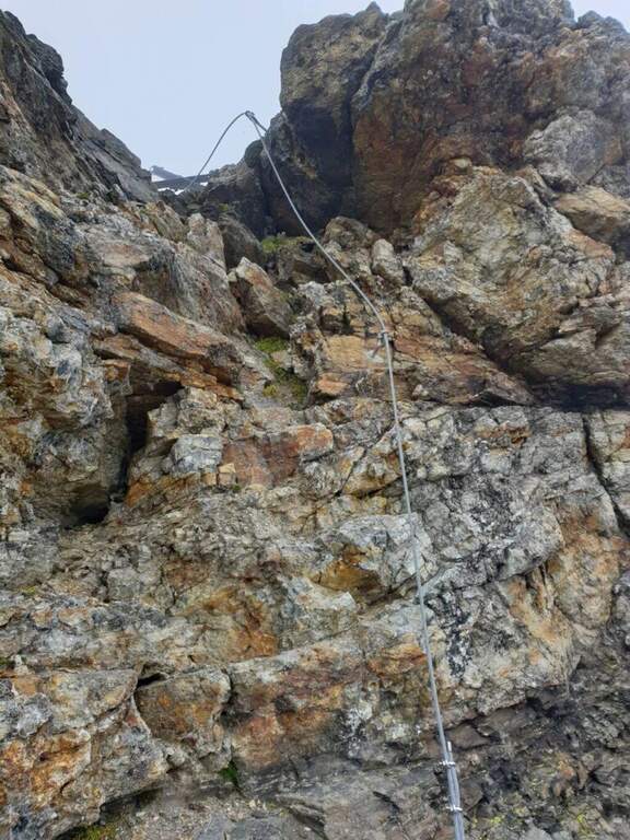
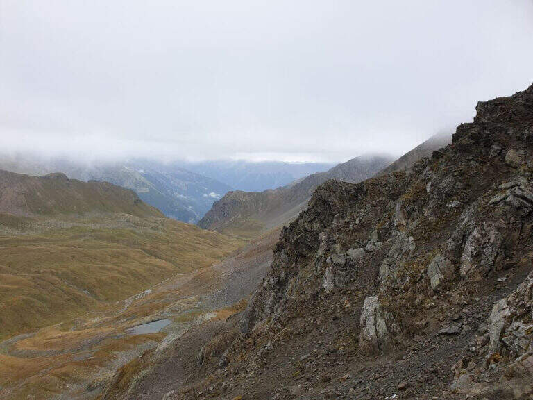
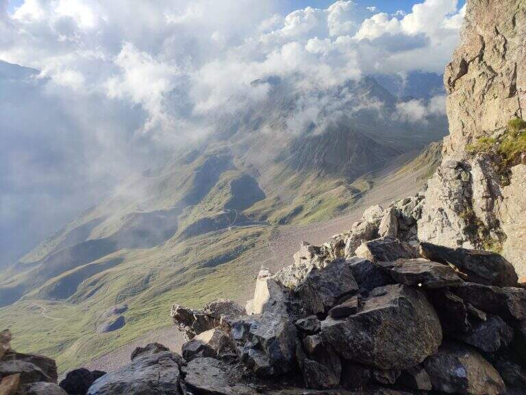
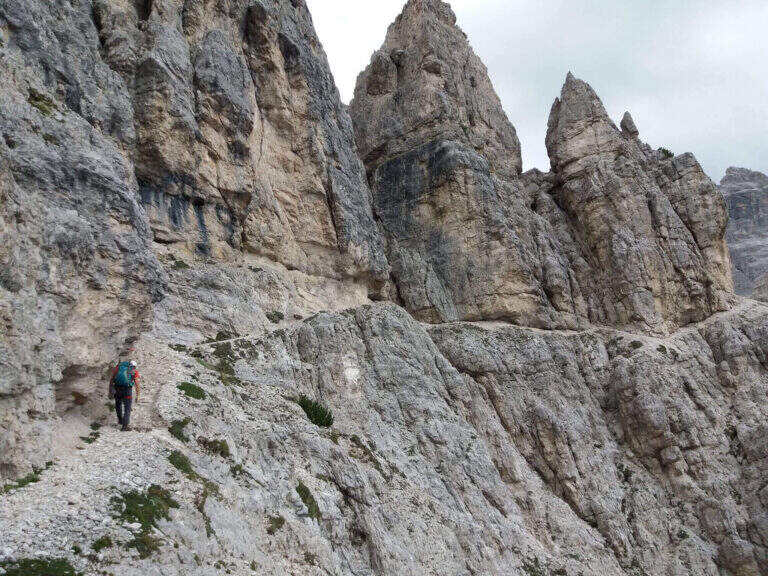
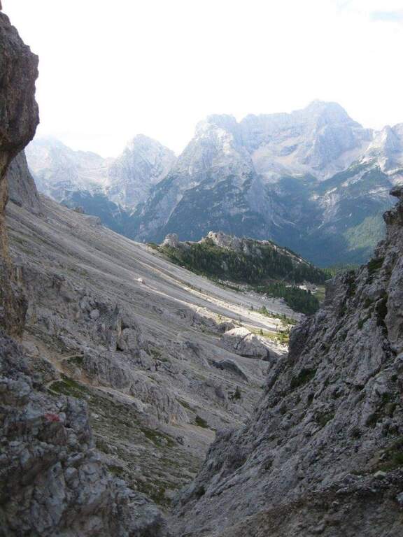
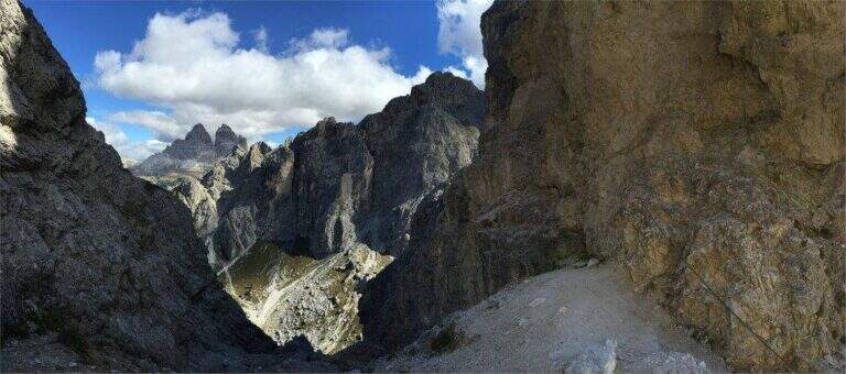
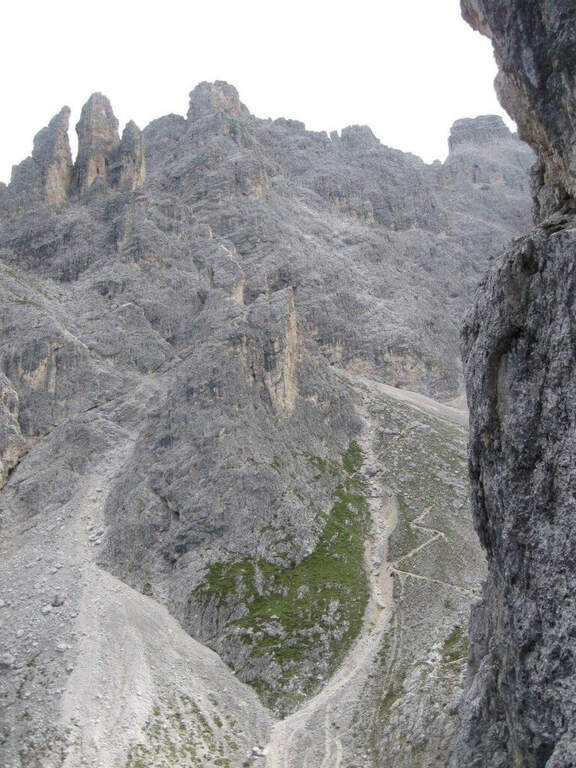
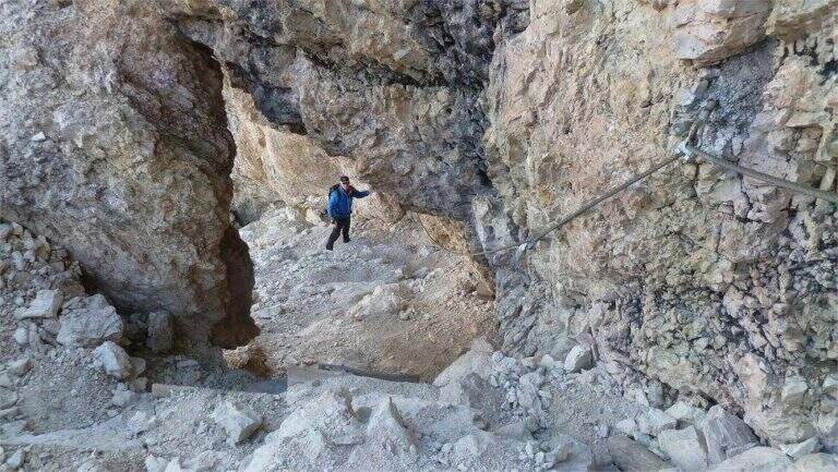
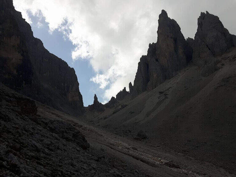
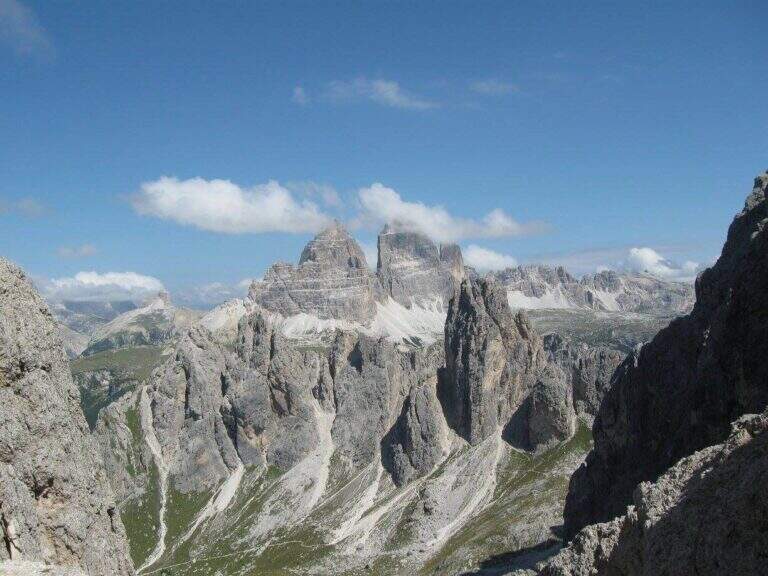
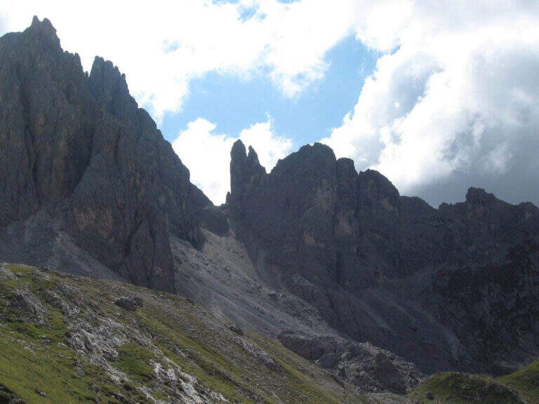
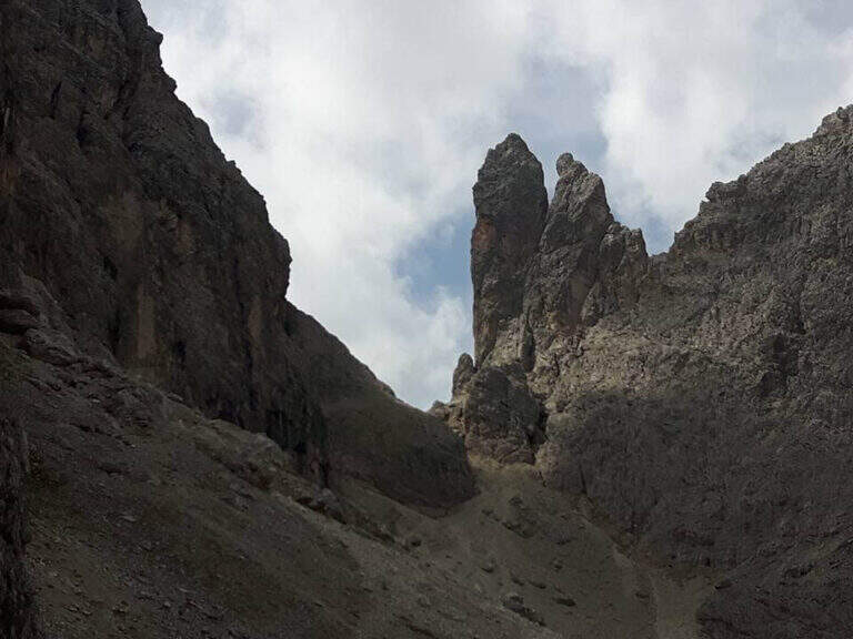
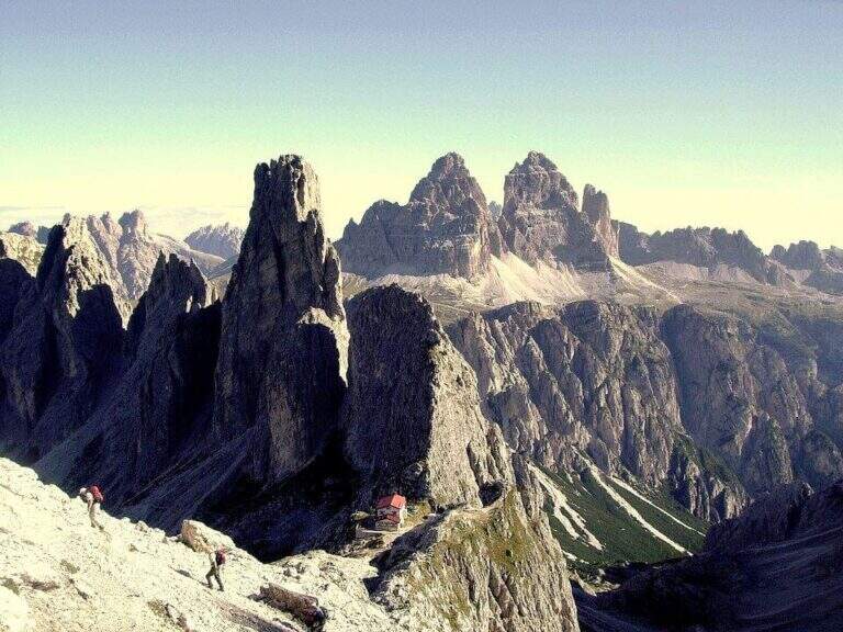
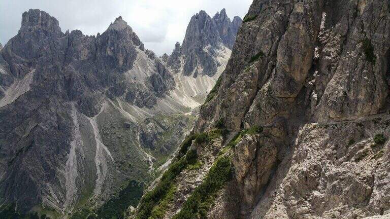
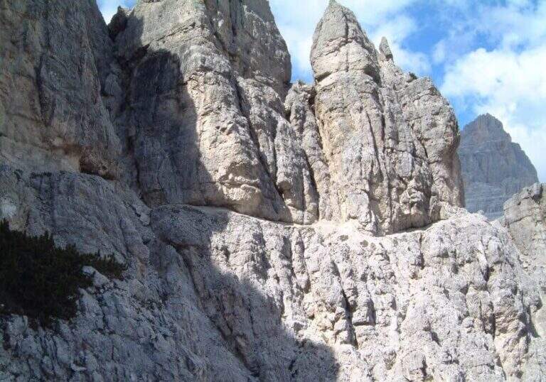
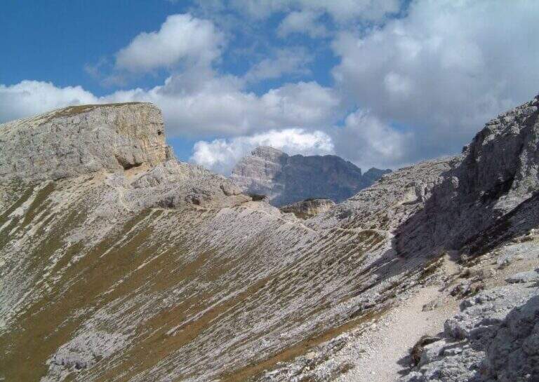
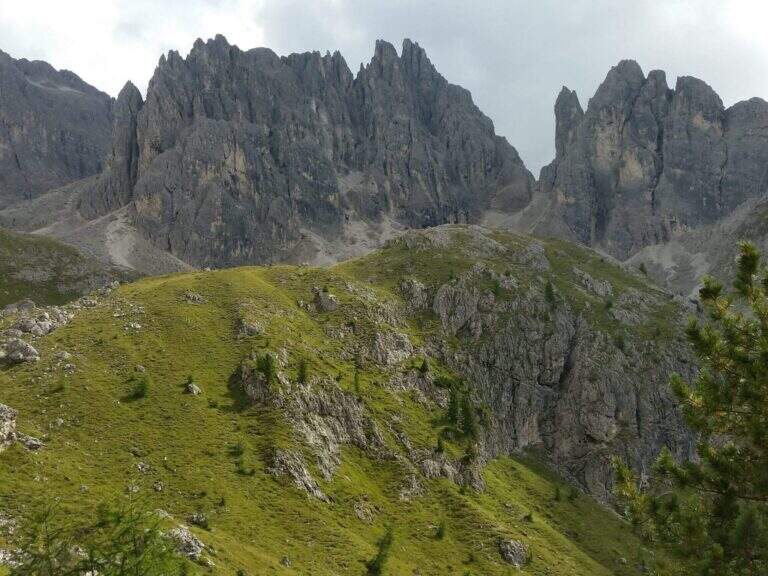
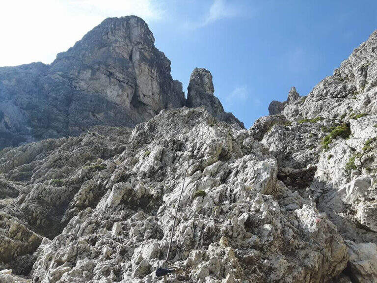
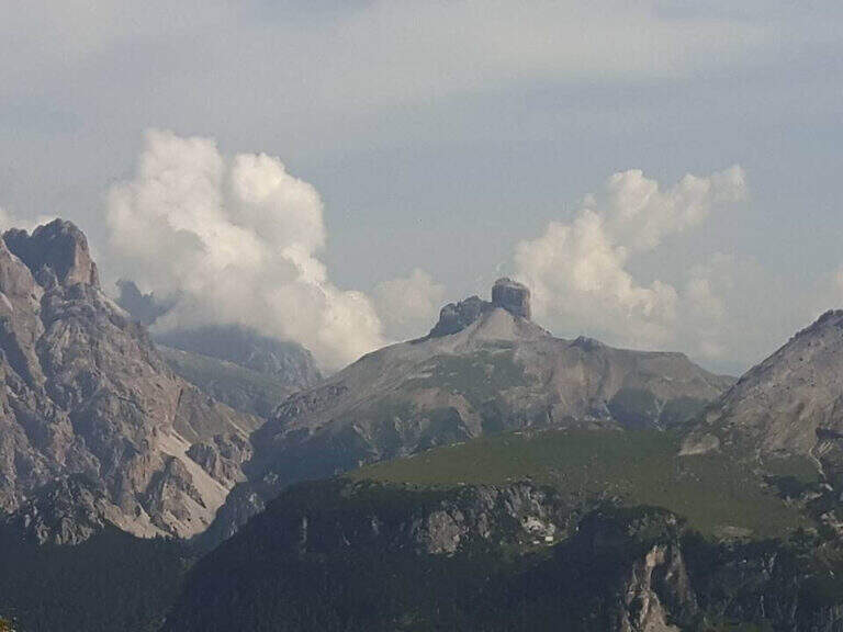
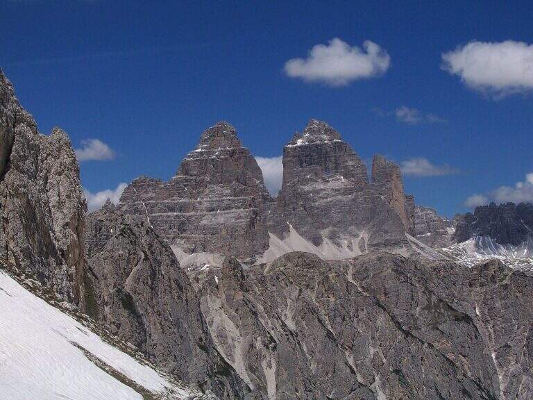
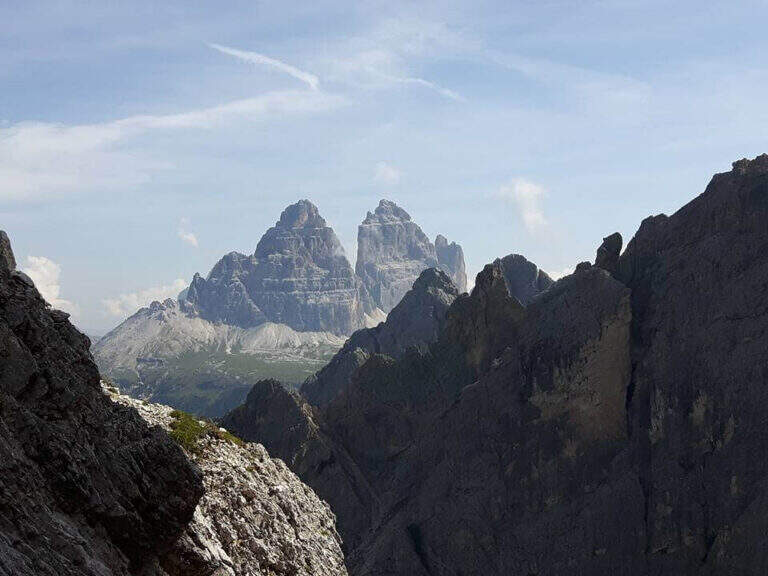
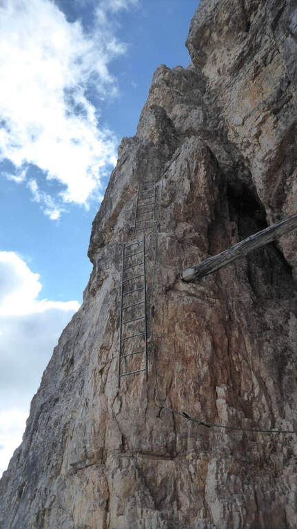
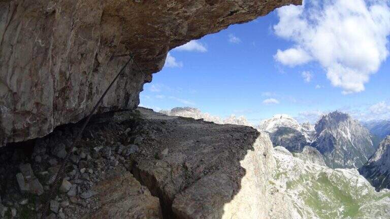
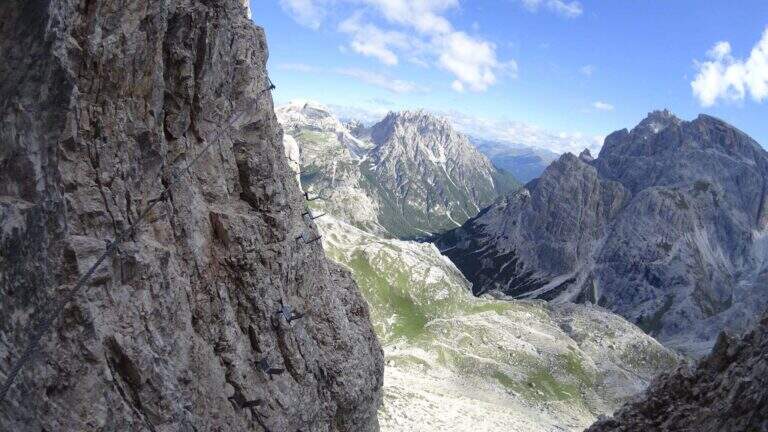
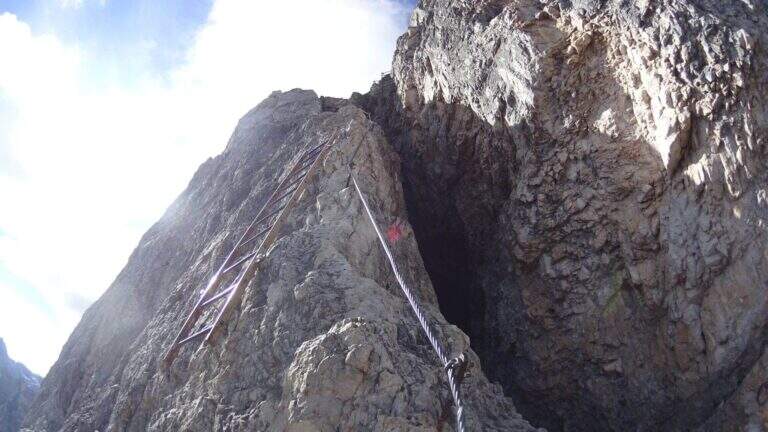
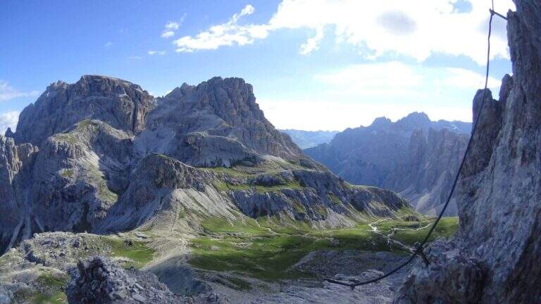
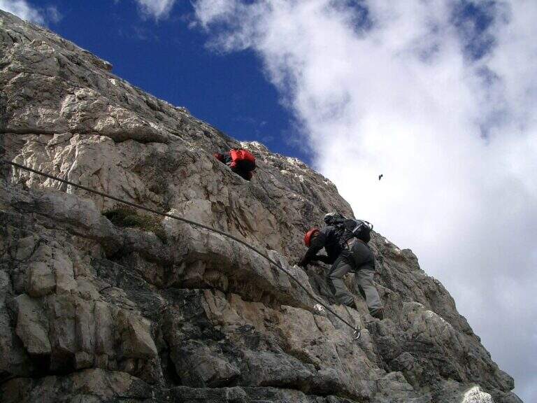
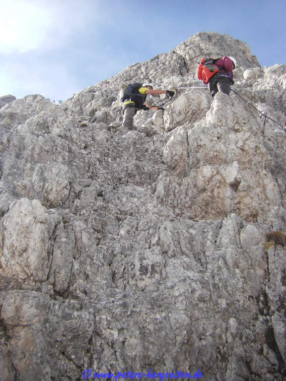
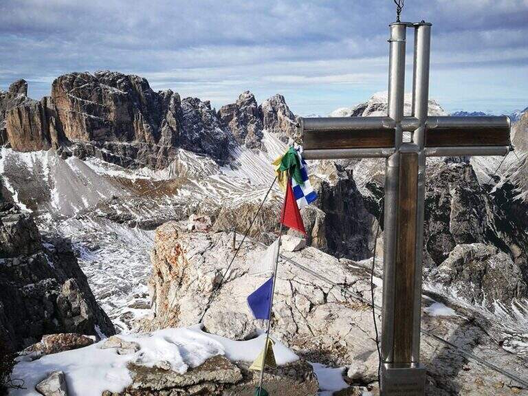
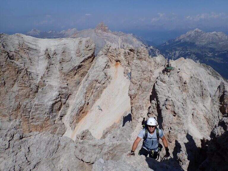
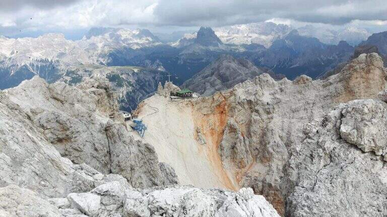
    The Ferrata Ivano Dibona is a wonderful ridge route on the Crystal Group. From Forcella Staunies runs through the entire ridge that descends to the Col dei Stombi, in a path of great landscape interest and rich in in indelible traces of the fighting of the Great War. The technical difficulties are not high, but some traits are exposed and above all the overall difference requires an excellent training.

    ▲Approach

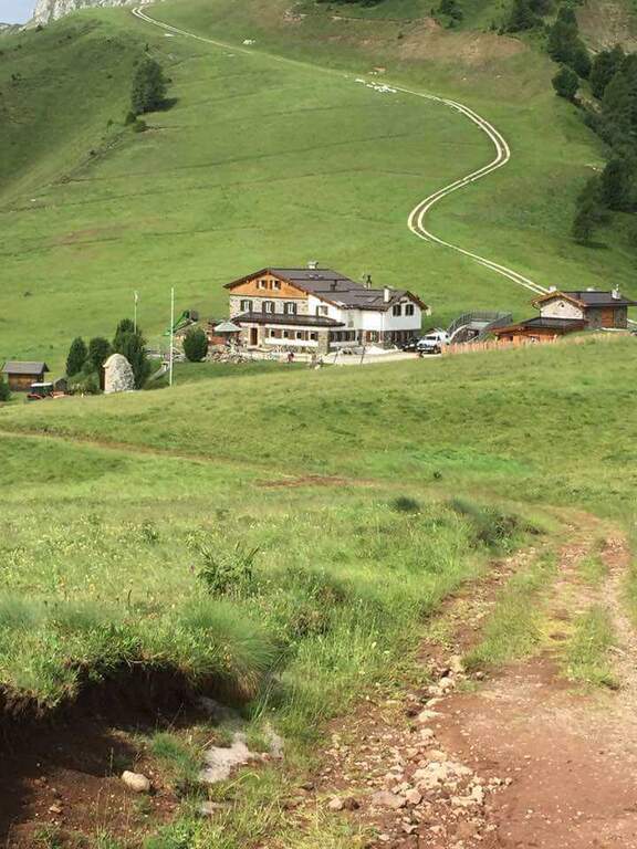
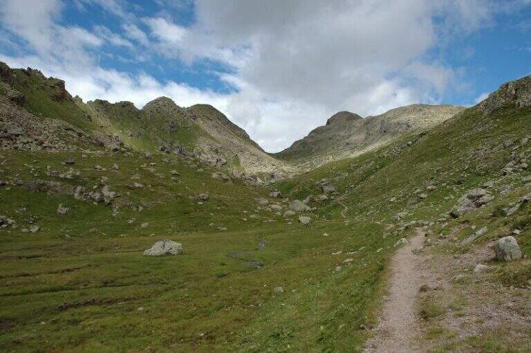
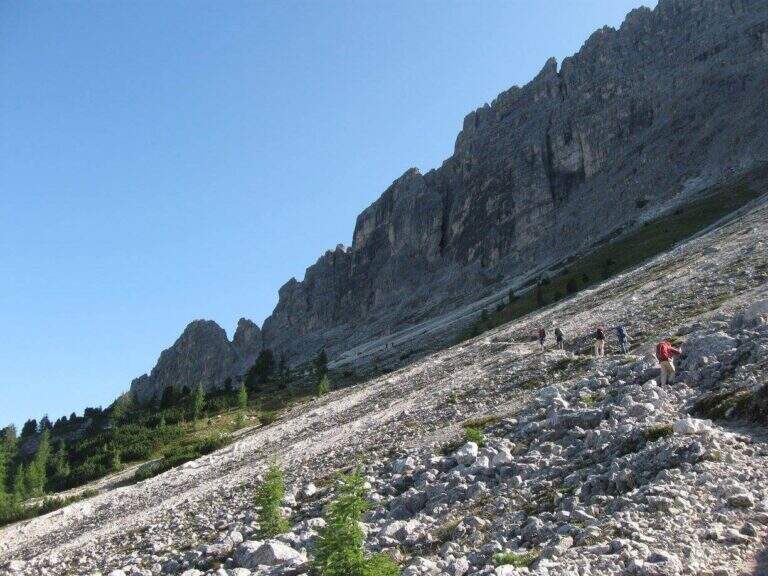
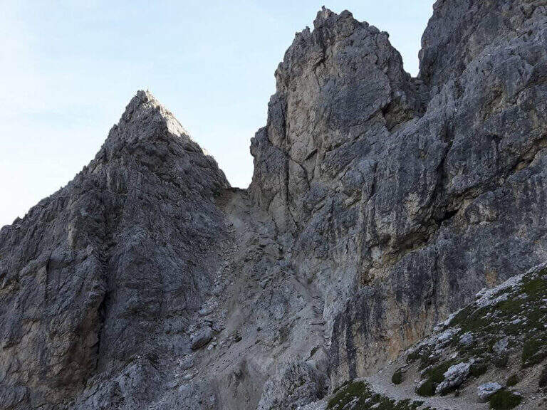
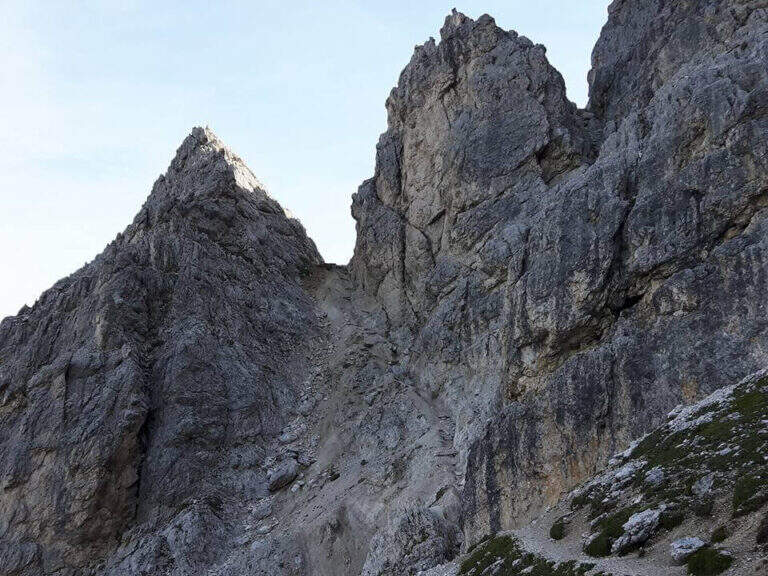
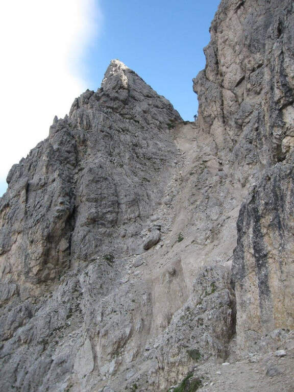
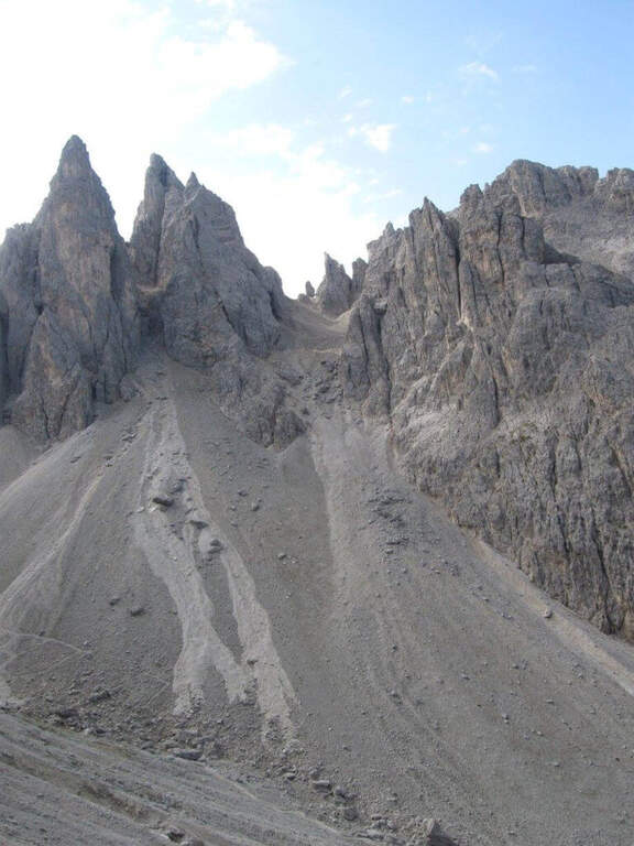
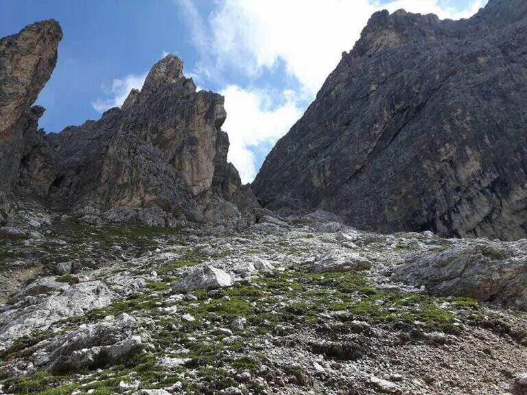
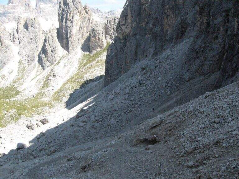
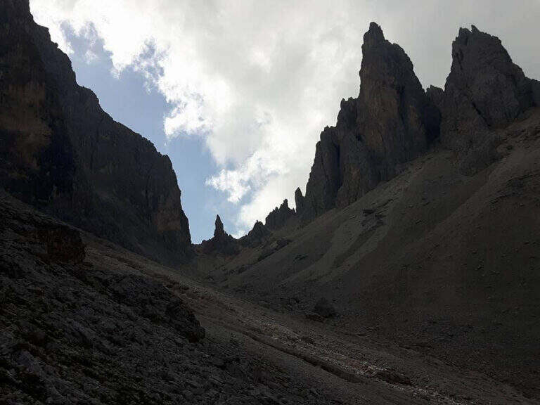
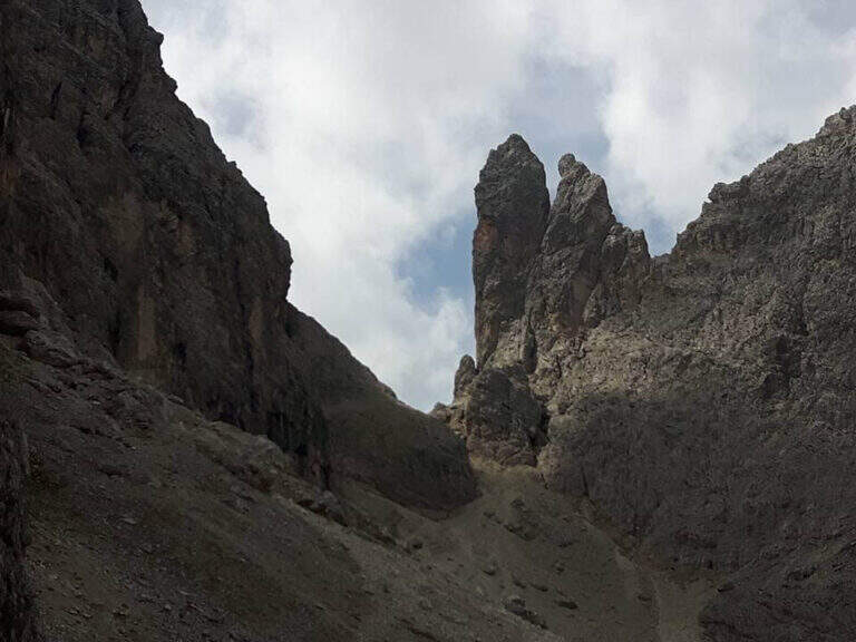
    Starting from the parking lot at the Restaurant Rio Gere, from which rises the chairlift that connects Rio Gere (1700 m) with the Son Forca Refuge (2215 m), along the road of the Passo delle Tre Croci that joins Cortina d’Ampezzo to Auronzo di Cadore, on the ampezzano slope (open up Google Maps). The attack is in Forcella Staunies (2932 m): from Rio Gere there are almost 1250 m of altitude, so it is highly recommended to use the chairlift up to the Son Forca Refuge. From here, dismantling the old bidonvia that climbed to the fork, the only solution is to climb up the detritic valley of the Gran Staunies, a steep channel and on unstable gravel bottom to deal with carefully, taking into account at least 2 hours from the end of the chairlift.

    ▲The path

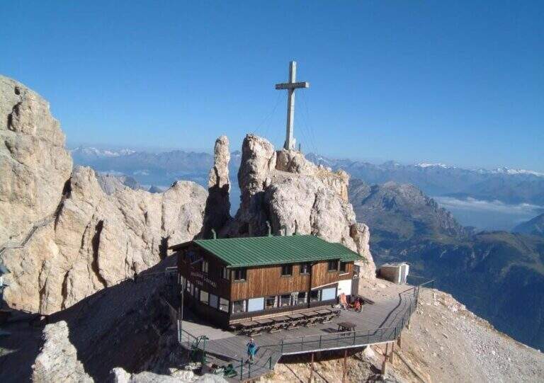
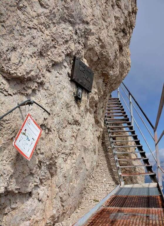
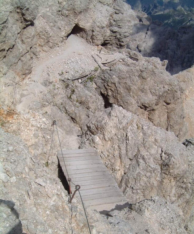
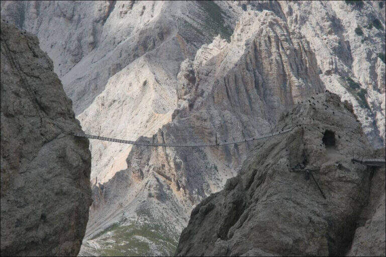
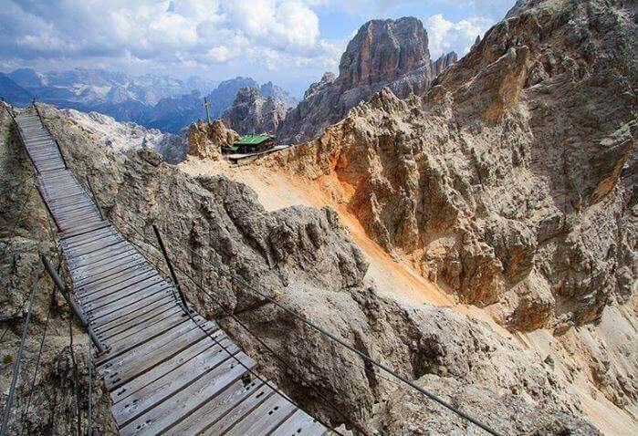
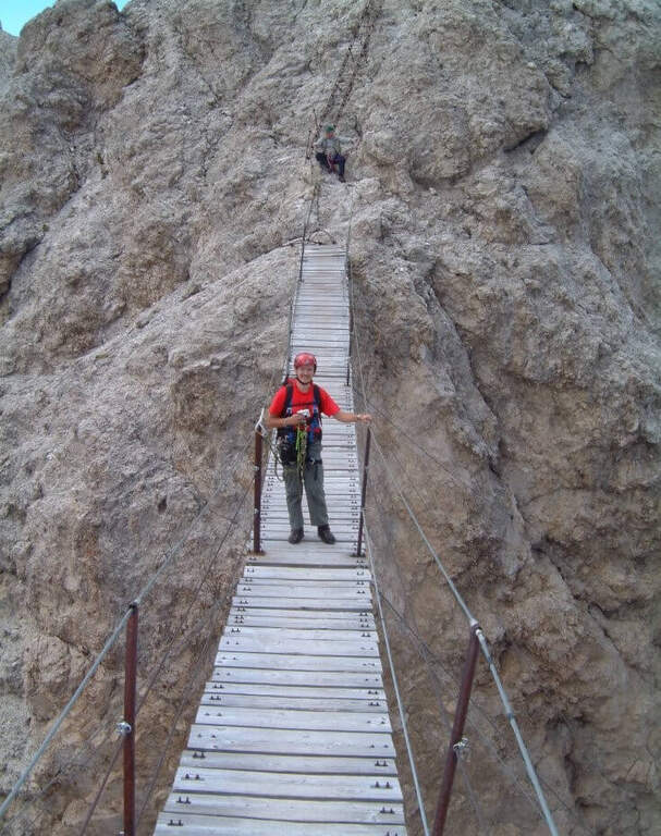
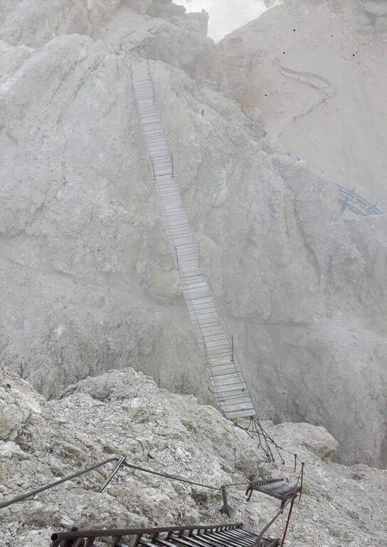
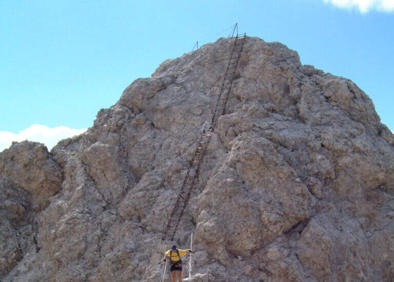
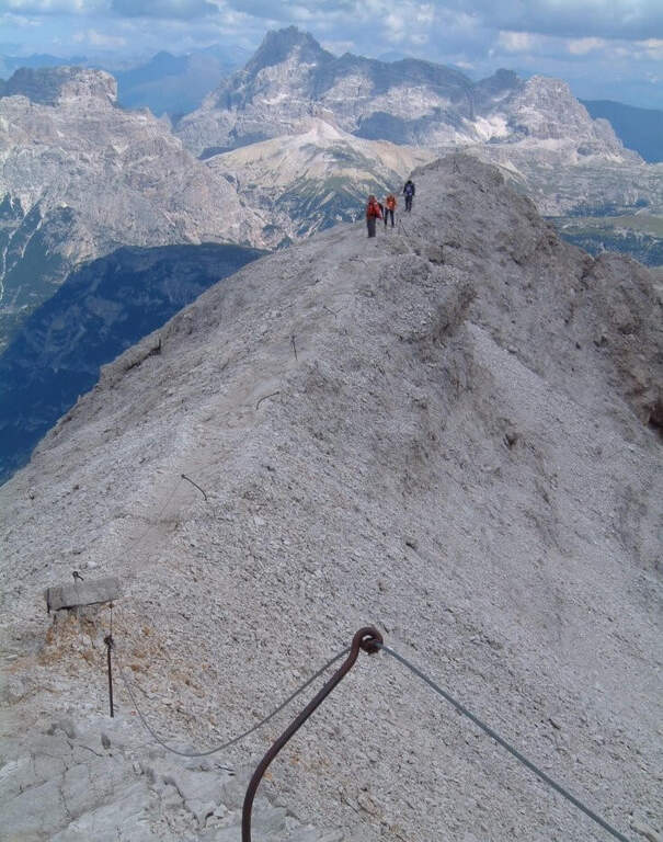
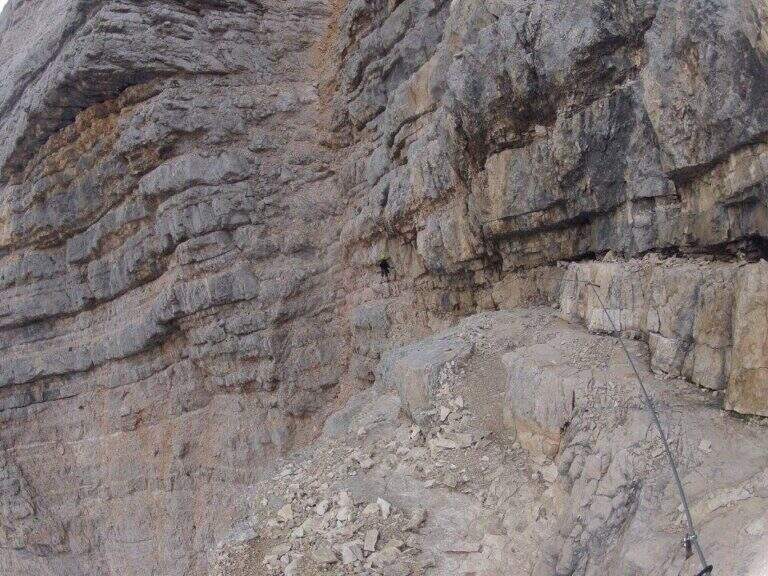
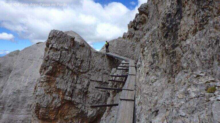
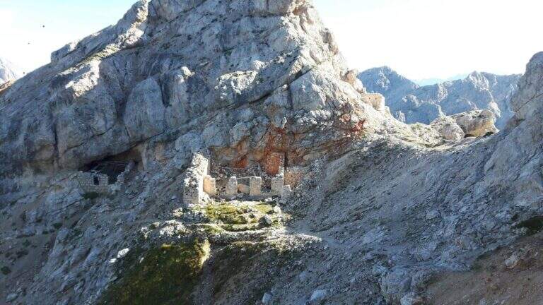
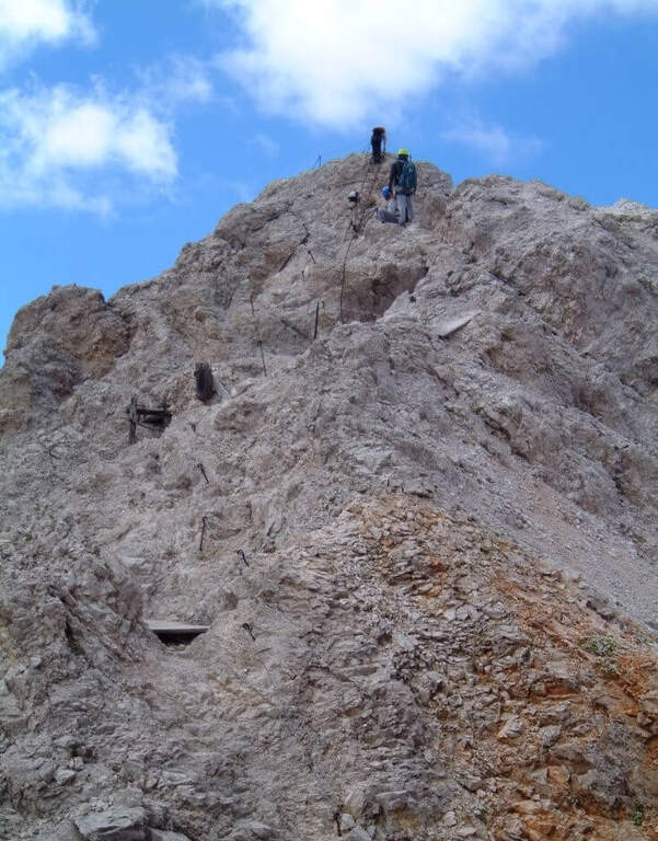
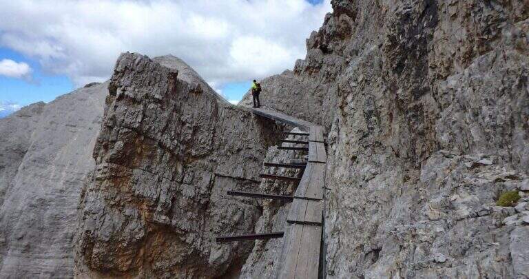
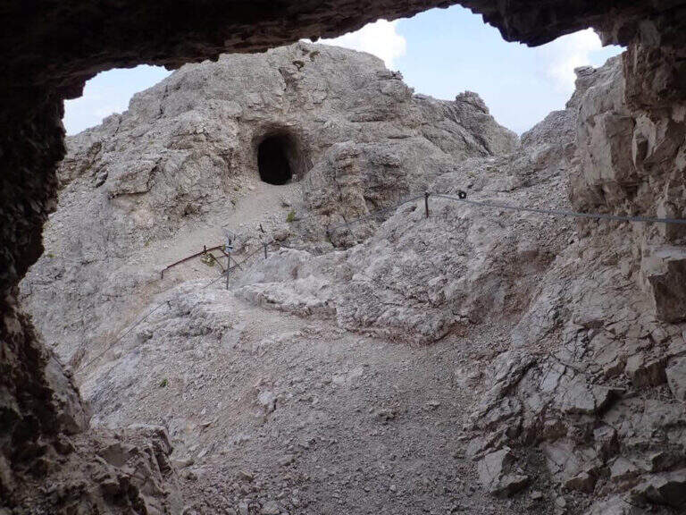
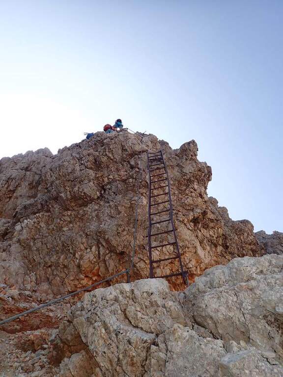
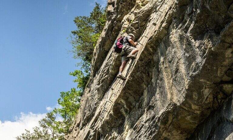
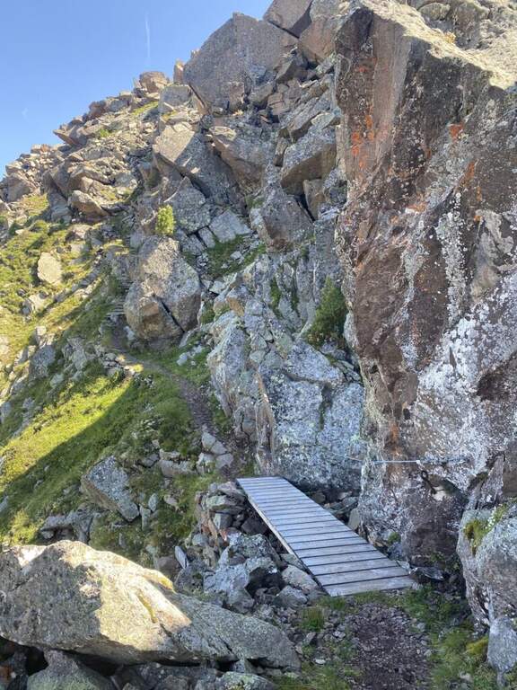
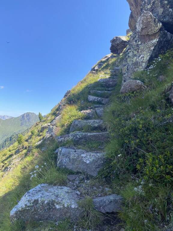
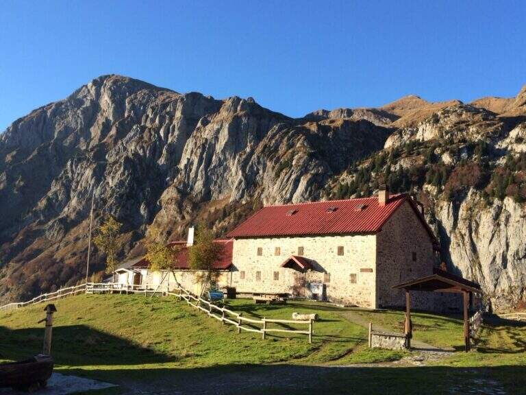
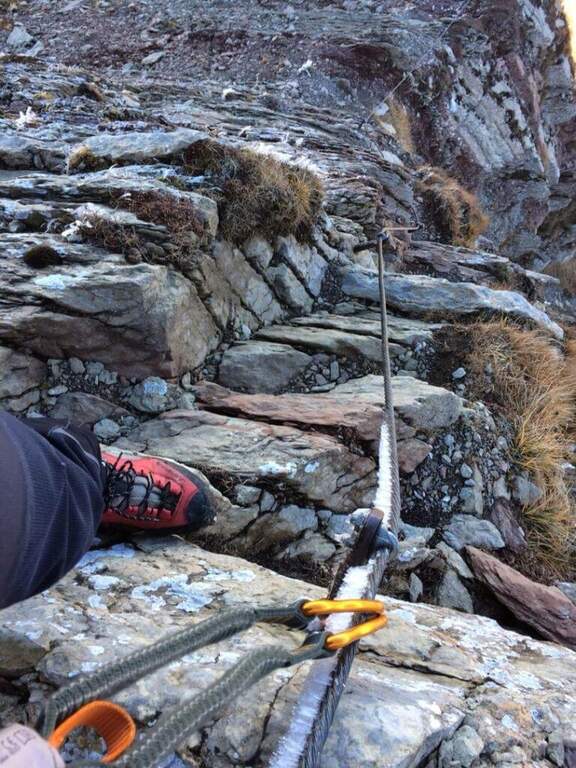
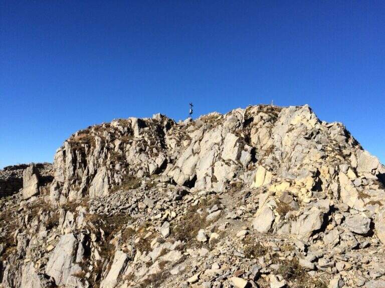
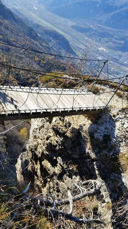
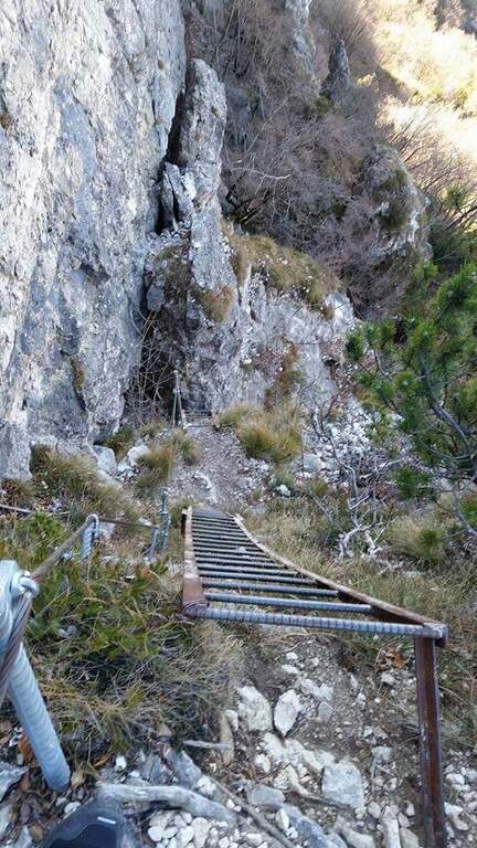
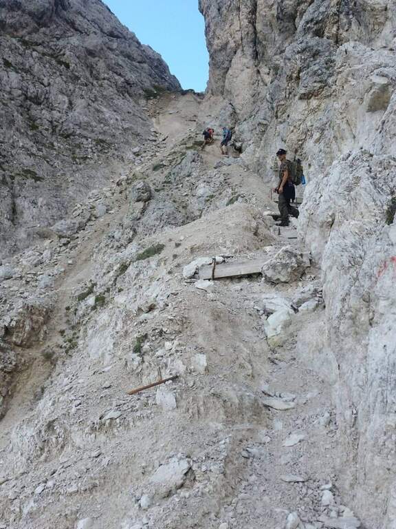
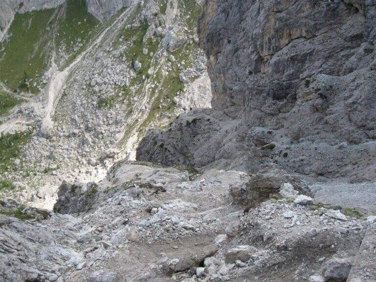
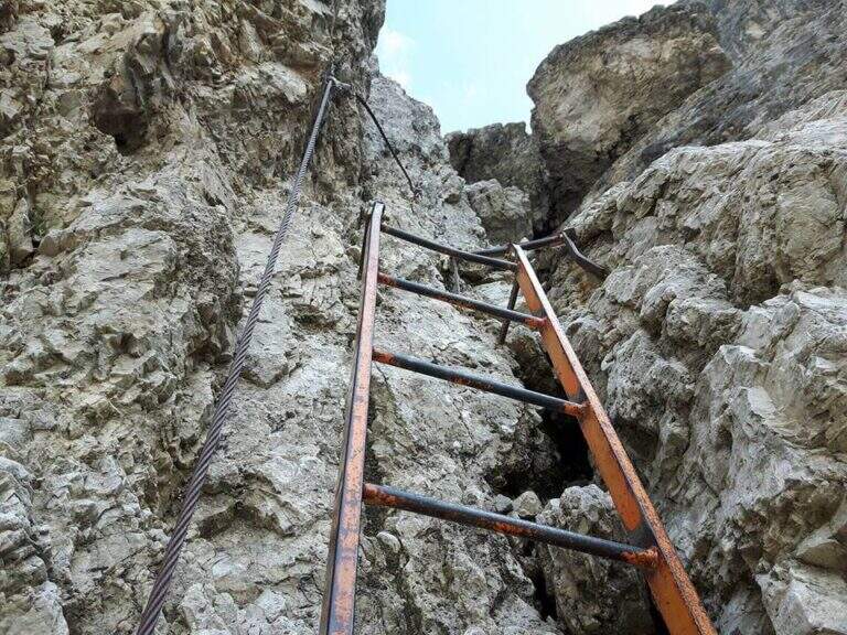
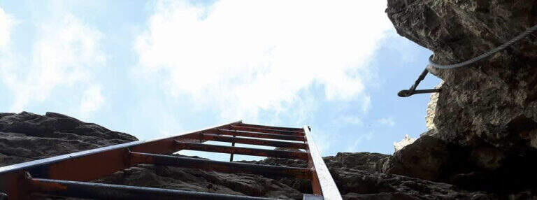
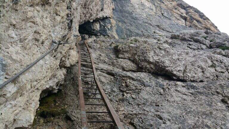
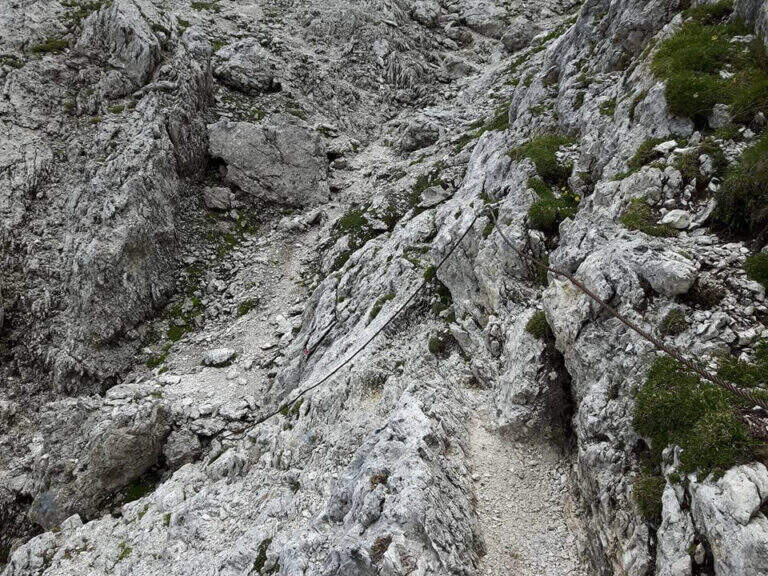
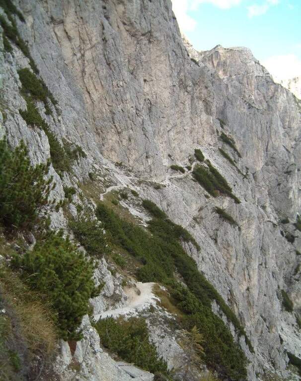
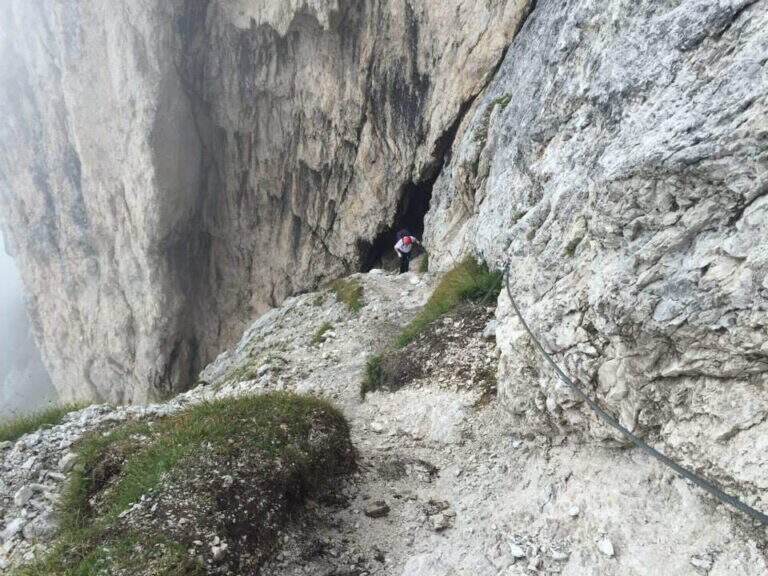
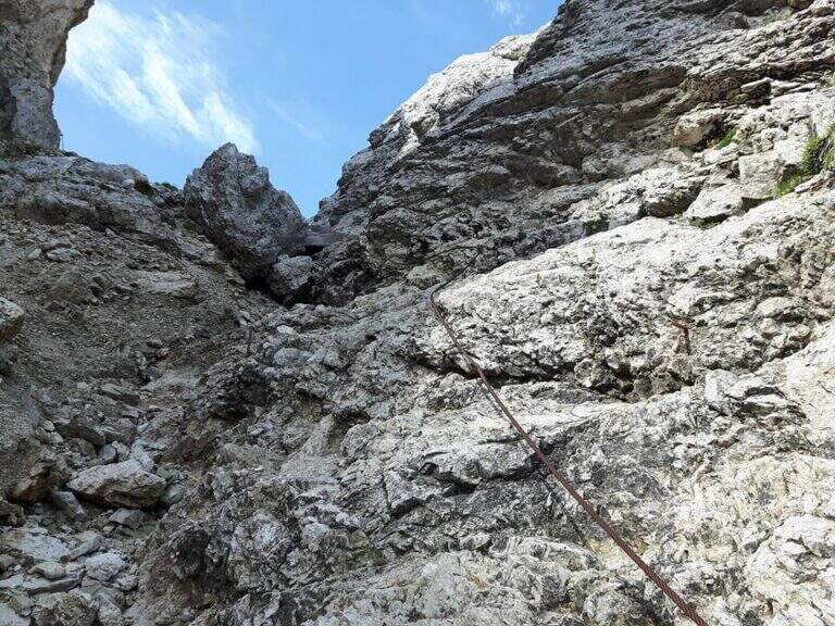
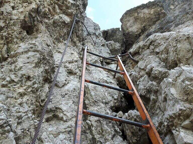
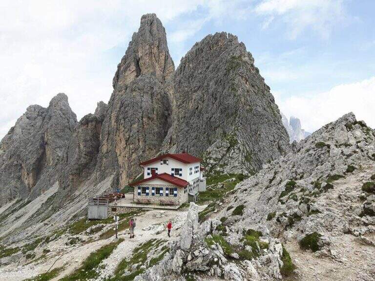
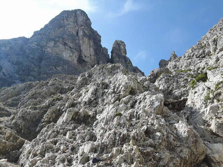
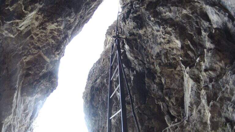
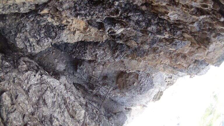
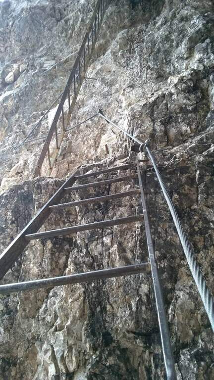
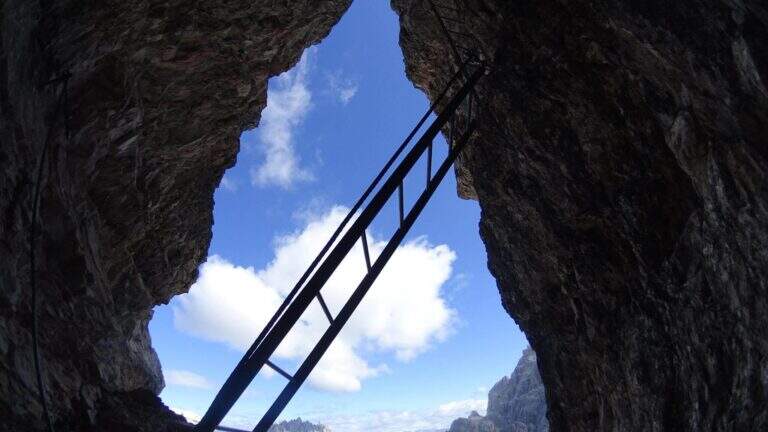
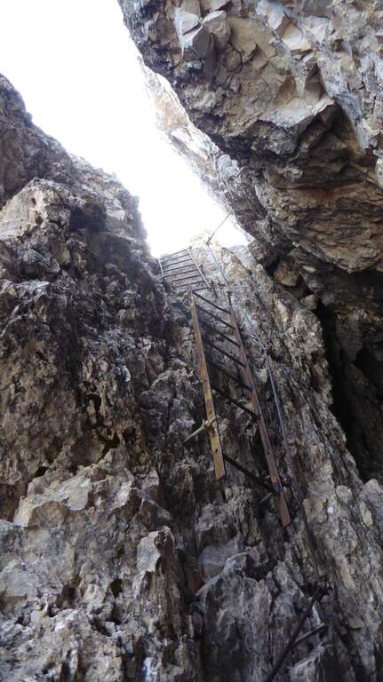
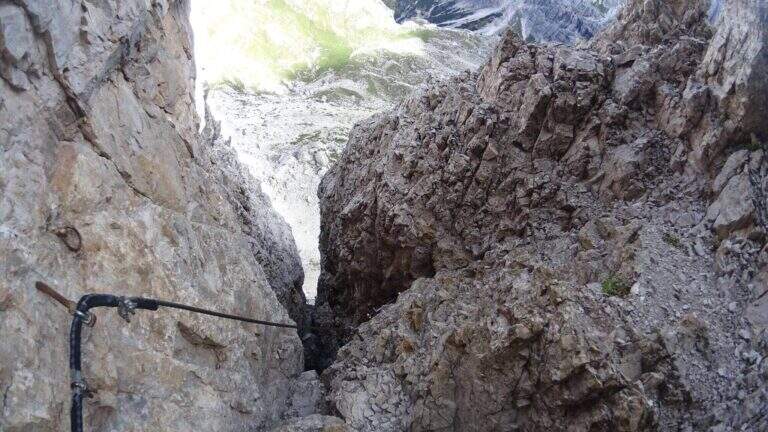
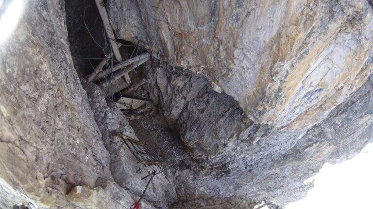
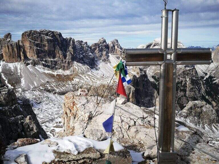
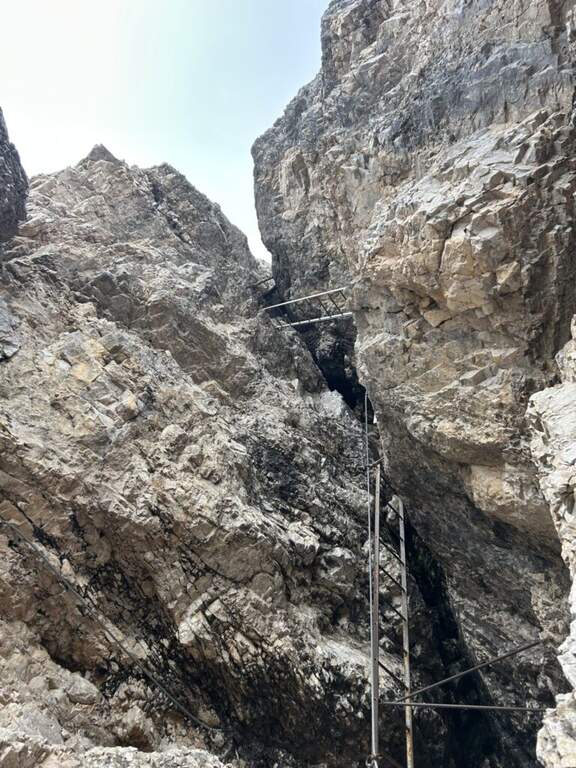
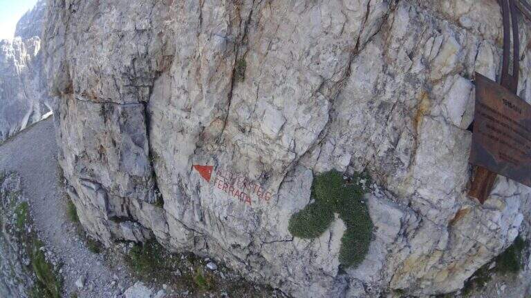
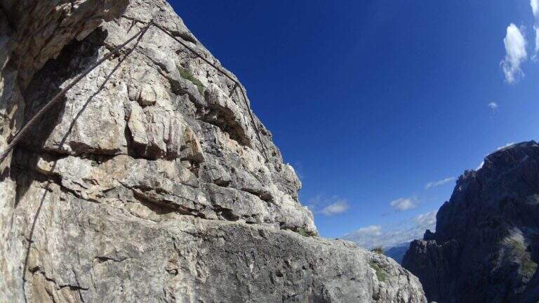
    Adding the Forcella Staunies you can see the silhouette of the Lorenzi Refuge, in a beautiful but closed position; behind it a metal staircase set in the rock gives start to the ferrata. After finishing the metal walkway, a ladder starts the first section, the most “ferrate” of the entire itinerary: a nod with a passage on a wooden walkway, a short passage that circumvents a rocky highlight with a couple of climbs without difficulty, some small rocks towards a rather short arcade that bends immediately to the left (not necessary twist) and a comfortable nod with wooden walkway. There are other small rocks and you will continue just below the ridge, with large passages and wooden walkways where the ground narrows, up to the suspended bridge of about 30 meters, one of the most iconic points of the route: turning you see the Lorenzi Refuge just left and the beginning of Ferrata Bianchi, which proceeded in reverse direction (15′ from the attack to the refuge, 2h30 total). The bridge is very large, built with wooden beams (a pair not fixed). Beyond the bridge a long metal staircase, divided into two sections, earns altitude and leads on the long ridge that characterizes this part of the route, well equipped with rope despite it is almost everywhere wide. After a slight descent to the Forcella Grande you will find a crossroads (2980 m, 15′ from the bridge, 30′ from the attack): you can go straight on the Dibona or take the optional turn left for Cima Cristallino, going up halfway to an insellatura and then on a corner not difficult to the base of the summit (2997 m, 10′ from the junction); you will climb preferably from the west side, Resumption downhill the Dibona, descends towards the Forcella Grande (2874 m), where on the right is the path to the Ferrata Renè de Pol at the Punta del Forame and you will meet some remains of snipers of the Great War; on the fork is held the left remaining on the Dibona. On the left side you pass next to the ruins of a former Italian military shelter and follow, under the Cresta Bianca, a section where you alternate paths, cenges, easy walks and walks equipped with a modest difference in altitude, up to the Forcella Padeon (2762 m, 2h from the attack included the deviation to the Cristallino, 4h15 total), where stands the Bivacco Buffa di Perre Guerra Continue on a half-coast on the south side of Vecio del Forame, with some exposed cenges at unprotected strokes, up to a detritic canalone that descends on the left with a long stretch, reaching first the Forcella Alta (2650 m) and then a fork (2490 m, 1h from the Bivacco Buffa di Perrero, 5h15 total). Here, while on the left the steep franous canal of Val Padeon is a difficult and little advisable escape route, continue straight on the path Dibona up to the Forcella Bassa (2450 m); then walk halfway without equipment along the Cresta dello Zurlon, climb a ladder that leads to some military ruins (2360 m, 40′ from Forcella Bassa, 6h total) and, after a short climb From Col dei Stombi you descend steeply, between bends and serpentine, up to the graft on the forest (CAI 203, 1700 m, 30′ from the hill, 7h15 total).

    ▲Character and difficulty

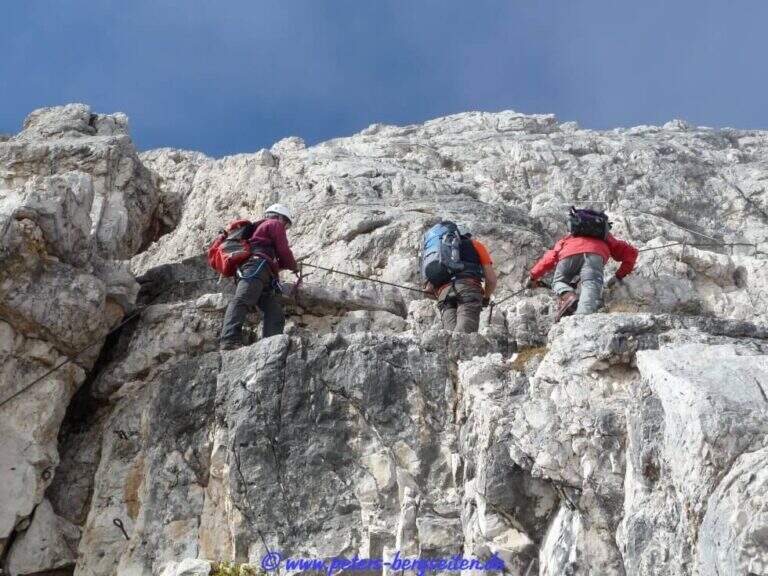
    The technical difficulties are not high, but the itinerary is long and contracting, with exposed traits and some unprotected cenges; the difference in level to be faced is remarkable and requires excellent training. Historically it is one of the most fascinating routes in the Dolomites, scattered with traces of the Great War.

    ⚠ Itinerary very long (23 km, up to 10h) and challenging, with exposed traits and blinds at unprotected strokes: start early, with stable weather, and take into account the now more tiring access (risalita del Gran Staunies).
    ▲Period and safety

    High mountain summer itinerary (max. 3008 m at Cristallino). The length, exposure and demanding access make it suitable for well-trained and autonomous hikers.

    ▲Discipline

    Adding the forest is left on path 203, ignoring all deviations, up to Passo Son Forcia (2109 m, 1h45 from graft on the forest, 8h total). From here you can go up to the Son Forca refuge to take the chairlift that goes down to the Rio Gere (attention to the opening hours of the lifts), or keep the right on 203 until you turn left for the CAI 206 (1948 m, 20′ from the Son Forcia Pass), in the direction of Malga Lareto; go down on 206 until you find an exotic unmarked track that goes down to the Rio Gere (30′ from the end of the inn.

    ▲To match

    From the Forcella Grande the Ferrata Renè de Pol to the Punta del Forame, natural continuation for those who still have energies.
    ▲Gallery
    Technical data
    • DifficultyModerately Hard
    • RegionVeneto
    • GroupCrystal
    • Approach2:15 h
    • Ferrata5:00 h
    • Itinerary (a/r)10:00 h
    • Hardware level difference1300 m
    • Route difference1300 m
    • Max3008 m
    • Length23 Km
  • Sentiero Attrezzato del Gronton a Cima Bocche

    Sentiero Attrezzato del Gronton a Cima Bocche

    Vie Ferrate › Trentino-Alto Adige › Trento
    Sentiero Attrezzato del Gronton a Cima Bocche

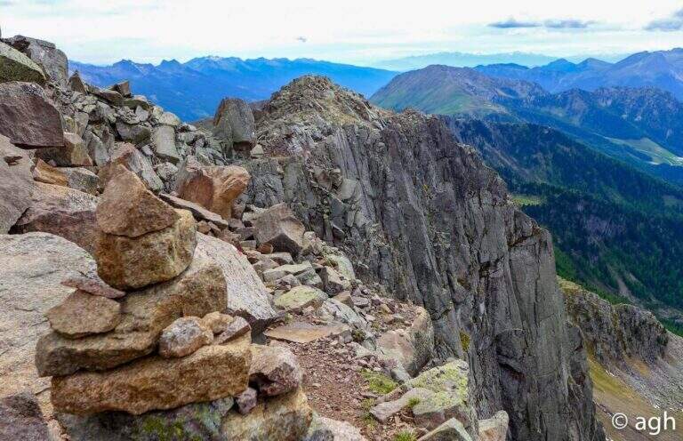
    The Gronton Path is a high-rise path that has no particular technical difficulties, but whose exhibition, constant throughout the itinerary, requires a certain mountain experience. Starting from the Lusia Pass, he climbs to Cima Bocche and descends to the Lakes of Lusia, winding on an Austrian defense line of the Great War.

    ▲Approach

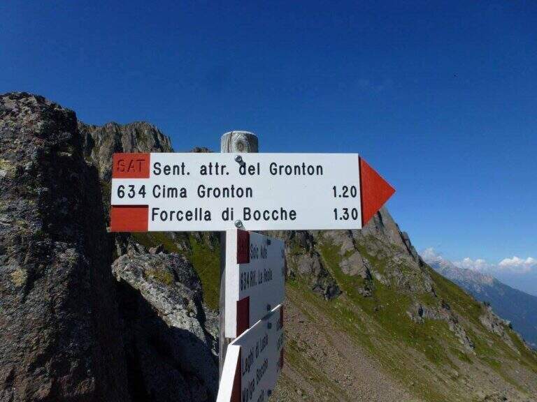
    The starting point is the Lusia Pass, which can be reached via a dirt road that is detached from the San Pellegrino Pass state near Moena (TN). From Moena we proceed towards Passo San Pellegrino for a few kilometers up to the ski lifts Lusia, usable to reach the refuge; those who go up by car take the dirt road that goes right after the passage under the slopes and walks it for a few kilometers up to the refuge (open up Google Maps). From the Rifugio al Passo Lusia (2055 m) we proceed south on the CAI 633 towards Cima Bocche, going up the meadows with a modest slope to the Sella Lusia (2360 m), from which you have an ideal view on the whole lap: on the left the ridge of Gronton, straight ahead Cima Bocche and down the lakes, along which you will return. From the saddle you descend to the Redolf Bivacco (2335 m), where at a crossroads you leave 633 (which will be the return path) and the CAI 634 is held left for the equipped Gronton, which begins at Forcella Cajerin (2365 m, 1h30 from the Lusia Refuge).

    ▲The path

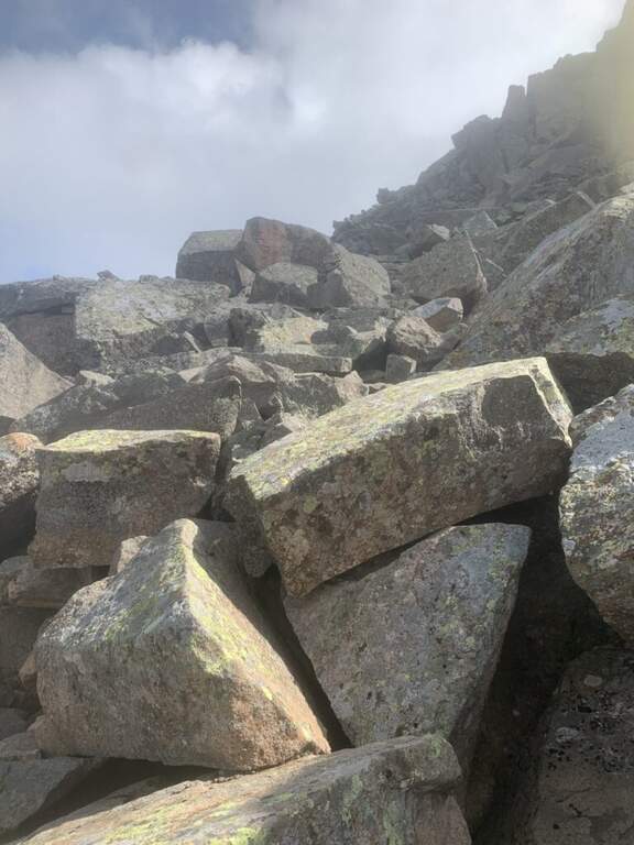
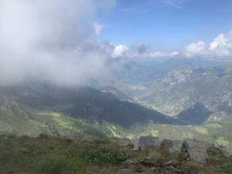
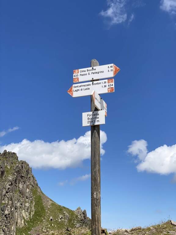
    From Forcella Cajerin, the equipped path generally develops under the ridge, except in the concluding section, and is protected at the most exposed points. Shortly after the beginning there is a nod exposed with the rope to the right, besides which there are passages on large blocks of rock alternating at certain levels, residues of the military activities of a century ago. A new nod is reached with a harmless bridge suspended by ropes, which leads to a clearly visible fork; overcoming the fork, you lose slightly altitude along an exposed and equipped nod. The ascent, not particularly steep, leads to the ridge, from which you can see the path just made and the underlying Lakes of Lusia; then you go along the most scenic section, an exposed hint that wanders a rocky spur, and a last stretch of crest up to a crossroads: to the right you descend towards the Forcella delle Bocche, to the left you climb to Cima Gronton (1h round and back, with other beautiful remains). The excursion continues to the Forcella delle Bocche (2543 m, 1h from the attack, 2h30 totals); just before, on the left, a crossroad allows you to climb to Cima Bocche (2745 m, 1h return, recommended climb, 3h30 total).

    ▲Character and difficulty

    There is no technical difficulties or vertical climbing situations; is a pleasant excursion, interesting from the historical and landscape point of view and less beat than many other of the nearby valleys. The only true note of commitment is the exhibition, present along the whole route and not indifferent.

    ⚠ The exhibition accompanies the whole itinerary, even with protections in the most critical traits: they serve mountain experience and steady pace.
    ▲Period and safety

    High mountain summer itinerary (max. 2622 m). The environment around the Lakes of Lusia is very characteristic; more than the technique, it is the exposure to demand attention.

    ▲Discipline

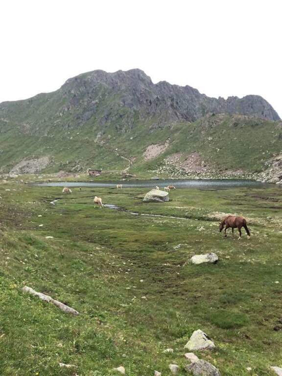
    From the Forcella delle Bocche you return along the path 633, which descends into the valley of the Lakes of Lusia — it is not uncommon to meet horses in the brado state — to the Forcella Lusia and then to the Rifugio al Passo Lusia (2h from Forcella Bocche; 4h30 total without the ascent to Cima Bocche, 5h30 with the ascent).

    ▲To match

    On the opposite side of the valley leading to Passo San Pellegrino there are two more challenging routes: theAlta Via Bepi Zac e l’Alta Via Bruno Federspiel.

    ▲Gallery
    Technical data
    • DifficultyEasy
    • RegionTrentino-Alto Adige
    • GroupLagorai – Chain of Bocche
    • Approach1:30 h
    • Ferrata1:00 h
    • Itinerary (a/r)4:30 h
    • Hardware level difference256 m
    • Route difference567 m
    • Max2622 m
    • Length13,4 Km
  • Path Trained at the Cuestalta (Hoher Trieb)

    Path Trained at the Cuestalta (Hoher Trieb)

    Vie Ferrate › Friuli-Venezia Giulia › Udine
    Path Trained at the Cuestalta (Hoher Trieb)

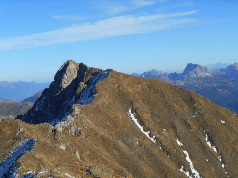
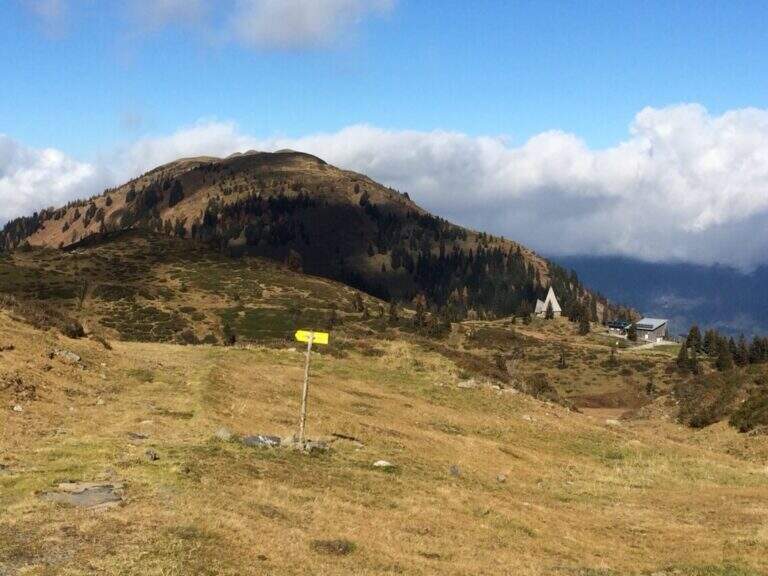
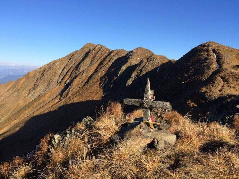
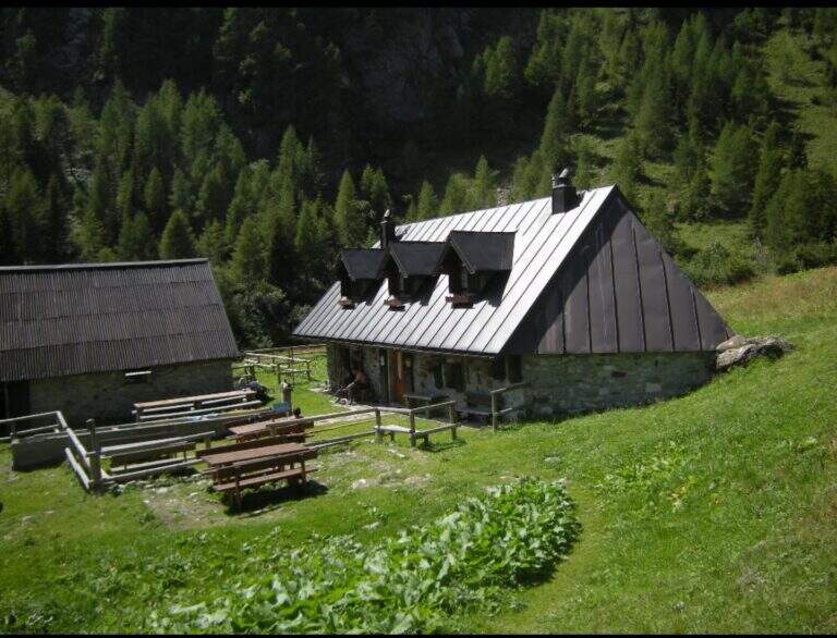
    The Sentiero Attrezzato al Cuestalta climbs to the homonymous mountain (Hoher Trieb in German), located on the border between Italy and Austria. It is a long but never excessively demanding itinerary, with a stretch of ridge equipped in the most exposed and vertical points, in a carnic environment rich in history of the Great War.

    ▲Approach

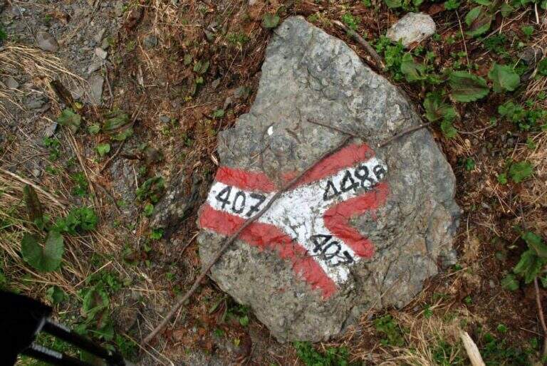
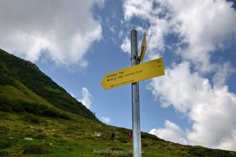
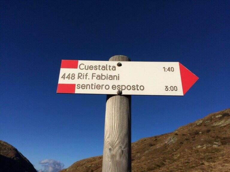
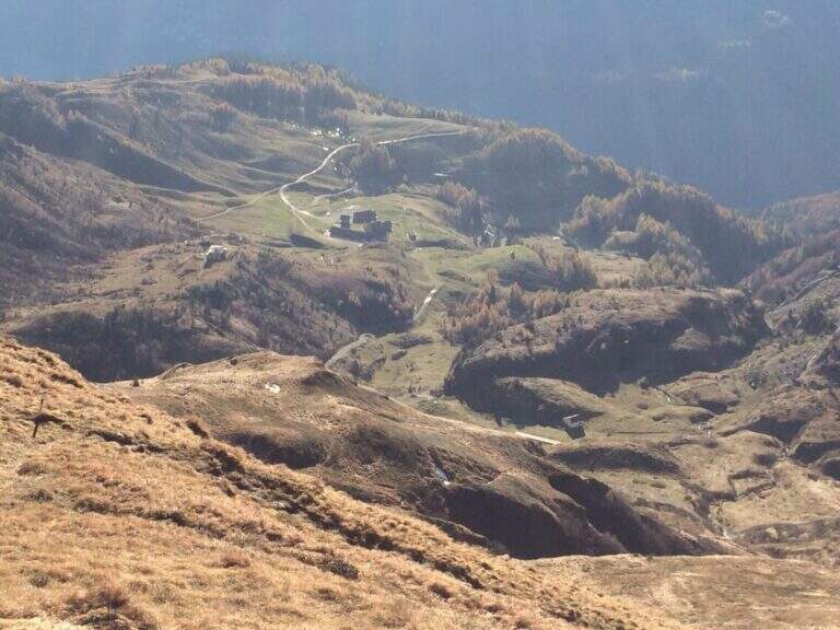
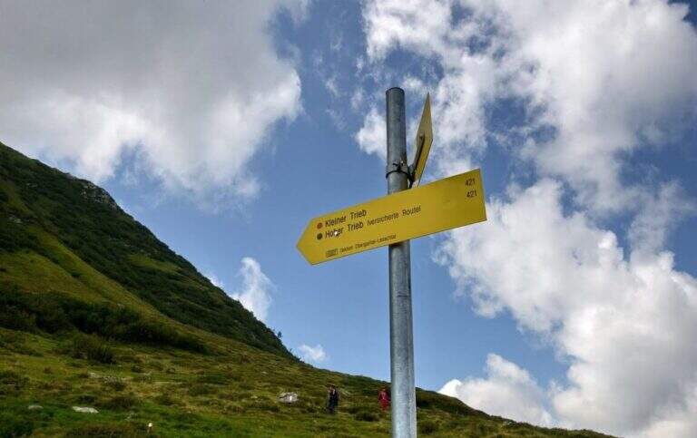
    Starting from Malga Pramosio, in the municipality of Paluzza (UD), reachable on a dirt road in good condition from the village of Claulis, along the state that from Tolmezzo rises to the Pass of Monte Croce Carnico; at the entrance of the village a clear sign indicates the Forest of Pramosio, and follow the road until the end at the malga, which also offers possibility of overnight stay (open up Google Maps). From Casera di Pramosio (1521 m) follow the path 407 to the east; immediately ignore the junction of 404 and cross the Sella di Cercevesa and the ruins of the homonymous house. At a new crossroads (1h15 from the parking lot) you leave the 407 that goes right and you stay on path 448, indicated as exposed, which cuts halfway the Cuestalta ridge (attention to the bottom in case of abundant rains). At a later crossroads, where on the left the 448 climbs to the normal Italian road, continue halfway on the 448th towards the Fabiani Refuge; the path bends towards the Red Crete, reached after a stretch of ridge a little exposed but not difficult (1770 m, 1h from the junction of 407, 2h15 total), and from here descend steeply to the Fabiani Refuge (1539 m, 2h40 total). From the refuge the path 454 climbs to Passo Pecol di Chiaula (1797 m, 3h total), border of State between Italy and Austria, with numerous testimonies of the Great War: tunnels, trenches and barracks. You descend now in the Austrian territory towards a refuge with a chapel; after a few minutes, ignore the traces on the left, it is advisable to descend to a signaled cross and follow on the left the sign for the Kleiner Trieb (path 421) going up towards Cima Medatte; steep, you reach the cross of Punta Medatte (2095 m, 1h from Passo Pecol di Chiaula, 4h total).

    ▲The path

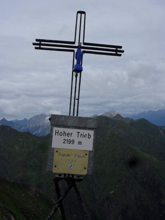
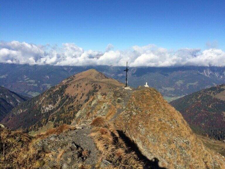
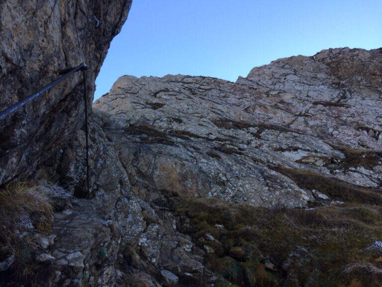
    Start here the ridge stretch with the equipped steps. Punta Medatte (Kleiner Trieb) is separated from the nearby Cuestalta (Hoher Trieb) by a saddle: descend along the ridge, equipped with handcuffed cable at the exposed points. From the saddle (10′ from Punta Medatte) starts the short ferrata that climbs to the Cuestalta: you pass some unprotected rocks until you meet the cable, which leads first on small rocks and then, from left to right, on a wall. The easy-level ferrata climbs on a very well-dressed crest, pleasant to climb; being a ridge path is exposed, but never excessively. The climb, very logical, deposits just below the top of the Cuestalta, signaled by a metal cross that is reached on the path (2199 m, 20′ from the saddle, 30′ from Punta Medatte, 4h30 overall).

    ▲Character and difficulty

    It is a beautiful itinerary that cuts a piece of the border of Italy-Austrian, long but not excessively challenging: the equipped part only serves to climb the ridge in the more vertical and exposed sections. The historical context, with the testimonies of the Great War, is one of its strengths.

    ⚠ Itinerary along (13 km, 6h15) in the border mountain environment: attention to the bottom of the half-coast stretches in case of abundant rains.
    ▲Period and safety

    Summer season, maximum altitude 2199 m. Despite no significant difficulties, long development requires good time management and attention to the weather, given the high mountain environment.

    ▲Discipline

    From the top of the Cuestalta you descend along the steep stretches, some ruins of trenches, up to the crossroads between the path 448 (normal Italian road) and the one that continues on the crest towards the Passo Pramosio. It remains on the latter, of crest only at exposed and free climbing traits, passing near Monte Scarniz (saw with a short deviation), up to Passo Pramosio (1785 m, 1h15 from Cuestalta, 5h30 overall). From the pass, visible a few hundred meters further downstream, you reach the Malga Pramosio with a stretch of path and then dirt road (6h15 overall).

    ▲To match

    Along this line there are other routes equipped, generally more difficult and athletic: in increasing order of commitment, relatively close, the Ferrata Steinbergerweg at Cellon, la Ferrata al Coglians e la Ferrata Senza Confini.

    ▲Gallery
    Technical data
    • DifficultyEasy
    • RegionFriuli-Venezia Giulia
    • GroupAlps Carnia
    • Approach4:00 h
    • Ferrata0:30 h
    • Itinerary (a/r)6:15 h
    • Hardware level difference150 m
    • Route difference678 m
    • Max2199 m
    • Length13 Km
  • Sentiero Attrezzato Bertotti at the Cross of Chegul

    Sentiero Attrezzato Bertotti at the Cross of Chegul

    Vie Ferrate › Trentino-Alto Adige › Trento
    Sentiero Attrezzato Bertotti at the Cross of Chegul

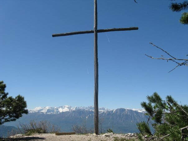
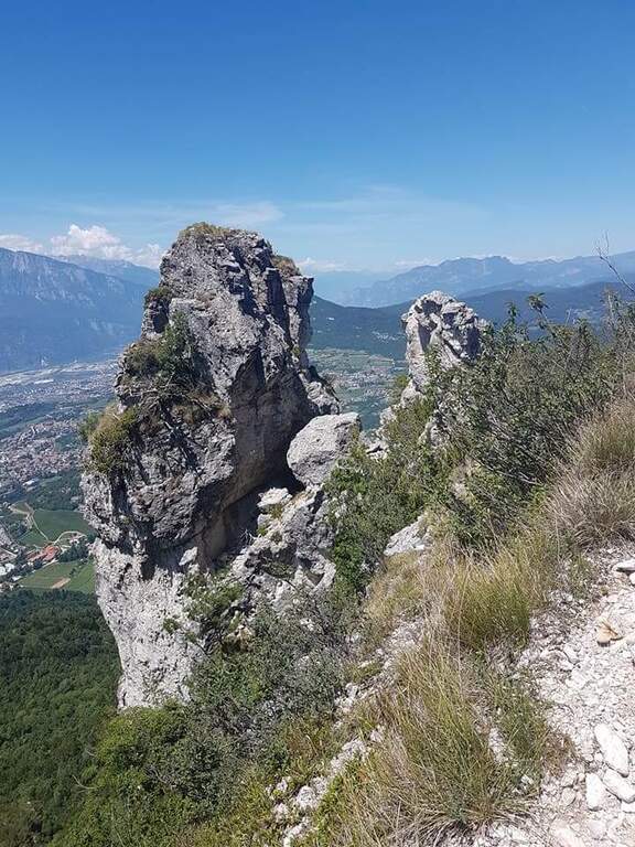
    Il Sentiero Attrezzato Bertotti is a pleasant itinerary of low difficulty that climbs to the Chegul Cross, on the mountains to the east of Trento. It has no technical difficulties and is also suitable for neophytes or those with little experience of ferrate; from the top the panorama is 360 degrees.

    ▲Approach

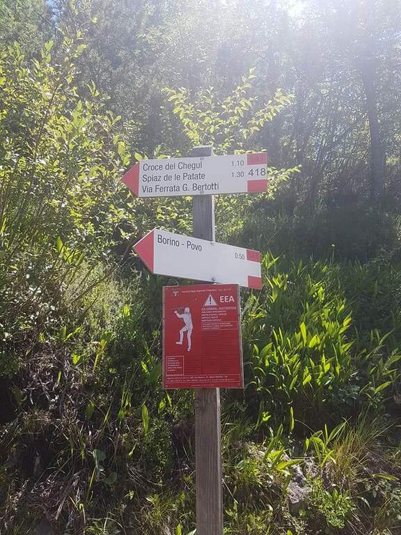
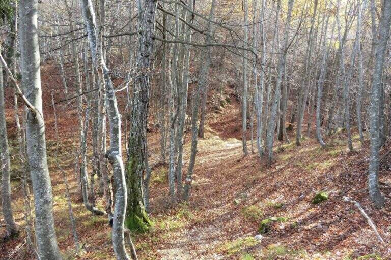
    From the Passo del Cimirlo (733 m), reached by Trento, take the road to the right with indications for Maranza; after about 1.5 km, narrow but asphalted, you can see on the left the signs CAI 418 of the Route Attrezzato Bertotti. You park on the road. Open road signs on Google Maps. From the sign (850 m) you climb steeply into the wood between bends, rocky and massive steps under the walls of the Chegul, then right on a slope up to a census under the crest; with short stretches equipped you reach the libro of the signatures, where a plate marks l' start of the path equipped (1115 m, 30' from the parking lot).

    ▲The path

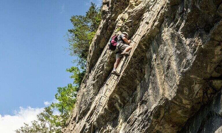
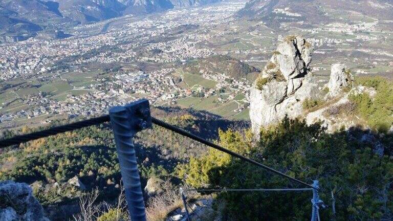
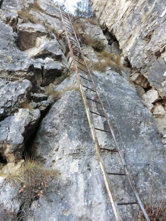
    You go up a canyon in the woods to its più point; high, where you pass between two rocks; then you face a vertical parete equipped with wide cambre. The trail continues easy and free of equipment for a few minutes, up to some small rocks and a long 20-metre-long wire scale, a series of equipped steps leads smoothly to the Croce del Chegul (1263 m), with excellent views of Trento and Bondone (30' from the signature book, 1h overall).

    ▲Character and difficulty

    Itinerary is not difficult: the two vertical sections are facilitated by a staircase and a series of brackets; the difference in altitude is exceeded with stretches equipped in the most exposed points, but the difficulty remains modest. Very beautiful instead the view from the top.

    ⚠ Although easy, it remains an equipped way: helmet and ferrata sets are recommended, especially for the neophytes that approach you.

    ▲Discipline

    On the same route (45' 1h 45' overall) or take a più along anello: a bridge goes up to the Spiaz delle Patate (1310 m), then south to the CAI 411 towards Monte Lalonila, passing old war stations; at a crossroad (1541 m) From the bivouac, in steep descent with the CAI 412 to the west, you reach the Rifugio Maranza (1072 m) and finally, on the CAI 426 and 413, l' car (about 5h total).

    ▲To match

    Walking through the short variant remain time and energy for another way: in Val d'Adige la Ferrata Rio Secco e la Ferrata di Favogna, o il Burrone Giovannelli; towards Garda la Ferrata Che Guevara e la Sentiero de le Stel.

    ▲Gallery
    Technical data
    • DifficultyEasy
    • RegionTrentino-Alto Adige
    • ProvinceTrento
    • GroupValsugana
    • Approach30 min
    • Fully equipped30 min
    • Ring itinerary5h
    • Level difference150 m
    • Route difference886 m
    • Maximum1737 m
    • Length14,7 km
  • Sentiero Attrezzato degli Alpini a Punta d’Albiolo

    Sentiero Attrezzato degli Alpini in Punta d'Albiolo

    Vie Ferrate › Lombardy › Brescia
    Sentiero Attrezzato degli Alpini in Punta d'Albiolo
    Moderately Hard● OpenDescriptionComplexityMapsGallery

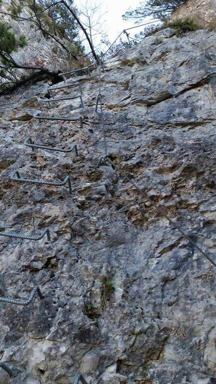
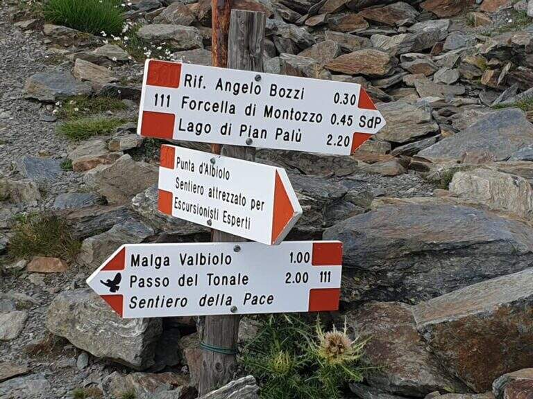
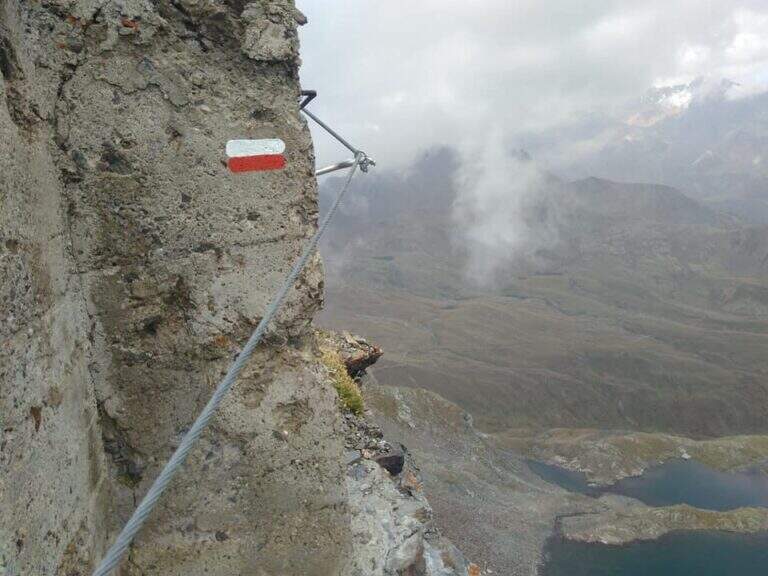
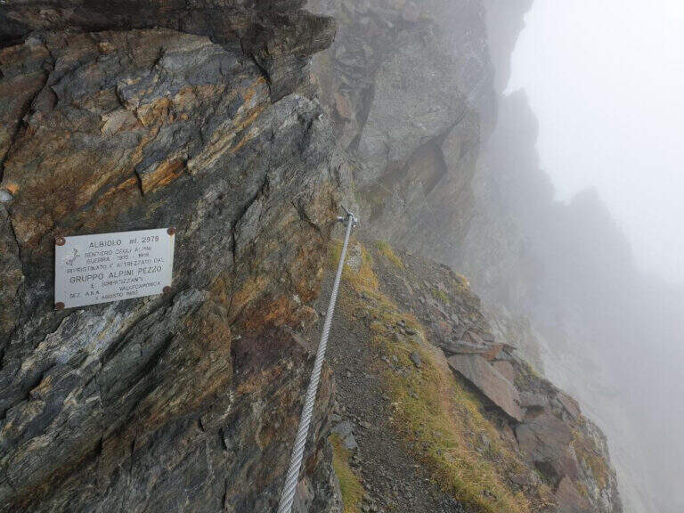
    Il Sentiero Attrezzato degli Alpini connects the Forcella del Montozzo to Passo dei Contrabbandieri, near Passo del Tonale (Brescia). More than a via ferrata is an exposed path equipped with modest difficulty: the cable is useful especially with wet bottom and in a couple of exposed beams. The report is described by the Forcella del Montozzo at Passo dei Contrabbandieri, but the route is commonly done on the contrary; the optional climb to Punta d'Albiolo is recommended.

    ▲Approach

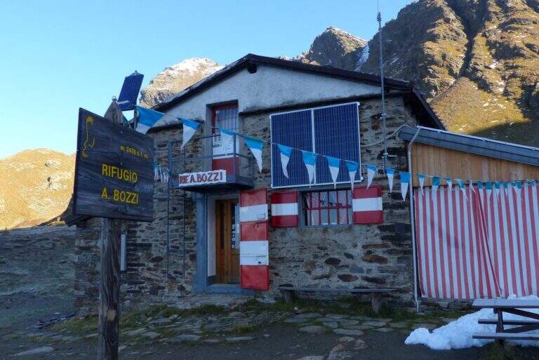
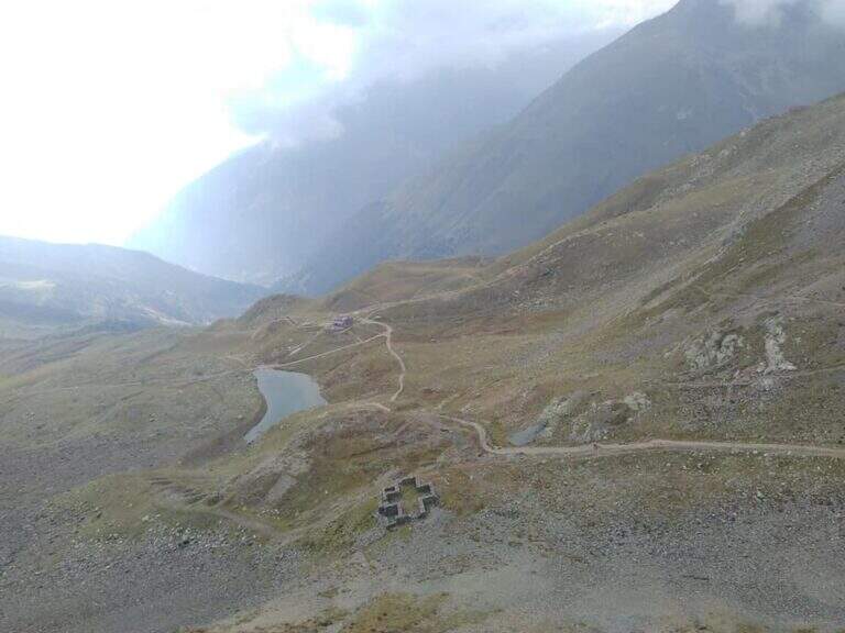
    It starts from Case of Viso (1754 m), in the province of Brescia at Passo del Tonale. Open road signs on Google Maps. Take the sentiero n. 52 which in a ' hour and a half leads to the Rifugio Bozzi (2478 m); stretching about twenty minutes you will reach steeply the Forcella del Montozzo (2613 m, 1h 45'), beginning of the path equipped. Alternatively, you can può climb from Trentino to Pejo (loc. Fontanino, paths 111/111b, about 3h 50') or from Passo del Tonale (Hospizio di San Bartolomeo, path 111 for Malga Valbiolo, about 2h 30' at Passo dei Contrabbandieri, along così l' route on the contrary).

    ▲The path

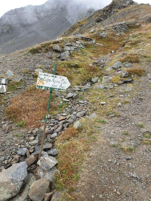
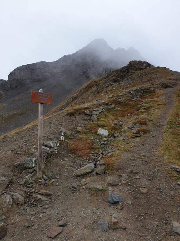
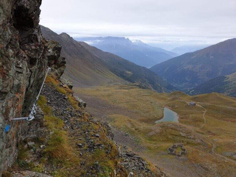
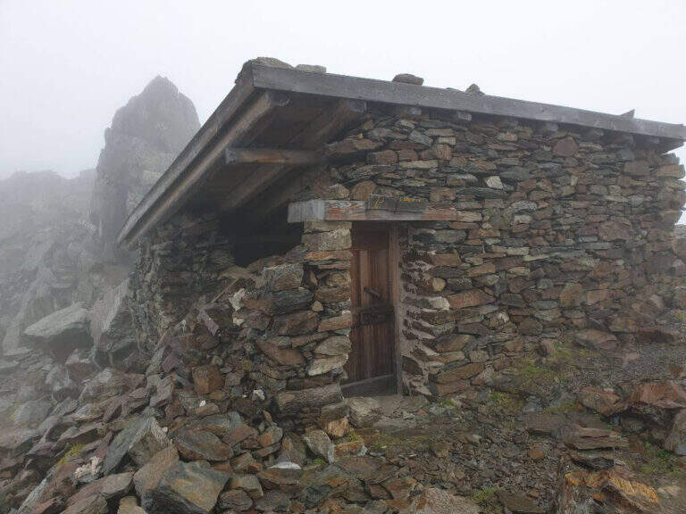
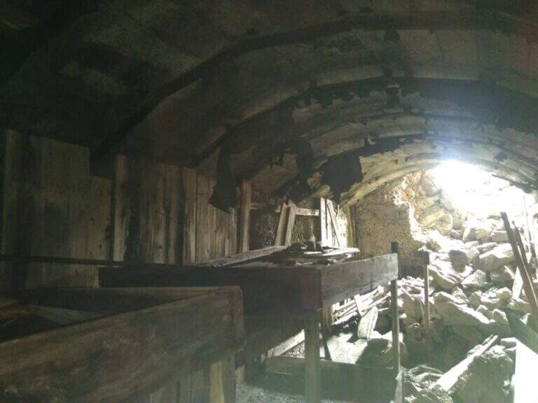
    Dalla Forcella del Montozzo (2613 m) il sentiero parte sul versante che domina la valle del Montozzo e il Rifugio Bozzi, incontrando subito diverse gallerie e tunnel usati dagli Alpini nella Prima Guerra Mondiale. Il tracciato è molto ripido e a tratti esposto; dopo alcuni passaggi attrezzati si supera una piccola forcella che apre la vista sui laghetti di Albiolo. Seguono altre cenge e passaggi esposti fino a un cartello: a destra prosegue il Sentiero degli Alpini verso il Passo dei Contrabbandieri, a sinistra la deviazione per il Torrione di Albiolo. Prendendo la deviazione, in pochi minuti e semplici passaggi si arriva sotto l'Albiolino (piccola croce di vetta); proseguendo a sinistra si trova il Torrione di Albiolo (2976 m), con un cavo metallico che aiuta la salita alla croce (attenzione: tratto con pericolo di caduta). Tornati al cartello, si riprende il Sentiero degli Alpini che in circa mezz'ora porta al Passo dei Contrabbandieri (2679 m), dove sorge una capanna in totale abbandono (1h 30' dall'inizio del sentiero, circa 3h 30' complessive). Chi vuole può allungare in meno di mezz'ora alla Cima Casaiole (2779 m), splendido balcone panoramico con altri camminamenti e trincee della Grande Guerra.

    ▲Character and difficulty

    Nice path of mention on the war walks, of technical commitment contained but with exposed traits where the cable instills safety. The equipped part has been completely renovated in August 2019 and is in excellent condition, except for a couple of loose but not dangerous thickets.

    ⚠ To face only in the absence of snow (ideally from June to September): wet soil è insidious, especially in chain-free passages. Helmet and iron set recommended.

    ▲Discipline

    From the Contrabbandieri Pass the più return; quick descends north to the Rifugio Bozzi (20-30') and from here to Case di Viso (about 1h 15'), for a total of almost 5h.

    ▲To match

    The natural ridge ` the Ferrata of Austriaci, which from Punta d'Albiolo leads to the Eastern Tonal (a similar, difficult and slightly higher environment). In the area of Ponte di Legno è very recommended the Path of Flowers; going down in Val Camonica there are the Ferrata at Corno del Grevo, la Ferrata at Pizzo Badile Camuno e il Parco delle Fucine di Casto.

    ▲Gallery
    Technical data
    • DifficultyModerately Hard
    • RegionLombardy
    • ProvinceBrescia
    • GroupAdamello-Presanella
    • Approach1h 45'
    • Fully equipped1h 30'
    • Complete itinerary4h 45'
    • Route difference1250 m
    • Maximum2970 m
    • Length11 km
  • Path equipped Bonacossa

    Path equipped Bonacossa

    Vie Ferrate › Veneto › Belluno
    Path equipped Bonacossa
    Moderately Hard● To checkDescriptionComplexityMapsGallery

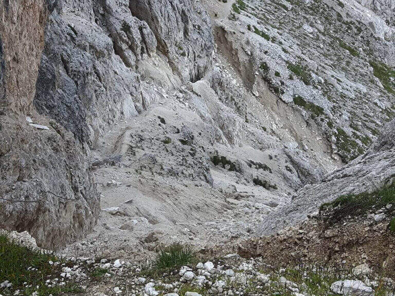
    viso Notice — Since 2017 the Forcella di Misurina è affected by a landslide that has made it impossible to reach the point of the path is still closed. È it is possible to travel on the route from the Ciadin de la Neve. Always check the current conditions at the refuges in the area before leaving.

    Il Path equipped Bonacossa is a long and beautiful itinerary, partly equipped, which cuts in south-north direction the Group of the Cadini di Misurina (Dolomiti di Sesto). Different room forks, with a total difference of height much greater than the absolute for the continuous climbs. The equipped stretches are not difficult, but the excursion requires good training and steady foot, especially from Forcella de Rinbianco onwards.

    ▲Approach

    The starting point & the mountain station of the Col de Varda, on the eastern side of Lake Misurina. You park at the south side of the lake, near the ' Hotel Alpenrose, and you reach the facilities. Open road signs on Google Maps. With the seggiovia not c' & ` approaching; alternatively, it rises in 45' from Lake Misurina (1756 m) to the Col de Varda Refuge (2115 m) for the steep 120 signpost.

    ▲The path

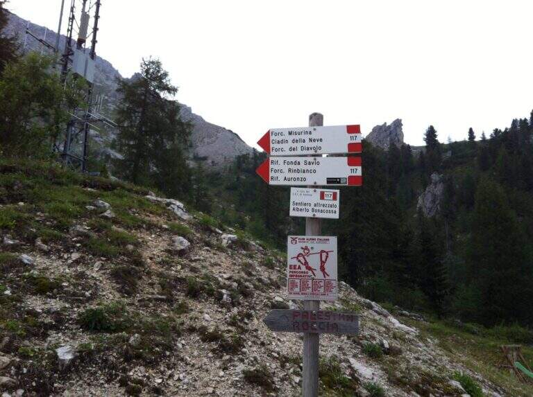
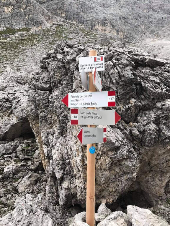
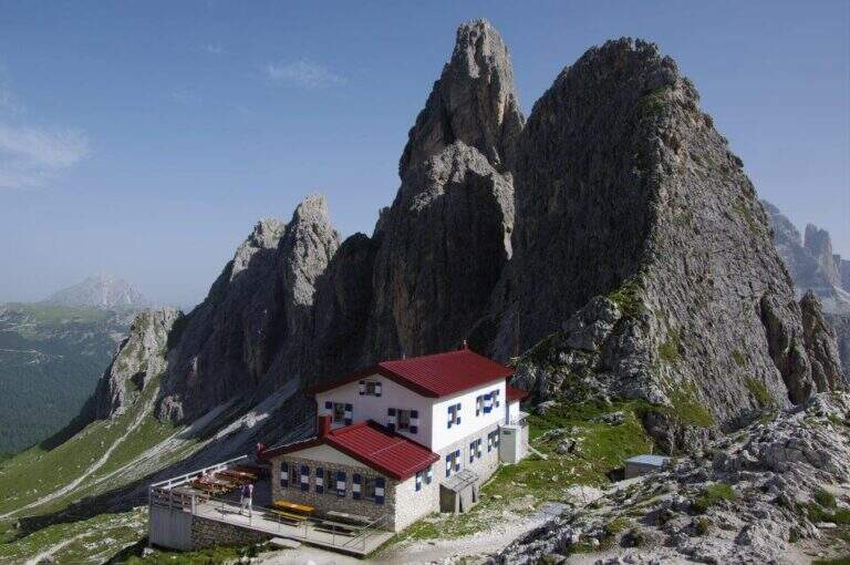
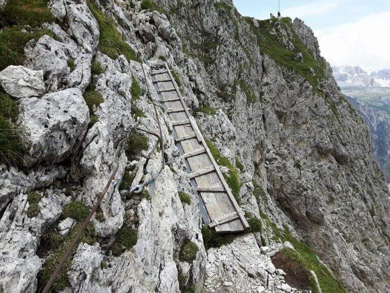
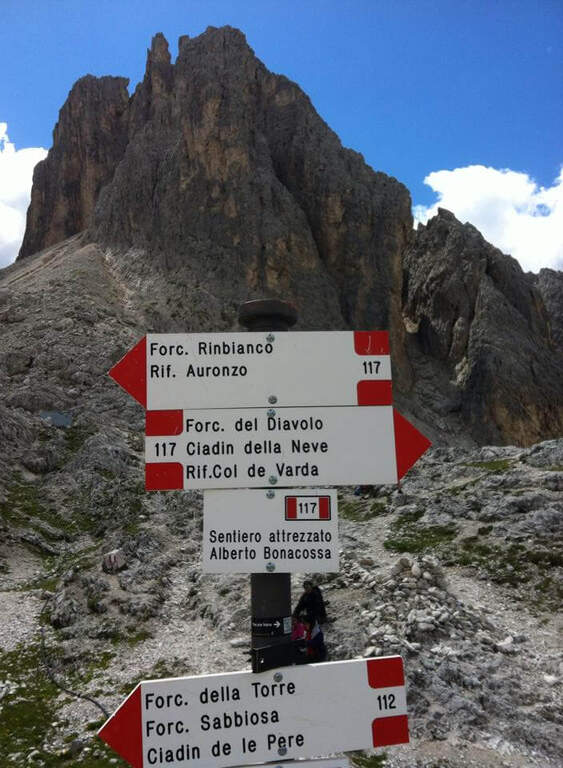
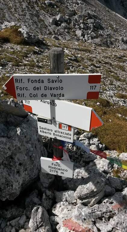
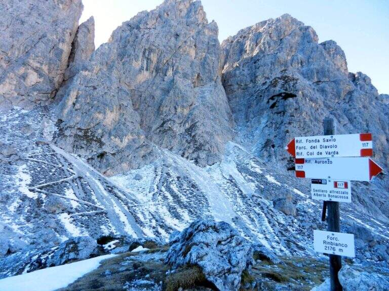
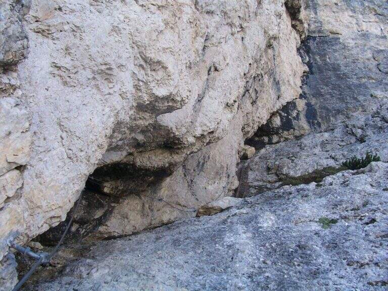
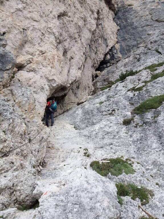
    From the upstream station (Rifugio Col de Varda) the metal plate marks the beginning of the mark 117 north. Following radi red boils rises, first half-coast then steeper, towards the Misurina Fork (2395 m, 45' from the station), going up a detritic canal on the right side to stretches equipped with rope ( steep and tiring, with wooden frames in support of the bottom). NB: questo tratto è quello interessato dalla frana del 2017 (vedi avviso). Dalla forcella si scende ripidamente lo stretto intaglio in un canalino detritico, aiutati da corde metalliche su un paio di balzi verticali e un traverso a destra, e si attraversa un foro nella roccia attrezzato con fune e gradini artificiali, fino al Ciadin della Neve (2250 m, 1h 30' dalla stazione), dove si incrocia il sentiero 118. Restando sul 117 si risale ripidi verso nord-est: due scalette metalliche superano due salti rocciosi, poi si piega a destra salendo la parte alta del canalino, instabile negli ultimi metri, fino alla Forcella del Diavolo (2380 m, circa 2h 15'). Si scende ripidi sulla destra di un ghiaione (possibile neve a stagione inoltrata) fino al Rifugio Fonda Savio (2367 m, circa 3h), crocevia dei Cadini da cui parte verso sud l'attacco dell'aerea Ferrata Merlone. Dal rifugio il 117 prosegue a nord: un tratto ripido con passaggi attrezzati, un canalino attrezzato e una cengia con passerella in legno riportano verso il Ciadin della Neve; ignorata la deviazione per Forcella Sabbiosa (sentiero 112) si raggiunge Forcella de Rinbianco (2176 m, 3h 30'), dove si tiene la destra verso il Rifugio Auronzo. Segue una cengia panoramica, a tratti esposta e attrezzata ma non difficile, sopra la Val de le Cianpedele; superata una passerella e alcuni resti della Grande Guerra, a un bivio si lascia il Sentiero Durissini e si resta sul 117 a sinistra in salita. Si aggira la parete orientale del Ciadin delle Bisse con roccette, una rampa diagonale (cavo a sinistra) e una scaletta appoggiata; i passaggi non sono difficili ma il fondo è spesso umido, quindi conviene assicurarsi. Una serie di cenge e brevi canalini franosi, sempre attrezzati nei punti più esposti, costituisce il tratto più adrenalinico fino a una forcella (2300 m, 4h 30') che scavalca dal versante est a quello ovest, con le Tre Cime di Lavaredo di fronte. Dopo l'ingresso di una galleria (facoltativa, aggirabile per sentiero) si raggiunge il Rifugio Auronzo (2320 m, 5h 15').

    ▲Character and difficulty

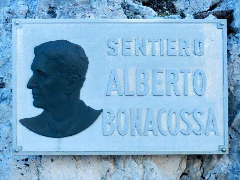
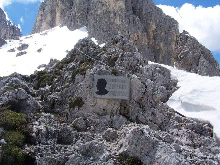
    The equipped sections are without technical difficulties and most useful as handrail; the pitfalls are the length, the numerous ups and some sections exposed (especially by Forcella de Rinbianco), however always well equipped. Itinerary dedicated to Alberto Bonacossa, a multifaceted sports and military figure of the first half of the twentieth century.

    ⚠ Attention to nevai also present in late season, especially in the valleys; the wet bottom of the cenges requires caution. Remember the closure of the stretch of Forcella di Misurina (frana 2017).

    ▲Discipline

    From the refuge Auronzo, the return to Misurina takes place by bus or following the tourist trail 101, in constant and never excessive slope, up to Lake Misurina in 1h 30' (about 7h overall).

    ▲To match

    From the Rifugio Fonda Savio you can turn south to Ferrata Merlone. From the refuge Auronzo you climb to Monte Paterno for the Ferrata Innerkofler-De Luca, or Toblin Tower for Ferrata delle Scalette e la Ferrata Hosp. From Lake Misurina you can reach the itineraries of Cristallo, including the Ferrata René De Pol e la Ferrata Capitano Bilgeri monte Piano.

    ▲Gallery
    Technical data
    • DifficultyModerately Hard
    • RegionVeneto
    • ProvinceBelluno
    • GroupCadini di Misurina
    • Approach5 min (with chairlift)
    • Equipment5h 15'
    • Complete itinerary7h
    • Level difference100 m
    • Route difference624 m
    • Maximum2495 m
    • Length17,5 km
  • Ferrata delle Scalette alla Torre di Toblin

    Ferrata delle Scalette alla Torre di Toblin

    Vie Ferrate › Veneto › Belluno
    Ferrata delle Scalette alla Torre di Toblin

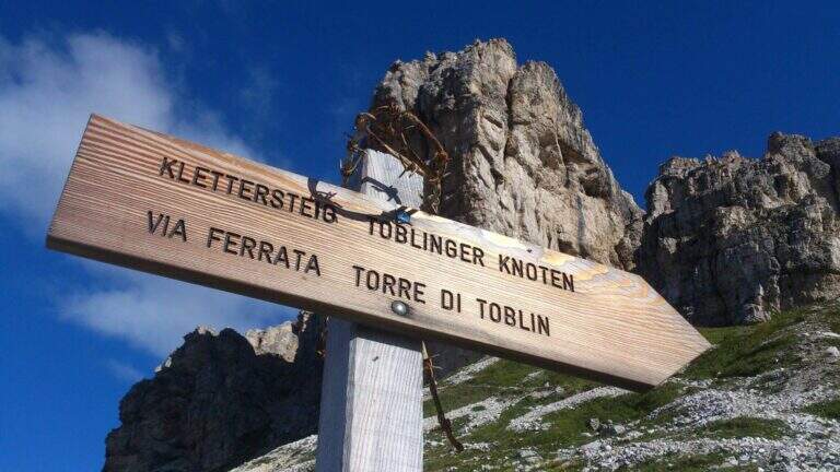
    La Ferrata delle Scalette risale la parete nord-ovest della Torre di Toblin, nelle Dolomiti di Sesto, in uno degli scenari più celebri delle Dolomiti (Tre Cime, Croda dei Toni, Monte Paterno). È breve ed esposta, fatta in gran parte di scalette metalliche ma con tre passaggi che ne alzano sensibilmente il grado; si sale dalle Scalette e si scende dalla vicina Ferrata Cappellano Hosp, in un anello logico molto frequentato.

    ▲Approach

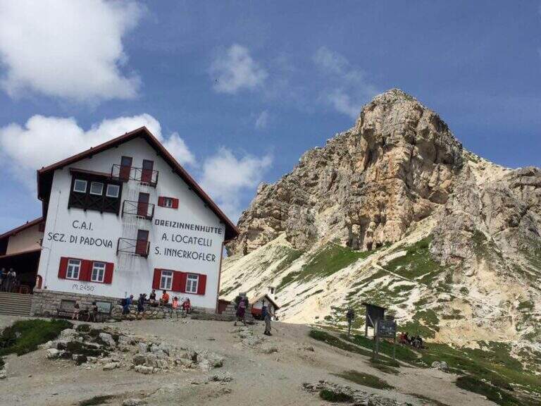
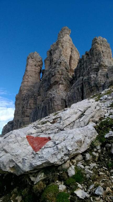
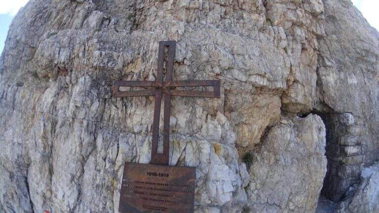
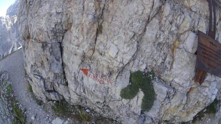
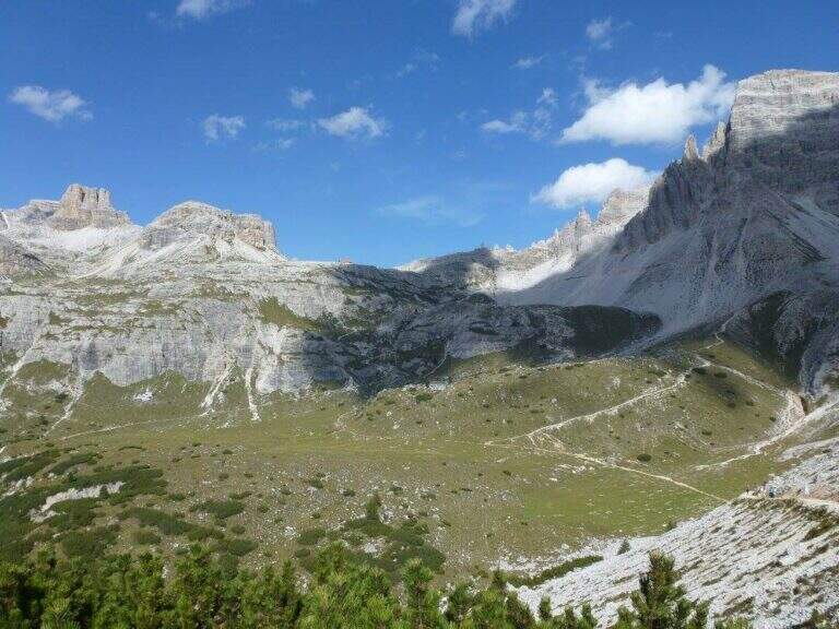
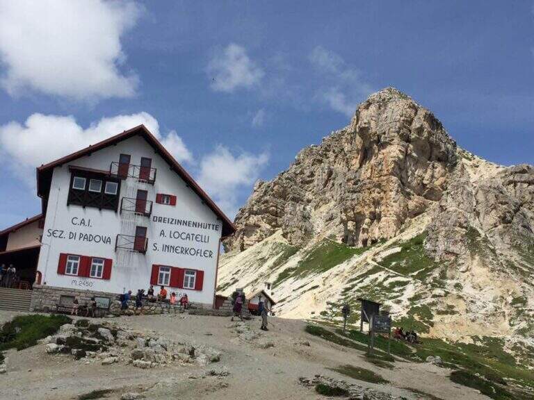
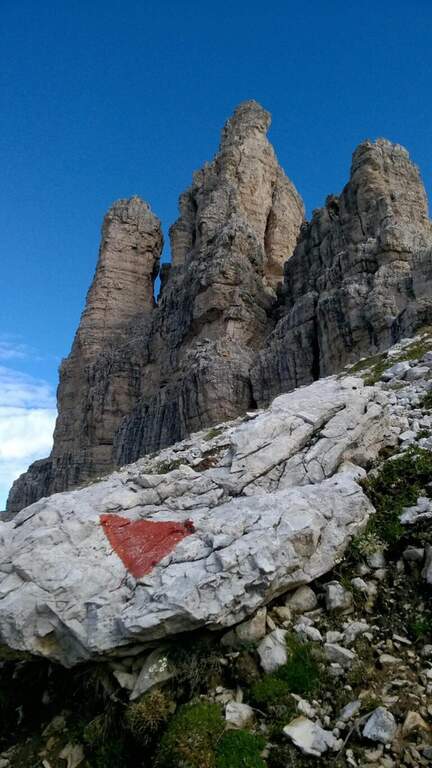
    Si parte dal Rifugio Auronzo (2320 m), raggiungibile in auto da Misurina lungo la strada panoramica a pedaggio (7 km); Misurina è accessibile da Cortina/Auronzo (SR48, SP49) o da Dobbiaco (SS51, SP49) (starting point on Google Maps). Dal parcheggio si segue il sentiero panoramico 101 fino al Rifugio Lavaredo (2344 m, circa 30′) e quindi a Forcella Lavaredo (2454 m, 45′), dove si apre il panorama su Croda di Passaporto, Monte Paterno, Sasso di Sesto e Torre di Toblin. Si continua in discesa sul 101, ignorando le tracce che si staccano a sinistra, fino al Rifugio Locatelli (2450 m, 1h 15′ dal parcheggio). Da qui si seguono i triangoli rossi verso nord, aggirando il Sasso di Sesto e restando sul lato sinistro della Torre di Toblin, oltre un vecchio rifugio della Grande Guerra, fino a una caratteristica croce metallica; le indicazioni rosse sulla roccia portano all’attacco (20′ dal Locatelli, circa 1h 30′ totali).

    ▲The path

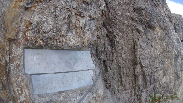
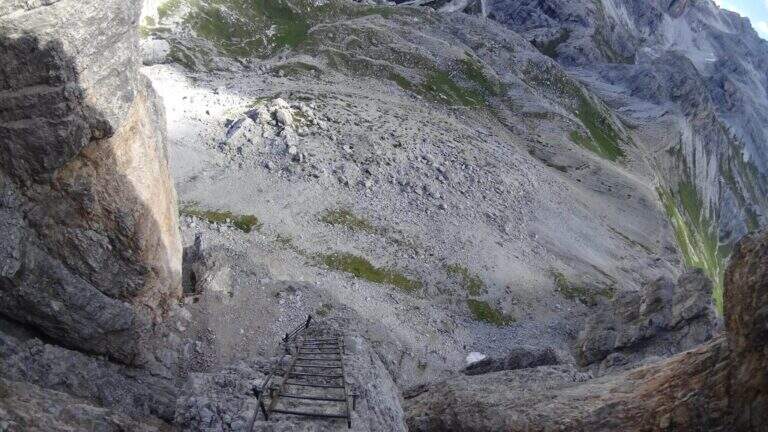
    Alcune frecce rosse conducono su facili roccette, prima a sinistra poi a destra, fino a una targa in marmo che ricorda l’origine bellica della via. La ferrata parte verticale in un diedro ben appigliato, con il cavo a sinistra: passaggio impegnativo ma con buoni appoggi per i piedi. Si piega a destra entrando in una fessura ben gradinata, poi a sinistra in diagonale fino alla prima scaletta; seguono facili balzi e il primo tratto decisamente esposto, dove si sale uno spigolo presso una vecchia asse di legno e due scalette in piena esposizione. Una cengia verso destra sotto un tetto introduce al tratto centrale, il più caratteristico: si risale un lungo camino con varie scale (le prime due verticali, la terza obliqua che taglia il camino sul versante opposto). Si arriva al passaggio più impegnativo: per raggiungere la scala e il cavo sul lato sinistro del camino occorre procedere in spaccata, perché la parete sinistra, spesso umida, è priva di appoggi; lo sforzo è nei primi due passi, poi cercando con cura gli appoggi si guadagna la scaletta. Usciti dal camino, dopo alcune roccette a sinistra si percorre un esposto traverso con staffe per i piedi e si arriva all’ultimo camino, di nuovo ricco di scalette: due nella fessura, poi a sinistra in completa esposizione un’altra scala. Si sale infine l’esposto spigolo ben appigliato e, piegando a destra, un’ultima scaletta accanto a resti della Grande Guerra porta al piano sommitale con la Croce di Vetta della Torre di Toblin (2617 m, 45′ dall’attacco, 2h 15′ totali).

    ▲Character and difficulty

    Spesso considerata facile per via della brevità, in realtà merita il grado Difficile: pur essendo in larga parte costituita da scalette, presenta tre passaggi più severi (il diedro iniziale, il passaggio in spaccata nel camino, lo spigolo finale) e un’esposizione costante. Per il ferratista allenato i singoli tratti sono moderatamente difficili, ma nel complesso la via va affrontata con rispetto.

    ⚠ Itinerario molto frequentato in estate: per evitare ingorghi (e gli incroci pericolosi sulle scalette) conviene percorrerlo a inizio mattinata o nella seconda metà del pomeriggio. Si sale dalle Scalette e si scende dalla Hosp: non invertire il senso.

    ▲Period and safety

    Itinerario d’alta quota per la stagione estiva (vetta 2617 m). Cartografia consigliata: carta delle Dolomiti di Sesto (4Land). Cenni storici: durante la Prima Guerra Mondiale la Torre di Toblin era al confine tra Italia e Impero austro-ungarico; le truppe austriache vi piazzarono un mortaio per controllare il Sasso di Sesto e le linee italiane.

    ▲Discipline

    Dalla vetta entrambe le opzioni di discesa sono attrezzate, ma quella consigliata è scendere per la Ferrata Cappellano Hosp (30′ dalla vetta, 2h 45′ totali), tecnicamente più facile delle Scalette. Scesi a valle si riprende a ritroso il sentiero dell’avvicinamento fino al Rifugio Locatelli, a Forcella Lavaredo e quindi al Rifugio Auronzo (1h 45′ dalla vetta, 4h totali).

    ▲To match

    L’abbinamento naturale è la Ferrata Cappellano Hosp in discesa; nelle vicinanze la Ferrata Innerkofler al Monte Paterno (anello dal Locatelli), la Ferrata Severino Casara alla Croda dei Toni e, alla Croda Rossa di Sesto, la Ferrata dei Costoni e la Ferrata Zandonella. Verso Misurina il Sentiero Bonacossa, la Ferrata Capitano Bilgeri al Monte Piano e la Ferrata Merlone ai Cadini.

    ▲Gallery
    Technical data
    • DifficultyHard
    • RegionVeneto
    • GroupSesto Dolomites
    • Approach1:30 h
    • Ferrata0:45 h
    • Itinerary (a/r)4:00 h
    • Hardware level difference115 m
    • Route difference317 m
    • Max2617 m
    • Length10,9 Km
  • Ferrata Cappellano Hosp alla Torre di Toblin

    Ferrata Cappellano Hosp alla Torre di Toblin

    Vie Ferrate › Veneto › Belluno
    Ferrata Cappellano Hosp alla Torre di Toblin
    Moderately Hard● OpenDescriptionComplexityMapsGallery

    La Ferrata Cappellano Hosp risale la parete nord-est della Torre di Toblin, nel cuore delle Dolomiti di Sesto sopra il Rifugio Locatelli. È una via di moderata difficoltà, ben arrampicabile e mai eccessivamente esposta, spesso utilizzata come comoda discesa per chi sale la più impegnativa Ferrata delle Scalette.

    ▲Approach

    Punto di partenza il Rifugio Auronzo (2.320 m), raggiungibile in auto da Misurina lungo la strada panoramica a pedaggio di 7 km (starting point on Google Maps). Dal parcheggio si prosegue verso il Rifugio Lavaredo e la Forcella Lavaredo; si scende dalla forcella e si risale al Rifugio Locatelli (2.450 m, 1h 15′), quindi, seguendo verso nord i triangoli rossi, si raggiunge la base della Torre di Toblin. Qui due opzioni: salire per la Ferrata delle Scalette e scendere per la Hosp (consigliato) dirigendosi a nord-ovest, oppure salire e ridiscendere per la sola Hosp dirigendosi a nord-est all’attacco (1h 30′ complessiva dal parcheggio).

    ▲The path

    L’attacco è presso una postazione di guerra con feritoia. Si parte con un facile traverso a destra, poi un primo salto verticale di circa 6 metri; si piega a destra salendo prima su sentiero senza funi e poi su bei balzi rocciosi verticali ma ottimamente appigliati. Un breve tratto di sentiero, con una curva a sinistra, porta sotto il passaggio più fisico: uno spigolo esposto con buoni appigli, oltre il quale si risale una lunga serie di roccette su fondo detritico poco stabile. Si supera un salto più pronunciato e una cengia diagonale a destra, quindi una serie di balzi arrampicabili che spostano prima a sinistra poi a destra. Un lungo tratto ascendente verso sinistra porta alla cresta sommitale, anch’essa attrezzata, che si percorre verso destra fino alla croce di vetta della Torre di Toblin (2.617 m, 30′ dall’attacco, circa 2h totali).

    ▲Character and difficulty

    Via caratterizzata da facili balzi verticali e roccette, in molti tratti arrampicabile senza particolari difficoltà tecniche; adatta anche a chi ha relativamente poca esperienza. Difficoltà complessiva: Moderatamente Difficile.

    ⚠ Se usata come discesa (l’uso più comune, in combinata con la Ferrata delle Scalette), il senso di percorrenza in discesa risulta più impegnativo: procedere con attenzione. Attenzione al fondo detritico poco stabile.
    ▲Period and safety

    Alta quota dolomitica (max 2.617 m): stagione estiva con roccia asciutta. Cartografia consigliata: carta delle Dolomiti di Sesto di 4Land.

    ▲Discipline

    La discesa consigliata è a ritroso per la stessa Ferrata Hosp; scesi alla base si rientra a ritroso lungo il sentiero di avvicinamento fino al Rifugio Auronzo (4h totali).

    ▲To match

    L’abbinamento classico è con la Ferrata delle Scalette, in anello con salita alla Torre di Toblin. Dal Rifugio Locatelli si può proseguire verso il Monte Paterno con la Ferrata Innerkofler-De Luca. Verso Misurina il Sentiero Bonacossa e la Ferrata Merlone; verso Sesto la Ferrata Capitano Bilgeri al Monte Piano, la Ferrata dei Costoni di Croda Rossa e la Ferrata Strada degli Alpini.

    ▲Gallery
    Technical data
    • DifficultyModerately Hard
    • RegionVeneto
    • GroupSesto Dolomites
    • Approach1:30 h
    • Ferrata0:30 h
    • Itinerary (a/r)4:30 h
    • Hardware level difference115 m
    • Route difference317 m
    • Max2617 m
    • Length10,9 Km
Need help? Write to us!