Caratteristica: Varia

  • Ferrata Contessi at Monte Due Mani

    Ferrata Contessi at Monte Due Mani

    Vie Ferrate › Lombardia › Lecco
    Ferrata Contessi at Monte Due Mani

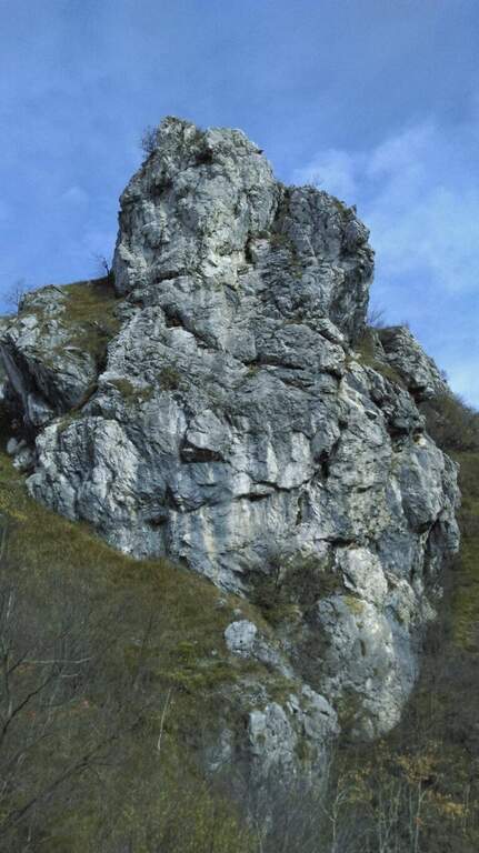
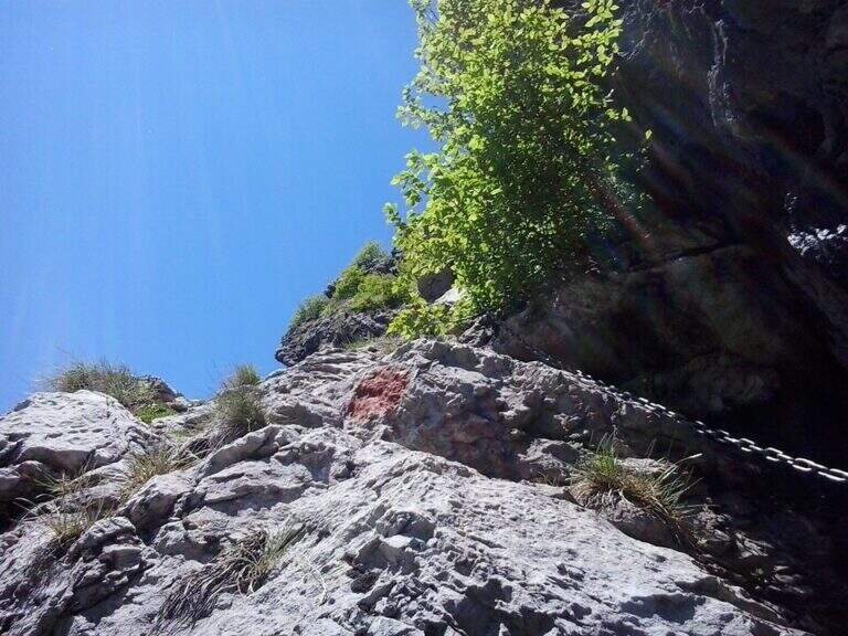
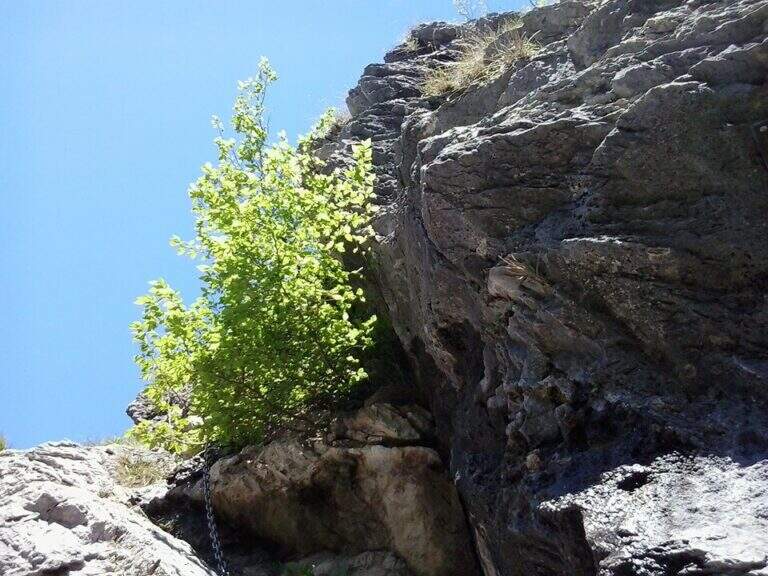
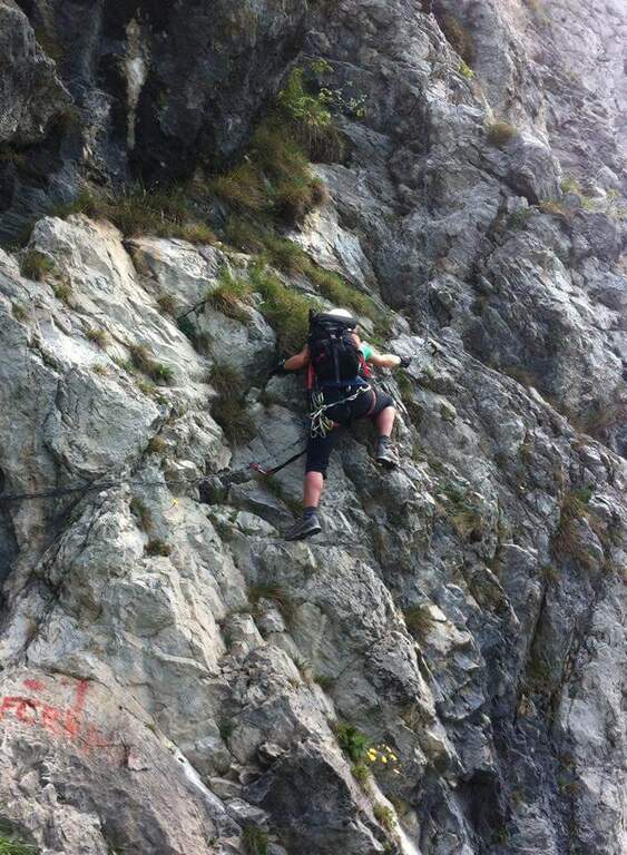
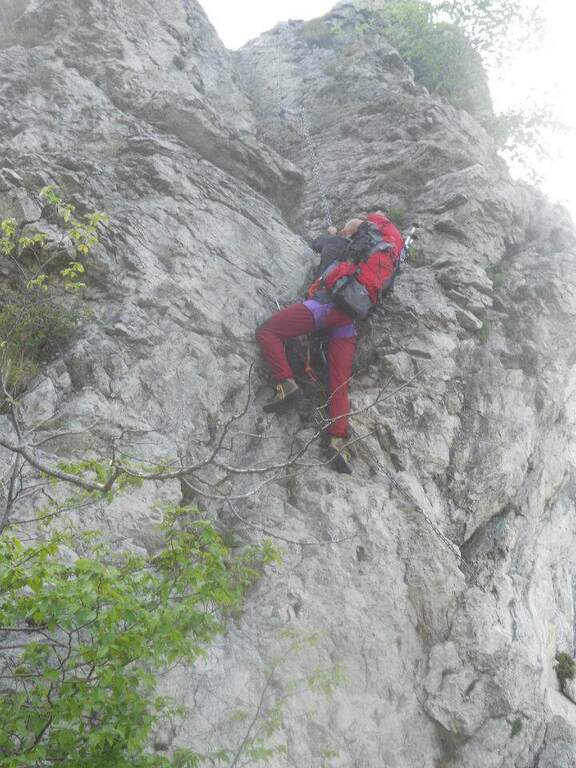
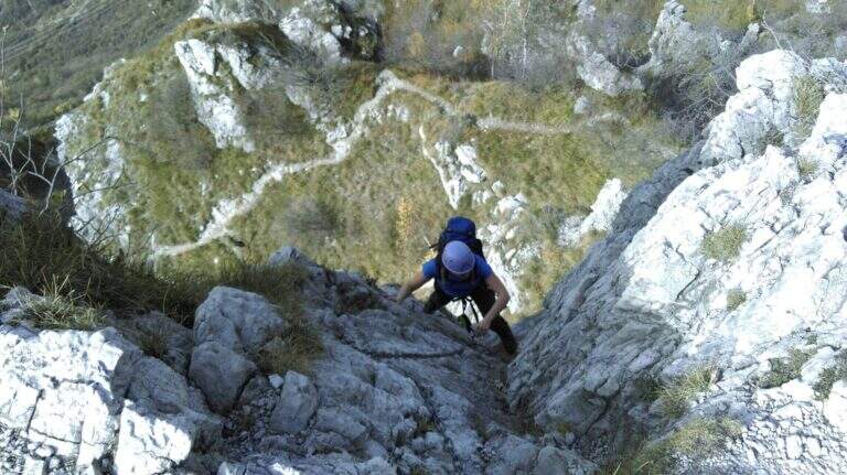
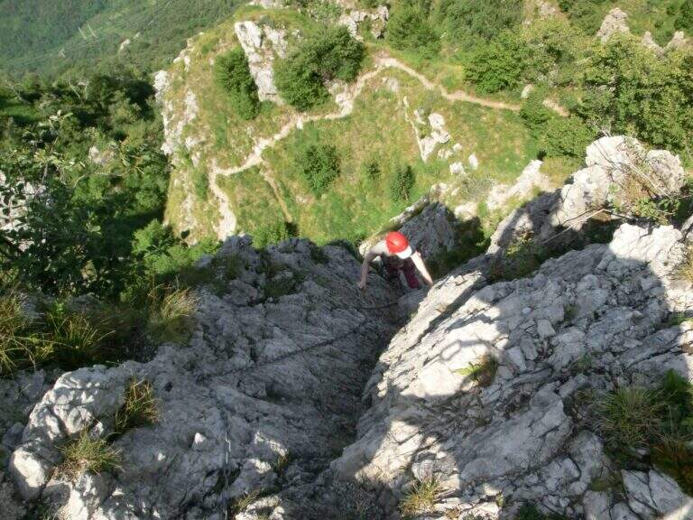
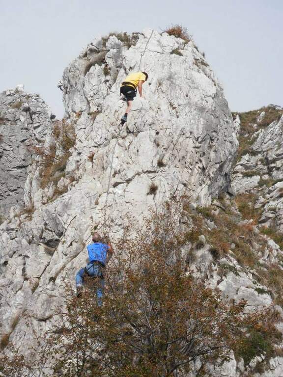
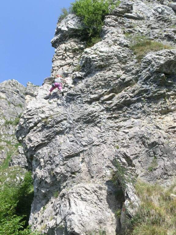
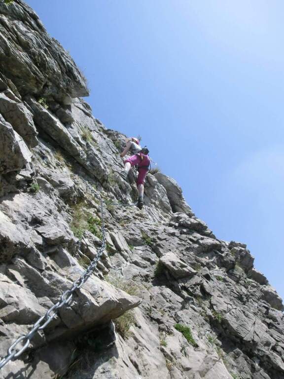
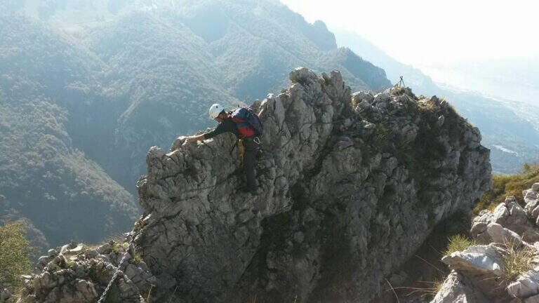
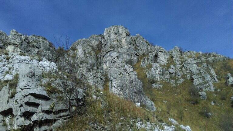
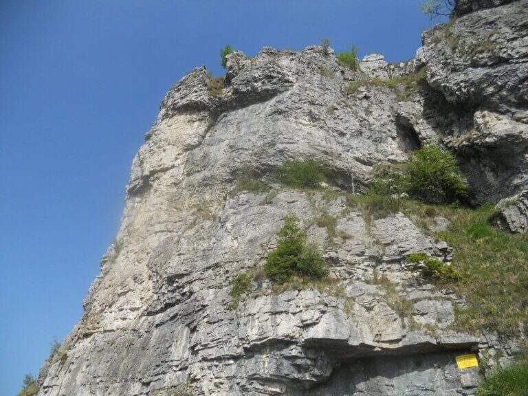
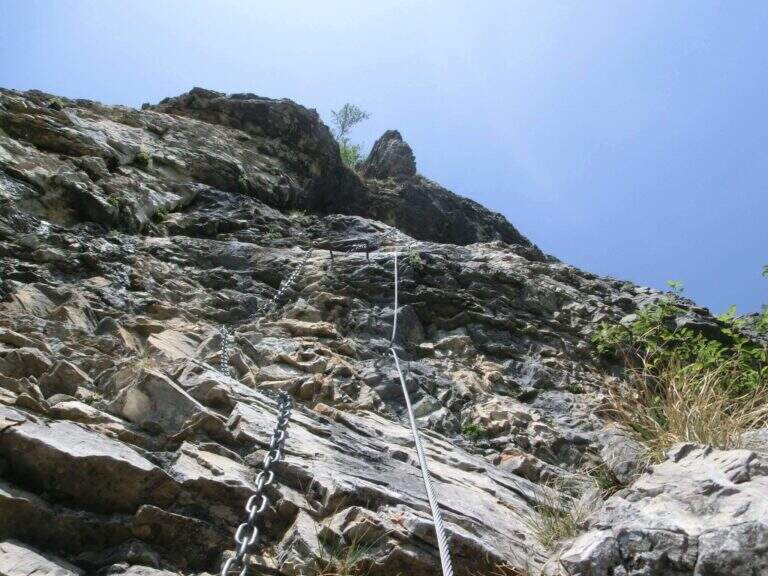
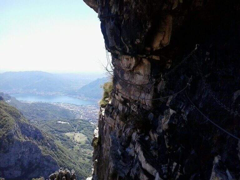
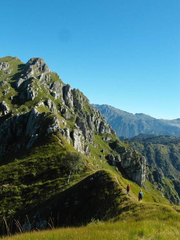
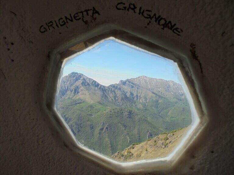
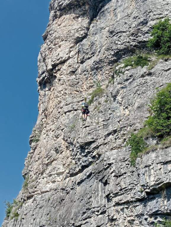
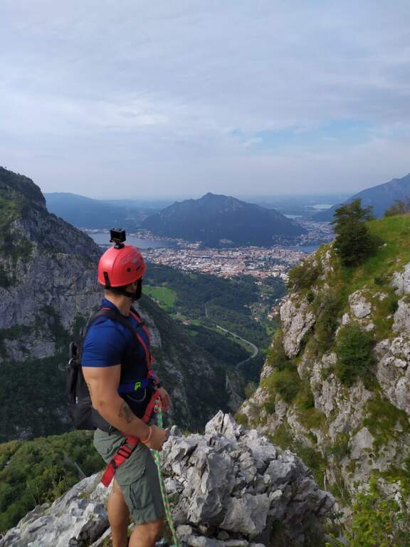
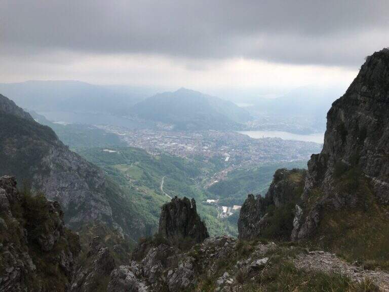
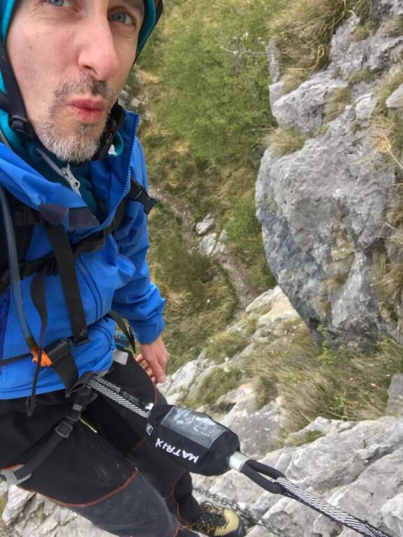
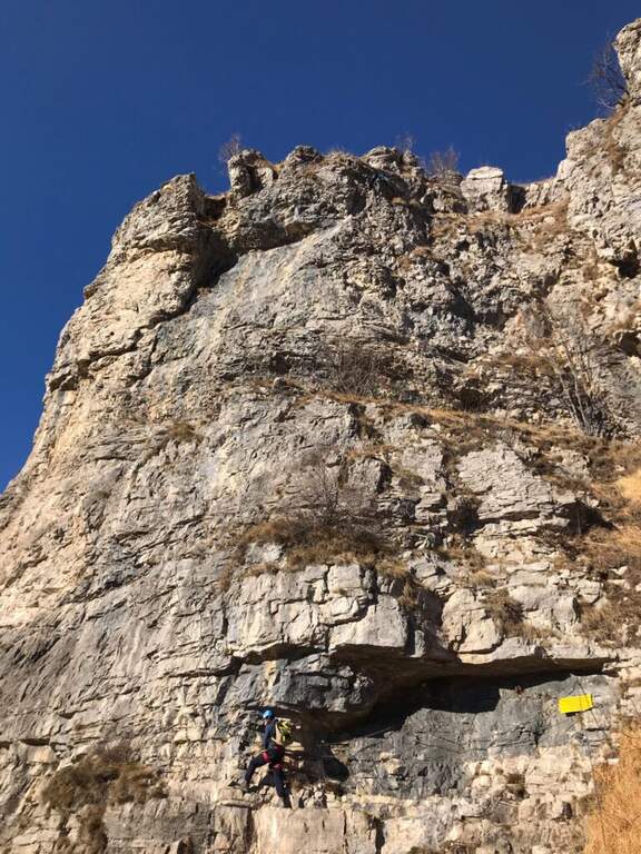
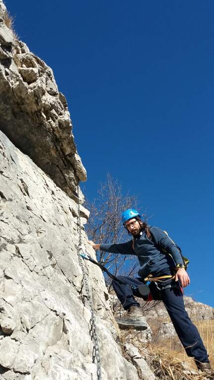
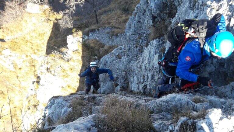
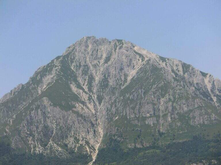
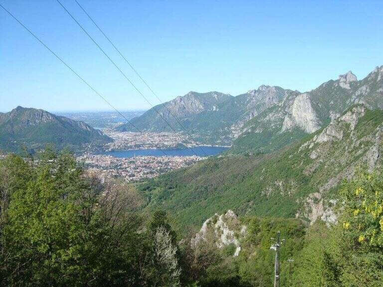
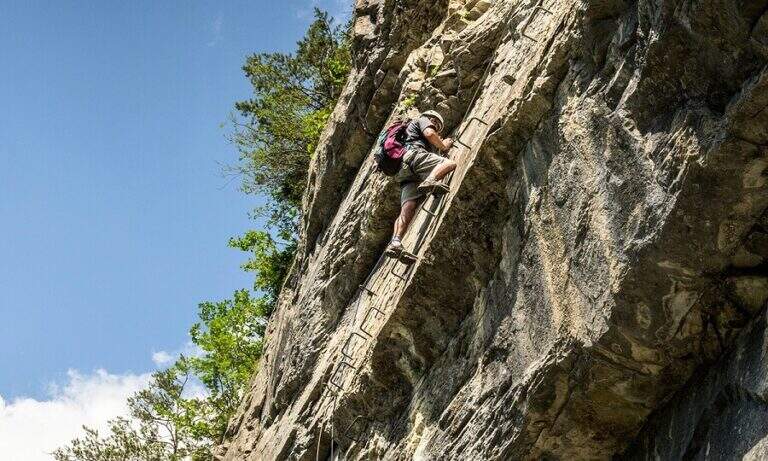
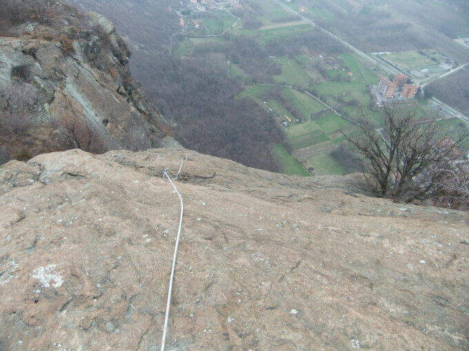
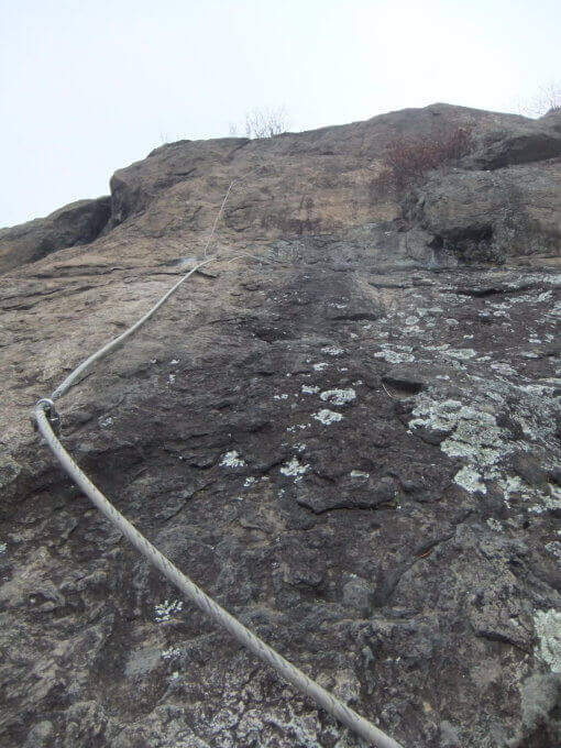
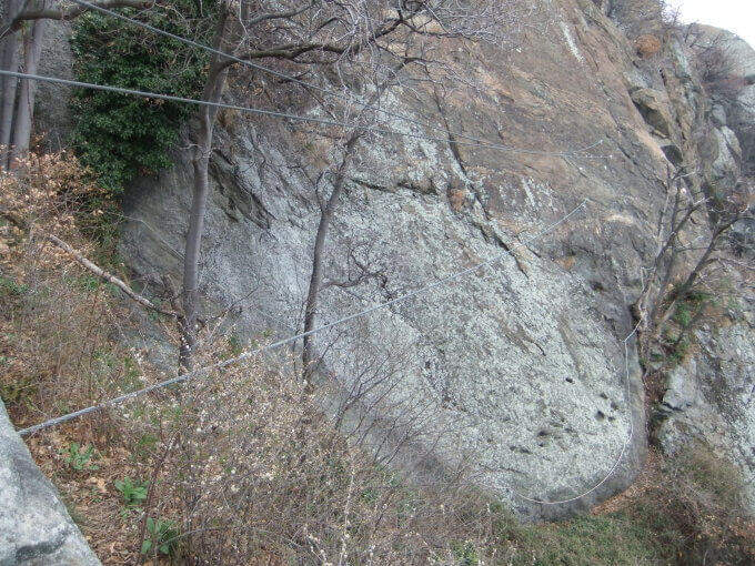
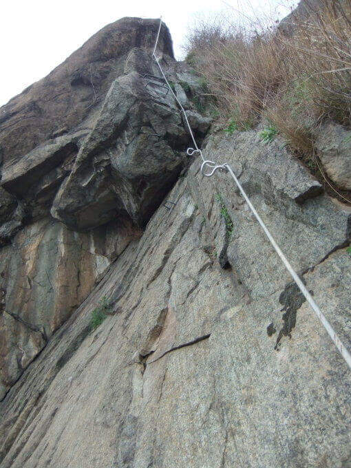
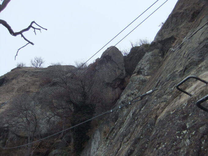
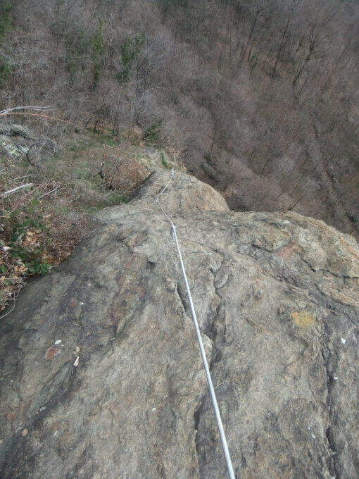
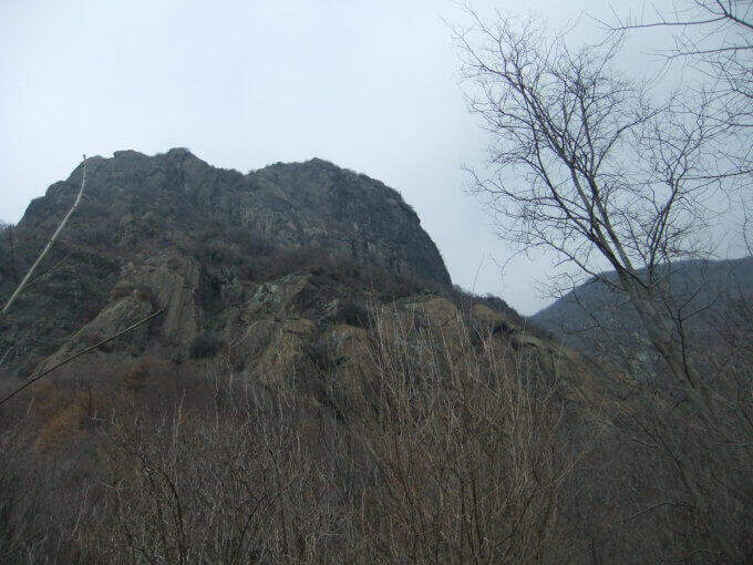
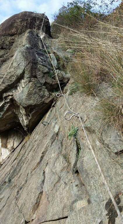
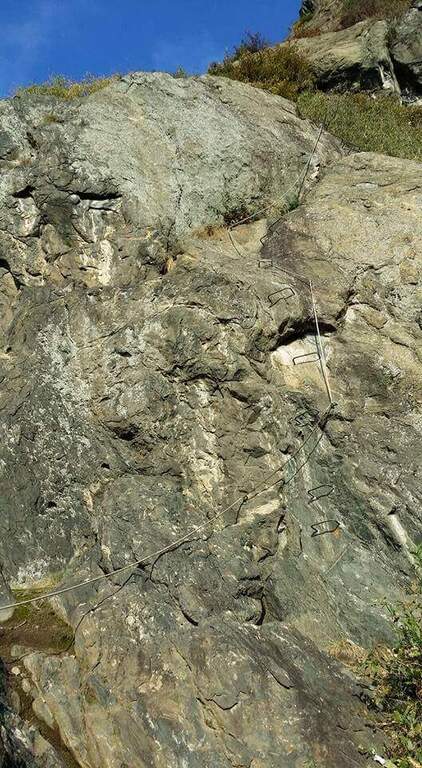
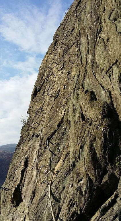
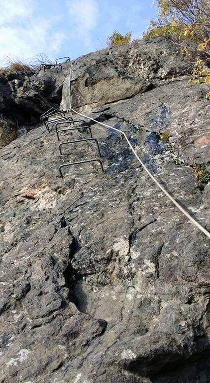
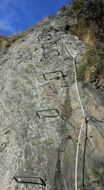
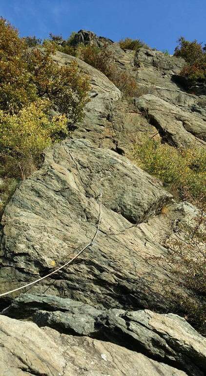
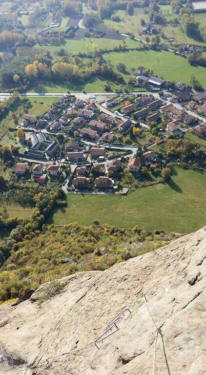
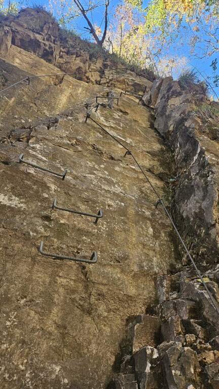
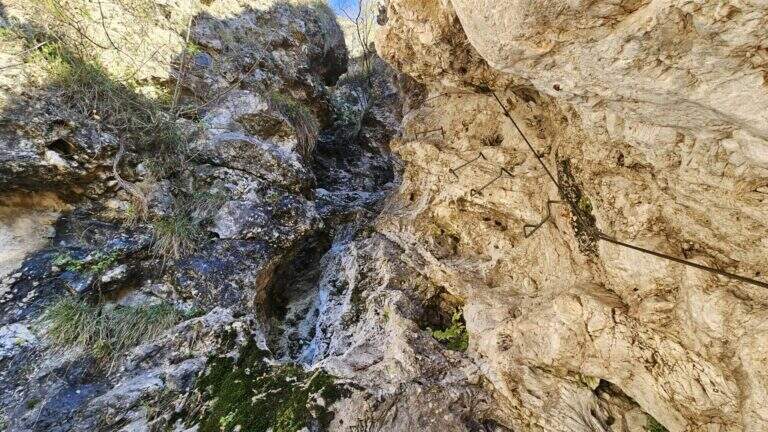
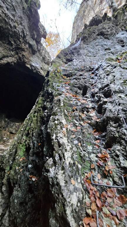
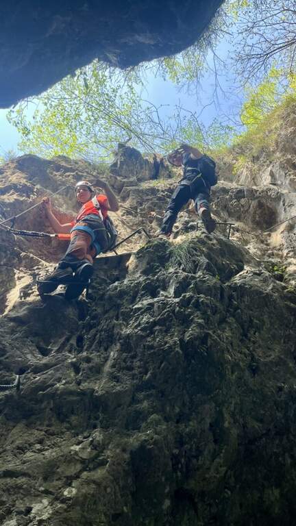
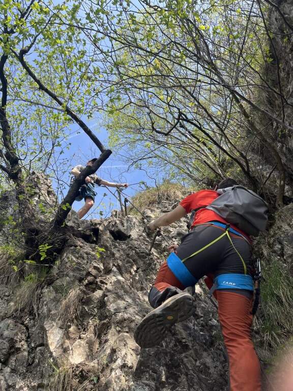
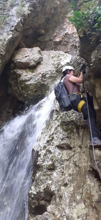
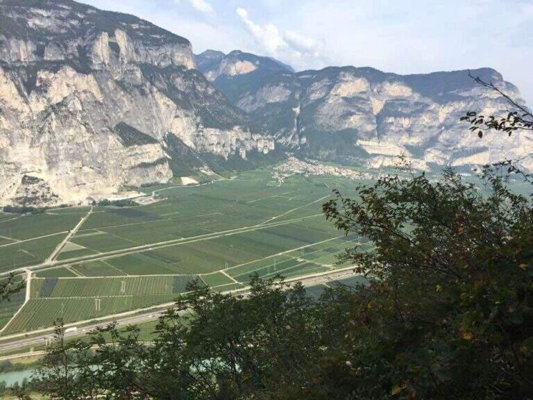
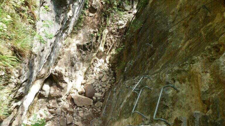
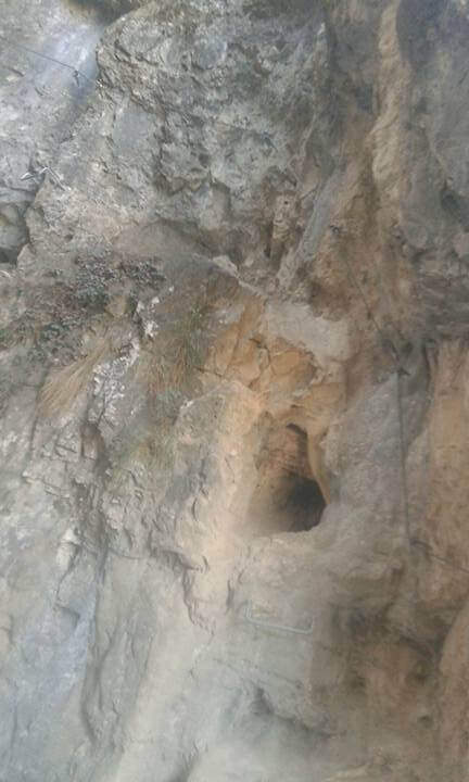
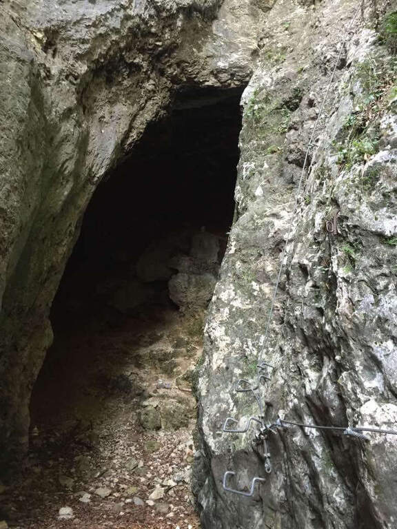
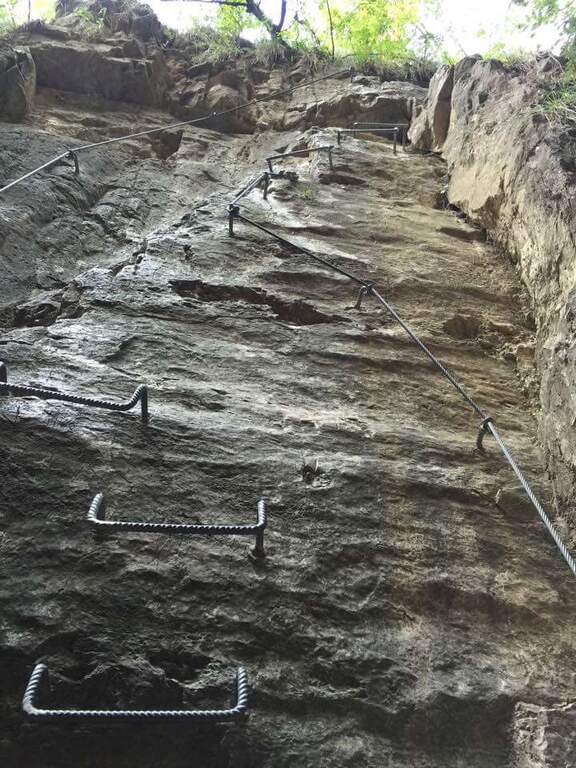
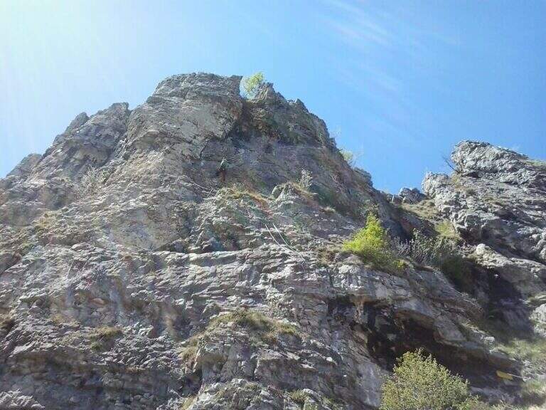
    La Ferrata Simone Contessi climbs along the rocky towers of the ridge of Monte Due Mani, in the province of Lecco. È a demanding and very varied , with vertical walls, beams and a dozen towers, and gives a wonderful view on Grigne, Resegone and Lake. A path along the ferrata and allows you to bypass the individual towers, offering numerous escape routes.

    ▲Approach

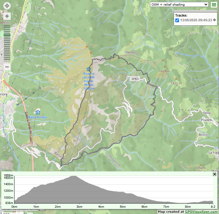
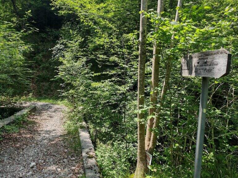
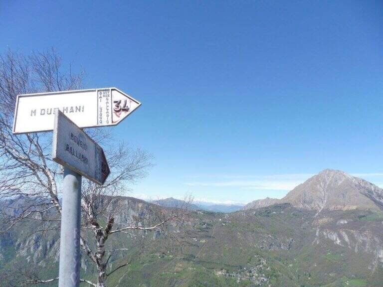
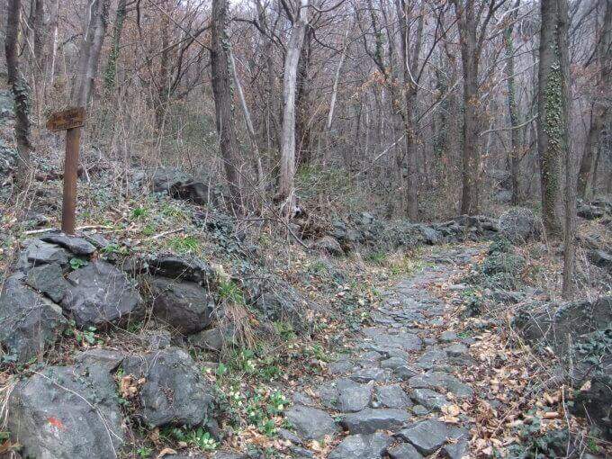
    Starting point along the road that connects Ballabio to Morterone (Lecco): from Ballabio you go for almost 5 km to the winding road to Morterone, you cross a tunnel and, after a few bends, you find a slargo on the left with a couple of parking spaces and a sign (other parking spaces just beyond). Open road signs on Google Maps. From the parking lot, a steep path in the forest takes short to the tag d' attack (10' from the parking lot).

    ▲The path

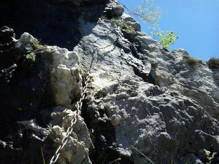
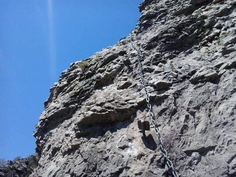
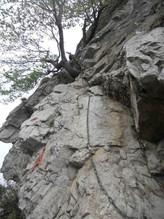
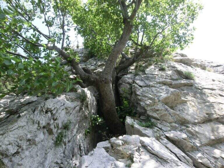
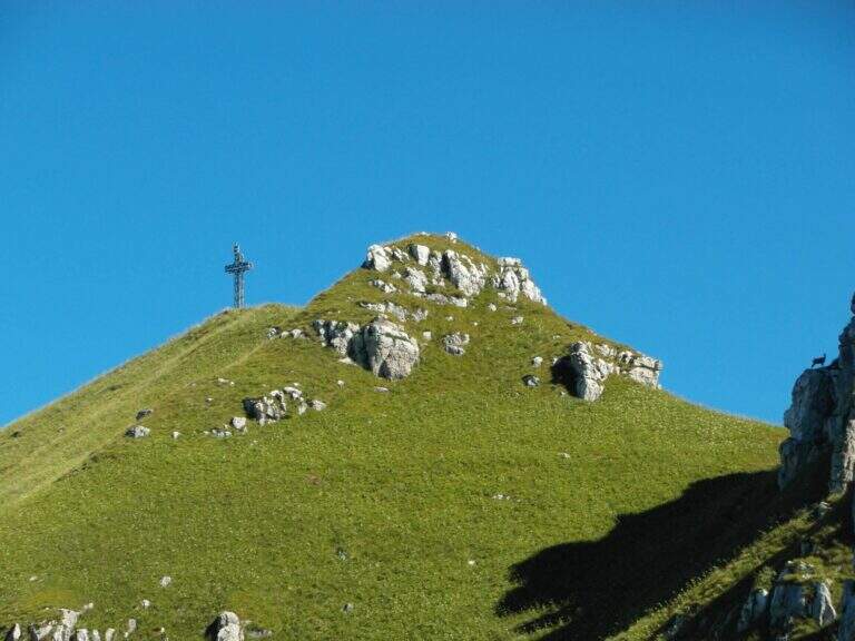
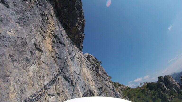
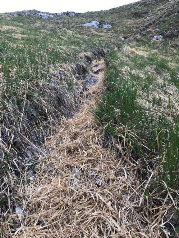
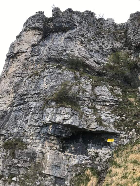
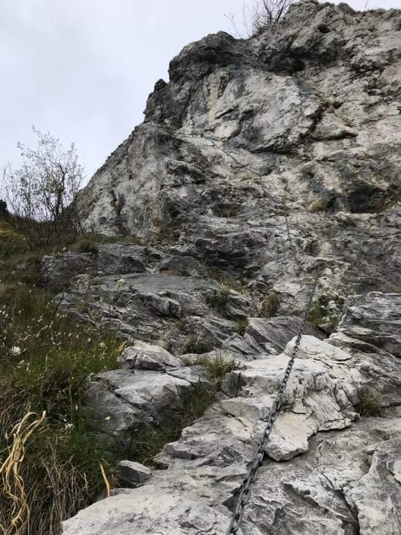
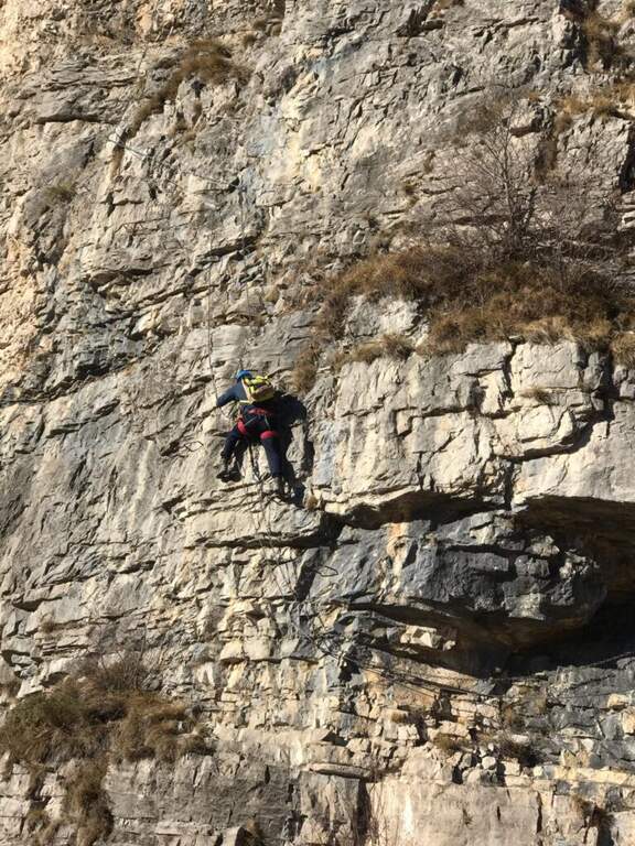
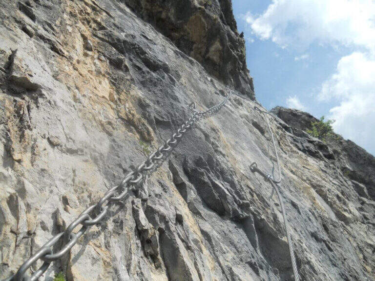
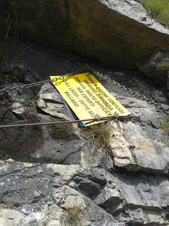
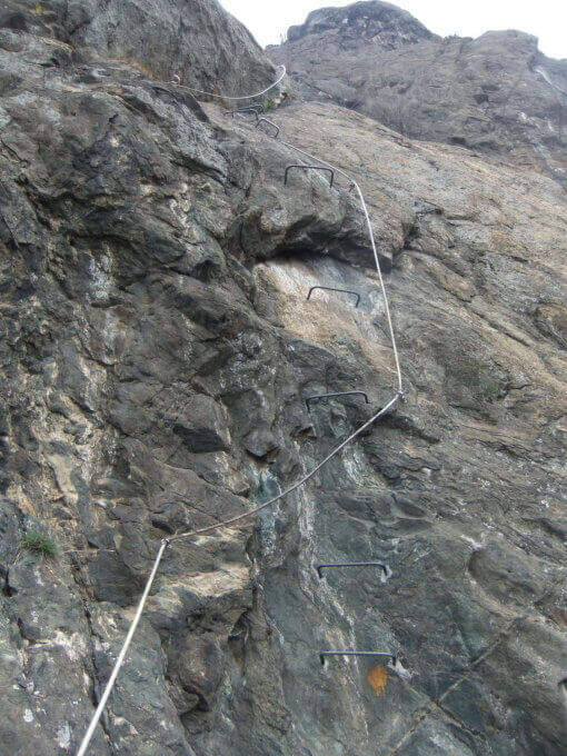
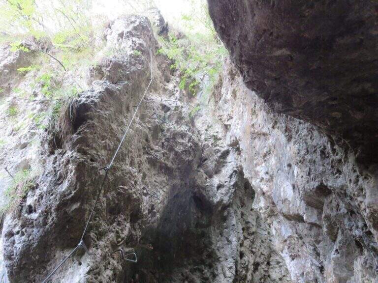
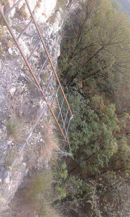
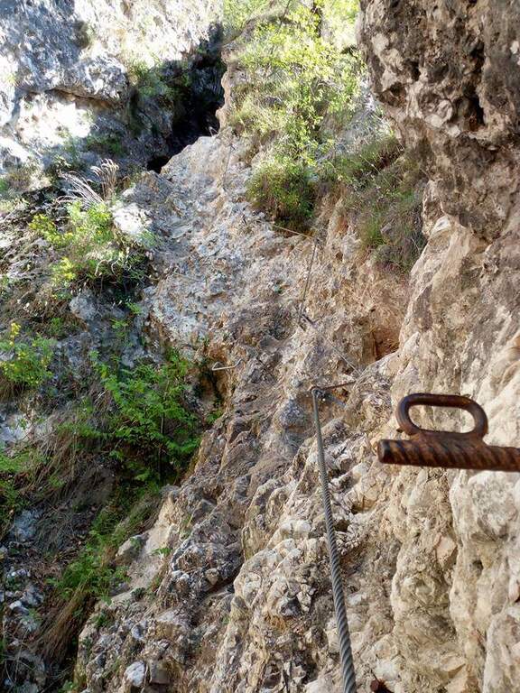
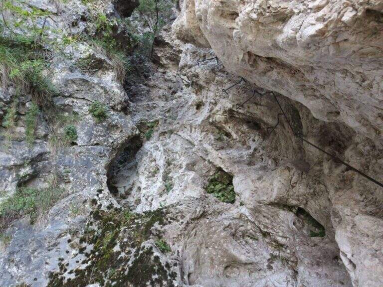
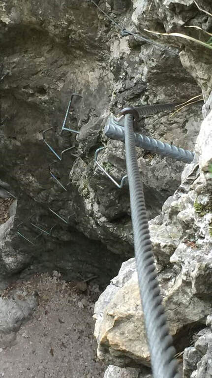
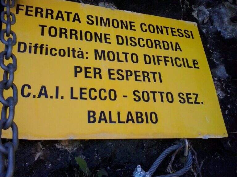
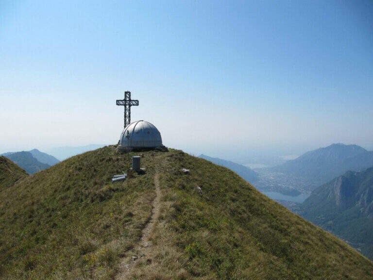
    The Via è marked by a series of torrioni, each one by the path. It starts with the chain that bends left onto small rocks, circumvents a prominence and then on the right leads under a first wall with few hooks (a bracket helps the foot); it follows a più wall; long with natural hooks and brackets and a diagonal traverse left towards a corner, which closes the first section. The second section, all' più appearance; lasts as long as it is, rises with a left-hand side, a vertical wall with good supports and small rocks. The third, challenging, alternates a short right-handed traverse, a diagonal traverse exposed to the left and a vertical dihedron. The fourth tower, più easy, goes up a corner and descends on the opposite side; the fifth has a steep vertical wall, a exposed traverse and a last vertical stretch, followed by a ridge path equipped. The sixth è a short plaque, the seventh the più easy. L' eighth section — the Torrione della Discordia — è of a very difficult level: a narrow nod under a roof, a wall definitely overhanging with brackets, chain and cable, a short diagonal traverse and another 5-6 meters overhanging, then a long diagonal traverse in adherence on rock poor d' The ninth section è a beautiful vertical plate, at first apparently smooth then più attached to the left, about ten meters (1h 30' from' ) attack. Follows a ridge with equipped sections and path (about 1h 15') up to a last crossroads: the tenth and short section goes up a spur and descends on the opposite side, otherwise bypassable, up to the peak cross with the bedless bivouac (3h from' attack, 3h 15' totali).

    ▲Character and difficulty

    Limestone rock that allows you to climb in many stretches. Overall the road remains difficile, although with the Torrione della Discordia of a very difficult but bypassable level.

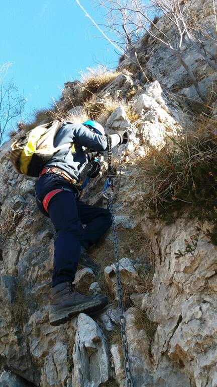
    ⚠ The muskable chain is in some stretches lasca, with rather spaced tokens: proceed with caution. Itinerary long and with important difference in altitude; a pair of telescopic sticks are useful downhill.

    ▲Period and safety

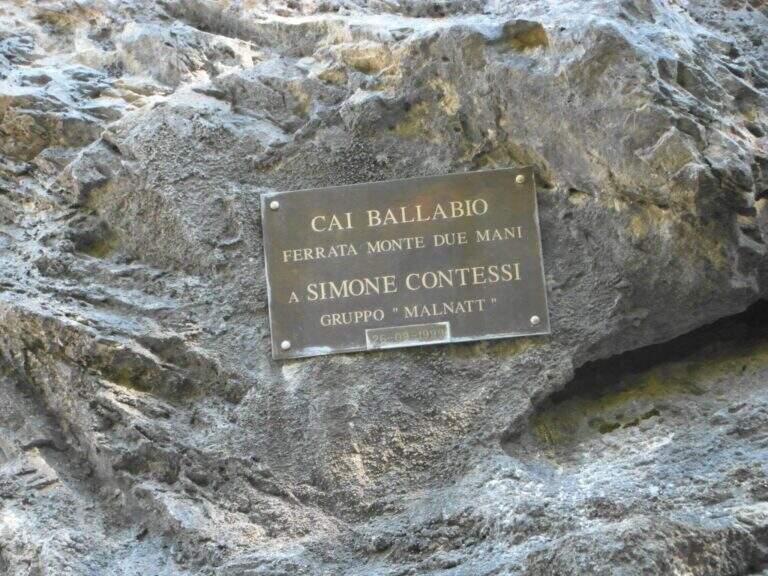
    GPS tracks (GPX and KMZ) are available; the Grigne, Resegone and Valsassina map is useful for the area. The ferrata is dedicated to the young climber Simone Contessi, of the Malnatt group of Lecco, who died in an accident.

    ▲Discipline

    It can be arranged; go down the normal road: reached the asphalted road upstream of the' car, keep the left downhill and take right l' ancient municipal road of Morterone in the forest until the parking lot. Alternatively, go down the steep path that runs along the towers, up to ' attack and all' car (1h 45' from the summit, 5h totali).

    ▲To match

    Area rich in itineraries: in increasing order of difficulty the River Trail, la Gallery of Morcate, la Range 1 to the Planets, la Ferrata al Corno Medale e la 30° OSA at Corno Rat; for the most prepared the Range 2 o la Ferrata del Monte Ocone.
    ▲Gallery
    Technical data
    • DifficultyHard
    • RegionLombardy
    • GroupPrealps Lecchesi
    • Approach0:10 h
    • Ferrata30
    • Itinerary (a/r)5:00 h
    • Hardware level difference756 m
    • Route difference756 m
    • Max1656 m
    • Length9,9 Km
  • Ferrata Guido Rossa in Caprie (White Rock)

    Ferrata Guido Rossa in Caprie (White Rock)

    Vie Ferrate › Piedmont › Turin
    Ferrata Guido Rossa in Caprie (White Rock)
    Moderately Hard● OpenDescriptionComplexityMapsGallery

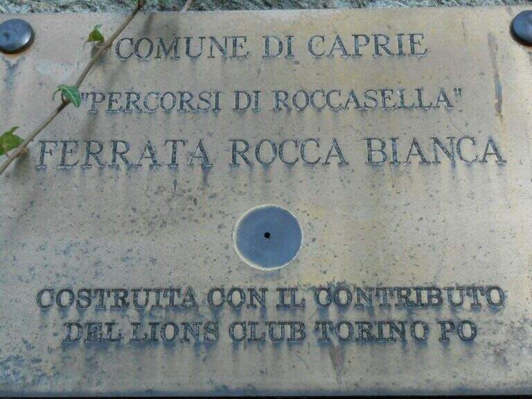
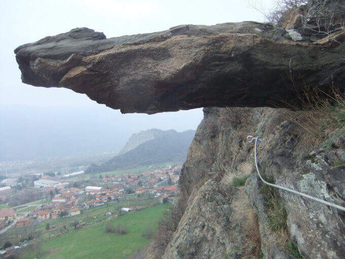
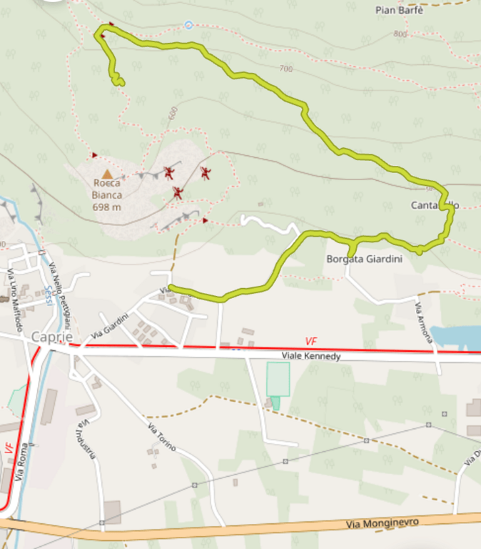
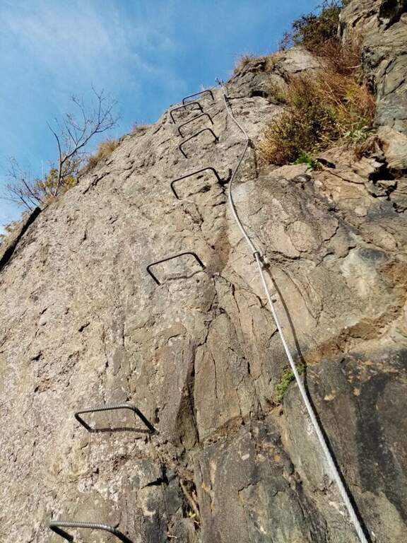
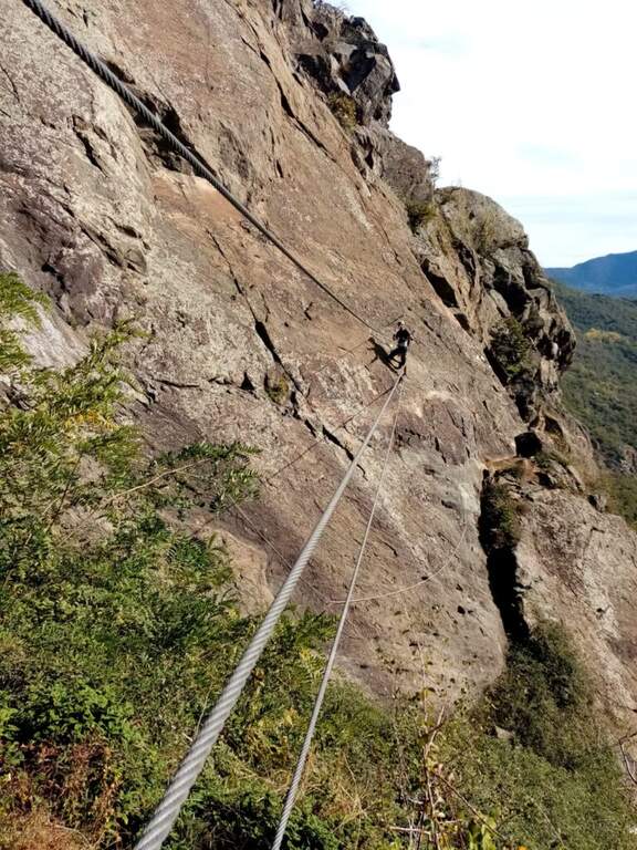
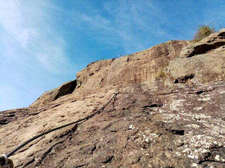
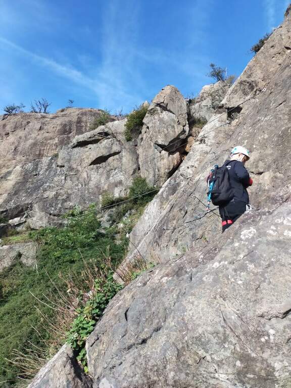
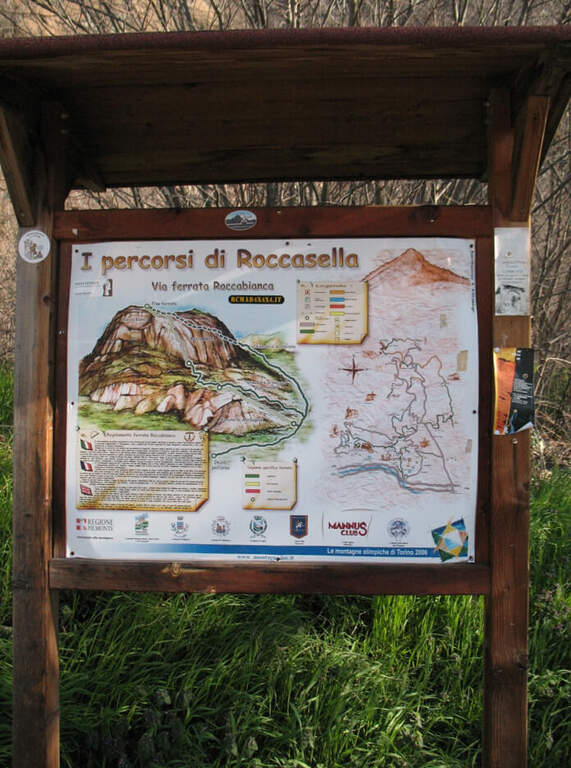
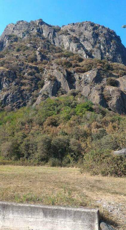
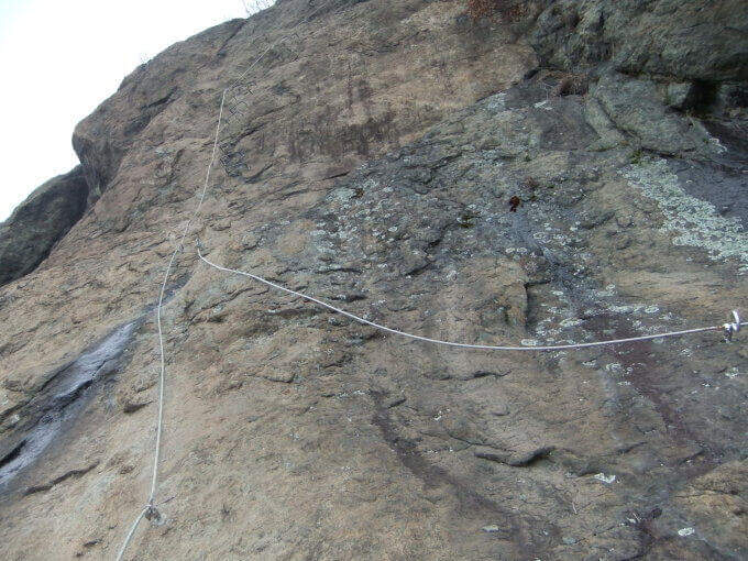
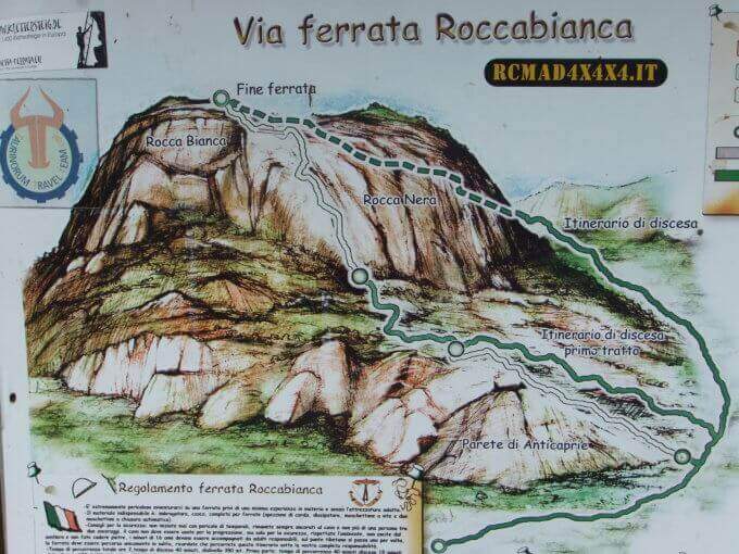
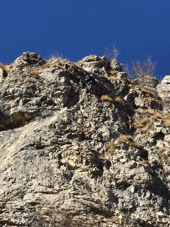
    La Ferrata Guido Rossa in Caprie (già Ferrata della Rocca Bianca) rises the Rocca di Caprie, in Val di Susa: an intense, physical and pleasant route that, although not to be classified difficult, requires good form and concentration. È varied — exposed traits, transverses, vertical walls and overhangs — and includes a ponte suspended (of the monkeys) of 25 meters, adrenaline and dancer.

    ▲Approach

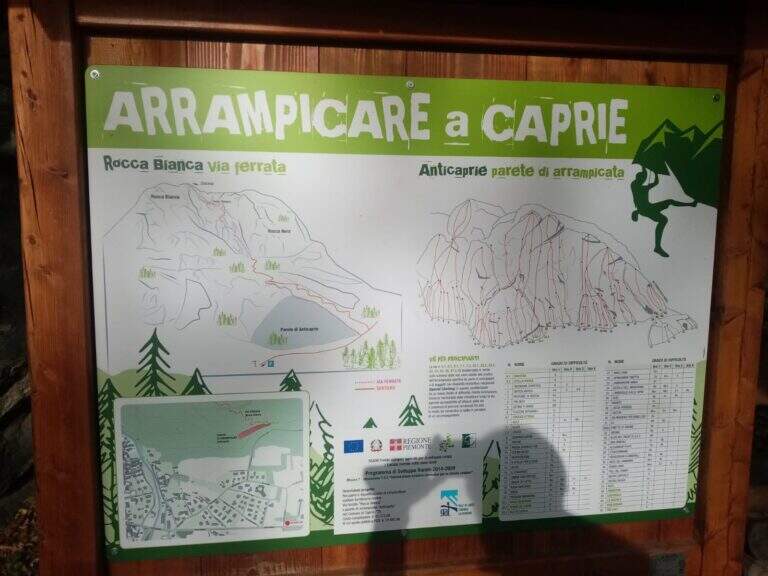
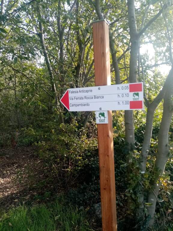
    Park at Caprie (TO), in via Colomba, from which the wall is already visible; on the spot an informative bulletin board. Open road signs on Google Maps. Take the path on the destra and, at the first junction, the destra (marked) is still held until the sign d' start of the ferrata (15' from parking ).

    ▲The path

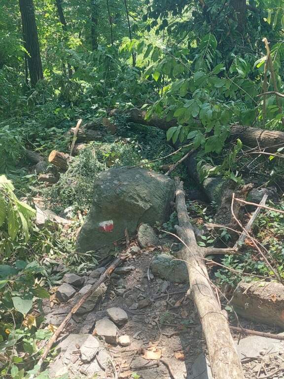
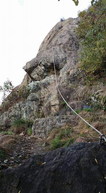
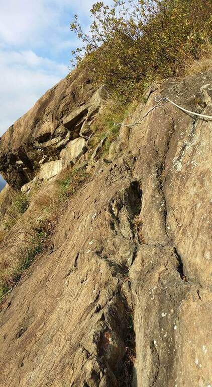
    Si attacca un sasso ancora nel bosco e alcune facili roccette; usciti dal bosco inizia un tratto ripido con due-tre tiri abbastanza impegnativi per via della roccia non perfettamente appigliata. Si risale uno spigolo poco marcato tenendosi sul lato sinistro; pian piano si allarga in un traverso con qualche staffa per i piedi, poi di nuovo verticale su parete con leggero strapiombo. Si supera un masso in forte esposizione e si chiude il primo tratto (20' dall'attacco), dove c'è una via di fuga segnalata. Nel bosco si raggiunge il secondo tratto seguendo i bollini rossi e il cartello «Placca delle Malizie»: si riparte verticali su una placca abbastanza liscia dove le staffe aiutano fino a scavalcare una sporgenza, poi si sale alternando tratti verticali, diagonali e cenge, con esposizione via via crescente, fino a un punto orizzontale dove rifiatare. Si affronta quindi il ponte sospeso (circa 25 m), aggirabile. Si riparte su un tratto strapiombante: il passaggio chiave è un pezzo difficile in cui il cavo corre in mezzo, con due moschettonate in posizione scomoda (un rinvio può essere molto utile). Si prosegue su parete verticale ed esposta fino a un traverso impegnativo da fare in aderenza, poi in diagonale si aggira la parete e si guadagna la sommità. Si continua su placche inclinate e qualche balzo facilmente arrampicabile fino a un'ultima parete attrezzata, dove il leggero strapiombo e la stanchezza accumulata non devono far calare la concentrazione, e si arriva in vetta (2h dall'attacco / 2h 15' totali).
    ▲Character and difficulty

    Not difficult in a technical sense but varia and physics: many vertical traits, some overhangs and exposure that raise l' commitment. The Via è entitled to Guido Rossa, worker, trade unionist and mountaineer of the Alta Montagna Group of the CAI of Turin, killed by the Red Brigades in Genoa in 1979.

    ⚠ After a fire in 2017 the Via è remained closed a few years and è officially reopened the 17 October 2021; the reference report not è updated after the reopening. Referral & recommended for overhanging key passage.

    ▲Period and safety

    Itinerary of low-average altitude in Val di Susa, accessible in most of the season with dry rock.

    ▲Discipline

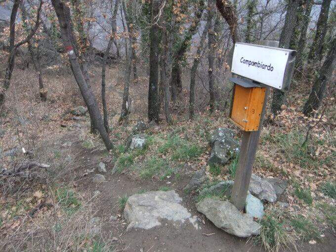
    Go down the path on the destra indicated «Campambiardo» , then follow the signs for Caprie in the forest until parking (30' from the term / 2h 45' totali).

    ▲To match

    Near the Ferrata della Ruceia e la Ferrata Carlo Giorda. In Val di Susa: la Ferrata Gorge della Dora, la Ferrata dell'Orrido di Chianocco, la Ferrata dell'Orrido di Foresto and, higher, the Ferrata del Rouas in Bardonecchia; to Claviere the ferrates of Rocca Clari, the Military/Bunker, the Low Battery and the Chaberton.

    ▲Gallery
    Technical data
    • DifficultyModerately Hard
    • RegionPiedmont
    • GroupVal di Susa
    • Approach0:15 h
    • Ferrata2:00 h
    • Itinerary (a/r)2:45 h
    • Hardware level difference255 m
    • Route difference350 m
    • Max715 m
    • Length3 Km
  • Ferrata Rio Secco in Cadino

    Ferrata Rio Secco in Cadino

    Vie Ferrate › Trentino-Alto Adige › Trento
    Ferrata Rio Secco in Cadino
    Moderately Hard● OpenDescriptionComplexityMapsGallery

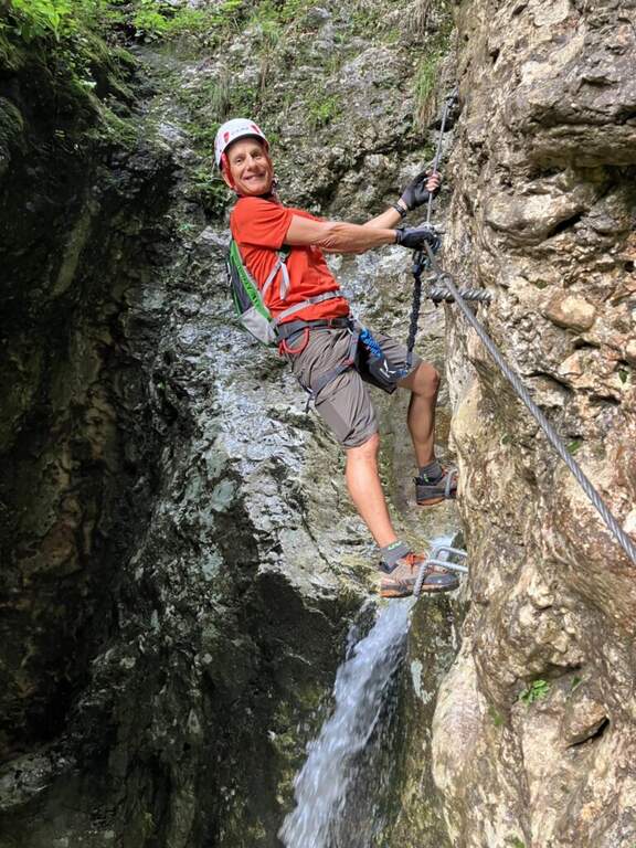
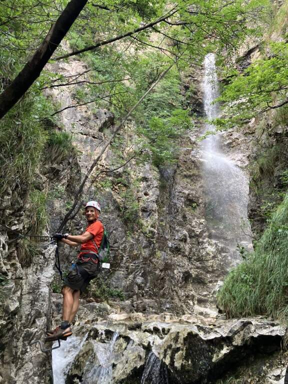
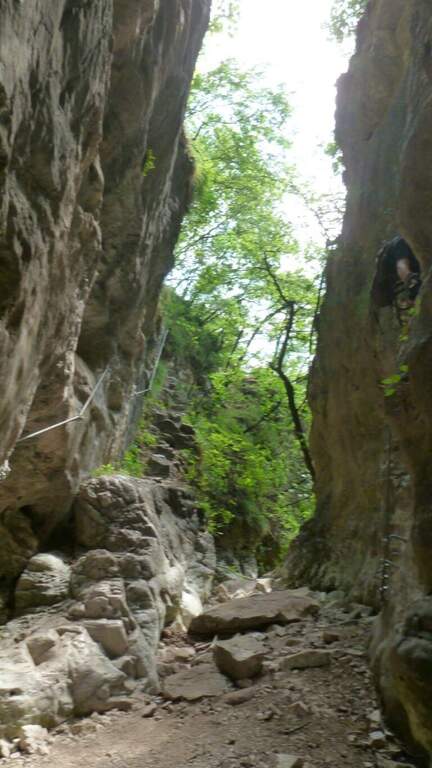
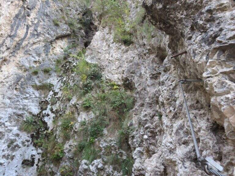
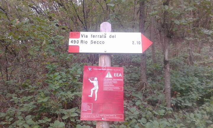
    The Ferrata Rio Secco takes place in the picturesque forra of a rio almost always dry (from which the name), above Cadino. È a varied and satisfying way, with some athletic traits but never technically prohibitive; remaining for the più at' shadow, the temperature remains pleasant also d' summer.

    ▲Approach

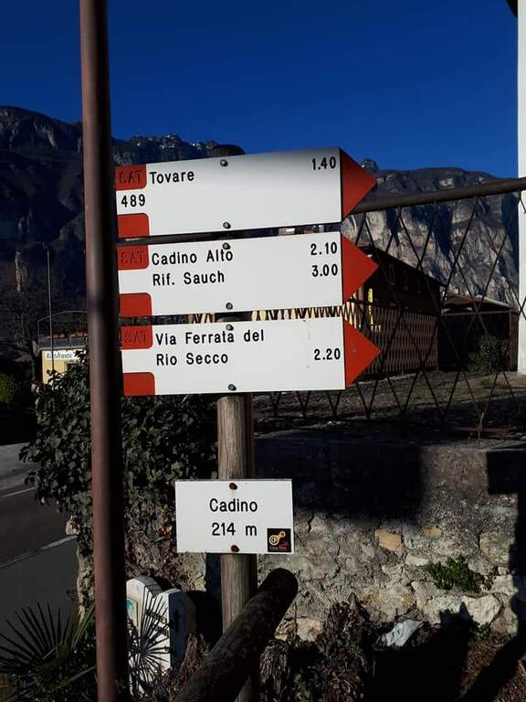
    Starting point l' inhabited by Cadino (TN): exit from ' Brennero highway in San Michele all'Adige and, remaining on the eastern side of the valley, go up for about 4 km towards Bolzano until you find convenient parking at the Restaurant Al Cadino. Open road signs on Google Maps. On the opposite side of the parking lot the white red marks CAI rise steeply in the woods; at a crossroad you hold the destra (left go down the return path) and climb up to a wooden bench, where you can comfortably wear a harness and helmet (15' from the parking lot).

    ▲The path

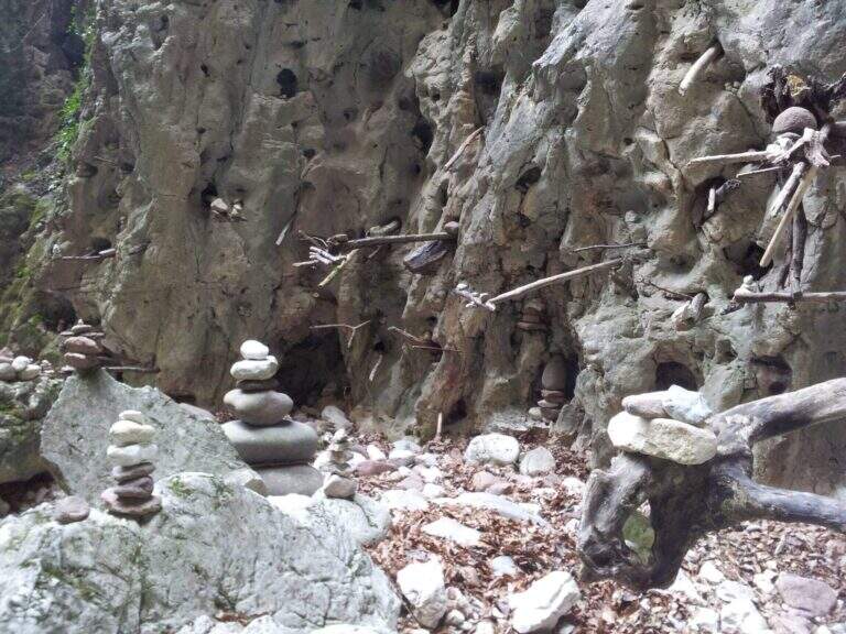
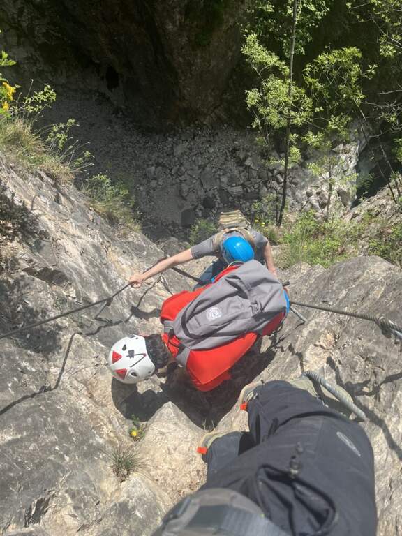
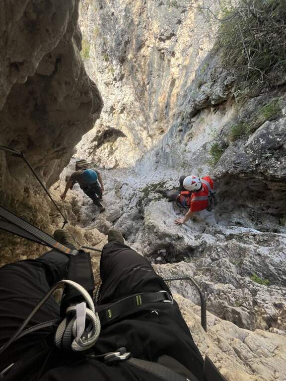
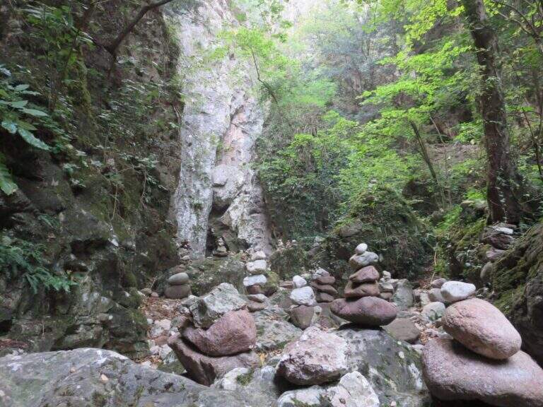
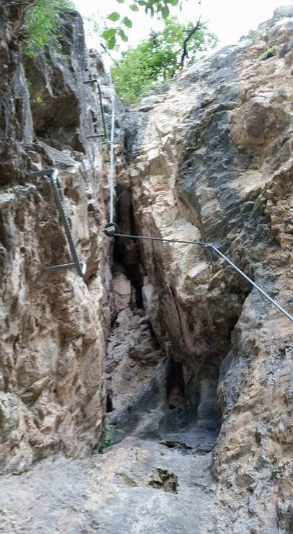
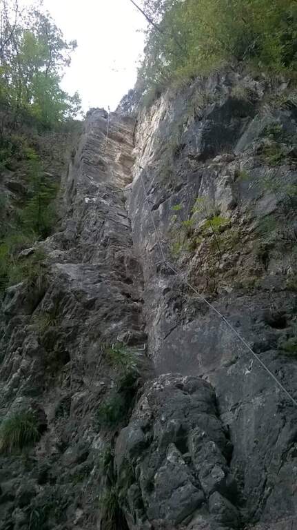
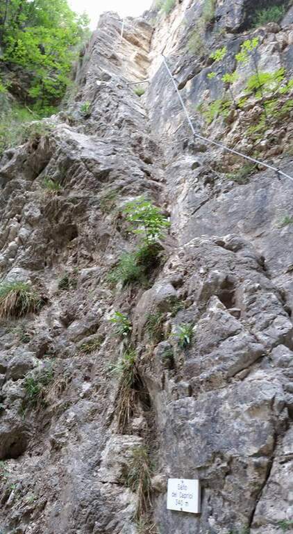
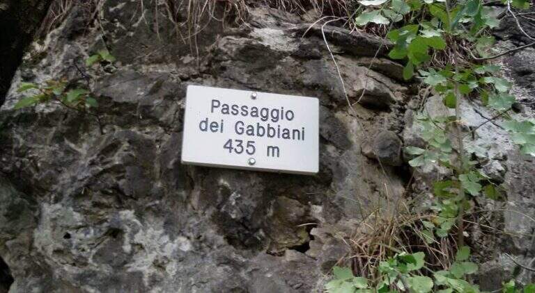
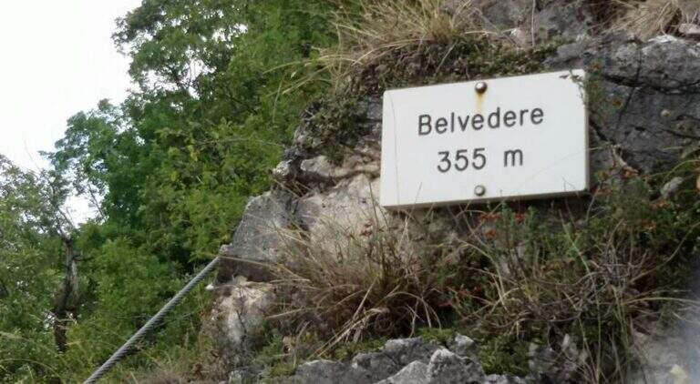
    I primi metri seguono una facile cengia discendente fino al letto del torrente, spesso secco. Sul versante opposto si risale una parete liscia e leggermente strapiombante, agevolata da numerose cambre metalliche e da due corde; poi si traversa a destra su un tratto pianeggiante prima del «Salto dei Caprioi», un bel diedro che alterna ottimi appigli naturali e ampie cambre. Si piega a sinistra su una cengia che aggira uno spigolo e porta sotto una parete verticale solcata da una profonda fessura (buoni appigli naturali e artificiali). Una targhetta «Belvedere» invita a voltarsi sul panorama della piana Rotaliana; un tratto di sentiero attrezzato scende in un caratteristico anfiteatro roccioso con molti omini di pietra. Si risale il versante opposto (sinistra orografica) in un anfratto di roccia levigata e si percorre un lungo traverso a sinistra risalendo il rio, fino a un sentiero attrezzato nel bosco e al «Passaggio dei Gabbiani», un aereo spigolo oggi superabile con discreto sforzo ma senza affanno eccessivo. Segue un lungo traverso in leggera salita con brevi balzi; si passa sulla destra orografica e la parete si stringe in verticale, da risalire con le cambre, poi un breve traverso fino a una via di fuga: a sinistra il CAI 490A (30' per il rientro), a destra si prosegue la via (45' dall'attacco / 1h totali). Si continua su facili roccette e passaggi attrezzati fino al secondo anfiteatro, la «Grotta del Basalisc», dove i passaggi si fanno più impegnativi per la roccia levigata: il primo tratto sale in diagonale su roccia liscia priva di appigli naturali, resa percorribile dalle cambre (media difficoltà, un po' spinti in fuori dal cavo). Al libro delle firme seguono un paio di facili traversi a sinistra e l'aggiramento di uno spigolo esposto dove le staffe aiutano molto; presso la Grotta della Mariotta si risale una parete verticale ben servita da staffe e appigli, dove terminano le attrezzature (1h 15' dall'attacco / 1h 30' totali). Un sentiero ripido nel bosco porta in 5 minuti al cartello che indica a sinistra il rientro a Cadino.

    ▲Character and difficulty

    Difficultà media: varied route, with athletic traits but without technically prohibitive steps. Recent and abundant equipment; very suggestive hole environment, to be covered also in the warm months.

    ⚠ Rio water flow varies with the season: in spring and winter water can be present even impetuous; in summer and autumn (new rains rising) the rio is actually dry. Evaluate the conditions after precipitation.
    ▲Period and safety

    It can be traveled most of the year thanks to the low altitude (maximum 640 m) and shaded exposure. Level difference of 234 m, total development about 2.5 km.

    ▲Discipline

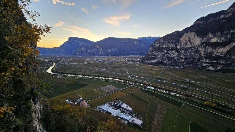
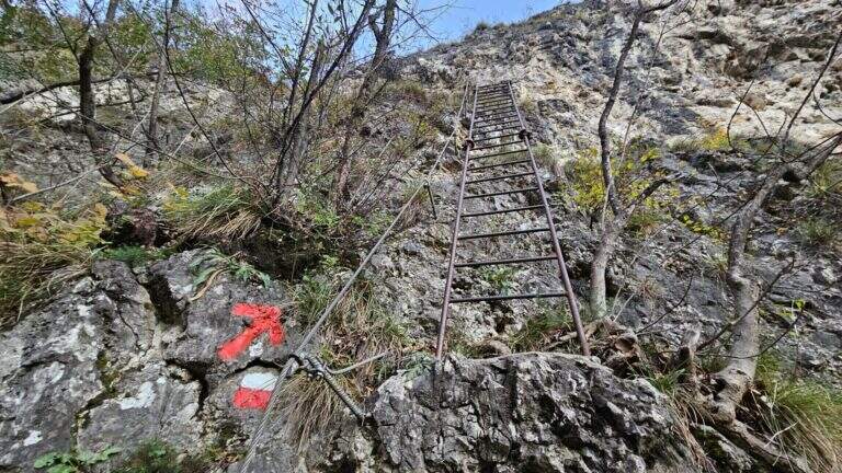
    Il sentiero esce in breve dal bosco affacciandosi sulla Val d'Adige 600 metri più in basso e scende ripido (utili i bastoncini). Si incontra una lunga scala metallica e alcuni facili tratti attrezzati in discesa, per cui conviene tenere ancora l'imbrago; si prosegue ripidi nel bosco fino al bivio dell'avvicinamento, dove si tiene la destra per scendere al parcheggio (1h dal termine della ferrata / 2h 30' totali).

    ▲To match

    For the short approach it combines well with other routes of Val d'Adige: the nearby Ferrata di Favogna, la Ferrata Mendola al Roen, la Ferrata delle Aquile in Andalo, or, in Val di Sarca, the Ferrata Pisetta, la Ferrata Che Guevara e la Ferrata Marangoni to Mori. To be noted also the recent Ferrata della Croce di Fai.

    ▲Gallery
    Technical data
    • DifficultyModerately Hard
    • RegionTrentino-Alto Adige
    • GroupVal d'Adige
    • Approach0:15 h
    • Ferrata1:15 h
    • Itinerary (a/r)2:30 h
    • Hardware level difference234 m
    • Route difference384 m
    • Max640 m
    • Length2,5 Km
Need help? Write to us!