Caratteristica: Vetta

  • Sentiero Attrezzato del Monte Cernera

    Sentiero Attrezzato del Monte Cernera

    Vie Ferrate › Veneto › Belluno
    Sentiero Attrezzato del Monte Cernera

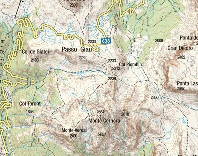
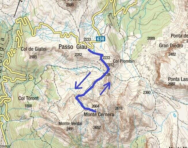
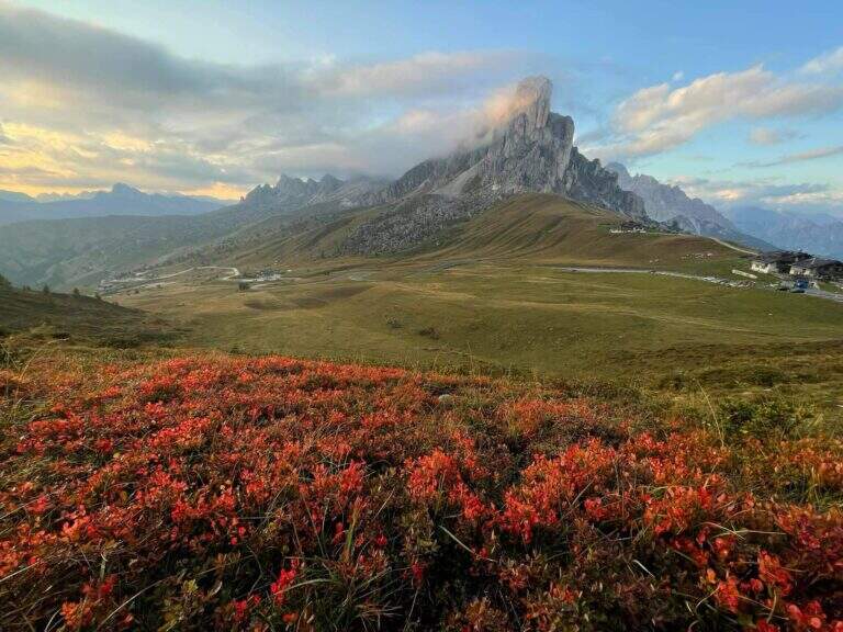
    The Route of Monte Cernera climbs from the Giau Pass to the panoramic summit (2664 m) in the group of the Croda da Lago. Short and only partially equipped path, with a terminal channel that requires special attention when wet.

    ▲Approach

    The Giau Pass (2233 m) can be reached on the road between Alleghe and Cortina d'Ampezzo (directions road map). Large parking space at the pass. Follow the CAI 436 path south towards Forcella Col Piombin. Adding the fork you turn right along the meadows following the track until the first stretch (30' from the parking lot).

    ▲The path

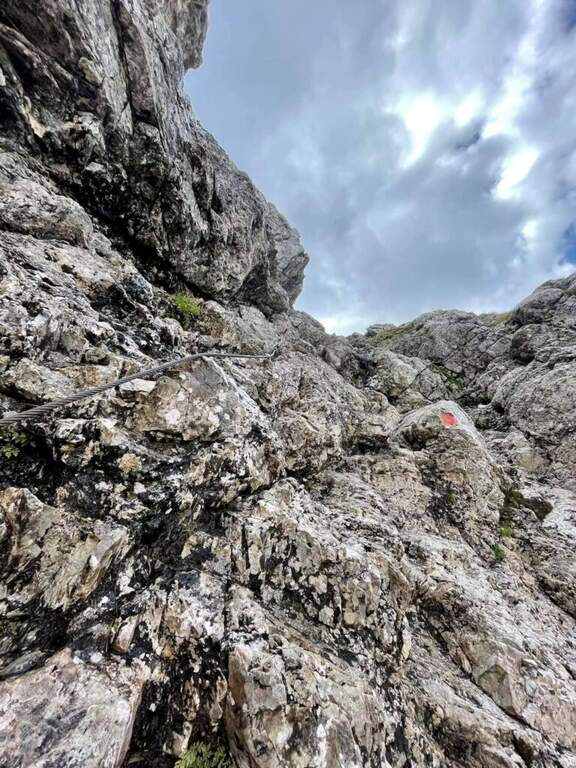
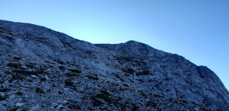
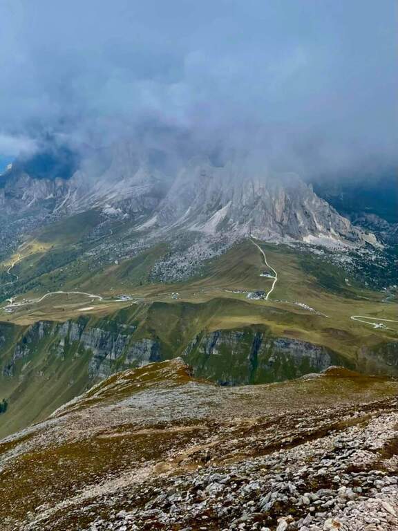
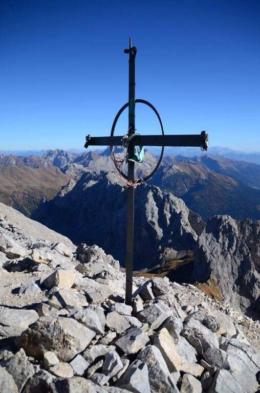
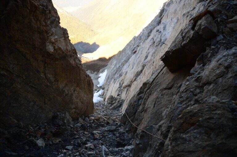
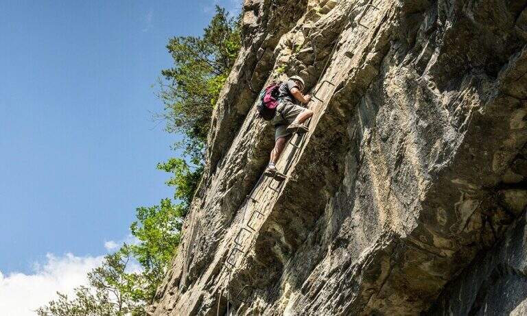
    The first equipped section dates back to a rocky plaque of a few meters. After the highlight you reach a carving and slightly higher you face the second stretch, slightly more vertical than the first. Continue on increasingly steep track until the base of a rocky canal often wet for drainage: it is the key passage, to be followed carefully. After the canal, a few meters of easy climbing on rocks lead to the peak cross (1h 30' approximately from the parking lot), with 360° views of the Giau Pass and the surrounding Dolomites.

    ▲Character and difficulty

    Classified Easy. The equipped sections are short and well-addressed. Complexity: technique 1/5, physics 2/5, exposure 2/5, environment 2/5.

    ⚠ The final canal drains the water of the wall and is often wet even on peaceful days: pay attention to the slippery bottom.
    ▲Period and safety

    From June to October. Avoid in case of storm: the top is exposed. The pass can be snowed at the beginning of the season.

    ▲Discipline

    Back on the uphill path to Passo Giau (3h total round and back).

    ▲To match

    Moving north you can reach the routes of Cortina: the Ferrata Sci Club 18, la Ferrata Strobel e la Ferrata dell'Averau.
    ▲Gallery
    Technical data
    • DifficultyEasy
    • RegionVeneto
    • GroupDolomiti Ampezzane – Croda da Lago
    • Approach0:30 h
    • Ferrata1:15 h
    • Itinerary (a/r)3:00 h
    • Hardware level difference50 m
    • Route difference431 m
    • Max2.664 m
    • Length6 Km
  • Ferrata Sartor at Monte Peralba

    Ferrata Sartor at Monte Peralba

    Vie Ferrate › Friuli-Venezia Giulia › Udine
    Ferrata Sartor at Monte Peralba
    Moderately Hard● OpenDescriptionComplexityMapsGallery

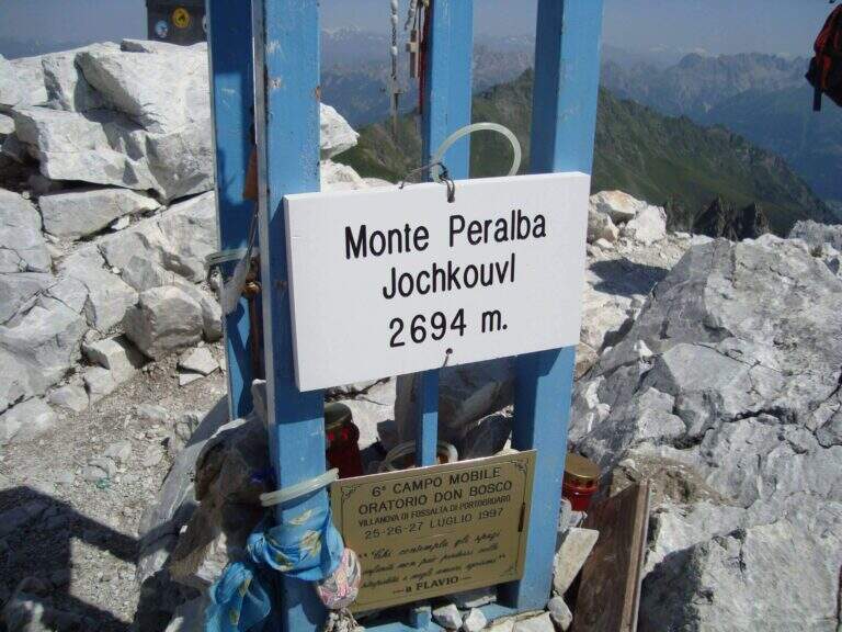
    The Ferrata Sartor climbs the south side of the Monte Peralba (2694 m), the più top; high of the Sappada area. È a difficult-to-grave medium route; and rather short, inserted in a beautiful excursion; it deserves attention the return, which happens for l'impegnative normal way on the north side.

    ▲Approach

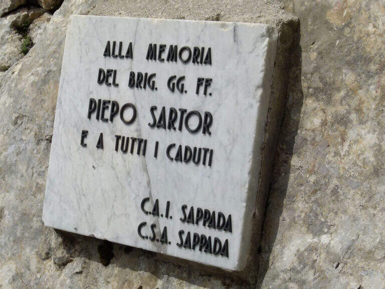
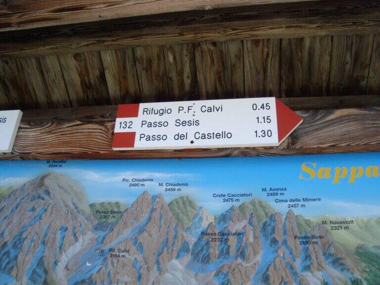
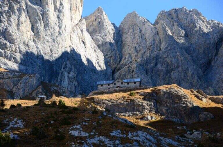
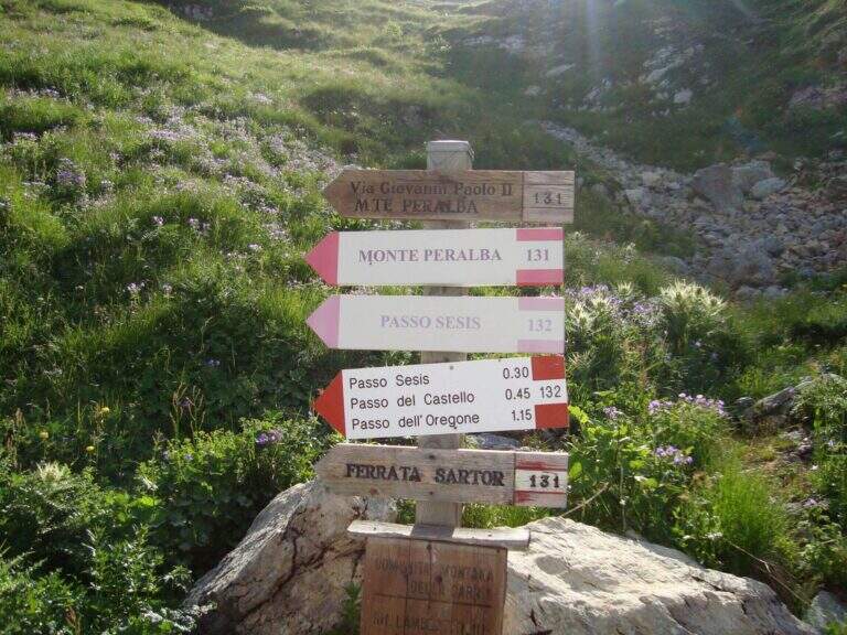
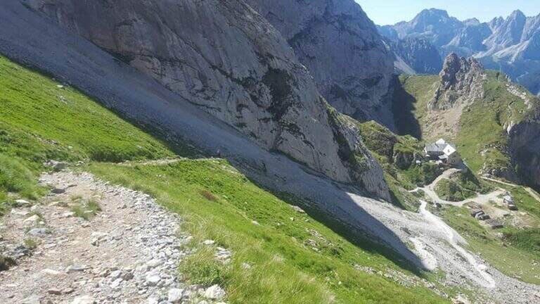
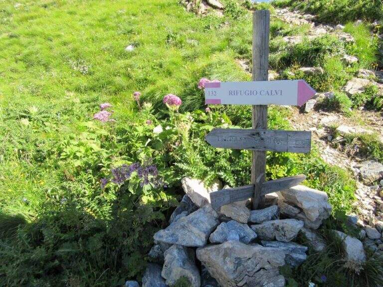
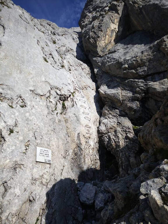
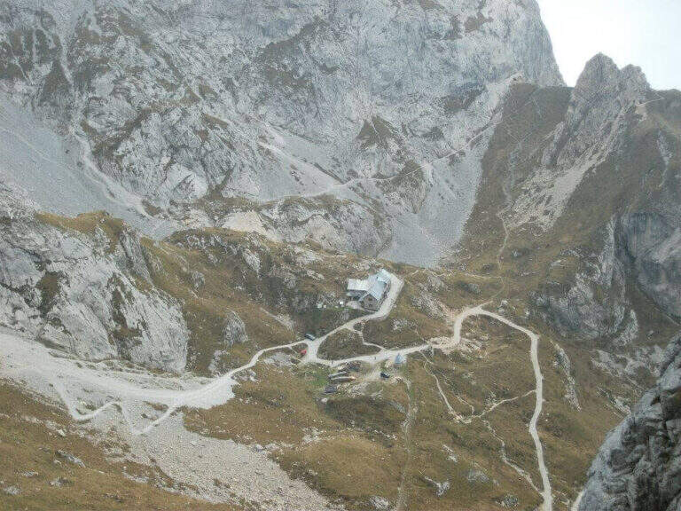
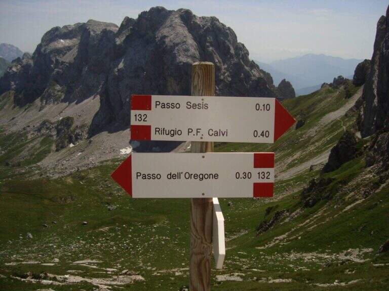
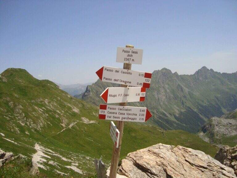
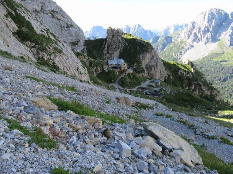
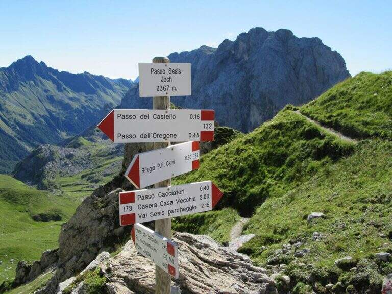
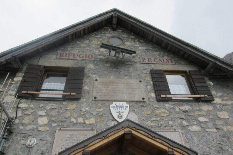
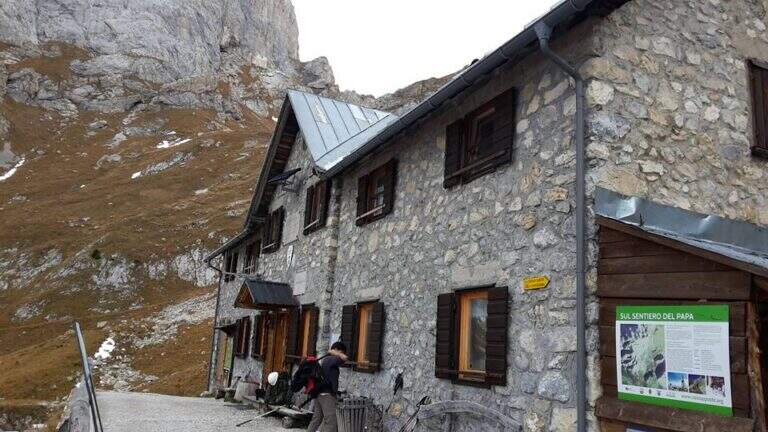
    Base the Rifugio Calvi, between Chiadenis and Peralba. It starts along the SP 22 connecting Cima Sappada with the Sorgenti del Piave: from the center of Cima Sappada a road to the left (indications Sorgenti del Piave) climbs for 8 km; just before the Rifugio Sorgenti del Piave you leave l' car in a large parking on the road (about 1800 m). Open road signs on Google Maps. Si sale verso il Rifugio Calvi (2167 m) per la sterrata o per il «Sentiero delle Marmotte» (entrambi ~45'); dal rifugio si va verso il Peralba e il Passo Sesis e dopo ~15', a un bivio (2272 m), si tiene la sinistra verso la bastionata, fino alla targa e all'inizio delle attrezzature (2360 m, 1h 30' dal parcheggio).

    ▲The path

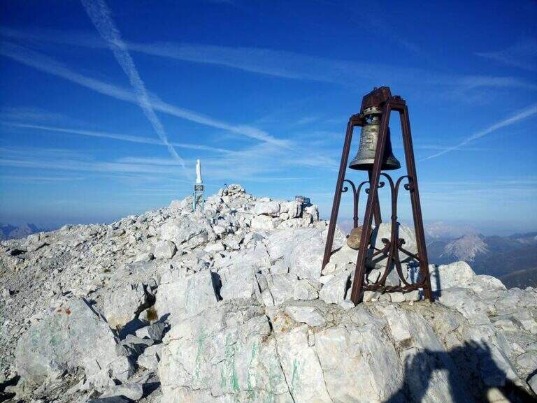
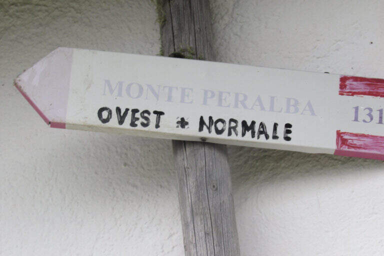
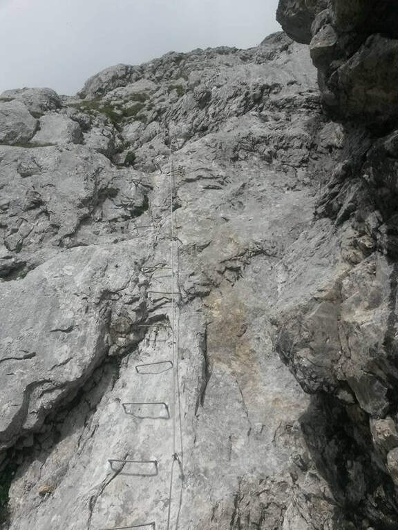
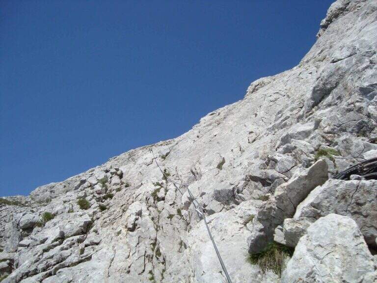
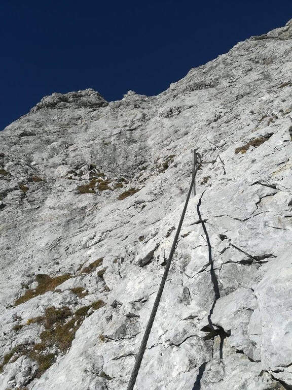
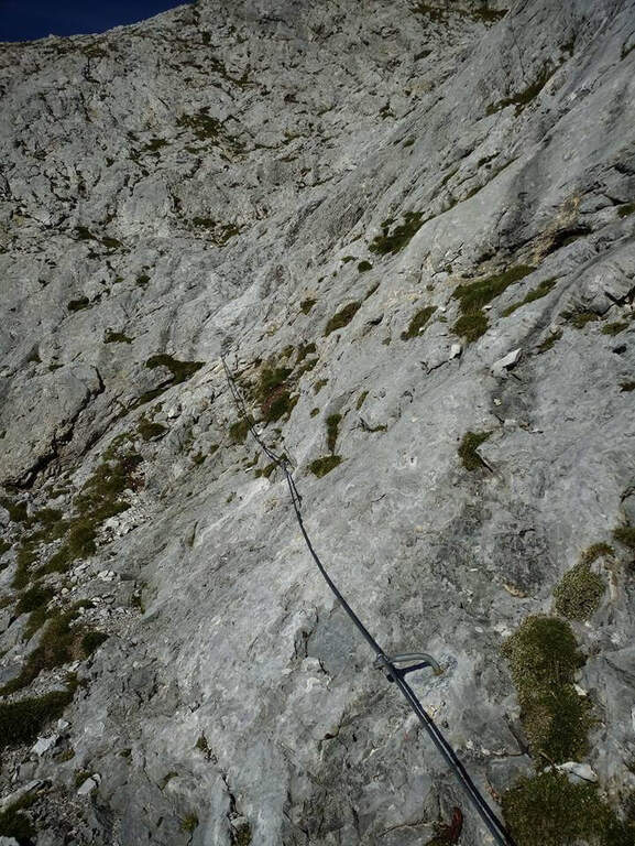
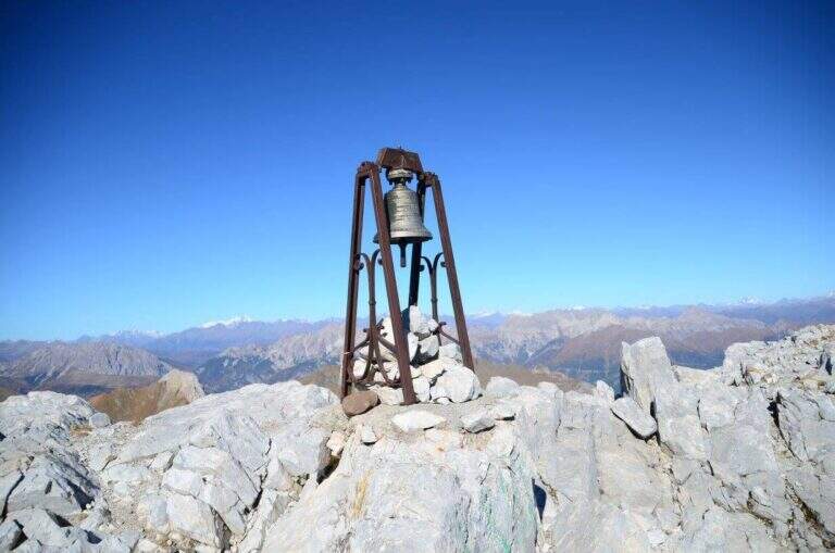
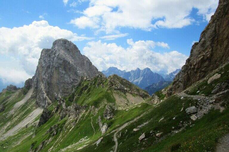
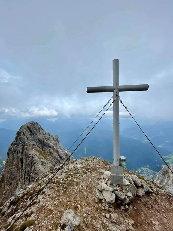
    A destra della targa in marmo bianco sale una lunga serie di cambre su placca liscia: si guadagna rapidamente quota ed esposizione superando un paio di punti leggermente strapiombanti. Dopo uno stretto balconcino la placca diventa più appoggiata, con cambre orizzontali, pioli e maniglie, su buona roccia dove alcune scanalature aiutano la progressione; il tracciato è quasi rettilineo. Dopo una settantina di metri il cavo piega a sinistra: una decina di metri su stretta cengia portano sotto un colatoio da risalire (attenzione alla possibile caduta di sassi), poi il cavo sale in diagonale a destra su parete ben appigliata fino al termine delle attrezzature (40' dall'attacco). Per la vetta si segue una modesta traccia con sbiaditi segni rossi fino al crinale: a destra si sale in cima, a sinistra scende la via Ovest (alternativa di discesa più lunga). Si raggiunge la vetta del Peralba (2694 m), con croce, campana e madonnina e vista magnifica (1h 15' dall'attacco / 2h 45' dal parcheggio).

    ▲Character and difficulty

    A short piece, without any technical difficulties: first vertical section but very bracketed, second more supported and climbing, last stretch on a high path. Very beautiful excursion from the landscape point of view.

    ⚠ Il return to the normal way north è the più tract; challenging: steep, exposed and with a canal equipped on friable bottom and often wet rock, to be faced with sling. Being exposed north può be snowy even at the beginning of the season.
    ▲Period and safety

    Itinerary of high altitude (2694 m): full summer, dry rock and no snow on the north side.

    ▲Discipline

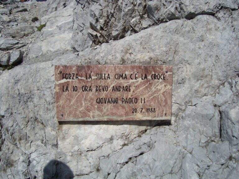
    Go down the steep path of the north side: già from the first meters strong exposure, up to a fork with two metal plates (visit of the pope and fallen of the Great War). The destra is held at a crossroads (war rites) following a red stamp and descends the steep canal equipped on a friable bottom; on path and labile tracks follow the logical descent line, you pass a canon and you descend to the edge of a ring. To a pole you hold the right and climb to the Passo Sesis, from which you descend to the Rifugio Calvi (1h 15' from the summit) and finally to the parking lot for the path of ' gone (30' from the refuge / 4h 30' totali).

    ▲To match

    From Passo Sesis you reach the attack (30') of Ferrata del Chiadenis, great to match two itineraries in the day. To the Dolomites of Sesto la Ferrata Roghel e la Ferrata alla Croda Rossa di Sesto; towards Friuli la Ferrata del Coglians e la Ferrata dei Cinquanta.

    ▲Gallery
    Technical data
    • DifficultyModerately Hard
    • RegionFriuli-Venezia Giulia
    • GroupAlps Carnia
    • Approach1:30 h
    • Ferrata1:15 h
    • Itinerary (a/r)5:30 h
    • Hardware level difference334 m
    • Route difference894 m
    • Max2694 m
    • Length8,9 Km
Need help? Write to us!