Difficoltà: Facile

  • Sentiero Attrezzato Silvia – Monte San Martino

    Sentiero Attrezzato Silvia – Monte San Martino

    Vie Ferrate › Lombardy › LC
    Sentiero Attrezzato Silvia – Monte San Martino

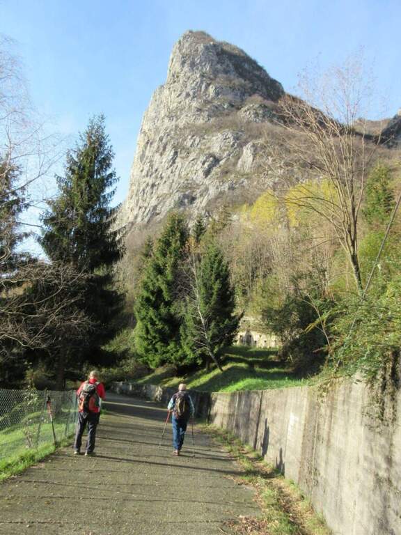
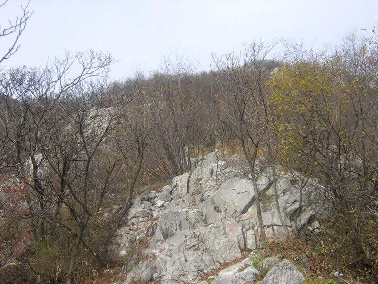
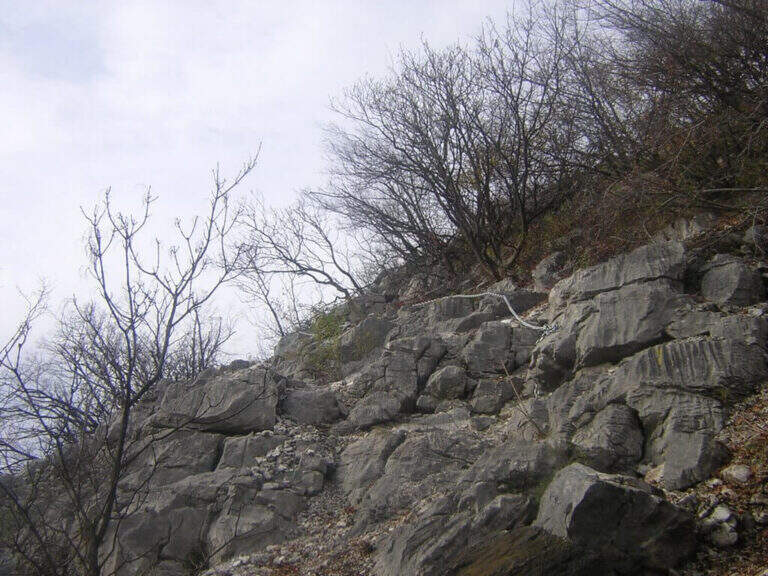
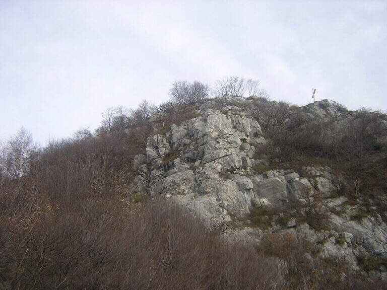
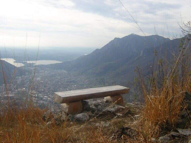
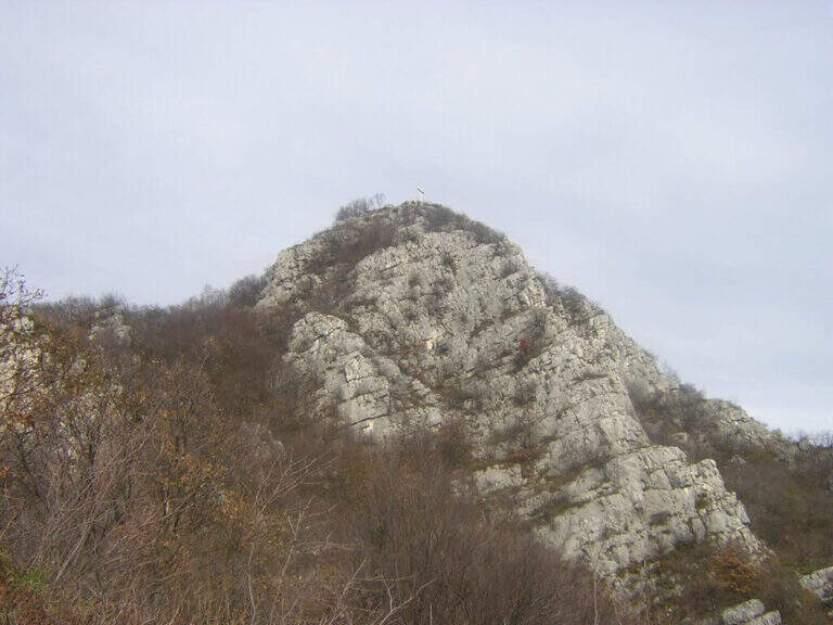
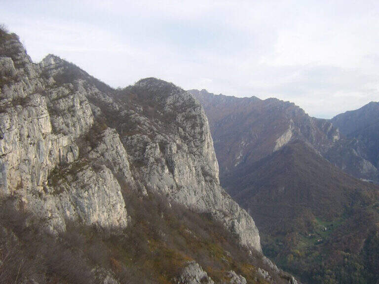
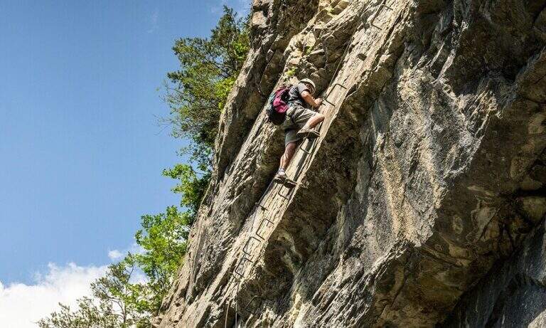
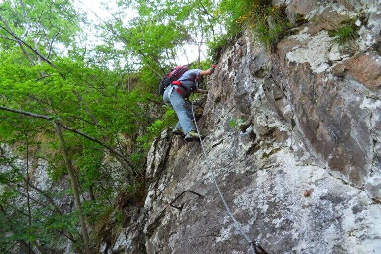
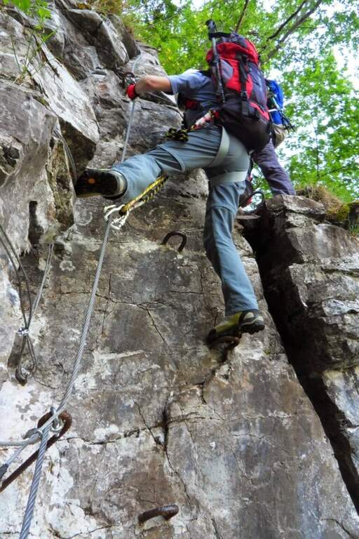
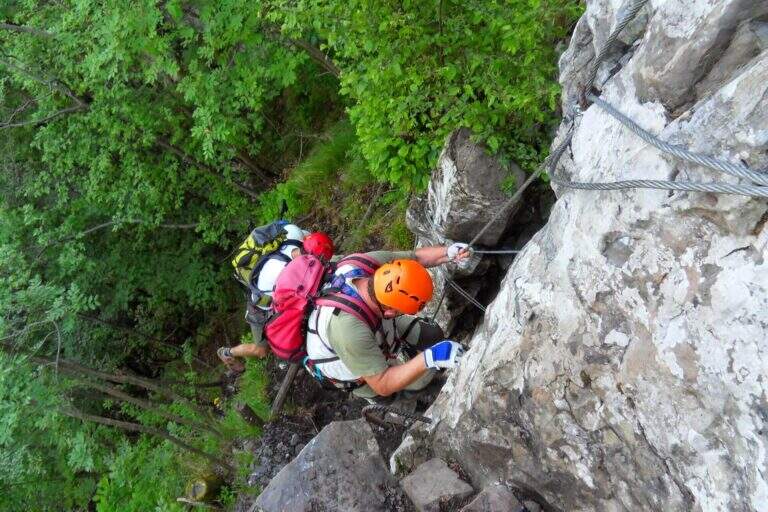
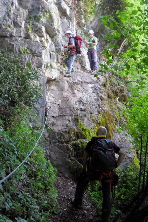
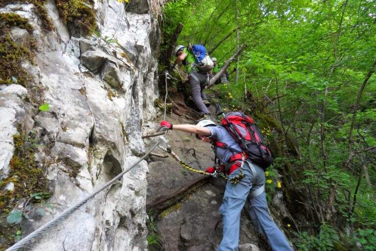
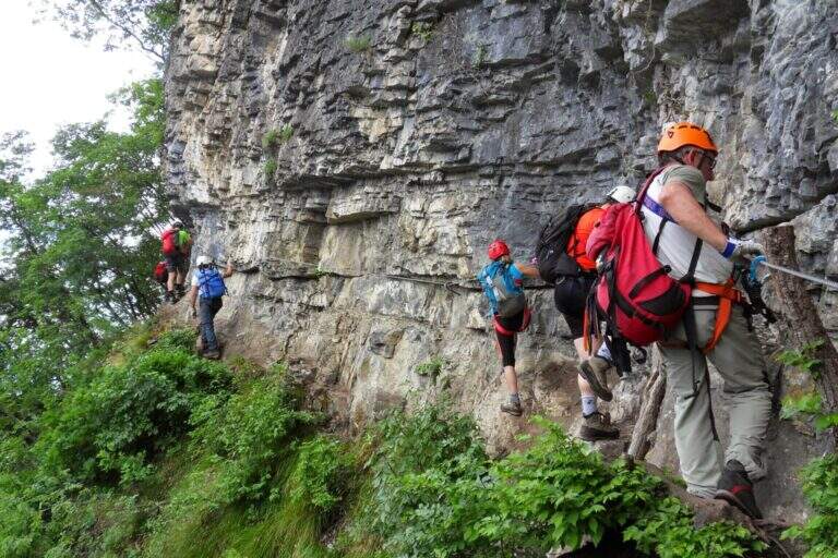
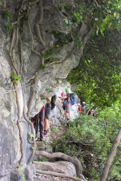
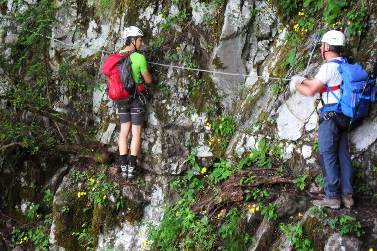
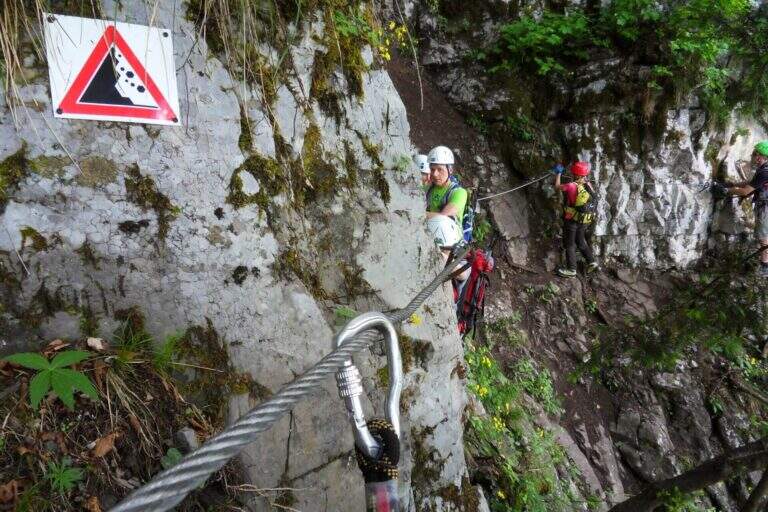
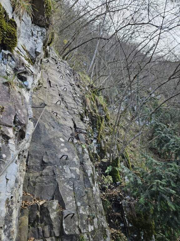
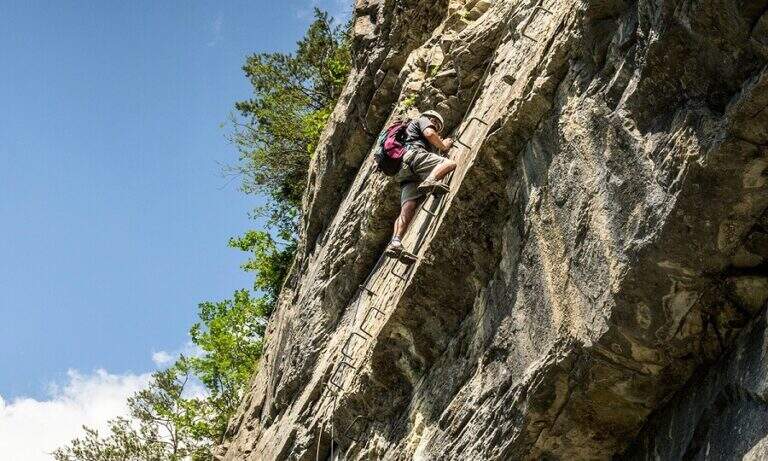
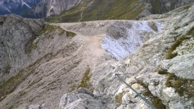
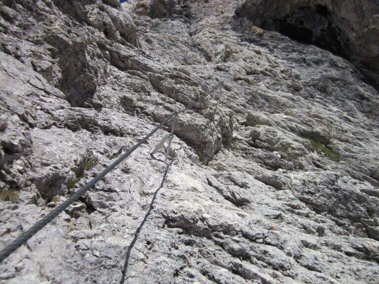
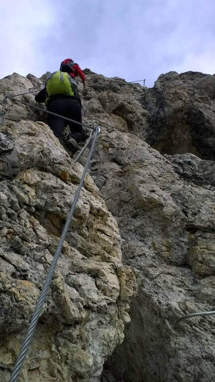
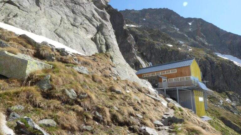
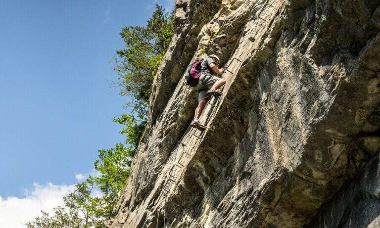
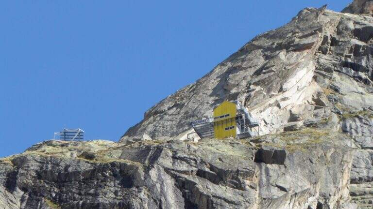
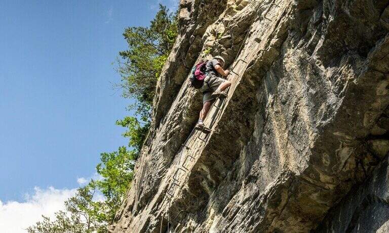
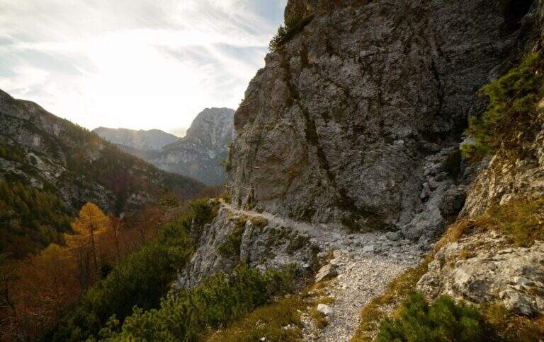
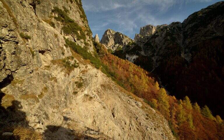
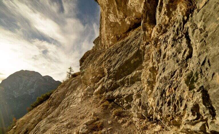
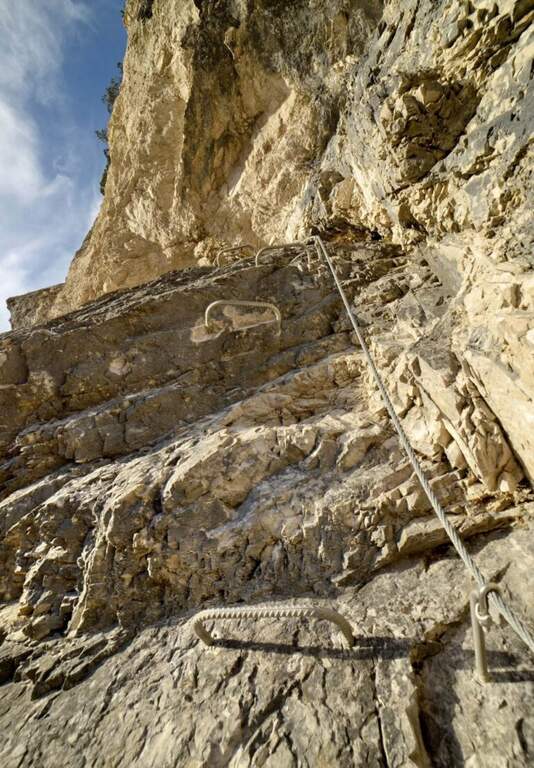
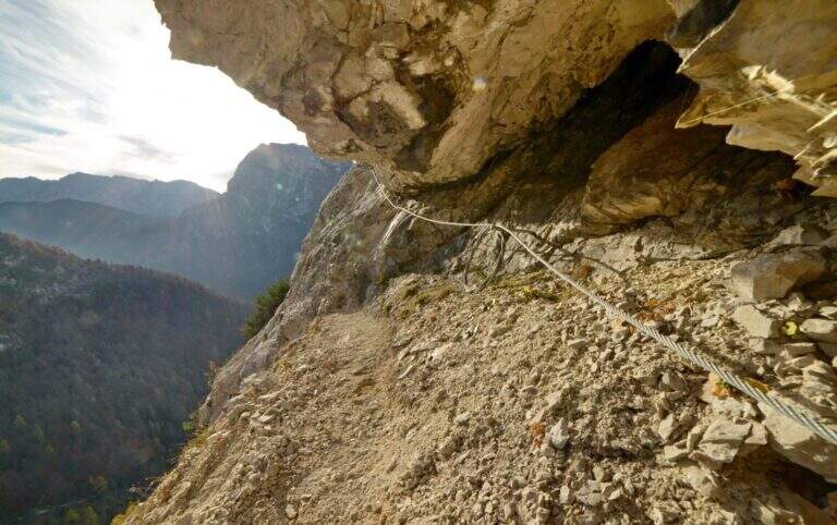
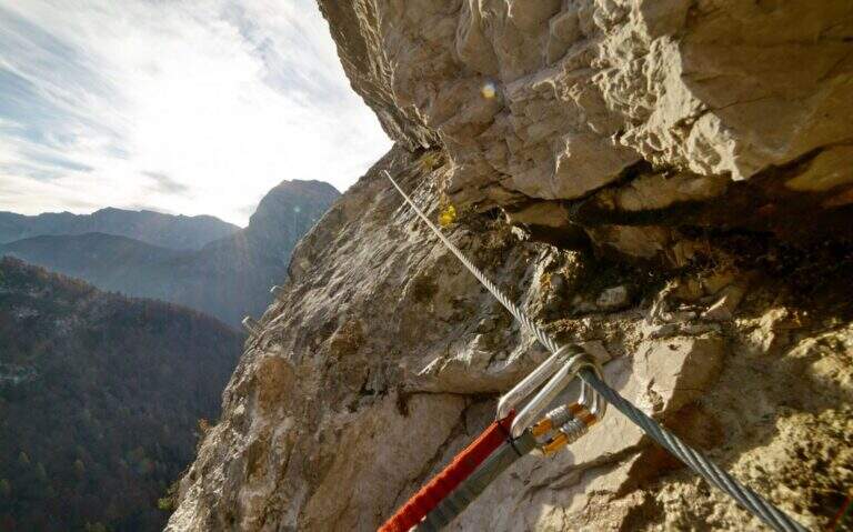
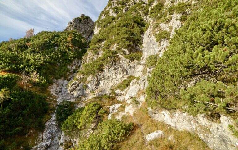
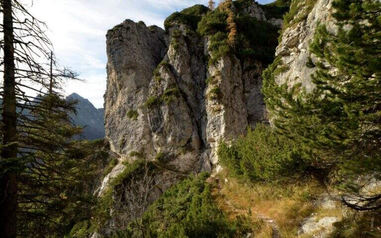
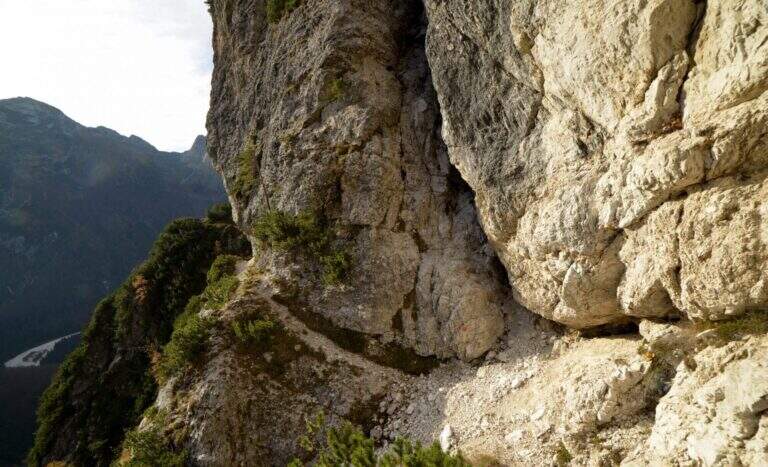
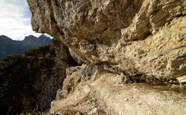
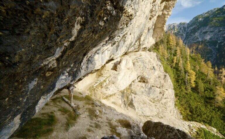
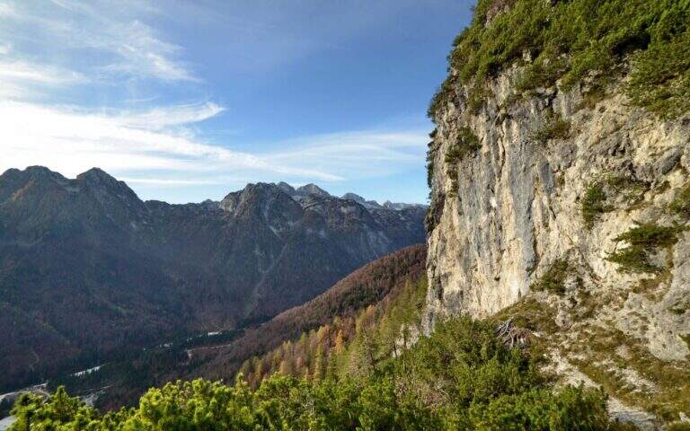
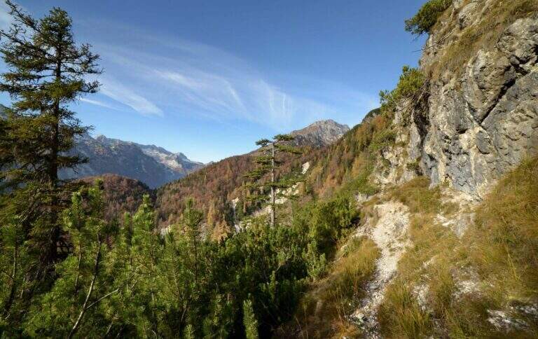
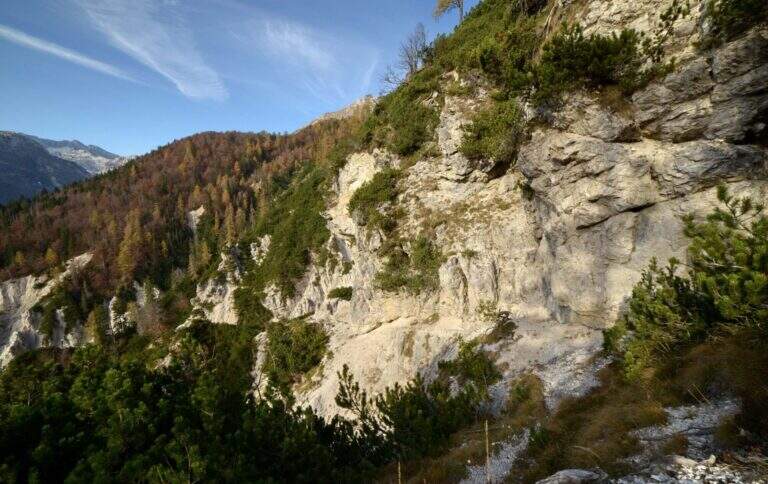
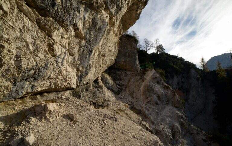
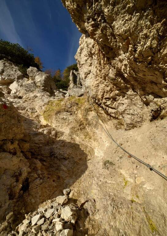
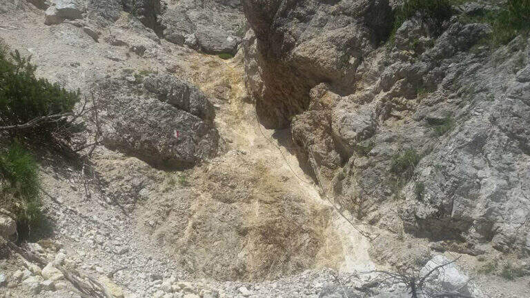
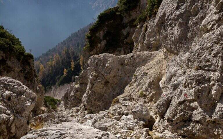
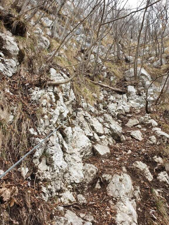
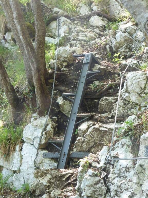
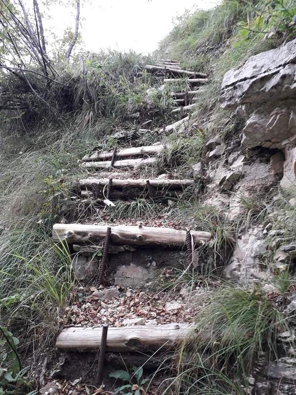
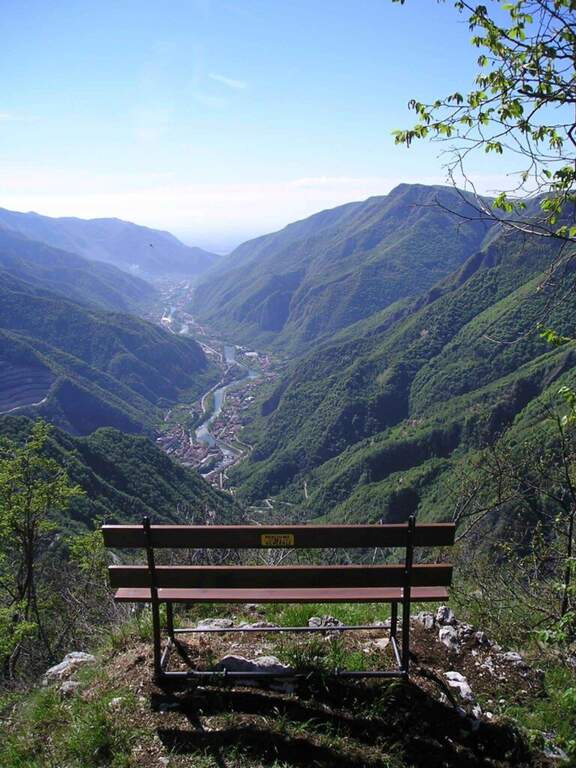
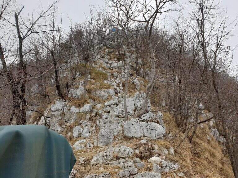
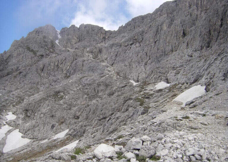
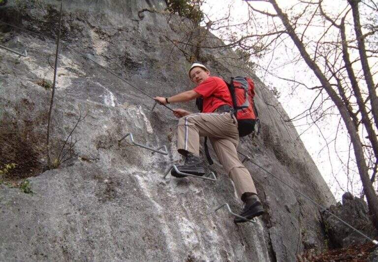
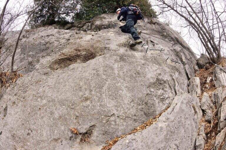
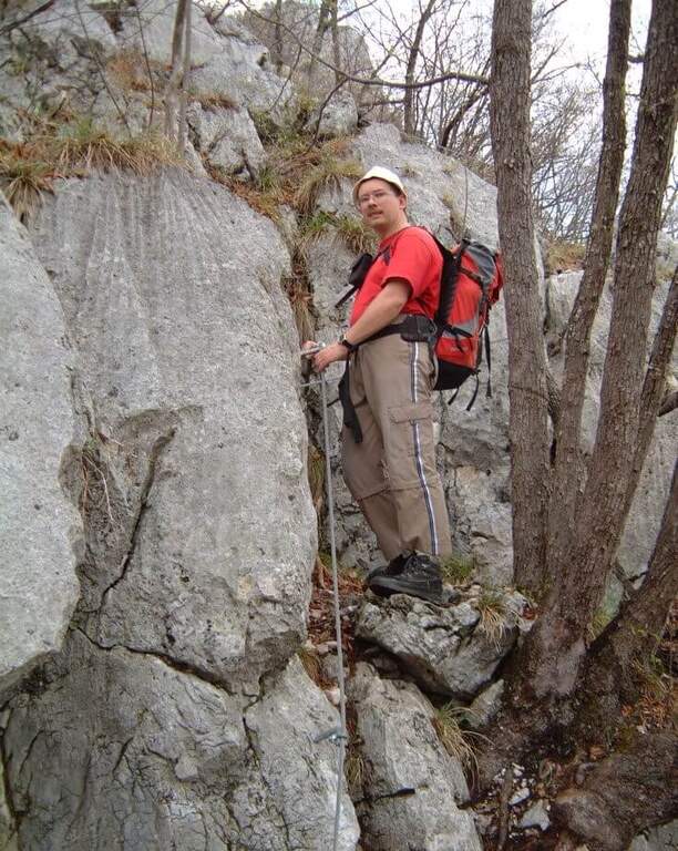
    Itinerary directed from Lecco to the top of Monte San Martino (approx. 980 m), going up the south-west wall with elementary equipped sections. Easily concatenable with other routes of the Medale and the Coltiglione, it is one of the most popular equipped paths of the Lecchese area.

    ▲Approach

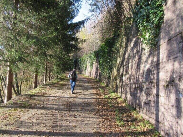
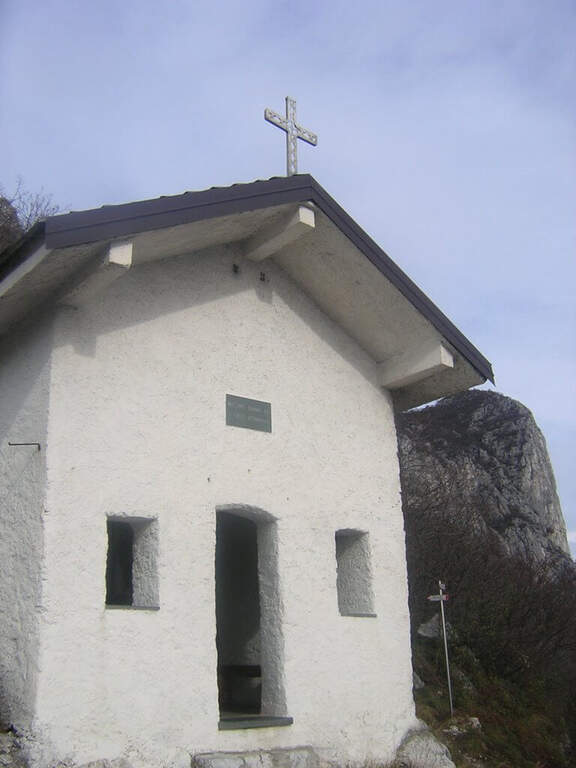
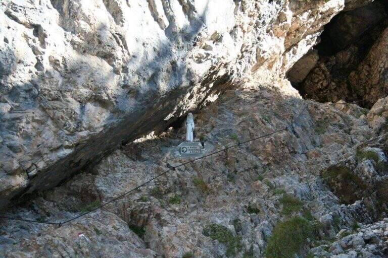
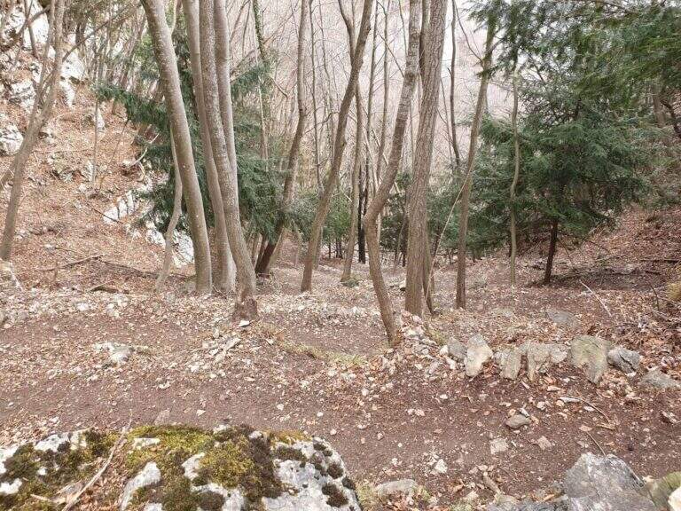
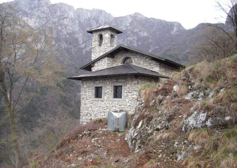
    From Lecco follow the road towards Ballabio to a evident double hairpin bend in the center of Rancio Alto. At the second bend you continue straight on Via Quarto for about 200 m, then take a steep asphalted road on the right with bar: you park at the bar. Turn the cemented road up to a bend, continue straight on the CAI 52 mule track under the high walls of the Medale and Monte San Martino. Ignoring the crossroads and the CAI 58, you arrive at a main crossroads (20' from the parking lot): on the left the Vergella Trail leads to the Chapel of Our Lady of Carmine in 1h30'; on the right a steep path in the wood with rocky balconies leads to the same chapel in approx. 45' (1h15' total).

    ▲The path

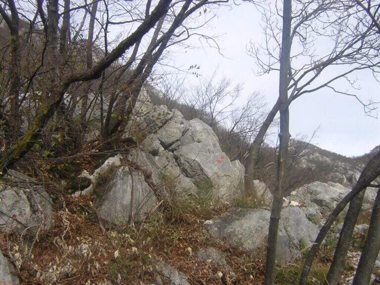
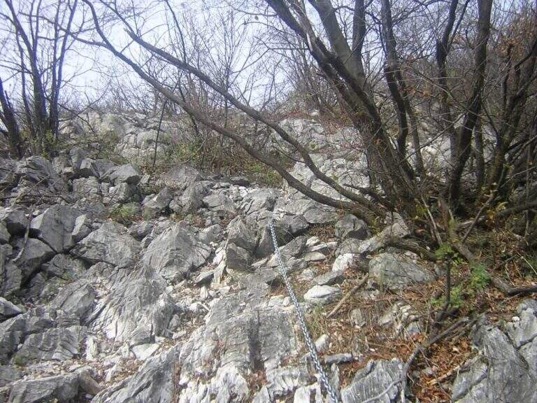
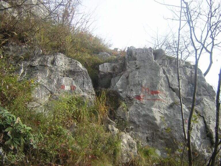
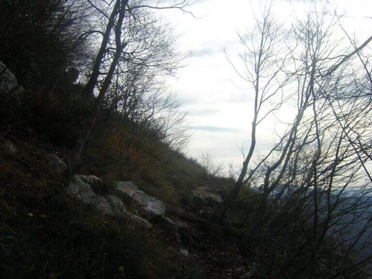
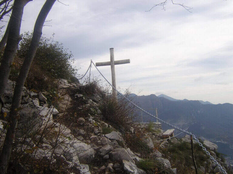
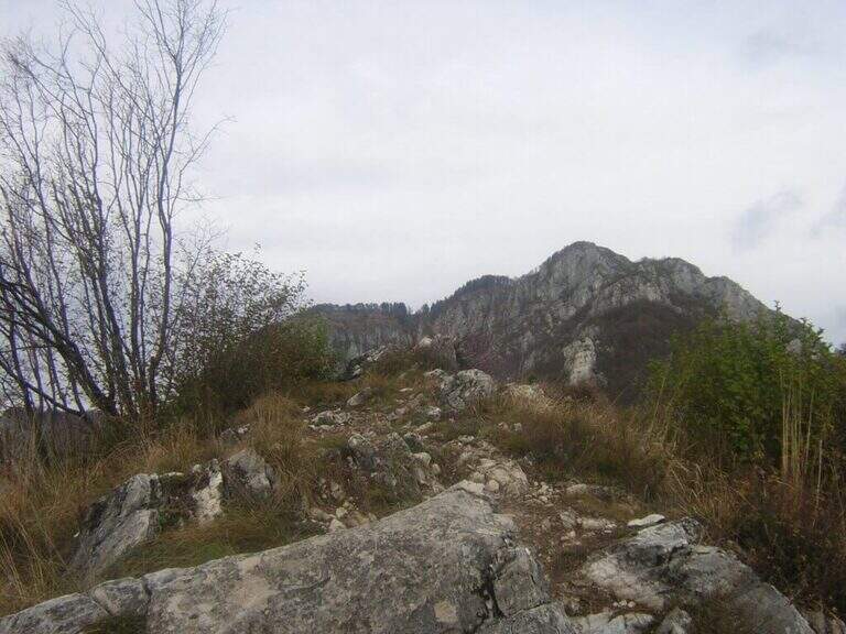
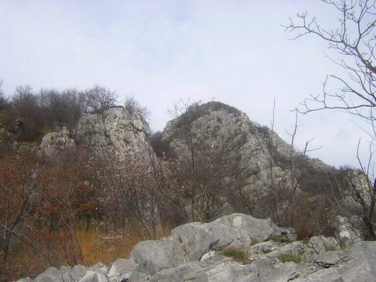
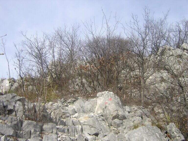
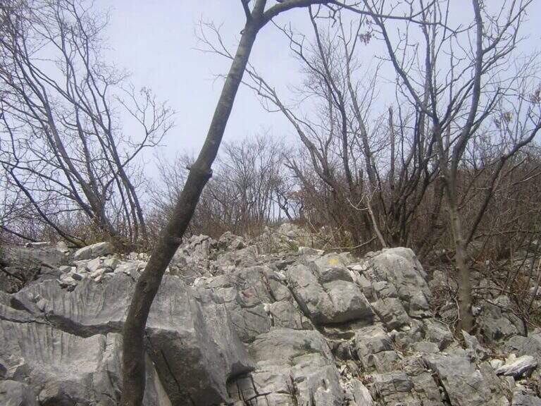
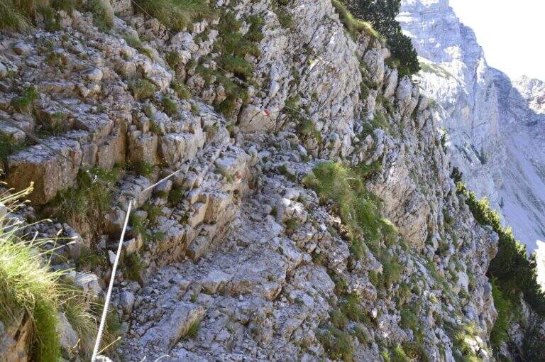
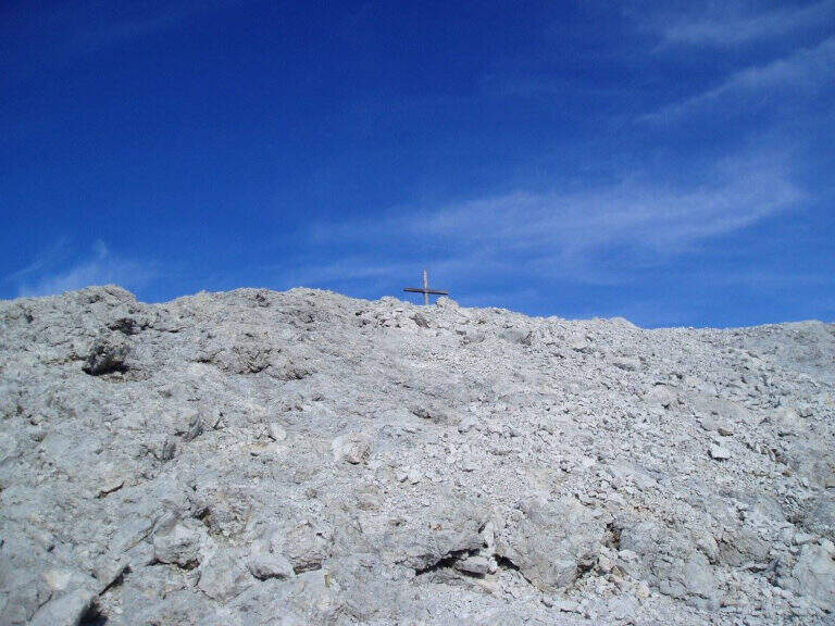
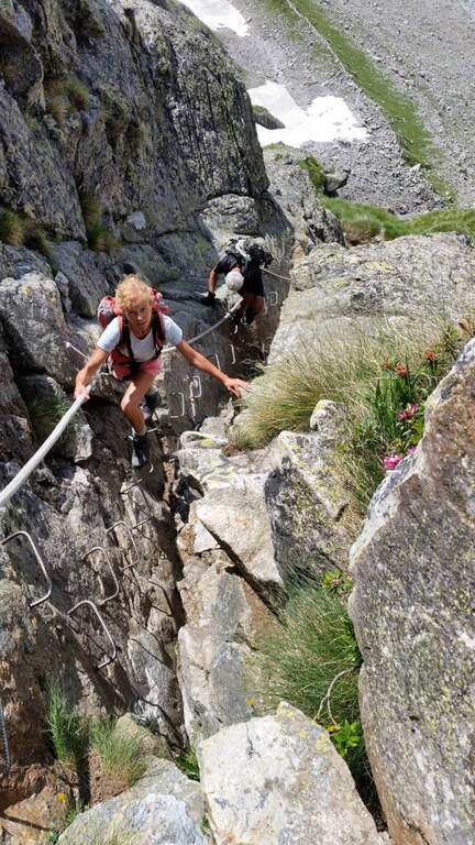
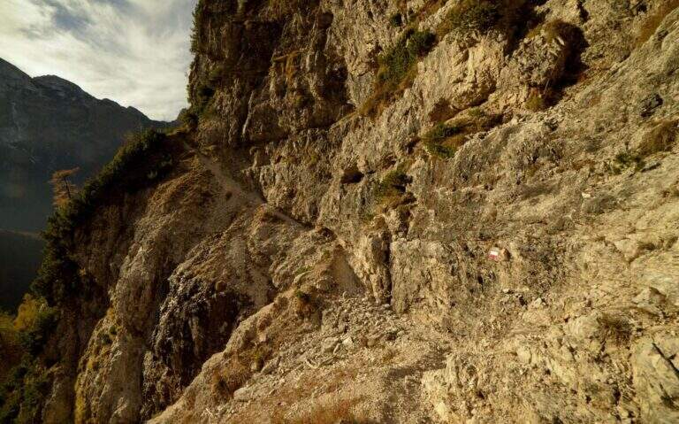
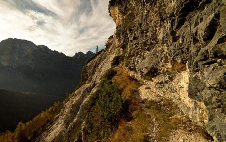
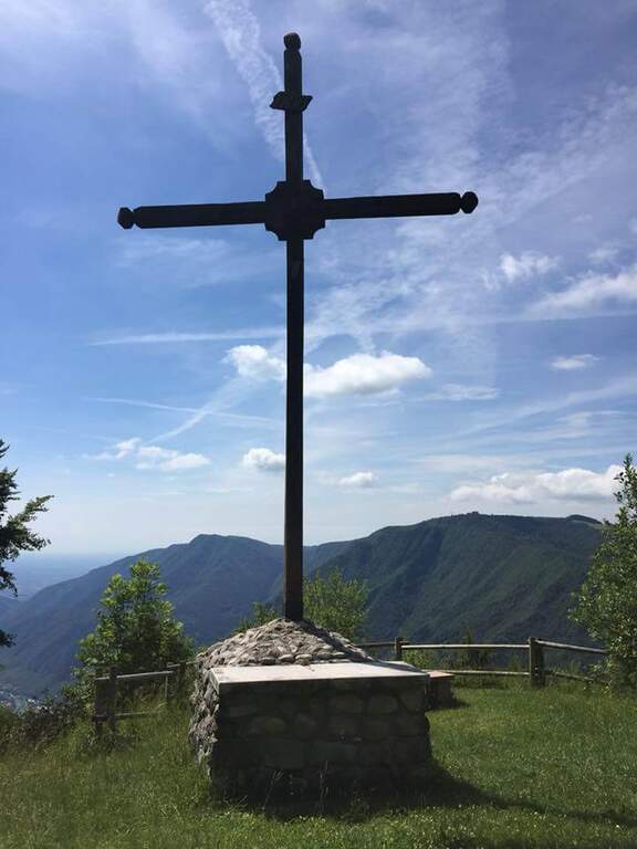
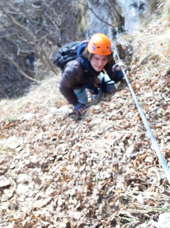
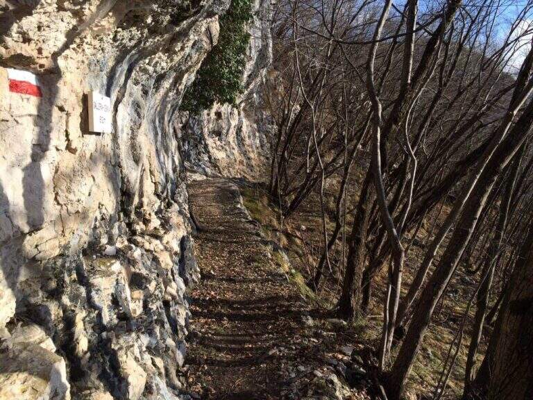
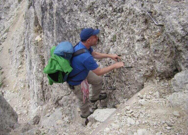
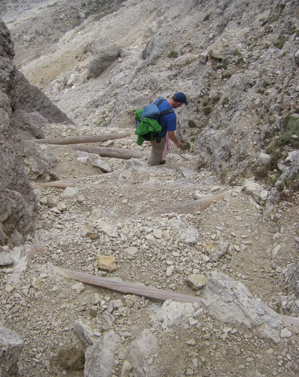
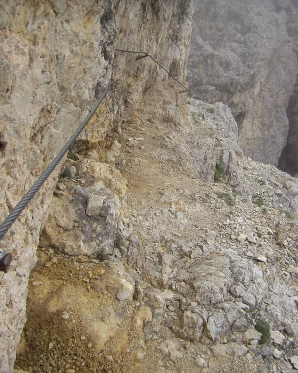
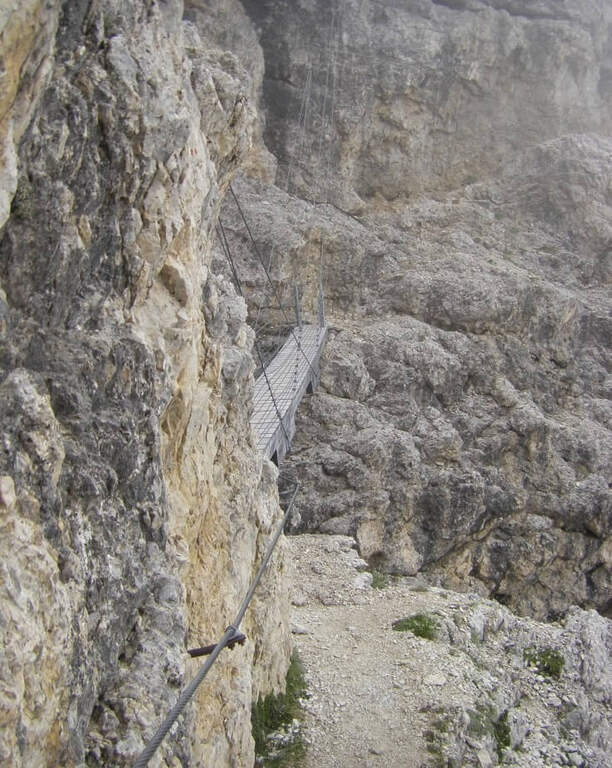
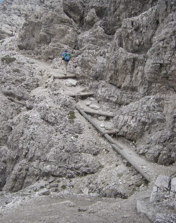
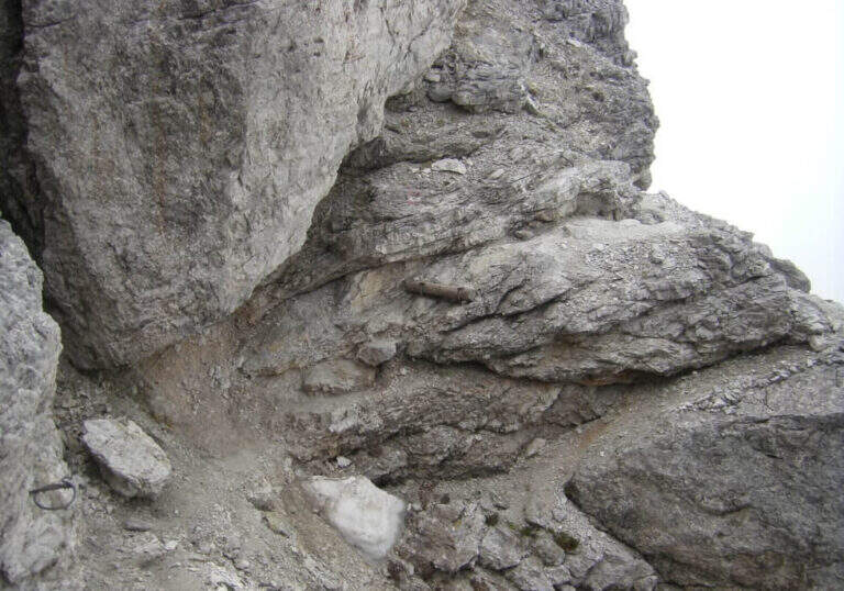
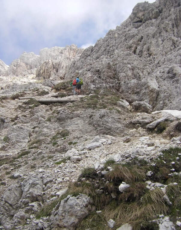
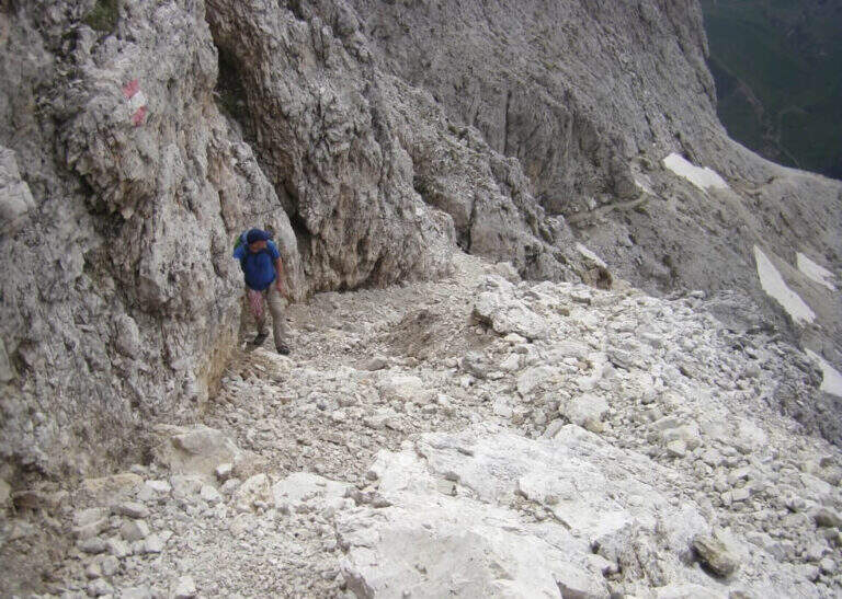
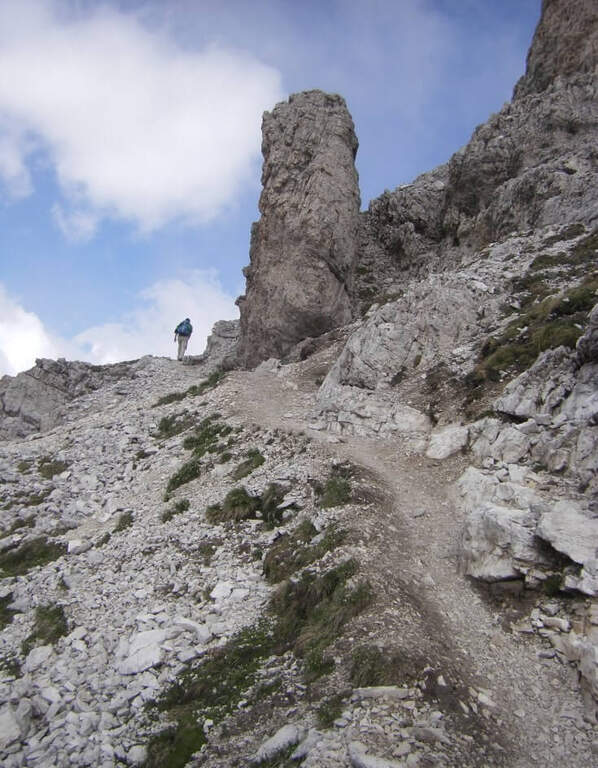
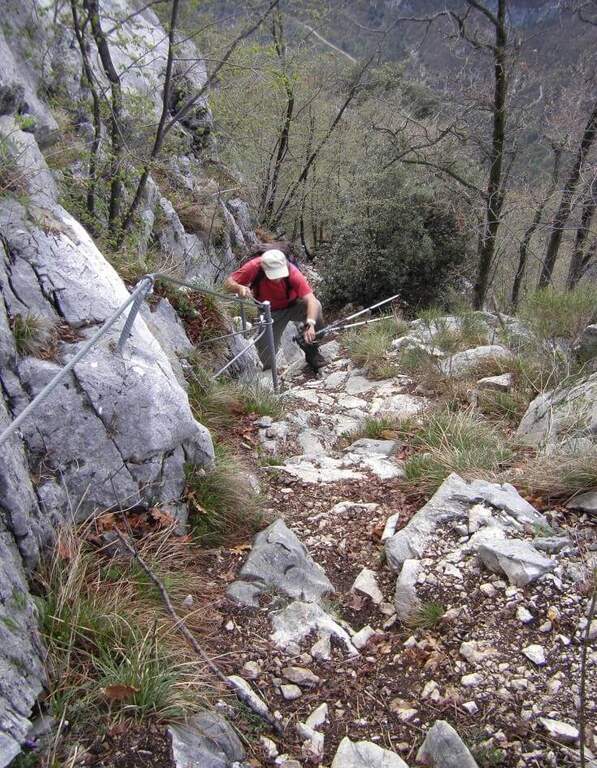
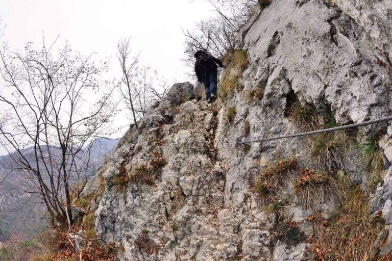
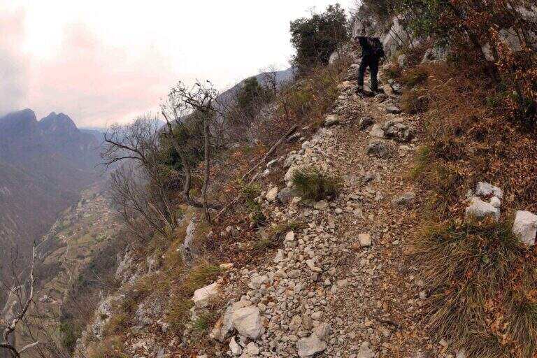
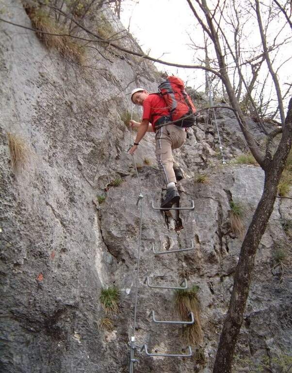
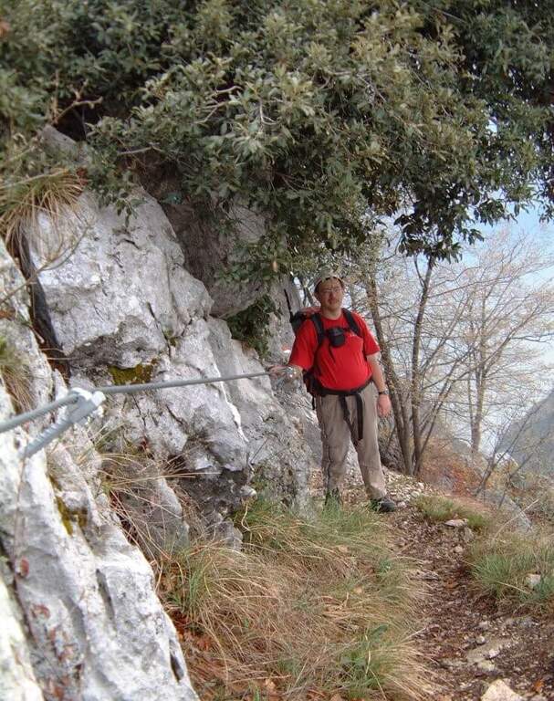
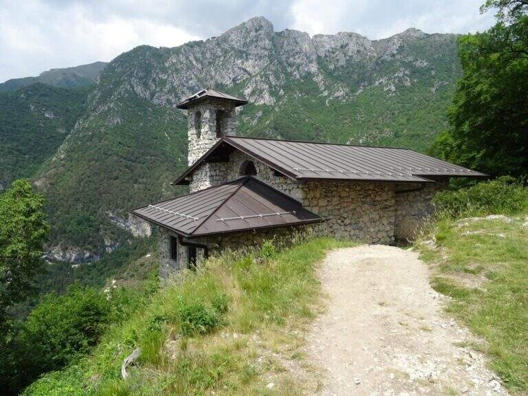
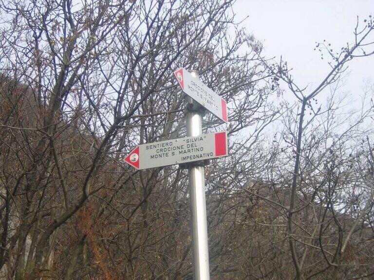
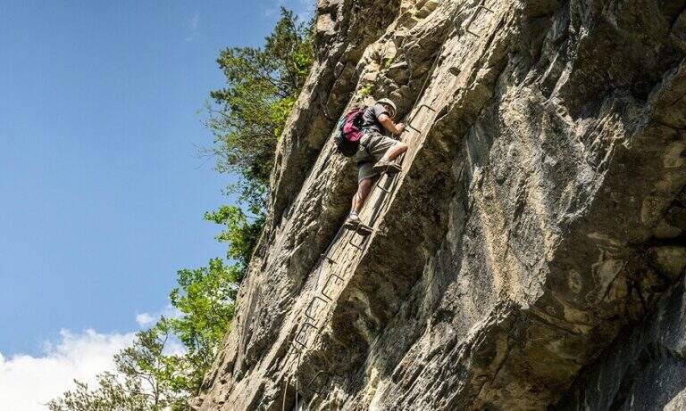
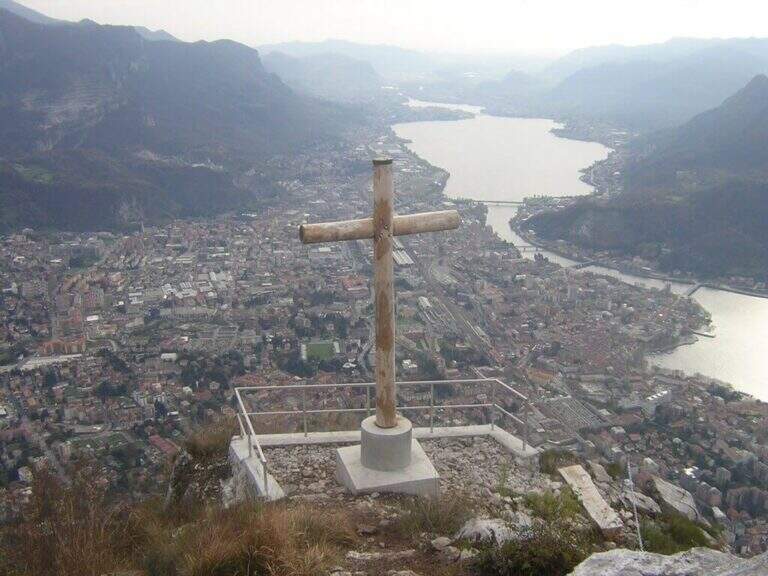
    From the Chapel of the Madonna del Carmine the Sentiero Silvia starts from the right side with red signs. It goes steeply with two short chain sections: the first is a series of easy rocky leaps, the second is a stretch leaning with steps to the left. Both elementary, the chains are useful especially with wet soil. At the following crossroads you will take the right towards the rocky gendarme, key passage of the itinerary: you will face it with the equipped fireplace (chain on the right side, inside the fireplace) or you will wander it on exposed but not technical path. Beyond the gendarme you can see the summit; continue on a steep path with some balzes equipped to the summit cross of Monte San Martino (45' from the chapel, 2h total).

    ▲Character and difficulty

    Easy. The equipped sections are elementary and the exposure is moderate. The fireplace of the gendarme is the most technical passage of the street.

    ▲Period and safety

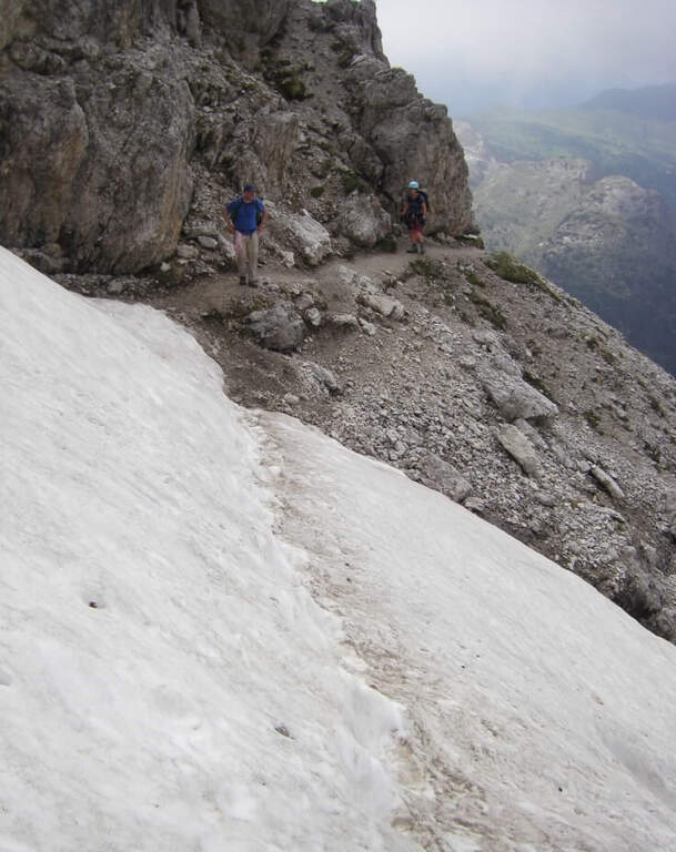
    It can be traveled almost all year round, avoid with ice. Also excellent as winter hike with dry soil. The proximity to Lecco makes the path very popular on weekends.

    ▲Discipline

    From Monte San Martino you descend north-east towards the Coltiglione to a crossroads, then you return to the parking lot for the most direct path.

    ▲To match

    In the Medale area there is the Sentiero Attrezzato Ger del Coltiglione e la Sentiero Attrezzato della Vergella.
    ▲Gallery
    Technical data
    • DifficultyEasy
    • RegionLombardy
    • GroupLecchesi Prealps / Medale
    • Approach1:15 h
    • Ferrata0:45 h
    • Itinerary (a/r)3:30 h
    • Hardware level difference300 m
    • Route difference670 m
    • Max1042 m
    • Length8,2 Km
  • Sentiero Attrezzato Sasse – Lake Idro

    Sentiero Attrezzato Sasse – Lake Idro

    Vie Ferrate › Lombardy › BS
    Sentiero Attrezzato Sasse – Lake Idro

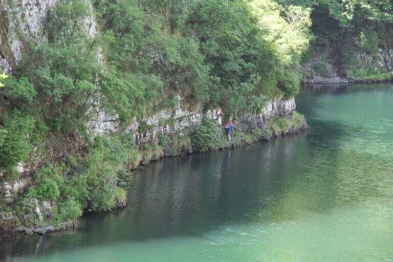
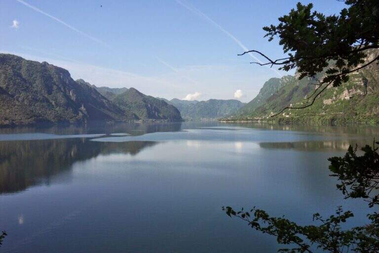
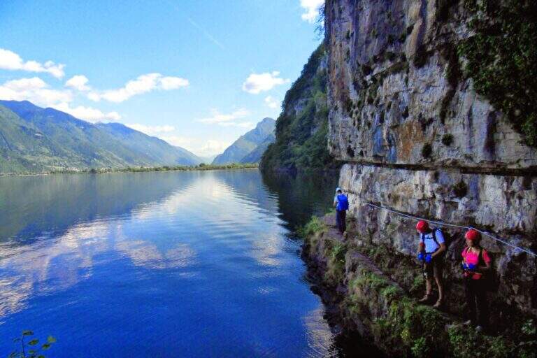
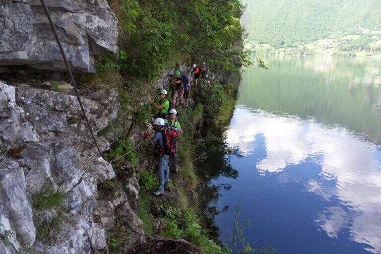
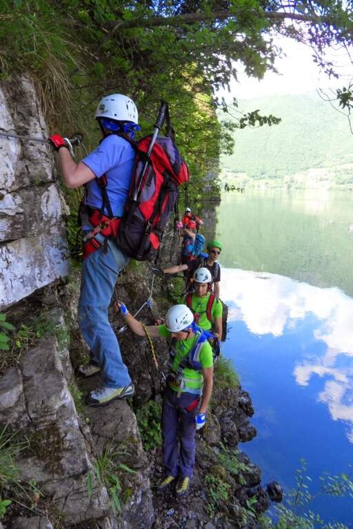
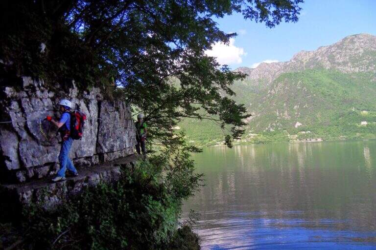
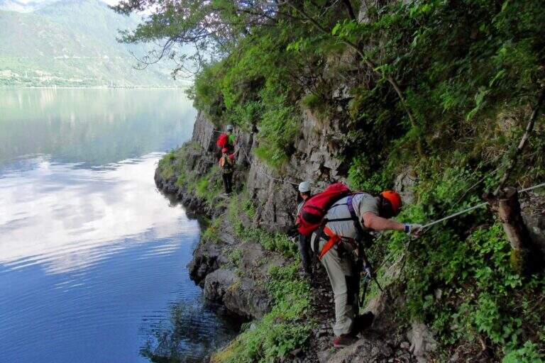
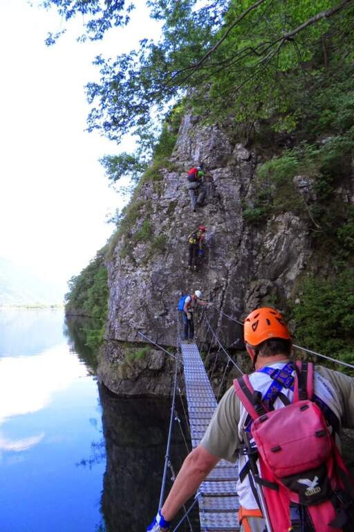
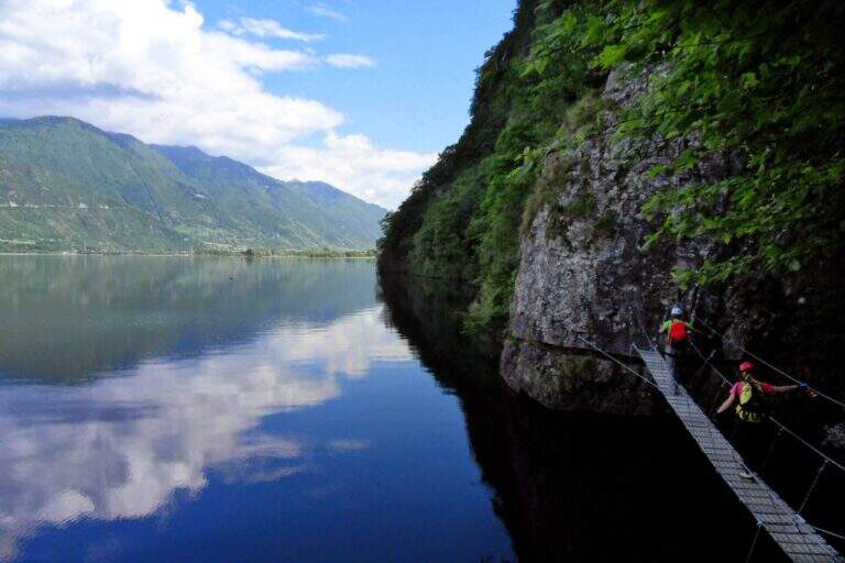
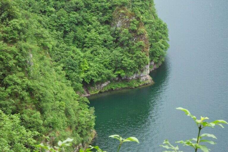
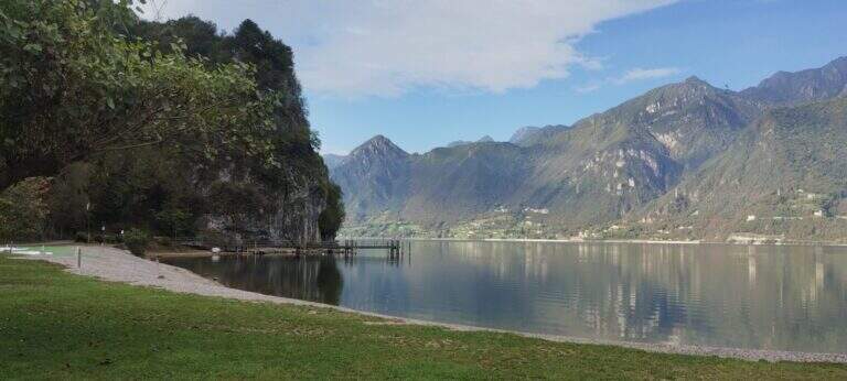
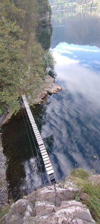
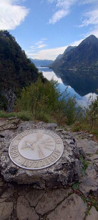
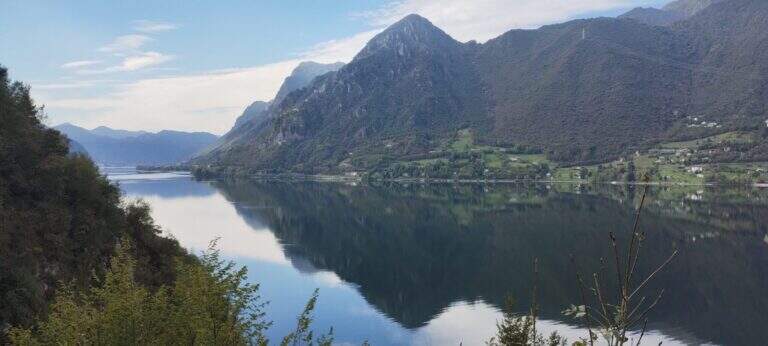
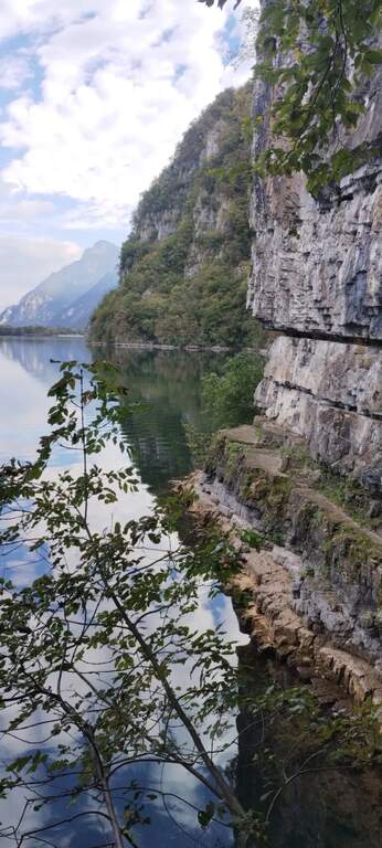
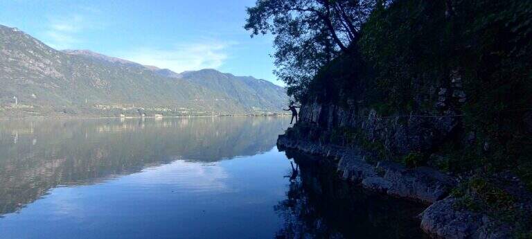
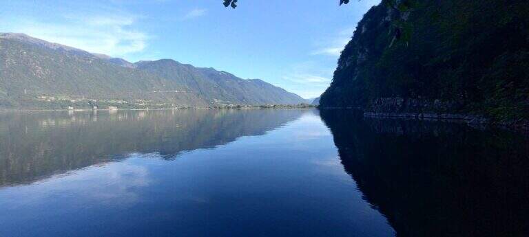
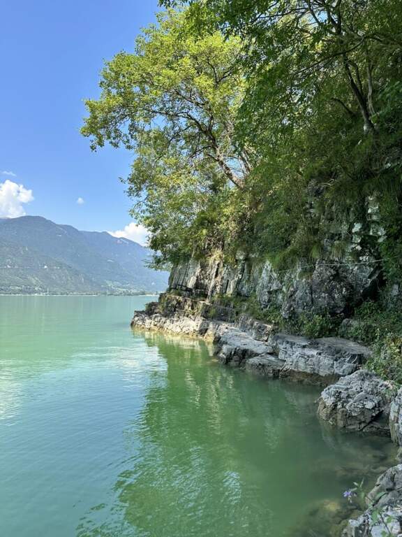
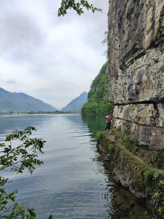
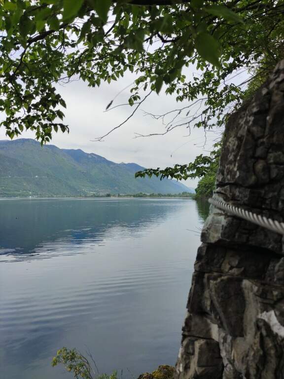
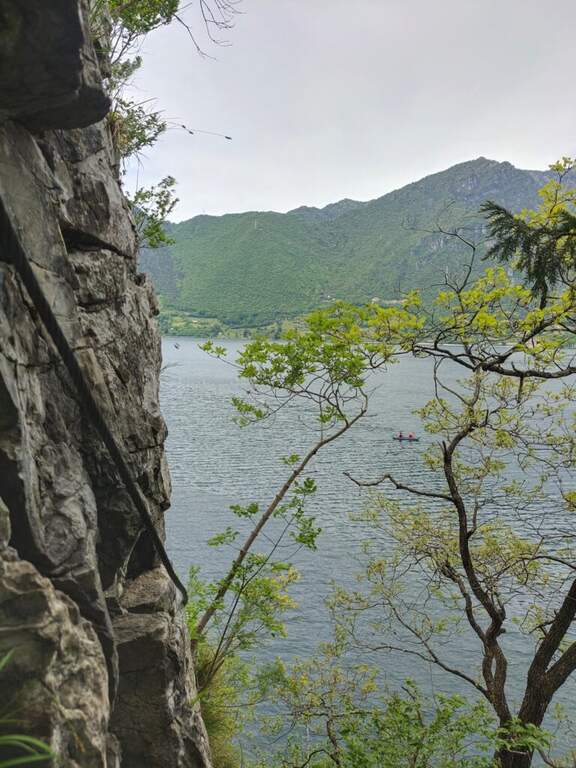
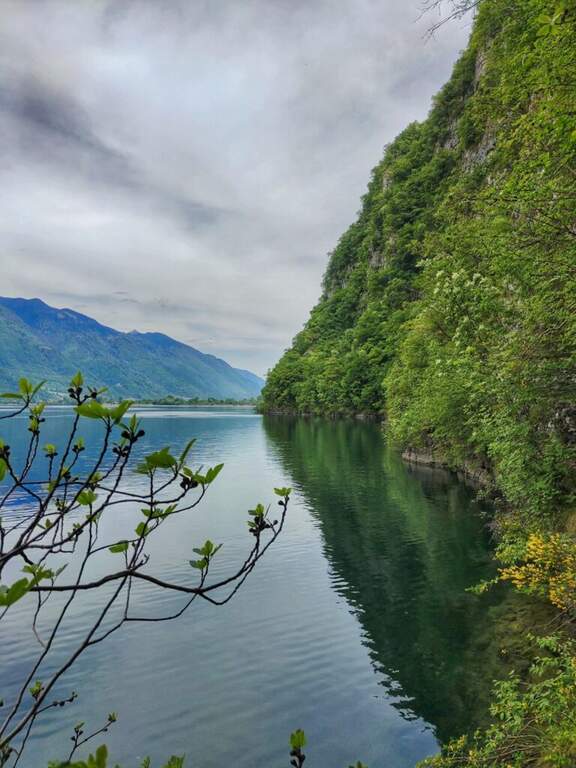
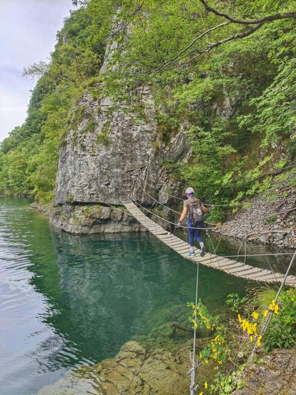
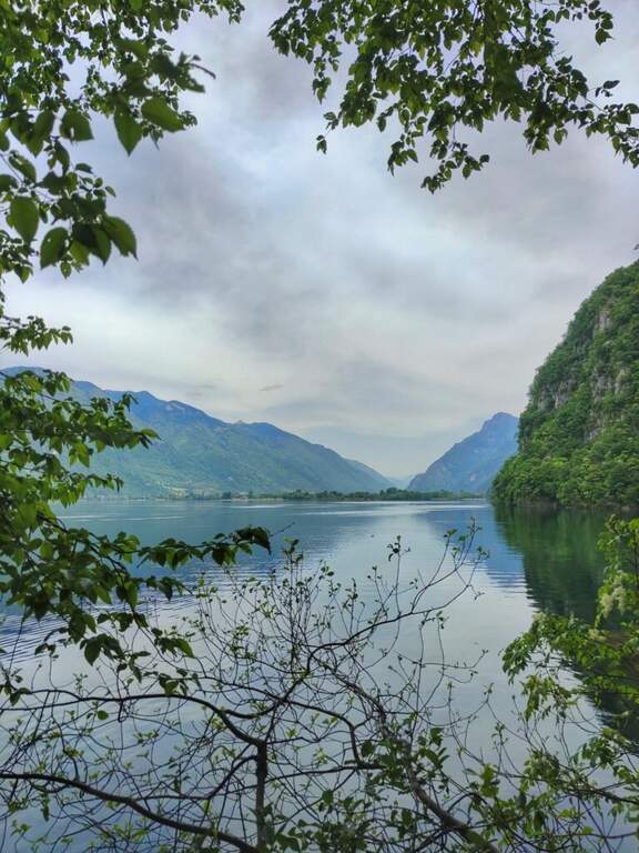
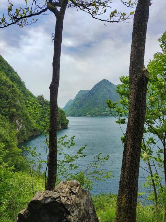
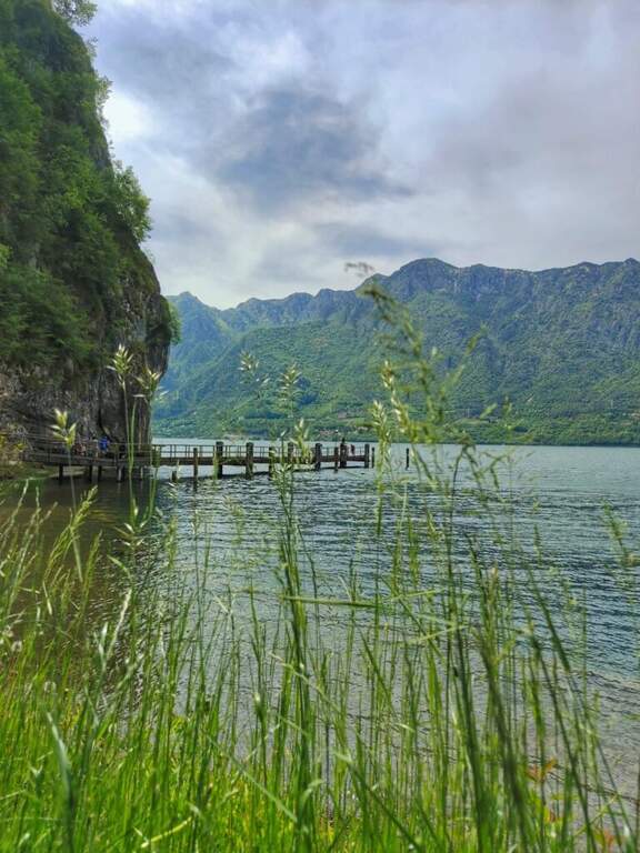
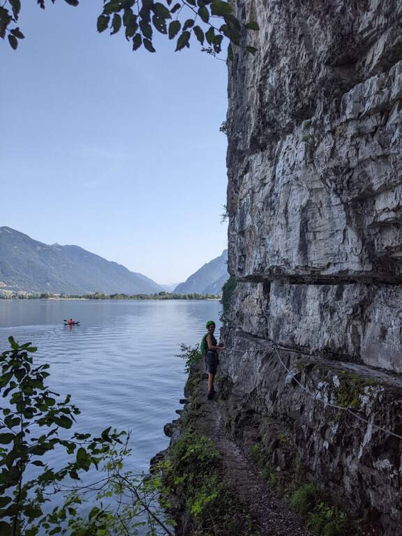
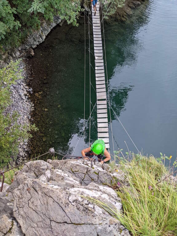
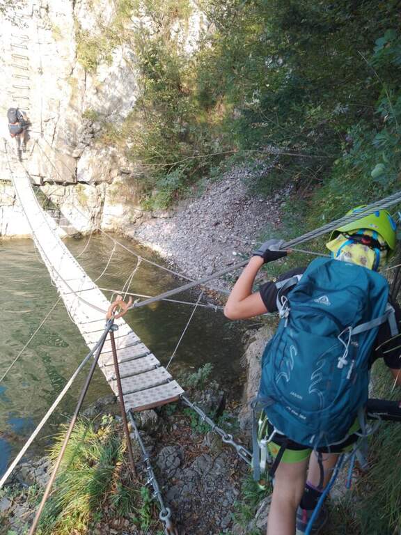
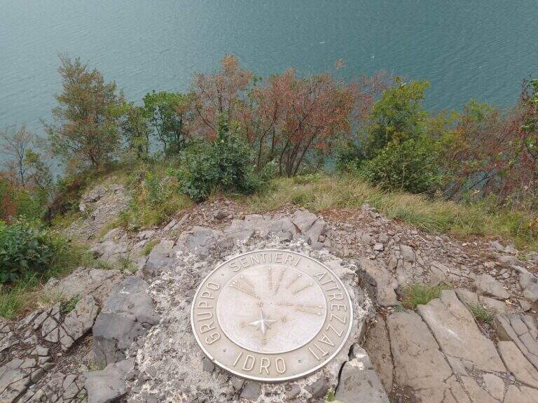
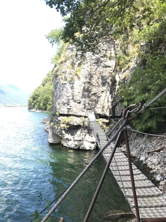
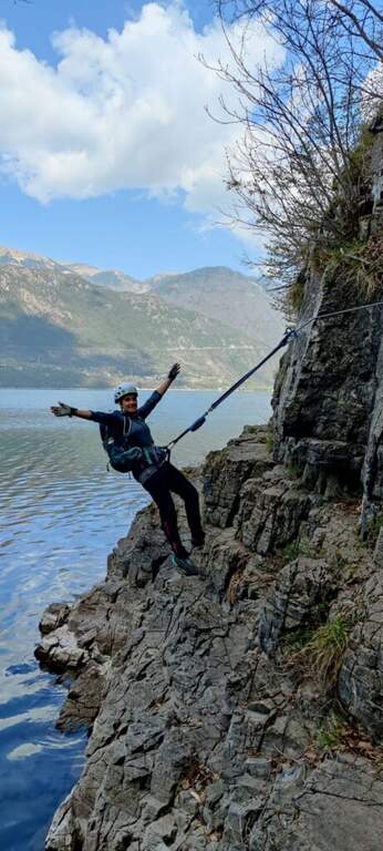
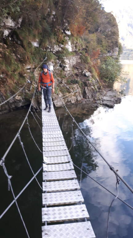
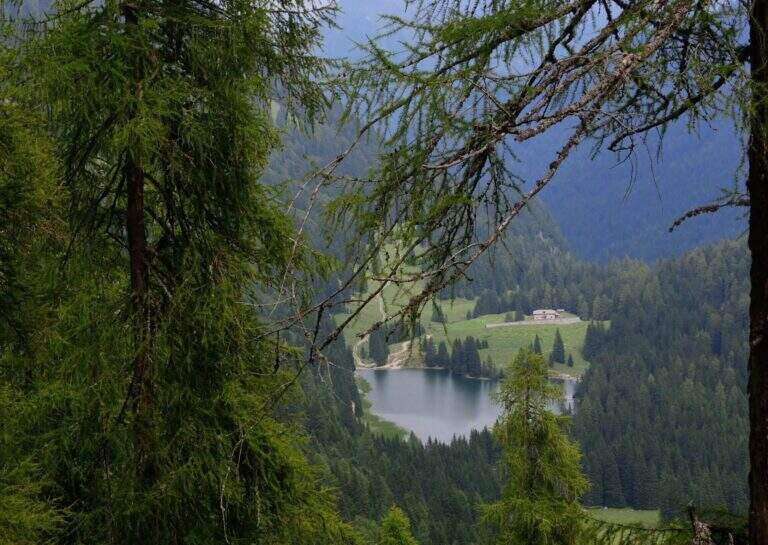
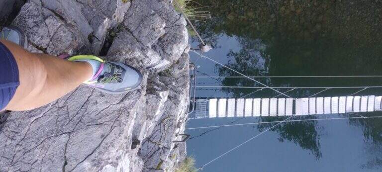
    Spectacular itinerary on the eastern side of Lake Idro between the villages of Vesta and Baitoni (Brescia). Water-haired Cenge, a suspended bridge with wooden axles and some rocky balconies make up one of the most panoramic equipped paths of Lake Idro, accessible in both directions.

    ▲Approach

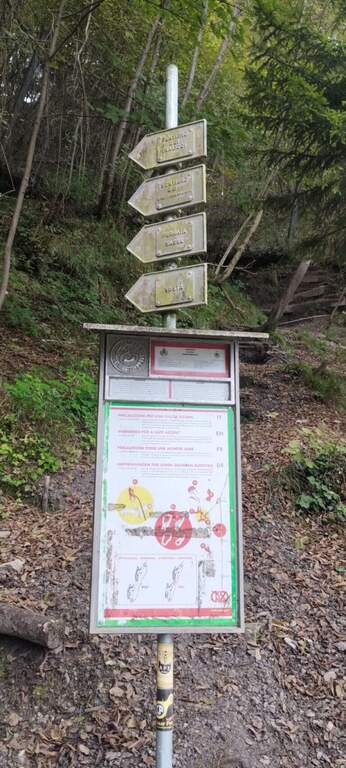
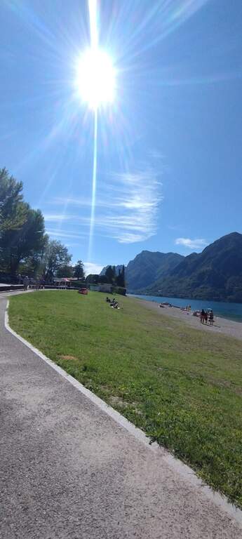
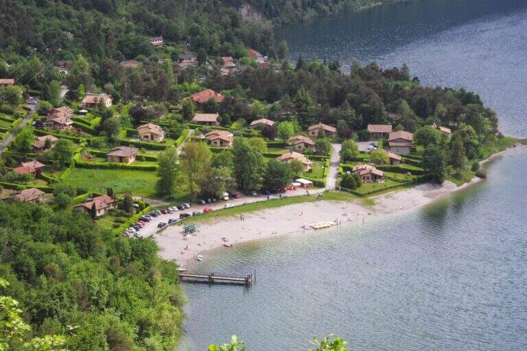
    The starting point is La Busetta beach in Vesta, on the eastern shore of Lake Idro (BS). You cross the village to the point where the road bends towards the lake: in the deck you park and you notice the metal pole with directions for the paths. From the parking lot follow the path to the north passing near the rock gym Corna di Fenere. At the crossroads continue straight to the Dosso della Madonnina (20' from the parking lot), where the path starts.

    ▲The path

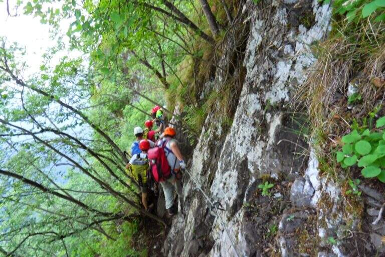
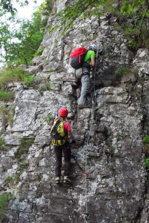
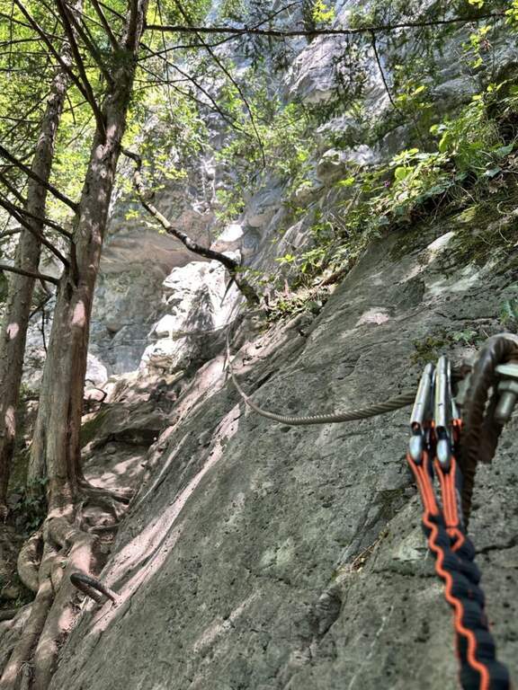
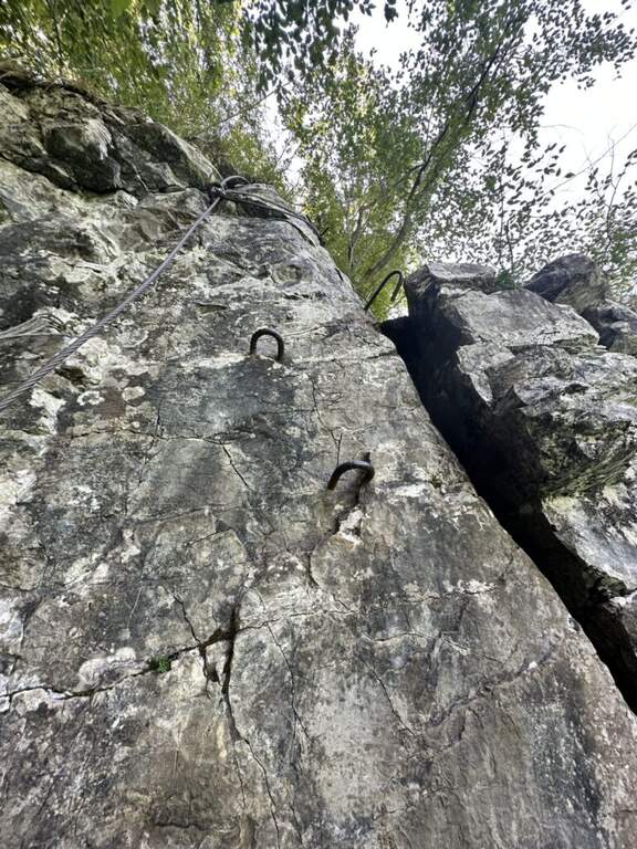
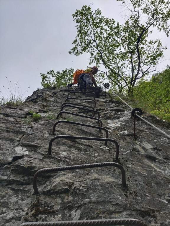
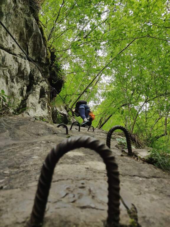
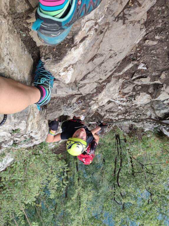
    The first section of the Sasse Path descends towards the lake with a hand-rail cable on the right, then an exposed nod leads to a vertical wall with brackets optimally positioned for the descent. You enter the most suggestive section: a long nod with some rocky leap and a non-hard traverse travelled by water. You reach the suspended bridge, stable with wooden boards, which also represents the first escape route (50' total). After the bridge you go up an easy vertical wall with metal frames and continue on salt-and-scends carefully to two descents equipped with a cross with dry rock. A passage on logs through a fragrant canal closes the stretch equipped to the white sign of Baitoni (1h50' total).

    ▲Character and difficulty

    Easy. The suspended bridge is solid and well equipped. Attention to the two descents equipped with slippery soil.

    ⚠ The equipped descents require attention with wet soil. The final franous canal is unstable.

    ▲Period and safety

    April - October. Avoid with rain for the slippery bottom on the cenges. The route is well marked in both directions.

    ▲Discipline

    From the end of the equipped path, continue north on the path to the swamp of the Path of the Contrabbandieri (or Sentiero dei Tralicci), which returns to Vesta at a higher altitude, reconnecting to the junction and then to the parking lot.

    ▲To match

    In the surroundings of Lake Idro there is the Ferrata delle Ginestre, la Ferrata Fregio e la Sentiero Attrezzato alle Cascate di Idro.

    ▲Gallery
    Technical data
    • DifficultyEasy
    • RegionLombardy
    • GroupMonte Calva / Lake Idro
    • Approach0:20 h
    • Ferrata1:30 h
    • Itinerary (a/r)3:00 h
    • Hardware level difference100 m
    • Route difference370 m
    • Max515 m
    • Length7,2 Km
  • Sentiero Attrezzato della Scala Santa – Dolomiti di Brenta

    Sentiero Attrezzato della Scala Santa – Dolomiti di Brenta

    Vie Ferrate › Trentino-Alto Adige › TN
    Sentiero Attrezzato della Scala Santa – Dolomiti di Brenta

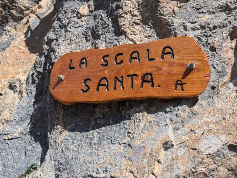
    Main access to the XII Apostle Refuge in the Dolomites of Southern Brenta, the Sentiero della Scala Santa is a characteristic carving equipped alongside an iconic Madonnina carved in the rock. Easy from the technical point of view, it is the starting point for many more challenging routes in the Brenta.

    ▲Approach

    From Pinzolo (SS239 from Trento) take the cable car to the Doss del Sabion (2101 m). Alternatively, walk with the CAI 307B from Pinzolo through the Pra Rodont Refuge (1530 m). From the mountain station, cross a half-coasted path to the east, intercepting the CAI 307 in Baita del Cacciatori (1836 m). You enter the Val dei Nardi to the east from Lake Agola, then continue on the right side of the valley until the clear plain of Lake Asciutto, where the cable car is detached for the refuge. From here the path is steeper (1h30' from the upstream station).

    ▲The path

    From Lake Asciutto it is aimed towards the carving in the rock that characterizes the Scala Santa. The equipped stretch is steep but without technical difficulties once insured: climb next to the carved Madonnina, then on wooden steps and steep path. Exit from the equipped section you go up a moraine valley on swallows following carefully the white red signs not to leave the path. A stone paved characteristic precedes the plateau of Rifugio XII Apostoli where the excursion ends (1h30' from Scala Santa, 3h total from the mountain station).

    ▲Character and difficulty

    Easy. The equipped stretch is well dotted with fixtures and has no intrinsic difficulties. Attention to the marking on the nail that follows the Scala Santa.

    ▲Period and safety

    July-September, check the opening of the Pinzolo cable car and the XII Apostle Refuge. The ring can be partially snowed at the beginning of the season.

    ▲Discipline

    It goes back for the climb to the mountain station of the cable car (2h from the hut, 5h total).

    ▲To match

    From the refuge XII Apostoli the famous paths of the Bocchette: the Bocchette Central Trail, il High Bocchette Path e il Path Ideal Mouth of Ambiez.

    ▲Gallery
    Technical data
    • DifficultyEasy
    • RegionTrentino-Alto Adige
    • GroupDolomiti di Brenta
    • Approach1:30 h
    • Ferrata1:30 h
    • Itinerary (a/r)5:00 h
    • Hardware level difference200 m
    • Route difference389 m
    • Max2489 m
    • Length12 Km
  • Sentiero Attrezzato Sas de Putia – Odle Dolomites

    Sentiero Attrezzato Sas de Putia – Odle Dolomites

    Vie Ferrate › Trentino-Alto Adige › BZ
    Sentiero Attrezzato Sas de Putia – Odle Dolomites

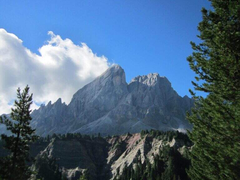
    Panoramic hike in the Dolomites that leads to the summit cross of the Sass de Putia (2875 m) going up the south side of the Passo delle Erbe. The equipped path only lasts 150 m, but the overall itinerary is long and scenically extraordinary, with views of the Odle, the Belluno Dolomites and the Aurine Alps.

    ▲Approach

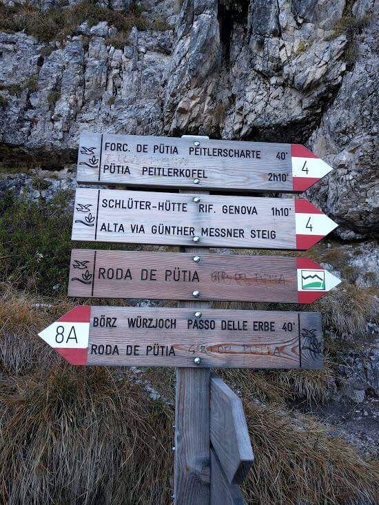
    The Passo delle Erbe (1987 m) is reached from the A22 exit of Chiusa following the signs for the Val di Funes and then for the pass. From the car park to the pass, take the wide track marked as path 8 towards the east. On the first crossroads, you will take the right on the path 8A that climbs in false ground towards the east to the Forcella de Putia (2357 m, 1h30'). Along the path you walk around the north wall of the Sass de Putia and you get on the path 4 — the Alta Via Günther Messner — which leads to the fork.

    ▲The path

    From the Forcella de Putia follow the clear indications that on the left lead on a grassy path towards the wide stone plateau below the summit. The last 150 m are equipped with cables: you go up a comfortable sloped ramp, some small rocks and you reach the single most challenging passage, a short fireplace with an initially long stretch that you pass thanks to a bracket on the right side of the crack. A few metres of rock lead to the peak cross with 360-degree panorama (2875 m, 3h total from the start).

    ▲Character and difficulty

    Easy. The 150 m equipped do not have technical difficulties and the equipment is in good condition. The environment is that of the high Dolomite mountain with a clear marking.

    ▲Period and safety

    July - September. Avoid in case of afternoon storms, frequent in the Dolomites. The map of Val Badia or Val Gardena-Val di Funes (4Land).

    ▲Discipline

    From the top you descend to the climb (5h30' total). Alternatively, it is recommended to walk along the ring following the 4B path and then 35 around the southern slope of the Sass de Putia to the Goma Pass (2111 m, 1h from the Forcella de Putia) and from there the 8B path leads to the parking (6h total).

    ▲Gallery
    Technical data
    • DifficultyEasy
    • RegionTrentino-Alto Adige
    • GroupOdle/Puez
    • Approach1:30 h
    • Ferrata2:30 h
    • Itinerary (a/r)6:00 h
    • Hardware level difference150 m
    • Route difference869 m
    • Max2875 m
    • Length12,8 Km
  • Sentiero Attrezzato al Rifugio Dalmazzi – Bacino del Triolet

    Sentiero Attrezzato al Rifugio Dalmazzi – Bacino del Triolet

    Vie Ferrate › Aosta Valley › AO
    Sentiero Attrezzato al Rifugio Dalmazzi – Bacino del Triolet

    ⚠ The equipped path is at the moment dismantled. The fixed ropes were removed. Check the updated conditions before approaching the refuge.

    Itinerary of high mountain in Val Ferret which leads to the Dalmazzi refuge in the Triolet Glacier basin (White Mountain). Technically not difficult, the severe alpine context with snow, blackberry and risk falling stones requires high mountain experience. Equipped path currently dismantled.

    ▲Approach

    The starting point is the hamlet of Arnouva, last resort of Val Ferret in the town of Courmayeur (AO). You park in the square in front of the restaurant-camp and follow the dirt road (mark 23 then 32) for about 1 km towards the Elena Refuge. At a right corner there is the crossroads on the left for the Dalmazzi Refuge. You go up the valley bottom ignoring the Bivacco Comine (sentiero 22), you cross 4 streams triluent of the Dora di Ferret and you reach the Moor of the Triolet Glacier. Following the yellow boils, follow the stone, the north side of the valley, a stretch in light descent towards the glacial valley and then again uphill to the ridge, where a snowman precedes the last stretch (2h from the parking lot).

    ▲The path

    From the ridge you will encounter big rocky rocks with fixed rope brushes anchored to fittons and nails (currently removed). You go up the channel to the left, you pass an exposed edge and you face a dihedron with ropes and metal brackets. On the grassy plateau above a traverse to the right and a few meters of path conclude the stretch equipped in proximity of the Dalmazzi refuge (30' from the first rope, 2h30' from the parking lot).

    ▲Character and difficulty

    Easy technically, but it is a high mountain hike with severe environments, nearby glaciers and risk of rock fall along the ascent channel.

    ⚠ A challenging alpine environment: do not underestimate the altitude, the glacier and the rockfall along the uphill channel.

    ▲Period and safety

    Summer (July-August) with stable weather. Snow remaining at altitude until late season. Before leaving check the state of the route equipped with the shelter or local guides.

    ▲Discipline

    Same climb (2h from the hut, 5h total). The equipped sections, if present, are easy downhill.

    ▲Gallery
    Technical data
    • DifficultyEasy
    • RegionAosta Valley
    • GroupMont Blanc / Val Ferret
    • Approach2:00 h
    • Ferrata0:30 h
    • Itinerary (a/r)5:00 h
    • Hardware level difference150 m
    • Route difference800 m
    • Max2590 m
    • Length9,8 Km
  • Path equipped King of Saxony – The Tower, Julian Alps

    Path equipped King of Saxony – The Tower, Julian Alps

    Vie Ferrate › Friuli-Venezia Giulia › UD
    Path equipped King of Saxony – The Tower, Julian Alps

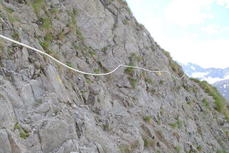
    A well-equipped trail that runs through the band of Jof Fuart in the Julian Alps, developing on the south side of La Torre. Easy from the technical point of view, with a vertical leap of 7-8 m dotted with metal cambres as a key step; the slippery bottom and exposed hinges require attention.
    ▲Approach

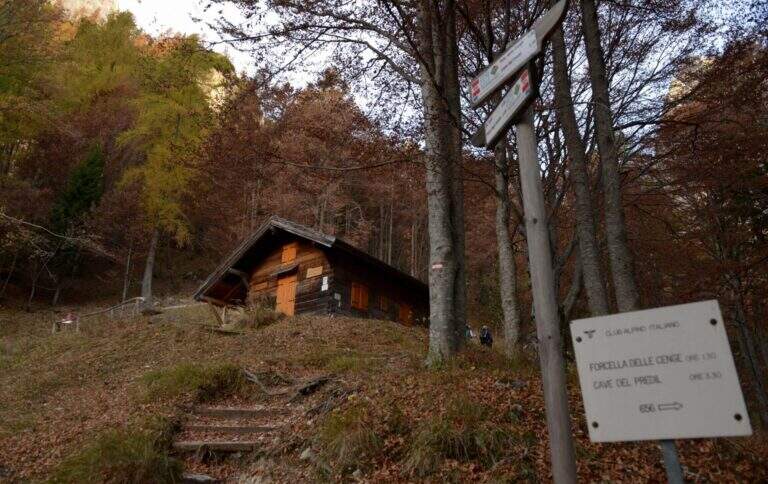
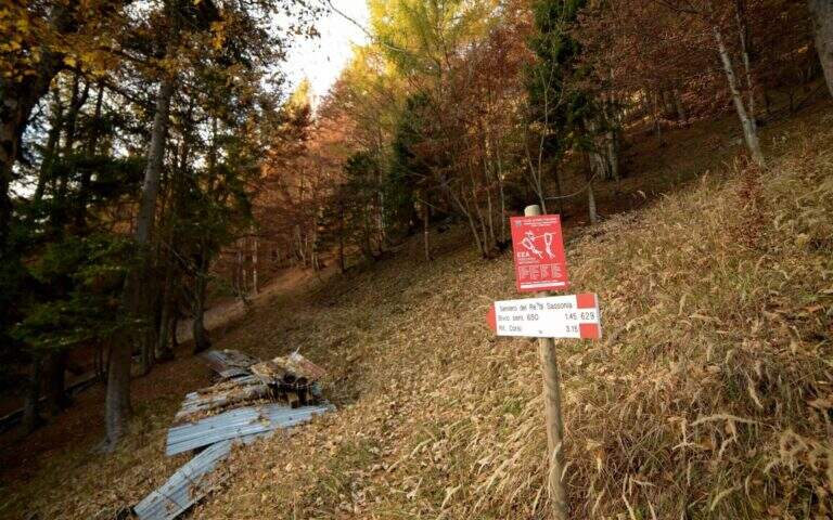
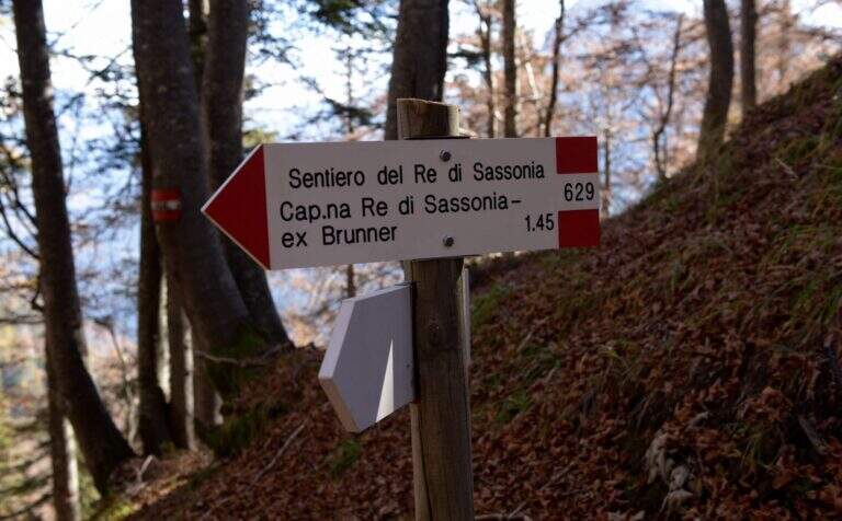
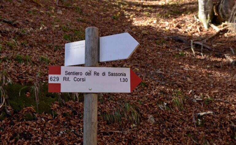
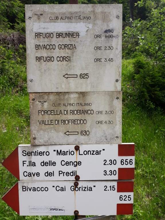
    From Chiusaforte (A23, exit Carnia-Tolmezzo) follow the signs to Sella Nevea towards the east for 20 km. Once in the village, continue on the SP76 towards the Slovenian border for another 6.3 km up to two corners: parking (997 m) is immediately before the first bend. You go up with the CAI 625 along the Rio Bianco in the woods to the hut King of Saxony (1432 m, Refuge Brunner, unmanaged, 1h30'). You ignore the indications for the Caves of the Predil (CAI 656) and take the path 629 to the left.

    ▲The path

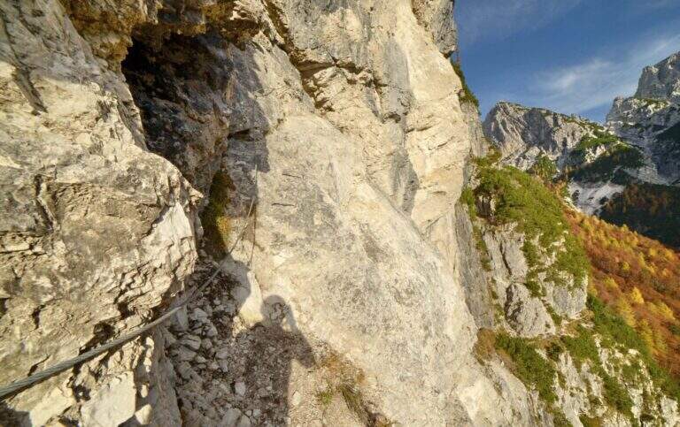
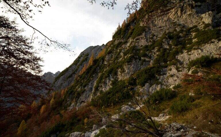
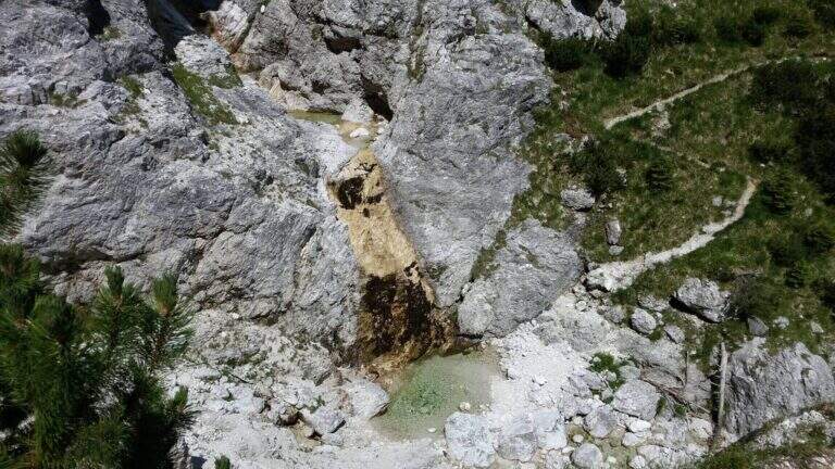
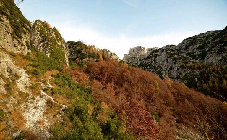
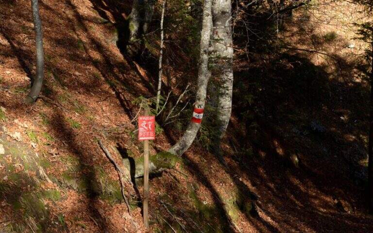
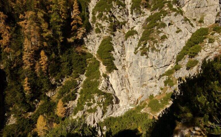
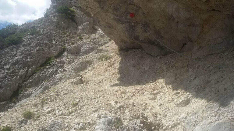
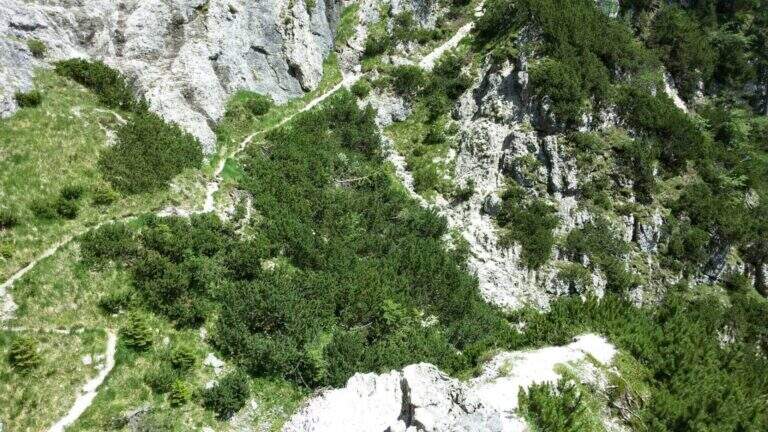
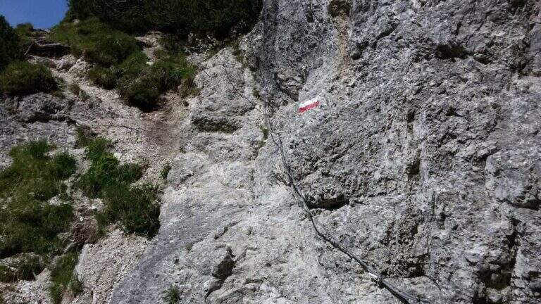
    From the path 629 you climb diagonally below the forest approaching the south walls of La Torre. Exit from the woods you will find a beautiful waterfall on the south-east side. You lose slightly altitude approaching the rocks where the first equipped section begins: a nod exposed on a gravel bottom to the left. A second section is displayed, then it goes up on the opposite side through a narrow nod. The most demanding passage is a vertical leap of 7-8 m with cambre and metal fixtures leading to the upper nod. From here you go through a horizontal traverse under a rocky roof — cambre for the feet make easy the exposed passage — then you go down of 3 m and you resume a census on the left. Cross a colander and continue towards a rocky bastion with analogous passages until the end of the equipped path.

    ▲Character and difficulty

    Easy. The vertical leap and exposed beams are well equipped. Attention to the slippery bottom on unprotected traits.

    ⚠ Cenges and unprotected sections with slippery bottom: the cable is not always present. Suitable boots and recommended hardware sets.

    ▲Period and safety

    Summer-autumn. The route is accessible in both directions. Avoid with rain or snow.

    ▲Discipline

    From the end of the well-equipped path, you turn back towards the starting car park.

    ▲To match

    The nearby Julian Alps are located Ferrata Anita Goitan at Jof Fuart e la Ferrata Julia at Canin.

    ▲Gallery
    Technical data
    • DifficultyEasy
    • RegionFriuli-Venezia Giulia
    • GroupJof Fuart / Julian Alps
    • Approach1:15 h
    • Ferrata1:30 h
    • Itinerary (a/r)4:15 h
    • Hardware level difference80 m
    • Route difference449 m
    • Max1446 m
    • Length8,3 Km
  • Sentiero Attrezzato del Rampin – Monte Casale

    Sentiero Attrezzato del Rampin – Monte Casale

    Vie Ferrate › Trentino-Alto Adige › TN
    Sentiero Attrezzato del Rampin – Monte Casale

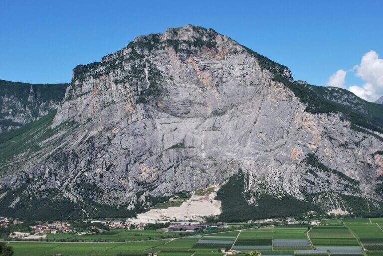
    Long excursion equipped by Pietramurata to the summit of Monte Casale (1632 m) in the province of Trento. Technically easy, however, the path requires good training and attention to the insidious background and the overall level difference. Unconscious in the hot summer months.

    ▲Approach

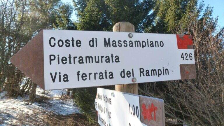
    The starting point is the village of Pietramurata near Sarche (TN). Arriving from Riva del Garda or Sarche, take the main road to almost the south exit of the village, where a deck with a bar offers parking. Take the side of the road to the south to the signposter that indicates the CAI 426 path on the right. This crosses the forest by cutting the bends of the Massampia Forest Road to the attack of the equipped path (1h45' from the parking lot).

    ▲The path

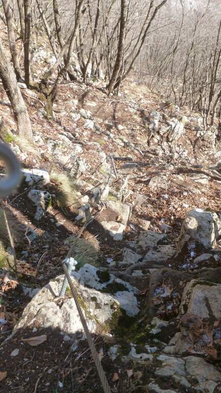
    The attack opens on stretches equipped on small rocks and sloped ramps in the wood with bottom that can be slippery. Steps with cable go up until the end of the equipped section (1h15' from the attack, 3h total). Continue right on the CAI 408 towards the locality Le Quadre, then take the right on the CAI 411 that climbs up to the Rifugio Don Zio Pisoni (to check the opening) and to the cross of Monte Casale (1632 m, 4h total).

    ▲Character and difficulty

    Easy from the technical point of view, the path is however insidious for the slippery and challenging bottom for the length and altitude difference.

    ⚠ Use ferrata sets and telescopic sticks for unprotected traits. Don't go too hot: the way is long and tiring.

    ▲Period and safety

    Excellent in spring and autumn. Summer months can bring excessive heat on an itinerary that exceeds 7 hours overall. Good exercise necessary.

    ▲Discipline

    From the summit of Monte Casale you descend north towards the Pisoni Refuge, then on the CAI 427 between pastures and beech trees towards Godersi and then towards Sarche. Following the CAI 427B you return to Pietramurata (3h from the end of the ferrata, 7h total).

    ▲To match

    In the same area is the Ferrata Che Guevara at Monte Casale, more challenging but with spectacular views.

    ▲Gallery
    Technical data
    • DifficultyEasy
    • RegionTrentino-Alto Adige
    • GroupMonte Casale / Arco
    • Approach1:45 h
    • Ferrata1:15 h
    • Itinerary (a/r)7:00 h
    • Hardware level difference540 m
    • Route difference1380 m
    • Max1630 m
    • Length16 Km
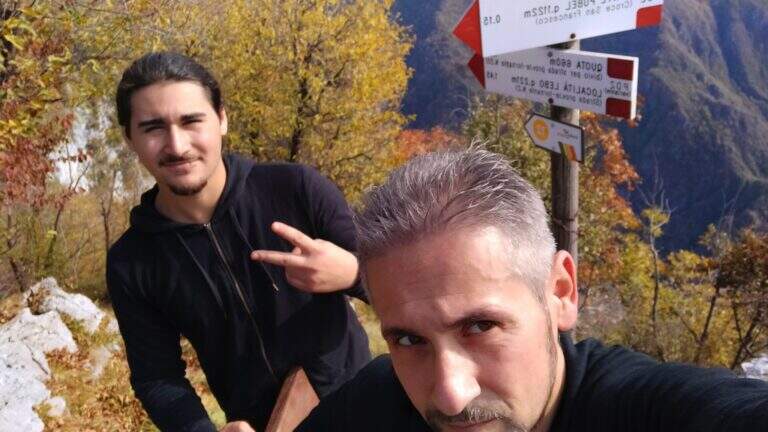
  • Sentiero Attrezzato Pierino dal Zuanna – Monte Pubel

    Sentiero Attrezzato Pierino dal Zuanna – Monte Pubel

    Vie Ferrate › Veneto › VI
    Sentiero Attrezzato Pierino dal Zuanna – Monte Pubel

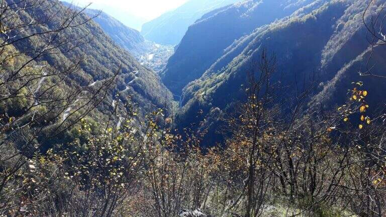
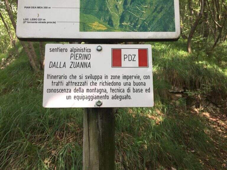
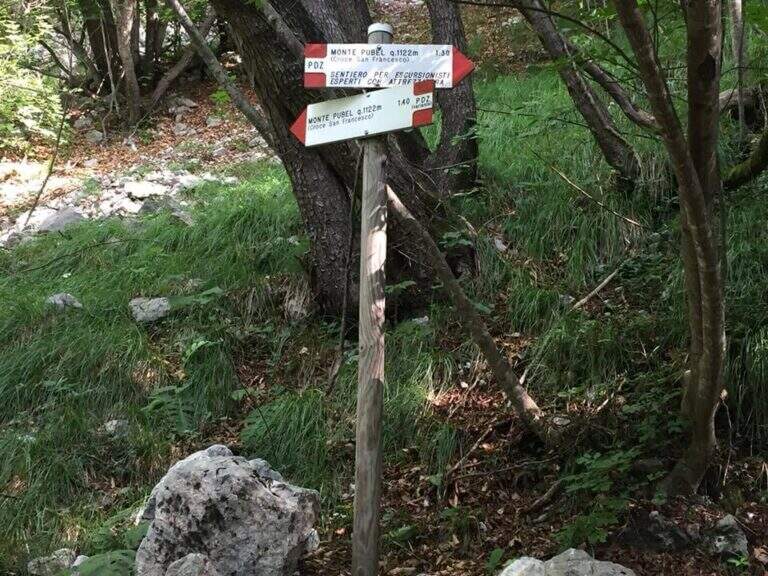
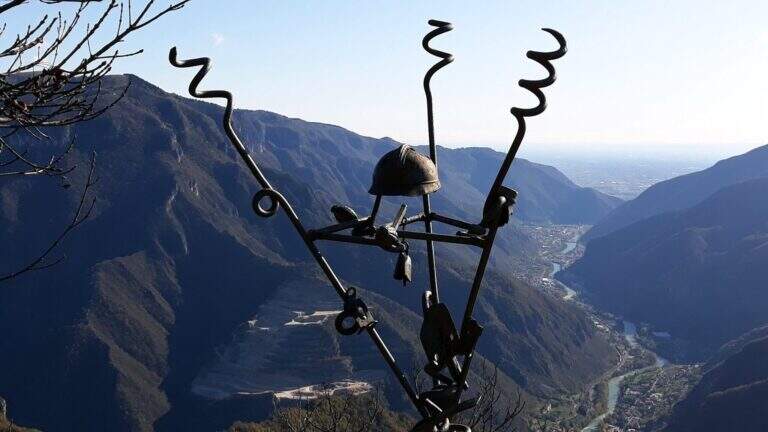
    Historical path of the Great War that goes up Mount Pubel along the artificial nod carved by the mountaineers. Technically elementary, with cables useful especially on wet and wooded soil, ideal as the first approach to the equipped environment.

    ▲Approach

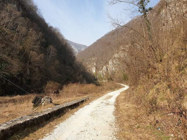
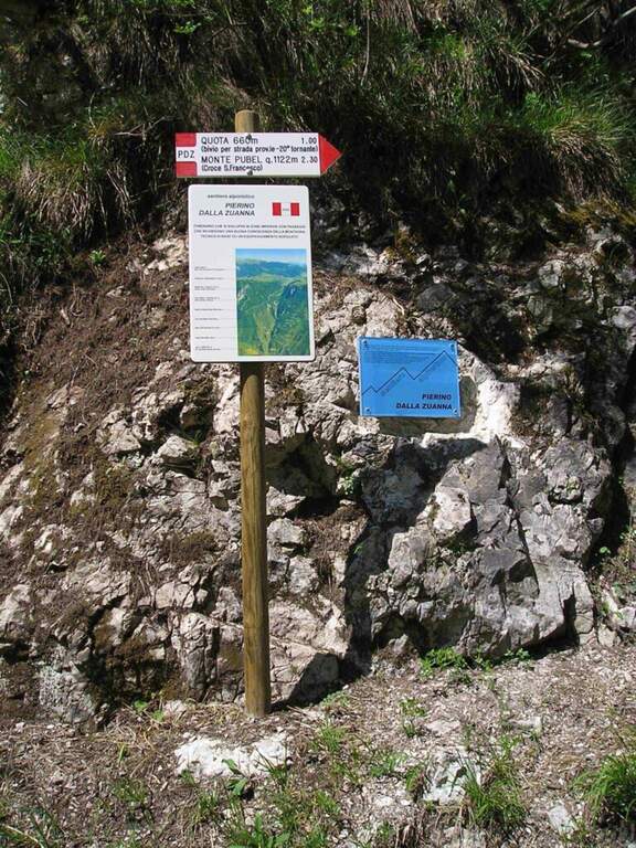
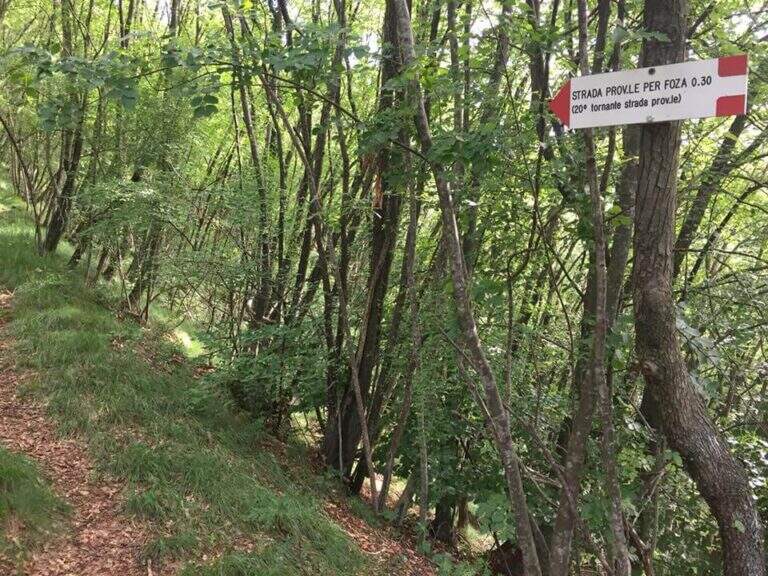
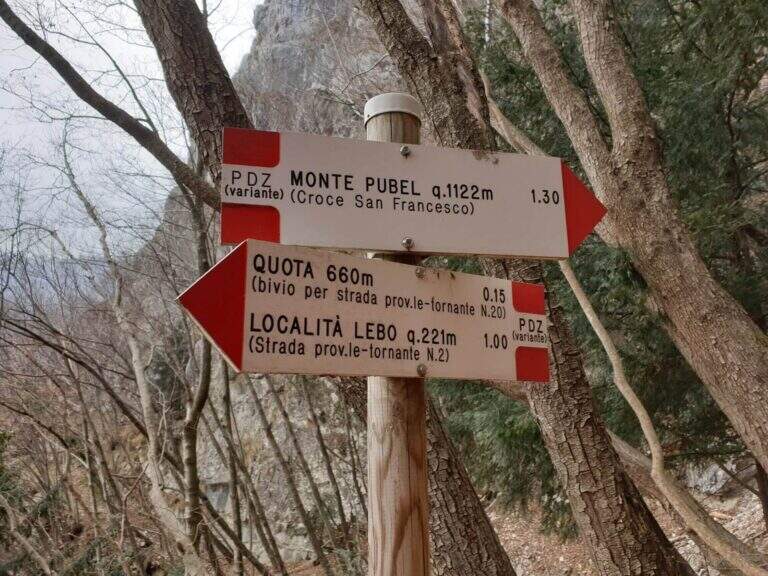
    The starting point is located on the road that connects Valstagna with Foza (Vicenza): you reach Valstagna from the SS47 of Valsugana from Bassano sul Grappa, turn left towards Piazza San Marco and follow the signs for Foza until the second bend, where a sign signs Cala del Sasso. You park on the road. From the parking lot, take a dirt road west in Val Frenzela, then take the path 779, well marked for the Path Pierino dal Zuanna (PDZ).

    ▲The path

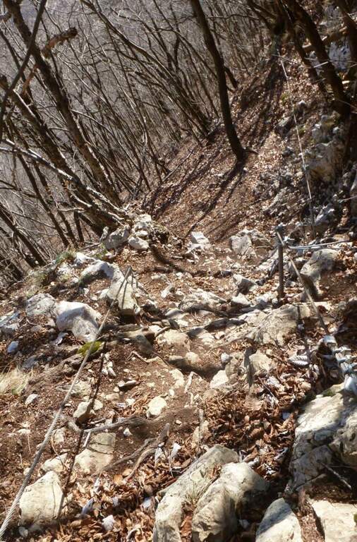
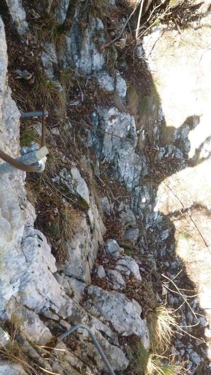
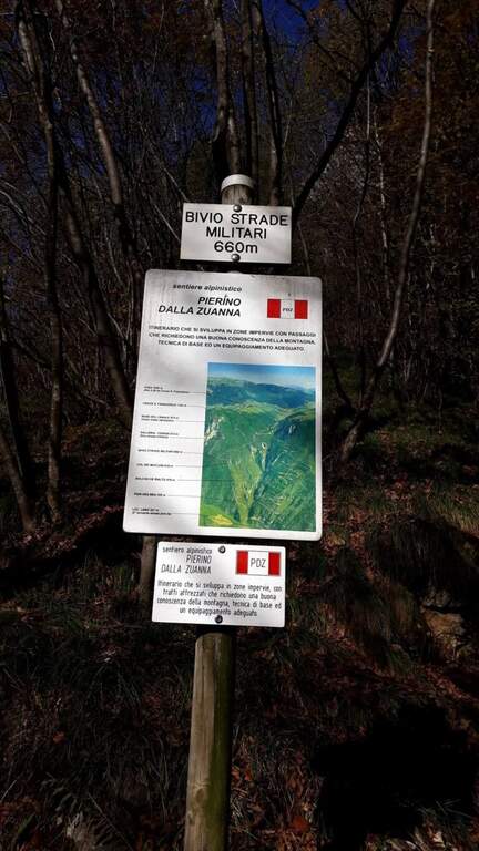
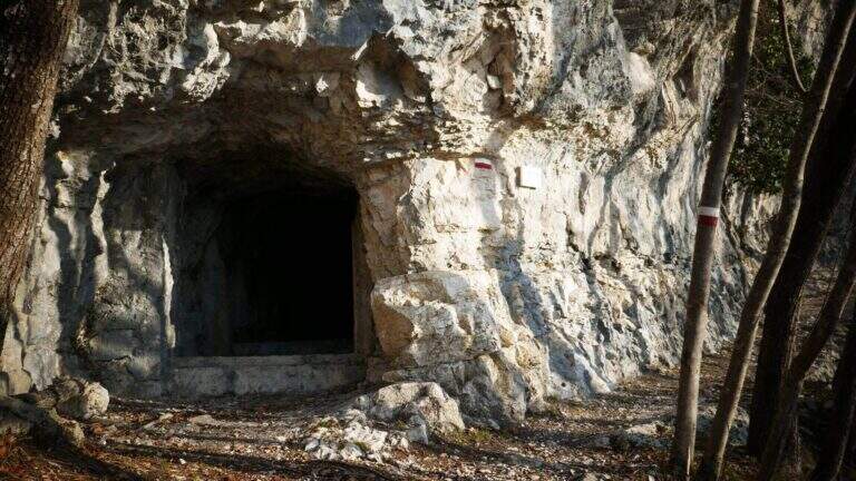
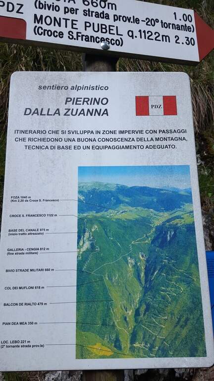
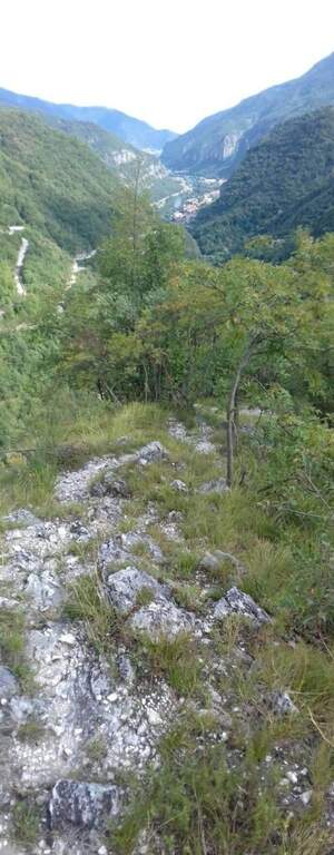
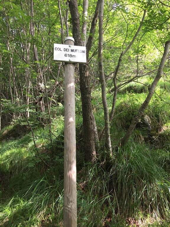
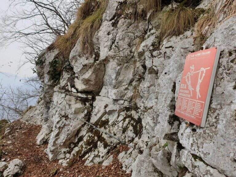
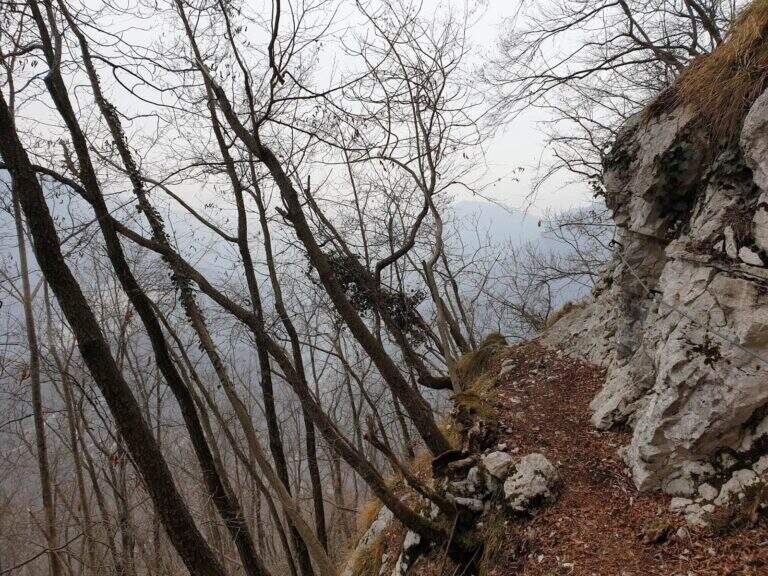
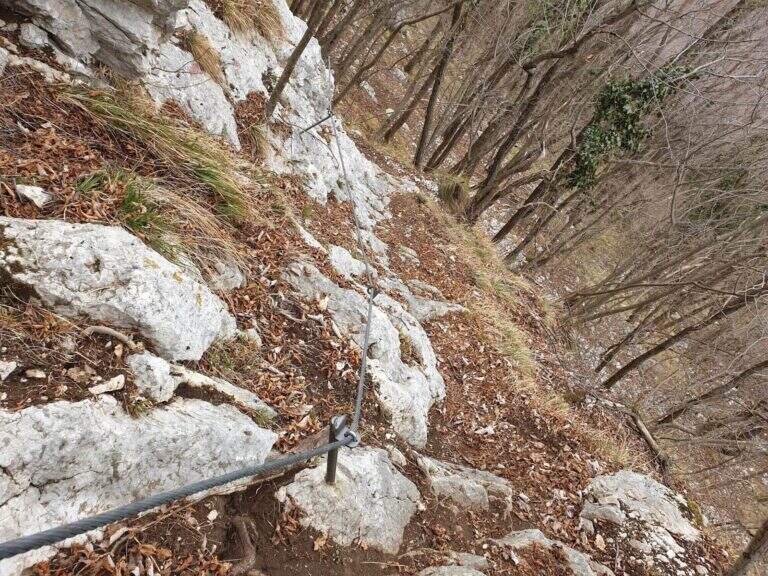
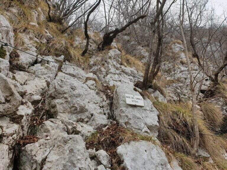
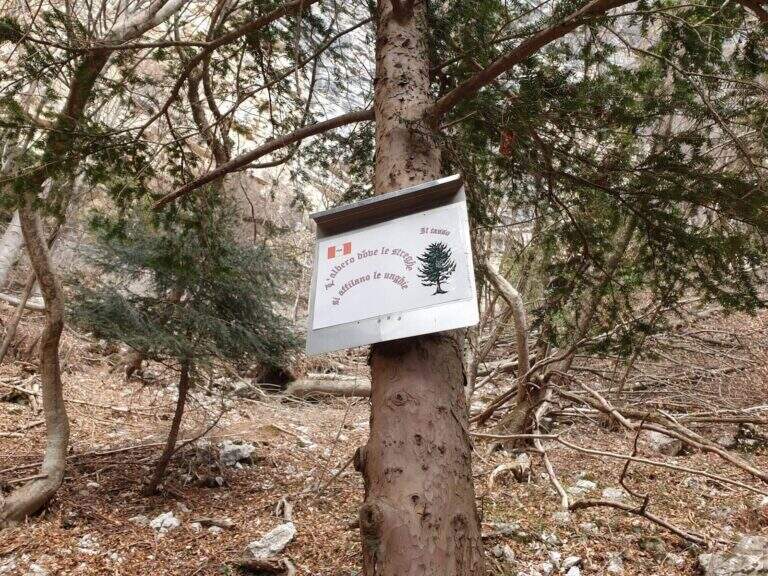
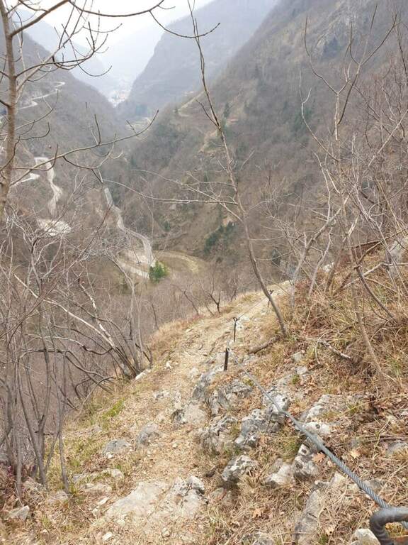
    The path climbs on a clear track, reaching the Pian dea Mea (350 m), the Balcon de Rialto (479 m) and the Col dei Mufloni (618 m). At about an hour from the parking lot you arrive at the Bivio Strada Militare (660 m): holding the left you enter the most interesting part of the itinerary. Shortly after a second crossroads: on the left descends the easy unequipped variant used on the return, on the right the variant is equipped in the wood. You climb up to a military gallery with target, then you walk the artificial nod carved into the rock. A steep stretch with cable leads to the Base del Canale (975 m), from which a metal ladder and about 100 m alternating between equipped sections and path leads to the top of Mount Pubel.

    ▲Character and difficulty

    Easy. The equipment does not compensate for climbing difficulties but increases safety on a wooded, slippery and at some point exposed. The artificial census excavated by mountaineers is the most characteristic passage of the route.

    ⚠ Insidious background with rain or snow: telescopic sticks recommended in the unequipped sections of the wood.

    ▲Period and safety

    From spring to autumn. The street is exposed to the east and the lower part of the forest remains wet long after the rains. Avoid snow or ice. It does not require mountaineering equipment, but the ferrata set is recommended.

    ▲Discipline

    From the end of the road it comes back again taking the unequipped variant to the left of the second junction, which brings back to the junction of the Military Road and then to the parking space.

    ▲To match

    In the area of Monte Pasubio and Altopiano there are several itineraries of the Great War: the Path equipped Baglioni e il Sentiero Falcipieri at 5 Peaks of Pasubio.

    ▲Gallery
    Technical data
    • DifficultyEasy
    • RegionVeneto
    • GroupAsiago / Valbrenta plateau
    • Approach1:00 h
    • Ferrata1:00 h
    • Itinerary (a/r)4:30 h
    • Hardware level difference150 m
    • Route difference900 m
    • Max1138 m
    • Length9 Km
  • Route Kaiserjager at Lagazuoi

    Route Kaiserjager at Lagazuoi

    Vie Ferrate › Veneto › Belluno
    Route Kaiserjager at Lagazuoi

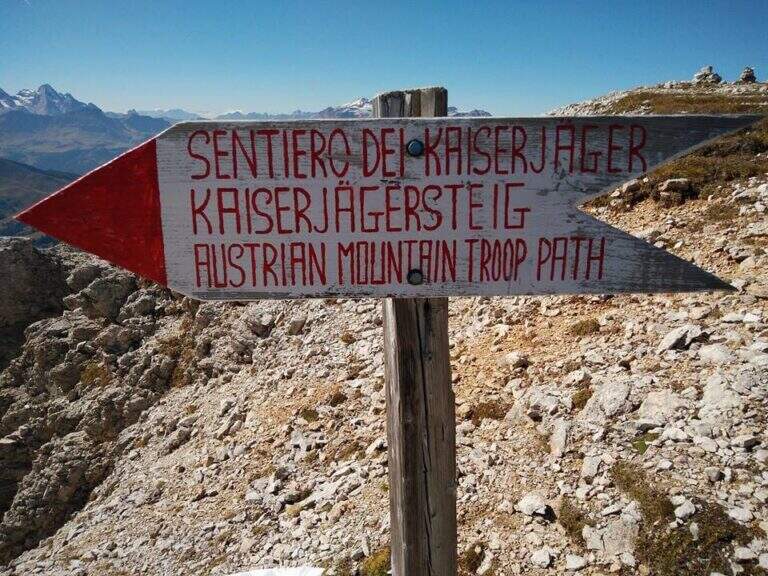
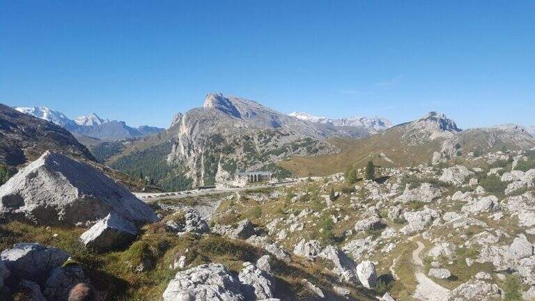
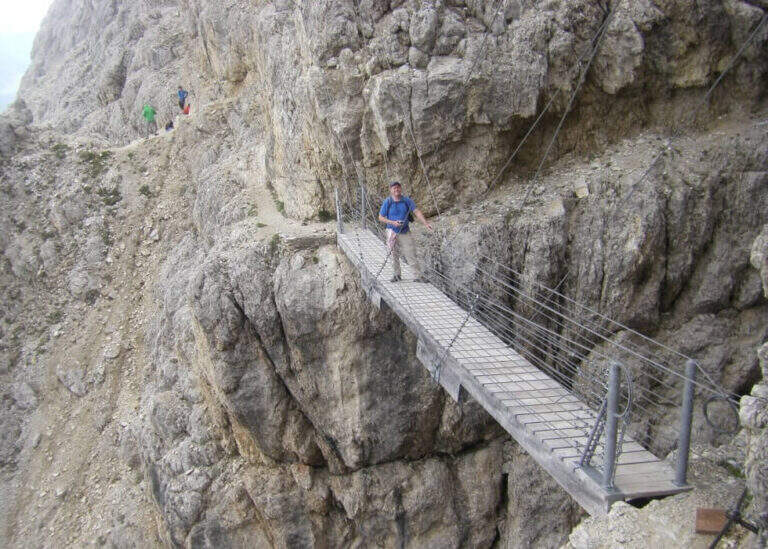
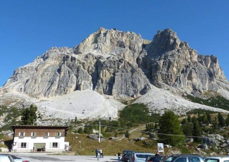
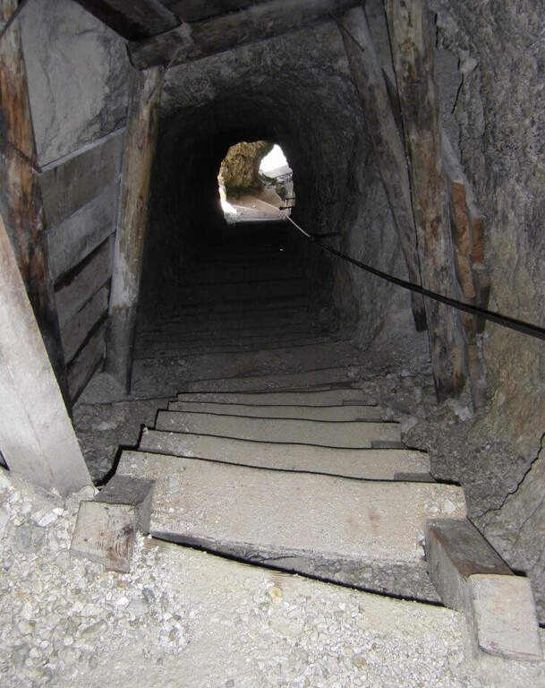
    The Kaiserjager Trail climbs to the Piccolo Lagazuoi from the Valparola Pass, in an impregnated context of war history: the Austrian trenches and defensive structures of the Great War accompany each step. Itinerary easy, ideal to approach the world of ferrate routes with a panoramic experience of great impact.

    ▲Approach

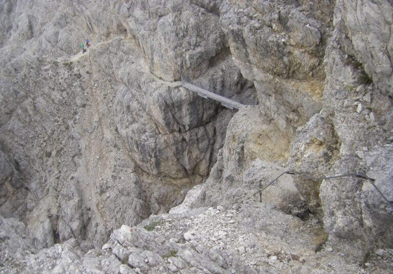
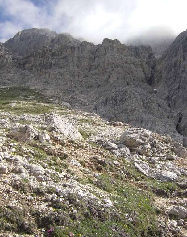
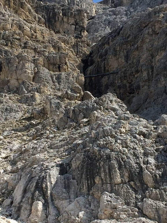
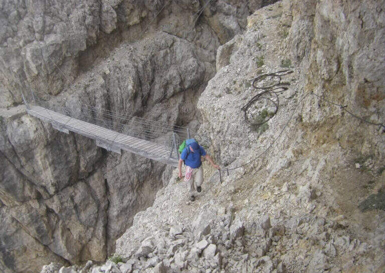
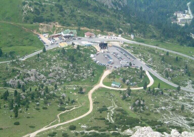
    You can reach the Valparola Pass, 2 Km east of the Falzarego Pass on the road between Cortina and Val Badia. Large parking space near the restaurant bar (directions road map). From the parking lot you descend slightly on the path and walk along a track pointing towards the southern walls of Lagazuoi, identifying the gorge with the suspended bridge. In about 45 minutes you can reach the equipped nod that marks the start of the route.

    ▲The path

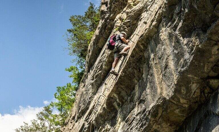
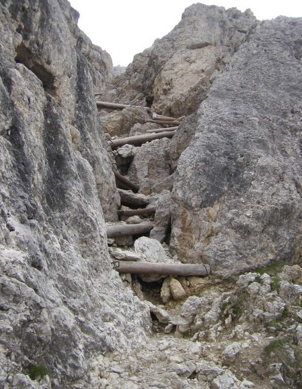
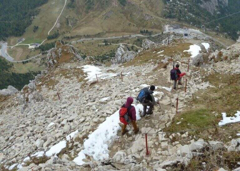
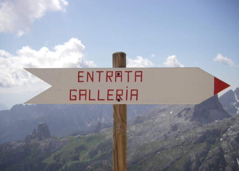
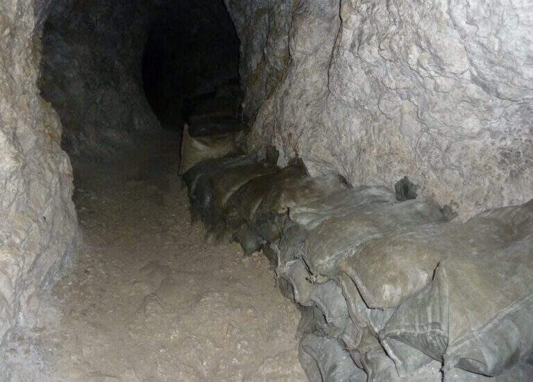
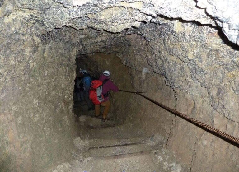
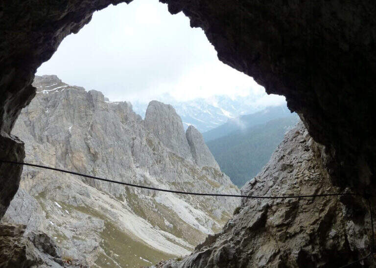
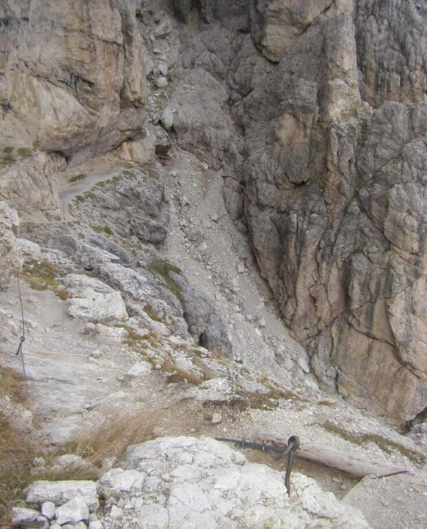
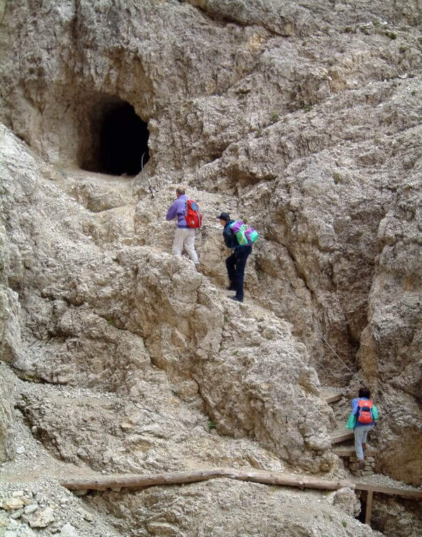
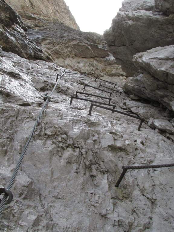
    It goes through the nod to a canal: it goes up using wooden boards framed as steps and a series of metal fixtures without continuous cable. Caution — on these infixes you must ensure individually if you want to proceed safely. After passing the canal you enter an equipped nod with cable that leads upwards, offering an ever wider view of the Dolomites. You reach the summit plateau and the military bivouac of the Piccolo Lagazuoi (1h 15′ from the attack, 2778 m). Downhill you can choose the same route or take the war tunnel of Lagazuoi which goes down to the cable car station.

    ▲Character and difficulty

    Easy classified: the equipped steps do not have significant technical difficulties. Complexity: technique 1/5, physics 2/5, exposure 2/5, environment 2/5. Great for neophytes with guide or for families with hiking experience.

    ⚠ The metal frames of the canal do not have a continuous cable: who intends to make sure must connect the longe directly to each infix. Check the route conditions in spring season.
    ▲Period and safety

    From June to October. Avoid in case of storm: the nod is exposed to lightning. The Lagazuoi cable car offers a comfortable alternative return.

    ▲Discipline

    Go down the uphill road (45′ to the parking lot) or go through the war tunnel inside the Lagazuoi to the cable car station and go down to Passo Falzarego (extra charge).

    ▲To match

    Nearby: la Ferrata Fusetti at Sas de Stria, la Ferrata Tomaselli and the classic ♪.

    ▲Gallery
    Technical data
    • DifficultyEasy
    • RegionVeneto
    • GroupDolomiti Ampezzane
    • Approach0:40 h
    • Ferrata1:15 h
    • Itinerary (a/r)4:45 h
    • Hardware level difference350 m
    • Route difference575 m
    • Max2778 m
    • Length5,2 Km
  • Sentiero Attrezzato delle Laste – Cima Capi

    Sentiero Attrezzato delle Laste – Cima Capi

    Vie Ferrate › Trentino-Alto Adige › Trento
    Sentiero Attrezzato delle Laste – Cima Capi

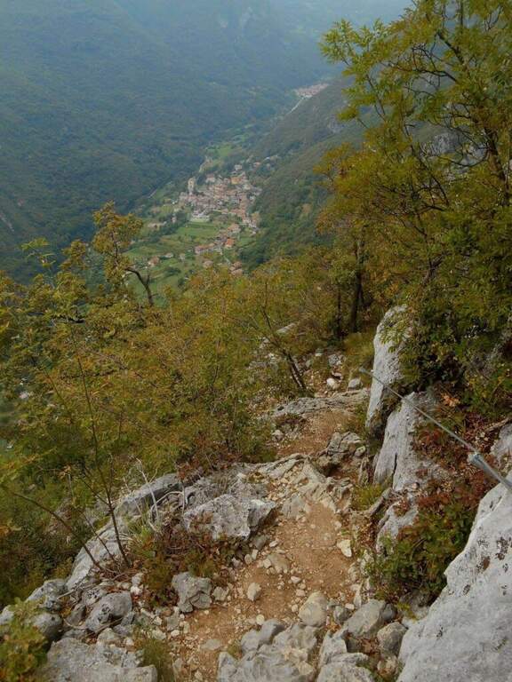
    The Sentiero Attrezzato delle Laste is the most direct way to climb from Biacesa to Bivacco Arcioni and the Church of San Giovanni, under Cima Capi and Cima Rocca. Short path, without marked exposure, suitable for those who move the first steps on the paths equipped in a lake context of great charm.

    ▲Approach

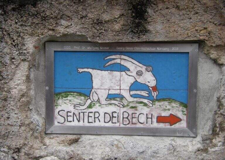
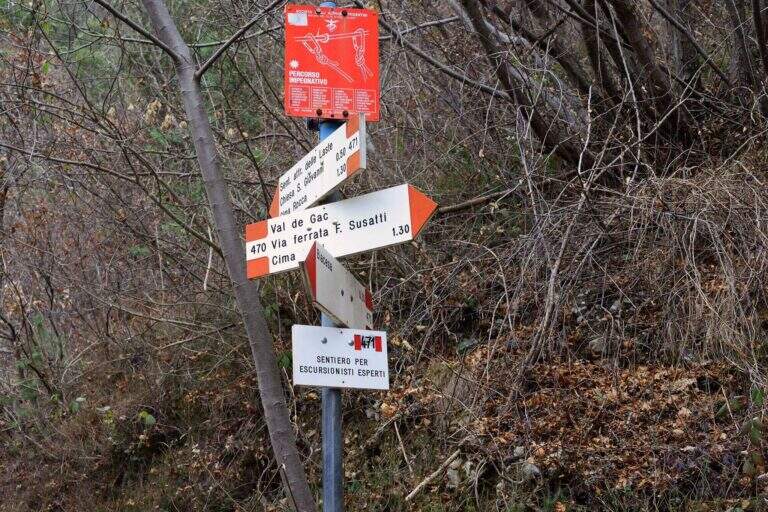
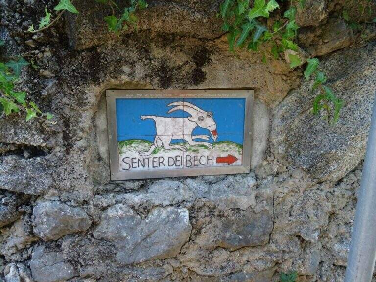
    You reach Biacesa, 4 Km from Riva del Garda along the tunnels towards Val di Ledro (directions road map). By taking Via dei Dazi and turning right you will reach a playground with large parking. Follow the CAI 470 trail (Sentiero dei Bech) east towards Cima Capi for about 15 minutes until the junction where the CAI 471 climbs left: it is the attack of the Laste Path.
    ▲The path

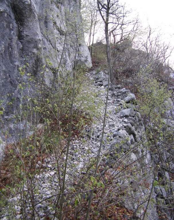
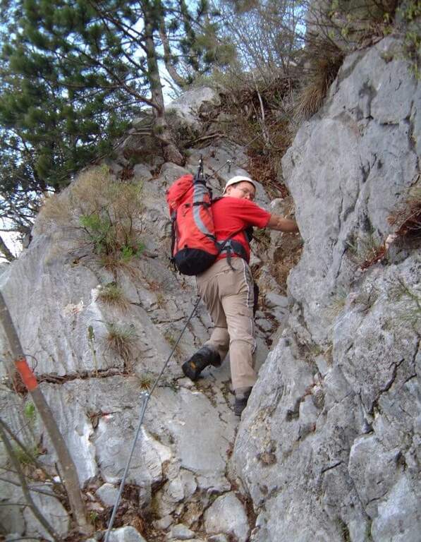
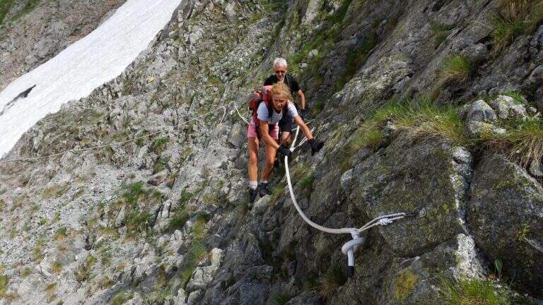
    The first obstacle is a dihedron of 6 meters with cable on the left side and good natural sticks on the right. They follow a grassy census in the woods and a well-groomed diagonal ramp. You get to a gallery with book of signatures — great stop point. Starting up a wall with large metal cambres, then a second section similar diagonally exhausts the equipment. The path continues on the most open ground to Bivacco Arcioni (45' from the attack), then to the Church of San Giovanni.

    ▲Character and difficulty

    Classified Easy: the equipped sections do not exceed the second degree and do not display. Complexity: technique 1/5, physics 2/5, exposure 1/5, environment 2/5. Suitable for children already accustomed to the use of helmet and harness with adult supervision.

    ▲Period and safety

    It can be traveled almost throughout the year thanks to the modest share. In case of rain the initial dihedron can be slippery.

    ▲Discipline

    From the Church of San Giovanni take the CAI 460 path west to the crossing with CAI 417, then left towards Biacesa (45' — 1h 45' total including the ascent).

    ▲To match

    In the same area of Garda: the Hiking trail Mora Pellegrini.

    ▲Gallery
    Technical data
    • DifficultyEasy
    • RegionTrentino-Alto Adige
    • GroupMonte Baldo and Garda
    • Approach0:15 h
    • Ferrata0:45 h
    • Itinerary (a/r)1:45 h
    • Hardware level difference231 m
    • Route difference440 m
    • Max858 m
    • Length4 Km
Need help? Write to us!