Gruppo: Dolomiti di Brenta

  • Ferrata Oliva Detassis

    Ferrata Oliva Detassis

    Vie Ferrate › Trentino-Alto Adige › Trento
    Ferrata Oliva Detassis
    Moderately Hard● OpenDescriptionComplexityMapsGallery

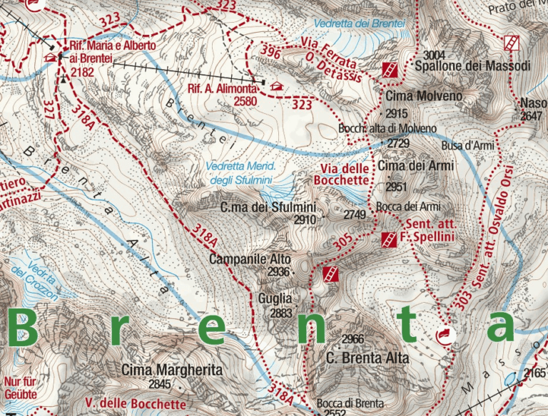
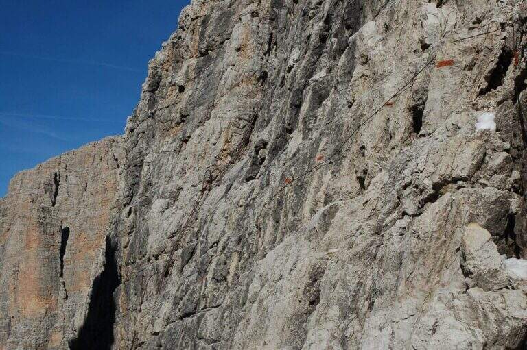
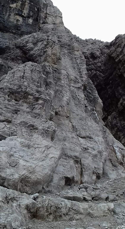
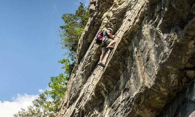
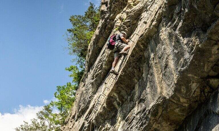
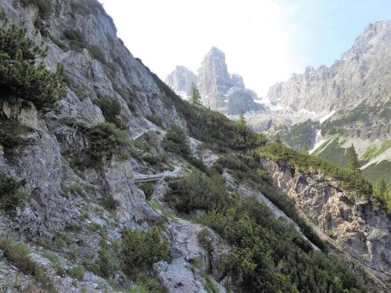
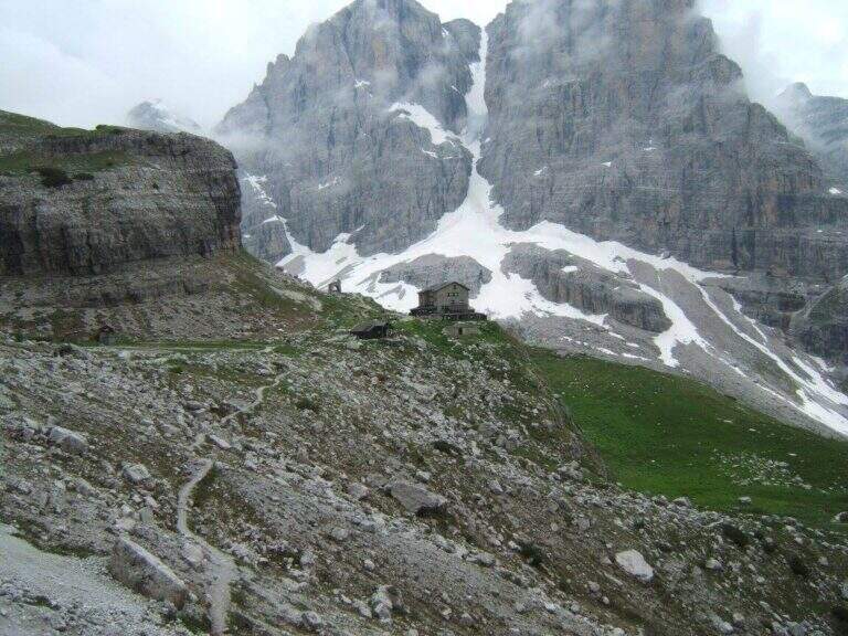
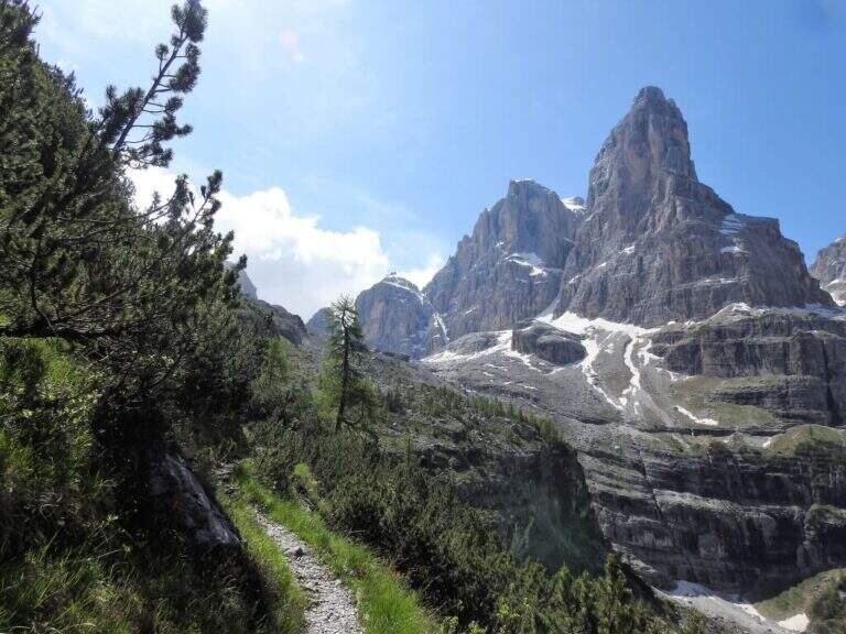
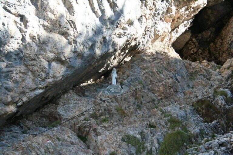
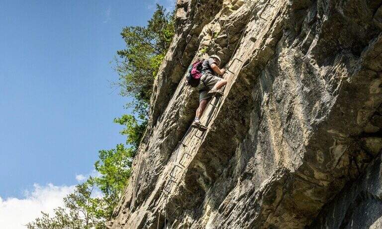
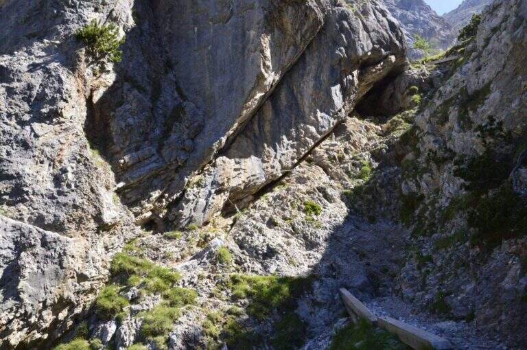
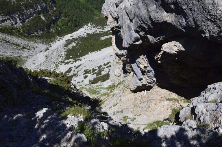
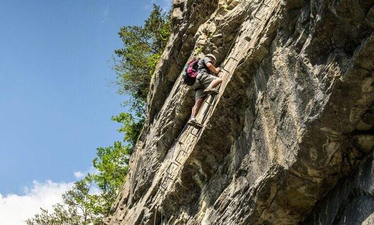
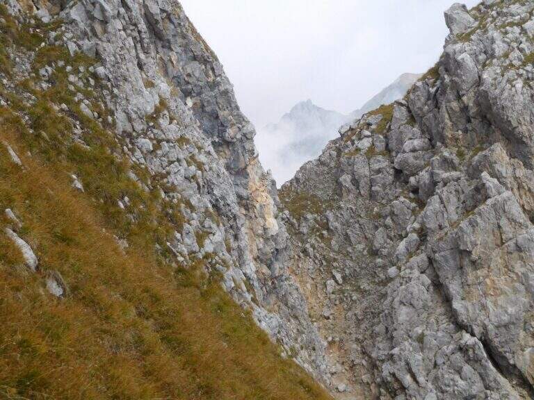
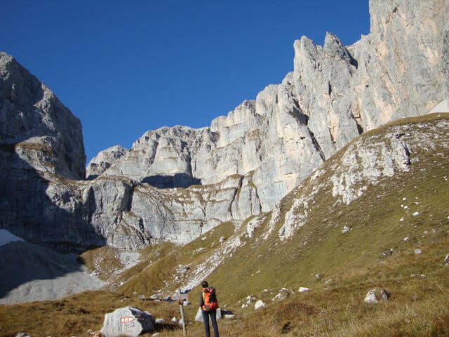
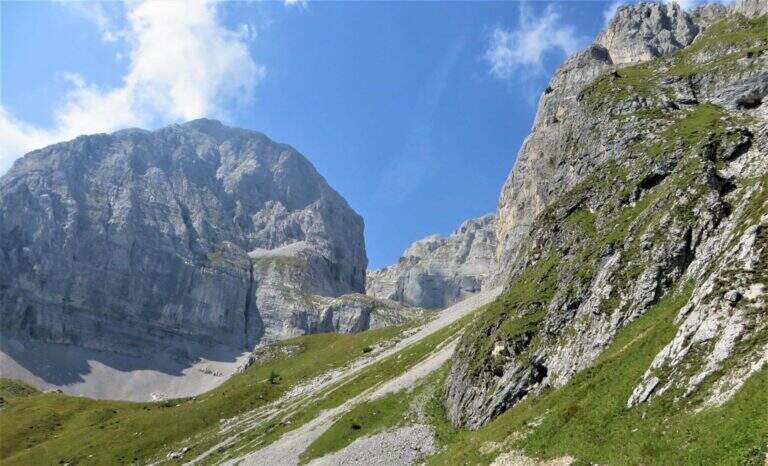
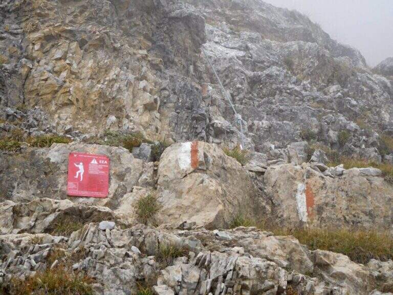
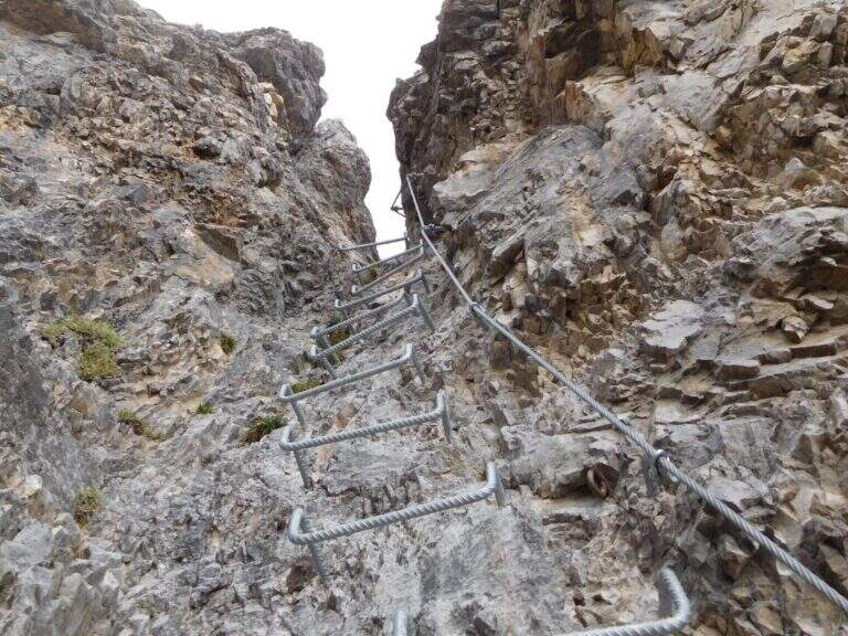
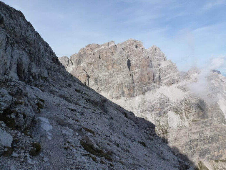
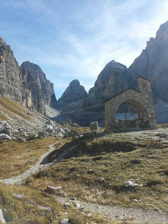
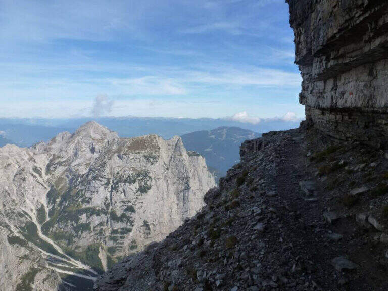
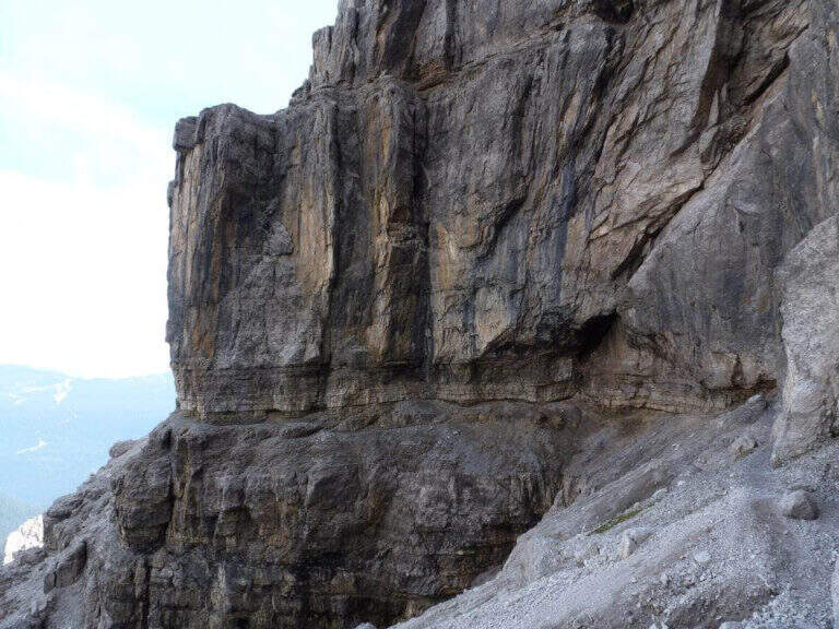
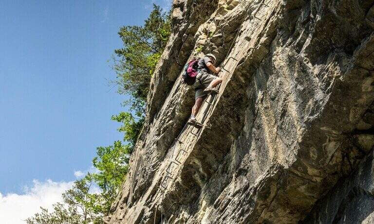
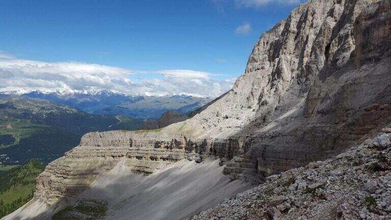
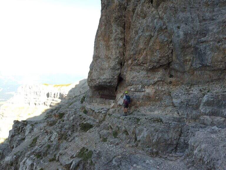
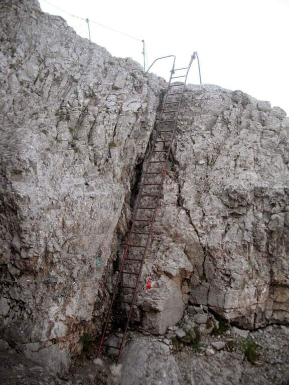
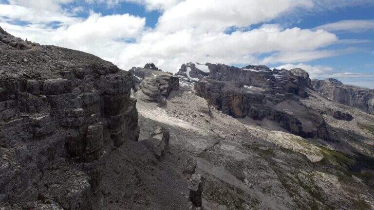
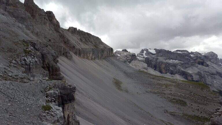
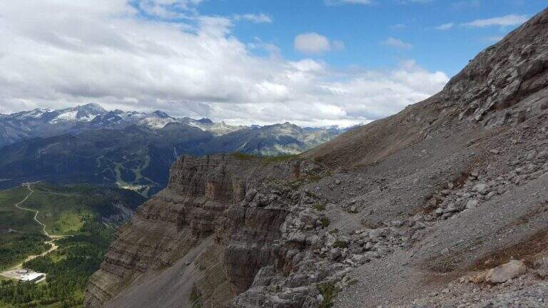
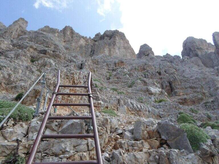
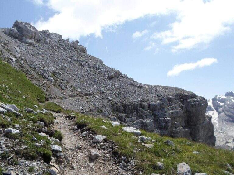
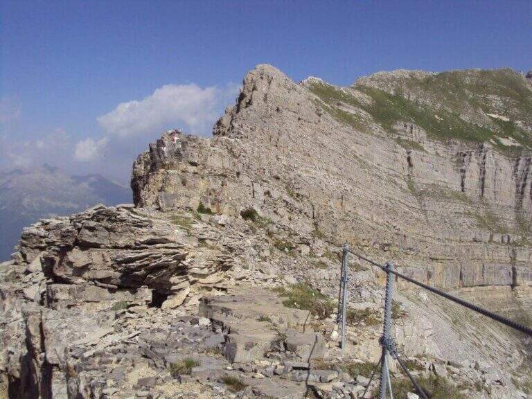
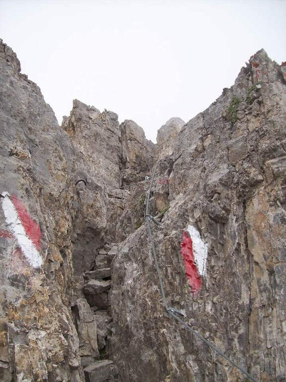
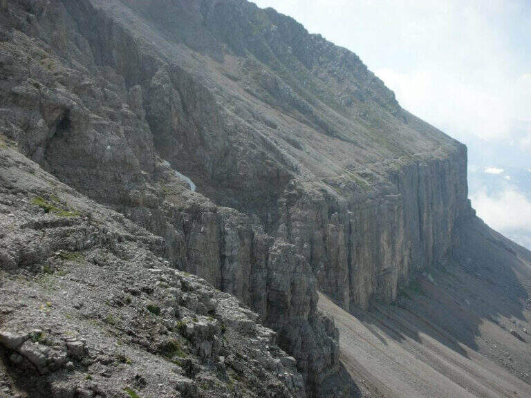
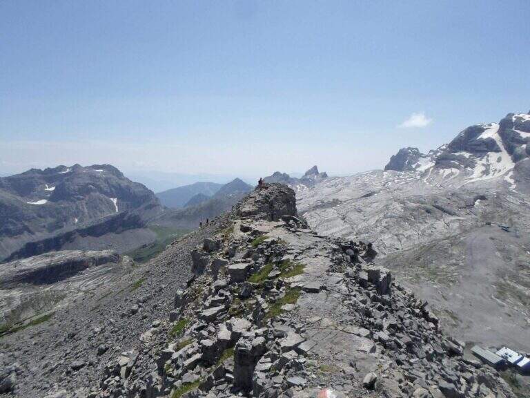
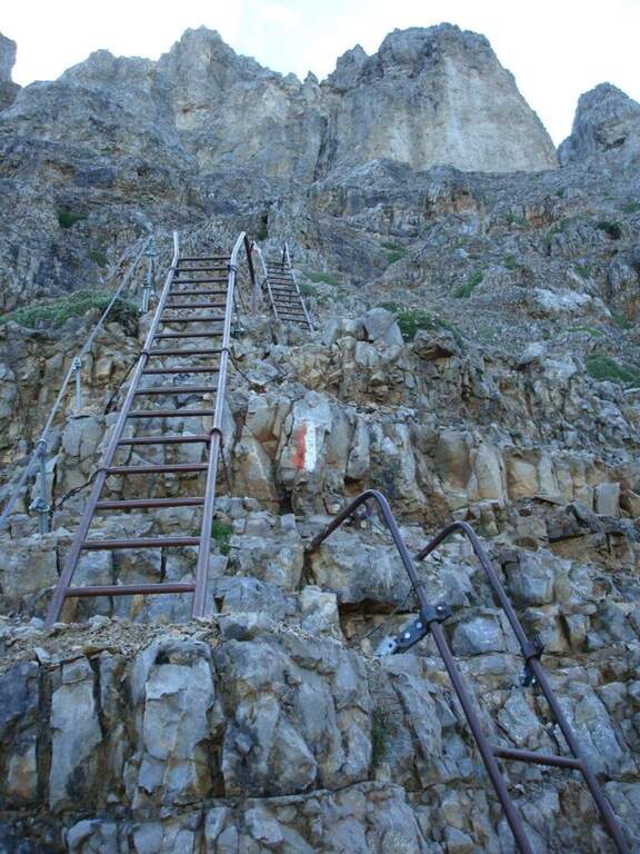
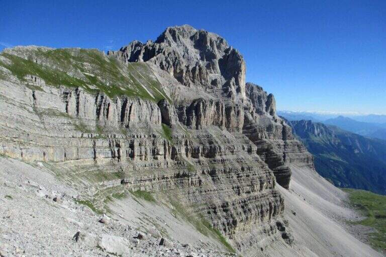
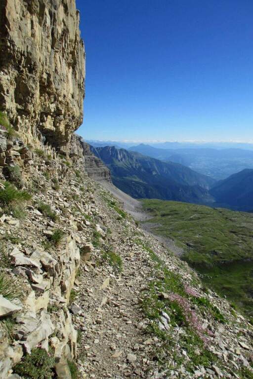
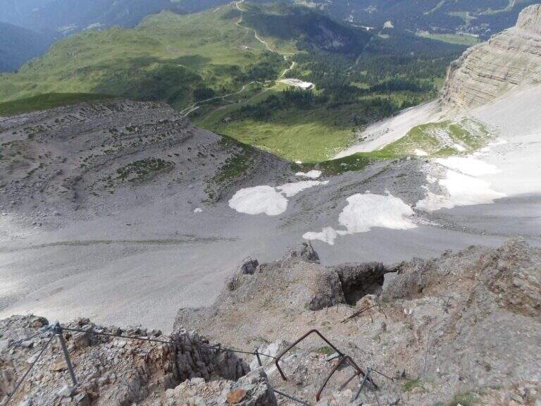
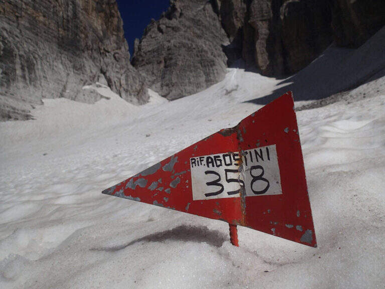
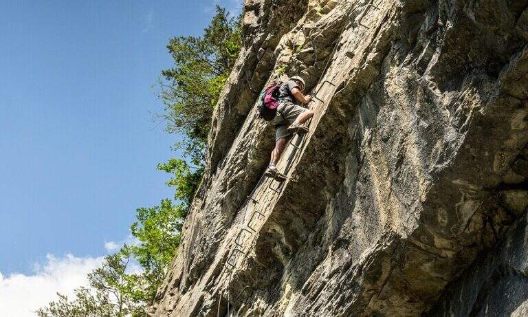
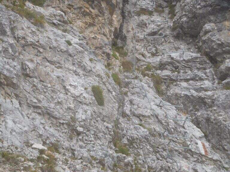
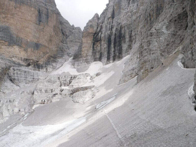
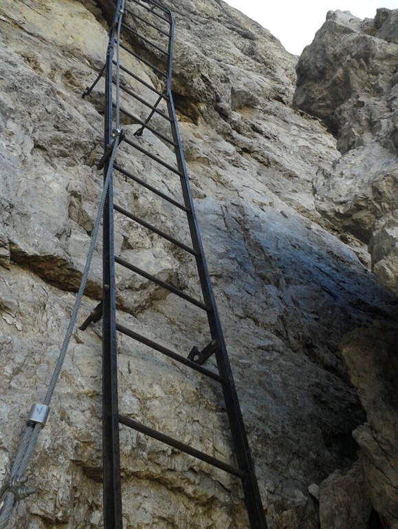
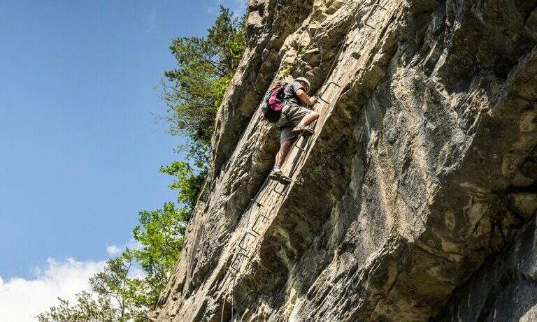
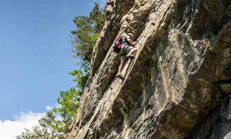
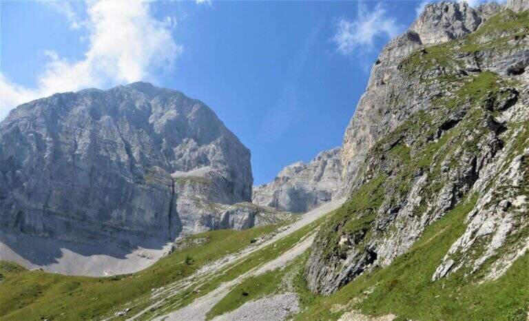
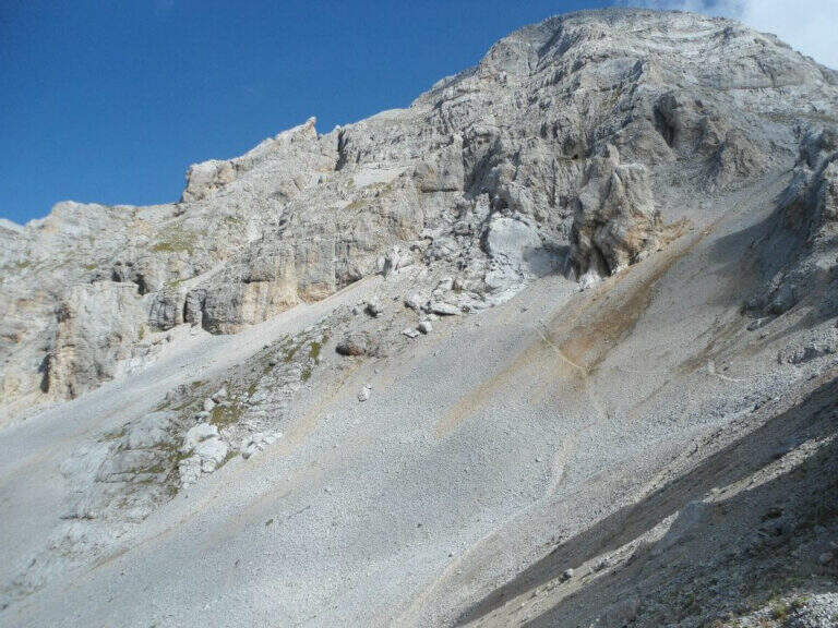
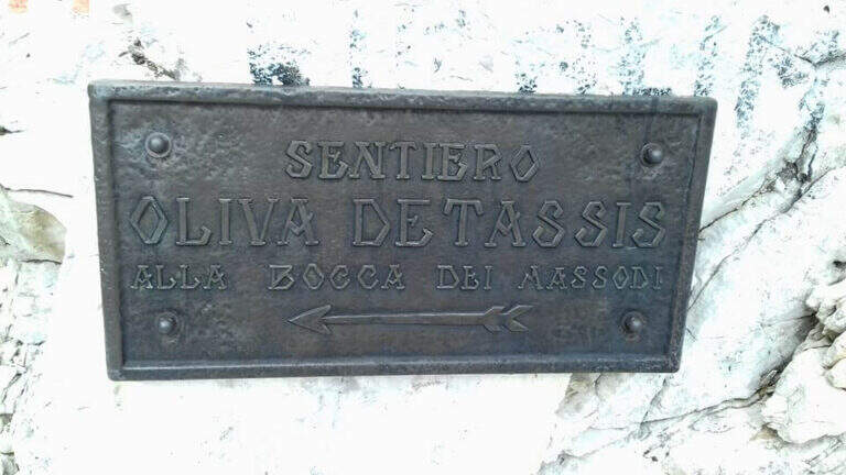
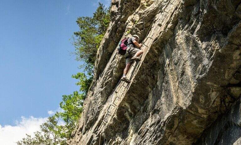
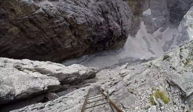
    The Ferrata Oliva Detassis is a great classic of the Brenta Dolomites: a long sequence of vertical metal stairs — more than one hundred meters of well constructed bastion — that connect the plateau below with the Bocca Bassa di Massodì (2790 m), entering the itinerary of the Bocchette Alte. The dolomitic environment of rare beauty abundantly compensates for the long approach.

    ▲Approach

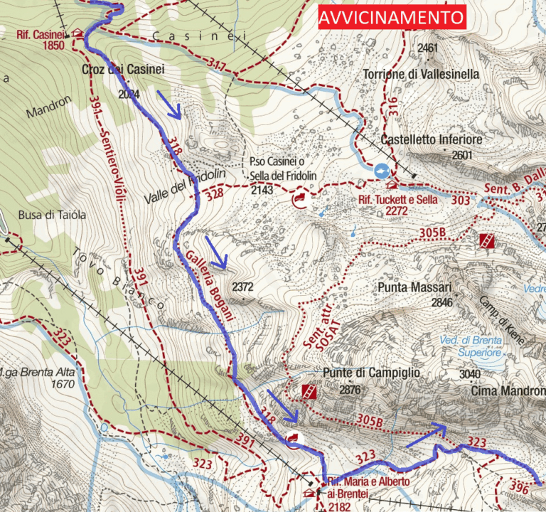
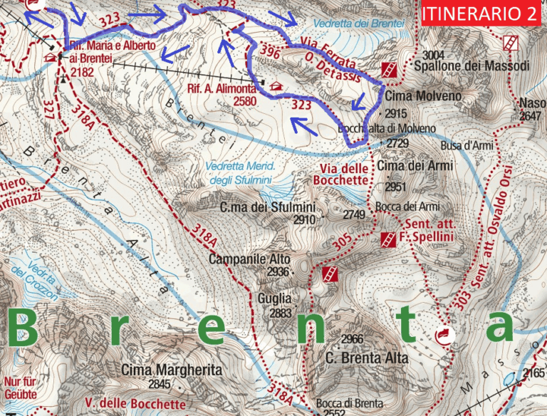
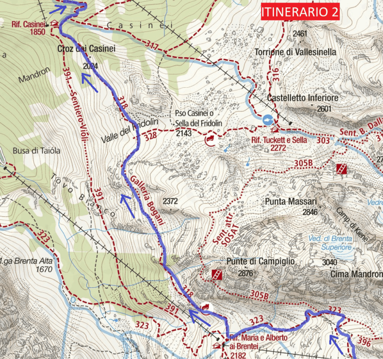
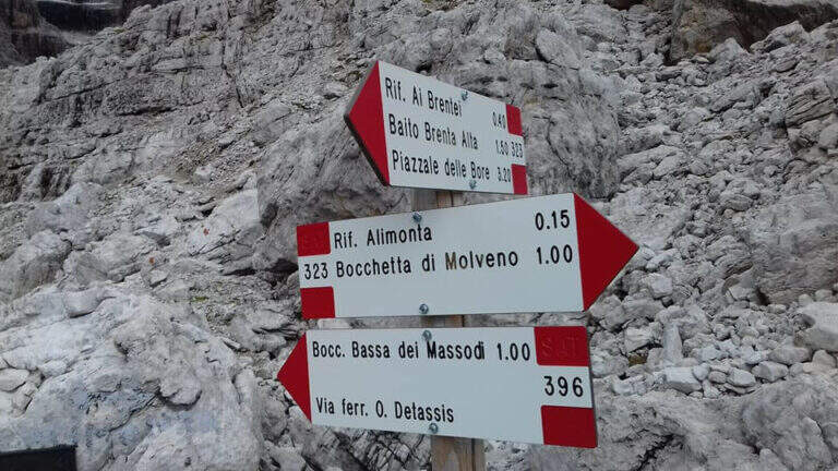
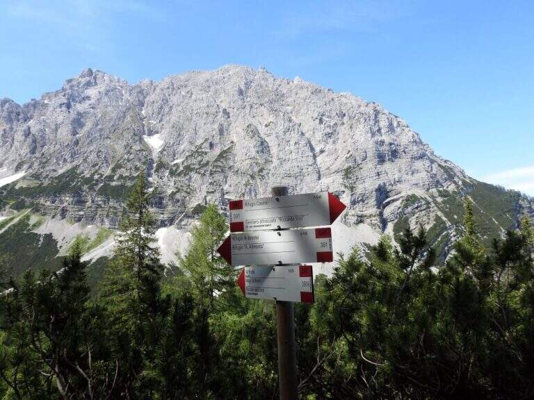
    Si parte dal parcheggio del Rifugio Vallesinella (Madonna di Campiglio, TN). Si sale nel bosco fino al Rifugio Casinei (1850 m), poi si segue il sentiero CAI 318 attraversando la Galleria Bogani — breve tratto esposto ma ben attrezzato. Si raggiunge il Rifugio Brentei (2182 m) in circa 2 ore e 15 minuti. Dal rifugio si prende il CAI 323 verso nord-est fino a un bivio: si ignora la deviazione per il Rifugio Alimonta e si piega a sinistra sul CAI 396 fino all’attacco della ferrata, raggiunto in circa 3 ore e 15 minuti totali.

    ▲The path

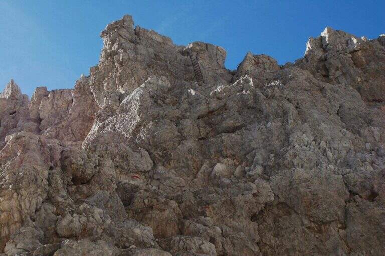
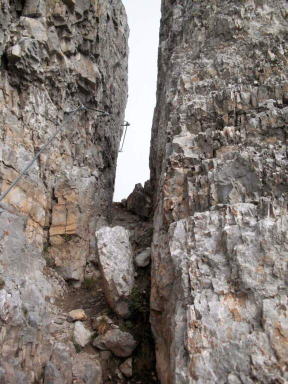
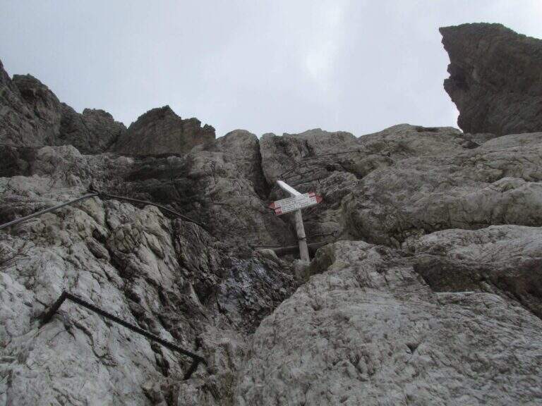
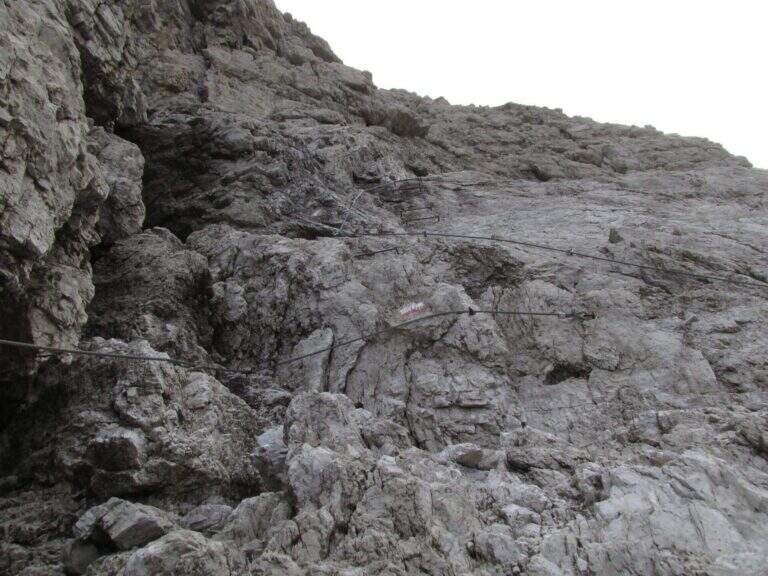
    L’ entrance to the ferrata takes place with a first staircase, followed by staffe metalliche which lead to a long sequence of scale vertical very exposed: the bastion exceeds 100 meters of vertical development and is excellently built, with the possibility to stop to rest on the stairs themselves. Halfway there is a stopover . After passing the second section of stairs and a final crossing you reach the Bocca Bassa di Massodì (2790 m). From here you can continue along the Bocchette Alte towards the Tucket Refuge.

    ▲Character and difficulty

    Difficulty Moderately Difficult. The required technique is contained — the stairs have good brackets and chains — but the exposure is high and the altitude above 2700 m imposes caution in the evaluation of weather conditions. This ferrata is a variant of the Via delle Bocchette Alte, not a complete autonomous route.

    ⚠ Long itinerary with approach of more than 3 hours: start soon. The altitude exposes to the afternoon thunderstorms typical of the Dolomites. The Brentei Refuge offers accommodation for those who want to break the trip in two days.
    ▲Discipline

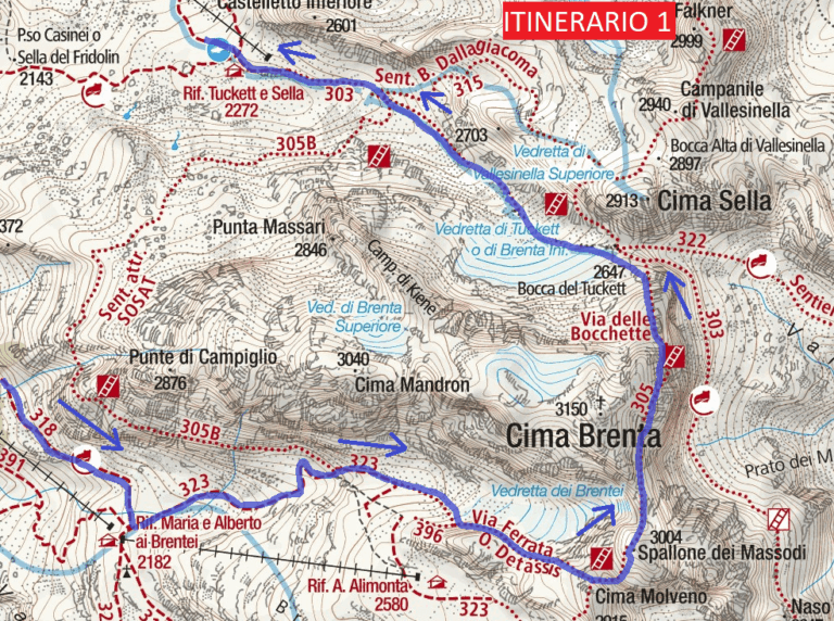
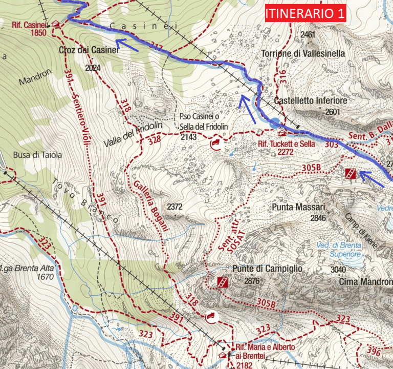
    From the Bocca Bassa in Massodì you descend on a path towards the Brentei Refuge and from there you return to the parking lot of the Vallesinella Refuge for the uphill road. Alternatively, continue the Bocchette tour towards the Tucket Refuge. Total tour time: about 10 hours.
    ▲Gallery
    Technical data
    • DifficultyModerately Hard
    • RegionTrentino-Alto Adige
    • GroupDolomiti di Brenta
    • Approach3:15 h
    • Ferrata1:15 h
    • Itinerary (a/r)10:00 h
    • Hardware level difference110 m
    • Route difference230 m
    • Max2807 m
    • Length2 Km
  • SOSAT Trained Path

    Vie Ferrate › Trentino-Alto Adige › Trento
    SOSAT Trained Path
    Moderately Hard● OpenDescriptionComplexityMapsGallery

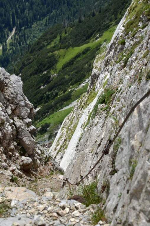
    The Sentiero Attrezzato SOSAT is one of the great classics of the Brenta Dolomites: a ridge itinerary that runs along a long stretch of the Bocchette, with ladders, fixed ropes and passages exposed in a dolomitic environment of great impact. Technically demanding — one of the most challenging of the Bocchette — but exceptionally panoramic from the Rifugio Pedrotti to the Bocca di Tuckett.

    ▲Approach

    Starting from the Rifugio Pedrotti (2491 m), reachable from the Val di Genova or from Molveno following the CAI signs. From the hut follow the path north to the ’ attack of the Central Bocchettes — time of approach from the refuge: about 20 minutes.

    ▲The path

    The SOSAT runs through the Bocchette Centrali of the Brenta Dolomites with a sequence of vertical ladders, exposed hinges, fixed ropes and aerial beams. The most challenging steps are in the central part of the route, where the walls rise and l’ exposure becomes significant. It climbs up to the Armi Mouth and then to the Bocca of Tuckett (2648 m), where the equipped section ends.

    ▲Character and difficulty

    Difficulty Moderately Difficult. It is one of the most technical and challenging routes of the Bocchette di Brenta: it requires experience of ferrata, absence of dizziness and good physical form. It is not an itinerary for beginners.

    ⚠ The SOSAT is exposed to the afternoon storms typical of the Dolomites: start early in the morning. Bring complete hardware kit (shading, double longe with heatsink, helmet). Metal stairs can be slippery in case of moisture. Always check snow conditions at the beginning and end of the season.
    ▲Discipline

    From the mouth of Tuckett you descend to the Rifugio Tuckett and Sella (2272 m) following the CAI path. From here you can return to Madonna di Campiglio with the cable car or on foot. Total itinerary from ’ Tuckett Bocca attack: about 5 hours.

    ▲Gallery
    Technical data
    • DifficultyModerately Hard
    • RegionTrentino-Alto Adige
    • GroupDolomiti di Brenta
    • Approach0:20 h
    • Ferrata3:00 h
    • Itinerary (a/r)5:00 h
    • Hardware level difference200 m
    • Route difference450 m
    • Max2648 m
    • Length7,5 Km
  • Sentiero Attrezzato Violi

    Sentiero Attrezzato Violi

    Vie Ferrate › Trentino Alto Adige › Trento
    Sentiero Attrezzato Violi

    The Sentiero Attrezzato Violi is the uncomplicated link between the Casinei Refuge and the Brentei Refuge on the western Brenta Dolomites, a less frequent alternative to the parallel Sentiero Bogani. Cross the wall of Cima Fridolin with stretches equipped at the exposed points and a slightly more steep finish, making it a classic approach to the ferrates of the Brenta Dolomites.

    ▲Approach

    The starting point is the parking lot of the Rifugio Vallesinella (1513 m), above Madonna di Campiglio: from the roundabout of the centre of Madonna di Campiglio follow Via Vallesinella for about 3 km. From the parking lot you climb to the CAI 317 in the forest until the Rifugio Casinei (1850 m, approx. 45 min).

    ▲The path

    From the Casinei refuge (1850 m) follow the Sentiero Violi which starts in the forest with moderate slope, crossing from the west the wall of Cima Fridolin at a lower altitude than the Sentiero Bogani. Halfway you will meet some equipped extracts easy progression, then some rocks with passages on solid soil. L’ last stretch is the steepest of the whole route and leads to the Rifugio Brentei (2182 m, ca. 2h from Casinei — 5h total from Vallesinella included return).

    ▲Character and difficulty

    Easy path, suitable for hikers with good leg. The equipped sections do not have technical difficulties but require good balance. The most steep final stretch from the Bogani can tire further in view of successive routes planned by Brentei.

    ▲Period and safety

    From July to September, when the Brenta Dolomites are free from snow. The Rifugio Brentei offers accommodation and refreshment, an ideal starting point for the Sentiero SOSAT and the Bocchette del Brenta.

    ▲Discipline

    From the Brentei refuge you can return to the Sentiero Bogani (CAI 318, more direct) or to the Violi itself to the Casinei and from there to the Vallesinella on the CAI 317 (5h total).

    ▲Gallery
    Technical data
    • DifficultyEasy
    • RegionTrentino Alto Adige
    • GroupDolomiti di Brenta
    • Approach0:45 h
    • Ferrata2:00 h
    • Itinerary (a/r)5:00 h
    • Hardware level difference40 m
    • Route difference569 m
    • Max2182 m
    • Length11 Km
  • Sentiero Attrezzato della Scala Santa – Dolomiti di Brenta

    Sentiero Attrezzato della Scala Santa – Dolomiti di Brenta

    Vie Ferrate › Trentino-Alto Adige › TN
    Sentiero Attrezzato della Scala Santa – Dolomiti di Brenta

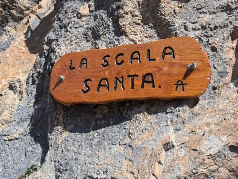
    Main access to the XII Apostle Refuge in the Dolomites of Southern Brenta, the Sentiero della Scala Santa is a characteristic carving equipped alongside an iconic Madonnina carved in the rock. Easy from the technical point of view, it is the starting point for many more challenging routes in the Brenta.

    ▲Approach

    From Pinzolo (SS239 from Trento) take the cable car to the Doss del Sabion (2101 m). Alternatively, walk with the CAI 307B from Pinzolo through the Pra Rodont Refuge (1530 m). From the mountain station, cross a half-coasted path to the east, intercepting the CAI 307 in Baita del Cacciatori (1836 m). You enter the Val dei Nardi to the east from Lake Agola, then continue on the right side of the valley until the clear plain of Lake Asciutto, where the cable car is detached for the refuge. From here the path is steeper (1h30' from the upstream station).

    ▲The path

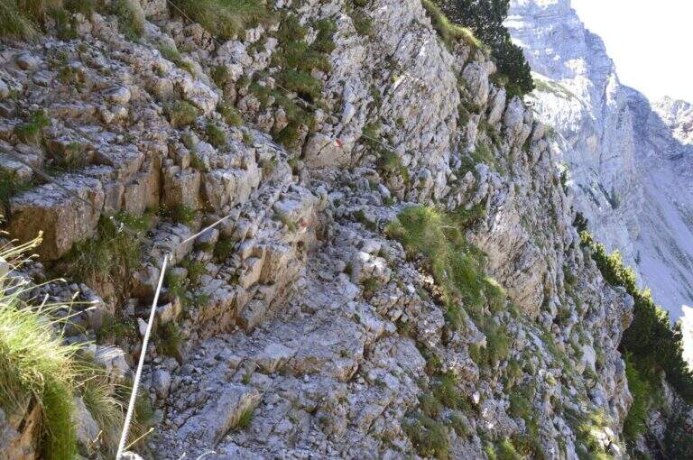
    From Lake Asciutto it is aimed towards the carving in the rock that characterizes the Scala Santa. The equipped stretch is steep but without technical difficulties once insured: climb next to the carved Madonnina, then on wooden steps and steep path. Exit from the equipped section you go up a moraine valley on swallows following carefully the white red signs not to leave the path. A stone paved characteristic precedes the plateau of Rifugio XII Apostoli where the excursion ends (1h30' from Scala Santa, 3h total from the mountain station).

    ▲Character and difficulty

    Easy. The equipped stretch is well dotted with fixtures and has no intrinsic difficulties. Attention to the marking on the nail that follows the Scala Santa.

    ▲Period and safety

    July-September, check the opening of the Pinzolo cable car and the XII Apostle Refuge. The ring can be partially snowed at the beginning of the season.

    ▲Discipline

    It goes back for the climb to the mountain station of the cable car (2h from the hut, 5h total).

    ▲To match

    From the refuge XII Apostoli the famous paths of the Bocchette: the Bocchette Central Trail, il High Bocchette Path e il Path Ideal Mouth of Ambiez.

    ▲Gallery
    Technical data
    • DifficultyEasy
    • RegionTrentino-Alto Adige
    • GroupDolomiti di Brenta
    • Approach1:30 h
    • Ferrata1:30 h
    • Itinerary (a/r)5:00 h
    • Hardware level difference200 m
    • Route difference389 m
    • Max2489 m
    • Length12 Km
  • Path Equipped with the Palete

    Path Equipped with the Palete

    Vie Ferrate › Trentino-Alto Adige › TN
    Path Equipped with the Palete

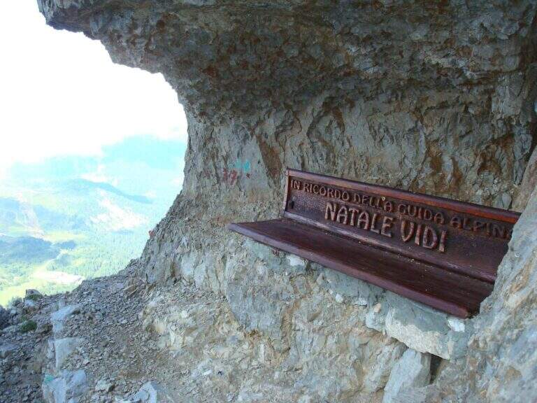
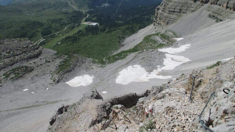
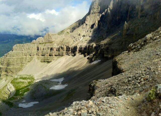
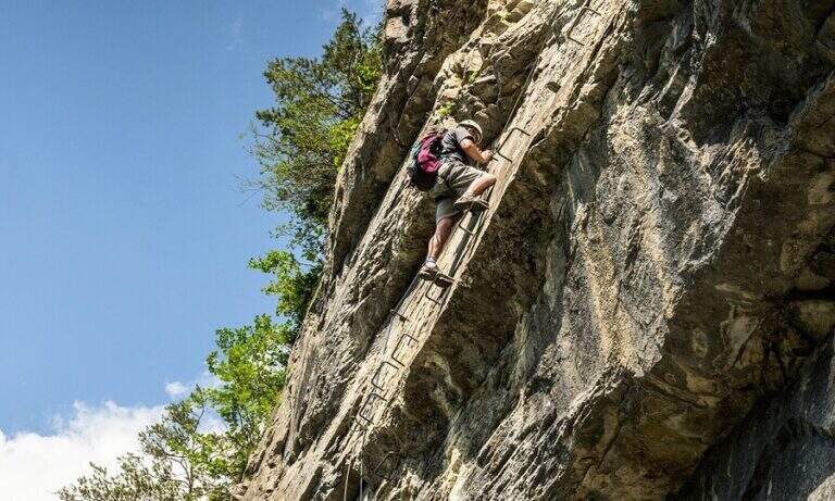
    A long ring in the Brenta Dolomites that touches the Passo delle Palete, the Val Gelada with its ferrata and the Orti spur, returning to the Grostè through the Sentiero Attrezzato Vidi. The peculiarity of this route is that the most insidious traits are those not equipped: exposed cenges without cable require safe foot and concentration higher than that which the metallic sun protections would suggest.

    ▲Approach

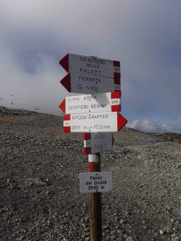
    From the mountain station of the cable car to Grostè (2442 m, directions road map) follow the CAI 306 path north for 10 minutes to the entrance of the Val delle Giare.

    ▲The path

    You descend into the Val delle Giare (2177 m, 1h15′) along exposed blinds and short stretches equipped. You pass the Passo delle Palete (2319 m) and descend for a gravel canal up to Livezza Grande (2184 m, 3h15′). Go up the Val Gelada with the CAI 380 path to Ferrata Val Gelada: a fireplace and stretches equipped in canal lead to the Val Gelada Pass (2686 m, 5h15′). Continue on the CAI 336 path of the Costanzi until Bocchetta Tre Sassi (2613 m, 6h) and the Orti spur (2520 m, 7h15′). From here the Sentiero Attrezzato Vidi returns to the Grostè station (9h total).

    ▲Character and difficulty

    Classified Difficult mainly for length (9h), the cumulated difference in altitude and the exposed unequipped strokes that meet in the grippers and along the path. The equipped stretches (Ferrata Val Gelada) are medium challenging. Excellent physical condition indispensable.

    ⚠ Departure at the indispensable dawn. The Val Gelada keeps snow late. The unequipped sections on display are the real difficulty of this itinerary.
    ▲Period and safety

    From July to September. Avoid in case of imminent bad weather or afternoon fog, frequent on the peaks of the Brenta.

    ▲Discipline

    The return takes place through the Route Attrezzato Vidi from the Bocchetta degli Orti to the Grostè station.

    ▲To match

    The same Grostè station gives access to Sentiero Attrezzato Orsi towards the Rifugio Pedrotti and the whole system of the Bocchette del Brenta.

    ▲Gallery
    Technical data
    • DifficultyHard
    • RegionTrentino-Alto Adige
    • GroupDolomiti di Brenta
    • Approach0:10 h
    • Ferrata3:00 h
    • Itinerary (a/r)9:00 h
    • Hardware level difference100 m
    • Route difference215 m
    • Max2687 m
    • Length17 Km
  • Sentiero Attrezzato Orsi – Brenta Dolomites

    Sentiero Attrezzato Orsi – Brenta Dolomites

    Vie Ferrate › Trentino-Alto Adige › TN
    Sentiero Attrezzato Orsi – Brenta Dolomites

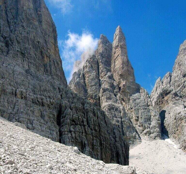
    The Sentiero Attrezzato Orsi connects the Bocca di Tucket to the Rifugio Pedrotti in the central sector of the Brenta Dolomites, crossing the exposed cenges of the Naso dei Massodì, the Busa d’Armi and the Campanile Basso. An ambitious itinerary that requires familiarity with challenging alpine environments, ideal as a second day of a stay at altitude.

    ▲Approach

    From the mountain station of the Grostè cable car (2437 m, directions road map) follow the CAI 316 path to the Tucket Refuge (2272 m, 1h30′). From the shelter you climb to the Bocca di Tucket through the vedretta: you often need to have ramps or proceed with maximum attention on the ice (1h from the shelter).

    ▲The path

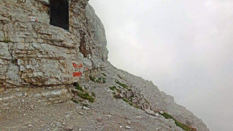
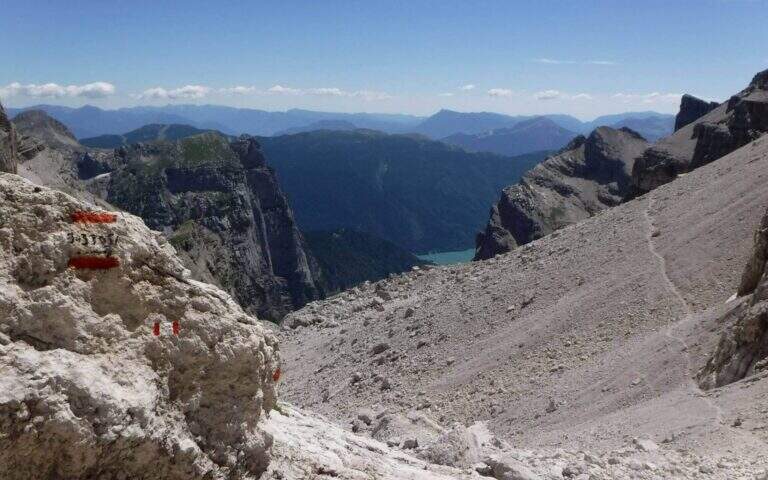
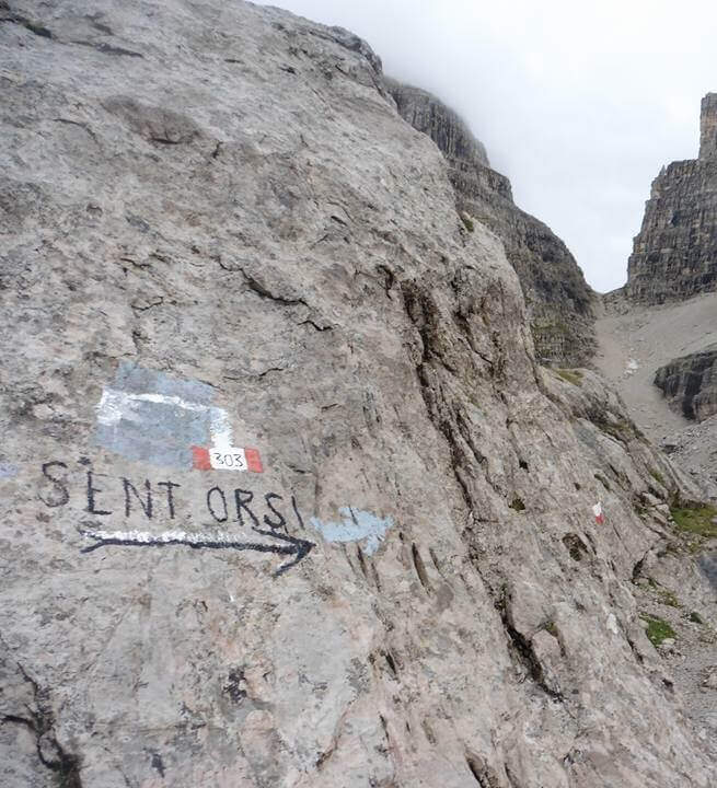
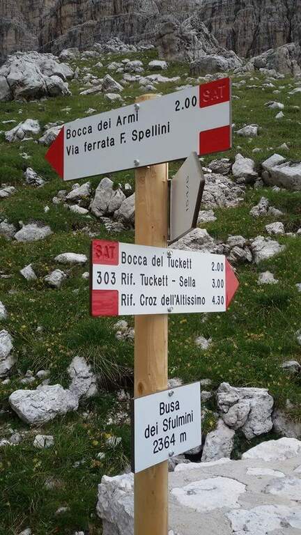
    From the mouth of Tucket (about 2640 m) take the Sentiero Orsi (CAI 303) to the east. The route runs on a very exposed census of the Naso dei Massodì and Spallone, with the whirlwind of the Arms Busa opening on the right. It alternates short stretches and sections on crest that require safe foot. The trail passes near the Campanile Alto and the Campanile Basso, with extraordinary views of the heart of the Brenta, before reaching the Rifugio Pedrotti (2491 m, 2h30′ from the Bocca di Tucket, 5h30′ total).

    ▲Character and difficulty

    Classified Hard. The difficulty is given by the harsh environment, by prolonged exposure and by the presence of the vedretta in the approach. The equipped sections are not technically extreme, but the context requires mountain autonomy.

    ⚠ The Tucket Mouth preserves snow and ice until advanced season: the ramps are almost always necessary. Do not venture into fog or imminent bad weather.
    ▲Period and safety

    From July to August for the best conditions on the glacier. Avoid in case of afternoon thunderstorms.

    ▲Discipline

    You return by reverse path (10h30′ total) or stay at the Rifugio Pedrotti by organizing a crossing in two days towards the Rifugio Graffer or along the Bocchette.

    ▲To match

    The Rifugio Pedrotti is the starting point for the Sentiero delle Bocchette Alte, the Via delle Bocchette and Ferrata Spellini: the central Brenta area is one of the richest areas in the Alps.

    ▲Gallery
    Technical data
    • DifficultyHard
    • RegionTrentino-Alto Adige
    • GroupDolomiti di Brenta
    • Approach3:00 h
    • Ferrata2:30 h
    • Itinerary (a/r)10:30 h
    • Hardware level difference150 m
    • Route difference1365 m
    • Max2699 m
    • Length24 Km
  • Sentiero Attrezzato Vidi al Grostè

    Sentiero Attrezzato Vidi al Grostè

    Vie Ferrate › Trentino-Alto Adige › Trento
    Sentiero Attrezzato Vidi al Grostè
    Moderately Hard● OpenDescriptionComplexityMapsGallery

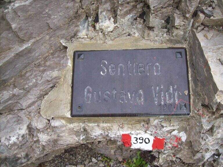
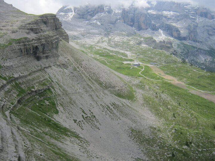
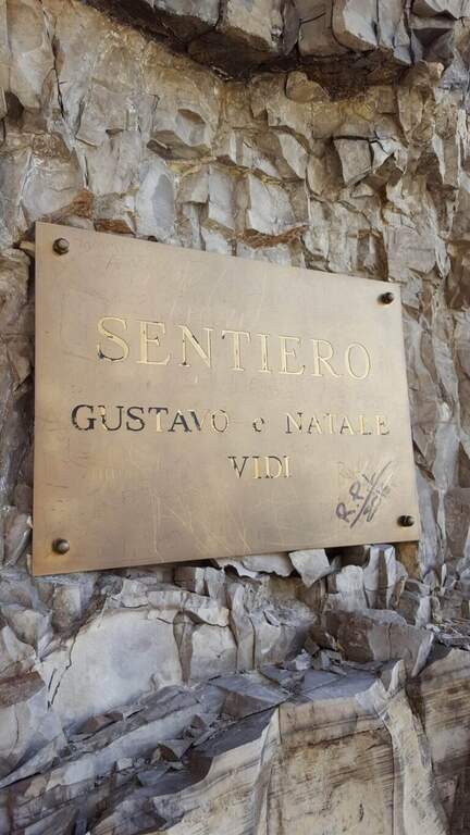
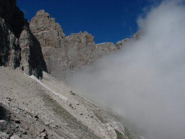
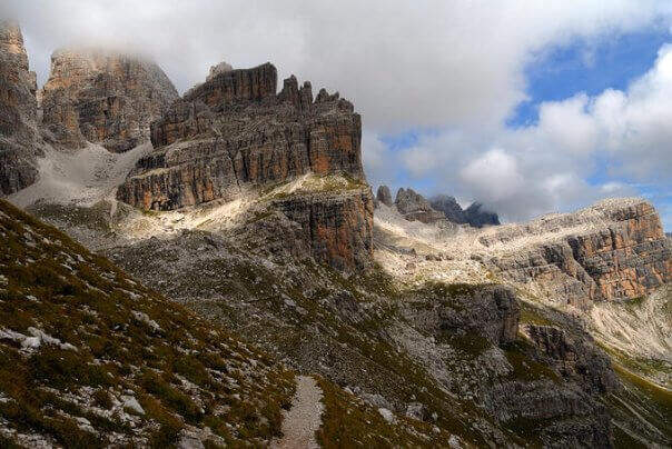
    The Sentiero Attrezzato Gustavo Vidi winds around Pietra Grande and the Orti della Regina in the Brenta Dolomites, starting from the mountain station of Madonna di Campiglio al Grostè. A ring of rare beauty in a corner among the least frequented of the Brenta, with exposure not to be underestimated despite the technical difficulties contained.
    ▲Approach

    You can reach Madonna di Campiglio and take the cable car to Stoppani Refuge at Grostè (directions road map). Alternatively, you walk up the CAI 301 path, which recovers 800 m of altitude in about two hours without excessive slope.

    ▲The path

    From the mountain station of the cable car follow the many CAI 390 signs towards Pietra Grande. In twenty minutes you will meet the first red sign that marks the official entrance to the Route Attrezzato Vidi. There are some easy rocks and a steep and gravel path up to a characteristic wide nod, where a metal plate recalls the dedication of the route. Continue north, keeping the altitude, until a first narrowing of ridge with metal equipment. After some unprotected rocks, you face a narrow canal where the cable accompanies the ascent. The route describes an arc around the massif: a long stretch of nod, partially without protection, requires firm foot and concentration. Below you can see the Rifugio Graffer, destination of the return (about 2h 30' from the attack).

    ▲Character and difficulty

    Classified Moderately Difficult. Strictly equipped traits do not have high technical difficulties, but wide nods are exposed and free of cable: they require safe foot and lack of dizziness. Complexity: technique 2/5, physics 2/5, exposure 3/5, environment 2/5.

    ⚠ In late season some passages can preserve snow or ice: peak or ramps as precaution, similar to the whole sector of the Brenta.
    ▲Period and safety

    Recommended from June to September. Avoid in the presence of rainfall or afternoon temporal risk. The cable car closes seasonally: check its availability before leaving.

    ▲Discipline

    From the Rifugio Graffer you will descend by cable car from the intermediate station or continue on foot along the CAI 301 path to Madonna di Campiglio (about 5h total counting the cable car uphill and the descent on foot). Alternatively, go up to the Stoppani Refuge to resume the cable car (3h 30' total).

    ▲To match

    In the same area of the Brenta you can match the Ferrata della Val Gelada or the neighbor Path Equipped with the Palete.

    ▲Gallery
    Technical data
    • DifficultyModerately Hard
    • RegionTrentino-Alto Adige
    • GroupDolomiti di Brenta
    • Approach0:20 h
    • Ferrata2:30 h
    • Itinerary (a/r)3:30 h
    • Hardware level difference220 m
    • Route difference300 m
    • Max2662 m
    • Length4,4 Km
  • Sentiero Attrezzato dell’Ideale – Bocca d’Ambiez

    Sentiero Attrezzato dell'Ideale – Bocca d'Ambiez

    Vie Ferrate › Trentino-Alto Adige › Trento
    Sentiero Attrezzato dell'Ideale – Bocca d'Ambiez
    Moderately Hard● OpenDescriptionComplexityMapsGallery

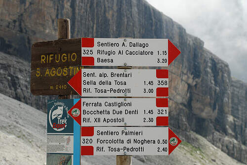
    The Attrezza dell'Ideale Path crosses the wall under the Cima d'Ambiez in the Brenta Dolomites, connecting the Refugi XII Apostoli and Agostini. Although historically classified as an equipped path, it has vertical traits and exposed worthy of a true via ferrata — not to be underestimated.

    ▲Approach

    The most common starting point is the cable car from Pinzolo to Doss del Sabion (directions road map). From Pinzolo on the SS 239 you park in the wide beaches next to the lifts. From the mountain station, follow the Attrezza della Scala Santa path to reach the XII Apostoli refuge (about 3h).

    ▲The path

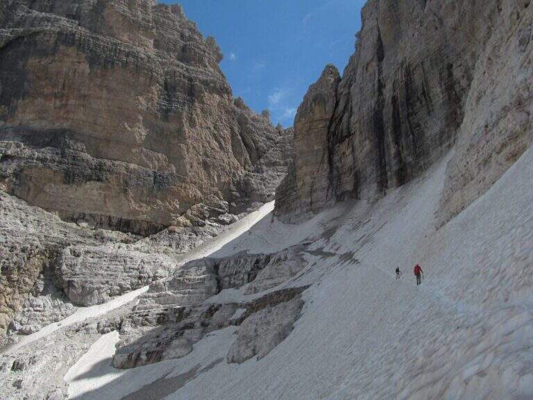
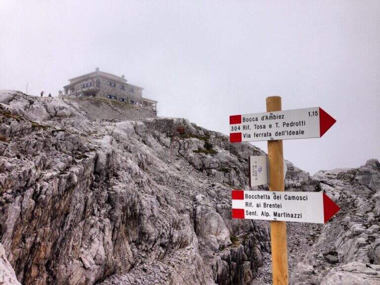
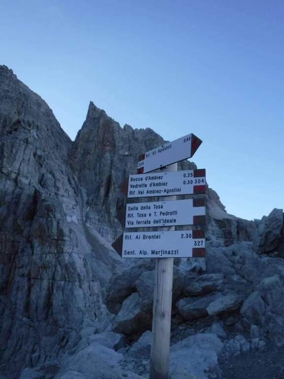
    From Rifugio XII Apostoli follow the CAI 307 towards the east towards the Bocchetta dei Camosci. You go up a valley on a detritic background with slope supported up to a point where the wall tightens: here begin the vertical and exposed traits that justify the reputation of this path. The route climbs towards the Bocca d'Ambiez alternating equipped rocks and aerial cenges. The exit leads to the Rifugio Agostini. The route can also be routed in reverse direction, or as a natural continuation of the Ferrata Brentari that starts from the Rifugio Pedrotti.

    ▲Character and difficulty

    Classified Moderately Difficult, but with passages that approach the Difficult for exposure and verticality. Not suitable for those with the use of the hardware set. Complexity: technique 2/5, physics 3/5, exposure 3/5, environment 3/5.

    ⚠ The itinerary takes place at high altitude in the Brenta: possible presence of snow and ice even in summer. Check the conditions at the Rifugio Agostini before leaving.
    ▲Period and safety

    From July to September. High altitude and shaded orientation can keep snow long. Recommended in company or after having traveled other similar level ferrates.

    ▲Discipline

    From the Rifugio Agostini you can descend towards Molveno along CAI paths or return to the Rifugio XII Apostoli to resume the cable car towards Pinzolo.

    ▲To match

    Complementary Ferrata Brentari, al Sentiero della Scala Santa and Ferrata Benini.

    ▲Gallery
    Technical data
    • DifficultyModerately Hard
    • RegionTrentino-Alto Adige
    • GroupDolomiti di Brenta
    • Approach3:00 h
    • Ferrata2:30 h
    • Itinerary (a/r)10:30 h
    • Hardware level difference400 m
    • Route difference450 m
    • Max1750 m
    • Length6 Km
  • Sentiero Attrezzato Apolloni

    Sentiero Attrezzato Apolloni

    Vie Ferrate › Trentino-Alto Adige › Trento
    Sentiero Attrezzato Apolloni

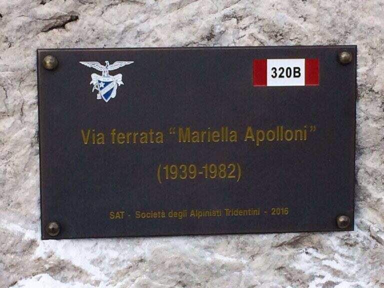
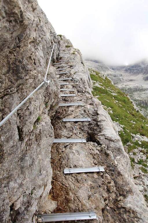
    Il Sentiero Attrezzato Apolloni is the most recent equipped path of the Brenta Dolomites and connects the Agostini Refuge to the Pedrotti Refuge passing through the Forcoletta Pass. It runs more at the altitude of the parallel Sentiero Palmieri and is equipped in the most exposed points, without particular technical difficulties.

    ▲Approach

    The report starts from the Ristor Dolomiti (768 m) above Dorsino: in the village center a road marked with the brown « sign; Val d'Ambiez» narrow and asphalted rooms to the restaurant, where you park. Open road signs on Google Maps. You climb to the CAI 325 (first dirt, then trail) until the Rifugio al Cacciatore (1820 m, 2h 15'), then on the CAI 325 (Sentiero Dallago) until the Rifugio Agostini (2410 m, 3h 30' from the parking lot). L' approaching è long and with strong difference in altitude (about 1700 m). Alternatively, along the route on the contrary, you can go from Molveno to the Pradel cable car.
    ▲The path

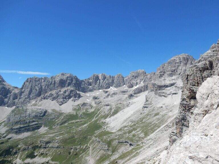
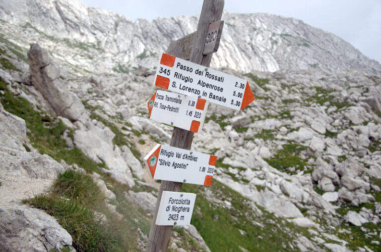
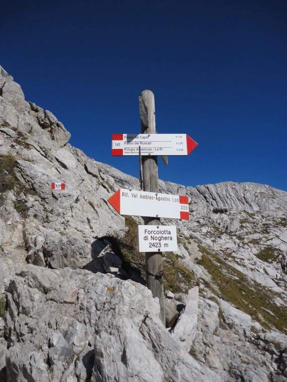
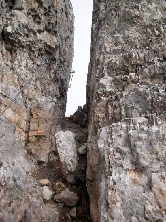
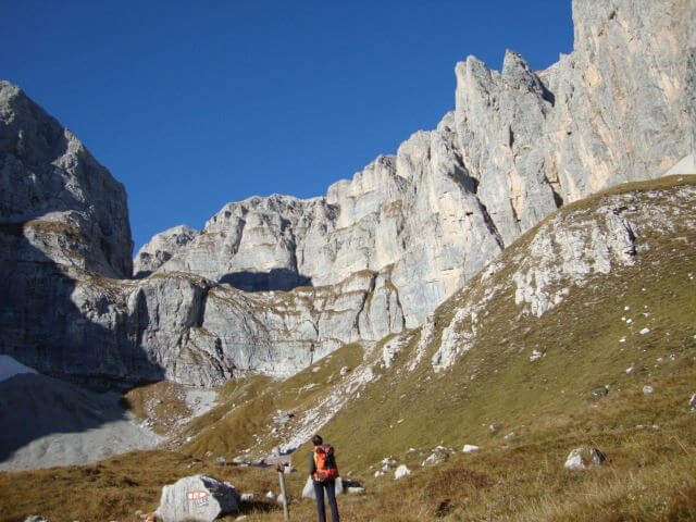
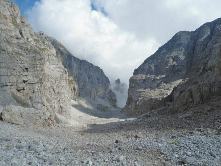
    Dal Rifugio Agostini si procede verso est, verso le pareti occidentali di Cima Ceda, seguendo il CAI 320 (Sentiero Palmieri); in leggera salita a mezzacosta si raggiunge il Passo di Forcolotta di Noghera (2423 m). Si prosegue su tratti più esposti verso est tenendo la sinistra (ignorando il bivio per il CAI 345 verso Passo Caplo), fino a passare nella valle della Pozza Tramontana, in un imponente anfiteatro tra Cima Ceda, Cima Brenta e Monte Daino. In discesa verso nord si raggiunge il bivio tra il Sentiero Palmieri (più basso) e il Sentiero Attrezzato Apolloni (CAI 320B), composto da due tratti attrezzati: il primo è una serie di cenge esposte con gradini metallici assicurati; il secondo, più vicino a Cima Brenta Bassa, è un intaglio nella roccia da risalire con alcune staffe. Nessuno dei due presenta difficoltà tecniche rilevanti. Completato il sentiero, presso Cima Brenta Bassa, in pochi minuti si scende al Rifugio Pedrotti (2491 m, 2h 30' dal Rifugio Agostini, 6h complessive).

    ▲Character and difficulty

    The two equipped sections are easy and protect the most exposed points; the equipment is new and in good condition. The real difficulty lies in the long approach and in the strong overall difference.

    ⚠ L' approach raises about 1700 m of altitude difference: currency to stay in refuge to face l' itinerary to rest altitude. Overall long day (up to 9h 30' for full tour).

    ▲Discipline

    The simplest option is to go back: from the Passo Forcoletta you descend to the Rifugio al Cacciatore (2h 15' from the Rifugio Pedrotti) and from here to the Ristoro Dolomiti for the CAI 325 (9h 30' overall). Alternatively, more challenging, you can return to the Ferrata Brentari towards the Rifugio Agostini passing through the Vedretta d'Ambiez (recommended the overnight stay at altitude).

    ▲To match

    It is a connecting path between two refuges from which there are numerous excursions of the Brenta: from the Rifugio Pedrotti you can reach the itineraries of Bocchette Alte e Central.

    ▲Gallery
    Technical data
    • DifficultyEasy
    • RegionTrentino-Alto Adige
    • ProvinceTrento
    • GroupDolomiti di Brenta
    • Approach3h 30'
    • Equipment2h 30'
    • Complete itinerary9h 30'
    • Level difference100 m
    • Route difference1623 m
    • Maximum2491 m
    • Length3,2 km
  • Ferrata della Val Gelada

    Ferrata della Val Gelada

    Vie Ferrate › Trentino-Alto Adige › Trento
    Ferrata della Val Gelada
    Moderately Hard● OpenDescriptionComplexityMapsGallery

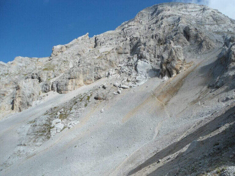
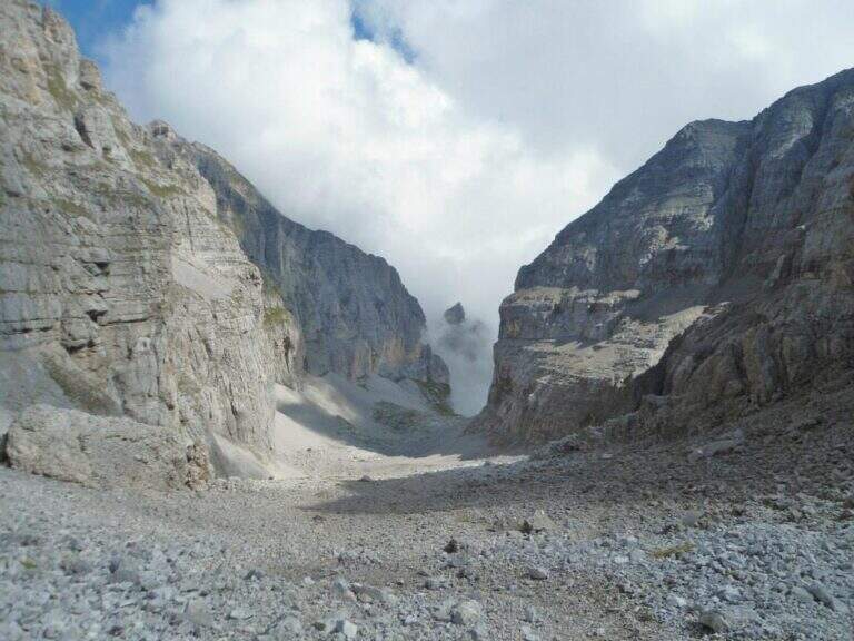
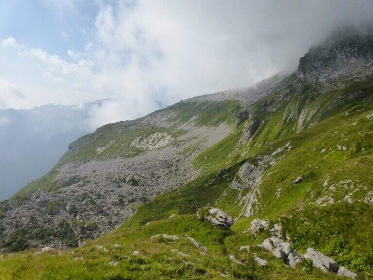
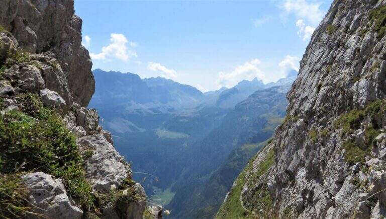
    La Ferrata della Val Gelada it is part of an itinerary that dates back to the steep valley under the Horn of Flavona, in the northern Brenta Dolomites (Trento). The equipped sections do not have particular technical difficulties, but the harsh environment, the high altitude difference and several exposed passages reserve it to trained and experienced hikers.

    ▲Approach

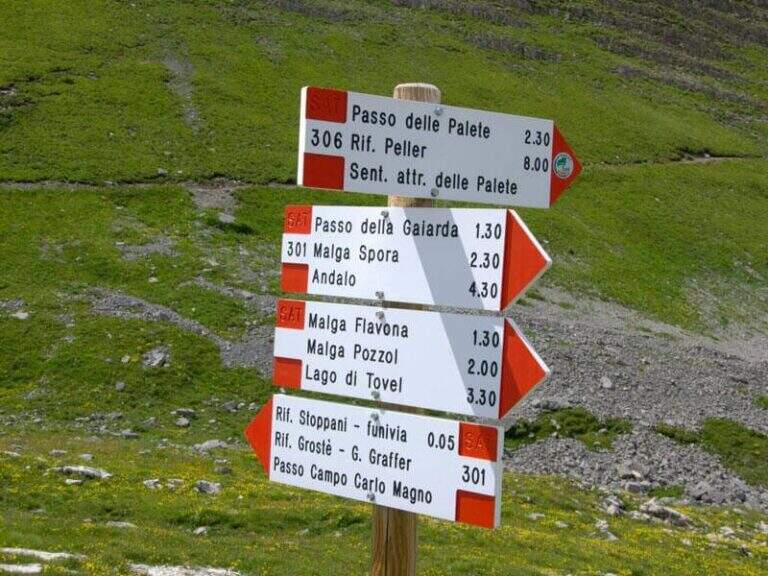
    L' ring described here è the più way; short and simple to travel the ferrata and starts from the Lago of Tovel. You reach Tuenno, on the eastern side of the Brenta, and at a crossroads on the left follow the signs for Lake Tovel along about 11 km asphalt road; at the end, on the right, c'è a first parking, then continue on the dirt road in front following the indications for the Chalet (about 2 km). Open road signs on Google Maps. From Lake Tovel, take the sentiero CAI 314 towards Malga Tuenna; go up comfortably on track until you cross the CAI 312 (Sentiero della Dena), steep west. Ignored a first crossroads on the right, follow the signs to Malga Tuenna and then to Passo della Val Gelada (CAI 380), passing a first equipped section. Exit from the wood you can reach l' crossroads with the CAI 306 (Sentiero Attrezzato delle Palete): you ignore it and you drive west to the crossroads of the Val Gelada Pass (2171 m, about 2h from the parking lot).

    ▲The path

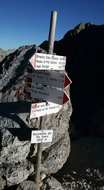
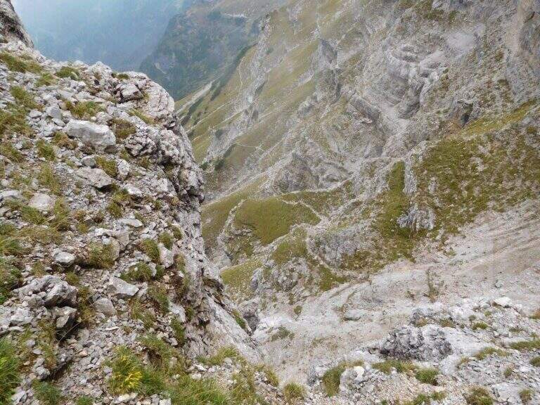
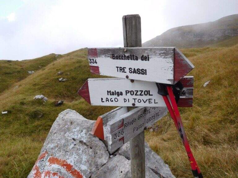
    The CAI 380 that goes up the Val Gelada: the stretch è definitely tiring and earns almost 500 m of altitude difference. As you enter the inner part of the valley you can see a rocky bastion where some ports are equipped in a canal allow you to overcome it without excessive difficulty. A last equipped section leads to the Passo di Val Gelada (2686 m, about 4h from the parking lot), crossroads with the Costanzi Mountain Trail (CAI 336). Here the sinistra is held towards the Three Sassi's Bocchetta: some vertical sections equipped with ropes and stairs, then a stretch of path not particularly difficult, lead to the Three Sassi (2613 m, 45' from the Pass, 4h 45' overall).

    ▲Character and difficulty

    The two iron sections help to overcome jumps that pass the first degree, but the major pitfalls are the alpine character of the excursion, length and exposure. There are also a couple of unprotected grade I climbing routes. The Val Gelada is among the wildest and least frequented corners of the Brenta.

    ⚠ Both Val Gelada and Val delle Giare can present snow-covered extracts even at the advanced season: bring ramps and peaks to avoid dangerous situations. L' route è long and with strong altitude difference: very recommended telescopic sticks. The few equipped sections must not lower the guard on the alpine character of the' exit.

    ▲Discipline

    Dalla Bocchetta dei Tre Sassi si prende il CAI 334, dapprima in falso piano verso sud e poi in discesa nella Val delle Giare lungo un vallone detritico, fino a incrociare il CAI 306 (Sentiero delle Palete) con un paio di tratti attrezzati e una scaletta da scendere; lo si ignora e si continua a scendere fino al CAI 314, che si prende a sinistra verso il Rio Tresenga riportando comodamente al Lago di Tovel e al parcheggio (2h 30' dalla Bocchetta, 7h 30' complessive).

    ▲To match

    L' può ring; be composed in different ways: often it matches the Sentiero Attrezzato delle Palete o al Alpine trail Costanzi (both very difficult, for experts), perhaps continuing towards Sentiero Attrezzato Vidi. Going to the Grostè Pass for the overnight stay you can then continue south towards the Ferrata Benini e le Bocchette Alte.

    ▲Gallery
    Technical data
    • DifficultyModerately Hard
    • RegionTrentino-Alto Adige
    • ProvinceTrento
    • GroupDolomiti di Brenta
    • Approach2h
    • Equipment3h
    • Ring itinerary7h 30'
    • Level difference100 m
    • Route difference1508 m
    • Maximum2686 m
    • Length21 km
Need help? Write to us!