Gruppo: Gruppo Sella

  • Ferrata Piz from Lech

    Ferrata Piz from Lech

    Vie Ferrate › Trentino-Alto Adige › Bolzano
    Ferrata Piz from Lech

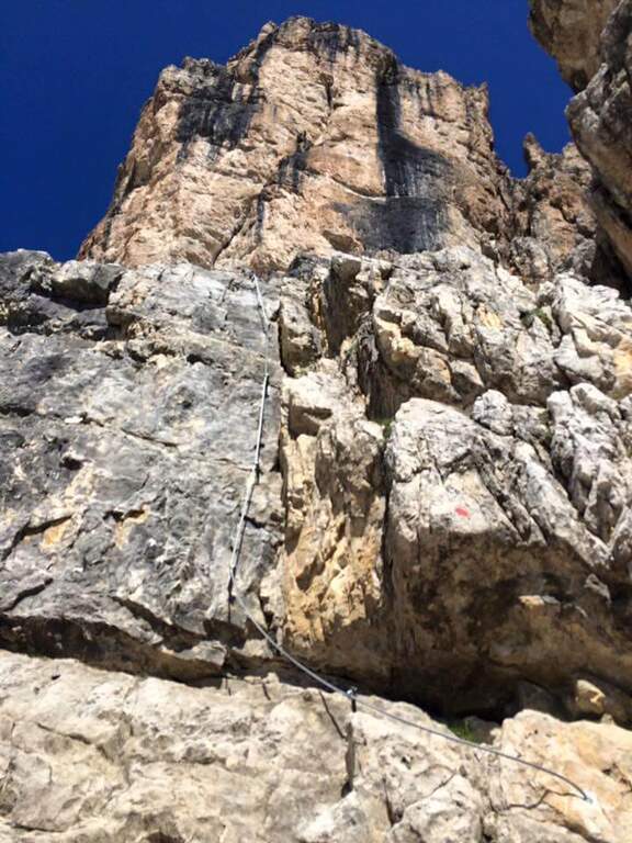
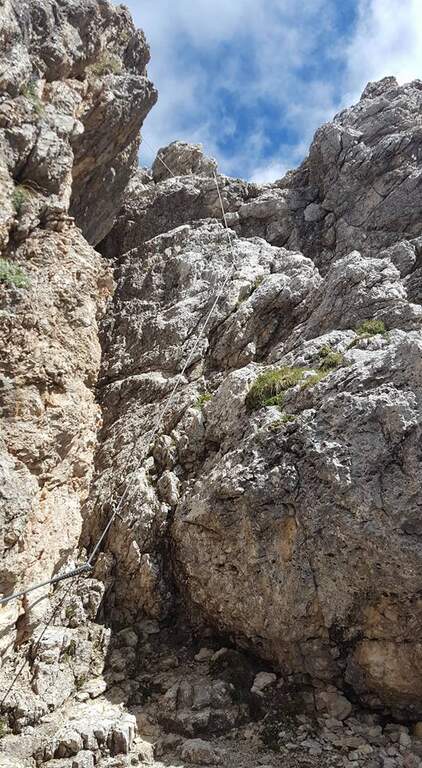
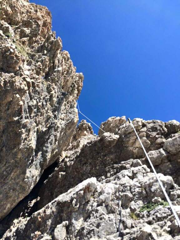
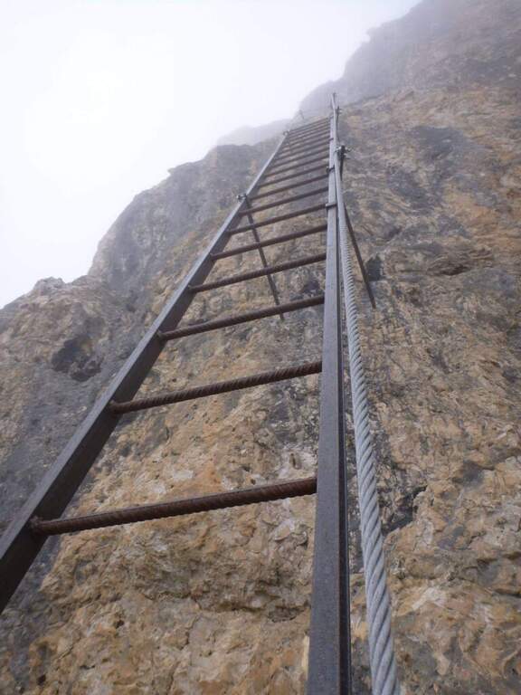
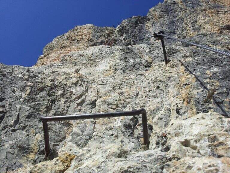
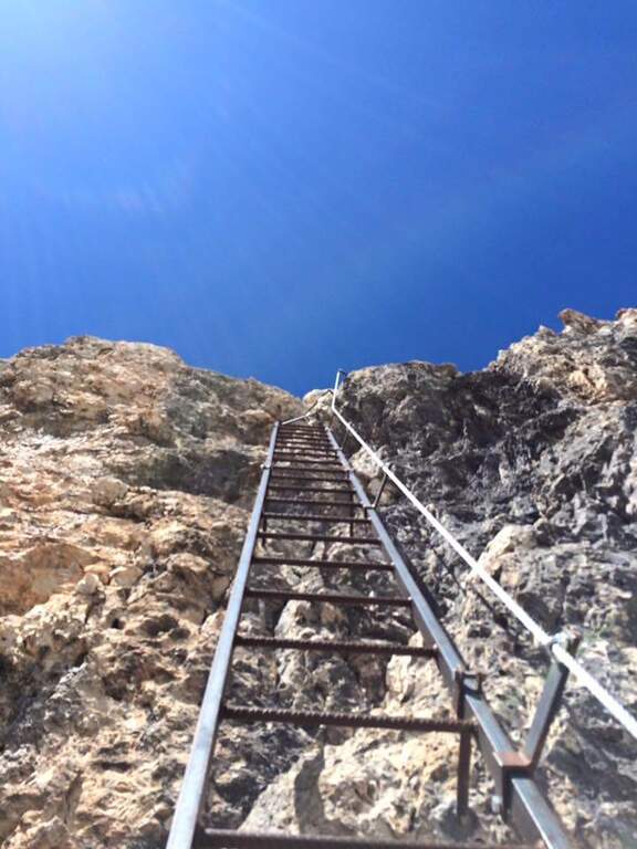
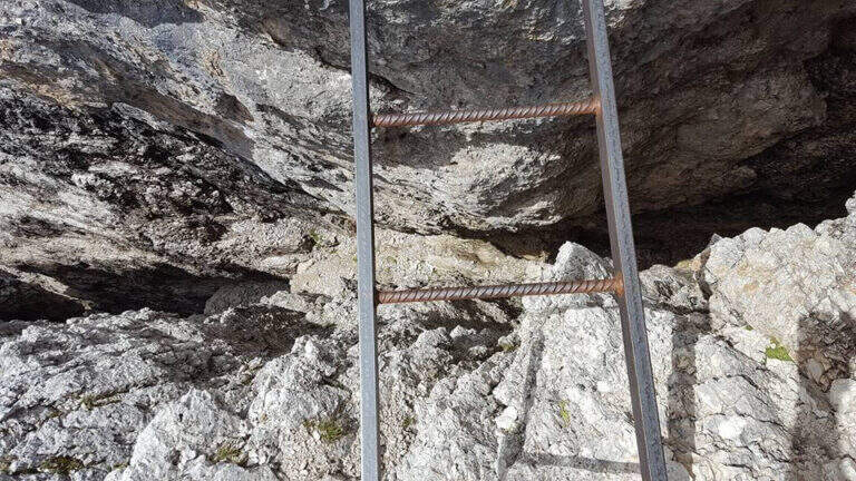
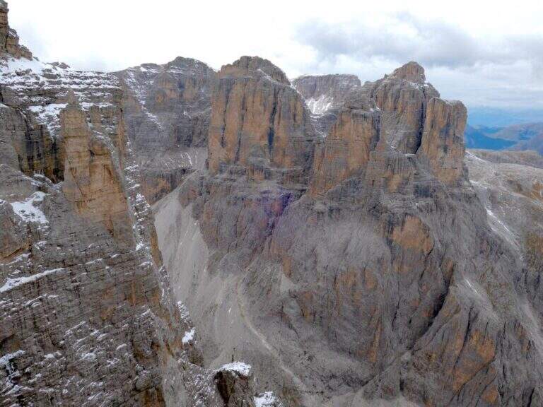
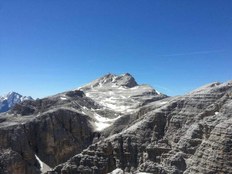
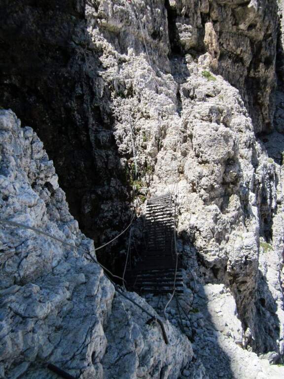
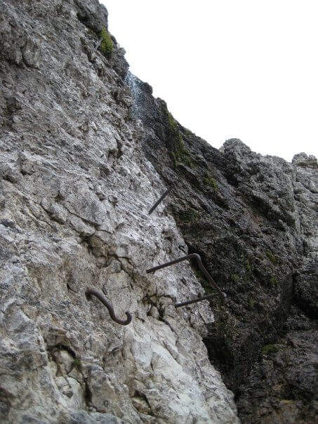
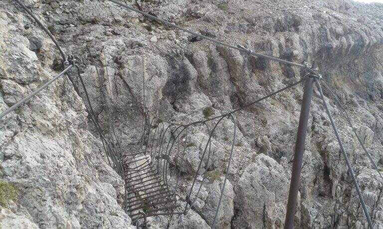
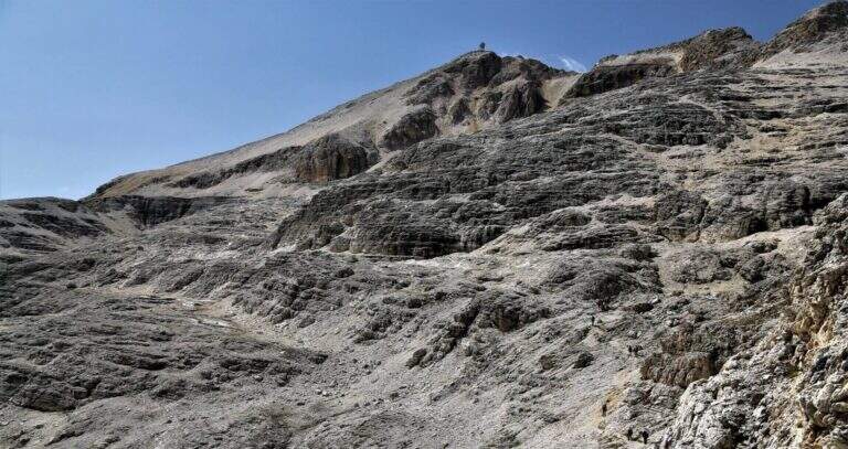
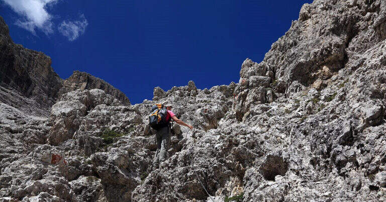
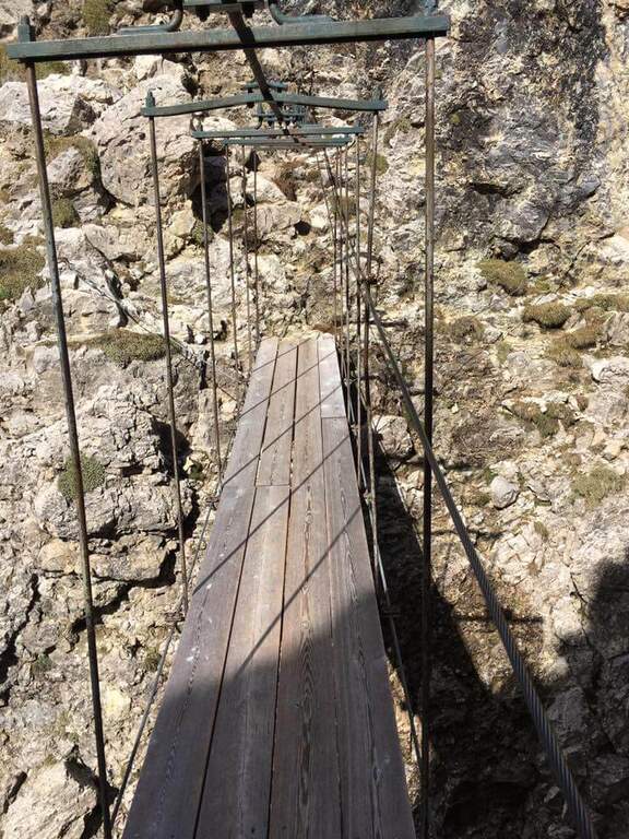
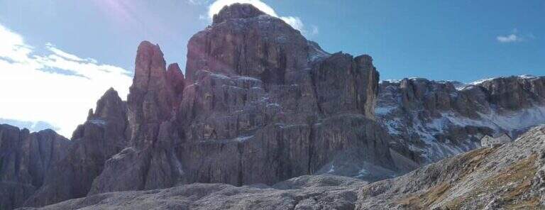
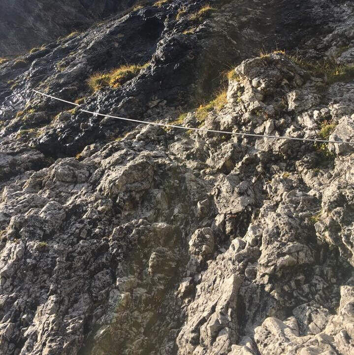
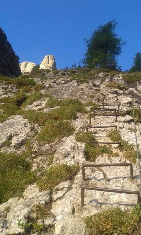
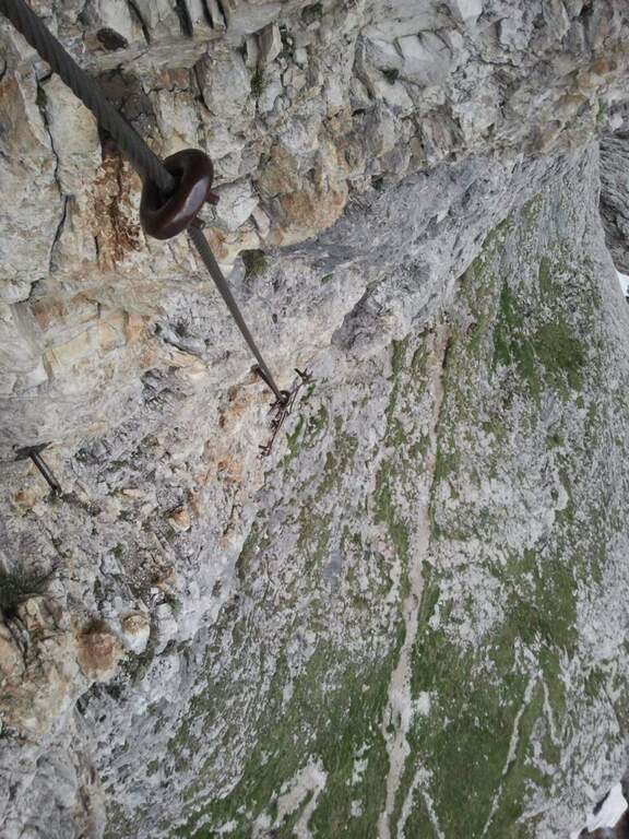
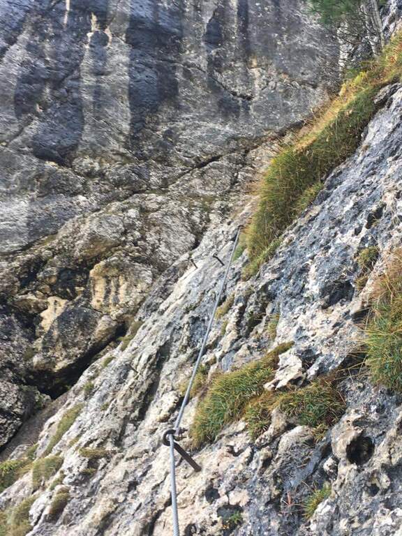
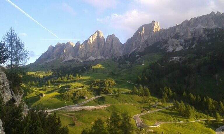
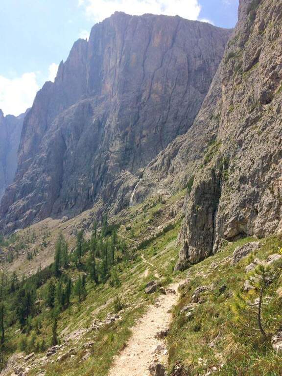
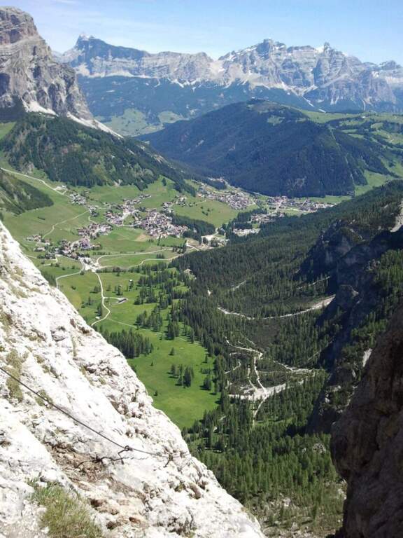
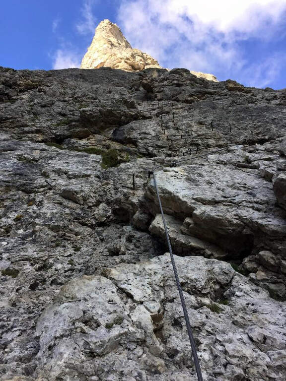
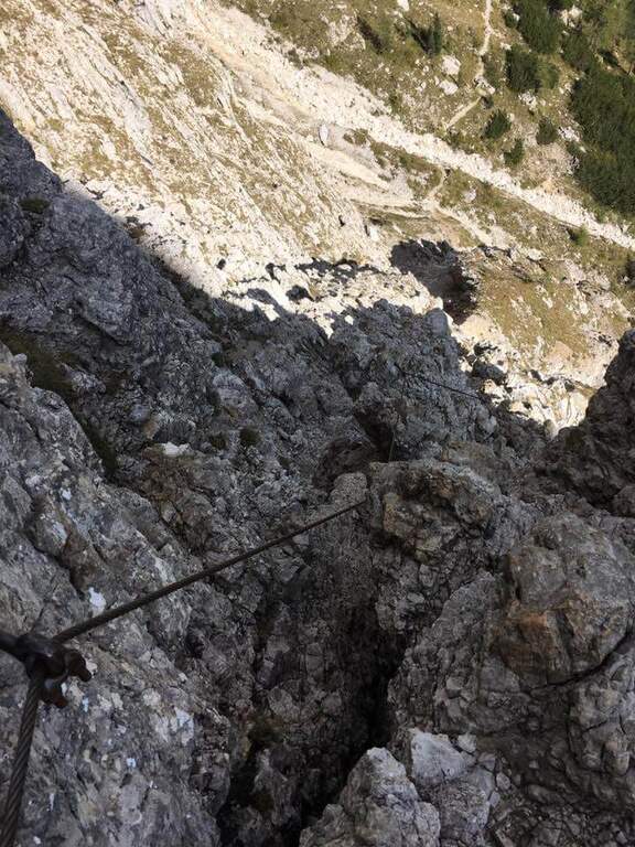
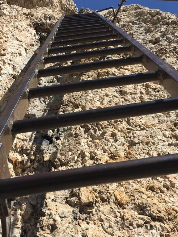
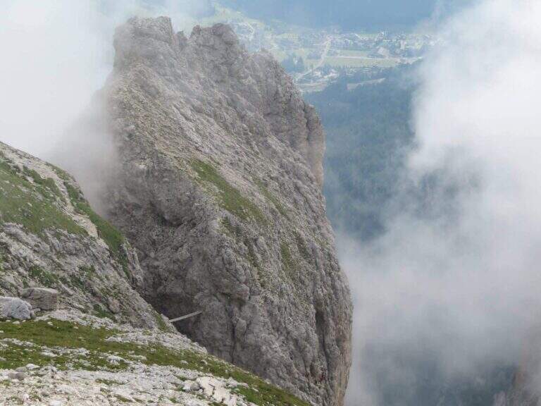
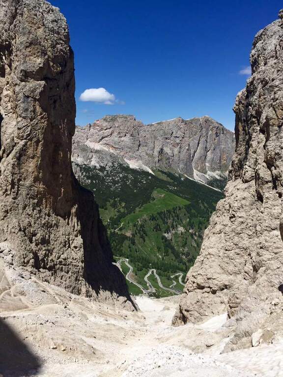
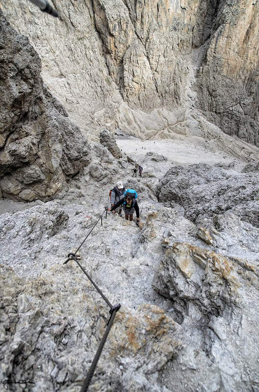
    La Ferrata Piz from Lech rises a rocky bastion in the eastern side of the Sella Group to the peak of the Piz da Lech (2916 m), in the province of Bolzano. È a difficile street, short but intense, made very short by Corvara plants: it presents some athletic passages, two aerial stairs and a short suspended bridge, in an environment d’ high mountain with exceptional panorama from the top.

    ▲Approach

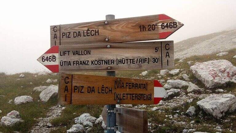
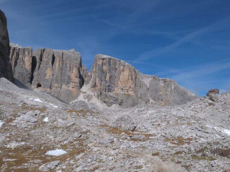
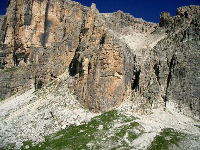
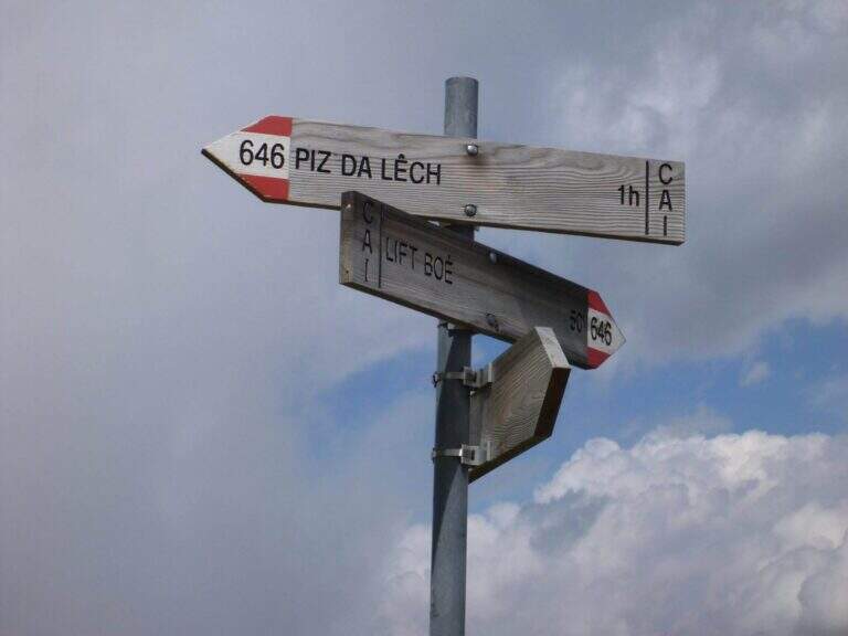
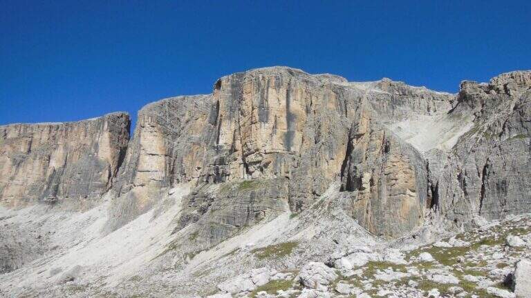
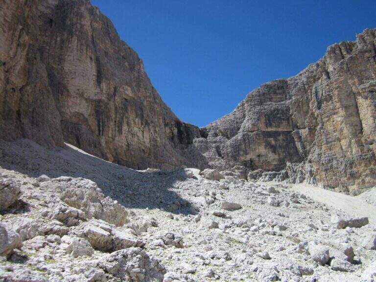
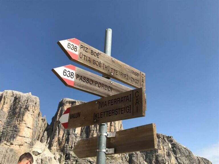
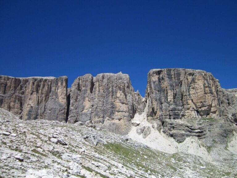
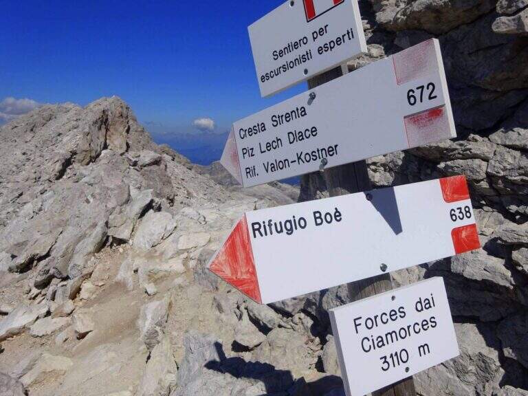
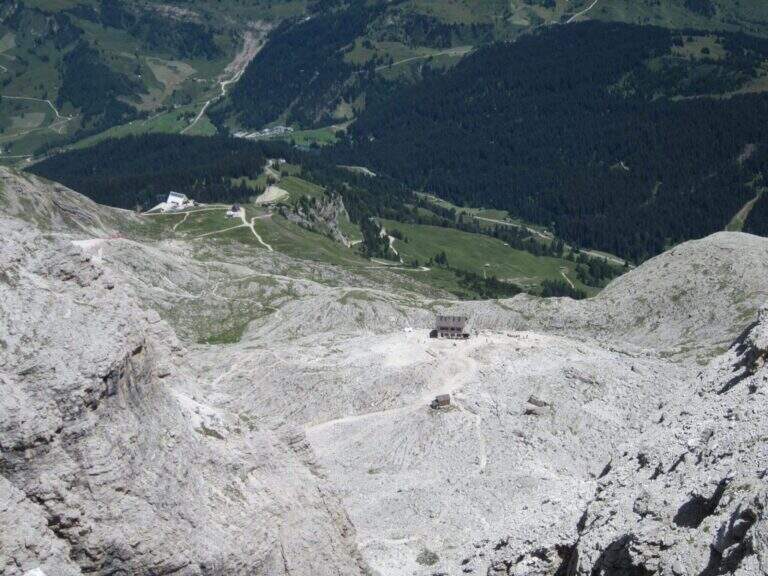
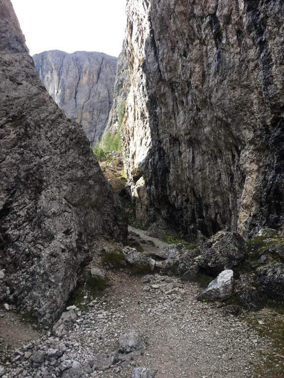
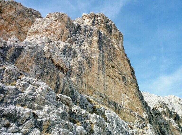
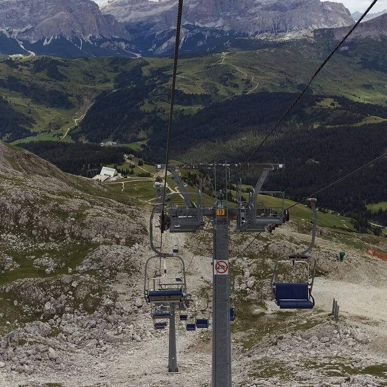
    The starting point is the mountain station of the cable car that from Corvara (Val Badia) climbs first to the Crep de Mont and then to the Vallon (2537 m; open the starting point on Google Maps). Alternatively, from Passo di Campolungo (between Arabba and Corvara) you can park at l’ Boè Tree; (1860 m) and climb the wide CAI 638 path to the upstream station of the chairlift (1h 15′ from the pass). Exit from the chairlift you ignore the signs for the normal road (646B) and follow the signs to the north, in the direction of a detritic valley where you turn left uphill until all’ attack, under a characteristic yellow-black rocky wall (2560 m, 15 minutes from the mountain station).

    ▲The path

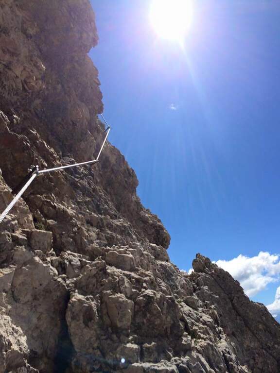
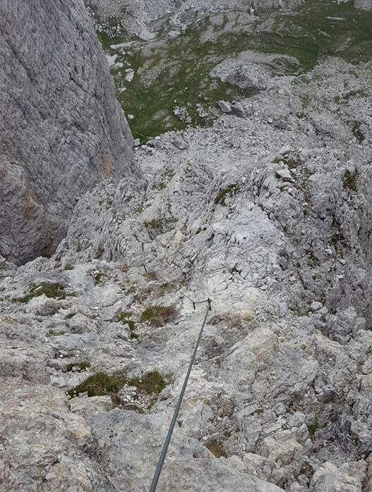
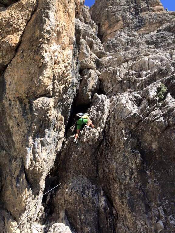
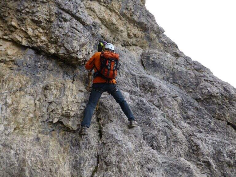
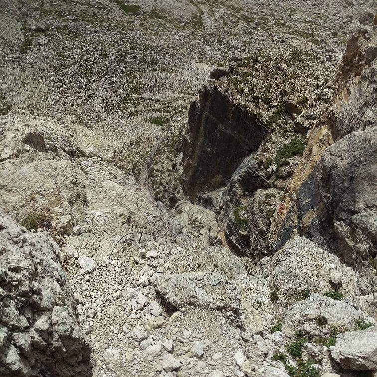
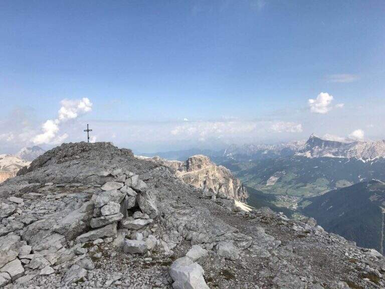
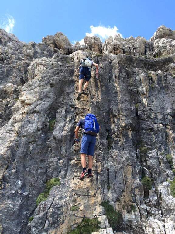
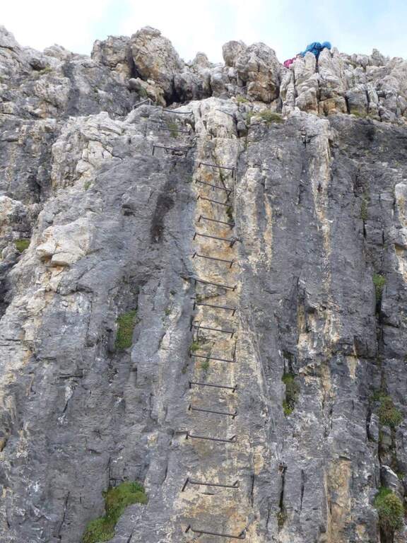
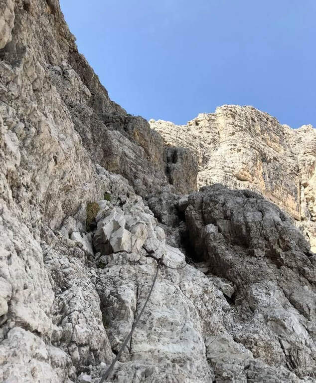
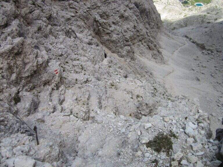
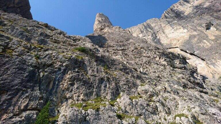
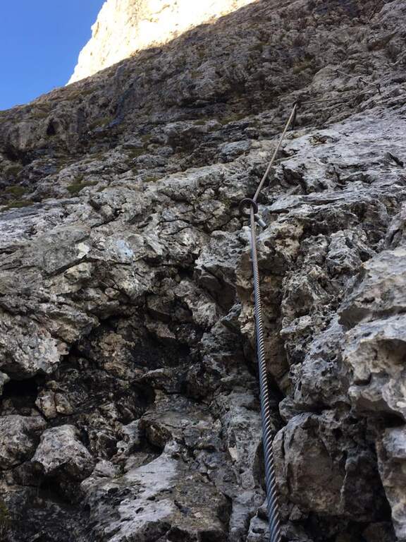
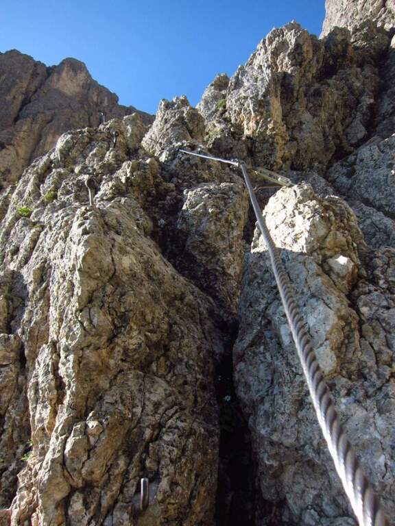
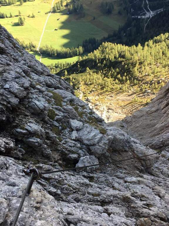
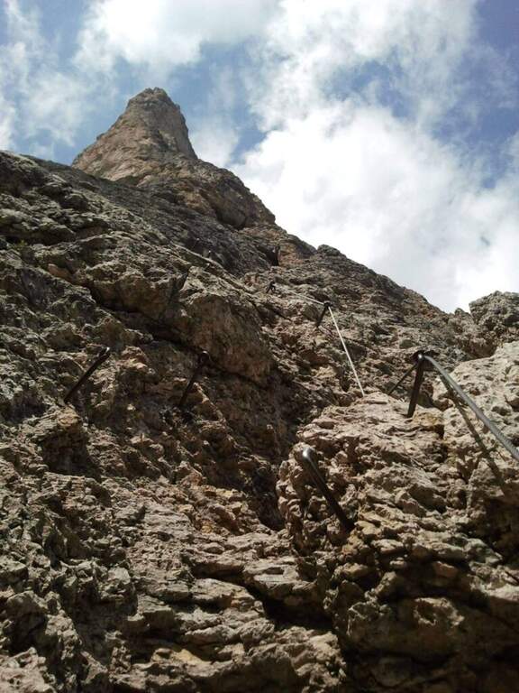
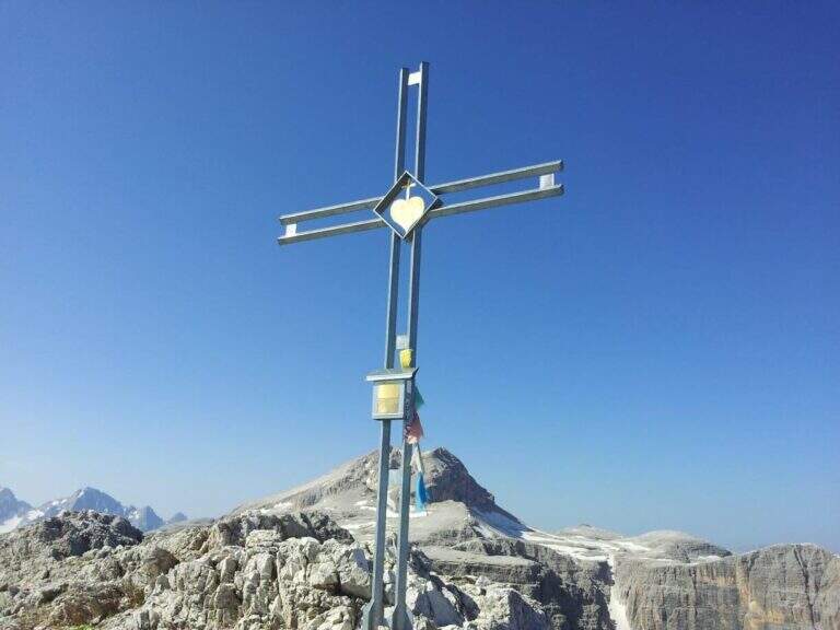
    The ferrata opens with a rocky leap of difficult-to-grave media; and without obvious claws, then an easy nod on the left and some not difficult steps. On the left side a corner with a census, you will meet new leaps under l’ looming black-yellowish bastion; climb up vertically and stick into a long channel , holding the right side on rocky steps. Where the channel is tightened, there are about fifteen vertical meters, then a short but exposed and challenging across to the right bypasses a edge up to a nod. Follow the più pass; challenging: a fireplace that climbs first on the right side and then passes left with a leap, complex in the initial part for the lack of supports, which gradually rise up. Some exposed rocks lead to the più point; iconic of the street: under the rampage rise two scales interspersed with a rock-mounted plane; finished the second ladder, a challenging passage helped by brackets. In the closing section there are exposed rocks and a ramp up to the summit ridge; after a stretch with the right equipment and a short path, you will meet a breve suspended bridge (a horizontal ladder above a narrow crevice), exposed but not difficult. A short wall well-dressed (often wet) and some rocks put on the final, unequipped path, which carefully leads to the peak cross of the Piz da Lech (2916 m, 1h 45′ from the’ attack, 2 hours from the mountain station), with magnificent views of the Sella Group, the Piz Boè and the Val de Mesdì.

    ▲Character and difficulty

    Classified Difficile (D), with all the parameters of complextà on 3/5: short but intense, with a couple of athletic steps where you need a good point or a discreet climbing technique (some strokes of III-IV degree, however climbing). Not è extremely difficult, but requires good preparation and experience. Harness obligators, hardware kits and helmet.

    ⚠ The summit ridge and the pavement around the cross are not wide and go carefully; the final and initial tract require concentration. The return along the normal way è ripido and includes a couple of steps equipped downhill: not remove l’ harness at the end of the ferrata. A short wall before the summit è often wet: pay attention. Useful a frontal if you leave late, because of the way; between climb and descent the day può stretch.
    ▲Period and safety

    High altitude summer road, to be covered with stable weather and dry rock. The equipment is in good condition, recently renovated. Check the opening and hours of cable car and chairlift (serve the return ticket); those who walk up from the Campolungo Pass put into account a longer and tiring approach.

    ▲Discipline

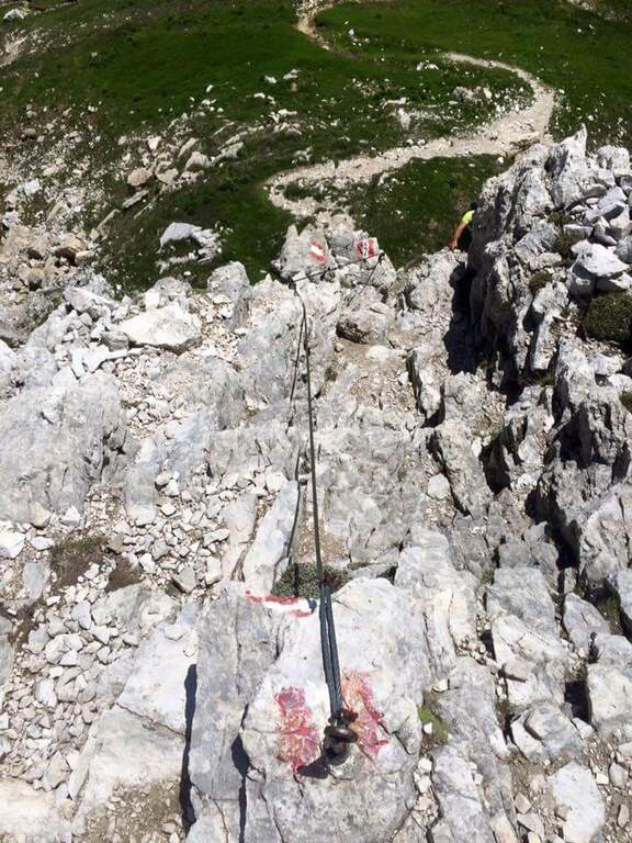
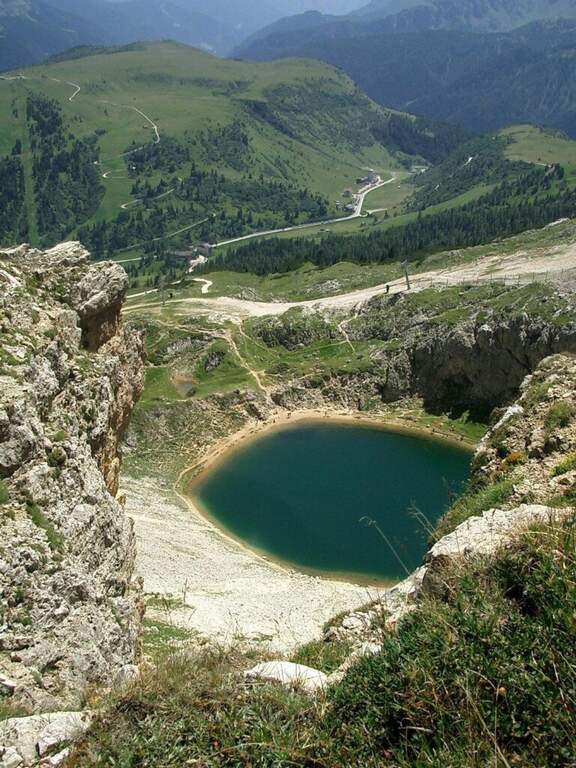
    From the summit you descend to the south along the normal road, marked by the white-red boils of the CAI 646, on the swallows of the south side; a couple of equipped passages are passed down (a vertical wall of 6-8 meters with brackets and a short set of rocks). A crossroads are reached with the CAI 646B: on the right you will descend a fragrant canal up to the path d’ approach and then to the chairlift (45′ from the summit, 2h 45′ overall); or continue on the CAI 646 along a ridge above Lake Bo` up to the mountain station of the cable car.

    ▲To match

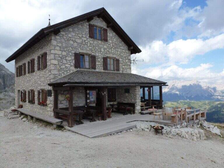
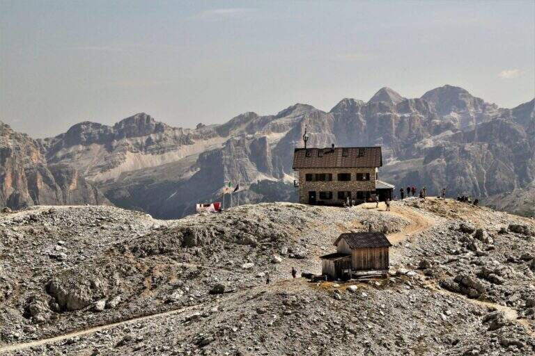
    The Piz da Lech fits perfectly with the neighbor Ferrata del Vallon, possibly by staying at the Kostner Refuge. Continuing to half-costa you reach the attack of the impegnative Ferrata Piazzetta piz Boè. On the Sella Group Ferrata Tridentina e la Ferrata delle Mesules. In Val Badia la Ferrata Sas dla Crusc e la Ferrata della Pace.
    ▲Gallery
    Technical data
    • Approach0:15 h
    • Duration1:45 h
    • Total itinerary4:15 h
    • Hardware level difference200 m
    • Route difference371 m
    • Maximum altitude2911 m
    • Length2,2 Km
  • Ferrata del Vallon

    Ferrata del Vallon

    Vie Ferrate › Trentino-Alto Adige › Bolzano
    Ferrata del Vallon

    La Ferrata del Vallon sale la parete est del Gruppo Sella collegando il Rifugio Kostner alla zona del Piz Boè (provincia di Bolzano). È la via attrezzata meno conosciuta e tecnicamente meno impegnativa del Sella: per gran parte facile, ha un paio di passaggi più impegnativi nel tratto conclusivo dopo un suggestivo ponte sospeso accanto a una cascata. L’ambiente del circo glaciale del Vallon, contornato da imponenti pareti, è uno dei più belli e meno frequentati del gruppo.

    ▲Approach

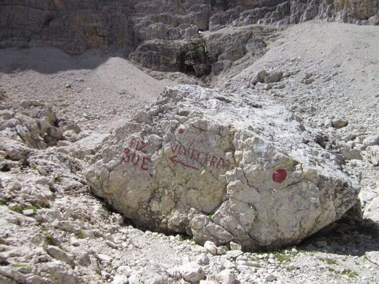
    The starting point is the mountain station of the cable car that from Corvara (Val Badia) climbs first to the Crep de Mont and then to the Vallon (2537 m; open the starting point on Google Maps). In alternativa, per evitare la funivia, dal Passo di Campolungo (tra Arabba e Corvara) si parcheggia presso l’Alberto Boè (1860 m) e si sale sul largo sentiero CAI 638 fino al bivio per la ferrata, poco prima del Rifugio Kostner (2500 m, 1h 30′ dal passo). Dalla stazione a monte si segue a destra il cartello per le Ferrate Piz da Lech e Vallon; in falsopiano si raggiunge una deviazione (a destra sale alla Ferrata Piz da Lech) e si prosegue a mezzacosta su pendio detritico, entrando nel Vallon sul versante destro fino all’attacco, segnato da grandi bolli rossi in fondo a un magnifico circo glaciale (45 minuti dalla stazione a monte). Si può anche seguire le indicazioni per il Rifugio Kostner e la Ferrata Piazzetta (CAI 638), facendo attenzione, prima del rifugio, ai segni e alla traccia che si addentrano nel circo.

    ▲The path

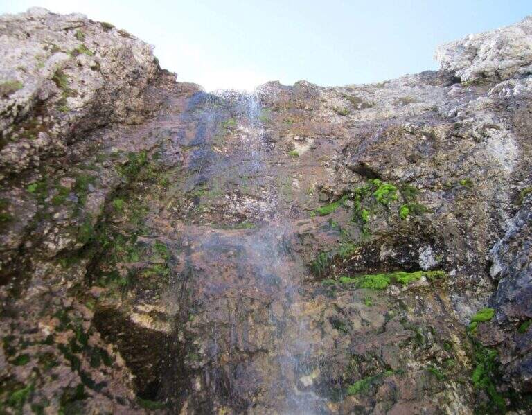
    Si inizia con un facile traverso diagonale in salita, oltre il quale si affrontano balzi rocciosi ben gradonati con il cavo a sinistra (utilizzabile solo come autoassicurazione, dato che i passaggi sono arrampicabili). Si supera un facile camino, dove una fessura offre molti appigli per salire in spaccata, poi un tratto facile di sentiero attrezzato verso destra e sinistra in direzione della bastionata nero-giallastra che sormonta la valle. Sotto la parete, verso destra, si risalgono alcune roccette (cavo a sinistra) e un nuovo breve camino simile al precedente; la roccia ben appigliata permette di uscirne in spaccata. Si raggiunge così il punto più iconico dell’escursione: un ponte sospeso accanto a una cascata (il tracciato originale passava a sinistra della cascata, ora si sviluppa a destra; sono ancora visibili le vecchie attrezzature). Passato il ponte si entra nella seconda sezione, più impegnativa: una parete esposta e verticale di una ventina di metri. Si sale una prima pancia rocciosa, poi si piega leggermente a sinistra e a destra su buoni appigli per mani e piedi (chi ha dimestichezza con l’arrampicata può procedere senza trazionare il cavo); segue un tratto diagonale che richiama un diedro appoggiato e, dopo le ultime roccette, si raggiunge il terrazzino roccioso che domina il circo glaciale (45 minuti dall’attacco, 1h 30′ complessive).

    ▲Character and difficulty

    Classificata Moderatamente Difficile (MD): difficoltà tecniche, esposizione e impegno fisico contenuti (2/5), con complessità ambientale un po’ più alta (3/5) per la quota e l’ambiente d’alta montagna. È una buona prima ferrata per chi è già esperto di montagna e di percorsi in quota; la parete dopo il ponte, pur ben appigliata, è esposta e richiede un minimo di dimestichezza con l’arrampicata. Obbligatori imbracatura, kit da ferrata e casco.

    ⚠ Le attrezzature sono state completamente rinnovate nel 2024, ma l’inverno può danneggiare qualche fittone rendendo il cavo lasco in alcuni punti: con cavo molle conviene appoggiarsi alla roccia e prestare più attenzione. A inizio stagione alcuni brevi tratti di cavo possono restare sepolti sotto la neve: utile avere bastoncini per affrontare in sicurezza i tratti su neve. La parete verticale dopo il ponte non va sottovalutata dai principianti vista l’esposizione.
    ▲Period and safety

    Via estiva d’alta quota, da percorrere con tempo stabile e roccia asciutta; nelle giornate limpide il panorama sul Gruppo Sella e le sue valli interne è eccezionale. Verificare l’apertura della funivia se la si usa per l’avvicinamento e l’eventuale presenza di neve a inizio stagione.

    ▲Discipline

    Dal termine della ferrata si seguono le tracce verso il già visibile Piz Boè, salendo a una sella. A un bivio si può scendere a sinistra lungo il Sentiero Lichtenfels, che cala su un pendio detritico e poi in una più ripida vallata con alcuni tratti attrezzati di bassa difficoltà fino al Rifugio Kostner (2517 m, 1 ora dal bivio, 2h 45′ complessive); oppure proseguire dritti in salita al Piz Boè (3152 m, 1 ora dal bivio) per il CAI 672 lungo la Cresta Stenta, a tratti attrezzata ed esposta, rientrando poi a ritroso al bivio (45′ dal Piz Boè) e scendendo per il Lichtenfels al Kostner (4h 30′ complessive). Dal Rifugio Kostner si seguono il CAI 638 e poi il 646B fino alla stazione a monte della seggiovia (20′ dal rifugio) e quindi a Corvara.

    ▲To match

    La Vallon si abbina facilmente alla vicina Ferrata del Piz da Lech e, in un itinerario di più giorni, all’impegnativa Ferrata Piazzetta al Piz Boè. Sul Gruppo Sella, in ordine crescente di difficoltà, la Ferrata Tridentina e la Ferrata delle Mesules. In Val Badia il Sentiero Tru Dolomieu e la Ferrata della Pace; verso Canazei la Ferrata dei Finanzieri al Colac e la Ferrata delle Trincee al Padon.

    ▲Gallery
    Technical data
    • Approach0:45 h
    • Duration0:45 h
    • Total itinerary3:00 h
    • Hardware level difference100 m
    • Route difference263 m
    • Maximum altitude2800 m
    • Length5 Km
  • Ferrata Tridentina at Pisciadù

    Ferrata Tridentina at Pisciadù

    Vie Ferrate › Trentino-Alto Adige › Bolzano
    Ferrata Tridentina at Pisciadù

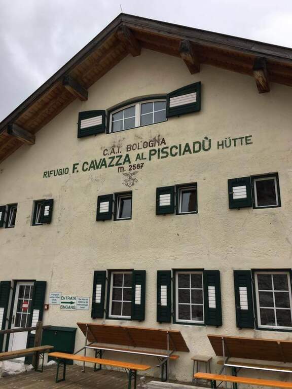
    La Ferrata Tridentina at Pisciadù is one of the most popular equipped routes in the Dolomites: climbs the north side of the Sella Group, in the province of Bolzano, and leads to Cima Pisciadù with limited technical difficulties but a difference in altitude anything but trivial. The very short approach, the famous bridge suspended on the Exner Tower and the final at the Cavazza Refuge make it a classic itinerary, accessible by those who already have a minimal experience of ferrate and is in good physical form.

    ▲Approach

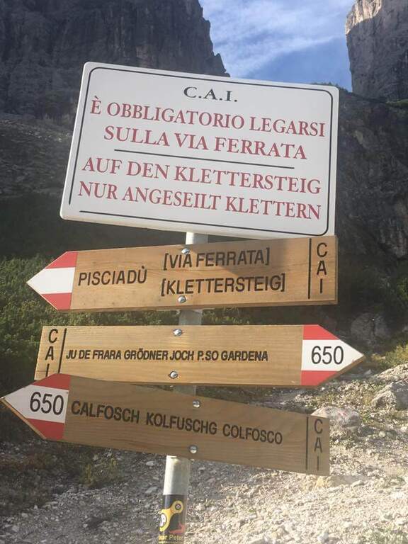
    The starting point is located along the road that from Passo Gardena descends towards Colfosco, on the slope of Val Badia: in correspondence of the sixth bend, on the right, a large parking lot at a quarry marks the beginning of the itinerary (open the starting point on Google Maps). From the parking lot look to the south the walls of the Sella Group; they ignore the signs 650 that connect the Passo Gardena with Colfosco and follow the indications that, to the left towards the east, carry on a path in falsepiano until the first metal equipment, reached in about 15 minutes.

    ▲The path

    The first equipped section opens with a well-dressed traverse to the left, followed by a series of brackets that make earn a lean wall. Continue to the left along an exposed but solid traverse, then face a few meters of vertical wall and a wet died equipped up with metal brackets. At the exit you cross the path that descends halfway from Passo Gardena, useful as a way of escape in case of bad weather. From here a path towards the east, with ups and downs and a characteristic passage in a slit, leads to the equipment placed just above the plate that marks the real attack of Tridentina (2070 m, about 40 minutes from the parking lot).

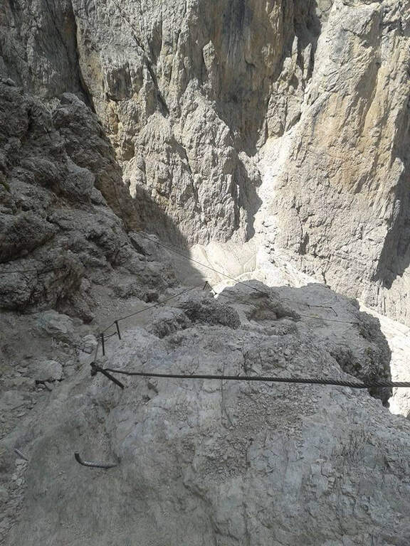
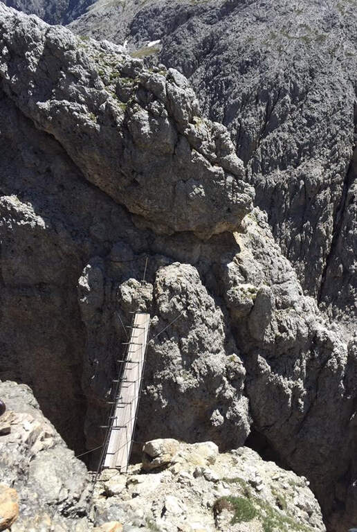
    Now rise diagonally under a’ impressive wall, always well-dressed and never too exposed. After the first metal fixtures the progression becomes più vertical on well-qualified rock, with brackets and fixtures where the wall è più Smooth. A succession of beautiful vertical walls progressively leads to the passages that approach the Rio Pisciadù waterfall; bypasses an edge with an air passage, then you run più rocks; comfortable and a traverse on pioli, exposed but well equipped, up to a escape route. Those who continue to face the più tract; challenging, what goes up the Torre Exner: a small vertical wall, a series of brackets and a dihedron leaned with the right cable and the left brackets (arrampable looking for the claws, little obvious, on the right side). It goes right with an easy traverse, climbs a metal staircase and, after wandering a rocky cord, you reach l’ iconic ponte suspended between the Exner Tower and l’ last stretch: stable but suspended on a a abyss of a few hundred meters. Passed the catwalk, un’ last vertical wall enters the path that leads to the Cavazza Refuge to the Pisciadù (2587 m), where the ferrata ends after about 3 hours in total.

    ▲Character and difficulty

    Classified Editly Difficult (MD), the Tridentine owes its populartà precisely to the difficultà medium-low techniques combined with a short approach. On the overall level of the complex; they weigh mainly l’ physical commitment and l’ exposure (both 3/5), while the technical component remains più contained (2/5). L’ hardware equipment è mandatory: harness, homologated hardware kit and helmet.

    ⚠ In July and August the risk of queues and traffic jams on the equipped passages is concrete. It's better to leave very soon. The difference in altitude (400 m of ferrata, 626 m of total) should not be underestimated, as well as the altitude over 2500 m. In case of incoming storms you can fold on the escape routes that intercept the path from Passo Gardena.
    ▲Period and safety

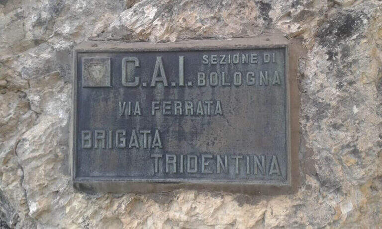
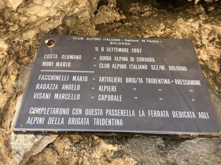
    The route is summery and must be faced with stable weather, starting in the early hours of the morning to avoid the afternoon thunderstorms and crowding. Always check the bulletin and the conditions of the path, in particular in the downhill stretches that may be affected by landslides or snow residues at the beginning of the season. A small hint of history: Ferrata Tridentina was born on July 10, 1960 on the intuition of the mountain guide Germano Kostner who, with the help of the Alpini della Tridentina (to which it is dedicated), equipped the Exner Tower to give direct access to the Pisciadù Refuge; the second section, with the daring suspended bridge, was added seven years later. Every 31 July, the Alpine Guides of Val Badia illuminate in the evening the route, visible from the centre of Corvara.

    ▲Discipline

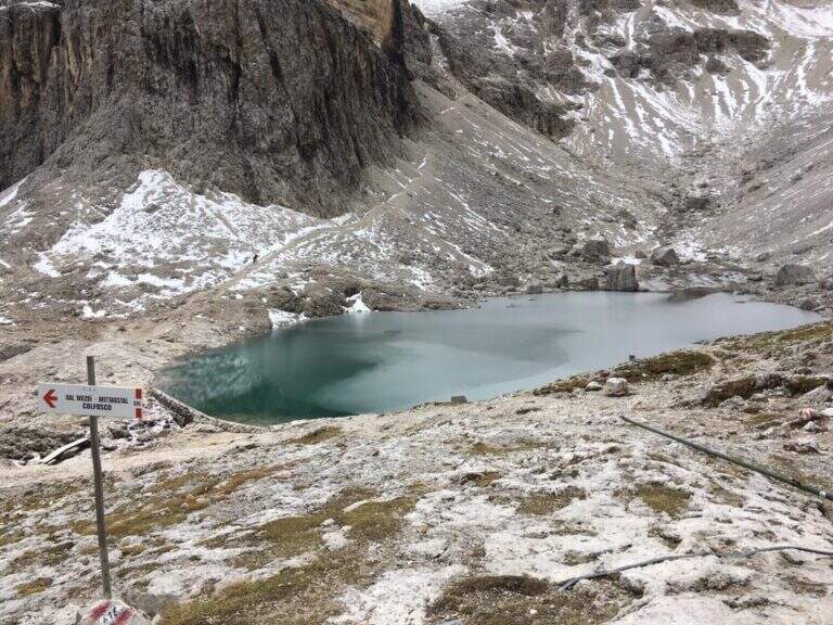
    After a stop at Lake Pisciadù, the return follows l’ High Via 2 along the path CAI 66 in Val de Setus. The descent è steep and takes place in a detritic valley with some equipped sections, where you need attention. You go down to a crossroads (left you would go up to Passo Gardena) and continue downwards following the path to the starting parking, in about 1 hour and 15 minutes from the end of the ferrata (4 hours and 30 minutes overall).

    ▲To match

    The Sella Group offers many other equipped routes around. Going down towards Val Badia you can walk Ferrata del Vallon e la Ferrata Piz from Lech; towards Val di Fassa, at Passo Sella, la Ferrata delle Mesules and, at the Pordoi Pass, the Ferrata Piazzetta. Staying at Passo Gardena are the two Ferrates of the Cir Group, the Ferrata at Piccolo Cir e la Ferrata Gran Cir, both medium-easy.

    ▲Gallery
    Technical data
    • Approach0:30 h
    • Duration2:45 h
    • Total itinerary4:30 h
    • Hardware level difference400 m
    • Route difference626 m
    • Maximum altitude2586 m
    • Length7,5 Km
    • Year opening1960
Need help? Write to us!