Gruppo: Prealpi Lecchesi

  • Hiking Trail

    Hiking Trail

    Vie Ferrate › Lombardia › Lecco
    Hiking Trail
    Moderately Hard● OpenDescriptionComplexityMapsGallery

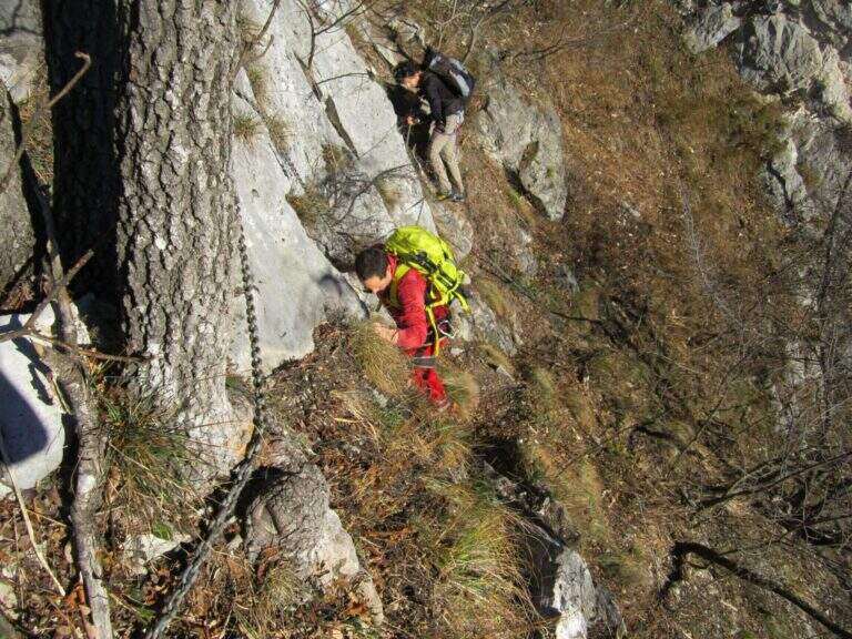
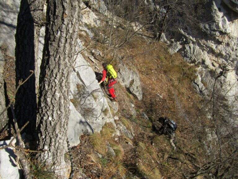
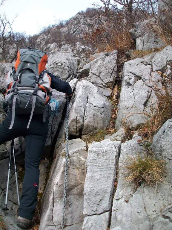
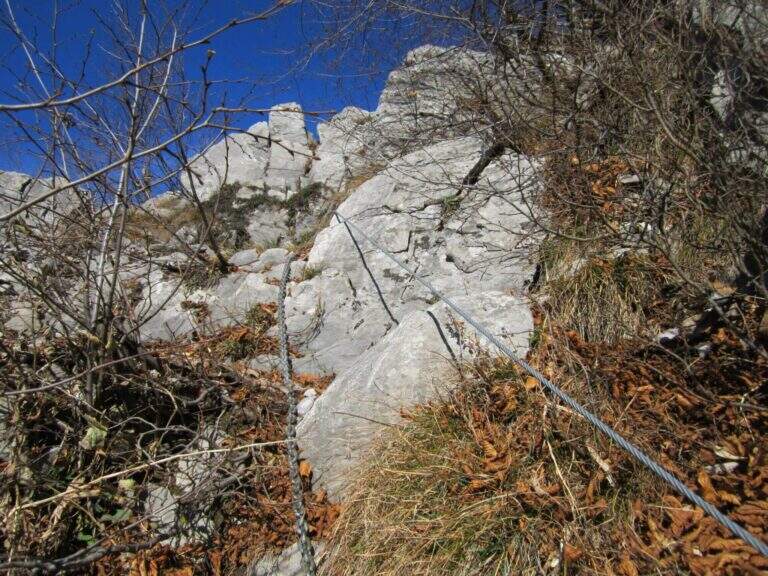
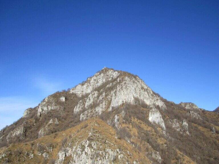
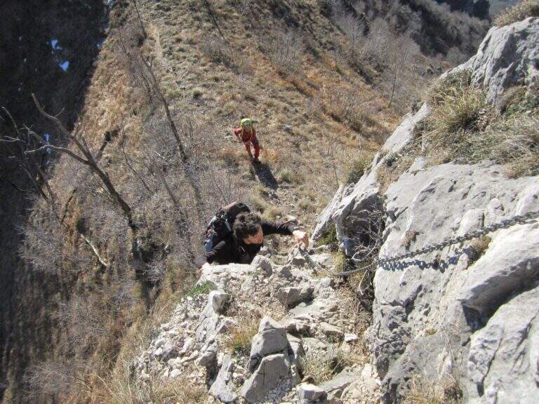
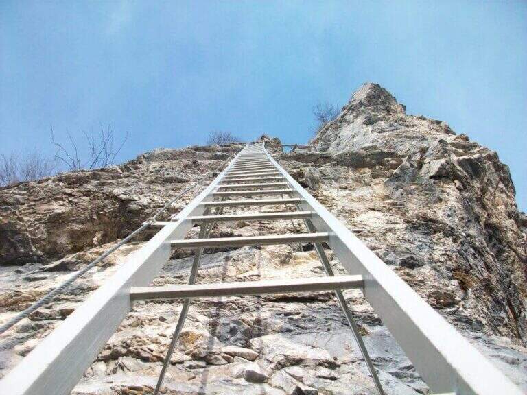
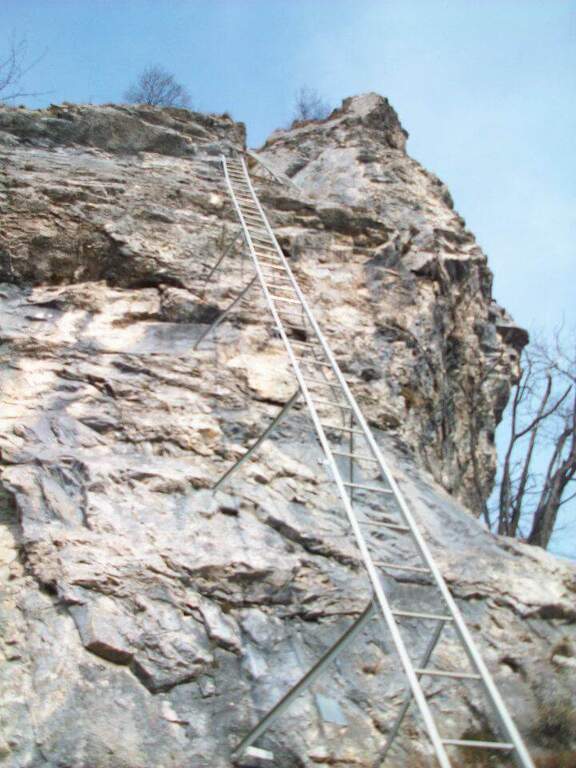
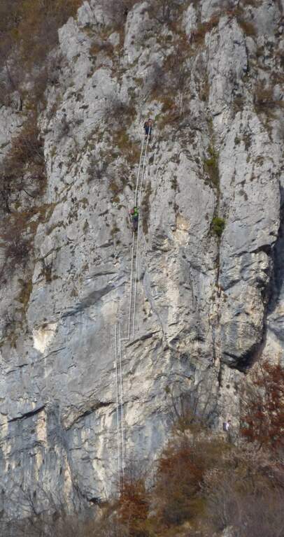
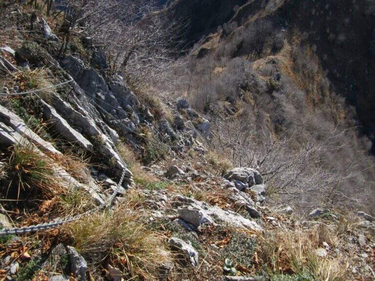
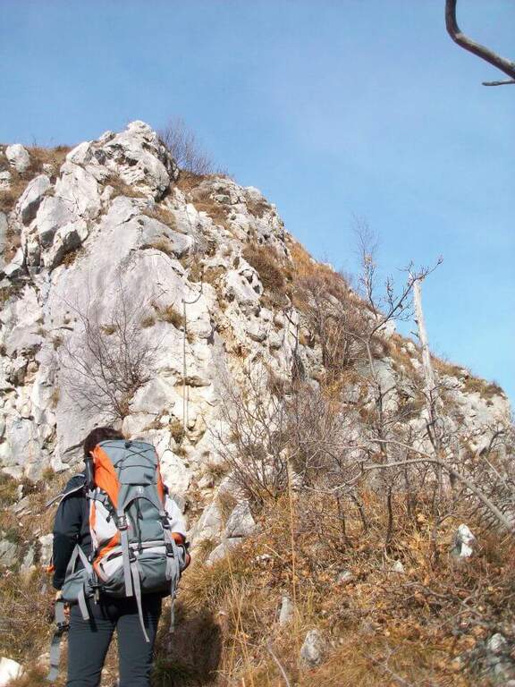
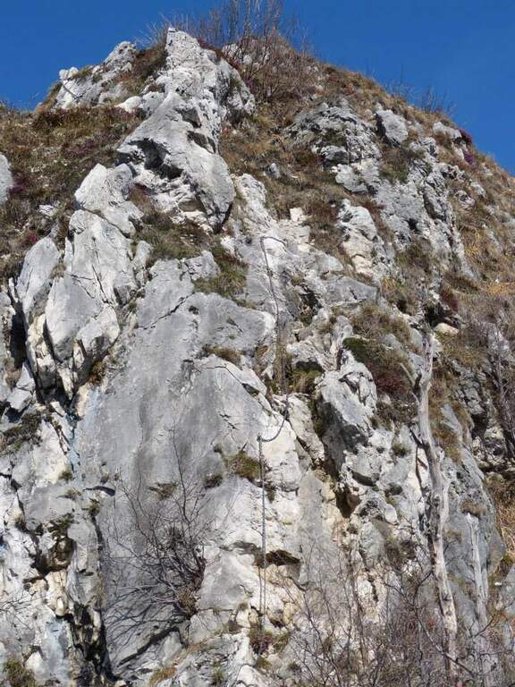
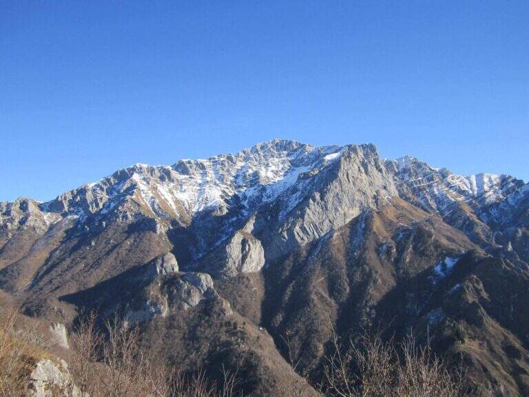
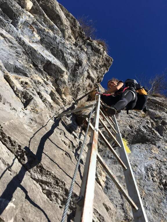
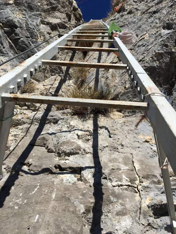
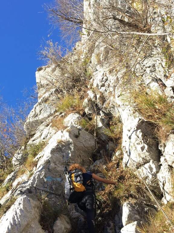
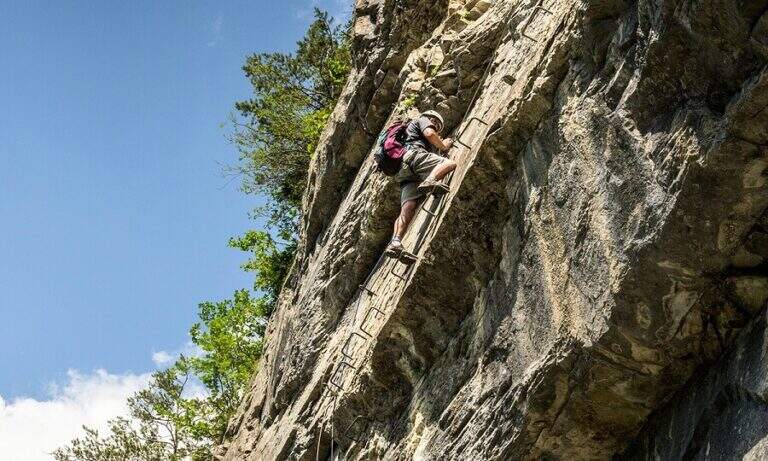
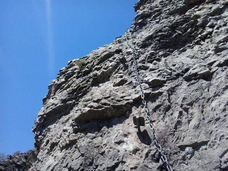
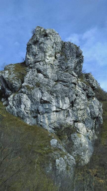
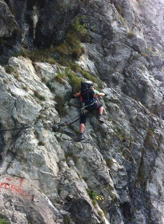
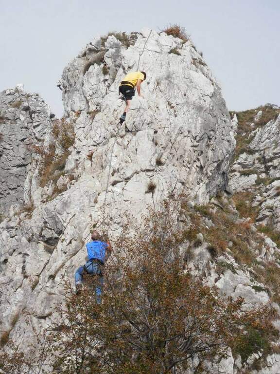
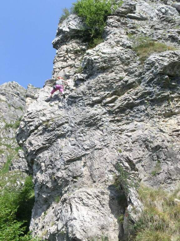
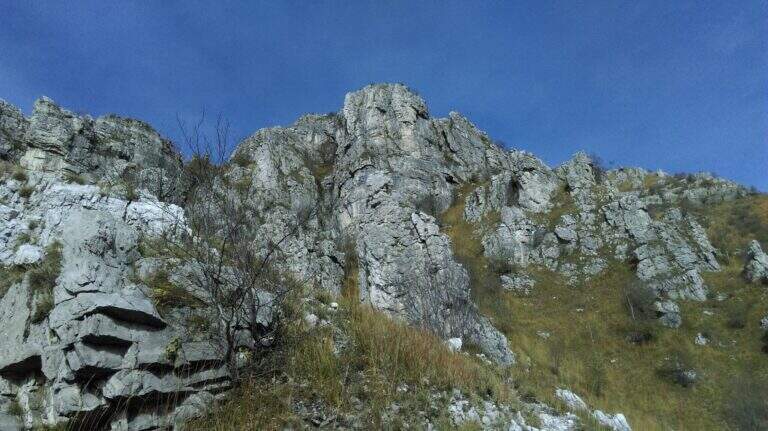
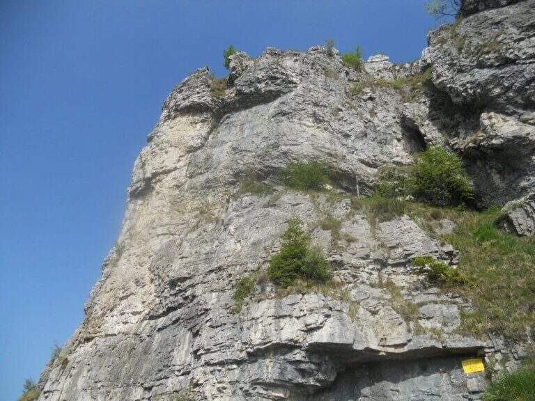
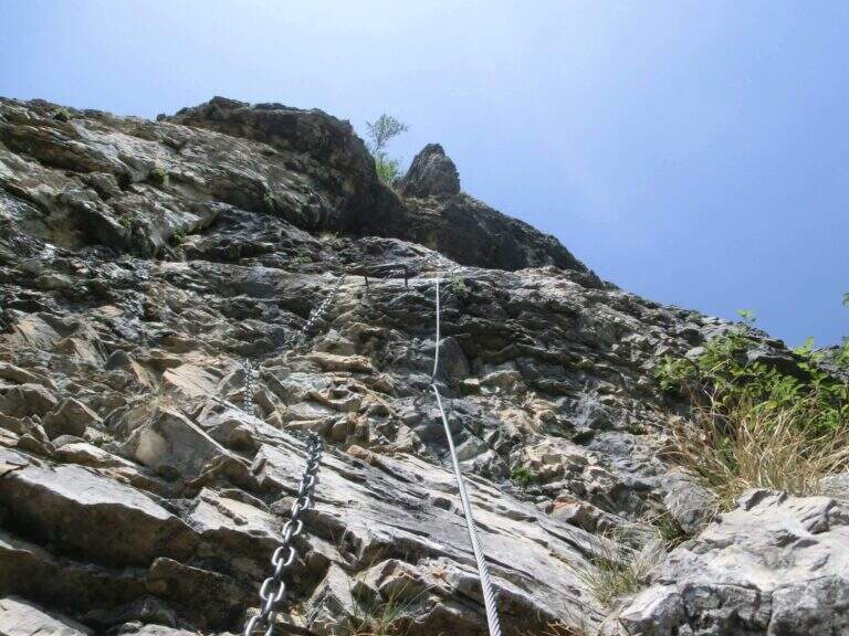
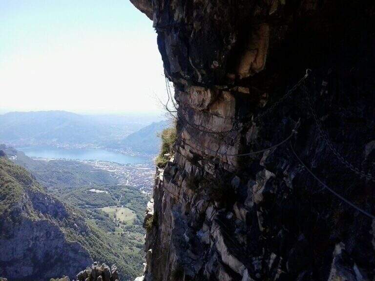
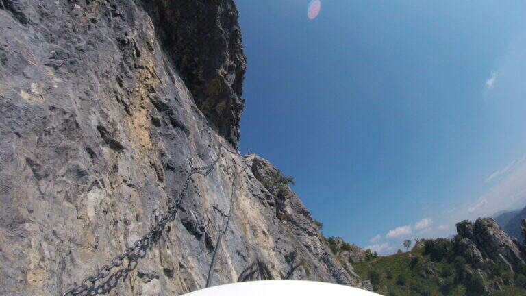
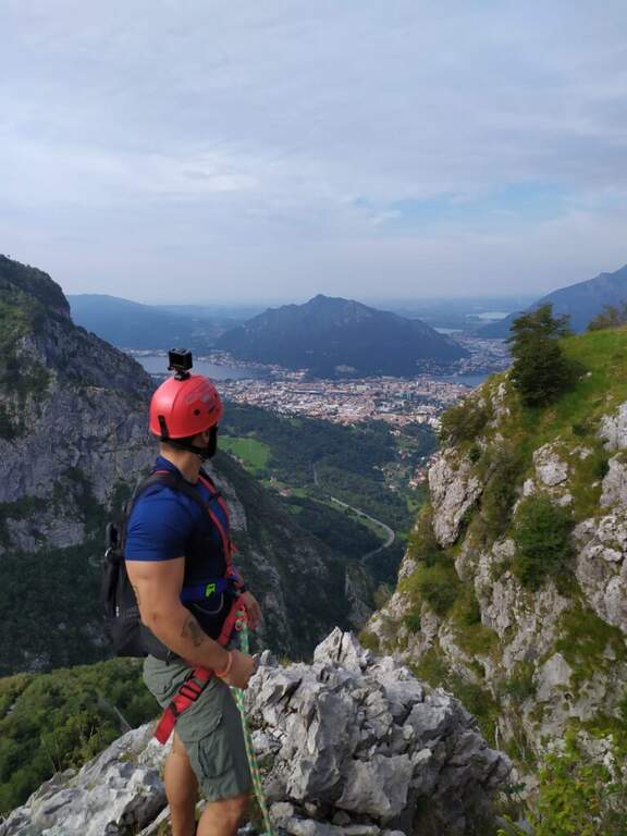
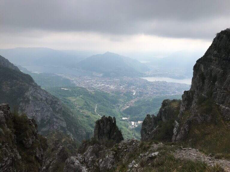
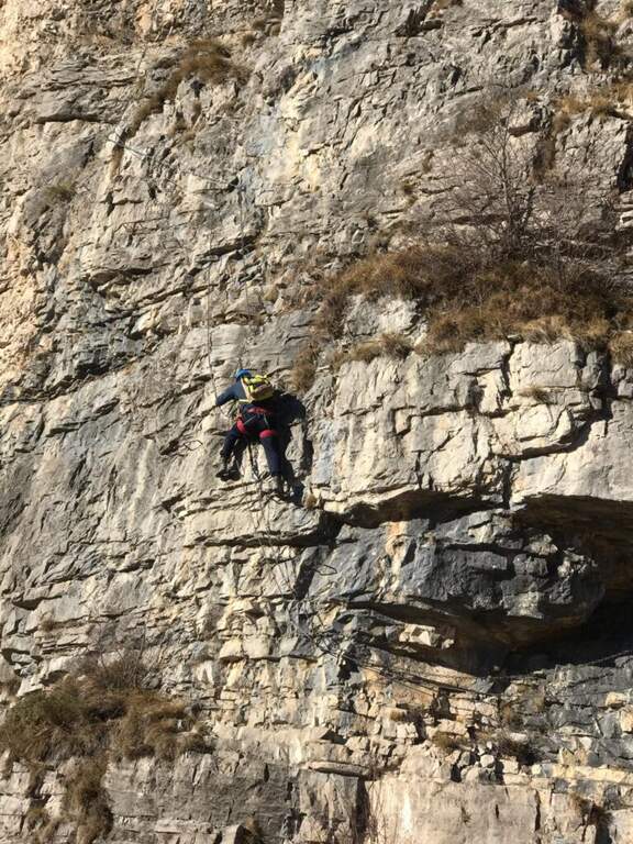
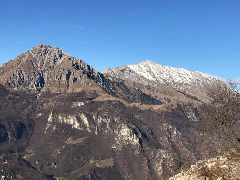
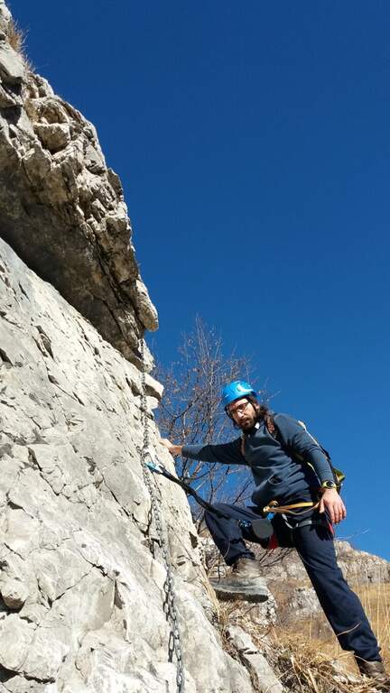
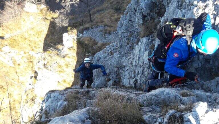
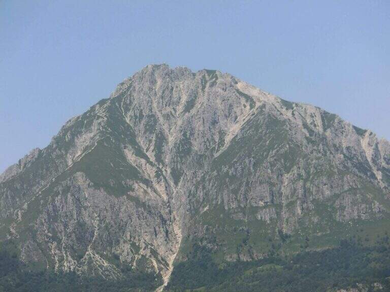
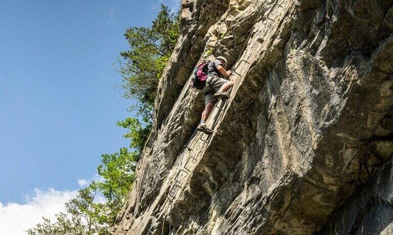
    The Attrezzato Path of Sileggio — in the municipality of Mandello del Lario, above the hamlet Sonvico — is a long and varied route that connects two ridges and two peaks through a four-metre fireplace and two metal stairs, the first of which overhanging. With about five hours of walking and 1100 m of altitude difference is a challenging itinerary, but the quality of the equipped progression and the landscape on the Lario pay off every effort.

    ▲Approach

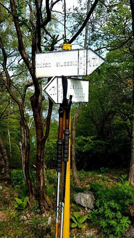
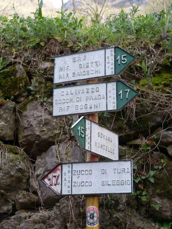
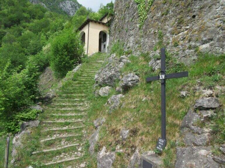
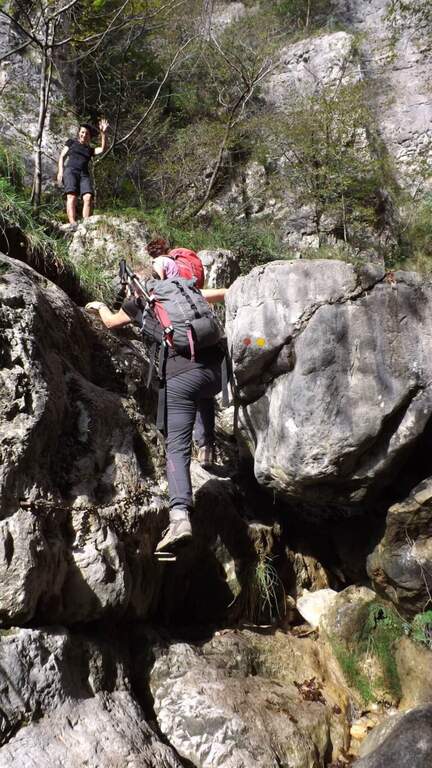
    Starting from the fraction of Sonvi (Mandello del Lario, LC). Take over trail 15 in the wood following the white-red markers to the pole of the marker 17B (Southeast Coast), reachable in about 45 minutes. From here you take the 17B signpost (blue signs) steep climb to the base of the Zucco di Tura, where the old cable car is located.

    ▲The path

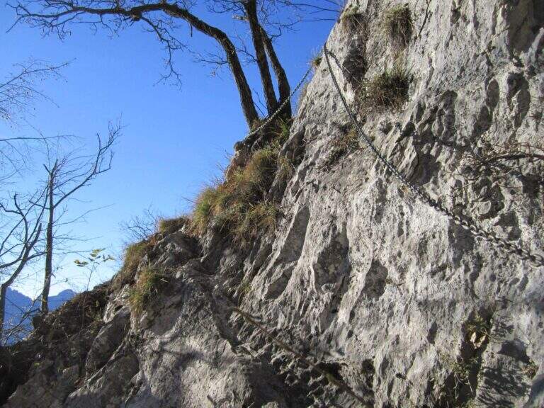
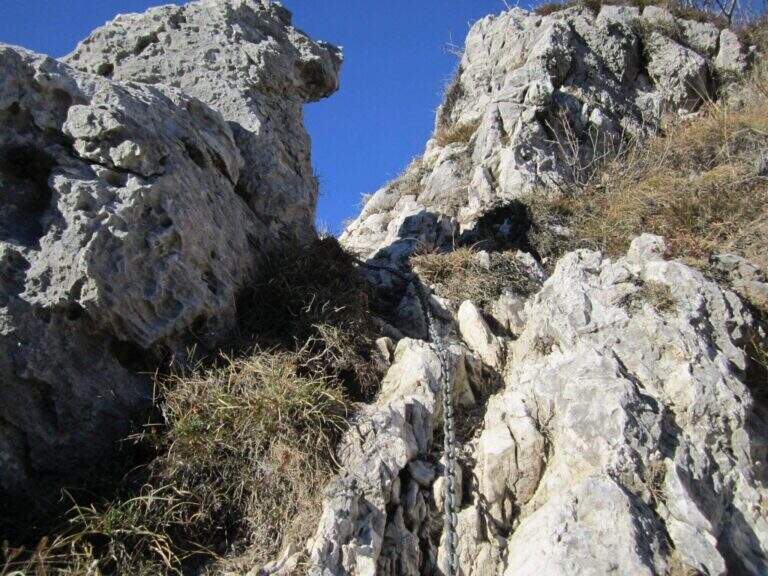
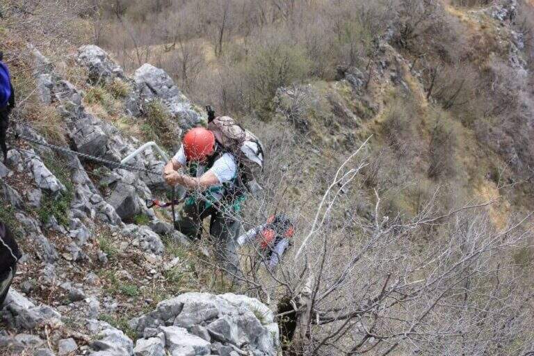
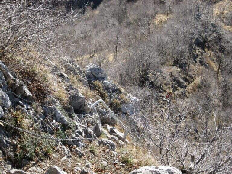
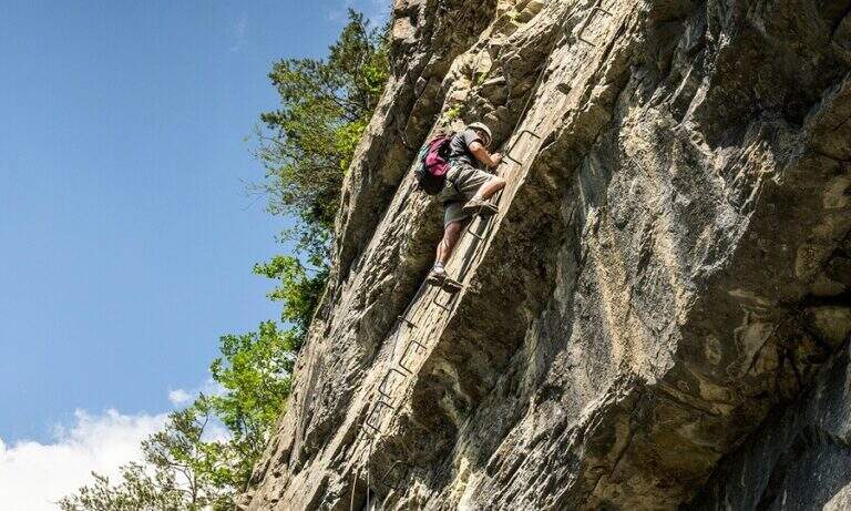
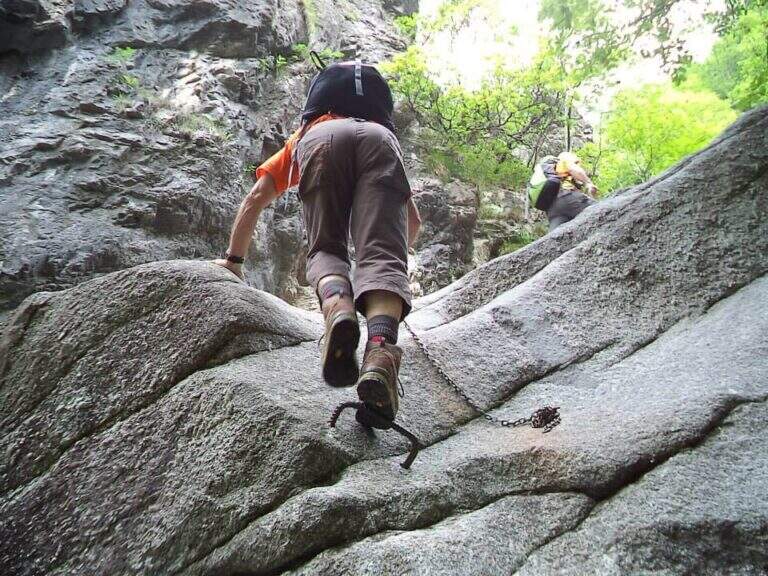
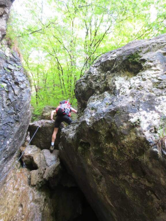
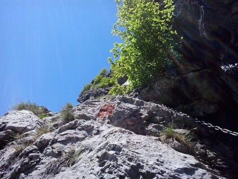
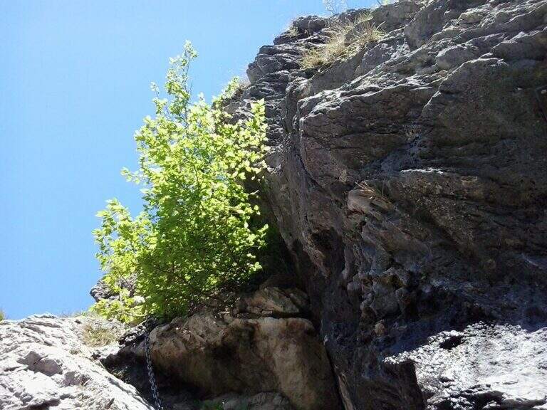
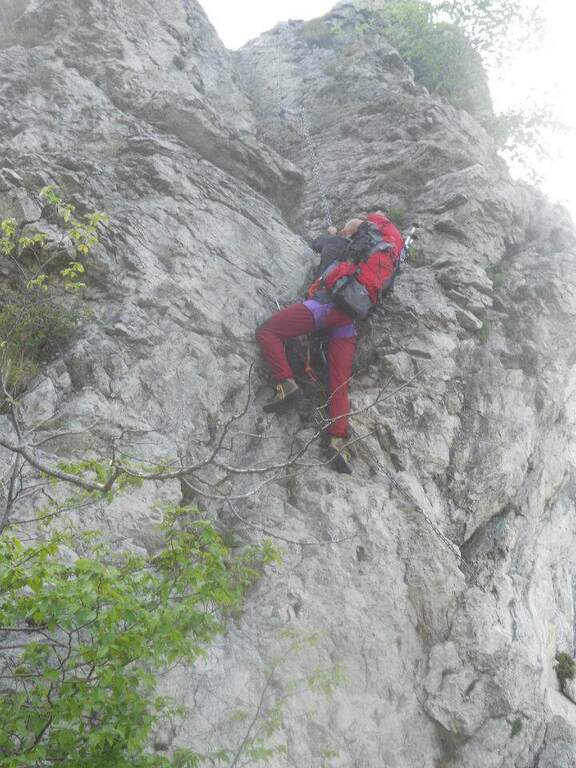
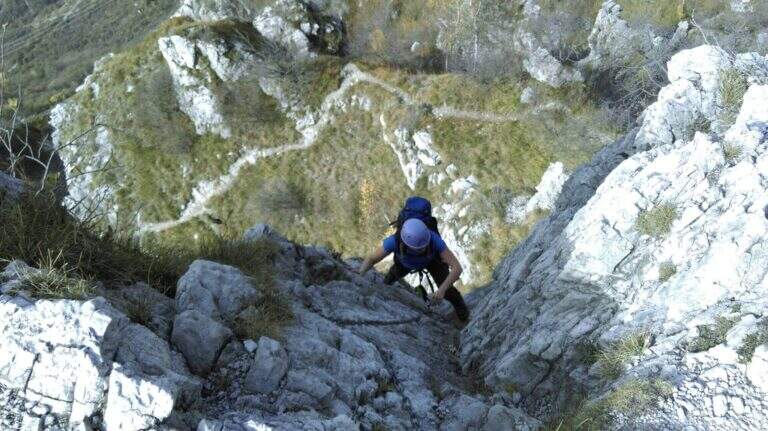
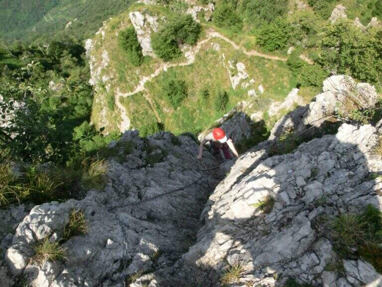
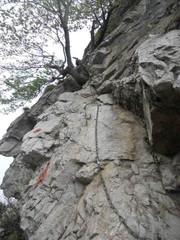
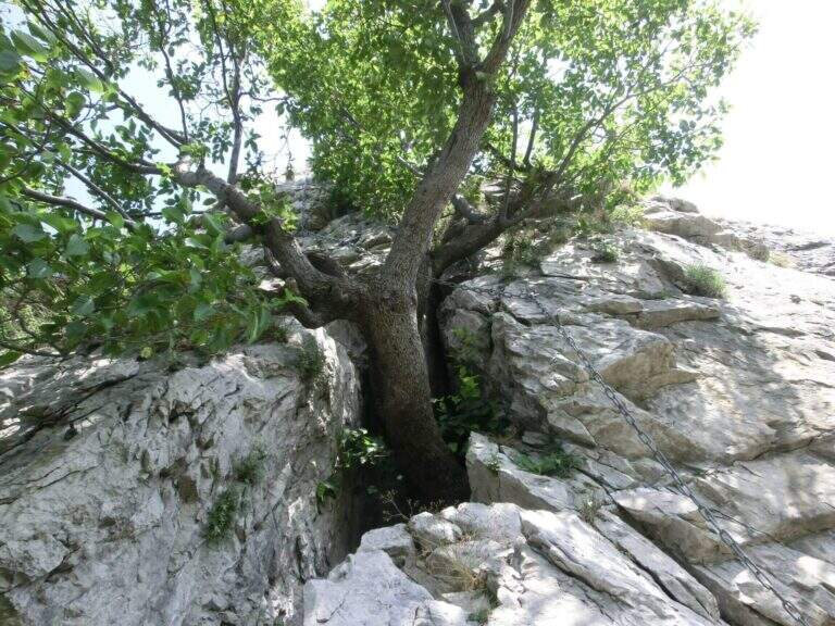
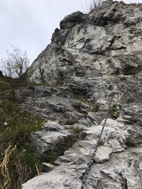
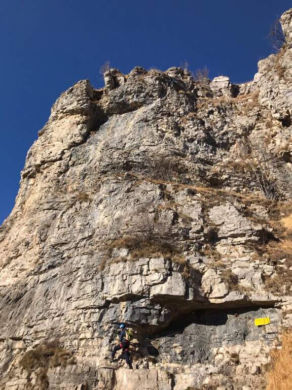
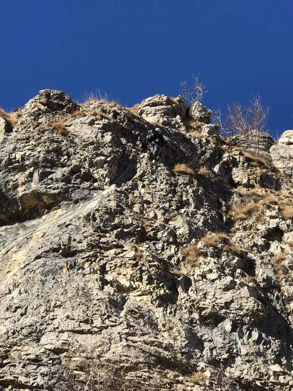
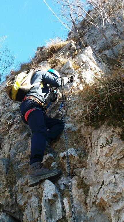
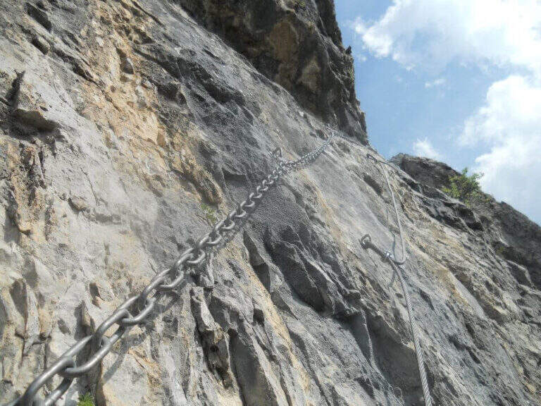
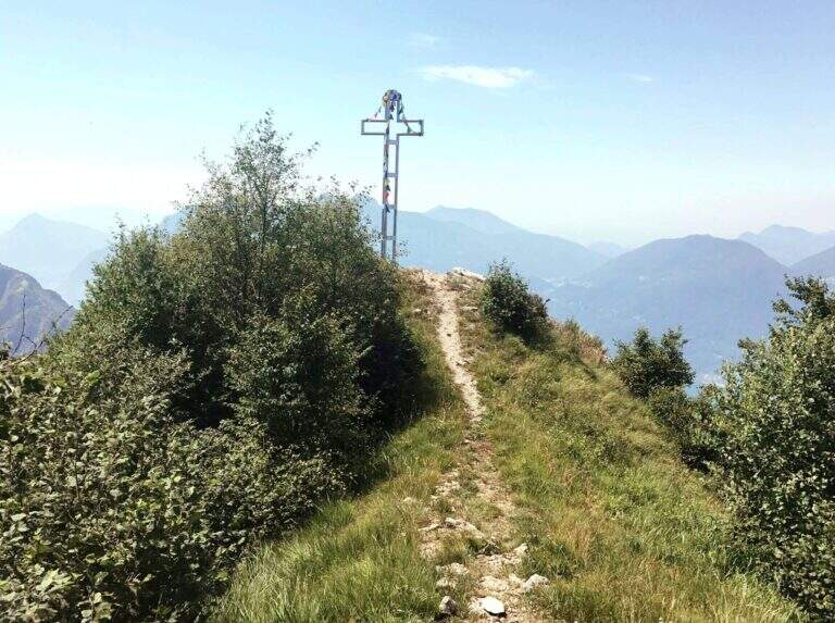
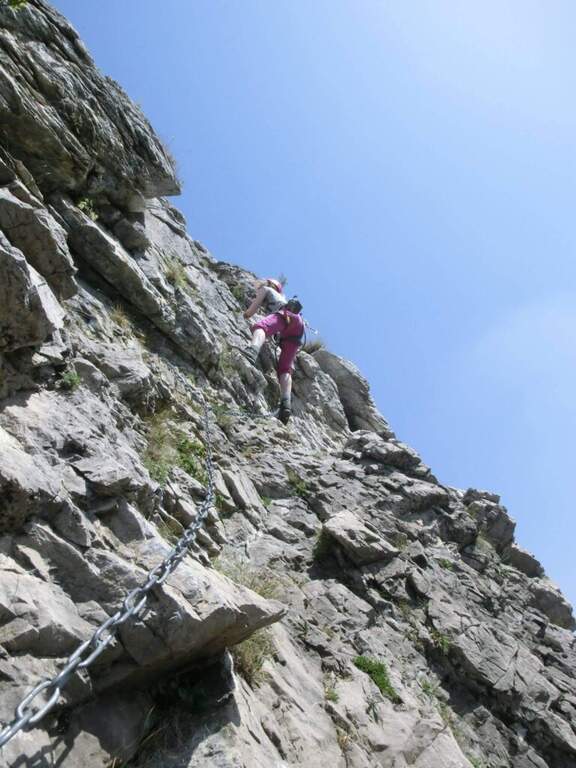
    From the base of the cable car, the ground is more challenging: a slope with chains leads to the Zucco of Tura. Then follow the eastern ridge to a saddle where you will find a deviation for the Val d’ Era: ignore it and continue uphill towards the Zucco di Morterolo. The key passage is a 4-metre camino — the chain is located on the left but the best hooks are on the right. two metallic scales (the first overhanging, the second most supported) and a wall that climbs first diagonally then vertically up to the Croce of summit (1368 m s.l.m.).

    ▲Character and difficulty

    Difficulty Moderately Difficult. The length of the route (10 km, 5 hours a/r with the stops) is the most characteristic of this route: it is not technically prohibitive but requires training and good resistance.

    ⚠ The chain of the fireplace is a little lasca: use it only as a balance point, not for traction. Water is not available on the route: enough. The path can be combined with the River Path in reverse direction, adding about 45 minutes for a total of about 6 hours.
    ▲Discipline

    The descent takes place for 17B mark reversely, returning to Sonvico. Those who want to stretch can continue towards the Attreized Path of the River, crossing it in the opposite direction (+45 min). Total itinerary: 10 km, height difference 1100 m, estimated time 5 hours.
    ▲Gallery
    Technical data
    • DifficultyModerately Hard
    • RegionLombardy
    • GroupPrealps Lecchesi
    • Approach1:00 h
    • Ferrata1:45 h
    • Itinerary (a/r)5:00 h
    • Hardware level difference600 m
    • Route difference1100 m
    • Max1368 m
    • Length10 Km
  • Sentiero Attrezzato dei Pizzetti

    Vie Ferrate › Lombardia › Lecco
    Sentiero Attrezzato dei Pizzetti

    The Sentiero Attrezzato dei Pizzetti, in the municipality of Esino Lario (LC), is a ring of about five hours that explores the Pizzetti di Esino through ridges and exposed passages, with a total difference of 900 m. Ideal for those looking for a short but complete alpine experience, with departure and arrival from the same point and white-red signage.

    ▲Approach

    From Esino Lario (LC), reachable by car from SS36 of Lake Como and Spluga. It leaves l’ car in the center of the country and follows the signs for the Pizzetti of Esino. The path climbs into the forest reaching the base of the Pizzetti crests in about 45 minutes.

    ▲The path

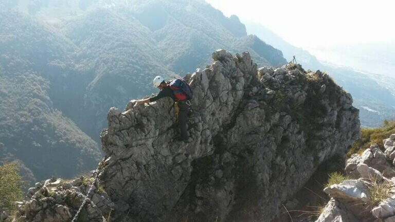
    The route develops as a ring with departure and arrival at Esino Lario. You go up to the Pizzetto di Sopra and then cross the ridge towards the Pizzetto di Sotto, with short stretches (cavi and brackets) at the most exposed points. The ridges offer exceptional views of Lake Como and the Grigne groups. Then descend along the path into the woods to the starting point.

    ▲Character and difficulty

    Easy difficulty. The equipped stretches are short and well protected; the greater difficulty is given by the exposure of the crest. Suitable for hikers with experience of mountain trails.

    ⚠ The crest is very exposed to the wind. In case of bad weather or wet soil the difficulty increases considerably. Bring layered clothing and check the weather forecast before leaving.
    ▲Discipline

    The descent takes place on a path in the forest, returning to Esino Lario for the way down the ring road. Total itinerary: about 5 hrs ring with 900 m of total altitude difference.

    ▲Gallery
    Technical data
    • DifficultyEasy
    • RegionLombardy
    • GroupPrealps Lecchesi / Grigna
    • Approach0:45 h
    • Ferrata1:30 h
    • Itinerary (a/r)5:00 h
    • Hardware level difference350 m
    • Route difference900 m
    • Max1573 m
    • Length10 Km
  • Hiking Trail Skiing

    Hiking Trail Skiing

    Vie Ferrate › Lombardia › Lecco
    Hiking Trail Skiing

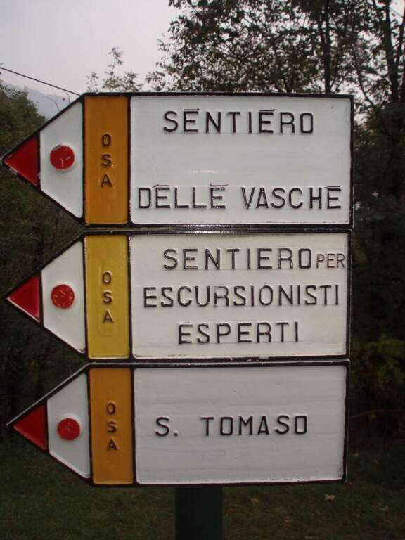
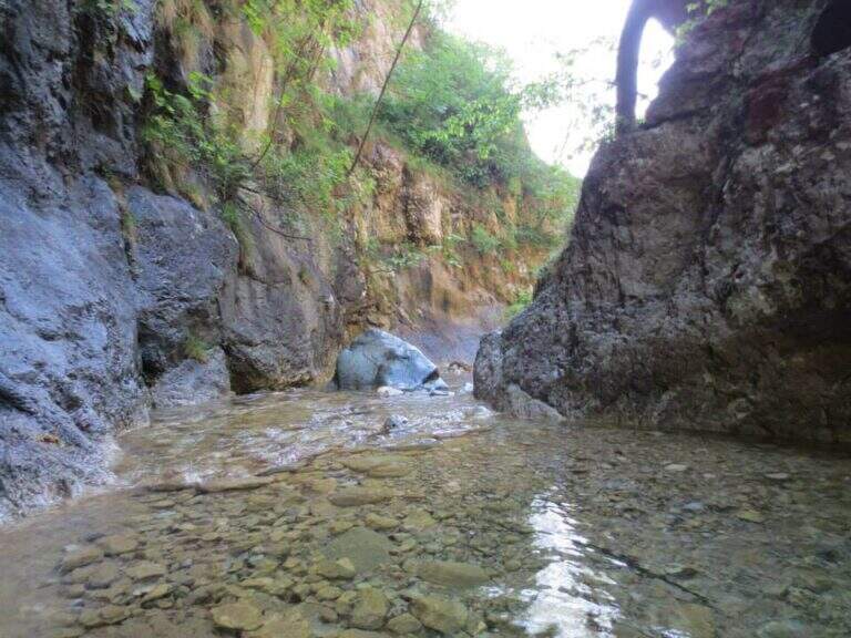
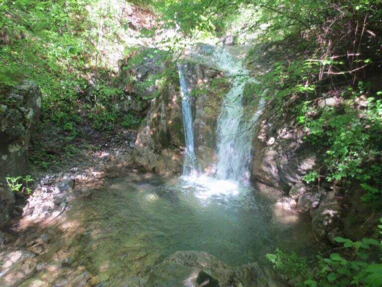
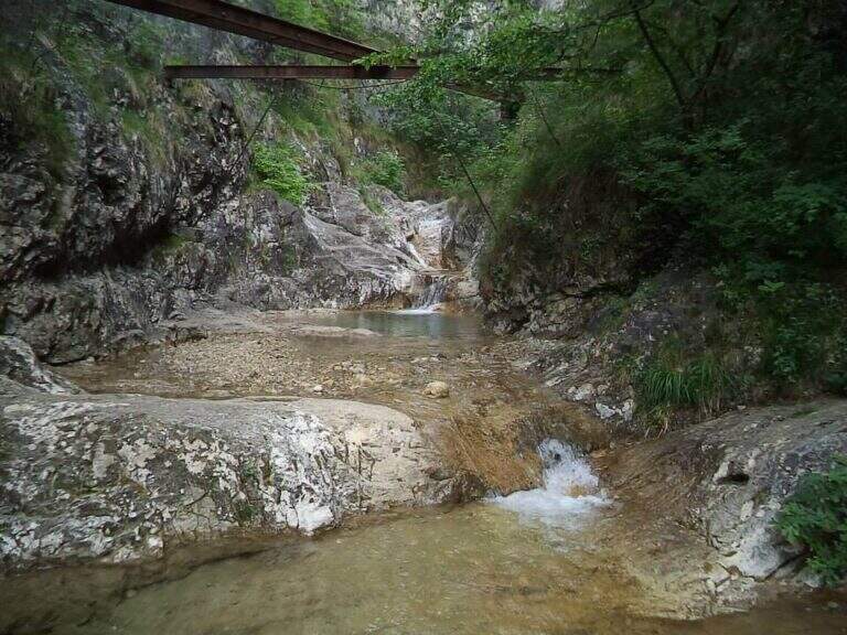
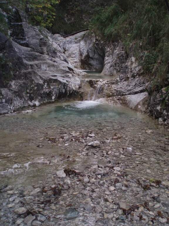
    The Sentiero Attrezzato delle Vasche dates back to the Inferno stream in Valmadrera, combining equipped sections, simple first-degree climbing passes and beautiful views of the natural basins carved in the rio. The route is divided into two sections: a first easier part between the typical tanks, and a second slightly more technical with traverse and wall. Variable difficulty with the flow of the stream.

    ▲Approach

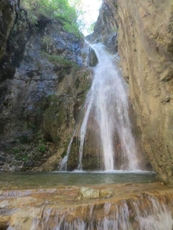
    The starting point is the hamlet of Ceppo in the municipality of Valmadrera (province of Lecco). You search for parking in the 3 parking spaces on the road and go up the asphalted road until the ’ isolated. From Ceppo follow the white-red road signs that descend towards the greed of the Inferno stream, going up to the first waterfall where the real equipped path starts (15 min from the parking lot).

    ▲The path

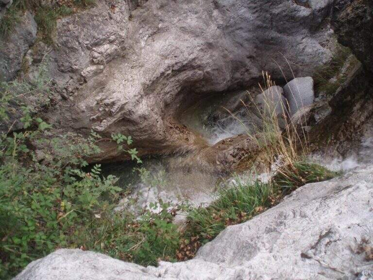
    From the first waterfall you can walk up the path on the destra orografica, leaving the river bed temporarily. Then go back to the bed, passing alongside the natural basins — the wells and sculptures d’ water that give name all’ itinerary — moving the progression alternately on the right and on the golden left of the stream. The second section addresses a across and then a short paretine equipped next to the d’ course; water with first-degree passes. Pass the wall and continue until the Taja Sass, the term of the equipped path.

    ▲Character and difficulty

    Easy path, suitable for those who approach this route for the first time. Climbing passes are short and equipped. The wall in the second section is the most technical point.

    ⚠ The difficulties vary considerably with the water flow of the Inferno stream. With abundant water the steps closer to the bed of the rio can become dangerous. Evaluate the conditions before leaving.
    ▲Period and safety

    From March to November. Particularly pleasant in spring with full tanks and in summer for the chilling of the stream. Avoid in intense rainy days.

    ▲Discipline

    From Taja Sass take the right path towards San Tomaso and then towards the village, going down to Belvedere and going up towards Ceppo (50 min from the end of the path). Alternatively, follow the path that in a single stretch leads directly to the Ceppo (3h total).

    ▲Gallery
    Technical data
    • DifficultyEasy
    • RegionLombardy
    • GroupPrealps Lecchesi
    • Approach0:15 h
    • Ferrata1:30 h
    • Itinerary (a/r)3:00 h
    • Hardware level difference280 m
    • Route difference370 m
    • Max623 m
    • Length7 Km
  • Ferrata Contessi at Monte Due Mani

    Ferrata Contessi at Monte Due Mani

    Vie Ferrate › Lombardia › Lecco
    Ferrata Contessi at Monte Due Mani

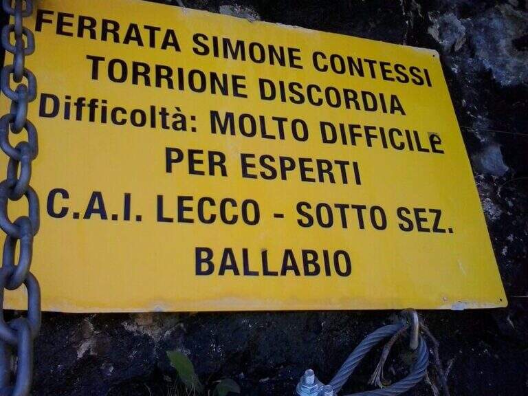
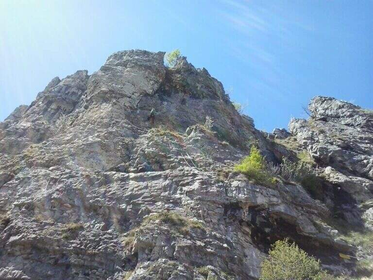
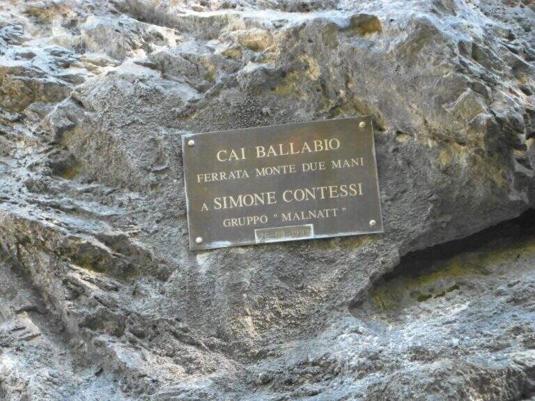
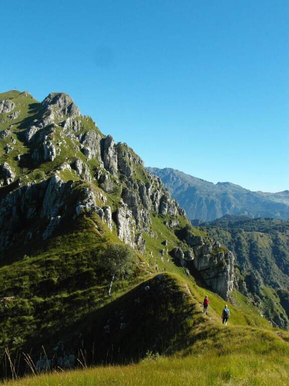
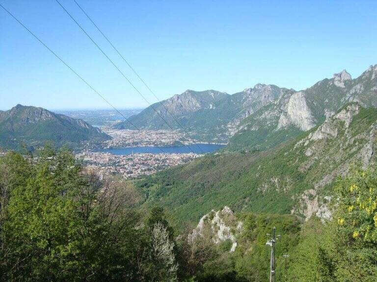
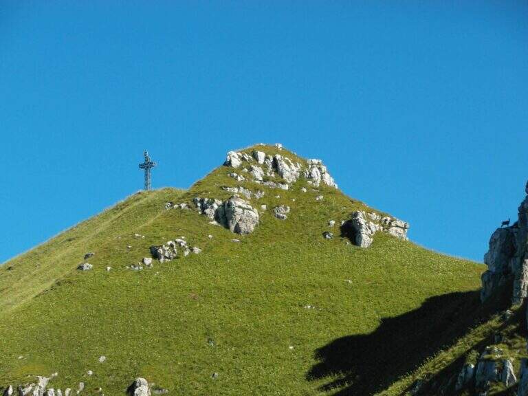
    La Ferrata Simone Contessi climbs along the rocky towers of the ridge of Monte Due Mani, in the province of Lecco. È a demanding and very varied , with vertical walls, beams and a dozen towers, and gives a wonderful view on Grigne, Resegone and Lake. A path along the ferrata and allows you to bypass the individual towers, offering numerous escape routes.

    ▲Approach

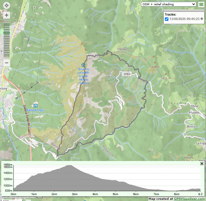
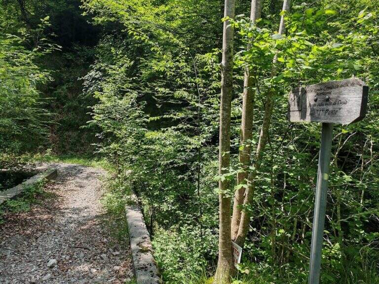
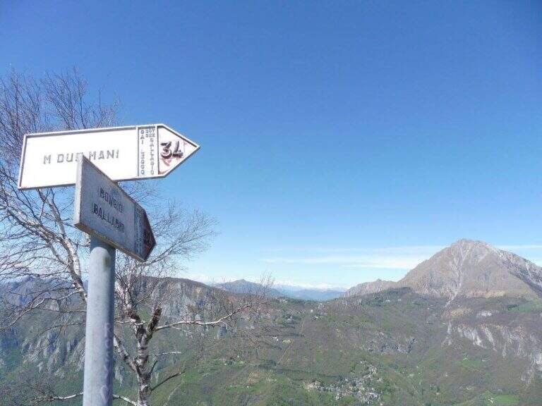
    Starting point along the road that connects Ballabio to Morterone (Lecco): from Ballabio you go for almost 5 km to the winding road to Morterone, you cross a tunnel and, after a few bends, you find a slargo on the left with a couple of parking spaces and a sign (other parking spaces just beyond). Open road signs on Google Maps. From the parking lot, a steep path in the forest takes short to the tag d' attack (10' from the parking lot).

    ▲The path

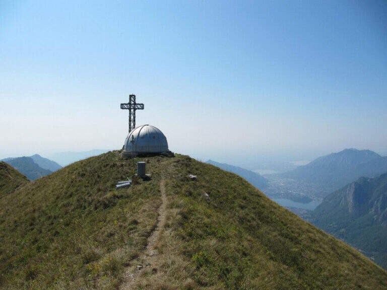
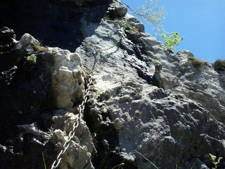
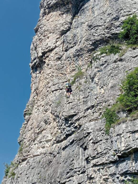
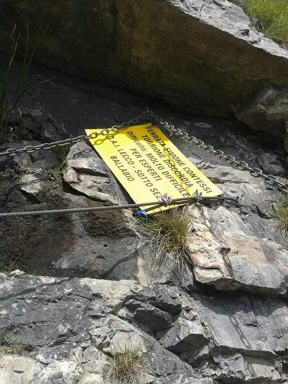
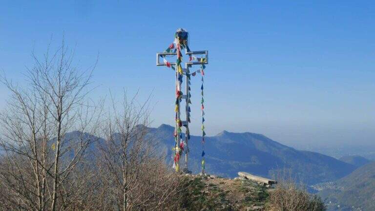
    The Via è marked by a series of torrioni, each one by the path. It starts with the chain that bends left onto small rocks, circumvents a prominence and then on the right leads under a first wall with few hooks (a bracket helps the foot); it follows a più wall; long with natural hooks and brackets and a diagonal traverse left towards a corner, which closes the first section. The second section, all' più appearance; lasts as long as it is, rises with a left-hand side, a vertical wall with good supports and small rocks. The third, challenging, alternates a short right-handed traverse, a diagonal traverse exposed to the left and a vertical dihedron. The fourth tower, più easy, goes up a corner and descends on the opposite side; the fifth has a steep vertical wall, a exposed traverse and a last vertical stretch, followed by a ridge path equipped. The sixth è a short plaque, the seventh the più easy. L' eighth section — the Torrione della Discordia — è of a very difficult level: a narrow nod under a roof, a wall definitely overhanging with brackets, chain and cable, a short diagonal traverse and another 5-6 meters overhanging, then a long diagonal traverse in adherence on rock poor d' The ninth section è a beautiful vertical plate, at first apparently smooth then più attached to the left, about ten meters (1h 30' from' ) attack. Follows a ridge with equipped sections and path (about 1h 15') up to a last crossroads: the tenth and short section goes up a spur and descends on the opposite side, otherwise bypassable, up to the peak cross with the bedless bivouac (3h from' attack, 3h 15' totali).

    ▲Character and difficulty

    Limestone rock that allows you to climb in many stretches. Overall the road remains difficile, although with the Torrione della Discordia of a very difficult but bypassable level.

    ⚠ The muskable chain is in some stretches lasca, with rather spaced tokens: proceed with caution. Itinerary long and with important difference in altitude; a pair of telescopic sticks are useful downhill.

    ▲Period and safety

    GPS tracks (GPX and KMZ) are available; the Grigne, Resegone and Valsassina map is useful for the area. The ferrata is dedicated to the young climber Simone Contessi, of the Malnatt group of Lecco, who died in an accident.

    ▲Discipline

    It can be arranged; go down the normal road: reached the asphalted road upstream of the' car, keep the left downhill and take right l' ancient municipal road of Morterone in the forest until the parking lot. Alternatively, go down the steep path that runs along the towers, up to ' attack and all' car (1h 45' from the summit, 5h totali).

    ▲To match

    Area rich in itineraries: in increasing order of difficulty the River Trail, la Gallery of Morcate, la Range 1 to the Planets, la Ferrata al Corno Medale e la 30° OSA at Corno Rat; for the most prepared the Range 2 o la Ferrata del Monte Ocone.

    ▲Gallery
    Technical data
    • DifficultyHard
    • RegionLombardy
    • GroupPrealps Lecchesi
    • Approach0:10 h
    • Ferrata30
    • Itinerary (a/r)5:00 h
    • Hardware level difference756 m
    • Route difference756 m
    • Max1656 m
    • Length9,9 Km
Need help? Write to us!