Gruppo: Sasso della Croce

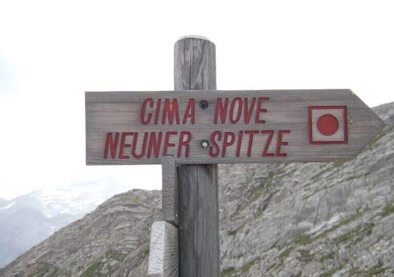
  • Ferrata Sasso delle Nove (Cima Nove)

    Ferrata Sasso delle Nove (Cima Nove)

    Vie Ferrate › Trentino-Alto Adige › Bolzano
    Ferrata Sasso delle Nove (Cima Nove)
    Moderately Hard● OpenDescriptionComplexityMapsGallery

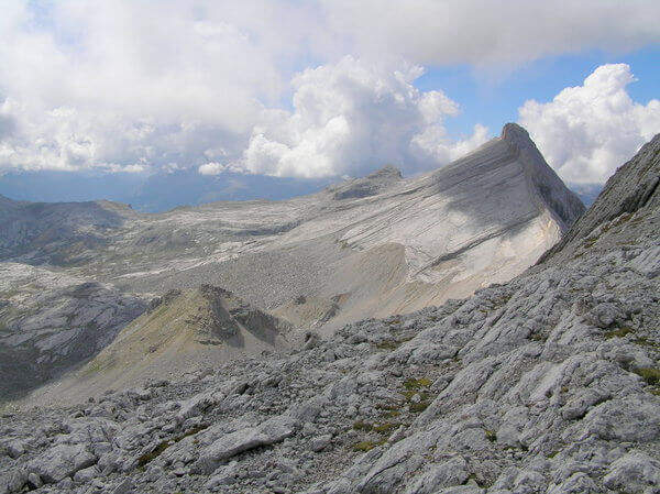
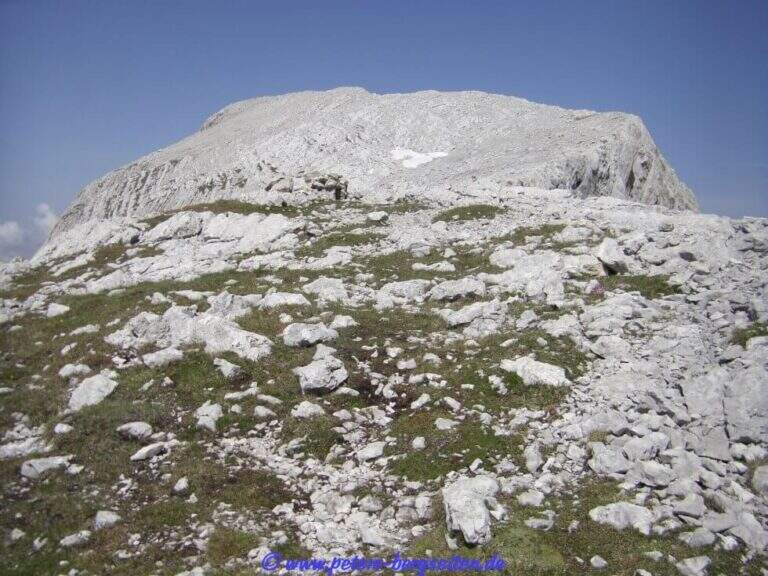
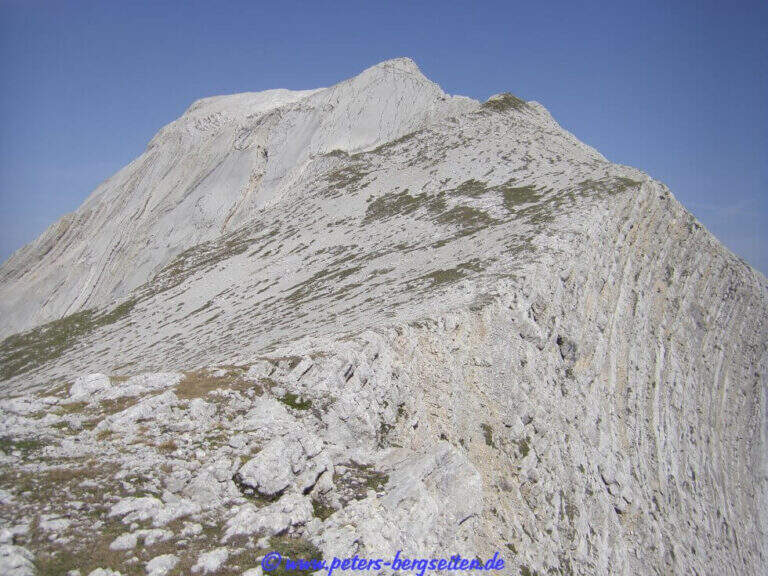
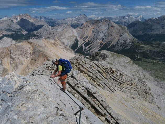
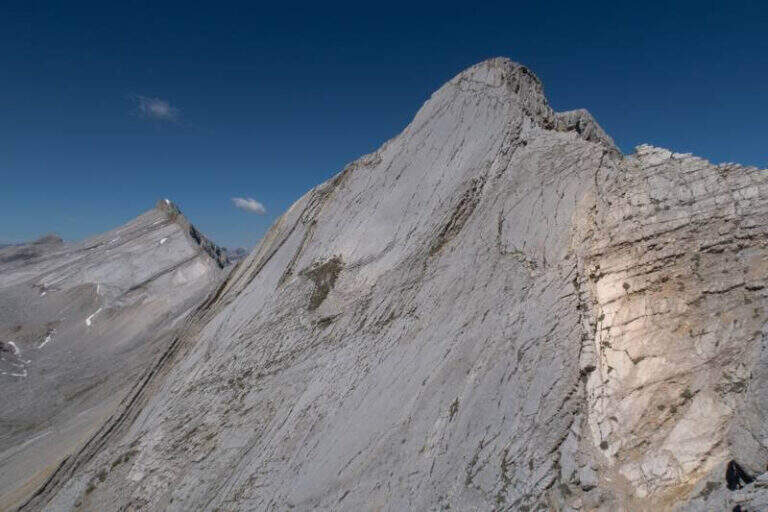
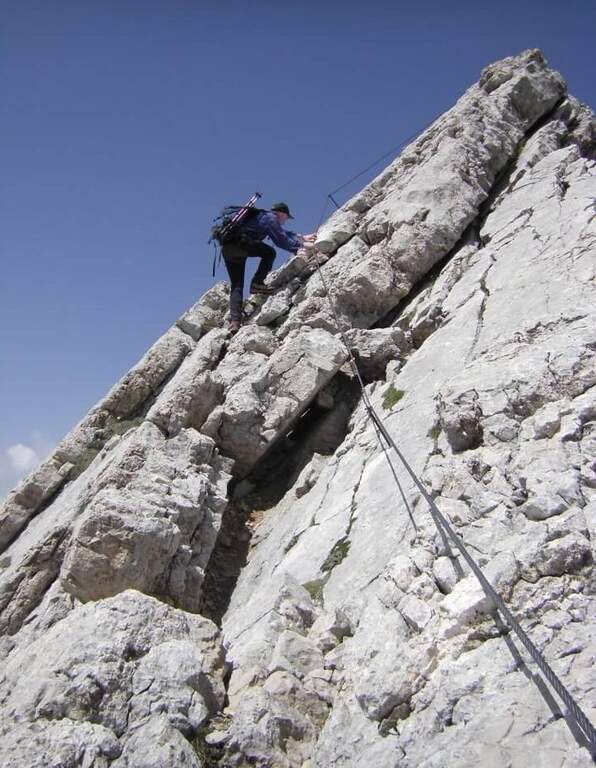
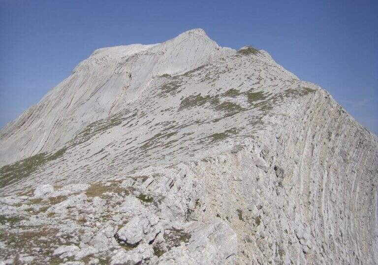
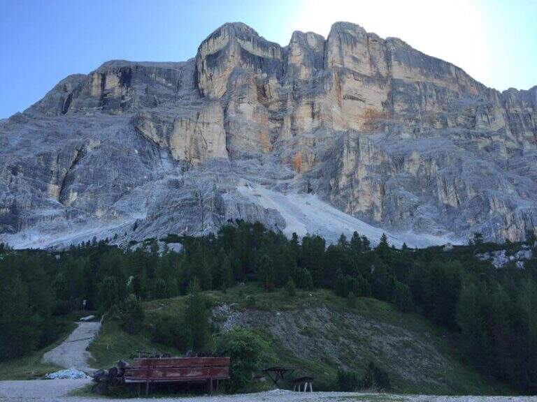
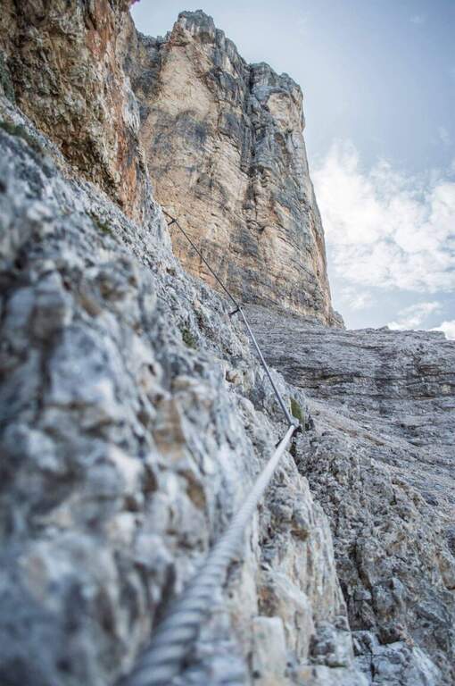
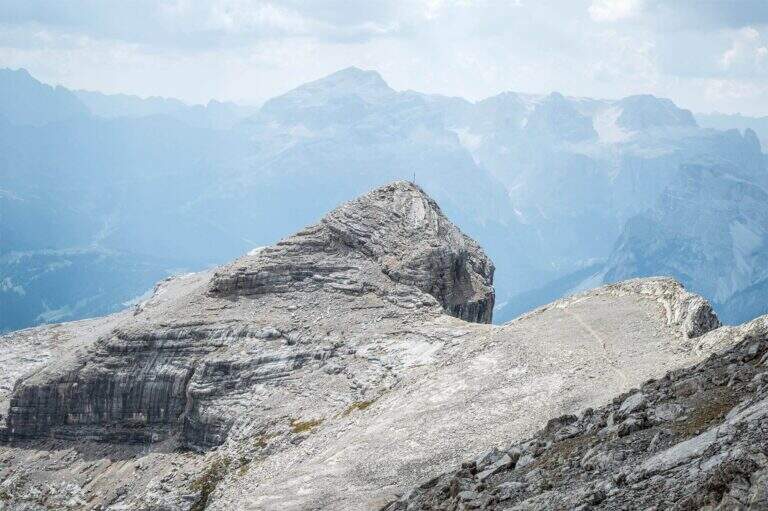
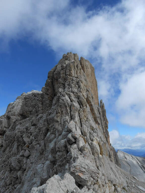
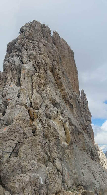
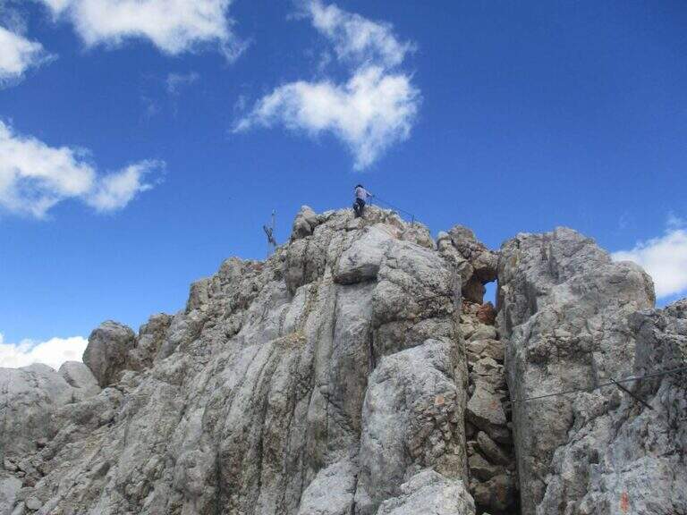
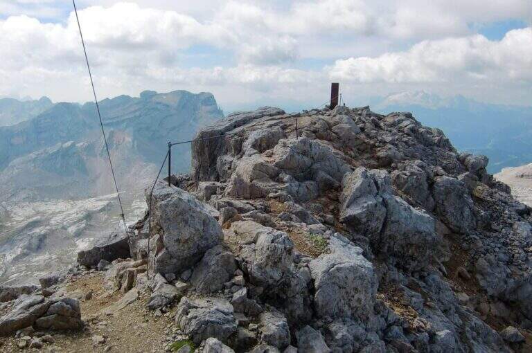
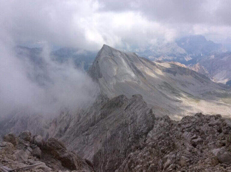
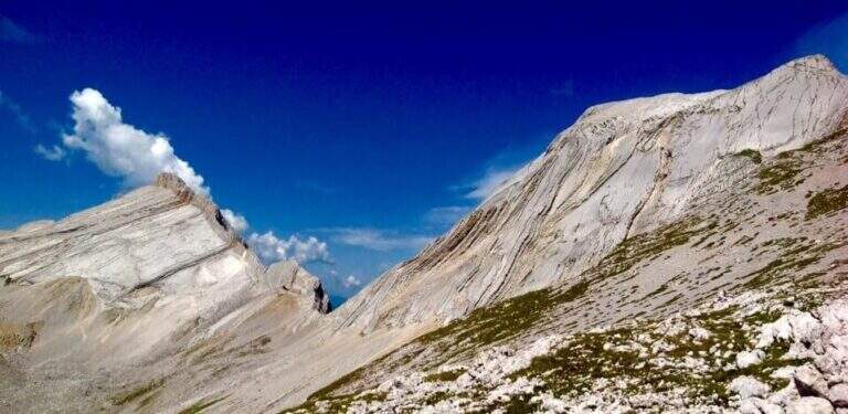
    La Ferrata in Cima Nove (Sasso delle Nove) is a short stretch equipped — the last 100 meters before the cross — placed at the end of a long and challenging high mountain route in Val Badia. Technically it is not prohibitive, but runs along a wall very exposed, especially on the southern placconata characteristic, in a solitary and austere environment with some exposed and unprotected passages. The summit touches the 2968 m.

    ▲Approach

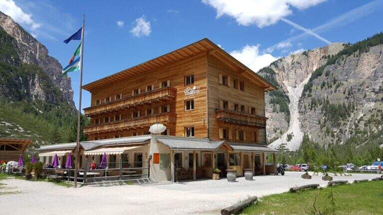
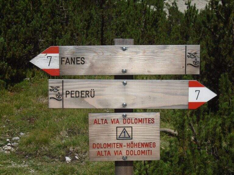
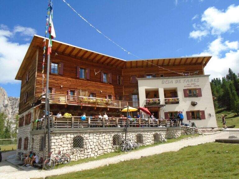
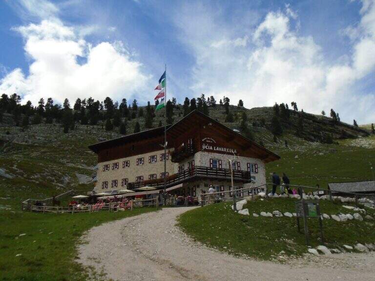
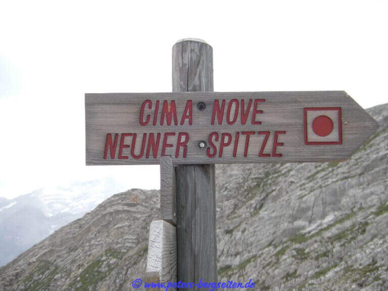
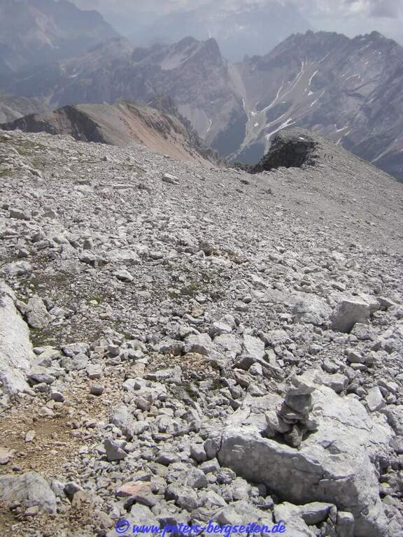
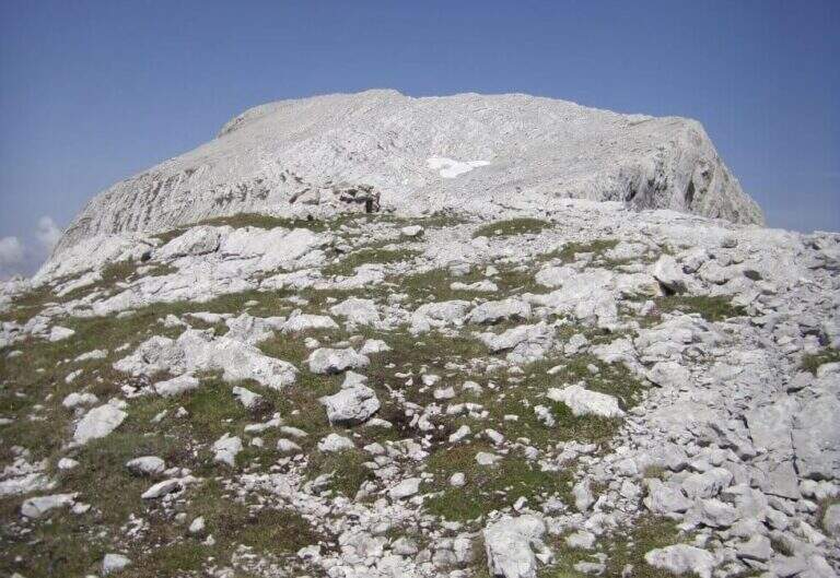
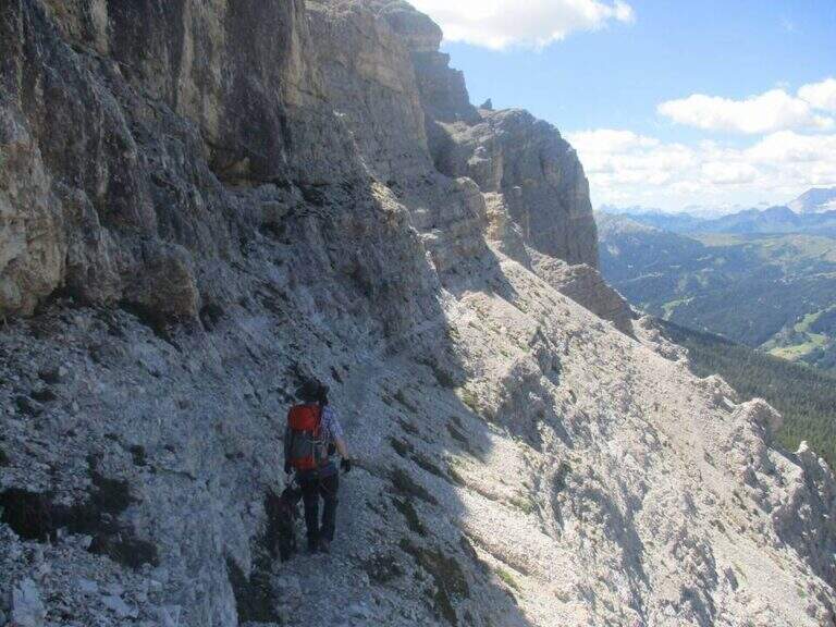
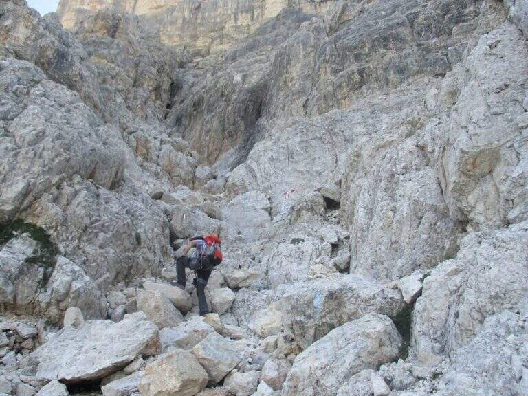
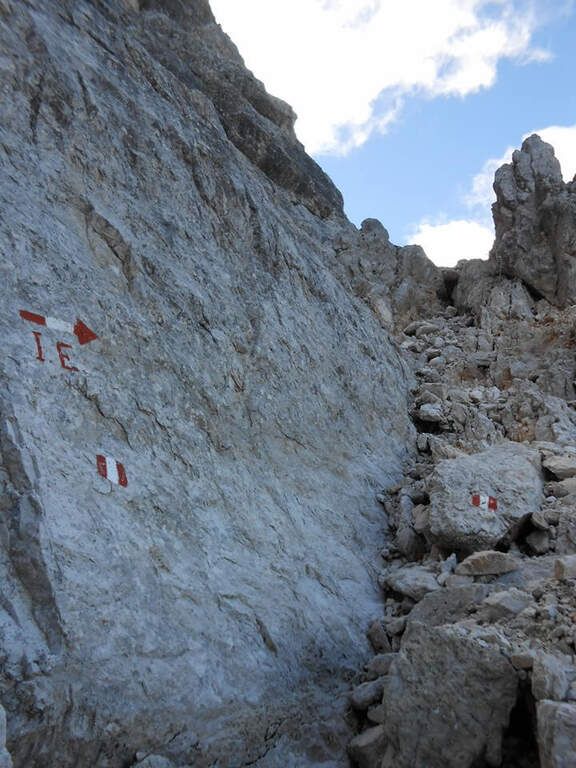
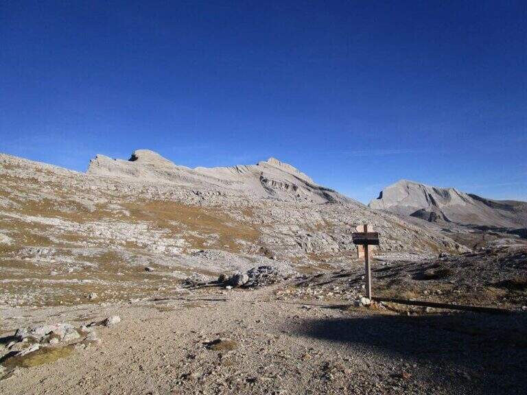
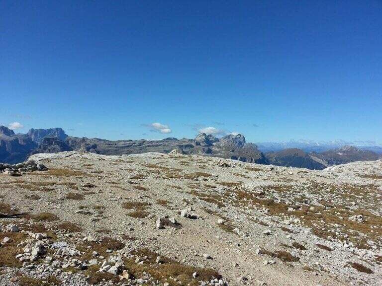
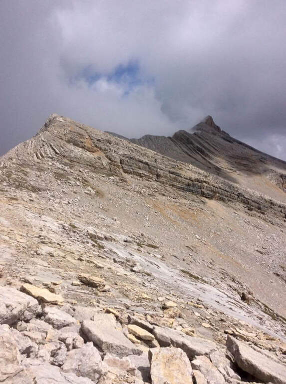
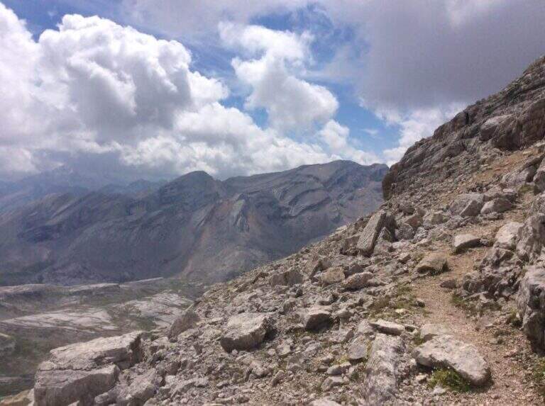
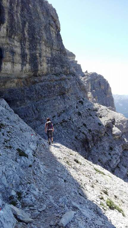
    Starting point the Rifugio Pederù (1548 m), reachable from San Vigilio di Marebbe following the signs «Pederù» già in the village, on asphalted road up to ' wide parking. Open road signs on Google Maps. From the hut follow the wide tourist path 7 to the south in the Fanes Valley, quickly touching the Pices Fanes Refuge (2007 m), the Fanes Refuge (2060 m, short optional deviation) and the Lavarella Refuge (2050 m, 1h 30' from departure). From here you take the marker 13 verso nord, a destra, sul Piano delle Sarenes, salendo costantemente fino al Passo di Sant'Antonio (Ju de Sant'Antone, 2466 m, 2h 30' totali). Si lascia il 13 e, seguendo il cartello, si sale verso est su un ripido ghiaione con alcuni bolli rossi e facili roccette fino a una sella prativa con vista su Cima Dieci e Cima Nove; qui i segni finiscono ma si segue a vista la cresta verso nord-ovest, fra precipizi su entrambi i lati, fino all'attacco delle attrezzature (2800 m, 3h 30' totali).

    ▲The path

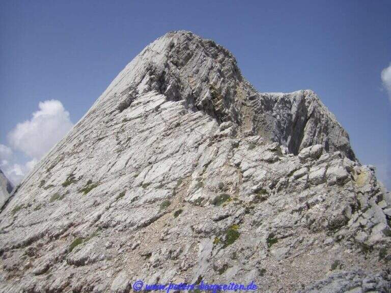
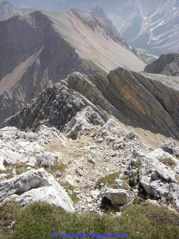
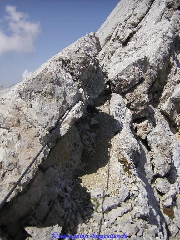
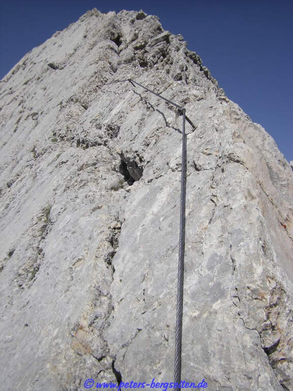
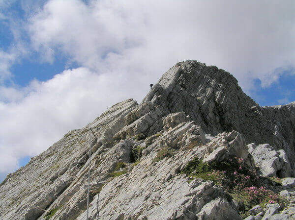
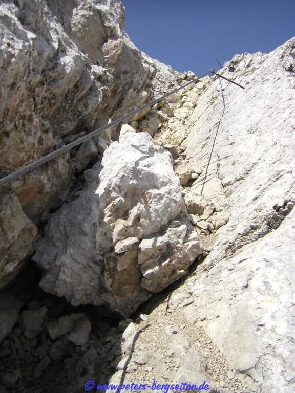
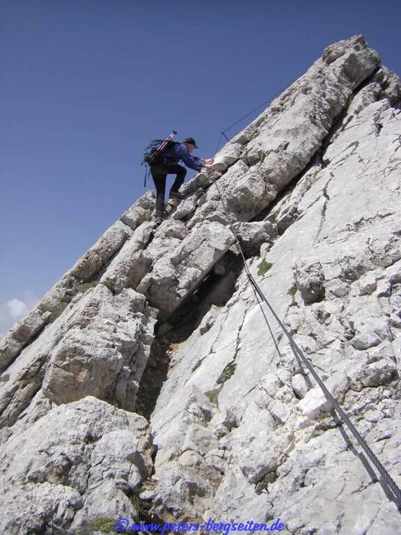
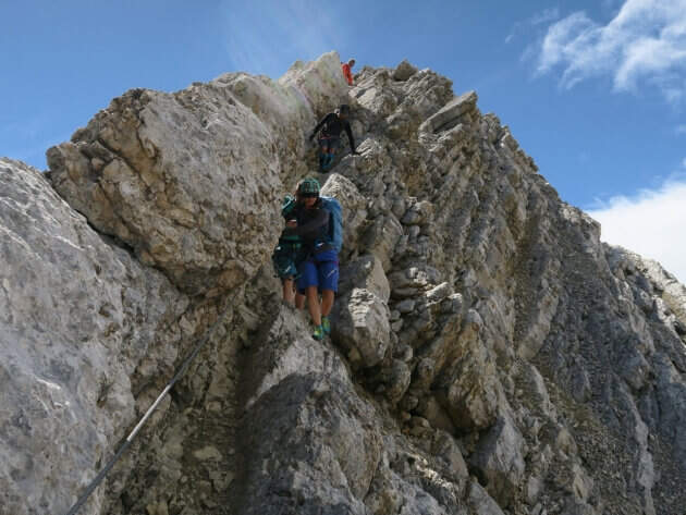
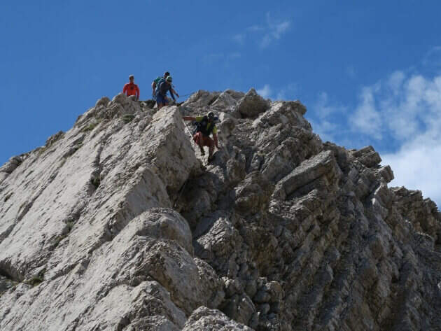
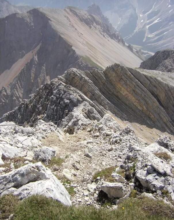
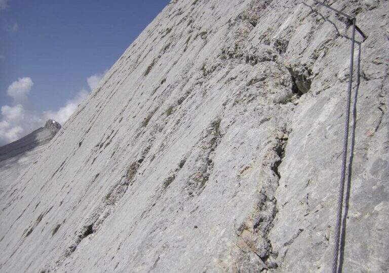
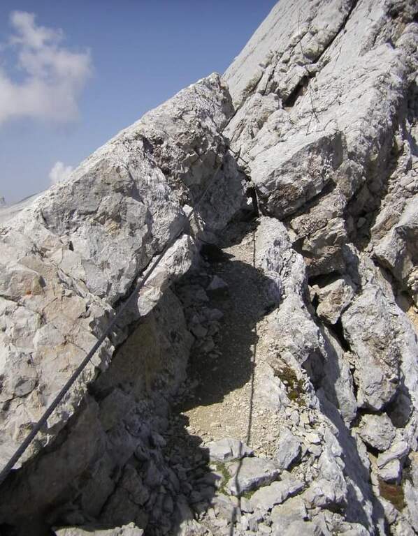
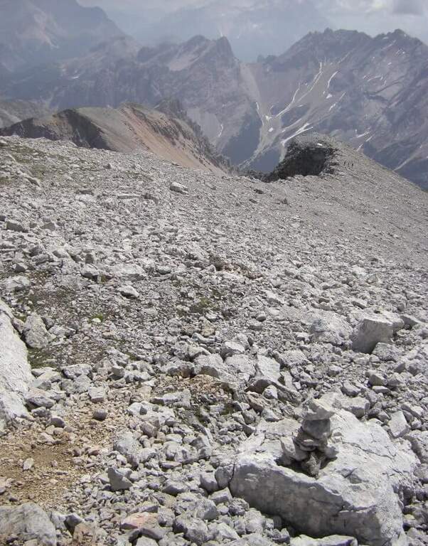
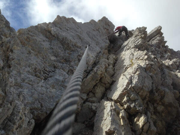
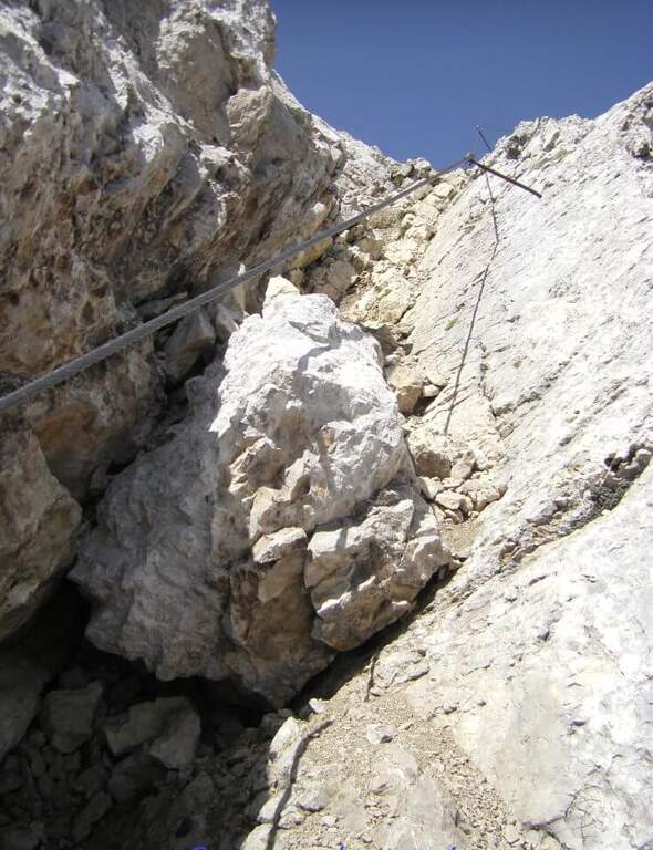
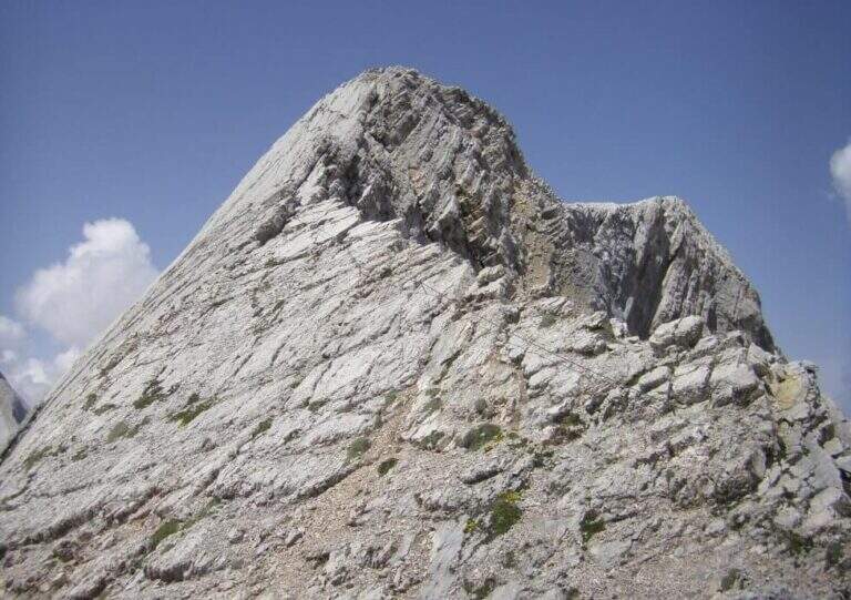
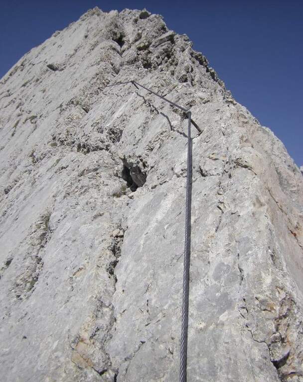
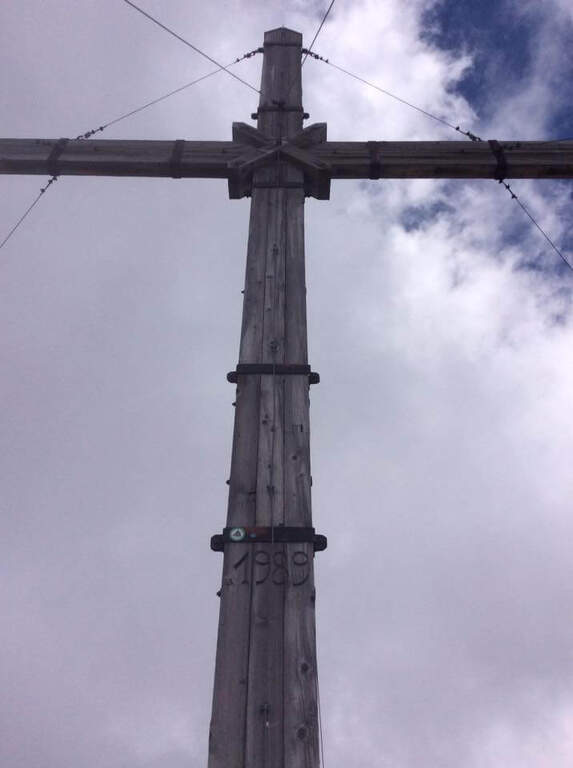
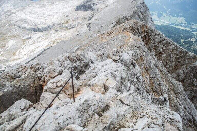
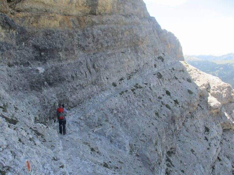
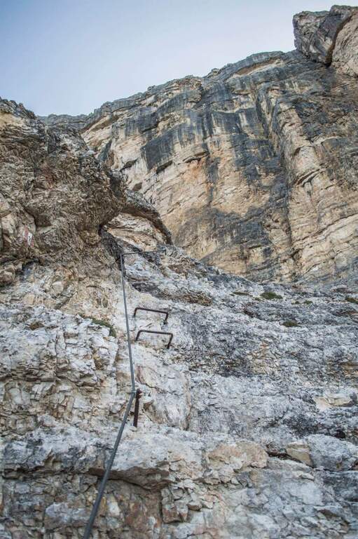
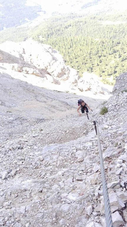
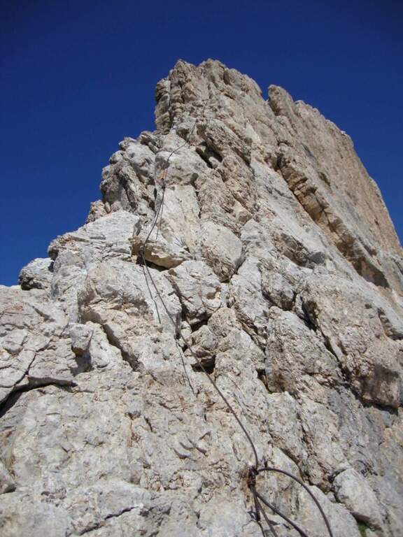
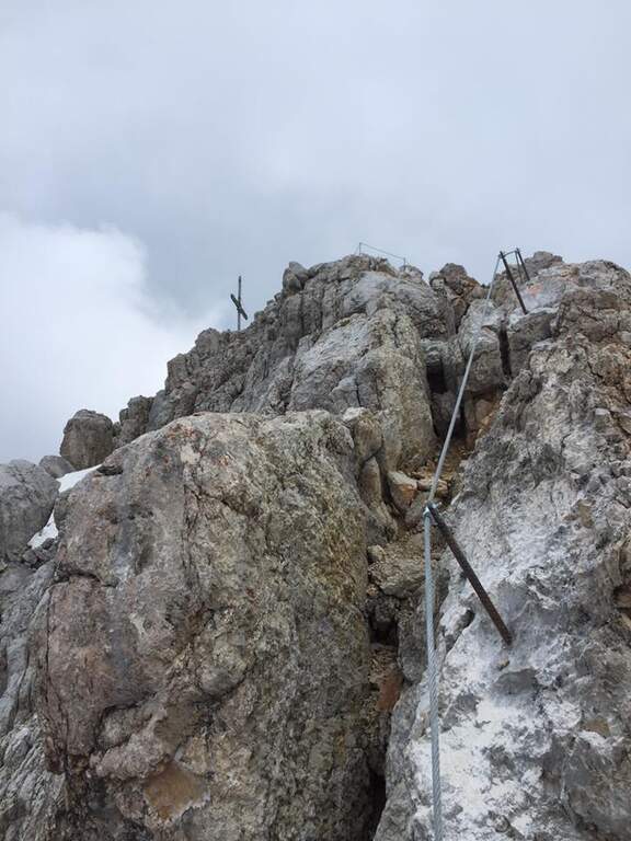
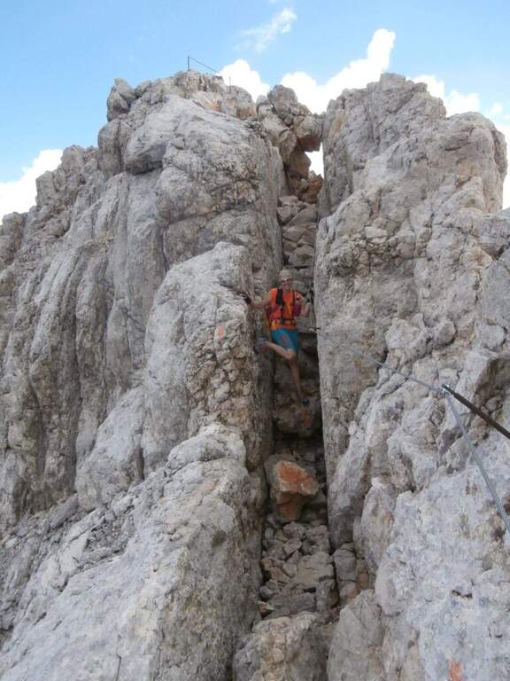
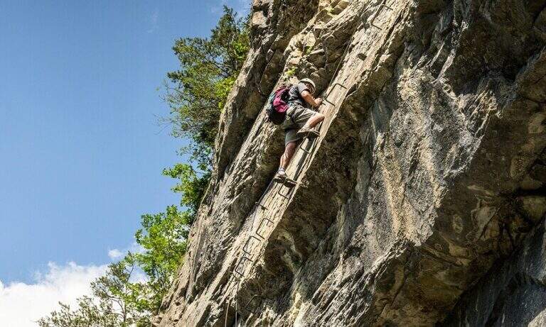
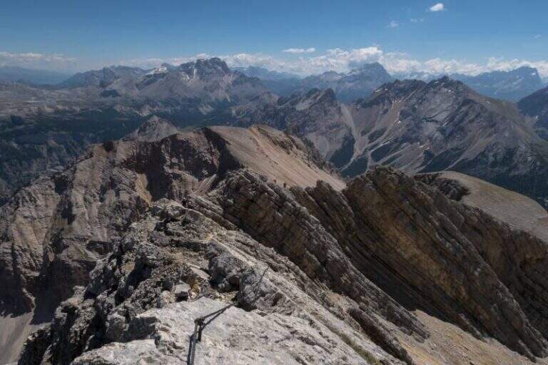
    The ferrata exceeds about 100 meters. The first sections ensure a well-graded crest near the precipice of the north wall, più similar to an equipped path; then you move on the south side, più exposed, where the cable continues without difficulty; techniques on moderate slope up to a rock where the cable stops and resumes two pi & pigrave meters; ahead. Here begins the più tract; interesting: a long and plane traverse to the left on a smooth placconata to be covered in adherence. The cable then goes up più vertical towards a stretch of very aerial edge, on strong exposure, up to a difficult & agrave medium camino; — the passage probably più technical, però enough supported. Un' last tilted plaque and some exposed top rocks close the equipment (45' from' attack). Continue on gravel slope to the cross of Cima Nove (2968 m, 15' from the end of the equipment, 4h 30' totali).

    ▲Character and difficulty

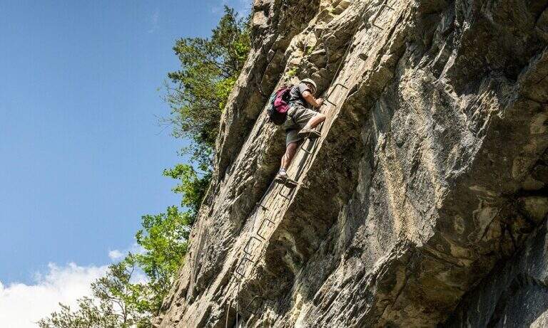
    The road does not have any technical difficulties but it develops on a very exposed wall, with smooth and vertical plates that can put in difficulty those who have little experience or non-stop foot; the equipped passages however alternate at times without difficulty.

    ⚠ The return takes place through the downhill ferrata, to be faced with great attention given the exposure. The excursion is long and, after the first shelters, quite isolated: to travel only with stable time. Downhill, on the top floor, with fog or low clouds be careful to locate the canal where the equipment runs.

    ▲Period and safety

    Alternatively, you can start from Spescia (1549 m) in Val Badia by steeply climbing the path 13 along the Fanes Valley to the Ju de Sant'Antone: shorter as a distance but more tiring and steep (about 7h a/r). GPS tracks (GPX and KMZ) are available; the 4Land Val Badia map is useful for the area.

    ▲History

    The Sasso delle Nove is a particular mountain: its long sloped southern wall was climbed by the Messner brothers with three itineraries of pure adhesion (Direttissima, Heidi, Placche), at the end of the Sixties real test benches, finally faced with rigid boots. The most repeated is today the very Direct Messner.

    ▲Discipline

    The return takes place back along l' ascent itinerary, including ferrata (3h 30' from the summit, 8h totali).

    ▲To match

    Cima Nove is the northern peak of the Sasso della Croce Group, where there is also the often combined ferrata at the Sasso della Croce and Cima Ten. Further south on the group run Sentiero Attrezzato Tru Dolomieu and the long Ferrata della Pace; towards Lake Braies easy Ferrata di Valdaora alla Cima dei Colli Alti and, at the Furcia Pass, the Ferrata at Piz de Peres.
    ▲Gallery
    Technical data
    • DifficultyModerately Hard
    • RegionTrentino-Alto Adige
    • GroupRock of the Cross
    • Approach3:30 h
    • Ferrata1:00 h
    • Itinerary (a/r)8:00 h
    • Hardware level difference110 m
    • Route difference1424 m
    • Max2968 m
    • Length19 Km
  • Ferrata Sasso della Croce and Sasso delle Ten

    Ferrata Sasso della Croce and Sasso delle Ten

    Vie Ferrate › Trentino-Alto Adige › Bolzano
    Ferrata Sasso della Croce and Sasso delle Ten
    Moderately Hard● OpenDescriptionComplexityMapsGallery

    The combination of ferrates to Sass de la Crusc (Sasso della Croce) and Ten is a great mountain route starting from Badia, in Val Badia. The equipped sections are of medium difficulty, but the path is long (more than 16 km, almost 1000 m of altitude difference) and for wide stretches runs on exposed and unprotected path: it must be faced with good preparation and stable time. In return it offers spectacular views of Val Badia, Sassolungo, Gruppo Sella and the Dolomites peaks of Cortina, with the summit in 3026 m.

    ▲Approach

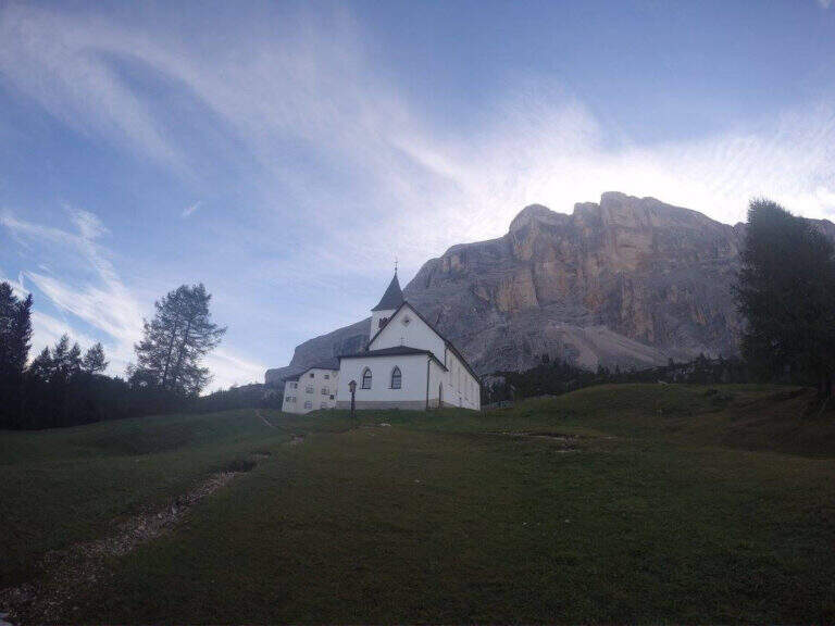
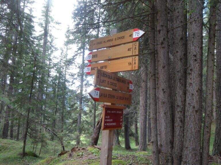
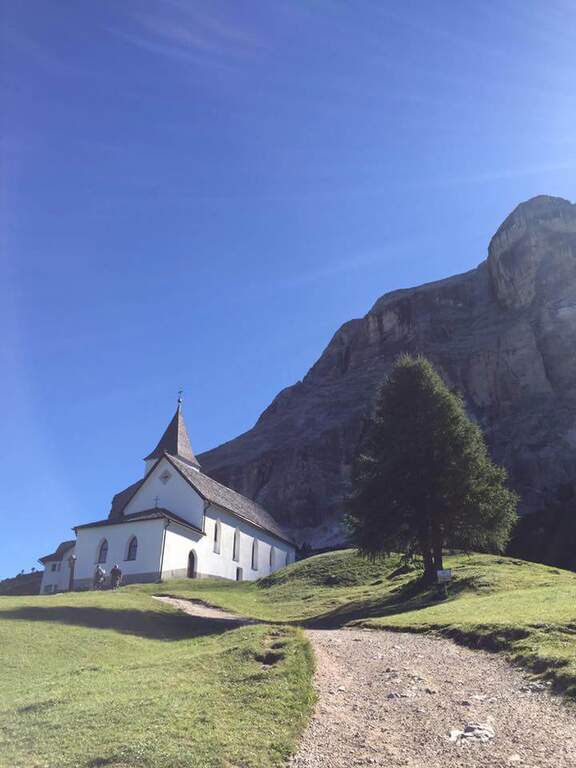
    The support is the Santa Croce refuge, on the eastern side of the Val Badia valley at the height of Badia, reachable with the chair lifts «La Crusc 1» and «La Crusc 2» or walk to the comfortable path 7 from Badia (about 1h 30'). Open road signs on Google Maps. From the mountain station (2045 m) you have in front of the imposing rampart of the Sass dla Crusc, the first destination of the day. Follow the signs 7 passing next to a white church; the path then climbs right towards the south, first sweet among the mughi and then più decided out of the wood, towards the wall. You walk under the rock along a path that takes you via più narrow and exposed: here begins the first equipped section (1h from the mountain station).

    ▲The path

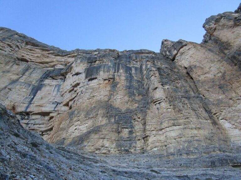
    The first cable helps on an exposed nod followed by a vertical leap; continue alternating halfway path exposed to short equipped stretches. You go up a sloped ramp with the cable on the left and you go on l' exposed path that wanders the south-west wall of the Sass dla Crusc; after a stretch of unequipped rocks you meet a equipped with two metal brackets and an easy crossing. A long nod, più narrow of the preceding, è protected by a self-insurance rope; therefore turns south for l' last stretch of path, partially equipped where it enters a steep franose canal, up to the Forcella dla Crusc (2h 30' in total). At the fork, crossroads of paths, the sinistra is held to stay on the ' plateau. You walk between stones and wreaths a po' slippery but not difficult until the Piz Zuber, then at the junction for the Sass dla Crusc (2907 m, optional but recommended deviation), and continue along the panoramic crest towards Cima Ten. Here begins the second stretch ferrato: short but very exposed, goes up the southern edge for about fifty meters of vertical rocky leaps. After the first metres, a series of più jumps is approached; marked with the cable on the left; from a panoramic balcony rises on a strong display on two challenging sections, then wanders the edge on the eastern side and you see, at about fifteen meters, the wooden cross. A few steps horizontally enters a chimney that goes up in the split, from the right to the left; the last rocks lead to the summit plateau and the croce of Cima Dieci, with a 360° view; (2h from Forcella, 4h 30' in total ). The ridge that detaches towards Cima Nove è travels from its ferrata.

    ▲Character and difficulty

    The first ferrata, the one that leads to the Forcella dla Crusc, è in the complex facile: it has three short and difficult vertical sections; techniques, while the other cables are mainly used to protect exposed paths. The Cima Ten hardware is short but intense, very exposed and with the first metà vertical and demanding.

    ⚠ Itinerary of high mountain, long and with important difference in altitude: it requires good physical form. Several stretches of path before the Forcella are exposed and not protected, not recommended to those who have no mountain or foot experience. Cima Ten requires no dizziness. The stability of the weather is fundamental: there are no real points of support and are equipped both at the beginning and at the end of the tour, to avoid with unstable weather.

    ▲History

    The Sasso della Croce è linked to the history of ' mountaineering by Reinhold Messner: in July 1968, climbing the Pillar of Mezzo with his brother Günther, he found himself in a smooth four-metre plaque from which he could not né climb né Get down. The superò, as it tells in its famous «Settimo Grado», and the attributables; an evaluation of VIII degree, until then never used; it should be remembered that the facedò with rigid sole boots.

    ▲Period and safety

    The GPS tracks (GPX and KMZ) can be downloaded from the card; the 4Land Val Badia map is useful for the area.

    ▲Discipline

    The descent takes place along the same path of the ' gone; the two equipped sections require special attention because of the eacute; downhill routes (3h from the summit, 7h 30' overall).

    ▲To match

    Hardly this tour leaves energy for a second ferrata in the day, but on several days from the Forcella dla Crusc you can climb to the Piz de Lavarella and get off towards the Sentiero Attrezzato Tru Dolomieu. In Val Badia there is Ferrata della Pace; by Corvara, on the Sella Group Ferrata at Piz de Lech and that of Vallontowards Passo Gardena la Ferrata at Gran Cir and, towards the Furcia Pass, the new Ferrata at Piz de Peres.
    ▲Gallery
    Technical data
    • DifficultyModerately Hard
    • RegionTrentino-Alto Adige
    • GroupRock of the Cross
    • Approach2:00 h
    • Ferrata0:45 h
    • Itinerary (a/r)7:30 h
    • Hardware level difference75 m
    • Route difference979 m
    • Max3026 m
    • Length16,1 Km
Need help? Write to us!