Paese: Italia

  • Ferrata Salvatori alla Pania Forata (Monte Forato)

    Ferrata Salvatori alla Pania Forata (Monte Forato)

    Vie Ferrate › Tuscany › Lucca
    Ferrata Salvatori alla Pania Forata (Monte Forato)

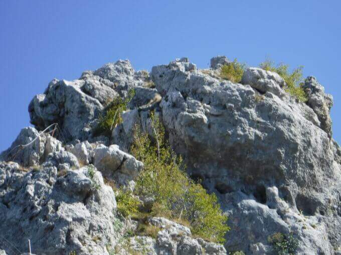
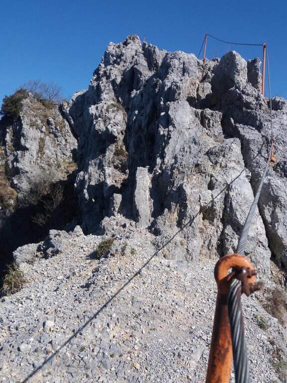
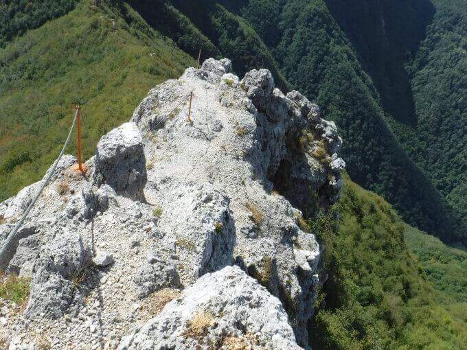
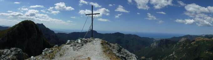
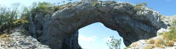
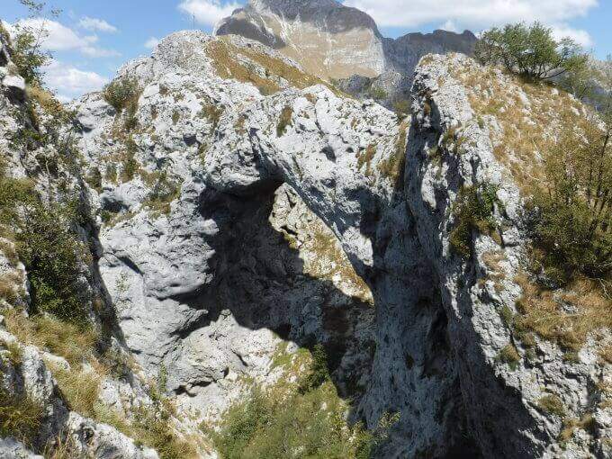
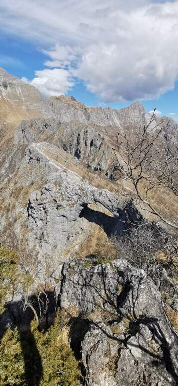
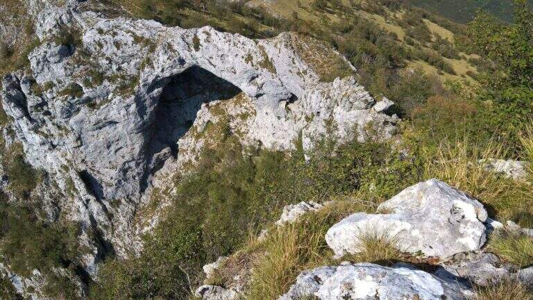
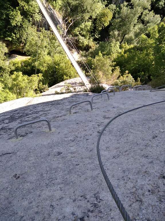
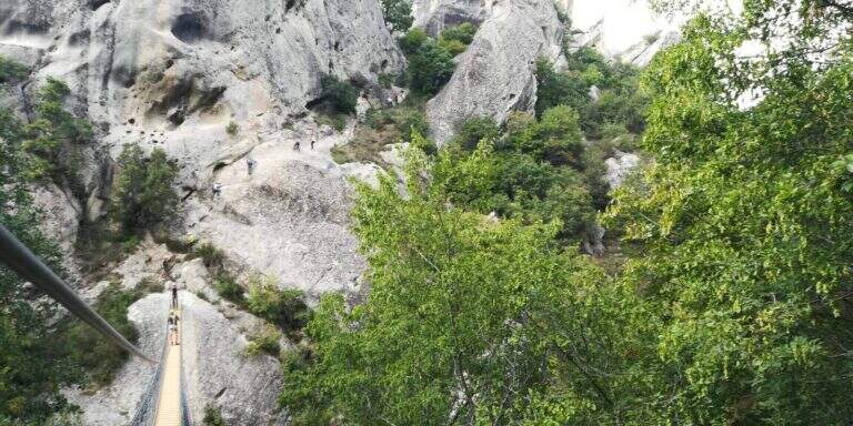
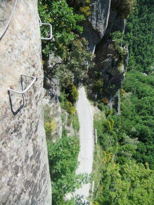
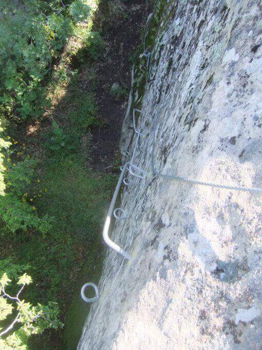
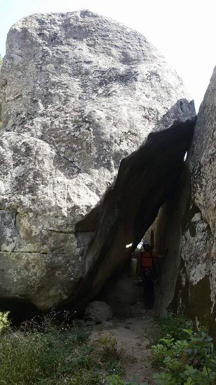
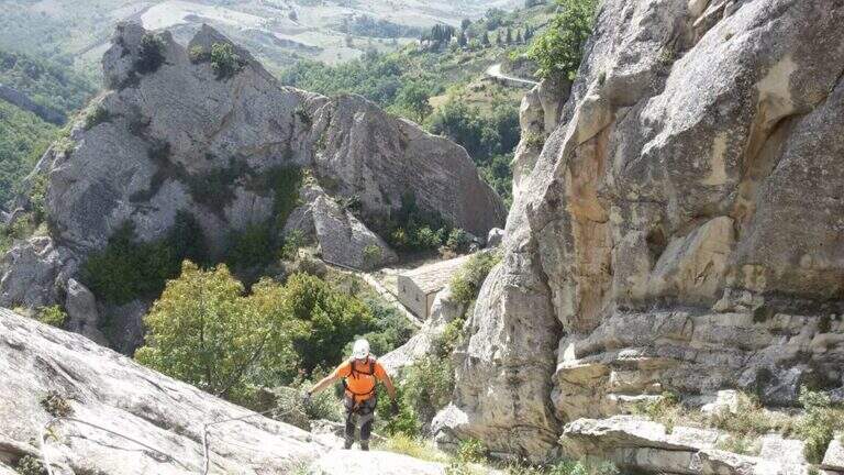
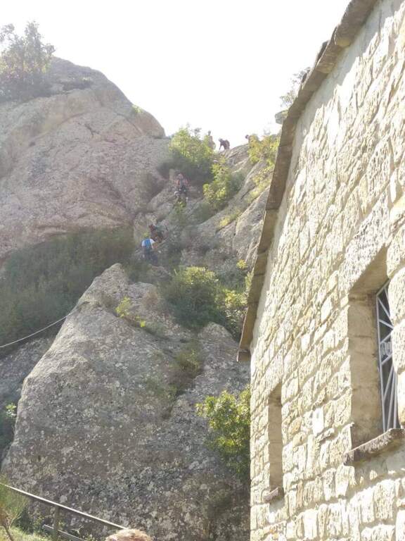
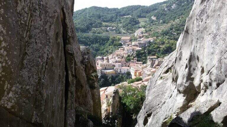
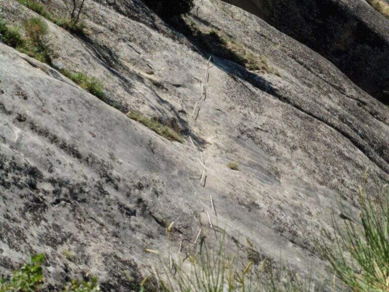
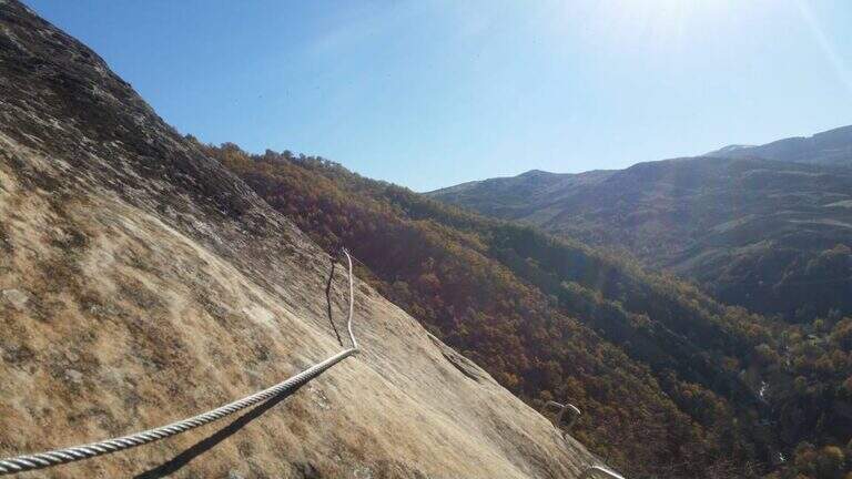
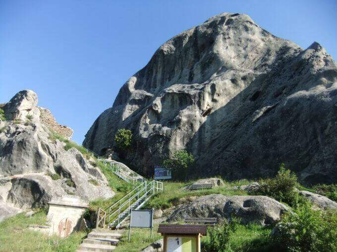
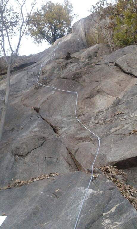
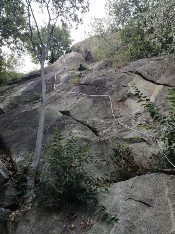
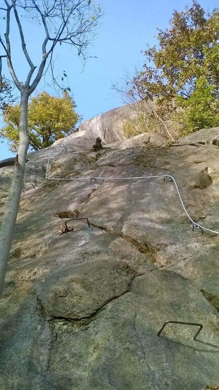
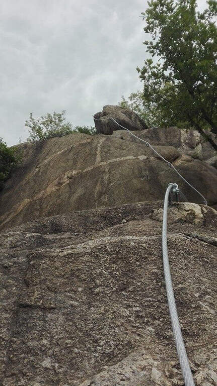
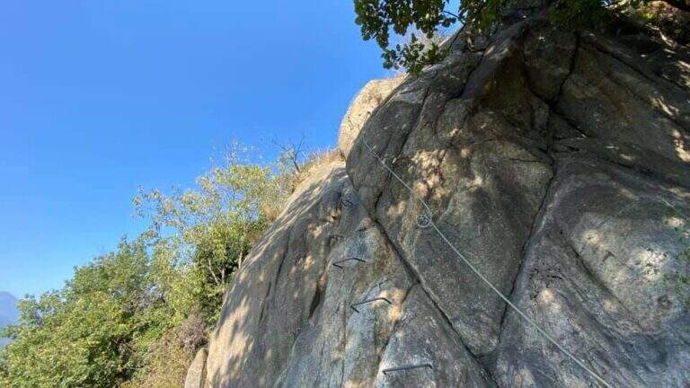
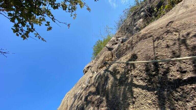
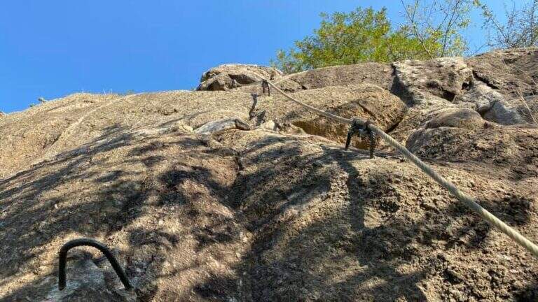
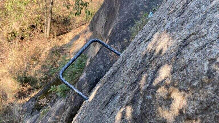
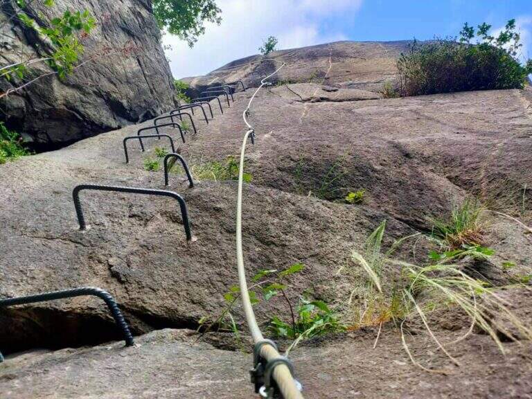
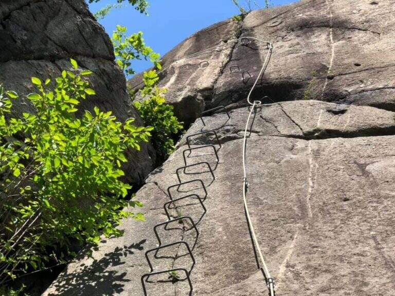
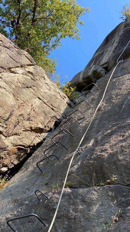
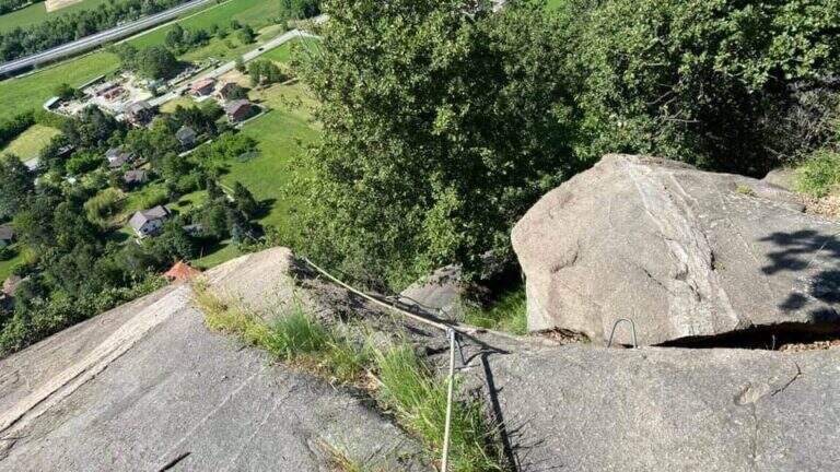
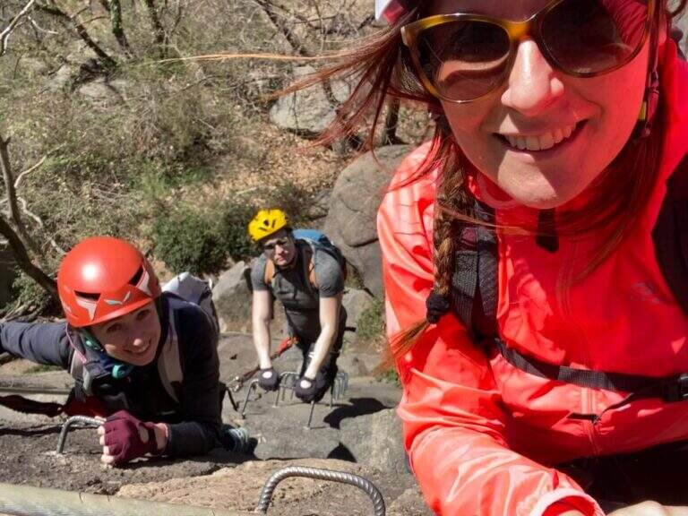
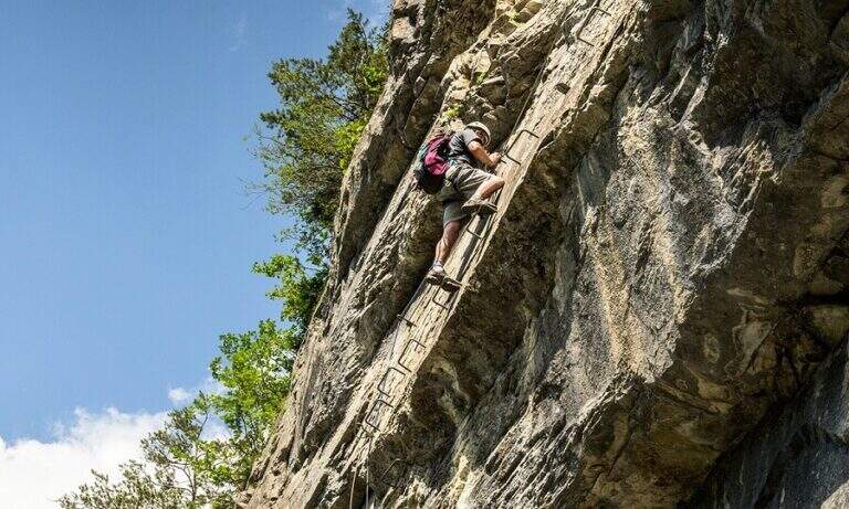
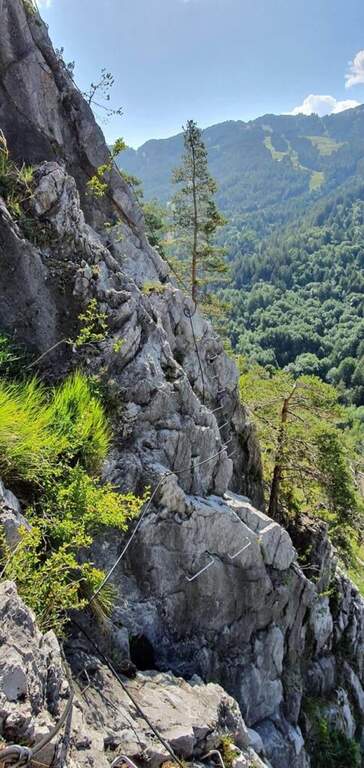
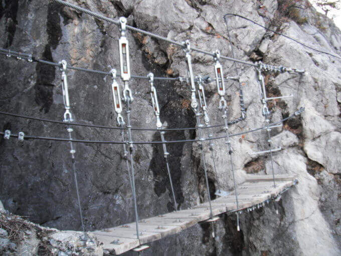
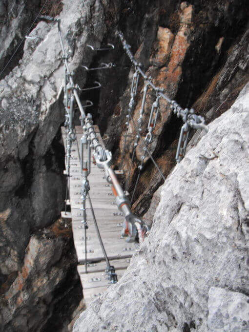
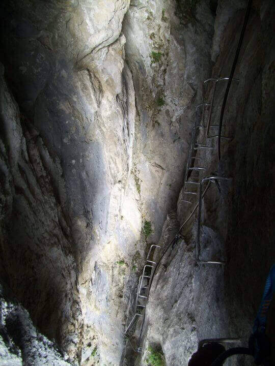
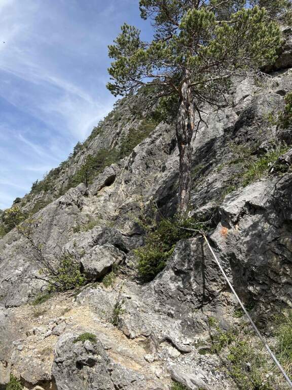
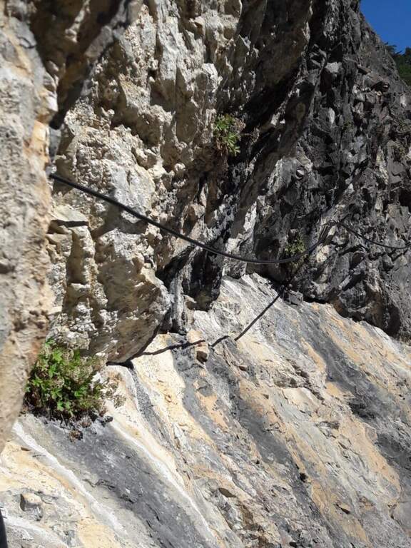
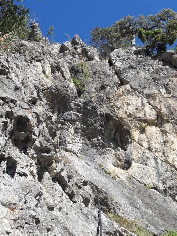
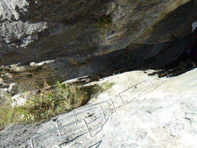
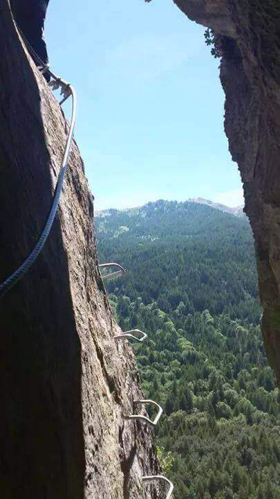
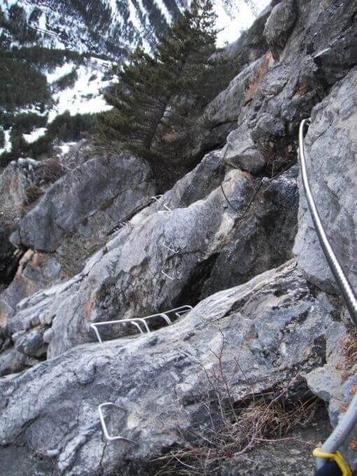
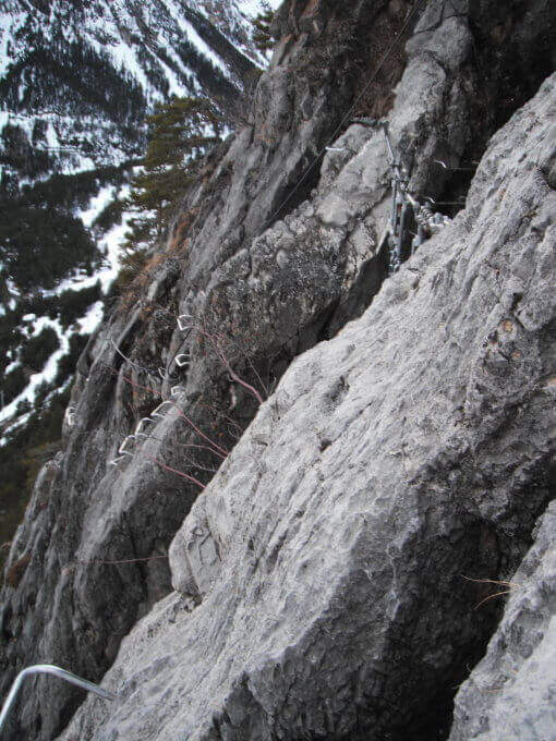
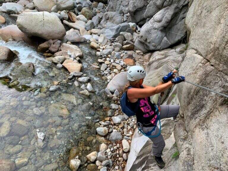
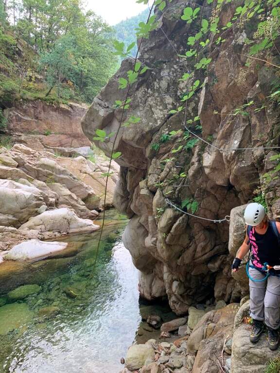
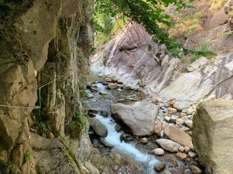
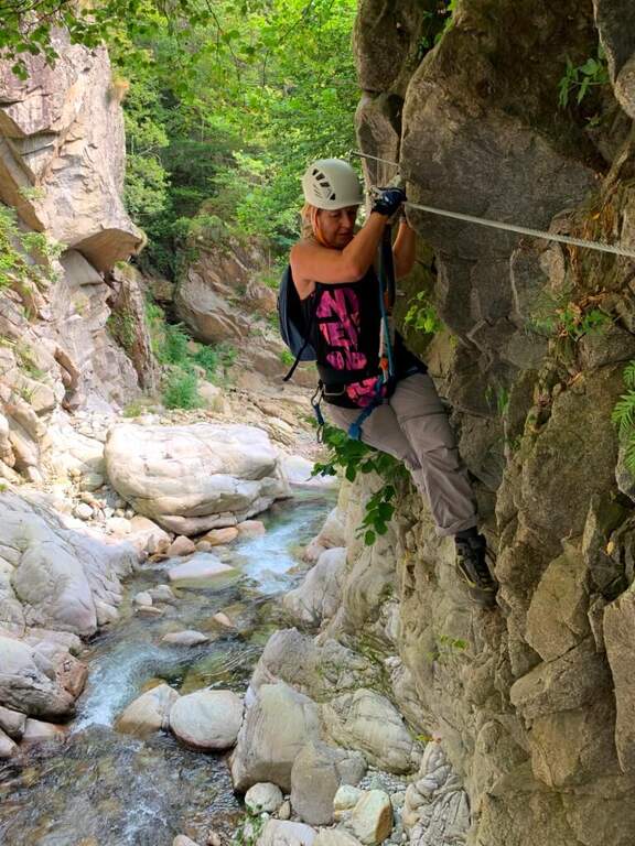
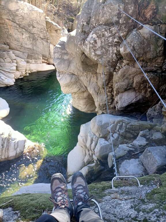
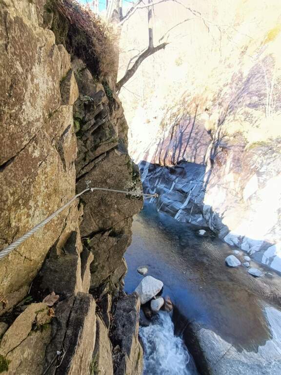
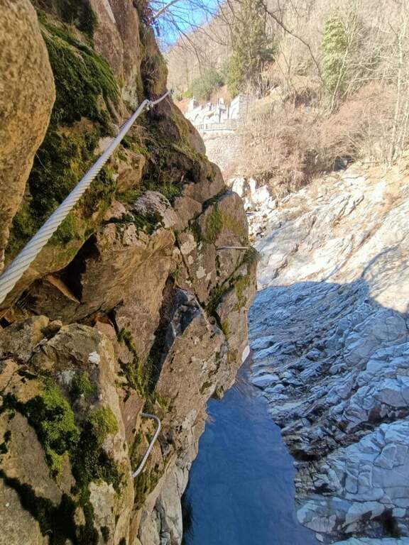
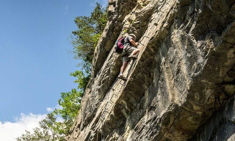
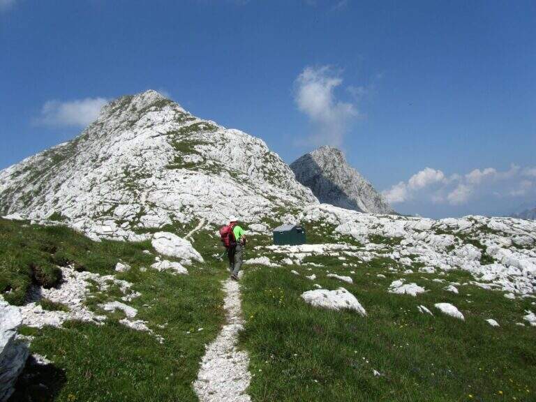
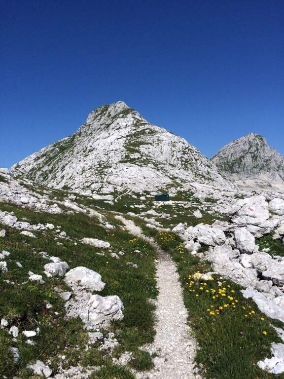
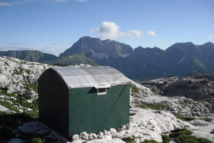
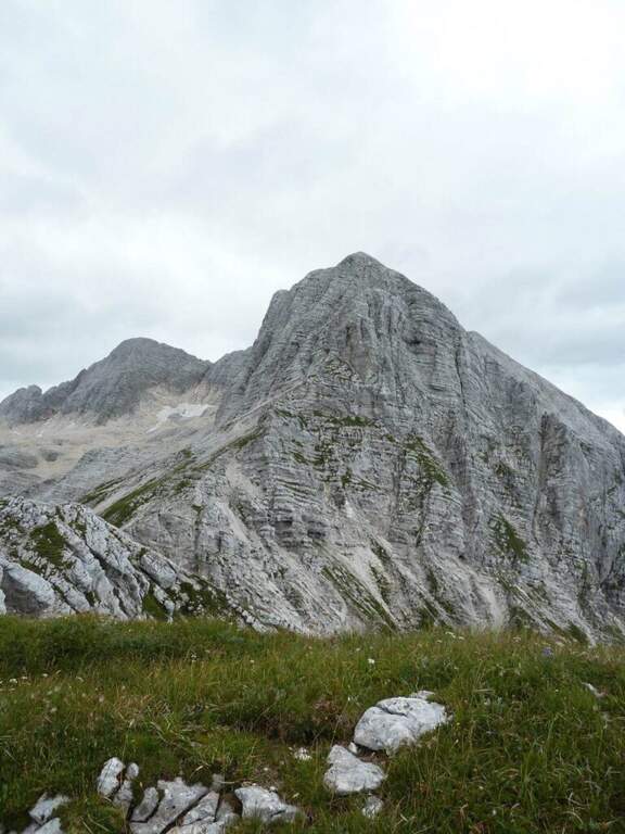
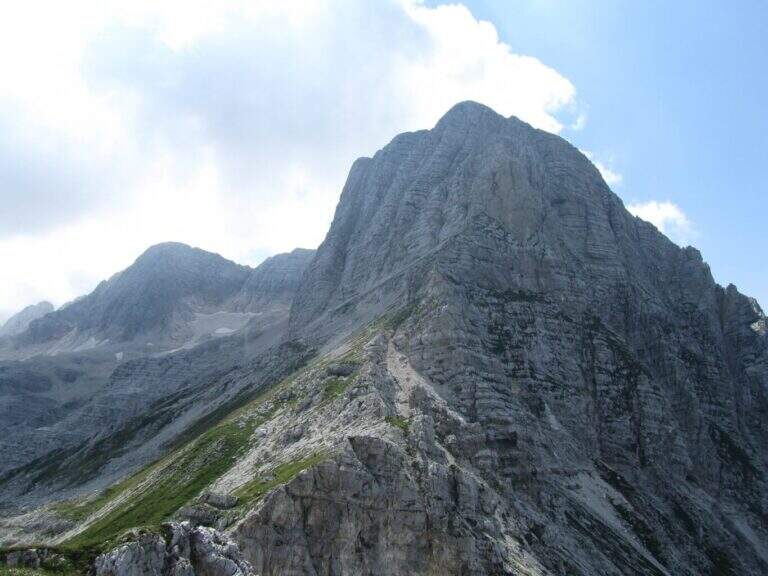
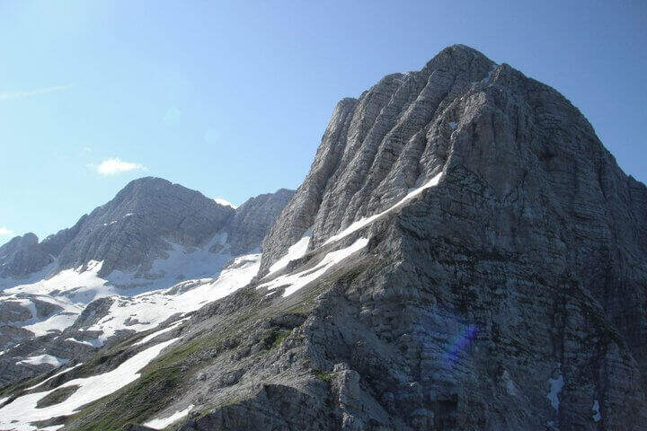
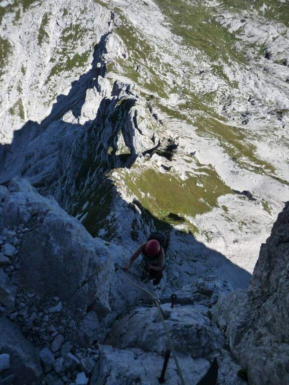
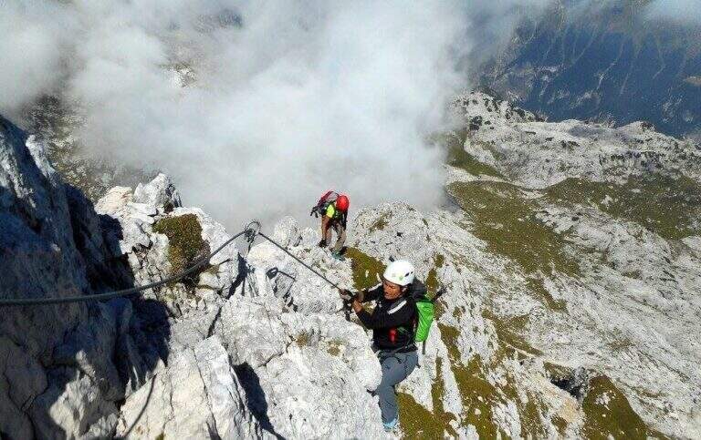
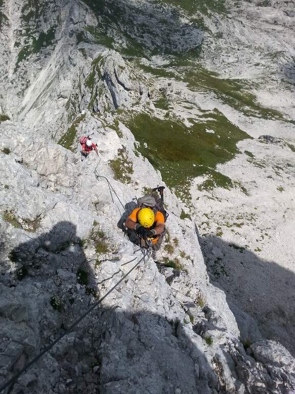
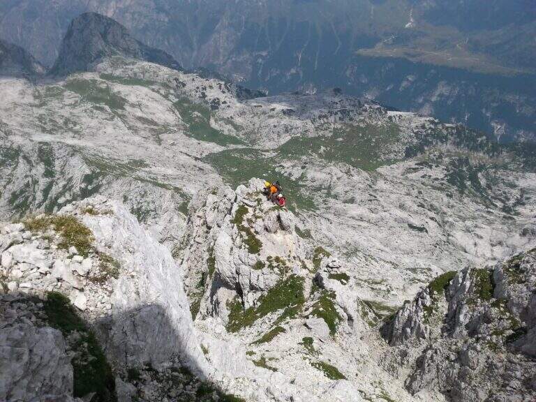
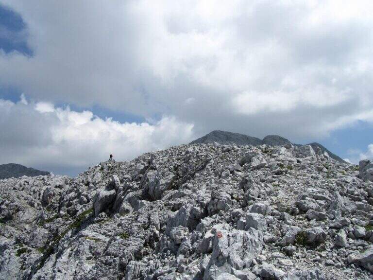
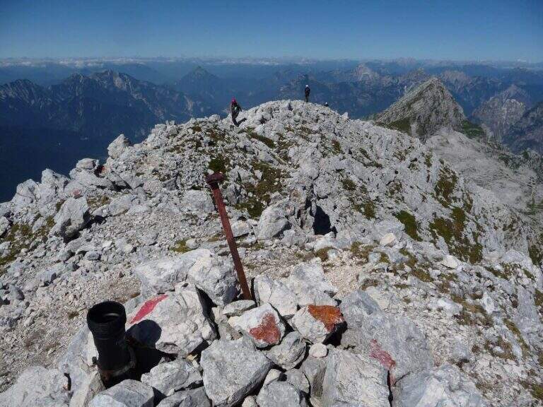
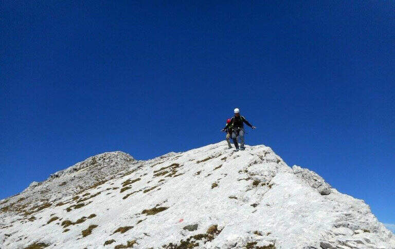
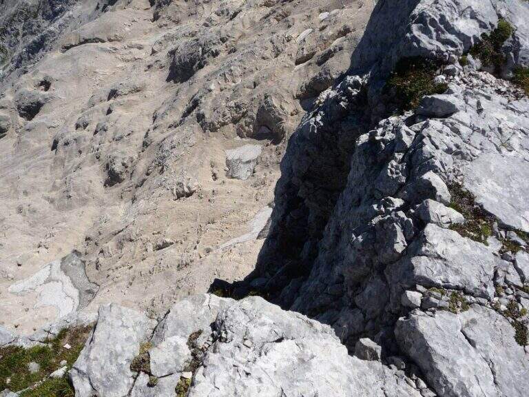
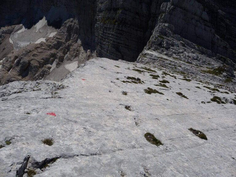
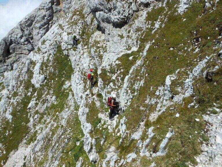
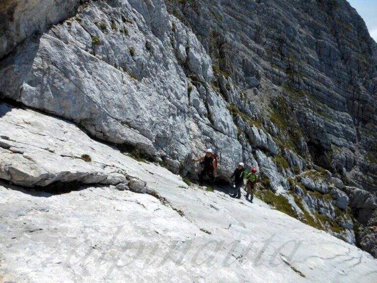
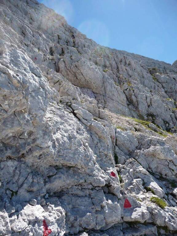
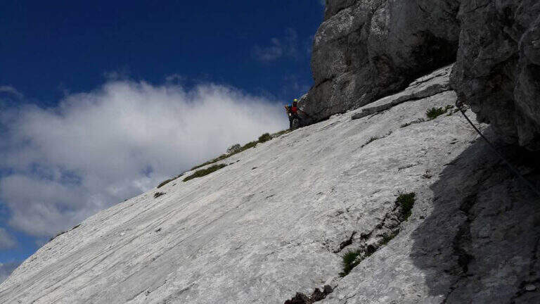
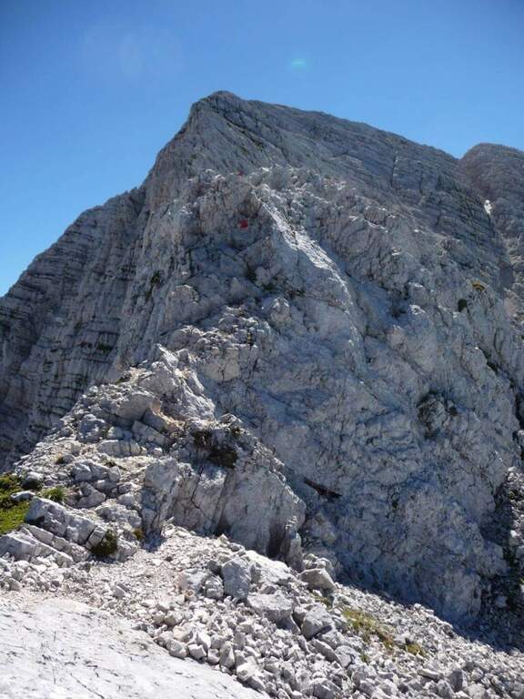
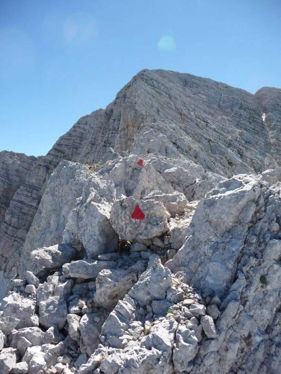
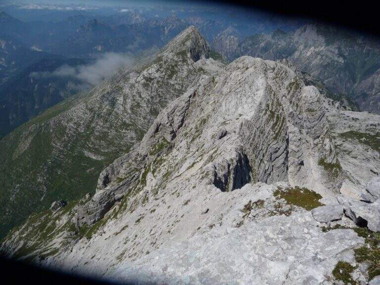
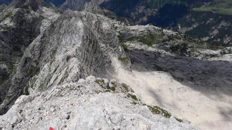
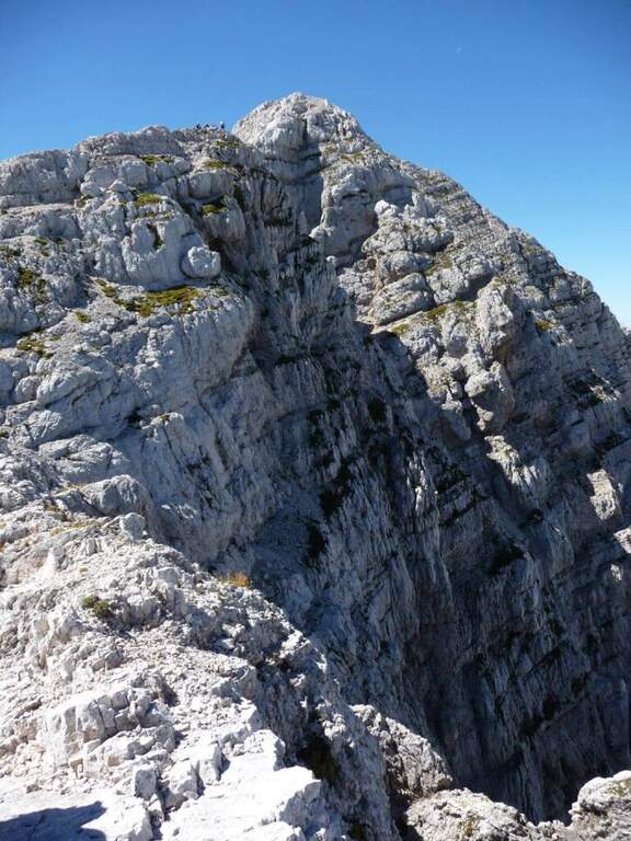
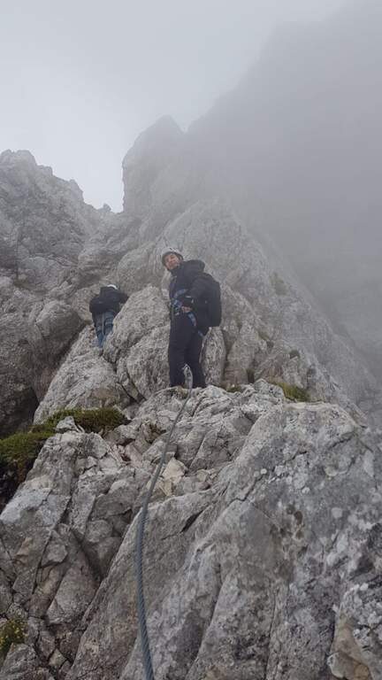
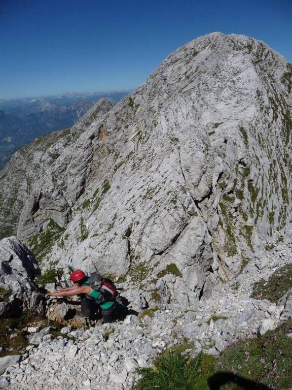
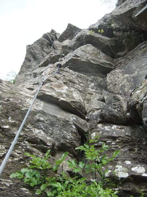
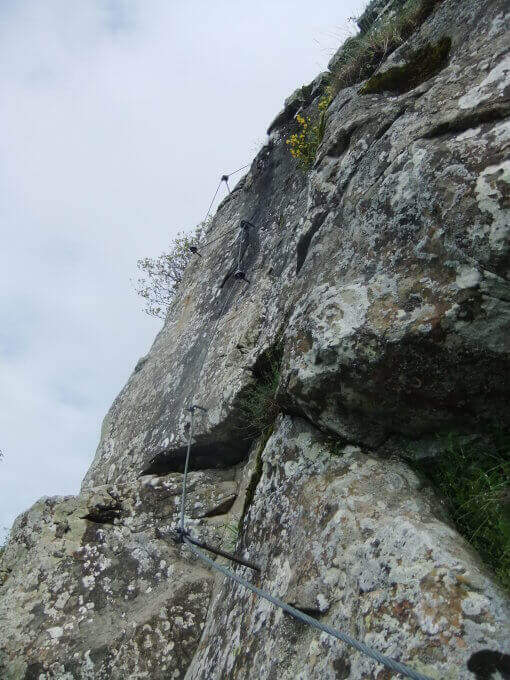
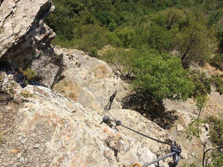
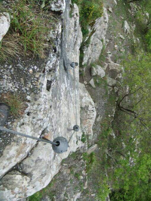
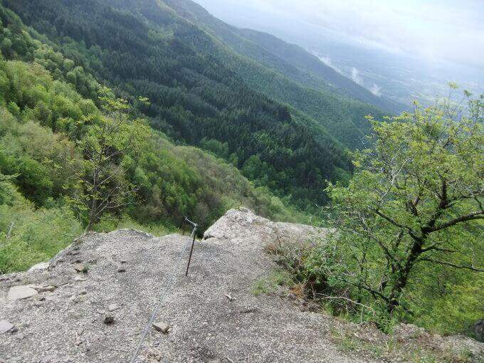
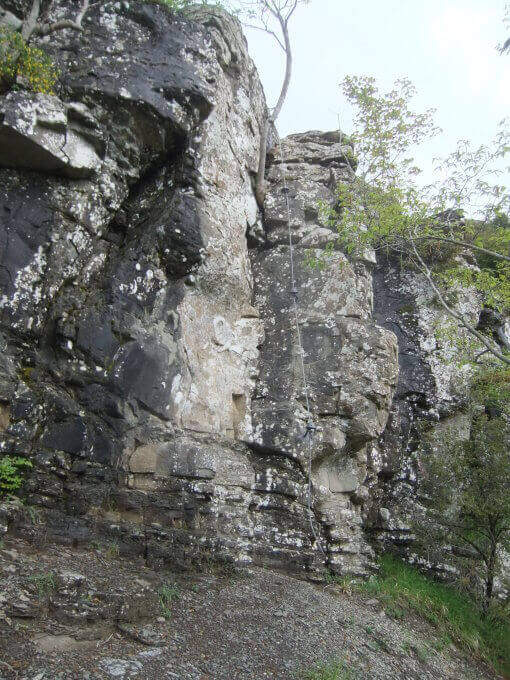
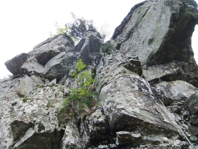
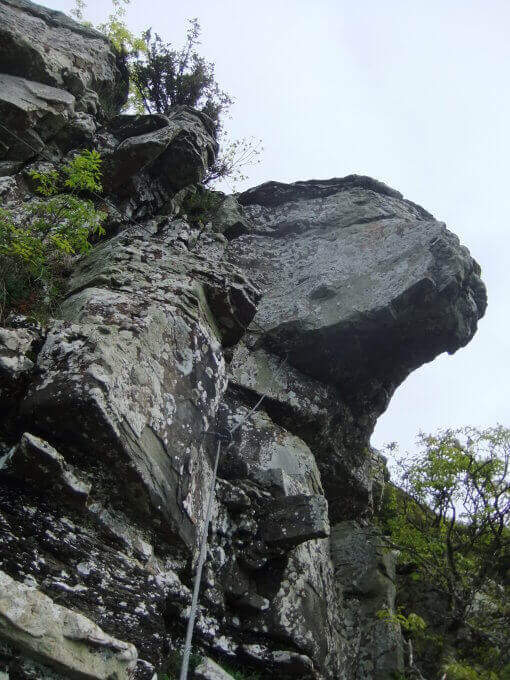
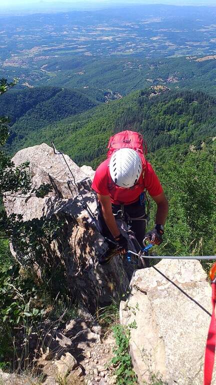
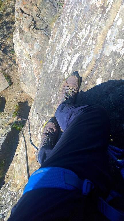
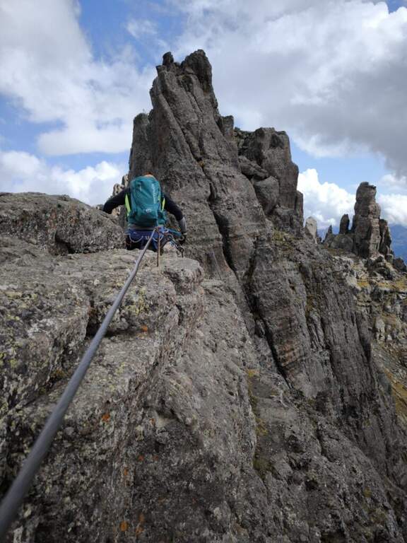
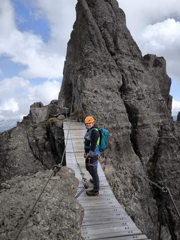
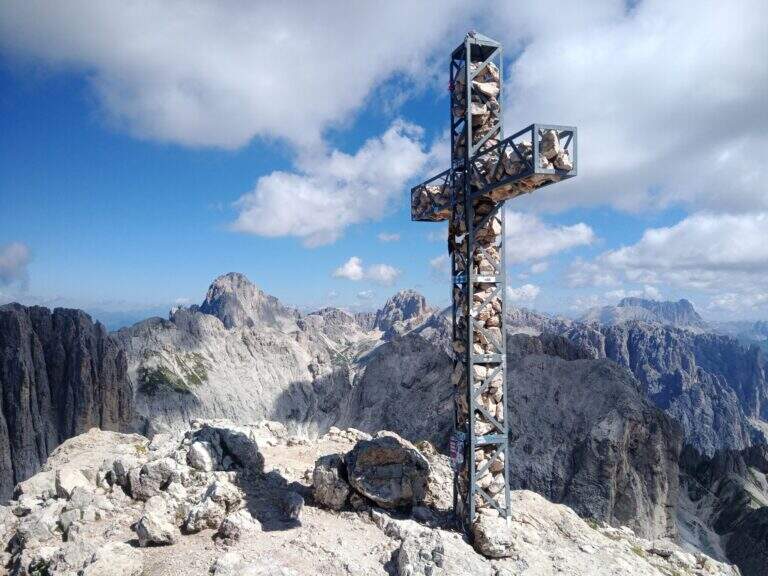
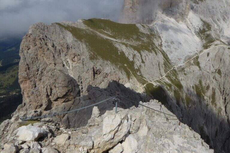
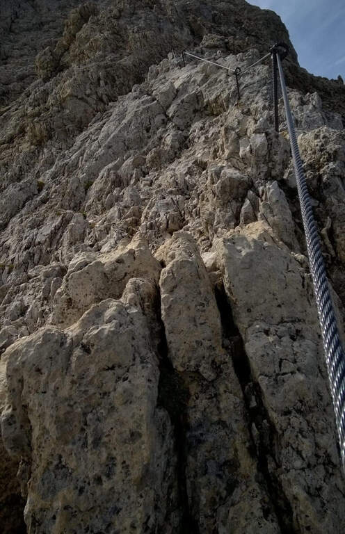
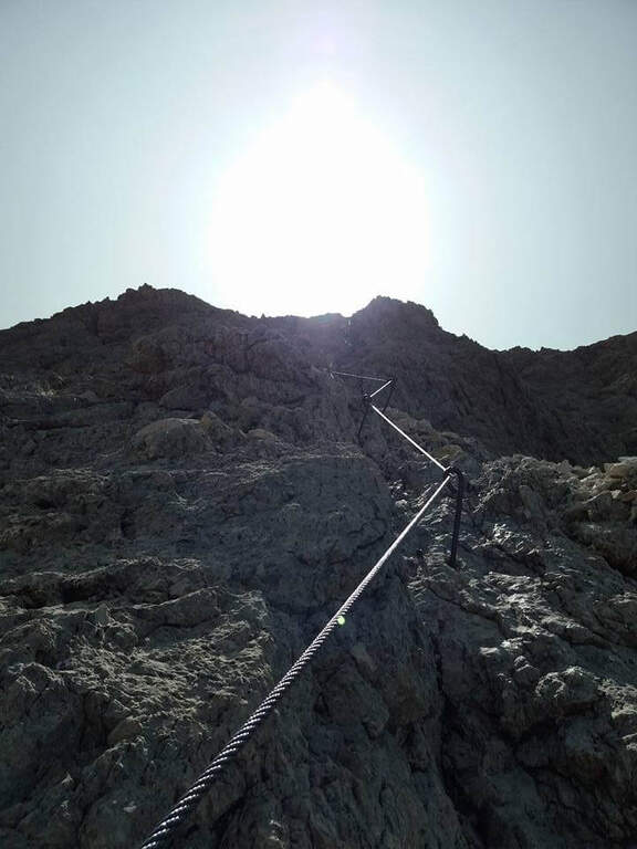
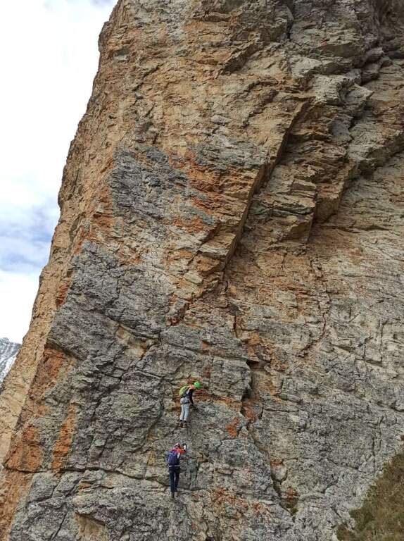
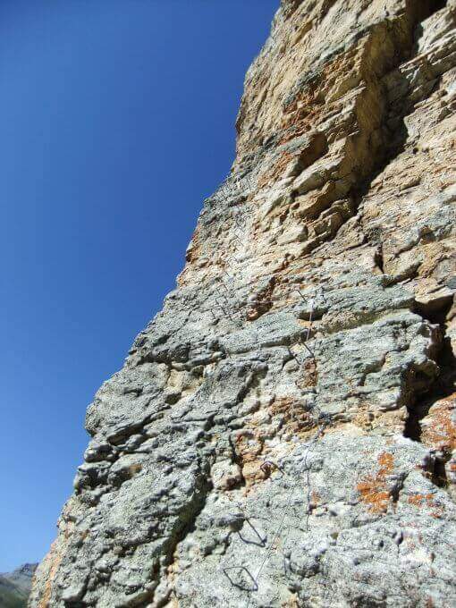
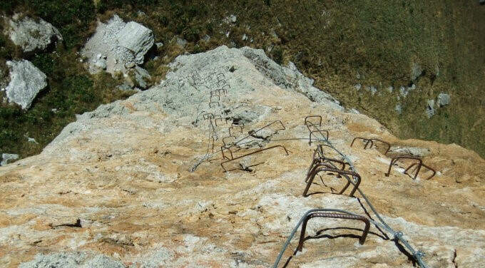
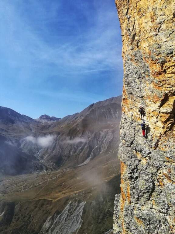
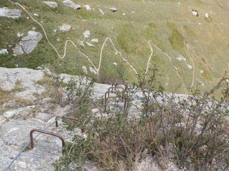
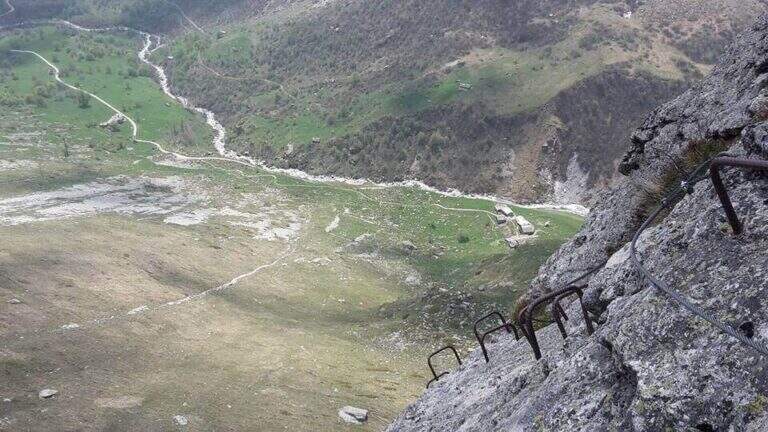
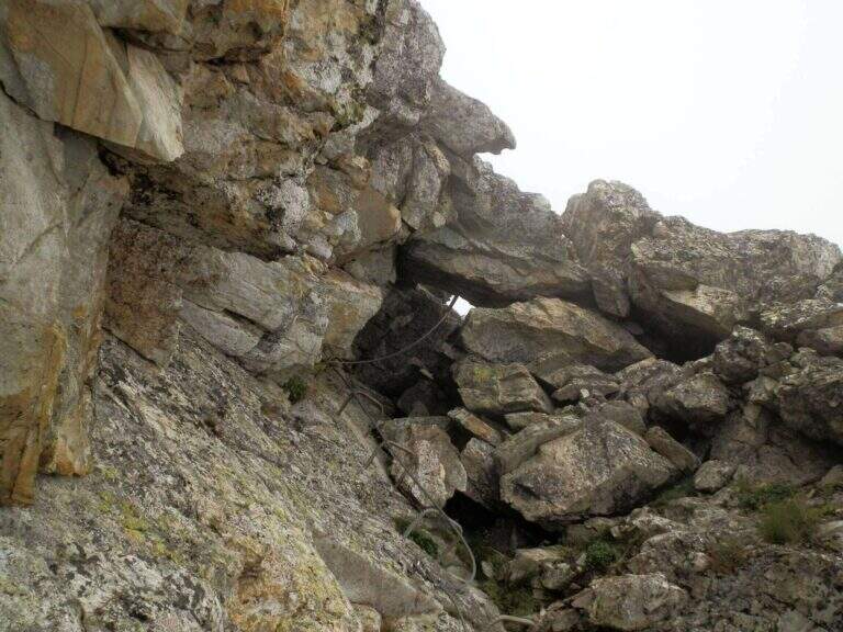
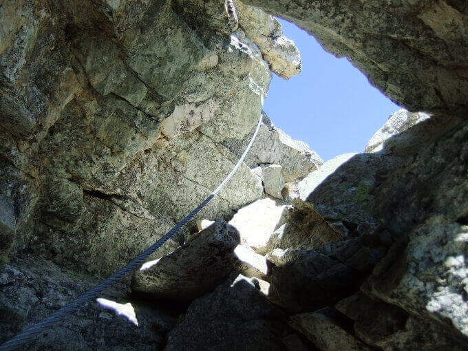
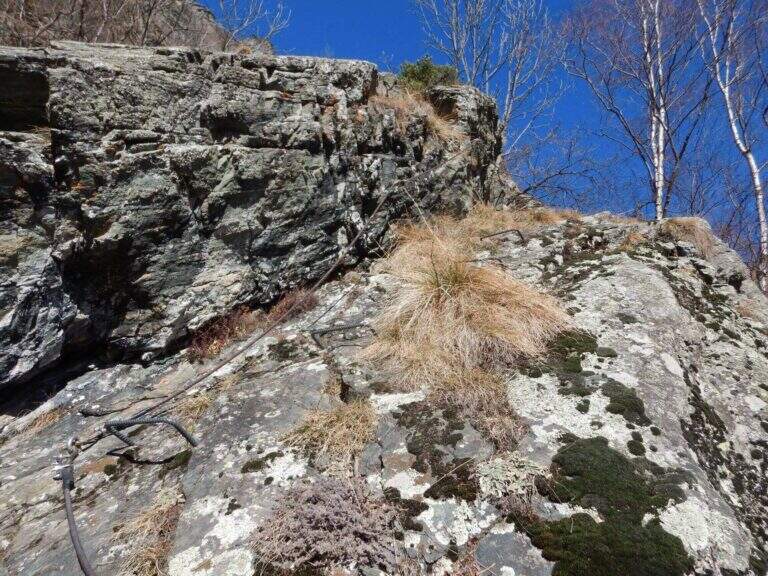
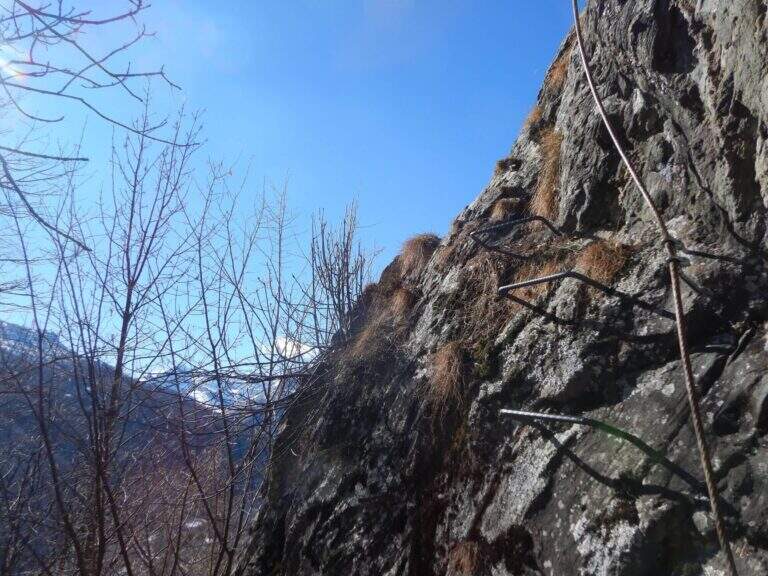
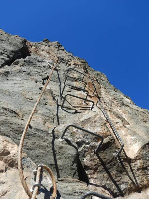
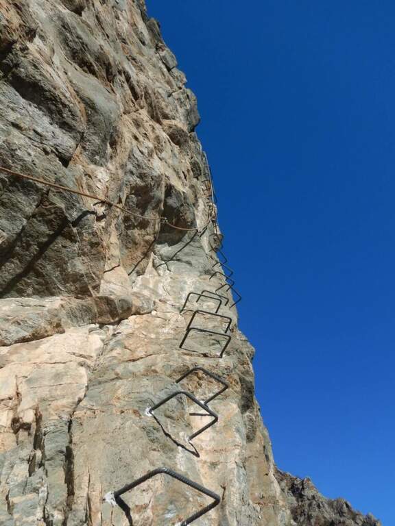
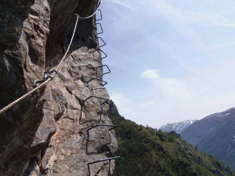
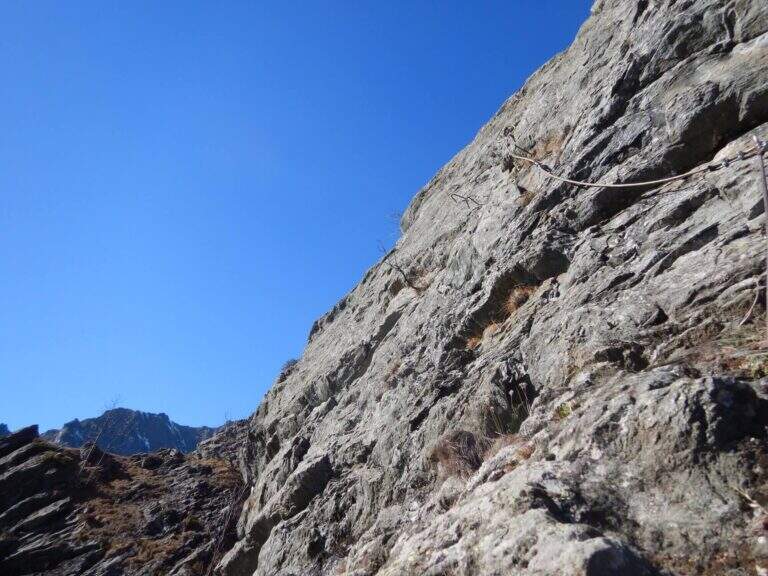
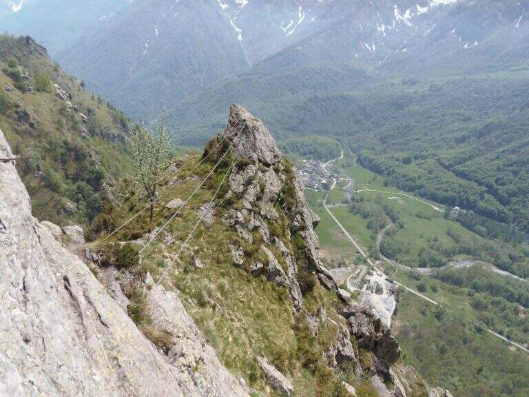
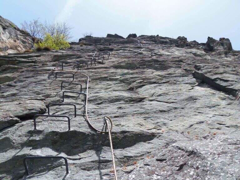
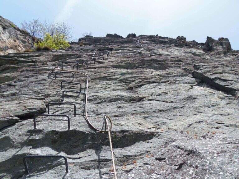
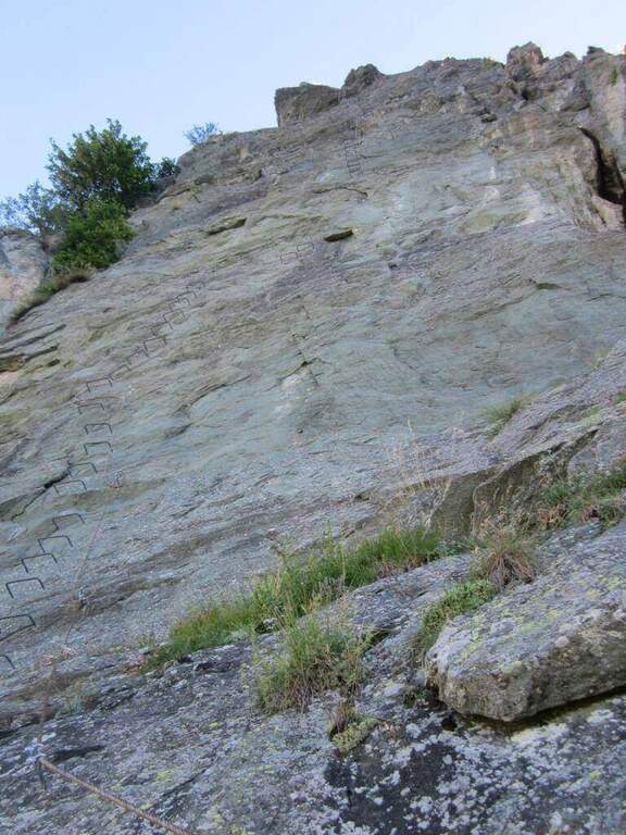
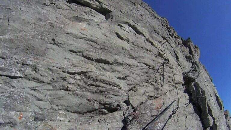
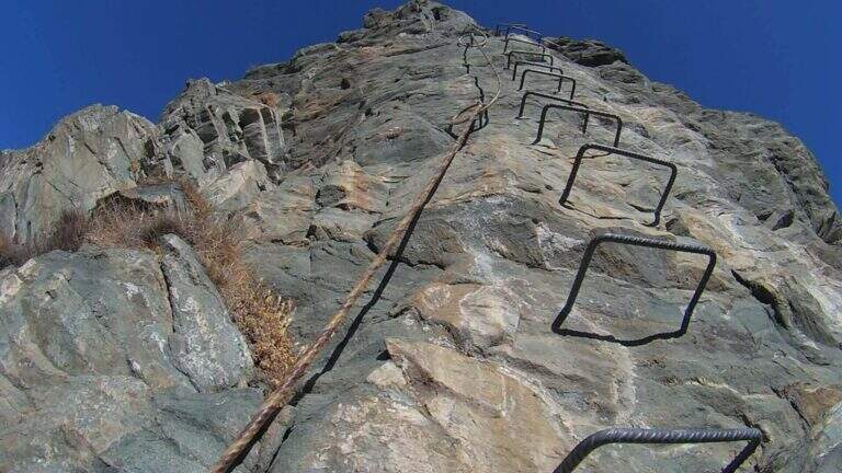
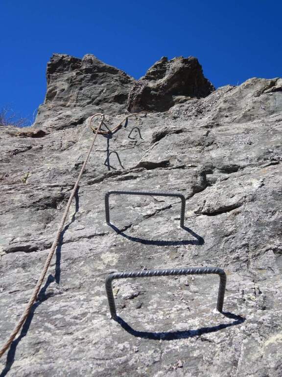
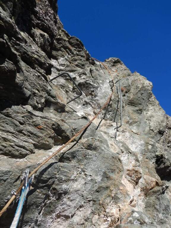
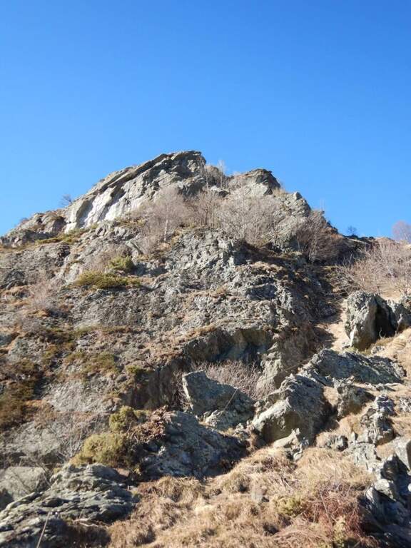
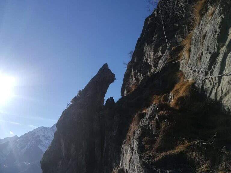
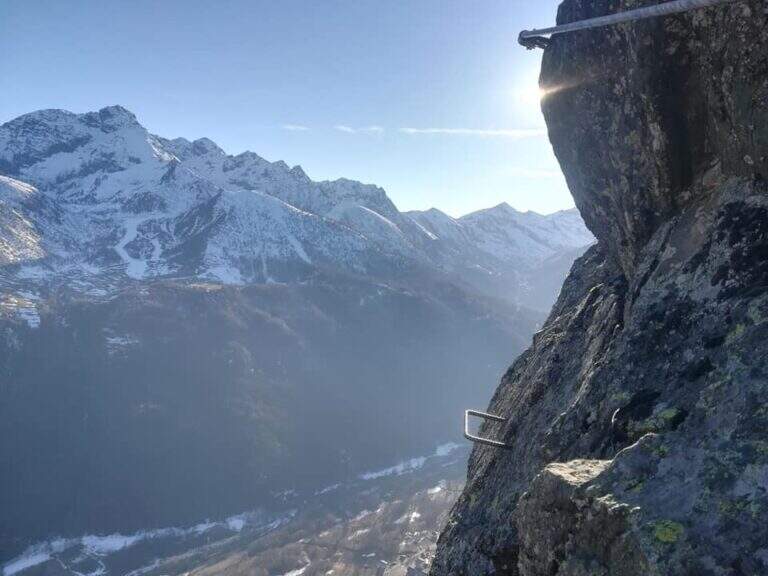
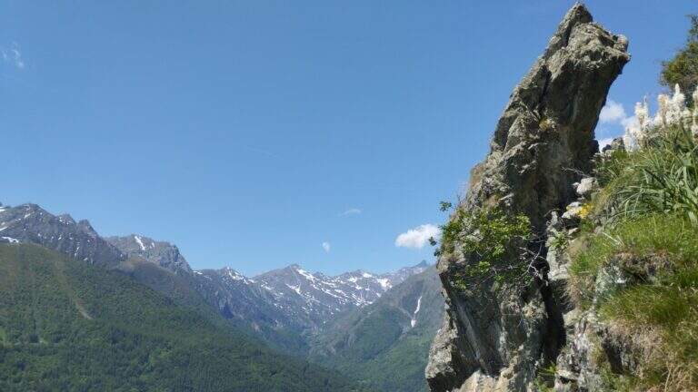
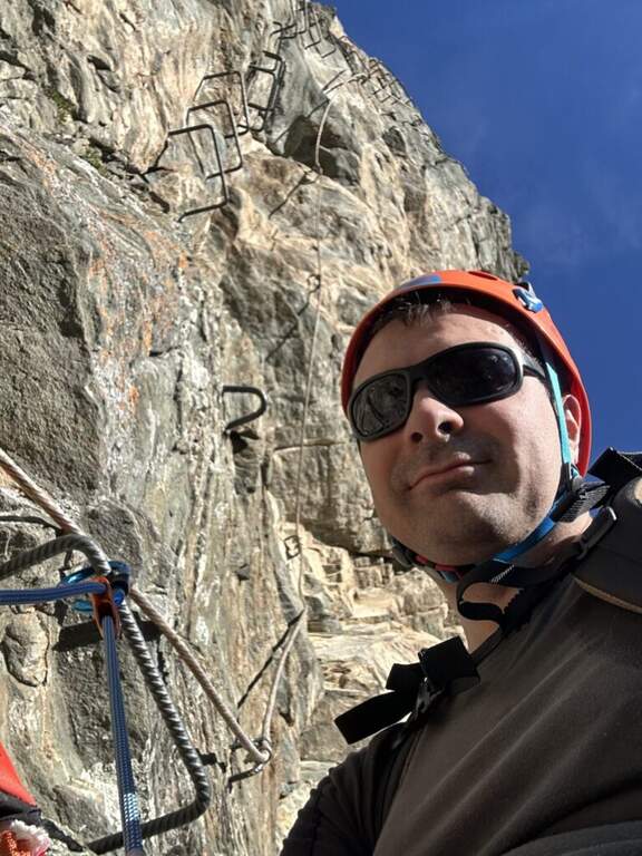
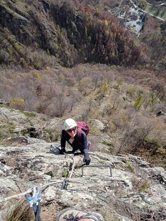
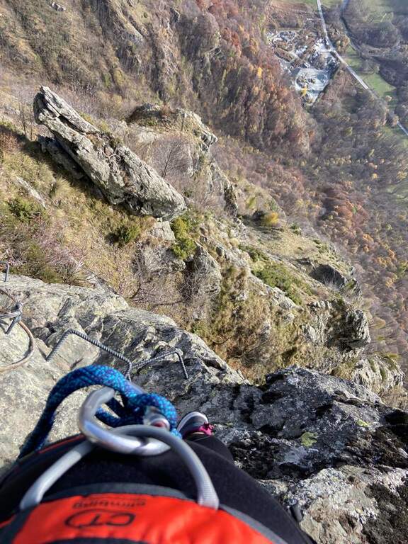
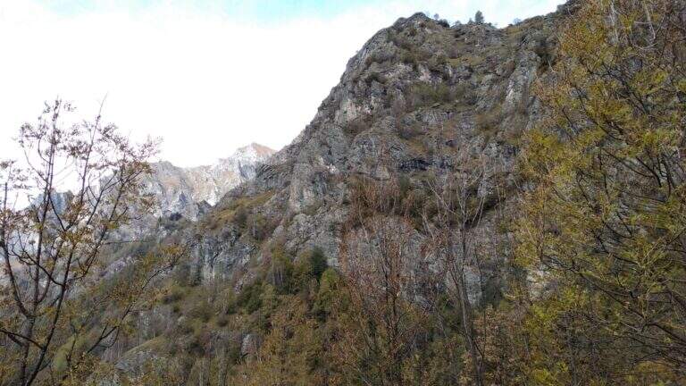
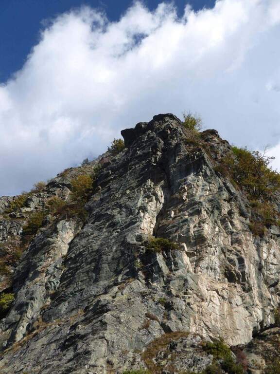
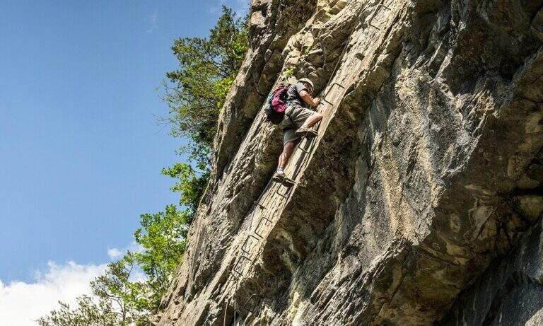
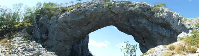
    The Ferrata Salvatori è a facile but aerial way, which faithfully follows the ridge from the Foce Petrosciana al Monte Forato (or Pania Forata), in the Apuan Alps. The low altitude makes it accessible most of the year; the famous natural arch of Monte Forato is worth the whole excursion alone.

    ▲Approach

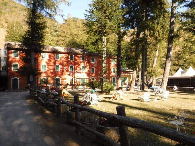
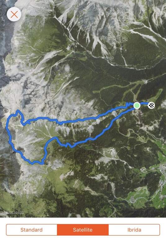
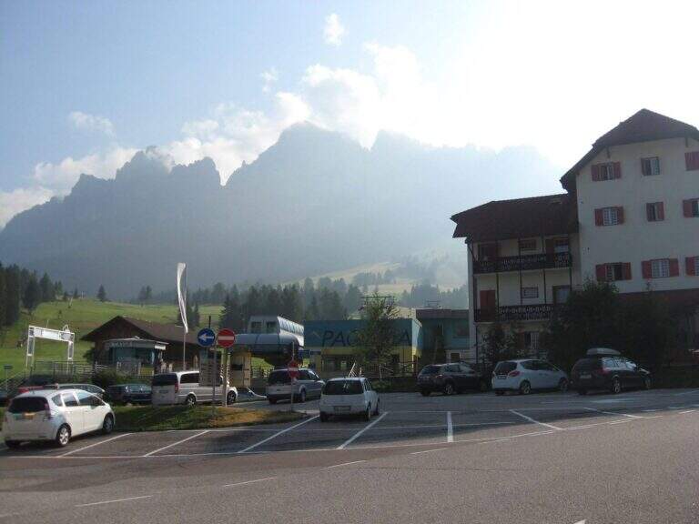
    Starting point l'Albergo Alto Matanna, in Garfagnana: from Lucca follow the SS 12, then Tenth and Pescaglia, cross the village of Pascoso and, at the indications for l' hotel, turn left on an asphalted road. Open road signs on Google Maps. From ', the hotel rises and soon after takes you to destra il CAI 109, remaining on the north wall of Mount Nona; you reach the Foce delle Porchette and, ignoring the deviations, continue straight on 109 until Foce di Petrosciana (1h 20' from parking).

    ▲The path

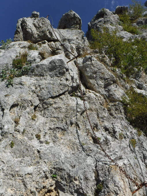
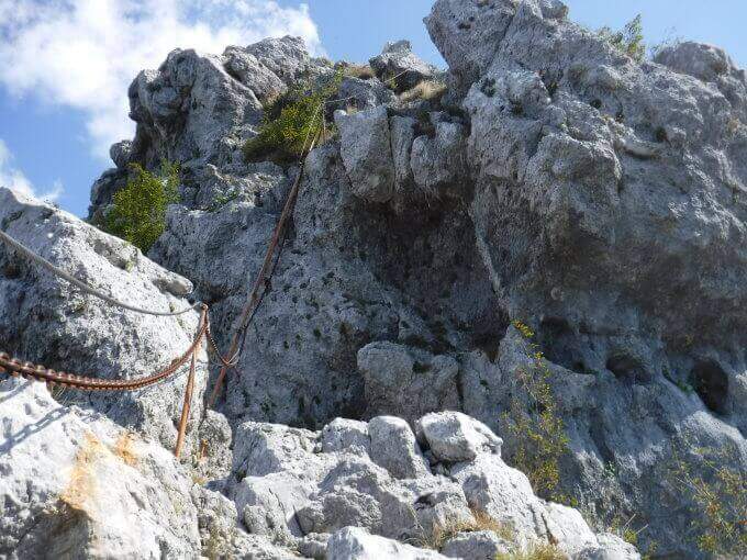
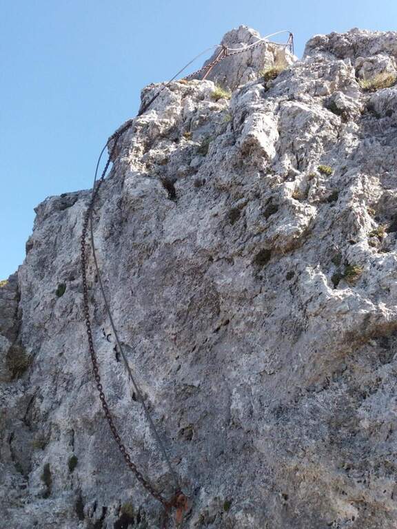
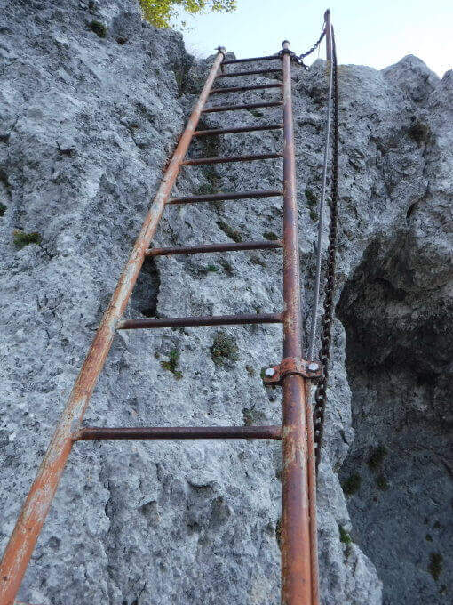
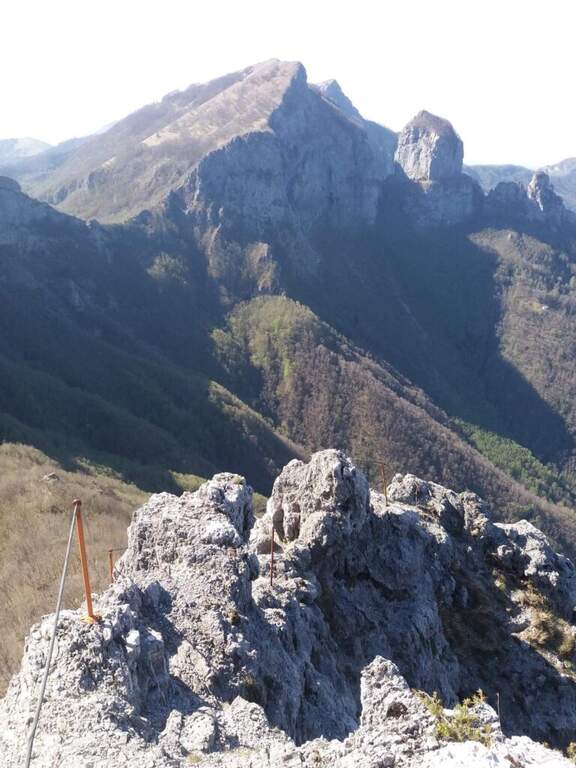
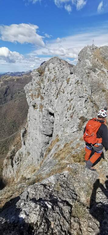
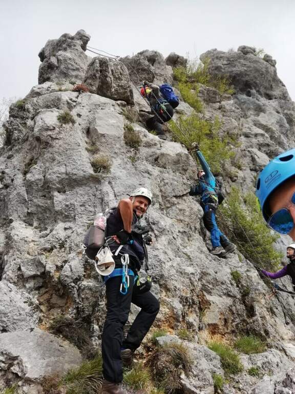
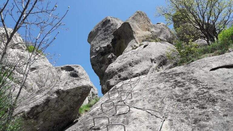
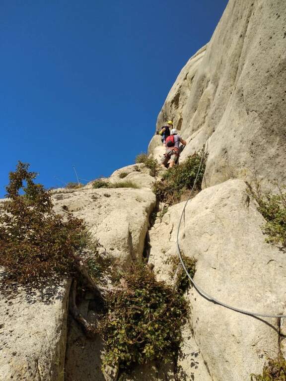
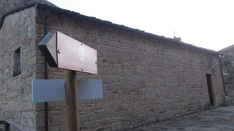
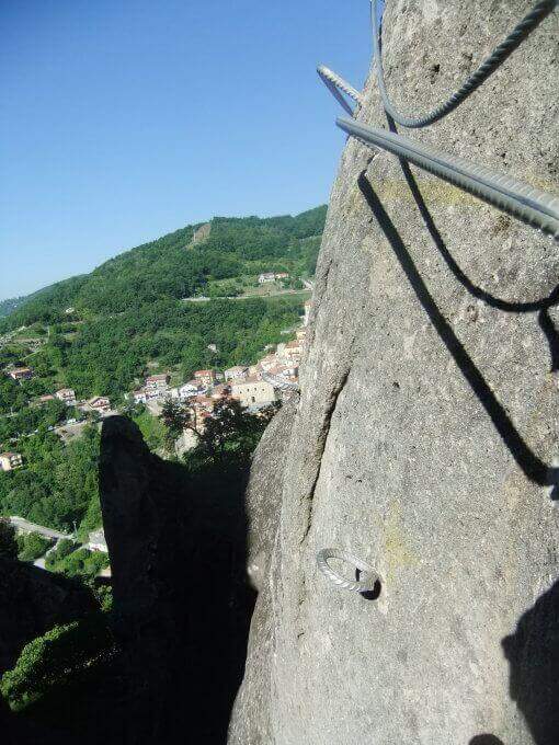
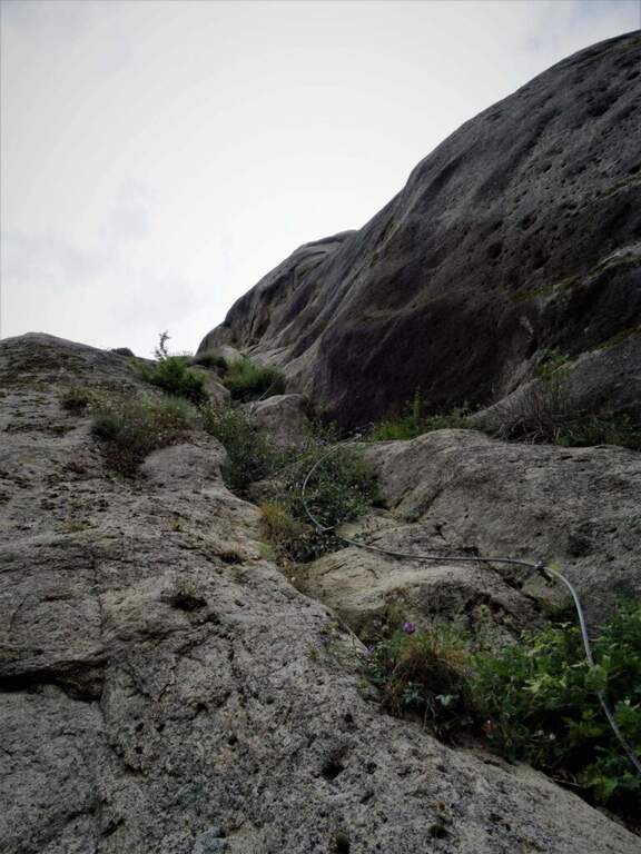
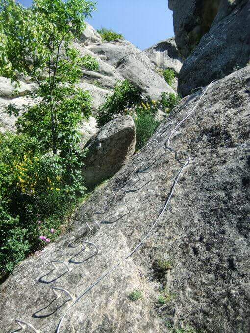
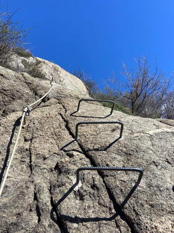
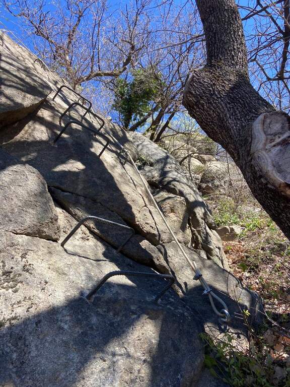
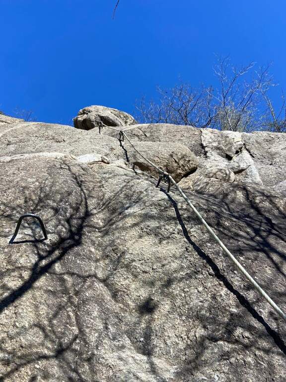
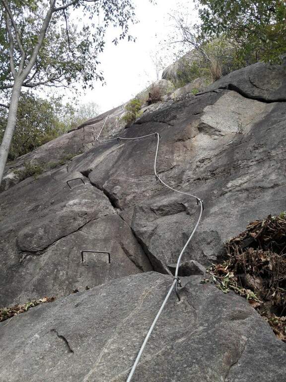
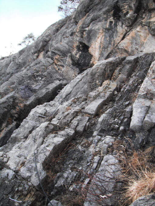
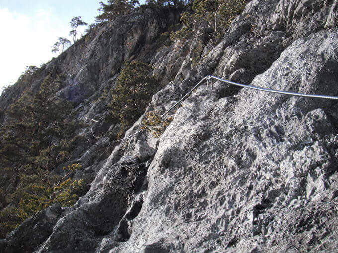
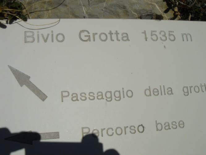
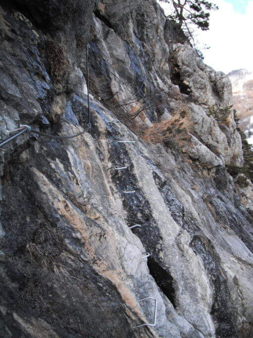
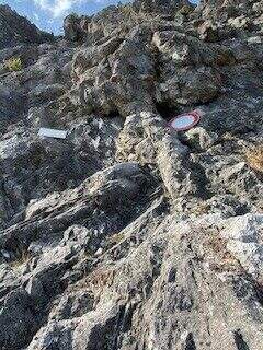
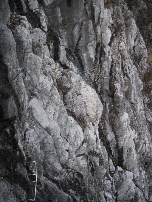
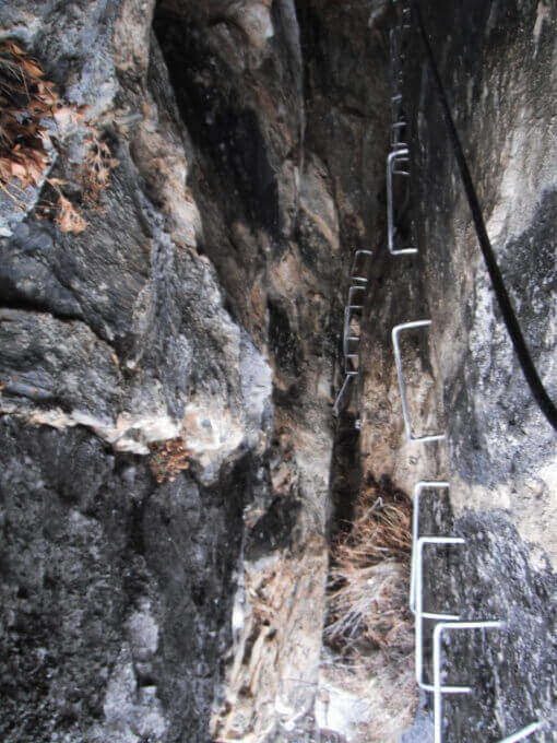
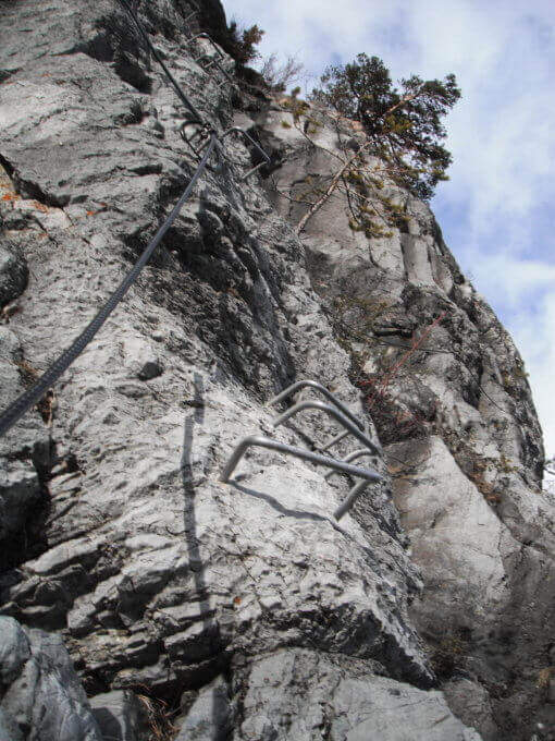
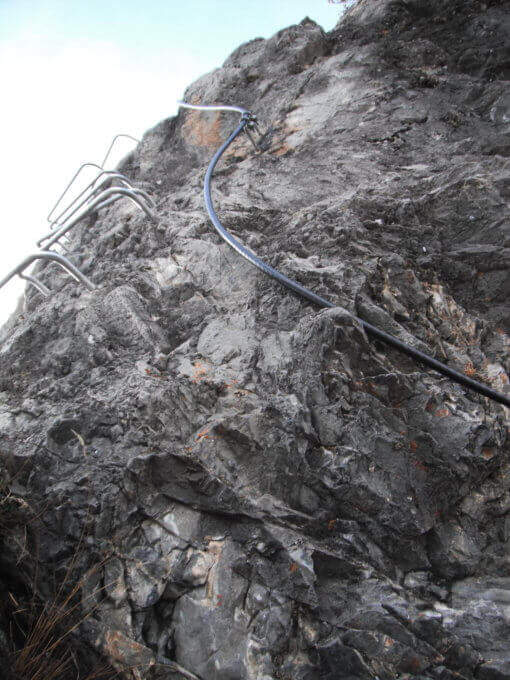
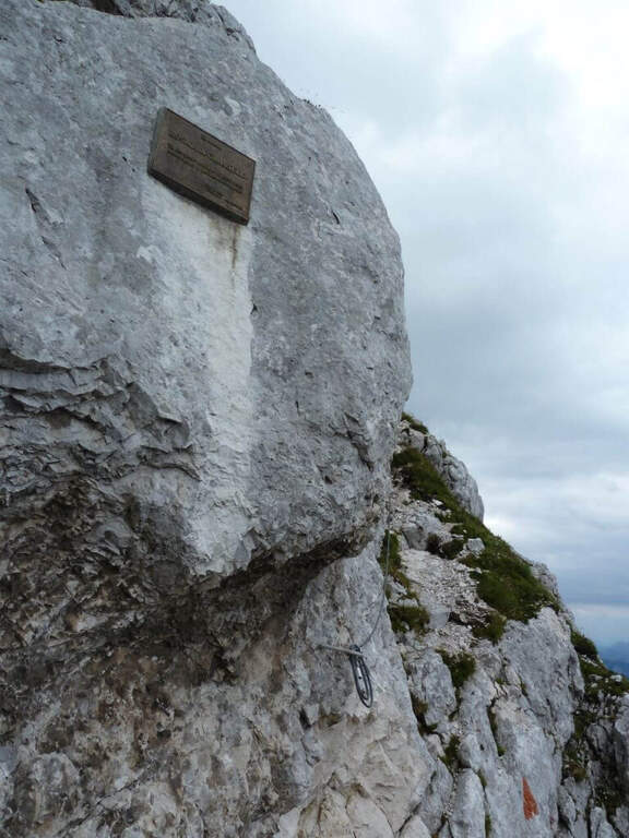
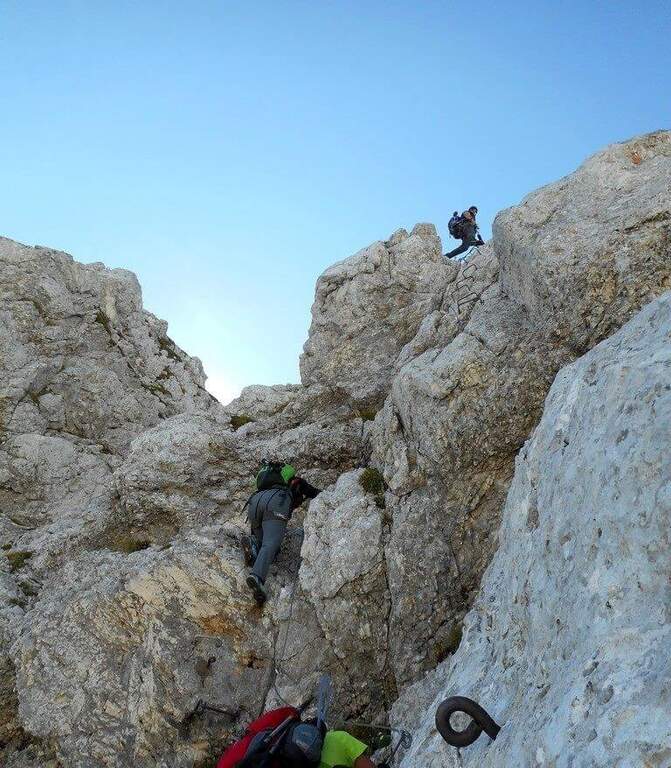
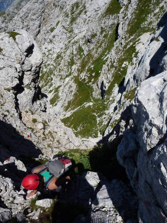
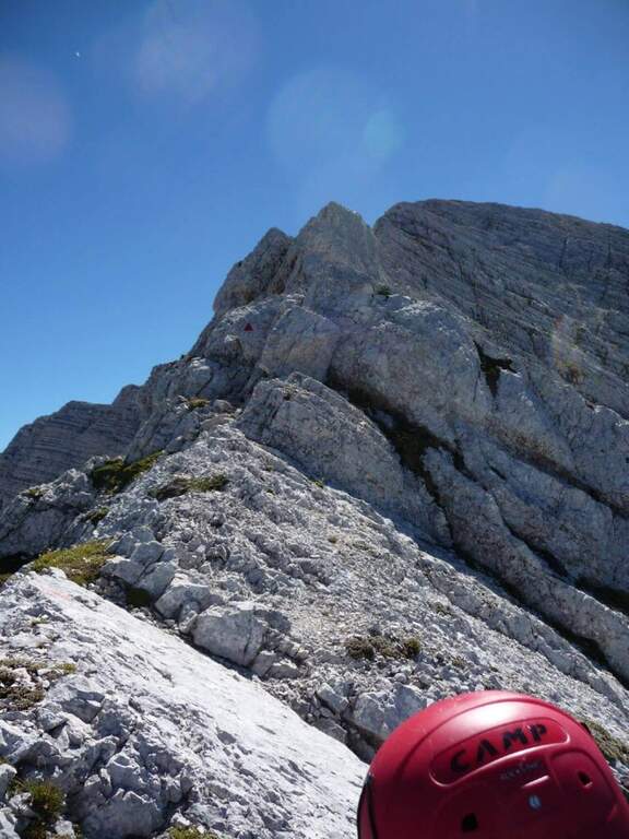
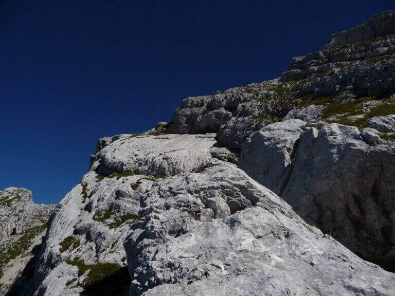
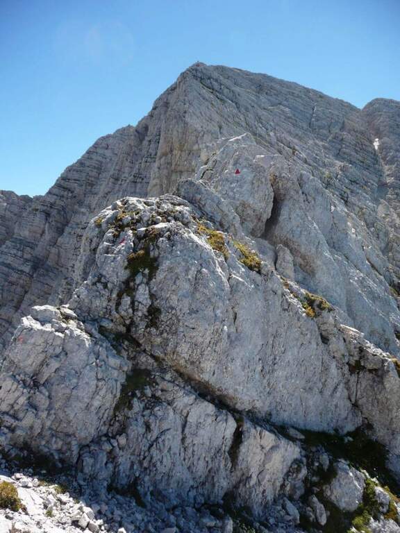
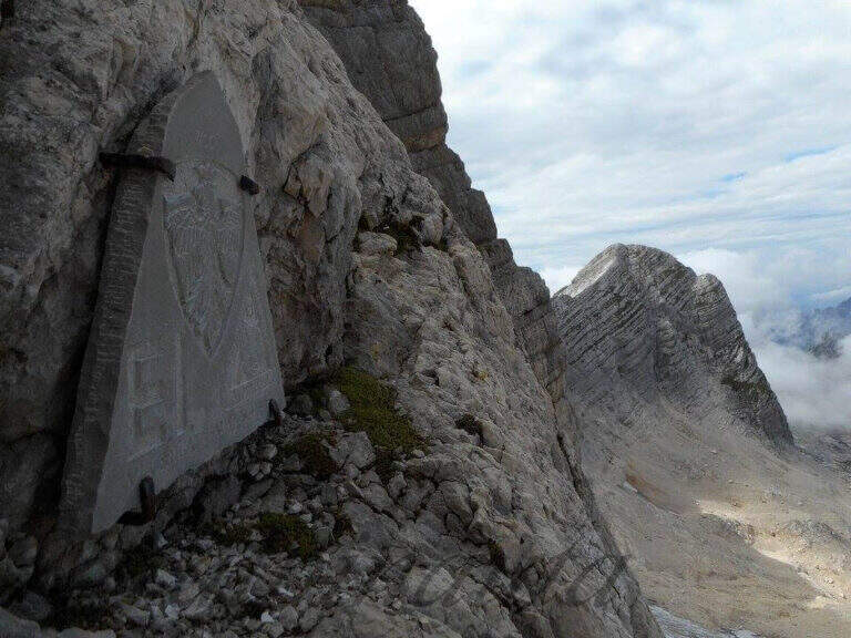
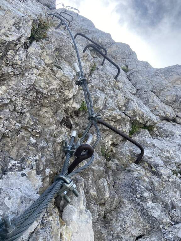
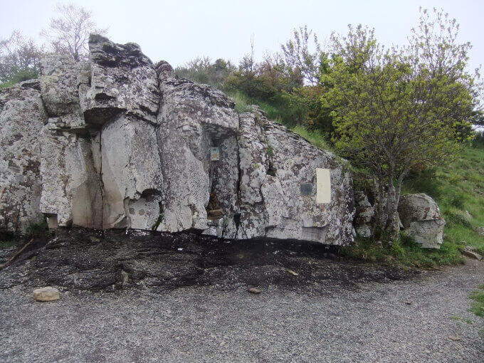
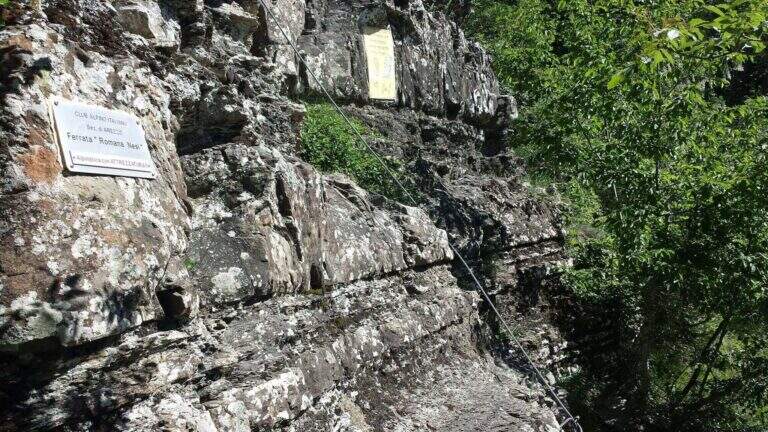
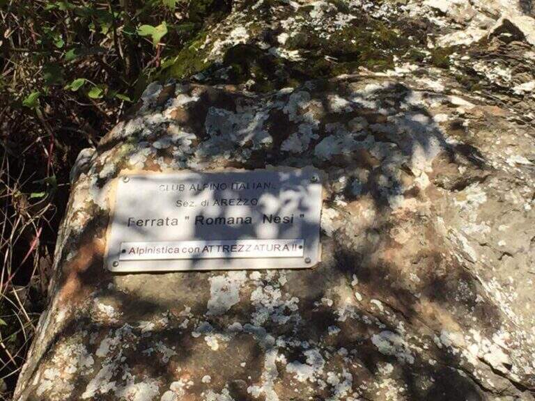
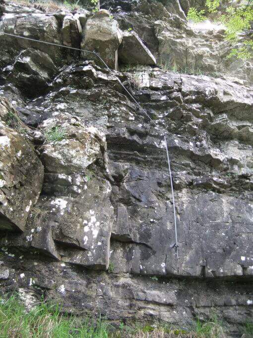
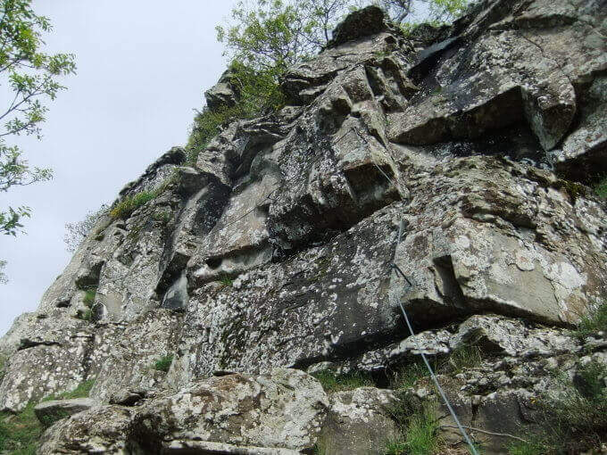
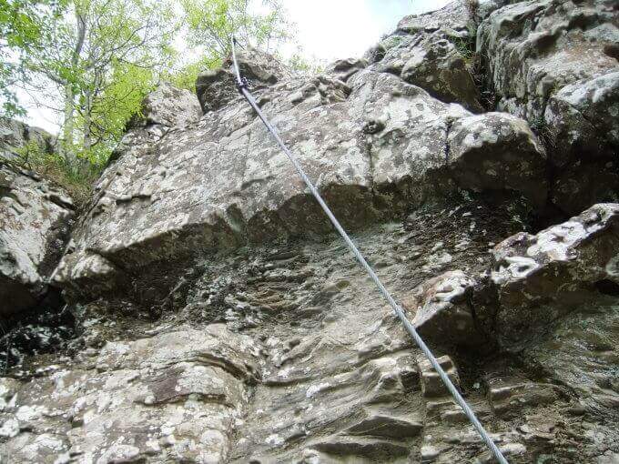
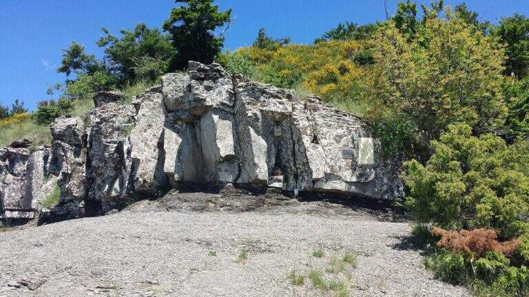
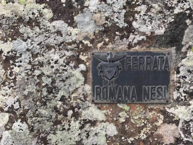
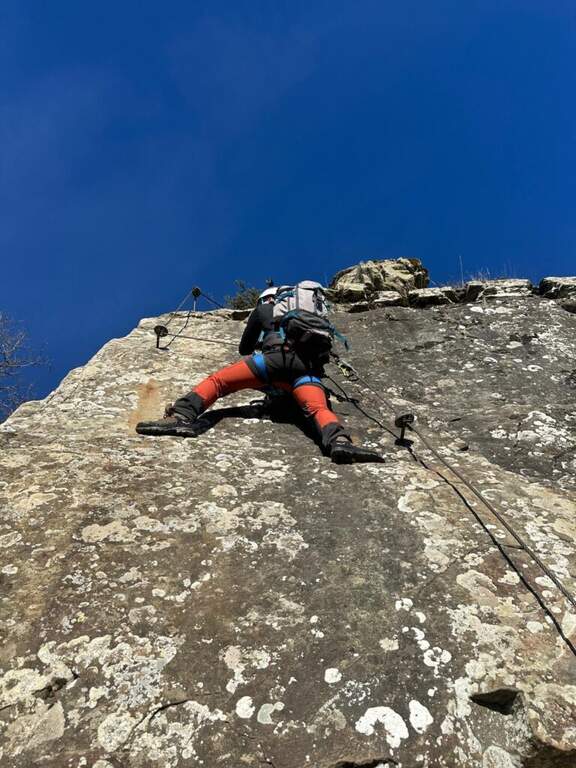
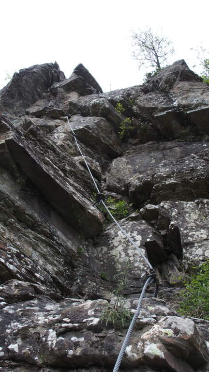
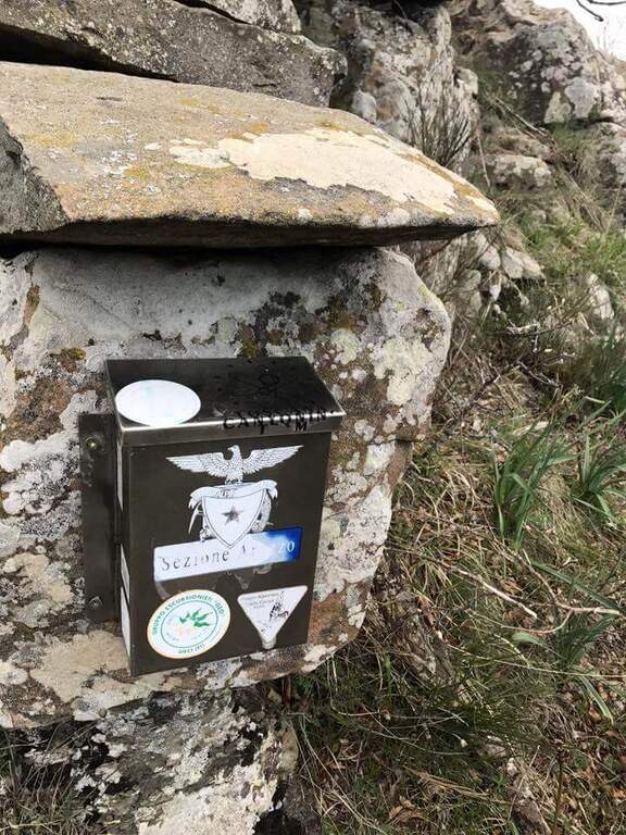
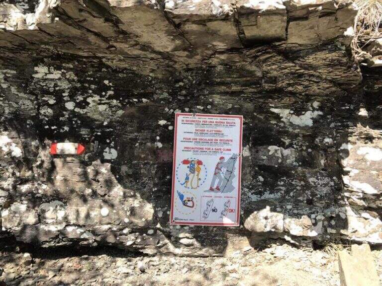
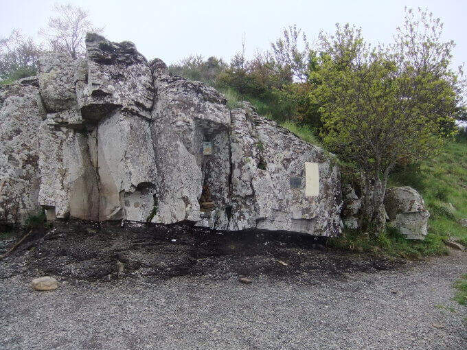
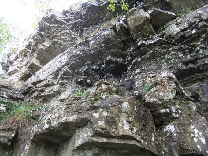
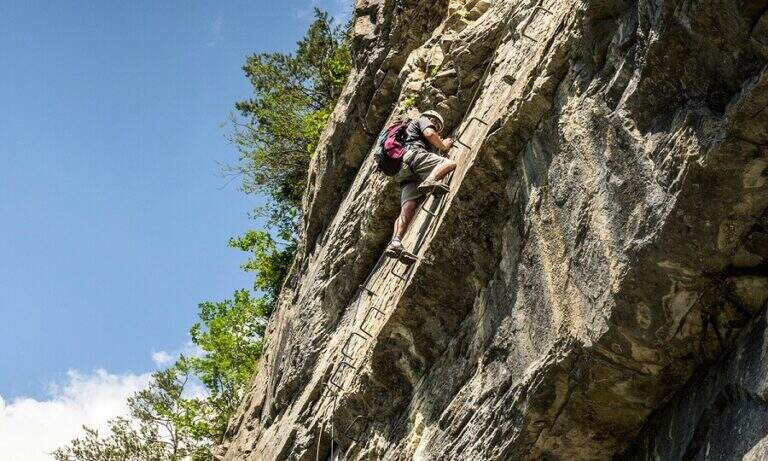
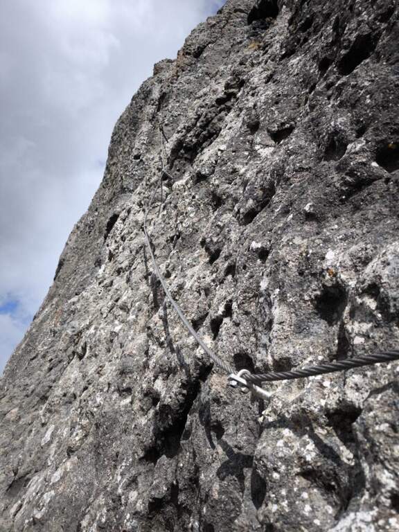
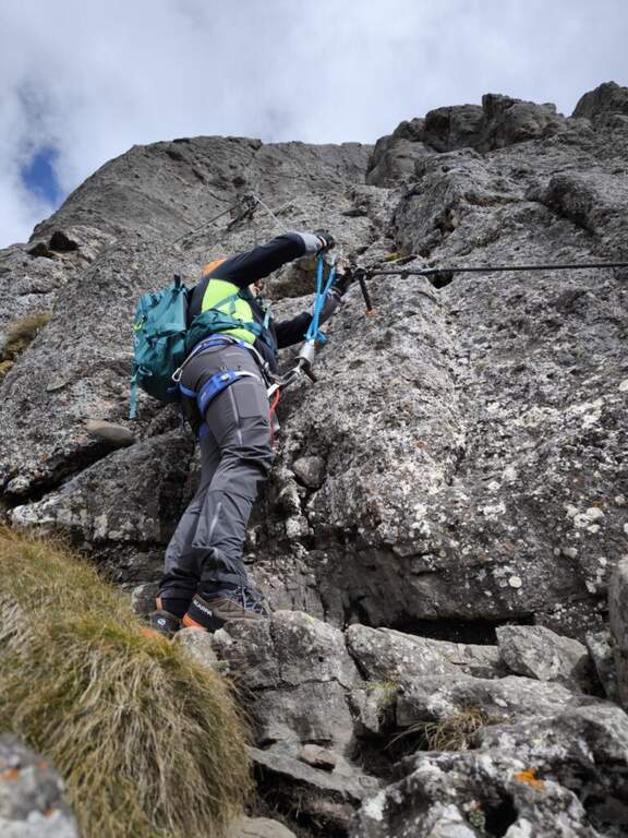
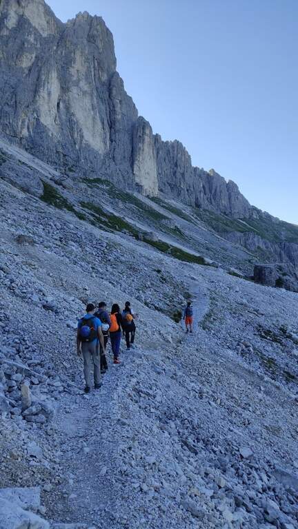
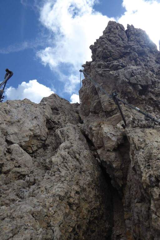
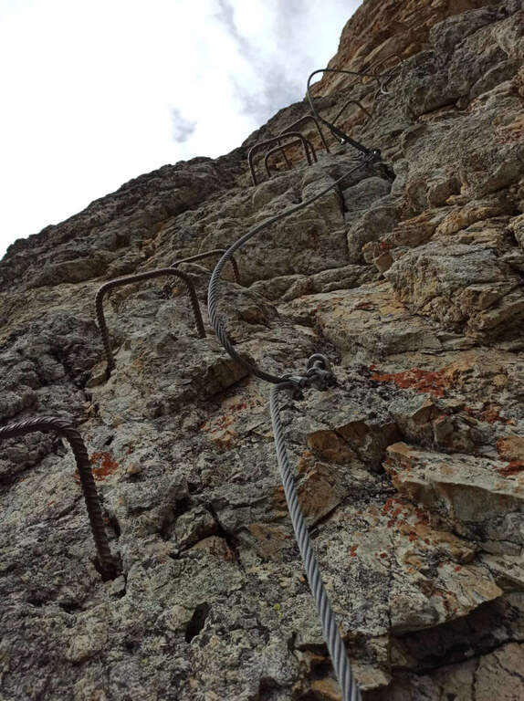
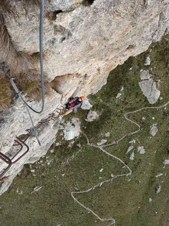
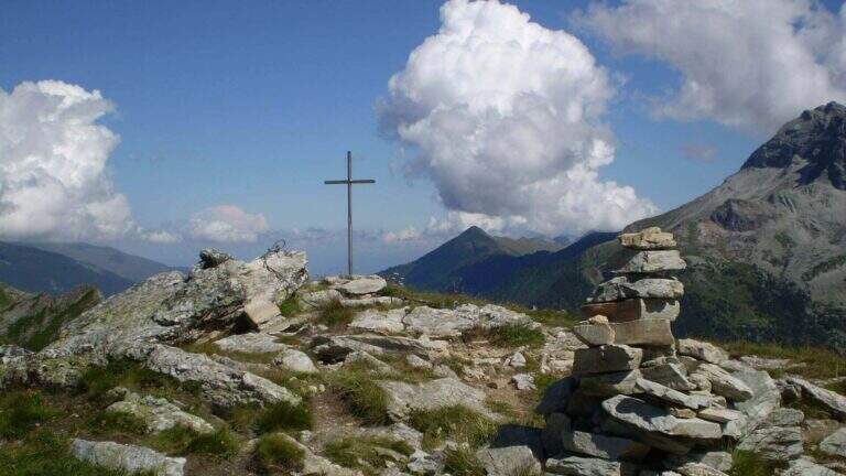
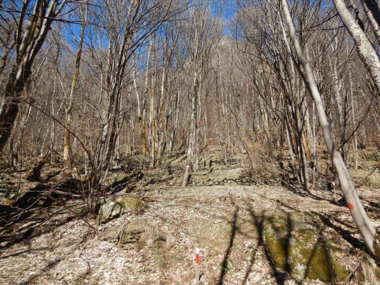
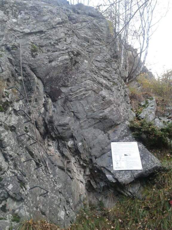
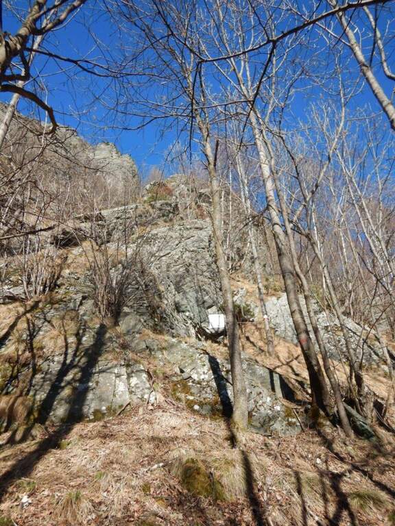
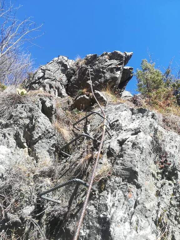
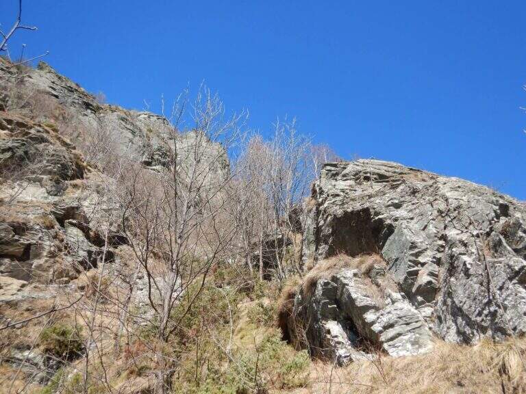
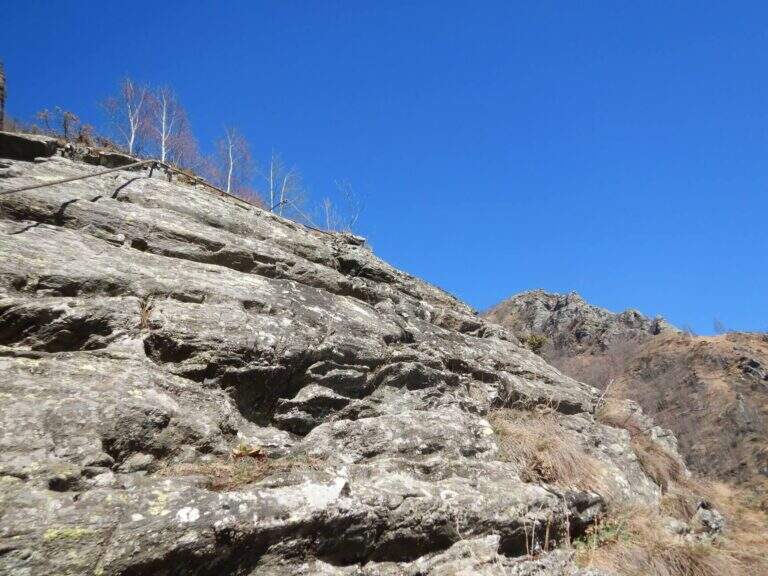
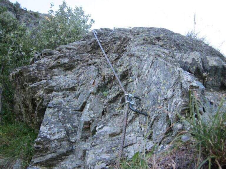
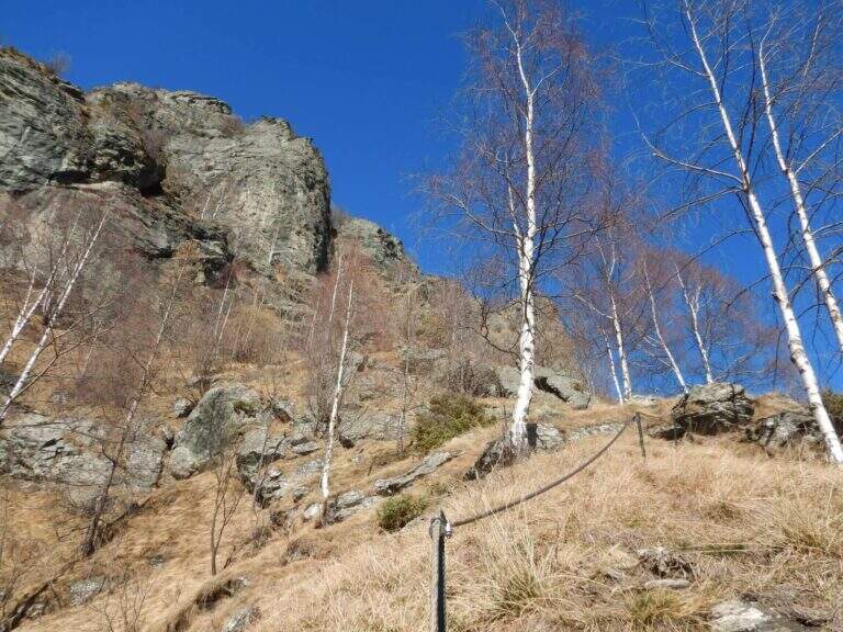
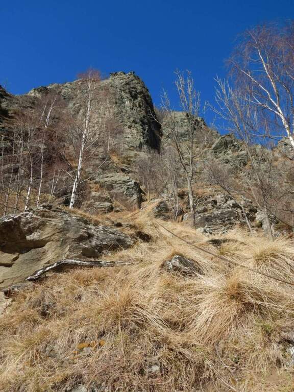
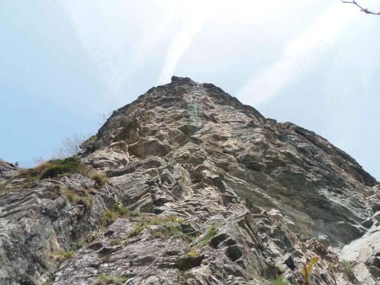
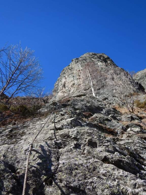
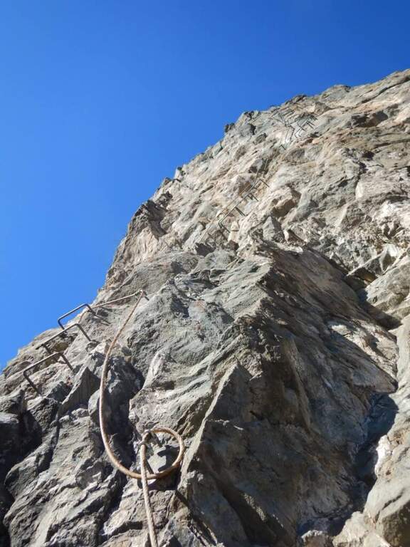
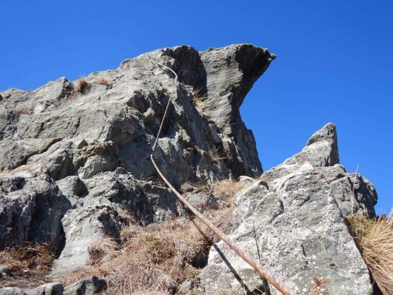
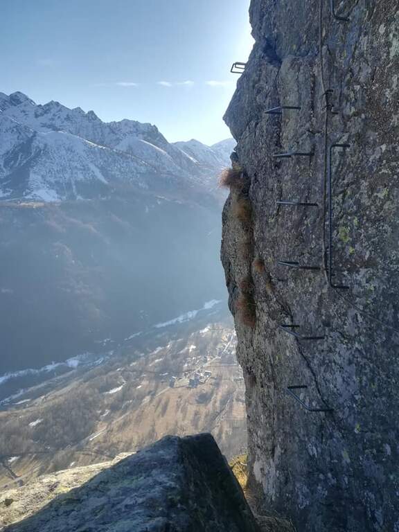
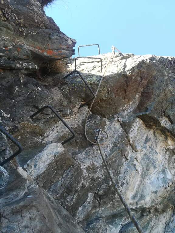
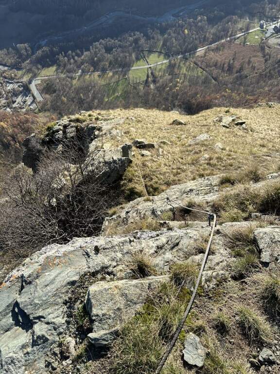
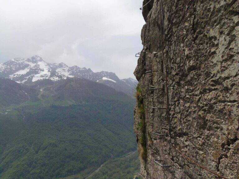
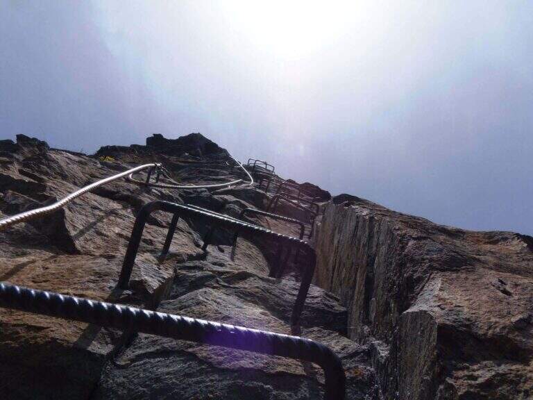
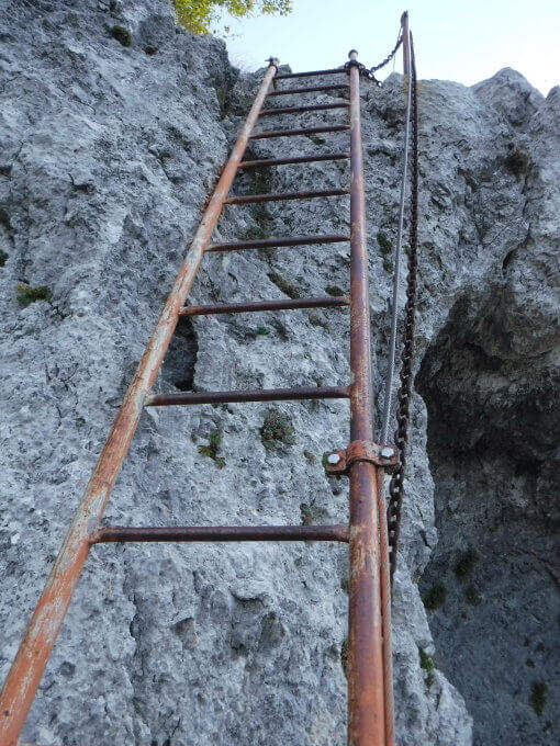
    Alla Foce di Petrosciana una targa in marmo indica il ripido accesso alla ferrata (si ignora il sentiero che costeggia in basso il crinale, percorso al ritorno). Si salgono facili roccette fino al primo cavo, che costeggia un traverso e porta a una via di fuga; proseguendo si raggiunge un gendarme roccioso da risalire su un esposto diedro attrezzato di 15 metri, che deposita su un piccolo piano da cui si riparte su una parete ripida con pochi appigli (passaggio chiave). Una scaletta di 5 metri chiude le difficoltà tecniche; da qui la via segue il filo di cresta, esposto ma mai difficile, fino al termine delle attrezzature. Per un'esile traccia si raggiunge la cima del Monte Forato / Pania Forata (50' dall'attacco / 2h 15' dal parcheggio).

    ▲Character and difficulty

    Overall facile, with only a few più passes; technicians in the initial part (the dihedron and the wall of the key passage); the rest è aerial crest. From the ' arc of the Forata Pania è it is possible to make a double rope descent. Named Renato Salvatori, vice-president of the CAI of Forte dei Marmi; installed in' autumn 1977, inaugurated in 1978 and renewed in 1998.

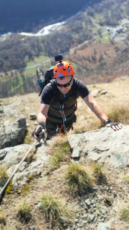
    ⚠ Although easy, the route takes place on exposed ridge: indispensable harness, helmet and ferrata kits; attention with wet rock or strong wind.
    ▲Period and safety

    Low altitude (maximum 1150 m): large part of the year with dry rock.

    ▲Discipline

    Si scende dal lato garfagnino per circa 40 metri fino al marcato CAI 110, che si percorre a ritroso verso l'attacco della ferrata (20' dal termine); da qui si segue a ritroso il sentiero dell'andata fino all'auto (3h 45' totali). In alternativa si può salire da Fornovolasco (Grotta del Vento) per il CAI 6, che risale il torrente Caraglione passando per la grotta «La tana che urla» fino alla Foce di Petrosciana.

    ▲To match

    Concatenate well with the neighbor Ferrata del Procinto (the combined route is described in the report of the Procinto).
    ▲Gallery
    Technical data
    • DifficultyEasy
    • RegionTuscany
    • GroupApuan Alps
    • Approach1:20 h
    • Ferrata0:50 h
    • Itinerary (a/r)3:45 h
    • Hardware level difference400 m
    • Route difference420 m
    • Max1150 m
    • Length9,4 Km
  • Ferrata Salemm (Dolomiti Lucane)

    Ferrata Salemm (Dolomiti Lucane)

    Vie Ferrate › Basilicata › Power
    Ferrata Salemm (Dolomiti Lucane)
    Moderately Hard● OpenDescriptionComplexityMapsGallery

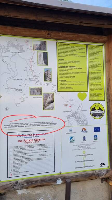
    . Seasonal closure. For on-site sign the Ferrata Salemm non è from 1° February to 31 May: program l' exit out of this period and respect the signs.

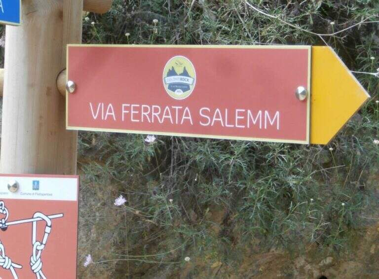
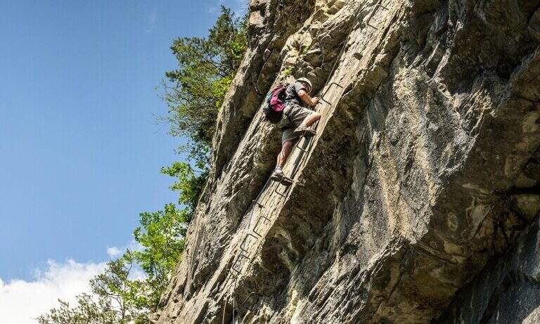
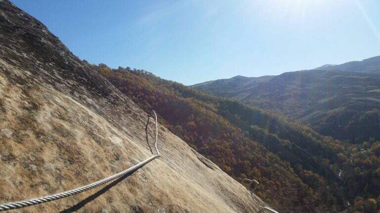
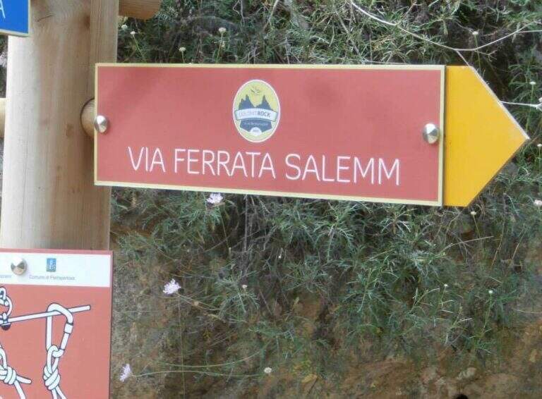
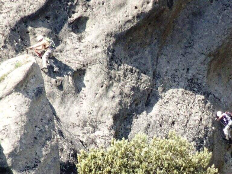
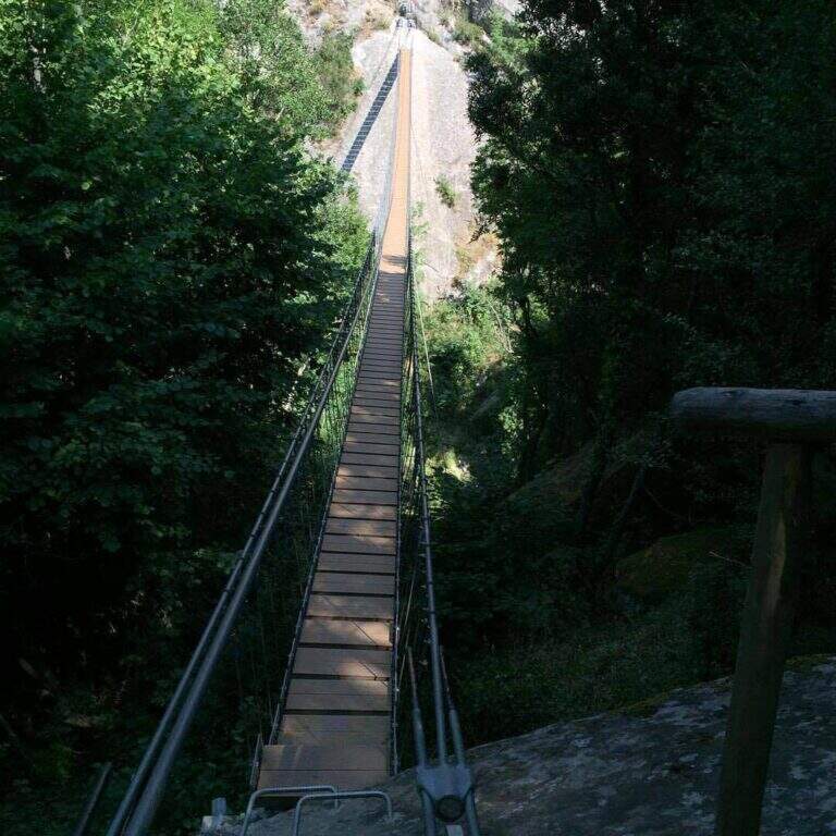
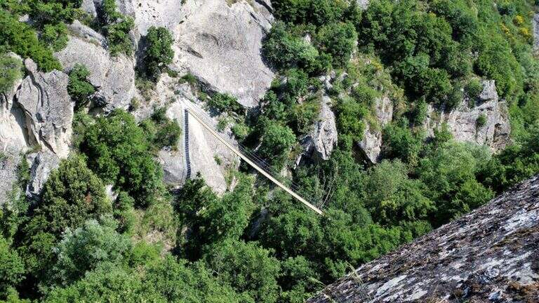
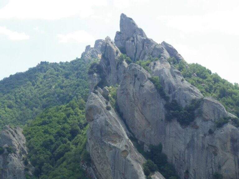
    The Ferrata Salemm ` a difficult way; moderate in the Dolomiti Lucane, on the side of Castelmezzano. It unfolds in a spectacular setting of sandstone gushes and is può chainring with the nearby Ferrata Marcirosa, which starts from the side of Pietrapertosa.

    ▲Approach

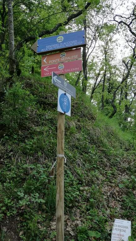
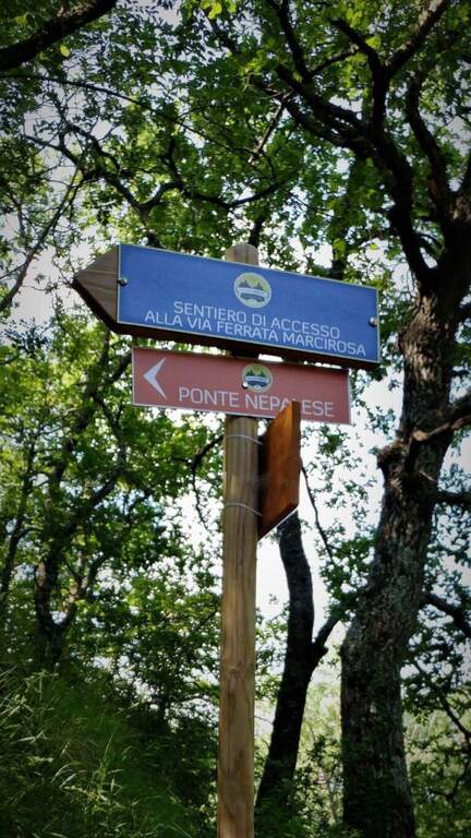
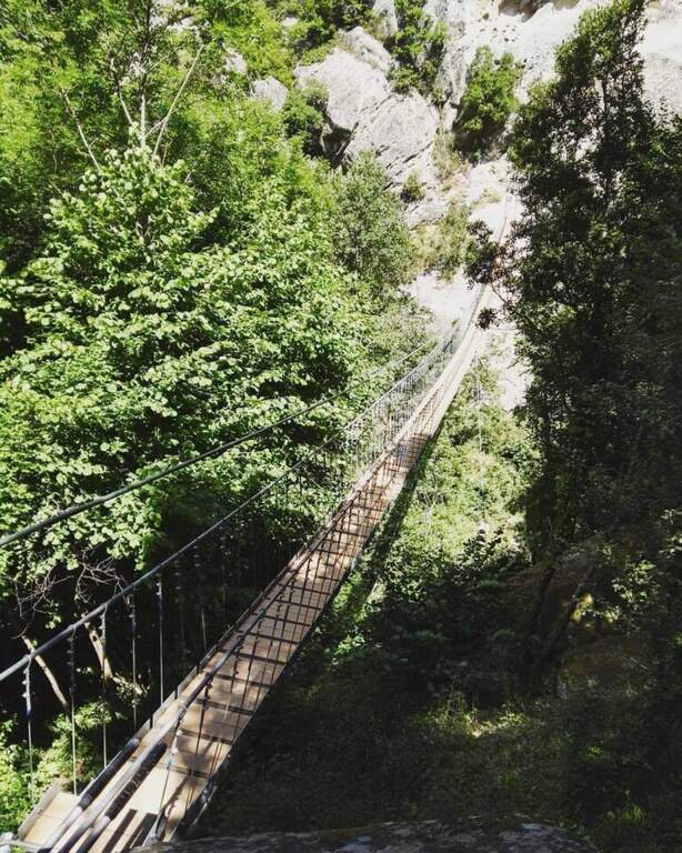
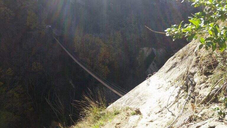
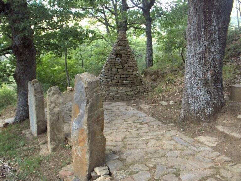
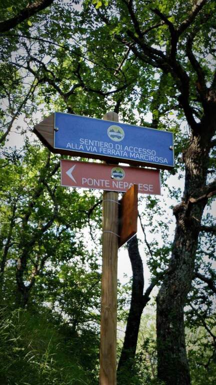
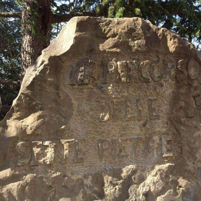
    Starting point Castelmezzano (PZ), reachable from Potenza (SP 13) or from the Apulian side. You park at the cimitero and take the Sentiero delle Sette Pietre towards the Roman bridge. Open road signs on Google Maps. From the Roman bridge there is the sinistra (and still left at the next junction), along the Caperrino stream on the left side (on the right you would go to the Ferrata Marcirosa and the Nepalese bridge); in about 45' from the bridge you will arrive at ' attack (1h from the Roman bridge). Those who want to walk first the ponte nepalese follows for the Marcirosa and, at a signposted junction, keeps the left towards the long bridge, then a stretch of linking ferrata on the right, with discreet exposure, up to a stone building all' start of the road.

    ▲The path

    Dopo qualche facile tratto di sentiero attrezzato si incontra una parete appoggiata con abbondanti cambre; ci si sposta a sinistra e si sale una parete verticale ben staffata fino a una rampa inclinata a sinistra, un facile canalino e qualche placchetta. Si prosegue su placche appoggiate verso un rilievo, poi, dopo un tratto di sentiero, si affronta una parete liscia e verticale con un esposto traverso orizzontale a sinistra, che termina in discesa su sentiero. Si sale un breve balzo, si passa sotto un masso appoggiato e si percorre un'affilata cresta in discesa, con traversi e balzi, fino alla chiesetta del Santo Sepolcro, dove c'è una via di fuga segnalata. La via prosegue verso Castelmezzano con un bel traverso orizzontale, impegnativo, lungo una gola rocciosa, con staffe e pioli per mani e piedi: lo si percorre in discesa, prima sotto un tetto poi in crescente esposizione verso sinistra, con qualche stacco verticale, fino al termine (2h dall'attacco / 3h totali).

    ▲Character and difficulty

    Moderate difficulty in a very panoramic environment. Along the way two marked escape routes.

    ⚠ The rock è particularly friable and poor of stickers: difficult and unsafe after recent rains. In addition to the seasonal closure (1° feb – 31 mag), well evaluate the conditions of the rock.
    ▲Period and safety

    Recommended season summer and autumn (out of the closing period). Avoid with wet rock.

    ▲Discipline

    From the term, a path leads to a dozen minutes on an asphalted road (via Peschiere), on the outskirts of Castelmezzano; from lì you return to the center and you reach the cimitero (30' from road / 45' from term / 3h 45' total).

    ▲To match

    L' più exit; rewarding è l'anello with Ferrata Marcirosa, leaving the car at the cemetery of Castelmezzano: Seven Stones to the Roman bridge, Marcirosa to Pietrapertosa, return to the Roman bridge, crossing the suspended bridge and finally the Salemm to Castelmezzano. About 1h 15' drive, in Sasso di Castalda, la Ferrata dell'Arenazzo e la Ferrata del Belvedere.

    ▲Gallery
    Technical data
    • DifficultyModerately Hard
    • RegionBasilicata
    • GroupDolomiti Lucane
    • Approach1:00 h
    • Ferrata2:00 h
    • Itinerary (a/r)3:45 h
    • Hardware level difference215 m
    • Route difference250 m
    • Max909 m
    • Length2 Km
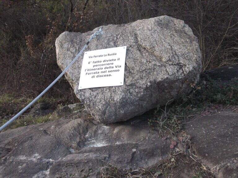
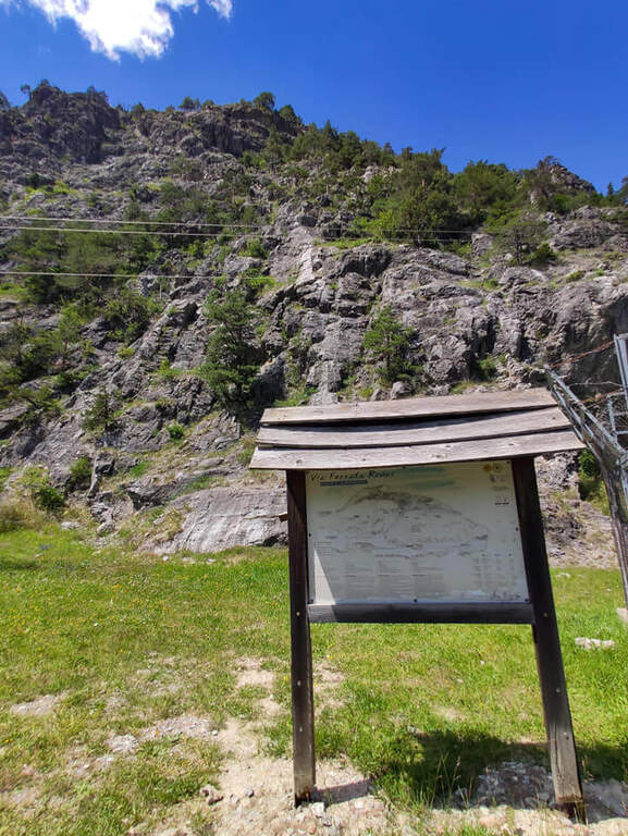
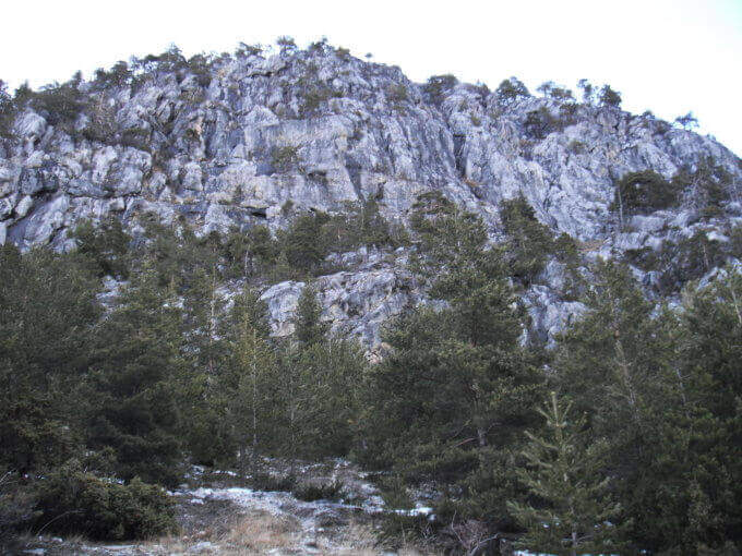
  • Ferrata della Ruceia in Condove

    Ferrata della Ruceia in Condove

    Vie Ferrate › Piedmont › Turin
    Ferrata della Ruceia in Condove

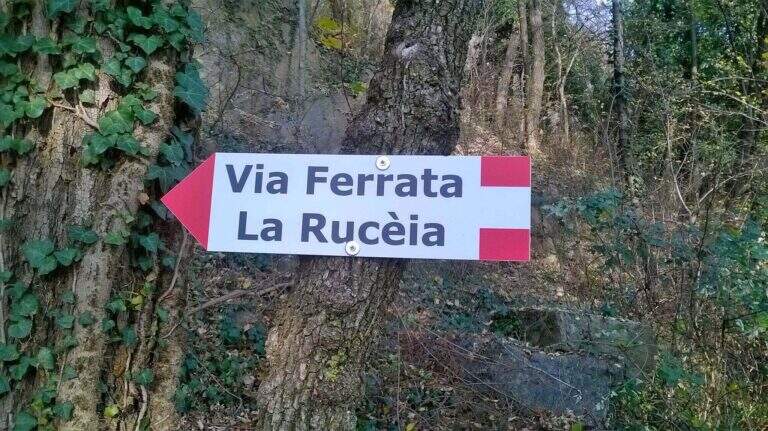
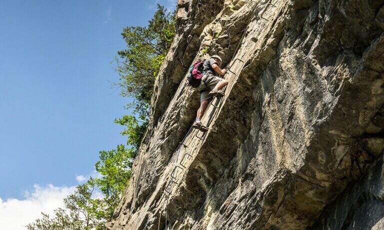
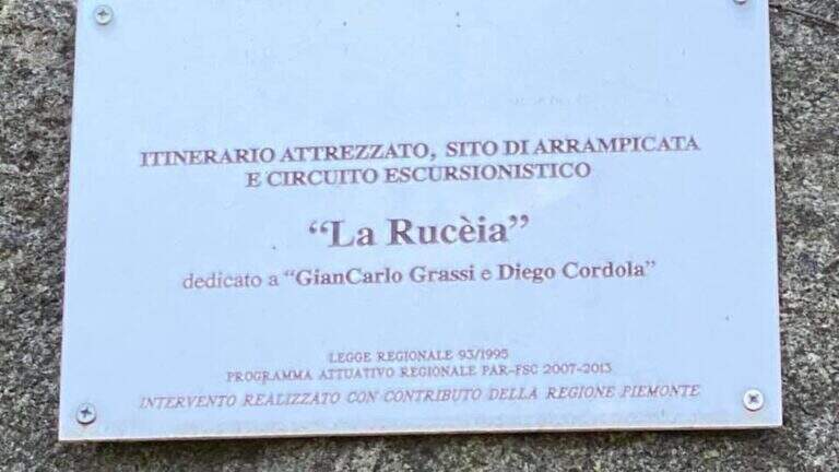
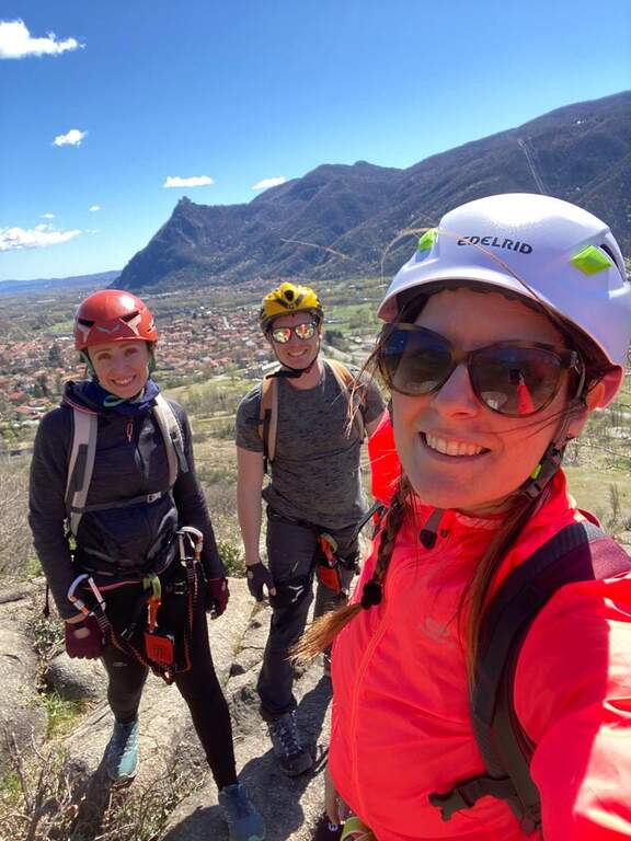
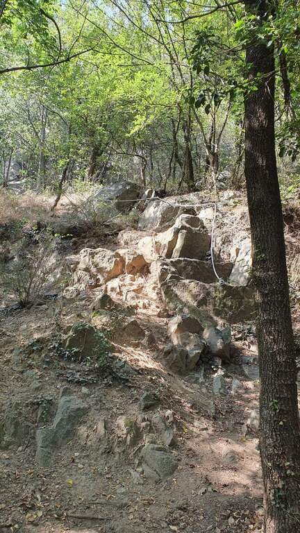
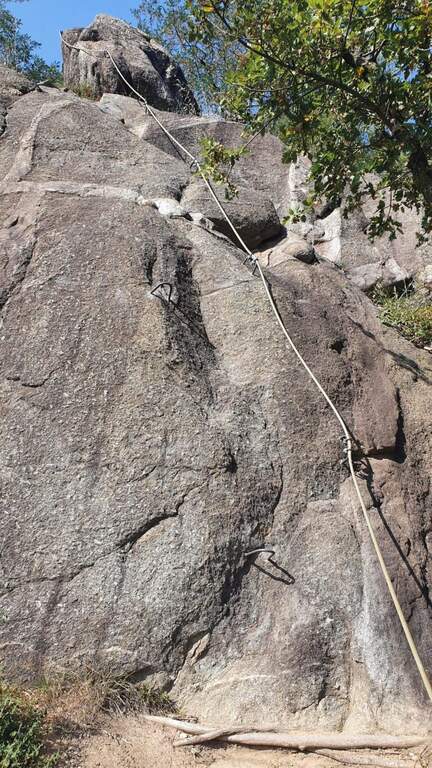
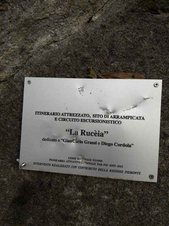
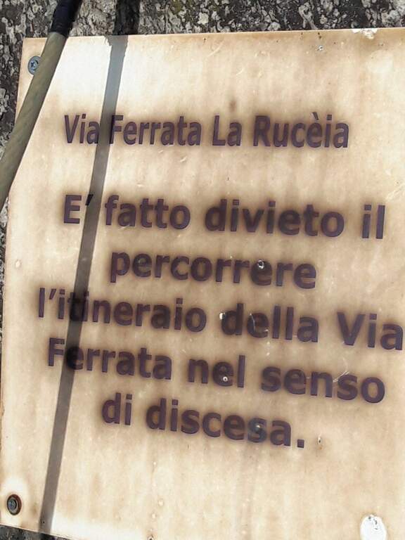
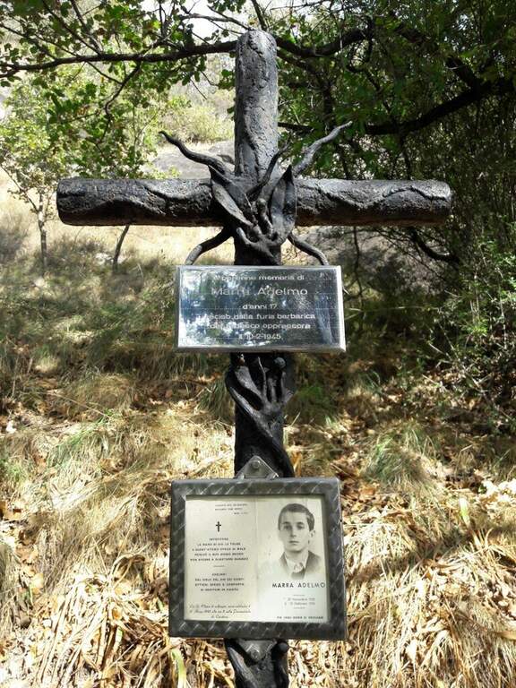
    The Ferrata della Ruceia è a recent street and facile, great to approach the neophytes to the equipped routes. It is divided into areas connected by path, no one with difficulty; of relief, è pleasant, short and accessible practically all l' year. È dedicated to alpinists Gian Carlo Grassi and Diego Cordola.

    ▲Approach

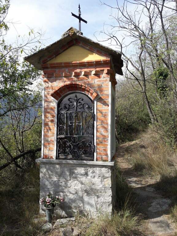
    Starting point the village of Condove (TO): cross the bridge over the creek Gravio and park immediately after, at l' equipped area and the adventure park on the creek. Open road signs on Google Maps. Follow the dirt road that runs along the adventure park and, in the woods, leads to l' attack (10' parking ).

    ▲The path

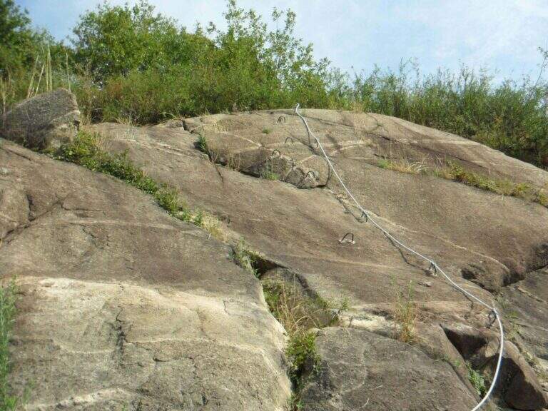
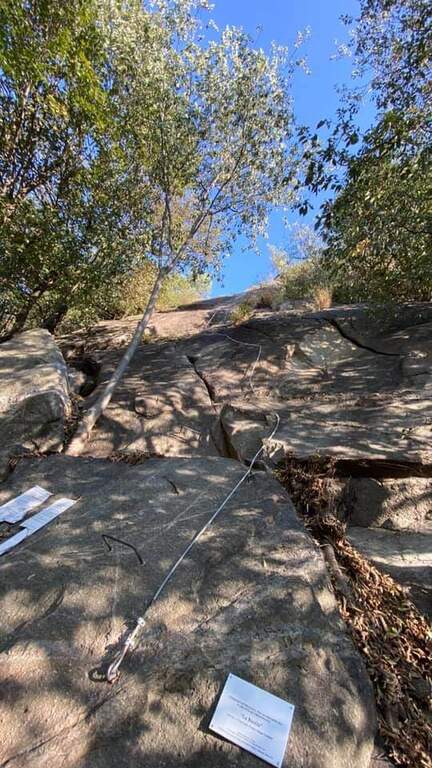
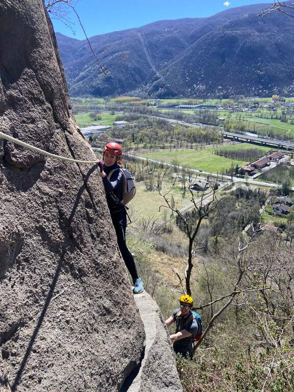
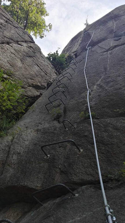
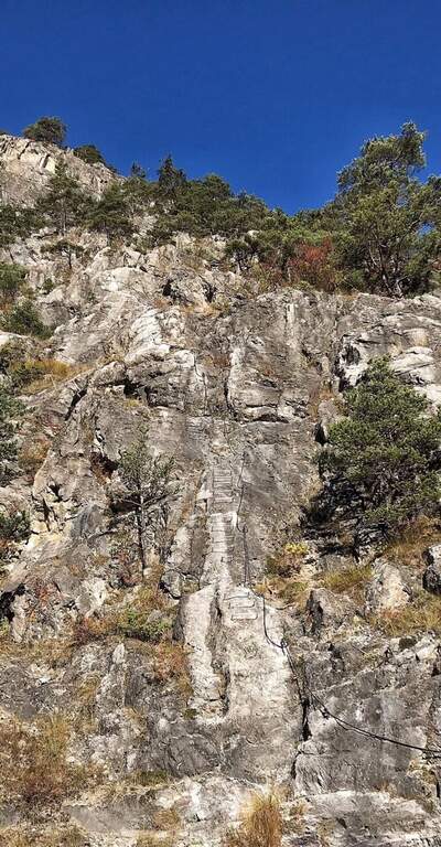
    The Via è made of più sections connected by pathways. The first section goes up a vertical wall on the plate, first straight then turning slightly left on some brackets; without the brackets it would be necessary to proceed in adherence. It overtakes a short stretch in slight overhanging (about 3 meters, easy with brackets) and closes with a first tilted plate then vertical. After the connecting path you go up a vertical stretch of 4 meters with brackets for the feet up to a small terrace; to the left a diagonal stretch with brackets, then a died supported più easy. The terza section è a vertical ridge, however circumventable on the right. The quarta and ultima, at the cliff of Roccabruna, goes on the left side a well-equipped vertical dihedron, then a left-hand traverse, a second similar dihedron and a vertical plate leading to the top (1h from' attack / 1h 15' totali).

    ▲Character and difficulty

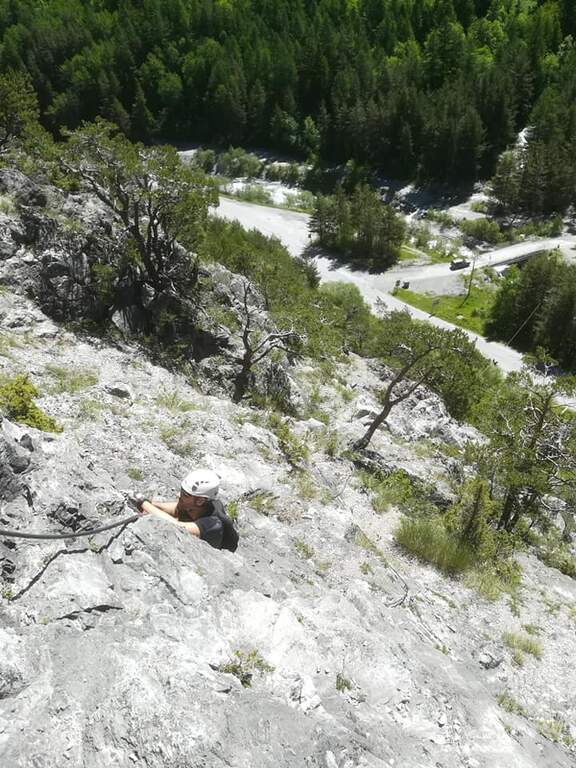
    Adapted to beginners and also to the younger ones: abundantly equipped, without difficult passages; only the first stretch is a little more challenging than the others. Inaugurated in 2016 entitled Gian Carlo Grassi, a great mountaineer from Piedmont, originally from Condove, and Diego Cordola, author of the guide «Arrampicare a Caprie».

    ▲Period and safety

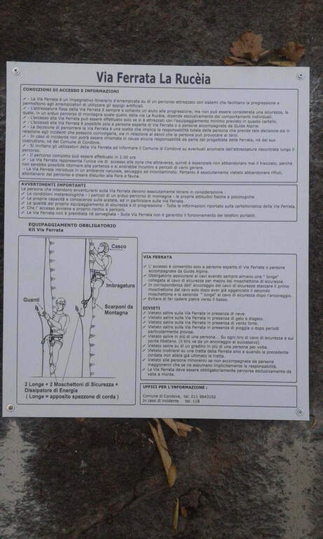
    Low altitude: accessible in most of the year with dry rock. However always necessary harness, helmet and hardware kit.

    ▲Discipline

    From the top you can può descend both from the left and from the right; & preferable the late right, less rough. In both cases you complete a ring tour and return to the parking lot (30' from the term / 1h 45' totali).

    ▲To match

    For brevity it easily connects with other routes of Val di Susa: la Ferrata Guido Rossa to Caprie and the Ferrata Carlo Giorda (to 10' by car), the Ferrata dell'Orrido di Chianocco, la Ferrata dell'Orrido di Foresto and, higher, the Ferrata del Rouas bardonecchia.

    ▲Gallery
    Technical data
    • DifficultyEasy
    • RegionPiedmont
    • GroupVal di Susa
    • Approach0:10 h
    • Ferrata1:00 h
    • Itinerary (a/r)1:45 h
    • Hardware level difference150 m
    • Route difference160 m
    • Max541 m
    • Length1,2 Km
  • Ferrata del Rouas in Bardonecchia

    Ferrata del Rouas in Bardonecchia

    Vie Ferrate › Piedmont › Turin
    Ferrata del Rouas in Bardonecchia
    Moderately Hard● In MaintenanceDescriptionComplexityMapsGallery

    to Status reported: «In Maintenance». The source indicates ongoing work/maintenance: verify the agility and state of the equipment before leaving.

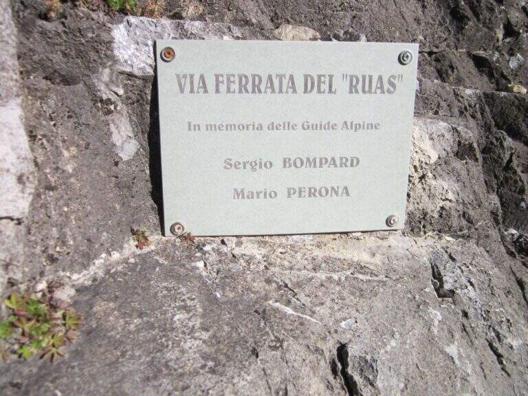
    La Ferrata del Rouas è una via recente nell'alta Val di Susa, al confine con la Francia: atletica e «alla francese», molto attrezzata, con una variante difficile e impegnativa. Nell'itinerario base è adatta anche ai neofiti, viste le attrezzature in ottimo stato. È intitolata a Bompard e Perona.

    ▲Approach

    Starting point the fraction of Melezet, municipality of Bardonecchia (TO): cross the village continue on SP216 for 300 m, until you notice the parable of a repeater; just beyond you park at the inn of the ferrata. Open road signs on Google Maps. A very short path leads in just over 5 minutes to the attack wall.

    ▲The path

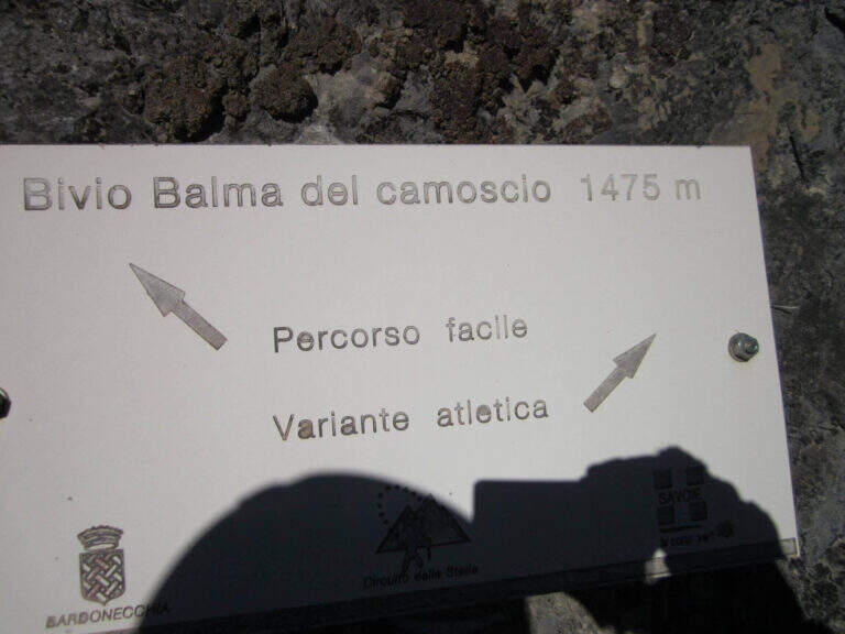
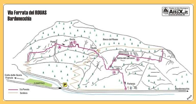
    The route consists of 3 sectors not necessarily concatenabiles. Il sector shares the first section with sector B: a couple of tilted walls and balconies with abundant cambre, turn left on a traverse that bypasses a' imposing protrusion and you reach a crossroad where, vertically, part l' route B (Balma del Camoscio). After leaving the B, three vertical walls with cambre, never too difficult but in increasing exposure, interspersed with traverses (at a point attention to the bulky backpack: useful a postponement to hang it); you reach the shoulder where the path of the section B falls and the via escape. Continue on a long oblique traverse to the cave (Porta C); ignoring the deviation continues until the bridge suspended , crosses it and begins the descent with beams and short walls assisted by brackets, never difficult, until the end (2h by ' attack ignoring the two deviations / 2h 5' totali). L'itinerary B, dal bivio, risale un primo tratto verticale e un lungo traverso, poi un altro tratto verticale impegnativo e infine il passaggio chiave: una parete strapiombante di circa 6 metri, perfettamente staffata ma che «spancia» mettendo a dura prova le braccia (utile un rinvio corto); seguono un traverso in leggera discesa (attenzione ai piedi), un diedro e un paio di piccoli strapiombi, fino a una facile cresta e al bosco di Rouas (1h 15' dal bivio / 1h 45' dall'attacco), da cui un sentiero riporta a un incontro con l'itinerario A. Il tratto C è una breve parete con una grotta e un piccolo tratto sospeso, dopo il quale si ridiscende verso il proseguimento dell'itinerario A (10' dalla deviazione).

    ▲Character and difficulty

    Via alla Francese, very equipped and fun; there is no real summit. L' A è itinerary; also suitable for neophytes, while the B è sector; clearly più athletics (keystrapiombo). Recent equipment and in good condition.

    ▲Period and safety

    Season from spring to autumn with dry rock. Remembering the state "In Maintenance", make sure of the conditions of the equipment.

    ▲Discipline

    After the A section descends along l' obvious path up to a road, which runs towards sinistra in the direction of the parking lot (15' from the term / 2h 20' total if you do not walk the B and C sections; 4h total if routes A, B and C).

    ▲To match

    In Val di Susa, area rich in itineraries: in Claviere la Ferrata di Rocca Clarì, la Ferrata del Bunker e la Low Battery Hardware; la Ferrata Guido Rossa in Caprie, la Ferrata dell'Orrido di Chianocco, la Ferrata dell'Orrido di Foresto e la Ferrata della Ruceia.

    ▲Gallery
    Technical data
    • DifficultyModerately Hard
    • RegionPiedmont
    • GroupVal di Susa
    • Approach0:05 h
    • Ferrata2:40 h
    • Itinerary (a/r)3:00 h
    • Hardware level difference125 m
    • Route difference275 m
    • Max1500 m
    • Length1,4 Km
  • Ferrata di Rosazza (Valle Cervo)

    Ferrata di Rosazza (Valle Cervo)

    Vie Ferrate › Piedmont › Biella
    Ferrata di Rosazza (Valle Cervo)
    Moderately Hard● OpenDescriptionComplexityMapsGallery

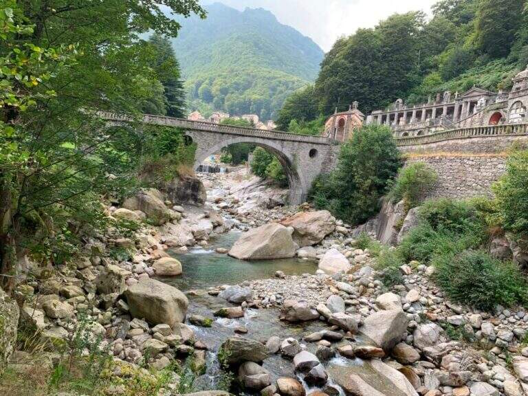
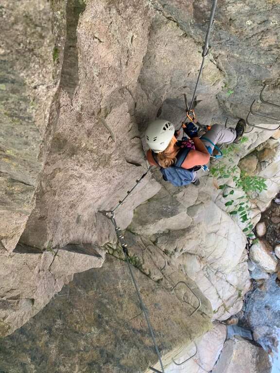
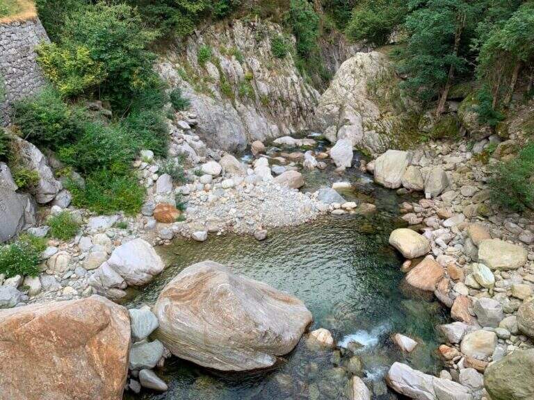
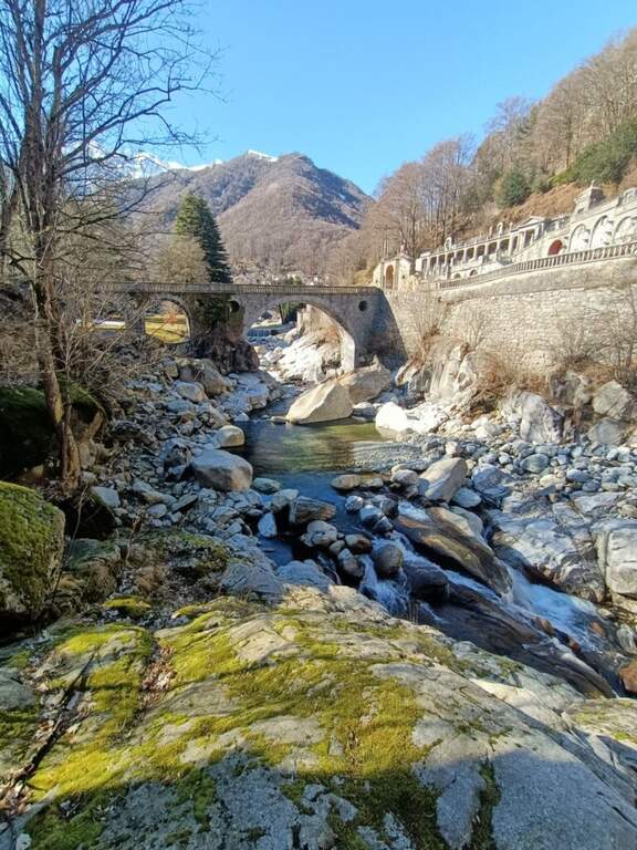
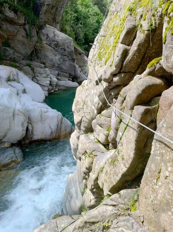
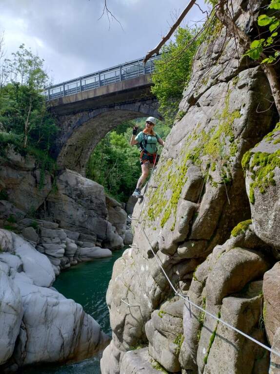
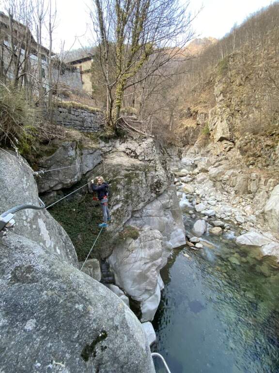
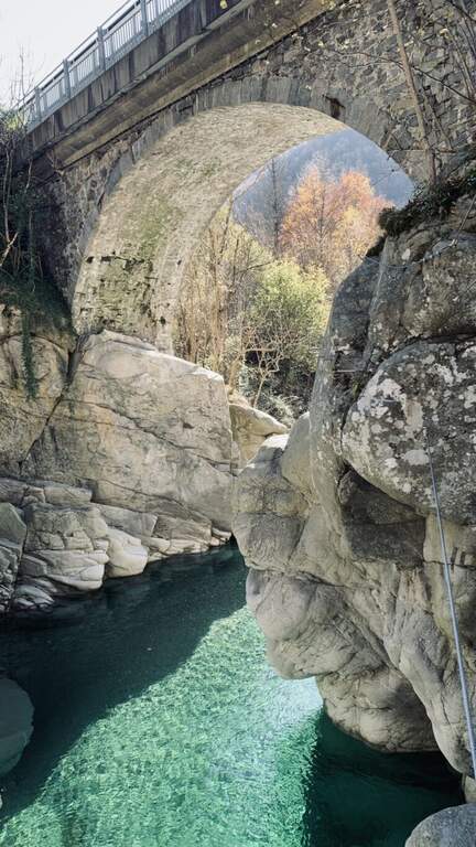
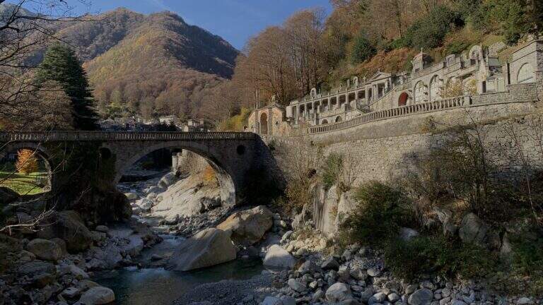
    The Ferrata di Rosazza runs through the beautiful gola of the creek Cervo, between the cemetery of Rosazza and the road bridge just downstream: granite smoothed by ' water, crystal-clear pools that d' summer invite to the bathroom and a mainly horizontal development with short vertical sections uphill and downhill. Two distinct sections and altitude of only 900 m make it suitable for all seasons.

    ▲Approach

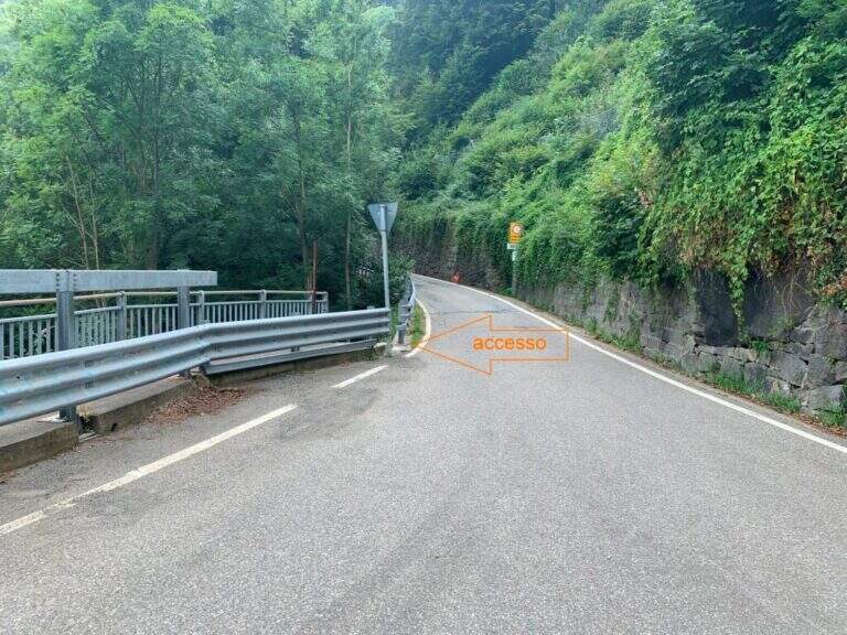
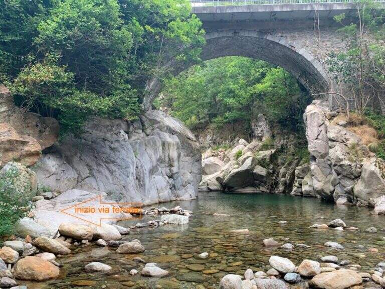
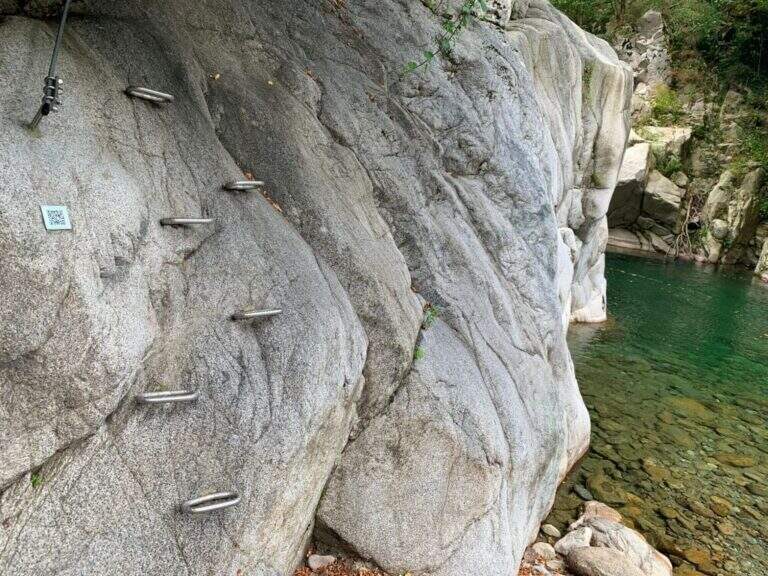
    The route starts at the road bridge on the Cervo stream, which meets arriving from Campiglia Cervo, before Rosazza. From Biella you go up the Cervo Valley; past the bridge between Campiglia and Rosazza you park at ' height of the cimitero of Rosazza. Open road signs on Google Maps. On foot you go back to the valley bridge and descend from the ladder just down the bridge, on the destra orografica (5' from the parking lot); the descriptive cartel arrives on the crude, where a QR code provides information on the first section.

    ▲The path

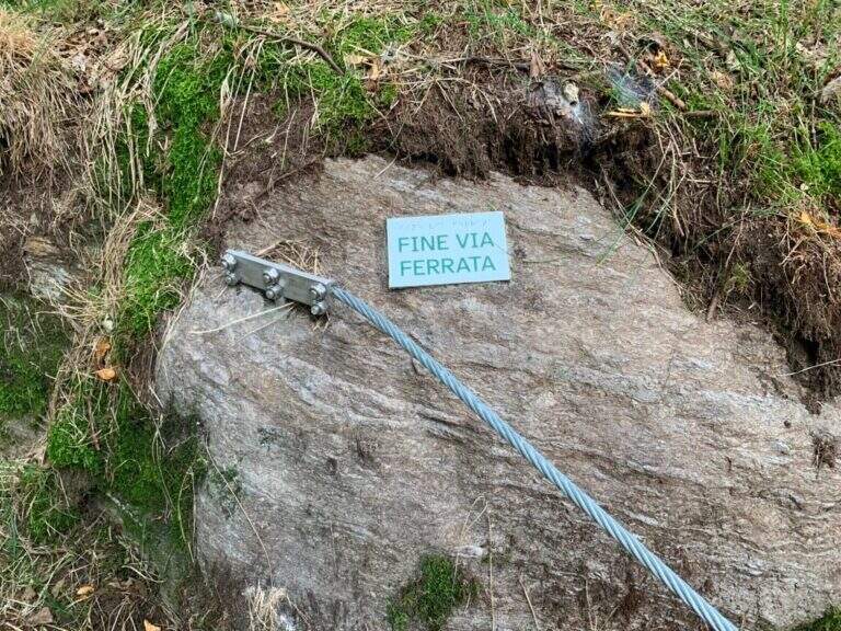
    La first section part with abundant cambres that facilitate progression and continues horizontally, with an easy equipped crossing, passing under the road bridge; you arrive at the ponte Tibetan, beyond which you descend to the bank of the stream on a pebble beach, where the first section (easy) ends and you find a comfortable via of escape towards the road. The second section, marked by a second QR and by foot supports made with nailed stones, immediately shows the più character; technical with some small overhanging carabiner changes; climbing up the gorge the landscape becomes più Wild. A metà about the route earns altitude to the back of some garages at the street, where c'è a second escape route; then returns to metà wall with technical beams, descents and laughter overhanging. When you go back to the gorge and the bridge of the monumental cemetery of Rosazza appears, the ferrata ends (25' from ' attack / 30' from the parking lot); the downstream pozza of the bridge invites you to a bathroom.

    ▲Character and difficulty

    Very short and with multiple escape routes: the first part is easy, also suitable for beginners; the second is more technical but with never excessive difficulty, ideal for those who want to try for the first time with some more complex passage. Report by Stefano Caprile.

    ⚠ Difficultà reduced environment, but evaluate the port of the torrent: after heavy rain some sections may be slippery.
    ▲Period and safety

    Low altitude (about 900 m): can be reached in all seasons, pleasant even in summer for the freshness of the throat.

    ▲Discipline

    Parking & free; less than 100 m from the end of the ferrata: you reach l' car in one minute ( approximately 10' from the term / 50' totali).

    ▲To match

    In the area there are five other routes, all moderately difficult: the Ferrata Nito Staich, la Ferrata Hi Miki, la Ferrata del Limbo, la Ferrata dell'Infernone e la Ferrata della Balma (the first three at Oropa, about 30 minutes by car).

    ▲Gallery
    Technical data
    • DifficultyModerately Hard
    • RegionPiedmont
    • GroupValle Cervo
    • Approach0:05 h
    • Ferrata0:30 h
    • Itinerary (a/r)0:50 h
    • Max880 m
  • Ferrata Grasselli at Picco di Carnizza and Monte Canin

    Ferrata Grasselli at Picco di Carnizza and Monte Canin

    Vie Ferrate › Friuli-Venezia Giulia › Udine
    Ferrata Grasselli at Picco di Carnizza and Monte Canin

    A challenging and mountaineering itinerary in the Alpi Giulie: the Ferrata Grasselli climbs the Picco di Carnizza, then a long ridge connects to the Monte Canin (2587 m) and the descent takes place from Ferrata Julia to the Glacier del Canin. Very varied route, with exposed stretches both on the crest and downhill, to be faced only with experience and stable time.

    ▲Approach

    From the cable car upstream station that from Sella Nevea rises to the Gilberti-Soravito Refuge. From Chiusaforte (20' from ' exit Carnia-Tolmezzo on'A23) follow the signs for Sella Nevea to the east, you pass the bridge and drive for about 20 km until the plants. Open road signs on Google Maps. From the refuge (1850 m) you take to right the path 632 towards the Sella Bila Pec (ruders of a barracks), then halfway towards the Sella Grubia and Bivacco Marussich, going up to the west with the Montasio behind, up to the Bivacco Marussich (2040 m, 1h 30' from the mountain station).

    ▲The path

    Dal bivacco si sale su traccia per prati e rocce verso l'evidente spigolo dove la targa segna l'inizio della Ferrata Grasselli (20' dal bivacco). Spostandosi un paio di metri a destra della targa e seguendo i triangoli rossi, si risale una prima parete verticale ben appigliata ma impegnativa (qualche piolo aiuta); si guadagna quota ed esposizione fino a una parete con fessura, che si supera restando a destra su staffe metalliche. Un breve tratto di collegamento e una traccia esposta a sinistra portano su un tratto di cresta attrezzata: roccette esposte ma senza difficoltà sostanziali e alcuni canalini concludono il primo tratto ferrato. Per sentiero ripido tra sfasciumi si raggiunge l'ampia cresta che porta al Picco di Carnizza (2441 m, 1h dall'attacco / circa 3h totali). Inizia la seconda parte verso il Canin: si perde quota e si percorre una cresta che alterna sentiero e placche inclinate (attenzione col bagnato), con notevole precipizio a nord verso il Ghiacciaio del Canin. Seguendo i bolli rossi (triangoli dell'Alta Via Resiniana) si aggira una cengia erbosa, si risalgono balzi attrezzati lungo un canalino e si raggiunge lo spigolo ovest del Canin; alternando tratti su sentiero, placche e roccette si sale fino ai resti della croce del Monte Canin (2587 m, 2h 30' dall'attacco / circa 4h 30' totali).

    ▲Character and difficulty

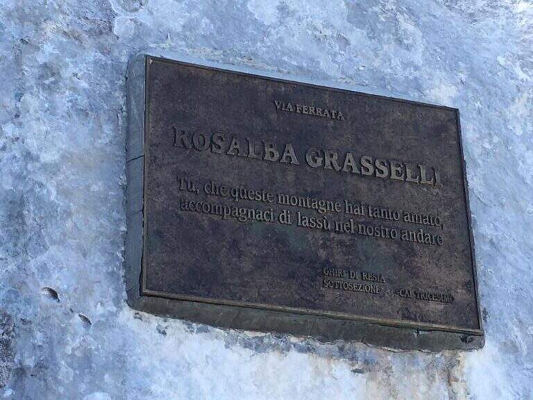
    Beautiful and fulfilling itinerary but challenging, exposed and more difficult traits: both Grasselli and Julia downhill require good experience, discreet technique and no problem with exposure. Installed in 1995 from the CAI of Tricesimo, is named after Rosalba Grasselli.

    ⚠ Da avoid with unstable weather: between the peak of Carnizza, the Canin and the descent from Julia there are no escape routes. Beware of snow at the beginning of the season on the north side of the Picco di Carnizza.
    ▲Period and safety

    Itinerary d' high altitude (2587 m): full summer with stable conditions. For the descent on the glacier are recommended the crampons.

    ▲Discipline

    From the peak of the Canin you descend on the normal road (east side) and in 10-15' you reach the crossroads on the left for the Ferrata Julia (difficultà medium;, downhill requires attention; rock well attached except l' last plaque, più tiring for arms but a few meters). The ferrata ends on the Ghiste of the Canin (1h 30' from the peak / 6h total). The descent of the glacier requires a lot of attention and the ramponi are definitely recommended (usually without big cracks); the track continues south, Sella Bila Pec and the upstream station of the cable car (1h 15' from the end of Julia / about 7h 30' totali).

    ▲To match

    In the Julian Alps: on the Jof Montasio la Via Amalia; towards Val Dogna the long Ferrata Norina at Monte Cavallo; on Jof Fuart the Ferrata Anita Goitan; towards Mangart la Ferrata della Vita.

    ▲Gallery
    Technical data
    • DifficultyHard
    • RegionFriuli-Venezia Giulia
    • GroupJulian Alps
    • Approach1:30 h
    • Ferrata2:30 h
    • Itinerary (a/r)7:30 h
    • Hardware level difference547 m
    • Route difference737 m
    • Max2587 m
    • Length11 Km
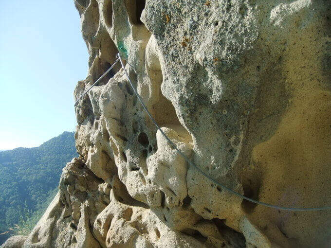
  • Ferrata Romana Nesi al Pratomagno

    Ferrata Romana Nesi al Pratomagno

    Vie Ferrate › Tuscany › Arezzo
    Ferrata Romana Nesi al Pratomagno
    Moderately Hard● ClosedDescriptionComplexityMapsGallery

    ⚠ Reported as a CHIUSA. The source shows the status of this ferrata as chiusa: before programming l' check out the conditions and l'agibilità at the CAI of Arezzo or the local authorities, and do not travel until it is reopened.

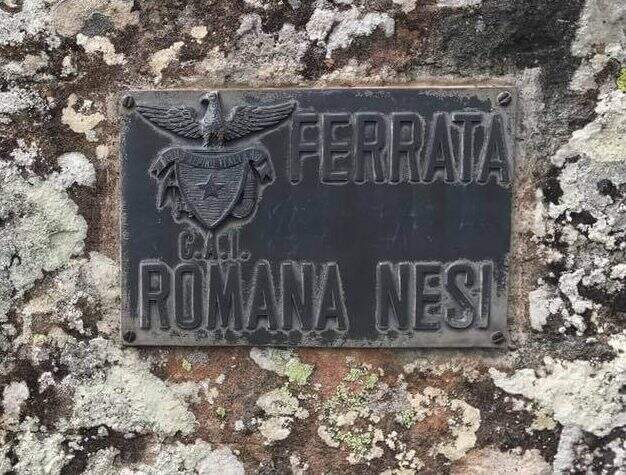
    La Ferrata Romana Nesi è a short and athletic route along the Overview of the Pratomagno. It does not stand out for l' environment né for l'arrampicabilità, but for l'atleticità of some passages and for the possibletà to travel it in every season; with approach and return l' the whole excursion closes in little più of two hours.

    ▲Approach

    You arrive along the Strada Overview of Pratomagno: exit at Valdarno you reach Terranuova Bracciolini (SP 11), then Loro Ciuffenna (SP 5) and the fraction of Anciolina. Crossing the village you go up for a couple of minutes until a crossroads: on the left the Pratomagno, you hold the destra downhill ; after about 400 m a sledge (often with stacked wood) allows you to park, and a little further, on the left, a second road above the edge. Open road signs on Google Maps. A piedi si risale la strada per circa 200 m fino a un largo e ripido sentiero segnalato da un cartello del CAI di Arezzo; dopo qualche centinaio di metri si seguono due segnavia (freccia rossa su un sasso e su un albero) che salgono a destra, si supera il greto di un torrente di solito asciutto e, per facili roccette seguendo i segni bianco-rossi, si arriva all'attacco (25' dal parcheggio).

    ▲The path

    La via è breve e risale una serie di balzi rocciosi con un tracciato non sempre logico, che rende atletici alcuni tratti. Il primo tratto sale una parete di una decina di metri dove, per mancanza di appigli, è difficile non trazionare sul cavo, poi una parete apparentemente liscia in cui si trovano alcune rientranze; si stacca e per sentiero si raggiunge il secondo tratto, con una cengia protetta e una parete leggermente strapiombante dove sfruttare infissi ed esili appigli (cambio moschettone rapido per non sforzare le braccia). La terza sezione, la più difficile, è una parete verticale priva di appigli da superare in aderenza e trazione, con uno spigolo esposto e un diedro finale ancora in aderenza. Il quarto tratto è un diedro che, dopo un balzo iniziale per staccarsi da terra, diventa arrampicabile e piacevole; si raggiunge un masso attrezzato (aggirabile) e l'ultima parte, con un diedro e uno spigolo affilato ma ben appigliato, fino all'ultimo salto che conclude la via (1h dall'attacco / 1h 30' dal parcheggio). Ogni sezione è aggirabile per sentiero, così da poter evitare le parti non desiderate.

    ▲Character and difficulty

    Environment without any particular difficulties;; the difficulties; are «cercate» in the various balconies, at the expense of ' climbing. Created by the CAI of Arezzo in 1992, & useful as a test bench and as a winter training in view of summer più excursions; challenging.

    ▲Period and safety

    Low share, in theory, can be traced all l' year; at the moment, however, the route turns out chiusa (see notice in the head). Paths of approach and return excellently marked.

    ▲Discipline

    From the term you follow a few meters of track to the plate of the ferrata; the più return; quick & free; for the traccia of left, which goes down alternating woods and stretches discovered to the asphalted road. You go downhill to the left until the junction reached by car; ignored the deviation to the right, continue straight downhill until all' car (30' from the term / 2h from ' start).

    ▲To match

    In Tuscany, towards Pisa, la Ferrata Sant'Antone on Mount Serra; in the Apennines, the Ferrata Salvatori alla Pania Forata. For those who climb from A1, in Emilia, the Ferrata di Rocca di Badolo.

    ▲Gallery
    Technical data
    • DifficultyModerately Hard
    • RegionTuscany
    • GroupPratomagno
    • Approach0:25 h
    • Ferrata1:00 h
    • Itinerary (a/r)1:50 h
    • Hardware level difference180 m
    • Route difference300 m
    • Max1280 m
    • Length4,5 Km
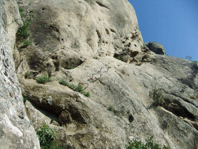
  • Ferrata Roda di Vael (Catinaccio)

    Ferrata Roda di Vael (Catinaccio)

    Vie Ferrate › Trentino-Alto Adige › Trento
    Ferrata Roda di Vael (Catinaccio)
    Moderately Hard● OpenDescriptionComplexityMapsGallery

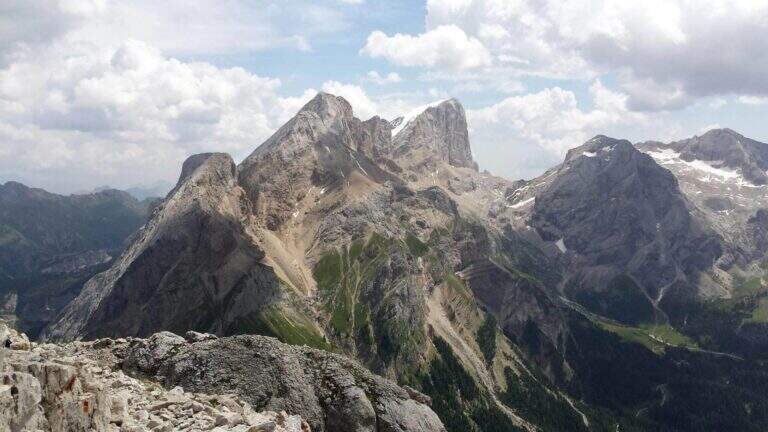
    The Ferrata Roda of Vael brings all' imposing peak of the same name (2806 m) to the Gruppo del Catinaccio, with an itinerary of difficult and difficult averages;. The climb from the Vajolon Pass è easy; the descent to the Window Tower presents individual più passages; challenging. It can be combined with the Ferrata Masarè for a satisfying ring tour.
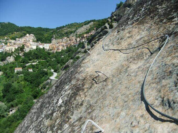
    ▲Approach

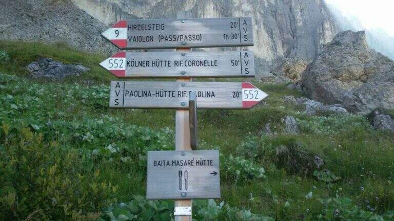
    Base the Rifugio Paolina (2125 m), reachable with the Paolina cable car from Carezza, at the Costalunga Pass; large parking to the plants. Open road signs on Google Maps. Dal Paolina si va verso nord/sinistra sul CAI 552, in leggera salita verso la parete ovest della Roda di Vael, poi sul CAI 549 e in direzione del Passo del Vajolon; superato un primo tratto attrezzato con fune e scaletta, lungo la traccia detritica si raggiunge il Passo del Vajolon (2565 m, 1h dal Rifugio Paolina). In alternativa si parte dalla Val di Fassa: da Vigo, funivia al Rifugio Ciampedie e sentieri CAI 541 poi 551 al Passo Vajolon (2h dalla stazione a monte).

    ▲The path

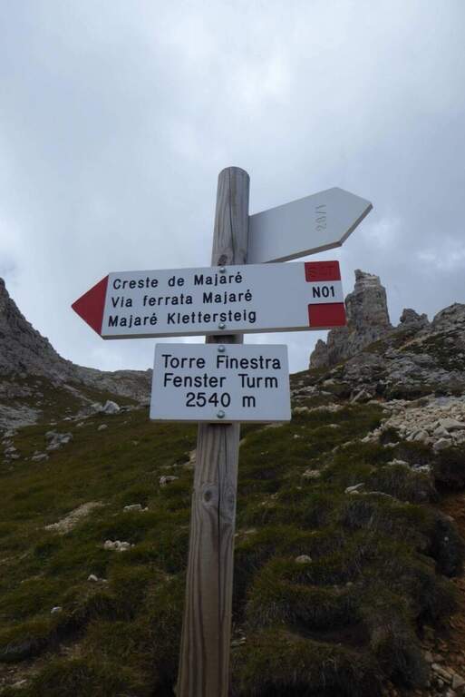
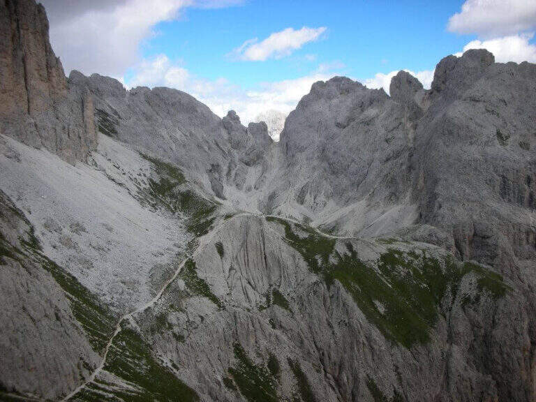
    Dal passo si risale in linea logica il filo di cresta dello spigolo della Roda di Vael seguendo le attrezzature: la salita non presenta particolari difficoltà e alterna tratti attrezzati medio-facili a roccette non attrezzate, con bella vista sulla valle detritica dietro il Catinaccio. Per sentiero di cresta attrezzato e qualche facile balzo si arriva in vetta alla Roda di Vael (2806 m), con la croce metallica (45' dal Passo del Vajolon / 1h 45' totali). Si scende quindi sul versante opposto su ampio sentiero, attrezzato nei tratti più ripidi: alcune roccette e una scala portano verso la Forcella delle Rode (si ignorano le funi che scendono ripide nel canalino e si prosegue in quota). Raggiunta la forcella si affronta il passaggio chiave: una parete verticale e molto esposta, con pochi appigli naturali, da risalire in diagonale verso sinistra; le numerose staffe sostengono la progressione e si esce al Pian del Diaol (2625 m, 1h 15' dall'attacco / 2h 15' totali). Si passa sotto la Torre Finestra (la fessura con la croce al centro) fino a un bivio: a destra sale la Ferrata Masarè (2h), a left you descend for a narrow stretch with a staircase in a rocky anfract and a couple of other equipped sections that close the ferrata (45' from the junction / 3h 15' totali). In both cases you descend to the Rifugio Roda di Vael (2283 m).

    ▲Character and difficulty

    Average difficulty in high altitude environment. The most challenging point is the diagonal wall of Pian del Diaol, exposed and able to put in difficulty the less experienced, although without any difficulty relevant techniques thanks to the excellent equipment.

    ⚠ Possible presence of neve also in late season in the stretch towards the Vajolon Pass. Beware of the detritic material that moves into the downhill section.
    ▲Period and safety

    Summer season, dry rock and no residue. Maximum altitude 2806 m.

    ▲Discipline

    From the Rifugio Roda di Vael you return to the Rifugio Paolina for a comfortable half-coast path CAI 549 and then 539, passing through the Monumento to Christomannos, up to the cable car station (1h from the Roda Refuge of Vael; without Ferrata Masarè 4h 15' total, with the Masarè 6h 15' total).

    ▲To match

    Natural continuation is the Ferrata Masarè. In the Catinaccio also the easy Ferrata Santner, la Ferrata Bepo de Medil, la Ferrata at the Catinaccio d'Antermoia, la Ferrata Laurenzi and the answer Ferrata Maximilian.

    ▲Gallery
    Technical data
    • DifficultyModerately Hard
    • RegionTrentino-Alto Adige
    • GroupCatering
    • Approach1:00 h
    • Ferrata1:00 h
    • Itinerary (a/r)4:15 h
    • Hardware level difference246 m
    • Route difference681 m
    • Max2806 m
    • Length13,1 Km
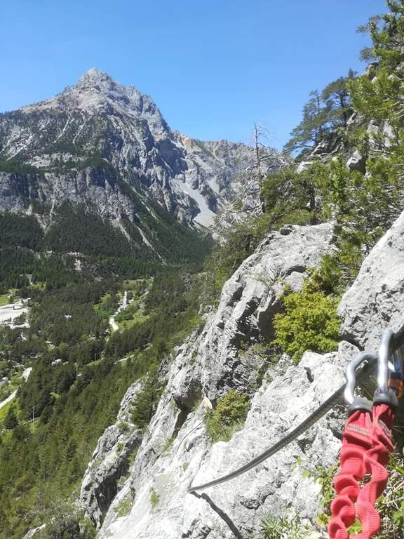
  • Ferrata di Rocca Senghi (Val Varaita)

    Ferrata di Rocca Senghi (Val Varaita)

    Vie Ferrate › Piedmont › Cuneo
    Ferrata di Rocca Senghi (Val Varaita)

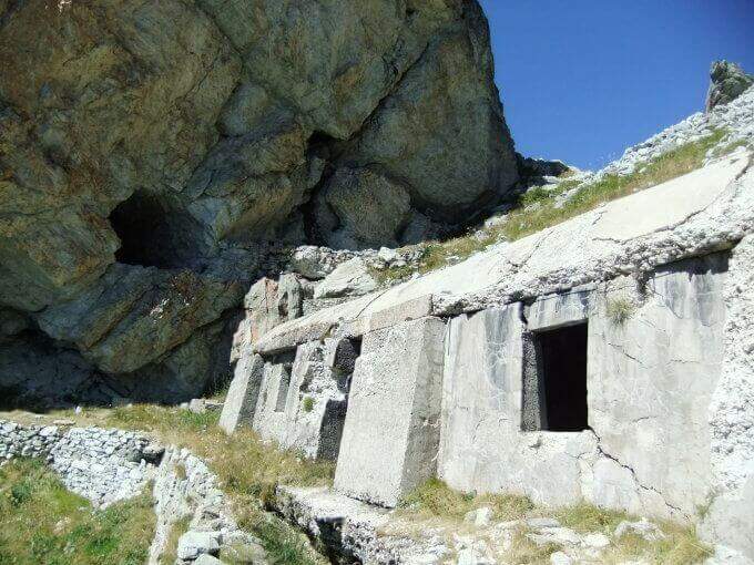
    The Ferrata di Rocca Senghi dates back to l' the homonymous torrione isolated in Val Varaita: a difficult, athletic and « French », with different stretches overhanging. Difficult & Agrave; techniques are not very high, given l' abundance of cambres and brackets, but it should be faced only if well trained. Downhill you can può cross a suggestive galleria militare.

    ▲Approach

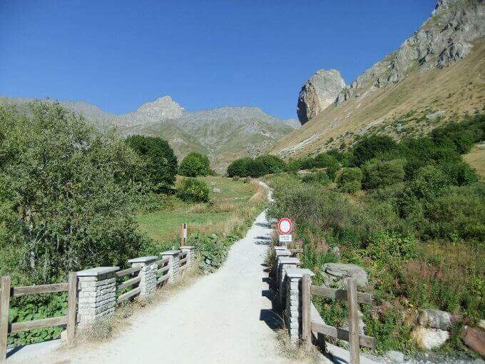
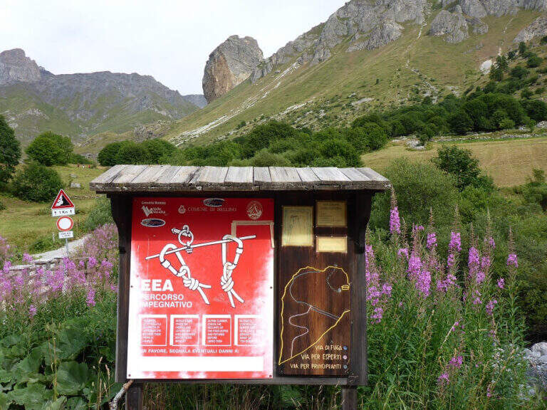
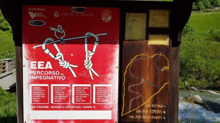
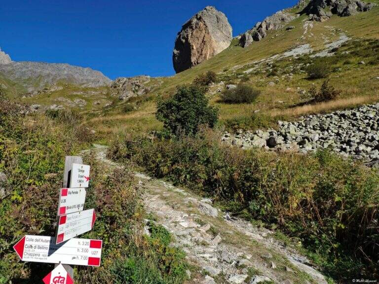
    Starting point the Sant'Anna of Bellino (CN): you pass the bridge over the Varaita stream and park in the bay. Open road signs on Google Maps. On foot you continue towards the next bridge (fontana on the left), you cross it and you take the path U26 towards the Grange Cruset, then at the crossroads right on the branch for Rocca Senghi (cartel). Passed a basin that shows the way and the escape routes, you go up the steep path to serpentine along a grassy canal up to the isolated rock; the attack is on 2190 m, on the left side, near a comfortable deck to equip itself (1h from the parking lot).

    ▲The path

    Lo sviluppo è visibile dal basso: ci si sposta progressivamente lungo il filo dello spigolo in forte esposizione. Si attacca con un tratto orizzontale a sinistra scendendo un paio di metri dal sentiero, quindi si sale in verticale su parete a tratti leggermente strapiombante, con abbondanti staffe (talvolta distanti tra loro, scomode per chi è di bassa statura). Si guadagna quota rapidamente fino a un tratto orizzontale a sinistra con staffe per mani e piedi, e si raggiunge il caratteristico spigolo in forte esposizione. Si prosegue su una serie di pareti verticali alternate a brevi tratti orizzontali, decisamente impegnative; dopo circa 45' dall'attacco si arriva a una cengia diagonale dove rifiatare dopo la prima serie di pareti atletiche (qui, a destra, una via di fuga che, per una cengia, raggiunge un ricovero militare abbandonato e da lì la vetta per sentiero o per una galleria militare di 30 m). La seconda parte ha caratteristiche simili ma con meno strapiombi e qualche parete più appoggiata: dopo un tratto orizzontale a destra si passa dentro un caratteristico foro nella roccia; ancora pochi minuti in verticale e si raggiunge la croce metallica della vetta di Rocca Senghi (circa 1h 30' dall'inizio / 2h 30' totali).

    ▲Character and difficulty

    cut cable to French , therefore little tense: less useful to traction in difficult points, but the abundant brackets give much support for hands and feet.

    ⚠ Athletic route: not recommended to those who do not è well trained. For the downhill military tunnel è needs a front stack. Attention to the distance between the brackets for low-stage people.
    ▲Period and safety

    High valley summer itinerary; start early and with good physical conditions. Height of the attack 2190 m.

    ▲Discipline

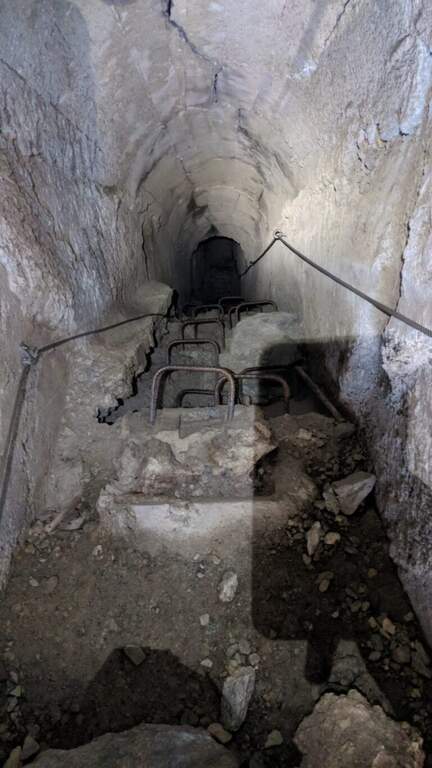
    From the top you go down to a saddle and at a crossroad: at destra a path leads to the remains of the military shelter; at sinistra you can può go downhill the galleria militare (about 30 m, initially equipped with metal steps and cable, indispensable frontal pile) that connects the two sides and deposits. From the shelter a path shows near the ' attack and then, backwards, to the parking lot (1h from the term / 3h 30' totali).

    ▲To match

    On day, in Val Varaita, la Ferrata di Chiaronto. Among the other routes of the Cuneese: the long Ferrata degli Alpini all'Oronaye, la Ferrata di Camoglieres, la Ferrata dei Funs e la Ferrata del Bec Valletta to Limone; further south, in the province of Savona, the Ferrata degli Artisti.

    ▲Gallery
    Technical data
    • DifficultyHard
    • RegionPiedmont
    • GroupVal Varaita
    • Approach1:00 h
    • Ferrata1:30 h
    • Itinerary (a/r)3:30 h
    • Hardware level difference230 m
    • Route difference320 m
    • Max2450 m
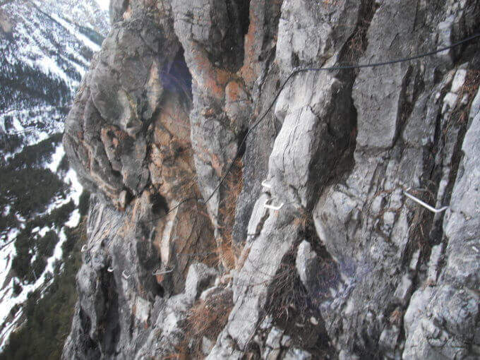
    • Length8,7 Km
  • Ferrata di Rocca Candelera (Valli di Lanzo)

    Ferrata di Rocca Candelera (Valli di Lanzo)

    Vie Ferrate › Piedmont › Turin
    Ferrata di Rocca Candelera (Valli di Lanzo)

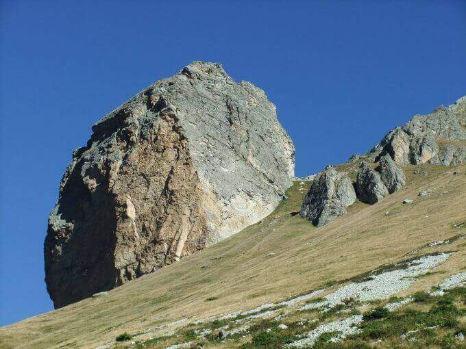
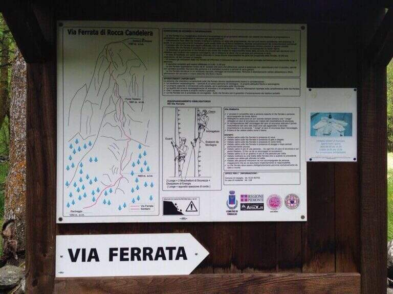
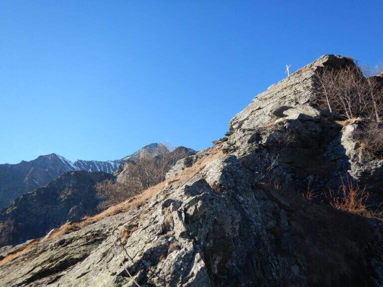
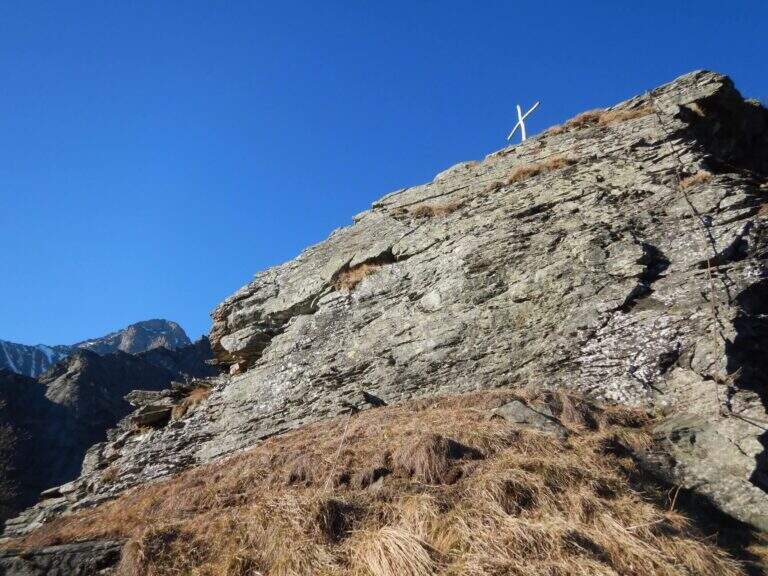
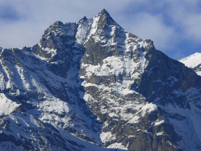
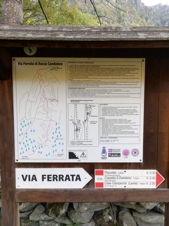
    The new Ferrata di Rocca Candelera rises a rocky counterfeit of the Valli di Lanzo, which rises steeply above the wood and the village of Piazzette. Wild and vertical environment, with a bridge suspended and some overhanging features, on excellent granite rock.

    ▲Approach

    Starting point the village of Usseglio (TO): just before ' inhabited park at a cava, paying attention to the sign along the road. Open road signs on Google Maps. From the parking lot (bacheca) follow a path that runs along dry walls to a crossroads: on the right the return path, take the sinistra with directions for the ferrata. On the path well marked, along the slope line, you reach the sign d' start (40' from the parking ).
    ▲The path

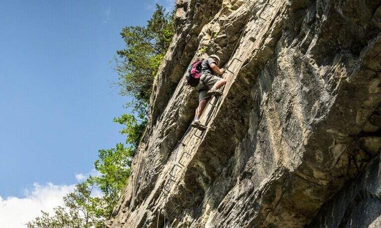
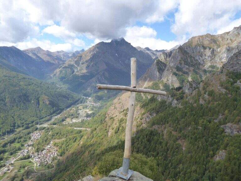
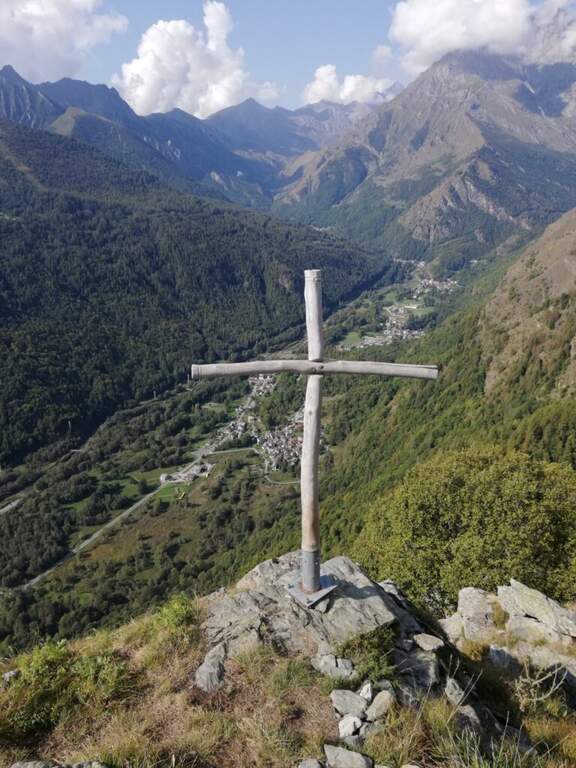
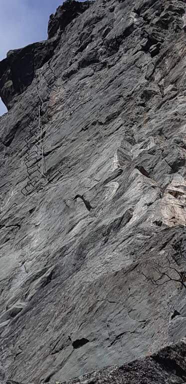
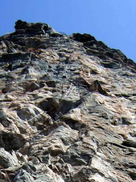
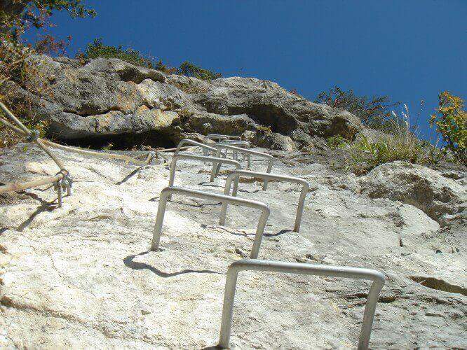
    La prima parte può trarre in inganno: si superano modesti risalti rocciosi e pareti appoggiate con staffe dove serve, alternati a tratti di collegamento, mentre si guadagna quota sulla valle. Si risalgono un paio di paretine di una ventina di metri ciascuna, senza particolari difficoltà, su ottimo granito, fino all'inizio della seconda sezione, decisamente più verticale e impegnativa. Si parte con una placchetta appoggiata senza staffe e si raggiunge la lunga parete che caratterizza la via: si sale in verticale per 30-40 metri — non tecnicamente difficile per l'abbondanza di staffe, ma con qualche leggero strapiombo ed esposizione crescente. Spostandosi gradualmente a destra lungo un bello spigolo, poi un traverso a sinistra, si guadagna un terrazzino; si risale un pulpito senza staffe fino al ponte sospeso a 3 corde, piuttosto stabile. Oltre il ponte si traversa in diagonale a sinistra sotto una lunga placconata grigia attrezzata con staffe: 20 metri verticali, poi a destra sopra una lama, ancora traverso e verticale in forte esposizione verso un tetto roccioso, che si aggira sul lato destro. Un tratto di collegamento panoramico precede una breve paretina e uno spigolo, aggirato a sinistra; si risale un diedro non marcato, una placchetta, un tratto su erba e l'ultima placchetta appoggiata fino alla croce di legno di Rocca Candelera (circa 2h 30' dall'inizio / 3h totali).

    ▲Character and difficulty

    Like many fervent Piedmontese people, they use plenty of staff and equipment, which lowers the degree and makes it accessible to unexperienced hikers of climbing; some overhanging traits remain to be carefully addressed.

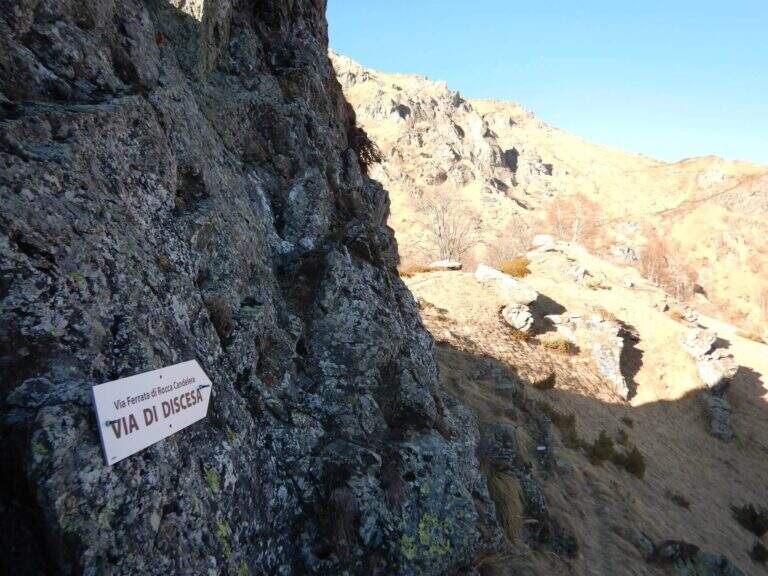
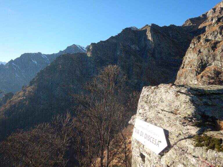
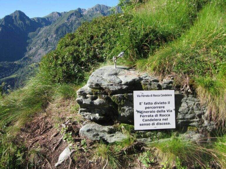
    ⚠ È explicitly forbidden to descend along the via ferrata: you leave only from the summit and you return from the path indicated.
    ▲Period and safety

    Long way: leave now. Season from spring to autumn with dry rock.

    ▲Discipline

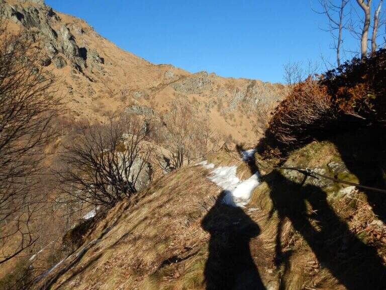
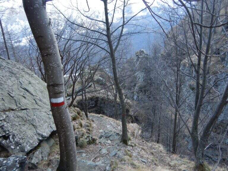
    From the summit you turn to destra along a ridge path to a sign indicating the descent; you go down a steep path with traverse tracts on slippery grass, following the red signs on the trees. Più below the path becomes più easy and brings back to the quarry (1h from the term / 4h 30' total).

    ▲To match

    It is the first ferrata of the Valli di Lanzo; to combine another one in the day, given the length, it is advisable to leave early and choose a way about an hour by car: the Ferrata di Pont Canavese, la Ferrata di Rocca Bianca in Caprie or Ferrata Carlo Giorda.

    ▲Gallery
    Technical data
    • DifficultyHard
    • RegionPiedmont
    • GroupValli di Lanzo
    • Approach0:40 h
    • Ferrata2:30 h
    • Itinerary (a/r)4:30 h
    • Hardware level difference364 m
    • Route difference533 m
    • Max1787 m
    • Length5 Km
Need help? Write to us!