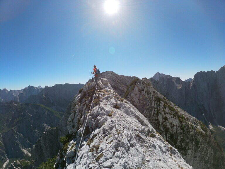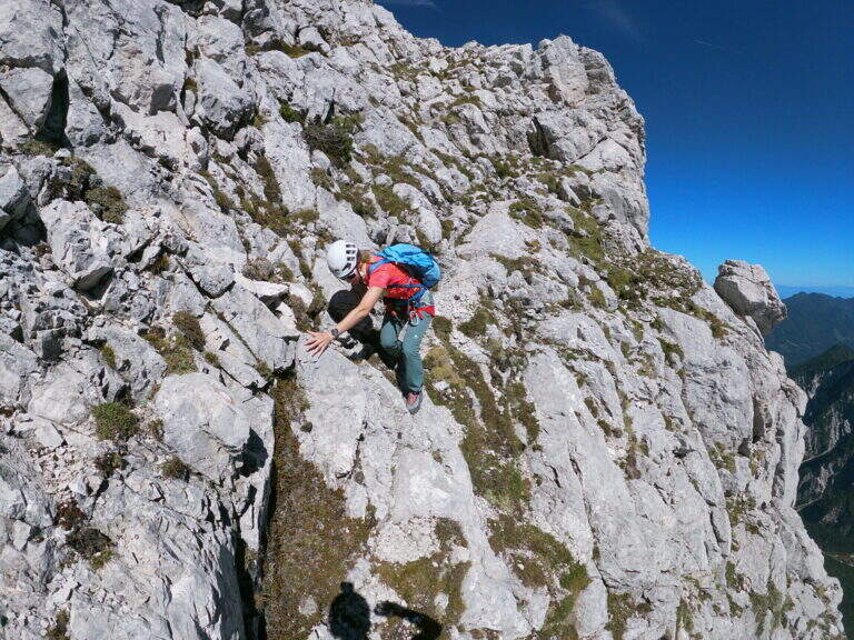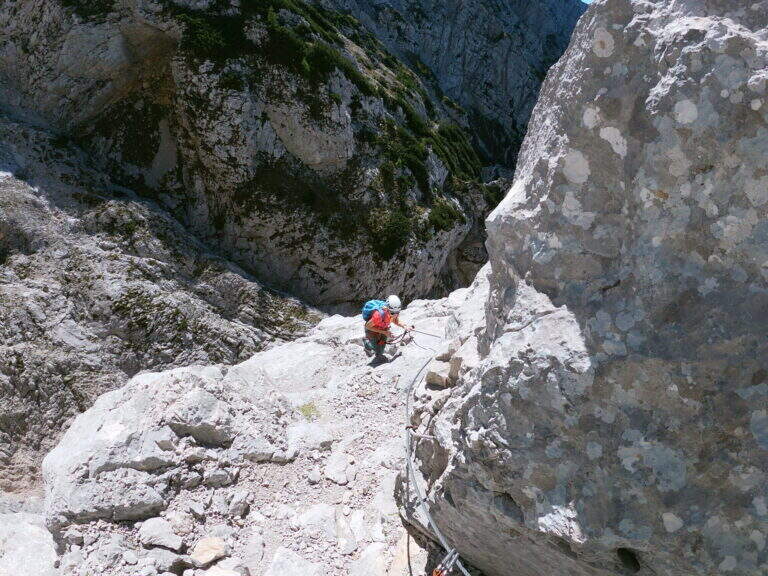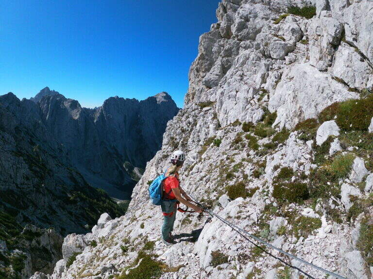
Paese: Italia

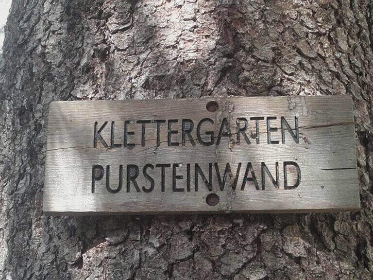
  • Ferrata Pursteinwand

    Ferrata Pursteinwand

    Vie Ferrate › Trentino-Alto Adige › Bolzano
    Ferrata Pursteinwand
    Very difficult● OpenDescriptionComplexityMapsGallery

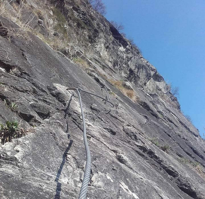
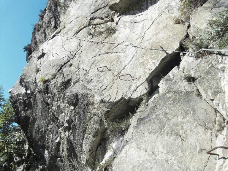
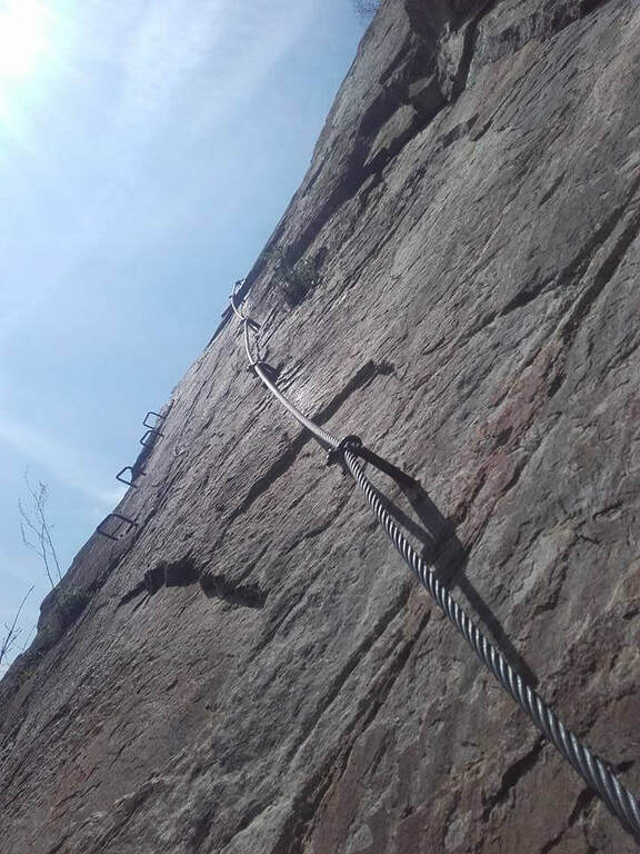
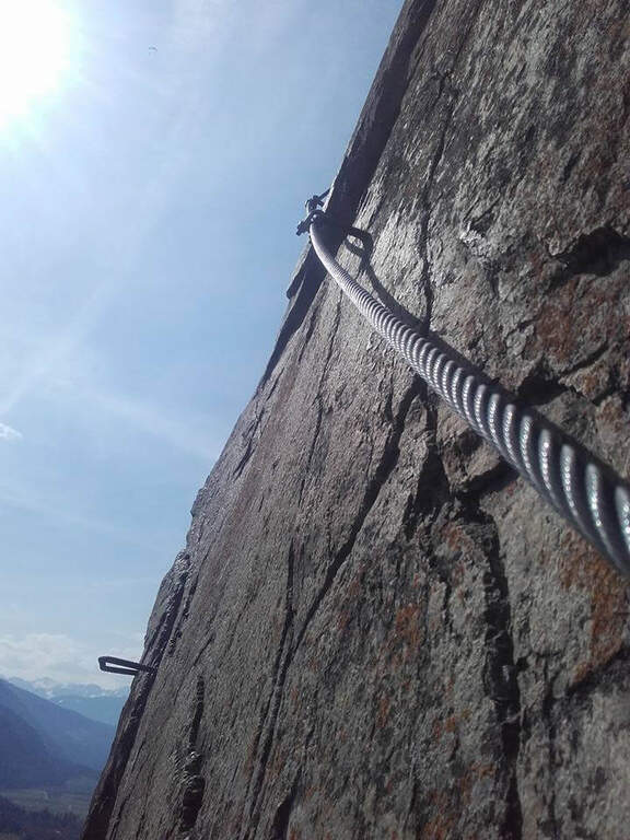
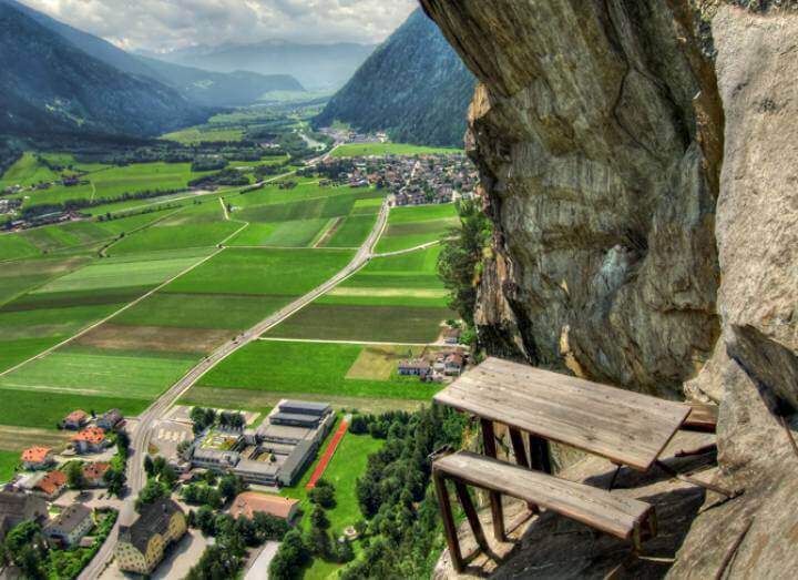
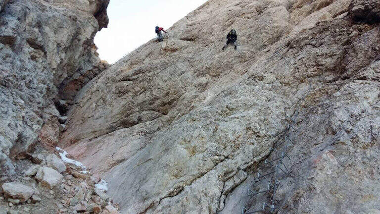
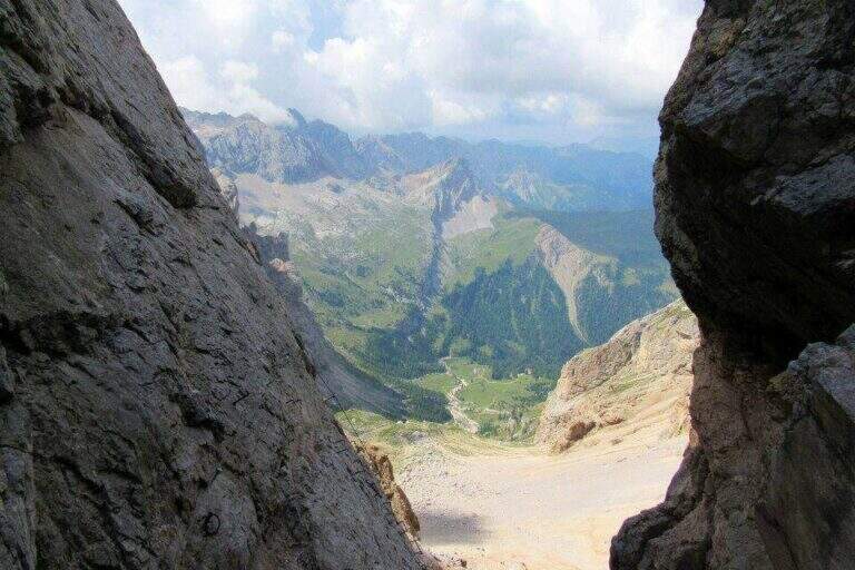
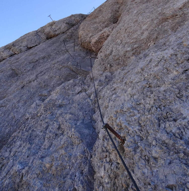
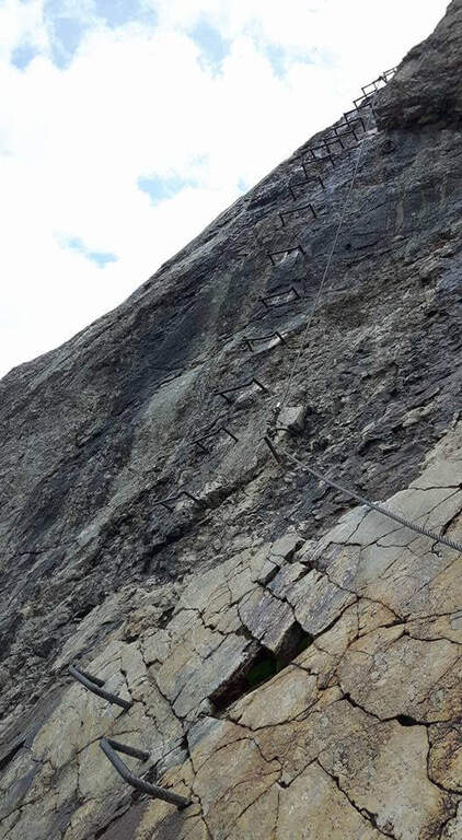
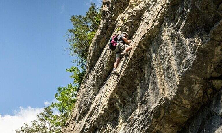
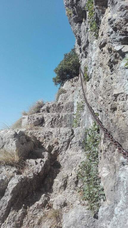
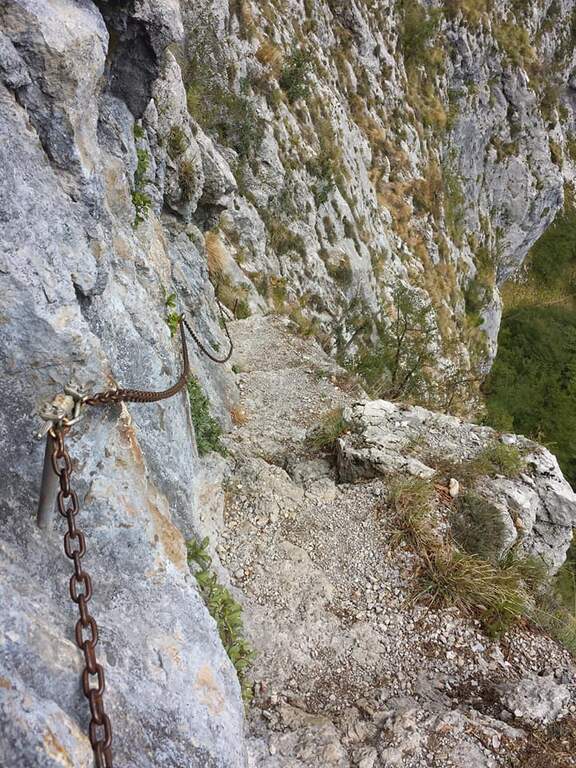
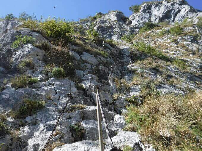
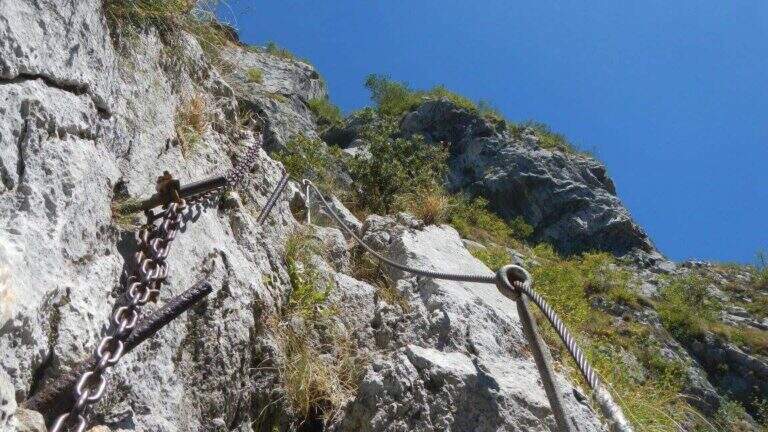
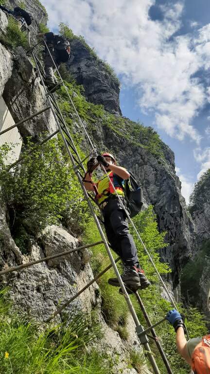
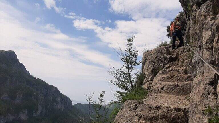
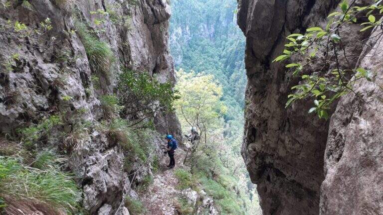
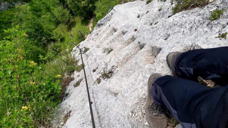
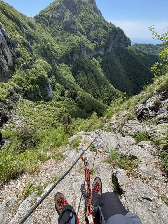
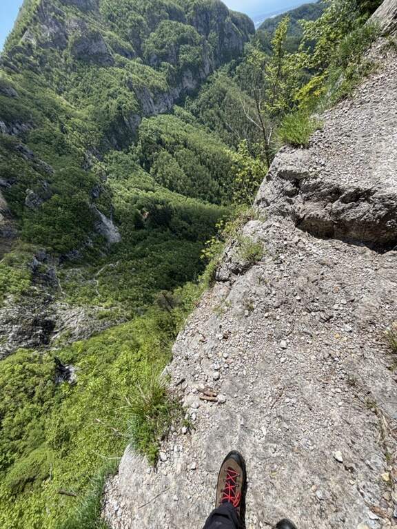
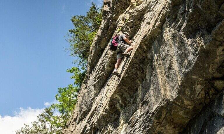
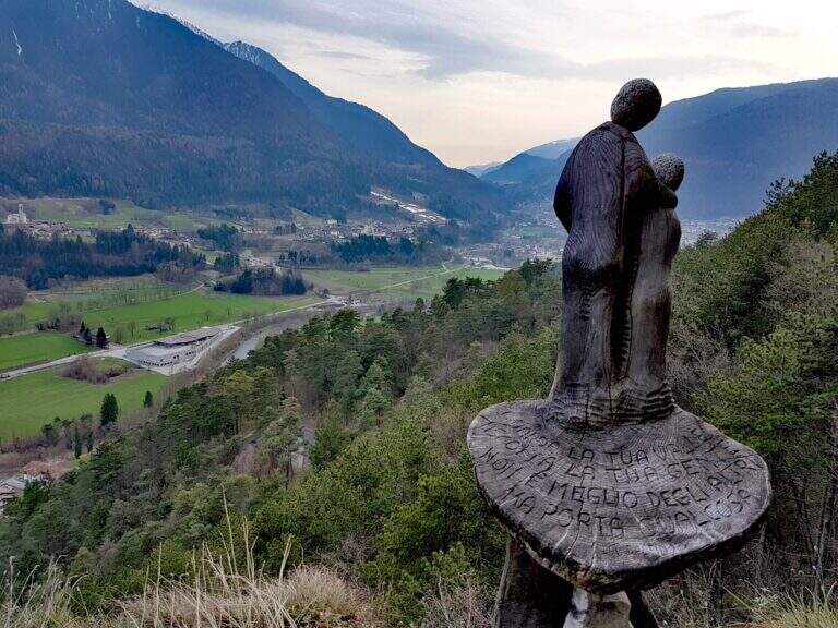
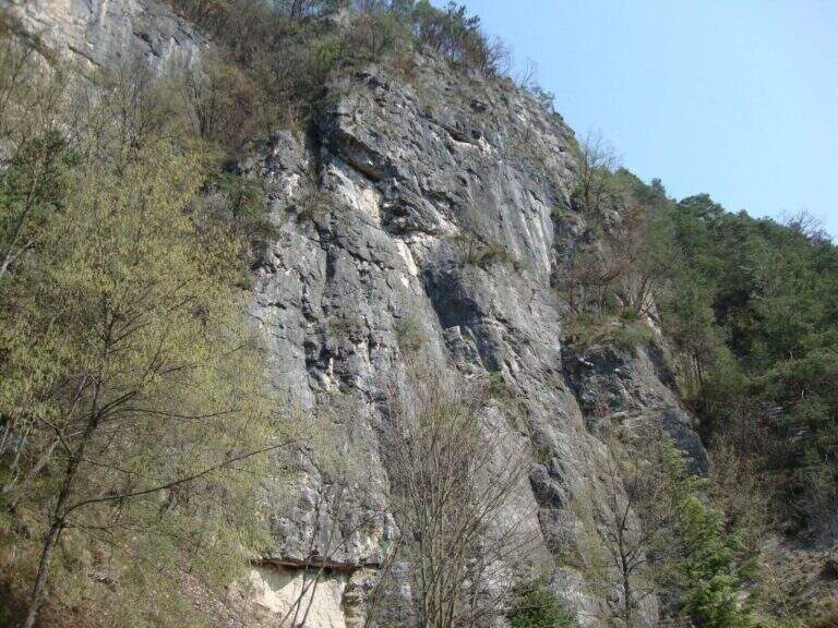
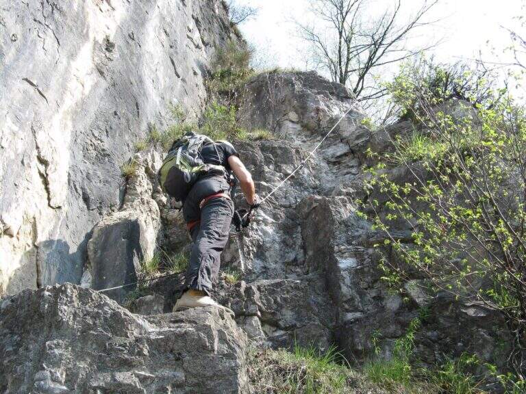
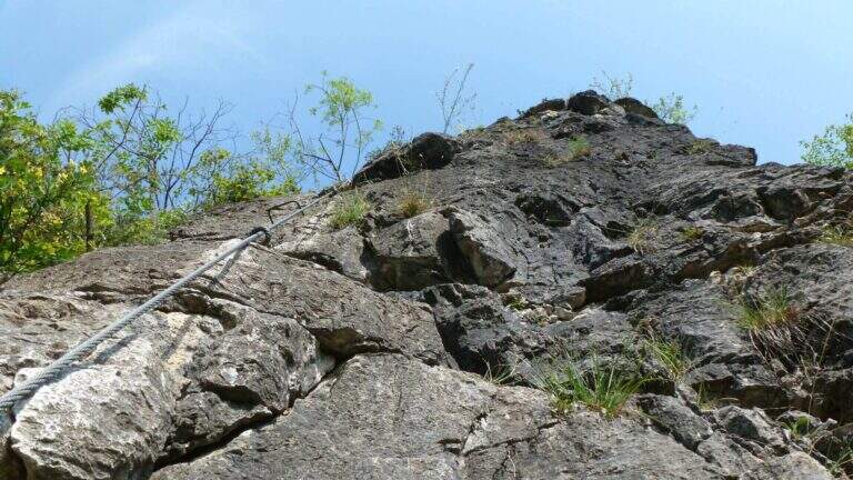
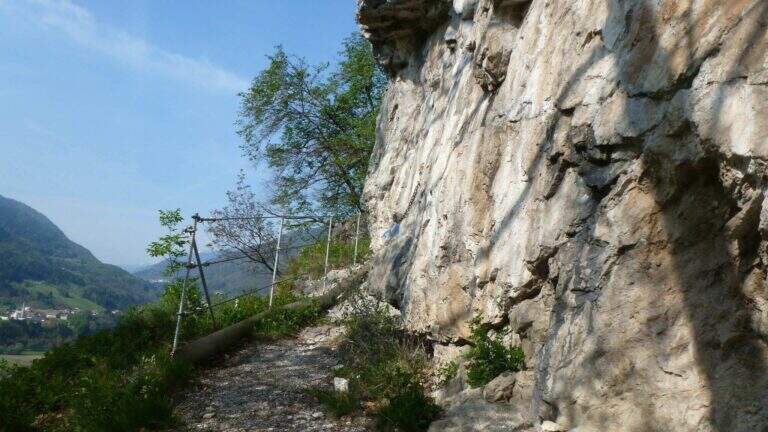
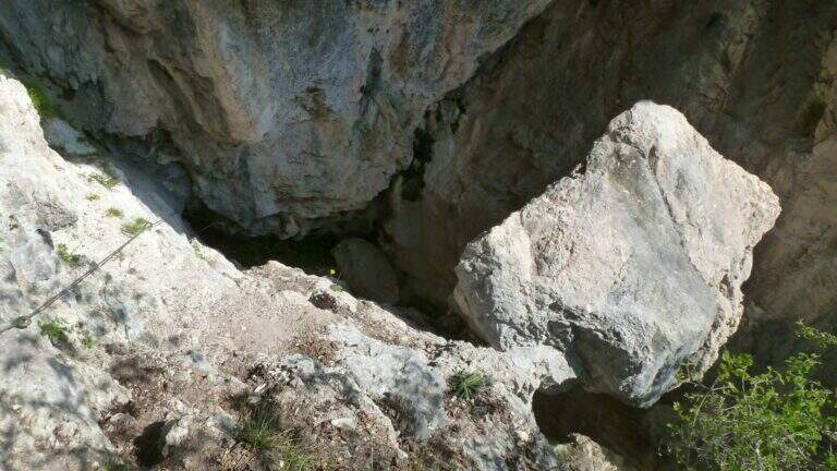
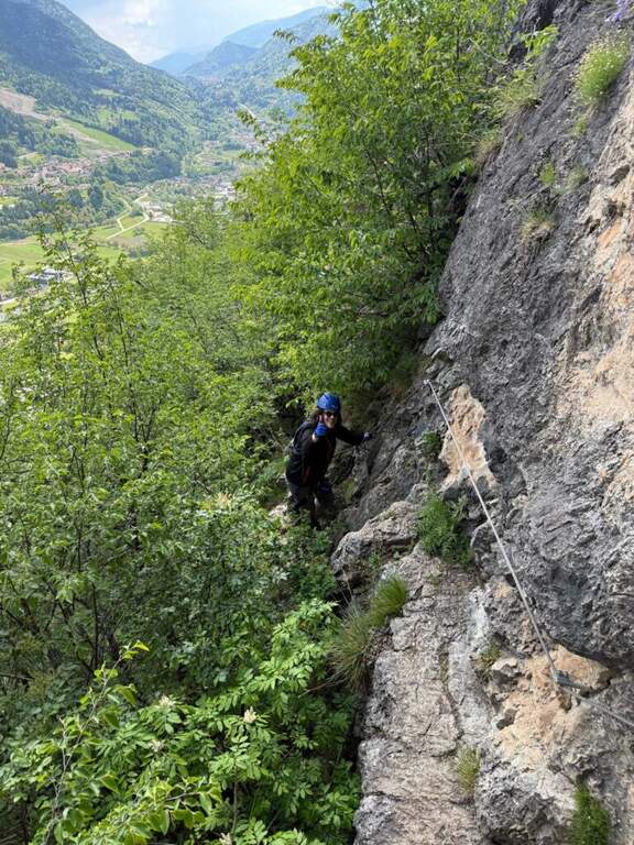
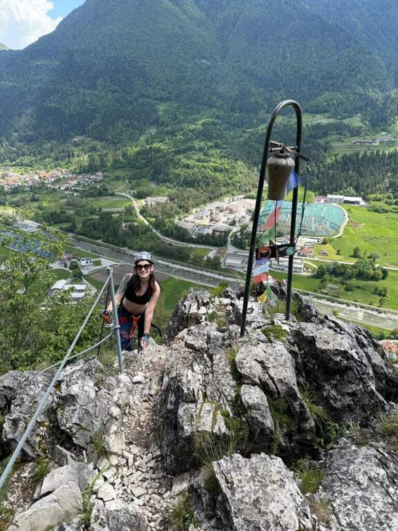
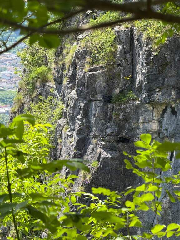
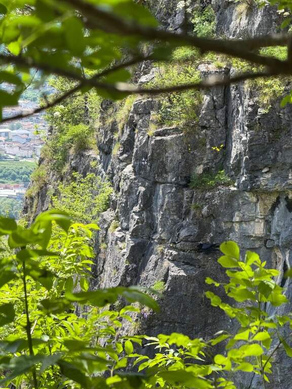
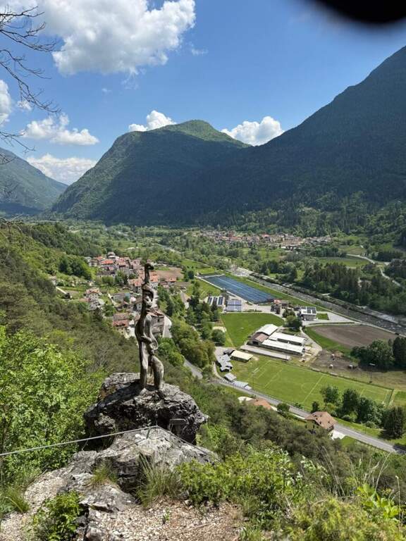
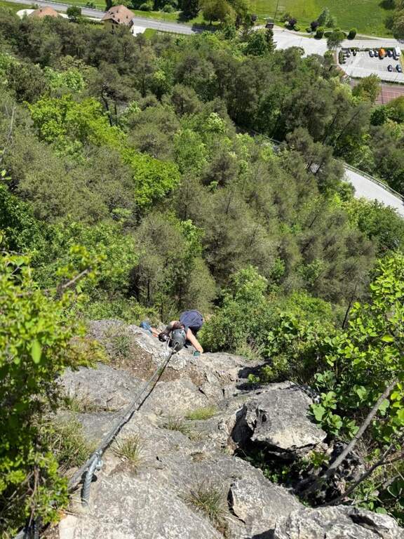
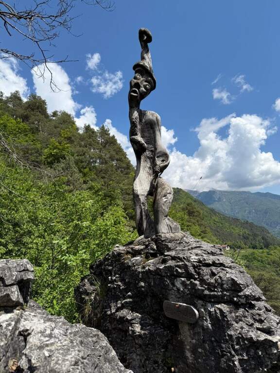
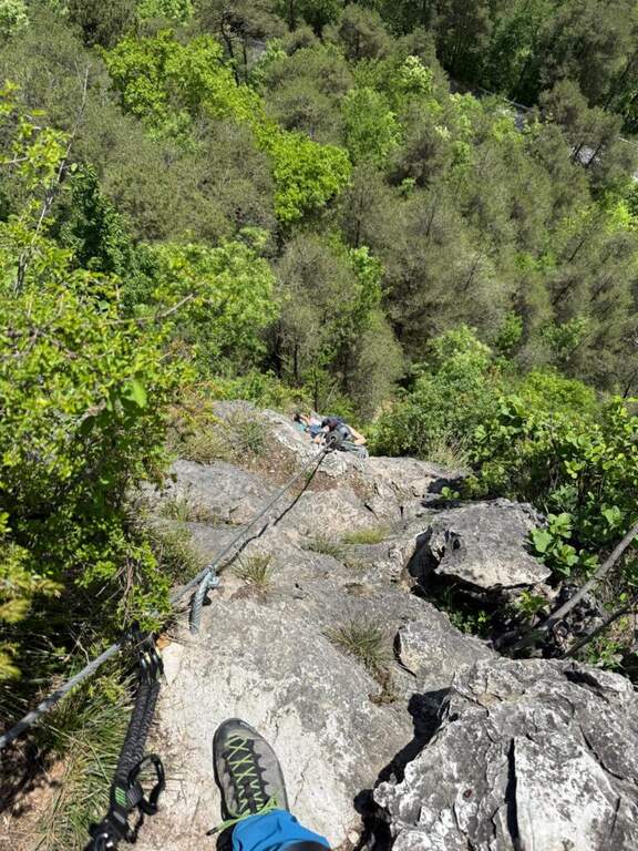
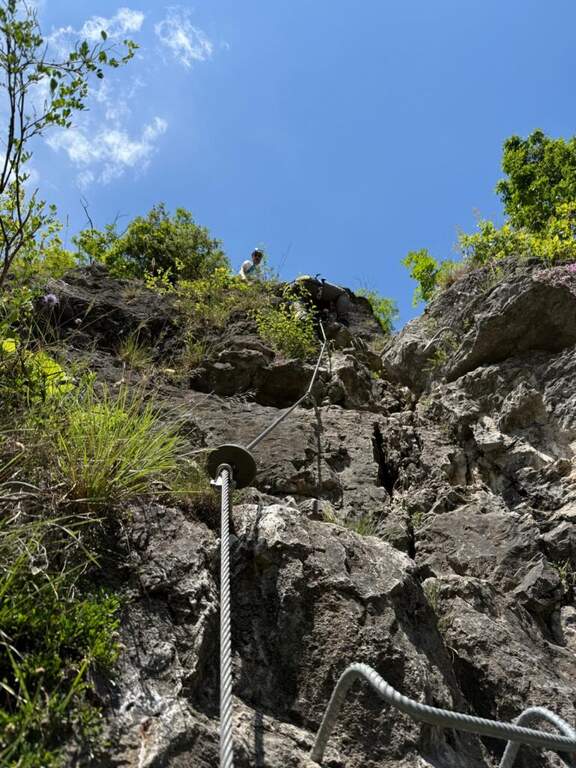
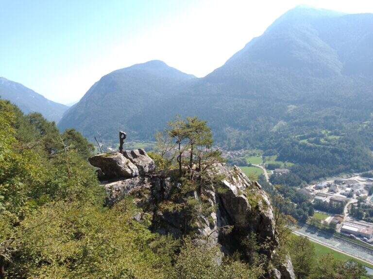
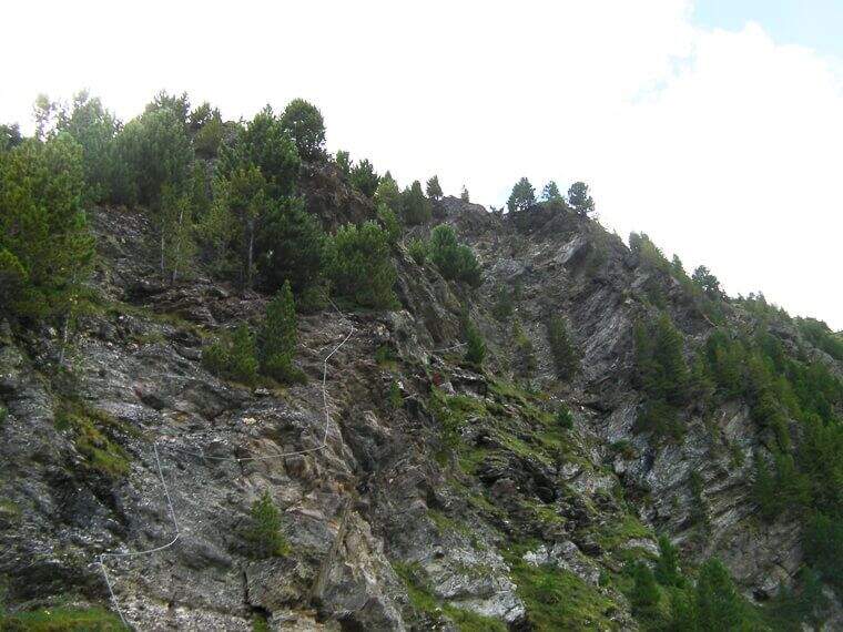
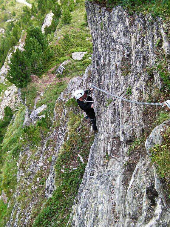
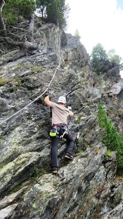
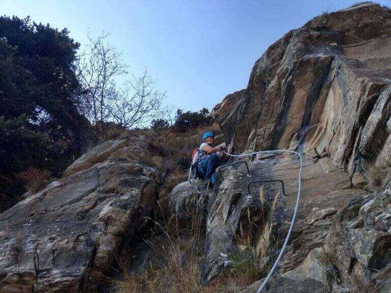
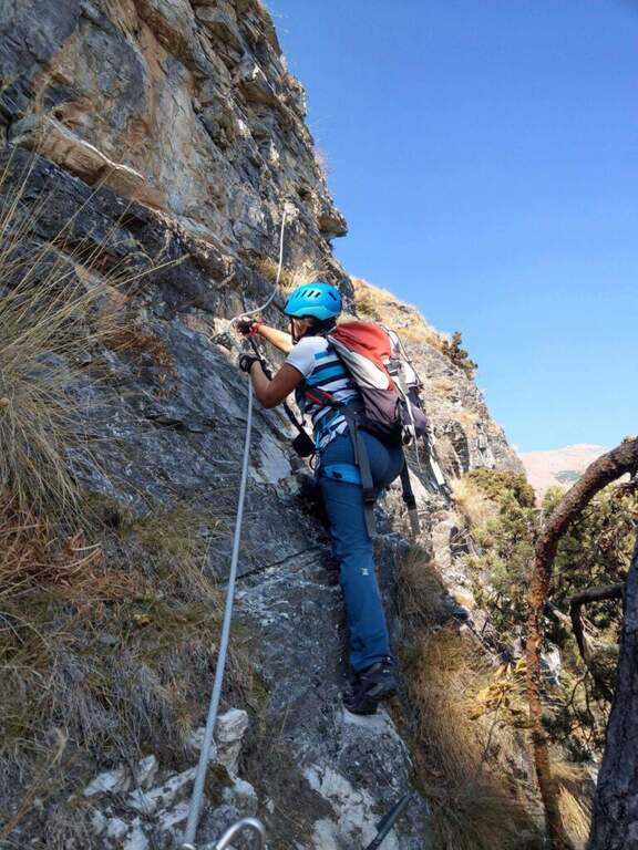
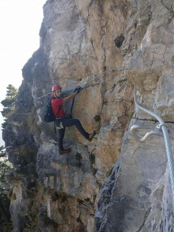
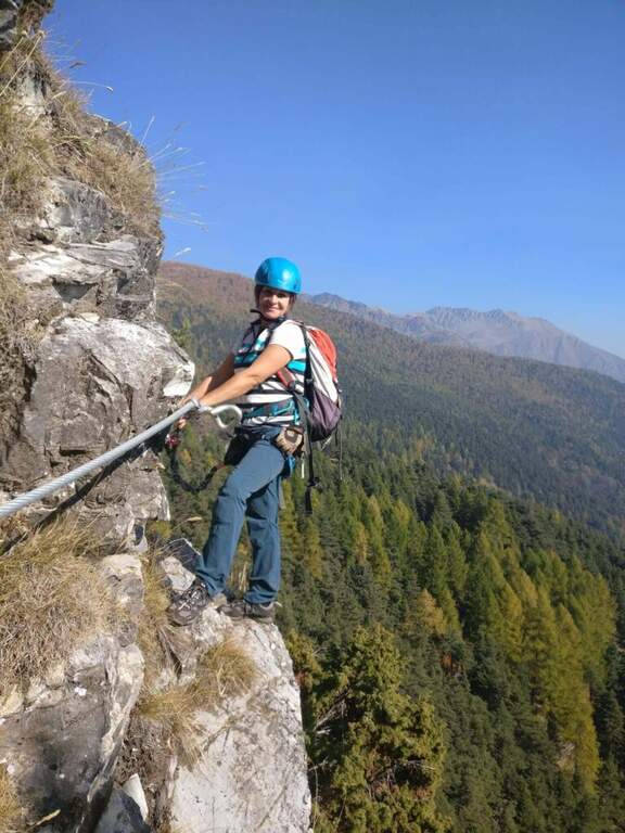
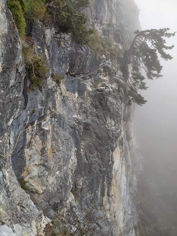
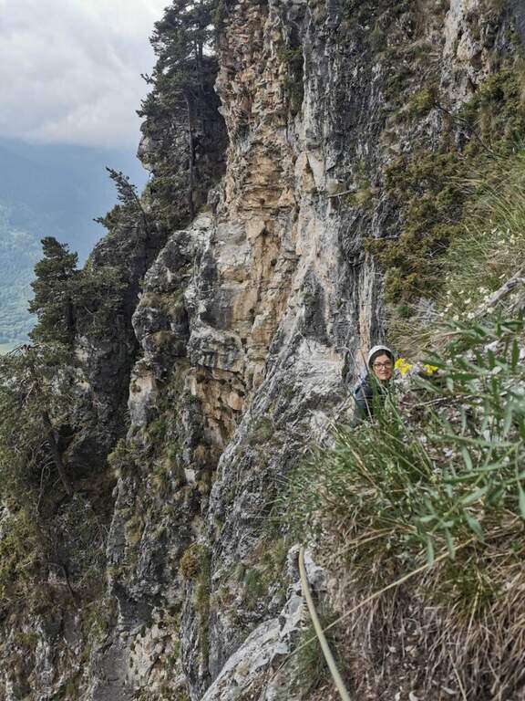
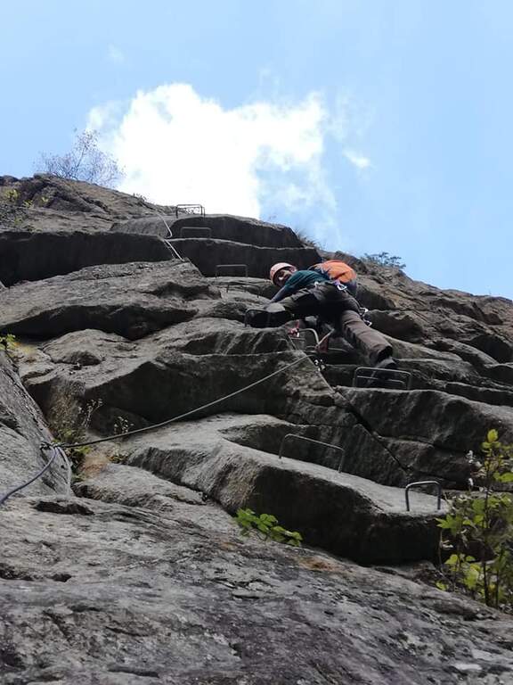
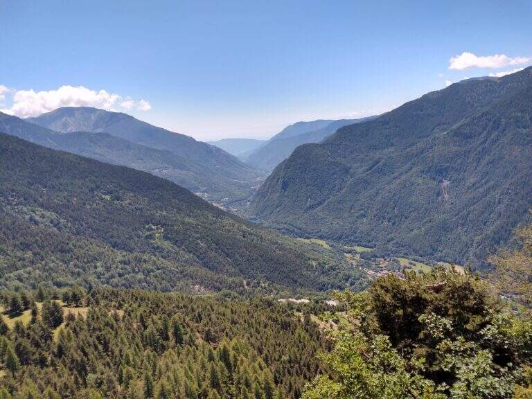
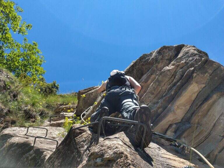
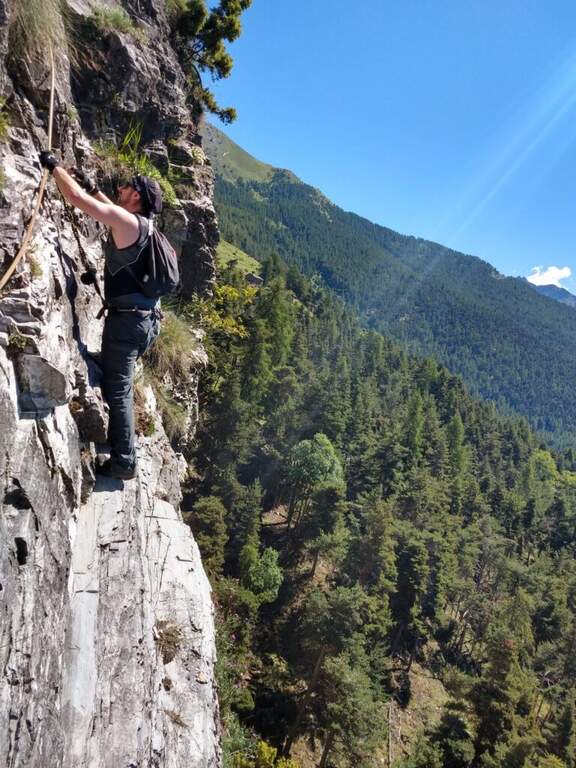
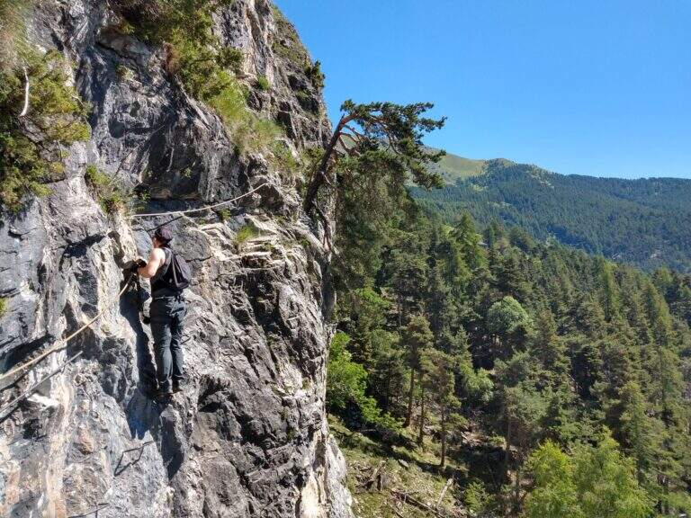
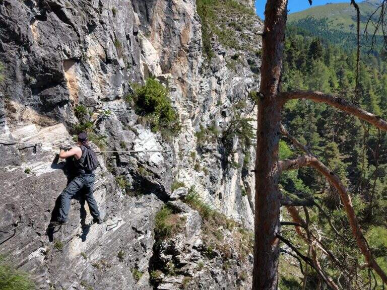
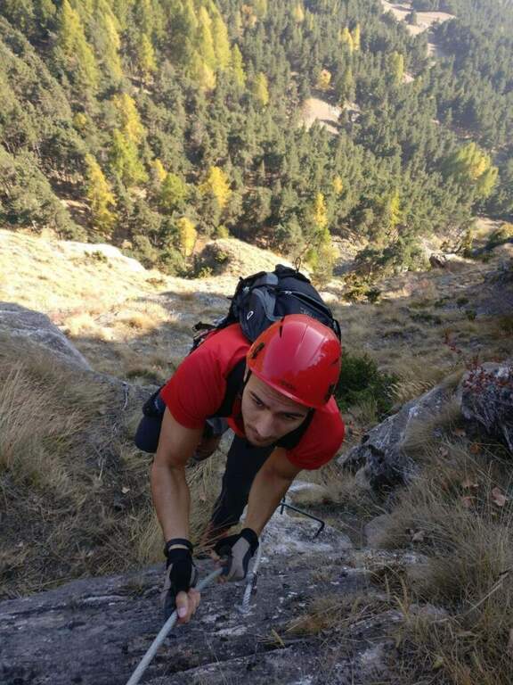
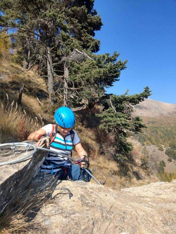
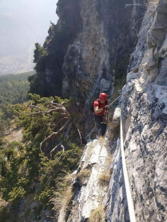
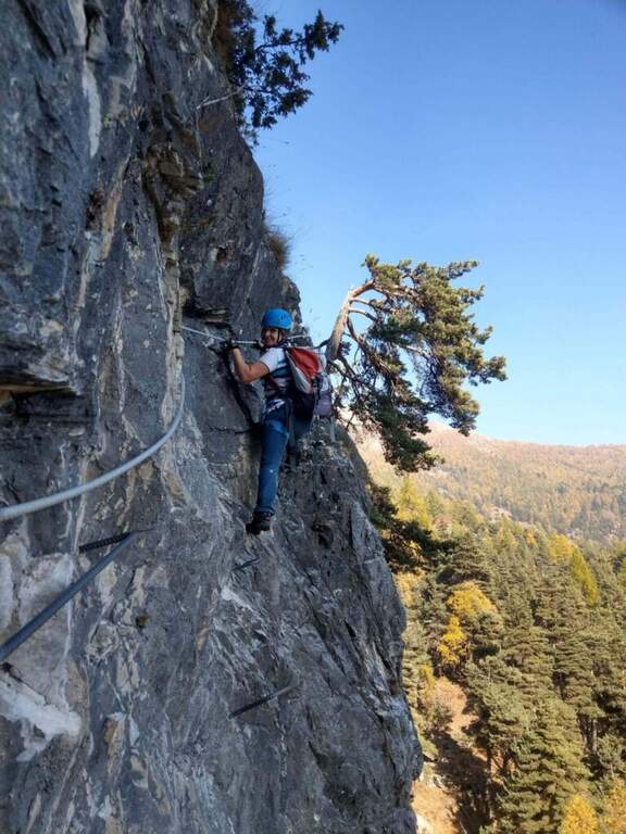
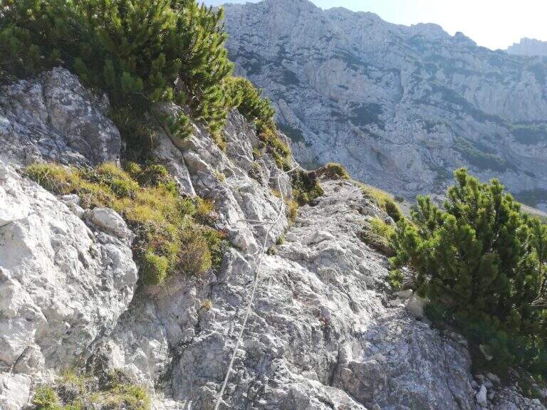
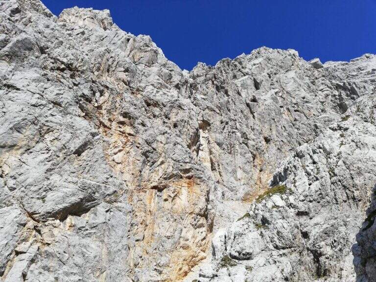
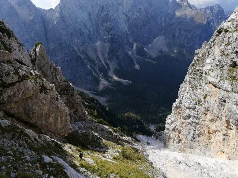
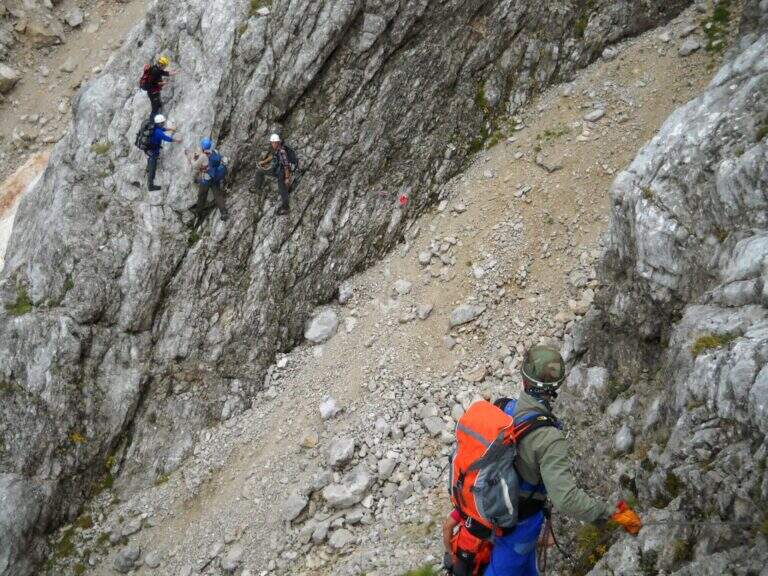
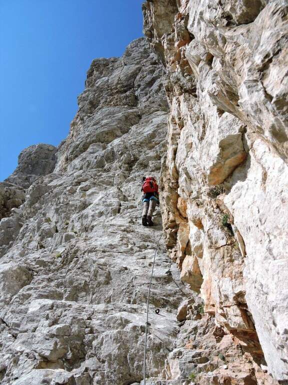
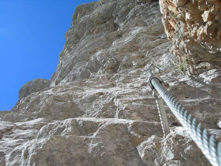
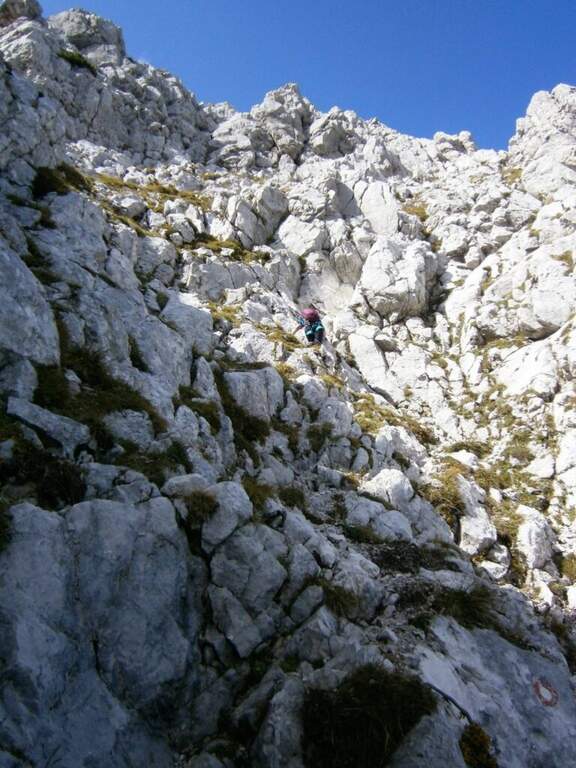
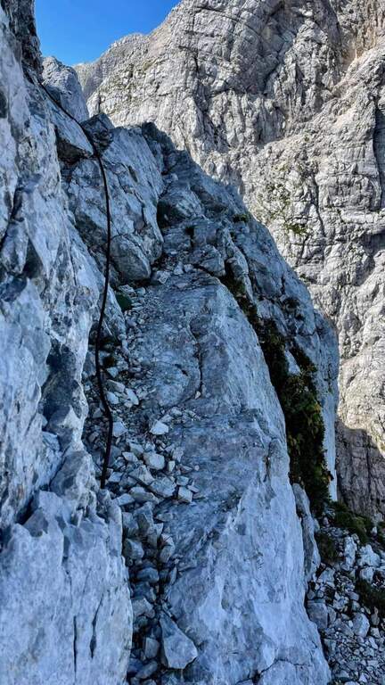
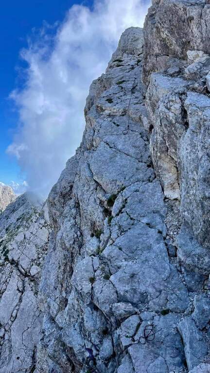
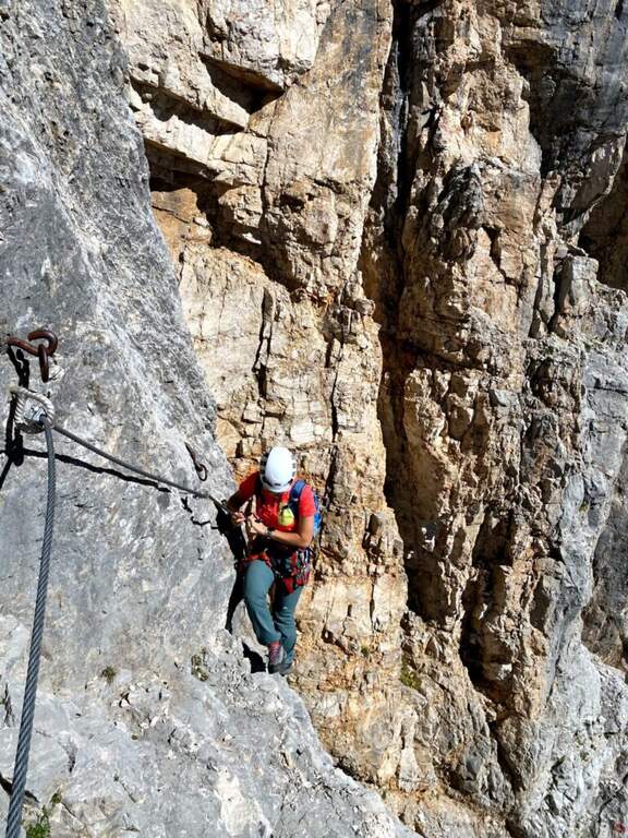
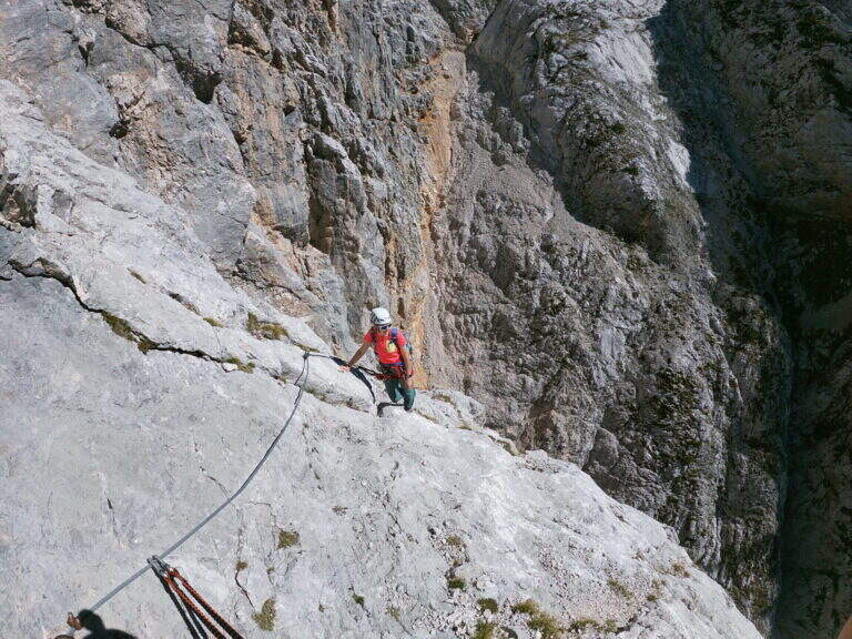
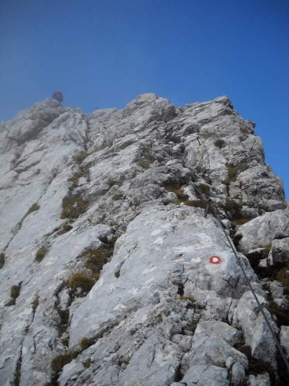
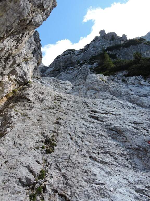
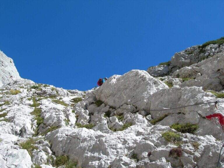
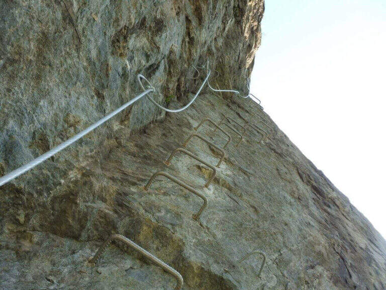
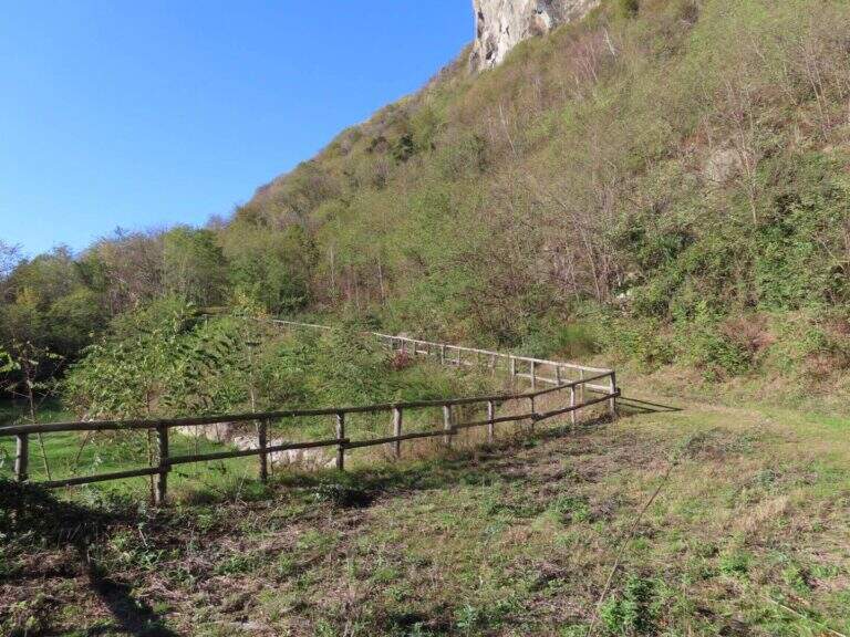
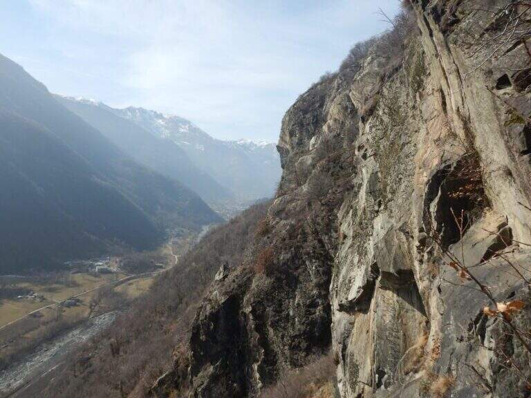
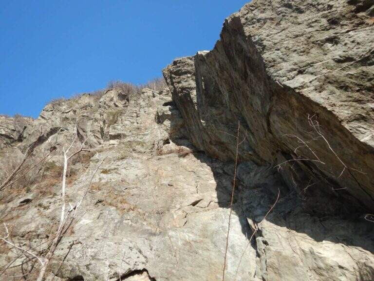
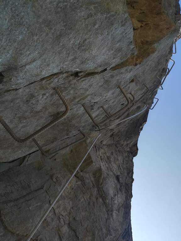
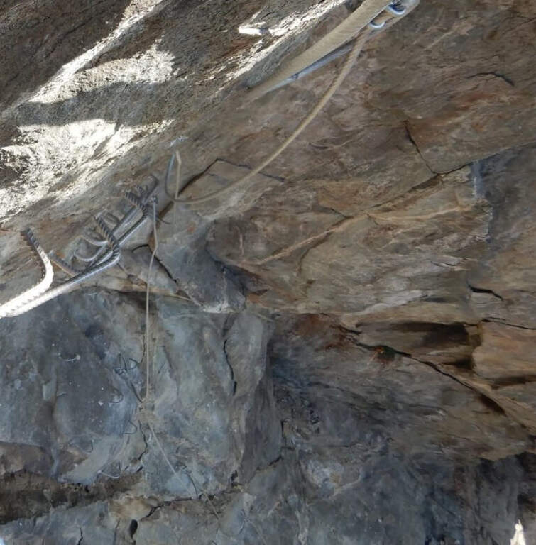
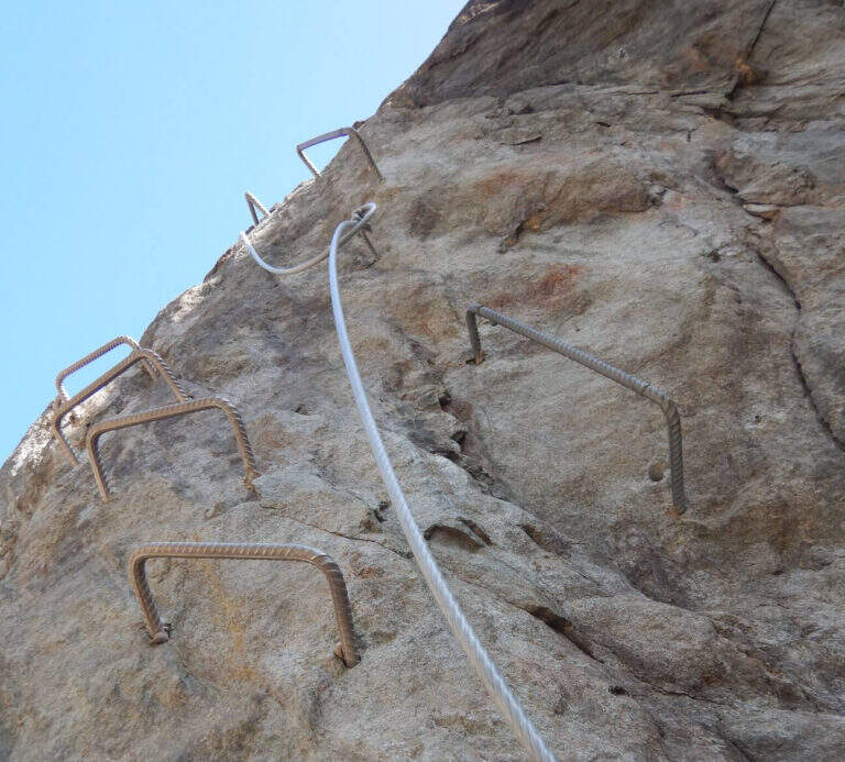
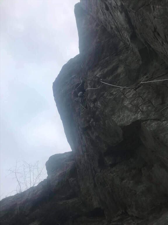
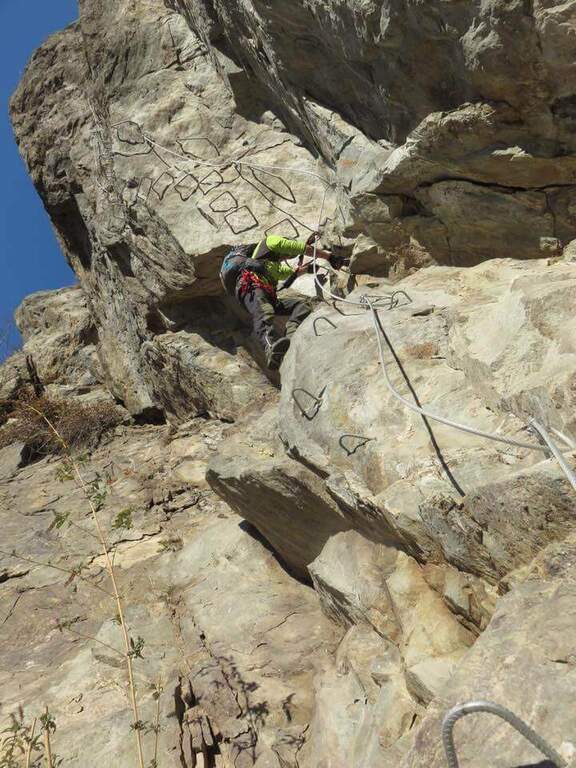
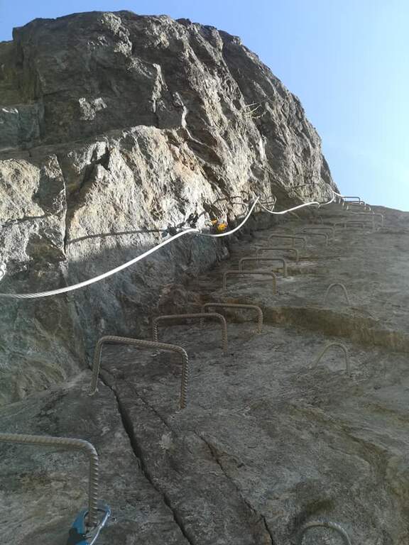
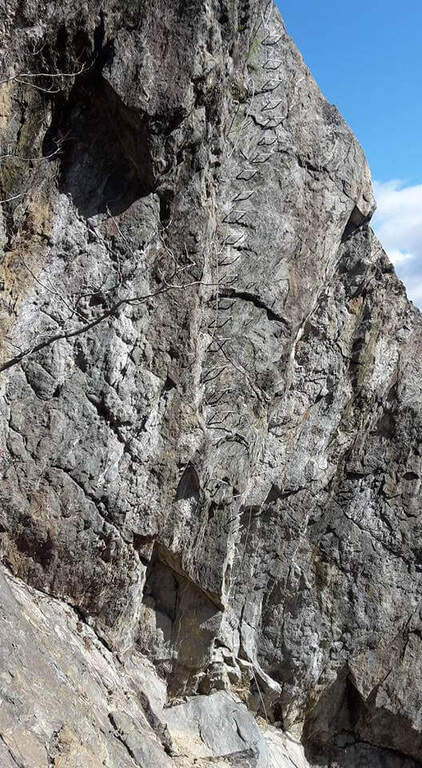
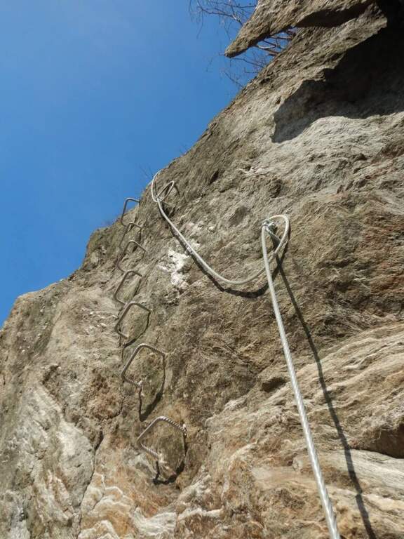
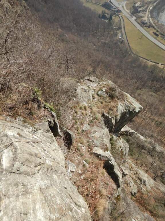
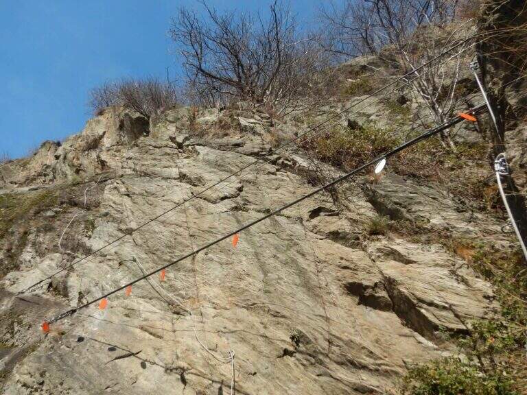
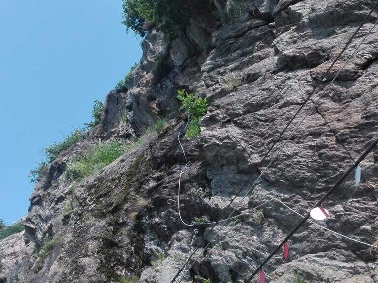
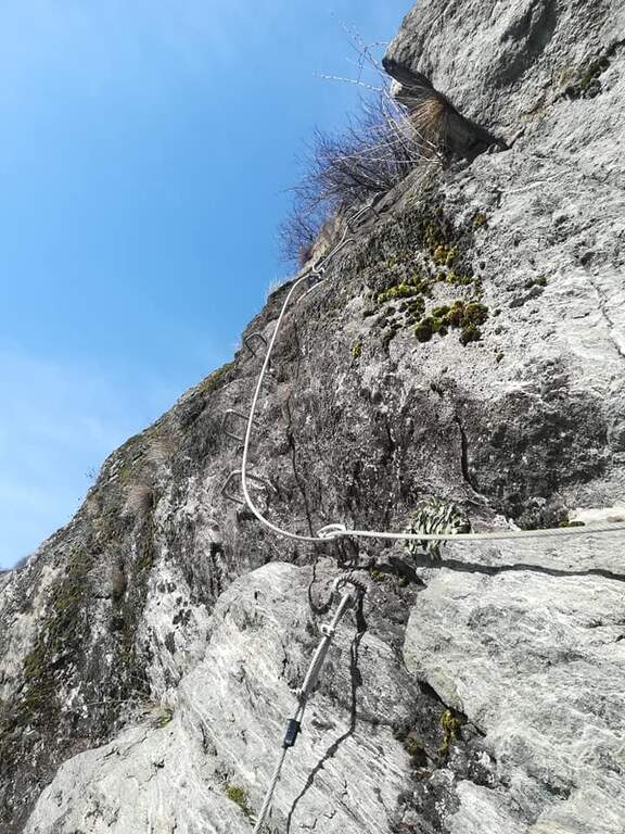
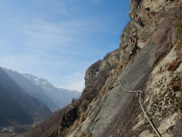
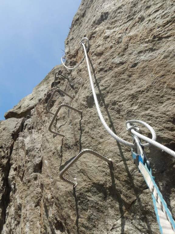
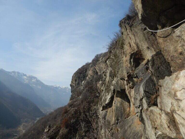
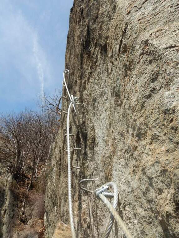
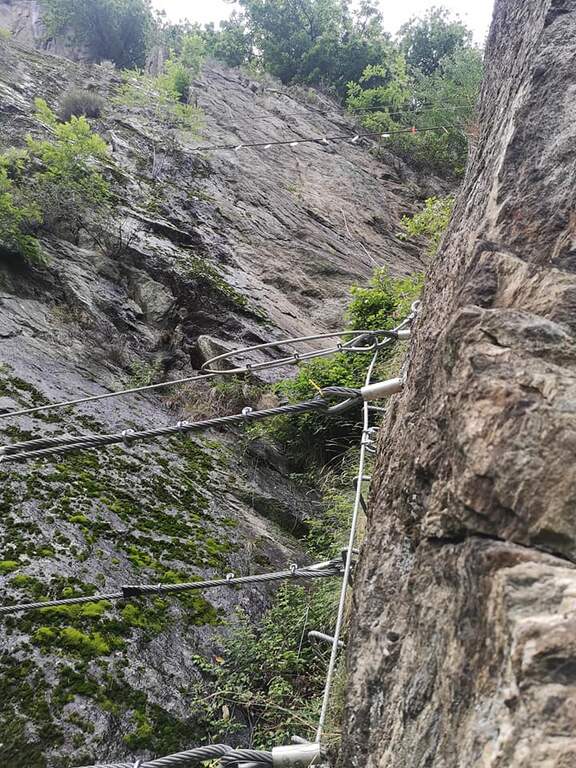
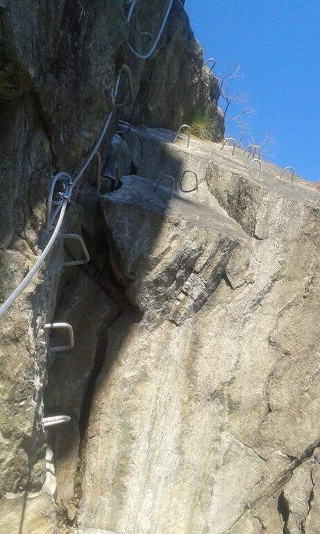
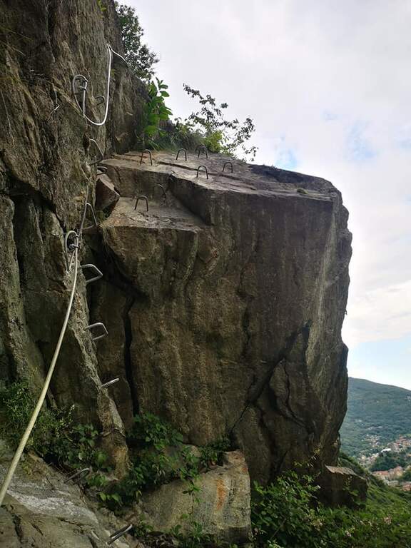
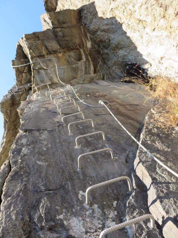
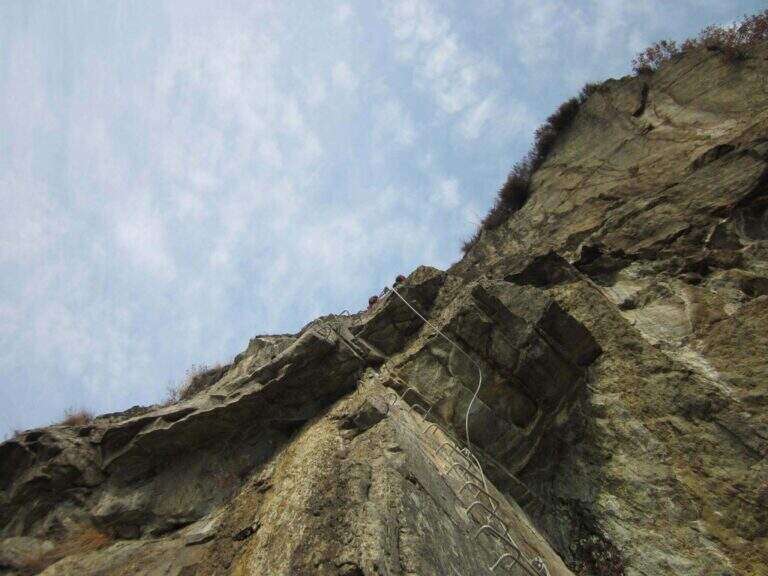
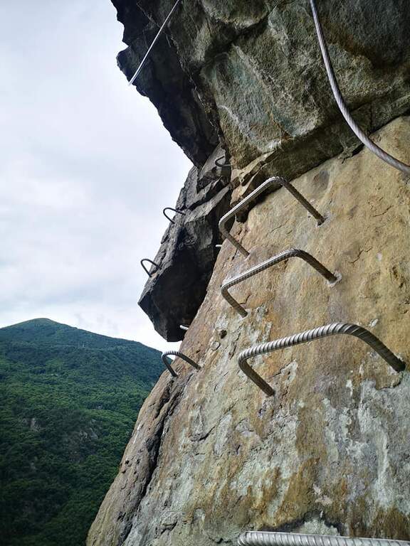
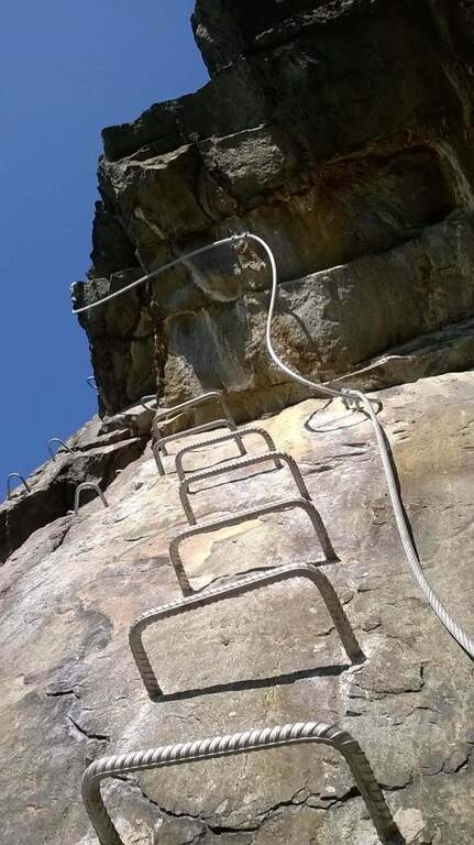
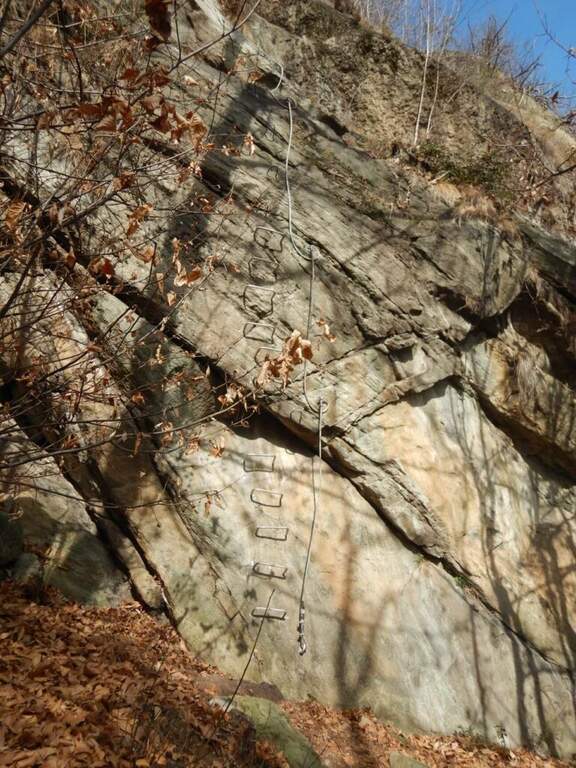
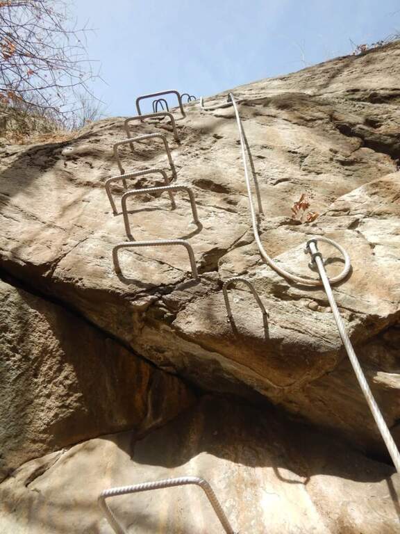
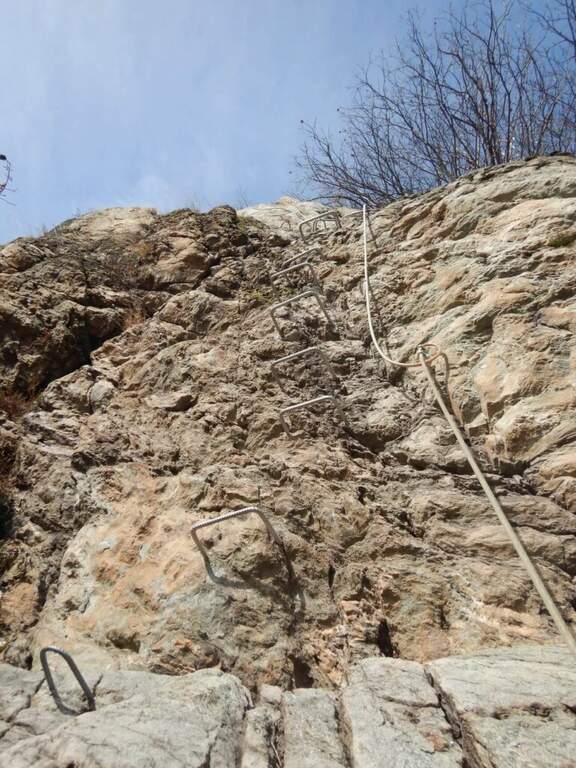
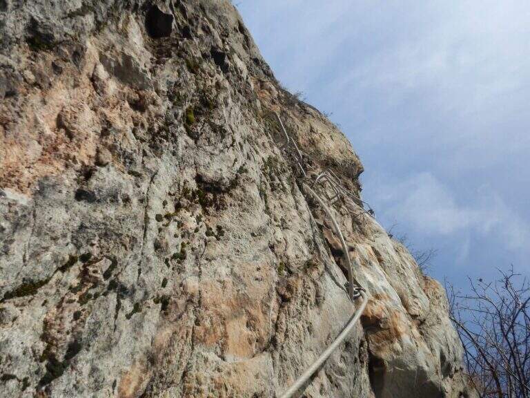
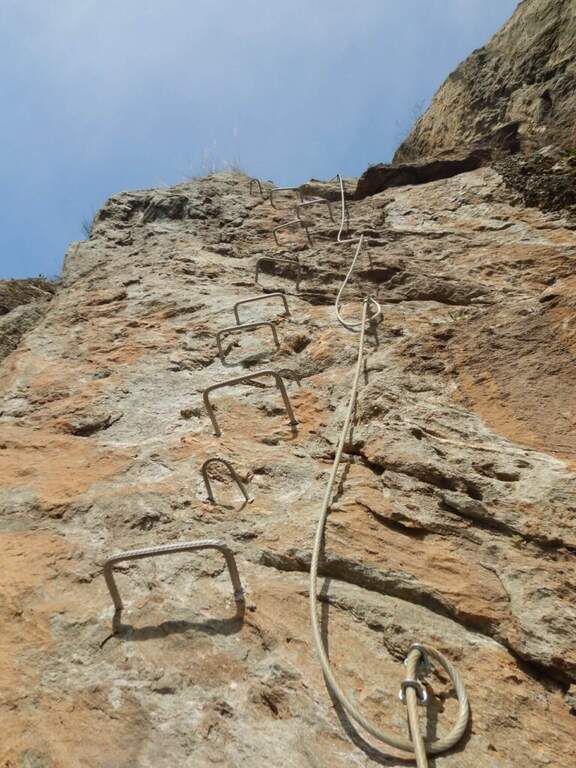
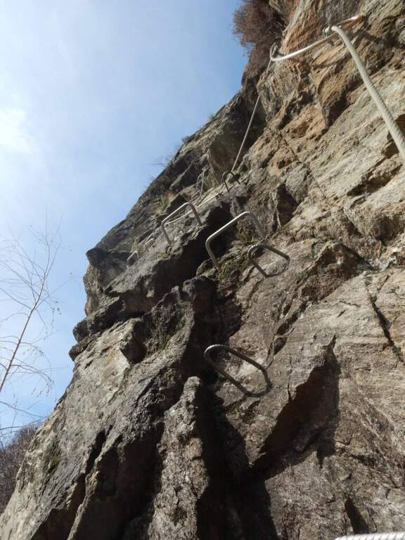
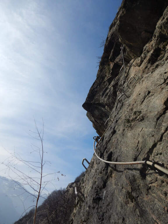
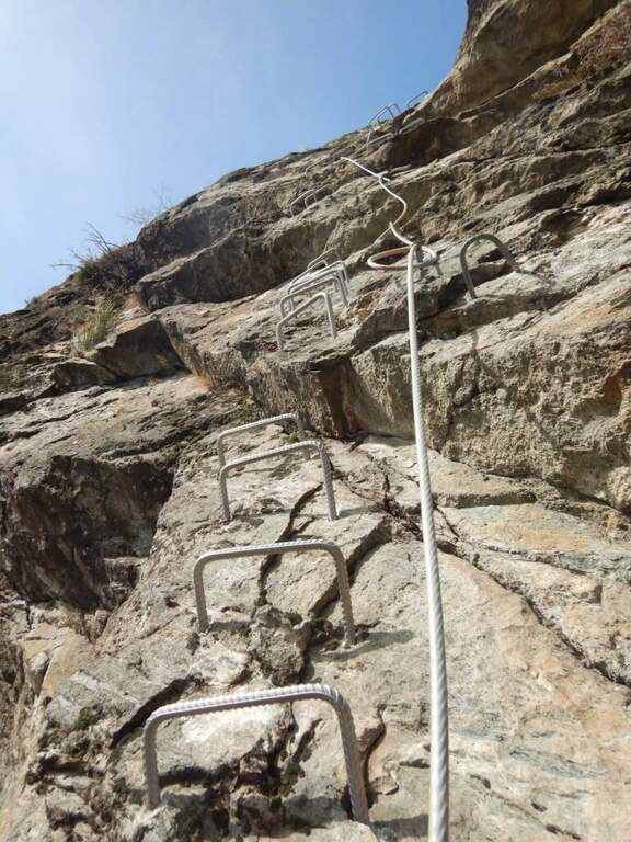
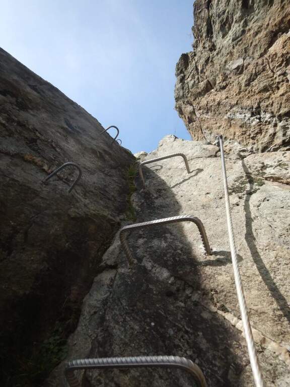
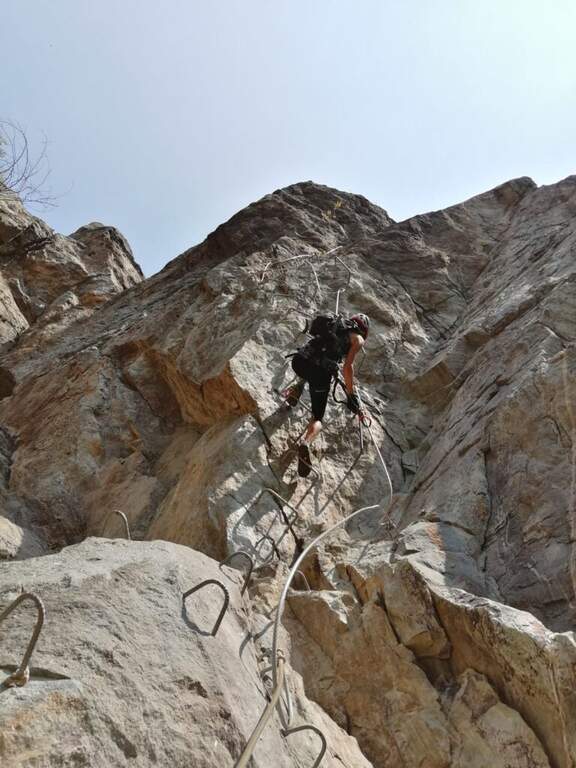
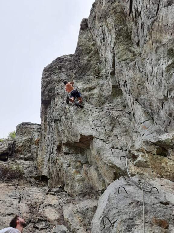
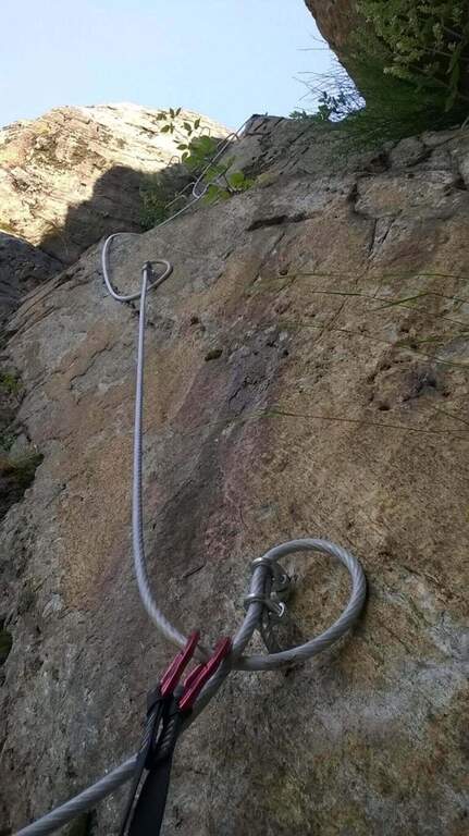
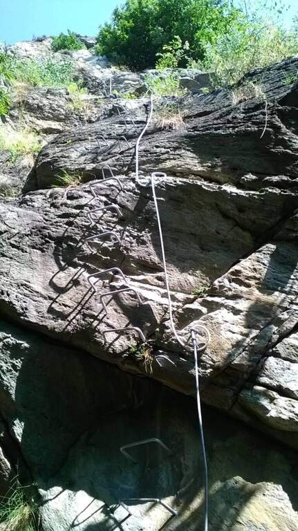
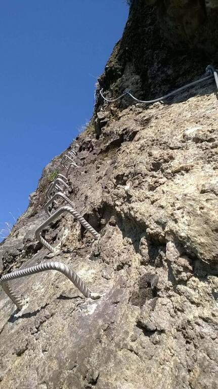
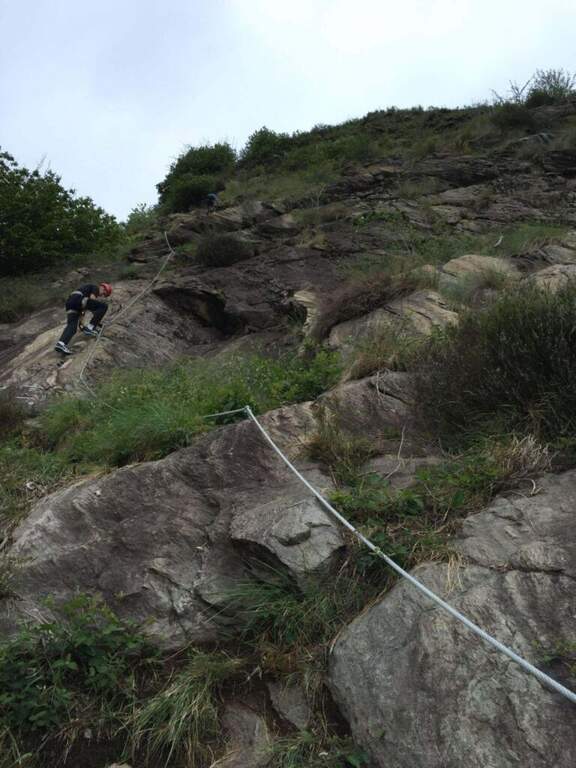
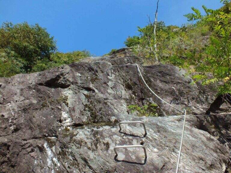
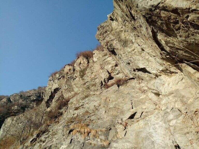
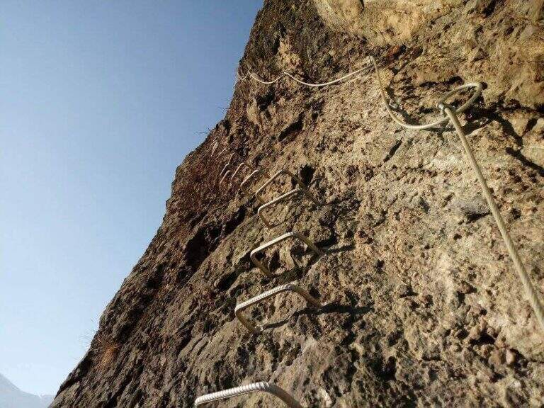
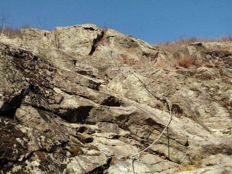
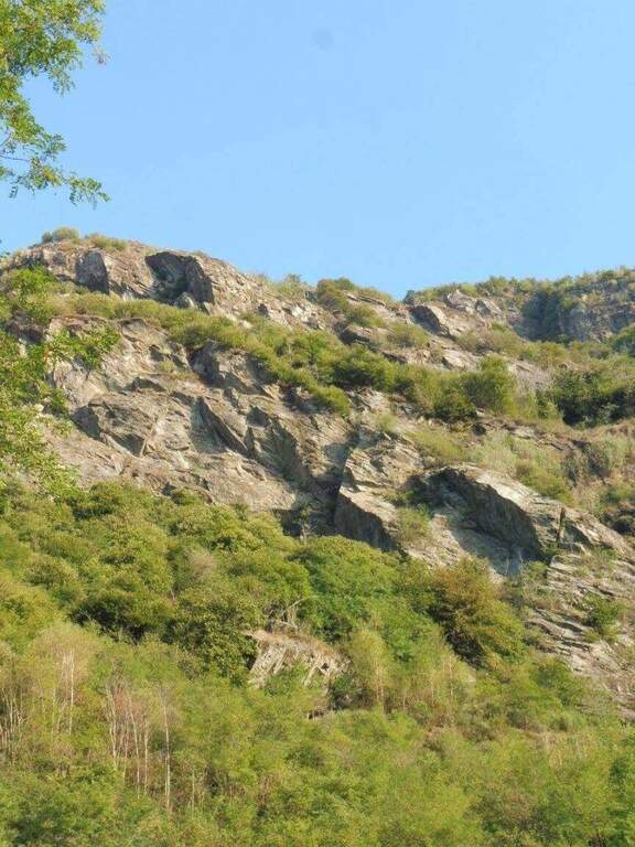
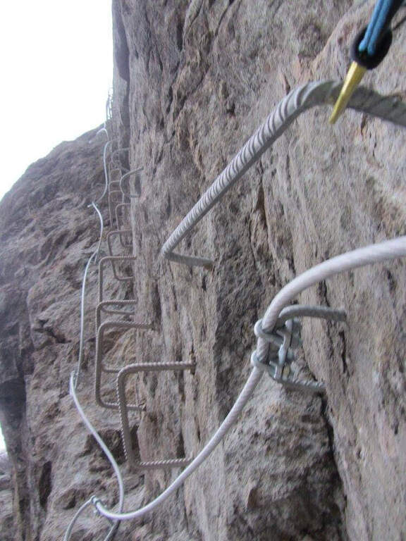
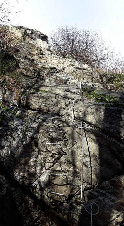
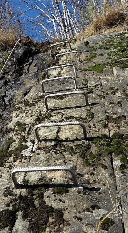
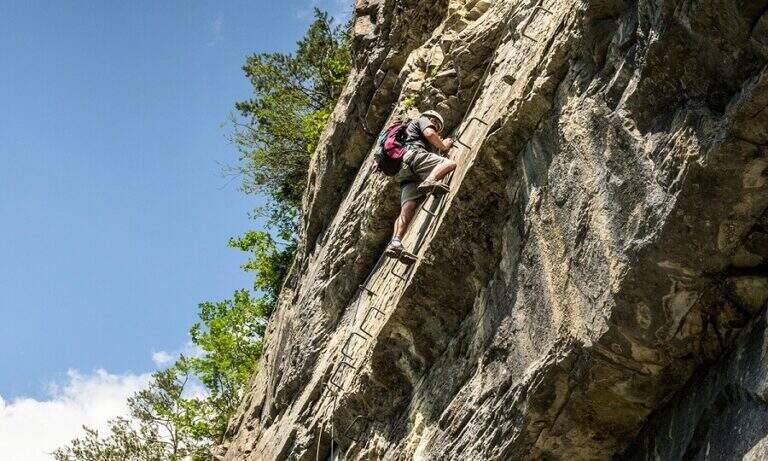
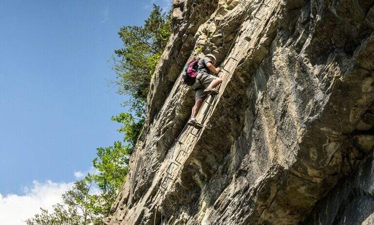
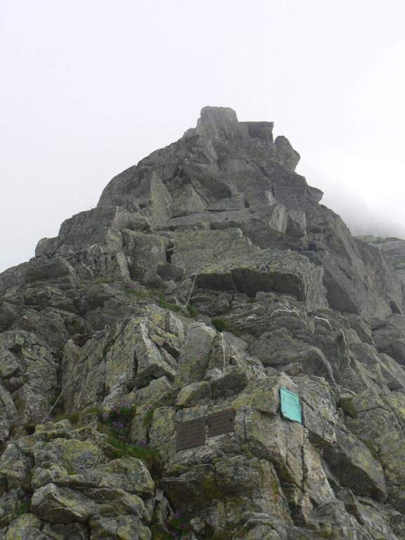
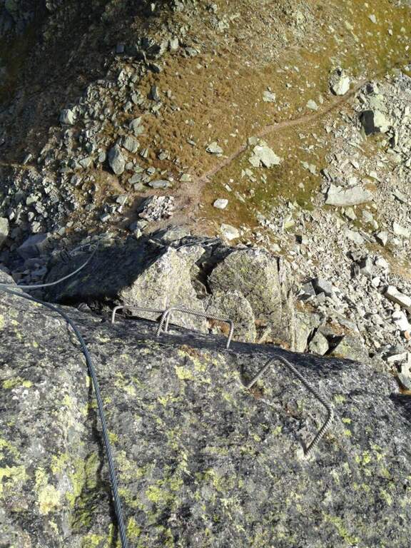
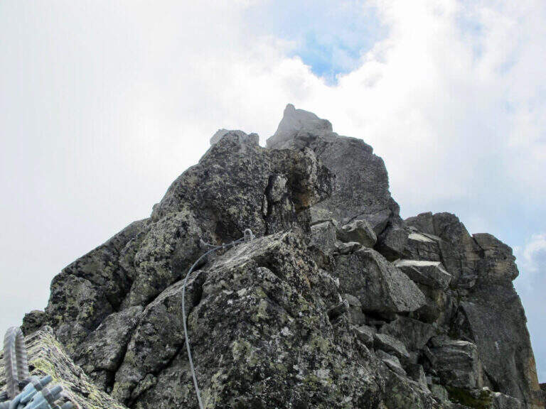
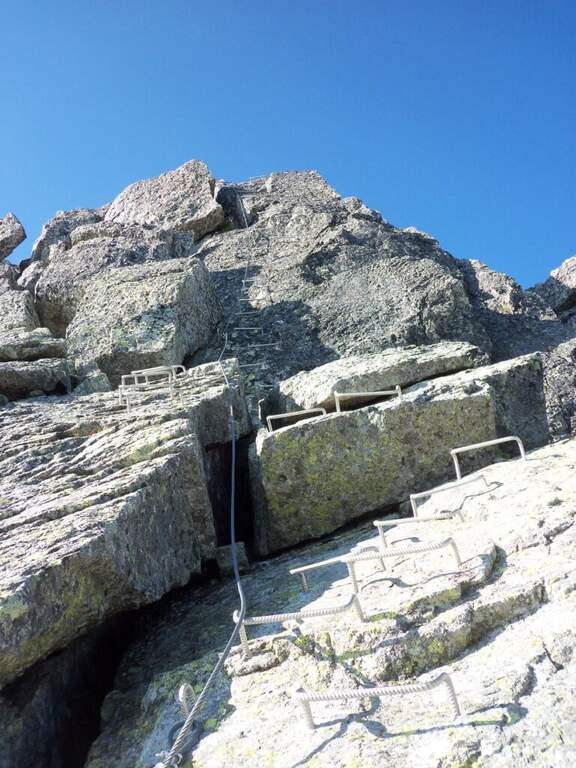
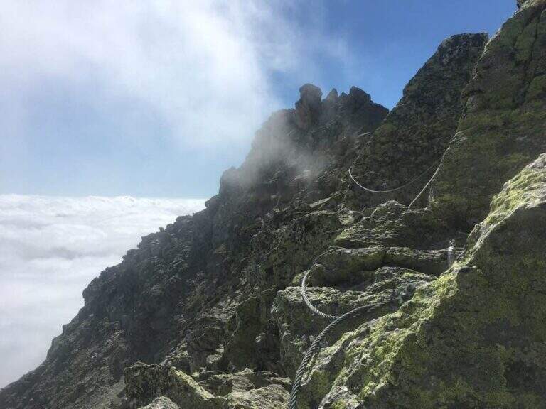
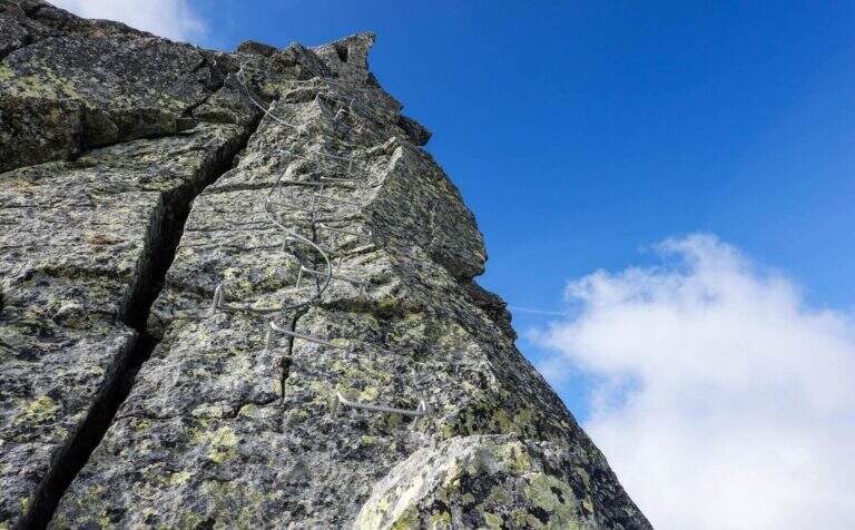
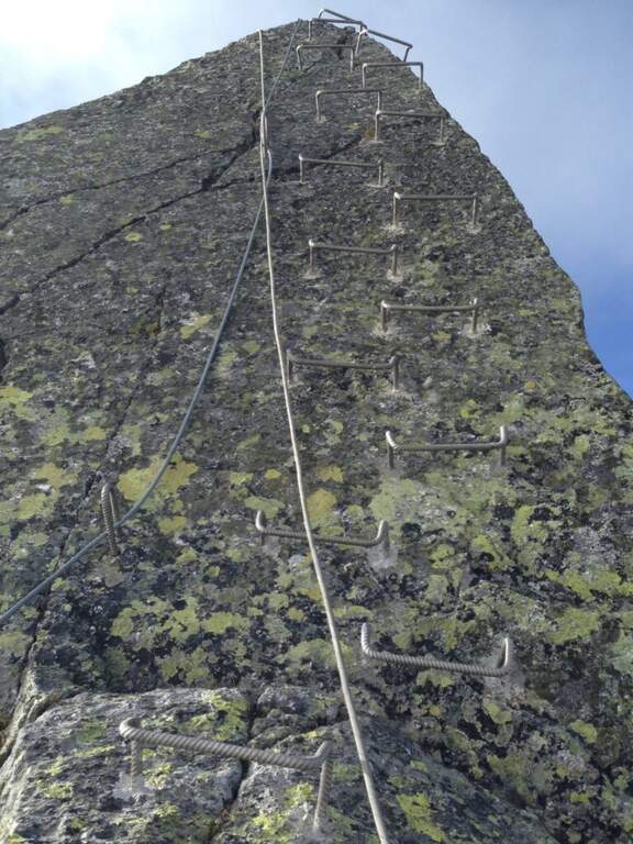
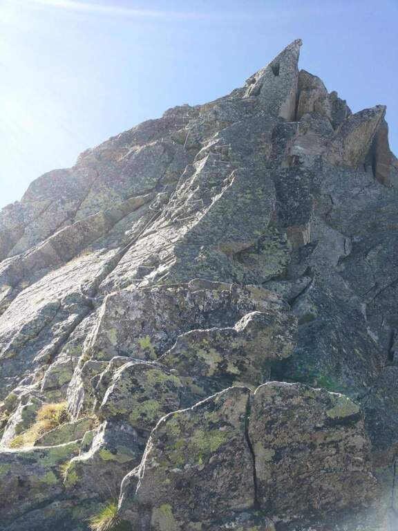
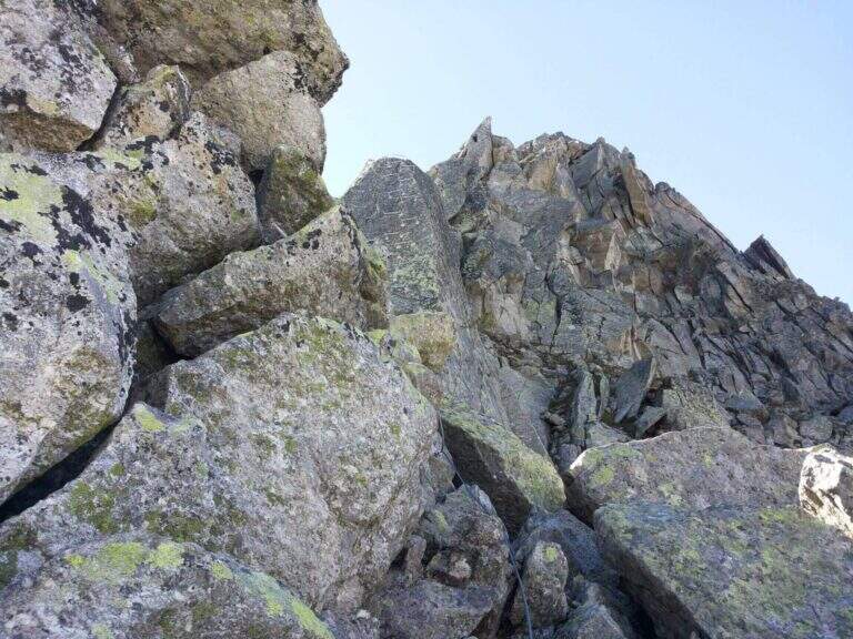
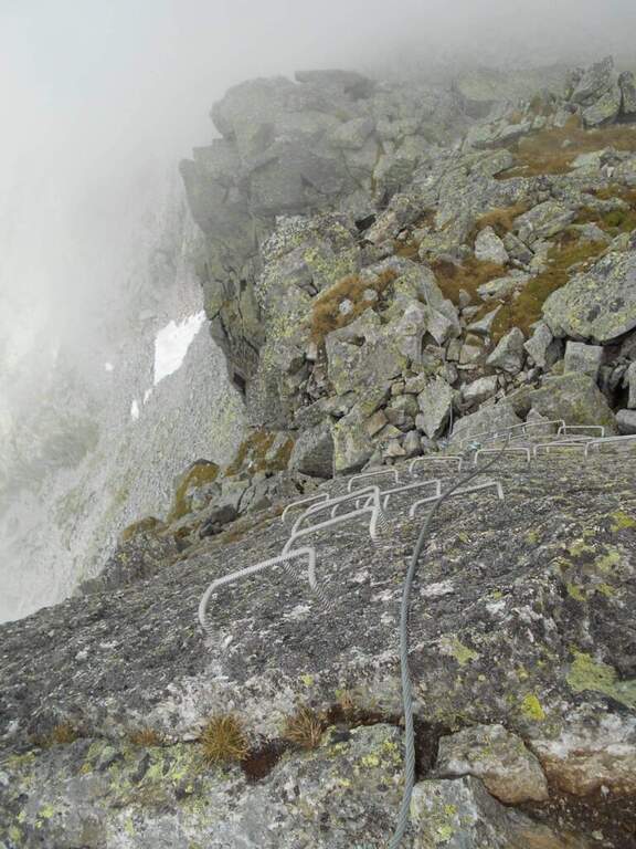
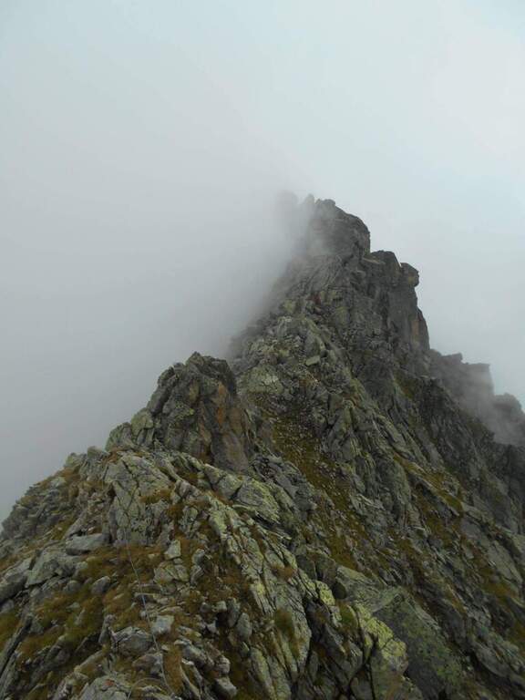
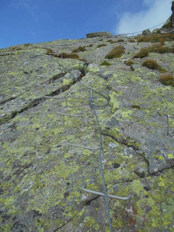
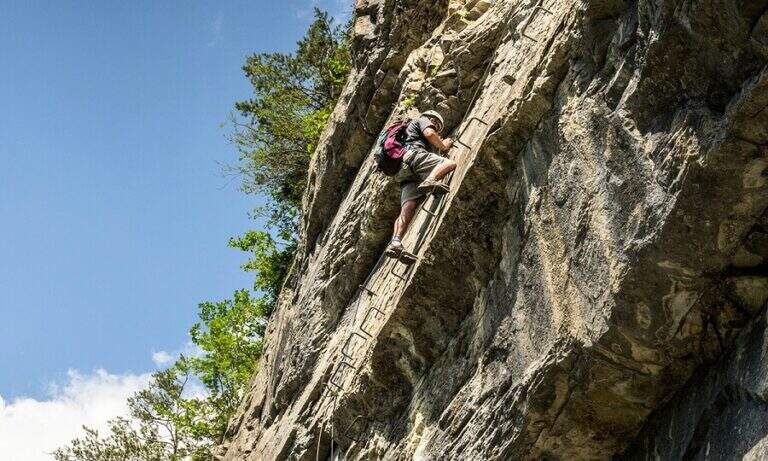
    The recent and athletic Ferrata Pursteinwand climbs up a steep slope on the eastern side of the Aurina Valley, above Campo Tures. It is a short itinerary but not to be underestimated, which requires strength and technique and does not lead to a peak but to a panoramic point on the valley. For style — polished rock and abundant metal equipment — it recalls more the French ferrates of the Western Alps than the classic Dolomite routes.

    ▲Approach

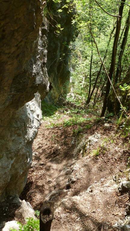
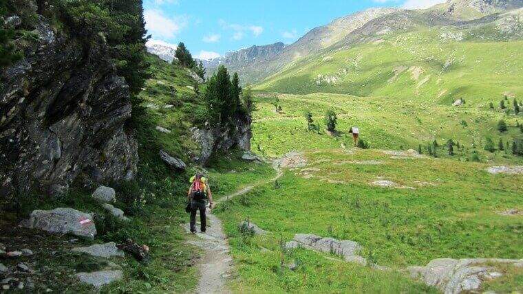
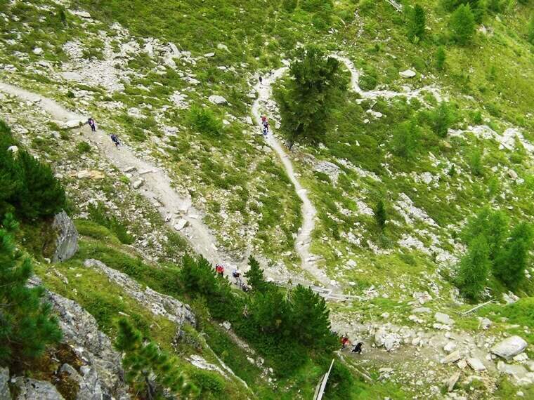
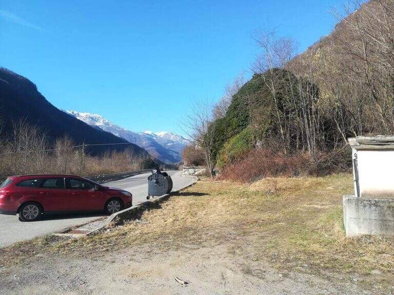
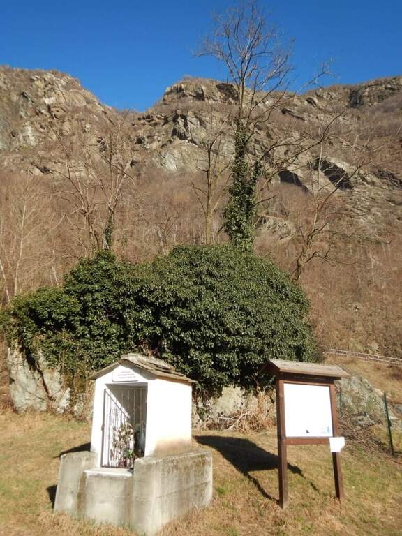
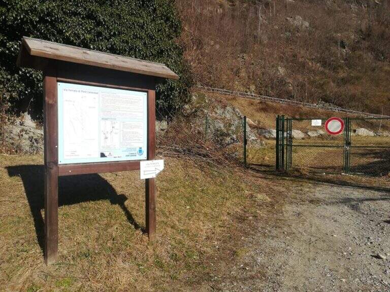
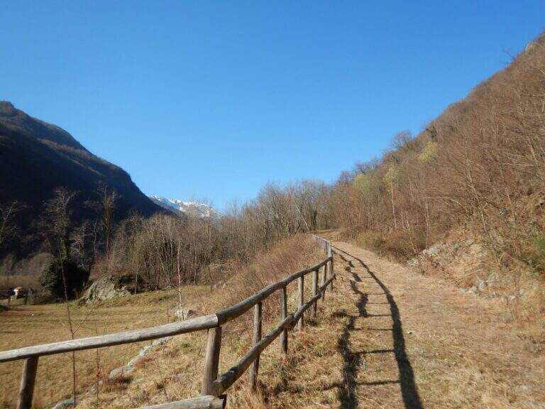
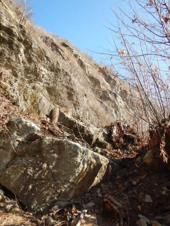
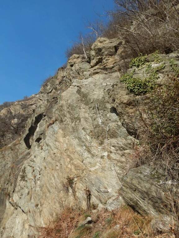
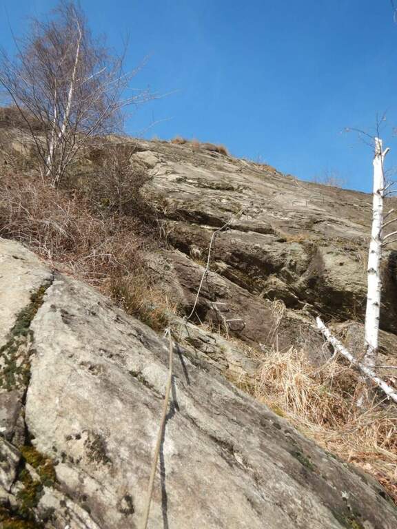
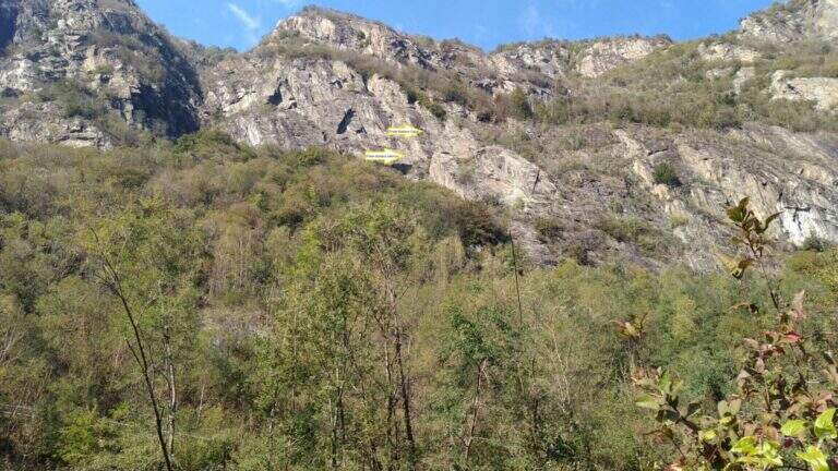
    The starting point is Campo Tures, in Valle Aurina, reachable from Brunico; just before the village, in an industrial area, you park at the last building. Starting point on Google Maps. You follow the signs for the ferrata and the rock gym towards the wall, well visible from the parking lot; you pass under the wall on the floor, then to the right you take the marked deviation. A sign of stone fall is held on the right, climbing a rocky slope up to the attack sign (15' from the parking lot).

    ▲The path

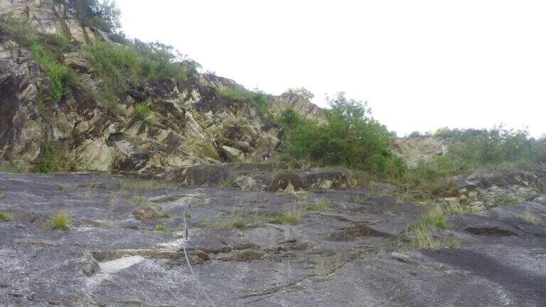
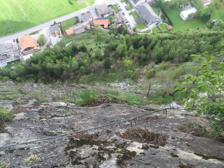
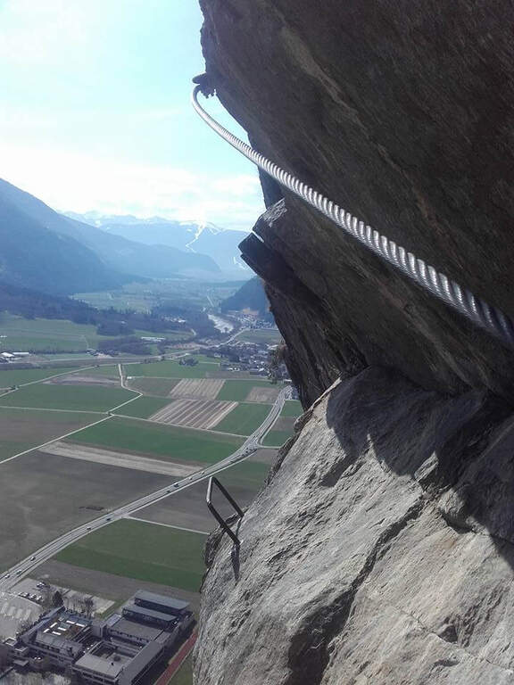
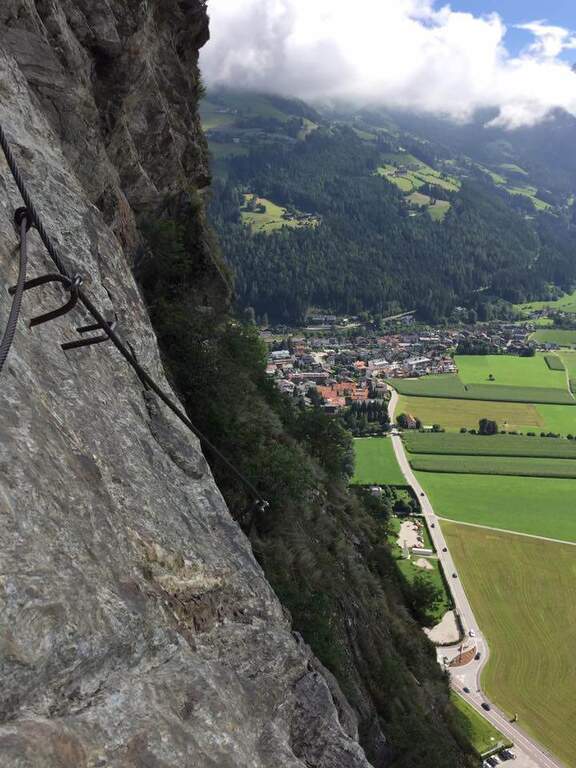
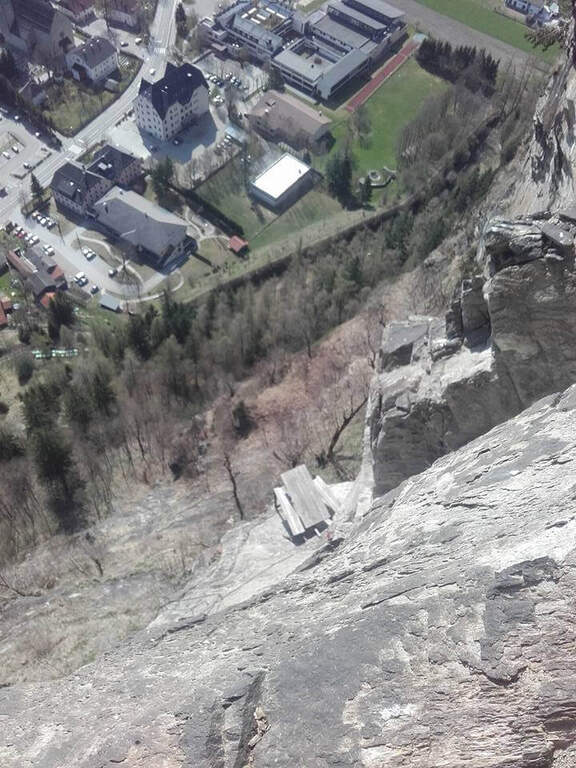
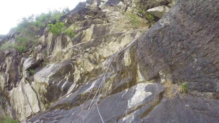
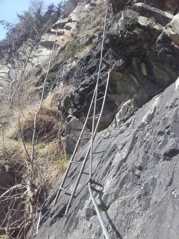
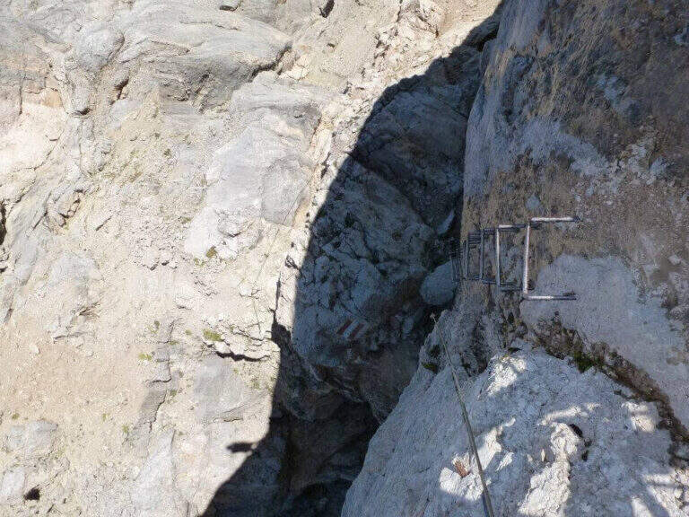
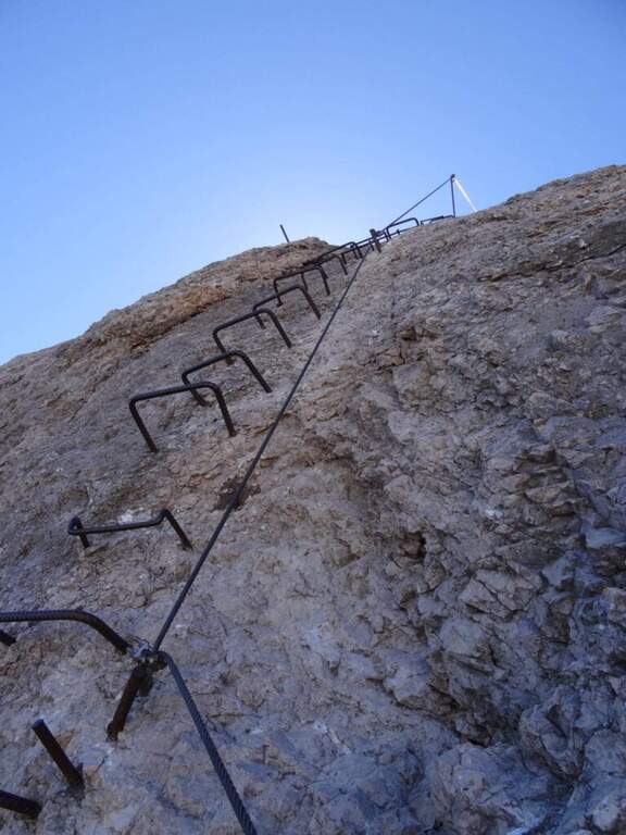
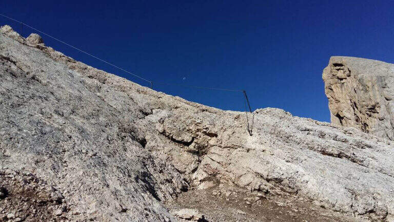
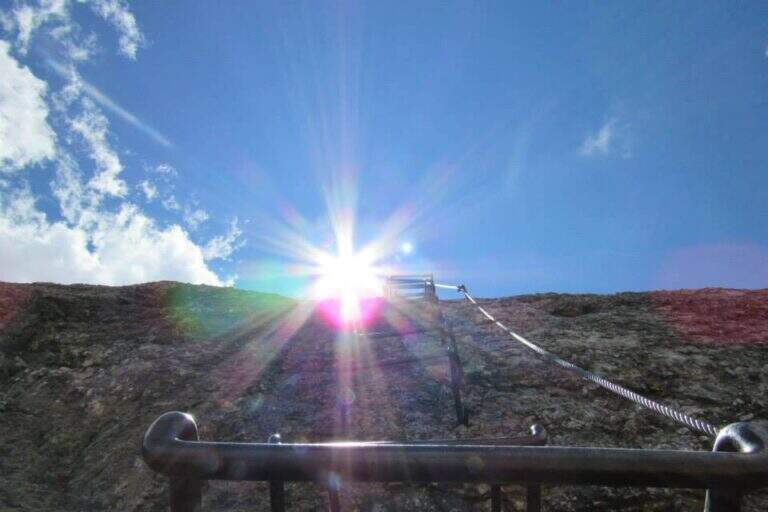
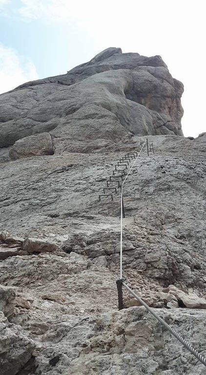
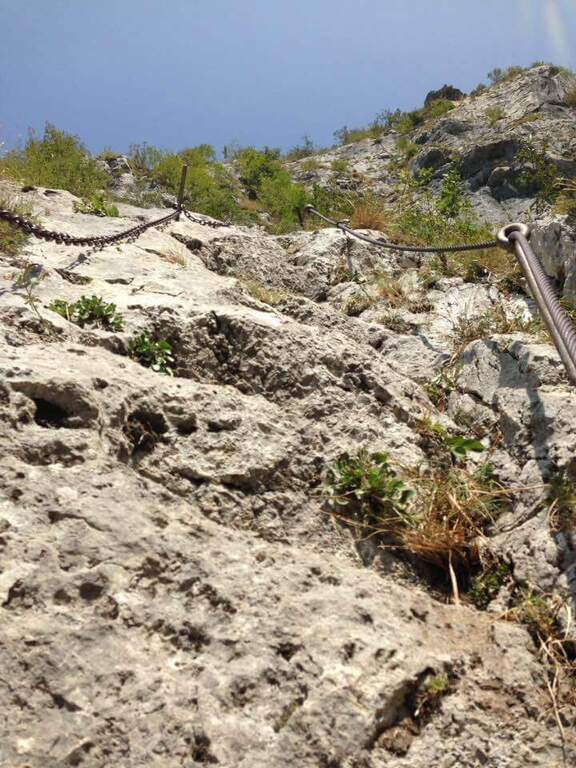
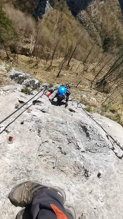
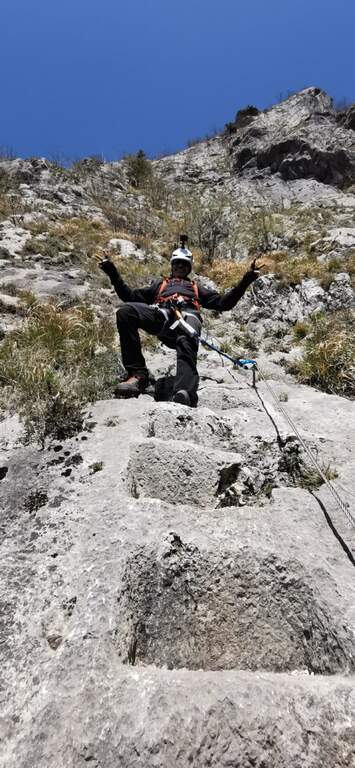
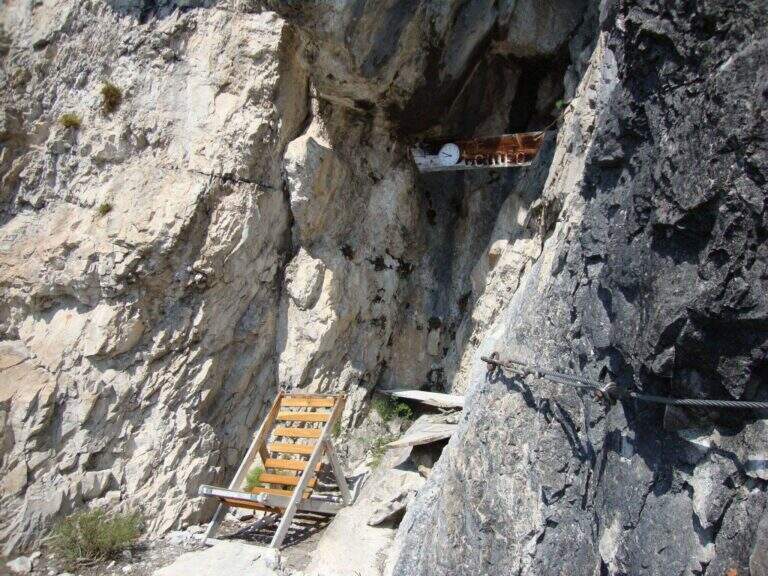
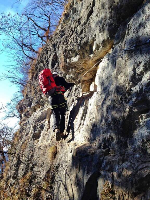
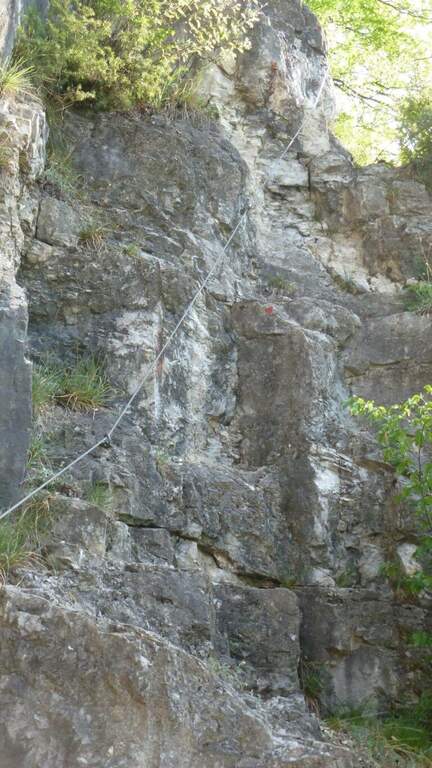
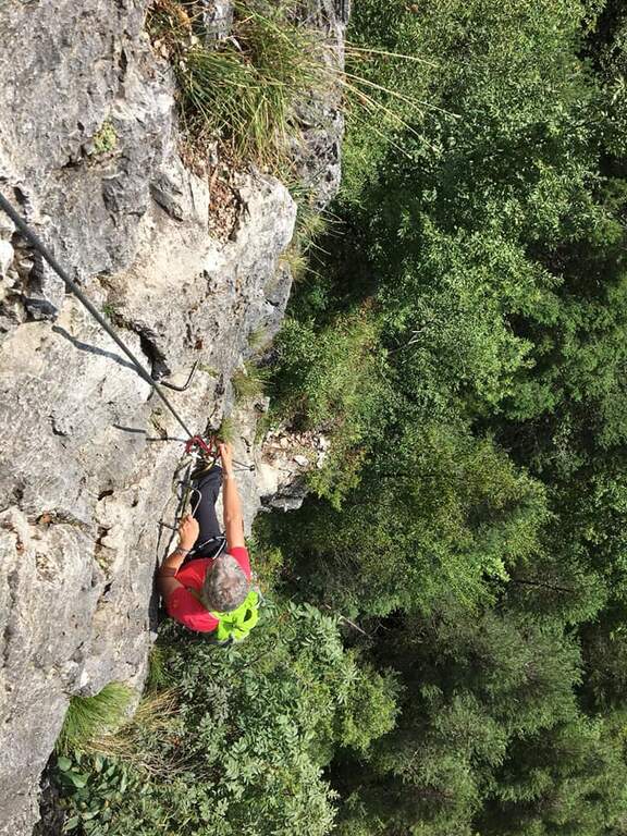
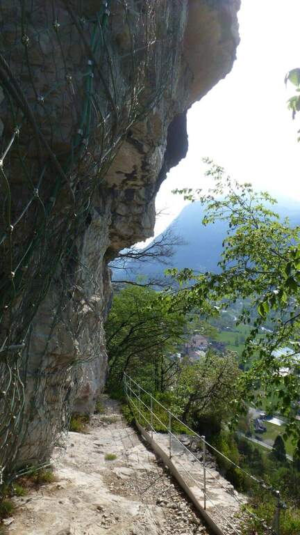
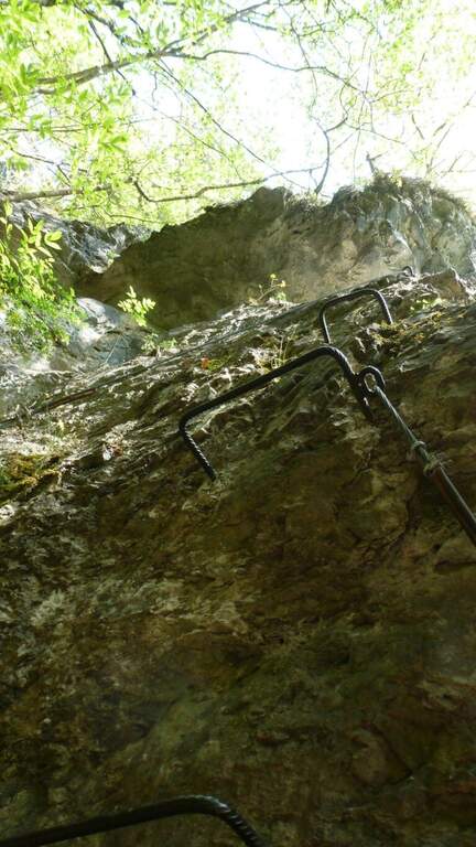
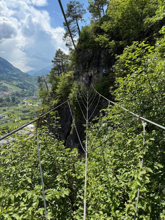
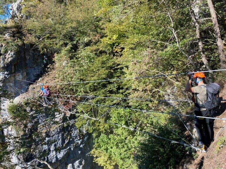
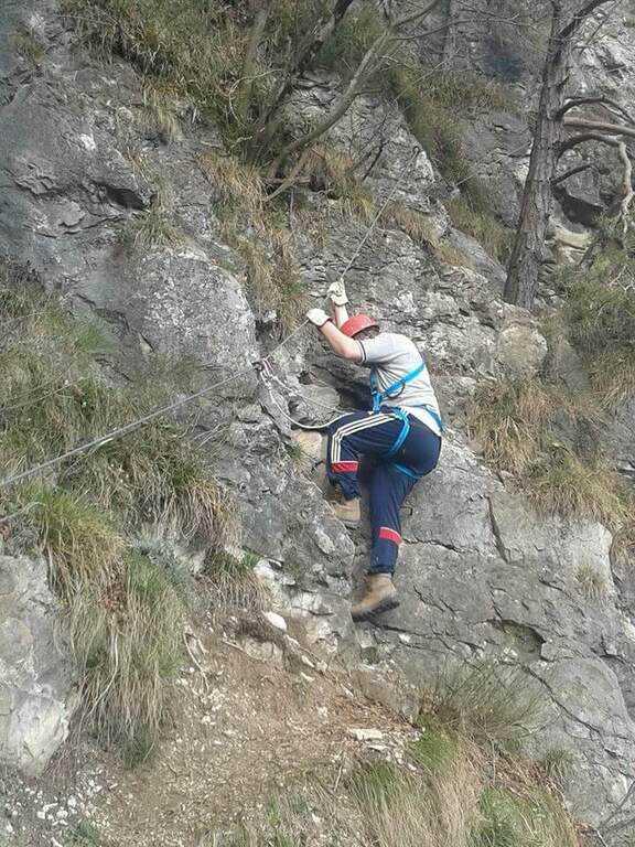
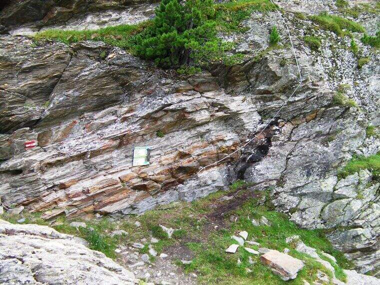
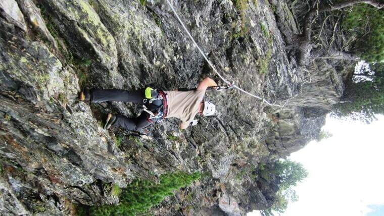
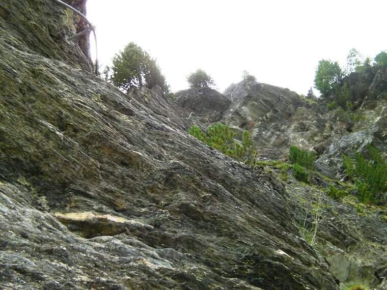
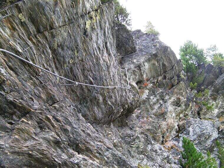
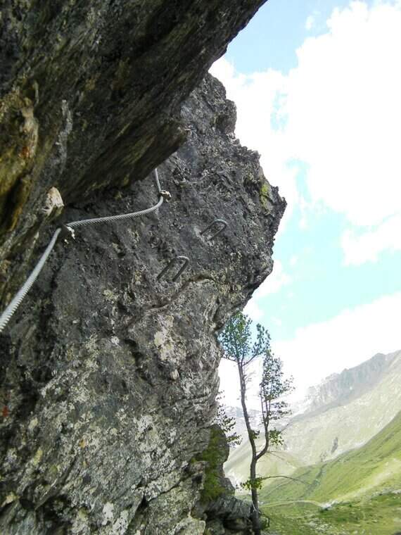
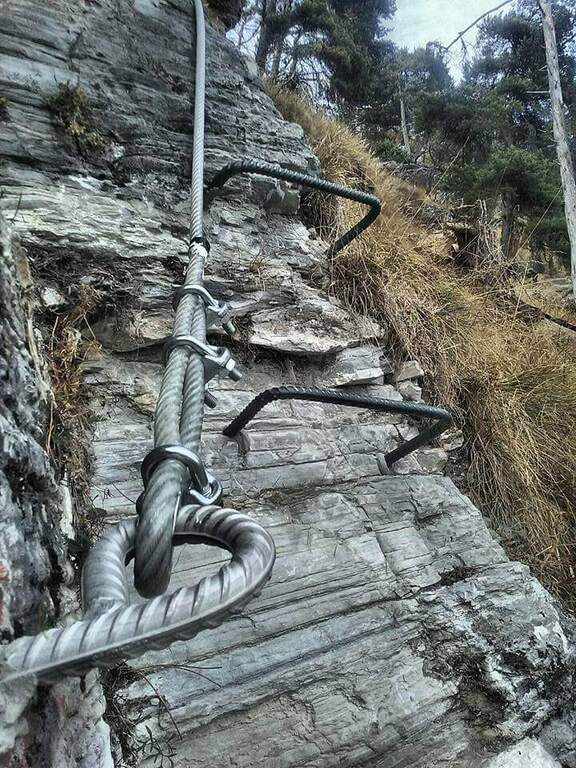
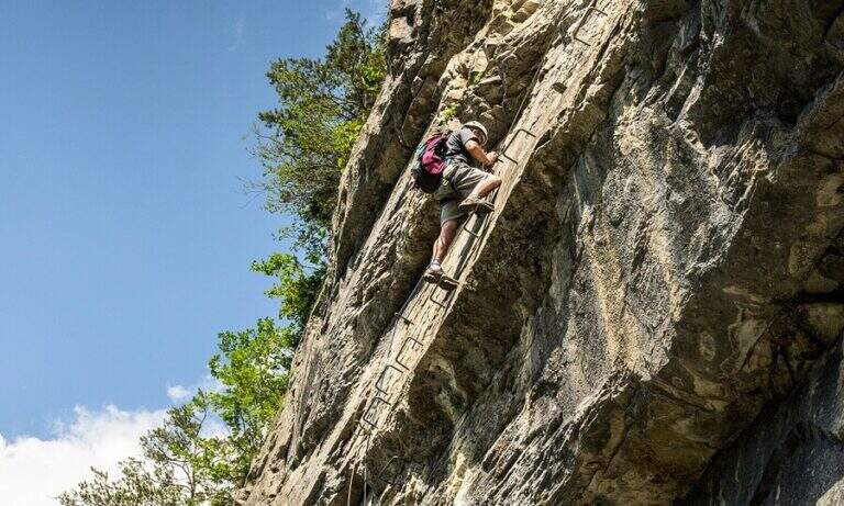
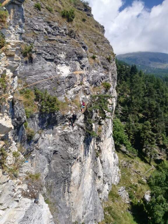
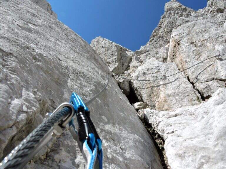
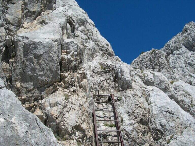
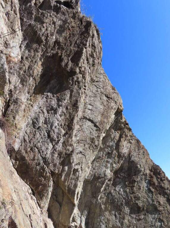
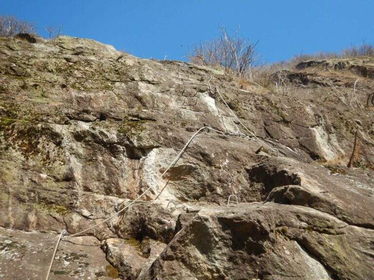
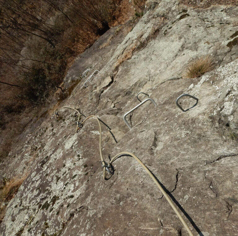
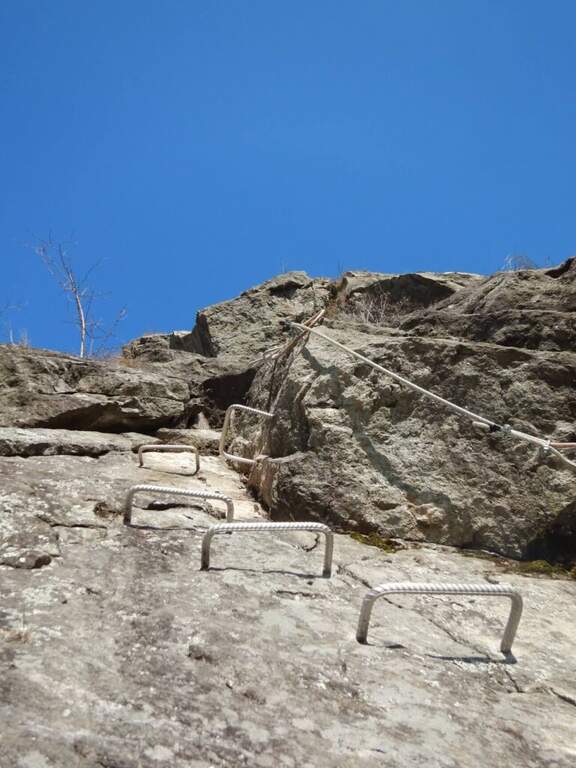
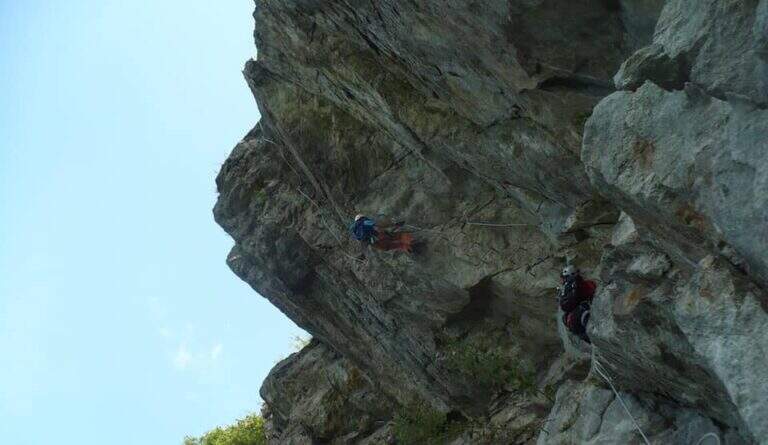
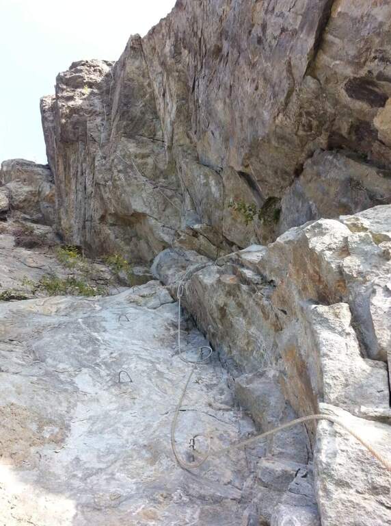
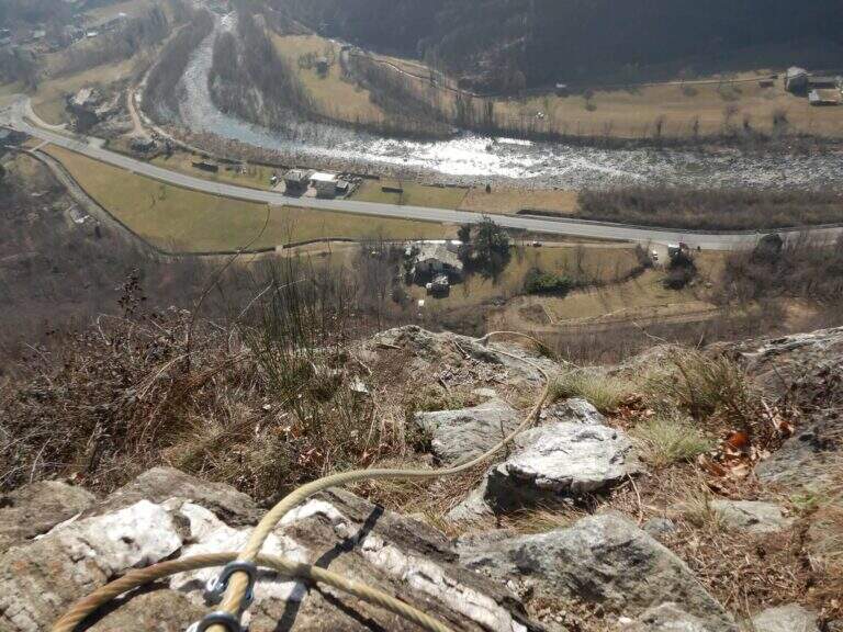
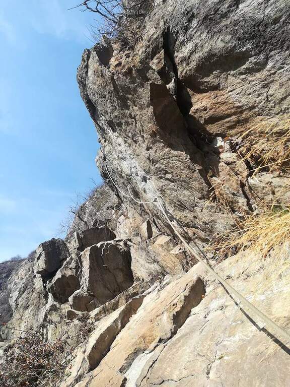
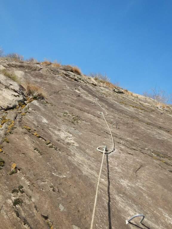
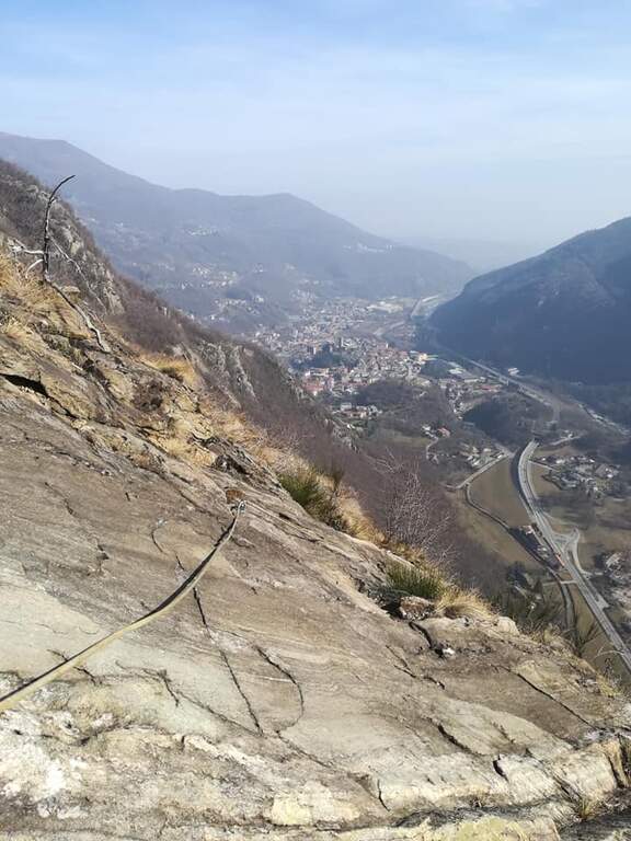
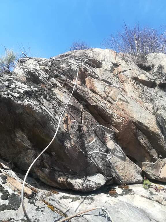
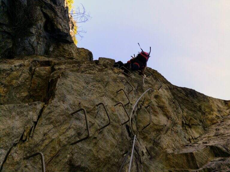
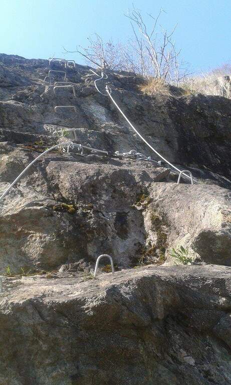
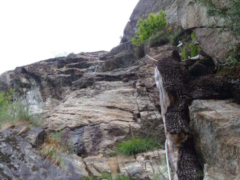
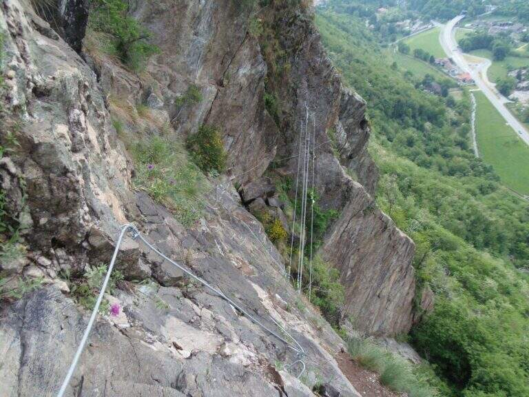
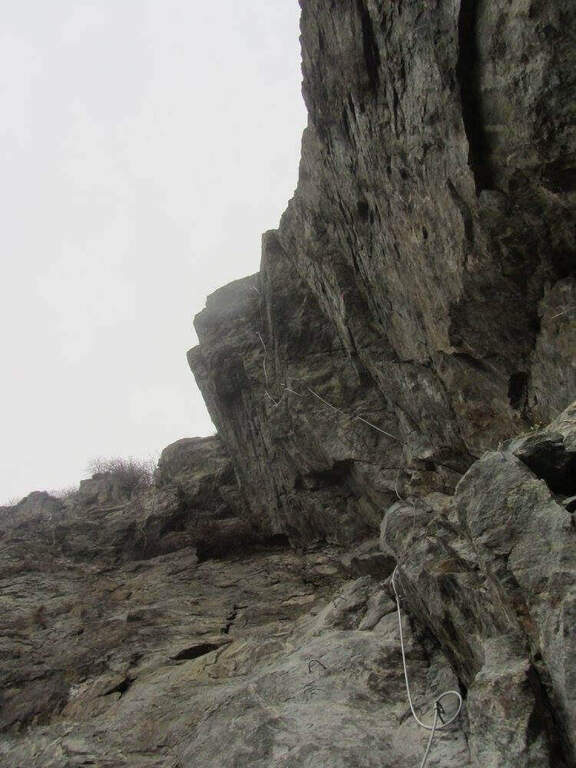
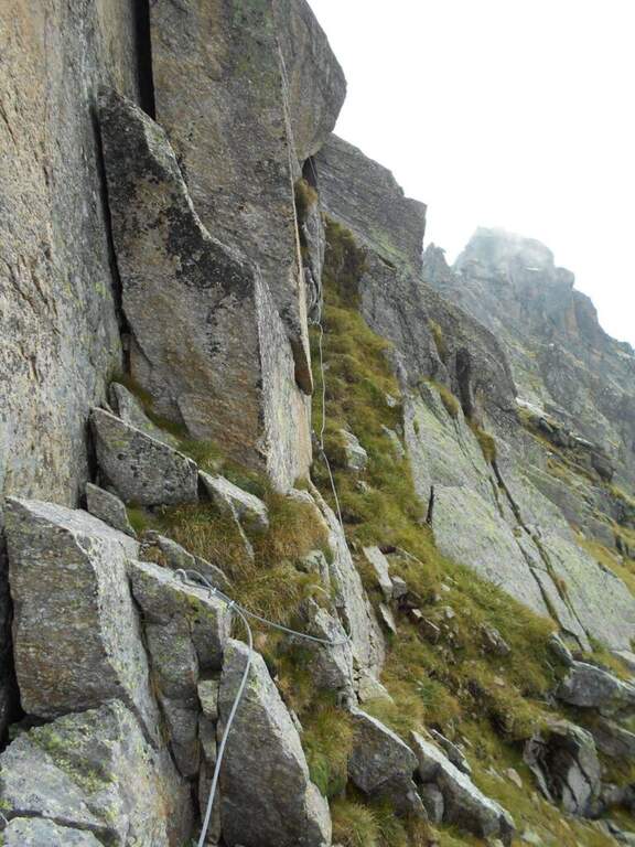
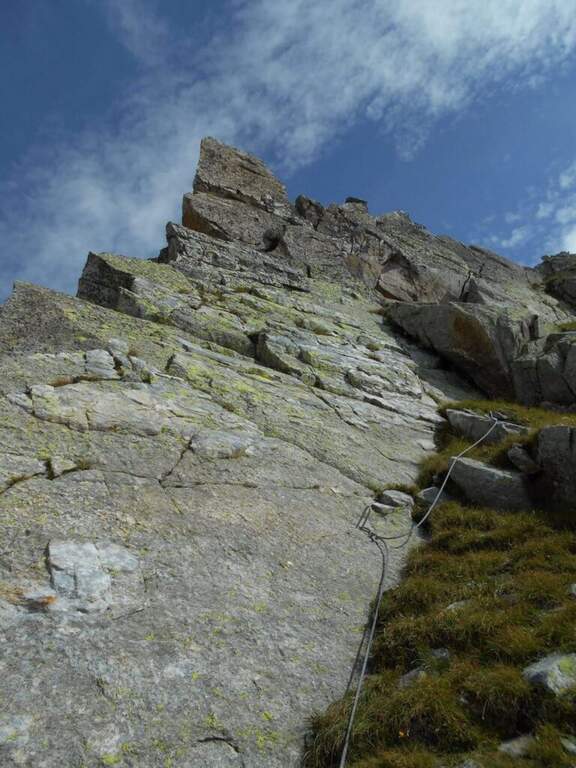
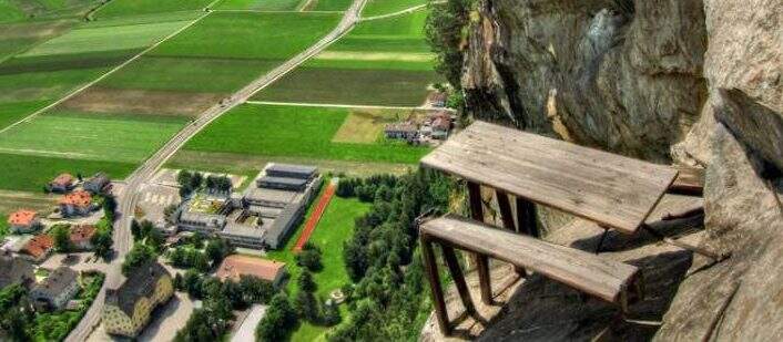
    The attack is under a long tilted black plate. The first meters, vertical and often humid, with a couple of brackets, then bend to the left before a difficult oblique traverse to the right: immediately you notice the figure of the street, a compact and smooth rock that, in the absence of natural hooks, obliges you to use a lot of the cable. You climb vertically on narrow brackets up to a challenging leap with a overhanging belly, to be overcome with good force of arms; diagonally to the left and then on an exposed and difficult traverse to the right you gain a panoramic terrace on the Aurina Valley. A pair of vertical and diagonal tears make gain altitude and exposure before a long traverse, less challenging but challenging for the distance between the brackets; it comes out on an exposed edge where the cable changes direction of 90° and goes right up to one of the most iconic points of the street, a table with two benches anchored to the rock, with the feet almost empty. The last part is the most vertical: a wall smoothed with many brackets, a short oblique traverse on the right, a very athletic overhanging stretch at a corner, the passage under a roof with a first metal scale to overcome of momentum, then the cable bends left under an evident rocky roof. On a strong display there is a new vertical and a traverse on the right (providential brackets when the energies fall), then a overhanging leap with a second metal scale in the lower part, whose exit remains very demanding and requires good technique or traction on the cable; the last meters are a right traverse without hooks and some vertical passages closing the street (1h 30' from the attack, 1h 45' total).

    ▲Character and difficulty

    Athletic and anomalous Ferrata for the South Tyrolean landscape, which deliberately seeks technical difficulties and overhanging passages on polished rock; it varies, with many horizontal and obliquious traverses that also test the expert Ferratists. Recent equipment and in good condition.

    ⚠ It requires strength, technique and absence of dizziness. Useful to bring a fectuccia or a referral to rest in the most demanding traits. Itinerary short, ideal on uncertain days where a long excursion is not recommended.
    ▲Discipline

    From the end you follow the trail in the forest that leads in short to a road; you keep the right downhill and, following the signs (cartel 27A), you descend to Campo Tures and on asphalt you return south to the parking lot (30' from the end, 2h 15' total).

    ▲To match

    In the Aurina Valley, further north, the long and challenging mountain route of the Ferrata del Ghiste-Camino al Sasso Nero; near Campo Tures the difficult Ferrata Hans Kammerlander (2022). To the south Ferrata di Valdaora and, towards the Alps of Sesto, the Ferrata dei Costoni di Croda Rossa.
    ▲Gallery
    Technical data
    • DifficultyVery difficult
    • RegionTrentino-Alto Adige
    • GroupValle Aurina
    • Approach0:15 h
    • Ferrata1:30 h
    • Itinerary (a/r)2:15 h
    • Hardware level difference200 m
    • Route difference380 m
    • Max1125 m
    • Length3,4 Km
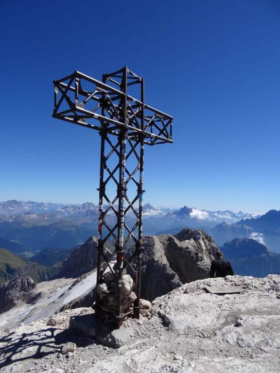
  • Ferrata di Punta Penia (cresta Ovest della Marmolada)

    Ferrata di Punta Penia (cresta Ovest della Marmolada)

    Vie Ferrate › Trentino-Alto Adige › Trento
    Ferrata di Punta Penia (cresta Ovest della Marmolada)
    Moderately Hard● OpenDescriptionComplexityMapsGallery

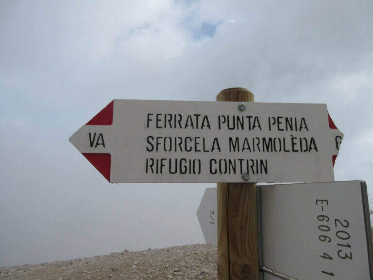
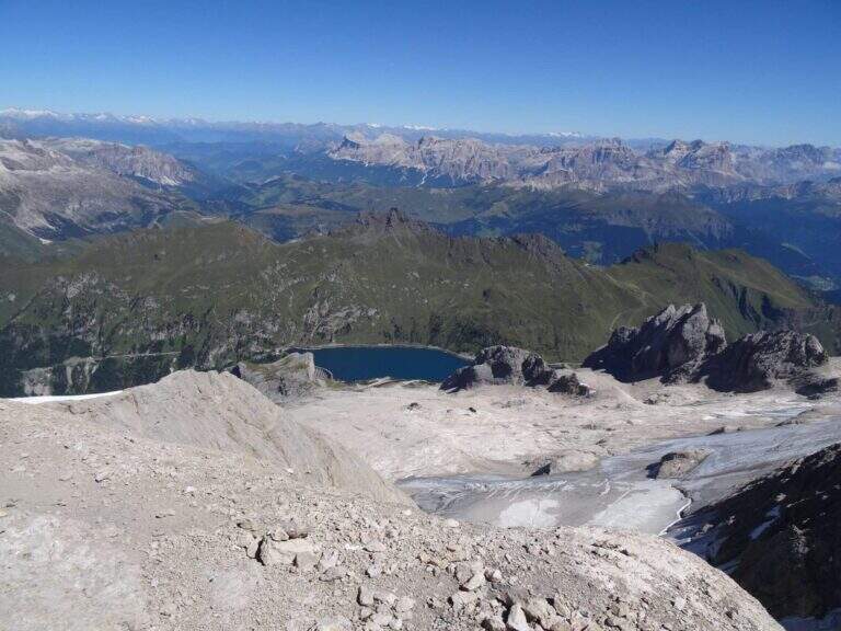
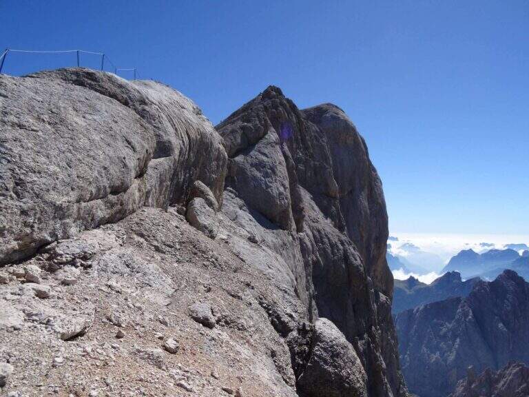
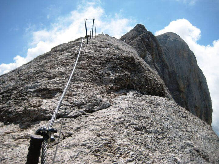
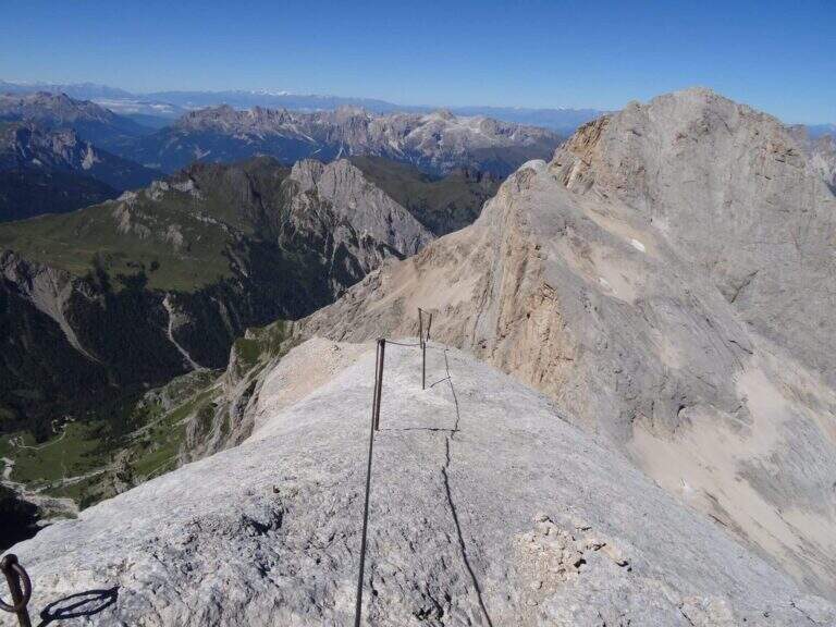
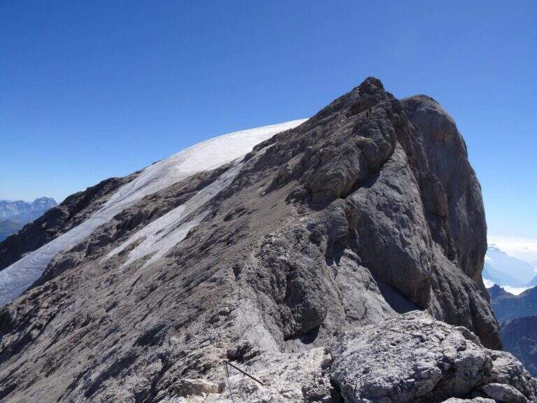
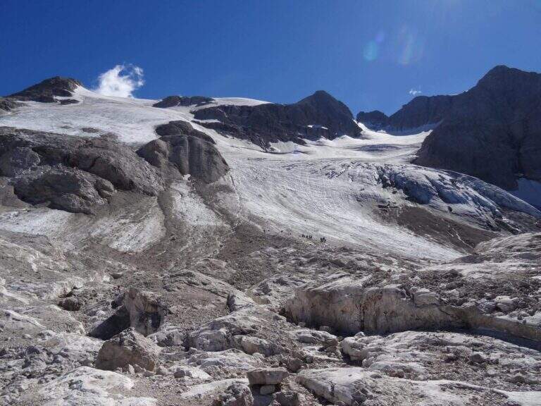
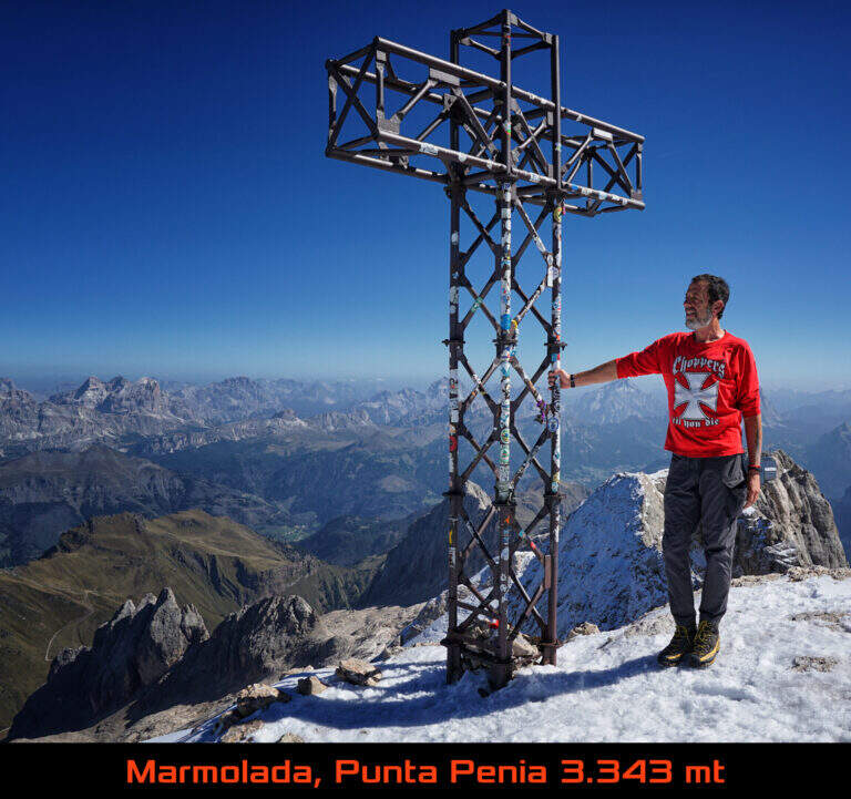
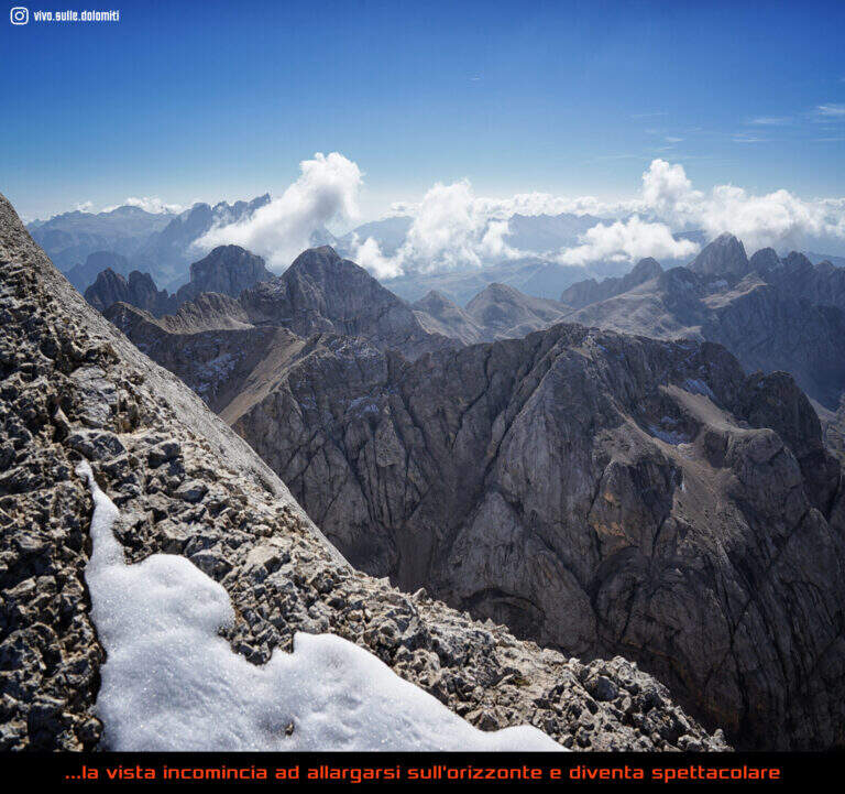
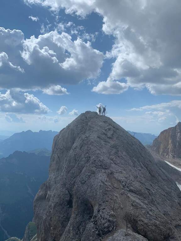
    The Ferrata di Punta Penia climbs up the western ridge of Marmolada to the highest point of the group (3343 m). It is a historical route that during the ascent does not present particular technical difficulties, but develops in a wild high mountain environment; the return takes place for the Marmolada glacier. An itinerary to be carefully planned for length, altitude difference and glacial conditions.

    ▲Approach

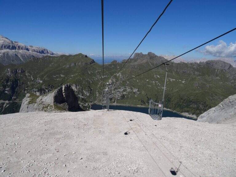
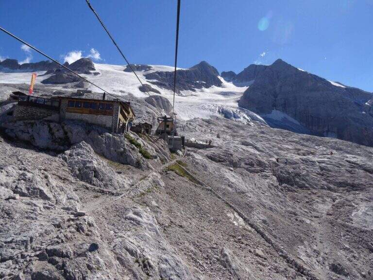
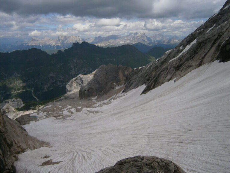
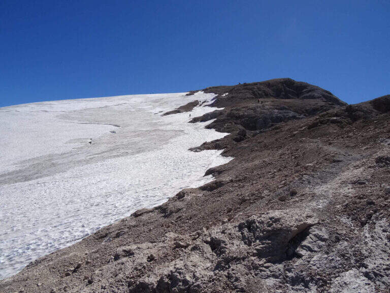
    The starting point is Passo Fedaia, reachable from Canazei (Trento) or from Malga Ciapela (Belluno); park in the square at the plants for Pian dei Fiacconi. Starting point on Google Maps. From the dam (2070 m) it once climbed into the cable car to Pian dei Fiacconi (2722 m); the plant is now closed, following an avalanche that destroyed the shelter, therefore it climbs on foot in about 1h 30' for the CAI 606 path. From Pian dei Fiacconi we continue west on CAI 606, on a glacial valley, bypassing the northern spallon of Punta Penia; we lose altitude up to 2470 m and then steeply go up the detritic valley towards Forcella Marmolada. Entering the Vernel glacier you should keep the central part (and not the left side); you can reach the right edge of the glacier until the first ropes, at a red sign (1h 45' from the mountain station).

    ▲The path

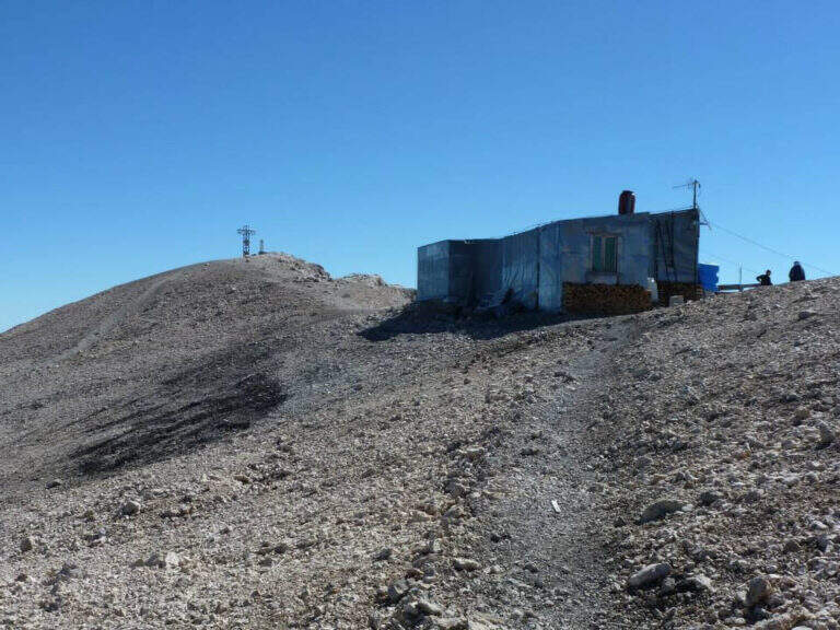
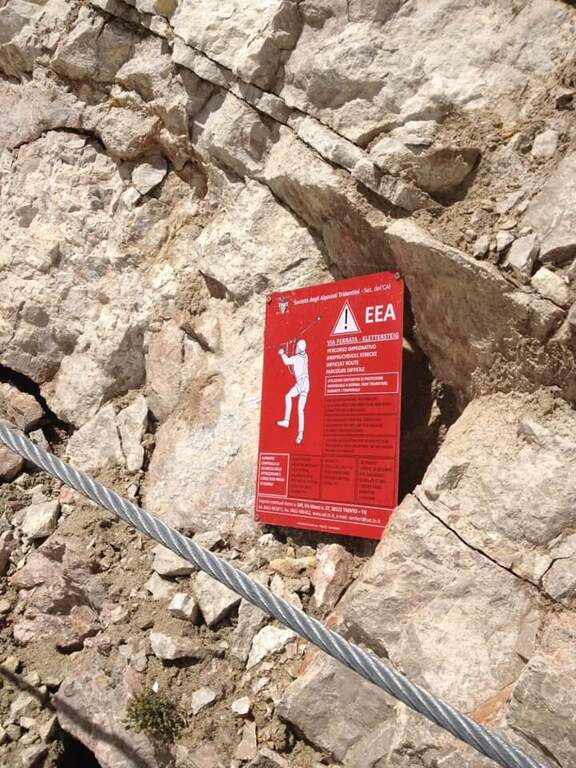
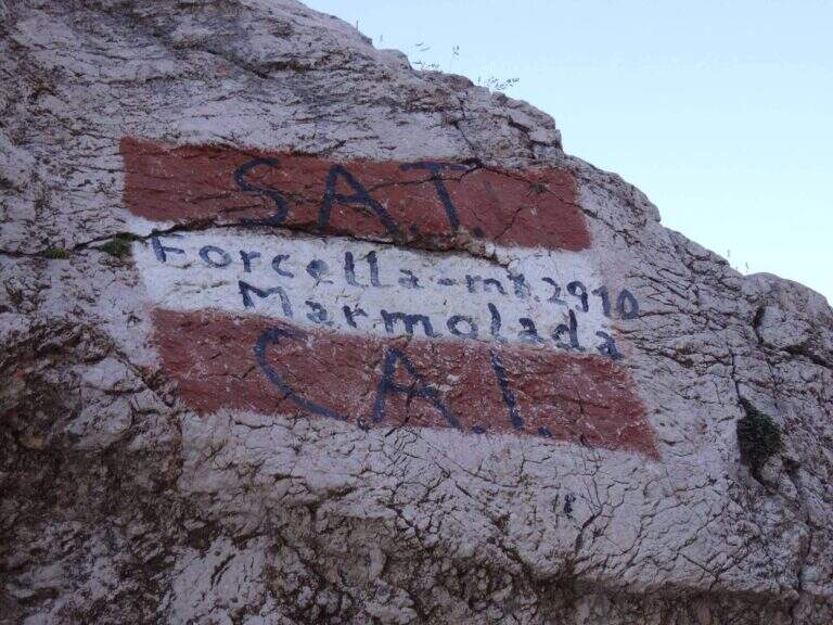
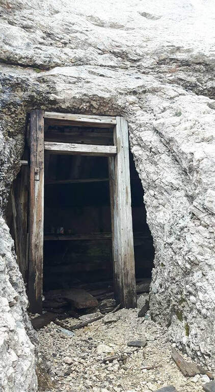
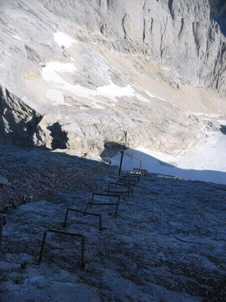
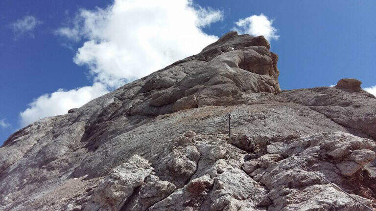
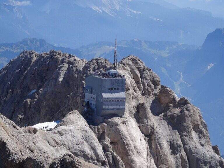
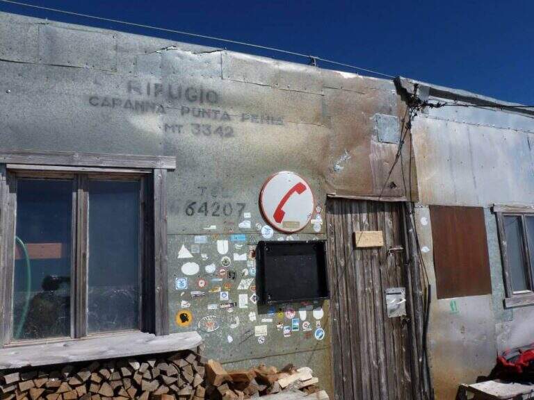
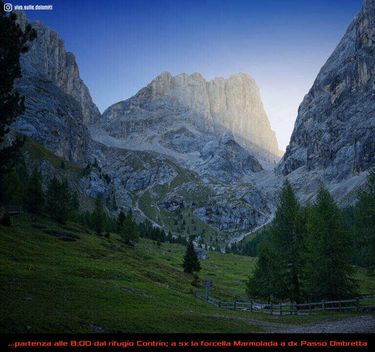
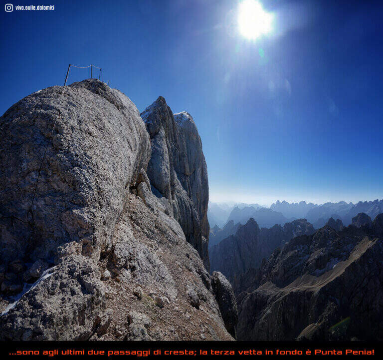
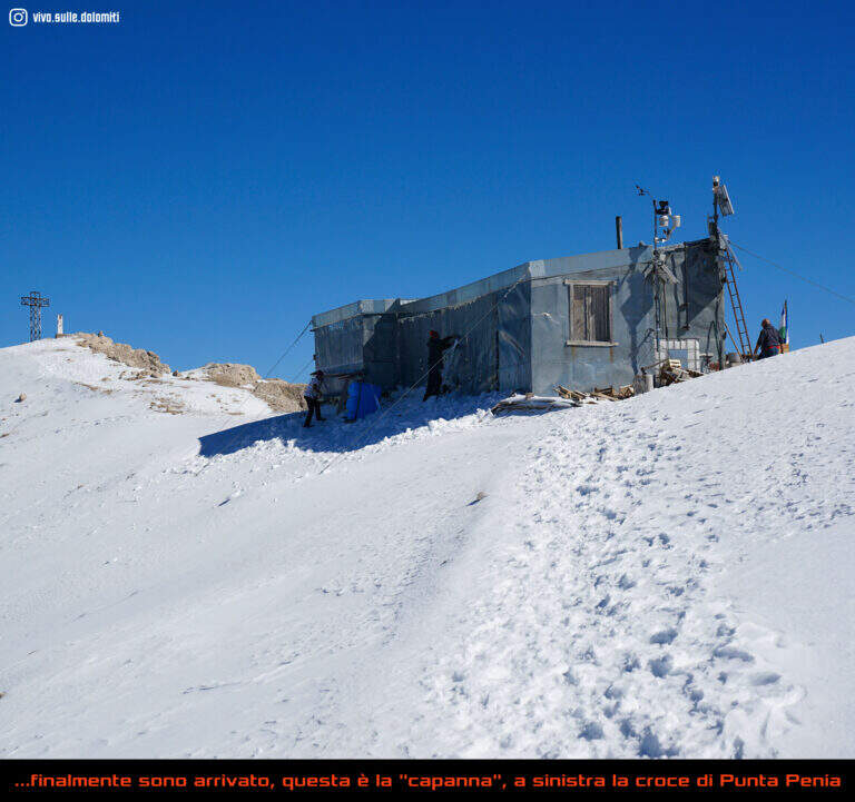
    The first ropes carry, without difficulty (short sloped plates and easy balconies), to Forcella Marmolada (2910 m, 2h total), where you will meet the path from Val de Contrin and the remains of war huts dug into the rock. Then a plate with no flats is climbed thanks to a series of brackets, continue on tracks until a sloped ramp equipped and at a more steep stretch with cambre; after a crossing with piles and brackets you enter a fireplace equipped with piles, brackets and a ladder. Exit from the fireplace, small rocks and a vertical wall lead to a long sloped ramp where the cable helps balance; it follows a plaque with brackets, quite lean, and then a stretch that seems to be repeated, alternating cambre and plaques, up to a panoramic terrace. The last section runs on the crest above the imposing bastion of the south wall of Marmolada: between modest climbers and easy rocks the equipment ends, and a last stretch without cable leads to the Capanna di Punta Penia and then to the summit cross (3343 m, 2h 15' from the attack, 4h totals).

    ▲Character and difficulty

    Technically the way is modest, but the environment is that of the high mountain, with all its pitfalls. It dates back to the early 20th century (1903, then known as Hans-Seyffer-Weg) and logically follows the weaknesses of the wall.

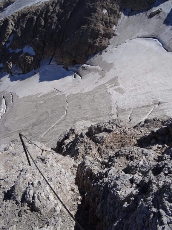
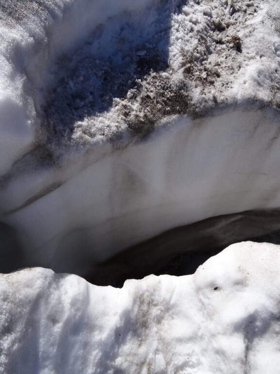
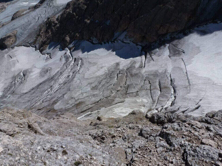
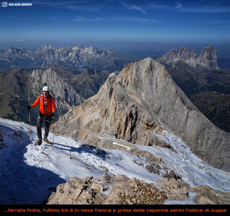
    ⚠ Itinerary of serious mountaineering. The cabin of Pian dei Fiacconi is closed: approach only on foot. Approaching and returning through snow and the glacier of Marmolada, today in strong retreat and solcato by crepacci: they serve experience, self insurance, ramps and reliable weather (conditions can change quickly). At the beginning of the season the fresh snow facilitates the climb; in late season you walk on live ice.
    ▲Period and safety

    High altitude road to be tackled in summer; planning must take into account the conditions of the Vernel glacier uphill and the Marmolada glacier downhill, as well as the weather.

    ▲Discipline

    It is possible to descend backwards along the ferrata, but the most logical descent, with a ring, reaches the Ghiste della Marmolada below after some stretches equipped downhill; then follow the obvious trace on the glacier — with attention to the crevices, especially in case of fog — up to the Rifugio Pian dei Fiacconi (26262626 m) and back downstream (1h 45' from the summit, 5h 45' total).

    ▲To match

    On the opposite side of the Marmolada runs the other historic street, the Eterna Ferrata at Piz Serauta, longer, exposed and difficult. From Passo Fedaia, towards Porta Vescovo, the beautiful Ferrata delle Trincee; in Val de Contrin la Funds for the Colac, la Ferrata Ombretta e la Ferrata at Col Ombert.

    ▲Gallery
    Technical data
    • DifficultyModerately Hard
    • RegionTrentino-Alto Adige
    • GroupMarmolada
    • Approach3:00 h
    • Ferrata2:15 h
    • Itinerary (a/r)7:30 h
    • Hardware level difference443 m
    • Route difference720 m
    • Max3343 m
    • Length7 Km
  • Ferrata del Procinto (Aristide Bruni)

    Ferrata del Procinto (Aristide Bruni)

    Vie Ferrate › Tuscany › Lucca
    Ferrata del Procinto (Aristide Bruni)

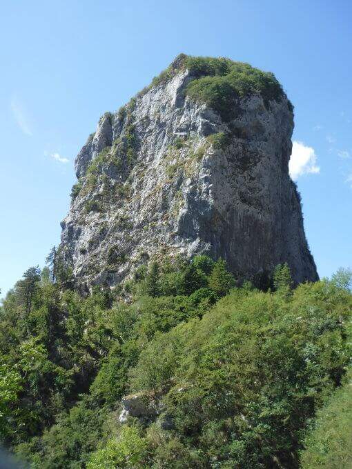
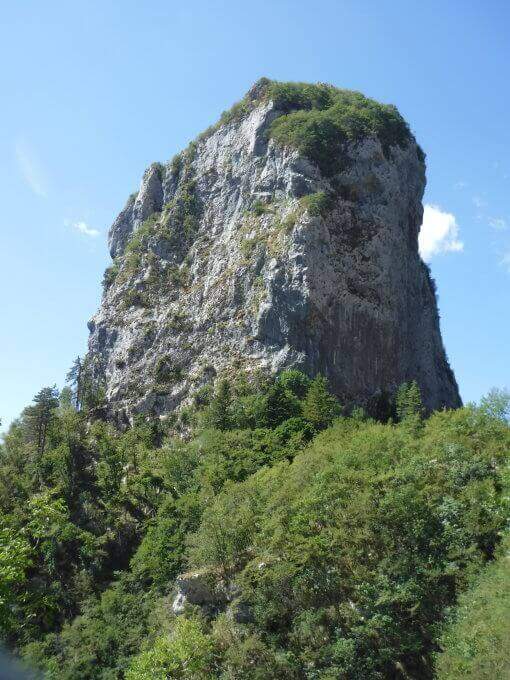
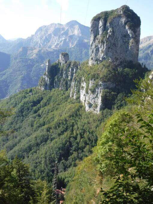
    The Monte Procinto is a truly unique formation: a square tower of 150 m with straight and overhanging walls on the four sides. For almost a century, an equipped road goes up its side and leads to the summit grove in about 40 minutes. Technically it is not difficult, but it is strongly exposed and should be faced both uphill and downhill.

    ▲Approach

    The starting point is the Rifugio Alto Matanna, reachable by a narrow steep road but in good condition: from Lucca you enter Garfagnana on the SS12, then towards Diecimo and Pescaglia; passed Pascoso, following the indications for "Rifugio Alto Matanna" turn left on an asphalt road. Starting point on Google Maps. Behind the refuge starts the path CAI 5, which follows right uphill to the north; you cross the basin of the Callare di Matanna and you descend along the south wall of Mount Nona, glimpse the panettone of the Procinto to the south-west. In the forest, at a crossroads, you leave the CAI 5 (which goes down to the Forte dei Marmi Refuge) for a narrow right track indicated for the Monte Procinto; a wooden bridge crosses the narrow nod at the base of the tower, you hold the left and, with attention, you will find the deviation to the right (without signals) that leads to the tombstones and the attack of Ferrata Aristide Bruni (1h from the parking lot).

    ▲The path

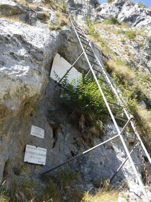
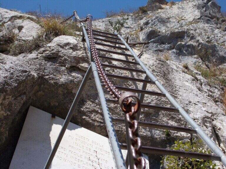
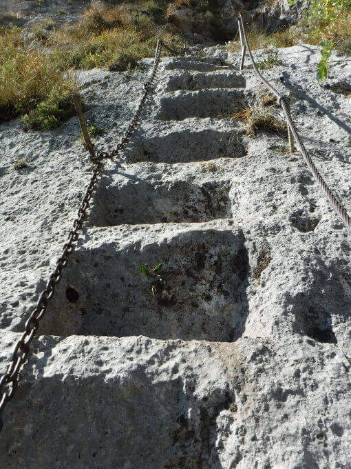
    A ladder equipped with cable and chain goes up immediately, then a wall where artificially carved several steps that rise in marked exposure, with metal equipment in support of progression. Once you reach a comfortable terrace you face a passage where it is not trivial to find supports for your feet; you continue taking advantage also some artificial steps, you walk a diagonal census and, with the last minutes in the woods, you reach the top (40' from the attack, 1h 40' from the parking lot).

    ▲Character and difficulty

    Short but strongly exposed: more than technical difficulties, it is the air under the feet to make it challenging.

    ⚠ It goes both uphill and downhill on the same route: maximum attention to hikers who proceed in the opposite direction, above and below. The rope and chain are not perfectly stretched and can unbalance; for the strong exposure it is not suitable for neophytes.
    ▲History

    It is the oldest railway in Italy: it dates back to 1893, several times renovated (last revision in 2020). It is named after Aristide Bruni, who in 1879 climbed first, with others, this unique tower in the first documented climb; the route was then converted into a path equipped with the support of the CAI of Florence.

    ▲Discipline

    You go down the same route, with care for those who go up. Back to the base of the Forcinto you go back to CAI 5 left on the way: you go up, you go over the Callare di Matanna and you go down to the car (1h 20' from the end of the ferrata, 3h overall).

    ▲To match

    It is often combined with the neighbor Ferrata Salvatori at Monte Forato, extending the itinerary of at least 3 hours: from the graft on the CAI 5 it is held the right, then the CAI 121 and the CAI 109 to the Foce di Petrosciana, from which the crest of the Salvatori.

    ▲Gallery
    Technical data
    • DifficultyHard
    • RegionTuscany
    • GroupApuan Alps
    • Approach1:00 h
    • Ferrata0:40 h
    • Itinerary (a/r)3:00 h
    • Hardware level difference170 m
    • Route difference170 m
    • Max1172 m
    • Length4 Km
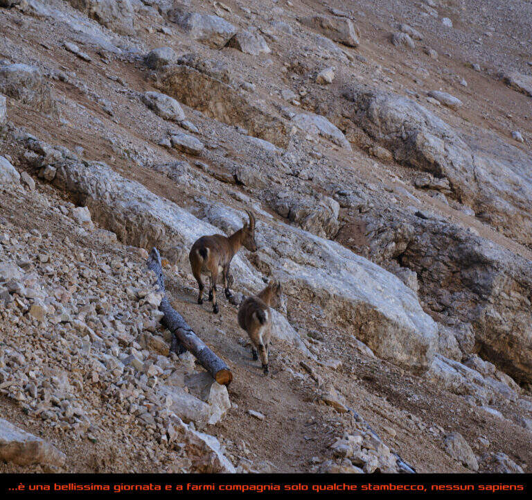
  • Ferrata di Preore (Giro Artpinistico delle Niere)

    Ferrata di Preore (Giro Artpinistico delle Niere)

    Vie Ferrate › Trentino-Alto Adige › Trento
    Ferrata di Preore (Giro Artpinistico delle Niere)
    Moderately Hard● OpenDescriptionComplexityMapsGallery

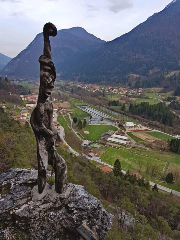
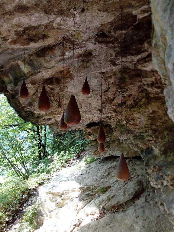
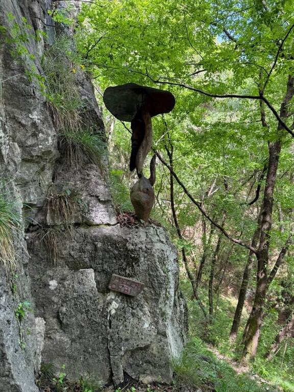
    The Ferrata di Preore, also known as Giro Artpinistico delle Niere, is a pleasant low-altitude street near Preore, near Tione di Trento. Alterna easy and moderately difficult passages and has the unique characteristic of accompanying many traits with works of art in wood, from which the name "artpinistico".

    ▲Approach

    Coming from Trento or Riva del Garda, just before Tione a roundabout points to the right the climb to Preore. Enter the village, on the left there are directions to Passo Daone and Larzana; after the first bend you park at the picnic area of the rock gym. Starting point on Google Maps. From the parking lot you go to the gym, from which you leave two paths: you hold the right (the one left will be the return) and, climbed some tiring wooden steps, you reach the attack with the white plate (5' from the parking lot).

    ▲The path

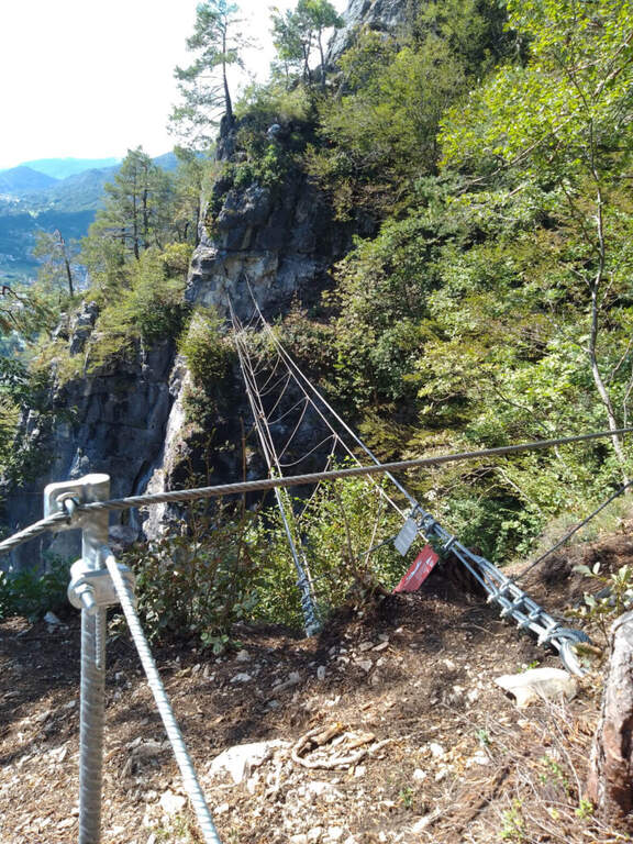
    The street begins with a diagonal stretch to the left that wanders an easy edge; a step is set up to the most demanding point, a vertical wall on the right with good natural but a little distant from each other. Besides an easy dihedron follows a vertical wall with some metal brackets, then a series of small rocks closes the first part, the more vertical. Continue on the path and cenges without difficulty (where exposed are assured), in the most rich section of works of art; climb into the wood until a characteristic staircase between two narrow rocky walls and a panoramic balcony, beyond which begins the second part equipped, with a long horizontal traverse exposed but well appreciated. Attached a edge, after a short vertical and a stretch of wood you get to a bell, where an optional suspended bridge offers a variant that meets shortly after the original route. It follows a not difficult traverse on the right (with the book of signatures), a well-equipped vertical wall, a short traverse on the left and a couple of easy descents; the path then descends into the wood, always between wooden sculptures, where the equipment ends (about 1h 30' of equipped path).

    ▲Character and difficulty

    Ferrata varies and fun that concentrates the technical difficulties in the first vertical section; the rest is a succession of paths and paths equipped at low altitude.

    ⚠ Although easy in the complex, the first section requires familiarity with the vertical; suspended bridge and beams are exposed. Helmet and essential hardware set.
    ▲Period and safety

    The low altitude makes it accessible practically all year round, with dry rock.

    ▲Discipline

    You descend along the path until you return to the rock gym and then to the parking (10' from the end of the equipment, about 1h 45' total).

    ▲To match

    In the area, towards Trento, the two difficult Ferrata Pisetta e Ferrata Segata, reserved for well-trained experts; easier but very long Ferrata Che Guevara. To Riva del Garda the easy Ferrata Rio Sallagoni e la Ferrata Colodri.

    ▲Gallery
    Technical data
    • DifficultyModerately Hard
    • RegionTrentino-Alto Adige
    • GroupJudges
    • Approach0:05 h
    • Ferrata1:30 h
    • Itinerary (a/r)1:45 h
    • Hardware level difference260 m
    • Route difference270 m
    • Max812 m
    • Length1,3 Km
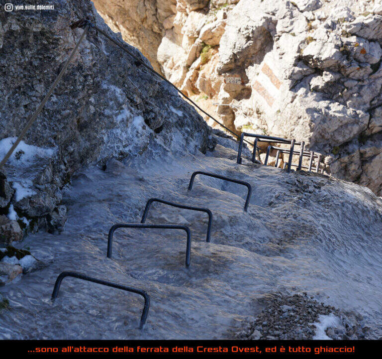
  • Ferrata di Punta Marmotta (Murmele)

    Ferrata di Punta Marmotta (Murmele)

    Vie Ferrate › Trentino-Alto Adige › Bolzano
    Ferrata di Punta Marmotta (Murmele)
    Moderately Hard● OpenDescriptionComplexityMapsGallery

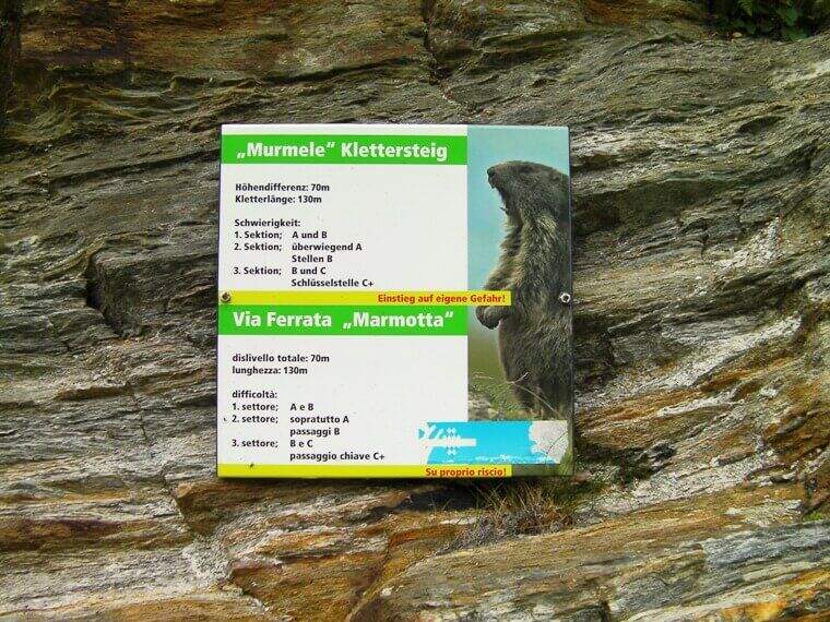
    The Ferrata di Punta Marmotta is a recent route that dates back to a granite spur above the Nino Corsi Refuge, in Val Martello (Stelvio National Park). It is excellently protected: easy in the first two sections and more challenging in the third (evitable), for a moderately difficult set. Attention to the exposure to the north, which keeps it in shadow much of the day.

    ▲Approach

    Start from the bottom of the Val Martello (Martelltal), valley perpendicular to the Val Venosta: from Goldrano you enter the valley and continue south for about 30 km, over Ganda di Martello and Lake Gioveretto, up to the parking area. Starting point on Google Maps. The first reference is the comfortable refuge Genziana (2051 m), where the valley ends; from here in about 30' you go up to the refuge Nino Corsi (2265 m) for one of the paths 151, 36 or 37 (the 151 is the most direct and allows you to reach the ferrata without passing from the refuge). From the Nino Corsi, in the west direction, you can see Punta Murmele; following the path, at a first crossroad you hold the right (left go down the path of return) and in short you arrive to the attack, in shadow (45' without haste from the parking lot).

    ▲The path

    The street consists of three sections separated by two escape routes to the left, which lead to the return path. The first climbs to the left alternating short vertical stretches to the right, with reduced difficulty; after 30-40 meters you will meet the first escape route. They follow easy rocks and a right-hand side, panoramic, then some diagonal leaps with a couple of passages a little more challenging until the second escape route: here it is best to evaluate if to continue, because the last section is tougher, with a considered difficult passage and a little athletic. The third section begins easy and leads to a more demanding wall, with a right-handed traverse from the good supports for the feet but few sockets for the hands; then you get to the key passage, a roof wandering on the right that goes up with some brackets, in good exposure and with a certain athletic point but not difficult; besides, a vertical wall and the last rocks close the way.

    ▲Character and difficulty

    The escape routes and increasing difficulties make it an excellent learning ferrata; pleasant environment and still at relatively low altitude.

    ⚠ The exposure to the north holds it in shade and cool for most of the day: take into account for clothing and for the presence of moisture or snow residues at the beginning of the season.
    ▲Discipline

    From the end you follow the trail that brings you back to the refuge (15'), from which you return to the parking lot for one of the paths of sighting (3h total). If you want to stretch, after the ferrata you can graft on path 103 and climb to the Rifugio Martello (2600 m), with magnificent views over the glaciers of Marmotta and Cevedale.

    ▲To match

    Going back to Val Venosta, towards Merano: la Ferrata Hoachwool e la Ferrata Knott in Naturno, and the Ferrata Heini Holzer to the Picco Ivigna; going up to Solda the high altitude routes Ferrata Tabaretta to the Ortles and the Cengles Croda Ferrata, e la Ferrata di Trafoi along the state of Stelvio.

    ▲Gallery
    Technical data
    • DifficultyModerately Hard
    • RegionTrentino-Alto Adige
    • GroupOrtles-Cevedale
    • Approach0:45 h
    • Ferrata1:30 h
    • Itinerary (a/r)3:00 h
    • Hardware level difference100 m
    • Route difference290 m
    • Max2340 m
    • Length4,7 Km
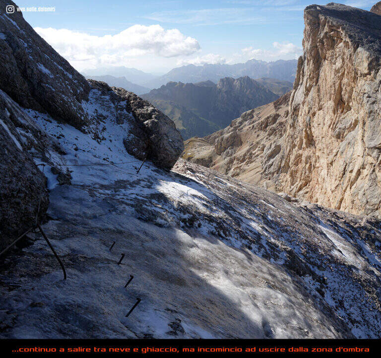
  • Ferrata di Pra Catinat

    Ferrata di Pra Catinat

    Vie Ferrate › Piedmont › Turin
    Ferrata di Pra Catinat

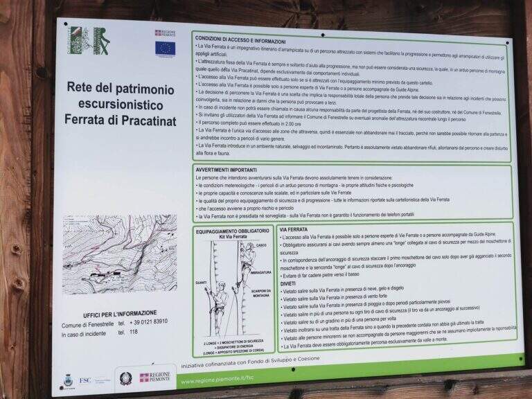
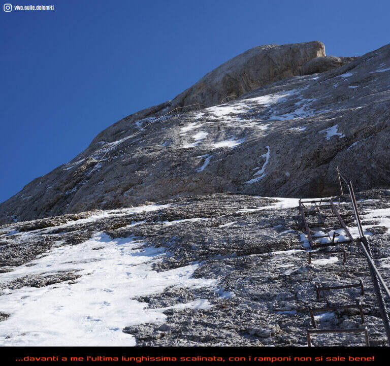
    The Ferrata di Pra Catinat has been designed for those who do not have mountaineering preparation and is also accessible by disabled users if accompanied. Exposed in full south-east slope, about 1600 m of departure, it is practicable throughout the year; it develops for three quarters on beams, with very low altitude difference.
    ▲Approach

    The starting point is the Pracatinat hotel, above the hamlet of Depot (Turin): at Depot turn right uphill on the provincial road 172 towards Agnelli, Pequerel and Puy. Starting point on Google Maps. From the hotel follow the path that leads to the orrido, to the left of the structure; at the bottom, at a basin, there is the beginning of the ferrata (15' from the parking lot).

    ▲The path

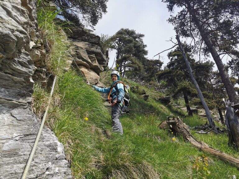
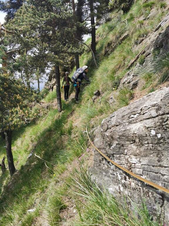
    We attach a short rocky leap and take a long traverse to the right on grass; we continue in climbs of low difficulty up to a wall where the traverse is exposed, with handles for the hands and brackets for the feet in some sections. At the end of the cross you climb for a few meters (a couple of brackets help your feet), you reach a rocky terrace and you walk a second horizontal passage similar to the first; finally a vertical stretch, in pleasant climbing, leads to the summit plateau where the short route ends (1h from the attack, 1h 15' total).

    ▲Character and difficulty

    It is an easy ferrata, ideal for those who want to approach this type of excursions; the development mainly on crossroads and the reduced elevation difference make it accessible.

    ⚠ Although easy, it remains an equipped way: helmet and ferrata sets are however necessary, and exposed beams require attention.
    ▲Period and safety

    The south-east exposure makes it available in every season, even on beautiful winter days; with snow or ice on the slopes it is best to postpone.

    ▲Discipline

    Follow the obvious path that leads back to the hotel and then to the parking (20' from the end of the ferrata, 1h 40' total).

    ▲To match

    To clearly raise the degree: the Ferrata Ciardelli 20' by car, or towards Claviere la Ferrata Rocca Clarì, la Ferrata dei Militari e la Low Battery Hardware.

    ▲Gallery
    Technical data
    • DifficultyEasy
    • RegionPiedmont
    • GroupCozie Alps – Val Chisone
    • Approach0:15 h
    • Ferrata1:00 h
    • Itinerary (a/r)2:00 h
    • Hardware level difference280 m
    • Route difference350 m
    • Max2000 m
    • Length1,5 Km
  • Ferrata Ponza Grande

    Ferrata Ponza Grande

    Vie Ferrate › Friuli-Venezia Giulia › Udine
    Ferrata Ponza Grande

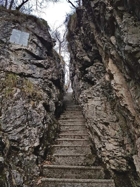
    The Ferrata Ponza Grande climbs to the summit of the same name (2274 m) in the Julian Alps, starting from the lakes of Fusine. It is an itinerary of medium technical difficulty that becomes exposed in the stretch of ridge and the descent along the canalone; the panorama on the mountains of the Giulie, both on the Italian and Slovenian side, is magnificent.

    ▲Approach

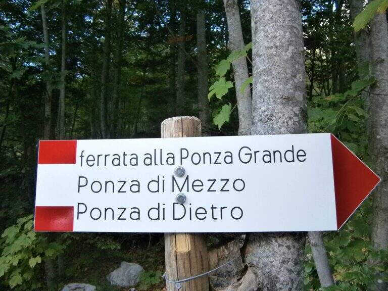
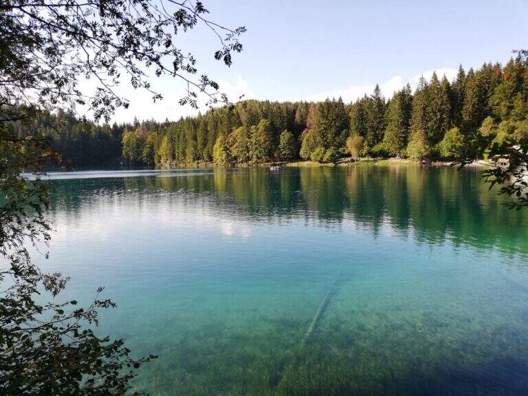
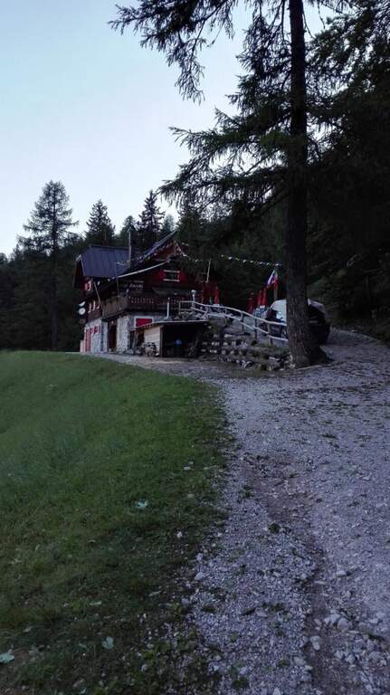
    Starting from the parking lot of the lakes of Fusine (Udine): from Tarvisio (exit A23) you reach Fusine Valromana and follow the deviation for the lakes. Starting point on Google Maps. From the parking lot follow the path 512 towards the Zacchi refuge: wide at the beginning along a road, then turn right into the wood and with about 400 m of altitude gain the refuge (1380 m, 1h 15' from the parking lot). From the refuge, crossroads of paths, follow the signs to the east for the Ponza Grande (ferrata already reported) and for the Forca Rossa and the cliff. Exit from the wood you climb on stone between the mughi encountering a first series of not difficult equipped sections; the path becomes then steep, exposed and unprotected (serve foot steady). To a large red stamp on the wall is held the left (on the right the signs for the Ponza di Mezzo); you cross a fragrant colatoio and another stretch equipped while the path tightens, with a last step disturbed by a landslide, up to the attack marked by a red stamp well visible (1h 30' from the shelter, 2h 45' from the parking lot).

    ▲The path

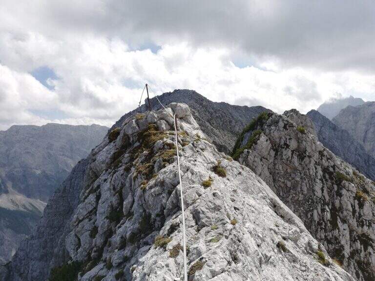
    The road starts on a vertical plaque with which a rocky spur is around; the rock is excellent and, except for a few points, gives a nice climbing. Rocky jumps alternating and moving up to an old but solid metal ladder; turning the Mangart into the fork of the Planiza, where the return will begin. There is a nod that wanders around a corner and enters a detritic canal, to go up without equipment until you reach the summit of Ponza Grande (2274 m, 1h 15' from the beginning of the ferrata, 4h total).

    ▲Character and difficulty

    The Julian Alps offer an austere and exciting environment: the technical difficulty is average, but ridge and descent require firm foot and absence of dizziness.

    ⚠ The ridge that from Ponza Grande leads to Mangart is very beautiful but exposed and with sometimes precarious equipment: not recommended to those who are not experienced. Beware of the rape approach, which at the beginning of the season can be snowed and unstable.
    ▲History

    Like the nearby Ferrata della Vita, it was built by the Alpini departments in the 1920s to monitor the border with the former Yugoslavia: it was one of the accesses to the "Strada degli Alpini", a path equipped with crest that from Ponza Grande reached the Forcella Sagherza.

    ▲Discipline

    From the summit follow the white-red signs on the Slovenian slope, a few meters under the crest wire, in a stretch exposed and only partly equipped; you lose slightly altitude and you return on the wire — narrow and adrenaline — before you descend to a fork, from which a path to the right brings back to Italian territory and lower to the refuge (discesa steep with some exposed traverse). You will find the crossroads and backwards you return to the refuge Zacchi and then to the parking (2h 30' from the summit, 6h 30' total). Alternatively, from 2022 the historic Ferrata Kugy allo Strugova has been restored and offers a different return: you go along the ridge that connects the Ponze allo Strugova (all but trivial, with old equipment in bad state that do not offer real insurance), you descend the ferrata of the Strugova and from the guiaione to the base you return to the Zacchi refuge - option reserved to experts.

    ▲To match

    From the lakes of Fusine leave two other beautiful ferrates on the italo-Slovene ridge, the Ferrata della Vita e la Ferrata al Mangart; downstream, on the A23, short and athletic Ferrata Lieutenant Ferrante di Ruffano. On the side of Sella Nevea, in order of difficulty, the Sentiero Attrezzato King of Saxony e la Ferrata Anita Goitan.

    ▲Gallery
    Technical data
    • DifficultyHard
    • RegionFriuli-Venezia Giulia
    • GroupJulian Alps
    • Approach2:45 h
    • Ferrata1:15 h
    • Itinerary (a/r)6:30 h
    • Hardware level difference330 m
    • Route difference1337 m
    • Max2274 m
    • Length10 Km
  • Ferrata di Pont Canavese

    Ferrata di Pont Canavese

    Vie Ferrate › Piedmont › Turin
    Ferrata di Pont Canavese

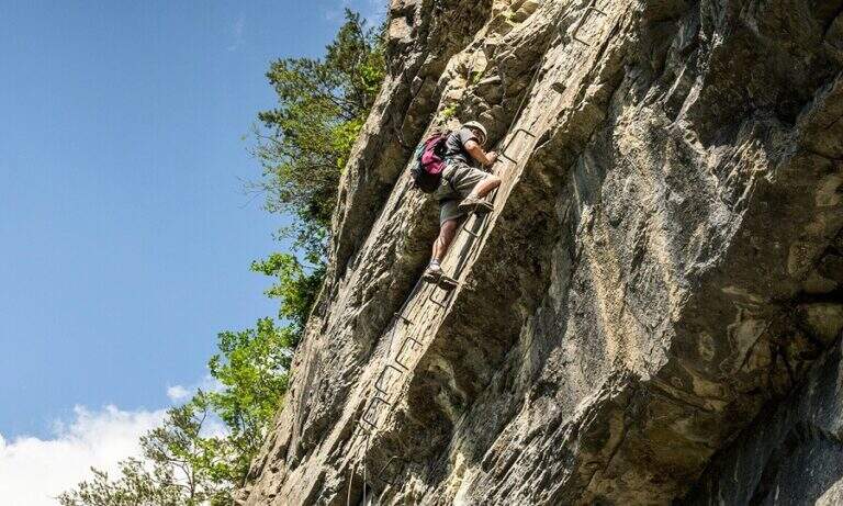
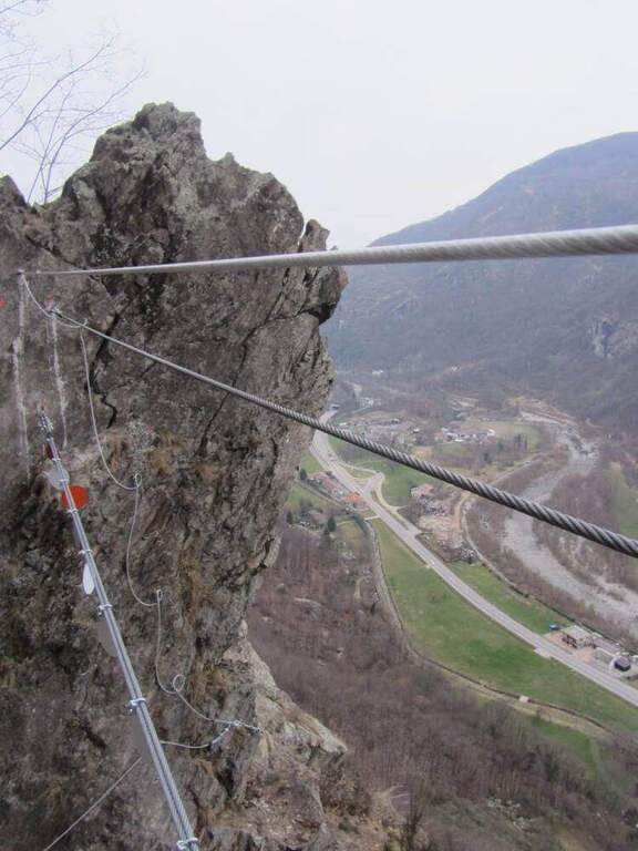
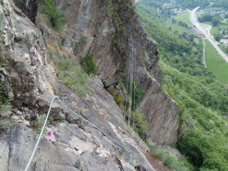
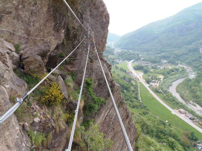
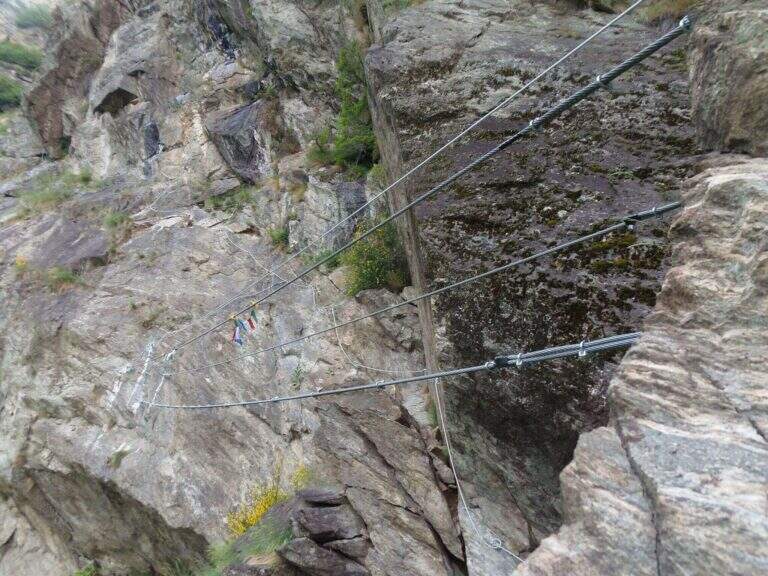
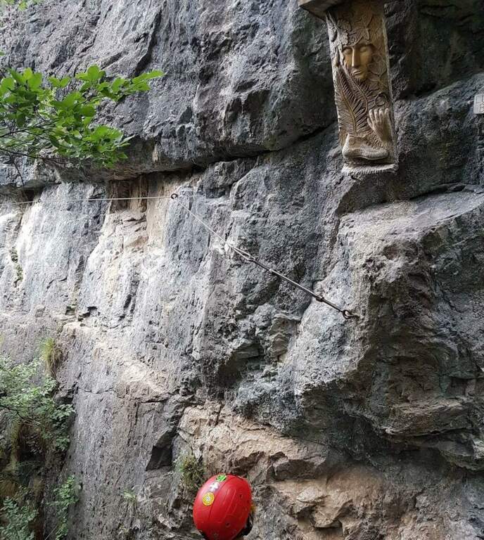
    The Ferrata of Pont Canavese is a very satisfying and complete itinerary, rich in different passages — plates, diedri, beams, overhanging walls, suspended bridges. The equipment is abundant and makes a line that would otherwise require excellent climbing skills; the athletic variant is extremely difficult and physically intense, among the hardest in Italy.

    ▲Approach

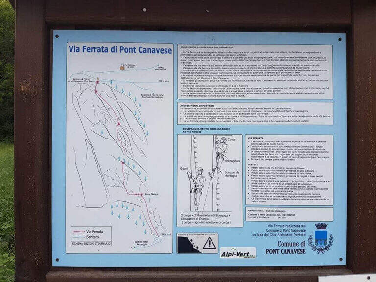
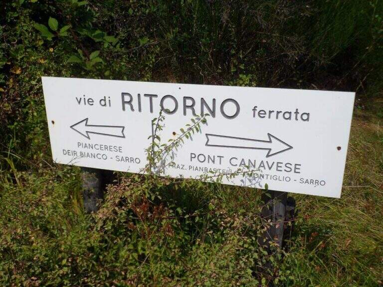
    You reach Pont Canavese (Turin) and you pass it along the SP460 circumvallation; in Sarrò, on the right, a large terrace with a green gate is a parking lot. Starting point on Google Maps. Next to an information board you pass the gate (not closed) and follow the signs for the ferrata: a dirt road uphill narrows soon on a path, which climbs steep until the attack (15' from the parking lot).
    ▲The path

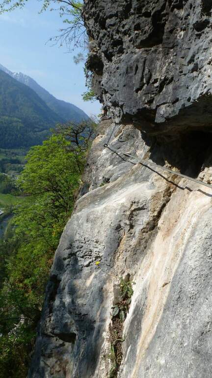
    The first and last section is easy and lean. The ferrata begins with a ramp in the woods, then a plaque full of brackets and handles leads to a crossroads: on the right the variant Efficile, athletic and overhanging; on the left the variant Editely Difficile, with a couple of exposed but not athletic passages. Both have a suspended bridge (stable and avoidable) and gather about metà itinerary, where on the right there is an escape route.

    Extremely Difficult Variant: the abundance of brackets deceives, because the required force is remarkable. After the first metres, you will arrive under a first imposing overhanging, which moves to the left (probable key passage); bypassing the edge you will climb a vertical placconata well supplied with cambre, not difficult, where it is refled. A short equipped path leads to a second overhanging wall, much easier; it goes up and moves right towards the suspended bridge. Beyond the bridge you pass a short overhanging with brackets, then a diagonal traverse on the left until a 4 meters overhanging but well equipped wall; you arrive under a rocky roof, wandering left with a delicate passage, and after a few steps you face a last wall first vertical and then overhanging, which closes the variant entering the wood.

    Moderately Difficult: from the crossroads you move diagonally to the left on easy passages equipped to the suspended bridge (also avoidable with a stretch equipped below). Beyond the bridge, continue diagonally until you turn a corner and face a more challenging leap; then climb more vertically up to a long wall with the most exposed and adrenaline passage of the variant, where you get around in full exposure a edge under a rocky roof ( easier than you look on the ground) using the brackets, until you return to the wood and rejoin the difficult variant.

    Assemble the lines, climb a beautiful vertical wall with brackets that reduce the difficulties, then move to stretches in light overhanging but never hard; after a right turn you go up a vertical wall and move to the left on brackets to bypass a roof (the most challenging passage after the meeting), until a dih beyond which begins the last, easy section: granite plates rested with brackets and handles.

    ▲Character and difficulty

    The normal way is difficult, varied and exposed; the athletic variant is extremely difficult and physically very intense.

    ⚠ To deal with in good state of training and without problems of dizziness. For the athletic variant it is highly recommended to carry a longe in order to rest and rest the arms along the overhanging traits.
    ▲Period and safety

    Low altitude: practicable most of the year with dry rock.

    ▲Discipline

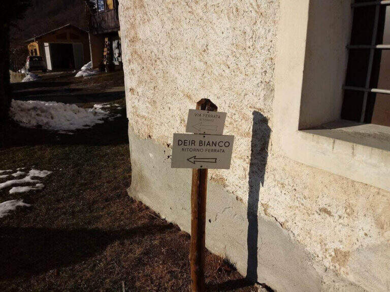
    From the end you reach a marked crossroads; both options report to the parking space in 30-40'. On the right you go down the trail in the woods, then steeper, until Pont Canavese, where you keep the right along the state road to the car. On the left you descend towards the hamlet of Piancerese and, following a sign in the village, you return to the valley at the parking lot (about 3h 30' total).

    ▲To match

    About an hour's drive: the Ferrata di Covarey, il Sentiero Attrezzato dell'Infernone, la Ferrata Nito Staich and, in the lower Val di Susa, the Ferrata Rocca Bianca e la Ferrata Carlo Giorda.

    ▲Gallery
    Technical data
    • DifficultyHard
    • RegionPiedmont
    • GroupCanavese
    • Approach0:20 h
    • Ferrata2:30 h
    • Itinerary (a/r)3:30 h
    • Hardware level difference400 m
    • Route difference483 m
    • Max1004 m
    • Length4,5 Km
  • Ferrata Pizzo Recastello

    Ferrata Pizzo Recastello

    Vie Ferrate › Lombardia › Bergamo
    Ferrata Pizzo Recastello
    Moderately Hard● OpenDescriptionComplexityMapsGallery

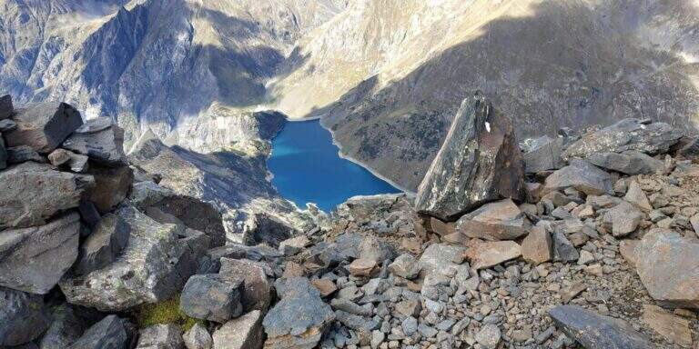
    The climb to the Pizzo Recastello is one of the classic routes of Orobie. The equipped section is short and dates back to a detritic canal not difficult but from the unstable background; the itinerary in the complex is however long, with almost 2000 m of altitude difference in an imposing mountain environment.

    ▲Approach

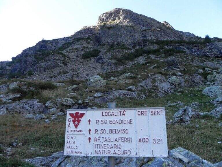
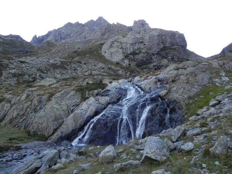
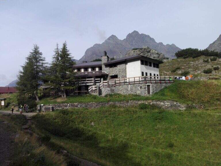
    The starting point is Grumetti, in the municipality of Valbondione, in the upper Val Seriana (Bergamo): from Valbondione go straight to Grumetti, parking in the beach at the end of the road. Starting point on Google Maps. You go up the path 332 towards the artificial lake of the Barbellino, reaching on its shore the Hostel Curò (about 2h 15' from the parking lot). The right is held along the southern shore of the lake to a clear crossroads, where you climb on the path 321 in the Val Cerviera; you go up towards the walls of the Pizzo Recastello while keeping on the left the river (in front you will see the imposing Pizzo Coca). Where the valley is tightened you cross the creek and, following the signs, you go to the south wall; carefully follow a trace with some red stamp on pietrisco and drain until you find the rocky canal where the via equipped (3h 30' from the parking lot).

    ▲The path

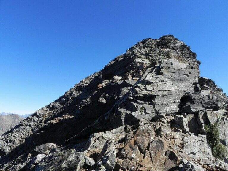
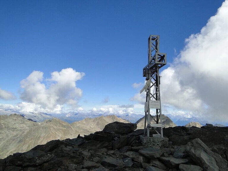
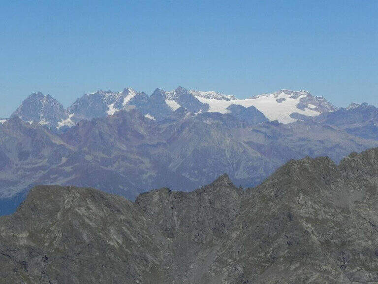
    You go up a rocky canal very climbing, with the chain on the right: the climb is steep but well-tended and you go climbing without excessive tractions on the cable (difficulty never beyond the II degree). After a first steep stretch there is a more supported one and then a third again steep, with almost absent exposure; in about 15' it comes out from the canal and ends the equipment. Then follow a track that cuts diagonally the wall and leads to the final crest, in good exposure with Lake Barbellino a thousand meters lower; between climbs and easy small rocks (insidious if wet) you reach the summit cross of Pizzo Recastello (2886 m, about 4h 30'-5h from the parking lot), with views of Orobie, Bernina and Adamello.

    ▲Character and difficulty

    Technically the equipped road is contained (channel of 2nd degree), but it should be framed in a long climb of high mountain; the detritic bottom of the canal requires caution.

    ⚠ The main objective risk is the fall of stones, from those who precede or from those who fall back: wear the helmet just started the canal.
    ▲Period and safety

    High-altitude summer climb; the length and altitude difference impose departure at dawn and good energy management.

    ▲Discipline

    You go down backwards through the route, via equipped, up to the Curò hut already visible from the summit. A recommended variant: coming to the Barbellino Lake near the Curò, you keep the left on path 304/306 for a return different from the first part of the route; the 304 runs in falsepiano south bypassing Monte Verme and in about 20' leads to a crossroad where you keep the right downhill on the 305 signpost, which after a steep stretch enters the wood and returns to the parking lot of Grumetti (about 9-10h total).

    ▲To match

    For those staying in the area: from the hut Barbellino you can face the next day the Ferrata at Pizzo Strinato, with a similar but longer character, or the neighbor Ferrata al Pizzo del Becco. In the area Presolana the easiest Ferrata del Monte Sarrandone; going down to the city Ferrata Maurizio, la Ferrata alla Madonnina del Coren and, towards Lecco, the Ferrata at Monte Ocone.

    ▲Gallery
    Technical data
    • DifficultyModerately Hard
    • RegionLombardy
    • GroupAlps
    • Approach3:30 h
    • Ferrata0:20 h
    • Itinerary (a/r)9:00 h
    • Route difference1950 m
    • Max2886 m
  • Ferrata Montevecchio

    Ferrata Montevecchio

    Vie Ferrate › Piedmont › Vercelli
    Ferrata Montevecchio

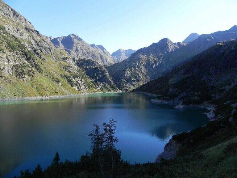
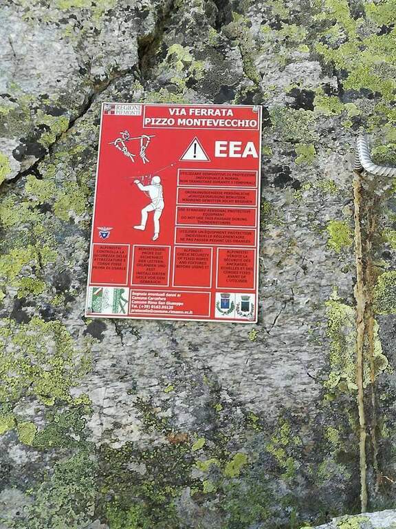
    Inaugurated in 2016, Ferrata Montevecchio dates back to an ardent ridge in the upper Valsesia. It never has too difficult traits, but it is very varied and exposed and it goes also on the return, facing numerous passages in un Discounted climbing: it requires good experience and training.

    ▲Approach

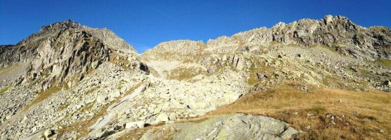
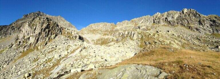
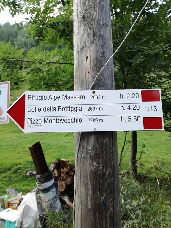
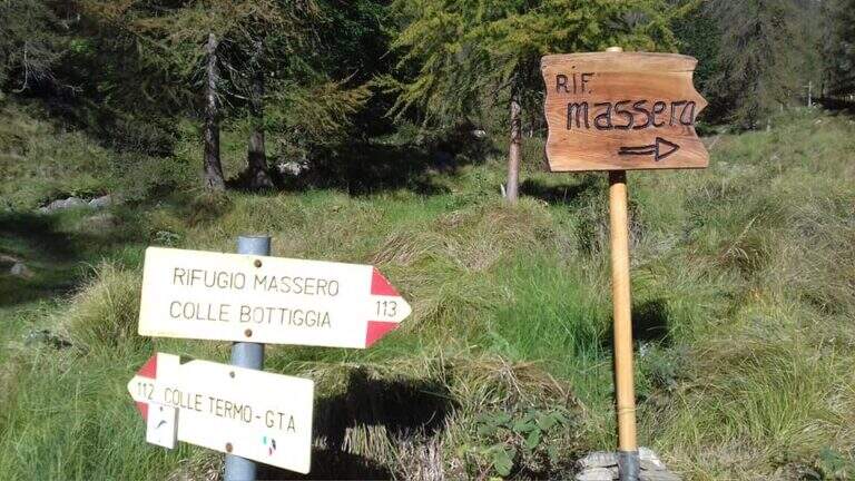
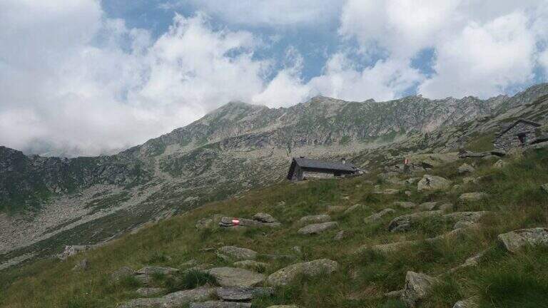
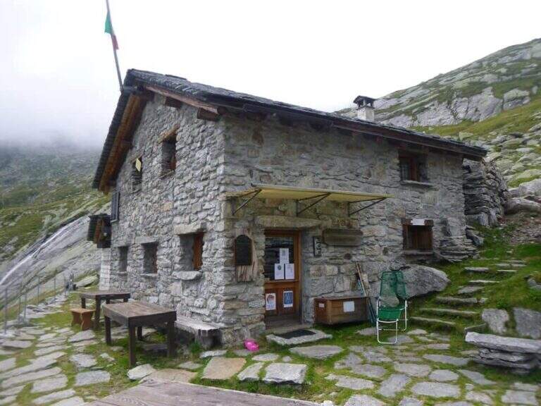
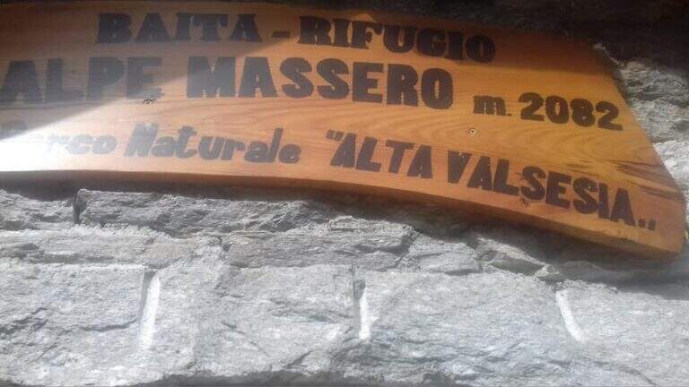
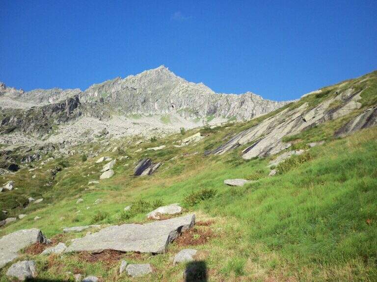
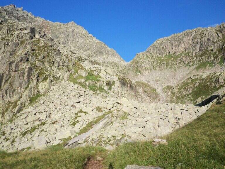
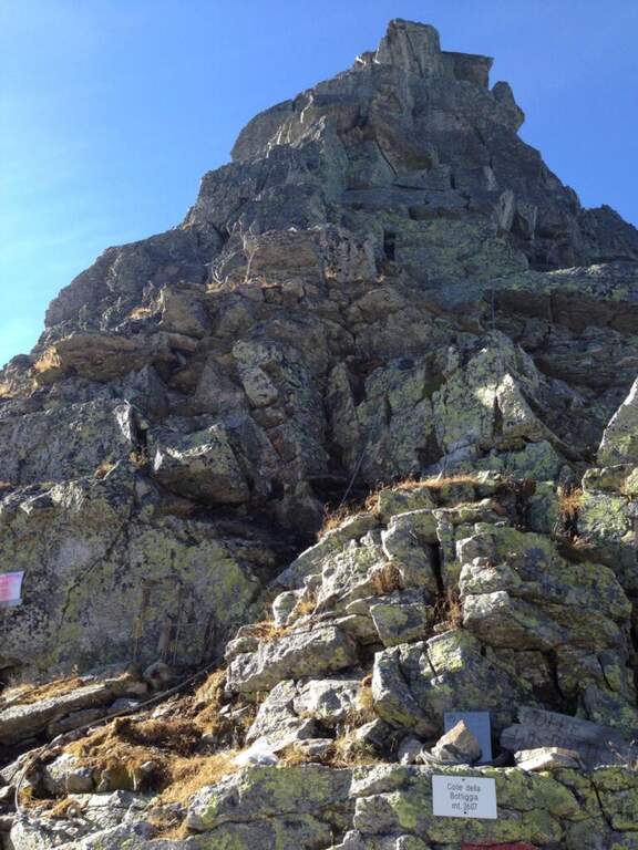
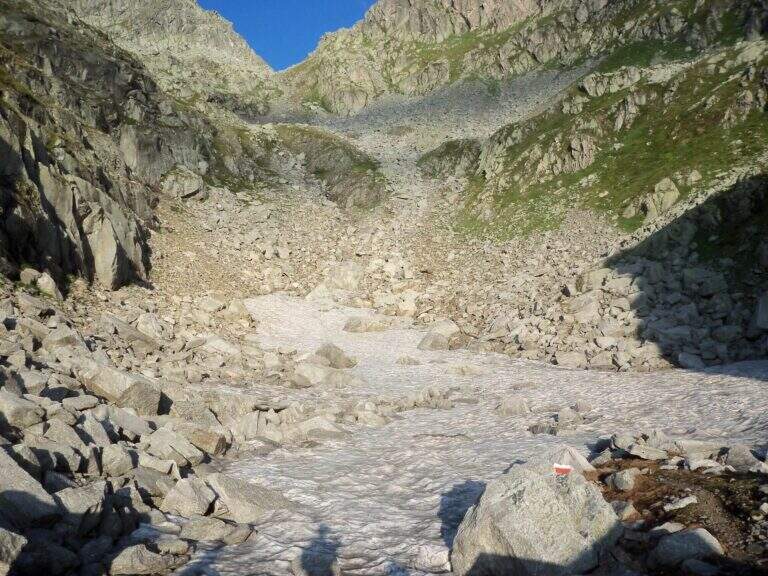
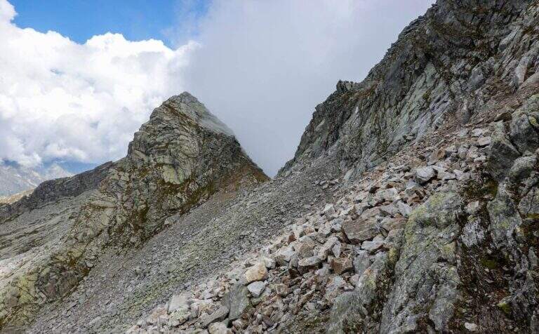
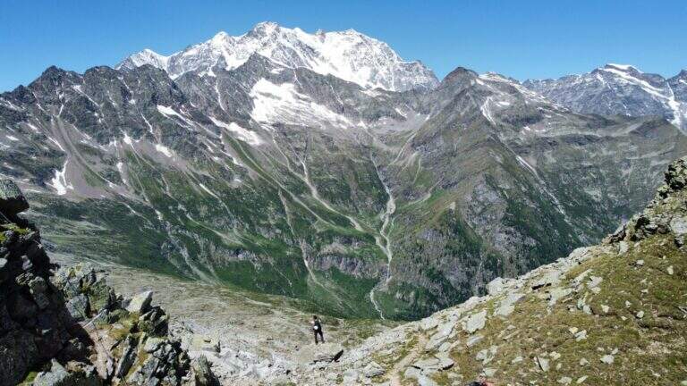
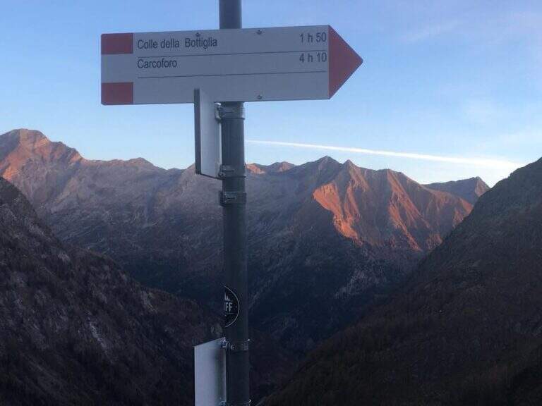
    The starting point is Carcoforo, in the upper Valsesia (Vercelli), which can be reached from Varallo, going up the valleys; it is parked in the wide beach in the center of the village. Starting point on Google Maps. Follow the path 113, first in falseland then steeper but always well marked, up to the Rifugio Massero (2082 m). Beyond the refuge you go up to a crossroads where you hold the left towards the Colle della Bottiggia, ignoring the right track; the track is reduced but omits and signs lead in the progression. There is a stony valley between the rocks up to the rocky carving of the Colle della Bottiggia (2607 m), where the ferrata begins (2h 45' from the parking lot); at the beginning of the season the last stretch can present snow. Alternatively you can climb from the Colle Vallè, on the north-east ridge, which leads to the anticyme for a easier line; however, the relationship considers the ascent from the Colle della Bottiggia, more challenging, and the ring return from Colle Vallè.

    ▲The path

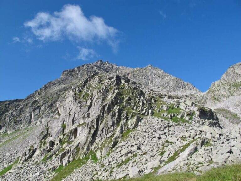
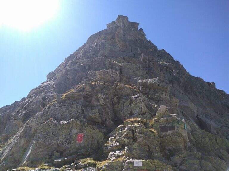
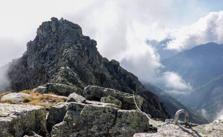
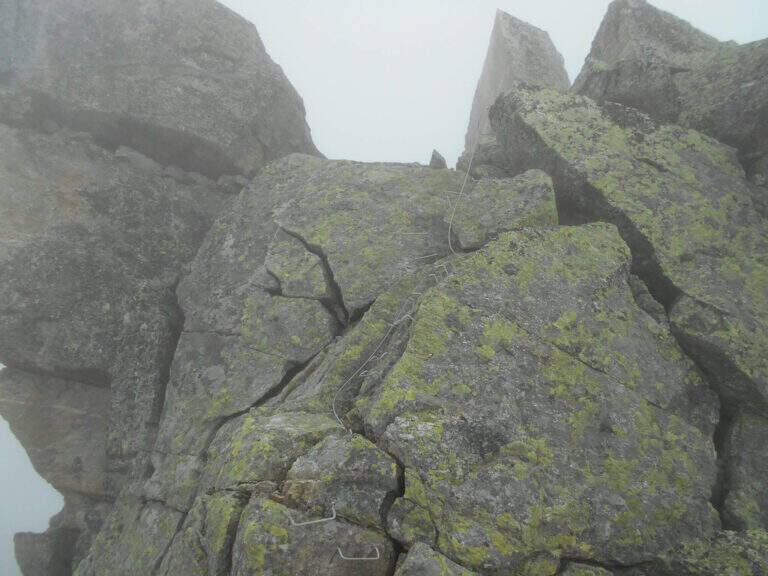
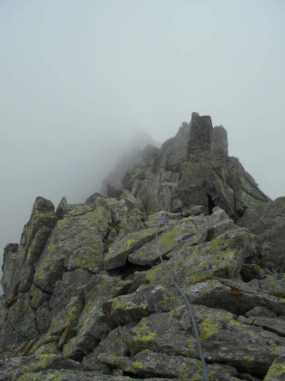
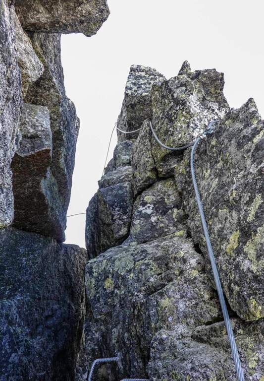
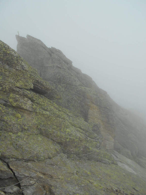
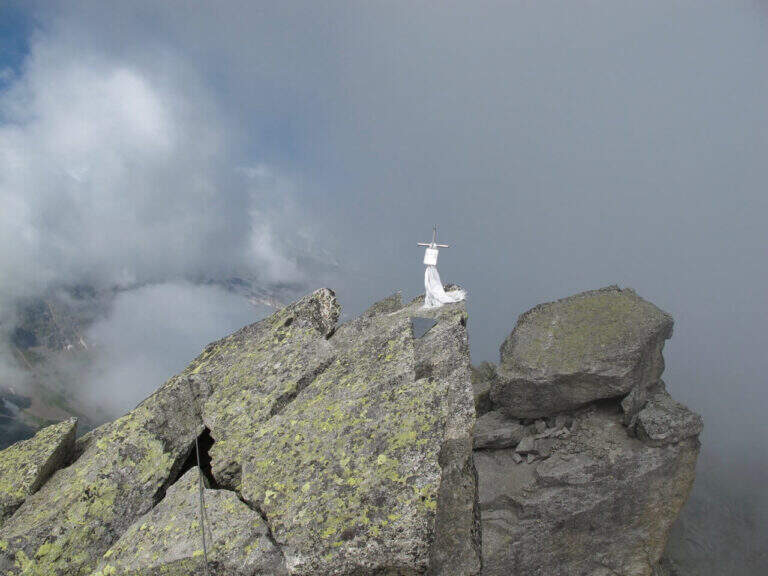
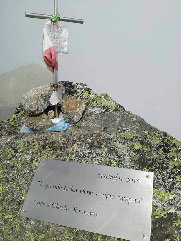
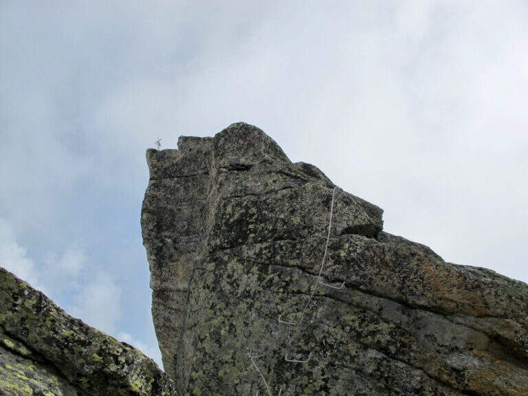
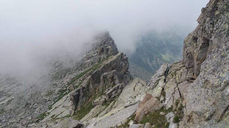
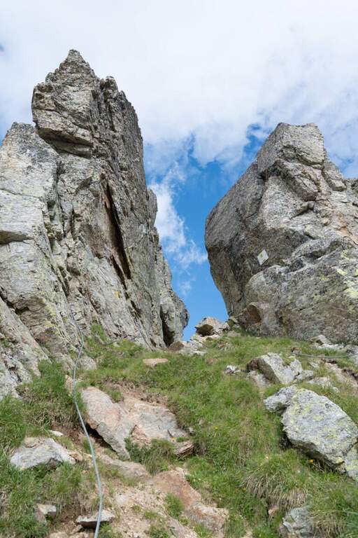
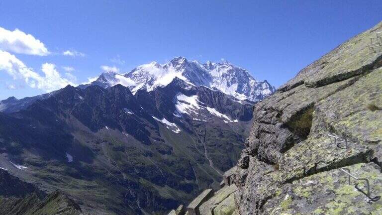
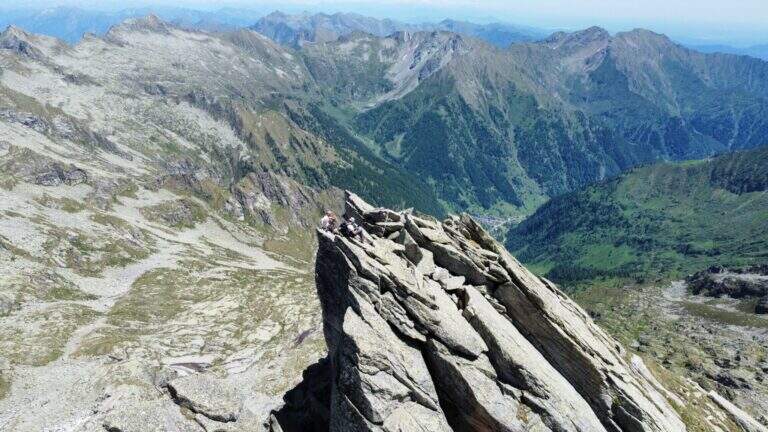
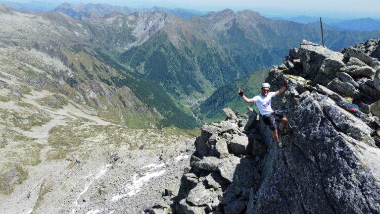
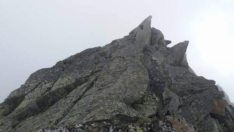
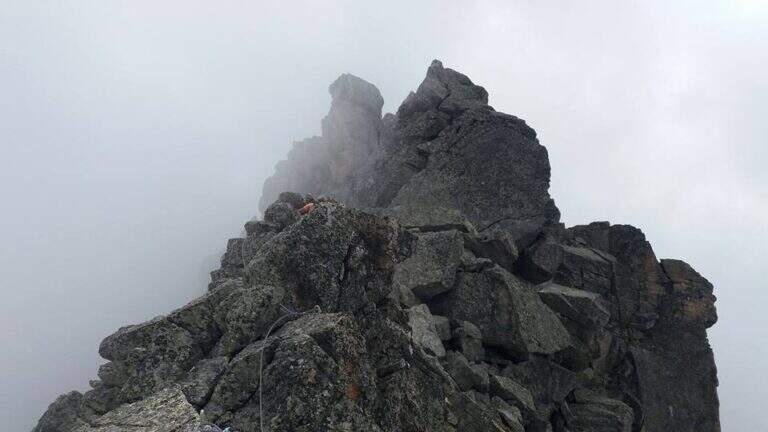
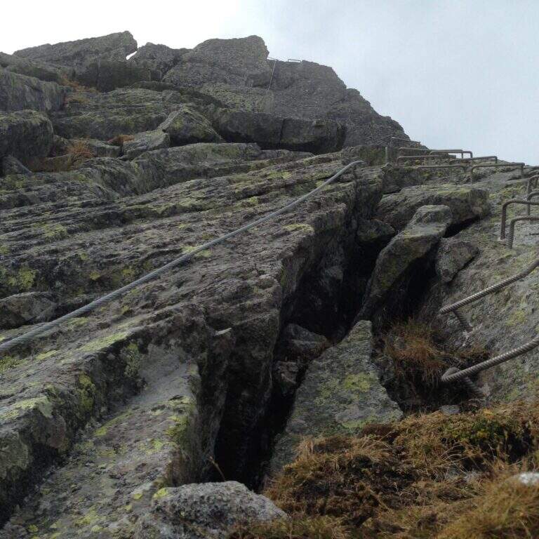
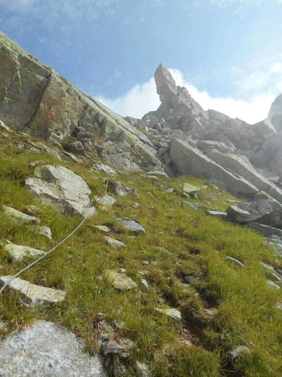
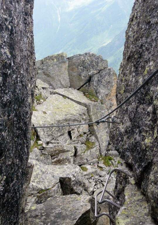
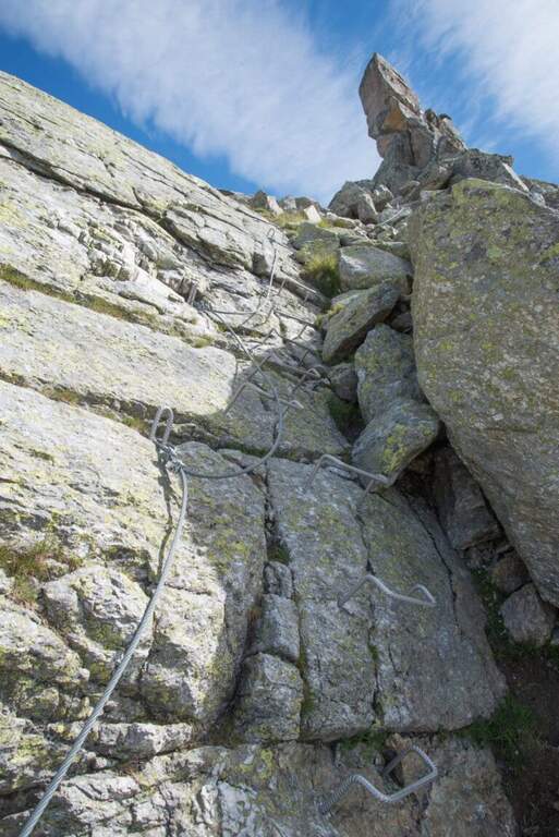
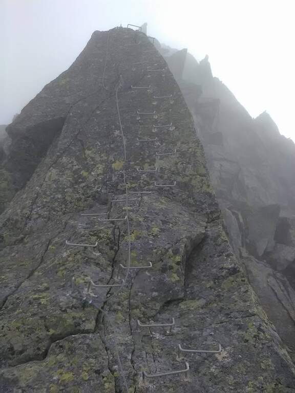
    From the hill the cable starts on a vertical wall where it is best to look calmly for the hooks, not immediately obvious: the first meters are vertical and the exposure grows quickly. Risalita the plaque follows the crest with short vertical sections, beams and blinds on both sides; the vertical steps are always assisted by abundant cambres, therefore little tiring and technical, but by hand the exposure increases and the passages are more varied, with climbs and short descents, up to the anticyme (2777 m). Here you can see the cable coming from the west ridge, uphill from the Colle Vallè (return option). From the anticyme we continue on coricated steps, then a short stretch of non-banal descent leads to the top: we face a vertical wall, a split in the rock and an exposed fireplace (the key passage), followed by a short vertical; a horizontal stretch, a descent and the last metres of uphill ridge lead to the metal cross of Pizzo Montevecchio (2789 m, 2h from the attack, 4h 45' total).

    ▲Back from the ferrata

    The road does not end up at the top: first return to the anticyme retracing the last stretch, then you choose between two options. The first is to retrace entirely backwards the ferrata of the way (1h 30' from the term, 6h 15' total). The second — recommended to close in part a ring — is the deviation that from the anticyme, where on the left a metal cable is known, descends along the western ridge to the Colle Vallè: simpler line because less vertical and exposed, but still not trivial, with some well equipped vertical points. From Colle Vallè a path on the slope of Val Quarazza, marked with green signs, leads to the Colle della Bottiggia crossing some lands (1h 30' from the end of the ferrata, 6h 15' total).

    ▲Character and difficulty

    Recent Ferrata alternating abundant equipment in the vertical sections with more exposed and varied passages left to the autonomy of the hiker, between jumps, beams, chimneys and slits. Very beautiful and wild environment.

    ⚠ The wide stretches of climbing, especially when returning, are not trivial. For altitude and exposure it is not rare to find verglas or ice traits on the north side of the ridge: necessary experience, training and reliable weather.
    ▲Discipline

    From the Colle della Bottiggia you return to the same route path (2h from the hill, 8h 15' total).

    ▲To match

    In the nearby valleys you can face the adjacent days Ferrata Detomasi in Alagna Valsesia and, more downstream, the Ferrata Falconera, la Ferrata Partusac e la Picasass Ferrata.

    ▲Gallery
    Technical data
    • DifficultyHard
    • RegionPiedmont
    • GroupPennine Alps – Valsesia
    • Approach2:45 h
    • Ferrata2:00 h
    • Itinerary (a/r)7:30 h
    • Hardware level difference180 m
    • Route difference1485 m
    • Max2789 m
    • Length12,6 Km
Need help? Write to us!