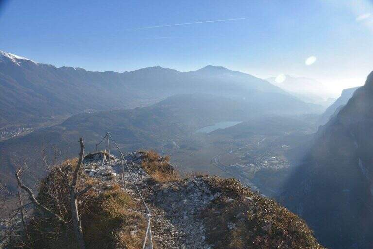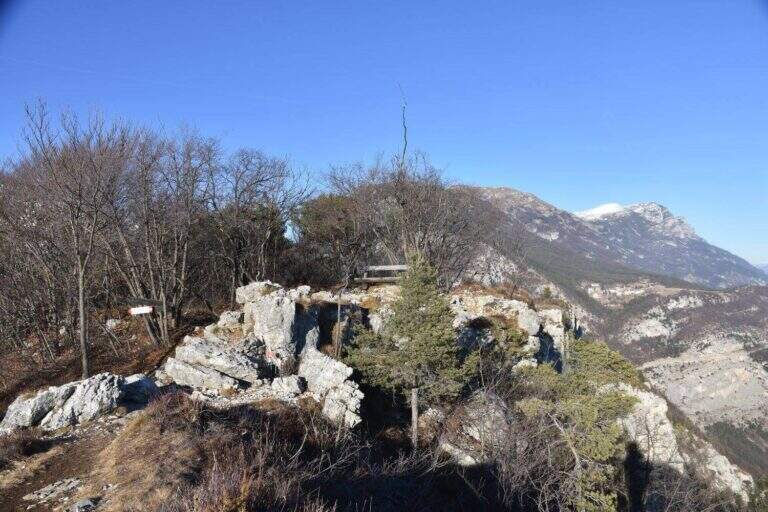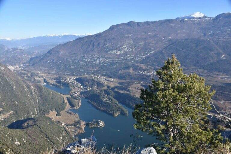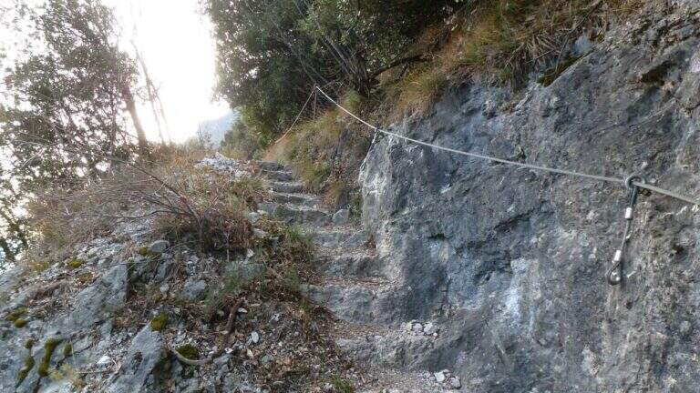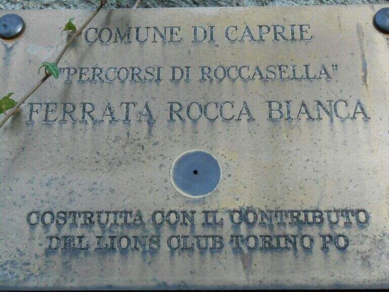
Paese: Italia

  • Ferrata Guido Rossa in Caprie (White Rock)

    Ferrata Guido Rossa in Caprie (White Rock)

    Vie Ferrate โ€บ Piedmont โ€บ Turin
    Ferrata Guido Rossa in Caprie (White Rock)
    Moderately Hardโ— OpenDescriptionComplexityMapsGallery

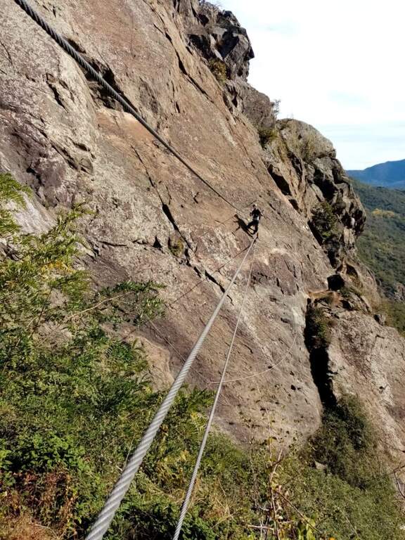
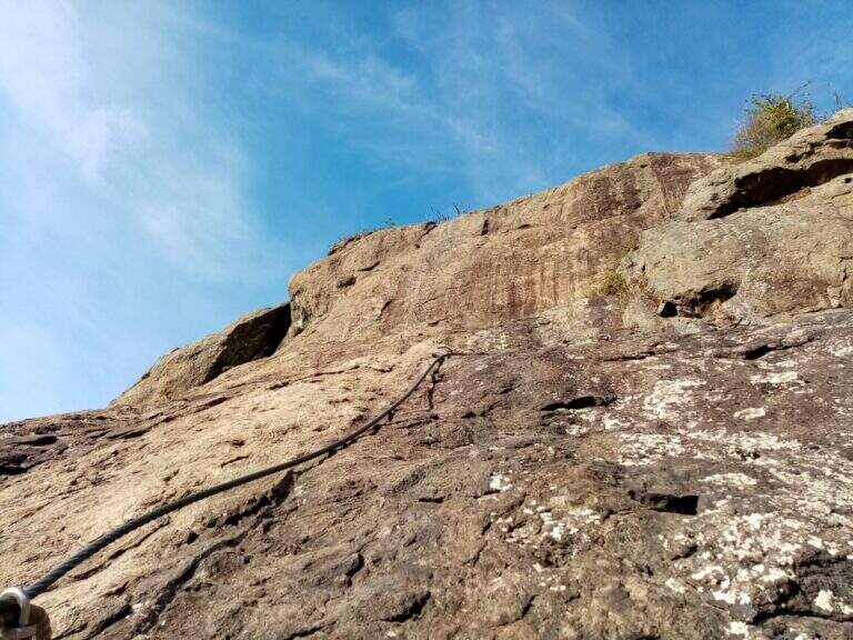
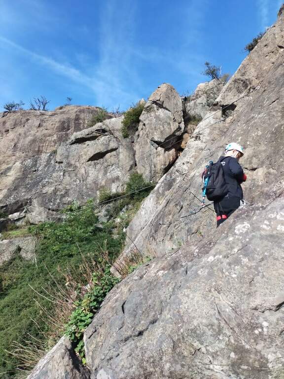
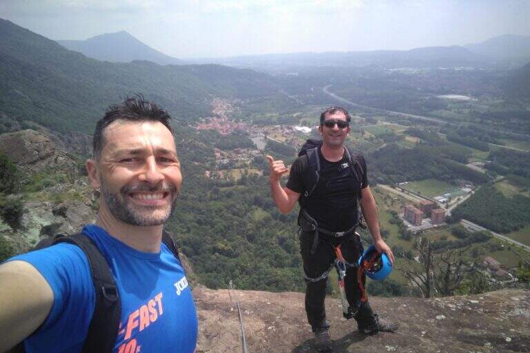
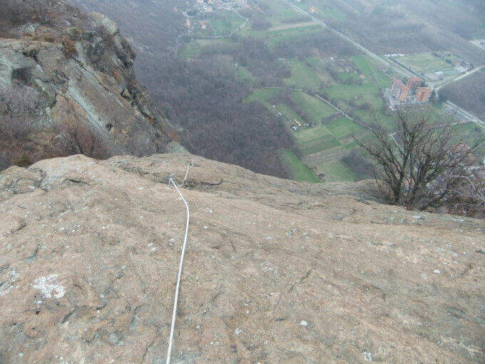
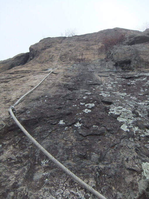
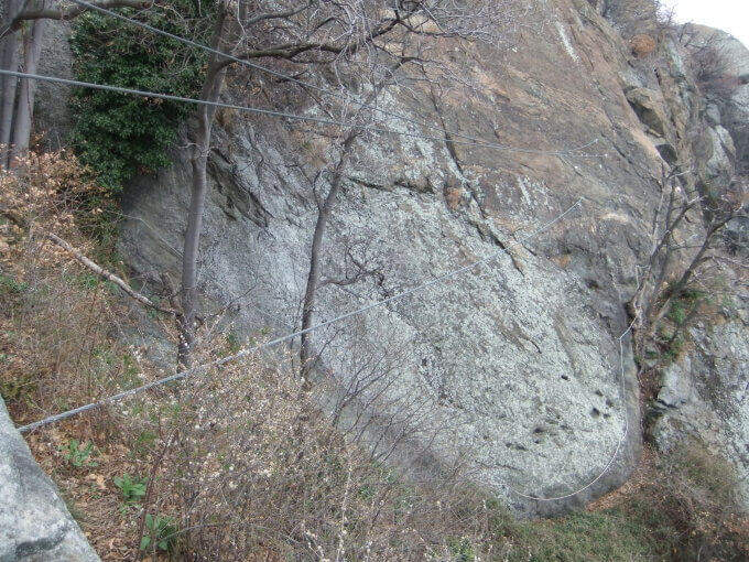
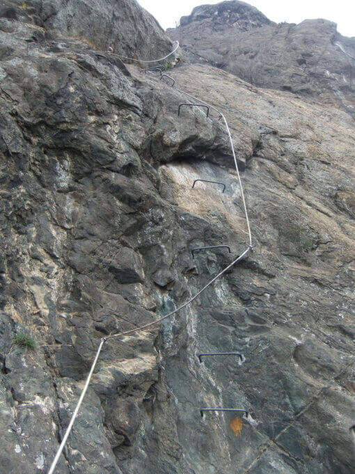
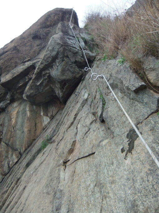
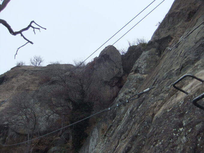
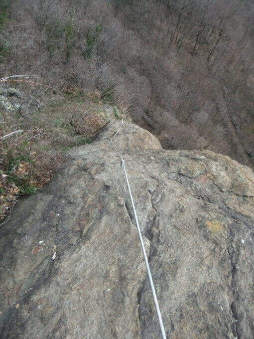
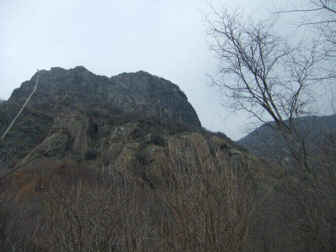
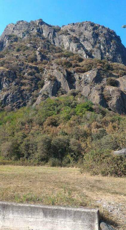
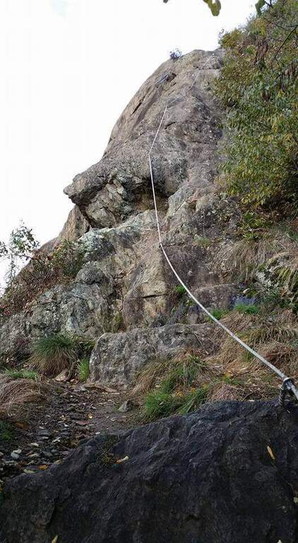
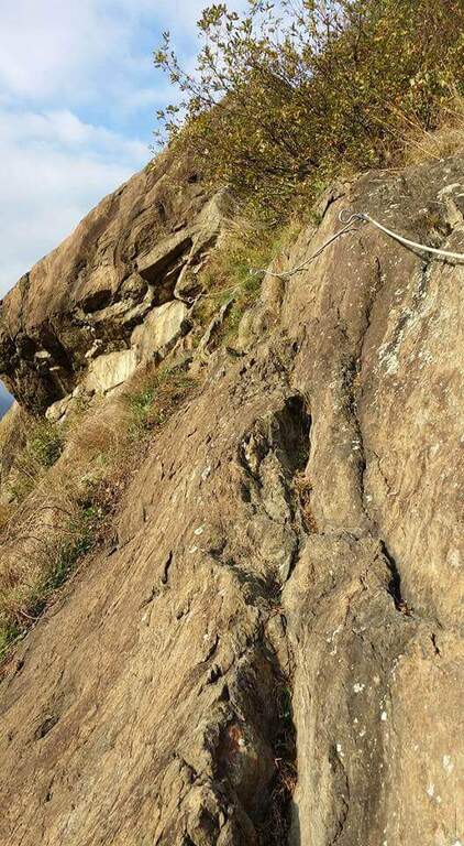
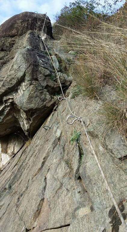
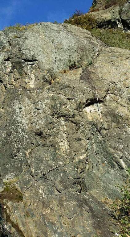
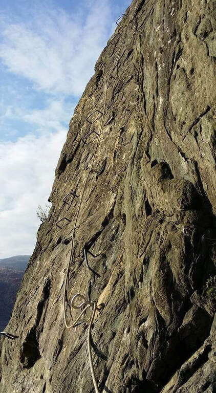
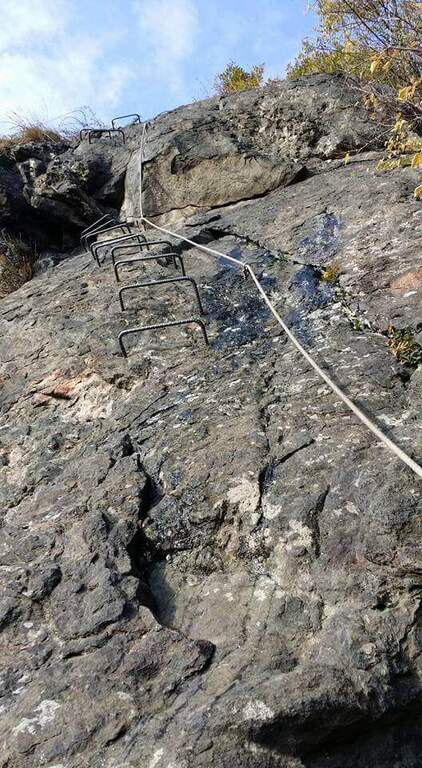
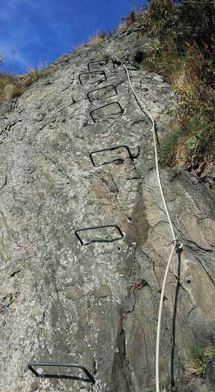
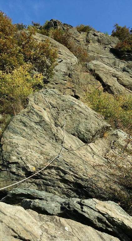
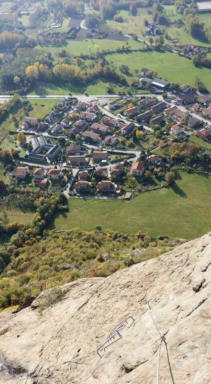
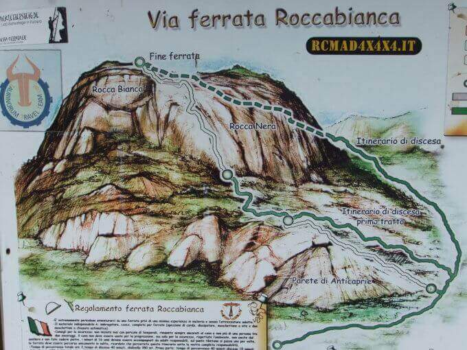
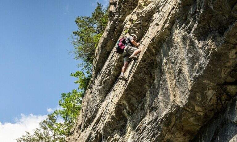
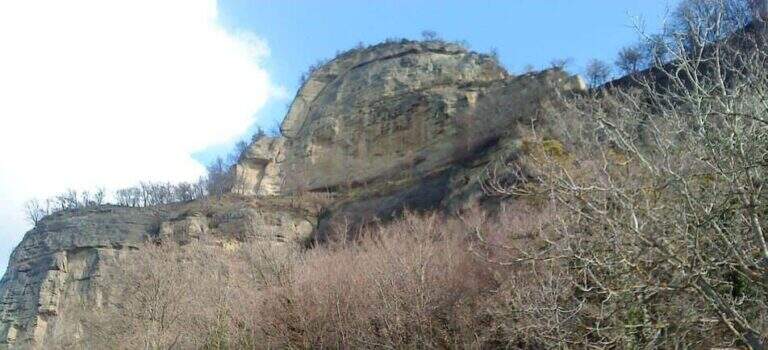
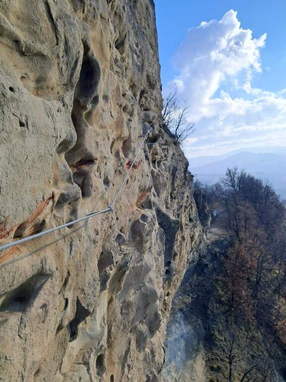
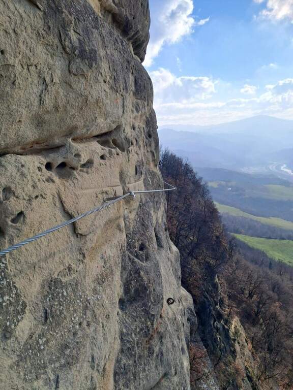
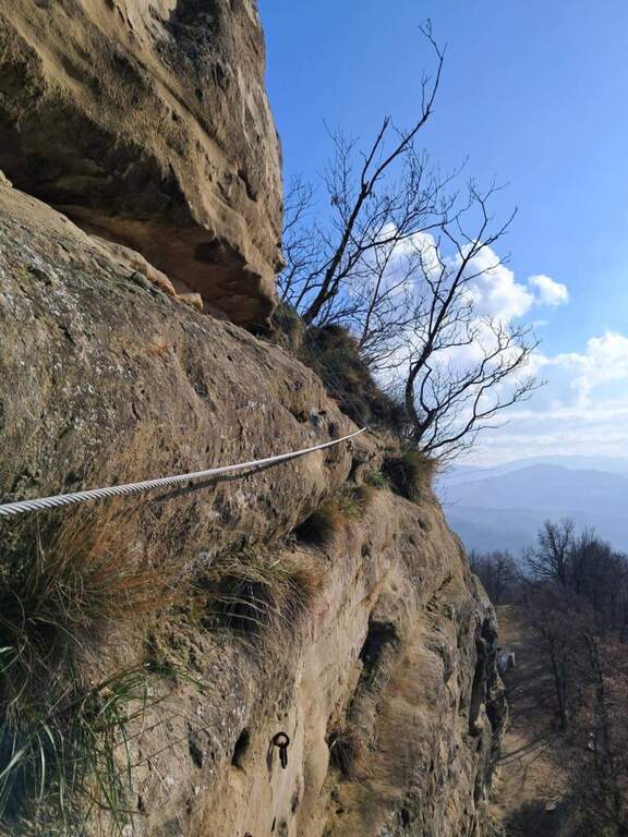
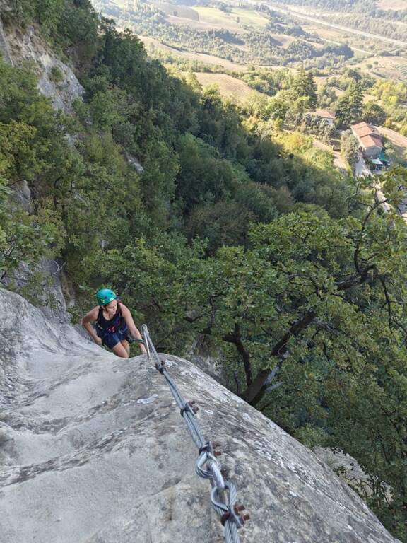
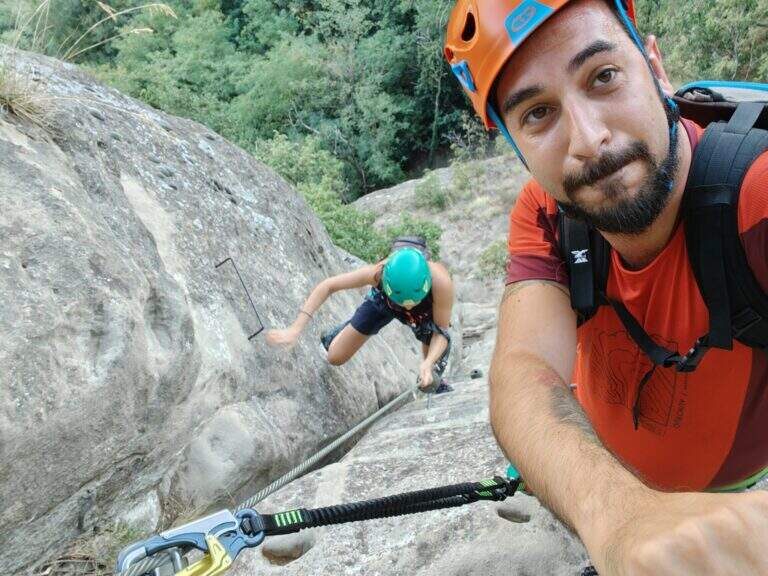
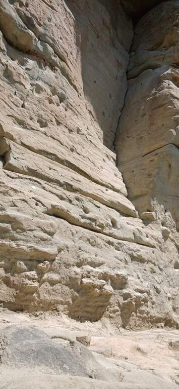
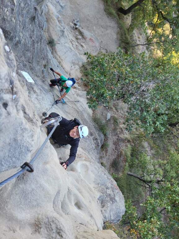
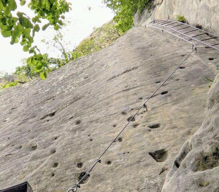
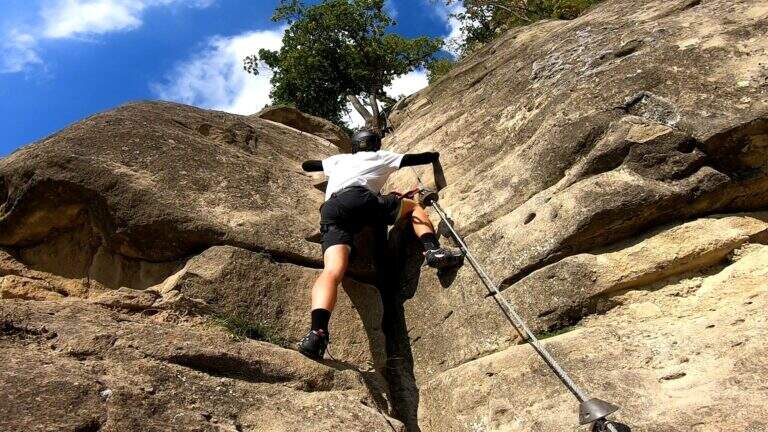
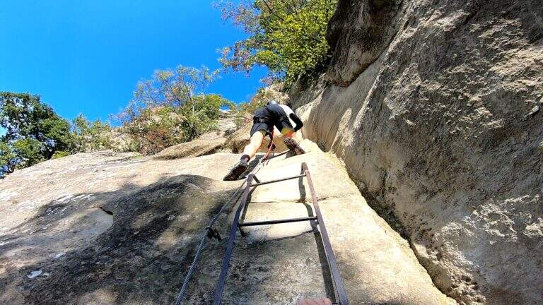
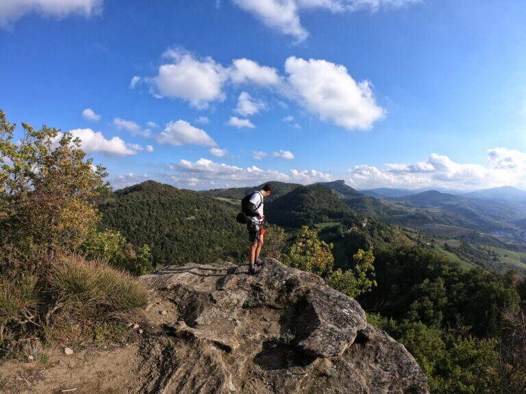
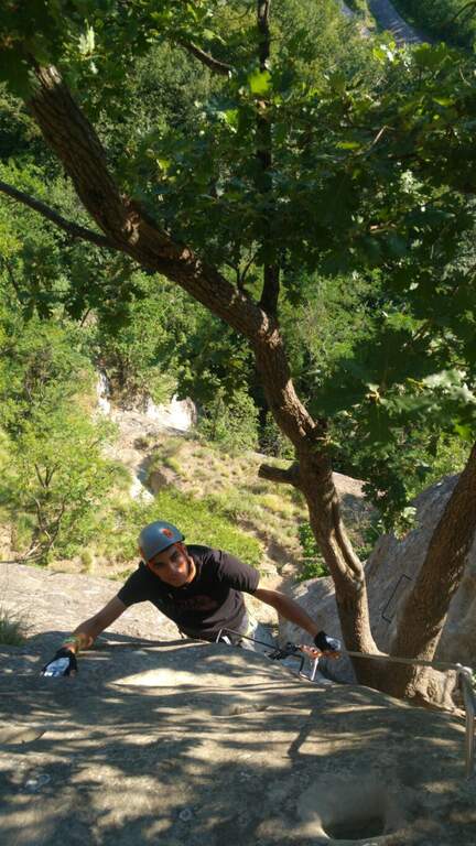
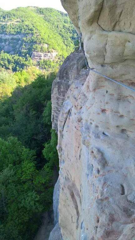
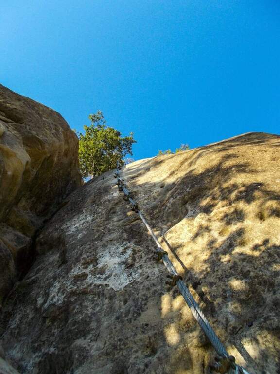
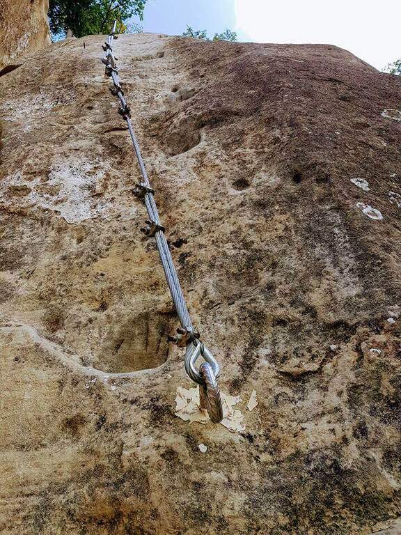
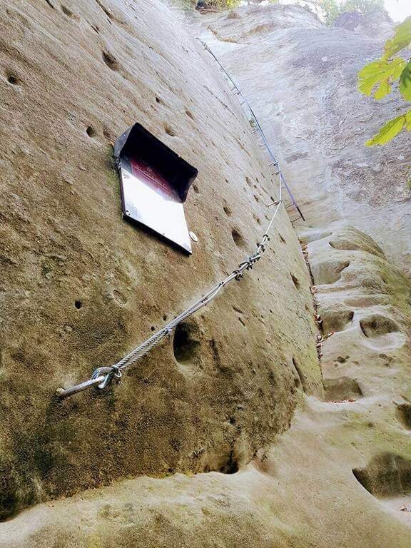
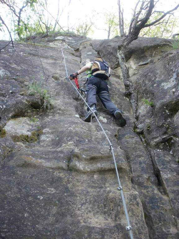
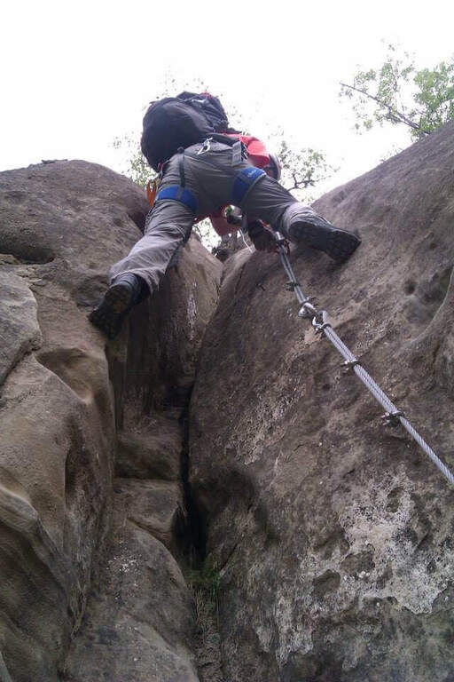
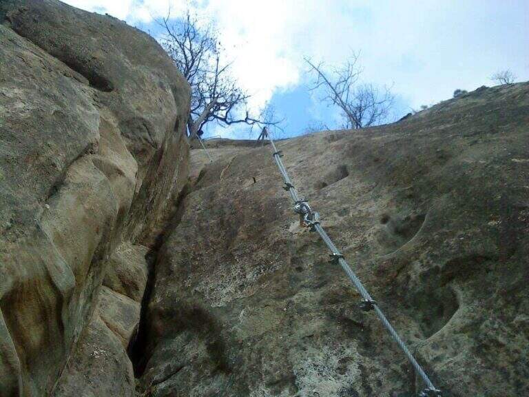
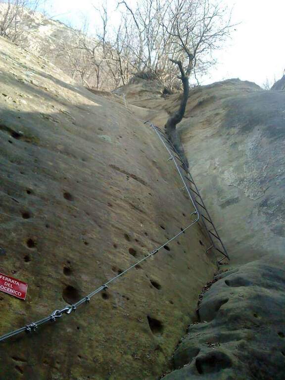
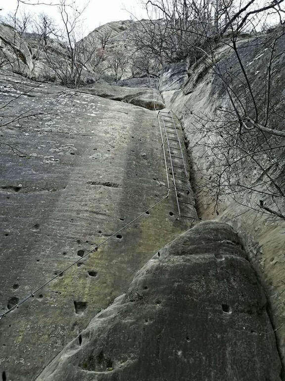
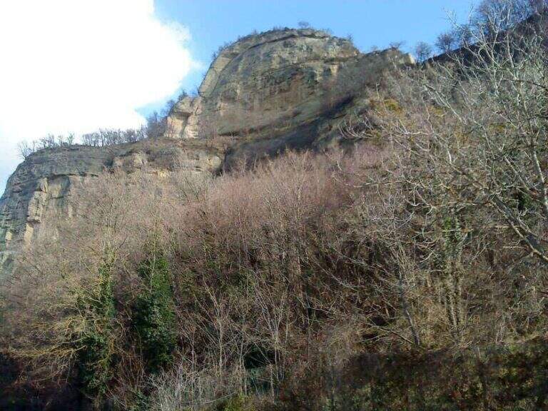
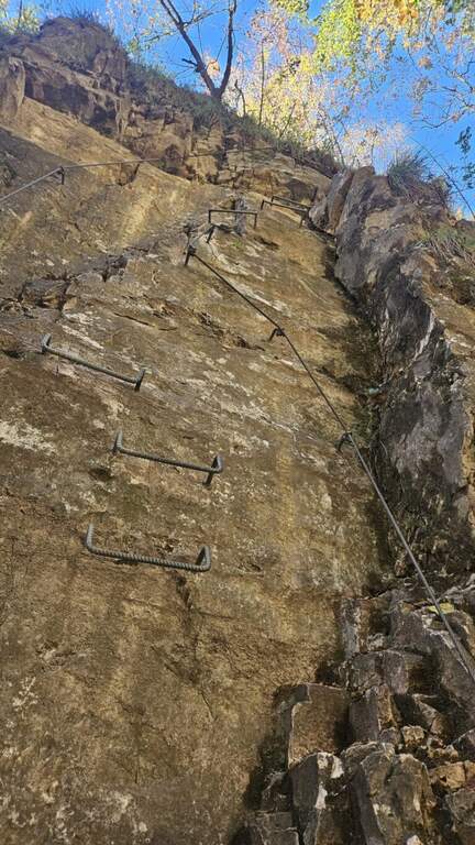
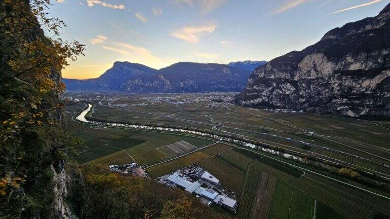
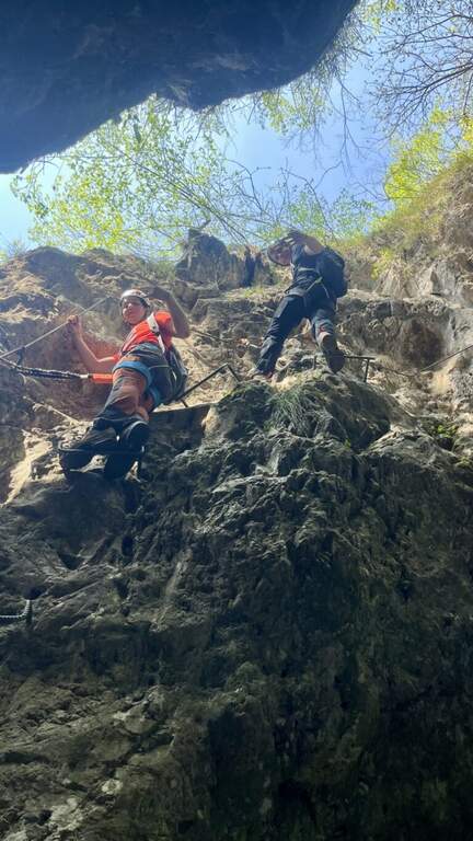
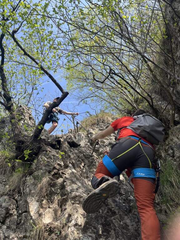
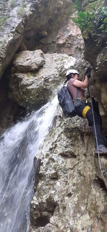
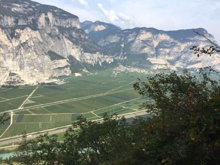
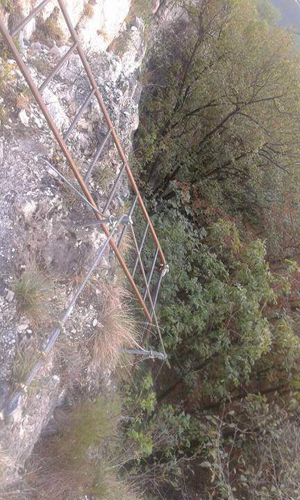
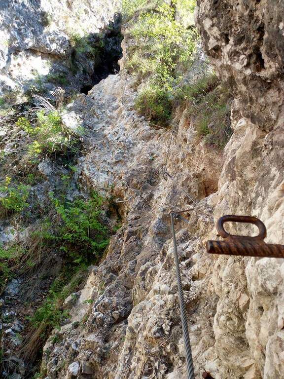
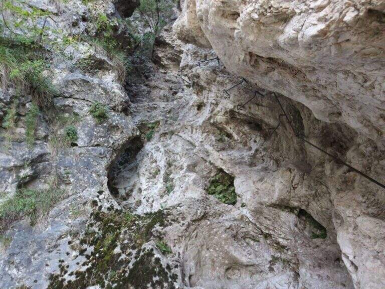
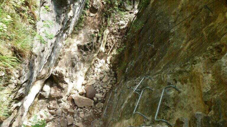
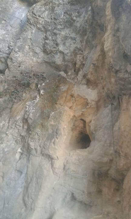
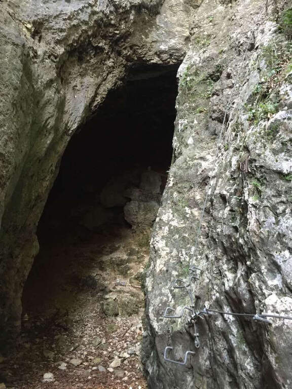
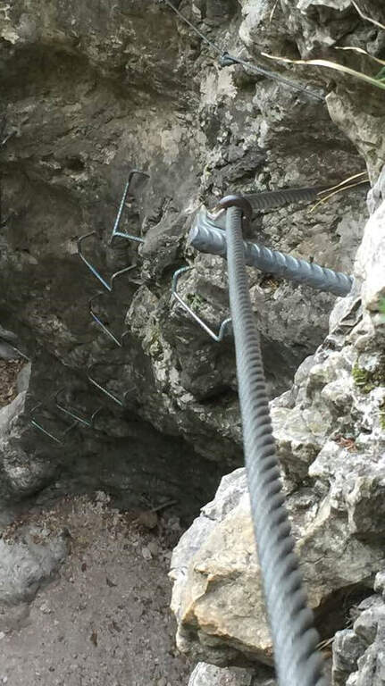
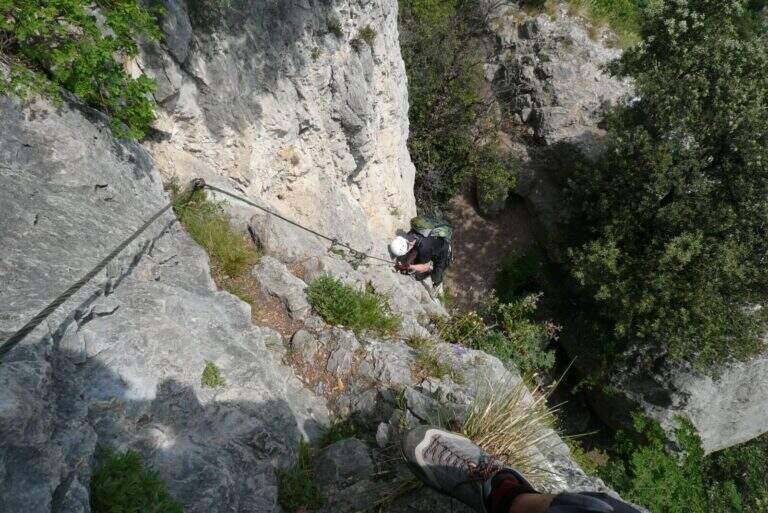
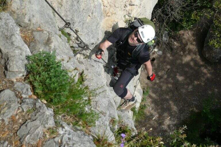
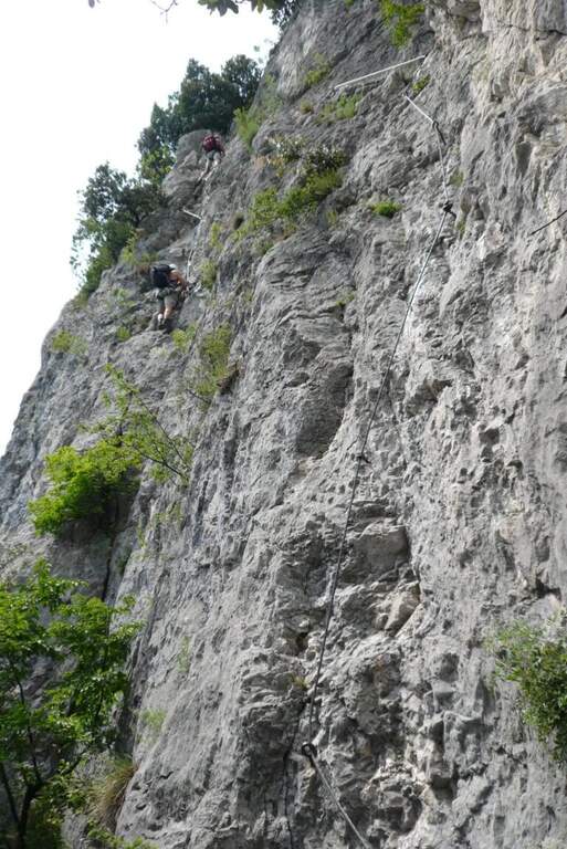
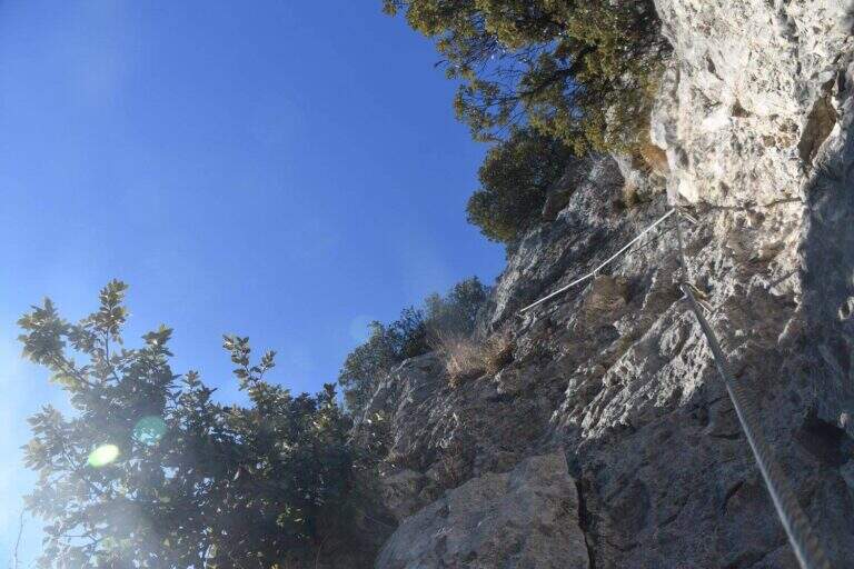
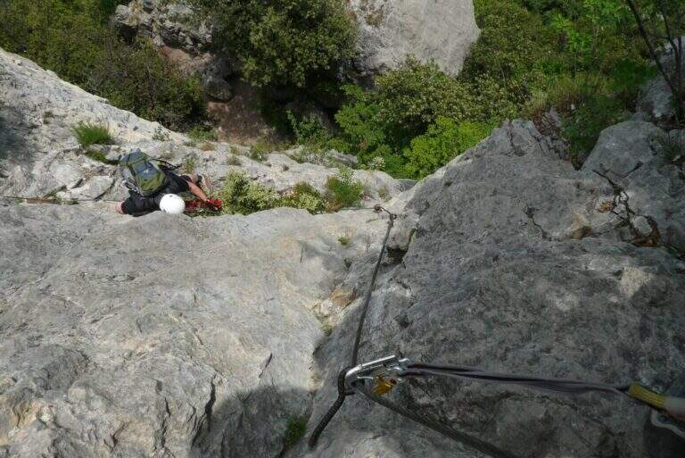
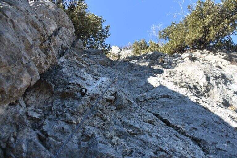
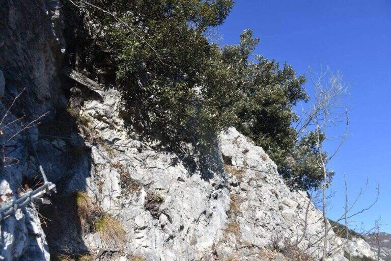
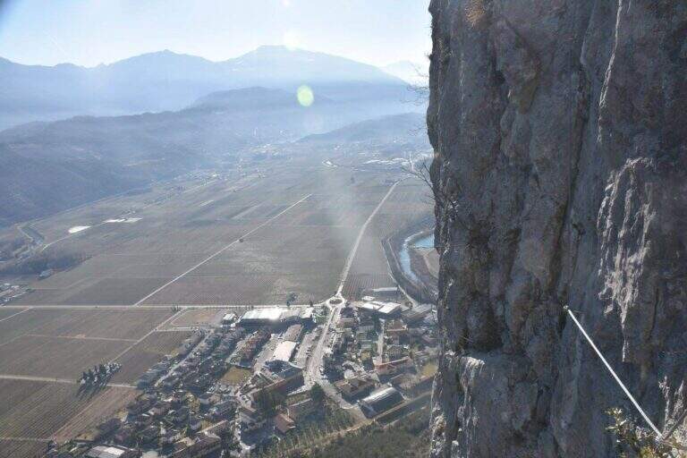
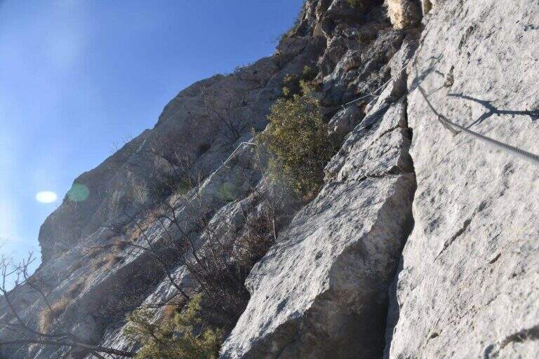
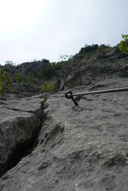
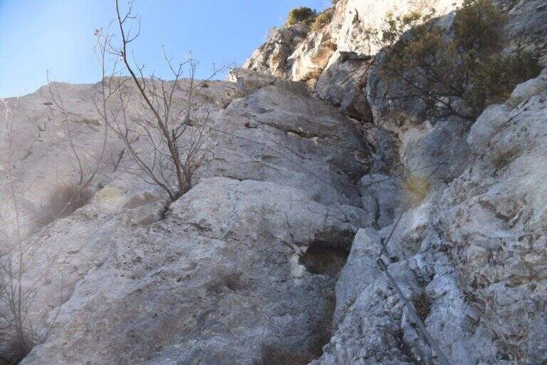
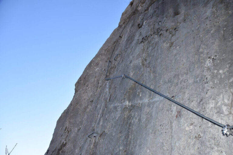
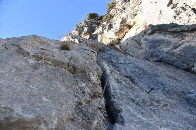
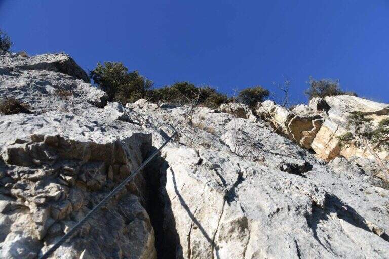
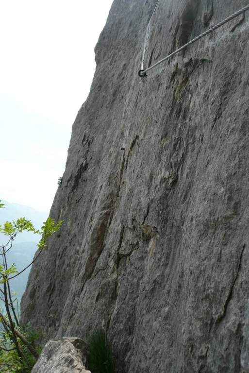
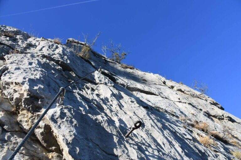
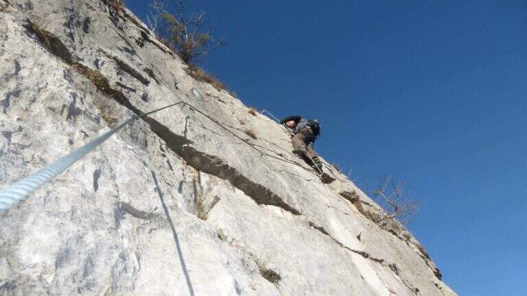
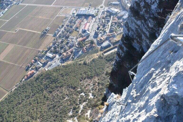
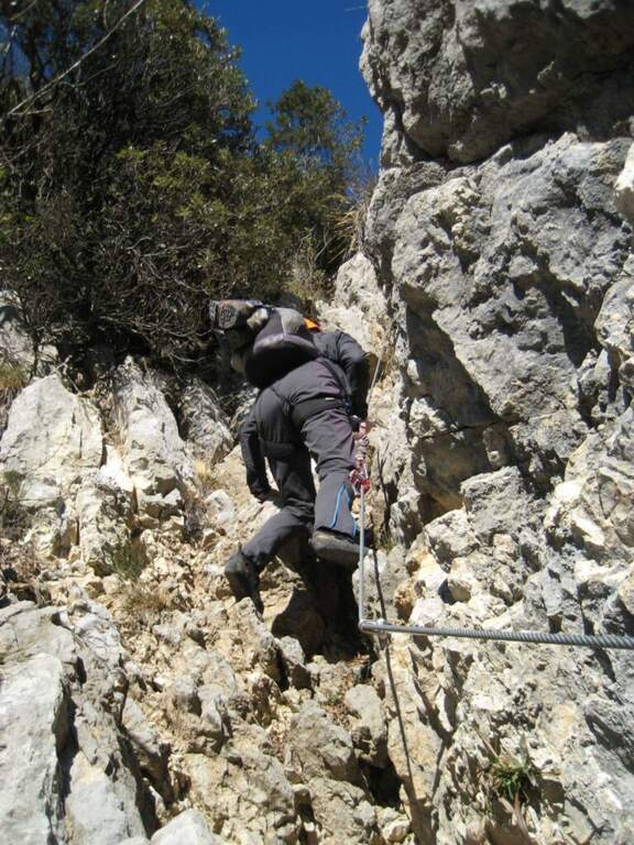
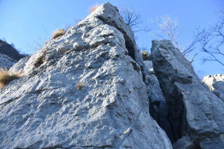
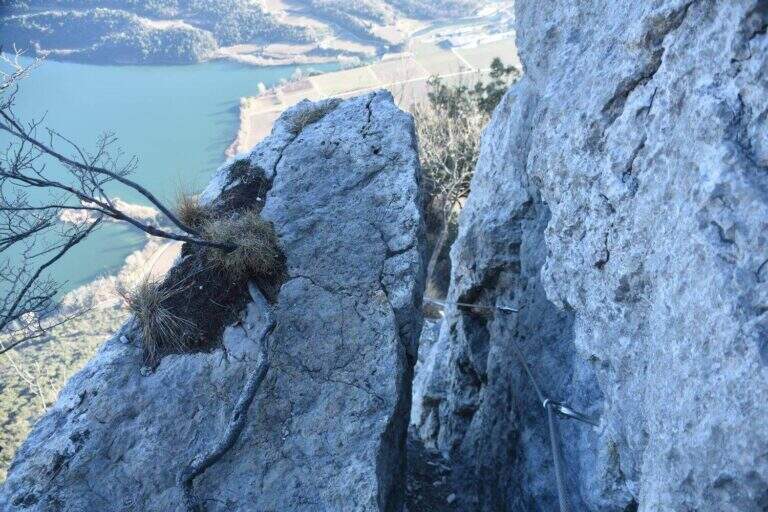
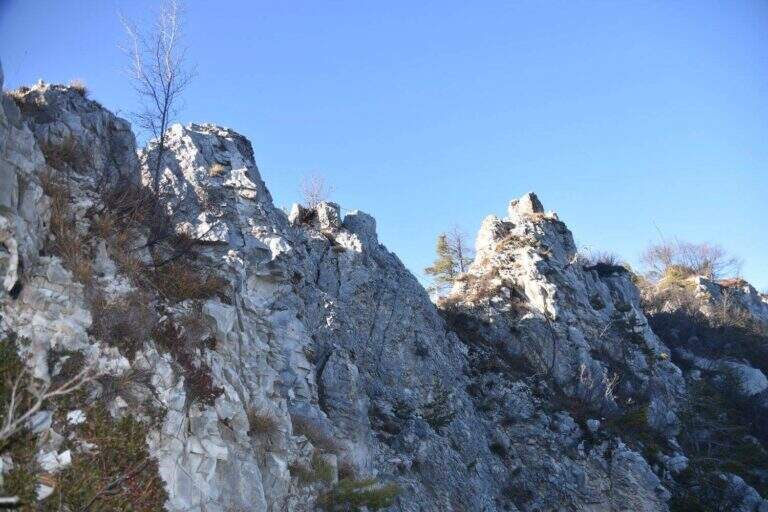
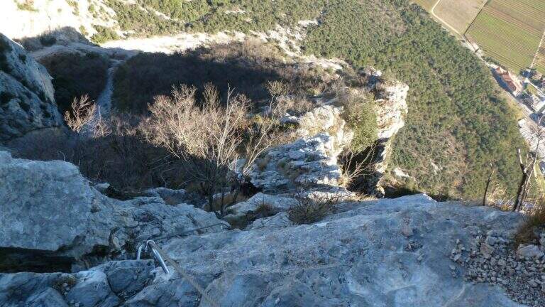
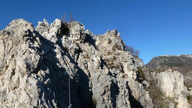
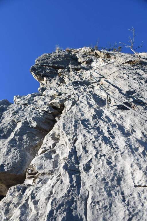
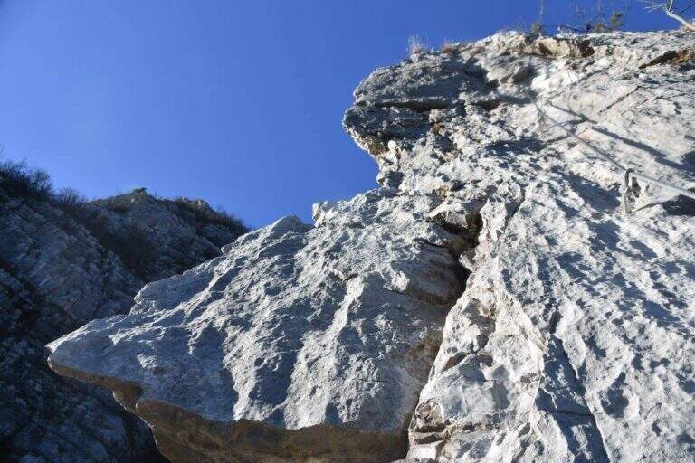
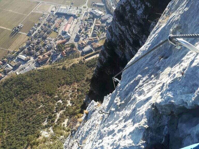
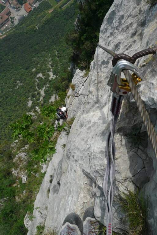
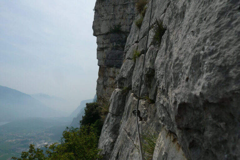
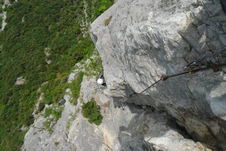
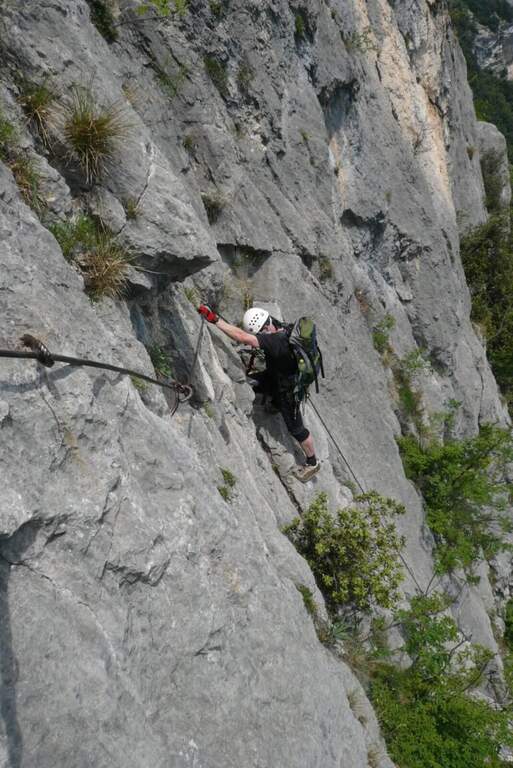
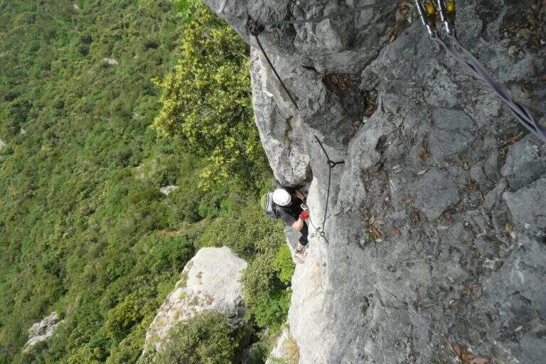
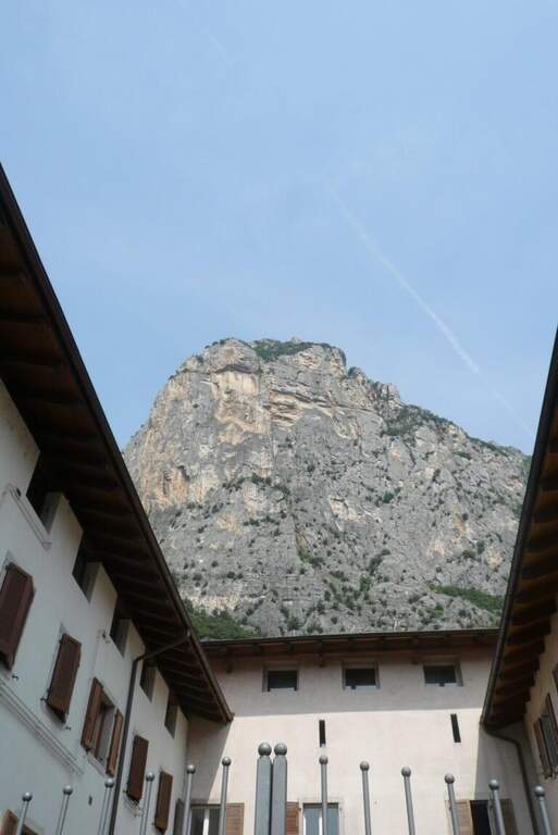
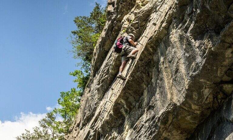
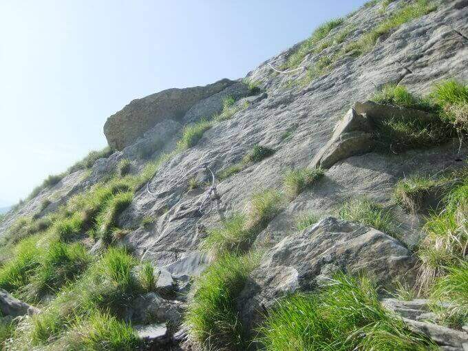
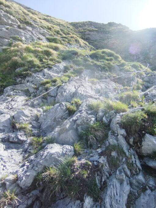
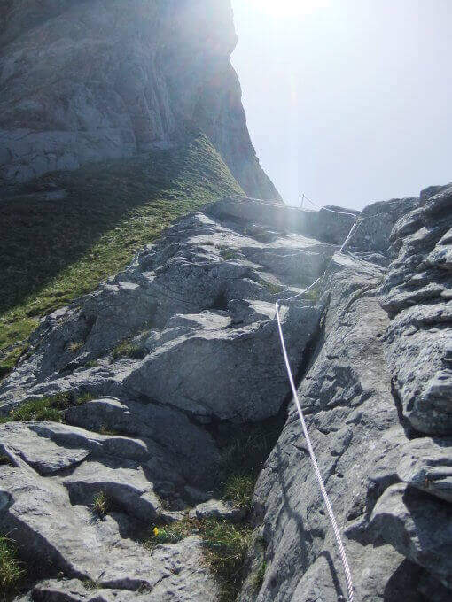
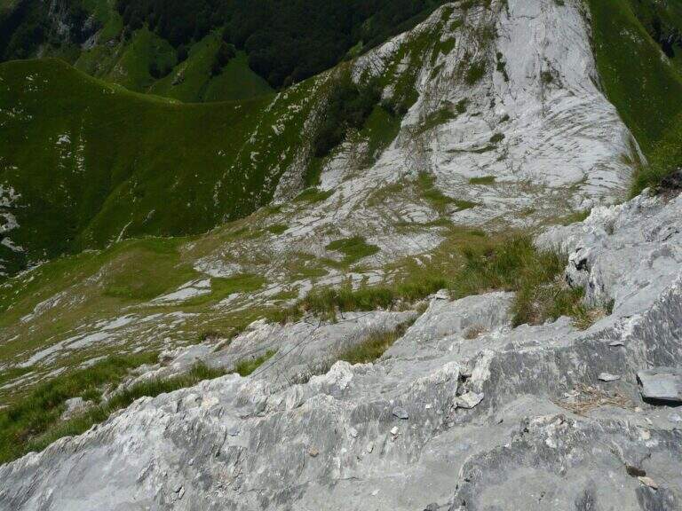
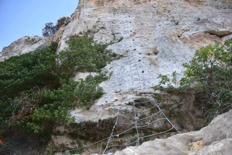
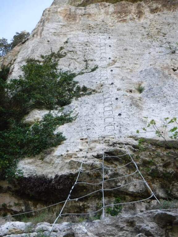
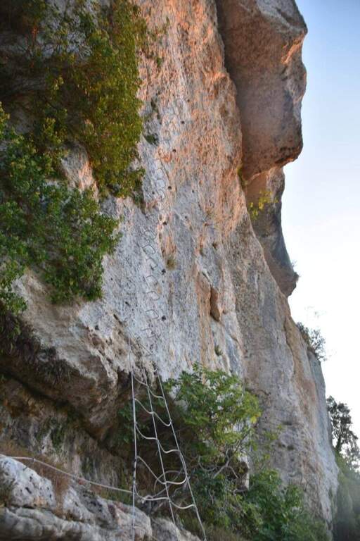
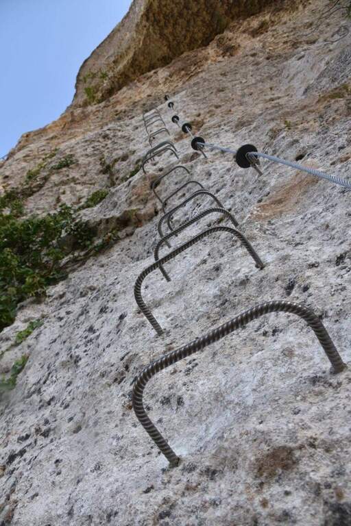
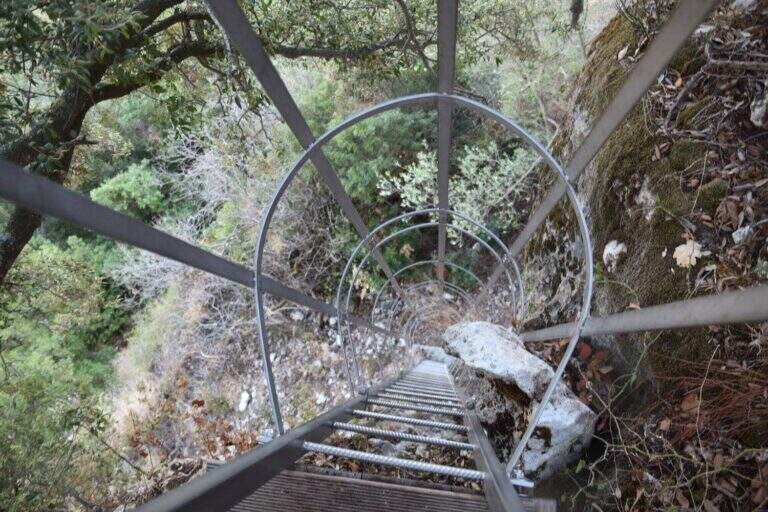
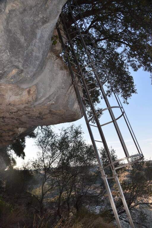
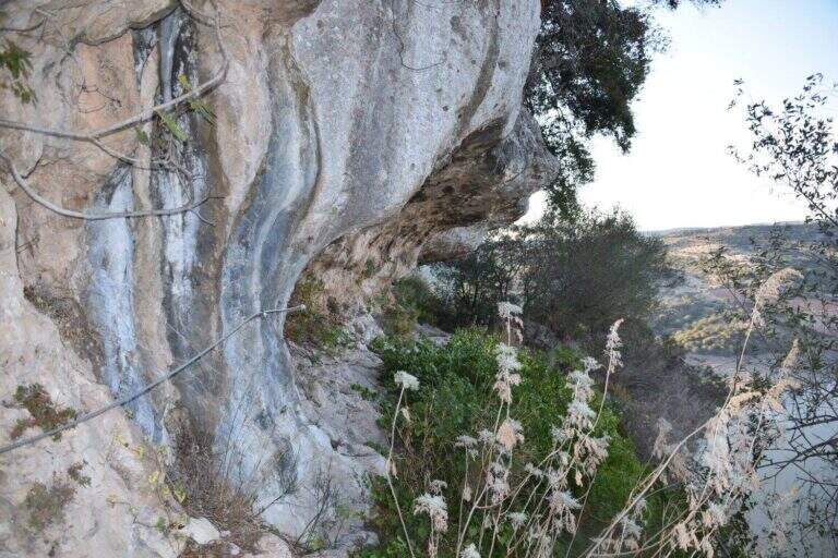
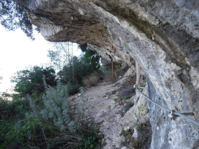
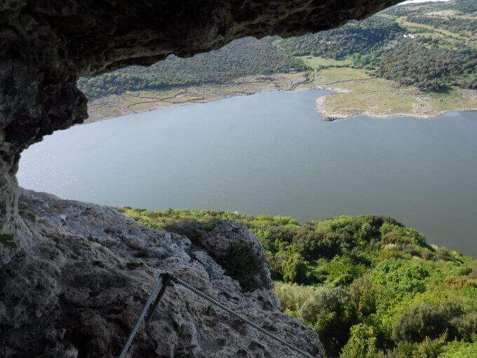
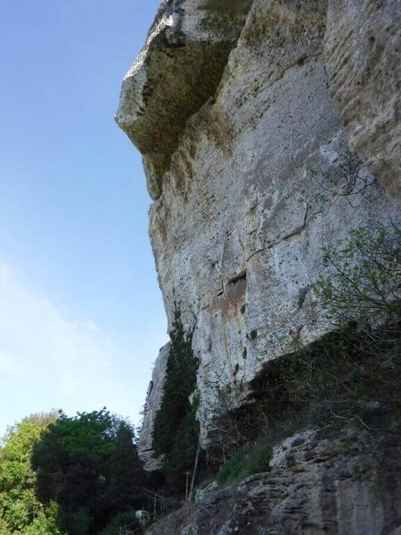
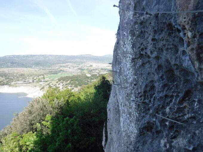
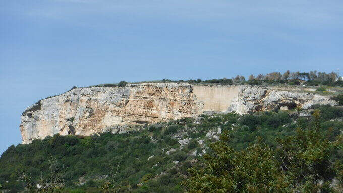
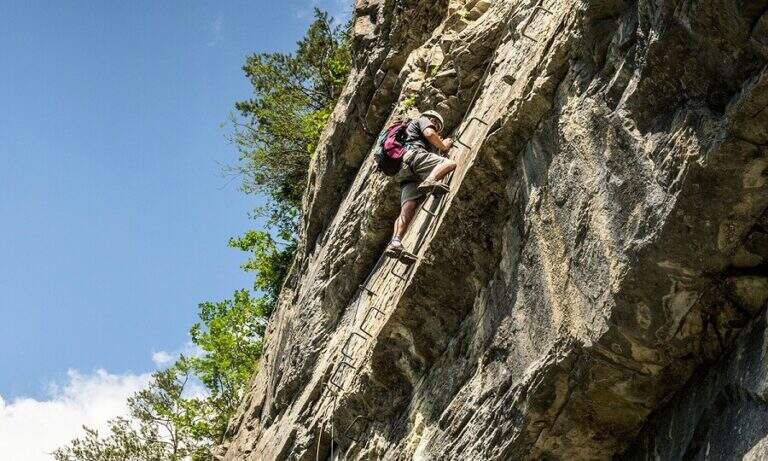
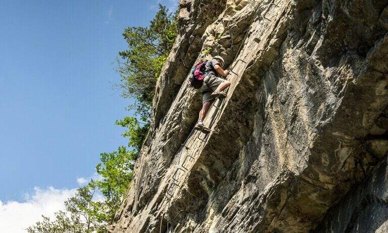
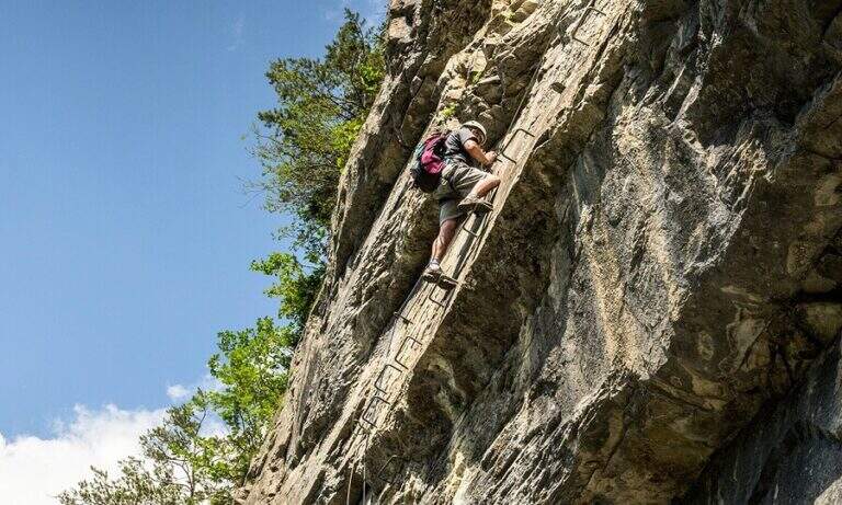
    La Ferrata Guido Rossa in Caprie (giร  Ferrata della Rocca Bianca) rises the Rocca di Caprie, in Val di Susa: an intense, physical and pleasant route that, although not to be classified difficult, requires good form and concentration. รˆ varied โ€” exposed traits, transverses, vertical walls and overhangs โ€” and includes a ponte suspended (of the monkeys) of 25 meters, adrenaline and dancer.

    ▲Approach

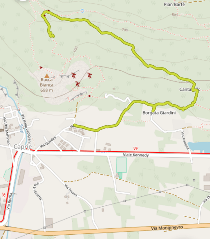
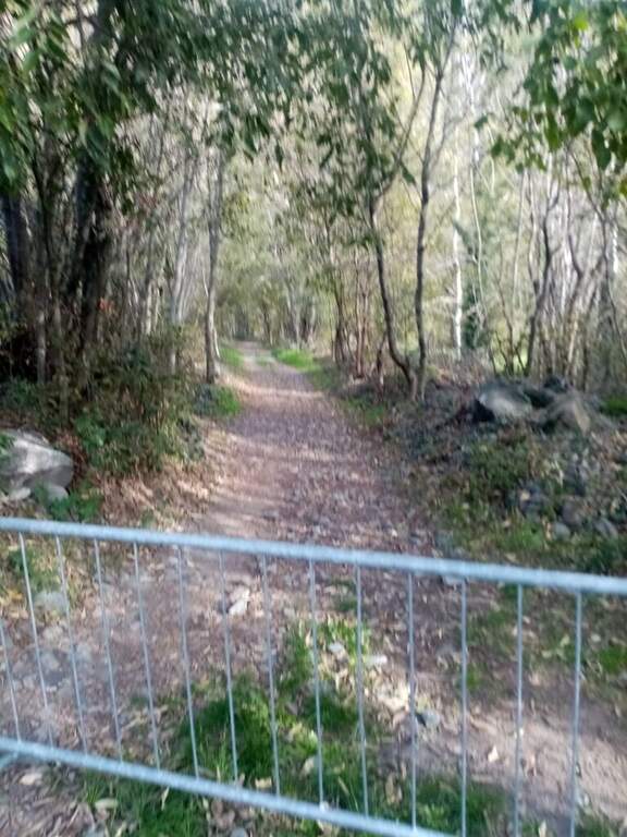
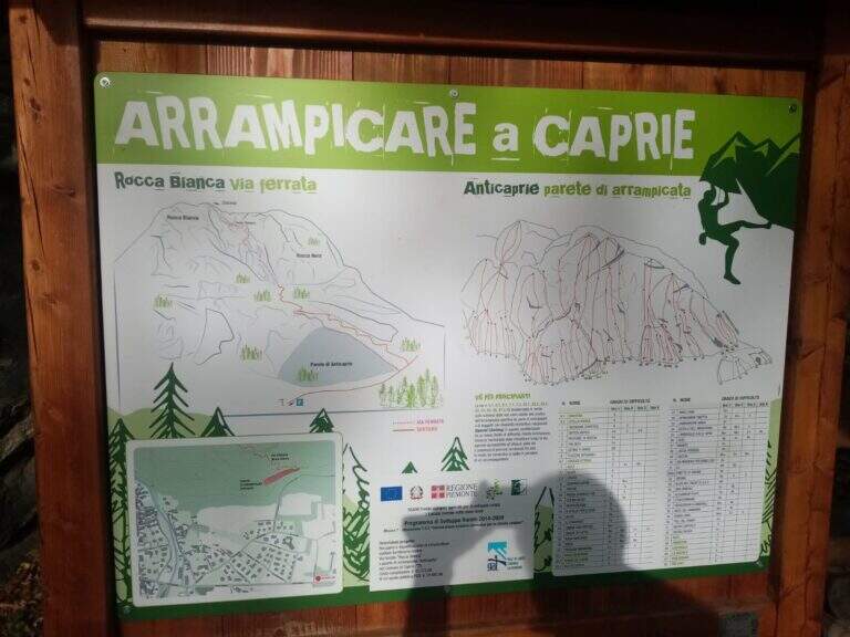
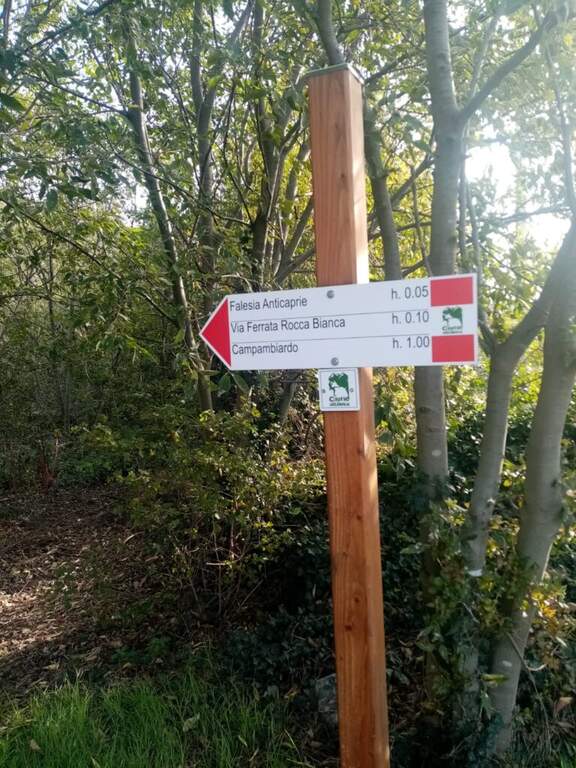
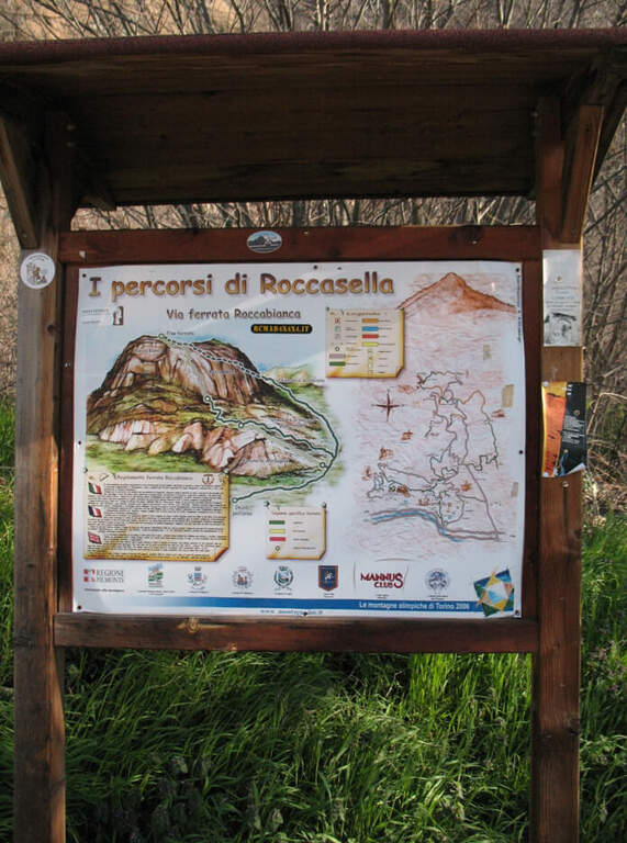
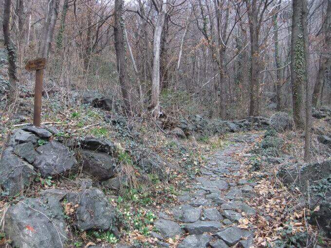
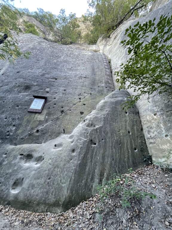
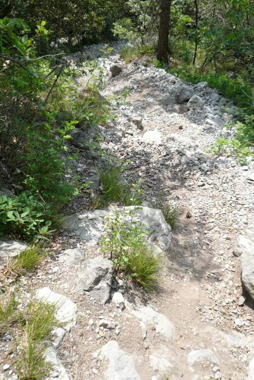
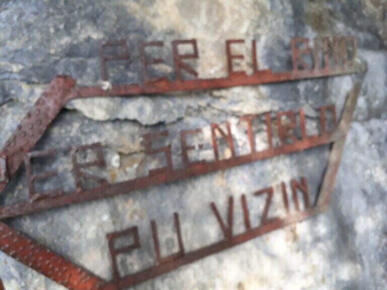
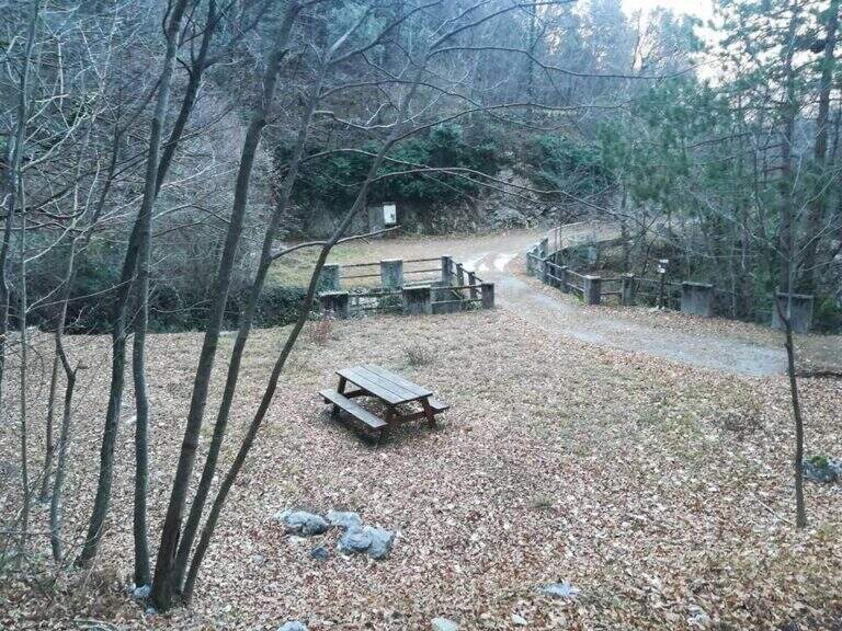
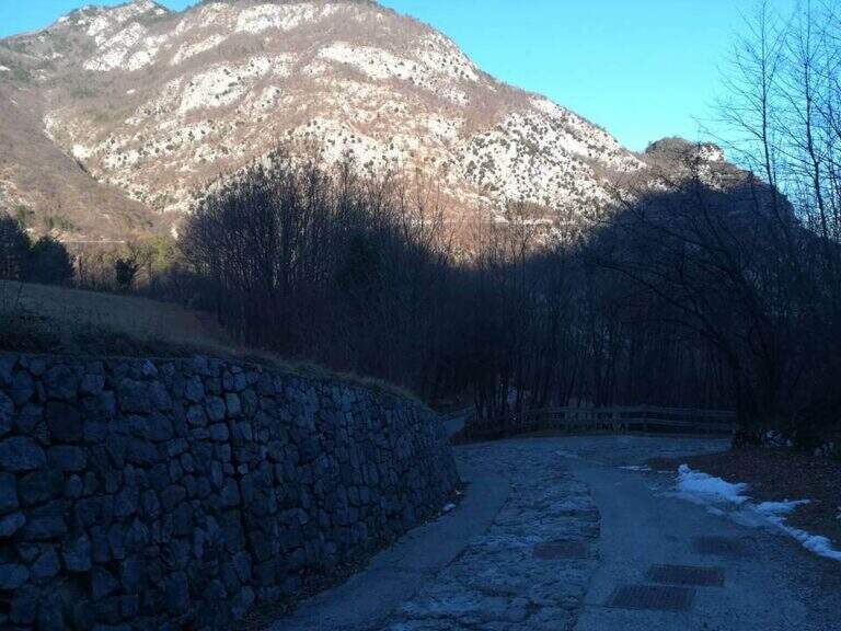
    Park at Caprie (TO), in via Colomba, from which the wall is already visible; on the spot an informative bulletin board. Open road signs on Google Maps. Take the path on the destra and, at the first junction, the destra (marked) is still held until the sign d' start of the ferrata (15' from parking ).

    ▲The path

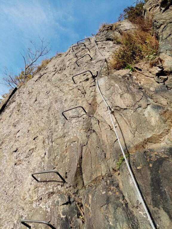
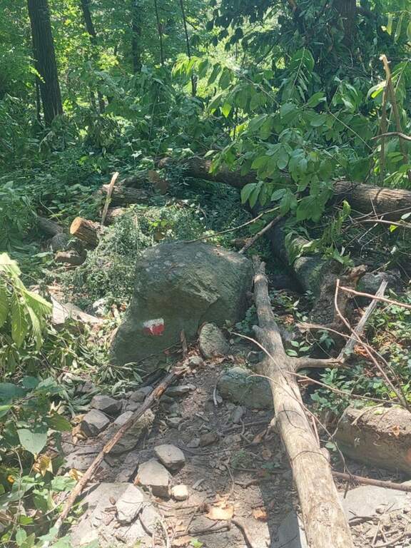
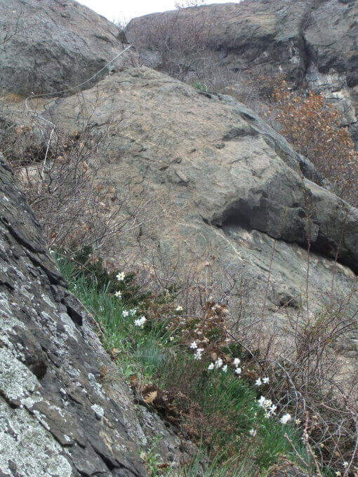
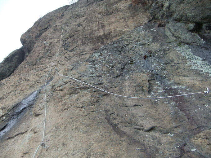
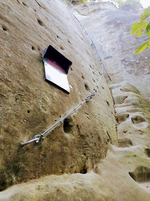
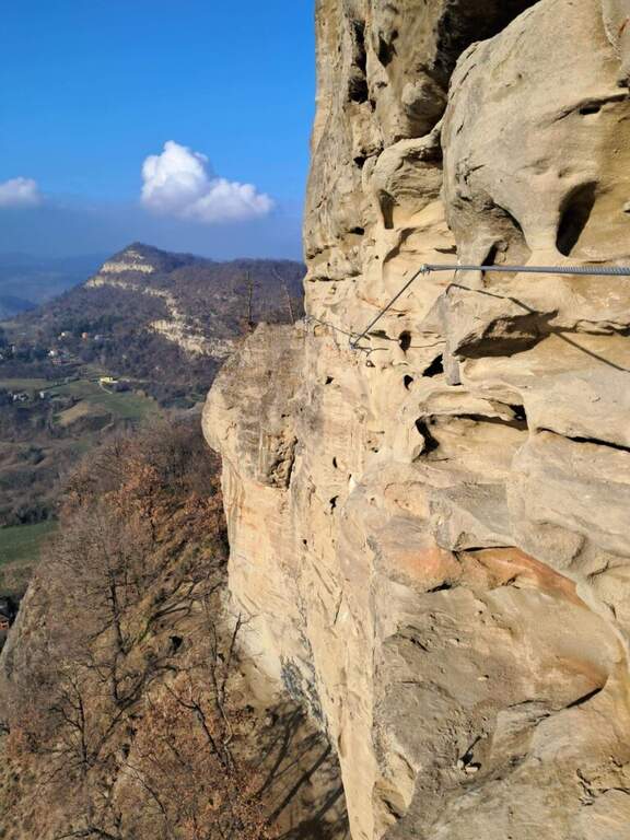
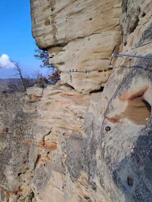
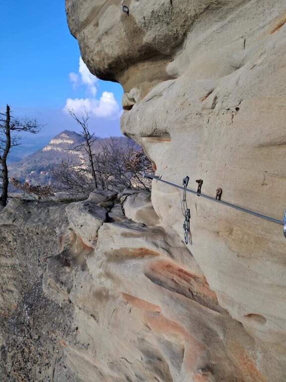
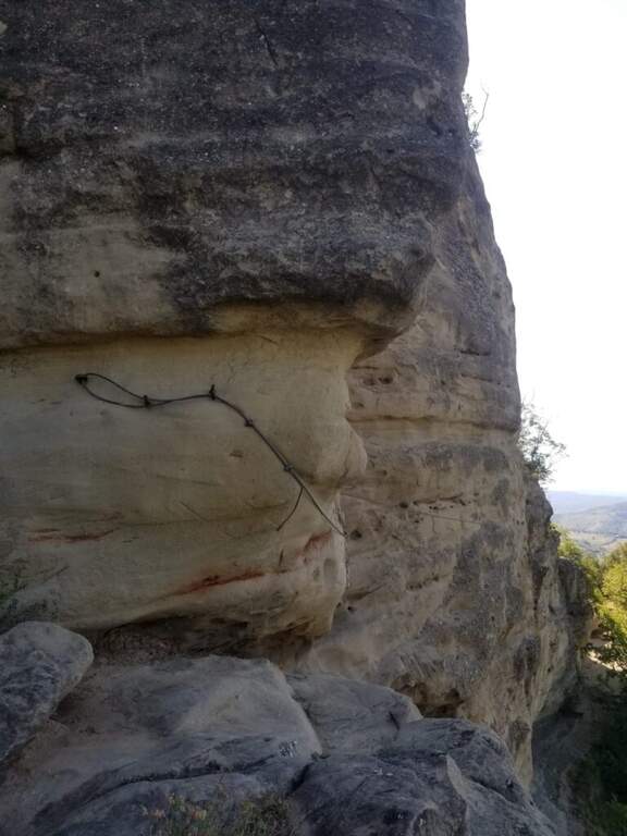
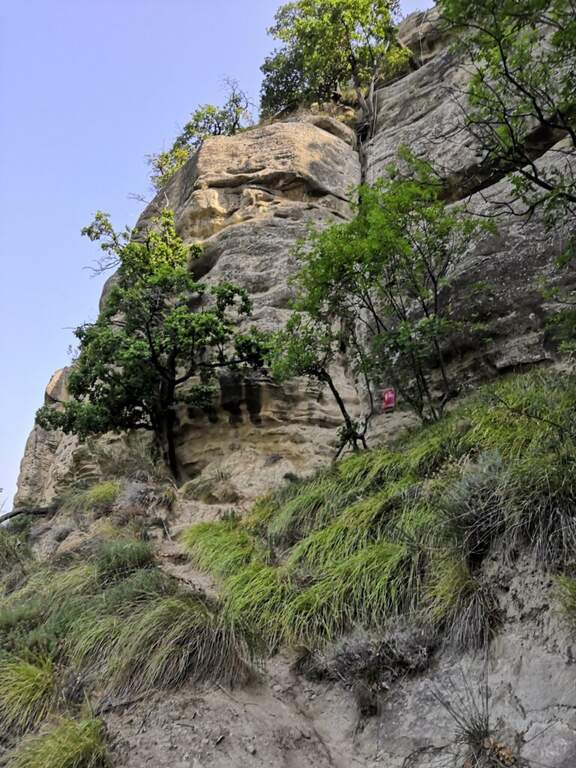
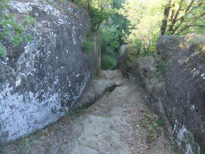
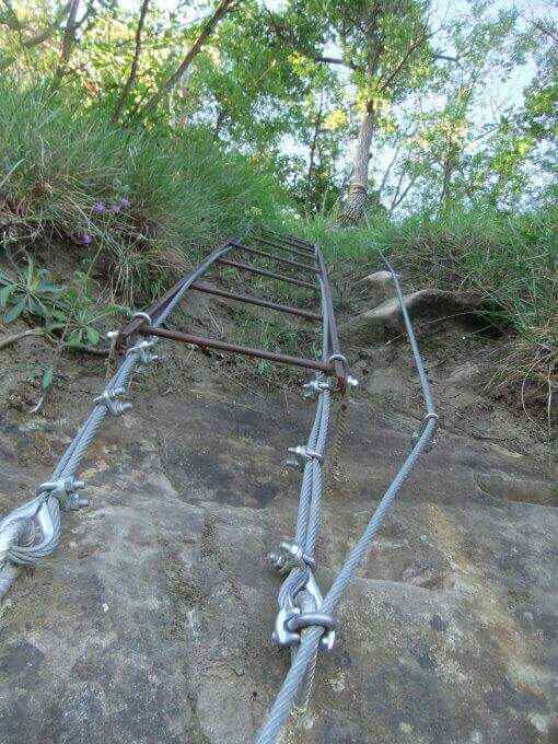
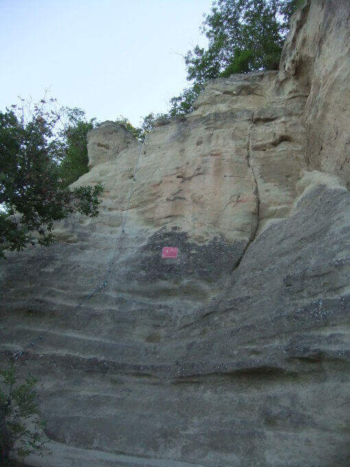
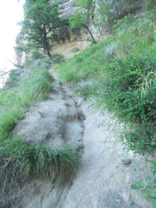
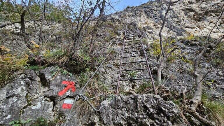
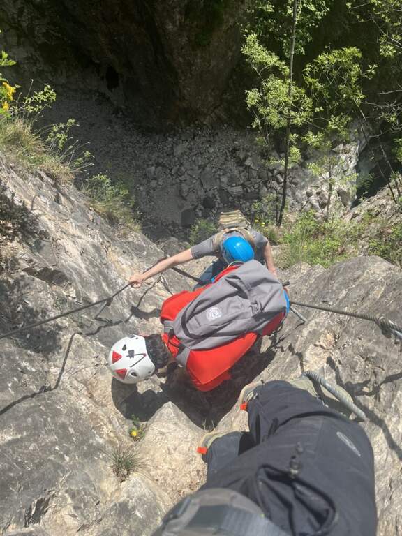
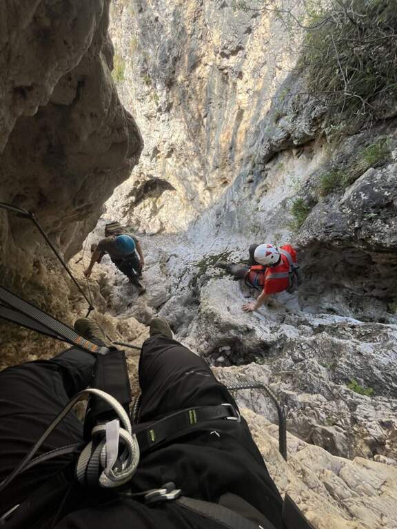
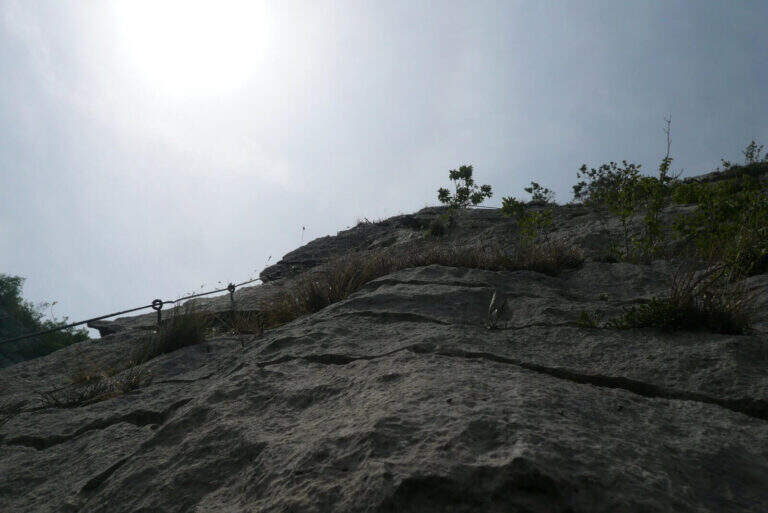
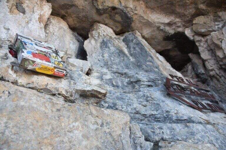
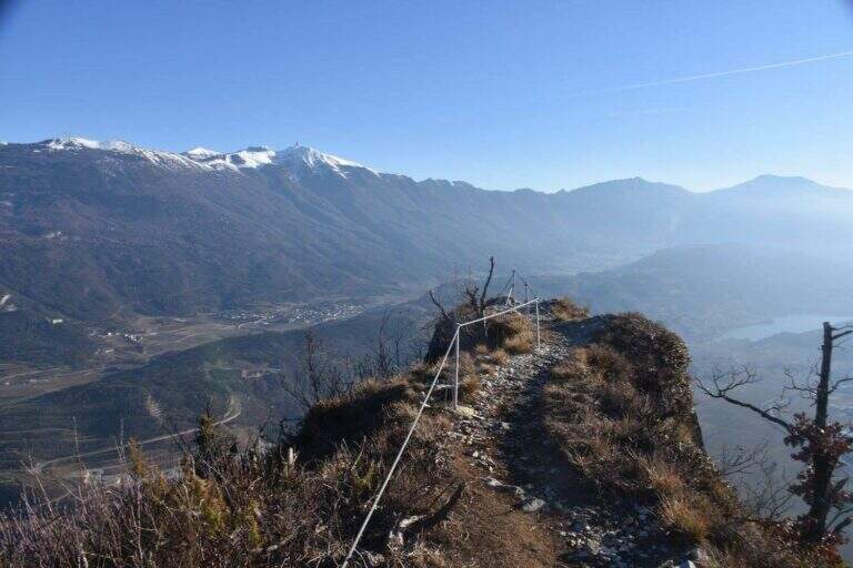
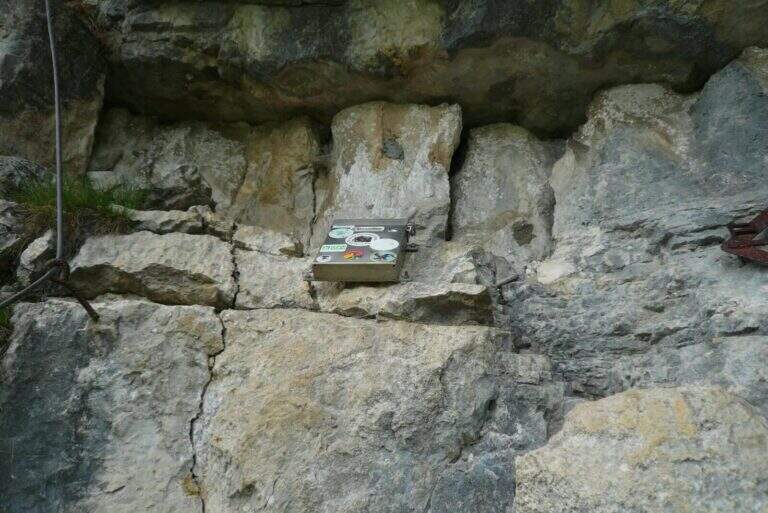
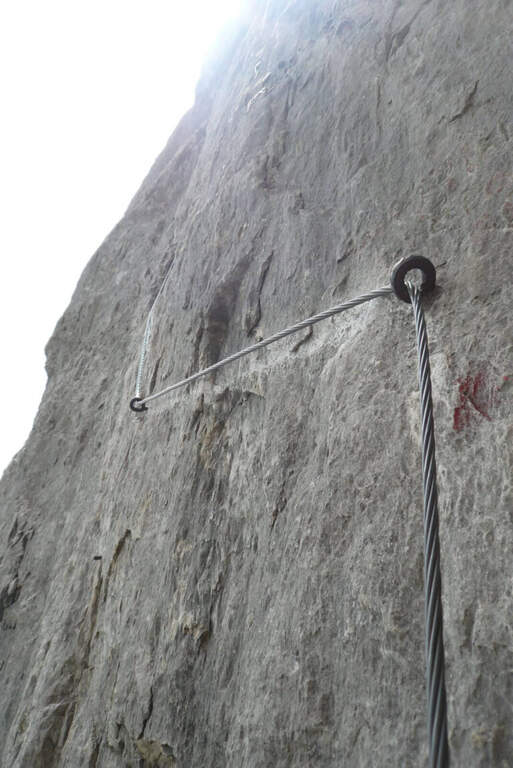
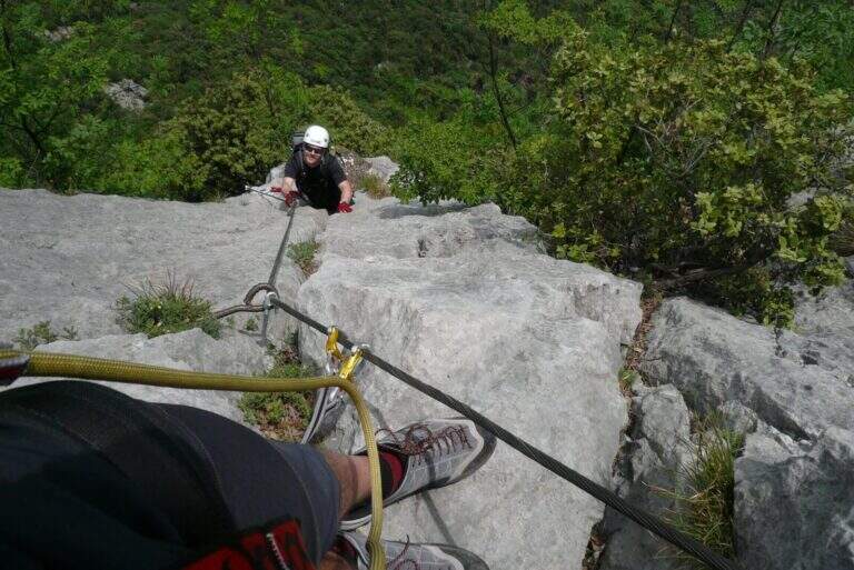
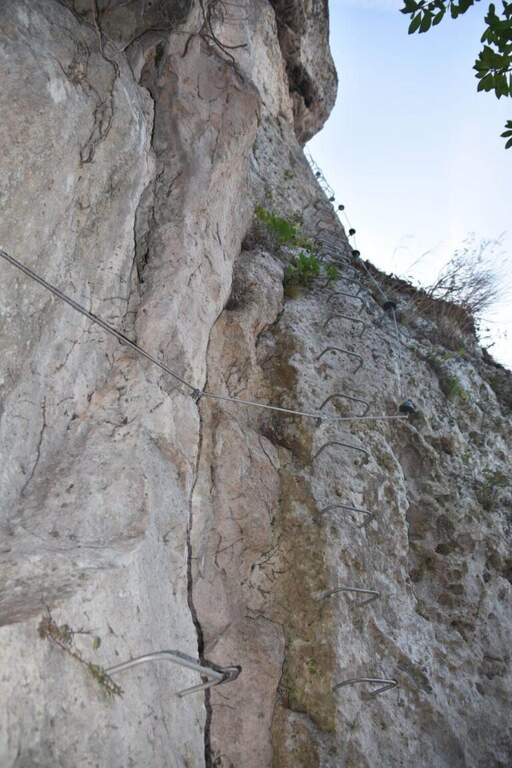
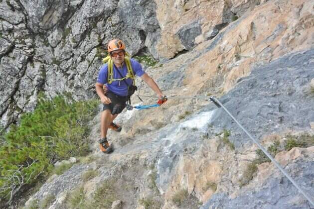
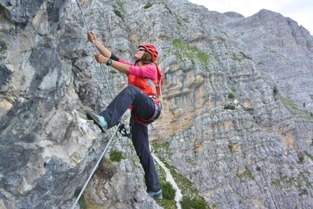
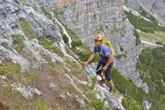
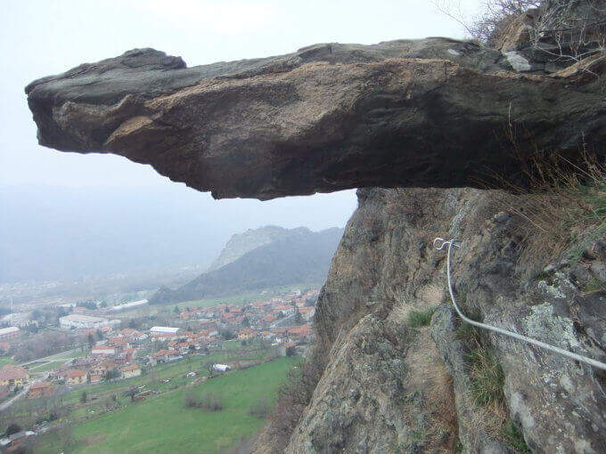
    Si attacca un sasso ancora nel bosco e alcune facili roccette; usciti dal bosco inizia un tratto ripido con due-tre tiri abbastanza impegnativi per via della roccia non perfettamente appigliata. Si risale uno spigolo poco marcato tenendosi sul lato sinistro; pian piano si allarga in un traverso con qualche staffa per i piedi, poi di nuovo verticale su parete con leggero strapiombo. Si supera un masso in forte esposizione e si chiude il primo tratto (20' dall'attacco), dove c'è una via di fuga segnalata. Nel bosco si raggiunge il secondo tratto seguendo i bollini rossi e il cartello «Placca delle Malizie»: si riparte verticali su una placca abbastanza liscia dove le staffe aiutano fino a scavalcare una sporgenza, poi si sale alternando tratti verticali, diagonali e cenge, con esposizione via via crescente, fino a un punto orizzontale dove rifiatare. Si affronta quindi il ponte sospeso (circa 25 m), aggirabile. Si riparte su un tratto strapiombante: il passaggio chiave è un pezzo difficile in cui il cavo corre in mezzo, con due moschettonate in posizione scomoda (un rinvio può essere molto utile). Si prosegue su parete verticale ed esposta fino a un traverso impegnativo da fare in aderenza, poi in diagonale si aggira la parete e si guadagna la sommità. Si continua su placche inclinate e qualche balzo facilmente arrampicabile fino a un'ultima parete attrezzata, dove il leggero strapiombo e la stanchezza accumulata non devono far calare la concentrazione, e si arriva in vetta (2h dall'attacco / 2h 15' totali).

    ▲Character and difficulty

    Not difficult in a technical sense but varia and physics: many vertical traits, some overhangs and exposure that raise l' commitment. The Via รจ entitled to Guido Rossa, worker, trade unionist and mountaineer of the Alta Montagna Group of the CAI of Turin, killed by the Red Brigades in Genoa in 1979.

    ⚠ After a fire in 2017 the Via รจ remained closed a few years and รจ officially reopened the 17 October 2021; the reference report not รจ updated after the reopening. Referral & recommended for overhanging key passage.

    ▲Period and safety

    Itinerary of low-average altitude in Val di Susa, accessible in most of the season with dry rock.

    ▲Discipline

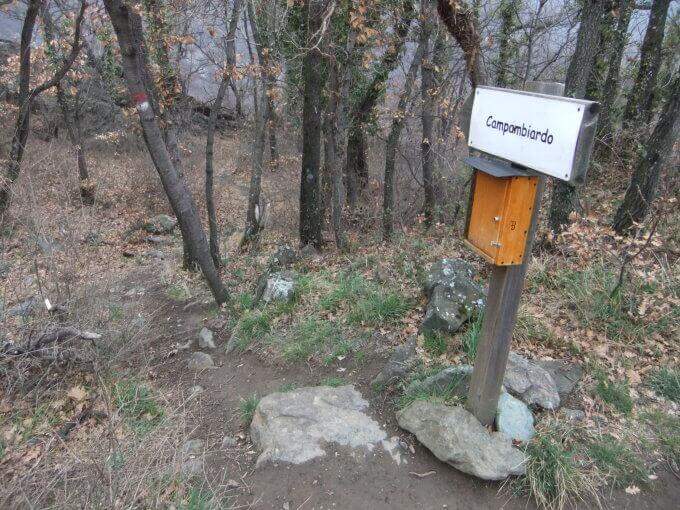
    Go down the path on the destra indicated ยซCampambiardoยป , then follow the signs for Caprie in the forest until parking (30' from the term / 2h 45' totali).

    ▲To match

    Near the Ferrata della Ruceia e la Ferrata Carlo Giorda. In Val di Susa: la Ferrata Gorge della Dora, la Ferrata dell'Orrido di Chianocco, la Ferrata dell'Orrido di Foresto and, higher, the Ferrata del Rouas in Bardonecchia; to Claviere the ferrates of Rocca Clari, the Military/Bunker, the Low Battery and the Chaberton.
    ▲Gallery
    Technical data
    • DifficultyModerately Hard
    • RegionPiedmont
    • GroupVal di Susa
    • Approach0:15 h
    • Ferrata2:00 h
    • Itinerary (a/r)2:45 h
    • Hardware level difference255 m
    • Route difference350 m
    • Max715 m
    • Length3 Km
  • Ferrata di Rocca di Badolo (Contrafforte Pliocenico)

    Ferrata di Rocca di Badolo (Contrafforte Pliocenico)

    Vie Ferrate โ€บ Emilia-Romagna โ€บ Bologna
    Ferrata di Rocca di Badolo (Contrafforte Pliocenico)
    Moderately Hardโ— OpenDescriptionComplexityMapsGallery

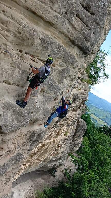
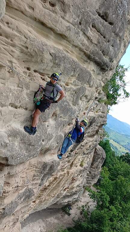
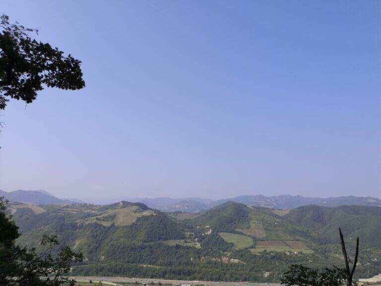
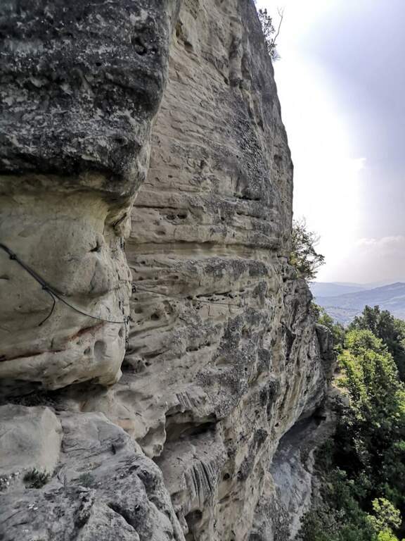
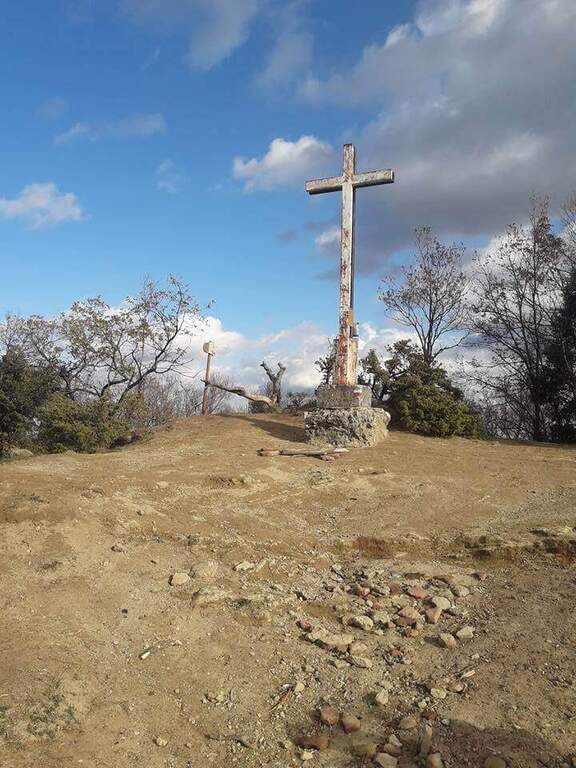
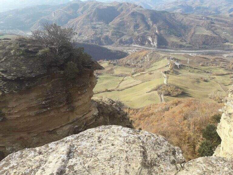
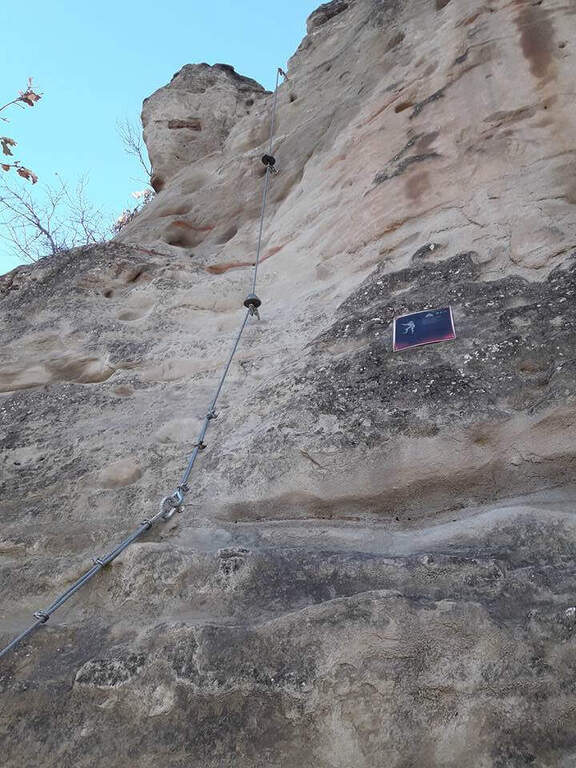
    The Ferrata di Rocca di Badolo dates back to the Contrafforte Pliocenico above Badolo, in'Appennino bolognese. The characteristic sandstone rock, covered by a thin layer of sand and sรฉ rather smooth, รจ the dominant note: short but with some passage not to be underestimated, รจ un' excellent gym to improve climbing technique.

    ▲Approach

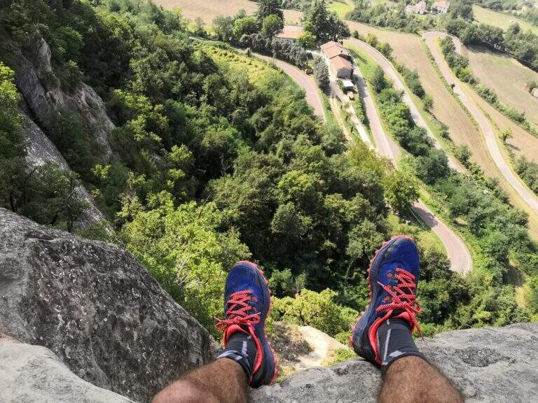
    Exit from the 'A1 to Sasso Marconi, turn left on the SS 325 and then right towards Badolo; go up the provincial road for 9 hairpin bends and park on the road (at the ninth round an illustrative table; the wall รจ giร  well visible). Open road signs on Google Maps. On the way uphill a cultivated field up to the wood, continue straight towards the wall and, reaching it, is held the sinistra: in a few meters there is l' attack (10' from parking ).

    ▲The path

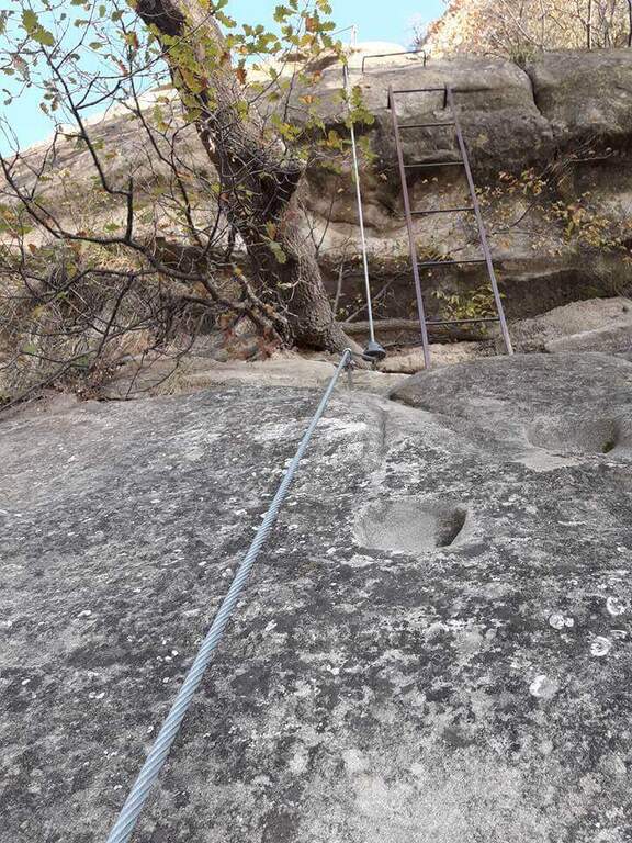
    The route is divided into tre parts. (1) A first sloped wall goes up to a dihedron with a pioli scale; at the end a slightly overhanging wall requires attention (10' from the attack / 20' from the parking lot). (2) It climbs vertically on a smooth wall with carved cracks, then with the help of artificial brackets and holes; a short overhanging staircase throws out but, given the brevity, does not create athletic difficulties. You reach a large terrace (on the right the stops of the climbing routes, on the left continues the third part). (3) A wall of 6 meters (adjustable to the left) throws slightly out: without rope it serves attention, because in case of fall you risk to beat below. A short steep stretch of path leads to all' last wall, the diedro finale, the technically piรน point; challenging: the cable position and hooks pushes towards l' outside and requires climbing; รจ tight in some points and requires firm step and a minimum of technique, but รจ short (8 meters) and little tiring. It ends with a ladder that leads to the top of the summit plateau (30' from' attack / 40' from parking ).

    Since 2022 there is a piรน variant; challenging, the ยซ Traverso dei Magnifici 4ยป (dedicated to Oscar Belotti, Nando Stagni, Augusto Righi and Otello Olivini): a horizontal traverse in strong exposure that cuts the paretone of Badolo Alto. It breaks down to methylagrave; of the third section, avoids the final dihedron and does not take to the top in Rocca Badolo; puรฒ be also routed in reverse direction at the end of the itinerary, descending from the top to the streets of Badolo Altissimo (south) and following the sign at the monotiri, clockwise, then trace the final dihron. รˆ classified ยซDifficileยป and travel in about 5 minutes.

    ▲Character and difficulty

    Itinerary not complex but with passages not to be underestimated for the nature of the arenary, smooth and sandy. Built in 1976 to facilitate access to the climbing sectors of Badolo Medio and Alto, modernized by CAI in Bologna 2015, with the Magnificent Cross 4 added in 2022.

    ⚠ On the Via dei Magnifici 4 it is a longe for the scarcity of supports. Absolute care not to move stones, especially if there are climbers in the cliff below.
    ▲Period and safety

    Low altitude (maximum 476 m): practicable almost all year round, excellent as training. Route difference 100 m, development of the route about 2.5 km.

    ▲Discipline

    From the top floor you descend from the opposite side following the steep tracks in the forest to a half-coast path, which takes you to destra; in a few minutes you reach a small church and, for mule track, in 10 minutes the provincial. It goes down again for a couple of hairpin bends up to' car (20' from the term / 1h from ' beginning of the ' itinerary).

    ▲To match

    For those arriving from the northwest on the A1, it combines well with the Ferrata Pietra Nera (exit Salsomaggiore-Fidenza). In the Emilian Apennines, the Stone of Bismantova, the Alpine Ferrata and the recent West Ferrata; towards Tuscany the Ferrata Sant'Antone (Pisa) and the Ferrata Romana Nesi (Arezzo).

    ▲Gallery
    Technical data
    • DifficultyModerately Hard
    • RegionEmilia-Romagna
    • GroupPliocenic counterfeit
    • Approach0:10 h
    • Ferrata0:30 h
    • Itinerary (a/r)1:00 h
    • Hardware level difference100 m
    • Route difference225 m
    • Max476 m
    • Length2,5 Km
  • Ferrata Rio Secco in Cadino

    Ferrata Rio Secco in Cadino

    Vie Ferrate โ€บ Trentino-Alto Adige โ€บ Trento
    Ferrata Rio Secco in Cadino
    Moderately Hardโ— OpenDescriptionComplexityMapsGallery

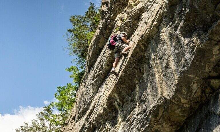
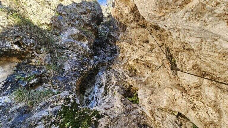
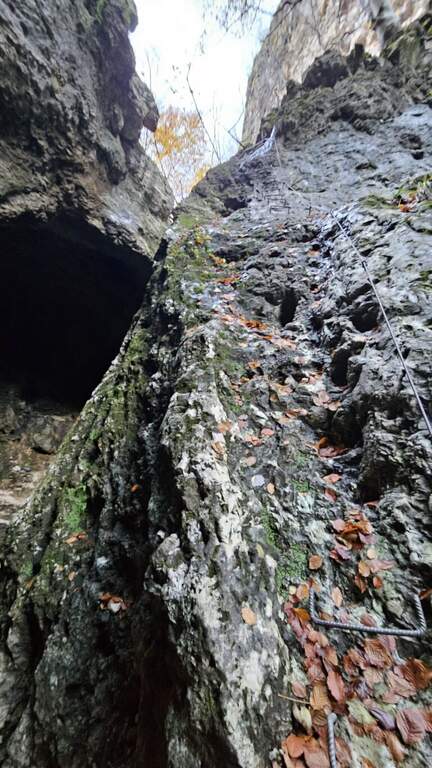
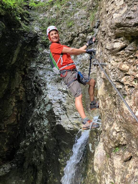
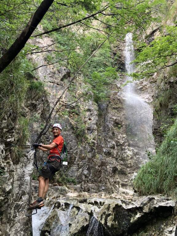
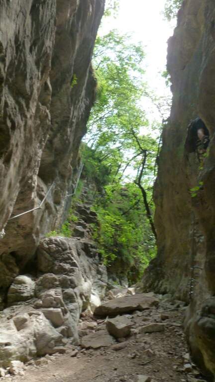
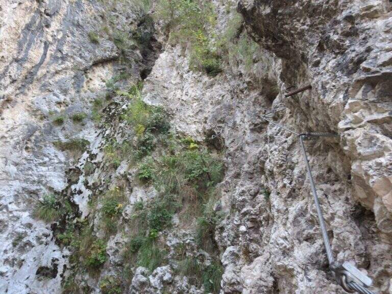
    The Ferrata Rio Secco takes place in the picturesque forra of a rio almost always dry (from which the name), above Cadino. รˆ a varied and satisfying way, with some athletic traits but never technically prohibitive; remaining for the piรน at' shadow, the temperature remains pleasant also d' summer.

    ▲Approach

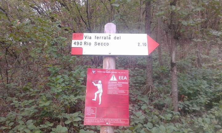
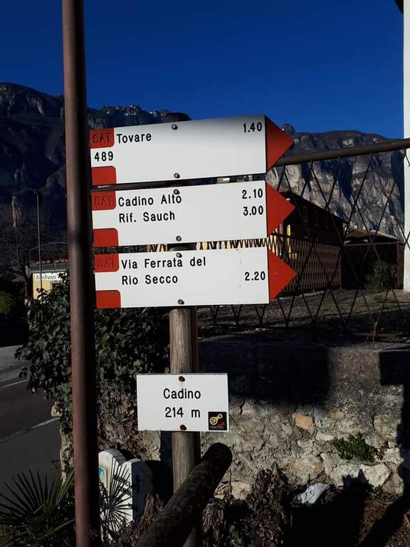
    Starting point l' inhabited by Cadino (TN): exit from ' Brennero highway in San Michele all'Adige and, remaining on the eastern side of the valley, go up for about 4 km towards Bolzano until you find convenient parking at the Restaurant Al Cadino. Open road signs on Google Maps. On the opposite side of the parking lot the white red marks CAI rise steeply in the woods; at a crossroad you hold the destra (left go down the return path) and climb up to a wooden bench, where you can comfortably wear a harness and helmet (15' from the parking lot).

    ▲The path

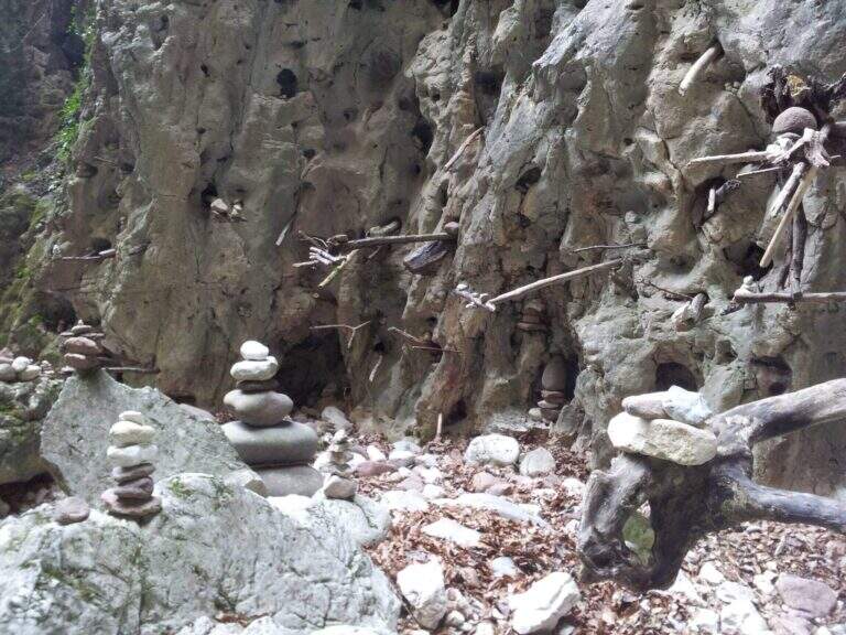
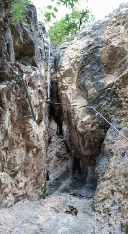
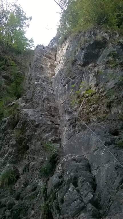
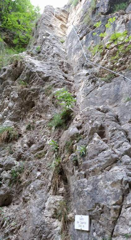
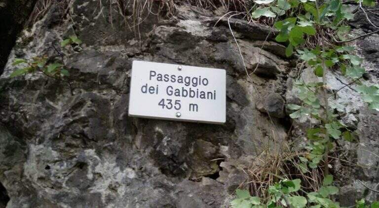
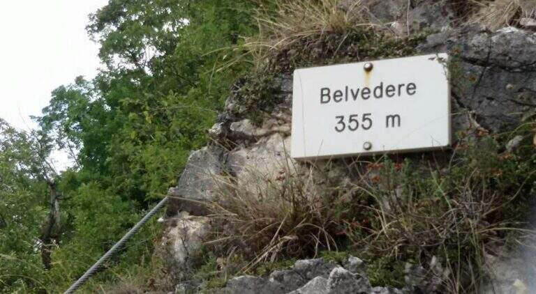
    I primi metri seguono una facile cengia discendente fino al letto del torrente, spesso secco. Sul versante opposto si risale una parete liscia e leggermente strapiombante, agevolata da numerose cambre metalliche e da due corde; poi si traversa a destra su un tratto pianeggiante prima del «Salto dei Caprioi», un bel diedro che alterna ottimi appigli naturali e ampie cambre. Si piega a sinistra su una cengia che aggira uno spigolo e porta sotto una parete verticale solcata da una profonda fessura (buoni appigli naturali e artificiali). Una targhetta «Belvedere» invita a voltarsi sul panorama della piana Rotaliana; un tratto di sentiero attrezzato scende in un caratteristico anfiteatro roccioso con molti omini di pietra. Si risale il versante opposto (sinistra orografica) in un anfratto di roccia levigata e si percorre un lungo traverso a sinistra risalendo il rio, fino a un sentiero attrezzato nel bosco e al «Passaggio dei Gabbiani», un aereo spigolo oggi superabile con discreto sforzo ma senza affanno eccessivo. Segue un lungo traverso in leggera salita con brevi balzi; si passa sulla destra orografica e la parete si stringe in verticale, da risalire con le cambre, poi un breve traverso fino a una via di fuga: a sinistra il CAI 490A (30' per il rientro), a destra si prosegue la via (45' dall'attacco / 1h totali). Si continua su facili roccette e passaggi attrezzati fino al secondo anfiteatro, la «Grotta del Basalisc», dove i passaggi si fanno più impegnativi per la roccia levigata: il primo tratto sale in diagonale su roccia liscia priva di appigli naturali, resa percorribile dalle cambre (media difficoltà, un po' spinti in fuori dal cavo). Al libro delle firme seguono un paio di facili traversi a sinistra e l'aggiramento di uno spigolo esposto dove le staffe aiutano molto; presso la Grotta della Mariotta si risale una parete verticale ben servita da staffe e appigli, dove terminano le attrezzature (1h 15' dall'attacco / 1h 30' totali). Un sentiero ripido nel bosco porta in 5 minuti al cartello che indica a sinistra il rientro a Cadino.

    ▲Character and difficulty

    Difficultร  media: varied route, with athletic traits but without technically prohibitive steps. Recent and abundant equipment; very suggestive hole environment, to be covered also in the warm months.

    ⚠ Rio water flow varies with the season: in spring and winter water can be present even impetuous; in summer and autumn (new rains rising) the rio is actually dry. Evaluate the conditions after precipitation.
    ▲Period and safety

    It can be traveled most of the year thanks to the low altitude (maximum 640 m) and shaded exposure. Level difference of 234 m, total development about 2.5 km.

    ▲Discipline

    Il sentiero esce in breve dal bosco affacciandosi sulla Val d'Adige 600 metri più in basso e scende ripido (utili i bastoncini). Si incontra una lunga scala metallica e alcuni facili tratti attrezzati in discesa, per cui conviene tenere ancora l'imbrago; si prosegue ripidi nel bosco fino al bivio dell'avvicinamento, dove si tiene la destra per scendere al parcheggio (1h dal termine della ferrata / 2h 30' totali).

    ▲To match

    For the short approach it combines well with other routes of Val d'Adige: the nearby Ferrata di Favogna, la Ferrata Mendola al Roen, la Ferrata delle Aquile in Andalo, or, in Val di Sarca, the Ferrata Pisetta, la Ferrata Che Guevara e la Ferrata Marangoni to Mori. To be noted also the recent Ferrata della Croce di Fai.

    ▲Gallery
    Technical data
    • DifficultyModerately Hard
    • RegionTrentino-Alto Adige
    • GroupVal d'Adige
    • Approach0:15 h
    • Ferrata1:15 h
    • Itinerary (a/r)2:30 h
    • Hardware level difference234 m
    • Route difference384 m
    • Max640 m
    • Length2,5 Km
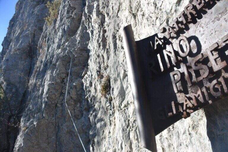
  • Ferrata Rino Pisetta at Cima Garzolet (Sarche)

    Ferrata Rino Pisetta at Cima Garzolet (Sarche)

    Vie Ferrate โ€บ Trentino-Alto Adige โ€บ Trento
    Ferrata Rino Pisetta at Cima Garzolet (Sarche)
    Extremely Hardโ— To checkDescriptionComplexityMapsGallery

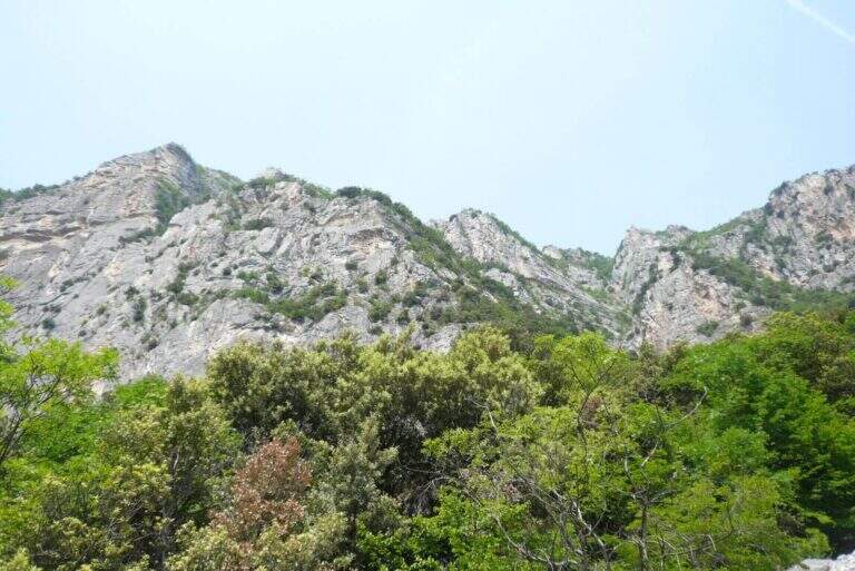
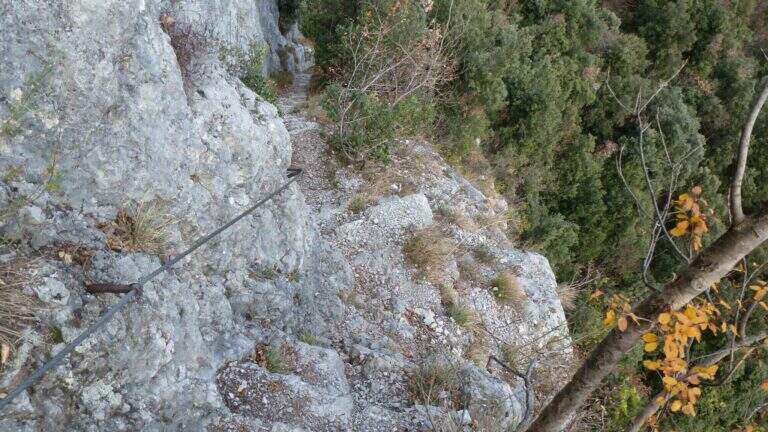
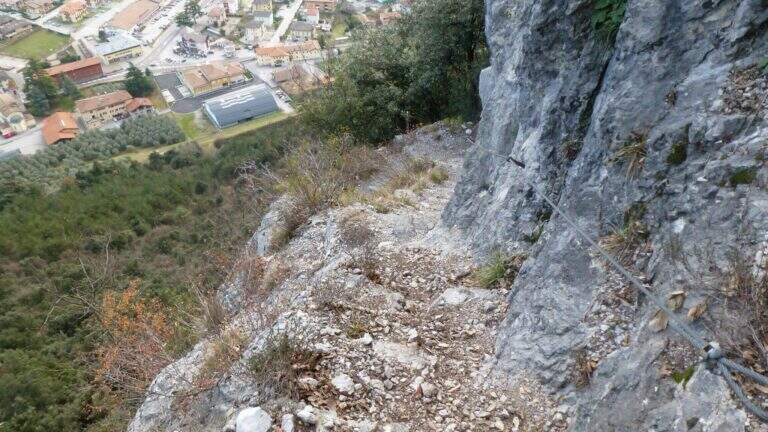
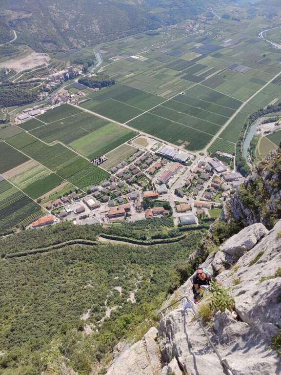
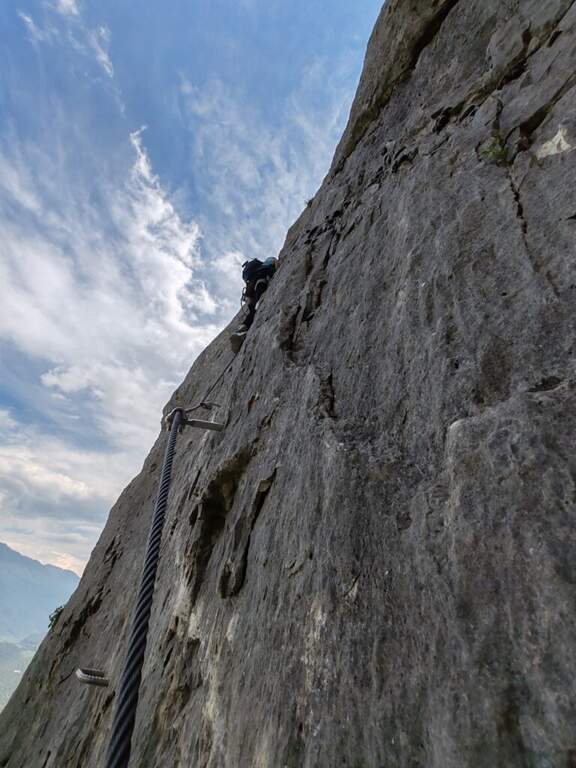
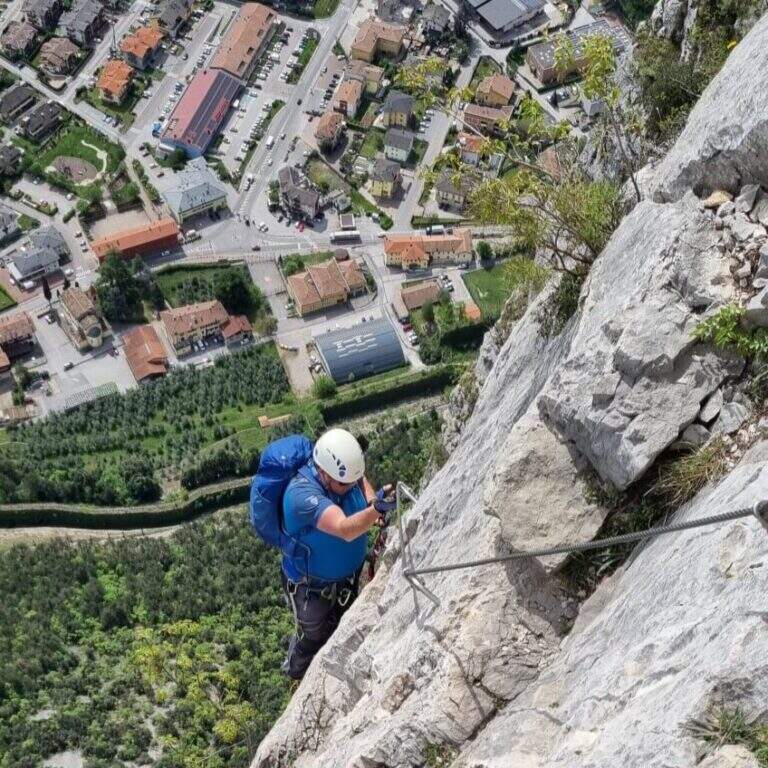
    The Ferrata Rino Pisetta climbs l' impressive wall of the Cima Garzolet, above Sarche: a historic street, among the pi` hard and athletics d' Italy, strongly vertical and exposed, alternating overhanging walls, challenging beams and chimneys with slot. It should be faced only in good physical conditions and with solid experience of equipped routes.

    ▲Approach

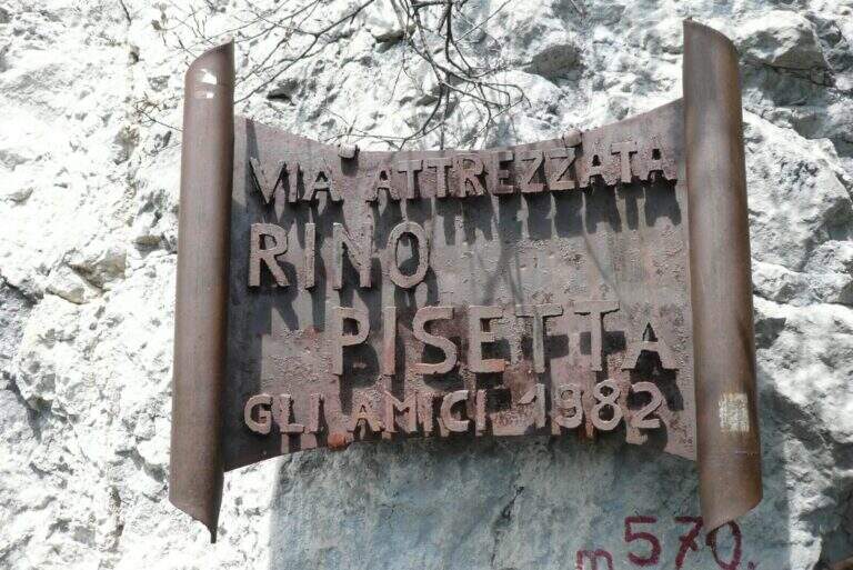
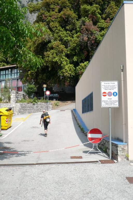
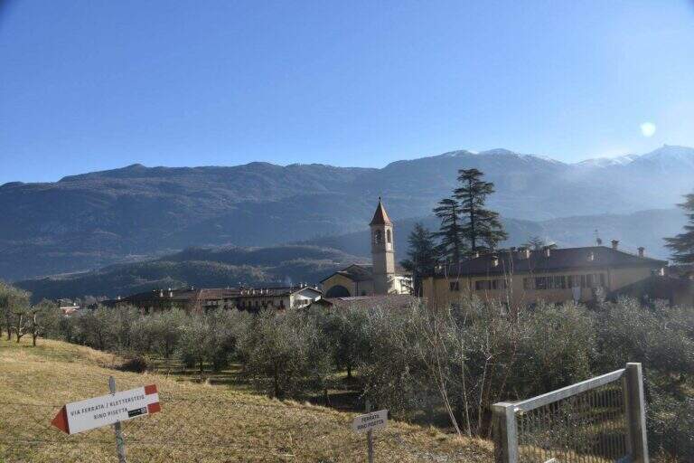
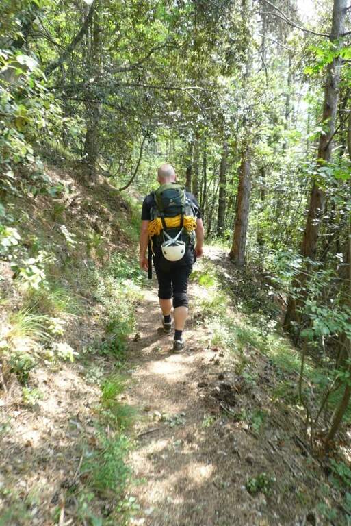
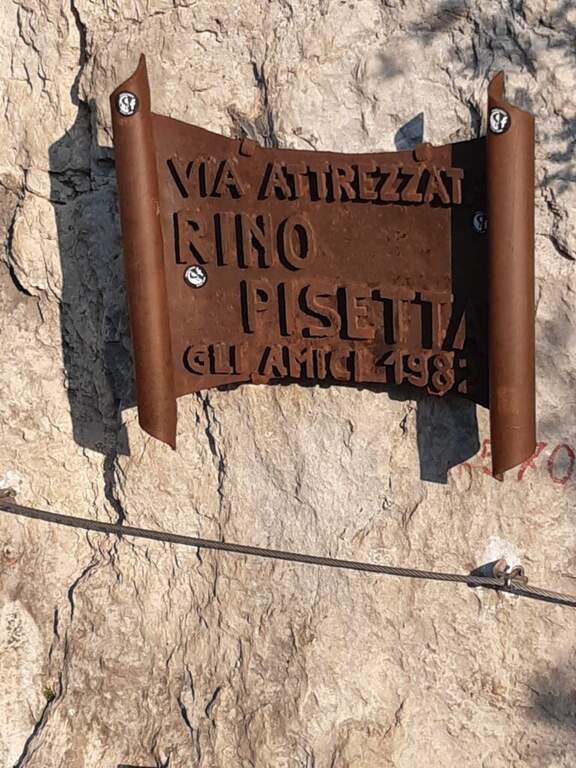
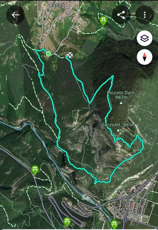
    Starting from the 'inhabited of Sarche (TN): from the roundabout you proceed towards Madonna di Campiglio, you pass a distributor on the left and take the road to destra for the parking space of Ferrata Rino Pisetta, at the elementary school and the bocciofila. Open road signs on Google Maps. Along the bocciodromo and, behind l' building, a white sign indicates the path. You enter the forest, at the first crossroads you will keep the destra and the next sinistra, going up steep until the red-white signs of the street; a tiring climb leads all' attack, with the metal plate of the ' year of construction (45' from the parking ).

    ▲The path

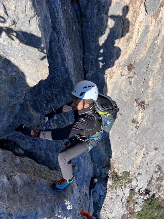
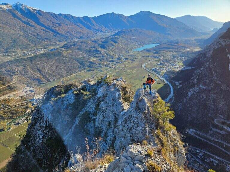
    Si comincia subito con una parete verticale di una ventina di metri, uno dei passaggi più impegnativi dell'intera via: appigli scarsi per mani e piedi, spesso necessario tirarsi sulle braccia; conviene cercare gli appigli naturali meno evidenti per risparmiare forze. In alto il cavo piega a sinistra su un esposto traverso in leggera discesa, poi riparte verticale dentro un camino; superato un albero si guadagna una cengia a sinistra dove conviene rifiatare (qui una via di fuga a destra). Dopo pochi metri in piano la via riparte verticale su roccia più frastagliata e appigliata, con un traverso a sinistra e alcuni balzi rocciosi, fino a un tratto verticale con una caratteristica fessura utile per piedi e mani. Segue un impegnativo, esposto e faticoso traverso a sinistra, con un paio di passaggi in piena aderenza: bisogna arrivarci con ancora molta forza nelle braccia. Il traverso aggira uno spigolo esposto e sale in diagonale fino a un piccolo balcone. Si entra nel tratto più atletico: si continua in traverso sfruttando un paio di appigli artificiali, poi il cavo riparte verticale in forte esposizione, con maniglie, staffe e una fessura sul lato sinistro; si sale cercando i pochi appigli naturali (anche a destra della fessura), a tratti tirando sul cavo. Al termine della placca il cavo piega a sinistra su una cengia rocciosa (sosta e panorama). Ci si sposta a sinistra e si riparte verticali: come prima, una fessura e qualche piolo aiutano la progressione e offrono brevi soste. Questa seconda parete verticale è molto esposta e aerea; la fessura si allarga in un camino poco profondo, da cui si esce presso un alberello con buoni appigli. Un traverso a sinistra porta a risalire un'altra parete verticale con un basso tetto roccioso (non utile come sosta); si prosegue verticali in un tratto povero di appigli, dove arrampicare diventa molto difficile e si procede in buona parte tirando sul cavo, fino a uno stretto balconcino dove riposare le braccia. Ancora verticale su roccia liscia, un breve traverso a destra e si riparte con una nuova fessura sulla destra: qui terminano le difficoltà sostenute. Restano un paio di passaggi impegnativi ma assai più abbordabili; gli ultimi 30-45 minuti sono fatti di canalini, brevi pareti e balzi di media difficoltà, con roccia più facile da arrampicare. Si guadagna l'ultimo sperone con il libro delle firme (2h dall'attacco / 2h 45' dal parcheggio) e quindi la crestina sommitale, non difficile ma esposta e faticosa, attrezzata con cavo come corrimano, fino alla panchina di legno affacciata sulla valle dove la via termina (2h 15' dall'attacco / 3h totali).

    ▲Character and difficulty

    Via extremely difficult, technique, athletics and exposed: often smooth rock, long vertical and overhanging traits where it serves strength in the arms and ability to climb. Built in 1982, it has been for years the Ferrata-banco test par excellence and has inaugurated the season of sports ferrates. The equipment is in good condition, with very tense rope.

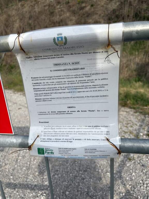
    ⚠ Only for very trained and experienced drivers. In summer the wall รจ completely in the sun in the morning: better fresh hours and days not torrid. Useful climbing shoes (adhesion) and gloves (cuts and shots on the cable). The source reports the state as ยซ To check ยป: check the conditions of the route before leaving.
    ▲Period and safety

    Typical season from spring to autumn with dry rock; to avoid the full summer sun of the morning. Maximum altitude 971 m, difference in level of the ferrata 406 m, total development of the itinerary about 8 km.

    ▲Discipline

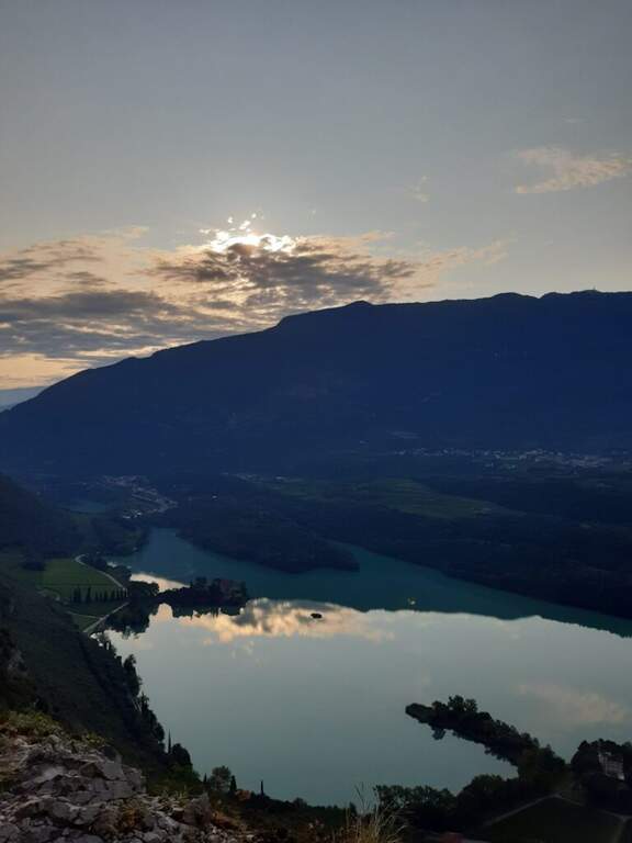
    Dalla Cima Garzolet (961 m) si scende verso ovest in direzione di Ranzo: si raggiunge un'area picnic e si prosegue in discesa fino a una mulattiera. La si percorre interamente e, in vista di Ranzo, a un bivio si tiene la sinistra sulla strada fino a una palina CAI; si segue a sinistra in discesa fino a un piccolo edificio religioso, dove un cartello poco visibile a sinistra indica «Sarche» e l'attacco est della Pisetta. Si scende una ventina di minuti su mulattiera e poi sentiero fino a un bivio: si tiene la sinistra seguendo «Via Attrezzata». Dopo un faticoso saliscendi si scende con alcuni tratti attrezzati su cenge esposte ma non difficili, quindi per ripidi tornanti nel bosco si ritrova il sentiero dell'avvicinamento e si torna al parcheggio (1h 30' dalla vetta / 4h 30' totali). In alternativa, dalla cima si può scendere a destra verso la Val Dossel sul CAI 613 fino al CAI 01 ST per Castel Toblino (segni azzurri nel bosco), poi in discesa verso Sarche percorrendo l'esposta cengia attrezzata della Costa di Monte Oliveto, fino a ritrovare il sentiero dell'andata (2h dalla vetta / 4h 45' totali).

    ▲To match

    In Valle dei Laghi and low Val di Sarca, on the same sports front, the Ferrata Che Guevara at Monte Casale, la Ferrata del Rio Sallagoni in Castel Drena and the Ferrata di Preore; not far from the historical Ferrata Marangoni to Mori.

    ▲Gallery
    Technical data
    • DifficultyExtremely Hard
    • RegionTrentino-Alto Adige
    • GroupValley of Lakes
    • Approach0:45 h
    • Ferrata2:15 h
    • Itinerary (a/r)4:45 h
    • Hardware level difference406 m
    • Route difference713 m
    • Max971 m
    • Length8 Km
  • Ferrata Poppele Knott in Laces (Val Venosta)

    Ferrata Poppele Knott in Laces (Val Venosta)

    Vie Ferrate โ€บ Trentino-Alto Adige โ€บ Bolzano
    Ferrata Poppele Knott in Laces (Val Venosta)

    The Ferrata Poppele Knott is a short equipped street just above Laces, in Val Venosta: short and uncomplicated itinerary, perfect for a half day or for those who move the first steps on the ferrates. The name comes from a big erratic rock, the Poppele Knott, which meets right near the attack.

    ▲Approach

    You leave l' car to the small parking lot of the church in locality; Tiss, near Laces (about fifteen places). Open road signs on Google Maps. From the parking lot take the road that descends towards sinistra among the apple groves; in about ten minutes you arrive almost to the state of Stelvio. Shortly before reaching it, on the sinistra, a pole clearly signals the ferrata (ยซTiss Klettersteigยป); a last steep tear in the wood leads to all' attack (15' from parking ).

    ▲The path

    The street is short: about 60 m of height difference for 0,6 km of development, available in about twenty minutes, with a maximum quota around 750 m. At present the source does not publish the detailed description, step by step, of the equipped section: for correctness we do not bring it back and we stick to the only certain data (development, difference in level, times and degree). The overall character is easy, in a sunny setting between the apple trees of Val Venosta.

    ▲Character and difficulty

    Difficultร  facile, also suitable for those who ` the first experiences on an equipped basis. The brevitร  makes it ideal as an introductory exit or as a complement of one' another in the area.

    ⚠ Although it is easy to use a rock-mounted road: imbrago, helmet and homologated ferrata kit are mandatory. It should be covered with dry rock.
    ▲Period and safety

    Low altitude: accessible in most of the season with dry rock. In summer the wall remains exposed to the sun.

    ▲Discipline

    After finishing the ferrata follow the sentiero 5A towards sinistra, which in about fifteen minutes reports all' attack; from here you return to the parking lot (circa 50' in total).

    ▲To match

    In the surroundings, in Naturno, the difficult Ferrata Hoachwool and varied Ferrata Knott; in Merano Ferrata Heini Holzer (deadly difficult), good next step to raise the degree. Recently inaugurated: the Ferrata Olberg near Vipiteno (2022) and the Ferrata Larix in Val Senales (2022). Along the state road of Stelvio you reach the Ferrata di Trafoi; to Trento, of medium difficulty, the Ferrata Mendola al Roen e la Ferrata di Favogna.

    ▲Gallery
    Technical data
    • DifficultyEasy
    • RegionTrentino-Alto Adige
    • GroupVal Venosta
    • Approach0:15 h
    • Ferrata0:20 h
    • Itinerary (a/r)0:20 h
    • Hardware level difference60 m
    • Route difference90 m
    • Max750 m
    • Length0,6 Km
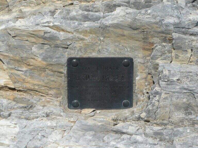
  • Ferrata Malfatti al Sumbra

    Ferrata Malfatti al Sumbra

    Vie Ferrate โ€บ Tuscany โ€บ Lucca
    Ferrata Malfatti al Sumbra

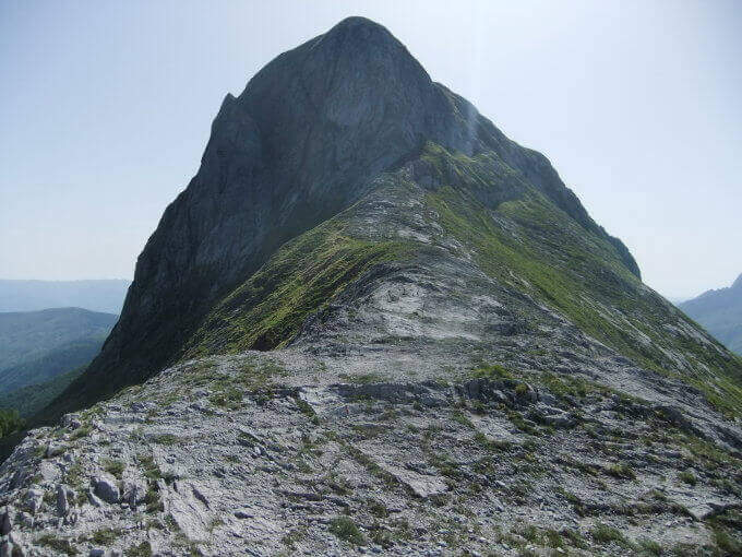
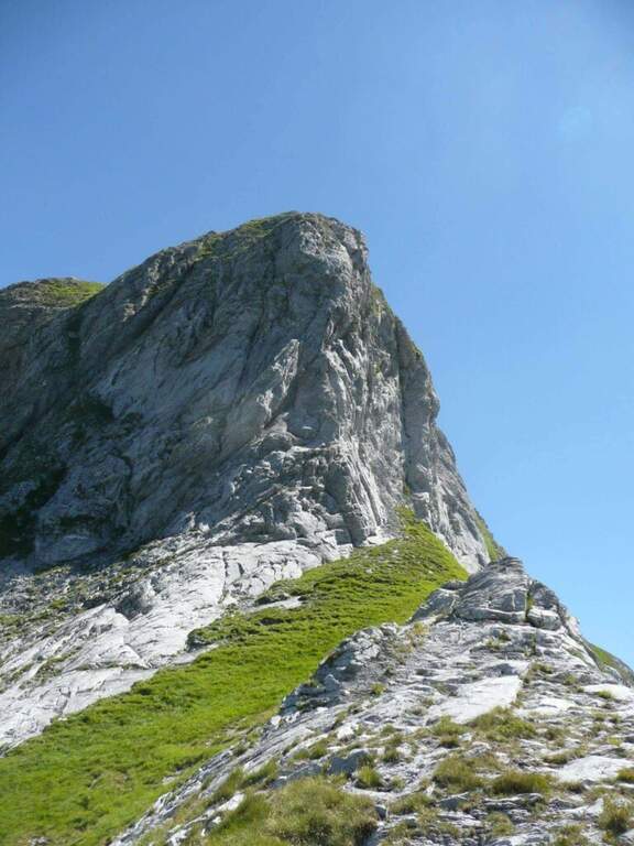
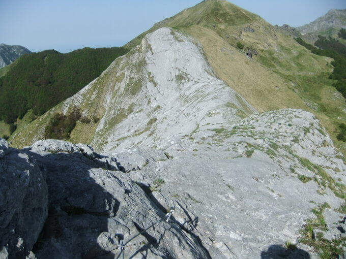
    The Ferrata Malfatti is an easy road that goes up Monte Sumbra from the slope of Passo Fiocca, in the southern Apuans. It develops above all on grassy balconies exposed but never complicated, with the cable that acts as a handrail: a route suitable for those who approach the ferrates.

    ▲Approach

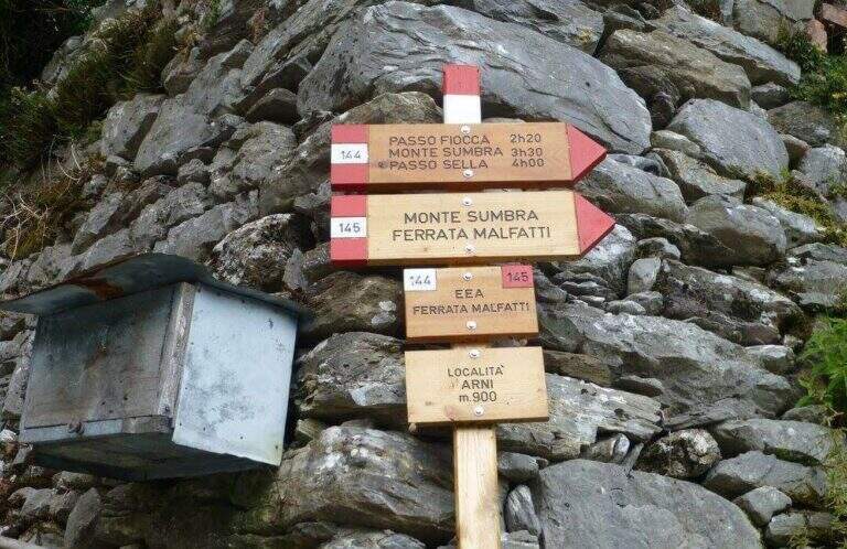
    The starting point is the village of Arni (Lucca), reachable from the Garda side or from the Versilia along the SP13: from Garfagnana (Castelnuovo) turn right before the gallery towards Campagrina and Arni; from Versilia you pass the gallery and turn left for Arni. Starting point on Google Maps. Parked at the obvious church, you climb the staircase and behind you take a road towards the last houses of Arni, where the CAI 144 path begins for the Fiocca Pass (1560 m). The path climbs steep between junipers and shrubs, then halfway the south wall of Monte Fiocca (traccia not always evident, follow the signs); after Malpasso (1h 40' from the parking lot) you face a passage not protected a bit more complex and exposed. Then you enter a beech forest, you get two often dry streams and, beyond a grassy stretch, you reach a saddle; from here a steep slope of rocks and then naked marble leads to Passo Fiocca (2h 30' from the parking lot). From the pass turn right onto the CAI 145 towards the wall of the Sumbra and in a short time you reach the attack (15' from the Fiocca Pass, 2h 45' from the parking lot).

    ▲The path

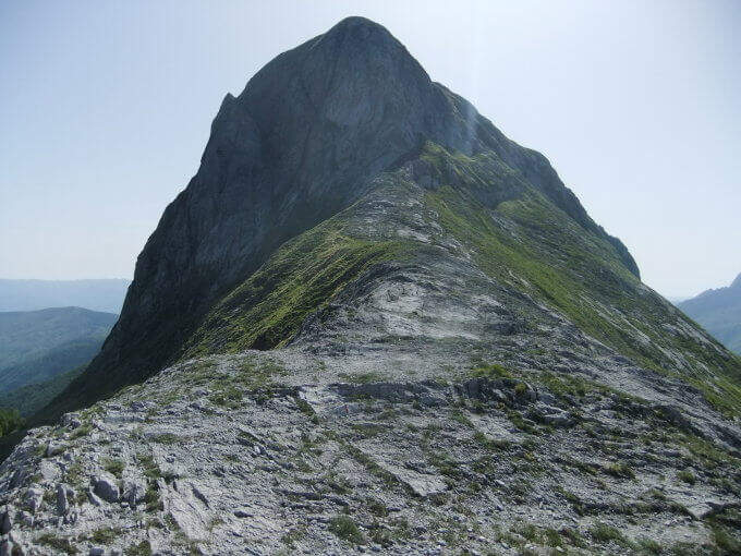
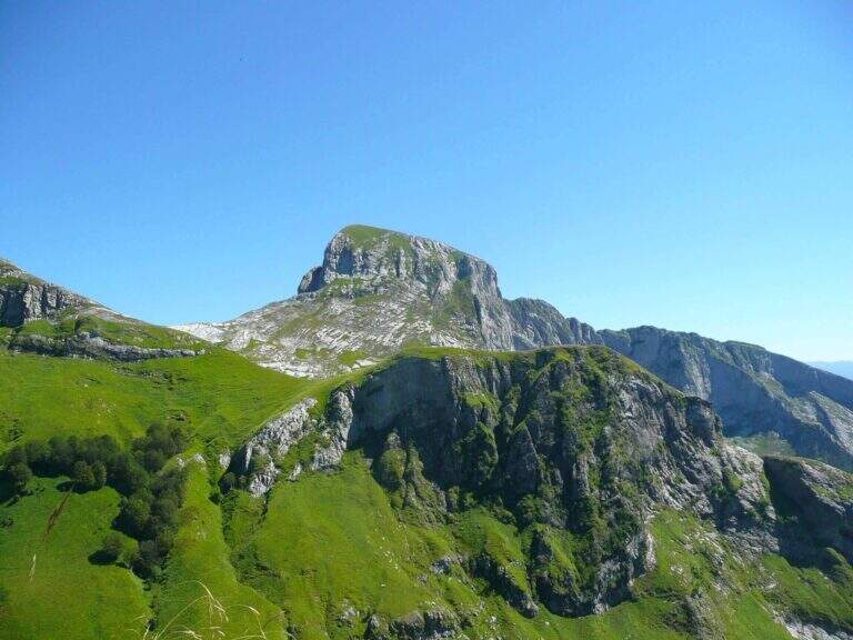
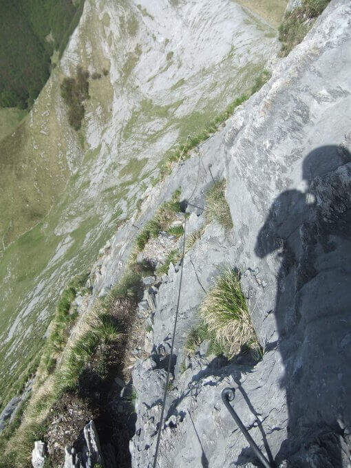
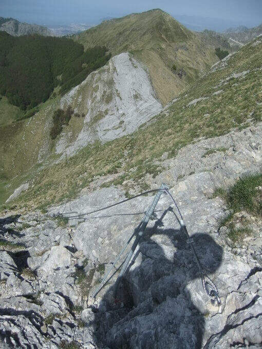
    The road goes up the south slope of the Sumbra, daring at first sight but in reality more equipped path than real ferrata. Start by reassembling some rocks and continue between exposed grassy balzes until you get on the main path for the summit (30' from the attack, 3h 15' from the parking lot). Turning left on steep ascent you will arrive in short at the top of Mount Sumbra, with satisfying view between the Apennines, sea and Apuane (3h 25' from the parking lot).

    ▲Character and difficulty

    Technical difficulty contained, with the value of bringing to the top of a mountain: a good choice to start with the ferrates.

    ⚠ The equipment is not all in good state of maintenance. To avoid bad weather: the CAI 144 between Arni and Passo Fiocca has points that become ostic with wet soil.
    ▲History

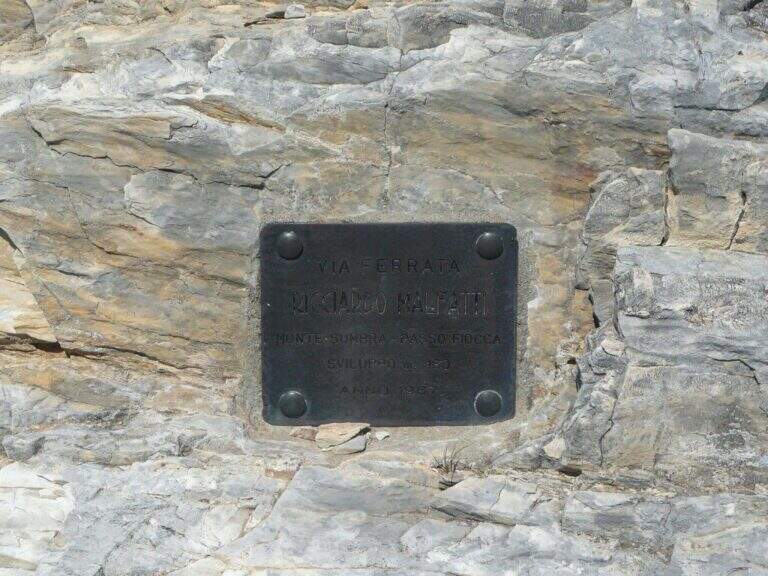
    Ferrata Malfatti was installed in 1987.

    ▲Discipline

    From the summit the ferrata goes back to Passo Fiocca, where there are two options: redefine the steep CAI 144 backwards towards Arni (about 2h from Sumbra, 5h 30' total); or continue straight on CAI 144 (and climb to Monte Fiocca in 40' a/r) that, bypassing the north wall of Fiocca, leads to Passo Sella, from which 31.

    ▲To match

    For length and difference in altitude it is difficult to concatenate in the day, but stopping in the southern Apuans you can walk in the adjacent days Ferrata Salvatori e la Ferrata del Procinto.

    ▲Gallery
    Technical data
    • DifficultyEasy
    • RegionTuscany
    • GroupApuan Alps
    • Approach2:45 h
    • Ferrata0:30 h
    • Itinerary (a/r)5:30
    • Hardware level difference180 m
    • Route difference849 m
    • Max1765 m
    • Length12,5 Km
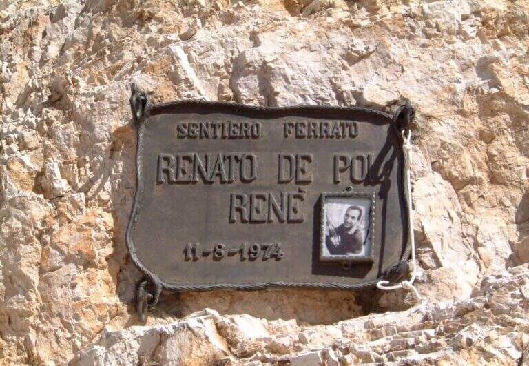
  • Ferrata Renรจ de Pol al Forame

    Ferrata Renรจ de Pol al Forame

    Vie Ferrate โ€บ Veneto โ€บ Belluno
    Ferrata Renรจ de Pol al Forame
    Moderately Hardโ— OpenDescriptionComplexityMapsGallery

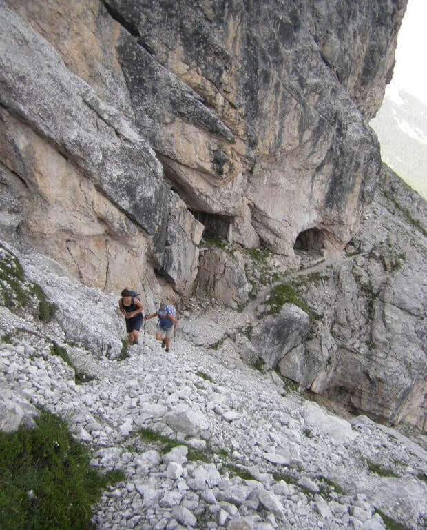
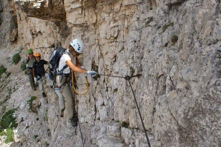
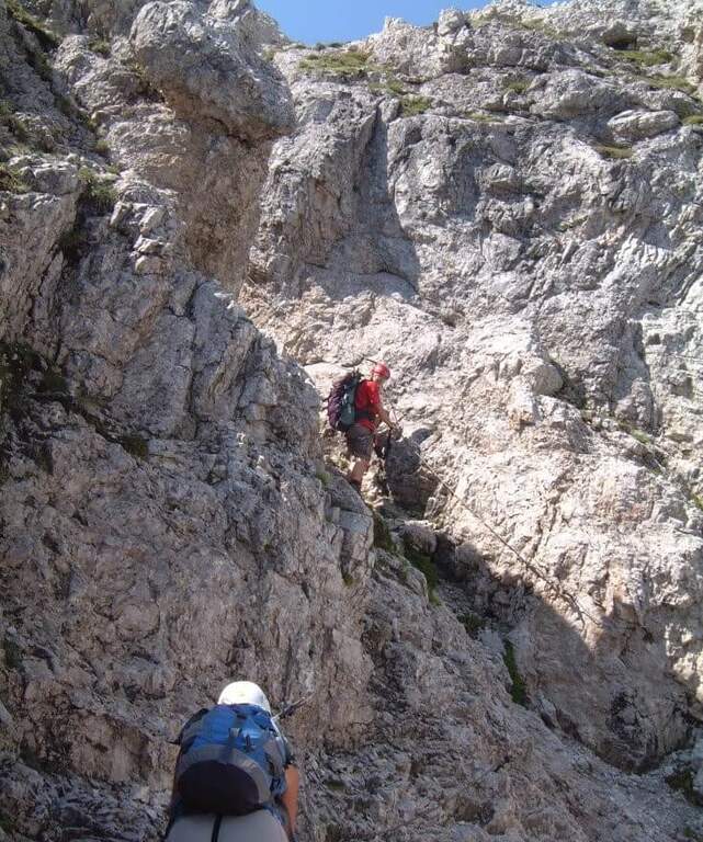
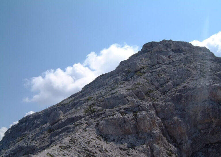
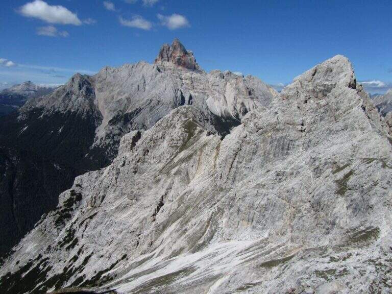
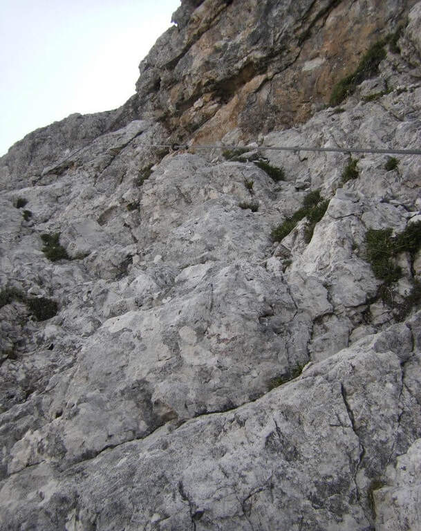
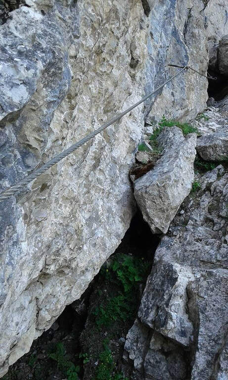
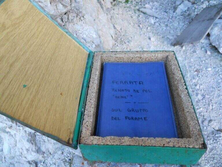
    The Ferrata De Pol is a short route that climbs to the Punta Ovest del Forame, in the Group of the Cristallo, in a rather long itinerary full of traces of the Great War. The equipped stretch has only one challenging passage, a fireplace; the return is long and the first stretch of ridge between Forcella Gialla and Forcella Verde should not be underestimated.

    ▲Approach

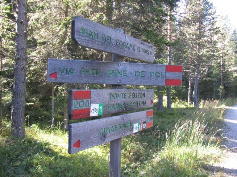
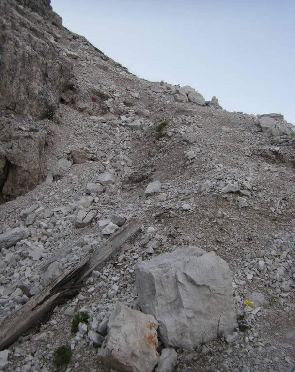
    The starting point is the Cimabianche Pass, on the SS51 between Dobbiaco and Cortina d'Ampezzo. Starting point on Google Maps. You can park even further downstream, on the side of Veneto at the Restaurant Ospitale, but you should leave the car at the pass: a landslide of 2017 made the way back from the end of the ferrata to the Ospitale, forcing to return to Cimabianche. From the pass you descend on the path 208, which runs on the left the road in moderate slope, remaining on the right side of a stream; in the town of Pian del Forame (1495 m, 30' from the pass) follow the signs left for Ferrata Renรจ de Pol. It climbs east into the woods, steep, up to a signposted crossroads where the left is held (right descended the old path of return, today franate); northwards you go up a channel meeting some military shelters of the First World War, and an uphill nod leads to the attack (1945 m, 2h from the junction on the state, 2h 30' total).

    ▲The path

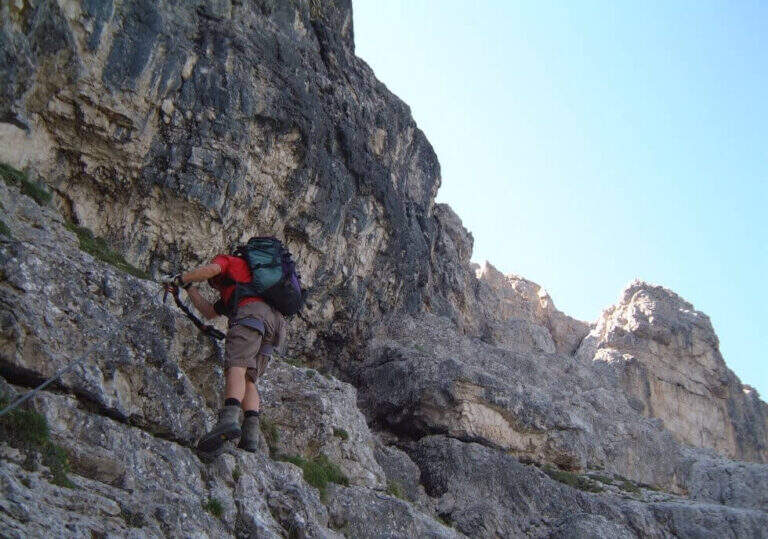
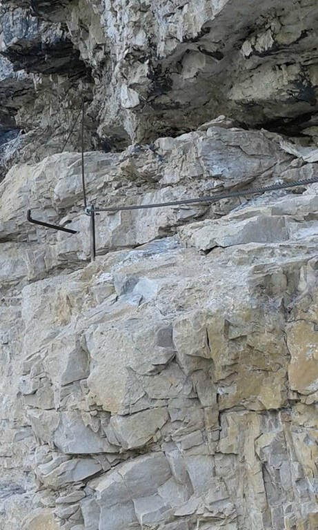
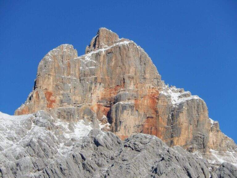
    You start with a short left turn, then the road continues without equipment to the right towards a canal; a rock that hinders the passage is reassembled with a metal ladder. Then go up on steep unprotected path following omits and red boils, then left on path at times equipped until a nod of military construction that leads to a fireplace. You climb it on the left side: a slightly athletic passage, then some pioli help in the remaining part. Exit from the fireplace you climb a vertical wall well-painted that bends right, then a wall of about twenty meters to the right; in the last stretch you go up a detritic canal with the rope on the right and on the path you reach the Punta Ovest del Forame (2318 m, 1h from the attack, 3h 30' total), with beautiful view on Croda Rossa d'Ampezzo, Monte Cristallo and Popena.

    ▲Character and difficulty

    The equipped sections do not have difficulty; the most challenging passage is the fireplace, however of average difficulty.

    ⚠ Itinerary long and quite isolated, return included along the wild Val Pra del Vecia. The downhill ridge path is a bit fragrant: walk through it with a stable time. Remember that from Forcella Verde it is no longer possible to go down to the Ospitale for the landslide, so you return to Cimabianche.
    ▲Discipline

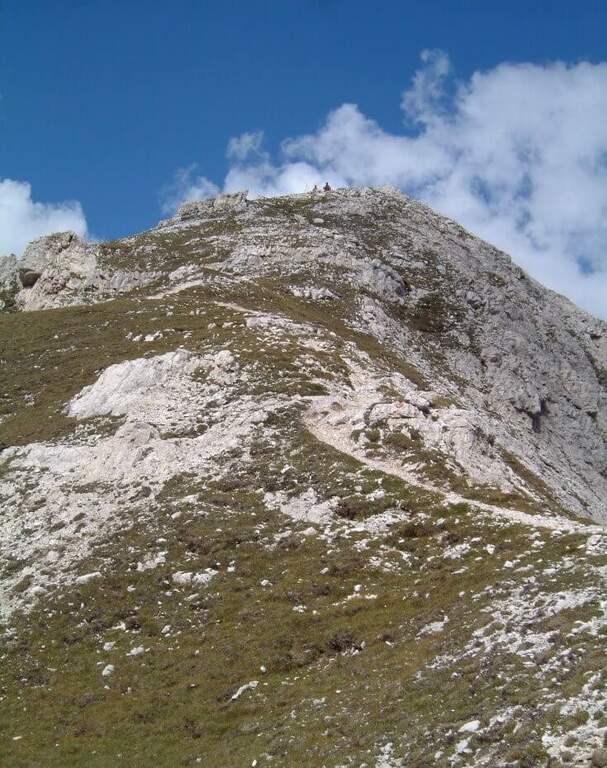
    It descends on the opposite side, to the south-east, on steep path following the red boils up to Forcella Gialla (2400 m), then with a crest climb to Forcella Verde (2380 m). From here take the path 233, which descends along the wild Val Pra del Vecia to the Cimabianche Pass (2h 30' from the end of the ferrata, 6h total).

    ▲To match

    The area of the Cristallo is rich in equipped routes: on the Cristallo la Ferrata Marino Bianchion Pomagagnon Ferrata Strobel e il Sentiero al Terza Cengia del Pomagagnon. Going down towards Cortina la la la la la la la la la la la la la la la la la la la la la la la la la la la la la la la la la la la la la la la la la la la la la la la la la la la la la la la la la la la la la la la la la la la la la la la la la la la la la la la la la la la la la la la la la la la la la la la la la la la la la la la la la la la la la la la la la la la la la la la la la la la la la la la la la la la la la la la la la la la la la la la la la la la la la la la la la la la la la la la la la la la la la la la la la la la la la la la la la la la la la la la la la la la la la la la la la la la la la la la la la la la la la la la la la la la la la la la la la la la la Ferrata Ettore Bovero and the difficult Ferrata Sci Club 18.

    ▲Gallery
    Technical data
    • DifficultyModerately Hard
    • RegionVeneto
    • GroupCrystal
    • Approach2:30 h
    • Ferrata1:00
    • Itinerary (a/r)6:00 h
    • Max2424 m
    • Length11,3 Km
  • Ferrata della Regina

    Ferrata della Regina

    Vie Ferrate โ€บ Sardinia โ€บ Sassari
    Ferrata della Regina

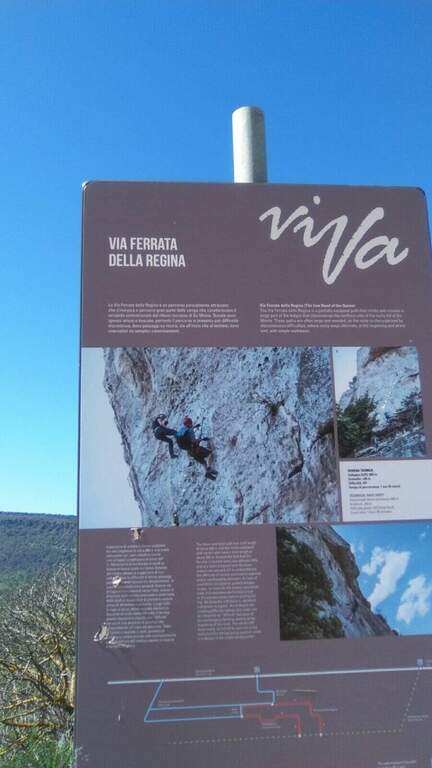
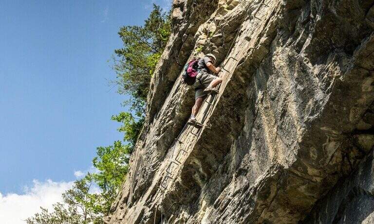
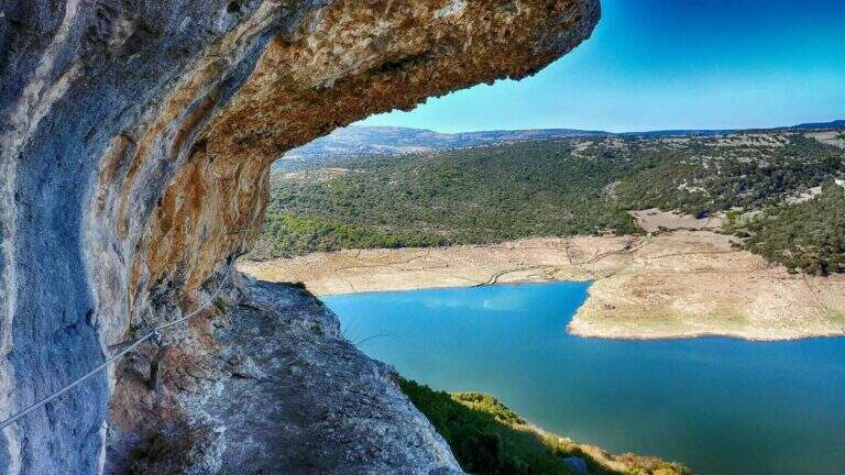
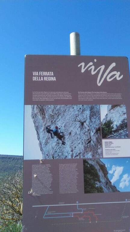
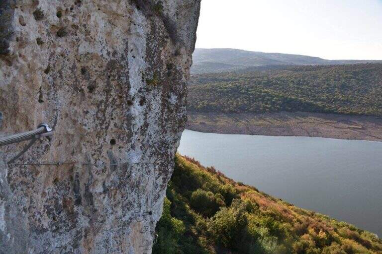
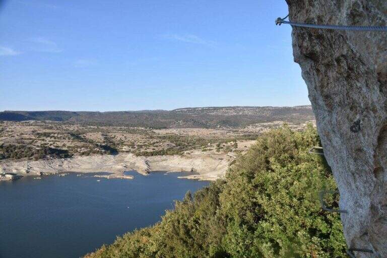
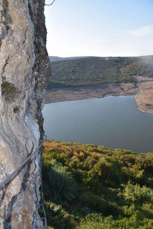
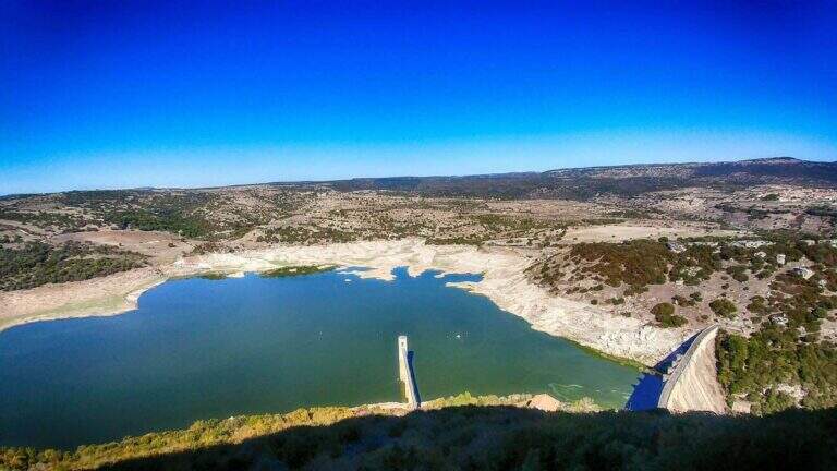
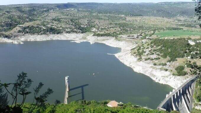
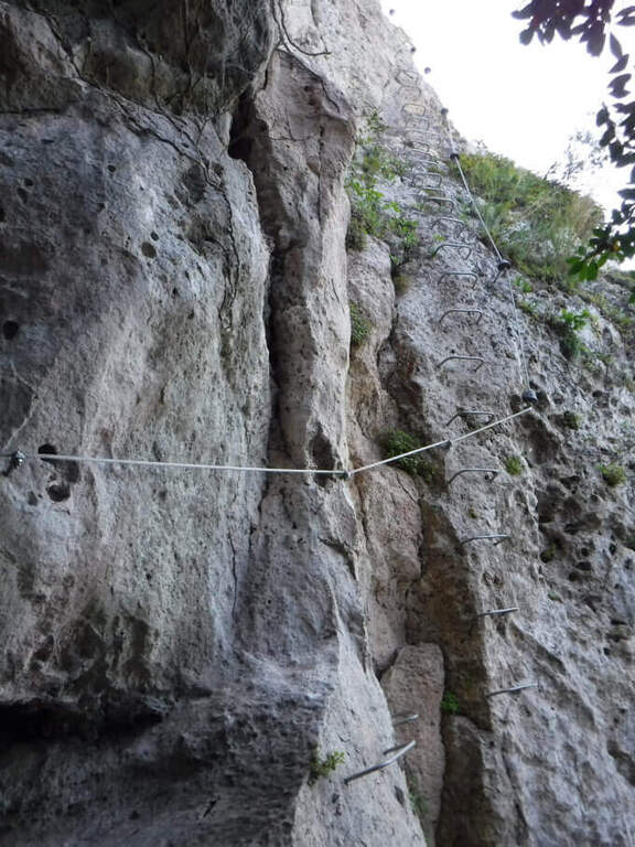
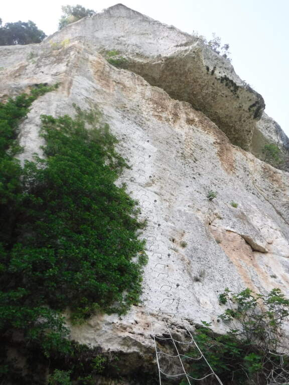
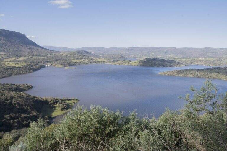
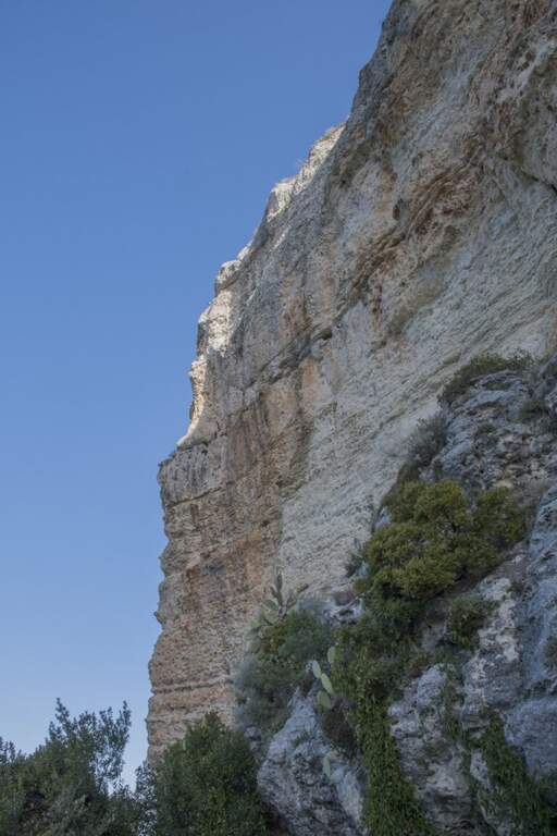
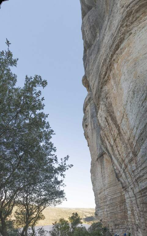
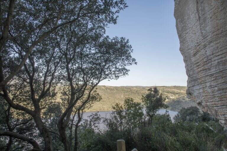
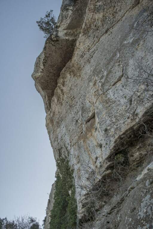
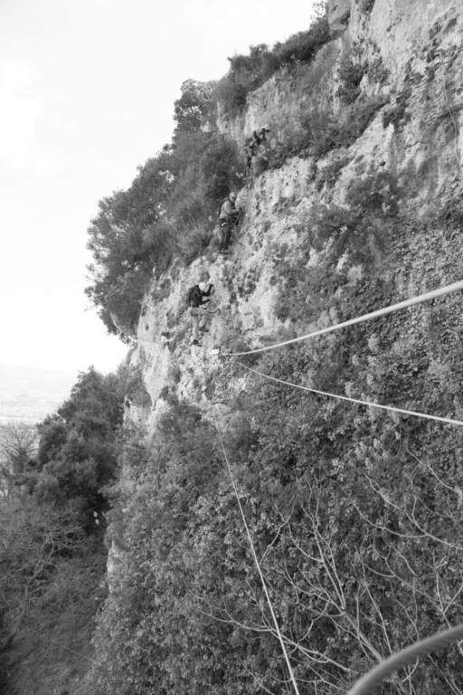
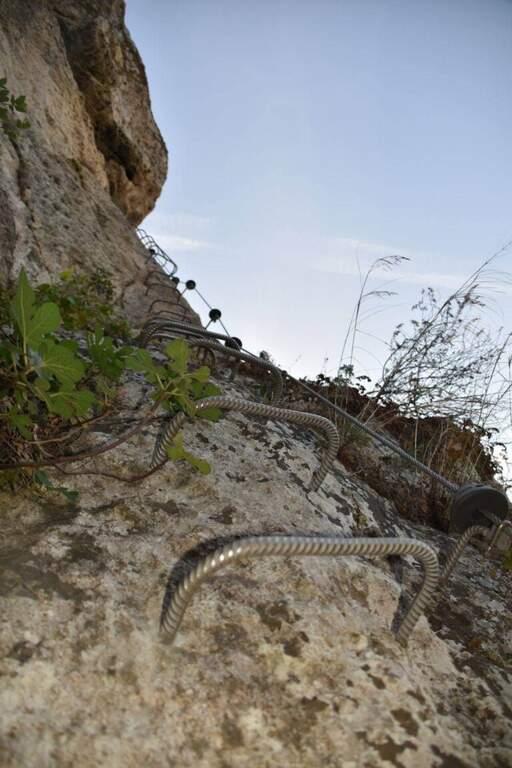
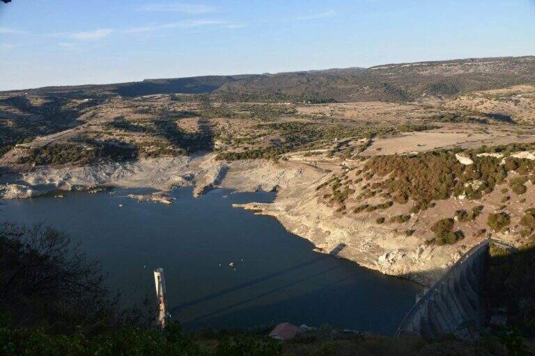
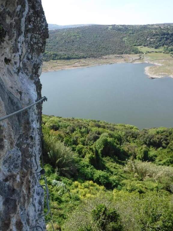
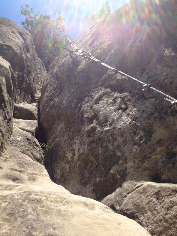
    The Ferrata della Regina runs a wide section of the cenges that characterize the relief of Su Monte, near Monteleone Rocca Doria, south of Sassari and close to Lake Temo. It is widely equipped with brackets, which makes it technically not difficult, but exposed along wide stretches and embellished by an adrenaline-free Tibetan bridge.

    ▲Approach

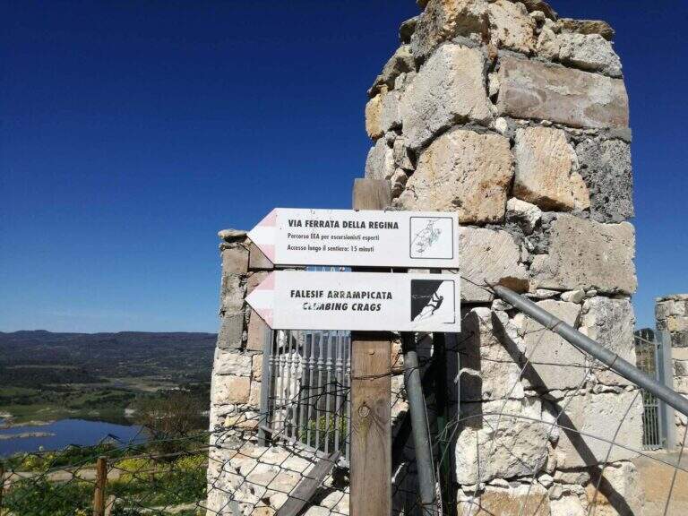
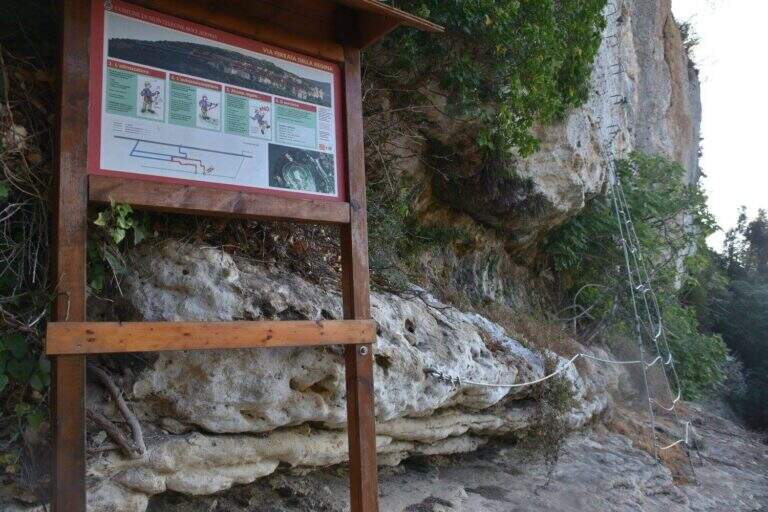
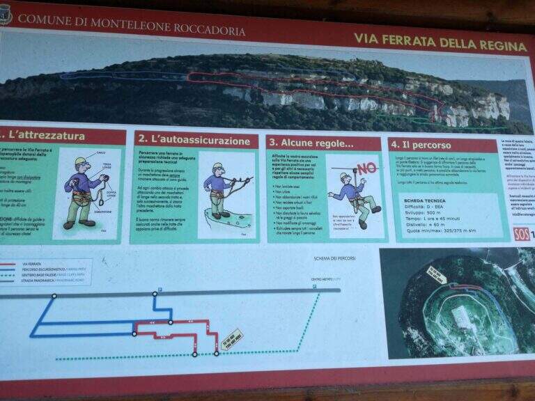
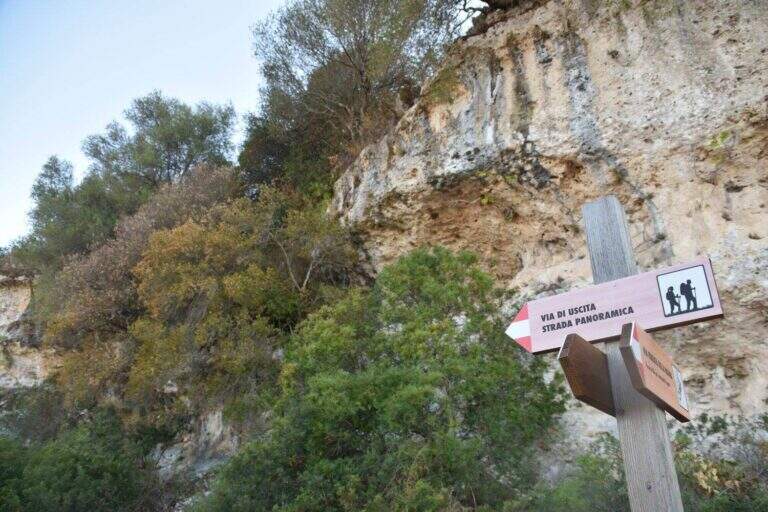
    The starting point is on the Strada Panoramica Subramonte that runs around Monteleone Rocca Doria: along the road you can see a wooden basin with information on the street, where you park. Starting point on Google Maps. From the dirt road you continue to a sign that indicates a path downhill towards the ferrata; you descend a few steps, turn right and, always downhill, you arrive under a rocky roof and then under a majestic wall; between climbs you reach a spring to the attack, signaled by a wooden basin (20' from the car).

    ▲The path

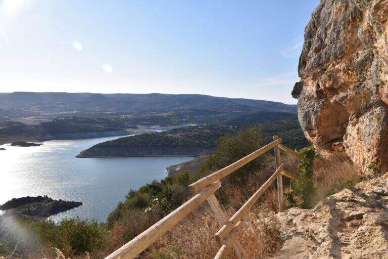
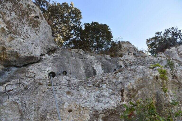
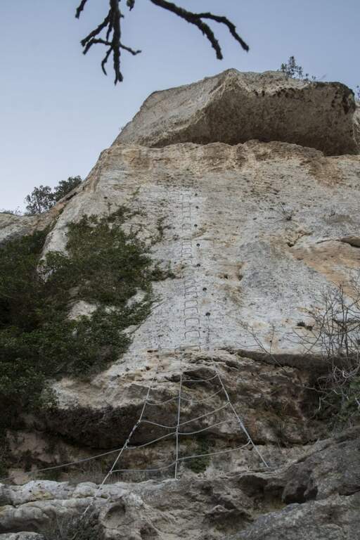
    The attack is very special: a network of wires that goes up like a staircase. On the top you climb the vertical wall on brackets, in slight overhanging, gaining altitude quickly; the cable turns left and on brackets you continue horizontally by wandering an exposed edge. After finishing the horizontal, the cable starts vertically, always with abundant brackets, until a passage in light overhanging that deposits on a wide census partly protected. Continuing on the nod, overlooking the artificial lake and the dam, you will arrive at a crossroads: on the left the escape route, straight the continuation. Continue on the path up to a sign that indicates on the left a staircase with metal armor to be descended; from the underside it continues horizontally up to a series of downhill cambres, with the suspended bridge already visible below. Cross the Tibetan bridge with 3 ropes, cross a long horizontal census and go up a vertical wall equipped with cambre; finally, to the right, a census under a roof and a last stretch down close the road close to the attack (1h 15' from the attack, 1h 30' total).

    ▲Character and difficulty

    The brackets along all the walls reduce the technical difficulty; the commitment comes from the exhibition, present for large sections, and from the Tibetan bridge (about 15-20 m).

    ⚠ Itinerary: helmet and ironing set indispensable. An escape route allows you to stop halfway.
    ▲Period and safety

    At low altitude and in mild climate, it is possible to travel most of the year; to avoid with wet rock and in the warmest hours of summer.

    ▲Discipline

    You follow the return path that takes you short on the approach path and then uphill to the car (20' from the end, 1h 50' total).

    ▲To match

    It is one of the Sardinian ferrates. Less than two hours by car Ferrata del Cabirol, la Ferrata del Castello Medusa, la Ferrata di Badde Pentumas e la Ferrata di Giorrรจ; la Ferrata degli Angeli in Tavolara requires to organize the boat. Towards Sulcis le Ferrata del Pan di Zucchero e Gutturu Xeu.

    ▲Gallery
    Technical data
    • DifficultyHard
    • RegionSardinia
    • GroupMonteleone Rocca Doria
    • Approach0:20 h
    • Ferrata1:15 h
    • Itinerary (a/r)2:00 h
    • Hardware level difference70 m
    • Route difference70 m
    • Max400 m
    • Length1,4 Km
  • Ferrata Ra Pegna

    Ferrata Ra Pegna

    Vie Ferrate โ€บ Veneto โ€บ Belluno
    Ferrata Ra Pegna

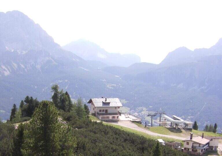
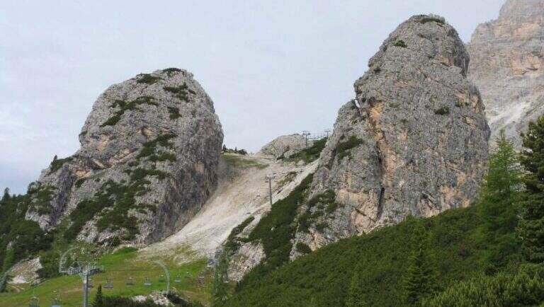
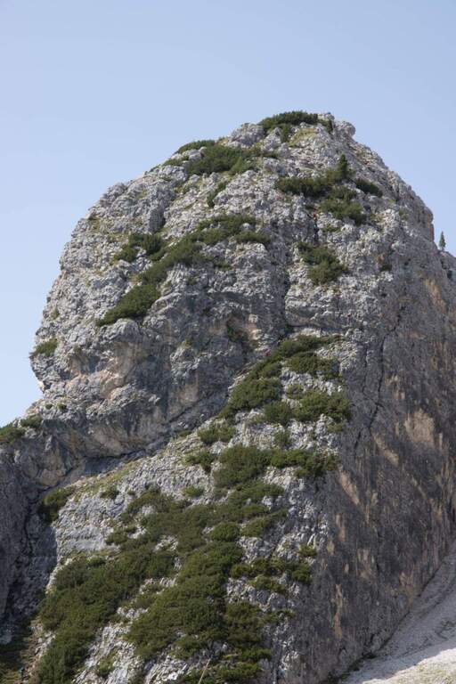
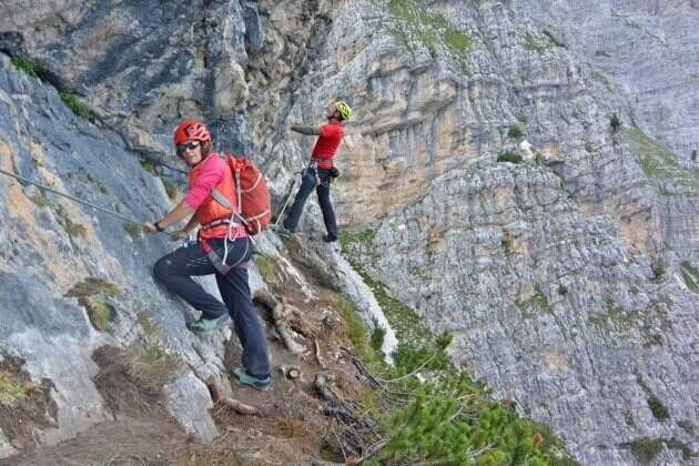
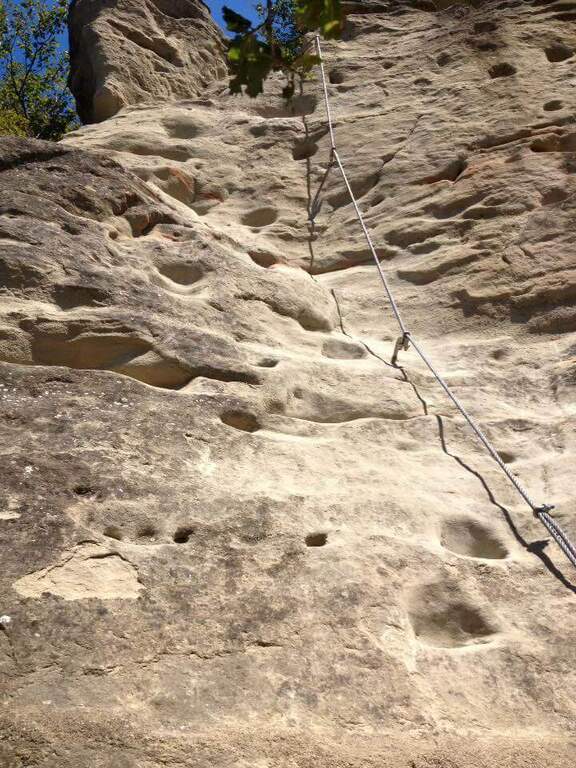
    The recent Ferrata Ra Pegna climbs the homonymous rocky monolith between the Duca d'Aosta Refuge and the Pomedes Refuge, above Cortina d'Ampezzo. It is an easy ferrata, inserted in a short itinerary suitable for neophytes and families.

    ▲Approach

    There are two starting points. You can climb from Cortina to the Falzarego Pass and take the right road to the Dibona Refuge; at a crossroad where on the right you go up to the Duca d'Aosta Refuge you should park in the beach near the crossroads, because the road is accidents (useful option to combine the ring return with the Astaldi Trail). Starting point on Google Maps. Alternatively, park at the large square of the Baita Pie Tofana (1675 m), from which a chairlift goes up to the Duca d'Aosta Refuge (useful option for jumping the approach or returning to the chairlift). For the ferrata you can reach the Rifugio Duca d'Aosta (2098 m): from the junction, 405 mark, about 30'; or by chairlift; or for the Sentiero dei Camosci (405) from the hut (1h 30'). From the hut a chairlift climbs towards Pomedes in the valley between two monoliths: on the right the Ra Bujela (with Ferrata Maria and Andrea Ferrari), on the left the Ra Pegna. On Ra Pegna you can see a rocky rib on the left side: the attack is under that rib, reached up to the slopes up to a sign on the left side (10' from the Rifugio Duca d'Aosta).

    ▲The path

    The street rises where the diagonal plate meets the rocky rib, forming a supported dihedron. Rockets rise and easy leaps for about ten minutes without any particular difficulty; under a rocky roof you go through a nod to the right, then you go still diagonally to the right and you face a well-dressed vertical leap (the key step). Continue on rocks and stretches of path equipped to the last easy meters and to the top of the monolith, with a splendid view on Punta Anna and the Tofane. It is advisable not to remove the sling: some easy stretches to the east and, with a ladder, a more marked leap that closes the way (45' from the attack, 1h from the Rifugio Duca d'Aosta).

    ▲Character and difficulty

    Easy fitting without challenging steps that, for the brevity of approach and return, is also accessible by families.

    ⚠ Although easy remains an equipped road with a stretch of descent: helmet and set of necessary ferrata, attention to the return ski slope.
    ▲Discipline

    From the end you turn right down the steep ski slope to the Rifugio Duca d'Aosta, already visible (15' from the end); from here you return to the car park backwards to the approaching path.

    ▲To match

    Easily match the neighbor Ferrata at Ra Bujela (longer and harder). Climbing towards the Pomedes the Path equipped Astaldi and, towards the Tophans, the Ferrata Olivieri e la Ferrata Aglio. Towards the Falzarego Ferrata Tomaselli, la Ferrata at Col dei Bos e la Ferrata all'Averau.

    ▲Gallery
    Technical data
    • DifficultyEasy
    • RegionVeneto
    • GroupTofane โ€“ Dolomiti Ampezzane
    • Approach1:00 h
    • Ferrata0:45 h
    • Itinerary (a/r)2:15 h
    • Hardware level difference100 m
    • Route difference200 m
    • Max2241 m
    • Length1,5 Km
  • Ferrata Ra Gusela at Nuvolau

    Ferrata Ra Gusela at Nuvolau

    Vie Ferrate โ€บ Veneto โ€บ Belluno
    Ferrata Ra Gusela at Nuvolau

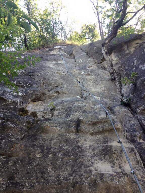
    The easy Ferrata Ra Gusela climbs the south wall of the Nuvolau Group, in the Dolomites Ampezzane. It is suitable for neophytes, with no significant technical difficulties, and very beautiful landscape, with medium length approach and return. You can walk both from the Giau Pass and from the Falzarego side, possibly shortening with the plants.
    ▲Approach

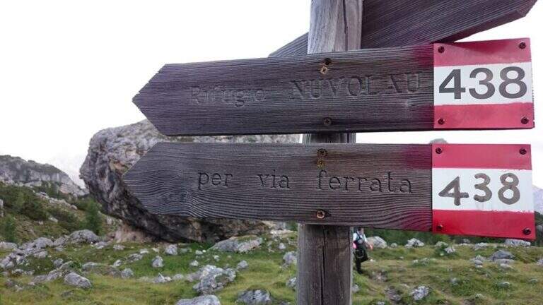
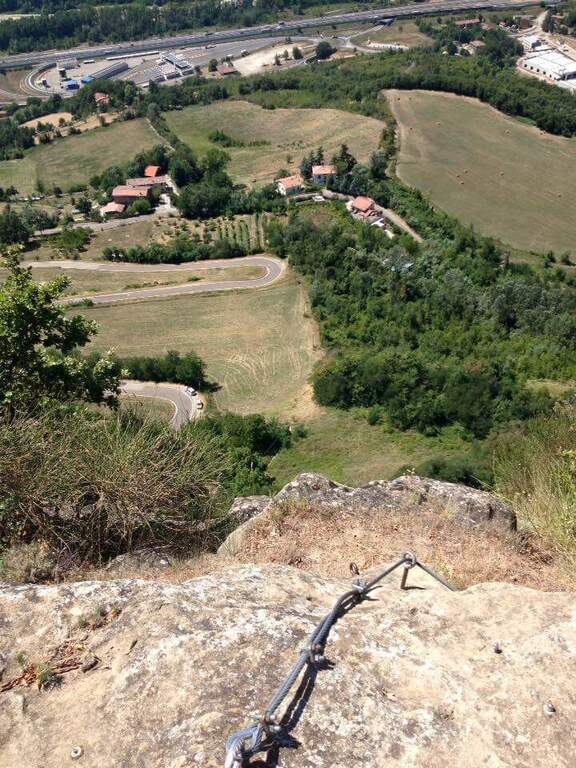
    The most logical option is from Passo Giau (2236 m), going up from Cortina d'Ampezzo or from Selva di Cadore, to close a ring without implants. Starting point on Google Maps. From the pass you walk north, towards the Nuvolau, and in less than 10' you reach a crossroads: to walk uphill you hold the right (path 443), then return on path 452. Continue north-east on a wide path to another crossroads, where the left is held on path 438 (indications for the Ferrata and the Nuvolau Refuge); the 438 is steep up to the first wire rope, at an easy nod (1h from the Giau Pass).

    ▲The path

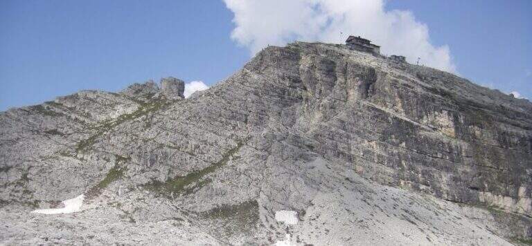
    From the first cable you follow the right-hand side: it is wide and without difficulty, with the cable that acts as a handrail, and bypasses a edge taking under the yellowish eastern wall of Ra Gusela, where a canal cuts the mountain diagonally. You reach the canal with the nod, you climb easy rocks and you enter the canal, from the friable soil, holding on the left side along the rope; a more vertical leap is exceeded with a short metal ladder. Exit from the canal, after a few easy leaps you go through a new nod until a fork, besides which a plateau leads to the Nuvolau Refuge (attention not to lose the signs). There are about 60 meters of altitude to the ridge: first a census, then an edge that leads to greater exposure on the final ridge, with a first metal ladder, a couple of passages on exposed but not difficult rocks and a second ladder; in short you will reach the Nuvolau Refuge (2575 m, 1h from the attack, 2h from the Giau Pass).

    ▲Character and difficulty

    Itinerary easy, without difficult steps and exposed only in a few points: ideal also for half-day excursions and for those who approach the ferrates.

    ⚠ Attention to the friable bottom of the canal and to the stretches of crest exposed; however easy, remains a road equipped with helmet and iron set.
    ▲Discipline

    Follow the tourist path that descends gently north to Forcella Nuvolau and to the Averau refuge (from which the Ferrata to Auverau leaves); from here you return to the Giau Pass with the path 464/452 to the left (1h 30' from the term, 3h 30' total), or you go right to the Scoiattoli Refuge with the 439 (1h from the term).

    ▲To match

    The Nuvolau Group joins the neighbor Ferrata all'Averau; towards Selva di Cadore the easy Ferrata at Sass de Rocia. Towards the Civetta three challenging routes: the Ferrata degli Alleghesi, la Ferrata Tissi e la Ferrata Fiamme Gialle al Pelsa, up to Ferrata Costantini at Moiazza; towards Cortina la Ferrata Sci Club 18 faloria.

    ▲Gallery
    Technical data
    • DifficultyEasy
    • RegionVeneto
    • GroupNuvolau โ€“ Dolomiti Ampezzane
    • Approach1:00 h
    • Ferrata1:00 h
    • Itinerary (a/r)3:30 h
    • Hardware level difference174 m
    • Route difference338 m
    • Max2574 m
    • Length6,6 Km
Need help? Write to us!