Regione: Trentino-Alto Adige

  • Hiking trail Mora Pellegrini

    Hiking trail Mora Pellegrini

    Vie Ferrate › Trentino-Alto Adige › TN
    Hiking trail Mora Pellegrini

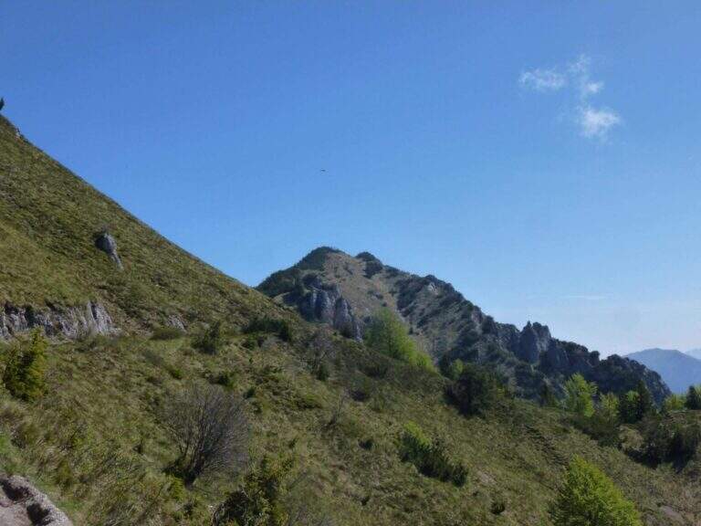
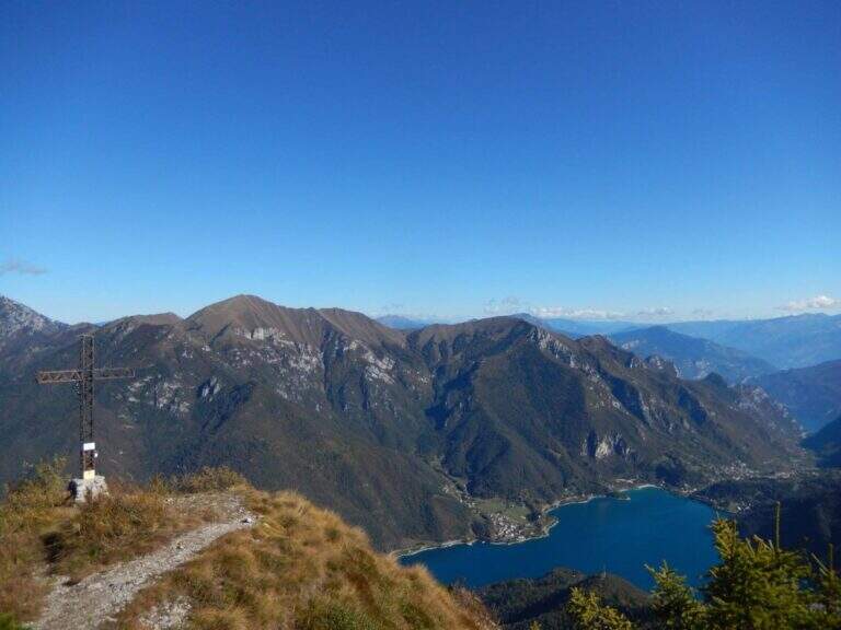
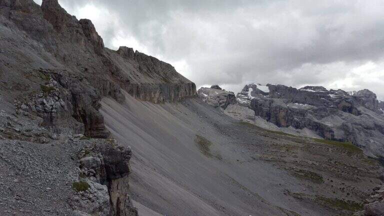
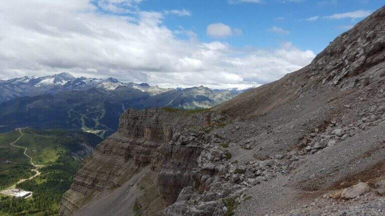
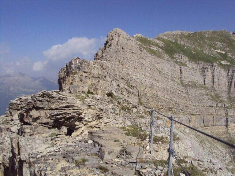
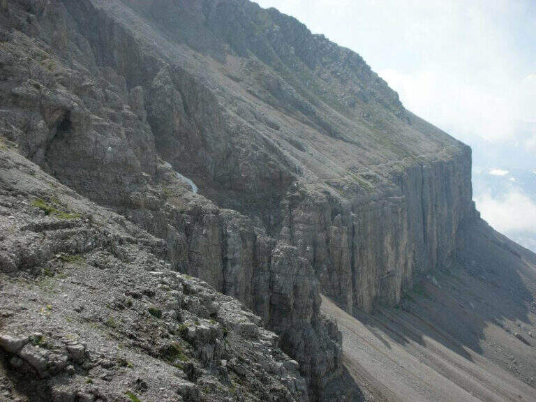
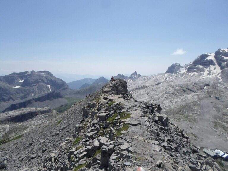
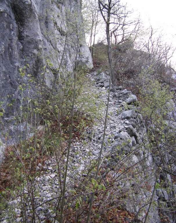
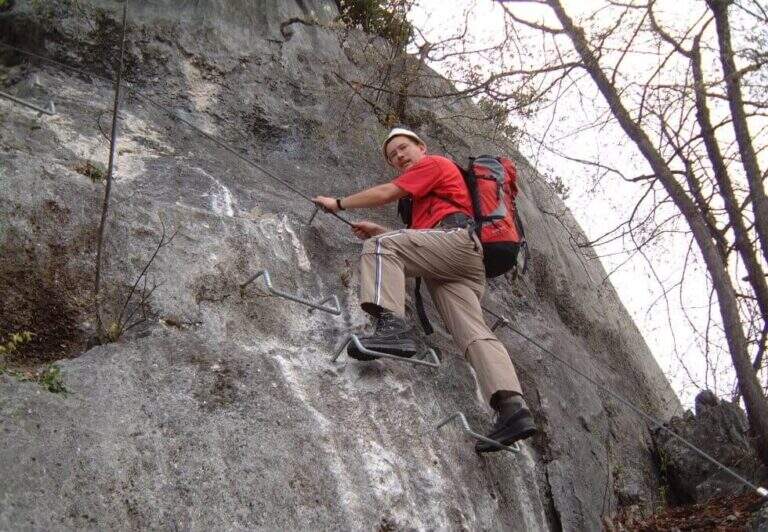
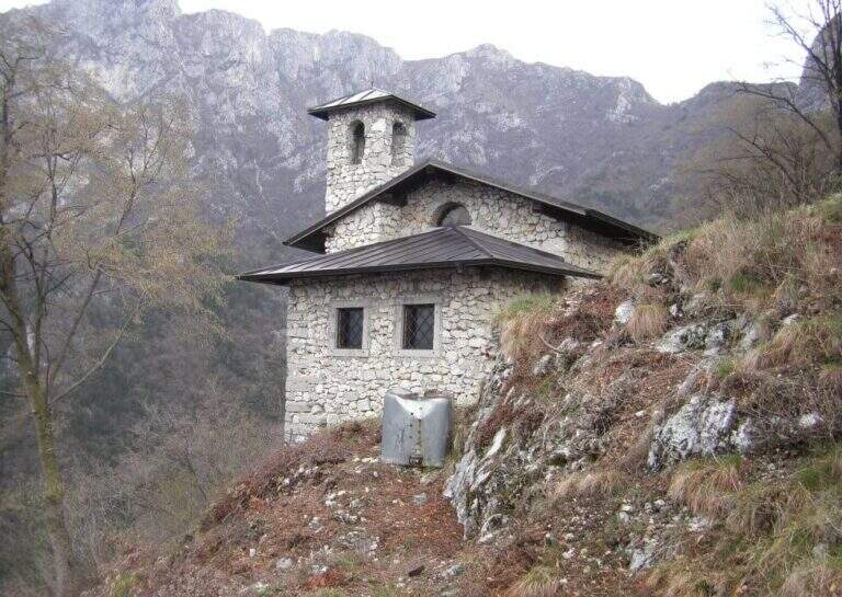
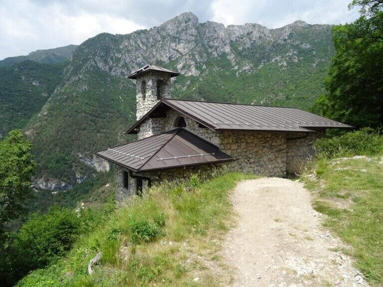
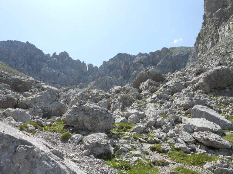
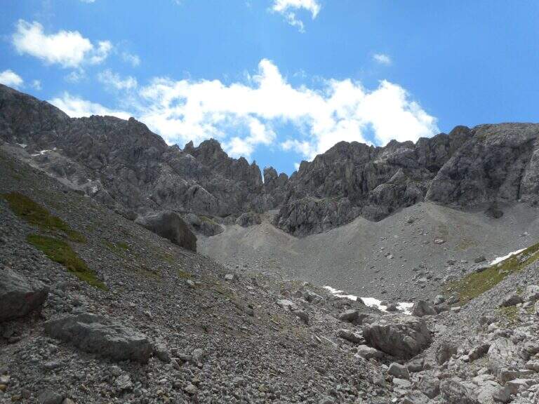
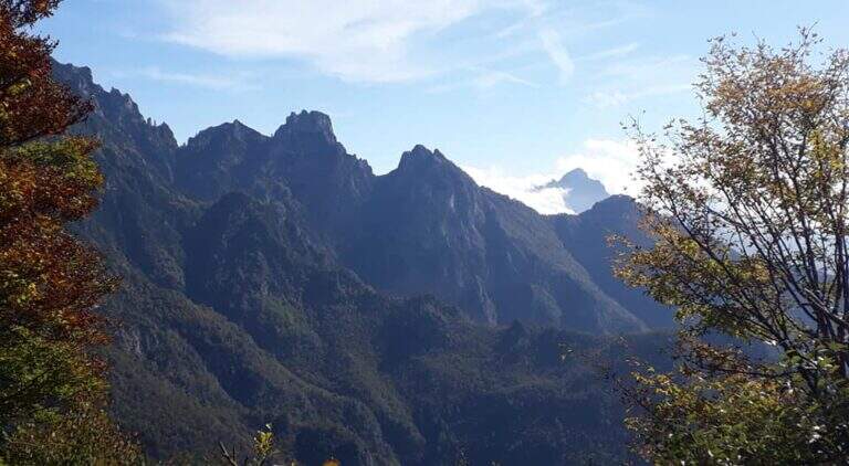
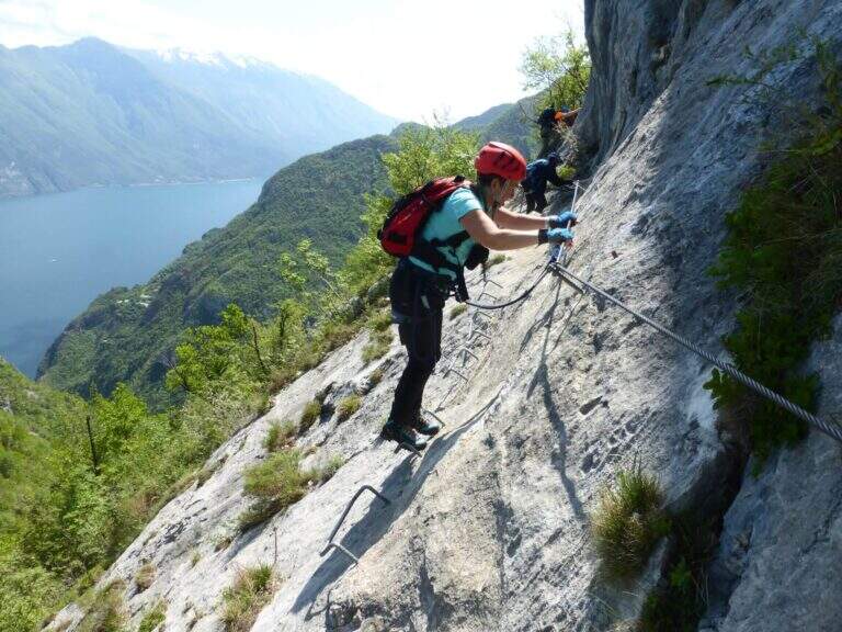
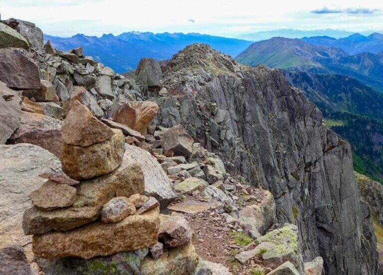
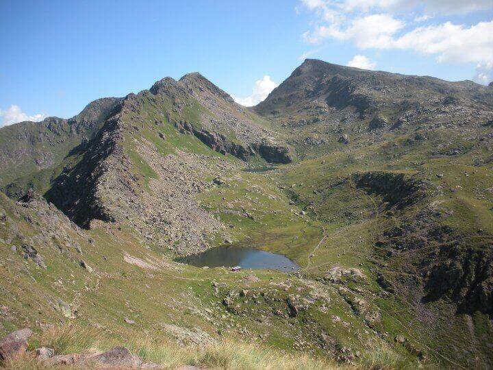
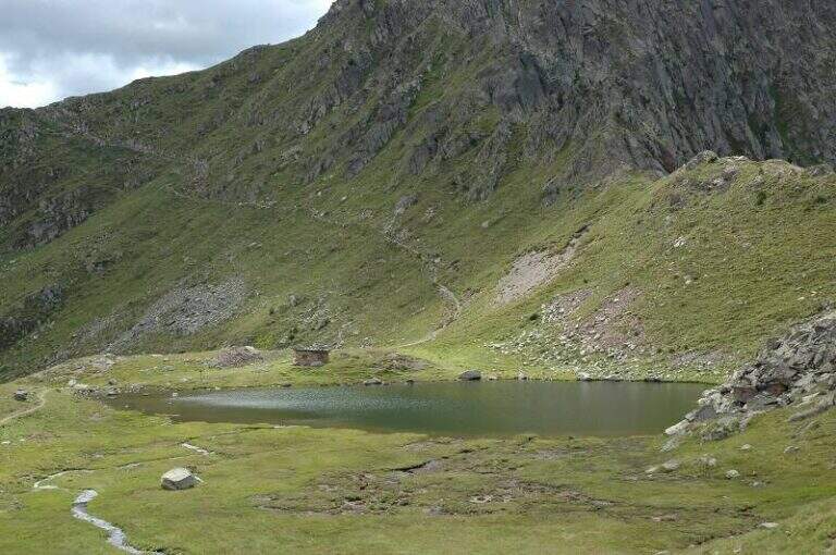
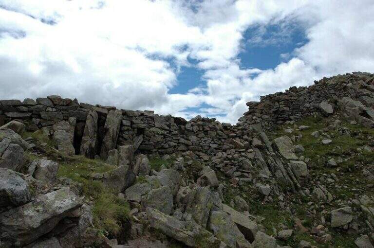
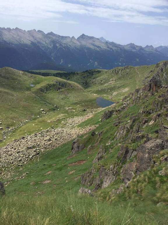
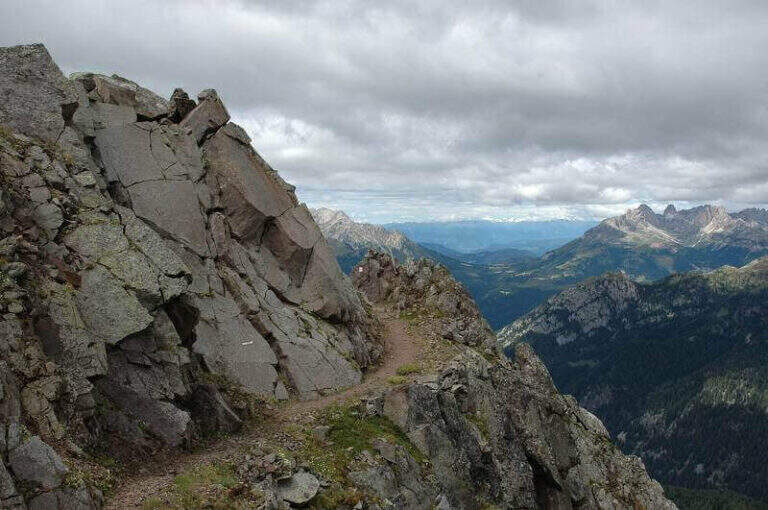
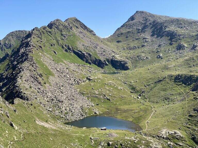
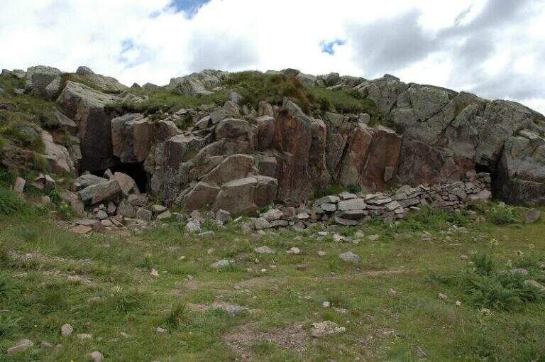
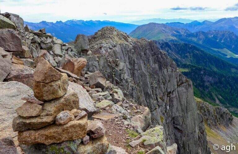
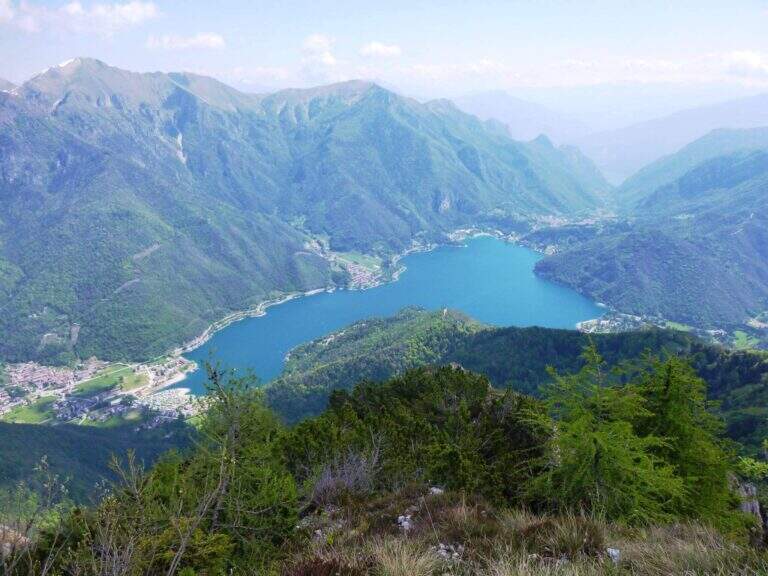
    Itinerary along the ridge above Lake Ledro, in the heart of the Prealps Giudicarie, which leads to the summit of the Cima Casèt with opening on the panorama of the lake and the Trentino valleys. A little popular route, varied in the rooms and with a stretch equipped with authentic mountaineering character.

    ▲Approach

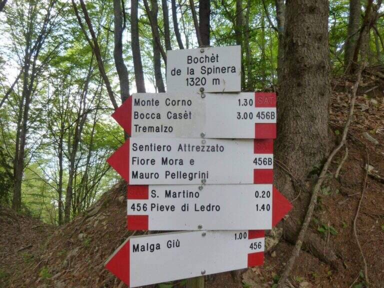
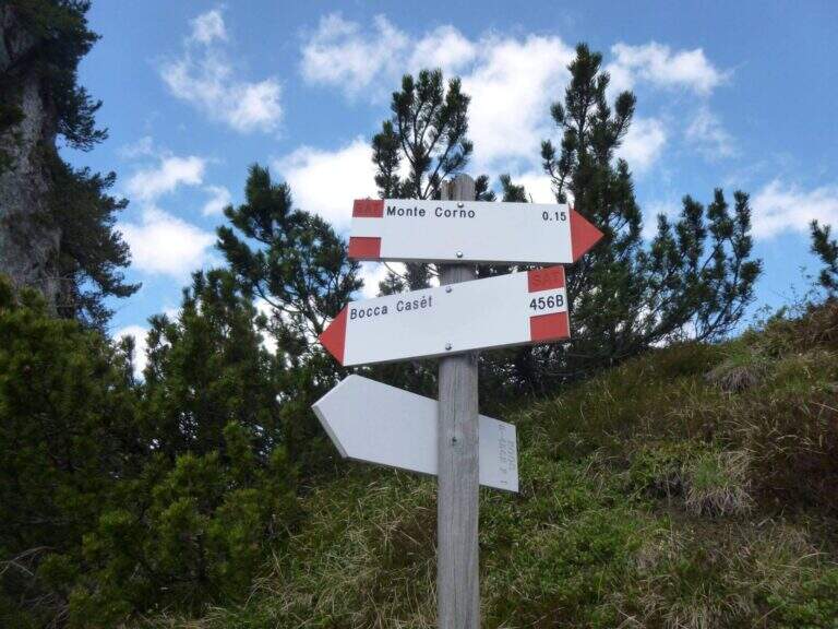
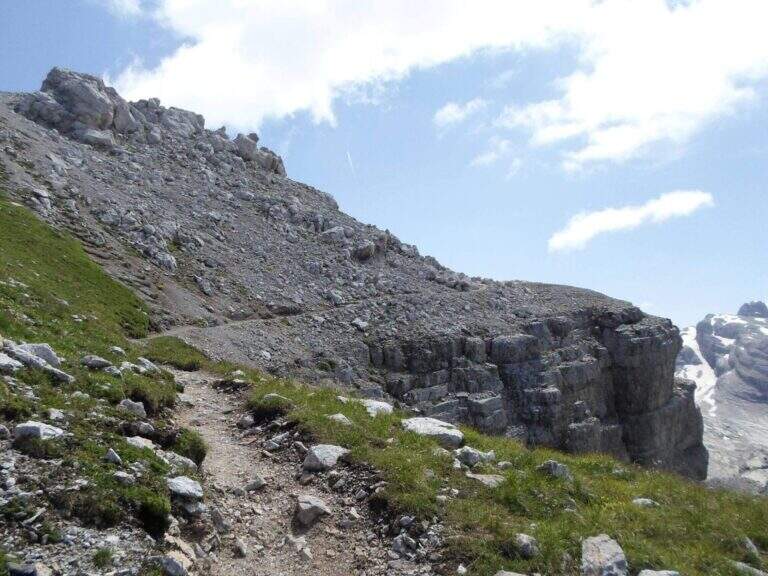
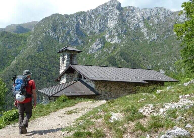
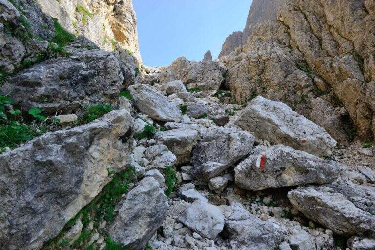
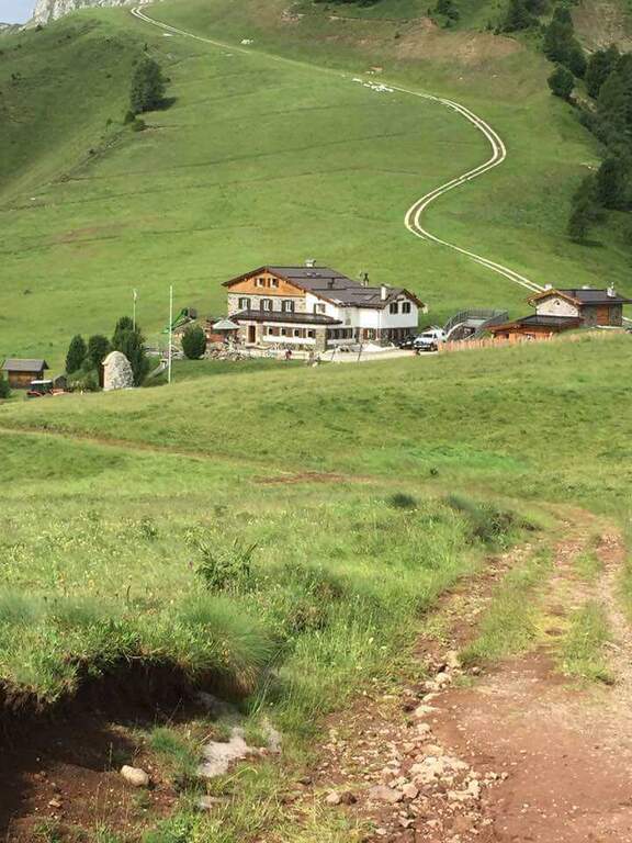
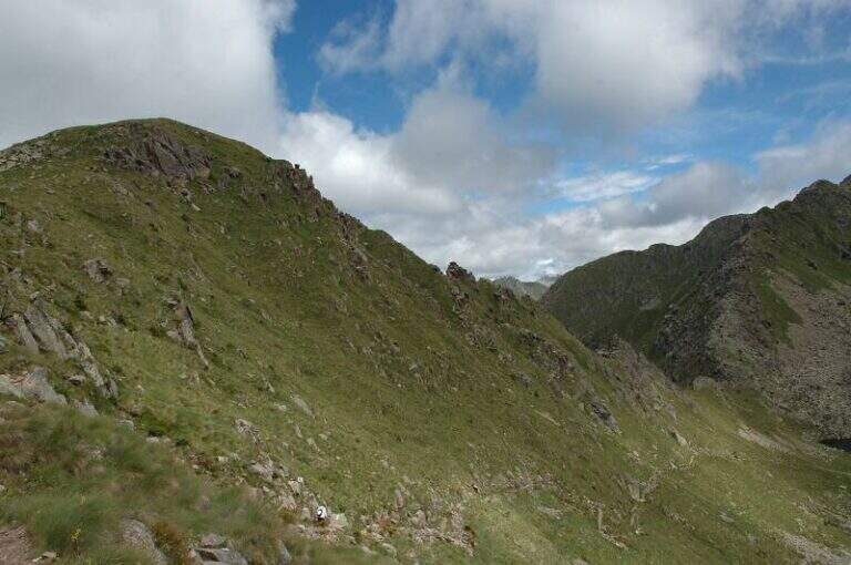
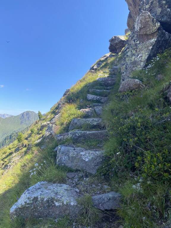
    From the parking lot of the Garibaldi hut to Passo Tremalzo take the path 419 towards the north. In about 30′ you reach the Bochet de Caset (1645 m), where you leave the main track and take the trail 416 left. Then climb up 456B towards Cima Caset, pointing to the eastern slope where the attack of the equipment (1h15′ from the parking lot, directions road map).

    ▲The path

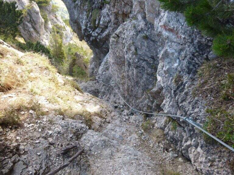
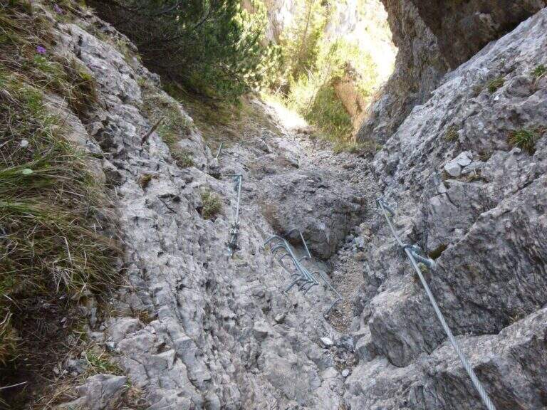
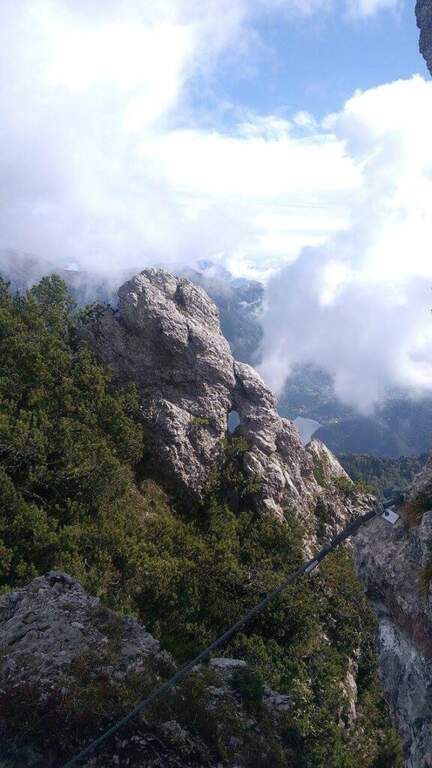
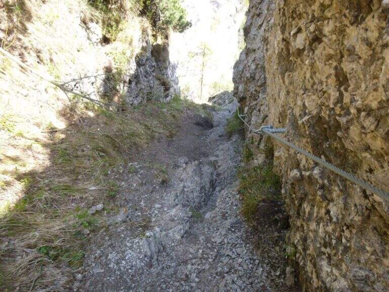
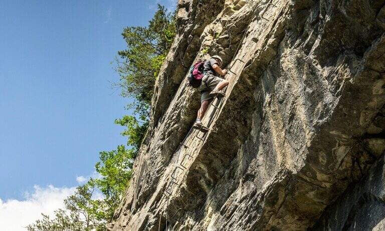
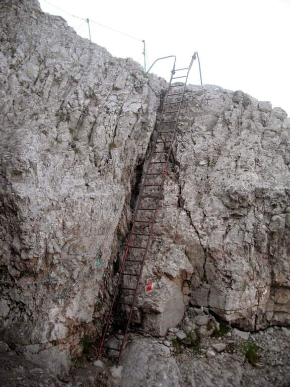
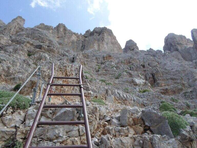
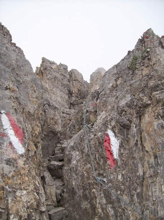
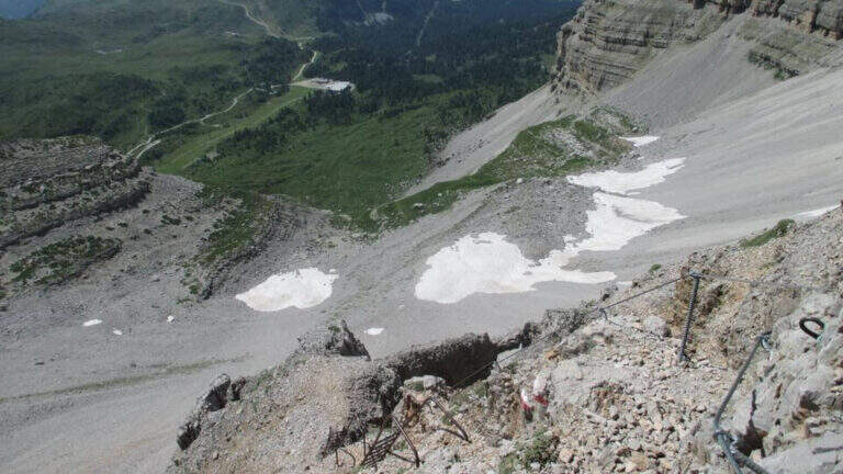
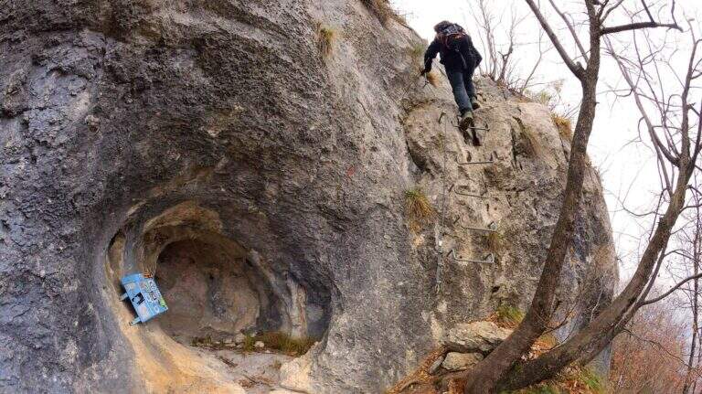
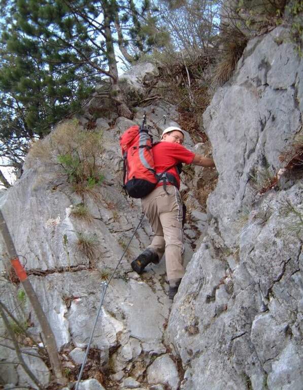
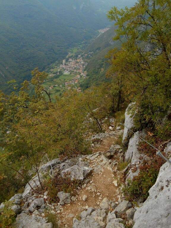
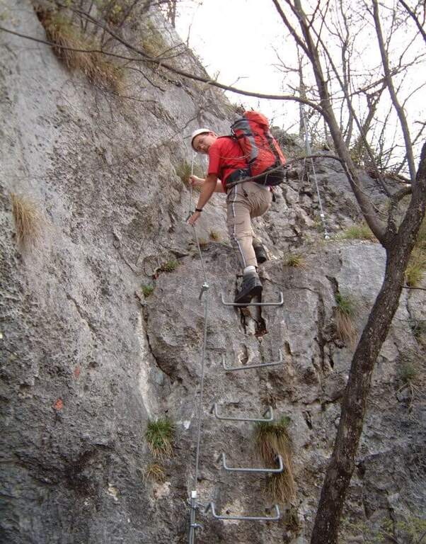
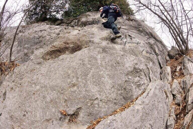
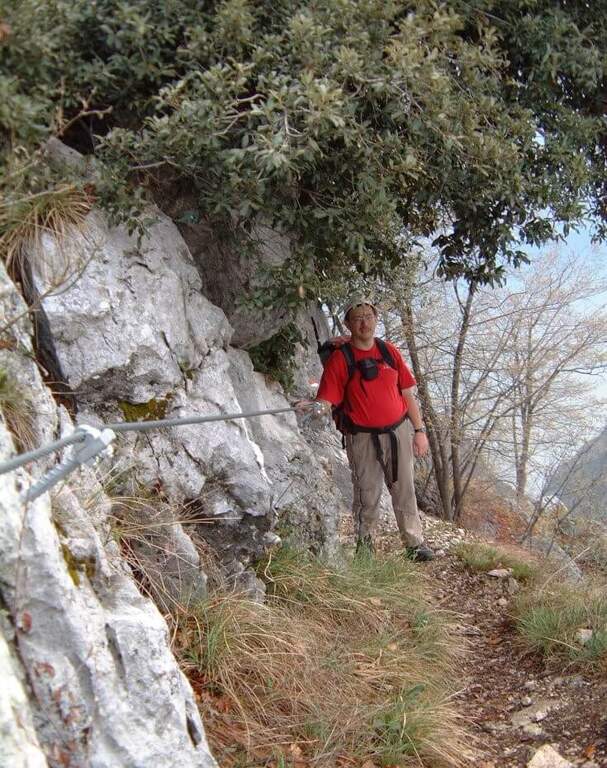
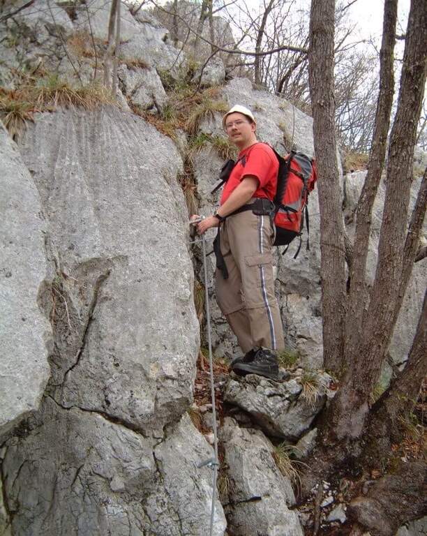
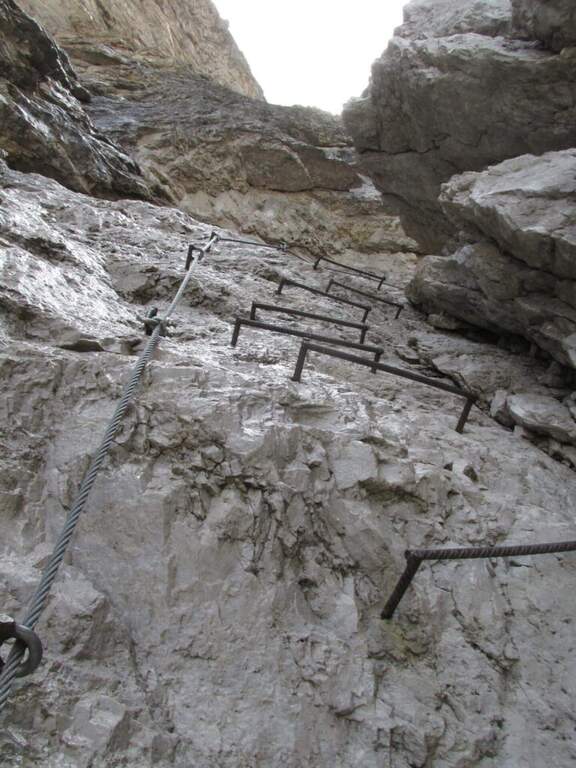
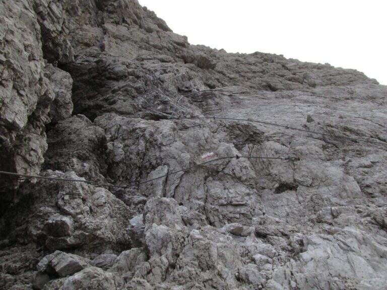
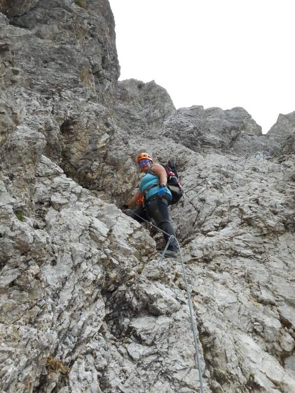
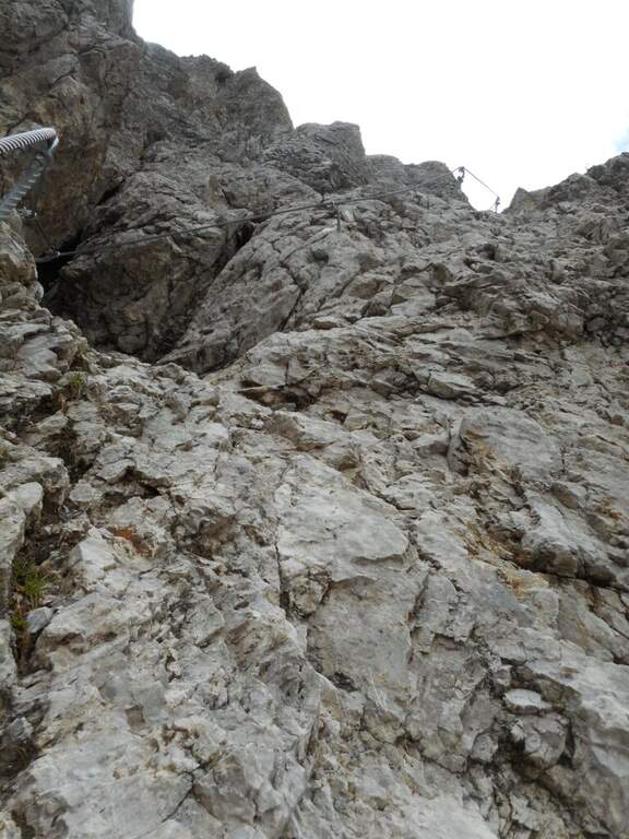
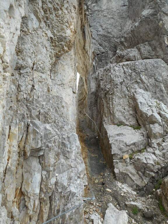
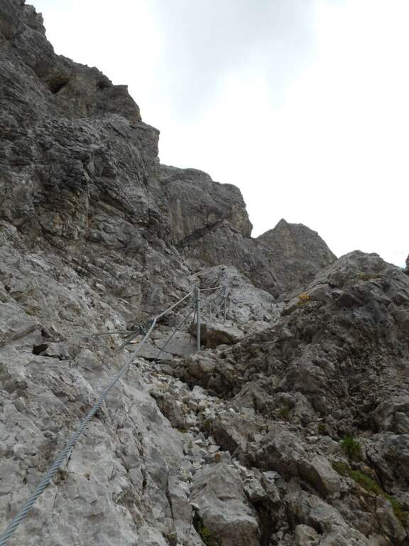
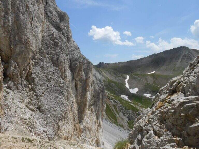
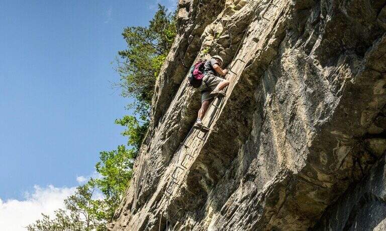
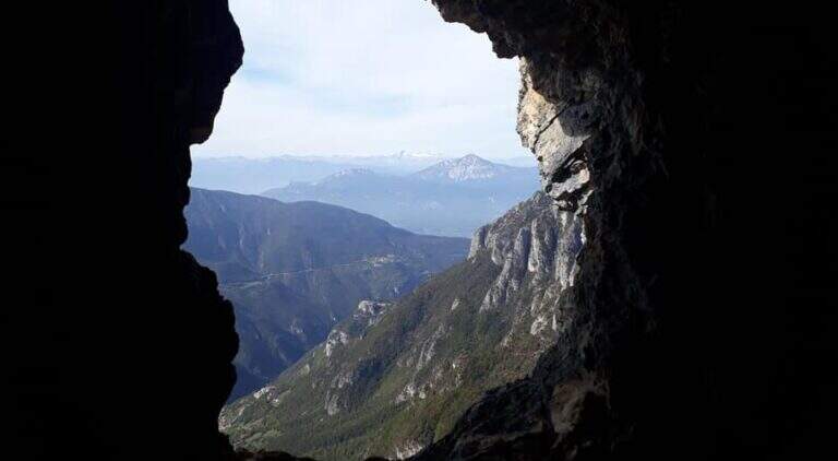
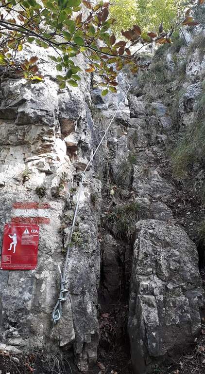
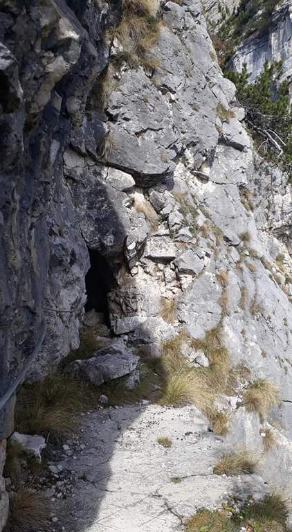
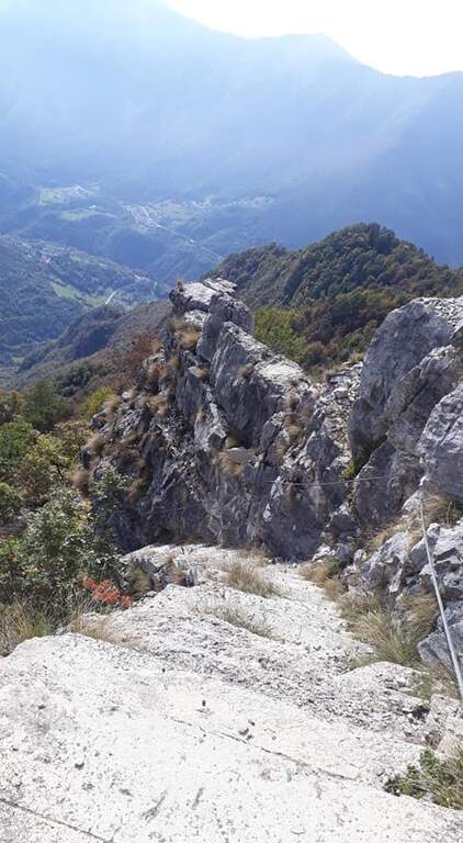
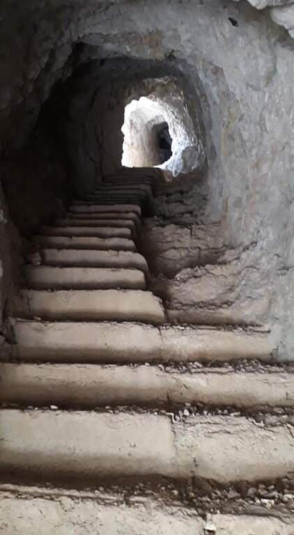
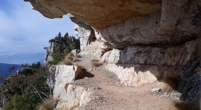
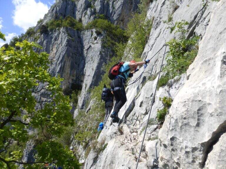
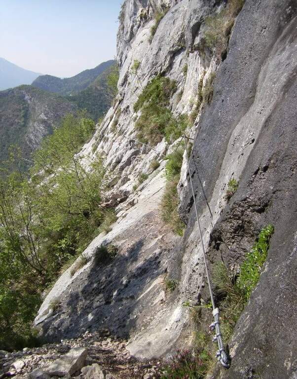
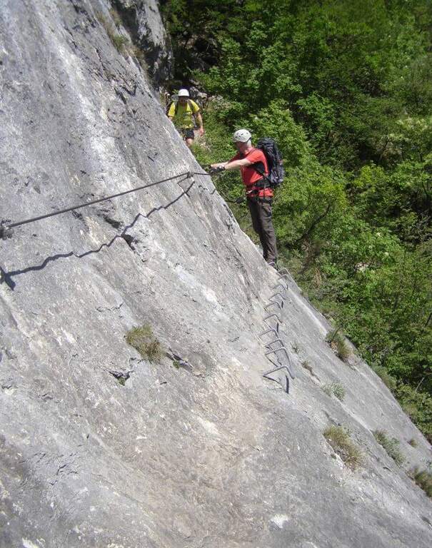
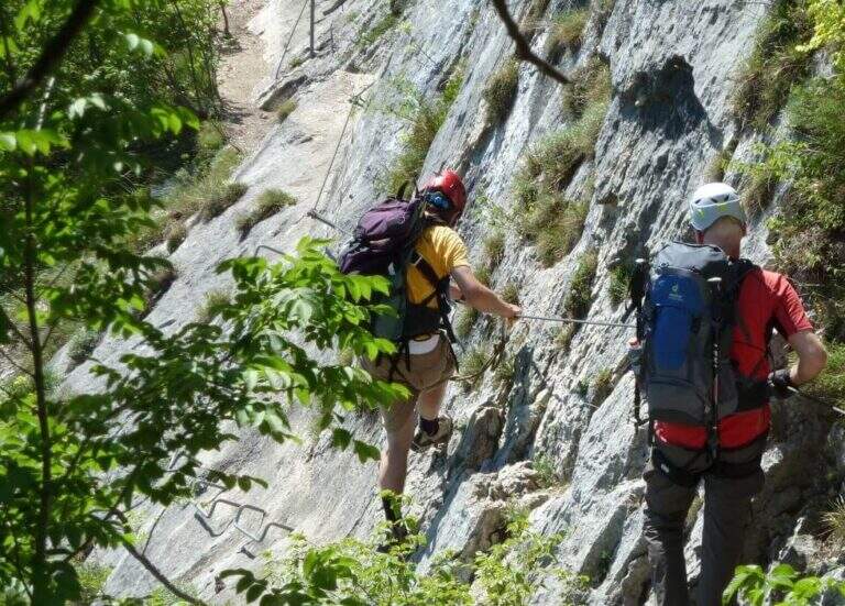
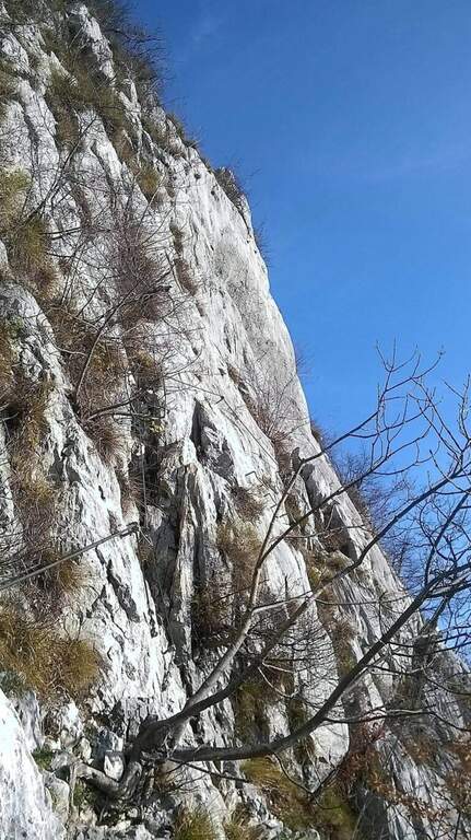
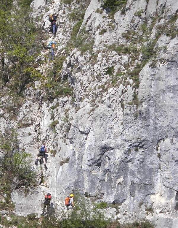
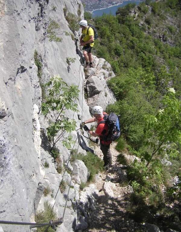
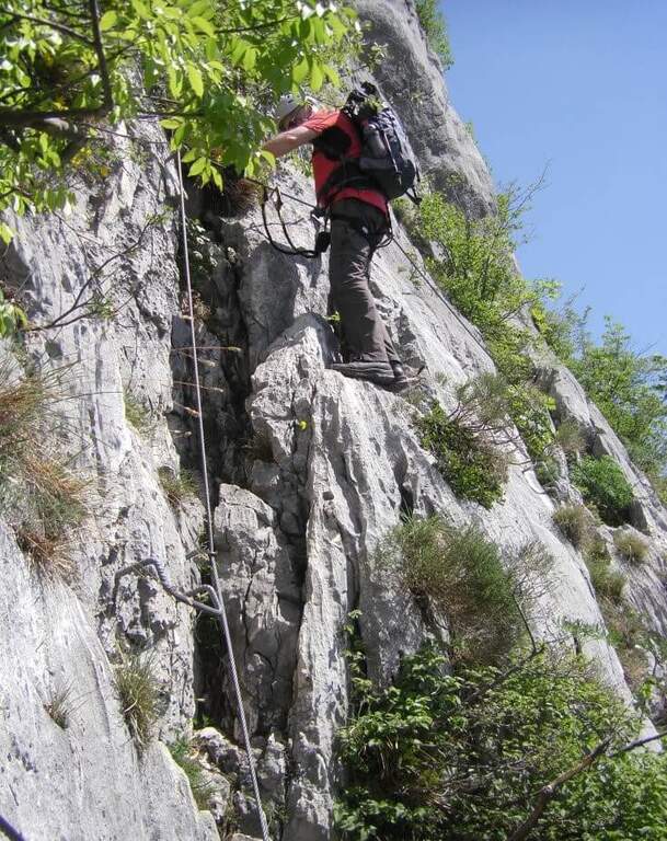
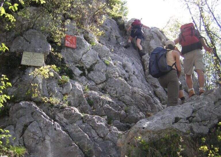
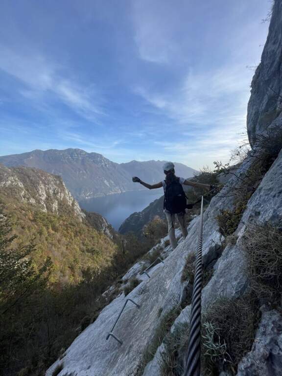
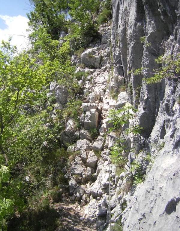
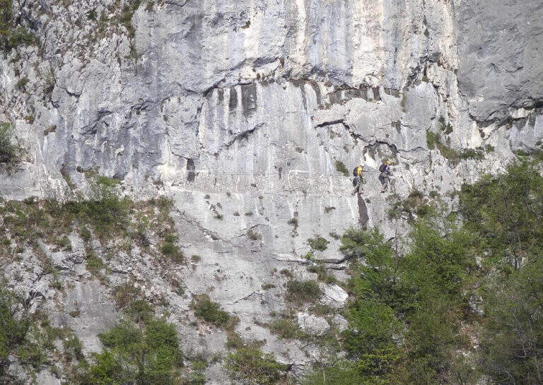
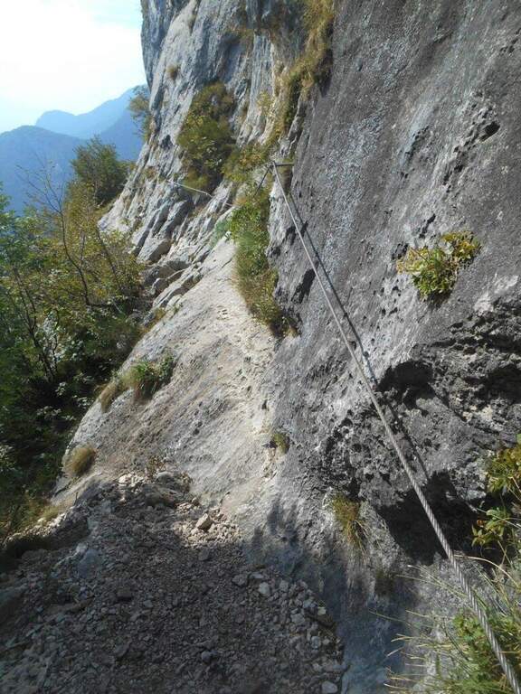
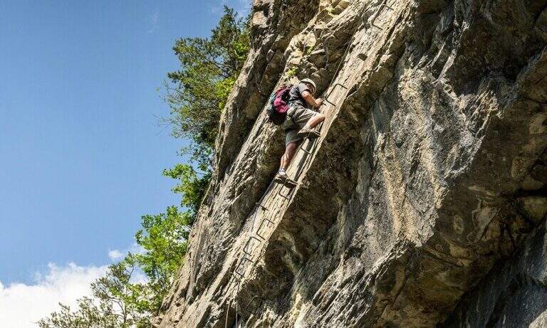
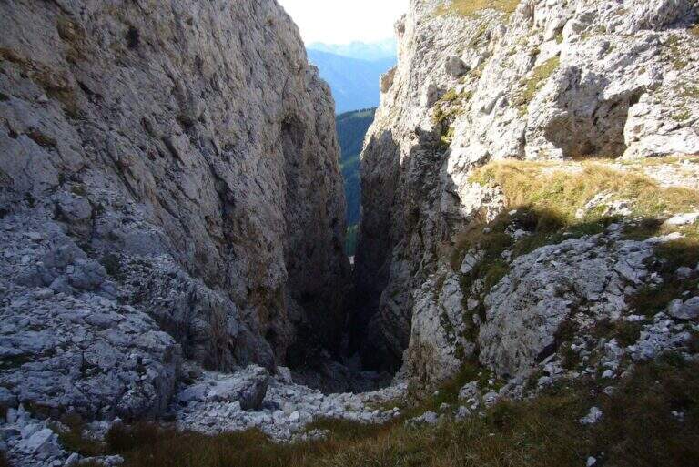
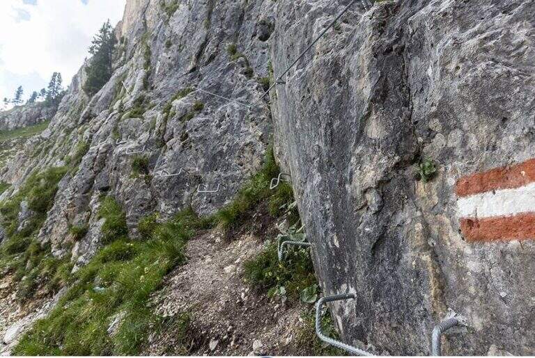
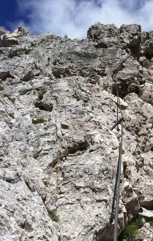
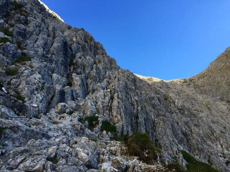
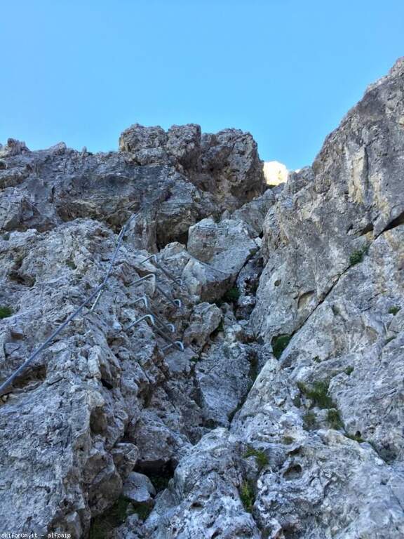
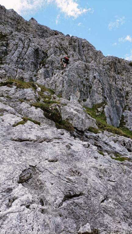
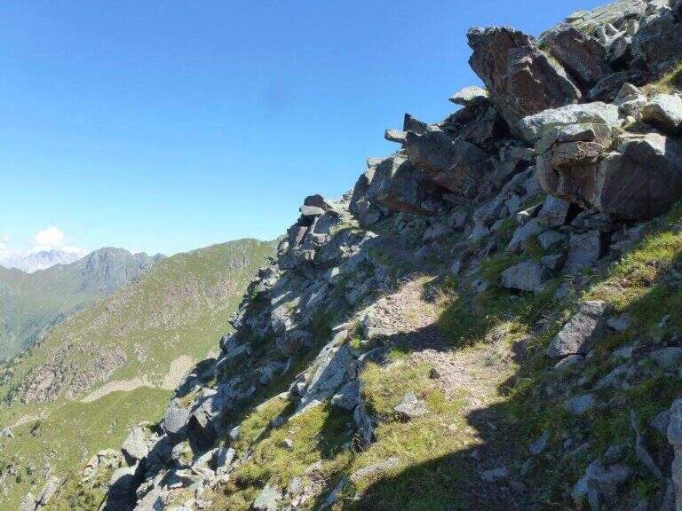
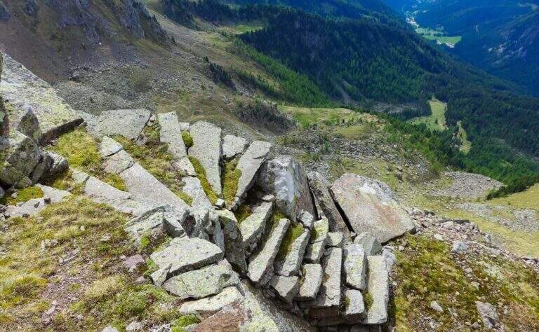
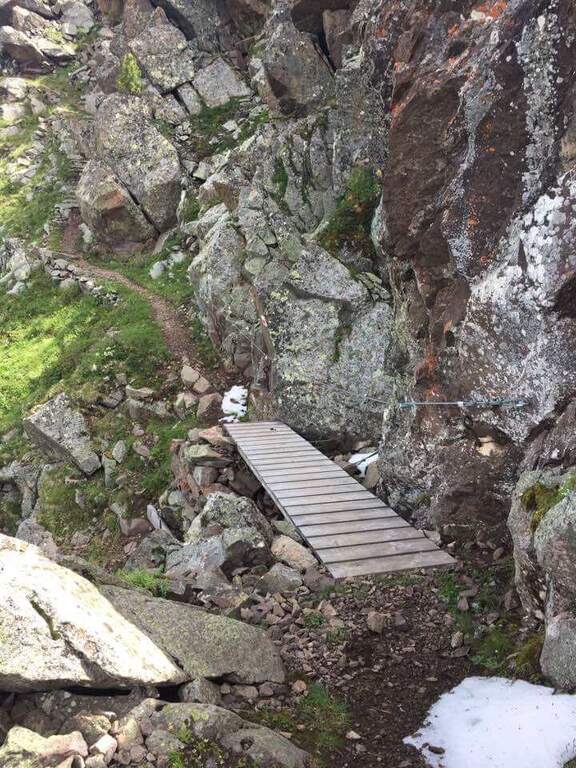
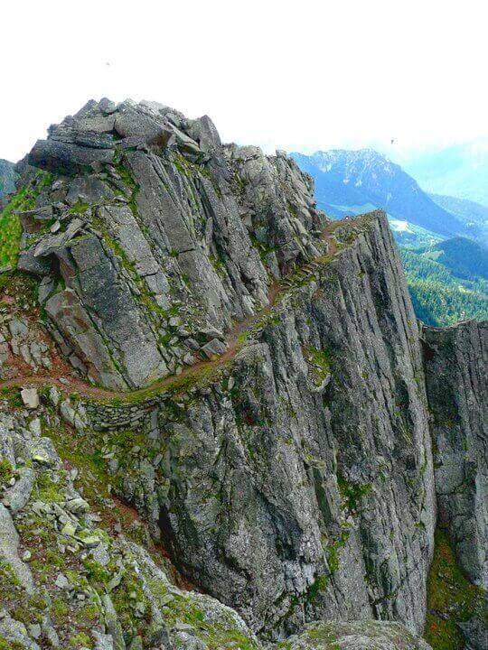
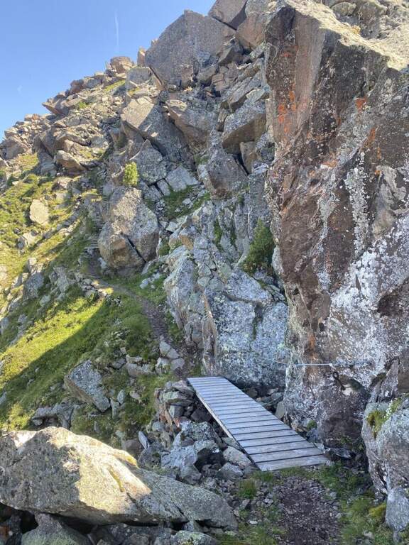
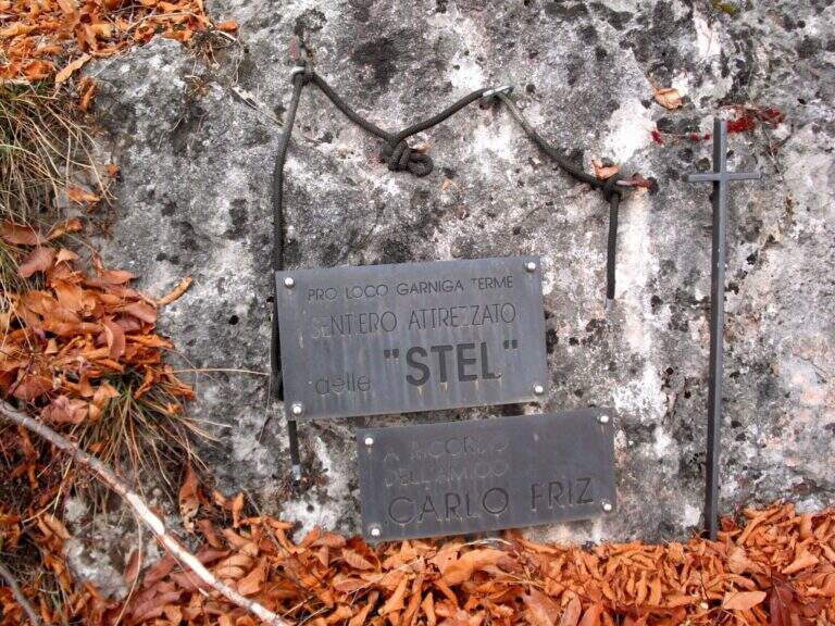
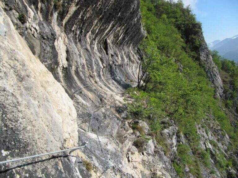
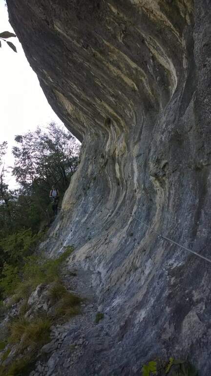
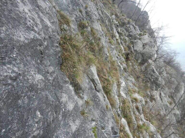
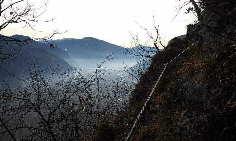
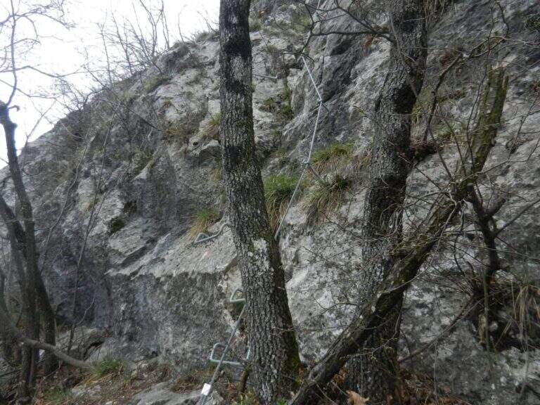
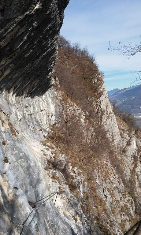
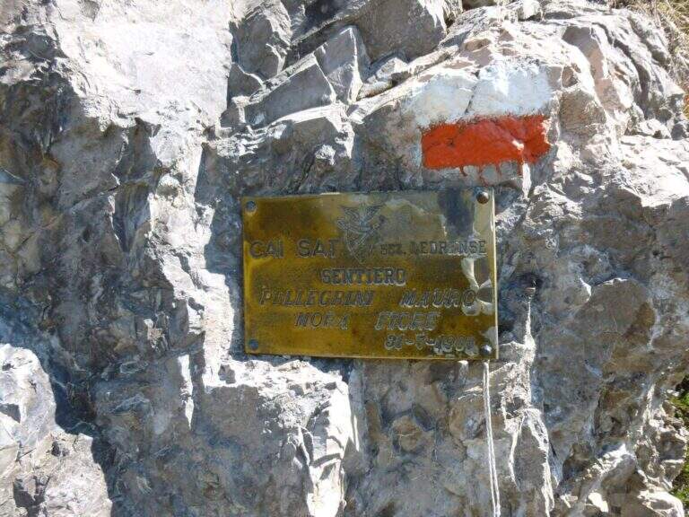
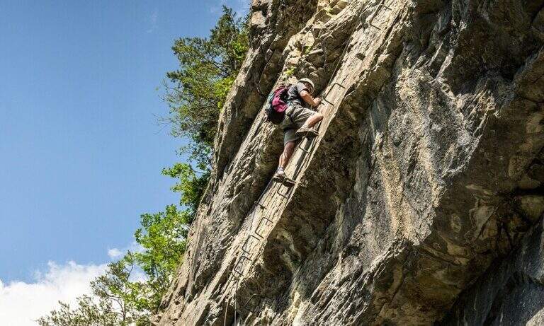
    The first metal protections accompany the climb of the east wall of Cima Casèt. Earn the top, descend towards the Pubregn (1774 m) along a nod equipped with cable. It then faces a colatoio of about 30 m down through ropes, which flows on a panoramic balcony with a direct view of Lake Ledro. The next section goes up with fireplace, brackets and short verticals until the plaque that marks the end of the route equipped to Bocca Corno Caset (1h45′ from the attack, 5h total).

    ▲Character and difficulty

    Classified Hard. The route alternates steep pathways and stretches equipped with cables and brackets. The descent of the 30 m colatoio with the ropes is the most challenging passage, followed by the census exposed above Lake Ledro. The rock is in some friable traits: always proceed with caution.

    ⚠ Avoid the colander equipped in the presence of residual snow or wet rock: the rope does not offer sufficient safety on slippery bottom.
    ▲Period and safety

    From June to October, preferably in stable weather conditions. Unconscious immediately after abundant rainfall.

    ▲Discipline

    From the end of the equipped path you descend to the Bochèt of Spinera (1318 m) through the path 456 towards Malga Giù, returning to the fork and then to the parking lot of Passo Tremalzo (5h total).

    ▲To match

    The Tremalzo area also offers the nearby Sentiero Attrezzato Segata on the opposite side of the lake.
    ▲Gallery
    Technical data
    • DifficultyHard
    • RegionTrentino-Alto Adige
    • GroupJudicial prealps
    • Approach1:15 h
    • Ferrata0:30 h
    • Itinerary (a/r)5:00
    • Hardware level difference40 m
    • Route difference225 m
    • Max1774 m
    • Length7 Km
  • Sentiero Attrezzato Vidi al Grostè

    Sentiero Attrezzato Vidi al Grostè

    Vie Ferrate › Trentino-Alto Adige › Trento
    Sentiero Attrezzato Vidi al Grostè
    Moderately Hard● OpenDescriptionComplexityMapsGallery

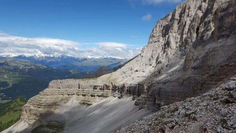
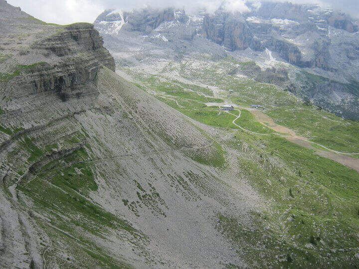
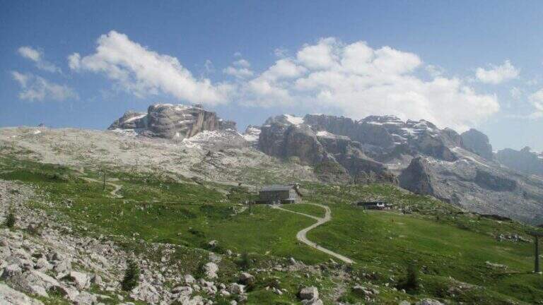
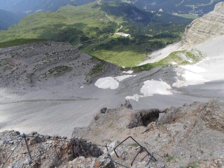
    The Sentiero Attrezzato Gustavo Vidi winds around Pietra Grande and the Orti della Regina in the Brenta Dolomites, starting from the mountain station of Madonna di Campiglio al Grostè. A ring of rare beauty in a corner among the least frequented of the Brenta, with exposure not to be underestimated despite the technical difficulties contained.

    ▲Approach

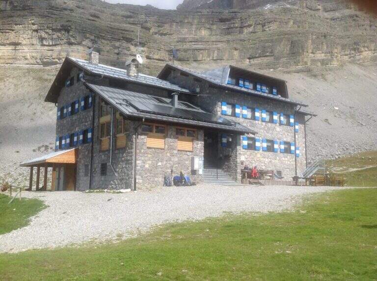
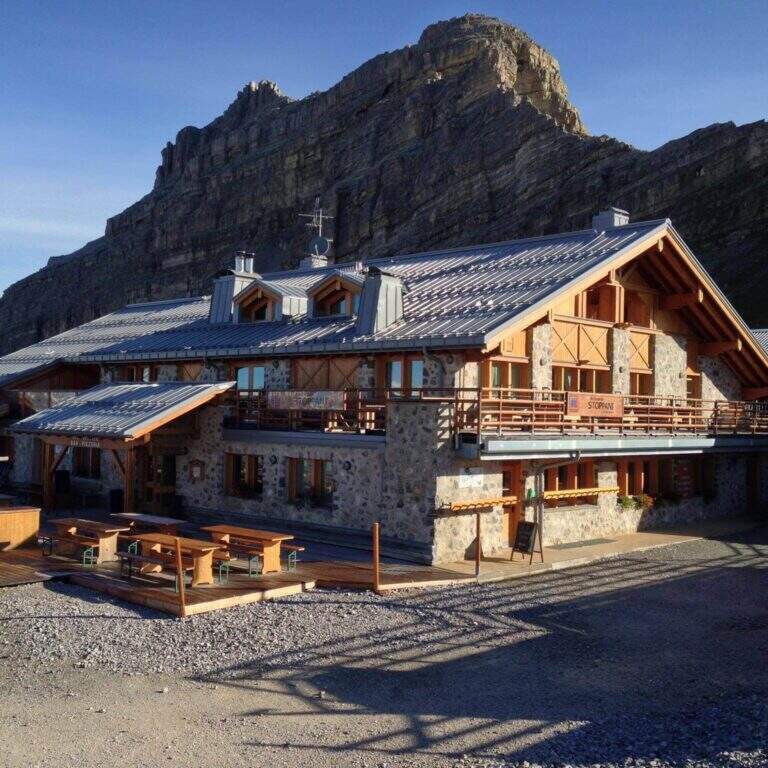
    You can reach Madonna di Campiglio and take the cable car to Stoppani Refuge at Grostè (directions road map). Alternatively, you walk up the CAI 301 path, which recovers 800 m of altitude in about two hours without excessive slope.

    ▲The path

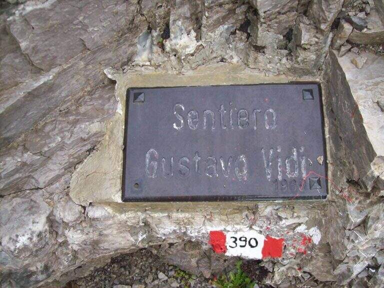
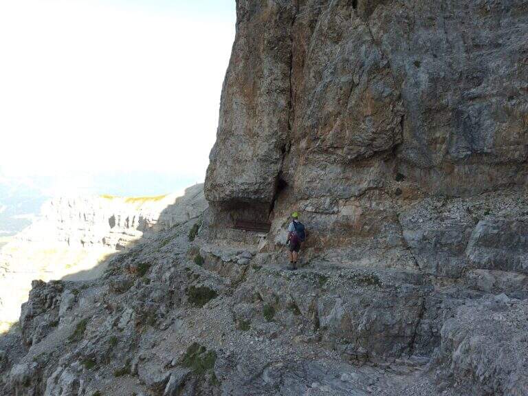
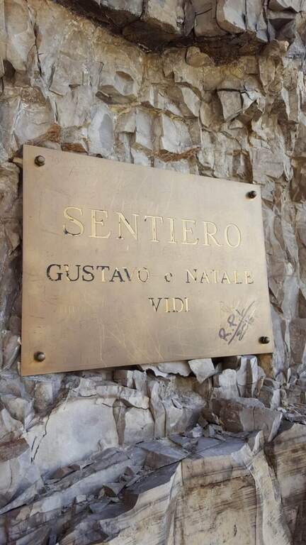
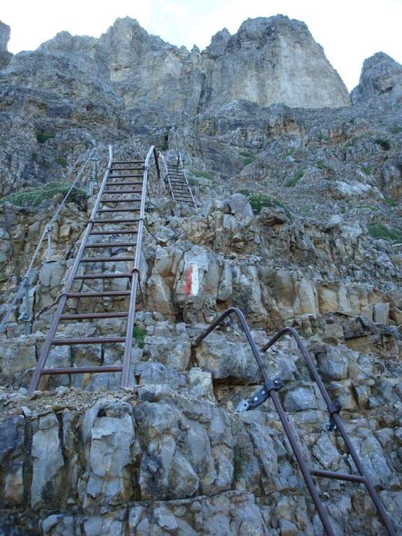
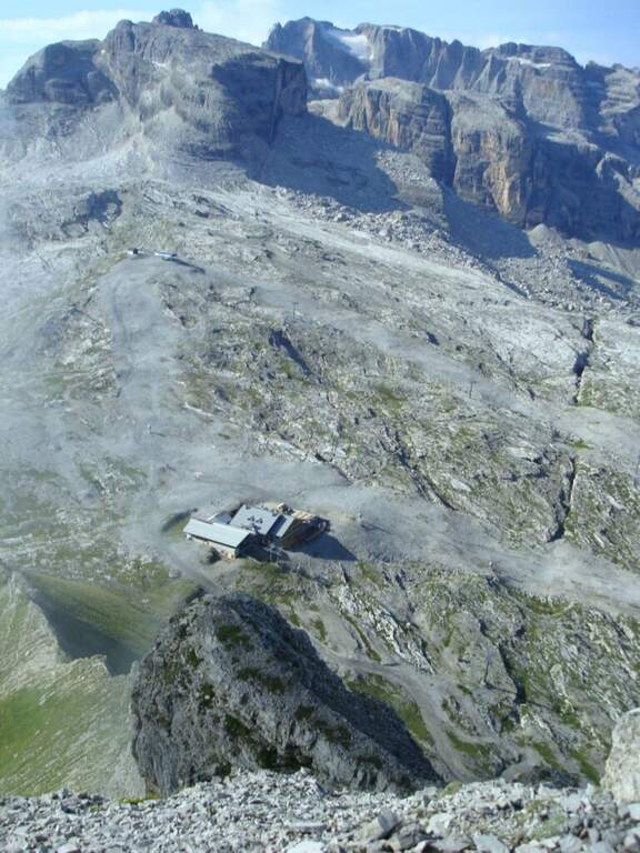
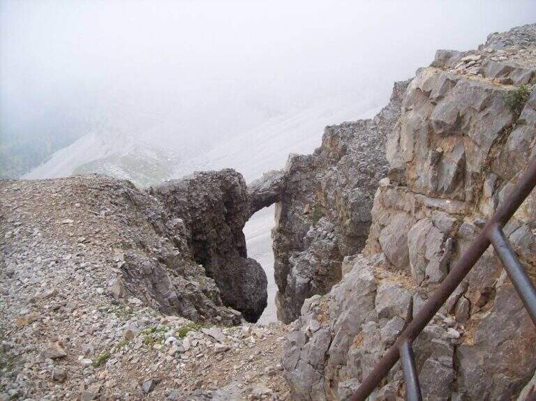
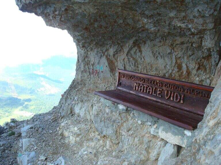
    From the mountain station of the cable car follow the many CAI 390 signs towards Pietra Grande. In twenty minutes you will meet the first red sign that marks the official entrance to the Route Attrezzato Vidi. There are some easy rocks and a steep and gravel path up to a characteristic wide nod, where a metal plate recalls the dedication of the route. Continue north, keeping the altitude, until a first narrowing of ridge with metal equipment. After some unprotected rocks, you face a narrow canal where the cable accompanies the ascent. The route describes an arc around the massif: a long stretch of nod, partially without protection, requires firm foot and concentration. Below you can see the Rifugio Graffer, destination of the return (about 2h 30' from the attack).

    ▲Character and difficulty

    Classified Moderately Difficult. Strictly equipped traits do not have high technical difficulties, but wide nods are exposed and free of cable: they require safe foot and lack of dizziness. Complexity: technique 2/5, physics 2/5, exposure 3/5, environment 2/5.

    ⚠ In late season some passages can preserve snow or ice: peak or ramps as precaution, similar to the whole sector of the Brenta.
    ▲Period and safety

    Recommended from June to September. Avoid in the presence of rainfall or afternoon temporal risk. The cable car closes seasonally: check its availability before leaving.

    ▲Discipline

    From the Rifugio Graffer you will descend by cable car from the intermediate station or continue on foot along the CAI 301 path to Madonna di Campiglio (about 5h total counting the cable car uphill and the descent on foot). Alternatively, go up to the Stoppani Refuge to resume the cable car (3h 30' total).

    ▲To match

    In the same area of the Brenta you can match the Ferrata della Val Gelada or the neighbor Path Equipped with the Palete.

    ▲Gallery
    Technical data
    • DifficultyModerately Hard
    • RegionTrentino-Alto Adige
    • GroupDolomiti di Brenta
    • Approach0:20 h
    • Ferrata2:30 h
    • Itinerary (a/r)3:30 h
    • Hardware level difference220 m
    • Route difference300 m
    • Max2662 m
    • Length4,4 Km
  • Sentiero Attrezzato delle Laste – Cima Capi

    Sentiero Attrezzato delle Laste – Cima Capi

    Vie Ferrate › Trentino-Alto Adige › Trento
    Sentiero Attrezzato delle Laste – Cima Capi

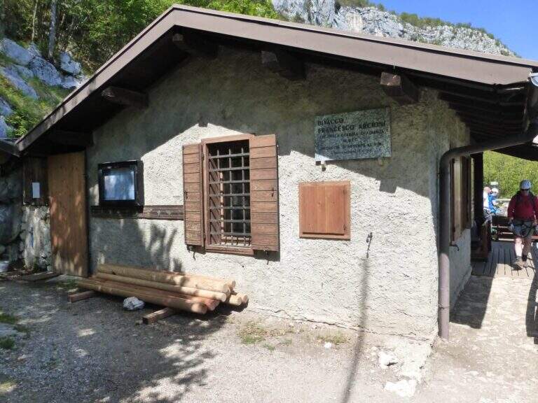
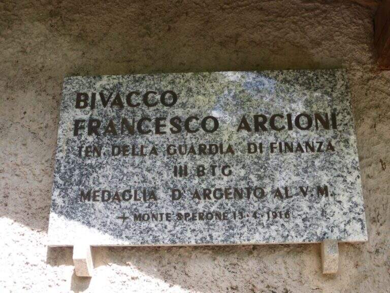
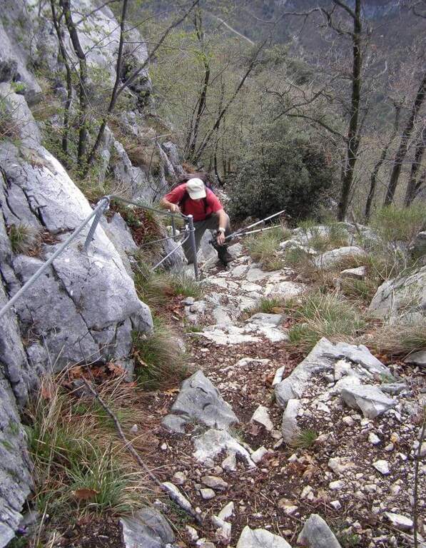
    The Sentiero Attrezzato delle Laste is the most direct way to climb from Biacesa to Bivacco Arcioni and the Church of San Giovanni, under Cima Capi and Cima Rocca. Short path, without marked exposure, suitable for those who move the first steps on the paths equipped in a lake context of great charm.

    ▲Approach

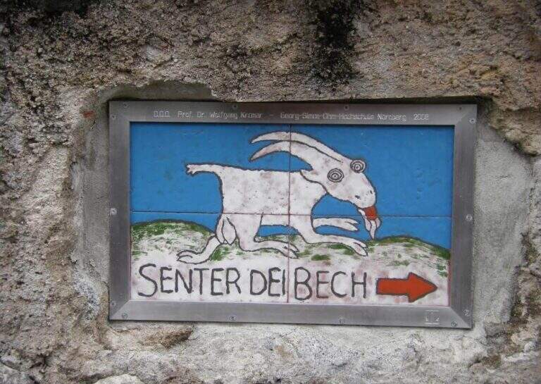
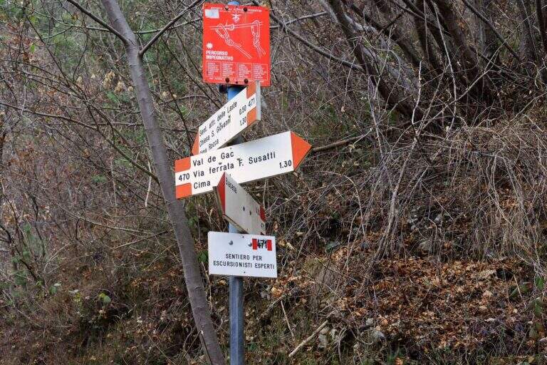
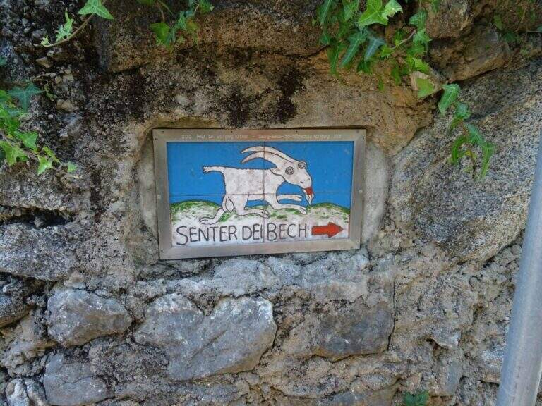
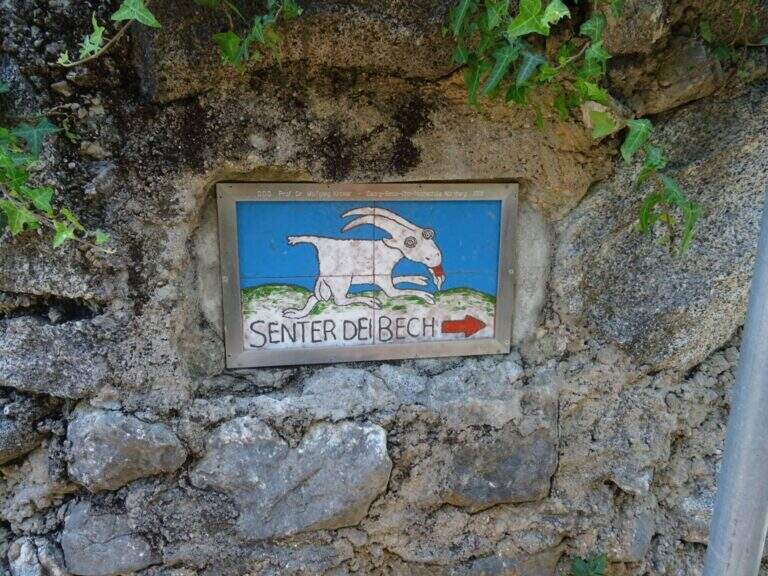
    You reach Biacesa, 4 Km from Riva del Garda along the tunnels towards Val di Ledro (directions road map). By taking Via dei Dazi and turning right you will reach a playground with large parking. Follow the CAI 470 trail (Sentiero dei Bech) east towards Cima Capi for about 15 minutes until the junction where the CAI 471 climbs left: it is the attack of the Laste Path.
    ▲The path

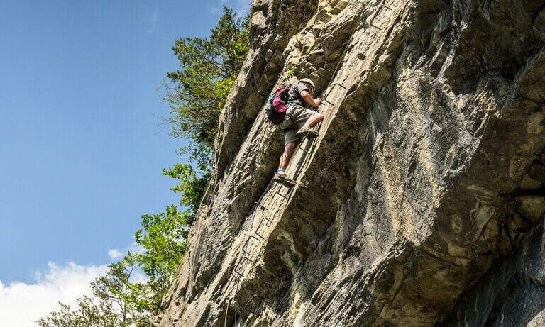
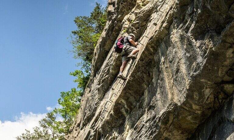
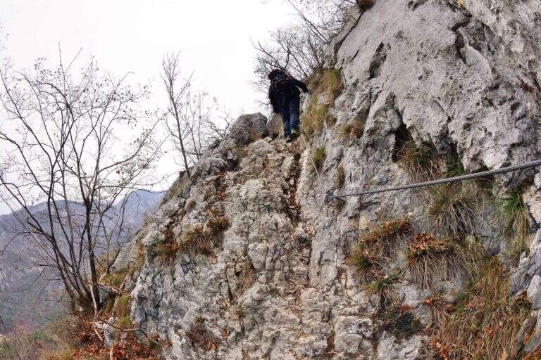
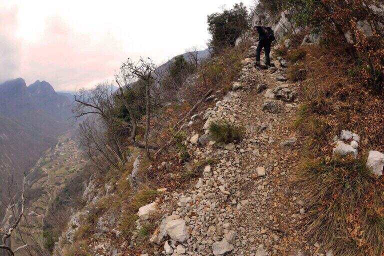
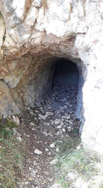
    The first obstacle is a dihedron of 6 meters with cable on the left side and good natural sticks on the right. They follow a grassy census in the woods and a well-groomed diagonal ramp. You get to a gallery with book of signatures — great stop point. Starting up a wall with large metal cambres, then a second section similar diagonally exhausts the equipment. The path continues on the most open ground to Bivacco Arcioni (45' from the attack), then to the Church of San Giovanni.

    ▲Character and difficulty

    Classified Easy: the equipped sections do not exceed the second degree and do not display. Complexity: technique 1/5, physics 2/5, exposure 1/5, environment 2/5. Suitable for children already accustomed to the use of helmet and harness with adult supervision.

    ▲Period and safety

    It can be traveled almost throughout the year thanks to the modest share. In case of rain the initial dihedron can be slippery.

    ▲Discipline

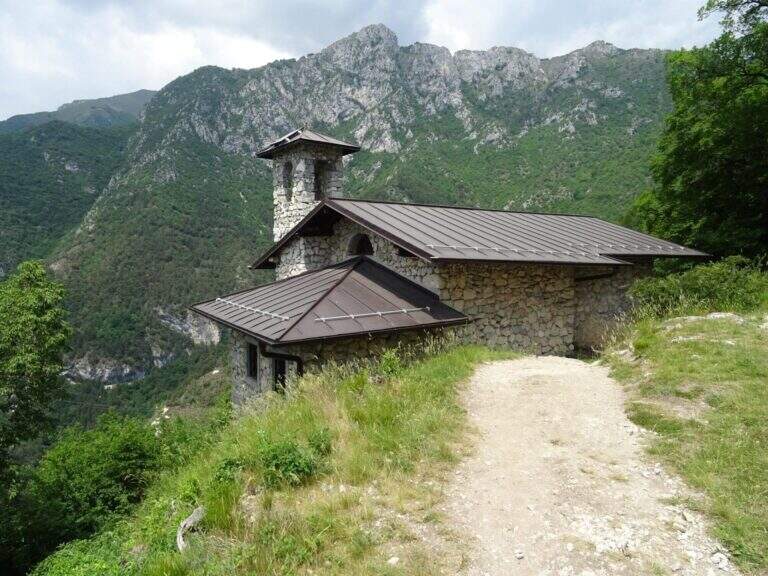
    From the Church of San Giovanni take the CAI 460 path west to the crossing with CAI 417, then left towards Biacesa (45' — 1h 45' total including the ascent).

    ▲To match

    In the same area of Garda: the Hiking trail Mora Pellegrini.

    ▲Gallery
    Technical data
    • DifficultyEasy
    • RegionTrentino-Alto Adige
    • GroupMonte Baldo and Garda
    • Approach0:15 h
    • Ferrata0:45 h
    • Itinerary (a/r)1:45 h
    • Hardware level difference231 m
    • Route difference440 m
    • Max858 m
    • Length4 Km
  • Sentiero Attrezzato dell’Ideale – Bocca d’Ambiez

    Sentiero Attrezzato dell'Ideale – Bocca d'Ambiez

    Vie Ferrate › Trentino-Alto Adige › Trento
    Sentiero Attrezzato dell'Ideale – Bocca d'Ambiez
    Moderately Hard● OpenDescriptionComplexityMapsGallery

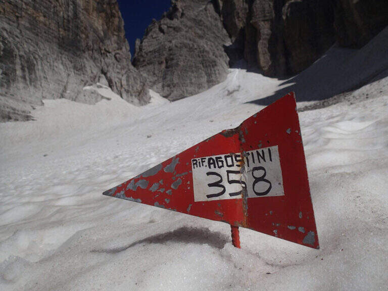
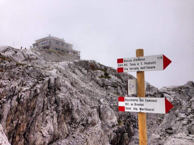
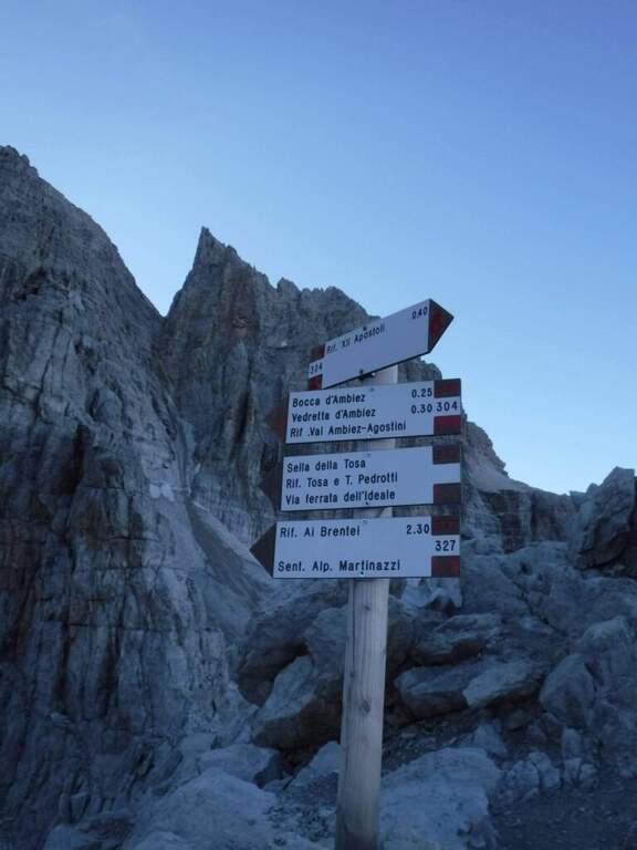
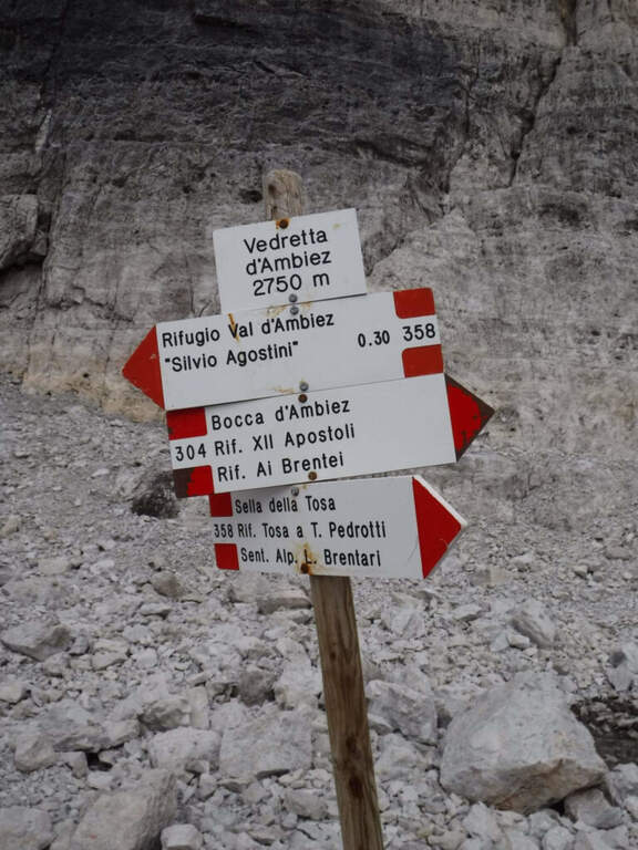
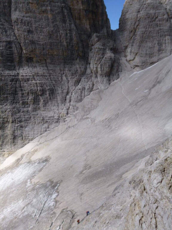
    The Attrezza dell'Ideale Path crosses the wall under the Cima d'Ambiez in the Brenta Dolomites, connecting the Refugi XII Apostoli and Agostini. Although historically classified as an equipped path, it has vertical traits and exposed worthy of a true via ferrata — not to be underestimated.

    ▲Approach

    The most common starting point is the cable car from Pinzolo to Doss del Sabion (directions road map). From Pinzolo on the SS 239 you park in the wide beaches next to the lifts. From the mountain station, follow the Attrezza della Scala Santa path to reach the XII Apostoli refuge (about 3h).

    ▲The path

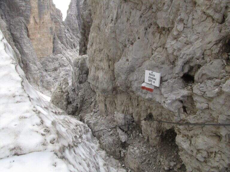
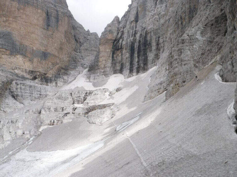
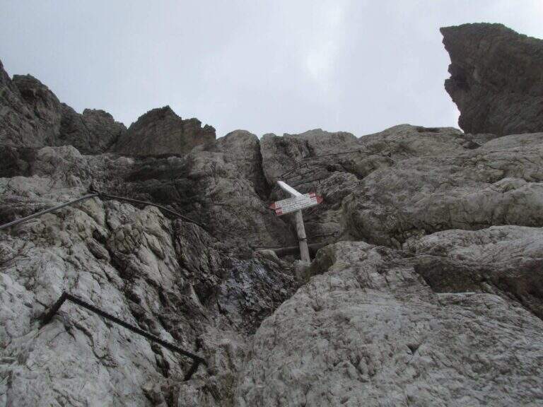
    From Rifugio XII Apostoli follow the CAI 307 towards the east towards the Bocchetta dei Camosci. You go up a valley on a detritic background with slope supported up to a point where the wall tightens: here begin the vertical and exposed traits that justify the reputation of this path. The route climbs towards the Bocca d'Ambiez alternating equipped rocks and aerial cenges. The exit leads to the Rifugio Agostini. The route can also be routed in reverse direction, or as a natural continuation of the Ferrata Brentari that starts from the Rifugio Pedrotti.

    ▲Character and difficulty

    Classified Moderately Difficult, but with passages that approach the Difficult for exposure and verticality. Not suitable for those with the use of the hardware set. Complexity: technique 2/5, physics 3/5, exposure 3/5, environment 3/5.

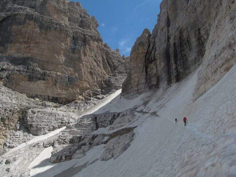
    ⚠ The itinerary takes place at high altitude in the Brenta: possible presence of snow and ice even in summer. Check the conditions at the Rifugio Agostini before leaving.
    ▲Period and safety

    From July to September. High altitude and shaded orientation can keep snow long. Recommended in company or after having traveled other similar level ferrates.

    ▲Discipline

    From the Rifugio Agostini you can descend towards Molveno along CAI paths or return to the Rifugio XII Apostoli to resume the cable car towards Pinzolo.

    ▲To match

    Complementary Ferrata Brentari, al Sentiero della Scala Santa and Ferrata Benini.

    ▲Gallery
    Technical data
    • DifficultyModerately Hard
    • RegionTrentino-Alto Adige
    • GroupDolomiti di Brenta
    • Approach3:00 h
    • Ferrata2:30 h
    • Itinerary (a/r)10:30 h
    • Hardware level difference400 m
    • Route difference450 m
    • Max1750 m
    • Length6 Km
  • Sentiero Attrezzato Gino Badia

    Sentiero Attrezzato Gino Badia

    Vie Ferrate › Trentino-Alto Adige › TN
    Sentiero Attrezzato Gino Badia

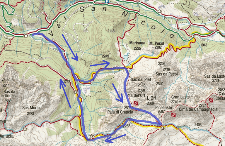
    The Sentiero Attrezzato Gino Badia is a high mountain route in the Trentino Dolomites of Val San Nicolò, near Pozza di Fassa: a challenging climb with equipped stretches that culminates in the iconic carving of the Forcella del’Ort between two rocky towers.

    How to arrive and approach

    The starting point is Malga Crocefisso (1522m), reachable from Val San Nicolò — right side of Val di Fassa — near Pozza di Fassa (TN). Follow the forest road that goes up the Val San Nicolò until the parking lot at the hut. From the parking lot take the 603 signpost that enters the valley. Approximation takes about 2 hours to the Forcella from Pief (2186m), along the signs 603, 641 and 640A in succession.
    The path

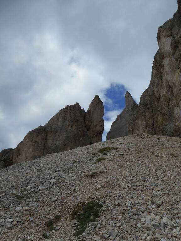
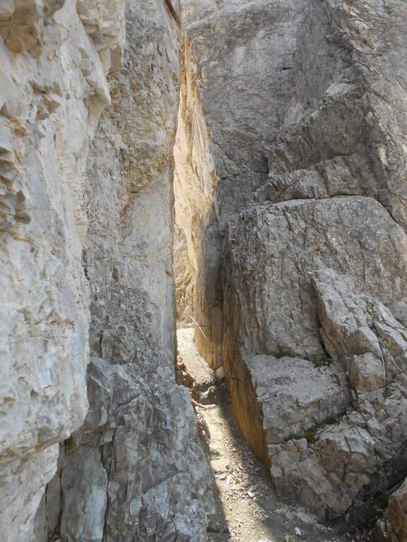
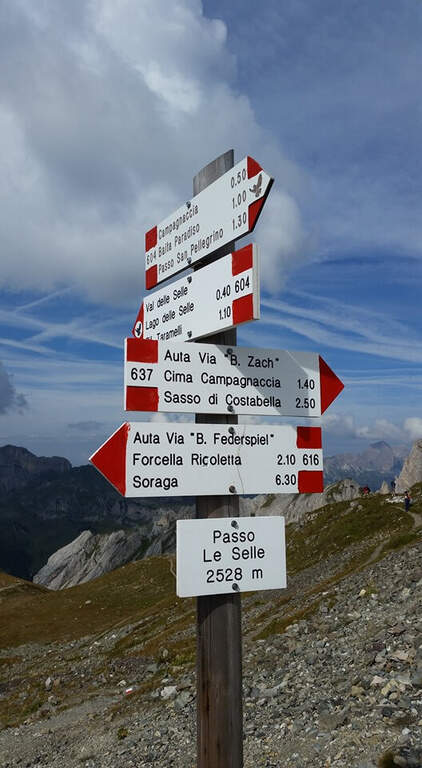
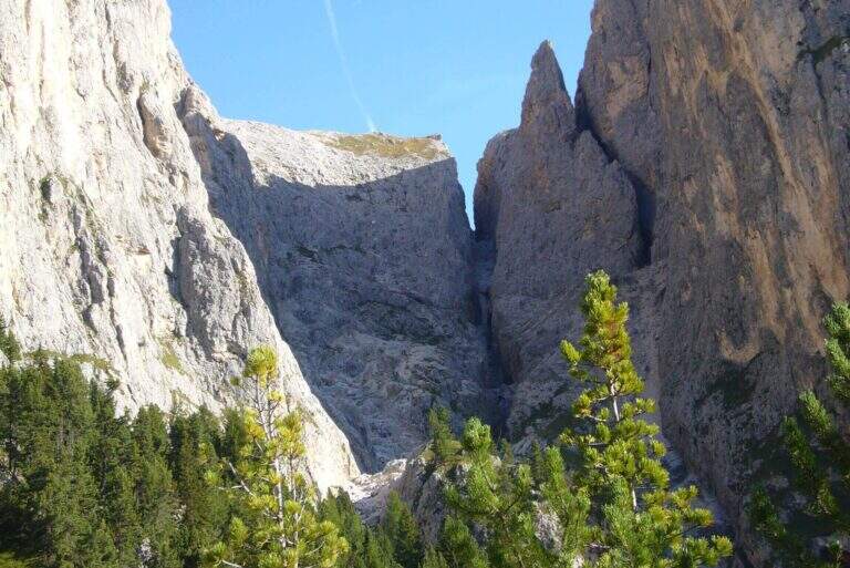
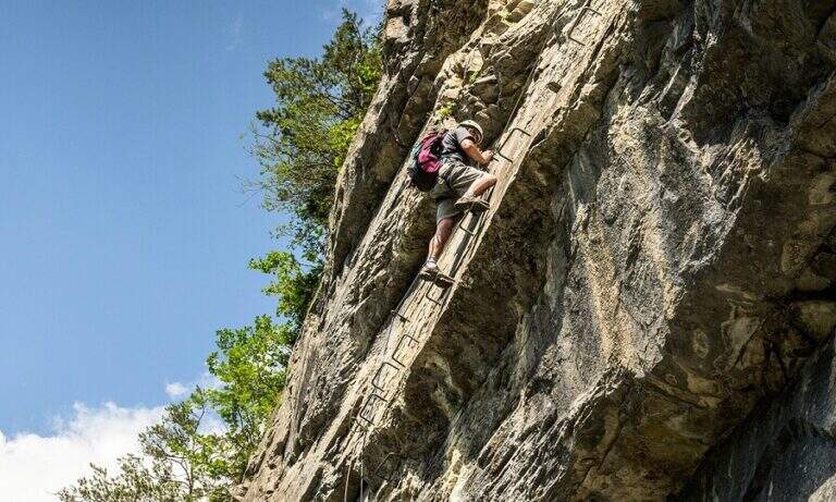
    From Malga Crocefisso (1522m) go up for the 603-641-640A signs to the Forcella from Pief (2186m) in about 1h30′. From the fork begin the equipped sections of the Sentiero Gino Badia: about 45 minutes of progression on dolomitic rock with a height difference of 75m. The route culminates in the spectacular Forcella del Ort, a narrow air carving between two rocky Dolomite towers that constitutes the most characteristic passage of the route. The maximum quota reached is 2528m.

    Character and difficulty

    The path is classified difficult especially for the long approach (2 hours) and the total difference (1006m on 13km total). The section equipped in the strict sense is short-lived but takes place on dolomitic soil at more than 2400m of altitude, requiring good technique of progression and absence of dizziness. The Forcella del Ort is a very characteristic air passage. Difficulty: Hard.

    Period and safety

    Recommended from July to September. At an altitude of 2528m the Dolomitic weather can change quickly: the morning departure is mandatory to avoid the afternoon storms. Snow presence possible even in summer in the canals of the Forcella del Ort. Check conditions before facing the route, especially in the first and last part of the summer season.

    Discipline

    From the highest point (2528m) it descends towards the Forcella from Pief and then to Malga Crocefisso for the climb path, or you can access other routes of the Val Monzoni area. The total time of the excursion is about 5h30′.

    To match

    The Val di Fassa and the surrounding Dolomites are equipped with trails of all levels. The Val San Nicolò is a quiet and unpopular environment, ideal for approaching other peaks of the Monzoni Group. In the surroundings of Pozza di Fassa there are numerous itineraries of the Dolomites of Fassa.

    ▲Gallery
    Technical data
    • DifficultyHard
    • RegionTrentino-Alto Adige
    • GroupDolomites
    • Approach2:00
    • Ferrata0:45 h
    • Itinerary (a/r)5:30 h
    • Hardware level difference75 m
    • Route difference1006 m
    • Max2528 m
    • Length13 Km
  • Path equipped Franco Galli

    Path equipped Franco Galli

    Vie Ferrate › Trentino-Alto Adige › TN
    Path equipped Franco Galli

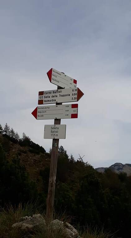
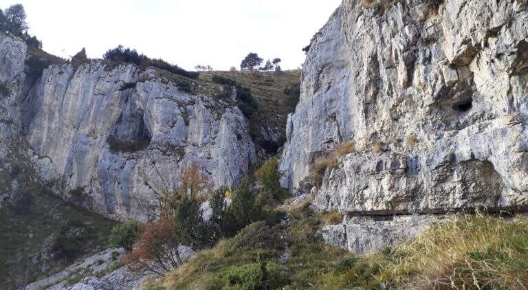
    The Attrezzato Path Franco Galli leads to the Corno Battisti (1762m) on the Trentino side of the Massif of the Pasubio, going through places marked by the events of the First World War and rich of still well preserved war installations.

    How to arrive and approach

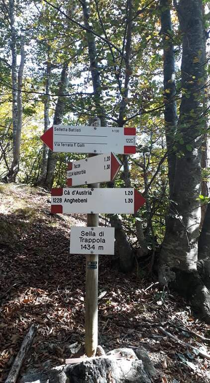
    The starting point is the village of Tezze, near Valmorbia (TN), on the state road 46 Rovereto-Valli del Pasubio. From Valmorbia turn left towards the center of the village and then right on the first road uphill, narrow and winding, up to a slargo where leave the car (about 750m). Parking is poor: those who do not find a place can leave the car in the village and walk the last stretches on asphalt road, adding about 200m of altitude difference. We recommend the route counterclockwise so that the tunnels are crossed uphill: take the 122A signpost to the right, leaving the 123 mark on the left (it will be the return route). The path 122A climbs steadily and steeply in the woods without technical difficulties until the Sella di Trappola (1435m, about 2 hours from Tezze); from the saddle you hold the left towards the Corno Battisti.

    The path

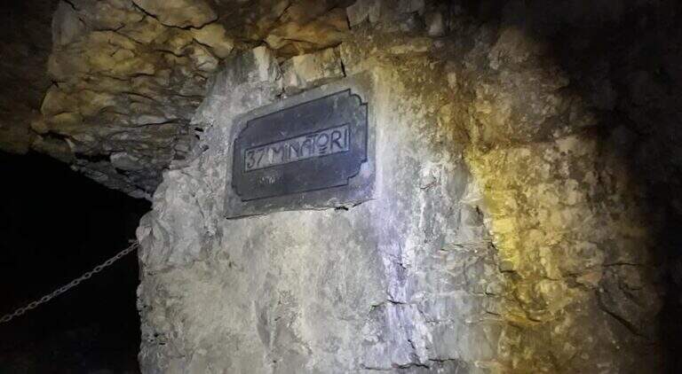
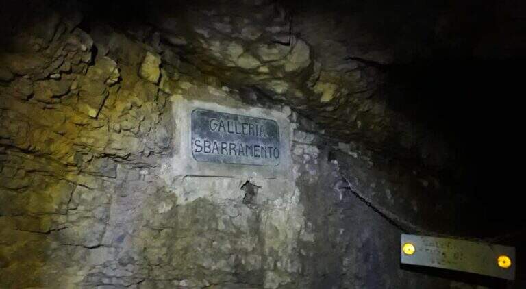
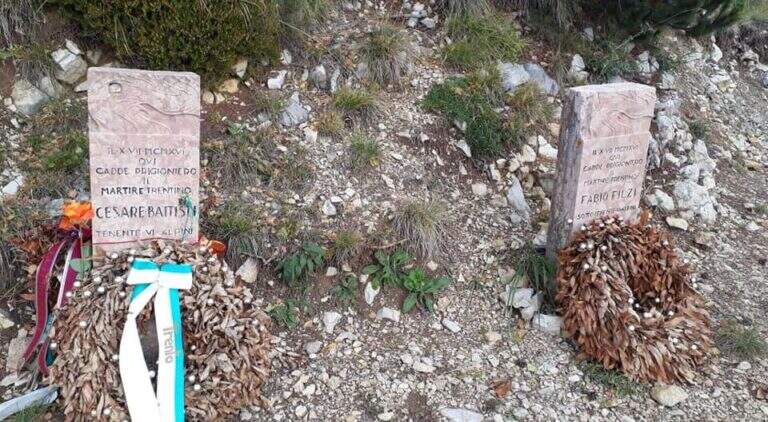
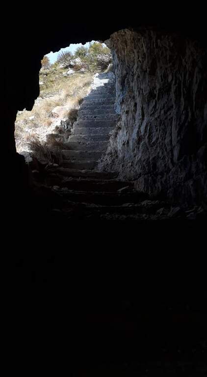
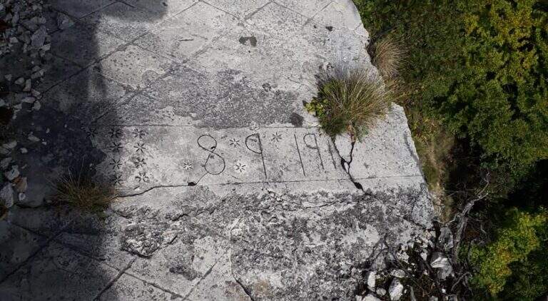
    From Sella di Trappola (1435m) begins the stretch equipped towards Corno Battisti. The path in the forest rarely leads to the first war station of the Great War and to the first equipped highlight marked by a characteristic red sign. You go up a rocky canal, you reach another location and then a first gallery. Following the white-red signposts you will meet new positions and a sign indicating the Pulcinella Hat (photography, optional deviation on the left). The itinerary alternates galleries and outdoor paths; a staircase carved into the rock precedes a wooded section and then a new gallery to be climbed internally for a long staircase. At the exit, marble marks commemorate the military units that fought in this area. You will walk through a picturesque nod and a rocky highlight before taking the main tunnel, to be crossed entirely without entering the closed branches. You can reach the Corno Battisti (1762m).

    Character and difficulty

    Itinerary of considerable historical interest — in these places were captured by the Austrian troops the Trentino irredentists Cesare Battisti and Fabio Filzi — and physically challenging for the total length and difference (1000m, 14km, 6 hours total). The equipped traits are of average level but follow after a long approach that requires good physical preparation. Difficulty: Hard. Need a front torch for tunnels.

    Period and safety

    From May to October. The galleries are in the dark: the front torch is indispensable. Attention to the wet rock in the exposed sections of the nod. In winter, tunnels can present ice. The length of the route (6 total hours) requires adequate supply of water and food and to leave early morning.

    Discipline

    From Corno Battisti (1762m) you descend for the 123 marker, which closes the ring returning to Tezze in about 3h30′. This return path is more direct than the route but without the tunnels. The total time of the ring hike is about 6 hours.

    To match

    On the Venetian side of the Pasubio is the Sentiero Attrezzato Falcipieri alle 5 Cime del Pasubio, great crossing equally rich in history of the Great War. The Piccole Dolomiti and Massiccio del Pasubio host many other historical and mountaineering routes.

    ▲Gallery
    Technical data
    • DifficultyHard
    • RegionTrentino-Alto Adige
    • GroupSmall Dolomites
    • Approach2:30 h
    • Ferrata1:30 h
    • Itinerary (a/r)6:00 h
    • Hardware level difference200 m
    • Route difference1000 m
    • Max1762 m
    • Length14 Km
  • Path equipped Foletti

    Path equipped Foletti

    Vie Ferrate › Trentino-Alto Adige › TN
    Path equipped Foletti

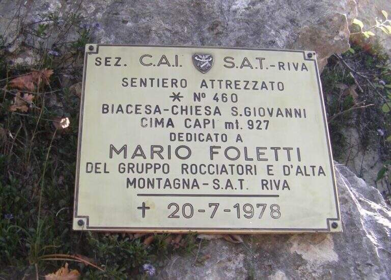
    The Sentiero Attrezzato Foletti is a short but exposed route that descends from the north side of Cima Capi towards Biacesa di Ledro, frequently combined as a descent path to Ferrata Susatti.

    How to arrive and approach

    The village of Biacesa is reached from Riva del Garda along the tunnels towards the Val di Ledro; after the second tunnel it is almost immediately in Biacesa. In the village take Via dei Dazi on the right and, at the bottom, turn right still continuing briefly until a playground with large parking, which is the base of the excursion. Those who intend to walk the Foletti as a descent path after Ferrata Susatti will have to read the report of the Ferrata for the starting point at altitude. For those who want to go back to the Foletti from the bottom, you can reach the Church of San Giovanni for the Path Atrezzato delle Laste (1 hour) or for the CAI 417 path and then CAI 460 from Biacesa (1 hour).

    The path

    The first metal equipment guides along a beam exposed to inclined plates, where the foot support points are good and the metal handles fill the missing traits. It follows a vertical stretch uphill and then a more challenging one downhill on the wall. The progression continues up to a wall to be crossed diagonally without particular technical difficulties, until the plaque that marks the end of the equipped path (about 20 minutes from the attack).

    Character and difficulty

    Short course, without marked technical difficulties, but to be faced carefully especially in the downhill section that requires coordination and safe step. The Foletti does not require advanced experience of ferrata, but the exposure of some passages suggests to equip itself at least with sling and longe. The low altitude and brevity make it suitable as a natural completion of the tour with Ferrata Susatti. Difficulty: Hard.

    Period and safety

    Unconscious on the hottest days of summer for the solar exposure of the slope. The limestone rock of Upper Garda can be slippery in the presence of moisture. The low altitude of Cima Capi (909m) allows the journey in almost all seasons, with greater caution in winter. Pay special attention in the downhill section.

    Discipline

    At the end of the Sentiero Foletti is located near the Church of San Giovanni. From here you will descend to Biacesa following the Route Attrezzato delle Laste (about 45 minutes from the church, 4 hours total starting from Biacesa with the Ferrata Susatti) or along the CAI 460 path in connection with the CAI 417.

    To match

    The Foletti is matched by definition to Ferrata Susatti for Cima Capi, of which it constitutes the classic path of descent. In the area there are also numerous other routes and paths equipped on the Gardesane Prealps, including the Ferrata delle Laste.

    ▲Gallery
    Technical data
    • DifficultyHard
    • RegionTrentino-Alto Adige
    • GroupPrealps Gardesane
    • Approach2:45 h
    • Ferrata0:20 h
    • Itinerary (a/r)4:00 h
    • Hardware level difference70 m
    • Route difference490 m
    • Max909 m
    • Length8,1 Km
  • Sentiero Attrezzato delle Scalette al Catinaccio (Larsec)

    Sentiero Attrezzato delle Scalette al Catinaccio (Larsec)

    Vie Ferrate › Trentino-Alto Adige › Trento
    Sentiero Attrezzato delle Scalette al Catinaccio (Larsec)
    Moderately Hard● OpenDescriptionComplexityMapsGallery

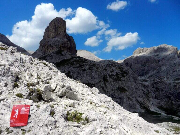
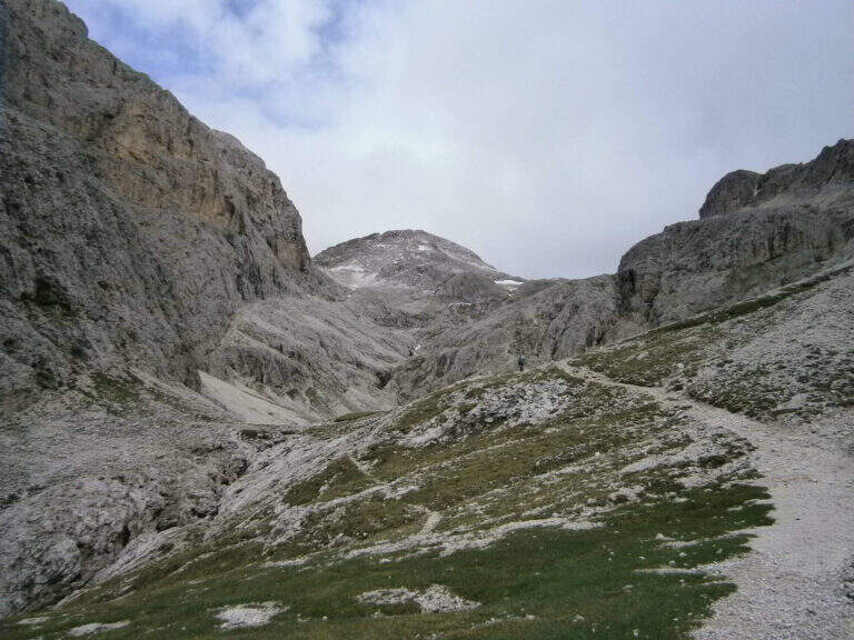
    The Sentiero Attrezzato delle Scalette is the most direct route from Rifugio Gardeccia to the austere valleys of Larsec and Laussa, in the heart of Catinaccio. The itinerary does not have particular technical difficulties and can be routed also by those who are the first experiences on the equipped routes; however, great attention should be paid to the weather if you decide to continue in the two valleys at altitude.

    ▲Approach

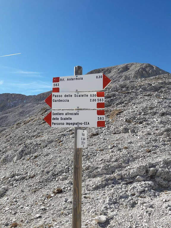
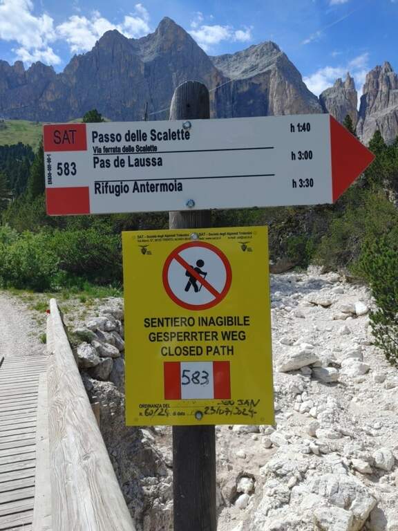
    The starting point is the Rifugio Gardeccia, in the Val del Vajolet (parallela alla Val di Fassa, TN) and the private traffic. To reach it there are various options: go up with the cable car from Vigo di Fassa to the Ciampedie Refuge and continue on a comfortable path in about 45′; use the shuttle bus from Pozza di Fassa (20′, you should check point and times with the tourist office); or go up with the cable car from Pera di Fassa and reach the refuge on foot (open up Google Maps). From the Gardeccia Refuge (1949 m) follow the CAI 583 which, halfway, passes under the Larsec cliffs to the east, wanders the imposing rocky ramparts and continues to the north in more marked ascent; at a certain point a pole indicates to keep the left on a new track, which replaces an old street subject to a landslide (1h from the Gardeccia Refuge).

    ▲The path

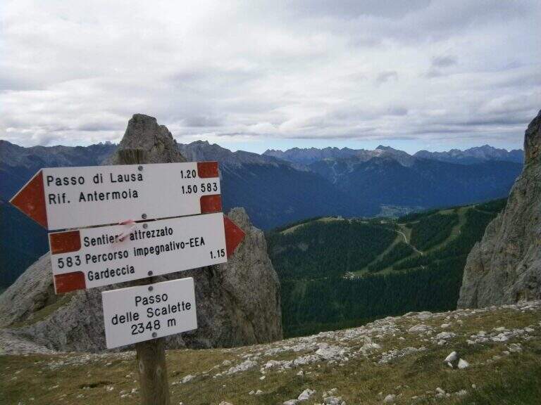
    From here onwards you will walk through the actual Sentiero delle Scalette, which is inerpica in a canalone at the end of which you will reach the Passo delle Scalette. The first stretches are on an exposed nod, besides which a series of metal brackets allows to trace a traverse; it follows a stretch of erto path without equipment up to a second stretch equipped, consisting of small rocks that rise on the left side of the canalone. We pass a short vertical leap, where some new metal cambres give support, and we go up a further stretch of steep path to the Passo delle Scalette (2348 m, 1h from the attack, 2h from the Rifugio Gardeccia).

    ▲Character and difficulty

    The path does not have particular technical difficulties; the main commitment is the difference in level, which requires a good state of form. It deserves a note apart from the possible continuation in the debris valleys of Larsec or Laussa.

    ⚠ The Larsec and Laussa valleys are devoid of support points: continuing the hike under a storm can make them much more prohibitive than normal. Plan the route with a constant eye to the weather.
    ▲Period and safety

    High mountain summer itinerary (max. 2720 m on the longest ring). Technical difficulties are contained, but high altitude development and environment require good physical preparation and attention to weather conditions.

    ▲Discipline

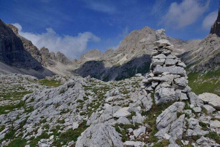
    From the Step of the Stairs you choose between various options of return. The most beat runs through the desolate Valle del Larsec to Passo Pope (2720 m), from which you descend along the steep path Don Guido to the Vajolet Refuge (2243 m) and, along the Vajolet Valley, to the Gardeccia Refuge (1950 m, 5h30). The longest option remains on the CAI 583 in the Valle di Laussa up to the homonymous pass (2700 m), to get off at the Rifugio d’Antermoia (2497 m) at the glacial lake, or keep the left towards Passo Principe; from the Rifugio Antermoia you can reach the Passo Principe by taking the Ferrata to the Catinaccio d’Antermoia, and from the Passo Principe go down all the Valle del Vajolet 30 to the The shortest, but less fulfilling option is the return to return along the route (3h30 total).

    ▲To match

    The path can be combined with Ferrata at the Catinaccio d'Antermoia — as described in the return — or Ferrata Bepo de Medil, preferably downhill.

    ▲Gallery
    Technical data
    • DifficultyModerately Hard
    • RegionTrentino-Alto Adige
    • GroupCatering
    • Approach1:00 h
    • Ferrata1:00 h
    • Itinerary (a/r)5:30 h
    • Hardware level difference150 m
    • Route difference761 m
    • Max2720 m
    • Length16 Km
  • Sentiero Attrezzato del Gronton a Cima Bocche

    Sentiero Attrezzato del Gronton a Cima Bocche

    Vie Ferrate › Trentino-Alto Adige › Trento
    Sentiero Attrezzato del Gronton a Cima Bocche

    The Gronton Path is a high-rise path that has no particular technical difficulties, but whose exhibition, constant throughout the itinerary, requires a certain mountain experience. Starting from the Lusia Pass, he climbs to Cima Bocche and descends to the Lakes of Lusia, winding on an Austrian defense line of the Great War.

    ▲Approach

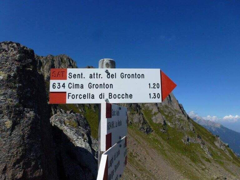
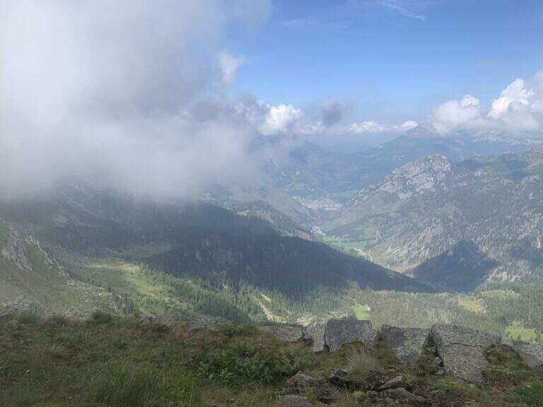
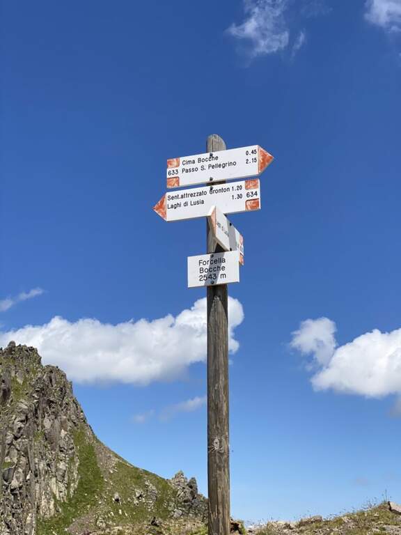
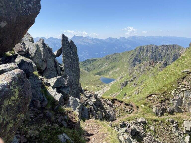
    The starting point is the Lusia Pass, which can be reached via a dirt road that is detached from the San Pellegrino Pass state near Moena (TN). From Moena we proceed towards Passo San Pellegrino for a few kilometers up to the ski lifts Lusia, usable to reach the refuge; those who go up by car take the dirt road that goes right after the passage under the slopes and walks it for a few kilometers up to the refuge (open up Google Maps). From the Rifugio al Passo Lusia (2055 m) we proceed south on the CAI 633 towards Cima Bocche, going up the meadows with a modest slope to the Sella Lusia (2360 m), from which you have an ideal view on the whole lap: on the left the ridge of Gronton, straight ahead Cima Bocche and down the lakes, along which you will return. From the saddle you descend to the Redolf Bivacco (2335 m), where at a crossroads you leave 633 (which will be the return path) and the CAI 634 is held left for the equipped Gronton, which begins at Forcella Cajerin (2365 m, 1h30 from the Lusia Refuge).

    ▲The path

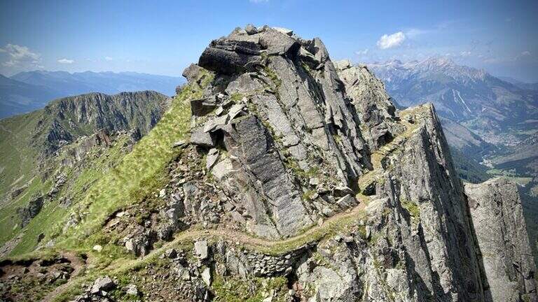
    From Forcella Cajerin, the equipped path generally develops under the ridge, except in the concluding section, and is protected at the most exposed points. Shortly after the beginning there is a nod exposed with the rope to the right, besides which there are passages on large blocks of rock alternating at certain levels, residues of the military activities of a century ago. A new nod is reached with a harmless bridge suspended by ropes, which leads to a clearly visible fork; overcoming the fork, you lose slightly altitude along an exposed and equipped nod. The ascent, not particularly steep, leads to the ridge, from which you can see the path just made and the underlying Lakes of Lusia; then you go along the most scenic section, an exposed hint that wanders a rocky spur, and a last stretch of crest up to a crossroads: to the right you descend towards the Forcella delle Bocche, to the left you climb to Cima Gronton (1h round and back, with other beautiful remains). The excursion continues to the Forcella delle Bocche (2543 m, 1h from the attack, 2h30 totals); just before, on the left, a crossroad allows you to climb to Cima Bocche (2745 m, 1h return, recommended climb, 3h30 total).

    ▲Character and difficulty

    There is no technical difficulties or vertical climbing situations; is a pleasant excursion, interesting from the historical and landscape point of view and less beat than many other of the nearby valleys. The only true note of commitment is the exhibition, present along the whole route and not indifferent.

    ⚠ The exhibition accompanies the whole itinerary, even with protections in the most critical traits: they serve mountain experience and steady pace.
    ▲Period and safety

    High mountain summer itinerary (max. 2622 m). The environment around the Lakes of Lusia is very characteristic; more than the technique, it is the exposure to demand attention.

    ▲Discipline

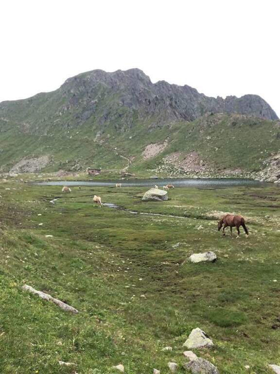
    From the Forcella delle Bocche you return along the path 633, which descends into the valley of the Lakes of Lusia — it is not uncommon to meet horses in the brado state — to the Forcella Lusia and then to the Rifugio al Passo Lusia (2h from Forcella Bocche; 4h30 total without the ascent to Cima Bocche, 5h30 with the ascent).

    ▲To match

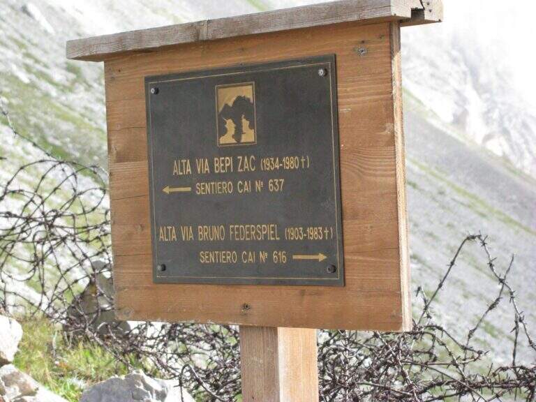
    On the opposite side of the valley leading to Passo San Pellegrino there are two more challenging routes: theAlta Via Bepi Zac e l’Alta Via Bruno Federspiel.

    ▲Gallery
    Technical data
    • DifficultyEasy
    • RegionTrentino-Alto Adige
    • GroupLagorai – Chain of Bocche
    • Approach1:30 h
    • Ferrata1:00 h
    • Itinerary (a/r)4:30 h
    • Hardware level difference256 m
    • Route difference567 m
    • Max2622 m
    • Length13,4 Km
  • Sentiero Attrezzato de le Stel in Val d’Adige

    Sentiero Attrezzato de le Stel in Val d'Adige

    Vie Ferrate › Trentino-Alto Adige › Trento
    Sentiero Attrezzato de le Stel in Val d'Adige

    The Sentiero Attrezzato de le Stel is a rather easy route of the Val d’Adige, with some equipped passages and a short climbable stretch. Developing at low altitude, it is recommended in winter or early season, when high altitudes are not yet available.

    ▲Approach

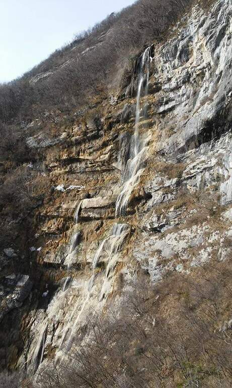
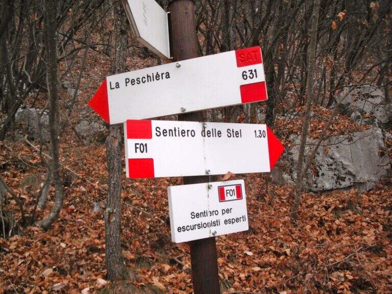
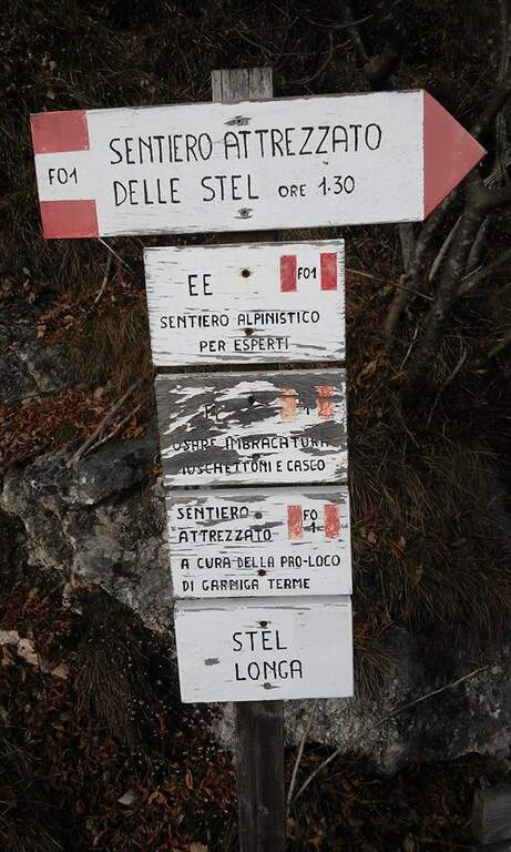
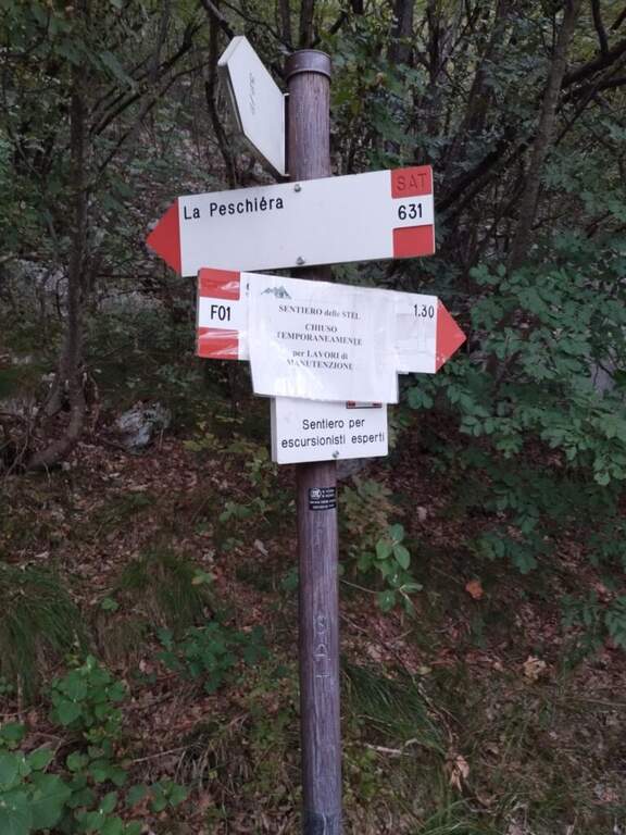
    From the village of Aldeno, in Val d’Adige south of Trento. You can reach the town of La Busa along Via al Bondone, where a road climbs steeply west: you look for parking nearby and take the cemented road (open up Google Maps). It climbs through the vineyards following the CAI 631 on a carrareccia, ignoring some traces that detach to the right and left, up to a panoramic point with benches (40′ from the parking lot). You face some harmless stretches equipped, then you leave 631 on the waterfall path, you reconnect briefly on 631 and finally you leave it to take the path F01, that is the Sentiero Attrezzato de le Stel, well marked by the white-red signs of the CAI (620 m, 1h from the parking lot).

    ▲The path

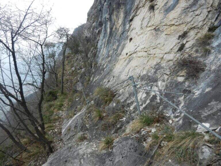
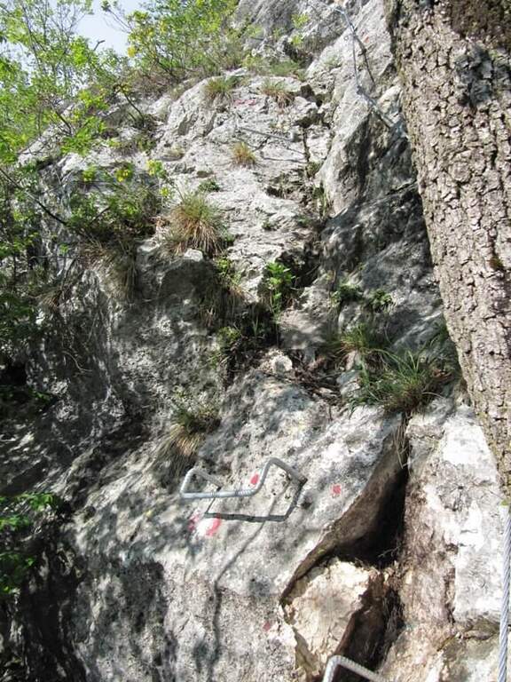
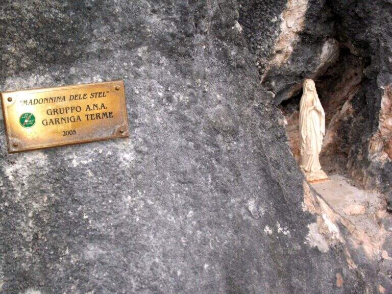
    The path winds halfway on good track, with some easy balconies equipped with metal fixtures that facilitate its passing; alternate stretches of easy path to short stretches equipped steep but easy, until you reach the Madonna characteristic of the route, where a bench invites you to stop and admire the Val d’Adige with its vineyards and orchards. Once again the path, now narrower, you arrive at a narrow rocky nod rather exposed but properly equipped; finished the nod, the slope increases on small balconies and equipped rocks. It is the most interesting part: you can climb the easy steps, never higher than the II degree, keeping the equipment as self-insurance. You then earn steeply up to a pole with a sign that marks the end of the Sentiero de le Stel (about 1h30 from the beginning of the equipped part, 2h30 overall).

    ▲Character and difficulty

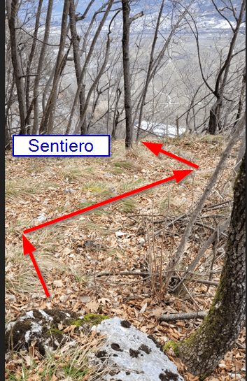
    The route is not difficult, even if a section climbs through easy climbing steps. The most challenging part is probably to find the way in the first half: the track is not marked impeccablely and sometimes it serves a bit of breath to understand the continuation in the wood between the dungs.

    ⚠ Non-banal orientation in the first half, with incomplete signage. Be careful at a point where the old track climbs to the left, with a cordon in non-excellent conditions: old and new path gather a little further.
    ▲Period and safety

    Low altitude (max 808 m): it is one of the ideal routes for winter or early season. The technical difficulties are contained, but it should be faced with dry rock, given some exposed traits.

    ▲Discipline

    From the end of the path you climb for a short stretch in the woods, then take the descent alternating stretches on forest in and out of the woods; you proceed without difficulty in parallel with the Sentiero de le Stel until you reconnect on 631 and continue the descent (2h from the end of the equipped path, 4h30 total).

    ▲To match

    From Aldeno you can reach quickly, along the Val d’Adige, the village of Mori, where the exposition rises Ferrata Marangoni; not far away is easy and panoramic Somator Ferrata. In Val d’Adige you can also walk Ferrata Rio Secco near Cadino, while climbing to Trento meet the Sentiero Attrezzato Bertotti and the difficult Ferrata Segata bondone.

    ▲Gallery
    Technical data
    • DifficultyEasy
    • RegionTrentino-Alto Adige
    • GroupMonte Bondone – Val d'Adige
    • Approach1:00 h
    • Ferrata1:30 h
    • Itinerary (a/r)4:30 h
    • Hardware level difference90 m
    • Route difference583 m
    • Max808 m
    • Length8,8 Km
Need help? Write to us!