Regione: Trentino-Alto Adige

  • Ferrata Val del Rì

    Ferrata Val del Rì

    Vie Ferrate › Trentino-Alto Adige › Trento
    Ferrata Val del Rì
    Moderately Hard● OpenDescriptionComplexityMapsGallery

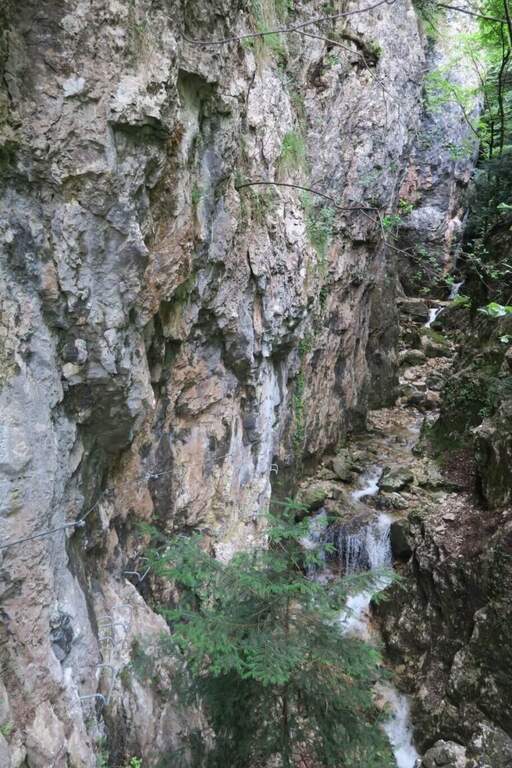
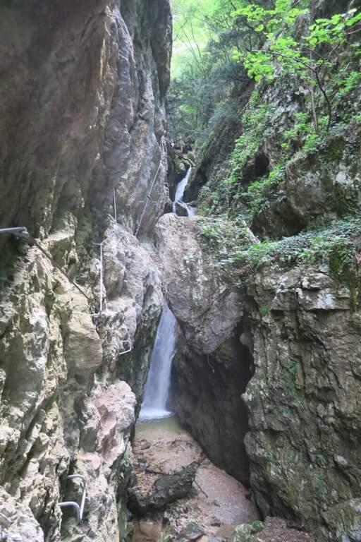
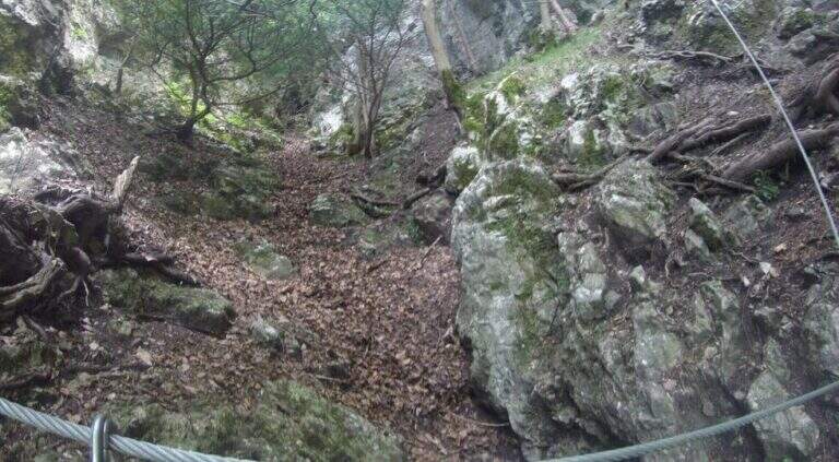
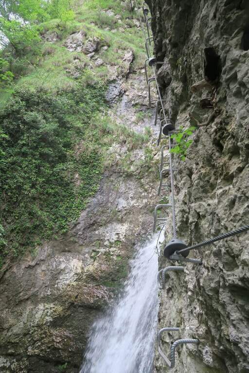
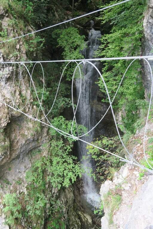
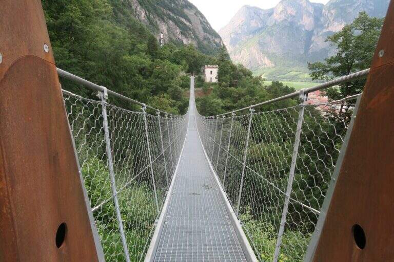
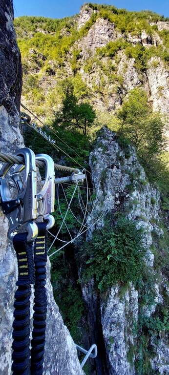
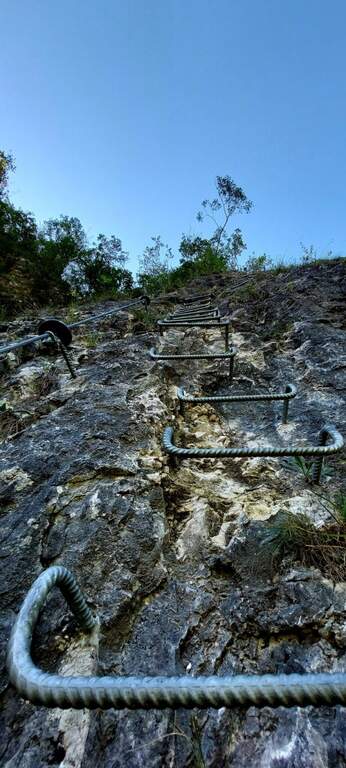
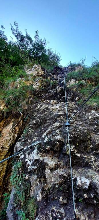
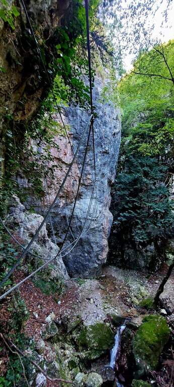
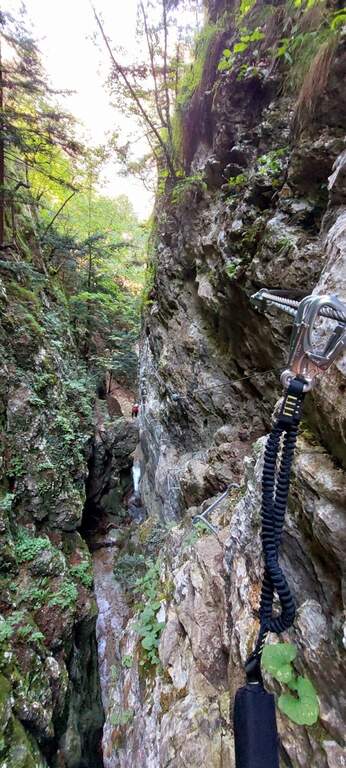
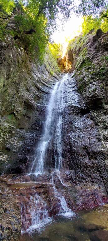
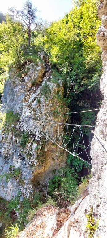
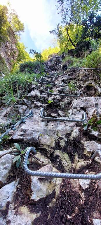
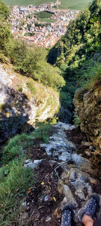
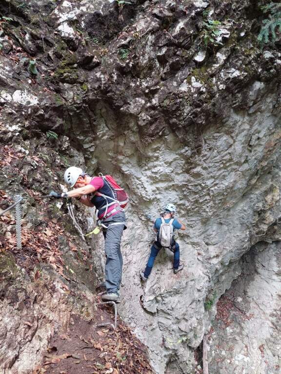
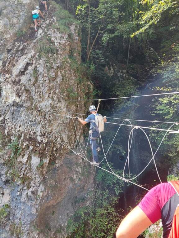
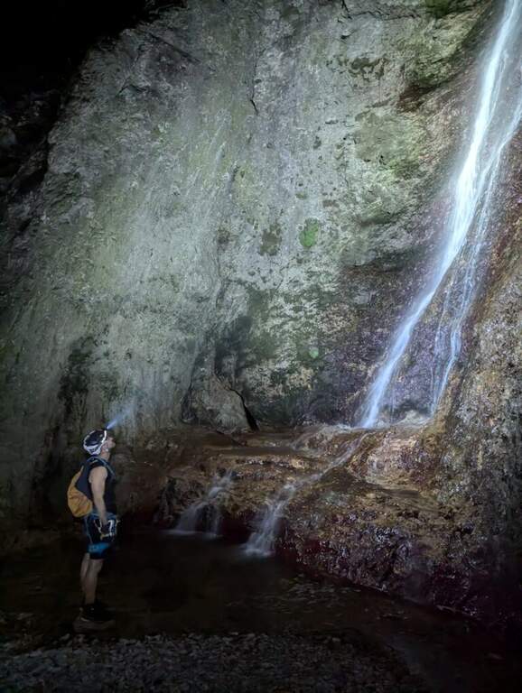
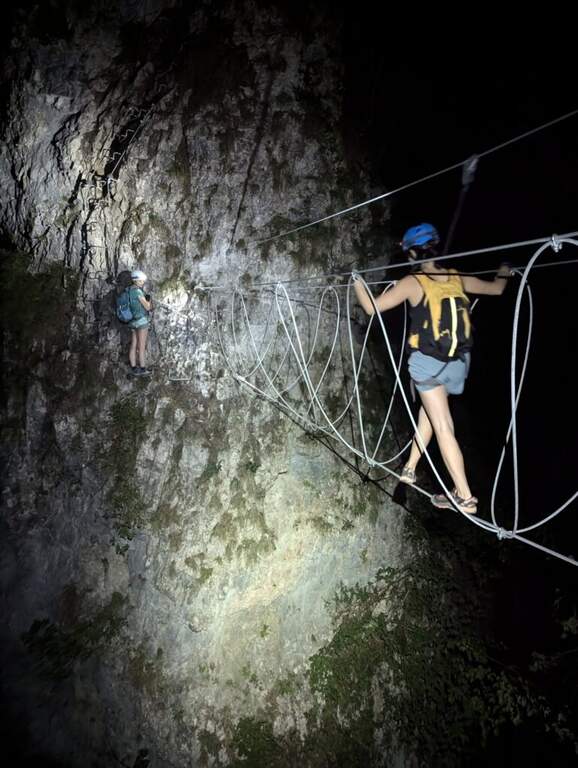
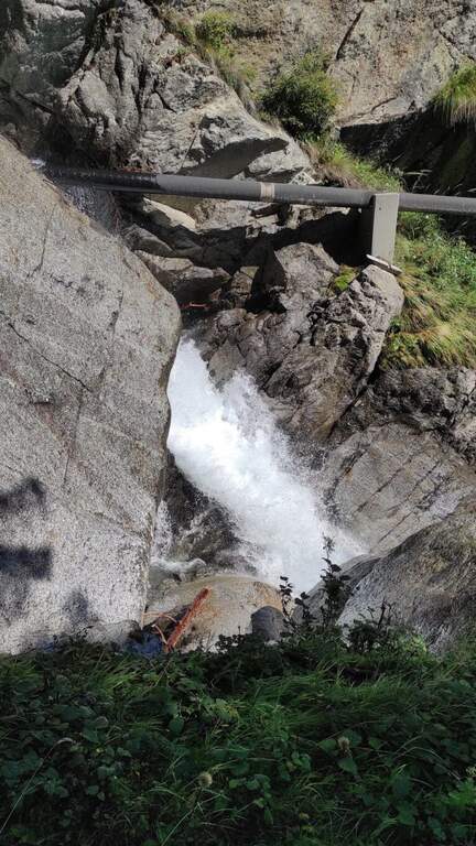
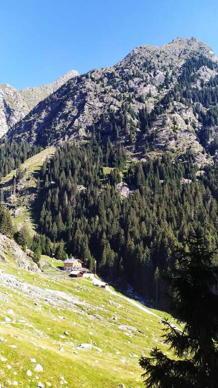
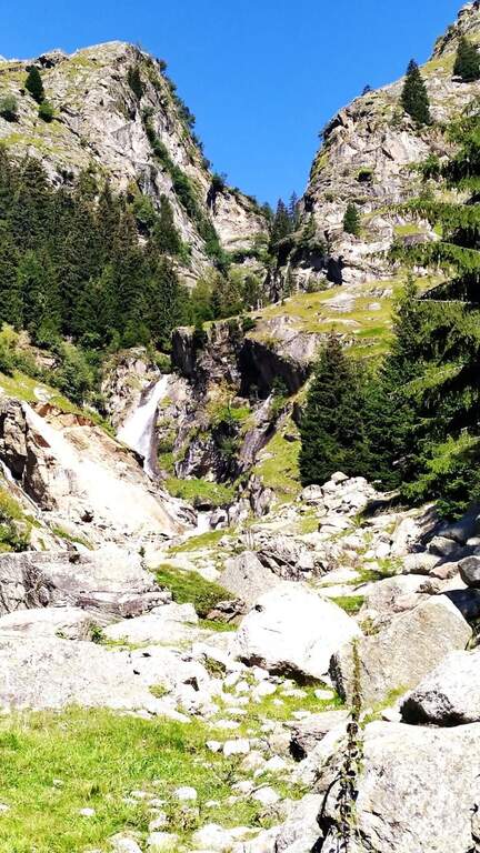
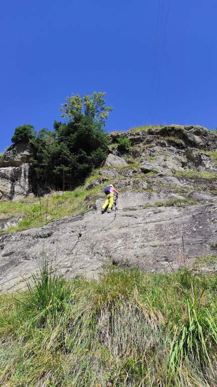
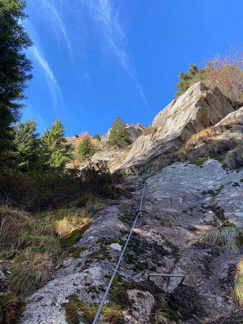
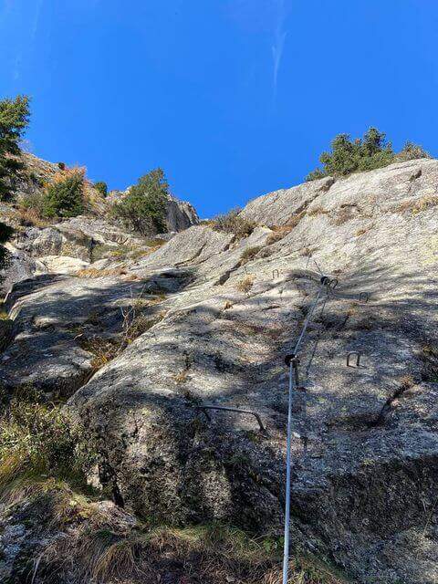
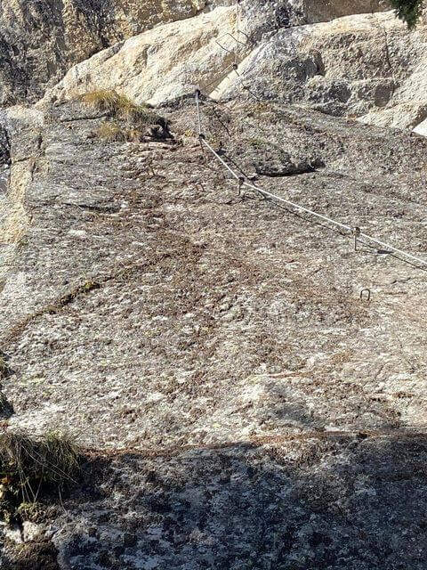
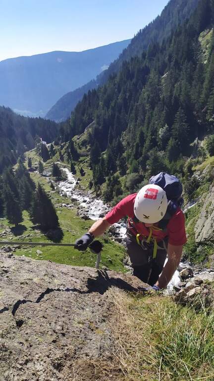
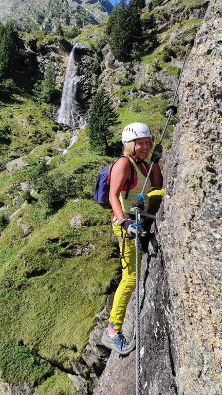
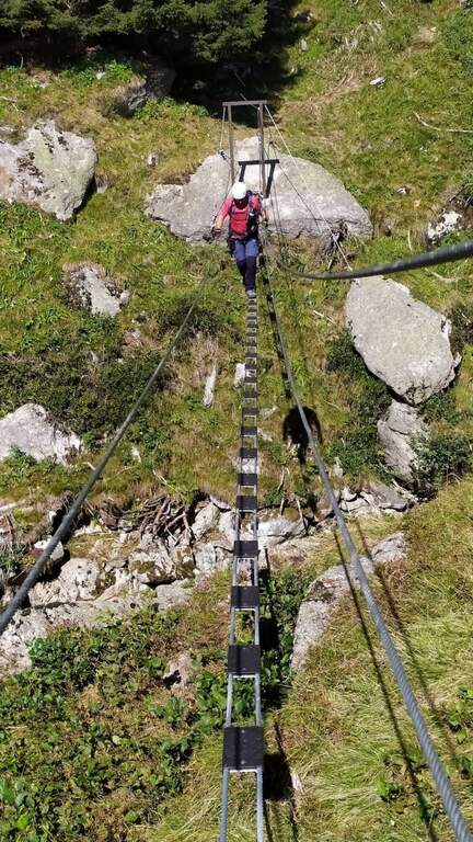
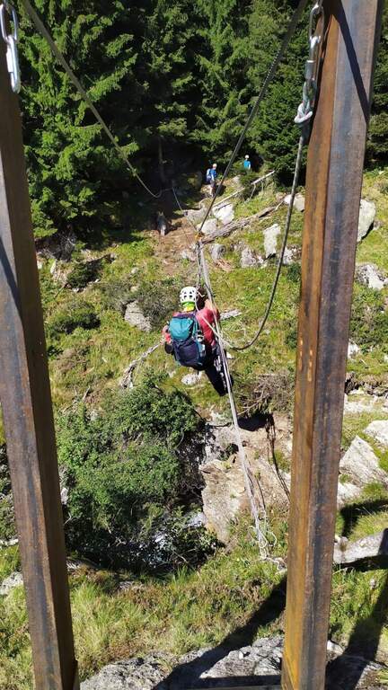
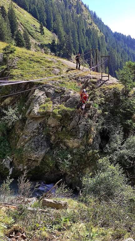
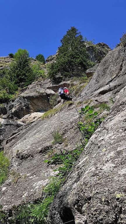
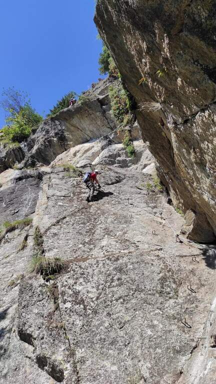
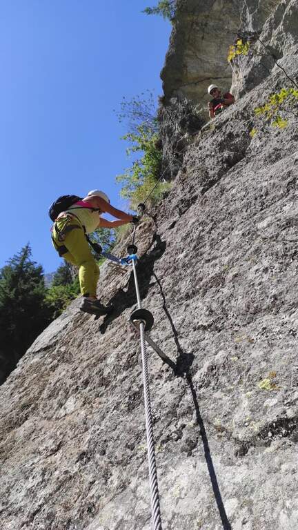
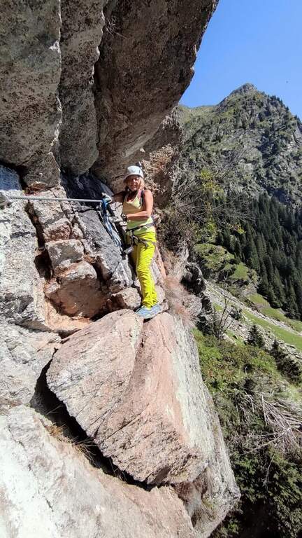
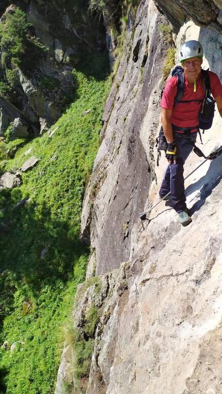
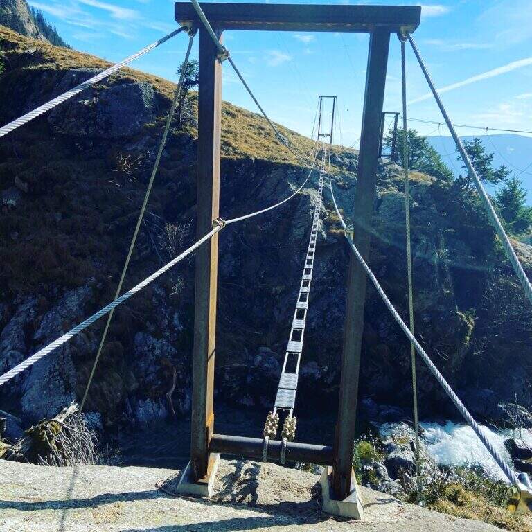
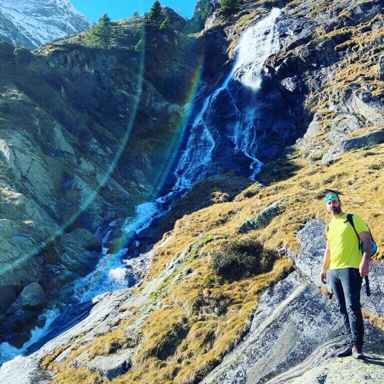
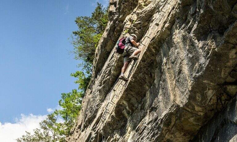
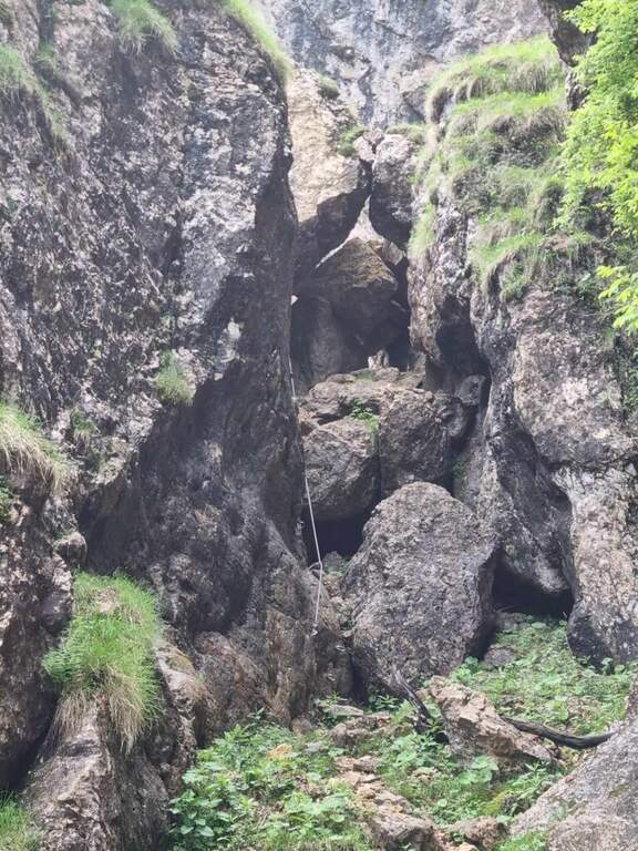
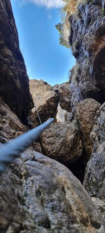
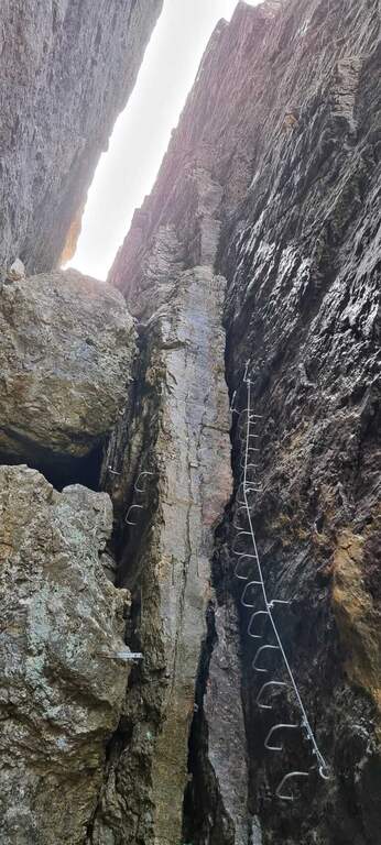
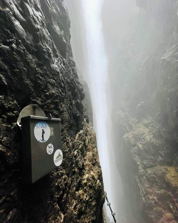
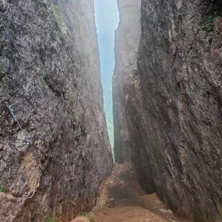
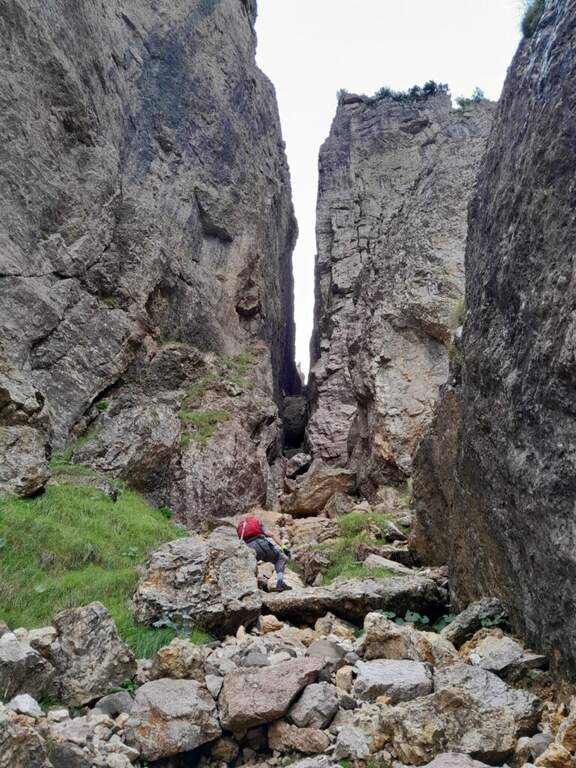
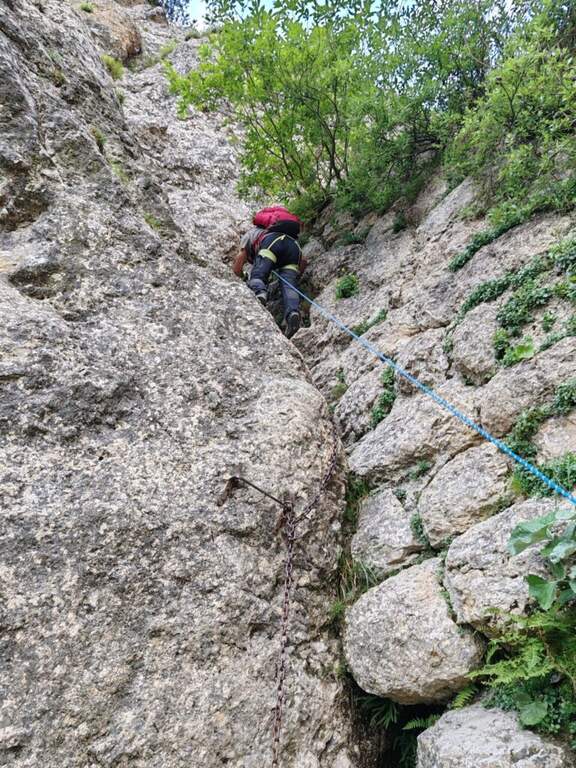
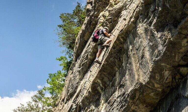
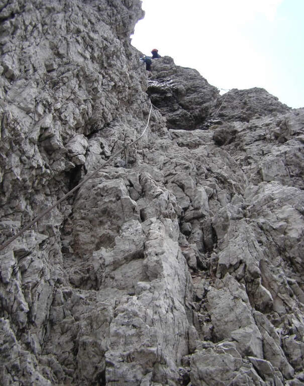
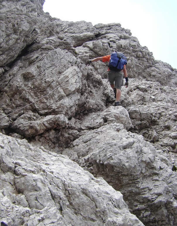
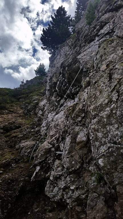
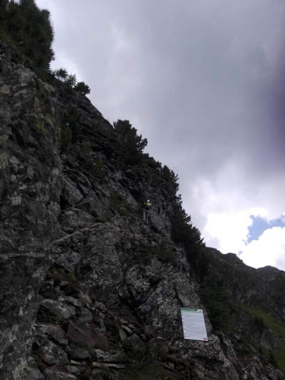
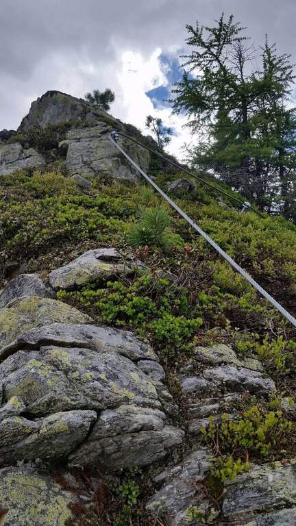
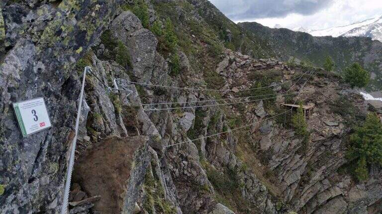
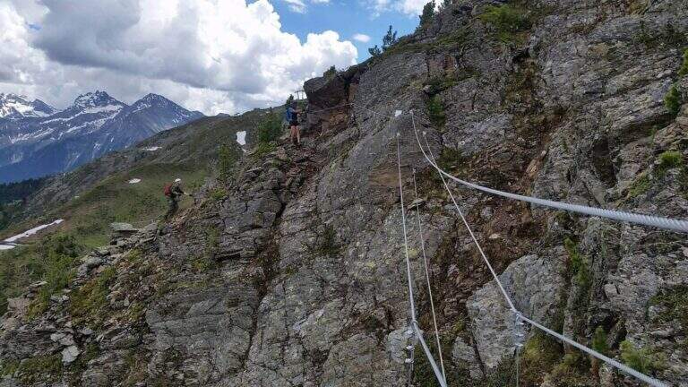
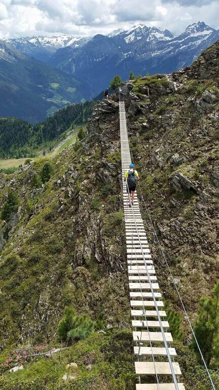
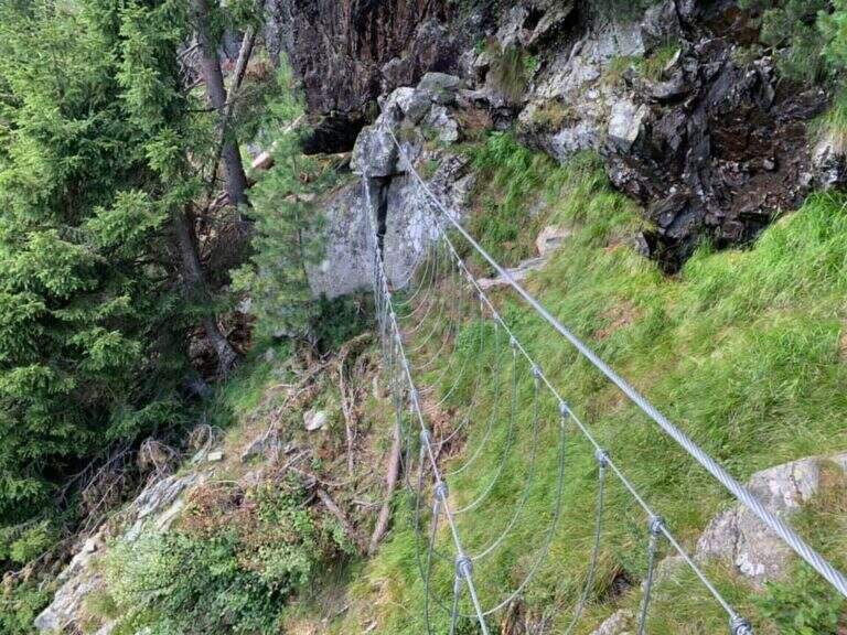
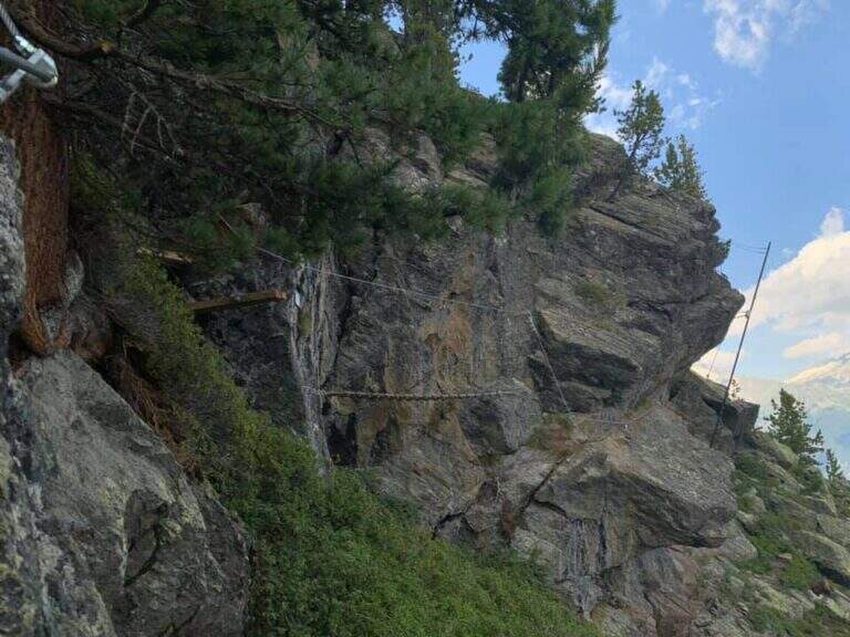
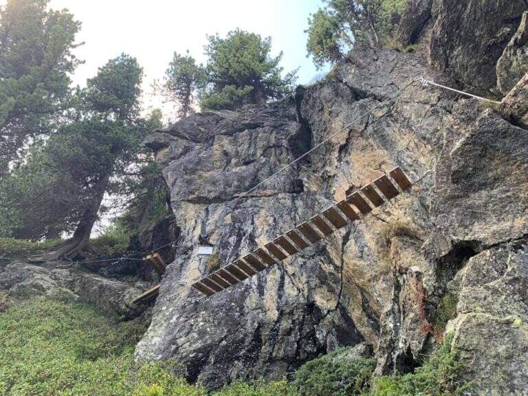
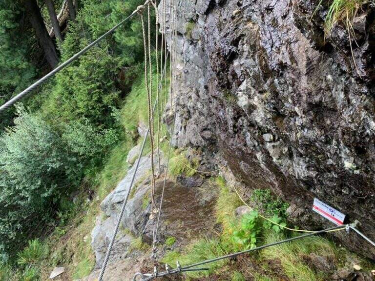
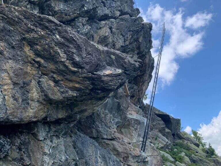
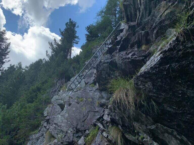
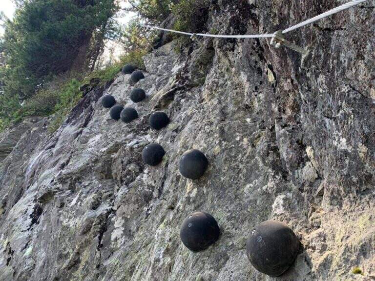
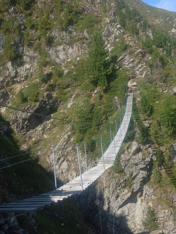
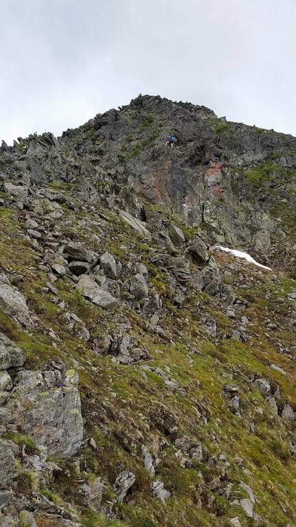
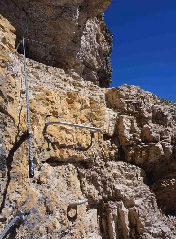
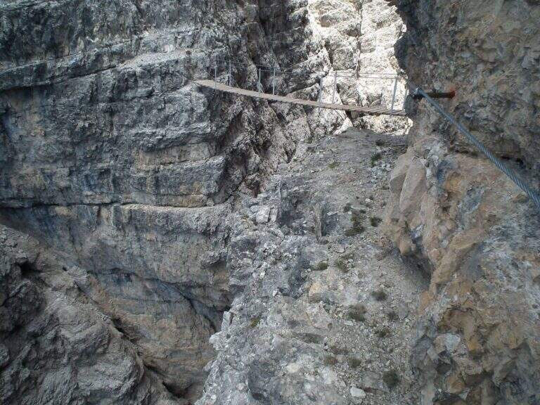
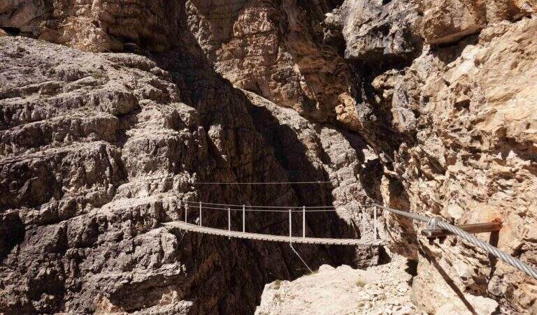
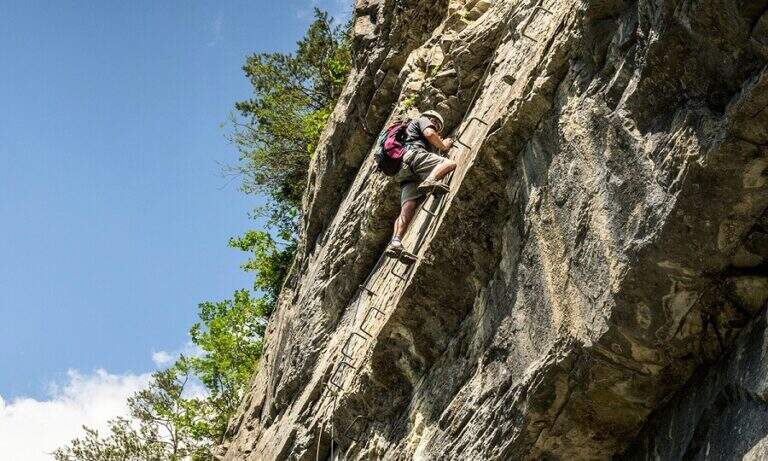
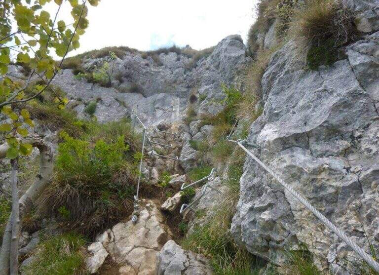
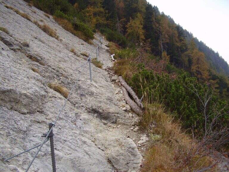
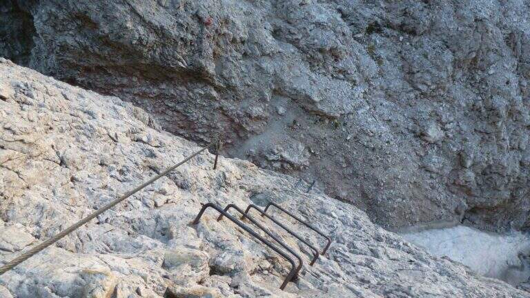
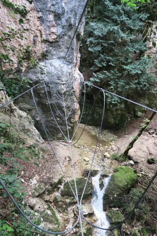
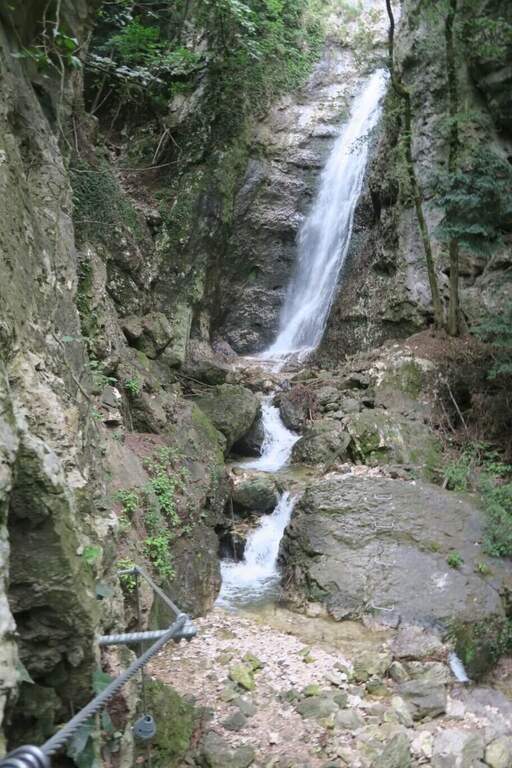
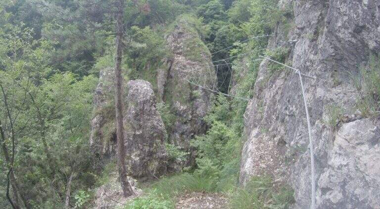
    La Ferrata Val del Rì is a modern and suggestive street that creeps into the narrow hole dug by the Rio Fai, above the village of Mezzolombardo, in the Piana Rotaliana north of Trento. It does not lead to a top but inside the throat, with vertical difference: the progression is almost continuous on metal steps and cambre, interspersed by four Tibetan bridges and the scenery of numerous waterfalls. Inaugurated in July 2024.

    ▲Approach

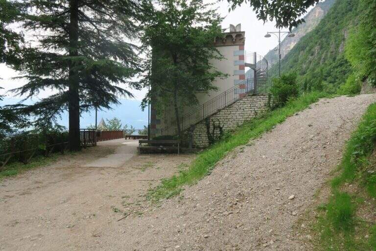
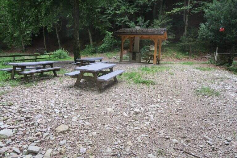
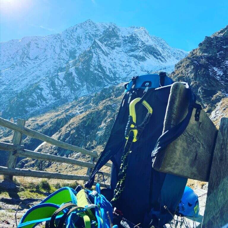
    The reference è the locality; Toresela (a small tower building), just above the Parish Church of the historical center of Mezzolombardo. Behind the church the space for l' car & car; poor; it is advisable to follow the indications for the Cimitero / Camposanto (road uphill to the left from Via San Pietro) and use l' wide attached parking, then walk to the long Ponte Sospeso, cross it with the Toresela in view below. Alternatively, you can climb the road with an indication «Toresela» and after about 150 m you park on the right, then walk for another 200 m until the small building of the ' aqueduct and the panoramic deck (panchine, useful for wearing l'imbrago). Open road signs on Google Maps.

    ▲The path

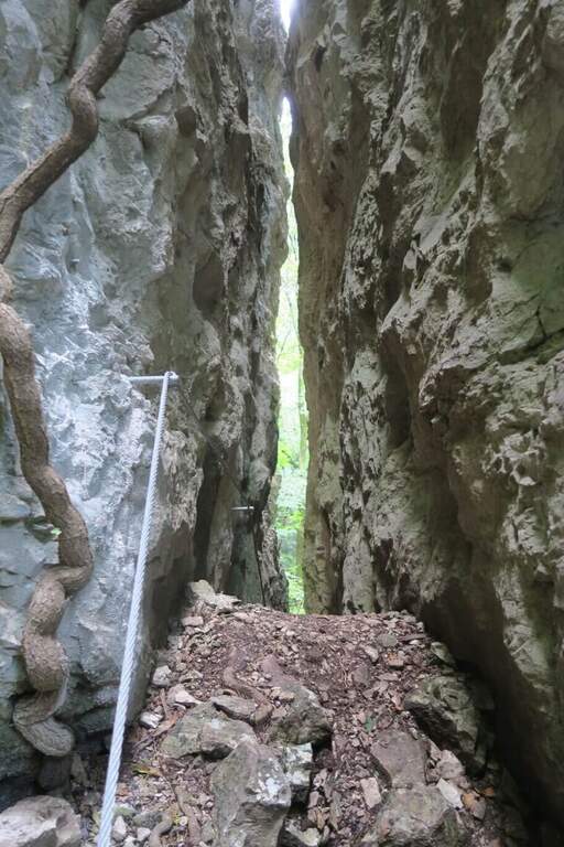
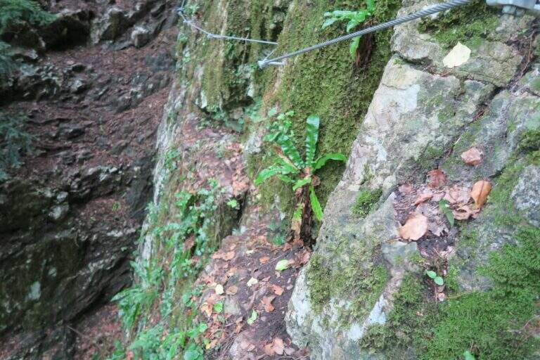
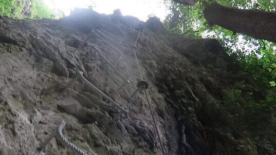
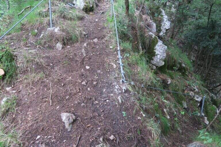
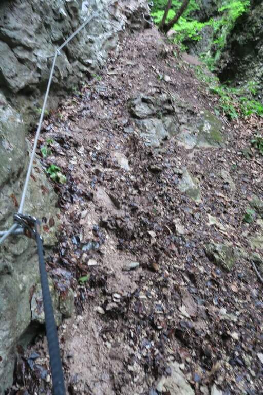
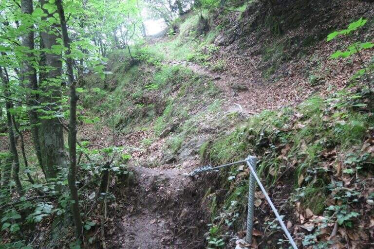
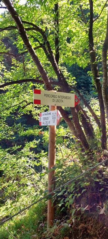
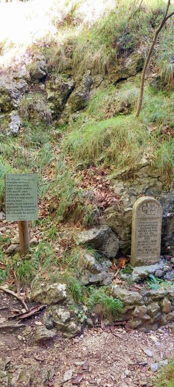
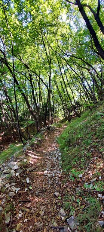
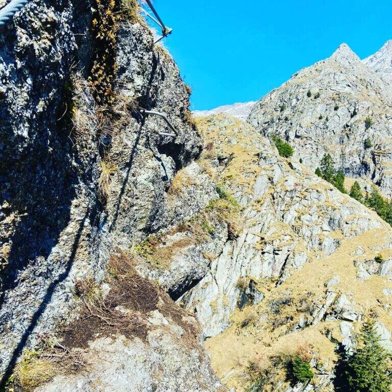
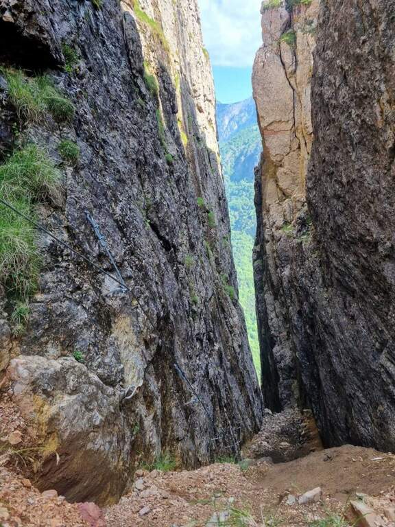
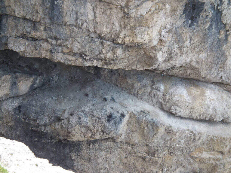
    Dal terrazzo si scendono alcuni scalini e si imbocca il sentiero che passa sotto il ponte sospeso; tenendosi sempre sulla destra si procede in piano o in lieve discesa, protetti da staccionate in legno e cordino, per 3-4 minuti fino a guadare il Rio Fai sui sassi. Si è ora nella forra, davanti al cartello e ai primi scalini dell'attacco. Si sale una prima serie di scalini su parete verticale, poi brevi passaggi a zig-zag su terra ripida e pietre e una lunga scalinata verticale; dopo un breve traverso esposto a destra si affronta il primo ponte tibetano (corto e ben teso) presso una prima bella cascata, raggiungendo uno sperone roccioso. Altri scalini, un tratto aereo sullo sperone e si arriva al secondo ponte tibetano, più lungo ed esposto, che riporta sulla destra orografica. Si percorre una crestina, poi il bosco, scendendo verso la forra: un lungo traverso su staffe radente all'acqua include un passaggio più impegnativo, con appoggi rientranti rispetto al cavo che obbligano a un po' di lavoro di braccia. Si risale di qualche metro, un traversino obliquo a destra, e aggirata la curvatura della parete si incontra il punto con appoggi più scarsi e distanziati, tra i più impegnativi della via. Seguono un traverso e una breve alternanza discesa-salita su staffe fino al terzo ponte, basso e vicino all'alveo. Ci si addentra nella gola con un traverso ascendente, in vista di due cascate (una di una quindicina di metri) e di un grande masso incastrato fra le pareti: lo si risale, si traversa e si guadagna quota con scalini leggermente strapiombanti. Si è circa a metà via. Alcuni tratti di ripido sentiero bagnato e fangoso si superano aiutandosi con alberi e cordino; una paretina strapiombante con gradini porta a un terrazzino e a una stretta fenditura panoramica di una decina di metri, ventilata, da percorrere in leggera discesa. Si scende fra terra e roccette riavvicinandosi all'acqua, si supera una breve cengia e un traverso a destra che aggira un blocco, fino a tornare al livello del torrente presso un'altra cascata. Guadato il ruscello sui grandi sassi, una lunga serie di scalini verticali leggermente strapiombanti costituisce il terzo passaggio prudentemente «difficile» per la maggior esposizione; ci si sposta a sinistra a fianco della cascata e si risale fino al quarto e ultimo ponte tibetano, il più corto. Attraversato, con scalini in traverso a sinistra si entra in un sentiero attrezzato e si raggiunge un bivio: tenendo il cordino di sinistra si arriva subito al sentiero 602B per il rientro (versione parziale, 1h 20' dall'attacco); tenendo il cordino di destra, meno evidente e in discesa, si prosegue nella versione completa, consigliata perché le difficoltà sono uguali o inferiori. Si supera lo spallone roccioso a sinistra, una ventina di metri di scalini, terreno misto umido, cascatine risalite su staffe, un breve traverso atletico e un tratto fangoso; con un paio di zig-zag su costone si raggiunge lo storico sentiero 602B: la ferrata è finita (20' dal bivio, 1h 40' dall'attacco). In 4-5 minuti di salita si può raggiungere il comodo spiazzo «Loc. Giuel», sopra il piccolo ponte di cemento dove l'itinerario termina.

    ▲Character and difficulty

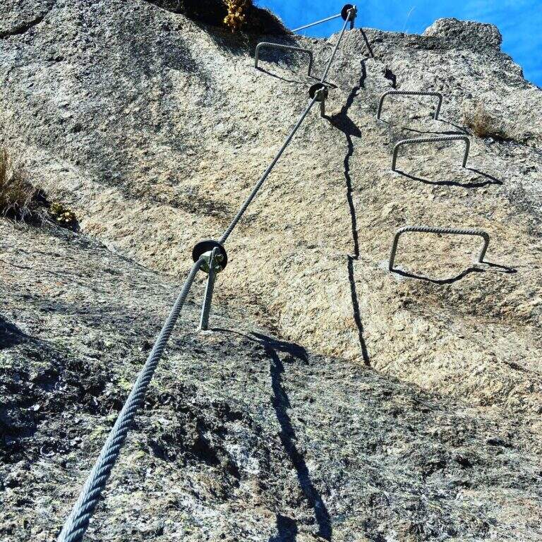
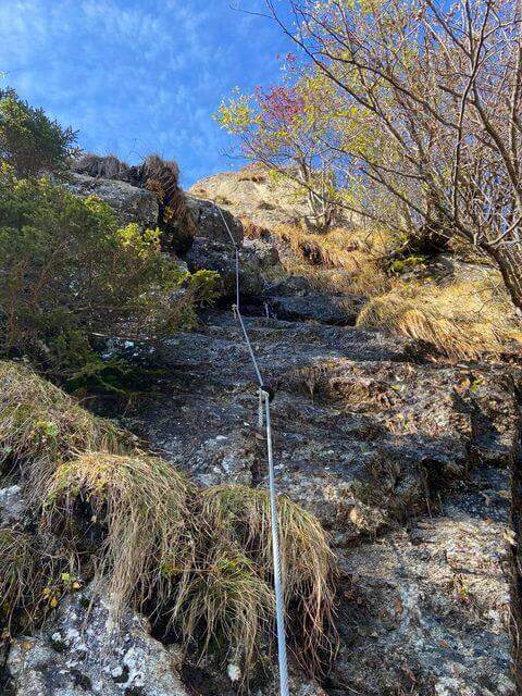
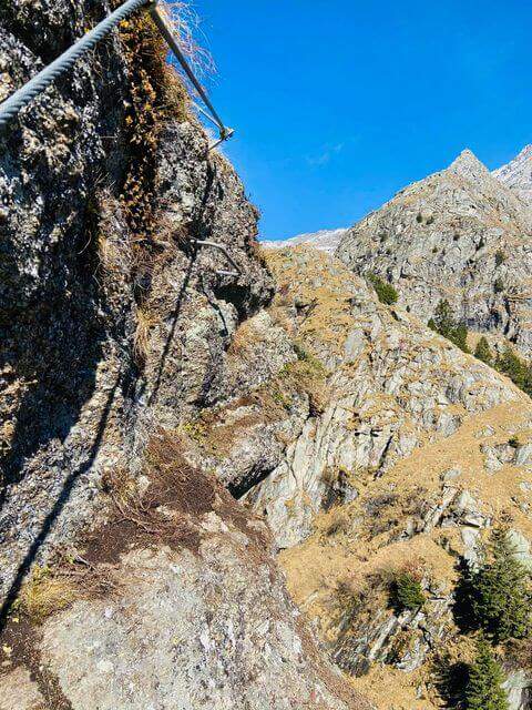
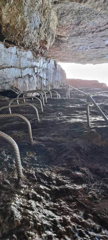
    Modern design, with prevalence of steps and cambre: the polished rock, often wet and mosquito, offers few natural hooks and induces to proceed on the equipment. Three passages which can be prudently considered 'difficult', especially for exposure, and four Tibetan bridges; the vertical difference still remains contained.

    ⚠ Rock and bottom are often wet and in some muddy traits: it is likely to get wet feet, it is best to keep spare shoes in the car. After heavy rains the flow of the stream can be abundant. While developing in the shadows and with the cool of the falls, it is not recommended in the middle hours in the middle of the summer.
    ▲Period and safety

    Being of low altitude, in a cool and largely shaded environment, it is possible to travel almost all year round and combined with other short ferrates of the area.

    ▲Discipline

    From the beach «Loc. Giuel» (panchine and fountain) goes back backwards following the indications «Mezzolombardo senti. 602B»: the path descends comfortable to the cemetery, wanders left along the perimeter wall on cemented road and returns to the parking lot (35' from the deck, 2h 20' from the attack for the complete lap). Those who left the car at Toresela follow the indications for the "Suspended Bridge".

    ▲To match

    Staying in the area and continuing towards Fai della Paganella you can walk Ferrata Croce di Fai. With another half day are close (10-15 minutes by car) the Ferrata Rio Secco to Cadino di Faedo and the Ferrata del Burrone Giovannelli in Mezzocorona; just beyond Ferrata di Favogna e la Ferrata delle Aquile in Paganella.
    ▲Gallery
    Technical data
    • DifficultyModerately Hard
    • RegionTrentino-Alto Adige
    • ProvinceTrento
    • GroupPayment
    • Approach5 min
    • Ferrata2h 30'
    • Complete itinerary (a/r)3h 15'
    • Maximum630 m
    • Length5,8 km
    • Year2024
  • Ferrata Ziel (Rio di Tel)

    Ferrata Ziel (Rio di Tel)

    Vie Ferrate › Trentino-Alto Adige › Bolzano
    Ferrata Ziel (Rio di Tel)
    Moderately Hard● OpenDescriptionComplexityMapsGallery

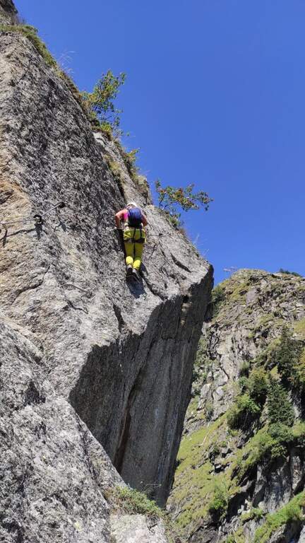
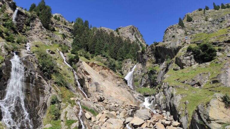
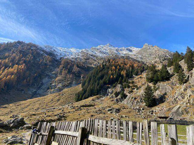
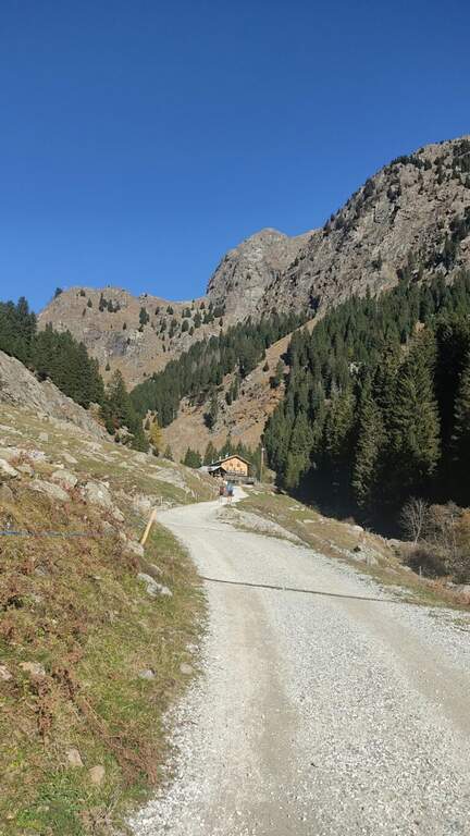
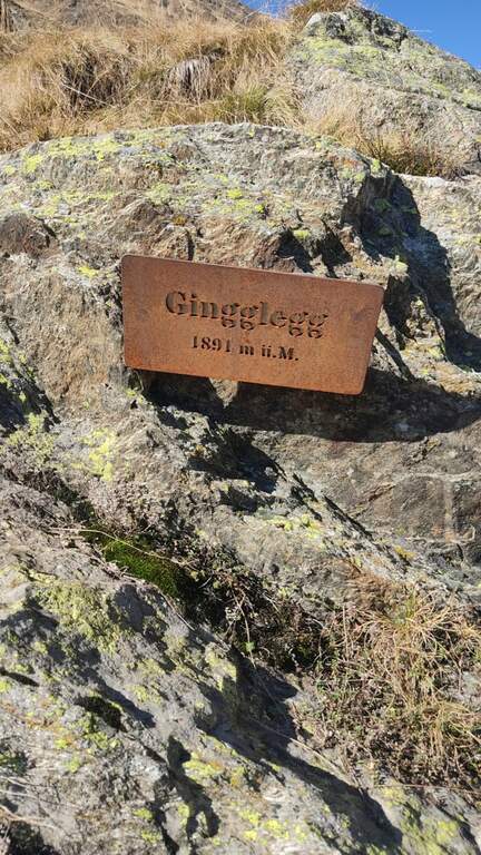
    La Ferrata Ziel (or Ferrata Rio di Tel), of medium difficulty and agrave;, go up the Zieltal valley following the bustling Rio di Tel, not far from the Parcines waterfall, up to the panoramic Gingglegg (1891 m) in the Gruppo di Tessa Nature Park. È was opened in Methà August 2020.

    ▲Approach

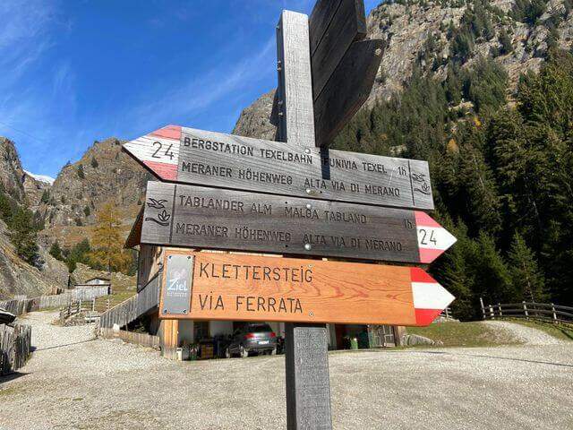
    Starting from the valley station of the funivia Texel in Rablà, fraction of Parcines, all' start of the Val Venosta (available from Merano also by public transport). Open road signs on Google Maps. From the mountain station, follow the sentiero 24 Alta Via di Merano to the Nasereit Refuge (1523 m, 45'); next to the refuge you cross the bridge over the stream and, immediately after, on the left you follow the red points along the rio until all' attack (15' from the shelter, 1h totali), with the top Ggging.

    ▲The path

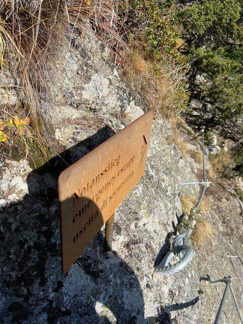
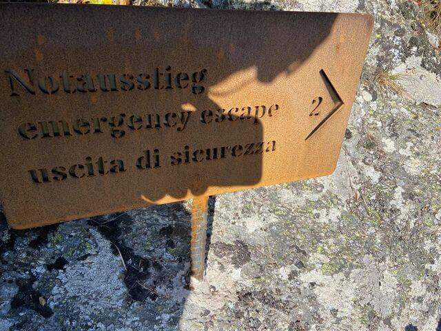
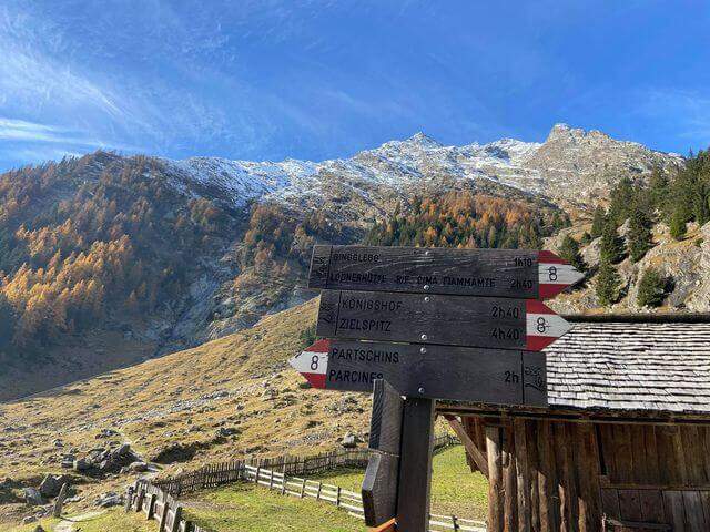
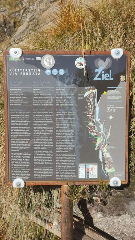
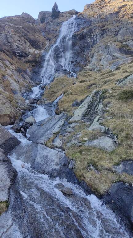
    The street, about 530 meters long, è divided into 10 sections of rope numbered and well anchored; the difficult ` are concentrated in the central part (some moderately difficult passages and a fairly difficult one). The first part rises a plaque resting with cambre and handles on the right side of the throat up to a step next to the first waterfall; after an easy stretch crosses the stream with two options: a suspended bridge not perfectly stable, with plates arranged in a longitudinal sense, or due thyrolienne (Flying Fox). We continue in front of a water conduct, we climb helped by wide cambre towards a rocky roof that is held on the right side on the plate, then we cross to the left over the roof; narrow brackets lead to a vertical wall and to a plate exposed to the right (here an escape route leads to the bridges). Follow the rope on grassy blocks and a wooden ladder up to the sentiero 8, with bench to remove l' equipment (1h 30' from the ' attack, about 2h 30' from the mountain station).

    ▲Character and difficulty

    Itinerary varied and fun in the hole environment, with the attraction of the suspended bridge and the Tyrolean. Level difference in ferrata 450 m, total 510 m, maximum altitude 1891 m, development 7.5 km.

    ⚠ In case of rain or even only of humidity the ferrata can be not completely agibile due to the numerous plaques. There is no indication of the correct use of the Tyrolean: if you are not practical, better inform yourself before or use the suspended bridge.
    ▲Discipline

    Dall'uscita si scende lungo il sentiero 8, si passa il Kaserstein (piccola baita presso un masso) e si arriva al Rifugio Nasereit (45' dal termine); dal rifugio, a ritroso sul sentiero 24 Alta Via di Merano, si torna alla stazione a monte della funivia Texel (circa 1h dal rifugio, 4h 15' totali).

    ▲To match

    The Val Venosta and its surroundings offer many ferrates: towards Solda la Ferrata Tabaretta, la Ferrata di Trafoi e la Cengles Croda; to Naturno the Hoachwool e la Knott; at Merano Heini Holzerin Val Passiria la Stuller Waterfalls and in Val Senales la Larix.

    ▲Gallery
    Technical data
    • DifficultyModerately Hard
    • RegionTrentino-Alto Adige
    • GroupGroup of Tessa
    • Approach1:00 h
    • Ferrata1:30 h
    • Itinerary (a/r)4:15 h
    • Hardware level difference450 m
    • Route difference510 m
    • Max1891 m
    • Length7,5 Km
  • Ferrata di Valdaora alla Cima di Colli Alti

    Ferrata di Valdaora alla Cima di Colli Alti

    Vie Ferrate › Trentino-Alto Adige › Bolzano
    Ferrata di Valdaora alla Cima di Colli Alti

    La Ferrata di Valdaora (Olanger Klettersteig) at the Cima di Colli Alti is an easy route that offers an alternative to the normal route to climb this panoramic top above the Val di Braies. The route is long and with good difference in altitude but without any technical difficulties, suitable for all trained hikers.

    ▲Approach

    Starting from the parking lot north of the Lago of Braies, at l'Hotel Lago di Braies (1490 m); between Monguelfo and Villabassa turn south along the Braies Valley. Open road signs on Google Maps. È a long ring: from the lake you climb on the eastern side with the sentiero 20 at constant slope; after about one' hour, at a crossroad, you hold the 20 (indications « Pra Medals of Vacche») while the sentiero 61 on the left & the normal way back. Continue più steep up to a panoramic fork on the Val Pusteria (2140 m) with directions to the ferrata; exit from the forest, after a climb a po' exposed on a grassy path then rocky, you reach the first ropes (2h 30' from the start).

    ▲The path

    The ferrata è technically easy and takes place on small rocks, stretches of equipped path and a couple of vertical jumps followed by easy walks. Developing on the cross north, the può soil; be wet or snowy and the equipment helps in the più traits; exposed. It rises between sphas and grass, then più steep on rocks towards the north wall of Kaserkopf; a pair of diagonal strokes and a single well-dressed vertical tract precede the key pass, a right traverse that bypasses an exposed edge, well-dressed and short. Equipment ends just before the summit of the Kaserkopf (2414 m, 30' from the attack, 3h total); on a half-coast path on the south side you will reach the cross of the Cima of Colli Alti (2542 m, 3h 30' total).

    ▲Character and difficulty

    Easy way, ideal for those who want a more varied alternative to the normal way; the commitment lies above all in the length and the difference in altitude. Level difference in ferrata 140 m, total over 1000 m, maximum altitude 2542 m, development 9.1 km.

    ⚠ Developing on the north side, at the beginning of the season the route can be wet or snowy: useful attention and an assessment of the conditions.
    ▲Discipline

    We go down normal way: from the southern meadows of the Cima di Colli Alti follow the red signs with the indications of the path 61A and then 61, up to the junction of ' gone and then back to Lake Braies (2h 30' from the summit, 6h totali).

    ▲To match

    In the Puster-Aurina area: la Ferrata Piz de Peres and, above Campo Tures, the Ferrata Speikboden.

    ▲Gallery
    Technical data
    • DifficultyEasy
    • RegionTrentino-Alto Adige
    • GroupDolomiti di Braies
    • Approach2:30 h
    • Ferrata1:00 h
    • Itinerary (a/r)6:00 h
    • Hardware level difference140 m
    • Route difference1053 m
    • Max2542 m
    • Length9,1 Km
  • Ferrata del Vajo Stretto

    Ferrata del Vajo Stretto

    Vie Ferrate › Trentino-Alto Adige › Trento
    Ferrata del Vajo Stretto
    Moderately Hard● OpenDescriptionComplexityMapsGallery

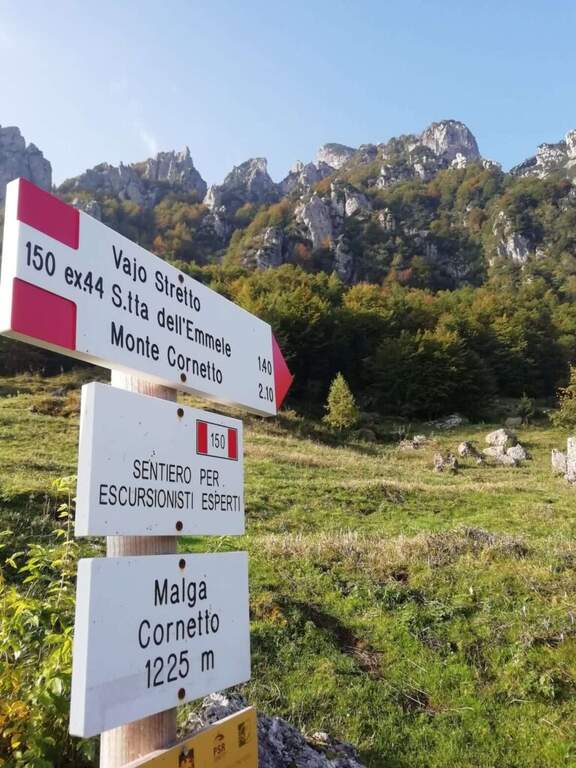
    La Ferrata del Vajo Stretto rises the eastern wall of the Monte Cornetto, in the small Dolomites on the border between Trento and Vicenza. It stands a narrow rocky streak with difficulty and agrave; never significant, in a very beautiful environment; combined with the summit of Cornetto becomes a long and fulfilling ring.

    ▲Approach

    Starting from Malga Cornetto (1225 m), on the road connecting Pian delle Fugazze to the Pasubio Shrine (large paid parking). Open road signs on Google Maps. Follow the sentiero 150 (ex 44) first on meadows then in the forest, with CAI signs and written on stones, up to ' attack ( approximately 40' from parking ).

    ▲The path

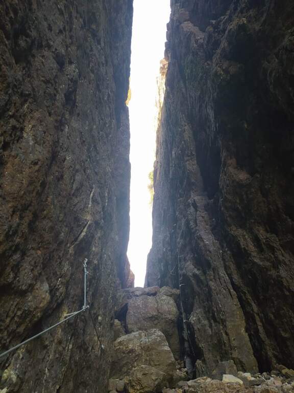
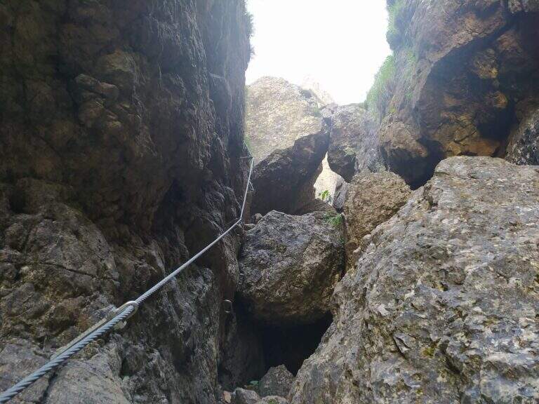
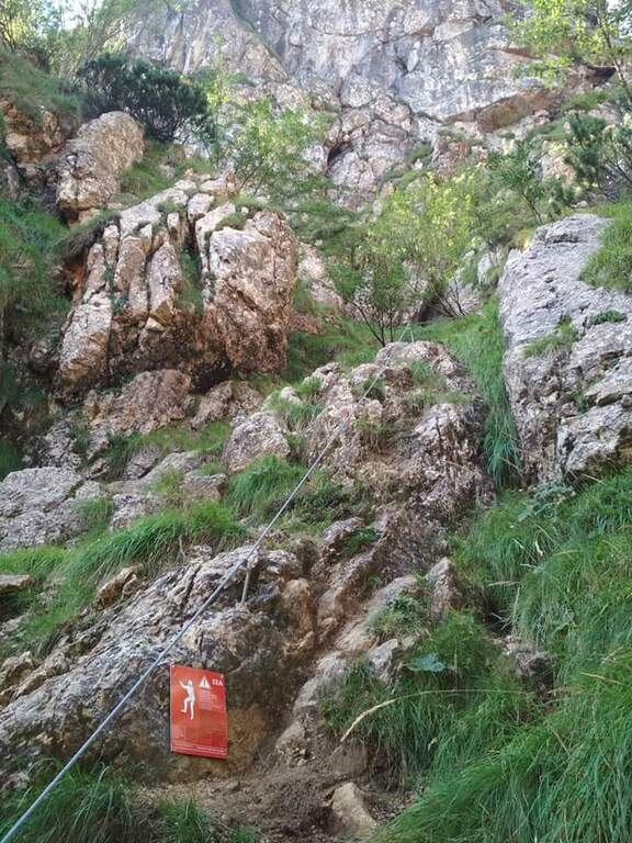
    Dal cartello rosso si salgono facili roccette verso l'evidente canalone, alternando risalti e cenge erbose fino all'ingresso del vajo. Le attrezzature si interrompono e ci si sposta sul lato sinistro per risalire il canale su roccia appigliata e qualche cambra, verso un caratteristico tunnel naturale tra massi incastrati. Oltre il tunnel si prosegue nella fenditura tra incombenti pareti, alternando tratti di sentiero a tratti assicurati con passi di arrampicata mai difficili e diversi passaggi in camino tra rocce incastrate. Un passaggio più verticale (molte cambre) e un traverso esposto a sinistra, oltre un grande masso spesso umido, portano al libro firme; si sale infine la rampa sul lato destro e si esce dal Vajo Stretto, dove termina la ferrata (circa 1550 m, 1h dall'attacco, 1h 45' dal parcheggio). All'intersezione col Vajo Cassa da Morto si tiene la sinistra in salita fino a un ghiaione e alla Selletta dell'Emmele (1675 m, 20'); consigliato proseguire per la vecchia mulattiera militare alla Forcella del Cornetto (1825 m) e, per il sentiero attrezzato della via normale (esposto ma non difficile, tratti con catena), alla croce del Monte Cornetto (1899 m, circa 3h dal parcheggio).

    ▲Character and difficulty

    Itinerary of difficulty contained but of great atmosphere, between fireplaces and framed stones. Overall difference 600 m, maximum altitude 1899 m, development 8.6 km.

    ⚠ Helmet absolutely necessary for the danger of falling stones along the vajo. Attention to the slippery bottom of some sections; bulky backpacks create problems in the most cramped points, better a small backpack or connect it to the harness with a fectuccia.
    ▲Discipline

    You go down backwards the path equipped with summit up to path 149; it is recommended to continue south halfway towards the Baffelan and the Campogrosso Pass, between never difficult stretches and war tunnels, up to the Passo degli Onari (1760 m) and the Passo del Baffelan. From here the sentiero 177 (Boale del Baffelan) descends a canalone (attention, with a vertical jump protected by chain) to the Road of the King (sentiero 175) which reports to Malga Cornetto (3h from the summit, 6h totali).

    ▲To match

    The Cornetto area is rich in equipped itineraries: towards Carega la Ferrata del Vajo Scuro e la Ferrata Campalani at Carega.

    ▲Gallery
    Technical data
    • DifficultyModerately Hard
    • RegionTrentino-Alto Adige
    • GroupSmall Dolomites
    • Approach0:40 h
    • Ferrata1:00 h
    • Itinerary (a/r)6:00 h
    • Route difference600 m
    • Max1.899 m
    • Length8,6 Km
  • Ferrata Tabaretta

    Ferrata Tabaretta

    Vie Ferrate › Trentino-Alto Adige › Bolzano
    Ferrata Tabaretta
    Very difficult● OpenDescriptionComplexityMapsGallery

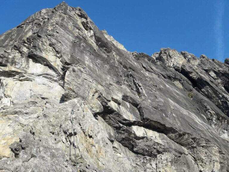
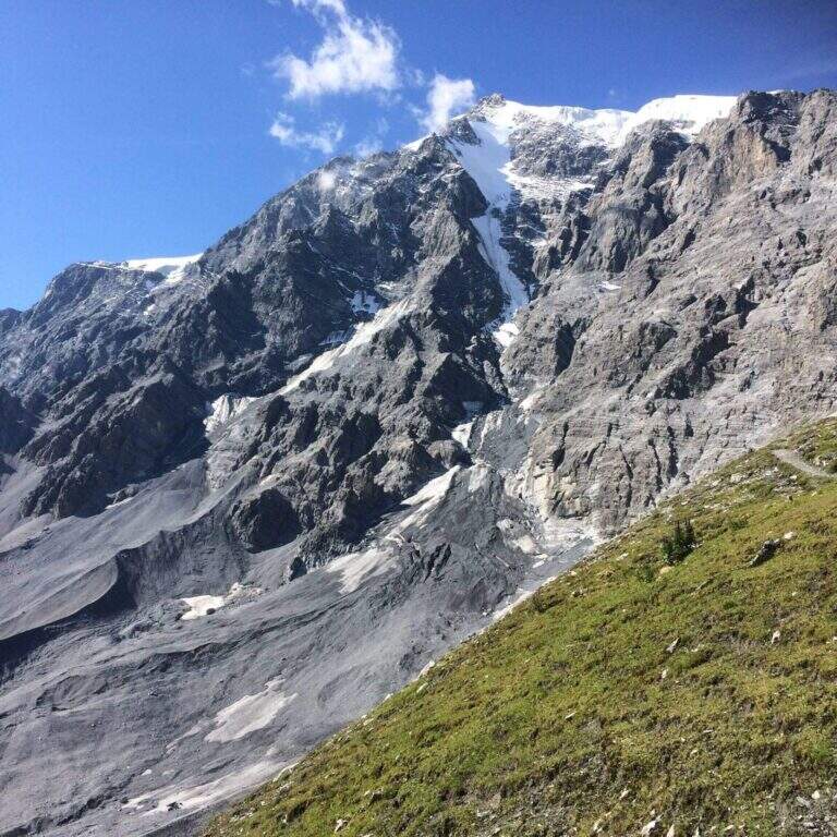
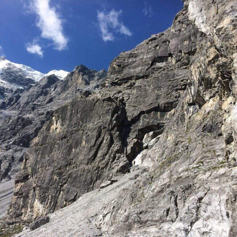
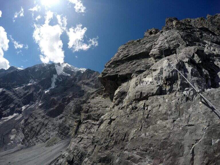
    La Ferrata Tabaretta is one of the most severe routes in the Italian Alps: the imposing north wall of the Ortles, under Punta Tabaretta, dates back to a high mountain environment over 3000 meters. Technical difficulties up to the extreme are added to a remarkable physical and mental commitment; the rock is often poor of hooks and in many ways it advances by pulling on the cable. There are no escape routes.

    ▲Approach

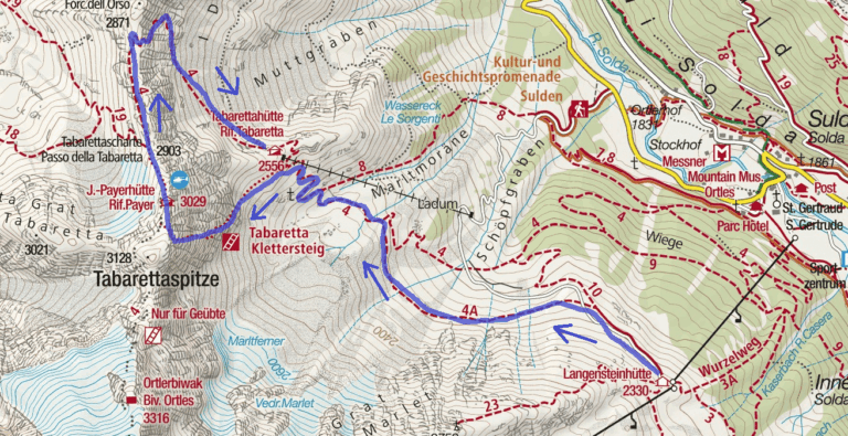
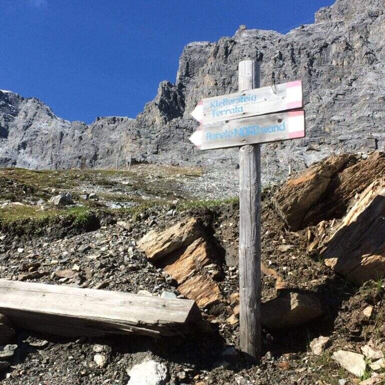
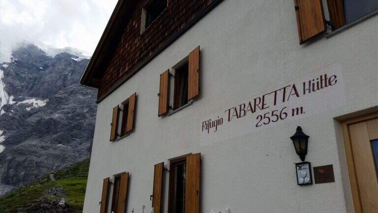
    From the upstream station of the seggiovia dell'Orso in Solda (2330 m); è the share to which to descend, without continuing beyond. Open road signs on Google Maps. Dalla stazione si segue il sentiero CAI 10 a mezza costa fino a un bivio, dove si tiene la sinistra sul CAI 4A; si procede verso ovest aggirando la parete nord dell'Ortles fino a innestarsi sul CAI 4 e, per alcuni tornanti, si raggiunge il Rifugio Tabaretta (2556 m, 45' from the upstream station). Behind the refuge starts the marked path «Ferrata – North-and-raque wall; which, halfway south-west, leads under the bastion all' attack (15' from the shelter, 1h from the station).

    ▲The path

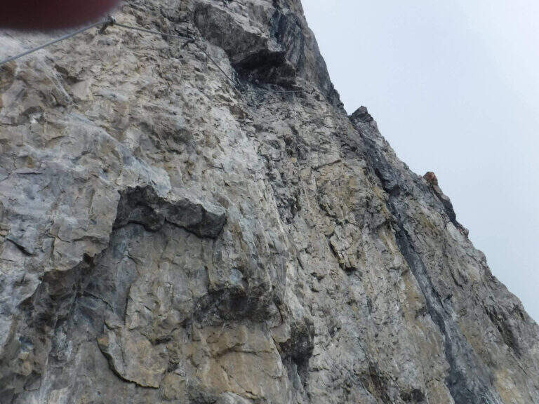
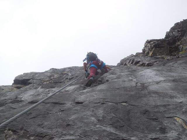
    You start on rocks at a corner; climb it immediately you gain exposure and you enter the street figure, with few hooks that force you to pull on the cable. After a terrace you descend a couple of meters and you will reassemble a very exposed dihedron, then a diagonal plate leads to a small terrace. Since 2019 the original attack has been replaced by a more challenging variant: a wall of a hundred meters, vertical, exposed and flooded with supports, which stands on the same terrace. Continue to the right on small rocks and on a vertical plaque, a short traverse to the right and a dihedron taste; a rocky roof forces to cross to the left at a crack (first tiring tract). The cable starts vertically in a slightly overhanging and little stretched up to a panoramic terrace on the Tabaretta Refuge and Ortles. After some vertical meters bend diagonally to the right in ascending cross of Geelen Knott, the key passage: very few supports for the feet, to be overcome with rapidity and force of arms not to "burn" (use a referral or a fog). You pass the roof, you go up with a second rope on the right, you walk around a corner and you reach a large terrace with short hint. They follow a plaque of about twenty meters, easy rocks, a smooth plaque to be overcome by pulling on the cable, a very exposed right traverse and more climbing traits, up to a stretch of crest and to the book signatures. The last section climbs on aerial edge, a horizontal beam exposed, a vertical wall with a small protruding roof and an ascending traverse to the demanding but entangled right, then a difficult dihedron and plane (plug on the right side, not enough to climb without cable). You leave on the left, you pass plaque, small rocks and a short fireplace and finish the equipment. For a gravel path you can connect to the ridge that from the Rifugio Payer climbs to the Ortles, the highest point of the route (3076 m), and descend to the Rifugio Payer (3029 m, 2h from the attack, 3h 45' from the mountain station).

    ▲Character and difficulty

    Continues and without respite: most of the stretches are difficult and very difficult, with extreme tips such as the Geelen Knott traverse. Maximum ratings on all fronts (technical, environment, exposure, physical commitment). The equipment is great but should not induce to underestimate the way.

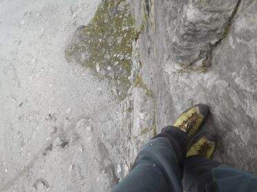
    ⚠ No escape and mountain environment over 3000 m: climb reserved for very trained ferratisti, with careful weather assessment and early departure. Level difference in ferrata 500 m, total 720 m, development 9,6 km.
    ▲Period and safety

    Summer itinerary d' high altitude, to be faced with stable conditions and dry rock. The GPX and KMZ tracks are available. The Tabaretta and Payer refuges offer support along the route.

    ▲Discipline

    Dal Rifugio Payer si segue il sentiero di cresta CAI 4, con tratti esposti e parzialmente attrezzati, fino alla Forcella dell'Orso (2871 m); da qui si scende ripidamente, poi più dolcemente, nella vallata di Solda al Rifugio Tabaretta (1h 30' dal Payer, 5h 15' totali). Si rientra infine a ritroso per il sentiero di avvicinamento alla stazione a monte della funivia dell'Orso (30', 5h 45' totali).

    ▲Gallery
    Technical data
    • DifficultyVery difficult
    • RegionTrentino-Alto Adige
    • GroupOrtles
    • Approach1:45 h
    • Ferrata2:00 h
    • Itinerary (a/r)5:45 h
    • Hardware level difference500 m
    • Route difference720 m
    • Max3076 m
    • Length9,6 Km
  • Ferrata Strada degli Alpini

    Ferrata Strada degli Alpini

    Vie Ferrate › Trentino-Alto Adige › Bolzano
    Ferrata Strada degli Alpini
    Moderately Hard● OpenDescriptionComplexityMapsGallery

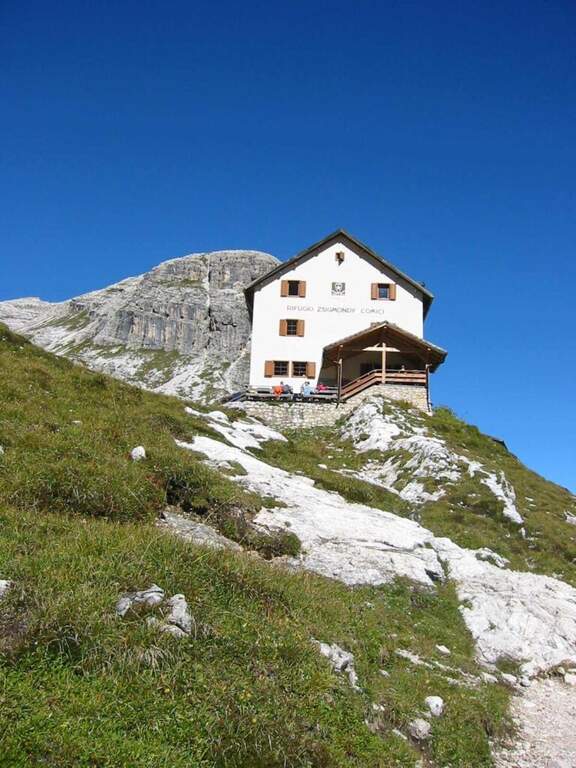
    La Ferrata Strada degli Alpini walk through a splendid itinerary in the Sesto Dolomites, going up the eastern slope of Val Fiscalina Alta from the Comici Refuge to Forcella Undici along the historic Cengia della Salvezza of the Great War. For large sections there is no particular difficulty; although exposed; ` a very long ring with high altitude difference, to be prepared with care and to go only if well trained.

    ▲Approach

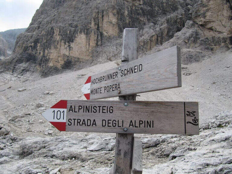
    Starting point l' Hotel Dolomitenhof in Val Fiscalina (1454 m), reachable from Moso in Val Pusteria. Open road signs on Google Maps. Follow the 102 road towards the south to the Rifugio al Fondo Valle (1548 m, 30'), then always 102 towards the south-west and at a crossroads you keep the left on the path 103 towards the Rifugio Comici, climbing along the left of the Val Fiscalina Bassa (on the opposite side you can see the ridge of the Strada degli Alpini) up to the Rifugio Comici (2224 m, 2h 30' from the parking ). From the hut continue on the 103 south, downhill and then on the left towards Forcella Giralba, on the left side of the Croda dei Toni; before the fork you will meet on the left the path 101 towards Monte Popera. Going up towards a fork and going down a few meters, at a crossroads (on the right the normal Popera) continue north to half-coast until the census of the' attack (1h from the Rifugio Comici).

    ▲The path

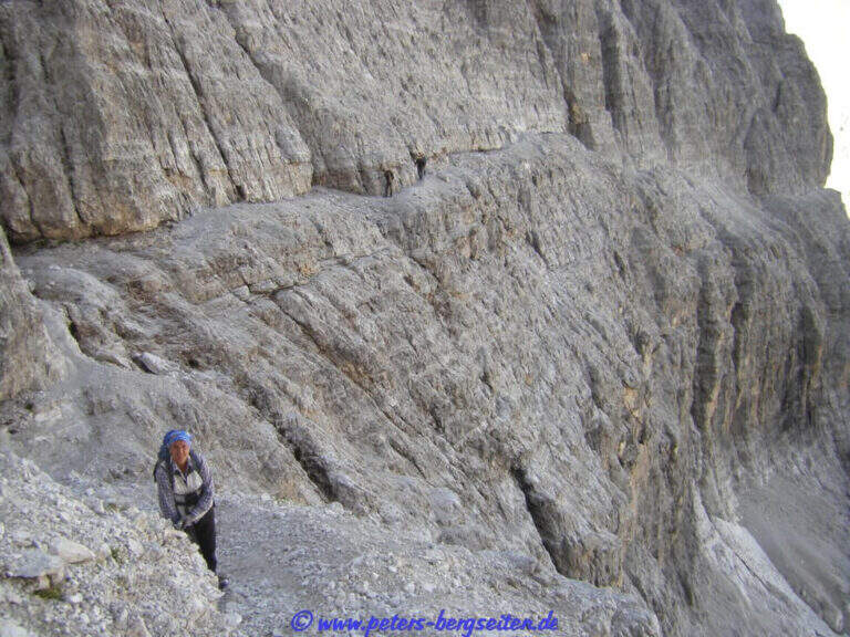
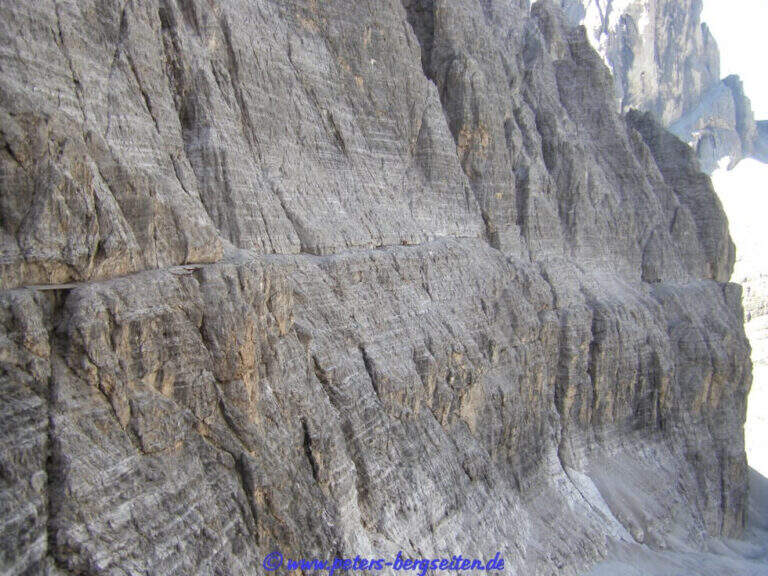
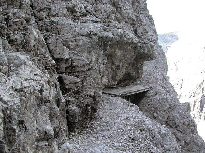
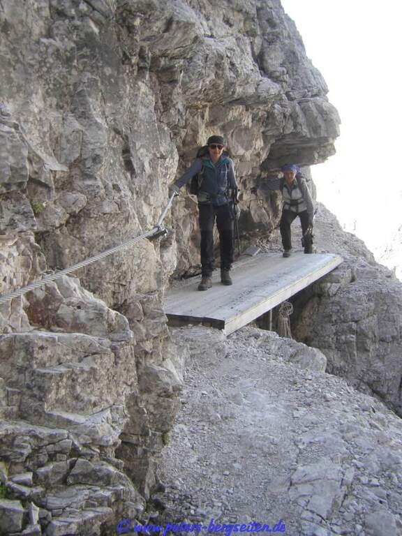
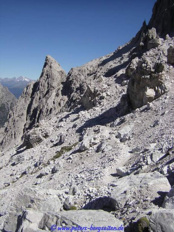
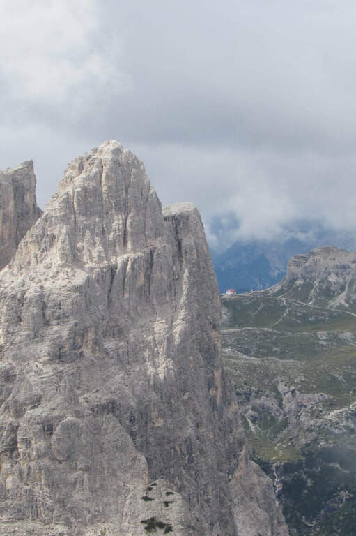
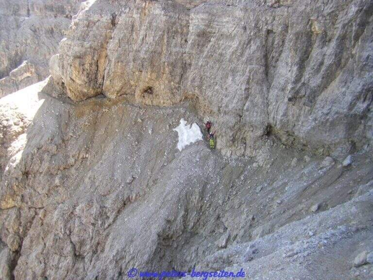
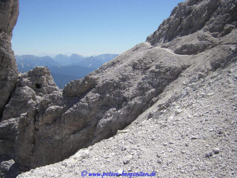
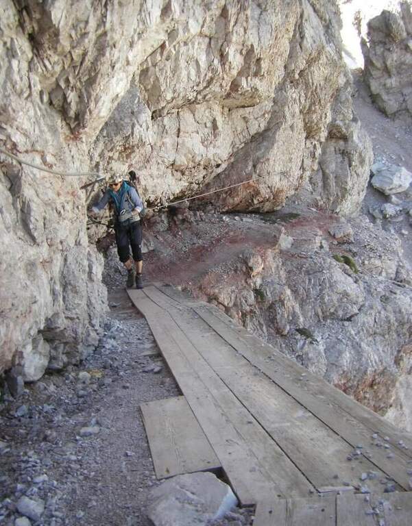
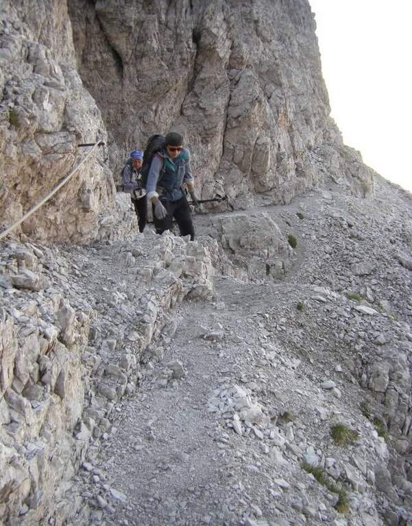
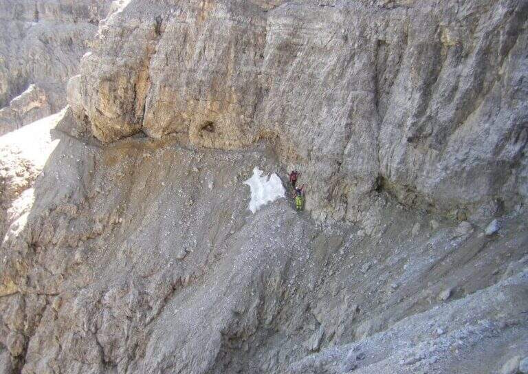
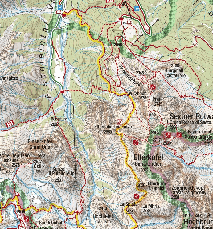
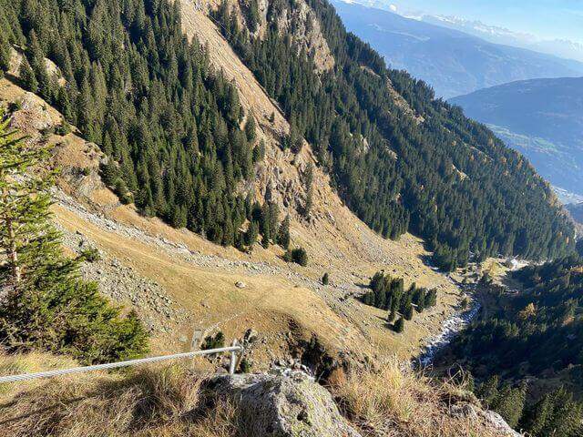
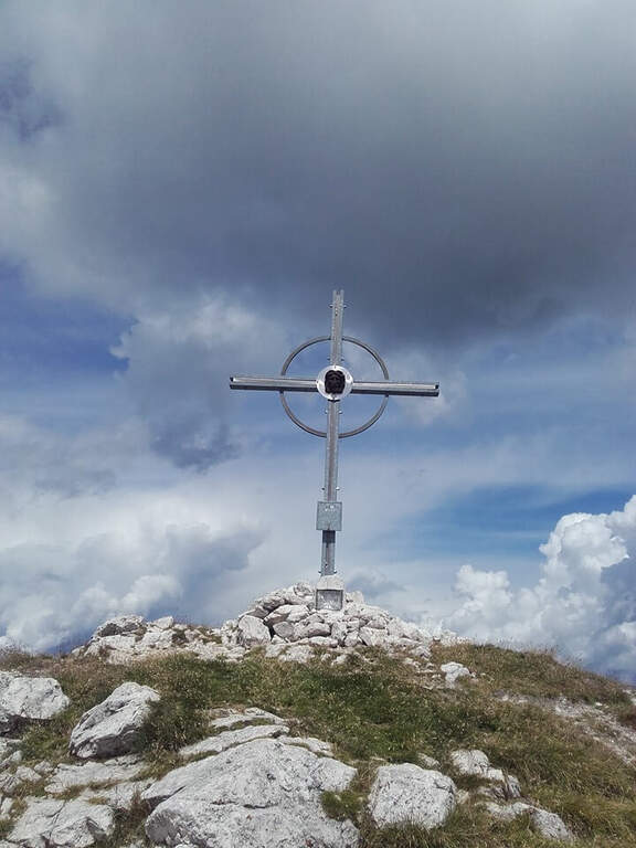
    The initial trait goes beyond easy rocks and then develops along the Cengia of Salvazza, carved into the rock during the Great War. First, a very wide nod, at times not equipped, to the più point; iconic: the nod abruptly turns into a rock retaliation and is circumvented from the ' inside, with the characteristic view that recalls a «spada». Exit on the opposite side, after some rocks, the nod continues between modest climbs along the west wall of the slopes of Cima Undici, with wonderful views on Cima Dodici and Val Fiscalina: generally wide, you walk without problems despite the precipice on the left. At a rocky roof it is lowered on a wooden catwalk; più forward, in a recess, a waterfall and, according to the season, a snowmaker. The census now continues without protection, uphill on a detritic background, it overcomes a new snowfall and reaches an old military muretto where the first stretch ends (1h 45' from' attack, 5h 15' total). Continue on unprotected nod, in falsepiano, up to Forcella Undici, where the ferrata ends with a 360° panorama; on Croda Rossa di Sesto, Cima Undici, Cima Twelve and Cima Uno (2h 30' from' attack, 6h totali).

    ▲Character and difficulty

    For the first two thirds the route does not present technically challenging passages: it develops above all on exposed but well equipped cenges. The most vertical and medium-difficult stretches meet downhill, especially towards Passo della Sentinella.
    ⚠ Some unprotected steps are exposed and require steady foot. The excursion is long and after the Rifugio Comici there are no other points of support until the return: taking place just under the 3000 m it goes only with stable time. It can be useful to have ramps if the snows are still present, often with hard snow.

    ▲Period and safety

    An official GPS track is not available for this route. The map of the 4Land Dolomites is useful.

    ▲History

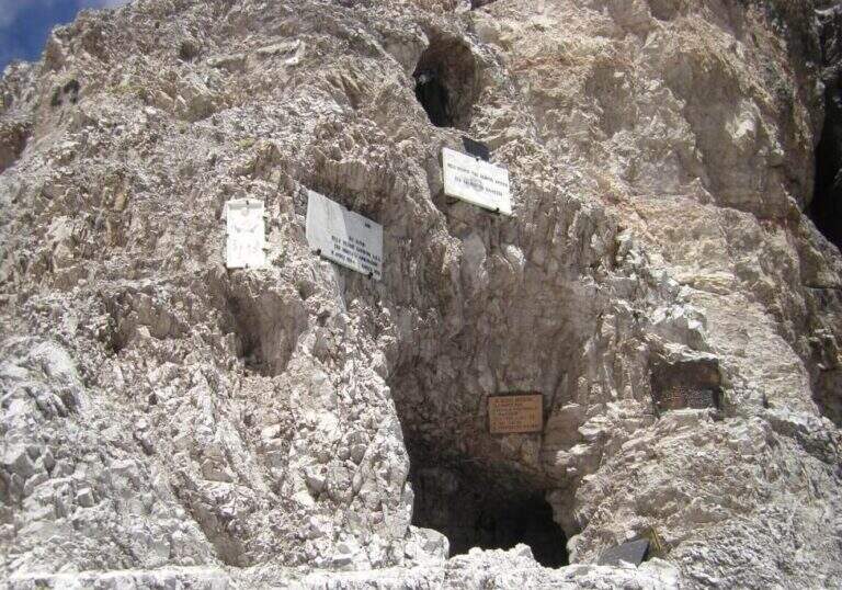
    The Strada degli Alpini has its roots in the Great War, when the "Cengia della Salvezza" — originally a natural nod, then enlarged by the mountaineers — connected Forcella Giralba to the west terrace of Cima Undici to reach and strengthen the positions in view of the attack on the Passo della Sentinella, then the Italian-Austrian border. After the war Francesco Meneghello (CAI) brought to light the itinerary and in 1932 the CAI of Padua equipped it with metal ropes and ladders; the stretch from Forcella Undici to Passo della Sentinella was instead equipped by the CAI of Padua in the seventies.

    ▲Discipline

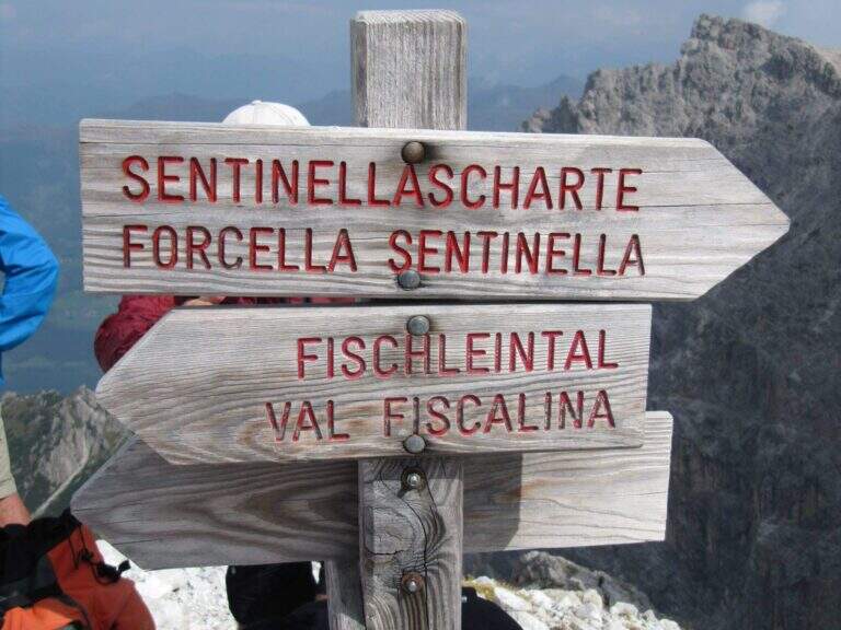
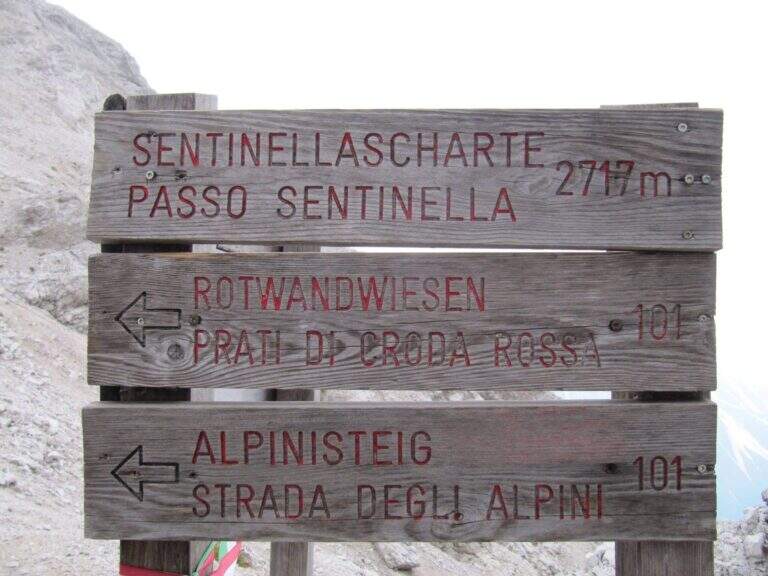
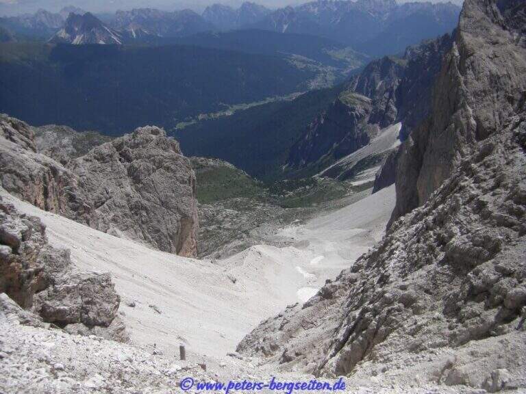
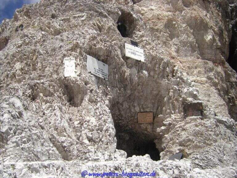
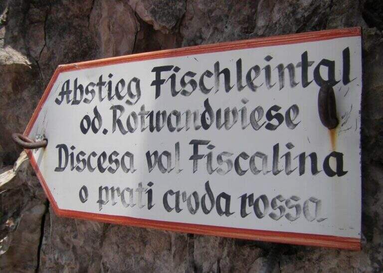
    From Forcella Eleven two options. The first follows the signpost 124 che, aggirando l'Elferschartespitze, scende in Val Fiscalina con un traverso attrezzato e un paio di canalini franosi, poi un vallone detritico con la Croda Rossa a destra, fino al parcheggio (1h 30' da Forcella Undici, 6h 45' totali). La seconda scende al Passo della Sentinella (anche detta Ferrata del Passo Sentinella): cenge, una scaletta, l'attraversamento di un canale, una lunga passerella di legno e balzi verticali in forte esposizione fino al passo (2717 m, 1h da Forcella Undici), ricco di resti bellici; si scende poi a sinistra nel Vallon Sentinella, dapprima molto ripido e attrezzato, fino al bivio con il sentiero 124 che riporta in Val Fiscalina e al parcheggio (8h totali).
    ▲To match

    Itinerary ideal to be inserted in several days: a classic match the Ferrata Roghel e la Cengia Gabriella towards the Rifugi Berti and Carducci, then using the Strada degli Alpini to return to the Berti from the Val Popera; or the climb to the Croda Rossa di Sesto for Ferrata Zandonella and the descent to the Costoni di Croda Rossa.

    ▲Gallery
    Technical data
    • DifficultyModerately Hard
    • RegionTrentino-Alto Adige
    • GroupSesto Dolomites
    • Approach3:30 h
    • Ferrata2:30 h
    • Itinerary (a/r)8:00 h
    • Hardware level difference337 m
    • Route difference1200 m
    • Max2717 m
    • Length11 Km
  • Ferrata Speikboden

    Ferrata Speikboden

    Vie Ferrate › Trentino-Alto Adige › Bolzano
    Ferrata Speikboden
    Moderately Hard● OpenDescriptionComplexityMapsGallery

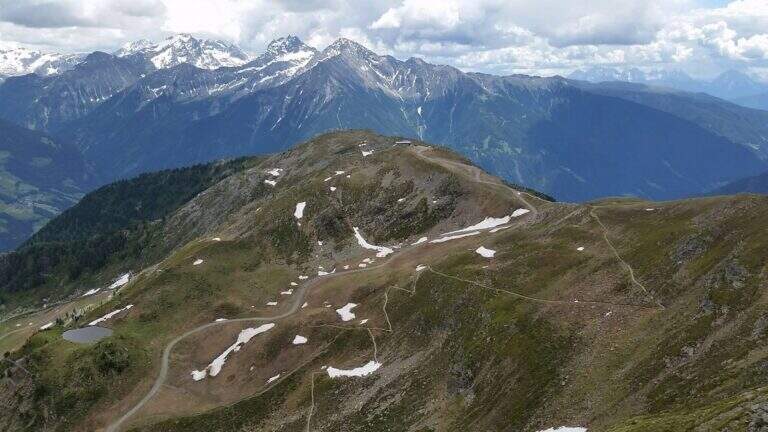
    La Ferrata Speikboden ` a recent route that climbs to the top of Speikboden, above Campo Tures in Valle Aurina. È of media difficoltà , very panoramic, with ring return and two fun suspended bridges; the ascent does not have difficulties; relevant techniques and, for those who ` accustomed to challenging, può routes; be climbing almost entirely.

    ▲Approach

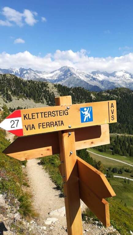
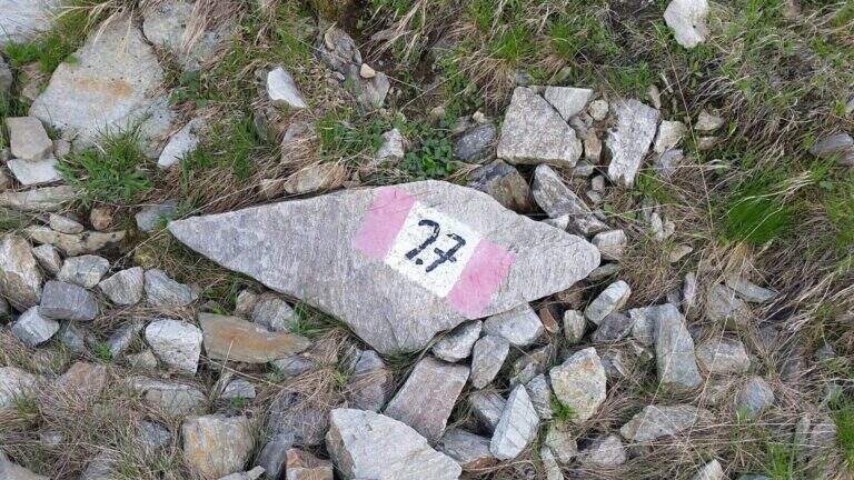
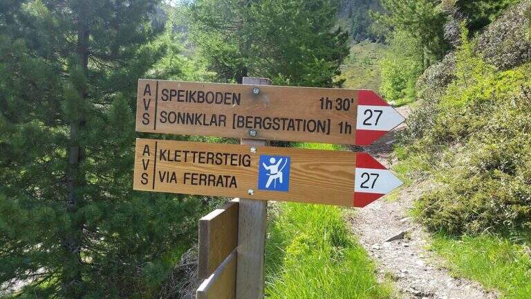
    Starting point is the valley station of the cable car of Costa di Tures, aboard the SS 621 in Valle Aurina. Open road signs on Google Maps. With the cable car you climb the first trunk up to Malga Speikboden (about 1970 m); from here you follow up to the southwest the path 27 with the first indications for the ferrata, up to a crossroads marked to the right where you leave the 27 and you reach l' attack (45' from the cable car).

    ▲The path

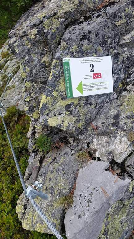
    Next to a wooden bench, near the green sign, the cable sticks on a diagonal ramp to the right; a first non-hard vertical leap and some small rocks precede a long stretch equipped with a connection without difficulty and agrave;. You reach the first suspension bridge at 4 ropee, stable but long and adrenaline, and shortly after a second bridge, still più long but with solid wooden boards, which closes the first section. After a stretch of path, the second section attacks vertically (arrampical), bends right onto some paths, continues on easy rocks up to a vertical passage of greater commitment, a short diagonal stretch and a last vertical tear; some small rocks close the equipment (2480 m, 1h 30' from' ) attack and for the path you will soon reach the peak of the Speikboden (2517 m).

    ▲Character and difficulty

    Average difficulty, without significant technical steps, made fun of the two suspended bridges and beautiful views of the Aurina Valley. It is part of a district that since summer 2021 also offers a Ferrata Kids (facial, for children) and a Ferrata Avventura (modern, with bridges, networks, stairs and passages on logs).

    ▲Period and safety

    GPS tracks (GPX and KMZ) are available. The return is ringed in both variants of descent.

    ▲Discipline

    Dalla croce dello Speikboden due opzioni, entrambe ad anello: verso sud si riprende il sentiero 27 in discesa fino a un bivio, da cui si torna alla funivia (eventualmente passando per Malga Sonnklar e il Dosso Sonnklar sul sentiero 26; 3h 30' totali); verso nord, tenendo la destra, si segue il sentiero 18 in quota fino al Dosso Grande (2400 m) e poi il 18A in discesa verso la funivia (2h 30' totali).

    ▲To match

    Complete the ferrates of the Aurina Valley, where the other two are for experts: the athletics Pursteinwand e la Fireplace / Steel at Monte Nero. Near Campo Tures the difficult Hans Kammerlander; towards Brunico Ferrata di Valdaora e la Piz de Peres; on the north side of the Odleshigh street Günther Messner e la Sass de Putia; towards Val Passiria la la Ferrata delle Cascate di Stuller.

    ▲Gallery
    Technical data
    • DifficultyModerately Hard
    • RegionTrentino-Alto Adige
    • GroupAurine Alps
    • Approach0:45 h
    • Ferrata1:30 h
    • Itinerary (a/r)3:30 h
    • Hardware level difference277 m
    • Route difference557 m
    • Max2517 m
    • Length6 Km
  • Ferrata Severino Casara (Croda dei Toni)

    Ferrata Severino Casara (Croda dei Toni)

    Vie Ferrate › Trentino-Alto Adige › Bolzano
    Ferrata Severino Casara (Croda dei Toni)

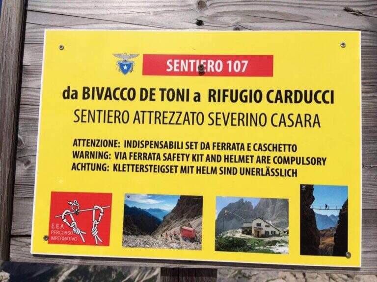
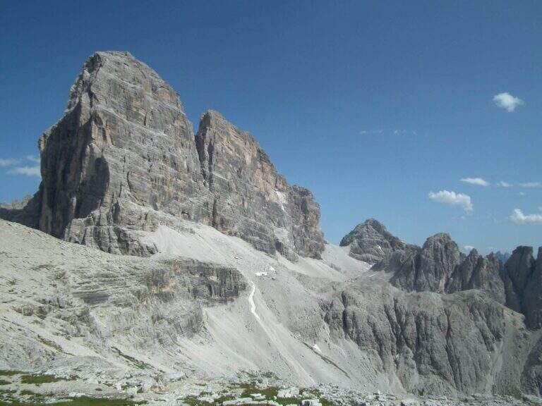
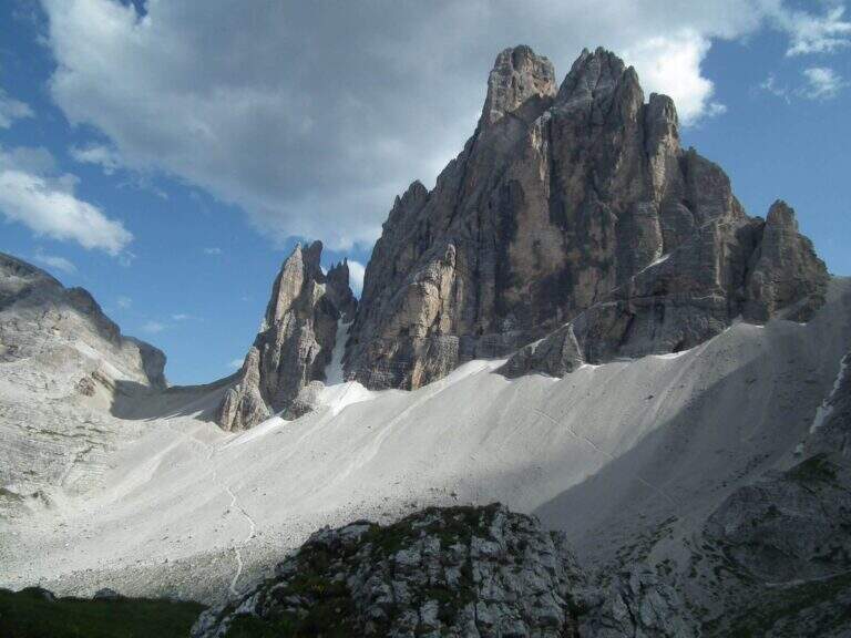
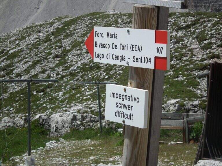
    La Ferrata Severino Casara (sentiero 107) connects the eastern side with the western side under Cima Twelve (Croda dei Toni), in the Dolomites of Sesto. È a route d' high mountain very challenging and tiring if route in the day (about 19 km, 10 hours, altitude difference 1350 m), exposed but without difficultà remarkable techniques in the equipped sections, in a spectacular environment in the presence of some of the pi&grave Dolomites peaks; Ardite.

    : Notice: A big landslide detached from the Witzenmann Tower in 2017 hit the last few meters of ferrata towards the Forcella de l'Agnel, making the formally unable. The section è only was put partly in safety with mountaineering ropes: the deviation è difficult and requires experience, not to be underestimated. Before you start checking out l' effective forcorribilità contacting Rifugi Comici e Carducci.
    ▲Approach

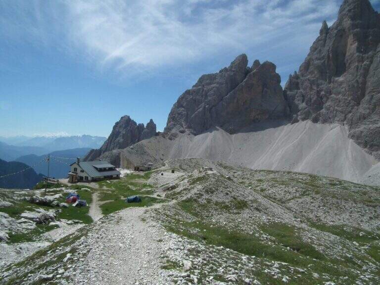
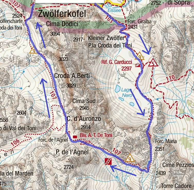
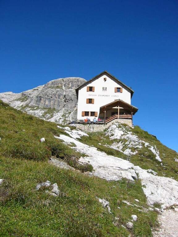
    Starting point l' Hotel Dolomitenhof in Val Fiscalina (1454 m), reachable from Moso in Val Pusteria. Open road signs on Google Maps. Follow the 102 road towards the south to the Rifugio al Fondo Valle (1548 m, 30'); continue on 102 towards the south-west and at a crossroads take the left on the path 103 towards the Rifugio Comici, constantly climbing the left of the Val Fiscalina Bassa (on the opposite side you can see the ridge of the Strada degli Alpini) up to the Rifugio Comici (2224 m, 2h 30' from the parking ). Continue on the 103 south, with the north wall of the Croda dei Toni in front, up to Forcella Giralba (2431 m); descend to the detritic valley at the Rifugio Carducci (2297 m, 3h 30' totali), start of path 107 «Sentiero Attrezzato Severino Casara».
    ▲The path

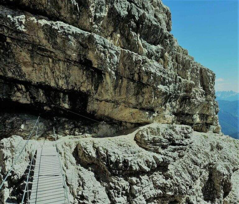
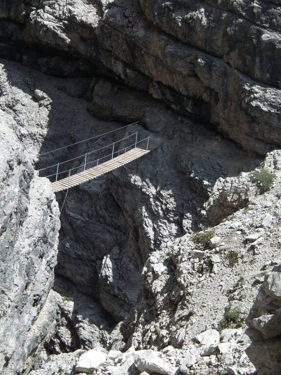
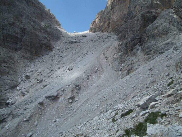
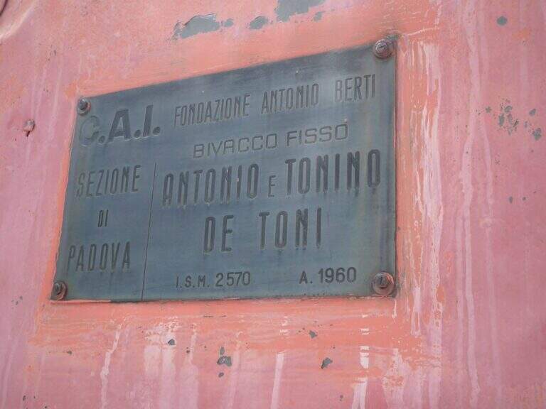
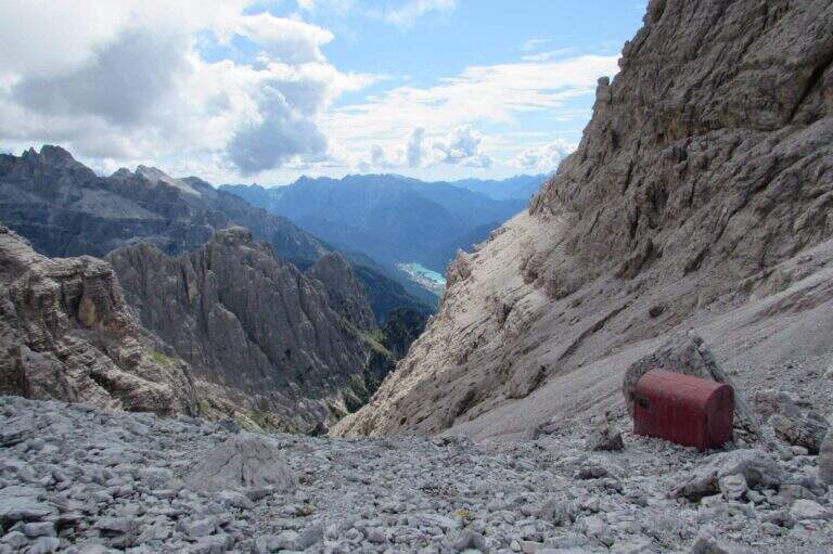
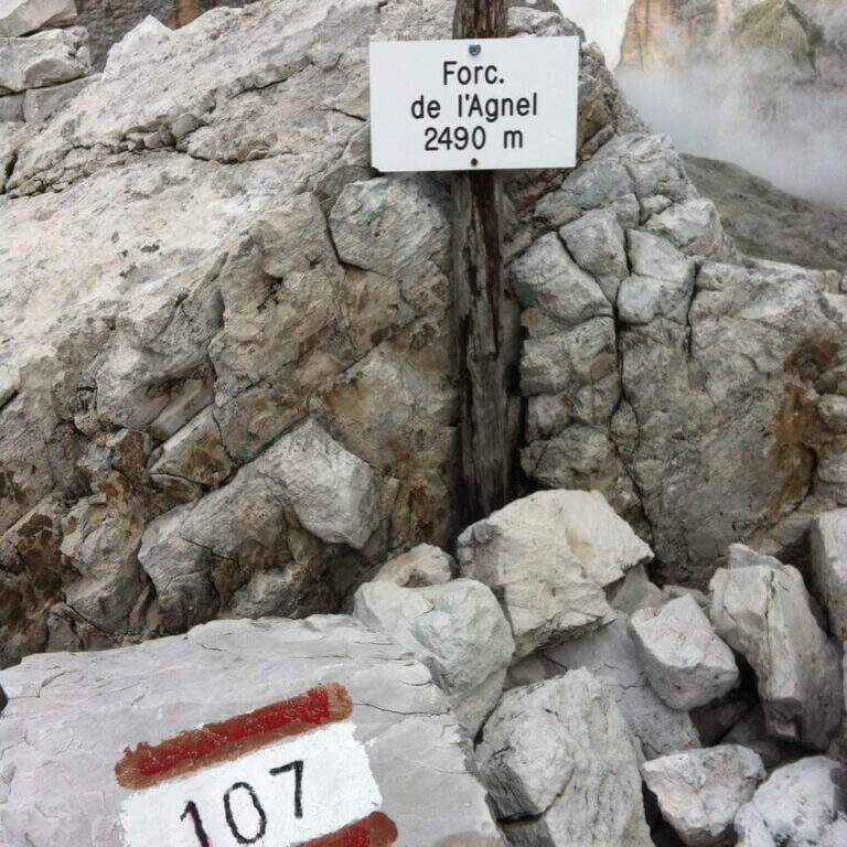
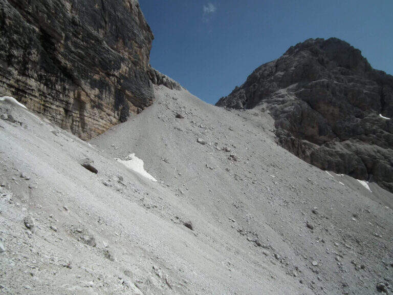
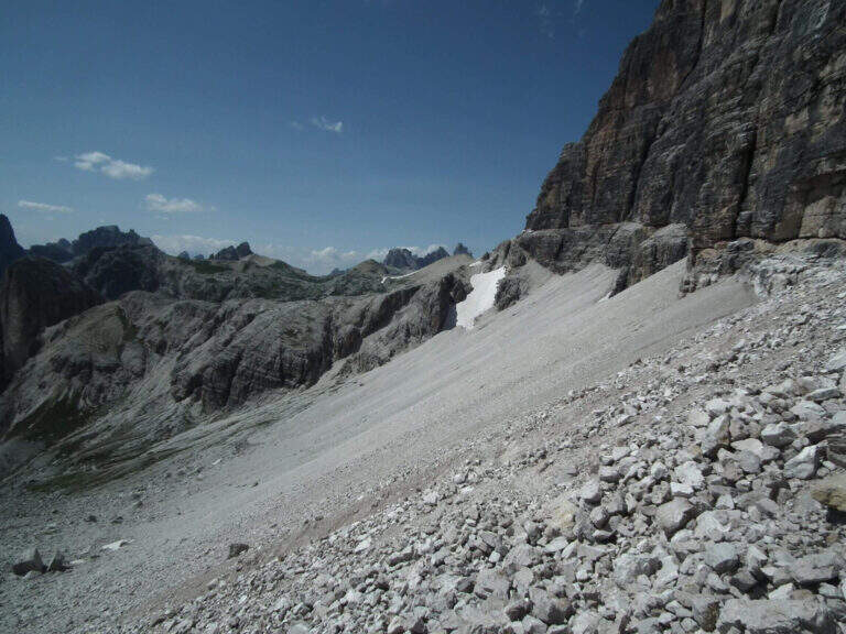
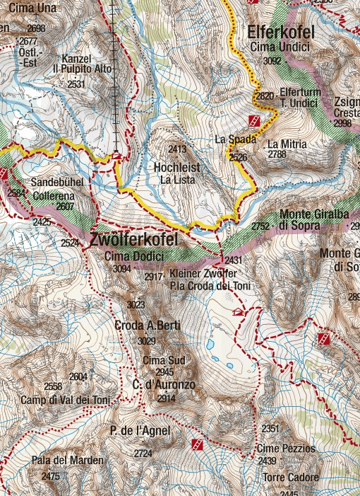
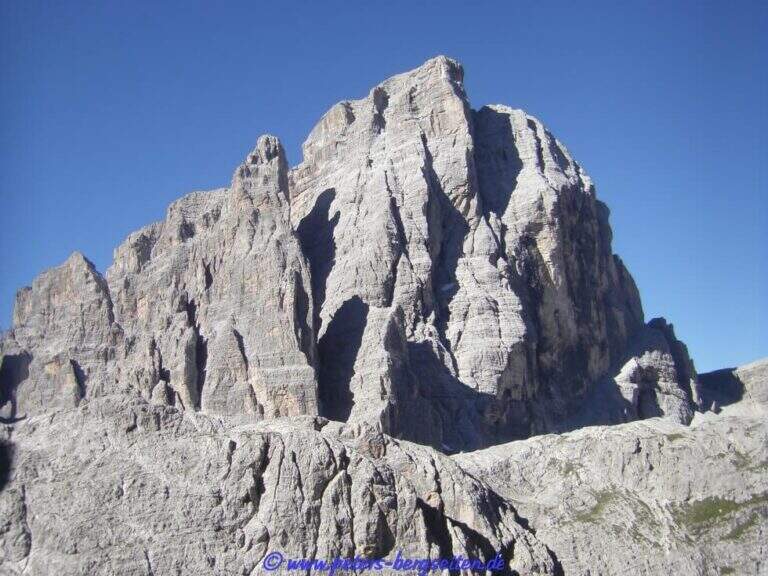
    Poco sopra il Rifugio Carducci iniziano le attrezzature. Si percorre un'esile cengia su fondo detritico lungo la parete sud-est della Croda dei Toni, alternando tratti attrezzati e sentiero, fino al bivio di Forcella Maria (2351 m, 45' dal rifugio) tra il vecchio 107 (chiuso per frane) e la via ferrata. Un traverso esposto ma non difficile porta a un primo ponte sospeso (fune a sinistra, ampie traversine di legno); si prosegue in orizzontale aggirando uno spigolo su cengia, con qualche balzo attrezzato con staffe e cambre. Verso metà itinerario si aggira lo spigolo sud e si procede verso nord-ovest su cengie esposte sulla Val Gravasecca, alternate a tratti di sentiero anche non attrezzato su terreno friabile. Sotto un caratteristico tetto roccioso si trova il passaggio chiave: in forte esposizione si raggiunge un angusto passaggio da fare a carponi (Passo del Gatto), scomodo ma non difficile. Oltre il tetto, roccette e una nuova cengia; la ferrata svolta a destra risalendo roccette arrampicabili, poi entra in una gola fino a un secondo ponte sospeso, più esposto del primo, con un salto di un paio di centinaia di metri sotto. Si sale un breve salto con due pioli e si esce dalla gola su cengia; un tratto in discesa su fondo instabile porta verso il canalone. Qui il percorso compie attualmente una deviazione con corde alpinistiche verso l'alto per aggirare la frana del 2017: tratto difficile, da non sottovalutare. Risalito il ripido ghiaione, con radi segni bianco-rossi, si raggiunge il Bivacco De Toni e poco oltre la Forcella de l'Agnel (2490 m, 2h 30' dal Carducci, 6h totali). Per chiudere l'anello verso il Rifugio Comici si attraversa a mezzacosta la parete occidentale della Croda dei Toni: si scende un ripido canalone franoso, si prosegue a mezzacosta ignorando le tracce che scendono verso Giralba, fino a un'insellatura dove, secondo la stagione, è presente un nevaio assicurato da una fune; si risale la sella detritica e, per cengia e cresta, si raggiunge la Forcella dei Toni (2524 m, 1h da Forcella de l'Agnel, 7h totali).
    ▲Character and difficulty

    Recent and well maintained equipment. The route does not offer technically difficult passages, but the high mountain environment, exposure, length and altitude difference make it very challenging. It is advisable to walk in this direction to face uphill the steep and slippery stretch between the end of the ferrata and the Forcella de l'Agnel.

    ⚠ With fog or low clouds, be careful to identify the attack of the ropes that help to overcome the snow between Forcella de l'Agnel and Forcella dei Toni, also present in late season: the rope assures it, but for greater safety it can be possible to have with it the ramps.

    ▲Period and safety

    GPS tracks (GPX and KMZ) are available; the 4Land Dolomites map is useful for the area. Always check the status of the route with the Comic Refugees and Carducci.

    ▲History

    The ferrata, which connects the Rifugio Carducci with Bivacco De Toni, was inaugurated in 2015 and is dedicated to the alpinist Vicentino Severino Casara, a controversial figure but very great mountaineer of his time: he climbed in rope with Comici, opened over 300 routes, he was writer and director.

    ▲Discipline

    From Forcella dei Toni begins the long descent: you descend on the gravel to the right under the northern wall of Cima Twelve, you ignore two tracks eastward, you pass under the ramparts of the Collerena and, halfway, you reach the Rifugio Comici; from here to back on 103 until the parking lot (3h from Forcella dei Toni, 10h totali).

    ▲To match

    From Rifugio Carducci you can continue towards Ferrata alla Cengia Gabriella e la Ferrata Roghel; beyond Ferrata Zandonella to the Red Croda of Sesto and the Red Croda Costumes. From the Rifugio Fondo Valle, along the Val Sasso Vecchio, you can reach the Ferrata Hosp at Toblin Tower e la Innerkofler at Mount Paterno.

    ▲Gallery
    Technical data
    • DifficultyHard
    • RegionTrentino-Alto Adige
    • GroupSesto Dolomites
    • Approach3:30 h
    • Ferrata3:30 h
    • Itinerary (a/r)10:00 h
    • Hardware level difference260 m
    • Route difference1350 m
    • Max2556 m
    • Length19 Km
  • Ferrata del Somator (Monte Biaena)

    Ferrata del Somator (Monte Biaena)

    Vie Ferrate › Trentino-Alto Adige › Trento
    Ferrata del Somator (Monte Biaena)

    La Somator Ferrata ` a pleasant ring itinerary at Monte Biaena, in the Gardesane Prealps between Rovereto and Riva del Garda. È a facile street: some elementary rocky ridges are equipped with brackets and cambres to facilitate hikers, and l' environment with lake view makes it an ideal destination for families.

    ▲Approach

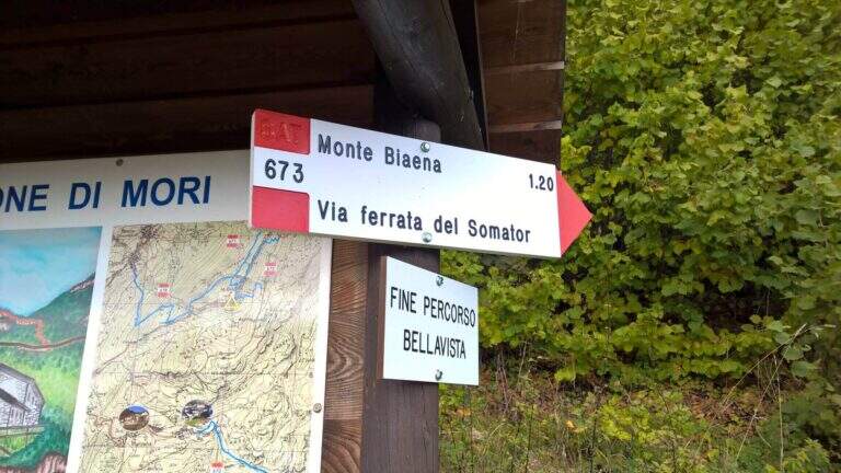
    Starting point is the parking of the Restaurant Pizzeria La Baita, between Ronzo-Chienis and Castellano (Trento). Open road signs on Google Maps. From the parking lot follow the CAI signs 671 on asphalt road to the east; the first crossroad to the left is ignored for the Path Attrezzato de le Laste (which will be the return) and, between the tracks that detach to the right, we start after a few minutes on the path 673, where the Somator Path begins (30' from'auto); wanting, a short deviation on 642 reaches the Malga Somator Refuge.

    ▲The path

    The path always remains quite easy, with some stretches that shrink and become equipped, a couple of easy vertical leaps and a canal. After passing the stretches, continue in view of Mount Biaena, with a beautiful view of the lake (1617 m, 1h 30' from'auto).

    ▲Character and difficulty

    Although known as «ferrata», the climb to Mount Biaena is an easy route, suitable for neophytes and families.

    ▲Period and safety

    GPS tracks (GPX and KMZ) are available; the map of Alto Garda and Valle di Ledro is useful for the area, or Pasubio and Vallagarina 4Land.

    ▲Discipline

    For the return you descend on the east side following the track 671; after about 10' the trail 678 is ignored on the left and continues in the forest with some easy stretches equipped up to a track and at the junction of the ' gone, returning all' car ( approximately 2h 30' totali).

    ▲To match

    Garda offers many similar routes: Ferrata Rio Sallagoni in Castel Drena, la Ferrata Colodri to Arco; on the western side the Susatti a Cima Capi e l'Friendship in Cima Sat; for a higher degree the Marangoni to Mori.

    ▲Gallery
    Technical data
    • DifficultyEasy
    • RegionTrentino-Alto Adige
    • GroupPrealps Gardesane
    • Approach0:30 h
    • Ferrata1:00 h
    • Itinerary (a/r)2:30 h
    • Hardware level difference70 m
    • Route difference315 m
    • Max1617 m
    • Length4,5 Km
  • Ferrata Sass Rigais

    Ferrata Sass Rigais

    Vie Ferrate › Trentino-Alto Adige › Bolzano
    Ferrata Sass Rigais
    Moderately Hard● OpenDescriptionComplexityMapsGallery

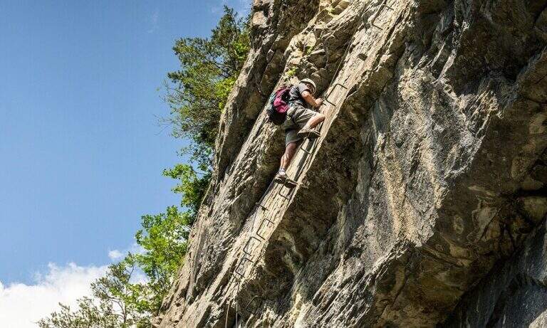
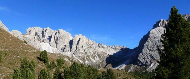
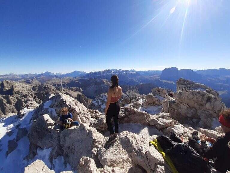
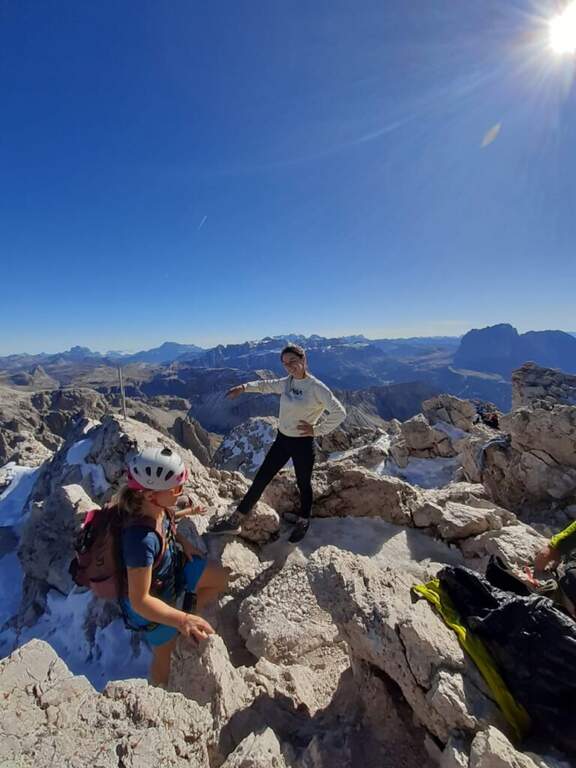
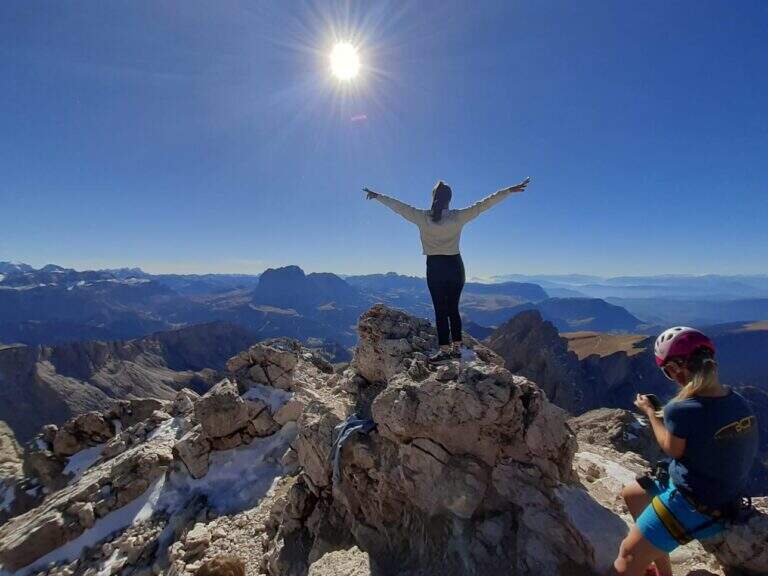
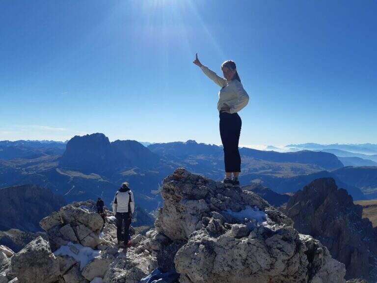
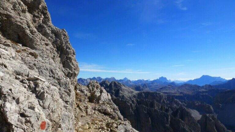
    La Ferrata at Sass Rigais door on the highest peak of Val Gardena and Odle, to 3025 m, combining two equipped routes: the ferrata est e la south ferrata. The difficulties are medium-low on both, but the east has more accentuated vertical traits and it is therefore advisable to go uphill. Approach and return are long and challenging.

    ▲Approach

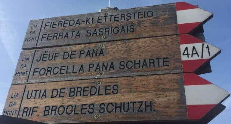
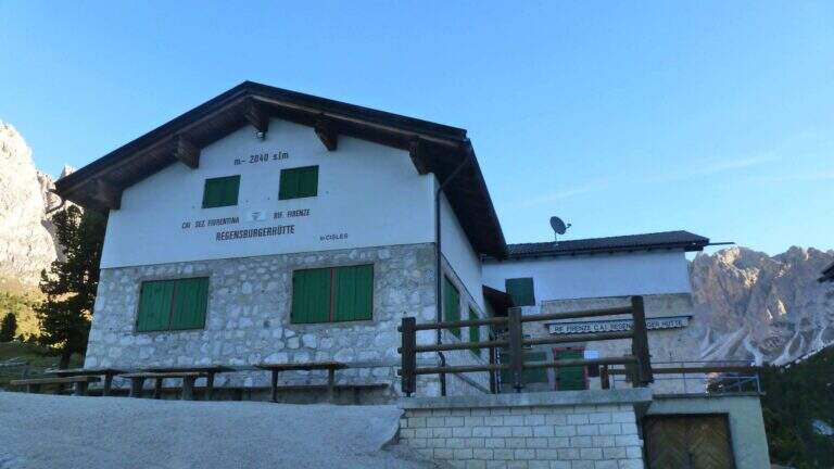
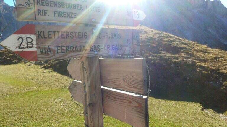
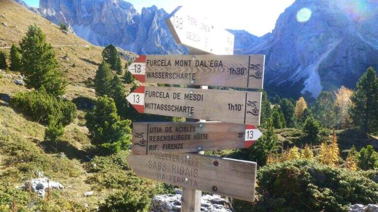
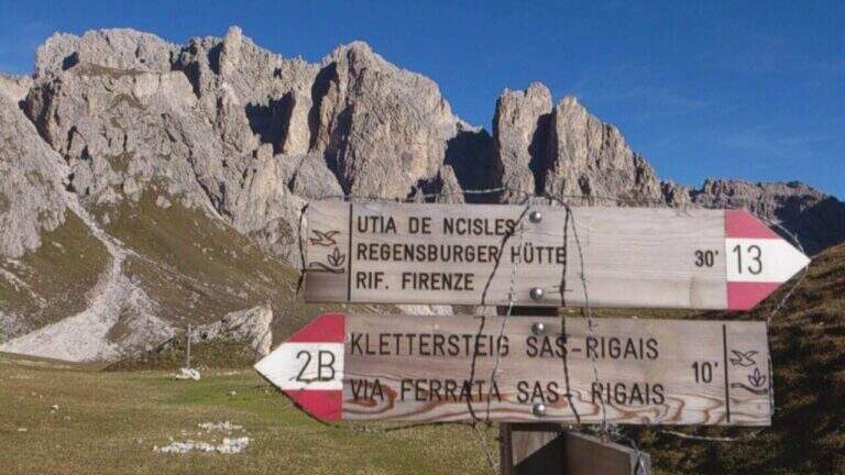
    Starting from the mountain station of the cable car that connects Selva di Val Gardena to the Rifugio Col Raiser (2106 m): from Selva you go towards Santa Cristina to the Strada Ruecia, where are the plants, parking in the wide beach in front. Open road signs on Google Maps. From the upstream station follow signs for Sass Rigais to the north-east, signpost 4, up to the Rifugio Firenze (2040 m), reached in a few minutes of ascents on road. From the refuge the path 13 punta dritto al Sass Rigais fino al bivio presso il Plan Ciautier (2322 m, 1h dalla stazione a monte): qui si può tenere la destra e salire il lungo vallone detritico della Val Salieres (per la ferrata est) oppure la sinistra col segnavia 29 verso la Forcella de Mesdì (per la ferrata sud). In questa relazione si sale dalla est e si scende dalla sud. Tenuta la destra e risalito il vallone detritico tra Sass Rigais e Furchetta, si raggiunge la forcella che li separa (2696 m, 2h 15' totali), con vista sulla Val di Funes; si tiene poi la sinistra per salire su traccia con bolli rossi la placca est fino alla sella d'attacco (2800 m, 2h 30' totali).

    ▲The path

    La east ferrata inizia su roccette ben appigliate, dove il cavo serve da sola autoassicurazione; si supera una fessura e una rampa verso sinistra fino a un punto verticale che si affronta con un breve traverso a sinistra su semplici chiodi e poi in verticale su ampie e solide staffe. Seguono ancora roccette senza difficoltà e un canalino roccioso verso destra; usciti dal canalino si vede la croce sommitale. Una serie di balzi rocciosi alternati a facili roccette porta alla crestina finale e alla croce del Sass Rigais (3025 m, 1h dall'attacco, 3h 30' totali). Per la discesa si imbocca la ferrata sud: ci si dirige a sud lungo una crestina sommitale a tratti non protetta, poi su una lunga serie di roccette, rampe inclinate e balzi di difficoltà medio-bassa con cui si perde rapidamente quota fino a innestarsi in un sentiero ripido; un ultimo balzo con una rampa e un salto più verticale presso una passerella in legno chiude le attrezzature (1h dalla vetta, 4h 30' totali).

    ▲Character and difficulty

    Medium difficulty Ferrata that leads on a three thousand of the Odle-Puez; the combination of a uphill road and a downhill road makes it pleasant also for the expert ferratista.

    ⚠ The approach is long and challenging. Attention to the quota and to the fact that there are no escape routes other than the ferrates themselves: to avoid with unstable time. Nothing prohibits taking the route in reverse direction or getting off the same way uphill.

    ▲Period and safety

    GPS tracks (GPX and KMZ) are available; the map of Val Gardena, Val di Funes and Alpe di Siusi or Val Badia di 4Land is useful for the area.

    ▲History

    Sass Rigais is the highest mountain in Val Gardena and Odle. Reinhold Messner went up with his father only five years, well before the construction of the via ferrata.

    ▲Discipline

    From the end of the equipment you descend to the valley for a gravel valley towards the Plan Ciautier; at a crossroads you can può keep the right for a shortcut marked towards the Col Raiser (reent about 1h, totale about 6h).

    ▲To match

    In Val Gardena you can join the ferrates Small e al Gran Cir near Selva; towards the Sella Group the overview Tridentine; towards Passo Sella, in an increasing order of difficulty Ferrata at the Col Rodella, la Schuster at Sassopiatto e la of the Mesules at the Piz Selva.

    ▲Gallery
    Technical data
    • DifficultyModerately Hard
    • RegionTrentino-Alto Adige
    • GroupOdle
    • Approach2:30 h
    • Ferrata1:00 h
    • Itinerary (a/r)6:00 h
    • Hardware level difference225 m
    • Route difference870 m
    • Max3025 m
    • Length9,7 Km
Need help? Write to us!