Regione: Trentino-Alto Adige

  • Sentiero Attrezzato del Cacciatore alla Cima Stanga

    Sentiero Attrezzato del Cacciatore alla Cima Stanga

    Vie Ferrate › Trentino-Alto Adige › Trento
    Sentiero Attrezzato del Cacciatore alla Cima Stanga
    Moderately Hard● OpenDescriptionComplexityMapsGallery

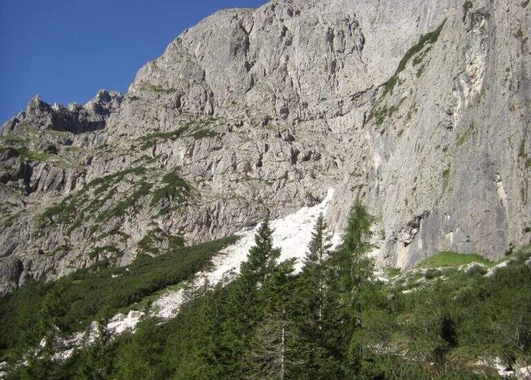
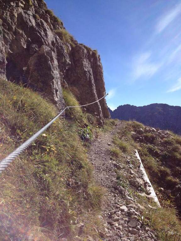
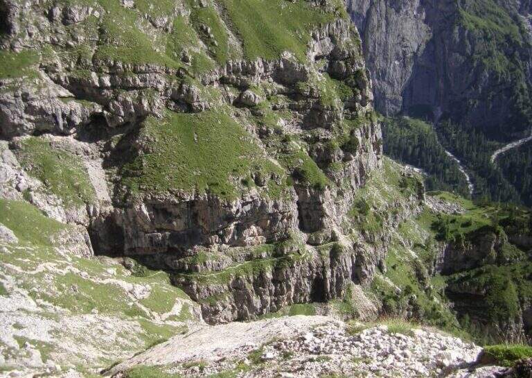
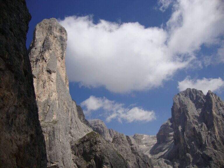
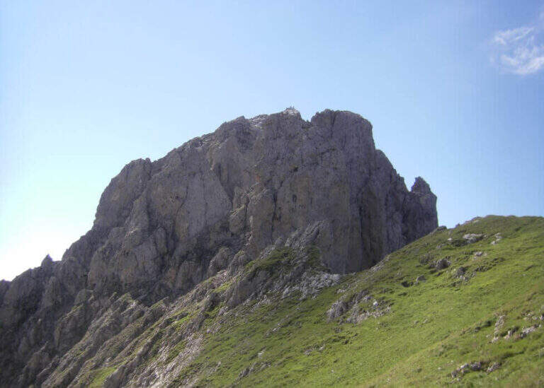
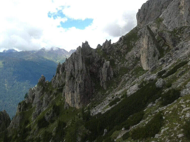
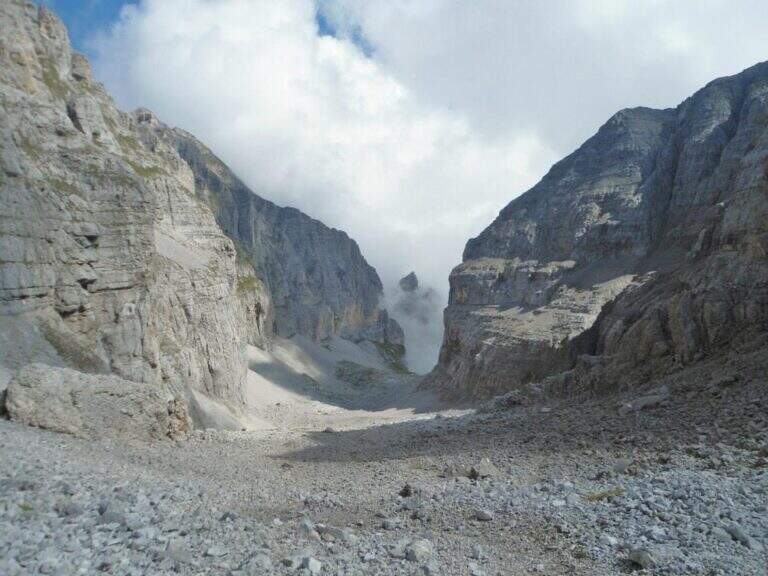
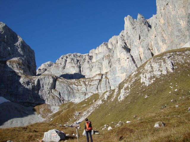
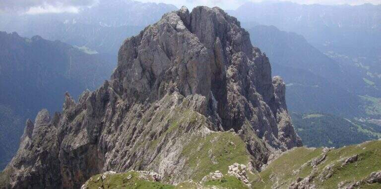
    The Path Atrezza del Cacciatore dates back to the eastern wall of Sass Maor, in the Pale di San Martino. It is a route with a high level and quite long, but not difficult from a technical point of view, immersed in one of the most spectacular environments of the Dolomites.

    ▲Approach

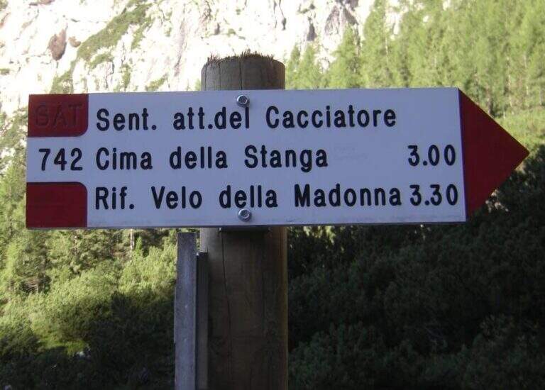
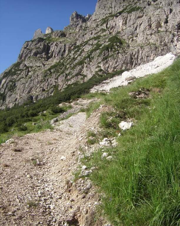
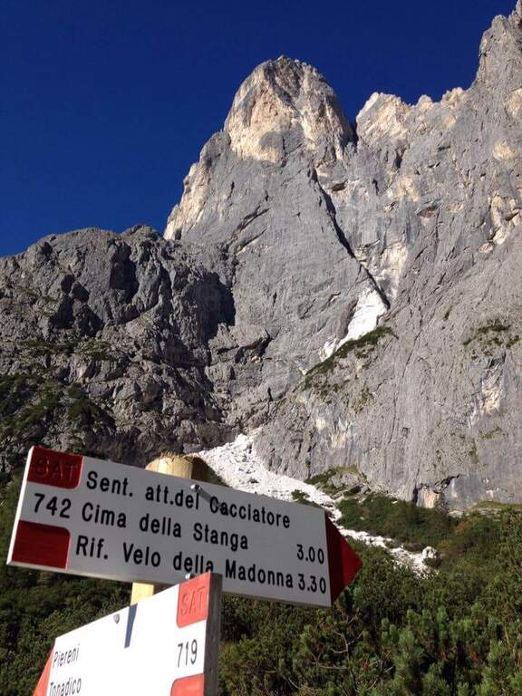
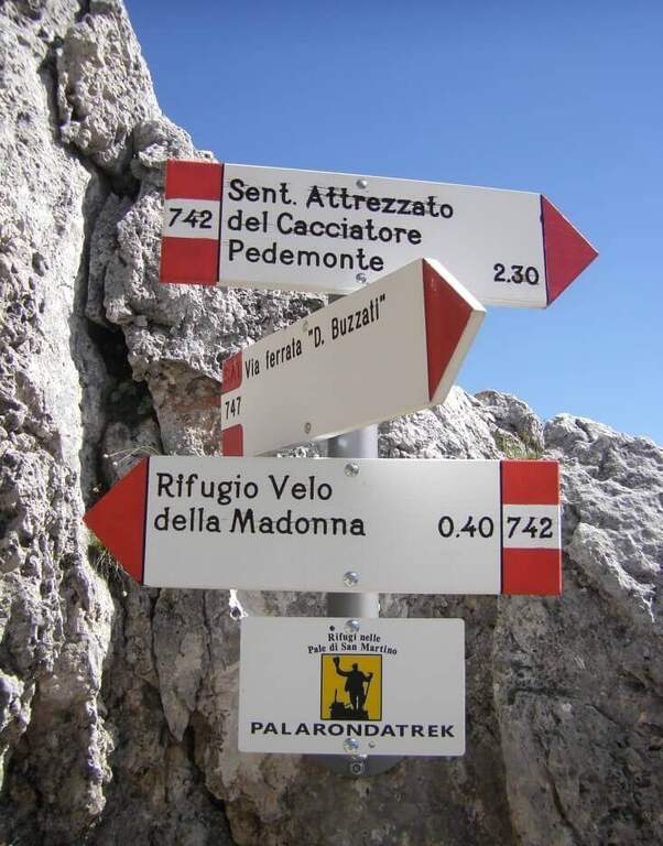
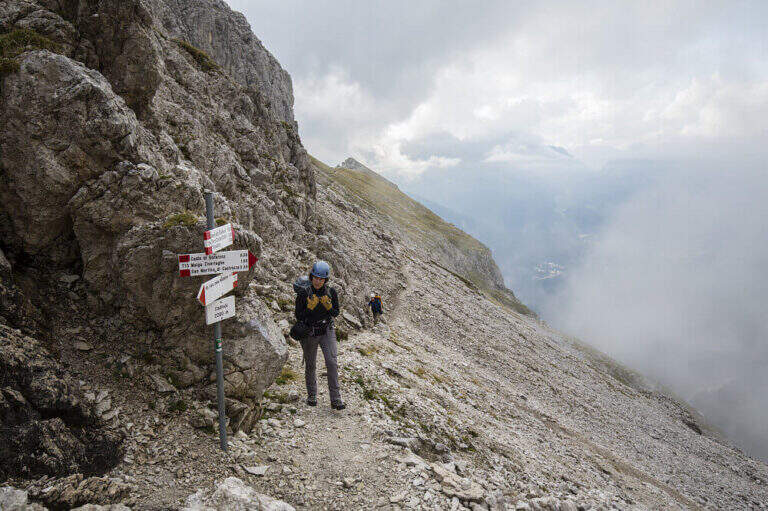
    The starting point is in Val Canali, in the locality of Prati Fosne. To reach the Val Canali follow the SS 347 of Passo Duran: coming from Fiera di Primiero (TN) you continue for about 5 km towards Agordo up to a wide bend with clear indications for the Val Canali, then you go up the valley, you pass a wide bend to the left and you continue on narrow road and sometimes dirt until the Hotel Casera; at the intersection near the hotel you take the right parkingopen up Google Maps). The Cacciatore is often combined with the nearby Ferrata Buzzati as a way back; here we propose it uphill, with return along the Path Attrezzato Depaoli passing through the Rifugio Velo della Madonna. From the village of Fosne you follow the road and in short you leave it for the signpost 719, which climbs moderate slope, first in the woods; exit from the forest you proceed north up the Val Pradidali in falsepiano until the fork in the locality Pedemonte (1h30 from the parking lot): while right you will go up to the Rifugio Pradidali, you take the left on the signpost 742, which with steep eastern parking.

    ▲The path

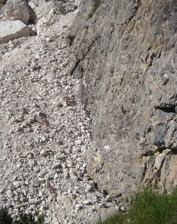
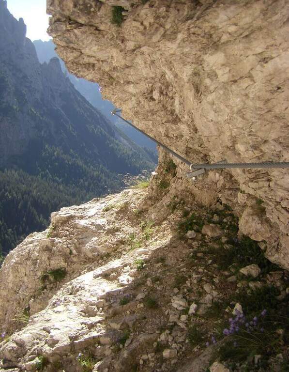
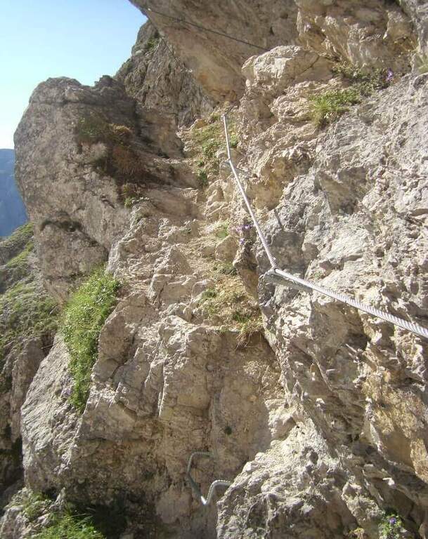
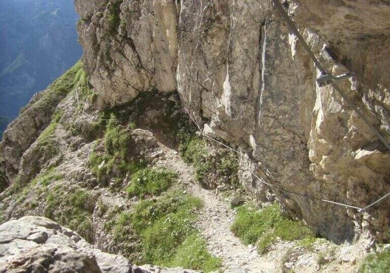
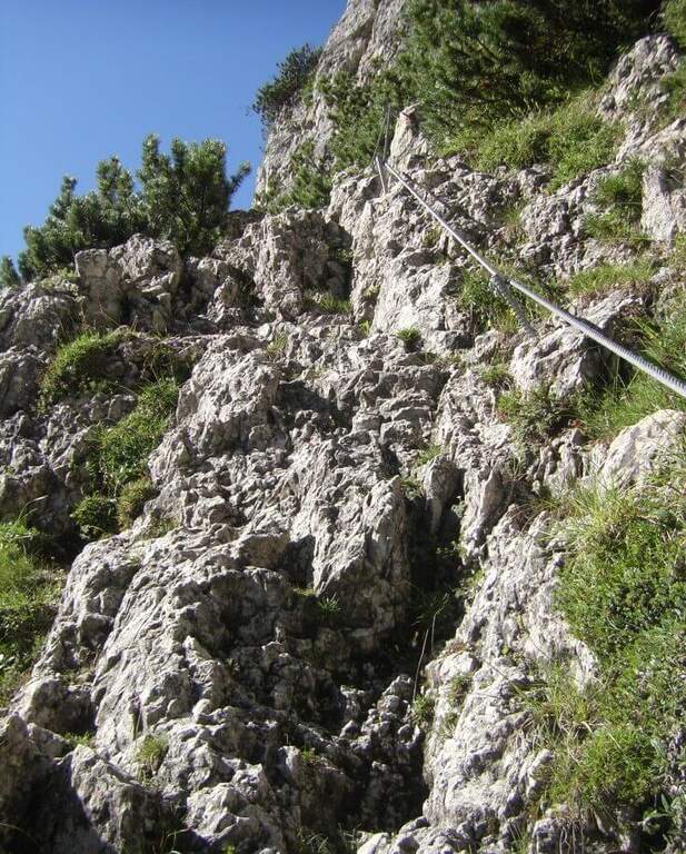
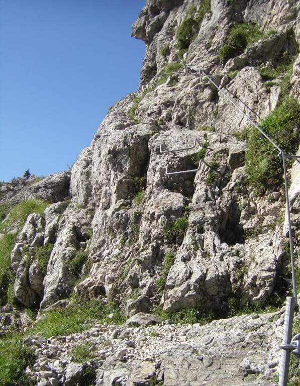
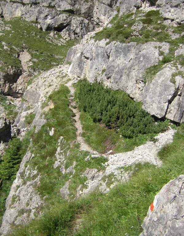
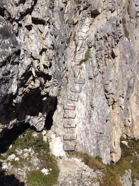
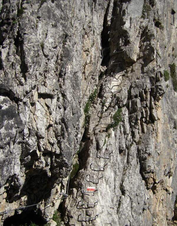
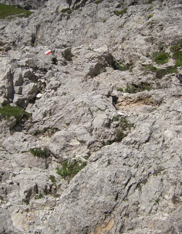
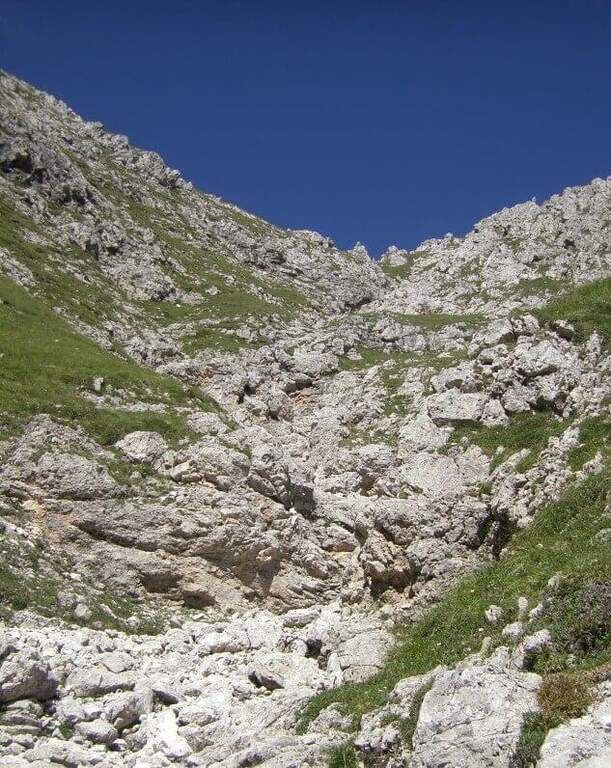
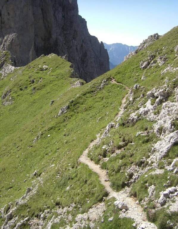
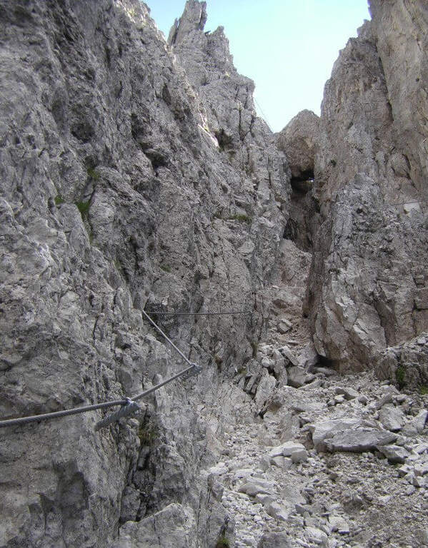
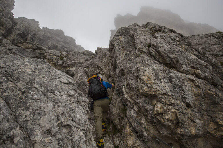
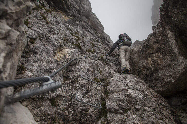
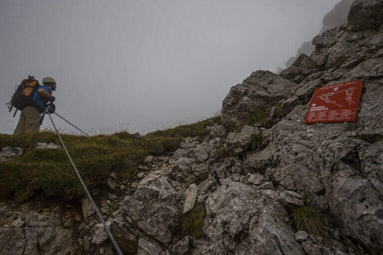
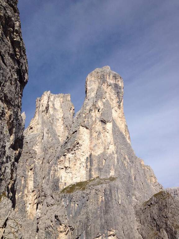
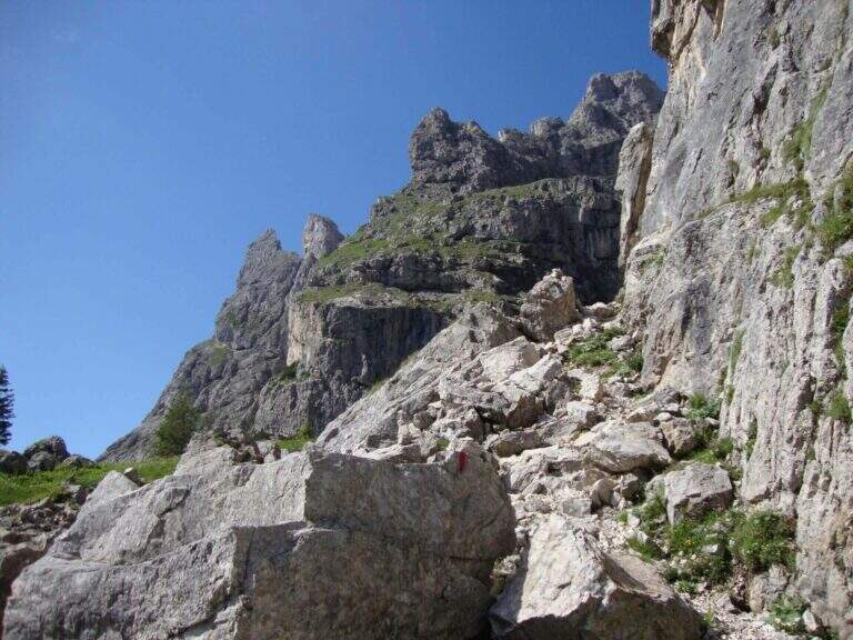
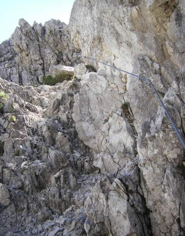
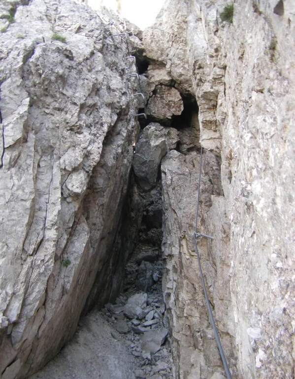
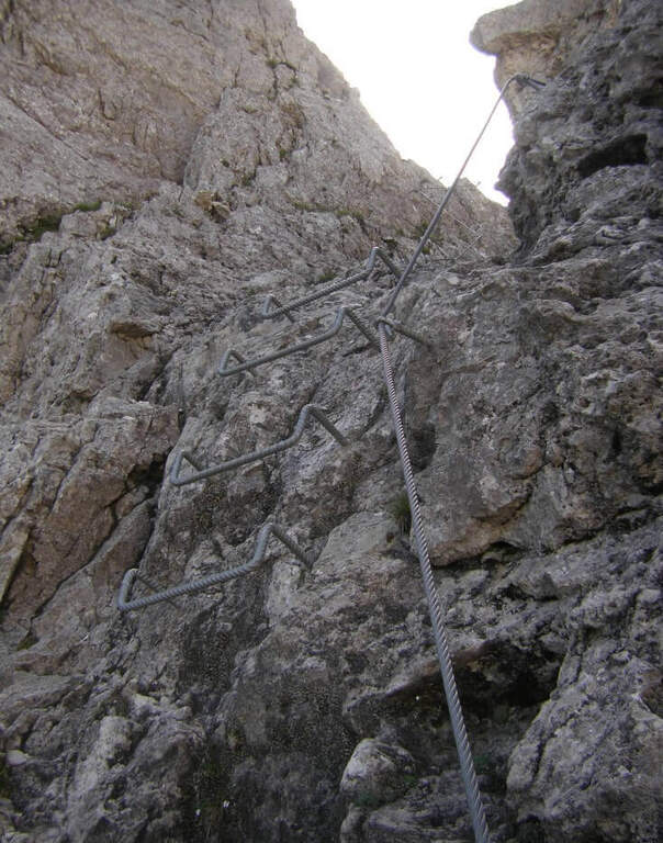
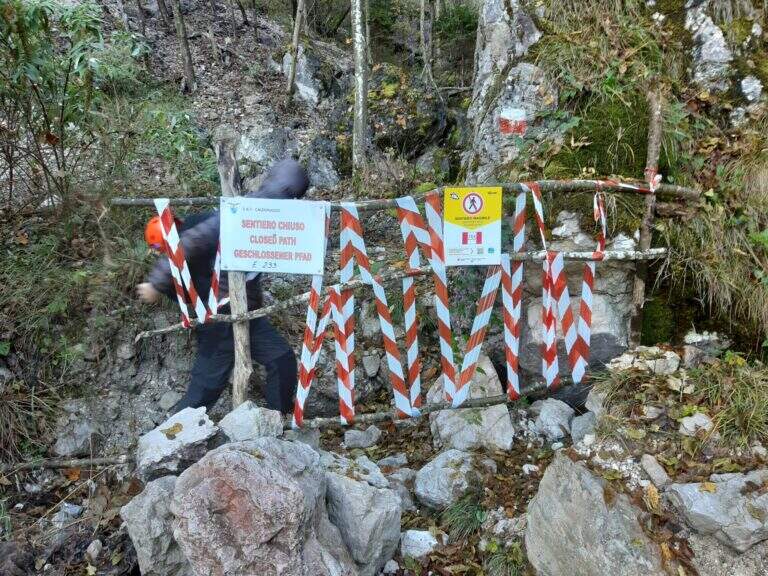
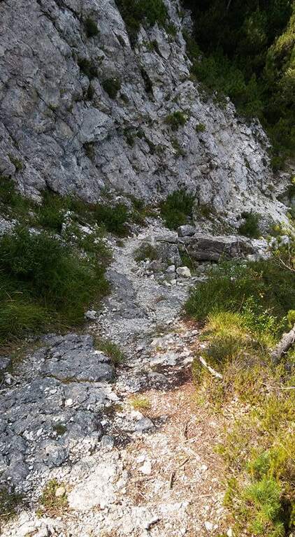
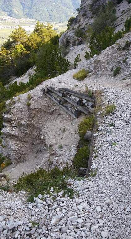
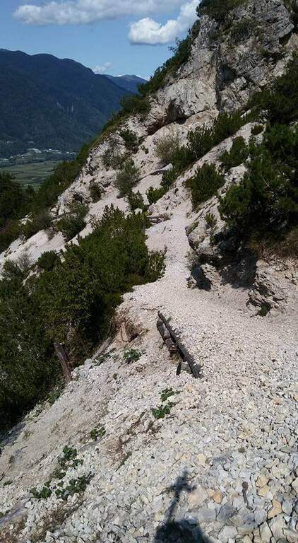
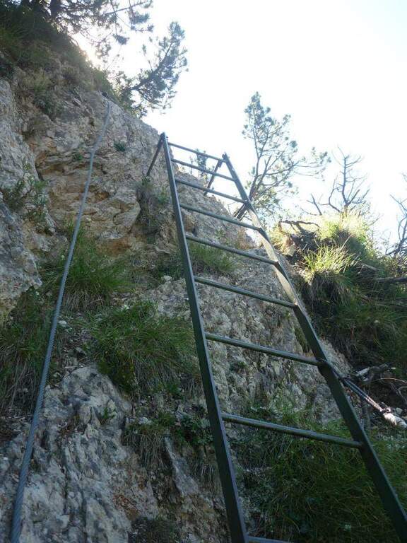
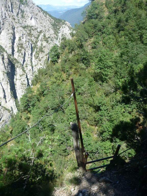
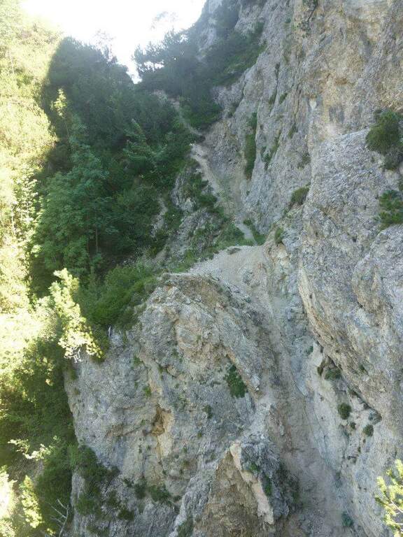
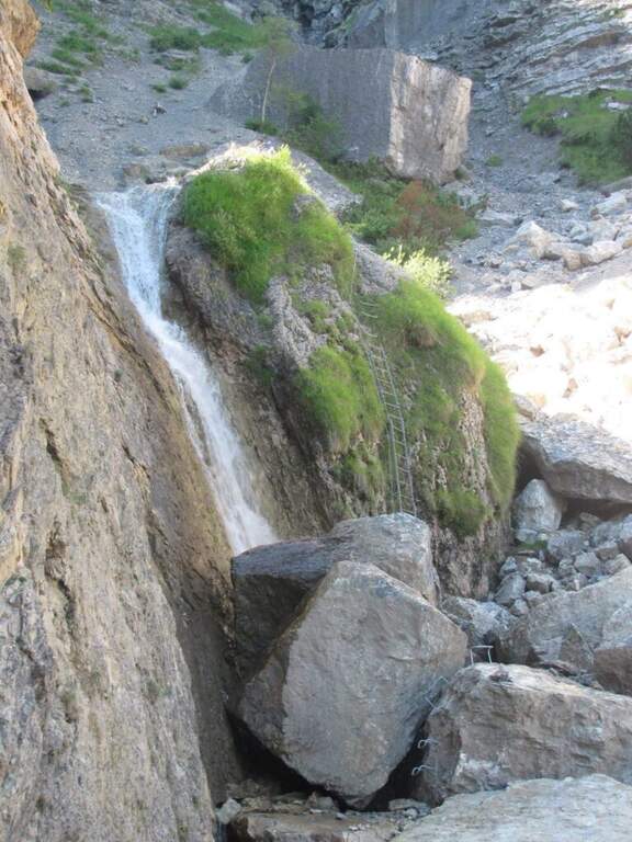
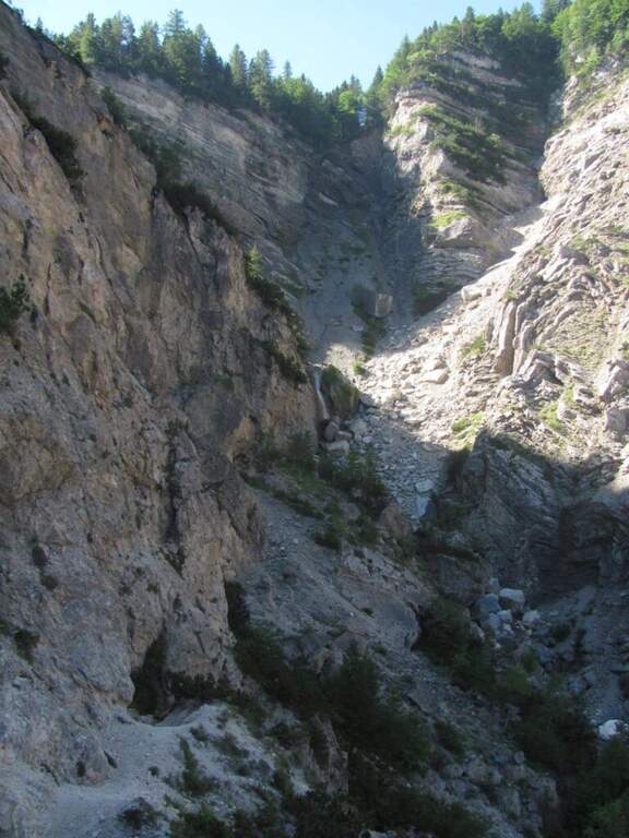
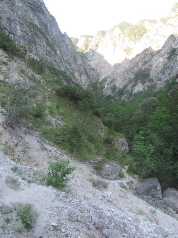
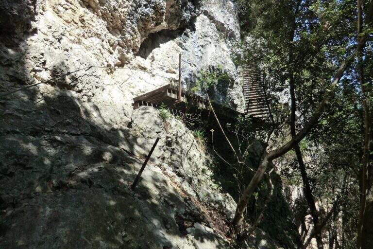
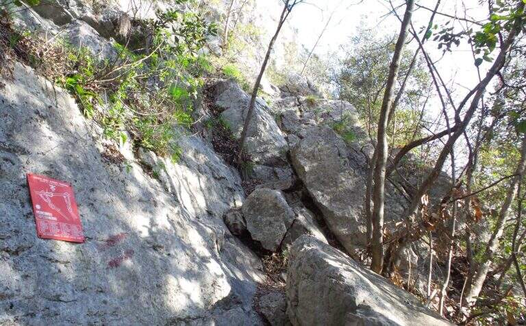
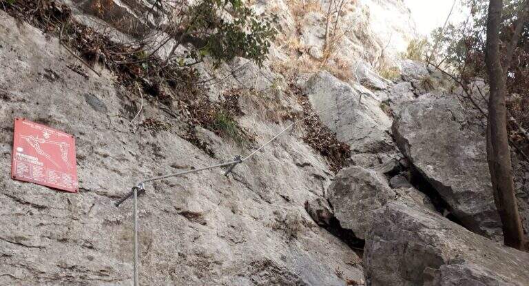
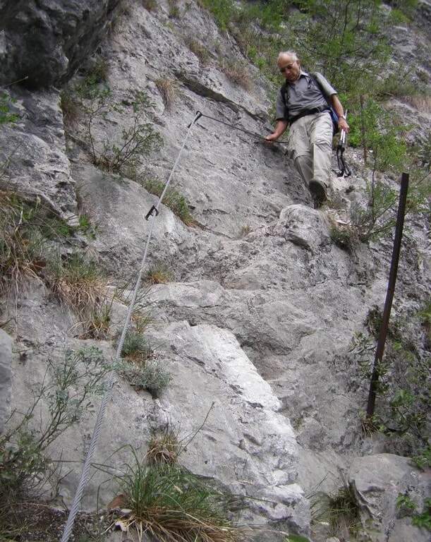
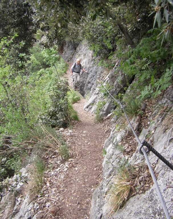
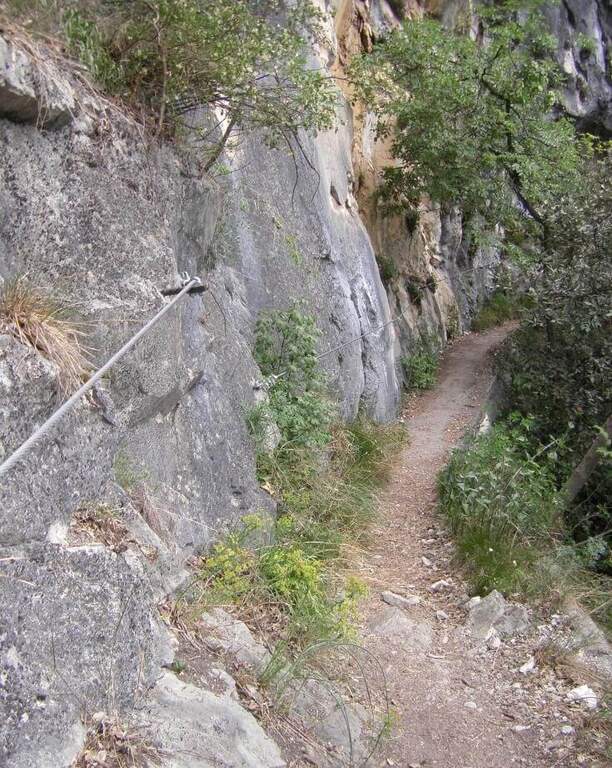
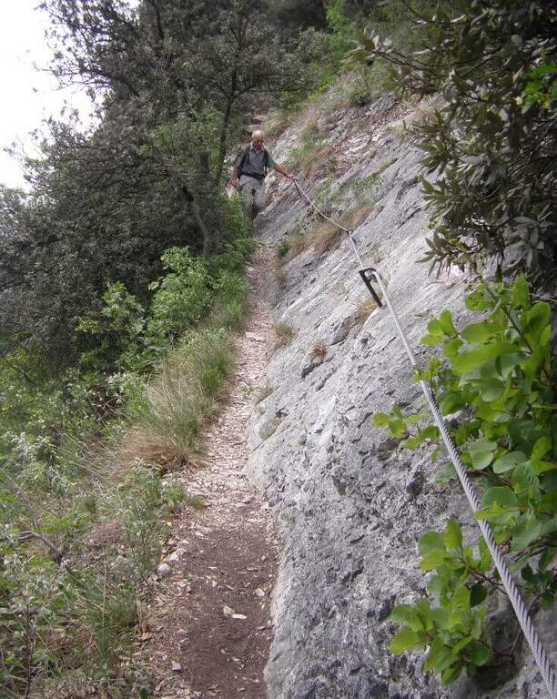
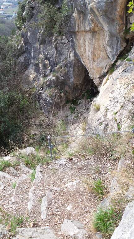
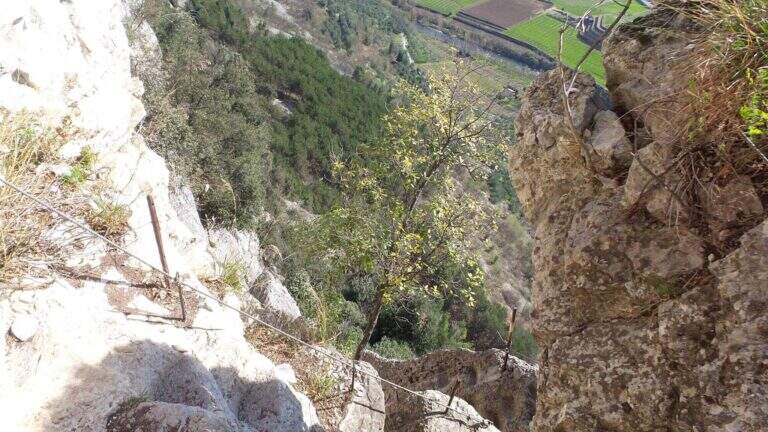
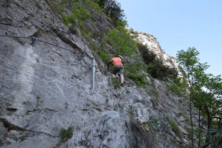
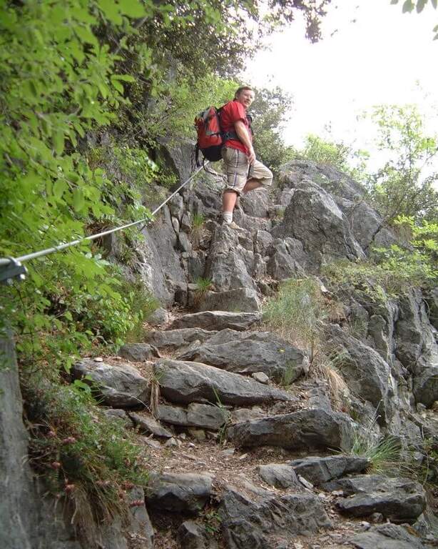
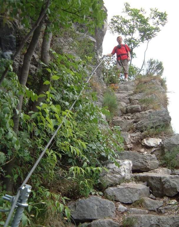
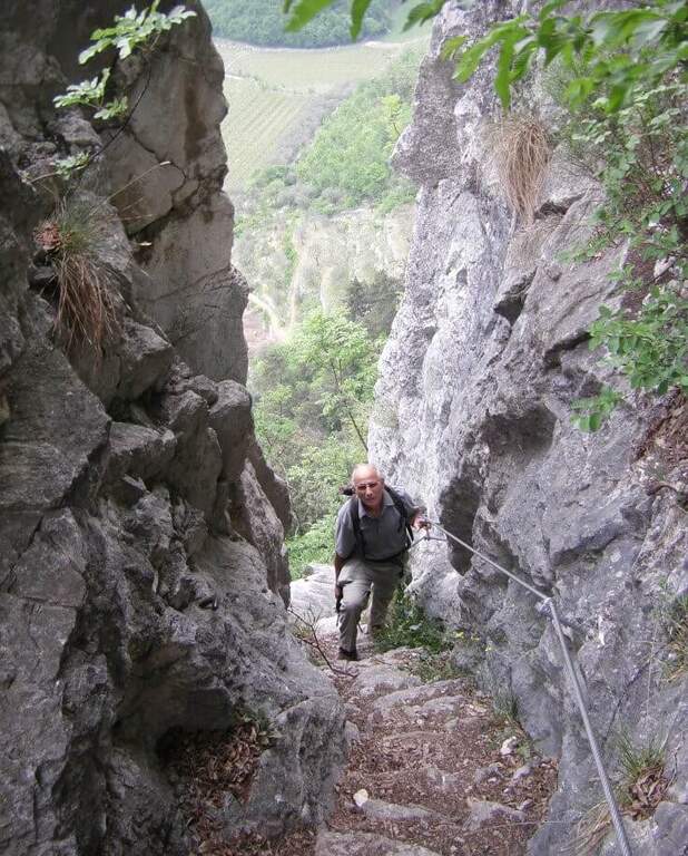
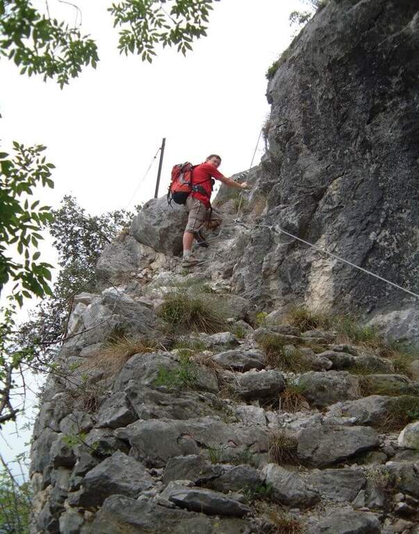
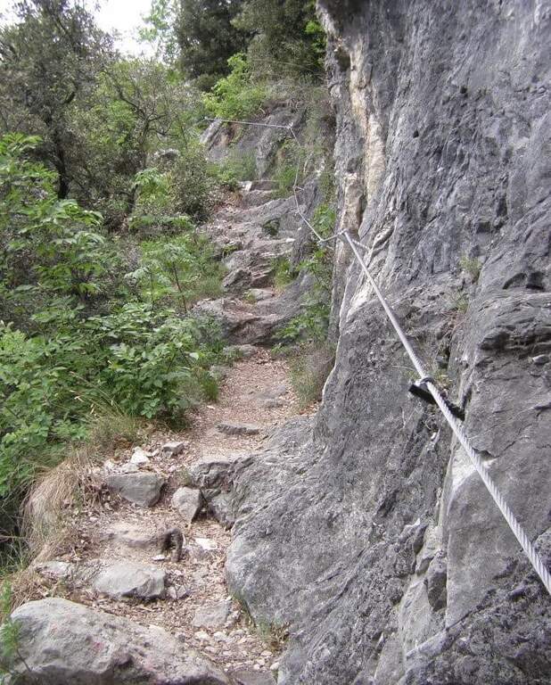
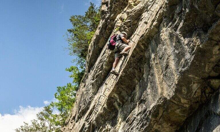
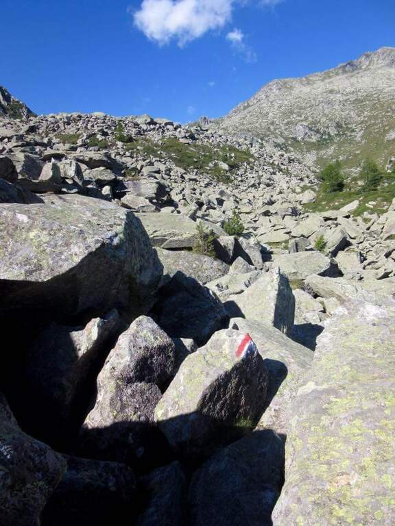
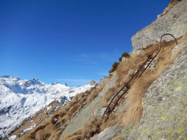
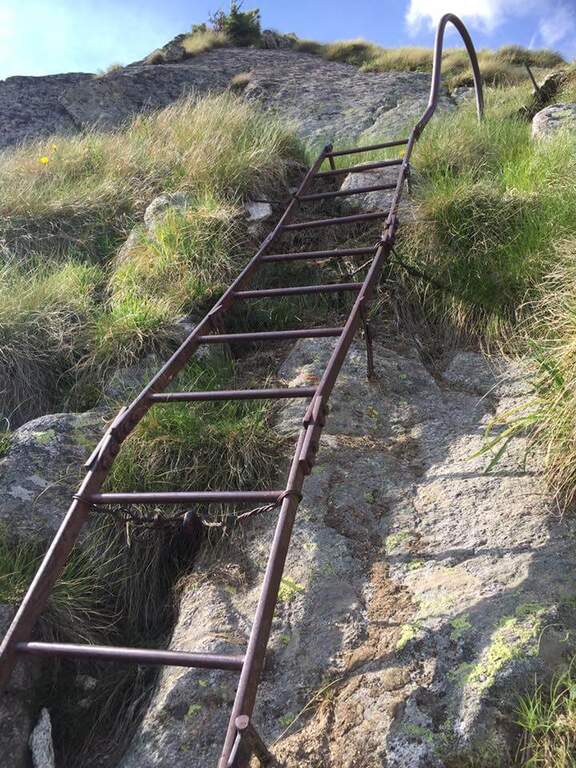
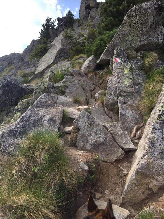
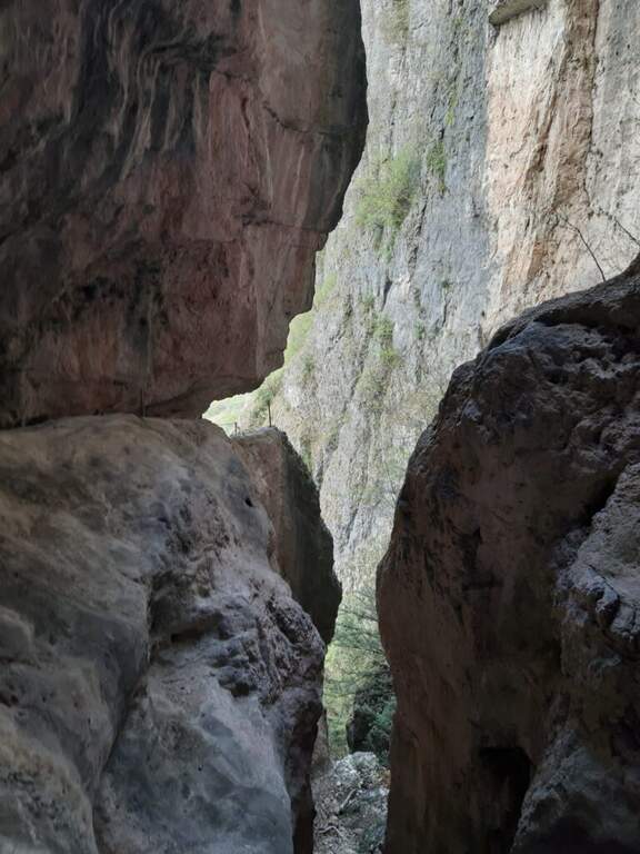
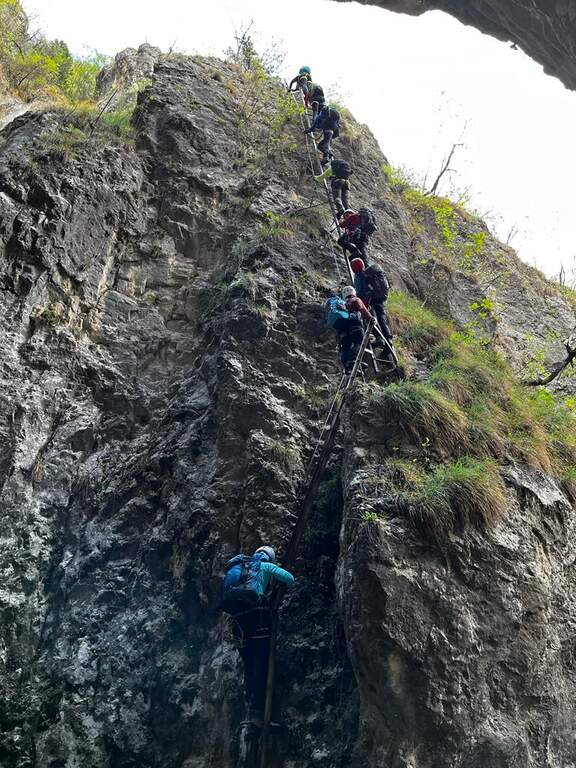
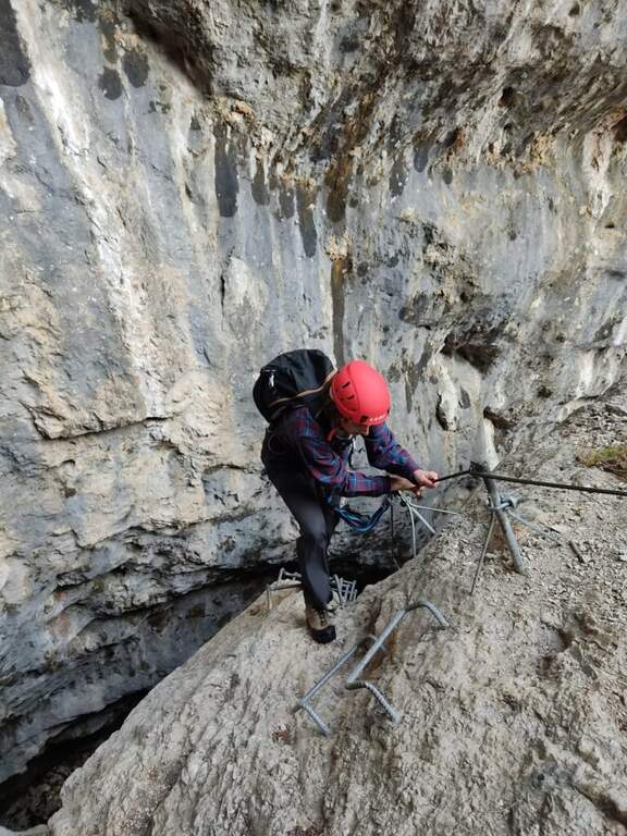
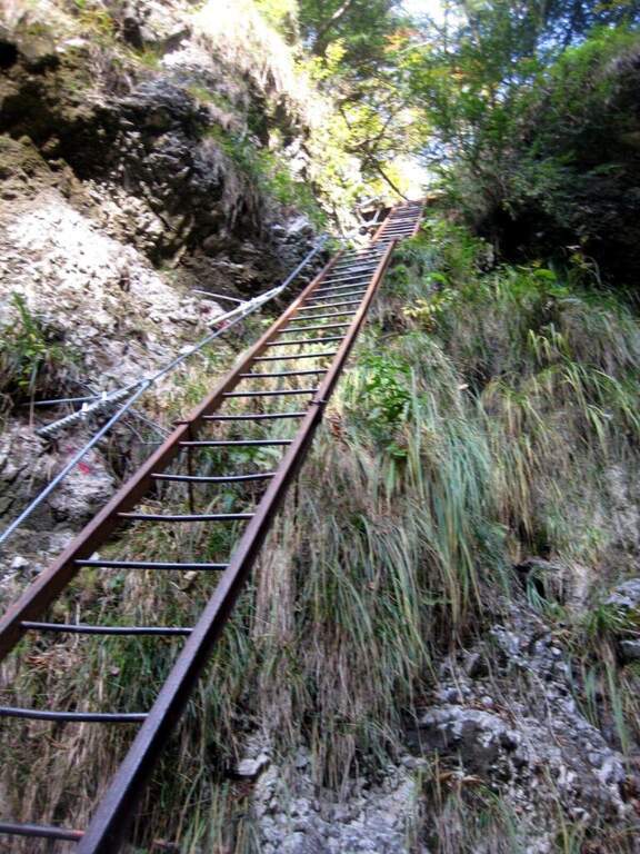
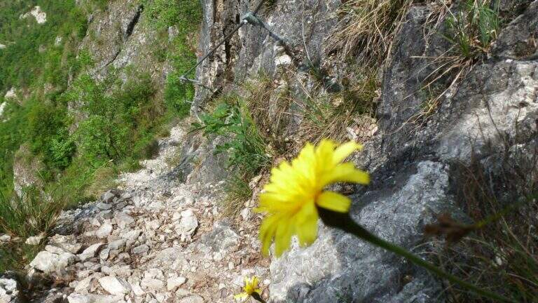
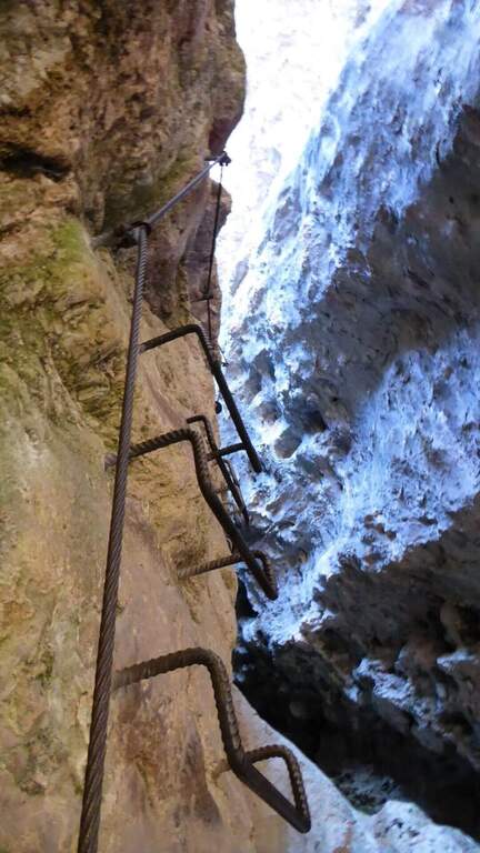
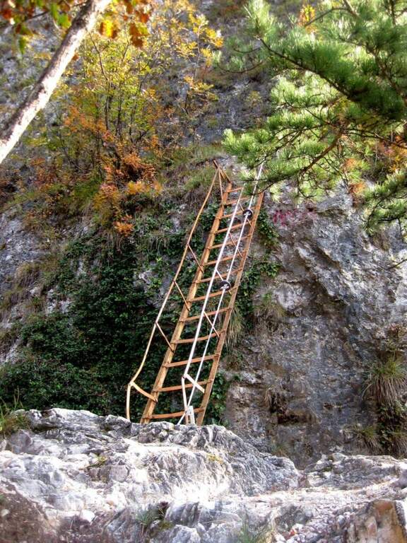
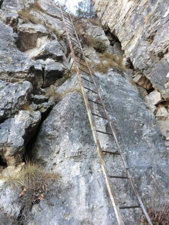
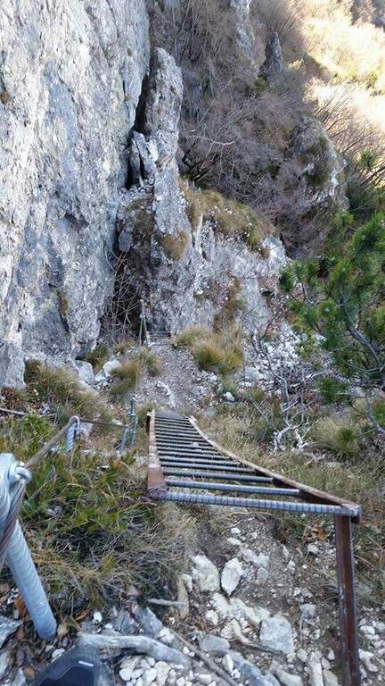
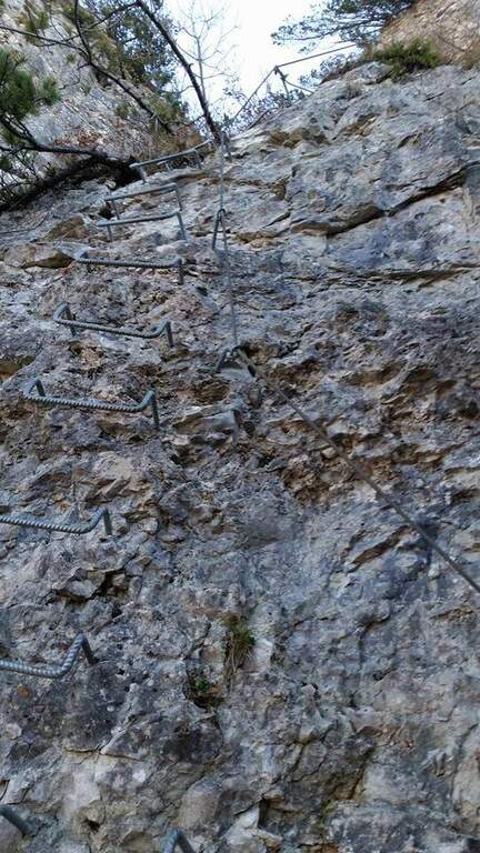
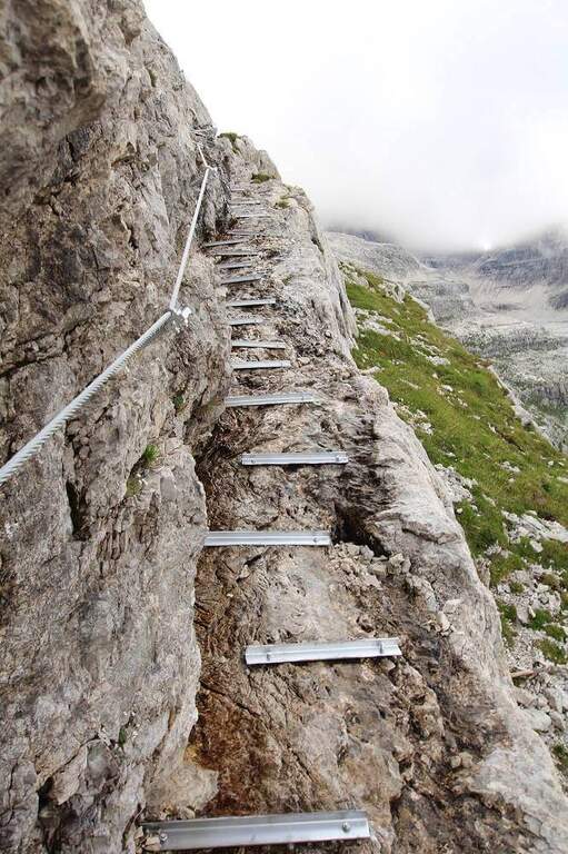
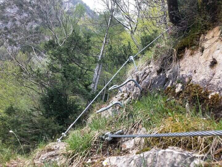
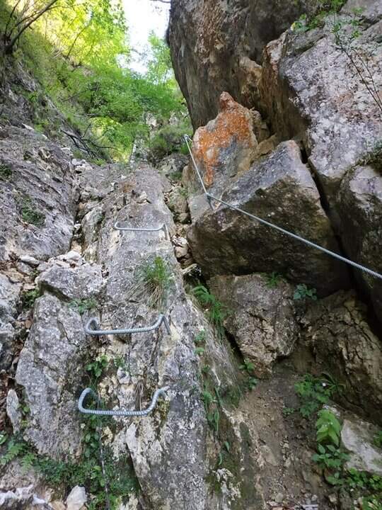
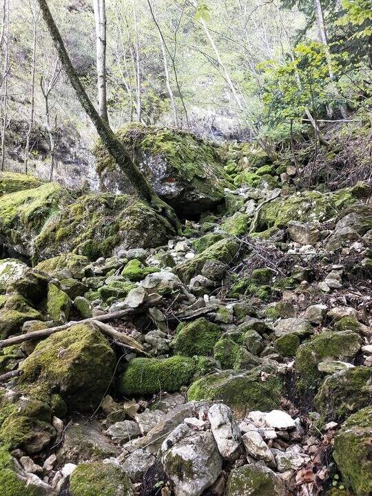
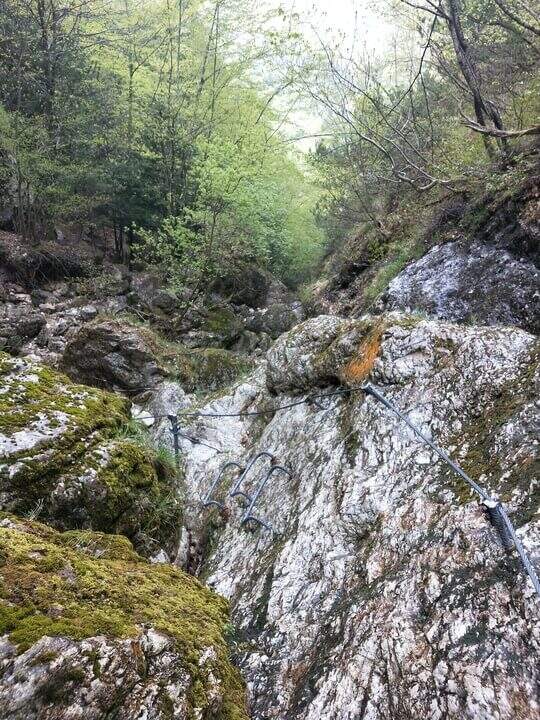
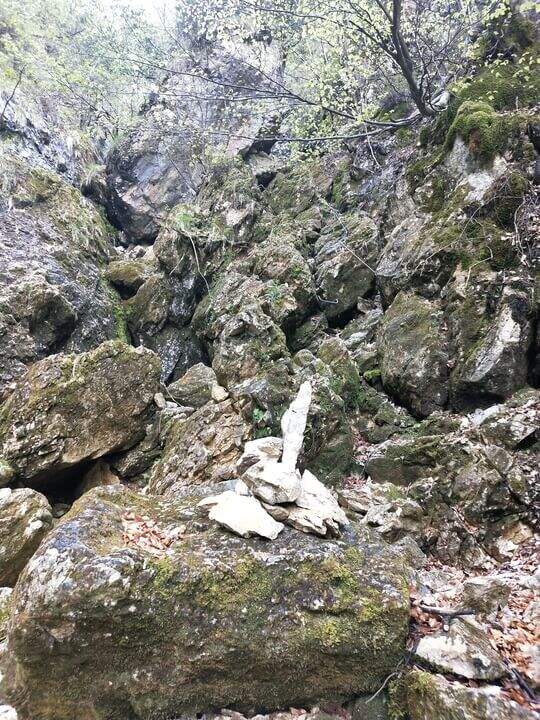
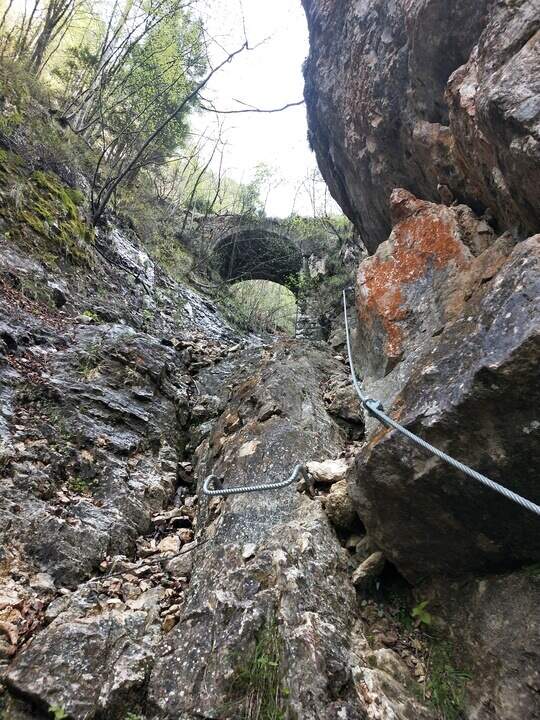
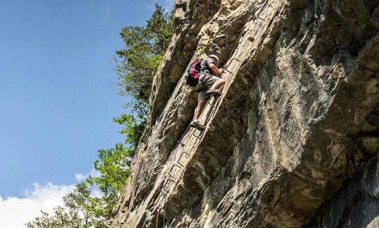
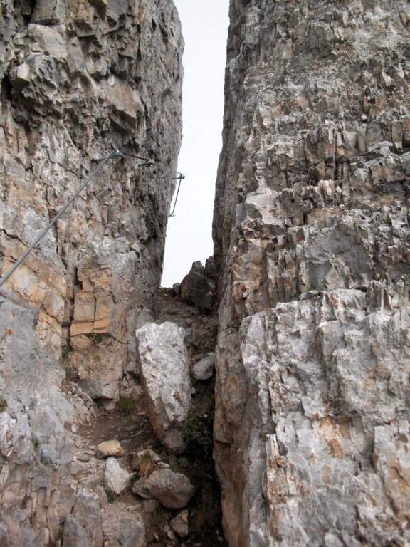
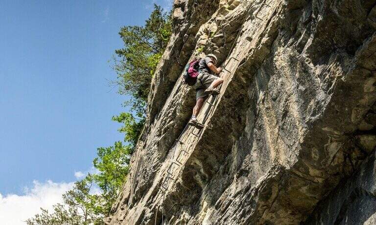
    It goes up with the equipment the area affected by the landslide up to the original attack of the path; it is around a edge and climbs to the left on a census to exposed sections, which continues under the overhanging walls of the Sass Maor. The ascent is pleasant and alternating stretches of nod protected with short climbing rocks and without difficulty, with some metal brackets in the more vertical passages: these new fixtures, added in the last maintenance, have considerably reduced the challenging traits of this historic path. We continue on a long line from the grassy bottom, in constant exposure, until we wander around a spur and enter the valley that separates the Cimerlo from the Sass Maor; crossed a stretch on unstable background we reach what was the key point of the street, a challenging dihedron that today rises thanks to a long series of metal cambres, which reduce if they do not eliminate the original difficulties. Exit from the passage, in a mixed valley of stones and grass follow the white red signs up to the fork (2410 m, 2h30 from the attack), reached with tiring but not difficult climb, where the itinerary ends.

    ▲Character and difficulty

    The route is long and with a considerable difference in altitude, but the technical difficulties are reduced: it serves mainly caution in the various unequipped sections. The only challenging passage of the original layout, the dihedron, is now equipped with many brackets and therefore greatly facilitated.

    ⚠ Itinerary long and with strong difference in altitude (1370 m, 8h30): they serve constant resistance and attention in the unequipped and exposed traits, at the bottom of unstable traits.
    ▲Period and safety

    High mountain summer itinerary (max. 2550 m). The challenging development and exposure of some cenges require good physical preparation and steady step.

    ▲Discipline

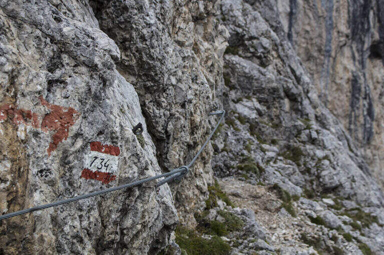
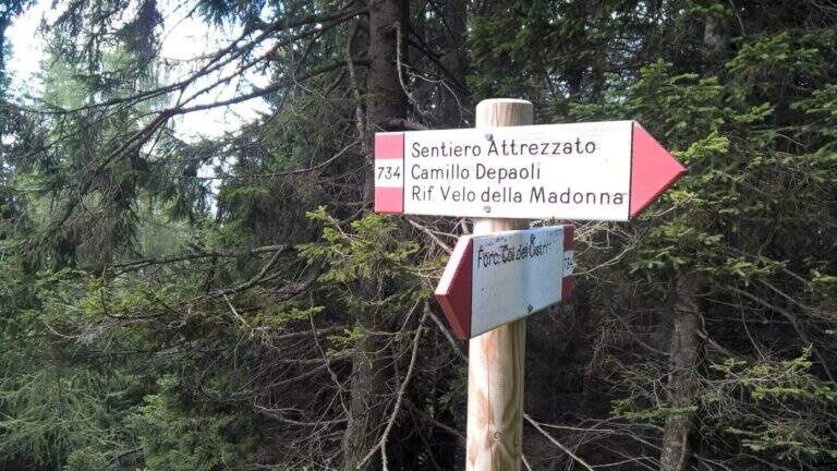
    From the fork you have two options: on the left, along the initial ridge path with 747 signpost and then for equipped stretches (described in the report of Ferrata Buzzati), you reach the eastern spallone of Cimerlo and you can climb to the summit (1h from the fork); on the right, on the trail 742, you go up to the Passo della Stanga (2530 m) and you go down to the Rifugio Velo della Madonna (2358 m). Following this second option, from the refuge take the signpost 734 of the Attrezzato Path Depaoli, which brings back to the parking lot along the western walls before the Stanga and then of the Cimerlo: you face some stretches equipped not difficult — a canal, some cenges, an easy fireplace — until the end of the complex equipment, then cut halfway with beautiful views, gradually losing altitude until Fosne (3h Velo).

    ▲To match

    Classical matching is with Ferrata Buzzati at Cimerlo, often used as a way back. In the same area there is also the Ferrata del Velo della Madonna.
    ▲Gallery
    Technical data
    • DifficultyModerately Hard
    • RegionTrentino-Alto Adige
    • GroupPale di San Martino
    • Approach2:00 h
    • Ferrata3:00 h
    • Itinerary (a/r)8:30 h
    • Hardware level difference650 m
    • Route difference1370 m
    • Max2550 m
    • Length14,2 Km
  • Sentiero Attrezzato Church in Val Scura

    Sentiero Attrezzato Church in Val Scura

    Vie Ferrate › Trentino-Alto Adige › Trento
    Sentiero Attrezzato Church in Val Scura
    Moderately Hard● To checkDescriptionComplexityMapsGallery

    viso Notice — In 2017 the ferrata was closed for maintenance and is not confirmed by official reopening. Two traits can present missing equipment or maintenance, which greatly increases the degree of difficulty. Check the updated conditions before leaving: to proceed safely, you need a steady foot and a rope to ensure the climbing companion.

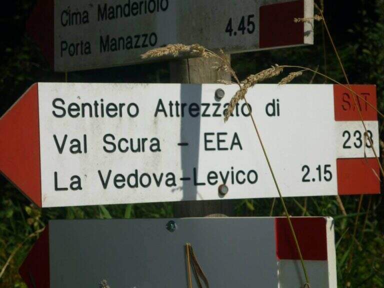
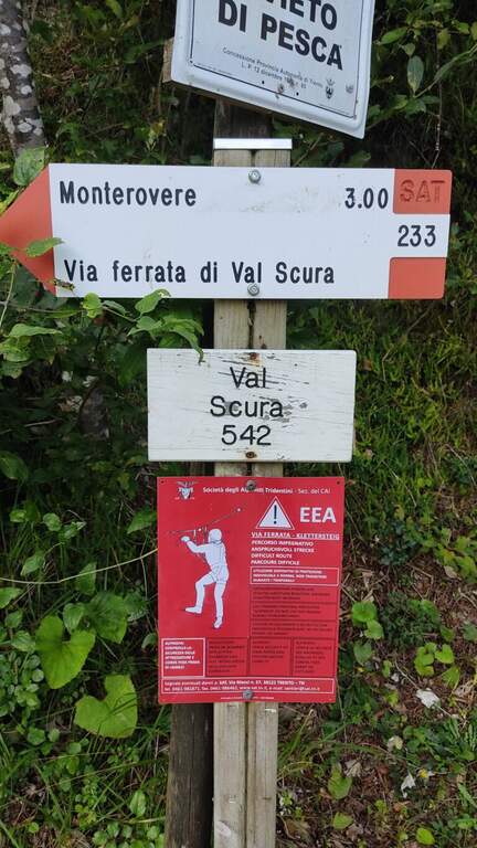
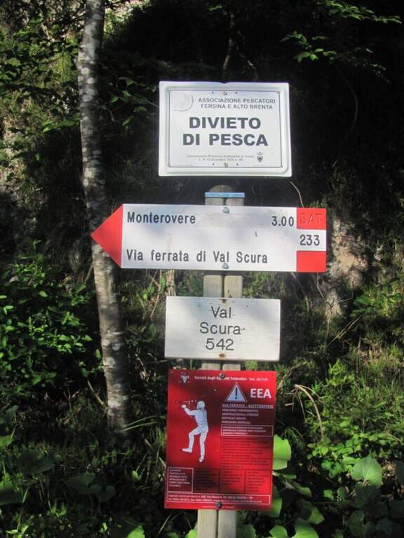
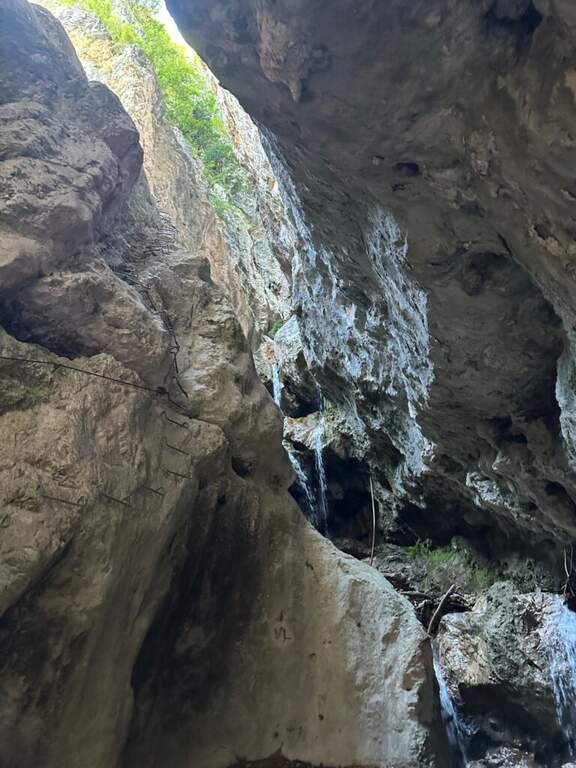
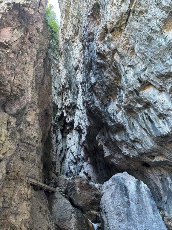
    The Sentiero Attrezzato Chiesa is a pleasant excursion that goes up the Val Scura, near Levico Terme, in the province of Trento. The difficulty is moderate and the bottom, at times unstable, requires a minimum of experience of equipped excursions. It is a perfect itinerary for half seasons, when the Rio Bianco has good flow and you can admire the many waterfalls along the way; we offer it as a ring with return from the Menador Path.

    ▲Approach

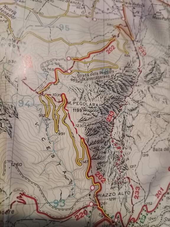
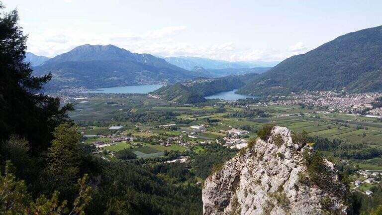
    The starting point is in the municipality of Levico (TN). From Levico Terme you go south towards Lochere until you reach the Hotel Paoli, where you park (a large street on the left), ideal for the ring with return from the Menador Path (open up Google Maps). The asphalted road goes up to the first bend: where it continues to the right uphill, a sign and a red plate indicate the entrance into the wood. You climb on an easy path, keeping the left on the southern side, with Mount Pegolara on the right and Mount Calmo on the left. Hand as you climb you face different cheeks of the White Rio — you are all before the start of the ferrata — while the environment becomes increasingly beautiful, with pronounced rocky spires on the sides. In short you will find the first equipped stretch (850 m, 1h from the parking lot).

    ▲The path

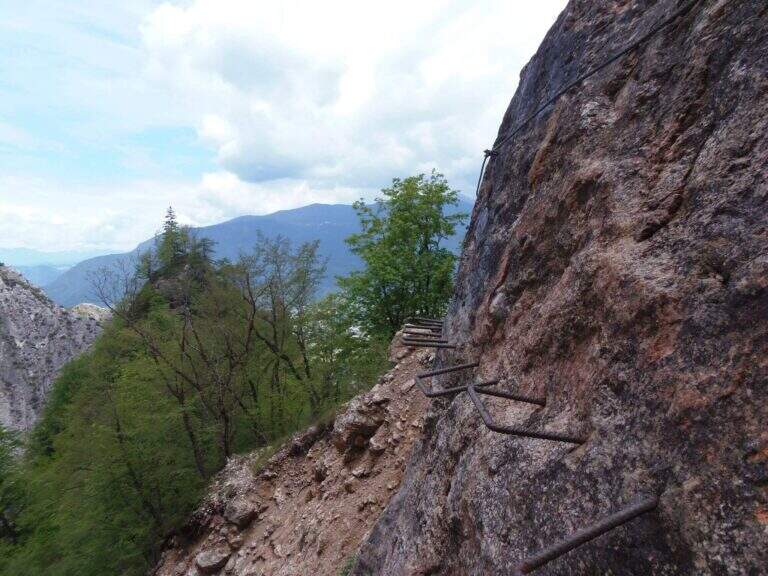
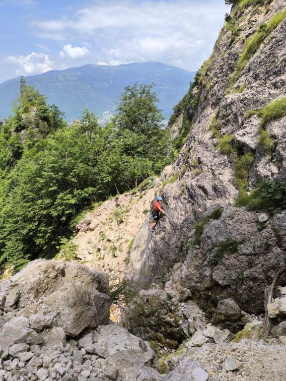
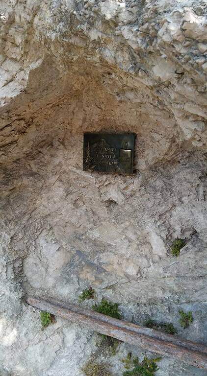
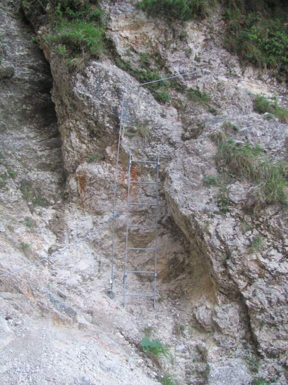
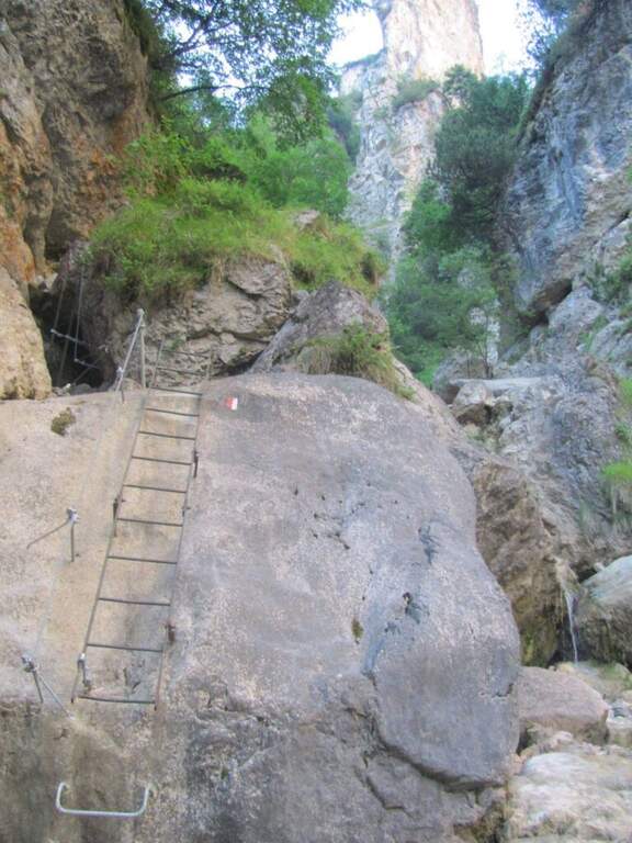
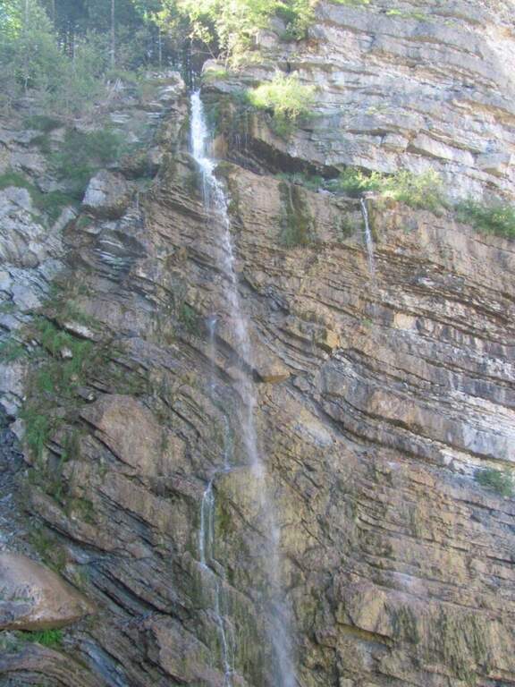
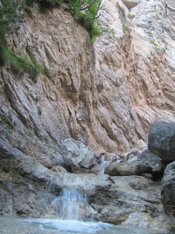
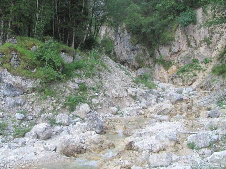
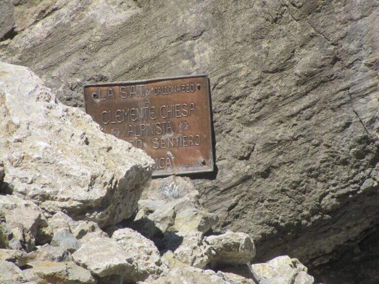
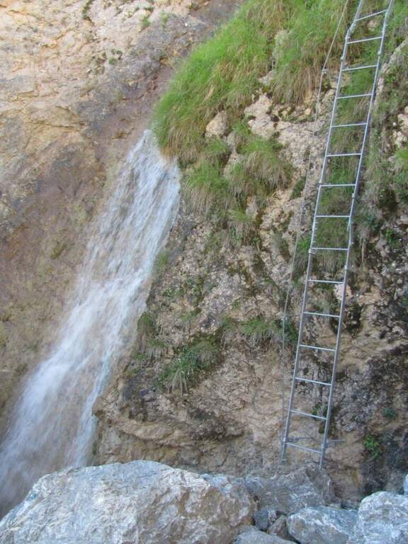
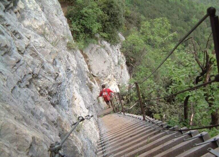
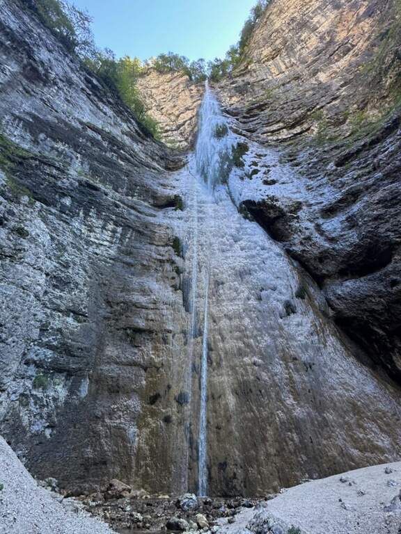
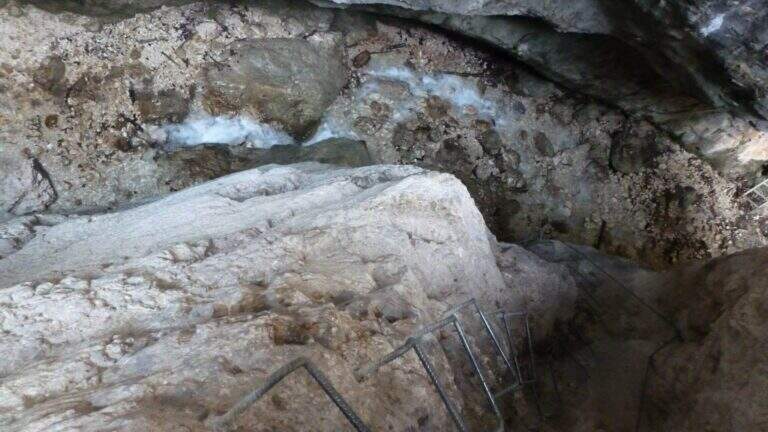
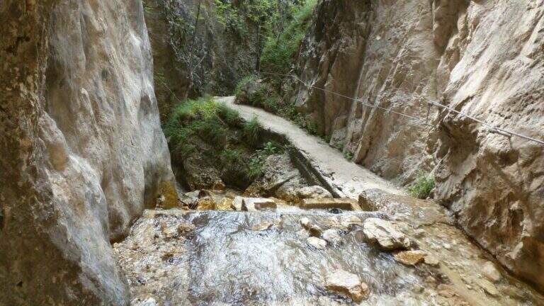
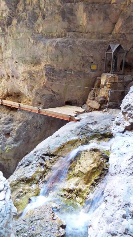
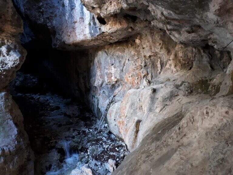
    You go up a first stretch of wire rope to overcome a saddle; besides, after an easy but slippery debris, you descend a metal ladder losing a little bit of altitude towards the stream and a spire that seems to land the valley. Cross the stream and climb the second metal staircase, which helps to overcome a swan, followed shortly after by a third staircase. There is a nod on the creek, where it serves attention because the cable tends to push out and the bottom is slippery for moisture. You go up a new staircase and continue on a comfortable path with a splendid view of mountains, waterfalls and streams; you pass this easy stretch, you face a steeper climb on a rough, unspoilt bottom up to a panoramic point on the Valsugana. The second part begins: the first equipped section is an exposed but not difficult traverse, with support brackets; they follow a comfortable nod and a new ladder. Then you go through an unequipped section, descend into a detritic groove and go up what is probably the most difficult passage of the road, a sloped wall composed of natural steps on which you need attention. There are two metal ladders and you continue to descend a detritic trait quite challenging; then go up on a little stable but not difficult, you pass the plate dedicated to Clement Church and you complete the detritic tract. Passing next to a beautiful waterfall you reach a new rocky nod, which takes you to the right; the complete one, you climb a ladder leaning on a rock and you cross the stream near some rocky rocks. With a last ladder the equipped part ends, near a plateau (1247 m, 1h45 from the attack, 2h45 overall).

    ▲Character and difficulty

    For technical difficulties the way would be to be cataloged as easy, but the state of the equipment has raised the degree: with two sections without protection or maintenance, they serve steady foot and a rope to ensure the companion. The environment is really suggestive and, for the low altitude, the itinerary is absolutely to visit, especially in the half seasons.

    ⚠ Along the way there are numerous guades of the Rio Bianco and several cenges on the creek with slippery bottom for moisture: attention to the step and tendency of the cable to push out.
    ▲Period and safety

    Low altitude (maximum 1370 m): the itinerary lends itself well to the half seasons, when the Rio Bianco has good flow and the waterfalls are at best. In addition to checking the state of the equipment, it is good to evaluate the flow of the stream for the numerous guades.

    ▲Discipline

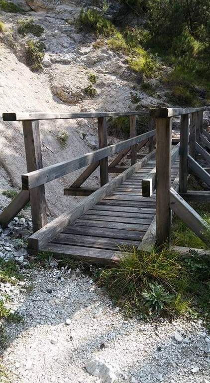
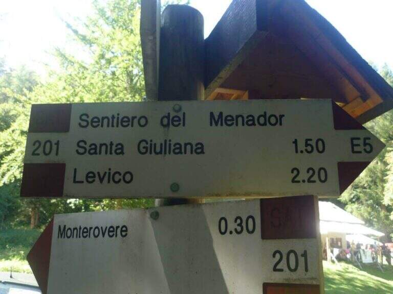
    After finishing the ferrata continue along the path in the wood that, southward, points to the locality Seghetta. At the first crossroads you will take the left towards Baita Cangi, on the 201 marker. Although not the fastest route, we offer the return to the Path of Menador in the Val Pisciavacca: at the second crossroads you still keep the left and you walk a pleasant path between uphills, take a little slippery on debris, bridges and gudes, until you return to the car. At the end of the Path of Menador (2h30 from the end of the ferrata) you keep the left along Via delle Valli until you resume the provincial road of the way; again on the left you reach in short the parking lot in front of the hotel (5h30 total).

    ▲Gallery
    Technical data
    • DifficultyModerately Hard
    • RegionTrentino-Alto Adige
    • GroupValsugana – Vigolana
    • Approach1:00 h
    • Ferrata1:45 h
    • Itinerary (a/r)5:30 h
    • Hardware level difference390 m
    • Route difference828 m
    • Max1370 m
    • Length11,7 Km
  • Sentiero Attrezzato delle Cavre (Scaloni e Anglone)

    Sentiero Attrezzato delle Cavre (Scaloni e Anglone)

    Vie Ferrate › Trentino-Alto Adige › Trento
    Sentiero Attrezzato delle Cavre (Scaloni e Anglone)

    The Path Attrezzato delle Cavre is a ring that cooks together two equipped sections — the Path of the Scaloni and the Path of the Anglon — connected up from a panoramic stretch. Easy, exposed and very well equipped, it is one of the ideal itineraries for those who are at first experiences. The low altitude, near Arco, makes it accessible all year round, with the only shortness to avoid it in the hottest hours.

    ▲Approach

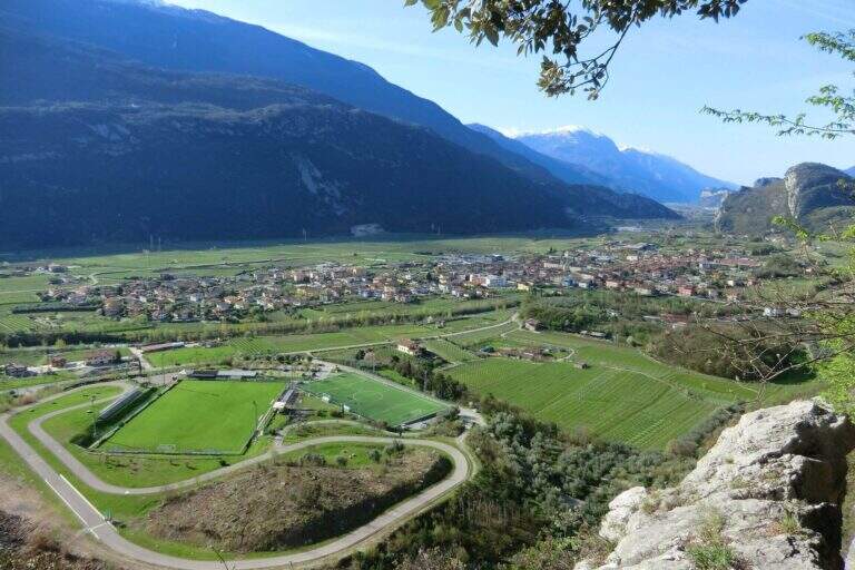
    From the village of Ceniga, near Arco (TN). Coming from Arco, turn left from the state towards the center of the village; at the height of Via del Ponte, on the right, there is a large parking lot where to leave the car (open up Google Maps). From the parking lot you go up Via del Ponte on the opposite side of the road towards the Roman Bridge and, crossing it, you pass on the opposite bank of the Sarca River. The right is held and you will soon meet a CAI pole with the indication of the Attrezzato Path of the Scaloni; following the paline you climb on a rocky bottom until the attack of the first stretch (30′ from the parking lot).

    ▲The path

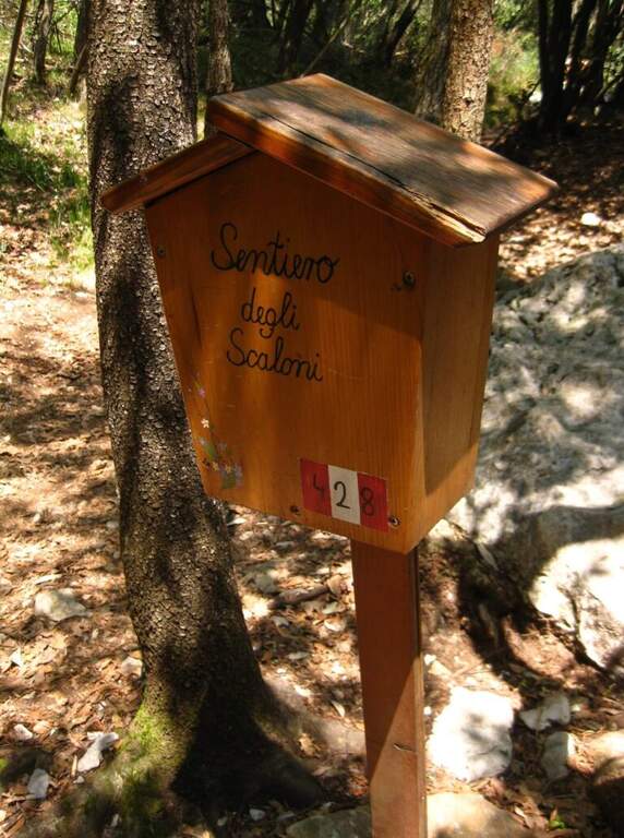
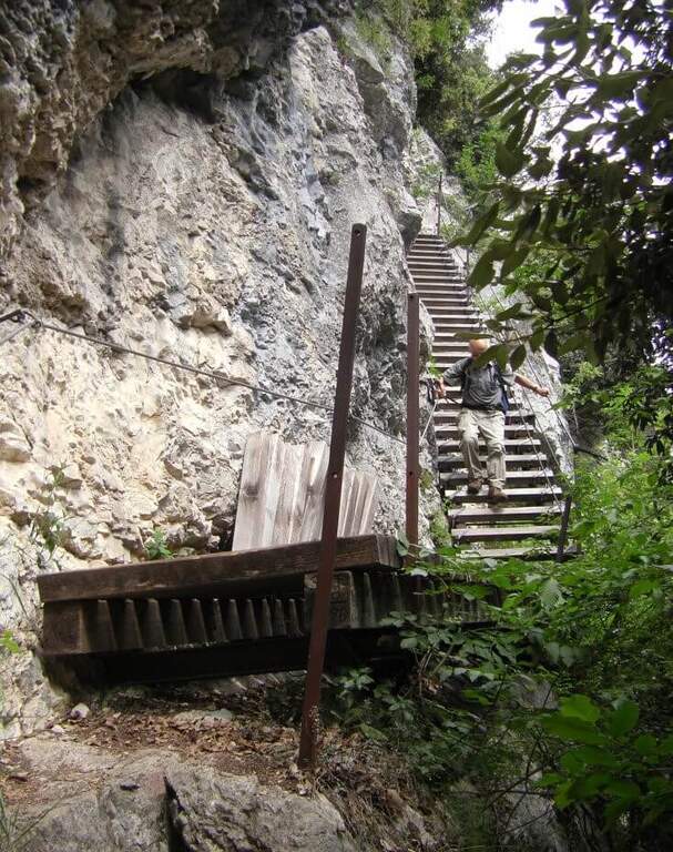
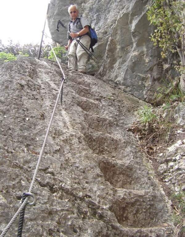
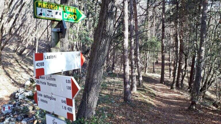
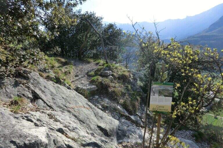
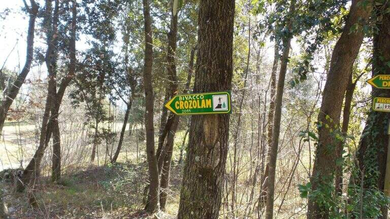
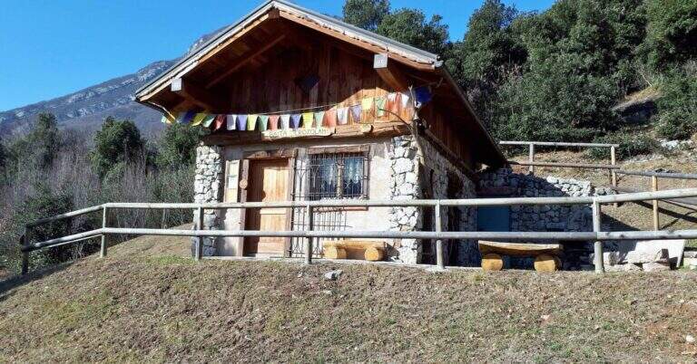
    The Path of the Scaloni rises diagonally on easy rocks and leads to a terrosa nod that continues to the left, equipped, with exposed traits and more steep; a short bridge over a gap and you get to the most characteristic section, from which the path takes the name. Under an imposing wall a staircase with metal base and wooden steps rises diagonally, first to the right and then to the left, earning altitude and exposure without any real difficulty. At the top of the staircase you face a sloped plaque with artificial steps made in the rock and rope on the left; you continue on a stretch of path equipped up to a sloped ramp with stone steps, exposed but easy. You go uphill to the left some small rocks and end the Scaloni at the wooden box with the signature book and the red sign (30′ from the attack, 1h from the parking lot). From here we go north/north-west to the Dos Tondo, where the path 428B begins; we ignore the crossroads on the left for the church of Sant’Antonio (CAI 408). The 428B, a true Cavre path, runs halfway towards the Bivacco Crozolam; from the bivouac it continues to the north ignoring the forest and follows for Dro up to a crossroads where, while the CAI 425 continues to the left, you go down to the right to intercept the Anglone Path (1h from the end of the Scaloni, 2h overall). The Anglone has exposed hinges equipped and stretches put in safety especially for bad weather: the upper part is definitely easy, while the second one is steeper and includes a tilted plate to be dropped with caution using the equipment to make adherence. You get to a canal with rock steps and equipped rocks — the most exposed point, which requires only a firm foot — and finally to a last nod dug in the rock that slopes steeply in the meadows, up to the houses of Dro and an asphalt road (45′ from the attack of the Anglo, 2h45 overall).

    ▲Character and difficulty

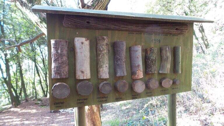
    The ring consists of two equipped sections, one uphill route and one downhill, but nothing prohibits facing them in both directions. It is suitable for neophytes, without particular technical difficulties, with abundant equipment and in good state of maintenance. Historical curiosity: the Path of the Scaloni dates back to 1909 as a military route of the Austrian soldiers.

    ⚠ Low altitude: in warm months it should be avoided in the central hours of the day. The sloped plate downhill on the Anglone requires attention, especially if wet.
    ▲Period and safety

    Throughout the year thanks to the quota (514 m). Although without technical difficulties, some sections on census are exposed: it serves steady step and constant attention.

    ▲Discipline

    From the end of the Anglone follow the CAI 425 path southwards, which runs on a little busy paved road, to the Roman Bridge and back to the parking lot (30′ from the end of the Anglone, 3h15 total).

    ▲To match

    Starting early in the morning, time and energy remain to concatenate a second itinerary of the area: easy Ferrata Colodri to Arco or Ferrata di Rio Sallagoni in Castel Drena. Moving to Fiavè you will find Ferrata di Ballino to the falls and, stretching a little, the Ferrata di Preore.

    ▲Gallery
    Technical data
    • DifficultyEasy
    • RegionTrentino-Alto Adige
    • GroupValle del Sarca
    • Approach0:30 h
    • Ferrata2:15 h
    • Itinerary (a/r)3:15 h
    • Hardware level difference390 m
    • Route difference400 m
    • Max514 m
    • Length6 Km
  • Sentiero Attrezzato Bozzetti al Monte Zeledria

    Sentiero Attrezzato Bozzetti al Monte Zeledria

    Vie Ferrate › Trentino-Alto Adige › Trento
    Sentiero Attrezzato Bozzetti al Monte Zeledria

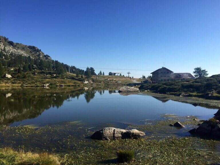
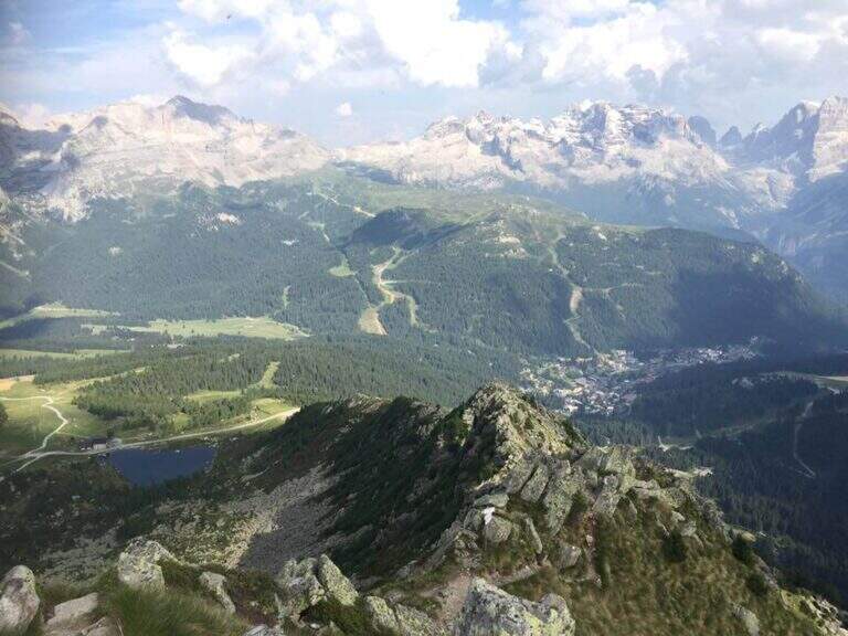
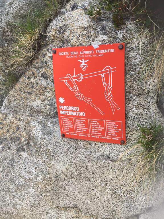
    Il Sentiero Attrezzato Bozzetti climb to Mount Zeledria above Madonna di Campiglio. It is an easy equipped itinerary, also suitable for beginners, in an area of great landscape: the view of the Brenta Dolomites and the lakes below pays off the ascent. It lends itself to a nice ring between the lakes in the area.

    ▲Approach

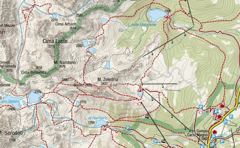
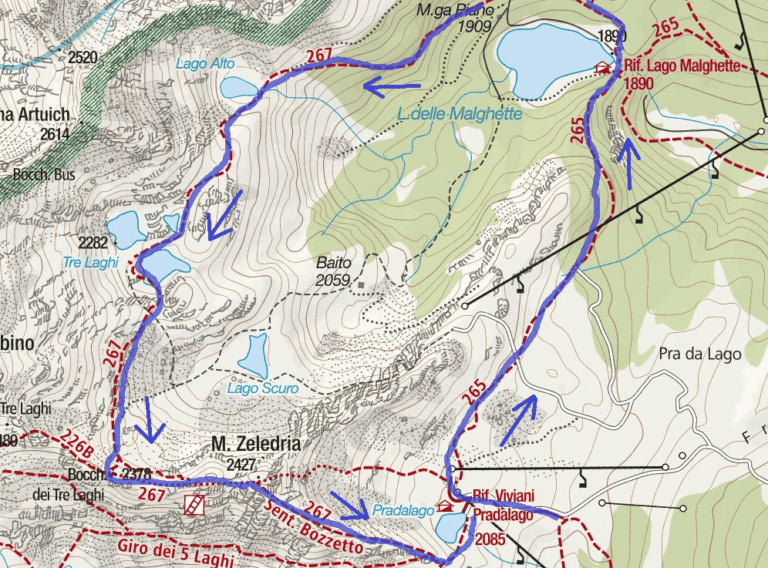
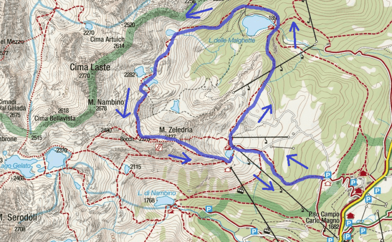
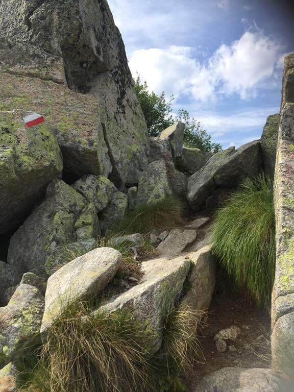
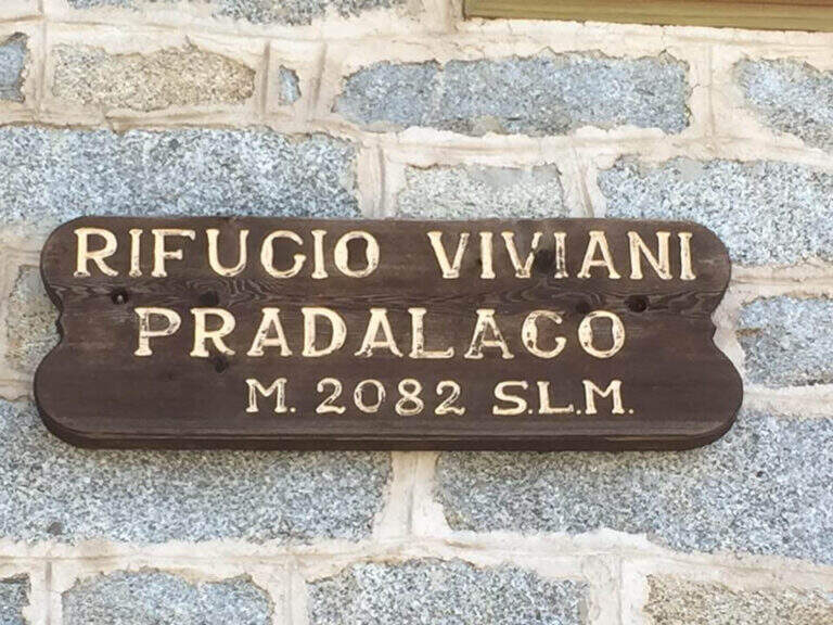
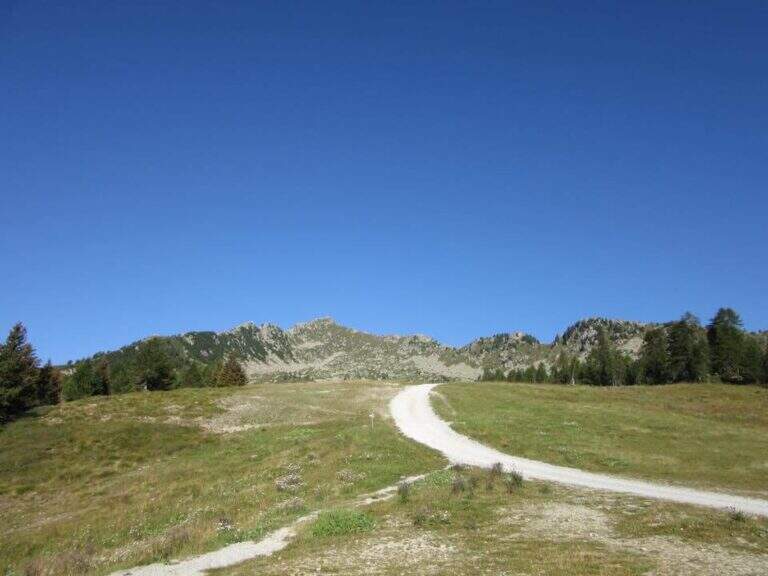
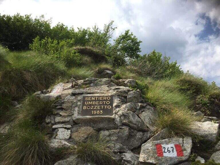
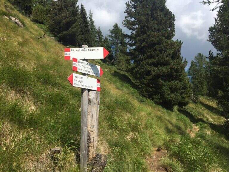
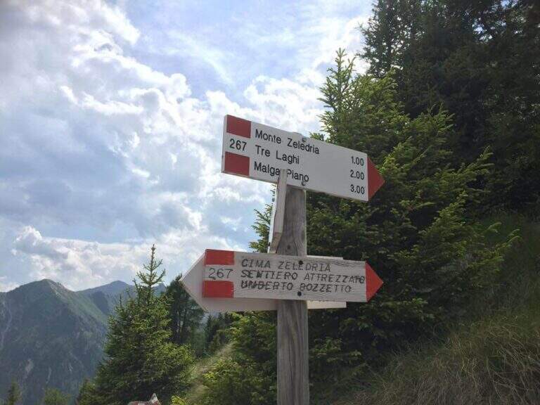
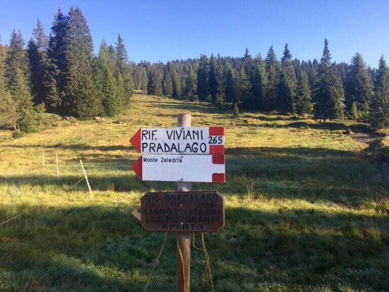
    From Cascina (Malga) Zeledria, in the municipality of Madonna di Campiglio: in the direction of Folgarida, all' height of the Campo Carlo Magno Pass (1682 m), take the left Via Zeledria going up to the hut. Open road signs on Google Maps. From the parking lot you climb to the CAI 265 towards the Viviani Refuge at the Lago Pradalago (40'); staying on 265 you descend slightly towards the Lago delle Malghette and l' the same refuge (1890 m, 1h 30'). Conveyed the lake and around it from the north, follow the CAI 201 to the left and then the CAI 267 to the 3 Lakes: first the Lake Alto, then the 3 Lakes (2282 m) with Lake Medio and Lake Inferiore (1h from Lake Malghette, 2h 30'). On a stretch of ridge, ignored the path that descends towards the Dark Lake, you reach l' attack, signaled by a metal plate (2h 45' from the parking lot).

    ▲The path

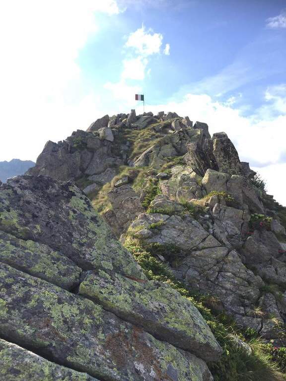
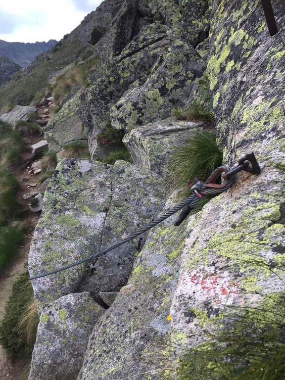
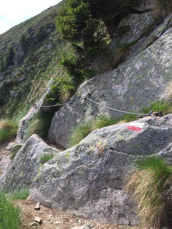
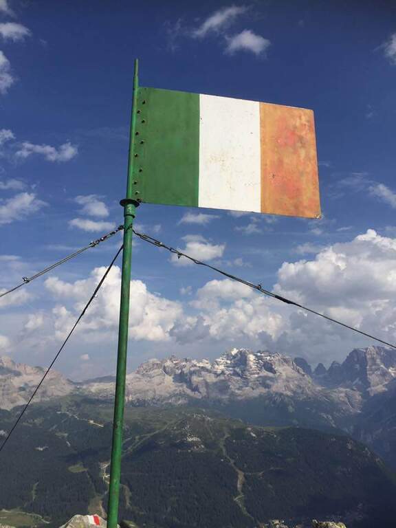
    Continue south to some left flakes; on the right c' ` the junction for CAI 226/B towards Lake Seredoli, but the right is held and the cresta connects Mount Zeledria to Mount Nambino, gaining 150 meters of altitude difference. The stretch è a po' tiring and in some points helped by metal strings and a staircase, up to the vetta (marked by an Italian flag), with magnificent views of the Brenta and the lakes. Then begins the downhill part of Bozzetti, on the eastern side: some stretches equipped with scale and rope protect the steep southern rib that descends towards Lake Nambino. Finish the equipment (red card for those who climb in the opposite direction), go right on easy rocks to Lake Pradalago, where the path ends (1h 30' from the plate, 4h 15' overall).

    ▲Character and difficulty

    Itinerary without particular difficulties: the few exposed points are well protected. Great for approaching neophytes and those with little experience, in a very interesting landscape ring.

    ⚠ Although easy, it is a high-mountain equipped road: helmet and set from recommended ferrata. The ring route is long (about 11 km): calculate well times and weather.

    ▲Discipline

    From the end of the well-equipped path you will cross the section of the approach between Lake Pradalago and Cascina Zeledria down to the parking lot (30' from the end, 4h 45' overall).

    ▲To match

    In the same area of Adamello-Presanella and Brenta there are numerous itineraries equipped; moving south, over Pinzolo and in Val Rendena, the via dei Bocchette and the classics of the Brenta.

    ▲Gallery
    Technical data
    • DifficultyEasy
    • RegionTrentino-Alto Adige
    • ProvinceTrento
    • GroupAdamello-Presanella
    • Approach2h 45'
    • Fully equipped1h 30'
    • Ring itinerary4h 45'
    • Level difference70 m
    • Route difference646 m
    • Maximum2426 m
    • Length11 km
  • Sentiero Attrezzato Burrone Giovanelli

    Sentiero Attrezzato Burrone Giovanelli

    Vie Ferrate › Trentino-Alto Adige › Trento
    Sentiero Attrezzato Burrone Giovanelli

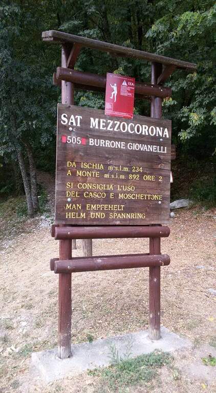
    Il Sentiero Attrezzato al Burrone Giovanelli develops in the suggestive ravine of Mezzocorona, in the province of Trento. It has no particular technical difficulties, it is exposed only in single passages and very pleasant; while being of low altitude you can also travel in summer because it runs largely in a fresh and characteristic hole.

    ▲Approach

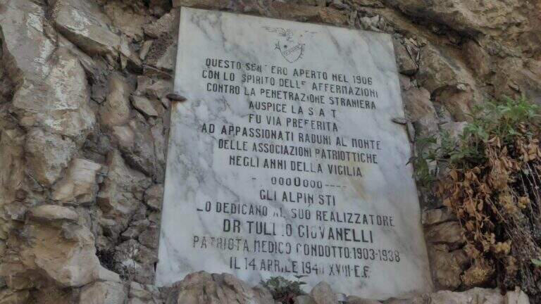
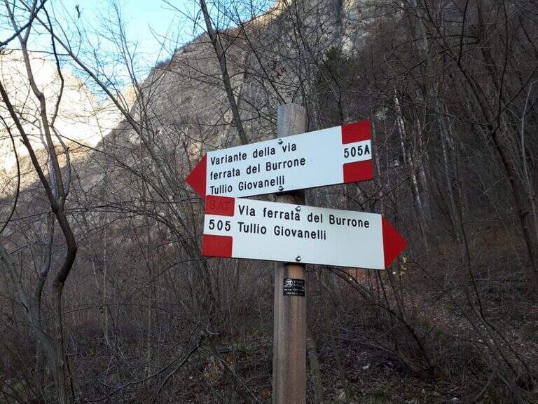
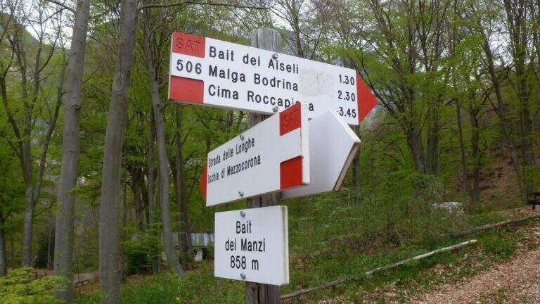
    Starting from Mezzocorona: exit at the toll of San Michele all'Adige (A22) you reach the center, take left Via Cesare Battisti and, before arriving at Mezzolombardo, you will take on the right a narrow but paved road between the vineyards until a parking with information bulletin board. Open road signs on Google Maps. From the parking lot follow the signs of the CAI 505 in the wood; at a first crossroad (5', CAI pole) the sinistra (CAI 505A), a variant più complete, reaching a bridge on the stream and going up on the right horographic up to the red sign and the marble plate that mark l#&39.

    ▲The path

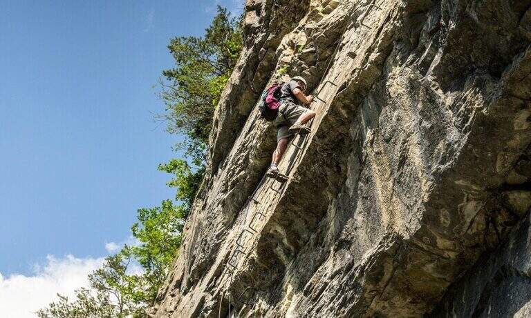
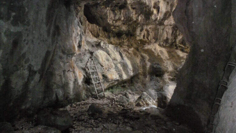
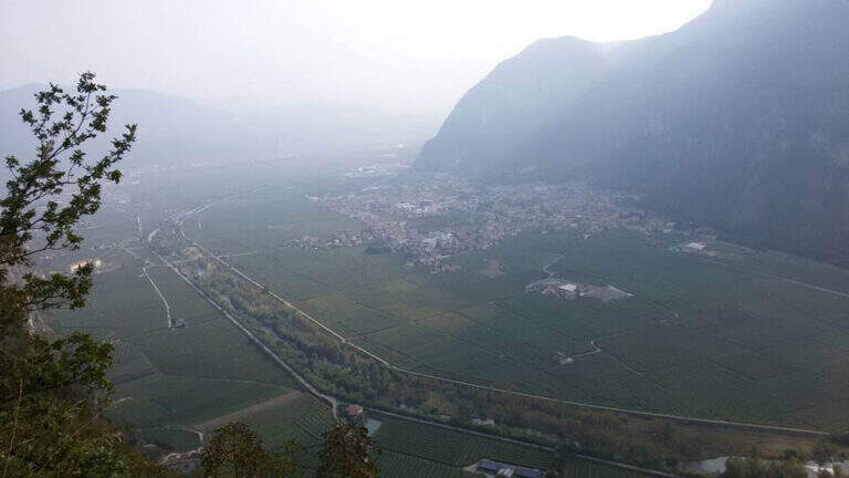
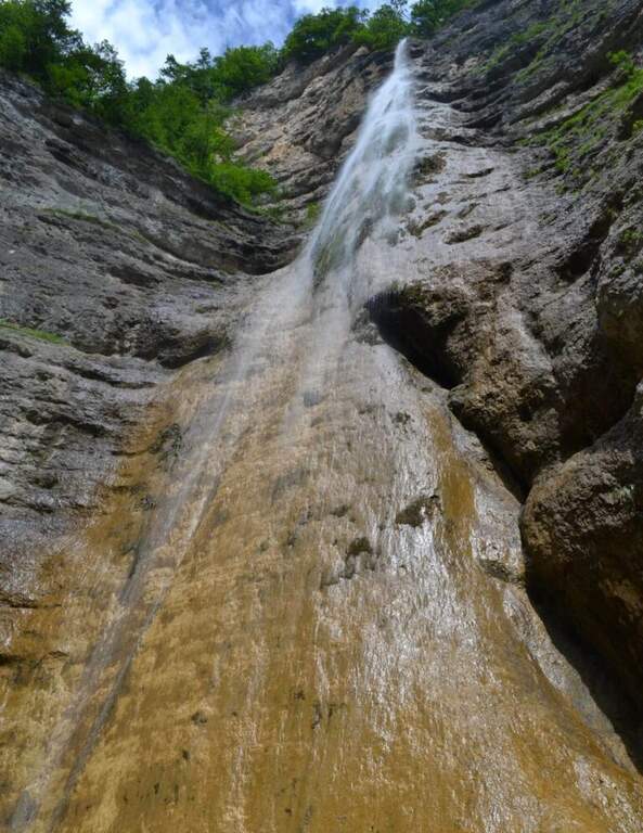
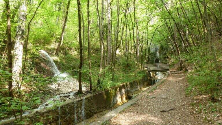
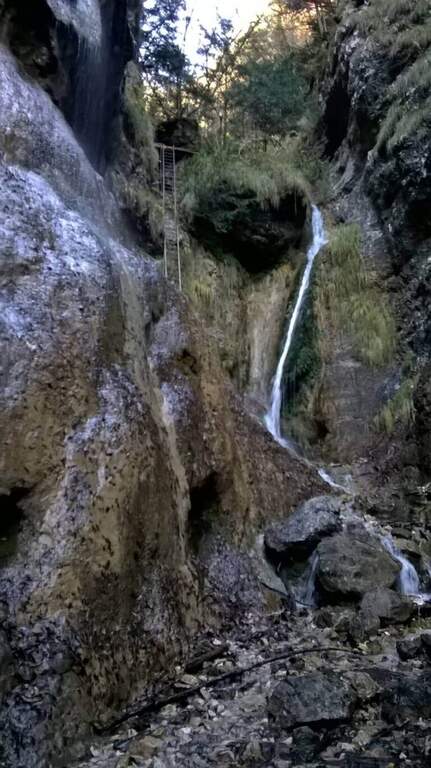
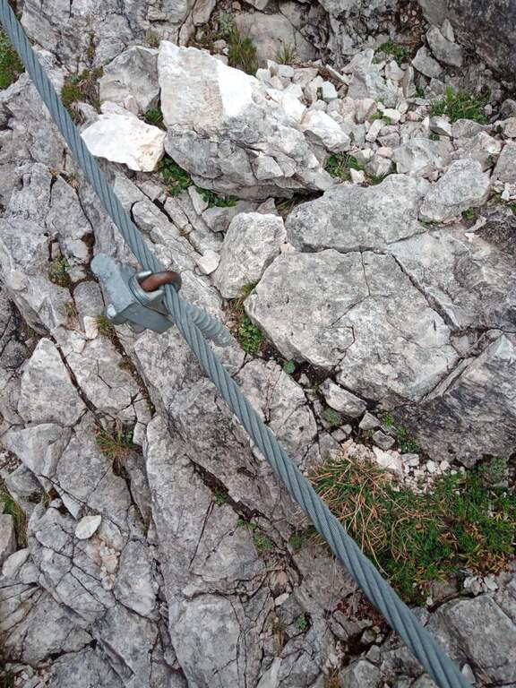
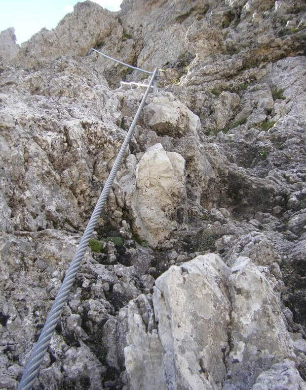
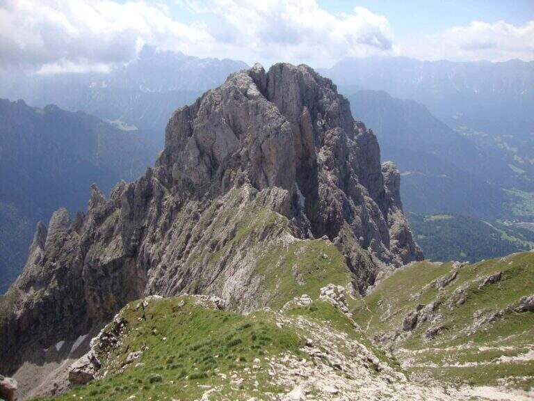
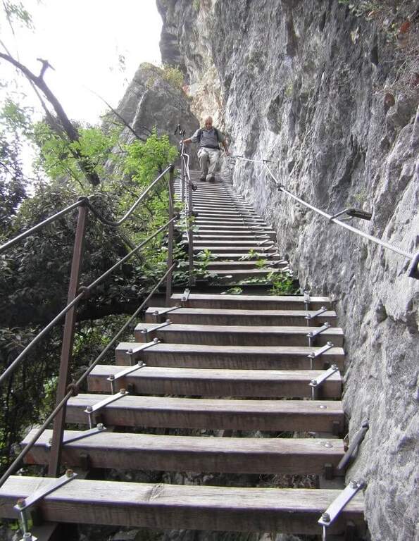
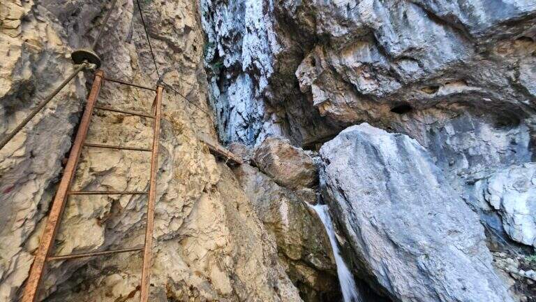
    From the ' start of the equipment an easy cengia horizontal leads to the first waterfall, where you cross the rio and you are under a long metal staircase in two trunks, vertical and exposed but without difficulty; techniques (attention to the wet soles after the forado); at the top, turning, you enjoy the view on the Rotalian Plan. An easy stretch equipped with small rocks and a second ladder più short leads inside the ravine; a slightly uphill nod and a narrow passage equipped lead to the ' real entrance of the hole. A short ladder descends, crosses the rio and goes up the right side on ampie and solid cambre, bending to the right; a short ladder and a nod with wooden catwalk lead to a statua of Madonna. You enter the più tract; ravine ash, little illuminated except in the central hours, climbing alongside the rio in a very suggestive environment until you get out of it; you continue up to a cascade of about 100 meters. Alternating stretches equipped and easy climbs, overcome some wet rocks and a long and lean staircase, you reach l' last staircase that closes the equipment; in about ten minutes the path ends at a forest road (765 m, 1h 15' from' attack, 1h 30' overall).
    ▲Character and difficulty

    Easy equipped way, surpassed thanks to numerous stairs and cambres, with limited exposure to a few steps; the hole environment is the real strength. Also excellent for accompanied neophytes.

    ⚠ After the rio ford the wet soles slip on the stairs: prudence. Rock often wet in the ravine; helmet and set from essential ferrata.
    ▲Discipline

    Adding the forest, for the return there are più options: holding the sinistra you descend into the forest on path 504 up to ' car in about 45' (2h 30' overall); holding the destra, in about one' hour on path 505 (passing from Baita Manzi) you reach the station There is also a più variant; long: it is advisable to check the signs on site.
    ▲To match

    In the area, near, the Ferrata Rio Secco in Cadino di Faedo, la Ferrata di Favogna e la Ferrata Val del Rì mezzolombardo.

    ▲Gallery
    Technical data
    • DifficultyEasy
    • RegionTrentino-Alto Adige
    • ProvinceTrento
    • GroupPayment
    • Approach15 min
    • Fully equipped1h 30'
    • Complete itinerary2h 30'
    • Level difference480 m
    • Route difference670 m
    • Maximum918 m
    • Length5 km
  • Sentiero Attrezzato Bertotti at the Cross of Chegul

    Sentiero Attrezzato Bertotti at the Cross of Chegul

    Vie Ferrate › Trentino-Alto Adige › Trento
    Sentiero Attrezzato Bertotti at the Cross of Chegul

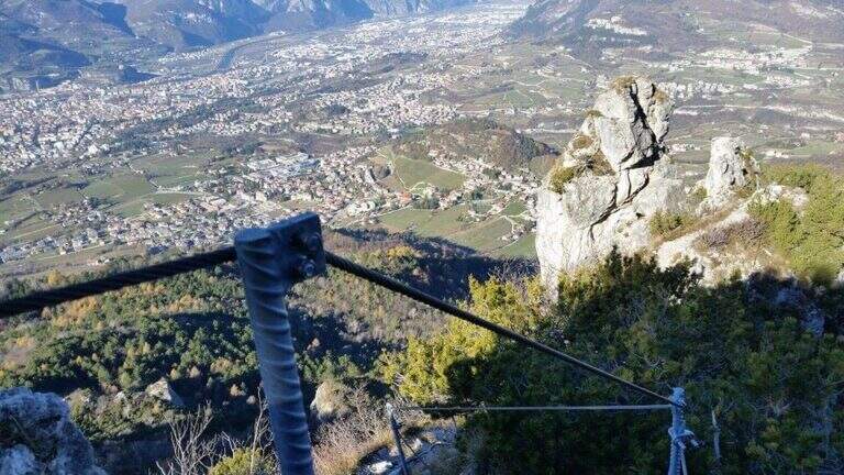
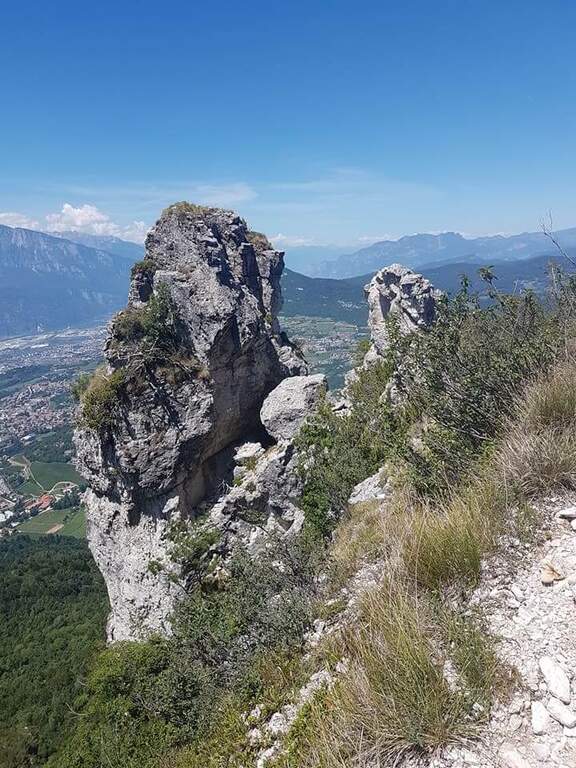
    Il Sentiero Attrezzato Bertotti is a pleasant itinerary of low difficulty that climbs to the Chegul Cross, on the mountains to the east of Trento. It has no technical difficulties and is also suitable for neophytes or those with little experience of ferrate; from the top the panorama is 360 degrees.

    ▲Approach

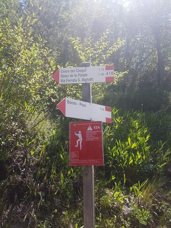
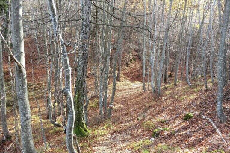
    From the Passo del Cimirlo (733 m), reached by Trento, take the road to the right with indications for Maranza; after about 1.5 km, narrow but asphalted, you can see on the left the signs CAI 418 of the Route Attrezzato Bertotti. You park on the road. Open road signs on Google Maps. From the sign (850 m) you climb steeply into the wood between bends, rocky and massive steps under the walls of the Chegul, then right on a slope up to a census under the crest; with short stretches equipped you reach the libro of the signatures, where a plate marks l' start of the path equipped (1115 m, 30' from the parking lot).

    ▲The path

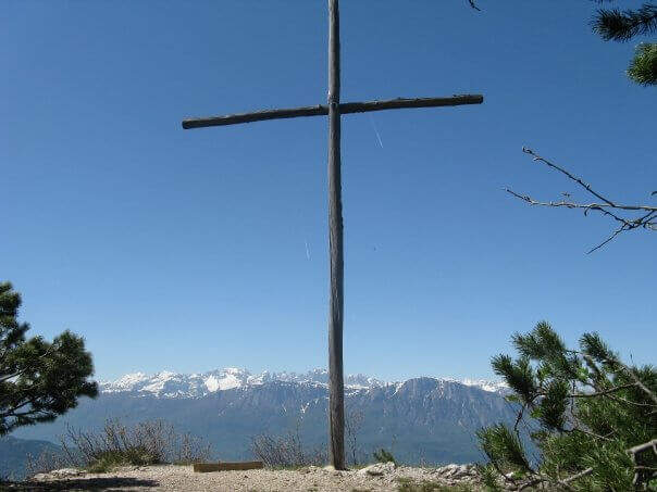
    You go up a canyon in the woods to its più point; high, where you pass between two rocks; then you face a vertical parete equipped with wide cambre. The trail continues easy and free of equipment for a few minutes, up to some small rocks and a long 20-metre-long wire scale, a series of equipped steps leads smoothly to the Croce del Chegul (1263 m), with excellent views of Trento and Bondone (30' from the signature book, 1h overall).

    ▲Character and difficulty

    Itinerary is not difficult: the two vertical sections are facilitated by a staircase and a series of brackets; the difference in altitude is exceeded with stretches equipped in the most exposed points, but the difficulty remains modest. Very beautiful instead the view from the top.

    ⚠ Although easy, it remains an equipped way: helmet and ferrata sets are recommended, especially for the neophytes that approach you.

    ▲Discipline

    On the same route (45' 1h 45' overall) or take a più along anello: a bridge goes up to the Spiaz delle Patate (1310 m), then south to the CAI 411 towards Monte Lalonila, passing old war stations; at a crossroad (1541 m) From the bivouac, in steep descent with the CAI 412 to the west, you reach the Rifugio Maranza (1072 m) and finally, on the CAI 426 and 413, l' car (about 5h total).

    ▲To match

    Walking through the short variant remain time and energy for another way: in Val d'Adige la Ferrata Rio Secco e la Ferrata di Favogna, o il Burrone Giovannelli; towards Garda la Ferrata Che Guevara e la Sentiero de le Stel.

    ▲Gallery
    Technical data
    • DifficultyEasy
    • RegionTrentino-Alto Adige
    • ProvinceTrento
    • GroupValsugana
    • Approach30 min
    • Fully equipped30 min
    • Ring itinerary5h
    • Level difference150 m
    • Route difference886 m
    • Maximum1737 m
    • Length14,7 km
  • Sentiero Attrezzato Apolloni

    Sentiero Attrezzato Apolloni

    Vie Ferrate › Trentino-Alto Adige › Trento
    Sentiero Attrezzato Apolloni

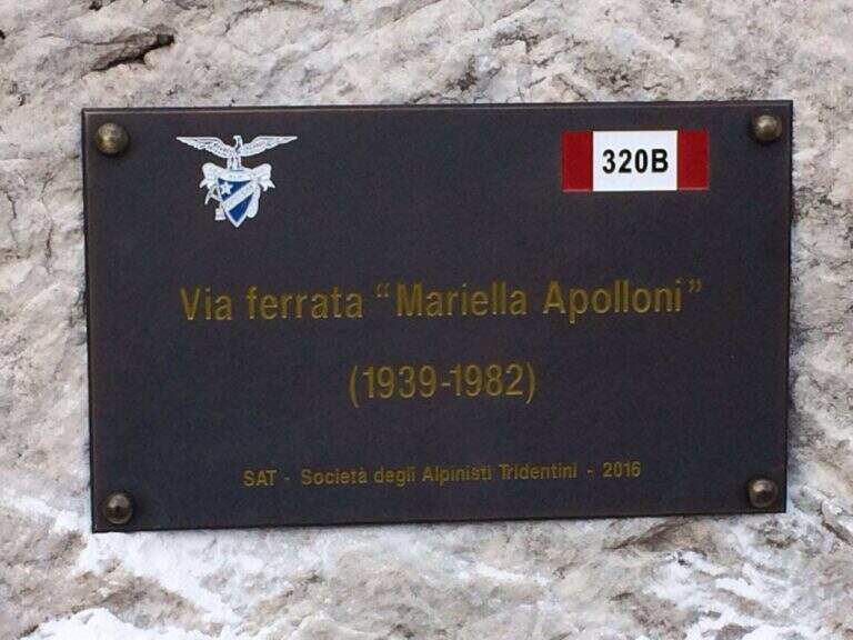
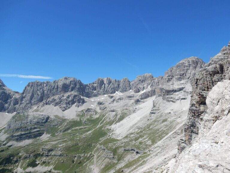
    Il Sentiero Attrezzato Apolloni is the most recent equipped path of the Brenta Dolomites and connects the Agostini Refuge to the Pedrotti Refuge passing through the Forcoletta Pass. It runs more at the altitude of the parallel Sentiero Palmieri and is equipped in the most exposed points, without particular technical difficulties.

    ▲Approach

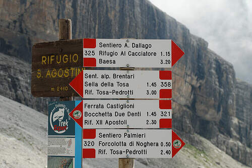
    The report starts from the Ristor Dolomiti (768 m) above Dorsino: in the village center a road marked with the brown « sign; Val d'Ambiez» narrow and asphalted rooms to the restaurant, where you park. Open road signs on Google Maps. You climb to the CAI 325 (first dirt, then trail) until the Rifugio al Cacciatore (1820 m, 2h 15'), then on the CAI 325 (Sentiero Dallago) until the Rifugio Agostini (2410 m, 3h 30' from the parking lot). L' approaching è long and with strong difference in altitude (about 1700 m). Alternatively, along the route on the contrary, you can go from Molveno to the Pradel cable car.

    ▲The path

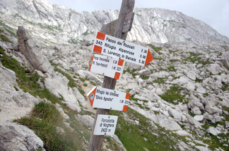
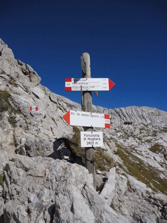
    Dal Rifugio Agostini si procede verso est, verso le pareti occidentali di Cima Ceda, seguendo il CAI 320 (Sentiero Palmieri); in leggera salita a mezzacosta si raggiunge il Passo di Forcolotta di Noghera (2423 m). Si prosegue su tratti più esposti verso est tenendo la sinistra (ignorando il bivio per il CAI 345 verso Passo Caplo), fino a passare nella valle della Pozza Tramontana, in un imponente anfiteatro tra Cima Ceda, Cima Brenta e Monte Daino. In discesa verso nord si raggiunge il bivio tra il Sentiero Palmieri (più basso) e il Sentiero Attrezzato Apolloni (CAI 320B), composto da due tratti attrezzati: il primo è una serie di cenge esposte con gradini metallici assicurati; il secondo, più vicino a Cima Brenta Bassa, è un intaglio nella roccia da risalire con alcune staffe. Nessuno dei due presenta difficoltà tecniche rilevanti. Completato il sentiero, presso Cima Brenta Bassa, in pochi minuti si scende al Rifugio Pedrotti (2491 m, 2h 30' dal Rifugio Agostini, 6h complessive).

    ▲Character and difficulty

    The two equipped sections are easy and protect the most exposed points; the equipment is new and in good condition. The real difficulty lies in the long approach and in the strong overall difference.

    ⚠ L' approach raises about 1700 m of altitude difference: currency to stay in refuge to face l' itinerary to rest altitude. Overall long day (up to 9h 30' for full tour).

    ▲Discipline

    The simplest option is to go back: from the Passo Forcoletta you descend to the Rifugio al Cacciatore (2h 15' from the Rifugio Pedrotti) and from here to the Ristoro Dolomiti for the CAI 325 (9h 30' overall). Alternatively, more challenging, you can return to the Ferrata Brentari towards the Rifugio Agostini passing through the Vedretta d'Ambiez (recommended the overnight stay at altitude).

    ▲To match

    It is a connecting path between two refuges from which there are numerous excursions of the Brenta: from the Rifugio Pedrotti you can reach the itineraries of Bocchette Alte e Central.

    ▲Gallery
    Technical data
    • DifficultyEasy
    • RegionTrentino-Alto Adige
    • ProvinceTrento
    • GroupDolomiti di Brenta
    • Approach3h 30'
    • Equipment2h 30'
    • Complete itinerary9h 30'
    • Level difference100 m
    • Route difference1623 m
    • Maximum2491 m
    • Length3,2 km
  • Ferrata di Valimpach

    Ferrata di Valimpach

    Vie Ferrate › Trentino-Alto Adige › Trento
    Ferrata di Valimpach
    Moderately Hard● OpenDescriptionComplexityMapsGallery

    Il Valimpach equipped trail over Caldonazzo in Valsugana (Trento). It is not very tiring, but it requires attention to the exposure of some sections, some more challenging points and a thick wet and mossed rock for much of the route.

    ▲Approach

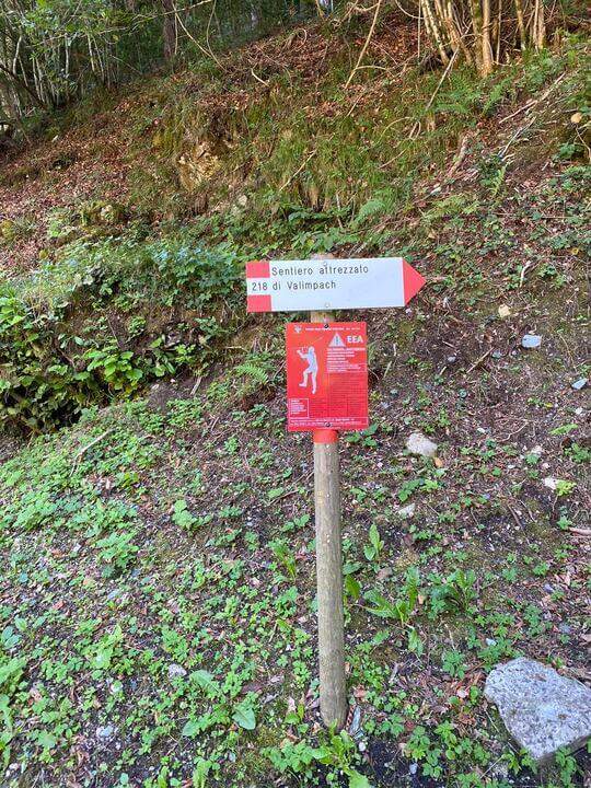
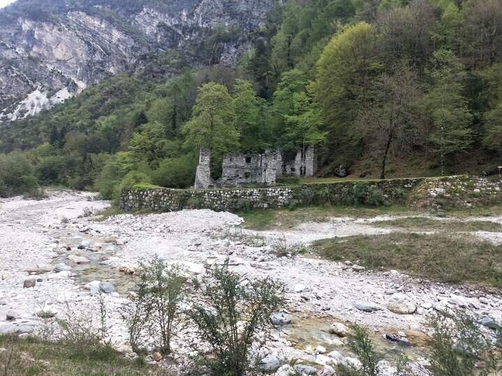
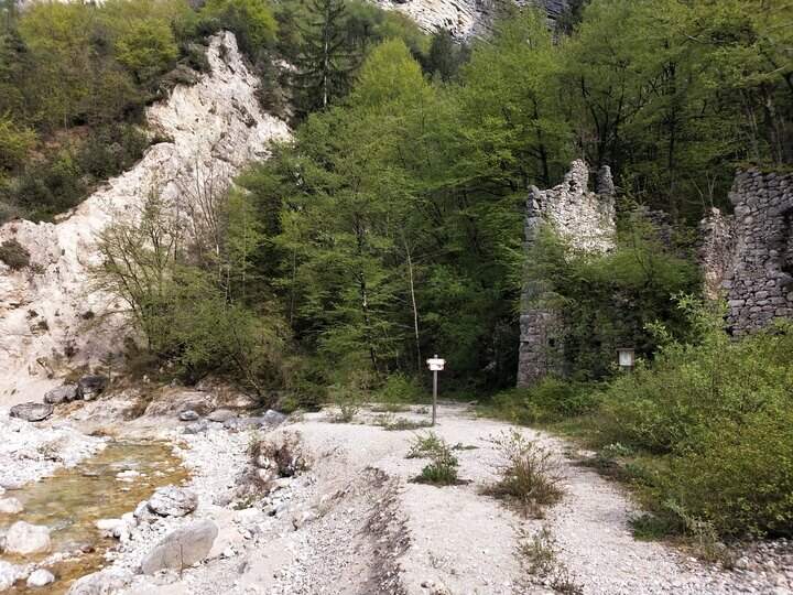
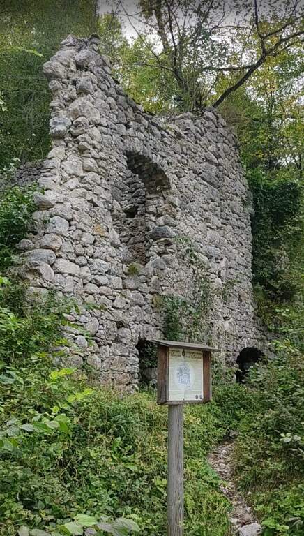
    Joints Caldon take the SP108, you pass the restaurant Speckstube on the left and you reach the park n. 3, just under the hamlet of Valle in the direction of Centa San Nicolò, always on the left. Open road signs on Google Maps. Who wants può starting from parking spaces n. 1 or n. 2 (always on the SP108) to stretch the route and admire landscape and waterfalls on the Centa. From the parking lot you go down the road or for the dirt a po' steep that flanks it, on the path that runs along the river Centa towards the south, up to a bridge that crosses it, to the side of which you see the ruins of the ' ex mill Polentoni. Immediately behind the equipped trail sign marks l' start of the steep short bend path, at times exposed, which leads to all' attack of the ferrata (about 20-30' from the parking lot).

    ▲The path

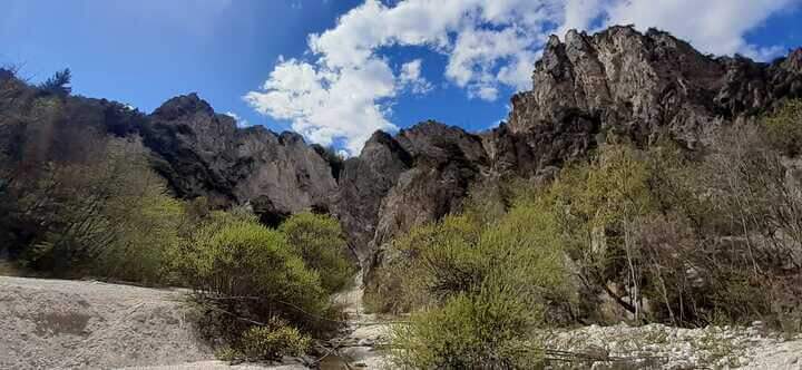
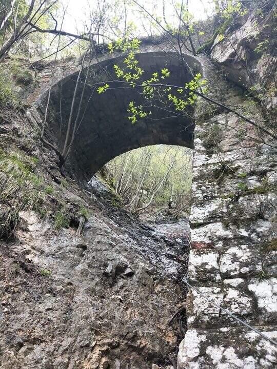
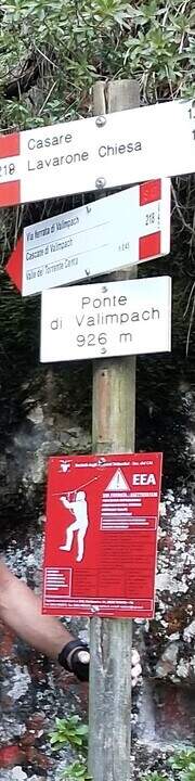
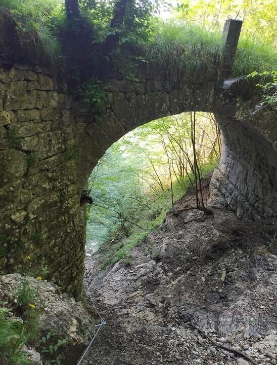
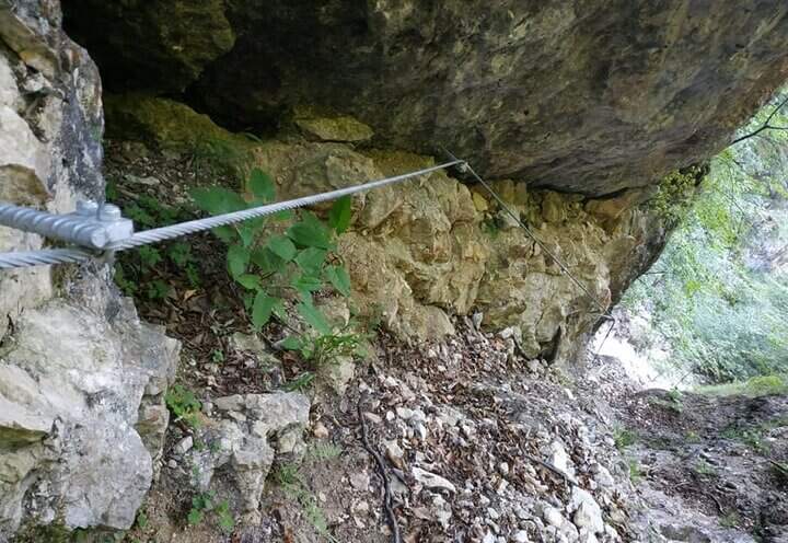
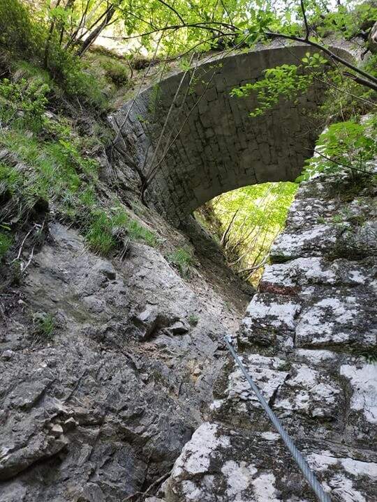
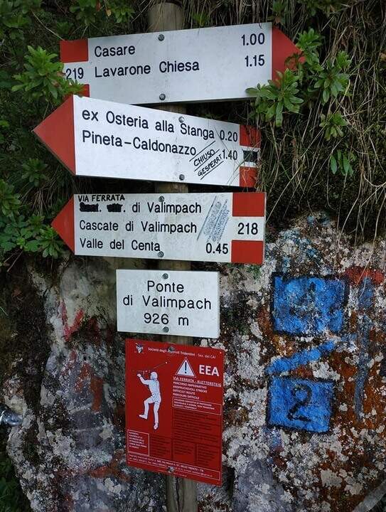
    The first section è the più exposed: a scaletta followed by the cable under a census, from which is seen on the ' other side of the village of Centa San Nicolò. Continue on several rocky cliffs with metal cambres, surrounded by mug pines; as you climb you start to see the cascade of Valimpach and the valley below. After passing these easy leaps, a stretch in the forest without difficulty and agrave;, in a slight descent, runs along the waterfalls to their springs. Continue in the valley following the track on the boulders and enters the gola rocky, where from time to time cables and cambre facilitate progression: è a humid environment, with thick slippery rocks and mosss, where pay attention also all' possible fall of stones from the side walls. Following the tracks you will arrive below the ponte of Valimpach (926 m); cross it from below turn right and in a few meters you will reach the ex «Strada della Val Caréta» (former 219), where the ferrata ends (about 1h 15' from' start of the equipment, 1h 45' from the parking lot).

    ▲Character and difficulty

    Itinerary varied but of limited commitment, with a first exposed section and passages on equipped balconies. The quality of the rock is not always excellent and the humidity of the nearby waterfall requires caution.

    ⚠ In the final stretches, just before the bridge, some metal equipment turns out a little soft: attention especially for the neophytes. Infident rocks for moss and humidity; possible fall stones in the throat.

    ▲Discipline

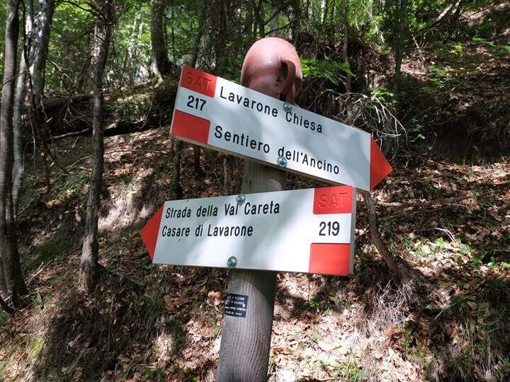
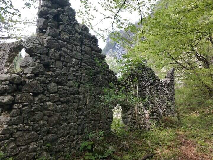
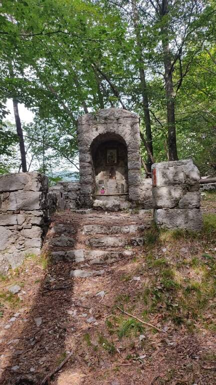
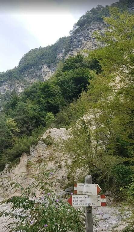
    From the bridge we continue on the ' ancient road towards the Church of Lavarone; after about 15 minutes, at the junction with the Sentiero del Lanzino ( itinerary 217), we descend into the Valley of the Centa. You pass the votive capital of Sant' Antonio and you get to some ruins surrounded by a screech; carefully you get the stream and you reach the valley bottom path that, along the Centa on the left, brings back to the starting parking lot (about 3h total).

    ▲To match

    The nearest equipped route is the Sentiero Attrezzato Church in Val Scura. Towards the Val d'Astico is the Ferrata degli Aguane; in Val d'Adige the Sentiero Attrezzato Bertotti e il Sentiero Attrezzato de le Stel. Not far from Trento, the commitment Ferrata Segata bondone.

    ▲Gallery
    Technical data
    • DifficultyModerately Hard
    • RegionTrentino-Alto Adige
    • ProvinceTrento
    • GroupValsugana
    • Approach25 min
    • Ferrata1h 15'
    • Complete itinerary (a/r)3h
    • Hardware level difference350 m
    • Route difference415 m
    • Maximum1003 m
    • Length5 km
  • Ferrata della Val Gelada

    Ferrata della Val Gelada

    Vie Ferrate › Trentino-Alto Adige › Trento
    Ferrata della Val Gelada
    Moderately Hard● OpenDescriptionComplexityMapsGallery

    La Ferrata della Val Gelada it is part of an itinerary that dates back to the steep valley under the Horn of Flavona, in the northern Brenta Dolomites (Trento). The equipped sections do not have particular technical difficulties, but the harsh environment, the high altitude difference and several exposed passages reserve it to trained and experienced hikers.

    ▲Approach

    L' ring described here è the più way; short and simple to travel the ferrata and starts from the Lago of Tovel. You reach Tuenno, on the eastern side of the Brenta, and at a crossroads on the left follow the signs for Lake Tovel along about 11 km asphalt road; at the end, on the right, c'è a first parking, then continue on the dirt road in front following the indications for the Chalet (about 2 km). Open road signs on Google Maps. From Lake Tovel, take the sentiero CAI 314 towards Malga Tuenna; go up comfortably on track until you cross the CAI 312 (Sentiero della Dena), steep west. Ignored a first crossroads on the right, follow the signs to Malga Tuenna and then to Passo della Val Gelada (CAI 380), passing a first equipped section. Exit from the wood you can reach l' crossroads with the CAI 306 (Sentiero Attrezzato delle Palete): you ignore it and you drive west to the crossroads of the Val Gelada Pass (2171 m, about 2h from the parking lot).

    ▲The path

    The CAI 380 that goes up the Val Gelada: the stretch è definitely tiring and earns almost 500 m of altitude difference. As you enter the inner part of the valley you can see a rocky bastion where some ports are equipped in a canal allow you to overcome it without excessive difficulty. A last equipped section leads to the Passo di Val Gelada (2686 m, about 4h from the parking lot), crossroads with the Costanzi Mountain Trail (CAI 336). Here the sinistra is held towards the Three Sassi's Bocchetta: some vertical sections equipped with ropes and stairs, then a stretch of path not particularly difficult, lead to the Three Sassi (2613 m, 45' from the Pass, 4h 45' overall).

    ▲Character and difficulty

    The two iron sections help to overcome jumps that pass the first degree, but the major pitfalls are the alpine character of the excursion, length and exposure. There are also a couple of unprotected grade I climbing routes. The Val Gelada is among the wildest and least frequented corners of the Brenta.

    ⚠ Both Val Gelada and Val delle Giare can present snow-covered extracts even at the advanced season: bring ramps and peaks to avoid dangerous situations. L' route è long and with strong altitude difference: very recommended telescopic sticks. The few equipped sections must not lower the guard on the alpine character of the' exit.

    ▲Discipline

    Dalla Bocchetta dei Tre Sassi si prende il CAI 334, dapprima in falso piano verso sud e poi in discesa nella Val delle Giare lungo un vallone detritico, fino a incrociare il CAI 306 (Sentiero delle Palete) con un paio di tratti attrezzati e una scaletta da scendere; lo si ignora e si continua a scendere fino al CAI 314, che si prende a sinistra verso il Rio Tresenga riportando comodamente al Lago di Tovel e al parcheggio (2h 30' dalla Bocchetta, 7h 30' complessive).

    ▲To match

    L' può ring; be composed in different ways: often it matches the Sentiero Attrezzato delle Palete o al Alpine trail Costanzi (both very difficult, for experts), perhaps continuing towards Sentiero Attrezzato Vidi. Going to the Grostè Pass for the overnight stay you can then continue south towards the Ferrata Benini e le Bocchette Alte.

    ▲Gallery
    Technical data
    • DifficultyModerately Hard
    • RegionTrentino-Alto Adige
    • ProvinceTrento
    • GroupDolomiti di Brenta
    • Approach2h
    • Equipment3h
    • Ring itinerary7h 30'
    • Level difference100 m
    • Route difference1508 m
    • Maximum2686 m
    • Length21 km
  • Ferrata Val di Scala

    Ferrata Val di Scala

    Vie Ferrate › Trentino-Alto Adige › Trento
    Ferrata Val di Scala

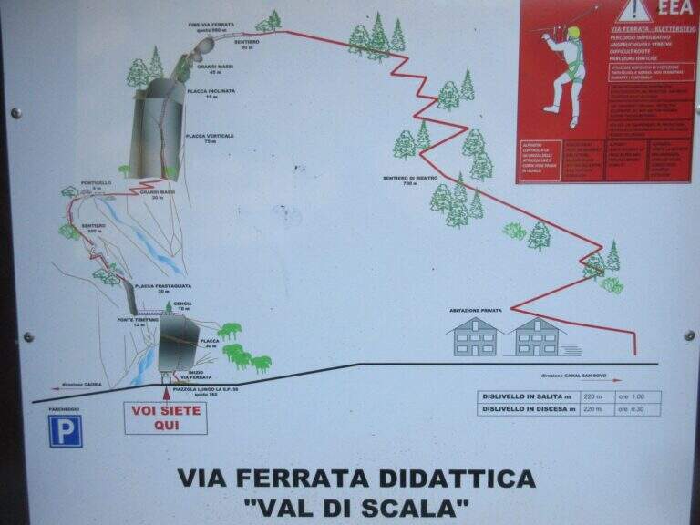
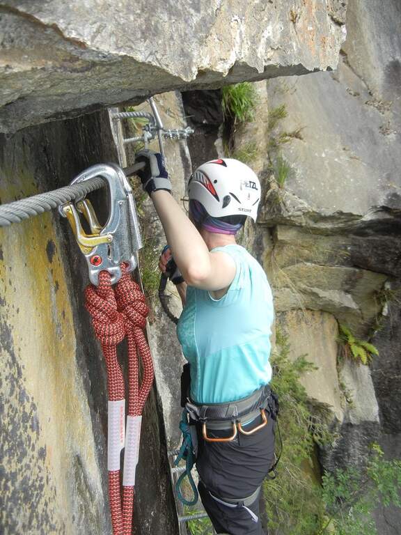
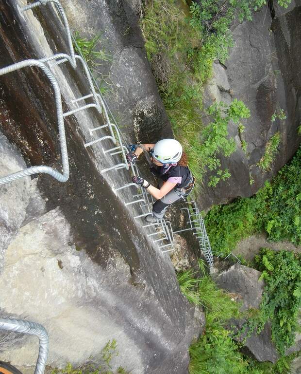
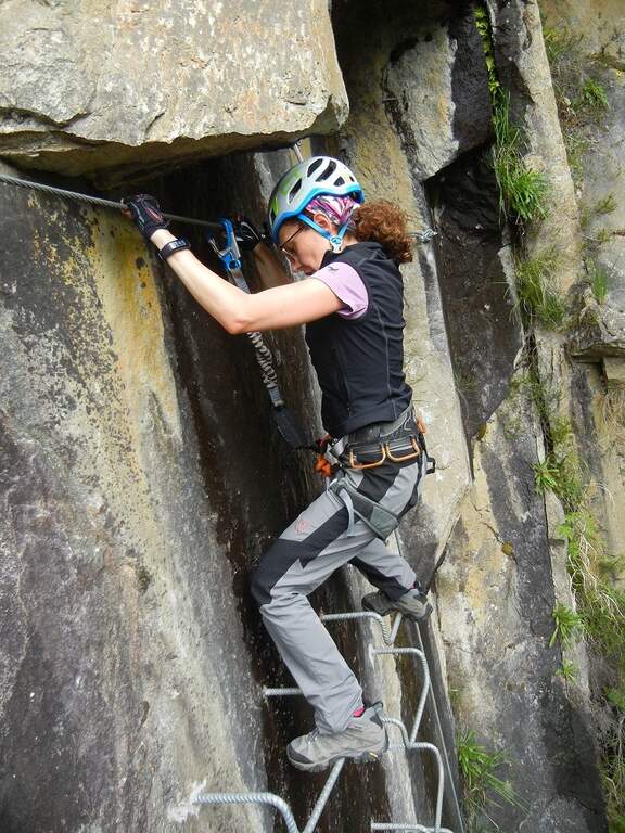
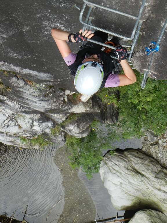
    La Ferrata Val di Scala (also called Caoria or the Canal San Bovo) is a short and well-equipped itinerary, ideal for approaching the world of equipped routes: technical difficulties remain modest even in the presence of a good exposure. The context, in the province of Trento on the side of the Lagorai Chain, is very beautiful and isolated, away from mass tourism.

    ▲Approach

    The starting point is located along the road connecting Canal San Bovo e Caoria and that goes up the Val di Scala: you park near a pronounced curve, with the attack placed a few meters from the road. Open road signs on Google Maps. From the parking lot the street is already visible: in a few minutes, following the track, you reach the attack (10' from the parking lot).

    ▲The path

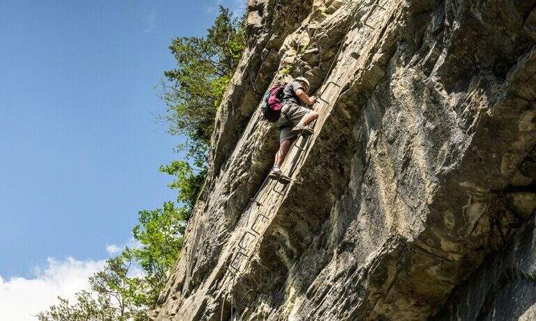
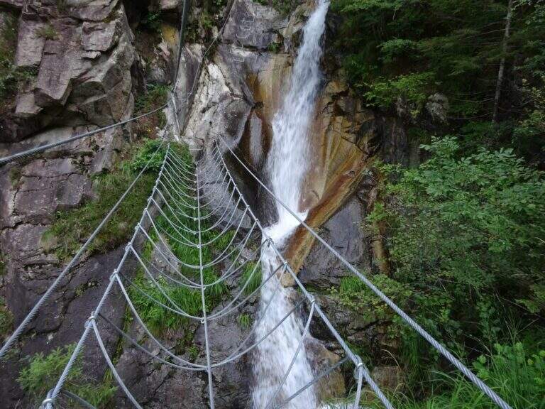
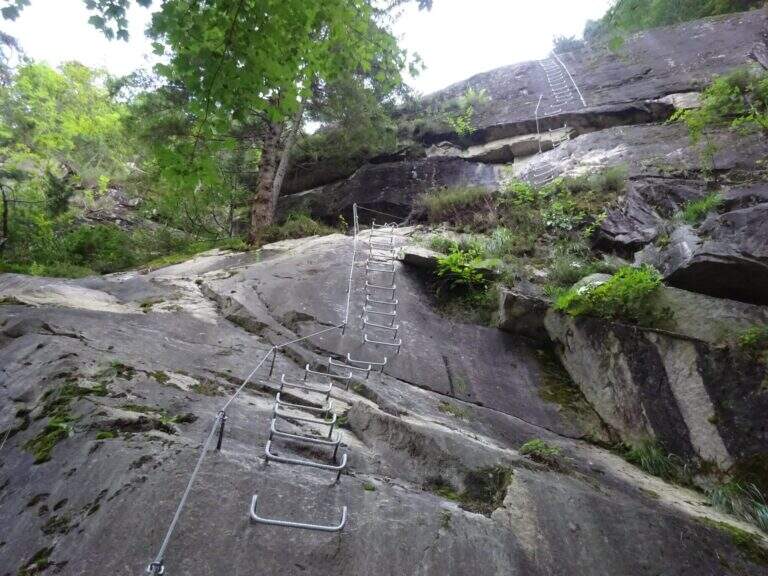
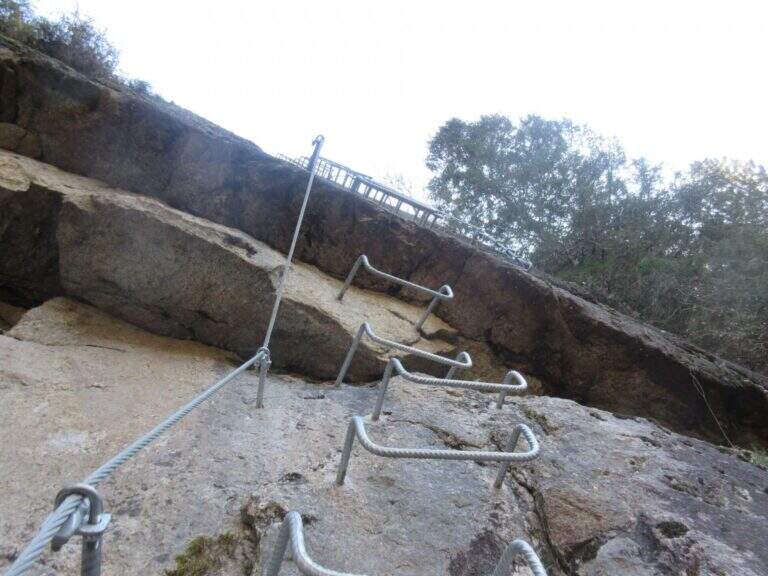
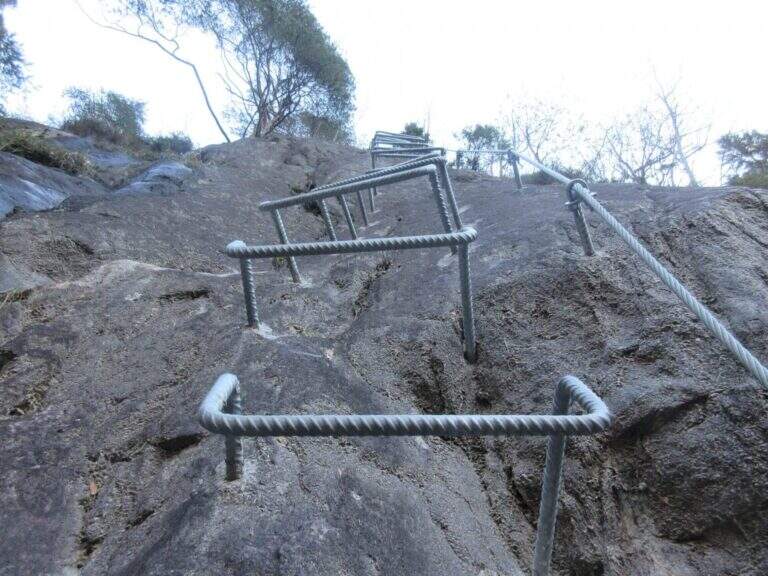
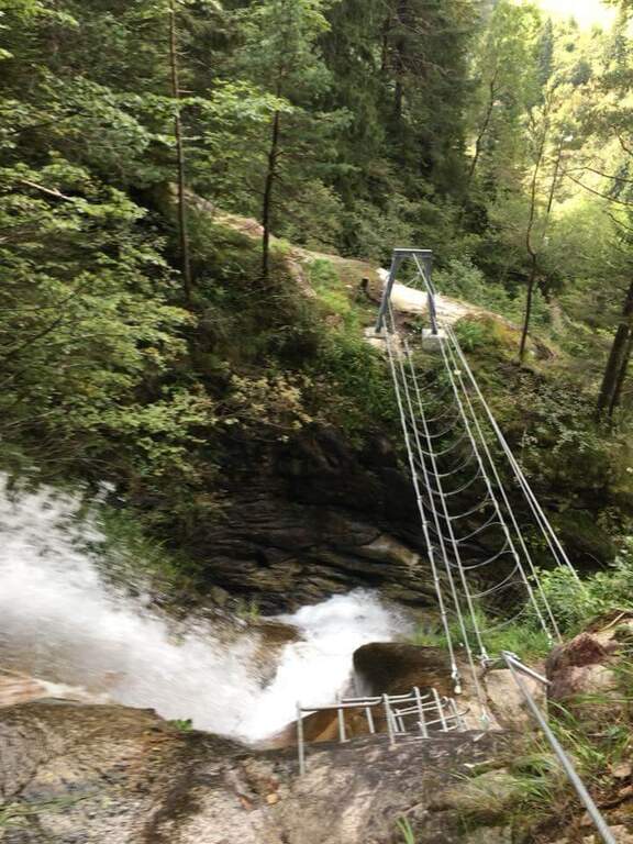
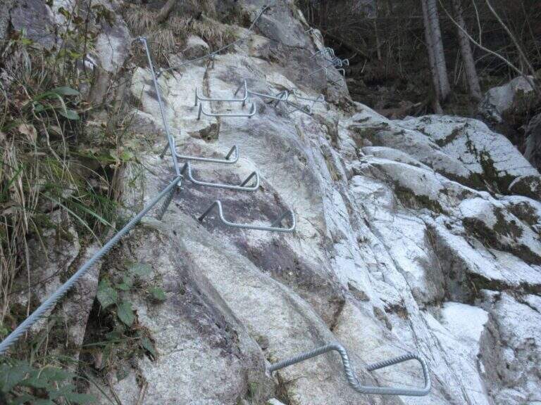
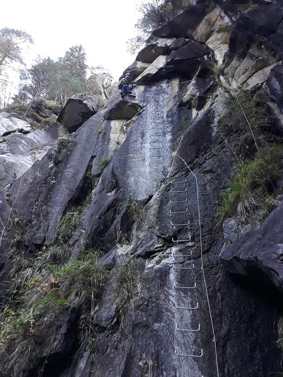
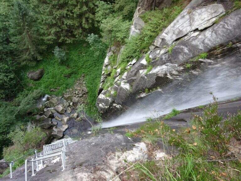
    The first meters are immediately vertical on plate, with a rapid succession of cambre for about fifteen meters, after which a short terrosa nod leads to the right. The cable starts vertically, always on metal cambres, leading under a tetto rocky that goes beyond with the cable that for some meters flows on both sides. Continue vertically on the cambre scale and then on the left towards the bridge suspended , very stable and along about fifteen meters; beautiful the waterfall that flows right of the bridge and that, after l' crossing, it turns uphill. After a short horizontal stretch on the edge of the stream, a series of difficult-to-grave transverses; but very panoramic accompanies the leaps of the course d' water. The equipment is interrupted by a stretch of connecting path, then the cables resume at some small rocks and act as a handrail where the path tightens; a stone goes up beyond which a wooden walkway crosses the stream. Beyond the catwalk we proceed on a track, on the left, to a vertical wall: a long row of cambre rises, interspersed by a short stretch on the left, up to a new rocky roof that this time wanders left with the feet on the &ndash cambre; the più point; exposed to the via. Mounted the roof is divided vertically for about twenty meters up to a short stretch; next to the waterfall again. Finally, there are some rocky balconies abundantly relayed, with short stretches of connection, and after the last equipped rocks the way ends (40' from the ' attack).

    ▲Character and difficulty

    Recent and modern hardware in the design, with numerous metal fixtures. Those looking for a "arrampable" route will be disappointed; those who appreciate verticality will find satisfaction, with limited technical difficulties. It is perfect for taking confidence with the equipped routes to those who are already accustomed to exposed excursions; the equipment is in good condition.

    ⚠ Although technically easy, the way è ben exposed: non è suitable for those suffering vacuum. Helmet and hardware set remain indispensable. For the cartography ` useful the map of the Park of Paneveggio – Pale di San Martino o la Lagorai – Cima d'Asta.

    ▲Discipline

    After finishing the ferrata follow the clearly visible track that brings to the parking space in about 20 minutes (1h 15' overall).

    ▲To match

    It is probably the only easy route in this area of Trentino, rich instead of long and challenging routes. Not far away Ferrata Gabrielli salt in Cima d'Asta; moving to the Pale di San Martino there is the Ferrata del Porton, la Ferrata del Velo e la Ferrata Bolver-Lugli. For those in the first arms, in Val di Fiemme there is the Ferrata del Bombasel at Cermis.

    ▲Gallery
    Technical data
    • DifficultyEasy
    • RegionTrentino-Alto Adige
    • ProvinceTrento
    • GroupChain of Lagorai
    • Approach10 min
    • Ferrata45 min
    • Complete itinerary (a/r)1h 15'
    • Hardware level difference200 m
    • Route difference239 m
    • Maximum1004 m
    • Length2,4 km
Need help? Write to us!