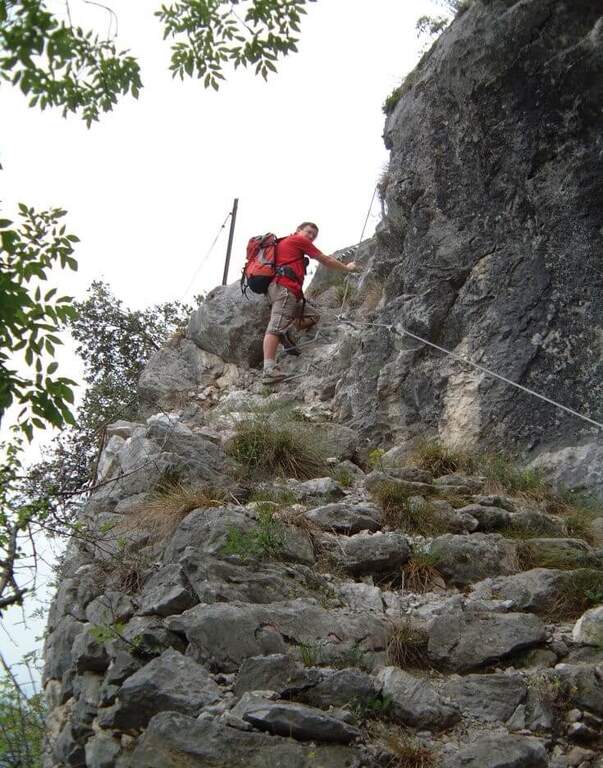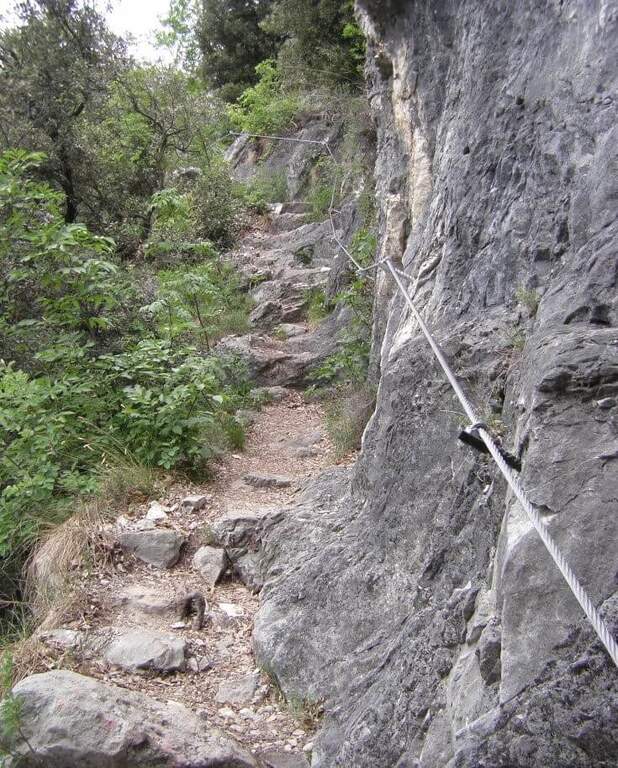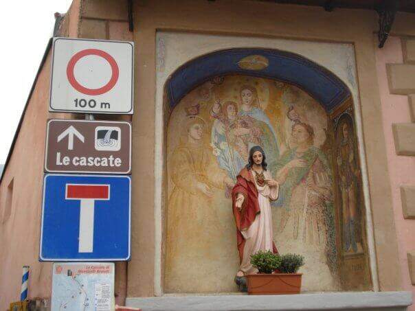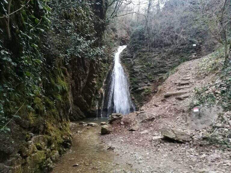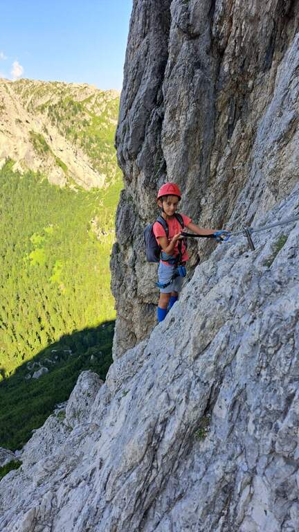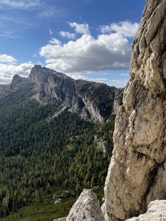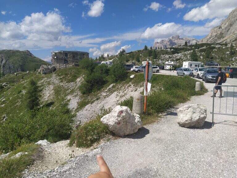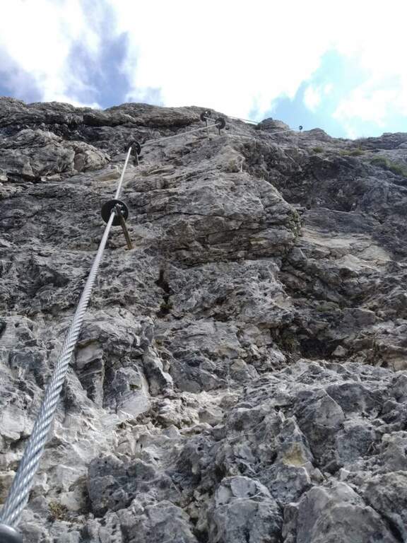
Caratteristica: Adatta ai principianti

  • Sentiero Attrezzato delle Scalette al Catinaccio (Larsec)

    Sentiero Attrezzato delle Scalette al Catinaccio (Larsec)

    Vie Ferrate › Trentino-Alto Adige › Trento
    Sentiero Attrezzato delle Scalette al Catinaccio (Larsec)
    Moderately Hard● OpenDescriptionComplexityMapsGallery

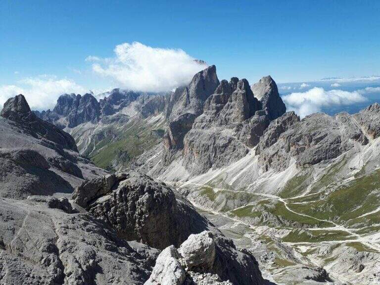
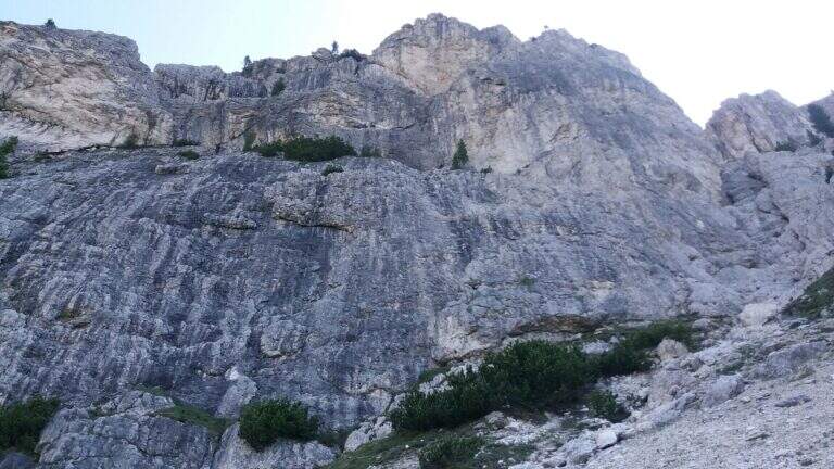
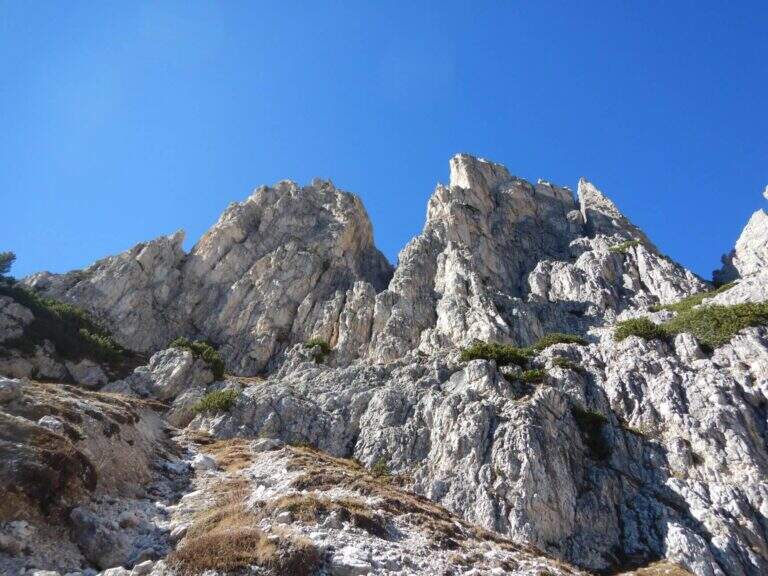
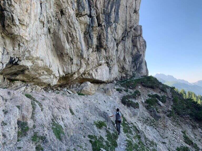
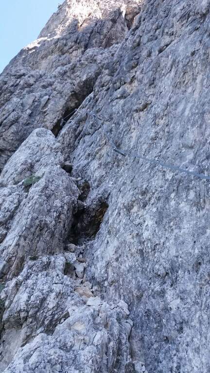
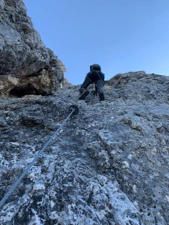
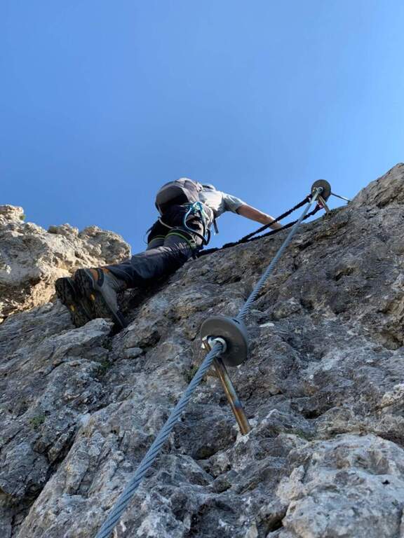
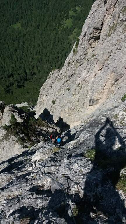
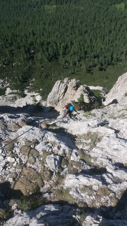
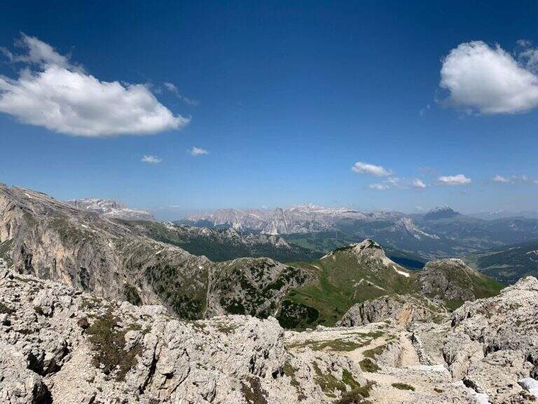
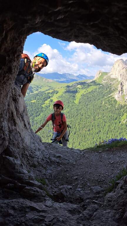
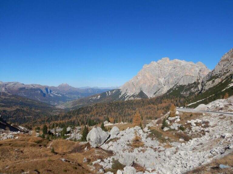
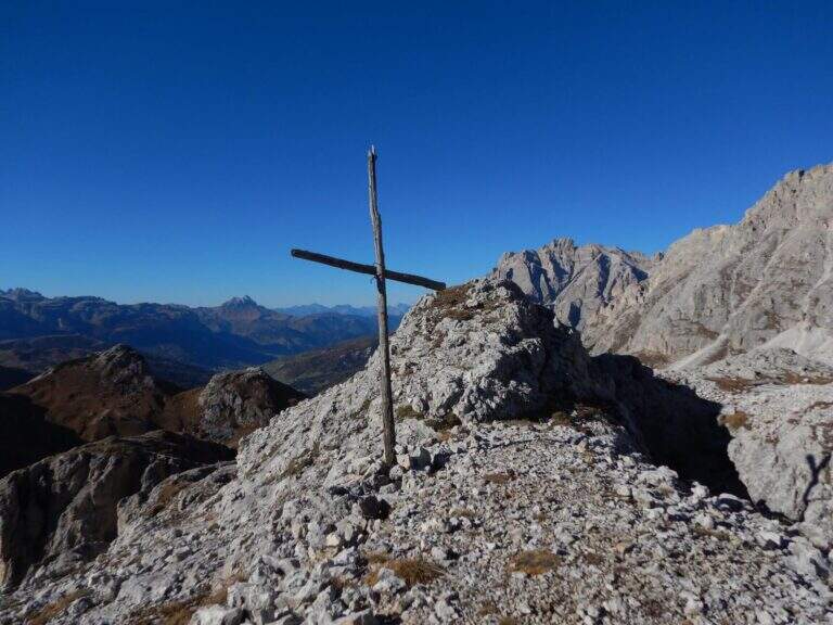
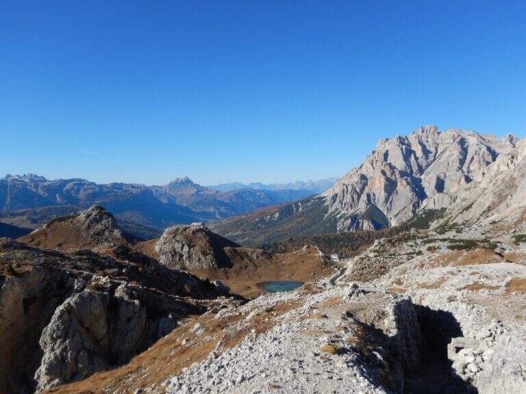
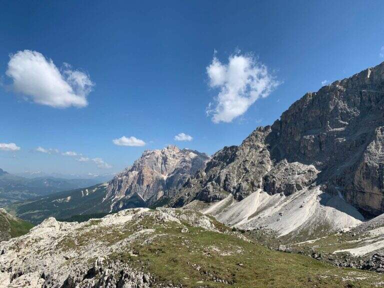
    The Sentiero Attrezzato delle Scalette is the most direct route from Rifugio Gardeccia to the austere valleys of Larsec and Laussa, in the heart of Catinaccio. The itinerary does not have particular technical difficulties and can be routed also by those who are the first experiences on the equipped routes; however, great attention should be paid to the weather if you decide to continue in the two valleys at altitude.

    ▲Approach

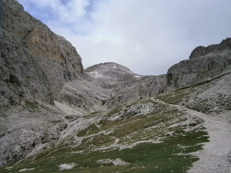
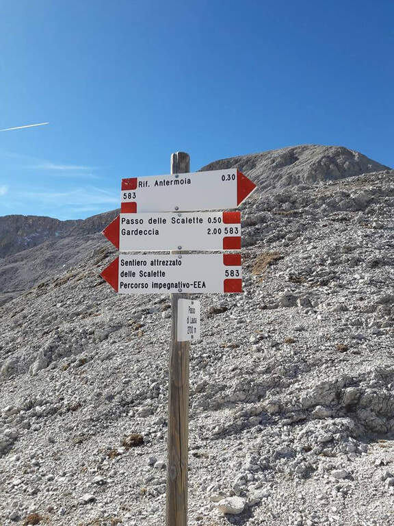
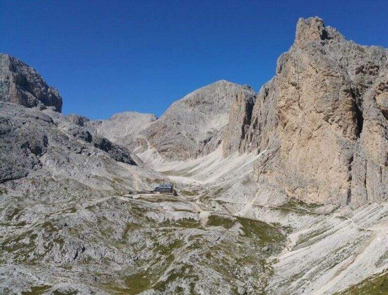
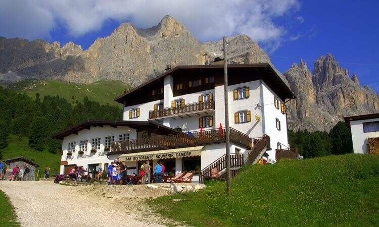
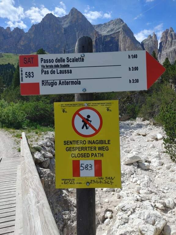
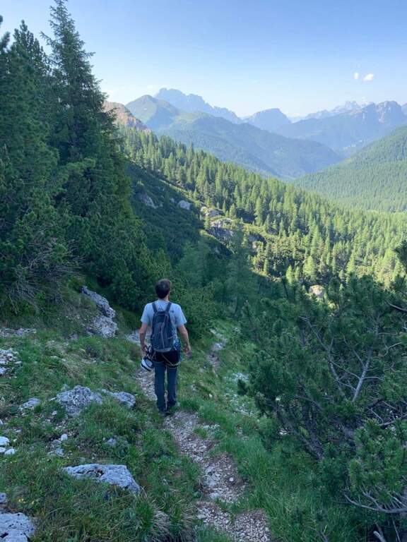
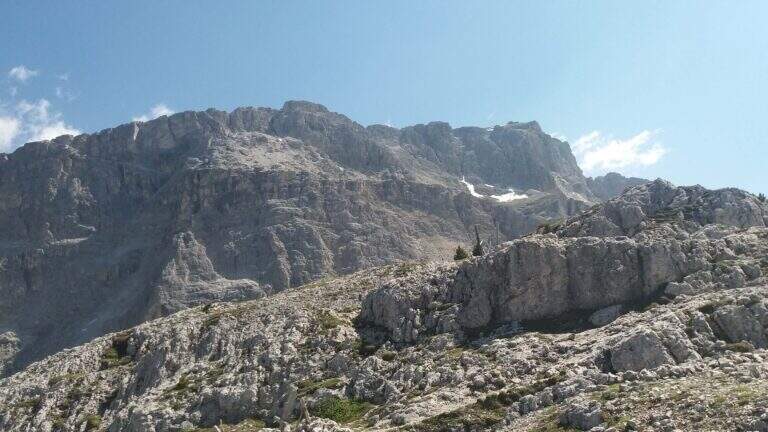
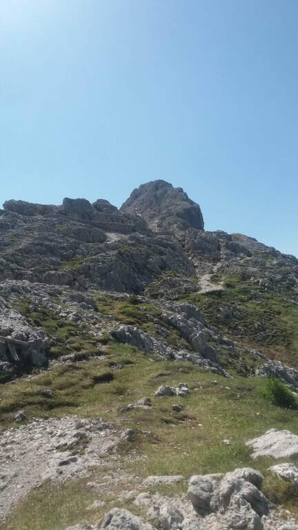
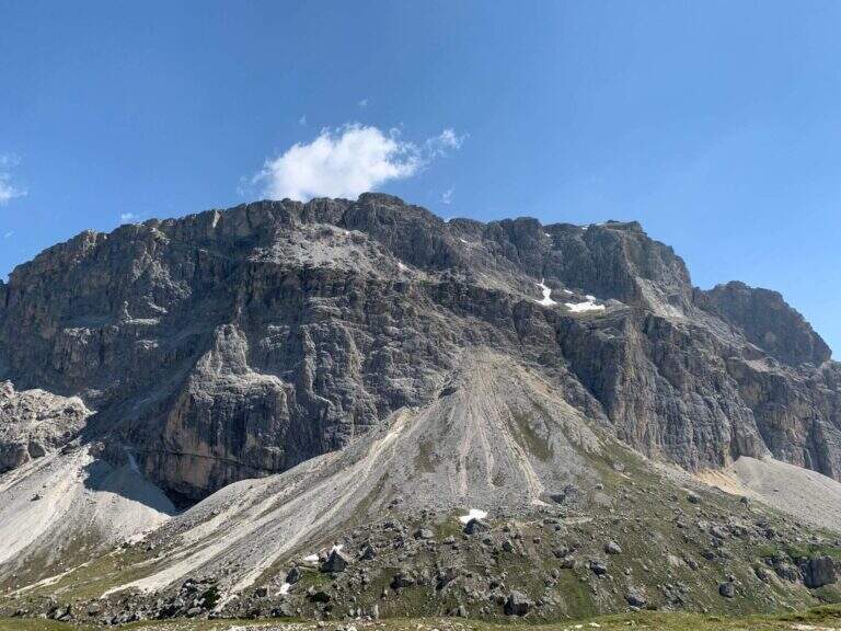
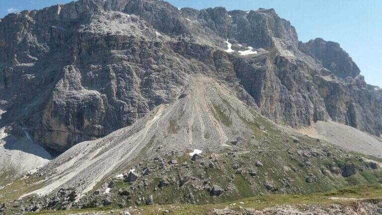
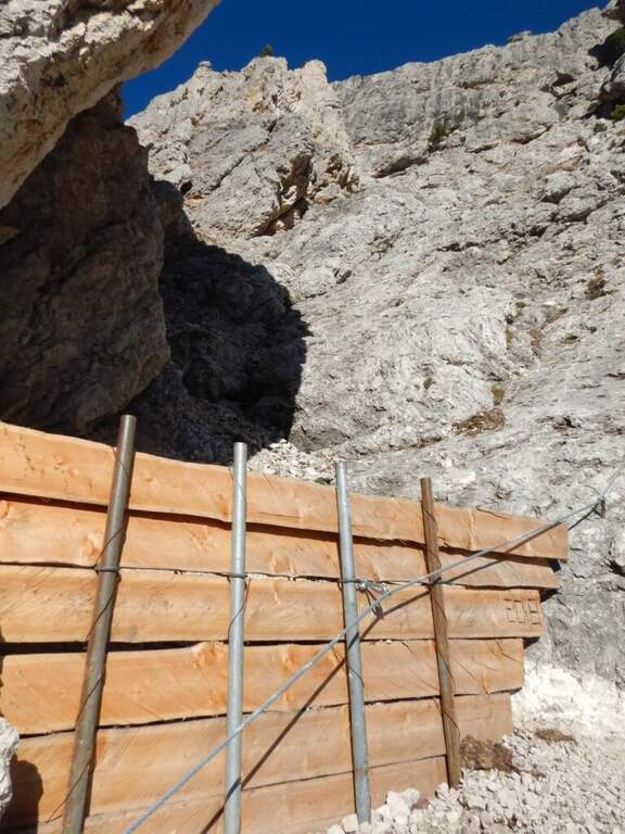
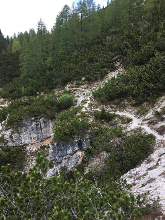
    The starting point is the Rifugio Gardeccia, in the Val del Vajolet (parallela alla Val di Fassa, TN) and the private traffic. To reach it there are various options: go up with the cable car from Vigo di Fassa to the Ciampedie Refuge and continue on a comfortable path in about 45′; use the shuttle bus from Pozza di Fassa (20′, you should check point and times with the tourist office); or go up with the cable car from Pera di Fassa and reach the refuge on foot (open up Google Maps). From the Gardeccia Refuge (1949 m) follow the CAI 583 which, halfway, passes under the Larsec cliffs to the east, wanders the imposing rocky ramparts and continues to the north in more marked ascent; at a certain point a pole indicates to keep the left on a new track, which replaces an old street subject to a landslide (1h from the Gardeccia Refuge).

    ▲The path

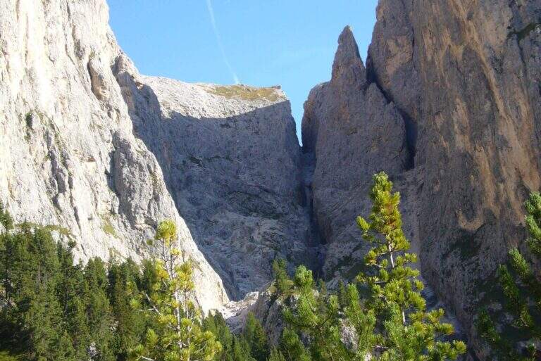
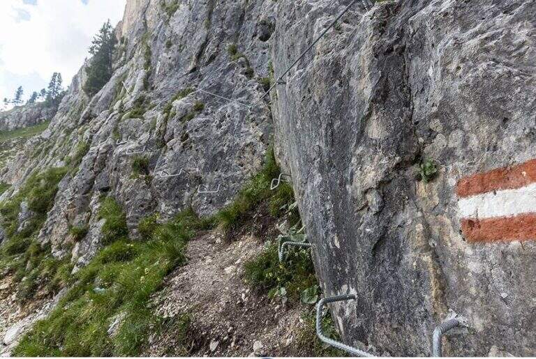
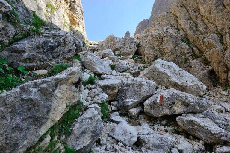
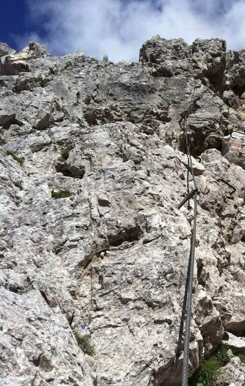
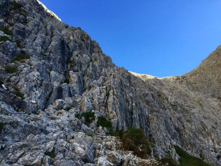
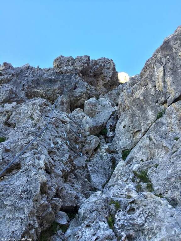
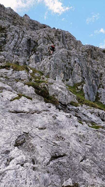
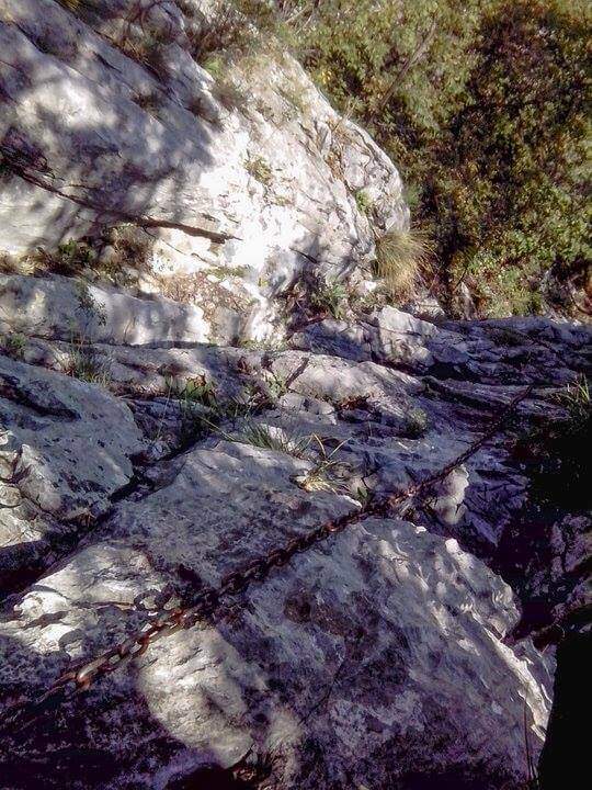
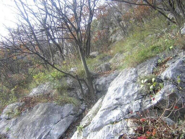
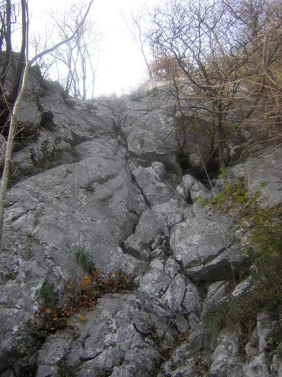
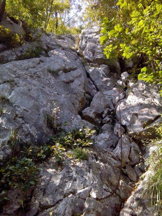
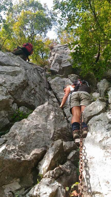
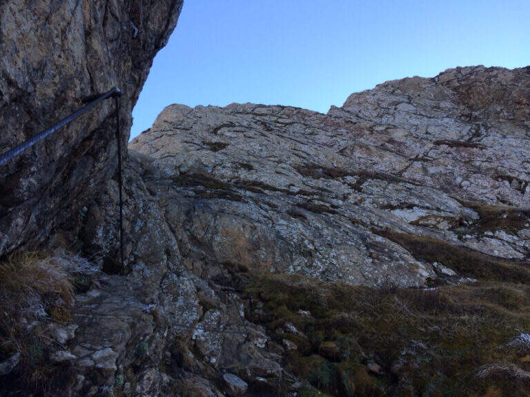
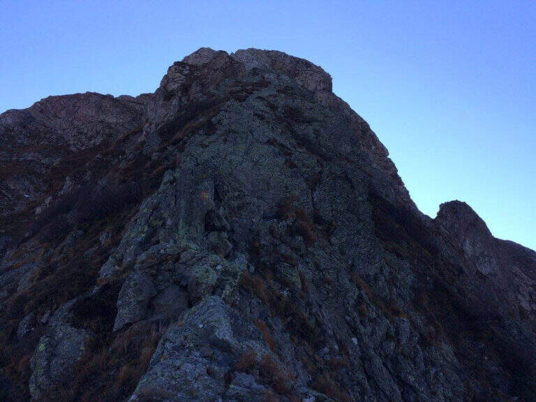
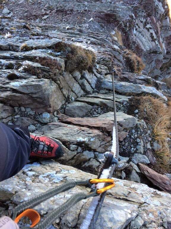
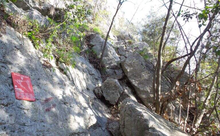
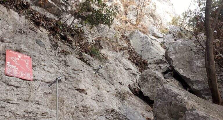
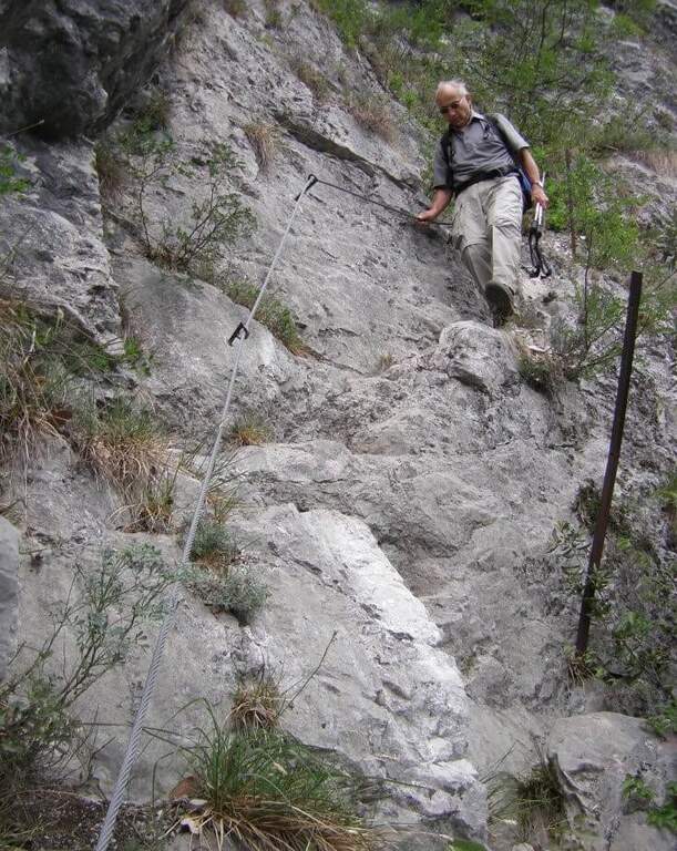
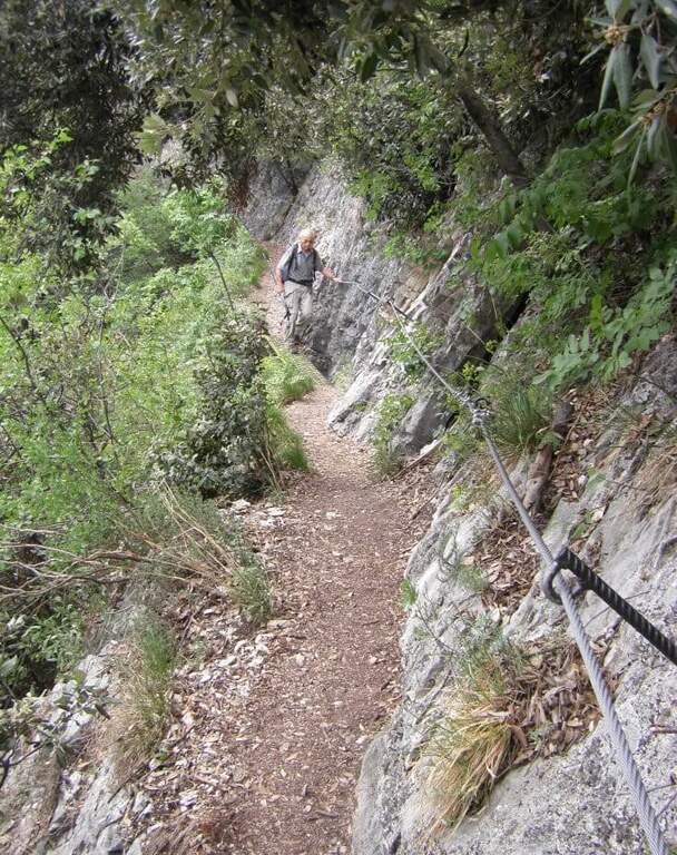
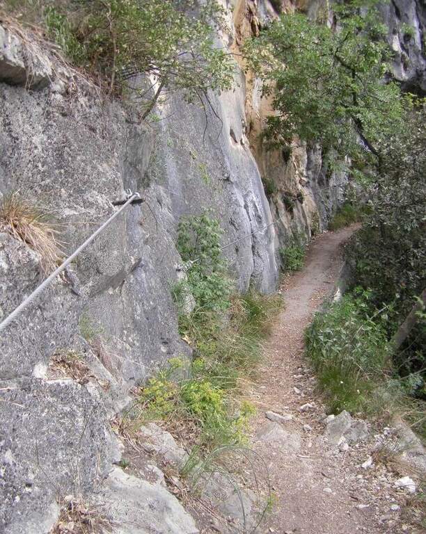
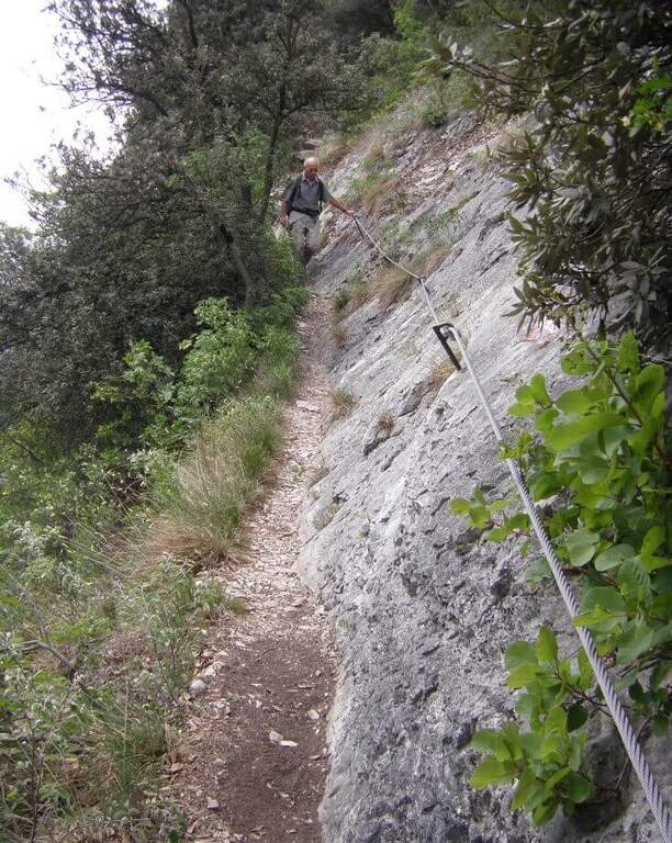
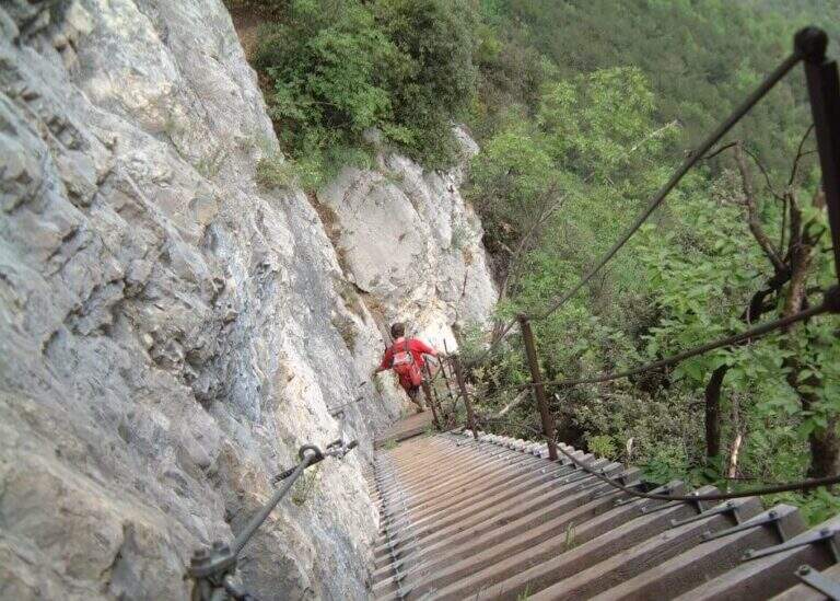
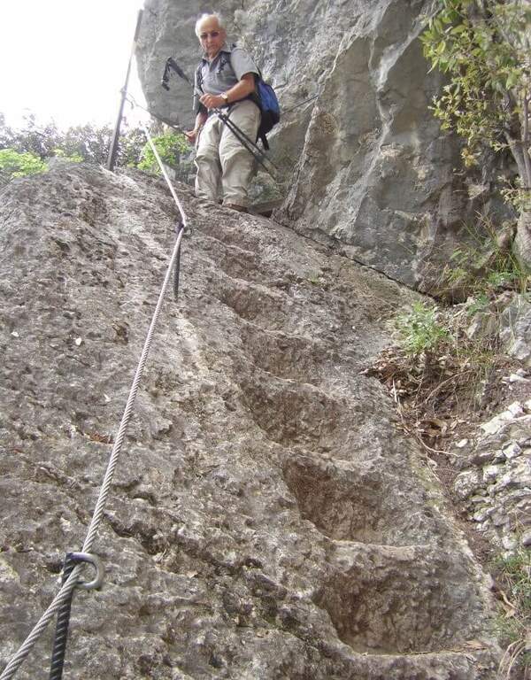
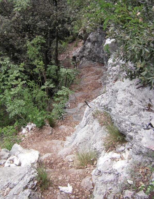
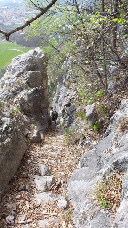
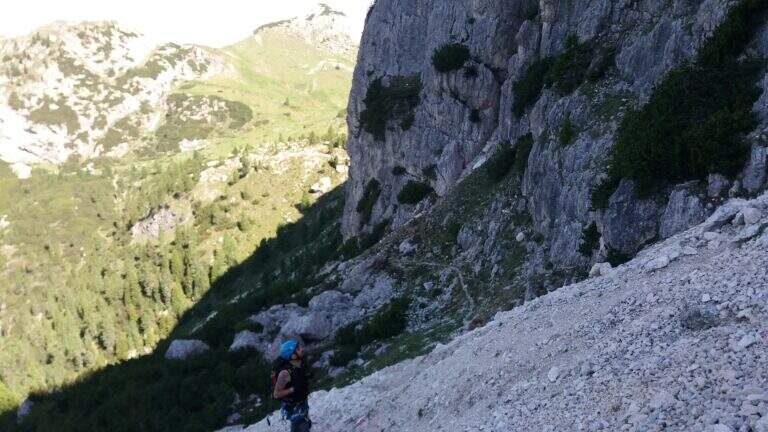
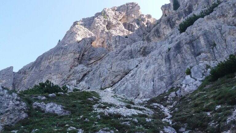
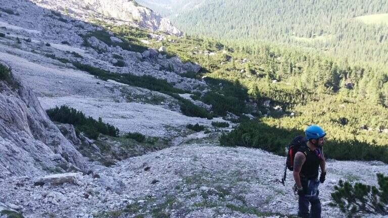
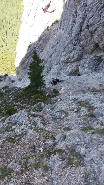
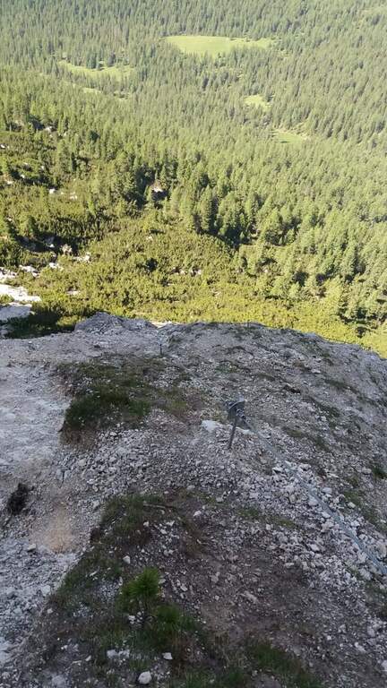
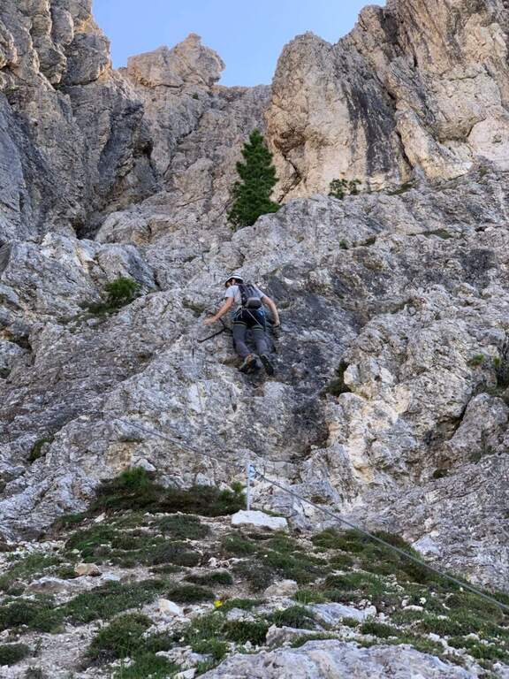
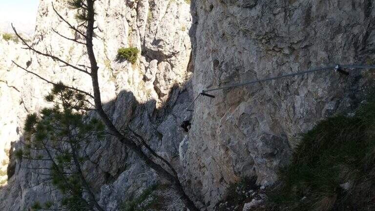
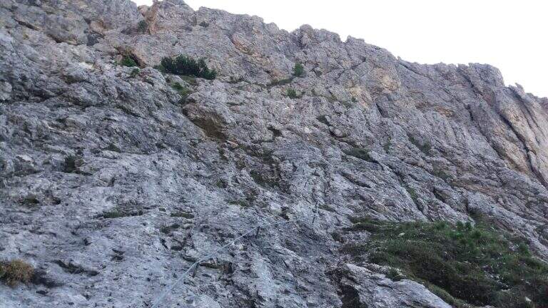
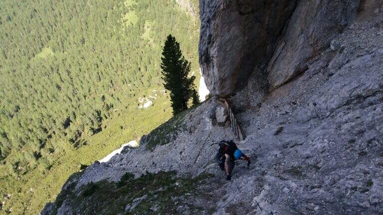
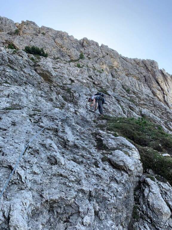
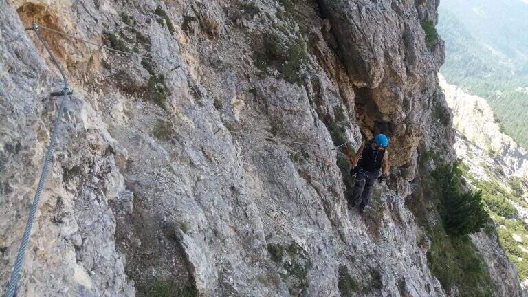
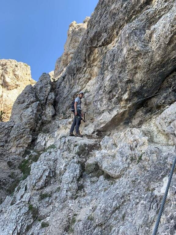
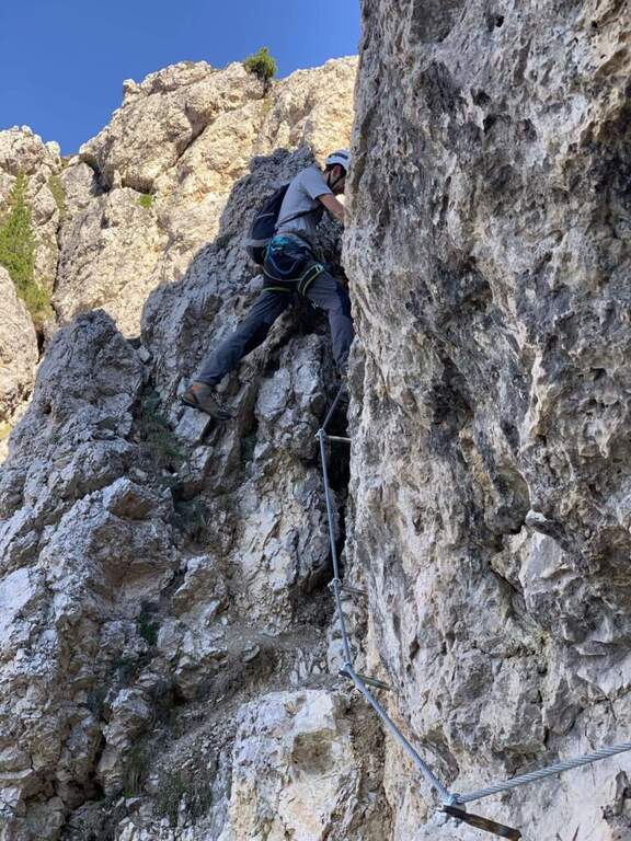
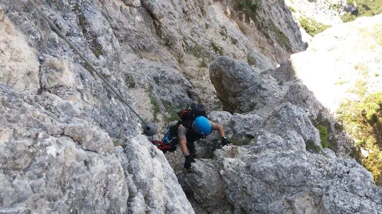
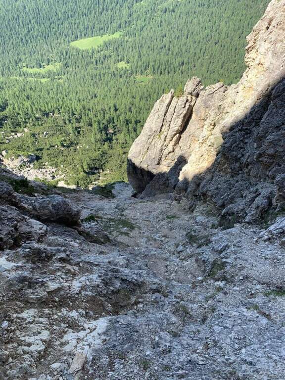
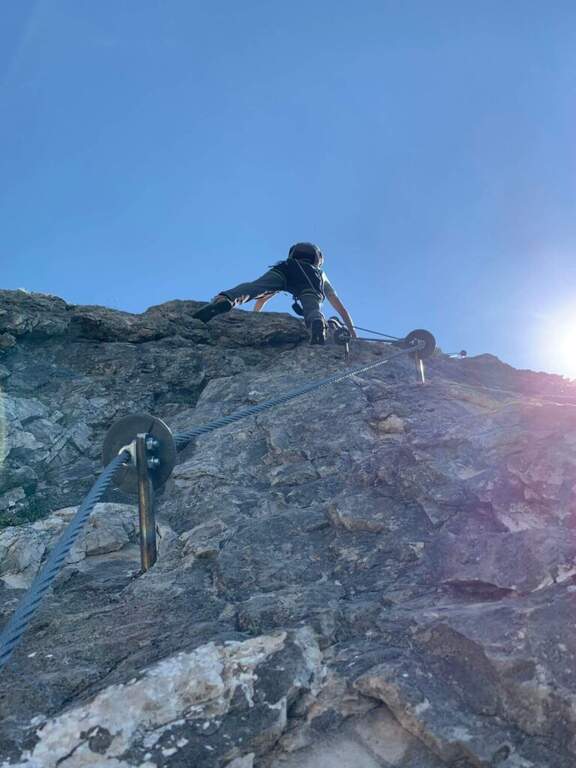
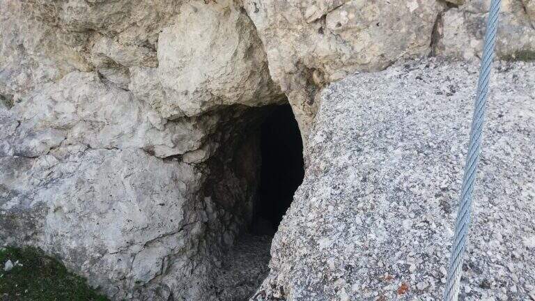
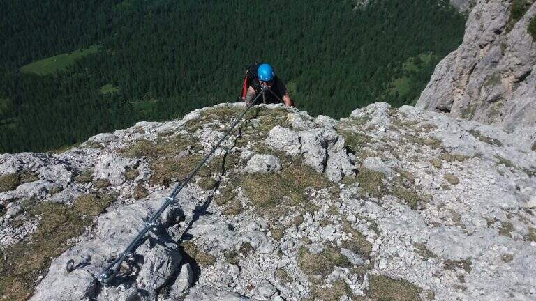
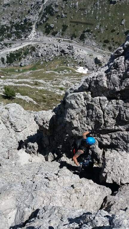
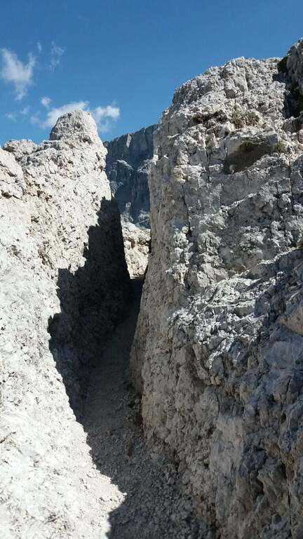
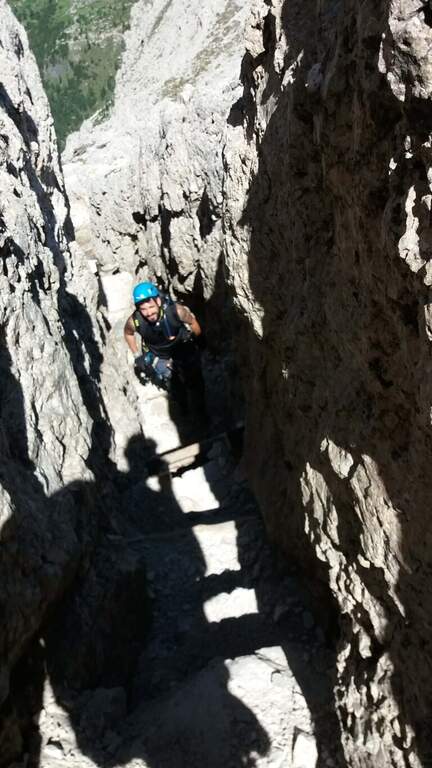
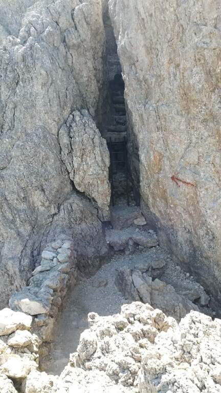
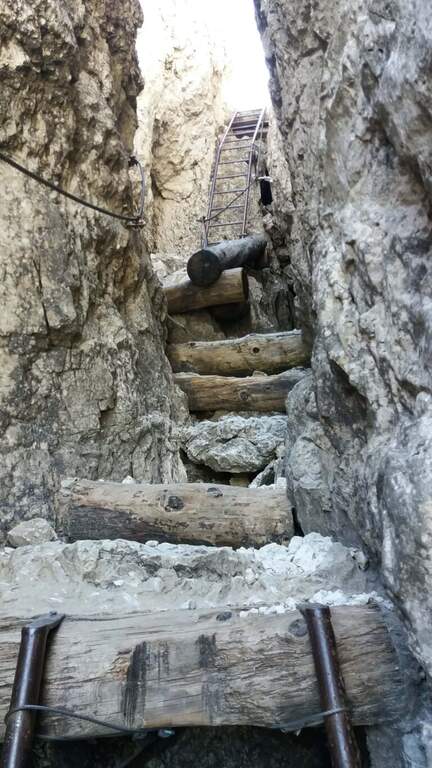
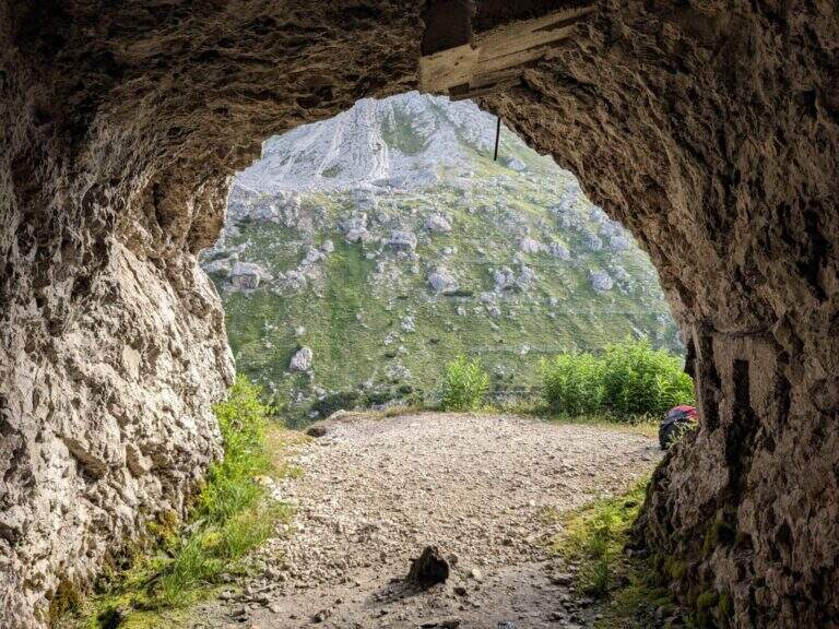
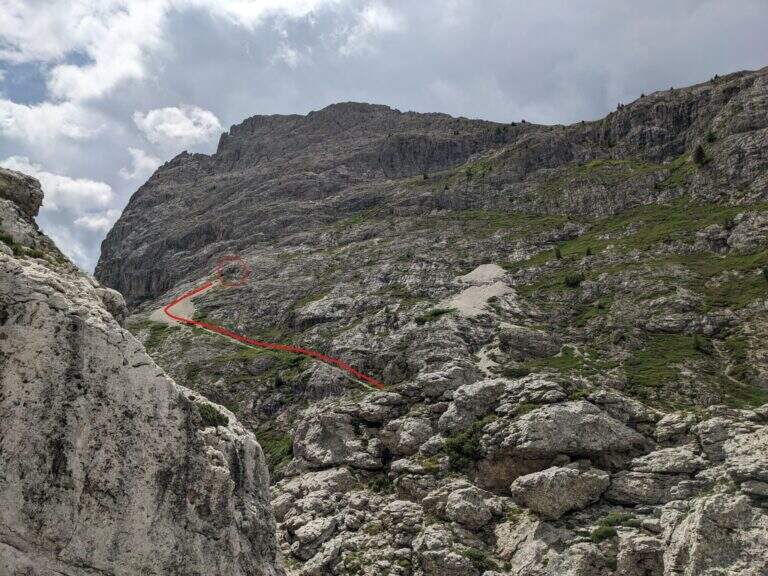
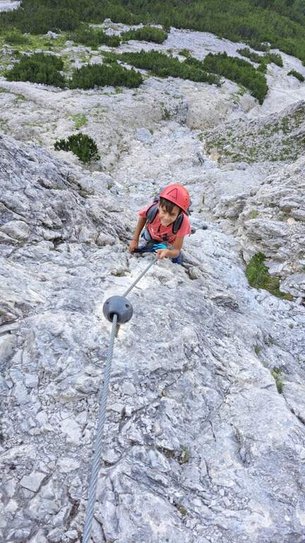
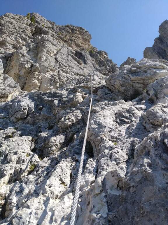
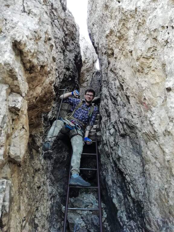
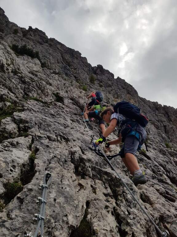
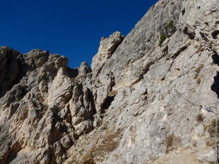
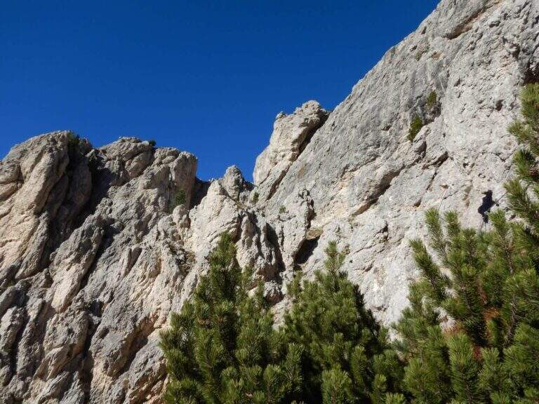
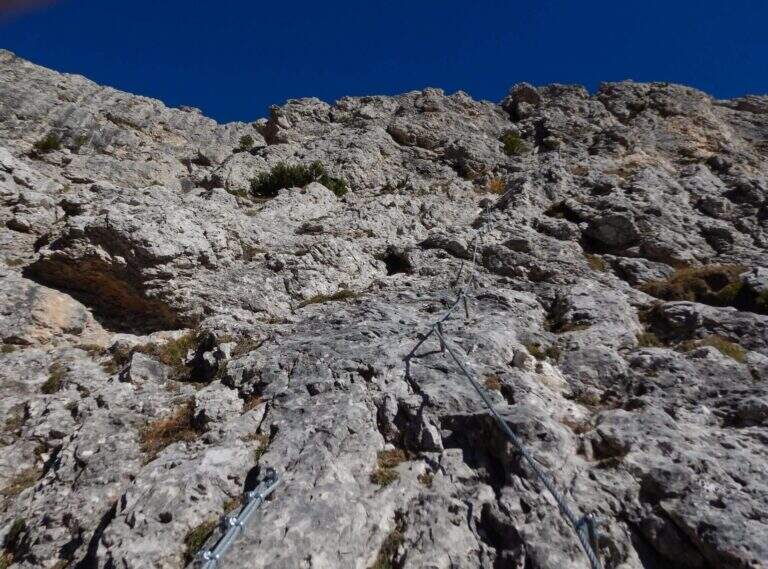
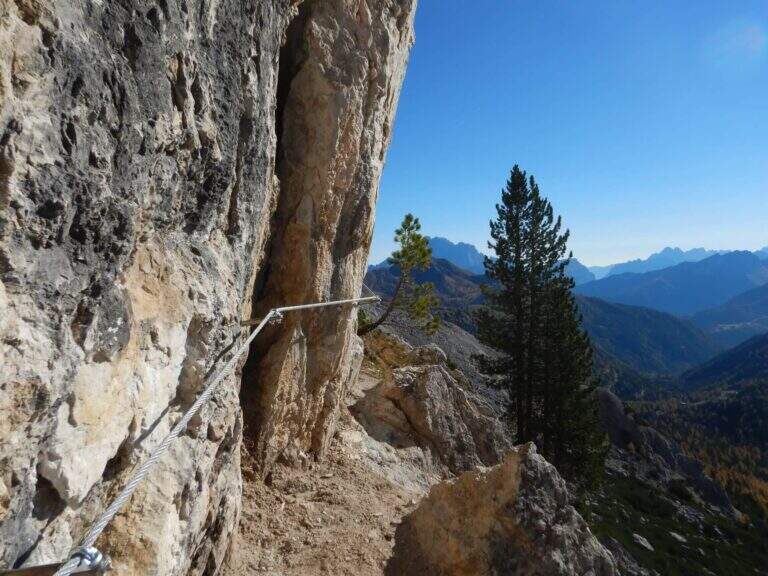
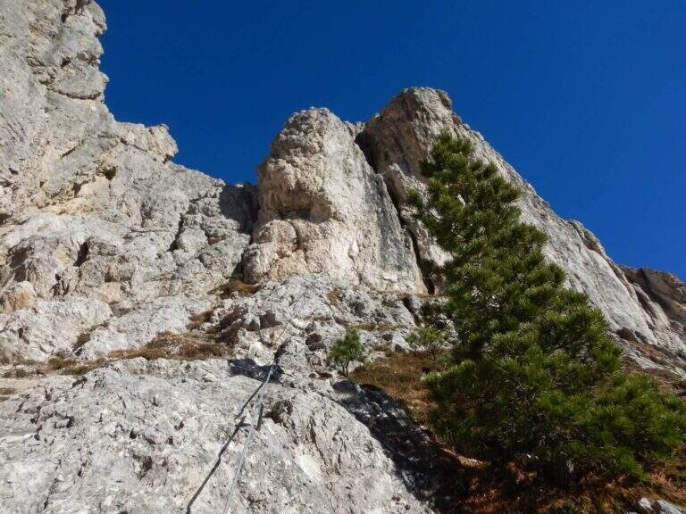
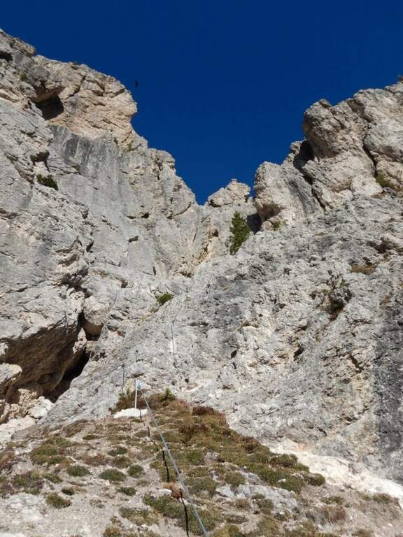
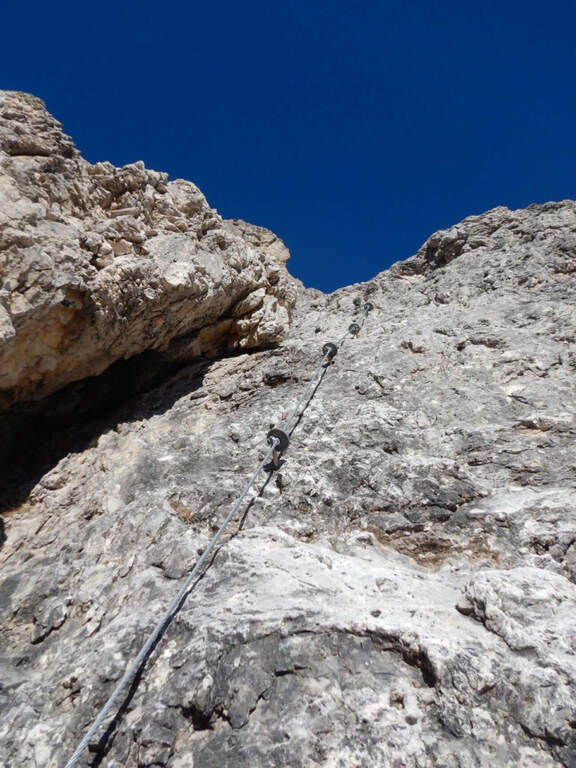
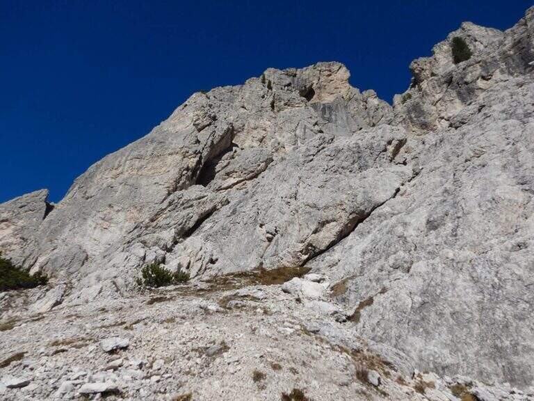
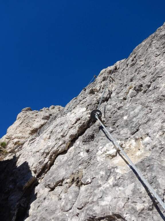
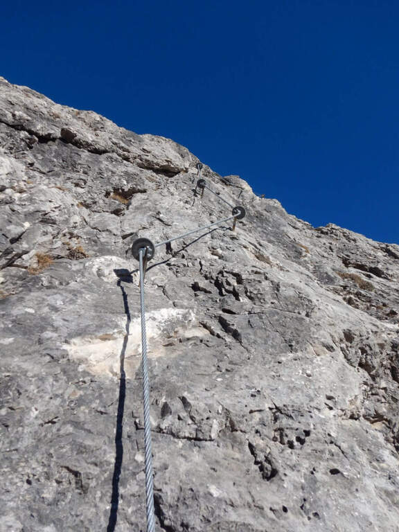
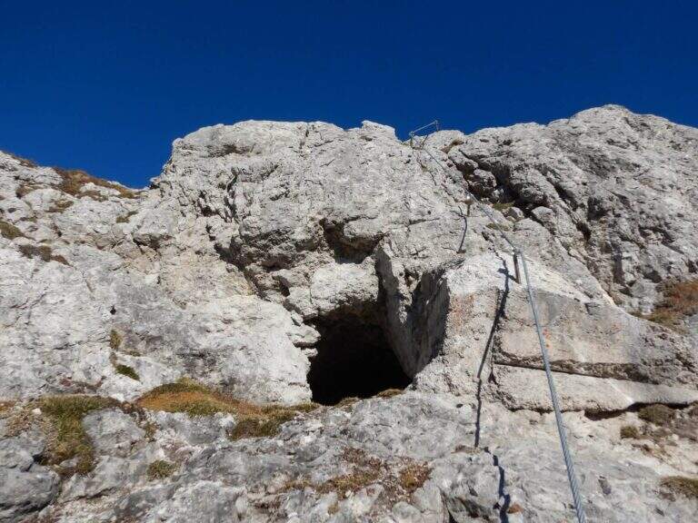
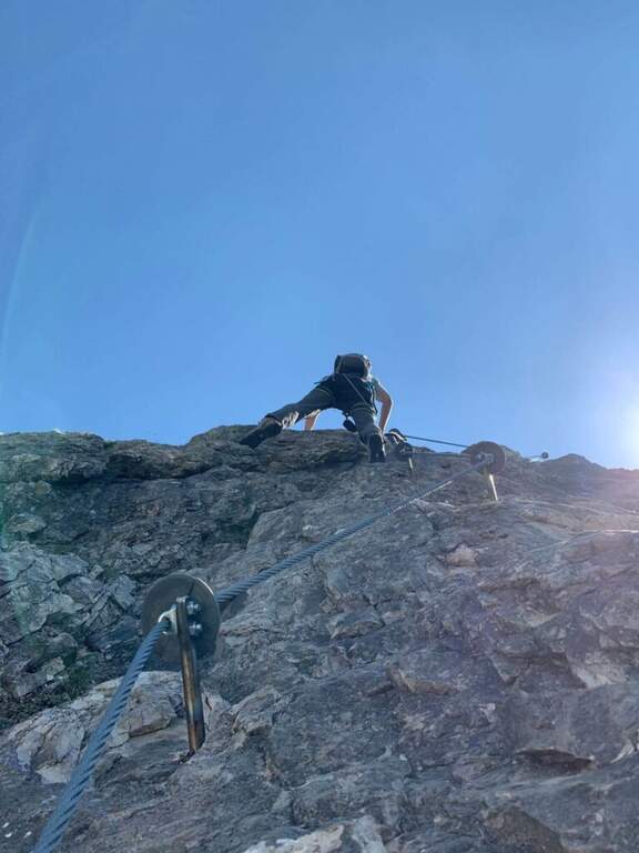
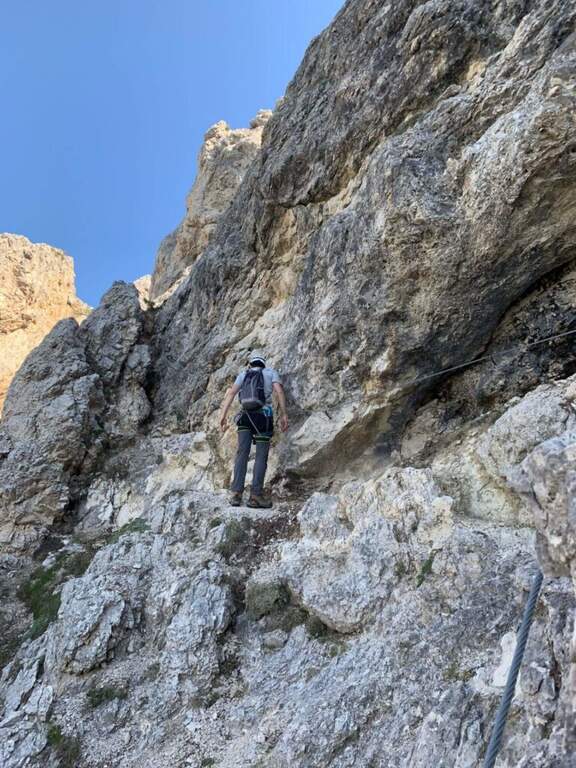
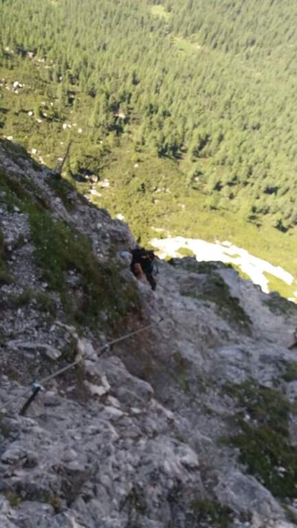
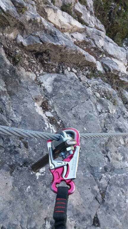
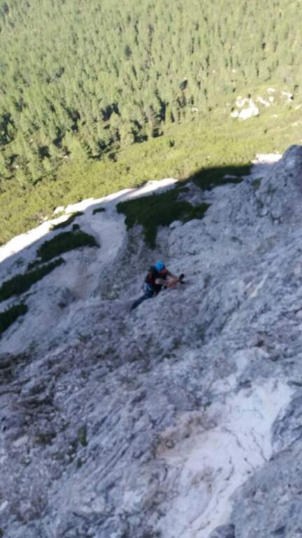
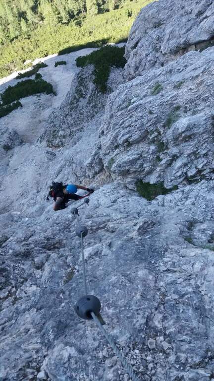
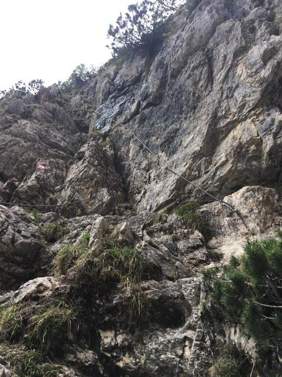
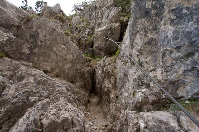
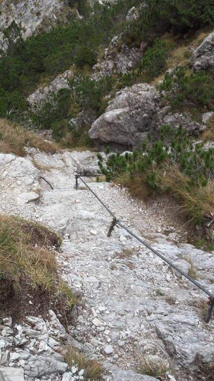
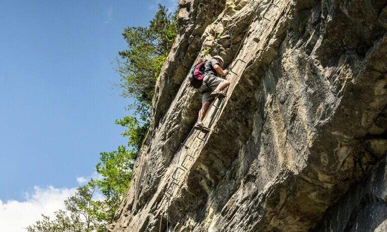
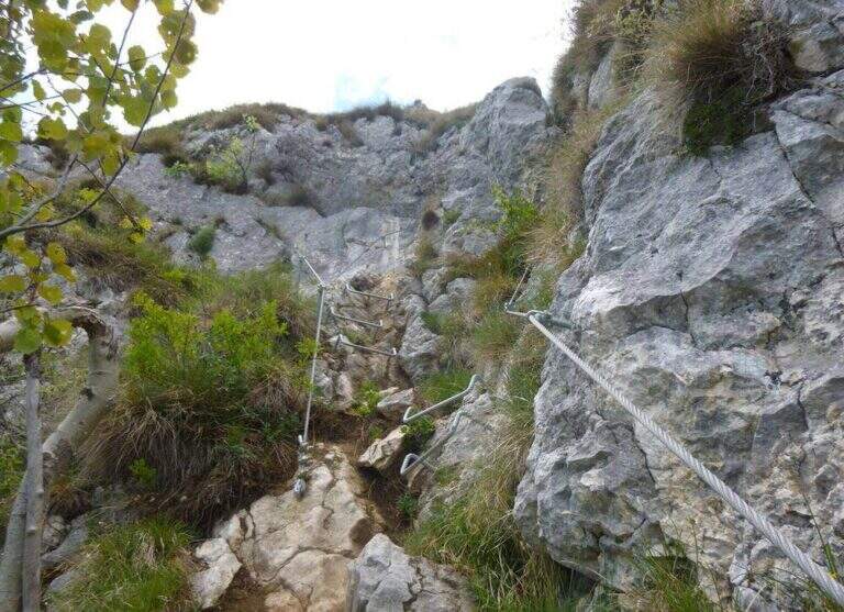
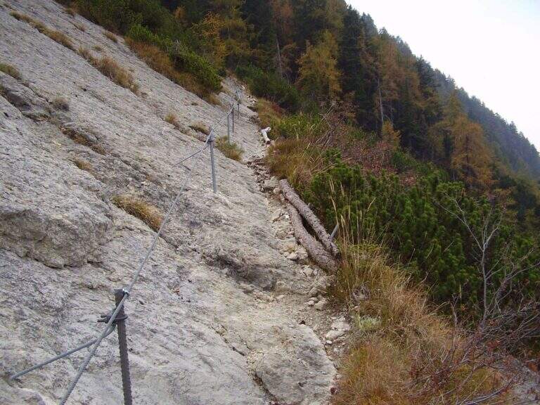
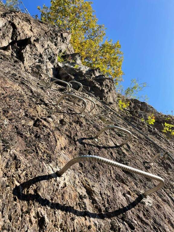
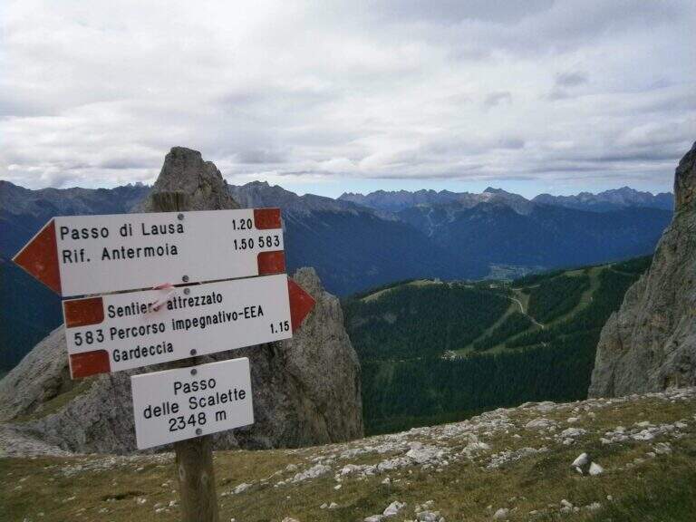
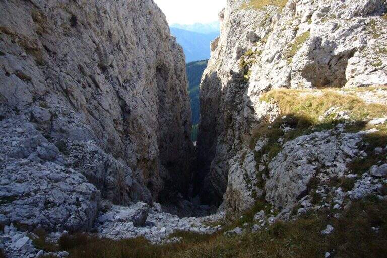
    From here onwards you will walk through the actual Sentiero delle Scalette, which is inerpica in a canalone at the end of which you will reach the Passo delle Scalette. The first stretches are on an exposed nod, besides which a series of metal brackets allows to trace a traverse; it follows a stretch of erto path without equipment up to a second stretch equipped, consisting of small rocks that rise on the left side of the canalone. We pass a short vertical leap, where some new metal cambres give support, and we go up a further stretch of steep path to the Passo delle Scalette (2348 m, 1h from the attack, 2h from the Rifugio Gardeccia).

    ▲Character and difficulty

    The path does not have particular technical difficulties; the main commitment is the difference in level, which requires a good state of form. It deserves a note apart from the possible continuation in the debris valleys of Larsec or Laussa.

    ⚠ The Larsec and Laussa valleys are devoid of support points: continuing the hike under a storm can make them much more prohibitive than normal. Plan the route with a constant eye to the weather.
    ▲Period and safety

    High mountain summer itinerary (max. 2720 m on the longest ring). Technical difficulties are contained, but high altitude development and environment require good physical preparation and attention to weather conditions.

    ▲Discipline

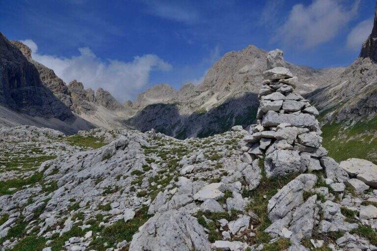
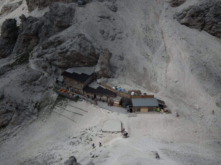
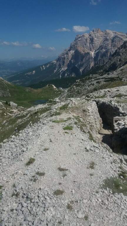
    From the Step of the Stairs you choose between various options of return. The most beat runs through the desolate Valle del Larsec to Passo Pope (2720 m), from which you descend along the steep path Don Guido to the Vajolet Refuge (2243 m) and, along the Vajolet Valley, to the Gardeccia Refuge (1950 m, 5h30). The longest option remains on the CAI 583 in the Valle di Laussa up to the homonymous pass (2700 m), to get off at the Rifugio d’Antermoia (2497 m) at the glacial lake, or keep the left towards Passo Principe; from the Rifugio Antermoia you can reach the Passo Principe by taking the Ferrata to the Catinaccio d’Antermoia, and from the Passo Principe go down all the Valle del Vajolet 30 to the The shortest, but less fulfilling option is the return to return along the route (3h30 total).

    ▲To match

    The path can be combined with Ferrata at the Catinaccio d'Antermoia — as described in the return — or Ferrata Bepo de Medil, preferably downhill.
    ▲Gallery
    Technical data
    • DifficultyModerately Hard
    • RegionTrentino-Alto Adige
    • GroupCatering
    • Approach1:00 h
    • Ferrata1:00 h
    • Itinerary (a/r)5:30 h
    • Hardware level difference150 m
    • Route difference761 m
    • Max2720 m
    • Length16 Km
  • Sentiero Attrezzato della Vergella al Monte San Martino

    Sentiero Attrezzato della Vergella al Monte San Martino

    Vie Ferrate › Lombardia › Lecco
    Sentiero Attrezzato della Vergella al Monte San Martino

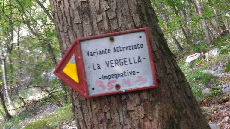
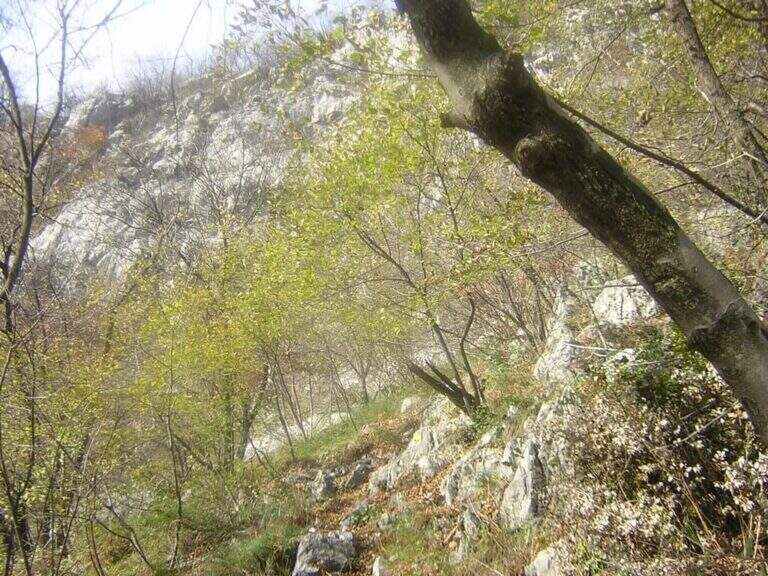
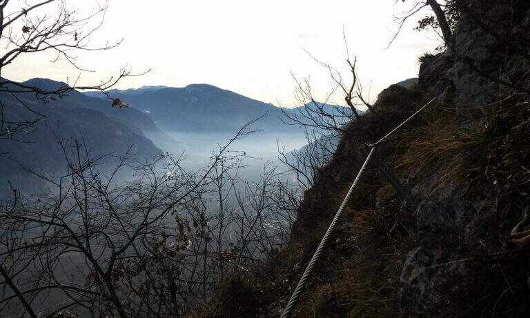
    The Sentiero Attrezzato della Vergella is a variant of ascent compared to the most beaten path that from Lecco leads to the Chapel of Madonna del Carmine, under Monte San Martino. It has no hardship and allows to trace back a couple of more challenging rocky laughter with the help of some chains. It is generally available throughout the year, paying attention to the warmest months.

    ▲Approach

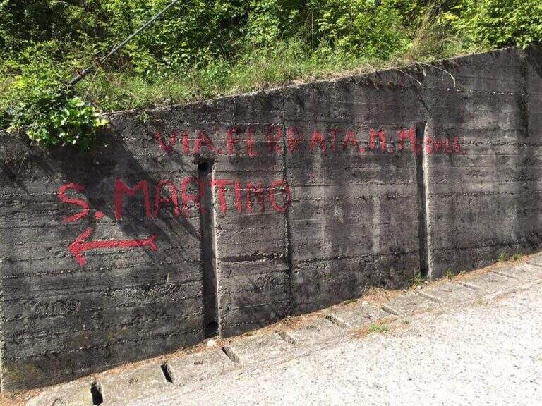
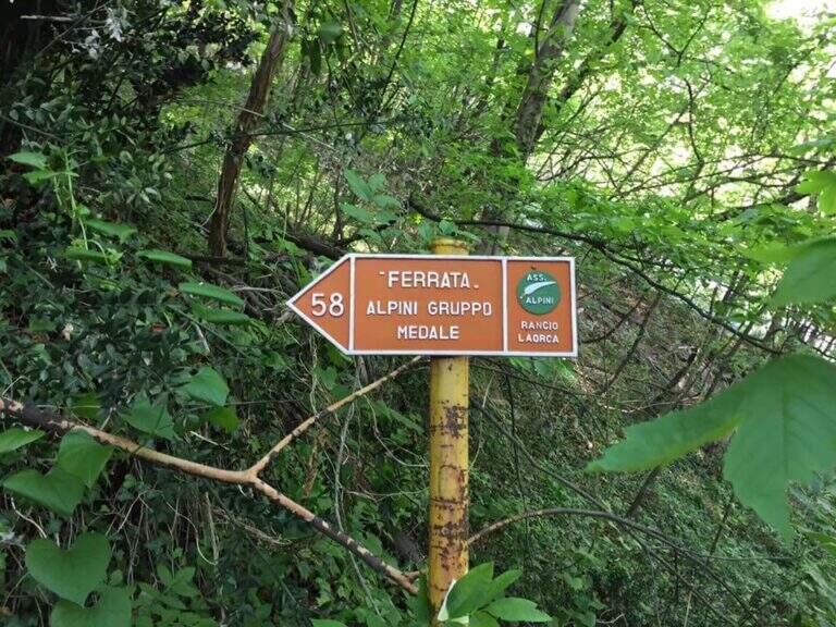
    It starts from the town of Rancio Alto, over Lecco. From Lecco take the road towards Ballabio up to a evident double hairpin bend in the middle of the houses: near the second bend, where on the left a road continues straight, take Via Quarto and walk about 200 meters until you notice, near a pedestal, an asphalted road on the right that goes steeply with an open rusty white bar. You go up this steep street, you turn a first bend on the left and, at a crossroad, you go right uphill for a couple of minutes until a bar where you park (open up Google Maps). From the parking lot continue on the cemented road to a bend, where you continue straight on a mule track (CAI 52); you ignore some bivores that detach to the right (including CAI 58 for Ferrata del Medale) and, under the walls of Monte San Martino, you go back some bends up to a crossroad where a white sign indicates left the Sentiero Attrezzato della Vergella (20′ from the parking lot).

    ▲The path

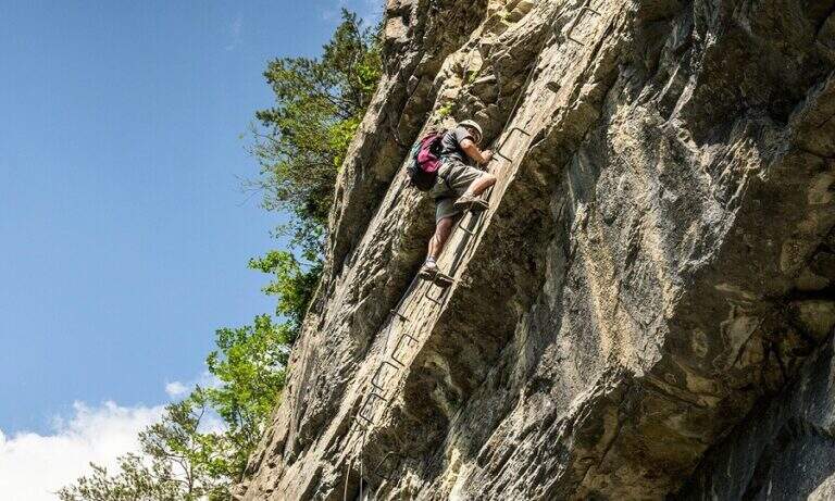
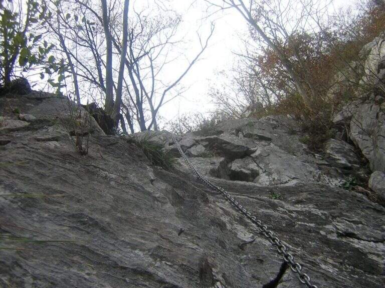
    From the deviation follow the yellow signs of the route; near the crag of the Placchette di San Martino you continue straight until the attack. The equipped path goes up a rocky channel in which the chain immediately develops vertically on a wall at first smoothed, then more entangled, climbs quite smoothly; in the upper part it crosses to the left leaving on a beautiful panoramic terrace. Continue up to a second vertical wall, from the appearance of an unmarked dihedron, which sticks following the chain on the left side; climb the wall and face a traverse to the left, exit and rise some rocky steps until the end of the equipment. Between rocky balconies and uncomplicated rocks, and a last steep stretch of path, ends the Path of the Vergella (1h from the attack, about 1h30 from the parking lot), with the Chapel of the Madonna del Carmine now in sight.

    ▲Character and difficulty

    The itinerary has no significant difficulty. The two more vertical sections are suitably equipped and give the necessary safety to less experienced hikers, while those who are more trained can try to trace them back without using the chain.

    ⚠ After abundant rains or in autumn months the foliage makes slippery some stretches, especially if the path is traveled downhill.
    ▲Period and safety

    Low altitude (maximum 742 m): it is a route almost all year round, with attention to the heat in the summer months and the slippery of the bottom in the humid seasons.

    ▲Discipline

    If the itinerary ends at the chapel, take the path to its right, which descends first into the woods, then between rocky steps and finally under the walls of Monte San Martino, until you reach the path of the way and then to the parking lot (45′ from the chapel, 2h15 total). Alternatively you can continue along other routes: on the right of the chapel take the Sentiero Attrezzato Silvia for the summit of Monte San Martino (45′), evaluating then if you continue towards the Corno del Medale and descend along the Path of the Medale, or towards the Coltiglione along the Sentiero del GER; another possibility is to climb up the summit for the normal route and, towards the Rifugio Piazza, descend along the most difficult Sentiero dei Pitti.

    ▲To match

    For experienced hikers an interesting alternative is to climb the challenging Ferrata del Medale and descend along the Sentiero Attrezzato Silvia and then this of the Vergella. In the surroundings there are also GER Path to the Coltiglione and the most difficult Sentiero Attrezzato dei Pizzetti.

    ▲Gallery
    Technical data
    • DifficultyEasy
    • RegionLombardy
    • GroupPrealpi Lecchesi – Monte San Martino
    • Approach0:20 h
    • Ferrata1:00 h
    • Itinerary (a/r)2:00 h
    • Hardware level difference150 m
    • Route difference372 m
    • Max742 m
    • Length7 Km
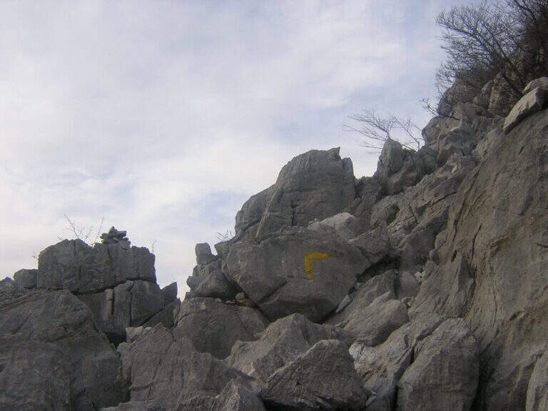
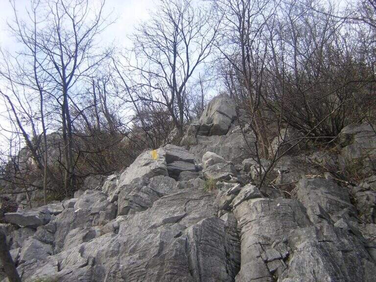
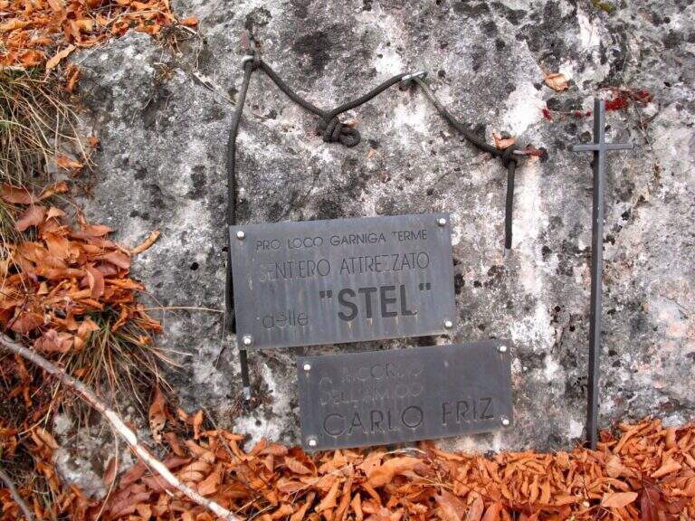
  • Sentiero Attrezzato de le Stel in Val d’Adige

    Sentiero Attrezzato de le Stel in Val d'Adige

    Vie Ferrate › Trentino-Alto Adige › Trento
    Sentiero Attrezzato de le Stel in Val d'Adige

    The Sentiero Attrezzato de le Stel is a rather easy route of the Val d’Adige, with some equipped passages and a short climbable stretch. Developing at low altitude, it is recommended in winter or early season, when high altitudes are not yet available.

    ▲Approach

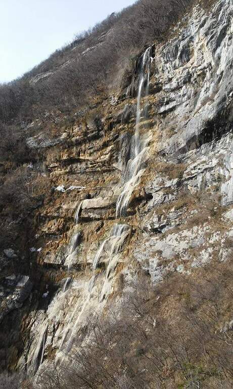
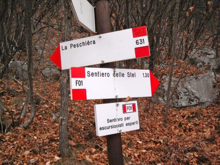
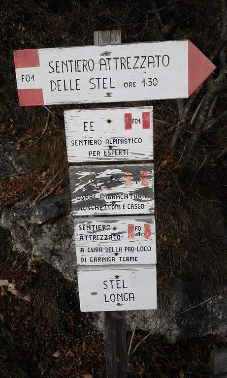
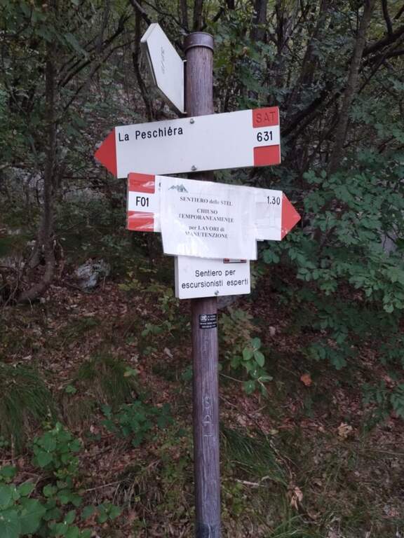
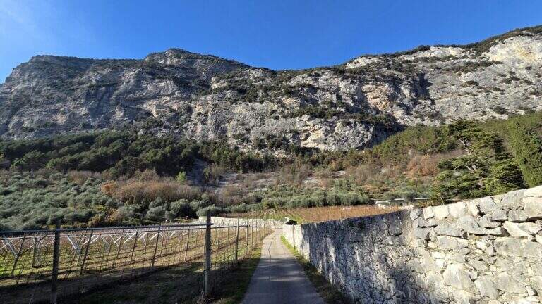
    From the village of Aldeno, in Val d’Adige south of Trento. You can reach the town of La Busa along Via al Bondone, where a road climbs steeply west: you look for parking nearby and take the cemented road (open up Google Maps). It climbs through the vineyards following the CAI 631 on a carrareccia, ignoring some traces that detach to the right and left, up to a panoramic point with benches (40′ from the parking lot). You face some harmless stretches equipped, then you leave 631 on the waterfall path, you reconnect briefly on 631 and finally you leave it to take the path F01, that is the Sentiero Attrezzato de le Stel, well marked by the white-red signs of the CAI (620 m, 1h from the parking lot).

    ▲The path

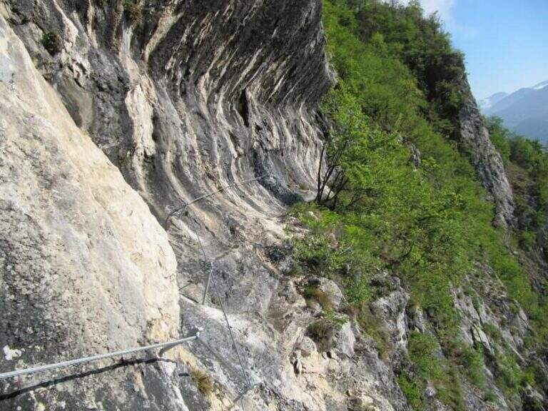
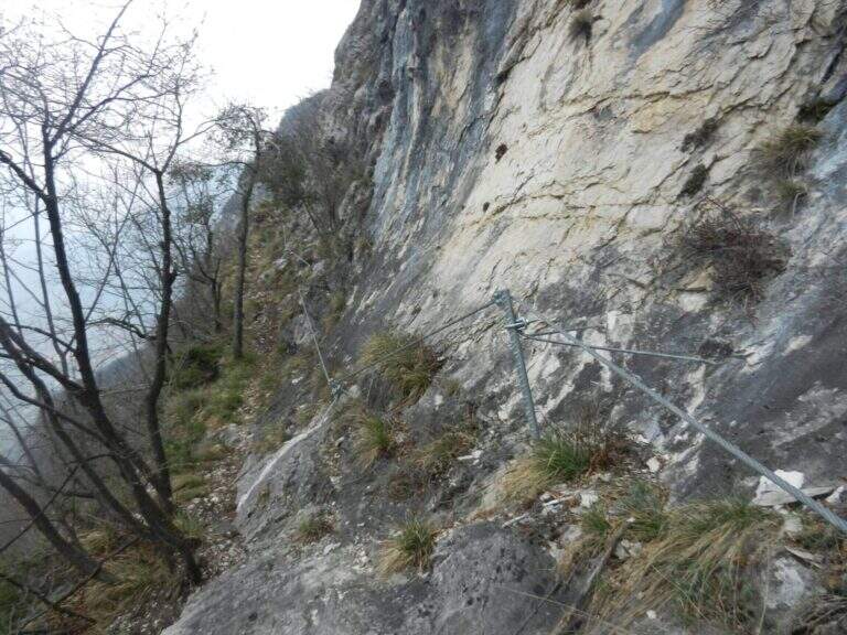
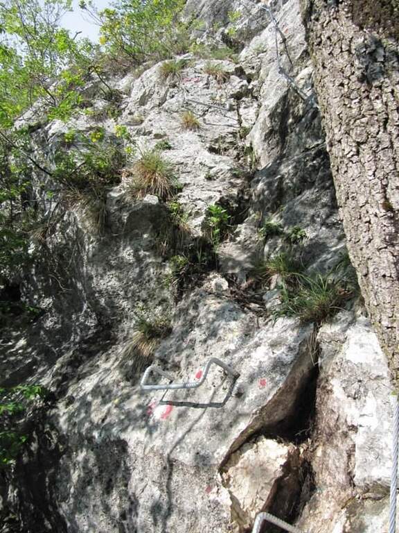
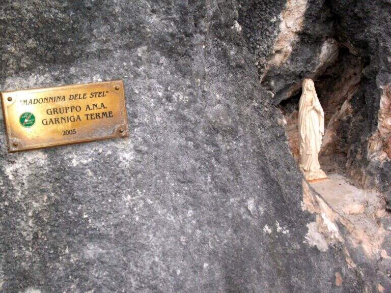
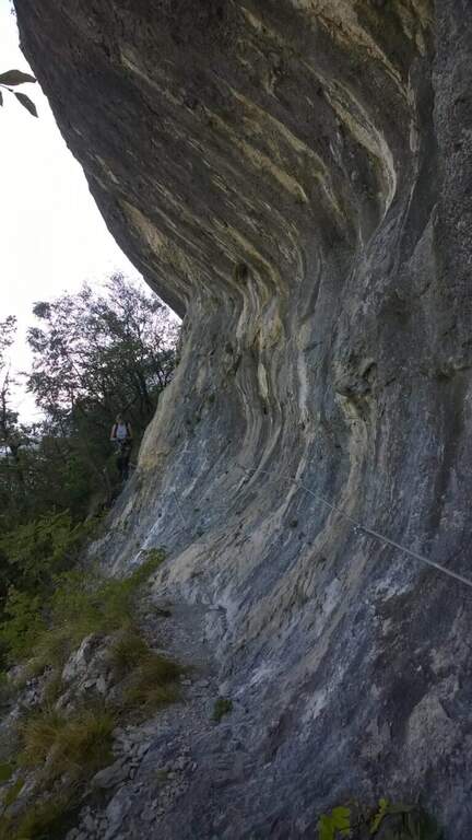
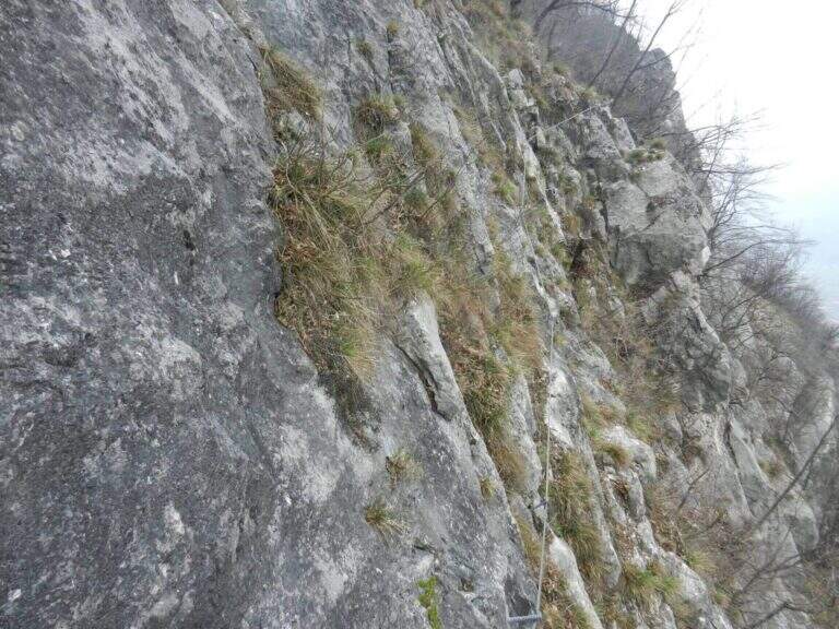
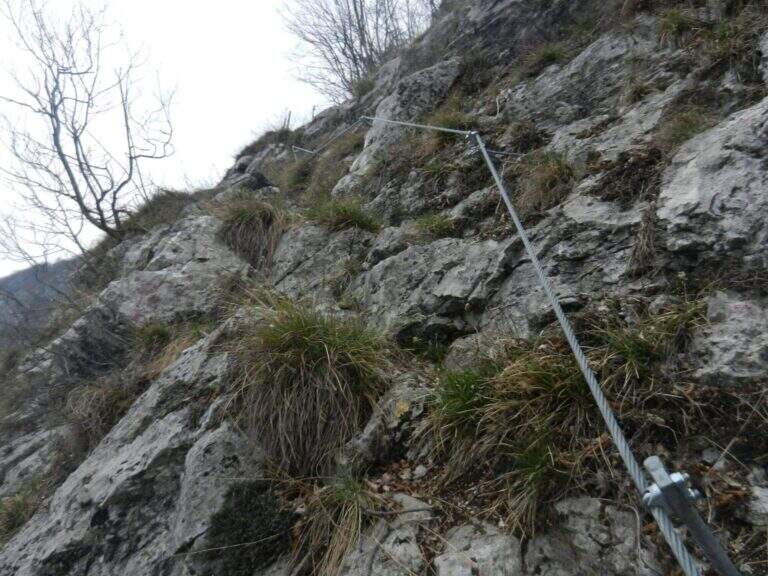
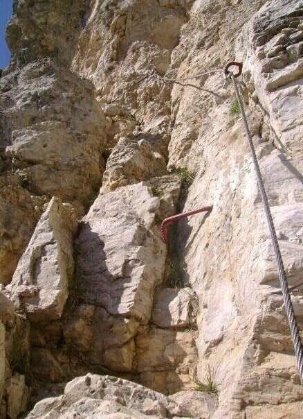
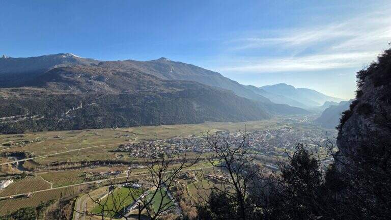
    The path winds halfway on good track, with some easy balconies equipped with metal fixtures that facilitate its passing; alternate stretches of easy path to short stretches equipped steep but easy, until you reach the Madonna characteristic of the route, where a bench invites you to stop and admire the Val d’Adige with its vineyards and orchards. Once again the path, now narrower, you arrive at a narrow rocky nod rather exposed but properly equipped; finished the nod, the slope increases on small balconies and equipped rocks. It is the most interesting part: you can climb the easy steps, never higher than the II degree, keeping the equipment as self-insurance. You then earn steeply up to a pole with a sign that marks the end of the Sentiero de le Stel (about 1h30 from the beginning of the equipped part, 2h30 overall).

    ▲Character and difficulty

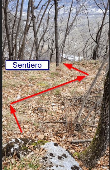
    The route is not difficult, even if a section climbs through easy climbing steps. The most challenging part is probably to find the way in the first half: the track is not marked impeccablely and sometimes it serves a bit of breath to understand the continuation in the wood between the dungs.

    ⚠ Non-banal orientation in the first half, with incomplete signage. Be careful at a point where the old track climbs to the left, with a cordon in non-excellent conditions: old and new path gather a little further.
    ▲Period and safety

    Low altitude (max 808 m): it is one of the ideal routes for winter or early season. The technical difficulties are contained, but it should be faced with dry rock, given some exposed traits.

    ▲Discipline

    From the end of the path you climb for a short stretch in the woods, then take the descent alternating stretches on forest in and out of the woods; you proceed without difficulty in parallel with the Sentiero de le Stel until you reconnect on 631 and continue the descent (2h from the end of the equipped path, 4h30 total).

    ▲To match

    From Aldeno you can reach quickly, along the Val d’Adige, the village of Mori, where the exposition rises Ferrata Marangoni; not far away is easy and panoramic Somator Ferrata. In Val d’Adige you can also walk Ferrata Rio Secco near Cadino, while climbing to Trento meet the Sentiero Attrezzato Bertotti and the difficult Ferrata Segata bondone.

    ▲Gallery
    Technical data
    • DifficultyEasy
    • RegionTrentino-Alto Adige
    • GroupMonte Bondone – Val d'Adige
    • Approach1:00 h
    • Ferrata1:30 h
    • Itinerary (a/r)4:30 h
    • Hardware level difference90 m
    • Route difference583 m
    • Max808 m
    • Length8,8 Km
  • Path Trained at the Cuestalta (Hoher Trieb)

    Path Trained at the Cuestalta (Hoher Trieb)

    Vie Ferrate › Friuli-Venezia Giulia › Udine
    Path Trained at the Cuestalta (Hoher Trieb)

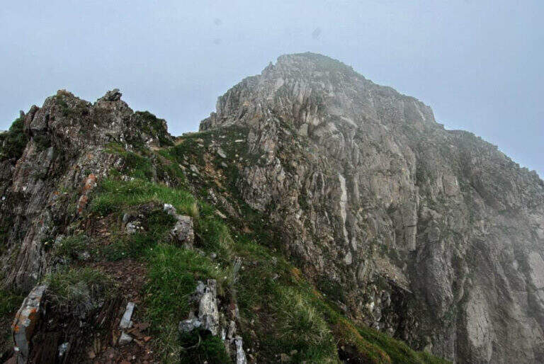
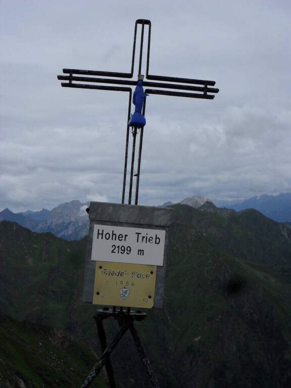
    The Sentiero Attrezzato al Cuestalta climbs to the homonymous mountain (Hoher Trieb in German), located on the border between Italy and Austria. It is a long but never excessively demanding itinerary, with a stretch of ridge equipped in the most exposed and vertical points, in a carnic environment rich in history of the Great War.

    ▲Approach

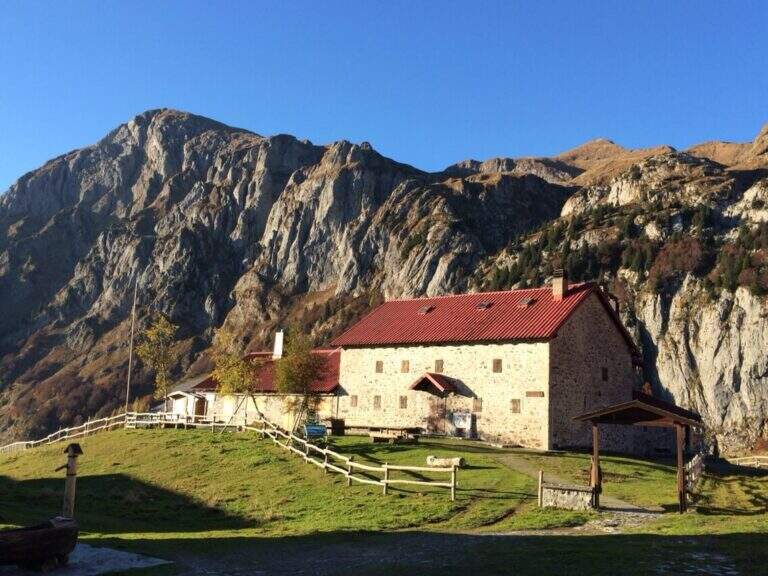
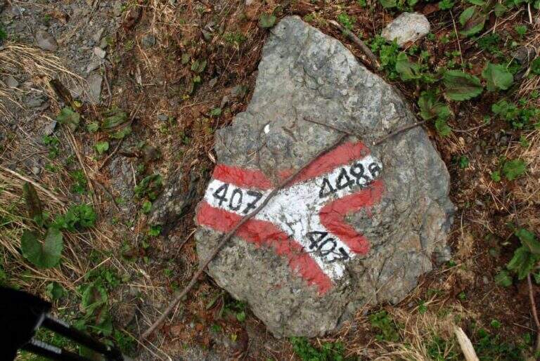
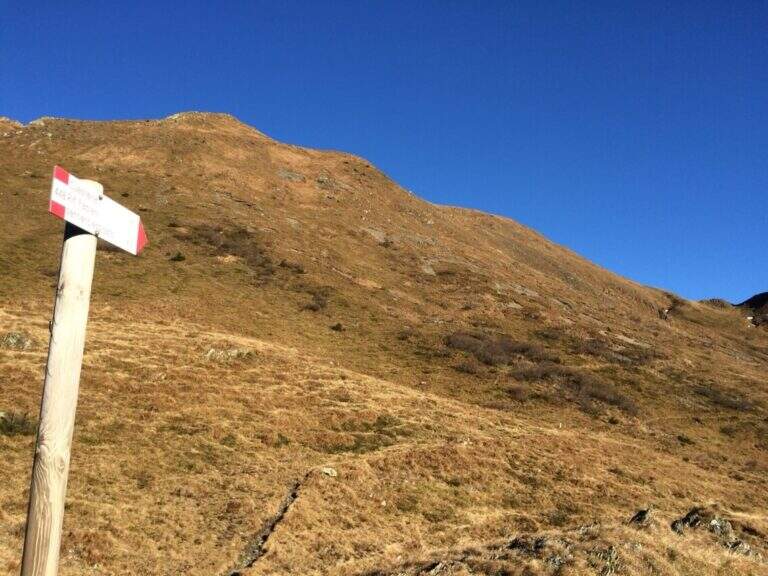
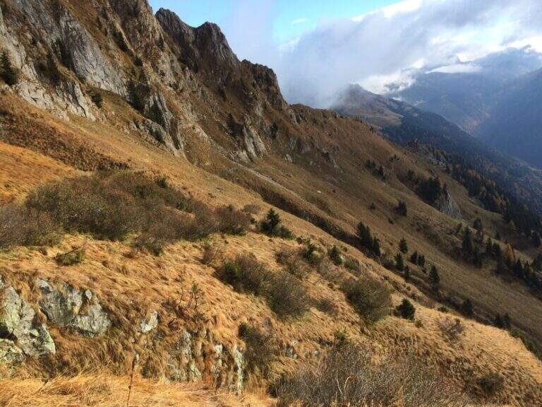
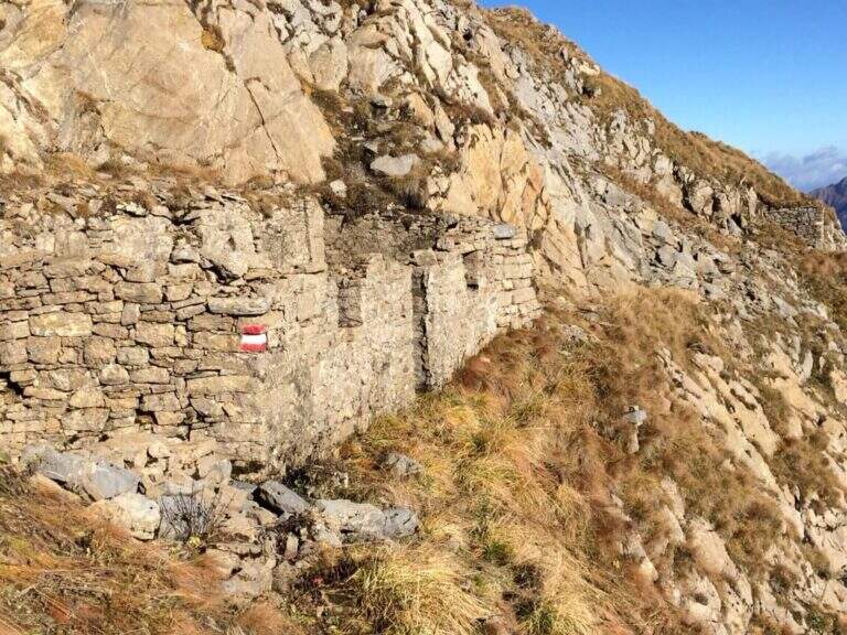
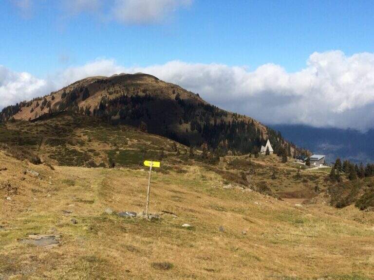
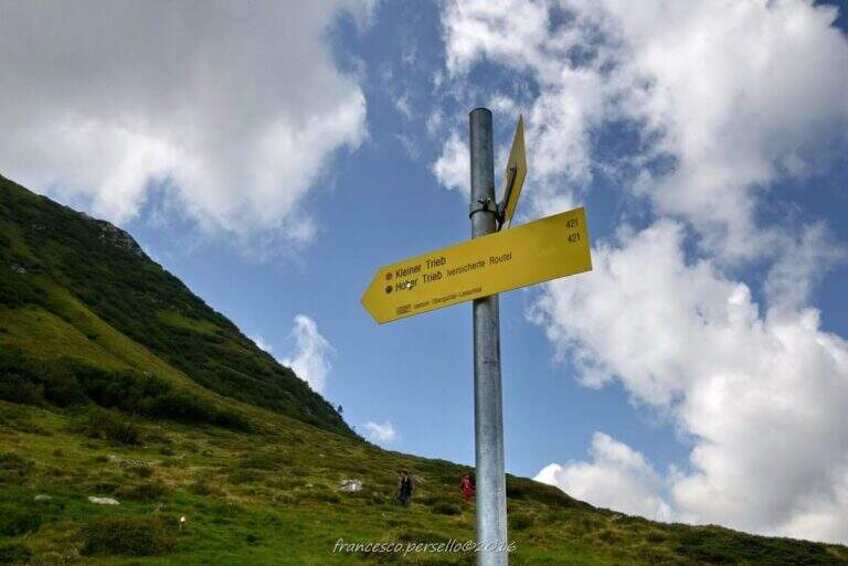
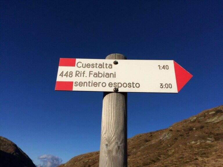
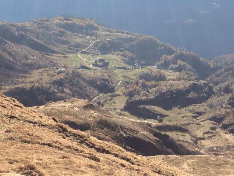
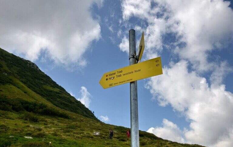
    Starting from Malga Pramosio, in the municipality of Paluzza (UD), reachable on a dirt road in good condition from the village of Claulis, along the state that from Tolmezzo rises to the Pass of Monte Croce Carnico; at the entrance of the village a clear sign indicates the Forest of Pramosio, and follow the road until the end at the malga, which also offers possibility of overnight stay (open up Google Maps). From Casera di Pramosio (1521 m) follow the path 407 to the east; immediately ignore the junction of 404 and cross the Sella di Cercevesa and the ruins of the homonymous house. At a new crossroads (1h15 from the parking lot) you leave the 407 that goes right and you stay on path 448, indicated as exposed, which cuts halfway the Cuestalta ridge (attention to the bottom in case of abundant rains). At a later crossroads, where on the left the 448 climbs to the normal Italian road, continue halfway on the 448th towards the Fabiani Refuge; the path bends towards the Red Crete, reached after a stretch of ridge a little exposed but not difficult (1770 m, 1h from the junction of 407, 2h15 total), and from here descend steeply to the Fabiani Refuge (1539 m, 2h40 total). From the refuge the path 454 climbs to Passo Pecol di Chiaula (1797 m, 3h total), border of State between Italy and Austria, with numerous testimonies of the Great War: tunnels, trenches and barracks. You descend now in the Austrian territory towards a refuge with a chapel; after a few minutes, ignore the traces on the left, it is advisable to descend to a signaled cross and follow on the left the sign for the Kleiner Trieb (path 421) going up towards Cima Medatte; steep, you reach the cross of Punta Medatte (2095 m, 1h from Passo Pecol di Chiaula, 4h total).

    ▲The path

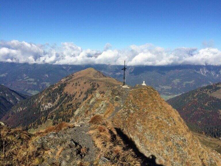
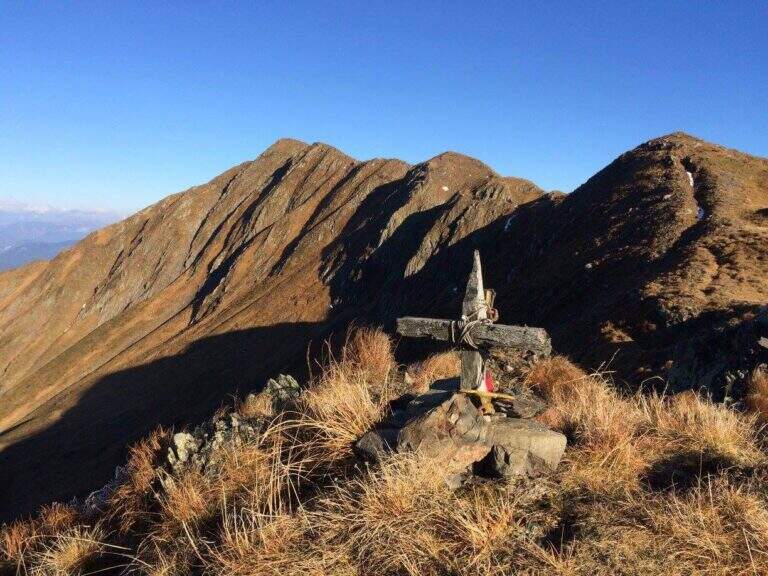
    Start here the ridge stretch with the equipped steps. Punta Medatte (Kleiner Trieb) is separated from the nearby Cuestalta (Hoher Trieb) by a saddle: descend along the ridge, equipped with handcuffed cable at the exposed points. From the saddle (10′ from Punta Medatte) starts the short ferrata that climbs to the Cuestalta: you pass some unprotected rocks until you meet the cable, which leads first on small rocks and then, from left to right, on a wall. The easy-level ferrata climbs on a very well-dressed crest, pleasant to climb; being a ridge path is exposed, but never excessively. The climb, very logical, deposits just below the top of the Cuestalta, signaled by a metal cross that is reached on the path (2199 m, 20′ from the saddle, 30′ from Punta Medatte, 4h30 overall).

    ▲Character and difficulty

    It is a beautiful itinerary that cuts a piece of the border of Italy-Austrian, long but not excessively challenging: the equipped part only serves to climb the ridge in the more vertical and exposed sections. The historical context, with the testimonies of the Great War, is one of its strengths.

    ⚠ Itinerary along (13 km, 6h15) in the border mountain environment: attention to the bottom of the half-coast stretches in case of abundant rains.
    ▲Period and safety

    Summer season, maximum altitude 2199 m. Despite no significant difficulties, long development requires good time management and attention to the weather, given the high mountain environment.

    ▲Discipline

    From the top of the Cuestalta you descend along the steep stretches, some ruins of trenches, up to the crossroads between the path 448 (normal Italian road) and the one that continues on the crest towards the Passo Pramosio. It remains on the latter, of crest only at exposed and free climbing traits, passing near Monte Scarniz (saw with a short deviation), up to Passo Pramosio (1785 m, 1h15 from Cuestalta, 5h30 overall). From the pass, visible a few hundred meters further downstream, you reach the Malga Pramosio with a stretch of path and then dirt road (6h15 overall).

    ▲To match

    Along this line there are other routes equipped, generally more difficult and athletic: in increasing order of commitment, relatively close, the Ferrata Steinbergerweg at Cellon, la Ferrata al Coglians e la Ferrata Senza Confini.

    ▲Gallery
    Technical data
    • DifficultyEasy
    • RegionFriuli-Venezia Giulia
    • GroupAlps Carnia
    • Approach4:00 h
    • Ferrata0:30 h
    • Itinerary (a/r)6:15 h
    • Hardware level difference150 m
    • Route difference678 m
    • Max2199 m
    • Length13 Km
  • Sentiero Attrezzato delle Cavre (Scaloni e Anglone)

    Sentiero Attrezzato delle Cavre (Scaloni e Anglone)

    Vie Ferrate › Trentino-Alto Adige › Trento
    Sentiero Attrezzato delle Cavre (Scaloni e Anglone)

    The Path Attrezzato delle Cavre is a ring that cooks together two equipped sections — the Path of the Scaloni and the Path of the Anglon — connected up from a panoramic stretch. Easy, exposed and very well equipped, it is one of the ideal itineraries for those who are at first experiences. The low altitude, near Arco, makes it accessible all year round, with the only shortness to avoid it in the hottest hours.

    ▲Approach

    From the village of Ceniga, near Arco (TN). Coming from Arco, turn left from the state towards the center of the village; at the height of Via del Ponte, on the right, there is a large parking lot where to leave the car (open up Google Maps). From the parking lot you go up Via del Ponte on the opposite side of the road towards the Roman Bridge and, crossing it, you pass on the opposite bank of the Sarca River. The right is held and you will soon meet a CAI pole with the indication of the Attrezzato Path of the Scaloni; following the paline you climb on a rocky bottom until the attack of the first stretch (30′ from the parking lot).

    ▲The path

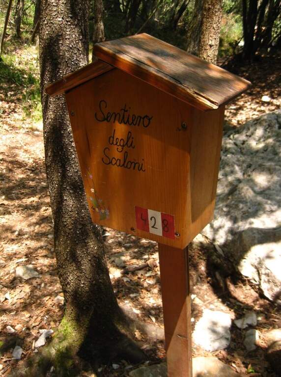
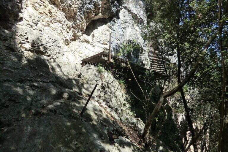
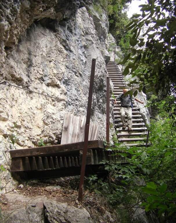
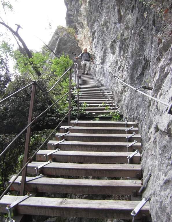
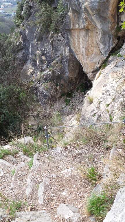
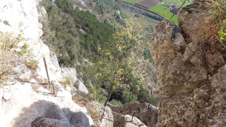
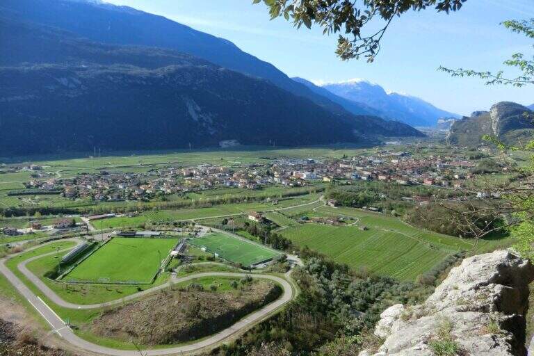
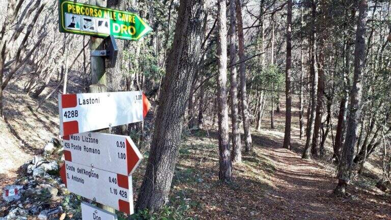
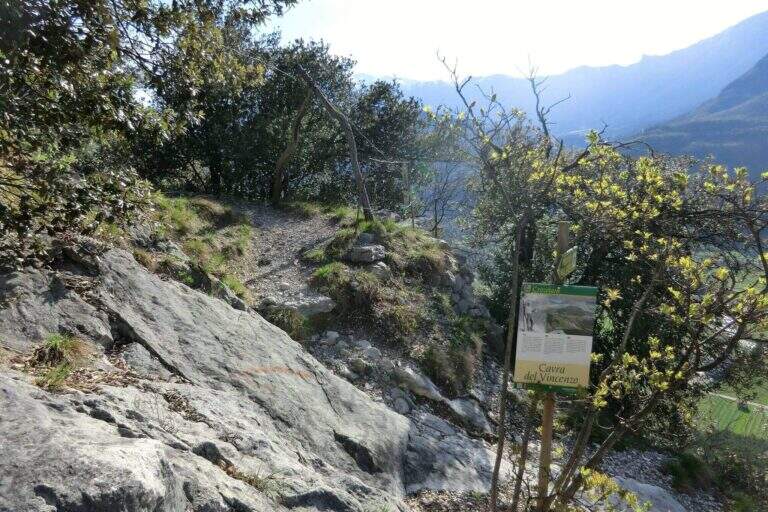
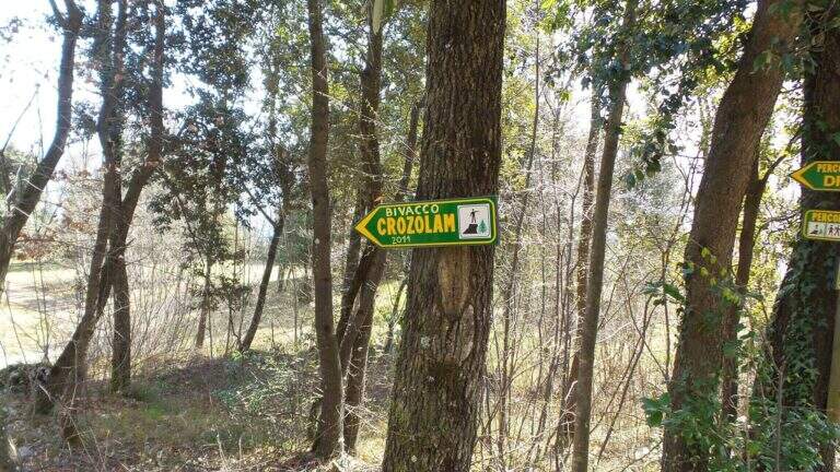
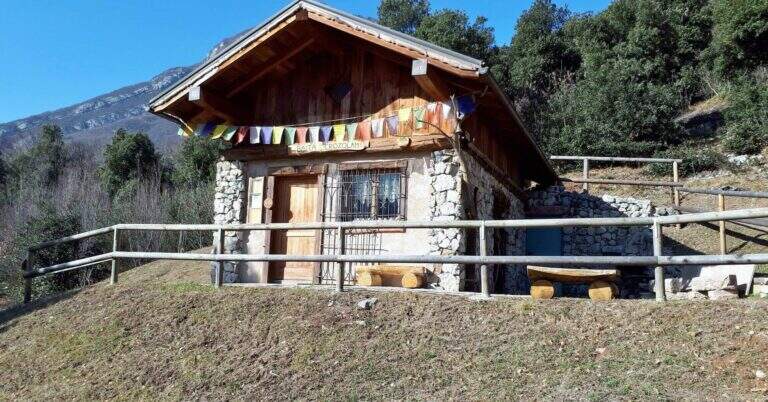
    The Path of the Scaloni rises diagonally on easy rocks and leads to a terrosa nod that continues to the left, equipped, with exposed traits and more steep; a short bridge over a gap and you get to the most characteristic section, from which the path takes the name. Under an imposing wall a staircase with metal base and wooden steps rises diagonally, first to the right and then to the left, earning altitude and exposure without any real difficulty. At the top of the staircase you face a sloped plaque with artificial steps made in the rock and rope on the left; you continue on a stretch of path equipped up to a sloped ramp with stone steps, exposed but easy. You go uphill to the left some small rocks and end the Scaloni at the wooden box with the signature book and the red sign (30′ from the attack, 1h from the parking lot). From here we go north/north-west to the Dos Tondo, where the path 428B begins; we ignore the crossroads on the left for the church of Sant’Antonio (CAI 408). The 428B, a true Cavre path, runs halfway towards the Bivacco Crozolam; from the bivouac it continues to the north ignoring the forest and follows for Dro up to a crossroads where, while the CAI 425 continues to the left, you go down to the right to intercept the Anglone Path (1h from the end of the Scaloni, 2h overall). The Anglone has exposed hinges equipped and stretches put in safety especially for bad weather: the upper part is definitely easy, while the second one is steeper and includes a tilted plate to be dropped with caution using the equipment to make adherence. You get to a canal with rock steps and equipped rocks — the most exposed point, which requires only a firm foot — and finally to a last nod dug in the rock that slopes steeply in the meadows, up to the houses of Dro and an asphalt road (45′ from the attack of the Anglo, 2h45 overall).

    ▲Character and difficulty

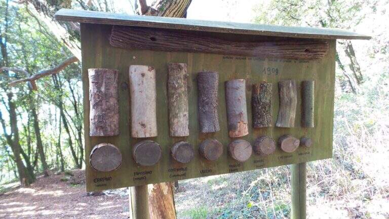
    The ring consists of two equipped sections, one uphill route and one downhill, but nothing prohibits facing them in both directions. It is suitable for neophytes, without particular technical difficulties, with abundant equipment and in good state of maintenance. Historical curiosity: the Path of the Scaloni dates back to 1909 as a military route of the Austrian soldiers.

    ⚠ Low altitude: in warm months it should be avoided in the central hours of the day. The sloped plate downhill on the Anglone requires attention, especially if wet.
    ▲Period and safety

    Throughout the year thanks to the quota (514 m). Although without technical difficulties, some sections on census are exposed: it serves steady step and constant attention.

    ▲Discipline

    From the end of the Anglone follow the CAI 425 path southwards, which runs on a little busy paved road, to the Roman Bridge and back to the parking lot (30′ from the end of the Anglone, 3h15 total).

    ▲To match

    Starting early in the morning, time and energy remain to concatenate a second itinerary of the area: easy Ferrata Colodri to Arco or Ferrata di Rio Sallagoni in Castel Drena. Moving to Fiavè you will find Ferrata di Ballino to the falls and, stretching a little, the Ferrata di Preore.

    ▲Gallery
    Technical data
    • DifficultyEasy
    • RegionTrentino-Alto Adige
    • GroupValle del Sarca
    • Approach0:30 h
    • Ferrata2:15 h
    • Itinerary (a/r)3:15 h
    • Hardware level difference390 m
    • Route difference400 m
    • Max514 m
    • Length6 Km
  • Sentiero Attrezzato delle Cascate di Monticelli Brusati

    Sentiero Attrezzato delle Cascate di Monticelli Brusati

    Vie Ferrate › Lombardy › Brescia
    Sentiero Attrezzato delle Cascate di Monticelli Brusati

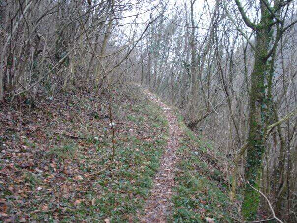
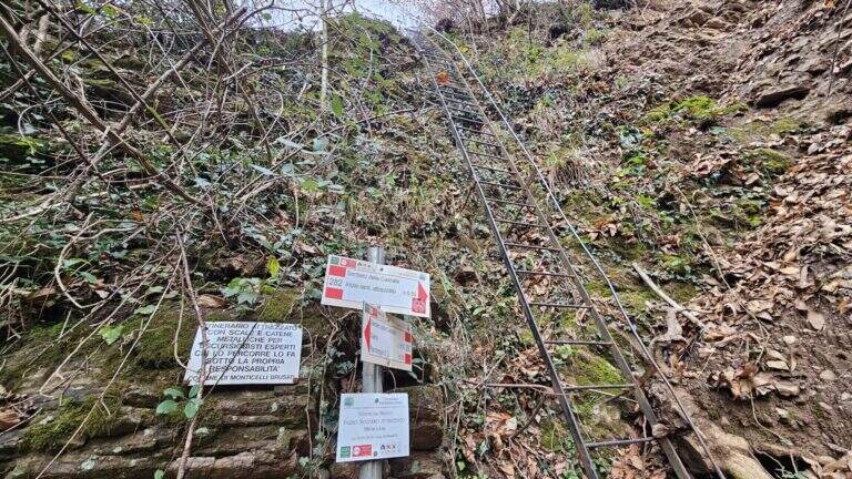
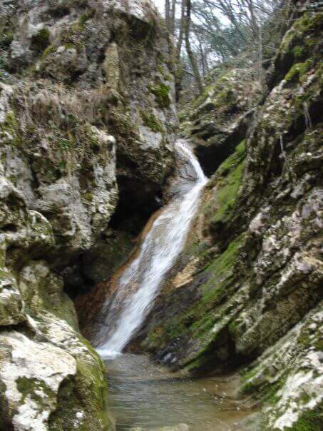
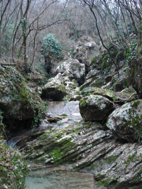
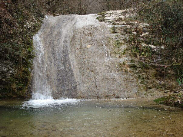
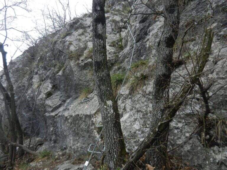
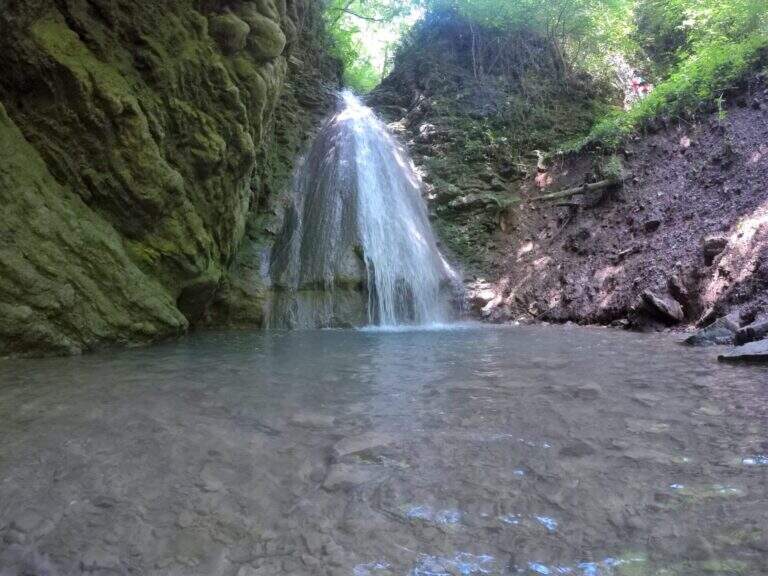
    In the gorge excavated by the Gaina stream, in the province of Brescia, this equipped path gives an easy and suggestive itinerary, without technical difficulties and with a landscape suitable also for families and children. It is the type of route that you play all about the environment: water, laminated rocks and waterfalls, with the equipment used only to accompany the progression along the stream.

    ▲Approach

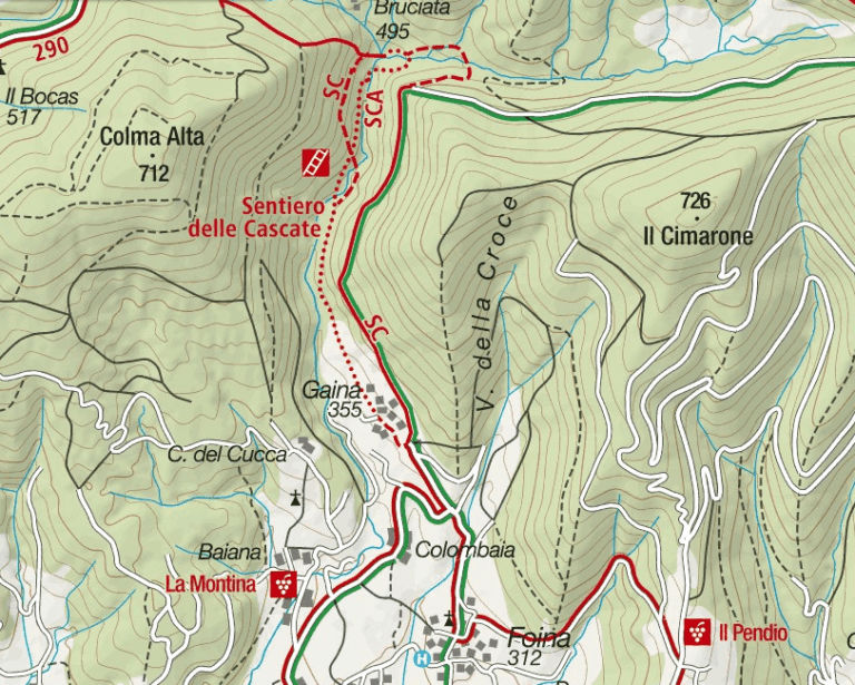
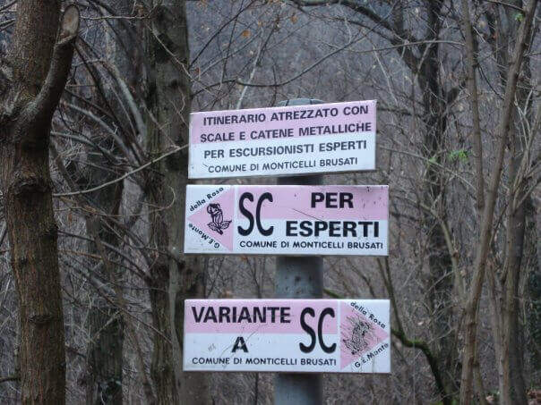
    It starts from the village of Gaina, fraction of Monticelli Brusati (BS). After passing the bus station of Monticelli Brusati, after a few minutes you can see on the left a white sign that indicates Gaina: take the road uphill, which soon narrows, until the village, where the road biforca. You hold the right and you will immediately find the parking place where you leave the car (open up Google Maps). From the parking lot, in front, a brown sign indicates “Cascate”: continue on the road, initially asphalted, up to a junction (10′ from the parking lot) where you choose between the easy route and that for experts. The most beautiful solution is to climb from the path for experts and return from the easy one.

    ▲The path

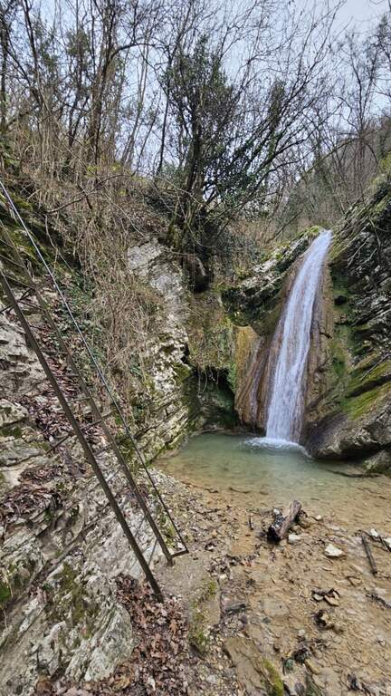
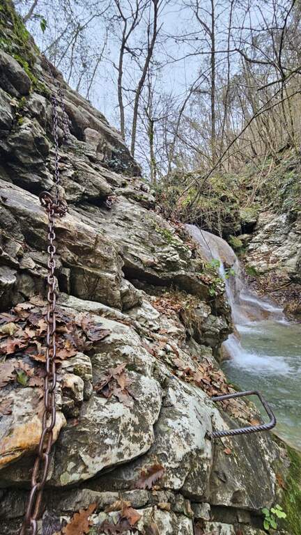
    You descend on the bed of the creek, now proceeding on the right now on the left horographic depending on where the bottom is dry, helping with the big rocks to cross it. You will encounter a crossroads that would bring you back to the easy path: you ignore it and head towards a waterfall, where the equipped section begins. It sticks up a metal staircase of about ten meters, then walks next to the stream between laminated rocks and wood. After a first curve the throat tightens and finally begins the equipped part: it starts on the left with some chains on sloping rocks, then it passes on the right horographic with a short traverse equipped with three brackets for the feet, which avoids entering the water. Continue on a slight diagonal and cross the stream, then go up a rocky slope diagonally next to the water (attention to the wet rock). A new crossing wets the feet, except in the summer months; on the other side you find the chain at a waterfall, in correspondence of the only vertical stretch equipped, a 6-8 meters wall to be overcome also with the help of the brackets. You cross the stream and enter the final stretch: in short, on the path, you reach the last beautiful waterfall, next to which a second staircase closes the route (1h15 from the attack, 1h30 total).

    ▲Character and difficulty

    Also in the variant for experts the path does not have significant technical difficulties: it is suitable for neophytes and keeps everywhere a contained exposure. The only real attention goes to the moisture brought from the stream, which can make more slippery some passages.

    ⚠ The rock at the creek is often wet: careful foot in the transverses and the cenges. Several crossings bathe the feet, except in summer when the flow is low or the bed is dry.
    ▲Period and safety

    The altitude is low (538 m), therefore the route is accessible in most of the year; in the warm months the stream can however show up with little water or dry, reducing the spectacularness of the falls.

    ▲Discipline

    From the end of the staircase you go up the track to a crossroads that indicates the easy return or that for experts. You can then go back to the equipped path or, more quickly, take the easy variant that runs higher than the stream. In both cases you reach the country and then parking (30′ from the end of the street, 2h overall).

    ▲To match

    Energies allowing, it is a route that lends itself to be combined with a more challenging route of the area, such as the Ferrata Corno del Bene o il Sentiero Attrezzato Trentapassi. Moving to Val Trompia you can reach Ferrata Caspai, la Ferrata Nasego e il Parco delle Fucine di Casto.

    ▲Gallery
    Technical data
    • DifficultyEasy
    • RegionLombardy
    • GroupPrealps Bresciane
    • Approach0:10 h
    • Ferrata1:15 h
    • Itinerary (a/r)2:00 h
    • Hardware level difference190 m
    • Route difference200 m
    • Max538 m
    • Length5 Km
  • Ferrata Fusetti at Sas de Stria

    Ferrata Fusetti at Sas de Stria

    Vie Ferrate › Veneto › Belluno
    Ferrata Fusetti at Sas de Stria
    Moderately Hard● OpenDescriptionComplexityMapsGallery

    La Ferrata Fusetti Sass de Stria rises, near the Valparola Pass on the border between Belluno and Bolzano. Built by the Alpini and dedicated to the Lieutenant Mario Fusetti, fell here in the First World War, & a medium-low difficult & agrave; very logical and climbing, of great historical value and perfect for those & beginnings.

    ▲Approach

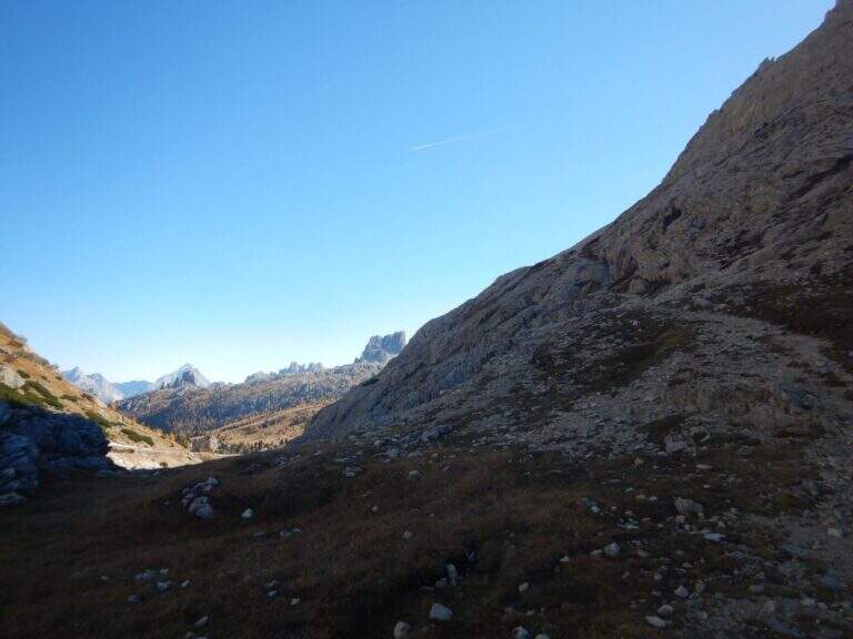
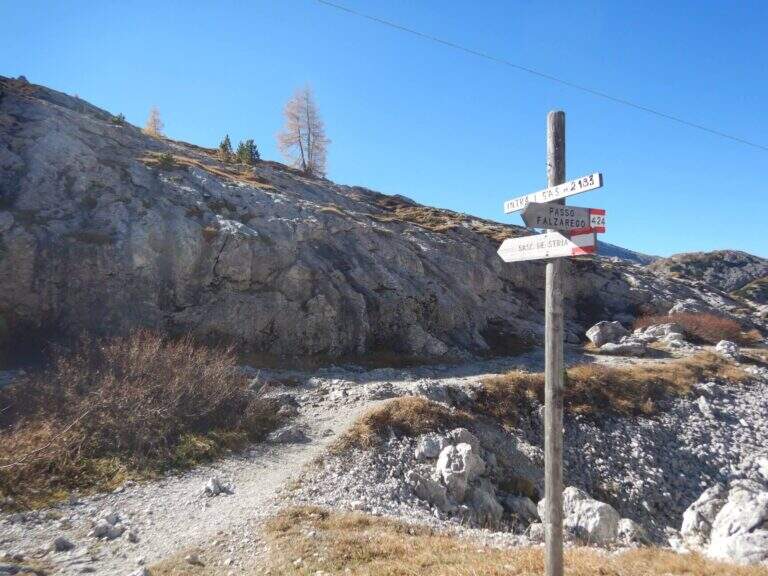
    Starting from the ' large parking lot of the Forte at Passo di Valparola, reachable from Val Badia, Cortina and the Veneto side of Col di Lana. Open road signs on Google Maps. L'attacco è sul versante sud del Sass de Stria, opposto al parcheggio, e si raggiunge in due modi. Via breve: si segue la traccia minore che scende verso il versante ovest e in circa 5' porta alla postazione Edelweiss; da qui, attenzione a una traccia non segnalata che si stacca a sinistra aggirando la parete (presto compaiono bolli rossi e segni bianco-rossi) e, lungo la parete ovest, conduce sotto le bastionate sud fino a un sasso con l'indicazione della deviazione (20') e all'attacco (30' dall'auto). Long way: follow the white road towards Falzarego, visit the Galleries of Guerra and, bypassing the east and south slopes, you reach the same indicator rock (1h from'auto).

    ▲The path

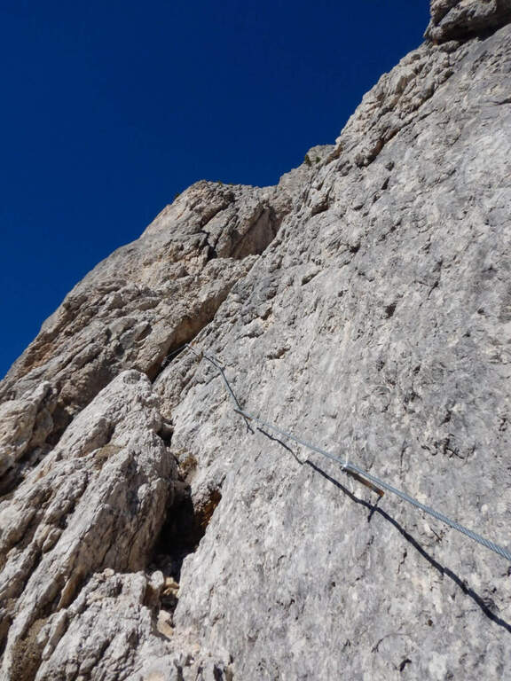
    The first meters are simple: you climb diagonally to the left and then on a sided wall. After a short connection, you will pass easy rocky leaps on a detritic background (attention not to move stones) moving to the right, up to a nod with wooden parasassis that closes the first section, easy. In front of it you can see the development on a supported plate: you climb first to the right, then to the left in a horizontal section, then a short camino full of hooks. It comes as well; under the sezione più challenging (obviously difficult): a vertical plate of about ten meters with supports present but less evident. A galleria di guerra is reached by the galleria and, for the last metres supported, the equipment is closed (45' by ' attack, 1h 15' by'auto).

    ▲Character and difficulty

    Logic and very climbing climb: the technical difficulties remain moderate and the experienced ferratista can minimize the use of the cable, while beginners find an ideal way. Level difference in ferrata 200 m, total 307 m, maximum altitude 2477 m, development 3.5 km. Inaugurated on 18 October 2018, it is a "return to the ancient" with metal equipment reduced to the minimum.

    ⚠ As often in the Dolomite ferrates the bottom is rich in debris and the ascent line is linear: pay special attention not to move stones towards those who follow.
    ▲Period and safety

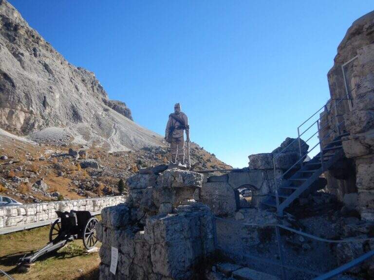
    Summer street with a strong historical value, with a true open-air museum of the Great War (trinces and galleries) along the route. Short approach and return, easy to match with nearby ferrates. GPX and KMZ tracks available.

    ▲Discipline

    The ferrata ends on a plateau in the middle of the normal route of the Sass de Stria. You can return directly to the Valparola Pass (20' from the term, about 1h 30' total) or, recommended, climb up to the top: follow a track between the trenches, some rocks of I degree and two series of ladders with cord, reaching the top in about 30' from the end of the ferrata, with 360° view over the dolomites.

    ▲To match

    From the Valparola Pass and the nearby Falzarego are many equipped: the Kaiserjager trail at Lagazuoi, la Ferrata Cesco Tomaselli in Cima Fanis Sud, la Alpine Brigade Cadore at Col dei Bos; going down towards Cortina la Ferrata dell'Averau e la Nuvolau; on the Tofana of Rozes Ferrata Lipella; towards Val Badia il Piz Conturines and the long Ferrata della Pace.

    ▲Gallery
    Technical data
    • DifficultyModerately Hard
    • RegionVeneto
    • GroupDolomites
    • Approach0:30 h
    • Ferrata0:45 h
    • Itinerary (a/r)2:00 h
    • Hardware level difference200 m
    • Route difference307 m
    • Max2477 m
    • Length3,5 Km
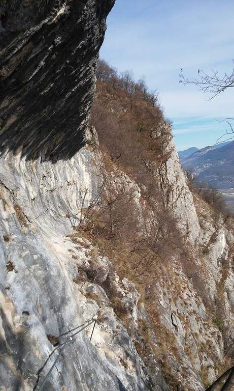
  • Ferrata Sora el Sass

    Ferrata Sora el Sass

    Vie Ferrate › Veneto › Belluno
    Ferrata Sora el Sass

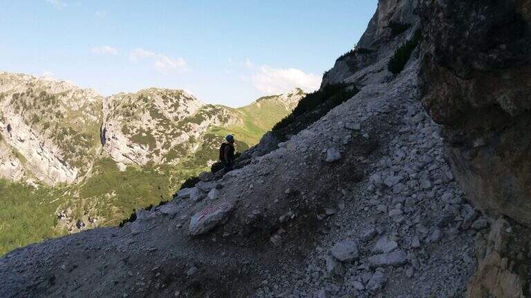
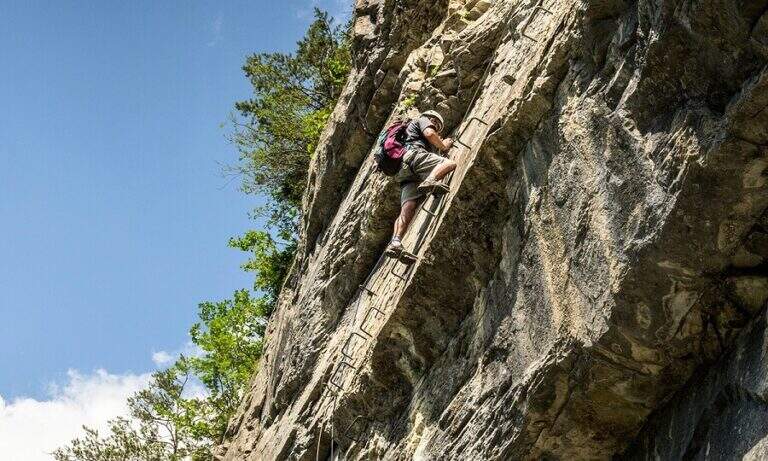
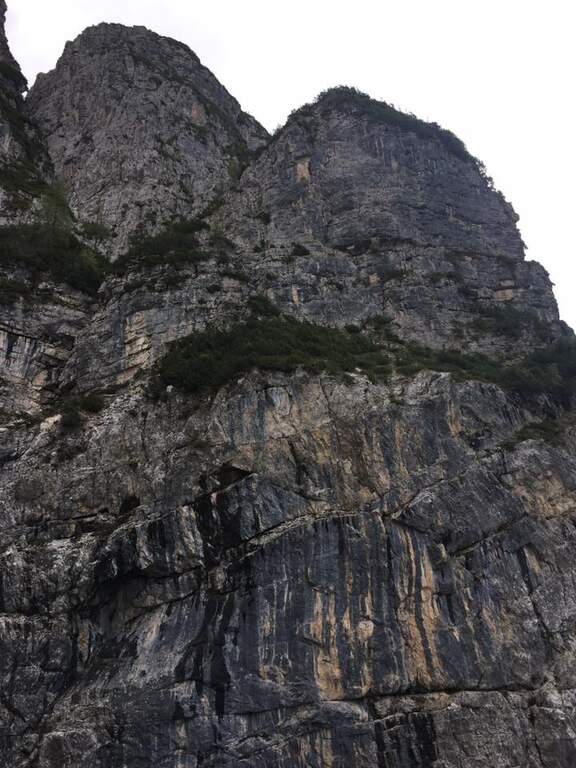
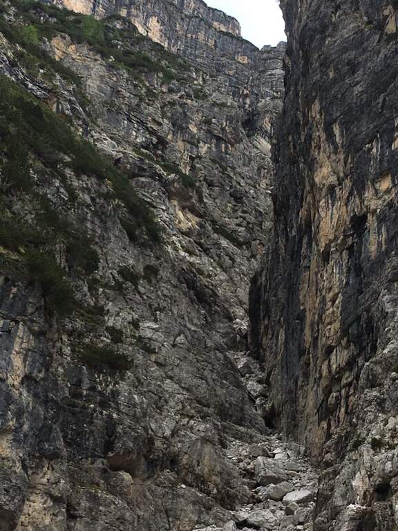
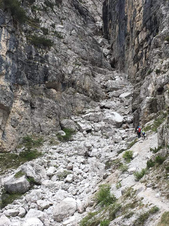
    La Ferrata at the Sora el Sas, near the Spitz of Mezzodì, è a facile street divided into two short sections: the first goes up a canalone, the second goes up to a panoramic pulpit called Belvedere. Adapted to the neophytes, it offers beautiful views of the Dolomites of Bellunese.

    ▲Approach

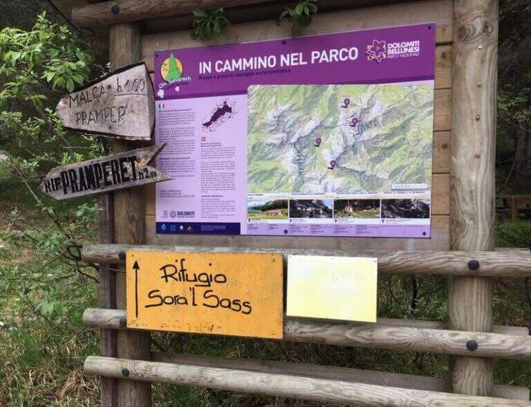
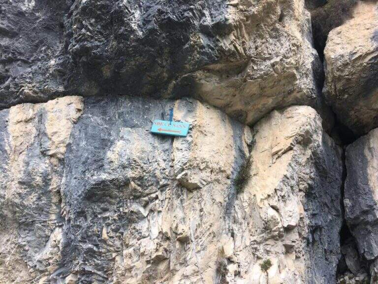
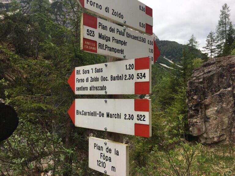
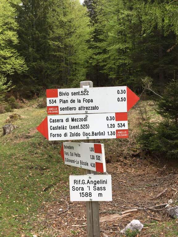
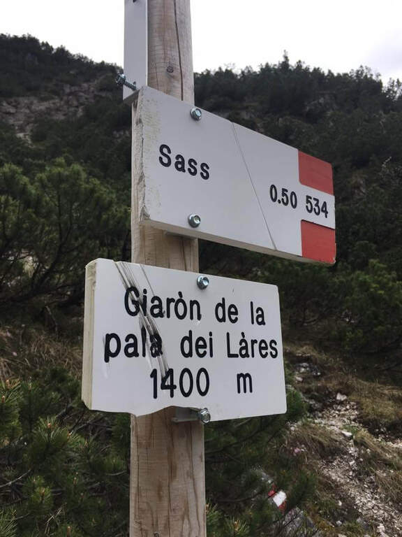
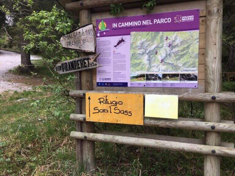
    Starting point parking in the village of Pian de la Fopa, in Val Pramper south of Forni di Zoldo (Belluno): in the village follow the signs south towards the Rifugio Pramperet, then at a crossroad take the secondary road (in part dirt road but in good condition) to the Rifugio Sora el Sass, for about 4.5 km until the parking lot. Open road signs on Google Maps. Follow the forest and then the CAI path 534 for the refuge Sora el Sass towards the walls of the Spitz of Mezzodì at a crossroads you leave 522 (to the Bivacco Carnielli) holding the left towards a shady canalone, up to the first equipment (45' from the parking lot).
    ▲The path

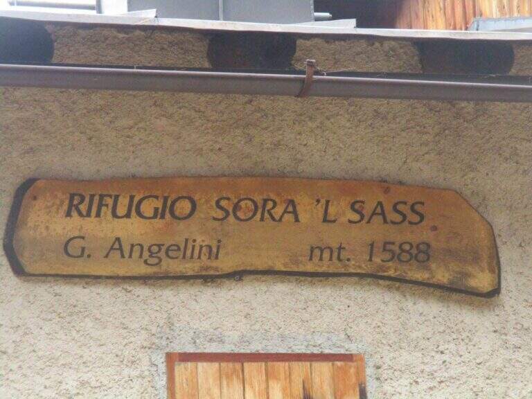
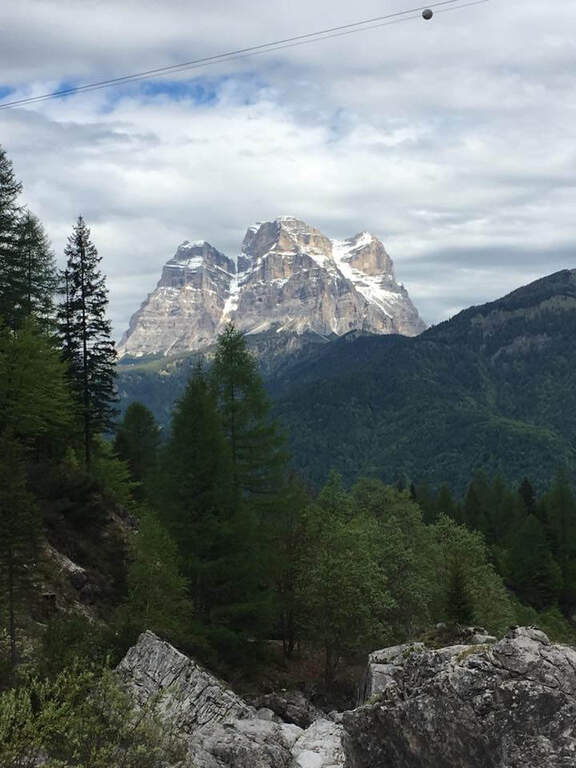
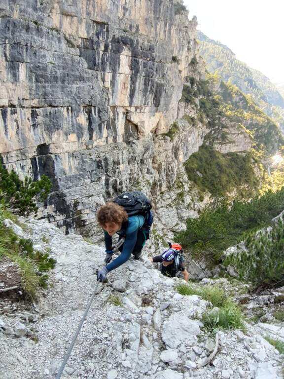
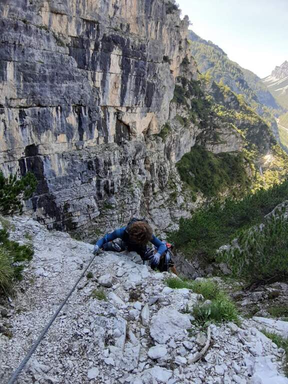
    La first section esce dal canalone con una rampa a sinistra priva di difficoltà e un facile canalino gradonato (attrezzatura a destra, appigli abbondanti a sinistra); si piega a destra per pochi metri e poi su comoda cengia a sinistra, si aggira uno spigolo e si salgono roccette ben appigliate, arrampicabili (attenzione al fondo di ghiaino instabile, rischio di smuovere detriti). Una facile placchetta e una cengia a sinistra chiudono le attrezzature (20' dall'attacco); su comodo sentiero si raggiunge il Rifugio Angelini (Sora el Sass, 1588 m, 1h 30' dal parcheggio). Da qui si può rientrare oppure proseguire verso il Belvedere col CAI 532: a un bivio si sale a destra per il sentiero attrezzato (per scendere poi dalla via normale), superando un balzo verticale ben appigliato, una cengia, un canalino e un balzo più marcato, fino al Belvedere, punto panoramico sui gruppi bellunesi con il Pelmo in evidenza (1965 m, 45' dal rifugio, 2h 15' totali).

    ▲Character and difficulty

    Easy itinerary, ideal for neophytes and families.

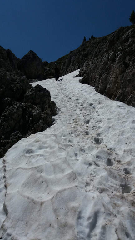
    ⚠ At the beginning of the season the canalone can still be snowed: it is useful to have the ramps. The equipped sections are quite dirty with debris material: pay close attention not to move stones.

    ▲Period and safety

    An official GPS track is not available for this route. The map of the 4Land Dolomites is useful.

    ▲Discipline

    Dal Belvedere si scende sul lato nord per sentiero facile, si aggira il Belvedere e si rientra al Rifugio Angelini (45' dalla vetta); per chiudere l'anello si prosegue verso nord sul CAI 534 verso la Casera di Mezzodì, scendendo il ripido Vallon Piccolo a tornanti, poi sul 525 fino alla forestale e in salita al parcheggio (1h 30' dal Rifugio Angelini, 4h 30' totali).

    ▲To match

    The way is in the Pramper group. To the west the Civetta and the Moiazza with the difficult Constantine, Titus, Alleghesi e Yellow Flames; to the south Ferrata della Memoria al Vajont e la Val Gallina; northwards Vandal and the impegnative Ferrata at the Glacier of Antelaoto Agordo Alpine star at Agner.

    ▲Gallery
    Technical data
    • DifficultyEasy
    • RegionVeneto
    • GroupPrampering
    • Approach0:45 h
    • Ferrata1:15 h
    • Itinerary (a/r)4:30 h
    • Hardware level difference200 m
    • Route difference764 m
    • Max1964 m
    • Length6 Km
  • Ferrata del Somator (Monte Biaena)

    Ferrata del Somator (Monte Biaena)

    Vie Ferrate › Trentino-Alto Adige › Trento
    Ferrata del Somator (Monte Biaena)

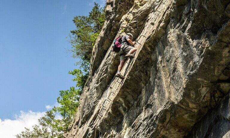
    La Somator Ferrata ` a pleasant ring itinerary at Monte Biaena, in the Gardesane Prealps between Rovereto and Riva del Garda. È a facile street: some elementary rocky ridges are equipped with brackets and cambres to facilitate hikers, and l' environment with lake view makes it an ideal destination for families.

    ▲Approach

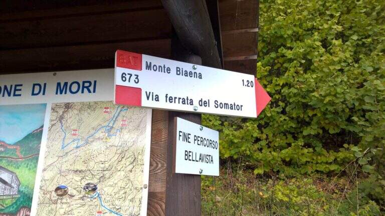
    Starting point is the parking of the Restaurant Pizzeria La Baita, between Ronzo-Chienis and Castellano (Trento). Open road signs on Google Maps. From the parking lot follow the CAI signs 671 on asphalt road to the east; the first crossroad to the left is ignored for the Path Attrezzato de le Laste (which will be the return) and, between the tracks that detach to the right, we start after a few minutes on the path 673, where the Somator Path begins (30' from'auto); wanting, a short deviation on 642 reaches the Malga Somator Refuge.

    ▲The path

    The path always remains quite easy, with some stretches that shrink and become equipped, a couple of easy vertical leaps and a canal. After passing the stretches, continue in view of Mount Biaena, with a beautiful view of the lake (1617 m, 1h 30' from'auto).

    ▲Character and difficulty

    Although known as «ferrata», the climb to Mount Biaena is an easy route, suitable for neophytes and families.

    ▲Period and safety

    GPS tracks (GPX and KMZ) are available; the map of Alto Garda and Valle di Ledro is useful for the area, or Pasubio and Vallagarina 4Land.

    ▲Discipline

    For the return you descend on the east side following the track 671; after about 10' the trail 678 is ignored on the left and continues in the forest with some easy stretches equipped up to a track and at the junction of the ' gone, returning all' car ( approximately 2h 30' totali).

    ▲To match

    Garda offers many similar routes: Ferrata Rio Sallagoni in Castel Drena, la Ferrata Colodri to Arco; on the western side the Susatti a Cima Capi e l'Friendship in Cima Sat; for a higher degree the Marangoni to Mori.

    ▲Gallery
    Technical data
    • DifficultyEasy
    • RegionTrentino-Alto Adige
    • GroupPrealps Gardesane
    • Approach0:30 h
    • Ferrata1:00 h
    • Itinerary (a/r)2:30 h
    • Hardware level difference70 m
    • Route difference315 m
    • Max1617 m
    • Length4,5 Km
  • Ferrata della Sassella

    Ferrata della Sassella

    Vie Ferrate › Lombardy › Sondrio
    Ferrata della Sassella

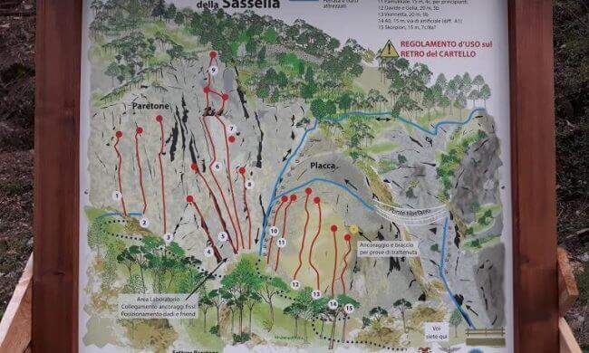
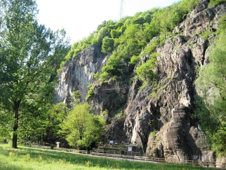
    La Ferrata della Sassella ` a short, well-equipped route built on the rock gym of the same name, at the western gates of Sondrio in Valtellina. The development è content and, except for short sections, does not have any difficulty and importance. The wall offers two parallel routes connected by a suspended bridge, indicated in the all' basin; entrance: a quick and fun itinerary, perfect to join some d' shooting; climbing.

    ▲Approach

    You can reach the locality; Sassella, on the west outskirts of Sondrio. Open road signs on Google Maps. Already from the parking lot is well visible, on the opposite side of the road, the wall on which the ferrata and the climbing routes run; a short path leads in a few minutes to the wall and the attack.

    ▲The path

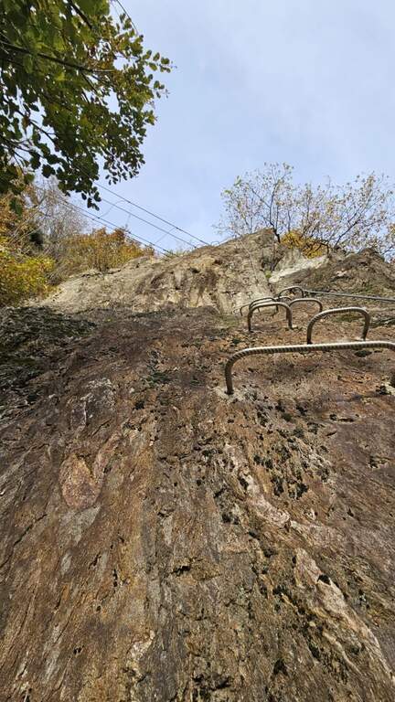
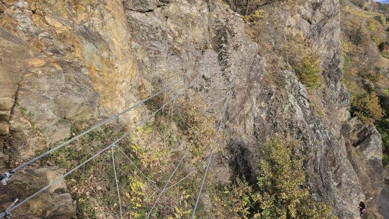
    The wall, a sixty-foot tall, houses two tracks that rejoin to metà. The settore right rises a rather lean hedgehog, then a vertical at first and finally with a short overhanging section, supported by numerous brackets; it arrives così to the ponte suspended on three ropes. Cross it, continue on a plaque with an easy traverse to the left until you meet the left settore , which attacks about fifty meters beyond the right leaving, going up a vertical wall but full of brackets and handles. From the point where the two itineraries are joined vertically on brackets along a placconata, then the path enters the forest turning into a path equipped and ends in short (circa 20' overall wall).

    ▲Character and difficulty

    Short and never really difficult, ideal for those who move the first steps and perfect to match some shooting along the adjacent rock gym.

    ▲Period and safety

    The low share makes it possible for most of the year. An official GPS track is not available for this route.

    ▲Discipline

    You descend on the right following the traces of return.

    ▲History

    The Ferrata è was inaugurated on the 21 April 2018, at the adjacent rock gym.

    ▲To match

    Ferrates in Valtellina are not many: Sassella lends itself to be combined with Torrione Porro or Ferrata della Croce al Palabione; not far, in Valchiavenna, the ferrates ♪ e Succeeds.

    ▲Gallery
    Technical data
    • DifficultyEasy
    • RegionLombardy
    • GroupValtellina
    • Approach0:10 h
    • Ferrata0:25 h
    • Itinerary (a/r)1:00 h
    • Hardware level difference70 m
    • Route difference80 m
    • Length0,5 Km
Need help? Write to us!