Caratteristica: Tratti esposti

  • Ferrata La Scala del Menighel

    Ferrata La Scala del Menighel

    Vie Ferrate › Veneto › Belluno
    Ferrata La Scala del Menighel
    Moderately Hard● OpenDescriptionComplexityMapsGallery

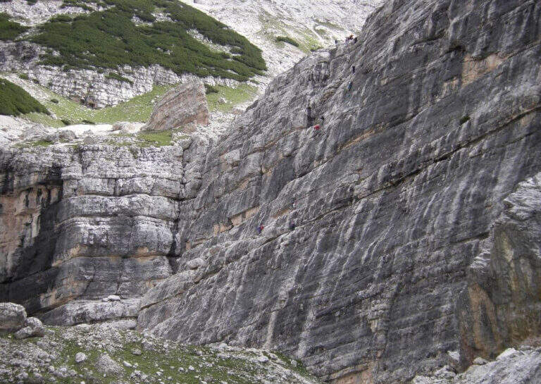
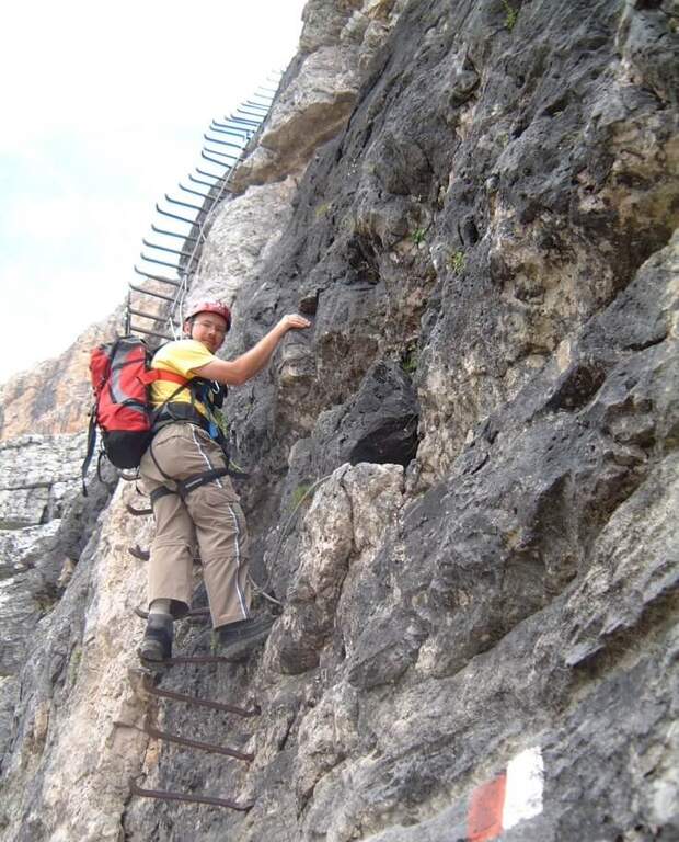
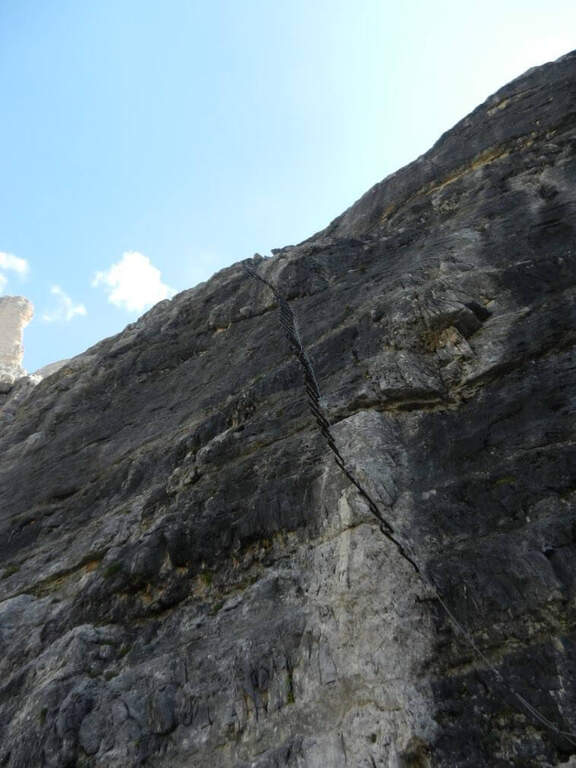
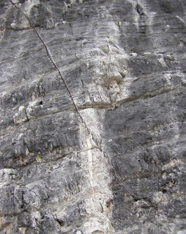
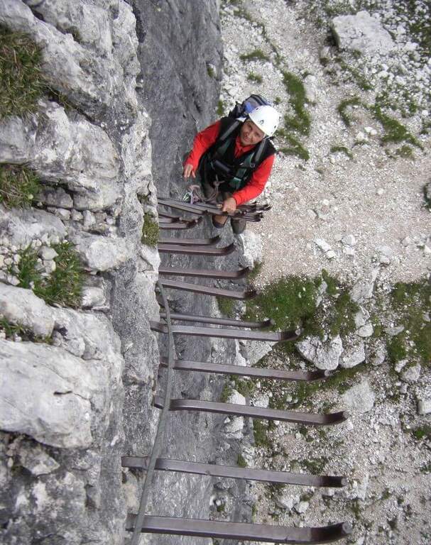
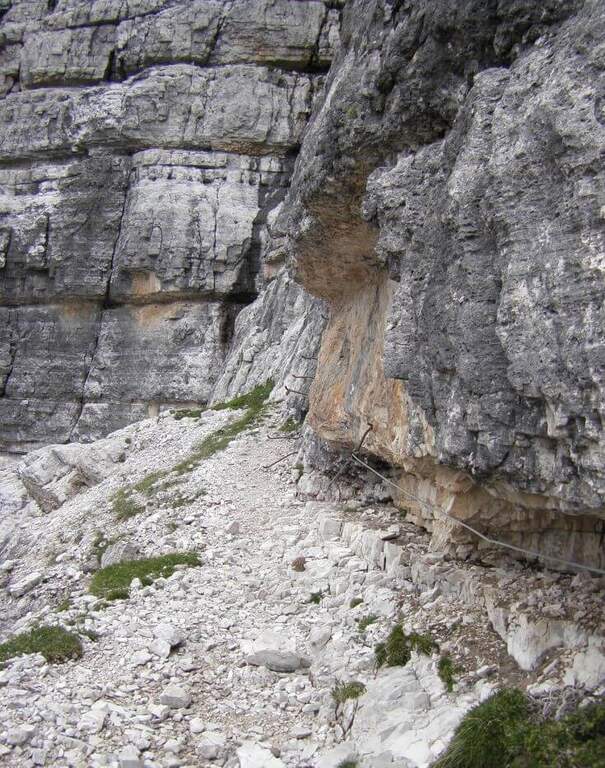
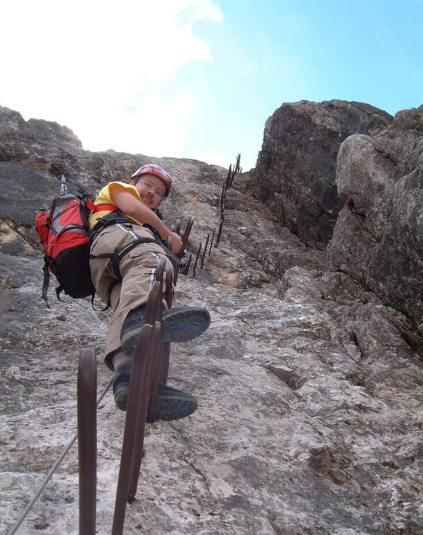
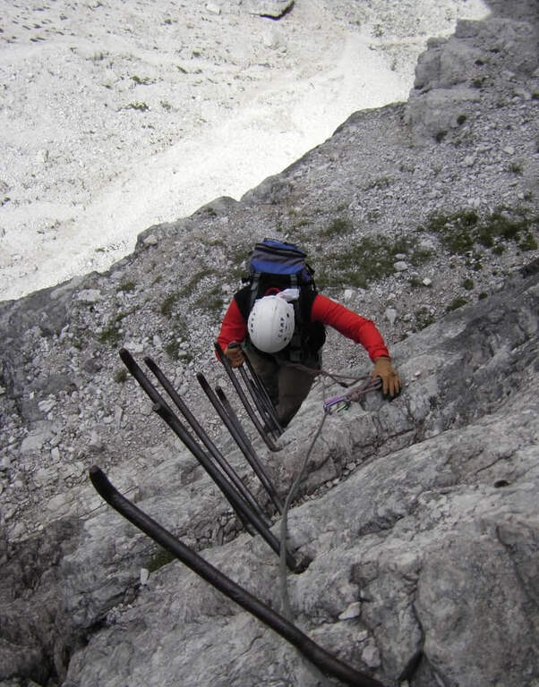
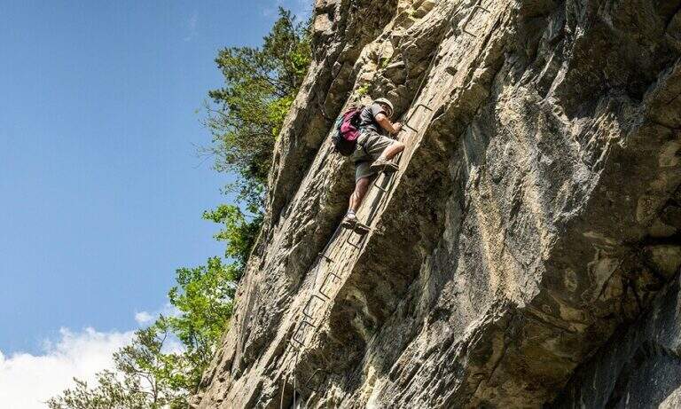
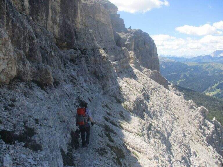
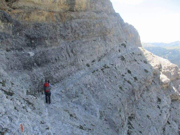
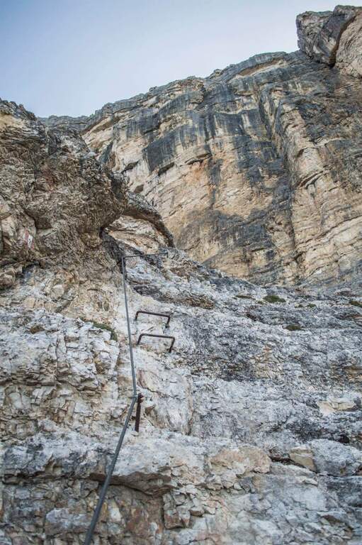
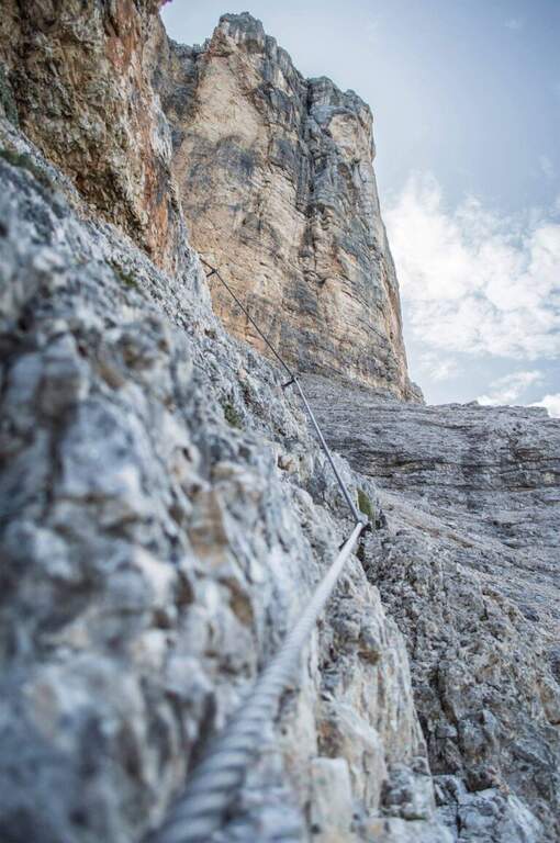
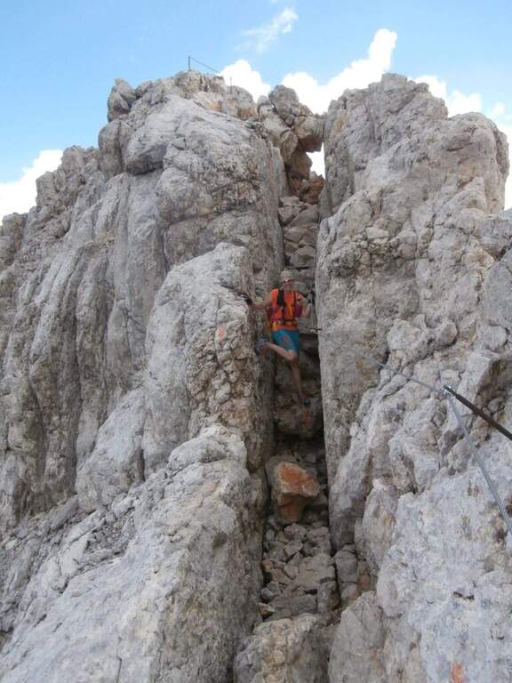
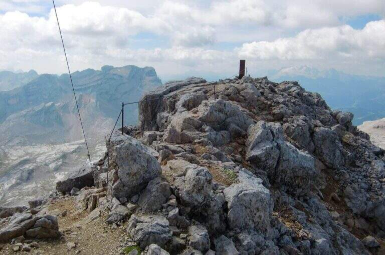
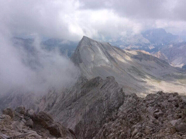
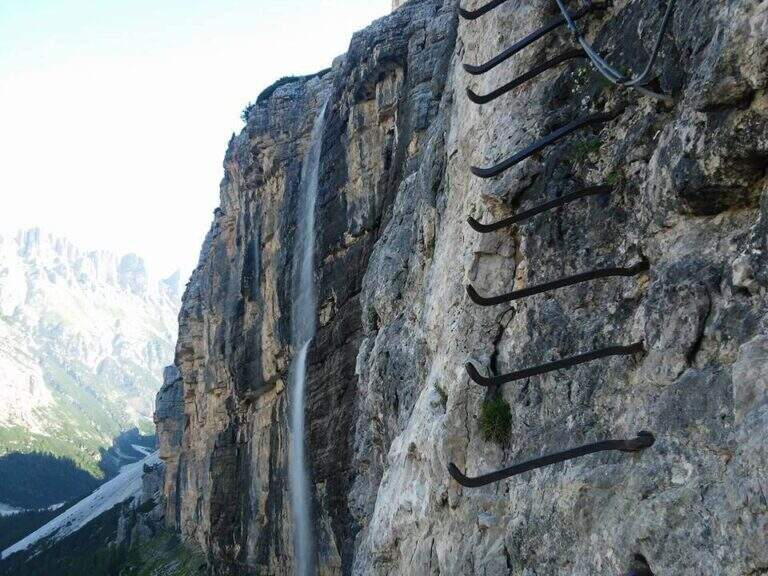
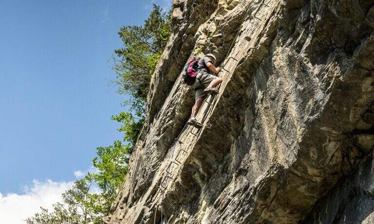
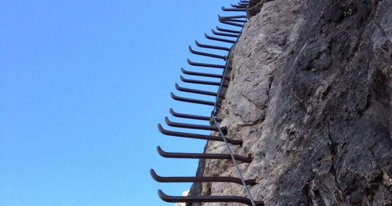
    La Ferrata Scala del Menighel è a short and unique stretch that, as the name says, è a true scala: a long series of metal frames that dates back to a bastion of about 100 meters on the north side of the Tofana of Rozes, cutting the valley of the Masarè. It is usually used to complete the tour at the base of the Tofana di Rozes by leaning to the Giussani Refuge. There is no difficulty; techniques of relief, but è exposta and the structure of the fixtures, dating back to the early twentieth century, requires concentration.

    ▲Approach

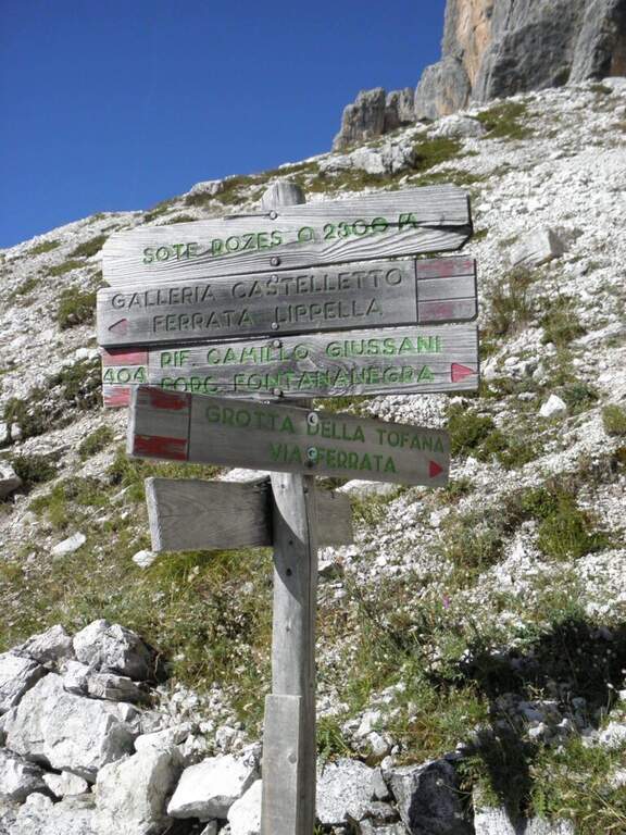
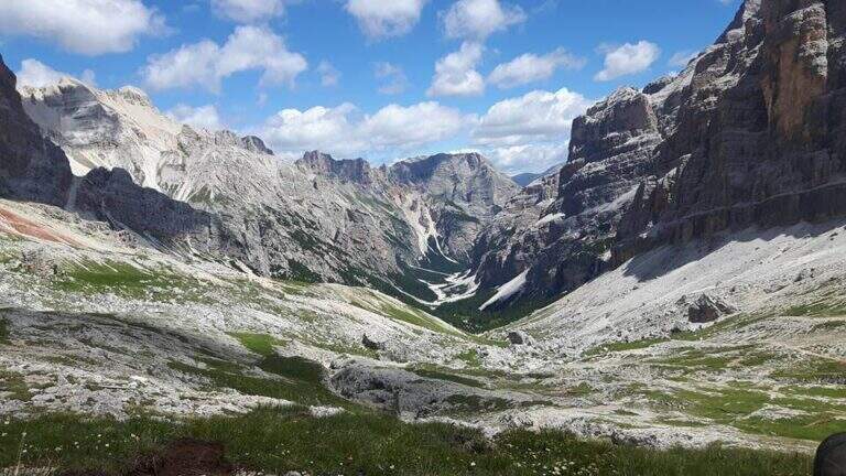
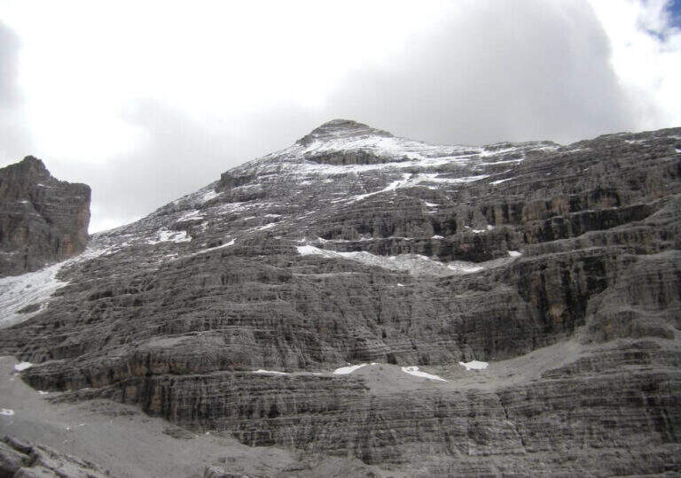
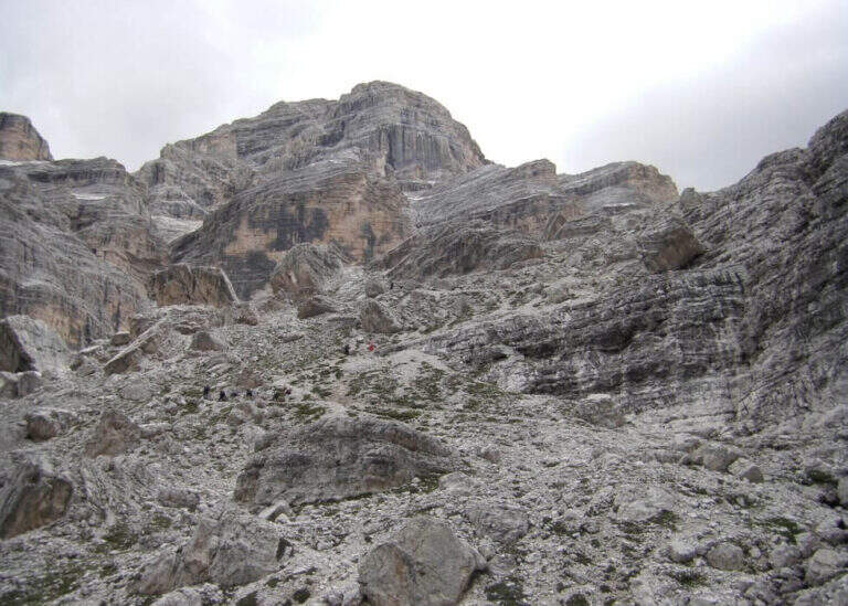
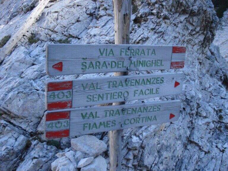
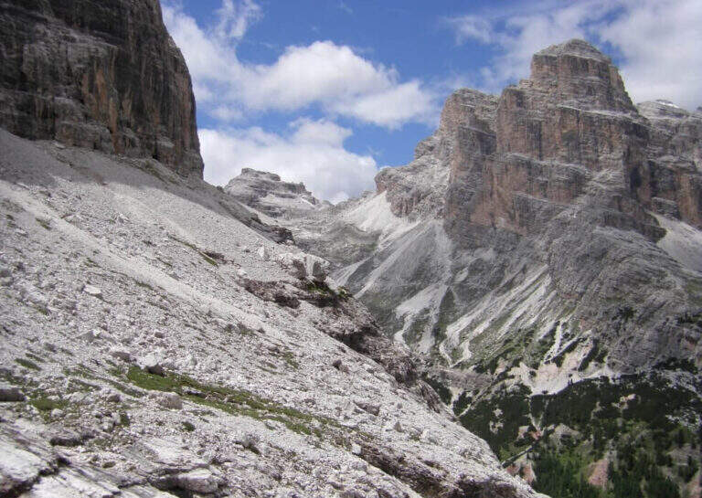
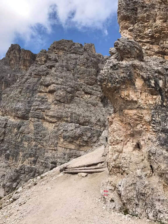
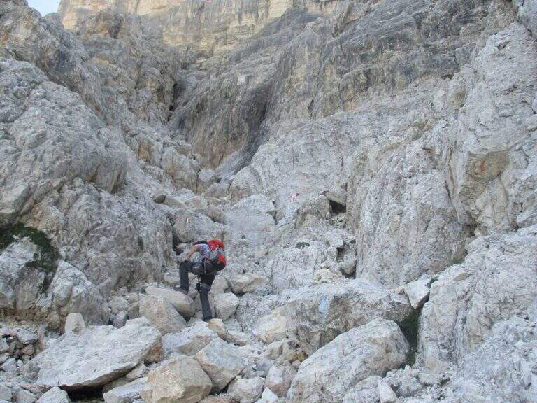
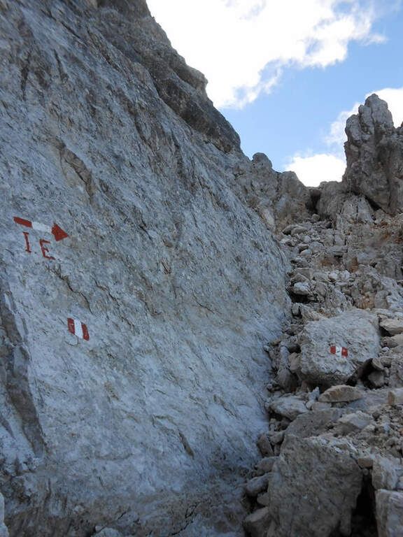
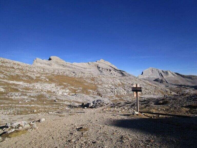
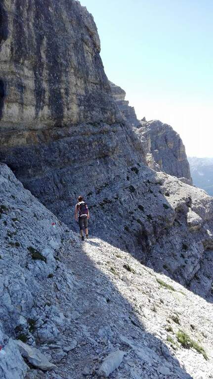
    Starting point the Rifugio Dibona, on the ampezzano slope south of the Tofana di Rozes, reachable by asphalted road that departs from the state Cortina– Passo Falzarego (follow the indications for the Rifugio Dibona, avoiding the junction for the Rifugio Duca d'Aosta). Open road signs on Google Maps. From Dibona take the path 403 on road, with modest slope, towards the south wall of Tofana; at a crossroad the 403 goes right towards the Giussani Refuge, but continue straight towards the south wall on the path 404, ignoring the bivi for the Ferrata of the Tofana Cave and for the Lipella/Gallerie del Castelletto. You reach the Forcella Col dei Bos and turn north into the Val Travenanzes, up to a fork on the right that leads to all' evident bastion of the Scala del Menighel (2h 30' from the Rifugio Dibona).

    ▲The path

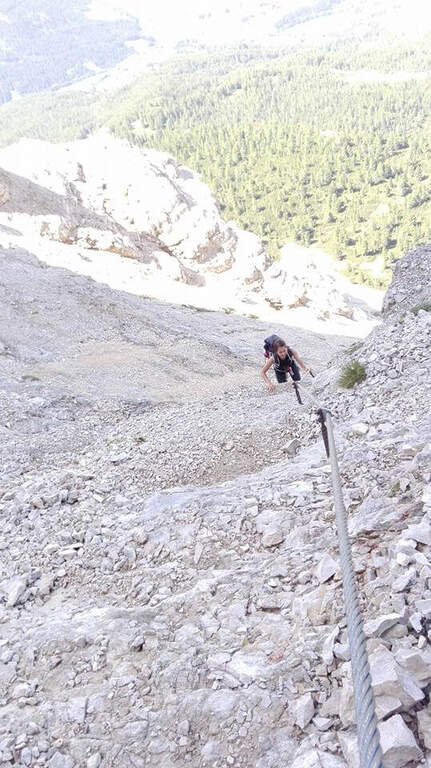
    The ferrata è divided into two sections very similar. The first begins with a long series of fixtures, curves in the terminal tract, which rise diagonally to the left on a moderate gradient first then più vertical: the ascent has no difficulty; techniques, being a sequence of steps, but l' exposure quickly becomes evident. You can reach a census from which you can può admire calmly the waterfall that drops a hundred meters più to the left. The second section continues with the same fixtures, now bending to the right and with greater verticalità, until the end of the equipment (20' from' attack, about 3h totali).

    ▲Character and difficulty

    Due to the modest technical difficulties, it is also possible to hikers with moderate experience, but very exposed.

    ⚠ The fixtures date back to the early twentieth century: the ascent, although easy, requires concentration for their structure and exposure. The approach and return are long and tiring, and alone they would almost pass on the second floor the brevity of the equipped section.

    ▲Period and safety

    GPS tracks (GPX and KMZ) are available; the map of Cortina and the Dolomites of Ampezzo or the Val Badia of 4Land is useful for the area.

    ▲History

    The Scale of Menighel is first via ferrata of the area of Cortina d'Ampezzo. Luigi Gilarduzzi, called "Minighèl", blacksmith and manager of the Wolf von Glanvell Refuge in Val Travenanzes (drawn by the Italian artillery in 1915). To connect his refuge to the Giussani Refuge (then Cantor), Gilarduzzi forged 200 robust metal pioli that in 1907 they became the "Scala del Menighel".

    ▲Discipline

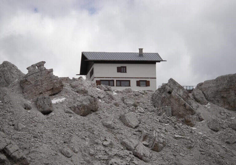
    The return is ringing around the Tofana of Rozes. From the end of the ferrata, under the north wall, climb steeply on the path 403 with a series of hairpin bends up to the Giussani Refuge (2580 m, 1h from the end of the ferrata); from here, always for the 403 narrow between the Tofana of Rozes and Punta Anna, you descend to the Rifugio Dibona (1h from Giussani, 2h from the end of the ferrata, 5h totali).

    ▲To match

    Often it matches downhill to Ferrata Lipella that goes up to the Tofana of Rozes. From the Giussani refuge you can reach Ferrata Formenton at Tofana di Dentro e il Sentiero Attrezzato Olivieri; by Dibona Path equipped Astaldi. To the Falzarego Pass Tomaselli, la Fuses at Sas de Stria e l'Averau.
    ▲Gallery
    Technical data
    • DifficultyModerately Hard
    • RegionVeneto
    • GroupTofa
    • Approach2:30 h
    • Ferrata0:20 h
    • Itinerary (a/r)5:00 h
    • Hardware level difference75 m
    • Route difference830 m
    • Max2573 m
    • Length11,4 Km
  • Ferrata Sasso della Croce and Sasso delle Ten

    Ferrata Sasso della Croce and Sasso delle Ten

    Vie Ferrate › Trentino-Alto Adige › Bolzano
    Ferrata Sasso della Croce and Sasso delle Ten
    Moderately Hard● OpenDescriptionComplexityMapsGallery

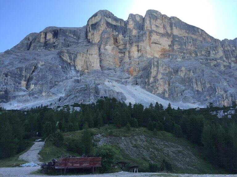
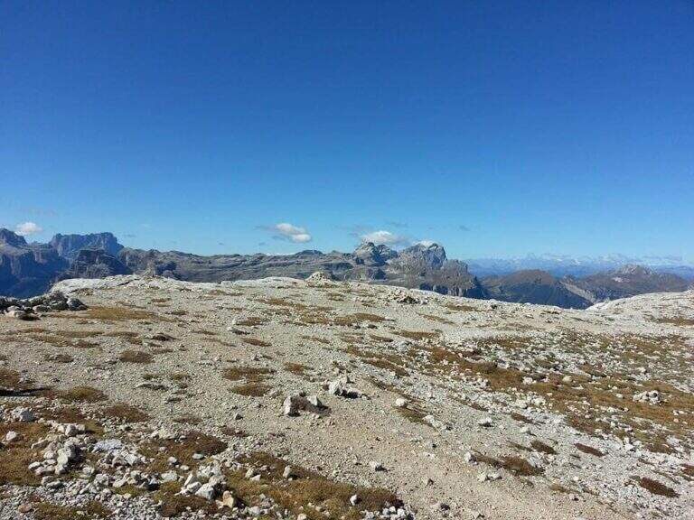
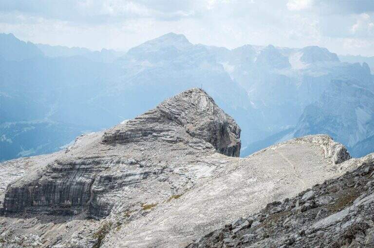
    The combination of ferrates to Sass de la Crusc (Sasso della Croce) and Ten is a great mountain route starting from Badia, in Val Badia. The equipped sections are of medium difficulty, but the path is long (more than 16 km, almost 1000 m of altitude difference) and for wide stretches runs on exposed and unprotected path: it must be faced with good preparation and stable time. In return it offers spectacular views of Val Badia, Sassolungo, Gruppo Sella and the Dolomites peaks of Cortina, with the summit in 3026 m.

    ▲Approach

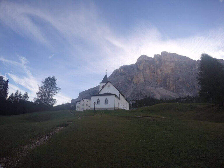
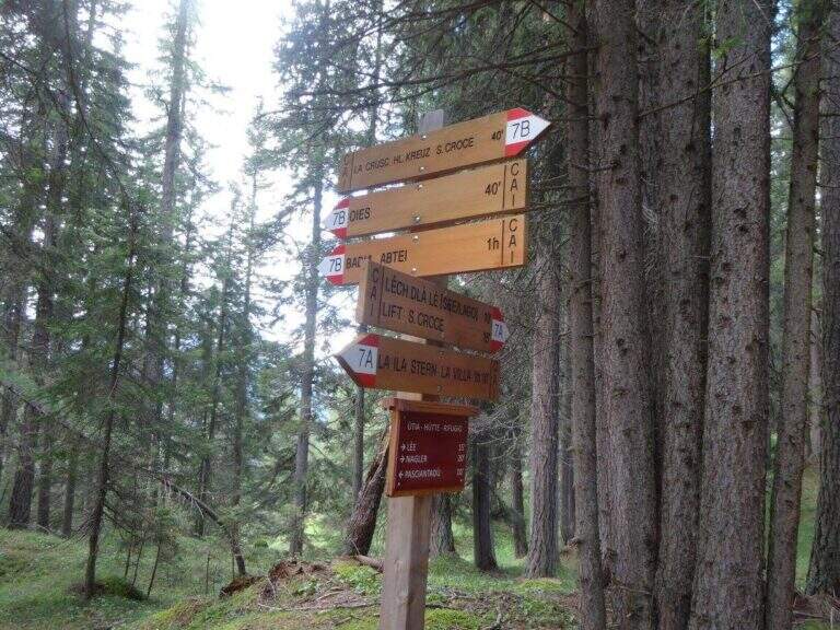
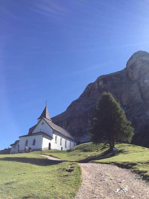
    The support is the Santa Croce refuge, on the eastern side of the Val Badia valley at the height of Badia, reachable with the chair lifts «La Crusc 1» and «La Crusc 2» or walk to the comfortable path 7 from Badia (about 1h 30'). Open road signs on Google Maps. From the mountain station (2045 m) you have in front of the imposing rampart of the Sass dla Crusc, the first destination of the day. Follow the signs 7 passing next to a white church; the path then climbs right towards the south, first sweet among the mughi and then più decided out of the wood, towards the wall. You walk under the rock along a path that takes you via più narrow and exposed: here begins the first equipped section (1h from the mountain station).

    ▲The path

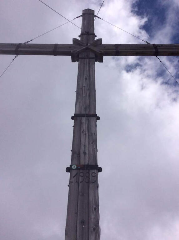
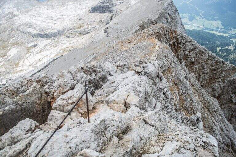
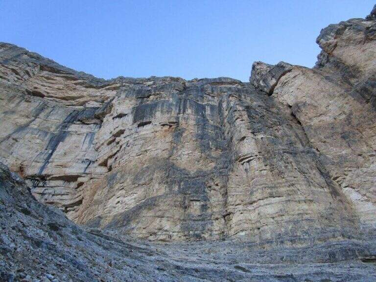
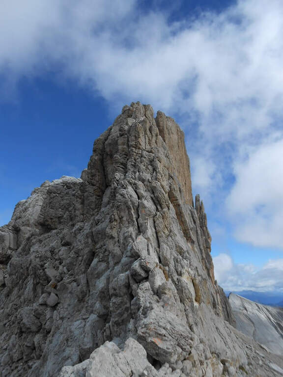
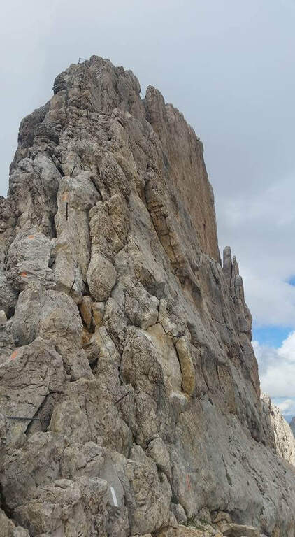
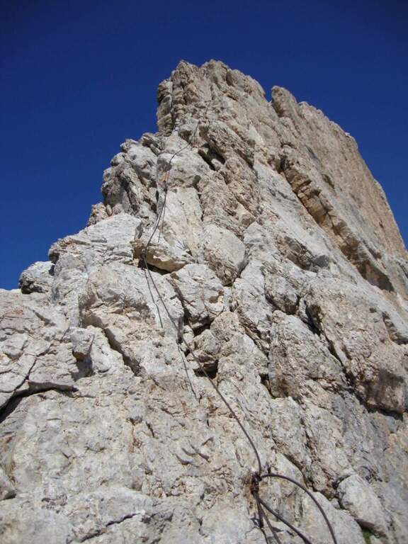
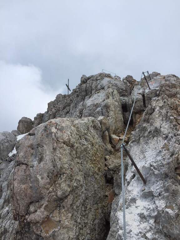
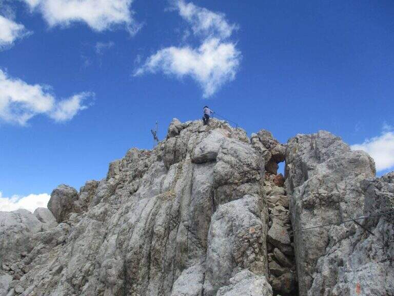
    The first cable helps on an exposed nod followed by a vertical leap; continue alternating halfway path exposed to short equipped stretches. You go up a sloped ramp with the cable on the left and you go on l' exposed path that wanders the south-west wall of the Sass dla Crusc; after a stretch of unequipped rocks you meet a equipped with two metal brackets and an easy crossing. A long nod, più narrow of the preceding, è protected by a self-insurance rope; therefore turns south for l' last stretch of path, partially equipped where it enters a steep franose canal, up to the Forcella dla Crusc (2h 30' in total). At the fork, crossroads of paths, the sinistra is held to stay on the ' plateau. You walk between stones and wreaths a po' slippery but not difficult until the Piz Zuber, then at the junction for the Sass dla Crusc (2907 m, optional but recommended deviation), and continue along the panoramic crest towards Cima Ten. Here begins the second stretch ferrato: short but very exposed, goes up the southern edge for about fifty meters of vertical rocky leaps. After the first metres, a series of più jumps is approached; marked with the cable on the left; from a panoramic balcony rises on a strong display on two challenging sections, then wanders the edge on the eastern side and you see, at about fifteen meters, the wooden cross. A few steps horizontally enters a chimney that goes up in the split, from the right to the left; the last rocks lead to the summit plateau and the croce of Cima Dieci, with a 360° view; (2h from Forcella, 4h 30' in total ). The ridge that detaches towards Cima Nove è travels from its ferrata.

    ▲Character and difficulty

    The first ferrata, the one that leads to the Forcella dla Crusc, è in the complex facile: it has three short and difficult vertical sections; techniques, while the other cables are mainly used to protect exposed paths. The Cima Ten hardware is short but intense, very exposed and with the first metà vertical and demanding.

    ⚠ Itinerary of high mountain, long and with important difference in altitude: it requires good physical form. Several stretches of path before the Forcella are exposed and not protected, not recommended to those who have no mountain or foot experience. Cima Ten requires no dizziness. The stability of the weather is fundamental: there are no real points of support and are equipped both at the beginning and at the end of the tour, to avoid with unstable weather.

    ▲History

    The Sasso della Croce è linked to the history of ' mountaineering by Reinhold Messner: in July 1968, climbing the Pillar of Mezzo with his brother Günther, he found himself in a smooth four-metre plaque from which he could not né climb né Get down. The superò, as it tells in its famous «Settimo Grado», and the attributables; an evaluation of VIII degree, until then never used; it should be remembered that the facedò with rigid sole boots.

    ▲Period and safety

    The GPS tracks (GPX and KMZ) can be downloaded from the card; the 4Land Val Badia map is useful for the area.

    ▲Discipline

    The descent takes place along the same path of the ' gone; the two equipped sections require special attention because of the eacute; downhill routes (3h from the summit, 7h 30' overall).

    ▲To match

    Hardly this tour leaves energy for a second ferrata in the day, but on several days from the Forcella dla Crusc you can climb to the Piz de Lavarella and get off towards the Sentiero Attrezzato Tru Dolomieu. In Val Badia there is Ferrata della Pace; by Corvara, on the Sella Group Ferrata at Piz de Lech and that of Vallontowards Passo Gardena la Ferrata at Gran Cir and, towards the Furcia Pass, the new Ferrata at Piz de Peres.

    ▲Gallery
    Technical data
    • DifficultyModerately Hard
    • RegionTrentino-Alto Adige
    • GroupRock of the Cross
    • Approach2:00 h
    • Ferrata0:45 h
    • Itinerary (a/r)7:30 h
    • Hardware level difference75 m
    • Route difference979 m
    • Max3026 m
    • Length16,1 Km
Need help? Write to us!