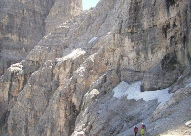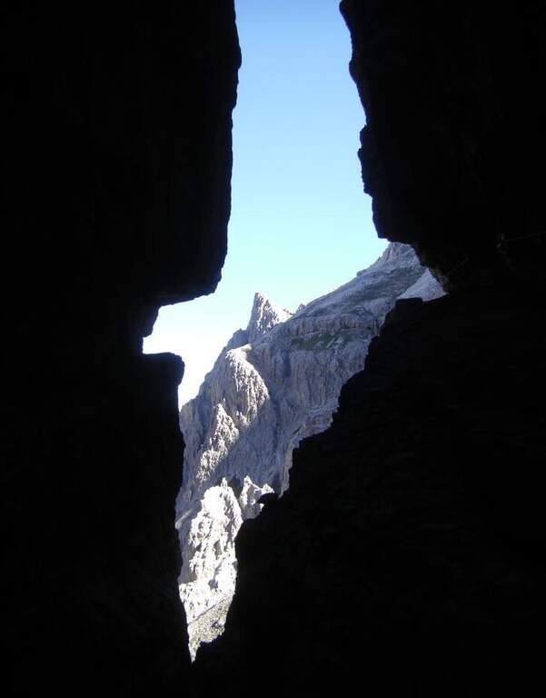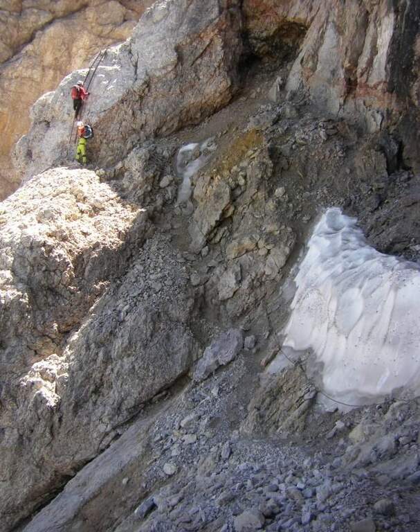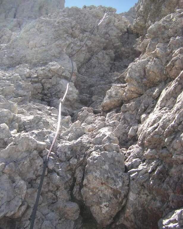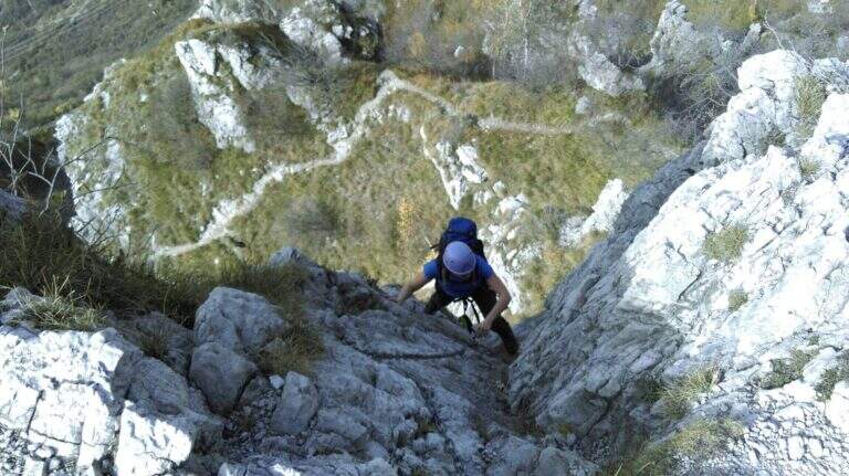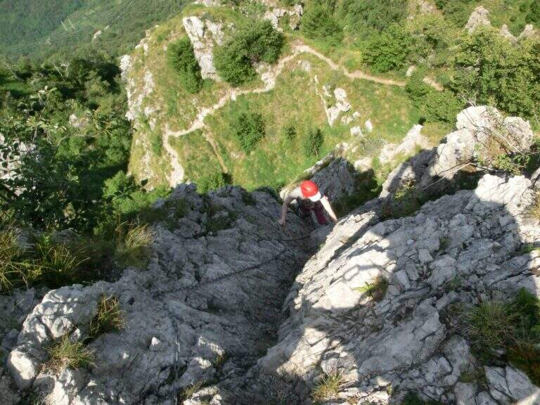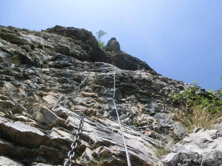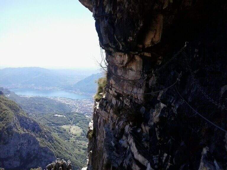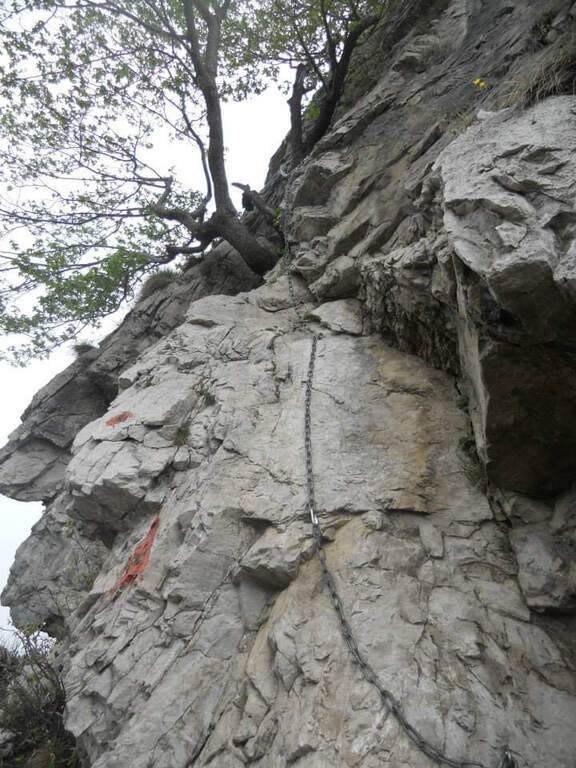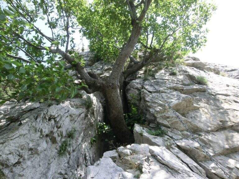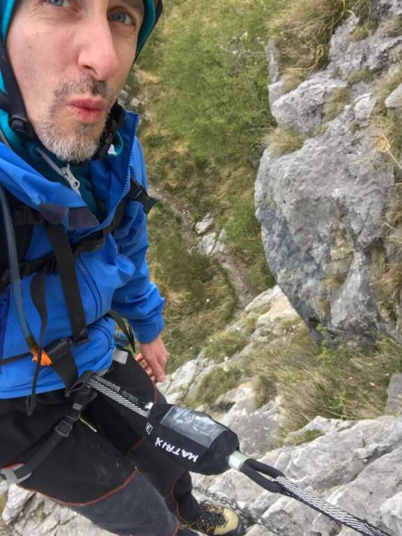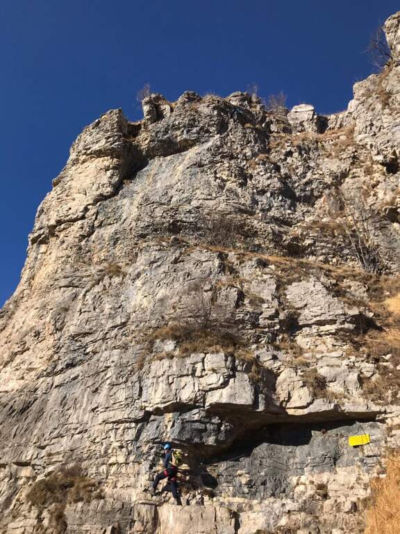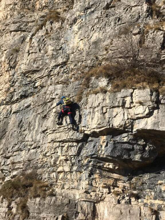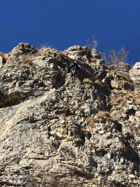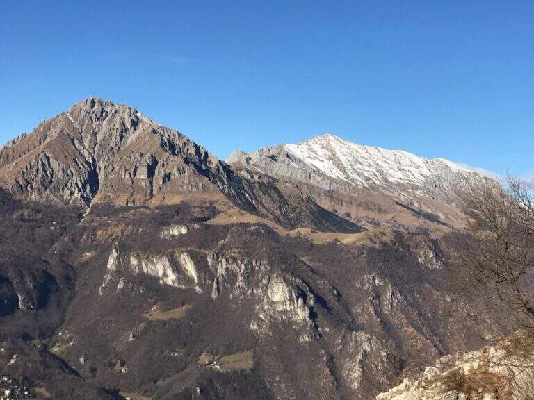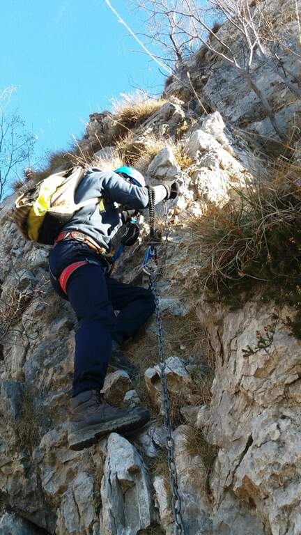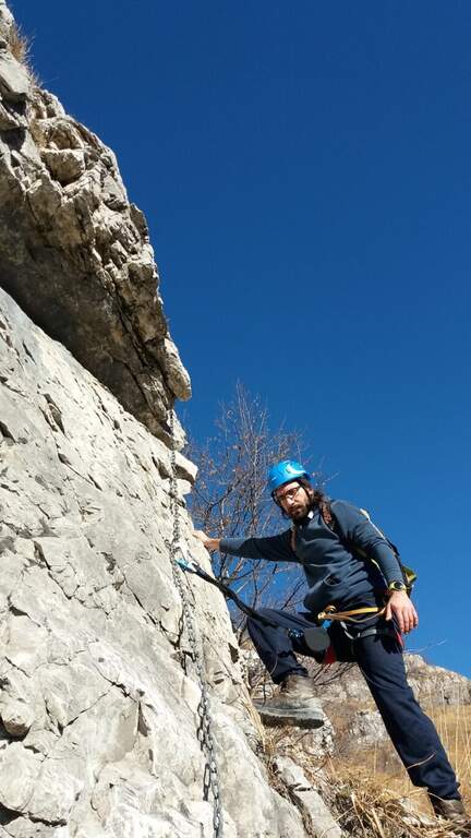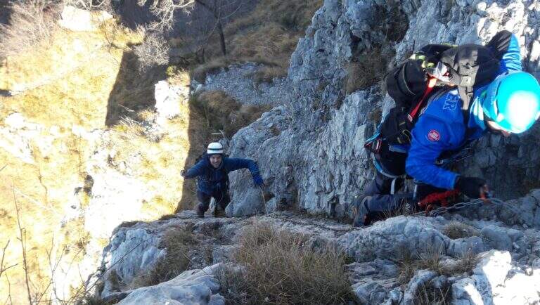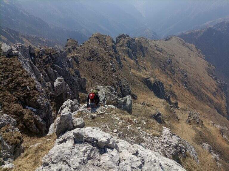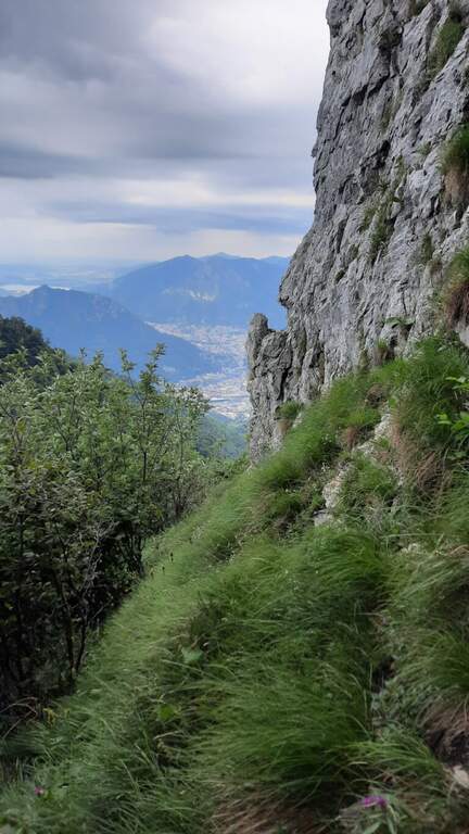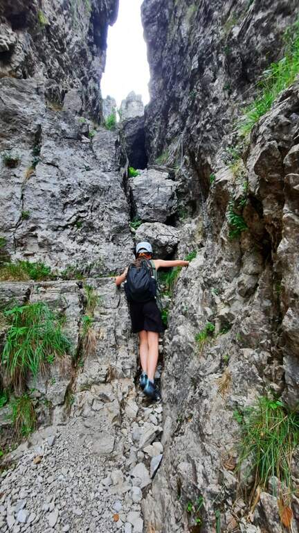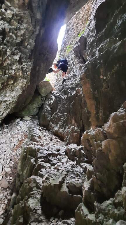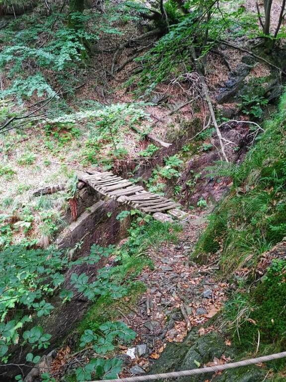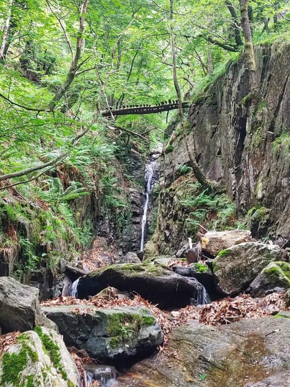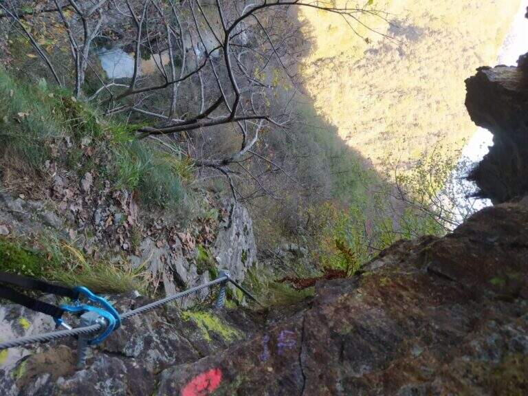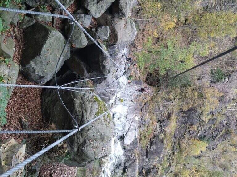
Caratteristica: Tratti esposti

  • Sentiero Attrezzato degli Alpini in Punta Charrà

    Sentiero Attrezzato degli Alpini in Punta Charrà

    Vie Ferrate › Piedmont › Turin
    Sentiero Attrezzato degli Alpini in Punta Charrà
    Moderately Hard● OpenDescriptionComplexityMapsGallery

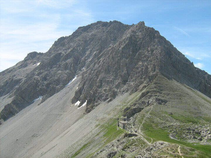
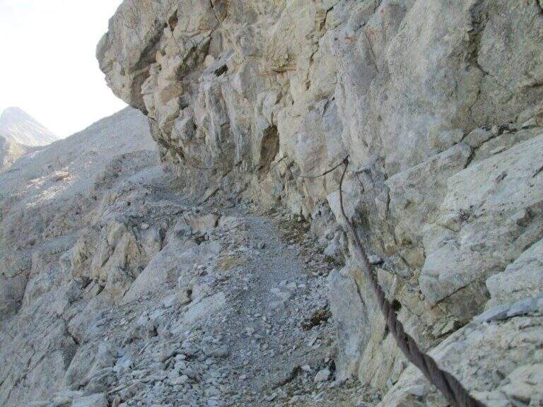
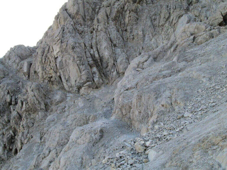
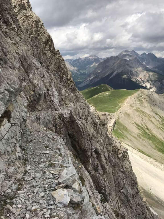
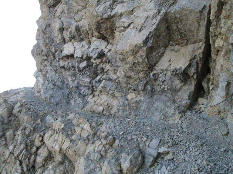
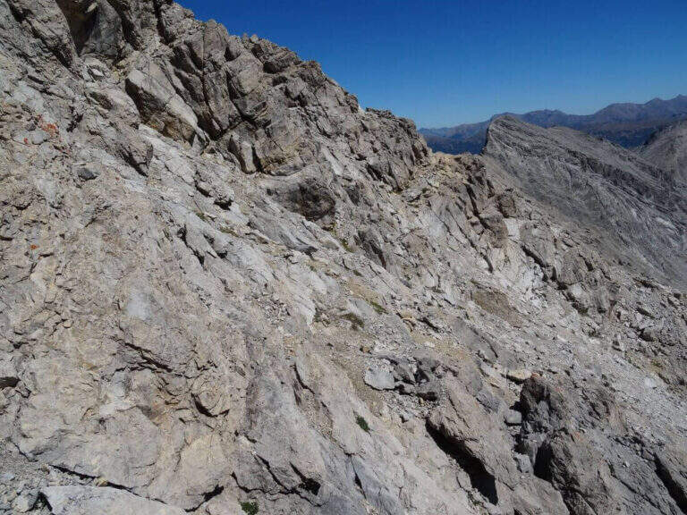
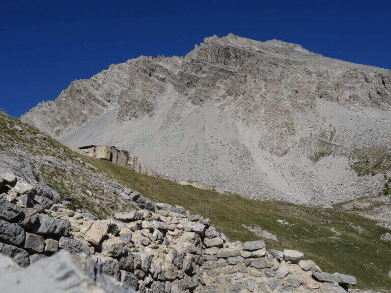
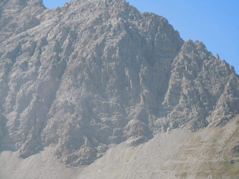
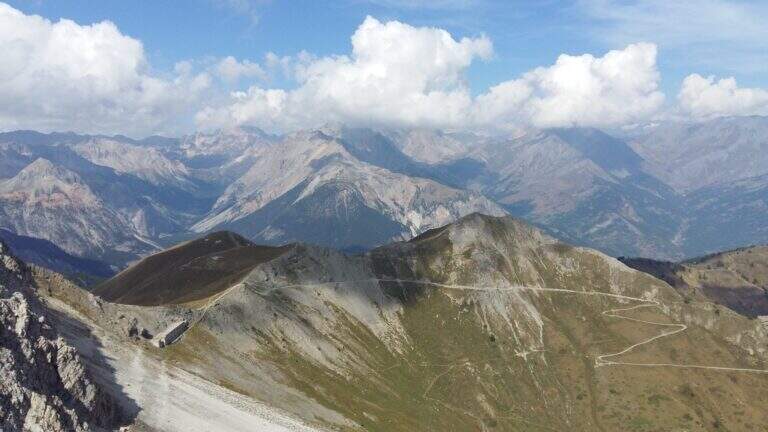
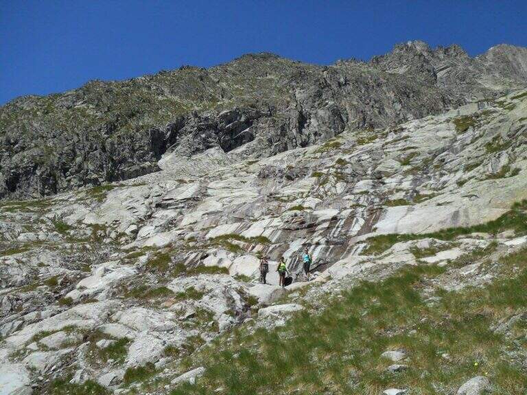
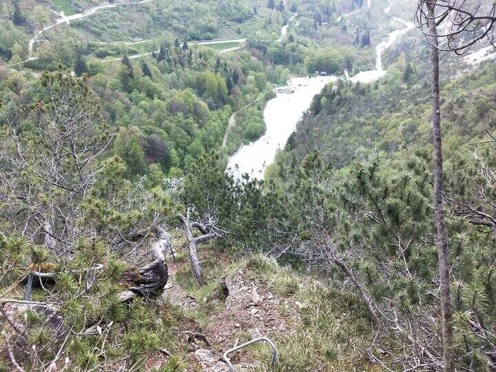
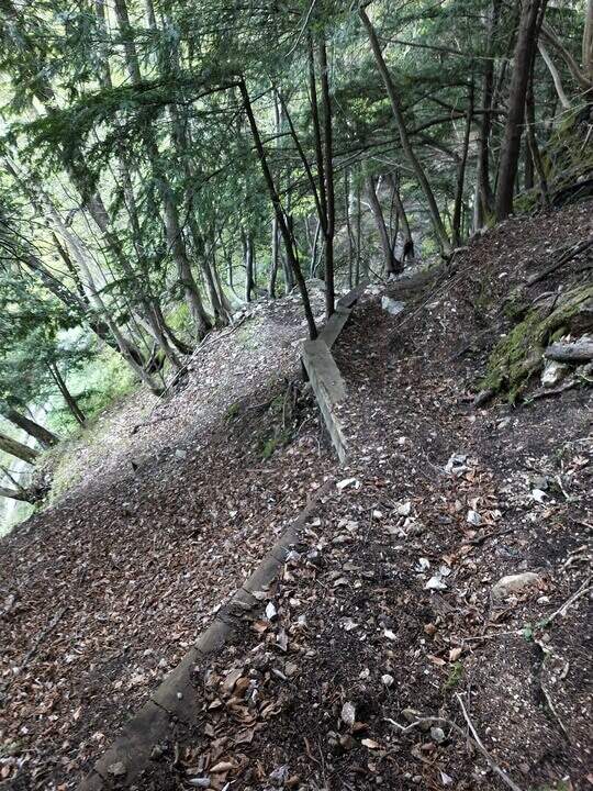
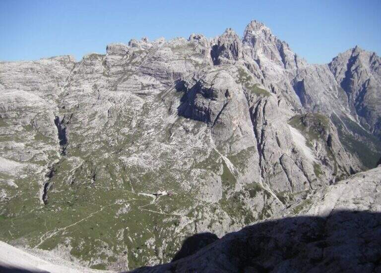
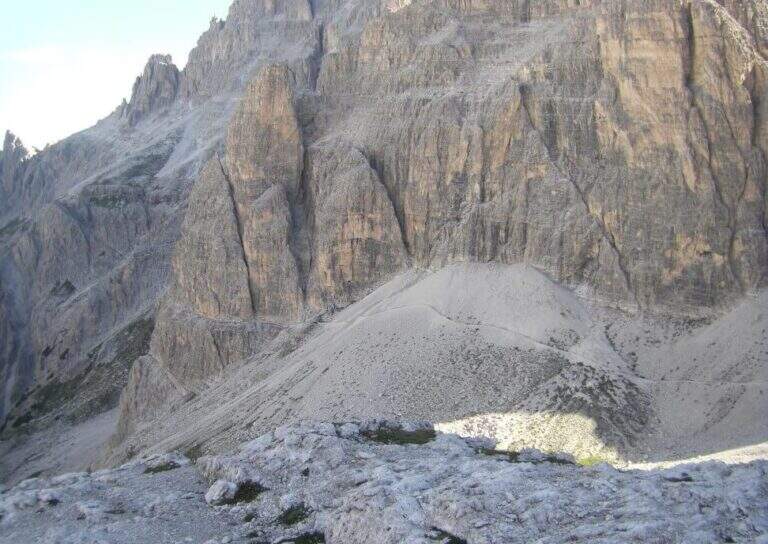
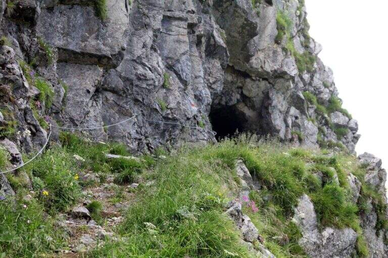
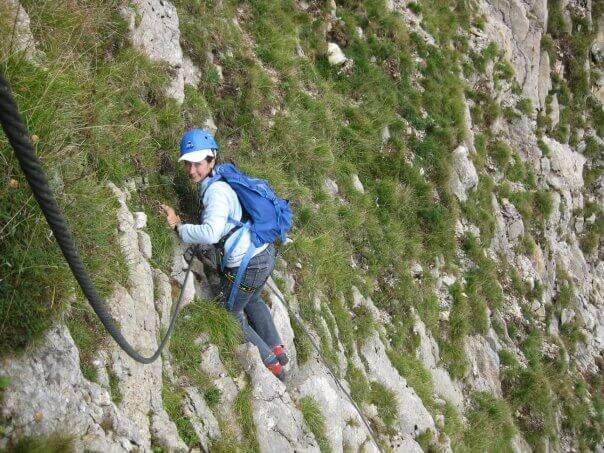
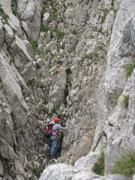
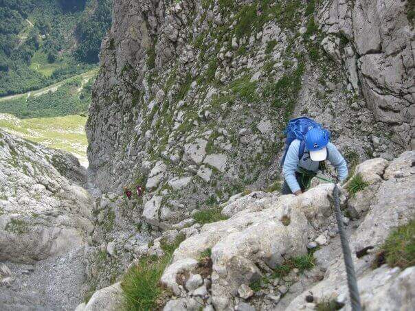
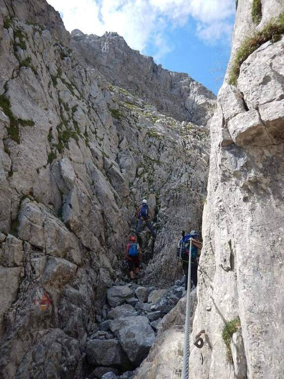
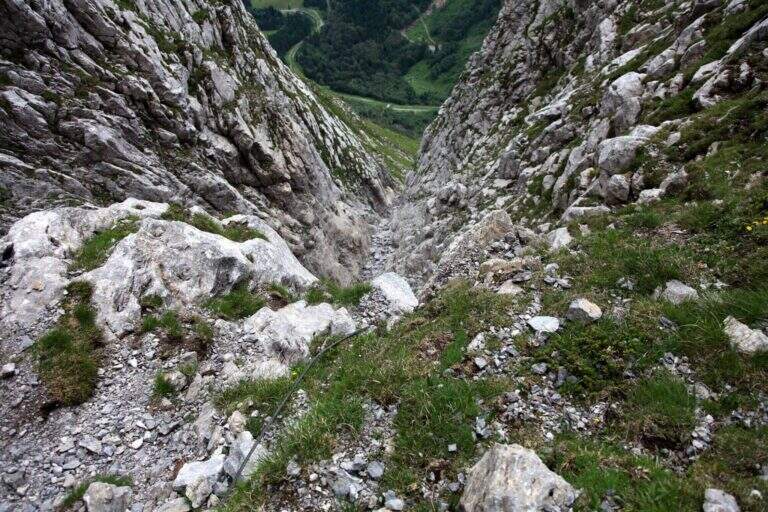
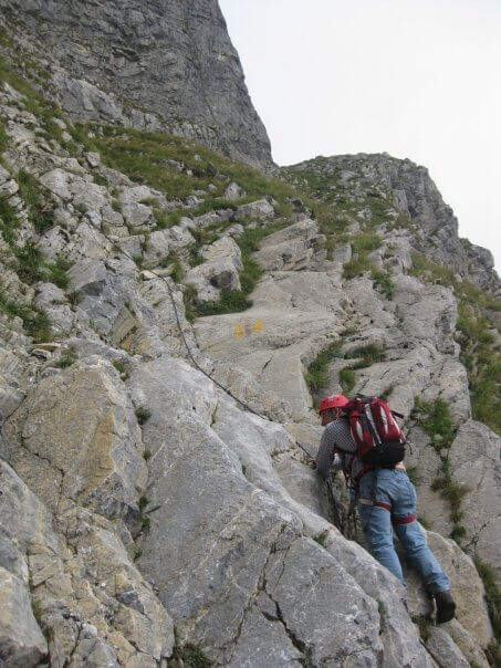
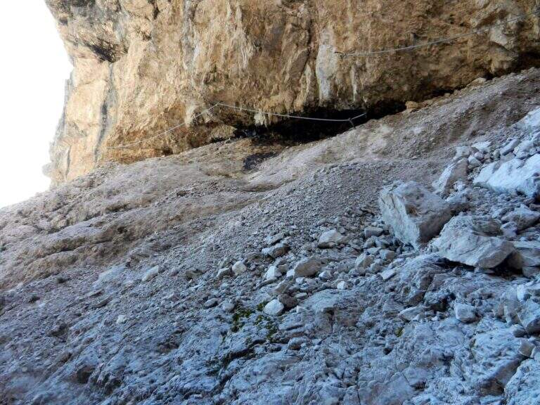
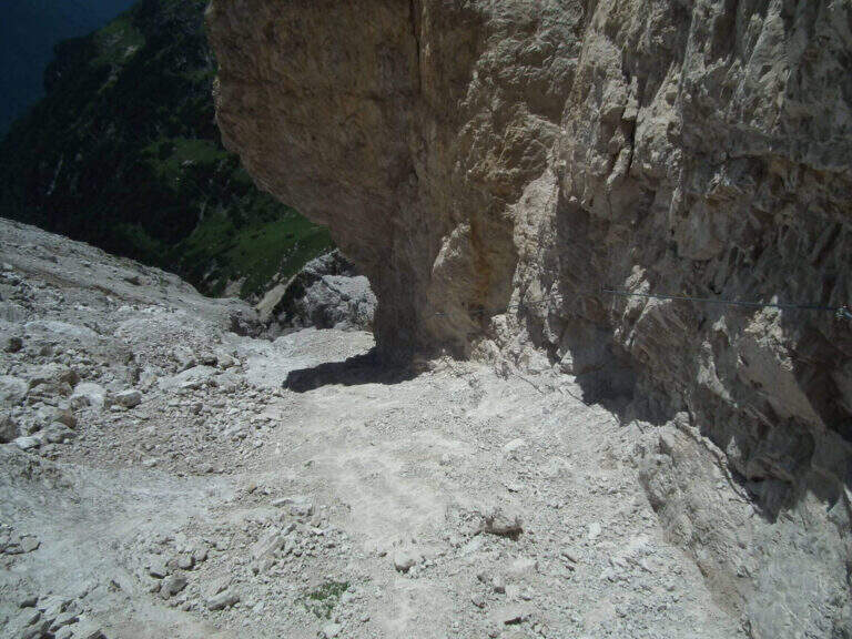
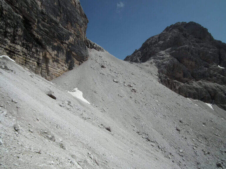
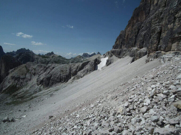
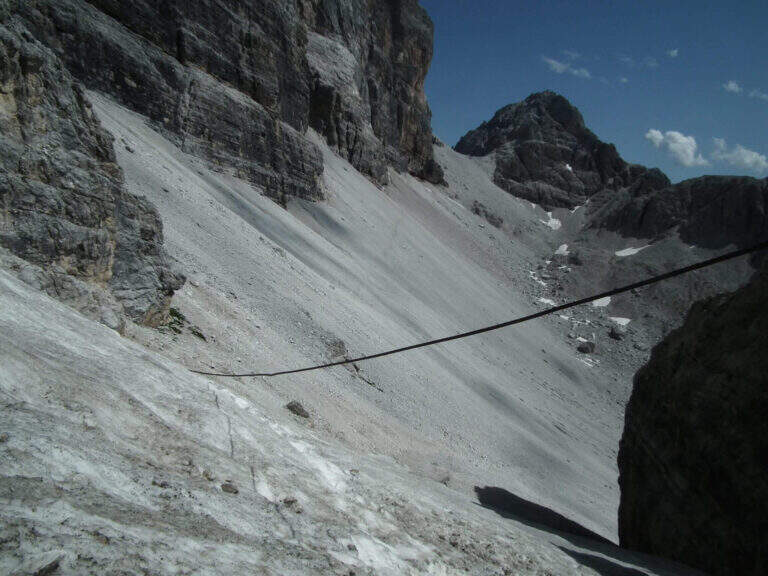
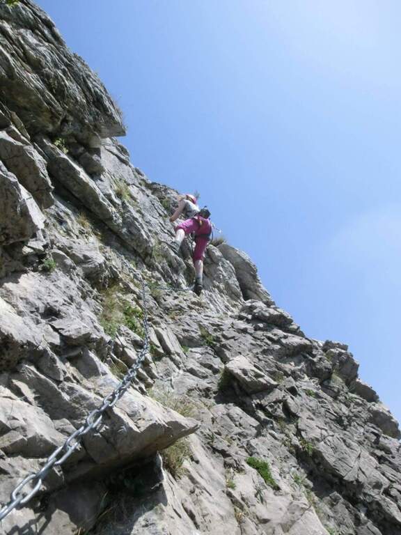
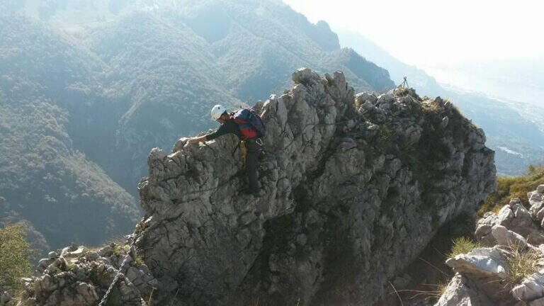
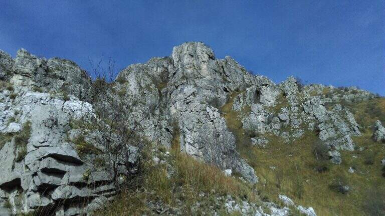
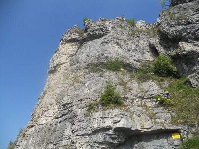
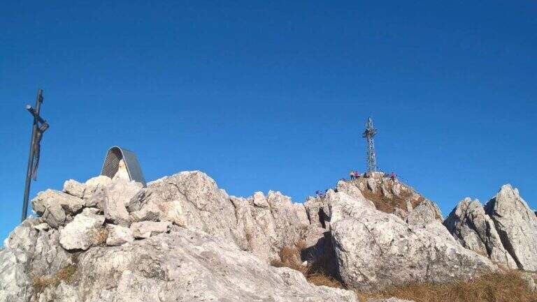
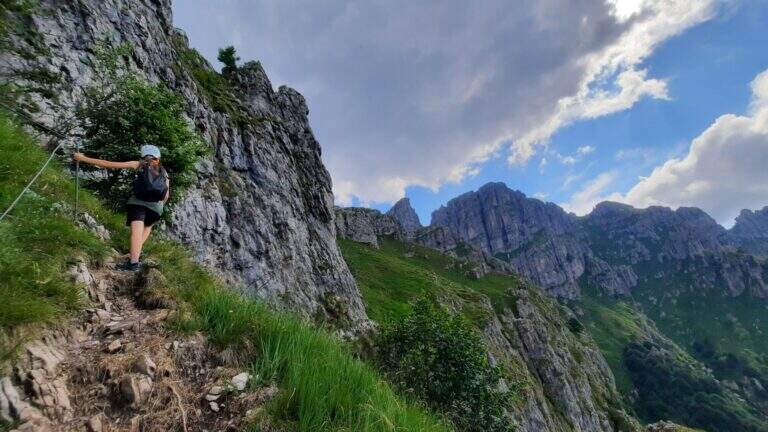
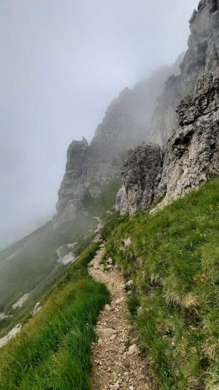
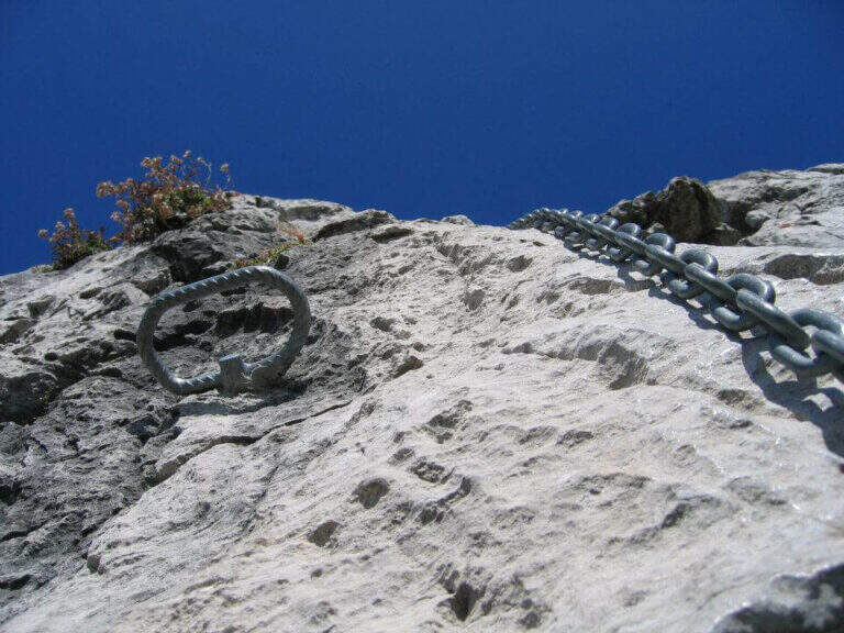
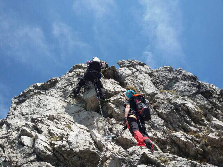
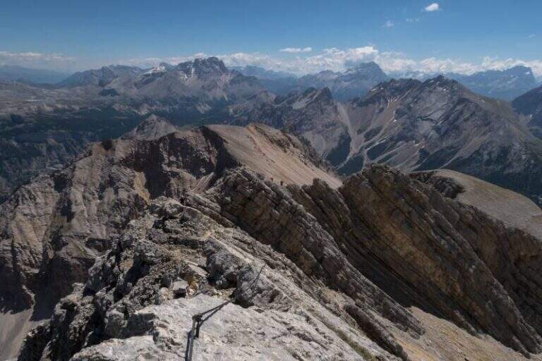
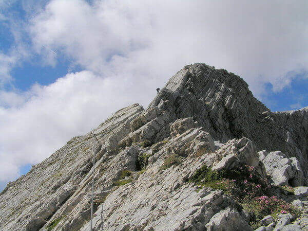
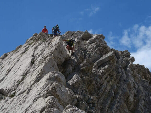
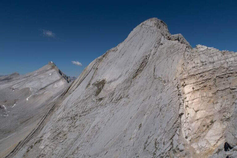
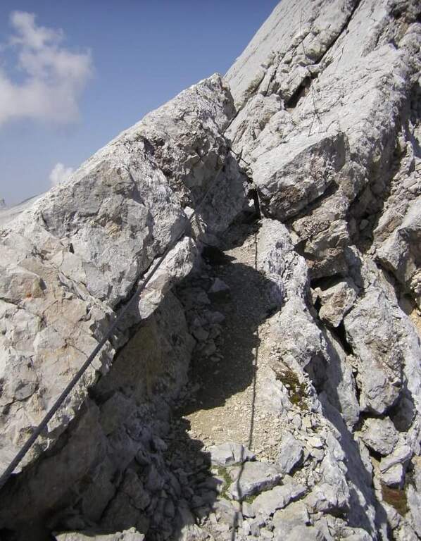
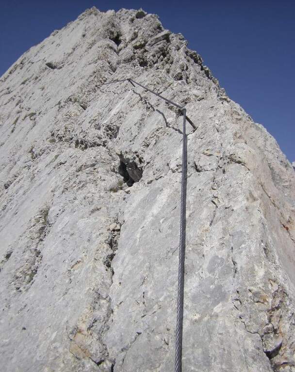
    On the ridge that divides Italy and France over Bardonecchia, this equipped path connects the Passo della Mulattiera to Passo della Sanità, at the foot of Punta Charrà. The development is almost entirely horizontal: the equipment is mainly used to secure the progression on soil at times unstable and on thin waxes, while the vertical passages are practically absent. There is a long itinerary and great hiking breath, but to be faced with stable time because along the path there are no support points.

    ▲Approach

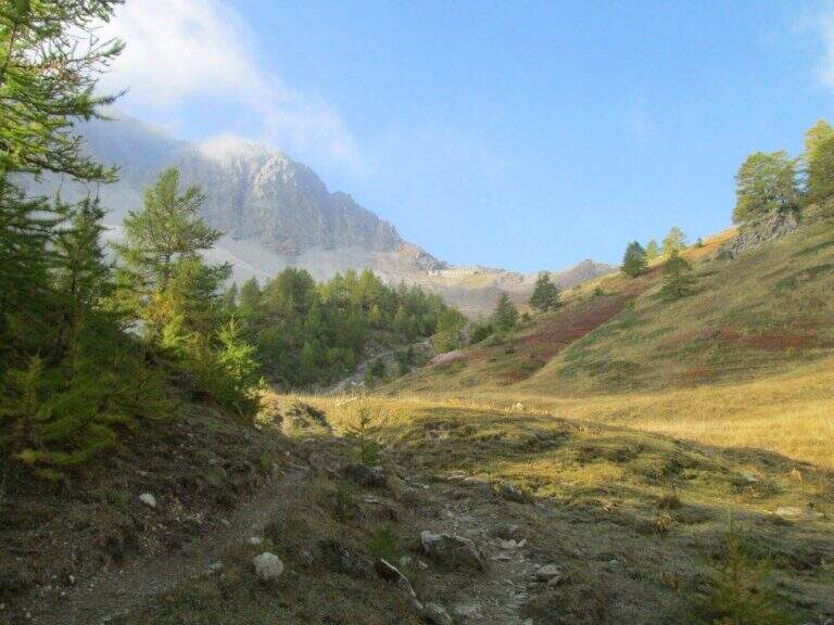
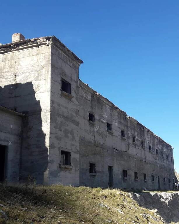
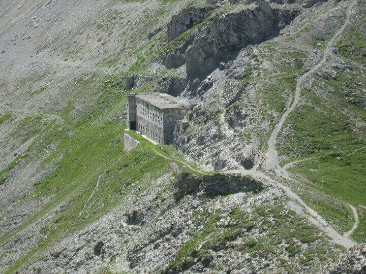
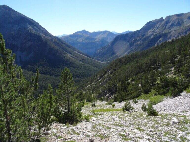
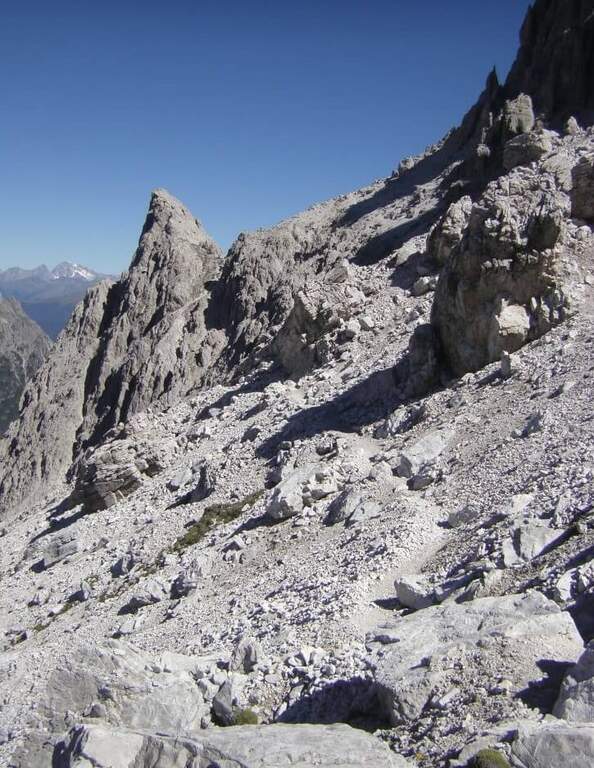
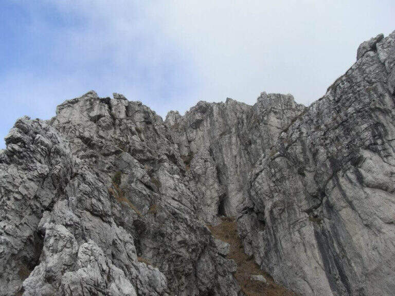
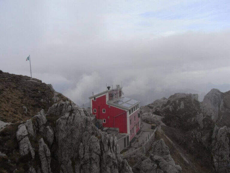
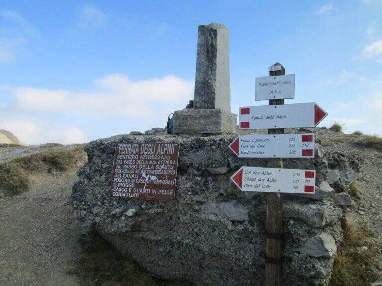
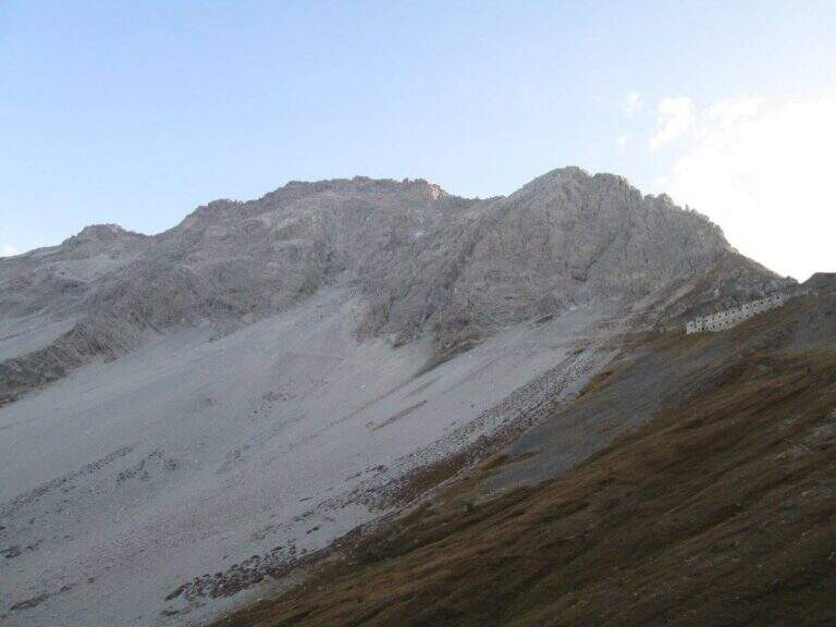
    The recommended base is the Colletto del Colomion, which can be reached by cable car from Bardonecchia (Pian del Sole) and by car. Who climbs by car points to the small town of Puys: you arrive first to Beaulard, in Val di Susa, and — going up from the valley — just before leaving the village you cross the railway to the left taking Via San Giusto; you follow it up to a blue sign that indicates Puys at 3 km, on narrow but asphalted road. From Puys you continue on dirt until the Colletto del Colomion, where you should leave the car because beyond the bottom becomes difficult (open up Google Maps). From the parking lot you walk on the dirt road towards the Passo della Mulattiera: the path climbs first to the edge of the forest in a beautiful valley, then cuts halfway up to the pass (2412 m, 1h15 from the parking lot), where rises the barracks of the Alpini XVI, abandoned but visitable. The Passo della Mulattiera is a well-marked crossroads: it is held the left towards Punta Charrà, which faces the obvious carving in the rock. It avoids the steep direct ridge and cuts diagonally the north slope, on a blue track and radi signs, until the beginning of the equipment (15′ from the step, 1h30 from the parking lot).

    ▲The path

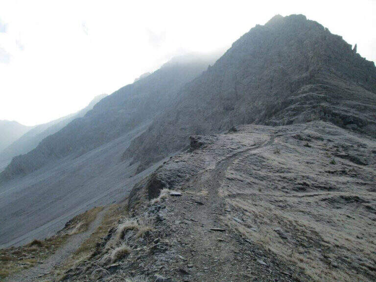
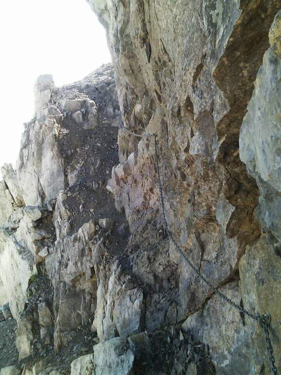
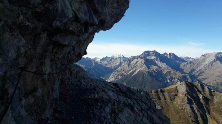
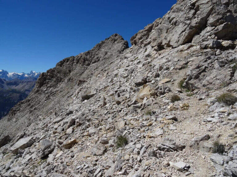
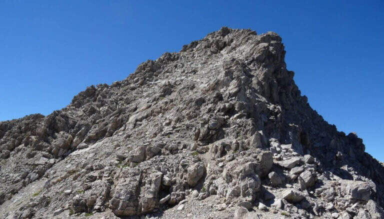
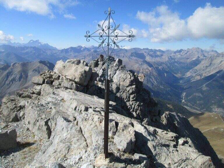
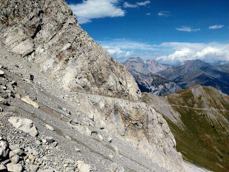
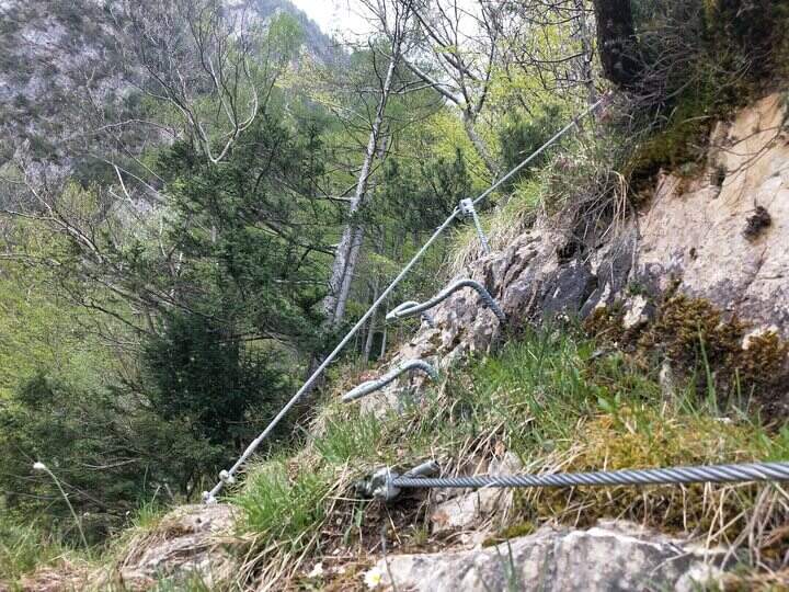
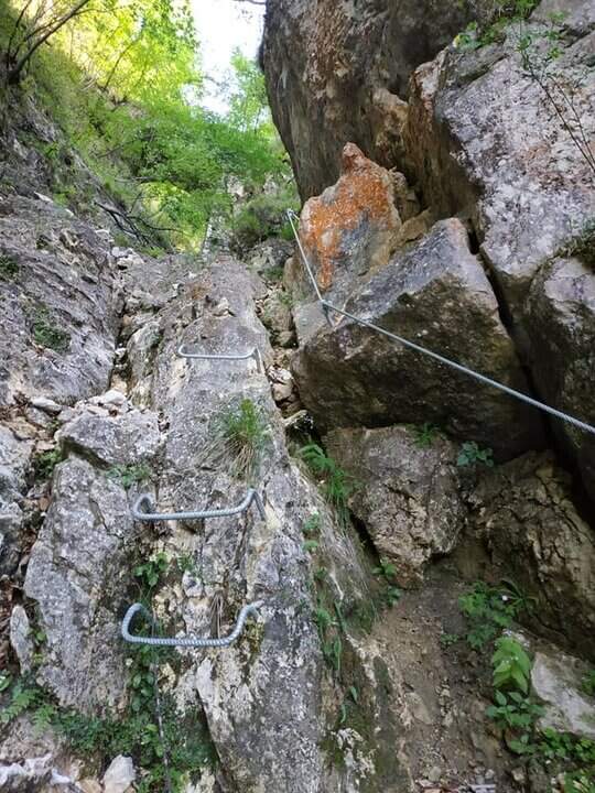
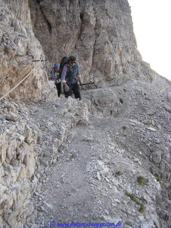
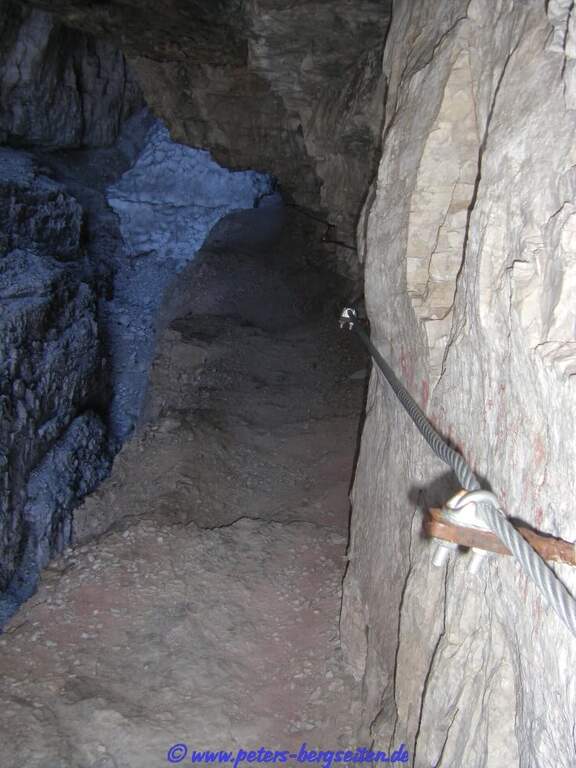
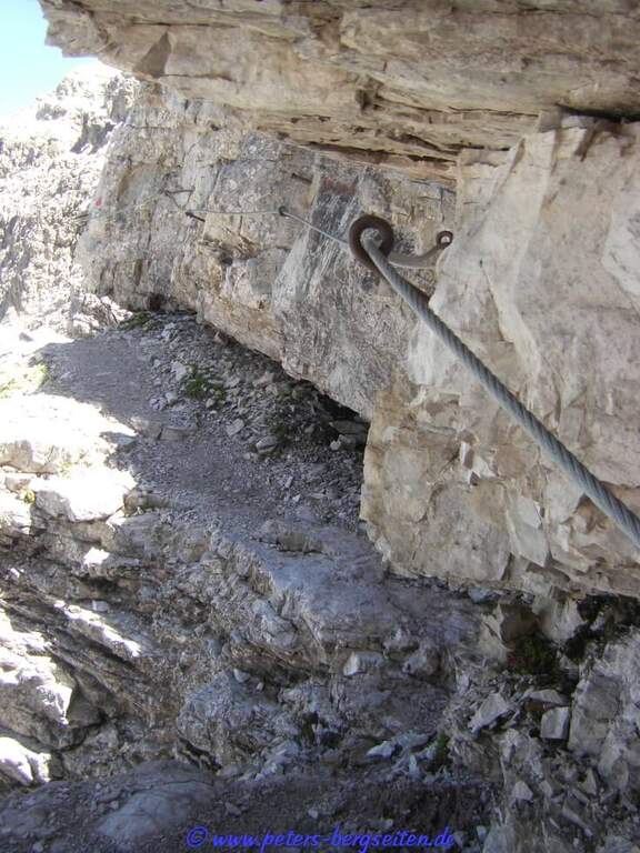
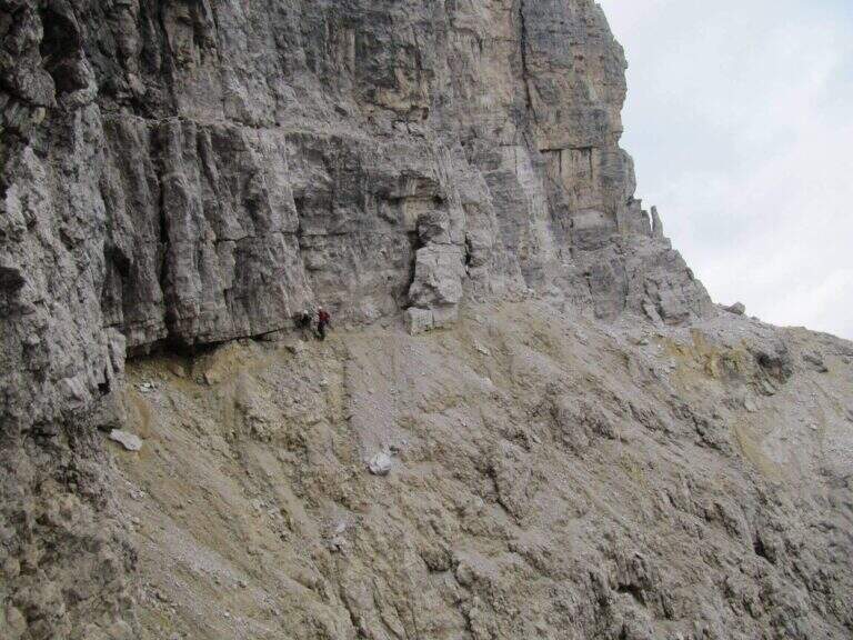
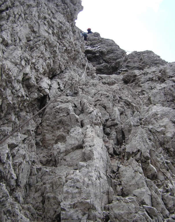
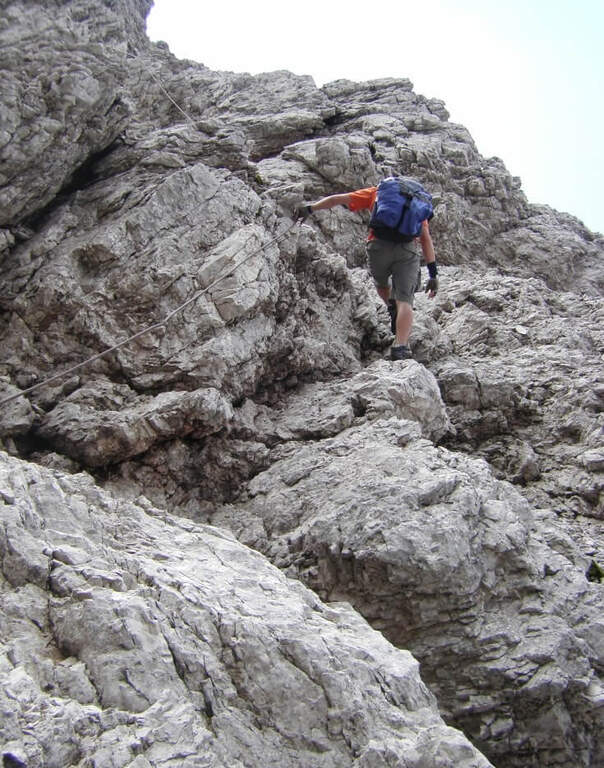
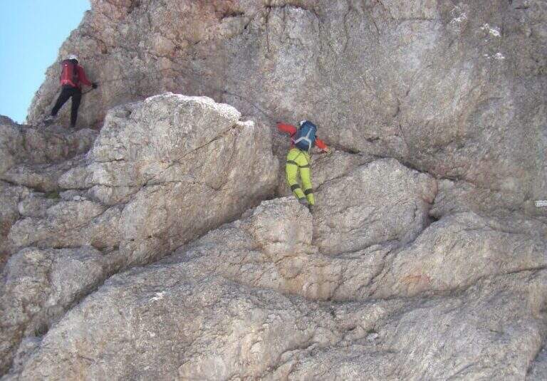
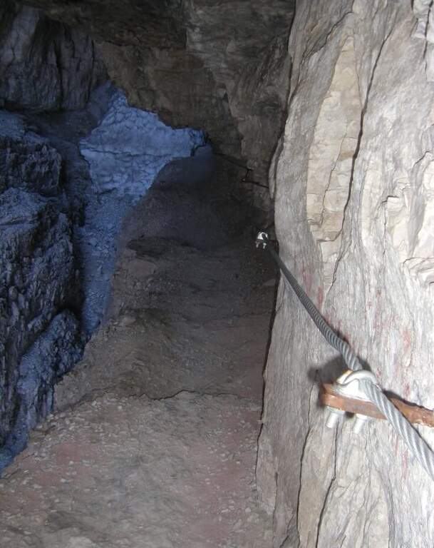
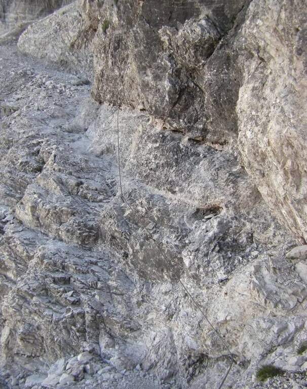
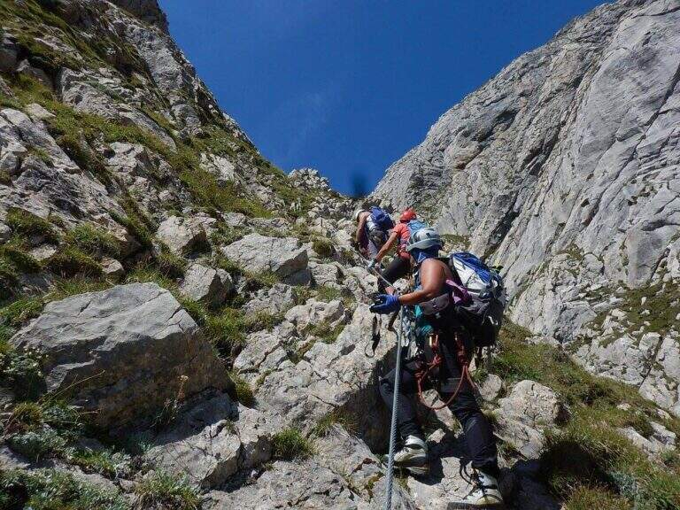
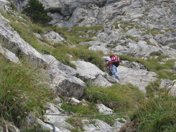
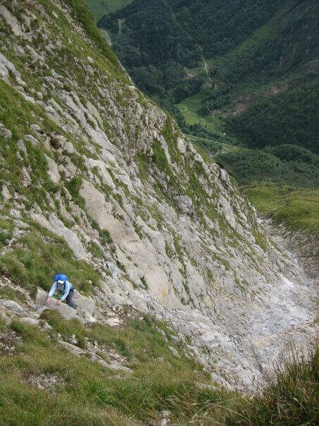
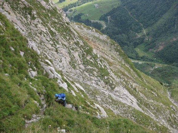
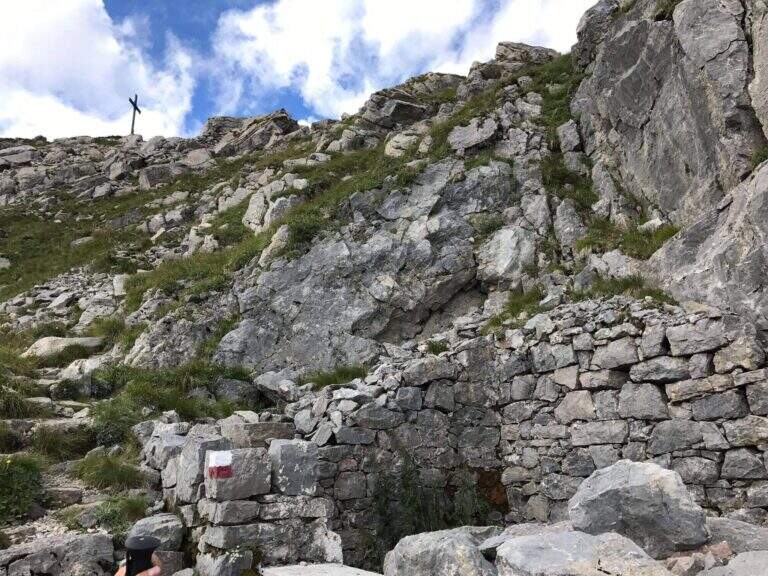
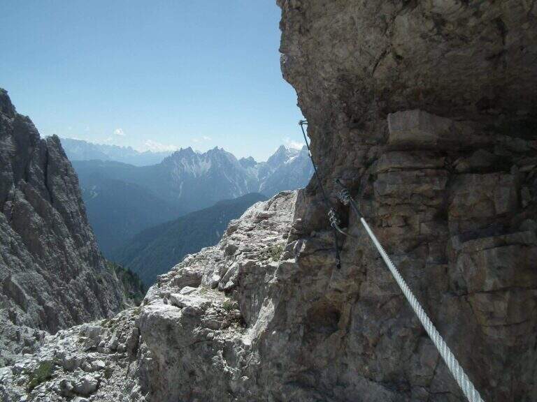
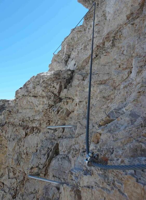
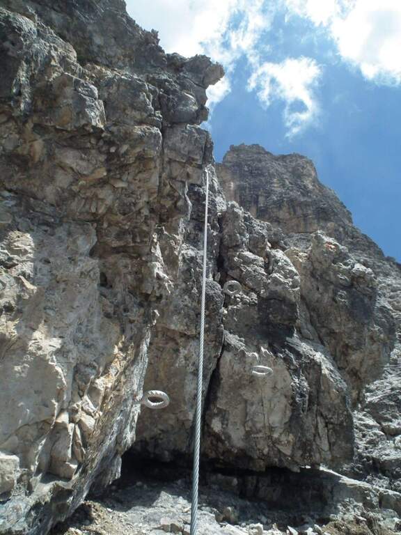
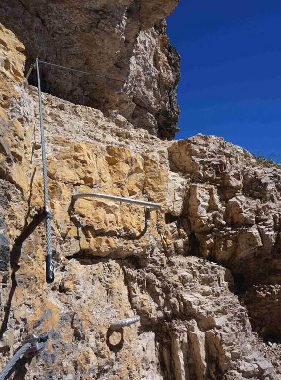
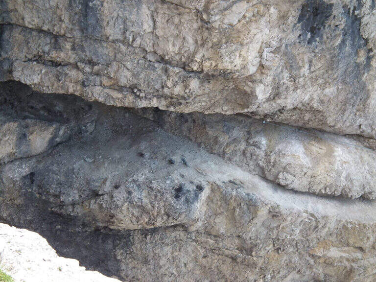
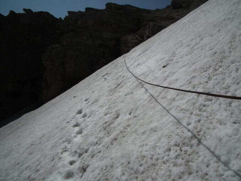
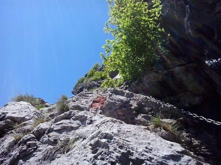
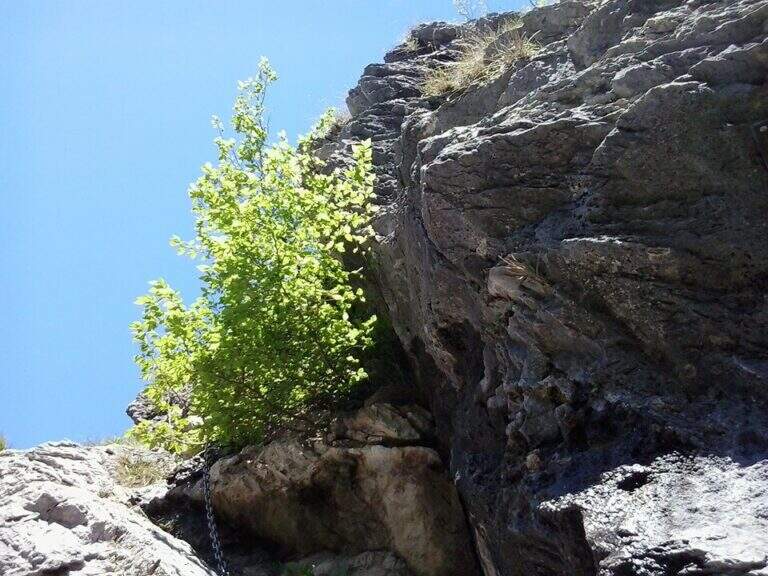
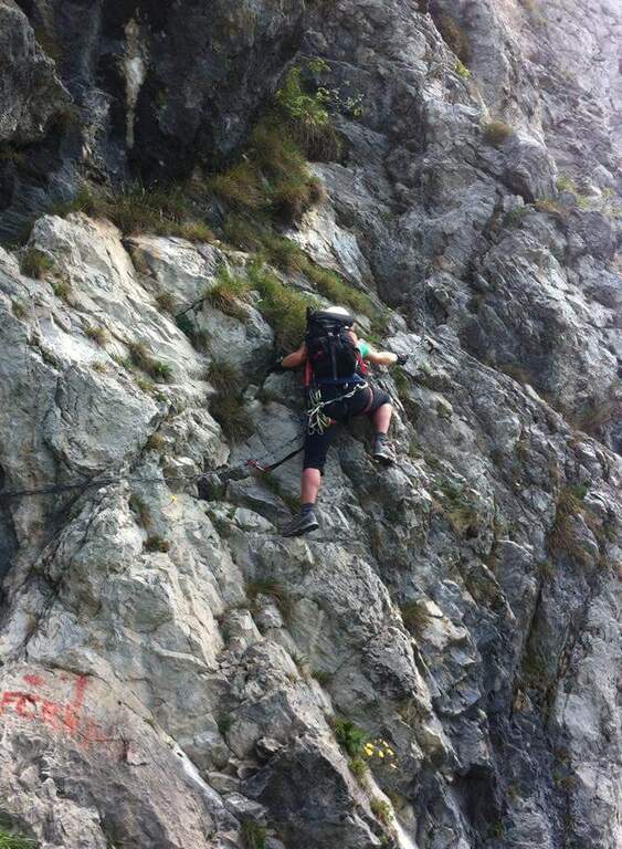
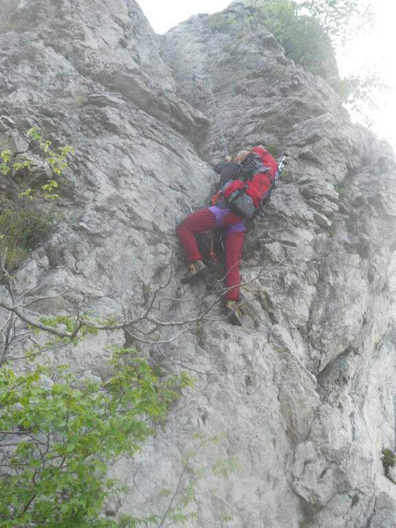
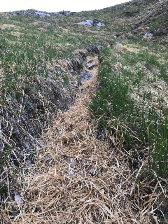
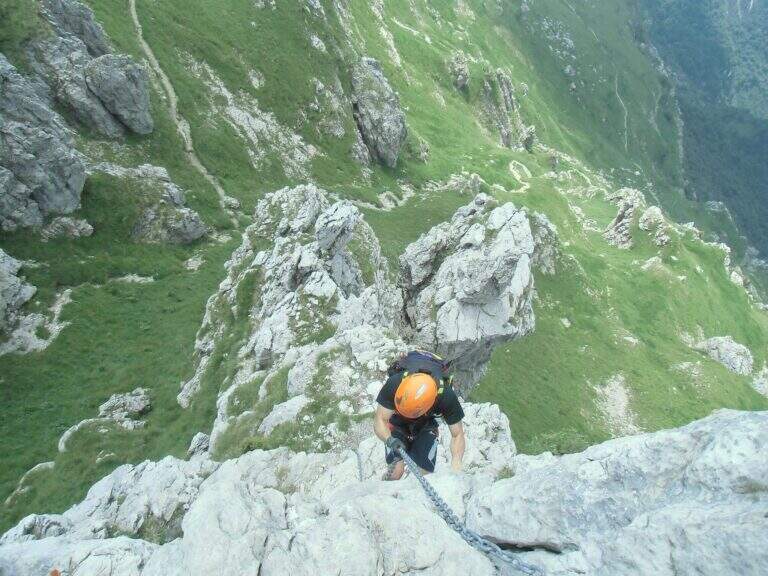
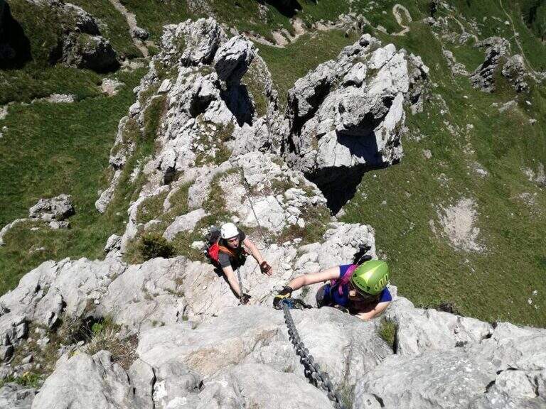
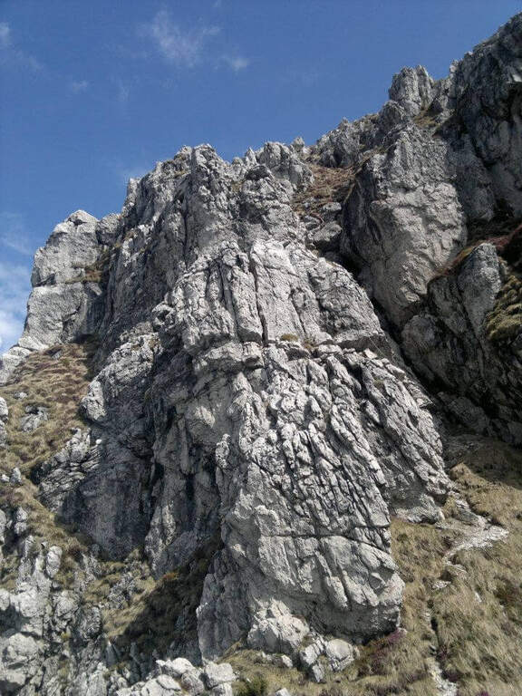
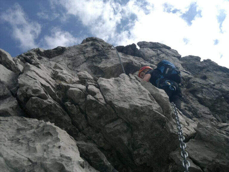
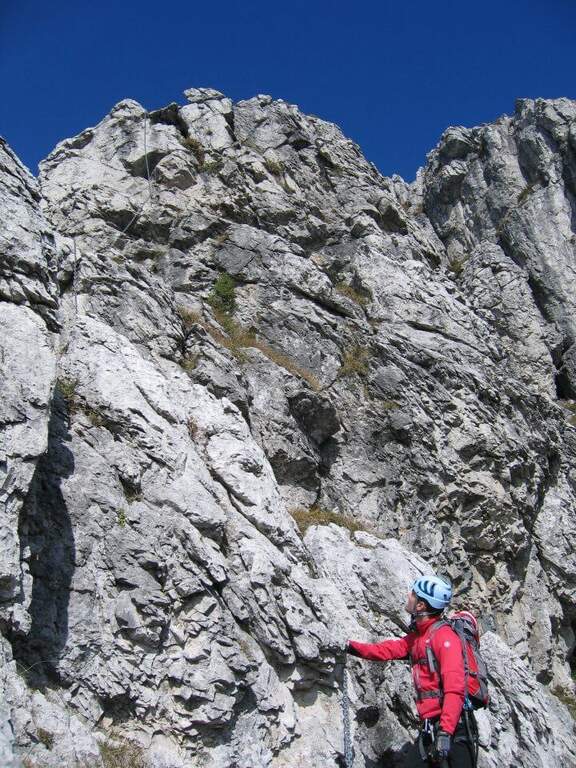
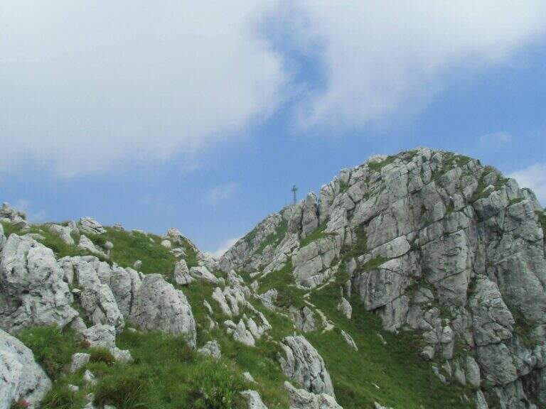
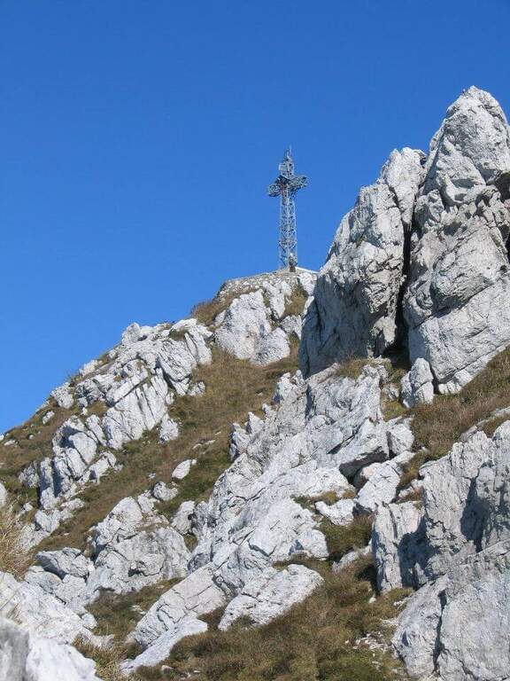
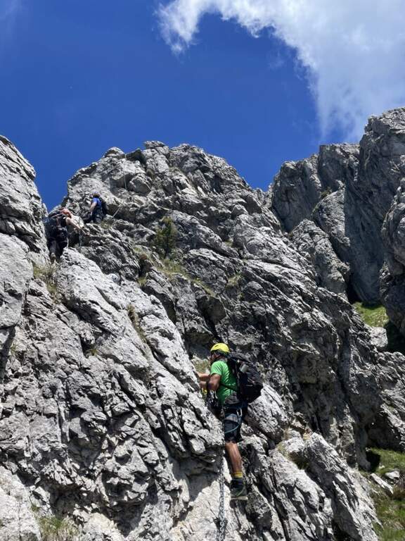
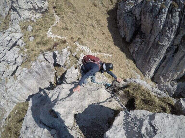
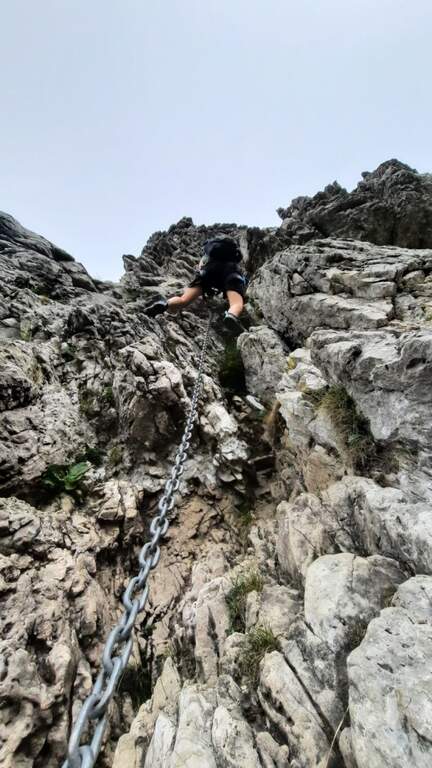
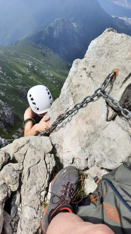
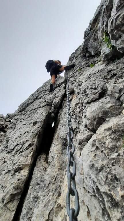
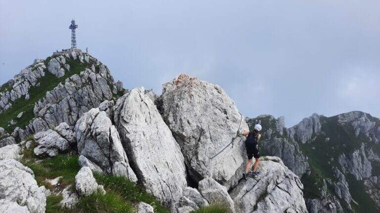
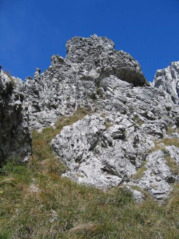
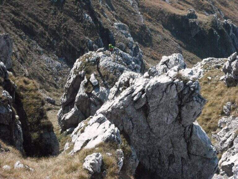
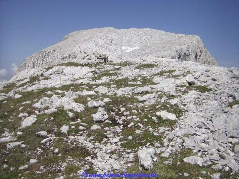
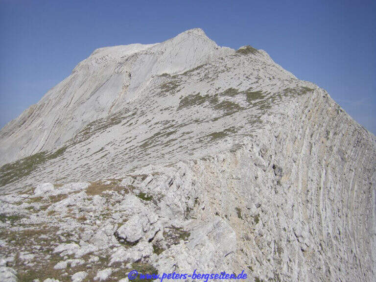
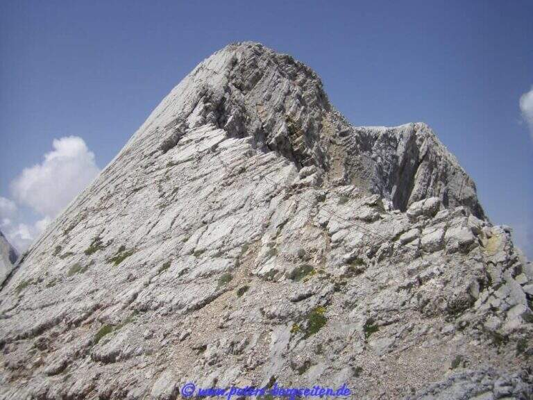
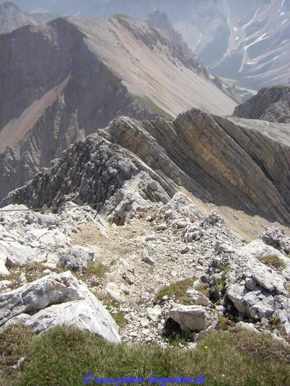
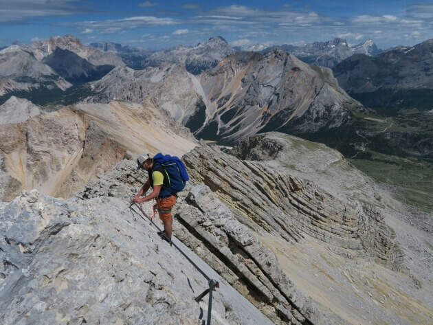
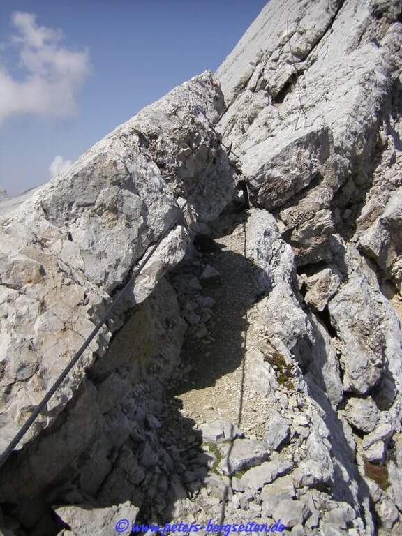
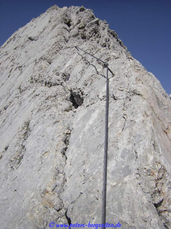
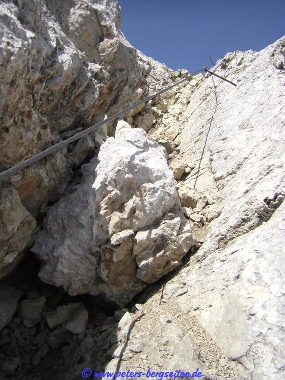
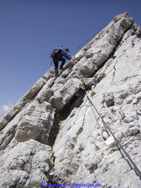
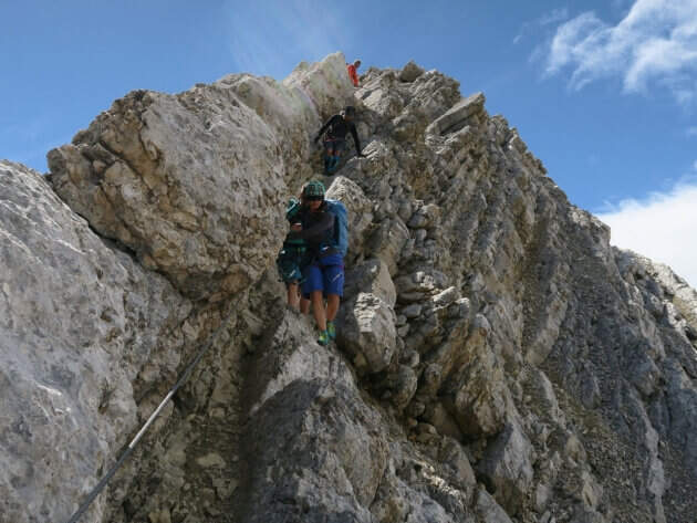
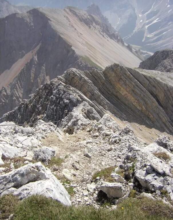
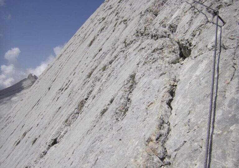
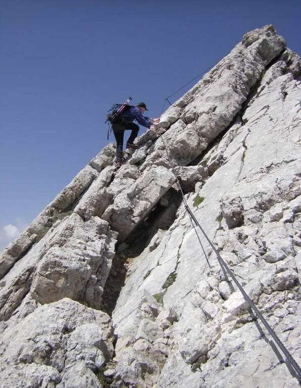
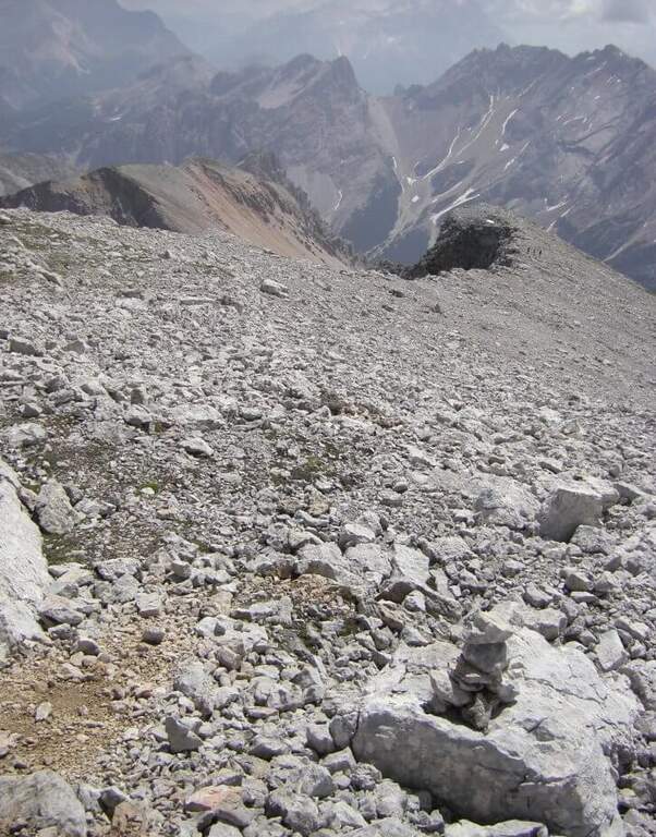
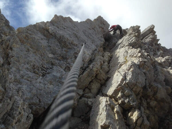
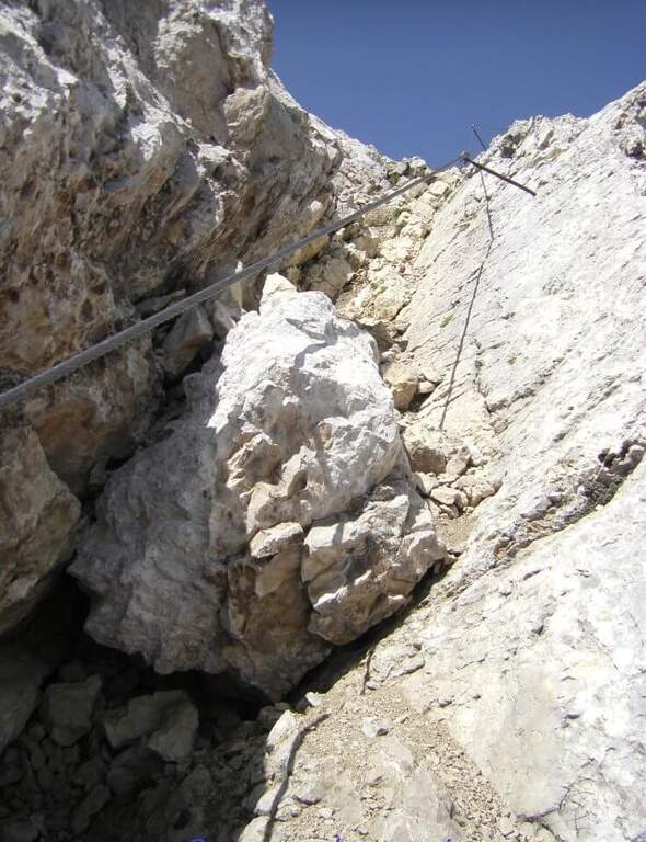
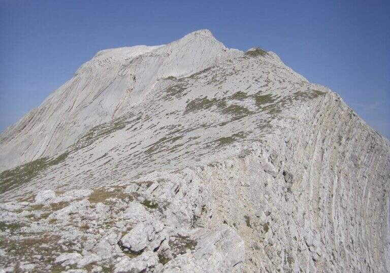
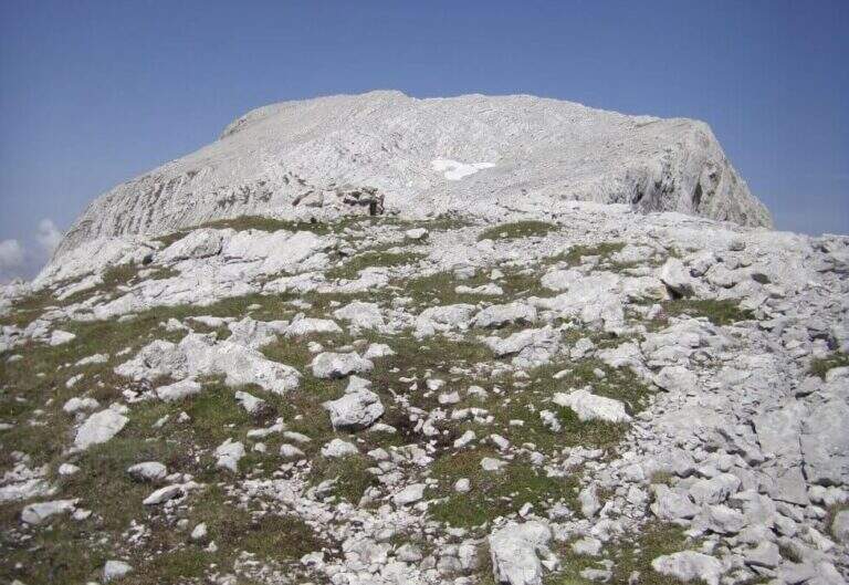
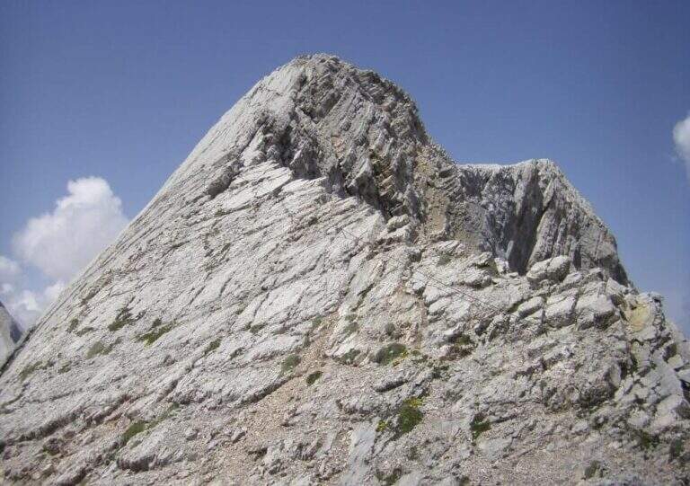
    The cable starts along a nod, first flat and then more marked. At first the rope is dated and lasca, but the ease of the soil does not create problems; later the nod shrinks and the bottom, made of guinea pig, gives little safety, so the cable acts as a precious handrail. We proceed between carvings and canals to be overcome with cable or chains, always to your right, with exposure that grows but technical difficulties almost null, except some point for the infido fund. The equipment ends at Passo della Sanità (2629 m, about 1h from Passo della Mulattiera). The optional climb — but recommended — to the summit follows the obvious ridge: you first gain a grassy slope on easy track up to a first natural carving, then you climb with caution between smossi rocks, transverses, spikes and rocks, following the numerous omits and red signs; where you do not follow the dorsal remains on the south side. After a couple of ups and downs you touch the top of Punta Charrà (2843 m, 1h from Passo della Sanità, 2h from Passo della Mulattiera, about 3h30 overall).

    ▲Character and difficulty

    Taken to itself, the equipped part is easy and without real technical difficulties, developing mainly horizontally. What is committed is the high mountain environment: the excursion is long and requires preparation, experience and orientation, especially in case of uncertain weather. The equipment was modernized and in good condition at 2021.

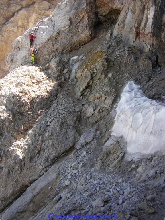
    ⚠ Itinerary not recommended with unstable weather: the route lacks support points. Also at the beginning of the summer season it is not rare to find snowy canals in rather exposed traits: recommended peak.
    ▲Period and safety

    Summer season, with a maximum altitude of 2843 m in the Alpine border. For the length of the ring and the exposure of some traits serve steady pace, training for the total 6h45 and attention to the snow conditions remaining in the canalons.

    ▲Discipline

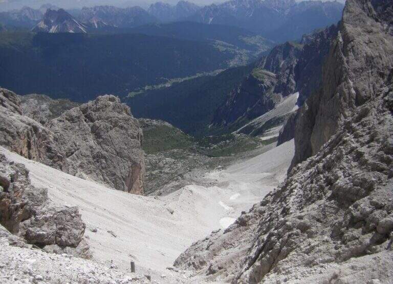
    From the top you return to the Passo della Sanità (about 45′). From here two possibilities. The first is to retrace the Alpine Path to the Mulattiera Pass and then return to the parking lot on the ascent route. The second is to close a ring around Punta Charrà descending into French territory in the valley des Acles: it falls steeply to zig-zag on debris to the wood, where the path is almost flat, then cuts the south side up to a rocky shoulder beyond which appear the barracks of the French army under the Col des Acles; from there follow the signs that bring back to the ascent 30 From the pass you return to the parking lot (about 6h45 total).
    ▲Gallery
    Technical data
    • DifficultyModerately Hard
    • RegionPiedmont
    • GroupCozie Alps – Val di Susa
    • Approach1:30 h
    • Ferrata2:00 h
    • Itinerary (a/r)6:45 h
    • Hardware level difference217 m
    • Route difference850 m
    • Max2843 m
    • Length14 Km
  • Sentiero Attrezzato Francesco e Giuditta Gatti al Mont de la Brenva

    Sentiero Attrezzato Francesco e Giuditta Gatti al Mont de la Brenva

    Vie Ferrate › Aosta Valley › Aosta
    Sentiero Attrezzato Francesco e Giuditta Gatti al Mont de la Brenva
    Moderately Hard● OpenDescriptionComplexityMapsGallery

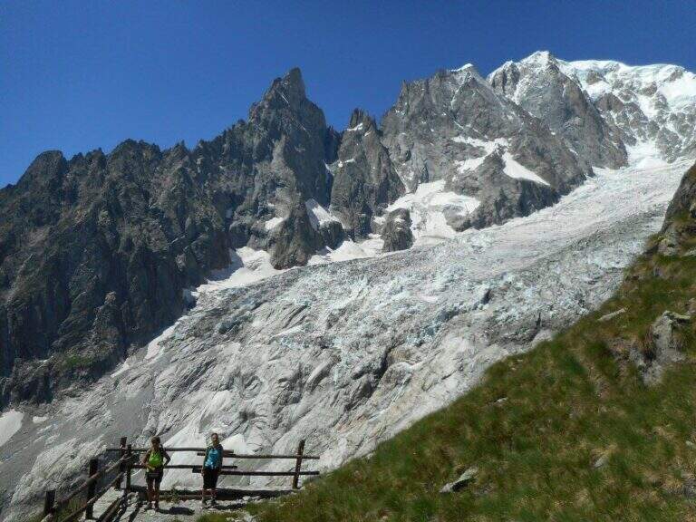
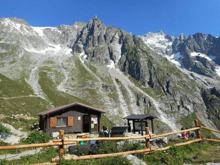
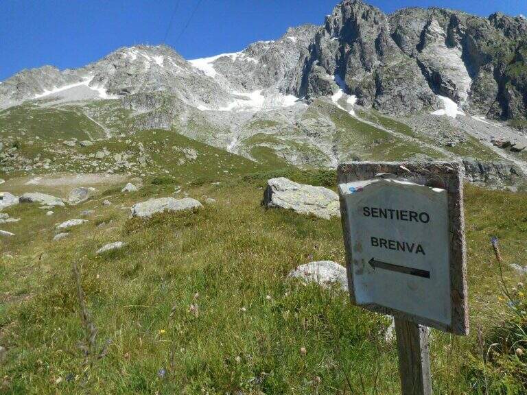
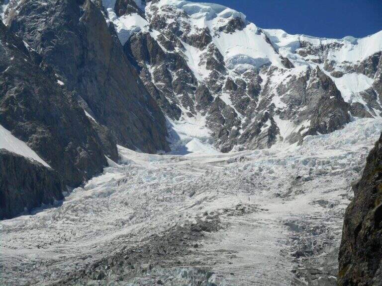
    Il Sentiero Attrezzato Francesco e Giuditta Gatti at Mont de la Brenva è an equipped route of difficult and difficult media; in the alpine environment, at the slopes of the Mont Blanc group. It leads to a panoramic plateau – the Belvedere – with a view between the pi` beautiful of all the Western Alps.

    ▲Approach

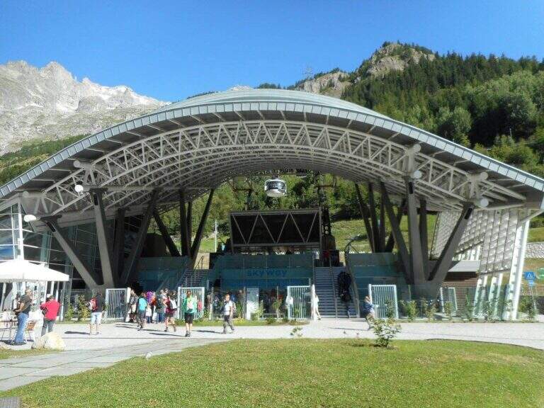
    From the mountain station of the cable car of La Palud (Courmayeur, Aosta). Open road signs on Google Maps. We descend to the first stop of the route « The Palud–Punta Helbronner» and follow the path in a slight ascent next to the botanical garden Saussurea; at the first crossroad you will keep the left on a well-marked path that crosses the grassy slopes towards the moraine of the Toula glacier. A short stretch equipped with a chain exceeds some rocks and reaches a ' panoramic area with bench, where the equipped stretch begins (30' from the mountain station).

    ▲The path

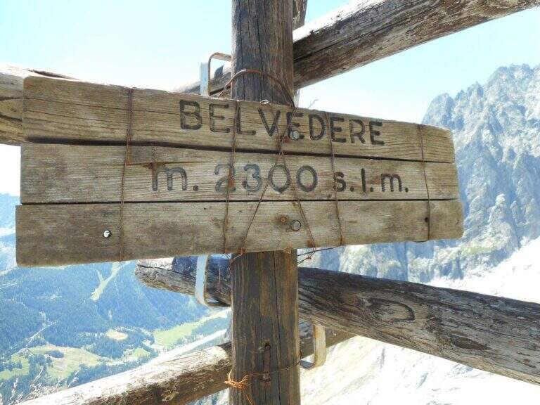
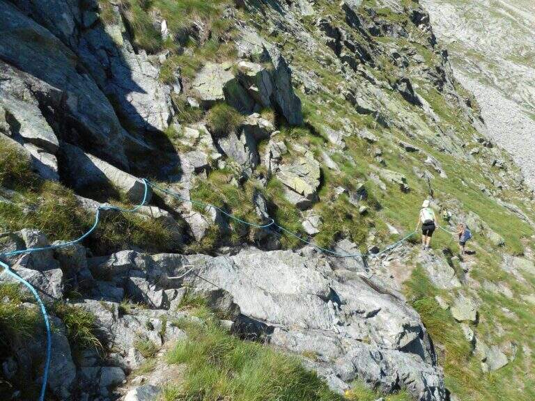
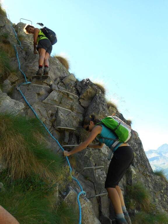
    The equipped part starts going down the eastern shoe of Mont de la Brenva, with steep stretches in which the rope dà safety; a downhill section of III degree, not difficult, è supported by the chain. Continue on half-coast with climbs and descents, assisted by chain and brackets on the right side, and cross a pietraia (yellow signs); at the end a path goes steeply towards the rocks of Brenva to the Belvedere (2300 m, 1h 30' from' start of the stretch), with views of the Bremayn.

    ▲Character and difficulty

    Path equipped not long and not difficult, but in the alpine environment and with exposed sections where the protections are essential; the view from the Belvedere is only a great reason to travel it.

    ⚠ High mountain environment on blackberry and stone: recommended helmet and attention to the bottom. Evaluate the time and time of the cable car for the return.

    ▲Discipline

    The descent takes place on the same climb route (1h 30' from Belvedere, 3h 45' overall).

    ▲To match

    Starting soon, you can connect to Ferrata Casimiro (about 1h by car). In the area Sentiero al Rifugio Dalmazzi, il Sentiero al Bivacco Boccalatte e la Ferrata at Monzino Refuge.

    ▲Gallery
    Technical data
    • DifficultyModerately Hard
    • RegionAosta Valley
    • ProvinceAosta
    • GroupMont Blanc
    • Approach30 min
    • Fully equipped1h 30'
    • Complete itinerary (a/r)3h 45'
    • Level difference130 m
    • Route difference322 m
    • Maximum2300 m
  • Ferrata di Valimpach

    Ferrata di Valimpach

    Vie Ferrate › Trentino-Alto Adige › Trento
    Ferrata di Valimpach
    Moderately Hard● OpenDescriptionComplexityMapsGallery

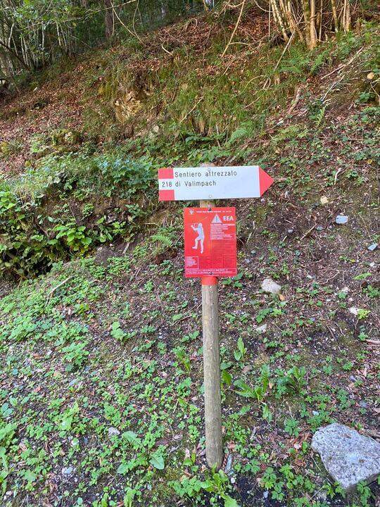
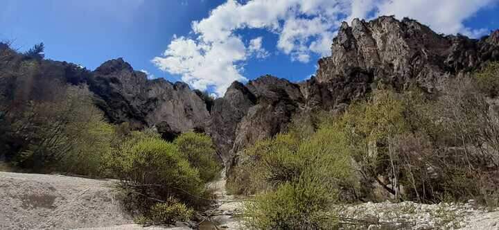
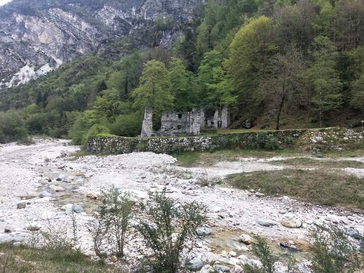
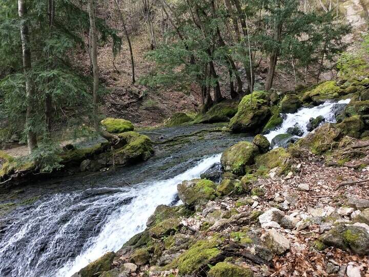
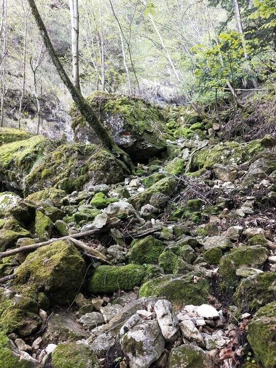
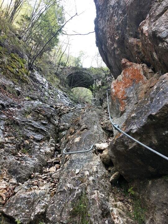
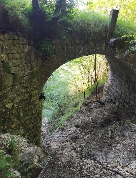
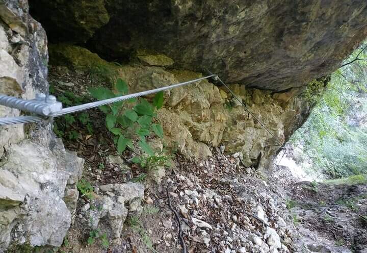
    Il Valimpach equipped trail over Caldonazzo in Valsugana (Trento). It is not very tiring, but it requires attention to the exposure of some sections, some more challenging points and a thick wet and mossed rock for much of the route.

    ▲Approach

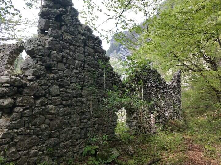
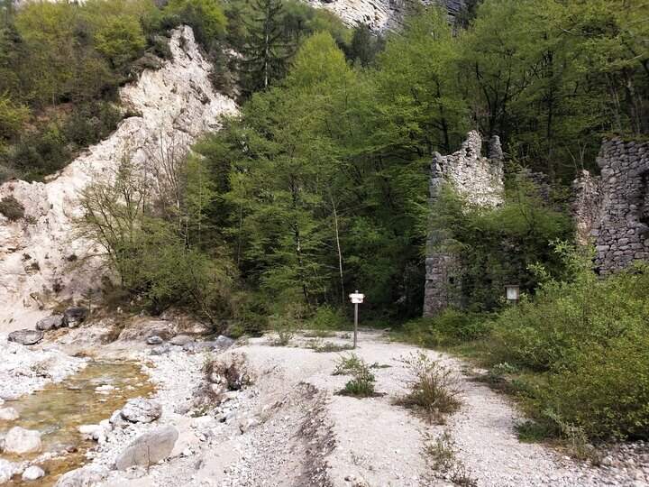
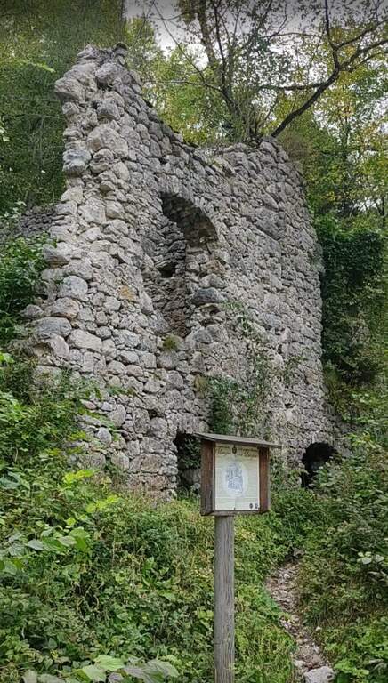
    Joints Caldon take the SP108, you pass the restaurant Speckstube on the left and you reach the park n. 3, just under the hamlet of Valle in the direction of Centa San Nicolò, always on the left. Open road signs on Google Maps. Who wants può starting from parking spaces n. 1 or n. 2 (always on the SP108) to stretch the route and admire landscape and waterfalls on the Centa. From the parking lot you go down the road or for the dirt a po' steep that flanks it, on the path that runs along the river Centa towards the south, up to a bridge that crosses it, to the side of which you see the ruins of the ' ex mill Polentoni. Immediately behind the equipped trail sign marks l' start of the steep short bend path, at times exposed, which leads to all' attack of the ferrata (about 20-30' from the parking lot).

    ▲The path

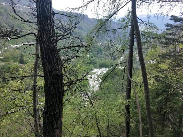
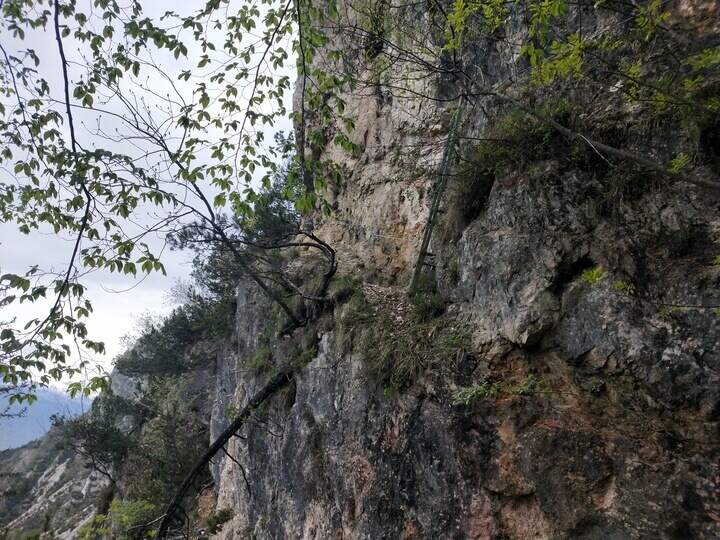
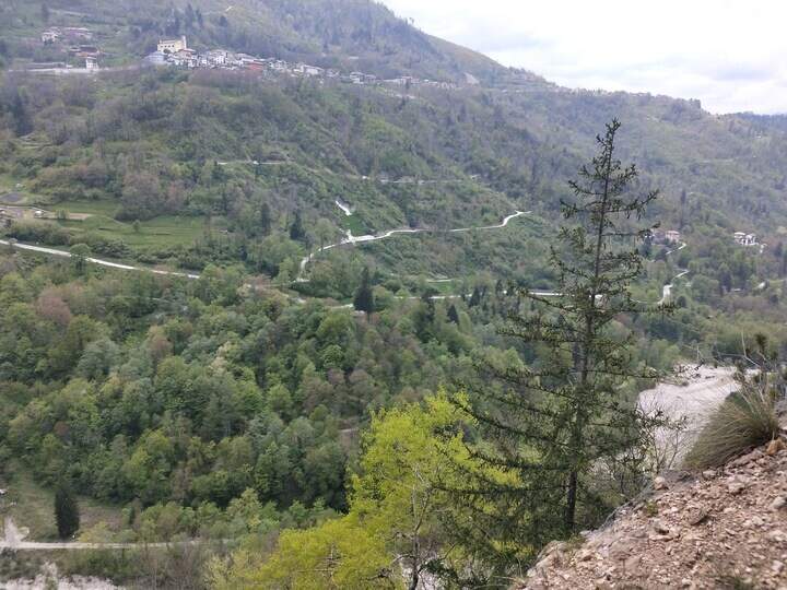
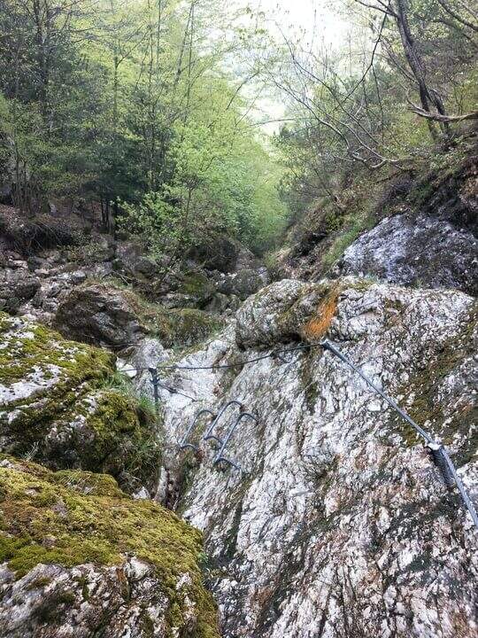
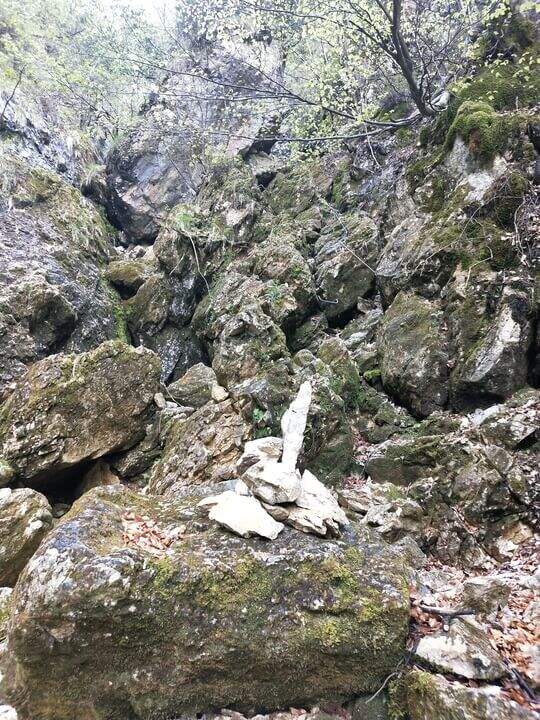
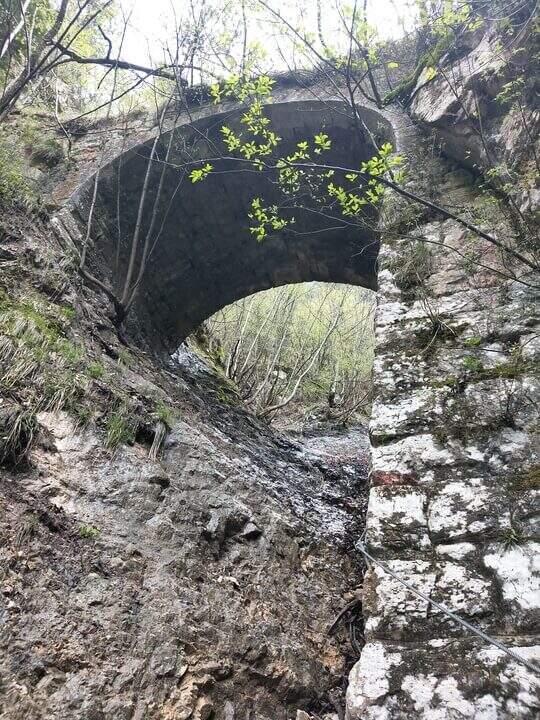
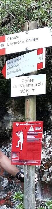
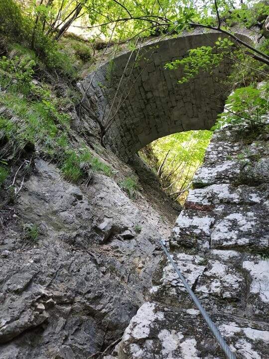
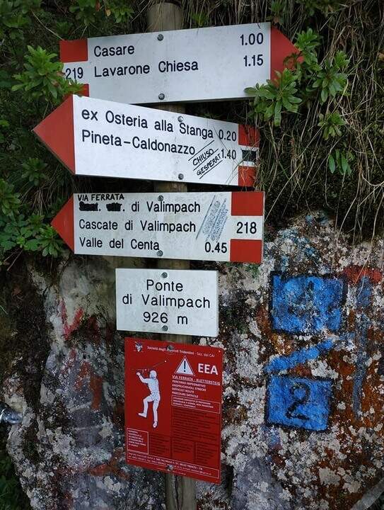
    The first section è the più exposed: a scaletta followed by the cable under a census, from which is seen on the ' other side of the village of Centa San Nicolò. Continue on several rocky cliffs with metal cambres, surrounded by mug pines; as you climb you start to see the cascade of Valimpach and the valley below. After passing these easy leaps, a stretch in the forest without difficulty and agrave;, in a slight descent, runs along the waterfalls to their springs. Continue in the valley following the track on the boulders and enters the gola rocky, where from time to time cables and cambre facilitate progression: è a humid environment, with thick slippery rocks and mosss, where pay attention also all' possible fall of stones from the side walls. Following the tracks you will arrive below the ponte of Valimpach (926 m); cross it from below turn right and in a few meters you will reach the ex «Strada della Val Caréta» (former 219), where the ferrata ends (about 1h 15' from' start of the equipment, 1h 45' from the parking lot).

    ▲Character and difficulty

    Itinerary varied but of limited commitment, with a first exposed section and passages on equipped balconies. The quality of the rock is not always excellent and the humidity of the nearby waterfall requires caution.

    ⚠ In the final stretches, just before the bridge, some metal equipment turns out a little soft: attention especially for the neophytes. Infident rocks for moss and humidity; possible fall stones in the throat.

    ▲Discipline

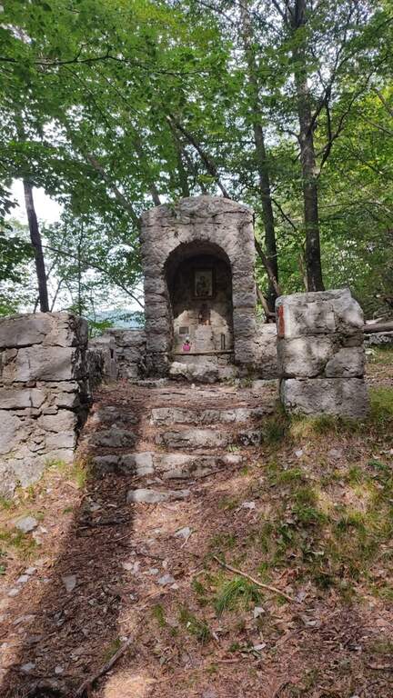
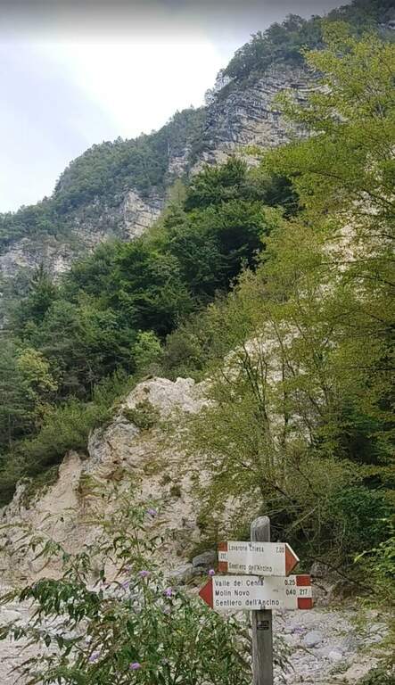
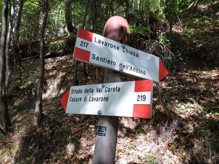
    From the bridge we continue on the ' ancient road towards the Church of Lavarone; after about 15 minutes, at the junction with the Sentiero del Lanzino ( itinerary 217), we descend into the Valley of the Centa. You pass the votive capital of Sant' Antonio and you get to some ruins surrounded by a screech; carefully you get the stream and you reach the valley bottom path that, along the Centa on the left, brings back to the starting parking lot (about 3h total).

    ▲To match

    The nearest equipped route is the Sentiero Attrezzato Church in Val Scura. Towards the Val d'Astico is the Ferrata degli Aguane; in Val d'Adige the Sentiero Attrezzato Bertotti e il Sentiero Attrezzato de le Stel. Not far from Trento, the commitment Ferrata Segata bondone.

    ▲Gallery
    Technical data
    • DifficultyModerately Hard
    • RegionTrentino-Alto Adige
    • ProvinceTrento
    • GroupValsugana
    • Approach25 min
    • Ferrata1h 15'
    • Complete itinerary (a/r)3h
    • Hardware level difference350 m
    • Route difference415 m
    • Maximum1003 m
    • Length5 km
  • Ferrata Strada degli Alpini

    Ferrata Strada degli Alpini

    Vie Ferrate › Trentino-Alto Adige › Bolzano
    Ferrata Strada degli Alpini
    Moderately Hard● OpenDescriptionComplexityMapsGallery

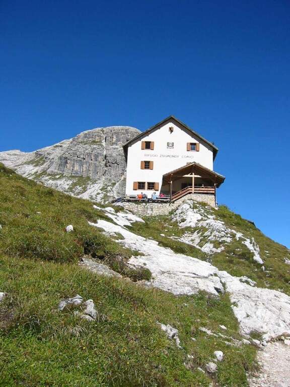
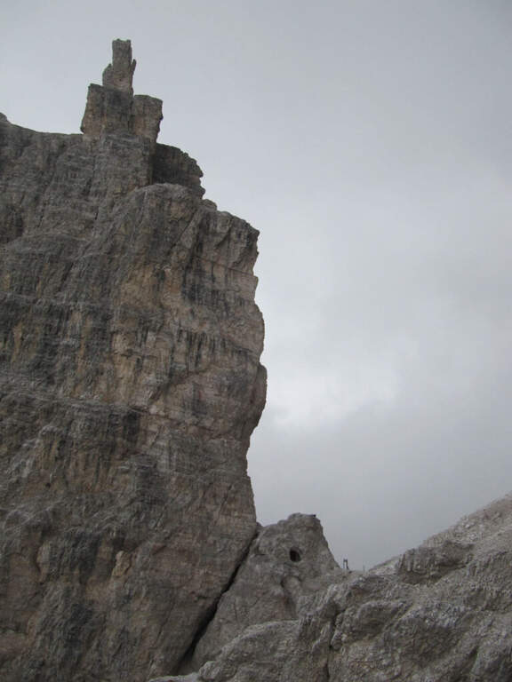
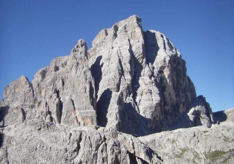
    La Ferrata Strada degli Alpini walk through a splendid itinerary in the Sesto Dolomites, going up the eastern slope of Val Fiscalina Alta from the Comici Refuge to Forcella Undici along the historic Cengia della Salvezza of the Great War. For large sections there is no particular difficulty; although exposed; ` a very long ring with high altitude difference, to be prepared with care and to go only if well trained.

    ▲Approach

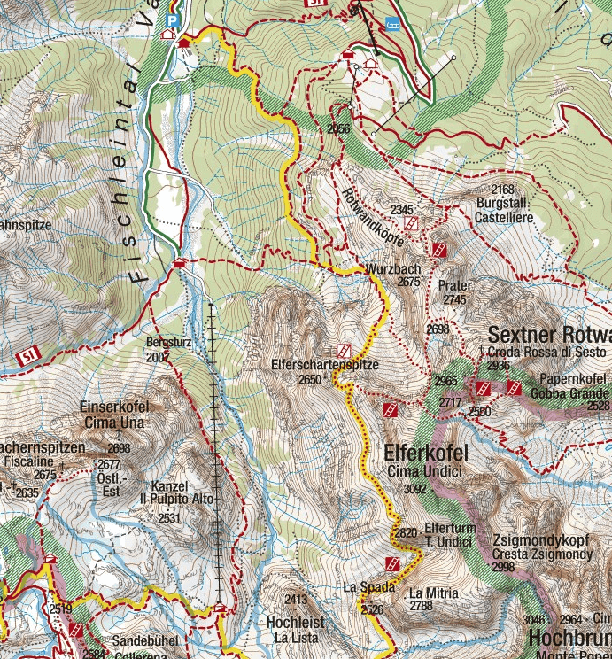
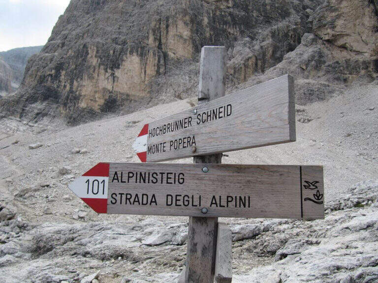
    Starting point l' Hotel Dolomitenhof in Val Fiscalina (1454 m), reachable from Moso in Val Pusteria. Open road signs on Google Maps. Follow the 102 road towards the south to the Rifugio al Fondo Valle (1548 m, 30'), then always 102 towards the south-west and at a crossroads you keep the left on the path 103 towards the Rifugio Comici, climbing along the left of the Val Fiscalina Bassa (on the opposite side you can see the ridge of the Strada degli Alpini) up to the Rifugio Comici (2224 m, 2h 30' from the parking ). From the hut continue on the 103 south, downhill and then on the left towards Forcella Giralba, on the left side of the Croda dei Toni; before the fork you will meet on the left the path 101 towards Monte Popera. Going up towards a fork and going down a few meters, at a crossroads (on the right the normal Popera) continue north to half-coast until the census of the' attack (1h from the Rifugio Comici).

    ▲The path

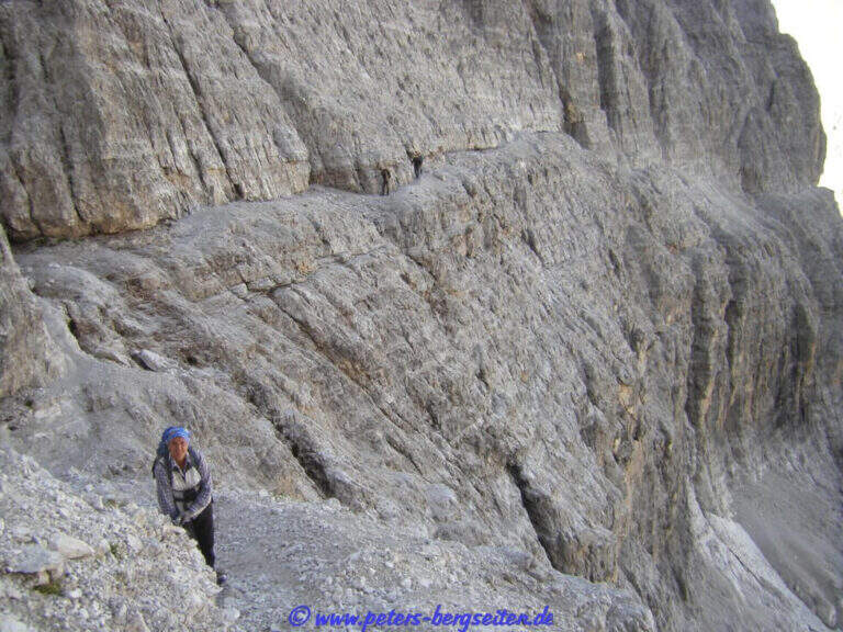
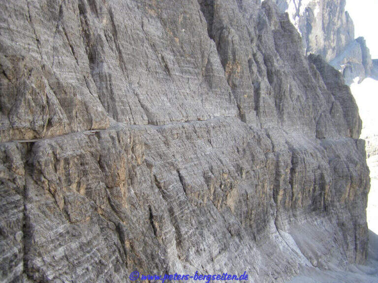
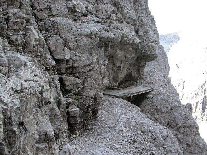
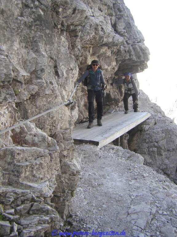
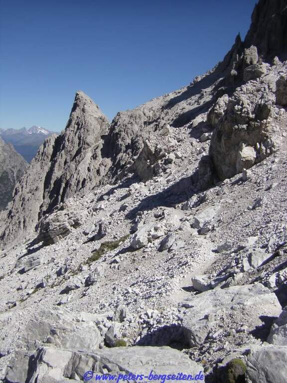
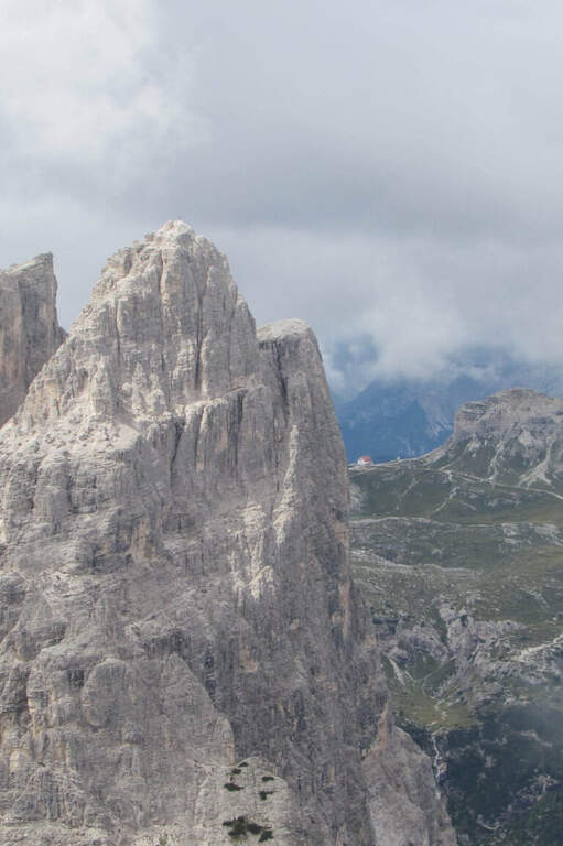
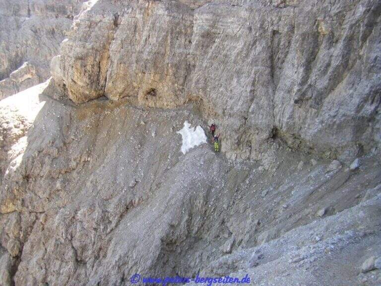
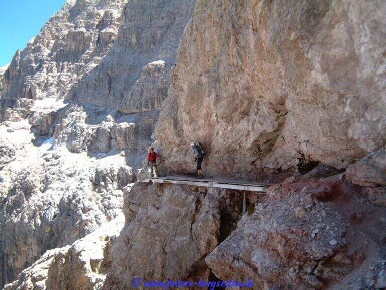
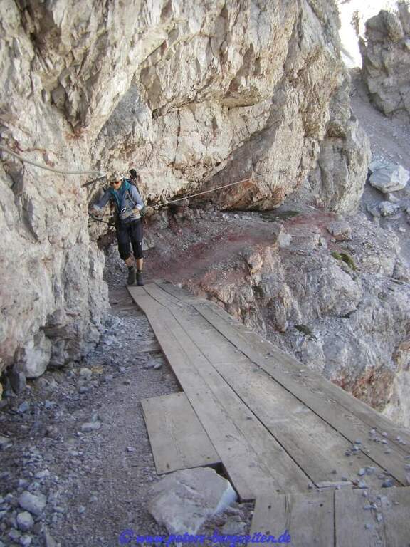
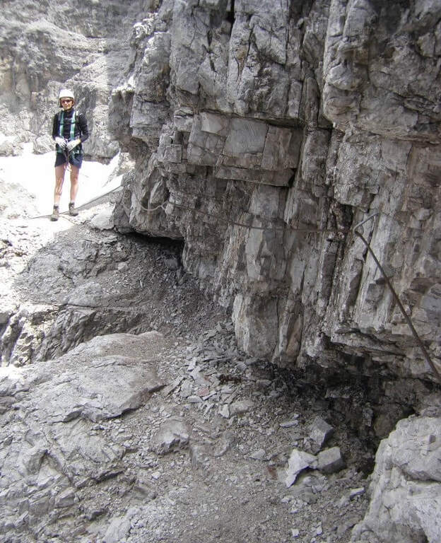
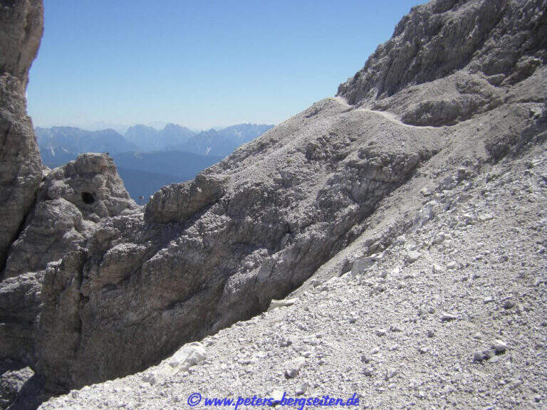
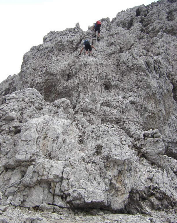
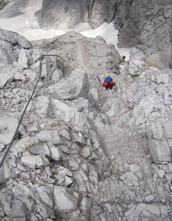
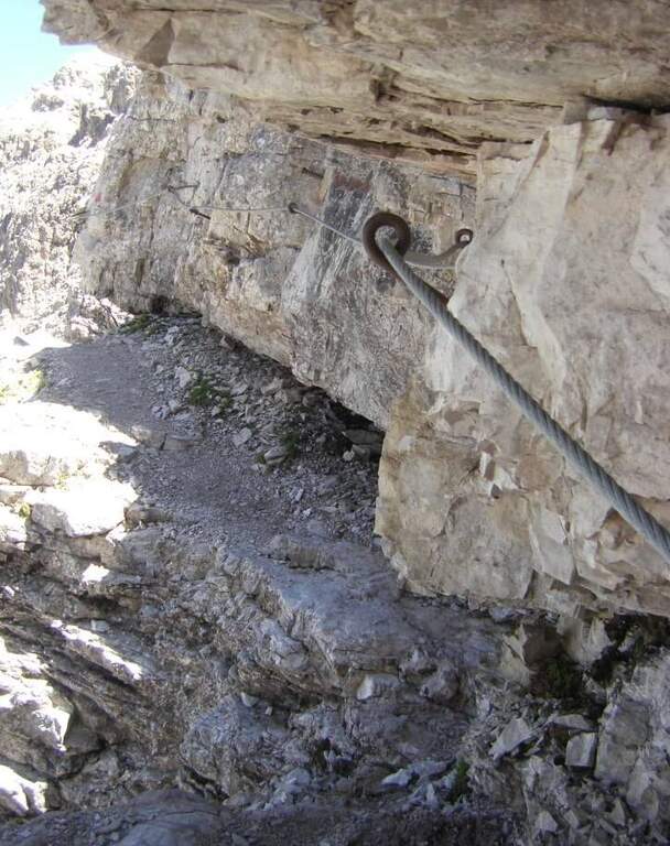
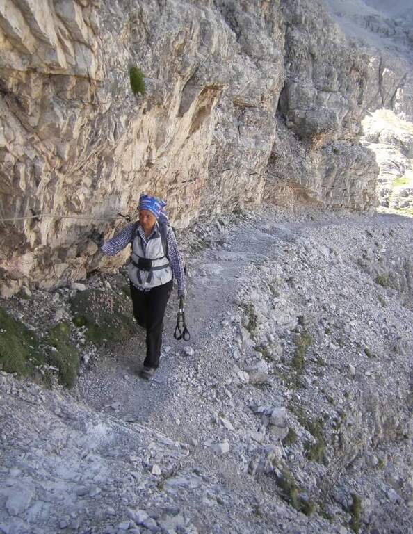
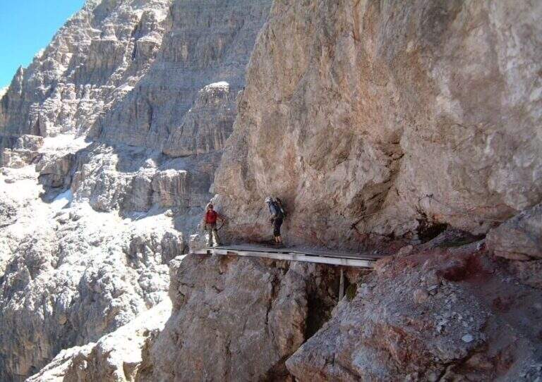
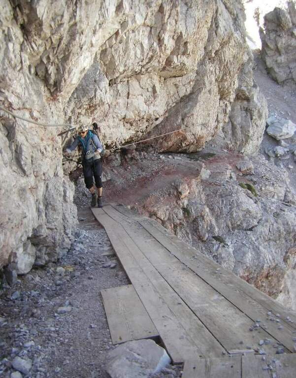
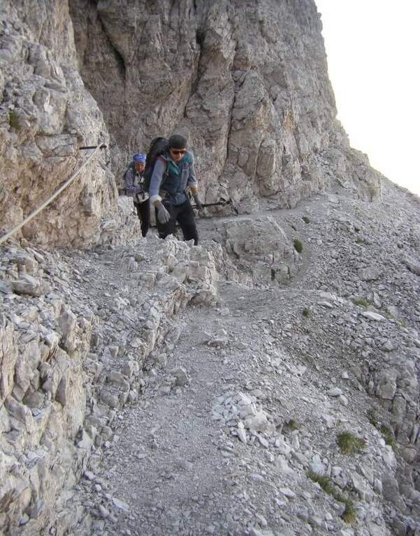
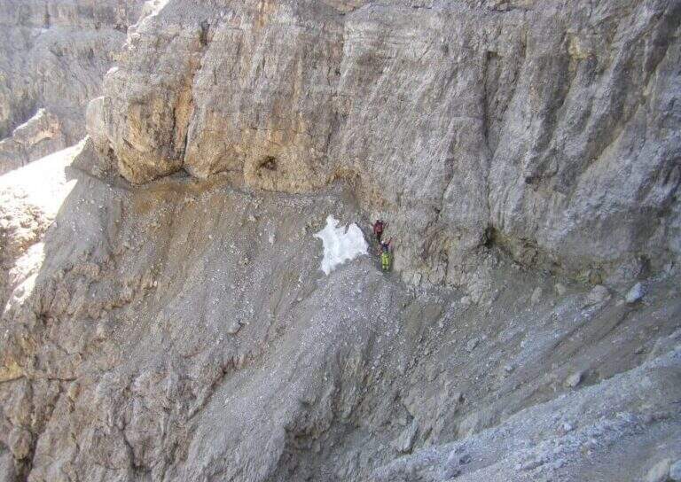
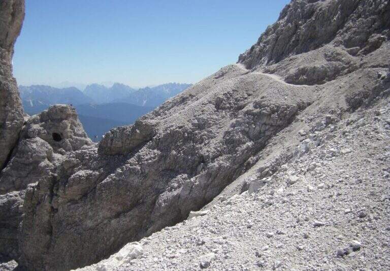
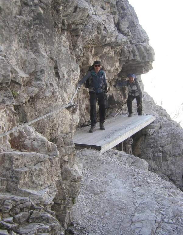
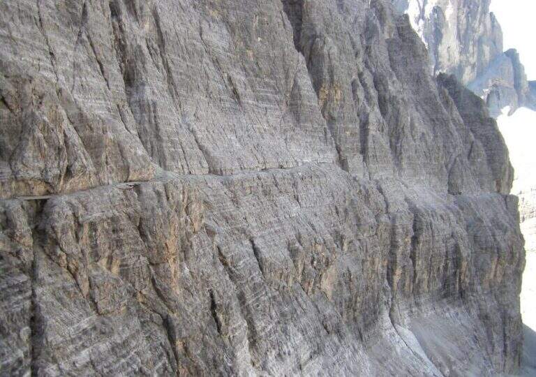
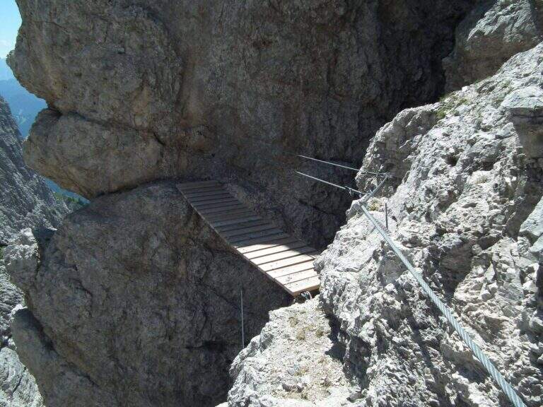
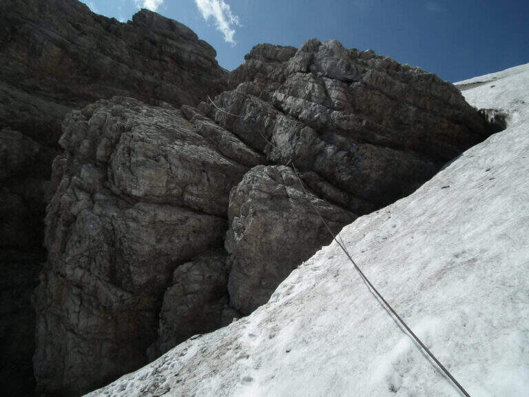
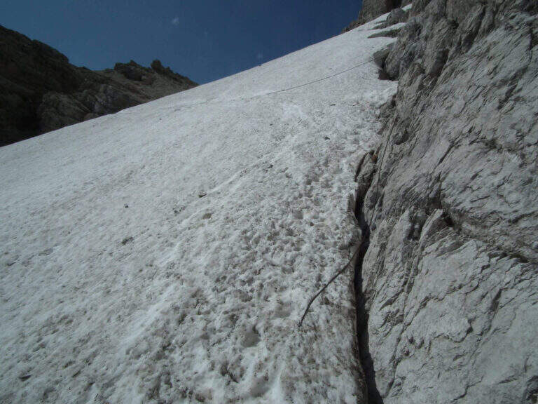
    The initial trait goes beyond easy rocks and then develops along the Cengia of Salvazza, carved into the rock during the Great War. First, a very wide nod, at times not equipped, to the più point; iconic: the nod abruptly turns into a rock retaliation and is circumvented from the ' inside, with the characteristic view that recalls a «spada». Exit on the opposite side, after some rocks, the nod continues between modest climbs along the west wall of the slopes of Cima Undici, with wonderful views on Cima Dodici and Val Fiscalina: generally wide, you walk without problems despite the precipice on the left. At a rocky roof it is lowered on a wooden catwalk; più forward, in a recess, a waterfall and, according to the season, a snowmaker. The census now continues without protection, uphill on a detritic background, it overcomes a new snowfall and reaches an old military muretto where the first stretch ends (1h 45' from' attack, 5h 15' total). Continue on unprotected nod, in falsepiano, up to Forcella Undici, where the ferrata ends with a 360° panorama; on Croda Rossa di Sesto, Cima Undici, Cima Twelve and Cima Uno (2h 30' from' attack, 6h totali).

    ▲Character and difficulty

    For the first two thirds the route does not present technically challenging passages: it develops above all on exposed but well equipped cenges. The most vertical and medium-difficult stretches meet downhill, especially towards Passo della Sentinella.

    ⚠ Some unprotected steps are exposed and require steady foot. The excursion is long and after the Rifugio Comici there are no other points of support until the return: taking place just under the 3000 m it goes only with stable time. It can be useful to have ramps if the snows are still present, often with hard snow.

    ▲Period and safety

    An official GPS track is not available for this route. The map of the 4Land Dolomites is useful.

    ▲History

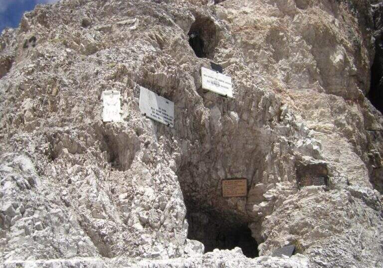
    The Strada degli Alpini has its roots in the Great War, when the "Cengia della Salvezza" — originally a natural nod, then enlarged by the mountaineers — connected Forcella Giralba to the west terrace of Cima Undici to reach and strengthen the positions in view of the attack on the Passo della Sentinella, then the Italian-Austrian border. After the war Francesco Meneghello (CAI) brought to light the itinerary and in 1932 the CAI of Padua equipped it with metal ropes and ladders; the stretch from Forcella Undici to Passo della Sentinella was instead equipped by the CAI of Padua in the seventies.

    ▲Discipline

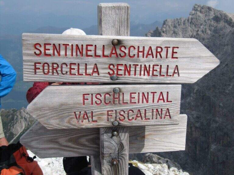
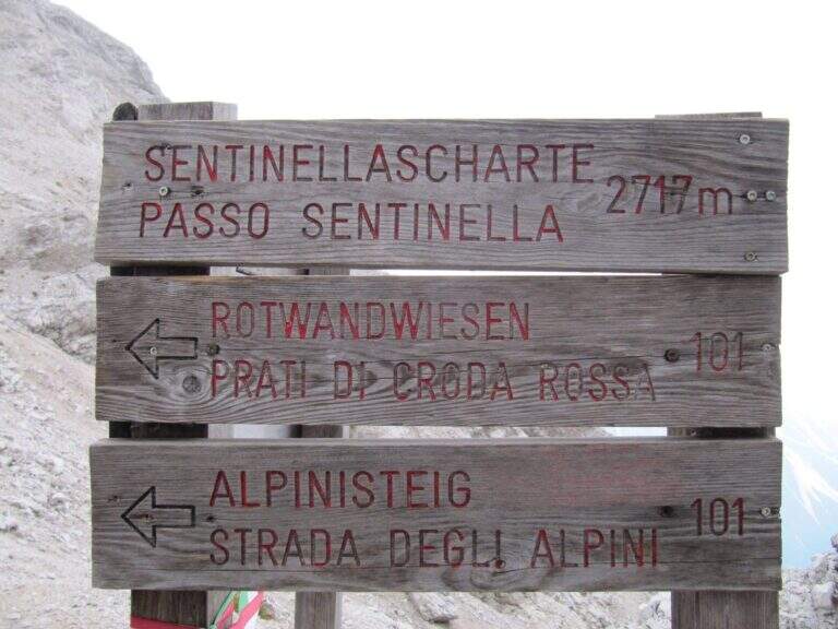
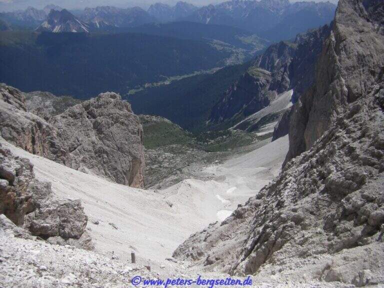
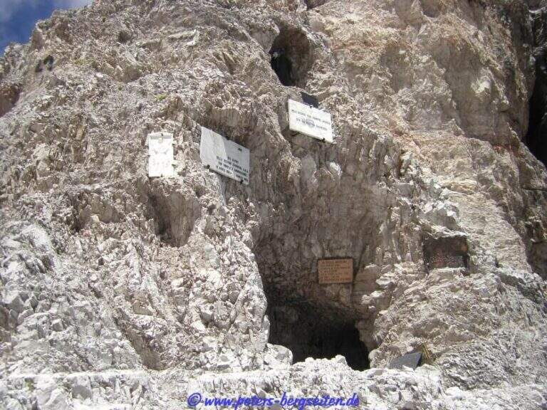
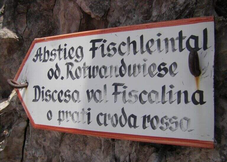
    From Forcella Eleven two options. The first follows the signpost 124 che, aggirando l'Elferschartespitze, scende in Val Fiscalina con un traverso attrezzato e un paio di canalini franosi, poi un vallone detritico con la Croda Rossa a destra, fino al parcheggio (1h 30' da Forcella Undici, 6h 45' totali). La seconda scende al Passo della Sentinella (anche detta Ferrata del Passo Sentinella): cenge, una scaletta, l'attraversamento di un canale, una lunga passerella di legno e balzi verticali in forte esposizione fino al passo (2717 m, 1h da Forcella Undici), ricco di resti bellici; si scende poi a sinistra nel Vallon Sentinella, dapprima molto ripido e attrezzato, fino al bivio con il sentiero 124 che riporta in Val Fiscalina e al parcheggio (8h totali).

    ▲To match

    Itinerary ideal to be inserted in several days: a classic match the Ferrata Roghel e la Cengia Gabriella towards the Rifugi Berti and Carducci, then using the Strada degli Alpini to return to the Berti from the Val Popera; or the climb to the Croda Rossa di Sesto for Ferrata Zandonella and the descent to the Costoni di Croda Rossa.

    ▲Gallery
    Technical data
    • DifficultyModerately Hard
    • RegionTrentino-Alto Adige
    • GroupSesto Dolomites
    • Approach3:30 h
    • Ferrata2:30 h
    • Itinerary (a/r)8:00 h
    • Hardware level difference337 m
    • Route difference1200 m
    • Max2717 m
    • Length11 Km
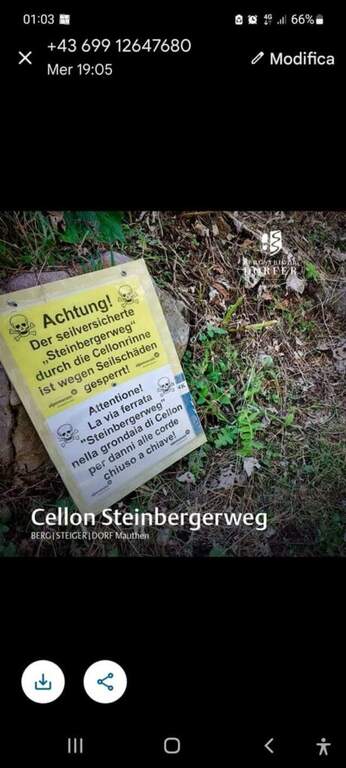
  • Ferrata Steinbergerweg

    Ferrata Steinbergerweg

    Vie Ferrate › Friuli-Venezia Giulia › Udine
    Ferrata Steinbergerweg
    Moderately Hard● OpenDescriptionComplexityMapsGallery

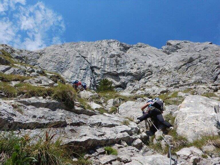
    La Ferrata Steinbergerweg retrace the historic climb on the north-eastern wall of the Crete Collinetta (Cellon), opened during the Great War by an Austrian military expedition led by Major Steinberger. Salt without excessive difficulty; long gorges and colatoi, and è of great historical interest for the numerous testimonies of the fighting. Difficultà medio-bassa in the equipped sections.

    ▲Approach

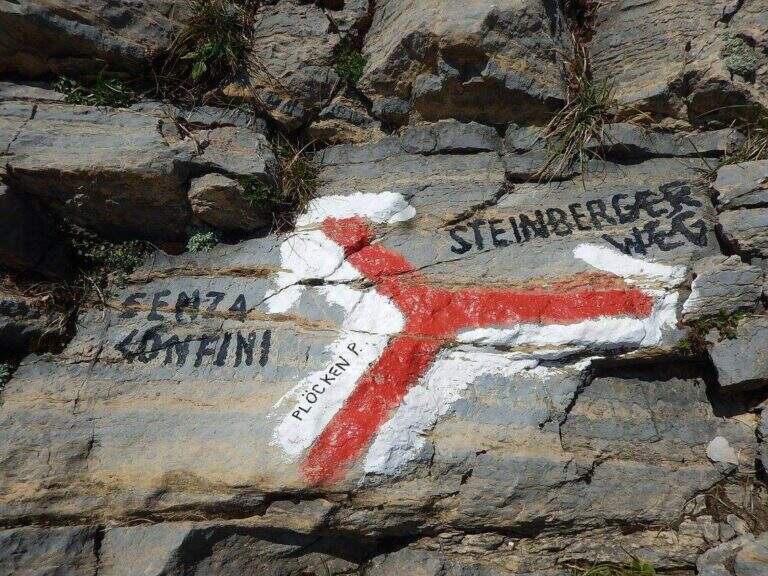
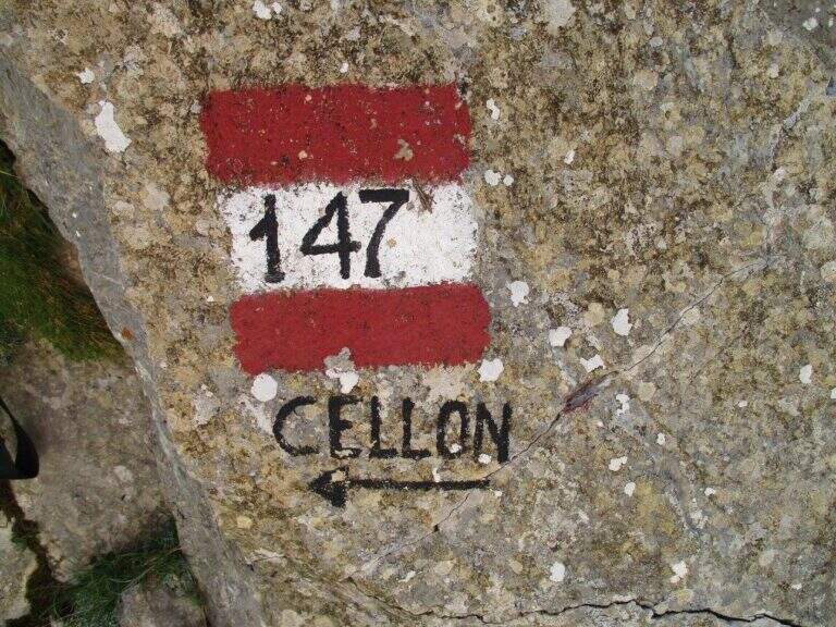
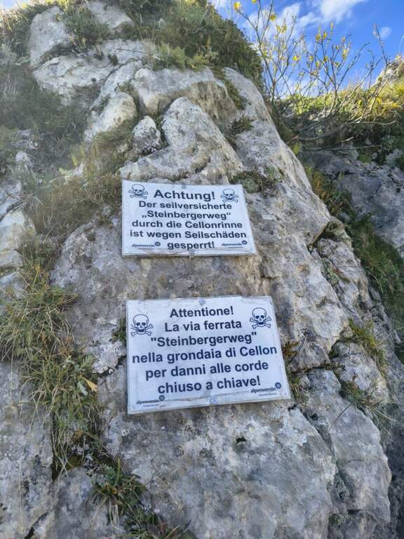
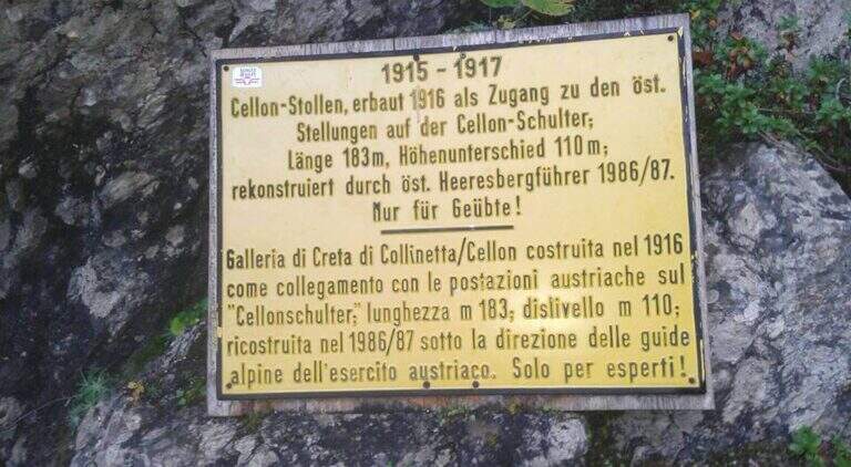
    Starting point the Passo di Monte Croce Carnico (1360 m), on the Italian-Austria border, reachable in about 40' from Tolmezzo (Udine) to the SS 52b. Open road signs on Google Maps. You can climb from the Austrian side (with the option of crossing the Cellon war tunnel, described in the sheet of the Ferrata Senza Confini) or from the Italian one, described here: longer but less challenging. From the parking lot follow the signs 146 on comfortable mule track on the southern side of the ridge, until you cross the path 147 for the Cellon (from the Marinelli Refuge); taken on 147 to the right you climb più decided along a war mule track with exposed cenges and short tunnels until the Schulter Contrafforte (1736 m). Continue on rocks and mug, paying attention not to lose the track, until a crossroads marked on rock (left the Senza Confini, right the Steinbergerweg): holding the right, on the gravel and then cutting in altitude the north-eastern wall, you reach l' attack, with a marble plate in German (1870 m, 1h 30' from the parking ).

    ▲The path

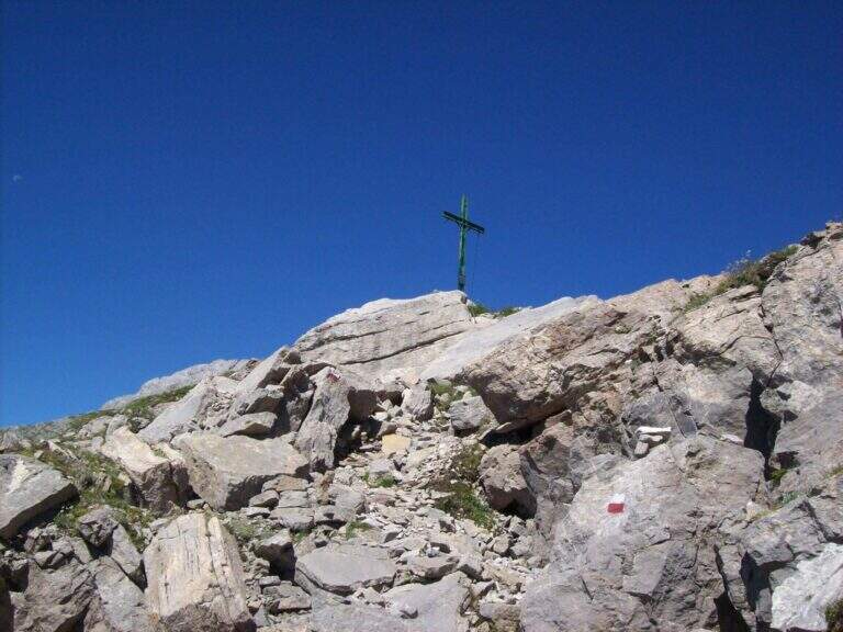
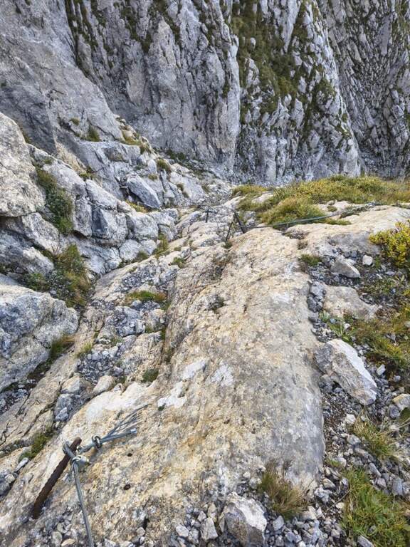
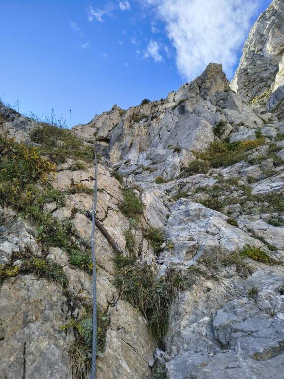
    The route follows the route followed by Austrian soldiers. A colatoio rises and gradually crosses left onto rocks and grass in discreet exposure (attention to the bottom and unstable rocks; the cable è instead it has been recently renovated). We then move to a gola rocky where we face many equipped stretches, with some free climbing passage (maximum I+) and unstable stones. The cable is found on the left side, climbing steep passages towards a short ridge, then a last colatory with l' aid of the rope up to a grassy saddle where the cables end and join the paths from the Senza Confini and the Italian side (2103 m, 1h from' attack, 2h 30' totali). On clear track you climb all' east anticyme and, among many remains of the Great War, to the summit of the Crete of Collinetta (2241 m, 20' from the end of the ferrata, about 3h totali), with metal cross and memorial plaque.

    ▲Character and difficulty

    Pleasant, medium-low difficulty and very climbing: apart from the initial cross-section and a couple of more vertical steps, it is devoid of objective difficulty.

    ⚠ Beware of the few unprotected steps where you climb and the unstable rocks along gorges and colatoi. The words "Creta di Collinetta" and "Cellon" are used indistinctly.

    ▲Period and safety

    GPS tracks (GPX and KMZ); the map of the Central Carnic Alps is useful for the area.

    ▲Discipline

    You return to the crossroads reached at the end of the ferrata and you go right on the path 147, Italian side, cutting horizontally; along the mule track you rejoin the path dell' approach to the parking lot (1h 30' from the summit, 4h 30' totali).

    ▲To match

    Shares a lot of approach and return with the most demanding Ferrata Senza Confini. From nearby Rifugio Marinelli you reach the attack of the difficult Ferrata to the north wall of Coglians; downstream of the pass the Path equipped Cuestalta. Further south, in the Carnic Prealps, the Cassiope, la Ferrata at the Clap Varmost e la 50 of the Clap.

    ▲Gallery
    Technical data
    • DifficultyModerately Hard
    • RegionFriuli-Venezia Giulia
    • GroupAlps Carnia
    • Approach1:30 h
    • Ferrata1:30 h
    • Itinerary (a/r)4:30 h
    • Hardware level difference358 m
    • Route difference868 m
    • Max2228 m
    • Length8,2 Km
  • Ferrata Severino Casara (Croda dei Toni)

    Ferrata Severino Casara (Croda dei Toni)

    Vie Ferrate › Trentino-Alto Adige › Bolzano
    Ferrata Severino Casara (Croda dei Toni)

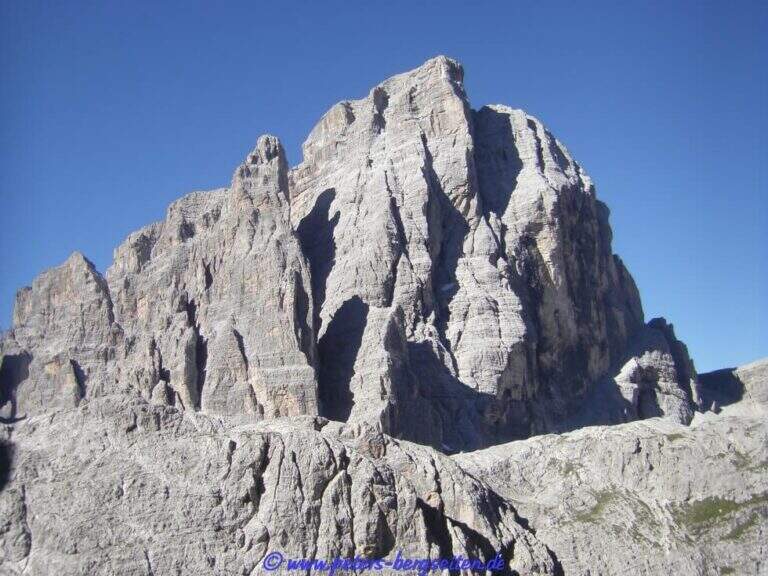
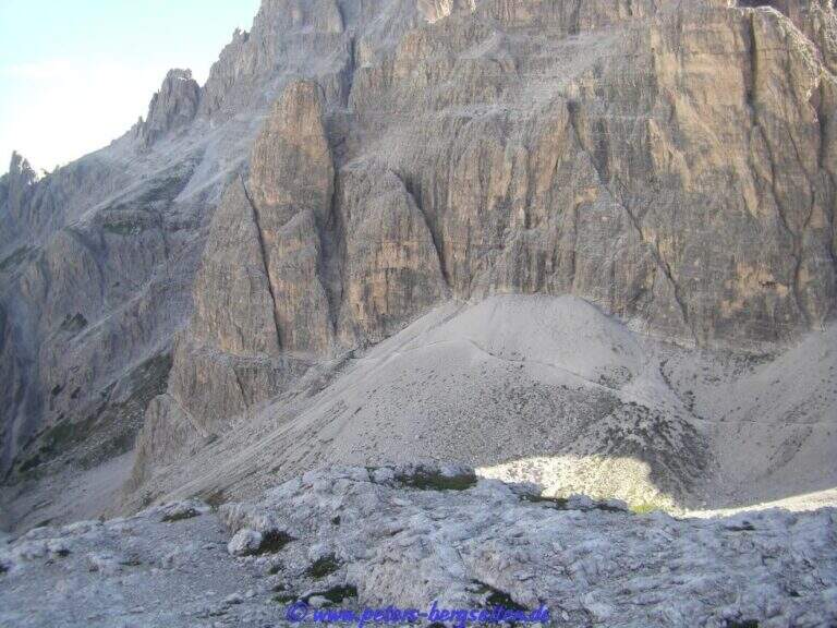
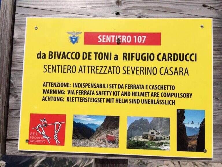
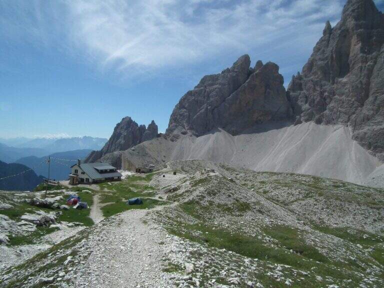
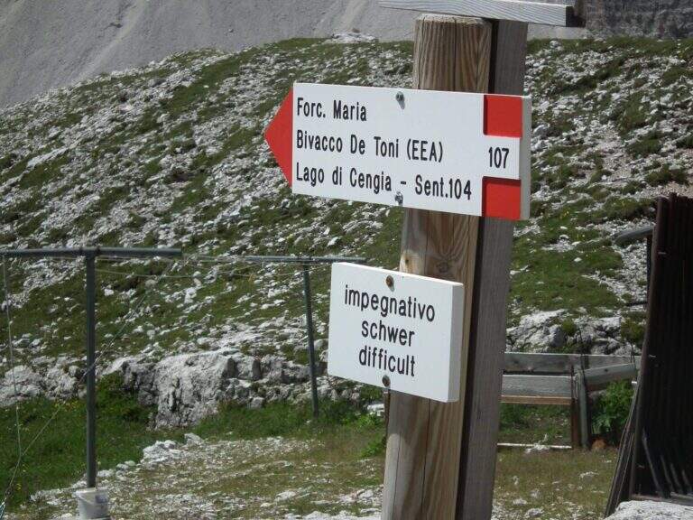
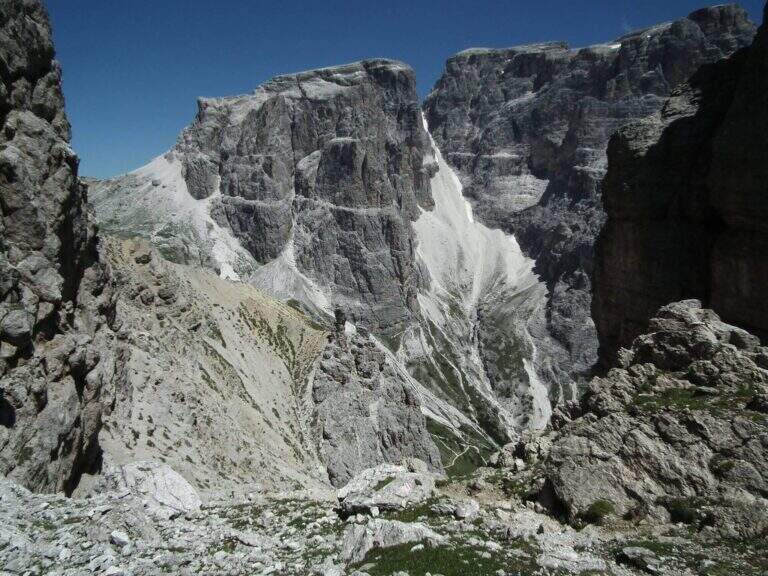
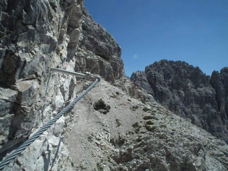
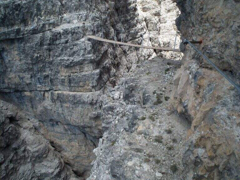
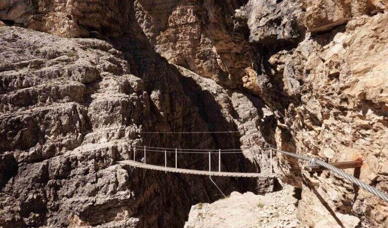
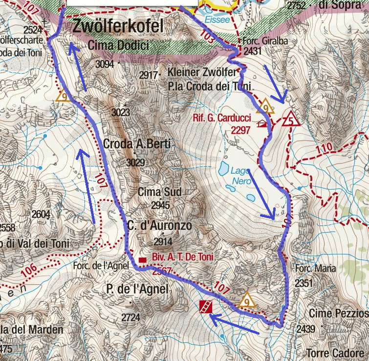
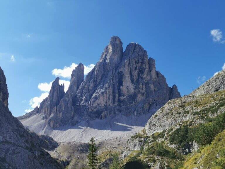
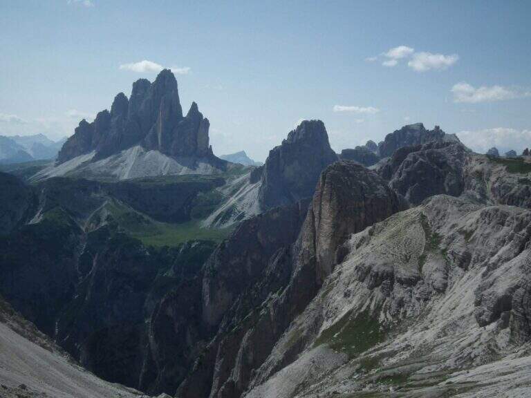
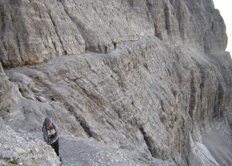
    La Ferrata Severino Casara (sentiero 107) connects the eastern side with the western side under Cima Twelve (Croda dei Toni), in the Dolomites of Sesto. È a route d' high mountain very challenging and tiring if route in the day (about 19 km, 10 hours, altitude difference 1350 m), exposed but without difficultà remarkable techniques in the equipped sections, in a spectacular environment in the presence of some of the pi&grave Dolomites peaks; Ardite.

    : Notice: A big landslide detached from the Witzenmann Tower in 2017 hit the last few meters of ferrata towards the Forcella de l'Agnel, making the formally unable. The section è only was put partly in safety with mountaineering ropes: the deviation è difficult and requires experience, not to be underestimated. Before you start checking out l' effective forcorribilità contacting Rifugi Comici e Carducci.
    ▲Approach

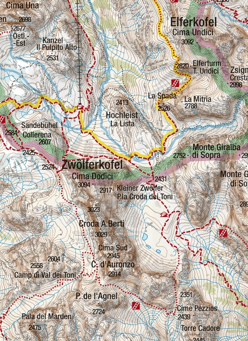
    Starting point l' Hotel Dolomitenhof in Val Fiscalina (1454 m), reachable from Moso in Val Pusteria. Open road signs on Google Maps. Follow the 102 road towards the south to the Rifugio al Fondo Valle (1548 m, 30'); continue on 102 towards the south-west and at a crossroads take the left on the path 103 towards the Rifugio Comici, constantly climbing the left of the Val Fiscalina Bassa (on the opposite side you can see the ridge of the Strada degli Alpini) up to the Rifugio Comici (2224 m, 2h 30' from the parking ). Continue on the 103 south, with the north wall of the Croda dei Toni in front, up to Forcella Giralba (2431 m); descend to the detritic valley at the Rifugio Carducci (2297 m, 3h 30' totali), start of path 107 «Sentiero Attrezzato Severino Casara».

    ▲The path

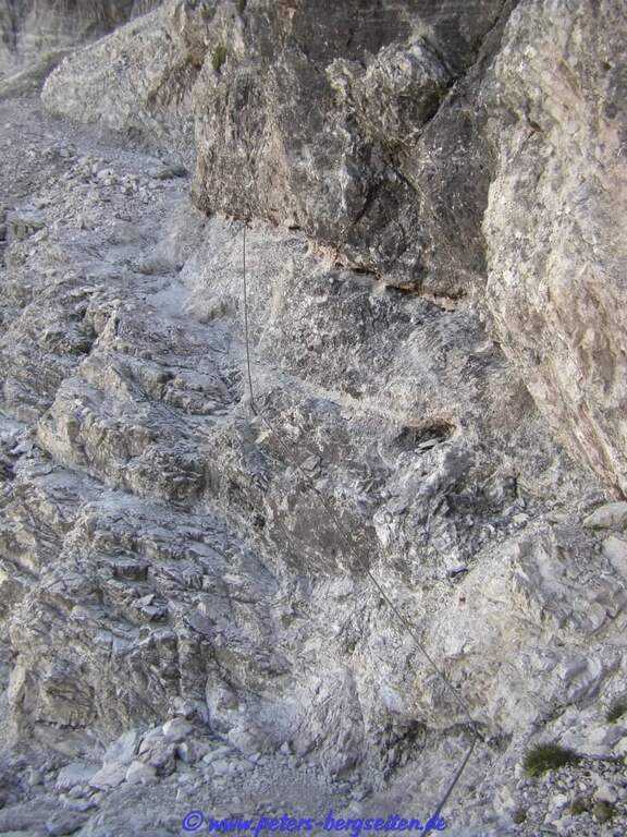
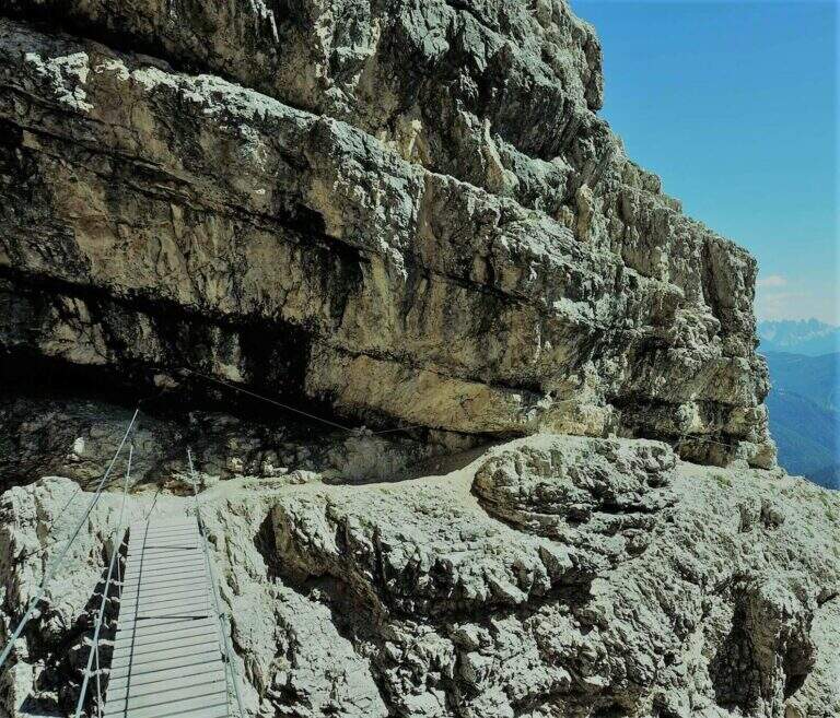
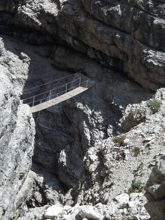
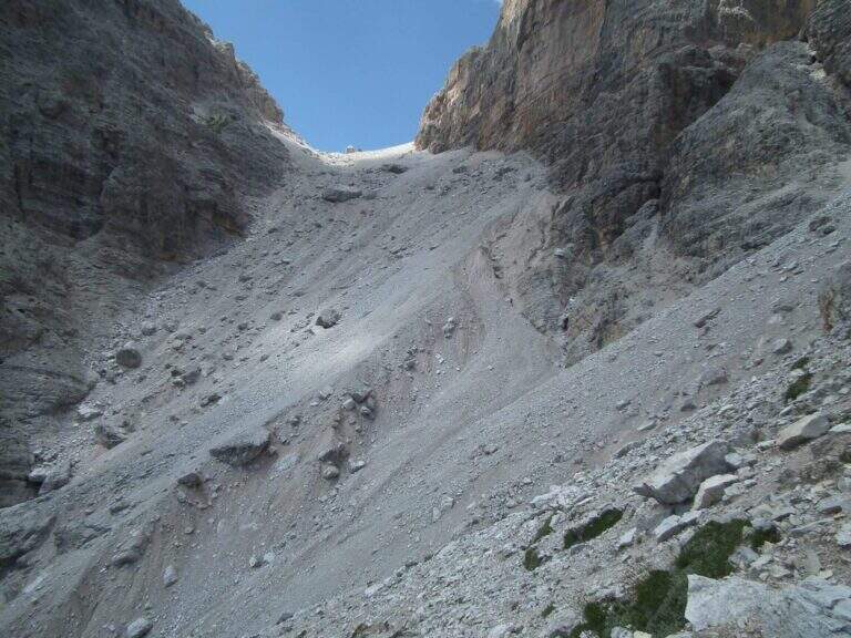
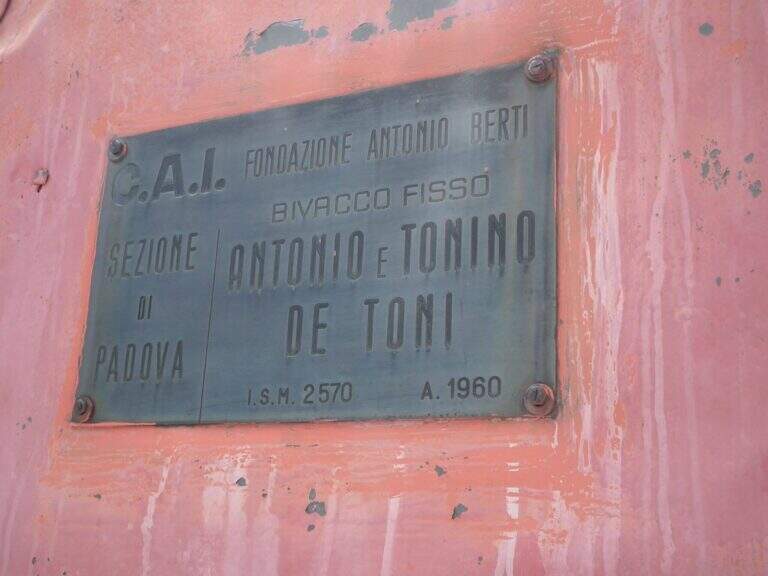
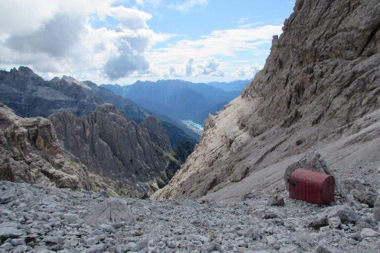
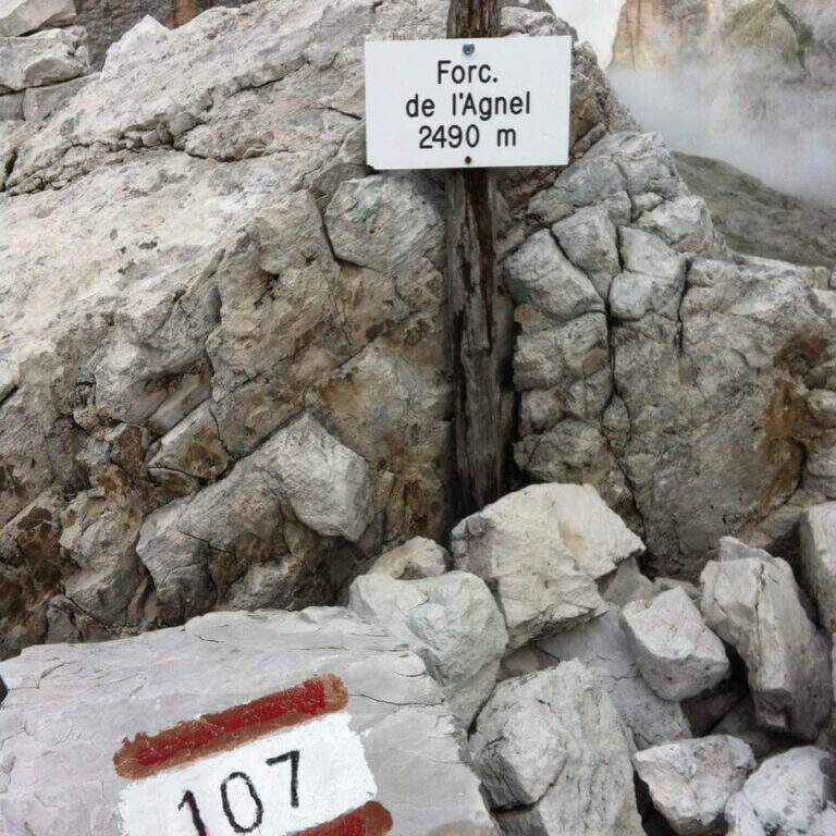
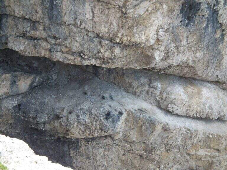
    Poco sopra il Rifugio Carducci iniziano le attrezzature. Si percorre un'esile cengia su fondo detritico lungo la parete sud-est della Croda dei Toni, alternando tratti attrezzati e sentiero, fino al bivio di Forcella Maria (2351 m, 45' dal rifugio) tra il vecchio 107 (chiuso per frane) e la via ferrata. Un traverso esposto ma non difficile porta a un primo ponte sospeso (fune a sinistra, ampie traversine di legno); si prosegue in orizzontale aggirando uno spigolo su cengia, con qualche balzo attrezzato con staffe e cambre. Verso metà itinerario si aggira lo spigolo sud e si procede verso nord-ovest su cengie esposte sulla Val Gravasecca, alternate a tratti di sentiero anche non attrezzato su terreno friabile. Sotto un caratteristico tetto roccioso si trova il passaggio chiave: in forte esposizione si raggiunge un angusto passaggio da fare a carponi (Passo del Gatto), scomodo ma non difficile. Oltre il tetto, roccette e una nuova cengia; la ferrata svolta a destra risalendo roccette arrampicabili, poi entra in una gola fino a un secondo ponte sospeso, più esposto del primo, con un salto di un paio di centinaia di metri sotto. Si sale un breve salto con due pioli e si esce dalla gola su cengia; un tratto in discesa su fondo instabile porta verso il canalone. Qui il percorso compie attualmente una deviazione con corde alpinistiche verso l'alto per aggirare la frana del 2017: tratto difficile, da non sottovalutare. Risalito il ripido ghiaione, con radi segni bianco-rossi, si raggiunge il Bivacco De Toni e poco oltre la Forcella de l'Agnel (2490 m, 2h 30' dal Carducci, 6h totali). Per chiudere l'anello verso il Rifugio Comici si attraversa a mezzacosta la parete occidentale della Croda dei Toni: si scende un ripido canalone franoso, si prosegue a mezzacosta ignorando le tracce che scendono verso Giralba, fino a un'insellatura dove, secondo la stagione, è presente un nevaio assicurato da una fune; si risale la sella detritica e, per cengia e cresta, si raggiunge la Forcella dei Toni (2524 m, 1h da Forcella de l'Agnel, 7h totali).

    ▲Character and difficulty

    Recent and well maintained equipment. The route does not offer technically difficult passages, but the high mountain environment, exposure, length and altitude difference make it very challenging. It is advisable to walk in this direction to face uphill the steep and slippery stretch between the end of the ferrata and the Forcella de l'Agnel.

    ⚠ With fog or low clouds, be careful to identify the attack of the ropes that help to overcome the snow between Forcella de l'Agnel and Forcella dei Toni, also present in late season: the rope assures it, but for greater safety it can be possible to have with it the ramps.

    ▲Period and safety

    GPS tracks (GPX and KMZ) are available; the 4Land Dolomites map is useful for the area. Always check the status of the route with the Comic Refugees and Carducci.

    ▲History

    The ferrata, which connects the Rifugio Carducci with Bivacco De Toni, was inaugurated in 2015 and is dedicated to the alpinist Vicentino Severino Casara, a controversial figure but very great mountaineer of his time: he climbed in rope with Comici, opened over 300 routes, he was writer and director.

    ▲Discipline

    From Forcella dei Toni begins the long descent: you descend on the gravel to the right under the northern wall of Cima Twelve, you ignore two tracks eastward, you pass under the ramparts of the Collerena and, halfway, you reach the Rifugio Comici; from here to back on 103 until the parking lot (3h from Forcella dei Toni, 10h totali).

    ▲To match

    From Rifugio Carducci you can continue towards Ferrata alla Cengia Gabriella e la Ferrata Roghel; beyond Ferrata Zandonella to the Red Croda of Sesto and the Red Croda Costumes. From the Rifugio Fondo Valle, along the Val Sasso Vecchio, you can reach the Ferrata Hosp at Toblin Tower e la Innerkofler at Mount Paterno.

    ▲Gallery
    Technical data
    • DifficultyHard
    • RegionTrentino-Alto Adige
    • GroupSesto Dolomites
    • Approach3:30 h
    • Ferrata3:30 h
    • Itinerary (a/r)10:00 h
    • Hardware level difference260 m
    • Route difference1350 m
    • Max2556 m
    • Length19 Km
  • Ferrata Contessi at Monte Due Mani

    Ferrata Contessi at Monte Due Mani

    Vie Ferrate › Lombardia › Lecco
    Ferrata Contessi at Monte Due Mani

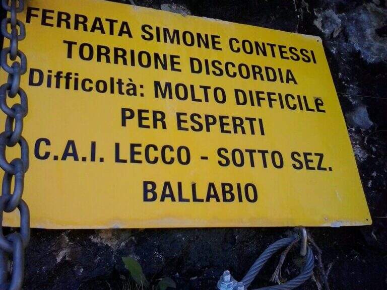
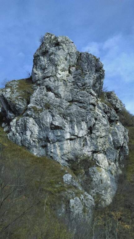
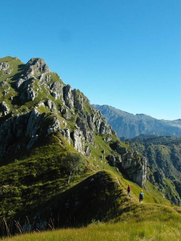
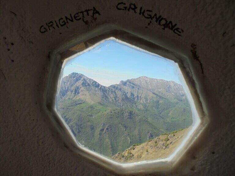
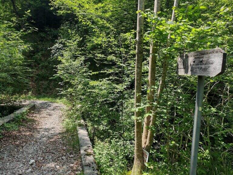
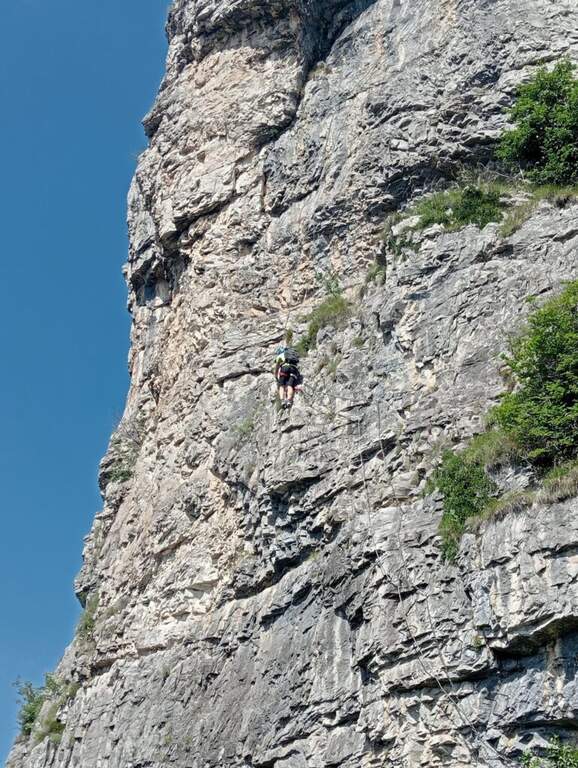
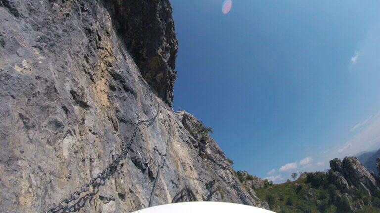
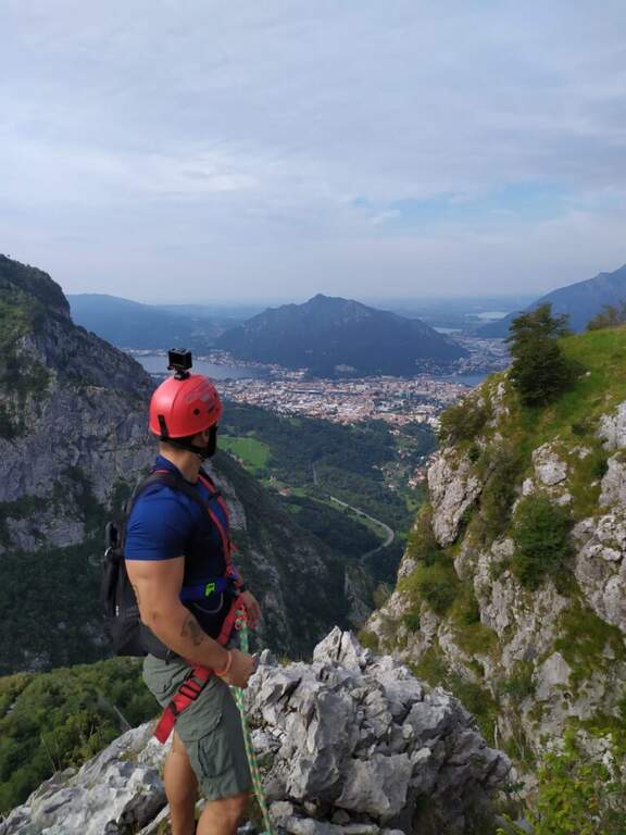
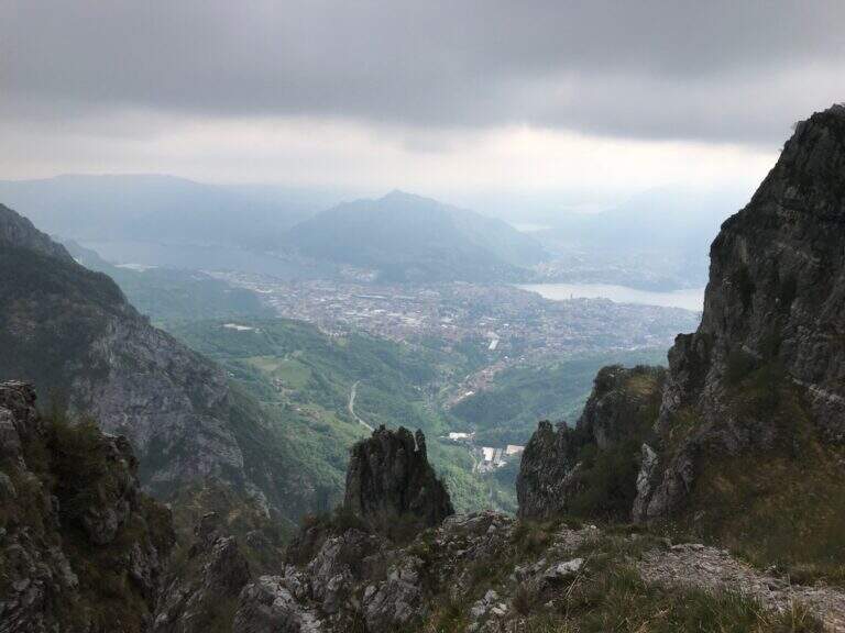
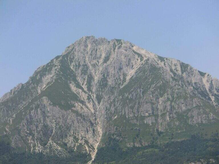
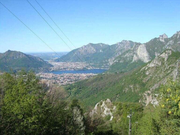
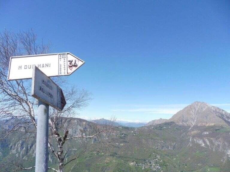
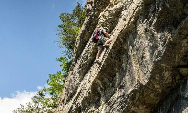
    La Ferrata Simone Contessi climbs along the rocky towers of the ridge of Monte Due Mani, in the province of Lecco. È a demanding and very varied , with vertical walls, beams and a dozen towers, and gives a wonderful view on Grigne, Resegone and Lake. A path along the ferrata and allows you to bypass the individual towers, offering numerous escape routes.

    ▲Approach

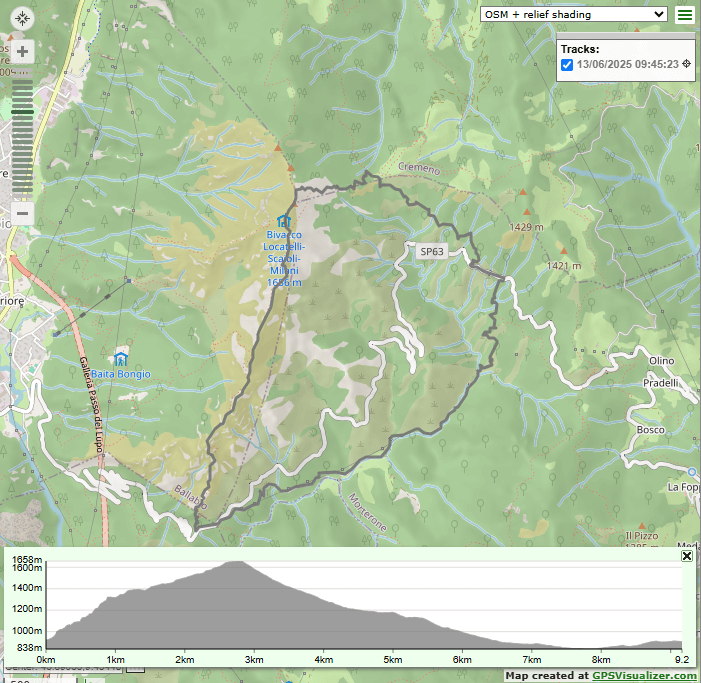
    Starting point along the road that connects Ballabio to Morterone (Lecco): from Ballabio you go for almost 5 km to the winding road to Morterone, you cross a tunnel and, after a few bends, you find a slargo on the left with a couple of parking spaces and a sign (other parking spaces just beyond). Open road signs on Google Maps. From the parking lot, a steep path in the forest takes short to the tag d' attack (10' from the parking lot).

    ▲The path

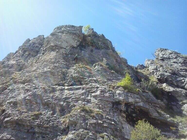
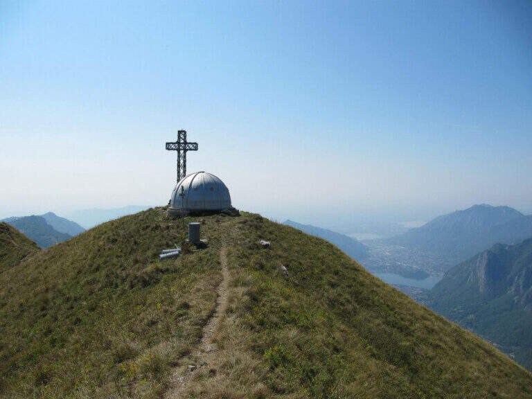
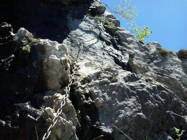
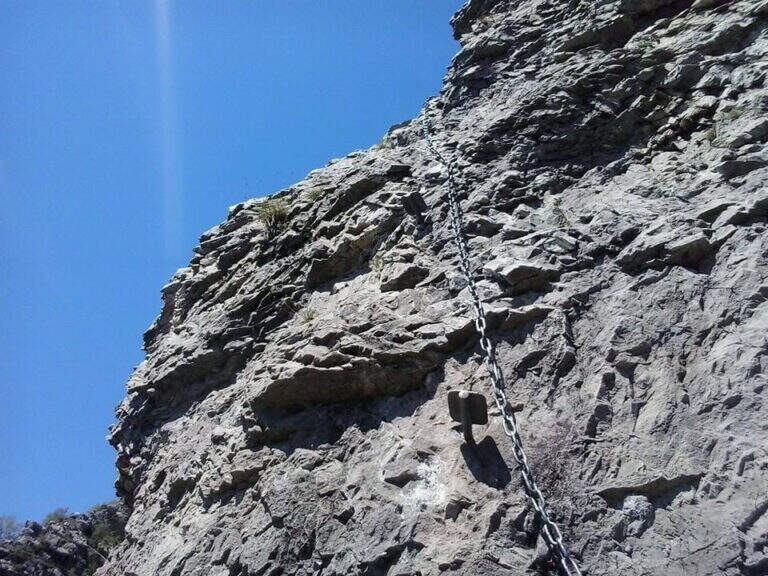
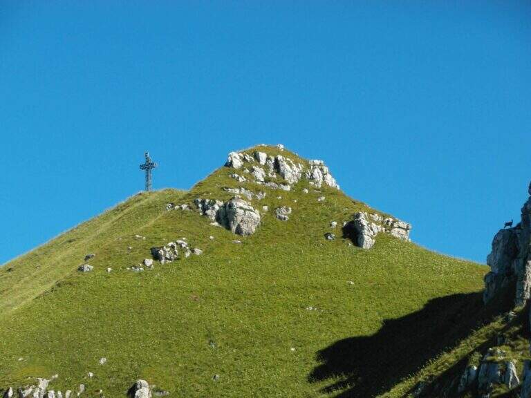
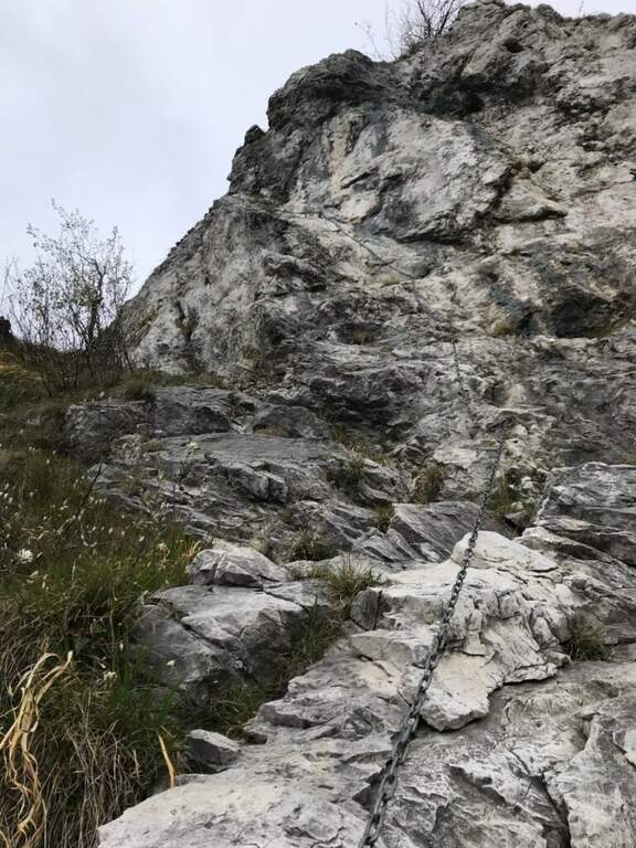
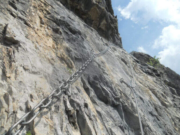
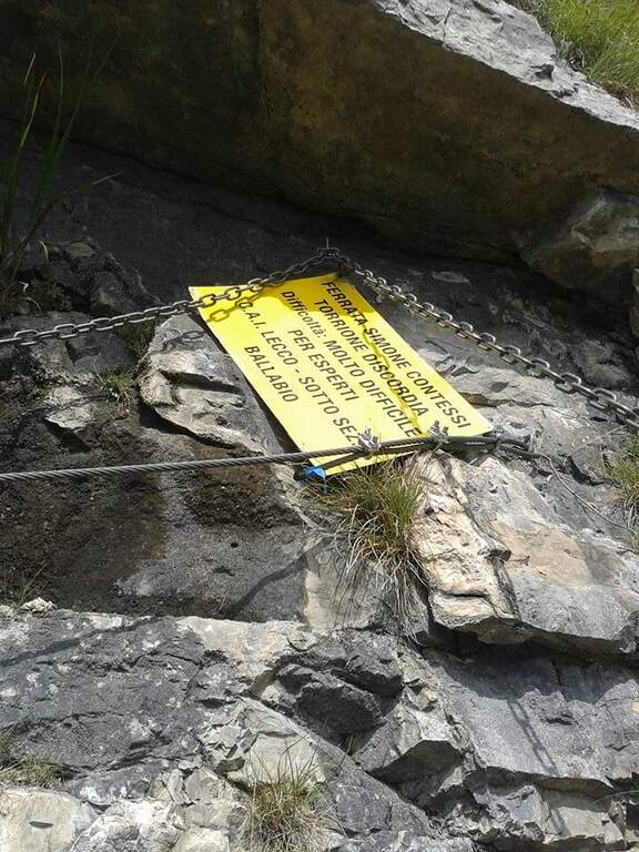
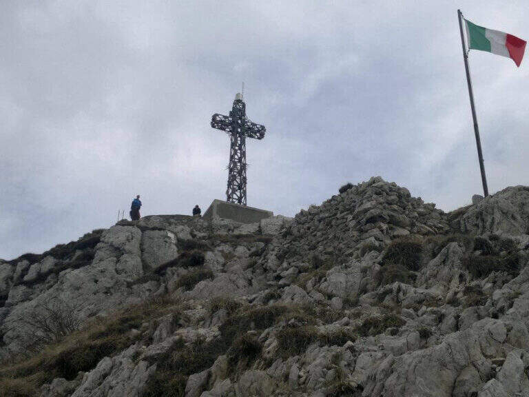
    The Via è marked by a series of torrioni, each one by the path. It starts with the chain that bends left onto small rocks, circumvents a prominence and then on the right leads under a first wall with few hooks (a bracket helps the foot); it follows a più wall; long with natural hooks and brackets and a diagonal traverse left towards a corner, which closes the first section. The second section, all' più appearance; lasts as long as it is, rises with a left-hand side, a vertical wall with good supports and small rocks. The third, challenging, alternates a short right-handed traverse, a diagonal traverse exposed to the left and a vertical dihedron. The fourth tower, più easy, goes up a corner and descends on the opposite side; the fifth has a steep vertical wall, a exposed traverse and a last vertical stretch, followed by a ridge path equipped. The sixth è a short plaque, the seventh the più easy. L' eighth section — the Torrione della Discordia — è of a very difficult level: a narrow nod under a roof, a wall definitely overhanging with brackets, chain and cable, a short diagonal traverse and another 5-6 meters overhanging, then a long diagonal traverse in adherence on rock poor d' The ninth section è a beautiful vertical plate, at first apparently smooth then più attached to the left, about ten meters (1h 30' from' ) attack. Follows a ridge with equipped sections and path (about 1h 15') up to a last crossroads: the tenth and short section goes up a spur and descends on the opposite side, otherwise bypassable, up to the peak cross with the bedless bivouac (3h from' attack, 3h 15' totali).

    ▲Character and difficulty

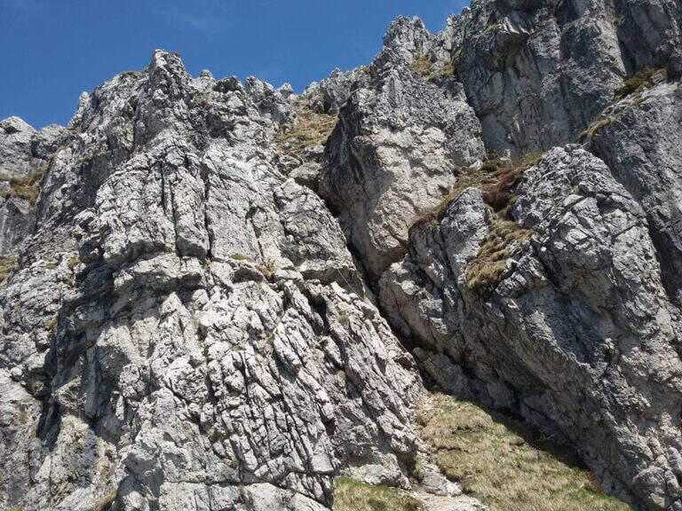
    Limestone rock that allows you to climb in many stretches. Overall the road remains difficile, although with the Torrione della Discordia of a very difficult but bypassable level.

    ⚠ The muskable chain is in some stretches lasca, with rather spaced tokens: proceed with caution. Itinerary long and with important difference in altitude; a pair of telescopic sticks are useful downhill.

    ▲Period and safety

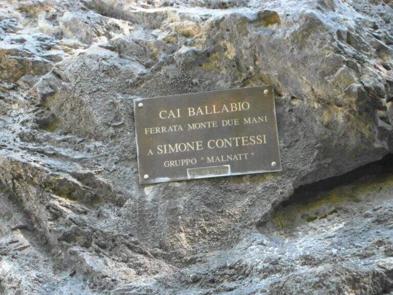
    GPS tracks (GPX and KMZ) are available; the Grigne, Resegone and Valsassina map is useful for the area. The ferrata is dedicated to the young climber Simone Contessi, of the Malnatt group of Lecco, who died in an accident.

    ▲Discipline

    It can be arranged; go down the normal road: reached the asphalted road upstream of the' car, keep the left downhill and take right l' ancient municipal road of Morterone in the forest until the parking lot. Alternatively, go down the steep path that runs along the towers, up to ' attack and all' car (1h 45' from the summit, 5h totali).

    ▲To match

    Area rich in itineraries: in increasing order of difficulty the River Trail, la Gallery of Morcate, la Range 1 to the Planets, la Ferrata al Corno Medale e la 30° OSA at Corno Rat; for the most prepared the Range 2 o la Ferrata del Monte Ocone.

    ▲Gallery
    Technical data
    • DifficultyHard
    • RegionLombardy
    • GroupPrealps Lecchesi
    • Approach0:10 h
    • Ferrata30
    • Itinerary (a/r)5:00 h
    • Hardware level difference756 m
    • Route difference756 m
    • Max1656 m
    • Length9,9 Km
  • Ferrata Silvano de Franco (Resegone)

    Ferrata Silvano de Franco (Resegone)

    Vie Ferrate › Lombardia › Lecco
    Ferrata Silvano de Franco (Resegone)

    La Ferrata Silvano de Franco ` an alternative route to the più routes; bars for the summit of Resegone, the mountain that dominates Lecco. È a corto itinerary but challenging, along the southwest ridge, on high exposure and with some difficult plaques; l' & ` rather long, reason why it is often chained with other equipped routes that go back to Pian Serrada.

    ▲Approach

    Starting point l' wide cable car square for the Piani d'Erna in Lecco. Open road signs on Google Maps. There are more alternatives, depending on whether you use the cable car and want to insert another equipped path. The most direct: from the mountain station follow the path 5 towards the Rifugio Azzoni; at the crossroads with the path 1 take it to the left uphill, you pass the Passo della Zibretta (1h 15' from the cable car) and, paying attention to a' slight trace to the left towards a pole, you descend slightly until the' attack (1h 30' from the cable car). Alternatively, you can go up on foot from the parking lot on path 1 above the Stoppani Refuge (about 3h all' attack) or enter the Centenary Ferrata or the Caminetto Path first from the Fò Pass; and the Pian Serrada.
    ▲The path

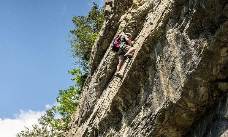
    La ferrata inizia con un breve balzo dove la catena passa in una fessura della roccia; seguono roccette ricche di appigli naturali e un secondo tratto più lungo, con roccia frastagliata, dove la pendenza cresce e la catena corre in un canalino con un piccolo balzo più difficile (utile la catena). Dal pulpito di questo tratto si vede un secondo settore verticale, preceduto da un breve sentiero di cresta su esile traccia attrezzata sul lato destro del filo. Il secondo torrione attacca con un diedro di 4 metri dagli appigli poco evidenti (conviene salire coi piedi a sinistra, pur scorrendo la catena a destra); si aggira una sporgenza a destra, si rimontano un paio di risalti — uno più faticoso — fino a un terrazzino, oltre il quale c'è un tratto di discesa attrezzata. Seguendo la traccia si raggiunge un nuovo tratto che parte sotto un basso tetto, difficile da iniziare senza trazionare sulla catena, poi più appigliato; una breve cengia a sinistra porta a una parete con fessura a sinistra e paretina a destra. Si stacca un attimo dai moschettoni e si riattacca su un risalto; un esposto tratto verticale, ben appigliato dopo i primi metri, rimonta uno spigolo sul lato destro fino a un tratto di cresta tra balzi e roccette, meno impegnativo ma molto esposto. Oltre un'esposta selletta si attacca l'ultima sezione su un pilastro (lato sinistro), poi roccette e risalti più marcati sul filo destro della cresta; si esce sul sentiero di cresta, non difficile ma da fare con attenzione dopo le piogge, con la croce di Punta Cermenati in vista. Alcuni saliscendi, l'aggiramento in discesa di un masso e si arriva alla croce (1h dall'attacco, 2h 30' dalla stazione a monte).

    ▲Character and difficulty

    Ferrata not long but with some difficult passages not to be underestimated, less joke of other routes in the area of Resegone.

    ⚠ The chain, present along the whole path, is mosquitable but rather bulky: sometimes I hang in the progression, and the puppets tend to entangle.

    ▲Period and safety

    GPS tracks (GPX and KMZ) are available; the Grigne, Resegone and Valsassina map is useful for the area.

    ▲Discipline

    Dalla croce si vede il Rifugio Azzoni; raggiuntolo si scende sul sentiero 1 fino al bivio col 5, da cui si può tenere il 5 a destra verso i Piani d'Erna e la funivia (1h 15' dal termine, 3h 45' totali) oppure restare sul sentiero 1 verso il Rifugio Stoppani e il parcheggio (2h dal termine, 4h 30' totali).

    ▲To match

    It often concatenates with one of the equipped paths that go back to Passo Fò, or climbing the Ferrata Gamma 1 from the Piani d'Erna. On the Resegone you can also walk Ferrata Gamma 2 e la Cresta della Giumenta.

    ▲Gallery
    Technical data
    • DifficultyHard
    • RegionLombardy
    • GroupResegone
    • Approach1:30 h
    • Ferrata1:00 h
    • Itinerary (a/r)3:45 h
    • Hardware level difference180 m
    • Route difference485 m
    • Max1860 m
    • Length8 Km
  • Ferrata Selvaggio Verde (Val Grande)

    Ferrata Selvaggio Verde (Val Grande)

    Vie Ferrate › Piemonte › Verbano-Cusio-Ossola
    Ferrata Selvaggio Verde (Val Grande)
    Moderately Hard● OpenDescriptionComplexityMapsGallery

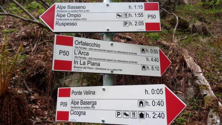
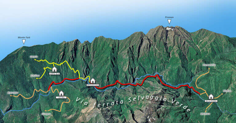
    Inaugurated in 2022, la Ferrata Selvaggio Verde along the long bore of the Rio Val Grande connecting with many stretches equipped «In the Piana» e «Ponte Velina». Non è né a modern né ferrata; a dolomitic way, but a long itinerary «selvaggio» in the heart of one of the più parks; beautiful in the Central Alps. Difficultly accessible on the day, it should be broken in two days using d' points; support along the route. The classification « always difficult to understand; is valid only for the equipped sections: to make it really challenging are the length and distance, for experienced and well trained hikers.

    ▲Approach

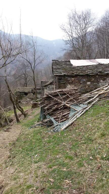
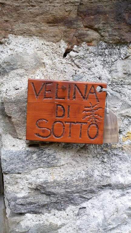
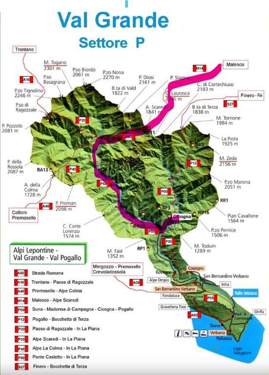
    L' itinerary can be arranged by più points; here we consider the departure from the village of Cicogna (VB) towards In La Piana and then down to the Loana Valley. Open road signs on Google Maps. The non è : l' ideal è have two cars. At the cemetery of Cicogna there is a dirt road for about fifteen minutes on a false plateau, over huts and alpine pastures, tillché it becomes a path that enters the park of the Val Grande with a series of uphills between ruins and old huts (some stretches già equipped for safety). Enjoy the Velina stream, you reach the ' Velina mountain pasture and then the Ponte Velina (about 3h from the parking lot), where the real route begins.

    ▲The path

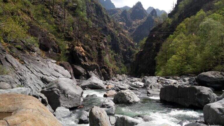
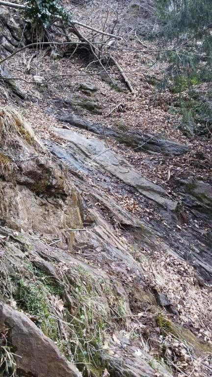
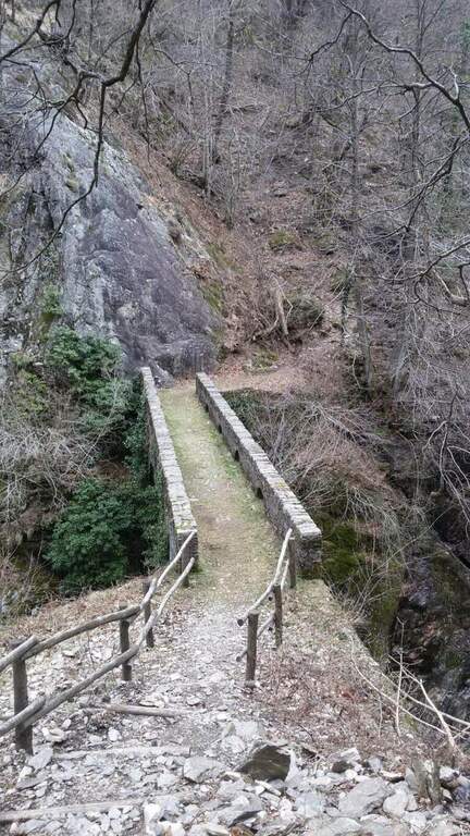
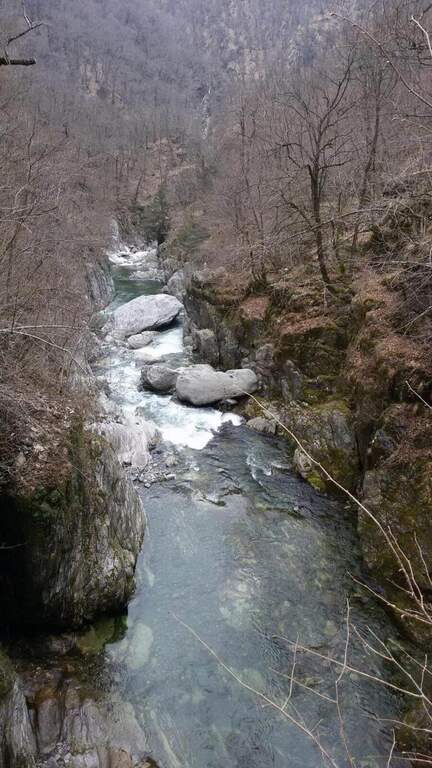
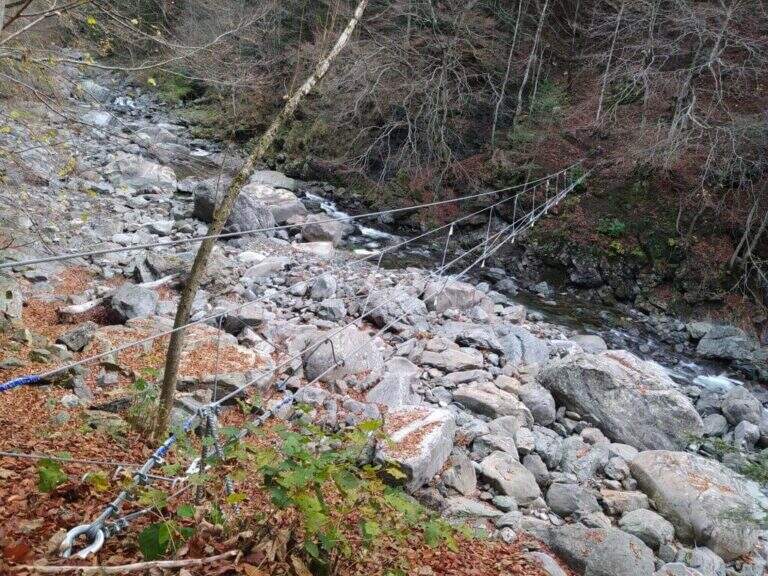
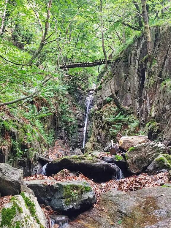
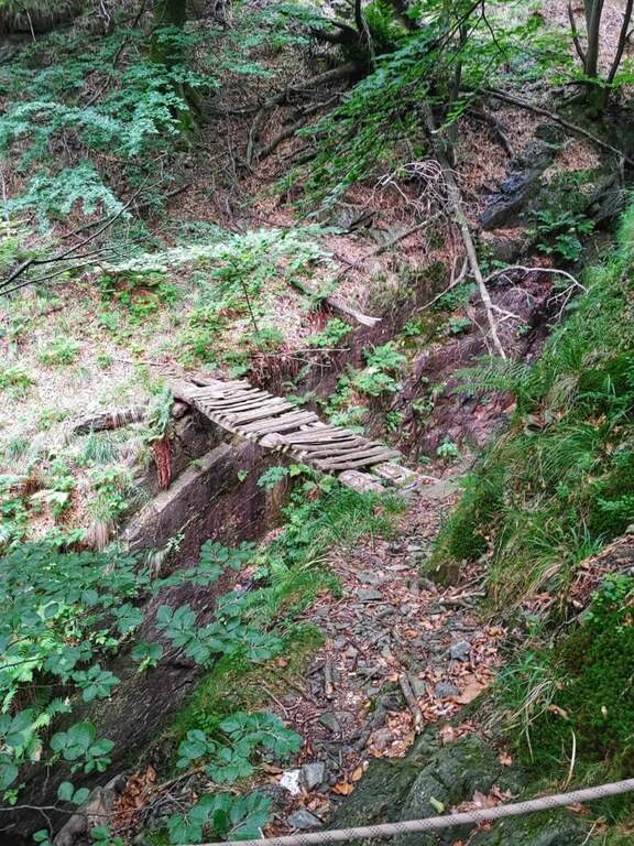
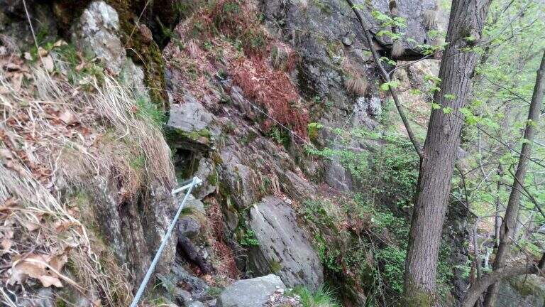
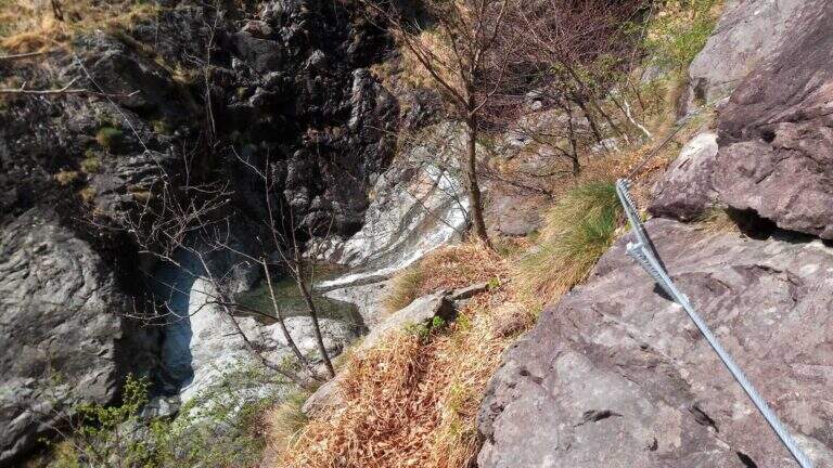
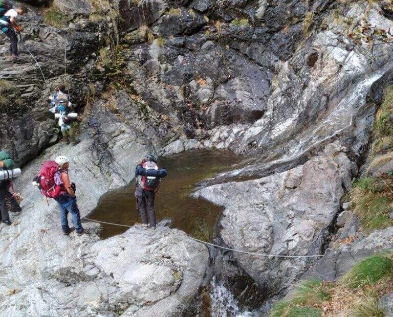
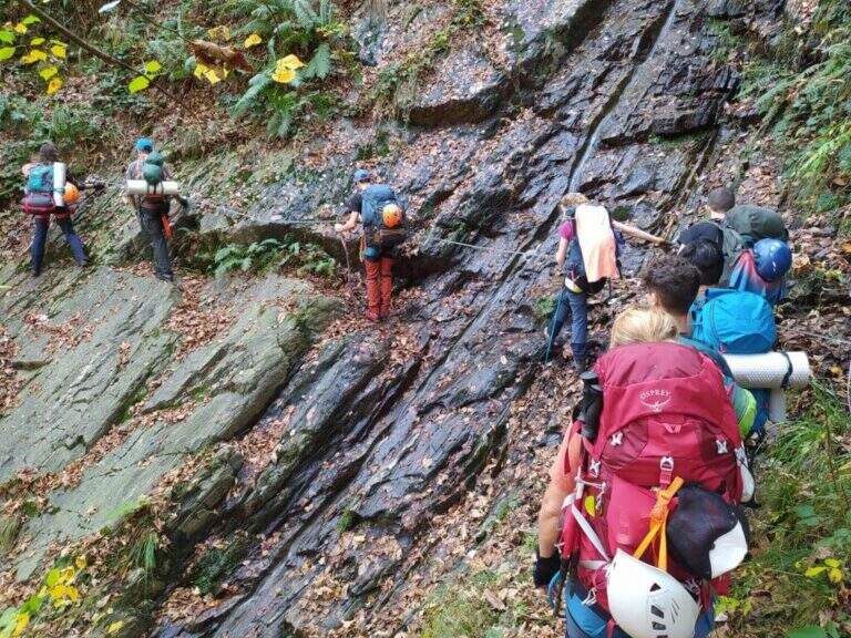
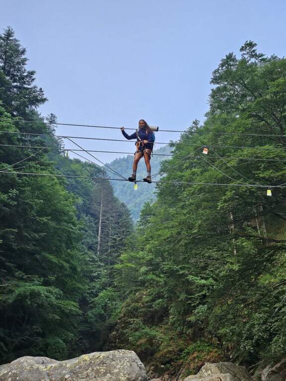
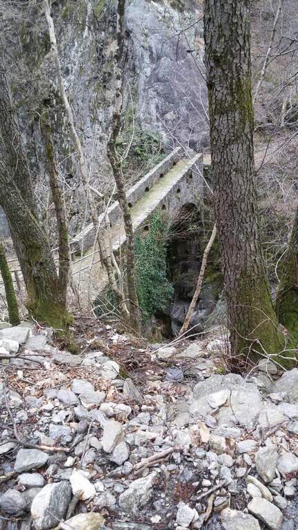
    The fully equipped stretch takes place between Ponte Velina (478 m) e Alpe In La Piana (895 m), faithfully following the Rio Val Grande in an isolated and wild environment. The distance is about 11 km for about 450 m of altitude difference, but among the continuous climbs the real difference is much greater. The equipped path is marked P50 and alternating stretches exposed to other exposed unprotected, with 2 suspension bridges, several wooden walkways rather old (to check its on-site hold), ladders and long stretches of path. About a third of the route, after 2h 30' from Ponte Velina, there is a stone bivouac in localities; Orphalecchio (590 m); just before a possible return route to Ompio and Sciellina, on the left, avoids the hole and the equipped sections. The road continues along the valley between very green walls, cliffs and exposed paths, with suspended bridges and a couple of cheeks; it is necessary to follow the red stamps and a trace at times hidden by the high grass. After about 7-8 hours from' start of the equipped section you reach Alpe In La Piana, where you can può bivacking (about 10h total).

    ▲Character and difficulty

    More than a ferrata, it is a long wild trekking with numerous stretches equipped, exposed and at times slippery.

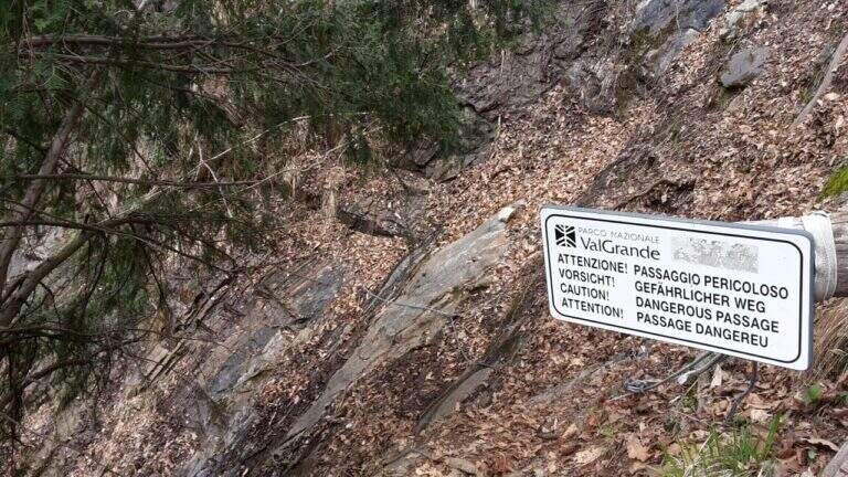
    ⚠ Itinerary long and isolated: the support points are not managed, so they serve food, sleeping bag and the necessary for the bivouac (the huts usually have stove, tables and tables). Cell phones have no cover on the whole route. Several wooden catwalks are old: check the seal on the spot. The area is a protected area (a section falls into the Monte Pedum Integral Reserve, in ZSC and ZPS of the Natura 2000 Network): do not leave waste.

    ▲Period and safety

    Given the absence of managed support points it is highly recommended to bring a map of the area to orientation (for cartography, map of Val Grande). Alternative starting points: Bignugno, Ruspesso or Sciellina; alternative return to Premosello or Mottac. The itinerary can also be routed in the opposite direction. An official GPS track is not available for this route.

    ▲Discipline

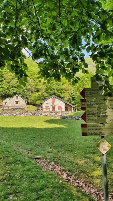
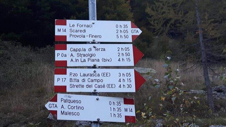
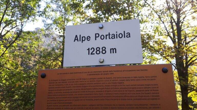
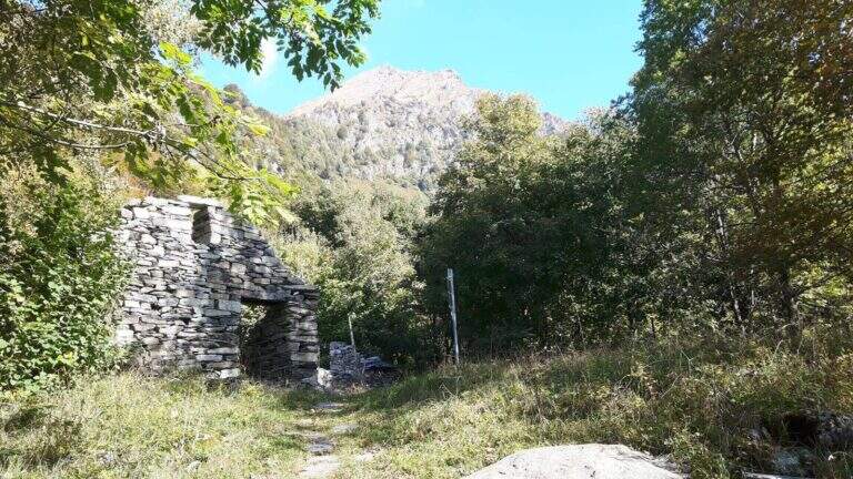
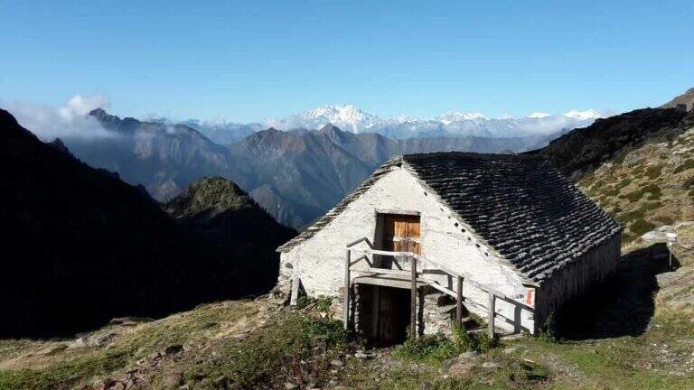
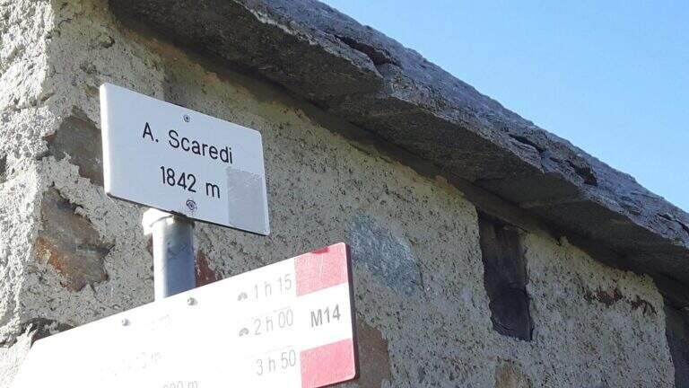
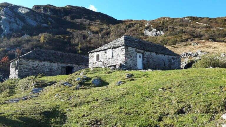
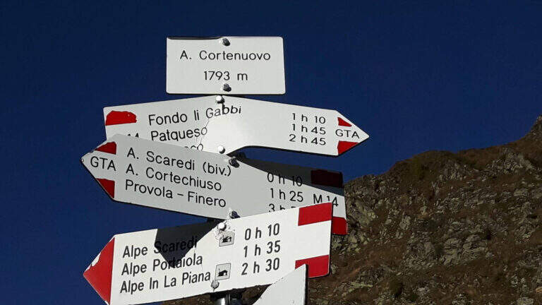
    Da Alpe In La Piana, per raggiungere il parcheggio in Valle Loana si calcolano circa 4h: si segue il sentiero P30 verso Alpe Scaredi e poi l'M14 verso Fondo Li Gabbi, dapprima in salita toccando Alpe Portaiola (1288 m, ruderi), Alpe Scaredi (1842 m) e Alpe Cortenuovo (1793 m), quindi in discesa (circa 14-15h complessive).

    ▲To match

    In Val Grande there are no real ferrates; wanting, between the streets of the Verbano and the Ossola signal the new Ferrata di Montorfano e la Ferrata Walserfall not far from Cicogna; further north the long climb of Ferrata at Pizzo d'Andolla; on Lake Maggiore Picasas e la Miccia near Baveno.

    ▲Gallery
    Technical data
    • DifficultyModerately Hard
    • RegionPiedmont
    • GroupVal Grande
    • Approach3:00 h
    • Ferrata8:00 h
    • Itinerary (a/r)15:30 h
    • Hardware level difference450 m
    • Route difference1500 m
    • Max1842 m
  • Ferrata Sasso delle Nove (Cima Nove)

    Ferrata Sasso delle Nove (Cima Nove)

    Vie Ferrate › Trentino-Alto Adige › Bolzano
    Ferrata Sasso delle Nove (Cima Nove)
    Moderately Hard● OpenDescriptionComplexityMapsGallery

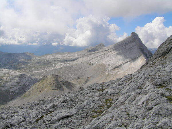
    La Ferrata in Cima Nove (Sasso delle Nove) is a short stretch equipped — the last 100 meters before the cross — placed at the end of a long and challenging high mountain route in Val Badia. Technically it is not prohibitive, but runs along a wall very exposed, especially on the southern placconata characteristic, in a solitary and austere environment with some exposed and unprotected passages. The summit touches the 2968 m.

    ▲Approach

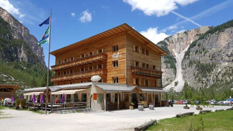
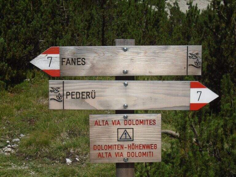
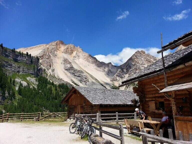
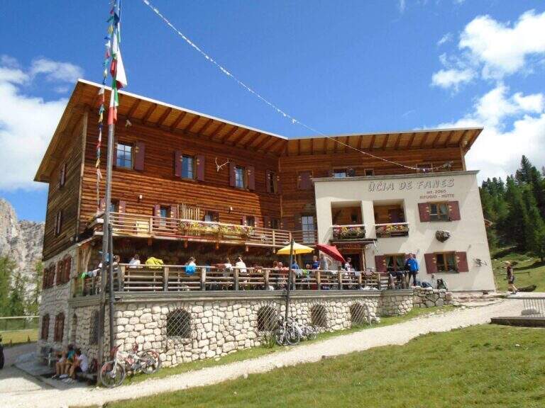
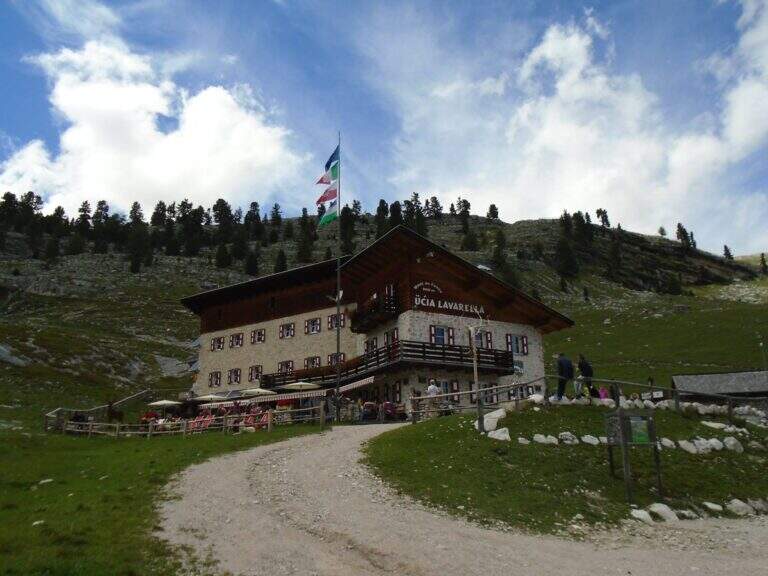
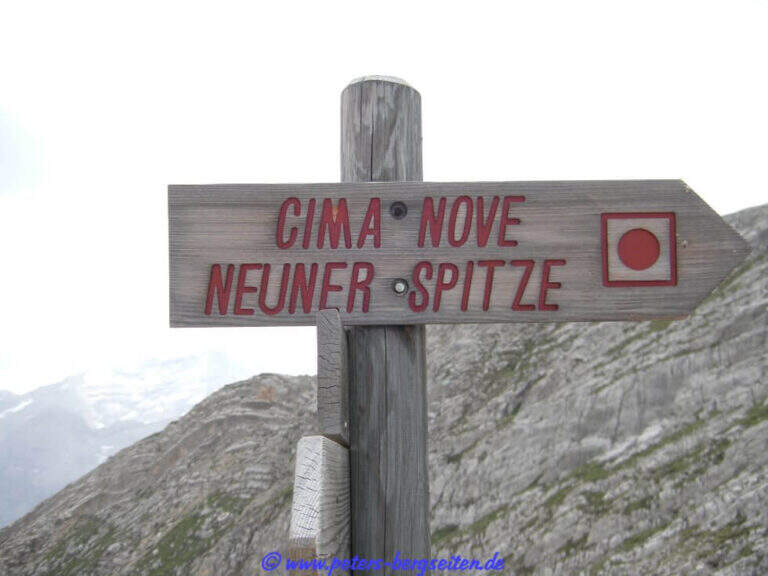
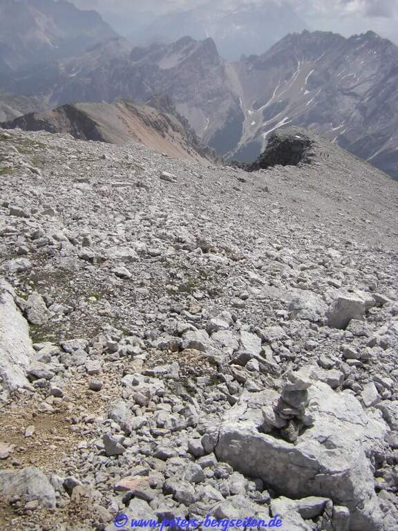
    Starting point the Rifugio Pederù (1548 m), reachable from San Vigilio di Marebbe following the signs «Pederù» già in the village, on asphalted road up to ' wide parking. Open road signs on Google Maps. From the hut follow the wide tourist path 7 to the south in the Fanes Valley, quickly touching the Pices Fanes Refuge (2007 m), the Fanes Refuge (2060 m, short optional deviation) and the Lavarella Refuge (2050 m, 1h 30' from departure). From here you take the marker 13 verso nord, a destra, sul Piano delle Sarenes, salendo costantemente fino al Passo di Sant'Antonio (Ju de Sant'Antone, 2466 m, 2h 30' totali). Si lascia il 13 e, seguendo il cartello, si sale verso est su un ripido ghiaione con alcuni bolli rossi e facili roccette fino a una sella prativa con vista su Cima Dieci e Cima Nove; qui i segni finiscono ma si segue a vista la cresta verso nord-ovest, fra precipizi su entrambi i lati, fino all'attacco delle attrezzature (2800 m, 3h 30' totali).

    ▲The path

    The ferrata exceeds about 100 meters. The first sections ensure a well-graded crest near the precipice of the north wall, più similar to an equipped path; then you move on the south side, più exposed, where the cable continues without difficulty; techniques on moderate slope up to a rock where the cable stops and resumes two pi & pigrave meters; ahead. Here begins the più tract; interesting: a long and plane traverse to the left on a smooth placconata to be covered in adherence. The cable then goes up più vertical towards a stretch of very aerial edge, on strong exposure, up to a difficult & agrave medium camino; — the passage probably più technical, però enough supported. Un' last tilted plaque and some exposed top rocks close the equipment (45' from' attack). Continue on gravel slope to the cross of Cima Nove (2968 m, 15' from the end of the equipment, 4h 30' totali).

    ▲Character and difficulty

    The road does not have any technical difficulties but it develops on a very exposed wall, with smooth and vertical plates that can put in difficulty those who have little experience or non-stop foot; the equipped passages however alternate at times without difficulty.

    ⚠ The return takes place through the downhill ferrata, to be faced with great attention given the exposure. The excursion is long and, after the first shelters, quite isolated: to travel only with stable time. Downhill, on the top floor, with fog or low clouds be careful to locate the canal where the equipment runs.

    ▲Period and safety

    Alternatively, you can start from Spescia (1549 m) in Val Badia by steeply climbing the path 13 along the Fanes Valley to the Ju de Sant'Antone: shorter as a distance but more tiring and steep (about 7h a/r). GPS tracks (GPX and KMZ) are available; the 4Land Val Badia map is useful for the area.

    ▲History

    The Sasso delle Nove is a particular mountain: its long sloped southern wall was climbed by the Messner brothers with three itineraries of pure adhesion (Direttissima, Heidi, Placche), at the end of the Sixties real test benches, finally faced with rigid boots. The most repeated is today the very Direct Messner.

    ▲Discipline

    The return takes place back along l' ascent itinerary, including ferrata (3h 30' from the summit, 8h totali).

    ▲To match

    Cima Nove is the northern peak of the Sasso della Croce Group, where there is also the often combined ferrata at the Sasso della Croce and Cima Ten. Further south on the group run Sentiero Attrezzato Tru Dolomieu and the long Ferrata della Pace; towards Lake Braies easy Ferrata di Valdaora alla Cima dei Colli Alti and, at the Furcia Pass, the Ferrata at Piz de Peres.

    ▲Gallery
    Technical data
    • DifficultyModerately Hard
    • RegionTrentino-Alto Adige
    • GroupRock of the Cross
    • Approach3:30 h
    • Ferrata1:00 h
    • Itinerary (a/r)8:00 h
    • Hardware level difference110 m
    • Route difference1424 m
    • Max2968 m
    • Length19 Km
Need help? Write to us!