Paese: Italia

  • Ferrata Ciardelli (Bourcet)

    Ferrata Ciardelli (Bourcet)

    Vie Ferrate › Piedmont › Turin
    Ferrata Ciardelli (Bourcet)
    Very difficult● OpenDescriptionComplexityMapsGallery

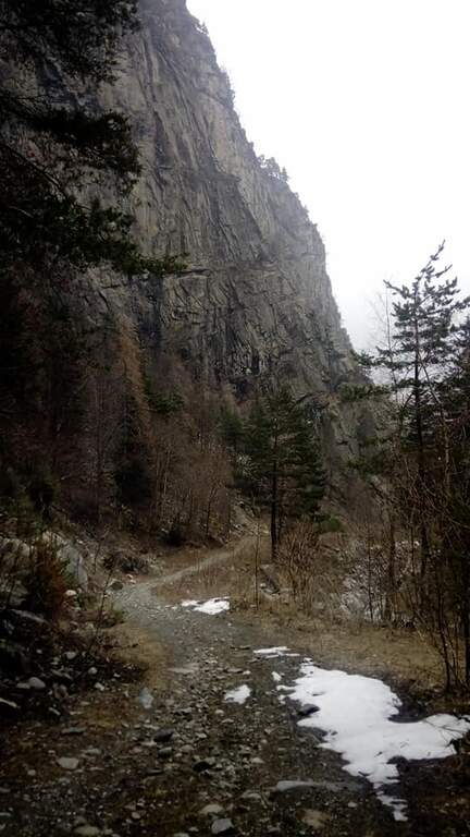
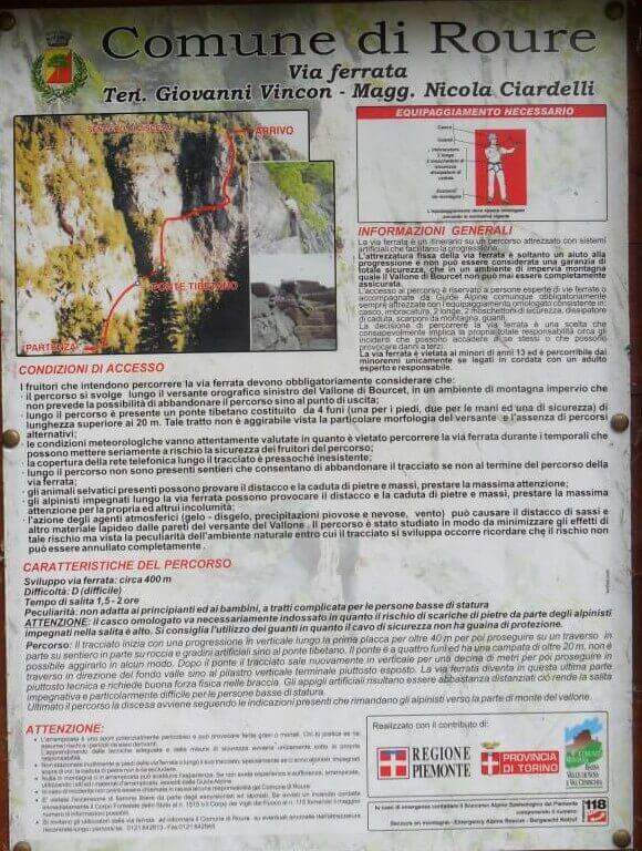
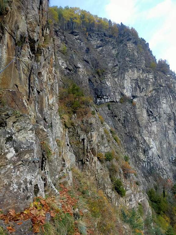
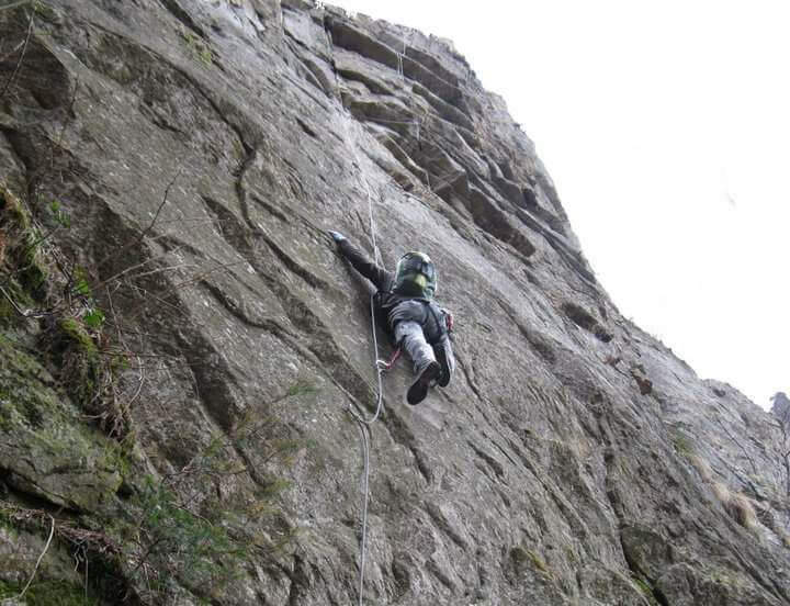
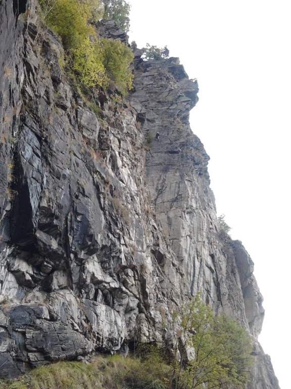
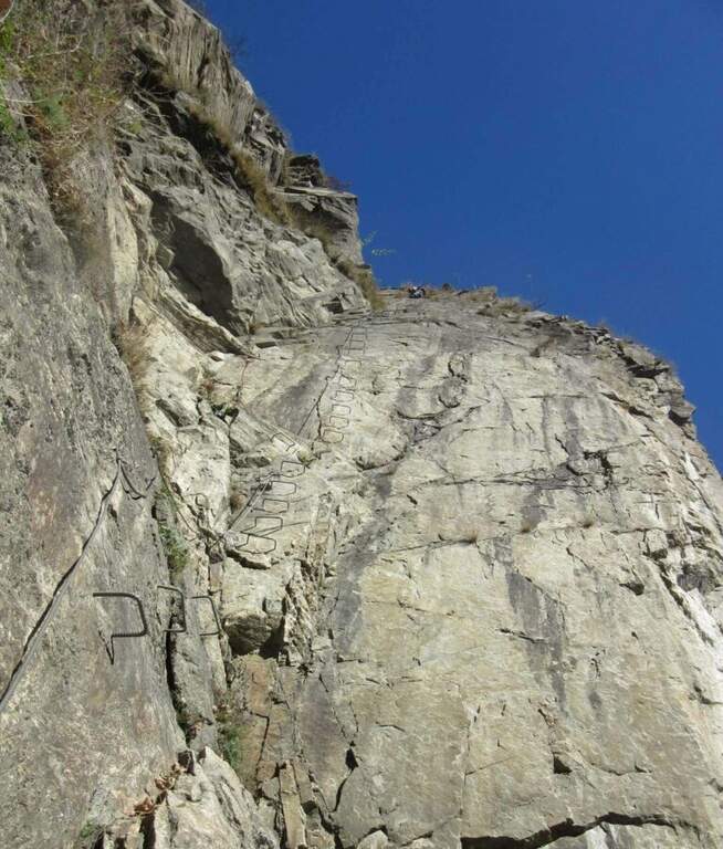
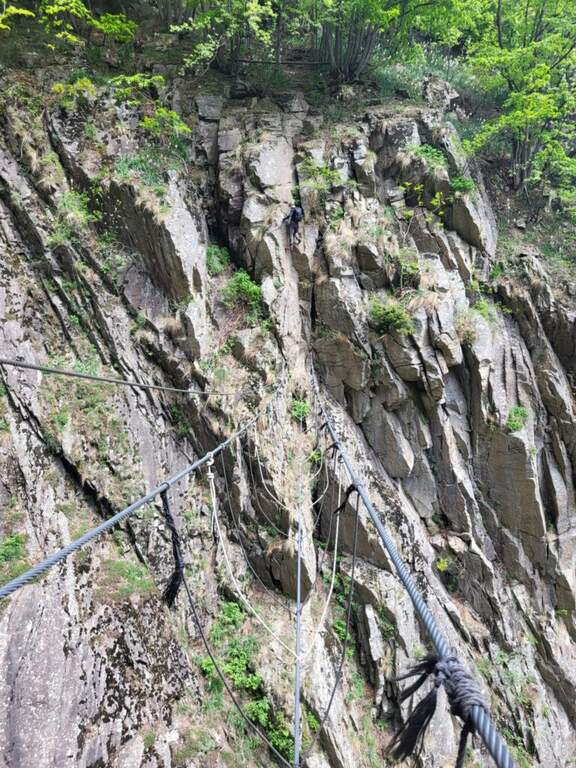
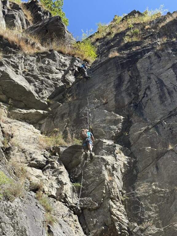
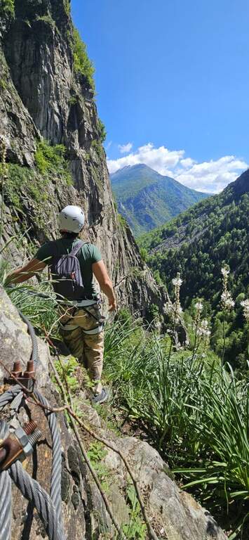
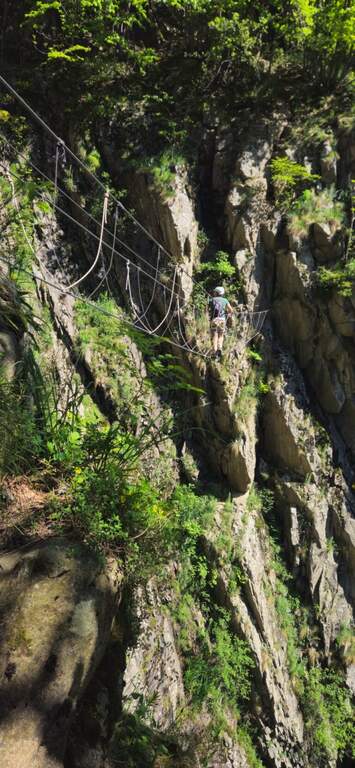
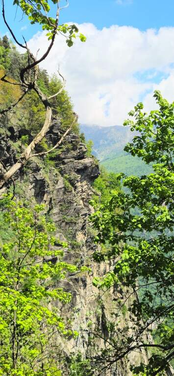
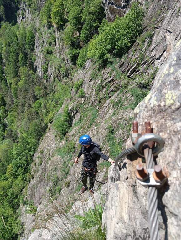
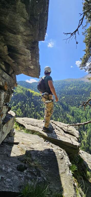
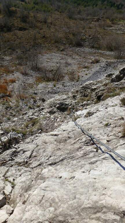
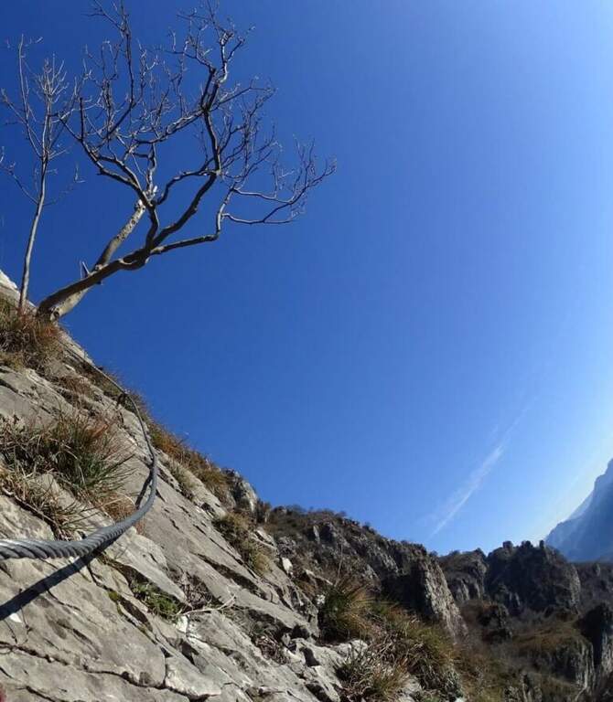
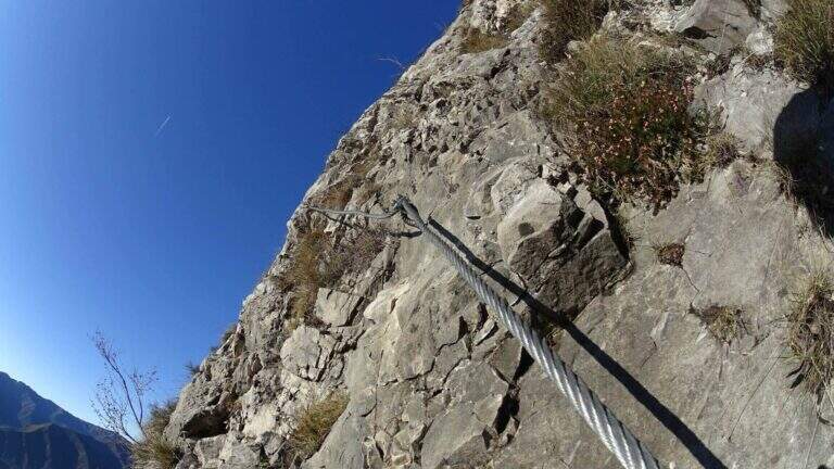
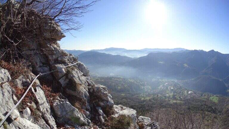
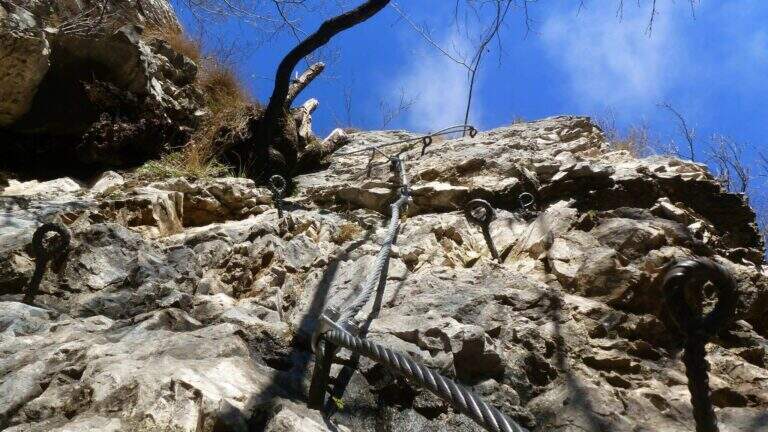
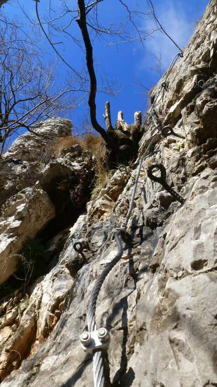
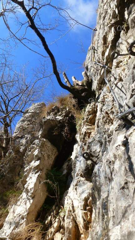
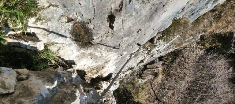
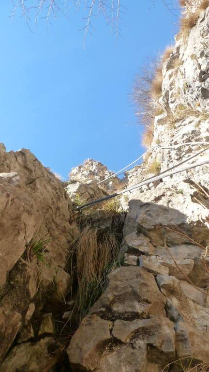
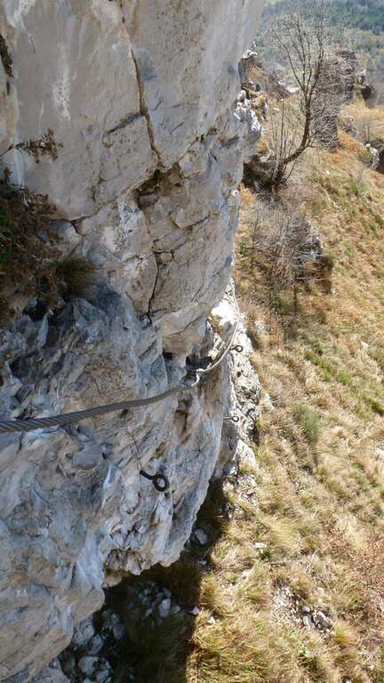
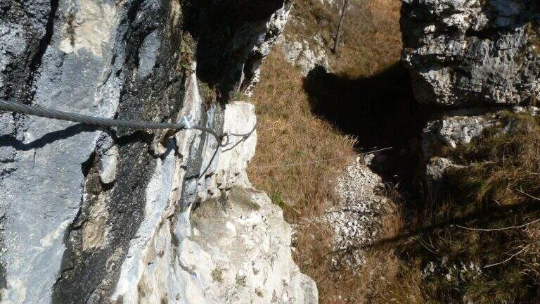
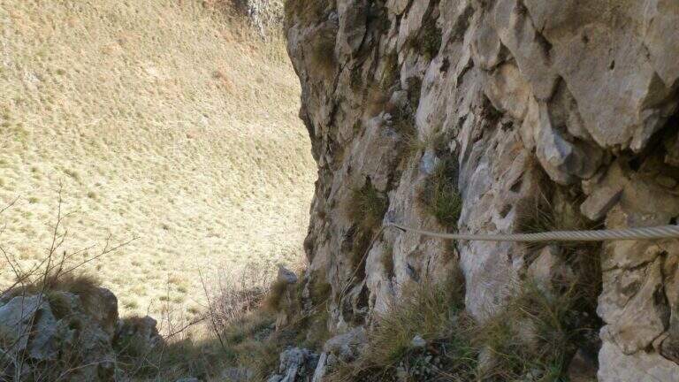
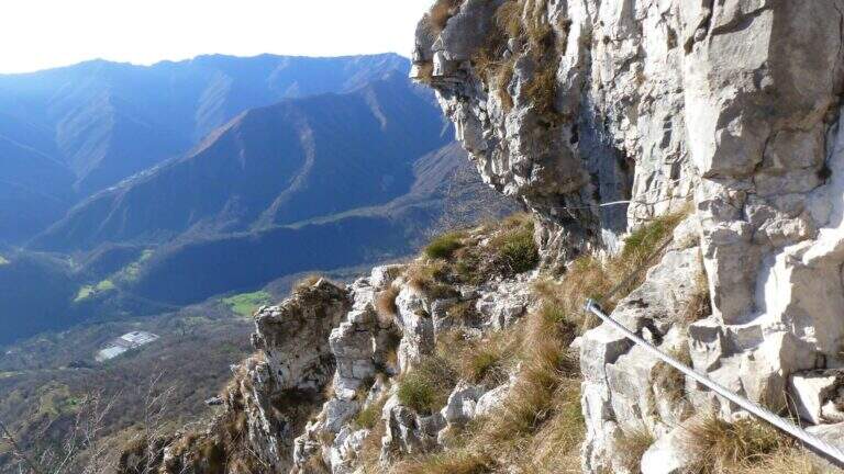
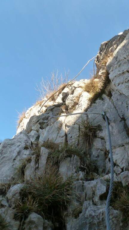
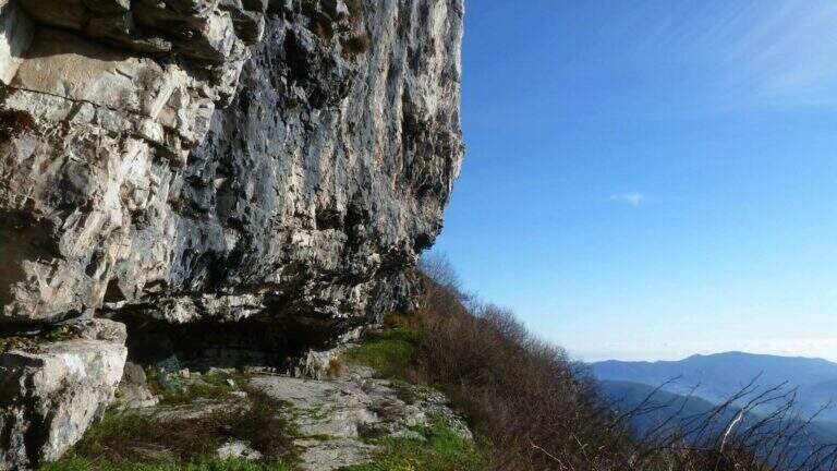
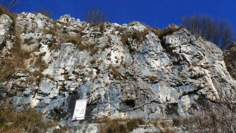
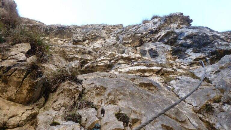
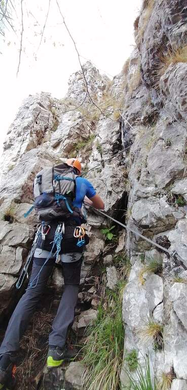
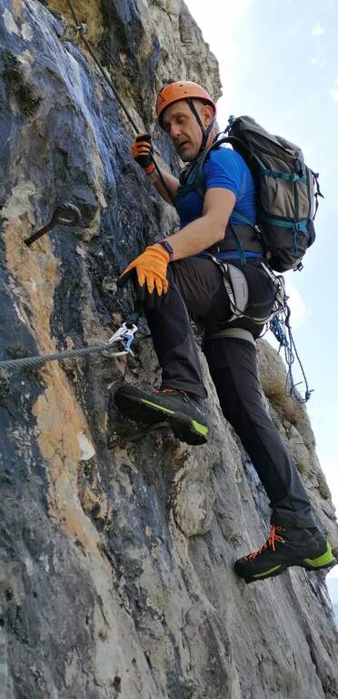
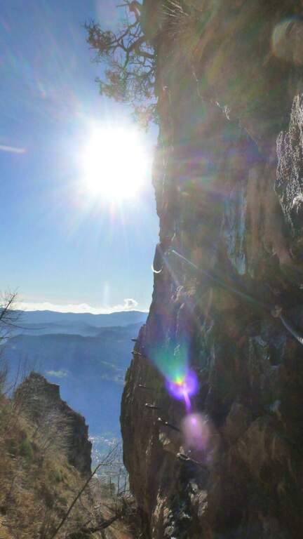
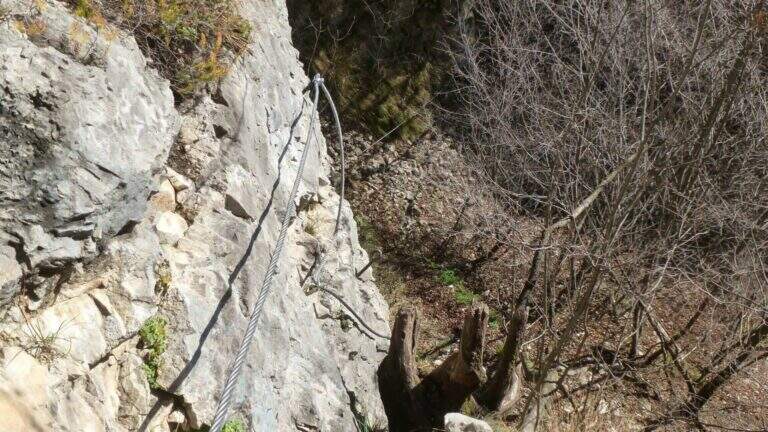
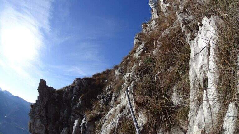
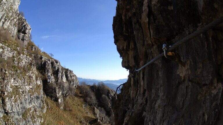
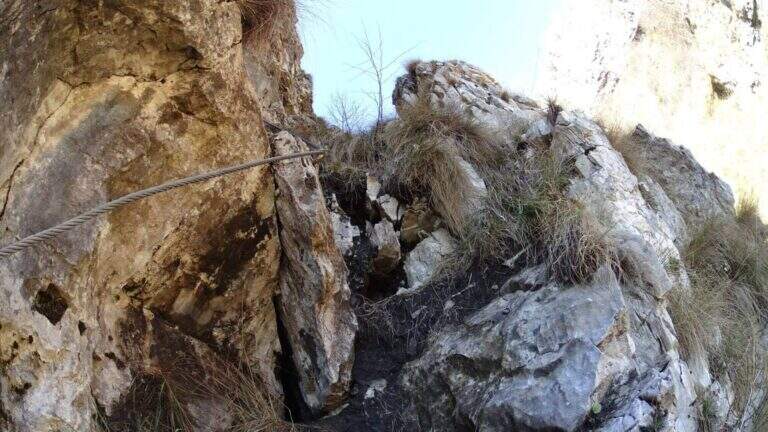
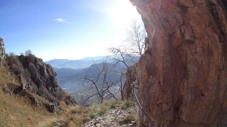
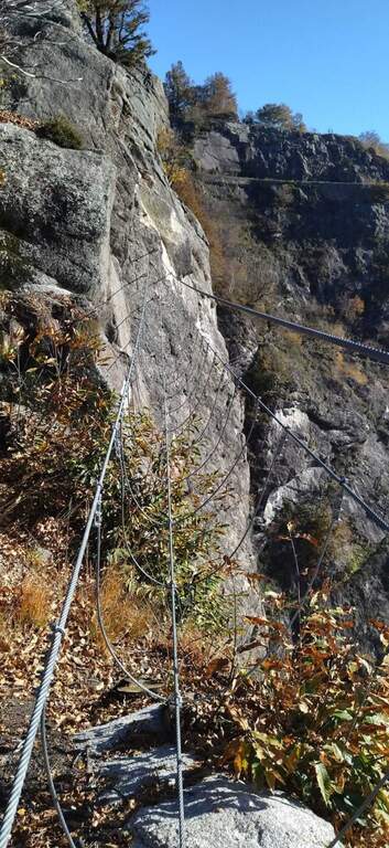
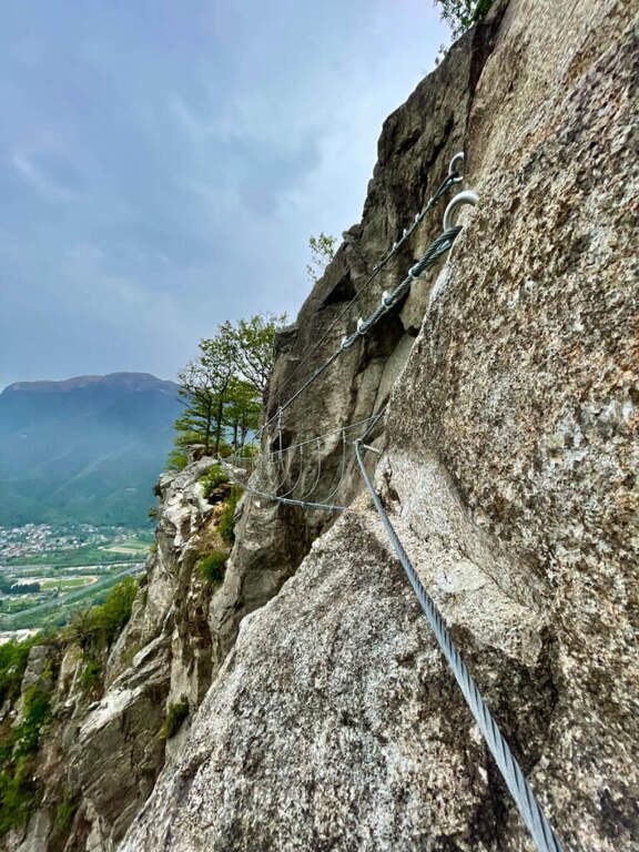
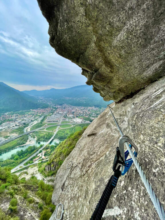
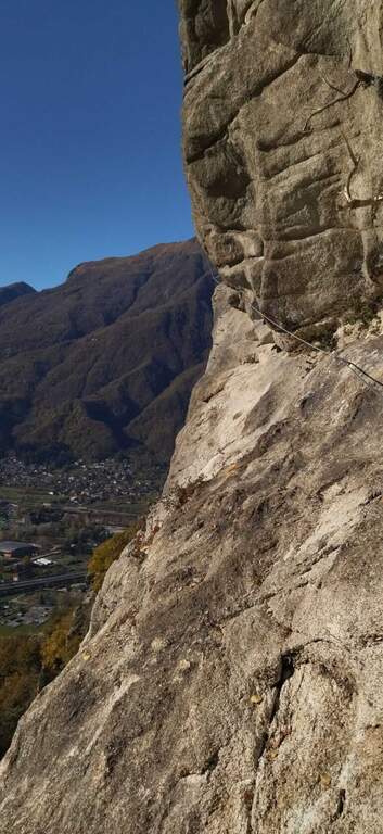
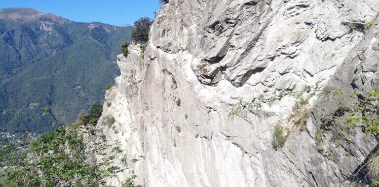
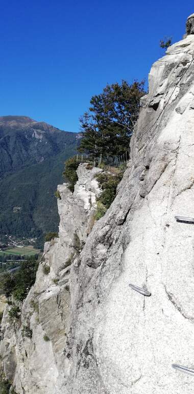
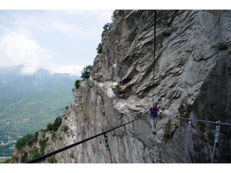
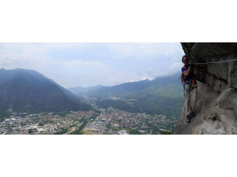
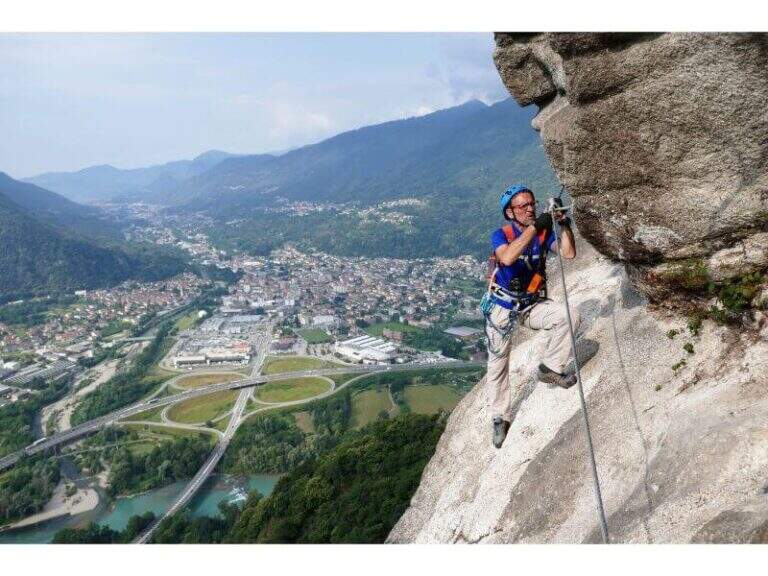
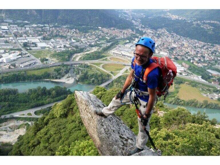
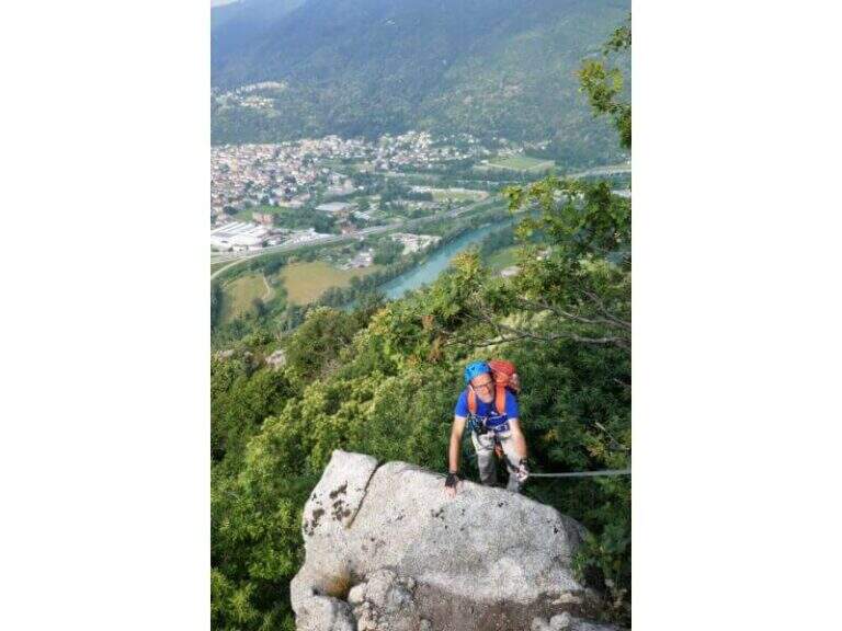
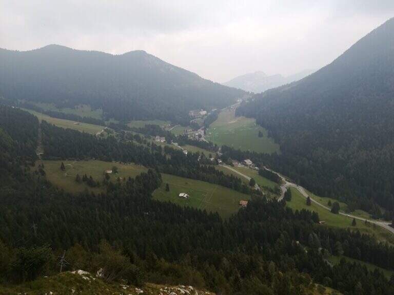
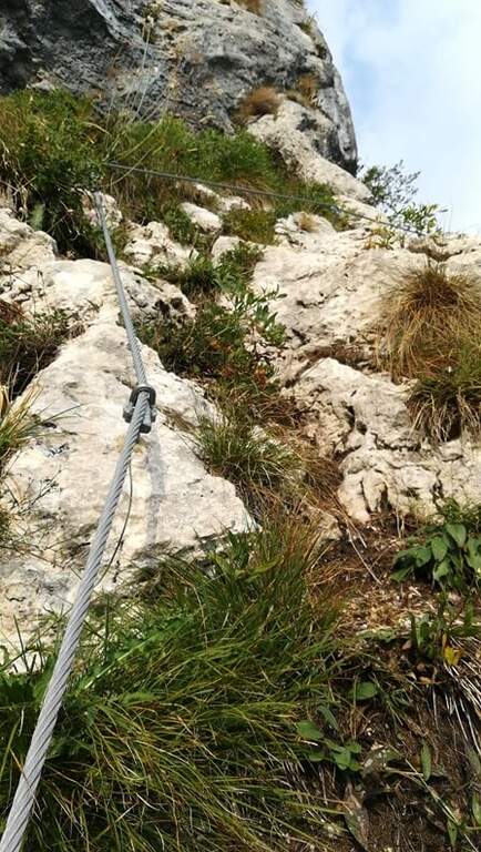
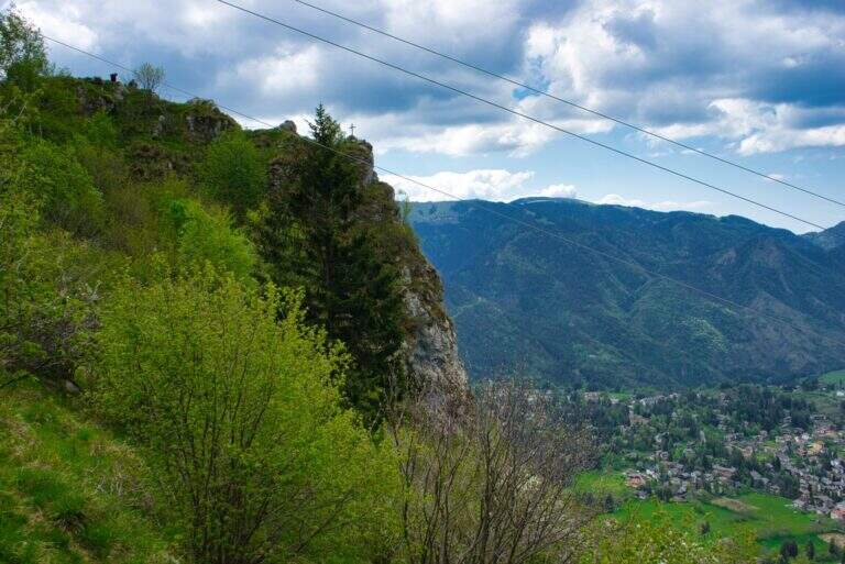
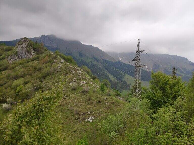
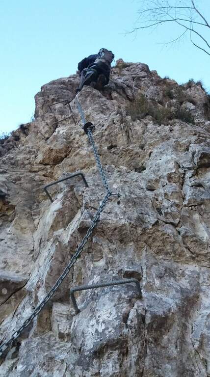
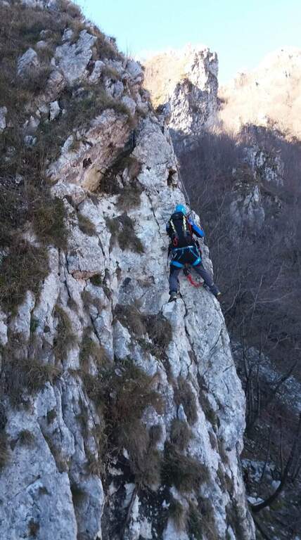
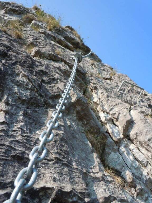
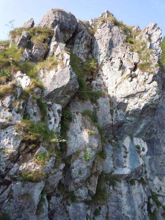
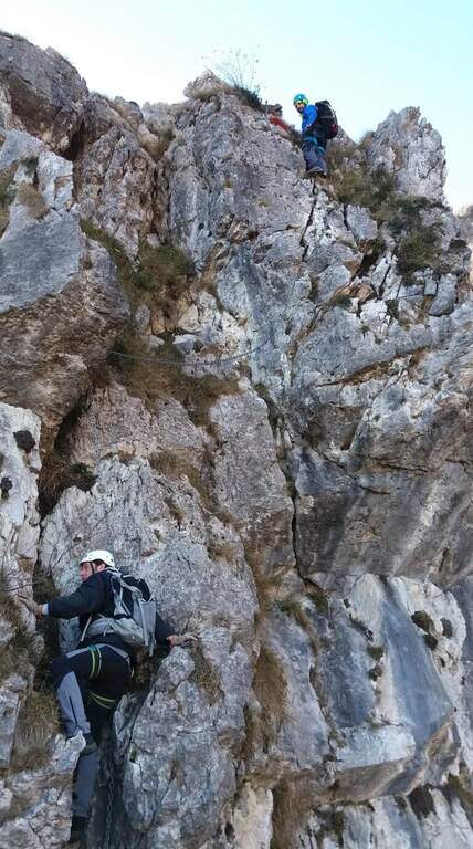
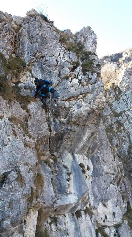
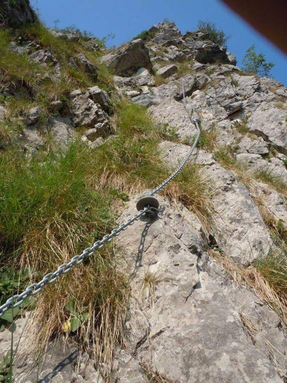
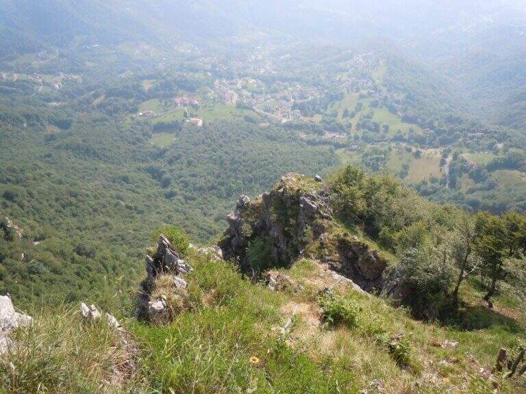
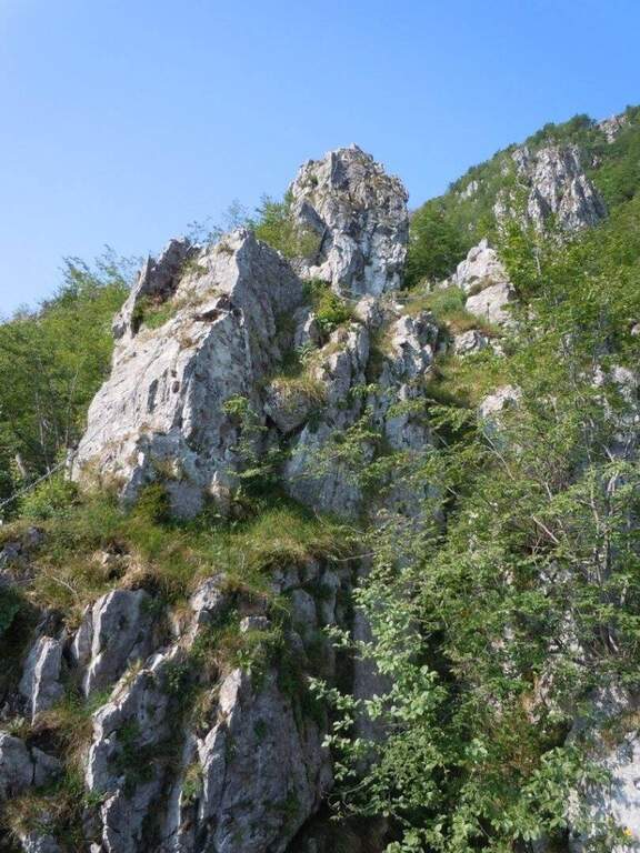
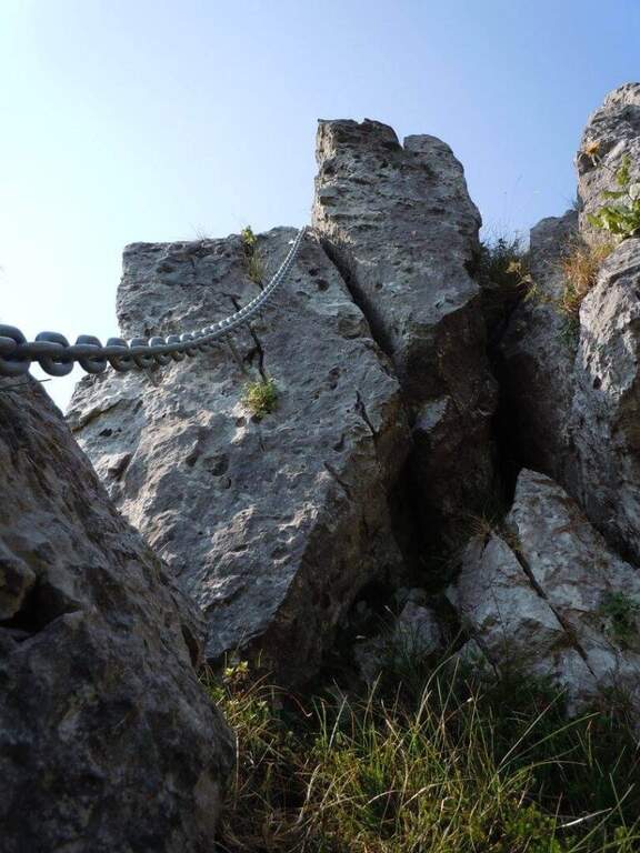
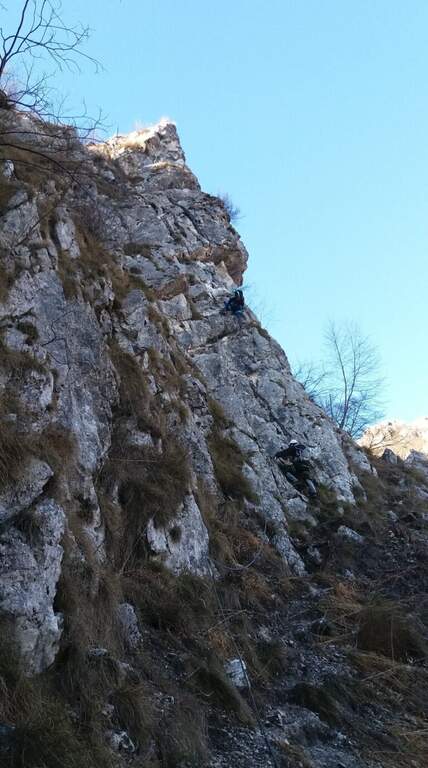
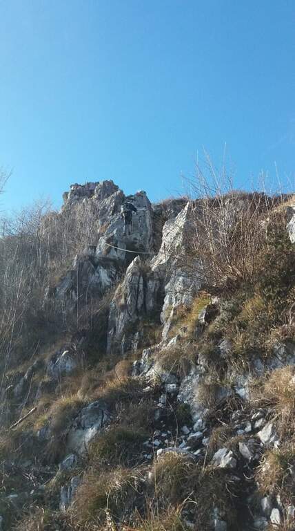
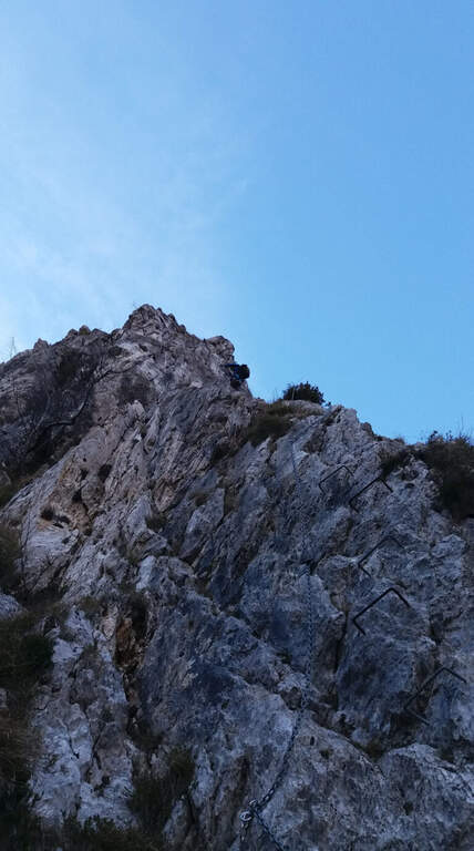
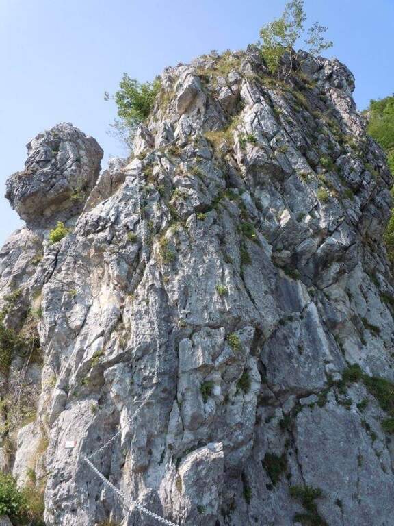
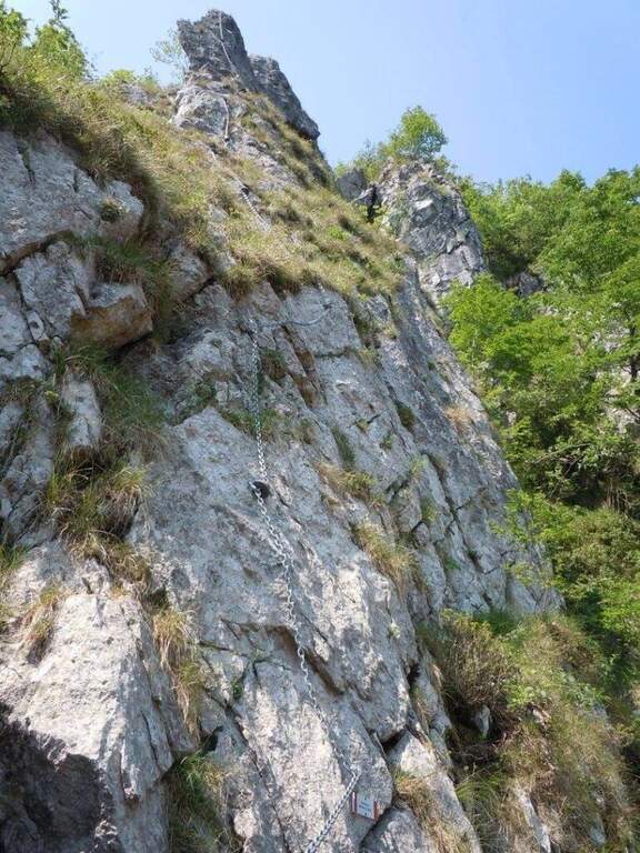
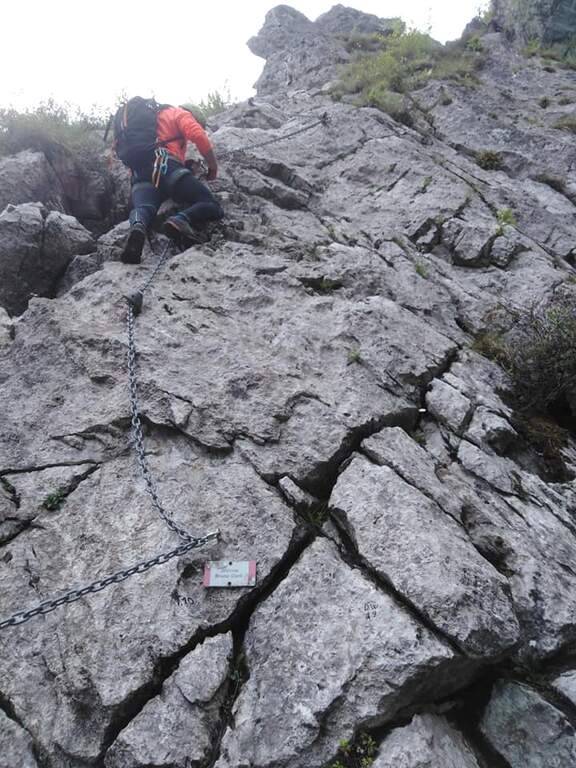
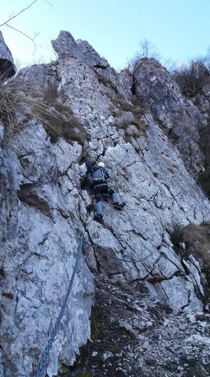
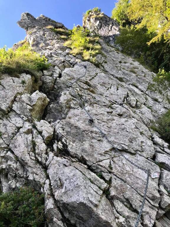
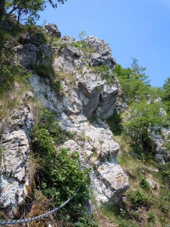
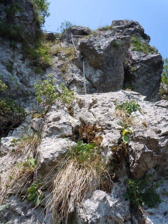
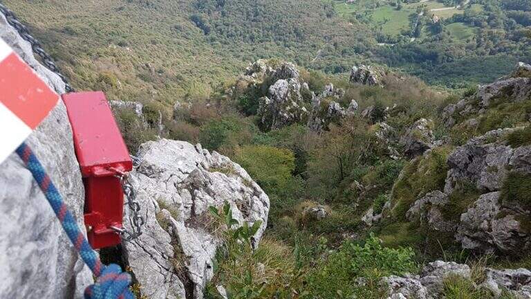
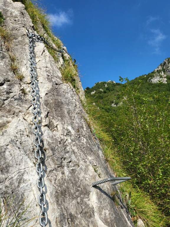
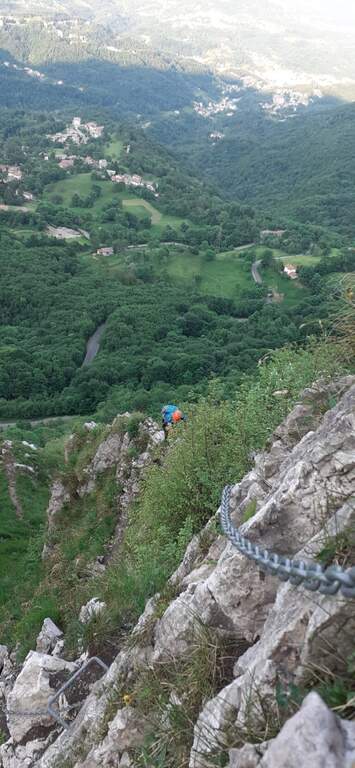
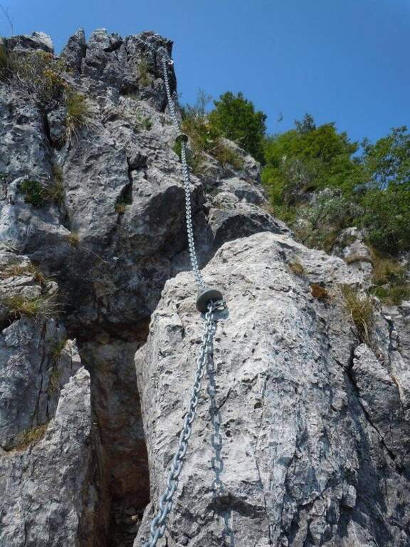
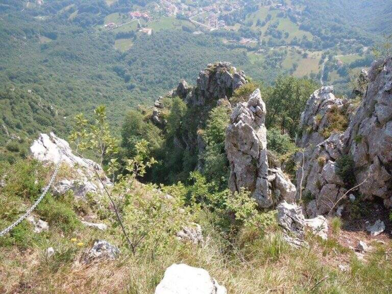
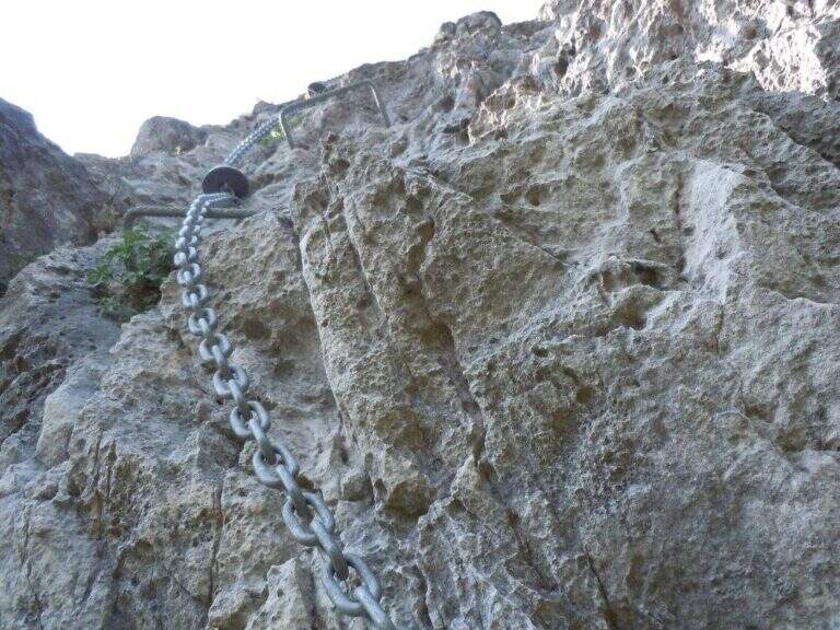
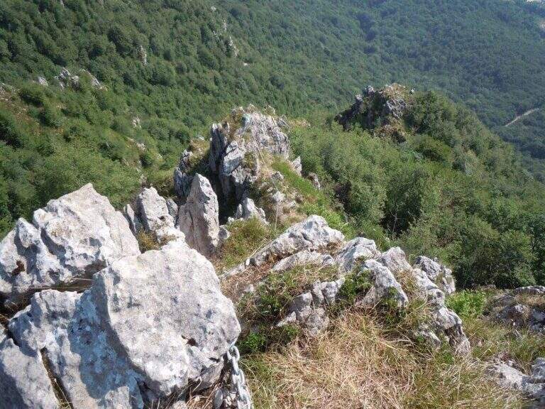
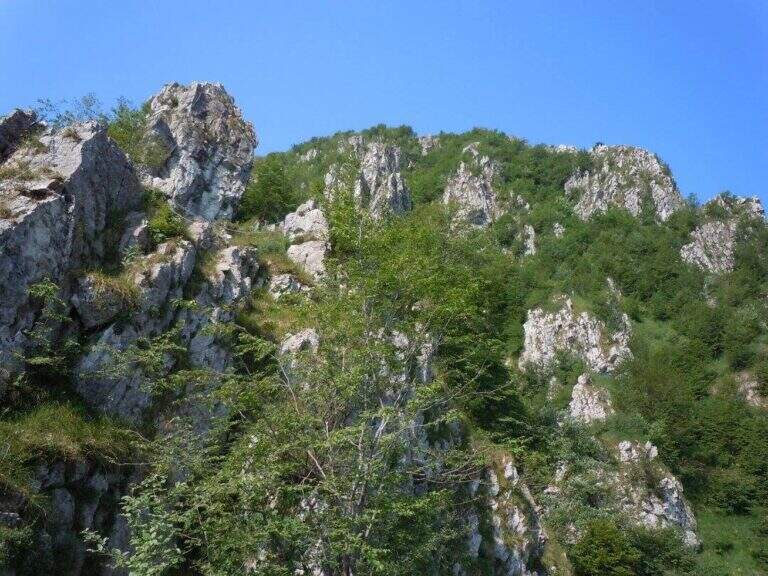
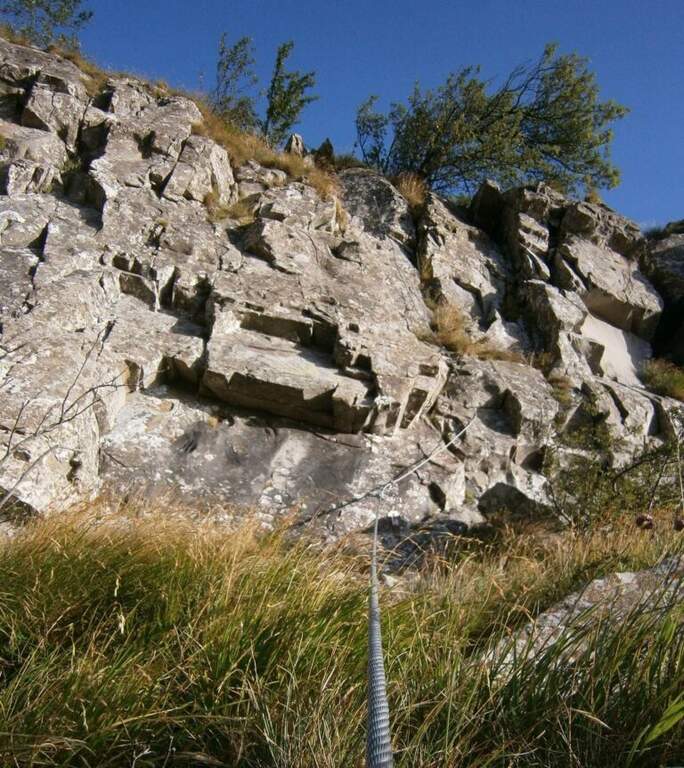
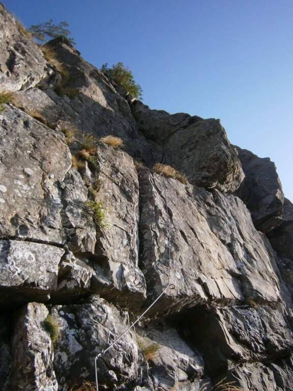
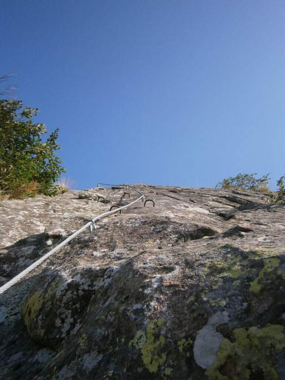
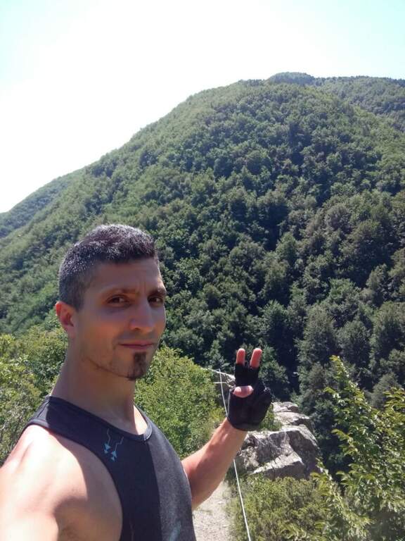
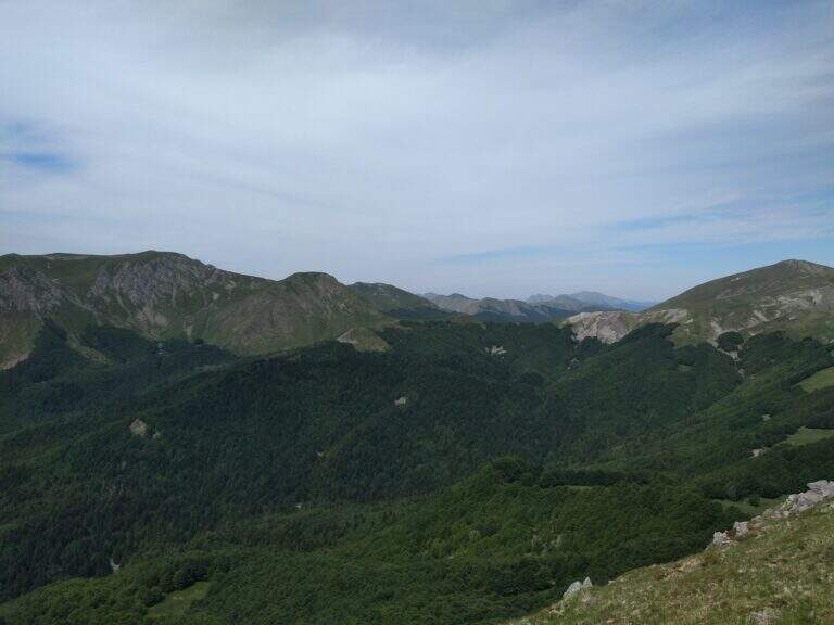
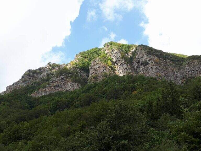
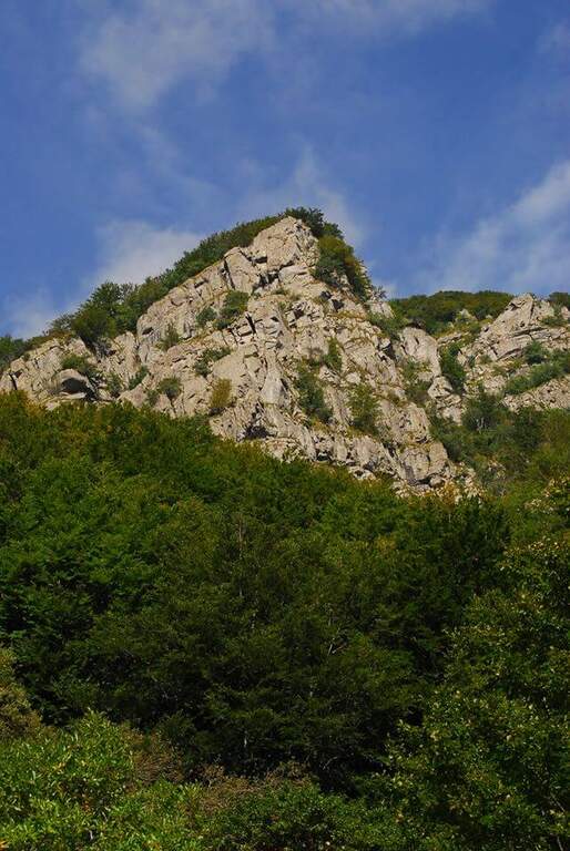
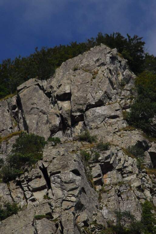
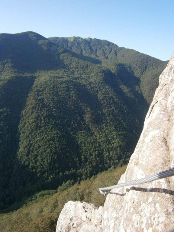
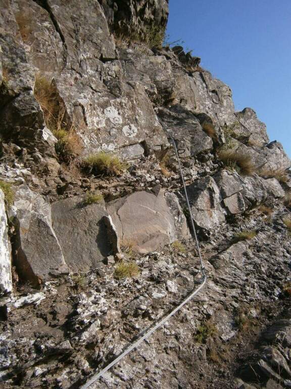
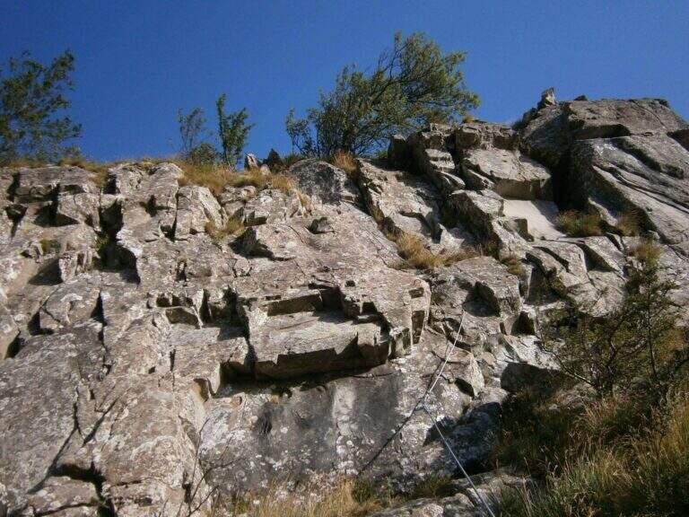
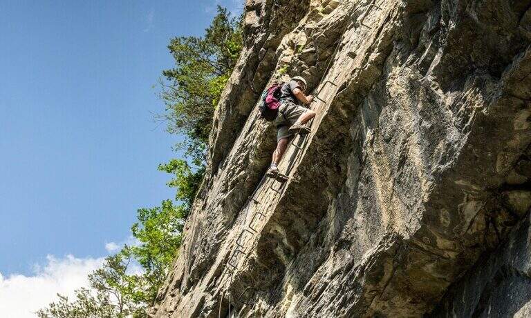
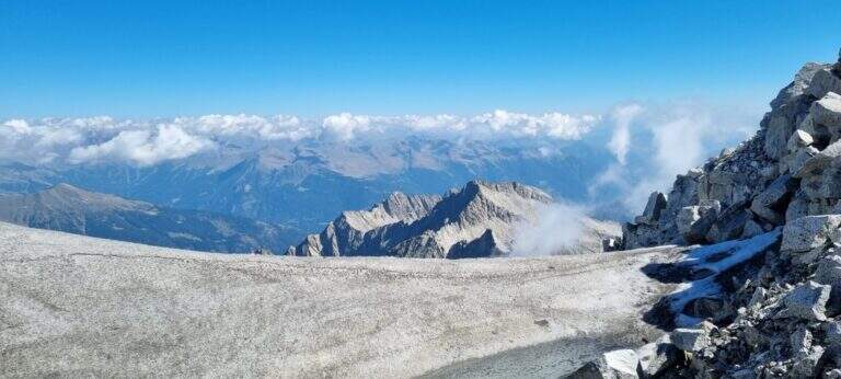
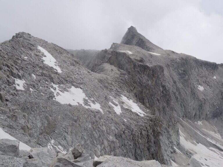
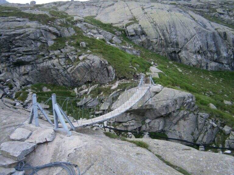
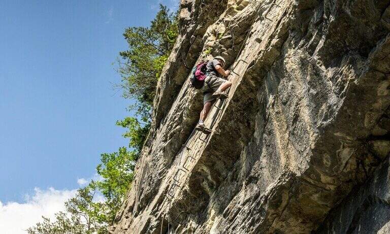
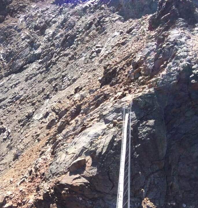
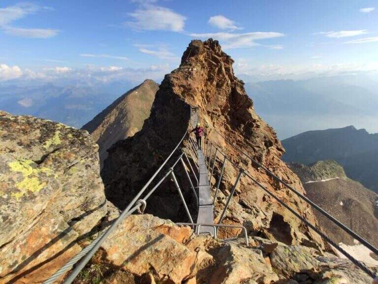
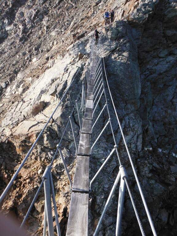
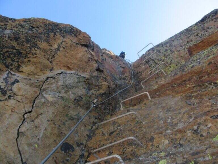
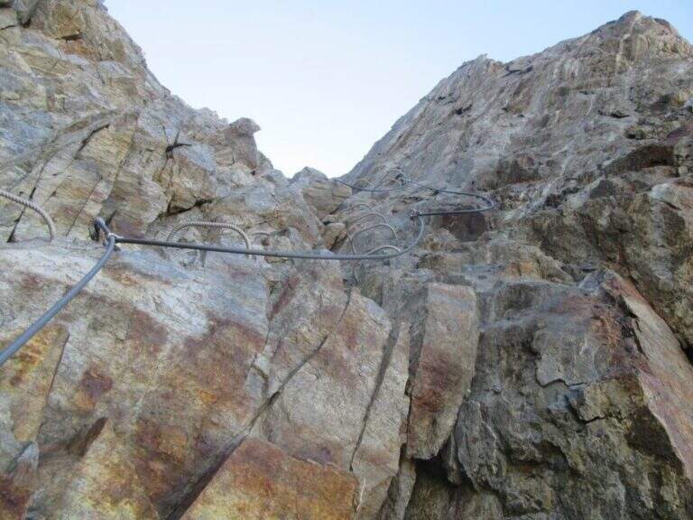
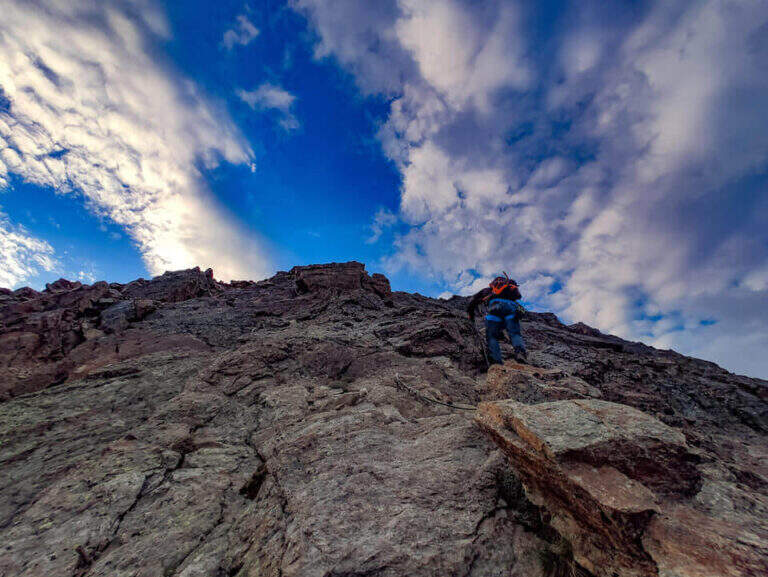
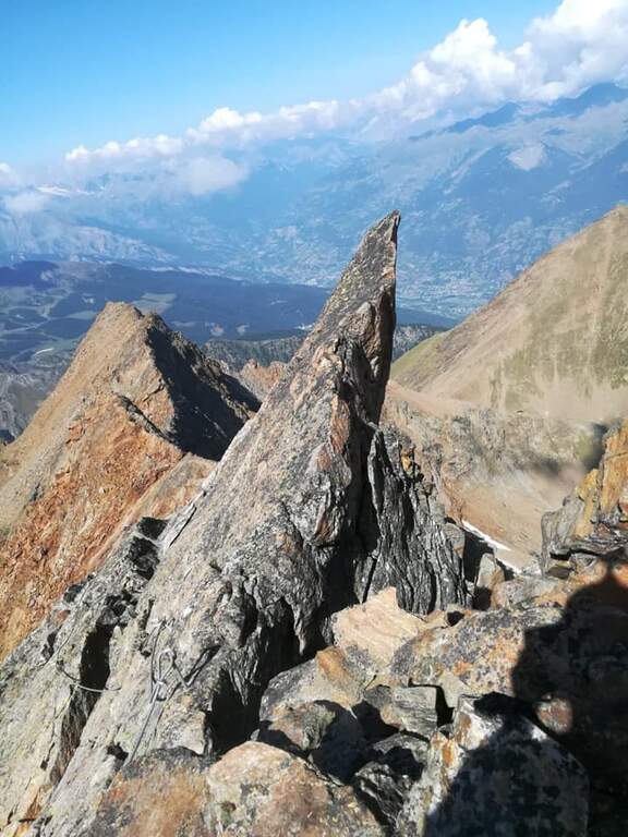
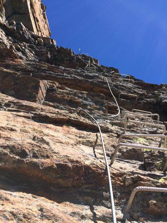
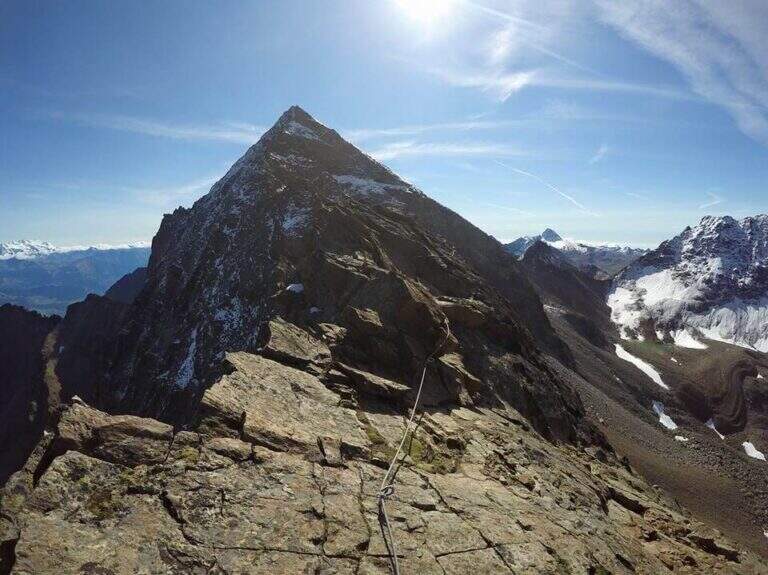
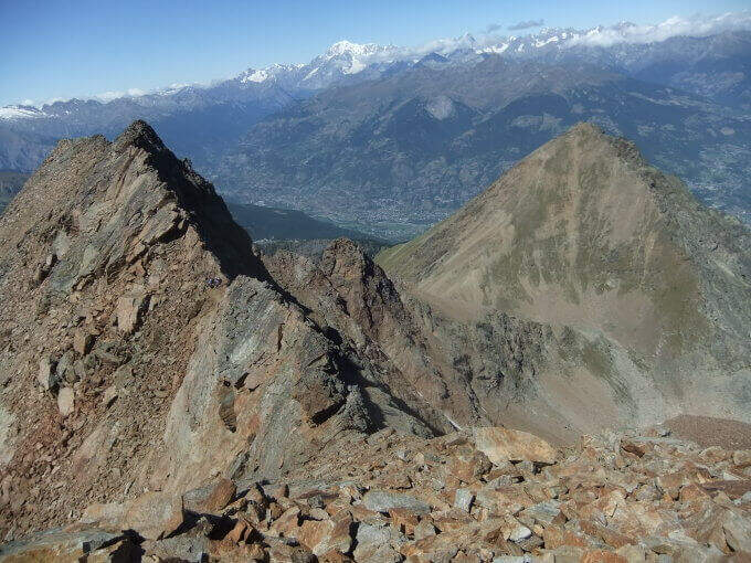
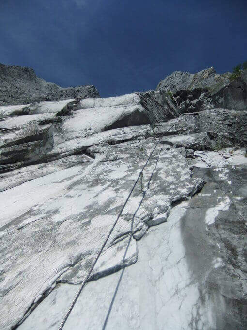
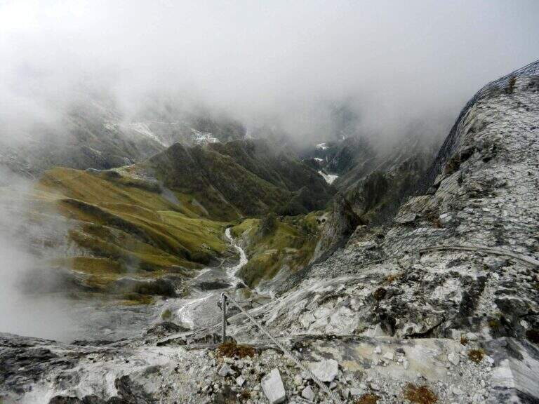
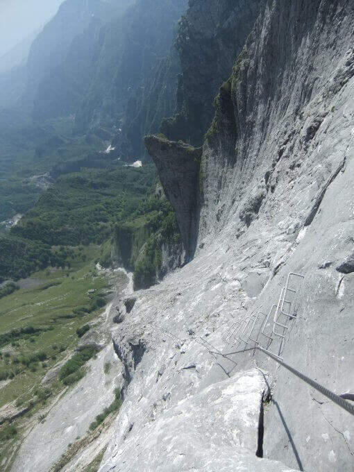
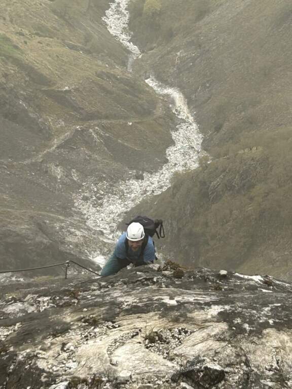
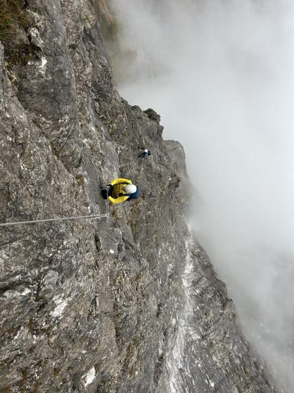
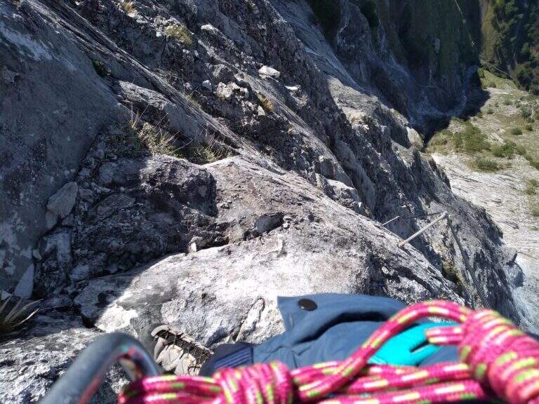
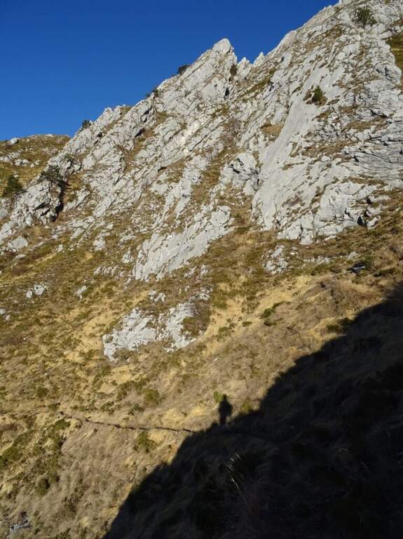
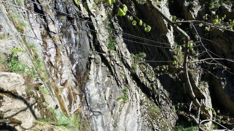
    La Ferrata Ciardelli sul Bourcet è molto atletica e fortemente esposta: tratti verticali, un ponte sospeso, traversi e infine un'imponente bastionata impegnativa ed emozionante. Si raccomanda un buon allenamento prima di percorrerla.

    ▲Approach

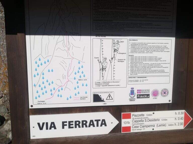
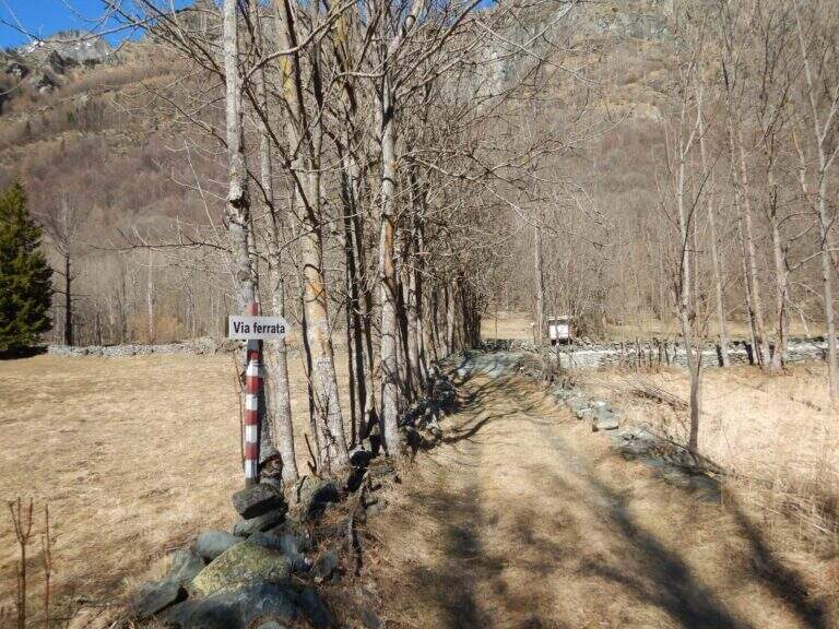
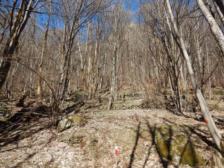
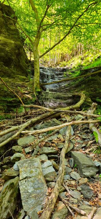
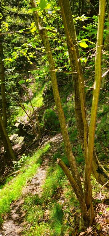
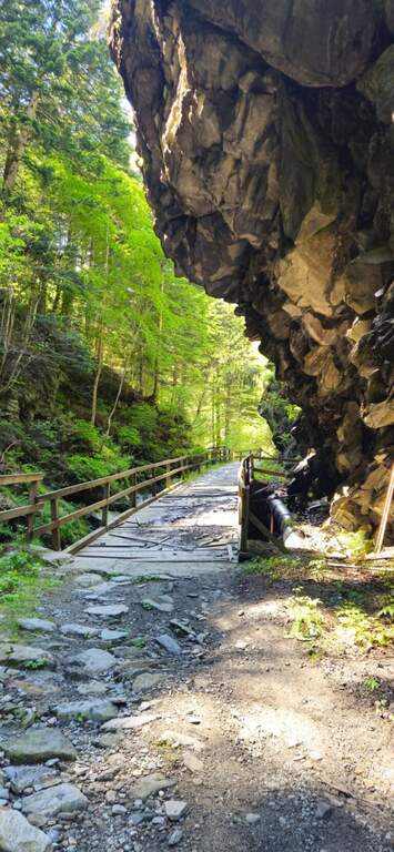
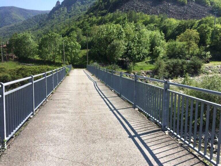
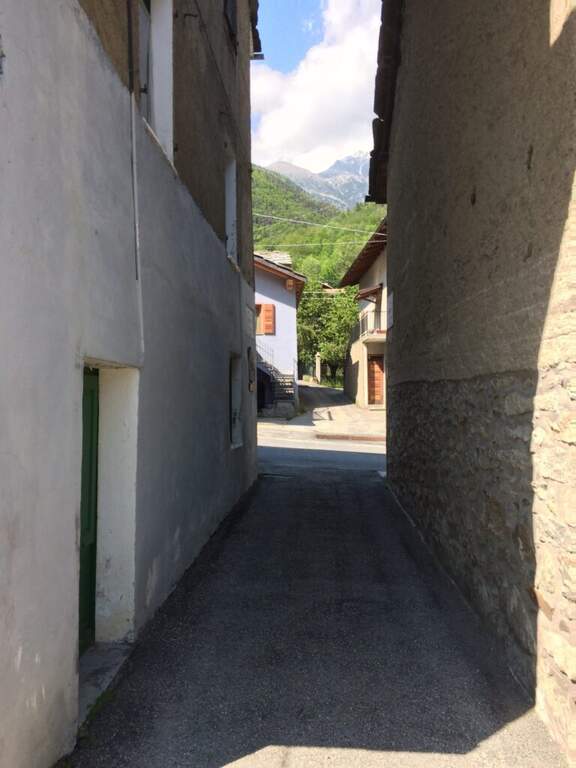
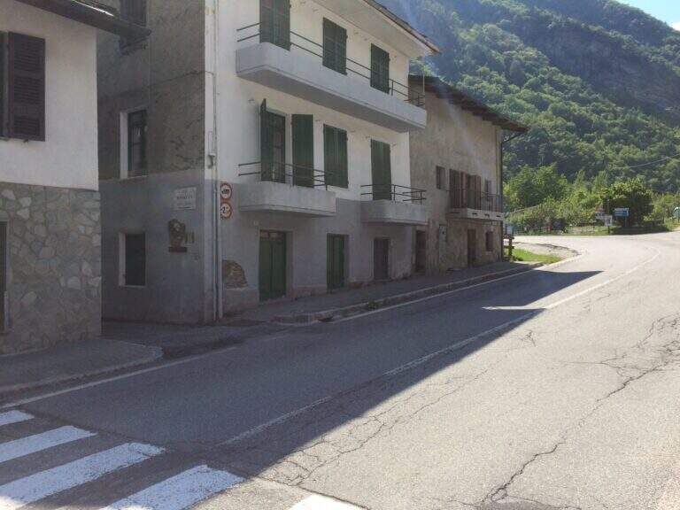
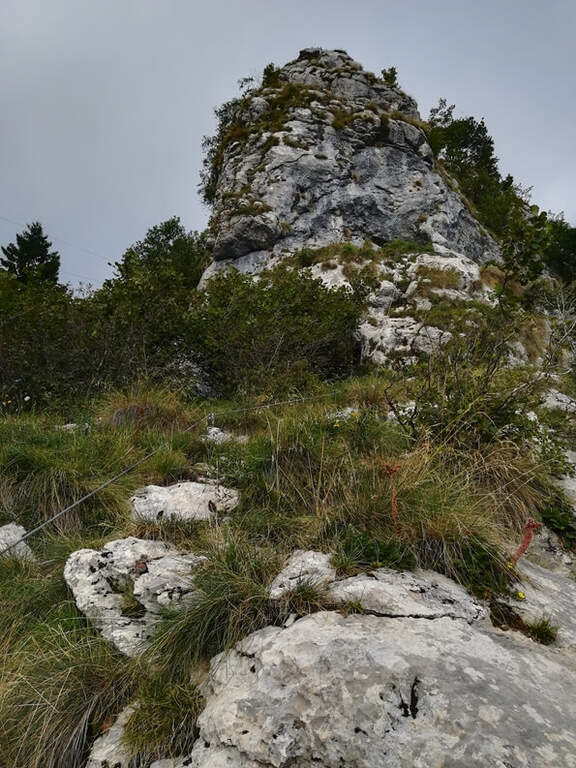
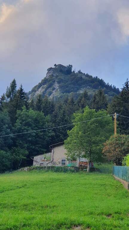
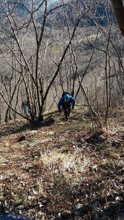
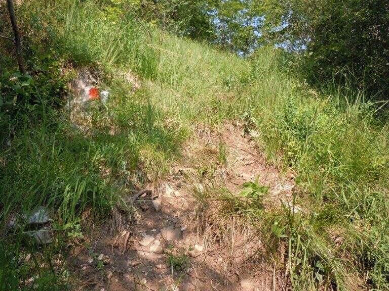
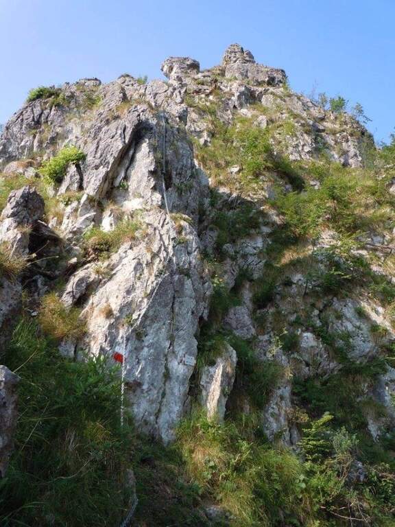
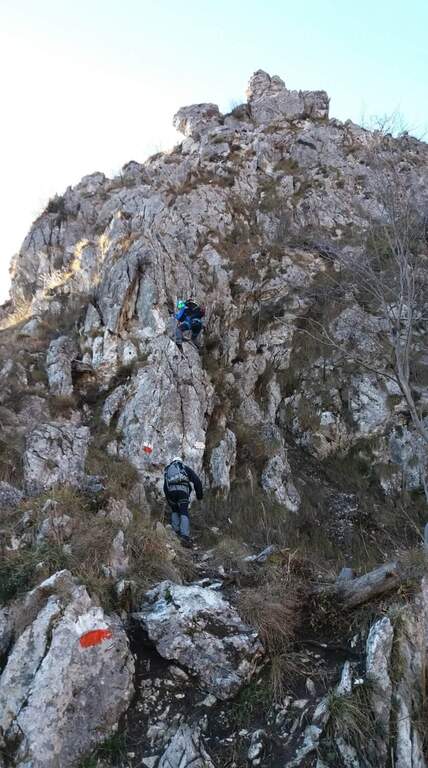
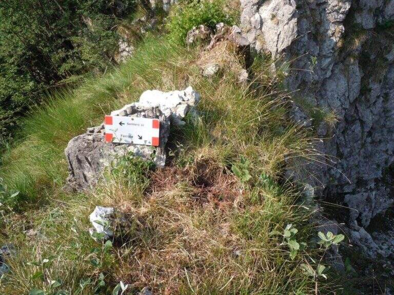
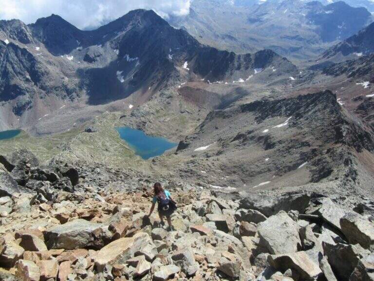
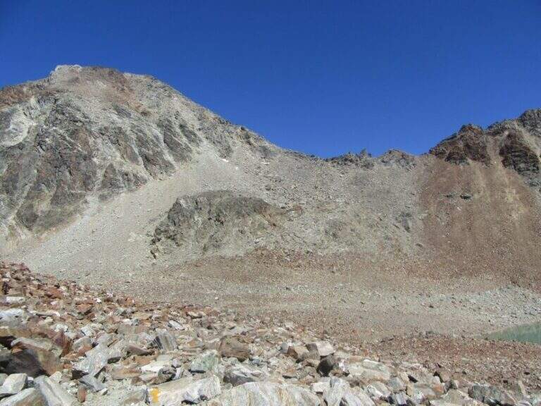
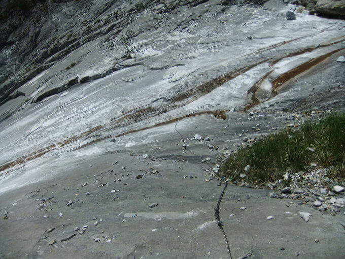
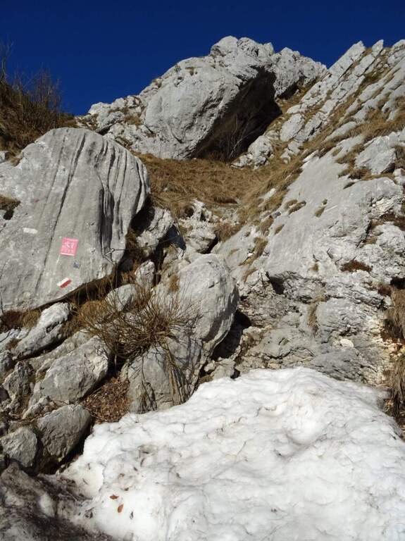
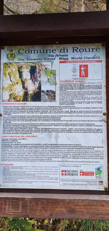
    Si parte dalla frazione di Roreto, comune di Roure (Val Chisone, Torino), parcheggiando nella piazza del paese. Open road signs on Google Maps. Dalla piazza si segue la provinciale verso nord-est per circa 250 m, poi a sinistra un vicolo che conduce verso Bourcet; superato il ponte si arriva a una fontana in legno e si segue il sentiero di avvicinamento, ottimamente segnalato, che passa vicino alle falesie della zona e in breve porta all'attacco (30' dal parcheggio).

    ▲The path

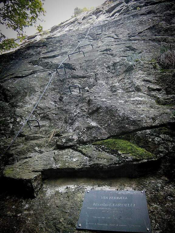
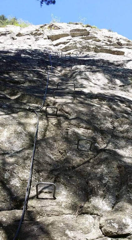
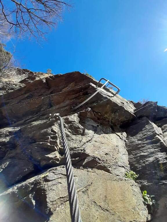
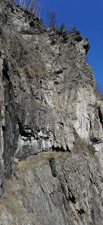
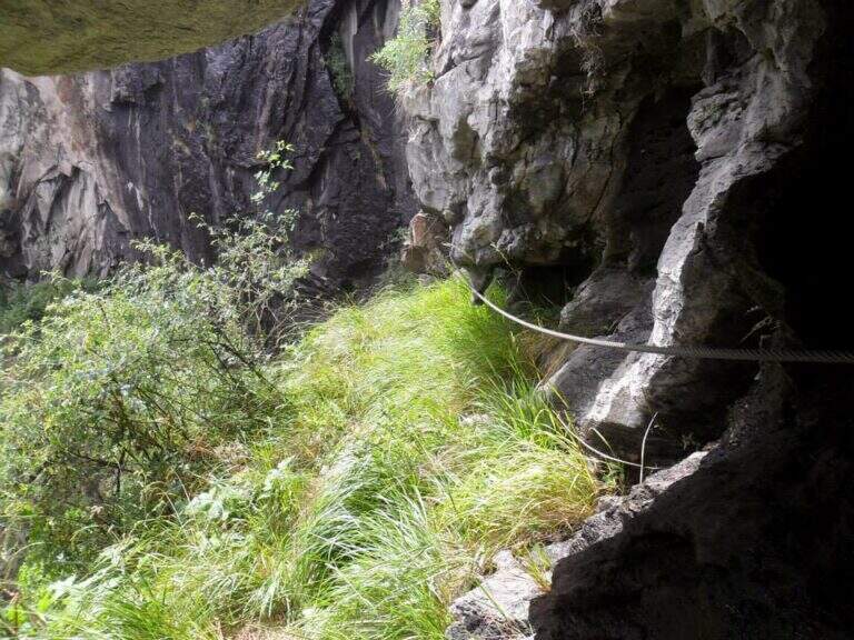
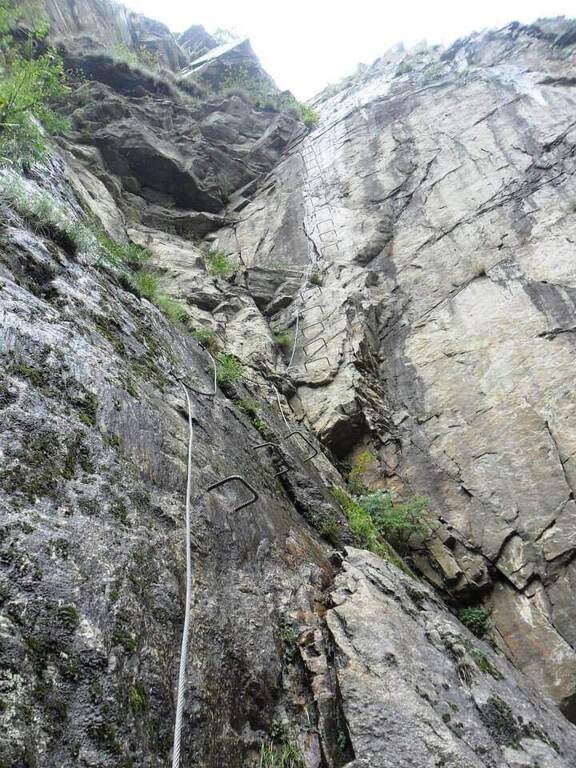
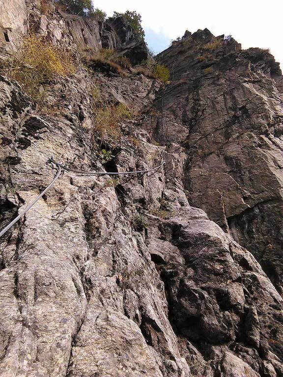
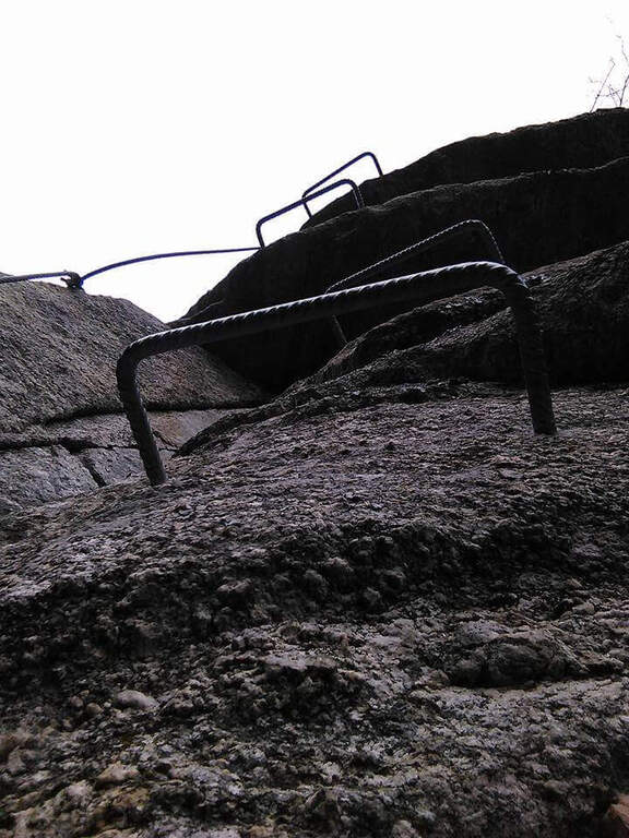
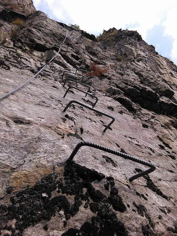
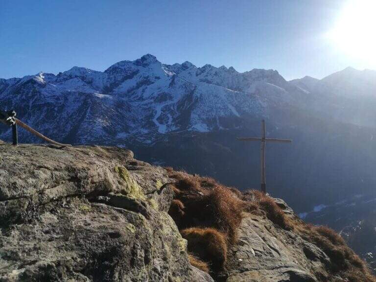
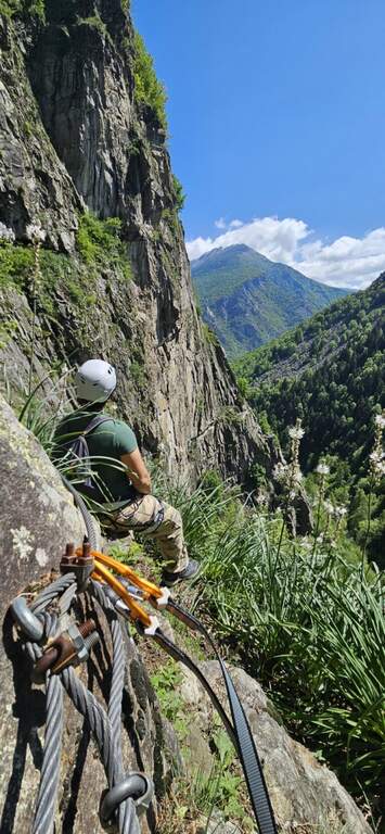
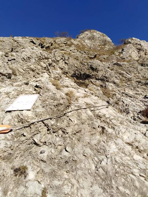
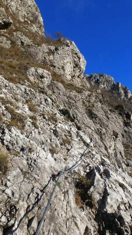
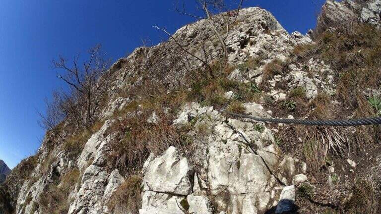
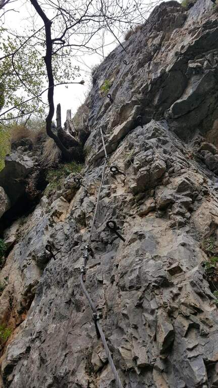
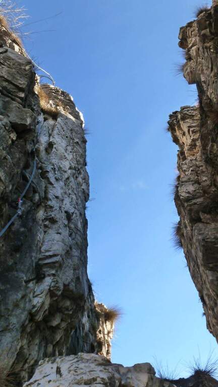
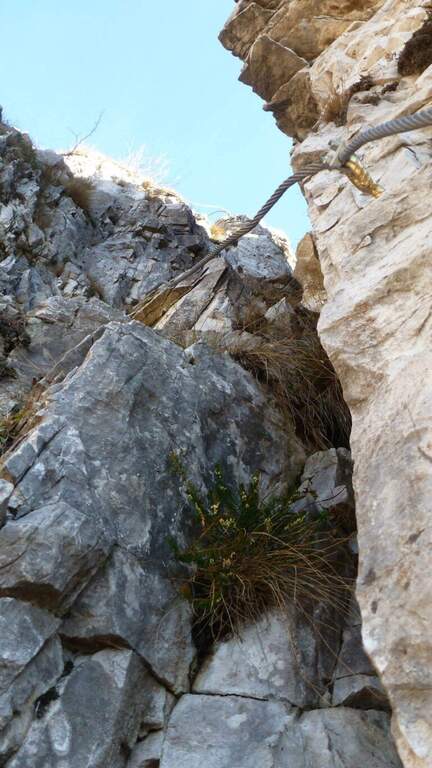
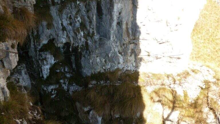
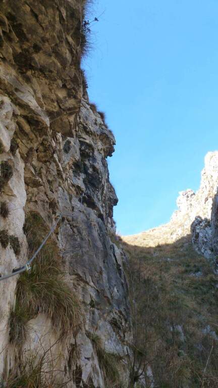
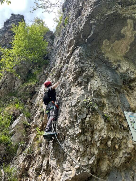
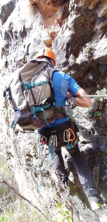
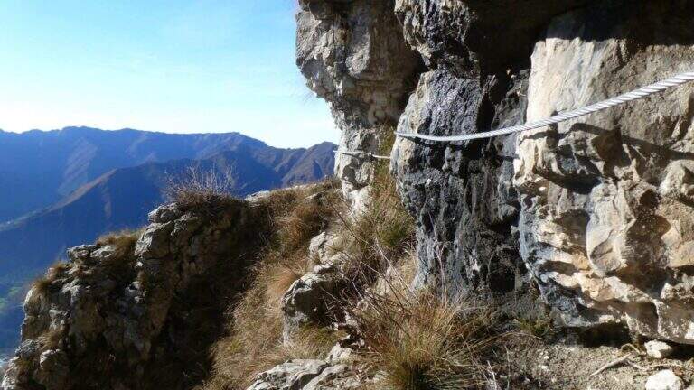
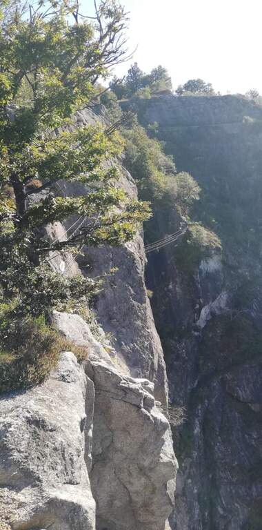
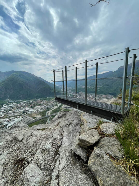
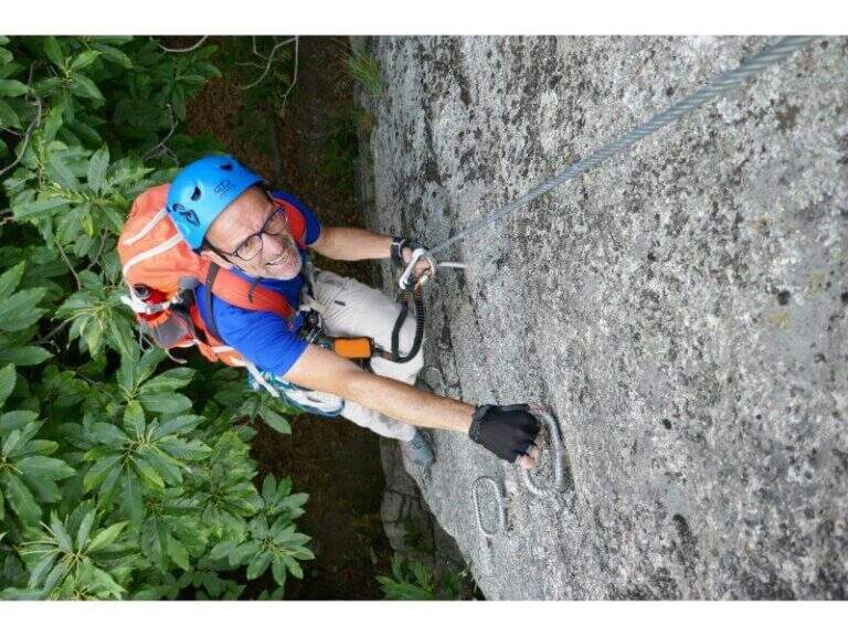
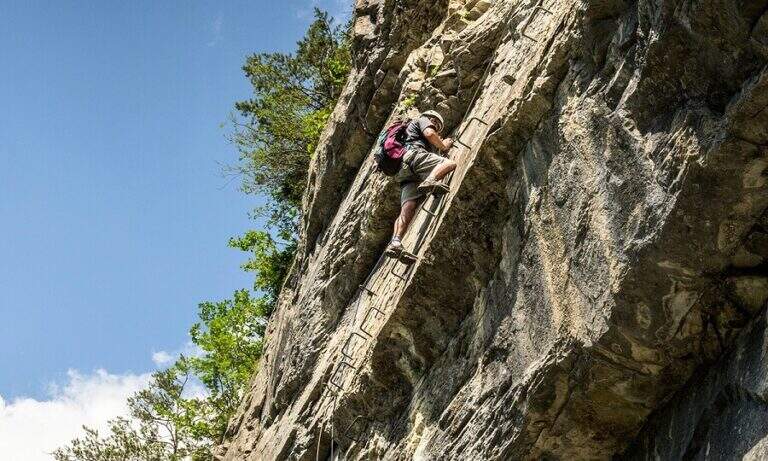
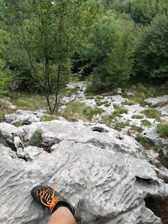
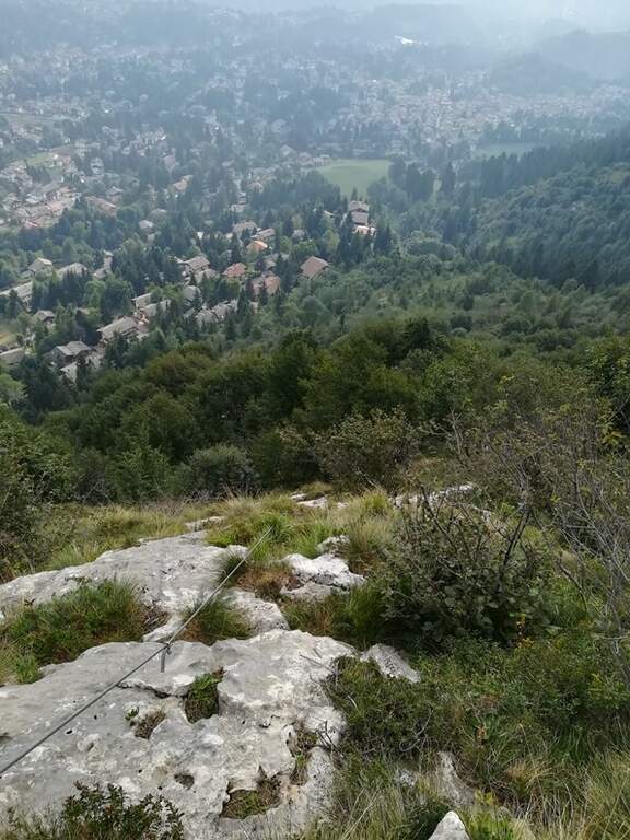
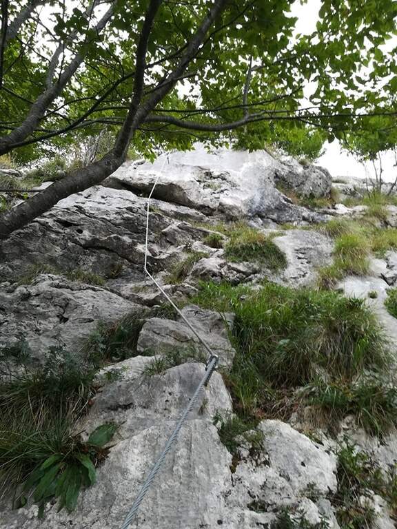
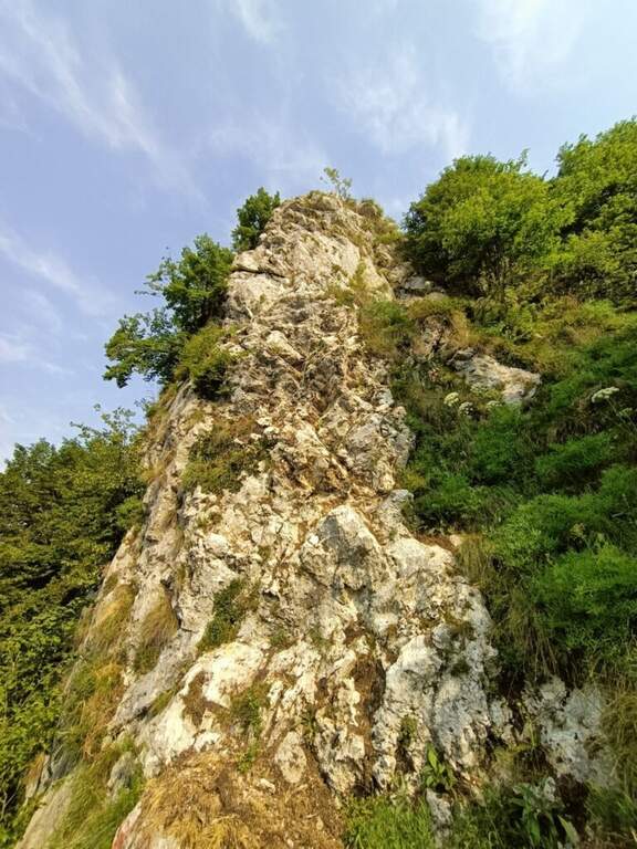
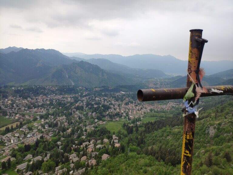
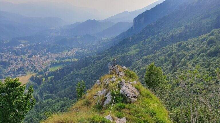
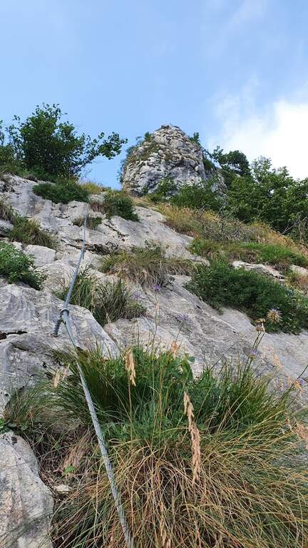
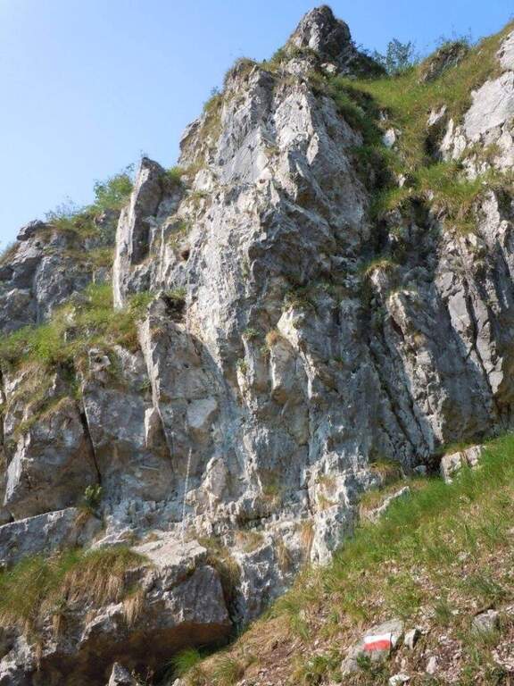
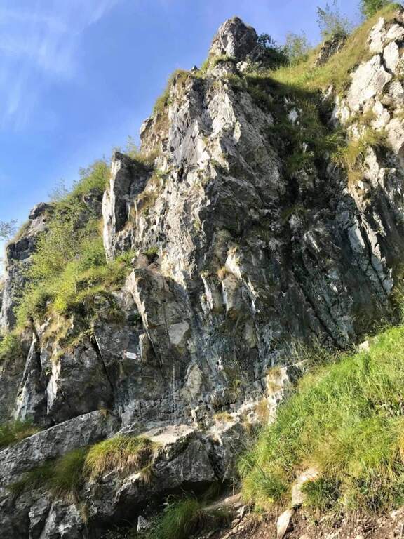
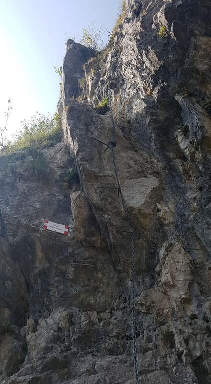
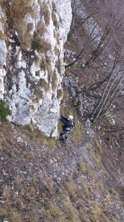
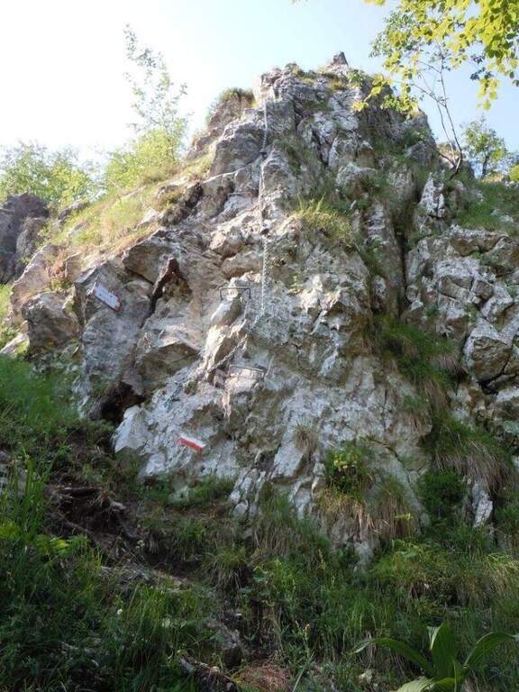
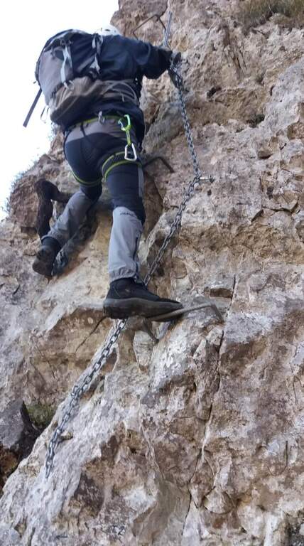
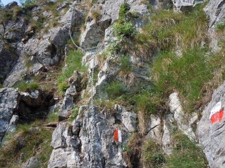
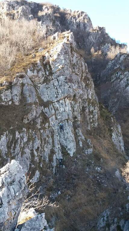
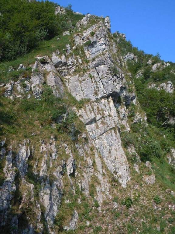
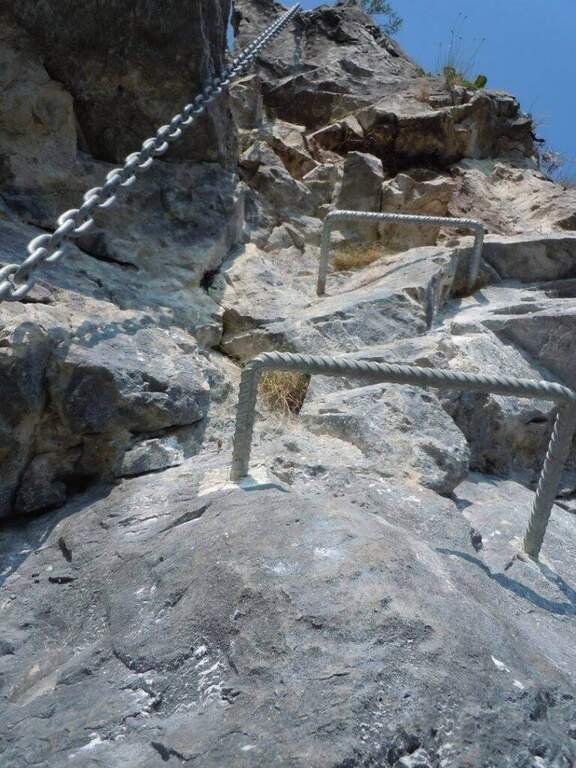
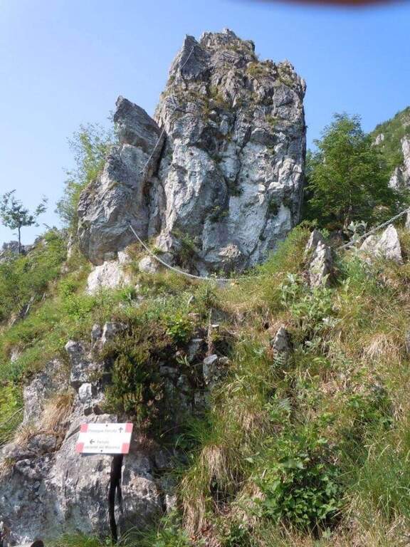
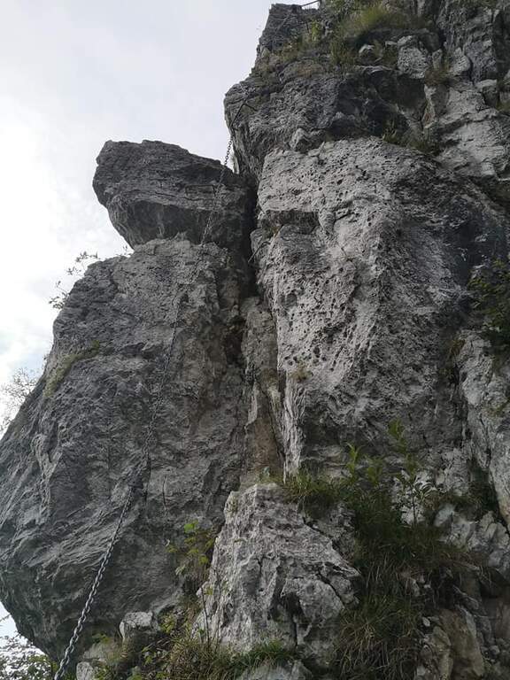
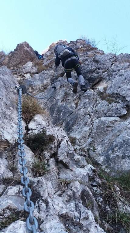
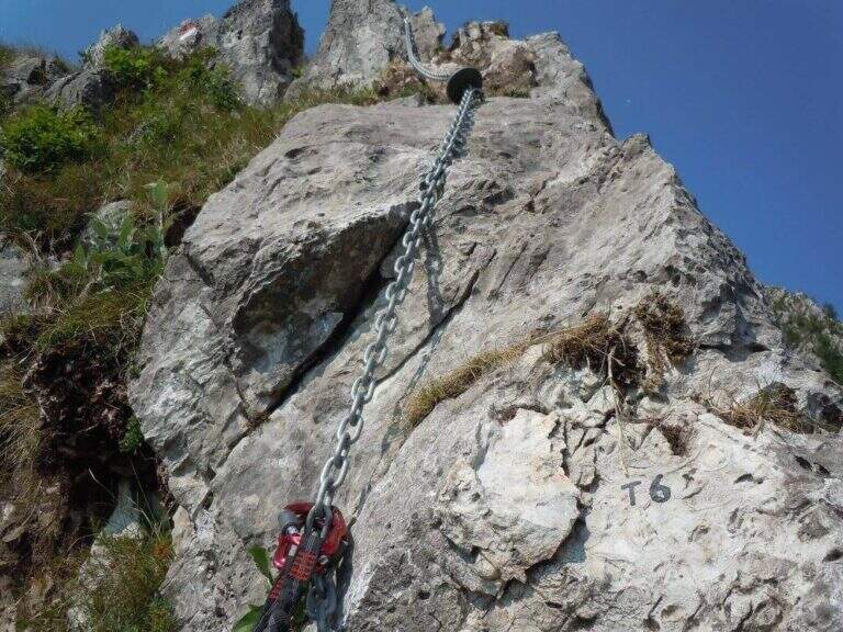
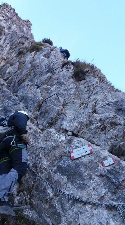
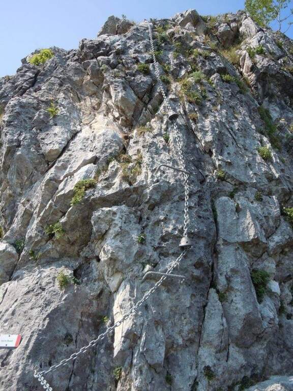
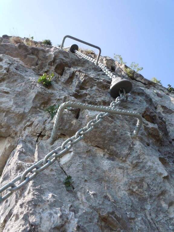
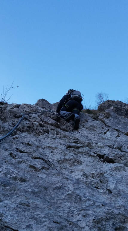
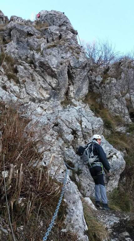
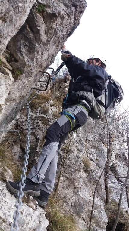
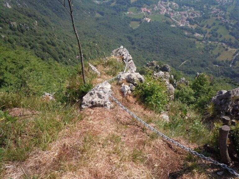
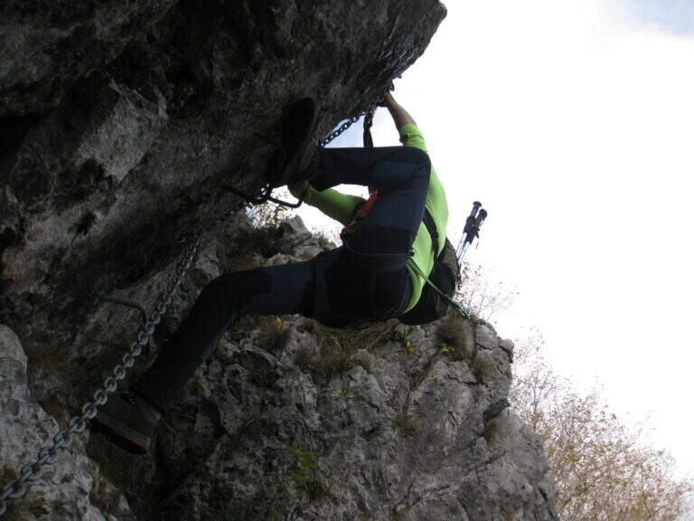
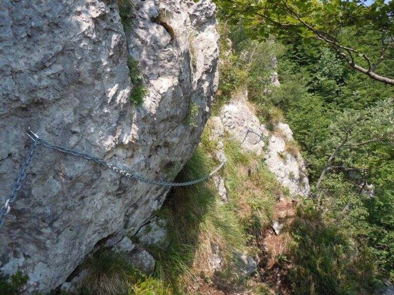
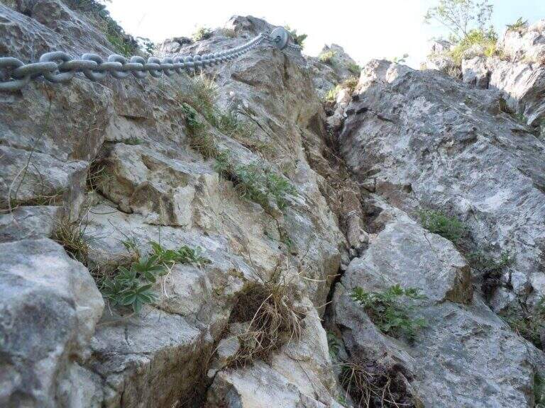
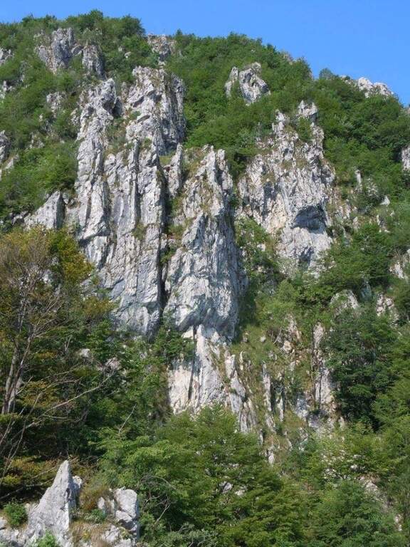
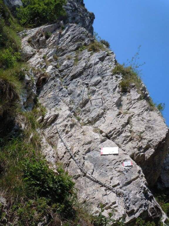
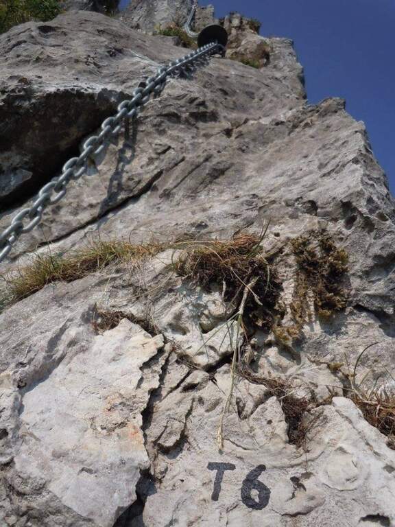
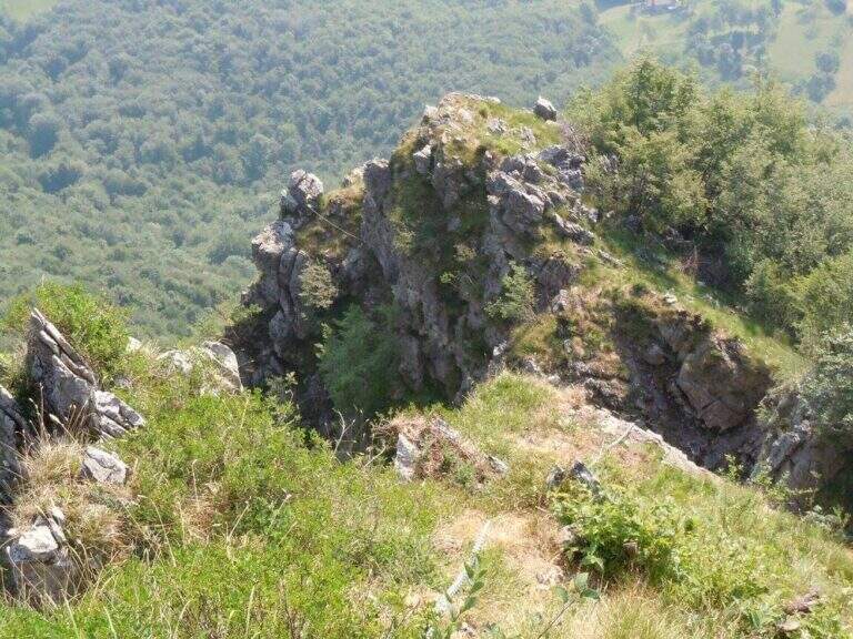
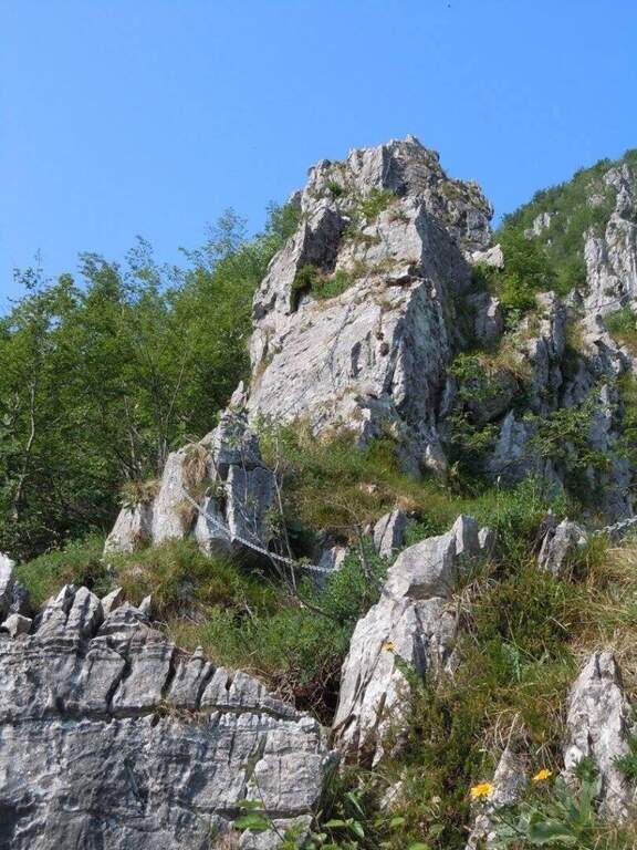
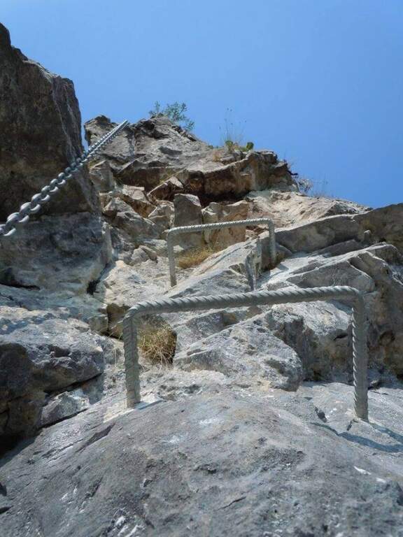
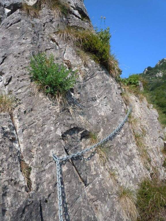
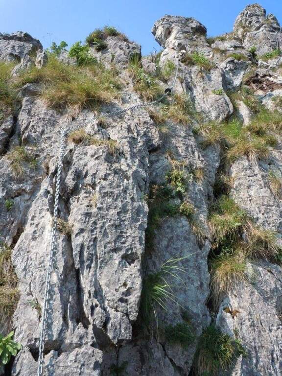
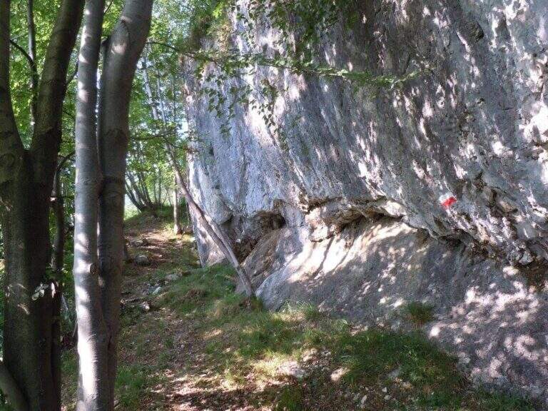
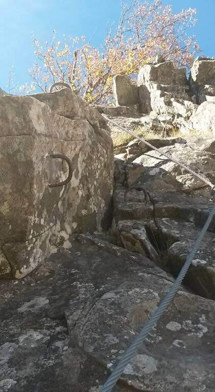
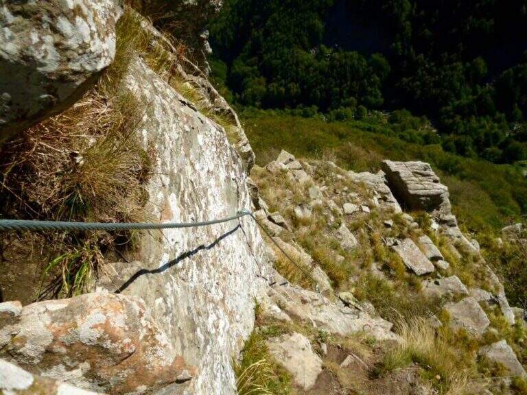
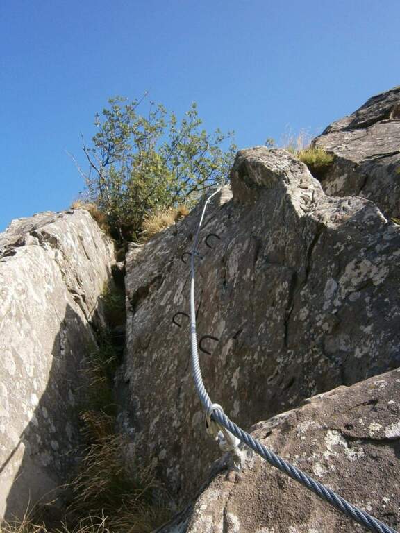
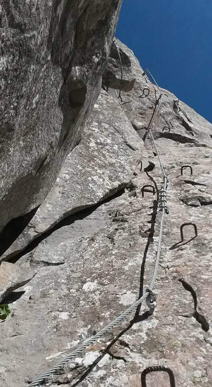
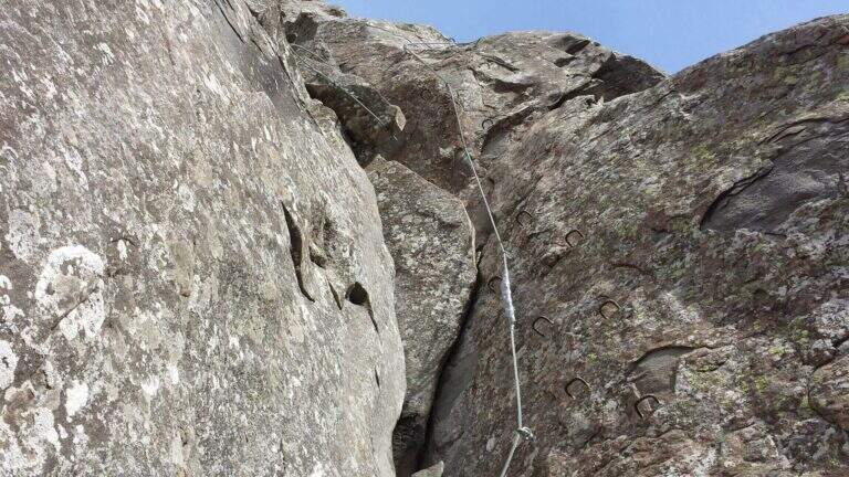
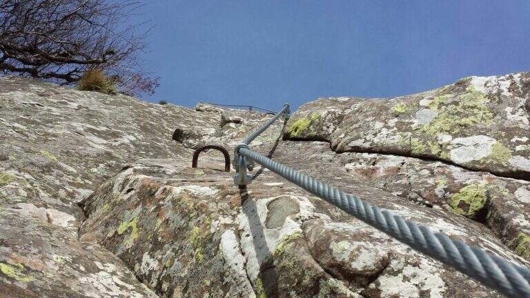
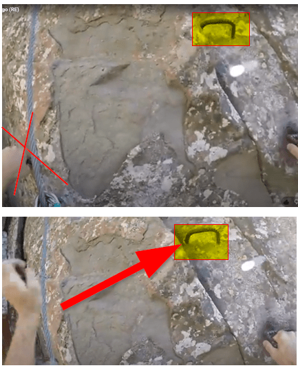
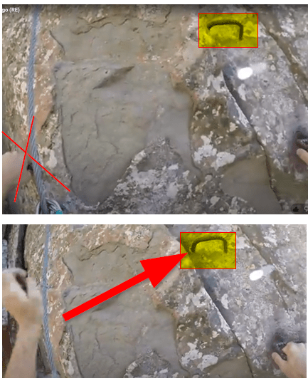
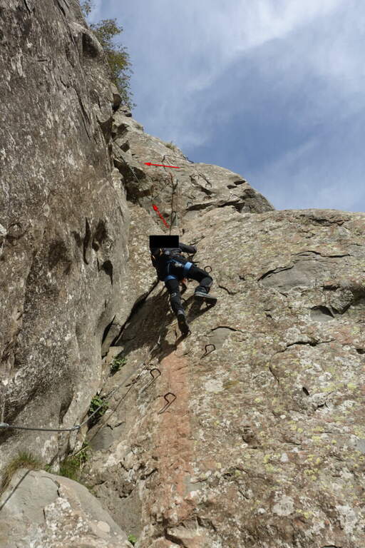
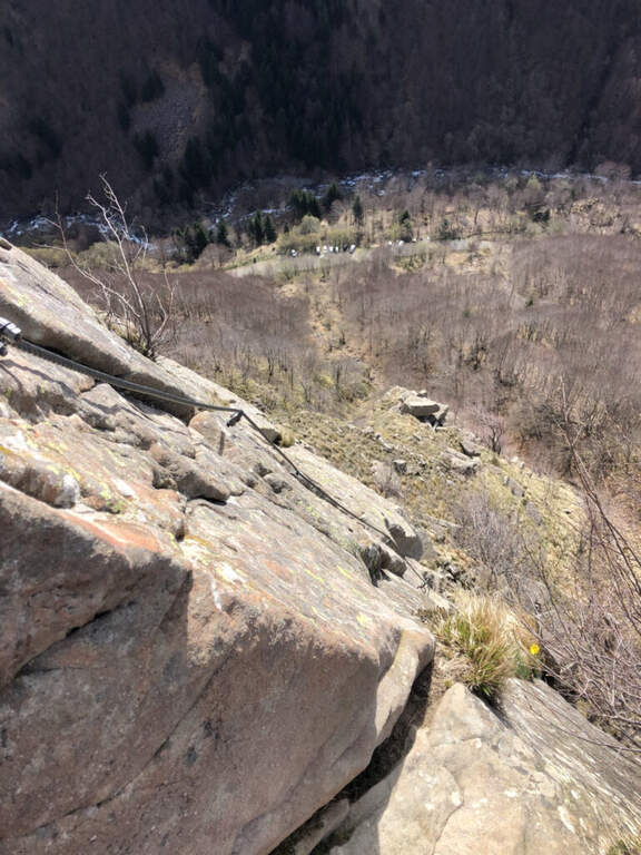
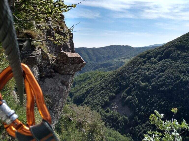
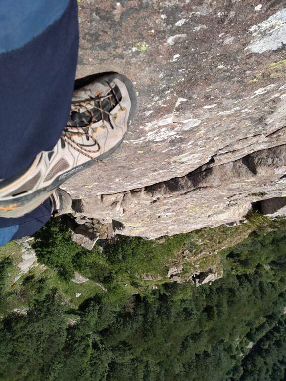
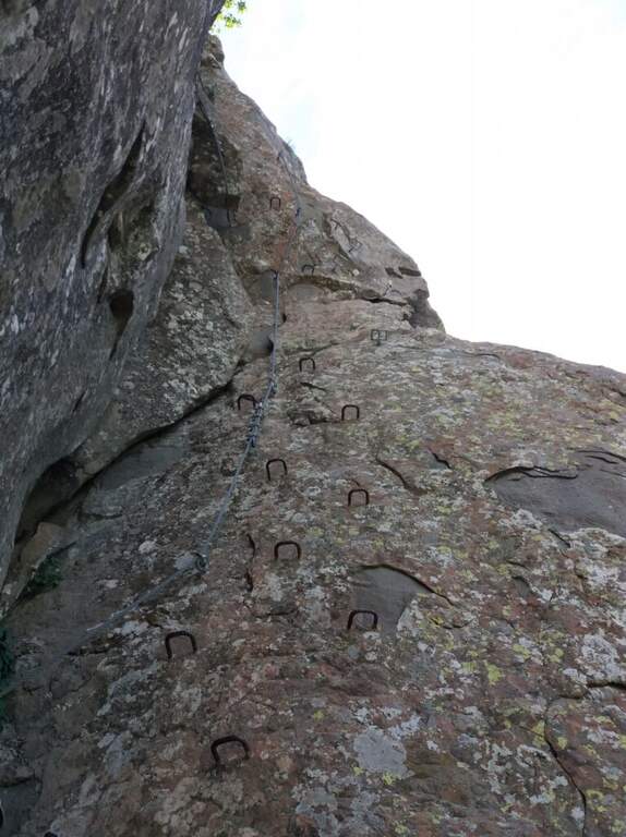
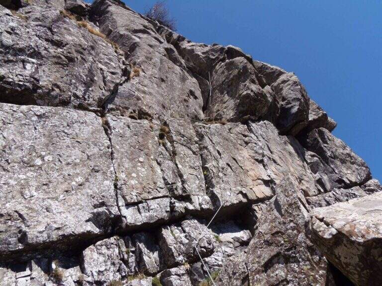
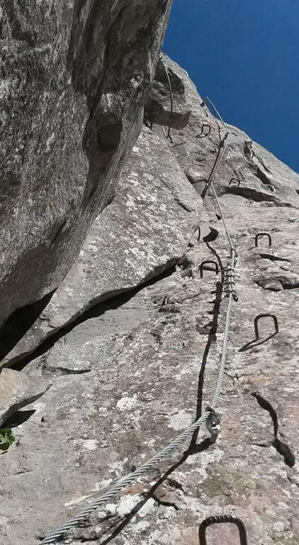
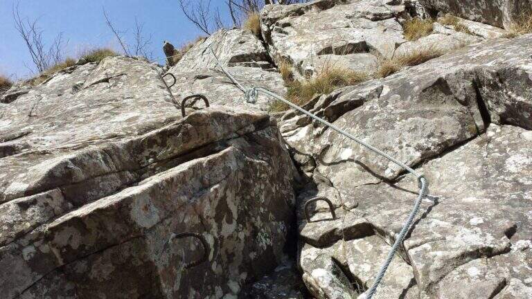
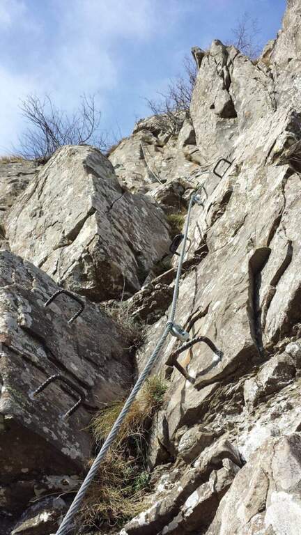
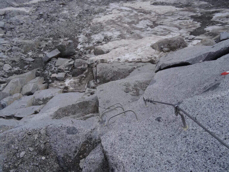
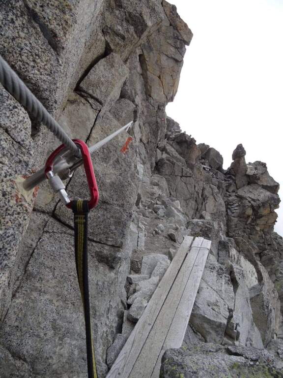
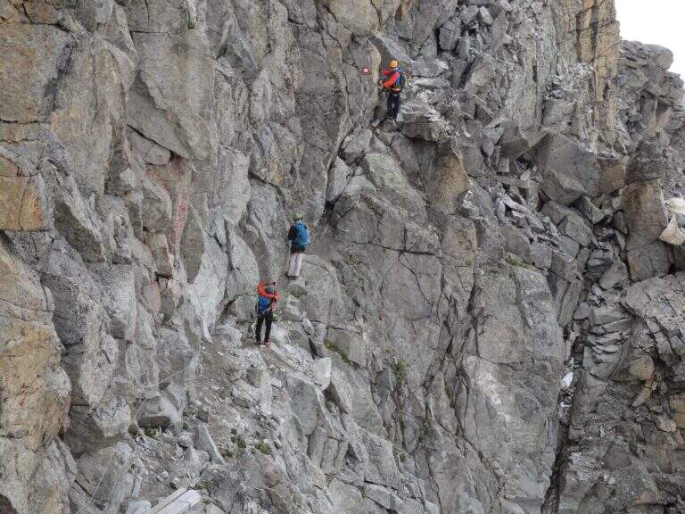
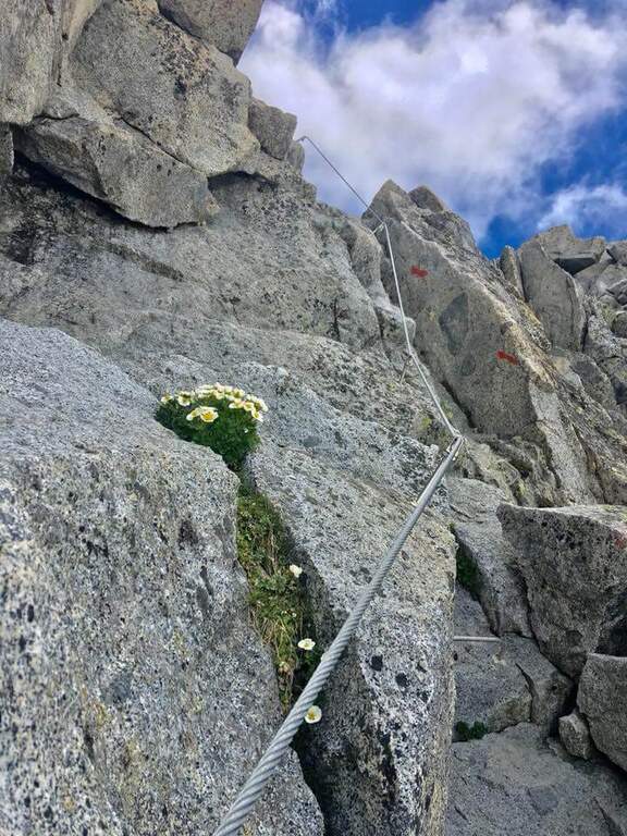
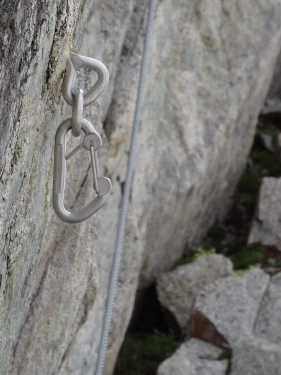
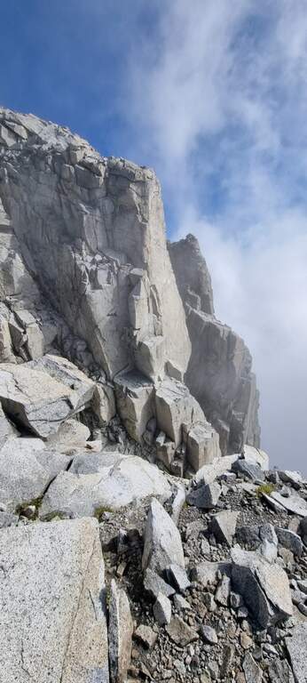
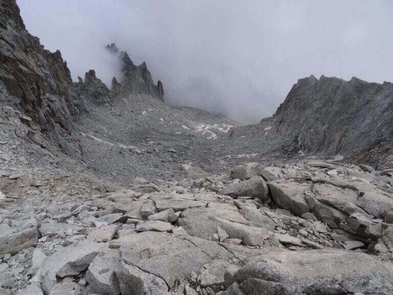
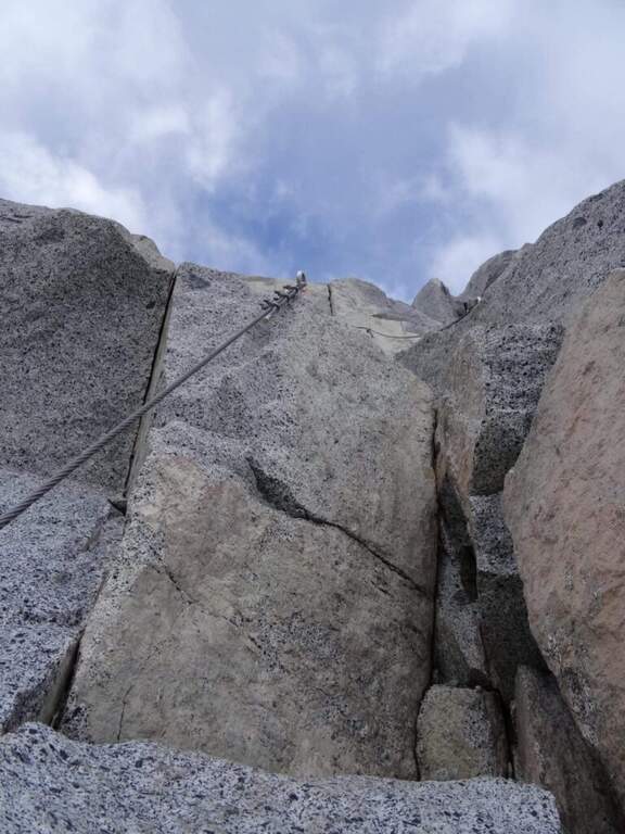
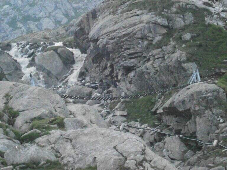
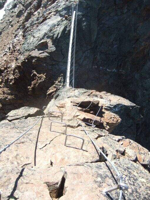
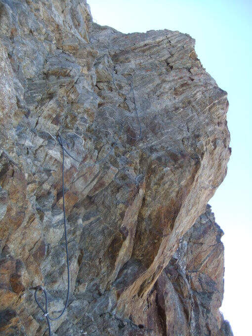
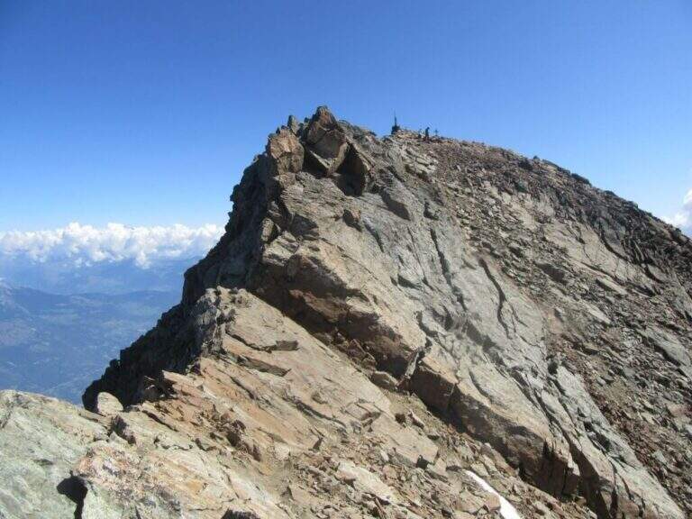
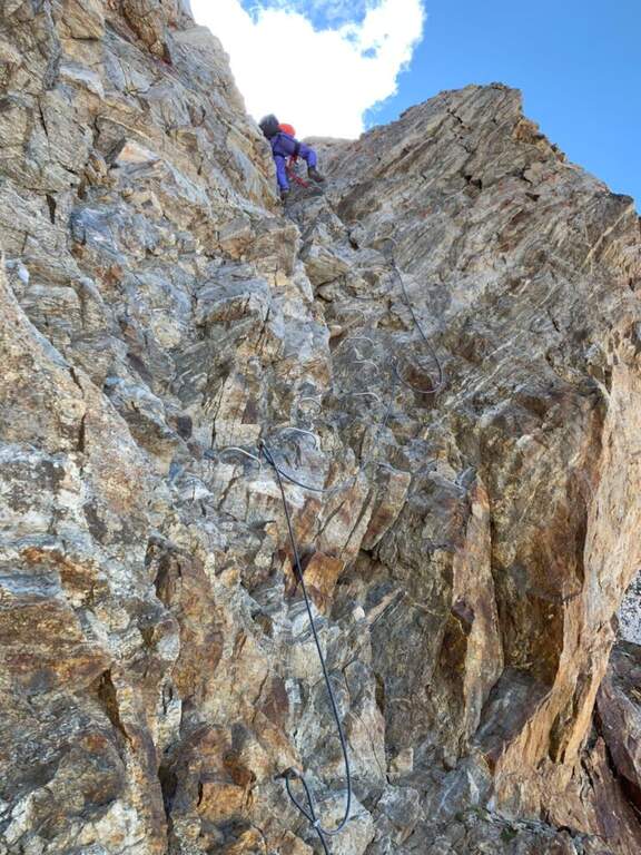
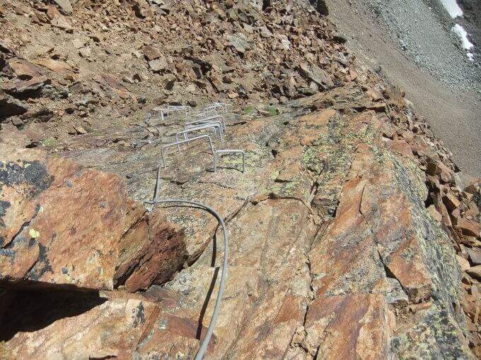
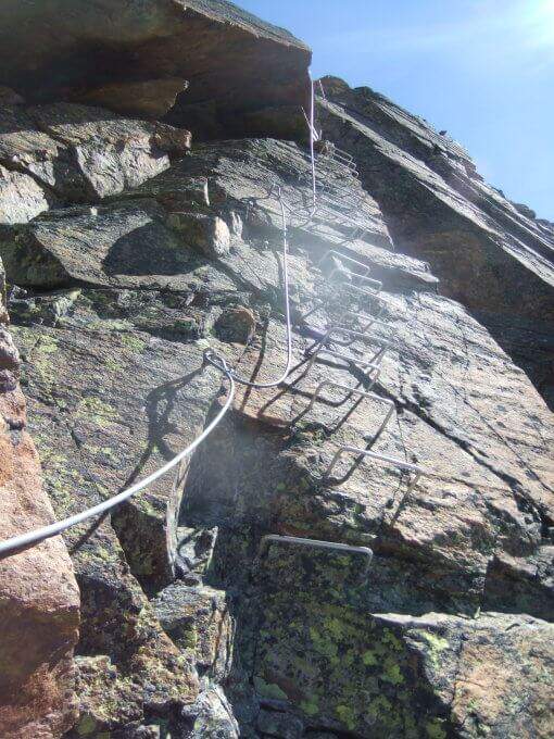
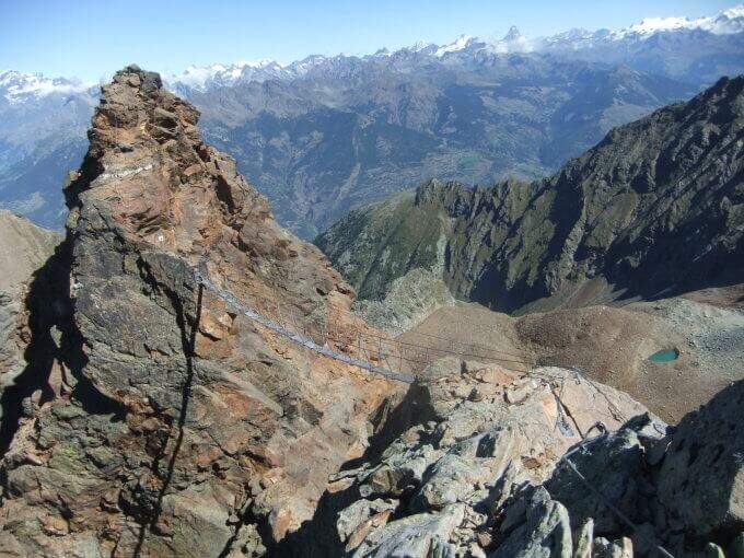
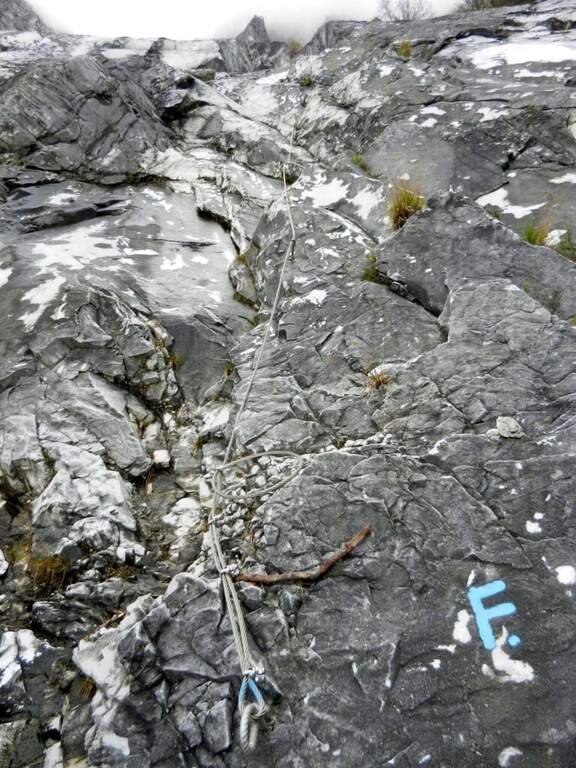
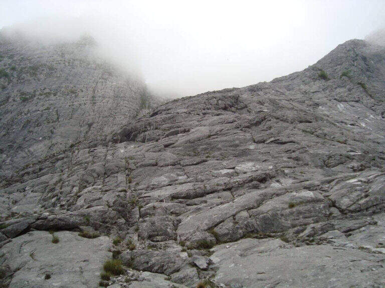
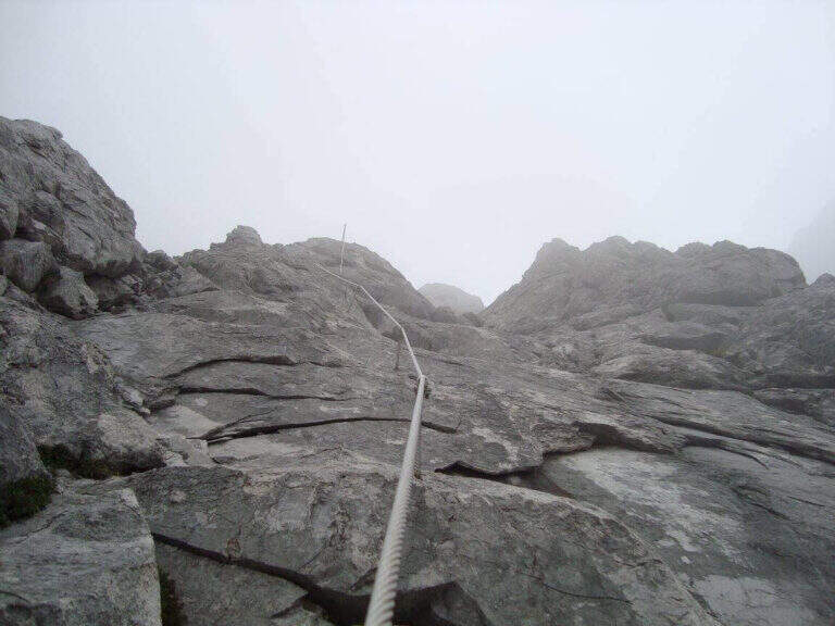
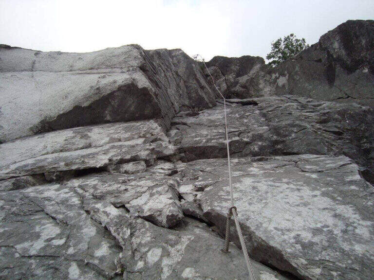
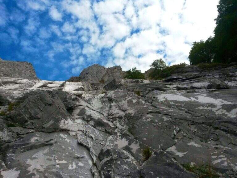
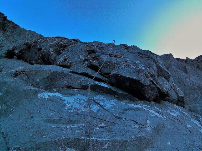
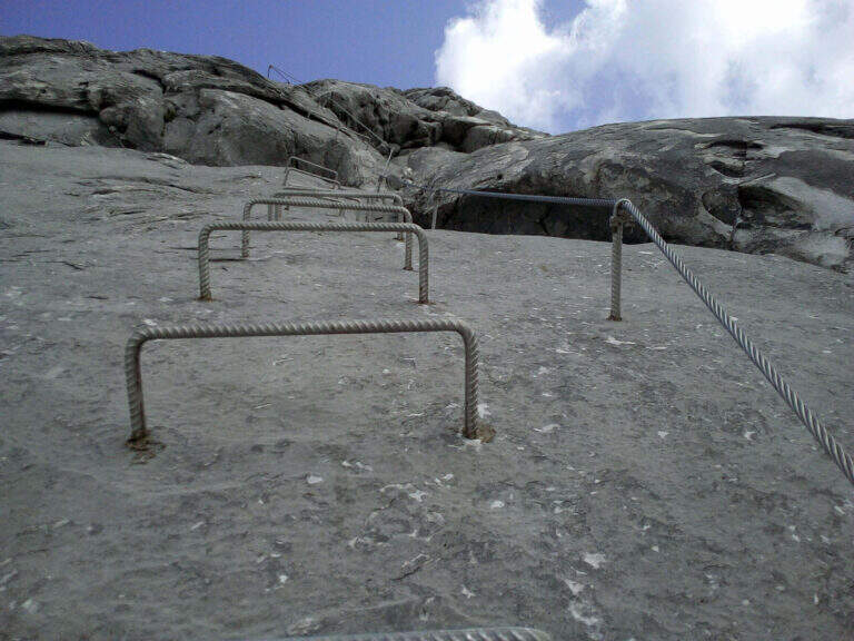
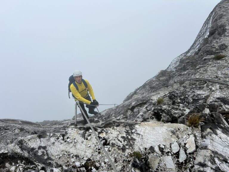
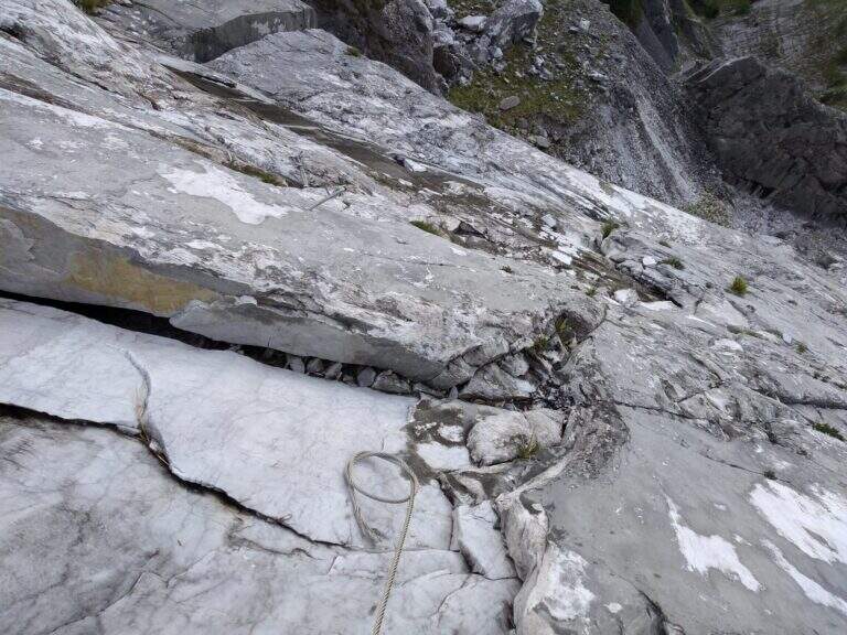
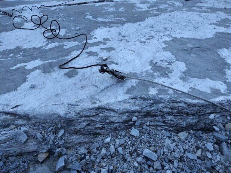
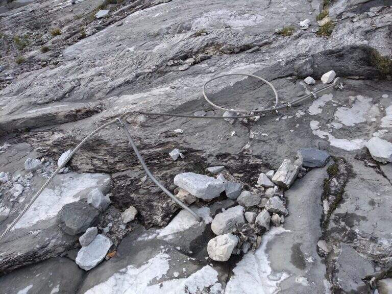
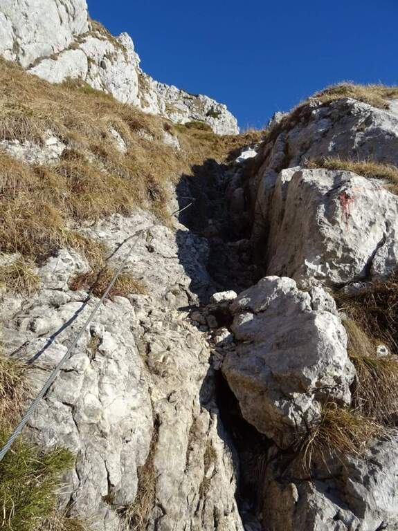
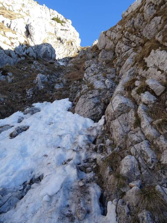
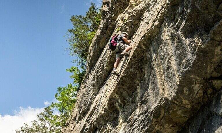
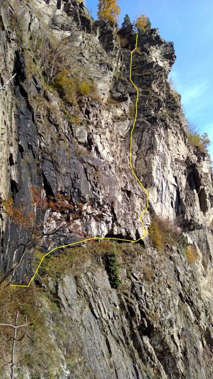
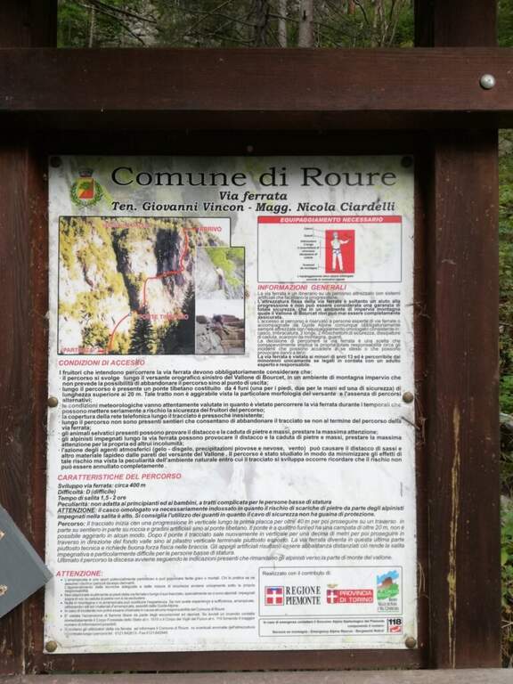
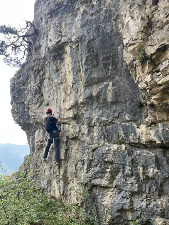
    Si attacca una parete verticale, con attrezzature dove necessario e comunque ben distanziate, che dà subito il tono atletico della via. In cima a questo tratto un traverso orizzontale verso destra porta al ponte tibetano (25 m) su tre corde, molto esposto e piuttosto ballerino. Oltre il ponte si risale una corta parete verticale senza staffe che immette in un singolare anfratto roccioso: qui termina la prima sezione, dopo una serie di passaggi belli e impegnativi, a tratti in strapiombo, con esposizione crescente. Si attraversa un boschetto e si raggiunge una cengia, di fronte all'ultima imponente parete: una placca verticale di circa 150 metri, la parte più difficile e impegnativa. Si sale sfruttando le staffe in un crescendo di sollecitazioni per braccia e schiena; le difficoltà tecniche non sono elevate, ma servono forza di braccia e assoluta assenza di vertigini per l'esposizione sempre maggiore. Terminata la bastionata, un breve collegamento porta in cima e conclude la ferrata (2h dall'attacco, 2h 20' totali).

    ▲Character and difficulty

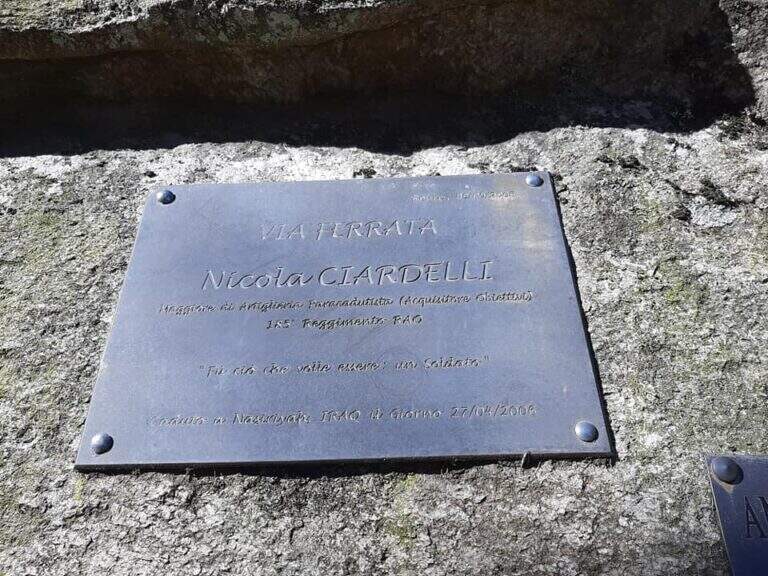
    Ferrata atletica da non sottovalutare. L'attrezzatura di sostegno non è abbondante e abbastanza distanziata, cosa che può mettere in difficoltà chi è di bassa statura. È dedicata al capitano Nicola Ciardelli, morto nell'attentato di Nassiriya (2006); la via è stata inaugurata nel 2009.

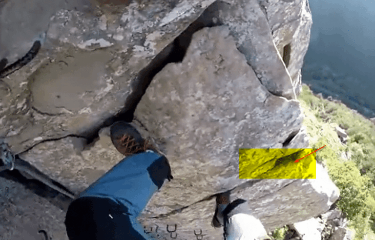
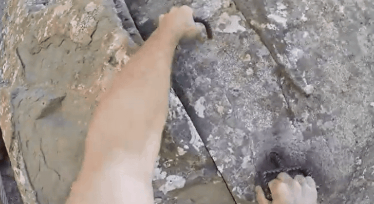
    ⚠ Nel traverso e nell'ultima bastionata attenzione alla caduta di detriti dall'alto (alcune staffe risultano piegate). Il ponte è strutturato in modo non ottimale, con il cavo della longe esterno: in caso di caduta sarebbe difficile risalire sul ponte.
    ▲Period and safety

    Stagione da primavera ad autunno. Buon allenamento richiesto per l'impegno fisico continuo.

    ▲Discipline

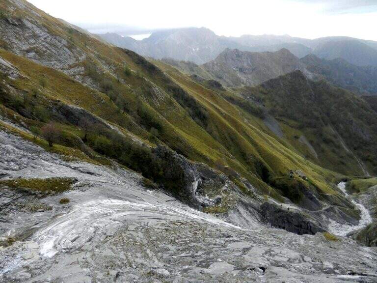
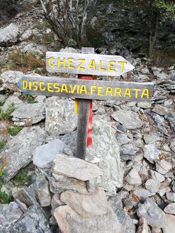
    Due opzioni: i bollini blu o quelli rossi (verso sinistra). Il sentiero blu è molto scivoloso e in alcuni tratti franoso, quindi massima attenzione; il sentiero rosso è una carrareccia che riporta al fondovalle (45' dal termine della ferrata, circa 3h 15' totali).

    ▲To match

    Nelle vicinanze la recente Ferrata Pra Catinat (circa 20' d'auto). Risalendo la valle, le ferrate di Claviere: la Ferrata del Bunker e la Low-High and Chaberton Battery Hardware.
    ▲Gallery
    Technical data
    • DifficultyVery difficult
    • RegionPiedmont
    • GroupAlpi Cozie
    • Approach0:30 h
    • Ferrata2:00 h
    • Itinerary (a/r)3:15 h
    • Hardware level difference350 m
    • Route difference470 m
    • Max1278 m
    • Length4 Km
  • Ferrata Nasego (Corna di Savallo)

    Ferrata Nasego (Corna di Savallo)

    Vie Ferrate › Lombardy › Brescia
    Ferrata Nasego (Corna di Savallo)
    Moderately Hard● OpenDescriptionComplexityMapsGallery

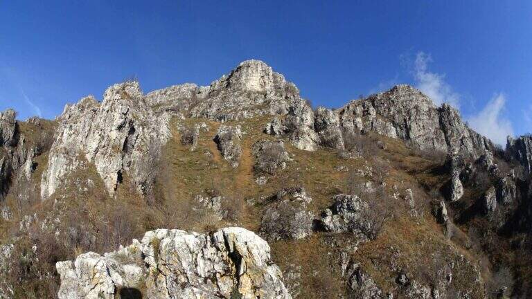
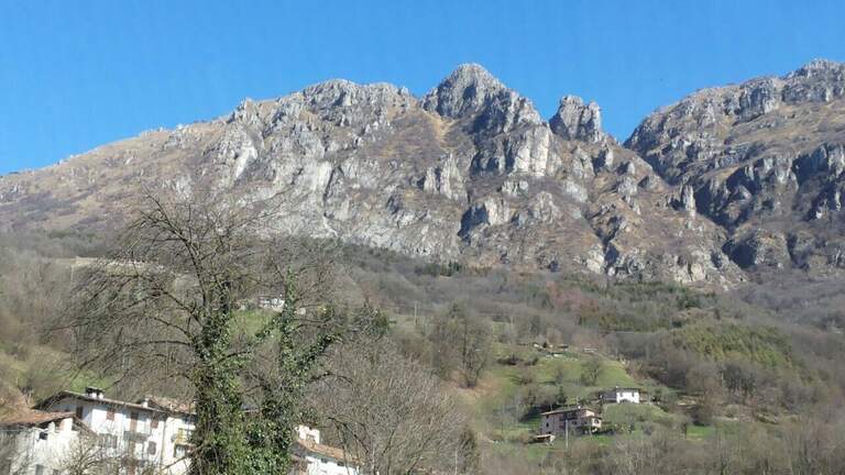
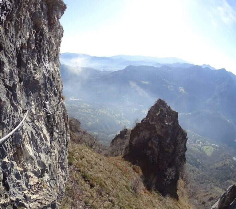
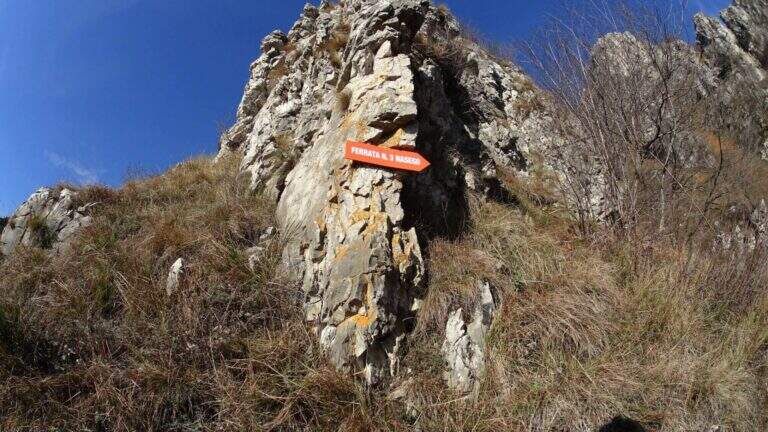
    La Ferrata Nasego si sviluppa su 5 sezioni ben distinte e di difficoltà media, con alcuni tratti più impegnativi. Mediamente esposta, alterna pareti, traversi, cenge e tratti di cresta; pur abbastanza lunga, offre molti punti dove rifiatare. La bassa quota la rende percorribile gran parte dell'anno.
    ▲Approach

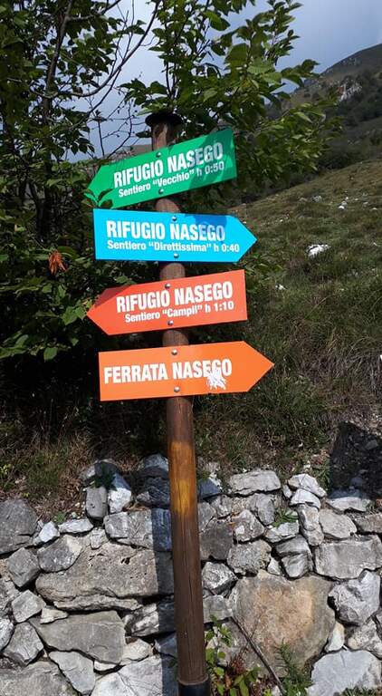
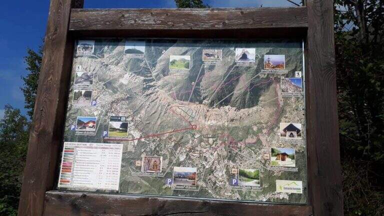
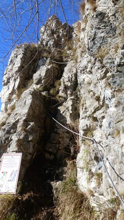
    Si parte presso l'abitato di Comero, vicino a Lodrino (Brescia). Superato Casto, sulla provinciale si nota a destra una strada che risale in senso inverso, con le indicazioni per il Rifugio Nasego e le Corna di Savallo già visibili sopra. La si risale fino a un bivio dove, seguendo il rifugio, si va a destra, si aggira una chiesa e si sale per una strada che si restringe e diventa sterrata in discrete condizioni, fino a uno spiazzo con tettoia dove parcheggiare. Open road signs on Google Maps. Dal parcheggio si seguono le indicazioni per la ferrata verso destra (est) in lieve salita; usciti dal bosco si costeggia la base della Corna di Savallo fino all'inizio delle attrezzature a sinistra (20' dal parcheggio).
    ▲The path

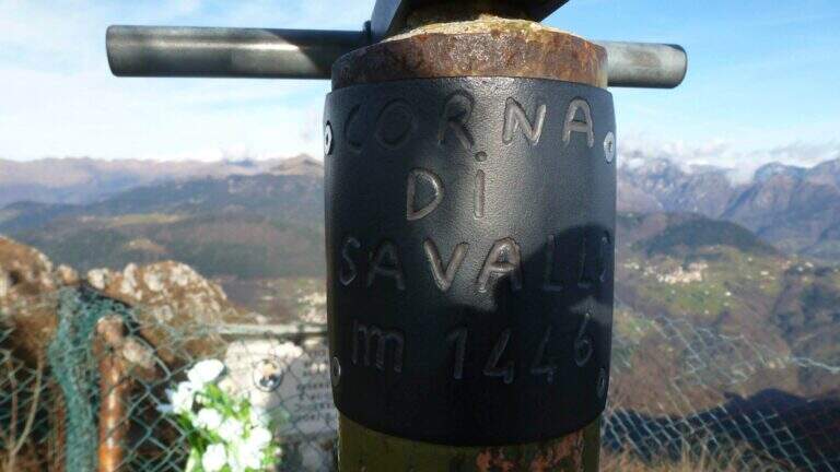
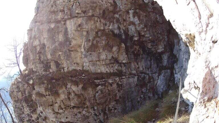
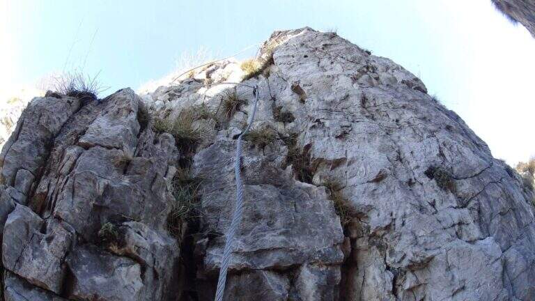
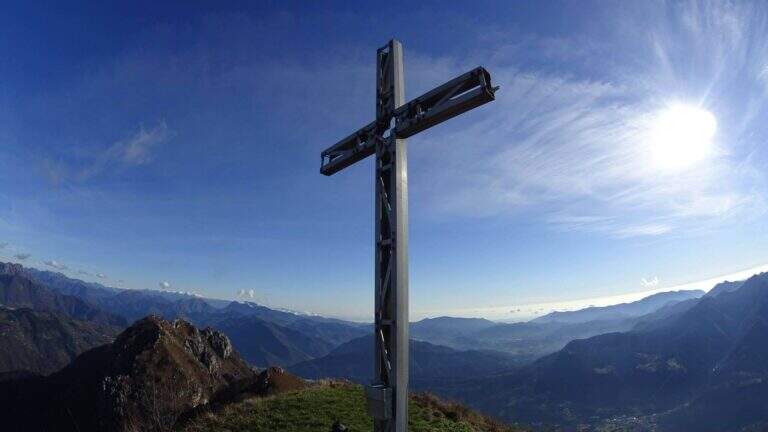
    La via è suddivisa in 5 tronconi. La prima sezione inizia su un tratto inclinato (cavo di equilibrio), poi una paretina coricata dove il cavo zigzaga e va scavalcato un paio di volte, quindi una parete più verticale su spigolo non marcato; si guadagna quota ed esposizione alternando destra e sinistra fino a una cengia e a un breve sentiero attrezzato, dove le attrezzature terminano. Per sentiero erboso si scende al secondo troncone: presso un canale roccioso si risale una parete verticale di 8-10 m con pioli, un breve strapiombo e una pianta sul lato opposto da scavalcare (passaggio non agevole per chi è basso di statura); sopra, il cavo prosegue verticale ed esposto, poi più appigliato, fino a roccette facili. La terza sezione attacca con un traverso diagonale a destra e poi in direzione opposta su pioli, un tratto di sentiero attrezzato, un traverso sotto un tetto poco marcato e facili balzi arrampicabili (attenzione alla roccia friabile). Il quarto troncone sale facili balzi, poi un traverso in leggero strapiombo che sollecita le braccia (meglio non temporeggiare), una breve fessura verticale e balzi gradonati più fisici ed esposti, fino a una forcella tra due torrioni: si rimonta quello di sinistra e si passa sul lato opposto, una stretta cengia terrosa aggira un canalino e una rampa inclinata richiede uno strappo fisico di un paio di metri in contropendenza, poi un facile traverso chiude la sezione. La quinta sezione percorre una cengia sotto un tetto: attenzione all'inizio, con un paio di pareti verticali a pochi appigli; si risalgono balzi e una cengia diagonale attrezzata e un ultimo tratto verticale fino alla croce di vetta della Corna di Savallo (1446 m, 3h dall'attacco, 3h 20' totali).
    ▲Character and difficulty

    Difficoltà media; i passaggi più duri sono la parete con la pianta e il traverso strapiombante. Molti i punti dove riposare grazie alla suddivisione in tronconi.

    ⚠ La roccia è spesso friabile: in alcuni tratti è sconsigliato affidarsi alla sola roccia. I sentieri di collegamento possono essere scivolosi dopo le piogge. Nell'ultimo tratto, se si prosegue sulla cengia senza notare le attrezzature verticali, si arriva a una sella da cui un sentiero attrezzato di cresta porta comunque alla croce, ma saltando l'ultimo troncone di ferrata.
    ▲Period and safety

    Percorribile gran parte dell'anno data la quota contenuta; evitare le giornate umide per i collegamenti scivolosi.

    ▲Discipline

    Dalla croce si prosegue dritti verso ovest seguendo la traccia, che scende con pendenza moderata fino a incrociare la via di fuga e, più in basso, il Rifugio Nasego (gestito da volontari). Dal rifugio si scende al parcheggio per uno dei percorsi possibili: a sinistra il più diretto e ripido, a destra il più dolce (45' dalla vetta, 4h 15' totali).

    ▲To match

    Partendo presto, si concatena con le Ferrate di Casto, sul versante opposto della valle. Verso il Lago d'Idro: Ferrata Fregio, Ferrata delle Ginestre e Ferrata Crench.

    ▲Gallery
    Technical data
    • DifficultyModerately Hard
    • RegionLombardy
    • GroupPrealps Bresciane
    • Approach0:20 h
    • Ferrata3:00 h
    • Itinerary (a/r)4:15 h
    • Hardware level difference400 m
    • Route difference550 m
    • Max1436 m
    • Length3 Km
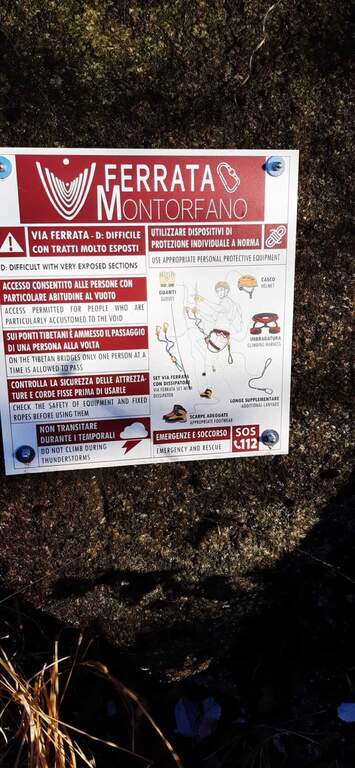
  • Ferrata di Montorfano

    Ferrata di Montorfano

    Vie Ferrate › Piemonte › Verbano-Cusio-Ossola
    Ferrata di Montorfano
    Moderately Hard● OpenDescriptionComplexityMapsGallery

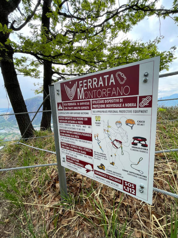
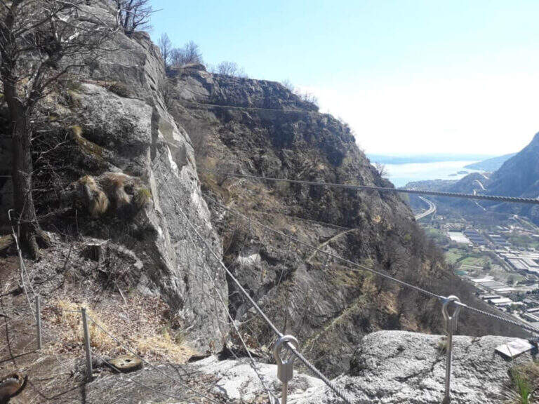
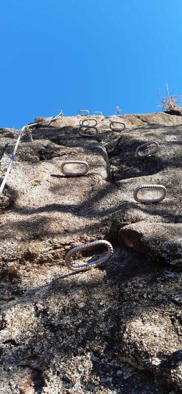
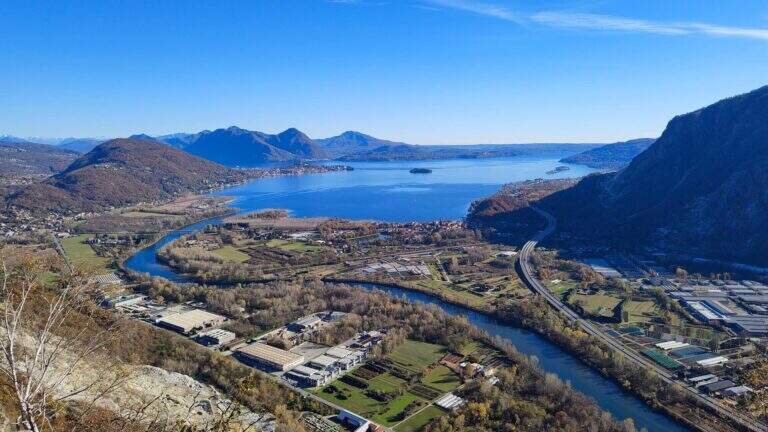
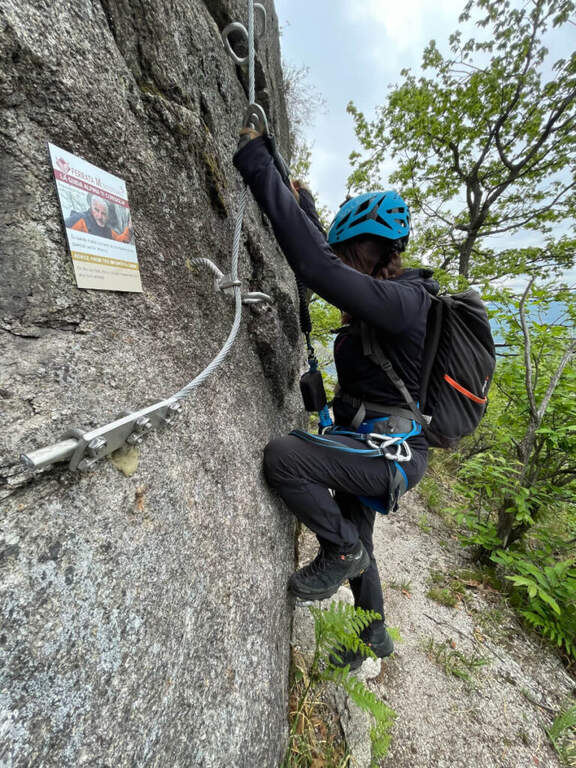
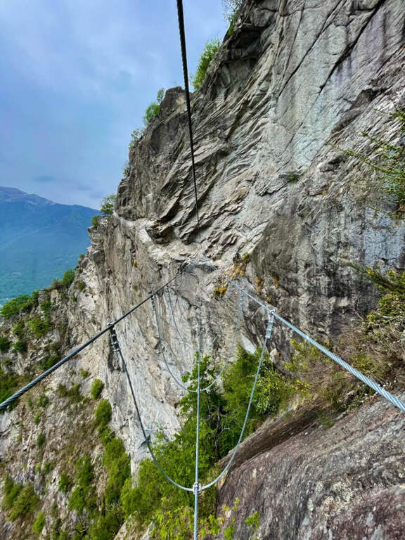
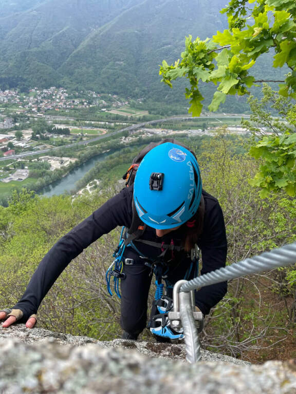
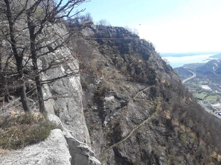
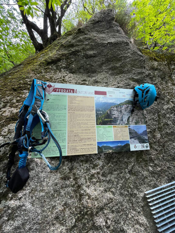
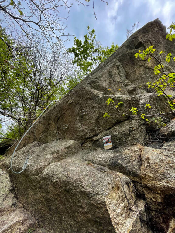
    Modern and equipped in an impeccable way, the Ferrata di Montorfano dates back to bastions of vertical and unspoilt gneiss, therefore rich in artificial fixtures. It is airy and exposed, with two suspended bridges, but the difficult passages are limited: overall it is short and medium commitment, which can be reached most of the year due to the modest share.

    ▲Approach

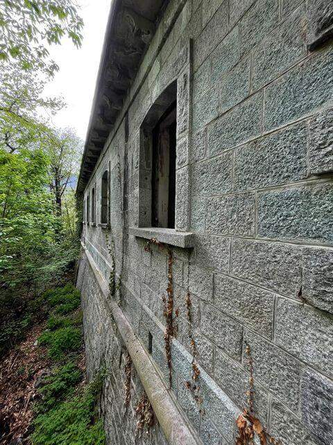
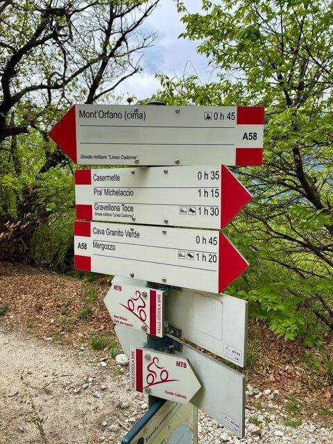
    It starts from the municipality of Mergozzo (Verbano-Cusio-Ossola), Piedmontese side of Lake Maggiore. From the south, take the 'A26 to Gravellona Toce, exit Verbania, then to the left for Mergozzo; after a minute d' car, on the left, a street with place for 4-5 cars. Open road signs on Google Maps. On foot you will continue about 150 m towards Mergozzo to an asphalted road that climbs on the opposite side: it is the military road of the Montorfano, that to bends in the forest climbs for about 3 km passing next to an old abandoned barracks; the on-site signs bring in short all ' attack (about 1h from the parking lot).

    ▲The path

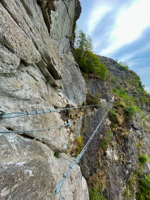
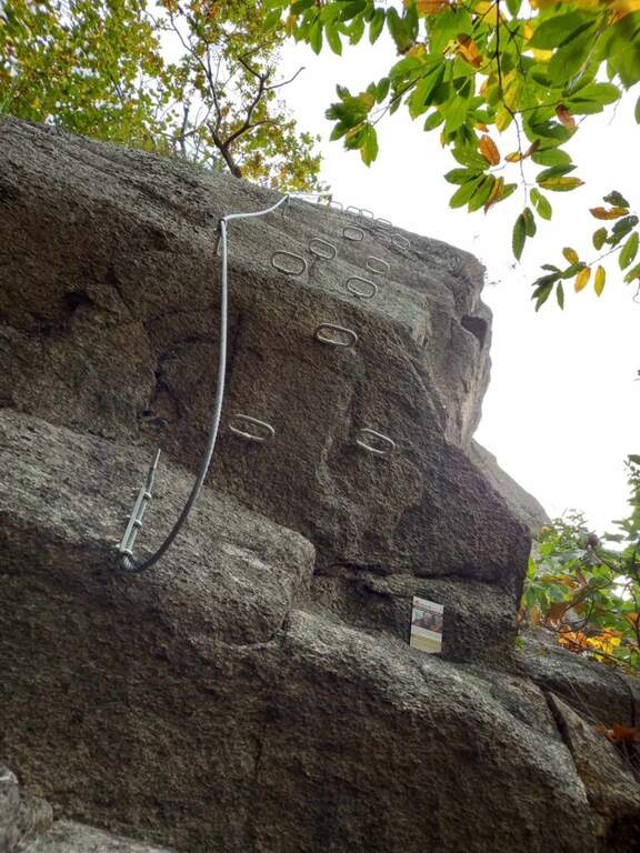
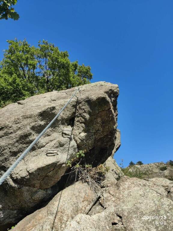
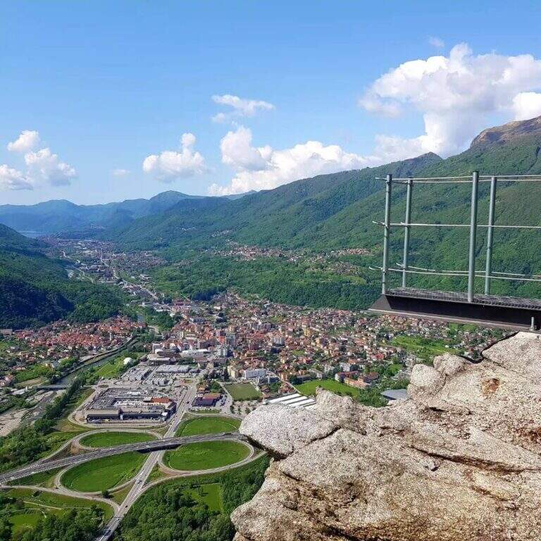
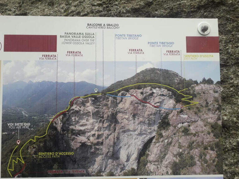
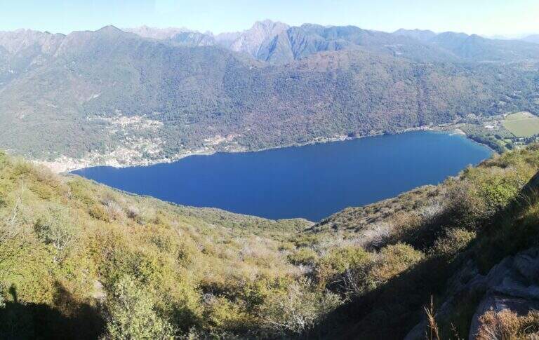
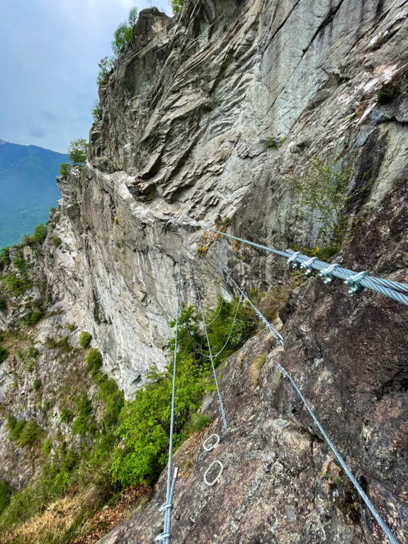
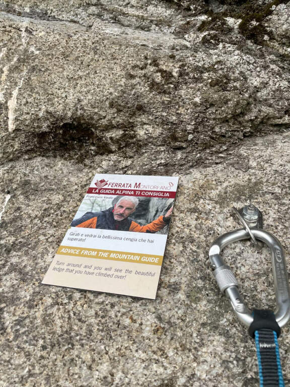
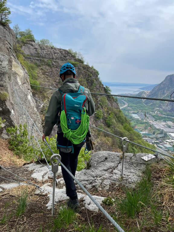
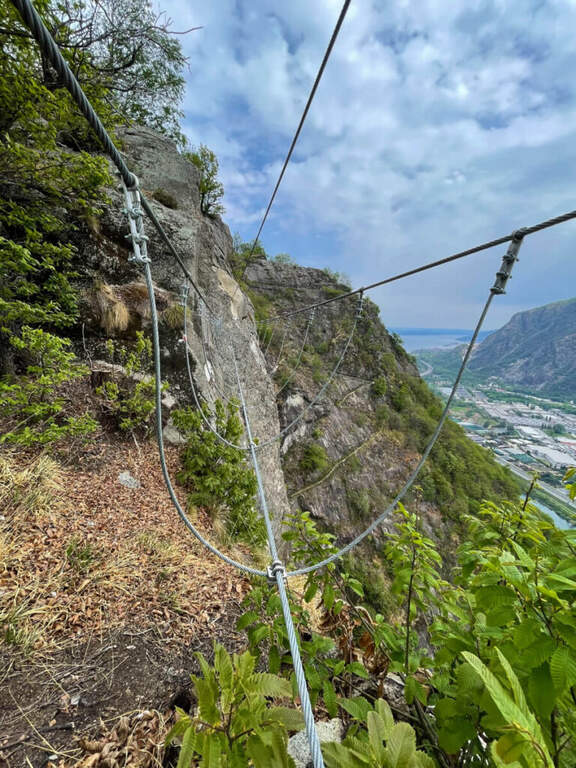
    The ferrata begins in the woods, next to a bench where to wear l'imbraco. It sticks with a couple of steps and a vertical wall very bracketed up to a panoramic terrace on the Toce valley and Lake Maggiore. It follows the strand of the edge up a slightly overhanging leap with excellent cambre, then a horizontal stretch of connection and an unequipped stretch. The road starts vertically on a beautiful wall, followed by an easy traverse to the left; after a panoramic pulpit you cross a very stable primo suspended bridge. It exits right on cambre for an easy but exposed traverse that begins to descend, always exposed but not difficult, until the second and longer suspension bridge, beyond which the ferrata ends (45' from the' attack, about 2h total).

    ▲Character and difficulty

    By air with marked exposure but technical difficulties contained. Impeccable equipment.

    ⚠ On both bridges the upper rope to which to connect the set from ferrata is quite high: keep it in mind if you are not of high stature.
    ▲Period and safety

    Travelling most of the year, including winter, given the low altitude.

    ▲Discipline

    From the end of the ferrata continue on military mule track until a marked crossing (15'). Two options: go up to the peak of Montorfano (1h from the term, about 4h 30' total) or go down to the parking lot, retracing the approach path (1h 15' from the term, about 3h total).

    ▲To match

    On the Piedmontese shore of Lake Maggiore: easy Ferrata Picasass and the impegnative Ferrata La Miccia; to the north recent Ferrata Walserfall; to the west Ferrata della Falconera.

    ▲Gallery
    Technical data
    • DifficultyModerately Hard
    • RegionPiedmont
    • GroupAlps Lepontine
    • Approach1:00 h
    • Ferrata0:45 h
    • Itinerary (a/r)3:00 h
    • Hardware level differenceca 250 m
    • Route differenceca 550 m
    • Max794 m
    • Lengthca 10 Km
  • Ferrata del Monte Sarrandone

    Ferrata del Monte Sarrandone

    Vie Ferrate › Lombardia › Bergamo
    Ferrata del Monte Sarrandone

    The Ferrata del Monte Sarrandone is short and without significant difficulties, just above Castione della Presolana: an ideal itinerary as the first approach to the ferrates, which can be reached most of the year. It is probably, along with the Madonnina del Coren, the easiest piece of the province of Bergamo.

    ▲Approach

    It starts from the hamlet of Bratto-Dorga (Castione della Presolana). Coming from the valley you pass Bratto towards Passo della Presolana; after a hairpin bend, uphill on the left, a sign signals the end of the hamlet and, a few meters later, an asphalted cobble closed by a bar. Open road signs on Google Maps. You park just before the cobble (un' car) or about 100 m above (3 cars). You walk up the cobble, you ignore a first track on the left and continue until you intercept the sentiero CAI 28, which you take left: in short you reach the limestone plate where the ferrata begins, unmarked (1260 m, about 20' from the parking lot).

    ▲The path

    The rock is mostly calcareous and, towards the end, dolomitic. The way is divided into two trunks. The primo climbs on rock with moderate slope, in support, accessible either by climbing or by holding the cable; despite the vegetation (grass, bushes) there is no lap for hands and feet, with some more steep but simple traits. It follows a stretch of connection uphill in the forest until the second plaque. The secondo is mainly on calcareous plates in support, then more fun with l' slope rise, up to a nice passage to the right and a vertical section with hooks to climb in pleasant climbing. After about twenty meters you reach the top, with a view of the valley (1460 m, about 40' from' attack, about 1h total).

    ▲Character and difficulty

    Fully equipped with stretch galvanized steel cable, fixed with L. simple and pleasant, is used by alpine guides as a preparatory course and by CAI schools for youth mountaineering.

    ⚠ Also on an easy way, helmet and ferrata sets remain obligatory. The attack is not reported: follow CAI 28 until the plaque.
    ▲Period and safety

    Most of the year can be traveled, given the quota. Check the absence of snow/ice on the plates.

    ▲Discipline

    Go down backwards. Interesting alternative: a double rope descent from the summit (about 30 m) to a small natural amphitheatre, then in the forest to resume the ferrata for the descent (total time about 1h 45').

    ▲Gallery
    Technical data
    • DifficultyEasy
    • RegionLombardy
    • GroupPrealps Orobie
    • Approach0:20 h
    • Ferrata0:40 h
    • Itinerary (a/r)1:45 h
    • Hardware level difference180 m
    • Route difference400 m
    • Max1446 m
  • Ferrata del Monte Ocone

    Ferrata del Monte Ocone

    Vie Ferrate › Lombardia › Bergamo
    Ferrata del Monte Ocone

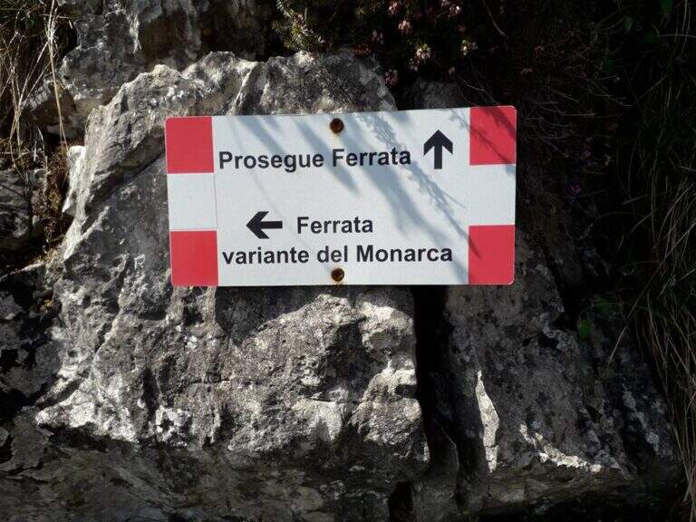
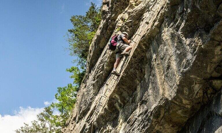
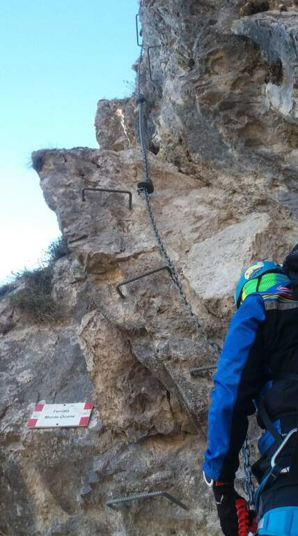
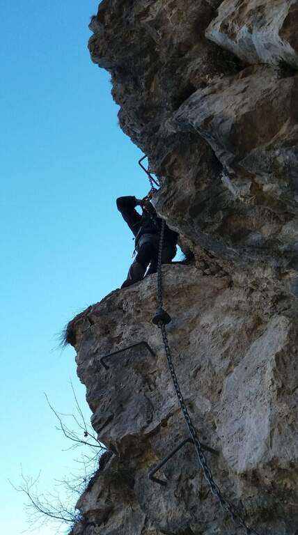
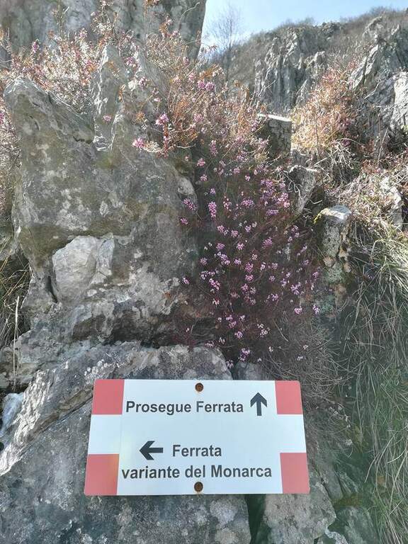
    The Ferrata del Monte Ocone is vertical, exposed and at times athletic, but generous of pauses: in fact the concatenation of 11 torrioni connected by short stretches of path. It also features some more difficult variants (the Monarch variant on the seventh tower and the extremely difficult variant all' eleventh).

    ▲Approach

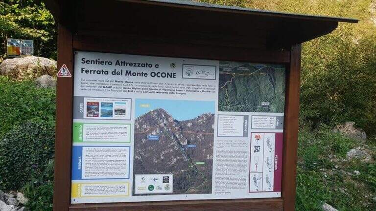
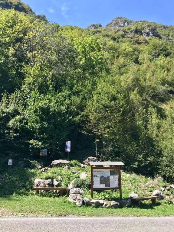
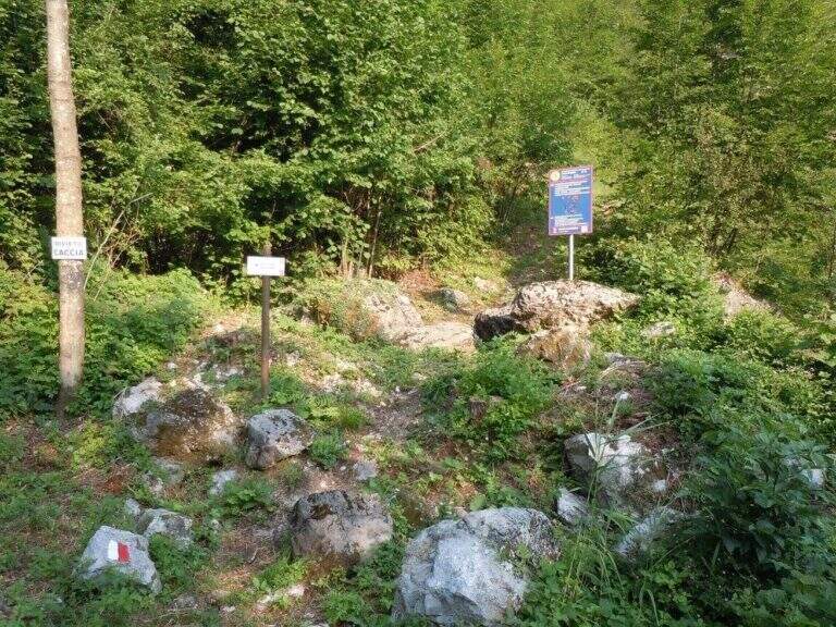
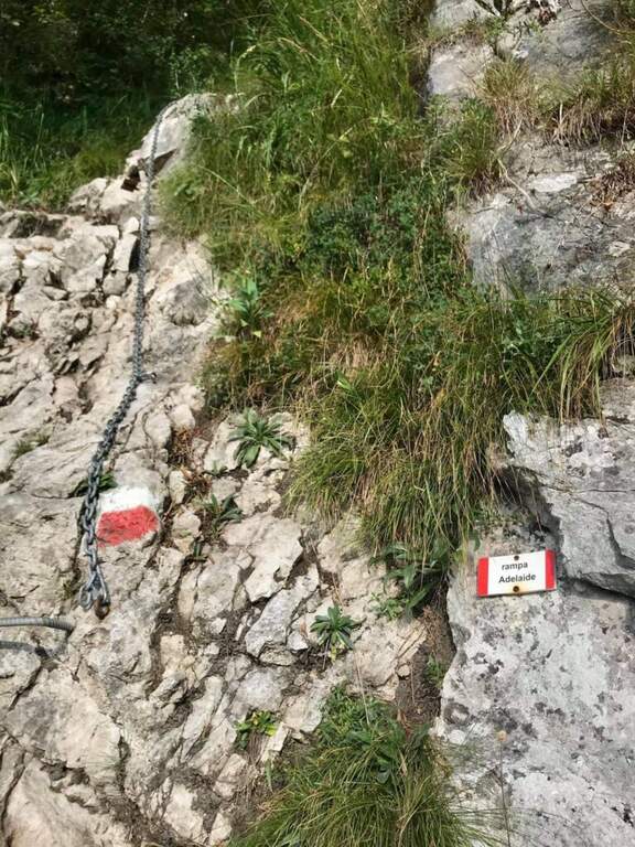
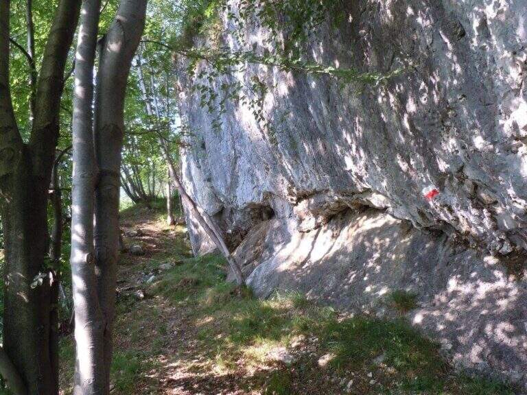
    From the road that connects Costa Valle Imagna to Valsecca (province of Bergamo, on the border with Lecco). Arriving from Costa Valle Imagna, after a little more than 3 km and before a bend on the left, you notice a basin with information on the route; you park on a right side. Open road signs on Google Maps. From the basin follow the steep path in the woods; a small building is reached a first equipped section (the Rampa Adelaide) and, after a few minutes, a saddle where you can see l' equipment of the first of the eleven towers (20' from the parking lot).

    ▲The path

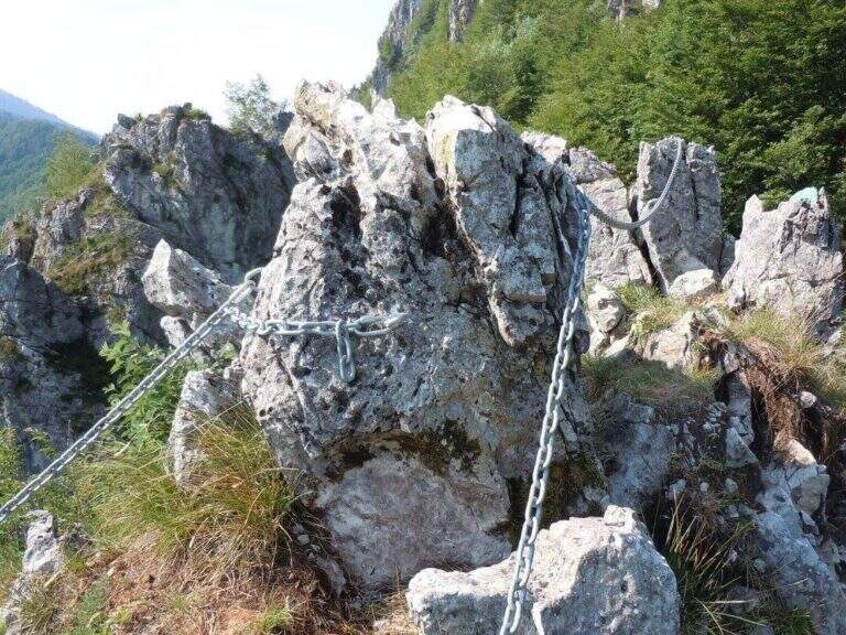
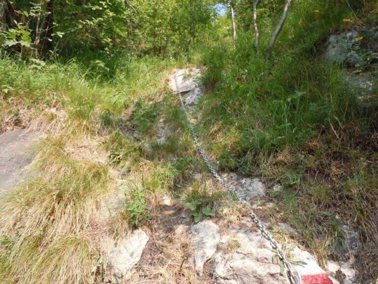
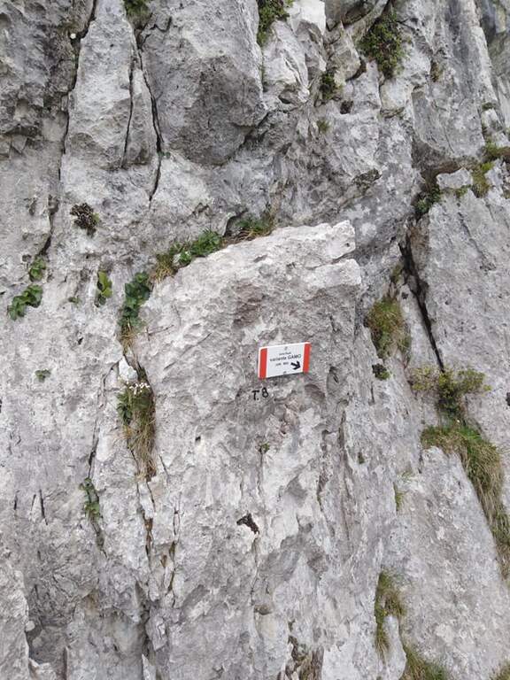
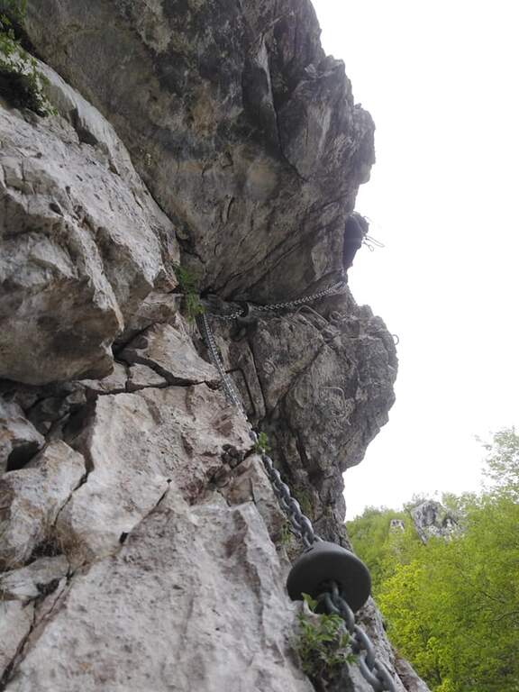
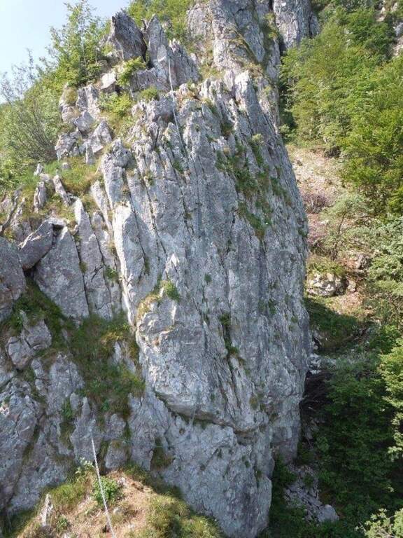
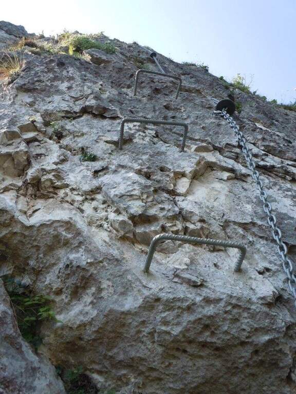
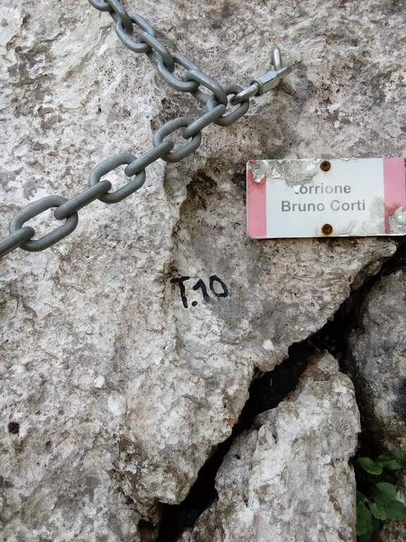
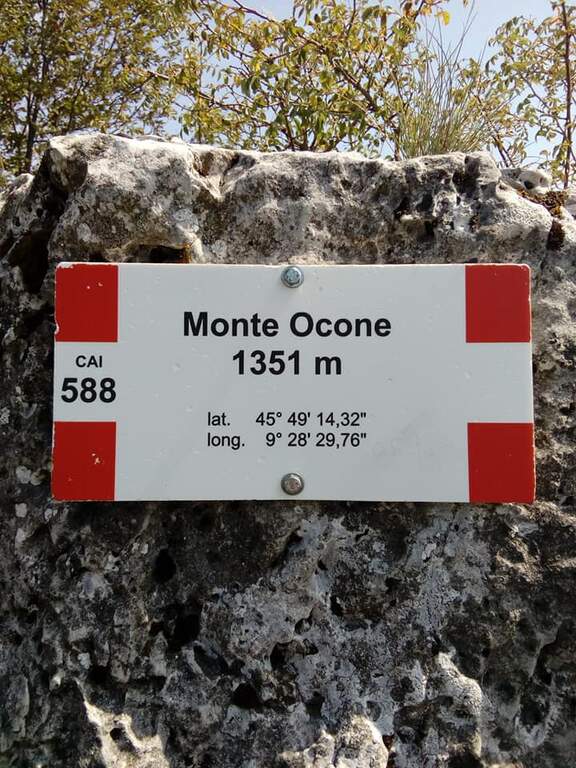
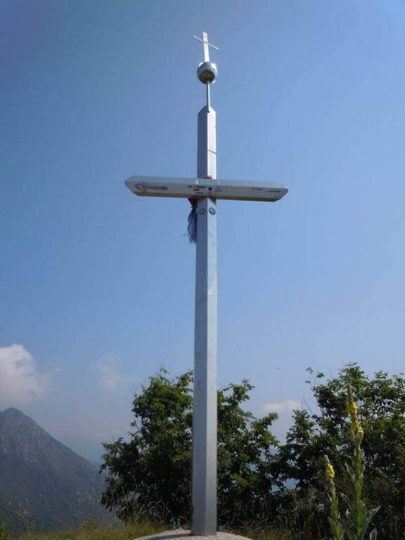
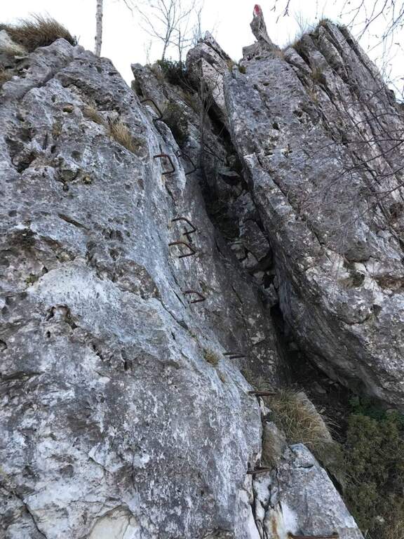
    La via sale concatenando 11 torrioni di difficoltà variabile, ciascuno spesso aggirabile da un sentierino sulla destra. Il primo torrione attacca subito impegnativo, con i primi 3 metri strapiombanti (utili le due staffe a sinistra e un buon appiglio per il piede a destra), poi piega a destra su uno spigolo esposto. Il secondo sale molto verticale su parete levigata con staffe, poi uno spigolo più appigliato e un traverso che aggira uno sperone. Il terzo alterna verticali, una cengia di collegamento e una lunga placca affrontata in diagonale (il tratto più difficile finora, roccia povera di appigli), chiudendo con un diedro e una breve parete. Il quarto entra in un diedro (prima in spaccata, poi su staffe) e aggira un esposto spigolo verso sinistra, breve ma adrenalinico. Il quinto inizia dopo una forcella erbosa; qui si sceglie se proseguire sulla variante del Monarca (sinistra) o sulla via normale, che affronta un gendarme con uscita esposta su spigolo. Il sesto è un bel diedro appigliato; segue una crestina in saliscendi fino al settimo torrione «Dolci», da cui un sentiero permette di salire in vetta evitando gli ultimi torrioni: è verticale e nella parte alta strapiombante e atletico, con abbondante uso della catena (che, se trazionata, sbandiera a sinistra: meglio procedere in spaccata). L'ottavo «Busti» risale uno spigolo e aggira a sinistra un tetto roccioso in forte esposizione (parallela, sulla destra, la dura variante «GAMO», fra i tratti più impegnativi). Il nono ha un attacco insidioso e fisico ma breve. Il decimo «Corti» offre una placca appigliata e una bella arrampicata su un gendarme ricco di maniglie naturali. L'undicesimo «Torre Orobie» propone due opzioni che si ricongiungono pochi metri sopra: a destra estremamente difficile (parte con strapiombo evidente), a sinistra difficile (parete liscia). Si conclude presso il libro di vetta e, in pochi metri di sentiero, si raggiunge la vetta del Monte Ocone (1351 m, 3h dall'attacco, 3h 20' totali).

    ▲Character and difficulty

    Hard, athletic and long enough. A parallel path (CAI 571) runs halfway and acts as a way of escape and return to the seventh tower; in the successive towers there are two more escape routes. All variants are more difficult than the average level (from very difficult to extremely difficult): those who do not look for natural hooks will find it, overall, very tiring.

    ⚠ The chain has a rather wide diameter and in some points it tends to prevent the gliding of the muskets: keep it present in the progression. Rock often compact but smooth: very useful brackets. Inaugurated in June 2017.
    ▲Period and safety

    Season from spring to autumn. Good training recommended for overall physical engagement.

    ▲Discipline

    From the top, three options in descending order of difficulty: (1) to the left (bergamasco side), descending the crestine exposition with equipped sections up to the CAI 571 and then to the parallel path to the ferrata, downhill to the car (1h, 4h 30' total); (2) to the right, for the simplest normal route up to the CAI 571 at Passo Pertus, then left to the north and down from the parallel path to the towers (1h, 4h 30'); (3) as the 2 but holding the right on the CAI 571 south to the Convent Pertus, then CAI 574 and CAI down to the road and to the car (1h 15', 4h 45' total).

    ▲Gallery
    Technical data
    • DifficultyHard
    • RegionLombardy
    • GroupPrealps Bergamasche
    • Approach0:20 h
    • Ferrata2:30
    • Itinerary (a/r)4:15 h
    • Hardware level difference300 m
    • Route difference500 m
    • Max1355 m
    • Length3,5 Km
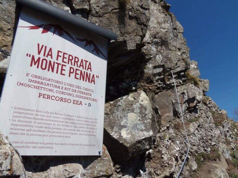
  • Ferrata Monte Penna (Penna di Civago)

    Ferrata Monte Penna (Penna di Civago)

    Vie Ferrate › Emilia-Romagna › Reggio Emilia
    Ferrata Monte Penna (Penna di Civago)

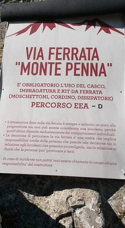
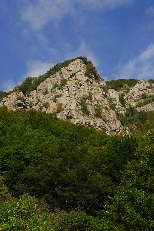
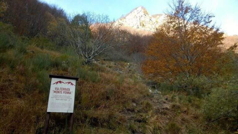
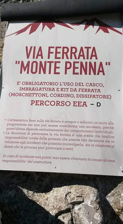
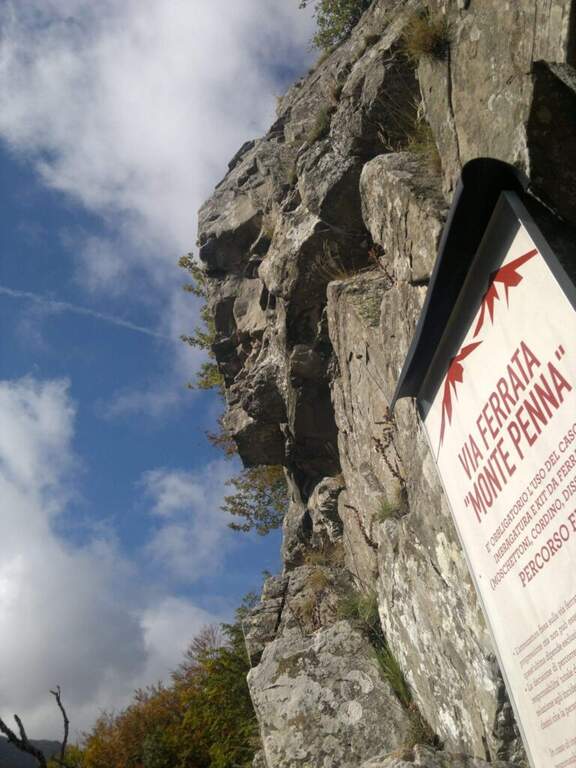
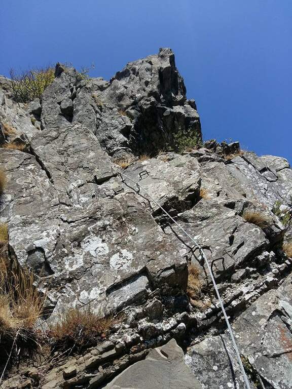
    Above Civago, the last foreman before the Passo delle Radici, stands the Penna di Civago: a sharp profile of walls that rise rapidly towards 1400 m. On this wall runs a short but difficult and athletic ferrata, where challenging steps increase away after the attack.

    ▲Approach

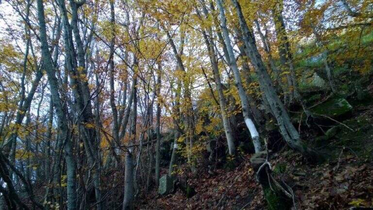
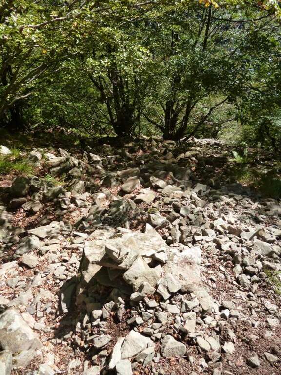
    It starts from the village Case of Civago (about 1h 30' from Reggio Emilia or Modena), where you park along the dirt road from which the paths for the refuges Battisti, Segheria and Bargetana leave. Open road signs on Google Maps. On foot you continue on the dirt road for about 5 minutes, holding the Penna di Civago on the right, up to a sign with directions for the ferrata; at a steep track you go up following white signs and omits, first for a stone then for steep paths, up to a traverse exposed that leads to the beginning of the equipment (30' from the parking lot).

    ▲The path

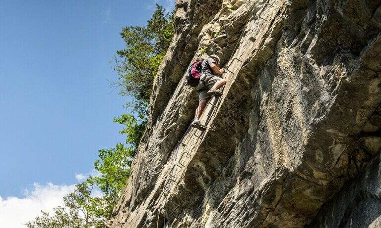
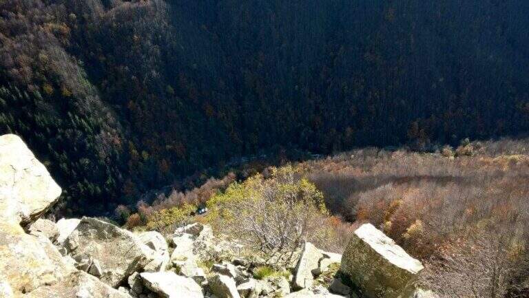
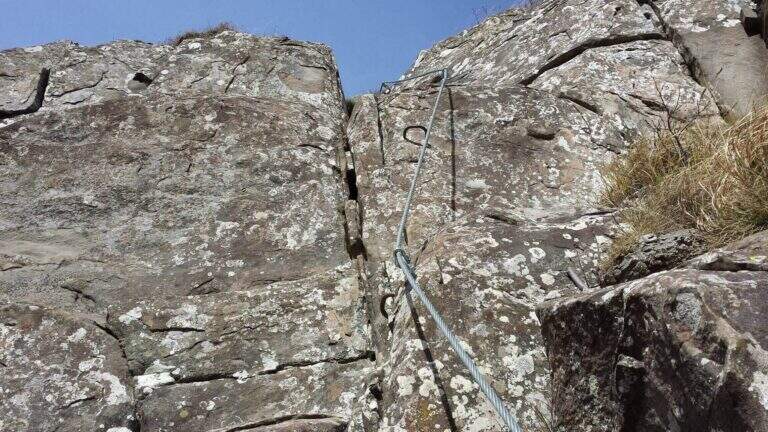
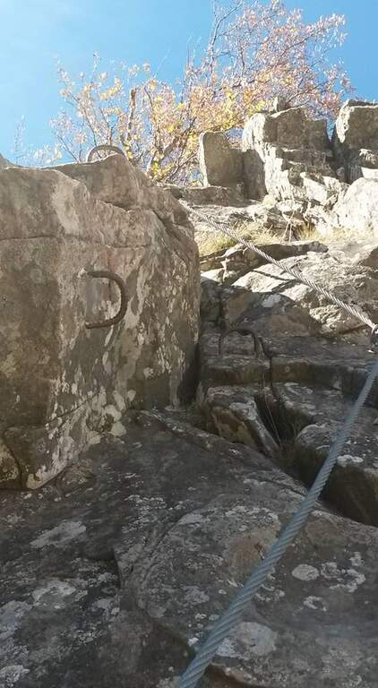
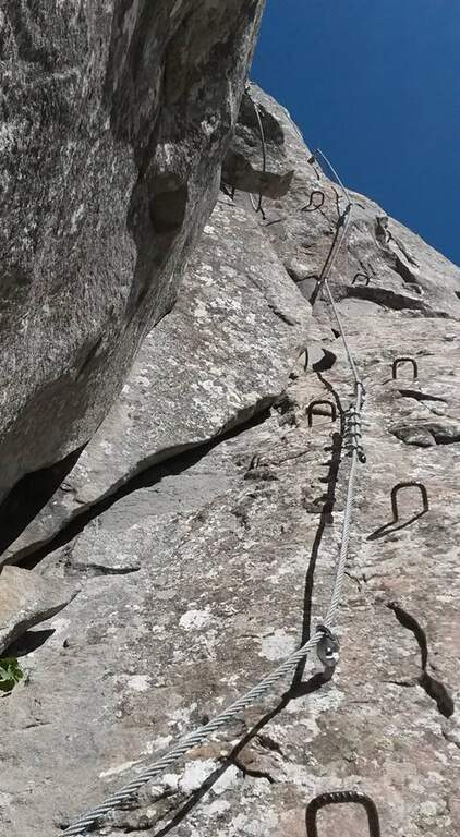
    The street is markedly vertical: l'arenaria is sometimes not climbing, but pioli, handles and cambre are well arranged to facilitate progression. You first climb on two diedri, then an exposed edge and a challenging fireplace; finished the fireplace you cross a grassy path where to rest before the second part, harder. This immediately attaches vertically with a slightly overhanging wall (about 10 m) on hardness, up to a small nod where to catch breath before the key pass: a overhanging belly on a 8-metre wall. Although well equipped, it must be faced with caution and rapidity in order not to exhaust the forces in the arms; it is advisable to study the arrangement of the handles before leaving. It follows a 'exposed sandstone plate where some brackets help, but it is difficult to avoid tracing the cable in a couple of points seen the smooth rock. L' last stretch has difficulty: in 5' a wall and an exposed but simple nod are exceeded, and the ferrata ends with beautiful view on Civago, on Lake Fontanaluccia and Mount Giovarello (1h from' attack, 1h 30' total).

    ▲Character and difficulty

    Short but athletic: a couple of steps can put in serious difficulty who is inexperienced or untrained. Peculiarity: difficulties increase after the attack, leaving few opportunities to stop the climb and go back.

    ⚠ In summer 2018 two brackets were added in the key passage, which significantly reduces the difficulty. It remains a physical way: honest assessment of training and experience. Inaugurated in October 2014.
    ▲Period and safety

    Season from spring to autumn. Case and progression careful on smooth sandstone.

    ▲Discipline

    Continue for 5' uphill on steep path until you get on a CAI path. It is recommended to continue left on the CAI 631 A towards the Cavallina (less steep and slippery of CAI 607, about 40'), going down to the CAI 605 that you take to the left; this convenient mule track ends at the dirt road of the parking (2h 30' total). For water, the CAI 605 to the right leads to 5' to a source.

    ▲Gallery
    Technical data
    • DifficultyHard
    • RegionEmilia-Romagna
    • GroupAppennino Tosco-Emiliano
    • Approach0:30 h
    • Ferrata1:00 h
    • Itinerary (a/r)2:30 h
    • Hardware level difference145 m
    • Route difference480 m
    • Max1505 m
    • Length5 Km
  • Ferrata Monte Nero (Presanella)

    Ferrata Monte Nero (Presanella)

    Vie Ferrate › Trentino-Alto Adige › Trento
    Ferrata Monte Nero (Presanella)

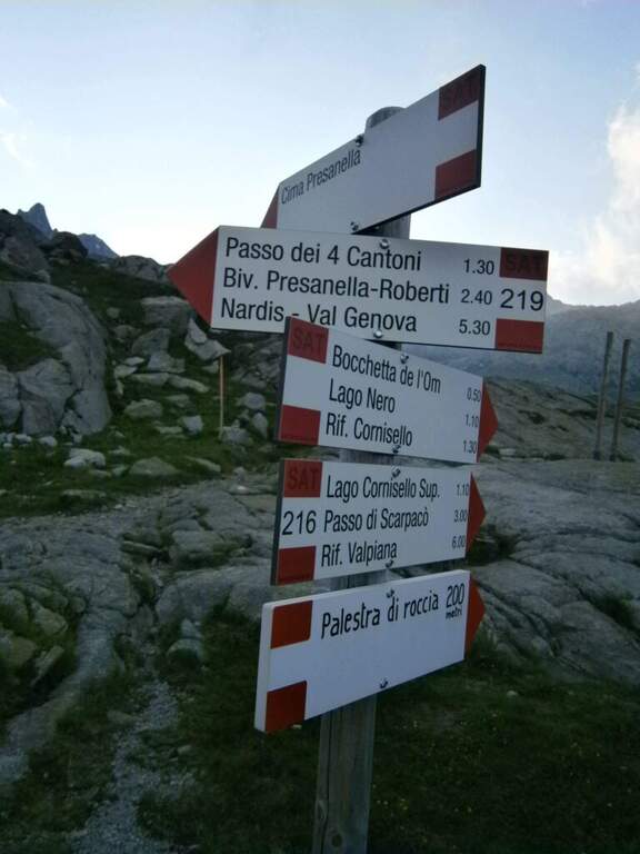
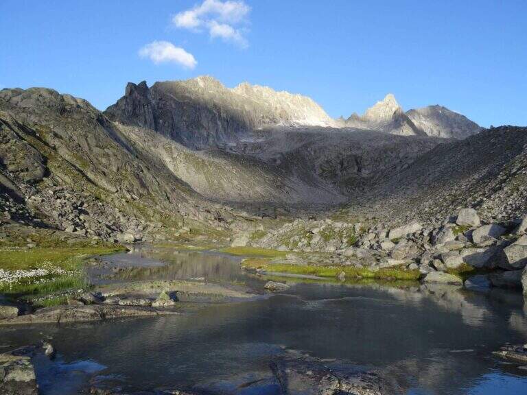
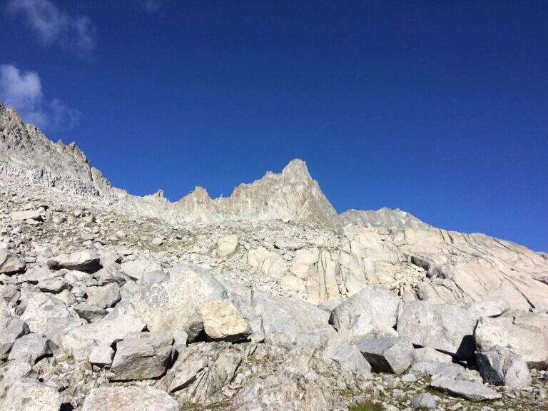
    The recent Ferrata Monte Nero is only a part — short (95 m of altitude) but central — of a long and challenging high mountain route that, from Val d'Amola and the Segantini Refuge, leads to the summit of the Presanella (3558 m), the highest point entirely in Trentino. L' itinerary requires l' crossing a vedretta with ramps.

    ▲Approach

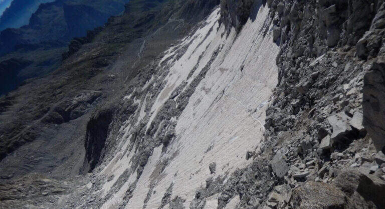
    From the parking lot at the bridge on the Sarca stream, in Val d'Amola (Malga Vallina d'Amola, 2006 m). From the SS239 Pinzolo–Madonna di Campiglio, in Pinemonte Basso take the road to the Val Nambrone; beyond the Nambrone Refuge you climb on a carrabile up to a crossroad where you continue to the left (to the right the Cornisello Refuge) to the parking lot. Open road signs on Google Maps. Follow the signpost west 211, then at the junction you hold the right on the 211 «Oscar Collini» which, steep but without difficulty, leads to Rifugio Segantini (2373 m, 1h from parking). Behind the hut follow the signs for the Presanella to the north-west, pointing to the moraine and taking as reference the Black Mountain; you reach the vedretta (live ice or snow according to season: necessary ramps, attention to the rocks) and cut diagonally up to the rock, climbed up with passages of Igan up to the ' attack (3070 m, 1h 30&#.

    ▲The path

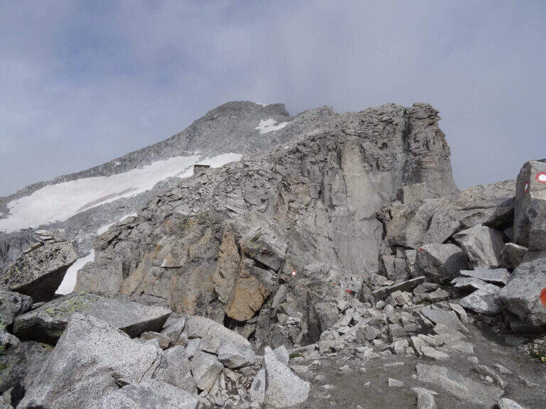
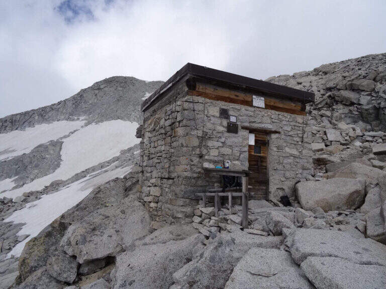
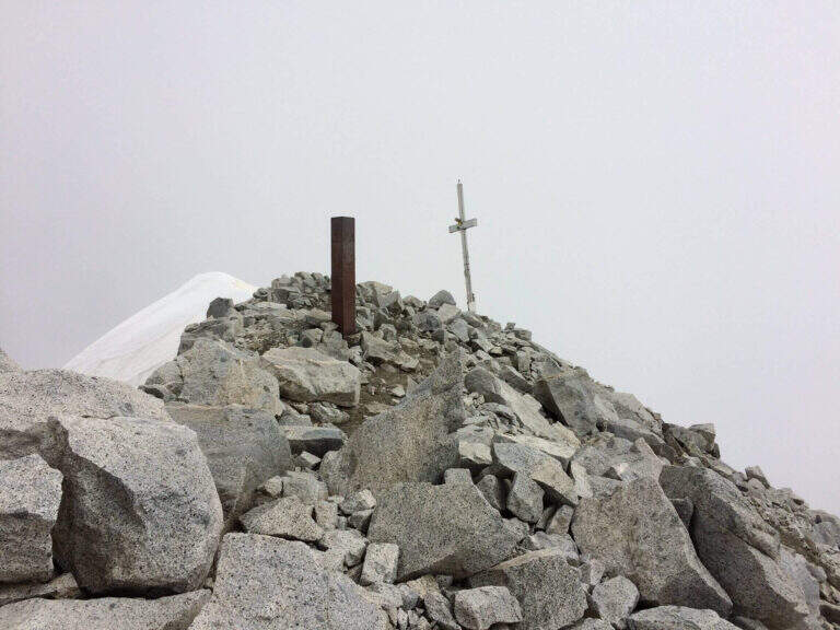
    New metal cable and numerous fixtures help on smooth rock passages. It rises on plates supported with some brackets, then an exposed but not challenging traverse overlooking the ' route. The ferrata is not continuous: in some places the cable leaves space to rocks and easy balconies. There is a narrow nod equipped with wooden catwalk, then alternating plaques and balconies and a'exposed sloped ramp to the right to the highest point of the road on the crest (3165 m). The cable then leads to the opposite side, going down for about 50 m towards the Vedretta of Nardis Orientale with uncomplicated climbing and a long set of fixtures, where the ferrata ends (30' from' attack). On this vedretta, in late season, the ramps usually do not serve; the main difficulty is l' orientation with poor visibility (pow omits and boils). Continue north-west along the valley to the plateau above the vedretta, from which you will find the Bivacco Orobica: to reach it a couple of delicate passages (a stretch equipped in descent and a cross exposed on friable bottom with wooden axles). From the bivouac (3382 m, 1h 30' from the end of the ferrata) follow the track on the left side of the crest to the summit of the Presanella (3558 m, 45' from the bivouac, 5h from the parking lot).

    ▲Character and difficulty

    Long itinerary, with significant difference in altitude and mountaineering character. The ferrata itself is difficult but short; the greater commitment is environmental. In the stretch between the Vedretta di Nardis and the Bivacco Orobica there are nails with mosquitoes useful for a sure with rope.

    ⚠ Need ramps and peak. Maximum attention in the crossing of the Vedretta di Monte Nero, also for the instability of stones. Start early: recommended overnight at the Segantini Refuge to reach the summit in the morning. Stable weather.
    ▲Period and safety

    Summer season with glacier under conditions. High mountain: evaluate snow, visibility and weather.

    ▲Discipline

    The return takes place backwards for the route (about 5h to the car, about 10h total).

    ▲To match

    Similar climbs in the area: Flower trail at Tonale, Ferrata Tabaretta all'Ortles e Cengles Croda Ferrata.

    ▲Gallery
    Technical data
    • DifficultyHard
    • RegionTrentino-Alto Adige
    • GroupAdamello-Presanella
    • Approach2:30 h
    • Ferrata0:30 h
    • Itinerary (a/r)10:00 h
    • Hardware level difference95 m
    • Route difference1558 m
    • Max3558 m
    • Length15,5 Km
  • Ferrata del Monte Emilius (Col Carrel)

    Ferrata del Monte Emilius (Col Carrel)

    Vie Ferrate › Aosta Valley › Aosta
    Ferrata del Monte Emilius (Col Carrel)
    Very difficult● OpenDescriptionComplexityMapsGallery

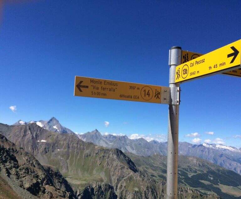
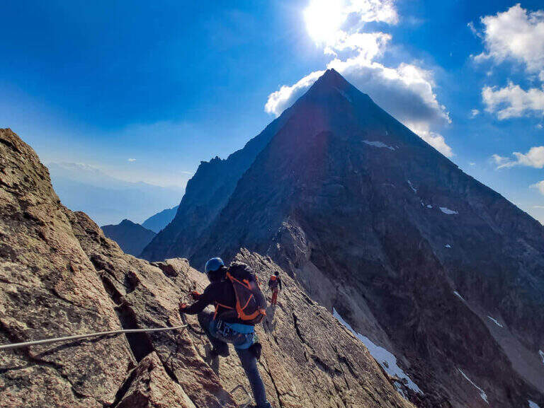
    The Ferrata del Monte Emilius crosses the north and north-west ridge of the top (3551 m) from the Colle Carrel: for length, environment and altitude difference should be considered one of the most challenging. It is a high mountain itinerary not to be underestimated, more than 16 km, which should be broken in two days with overnight stay at the Arbolle Refuge or the Federigo Bivacco.

    ▲Approach

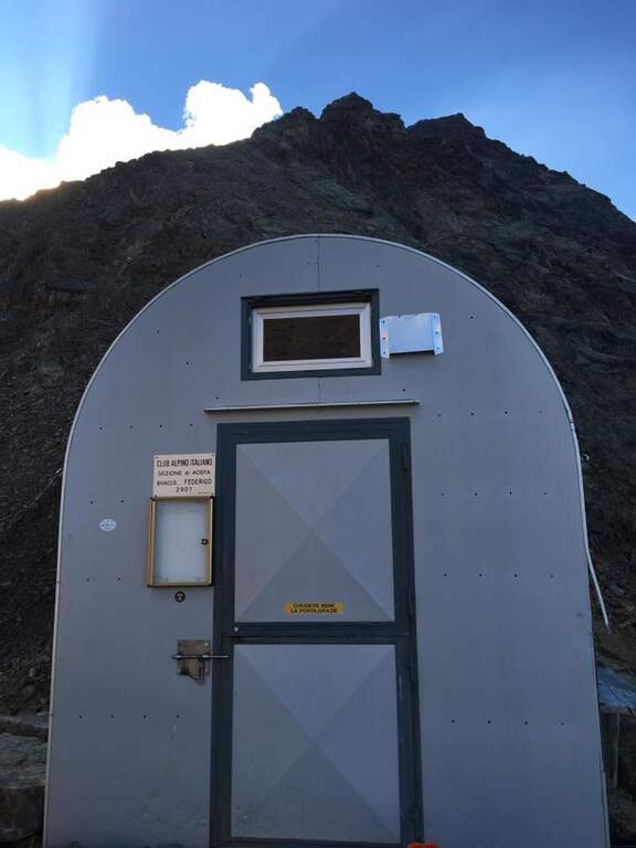
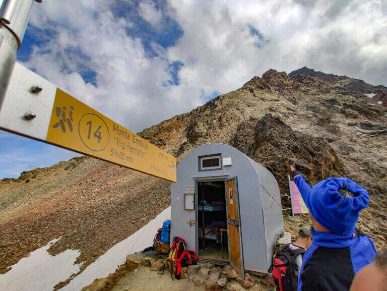
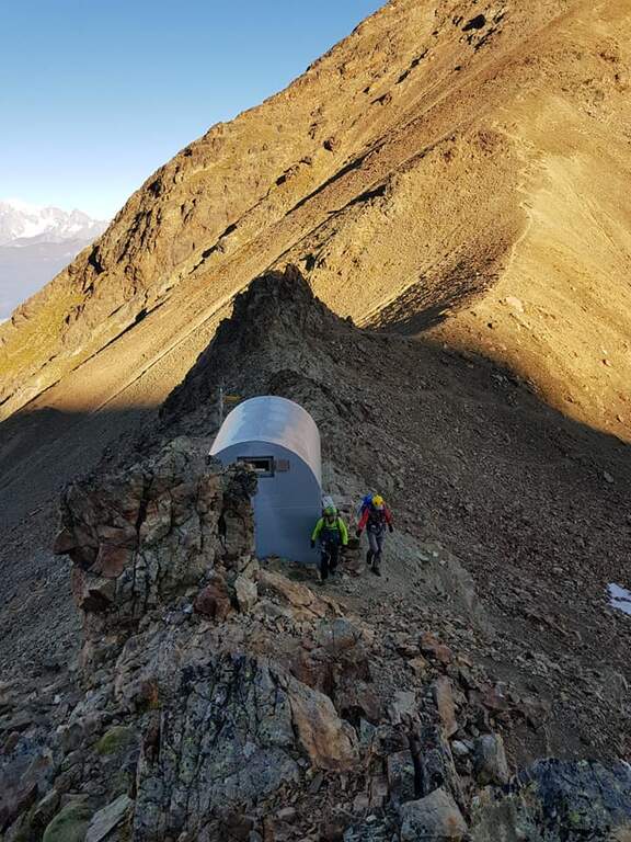
    From the Aosta-Pila mountain station, continue to Chamolé station (2300 m). Open road signs on Google Maps. Follow the path towards Refuge Arbolle (mark 19c then 19a uphill, then a hundred meters downhill in the Arbolle valley; 1h 30' from the upstream station). You should stay at the shelter. From there go down the path 14 (Vallone di Comboe) up to a crossroads where you keep the right on the paths 16c e 16a to the spartan Bivacco Federigo (2907 m), under the Colle Carrel (1h 30' from the refuge, 3h 45' total). The ferrata starts right behind the bivouac.

    ▲The path

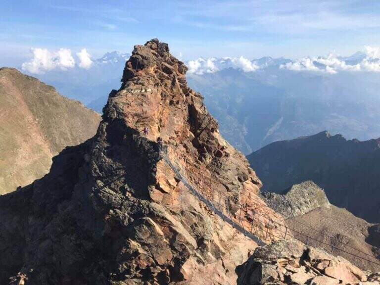
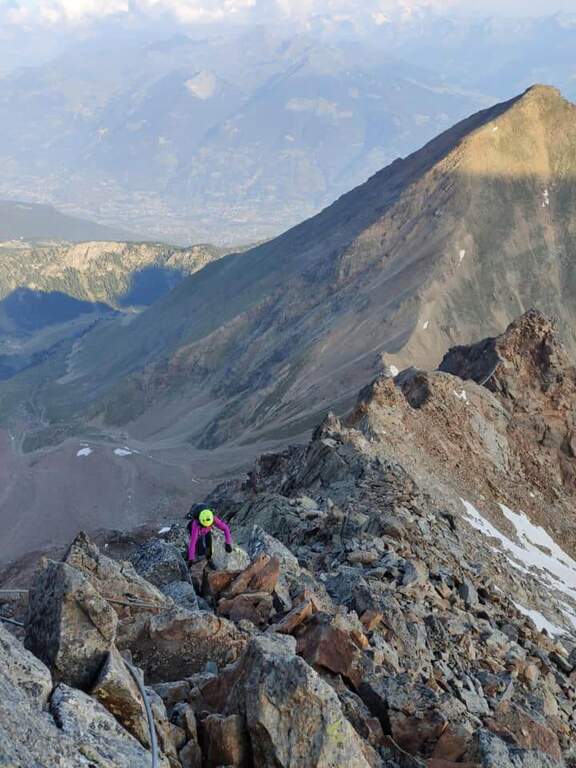
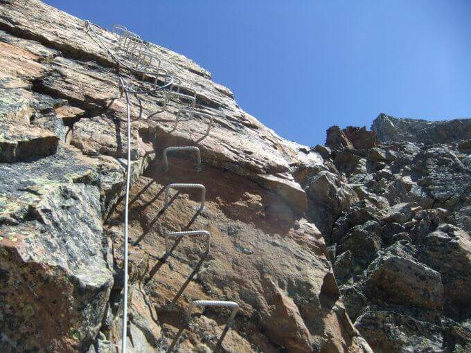
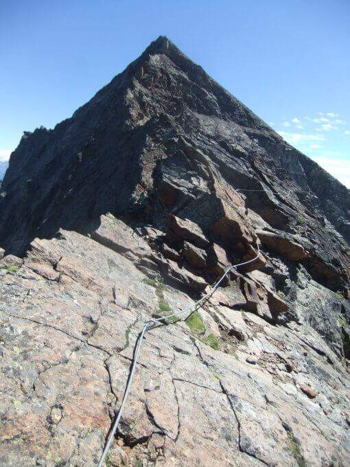
    From the bivouac follow the traces up to the' attack; the road takes place mainly on the crest wire. There are rocks and several exposed but not difficult traverses, up to a point where you disarrampica towards a suspended bridge very exposed, with wooden walkway for your feet. Beyond the bridge you reach the Mont Ross, from which you continue on the right side on sloped and exposed plates; here a via escape (cart) descends right towards Lake Gelato. The ferrata alternates along the crest path and vertical or exposed passages protected by cable and cambre, along beautiful granite plaques, up to the Petit Emilius (3342 m). Always holding the right of the wire you pass the steps and a vertical section with metal fixtures where there can be a snowmaker even in late season (better to have the ramps). A last rocky highlight leads to the final ridge and, in about ten minutes, to the top madonnine (3551 m, 4h 30' from the bivouac, 7h 30' total).

    ▲Character and difficulty

    Excellent and well positioned equipment, but it is a ferrata to be considered as part of a long, challenging and fulfilling alpine itinerary. At the end of the road, attention is paid to some unprotected sections on rock not always stable.

    ⚠ Until at least at the end of July bringing ramps and peak: it is not unusual to find snow at altitude, where safety equipment can be unusable. A stable weather is indispensable. The cable car closes relatively early in summer: prohibitive route in one day, better in two.
    ▲Period and safety

    Full summer with snow absent or manageable at altitude. High mountain: assess conditions, plant and weather times.

    ▲Discipline

    From the top you descend along the normal road to the Passo dei Tre Cappuccini, along the Gelato Lake and continue until the Rifugio Arbolle (2h 30' from the top, 10h total). From the refuge, back to the path of approach to the cable car (1h from the refuge, 11h total).

    ▲To match

    Staying in Arbolle, on the return you can walk the simplest but panoramic Sentiero Attrezzato Panorama. Other itineraries in Valle d'Aosta: Ferrata del Gran Paradiso, Ferrata al Bivacco Borelli e Ferrata delle Crete Seche.

    ▲Gallery
    Technical data
    • DifficultyVery difficult
    • RegionAosta Valley
    • GroupMonte Emilius
    • Approach3:00 h
    • Ferrata4:30 h
    • Itinerary (a/r)11:00 h
    • Hardware level difference750 m
    • Route difference1250 m
    • Max3551 m
    • Length16,4 Km
  • Ferrata Monte Contrario

    Ferrata Monte Contrario

    Vie Ferrate › Tuscany › Massa-Carrara
    Ferrata Monte Contrario
    Very difficult● OpenDescriptionComplexityMapsGallery

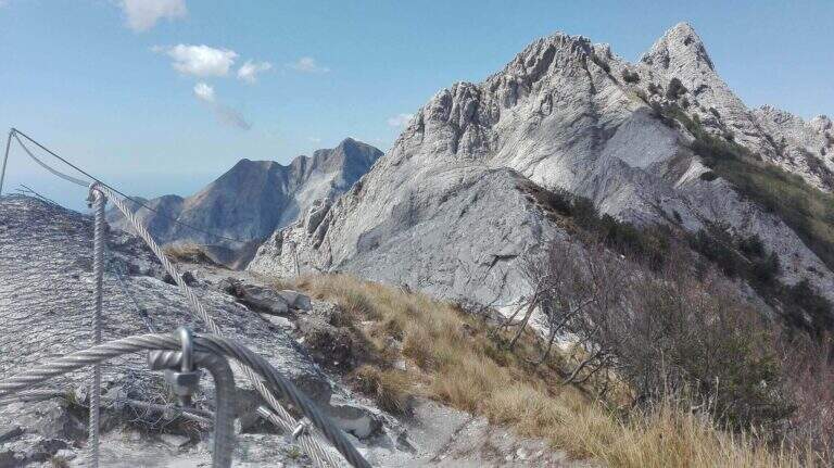
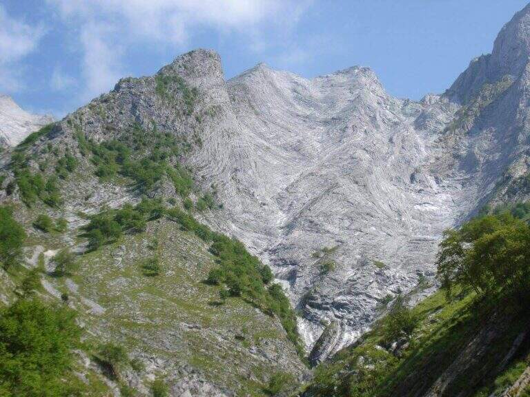
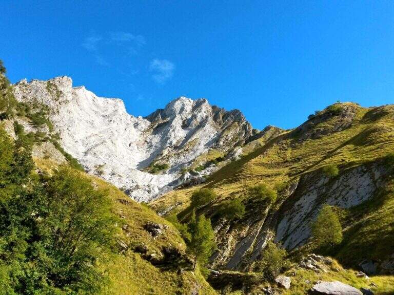
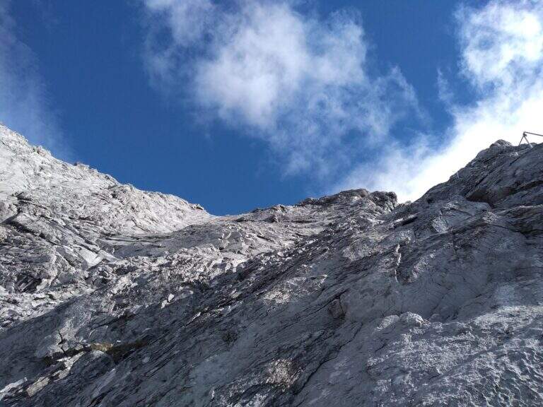
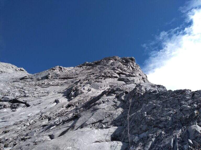
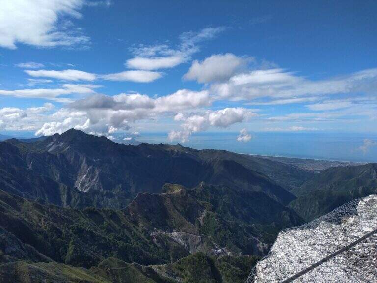
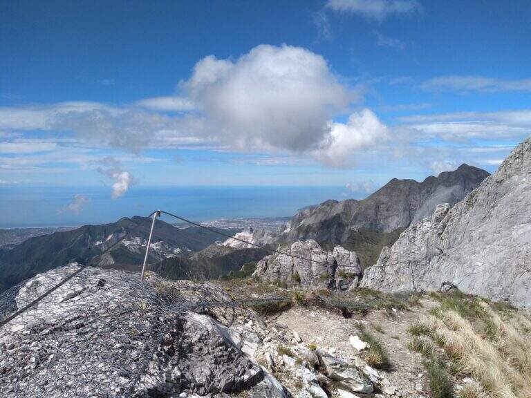
    Recent and technical, the Ferrata del Monte Contrario dates back to the southern wall of the homonymous summit until near the Passo delle Pecore: it is the technically more difficult ferrata of the Apuan Alps, inserted in a long and tiring itinerary both uphill and returning.

    ▲Approach

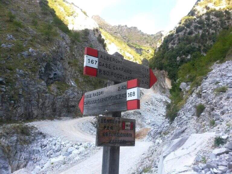
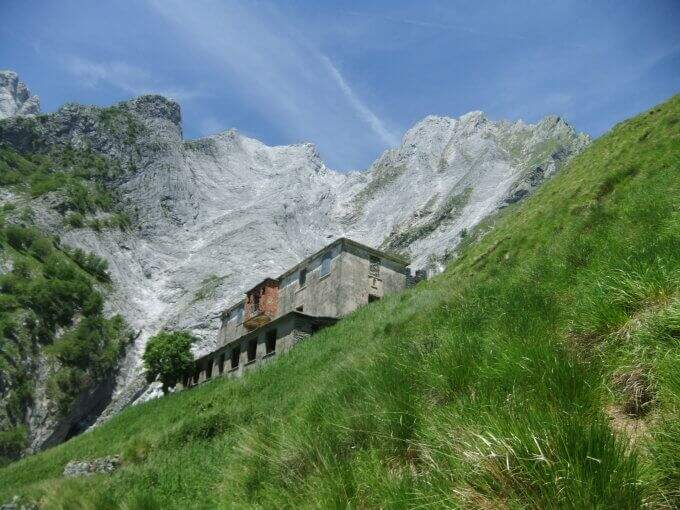
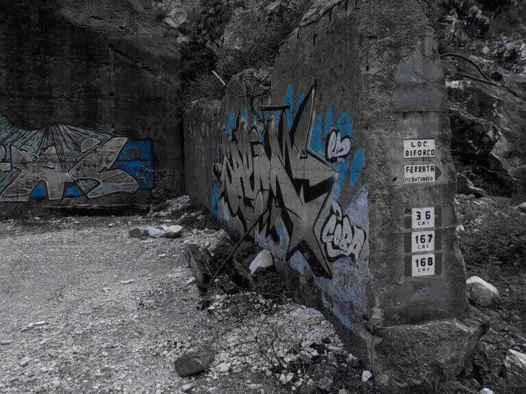
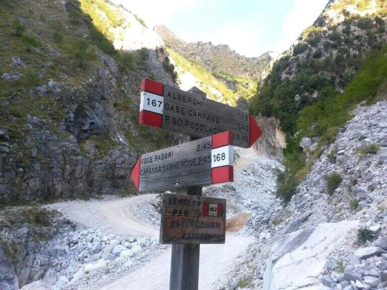
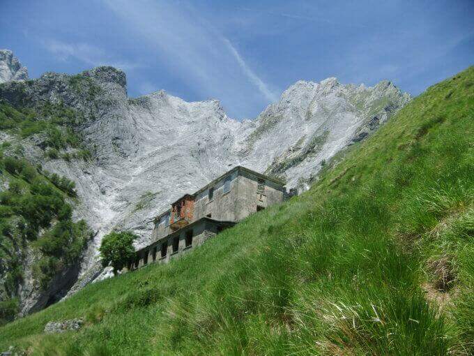
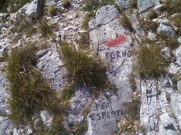
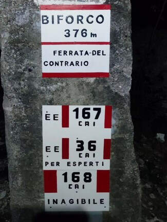
    Starting from the locality Biforco, near Forno: from the toll of Massa (A12) you go up the Via Bassa Tambura; in Biforco l' asphalt ends in front of a bar, where the marble road begins. Open road signs on Google Maps. From Biforco take uphill the paths CAI 167-168 along the Canal Fondone; after about a kilometer take the CAI 167 towards the Valley of the Hotels. The path climbs steep under l' imposing south wall; passed an abandoned building (former cave workers' dwelling) continues on track, omits and wooden poles until all' attack, after a last tiring tear (2h from the parking lot).

    ▲The path

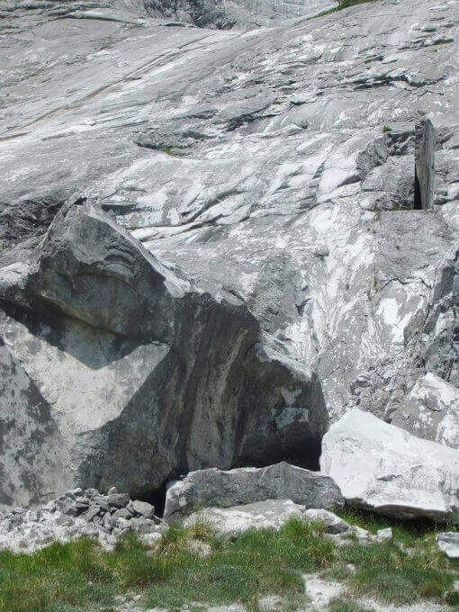
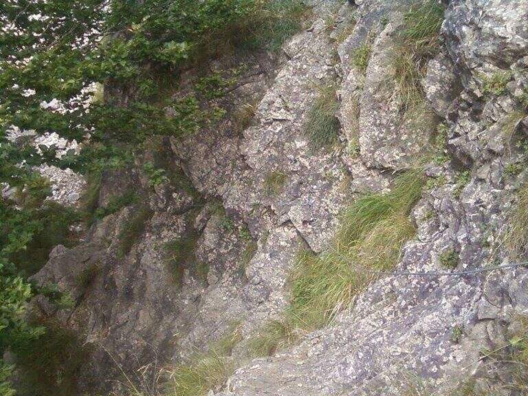
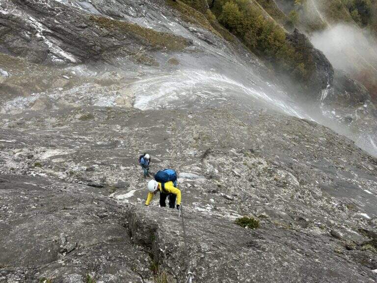
    The ferrata starts on a long slanted slab, to be climbed into the grip using natural hooks and, where it serves, the chain, up to a small terrace where the cable ends momentarily. The second section increases slope and exposure along the approximately 400 meters of altitude difference: in the lower part there are good natural sticks, while in the upper part the rock becomes smoother and, in the absence of good climbing skills, are comfortable some artificial hooks. The last walls rise and the street ends after a paramassive network (2h 30' from the attack, 4h 30' from the parking lot).

    ▲Character and difficulty

    It is the most difficult from the technical point of view among the Apuan ferrates: the level is not prohibitive uphill, but rock and exposure impose caution. To be faced with caution in the summer months: the not high altitude and exposure to the south can make the climb very warm.

    ⚠ Both return options are challenging, steep and exposed: to avoid in bad weather. The descent via Grondilice / Foce dei Rasori (CAI 168) is currently chiusa by order and indicated as inagibile by CAI signs; use the descent of Pradacetti.
    ▲Period and safety

    Better than half seasons or days does not towers. Stable time indispensable given the steepness of the return paths.

    ▲Discipline

    At the end of the ferrata turn left towards Grondilice. Recommended option: in about 20' you reach the Sella dei Pradacetti, from which a steep and exposed path descends in about 2h 30' to the Valley of the Hotels and, along the CAI 167, back to Biforco (3h 45' from the end of the ferrata, about 8h 30' total). The second option (CAI 186 at Grondilice Window, Rasor Foce and CAI 168 along the Fondone Canal) is currently not recommended and closed by order.

    ▲To match

    The length of the itinerary precludes concatenaments in the day. A valid option is to stay at the Orto refuges of Donna or Donegani and to face another excursion the following day.

    ▲Gallery
    Technical data
    • DifficultyVery difficult
    • RegionTuscany
    • GroupApuan Alps
    • Approach2:00 h
    • Ferrata2:45 h
    • Itinerary (a/r)8:00 h
    • Hardware level difference587 m
    • Route difference1270 m
    • Max1625 m
    • Length11 Km
  • Ferrata del Monte Amariana

    Ferrata del Monte Amariana

    Vie Ferrate › Friuli-Venezia Giulia › Udine
    Ferrata del Monte Amariana

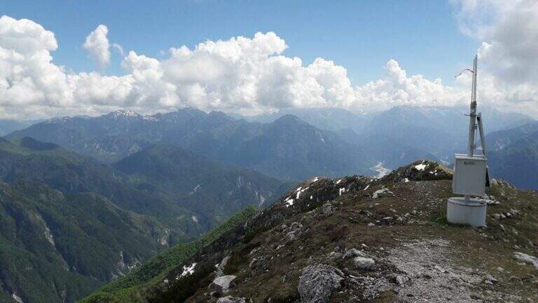
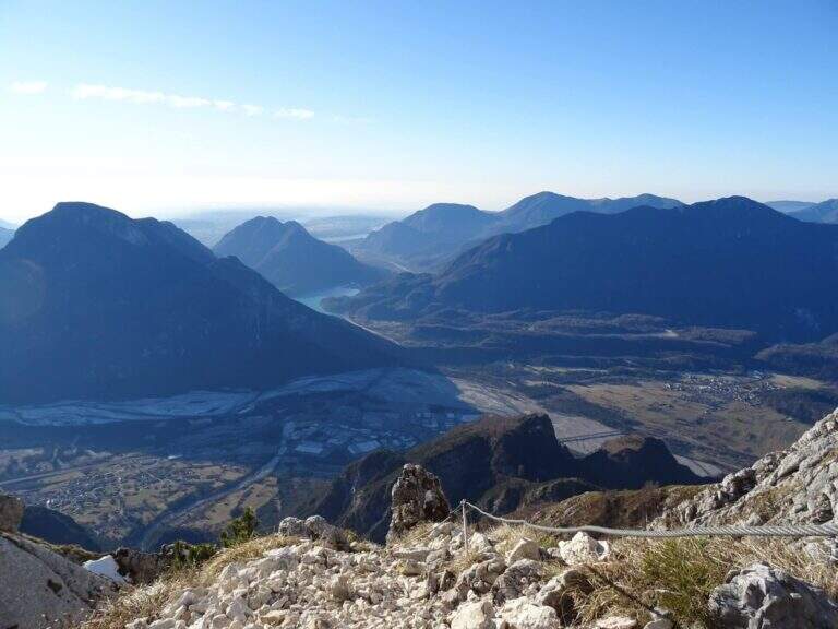
    Mount Amariana (in Friulian "La Mariane"), in the Carniche Prealps, rises at the confluence between Fella and Tagliamento and gives from the summit (1905 m) a 360-degree panorama, much higher than all nearby peaks. The ferrata on the south side is an easy and medium length itinerary (about 7 km between climb and descent) that goes up a canalone up to the saddle below the top.
    ▲Approach

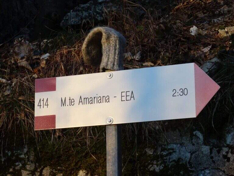
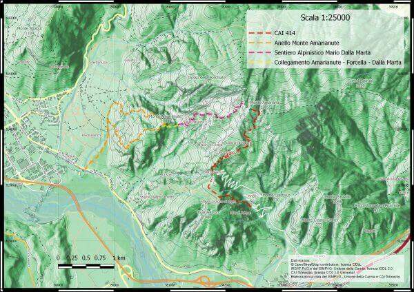
    Exit from the motorway exit of Amaro turn right towards the village; at l', turn left and cross it towards the slopes of the mountain. To the last houses continue along the military road to the Forca del Cristo (980 m). Open road signs on Google Maps. From the Forca del Cristo take the signpost CAI 414, pass by the cuel from the noglars and, out of the woods, you will see the view on Mount San Simeone and the valley. After about 2,6 km you reach the ' attack, about 1700 m; the path is well tracked and free of crossings (except one at the end of the ferrata), so it is practically impossible to miss the road.

    ▲The path

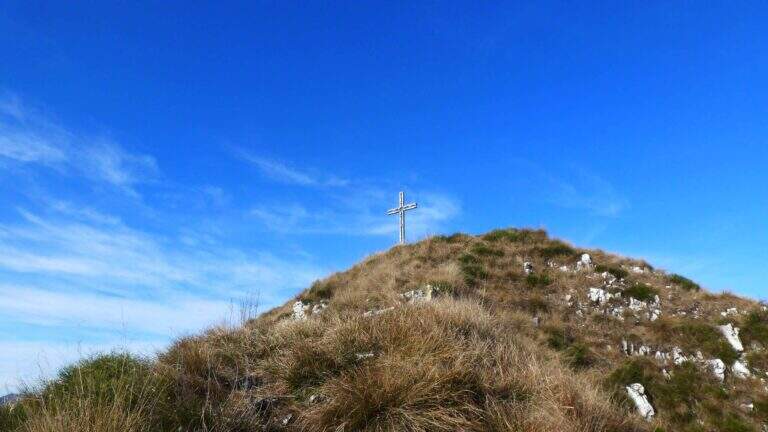
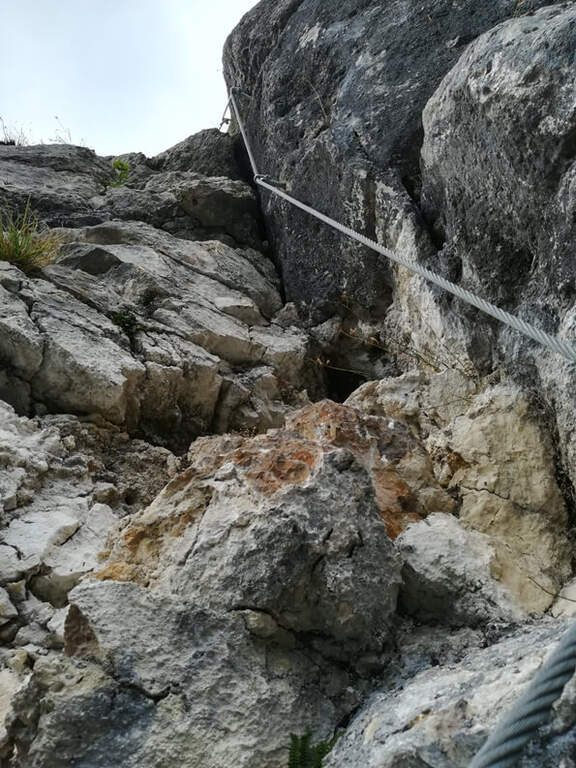
    From ' attack, reported by the CAI red folder (posted after the renovation of the structure in 2016), continues for about 500 m with practical cables grafted into the canalone d' ascent to the saddle under the top. The ferrata is easy; the canalone has quite unstable background, so the helmet is indispensable and should be paid attention not to move debris, which would slide towards the following. After the canal, the equipped sections continue on easy oblique ramps until their end; then you reach the peak (1905 m) in short, on path (2h 30' from ' start).

    ▲Character and difficulty

    Itinerary easy, in fact an equipped path: the ascent could be done even without the cables, but it remains recommended at least for those who have a minimum of experience.

    ⚠ However strongly recommended case: the falls of rocks moved by the weather or other hikers are not infrequent. For low altitude and exposure, address it in spring or autumn: in summer temperatures are very high.
    ▲Period and safety

    Spring and autumn are the best times. Case always worn for the risk of discharges in the tank.

    ▲Discipline

    The quickest option is the return to the uphill route, again to the Forca del Cristo (around 4h 45'). Alternatively, having two cars, you can descend on the north side with the other ferrata up to the Pradut saddle, with possible stop to the newly renovated Bivacco Cimenti-Floreanini (1067 m), continuing up to Illeggio (607 m); or descend the east ridge passing through the shelter Pian d'Aiars (1475 m) and the rec. M. Forcella (1098 m) until the "Ponte".

    ▲To match

    In Carnia: the recent Ferrata Farina del Diavolo in Villa Santina, la Ferrata Cassiopea al Torrione Comici e la Ferrata Cinquanta del Clap.

    ▲Gallery
    Technical data
    • DifficultyEasy
    • RegionFriuli-Venezia Giulia
    • GroupCarnic prealps
    • Approach1:15 h
    • Ferrata1:00 h
    • Itinerary (a/r)4:45 h
    • Hardware level difference300 m
    • Route difference870 m
    • Max1905 m
Need help? Write to us!