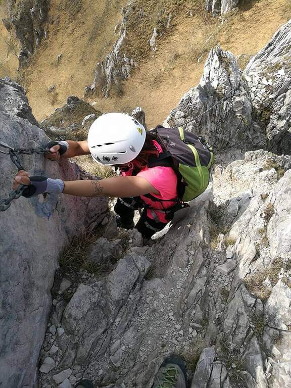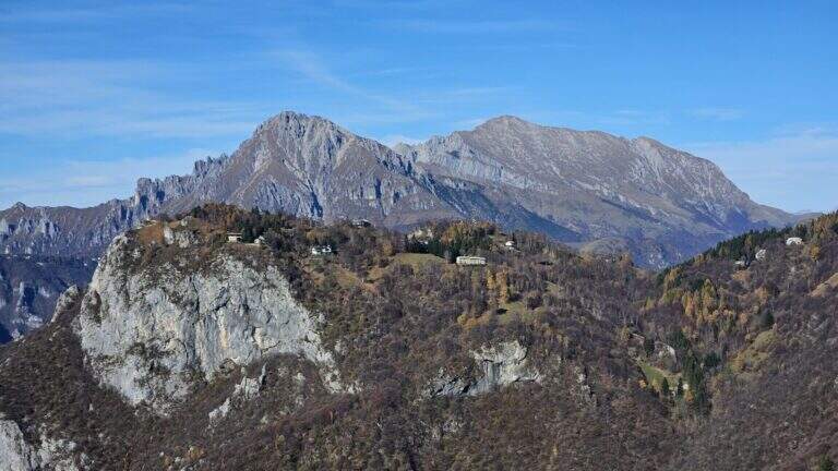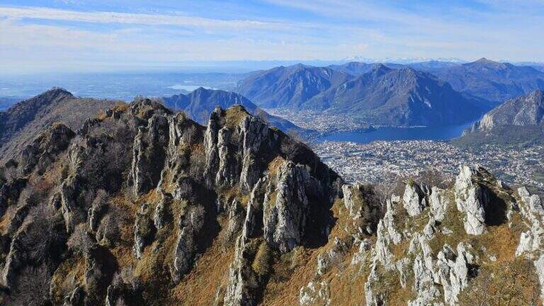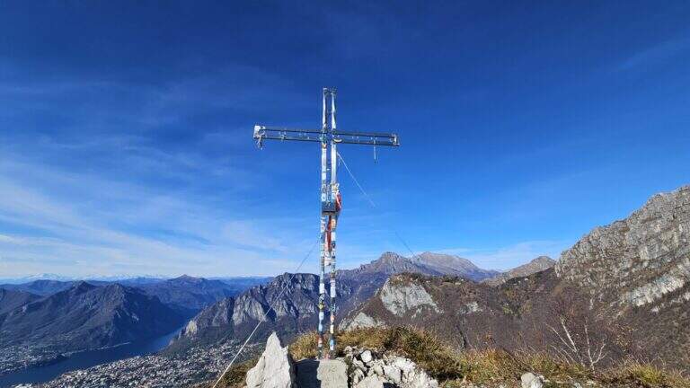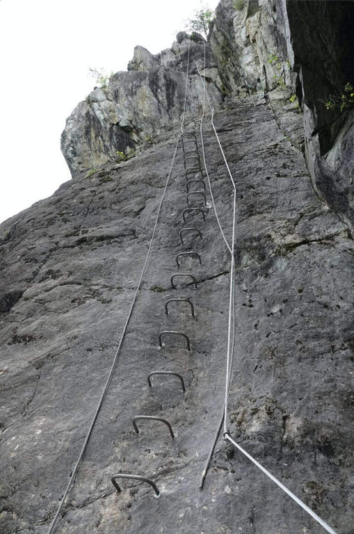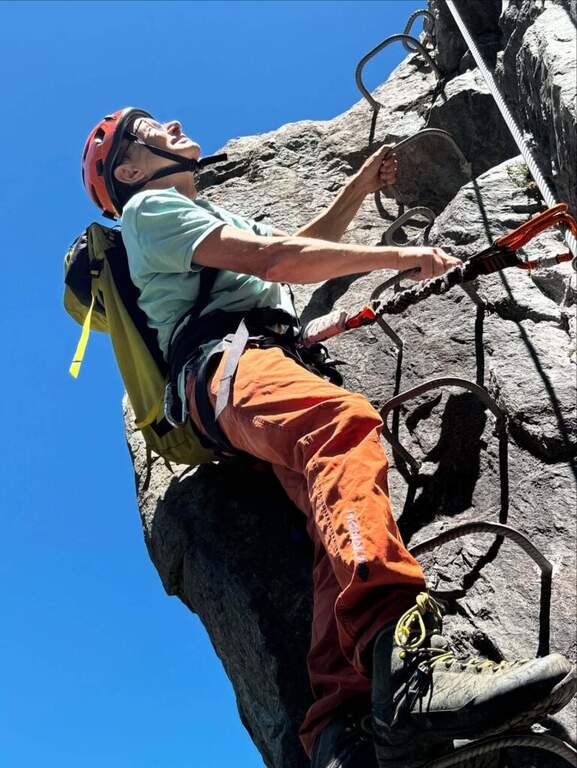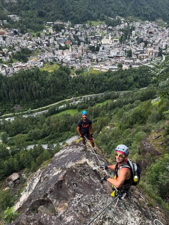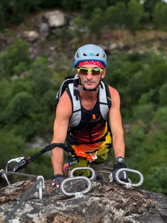
Caratteristica: Esposta

  • Sentiero Attrezzato del Gronton a Cima Bocche

    Sentiero Attrezzato del Gronton a Cima Bocche

    Vie Ferrate › Trentino-Alto Adige › Trento
    Sentiero Attrezzato del Gronton a Cima Bocche

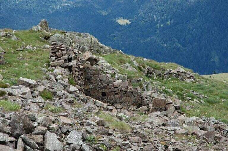
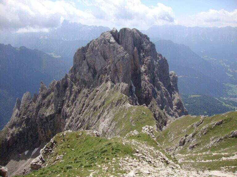
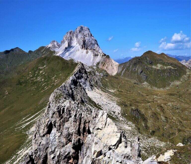
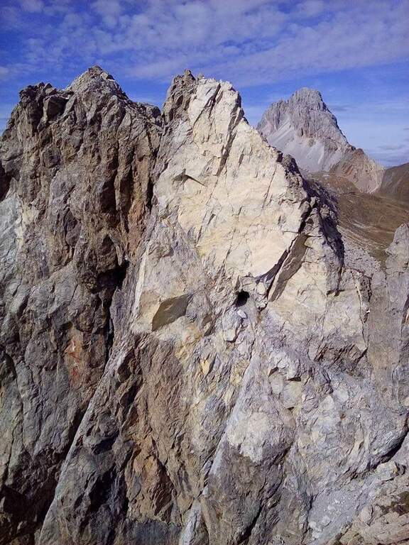
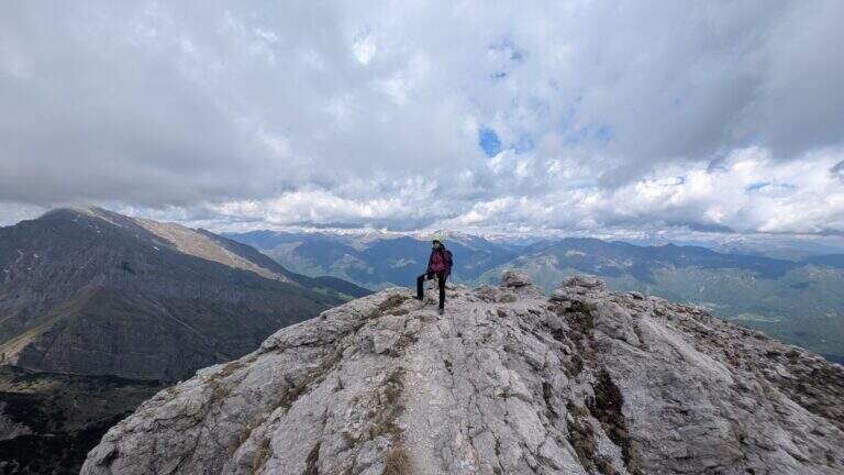
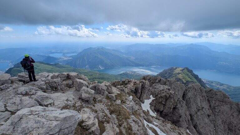
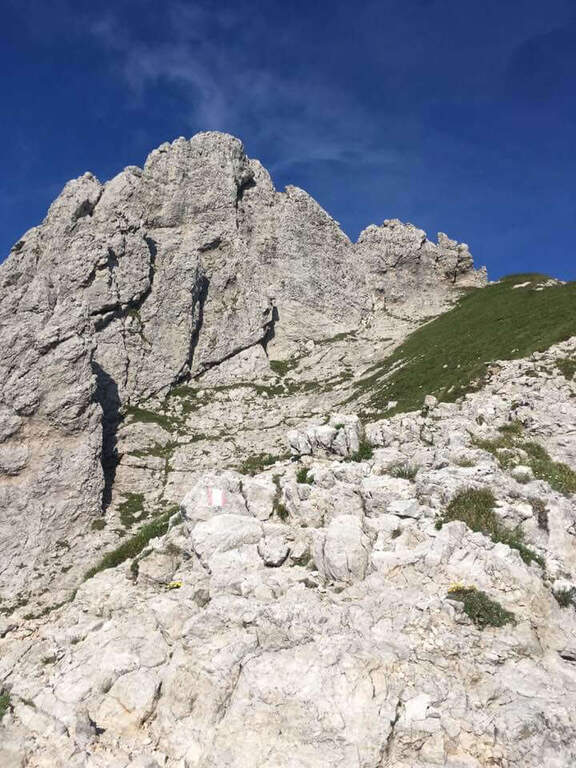
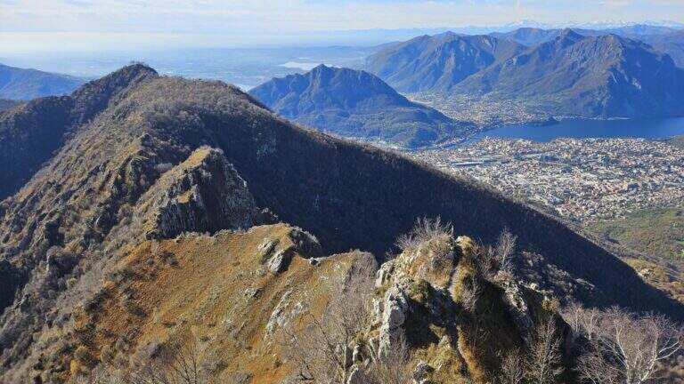
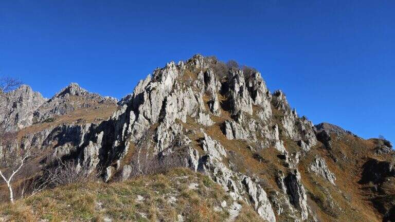
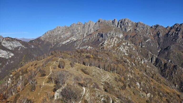
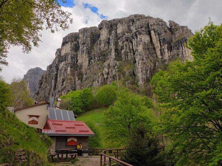
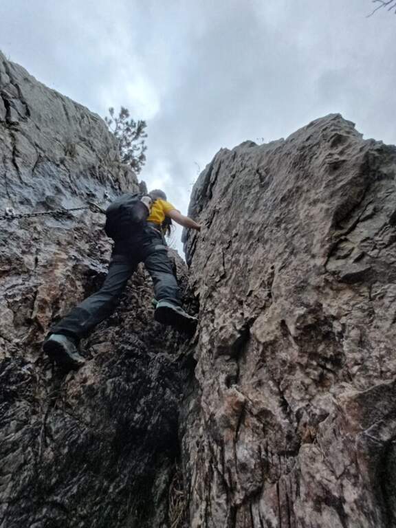
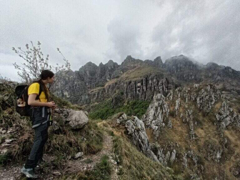
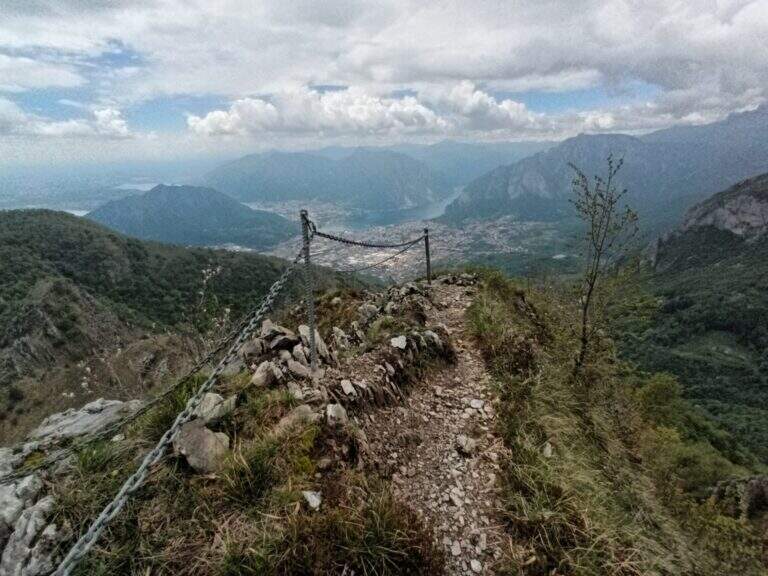
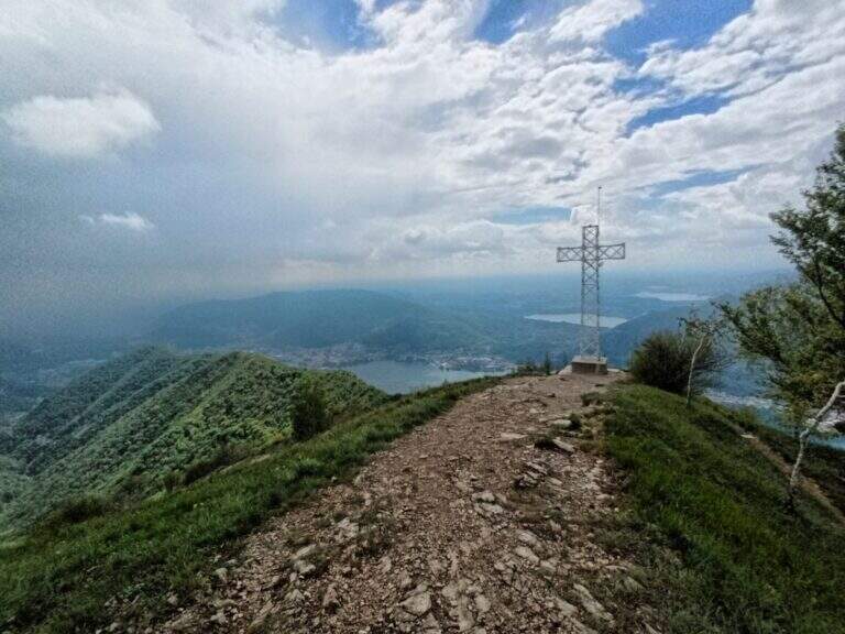
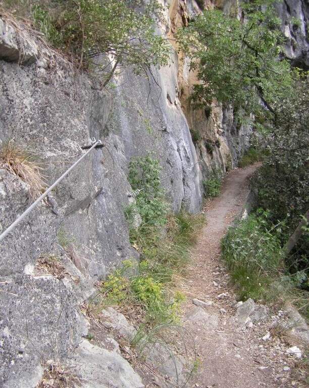
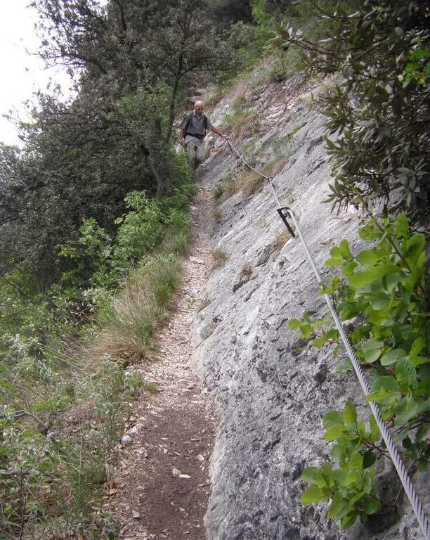
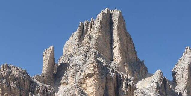
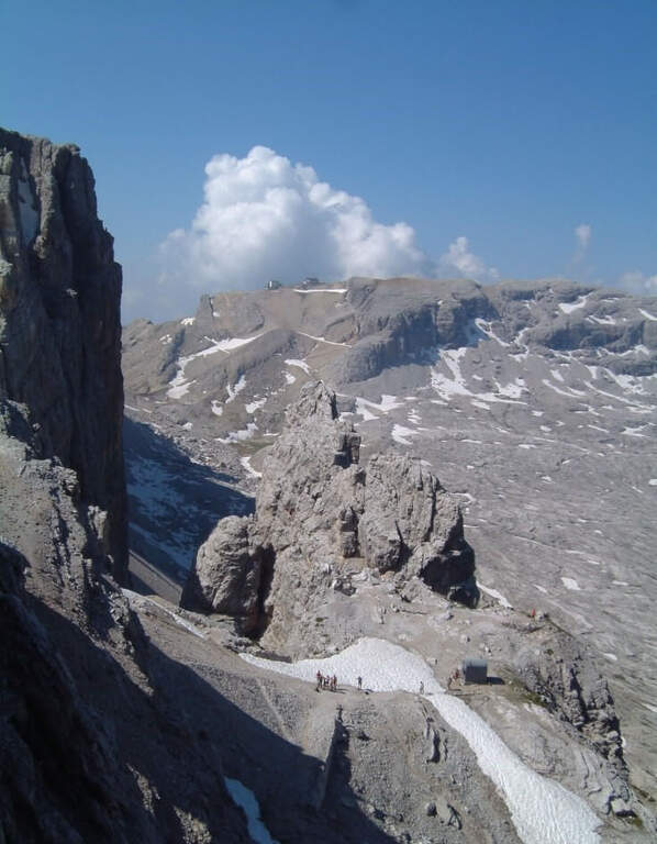
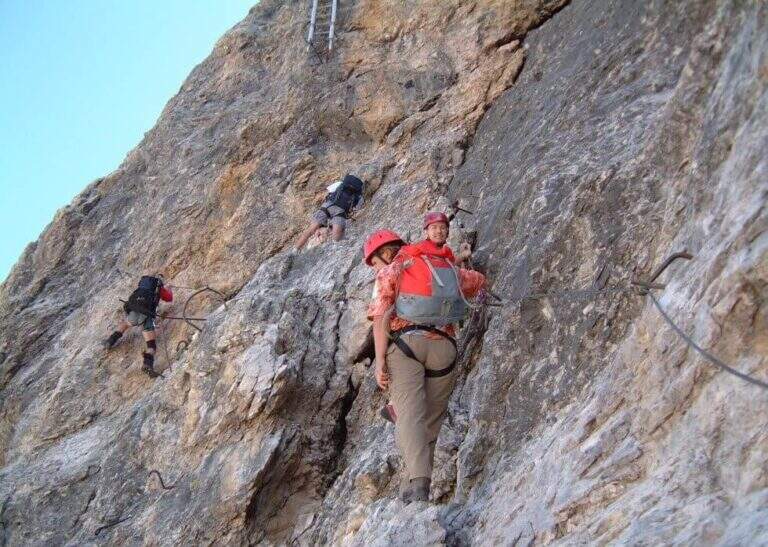
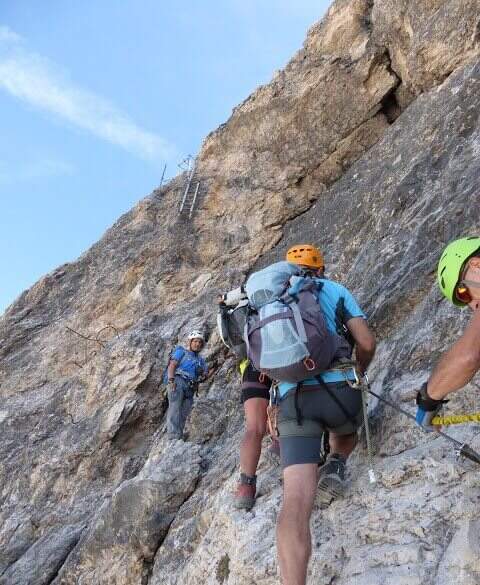
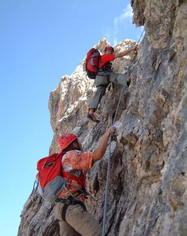
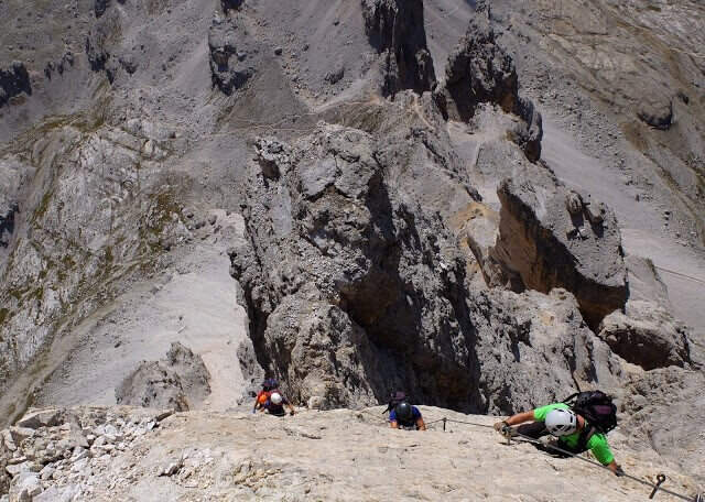
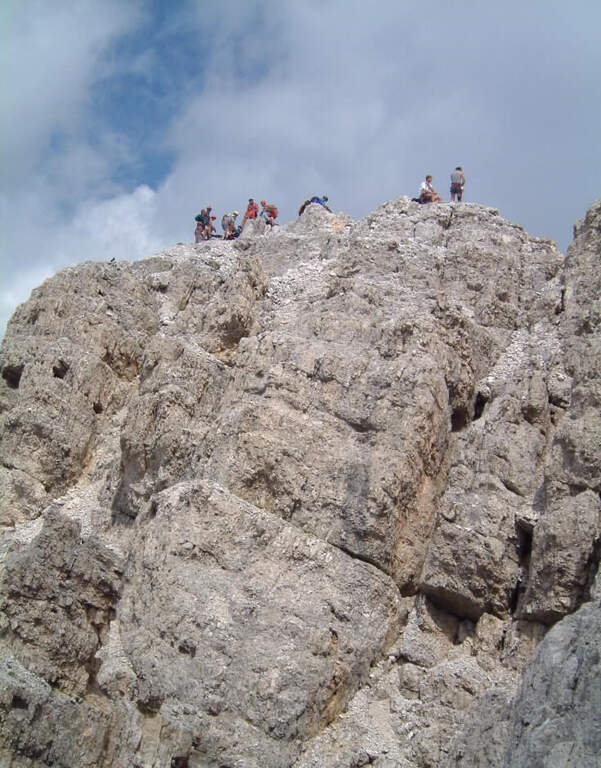
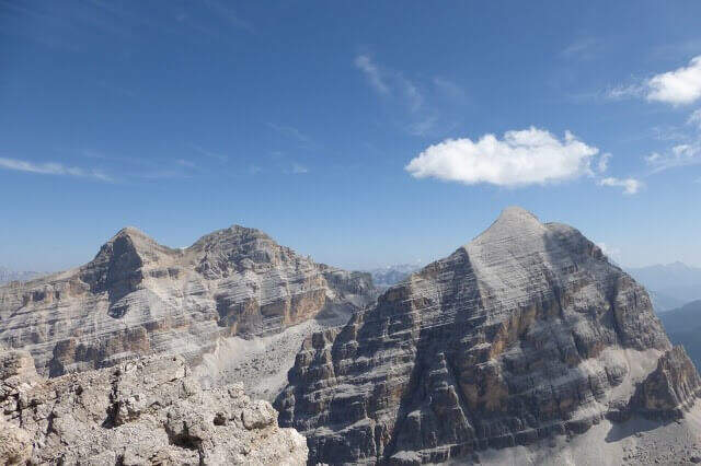
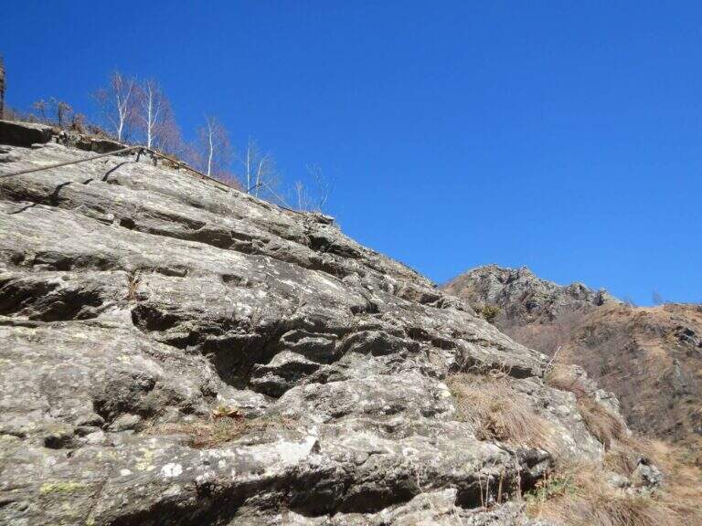
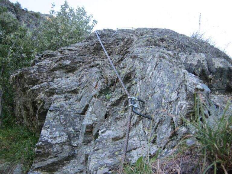
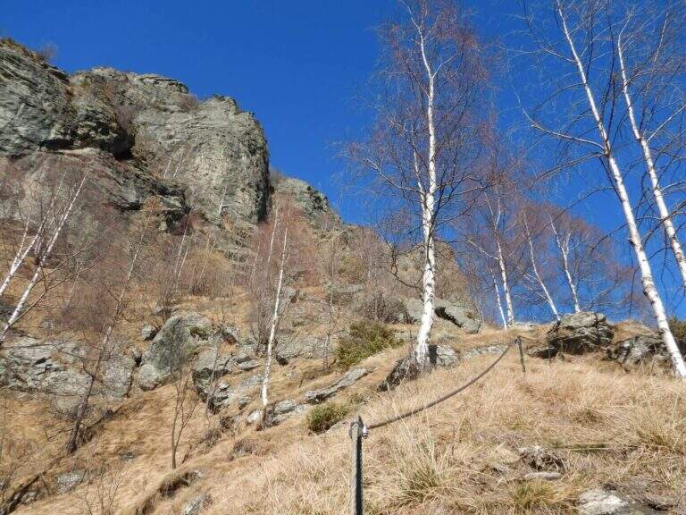
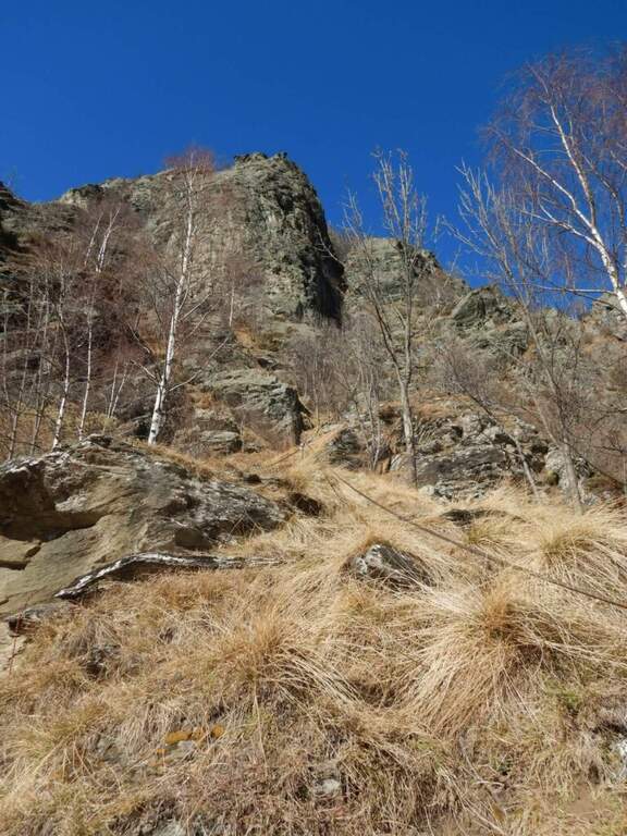
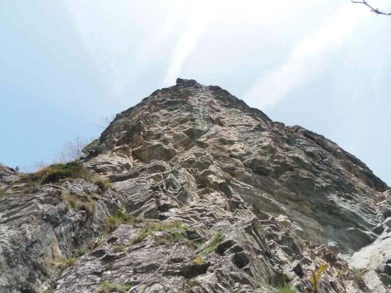
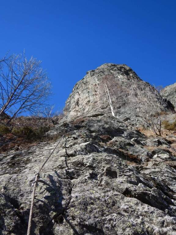
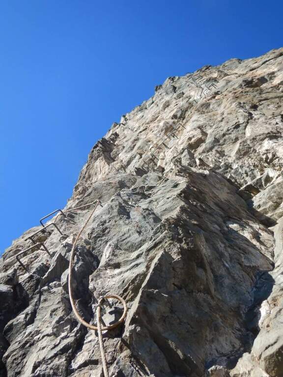
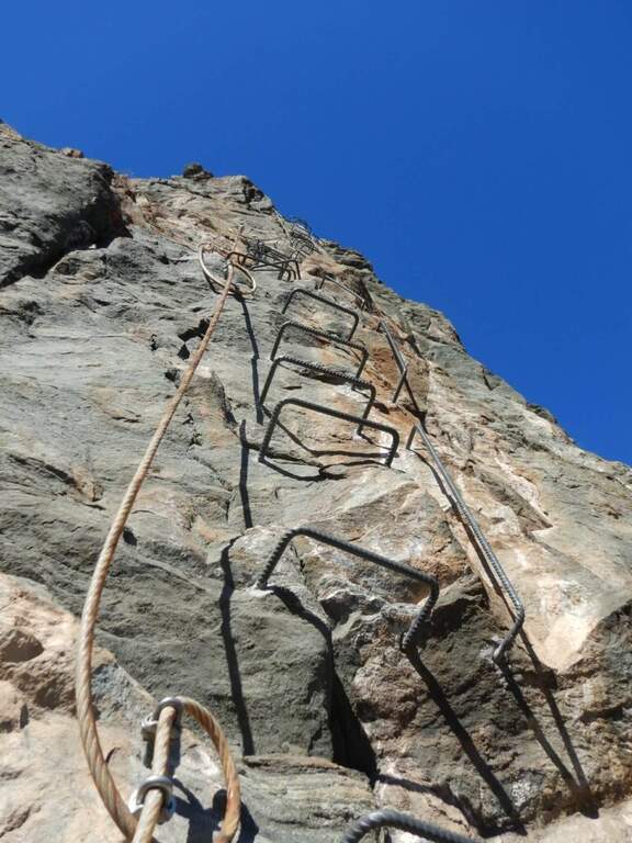
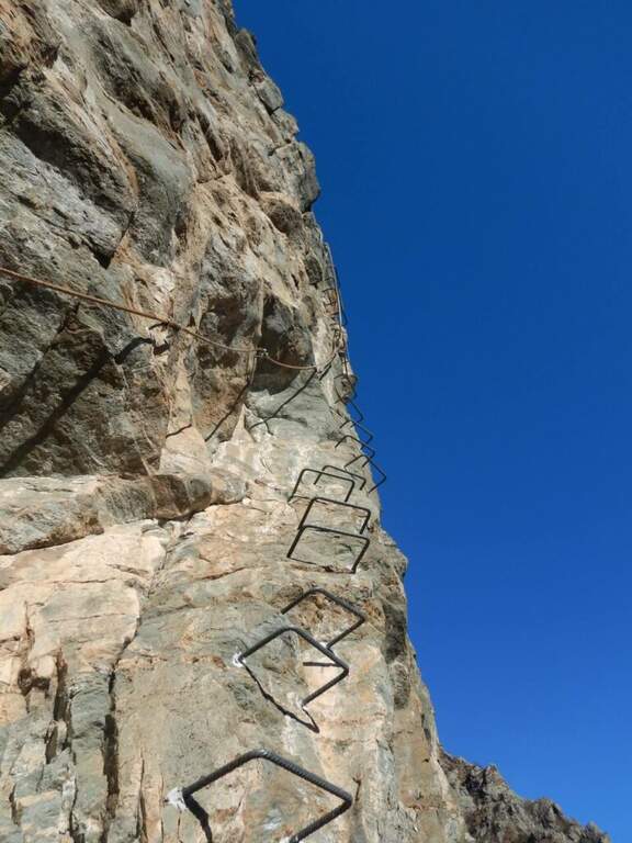
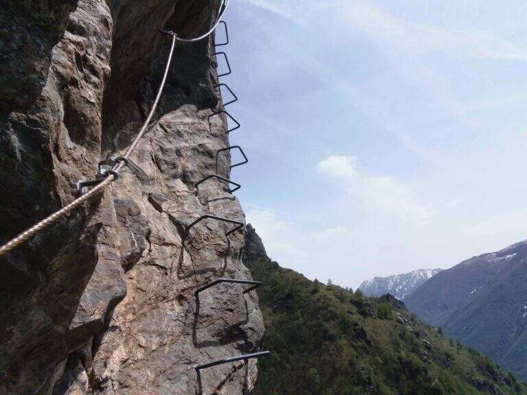
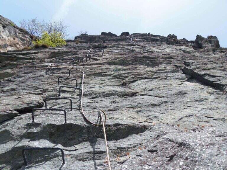
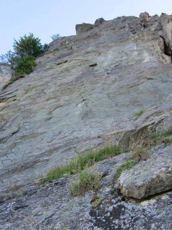
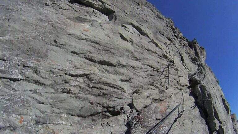
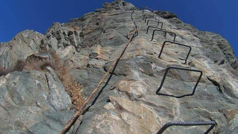
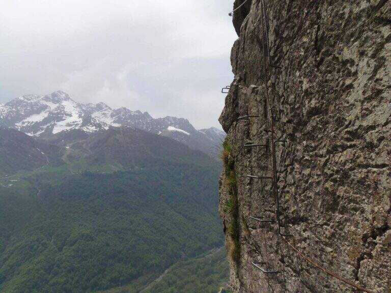
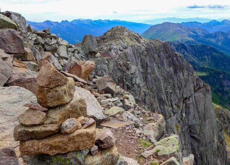
    The Gronton Path is a high-rise path that has no particular technical difficulties, but whose exhibition, constant throughout the itinerary, requires a certain mountain experience. Starting from the Lusia Pass, he climbs to Cima Bocche and descends to the Lakes of Lusia, winding on an Austrian defense line of the Great War.

    ▲Approach

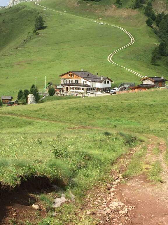
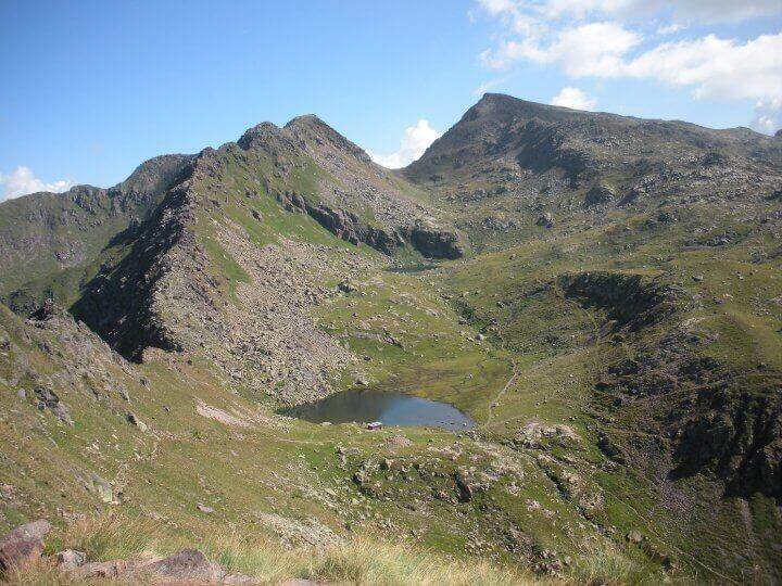
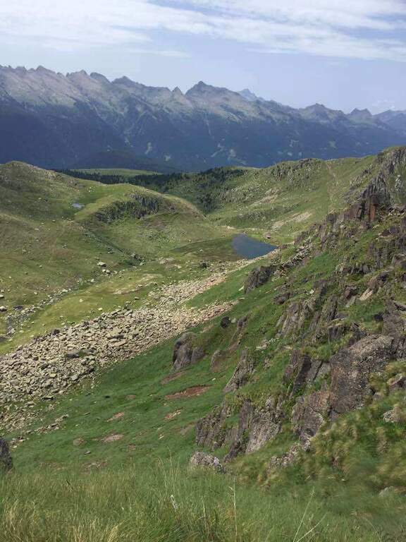
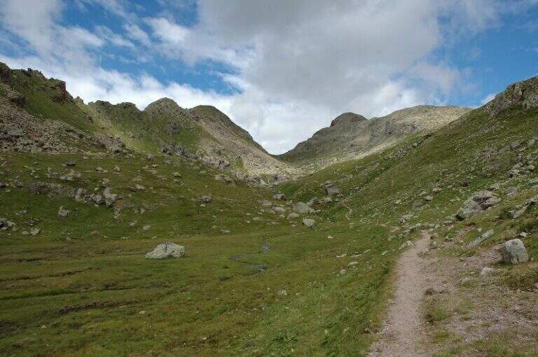
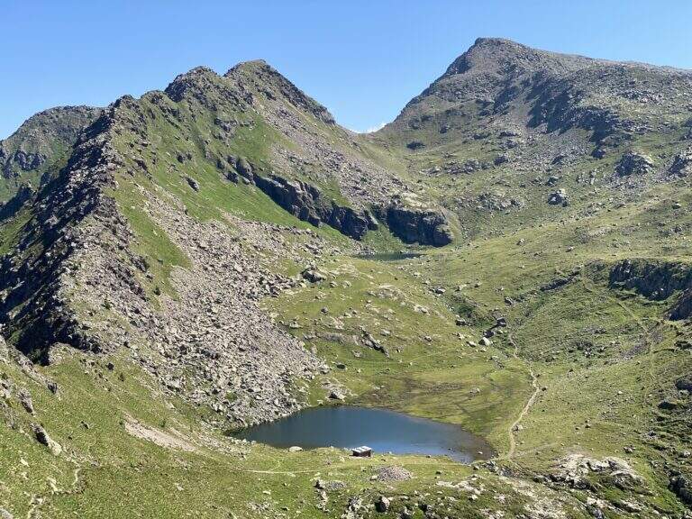
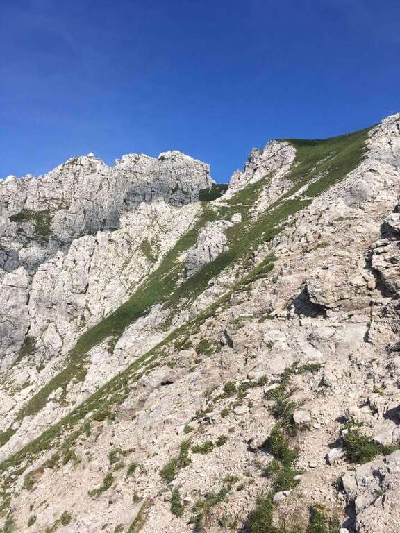
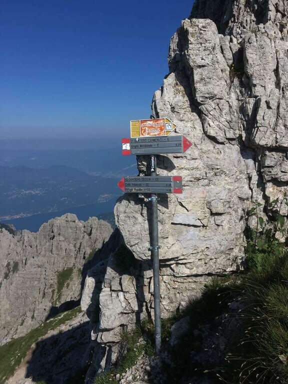
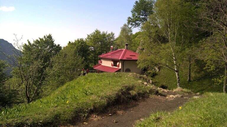
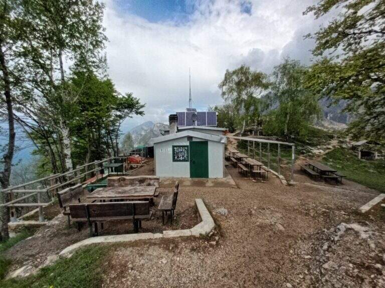
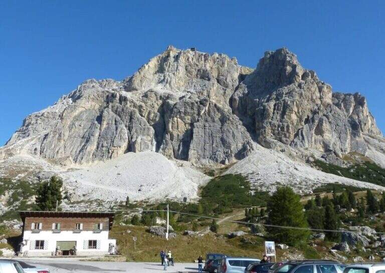
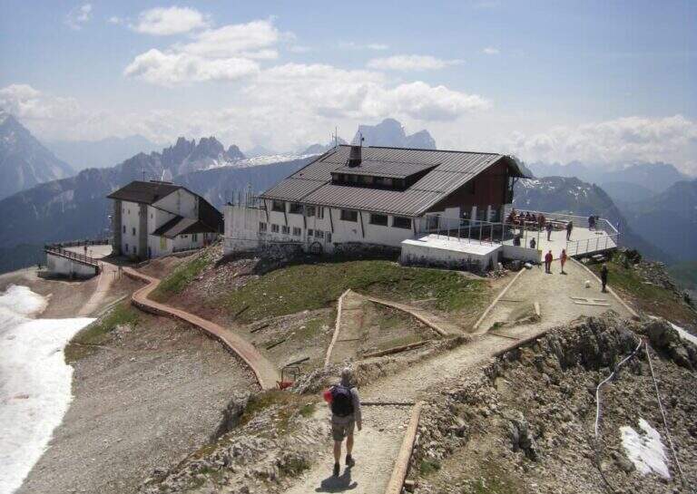
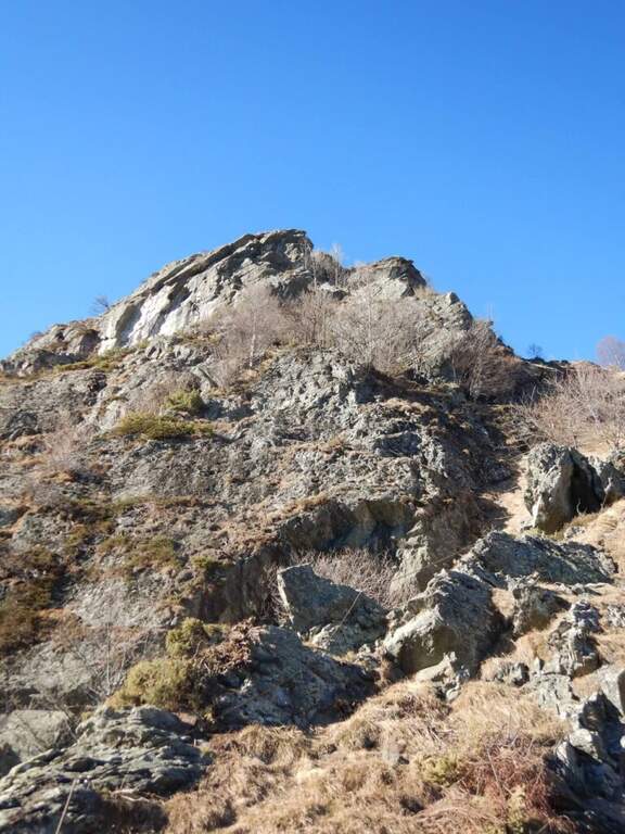
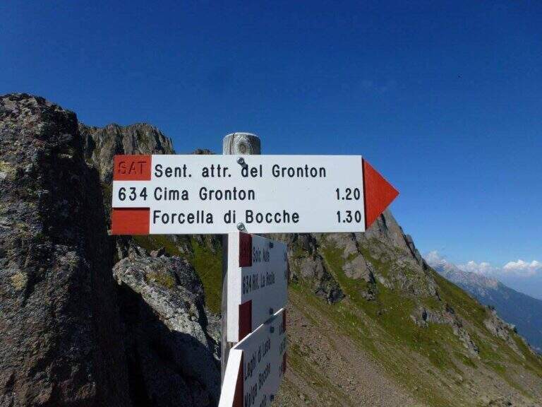
    The starting point is the Lusia Pass, which can be reached via a dirt road that is detached from the San Pellegrino Pass state near Moena (TN). From Moena we proceed towards Passo San Pellegrino for a few kilometers up to the ski lifts Lusia, usable to reach the refuge; those who go up by car take the dirt road that goes right after the passage under the slopes and walks it for a few kilometers up to the refuge (open up Google Maps). From the Rifugio al Passo Lusia (2055 m) we proceed south on the CAI 633 towards Cima Bocche, going up the meadows with a modest slope to the Sella Lusia (2360 m), from which you have an ideal view on the whole lap: on the left the ridge of Gronton, straight ahead Cima Bocche and down the lakes, along which you will return. From the saddle you descend to the Redolf Bivacco (2335 m), where at a crossroads you leave 633 (which will be the return path) and the CAI 634 is held left for the equipped Gronton, which begins at Forcella Cajerin (2365 m, 1h30 from the Lusia Refuge).

    ▲The path

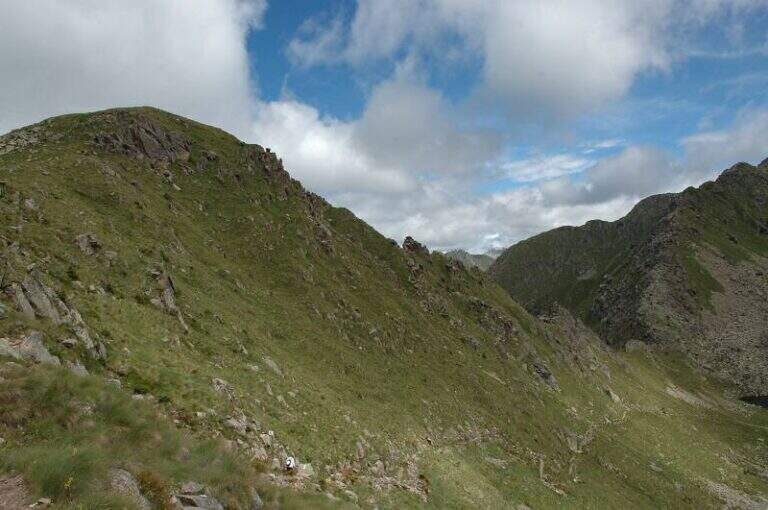
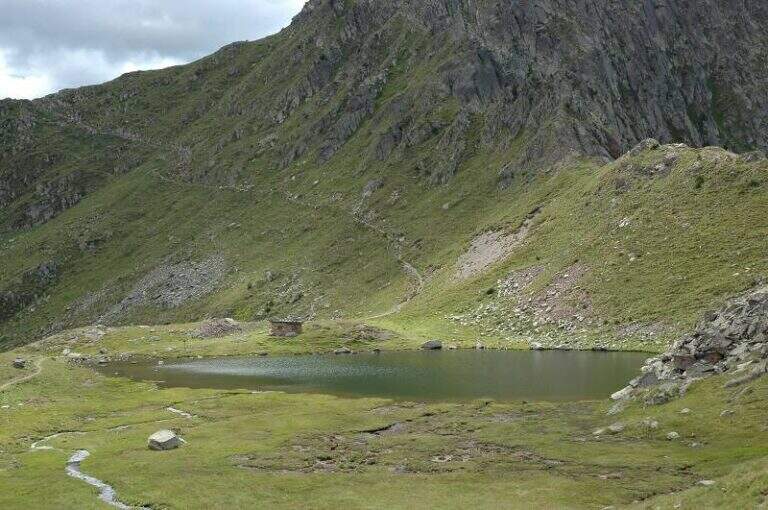
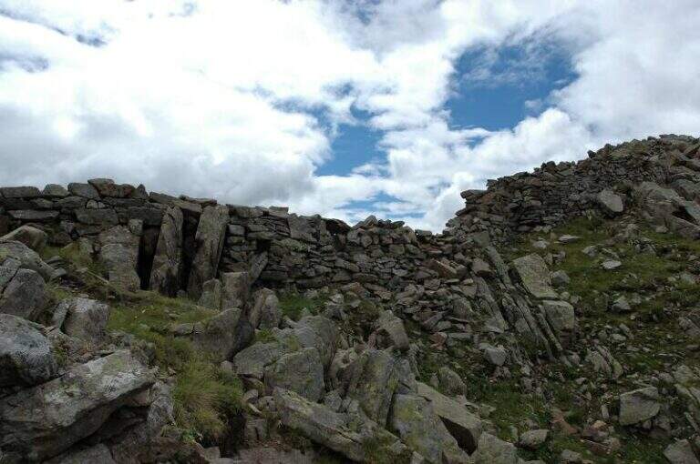
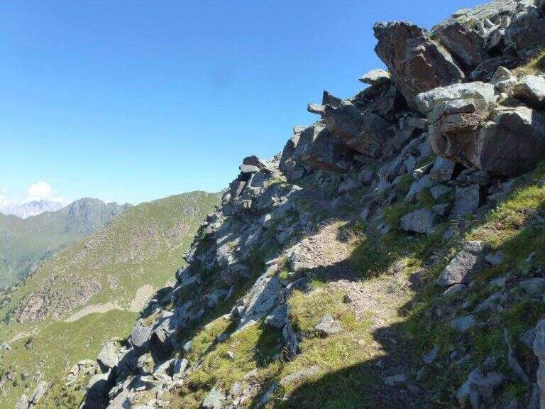
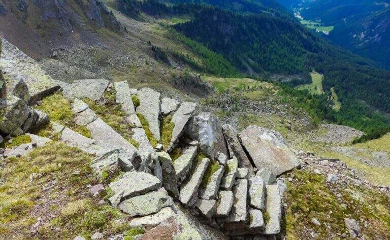
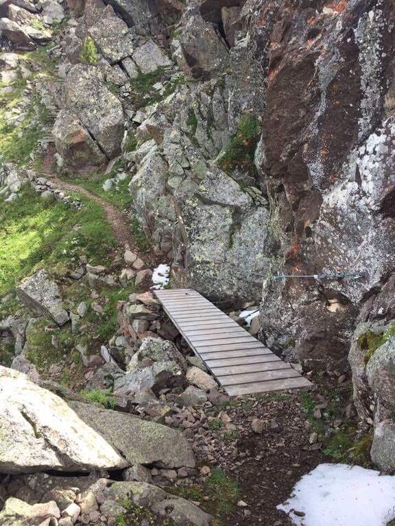
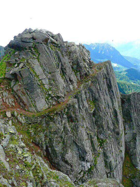
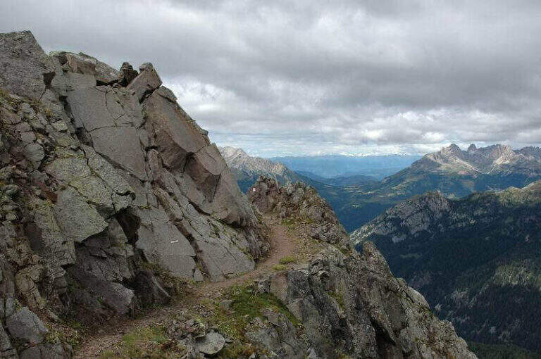
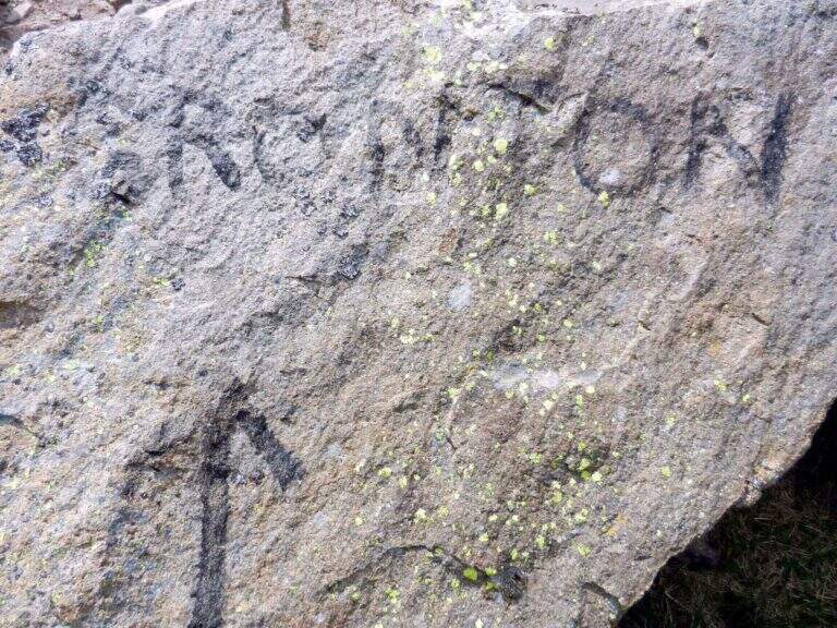
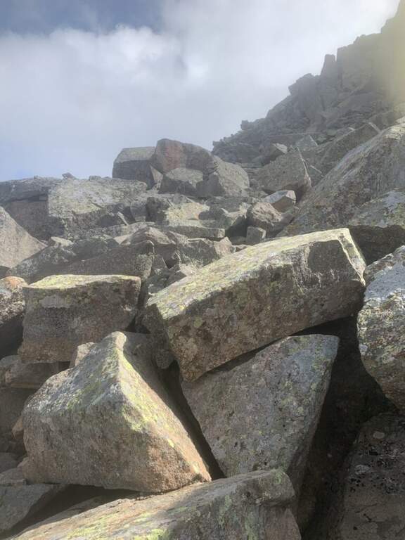
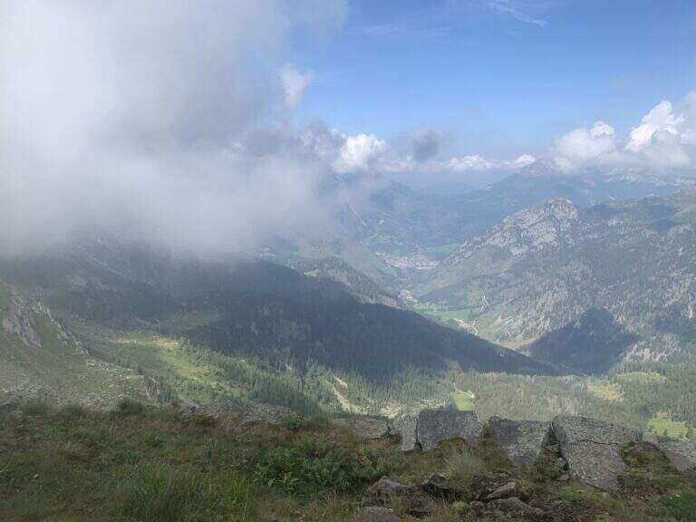
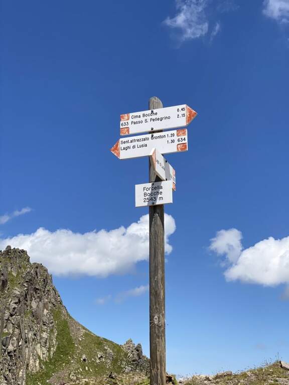
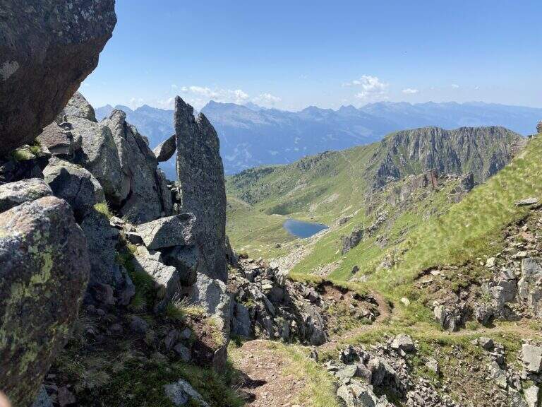
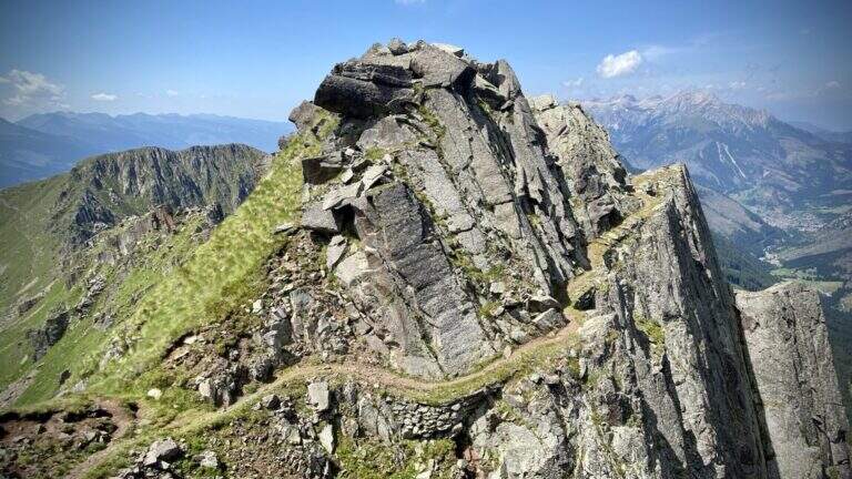
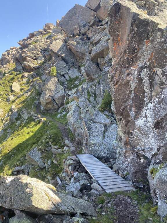
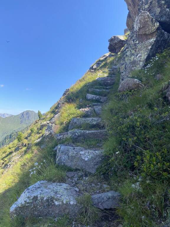
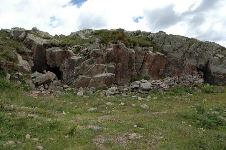
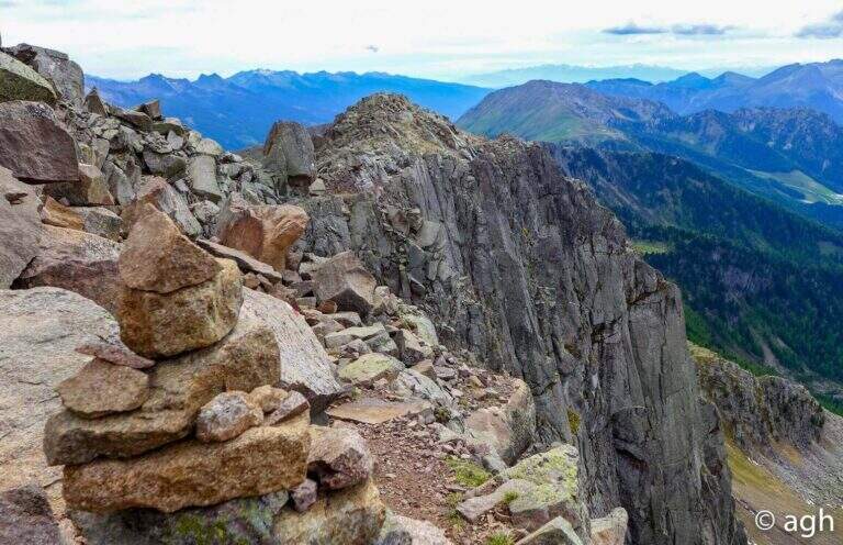
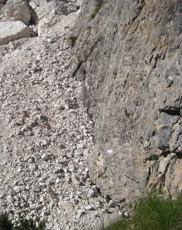
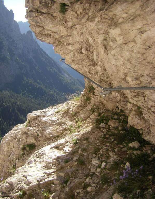
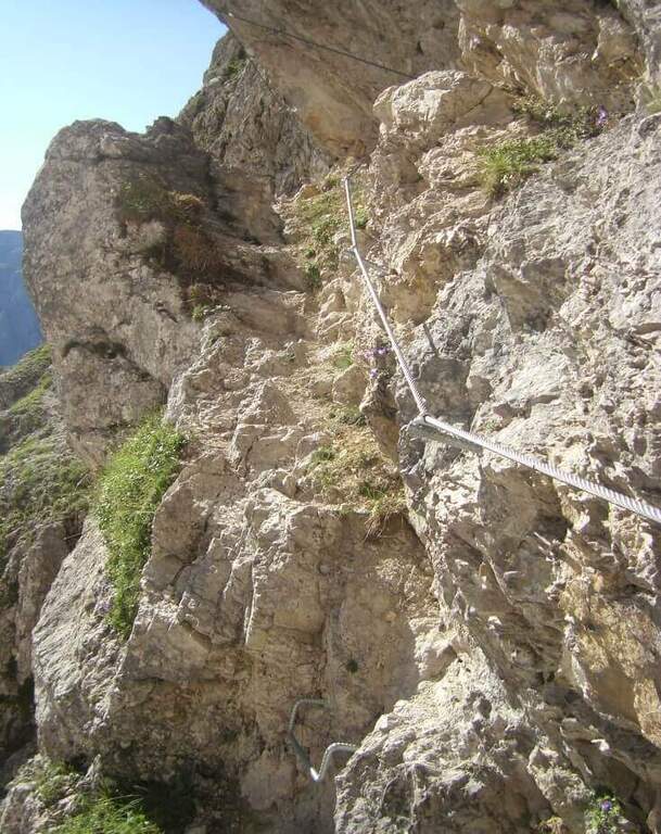
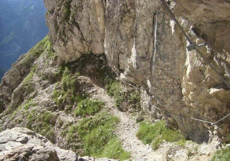
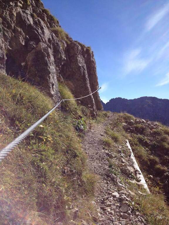
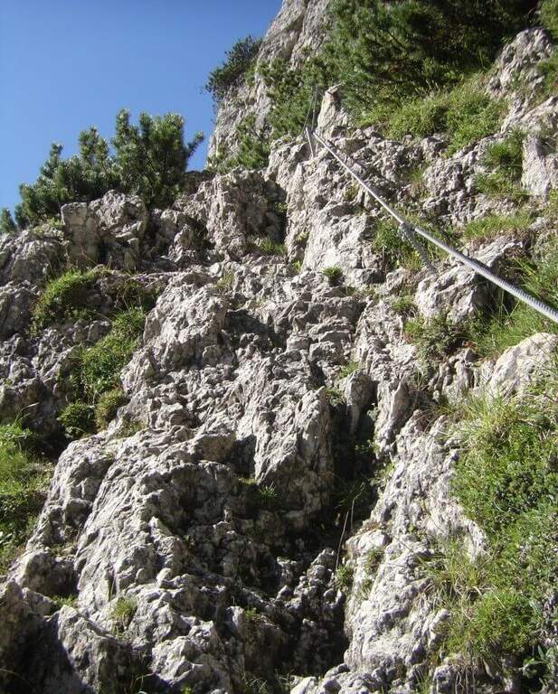
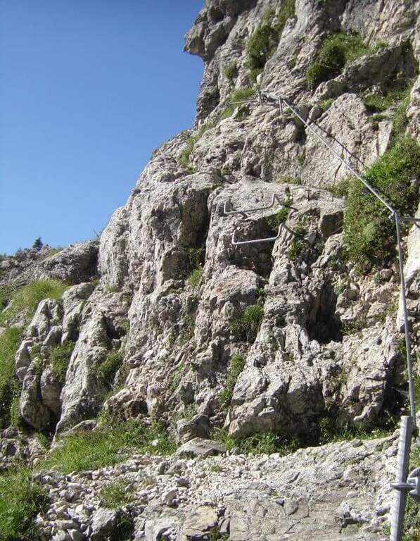
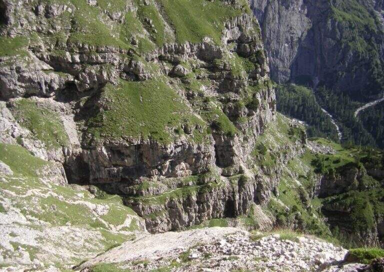
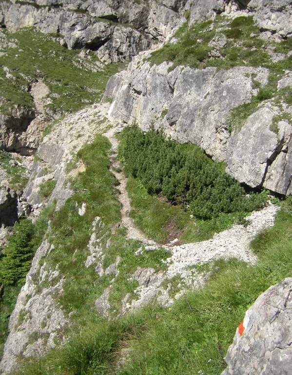
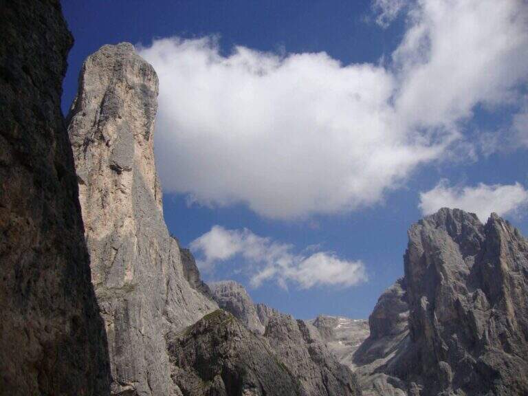
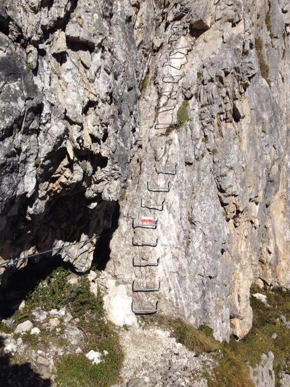
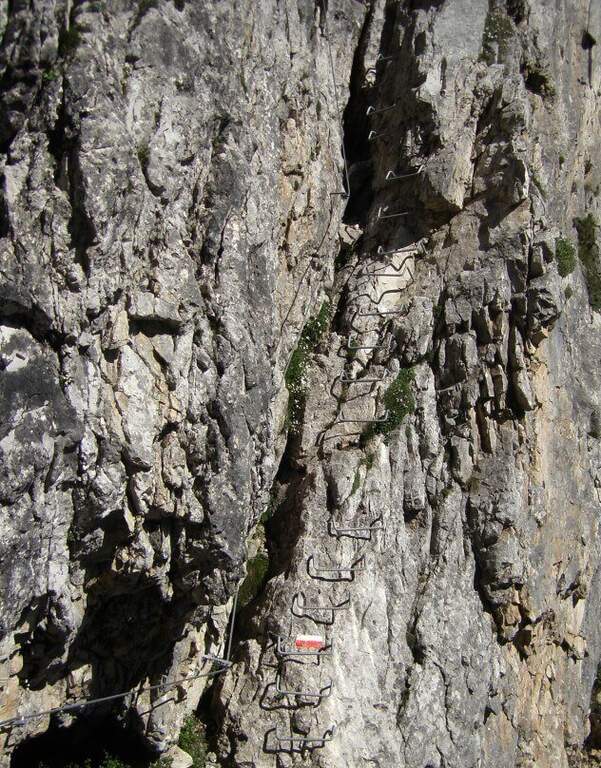
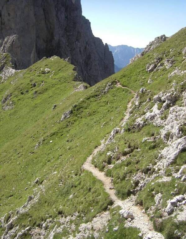
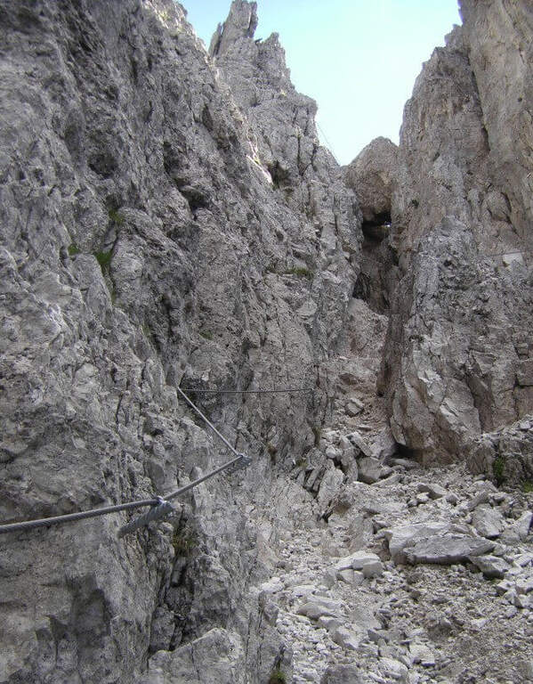
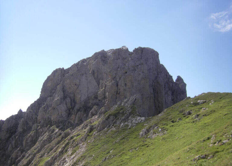
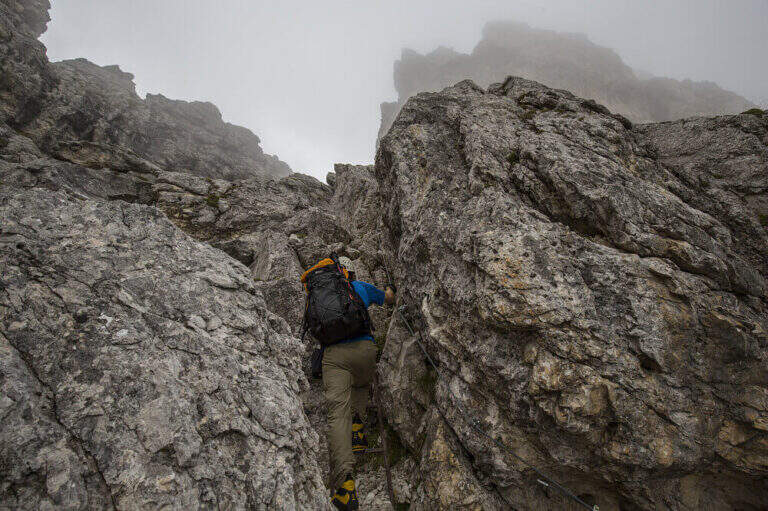
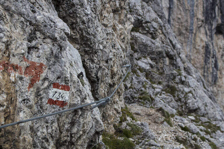
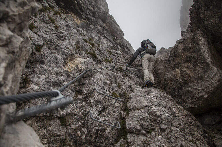
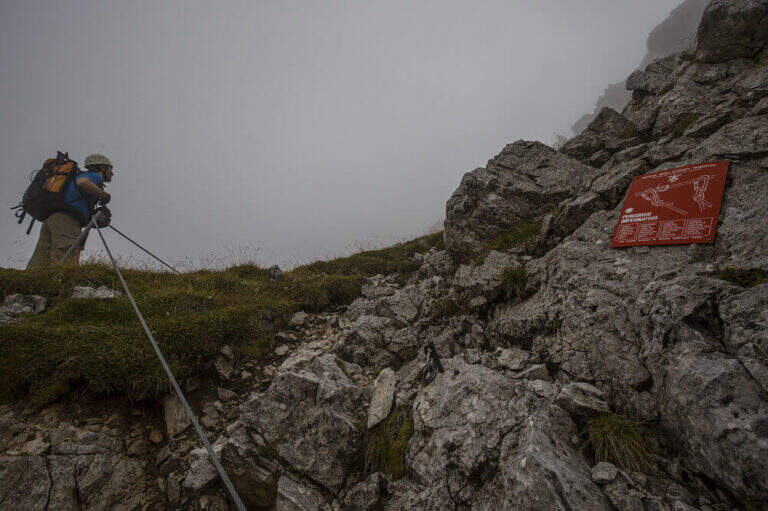
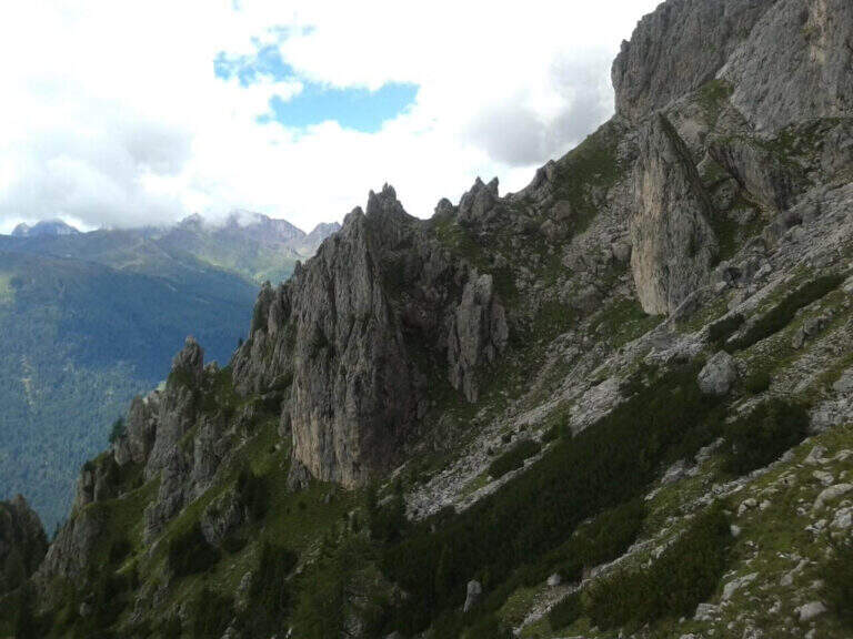
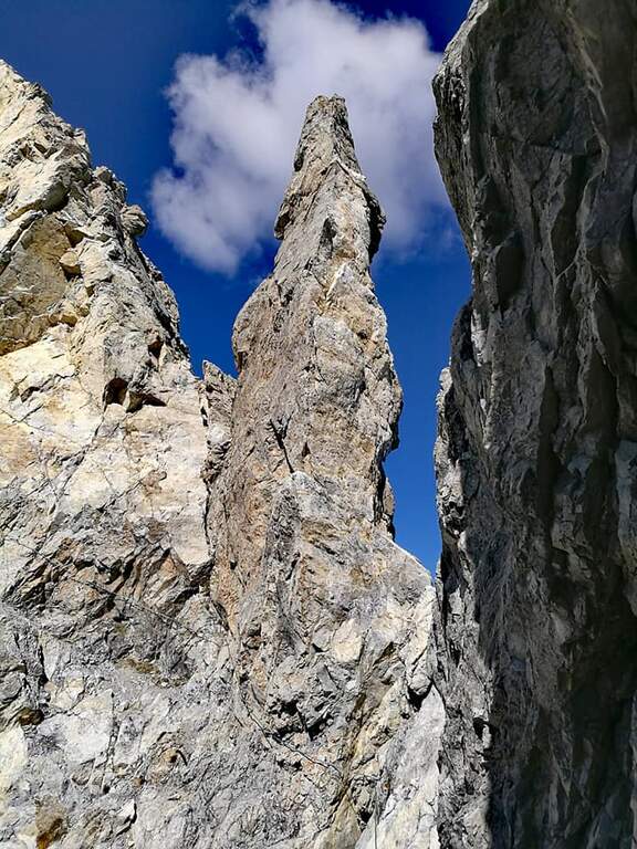
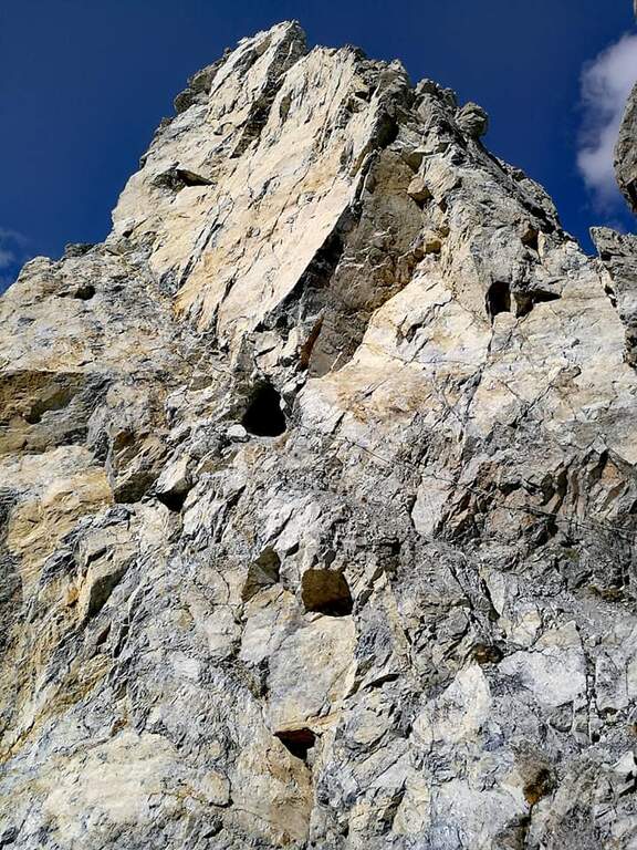
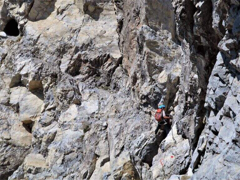
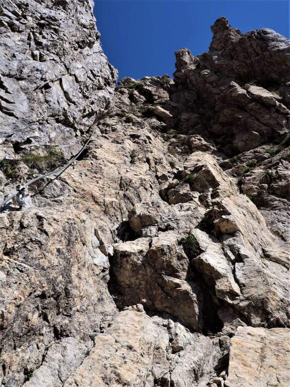
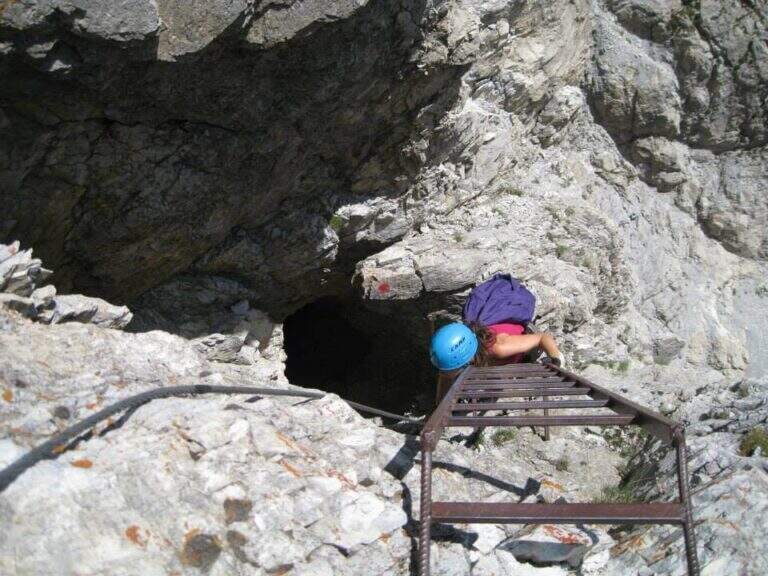
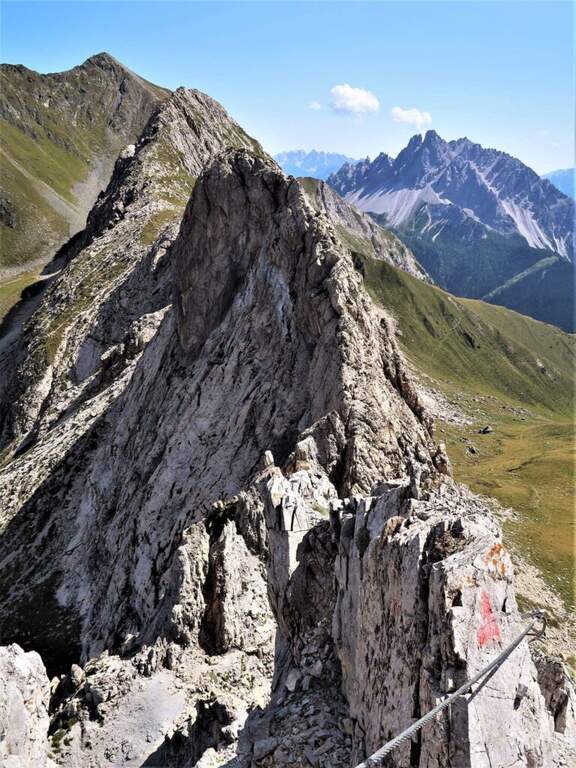
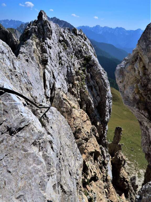
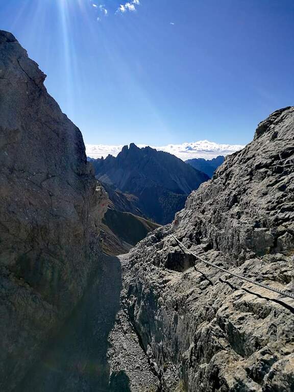
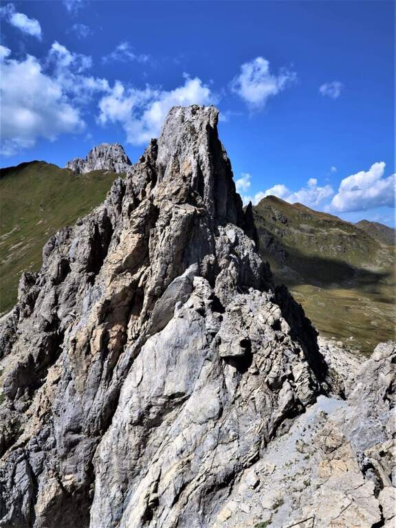
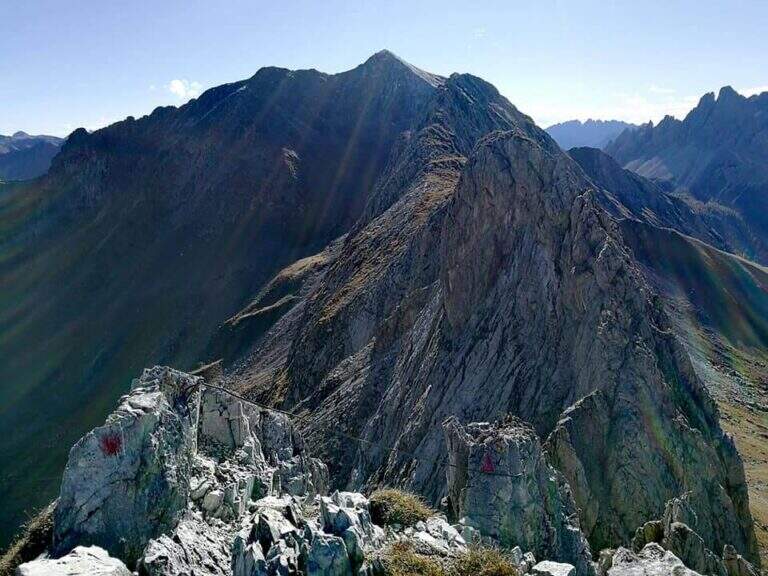
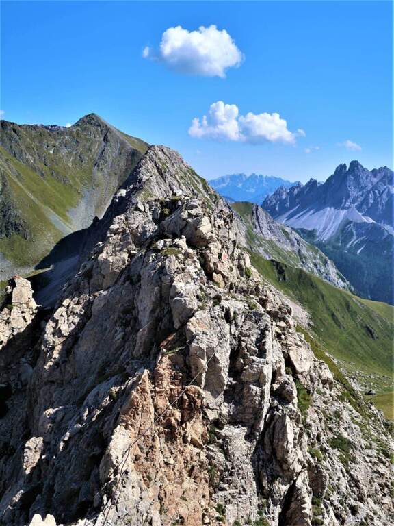
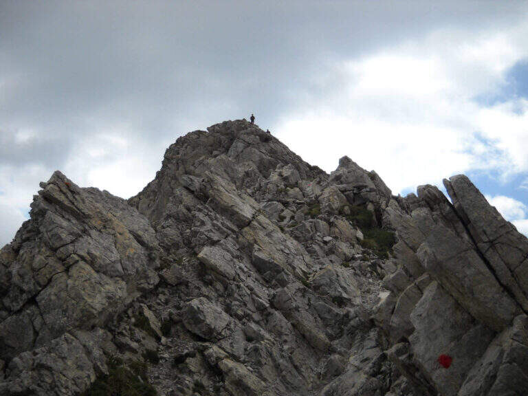
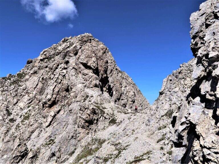
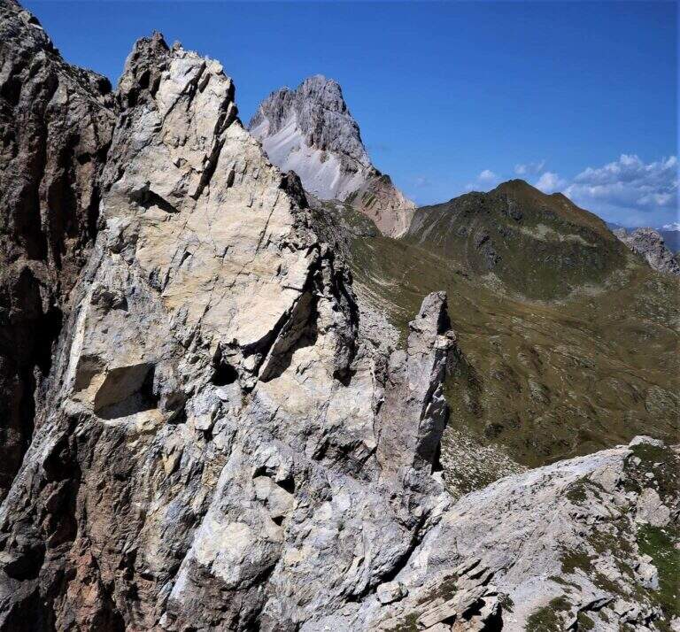
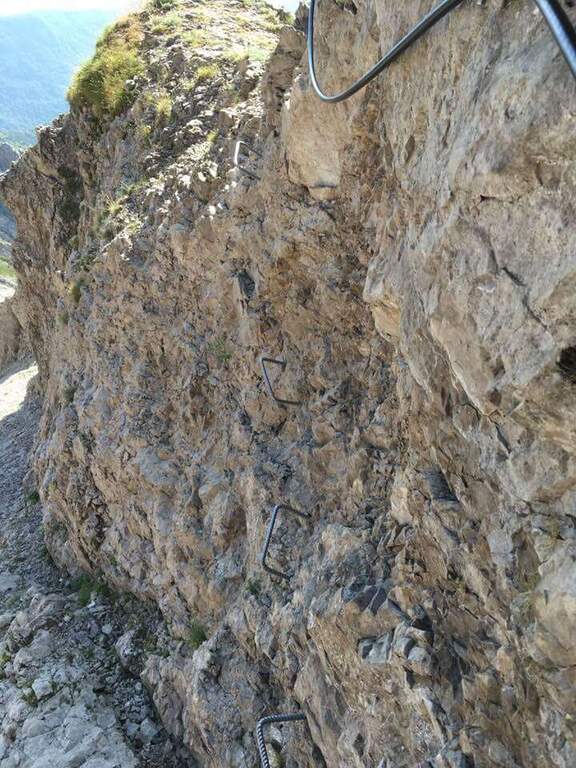
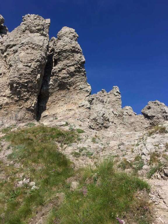
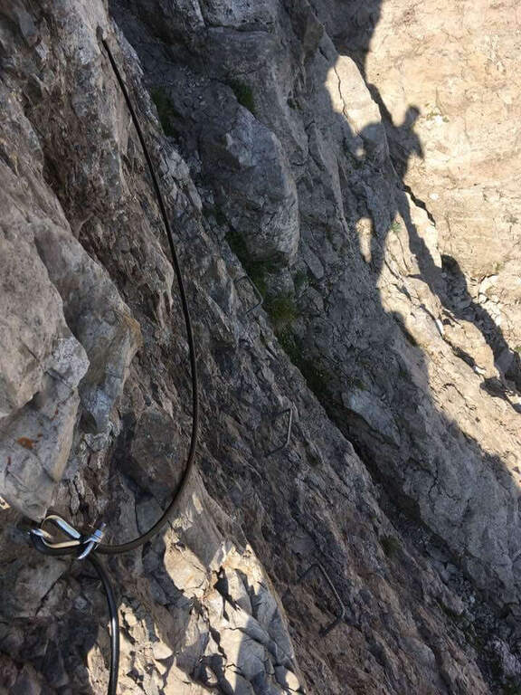
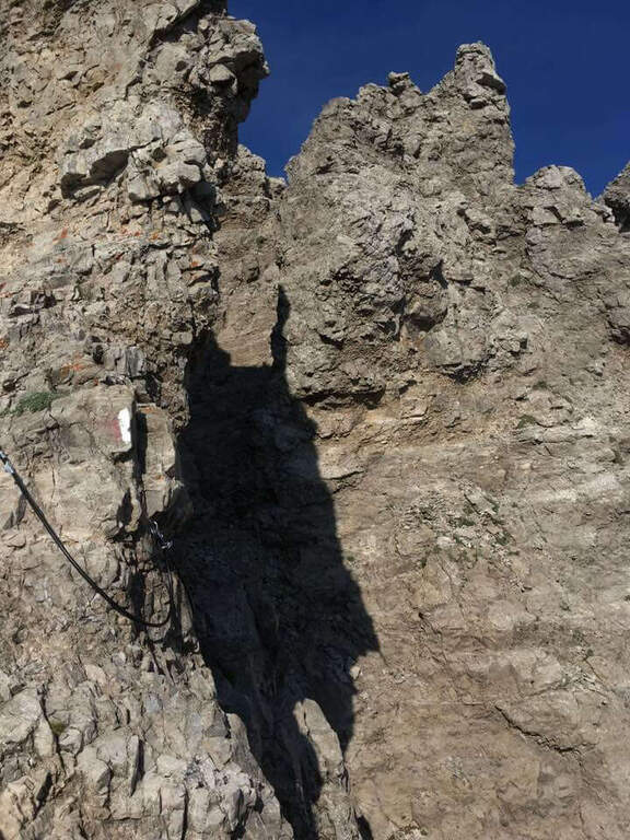
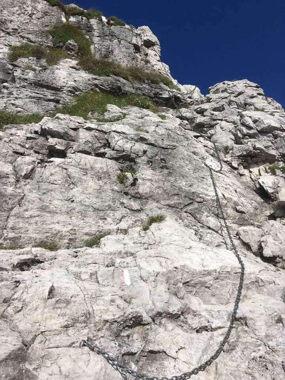
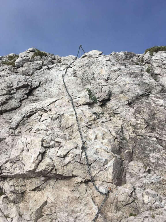
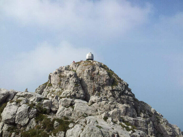
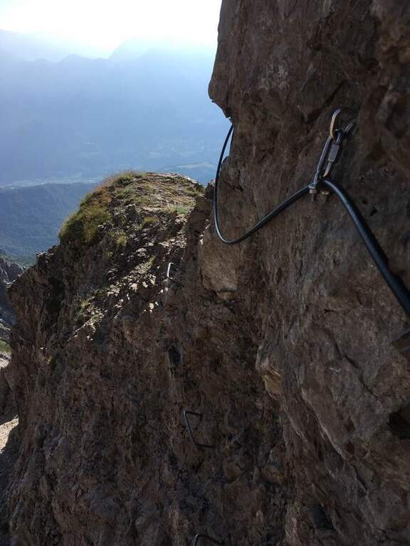
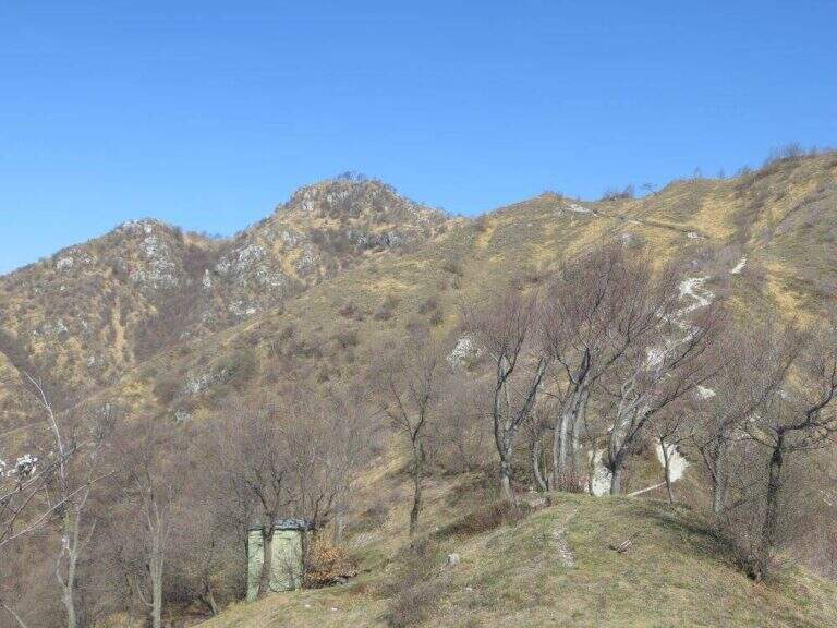
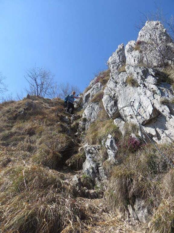
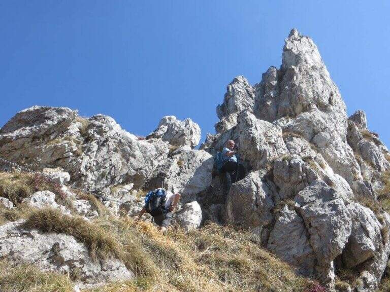
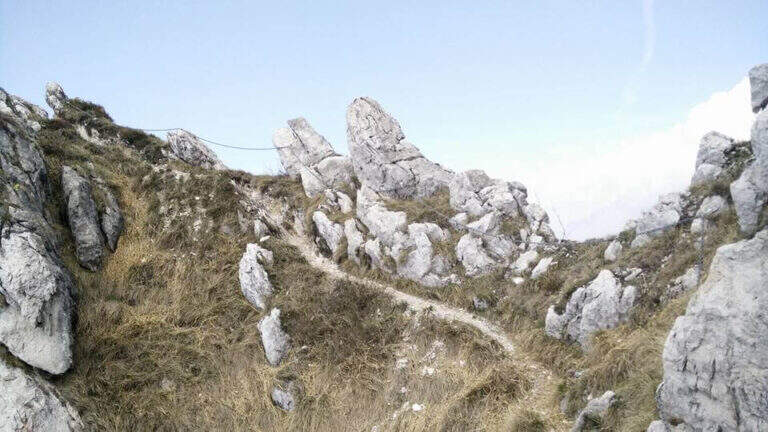
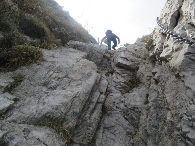
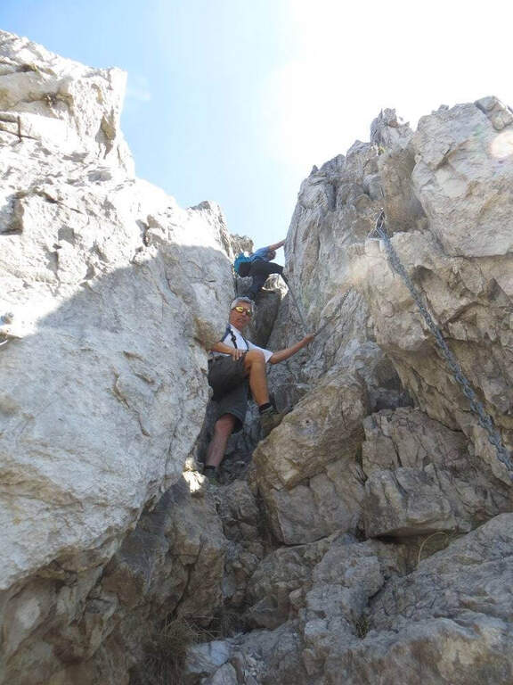
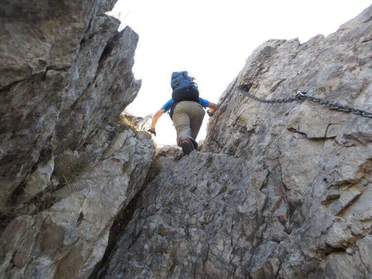
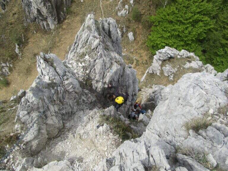
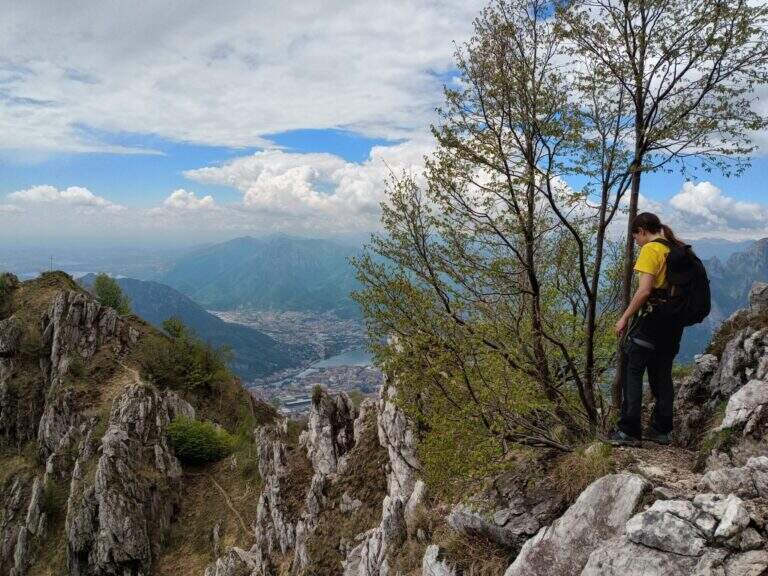
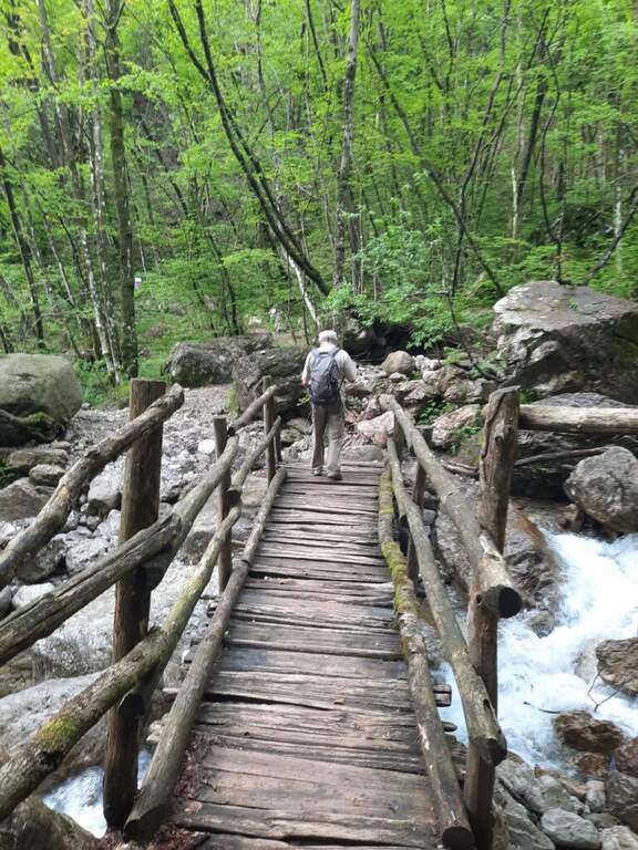
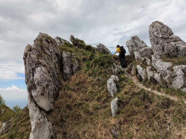
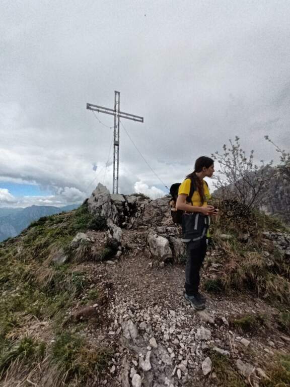
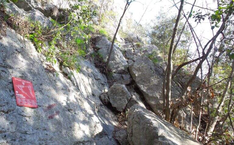
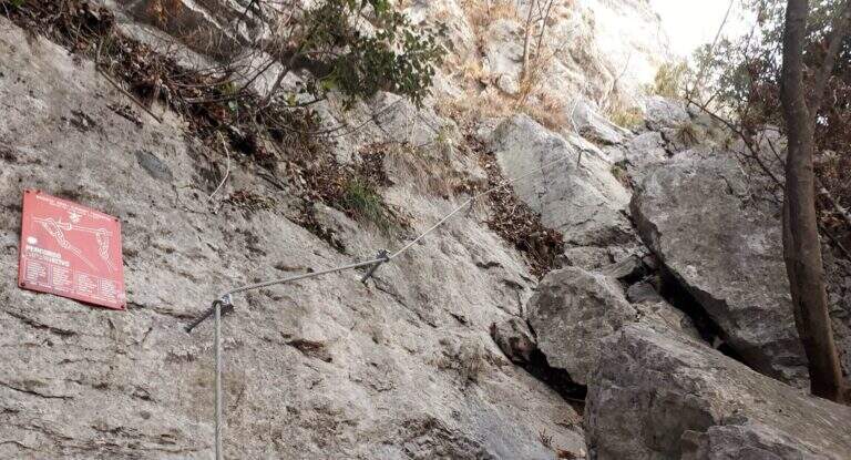
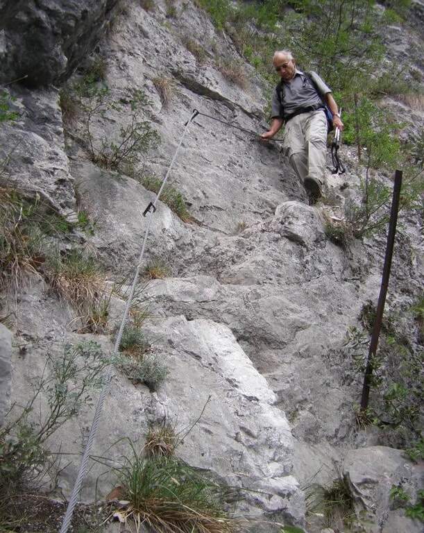
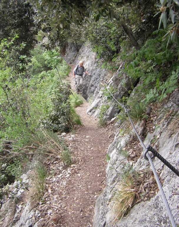
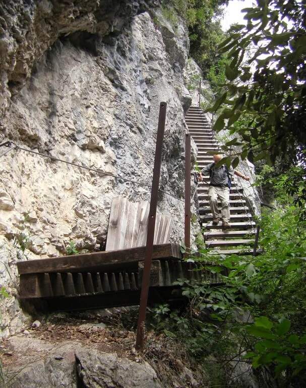
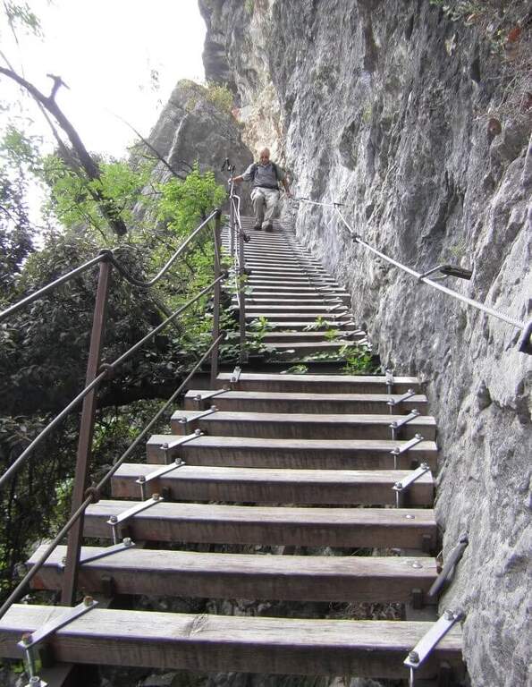
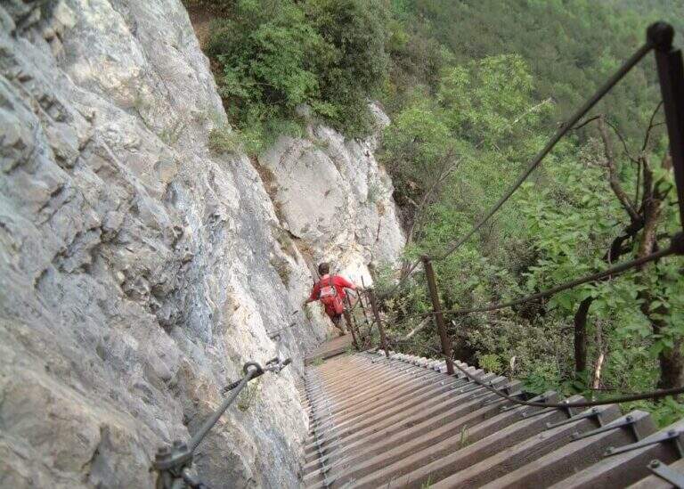
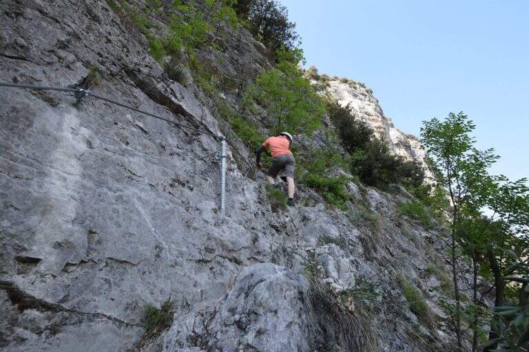
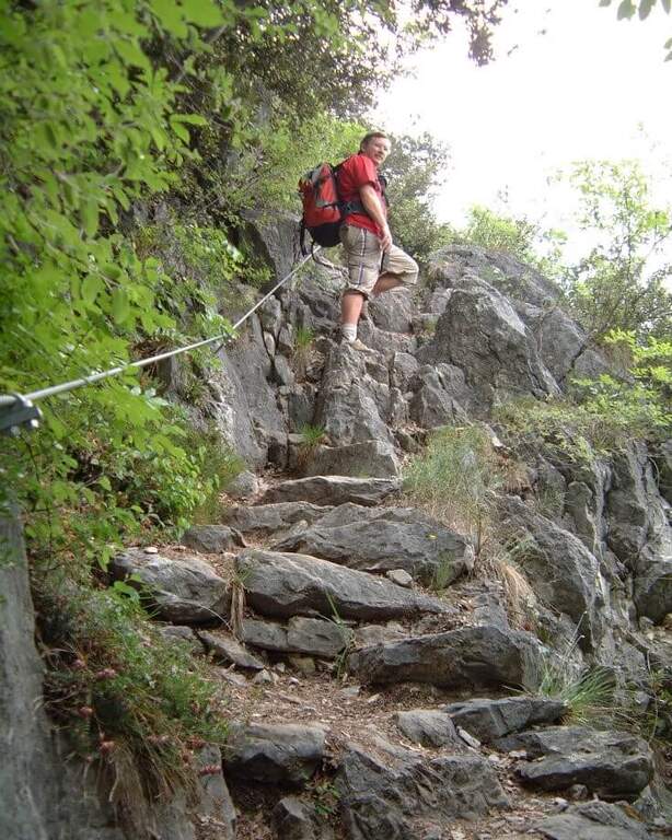
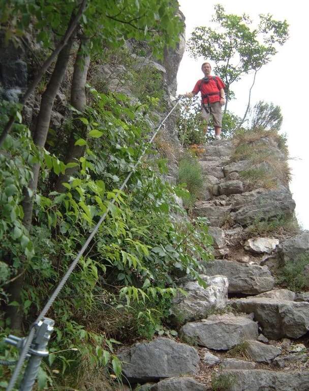
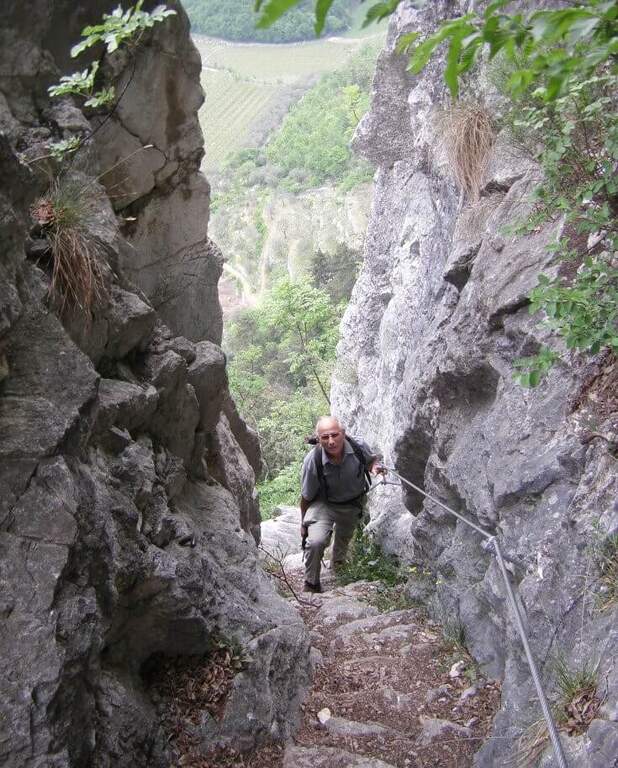
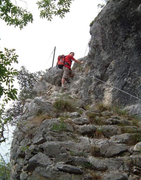
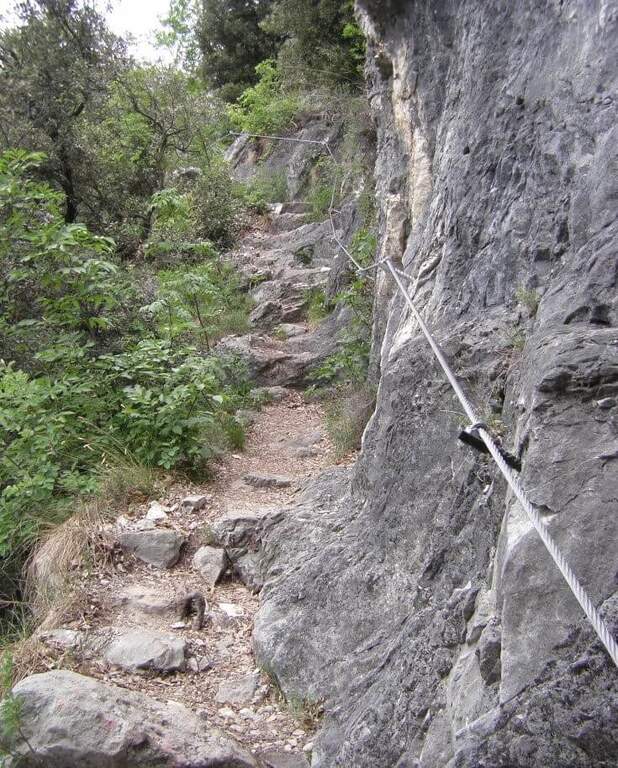
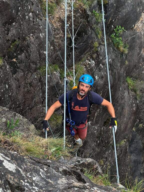
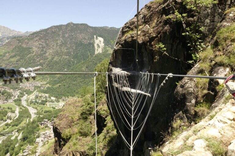
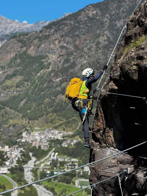
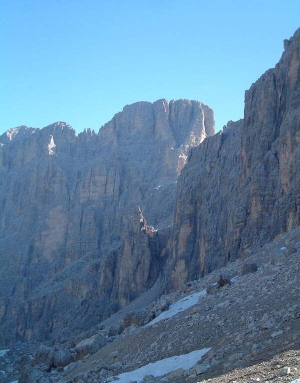
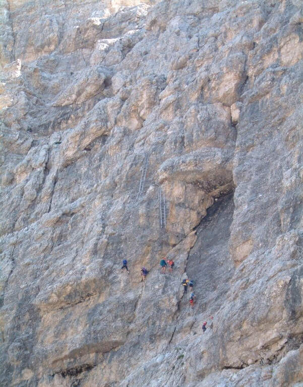
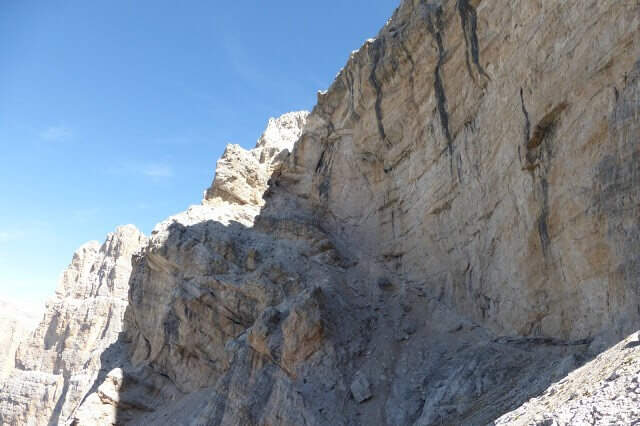
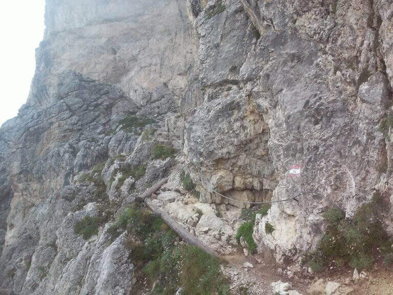
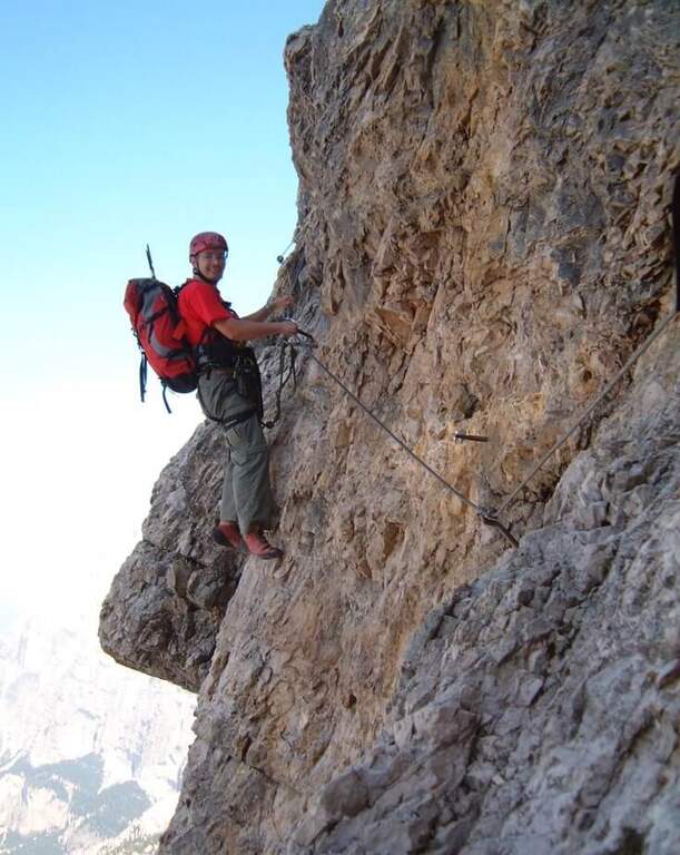
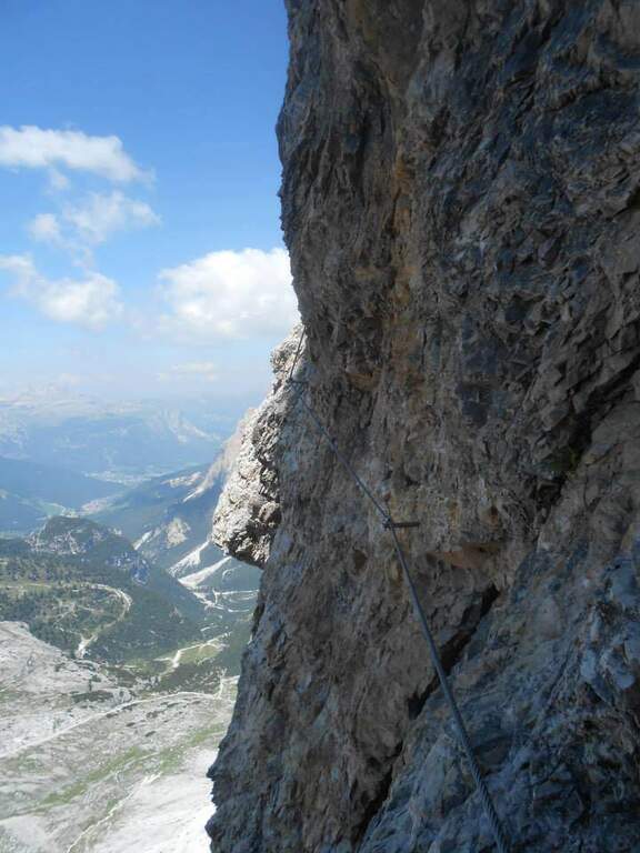
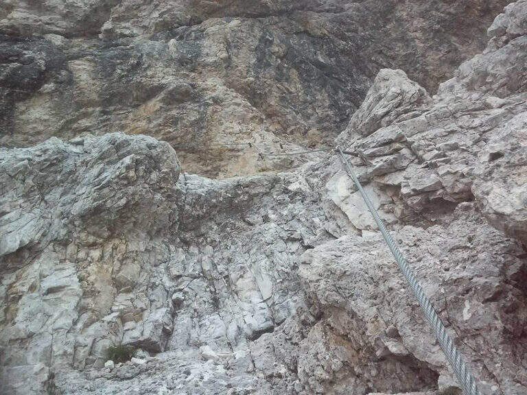
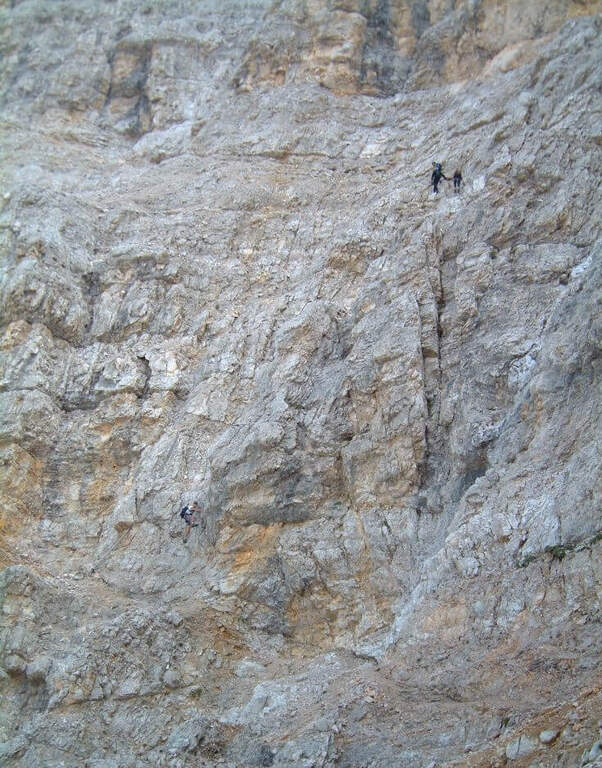
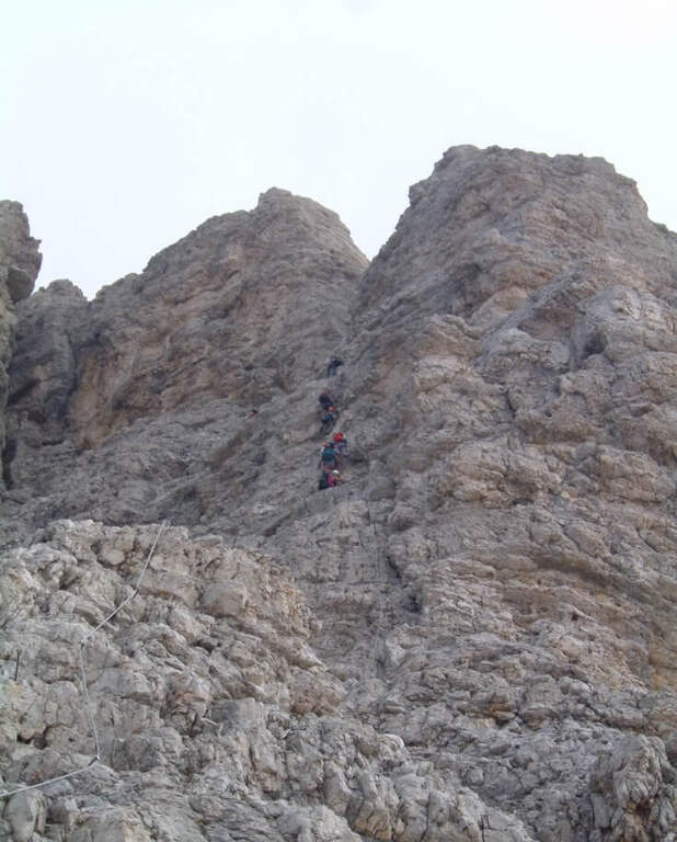
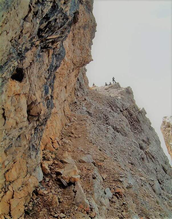
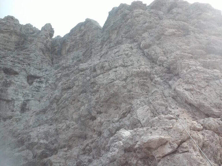
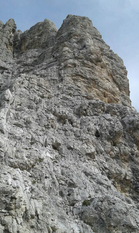
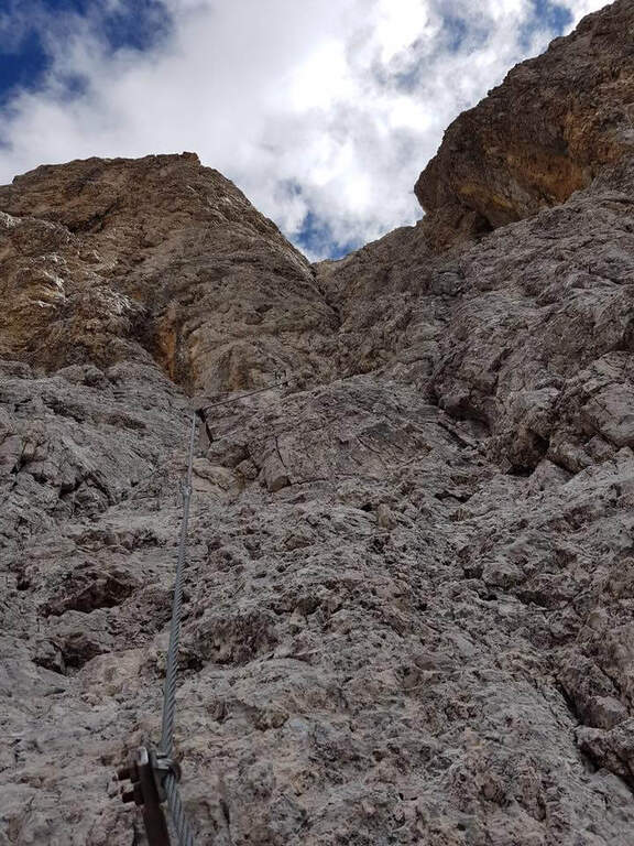
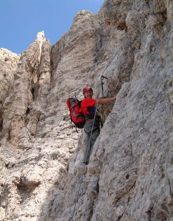
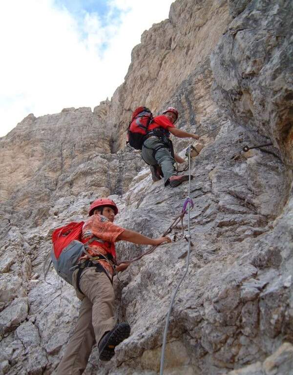
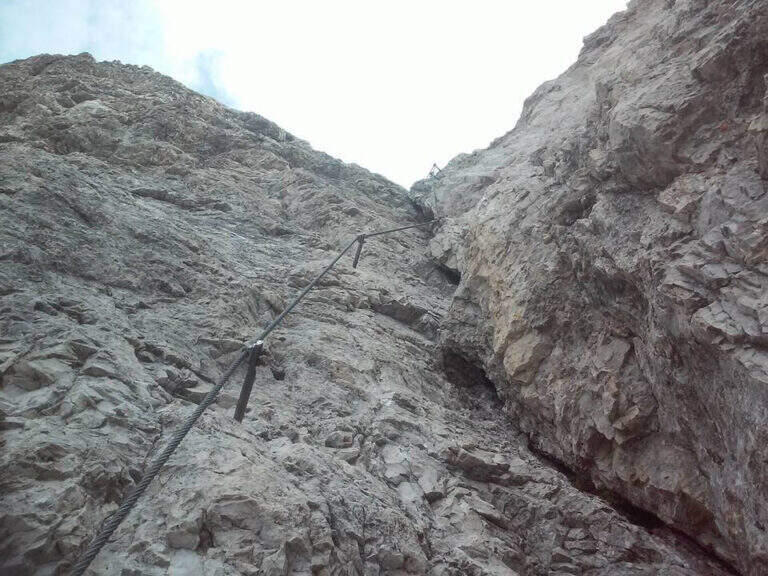
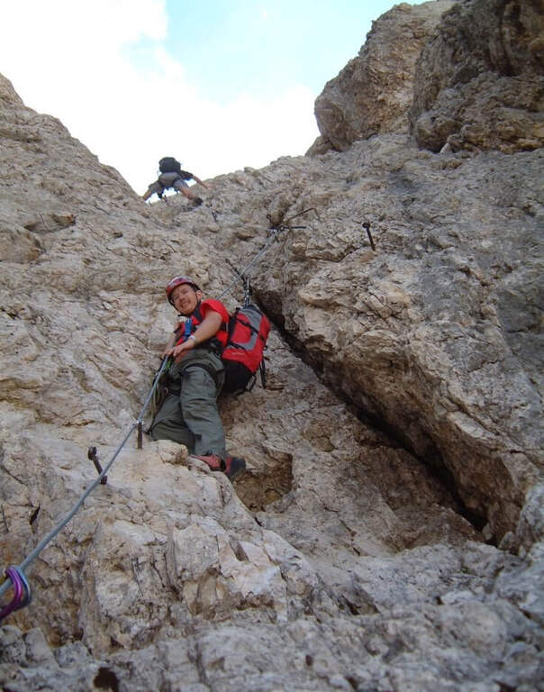
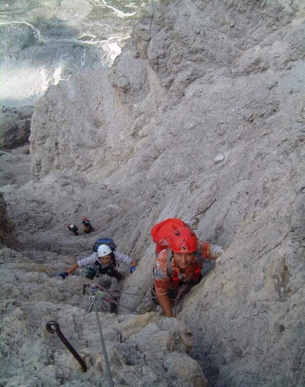
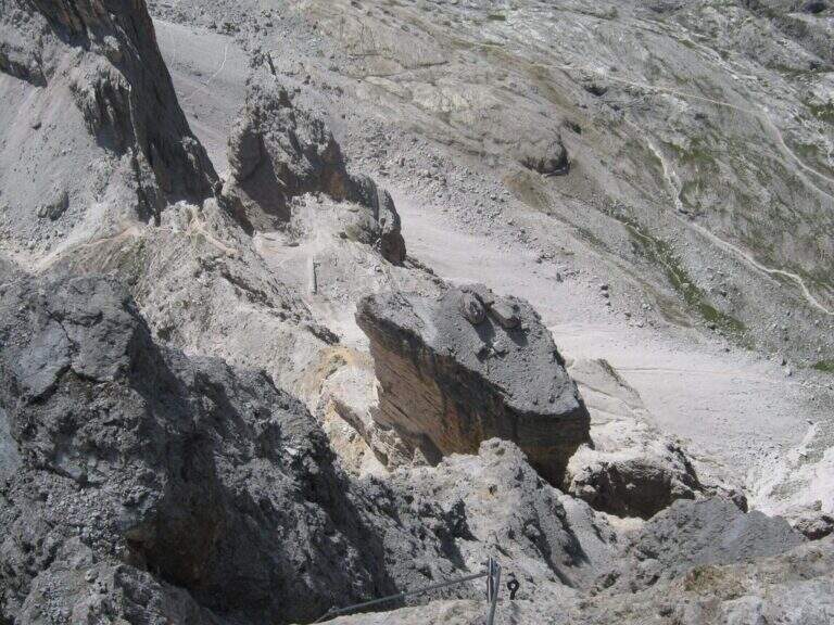
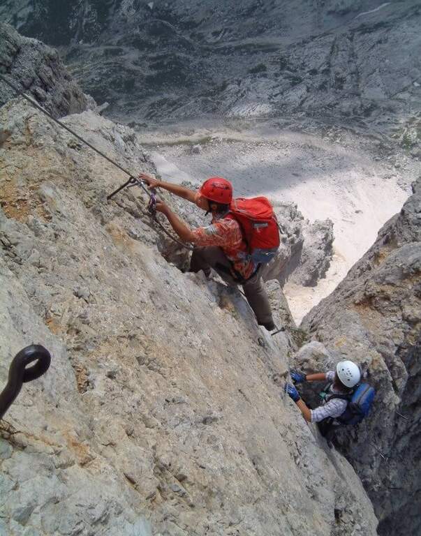
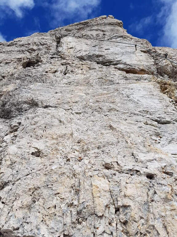
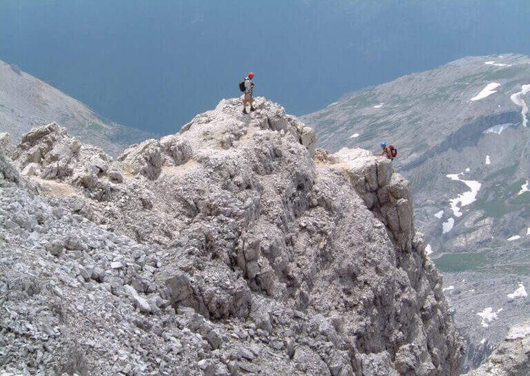
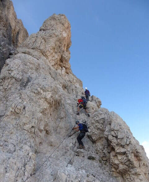
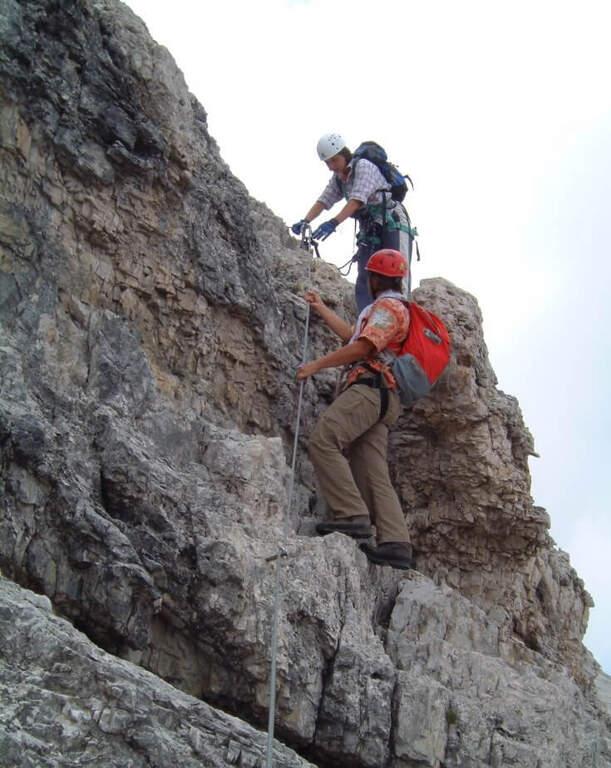
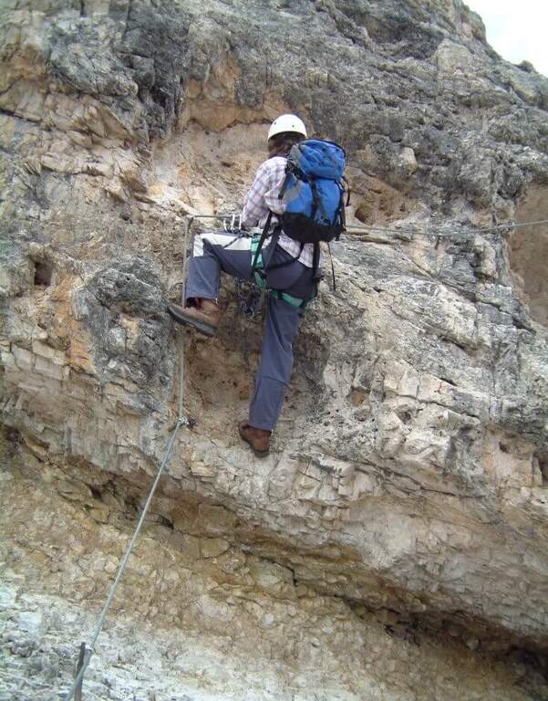
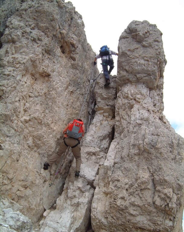
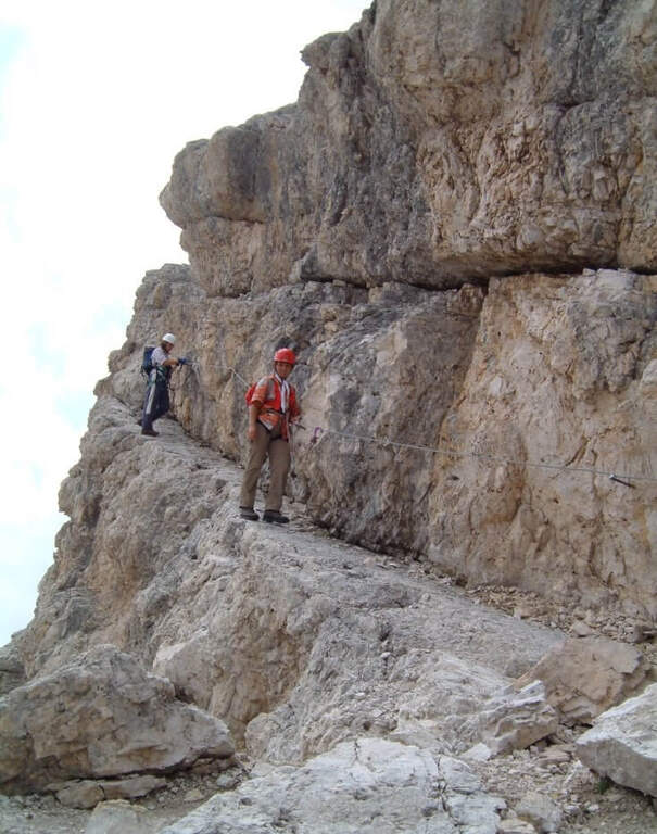
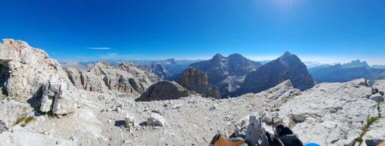
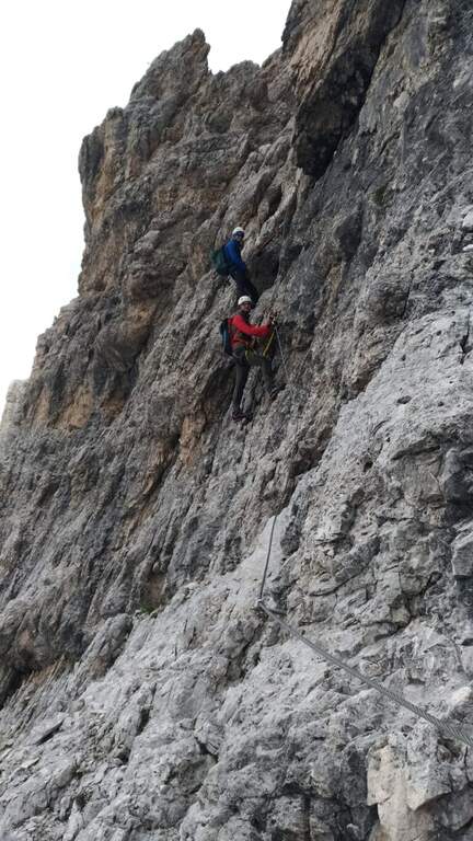
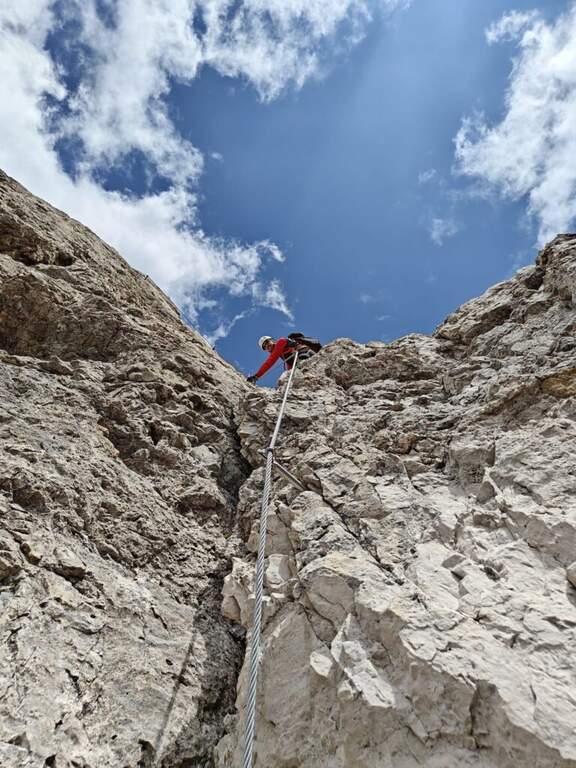
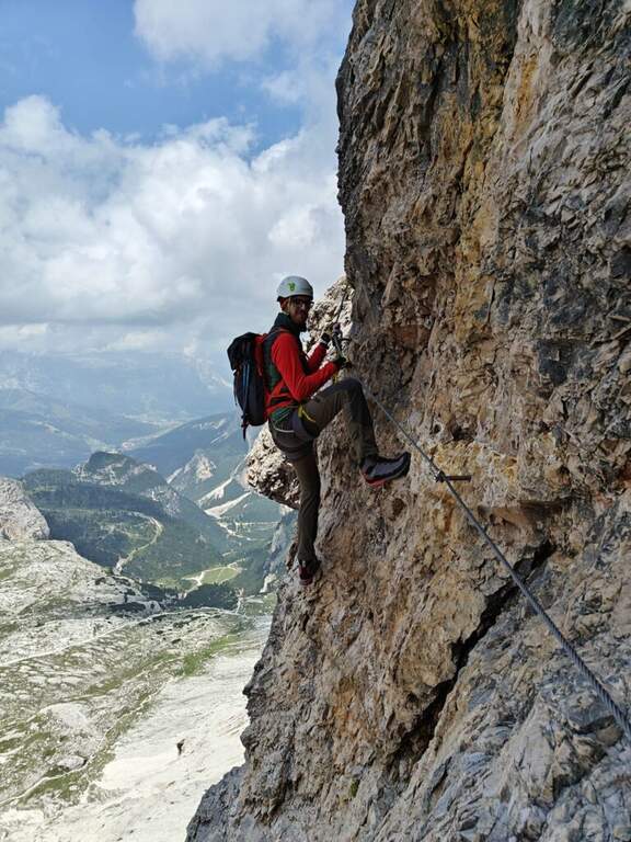
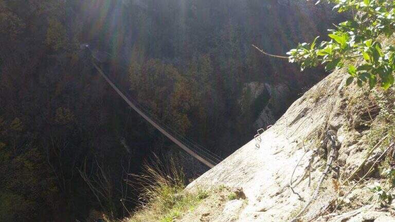
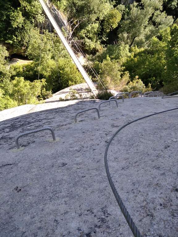
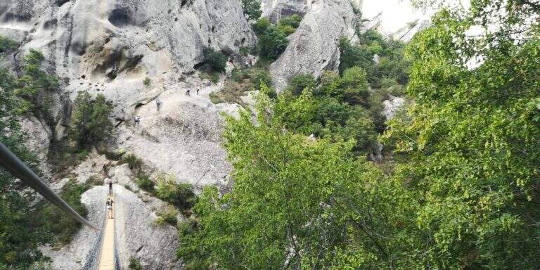
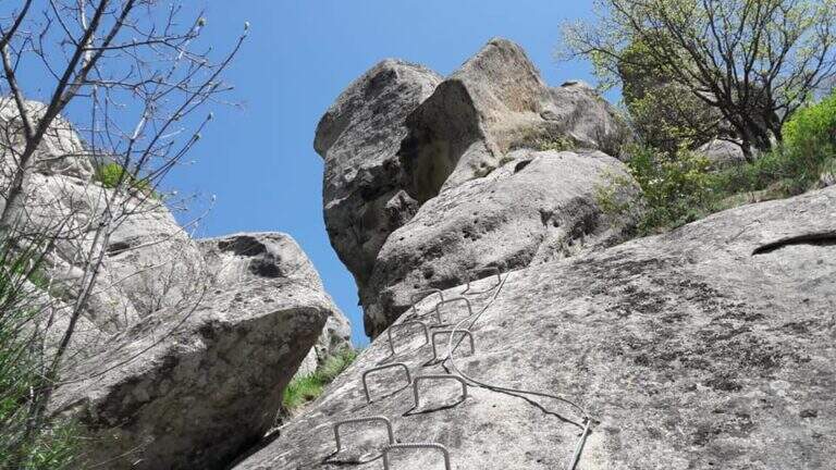
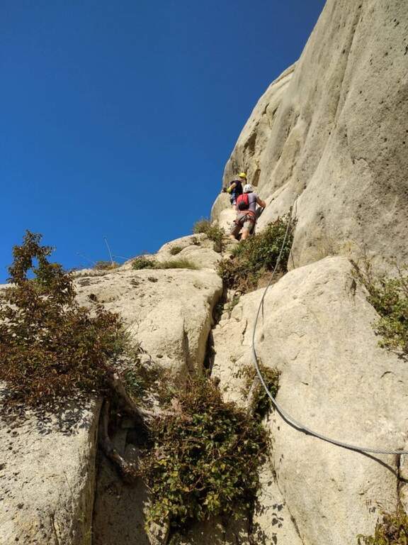
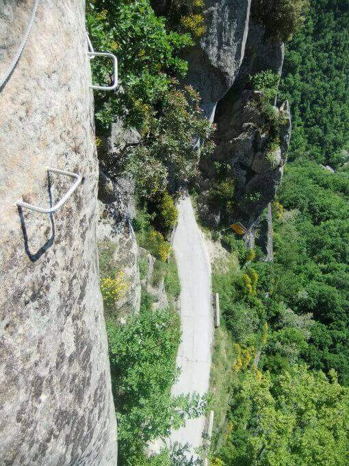
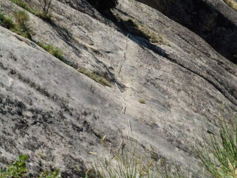
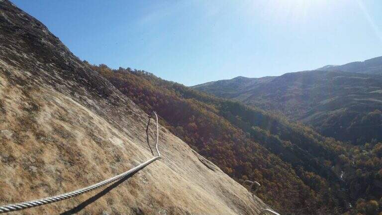
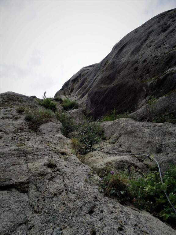
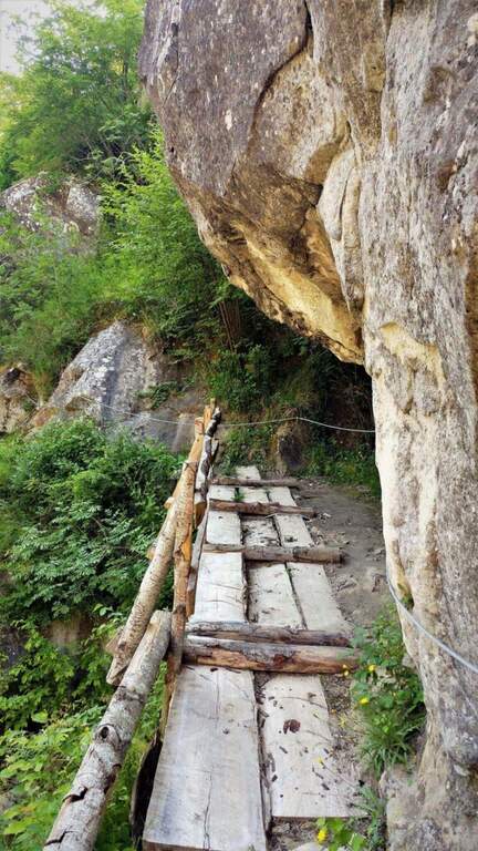
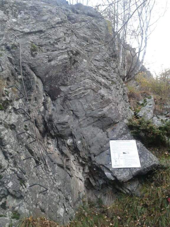
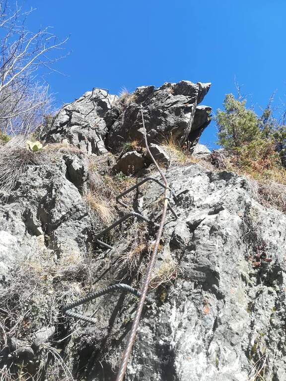
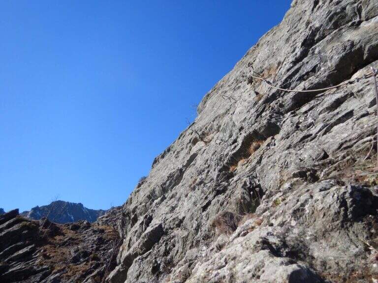
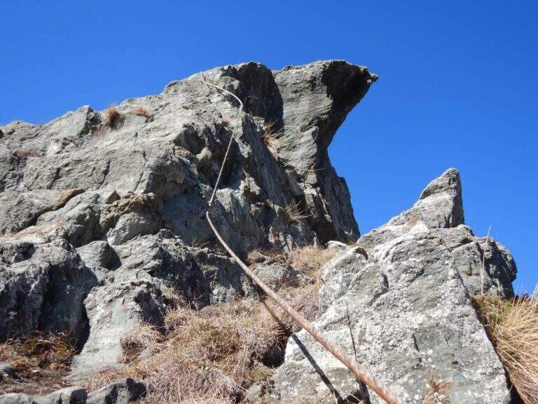
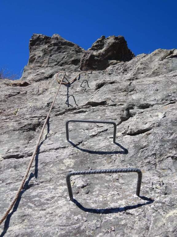
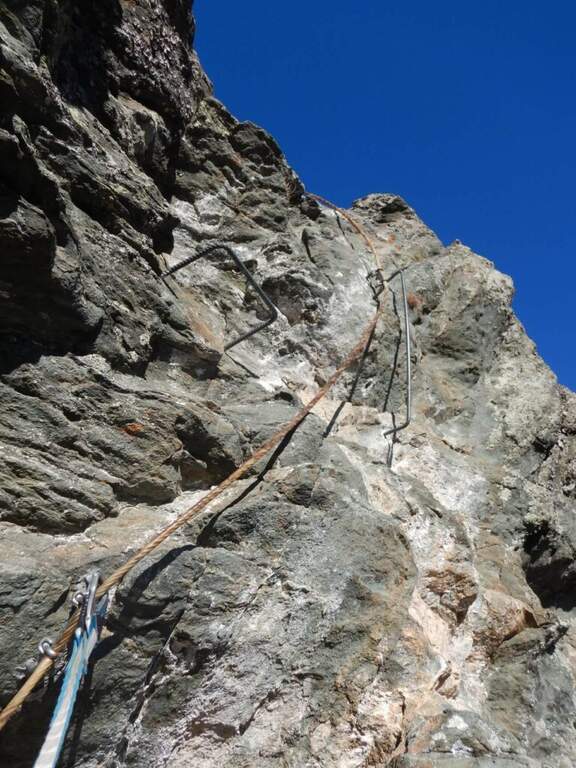
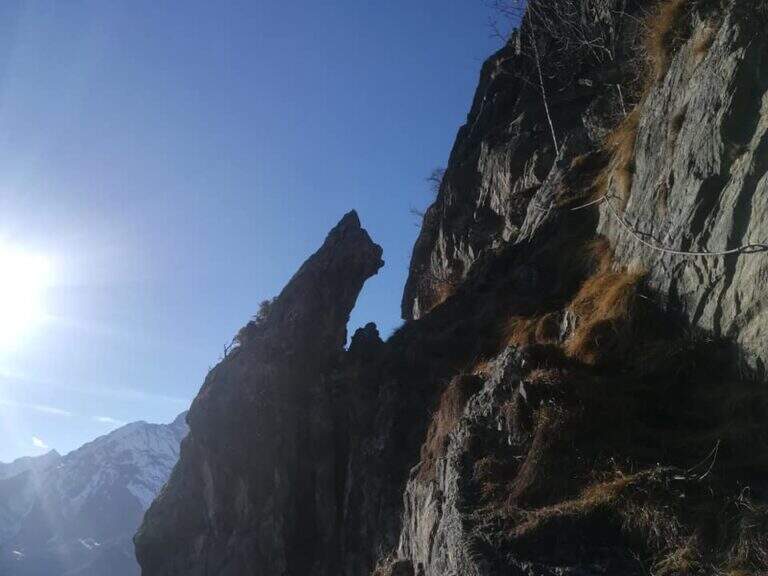
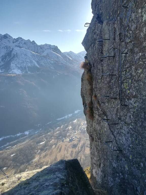
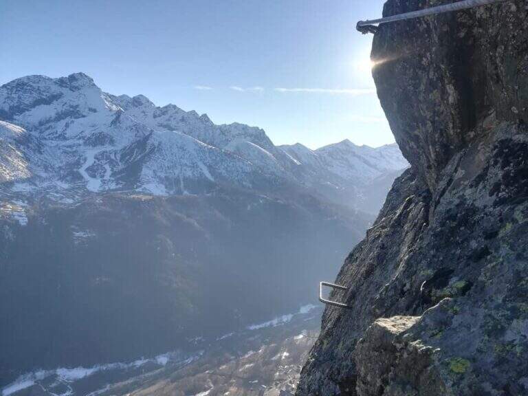
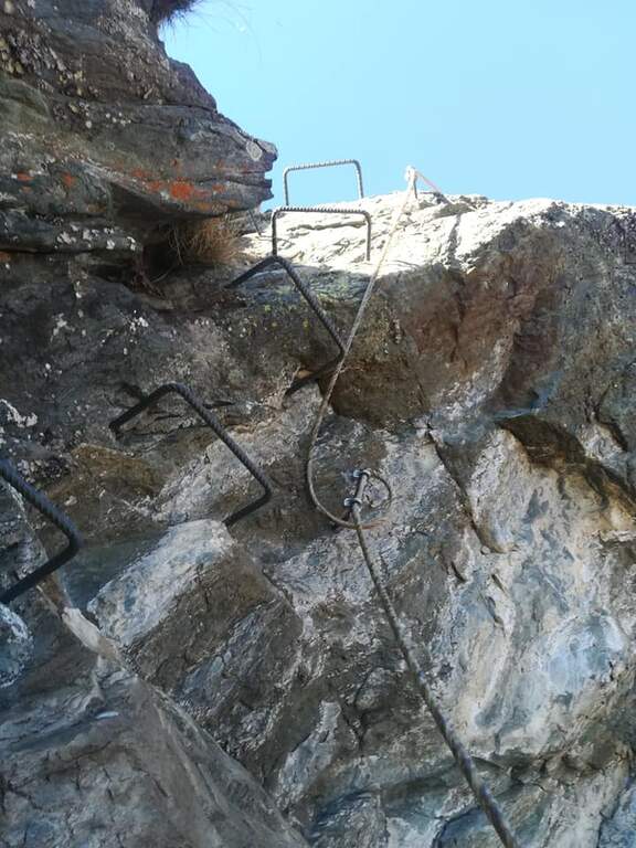
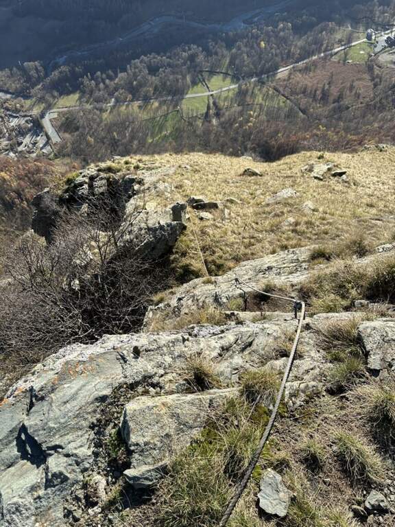
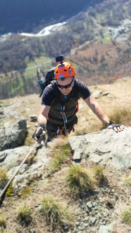
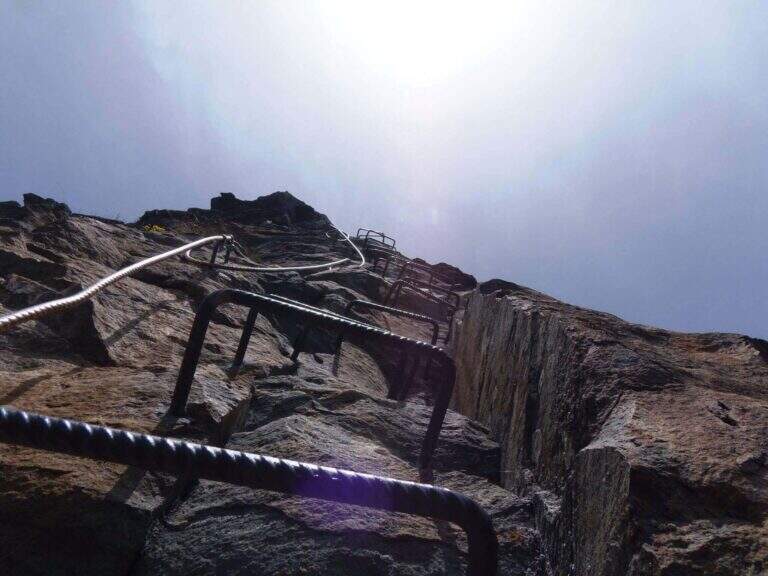
    From Forcella Cajerin, the equipped path generally develops under the ridge, except in the concluding section, and is protected at the most exposed points. Shortly after the beginning there is a nod exposed with the rope to the right, besides which there are passages on large blocks of rock alternating at certain levels, residues of the military activities of a century ago. A new nod is reached with a harmless bridge suspended by ropes, which leads to a clearly visible fork; overcoming the fork, you lose slightly altitude along an exposed and equipped nod. The ascent, not particularly steep, leads to the ridge, from which you can see the path just made and the underlying Lakes of Lusia; then you go along the most scenic section, an exposed hint that wanders a rocky spur, and a last stretch of crest up to a crossroads: to the right you descend towards the Forcella delle Bocche, to the left you climb to Cima Gronton (1h round and back, with other beautiful remains). The excursion continues to the Forcella delle Bocche (2543 m, 1h from the attack, 2h30 totals); just before, on the left, a crossroad allows you to climb to Cima Bocche (2745 m, 1h return, recommended climb, 3h30 total).

    ▲Character and difficulty

    There is no technical difficulties or vertical climbing situations; is a pleasant excursion, interesting from the historical and landscape point of view and less beat than many other of the nearby valleys. The only true note of commitment is the exhibition, present along the whole route and not indifferent.

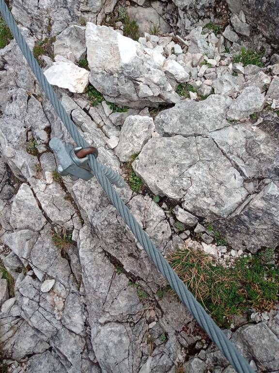
    ⚠ The exhibition accompanies the whole itinerary, even with protections in the most critical traits: they serve mountain experience and steady pace.
    ▲Period and safety

    High mountain summer itinerary (max. 2622 m). The environment around the Lakes of Lusia is very characteristic; more than the technique, it is the exposure to demand attention.

    ▲Discipline

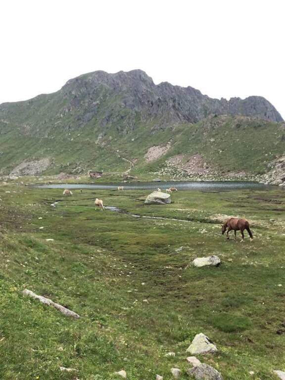
    From the Forcella delle Bocche you return along the path 633, which descends into the valley of the Lakes of Lusia — it is not uncommon to meet horses in the brado state — to the Forcella Lusia and then to the Rifugio al Passo Lusia (2h from Forcella Bocche; 4h30 total without the ascent to Cima Bocche, 5h30 with the ascent).

    ▲To match

    On the opposite side of the valley leading to Passo San Pellegrino there are two more challenging routes: theAlta Via Bepi Zac e l’Alta Via Bruno Federspiel.
    ▲Gallery
    Technical data
    • DifficultyEasy
    • RegionTrentino-Alto Adige
    • GroupLagorai – Chain of Bocche
    • Approach1:30 h
    • Ferrata1:00 h
    • Itinerary (a/r)4:30 h
    • Hardware level difference256 m
    • Route difference567 m
    • Max2622 m
    • Length13,4 Km
  • Sentiero Attrezzato del Cacciatore alla Cima Stanga

    Sentiero Attrezzato del Cacciatore alla Cima Stanga

    Vie Ferrate › Trentino-Alto Adige › Trento
    Sentiero Attrezzato del Cacciatore alla Cima Stanga
    Moderately Hard● OpenDescriptionComplexityMapsGallery

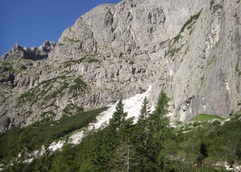
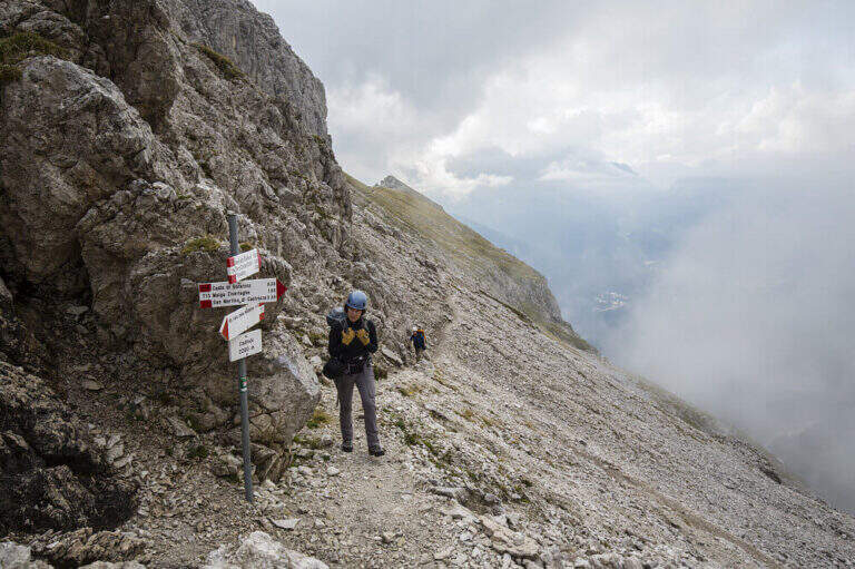
    The Path Atrezza del Cacciatore dates back to the eastern wall of Sass Maor, in the Pale di San Martino. It is a route with a high level and quite long, but not difficult from a technical point of view, immersed in one of the most spectacular environments of the Dolomites.

    ▲Approach

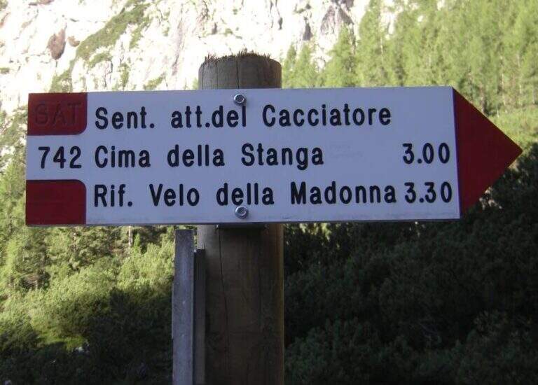
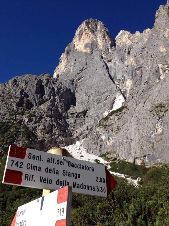
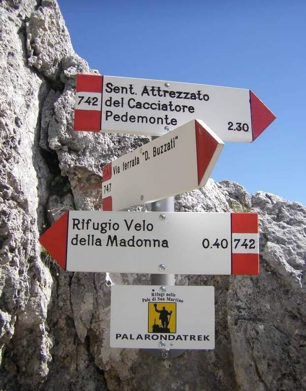
    The starting point is in Val Canali, in the locality of Prati Fosne. To reach the Val Canali follow the SS 347 of Passo Duran: coming from Fiera di Primiero (TN) you continue for about 5 km towards Agordo up to a wide bend with clear indications for the Val Canali, then you go up the valley, you pass a wide bend to the left and you continue on narrow road and sometimes dirt until the Hotel Casera; at the intersection near the hotel you take the right parkingopen up Google Maps). The Cacciatore is often combined with the nearby Ferrata Buzzati as a way back; here we propose it uphill, with return along the Path Attrezzato Depaoli passing through the Rifugio Velo della Madonna. From the village of Fosne you follow the road and in short you leave it for the signpost 719, which climbs moderate slope, first in the woods; exit from the forest you proceed north up the Val Pradidali in falsepiano until the fork in the locality Pedemonte (1h30 from the parking lot): while right you will go up to the Rifugio Pradidali, you take the left on the signpost 742, which with steep eastern parking.

    ▲The path

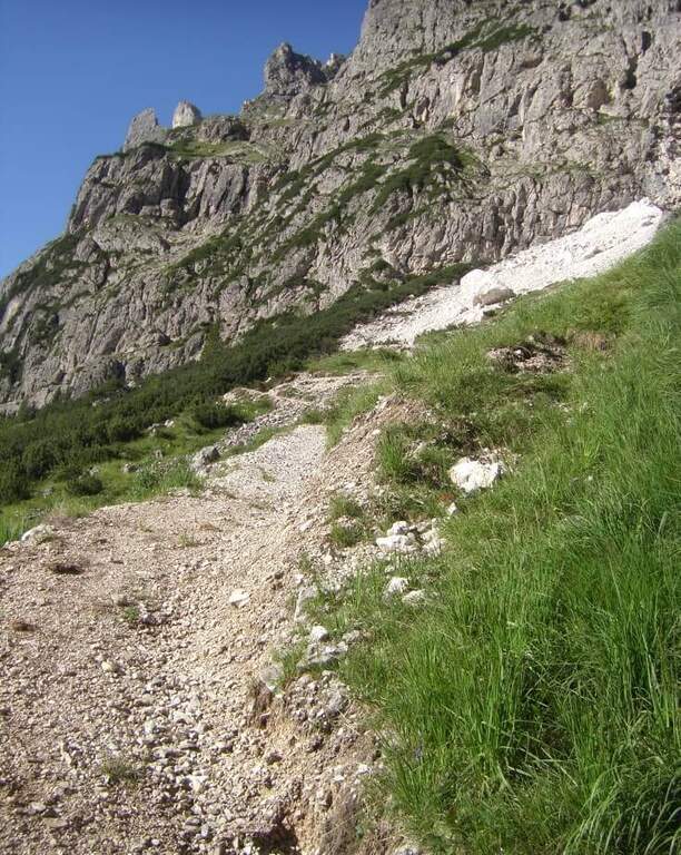
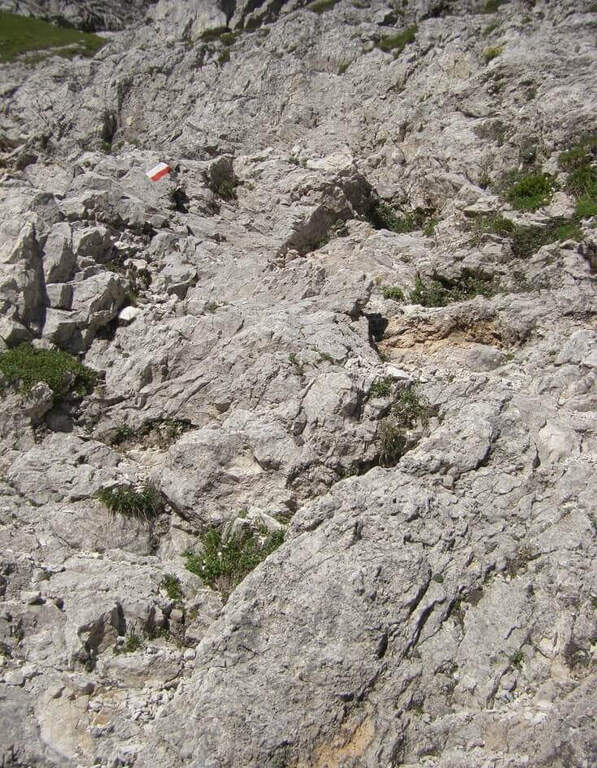
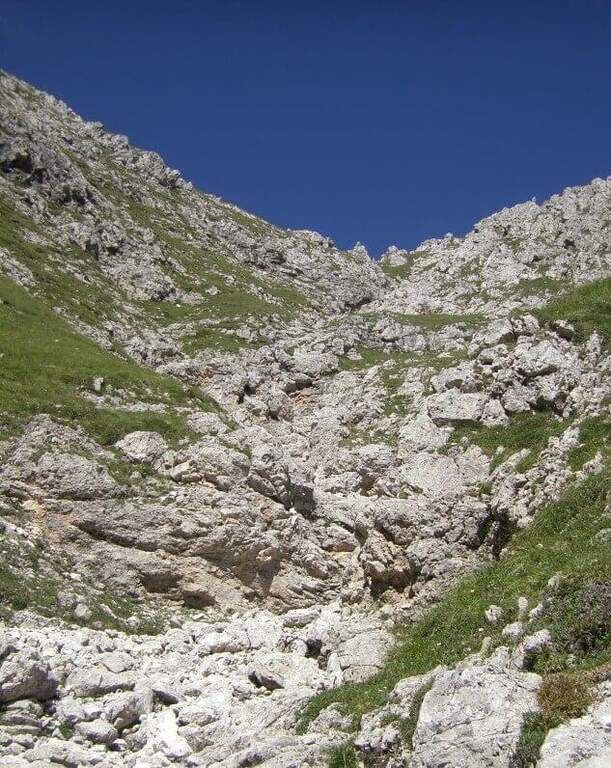
    It goes up with the equipment the area affected by the landslide up to the original attack of the path; it is around a edge and climbs to the left on a census to exposed sections, which continues under the overhanging walls of the Sass Maor. The ascent is pleasant and alternating stretches of nod protected with short climbing rocks and without difficulty, with some metal brackets in the more vertical passages: these new fixtures, added in the last maintenance, have considerably reduced the challenging traits of this historic path. We continue on a long line from the grassy bottom, in constant exposure, until we wander around a spur and enter the valley that separates the Cimerlo from the Sass Maor; crossed a stretch on unstable background we reach what was the key point of the street, a challenging dihedron that today rises thanks to a long series of metal cambres, which reduce if they do not eliminate the original difficulties. Exit from the passage, in a mixed valley of stones and grass follow the white red signs up to the fork (2410 m, 2h30 from the attack), reached with tiring but not difficult climb, where the itinerary ends.

    ▲Character and difficulty

    The route is long and with a considerable difference in altitude, but the technical difficulties are reduced: it serves mainly caution in the various unequipped sections. The only challenging passage of the original layout, the dihedron, is now equipped with many brackets and therefore greatly facilitated.

    ⚠ Itinerary long and with strong difference in altitude (1370 m, 8h30): they serve constant resistance and attention in the unequipped and exposed traits, at the bottom of unstable traits.
    ▲Period and safety

    High mountain summer itinerary (max. 2550 m). The challenging development and exposure of some cenges require good physical preparation and steady step.

    ▲Discipline

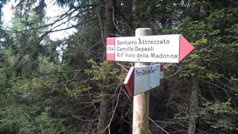
    From the fork you have two options: on the left, along the initial ridge path with 747 signpost and then for equipped stretches (described in the report of Ferrata Buzzati), you reach the eastern spallone of Cimerlo and you can climb to the summit (1h from the fork); on the right, on the trail 742, you go up to the Passo della Stanga (2530 m) and you go down to the Rifugio Velo della Madonna (2358 m). Following this second option, from the refuge take the signpost 734 of the Attrezzato Path Depaoli, which brings back to the parking lot along the western walls before the Stanga and then of the Cimerlo: you face some stretches equipped not difficult — a canal, some cenges, an easy fireplace — until the end of the complex equipment, then cut halfway with beautiful views, gradually losing altitude until Fosne (3h Velo).

    ▲To match

    Classical matching is with Ferrata Buzzati at Cimerlo, often used as a way back. In the same area there is also the Ferrata del Velo della Madonna.

    ▲Gallery
    Technical data
    • DifficultyModerately Hard
    • RegionTrentino-Alto Adige
    • GroupPale di San Martino
    • Approach2:00 h
    • Ferrata3:00 h
    • Itinerary (a/r)8:30 h
    • Hardware level difference650 m
    • Route difference1370 m
    • Max2550 m
    • Length14,2 Km
  • Sentiero Attrezzato d’Ambros sulla Cresta Pitturina

    Sentiero Attrezzato d'Ambros sul Cresta Pitturina

    Vie Ferrate › Veneto › Belluno
    Sentiero Attrezzato d'Ambros sul Cresta Pitturina
    Moderately Hard● OpenDescriptionComplexityMapsGallery

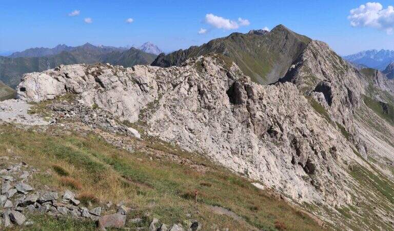
    The Path Atrezzato d’Ambros runs along the well-known Cresta Pitturina, on the border between Italy and Austria, between Monte Cavallino and Cima Vallona. It is a very exposed but never too difficult ridge itinerary, with very beautiful views of the Carnic Alps and the nearby Sesto Dolomites.

    ▲Approach

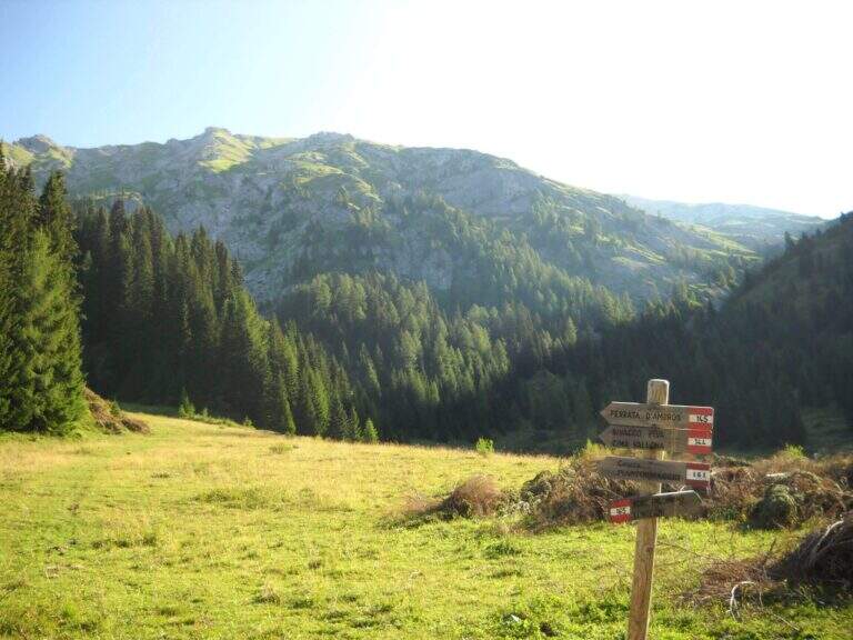
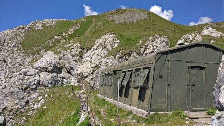
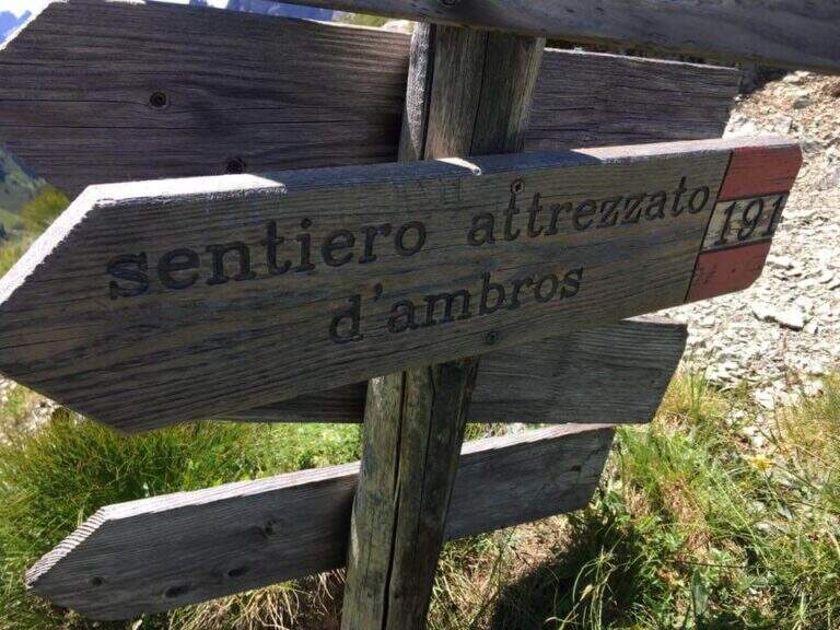
    Starting from Malga Melin, in the municipality of San Nicolò di Comelico (BL), reachable on a narrow road but asphalted by the town of Sega Digon, along the SS 52 Carnica that connects San Candido (BZ) with Venzone (UD) (open up Google Maps). From Casera Melin (1673 m) follow the signs to the north for the path 144, directed to Bivacco Piva and the Path of Ambros: climb steep first on 161, then holding the right on 144, going up a long series of hairpin bends up to Bivacco Piva (2250 m, 1h15 from the parking lot), from the unusual form that recalls a military tent. Just before the bivouac you follow the signs to the right to Cima Vallona, on the path 191; climb steeply towards Cima Vallona until you find a track that detaches to the left and leads to a fork. Near the fork, on the Italian-Austrian border, there is the attack of the Ambros Path (30′ from the Piva Bivacco, 1h45 from the parking lot).

    ▲The path

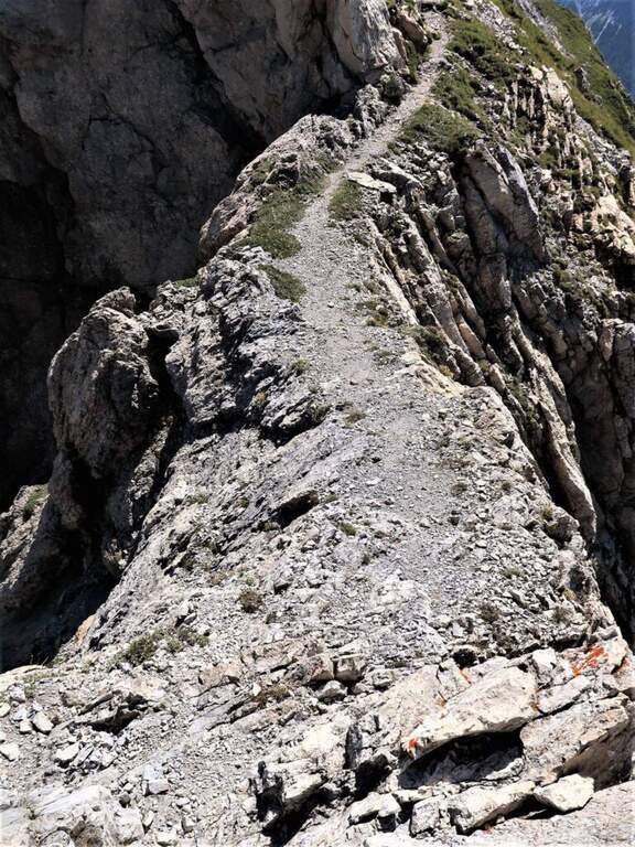
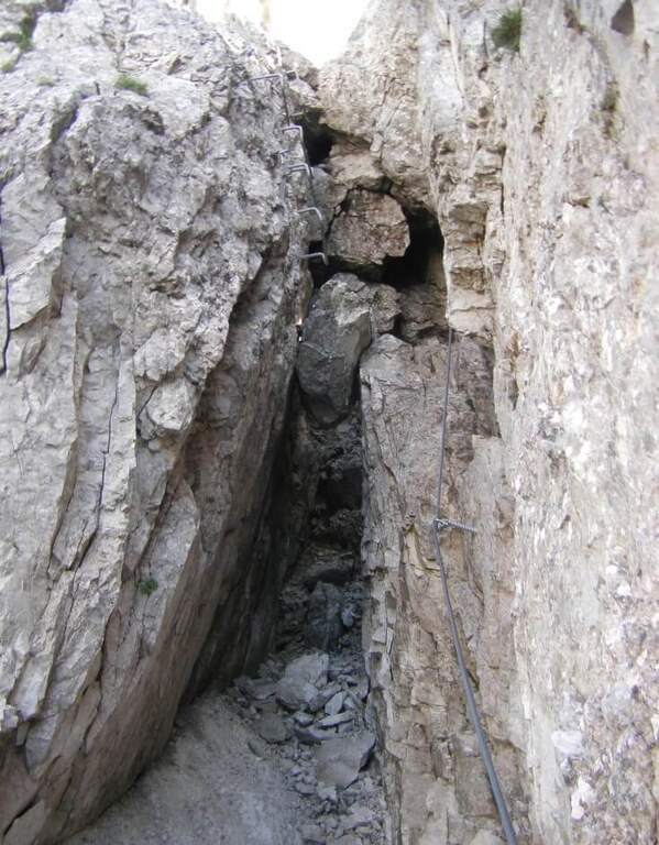
    The road develops along the sharp border ridge that ends at Monte Cavallino. It rises for about fifteen meters, mainly diagonally and with easy transverses, up to a stretch not protected of crest, decidedly exposed but without difficulty. A second equipped section goes on the left side of the wire, on the Italian side; it descends a few meters towards a rocky point and you walk through cenges and beams, exposed but never challenging, up to a cave already visible from the crest. You climb on some small rocks and you reach a second and a third gallery, where a front torch is useful because of the rather unstable background; exit, a staircase leads to the ridge. Continue on the sharp crest up to a wide grassy saddle, where you ignore a way of escape, and continue little below the thread, first on the Italian side, then on the Austrian side and finally in more marked descent on the Italian side; at the end of the descent you face carefully a fireplace. You will then reach an equipped fork, besides which you will find the key passage: a short traverse but on plate, above the average of the street — not difficult, but to deal with carefully. Continue along with a stretch of descent on the wall of 8-10 meters, well attached, then a stretch of connection up to a canal equipped with ridge; return on the crest, in good exposure, alternate stretches not equipped to a stretch equipped up to the highest point of the crest. The path leads finally to the end of the street, at a marble block that marks the border between Italy and Austria (2h from the attack, about 4h overall).

    ▲Character and difficulty

    Although it is called a well-equipped path, it has some vertical climbs that approach it more to a ferrata: there are no particular technical difficulties, except for 3-4 more challenging points, but — as often happens in the ridge paths — the exhibition is strong along almost all the way.

    ⚠ Strong exposure on almost all ridge path. For tunnels, a front torch (unsteady background). Attention to return, not marked in an impeccable way: useful orientation experience.
    ▲Period and safety

    High mountain summer itinerary (max. 2486 m). Constant exposure and presence of unprotected traits require steady pace, experience and stable time.

    ▲Discipline

    From the end of the road it is possible to reach the nearby peak of Cavallino (1h gone, 1h45 gone and back) continuing on the crest and following the traces on the gland up to some small rocks and on the summit cross. The return to Casera Melin takes place on the left, on the Italian side, taking the path 160, parallel to the crest just crossed, up to Bivacco Piva and then back along the path (2h from the end of the ferrata, about 6h overall). There are some shorter reentry routes that avoid bivouac, but are more impervious.

    ▲Gallery
    Technical data
    • DifficultyModerately Hard
    • RegionVeneto
    • GroupCarnic Alps – Comelico
    • Approach1:45 h
    • Ferrata2:00 h
    • Itinerary (a/r)6:00 h
    • Hardware level difference100 m
    • Route difference813 m
    • Max2486 m
    • Length12 Km
  • Sentiero Attrezzato della Cresta Sinigaglia alla Grigna Meridio

    Sentiero Attrezzato della Cresta Sinigaglia alla Grigna Meridio

    Vie Ferrate › Lombardia › Lecco
    Sentiero Attrezzato della Cresta Sinigaglia alla Grigna Meridio
    Moderately Hard● OpenDescriptionComplexityMapsGallery

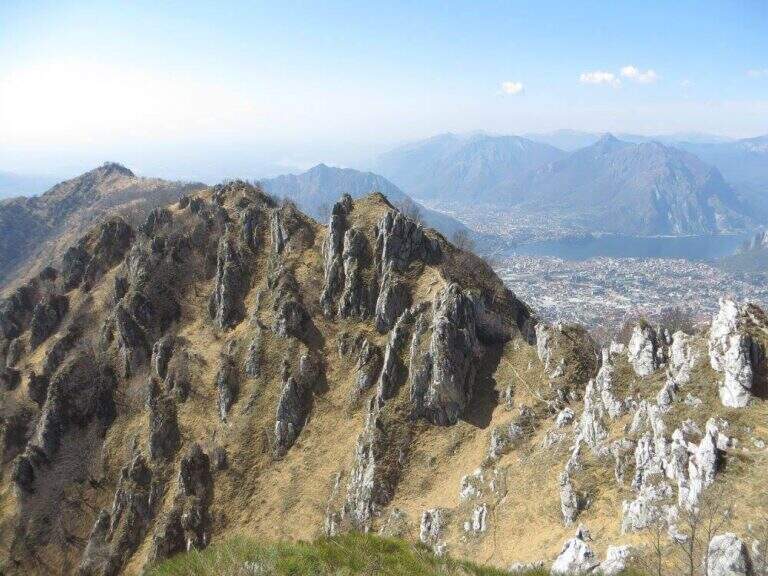
    The Attrezzato Path of Cresta Sinigaglia is one of the possible climbs to the South Grigna starting from the Resinelli Plans. Compared to the nearest and most frequented Cresta Cermenati is less beaten and a little more difficult, while remaining on moderate technical difficulties; the last stretch is very exposed, although the climbing difficulties remain contained.
    ▲Approach

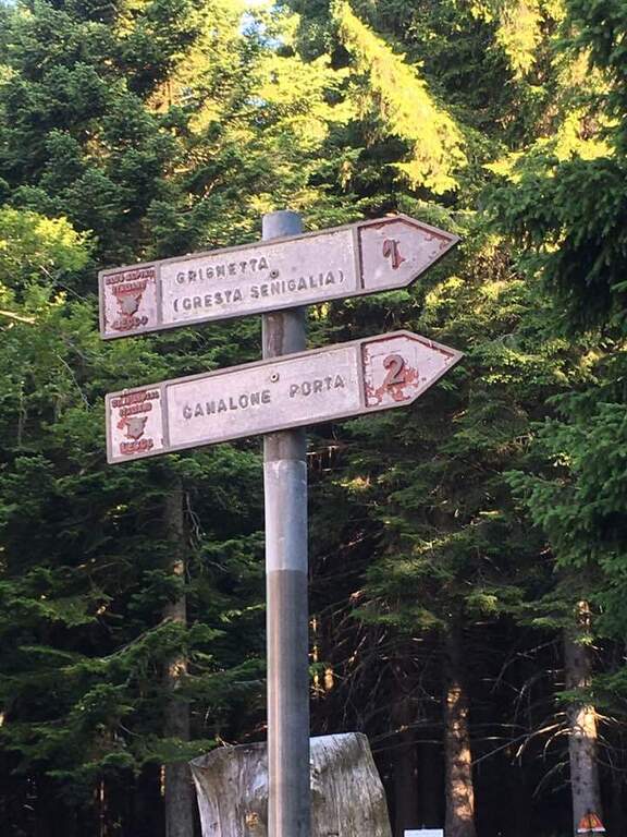
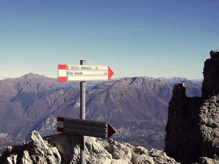
    It starts from Piani dei Resinelli, in the province of Lecco. From Ballabio you go up the uphill slope and, after the many bends, near the big brown welcome sign you continue for a hairpin bend; you climb briefly and at the next junction you hold the left along the narrow paved road until a parking lot at a bar (open up Google Maps). From the parking lot in 5 minutes you reach the Rifugio Carlo Porta and continue on the paths 1/2 inside the forest; you ignore a crossroads to the right for the Rifugio Soldanella, then, exit the forest, another crossroads where on the left the path 2 goes up the Canalone Porta. Unknown both, continue on path 1 to Cresta Sinigaglia climbing steeply to the north-east; you ignore the crossroads through the mountain routes up to a pitch for the landing of the helicopters, continue straight and, ignored also the path 3 that goes down to Canalone Porta, you reach the first equipped parts (2h from the parking lot).

    ▲The path

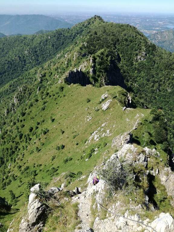
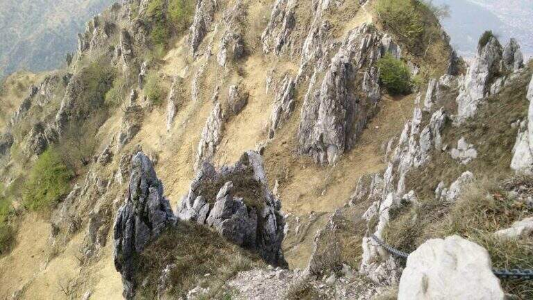
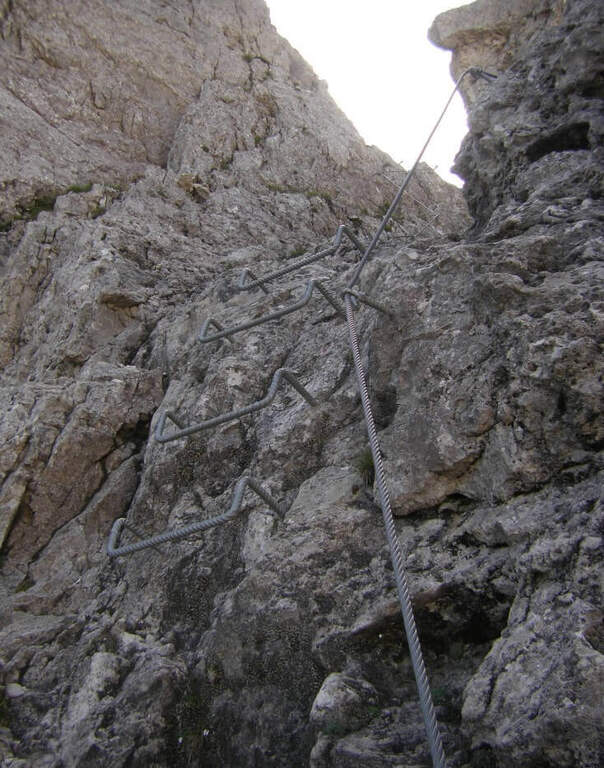
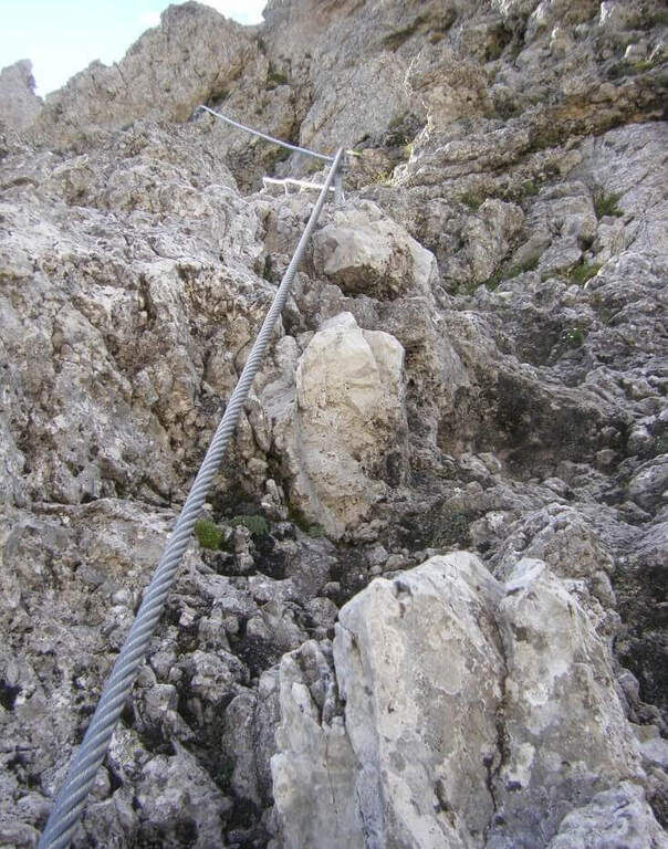
    The equipped stretch begins with an exposed traverse, the “Salto del Gatto”, where a wire rope with black sheath helps to pass in greater safety until the beginning of a rocky canal to rise. After the canal you arrive at the Wind Mouth (2065 m), from which you can finally see the top of the South Grim. Continue along the ridge of path 1 to the west, ignoring the path that on the right descends along the steep Canalino of the Federation; after the fork there is about ten minutes to the summit, to be earned going up the last stretch equipped with big chains: a series of small rocks and a last exposed wall lead to Bivacco Ferrario and the summit cross (45′ from the Salto del Gatto, 2h45 overall).

    ▲Character and difficulty

    Two points deserve attention along the way: the “Salto del Gatto” and the last equipped stretch that leads to the top. They are not difficult steps, but are exposed and require a minimum of experience.

    ⚠ The last stretch towards the cross is very exposed, although with technical difficulties contained: firm foot and a minimum of habit to the equipped paths.
    ▲Period and safety

    High mountain summer itinerary in the Grigne (max. 2177 m). The exposure of the equipped sections requires attention, especially with wet rock.

    ▲Discipline

    From the South Grigna the most used way to return to the Rifugio Carlo Porta is the path 7 along the Cresta Cermenati: not difficult, but generally quite crowded and a little slippery. In about 1h30 he returns to the refuge (4h total).

    ▲To match

    You can combine in a long ring with the Sentiero Attrezzato Cecilia towards the Rosalba refuge, then descending to the Resinelli plains with the Foppe Path. For a multi-day itinerary towards the North Sea you can evaluate the Ferrata del CAI Mandello.

    ▲Gallery
    Technical data
    • DifficultyModerately Hard
    • RegionLombardy
    • GroupGrims
    • Approach2:00 h
    • Ferrata0:45 h
    • Itinerary (a/r)4:00 h
    • Hardware level difference123 m
    • Route difference629 m
    • Max2177 m
    • Length6 Km
  • Sentiero Attrezzato della Cresta Giumenta al Monte Magnodeno

    Sentiero Attrezzato della Cresta Giumenta al Monte Magnodeno

    Vie Ferrate › Lombardia › Lecco
    Sentiero Attrezzato della Cresta Giumenta al Monte Magnodeno

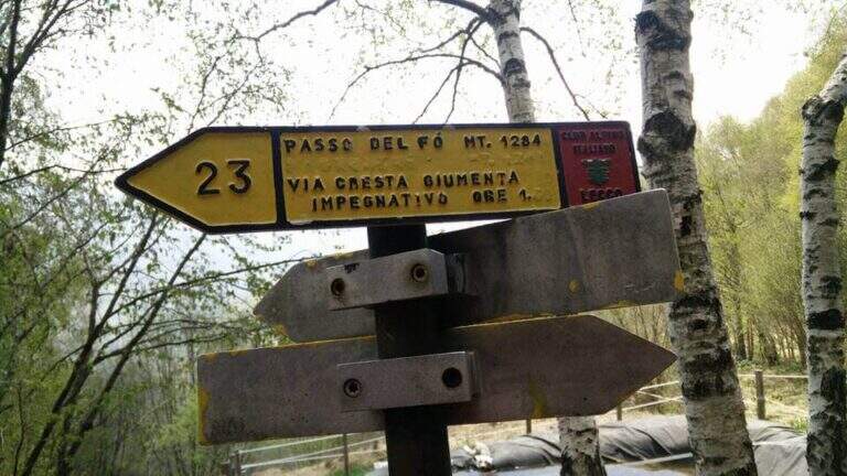
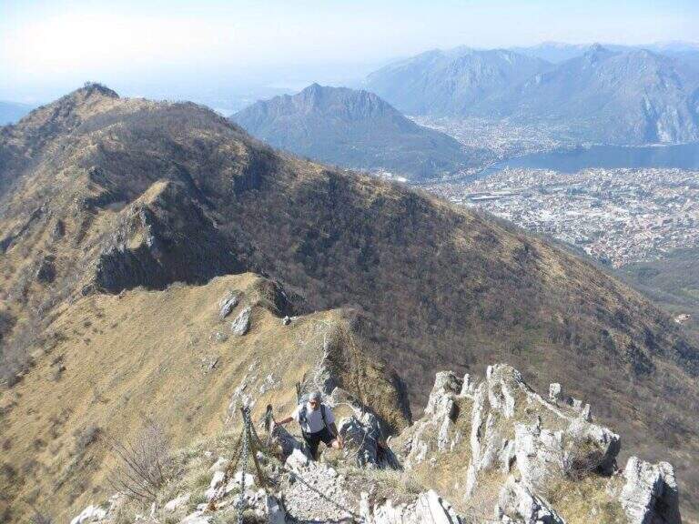
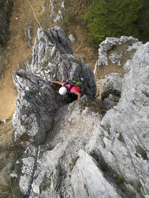
    The Path Attrezza della Cresta Giumenta is a scenic ridge route that winds between Monte Magnodeno and Passo Fò, under the Resegone. It is very panoramic and in some sections exposed, but protected with chains for self insurance. You can walk in both ways: in the direction of Magnodeno – Passo Fò is easier, because the most challenging stretches face uphill.

    ▲Approach

    From the large square of the cable car to Piani d’Erna, in Lecco. Arrived in Lecco from the highway that connects the city with Ballabio and Valtellina, at the exit of a gallery take the exit with the clear indications for “Piani d’Erna” and climbs between hairpins to the square (open up Google Maps). The path connects Passo Fò (Monzesi/Ghislandi Alpine bivouac) to Monte Magnodeno (Magnodeno bivouac). To start from the Magnodeno, from the parking lot take the path 1 towards the Stoppani refuge: after about 30 minutes, at a crossroad where on the left continues the path 1 (Rifugio Stoppani), you keep the right towards the Azzoni refuge and Campo de Boi; further on, to another crossroad where on the left the path 1 goes to Erna and to the Azzoni refuge, you go straight on the 25A for the Magnodeno refuge Alternatively, from Passo Fò, you can reach it from the mountain station of the cable car along the path 5 (50′) or from the car park following path 1 to the junction with 6 (1h30).

    ▲The path

    We describe the meaning Monte Magnodeno – Passo Fò. From the peak of the Magnodeno you descend a few meters helping with some chains up to a first crossroads for the Alpine hut Monzesi; you continue briefly in that direction up to a fountain with bench, where a signposted crossroad indicates on the left the Cresta di Giumenta. Exit from the wood with a half-coast stretch you reach the beginning sign of the equipped part. It begins with a downhill stretch on slippery rocks, then a second stretch equipped in climbs; therefore a long stretch of crest, not difficult but exposed, with the chain present almost everywhere. Risaled a tower, the crest leads to the most challenging and satisfying section: a series of towers that lead to the Cima del Fò, partly laughtered and partly wandered with the help of the chain and, in some cases, of the rope with sheath; stand out a couple of small walls, short but more climbing than the rest. At the end of an exposed tower you return to the crest until a first technically more difficult canal; a climb between towers and saddles engages for 10-15 minutes until the Cima Fò with its cross (1348 m), from which is clearly visible the Azzoni refuge in the summit of Resegone. From the top you go down to a saddle where, on the right, you start a way of escape that avoids the last difficult stretches, while on the left continues the equipped; staying on the crest you get to the key passage, a channel that climbing takes the look of a fireplace, to rise for about ten meters. Finally, there are a few short rocky pillars up to the monument to the Falls of the Mountain and then to the Passo Fò (1284 m, 1h30 from the attack, 3h30 overall), under the bastion on which the Ferrata del Centenario and the Sentiero Attrezzato del Caminetto, natural continuations of the route.

    ▲Character and difficulty

    Although it is not difficult, some stretches are exposed and, if you go downhill, require attention: for this the Magnodeno sense – Passo Fò, which faces uphill the most challenging steps. The chain, present along almost all the way, allows a comfortable self insurance; the more technical points are a canal and the fireplace of the key passage.

    ⚠ It grows panoramic but exposed, with some stretches on slippery rock: steady foot and attention, especially in the steps facing downhill.
    ▲Period and safety

    Itinerary for the hiking season (max. 1348 m). The development is long and ridge: it serves good management of the step in the exposed sections and a minimum of habit to the equipped excursions.

    ▲Discipline

    The descent depends on the chosen direction: you can use the other of the two approaching options as a way back to the end of the path, reducing the time needed by a 20% indicative.

    ▲To match

    At Passo Fò the path naturally connects to the bastion of the Resegone, where the Ferrata del Centenario e il Sentiero Attrezzato del Caminetto, its ideal continuations.

    ▲Gallery
    Technical data
    • DifficultyEasy
    • RegionLombardy
    • GroupResegone
    • Approach2:00 h
    • Ferrata1:30 h
    • Itinerary (a/r)5:00 h
    • Hardware level difference200 m
    • Route difference850 m
    • Max1348 m
    • Length9,8 Km
  • Sentiero Attrezzato delle Cavre (Scaloni e Anglone)

    Sentiero Attrezzato delle Cavre (Scaloni e Anglone)

    Vie Ferrate › Trentino-Alto Adige › Trento
    Sentiero Attrezzato delle Cavre (Scaloni e Anglone)

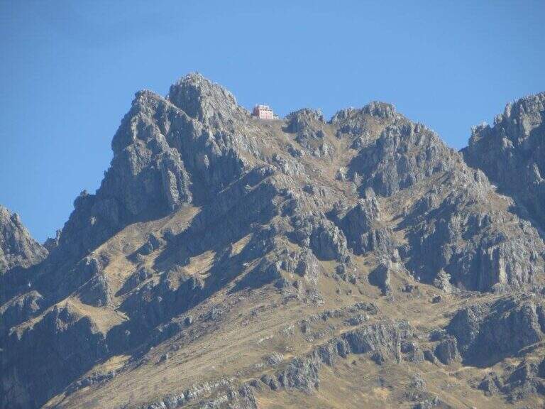
    The Path Attrezzato delle Cavre is a ring that cooks together two equipped sections — the Path of the Scaloni and the Path of the Anglon — connected up from a panoramic stretch. Easy, exposed and very well equipped, it is one of the ideal itineraries for those who are at first experiences. The low altitude, near Arco, makes it accessible all year round, with the only shortness to avoid it in the hottest hours.
    ▲Approach

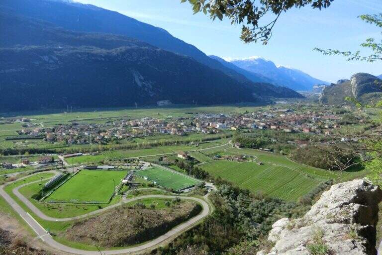
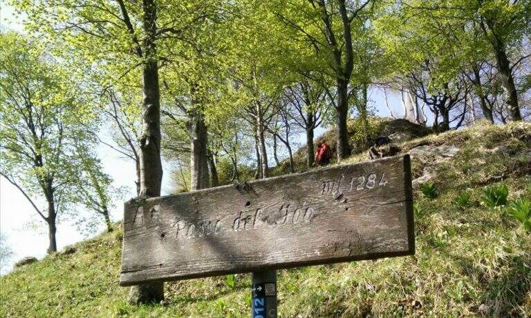
    From the village of Ceniga, near Arco (TN). Coming from Arco, turn left from the state towards the center of the village; at the height of Via del Ponte, on the right, there is a large parking lot where to leave the car (open up Google Maps). From the parking lot you go up Via del Ponte on the opposite side of the road towards the Roman Bridge and, crossing it, you pass on the opposite bank of the Sarca River. The right is held and you will soon meet a CAI pole with the indication of the Attrezzato Path of the Scaloni; following the paline you climb on a rocky bottom until the attack of the first stretch (30′ from the parking lot).

    ▲The path

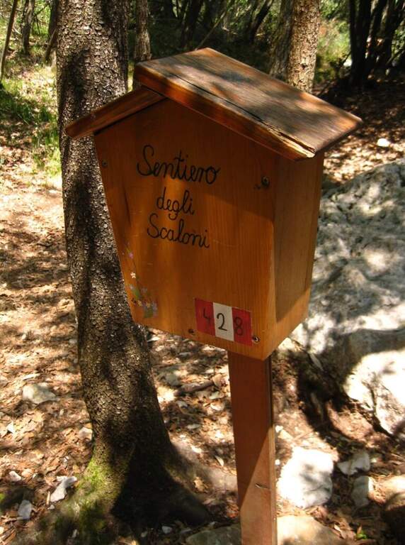
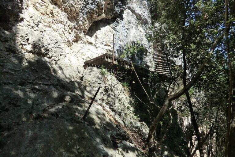
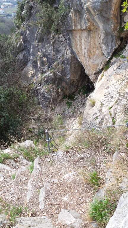
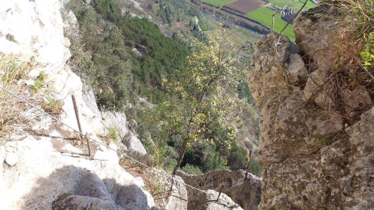
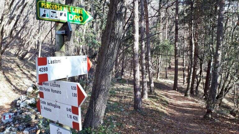
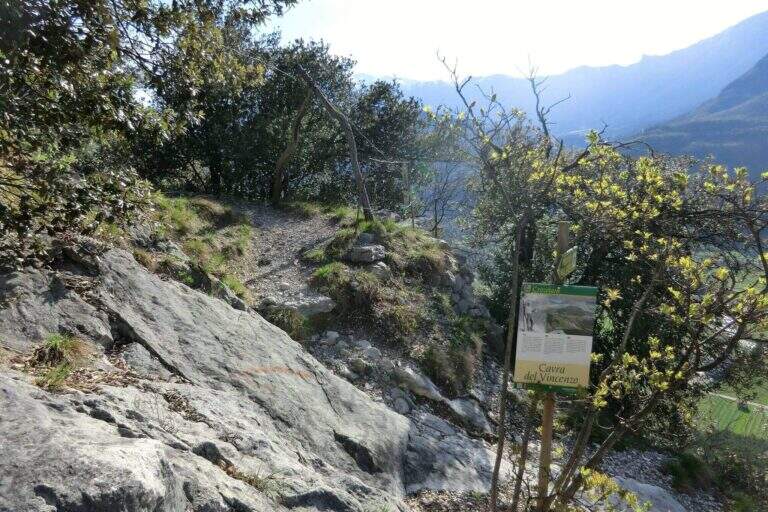
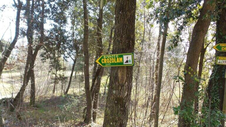
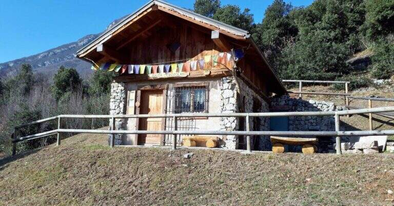
    The Path of the Scaloni rises diagonally on easy rocks and leads to a terrosa nod that continues to the left, equipped, with exposed traits and more steep; a short bridge over a gap and you get to the most characteristic section, from which the path takes the name. Under an imposing wall a staircase with metal base and wooden steps rises diagonally, first to the right and then to the left, earning altitude and exposure without any real difficulty. At the top of the staircase you face a sloped plaque with artificial steps made in the rock and rope on the left; you continue on a stretch of path equipped up to a sloped ramp with stone steps, exposed but easy. You go uphill to the left some small rocks and end the Scaloni at the wooden box with the signature book and the red sign (30′ from the attack, 1h from the parking lot). From here we go north/north-west to the Dos Tondo, where the path 428B begins; we ignore the crossroads on the left for the church of Sant’Antonio (CAI 408). The 428B, a true Cavre path, runs halfway towards the Bivacco Crozolam; from the bivouac it continues to the north ignoring the forest and follows for Dro up to a crossroads where, while the CAI 425 continues to the left, you go down to the right to intercept the Anglone Path (1h from the end of the Scaloni, 2h overall). The Anglone has exposed hinges equipped and stretches put in safety especially for bad weather: the upper part is definitely easy, while the second one is steeper and includes a tilted plate to be dropped with caution using the equipment to make adherence. You get to a canal with rock steps and equipped rocks — the most exposed point, which requires only a firm foot — and finally to a last nod dug in the rock that slopes steeply in the meadows, up to the houses of Dro and an asphalt road (45′ from the attack of the Anglo, 2h45 overall).

    ▲Character and difficulty

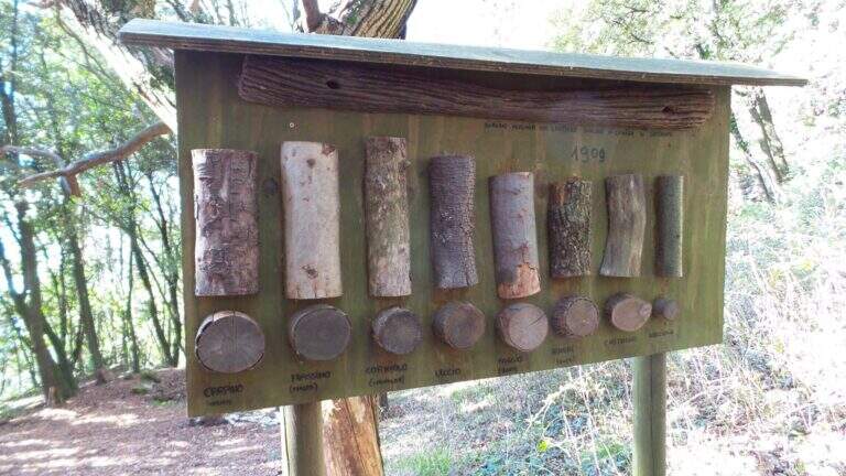
    The ring consists of two equipped sections, one uphill route and one downhill, but nothing prohibits facing them in both directions. It is suitable for neophytes, without particular technical difficulties, with abundant equipment and in good state of maintenance. Historical curiosity: the Path of the Scaloni dates back to 1909 as a military route of the Austrian soldiers.

    ⚠ Low altitude: in warm months it should be avoided in the central hours of the day. The sloped plate downhill on the Anglone requires attention, especially if wet.
    ▲Period and safety

    Throughout the year thanks to the quota (514 m). Although without technical difficulties, some sections on census are exposed: it serves steady step and constant attention.

    ▲Discipline

    From the end of the Anglone follow the CAI 425 path southwards, which runs on a little busy paved road, to the Roman Bridge and back to the parking lot (30′ from the end of the Anglone, 3h15 total).

    ▲To match

    Starting early in the morning, time and energy remain to concatenate a second itinerary of the area: easy Ferrata Colodri to Arco or Ferrata di Rio Sallagoni in Castel Drena. Moving to Fiavè you will find Ferrata di Ballino to the falls and, stretching a little, the Ferrata di Preore.

    ▲Gallery
    Technical data
    • DifficultyEasy
    • RegionTrentino-Alto Adige
    • GroupValle del Sarca
    • Approach0:30 h
    • Ferrata2:15 h
    • Itinerary (a/r)3:15 h
    • Hardware level difference390 m
    • Route difference400 m
    • Max514 m
    • Length6 Km
  • Ferrata Vigneron in Caspoggio

    Ferrata Vigneron in Caspoggio

    Vie Ferrate › Lombardy › Sondrio
    Ferrata Vigneron in Caspoggio
    Moderately Hard● OpenDescriptionComplexityMapsGallery

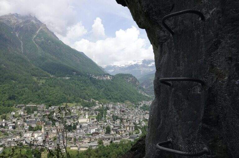
    La Ferrata Vigneron in Caspoggio (Valmalenco, Sondrio) è un via «alla Francese», athletic, vertical and exposed but without particular difficulties; techniques: it goes up long plates abundantly equipped with brackets and rope very tense, and gives a ponte tibetano and spectacular views of the valley.

    ▲Approach

    You leave at the resort "Castello" in Caspoggio (SO): you park near the roundabout on the provincial road of Valmalenco (or at the parking lot of the first bend for Caspoggio). Open road signs on Google Maps. You climb the town for about 150 m to the hairpin bend; over a large boulder a first sign indicates the path to the crag « The Castle » and a second l' attack of the ferrata, on the southern edge of the cliff ( approximately 10' from'auto).

    ▲The path

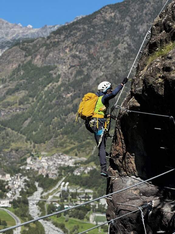
    It begins with a wall with almost vertical leaps that oblique to the left, then a wall leads to the large end of the first section. An easy crossing north leads to the second section, più long: vertical balzes and leans up to an almost vertical ramp, a short traverse and an air passage between edge and dihedron overlooking Primolo. After a resting edge you reach the più tract; vertical, the muro of Old England, overhanging for a few meters all' start (athletic and exposed pass) and then vertical. The oblique street on the left until the ponte tibetano (about 12 meters), which ends with a short vertical wall very airy and a panoramic edge on the Valmalenco Church; who wants to avoid the può bridge; bypass it on the right on the nod. It follows another long wall, at some point vertical and exposed, then the ferrata is lowered and by line of life on a well-equipped path you will arrive at the end (1h 45' from' attack, about 2h totali), overlooking the Pizzo Scalino and Caspoggio.

    ▲Character and difficulty

    Vertical and exposed with athletic difficulties but well equipped; the low altitude makes it possible almost all year round except the coldest winter months. Level difference in ferrata 210 m, total 260 m, maximum altitude 1215 m, development 3 km.

    ⚠ The road remains in shadow in the morning and takes little sun d' winter: attention to the possible ice on the path of return and prudence in the forest after the rains.
    ▲Discipline

    Dal boschetto sommitale, a sinistra (nord) un comodo sentiero porta in 10' alla frazione di Santa Elisabetta; prima delle prime villette si vira a sinistra (ovest) nel bosco verso Caspoggio, si raggiunge il centro sportivo Zenith e, per via Vanoni e via Burri, si segue verso la frazione Albertazzi fino alla strada dei parcheggi (45' dal termine, circa 3h totali).

    ▲To match

    In Valmalenco you can match the Ferrata al Torrione Porro above Clarification.

    ▲Gallery
    Technical data
    • DifficultyModerately Hard
    • RegionLombardy
    • GroupValmale
    • Approach0:10 h
    • Ferrata2:00 h
    • Itinerary (a/r)3:00 h
    • Hardware level difference210 m
    • Route difference260 m
    • Max1215 m
    • Length3 Km
  • Ferrata Cesco Tomaselli in Cima Fanes

    Ferrata Cesco Tomaselli in Cima Fanes

    Vie Ferrate › Veneto › Belluno
    Ferrata Cesco Tomaselli in Cima Fanes
    Very difficult● OpenDescriptionComplexityMapsGallery

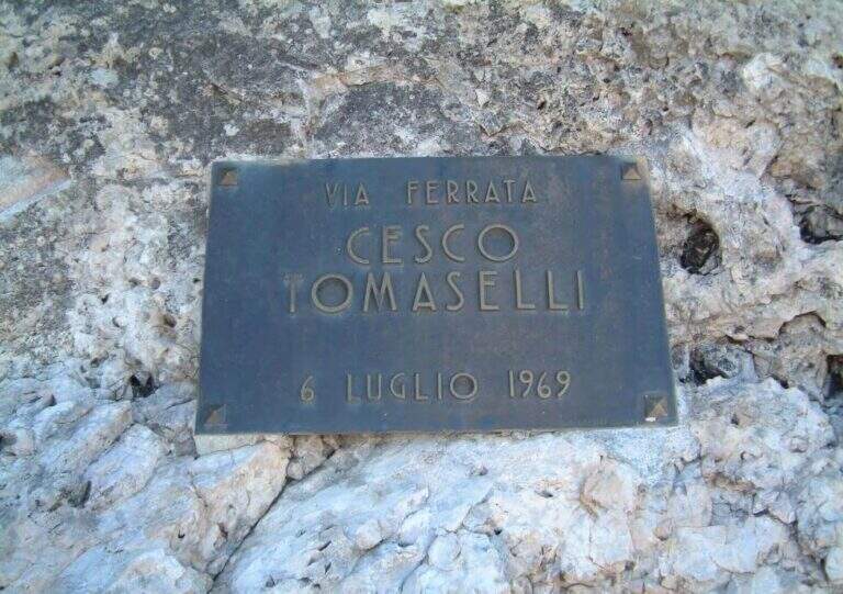
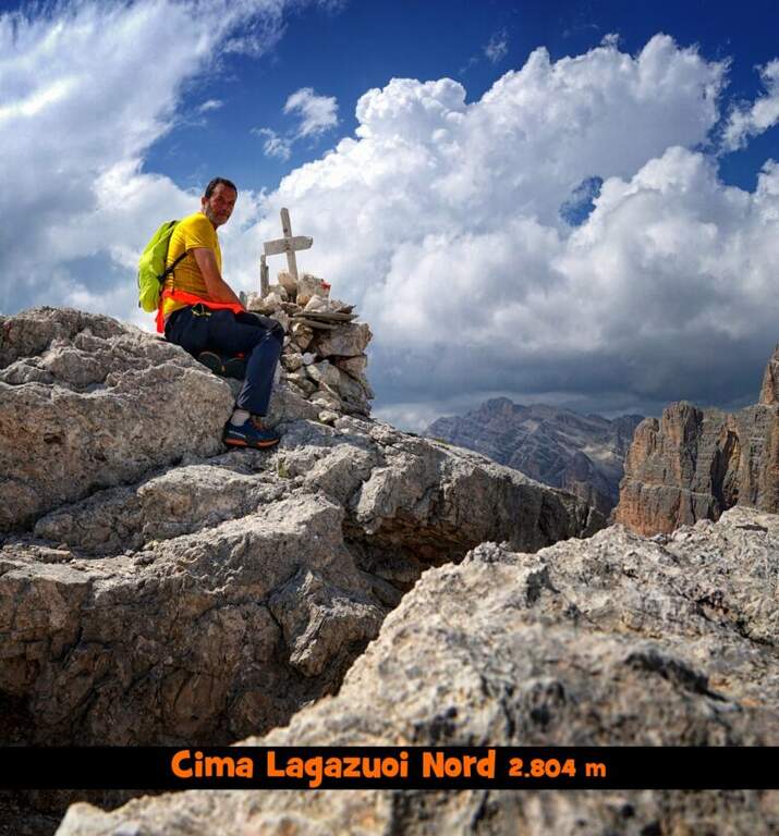
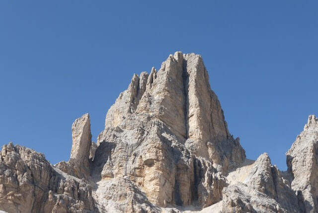
    La Ferrata Cesco Tomaselli climbs the west wall of the Punta di Fanes Sud: a vertical, demanding way, with exposed and technically difficult passages. It is short but very intense, with a series of athletic passages that require experience and strength; from the summit the panorama spans the Tofane and the Dolomites of Badia.

    ▲Approach

    The più mode; quick & free; climb to the Passo Falzarego (2105 m) and take the cable car to the Lagazuoi Refuge. Open road signs on Google Maps. From the mountain station (2752 m) descend north with trail 401 towards the Forcella Lagazuoi (2573 m, 15'); the left on the trail 20 in falsepiano, then to the right the 20B halfway on the west wall of the Great Lagazuoi to the site of the 'ex Bivacco della Chiesa (2655 m, 1h from the refuge), now dismantled. From here, già visible l' attack, a track north leads under the wall all' attack (1h 15' totali).

    ▲The path

    Il key passage is immediately to attack: after the first easy meters you face a traverse that climbs diagonally on a polished wall, then obliges you to descend 2-3 meters very exposed, a horizontal traverse on smooth rock and a 4-5 meters lift; selective and poor stretches of hooks, to walk decided not to fatigue your arms. On a terrace there is a breath and a vertical and exposed wall of about twenty meters, più perched on the top, up to a detritic terrace. A section of exposed and unprotected path and a nod with ups and downs lead to ' start of the second section equipped: horizontal nod, stepped rocks, un' another nod exposed to the right, you get around a corner and you reach the terza section (attention not to follow the left the Ferrata at Cengia Veronesi). There is an entangled plaque, then vertical passages sometimes assisted by pioli, up to the characteristic long dihedron equipped along a deep crack: the first vertical and poor feet of hooks are passed tractioning on the cable, then the rope crosses the dihedron (uses a comfortable right bracket) and continues air to a pulpit in fork. Two very exposed plates, first vertical then diagonal, and a short ridge lead to the summit at Cima Fanes Sud (2960 m, 1h 45' from the attack, 3h from Lagazuoi), with 360° view.

    ▲Character and difficulty

    Vertical and exposed, athletic, with thick rock: the initial traverse and the long dihedron are the most selective traits. Level difference in ferrata 326 m, maximum altitude 2980 m, development 7.5 km.

    ⚠ Also the discesa è a challenging ferrata, with vertical balconies, a slightly overhanging traverse and the descent of a fireplace: it should be faced carefully. Reserved for experienced and trained drivers.
    ▲Discipline

    Dalla vetta si prosegue a nord-est e si scende per una via ferrata di discesa impegnativa: balzi verticali da studiare, un traverso con breve passaggio strapiombante e la discesa di un camino (staffa provvidenziale a metà), poi una cengia e gli ultimi metri verticali fino al canalone che porta al Bivacco della Chiesa (45' dalla vetta, 3h 45' totali). Da qui, per la funivia, si torna a ritroso al Rifugio Lagazuoi (45', 4h 30' totali); in alternativa si tiene la sinistra del crinale verso la Forcella Travenanzes e si scende al Passo Falzarego tra i resti della Grande Guerra (1h 15' dal termine della discesa attrezzata, circa 5h totali).

    ▲To match

    From Falzarego and Lagazuoi: the Kaiserjager Trail, la Ferrata Fusetti at Sas de Stria, la Alpine Brigade at the Col dei Bos; towards Cortina la Ferrata dell'Averau and on the Tofana of Rozes la Ferrata Lipella.

    ▲Gallery
    Technical data
    • DifficultyVery difficult
    • RegionVeneto
    • GroupFanes
    • Approach1:15 h
    • Ferrata1:45 h
    • Itinerary (a/r)4:30 h
    • Hardware level difference326 m
    • Route difference326 m
    • Max2980 m
    • Length7,5 Km
  • Ferrata Salemm (Dolomiti Lucane)

    Ferrata Salemm (Dolomiti Lucane)

    Vie Ferrate › Basilicata › Power
    Ferrata Salemm (Dolomiti Lucane)
    Moderately Hard● OpenDescriptionComplexityMapsGallery

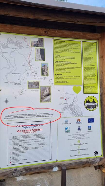
    . Seasonal closure. For on-site sign the Ferrata Salemm non è from 1° February to 31 May: program l' exit out of this period and respect the signs.

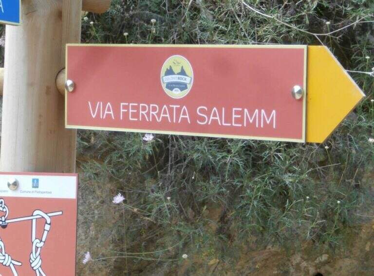
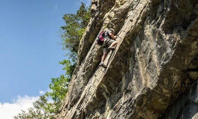
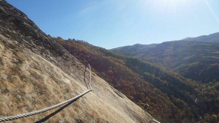
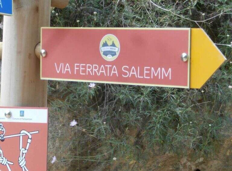
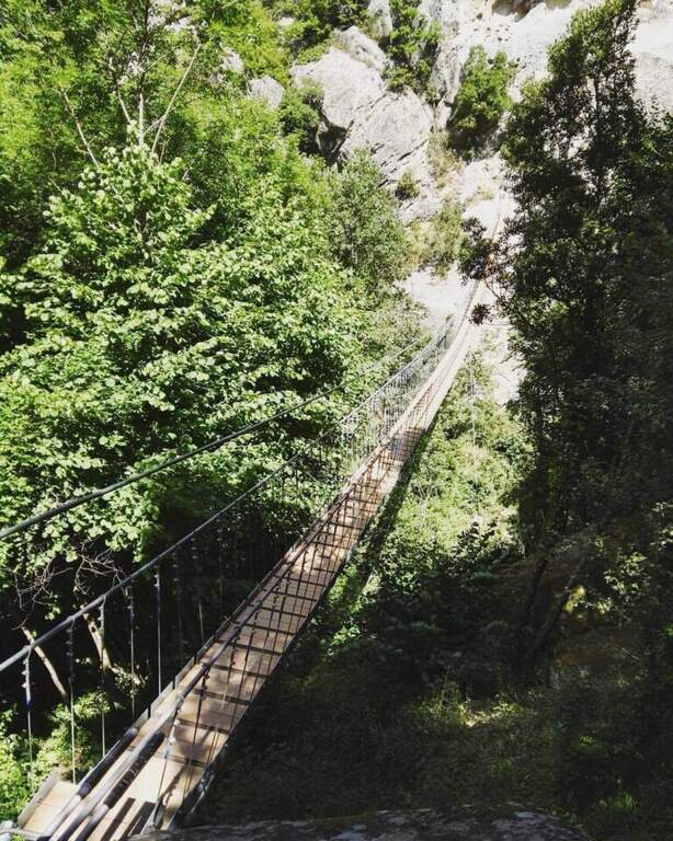
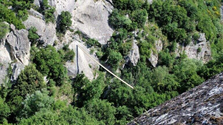
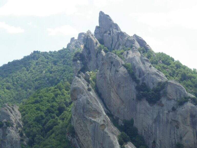
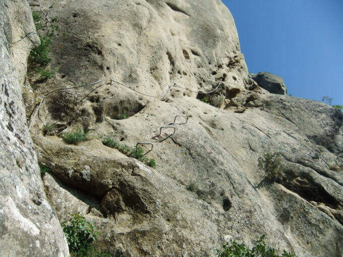
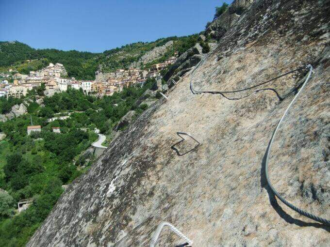
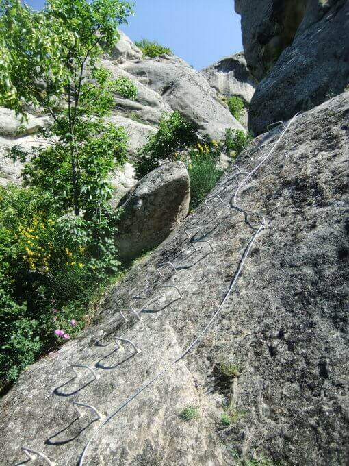
    The Ferrata Salemm ` a difficult way; moderate in the Dolomiti Lucane, on the side of Castelmezzano. It unfolds in a spectacular setting of sandstone gushes and is può chainring with the nearby Ferrata Marcirosa, which starts from the side of Pietrapertosa.

    ▲Approach

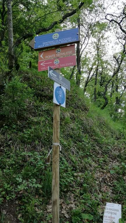
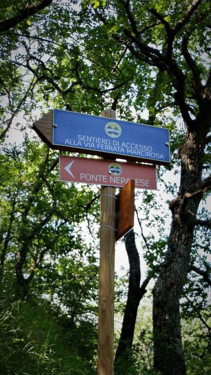
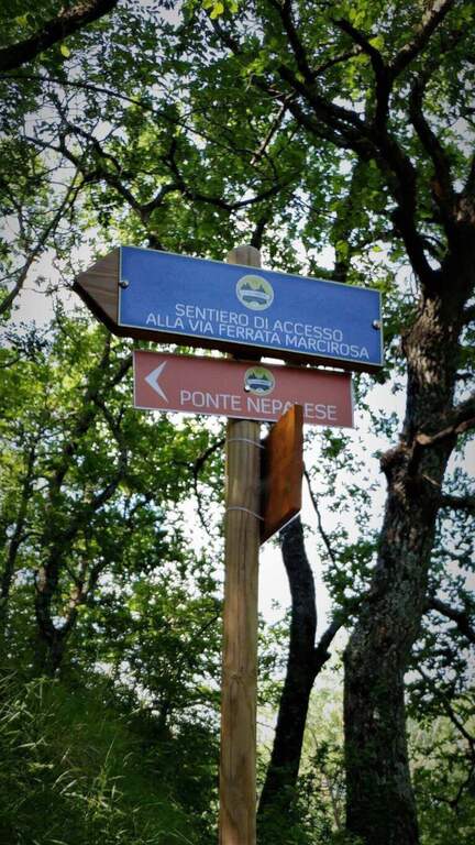
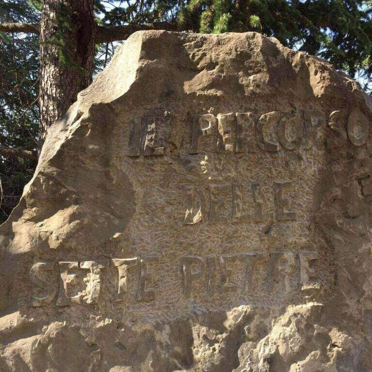
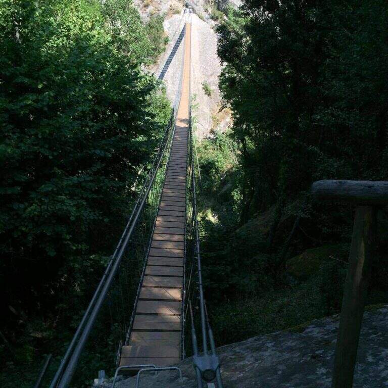
    Starting point Castelmezzano (PZ), reachable from Potenza (SP 13) or from the Apulian side. You park at the cimitero and take the Sentiero delle Sette Pietre towards the Roman bridge. Open road signs on Google Maps. From the Roman bridge there is the sinistra (and still left at the next junction), along the Caperrino stream on the left side (on the right you would go to the Ferrata Marcirosa and the Nepalese bridge); in about 45' from the bridge you will arrive at ' attack (1h from the Roman bridge). Those who want to walk first the ponte nepalese follows for the Marcirosa and, at a signposted junction, keeps the left towards the long bridge, then a stretch of linking ferrata on the right, with discreet exposure, up to a stone building all' start of the road.

    ▲The path

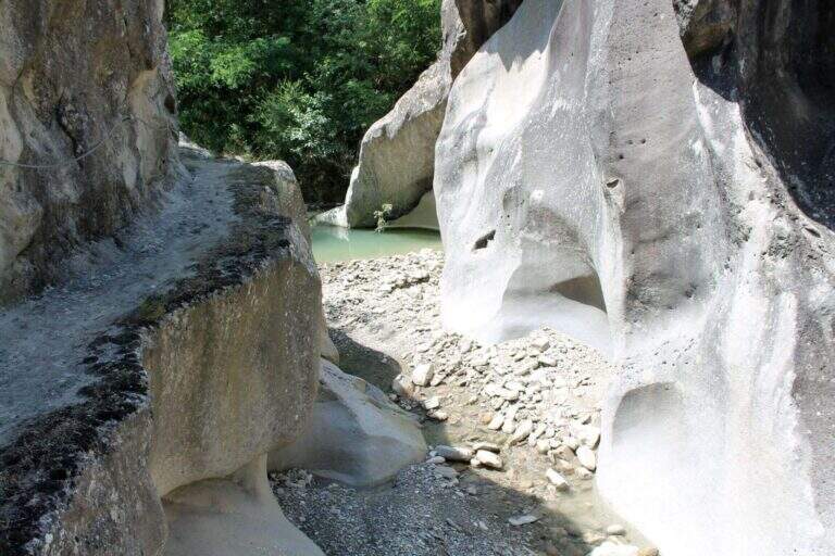
    Dopo qualche facile tratto di sentiero attrezzato si incontra una parete appoggiata con abbondanti cambre; ci si sposta a sinistra e si sale una parete verticale ben staffata fino a una rampa inclinata a sinistra, un facile canalino e qualche placchetta. Si prosegue su placche appoggiate verso un rilievo, poi, dopo un tratto di sentiero, si affronta una parete liscia e verticale con un esposto traverso orizzontale a sinistra, che termina in discesa su sentiero. Si sale un breve balzo, si passa sotto un masso appoggiato e si percorre un'affilata cresta in discesa, con traversi e balzi, fino alla chiesetta del Santo Sepolcro, dove c'è una via di fuga segnalata. La via prosegue verso Castelmezzano con un bel traverso orizzontale, impegnativo, lungo una gola rocciosa, con staffe e pioli per mani e piedi: lo si percorre in discesa, prima sotto un tetto poi in crescente esposizione verso sinistra, con qualche stacco verticale, fino al termine (2h dall'attacco / 3h totali).

    ▲Character and difficulty

    Moderate difficulty in a very panoramic environment. Along the way two marked escape routes.

    ⚠ The rock è particularly friable and poor of stickers: difficult and unsafe after recent rains. In addition to the seasonal closure (1° feb – 31 mag), well evaluate the conditions of the rock.
    ▲Period and safety

    Recommended season summer and autumn (out of the closing period). Avoid with wet rock.

    ▲Discipline

    From the term, a path leads to a dozen minutes on an asphalted road (via Peschiere), on the outskirts of Castelmezzano; from lì you return to the center and you reach the cimitero (30' from road / 45' from term / 3h 45' total).

    ▲To match

    L' più exit; rewarding è l'anello with Ferrata Marcirosa, leaving the car at the cemetery of Castelmezzano: Seven Stones to the Roman bridge, Marcirosa to Pietrapertosa, return to the Roman bridge, crossing the suspended bridge and finally the Salemm to Castelmezzano. About 1h 15' drive, in Sasso di Castalda, la Ferrata dell'Arenazzo e la Ferrata del Belvedere.

    ▲Gallery
    Technical data
    • DifficultyModerately Hard
    • RegionBasilicata
    • GroupDolomiti Lucane
    • Approach1:00 h
    • Ferrata2:00 h
    • Itinerary (a/r)3:45 h
    • Hardware level difference215 m
    • Route difference250 m
    • Max909 m
    • Length2 Km
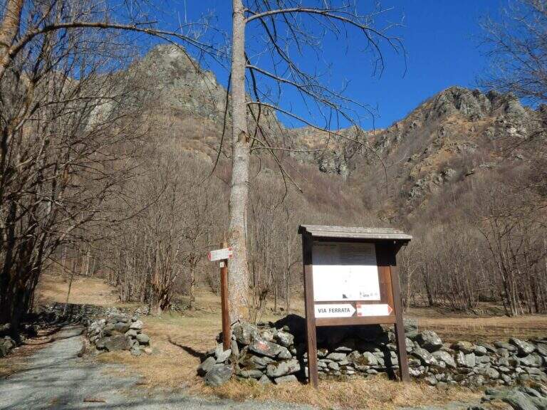
  • Ferrata di Rocca Candelera (Valli di Lanzo)

    Ferrata di Rocca Candelera (Valli di Lanzo)

    Vie Ferrate › Piedmont › Turin
    Ferrata di Rocca Candelera (Valli di Lanzo)

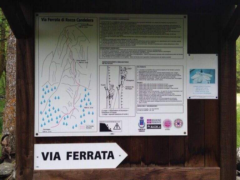
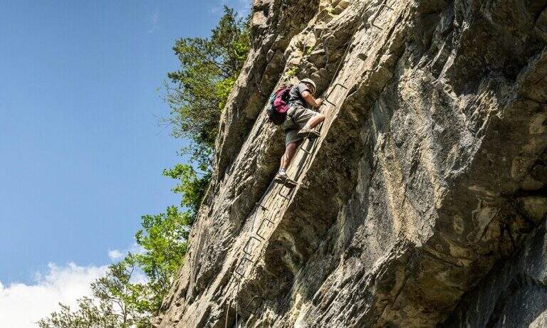
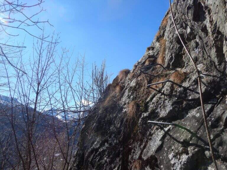
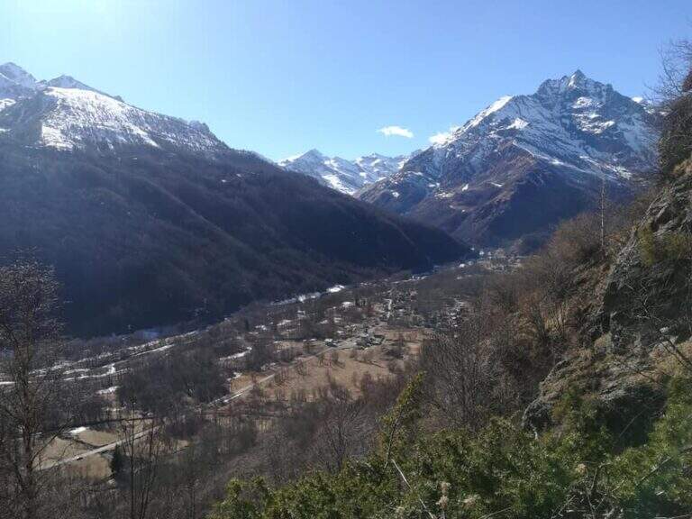
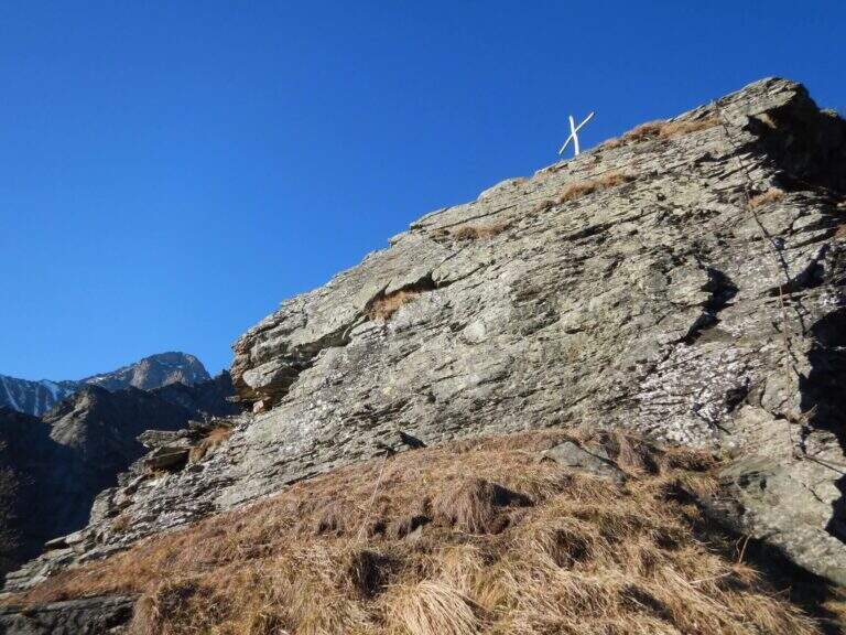
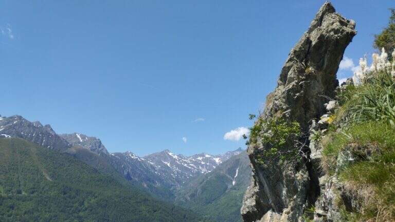
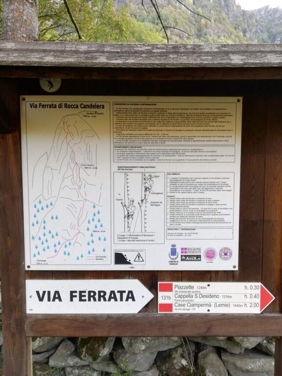
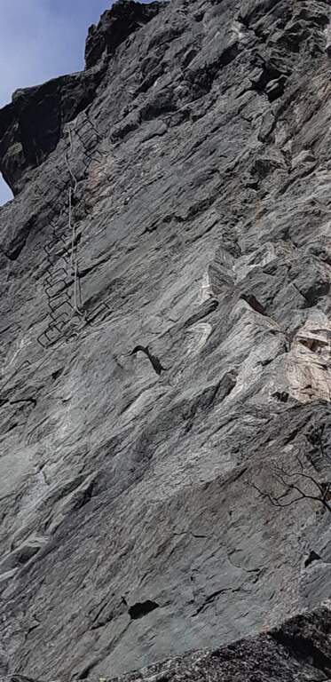
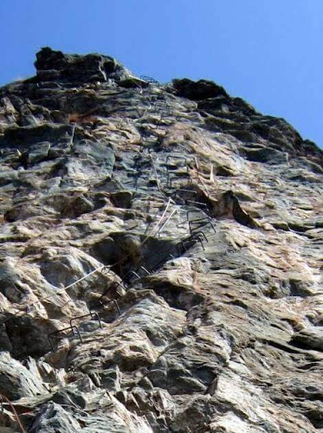
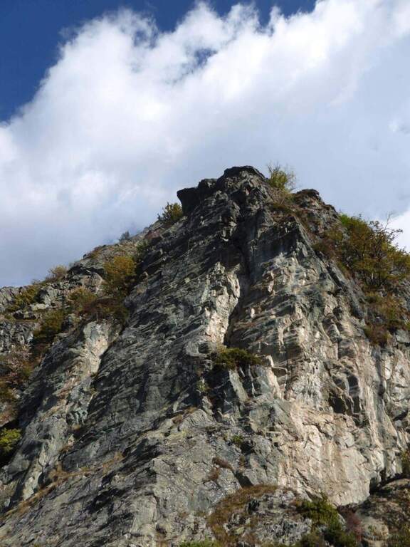
    The new Ferrata di Rocca Candelera rises a rocky counterfeit of the Valli di Lanzo, which rises steeply above the wood and the village of Piazzette. Wild and vertical environment, with a bridge suspended and some overhanging features, on excellent granite rock.

    ▲Approach

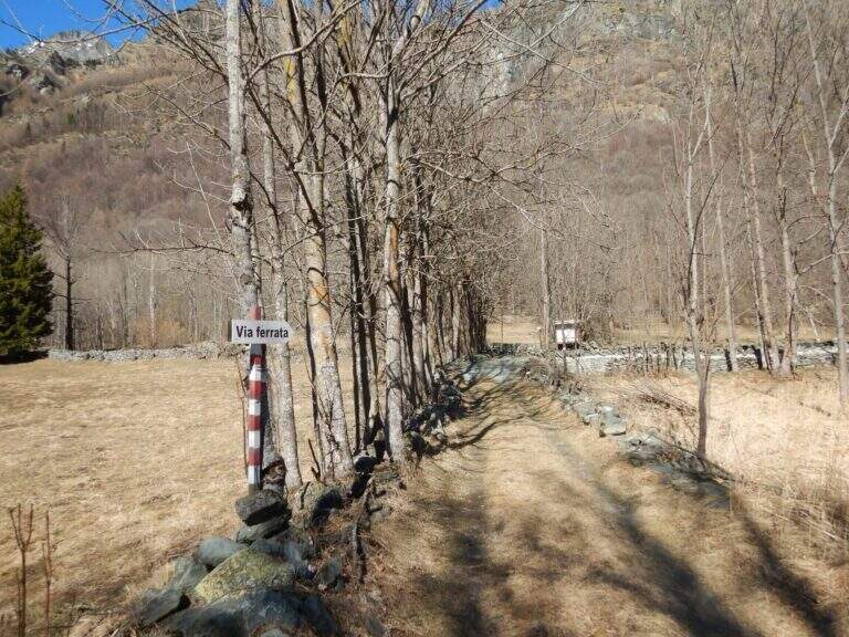
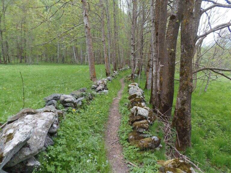
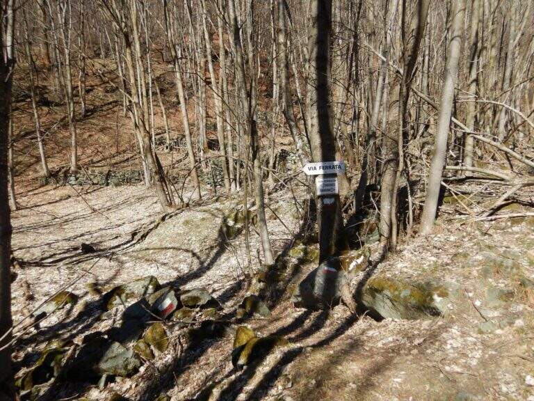
    Starting point the village of Usseglio (TO): just before ' inhabited park at a cava, paying attention to the sign along the road. Open road signs on Google Maps. From the parking lot (bacheca) follow a path that runs along dry walls to a crossroads: on the right the return path, take the sinistra with directions for the ferrata. On the path well marked, along the slope line, you reach the sign d' start (40' from the parking ).

    ▲The path

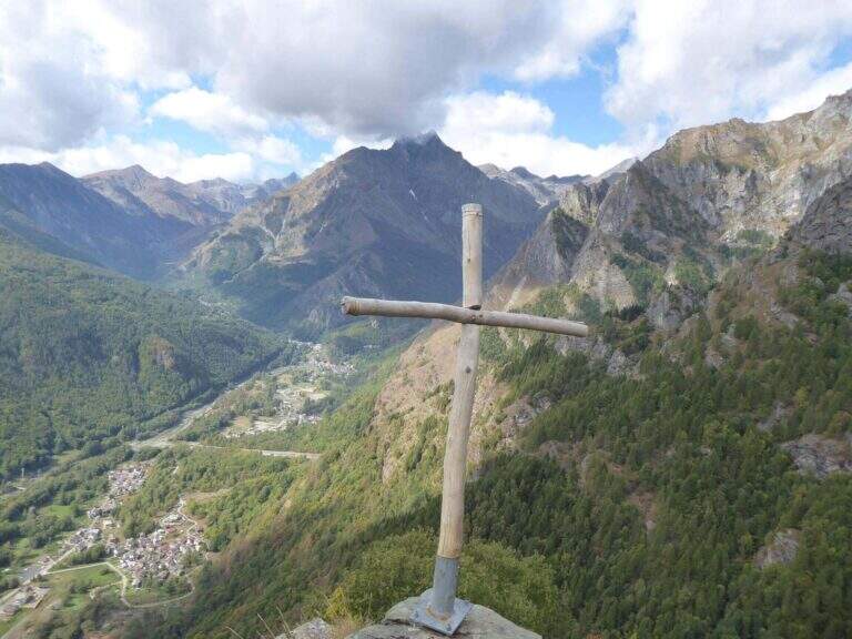
    La prima parte può trarre in inganno: si superano modesti risalti rocciosi e pareti appoggiate con staffe dove serve, alternati a tratti di collegamento, mentre si guadagna quota sulla valle. Si risalgono un paio di paretine di una ventina di metri ciascuna, senza particolari difficoltà, su ottimo granito, fino all'inizio della seconda sezione, decisamente più verticale e impegnativa. Si parte con una placchetta appoggiata senza staffe e si raggiunge la lunga parete che caratterizza la via: si sale in verticale per 30-40 metri — non tecnicamente difficile per l'abbondanza di staffe, ma con qualche leggero strapiombo ed esposizione crescente. Spostandosi gradualmente a destra lungo un bello spigolo, poi un traverso a sinistra, si guadagna un terrazzino; si risale un pulpito senza staffe fino al ponte sospeso a 3 corde, piuttosto stabile. Oltre il ponte si traversa in diagonale a sinistra sotto una lunga placconata grigia attrezzata con staffe: 20 metri verticali, poi a destra sopra una lama, ancora traverso e verticale in forte esposizione verso un tetto roccioso, che si aggira sul lato destro. Un tratto di collegamento panoramico precede una breve paretina e uno spigolo, aggirato a sinistra; si risale un diedro non marcato, una placchetta, un tratto su erba e l'ultima placchetta appoggiata fino alla croce di legno di Rocca Candelera (circa 2h 30' dall'inizio / 3h totali).

    ▲Character and difficulty

    Like many fervent Piedmontese people, they use plenty of staff and equipment, which lowers the degree and makes it accessible to unexperienced hikers of climbing; some overhanging traits remain to be carefully addressed.

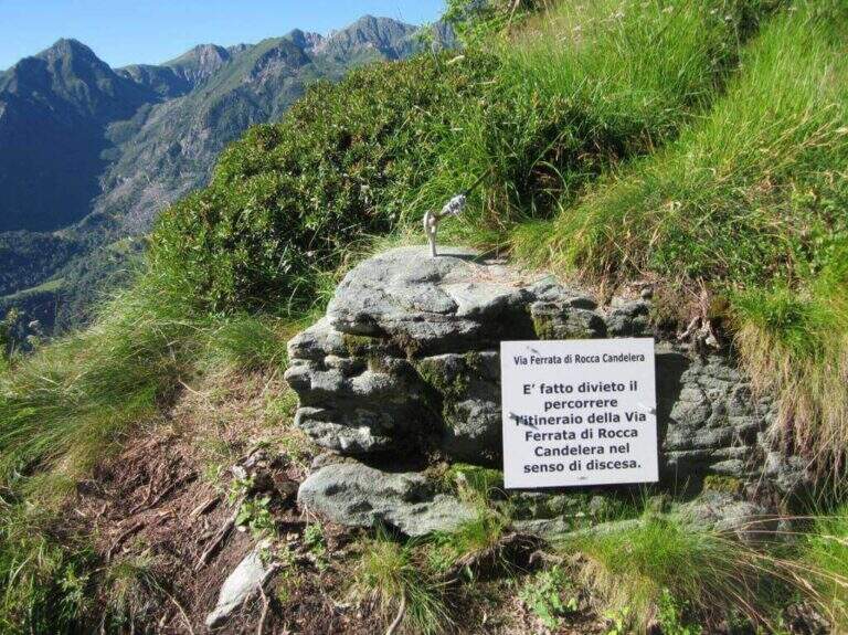
    ⚠ È explicitly forbidden to descend along the via ferrata: you leave only from the summit and you return from the path indicated.
    ▲Period and safety

    Long way: leave now. Season from spring to autumn with dry rock.

    ▲Discipline

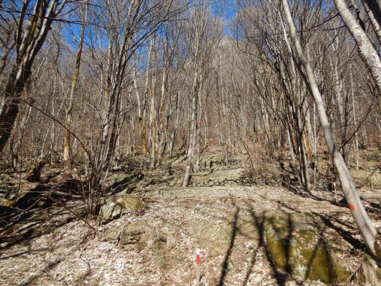
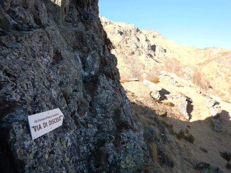
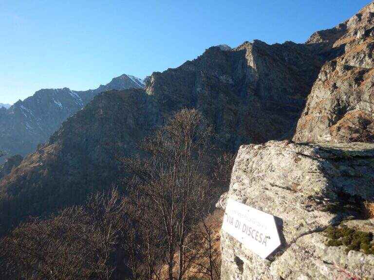
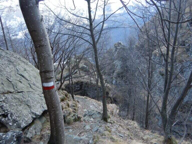
    From the summit you turn to destra along a ridge path to a sign indicating the descent; you go down a steep path with traverse tracts on slippery grass, following the red signs on the trees. Più below the path becomes più easy and brings back to the quarry (1h from the term / 4h 30' total).

    ▲To match

    It is the first ferrata of the Valli di Lanzo; to combine another one in the day, given the length, it is advisable to leave early and choose a way about an hour by car: the Ferrata di Pont Canavese, la Ferrata di Rocca Bianca in Caprie or Ferrata Carlo Giorda.

    ▲Gallery
    Technical data
    • DifficultyHard
    • RegionPiedmont
    • GroupValli di Lanzo
    • Approach0:40 h
    • Ferrata2:30 h
    • Itinerary (a/r)4:30 h
    • Hardware level difference364 m
    • Route difference533 m
    • Max1787 m
    • Length5 Km
Need help? Write to us!