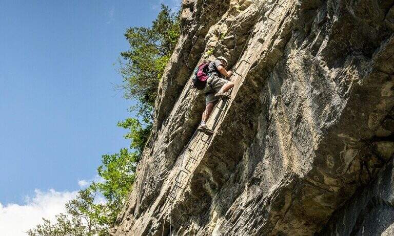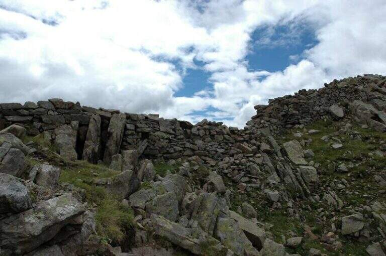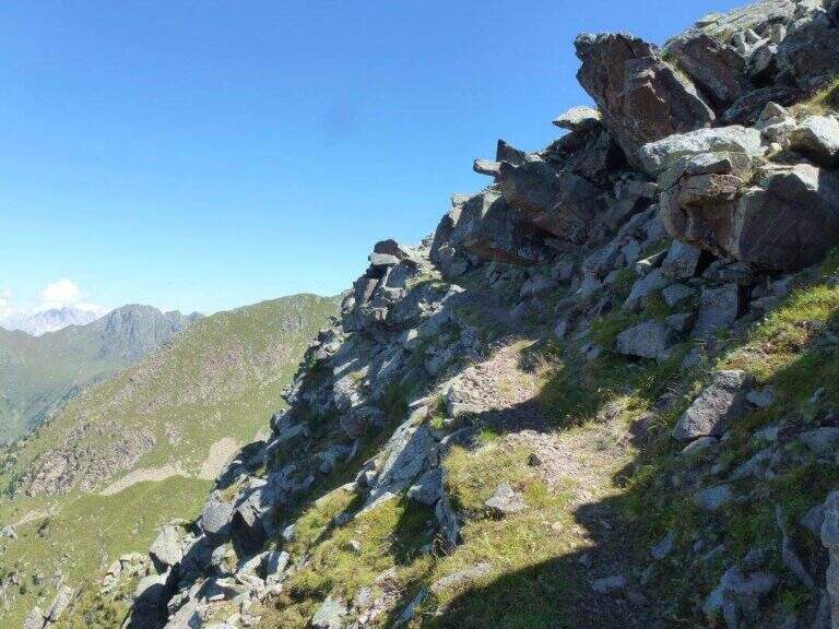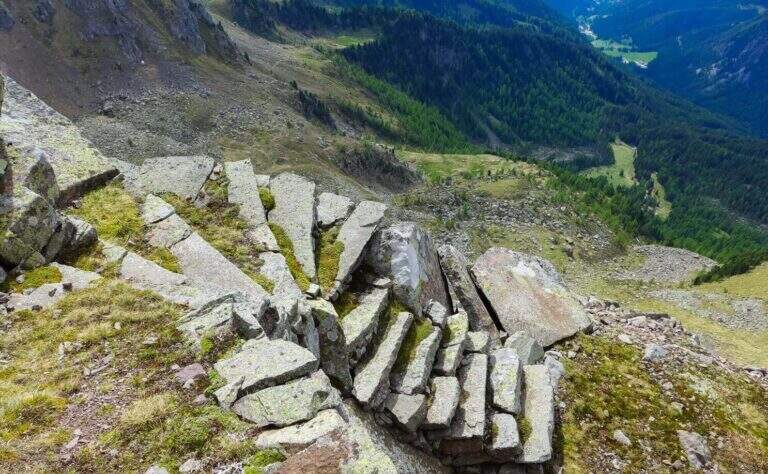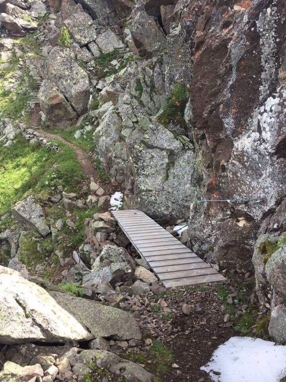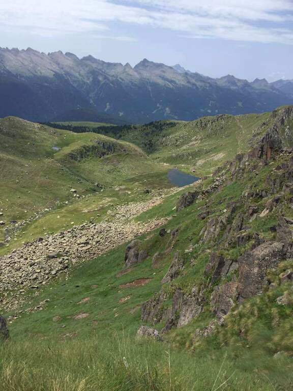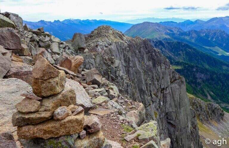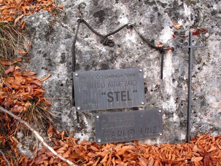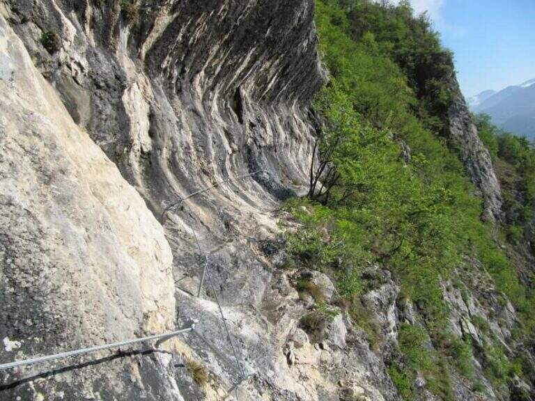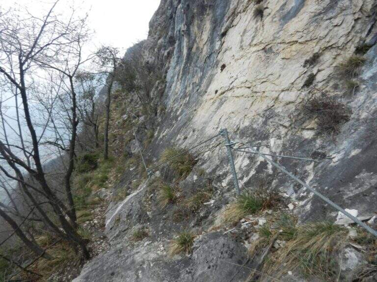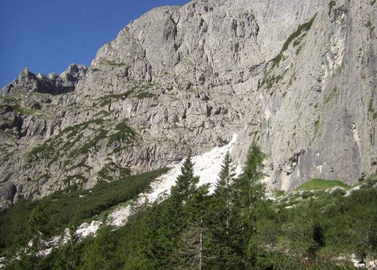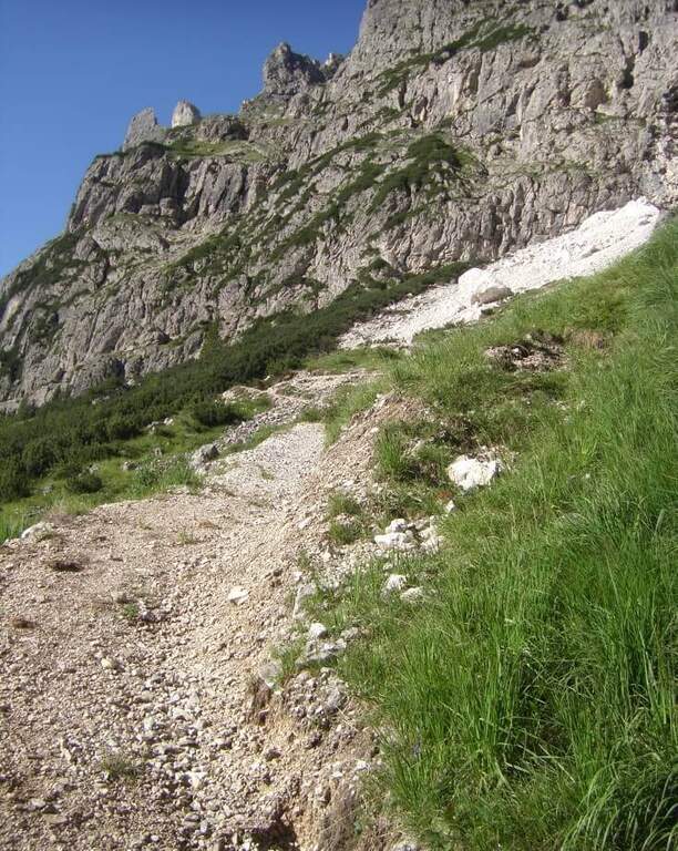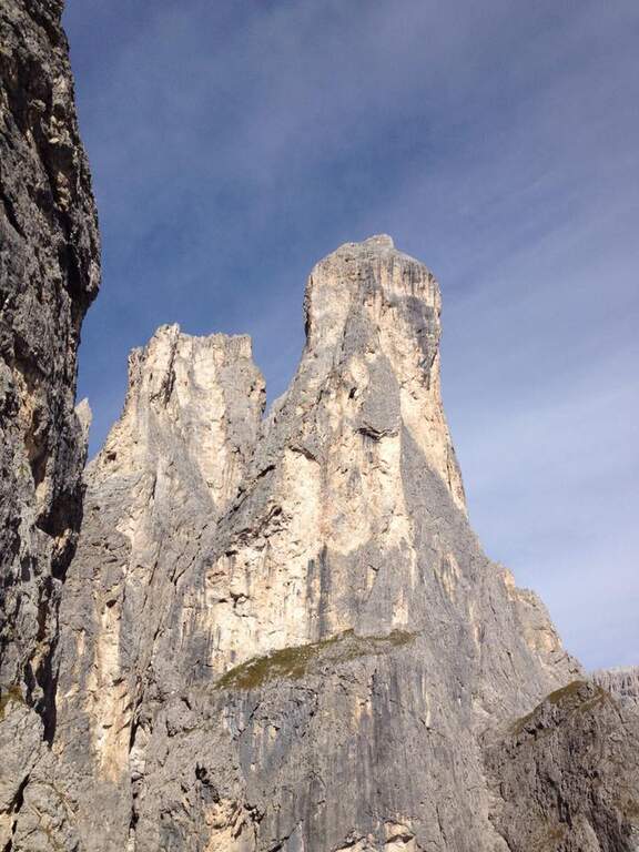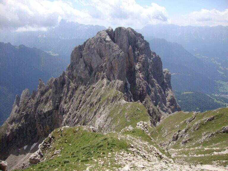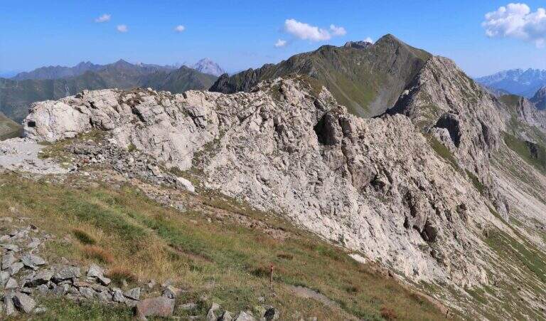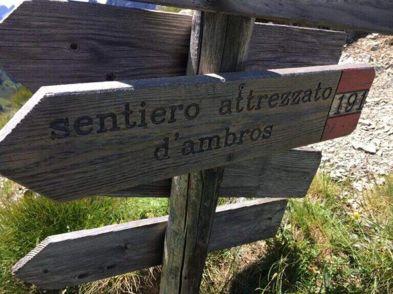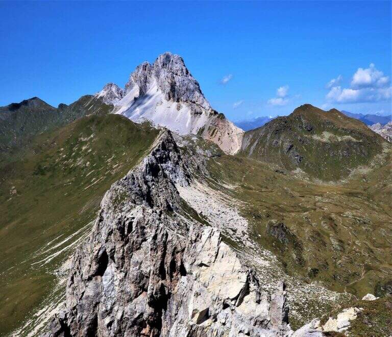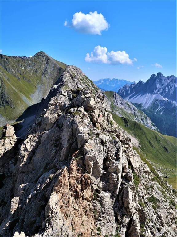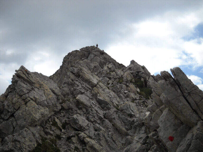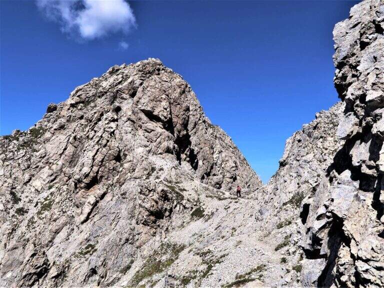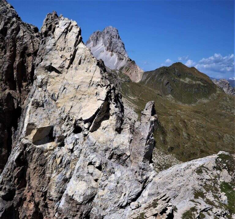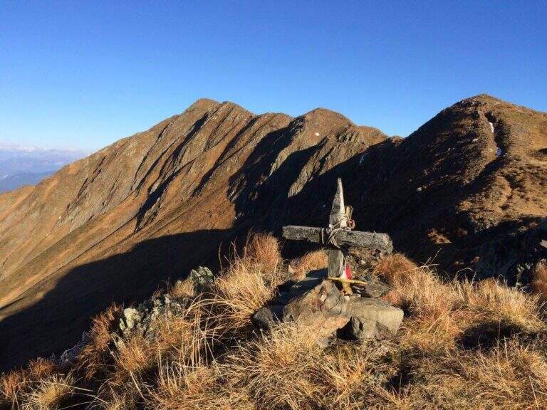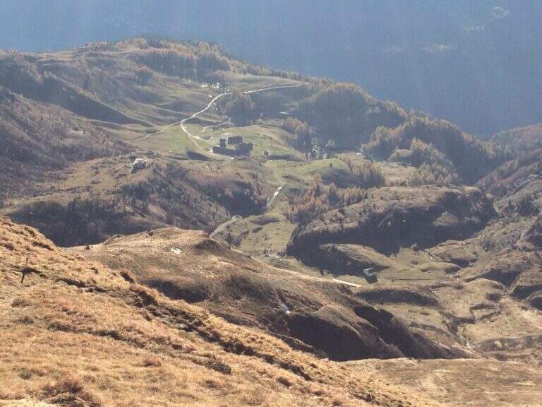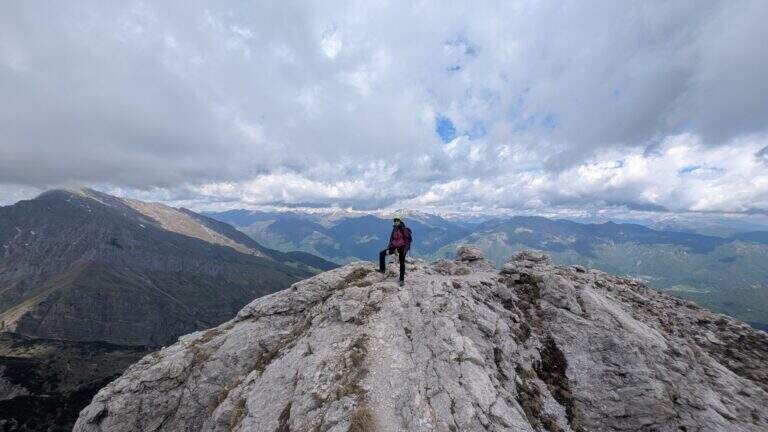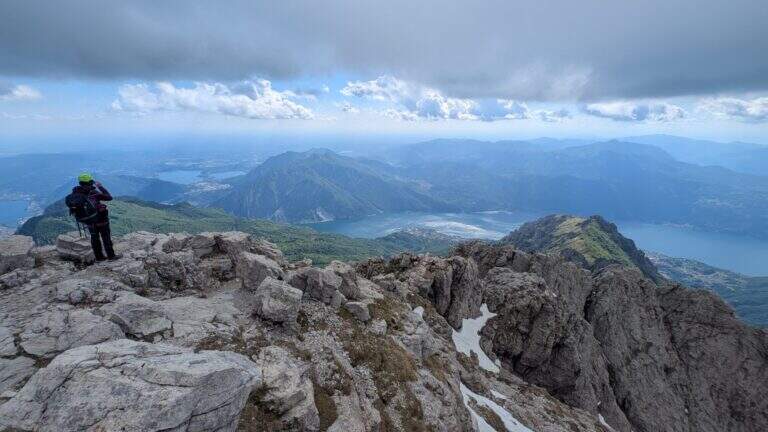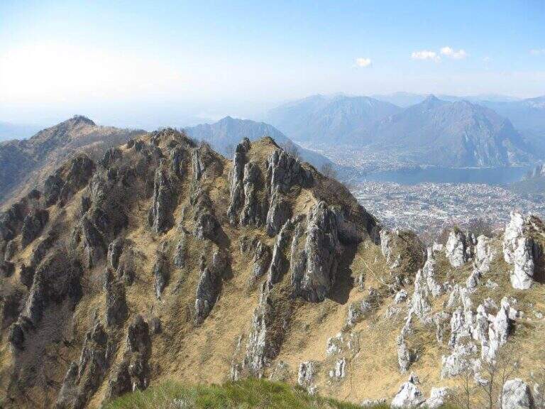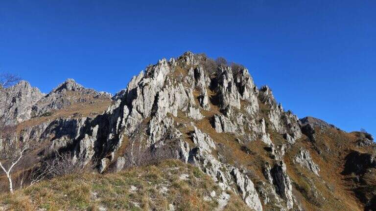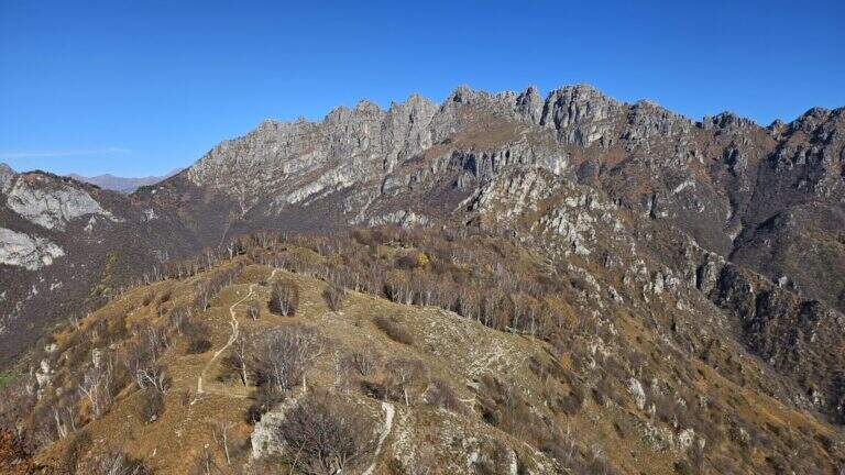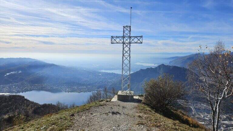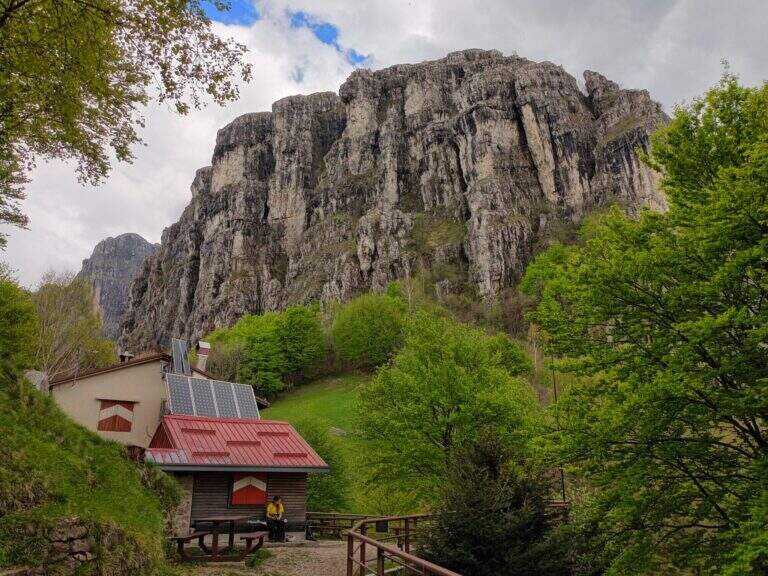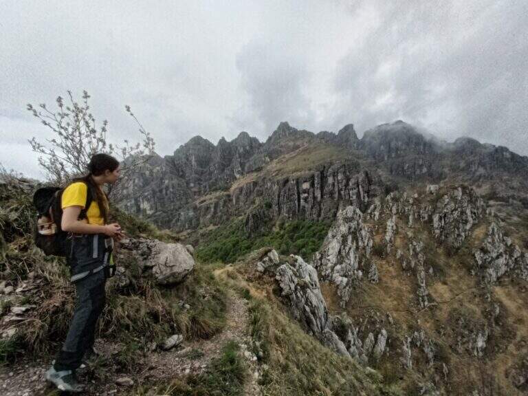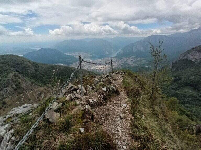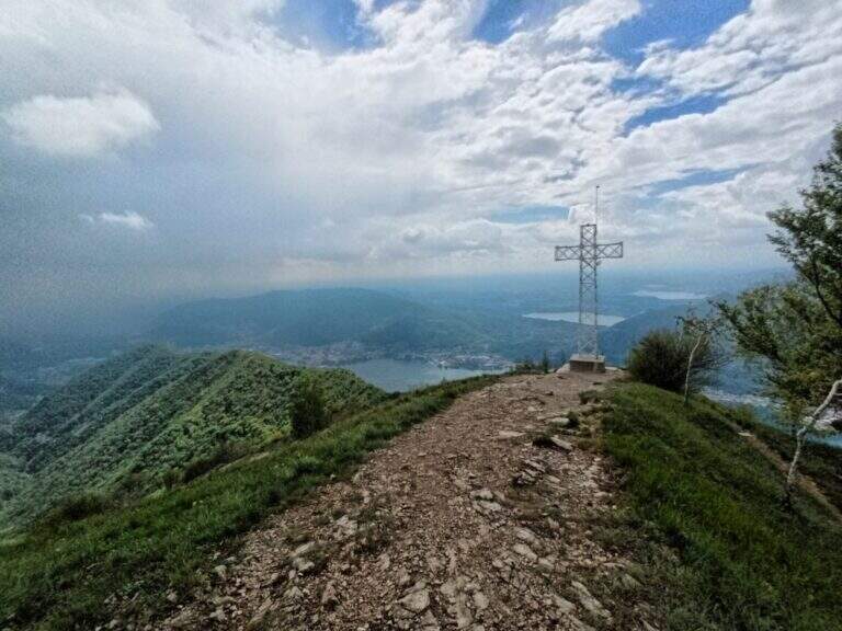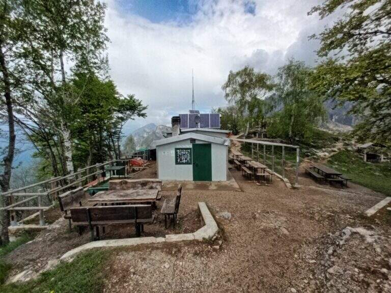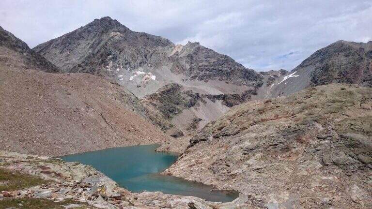
The Sentiero Attrezzato del Vofrede — called by some Ferrata dello Sperone — is a difficult itinerary but with breathtaking views, which dates back to the Cignana valley surrounded by beautiful alpine lakes. You arrive near the Colle di Vofrede with a ring return on a very satisfying tour, under the look of the Divine.
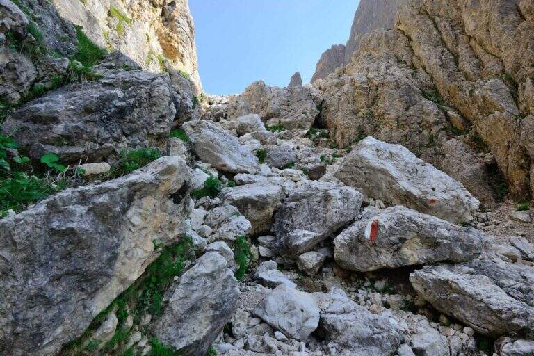
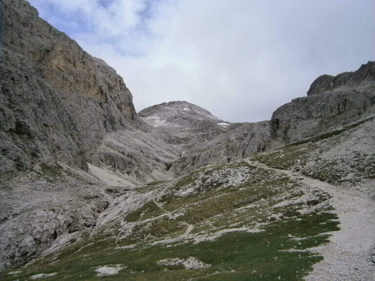
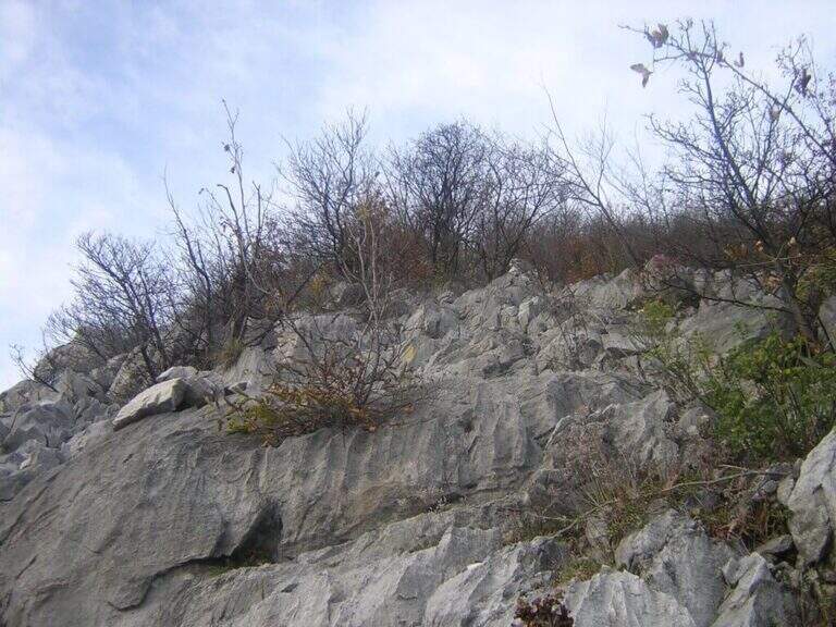
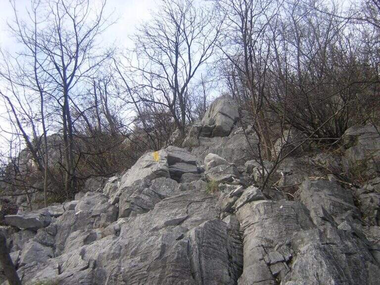
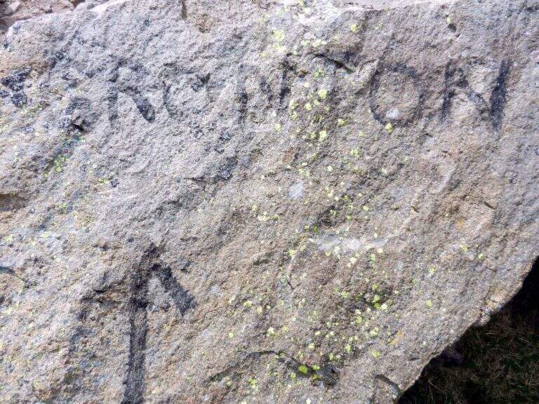
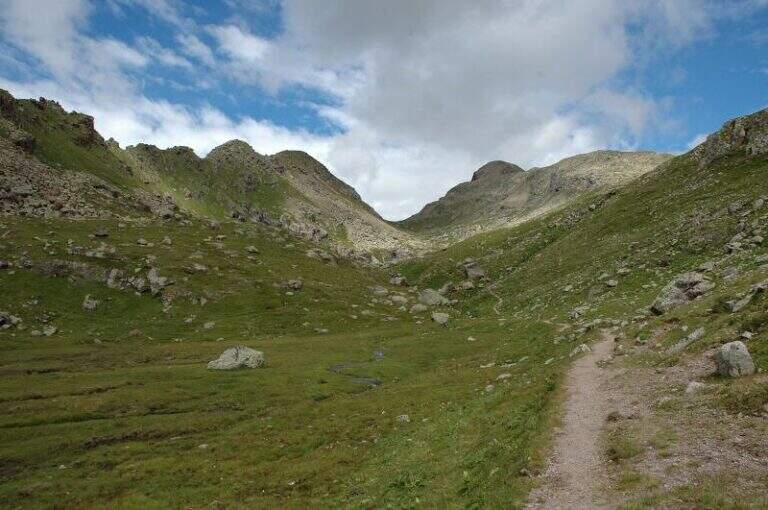
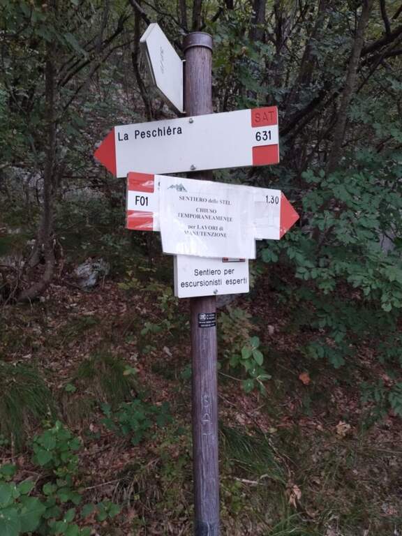
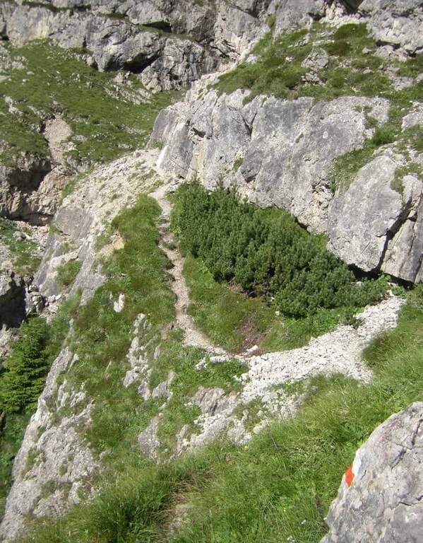
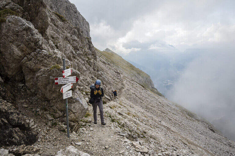
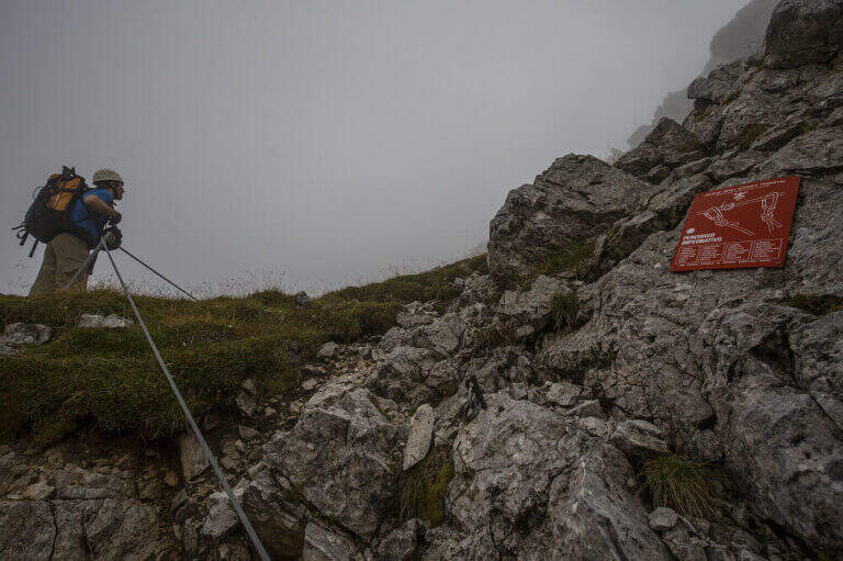
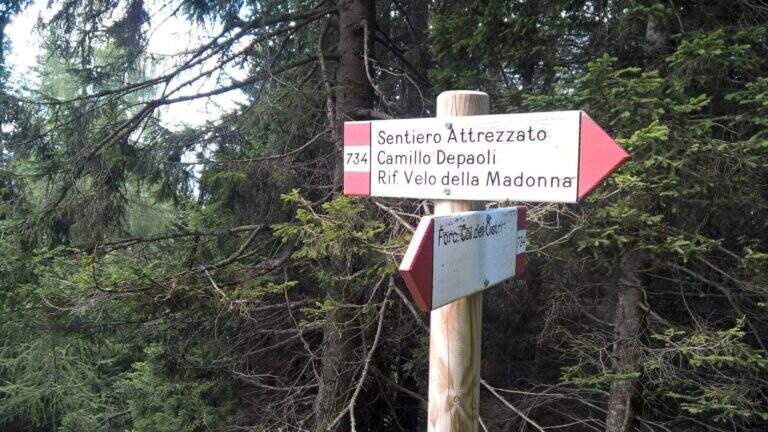
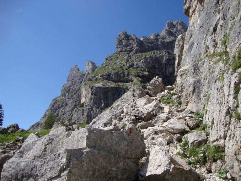
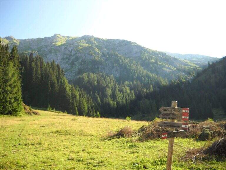
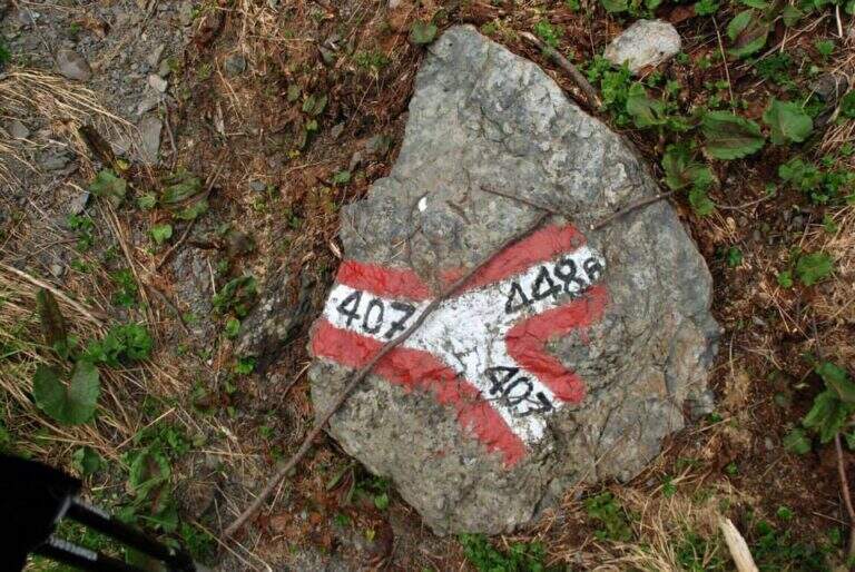
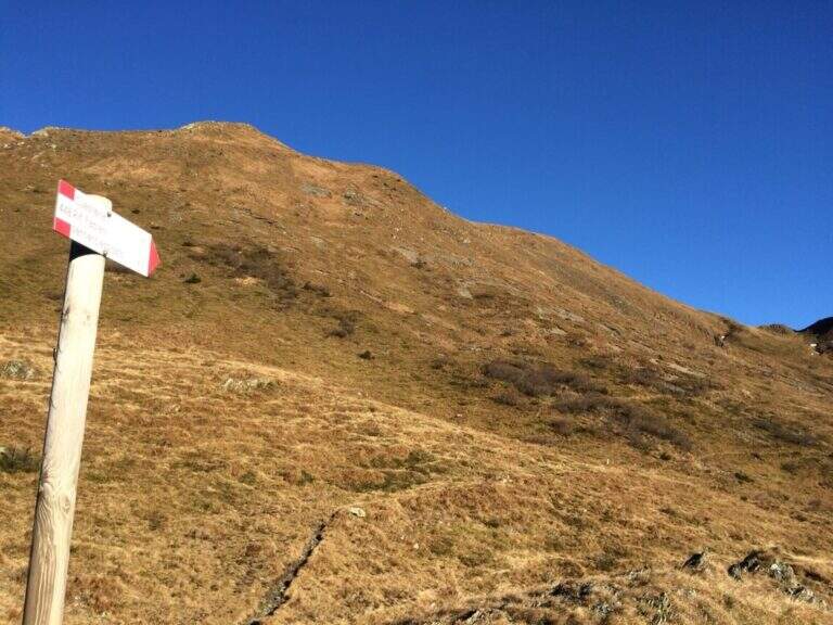
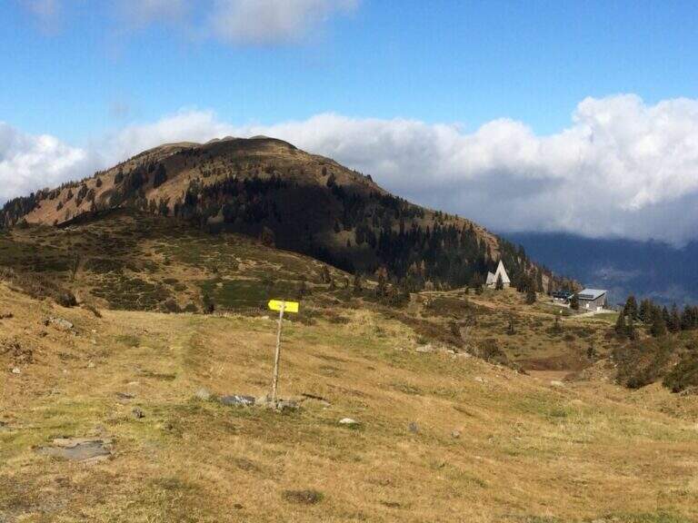
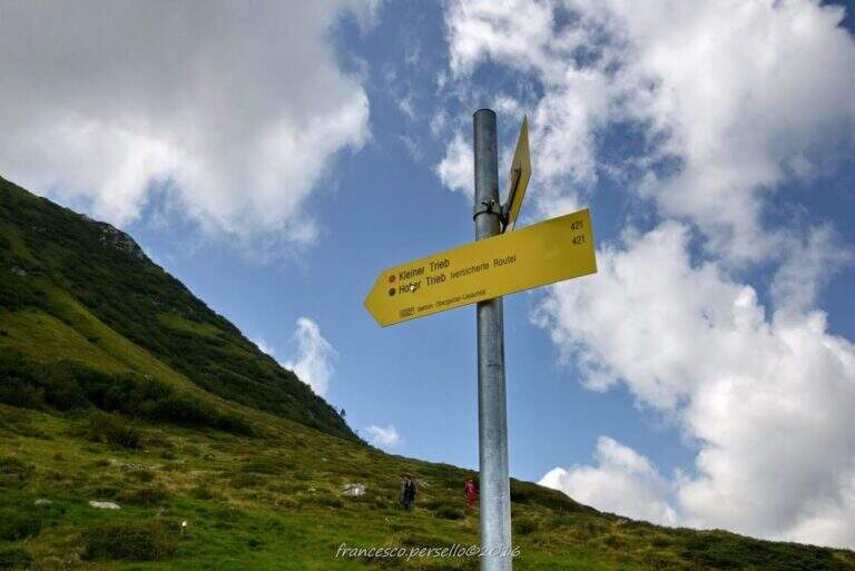
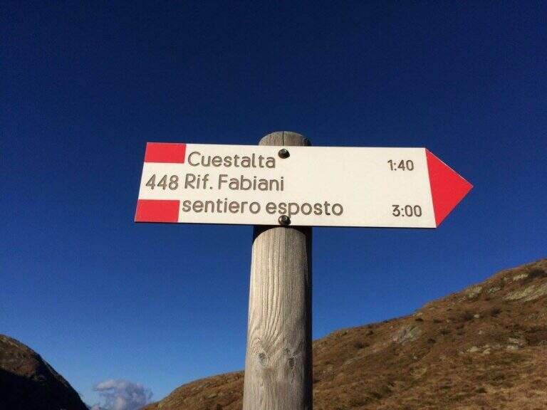
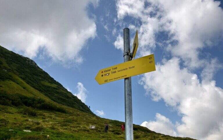
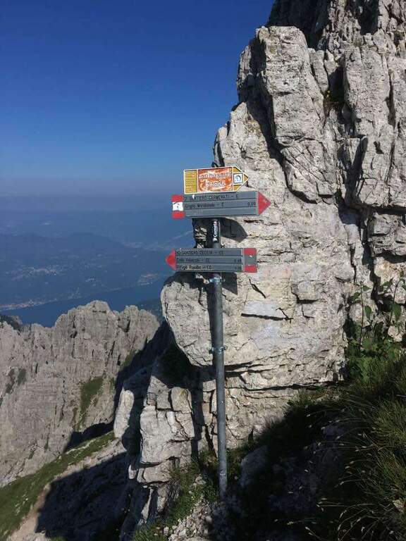
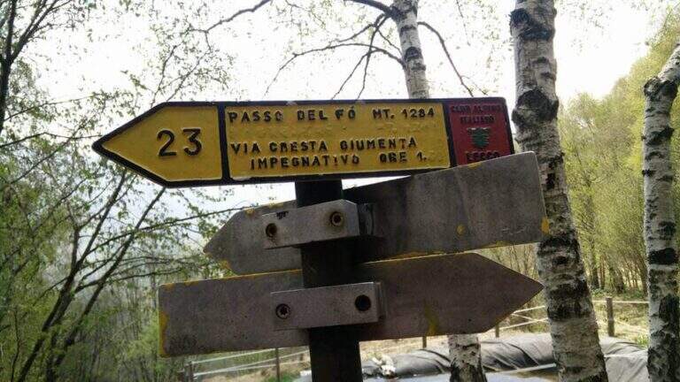
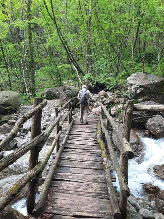
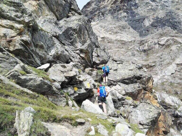
The starting point is along the road from Châtillon to Breuil-Cervinia (AO). Pass Valtournenche and continue beyond the hydroelectric power station of Perrères until you see on the left an area where you work the sand; along a straight you notice a dirt road that goes down that direction and, before crossing the bridge, you park on the road. If the entrance to the dirt road was not possible for work, continue for a few meters on the main road and park on the right in a small street, elongating the excursion (open up Google Maps). From the parking lot you pass the bridge on the Marmore stream, turning right towards the lake for sports fishing; near the sign for access you take the wide path that goes up the valley of the creton stream, up to a pole with the various signposts, where you hold the signpost 9 (yellow signs). Where the path bends to the left you cross a stream and you go up a hill on a living rock; on a comfortable path you reach a crossroad where, while on the left you go towards the glacier of Vofrede, you keep the right continuing straight along the moraine and, after some bends, you reach the attack of the Sentiero Attrezzato del Vofrede (2h from the parking lot).
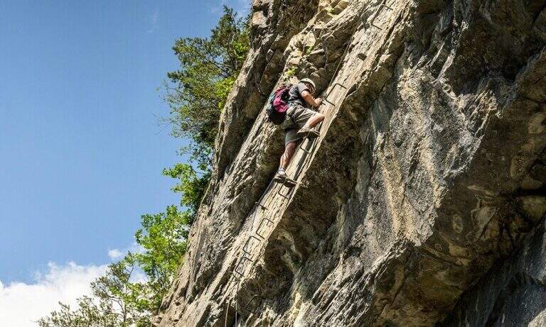
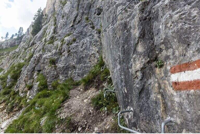
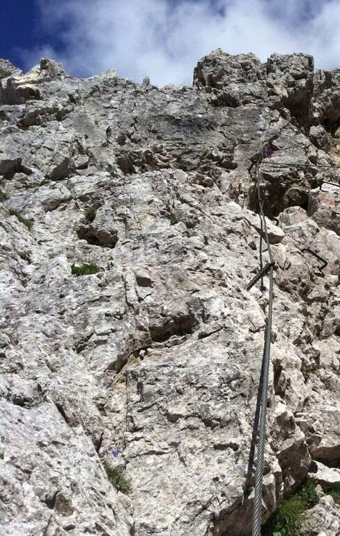
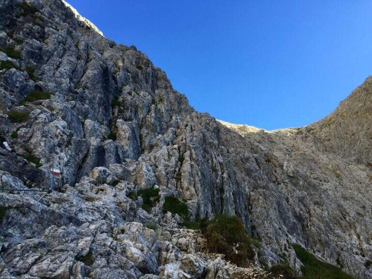
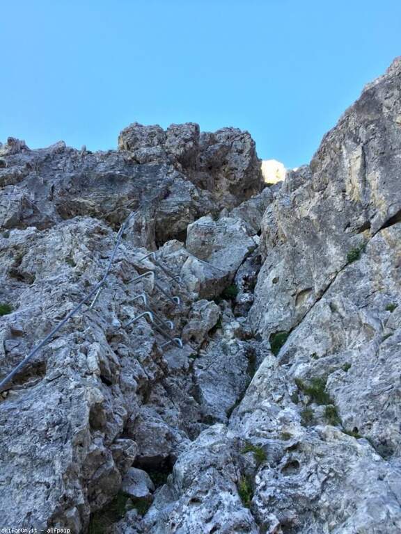
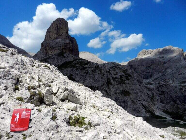
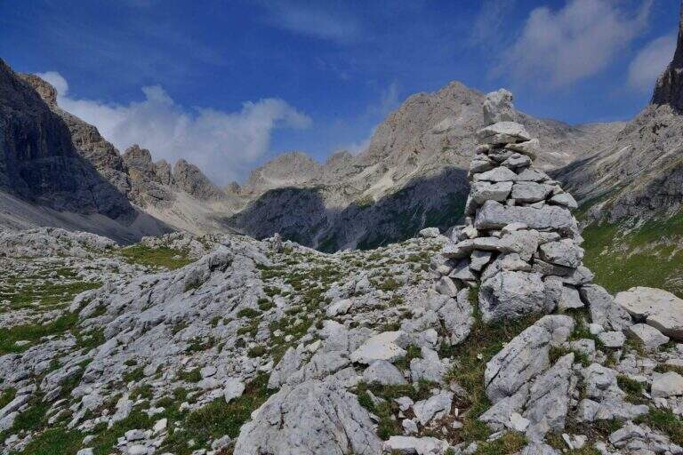
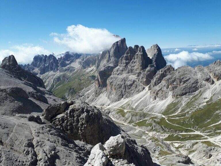
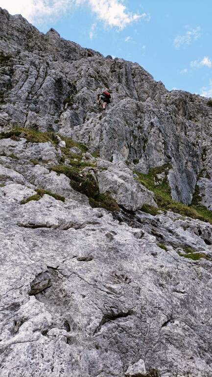
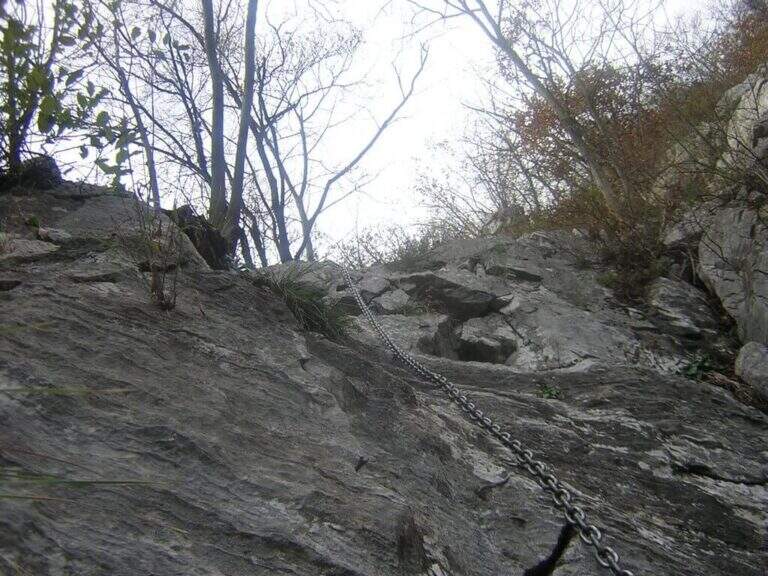
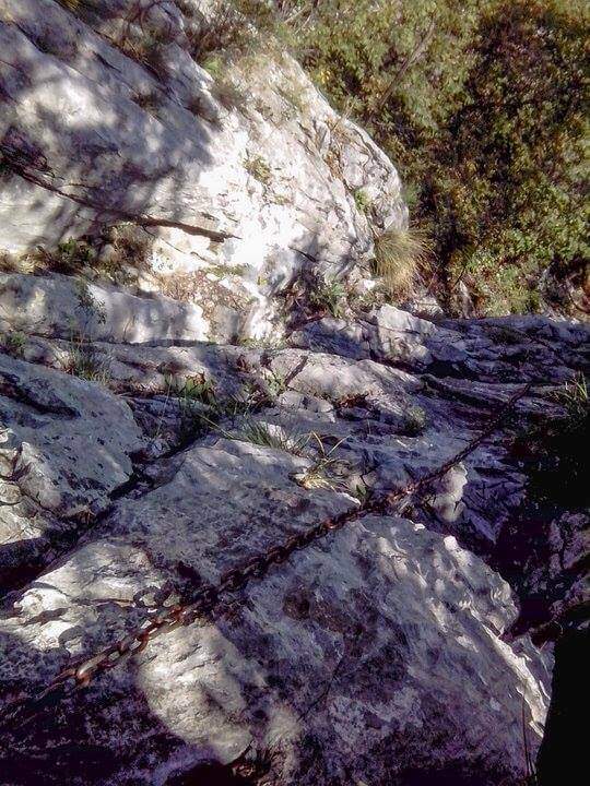
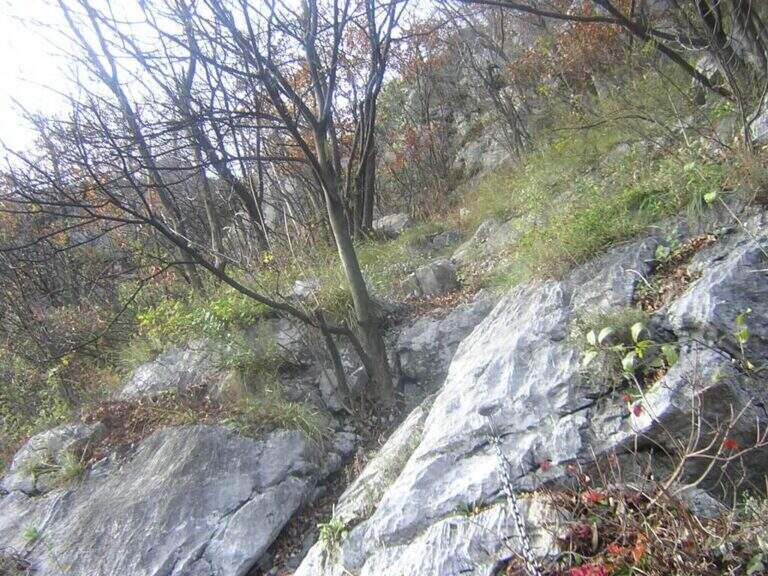
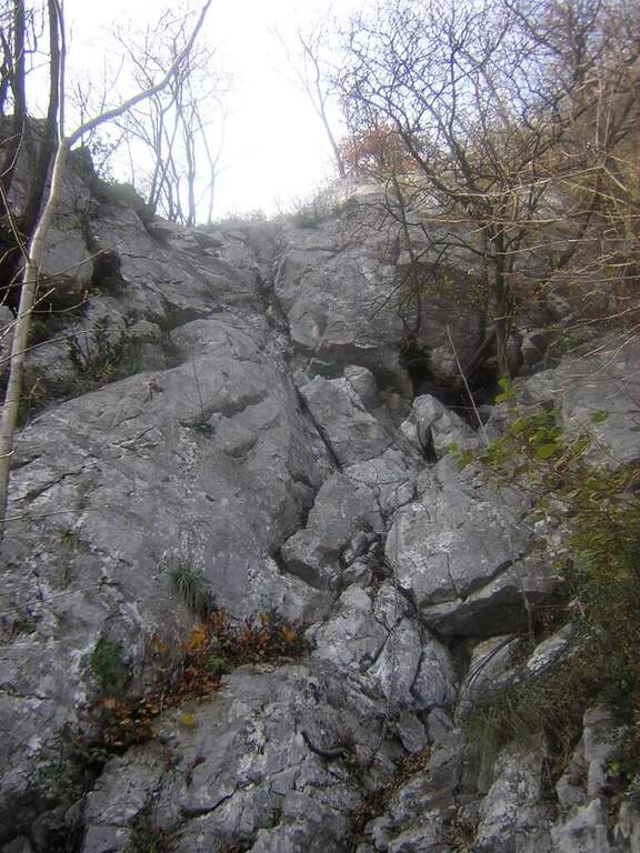
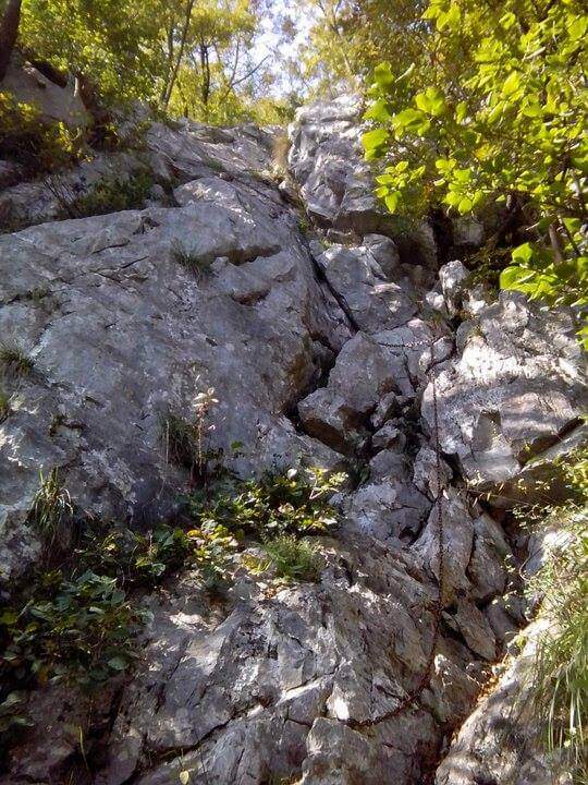
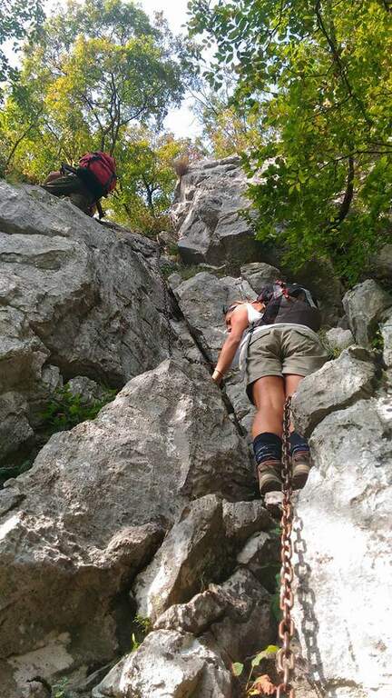
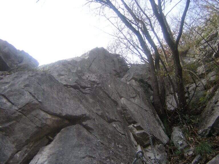
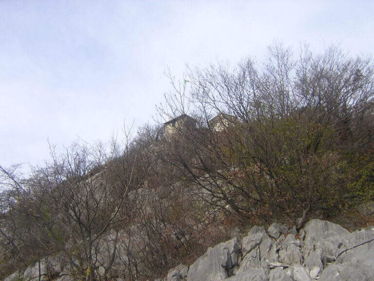
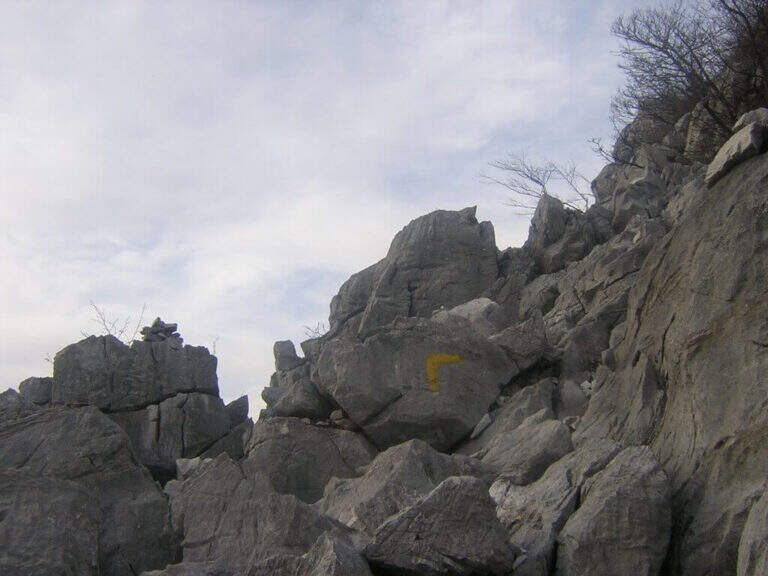
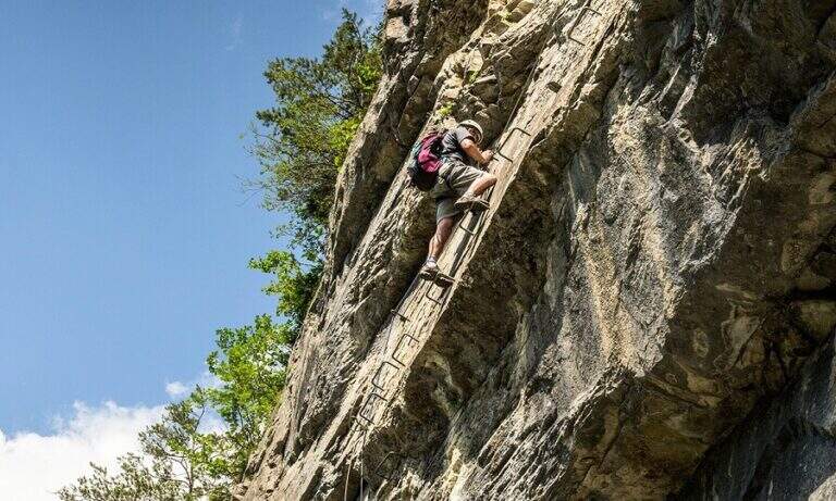
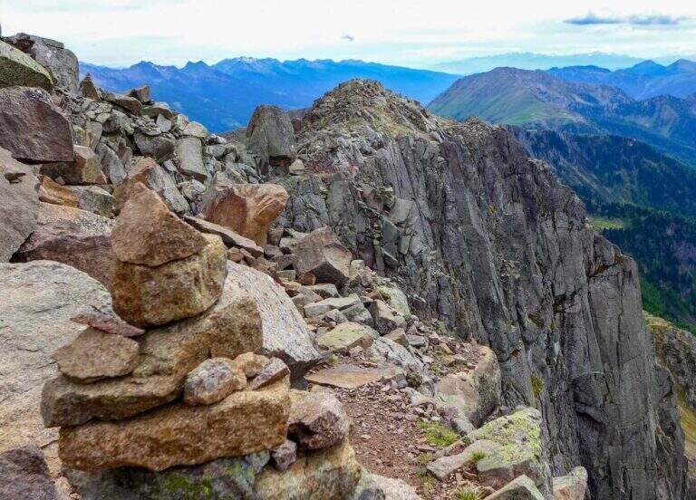
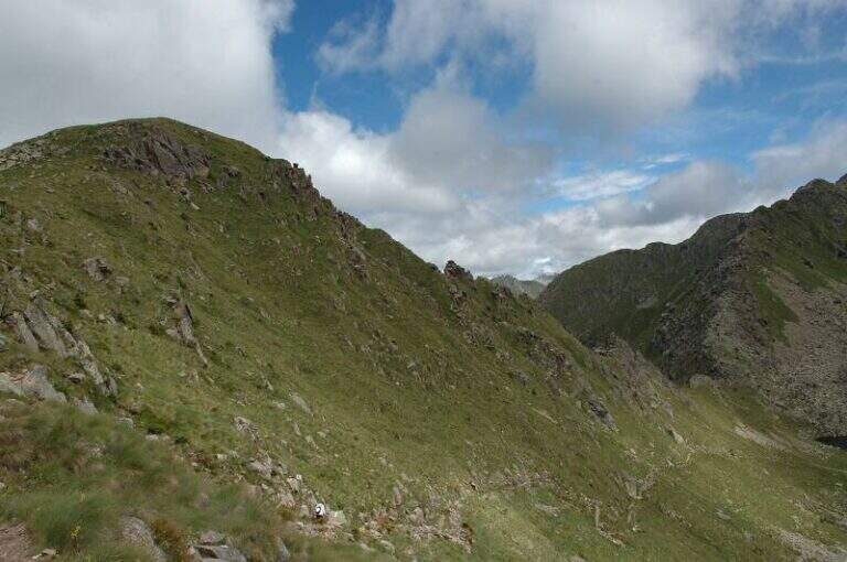
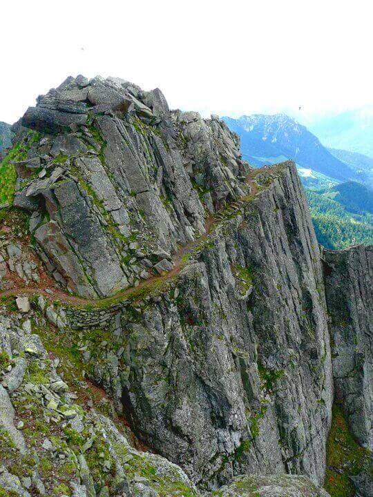
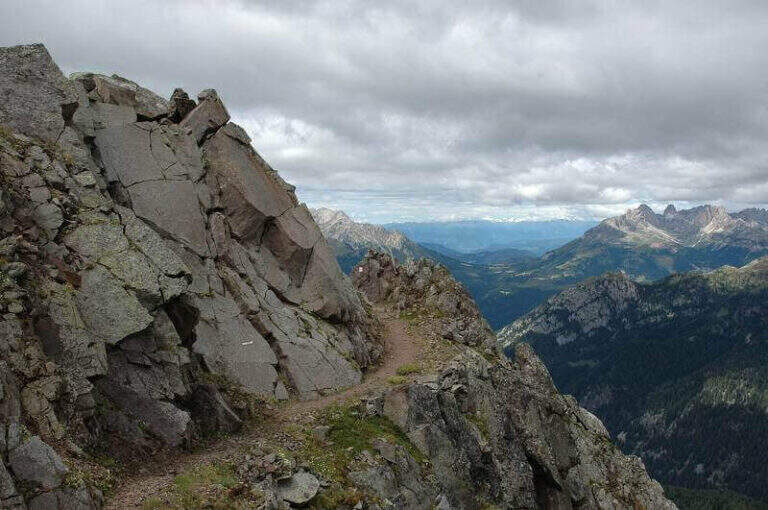
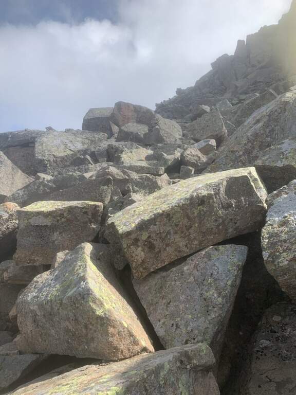
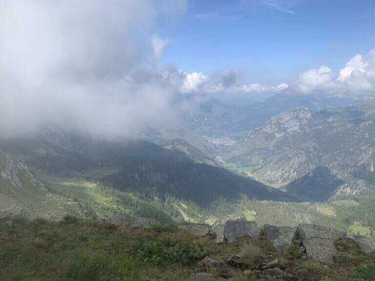
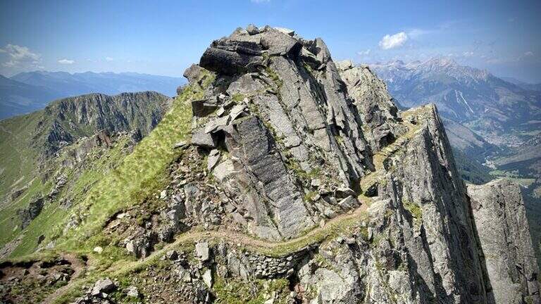
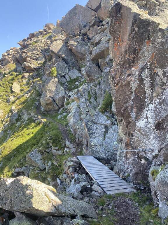
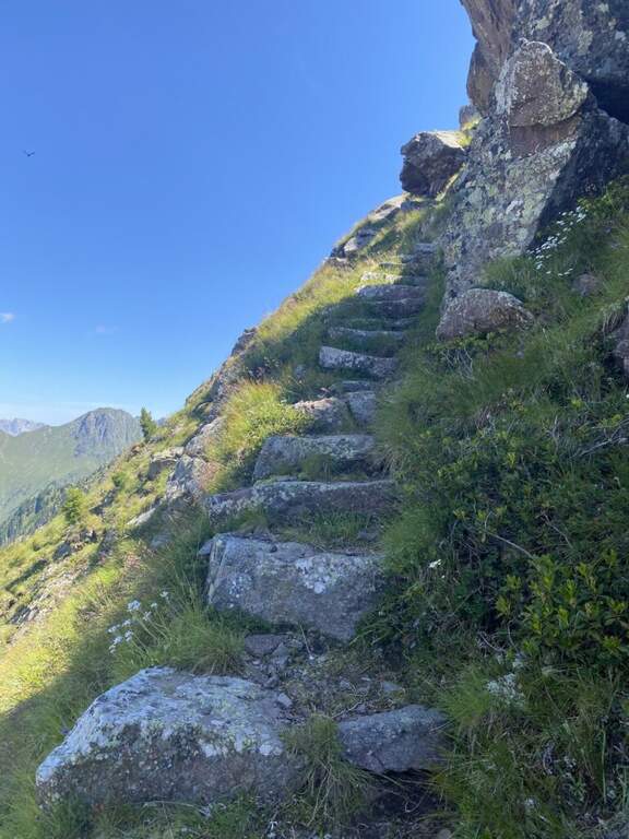
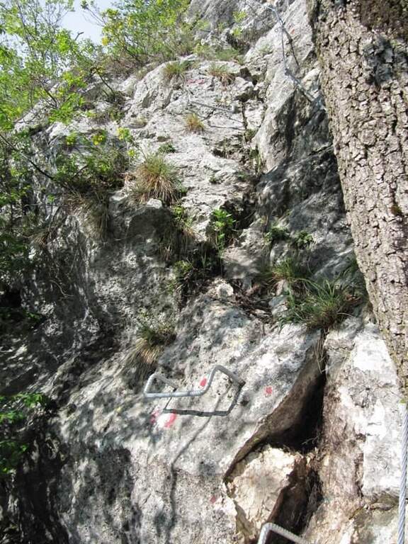
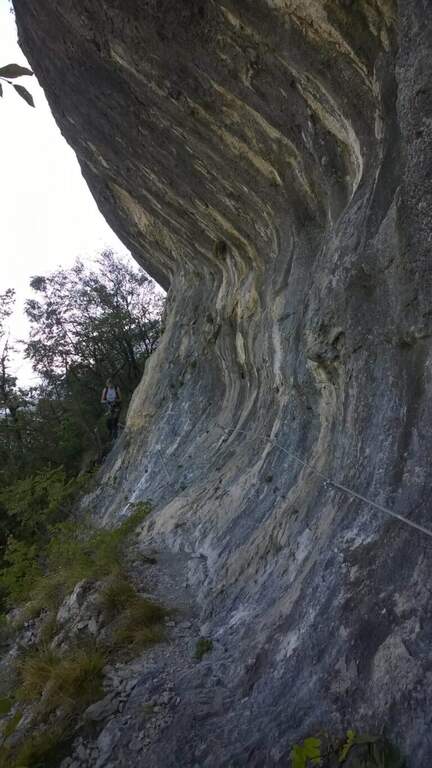
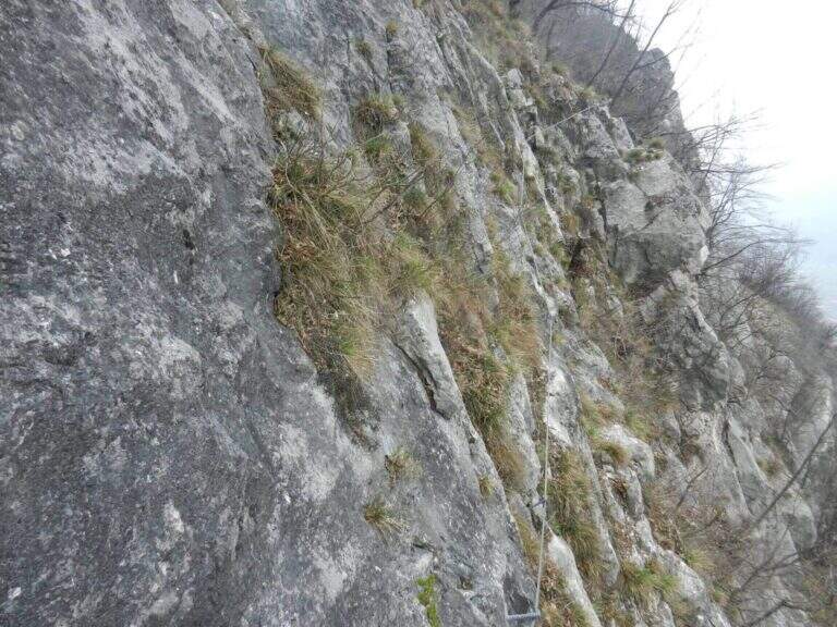
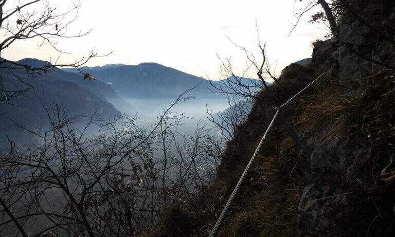
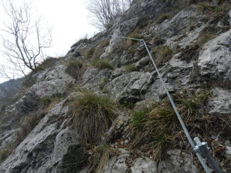
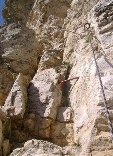
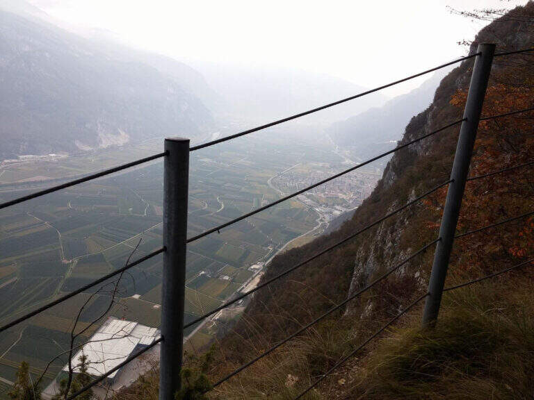
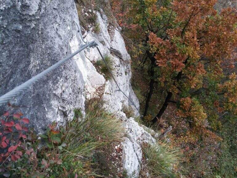
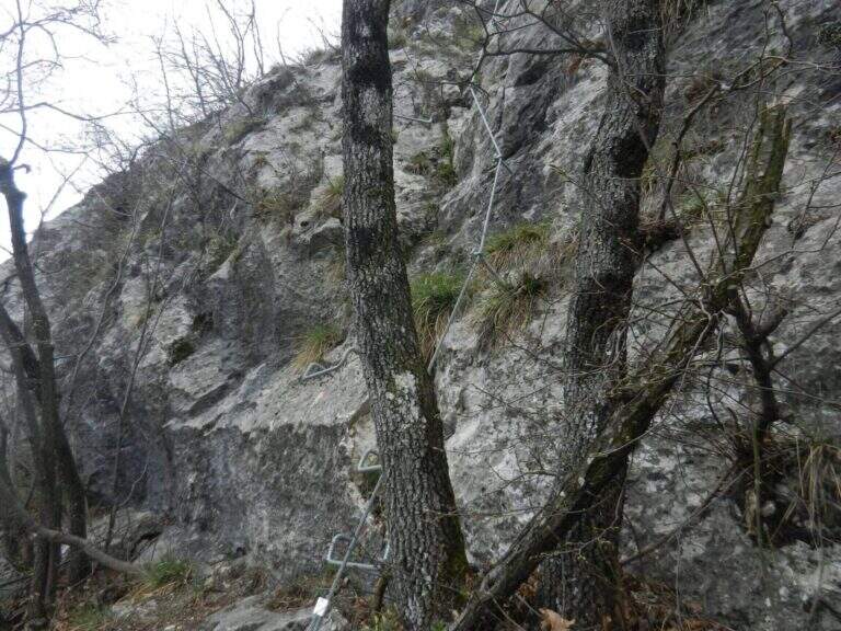
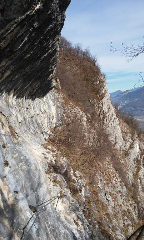
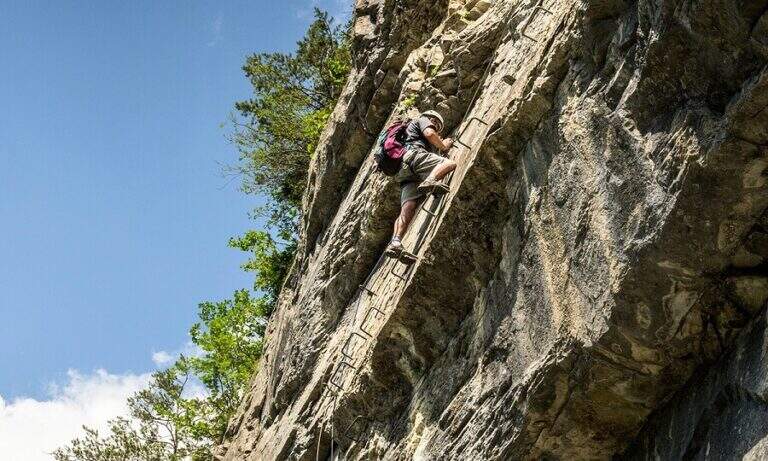
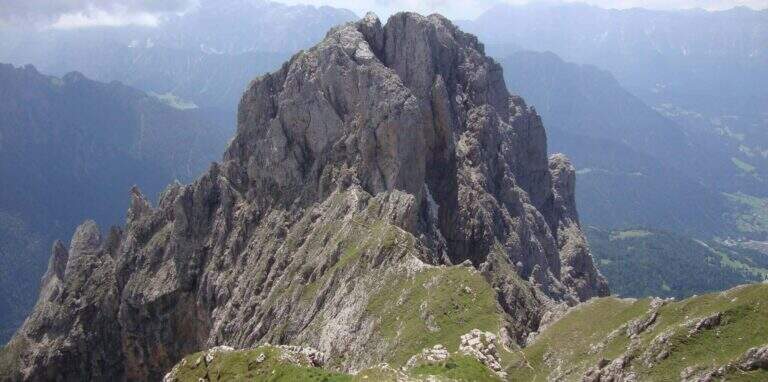
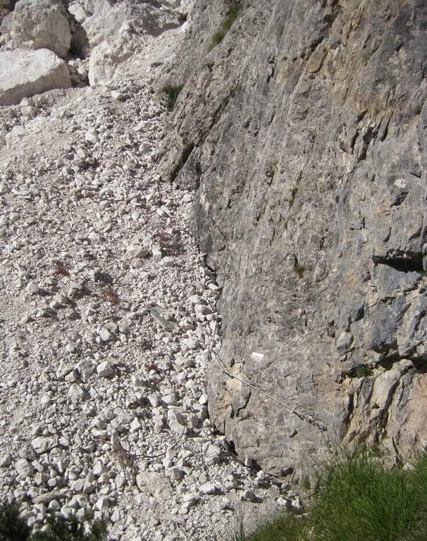
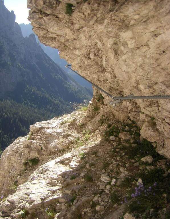
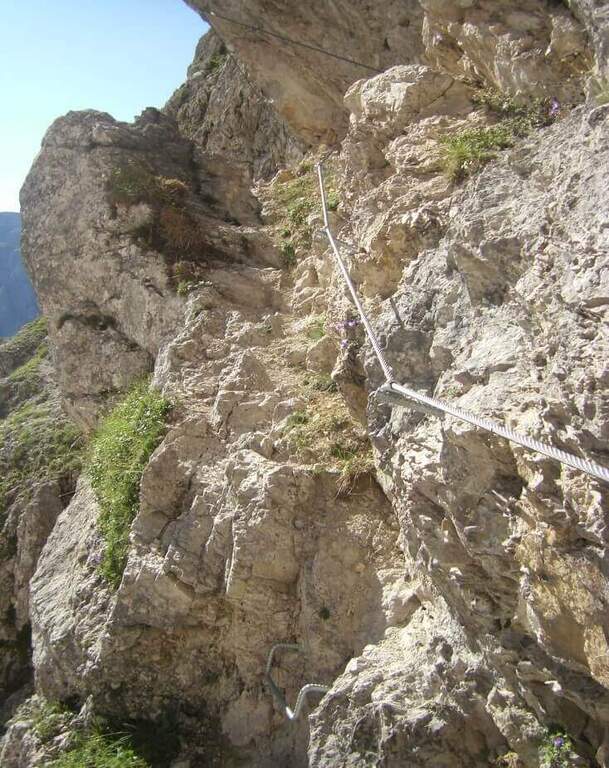
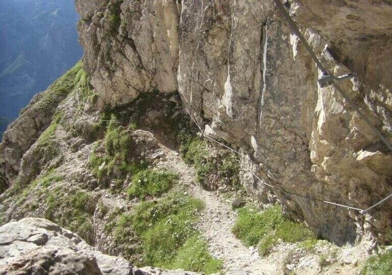
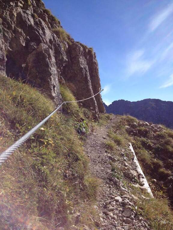
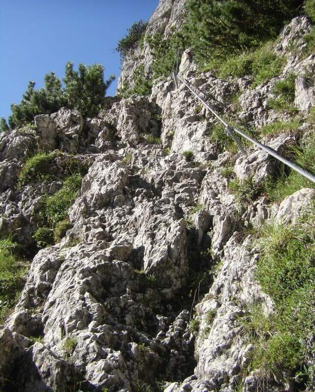
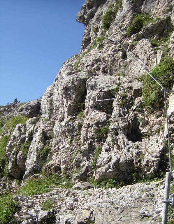
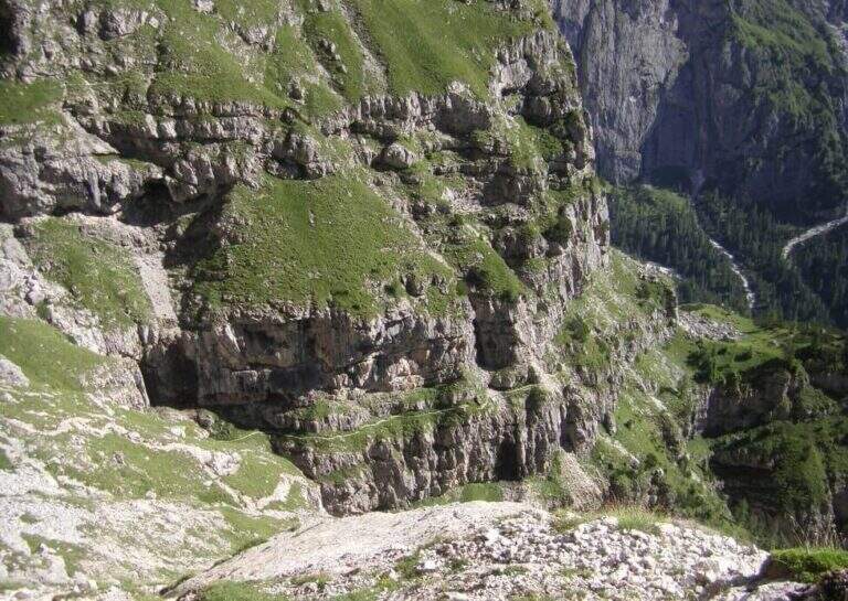
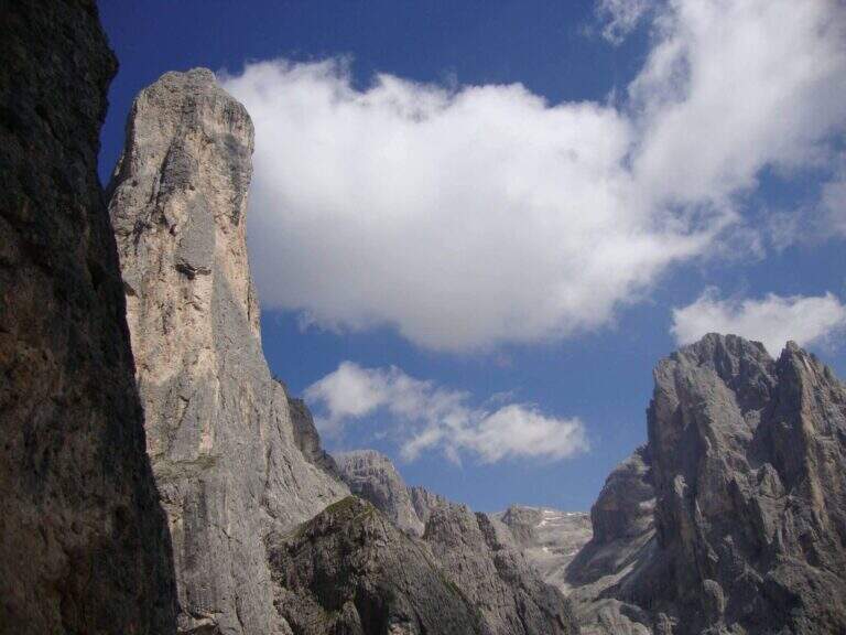
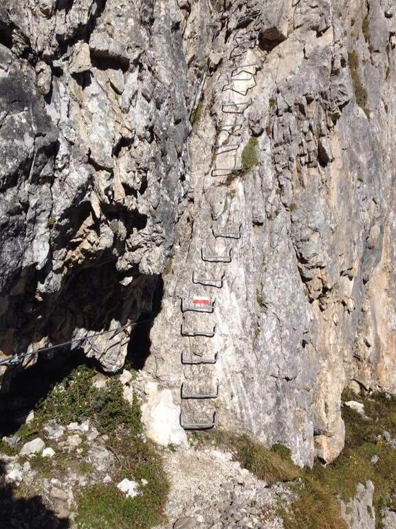
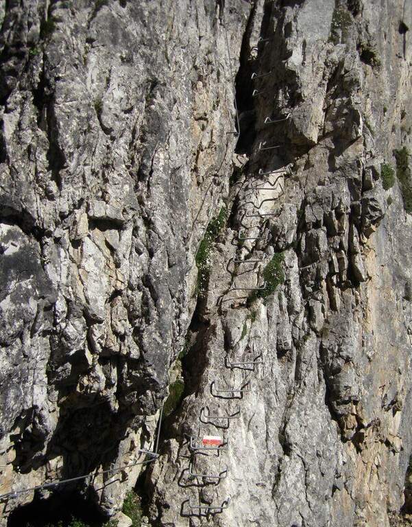
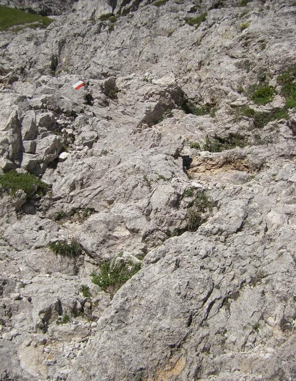
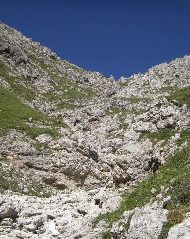
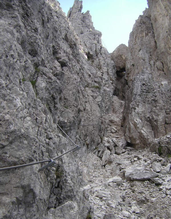
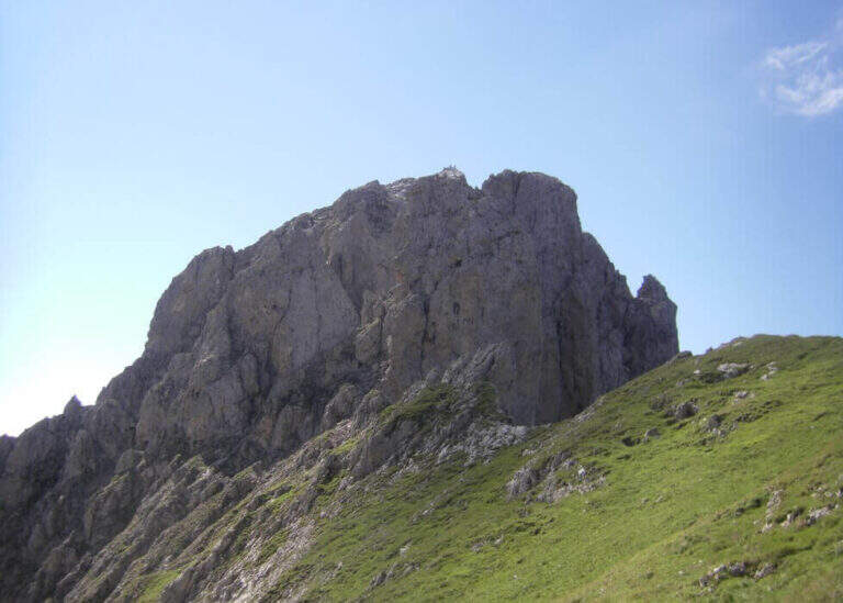
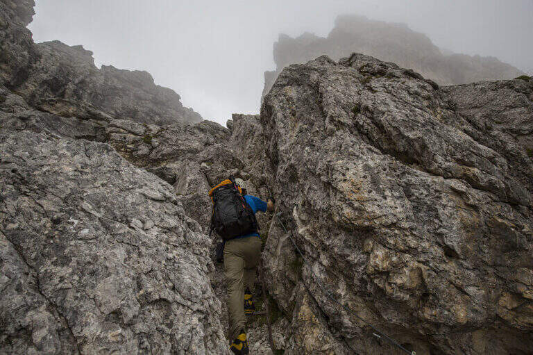
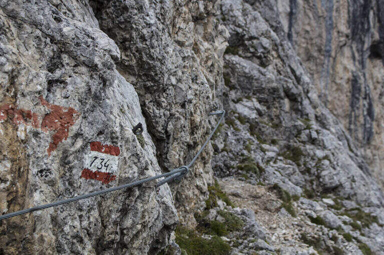
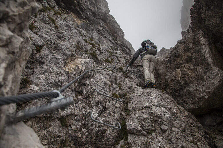
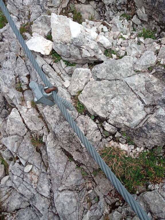
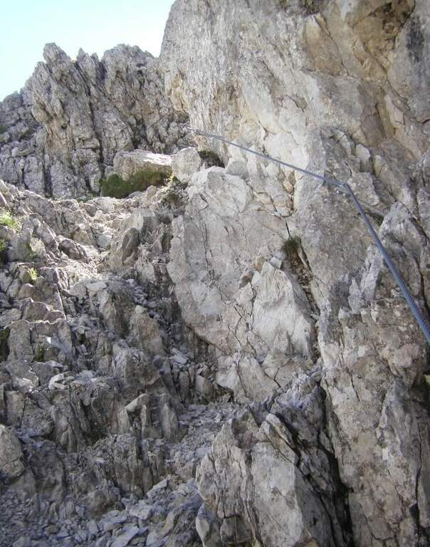
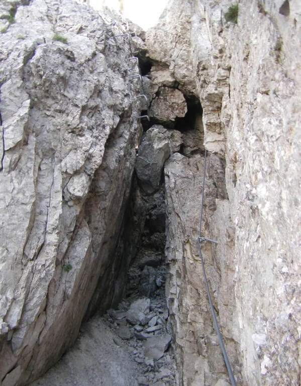
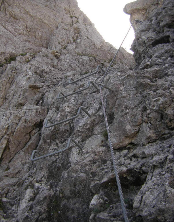
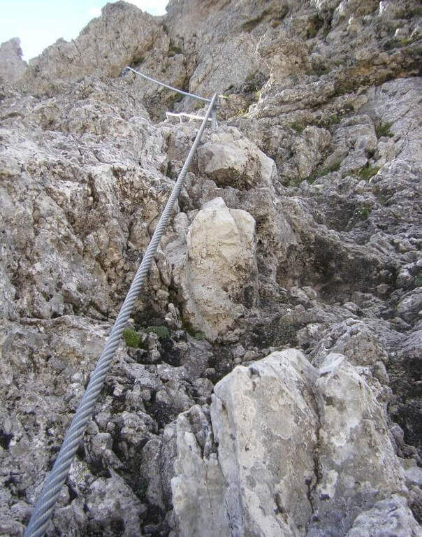
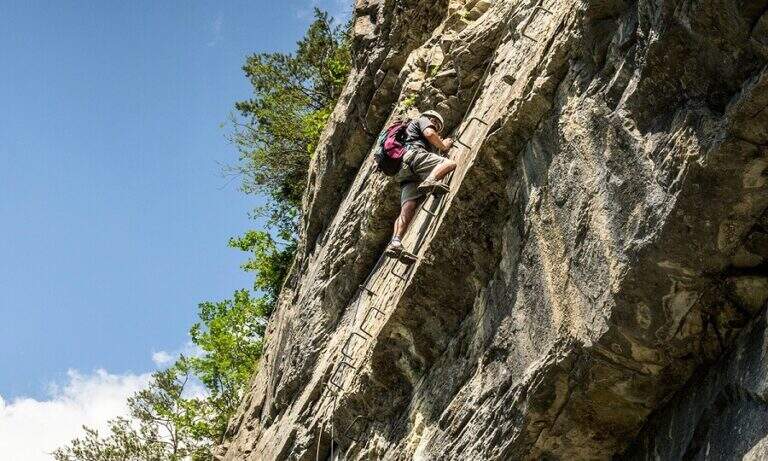
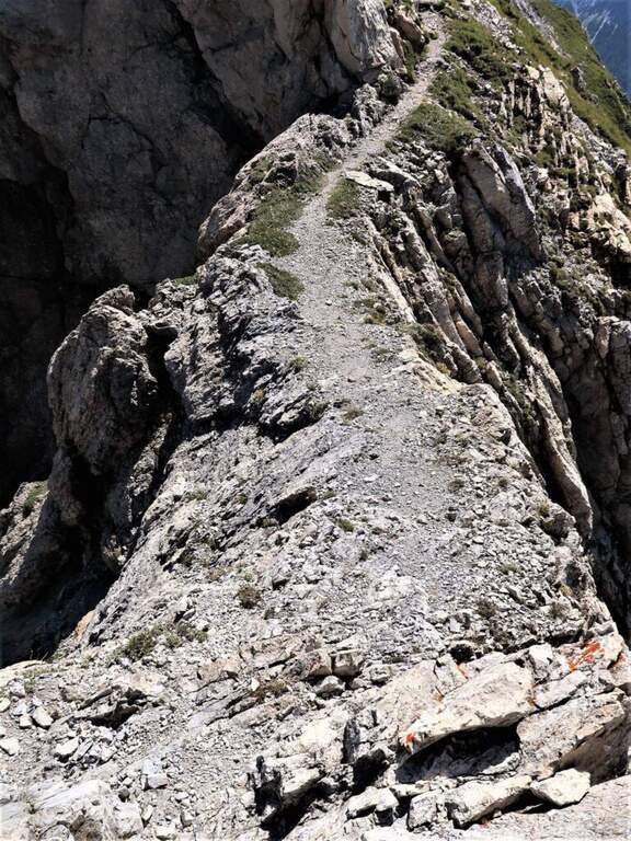
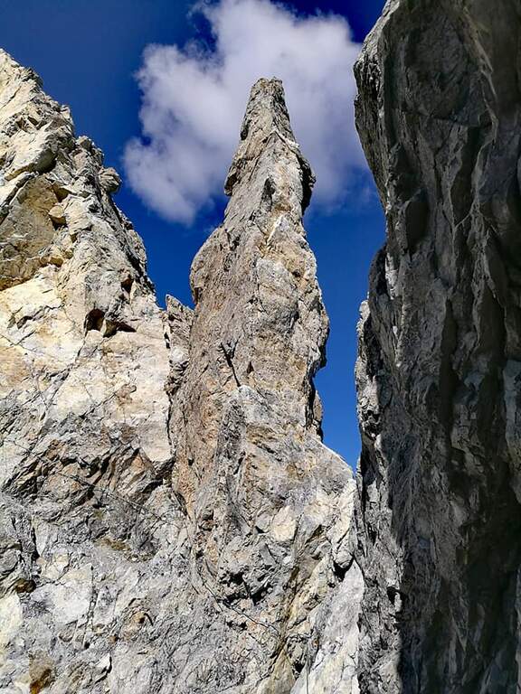
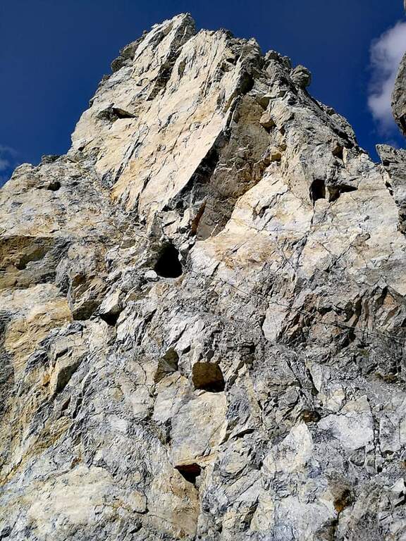
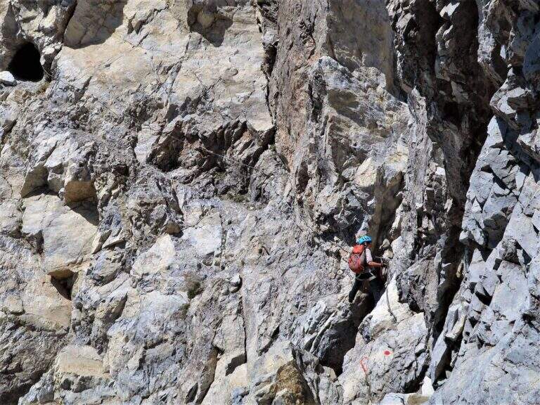
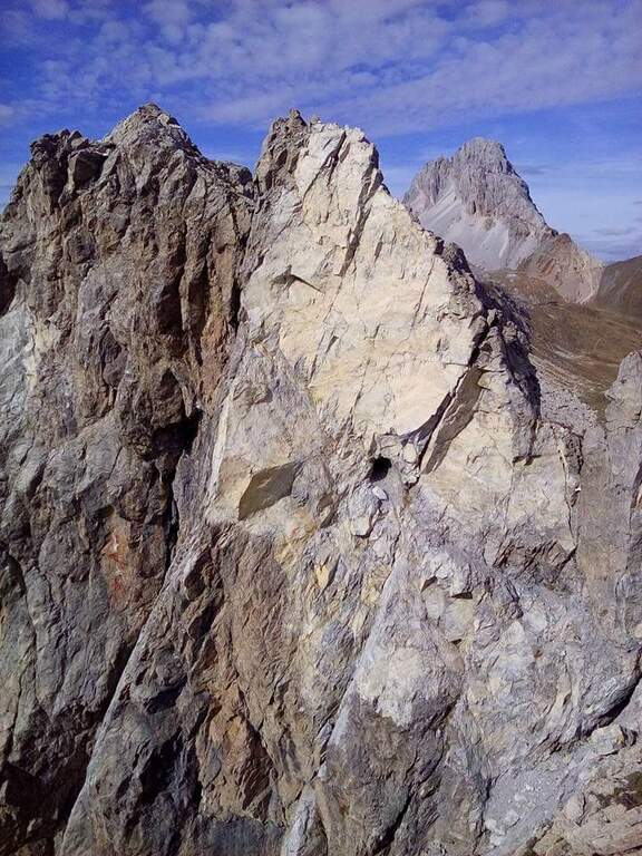
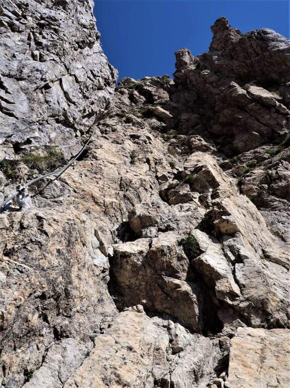
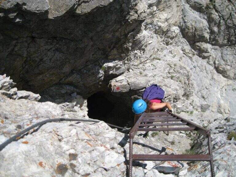
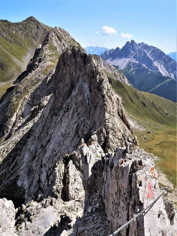
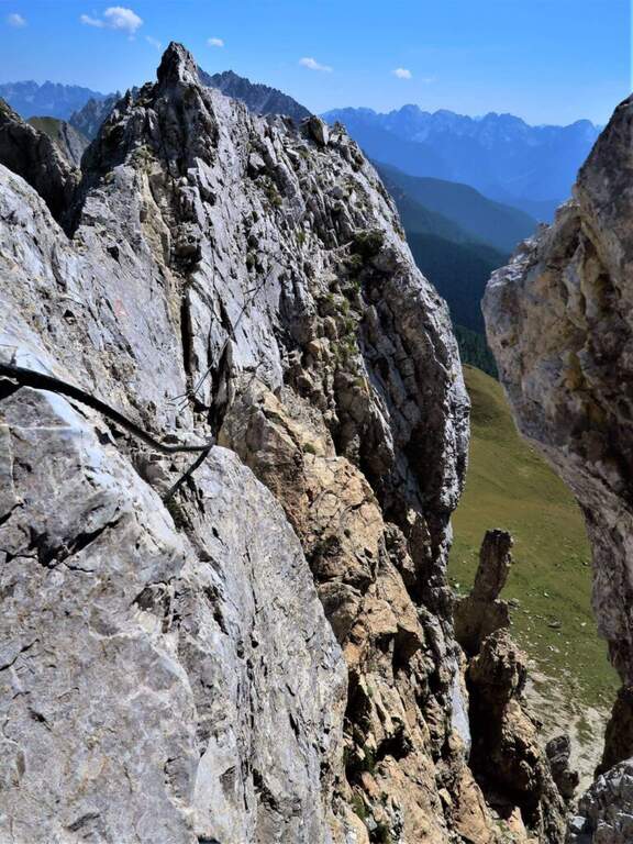
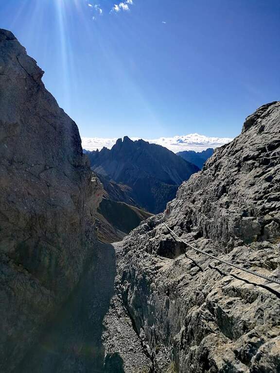
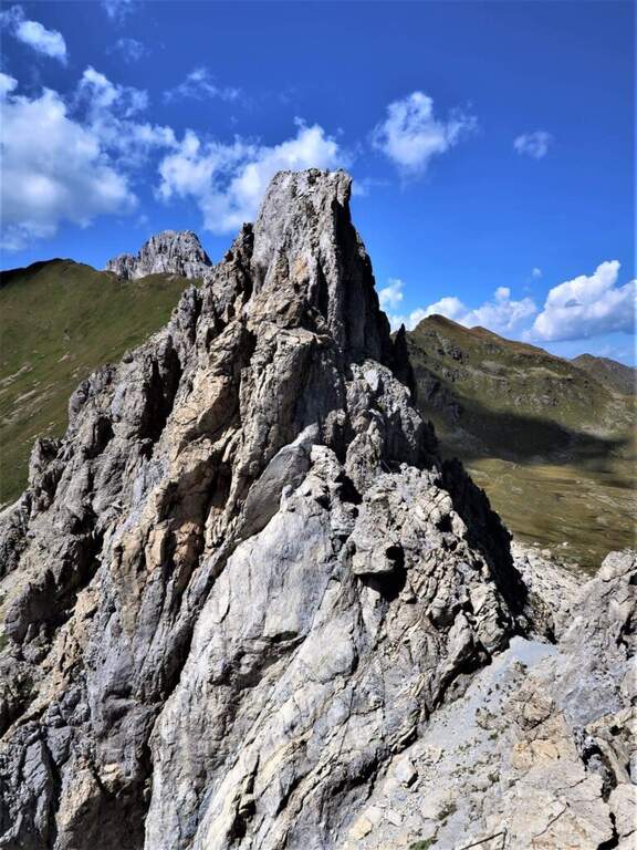
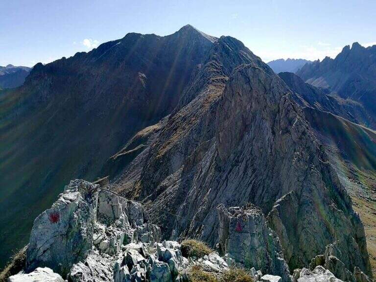
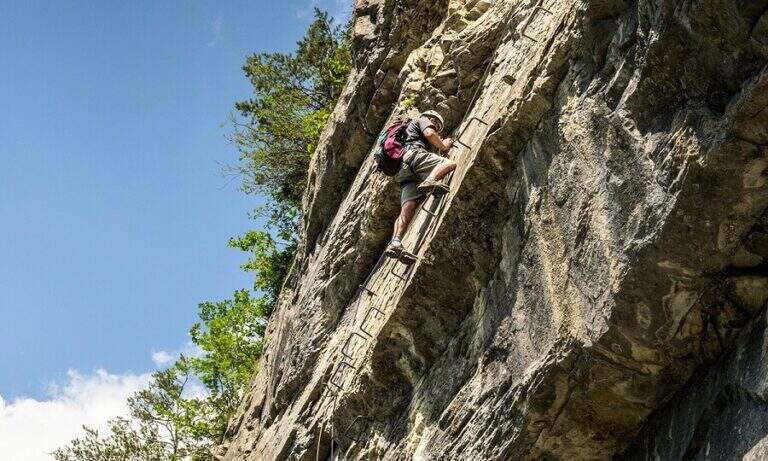
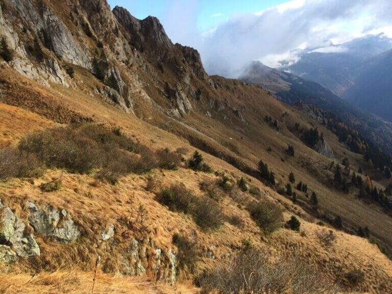
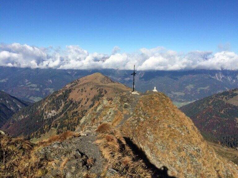
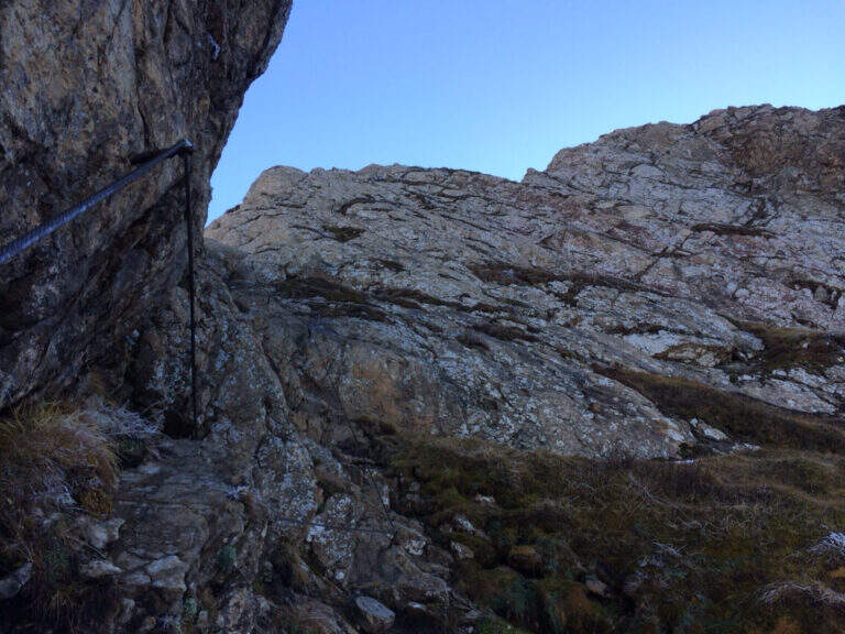
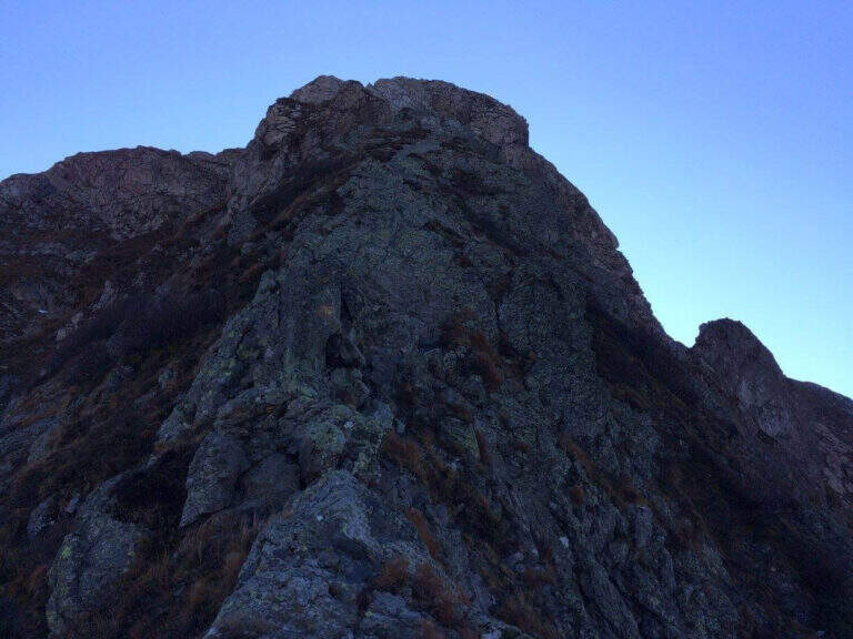
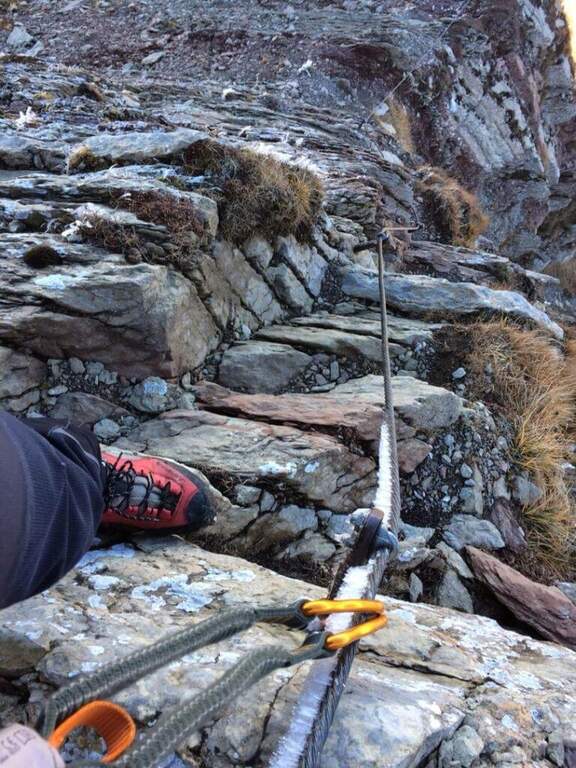
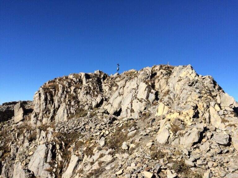
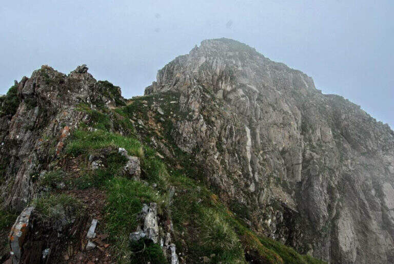
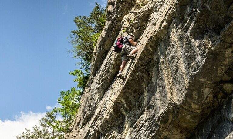
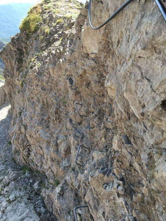
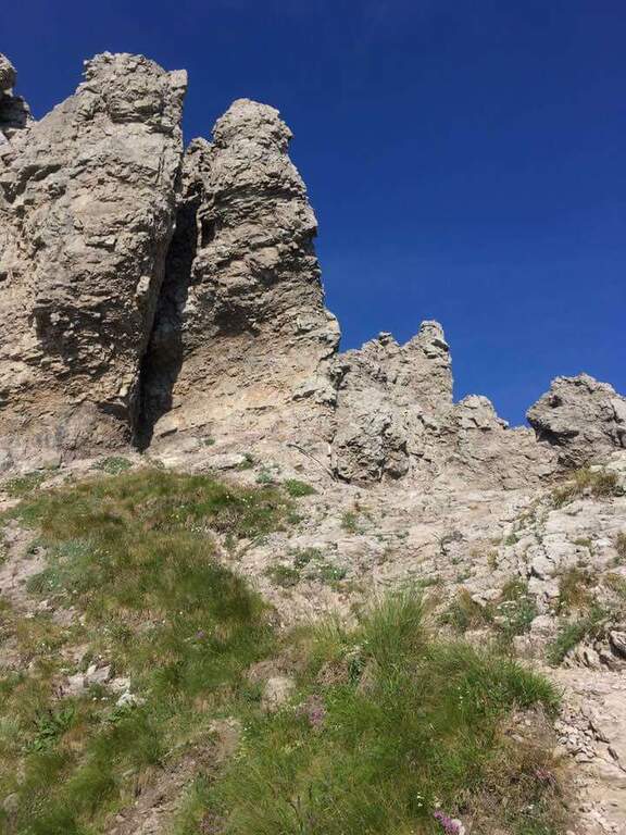
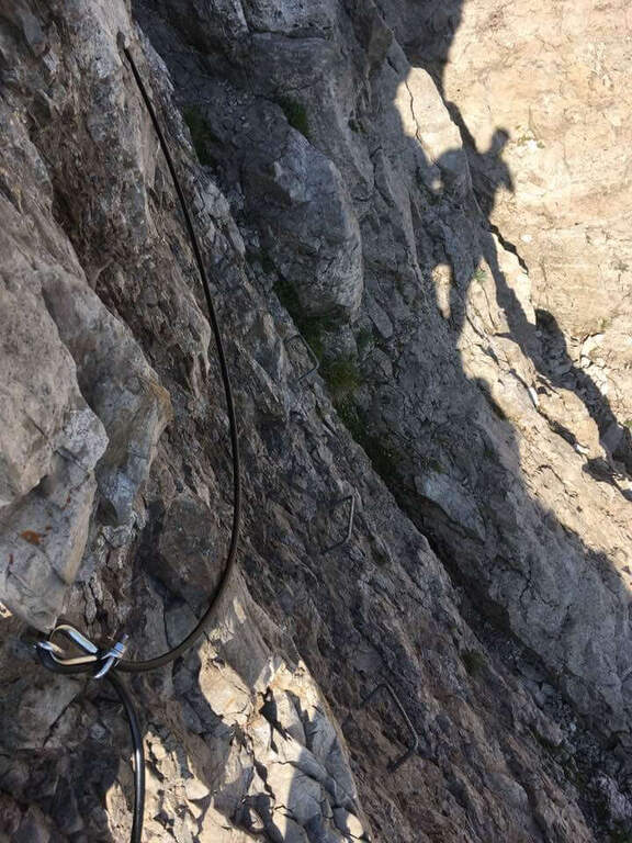
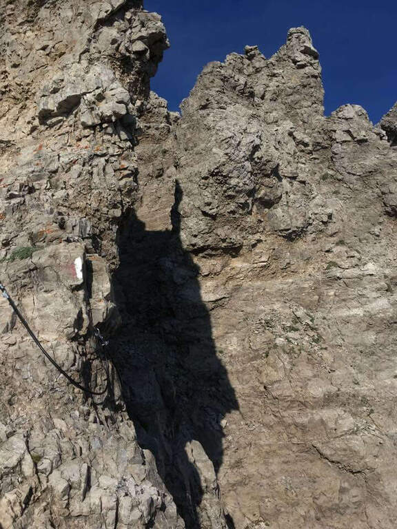
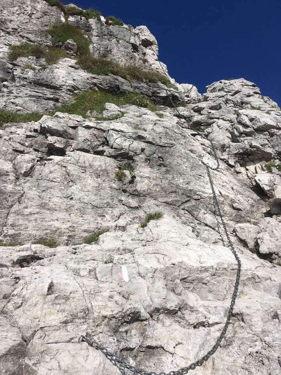
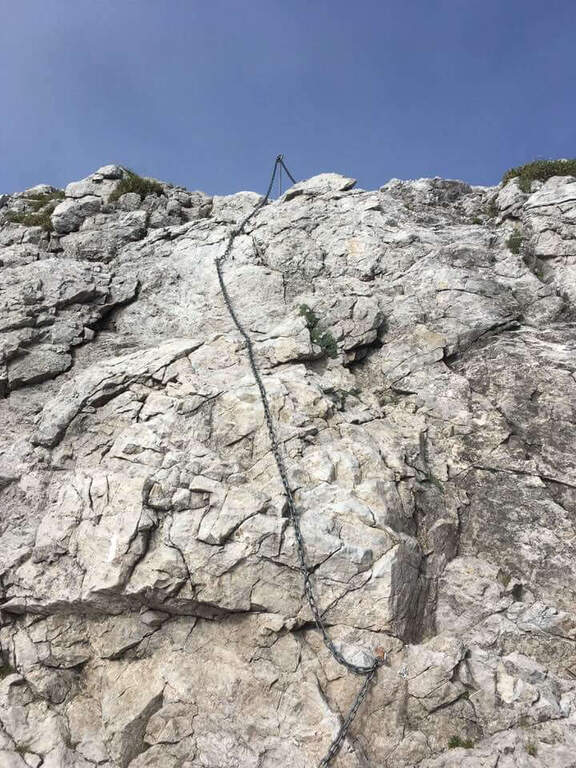
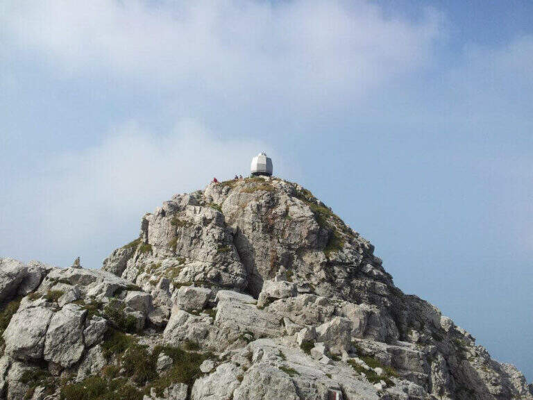
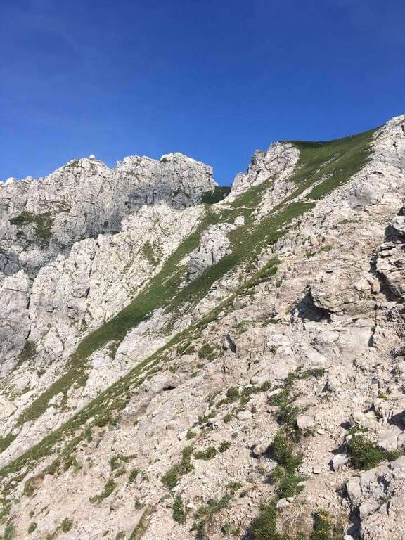
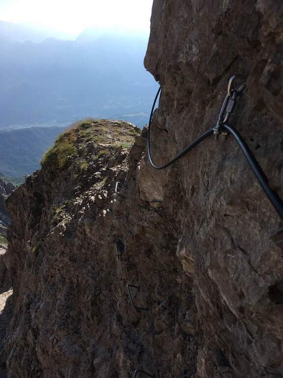
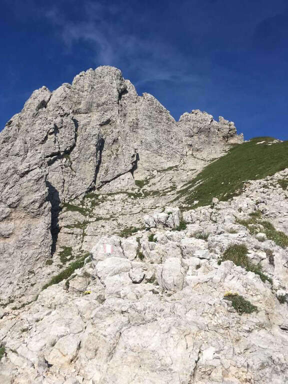
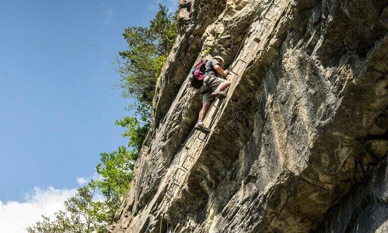
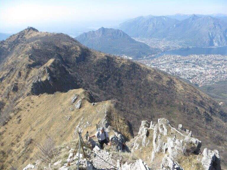
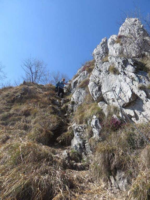
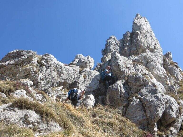
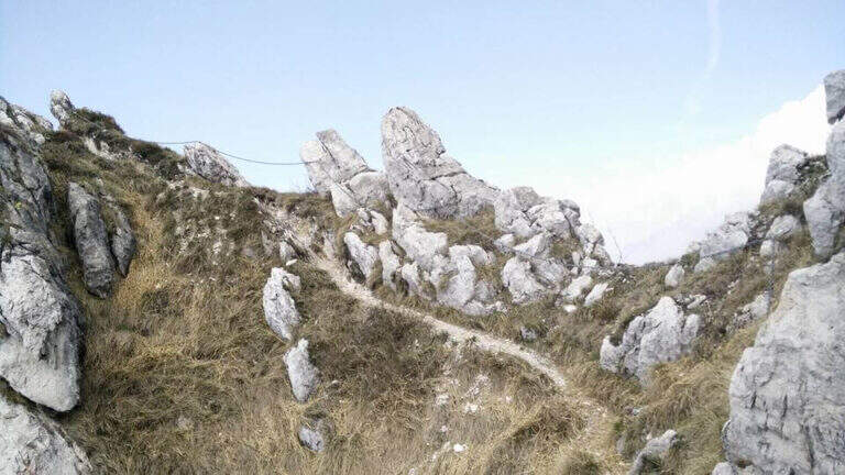
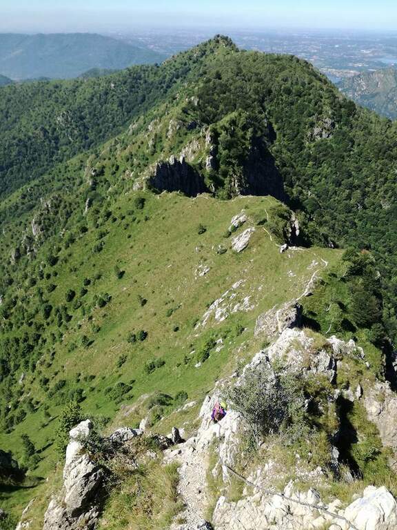
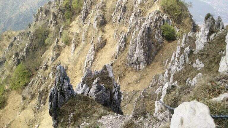
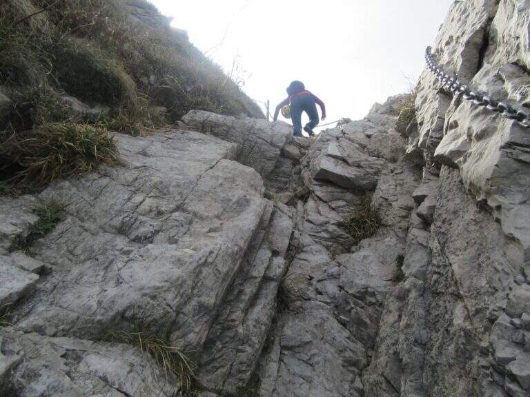
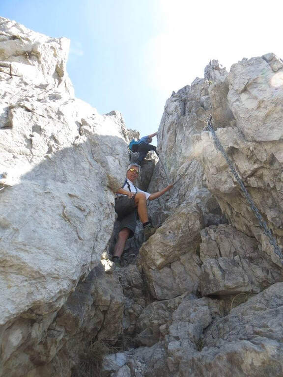
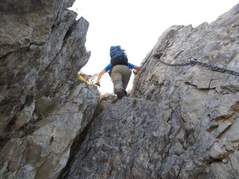
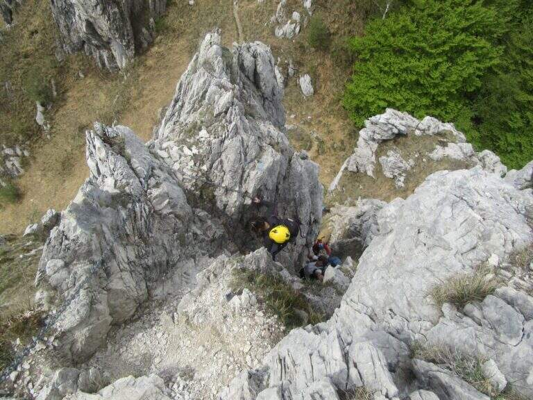
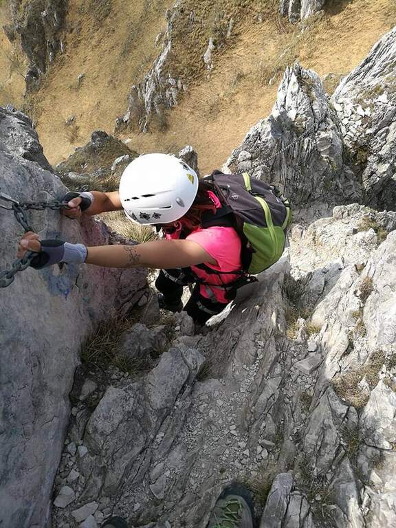
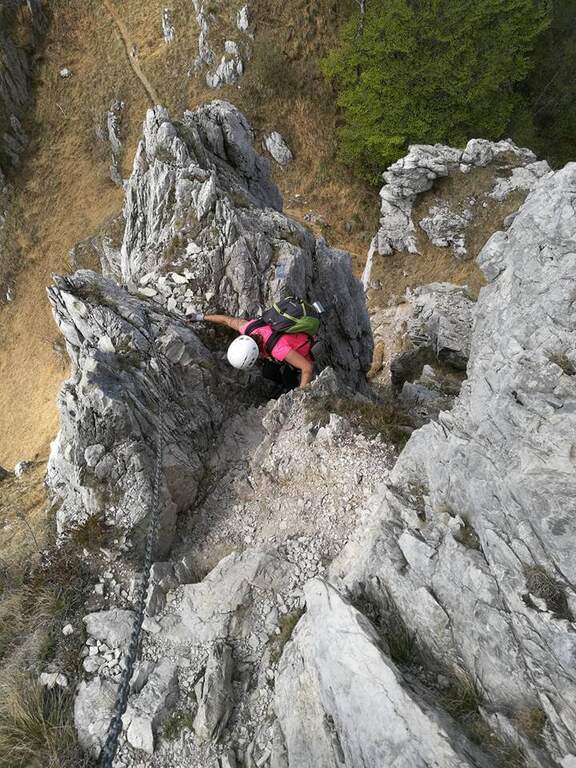
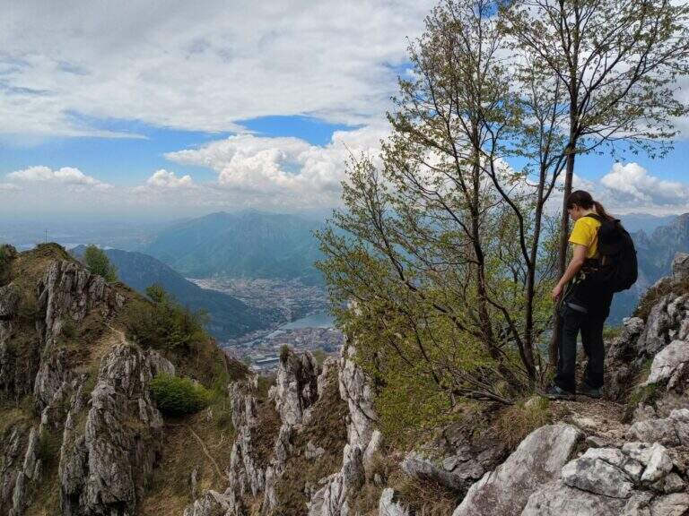
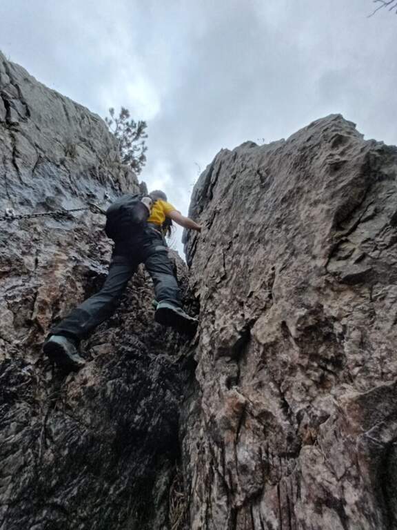
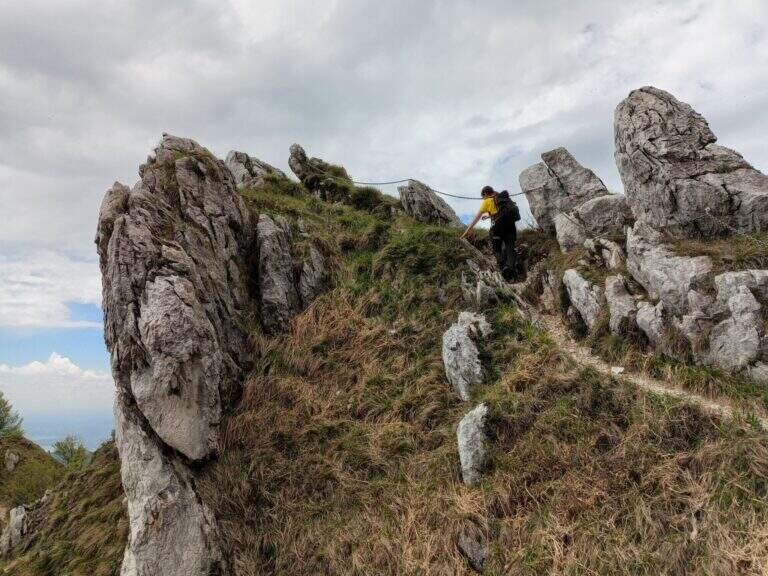
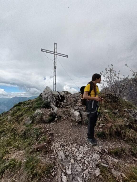
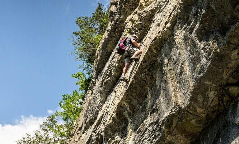
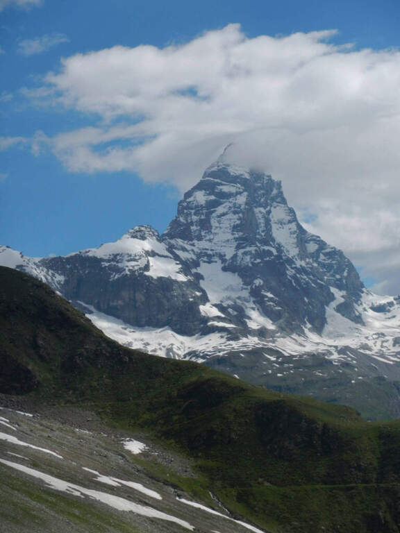
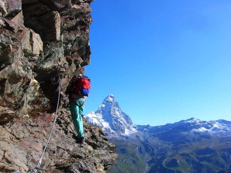
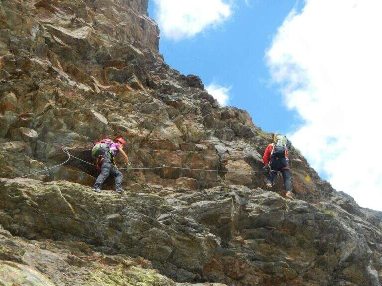
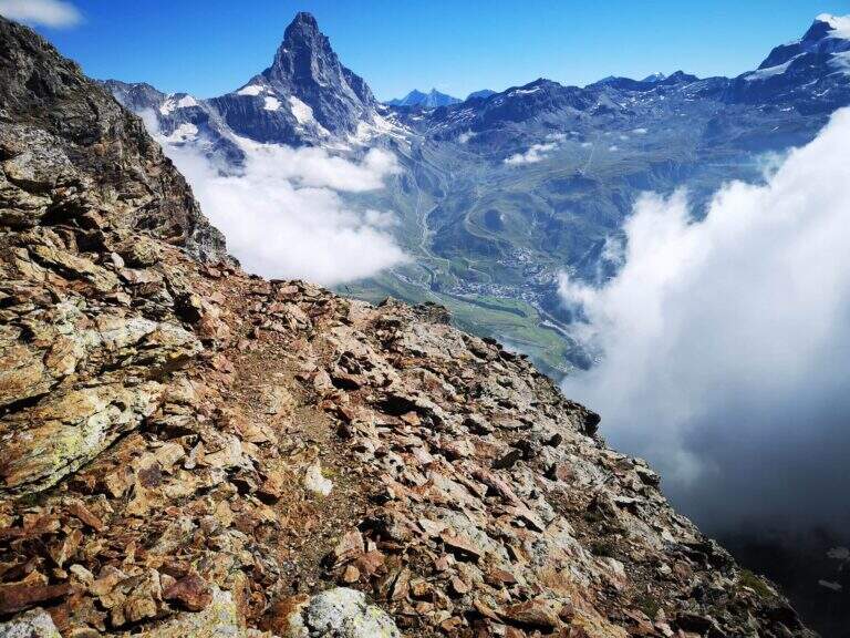
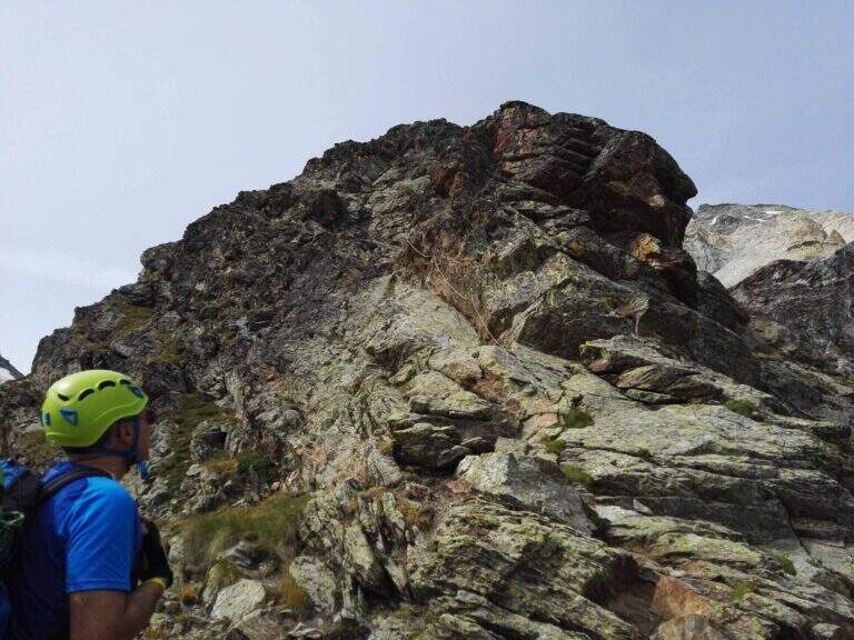
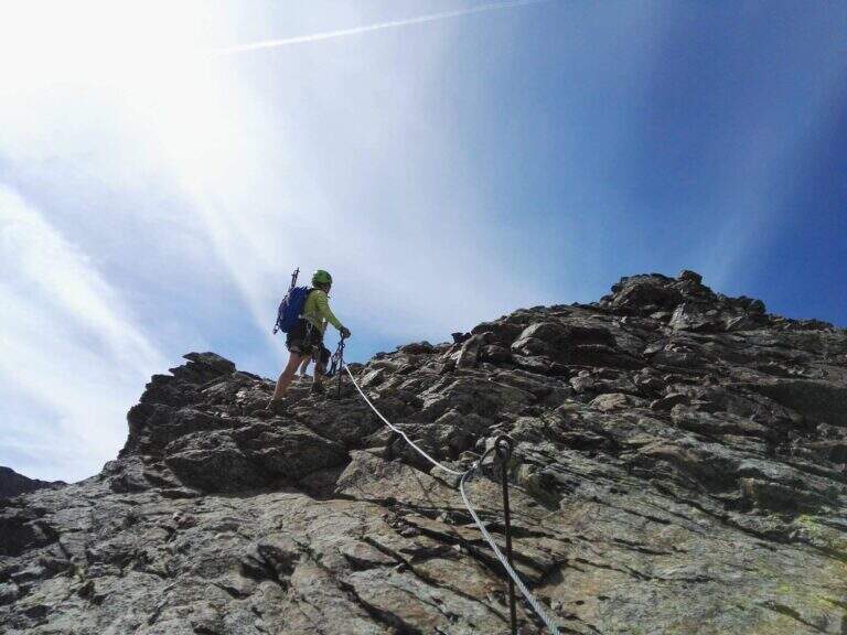
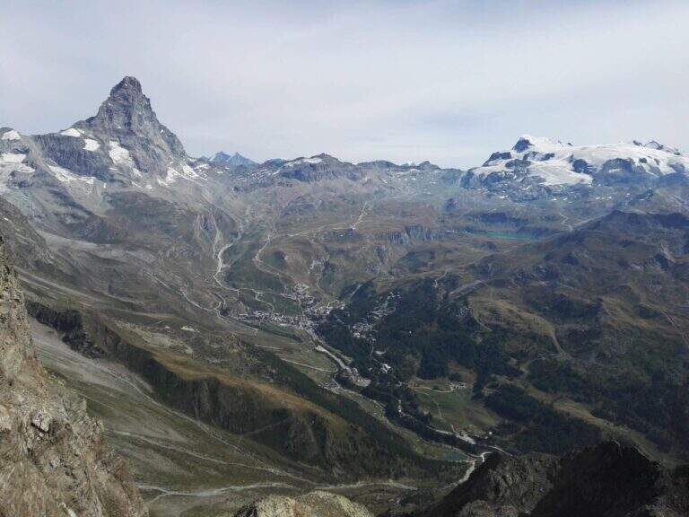
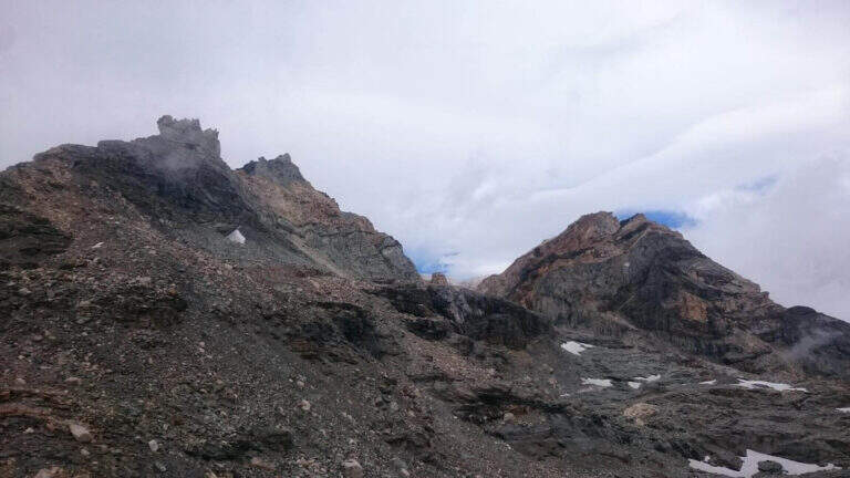
The first section takes place on some short walls, followed by a horizontal traverse exposed but with plenty of place for the feet; there is an unmarked edge and easy rocks rise. The equipment ends momentarily and follows the track up to a vertical wall, easily climbed secured by the cable; overcoming some rock leaps not steep until a balcony overlooking the Vofrede glacier. From the terrace you face a vertical wall of a few meters, not difficult, which leads to a second panoramic balcony, beyond which continues the vertical tract; the equipped path continues without difficulty until you cross a split in the rock, now near the term. The last tens of meters run and, in the plateau under the Castelletto Whymper, the equipped path ends with a magnificent view of the nearby Cervino (1h30 from the attack, 3h30 total). From the end you continue west (left) along the stone towards the Colle di Vofrede (3130 m, highest point of the excursion, 4h total), following the yellow signs and omits.
The itinerary is not technically difficult, but it is long: arrived at the Colle di Vofrede you are less than half a hike, so the total length, especially for the return.
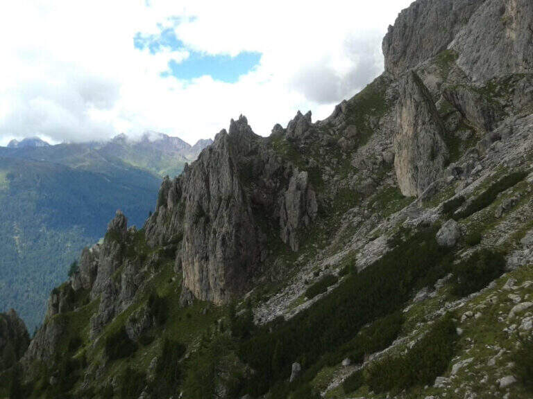
High-mountain summer itinerary (maximum rate 3130 m), in wild and beautiful surroundings. Long development and distance from support points require good autonomy and attention to the weather.
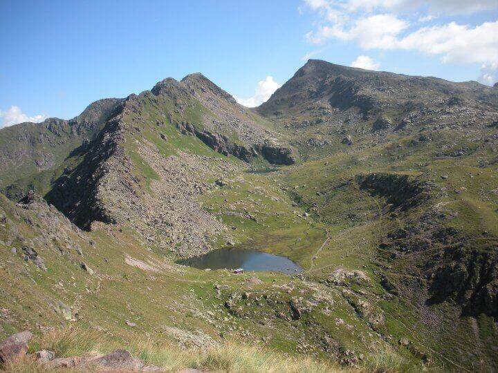
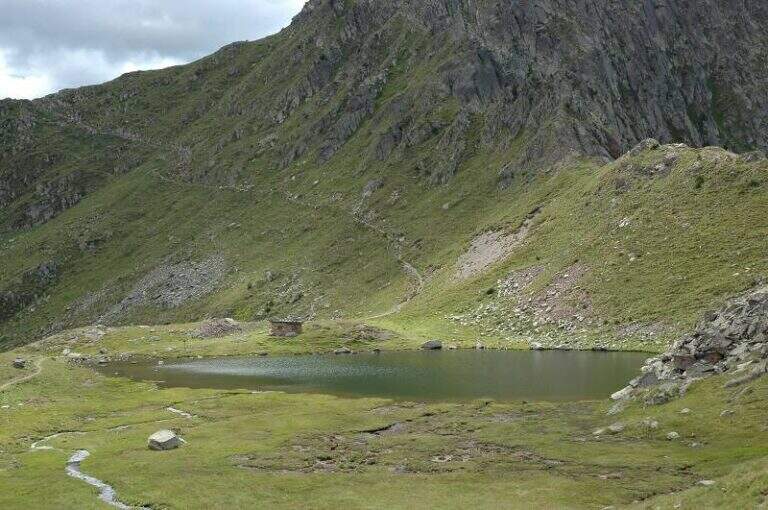
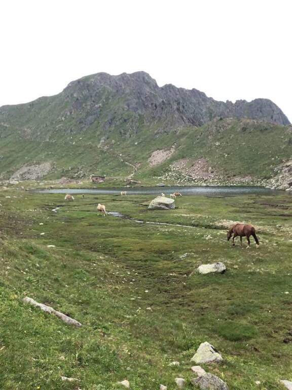
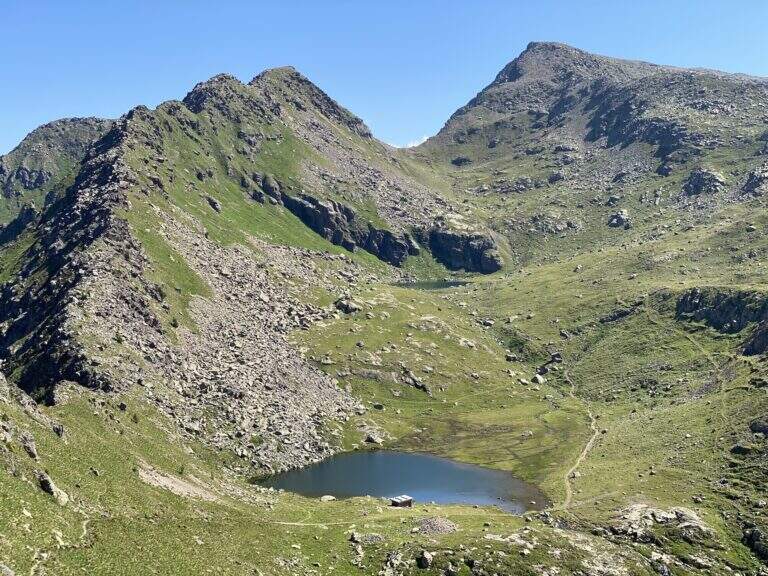
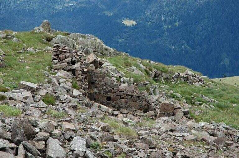
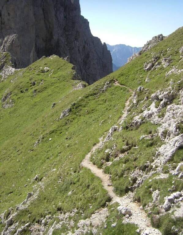
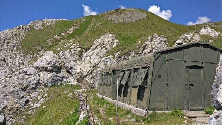
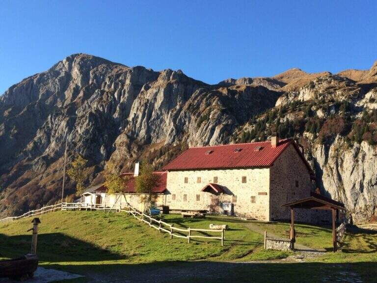
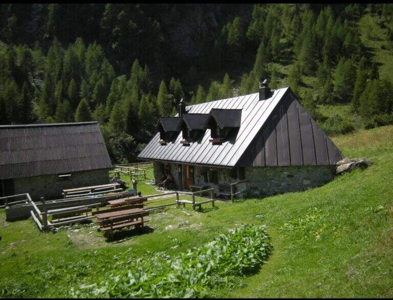
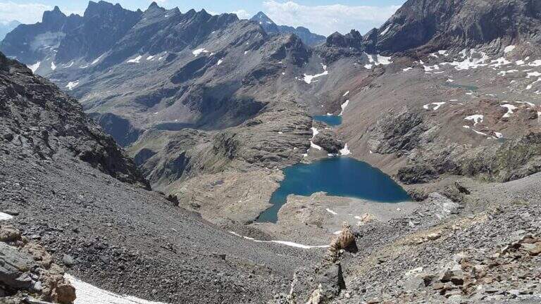
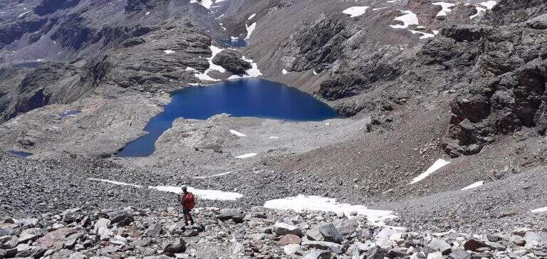
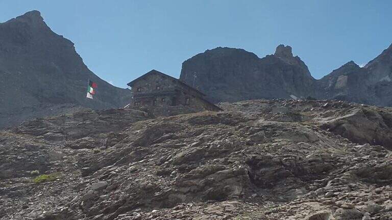
From the Colle di Vofrede you descend west towards the Gran Lago, following the labile track of the path and then the drains to the eastern side of the basin; follow the wall of containment towards the valley up to a small ruin from the grounded roof, from which a path connects shortly after a larger one that goes up to the wall where rises the Perucca Vuillermoz Refuge. From the hut follow the path 6 – Alta Via 3 towards the bivouac Manenti, to the bends, to the edge of Lake Balanselmo; continue along a half-coast at the Alpe di Chevalley, then on a dirt road up to a saddle from which you take the path 107, holding the left towards the refuge La Riondè and continuing towards the visible sand quarry and then to the parking lot (330).
- DifficultyEasy
- RegionAosta Valley
- GroupCervino – Valtournenche
- Approach2:00 h
- Ferrata1:30 h
- Itinerary (a/r)7:30 h
- Hardware level difference450 m
- Route difference1200 m
- Max3130 m
- Length14,9 Km