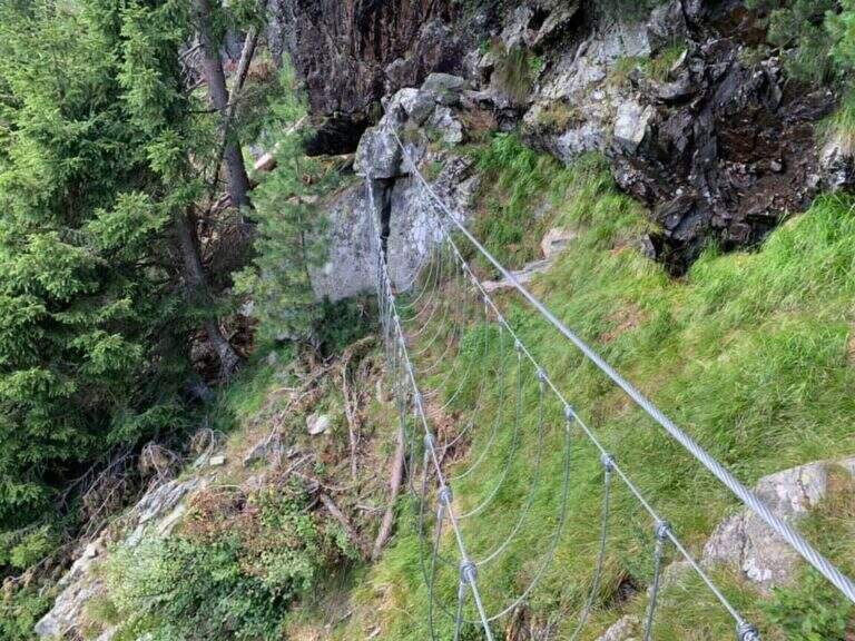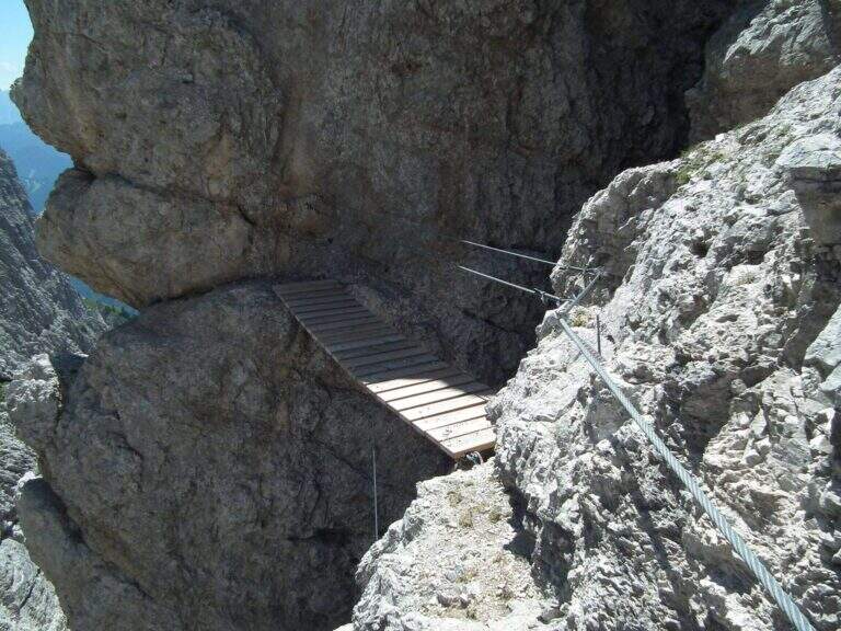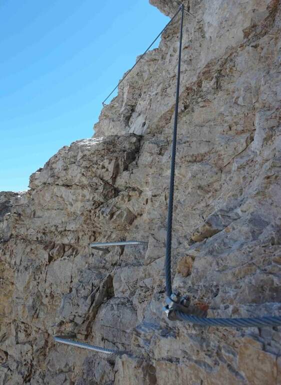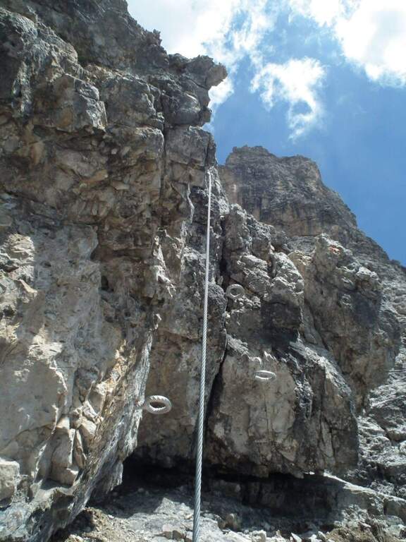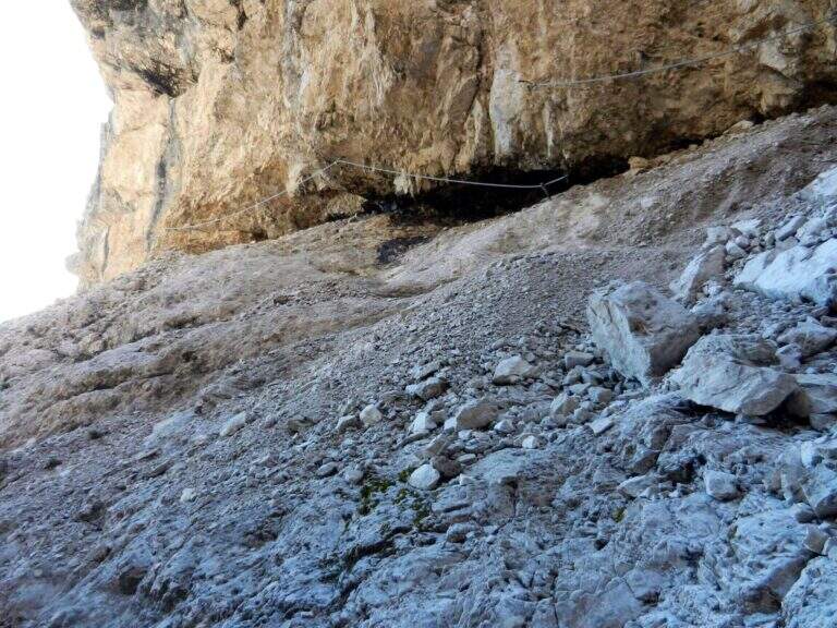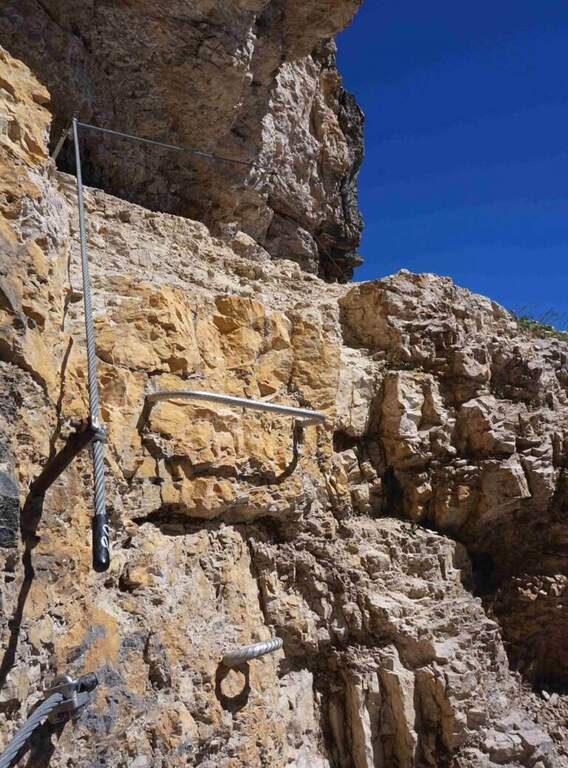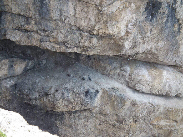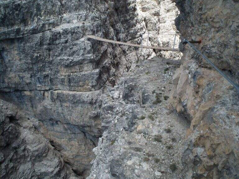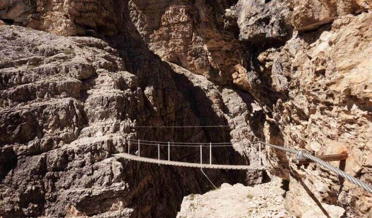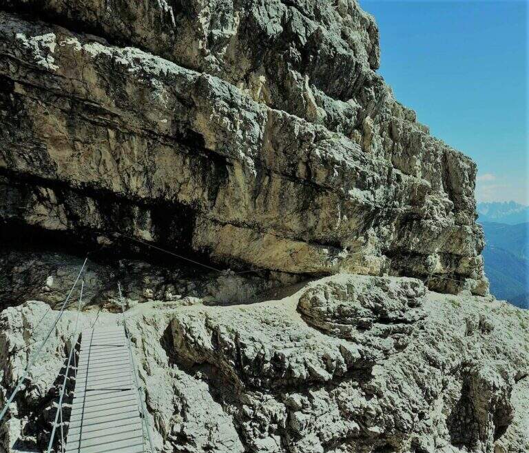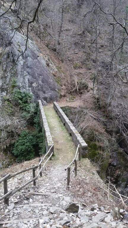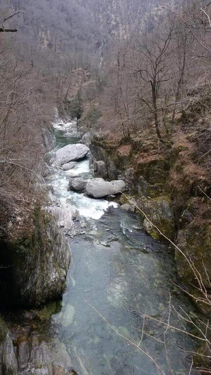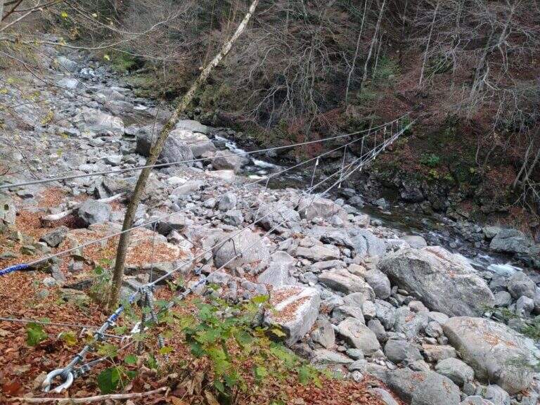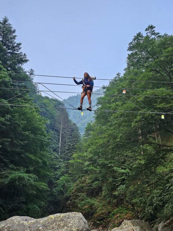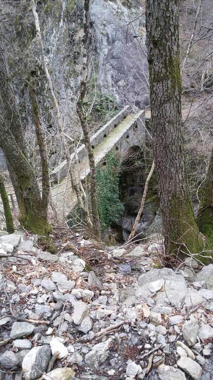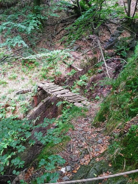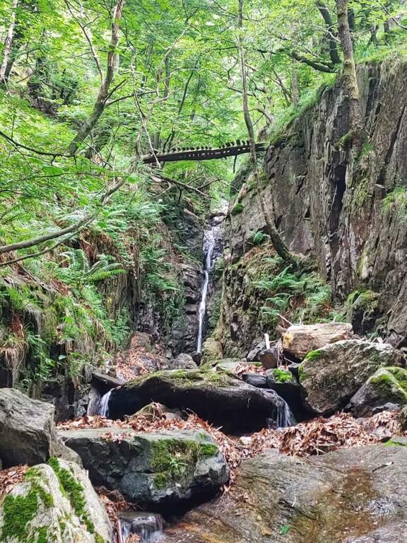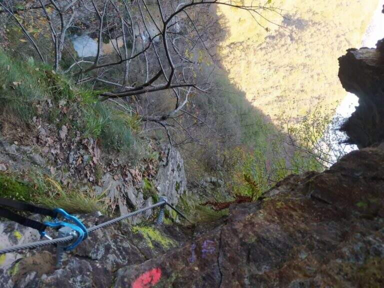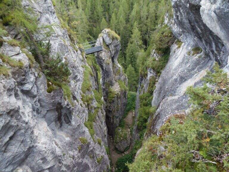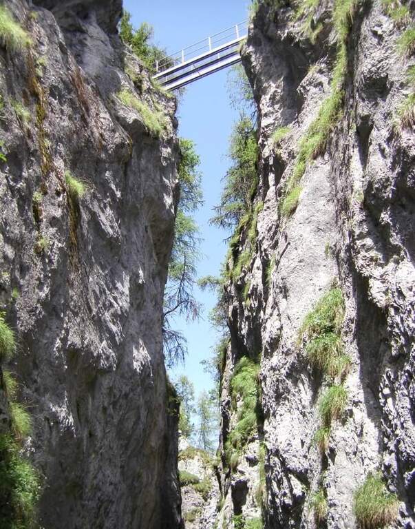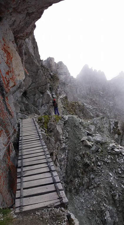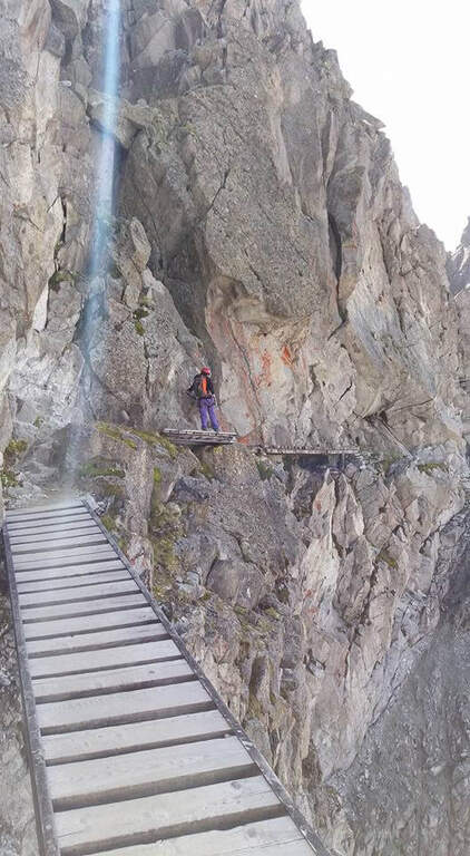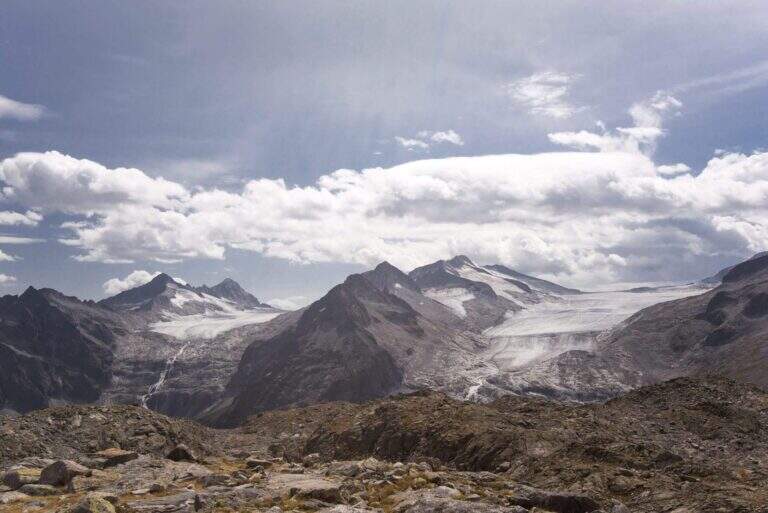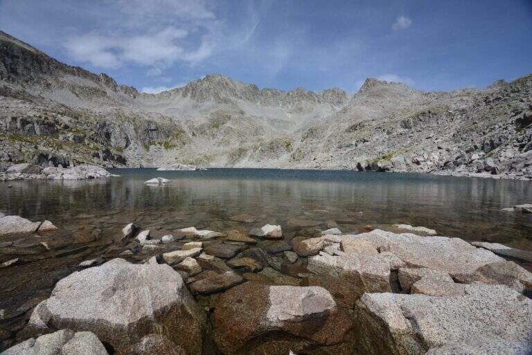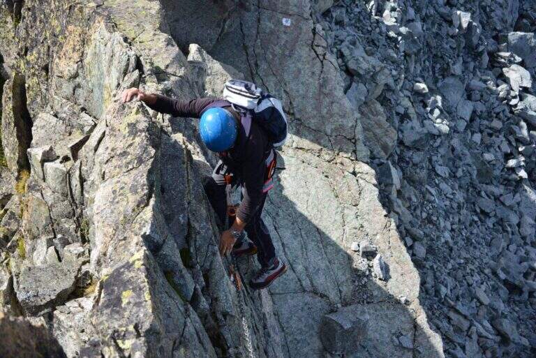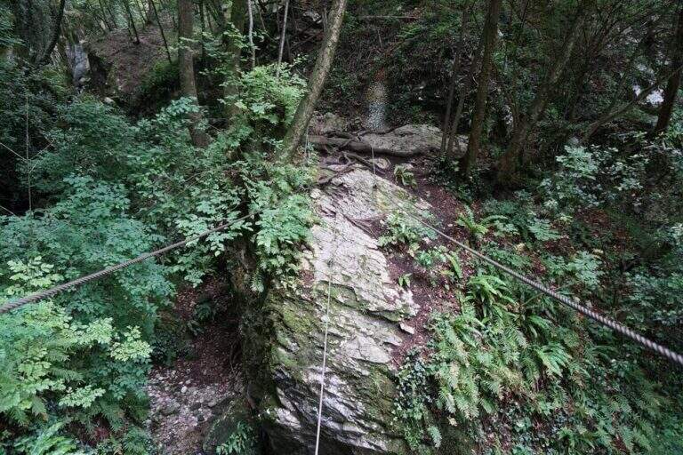
Caratteristica: Ponti sospesi

  • Ferrate del Parco delle Fucine di Casto

    Ferrate del Parco delle Fucine di Casto

    Vie Ferrate › Lombardy › Brescia
    Ferrate del Parco delle Fucine di Casto

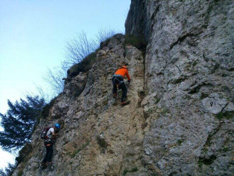
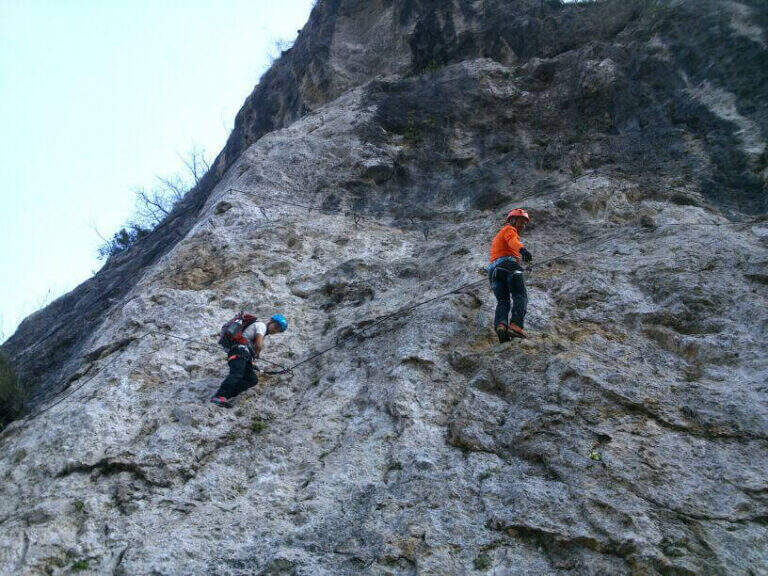
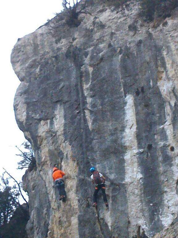
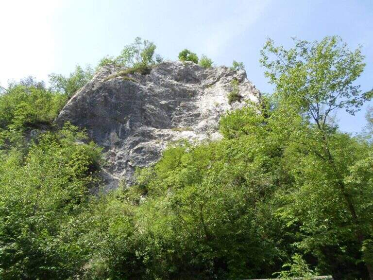
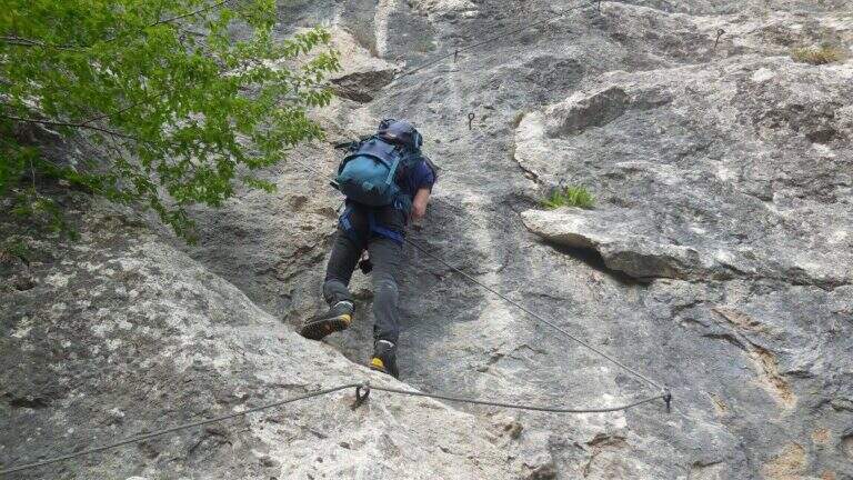
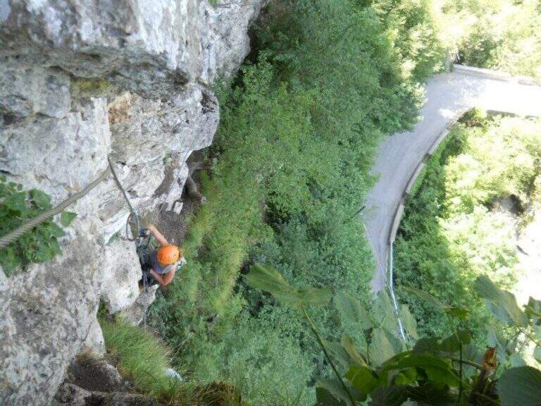
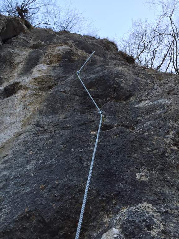
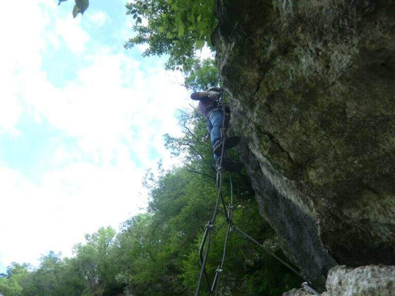
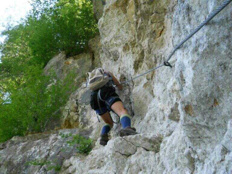
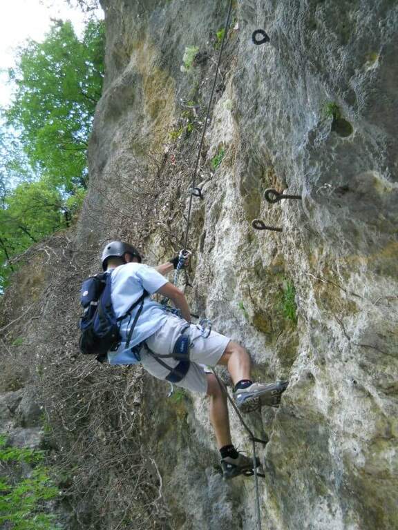
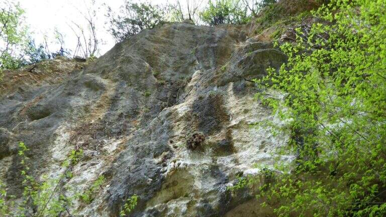
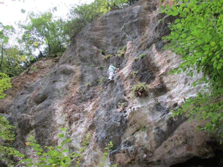
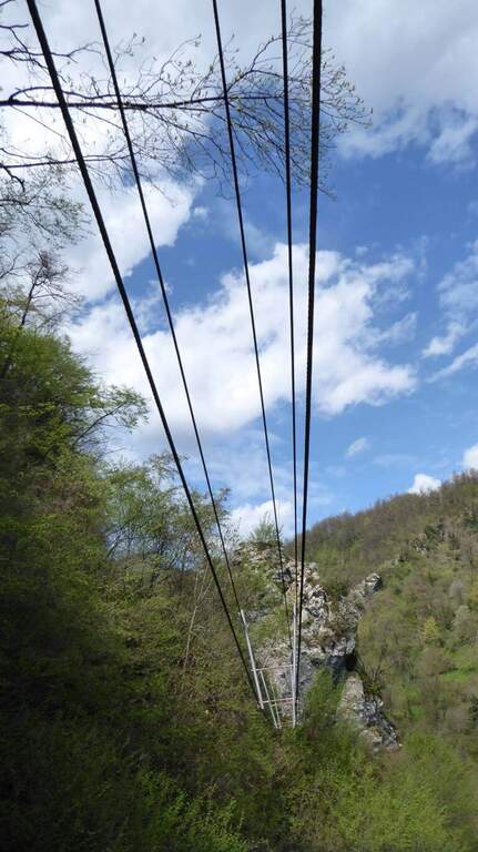
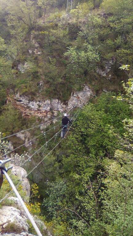
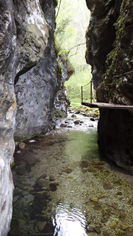
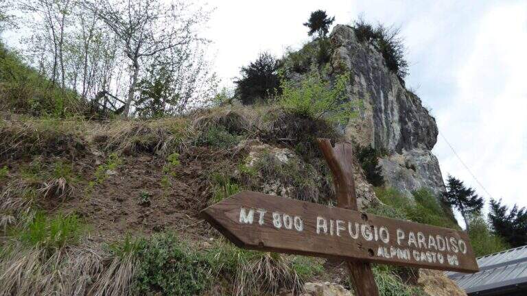
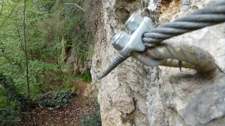
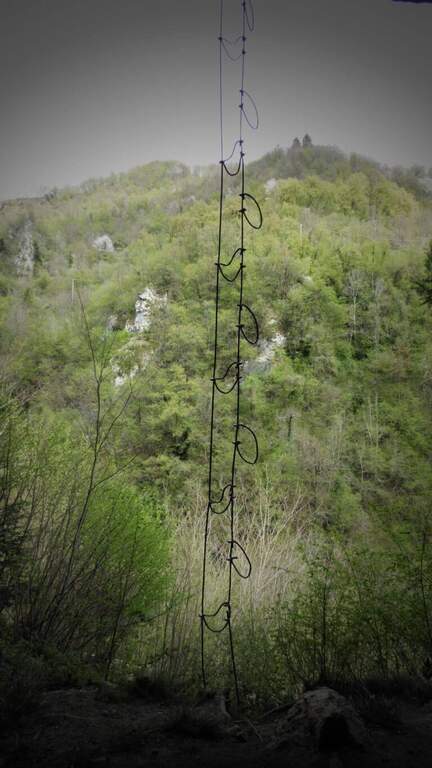
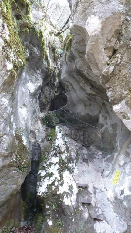
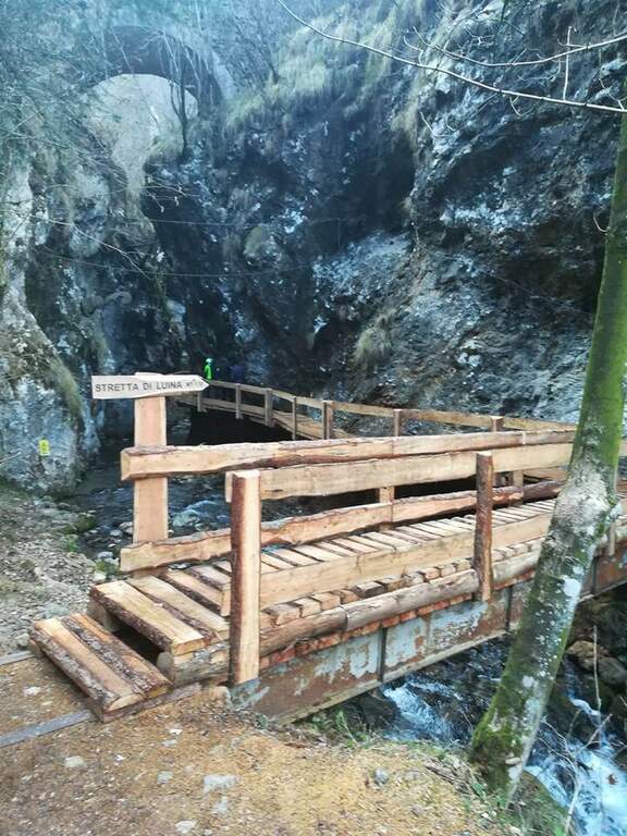
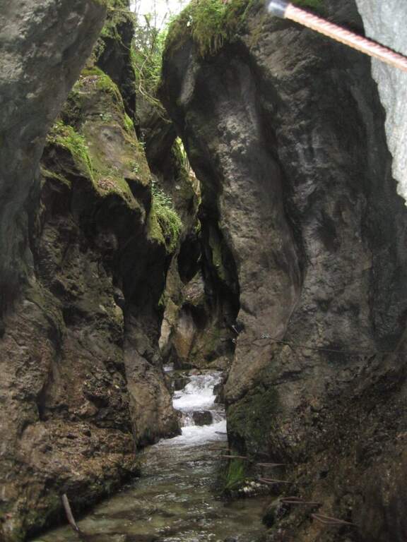
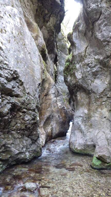
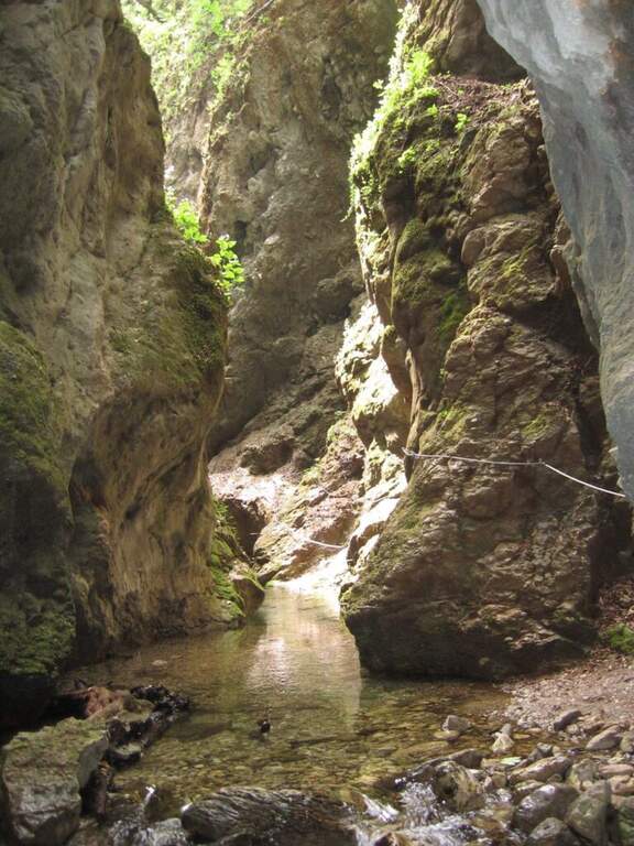
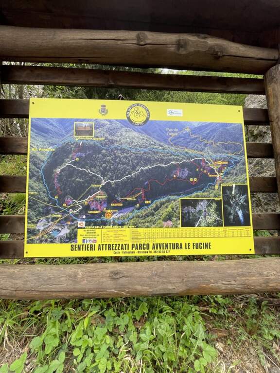
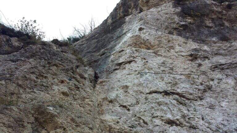
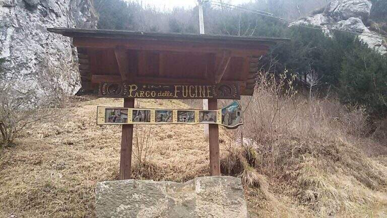
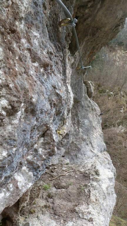
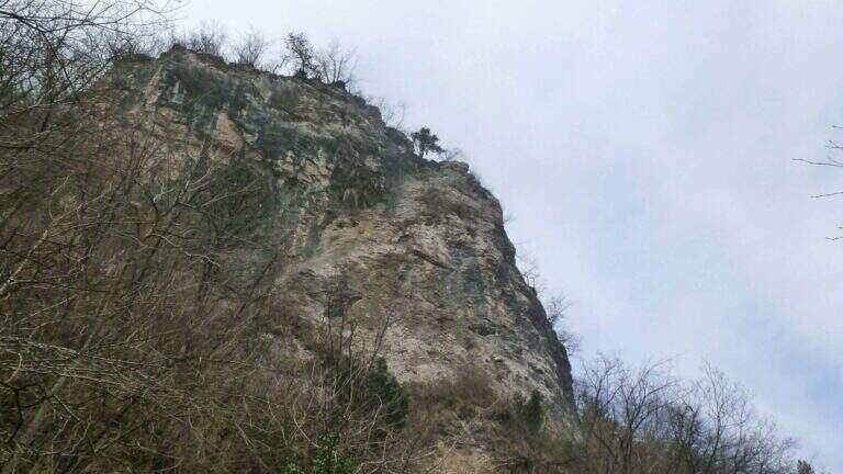
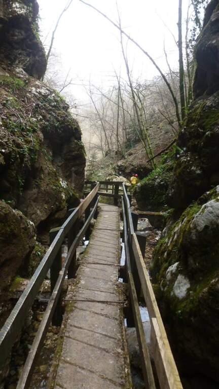
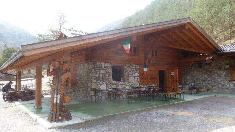
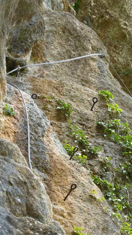
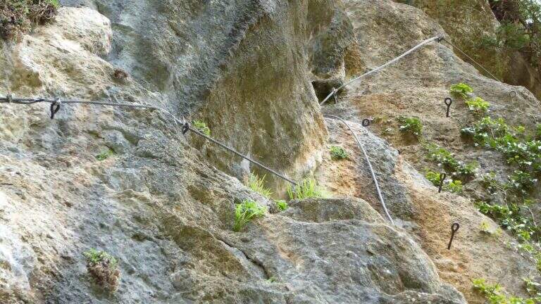
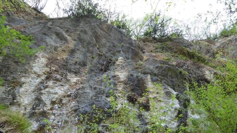
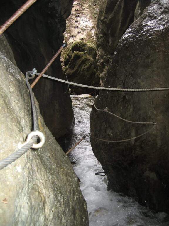
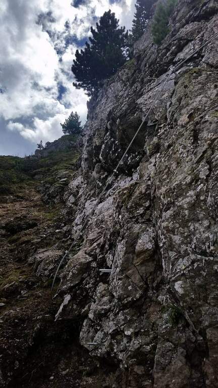
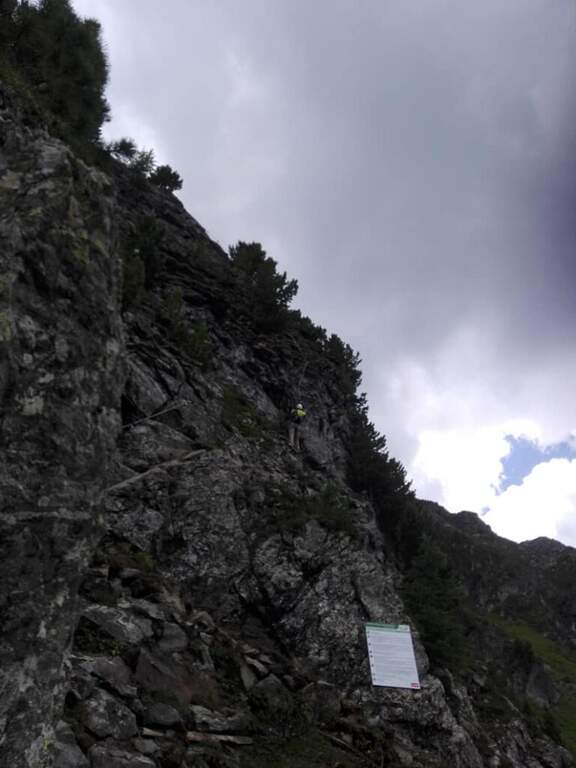
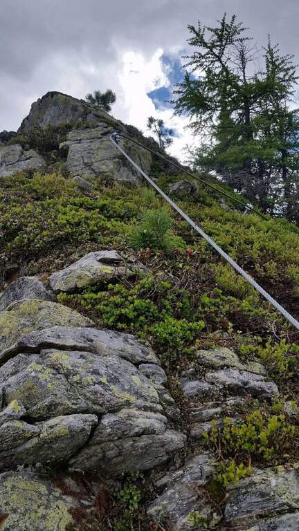
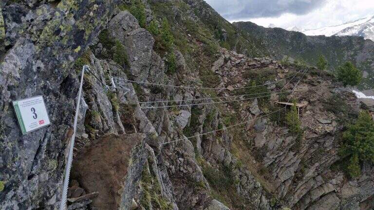
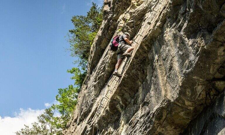
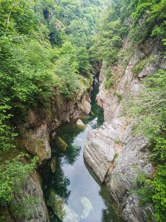
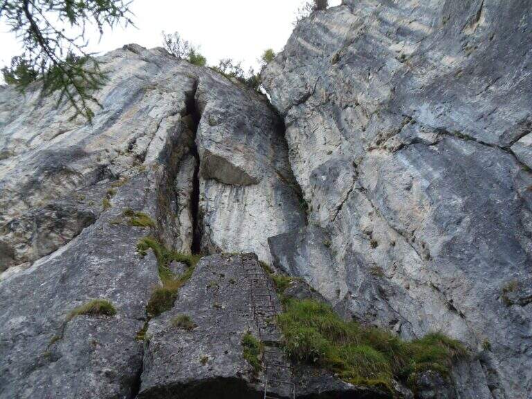
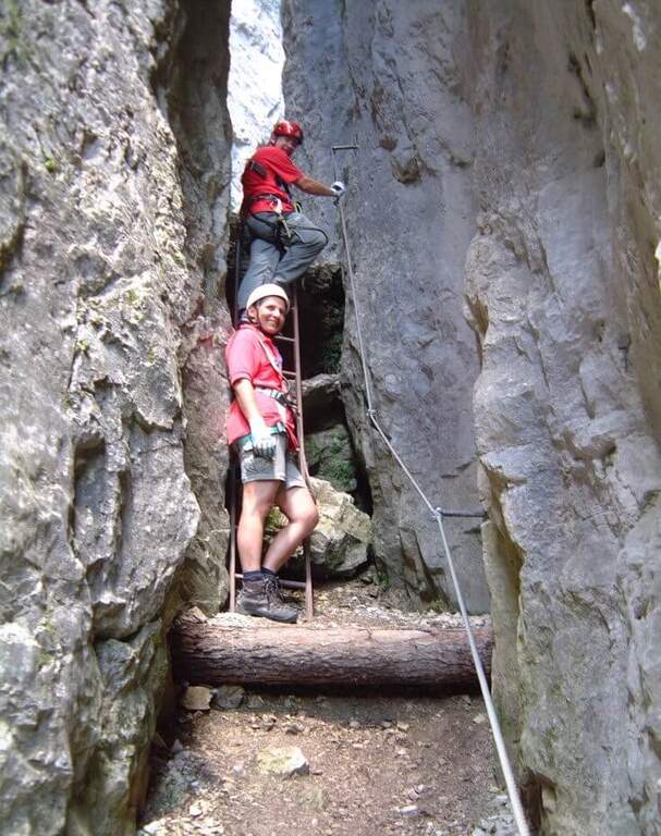
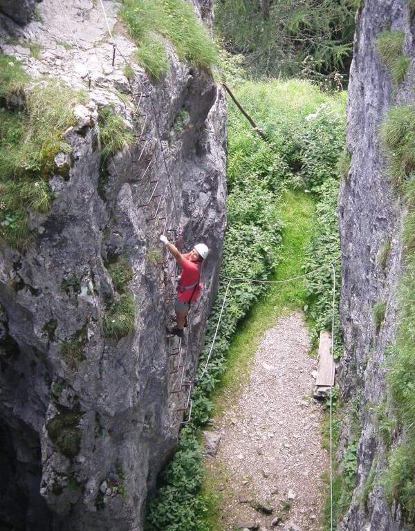
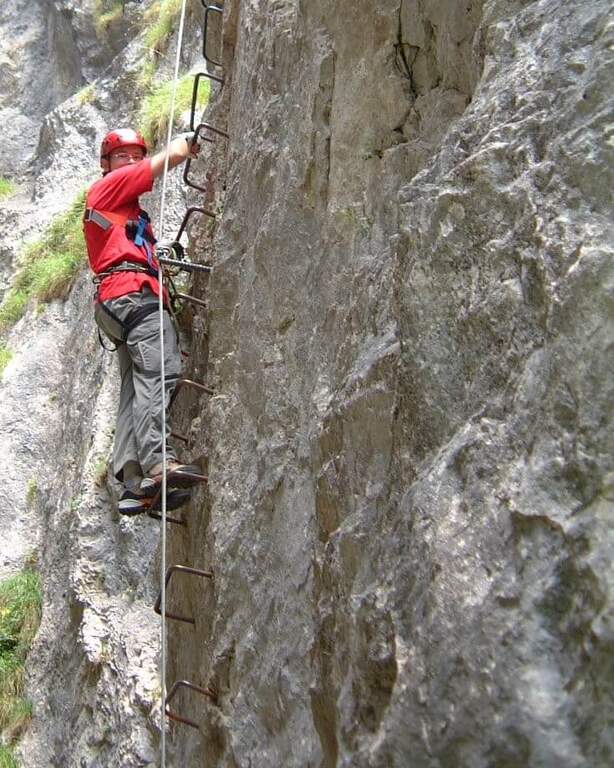
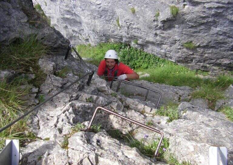
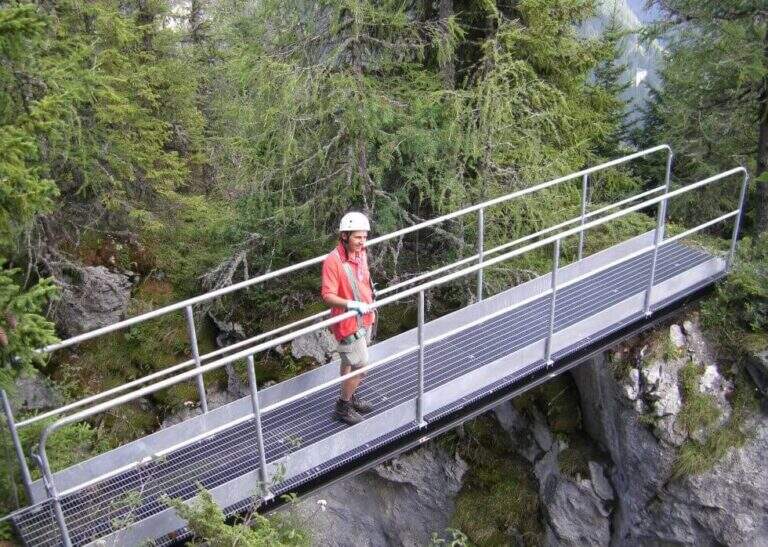
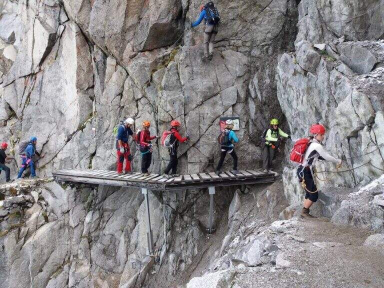
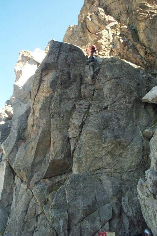
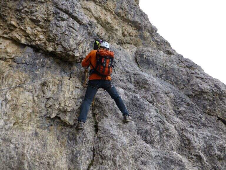
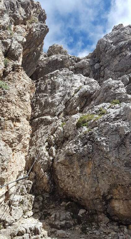
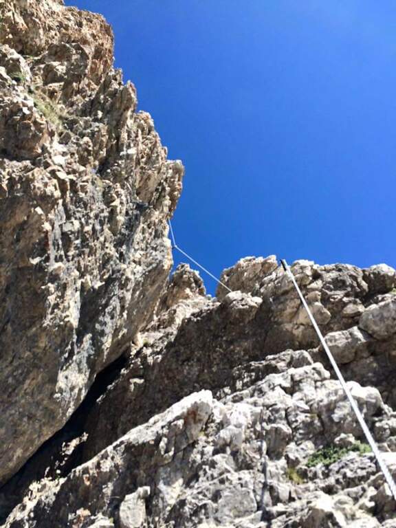
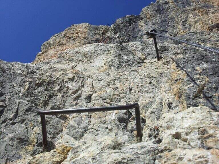
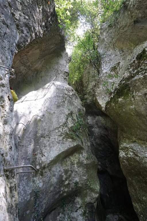
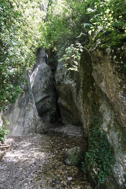
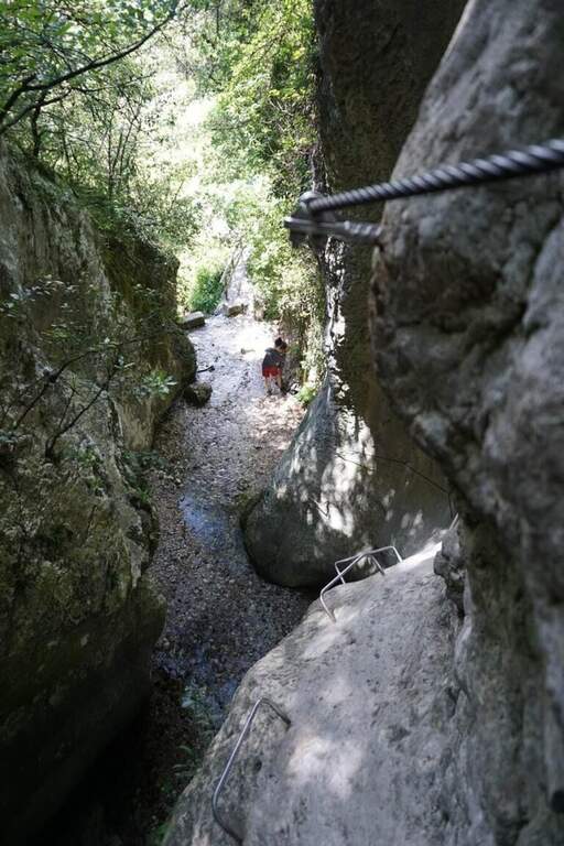
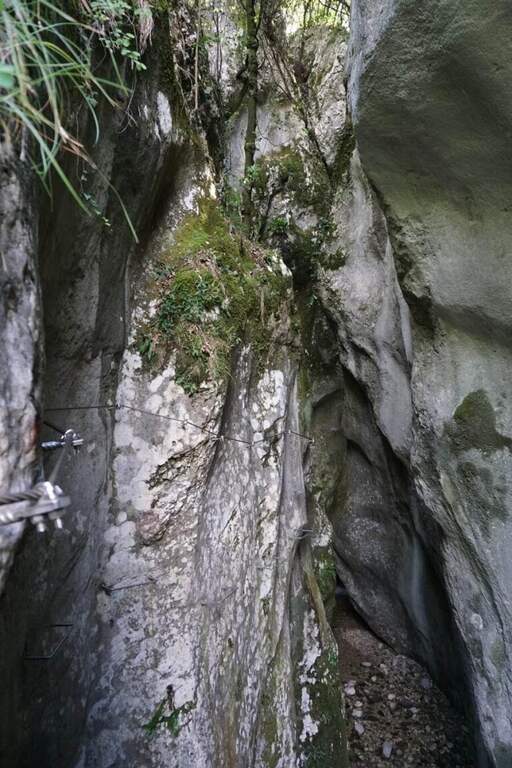
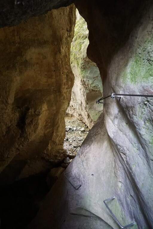
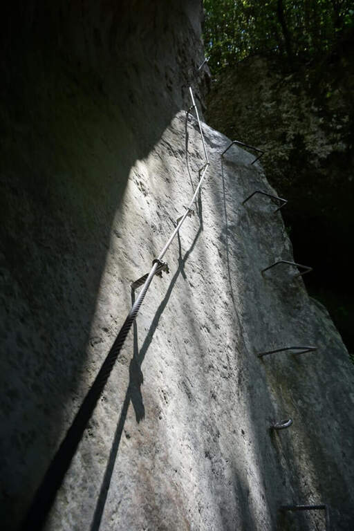
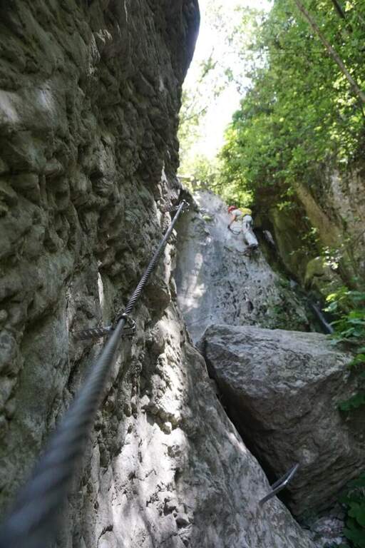
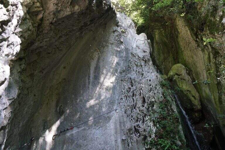
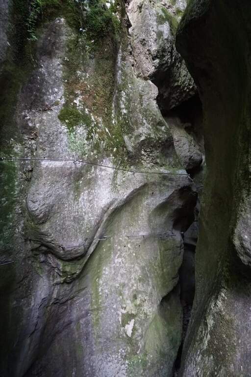
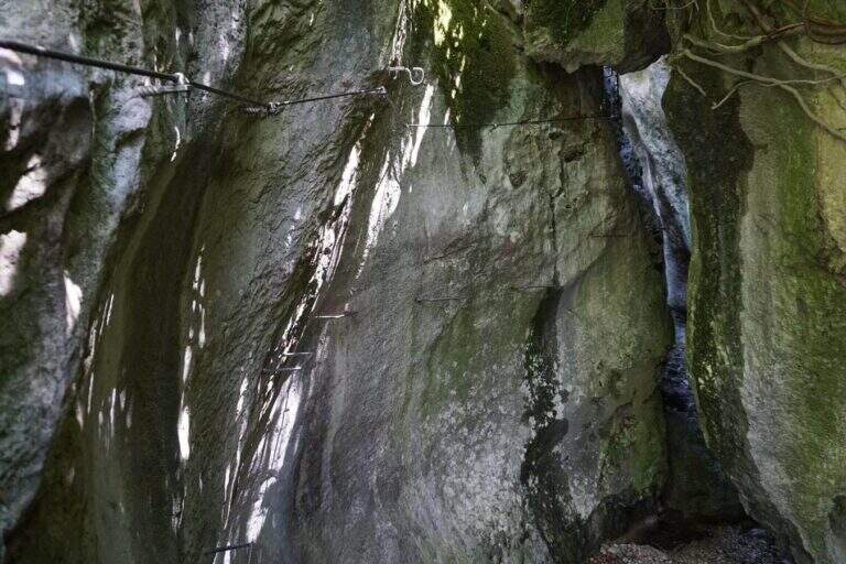
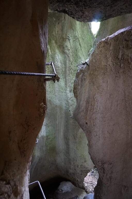
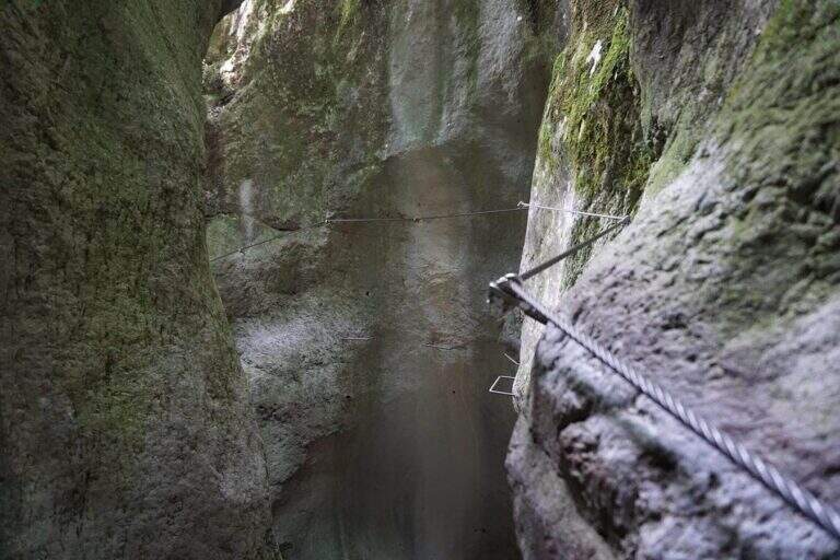
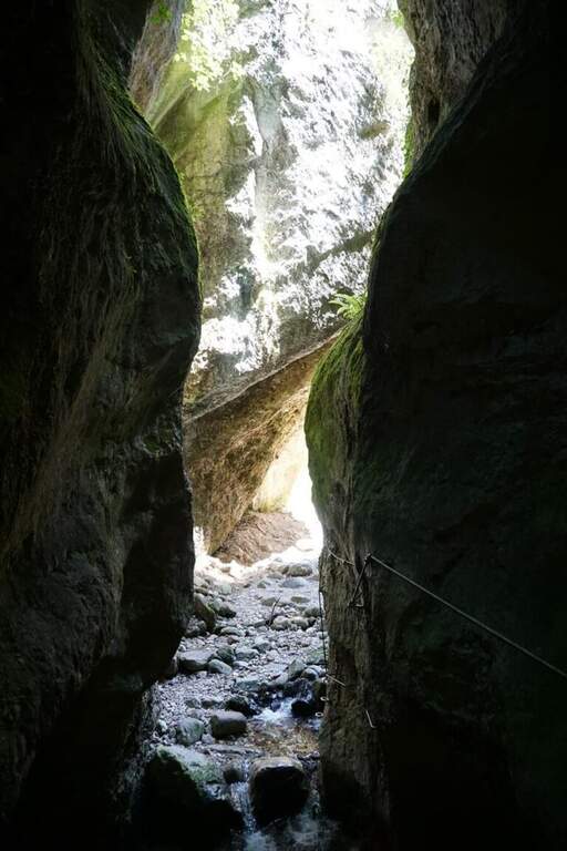
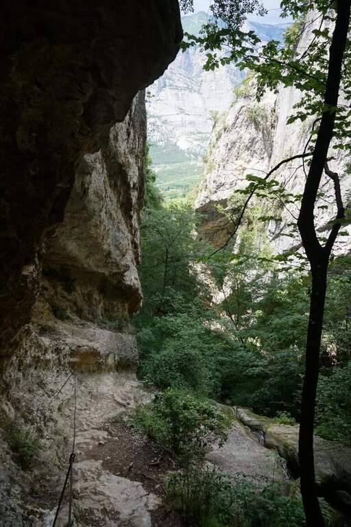
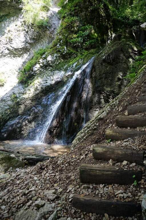
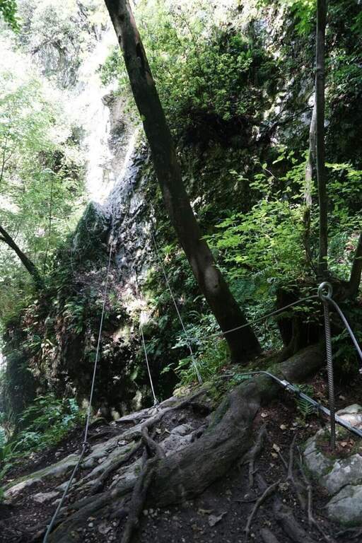
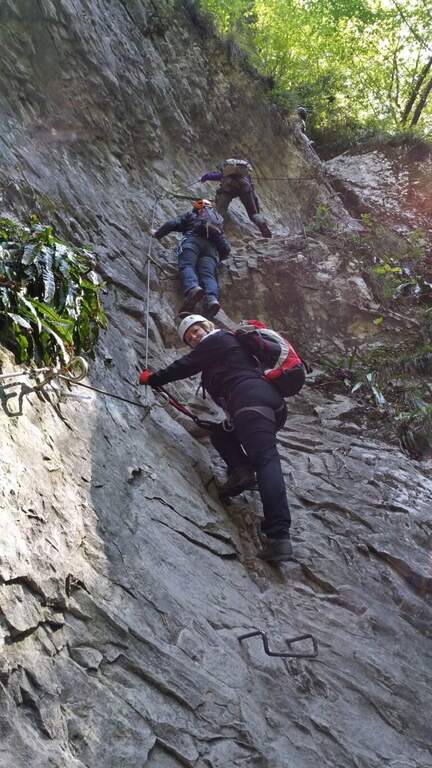
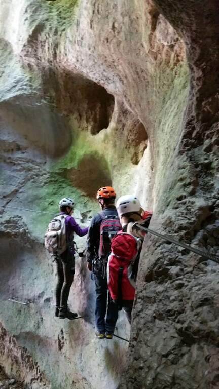
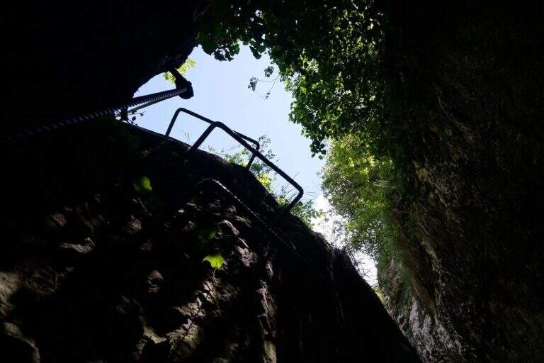
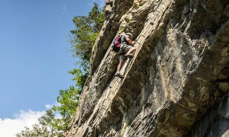
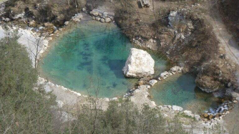
    Il Parco delle Fucine di Casto (Brescia, Valle Sabbia) è a unique park in Italy: at free entrance, it gathers on a few walls over fifteen equipped routes, as well as hiking, mountain biking, zip line, suspended bridges and refreshments. The streets are largely atletic and little climbable, excellent for l' training; the difficult ` ranges from an easy way to vertical and very demanding tracks.

    ▲Approach

    Starting from the ' ample parking along the park, at Casto. From the center of the village take left (south) via Marconi which, with clear indications, leads to the Parco delle Fucine in about a kilometer. Open road signs on Google Maps. Parking is just a few steps from the entrance (free); from here you can see some streets (the Strega Colpo, the Arcobaleno) and at least one suspended bridge. The times of approach to the individual attacks range from a few minutes up to about 15 minutes in the most distant ways, towards the Strait of Luina.

    ▲The equipped routes

    Each path has development to itself and signalled attack; below a faithful picture of length, difference in level and character.

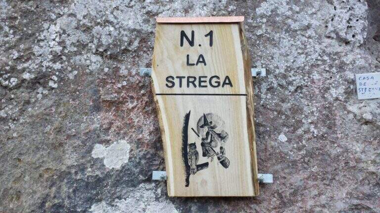
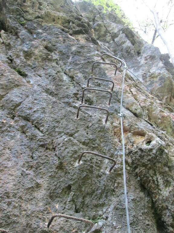
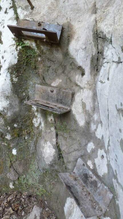
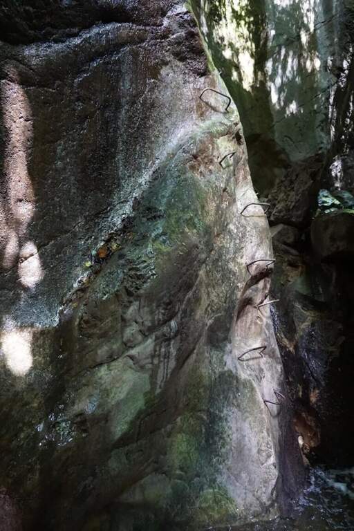
    Ferrata 1 (House of Witches, on Corna Zana, near the parking lot): 115 m, height difference 28 m. Dedicated diagonal traverse and horizontal beams exposed, with brackets and pioli on polished rock.
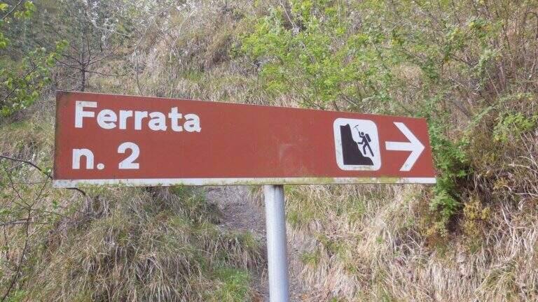
    Ferrata 2: 61 m, height difference 23 m. The least challenging of the park, on beams with good supports and a vertical variant; ideal for starting.
    Ferrata 3: 152 m, height difference 78 m. Long and challenging, with long beams on very smooth rock (strong traction on the cable) and vertical aerial traits.
    Ferrata 4: 60 m, height difference 49 m. Vertical, with first challenging and slightly overhanging meters and an aerial edge; higher climbing part.
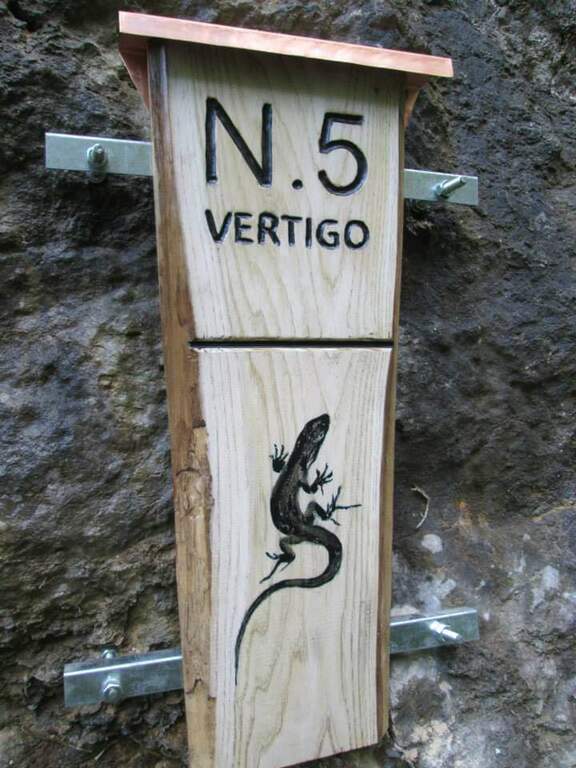
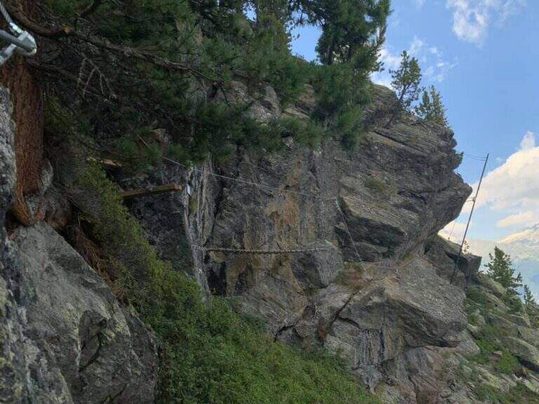
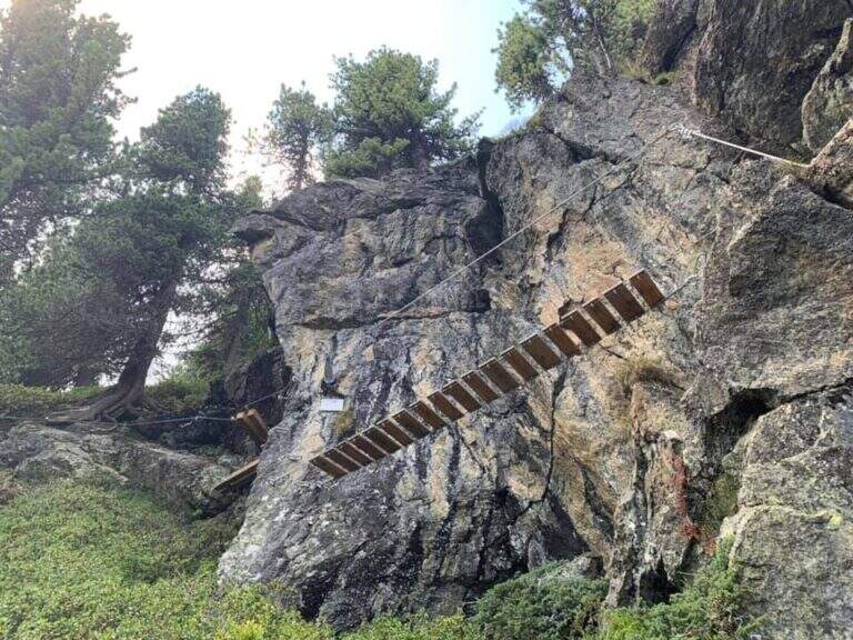
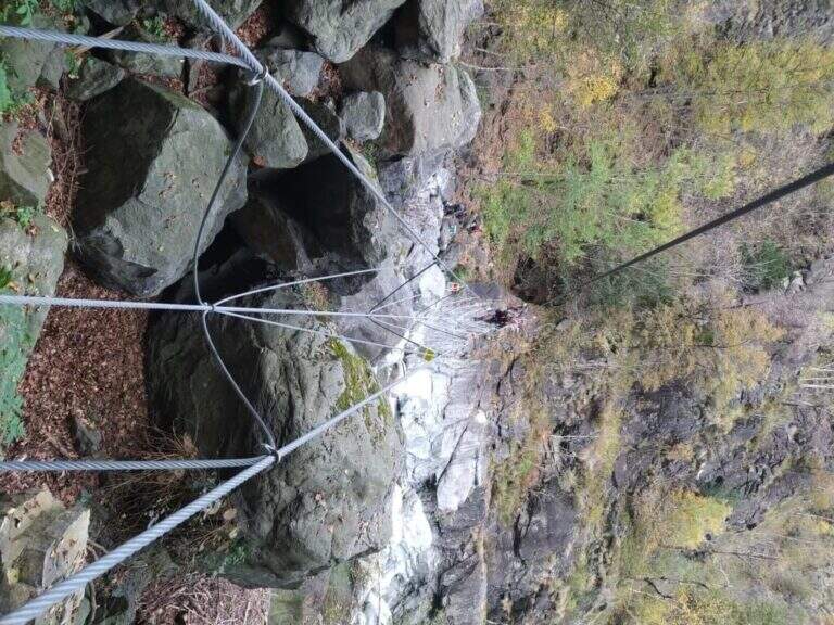
    Ferrata 5 «Vertigo»: 40 m, height difference 25 m. Verticality, slightly overhanging brackets and a challenging overhanging passage; ends at a suspended bridge of about 30 m.
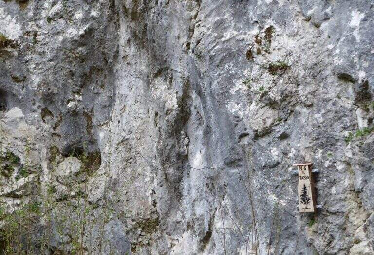
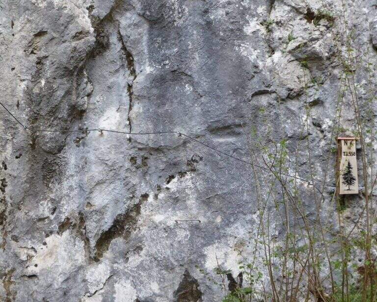
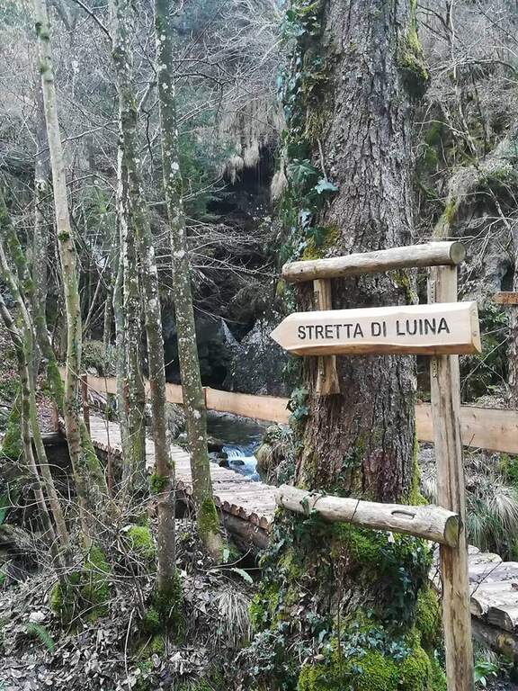
    Ferrata 6 «Tasso»: 28 m, altitude difference 25 m. Short: initial crossing, overhanging stretch with brackets; at the end you cross the bridge suspended on the Strait of Luina.
    Ferrata 7: 60 m, height difference 28 m. Follow us downhill from the suspended bridge; adrenaline exposed edge and tiring vertical descent, up to join Ferrata 8.
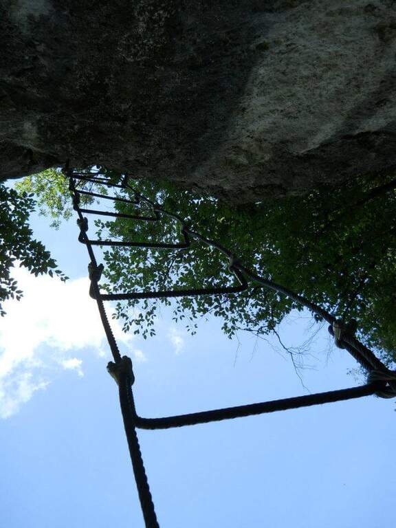
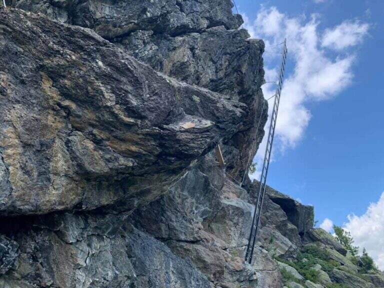
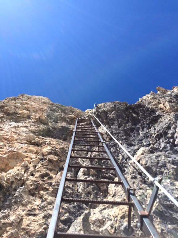
    Ferrata 8: 68 m, height difference 47 m. Impegnative, with key passage on dark and polished wall of 4-5 m and marine scale final.
    Ferrata 9: 68 m, height difference 47 m. Adjacent to 8, with a demanding vertical tear up to the common sea scale.
    Ferrata 10: 60 m, elevation difference 46 m. Diagonal copper, exposed beams and challenging vertical passages alternating with terraces.
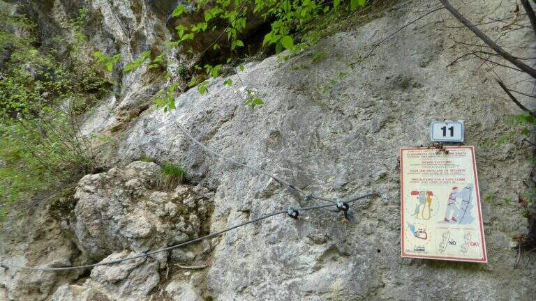
    Ferrata 11: 58 m, dislivello 45 m. Tra le più dure del parco: parete giallastra verticale e strapiombante, variante verticale estrema e forte esposizione.
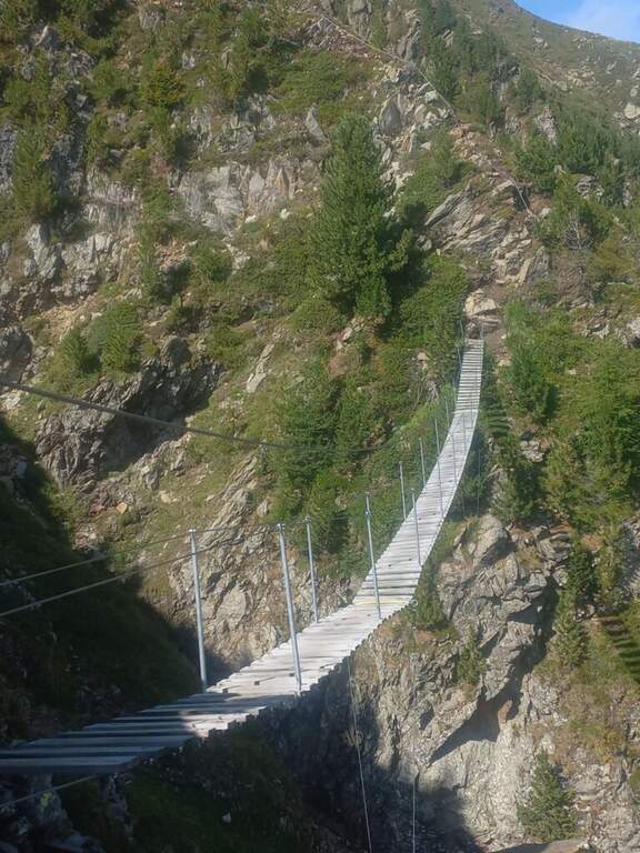
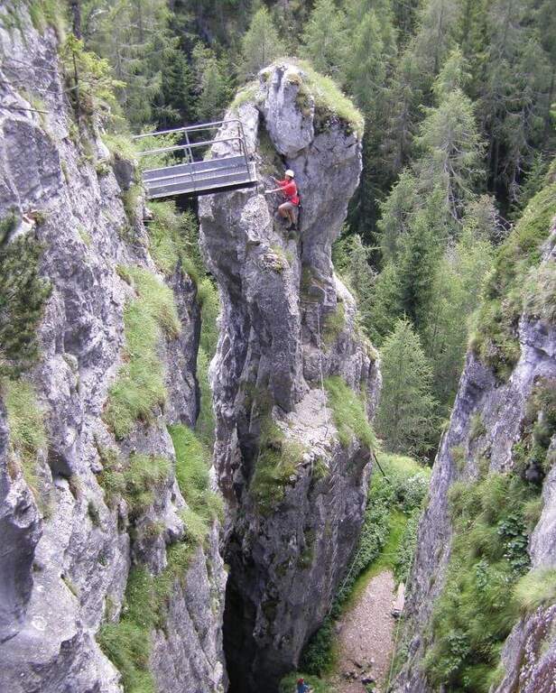
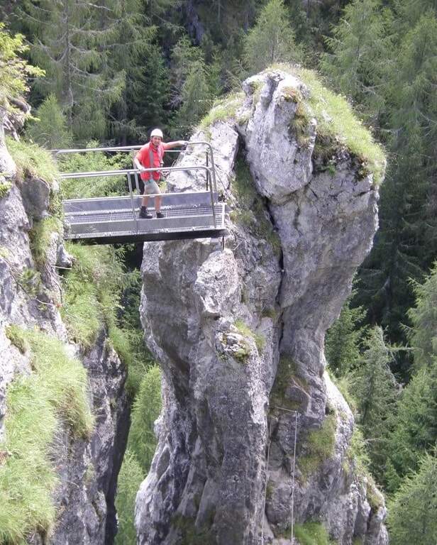
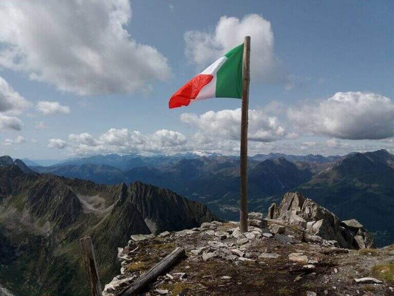
    Ferrata 12: 65 m, dislivello 28 m. Spigolo, canalino e un passo strapiombante; sale un gendarme (bandiera in vetta), con rientro per un ponte sospeso di quasi 40 m piuttosto ballerino.
    Ferrata 12 bis: 46 m, dislivello 26 m. Attacco subito verticale e strapiombante, ponte delle scimmie di circa 8 m, poi si innesta sulla Ferrata 12.
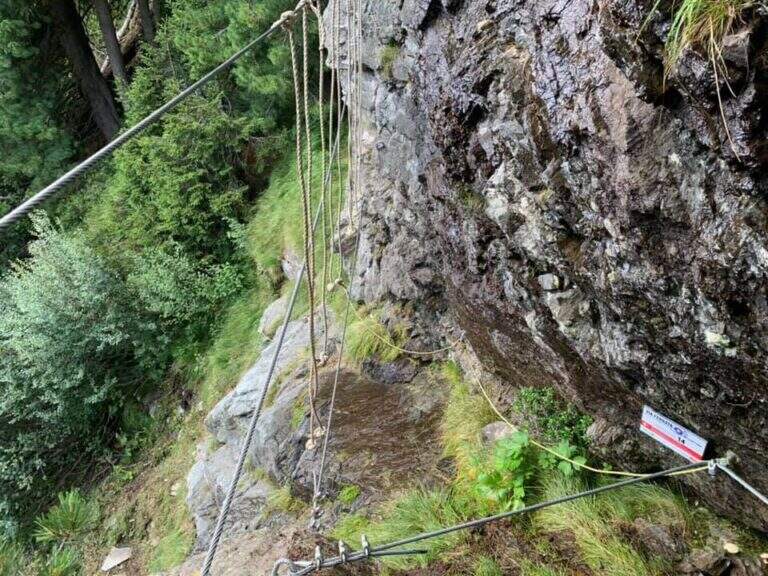
    Ferrata 14 «Edera»: 44 m, dislivello 36 m. Diedro tecnico e piacevole, poi un ponte sospeso a 4 corde di circa 35-40 m e un secondo ponte più stabile.
    Ferrata 15: 125 m, dislivello 23 m. Prevalentemente in traverso lungo il torrente, con ponti sospesi e un ponte delle scimmie; senza difficoltà particolari ma talvolta scivolosa.
    Colpo della Strega (sopra il parcheggio): 45 m, dislivello 38 m. Verticale, tecnica e difficile, su roccia levigata povera di appigli che sollecita molto le braccia.
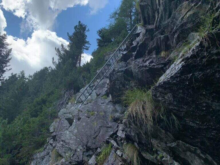
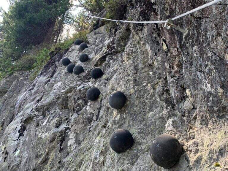
    Arcobaleno: 55 m, dislivello 38 m. Privilegia l'arrampicata su pioli e prese sferiche (cavo «alla francese»), con spigolo aereo e passaggio strapiombante assistito.
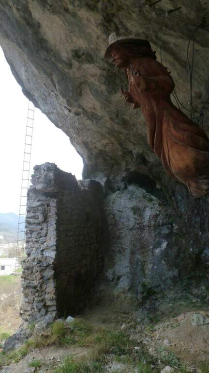
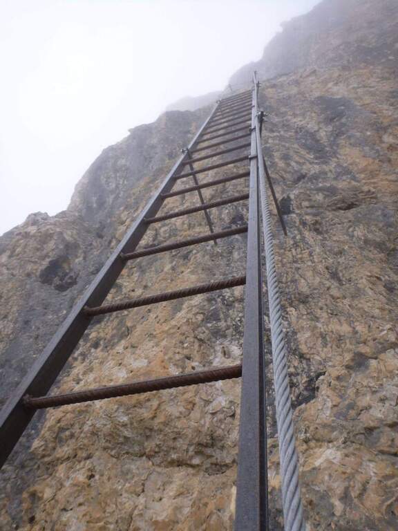
    Dragone (Grotta del Dragone): 240 m, sviluppo 50 m. Meno verticale, di fatto un sentiero attrezzato con scala marinara e un lungo ponte sospeso, che tocca gli attacchi delle vie 11, 10, 9, 8, 7 e quelle 5, 6 e 14.
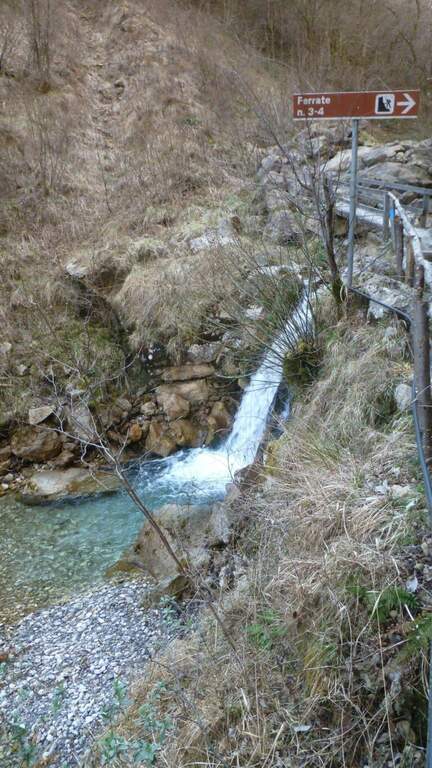
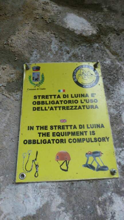
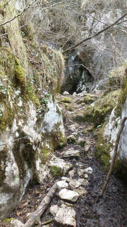
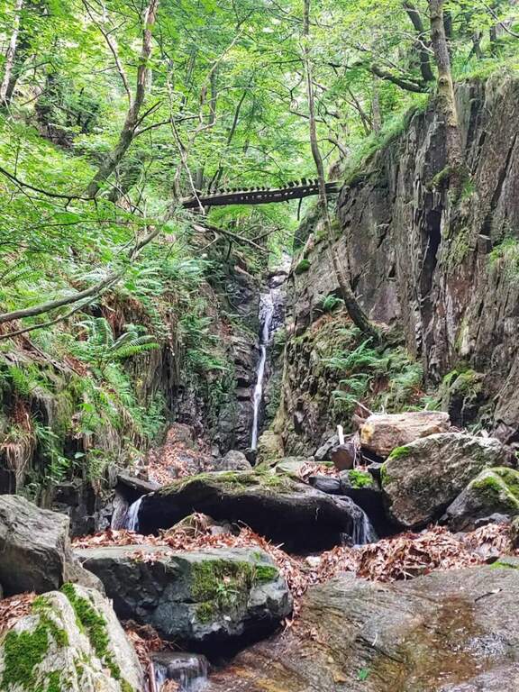
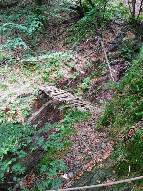
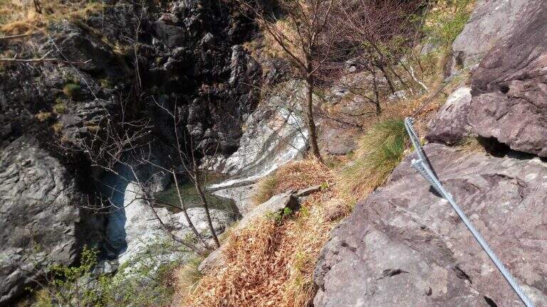
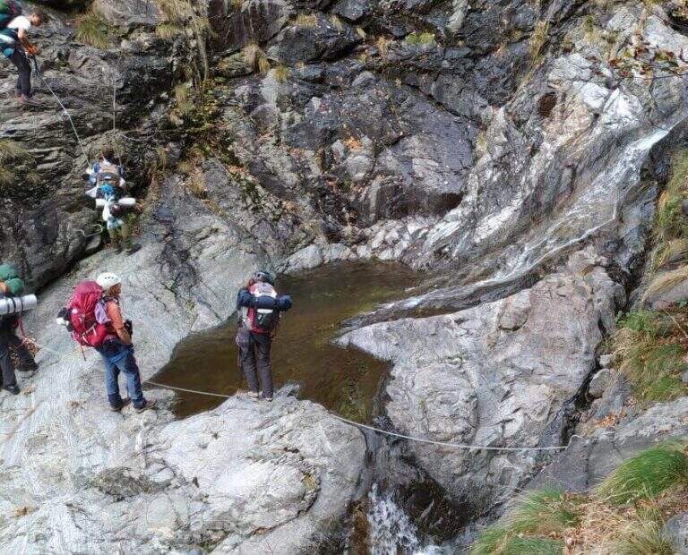
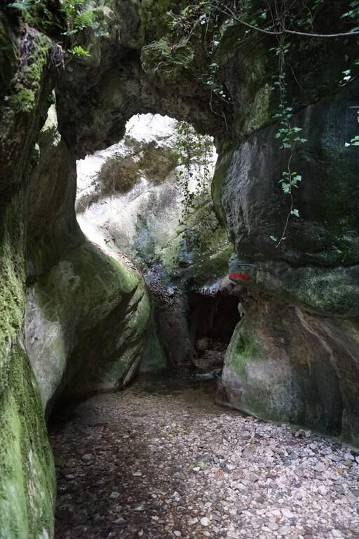
    Stretta di Luina: percorso prevalentemente orizzontale, quasi al pelo dell'acqua nella forra del torrente; non difficile ma scivoloso, con ponti su tronchi e ponti delle scimmie.

    ▲Character and difficulty

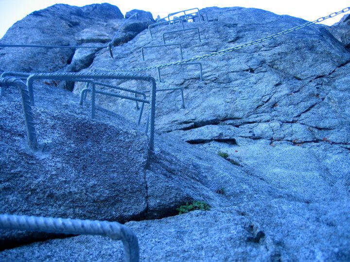
    The park offers a wide range: from easy Ferrata 2 and the Dragon to extremely athletic and overhanging routes (Ferrata 11, Vertigo, Colpo della Strega). The rock is often smoothed and undressed, with frequent traction on the cable; numerous suspended bridges and monkey bridges, exposed but fun.

    ⚠ Many routes are physically demanding and little climbing, not suitable for neophytes (except Ferrata 2 and Dragon). Helmet and hardware set are indispensable; attention to the slippery bottom in the holes and swinging bridges. Choose the route based on your training.

    ▲Discipline

    Almost all routes fall for sentiero (usually holding the right at the end). The routes 5, 6 and 14 and 7-8 use the bridges suspended on the Strait of Luina; the 12 and the 12 bis fall through the suspension bridge of almost 40 m at the tower. The times are short given the proximity to the parking lot.

    ▲Period and safety

    The best periods are the mezze season; the itineraries can also be covered d' winter, except in snowy periods. Being at low altitude, in the middle of summer some walls exposed to the sun are very warm.

    ▲To match

    Always in the area of Lake Idro you can walk Ferrata Crench, il Idro Waterfall Trail e la Ferrata delle Ginestre.
    ▲Gallery
    Technical data
    • DifficultyFrom Easy to Extremely Hard
    • RegionLombardy
    • ProvinceBrescia
    • GroupPrealps Bresciane
    • Approach5-15 min
    • Fully equippedover 15
    • EntryFree
    • PeriodHalf seasons (also winter except snow)
  • Ferrata Speikboden

    Ferrata Speikboden

    Vie Ferrate › Trentino-Alto Adige › Bolzano
    Ferrata Speikboden
    Moderately Hard● OpenDescriptionComplexityMapsGallery

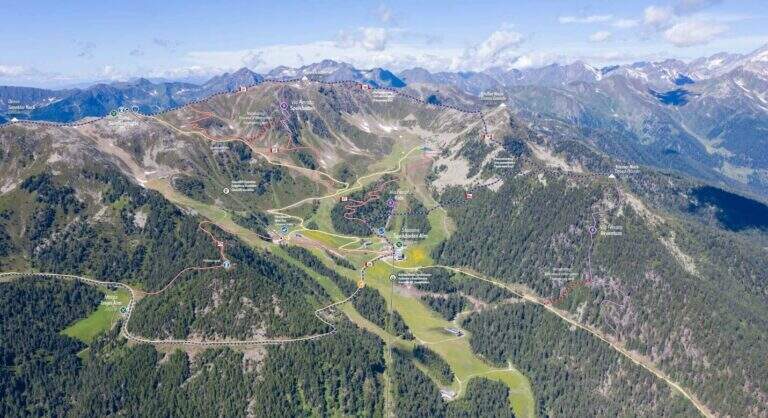
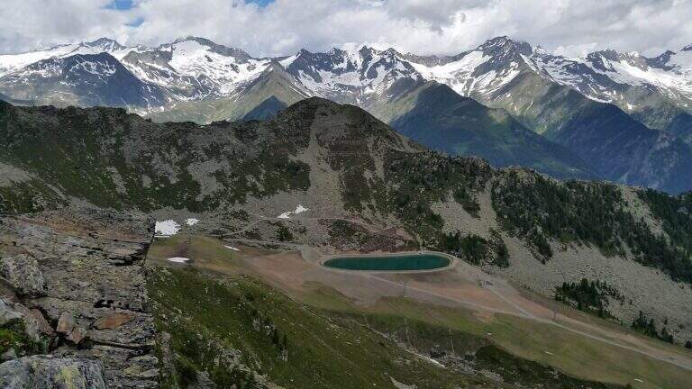
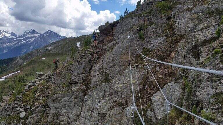
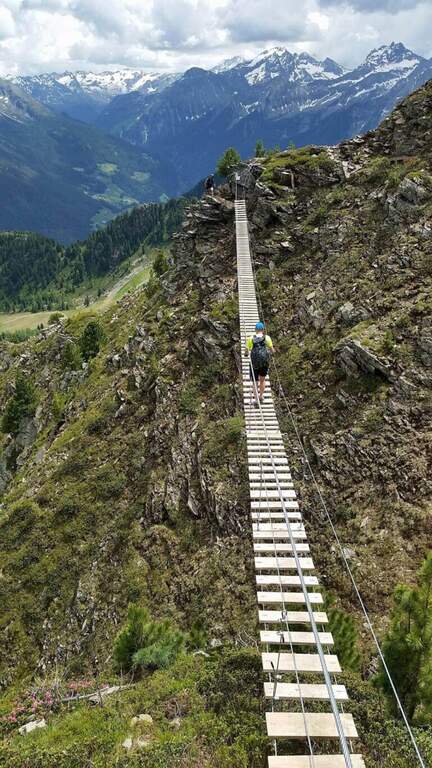
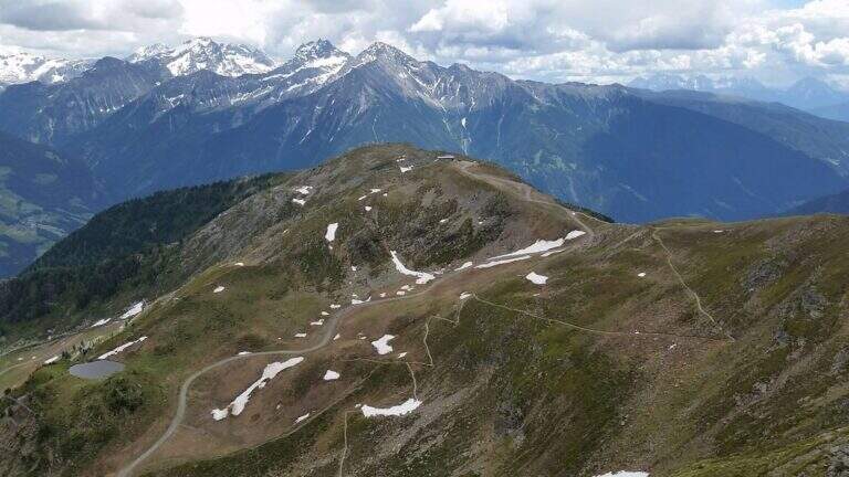
    La Ferrata Speikboden ` a recent route that climbs to the top of Speikboden, above Campo Tures in Valle Aurina. È of media difficoltà , very panoramic, with ring return and two fun suspended bridges; the ascent does not have difficulties; relevant techniques and, for those who ` accustomed to challenging, può routes; be climbing almost entirely.

    ▲Approach

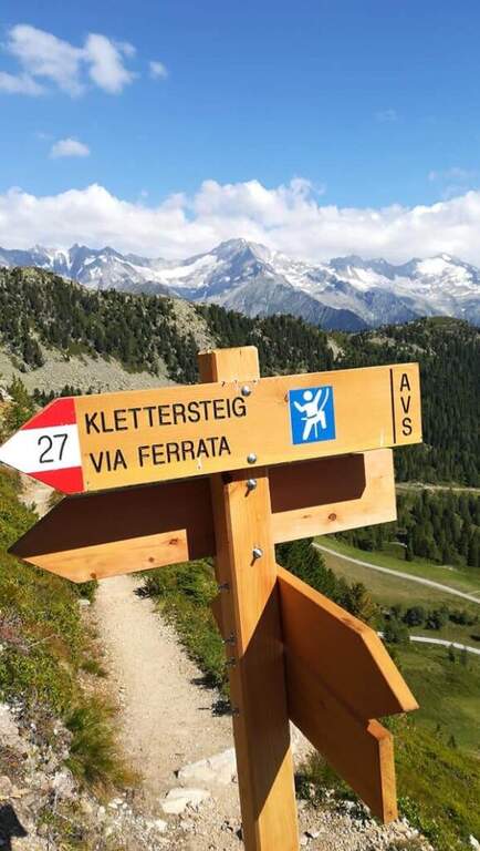
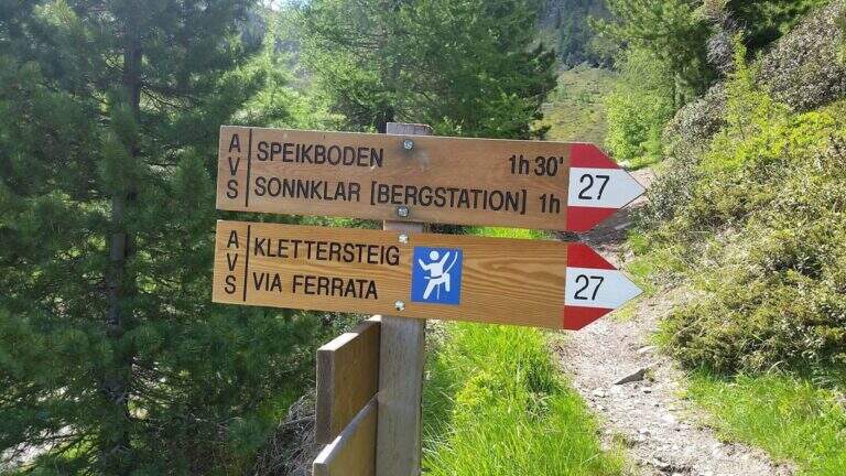
    Starting point is the valley station of the cable car of Costa di Tures, aboard the SS 621 in Valle Aurina. Open road signs on Google Maps. With the cable car you climb the first trunk up to Malga Speikboden (about 1970 m); from here you follow up to the southwest the path 27 with the first indications for the ferrata, up to a crossroads marked to the right where you leave the 27 and you reach l' attack (45' from the cable car).

    ▲The path

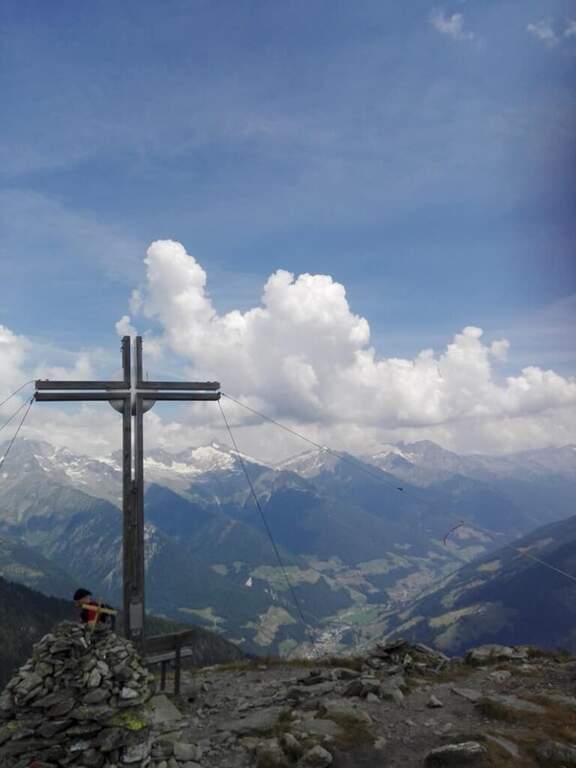
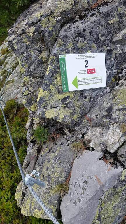
    Next to a wooden bench, near the green sign, the cable sticks on a diagonal ramp to the right; a first non-hard vertical leap and some small rocks precede a long stretch equipped with a connection without difficulty and agrave;. You reach the first suspension bridge at 4 ropee, stable but long and adrenaline, and shortly after a second bridge, still più long but with solid wooden boards, which closes the first section. After a stretch of path, the second section attacks vertically (arrampical), bends right onto some paths, continues on easy rocks up to a vertical passage of greater commitment, a short diagonal stretch and a last vertical tear; some small rocks close the equipment (2480 m, 1h 30' from' ) attack and for the path you will soon reach the peak of the Speikboden (2517 m).

    ▲Character and difficulty

    Average difficulty, without significant technical steps, made fun of the two suspended bridges and beautiful views of the Aurina Valley. It is part of a district that since summer 2021 also offers a Ferrata Kids (facial, for children) and a Ferrata Avventura (modern, with bridges, networks, stairs and passages on logs).

    ▲Period and safety

    GPS tracks (GPX and KMZ) are available. The return is ringed in both variants of descent.

    ▲Discipline

    Dalla croce dello Speikboden due opzioni, entrambe ad anello: verso sud si riprende il sentiero 27 in discesa fino a un bivio, da cui si torna alla funivia (eventualmente passando per Malga Sonnklar e il Dosso Sonnklar sul sentiero 26; 3h 30' totali); verso nord, tenendo la destra, si segue il sentiero 18 in quota fino al Dosso Grande (2400 m) e poi il 18A in discesa verso la funivia (2h 30' totali).

    ▲To match

    Complete the ferrates of the Aurina Valley, where the other two are for experts: the athletics Pursteinwand e la Fireplace / Steel at Monte Nero. Near Campo Tures the difficult Hans Kammerlander; towards Brunico Ferrata di Valdaora e la Piz de Peres; on the north side of the Odleshigh street Günther Messner e la Sass de Putia; towards Val Passiria la la Ferrata delle Cascate di Stuller.

    ▲Gallery
    Technical data
    • DifficultyModerately Hard
    • RegionTrentino-Alto Adige
    • GroupAurine Alps
    • Approach0:45 h
    • Ferrata1:30 h
    • Itinerary (a/r)3:30 h
    • Hardware level difference277 m
    • Route difference557 m
    • Max2517 m
    • Length6 Km
  • Ferrata Severino Casara (Croda dei Toni)

    Ferrata Severino Casara (Croda dei Toni)

    Vie Ferrate › Trentino-Alto Adige › Bolzano
    Ferrata Severino Casara (Croda dei Toni)

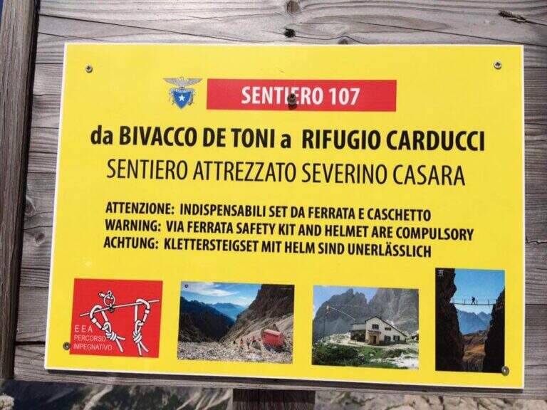
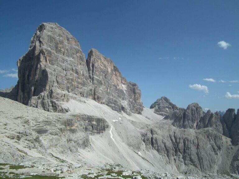
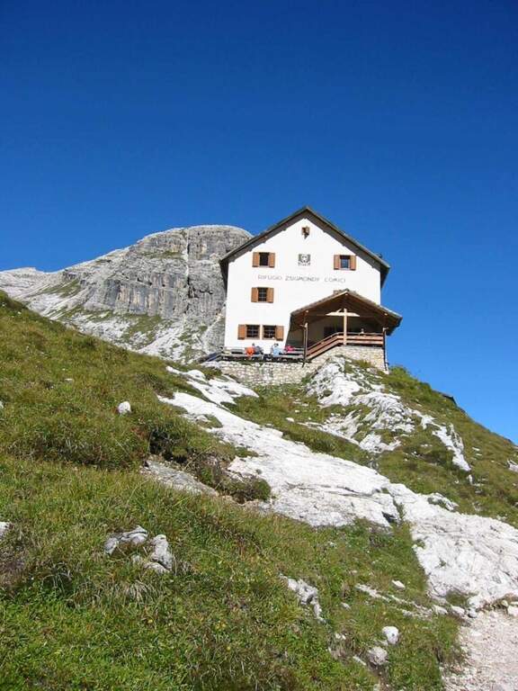
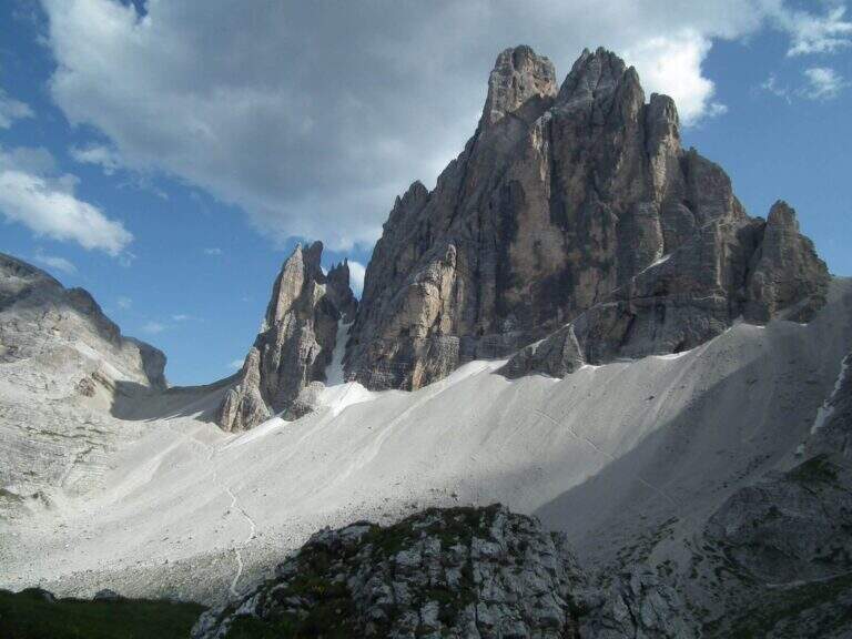
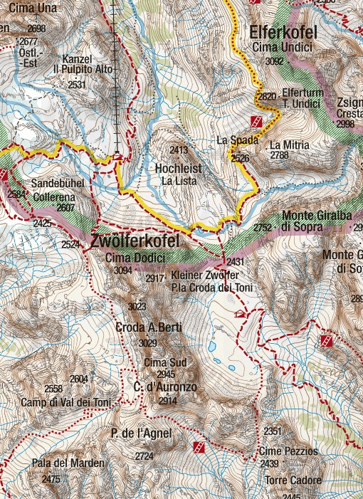
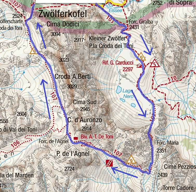
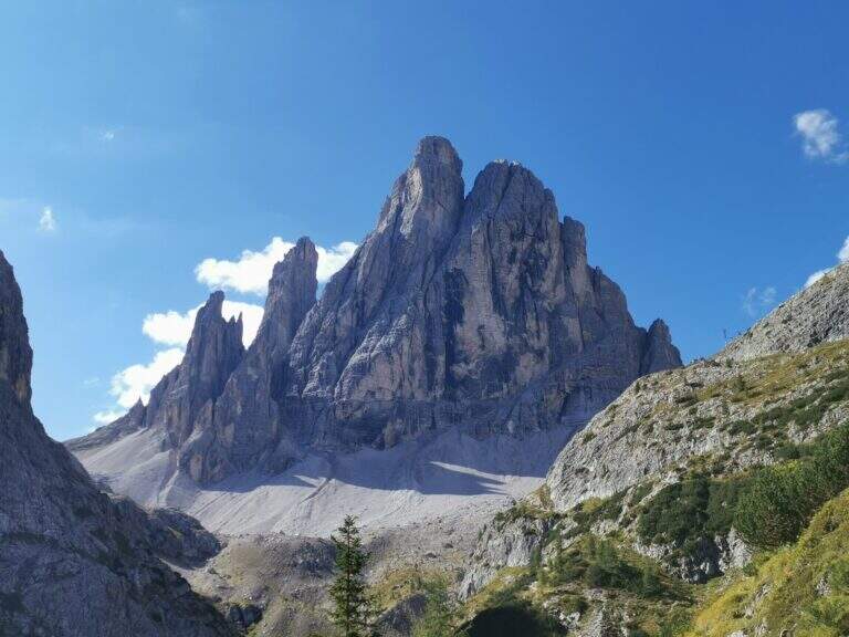
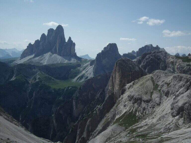
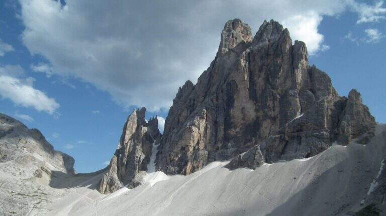
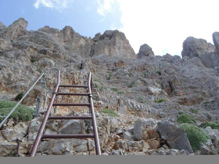
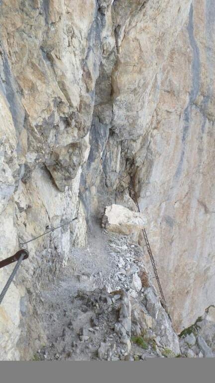
    La Ferrata Severino Casara (sentiero 107) connects the eastern side with the western side under Cima Twelve (Croda dei Toni), in the Dolomites of Sesto. È a route d' high mountain very challenging and tiring if route in the day (about 19 km, 10 hours, altitude difference 1350 m), exposed but without difficultà remarkable techniques in the equipped sections, in a spectacular environment in the presence of some of the pi&grave Dolomites peaks; Ardite.

    : Notice: A big landslide detached from the Witzenmann Tower in 2017 hit the last few meters of ferrata towards the Forcella de l'Agnel, making the formally unable. The section è only was put partly in safety with mountaineering ropes: the deviation è difficult and requires experience, not to be underestimated. Before you start checking out l' effective forcorribilità contacting Rifugi Comici e Carducci.
    ▲Approach

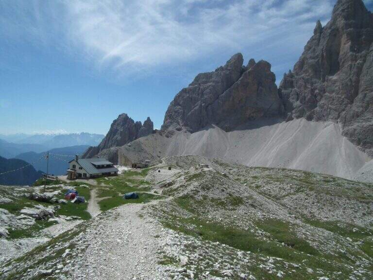
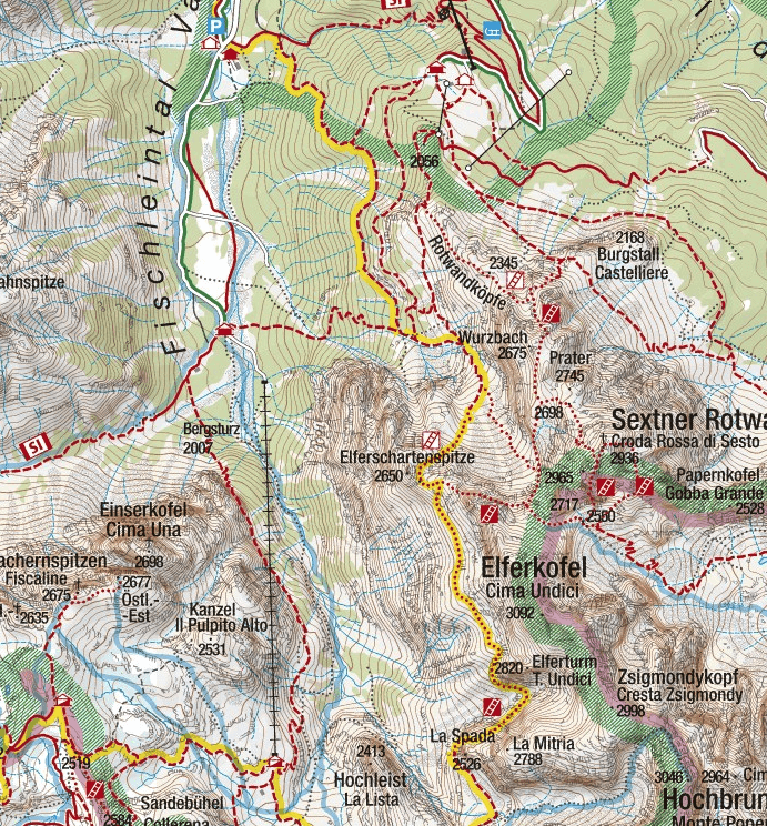
    Starting point l' Hotel Dolomitenhof in Val Fiscalina (1454 m), reachable from Moso in Val Pusteria. Open road signs on Google Maps. Follow the 102 road towards the south to the Rifugio al Fondo Valle (1548 m, 30'); continue on 102 towards the south-west and at a crossroads take the left on the path 103 towards the Rifugio Comici, constantly climbing the left of the Val Fiscalina Bassa (on the opposite side you can see the ridge of the Strada degli Alpini) up to the Rifugio Comici (2224 m, 2h 30' from the parking ). Continue on the 103 south, with the north wall of the Croda dei Toni in front, up to Forcella Giralba (2431 m); descend to the detritic valley at the Rifugio Carducci (2297 m, 3h 30' totali), start of path 107 «Sentiero Attrezzato Severino Casara».

    ▲The path

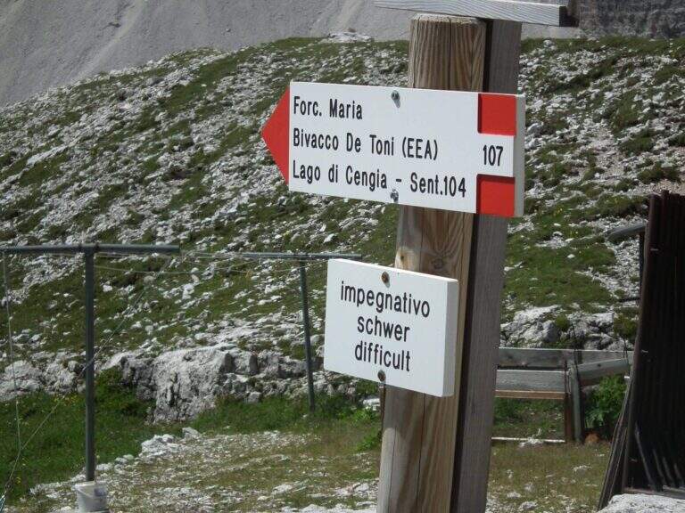
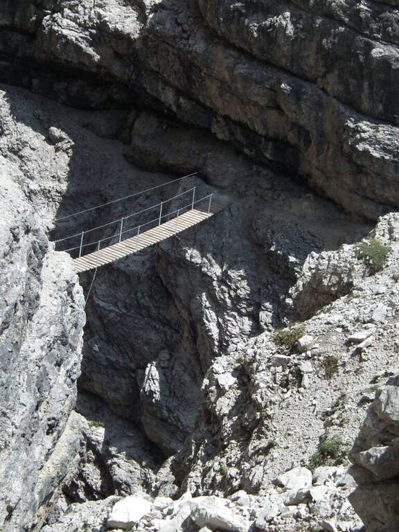
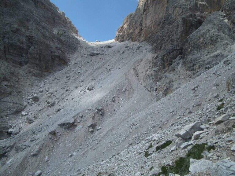
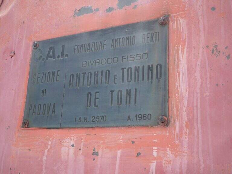
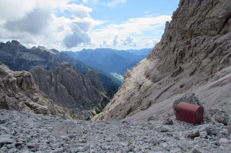
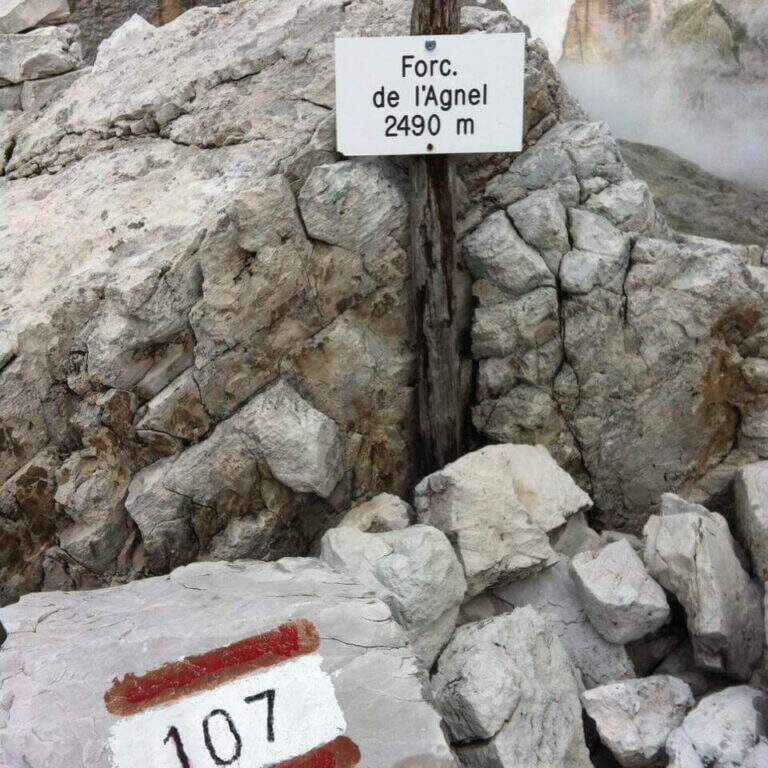
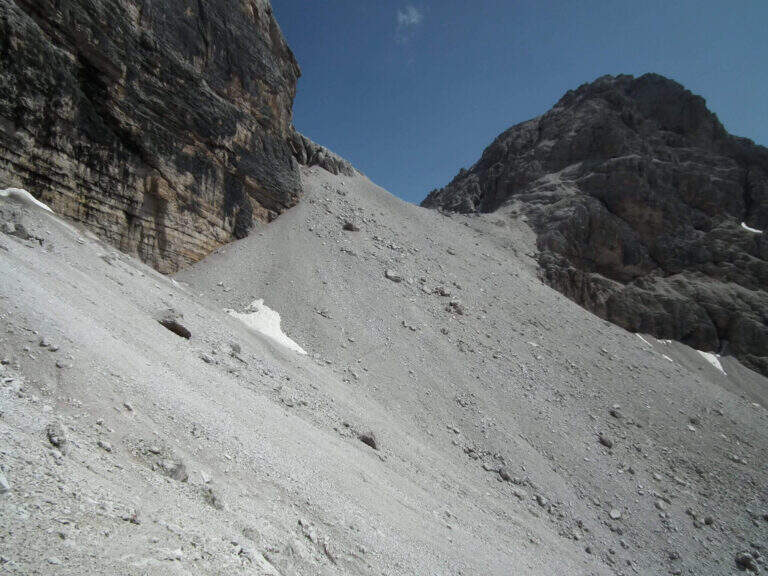
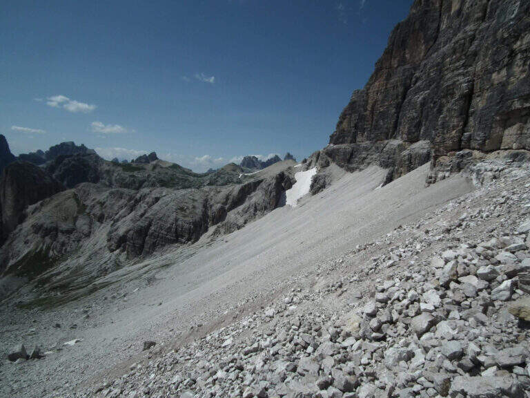
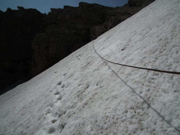
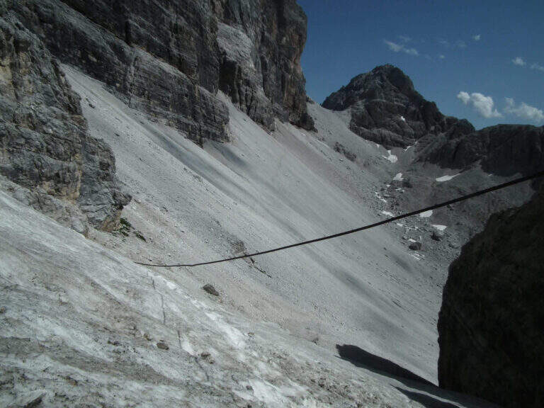
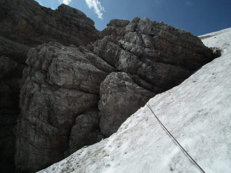
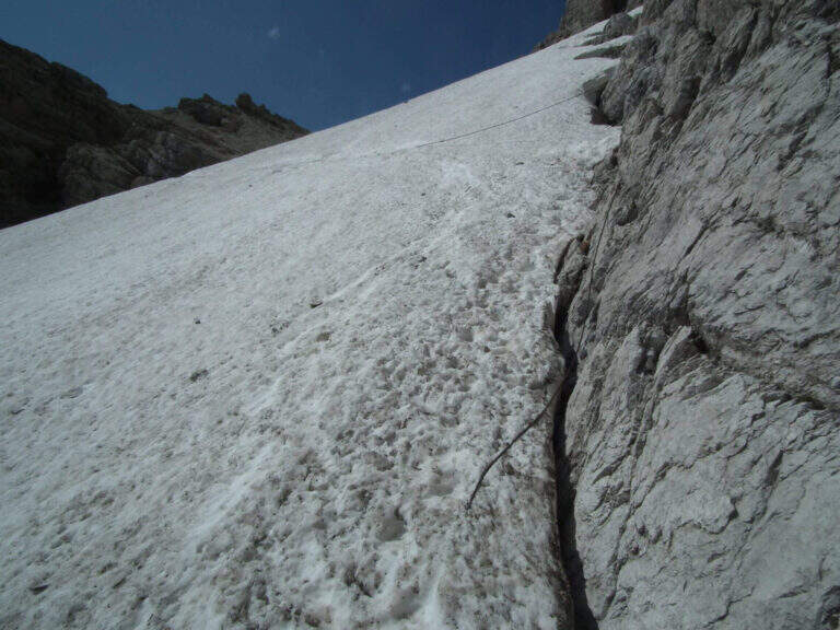
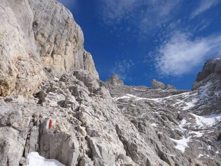
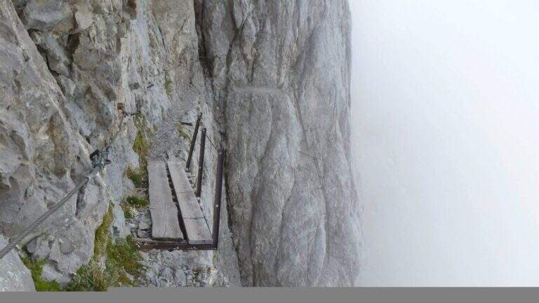
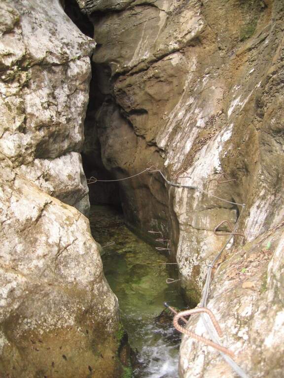
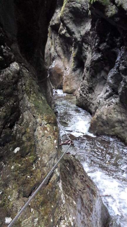
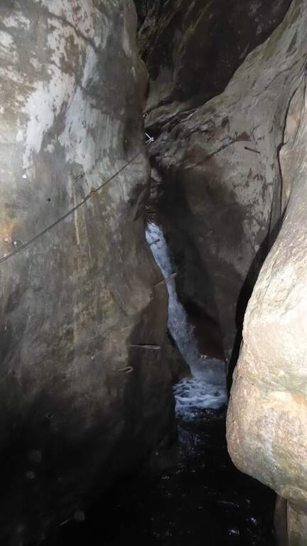
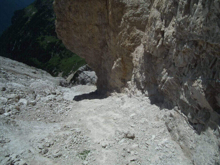
    Poco sopra il Rifugio Carducci iniziano le attrezzature. Si percorre un'esile cengia su fondo detritico lungo la parete sud-est della Croda dei Toni, alternando tratti attrezzati e sentiero, fino al bivio di Forcella Maria (2351 m, 45' dal rifugio) tra il vecchio 107 (chiuso per frane) e la via ferrata. Un traverso esposto ma non difficile porta a un primo ponte sospeso (fune a sinistra, ampie traversine di legno); si prosegue in orizzontale aggirando uno spigolo su cengia, con qualche balzo attrezzato con staffe e cambre. Verso metà itinerario si aggira lo spigolo sud e si procede verso nord-ovest su cengie esposte sulla Val Gravasecca, alternate a tratti di sentiero anche non attrezzato su terreno friabile. Sotto un caratteristico tetto roccioso si trova il passaggio chiave: in forte esposizione si raggiunge un angusto passaggio da fare a carponi (Passo del Gatto), scomodo ma non difficile. Oltre il tetto, roccette e una nuova cengia; la ferrata svolta a destra risalendo roccette arrampicabili, poi entra in una gola fino a un secondo ponte sospeso, più esposto del primo, con un salto di un paio di centinaia di metri sotto. Si sale un breve salto con due pioli e si esce dalla gola su cengia; un tratto in discesa su fondo instabile porta verso il canalone. Qui il percorso compie attualmente una deviazione con corde alpinistiche verso l'alto per aggirare la frana del 2017: tratto difficile, da non sottovalutare. Risalito il ripido ghiaione, con radi segni bianco-rossi, si raggiunge il Bivacco De Toni e poco oltre la Forcella de l'Agnel (2490 m, 2h 30' dal Carducci, 6h totali). Per chiudere l'anello verso il Rifugio Comici si attraversa a mezzacosta la parete occidentale della Croda dei Toni: si scende un ripido canalone franoso, si prosegue a mezzacosta ignorando le tracce che scendono verso Giralba, fino a un'insellatura dove, secondo la stagione, è presente un nevaio assicurato da una fune; si risale la sella detritica e, per cengia e cresta, si raggiunge la Forcella dei Toni (2524 m, 1h da Forcella de l'Agnel, 7h totali).
    ▲Character and difficulty

    Recent and well maintained equipment. The route does not offer technically difficult passages, but the high mountain environment, exposure, length and altitude difference make it very challenging. It is advisable to walk in this direction to face uphill the steep and slippery stretch between the end of the ferrata and the Forcella de l'Agnel.

    ⚠ With fog or low clouds, be careful to identify the attack of the ropes that help to overcome the snow between Forcella de l'Agnel and Forcella dei Toni, also present in late season: the rope assures it, but for greater safety it can be possible to have with it the ramps.

    ▲Period and safety

    GPS tracks (GPX and KMZ) are available; the 4Land Dolomites map is useful for the area. Always check the status of the route with the Comic Refugees and Carducci.
    ▲History

    The ferrata, which connects the Rifugio Carducci with Bivacco De Toni, was inaugurated in 2015 and is dedicated to the alpinist Vicentino Severino Casara, a controversial figure but very great mountaineer of his time: he climbed in rope with Comici, opened over 300 routes, he was writer and director.

    ▲Discipline

    From Forcella dei Toni begins the long descent: you descend on the gravel to the right under the northern wall of Cima Twelve, you ignore two tracks eastward, you pass under the ramparts of the Collerena and, halfway, you reach the Rifugio Comici; from here to back on 103 until the parking lot (3h from Forcella dei Toni, 10h totali).

    ▲To match

    From Rifugio Carducci you can continue towards Ferrata alla Cengia Gabriella e la Ferrata Roghel; beyond Ferrata Zandonella to the Red Croda of Sesto and the Red Croda Costumes. From the Rifugio Fondo Valle, along the Val Sasso Vecchio, you can reach the Ferrata Hosp at Toblin Tower e la Innerkofler at Mount Paterno.

    ▲Gallery
    Technical data
    • DifficultyHard
    • RegionTrentino-Alto Adige
    • GroupSesto Dolomites
    • Approach3:30 h
    • Ferrata3:30 h
    • Itinerary (a/r)10:00 h
    • Hardware level difference260 m
    • Route difference1350 m
    • Max2556 m
    • Length19 Km
  • Ferrata Selvaggio Verde (Val Grande)
    Ferrata Selvaggio Verde (Val Grande)

    Vie Ferrate › Piemonte › Verbano-Cusio-Ossola
    Ferrata Selvaggio Verde (Val Grande)
    Moderately Hard● OpenDescriptionComplexityMapsGallery

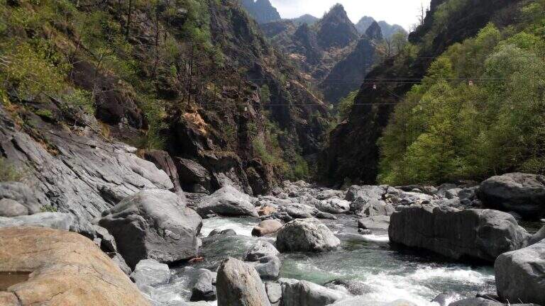
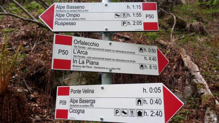
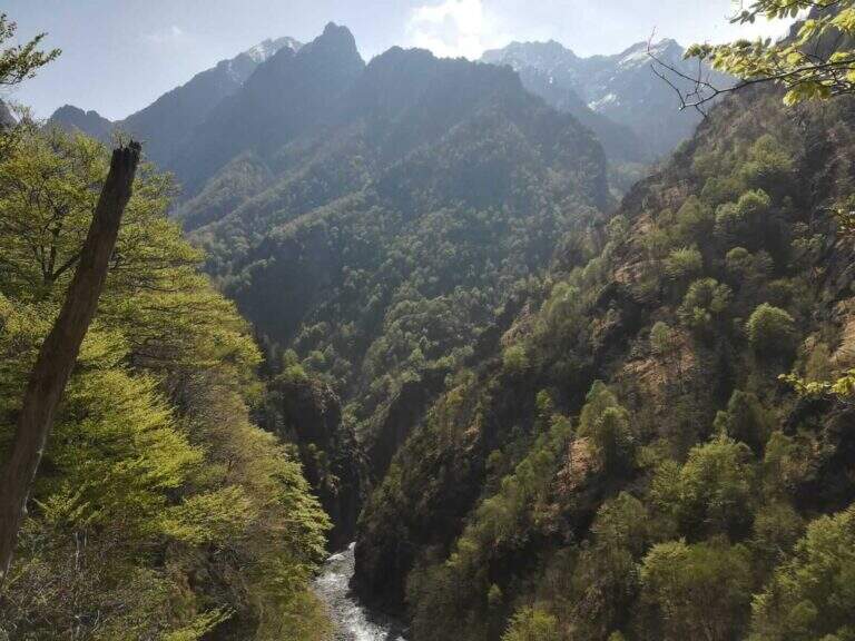
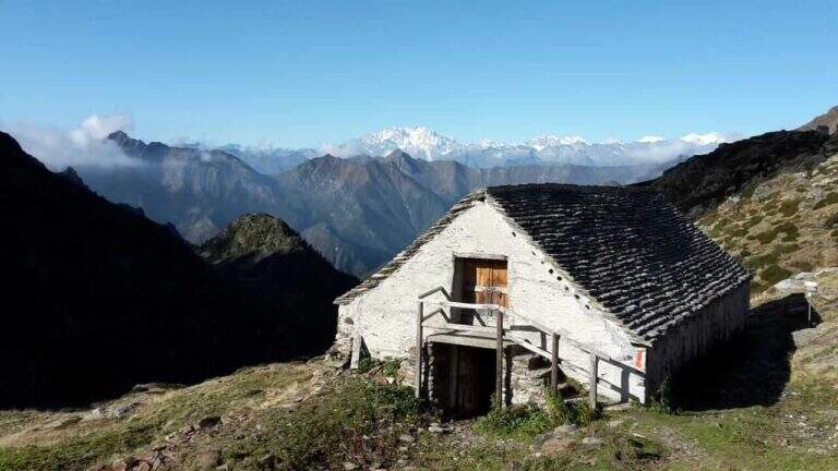
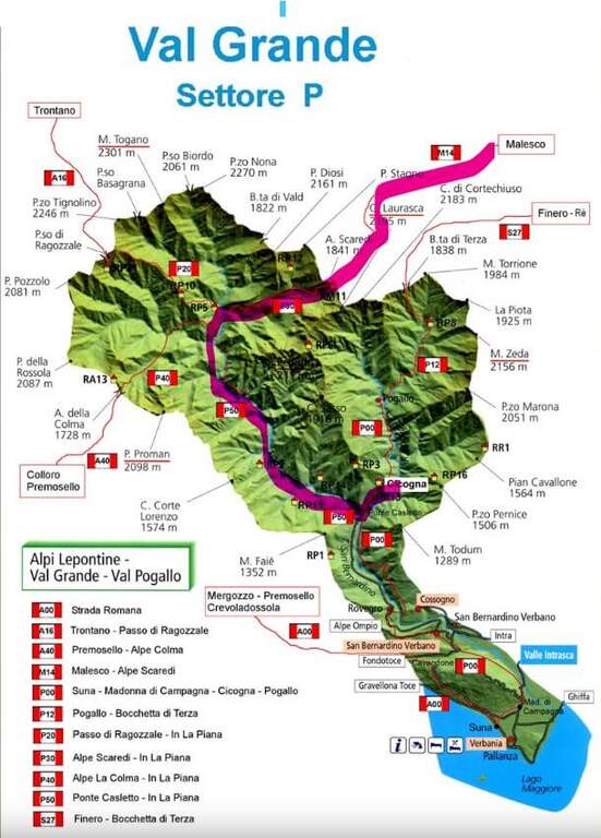
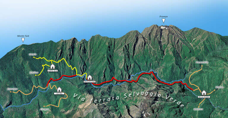
    Inaugurated in 2022, la Ferrata Selvaggio Verde along the long bore of the Rio Val Grande connecting with many stretches equipped «In the Piana» e «Ponte Velina». Non è né a modern né ferrata; a dolomitic way, but a long itinerary «selvaggio» in the heart of one of the più parks; beautiful in the Central Alps. Difficultly accessible on the day, it should be broken in two days using d' points; support along the route. The classification « always difficult to understand; is valid only for the equipped sections: to make it really challenging are the length and distance, for experienced and well trained hikers.

    ▲Approach

    L' itinerary can be arranged by più points; here we consider the departure from the village of Cicogna (VB) towards In La Piana and then down to the Loana Valley. Open road signs on Google Maps. The non è : l' ideal è have two cars. At the cemetery of Cicogna there is a dirt road for about fifteen minutes on a false plateau, over huts and alpine pastures, tillché it becomes a path that enters the park of the Val Grande with a series of uphills between ruins and old huts (some stretches già equipped for safety). Enjoy the Velina stream, you reach the ' Velina mountain pasture and then the Ponte Velina (about 3h from the parking lot), where the real route begins.

    ▲The path

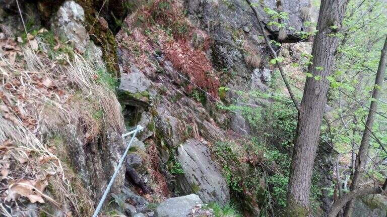
    The fully equipped stretch takes place between Ponte Velina (478 m) e Alpe In La Piana (895 m), faithfully following the Rio Val Grande in an isolated and wild environment. The distance is about 11 km for about 450 m of altitude difference, but among the continuous climbs the real difference is much greater. The equipped path is marked P50 and alternating stretches exposed to other exposed unprotected, with 2 suspension bridges, several wooden walkways rather old (to check its on-site hold), ladders and long stretches of path. About a third of the route, after 2h 30' from Ponte Velina, there is a stone bivouac in localities; Orphalecchio (590 m); just before a possible return route to Ompio and Sciellina, on the left, avoids the hole and the equipped sections. The road continues along the valley between very green walls, cliffs and exposed paths, with suspended bridges and a couple of cheeks; it is necessary to follow the red stamps and a trace at times hidden by the high grass. After about 7-8 hours from' start of the equipped section you reach Alpe In La Piana, where you can può bivacking (about 10h total).

    ▲Character and difficulty

    More than a ferrata, it is a long wild trekking with numerous stretches equipped, exposed and at times slippery.

    ⚠ Itinerary long and isolated: the support points are not managed, so they serve food, sleeping bag and the necessary for the bivouac (the huts usually have stove, tables and tables). Cell phones have no cover on the whole route. Several wooden catwalks are old: check the seal on the spot. The area is a protected area (a section falls into the Monte Pedum Integral Reserve, in ZSC and ZPS of the Natura 2000 Network): do not leave waste.

    ▲Period and safety

    Given the absence of managed support points it is highly recommended to bring a map of the area to orientation (for cartography, map of Val Grande). Alternative starting points: Bignugno, Ruspesso or Sciellina; alternative return to Premosello or Mottac. The itinerary can also be routed in the opposite direction. An official GPS track is not available for this route.

    ▲Discipline

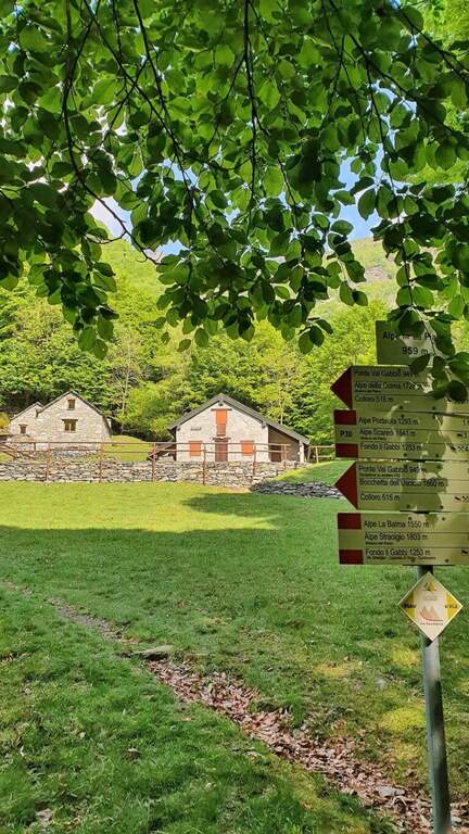
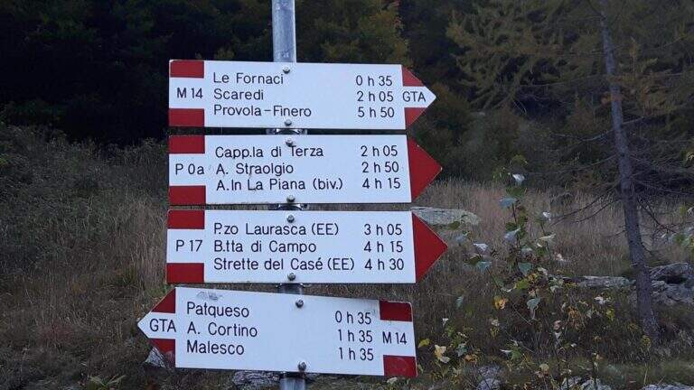
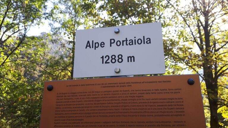
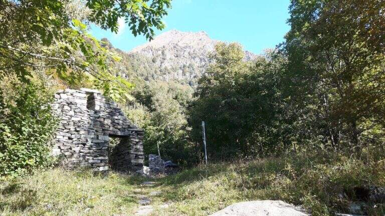
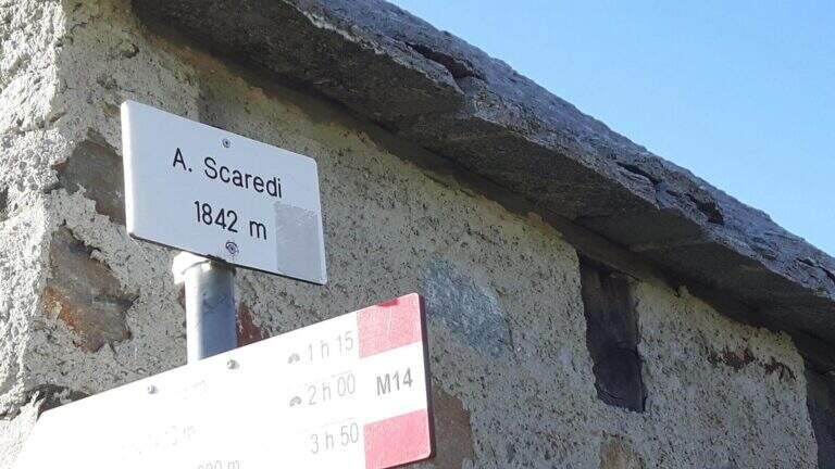
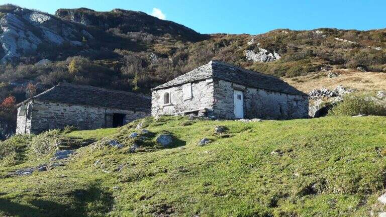
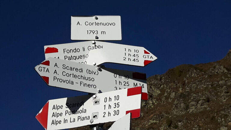
    Da Alpe In La Piana, per raggiungere il parcheggio in Valle Loana si calcolano circa 4h: si segue il sentiero P30 verso Alpe Scaredi e poi l'M14 verso Fondo Li Gabbi, dapprima in salita toccando Alpe Portaiola (1288 m, ruderi), Alpe Scaredi (1842 m) e Alpe Cortenuovo (1793 m), quindi in discesa (circa 14-15h complessive).

    ▲To match

    In Val Grande there are no real ferrates; wanting, between the streets of the Verbano and the Ossola signal the new Ferrata di Montorfano e la Ferrata Walserfall not far from Cicogna; further north the long climb of Ferrata at Pizzo d'Andolla; on Lake Maggiore Picasas e la Miccia near Baveno.

    ▲Gallery
    Technical data
    • DifficultyModerately Hard
    • RegionPiedmont
    • GroupVal Grande
    • Approach3:00 h
    • Ferrata8:00 h
    • Itinerary (a/r)15:30 h
    • Hardware level difference450 m
    • Route difference1500 m
    • Max1842 m
  • Ferrata Sass de Rocia

    Ferrata Sass de Rocia

    Vie Ferrate › Veneto › Belluno
    Ferrata Sass de Rocia

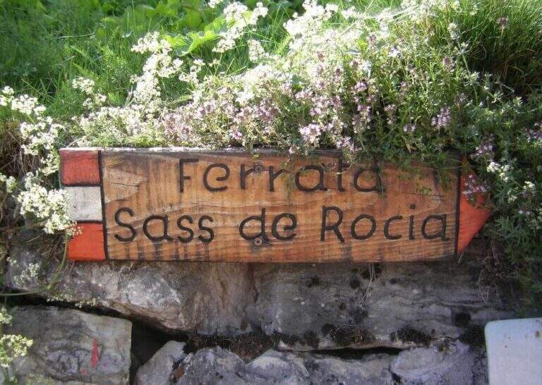
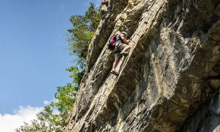
    La Ferrata at Sass de Rocia is located near Laste, in the province of Belluno, and è among the più simple of the subgroup of Marmolada. Technically elementary and with low altitude difference, & perfect for those who want to take confidence with verticalit & agrave;: the few steep traits are equipped with abundant brackets and ladders, and the ` enlivened by tre suspension bridges that make it an ideal destination for families and neophytes.

    ▲Approach

    You reach the hamlet of Ronch, just above Laste (Belluno), and you leave l' car in the square in the center of the village. Già along the road, just before ' inhabited, a sign indicates the path that climbs into the forest towards l' attack. Open road signs on Google Maps. From the square you return to the ' climb for a few meters and take the path to the left, uphill, in the forest: well marked and devoid of difficulty;, in about 10 minutes it leads to all' attack (15' from parking ).

    ▲The path

    Si attacca una paretina attrezzata con staffe e una scaletta metallica, oltre la quale ci si infila in un anfratto stretto fra le pareti del Sass de Rocia, risalito con la corda che fa da corrimano. In fondo una scaletta metallica appoggiata di circa 4 metri conduce a una cengia che, dopo pochi passi, piega con un tornante a sinistra sotto una parete verticale: la roccia è liscia e povera di appigli ma fittamente attrezzata di staffe, e un breve tratto leggermente strapiombante costituisce l'unica vera difficoltà. Si esce su un terrazzino dove le attrezzature piegano a sinistra per qualche metro prima di ripartire in verticale con altre staffe e un breve passaggio a sinistra. Si guadagna così il primo ponte sospeso, che scavalca la gola attraversata all'ingresso. Da qui il tracciato diventa sentiero attrezzato: alcune facili roccette tra i mughi portano al secondo ponte sospeso, quindi un tratto di sentiero inizialmente attrezzato conduce al terzo ponte sospeso. Un'ultima breve traccia termina al Bivacco Pian delle Stelle, dove finisce la ferrata (30' dall'attacco, 45' dal parcheggio).

    ▲Character and difficulty

    A very easy way, designed for principants and families: some vertical traits are exceeded by helping with the brackets, reducing to a minimum l' climbing. L' exhibition è contained and l' modest physical commitment.

    ▲Period and safety

    Due to the approach and the short return, it is an ideal itinerary even on uncertain weather days. GPS tracks (GPX and KMZ) are available.

    ▲Discipline

    La discesa può ripercorrere interamente la via di salita; in alternativa, superati i primi due ponti e giunti in prossimità del terzo, si segue la traccia che aggira la gola scendendo prima una scaletta e poi un sentiero, fino a innestarsi nel sentiero di avvicinamento e rientrare al parcheggio (30' dal bivacco, 1h 15' in totale).

    ▲To match

    It is the easiest of the ferrates of the subgroup of Marmolada, where the historical streets stand out Eternal, a Punta Penia, al With Ombert e al Colac. Towards the Falzarego Pass there are two easy routes, the ♪ e l'Averau; descending towards Civetta the challenging Yellow Flames, Titus e Alleghesi, besides the long Constantine to the Moiazza.

    ▲Gallery
    Technical data
    • DifficultyEasy
    • RegionVeneto
    • GroupMarmolada
    • Approach0:15 h
    • Ferrata0:30 h
    • Itinerary (a/r)1:15 h
    • Hardware level difference100 m
    • Route difference130 m
    • Max1576 m
    • Length0,9 Km
  • Ferrata at the Sentiero dei Fiori

    Ferrata at the Sentiero dei Fiori

    Vie Ferrate › Lombardy › Brescia
    Ferrata at the Sentiero dei Fiori

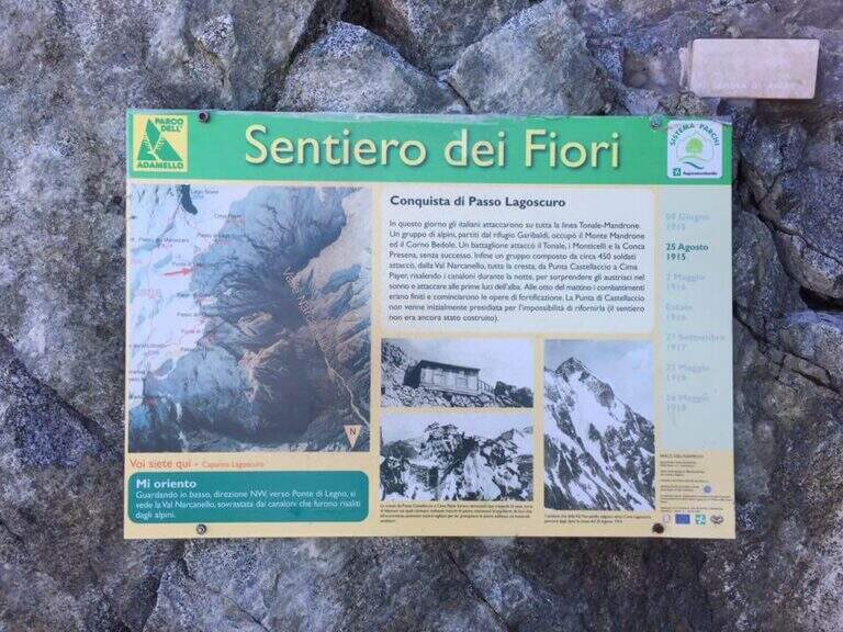
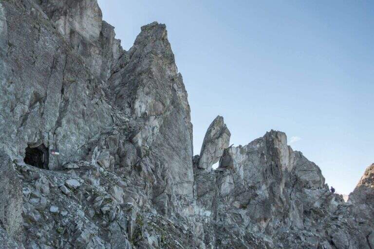
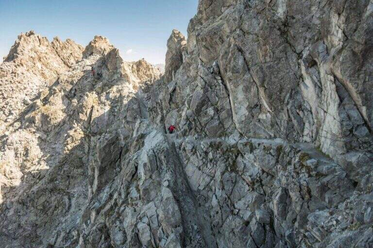
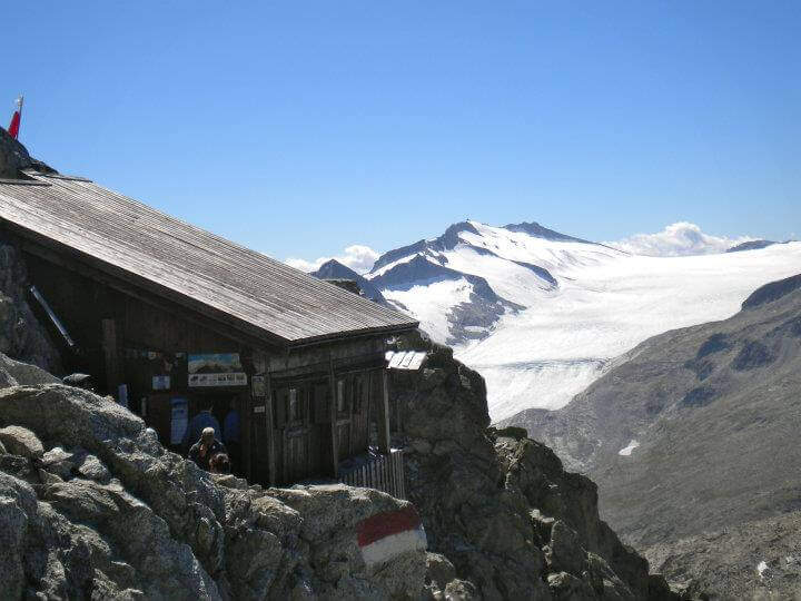
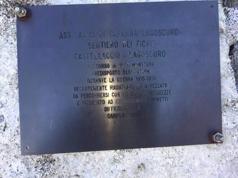
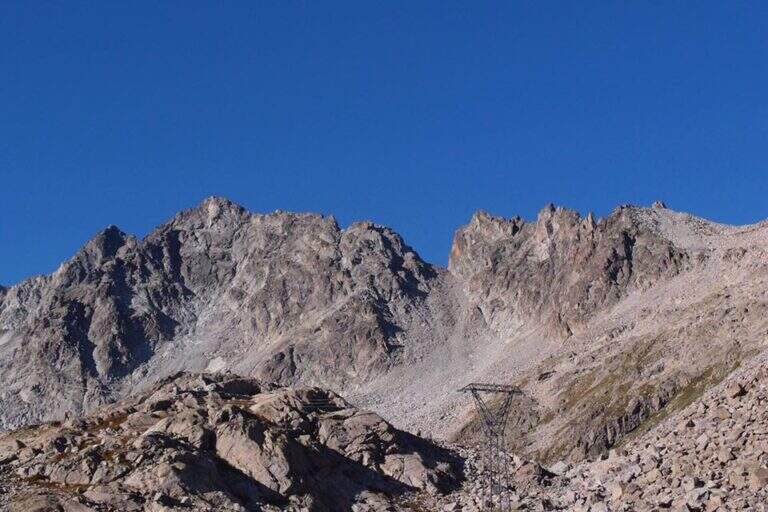
    The Ferrata al Sentiero dei Fiori is a splendid itinerary of high altitude ridge, around 3000 meters, on the group of Adamello: an equipped route where necessary, prepared by the Italian soldiers who had the front here during the First World War, with magnificent views on the glaciers of Presena and Pisgana. Technical difficulty is in a modest complex, with few exceptions in the final stretches, but the high mountain environment and snow can raise the real commitment very much; we classify it Difficult.

    ▲Approach

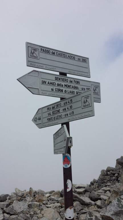
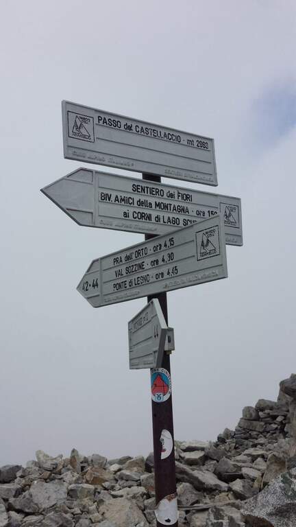
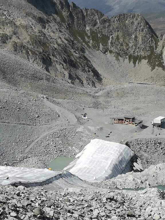
    From Passo del Tonale, on the border between the provinces of Trento and Brescia, reachable from Bolzano (2h) or Brescia (2h30′) on the SS42 or from Valtellina with the SS39 (1h45′ from Sondrio); park at the cable car at Passo Paradiso, on the Lombard side of the pass (starting point on Google Maps). Go up the cable car at Passo Paradiso (2585 m); go down, wander the small lake following the CAI 44 uphill towards Passo del Castellaccio. At an unmarked crossroads, where some CAI signs depart to the left, you go straight towards the pass along a well marked path, on high mountain terrain with some rocky not difficult, up to the Passo del Castellaccio (2963 m, 1h15′ from the mountain station of the cable car). Here you wear the harness, you leave the CAI 44 that goes down the opposite side (Value of Narcanello) and you start the ferrata.

    ▲The path

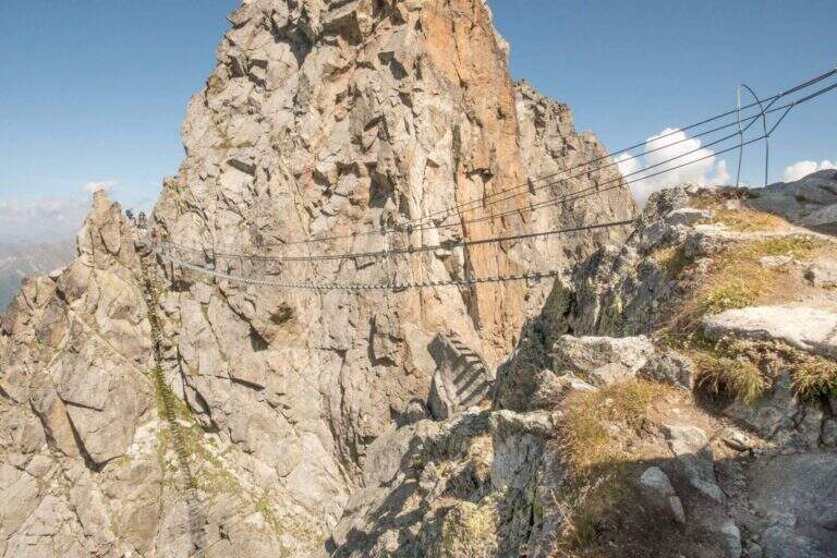
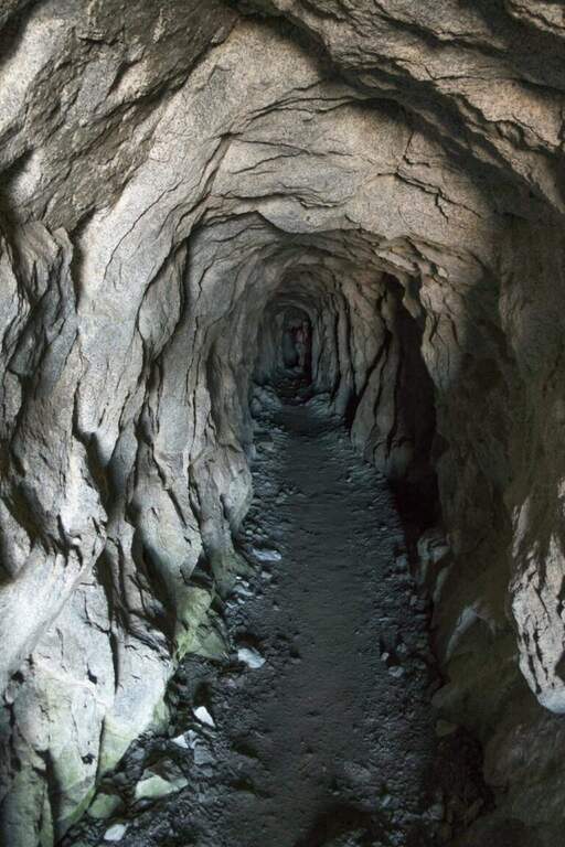
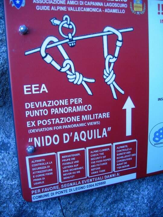
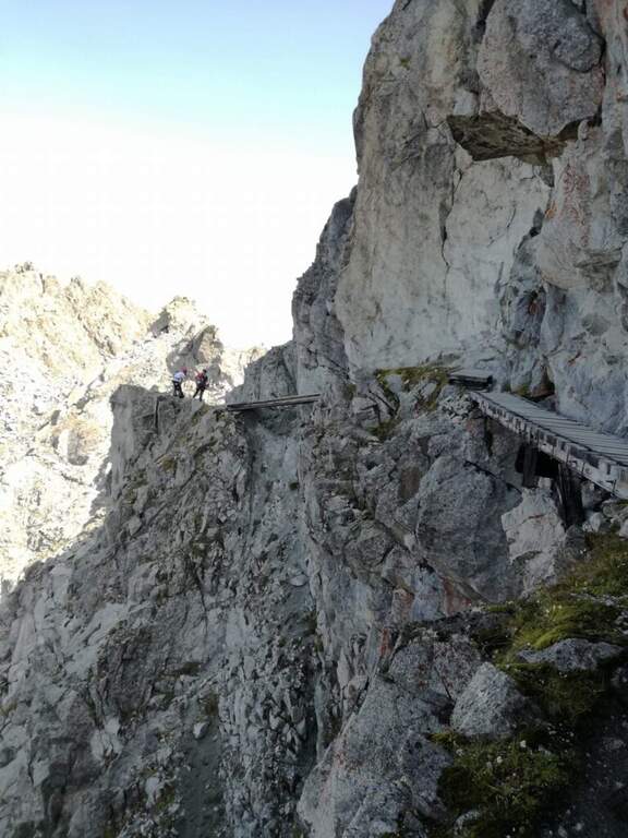
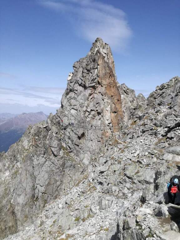
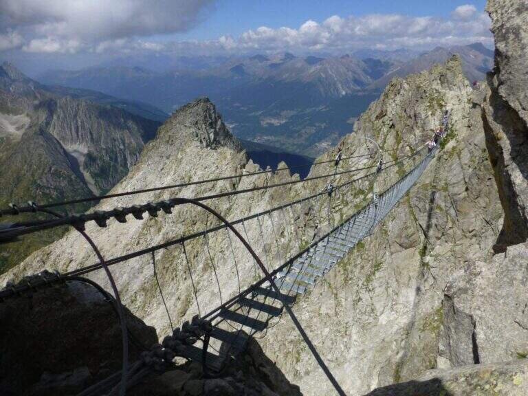
    From the pass we proceed south following signs and abundant traces. The first equipped section is a long mention with a series of ups and downs, without particular difficulties, which leads to a series of wooden walkways. On one of these, on the left, a row of brackets rises to a panoramic tip: it is a recommended deviation (about 10 minutes) that leads to the so-called eagle's nest, built for military purpose in the Great War; then it is returned to the street. This is how you reach the most iconic point of the route, the Gendarme di Casamadre, approached and surpassed by two long suspension bridges, stable and well constructed, with a connection between one and the other; those who did not want to walk the bridges can use a tunnel carved during the war that avoids them. Beyond the gendarme, a nod wanders a edge and descends a few meters, without any difficulty for the experienced hiker. Then there is a stretch where snow can be snow even in late season: if the cable is hidden from the snow the ice equipment becomes necessary (spring, peak, rope to preserve). Continue on a relatively easy path, marked by the war interventions that moderated the difficulties, until you find the equipment at a wall and some rocks; then, overcome some rocks sometimes unstable, you reach the Bivacco Amici della Montagna, usually open and managed in summer (3160 m, 1h15′ from the attack, 2h30′ total). Continuing you lose altitude to a first escape route: on the left you descend to Capanna Presena (1h, with equipped strokes) to take the second trunk of the cable car. Continuing on the path you face a half-coast stretch between rocks and descend along a war trench until the Lagoscuro Pass (2970 m, 30′ from the bivouac, 3h total), where a wooden chapel rises. From here those who want to continue south towards Cima Payer, on cenges and rocky balconies on the western side of the ridge wire, without great difficulty, until the cross of Cima Payer (3056 m). In addition, towards Passo Payer (2978 m), the difficulty really increases (it's the stretch that deserves the Difficile ranking): jumps and backward plates, the thread is thinned and you walk exposed downhill. The last part of the Sentiero dei Fiori, from Passo Payer to Passo del Lago di Pisgana (2933 m), rises on small rocks alternating with lean granitic plates, difficult to climb but supported by the chain, and runs a ridge equipped to not underestimate up to Punta Pisgana (3088 m), before descending to Passo del Lago di Pisgana.

    ▲Character and difficulty

    For most of the development the technical difficulties are modest: to make the difference are the quota, the exposure of some final traits and especially snowmaking. The stretch between Cima Payer and the Cima Lago Ghiacciato area is the most exposed and challenging and raises the overall commitment of the entire tour. In 2022 the path has been renewed after a maintenance period; signs have been installed that suggest to travel from the second station of the ovovia to the Passo Presena to the Passo del Castellaccio, that is in the opposite sense of this relationship: therefore, there are often hikers who proceed in the opposite direction and attention is needed to the crossings.

    ⚠ Itinerary around 3000 m: snow can cover the cables even in late season and in that case they serve ramps, peak and rope to proceed in preserved. Time and altitude can change quickly: bring adequate equipment to the high mountain. Beware of the crossings due to the sense of travel recommended by the signs and to the ridge equipped to Punta Pisgana, not to be underestimated.
    ▲Period and safety

    Useful season from late summer to early autumn, depending on snow. Complete hardware set (sharing, kit, helmet) and, when snow is present, ice equipment; high-altitude clothing and water and food supply for a long day. Organize the exit according to the hours of the cable car / cable car of Passo Paradiso and Passo Presena.

    ▲Discipline

    The Sentiero dei Fiori can be interrupted in several points, all returning to the Presena hut passing through the Maroccaro Pass. From the Lagoscuro Pass (approximately 2h from the beginning of the equipped stretch) you descend left towards the Scuro Lake, you go up to the Maroccaro Pass and go down to the snow of the Presena Glacier to the Presena hut (about 2h from the pass). From Passo Payer (1h from the Pass of Lagoscuro) you descend towards the Rifugio Citta’ di Trento al Mandrone and, just before the refuge, take the CAI 209 to the Passo di Maroccaro and then to the Capanna Presena (about 2h30′ from Passo Payer). From the Passo del Lago di Pisgana you descend left to the Rifugio Citta’ di Trento al Mandrone and then go up to the Passo di Maroccaro to get off at the Capanna Presena (about 3h15′ from the pass). From the Capanna Presena you return to the valley with the cable car. The entire round takes about 9h30′.

    ▲To match

    On the north side of Passo del Tonale there is the Alpine Path at Punta d’Albiolo. The Adamello group offers many equipped routes, including Ferrata Terzulli all’Adamello, the very difficult Ferrata al Corno del Grevo, Ferrata al Pizzo Badile Camuno and, on the Trentino side, the Ferrata Monte Nero alla Presanella.

    ▲Gallery
    Technical data
    • Approach1:15 h
    • Duration5:00 h
    • Total itinerary9:30 h
    • Hardware level difference150 m
    • Route difference490 m
    • Maximum altitude3088 m
    • Length15 Km
  • Ferrata Castiglioni

    Ferrata Castiglioni

    Vie Ferrate › Trentino Alto Adige › Trento
    Ferrata Castiglioni

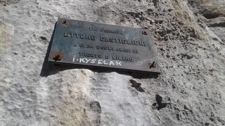
    La Ferrata Castiglioni e’ un’esposta via d’alta quota che collega i Rifugi XII Apostoli e Agostini, nelle Dolomiti di Brenta meridionali. Risale una imponente bastionata con un uso abbondante di scale, per cui le difficolta’ tecniche restano contenute (Moderatamente Difficile); a rendere serio l’itinerario sono l’esposizione, la lunghezza e i nevai che si possono incontrare anche in stagione inoltrata. Per dislivello e durata si presta bene a un’escursione di piu’ giorni, con sosta in rifugio.

    ▲Approach

    Si parte dalla stazione a monte della funivia che da Pinzolo sale al Doss del Sabion: arrivando a Pinzolo dalla SS239 da Trento, gli impianti sono sulla destra e un ampio parcheggio sulla sinistra (starting point on Google Maps). Dalla stazione a monte si segue lo stesso avvicinamento del Sentiero Attrezzato della Scala Santa, che conduce al Rifugio XII Apostoli (2489 m, 3h dalla stazione a monte della funivia). Dal XII Apostoli ci sono due modi di affrontare la Castiglioni: percorrerla in discesa verso il Rifugio Agostini (lungo la parete sud della Cima d’Agola, dalla Bocchetta dei Due Denti, 2859 m, fino al bivio per la Ferrata Brentari, 2500 m, da cui si scende 100 m al Rifugio Agostini tenendo la destra al bivio); oppure, piu’ facilmente, percorrerla in salita partendo dal Rifugio Agostini (2410 m) e raggiungendo il XII Apostoli. In quest’ultimo caso, dal XII Apostoli si prende il Sentiero Attrezzato dell’Ideale in direzione del Rifugio Agostini (2h30′ dal XII Apostoli, circa 6h totali); volendo, senza scendere all’Agostini, si tiene a destra il CAI 321 che porta direttamente alla ferrata (circa 5h30′ totali). La descrizione che segue presenta la via in salita.

    ▲The path

    Imboccato il CAI 321 nei pressi del Rifugio Agostini, si sale seguendo i segni bianco-rossi e gli ometti sotto le imponenti pareti della Cima d’Agola, fino alla targhetta metallica che segna l’inizio della ferrata (30′ dal Rifugio Agostini). Si parte risalendo una cengia facile che si stacca a destra della targa; poco dopo due sezioni di gradini in acciaio continui superano un paio di risalti (un tempo attrezzati con scale). Si percorre quindi una cengia abbastanza comoda e ancora una sezione con tre scale, poi una cengia piu’ stretta porta a un terrazzino comodo per gli incroci. Terminata la cengia si sale una nuova scala; spostandosi leggermente a destra si affrontano due scale, la prima con un tratto di un paio di metri molto verticale e la seconda piu’ appoggiata. Il canalone si restringe avvicinandosi alla Bocca dei Due Denti: si risalgono le ultime due scale e si sbuca alla Bocca dei Due Denti (2859 m, 1h15′ dall’attacco), con una stupenda vista sulla Presanella. Da qui si scende lungo il vallone attraversando alcuni tratti di nevaio e facili tratti attrezzati di roccette, con un paio di brevi passaggi di discesa in libera (I grado) che non danno problemi a fondo asciutto, fino a raggiungere il Rifugio XII Apostoli (2h30′ dal Rifugio Agostini, 7h totali).

    ▲Character and difficulty

    La via e’ esposta ma tecnicamente abbordabile grazie alle numerose scale, al punto da risultare a tratti ripetitiva; l’ambiente e il panorama dalla Bocca dei Due Denti ripagano ampiamente. L’aspetto piu’ delicato e’ l’innevamento in quota: e’ prudente informarsi presso i rifugi e portare l’attrezzatura da ghiacciaio, soprattutto se si percorre la variante che passa dal Sentiero Attrezzato dell’Ideale, dove si attraversano nevai perenni.

    ⚠ Possibili nevai anche in stagione inoltrata, in particolare lungo il Sentiero Attrezzato dell’Ideale: sentire i rifugi e valutare ramponi e piccozza. I brevi tratti di discesa in libera (I grado) vanno affrontati a fondo asciutto. Tenere conto degli orari degli impianti di risalita per il rientro a Pinzolo: per un itinerario cosi’ lungo conviene pernottare in rifugio.
    ▲Period and safety

    Stagione utile dall’estate inoltrata all’inizio autunno, quando i nevai si riducono. Set da ferrata completo (imbracatura, kit, casco), eventuale attrezzatura da ghiacciaio, acqua e cibo per una lunga giornata. Verificare meteo e condizioni della neve presso i rifugi e organizzare l’uscita tenendo conto degli orari della funivia.

    ▲Discipline

    Dal Rifugio XII Apostoli si rientra a Pinzolo lungo il Sentiero Attrezzato della Scala Santa percorso in avvicinamento (2h, circa 9h totali). Vista la lunghezza complessiva e gli orari degli impianti, e’ spesso conveniente dormire in uno dei rifugi della zona.

    ▲To match

    La Castiglioni si combina naturalmente con il facile Sentiero Attrezzato della Scala Santa e con il Sentiero Attrezzato dell’Ideale. Per un’uscita di piu’ giorni, dal Rifugio Agostini si puo’ puntare al Rifugio Pedrotti tramite la Ferrata Brentari o il piu’ facile Sentiero Attrezzato Apolloni; dal Pedrotti partono le Bocchette Alte, le Bocchette Centrali e la recente Ferrata Spellini. Spostandosi a nord si trovano il Sentiero Attrezzato SOSAT, la Ferrata Oliva Detassis, la Ferrata Benini e il Sentiero Attrezzato Vidi.

    ▲Gallery
    Technical data
    • Approach3:00 h
    • Duration2:30 h
    • Total itinerary9:00 h
    • Hardware level difference370 m
    • Route difference759 m
    • Maximum altitude2859 m
    • Length15 Km
  • Ferrata Piz from Lech

    Ferrata Piz from Lech

    Vie Ferrate › Trentino-Alto Adige › Bolzano
    Ferrata Piz from Lech

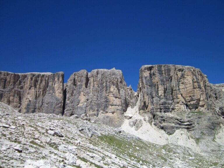
    La Ferrata Piz from Lech rises a rocky bastion in the eastern side of the Sella Group to the peak of the Piz da Lech (2916 m), in the province of Bolzano. È a difficile street, short but intense, made very short by Corvara plants: it presents some athletic passages, two aerial stairs and a short suspended bridge, in an environment d’ high mountain with exceptional panorama from the top.

    ▲Approach

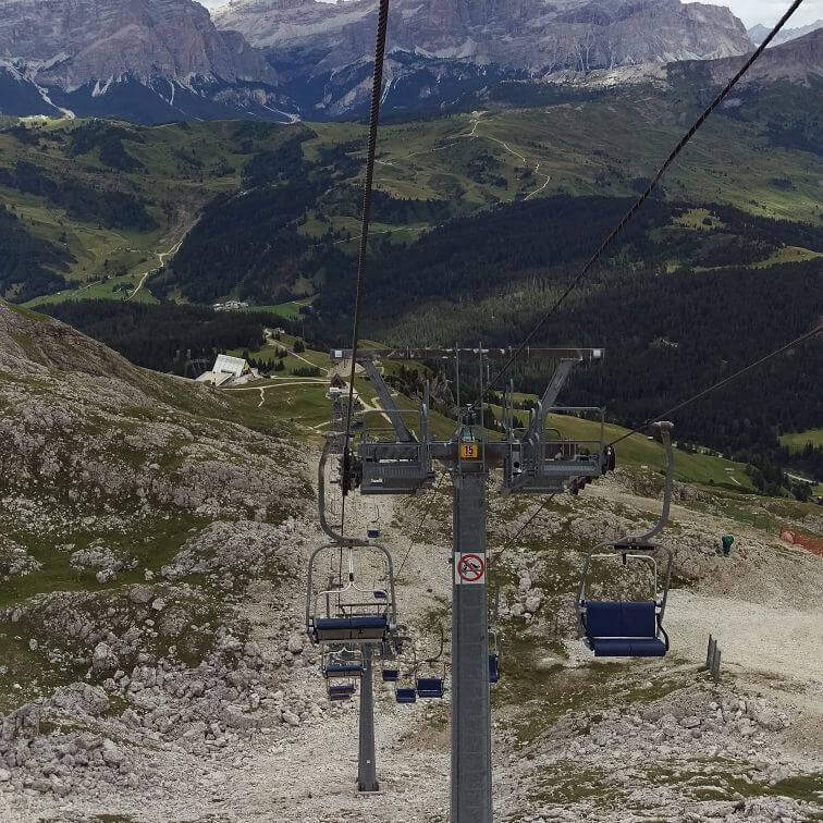
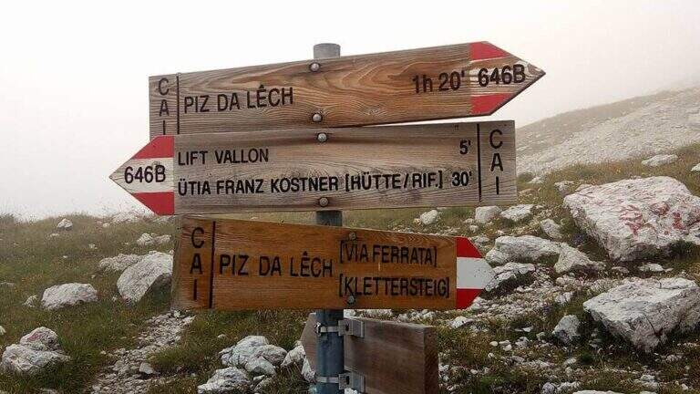
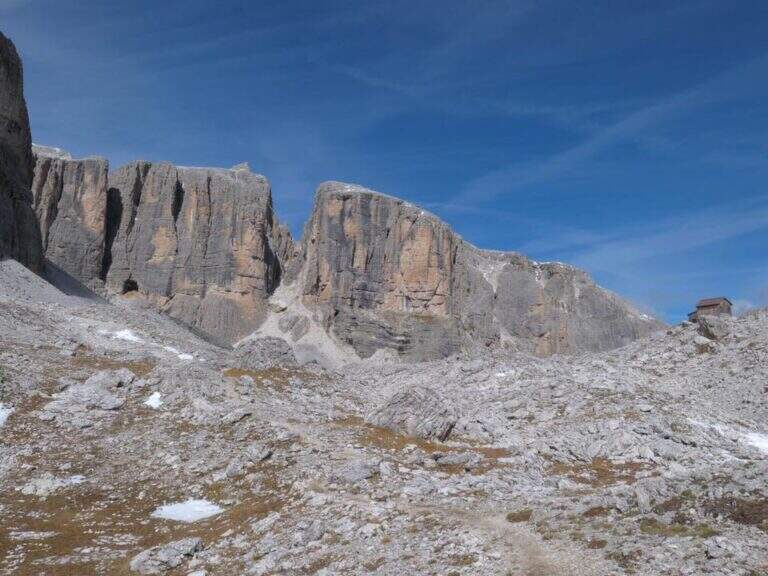
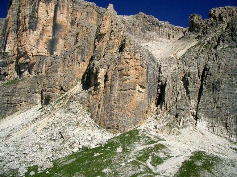
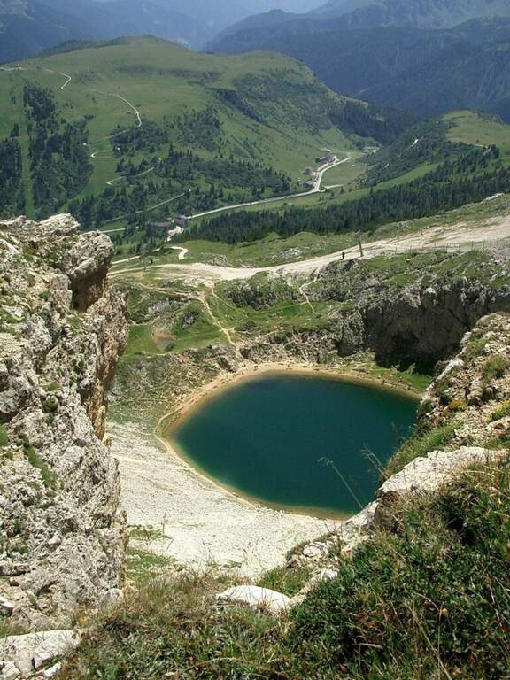
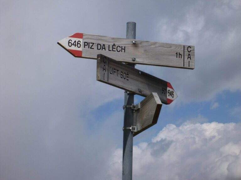
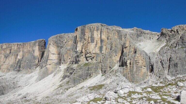
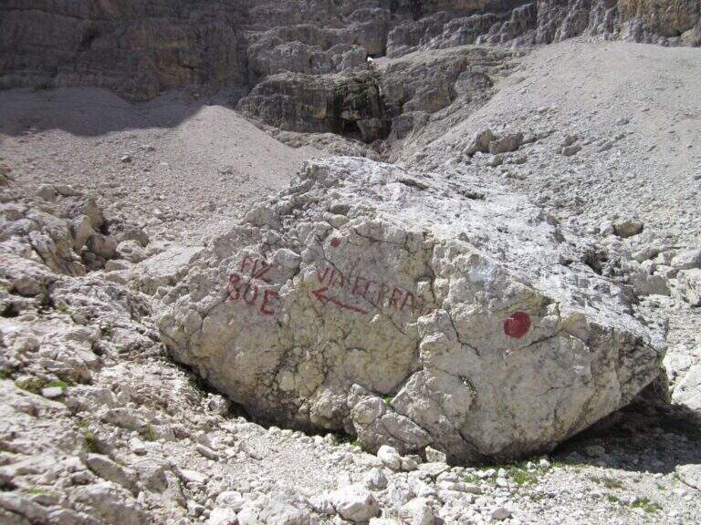
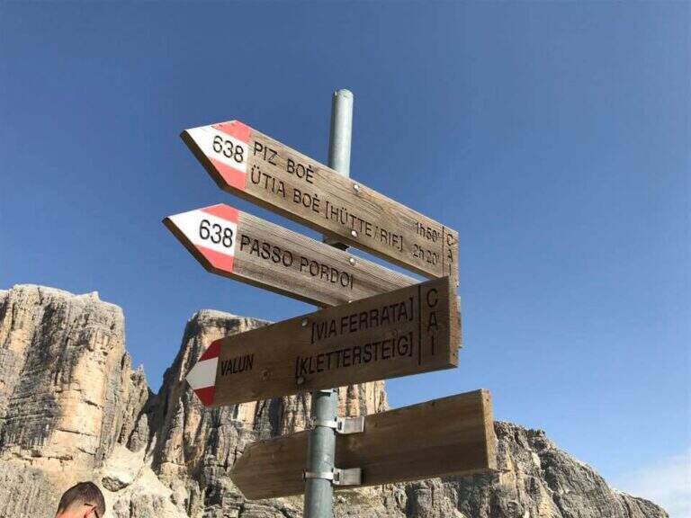
    The starting point is the mountain station of the cable car that from Corvara (Val Badia) climbs first to the Crep de Mont and then to the Vallon (2537 m; open the starting point on Google Maps). Alternatively, from Passo di Campolungo (between Arabba and Corvara) you can park at l’ Boè Tree; (1860 m) and climb the wide CAI 638 path to the upstream station of the chairlift (1h 15′ from the pass). Exit from the chairlift you ignore the signs for the normal road (646B) and follow the signs to the north, in the direction of a detritic valley where you turn left uphill until all’ attack, under a characteristic yellow-black rocky wall (2560 m, 15 minutes from the mountain station).

    ▲The path

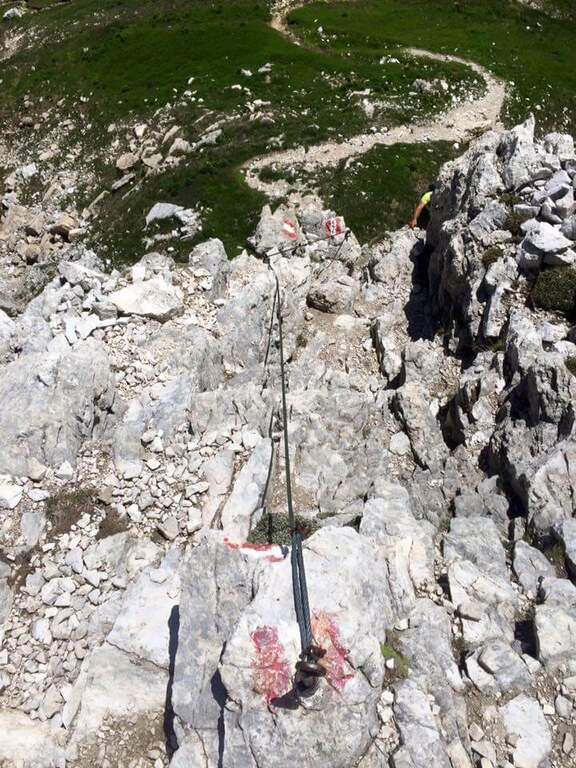
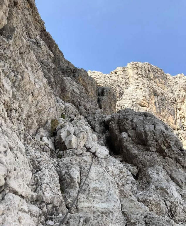
    The ferrata opens with a rocky leap of difficult-to-grave media; and without obvious claws, then an easy nod on the left and some not difficult steps. On the left side a corner with a census, you will meet new leaps under l’ looming black-yellowish bastion; climb up vertically and stick into a long channel , holding the right side on rocky steps. Where the channel is tightened, there are about fifteen vertical meters, then a short but exposed and challenging across to the right bypasses a edge up to a nod. Follow the più pass; challenging: a fireplace that climbs first on the right side and then passes left with a leap, complex in the initial part for the lack of supports, which gradually rise up. Some exposed rocks lead to the più point; iconic of the street: under the rampage rise two scales interspersed with a rock-mounted plane; finished the second ladder, a challenging passage helped by brackets. In the closing section there are exposed rocks and a ramp up to the summit ridge; after a stretch with the right equipment and a short path, you will meet a breve suspended bridge (a horizontal ladder above a narrow crevice), exposed but not difficult. A short wall well-dressed (often wet) and some rocks put on the final, unequipped path, which carefully leads to the peak cross of the Piz da Lech (2916 m, 1h 45′ from the’ attack, 2 hours from the mountain station), with magnificent views of the Sella Group, the Piz Boè and the Val de Mesdì.

    ▲Character and difficulty

    Classified Difficile (D), with all the parameters of complextà on 3/5: short but intense, with a couple of athletic steps where you need a good point or a discreet climbing technique (some strokes of III-IV degree, however climbing). Not è extremely difficult, but requires good preparation and experience. Harness obligators, hardware kits and helmet.

    ⚠ The summit ridge and the pavement around the cross are not wide and go carefully; the final and initial tract require concentration. The return along the normal way è ripido and includes a couple of steps equipped downhill: not remove l’ harness at the end of the ferrata. A short wall before the summit è often wet: pay attention. Useful a frontal if you leave late, because of the way; between climb and descent the day può stretch.
    ▲Period and safety

    High altitude summer road, to be covered with stable weather and dry rock. The equipment is in good condition, recently renovated. Check the opening and hours of cable car and chairlift (serve the return ticket); those who walk up from the Campolungo Pass put into account a longer and tiring approach.

    ▲Discipline

    From the summit you descend to the south along the normal road, marked by the white-red boils of the CAI 646, on the swallows of the south side; a couple of equipped passages are passed down (a vertical wall of 6-8 meters with brackets and a short set of rocks). A crossroads are reached with the CAI 646B: on the right you will descend a fragrant canal up to the path d’ approach and then to the chairlift (45′ from the summit, 2h 45′ overall); or continue on the CAI 646 along a ridge above Lake Bo` up to the mountain station of the cable car.

    ▲To match

    The Piz da Lech fits perfectly with the neighbor Ferrata del Vallon, possibly by staying at the Kostner Refuge. Continuing to half-costa you reach the attack of the impegnative Ferrata Piazzetta piz Boè. On the Sella Group Ferrata Tridentina e la Ferrata delle Mesules. In Val Badia la Ferrata Sas dla Crusc e la Ferrata della Pace.

    ▲Gallery
    Technical data
    • Approach0:15 h
    • Duration1:45 h
    • Total itinerary4:15 h
    • Hardware level difference200 m
    • Route difference371 m
    • Maximum altitude2911 m
    • Length2,2 Km
  • Ferrata del Vallon

    Ferrata del Vallon

    Vie Ferrate › Trentino-Alto Adige › Bolzano
    Ferrata del Vallon

    La Ferrata del Vallon sale la parete est del Gruppo Sella collegando il Rifugio Kostner alla zona del Piz Boè (provincia di Bolzano). È la via attrezzata meno conosciuta e tecnicamente meno impegnativa del Sella: per gran parte facile, ha un paio di passaggi più impegnativi nel tratto conclusivo dopo un suggestivo ponte sospeso accanto a una cascata. L’ambiente del circo glaciale del Vallon, contornato da imponenti pareti, è uno dei più belli e meno frequentati del gruppo.

    ▲Approach

    The starting point is the mountain station of the cable car that from Corvara (Val Badia) climbs first to the Crep de Mont and then to the Vallon (2537 m; open the starting point on Google Maps). In alternativa, per evitare la funivia, dal Passo di Campolungo (tra Arabba e Corvara) si parcheggia presso l’Alberto Boè (1860 m) e si sale sul largo sentiero CAI 638 fino al bivio per la ferrata, poco prima del Rifugio Kostner (2500 m, 1h 30′ dal passo). Dalla stazione a monte si segue a destra il cartello per le Ferrate Piz da Lech e Vallon; in falsopiano si raggiunge una deviazione (a destra sale alla Ferrata Piz da Lech) e si prosegue a mezzacosta su pendio detritico, entrando nel Vallon sul versante destro fino all’attacco, segnato da grandi bolli rossi in fondo a un magnifico circo glaciale (45 minuti dalla stazione a monte). Si può anche seguire le indicazioni per il Rifugio Kostner e la Ferrata Piazzetta (CAI 638), facendo attenzione, prima del rifugio, ai segni e alla traccia che si addentrano nel circo.

    ▲The path

    Si inizia con un facile traverso diagonale in salita, oltre il quale si affrontano balzi rocciosi ben gradonati con il cavo a sinistra (utilizzabile solo come autoassicurazione, dato che i passaggi sono arrampicabili). Si supera un facile camino, dove una fessura offre molti appigli per salire in spaccata, poi un tratto facile di sentiero attrezzato verso destra e sinistra in direzione della bastionata nero-giallastra che sormonta la valle. Sotto la parete, verso destra, si risalgono alcune roccette (cavo a sinistra) e un nuovo breve camino simile al precedente; la roccia ben appigliata permette di uscirne in spaccata. Si raggiunge così il punto più iconico dell’escursione: un ponte sospeso accanto a una cascata (il tracciato originale passava a sinistra della cascata, ora si sviluppa a destra; sono ancora visibili le vecchie attrezzature). Passato il ponte si entra nella seconda sezione, più impegnativa: una parete esposta e verticale di una ventina di metri. Si sale una prima pancia rocciosa, poi si piega leggermente a sinistra e a destra su buoni appigli per mani e piedi (chi ha dimestichezza con l’arrampicata può procedere senza trazionare il cavo); segue un tratto diagonale che richiama un diedro appoggiato e, dopo le ultime roccette, si raggiunge il terrazzino roccioso che domina il circo glaciale (45 minuti dall’attacco, 1h 30′ complessive).

    ▲Character and difficulty

    Classificata Moderatamente Difficile (MD): difficoltà tecniche, esposizione e impegno fisico contenuti (2/5), con complessità ambientale un po’ più alta (3/5) per la quota e l’ambiente d’alta montagna. È una buona prima ferrata per chi è già esperto di montagna e di percorsi in quota; la parete dopo il ponte, pur ben appigliata, è esposta e richiede un minimo di dimestichezza con l’arrampicata. Obbligatori imbracatura, kit da ferrata e casco.

    ⚠ Le attrezzature sono state completamente rinnovate nel 2024, ma l’inverno può danneggiare qualche fittone rendendo il cavo lasco in alcuni punti: con cavo molle conviene appoggiarsi alla roccia e prestare più attenzione. A inizio stagione alcuni brevi tratti di cavo possono restare sepolti sotto la neve: utile avere bastoncini per affrontare in sicurezza i tratti su neve. La parete verticale dopo il ponte non va sottovalutata dai principianti vista l’esposizione.
    ▲Period and safety

    Via estiva d’alta quota, da percorrere con tempo stabile e roccia asciutta; nelle giornate limpide il panorama sul Gruppo Sella e le sue valli interne è eccezionale. Verificare l’apertura della funivia se la si usa per l’avvicinamento e l’eventuale presenza di neve a inizio stagione.

    ▲Discipline

    Dal termine della ferrata si seguono le tracce verso il già visibile Piz Boè, salendo a una sella. A un bivio si può scendere a sinistra lungo il Sentiero Lichtenfels, che cala su un pendio detritico e poi in una più ripida vallata con alcuni tratti attrezzati di bassa difficoltà fino al Rifugio Kostner (2517 m, 1 ora dal bivio, 2h 45′ complessive); oppure proseguire dritti in salita al Piz Boè (3152 m, 1 ora dal bivio) per il CAI 672 lungo la Cresta Stenta, a tratti attrezzata ed esposta, rientrando poi a ritroso al bivio (45′ dal Piz Boè) e scendendo per il Lichtenfels al Kostner (4h 30′ complessive). Dal Rifugio Kostner si seguono il CAI 638 e poi il 646B fino alla stazione a monte della seggiovia (20′ dal rifugio) e quindi a Corvara.

    ▲To match

    La Vallon si abbina facilmente alla vicina Ferrata del Piz da Lech e, in un itinerario di più giorni, all’impegnativa Ferrata Piazzetta al Piz Boè. Sul Gruppo Sella, in ordine crescente di difficoltà, la Ferrata Tridentina e la Ferrata delle Mesules. In Val Badia il Sentiero Tru Dolomieu e la Ferrata della Pace; verso Canazei la Ferrata dei Finanzieri al Colac e la Ferrata delle Trincee al Padon.

    ▲Gallery
    Technical data
    • Approach0:45 h
    • Duration0:45 h
    • Total itinerary3:00 h
    • Hardware level difference100 m
    • Route difference263 m
    • Maximum altitude2800 m
    • Length5 Km
  • Ferrata Rio Sallagoni

    Ferrata Rio Sallagoni

    Vie Ferrate › Trentino-Alto Adige › Trento
    Ferrata Rio Sallagoni

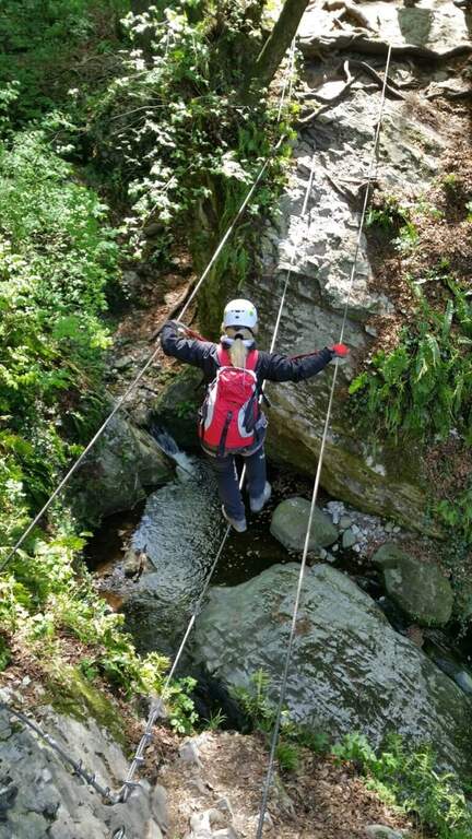
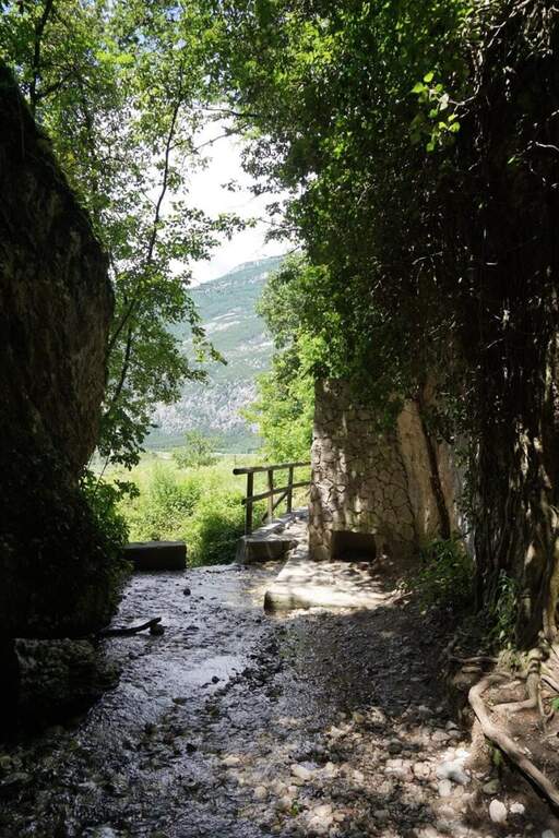
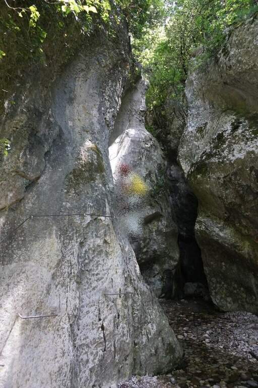
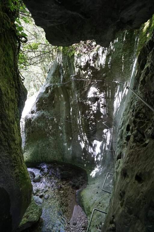
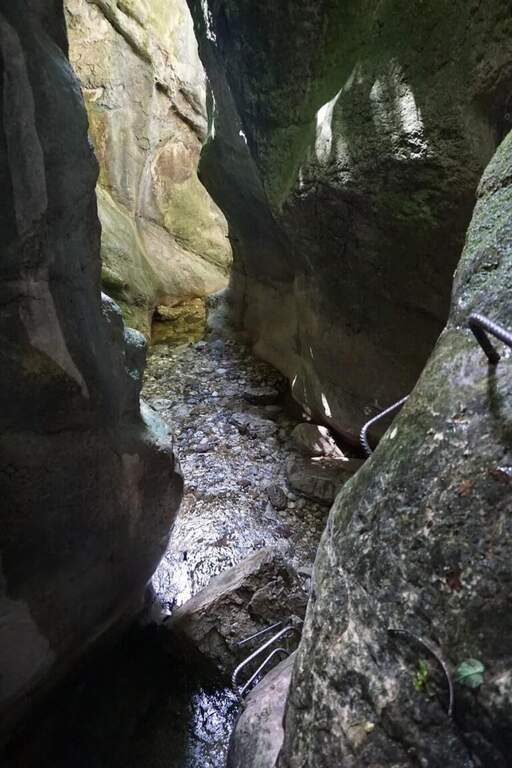
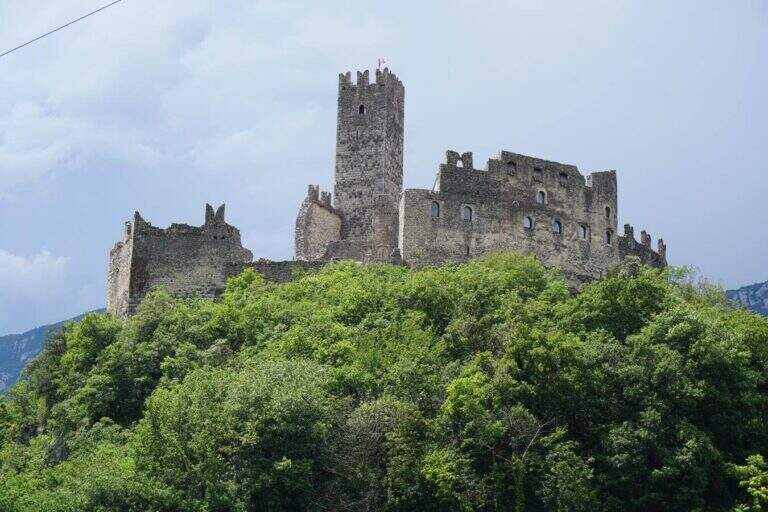
    La Ferrata Rio Sallagoni takes place along the forra dell’ the homonymous stream, at the foot of Castel Drena, in the province of Trento. È a facile street but definitely spectacular: rocking over l’ flowing water, a narrow and suggestive gorge and two suspended bridges make this short itinerary one of the pi’ scenics; Alto Garda. Precisely for the low difficultà and the charm of the ’ environment & very popular in summer.

    ▲Approach

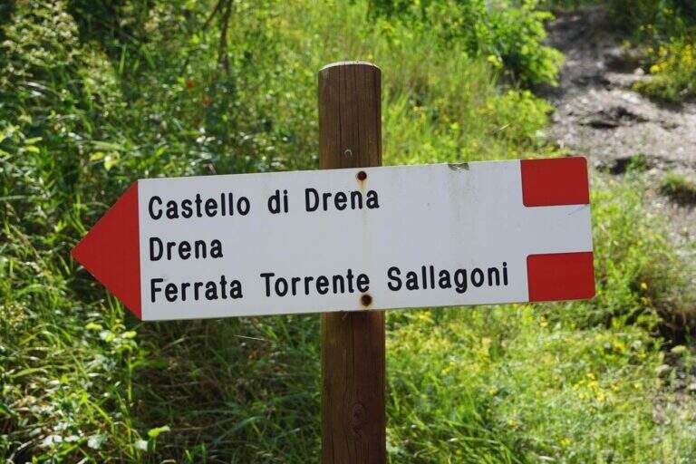
    The starting point is located on the road connecting Dro to Drena. Arriving from Riva del Garda, before the village of Dro follow the signs to the right to climb to Drena; after a few minutes and a hairpin bend, on the left you will find a large parking lot and shortly after, on the right, a field of drum (open the starting point on Google Maps). From the parking lot you will descend towards the hairpin bend by car: on the left side of the road a pole with CAI signs indicates the descent towards the edge of the Rio Sallagoni, where the ferrata immediately begins (about 10 minutes from the parking lot).

    ▲The path

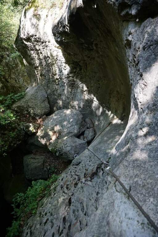
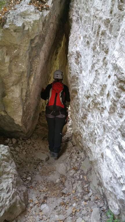
    The ferrata attacks on the left side of the throat. You climb a couple of meters with the rope, then a short traverse to the right on brackets for the feet, then a few meters diagonally and vertically: a stretch exposed and very beautiful, with the river that flows right under the feet. Continue in the traverse and you will encounter the probably more challenging passage of the street, slightly overhanging, which obliges a slight traction on the cable to maintain the balance. After this point you pass under a framed rock and cross a vertical escape route. Continuing in the hole the traverse continues to the right; the throat tightens and, near a large framed rock, passes on the right side facing only one more challenging passage due to a rocky protrusion. In short, the equipment ends and is located in a rocky amphitheatre with waterfalls.

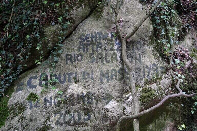
    Start the second part: from the left path you will reach the first suspended bridge at three ropes, about 15 meters long and fairly stable. Continue on the right side of the stream, on equipped path and easy rocky balconies, then you pass on the left side for l’ the only true vertical section of the street, to the right: some passages require a po’ of commitment, but on difficultà altogether low. Then we arrive at the second suspension bridge, più short of the first but less stable, where the Ferrata of Castel Drena ends (40 minutes from the ’ attack, 50 total). You cross a wooden bridge, you go back to the right side of the stream and climb on a path until you exit near the castle (10 minutes from the end of the ferrata, 1 hour overall). At the end of 2024 & a final variante was added dedicated to the Falls of Nassirya: instead of crossing the Rio Sallagoni you stay on the left gold bank, going up on easy equipped strokes (except a sometimes wet and slippery ramp) with long beams on cambre very close to the crude, up to Casteldrena; calculate about 30 minutes in pigrave.

    ▲Character and difficulty

    Classified Easy (F), it has difficulties; techniques, environmental and exposure around 2/5 and minimum physical commitment (1/5). È also suitable for those with little experience, purché at ease with l’ exposure above l’ water. Indispensable l’ complete equipment: harness, hardware kit and helmet.

    ⚠ Itinerary very beaten, especially in summer, by numerous groups: concrete the risk of being bottled in the throat. It is advisable to travel early in the morning or late afternoon, avoiding the più hours; warm and crowded. If you travel the variant of the Nassirya Falls, pay maximum attention to the guadi, which in spring or after abundant rainfall can become difficult: a couple of telescopic sticks are useful.
    ▲Period and safety

    The low altitude makes the ideal way in the half seasons. To avoid with torrents in full or after heavy rains, both for the guds of the variant and for the water level in the hole. Always check the weather and conditions of the rio before descending into the throat.

    ▲Discipline

    From the castle follow the asphalted road downhill; on the left there is a path that, in steep descent with some bends, brings back to the field by drum at the parking (20 minutes from the castle, 1 hour and 20 minutes overall).

    ▲To match

    Given the brevity, the Rio Sallagoni leaves time and energy for a second itinerary in the day. Staying on the easy you can walk Ferrata Colodri o il Sentiero Attrezzato delle Cavre, both towards Riva del Garda. About 45 minutes drive there is the Ferrata Marangoni in Mori, la Ferrata di Ballino e la Artpinistica Ferrata in Preore. For very experienced hikers, about 30 minutes, the difficult Ferrata Rino Pisetta.

    ▲Gallery
    Technical data
    • Approach0:10 h
    • Duration0:40 h
    • Total itinerary1:20 h
    • Hardware level difference150 m
    • Route difference200 m
    • Maximum altitude365 m
    • Length3 Km
Need help? Write to us!