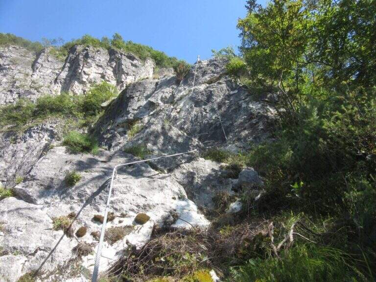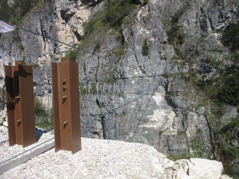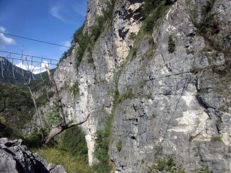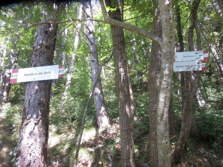
Caratteristica: Ponti sospesi

  • Ferrata Tridentina at Pisciadù

    Ferrata Tridentina at Pisciadù

    Vie Ferrate › Trentino-Alto Adige › Bolzano
    Ferrata Tridentina at Pisciadù

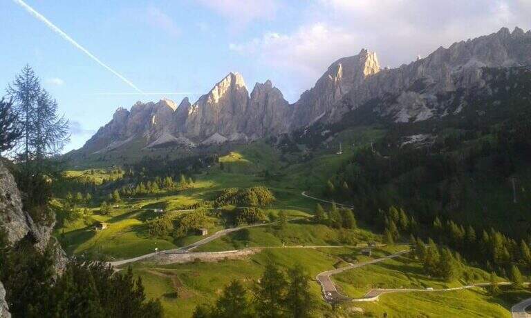
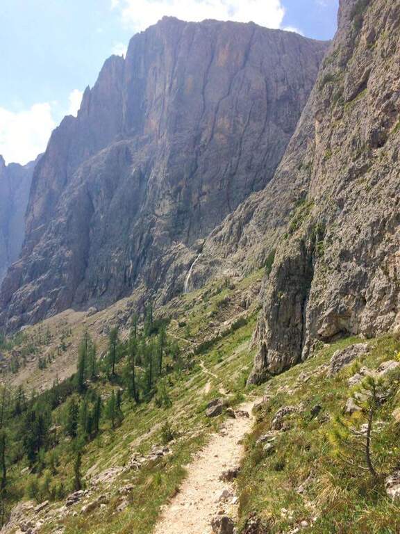
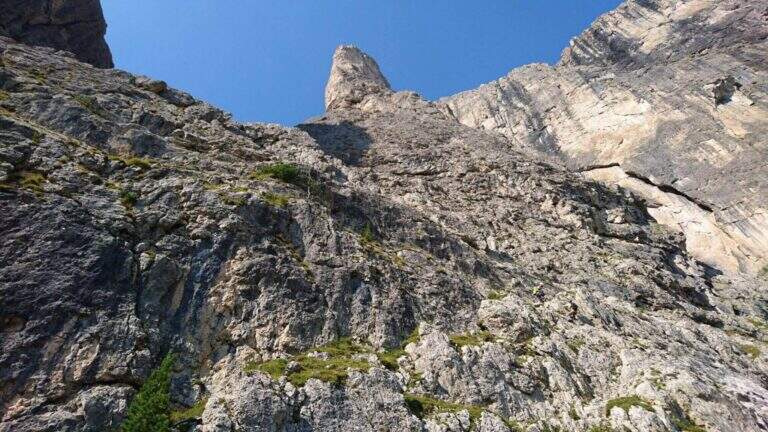
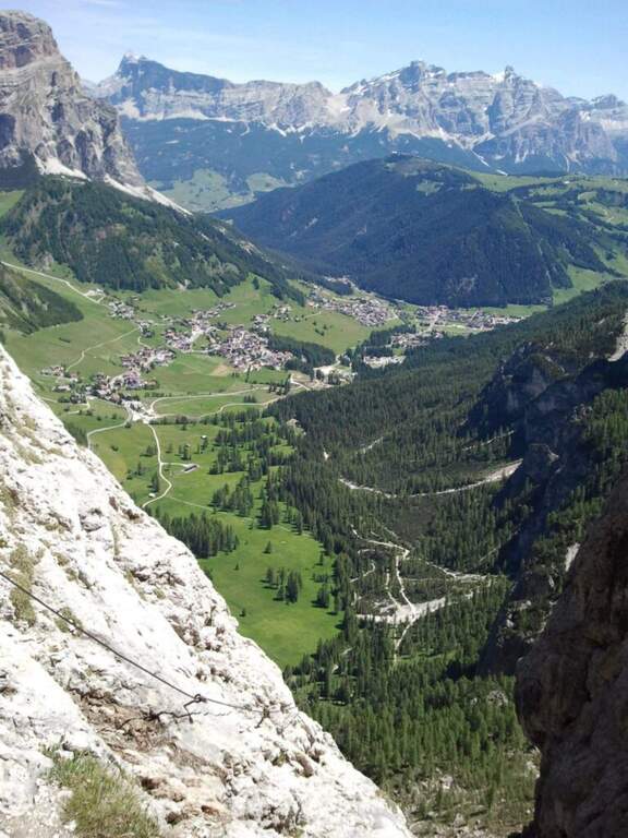
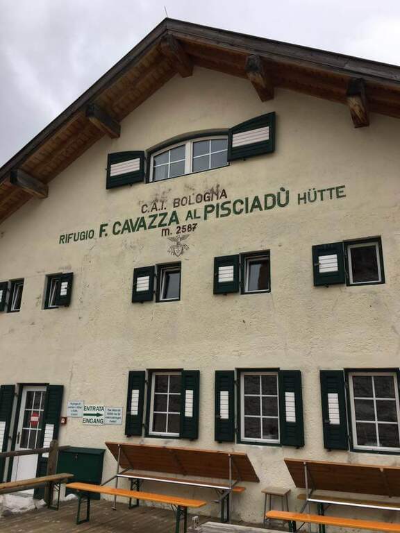
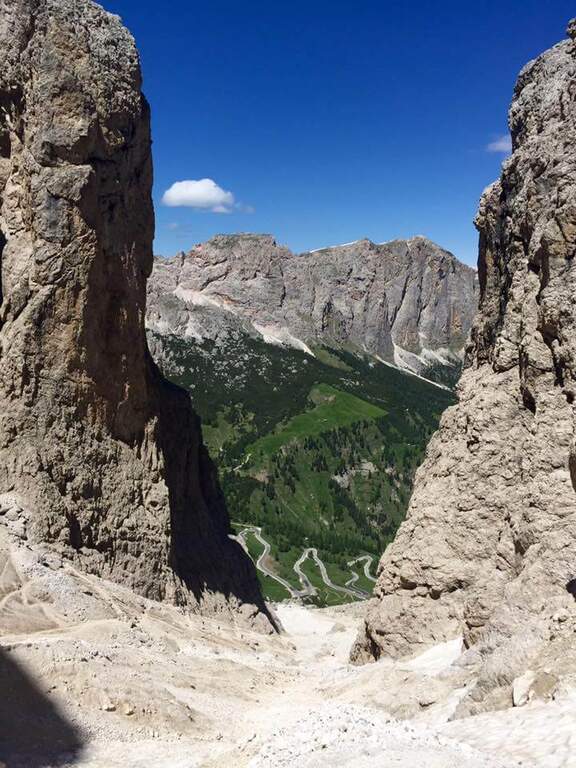
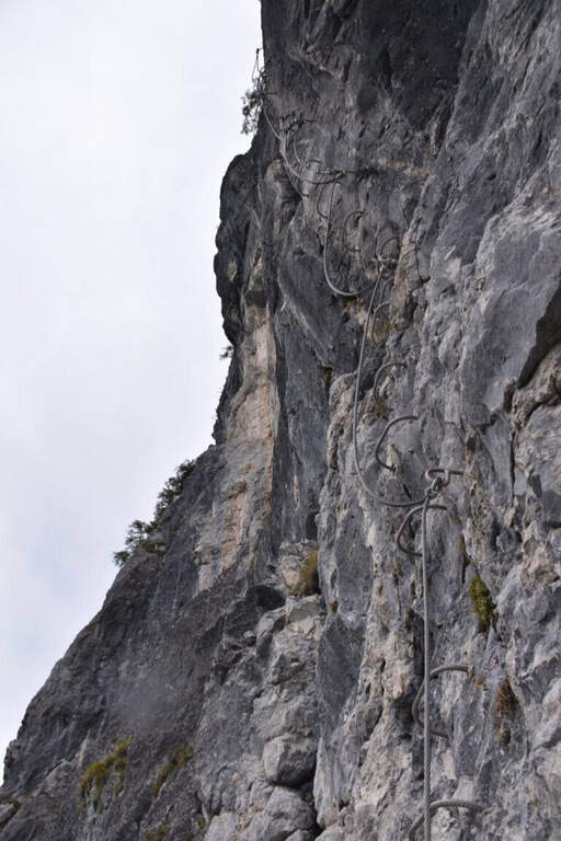
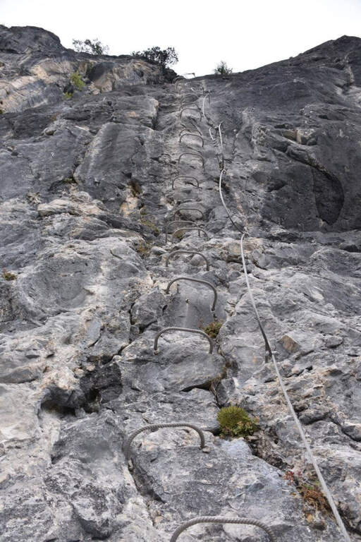
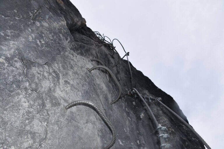
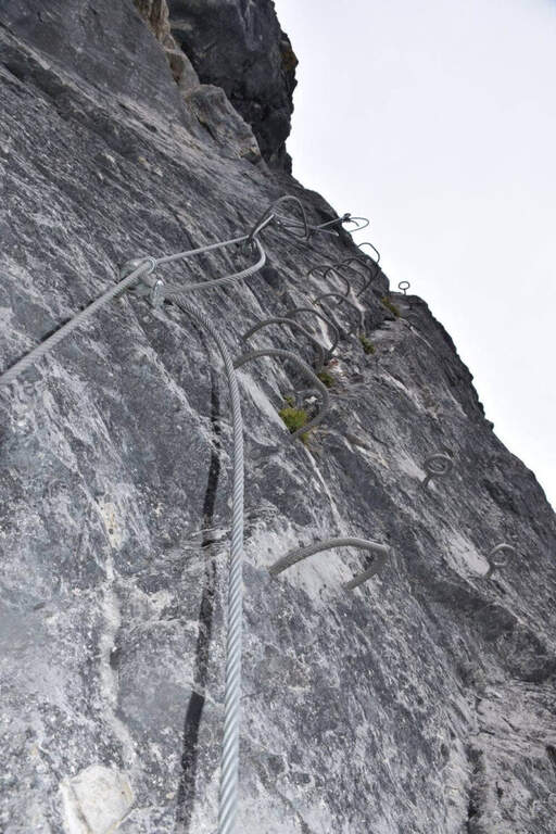
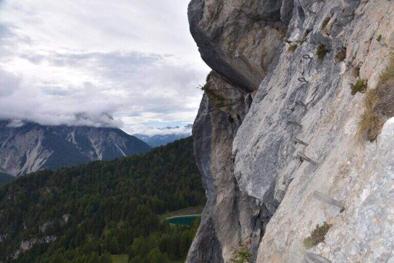
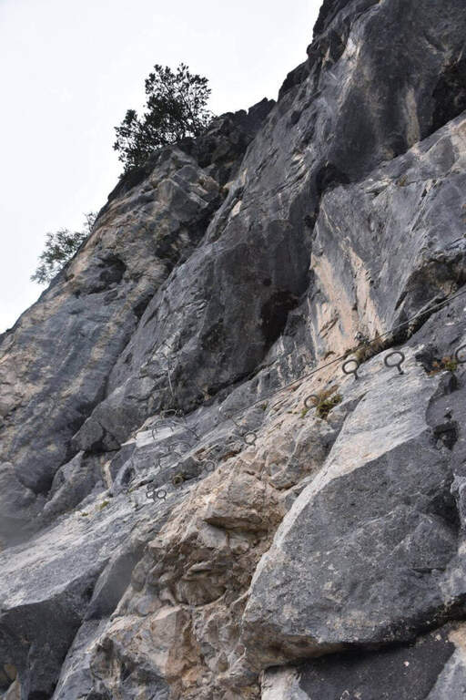
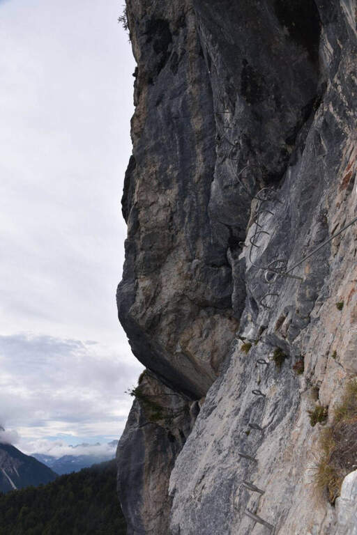
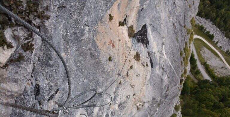
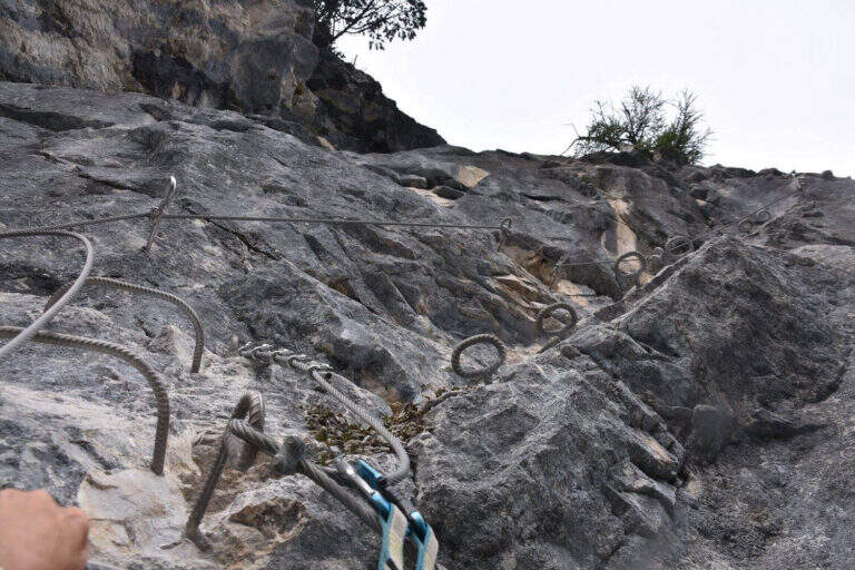
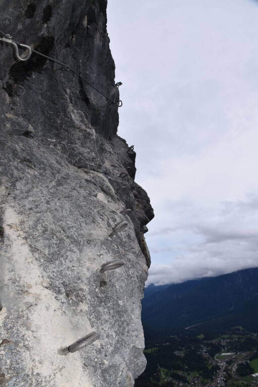
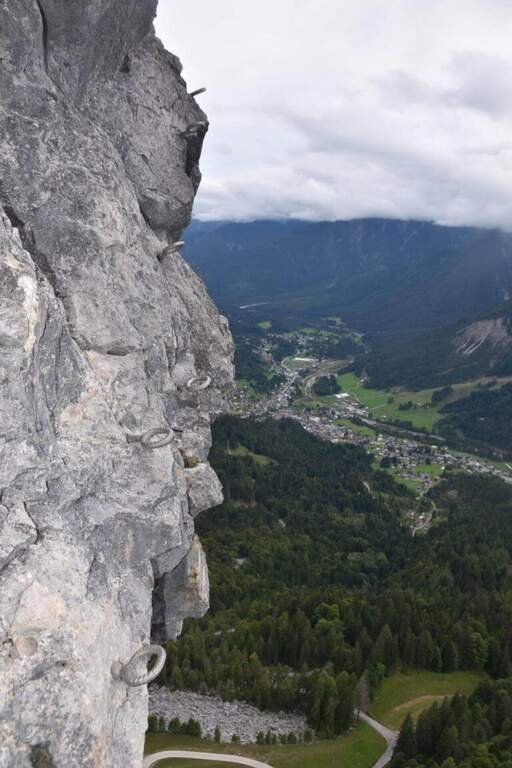
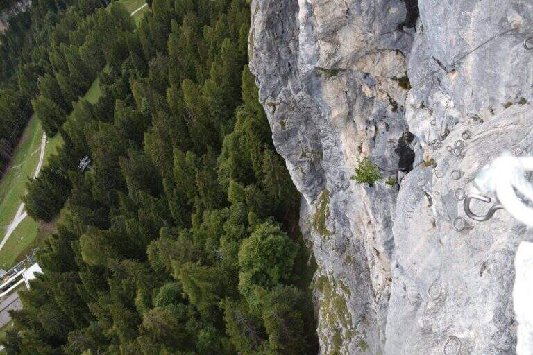
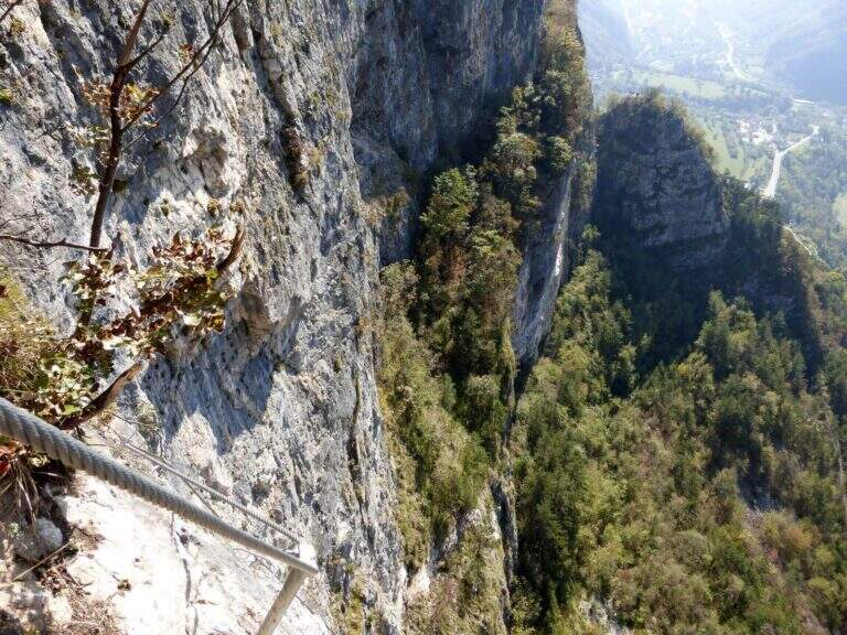
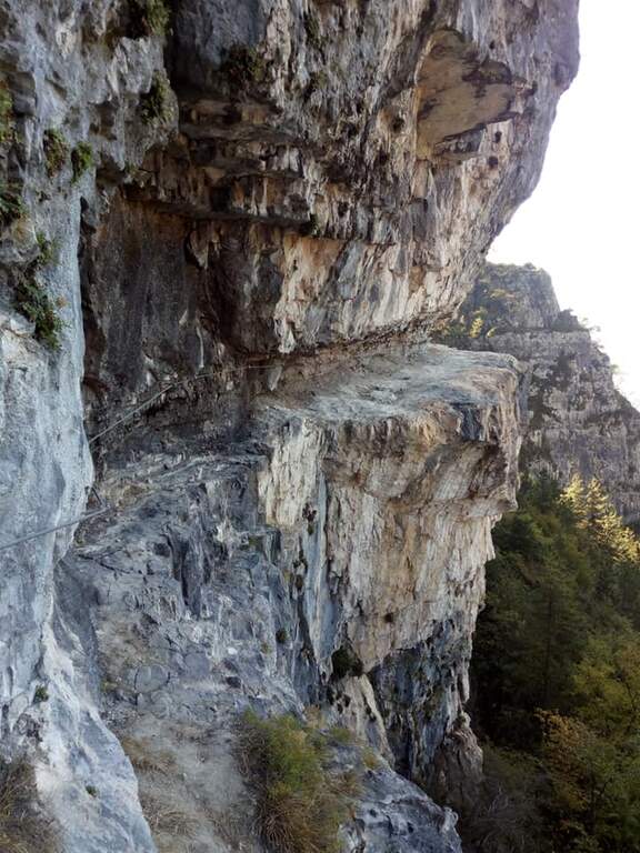
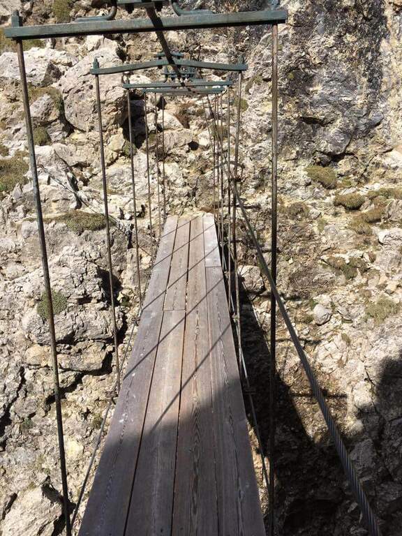
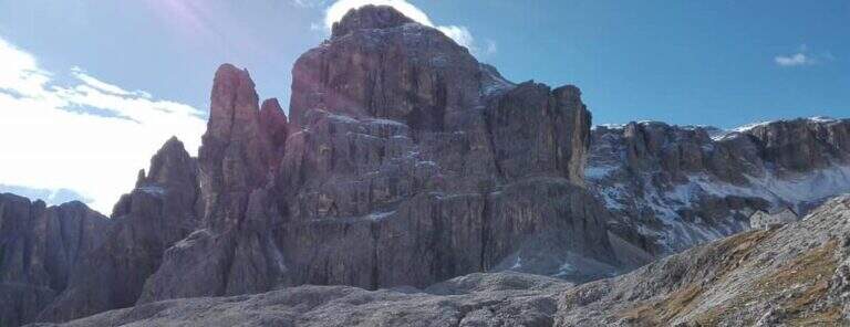
    La Ferrata Tridentina at Pisciadù is one of the most popular equipped routes in the Dolomites: climbs the north side of the Sella Group, in the province of Bolzano, and leads to Cima Pisciadù with limited technical difficulties but a difference in altitude anything but trivial. The very short approach, the famous bridge suspended on the Exner Tower and the final at the Cavazza Refuge make it a classic itinerary, accessible by those who already have a minimal experience of ferrate and is in good physical form.

    ▲Approach

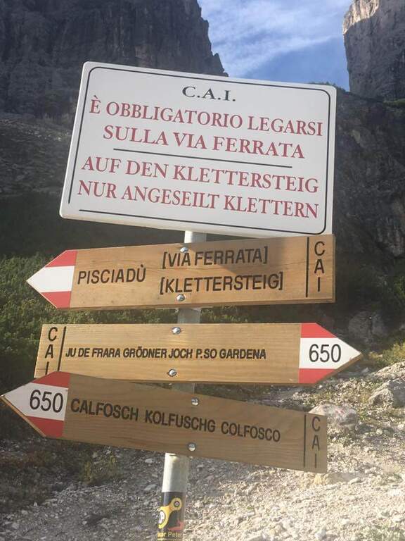
    The starting point is located along the road that from Passo Gardena descends towards Colfosco, on the slope of Val Badia: in correspondence of the sixth bend, on the right, a large parking lot at a quarry marks the beginning of the itinerary (open the starting point on Google Maps). From the parking lot look to the south the walls of the Sella Group; they ignore the signs 650 that connect the Passo Gardena with Colfosco and follow the indications that, to the left towards the east, carry on a path in falsepiano until the first metal equipment, reached in about 15 minutes.

    ▲The path

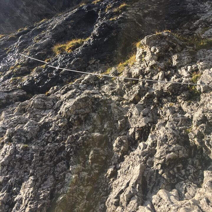
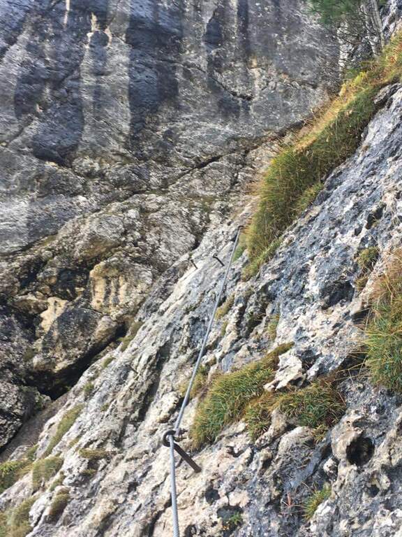
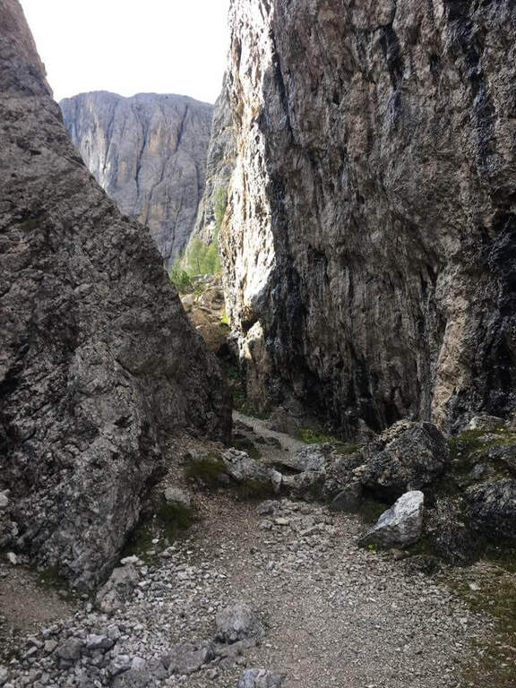
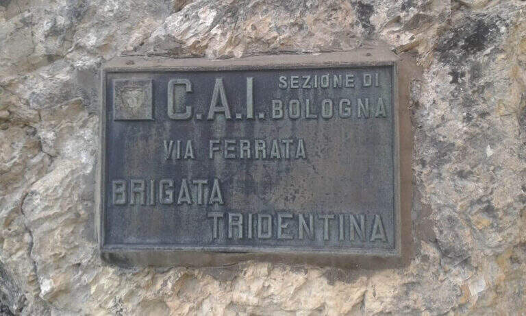
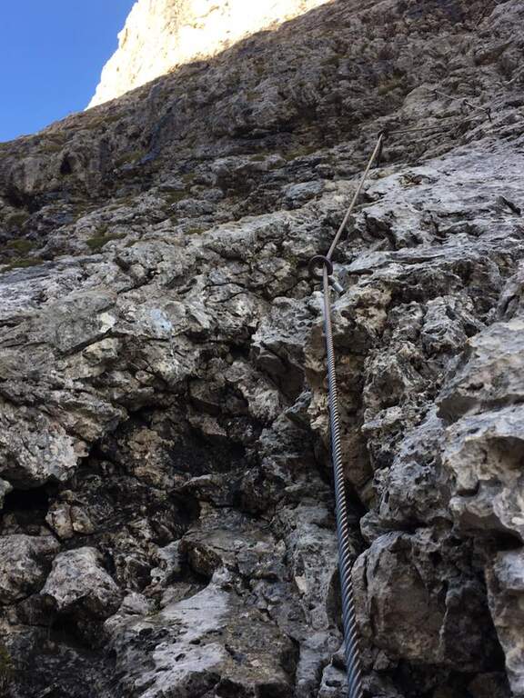
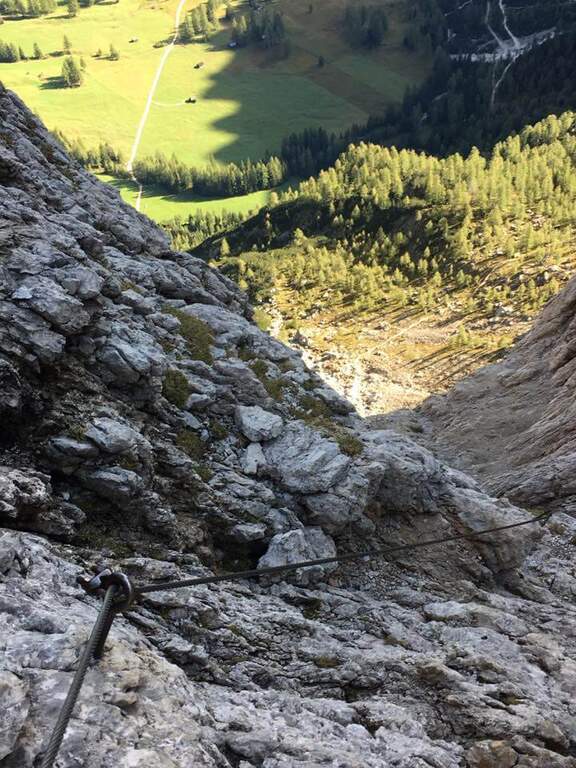
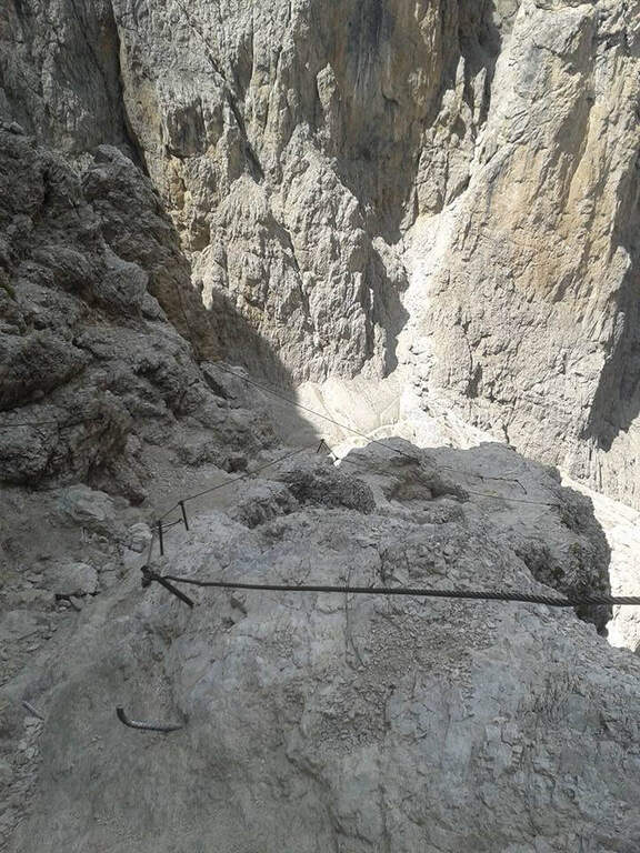
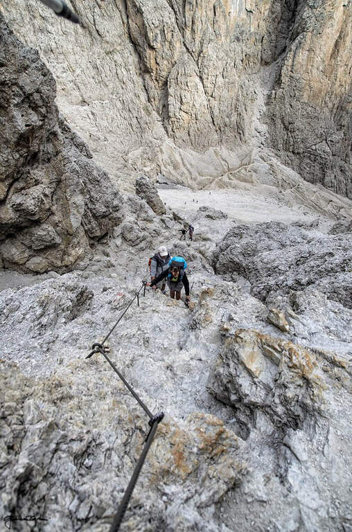
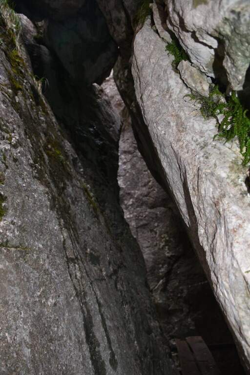
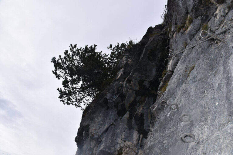
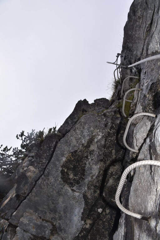
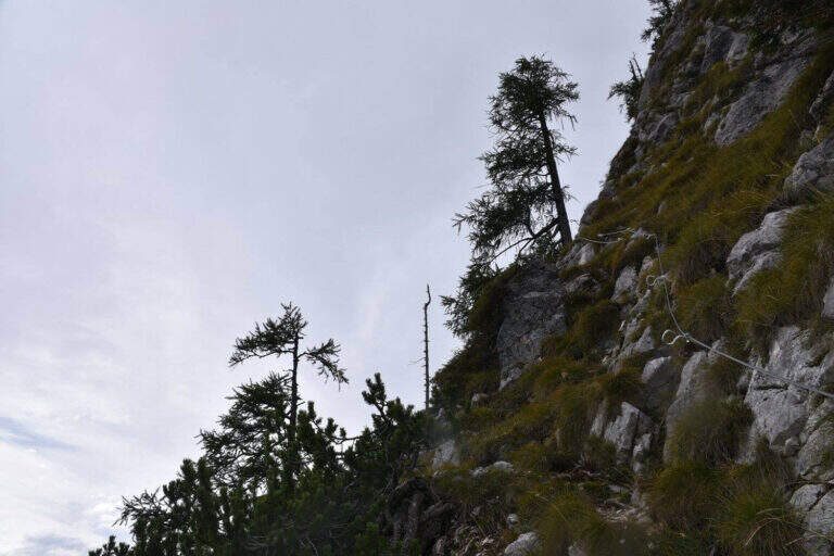
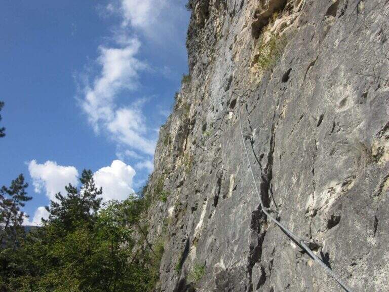
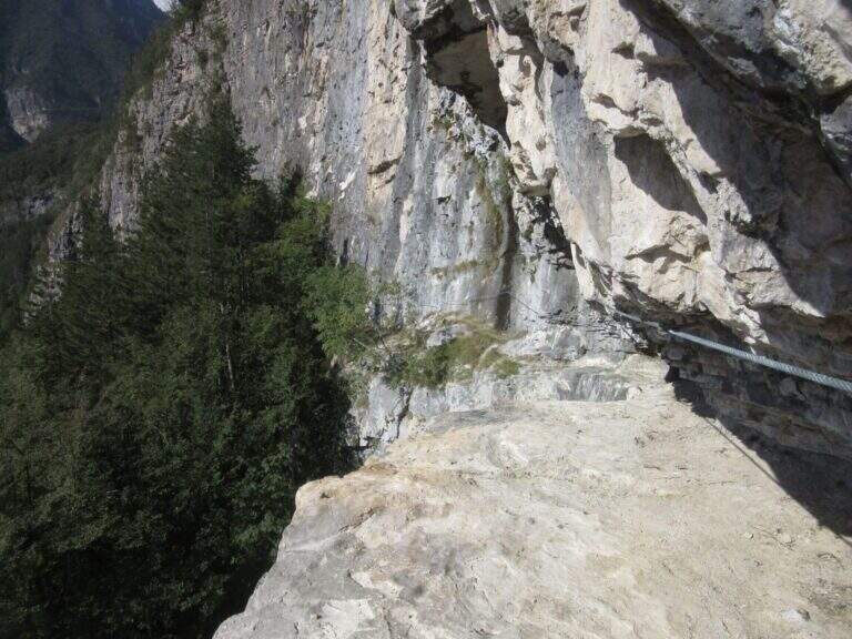
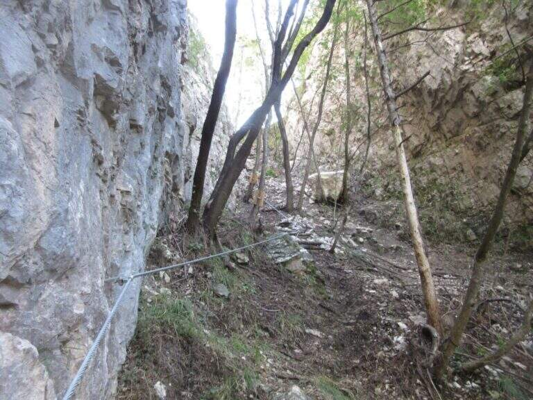
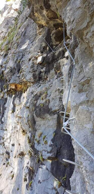
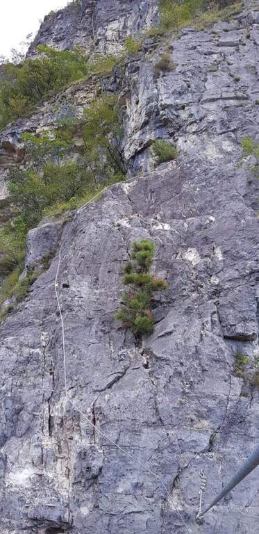
    The first equipped section opens with a well-dressed traverse to the left, followed by a series of brackets that make earn a lean wall. Continue to the left along an exposed but solid traverse, then face a few meters of vertical wall and a wet died equipped up with metal brackets. At the exit you cross the path that descends halfway from Passo Gardena, useful as a way of escape in case of bad weather. From here a path towards the east, with ups and downs and a characteristic passage in a slit, leads to the equipment placed just above the plate that marks the real attack of Tridentina (2070 m, about 40 minutes from the parking lot).

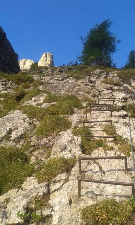
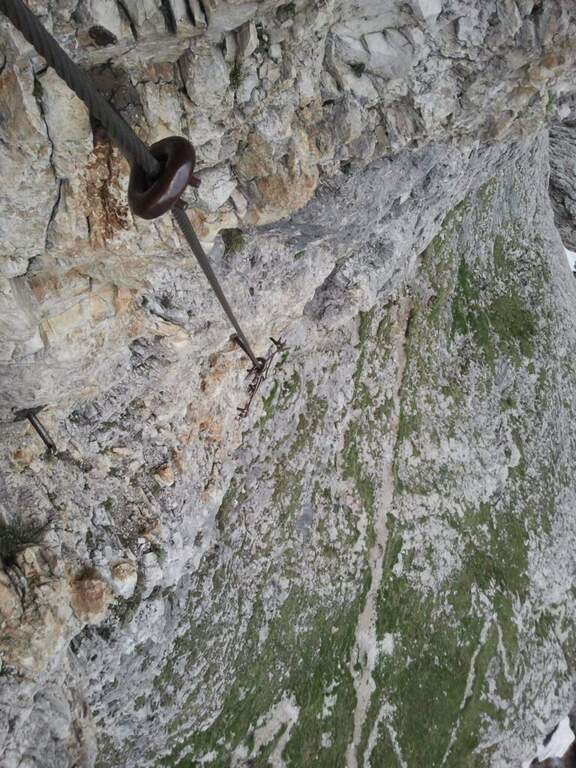
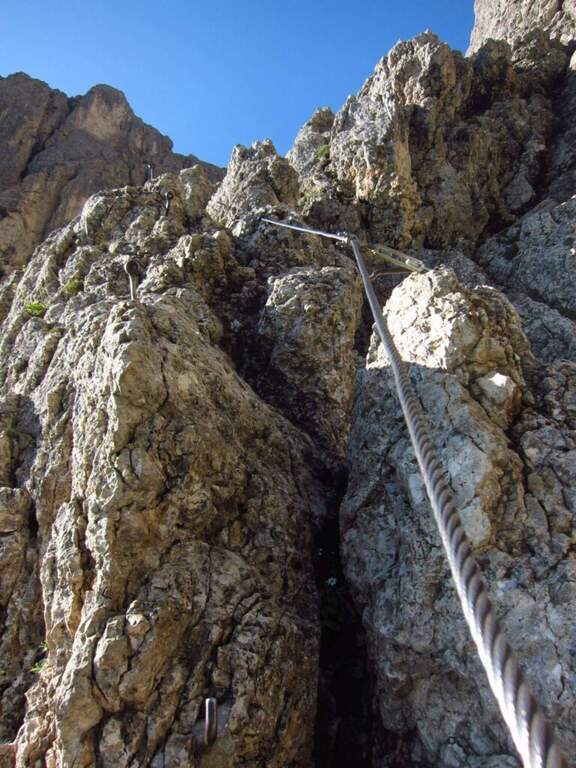
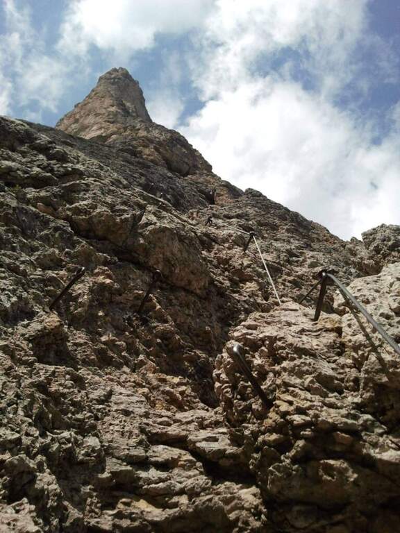
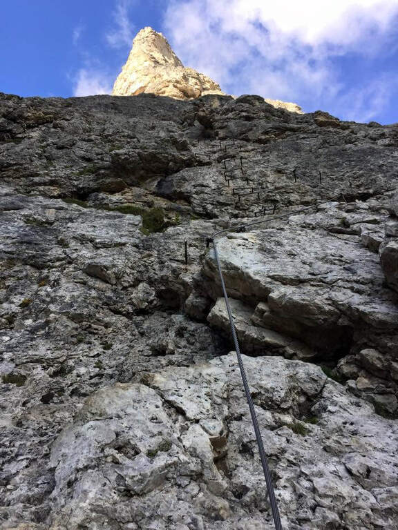
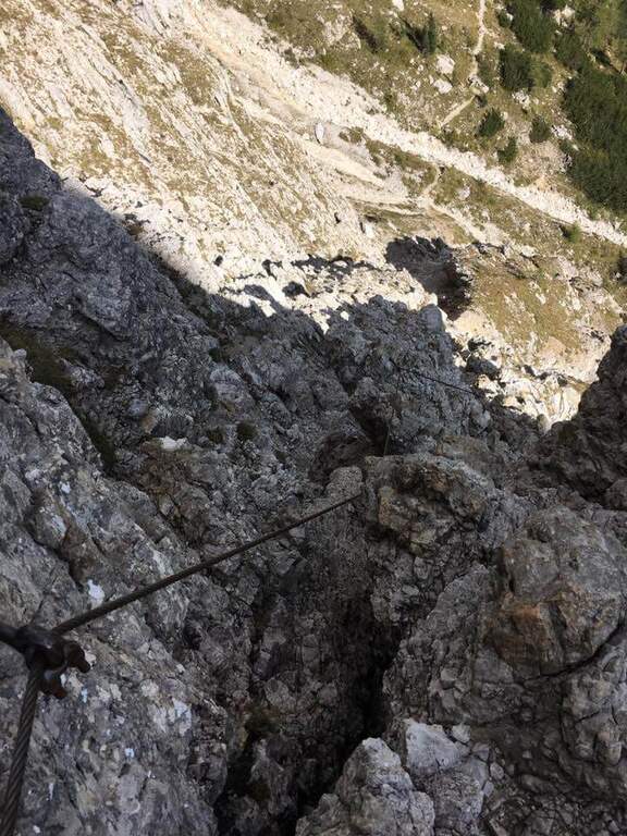
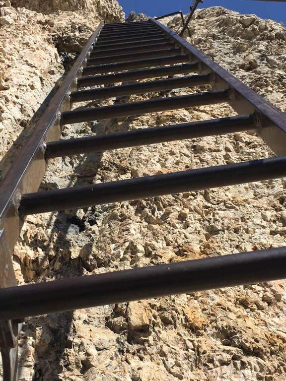
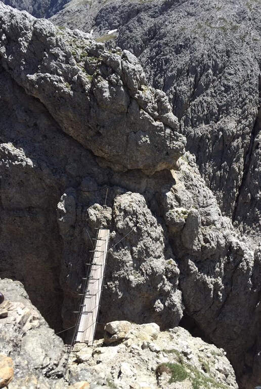
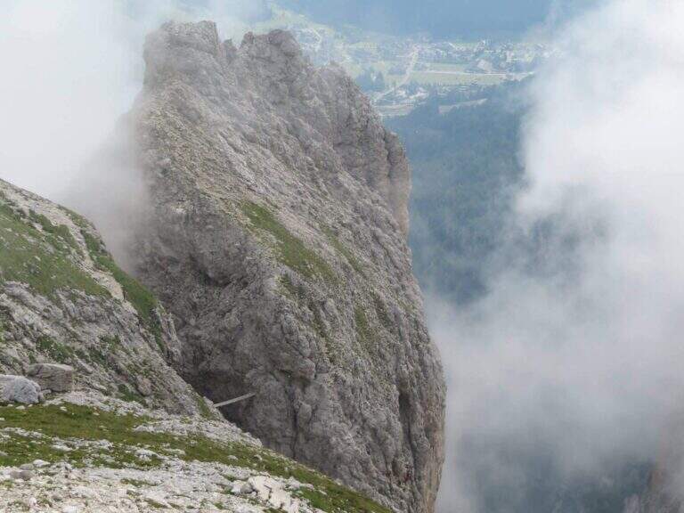
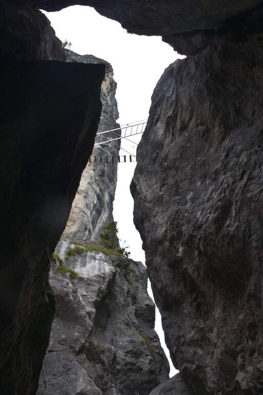
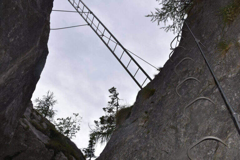
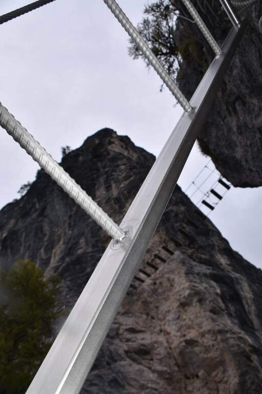
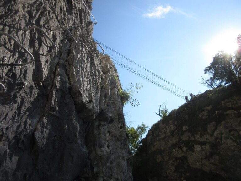
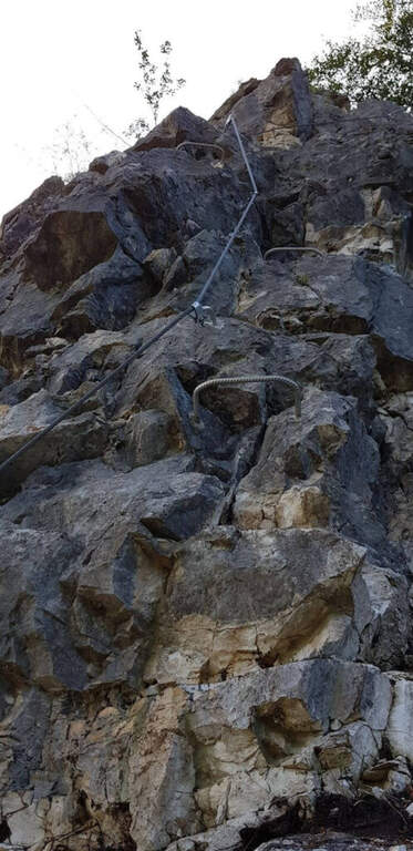
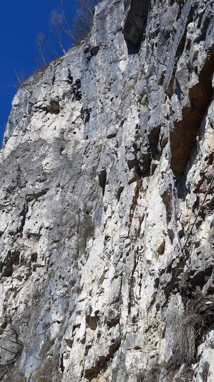
    Now rise diagonally under a’ impressive wall, always well-dressed and never too exposed. After the first metal fixtures the progression becomes più vertical on well-qualified rock, with brackets and fixtures where the wall è più Smooth. A succession of beautiful vertical walls progressively leads to the passages that approach the Rio Pisciadù waterfall; bypasses an edge with an air passage, then you run più rocks; comfortable and a traverse on pioli, exposed but well equipped, up to a escape route. Those who continue to face the più tract; challenging, what goes up the Torre Exner: a small vertical wall, a series of brackets and a dihedron leaned with the right cable and the left brackets (arrampable looking for the claws, little obvious, on the right side). It goes right with an easy traverse, climbs a metal staircase and, after wandering a rocky cord, you reach l’ iconic ponte suspended between the Exner Tower and l’ last stretch: stable but suspended on a a abyss of a few hundred meters. Passed the catwalk, un’ last vertical wall enters the path that leads to the Cavazza Refuge to the Pisciadù (2587 m), where the ferrata ends after about 3 hours in total.

    ▲Character and difficulty

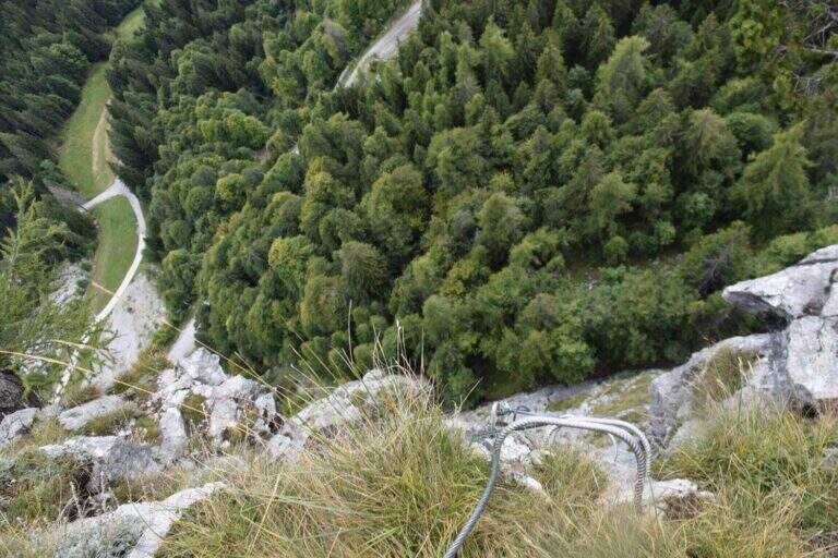
    Classified Editly Difficult (MD), the Tridentine owes its populartà precisely to the difficultà medium-low techniques combined with a short approach. On the overall level of the complex; they weigh mainly l’ physical commitment and l’ exposure (both 3/5), while the technical component remains più contained (2/5). L’ hardware equipment è mandatory: harness, homologated hardware kit and helmet.

    ⚠ In July and August the risk of queues and traffic jams on the equipped passages is concrete. It's better to leave very soon. The difference in altitude (400 m of ferrata, 626 m of total) should not be underestimated, as well as the altitude over 2500 m. In case of incoming storms you can fold on the escape routes that intercept the path from Passo Gardena.
    ▲Period and safety

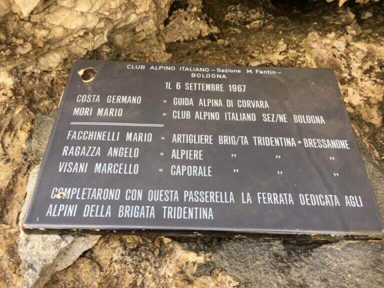
    The route is summery and must be faced with stable weather, starting in the early hours of the morning to avoid the afternoon thunderstorms and crowding. Always check the bulletin and the conditions of the path, in particular in the downhill stretches that may be affected by landslides or snow residues at the beginning of the season. A small hint of history: Ferrata Tridentina was born on July 10, 1960 on the intuition of the mountain guide Germano Kostner who, with the help of the Alpini della Tridentina (to which it is dedicated), equipped the Exner Tower to give direct access to the Pisciadù Refuge; the second section, with the daring suspended bridge, was added seven years later. Every 31 July, the Alpine Guides of Val Badia illuminate in the evening the route, visible from the centre of Corvara.

    ▲Discipline

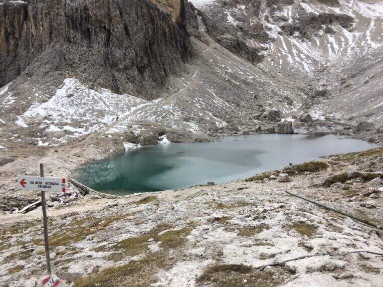
    After a stop at Lake Pisciadù, the return follows l’ High Via 2 along the path CAI 66 in Val de Setus. The descent è steep and takes place in a detritic valley with some equipped sections, where you need attention. You go down to a crossroads (left you would go up to Passo Gardena) and continue downwards following the path to the starting parking, in about 1 hour and 15 minutes from the end of the ferrata (4 hours and 30 minutes overall).

    ▲To match

    The Sella Group offers many other equipped routes around. Going down towards Val Badia you can walk Ferrata del Vallon e la Ferrata Piz from Lech; towards Val di Fassa, at Passo Sella, la Ferrata delle Mesules and, at the Pordoi Pass, the Ferrata Piazzetta. Staying at Passo Gardena are the two Ferrates of the Cir Group, the Ferrata at Piccolo Cir e la Ferrata Gran Cir, both medium-easy.
    ▲Gallery
    Technical data
    • Approach0:30 h
    • Duration2:45 h
    • Total itinerary4:30 h
    • Hardware level difference400 m
    • Route difference626 m
    • Maximum altitude2586 m
    • Length7,5 Km
    • Year opening1960
  • Ferrata Adventure Climb at Clap Varmost

    Ferrata Adventure Climb at Clap Varmost

    Vie Ferrate › Friuli-Venezia Giulia › Udine
    Ferrata Adventure Climb at Clap Varmost

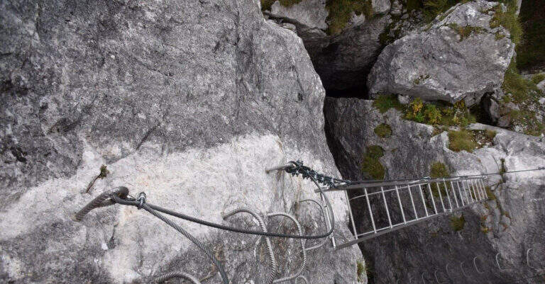
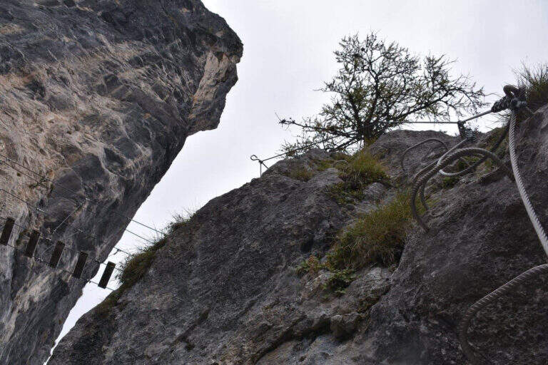
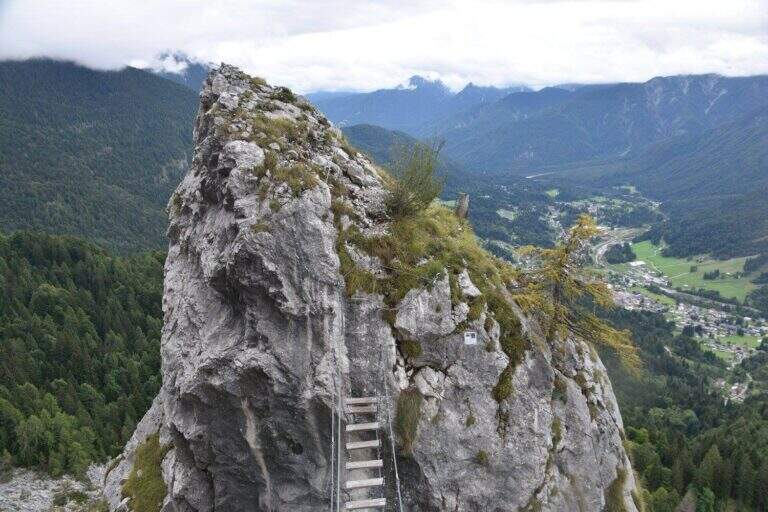
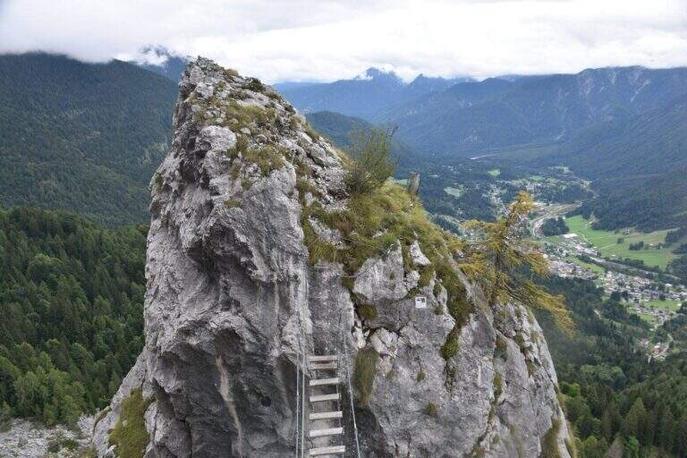
    La Ferrata Adventure Climb at Clap Varmost è una via atletica e moderna sopra Forni di Sopra, nelle Prealpi Carniche (provincia di Udine). Costruita in stile francese, è ottimamente attrezzata e si divide in due sezioni: una prima di media difficoltà, con un ponte sospeso e una scala inclinata che attraversano una gola, e una seconda impegnativa e molto esposta, con due tetti strapiombanti. Avvicinamento brevissimo grazie alla funivia, ma via di grado difficile, non adatta a neofiti.

    ▲Approach

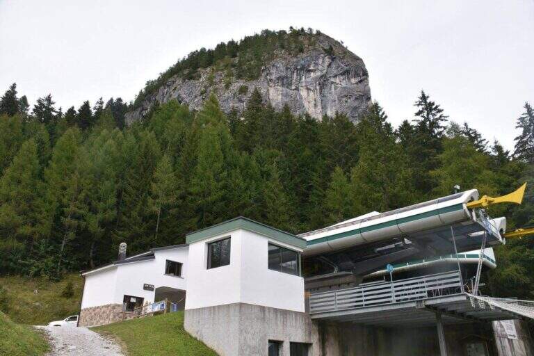
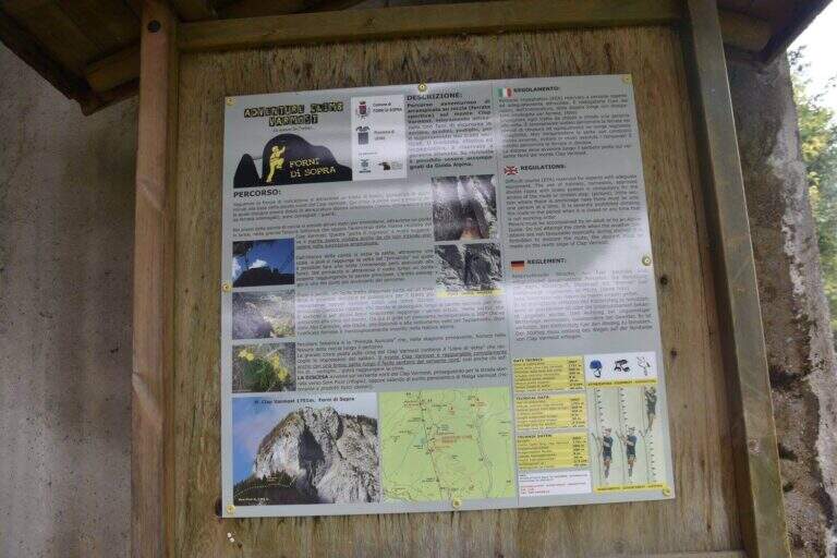
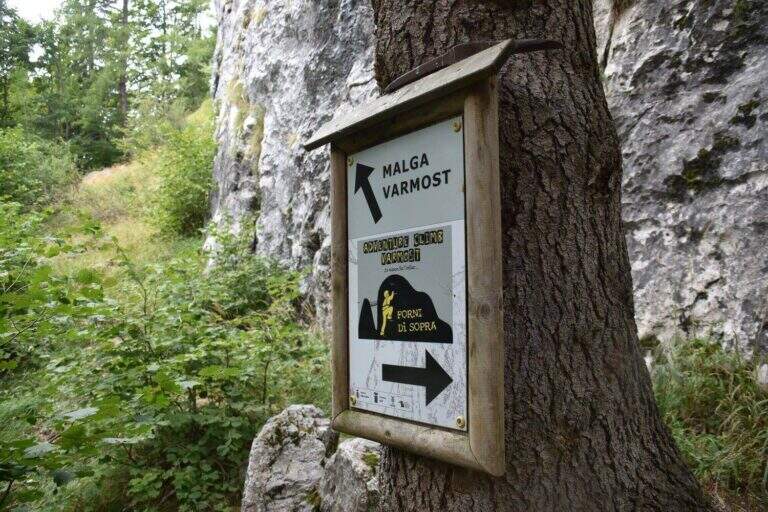
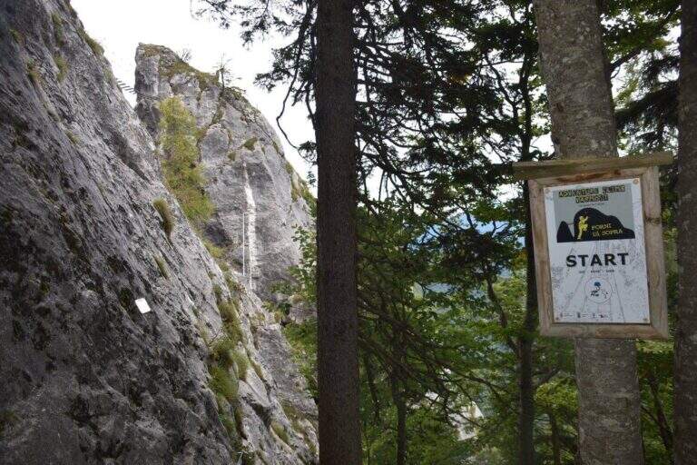
    Il punto di partenza è la stazione a monte della funivia Varmost di Forni di Sopra, raggiungibile dalla SS 52 Carnica (Tolmezzo–Lozzo di Cadore); ampio parcheggio sul lato sud della strada per arrivare a piedi alla stazione a valle (open the starting point on Google Maps). Se la funivia non è in funzione si può salire a piedi da Forni di Sopra lungo la stretta Via Chianeit (asfalto in condizioni non ottimali) fino al bivio dove finisce l’asfalto (spiazzo per 2-3 auto), tenendo poi la sinistra sul sentiero 207 fino alla stazione a monte. Dall’arrivo della funivia il Clap Varmost è ben visibile sulla destra con la sua parete verticale; una bacheca riporta le informazioni sulla via. Si scende sotto l’arrivo della funivia e, seguendo le indicazioni nel bosco e i cartelli verso destra, si cammina sotto le pareti fino all’attacco, segnalato da un cartello bianco (15 minuti dalla stazione a monte).

    ▲The path

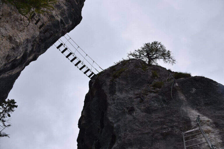
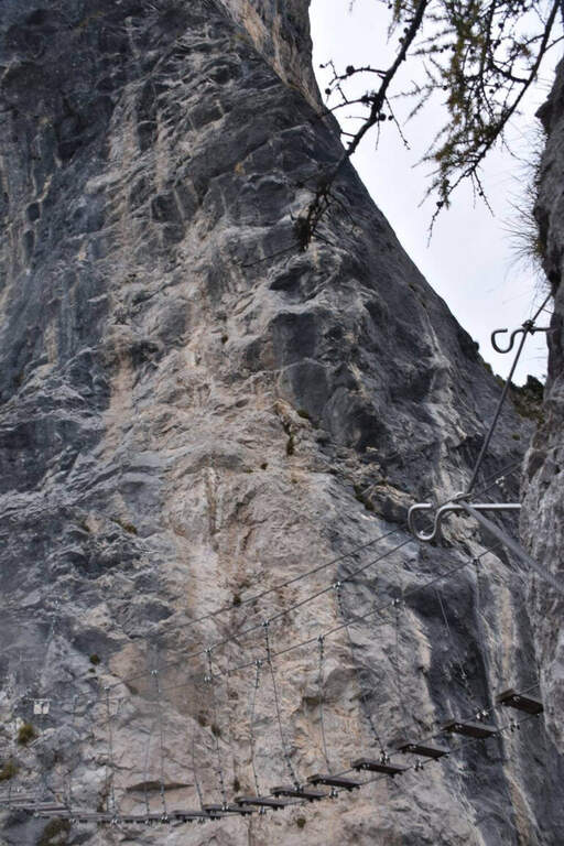
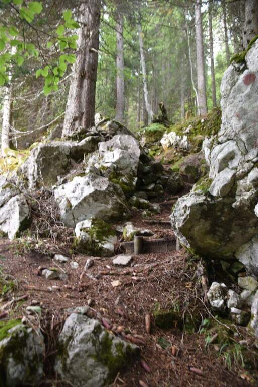
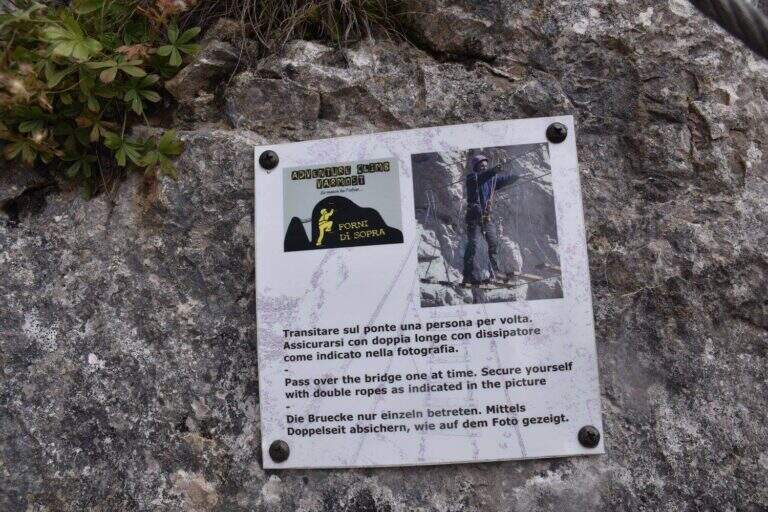
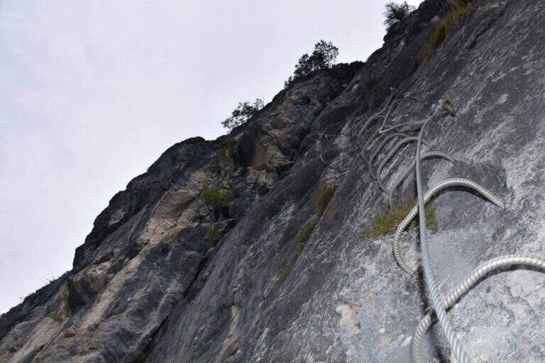
    Dall’attacco una facile cengia in leggera discesa porta all’ingresso di una fessura nella roccia, che si percorre su una passerella di legno. Ritrovate le attrezzature, si sale in diagonale a destra su roccette: sopra la testa appaiono un ponte sospeso e una scala inclinata che attraversa la gola. Una parete verticale abbondantemente attrezzata con pioli e staffe conduce alla scala, che si sale attraversando la gola fino a uno sperone roccioso; da qui, in forte esposizione e con l’aiuto di staffe, si raggiunge il ponte sospeso. Si attraversa il ponte uno per volta e ci si porta sulla parete del Clap Varmost; saliti un paio di metri, un traverso a sinistra su staffe (in salita, poi orizzontale, poi in leggera discesa) porta a un terrazzino, dove un tempo c’era una via di fuga, oggi smantellata. Da qui inizia la parte atletica e impegnativa.

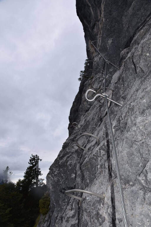
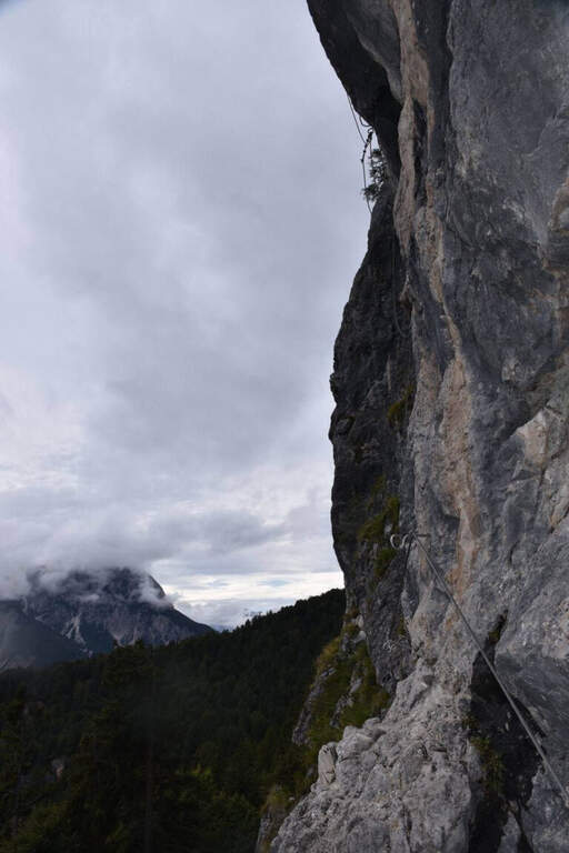
    Il primo passaggio impegnativo è un tetto strapiombante, preceduto da una lunga serie di staffe ravvicinate, da superare con un misto di agilità e forza di braccia senza temporeggiare; oltre il balzo si prosegue in verticale spostandosi prima a sinistra e poi a destra. Un aereo traverso a sinistra su pioli conduce al passaggio chiave: un secondo tetto strapiombante, più impegnativo, al bordo di uno spigolo esposto (ben attrezzato con staffe, ma di impegno superiore alla media della via). Superato il passaggio in forte esposizione, si piega a destra su un diedro attrezzato con pioli e si affronta un aereo traverso a destra verso uno spigolo — il tratto più adrenalinico. Aggirato lo spigolo, un nuovo traverso diagonale a sinistra su pioli precede l’ultimo tratto di parete verticale attrezzata, fino al termine della sezione verticale. Inizia quindi l’ultima parte, su roccette e sentiero attrezzato di difficoltà contenute, su terreno misto di erba e rocce; superata una passerella in legno si raggiunge la croce in vetta al Clap Varmost (2073 m, 1h 15′ dall’attacco, 1h 30′ dalla stazione a monte).

    ▲Character and difficulty

    Classificata Difficile (D): difficoltà tecniche medie (3/5) ma esposizione elevata (4/5) e carattere atletico. È una ferrata “alla francese”, poco arrampicabile, che si progredisce quasi ovunque su infissi metallici (in ottimo stato); il cavo è grosso e infonde sicurezza. Obbligatori imbracatura, kit da ferrata e casco; non è adatta a neofiti, che tendono ad affaticare troppo le braccia.

    ⚠ Nei tetti strapiombanti il cavo è disposto in modo difficile da trazionare: conviene salire usando le staffe. Può essere molto utile portare una fettuccia o un rinvio per sostare e riposare le braccia in caso di affaticamento. I passaggi del cavo nei fittoni sono “alla francese” e il cavo, spesso lasco, tende a inserirsi nella traiettoria di salita: conviene cambiare i moschettoni appena il fittone successivo arriva all’altezza degli occhi, per non lasciarli indietro. La via è breve ma molto esposta: richiede forza e testa.
    ▲Period and safety

    Itinerario percorribile in stagione estiva con meteo stabile; il breve sviluppo lo rende ideale per una mezza giornata. Conviene scegliere una giornata ventilata e non troppo calda, vista la natura atletica della via. Verificare gli orari della funivia se la si utilizza per avvicinamento e rientro.

    ▲Discipline

    Dalla vetta si segue la traccia che, in leggera salita, porta alla stazione a monte del secondo troncone della funivia, oppure si scende per sentiero lungo le piste da sci, passando a fianco di un bacino artificiale, fino alla stazione della funivia utilizzata in avvicinamento (40 minuti dal termine della ferrata).

    ▲To match

    Sempre da Forni di Sopra si può raggiungere il Passo del Mus, con lungo avvicinamento, per l’impegnativa Ferrata Cassiopea al Torrione Comici; verso il Passo Rest, la Ferrata Tramuntin al Monte Rest. In provincia di Udine, più a nord, la Ferrata Cinquanta del Clap, la Ferrata al Monte Coglians, la Ferrata Sartor e la Ferrata del Chiadenis.

    ▲Gallery
    Technical data
    • Approach0:15 h
    • Duration1:15 h
    • Total itinerary2:30 h
    • Hardware level difference200 m
    • Route difference250 m
    • Maximum altitude2073 m
    • Length2,5 Km
  • Ferrata Anelli delle Anguane

    Ferrata Anelli delle Anguane

    Vie Ferrate › Veneto › Vicenza
    Ferrata Anelli delle Anguane
    Moderately Hard● OpenDescriptionComplexityMapsGallery

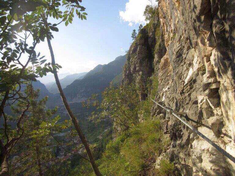
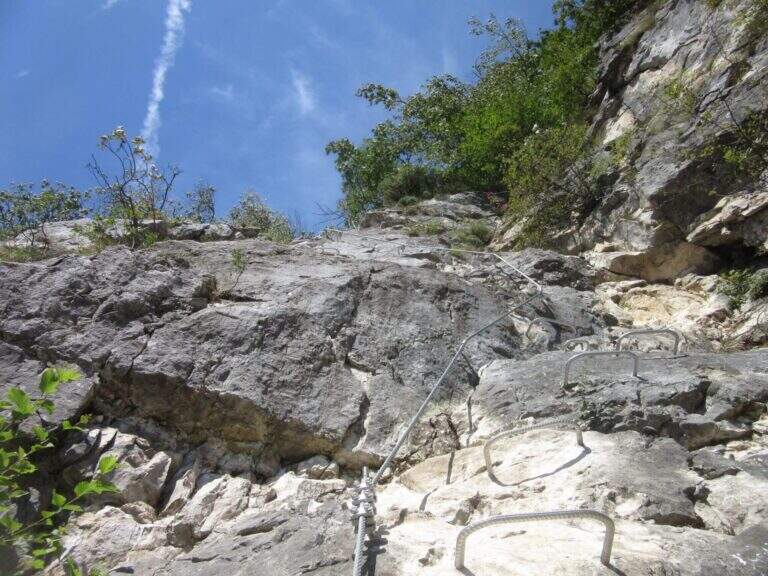
    Gli Anelli delle Anguane sono un vero parco di vie ferrate sopra San Pietro Valdastico, sulle bastionate del Sojo di Mezzogiorno: un intreccio di anelli, ponti sospesi, scale metalliche e varianti che si possono combinare in itinerari di difficoltà molto diversa, dalla media fino a sezioni estreme. La quota bassa li rende percorribili gran parte dell’anno, anche d’inverno.

    ▲Approach

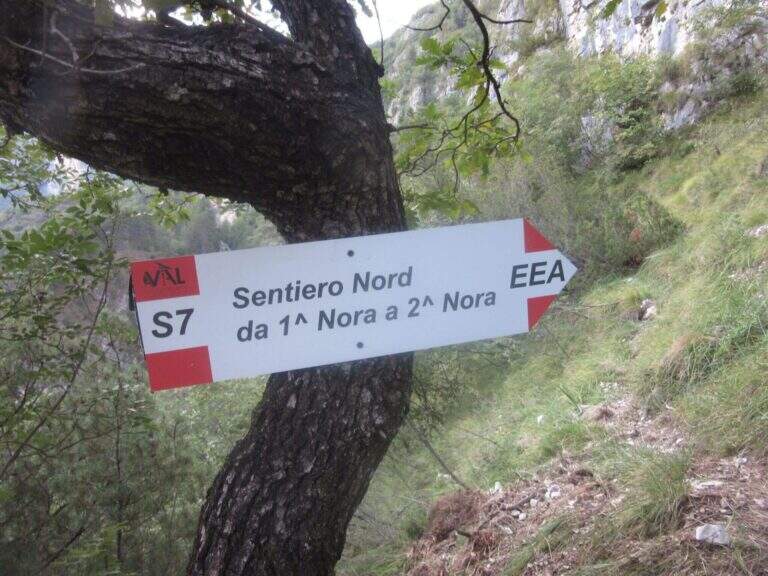
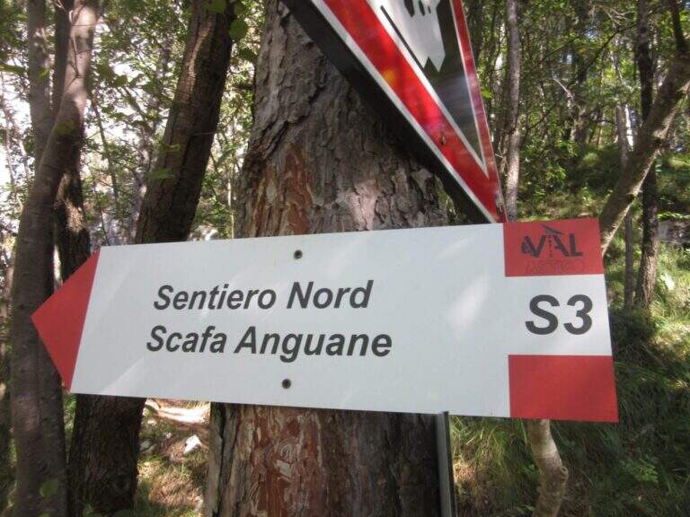
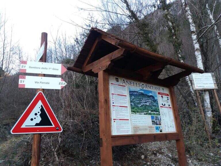
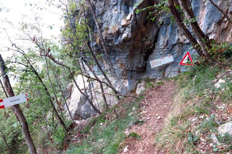
    Dal parcheggio di San Pietro Valdastico un sentiero sale verso le bastionate fino a una bacheca con la mappa dei percorsi; si seguono i sentieri S1 e poi S2 fino all’attacco, raggiunto in 20-25 minuti. Road signs →

    ▲The path

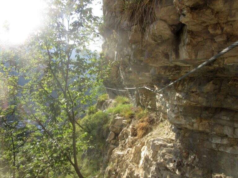
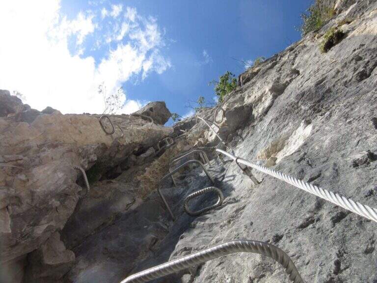
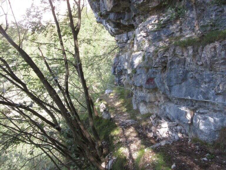
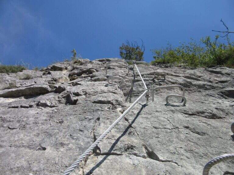
    L’itinerario base alterna paretine verticali ricche di cambre, traversi su roccia compatta, tratti di sentiero attrezzato nel bosco e canalini. Il pezzo forte è il ponte sospeso a quattro corde (circa 25 m), seguito da salite diagonali e brevi strapiombi attrezzati; lunghe cenge esposte collegano i vari anelli. Chi cerca difficoltà maggiori può inserire le varianti estreme: il “Salto delle Anguane” con scale metalliche mobili e tratti strapiombanti, le lunghe scale sospese “Scala Bruna” (40 m) e “Scala Grazia” (70 m), e il “Tetto dei Salbanei”, un tetto roccioso da superare in piena esposizione.

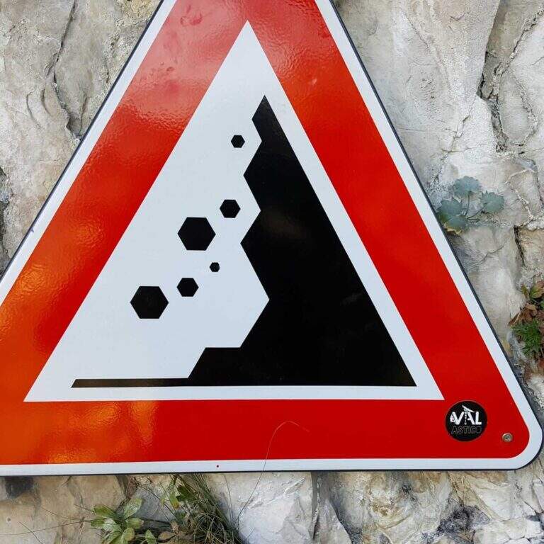
    ⚠ Caschetto obbligatorio: i percorsi si intrecciano e ci possono essere escursionisti sopra, con possibili scariche di sassi segnalate da cartelli. Le varianti estreme (Salto delle Anguane, Tetto dei Salbanei) alzano nettamente difficoltà ed esposizione: affrontale solo se esperti, valutando una longe per le soste. I tempi sono indicativi e dipendono dalla combinazione di anelli scelta.
    ▲Discipline

    Il rientro avviene a ritroso lungo i sentieri di avvicinamento, a seconda degli anelli percorsi.

    ▲To match

    Nelle vicinanze, tra Grappa e Pasubio, si trovano la Ferrata Sass Brusai, la Ferrata di Santa Felicita e la Ferrata Carlo Campalani al Carega.

    ▲Gallery
    Technical data
    • DifficultyModerately Hard
    • RegionVeneto
    • ProvinceVicenza
    • ZonaVal d'Astico
    • Approach0:25 h
    • Ferrata3:00 h
    • Total itinerary4:30 h
    • Hardware level difference300 m
    • Max Altitude750 m
    • Length5,5 km
    • Opening2018
  • Ferrata alla Forcella del Sassolungo

    Ferrata alla Forcella del Sassolungo, group of Sassolungo, Dolomites

    Vie Ferrate › Trentino-Alto Adige › Bolzano
    Ferrata alla Forcella del Sassolungo
    Moderately Hard
    ● Open
    Description
    Complexity
    Maps

    Gallery

    Inaugurated in 2022, the railway that climbs to the Forcella del Sassolungo is a modern, varied and very climbing route that leads from Passo Sella to the Toni Demetz Refuge, in the heart of the Sassolungo–Sassopiatto group, between the Val Gardena wood carving e la Val di Fassa. It is a medium difficulty road (MD) that, while not reaching a peak, gives a fun progression, some air stroke and an exceptional panorama on the Dolomite groups around Passo Sella. The altitude is not high and the approach is short, which makes it an excellent start of season or to be combined with other itineraries of the area.

    ▲Departure and approach

    The starting point & the valley station of the cable car that from the Passo Sella (2180 m) rises to the Demetz Refuge. The pass is reached by car both from Canazei, coming up from Val di Fassa, and from Selva, from Val Gardena. Here the road signs and parking on Google Maps →

    There are two ways to get to the’ attack. The first è all on foot: from the parking lot follow the sentiero CAI 525 and, after about 45–60 minutes, the signs indicate l’ are located on the left. The second takes advantage of the funivia Passo Sella → Demetz: once in altitude you lose a po’ of difference in altitude descending along the 525 until the junction for l’ attack, saving about one’ hour of walk. The climb on foot remains the più choice; satisfying and complete.
    ▲The route, stretch by stretch

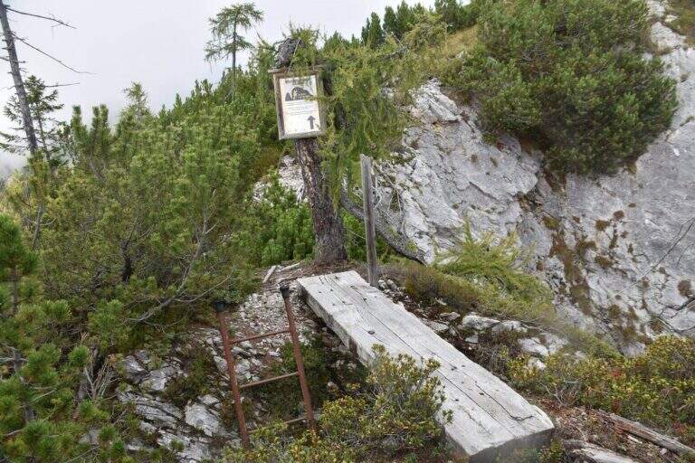
    The ferrata does not allow heating: the first meters are the most challenging of the whole street. It attaches a short vertical dihedron of dark rock with an initial step in light overhangs to disconnect from the ground; pioli and metal brackets help in the very first meters, then it crosses right and begins to gain altitude. After passing this first leap, you walk around a corner and walk a narrow nod to the left, up to a beautiful vertical wall.

    Here the rock is very well-maintained and it is best to climb by looking for natural hooks instead of tractioning on the cable: it is one of the most pleasant traits. You reach the edge of a canal, you cross it and continue on the right side; bypassing another edge you are under a leap near a diedro, where some brackets facilitate the rise of a logical and fun passage. Upstairs it stands on a small grassy plateau.

    Start to the left on a nod that is thinned to become a cross, reaching a classic dolomitic channel. The cable leads uphill diagonally, with good supports for the feet but a constant commitment, up to a short overhanging step: here too the brackets reduce the difficulty and, but it serves a decisive point to face it. All’ exit from the fireplace the spires of the Sassolungo and the Sassopiatto emerge imposing above the head. The box with the libro of summit and a panoramic bench, about 30–40 minutes after l’ attack: the ideal spot for a stop.
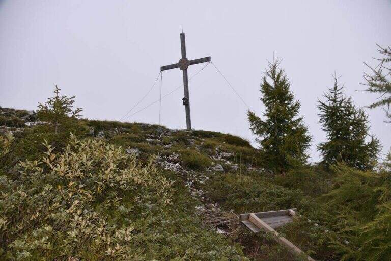
    From here the road goes up some small rocks, over a corner and with a right-hand crossing reveals the Rifugio Demetz, destination of the ’ itinerary. You earn the ridge, easy but exposed, you walk through short climbs and a characteristic bridge suspended , then you wind up a vertical stretch up to a fork. In addition to the fork the cable is divided vertically and, for più rocks; easy, leads to a beautiful yellowish placconata: a challenging first step, then still vertical climb up to a worked dihedron. The last fifty meters remain beautiful and continuous, bringing back on the ridge with a narrow fireplace, before the short discesa equipped that closes the way just above the shelter (about 1h 30′ from the’ attack, 2h 30′ from Passo Sella).

    Numerous equipped escape routes allow you to return to path 525 without completing l’ entire ferrata: useful in case of crowding or weather worsening.

    ▲Character and difficulty

    Despite the classification of difficultà media; (MD), the Forcella del Sassolungo non è a way for absolute beginners. È continuously equipped and therefore always safe, but often develops vertically and on display, with three or four steps requiring good force of arms and familiarity with the rock. Where progression is made più hard intervene pioli and artificial brackets that lower the difficultà technique, but l’ initial attack and overhanging steps remain challenging. È perfect for those who have già some ferrata in the legs and want to climb having fun; not recommended to those suffering from vacuum or è to the very first experience.

    ▲Period, equipment and descent

    Recommended period: from the beginning of summer all’ autumn, snow allowing; the contained quota makes it available even at season not yet mature. Tool: homologated hardware kit, harness and mandatory helmet — this is a recent opening route, the può rock; present still friable traits, then pay attention to the mobile stones, especially at the start and with other ropes above. Descent: from the end of the cable leads down to the nearby Demetz Refuge (2685 m, about 10 minutes); from here you return with the cable car to Passo Sella or walk on path 525 (about 1h 15′), for a total of about 4 hours.

    ▲To match

    The natural continuation from Demetz is the summit of Sassopiatto with the Ferrata Oskar Schuster: who leaves early and is well trained can chain the two ways into a challenging ring. From Passo Sella you can also reach the short Ferrata at the Col Rodella and the commitment Ferrata delle Mesules in the Sella Group; coming down in Val Gardena you will find the Tridentine, il Small e il Gran Cir.

    ▲Gallery

    Technical data
    • DifficultyModerately Hard
    • RegionTrentino-Alto Adige
    • ProvinceBolzano
    • GroupSaxony
    • Approach1:00 h
    • Ferrata1:30 h
    • Total itinerary4:00 h
    • Hardware level difference~200 m
    • Route difference440 m
    • Max Altitude2685 m
    • Length~5 km
    • Opening2022
Need help? Write to us!