Difficoltà: Difficile

  • Ferrata Walserfall

    Ferrata Walserfall

    Vie Ferrate › Piedmont › Verbania
    Ferrata Walserfall

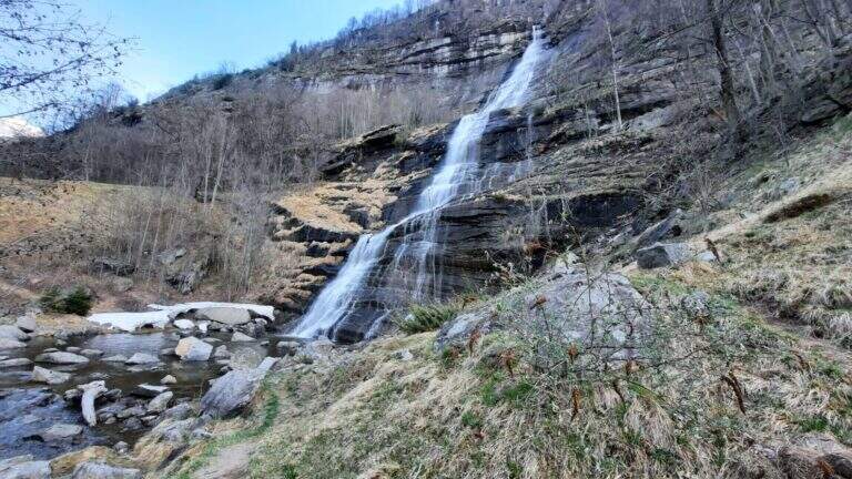
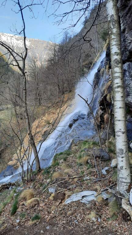
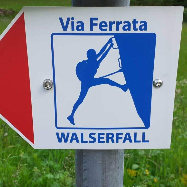
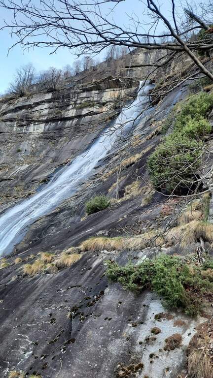
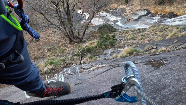
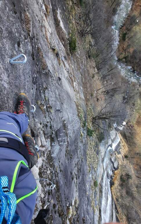
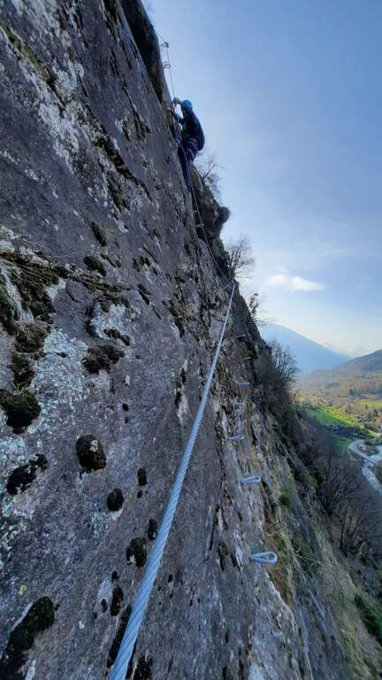
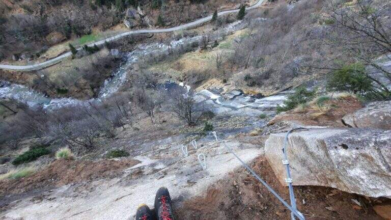
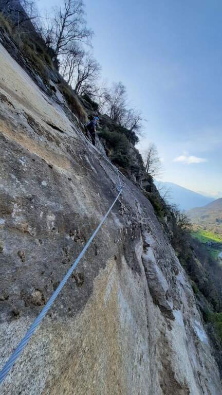
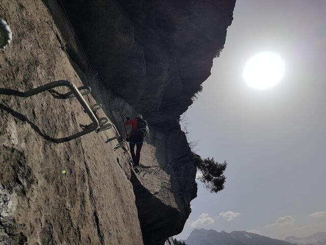
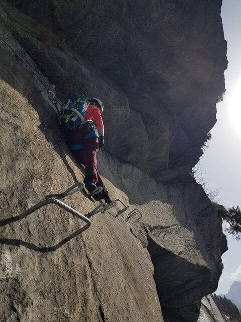
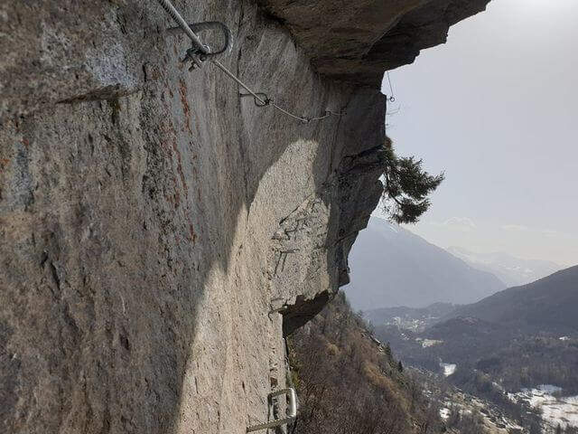
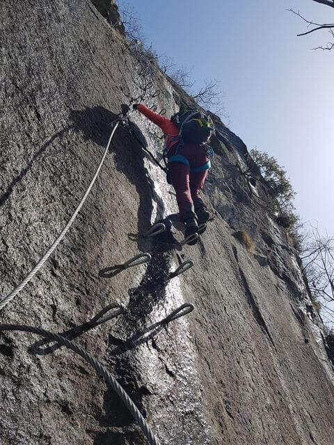
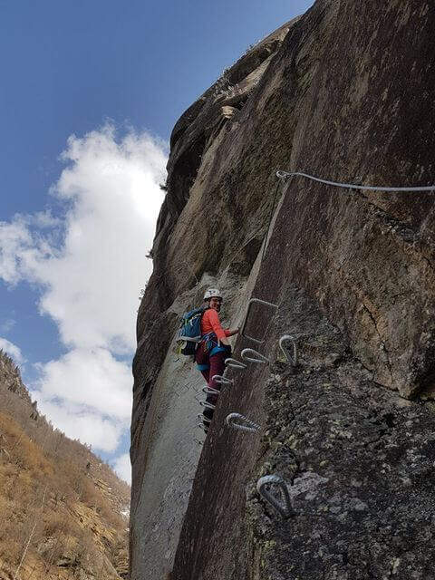
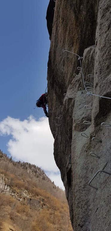
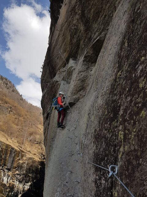
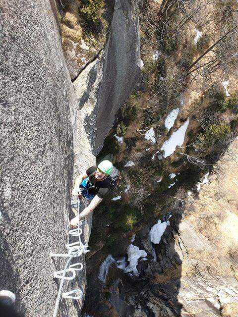
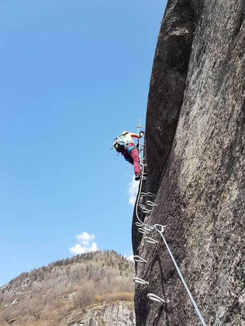
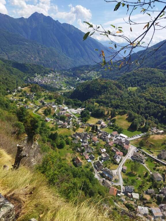
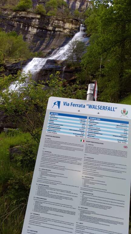
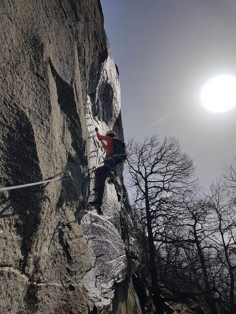
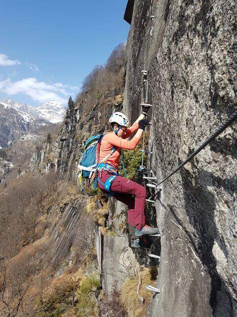
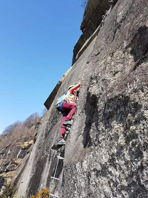
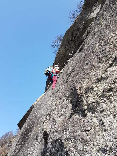
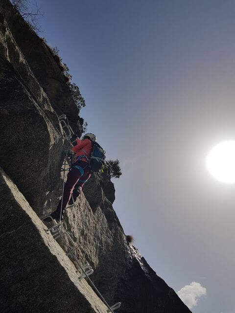
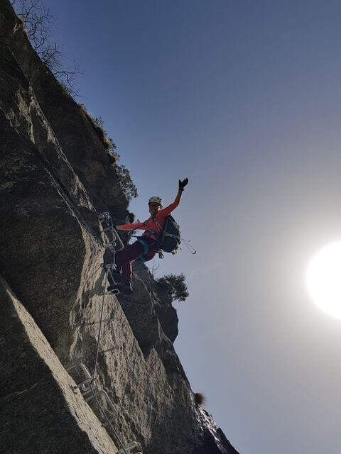
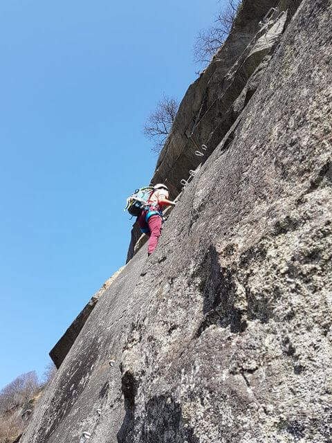
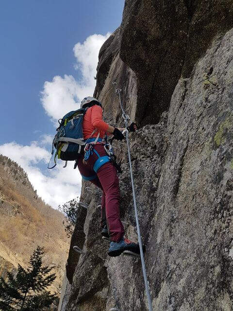
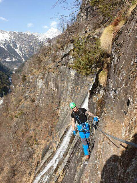
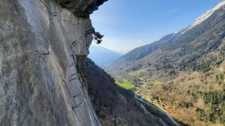
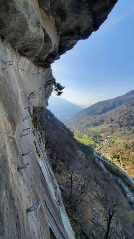
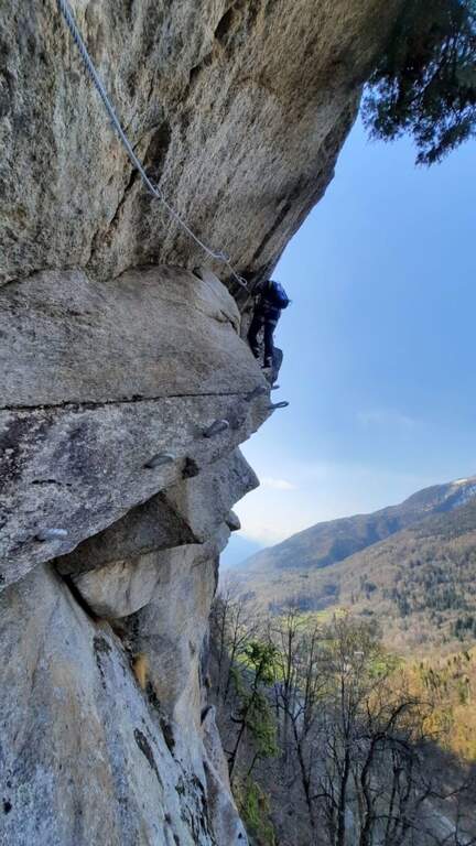
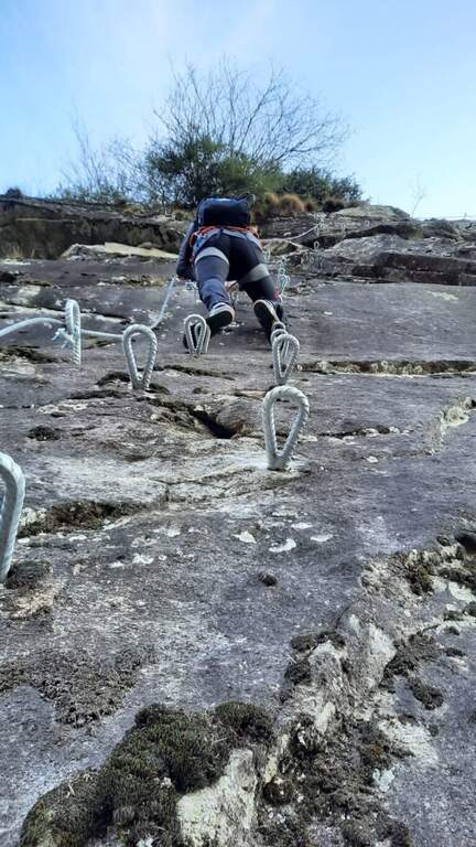
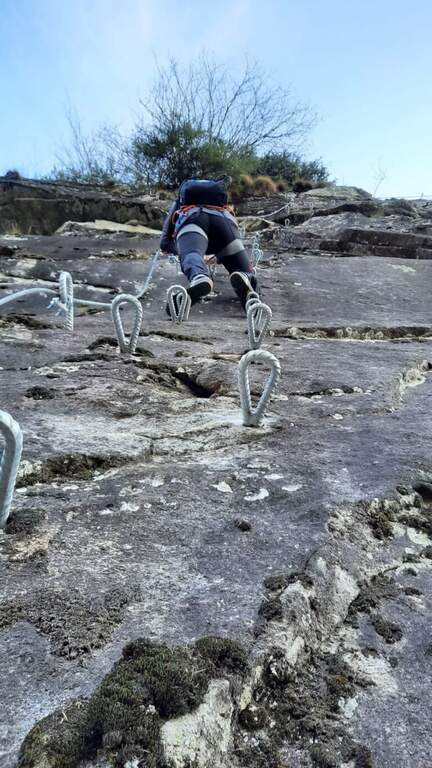
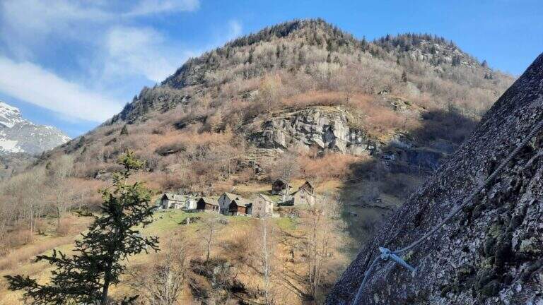
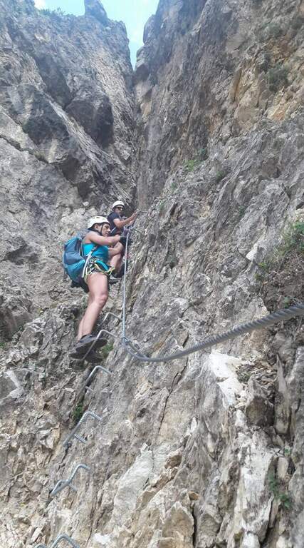
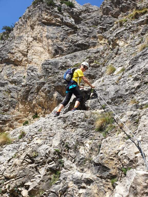
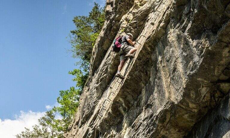
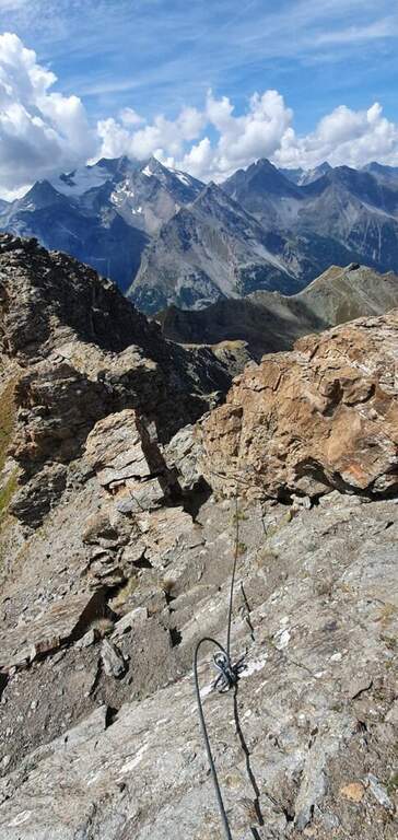
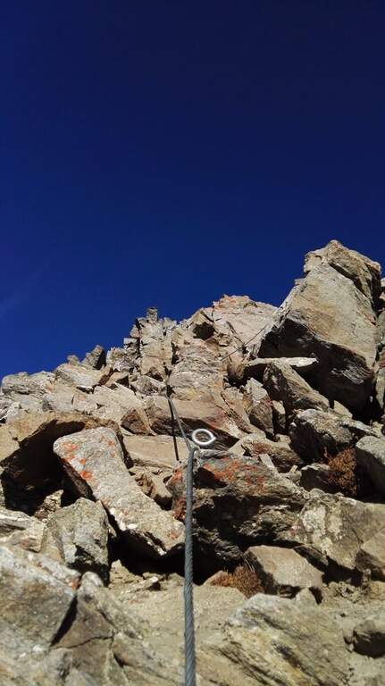
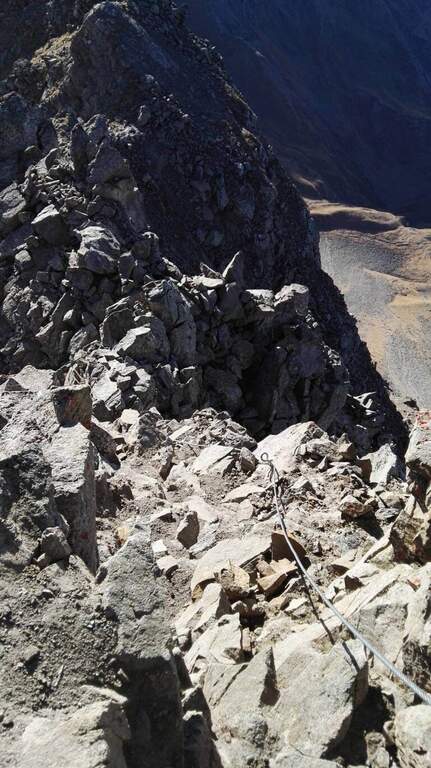
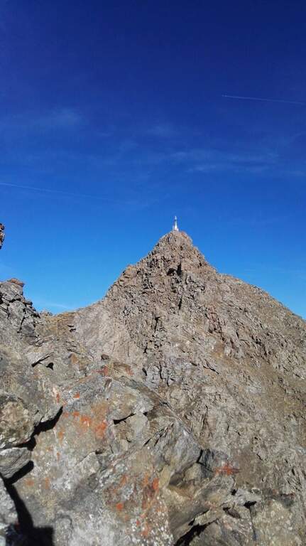
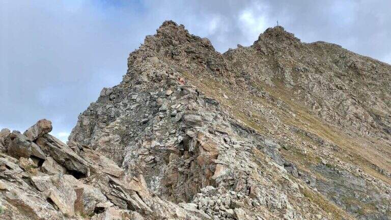
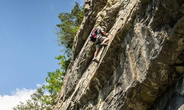
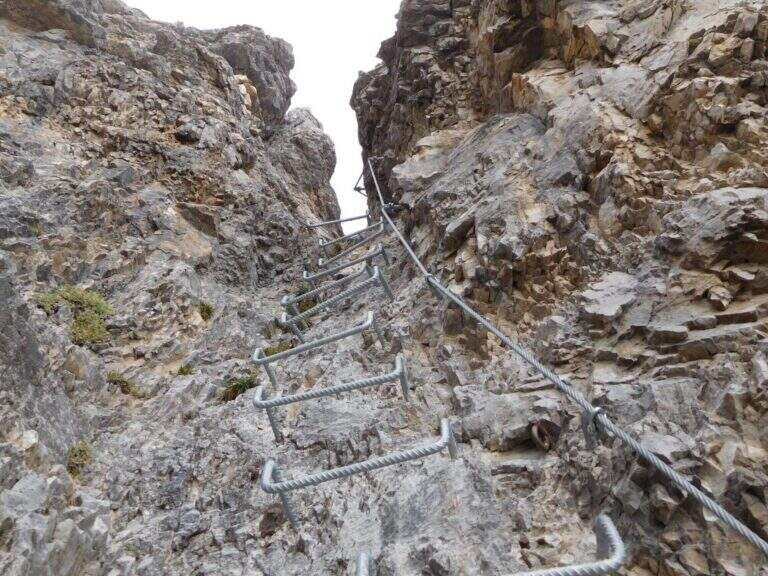
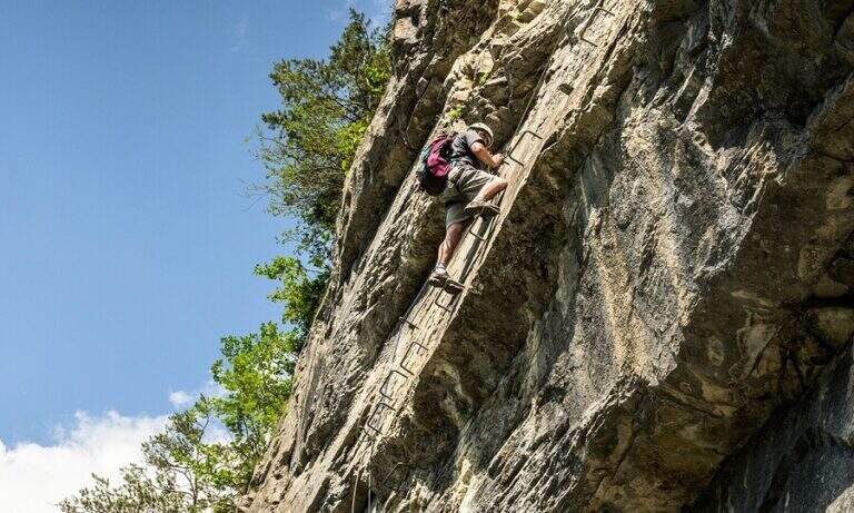
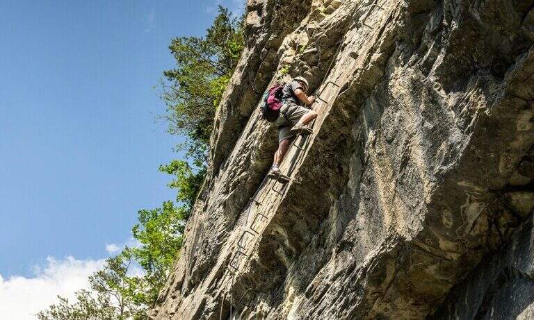
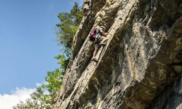
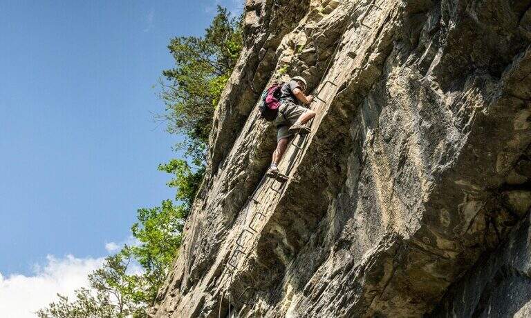
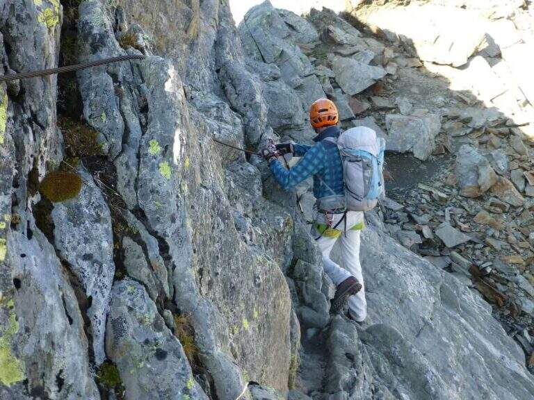
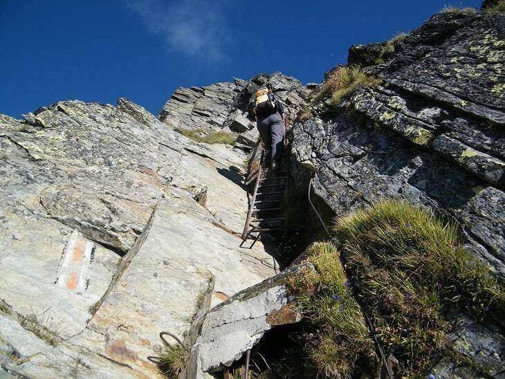
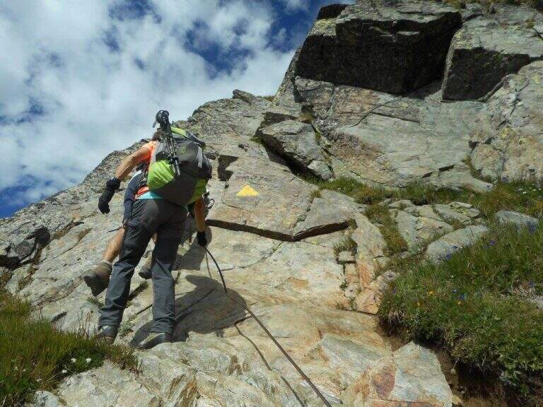
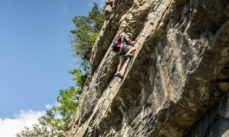
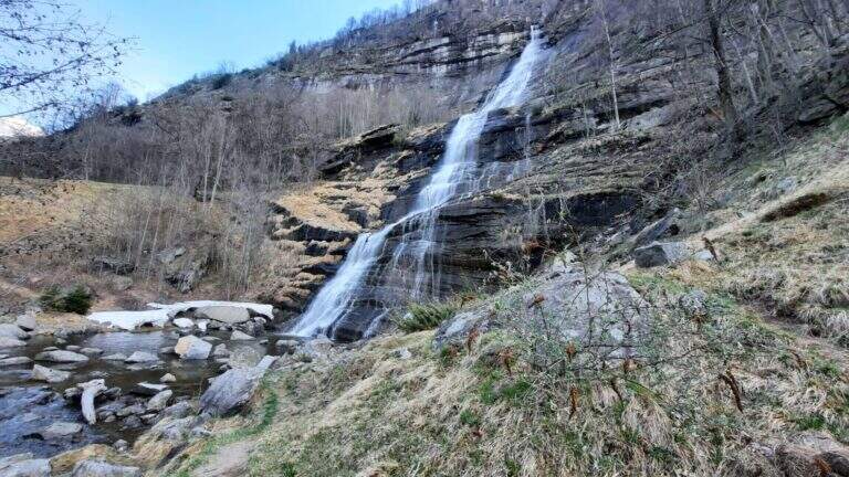
    The Ferrata Walserfall is the most recent equipped route in Val d’Ossola: inaugurated in 2020, vertically supports the spectacular waterfall that flows from the woods above Baceno (VB), in the area of the Natural Park of Alpe Veglia and Devero. A path of about 3 hours with two distinct sections and an evocative name for each key passage — the Wall of the Waterfall, the Chestnut Cengia, the Wall of the Tetti — in a wild and suggestive gneissic environment.

    ▲Approach

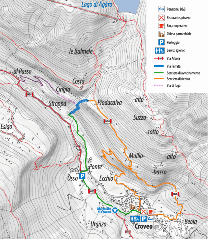
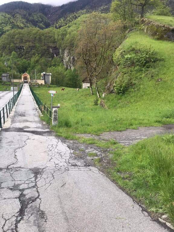
    Starting Kiss (VB). The main access point is behind theAncient Latteria: follow the path H00 towards the road bridge of Osso, cross and take a path along the river to the base of the ferrata (30 minutes). Alternatively, you start directly from the village following the signpost.

    ▲The path

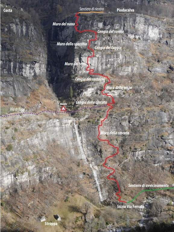
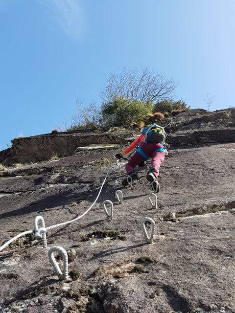
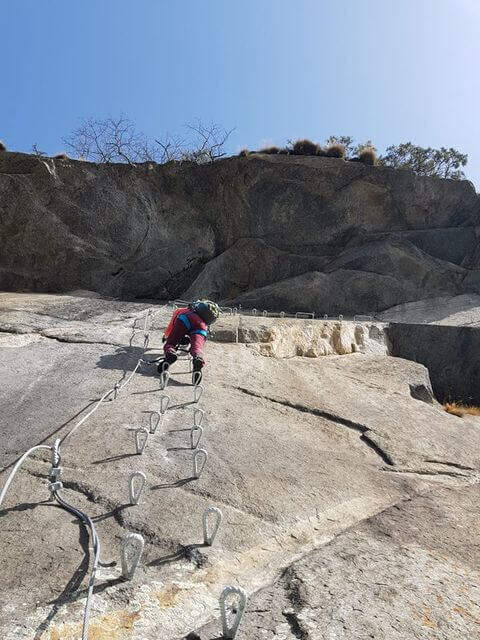
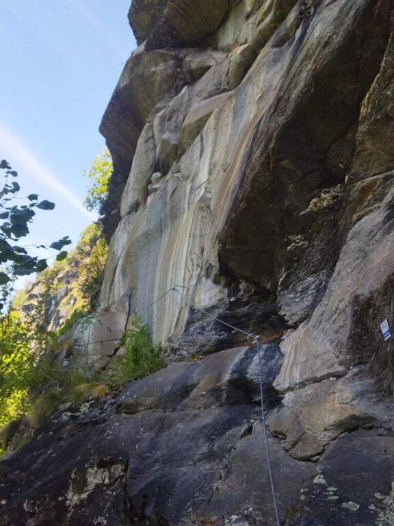
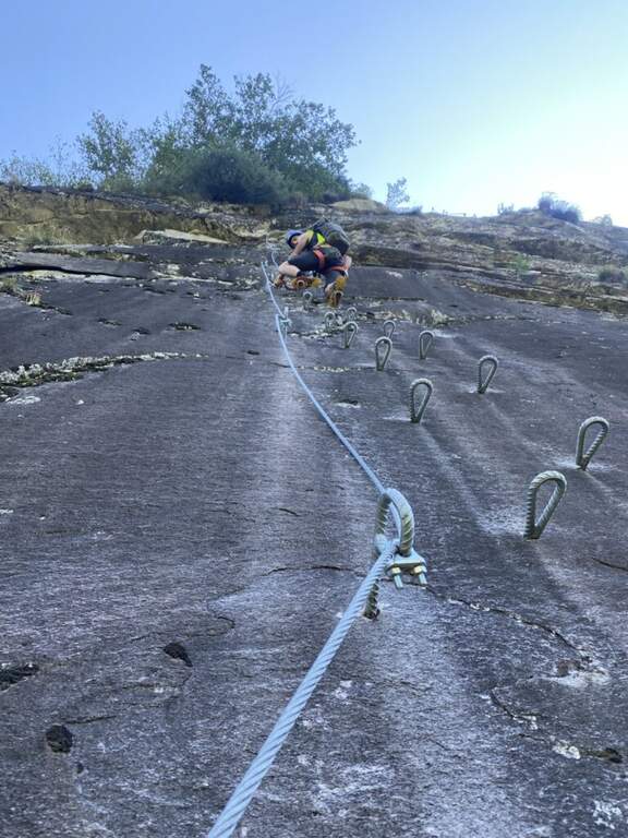
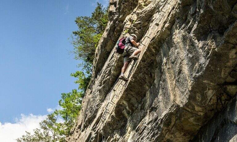
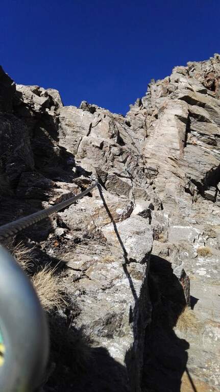
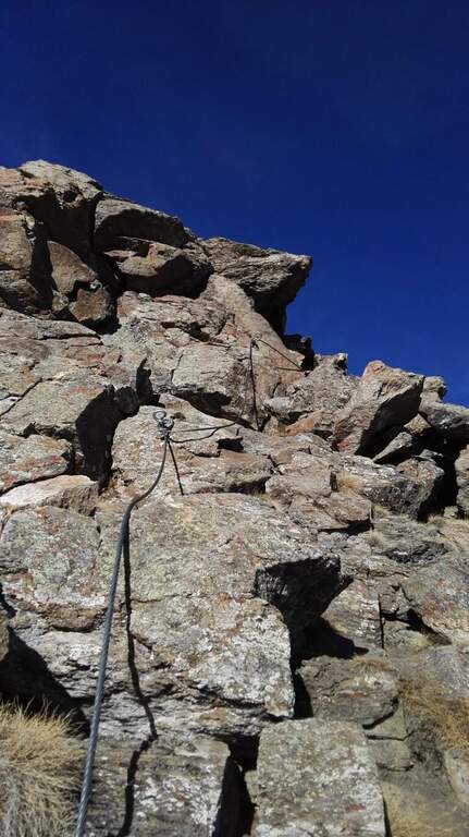
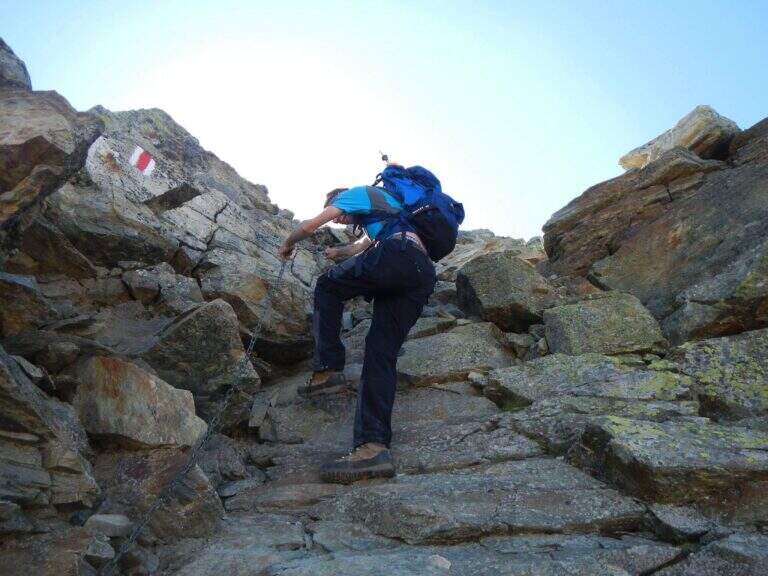
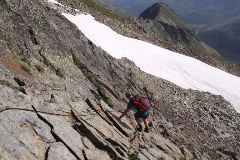
    L’ attack occurs on a platter of black gneisss near the waterfall, where the first chains work as a handrails on simple steps. After the initial leaps, the Muro of the Cascata comes alive: a long vertical placconata with abundant brackets, where l’ exhibition grows progressively keeping close to the waterfall. A traverse to the right leads to a terrace and then to the Cengia of the Cascata, term of the first section — here an escape route to the left requires the ford of the stream.

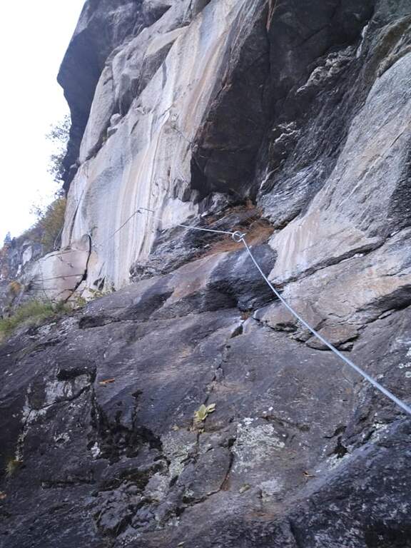
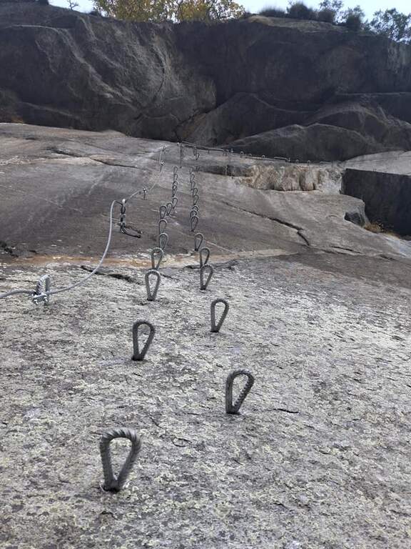
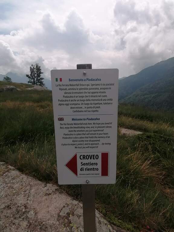
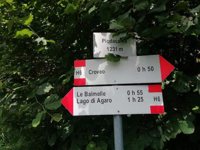
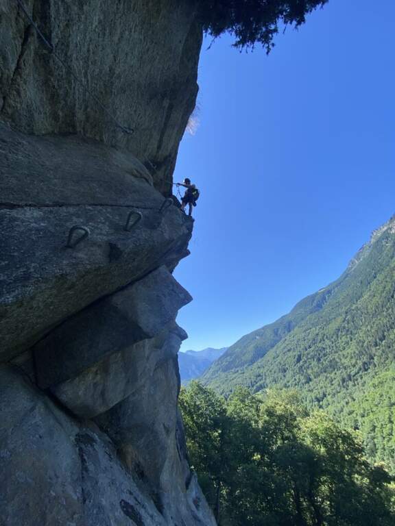
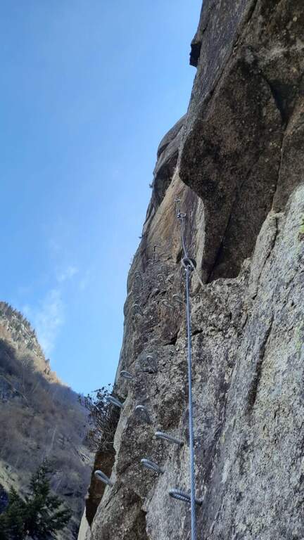
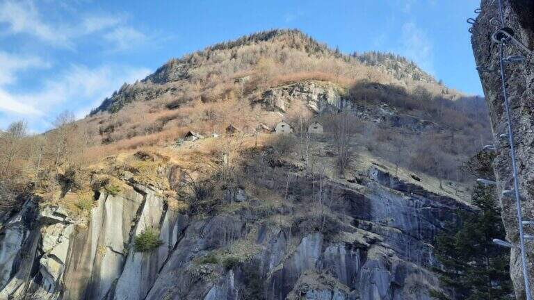
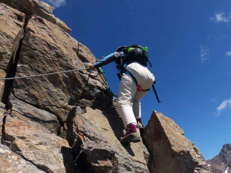
    The second section is the most demanding: from the climbs you go up to the Muro delle Vespe, with brackets leading to the left under blackish rock roofs. After the Cengia dei Castagni the Muro dei Tetti, the most exciting part: reassemble the roofs to the right, then vertical, then traverse to the left with pedivelle for the feet. You arrive at the plateau of Piodacalva, groupet of huts and stables, beginning of the descent.

    ▲Character and difficulty

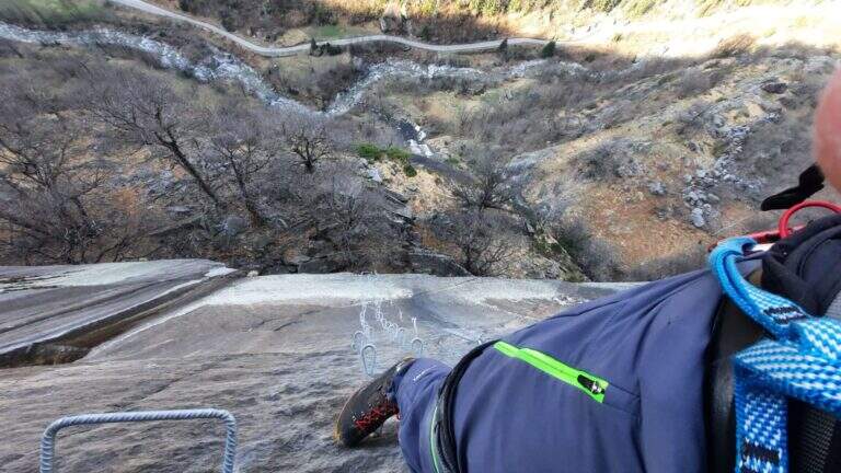
    Hard difficulty. The Wall of Tetti requires arms and technique: the final traverse with pedivelle testifies the resistance to prolonged effort. Wet gneiss (fog or water spray) significantly increases the commitment of the entire route.

    ⚠ Ferrata inaugurated in 2020, under good construction conditions. With strong recent rainfall the cascade can increase considerably by approaching the protections: assess the weather conditions of the previous days. The wall of the roofs can become slippery with intense humidity.
    ▲Discipline

    Da Piodacalva you descend on a path into the woods and return to Baceno in about 30 minutes. The complete tour is about 3 hours for 3 km of route with 500 m of total altitude difference.
    ▲Gallery
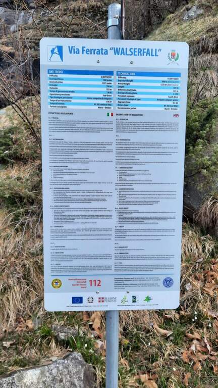
    Technical data
    • DifficultyHard
    • RegionPiedmont
    • GroupAlps Lepontine / Ossola
    • Approach0:30 h
    • Ferrata1:45 h
    • Itinerary (a/r)3:00 h
    • Hardware level difference325 m
    • Route difference500 m
    • Max1225 m
    • Length3 Km
  • Centenary Path with Ferrata Famigliari

    Centenary Path with Ferrata Famigliari

    Vie Ferrate › Abruzzo › L'Aquila
    Centenary Path with Ferrata Famigliari

    ⚠ PERCORSO DA VERIFICARE — The agability status of this route has not been confirmed recently (badge state: “To check”). Before leaving contact the local CAI, the National Alpine and Speleological Rescue Corps (CNSAS) or the competent authorities to verify the conditions of the path.

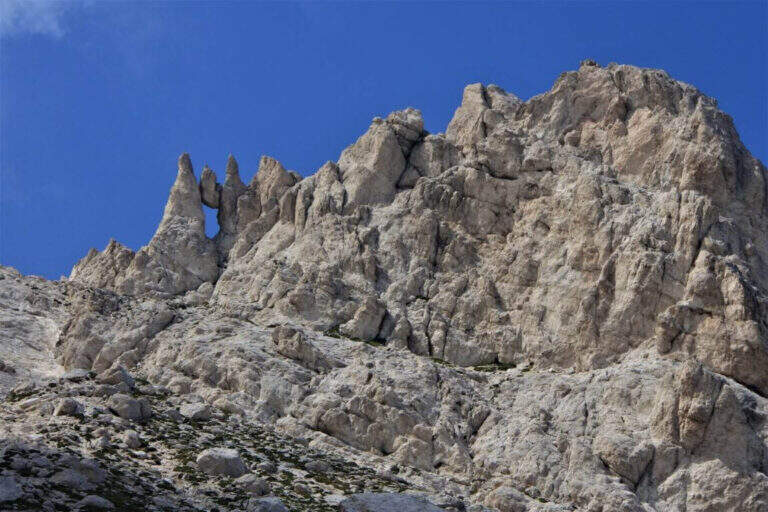
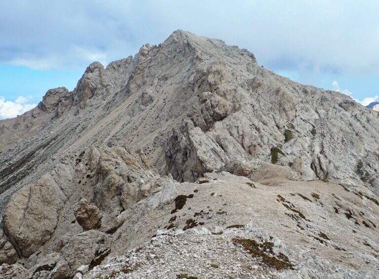
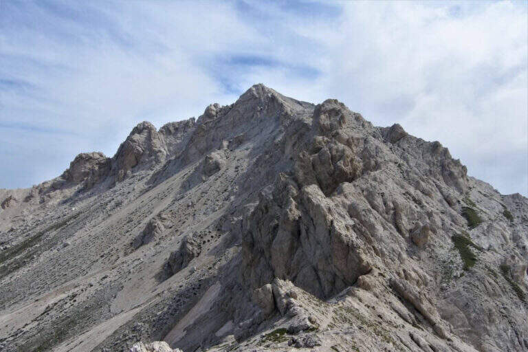
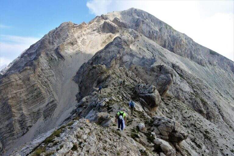
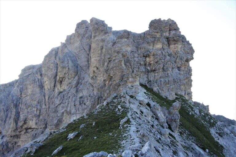
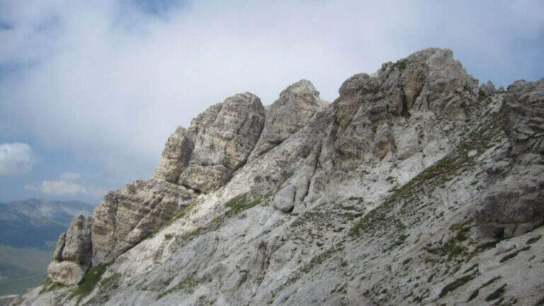
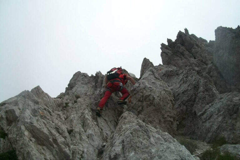
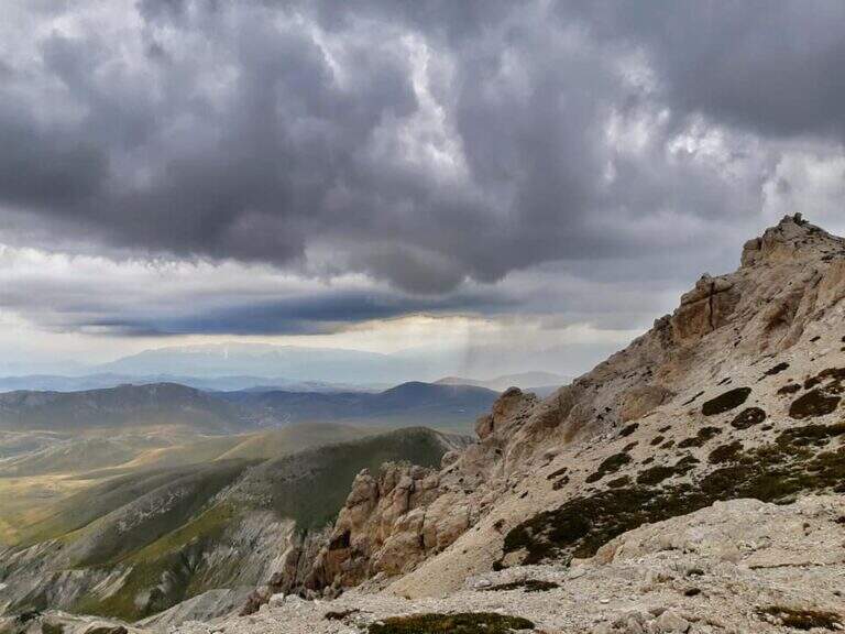
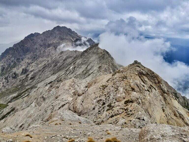
    The Centennial Path with Ferrata Famigliari is one of the most challenging and panoramic itineraries of the Massif of the Gran Sasso d’Italia. A journey of 35 km and about 13 hours total that touches the Monte Brancastello (2385 m) and the Torri di Casanova through the short but technical Ferrata Famigliari. For the length and the many unprotected and exposed traits it is ideal to distribute it on two days.

    ▲Approach

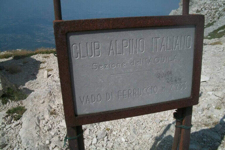
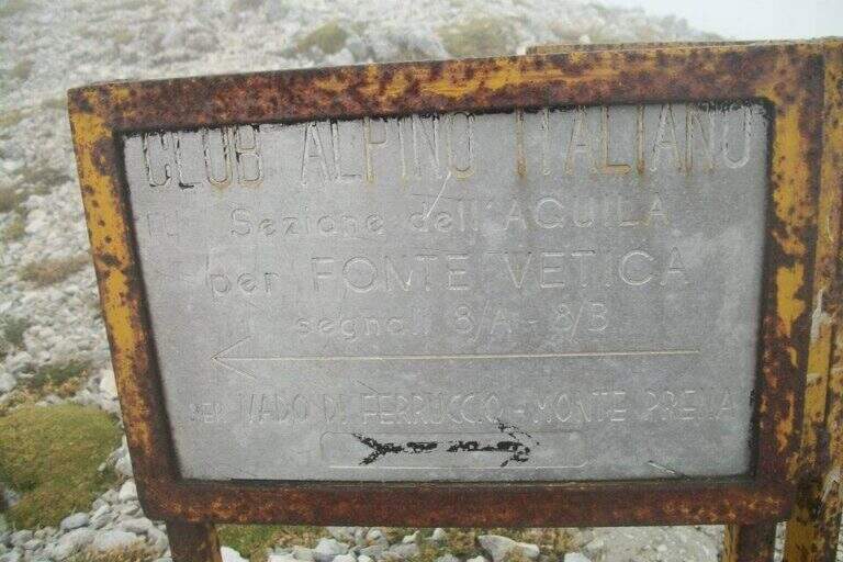
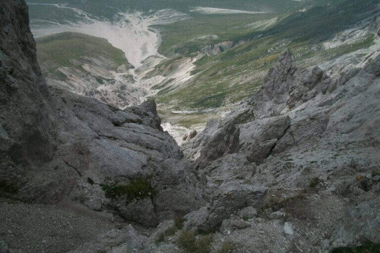
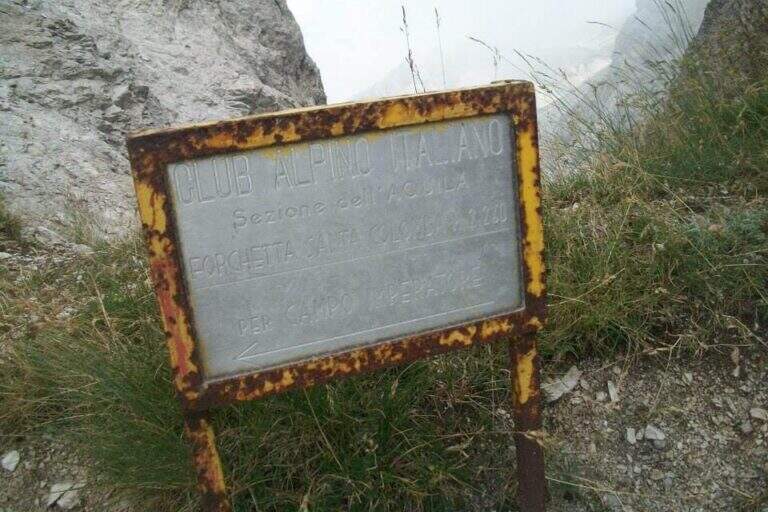
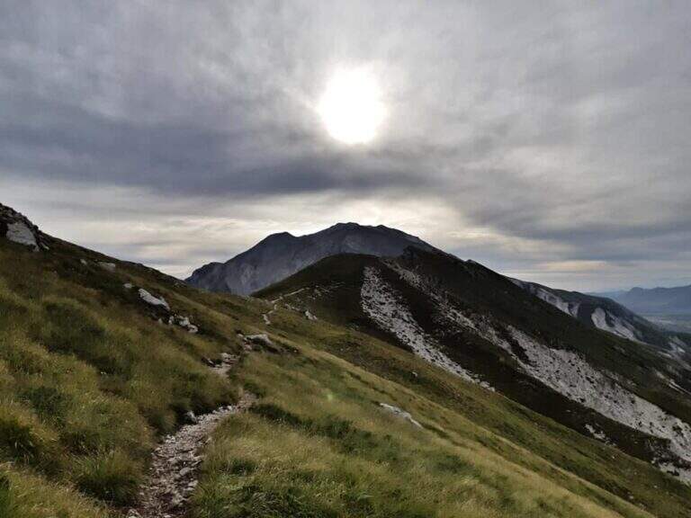
    We're leaving SS117 direction Campo Imperatore: take a dirt to the left bend towards a’ picnic area (parking). Follow the path towards the ridge, reaching the Vado of Corno after about 30 minutes. At the crossroads you ignore the left for Monte Aquila and take the right onto the road signs 235 (yellow-red bottles). You climb to the Monte Brancastello (2385 m) in about 2 hours, ignoring the junction for the Pizzo San Gabriele. Continue towards the Torri di Casanova.

    ▲The path

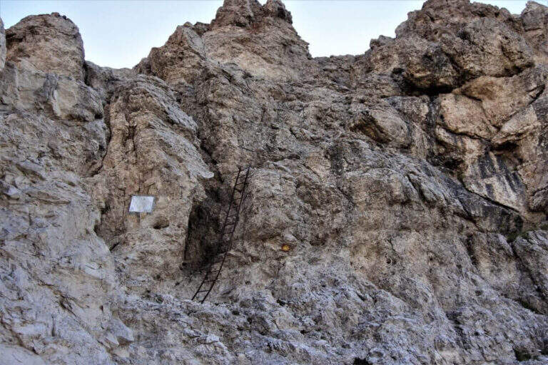
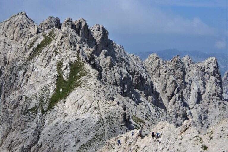
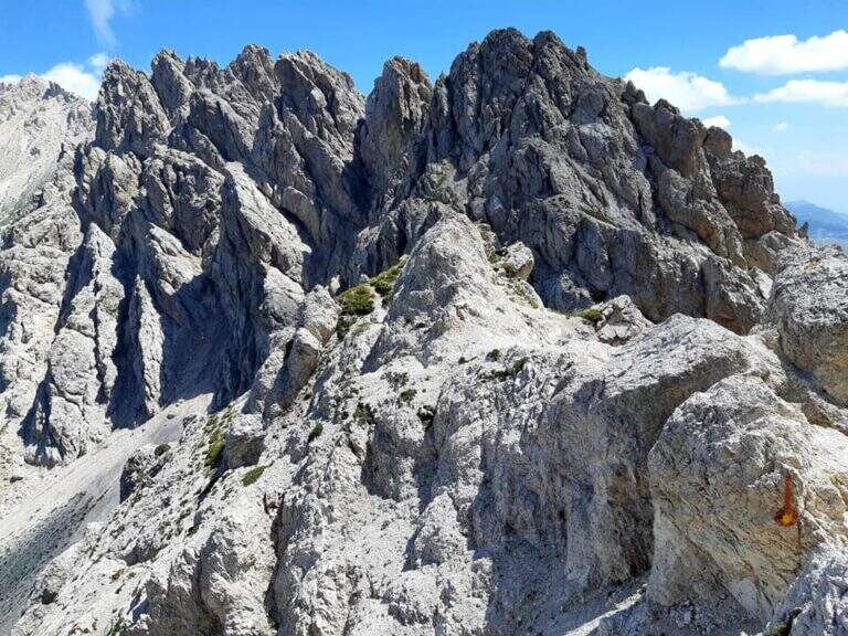
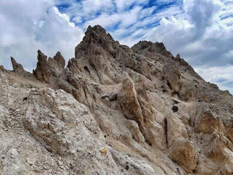
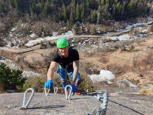
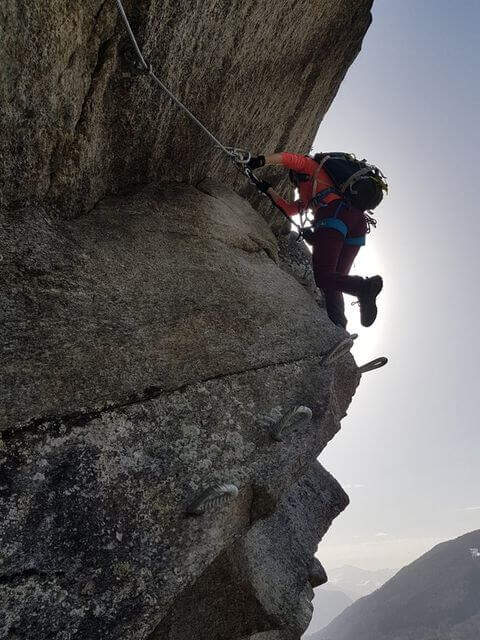
    L’ Ferrata Famigliari attack is at a height of 2280 m, reached in about 2 hours and 45 minutes from departure. The ferrata is short but technical: metal ladder followed by equipped sections that lead to the Torre di Casanova (2365 m) in about 20 minutes from the ’ attack (about 3 hours total). From the saddle between the towers a sign signals the Sentiero of the Centenario: on the left the sharp crest (not to follow), on the right the yellowish boils of the Centenary that descend. The long return presents many unprotected stretches and exposed which require high mountain experience.
    ▲Character and difficulty

    Hard difficulty. The ferrata itself is short-lived (about 1 hour and 15 minutes), but the total route — 35 km, 13 hours, 759 m of altitude uphill and 80 m downhill for the single ferrata — commits to the length, exposure of the unequipped sections and the altitude above 2500 m.

    ⚠ Ideally to do in 2 days by staying at the Rifugio Duca degli Abruzzi. Unprotected stretches in the ridge require mountaineering experience. Weather and snow conditions must be verified: the Gran Sasso can keep ice at altitude until June.
    ▲Discipline

    The descent follows the yellowish boils of the Centenary Trail in the east direction, returning to the starting parking lot. The total route is about 35 km and requires approximately 13 hours overall — plan carefully and preferably break in two days.

    ▲Gallery
    Technical data
    • DifficultyHard
    • RegionAbruzzo
    • GroupMassif of Gran Sasso
    • Approach2:45 h
    • Ferrata1:15 h
    • Itinerary (a/r)13:00 h
    • Hardware level difference80 m
    • Route difference759 m
    • Max2564 m
    • Length35 Km
  • Sentiero Attrezzato Baglioni – Pasubio

    Sentiero Attrezzato Baglioni – Pasubio

    Vie Ferrate › Veneto › VI
    Sentiero Attrezzato Baglioni – Pasubio

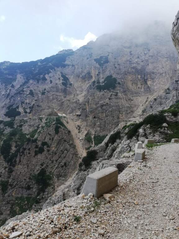
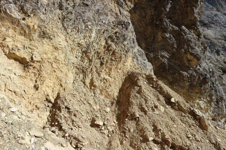
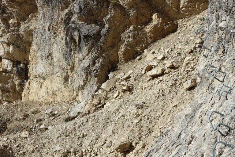
    ⚠ SENTIERO CHIUSO The Path Attrezzato Baglioni is currently closed due to a dangerous landslide along the way. Do not venture until the official reopening confirmed by the local CAI or the Park Authority.

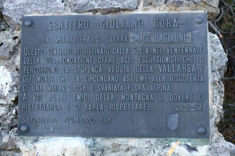
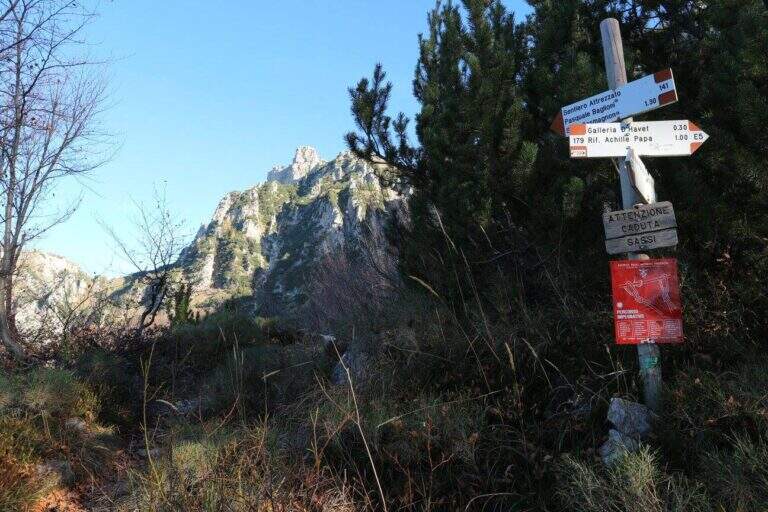
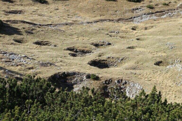
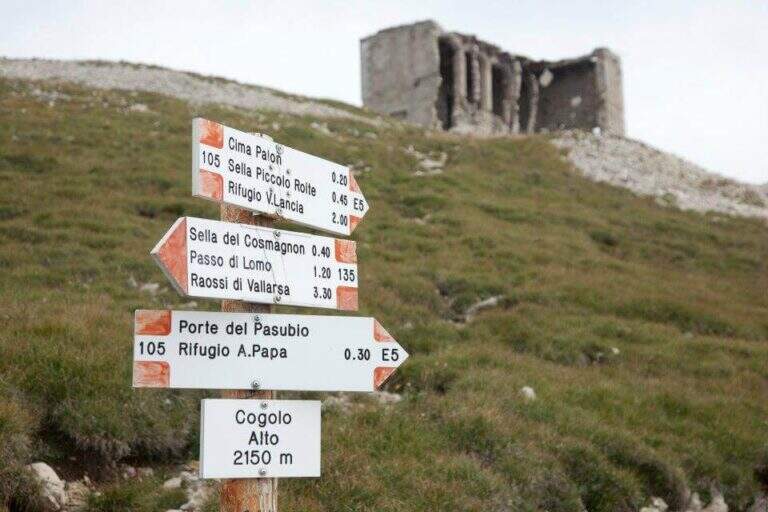
    Path Attrezzato, titled at Pasquale Baglioni, runs on the western side of Pasubio, in the Prison Valley, in an area full of testimonies of the First World War. The route starting from Pian delle Fugazze is as interesting from the historical point of view as varied in the environments, with equipped sections, galleries and belvederi on the valley below.

    ▲Approach

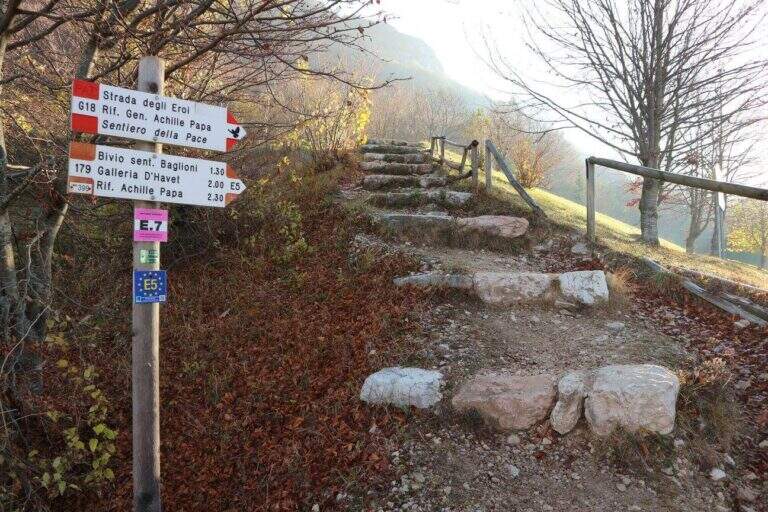
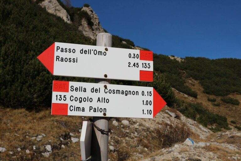
    From Pian delle Fugazze (wide park at the pass, reachable from Rovereto or Schio, directions road map) cross the road to the north and climb to the CAI path 179 (‘Strada degli Eroi’), a track that will also travel back. The path shortens the bends of the road and arrives at Malga Val di Fieno, where you leave the path 170 for the Pope Refuge and follow the signs for the Path Attrezzato Baglioni with CAI 141 marker (1645 m, 1h15′ from the parking lot).

    ▲The path

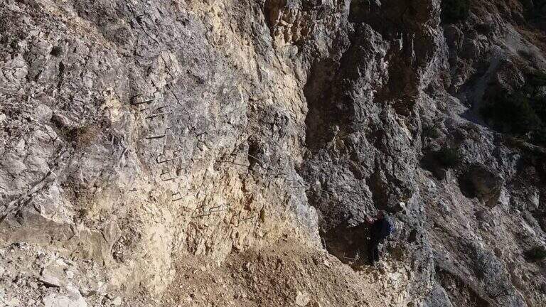
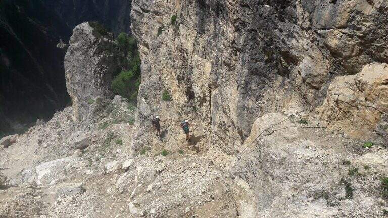
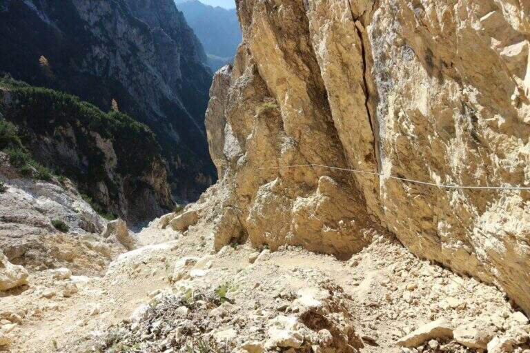
    The path continues halfway, cutting the southern dorsal of the Cima Palon. The first equipped sections, with cables that act more as a handrail than as a true protection, accompany a slight loss of altitude. The view of the valley below and overhead reliefs is remarkable for all progression. You reach the most challenging passage: a rocky canal with unstable and fragrant background, descended while keeping on the right side with the help of cambre. After about 1h15′ from the beginning of the Baglioni Path, two galleries cross the rock without requiring the torch. After the tunnels go up a green valley up to a crossroads: on the left the Homo Pass, straight the continuation (1h45′ from the beginning, 3h total).

    ▲Character and difficulty

    Classified Hard. The canal with franous background is the most technical passage; the traits equipped in the rest of the route have difficulty contained. The added value is the unique historical-alpinistic environment of the Pasubio with its galleries and testimonies of the Great War.

    ⚠ Attention to the afternoon fog, characteristic of the Pasubio and frequent even in summer. Prefer the morning hours for the excursion.
    ▲Period and safety

    The trail is currently closed. When reopened, the recommended season is from May to October. Always check the opening status at the local CAI before leaving.

    ▲Discipline

    From the end of the Sentiero Baglioni follow the path 135 towards the right with indications for the General Pope's Refuge. You can go down to the refuge or continue at altitude through tunnels and war finds, grafting on the path to the Pope from Pian delle Fugazze and going down to the fork (2h30′ from the end, 5h45′ total).

    ▲To match

    The small Dolomites offer great value itineraries including Alpine trail Falcipieri, il Sentiero Attrezzato al Monte Cornetto, la Ferrata Campalani, il Pojesi Path at Carega, la Ferrata Biasin, la Ferrata Viali e la Ferrata Ezio Ferrari.

    ▲Gallery
    Technical data
    • DifficultyHard
    • RegionVeneto
    • GroupSmall Dolomites
    • Approach1:15 h
    • Ferrata1:45 h
    • Itinerary (a/r)5:45 h
    • Hardware level difference100 m
    • Route difference988 m
    • Max2150 m
    • Length8 Km
  • Sentiero Attrezzato Panorama – Punta Valletta

    Sentiero Attrezzato Panorama – Punta Valletta

    Vie Ferrate › Aosta Valley › AO
    Sentiero Attrezzato Panorama – Punta Valletta

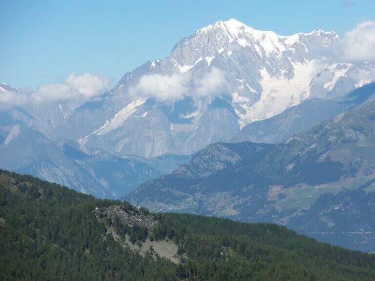
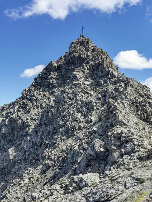
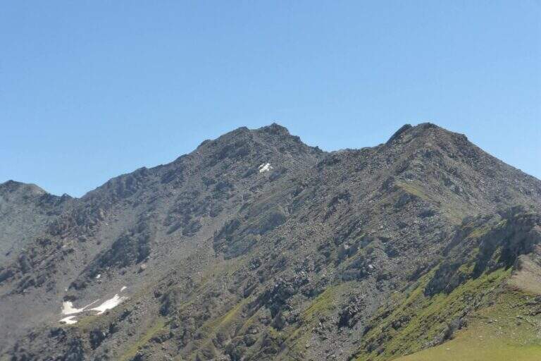
    The Sentiero Attrezzato Panorama runs through the ridge that culminates on the Punta Valletta (3090 m) above Aosta, reaching an easy three thousand with metal equipment to support the most delicate passages. An excursion with departure and arrival by cable car from Pila, with superb views of Mont Blanc, Cervino, Monte Rosa and Gran Paradiso.

    ▲Approach

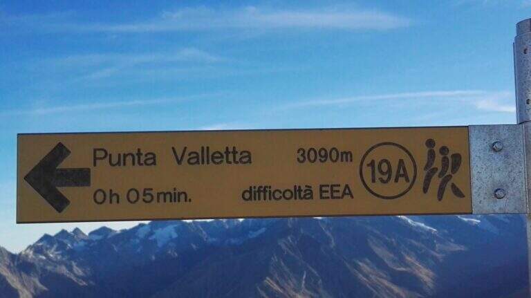
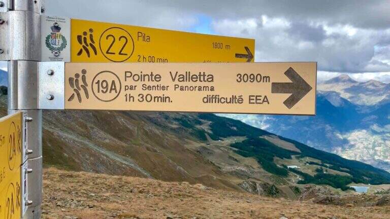
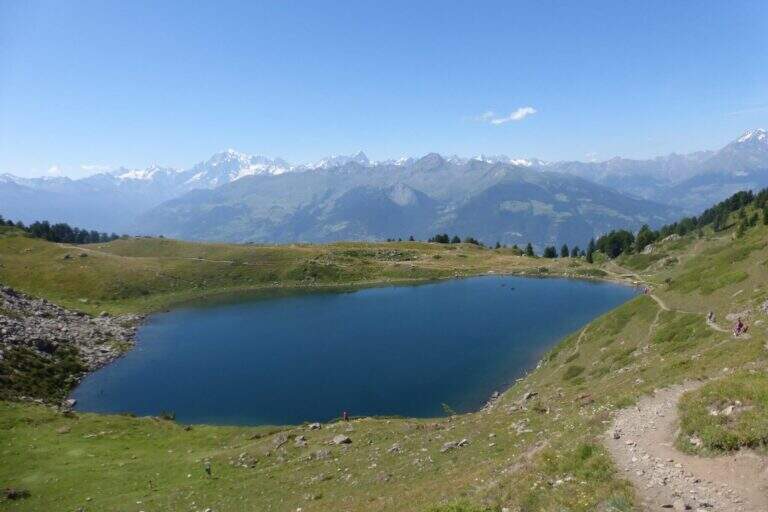
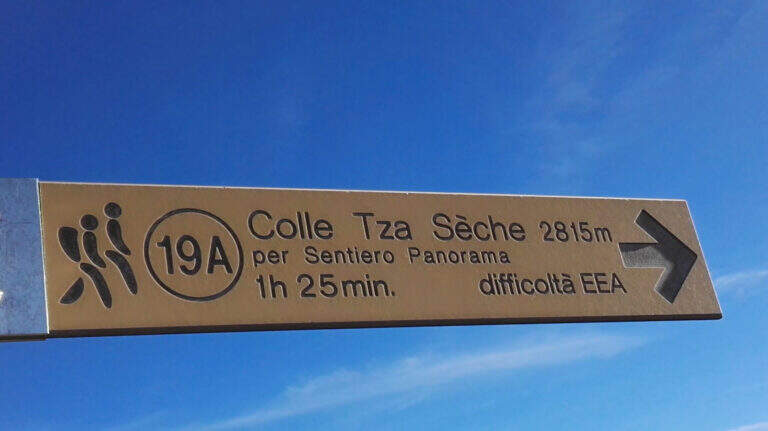
    From Chamôle station upstream of Aosta–Pila plants (directions road map) descend slightly on path 19C ignoring deviations towards chairlift Couis 1. Then take left the deviation for the Col Tsa Setse following path 22. The climb, never too steep and guided by yellow signals on the rocks, leads to the Col Tsa Setse (2815 m) with magnificent views of the Mont Blanc massif. From the hill, directions left towards Punta Valletta lead to path 19A, point of attack of the equipment (2h from the mountain station).

    ▲The path

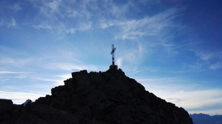
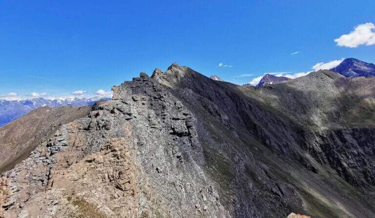
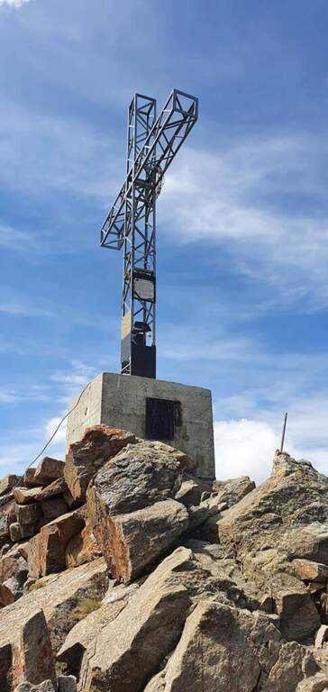
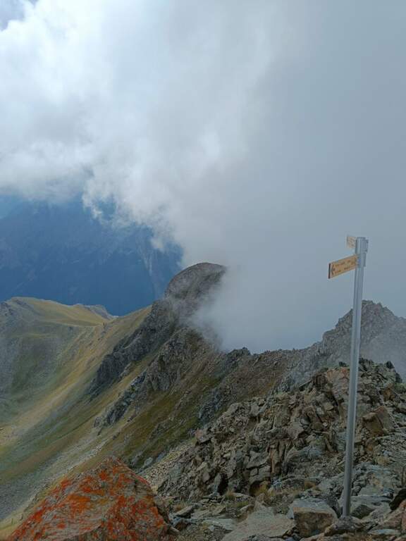
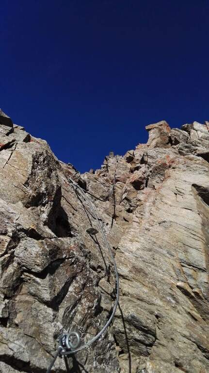
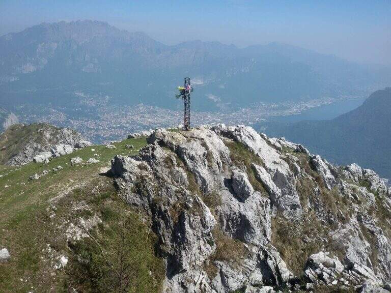
    The Attrezzato Path begins with a short descent equipped and then a rocky gendarme. Walk along the rocky crest towards the anticyme, bypassing a second gendarme in adherence with the cable. A cross-exposed little below the crest wire introduces to a long stretch of crest with the already visible cross. The last highlight features a few short stretches of rocky walls and balconies, as well as the peak cross of the Punta Valletta (3090 m, 1h from the attack, 3h total from the mountain station).

    ▲Character and difficulty

    Classified Difficult for altitude, ridge exposure and short climbing routes ensured in the final part. The equipment is recent and the route has no high technical difficulties at any point; however, the high altitude environment and the steep descent to the Col de Chamôle require extensive hiking experience.
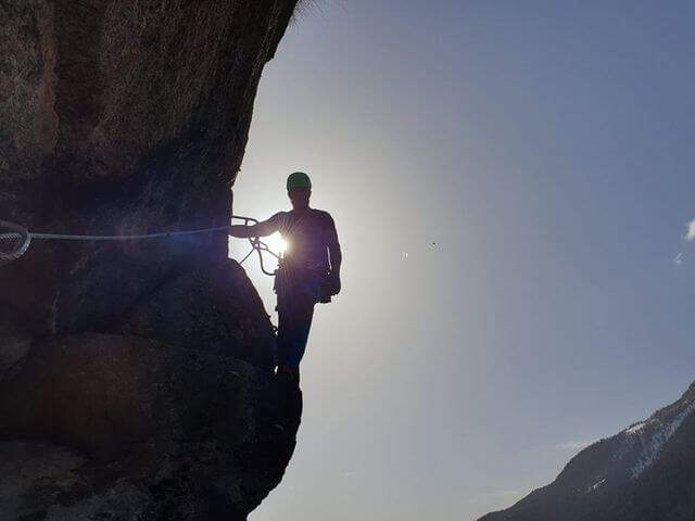
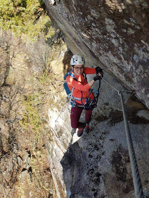
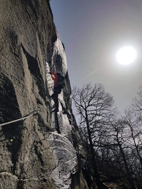
    ⚠ Downhill, ignore the yellow arrow that indicates a steep and dangerous canyon: always follow the official path towards the Col de Chamôle. Beware of the fog that can suddenly rise from the valley below.
    ▲Period and safety

    From July to September with good conditions. The altitude requires high mountain experience, especially in the steep stretch of descent to the Hill of Chamôle.

    ▲Discipline

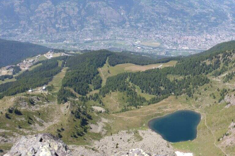
    From the summit you descend north on the normal road, on slopes and grassy crest towards Tête Noire and then to the Col de Chamôle. From here you can reach the Chamôle lake near the cable car to return (2h from Punta Valletta, 5h total).

    ▲To match

    From the same cable car of Pila is accessible the most demanding Monte Emilius Ferrata. The Arbolle Refuge, accessible from the Col de Chamôle, is a useful base for connecting the two routes.

    ▲Gallery
    Technical data
    • DifficultyHard
    • RegionAosta Valley
    • GroupAlps
    • Approach2:00 h
    • Ferrata1:00 h
    • Itinerary (a/r)5:00 h
    • Hardware level difference250 m
    • Route difference800 m
    • Max3090 m
    • Length12,8 Km
  • Path Equipped with the Palete

    Path Equipped with the Palete

    Vie Ferrate › Trentino-Alto Adige › TN
    Path Equipped with the Palete

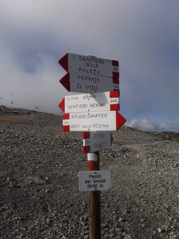
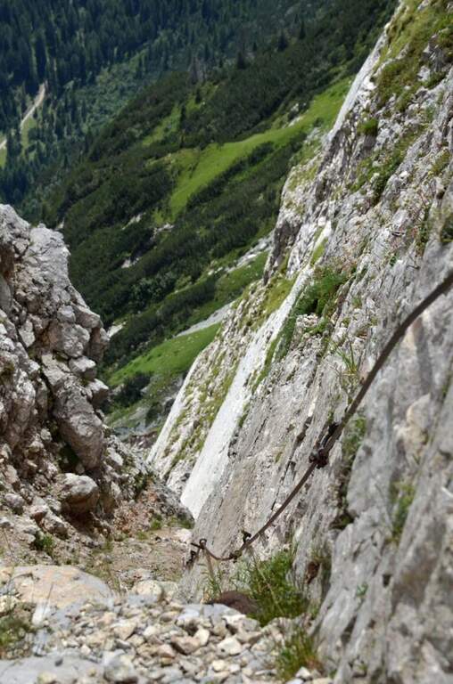
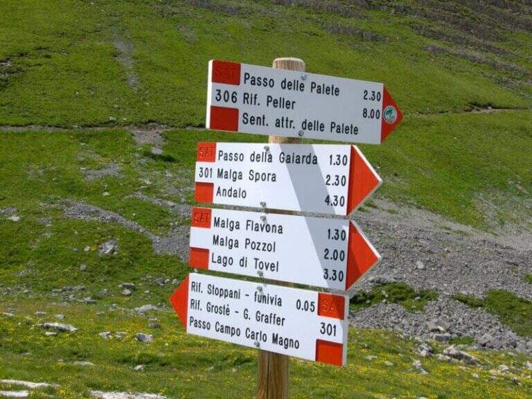
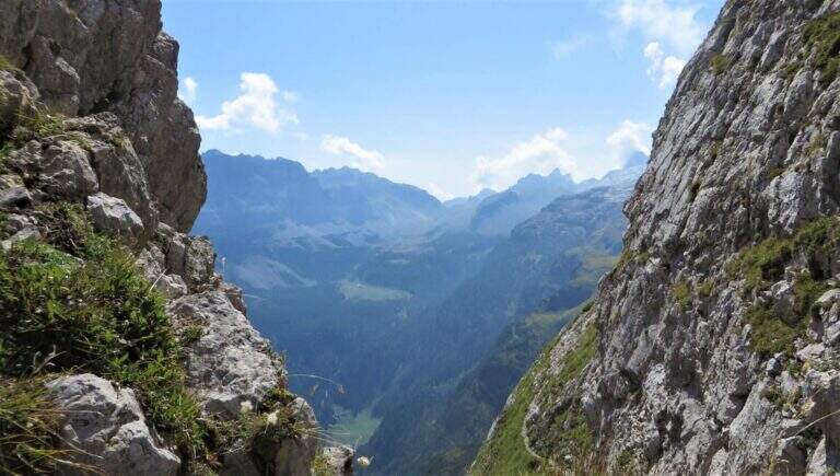
    A long ring in the Brenta Dolomites that touches the Passo delle Palete, the Val Gelada with its ferrata and the Orti spur, returning to the Grostè through the Sentiero Attrezzato Vidi. The peculiarity of this route is that the most insidious traits are those not equipped: exposed cenges without cable require safe foot and concentration higher than that which the metallic sun protections would suggest.

    ▲Approach

    From the mountain station of the cable car to Grostè (2442 m, directions road map) follow the CAI 306 path north for 10 minutes to the entrance of the Val delle Giare.

    ▲The path

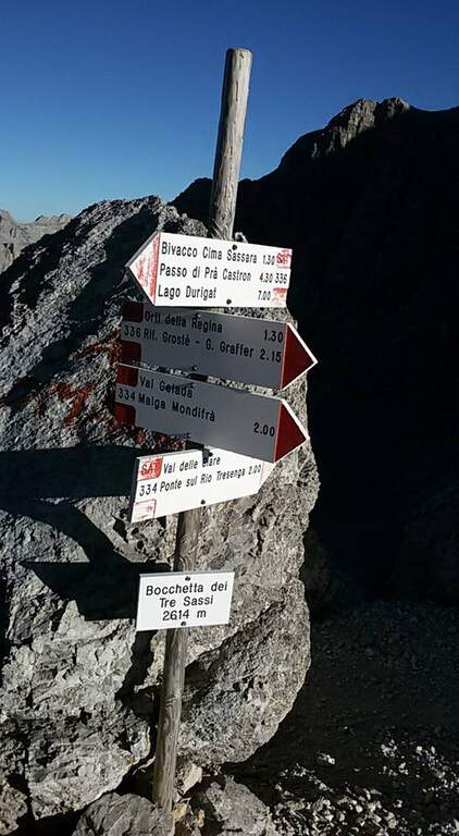
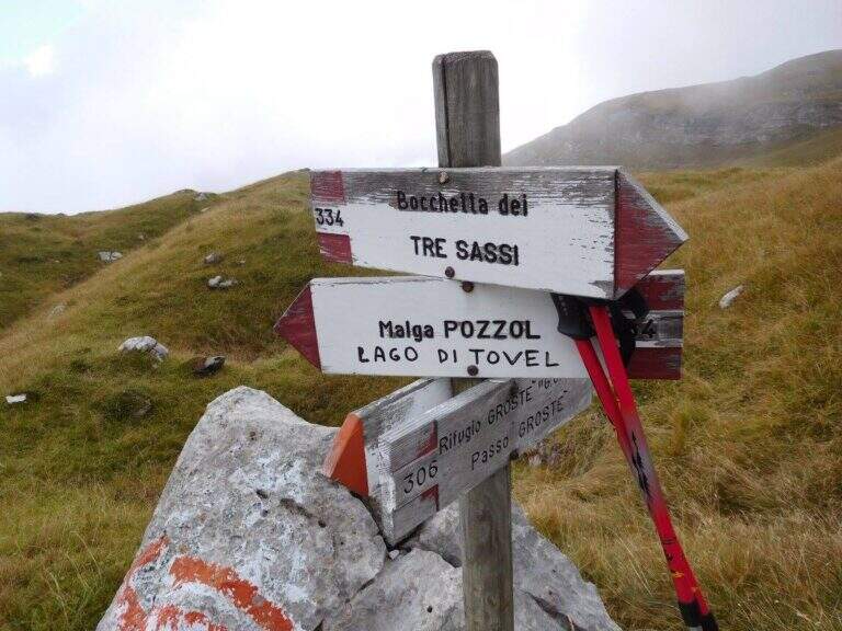
    You descend into the Val delle Giare (2177 m, 1h15′) along exposed blinds and short stretches equipped. You pass the Passo delle Palete (2319 m) and descend for a gravel canal up to Livezza Grande (2184 m, 3h15′). Go up the Val Gelada with the CAI 380 path to Ferrata Val Gelada: a fireplace and stretches equipped in canal lead to the Val Gelada Pass (2686 m, 5h15′). Continue on the CAI 336 path of the Costanzi until Bocchetta Tre Sassi (2613 m, 6h) and the Orti spur (2520 m, 7h15′). From here the Sentiero Attrezzato Vidi returns to the Grostè station (9h total).

    ▲Character and difficulty

    Classified Difficult mainly for length (9h), the cumulated difference in altitude and the exposed unequipped strokes that meet in the grippers and along the path. The equipped stretches (Ferrata Val Gelada) are medium challenging. Excellent physical condition indispensable.

    ⚠ Departure at the indispensable dawn. The Val Gelada keeps snow late. The unequipped sections on display are the real difficulty of this itinerary.
    ▲Period and safety

    From July to September. Avoid in case of imminent bad weather or afternoon fog, frequent on the peaks of the Brenta.

    ▲Discipline

    The return takes place through the Route Attrezzato Vidi from the Bocchetta degli Orti to the Grostè station.

    ▲To match

    The same Grostè station gives access to Sentiero Attrezzato Orsi towards the Rifugio Pedrotti and the whole system of the Bocchette del Brenta.

    ▲Gallery
    Technical data
    • DifficultyHard
    • RegionTrentino-Alto Adige
    • GroupDolomiti di Brenta
    • Approach0:10 h
    • Ferrata3:00 h
    • Itinerary (a/r)9:00 h
    • Hardware level difference100 m
    • Route difference215 m
    • Max2687 m
    • Length17 Km
  • Sentiero Attrezzato Orsi – Brenta Dolomites

    Sentiero Attrezzato Orsi – Brenta Dolomites

    Vie Ferrate › Trentino-Alto Adige › TN
    Sentiero Attrezzato Orsi – Brenta Dolomites

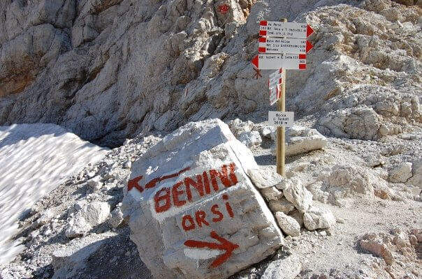
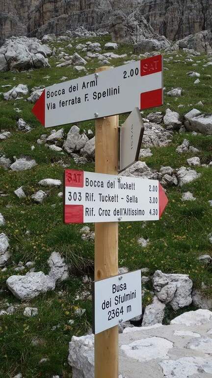
    The Sentiero Attrezzato Orsi connects the Bocca di Tucket to the Rifugio Pedrotti in the central sector of the Brenta Dolomites, crossing the exposed cenges of the Naso dei Massodì, the Busa d’Armi and the Campanile Basso. An ambitious itinerary that requires familiarity with challenging alpine environments, ideal as a second day of a stay at altitude.

    ▲Approach

    From the mountain station of the Grostè cable car (2437 m, directions road map) follow the CAI 316 path to the Tucket Refuge (2272 m, 1h30′). From the shelter you climb to the Bocca di Tucket through the vedretta: you often need to have ramps or proceed with maximum attention on the ice (1h from the shelter).
    ▲The path

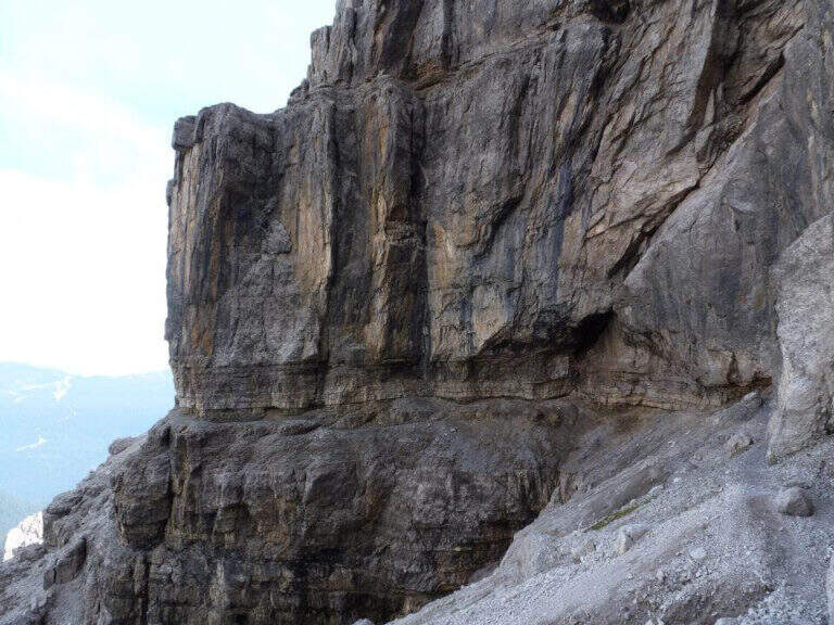
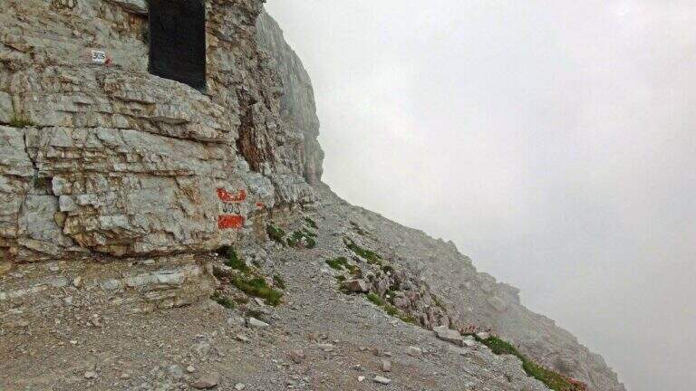
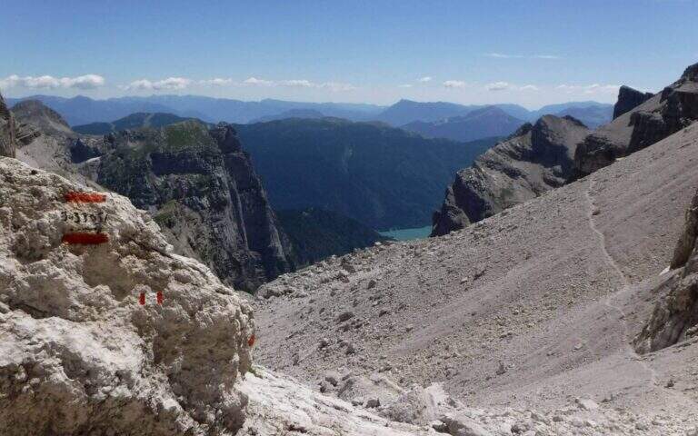
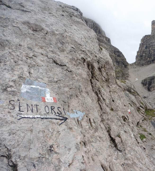
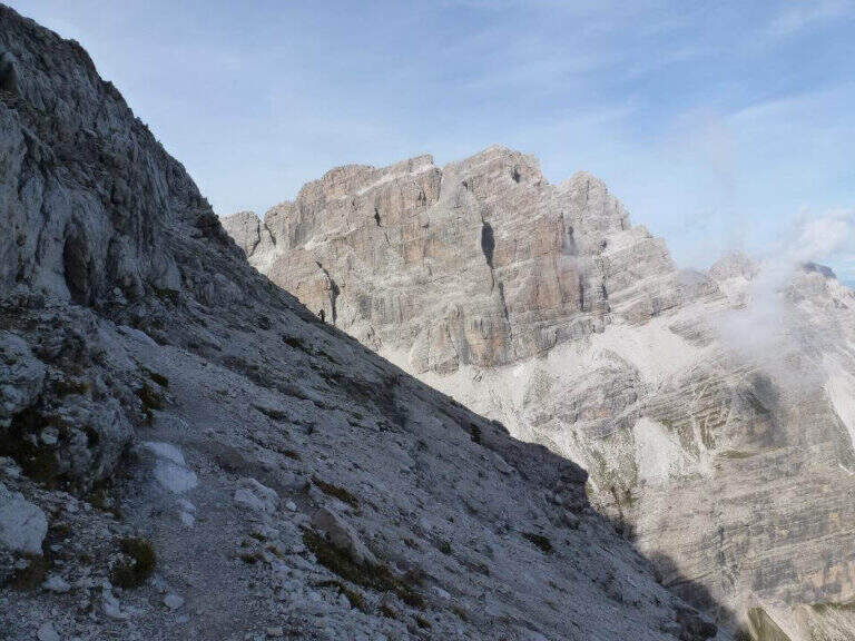
    From the mouth of Tucket (about 2640 m) take the Sentiero Orsi (CAI 303) to the east. The route runs on a very exposed census of the Naso dei Massodì and Spallone, with the whirlwind of the Arms Busa opening on the right. It alternates short stretches and sections on crest that require safe foot. The trail passes near the Campanile Alto and the Campanile Basso, with extraordinary views of the heart of the Brenta, before reaching the Rifugio Pedrotti (2491 m, 2h30′ from the Bocca di Tucket, 5h30′ total).

    ▲Character and difficulty

    Classified Hard. The difficulty is given by the harsh environment, by prolonged exposure and by the presence of the vedretta in the approach. The equipped sections are not technically extreme, but the context requires mountain autonomy.

    ⚠ The Tucket Mouth preserves snow and ice until advanced season: the ramps are almost always necessary. Do not venture into fog or imminent bad weather.
    ▲Period and safety

    From July to August for the best conditions on the glacier. Avoid in case of afternoon thunderstorms.

    ▲Discipline

    You return by reverse path (10h30′ total) or stay at the Rifugio Pedrotti by organizing a crossing in two days towards the Rifugio Graffer or along the Bocchette.

    ▲To match

    The Rifugio Pedrotti is the starting point for the Sentiero delle Bocchette Alte, the Via delle Bocchette and Ferrata Spellini: the central Brenta area is one of the richest areas in the Alps.

    ▲Gallery
    Technical data
    • DifficultyHard
    • RegionTrentino-Alto Adige
    • GroupDolomiti di Brenta
    • Approach3:00 h
    • Ferrata2:30 h
    • Itinerary (a/r)10:30 h
    • Hardware level difference150 m
    • Route difference1365 m
    • Max2699 m
    • Length24 Km
  • Sentiero Attrezzato dei Morti – Rifugio Rosalba

    Sentiero Attrezzato dei Morti – Rifugio Rosalba

    Vie Ferrate › Lombardy › LC
    Sentiero Attrezzato dei Morti – Rifugio Rosalba

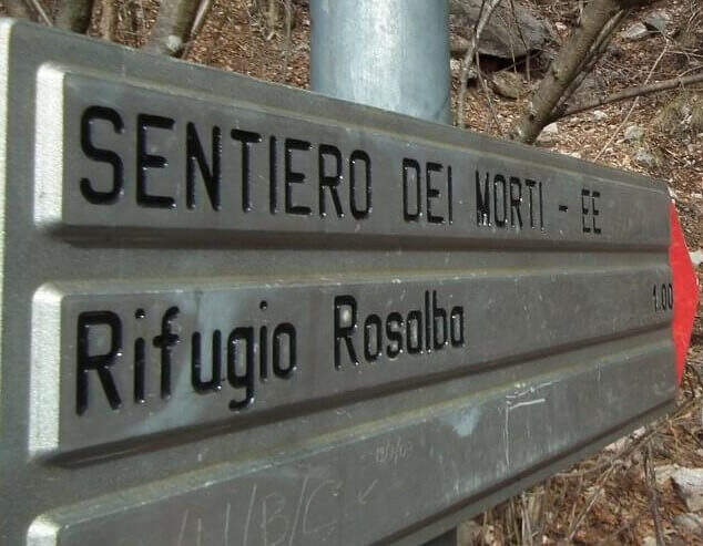
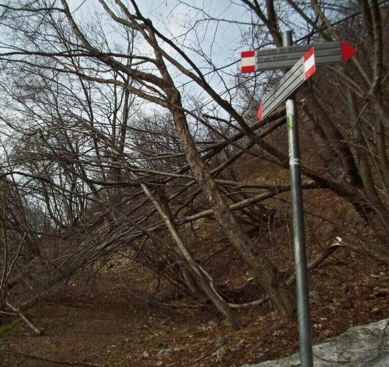
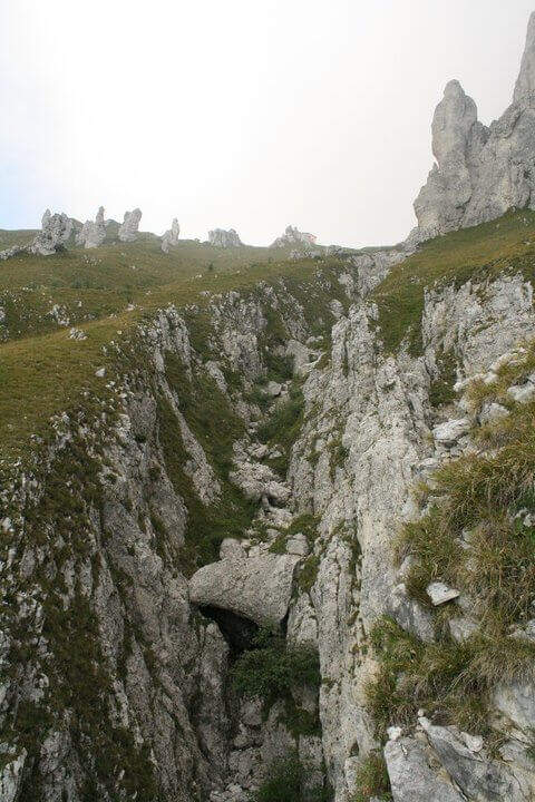
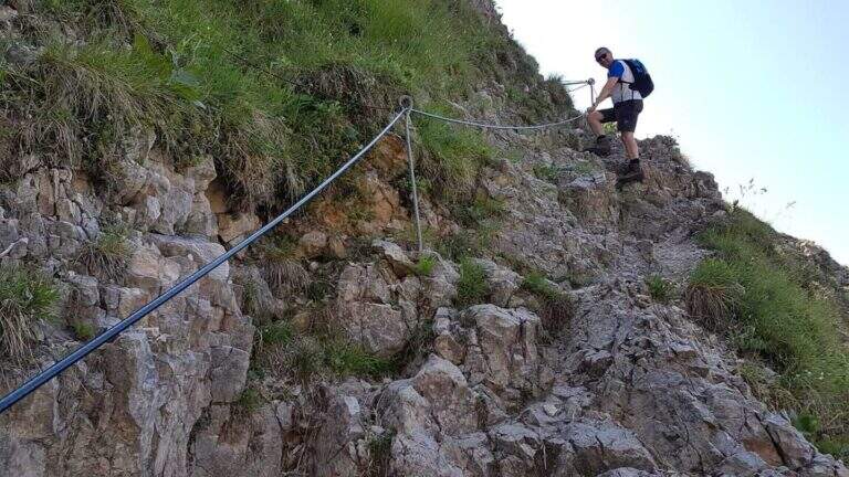
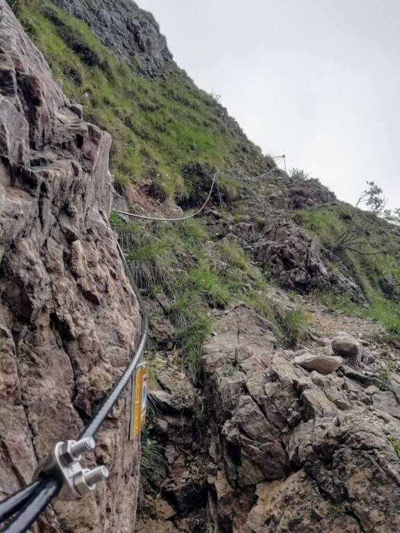
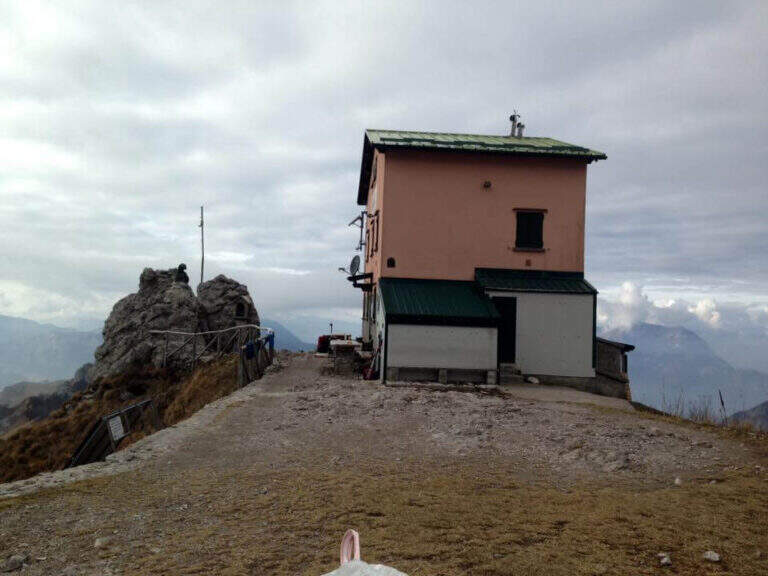
    Itinerary short but of character along the side of the South Grigna, with a single stretch equipped on sloped and fragrant soil that leads to the Rosalba Refuge. The evocative name, the unstable terrain and the panorama on the crests of the Grigna make this path all but trivial despite the modest length.

    ▲Approach

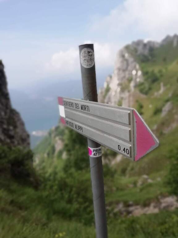
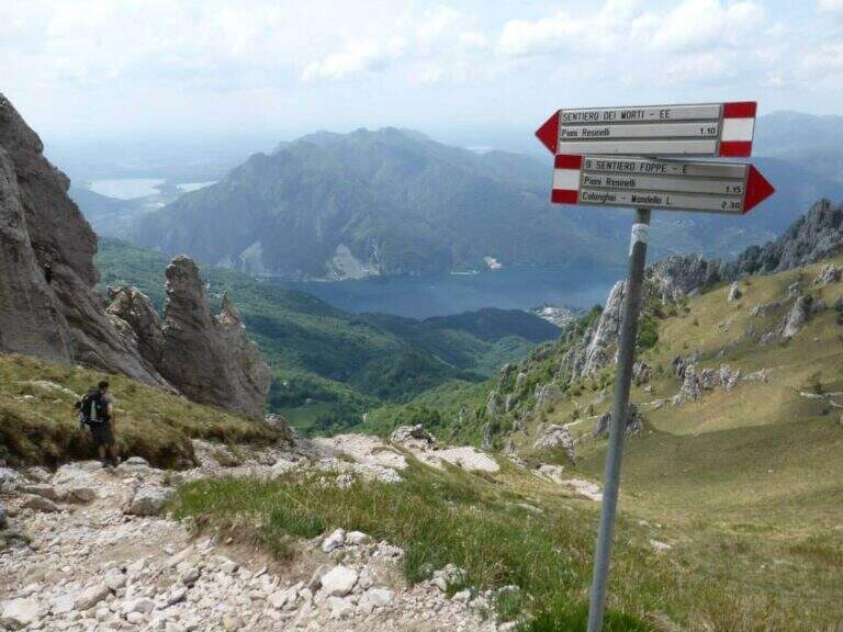
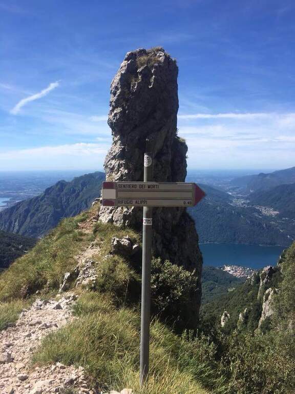
    Dai Piani Resinelli (former Alippi refuge, directions road map) follow the path 9 towards Foppe for about 30′, until a pole that indicates the deviation to the right towards the Path of the Dead. You climb into the woods and then through steep meadows.

    ▲The path

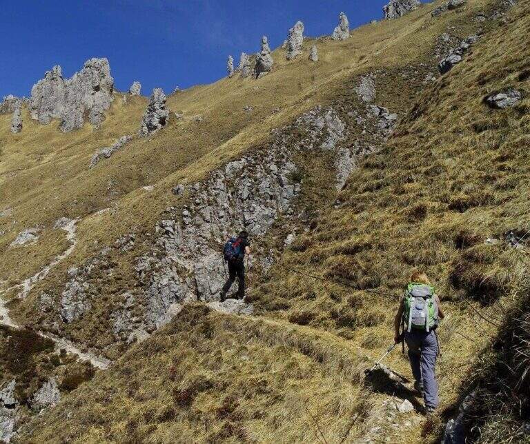
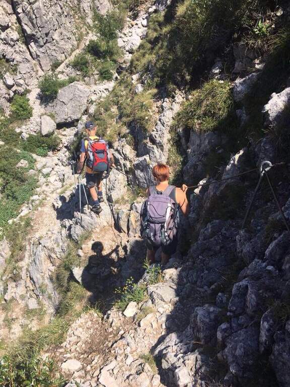
    The equipped stretch is a single sloped crossing with cable on slippery and partially fragrant soil, which requires continuous attention throughout its extension. The unstable fund amplifies the risk: a false step at this point can be dangerous. After passing the cross, go up to the Rosalba Refuge (1h from the junction, 1h30′ total from the Resinelli Plans).

    ▲Character and difficulty

    Classified Difficult despite the reduced development, due to the unstable and fragrant soil in the equipped stretch.

    ⚠ Avoid completely after recent rains or in the presence of residual snow. Telescopic sticks are recommended for the traverse. Always keep the slings attached to the cable.
    ▲Period and safety

    Recommended from May to October with dry soil. Avoid in case of rain or immediately after rainfall.

    ▲Discipline

    You return to the same path or go down to Foppe following the alternative path.

    ▲To match

    There are numerous itineraries on the southern Grigna. The neighbor Sentiero Attrezzato del Moregallo completes a weekend of exits in the Larian Prealps.

    ▲Gallery
    Technical data
    • DifficultyHard
    • RegionLombardy
    • GroupLarian Prealps
    • Approach0:30
    • Ferrata1:00 h
    • Itinerary (a/r)3:00 h
    • Hardware level difference40 m
    • Route difference550 m
    • Max1730 m
    • Length9,2 Km
  • Sentiero Attrezzato del Moregallo

    Sentiero Attrezzato del Moregallo

    Vie Ferrate › Lombardy › CO
    Sentiero Attrezzato del Moregallo

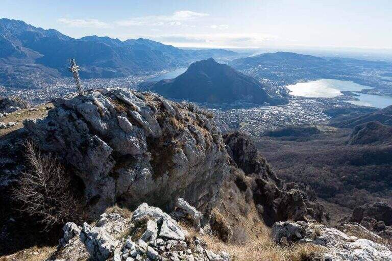
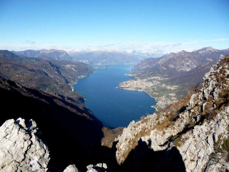
    The Attrezzato Path of Moregallo scales the western ridge of the mountain of the same name that looms on Lake Como and on Valmadrera, leading to the summit with an exposed and athletic path among the most famous proposals of the Larian Prealps. A journey of satisfaction with one of the widest views of the lake and the surrounding peaks.

    ▲Approach

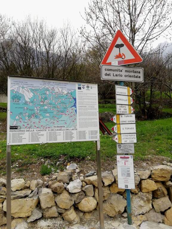
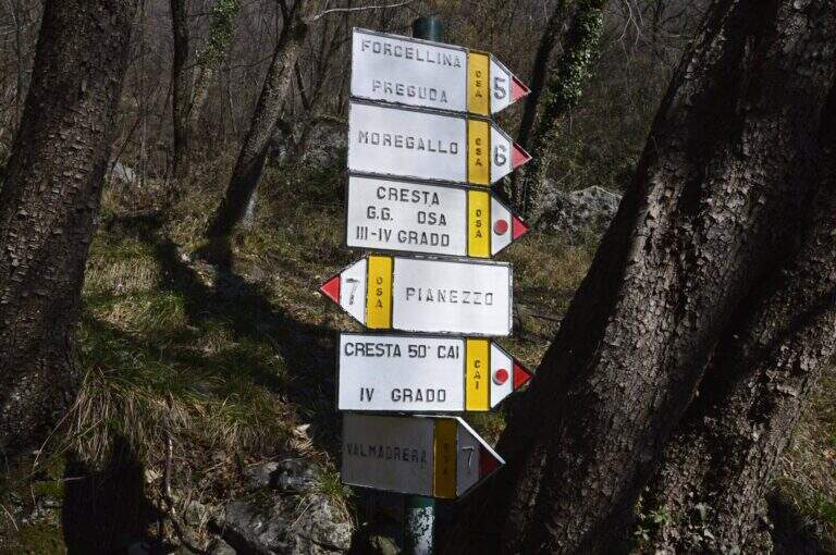
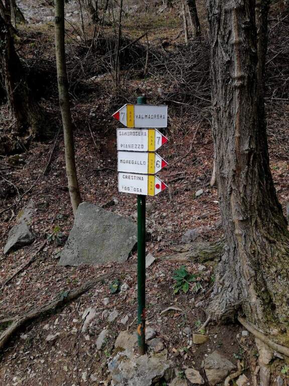
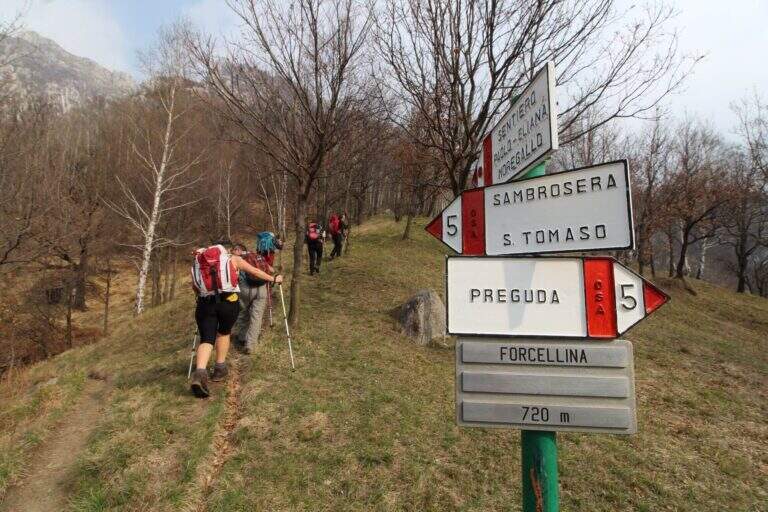
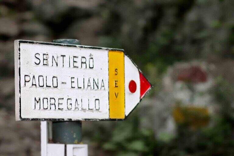
    From Valmadrera/Belvedere you can reach the Chapel of San Tomaso following the signs 6 and 7 (directions road map). Continue to Sambrosera until the Bocchette di Moregge, starting point of the equipment (2h15′ from the start).
    ▲The path

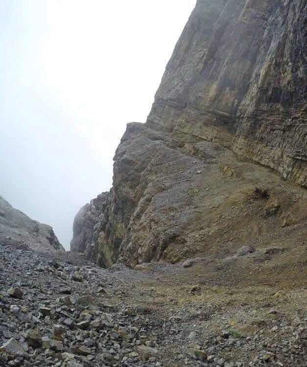
    The Bocchettes attack the west ridge. After an initial saddle, a first stretch of chains introduces to the progression at altitude. The trail then runs halfway with a short crossroads: on the right the way to Tavoulera, on the left the direct continuation on the crest. Alternating ramps, short vertical walls and air blinds with increasing exposure. The last vertical and air stretch leads to the summit of Moregallo in about 40′ from the Bocchette.

    ▲Character and difficulty

    Classified Hard. The equipped passages require good technique of progression and absence of dizziness; the exposure is marked in the upper part of the west ridge.

    ⚠ The final ridge is exposed on both sides: proceed carefully even in favorable weather conditions.
    ▲Period and safety

    From April to November, preferably in the morning to avoid summer afternoon storms. Drained with wet rock or in presence of strong wind.

    ▲Discipline

    The descent can take place either on the east ridge or on the west ridge towards the Bocchette di Moregge and then at the starting point.

    ▲To match

    There are many other routes in the Larian Alps Sentiero Attrezzato dei Morti towards the Rosalba refuge is a valid alternative in the same area.

    ▲Gallery
    Technical data
    • DifficultyHard
    • RegionLombardy
    • GroupLarian Prealps
    • Approach2:15 h
    • Ferrata0:40 h
    • Itinerary (a/r)5:00 h
    • Hardware level difference90 m
    • Route difference1025 m
    • Max1276 m
    • Length12 Km
  • Hiking trail Mora Pellegrini

    Hiking trail Mora Pellegrini

    Vie Ferrate › Trentino-Alto Adige › TN
    Hiking trail Mora Pellegrini

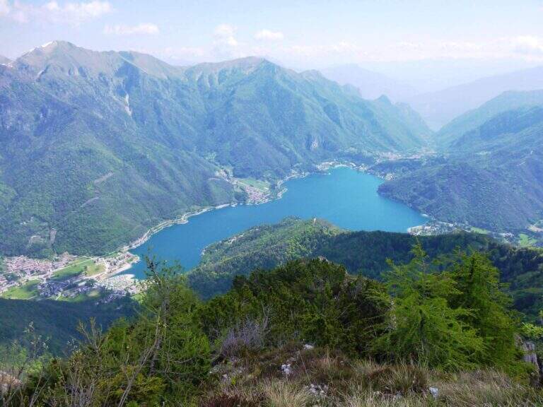
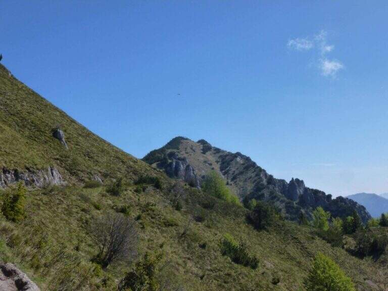
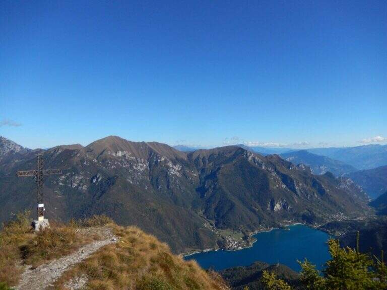
    Itinerary along the ridge above Lake Ledro, in the heart of the Prealps Giudicarie, which leads to the summit of the Cima Casèt with opening on the panorama of the lake and the Trentino valleys. A little popular route, varied in the rooms and with a stretch equipped with authentic mountaineering character.

    ▲Approach

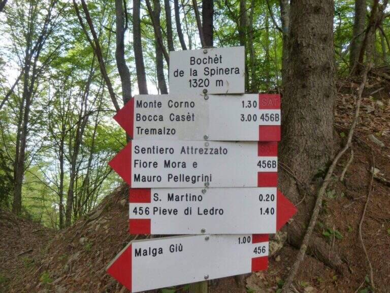
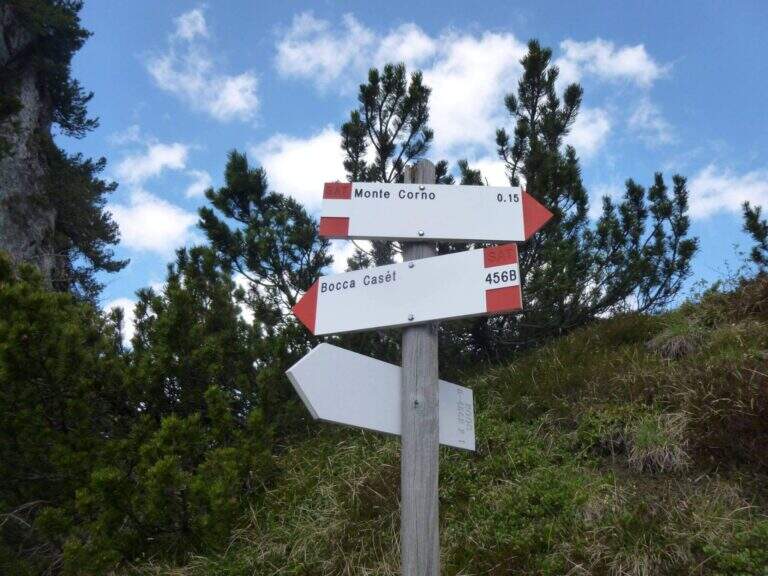
    From the parking lot of the Garibaldi hut to Passo Tremalzo take the path 419 towards the north. In about 30′ you reach the Bochet de Caset (1645 m), where you leave the main track and take the trail 416 left. Then climb up 456B towards Cima Caset, pointing to the eastern slope where the attack of the equipment (1h15′ from the parking lot, directions road map).

    ▲The path

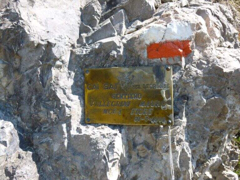
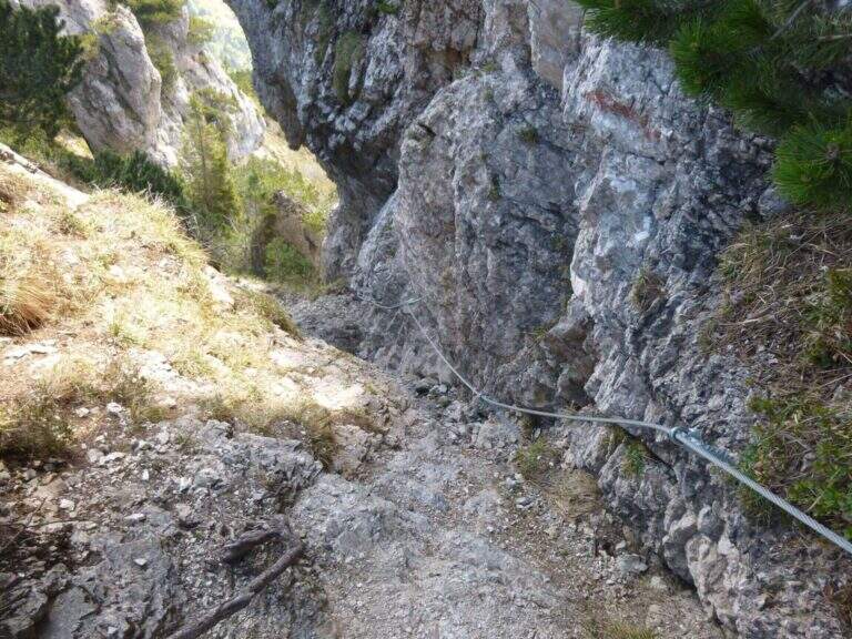
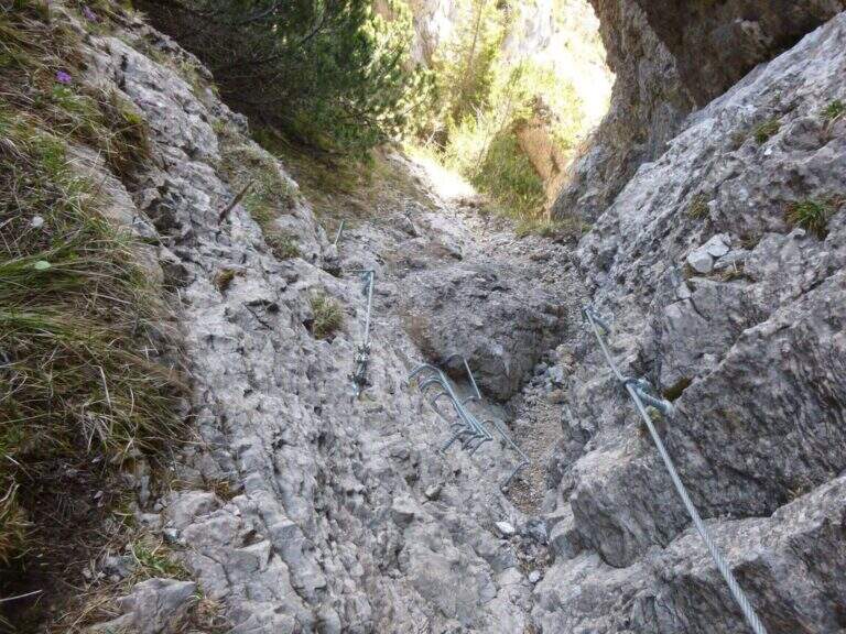
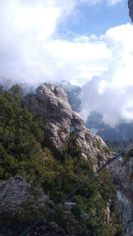
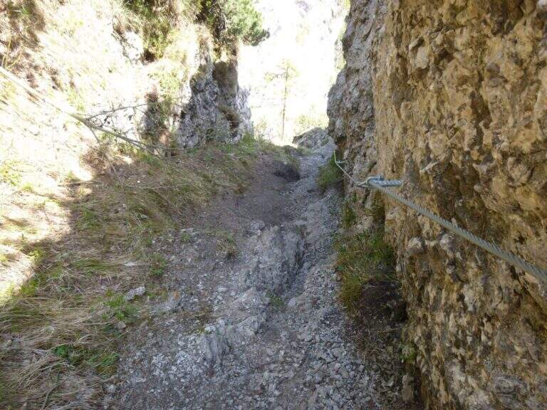
    The first metal protections accompany the climb of the east wall of Cima Casèt. Earn the top, descend towards the Pubregn (1774 m) along a nod equipped with cable. It then faces a colatoio of about 30 m down through ropes, which flows on a panoramic balcony with a direct view of Lake Ledro. The next section goes up with fireplace, brackets and short verticals until the plaque that marks the end of the route equipped to Bocca Corno Caset (1h45′ from the attack, 5h total).

    ▲Character and difficulty

    Classified Hard. The route alternates steep pathways and stretches equipped with cables and brackets. The descent of the 30 m colatoio with the ropes is the most challenging passage, followed by the census exposed above Lake Ledro. The rock is in some friable traits: always proceed with caution.

    ⚠ Avoid the colander equipped in the presence of residual snow or wet rock: the rope does not offer sufficient safety on slippery bottom.
    ▲Period and safety

    From June to October, preferably in stable weather conditions. Unconscious immediately after abundant rainfall.

    ▲Discipline

    From the end of the equipped path you descend to the Bochèt of Spinera (1318 m) through the path 456 towards Malga Giù, returning to the fork and then to the parking lot of Passo Tremalzo (5h total).

    ▲To match

    The Tremalzo area also offers the nearby Sentiero Attrezzato Segata on the opposite side of the lake.

    ▲Gallery
    Technical data
    • DifficultyHard
    • RegionTrentino-Alto Adige
    • GroupJudicial prealps
    • Approach1:15 h
    • Ferrata0:30 h
    • Itinerary (a/r)5:00
    • Hardware level difference40 m
    • Route difference225 m
    • Max1774 m
    • Length7 Km
  • Path equipped Grande Chenalette

    Path equipped Grande Chenalette

    Vie Ferrate › Aosta Valley › AO
    Path equipped Grande Chenalette

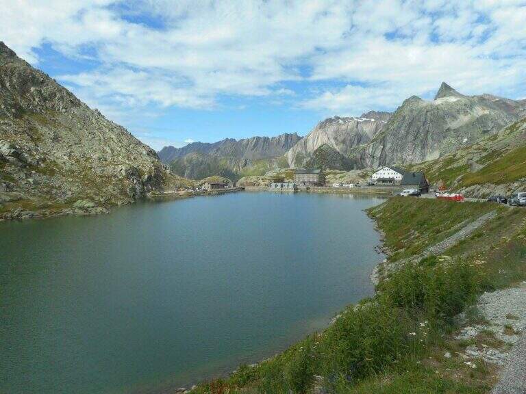
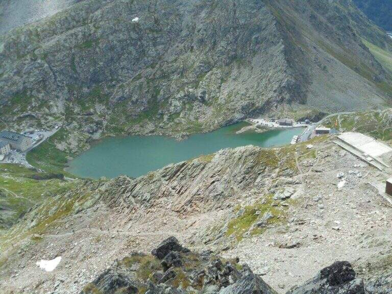
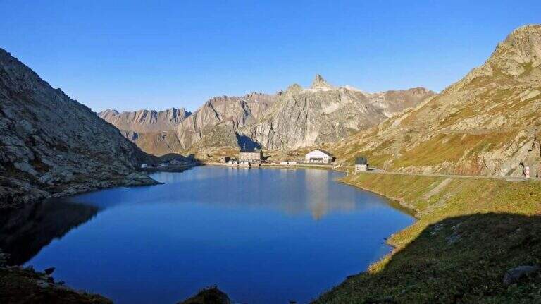
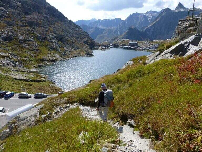
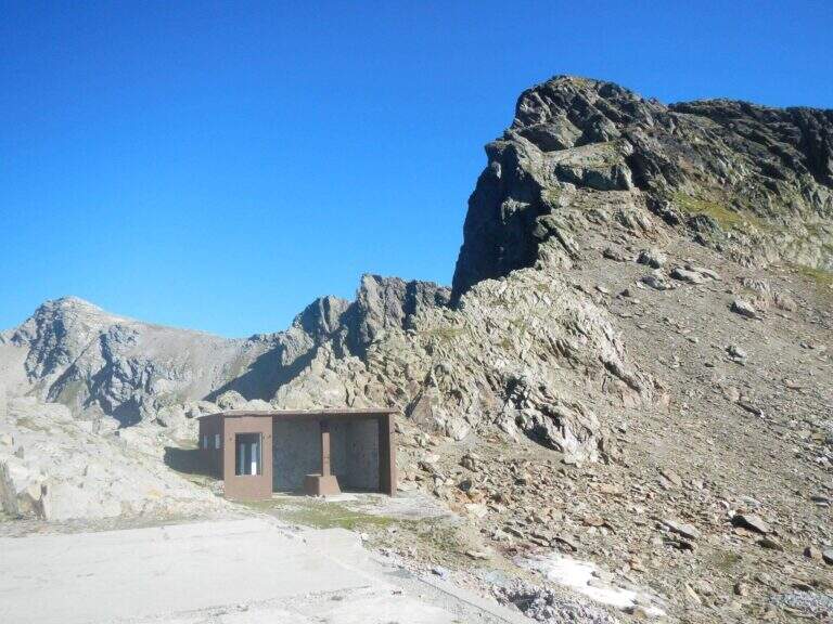
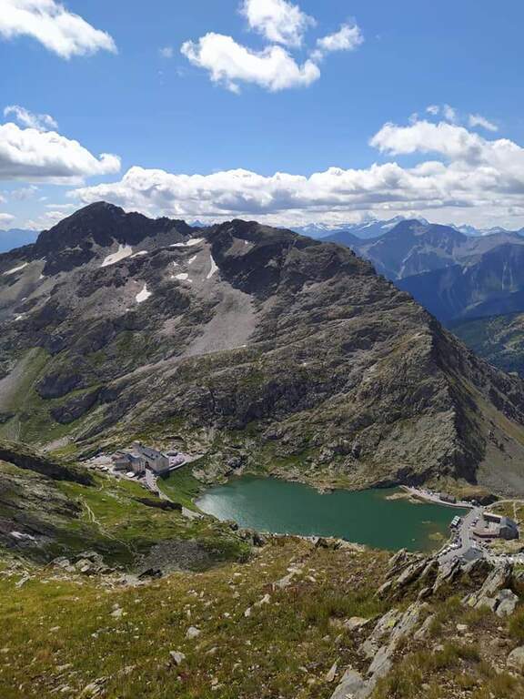
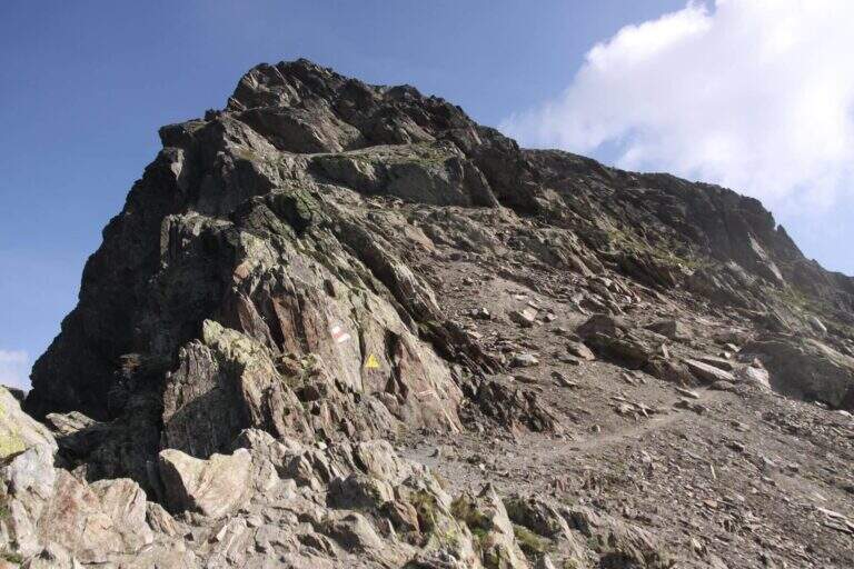
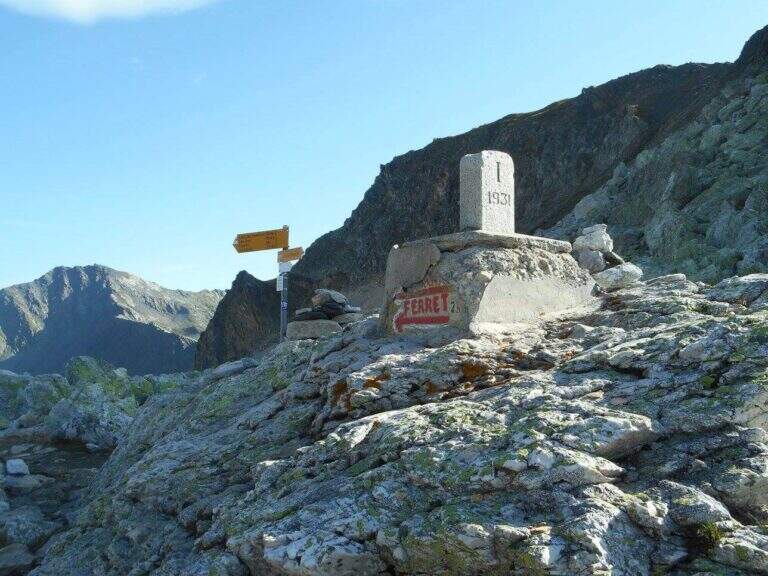
    The Sentiero Attrezzato della Grande Chenalette climbs from the Colle del Gran San Bernardo up to 2950m of the Valdostana peak, with technical traits on rock diedri in an alpine border between Italy and Switzerland.

    How to arrive and approach

    The starting point is located at the Colle del Gran San Bernardo (2469m), the Alpine pass on the border between Valle d’Aosta and Switzerland, reachable from Italy via the hill road or the Traforo del Gran San Bernardo. It is parked in the area of the hospice, on the Swiss side of the pass. Approximation takes about 1h20′′: go up north passing near the ruins of the ski slopes of the 80’s until a panoramic viewpoint at altitude 2650m. The real attack of the equipped section is located at 2780m, about 1h20′ from the parking lot.

    The path

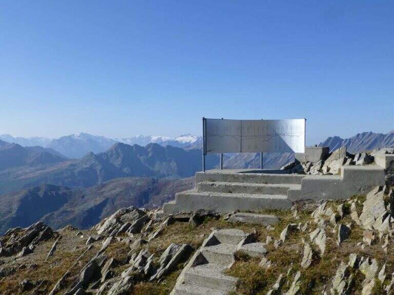
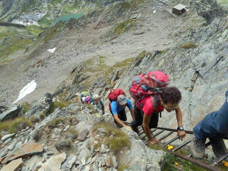
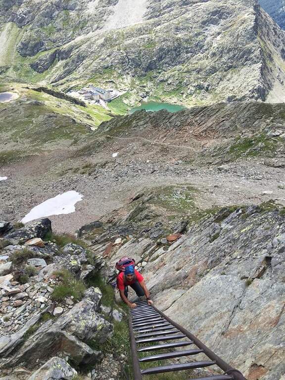
    From altitude 2780m begins the equipped section of the Great Chenalette. The route develops on a rocky dihedron assisted by metal pioli and fixed ropes for a height difference of 108m in about 1 hour. The progression on rock is technical but the equipment is well placed. The summit of the Great Chenalette (2950m) is the destination of the itinerary: from here the panorama stretches over the Pennine Alps to the Italian-Swiss border in all directions.

    Character and difficulty

    Path difficult especially for the high altitude (about 2950m) and exposure of the dihedron. Despite the relative brevity (6.4km, 1 hour of equipped stretch), the altitude requires good acclimatization and trained physical. The technical-athletic complexity index is high on all parameters. Difficulty: Hard. Route for experienced climbers and mountaineers accustomed to high altitude.

    Period and safety

    Recommended from July to August. At 2950m snow and ice can persist even in summer, especially in the equipped dihedron exposed to the north. The strong wind is frequent on the border ridge. Carefully check the nivometeorological conditions before taking the excursion. Complete fitting indispensable.

    Discipline

    The descent takes place on the way up: from the equipped diedro comes back to the belvedere at 2650m and then to the hospice of the Gran San Bernardo. Total excursion time: about 3h30′.

    To match

    The Gran San Bernardo is located in the heart of the Valdostane Alps. The Aosta Valley offers some of the most demanding ferrates in the Western Alps, in a unique high glacial mountain context. Nearby are alpine paths on the ridge of the Italo-Swiss border.

    ▲Gallery
    Technical data
    • DifficultyHard
    • RegionAosta Valley
    • GroupAlps Pennine
    • Approach1:20 h
    • Ferrata1:00 h
    • Itinerary (a/r)3:30 h
    • Hardware level difference108 m
    • Route difference530 m
    • Max2950 m
    • Length6,4 Km
Need help? Write to us!