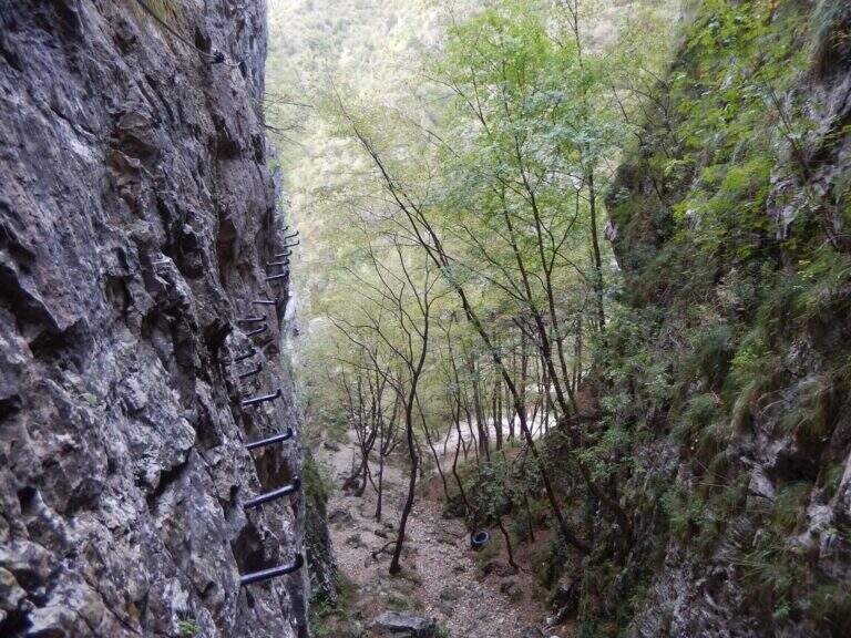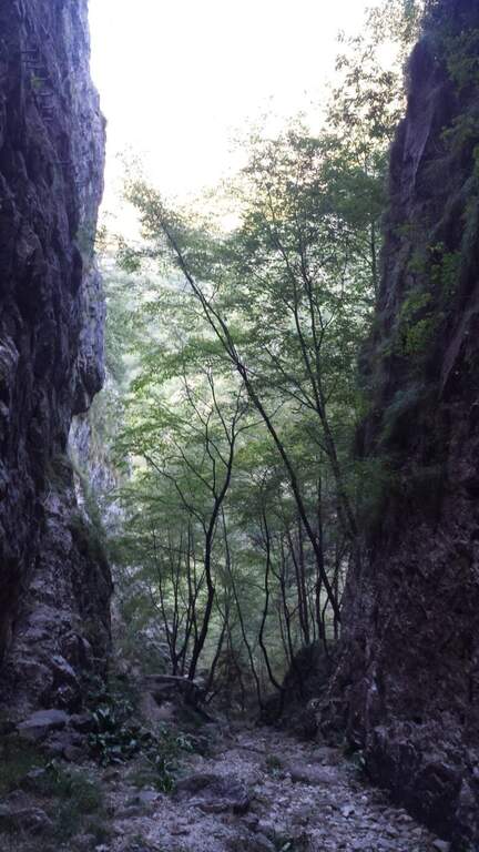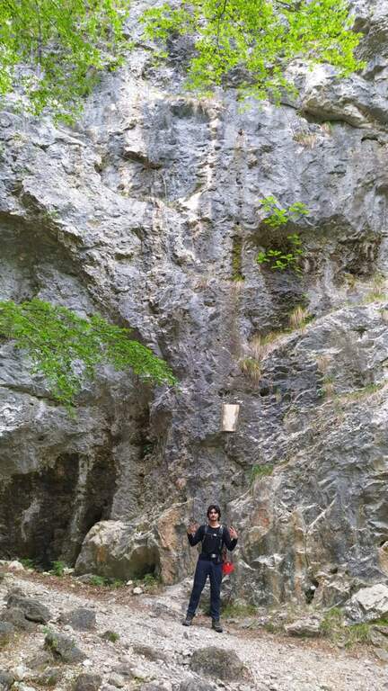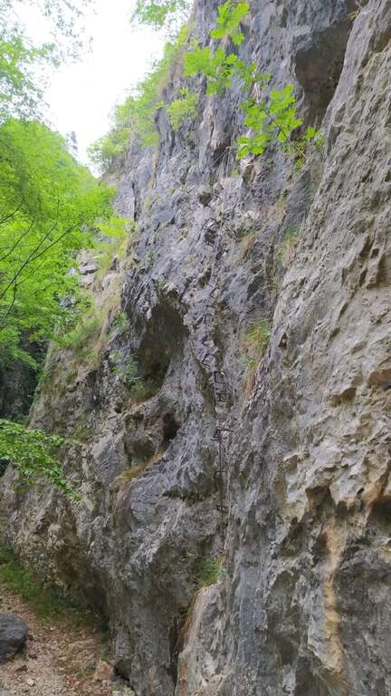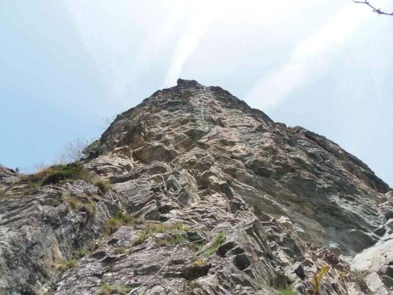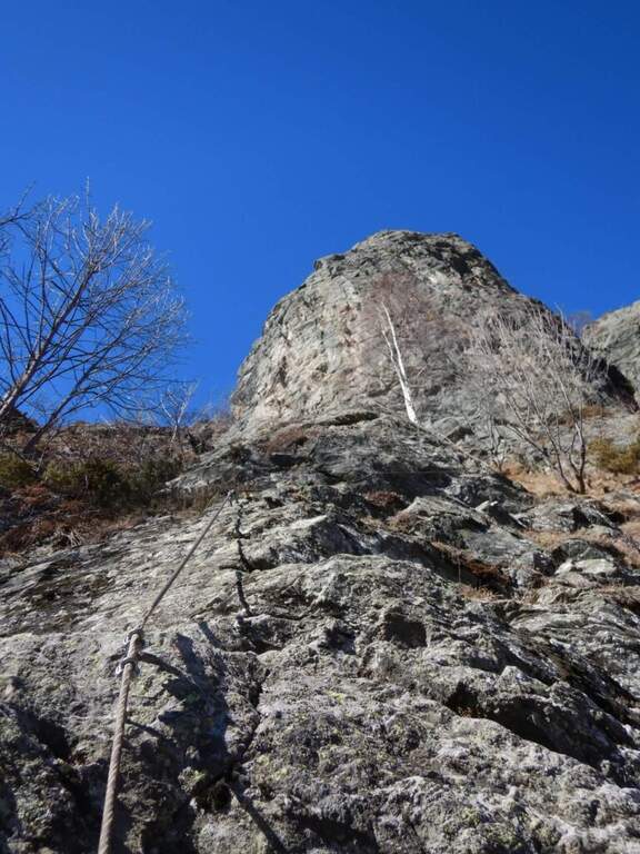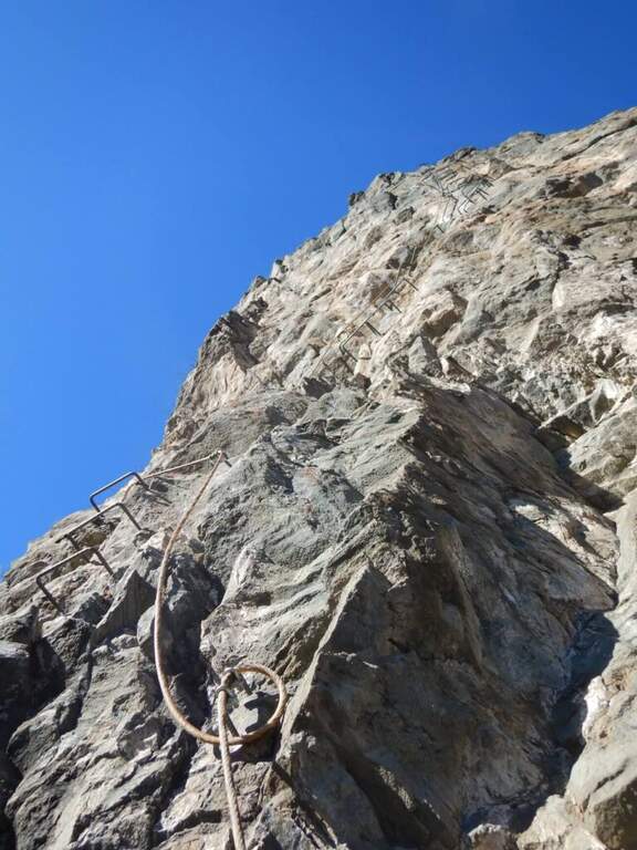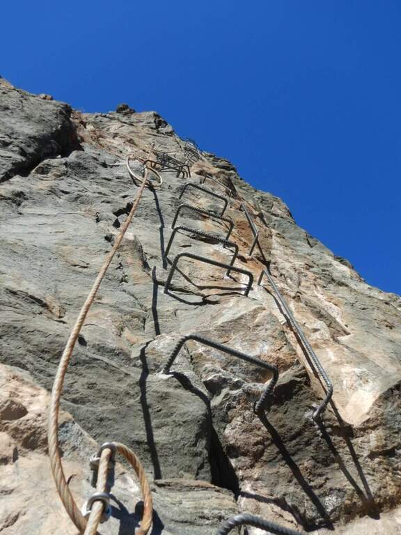
Difficoltà: Difficile

  • Ferrata Terzulli all’Adamello

    Ferrata Terzulli at Adamello

    Vie Ferrate › Lombardy › Brescia
    Ferrata Terzulli at Adamello

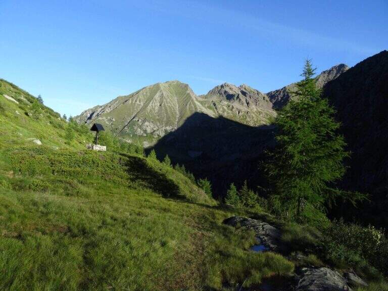
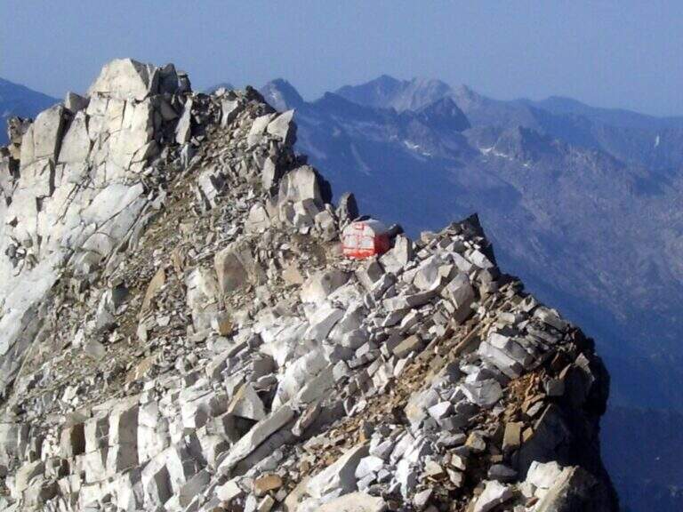
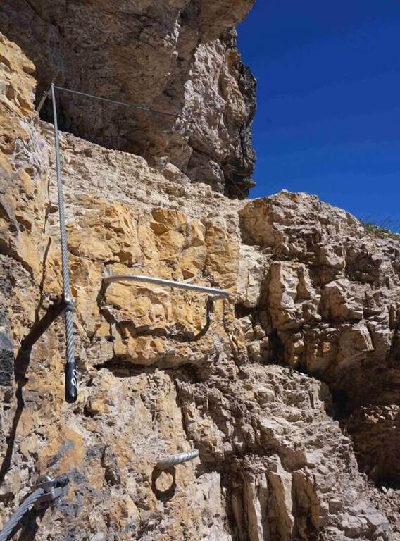
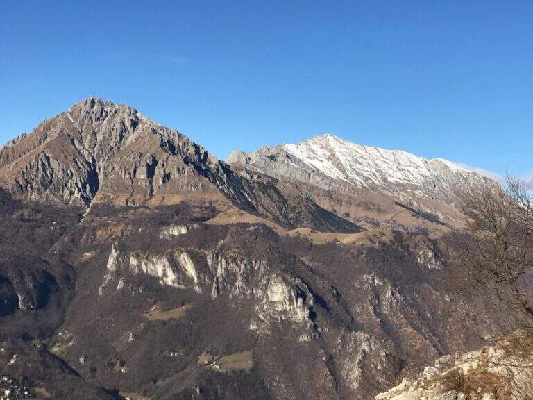
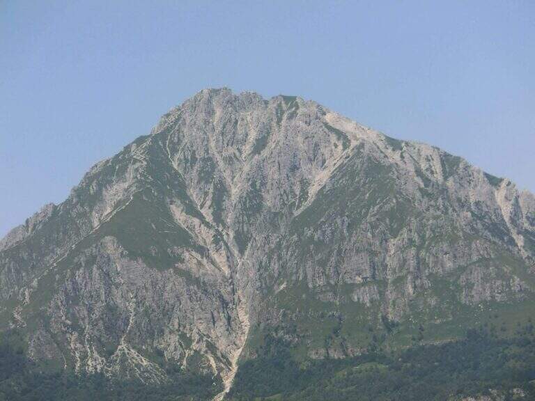
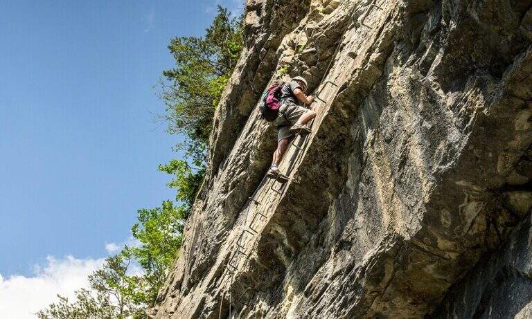
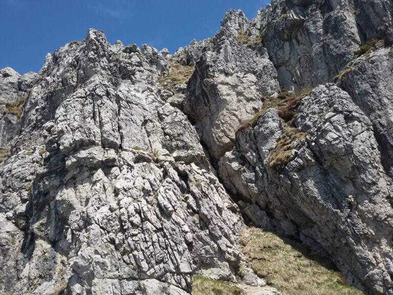
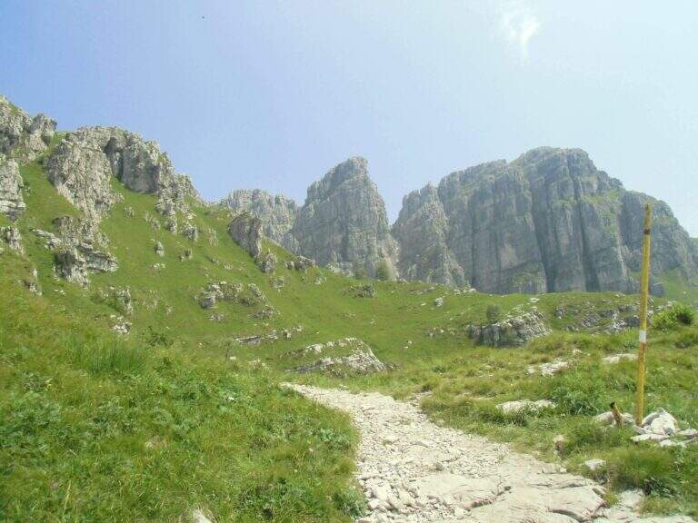
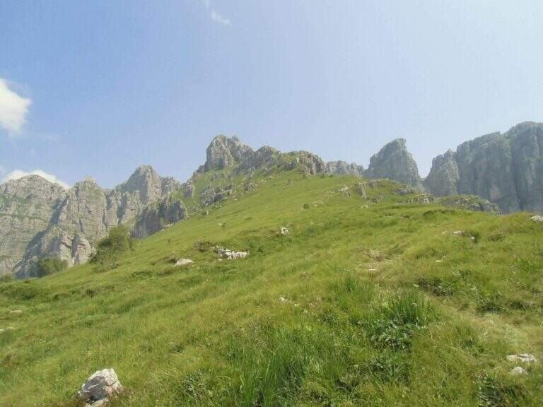
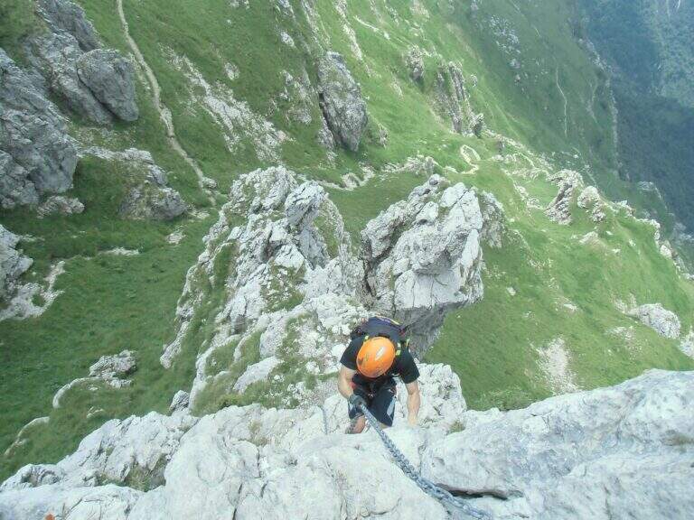
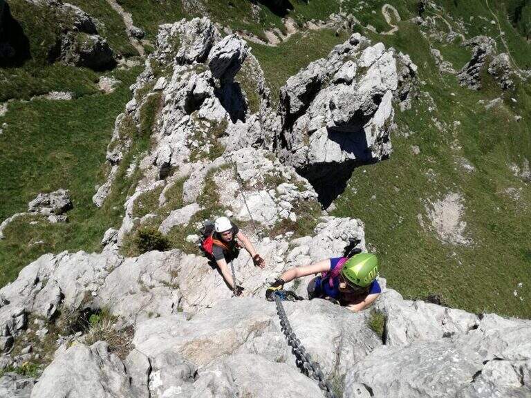
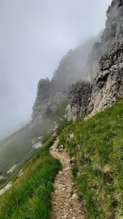
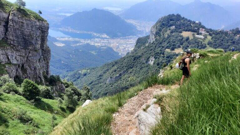
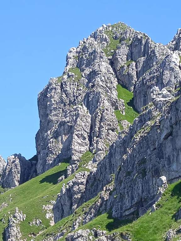
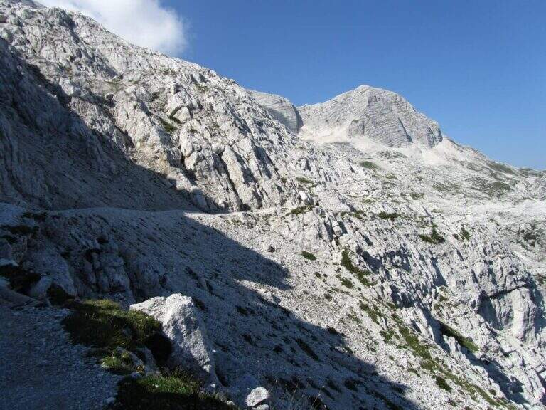
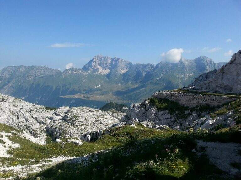
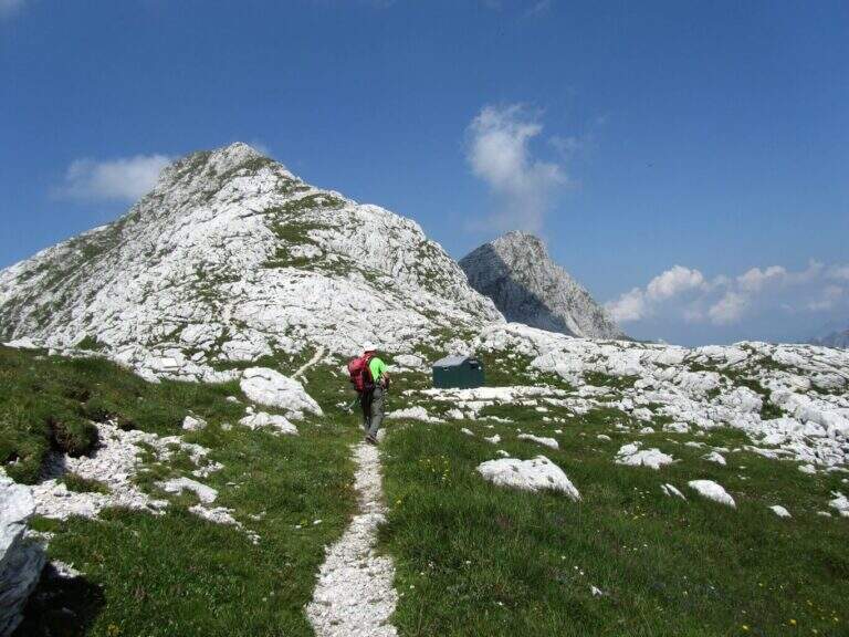
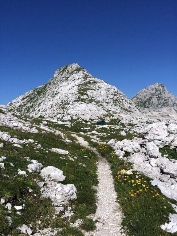
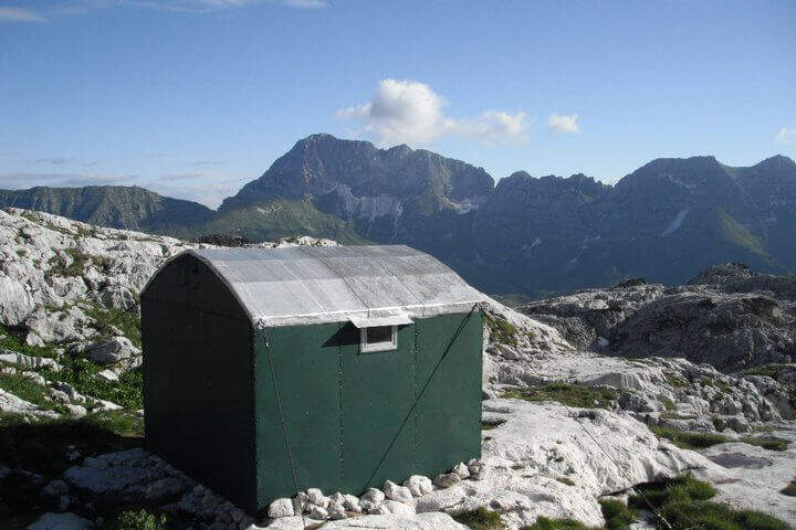
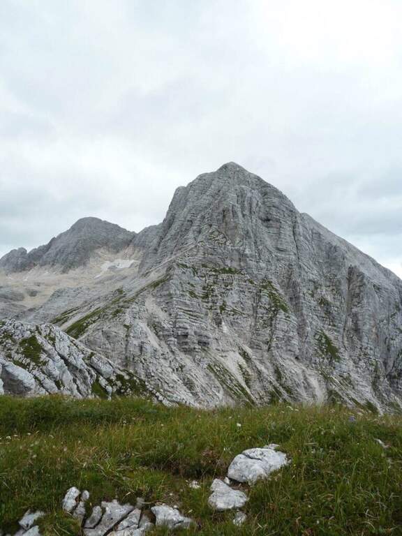
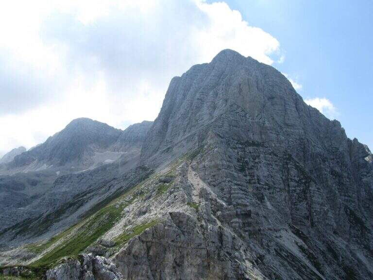
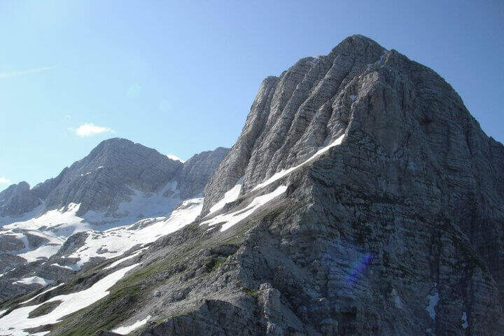
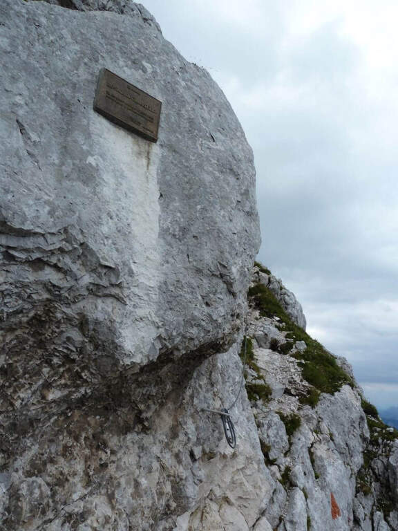
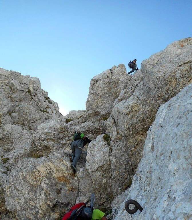
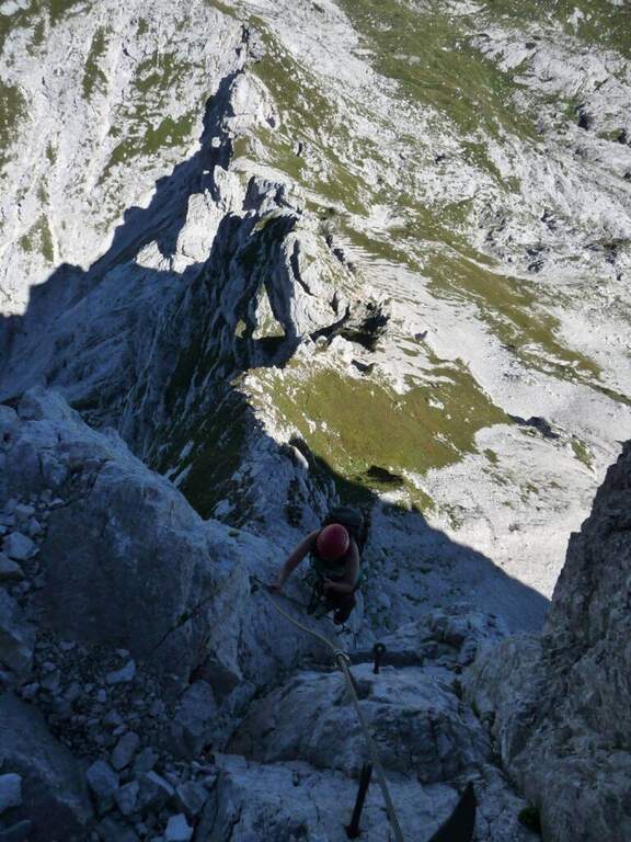
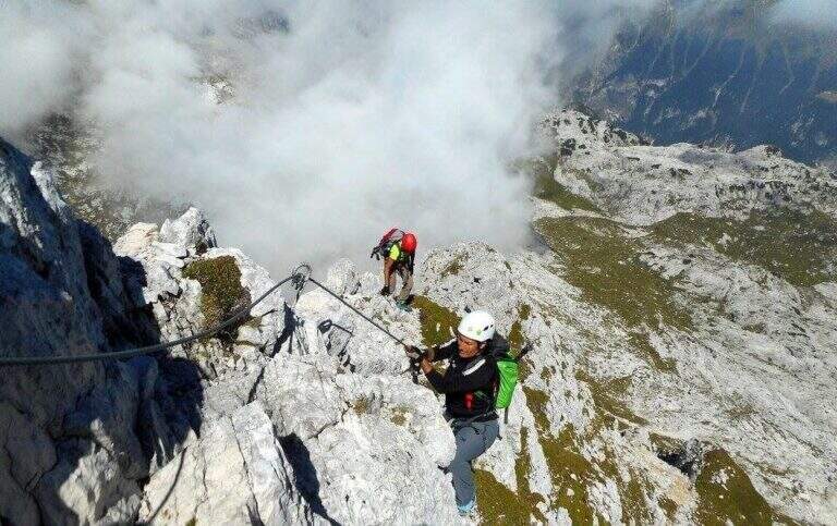
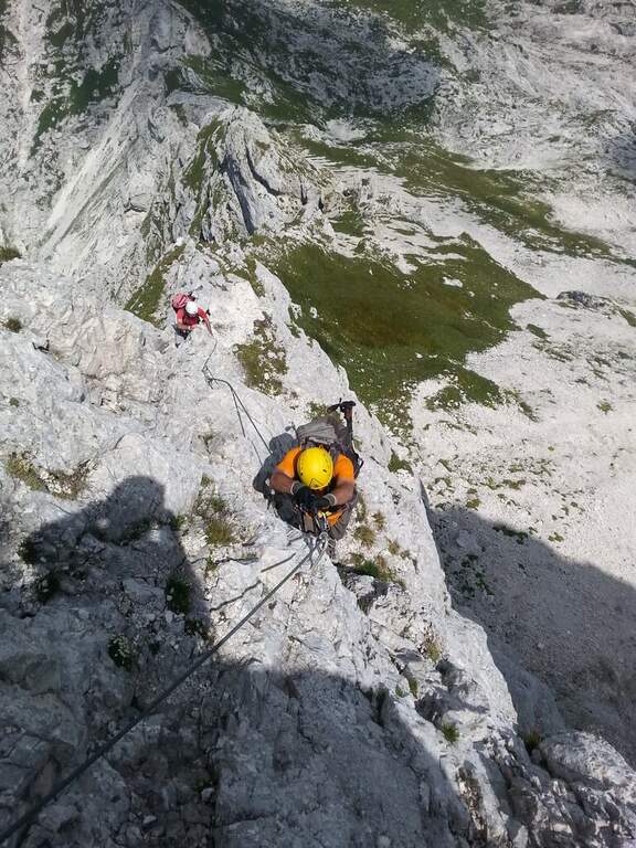
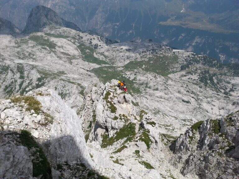
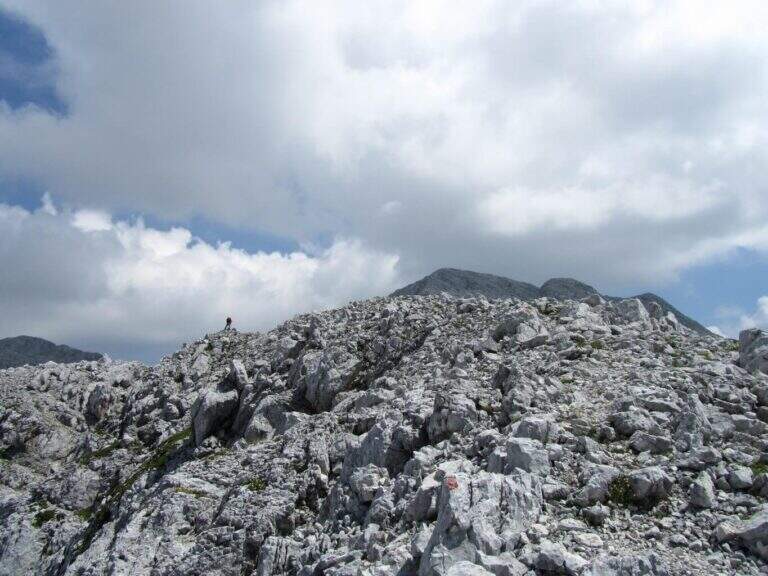
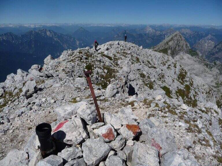
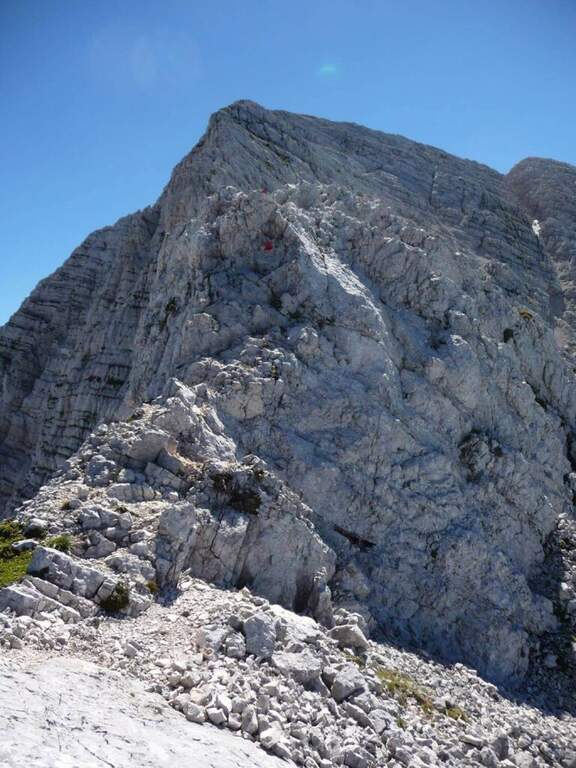
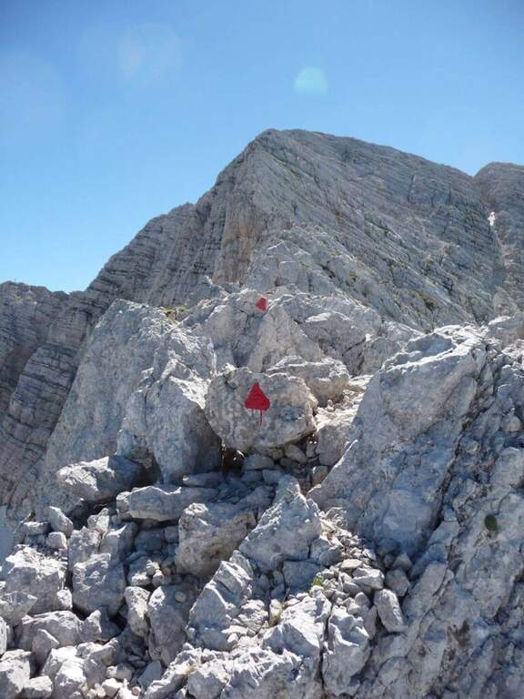
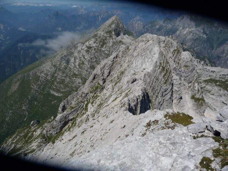
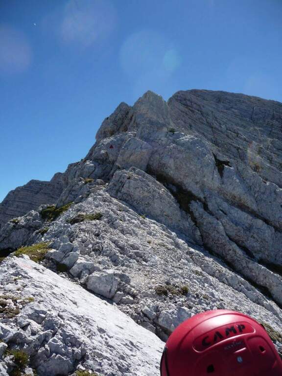
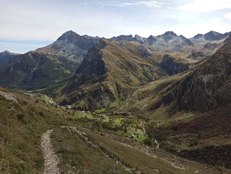
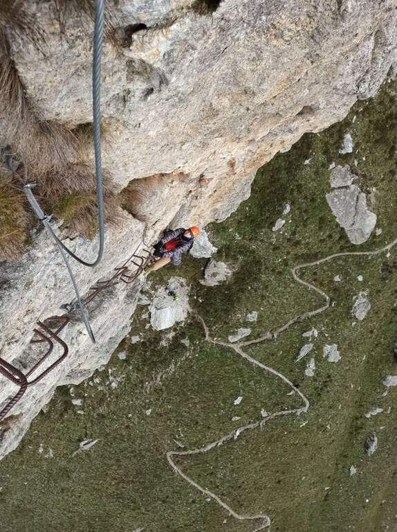
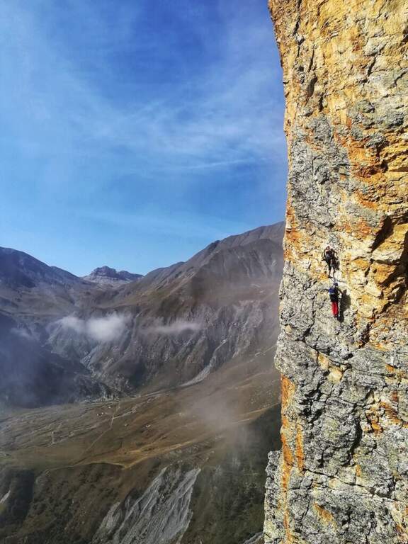
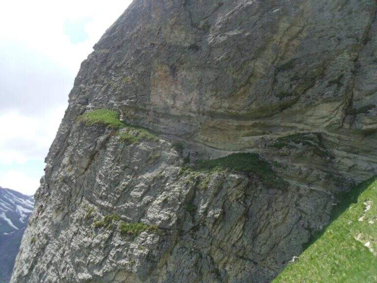
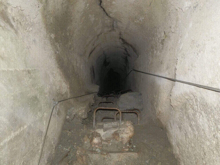
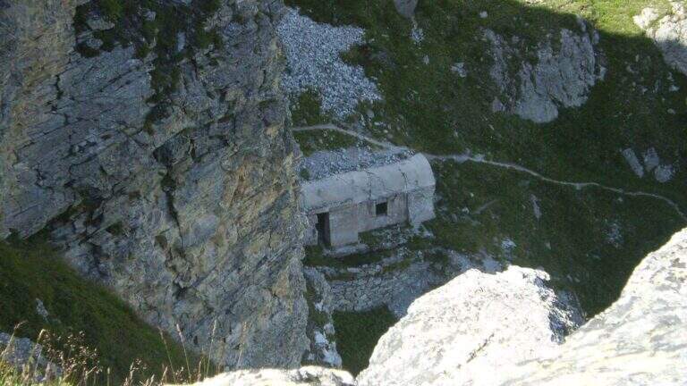
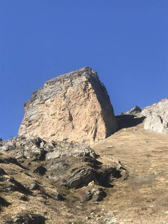
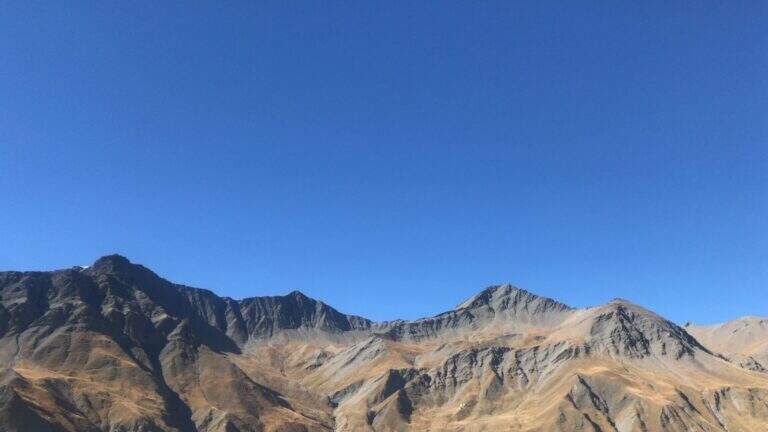
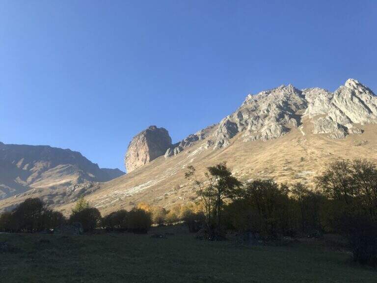
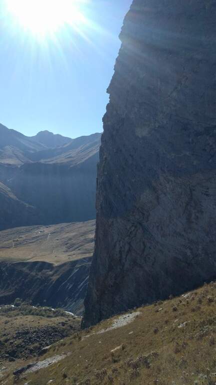
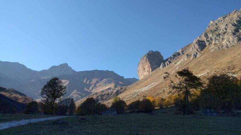
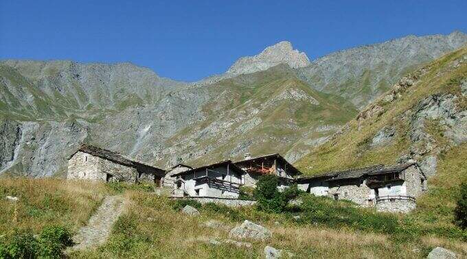
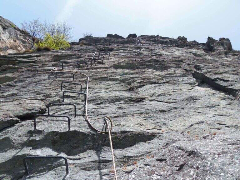
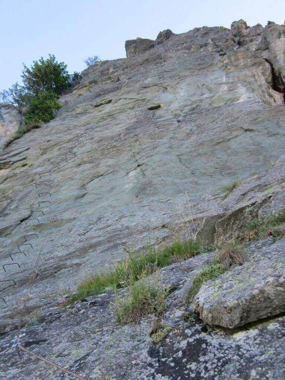
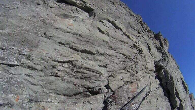
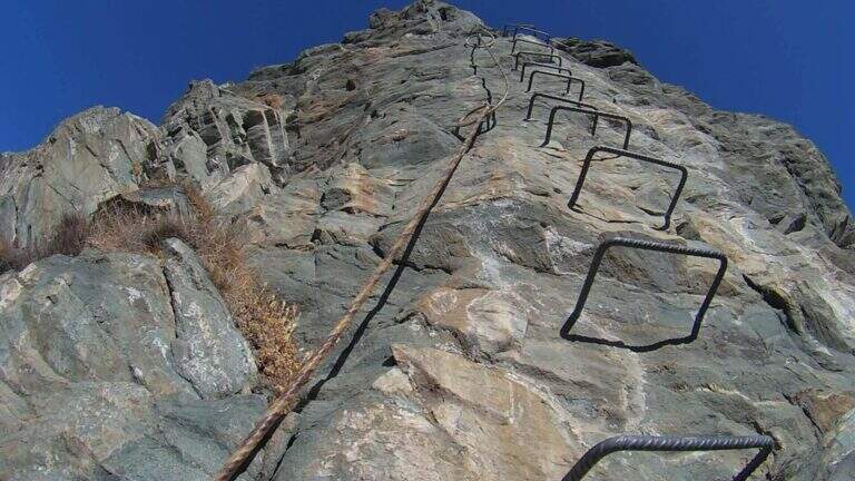
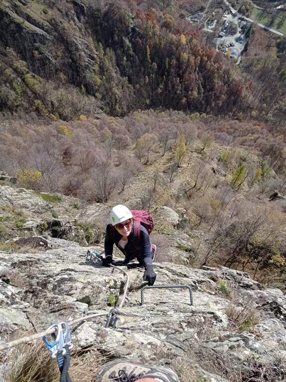
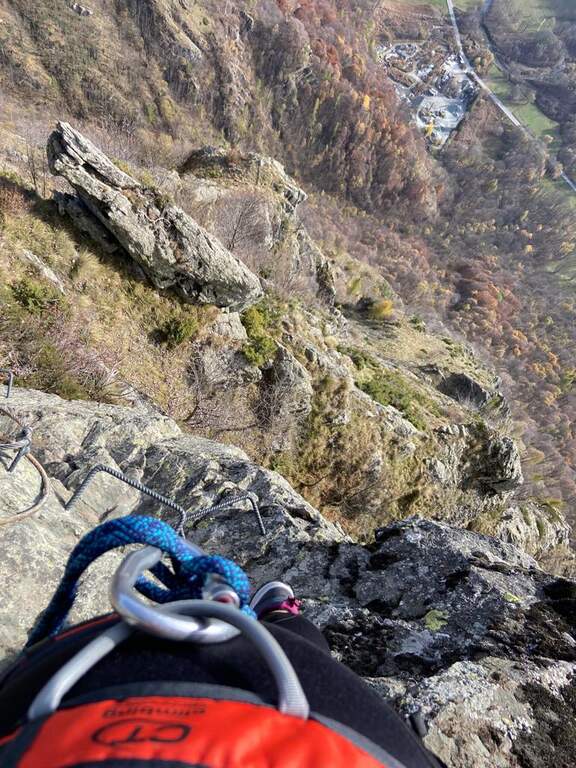
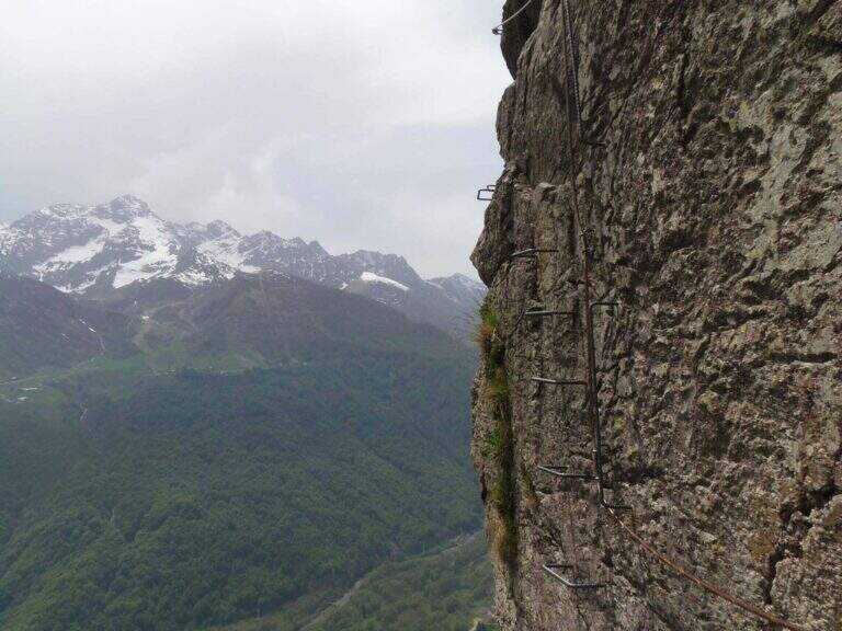
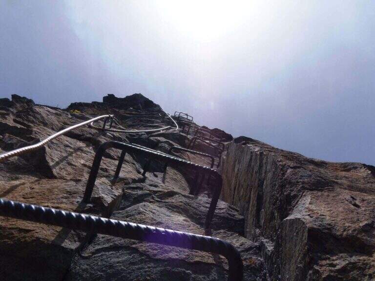
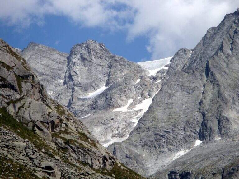
    La Ferrata Terzulli connects the Val Miller with the Adamello Pass and is normally inserted in the ascent to the Adamello. The equipment itself is of limited difficulty, but the itinerary takes place in a high mountain environment with a strong mountain character: it is therefore reserved for those with experience of ferrate and high altitude, with stable time.

    ▲Approach

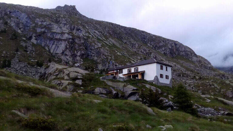
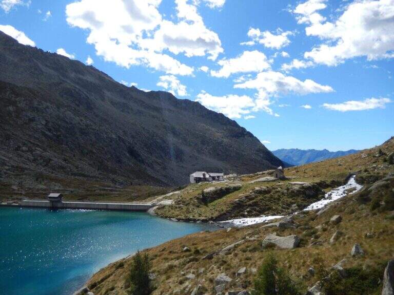
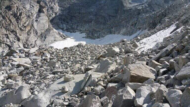
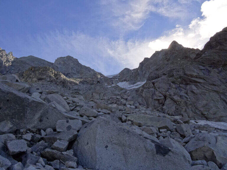
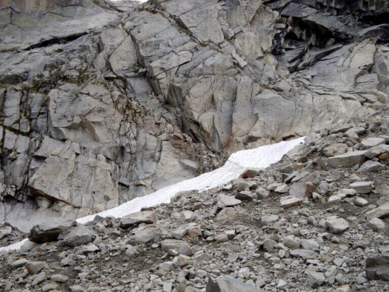
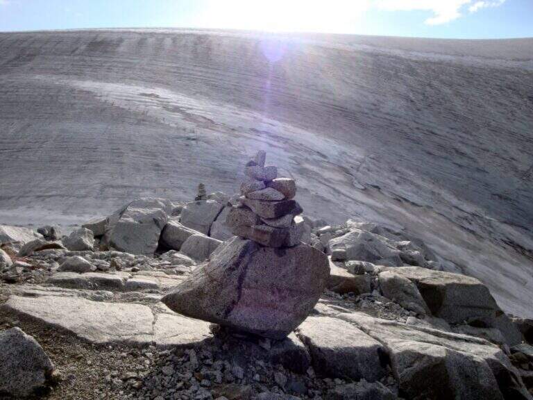
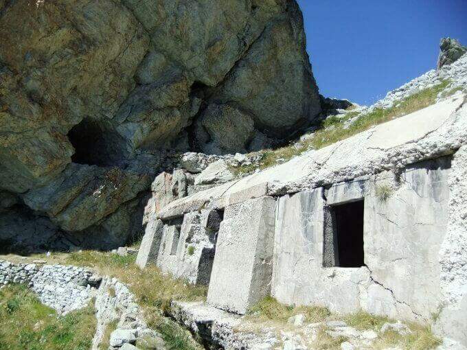
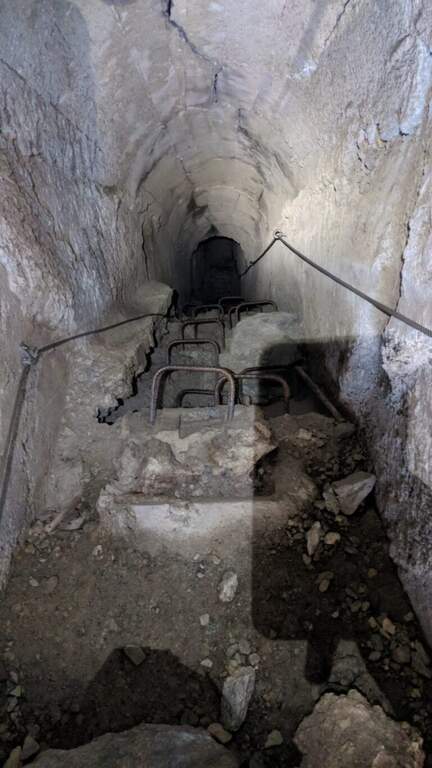
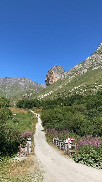
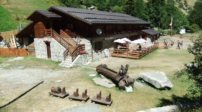
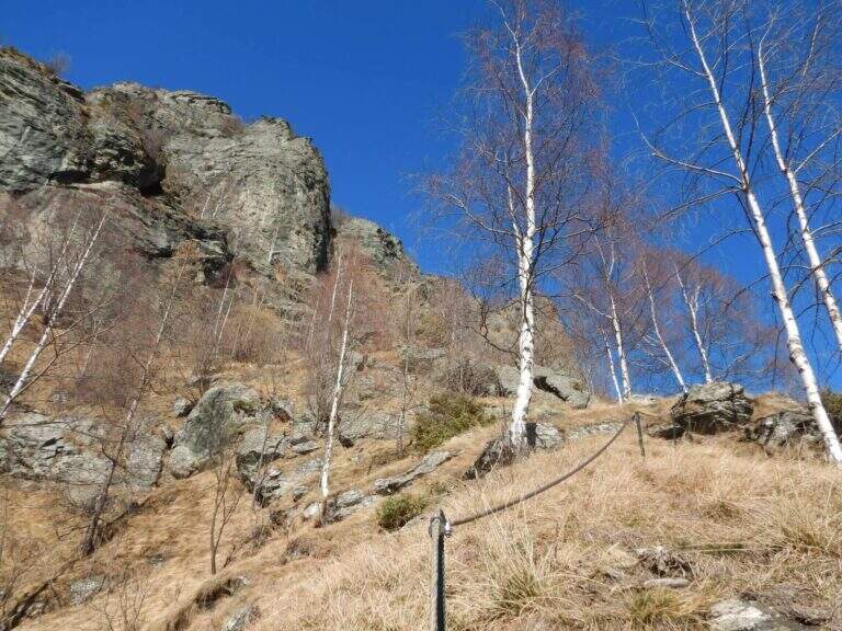
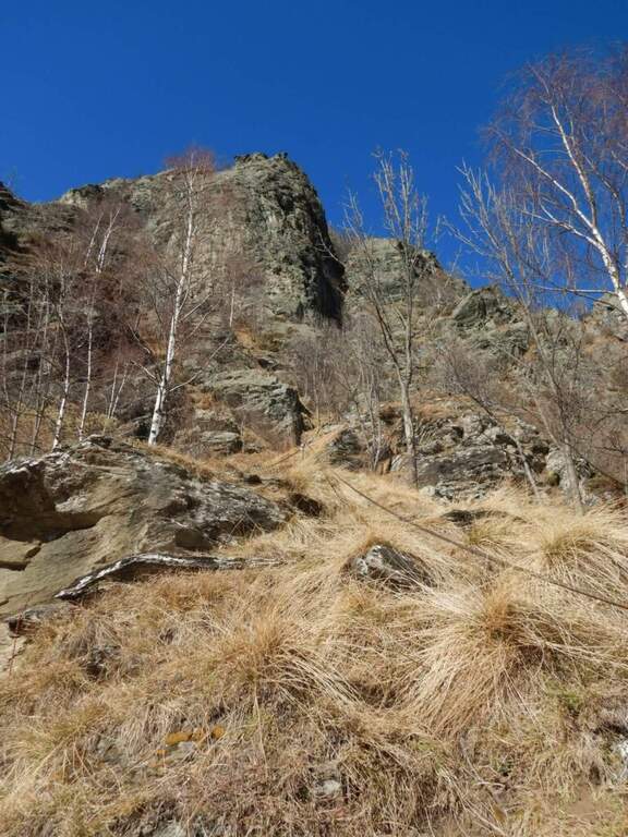
    Start from the beach at the bridge on the river Remulo, along the road to Val Malga (1528 m). Open road signs on Google Maps. Beyond the bridge, follow the dirt road to Malga Premassone, then the sentiero 23 over Malga Frino (1698 m) and go up the Miller Valley, passing the characteristics Scale Miller (rock steps with short equipped sections, 2050 m). You can reach the Rifugio Gnutti (2166 m, 1h 30' from the parking lot); continue on the 23rd along the Lake Miller and crossing the «Pantano Miller», on soil always più rocky and with possible snow languages, until all' attack (2930 m, 2h from Gnutti, 3h 30' totali).

    ▲The path

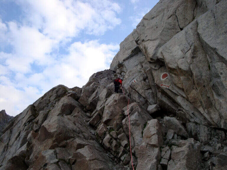
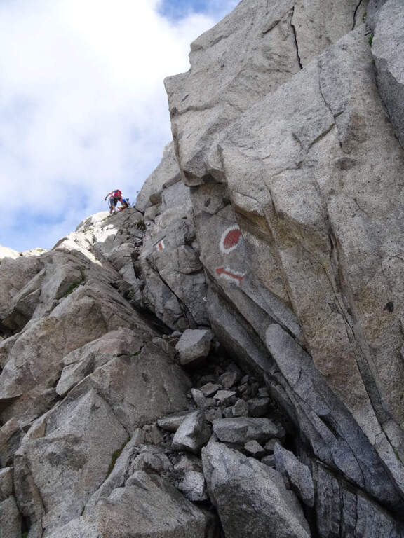
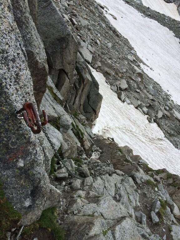
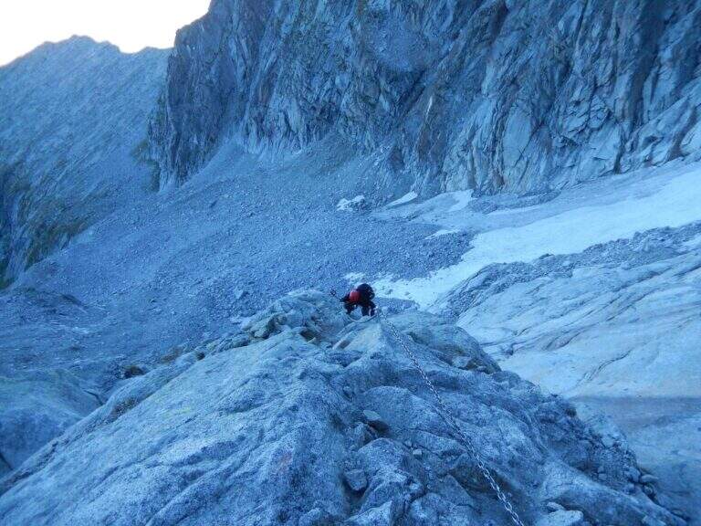
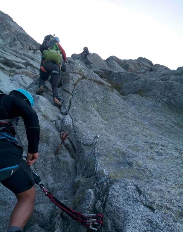
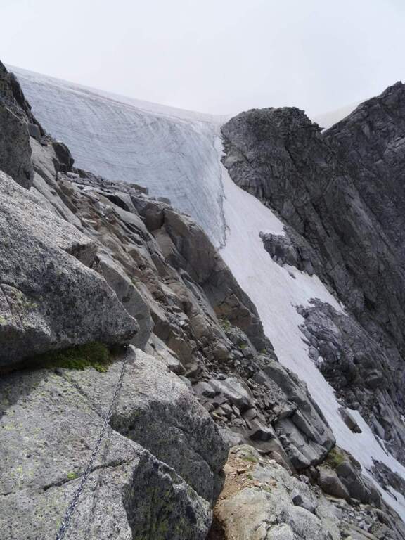
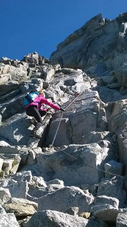
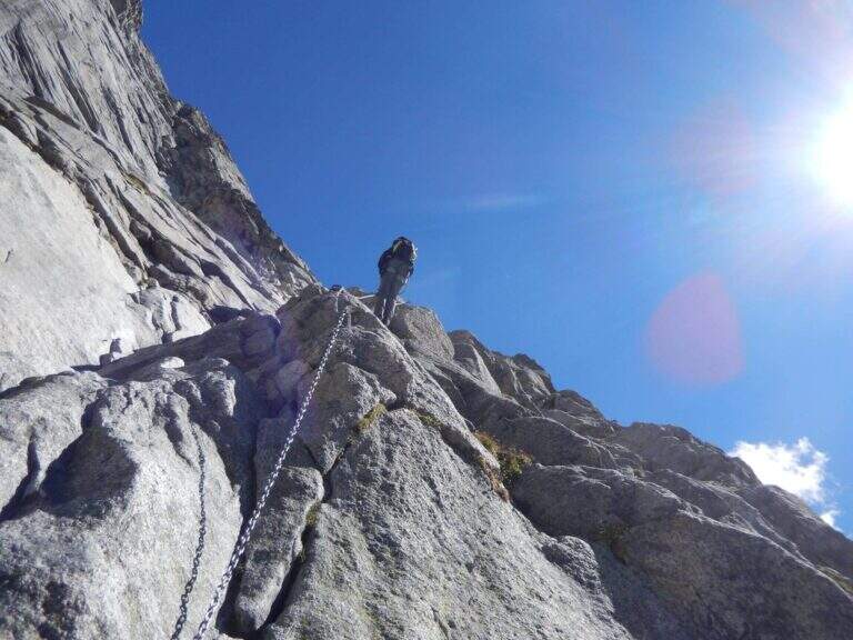
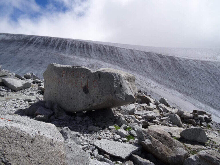
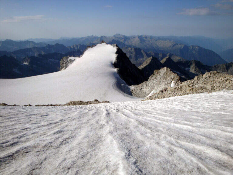
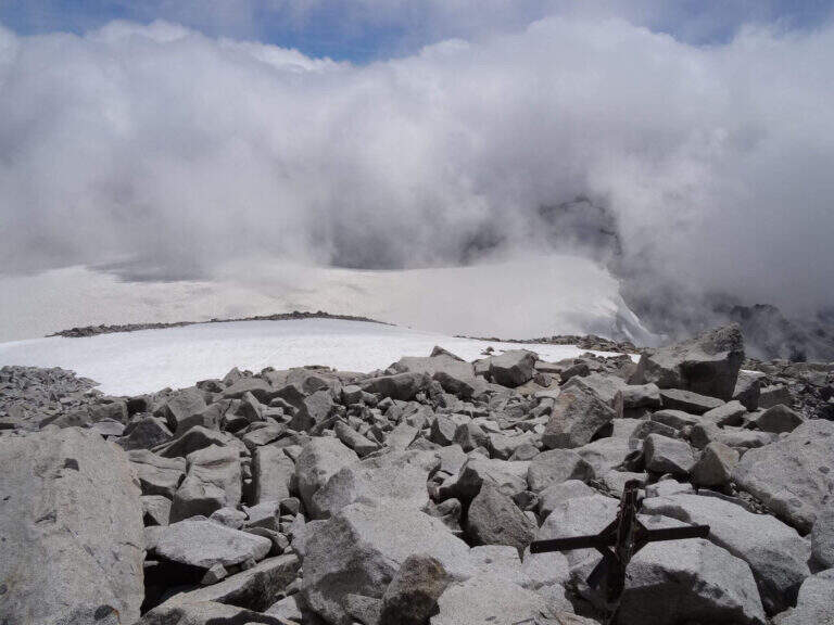
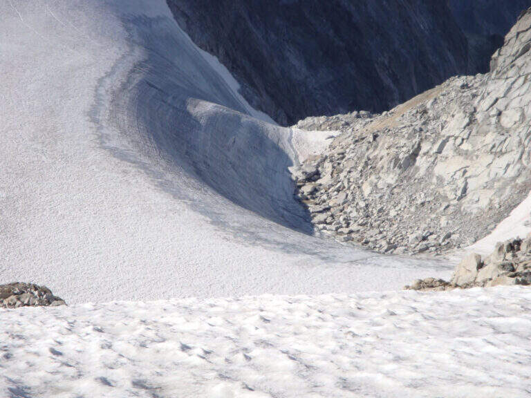
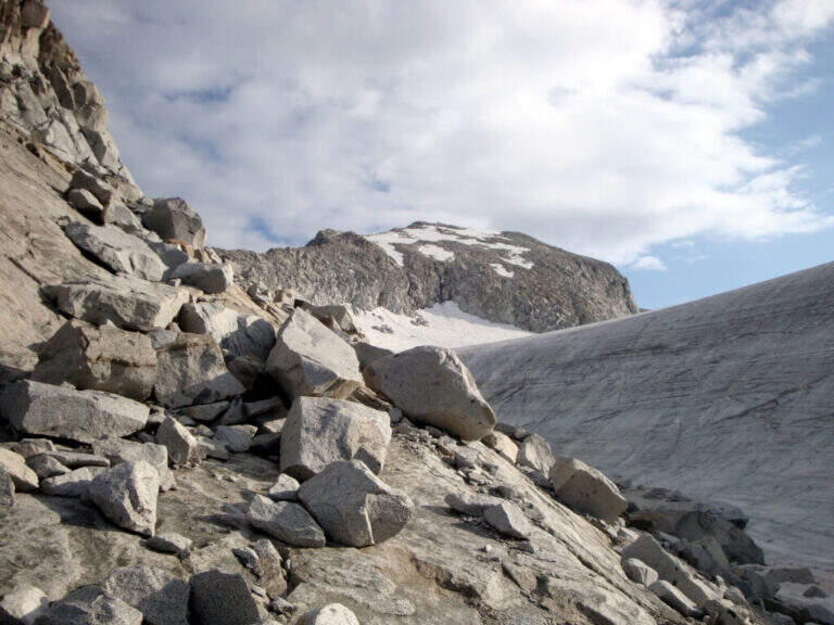
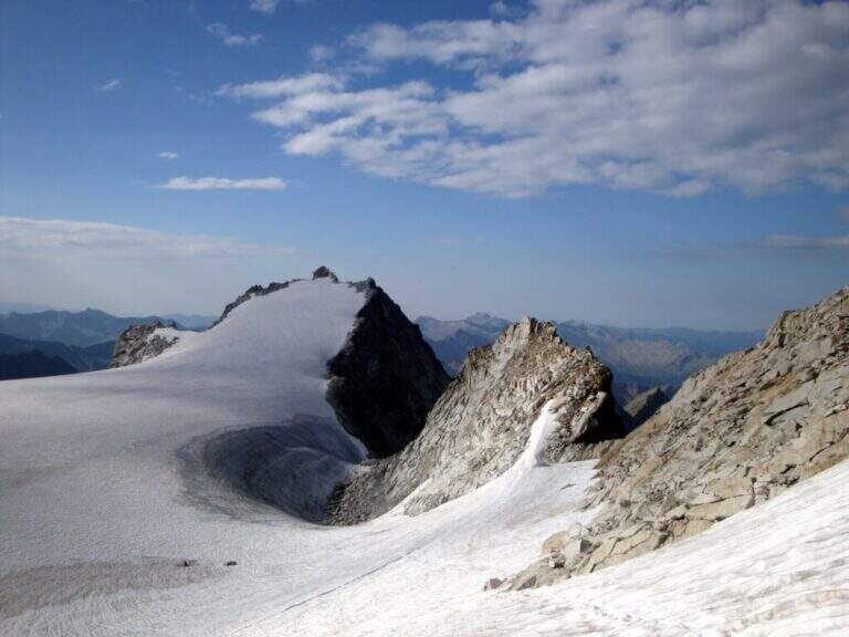
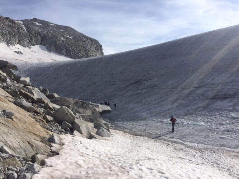
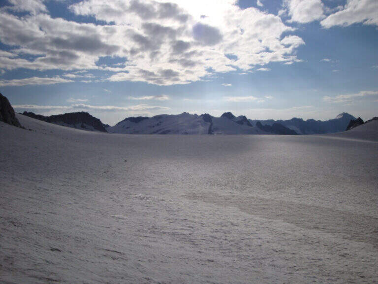
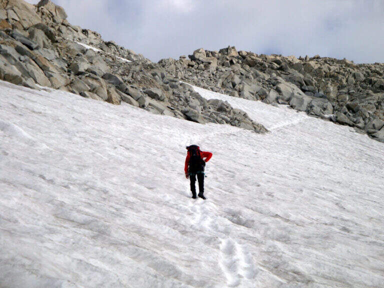
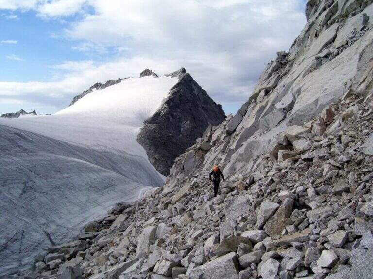
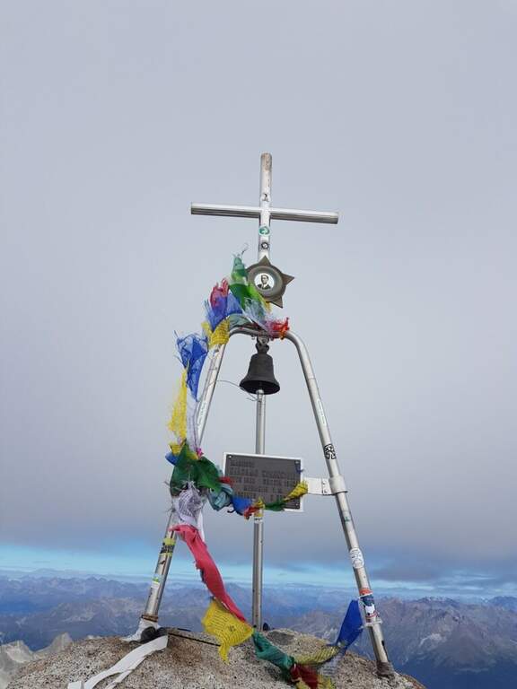
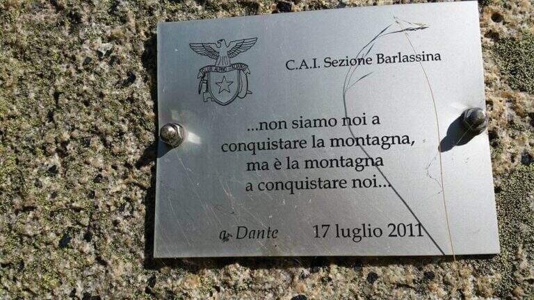
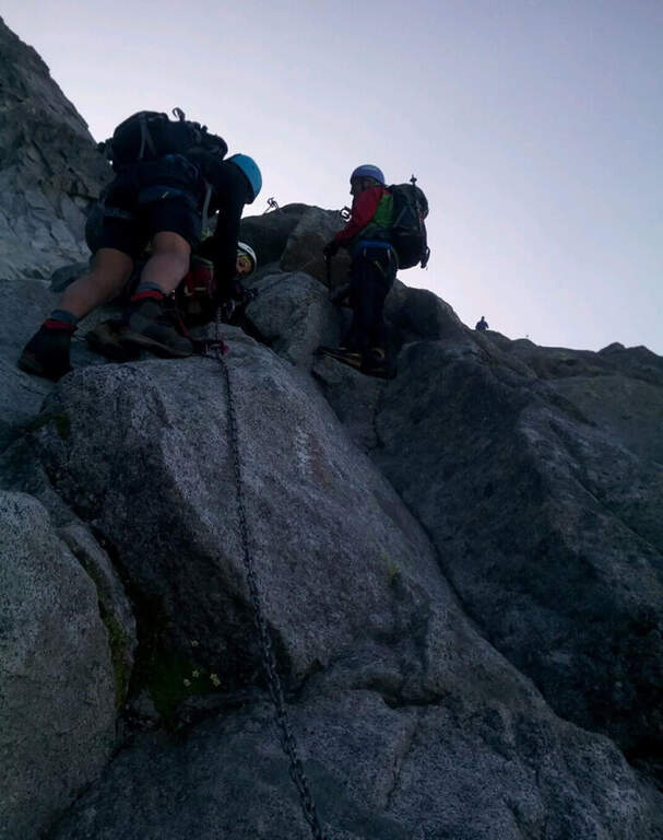
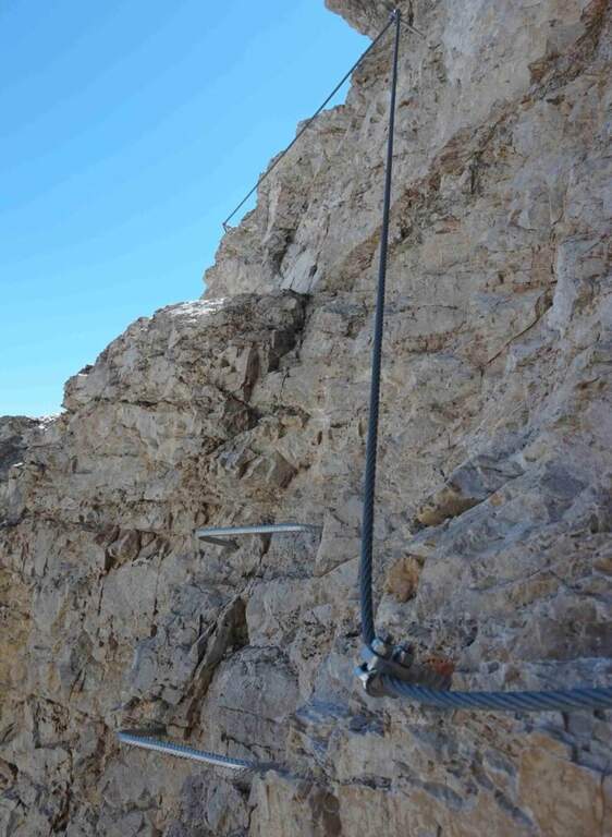
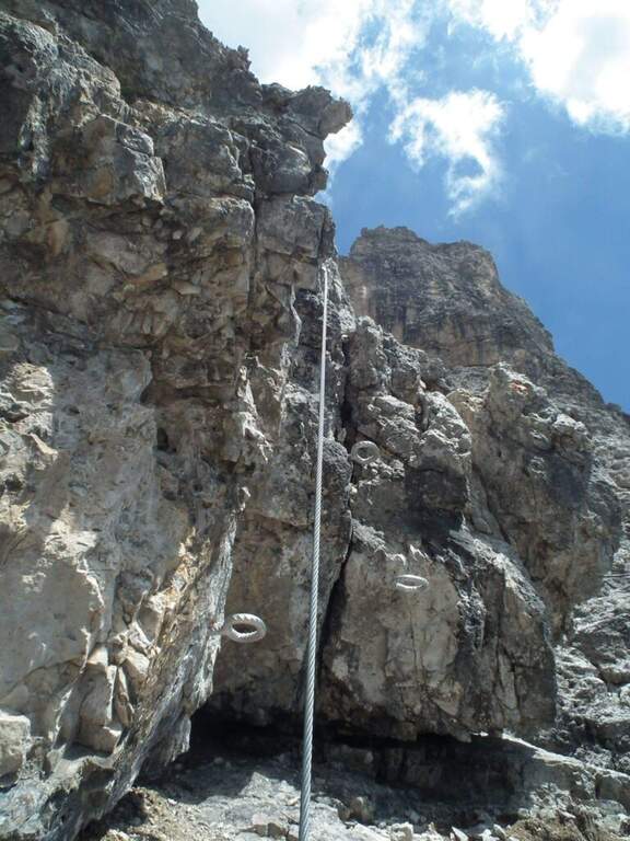
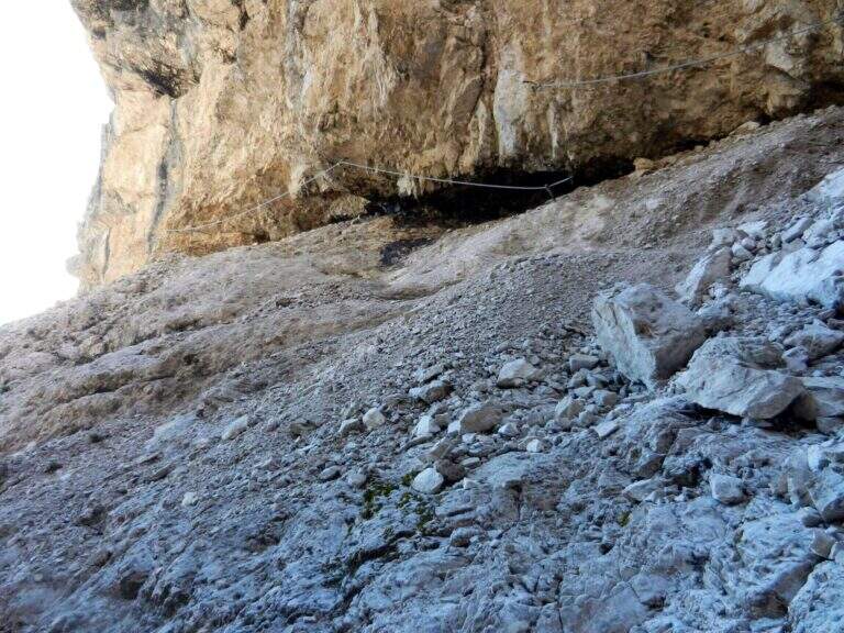
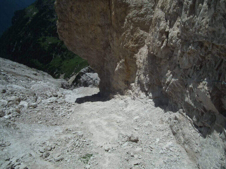
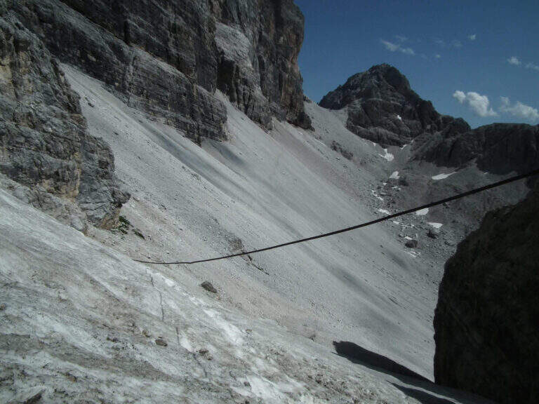
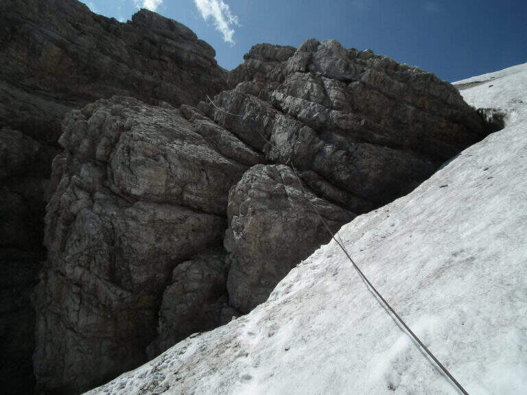
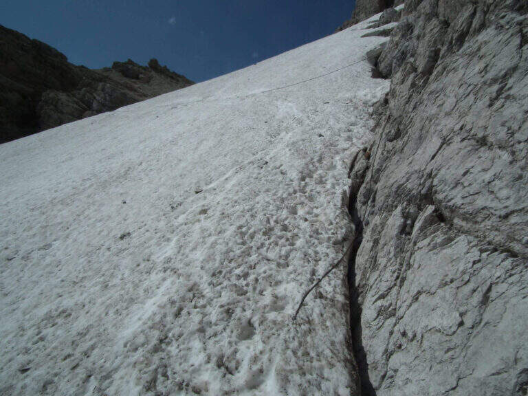
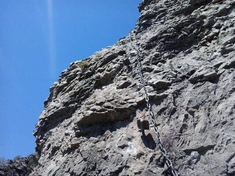
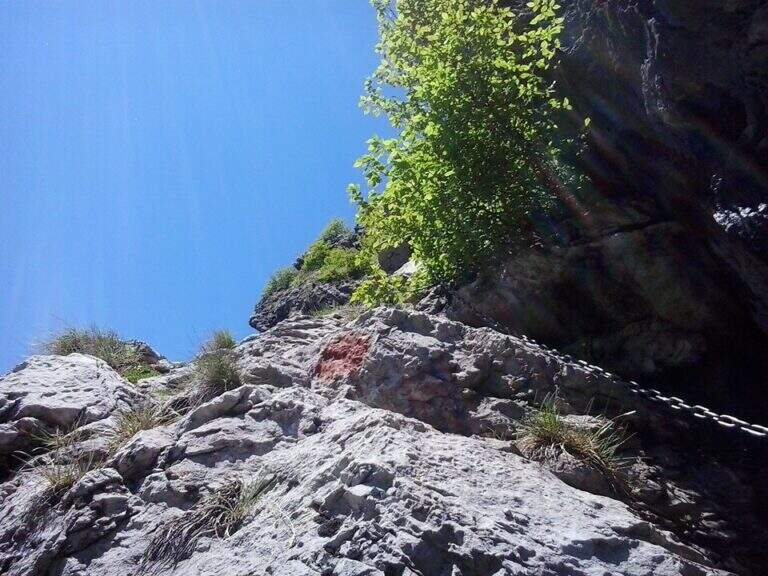
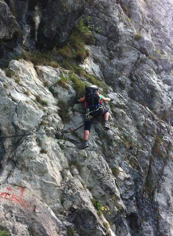
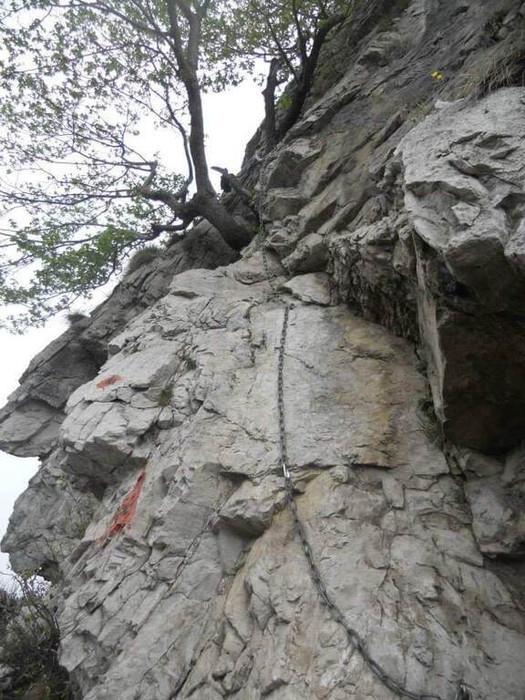
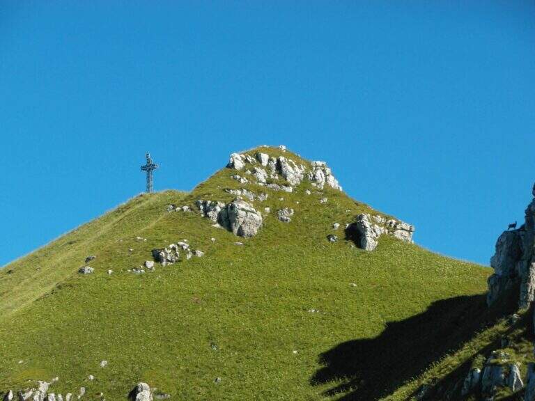
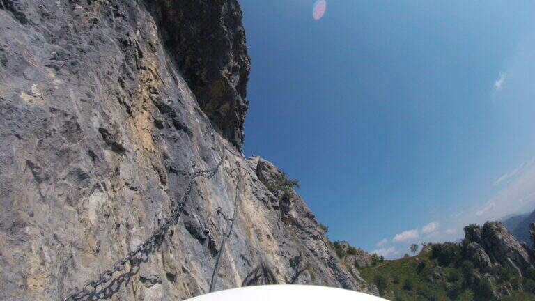
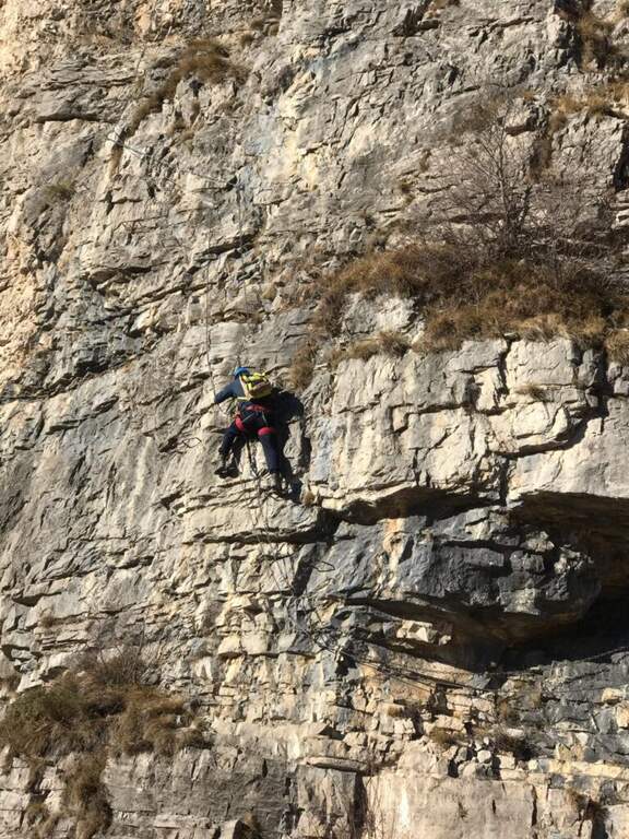
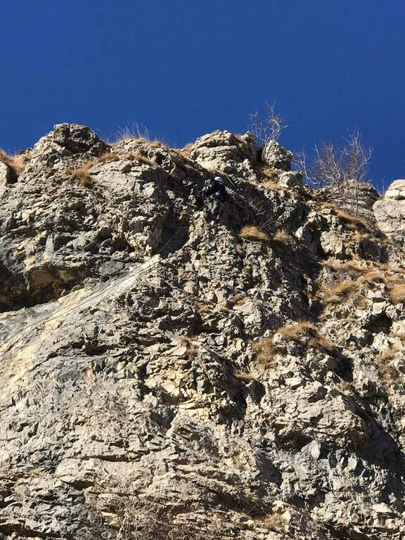
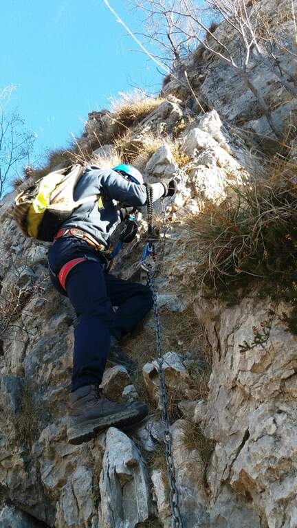
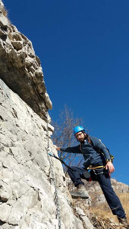
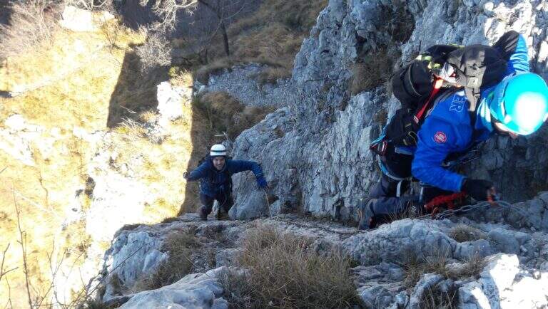
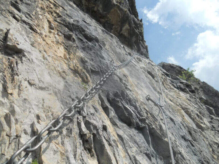
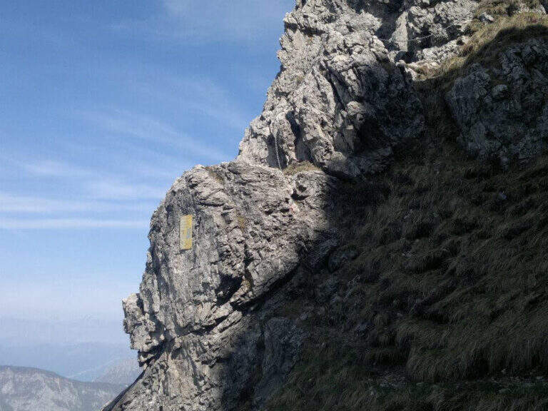
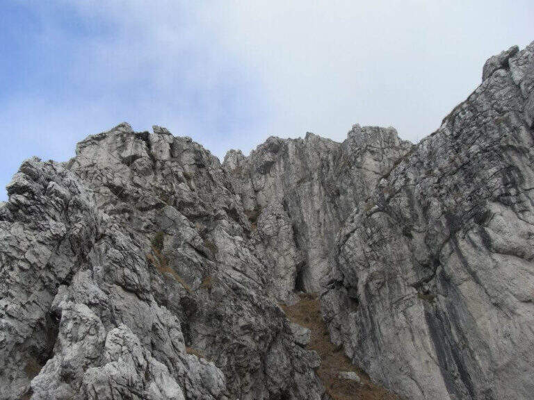
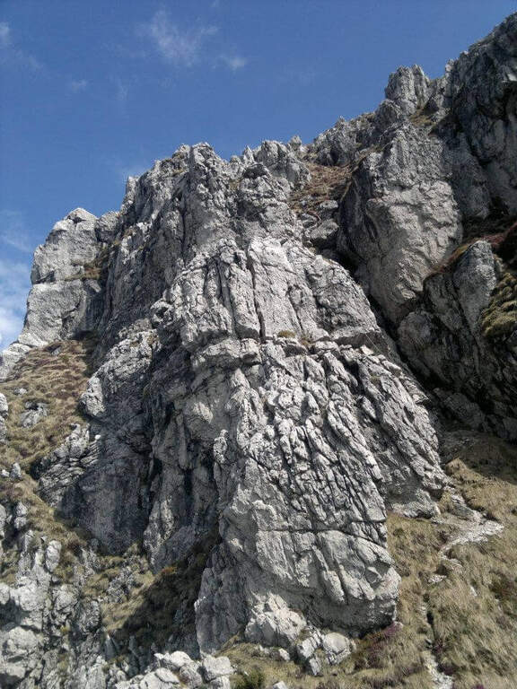
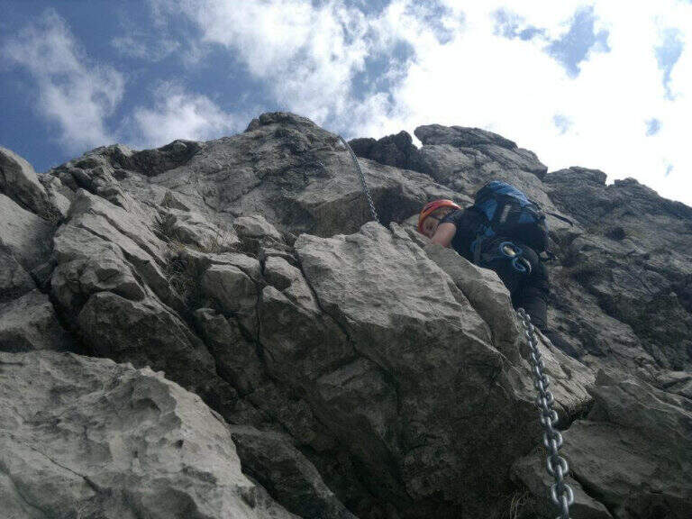
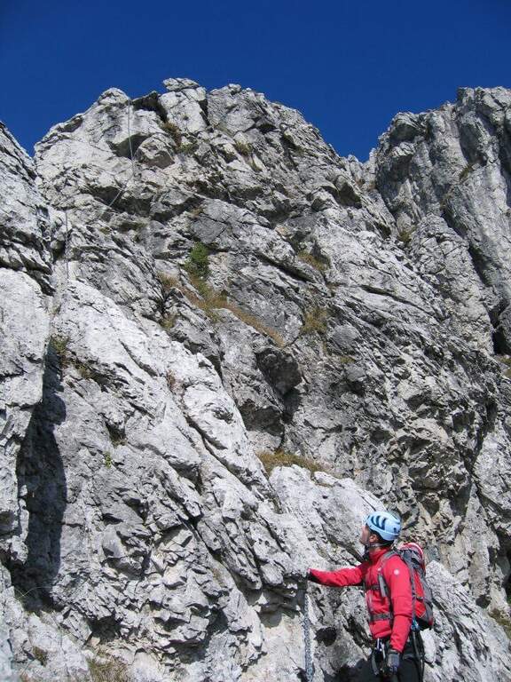
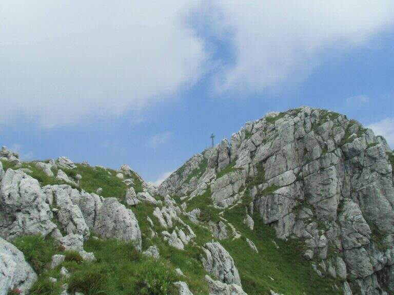
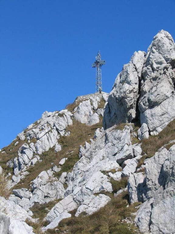
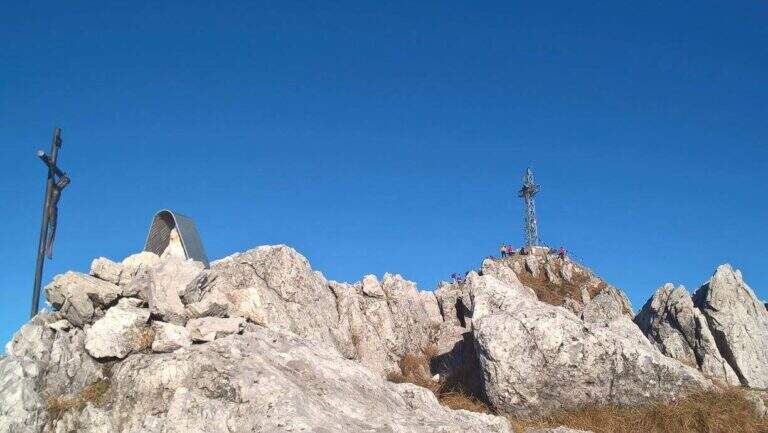
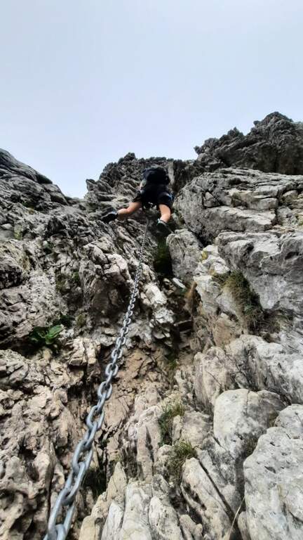
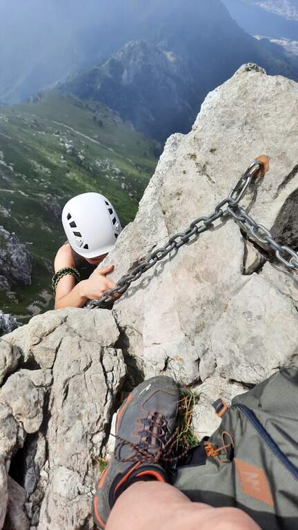
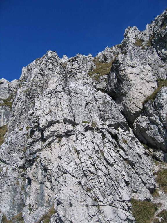
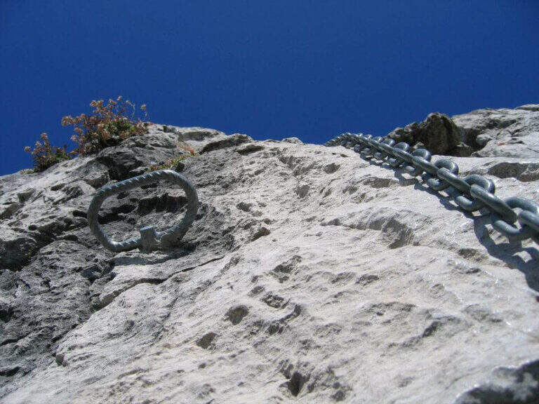
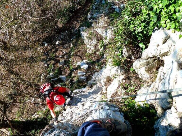
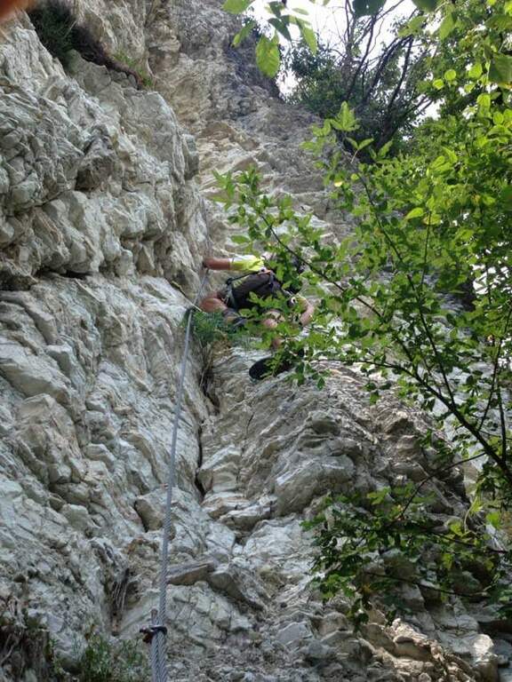
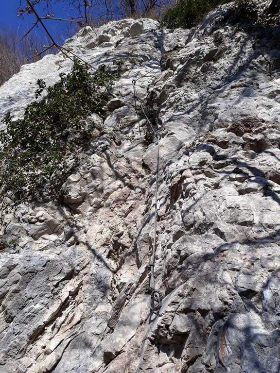
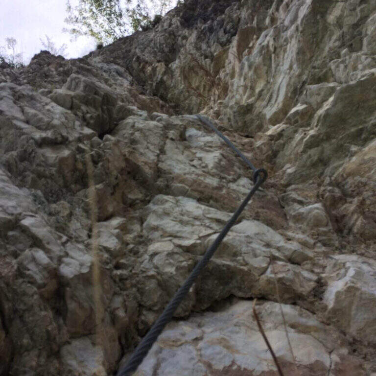
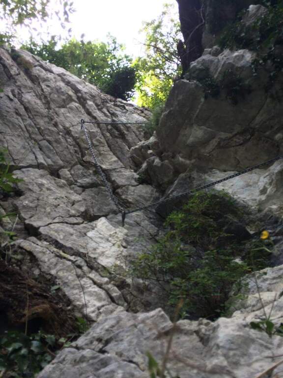
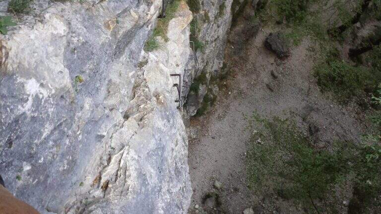
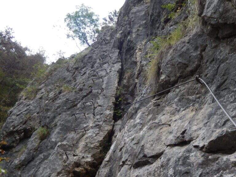
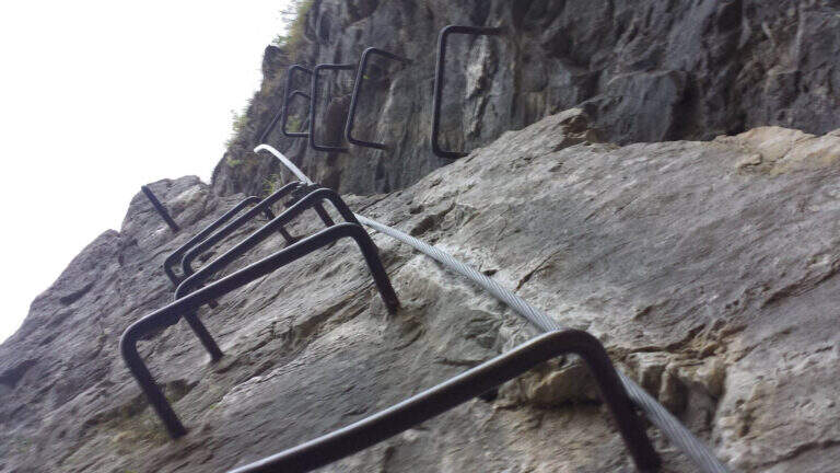
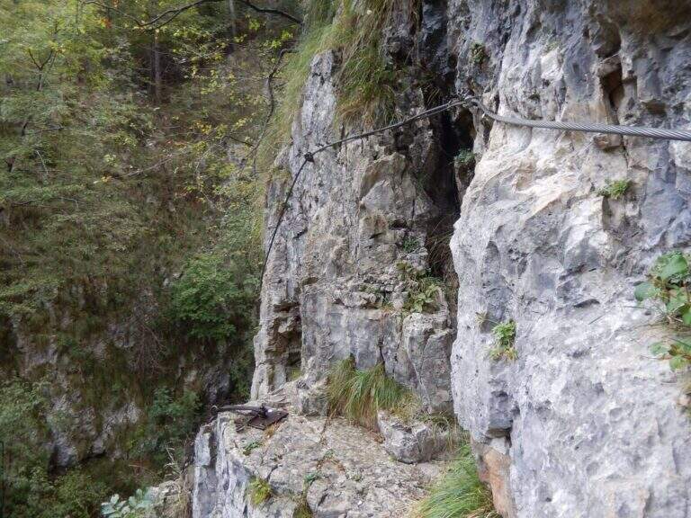
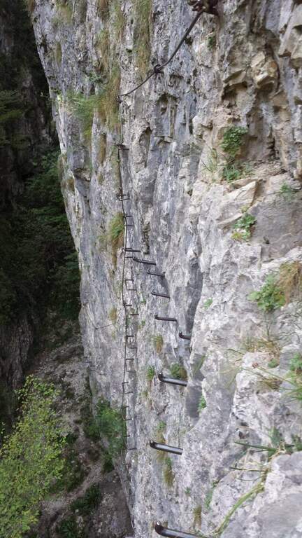
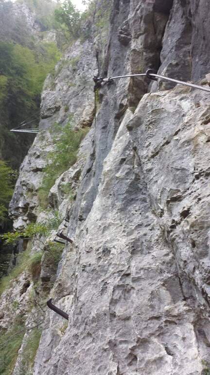
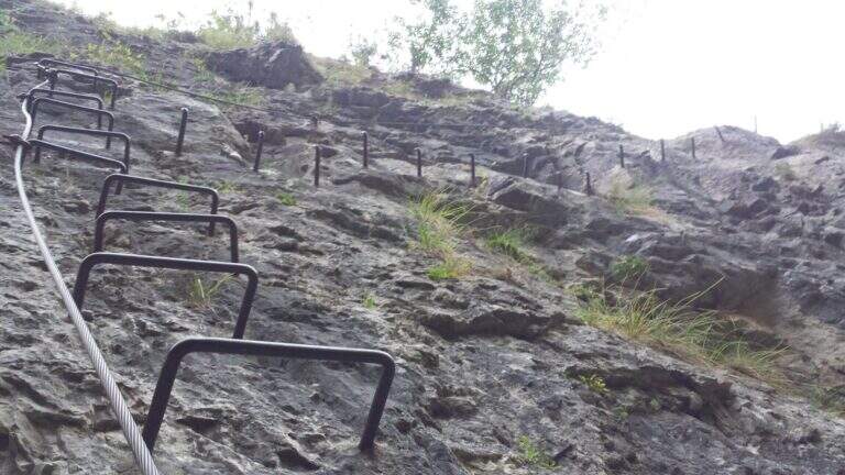
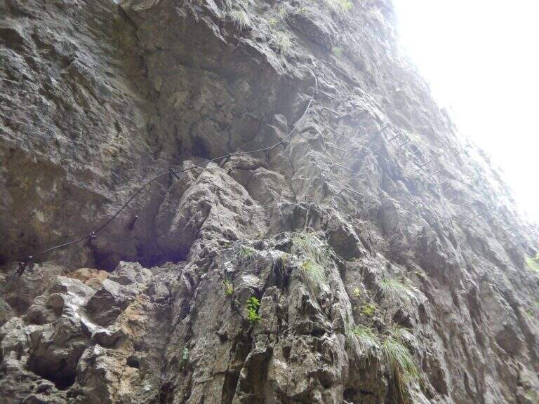
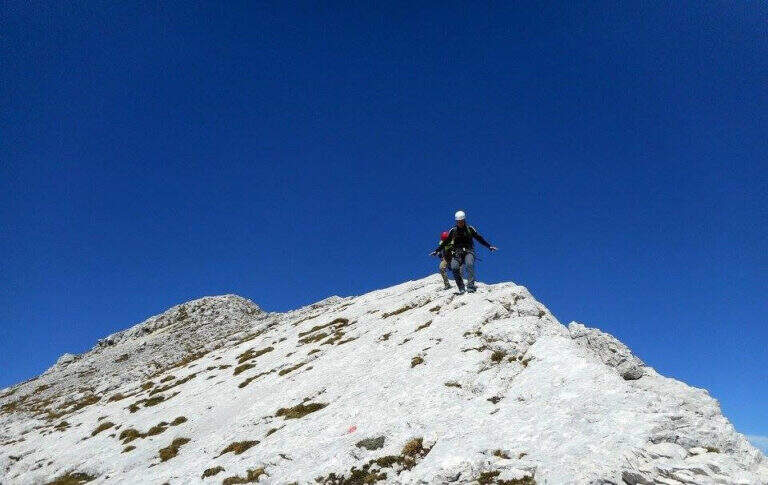
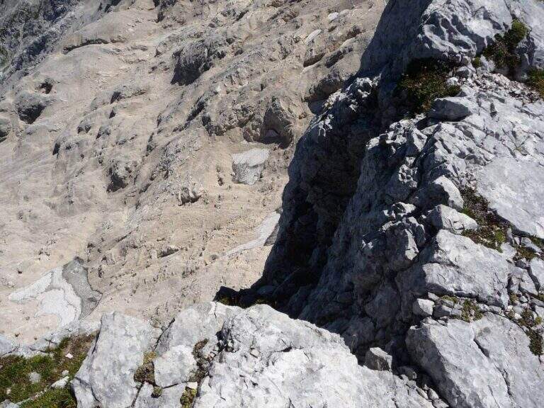
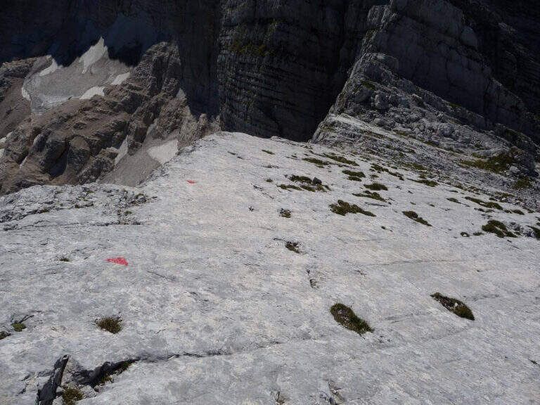
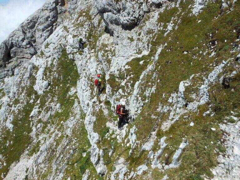
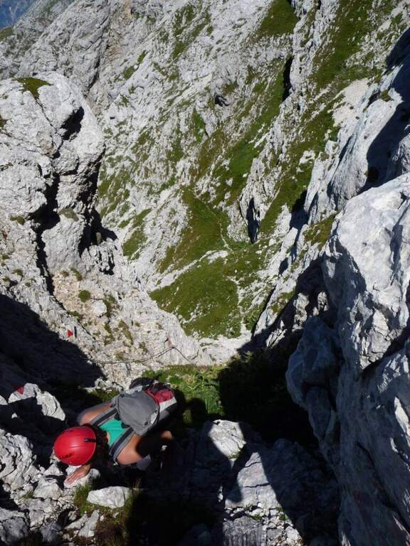
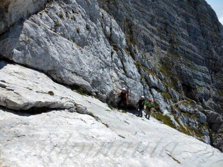
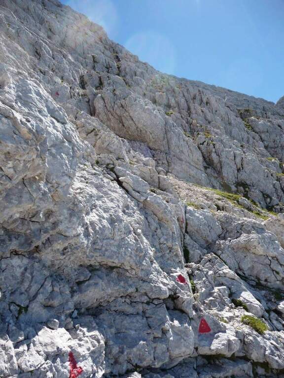
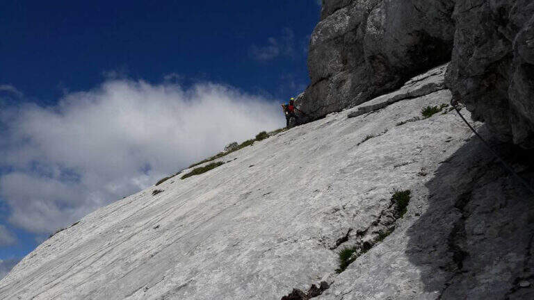
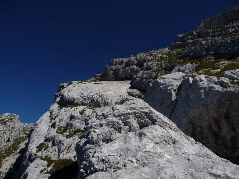
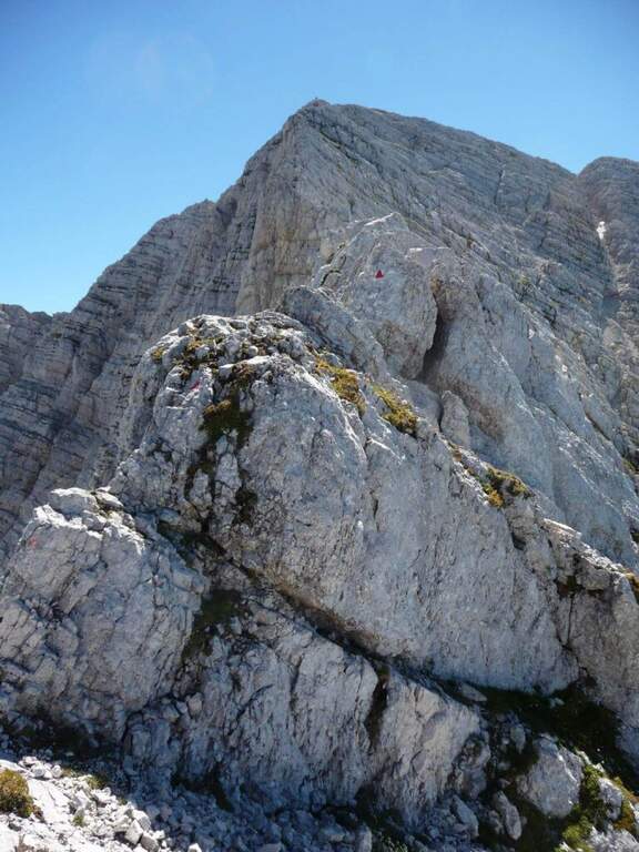
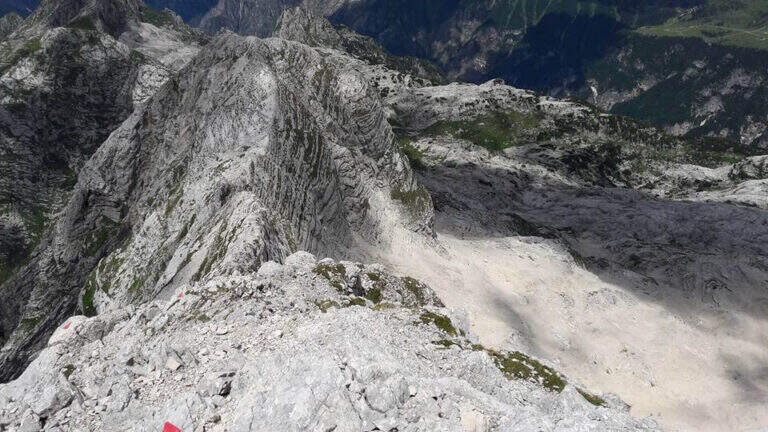
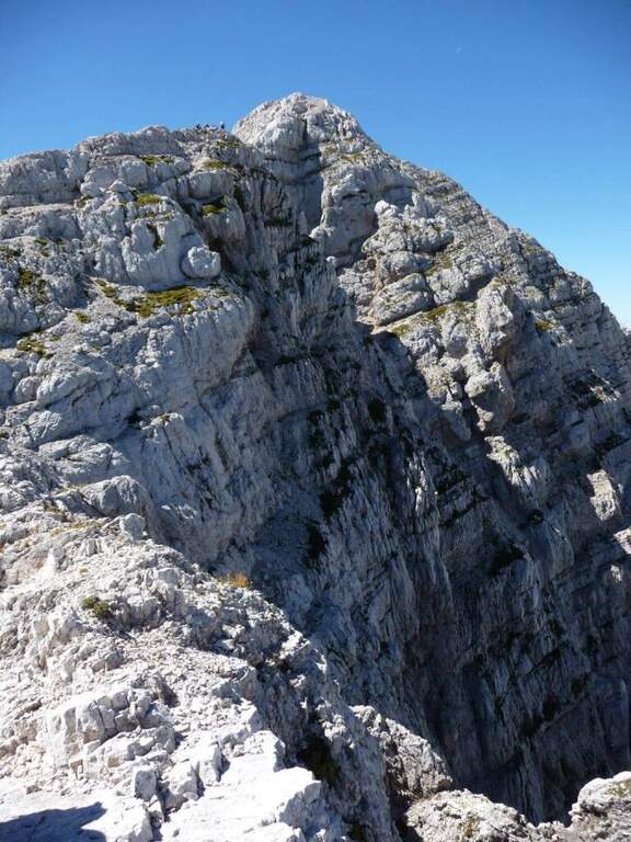
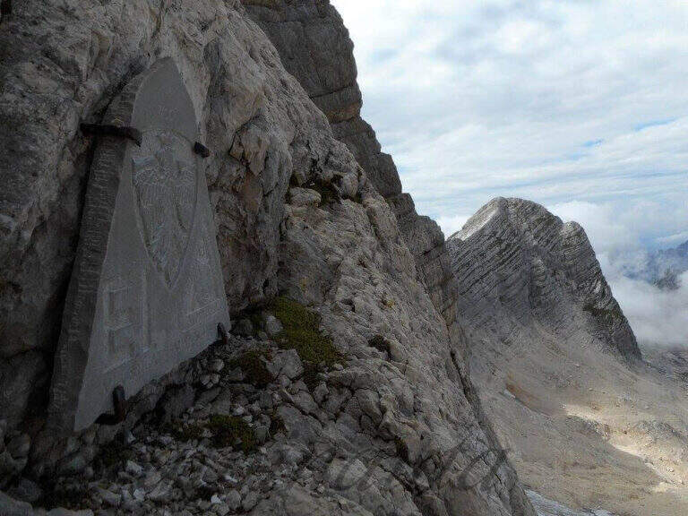
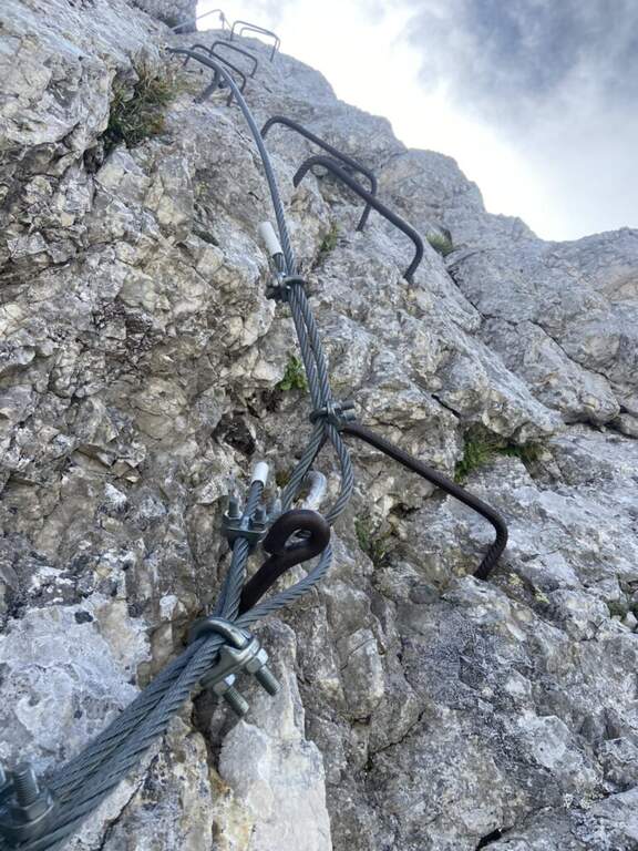
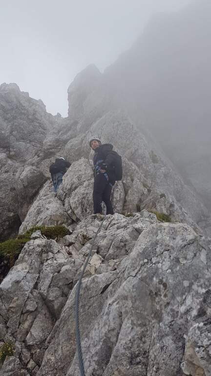
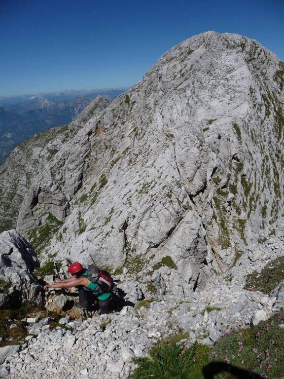
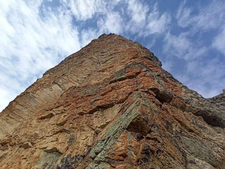
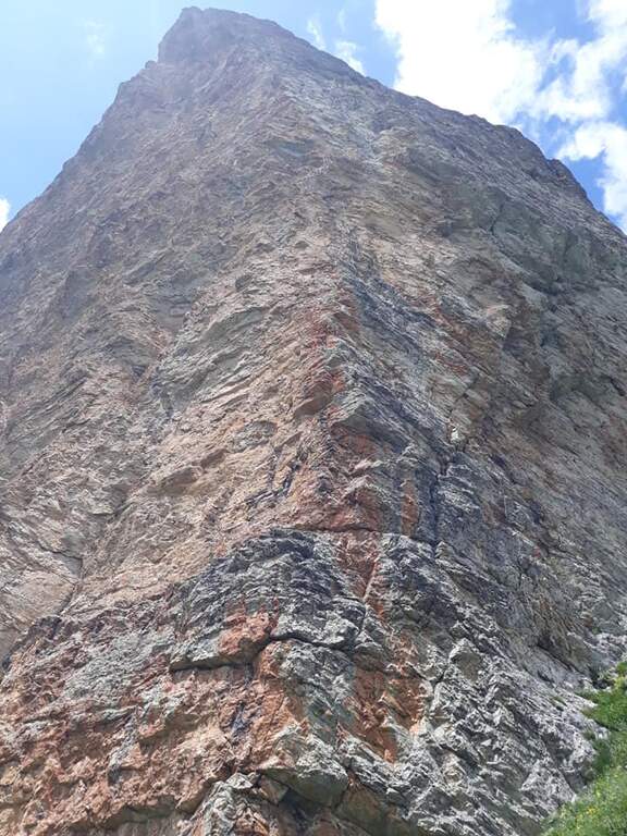
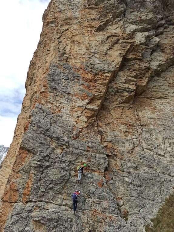
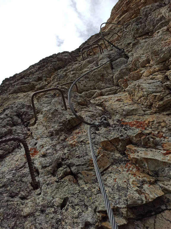
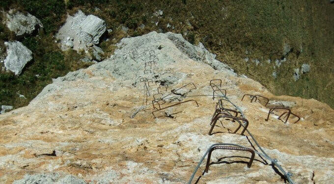
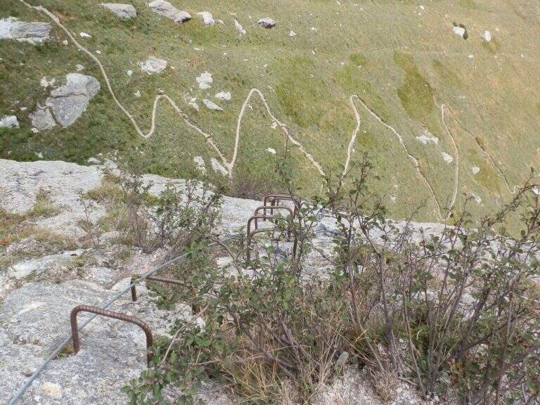
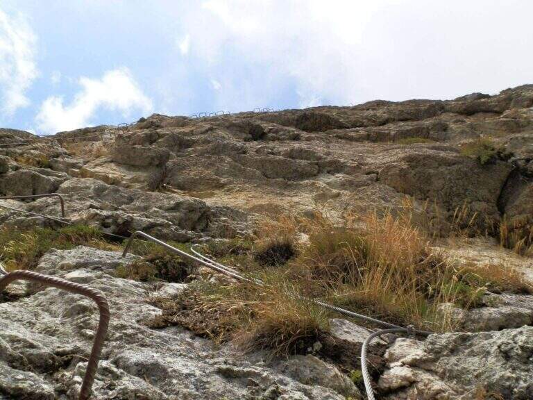
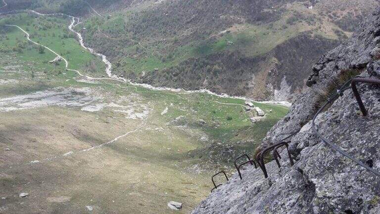
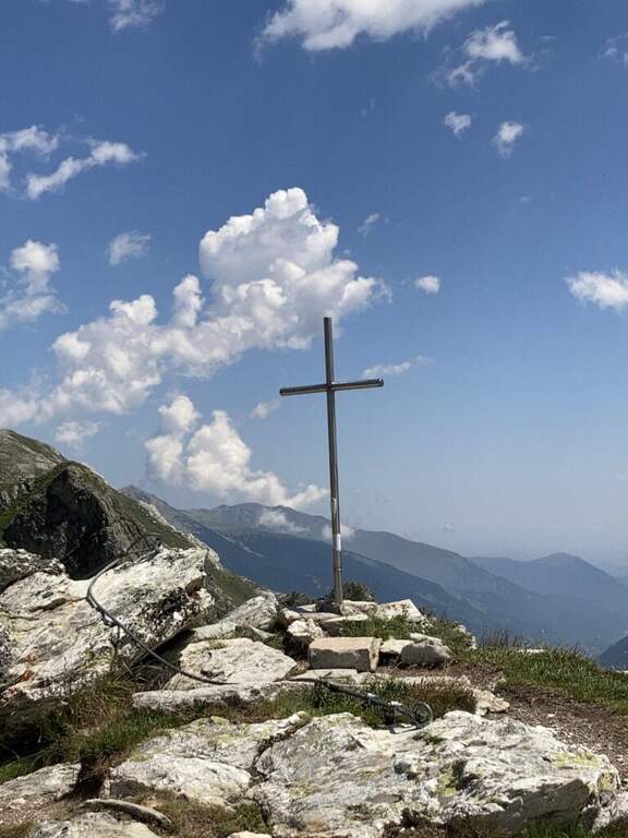
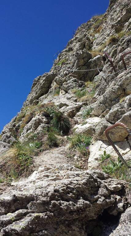
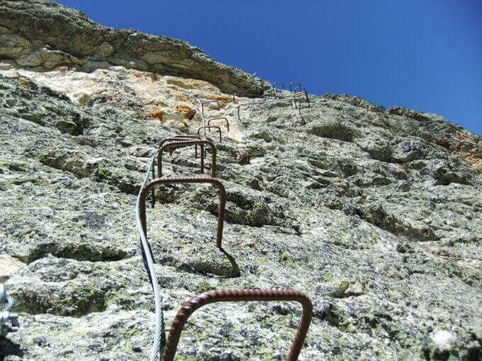
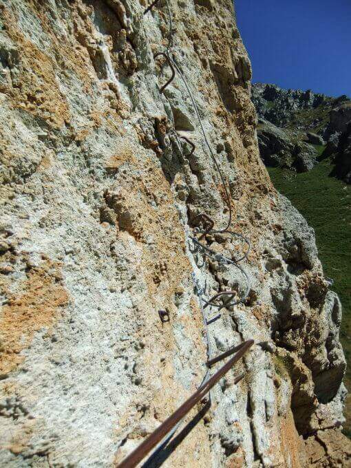
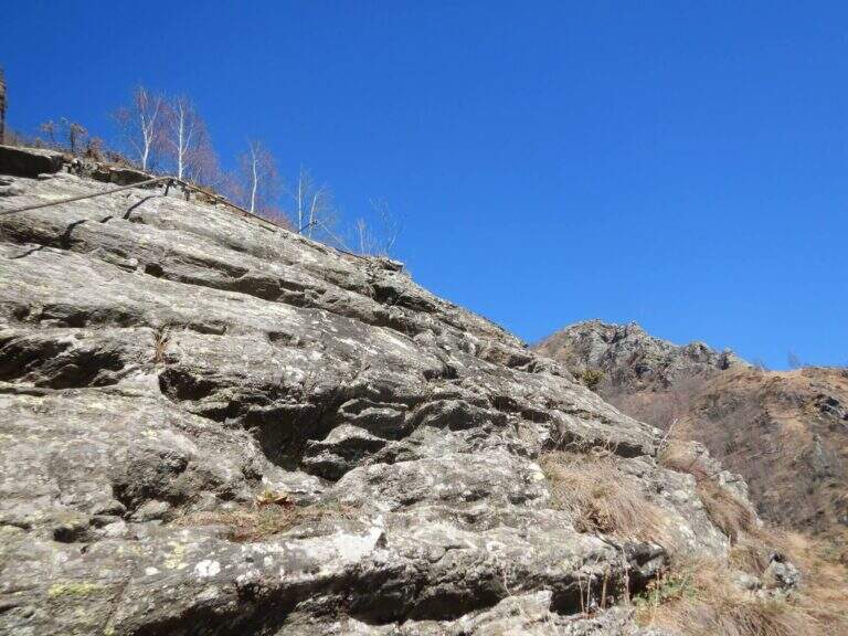
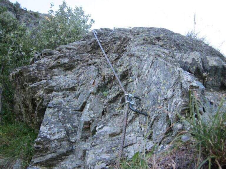
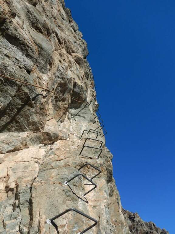
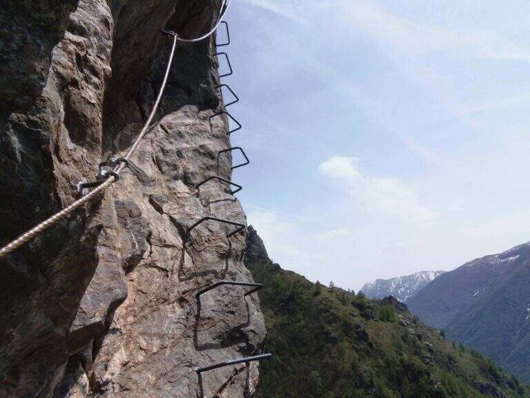
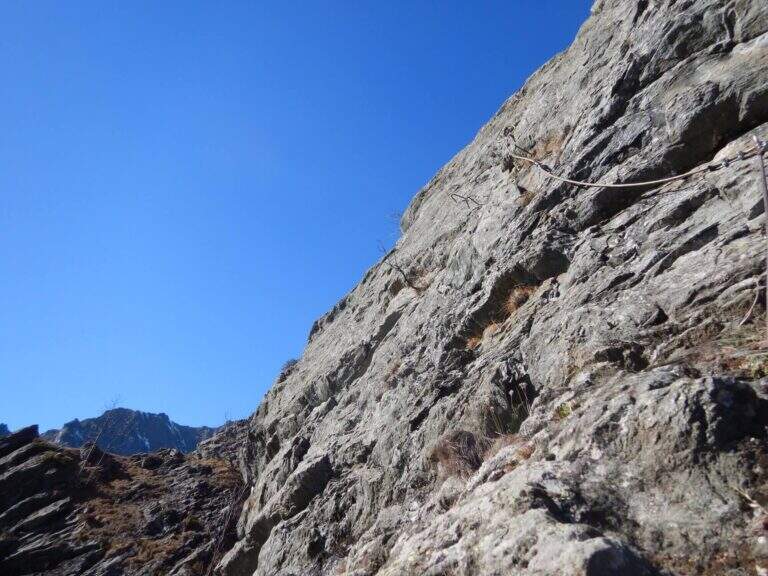
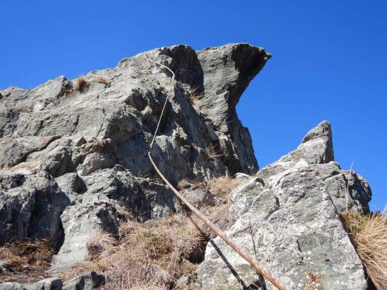
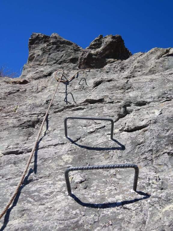
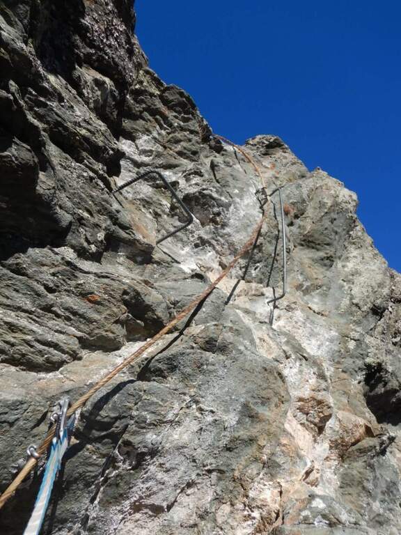
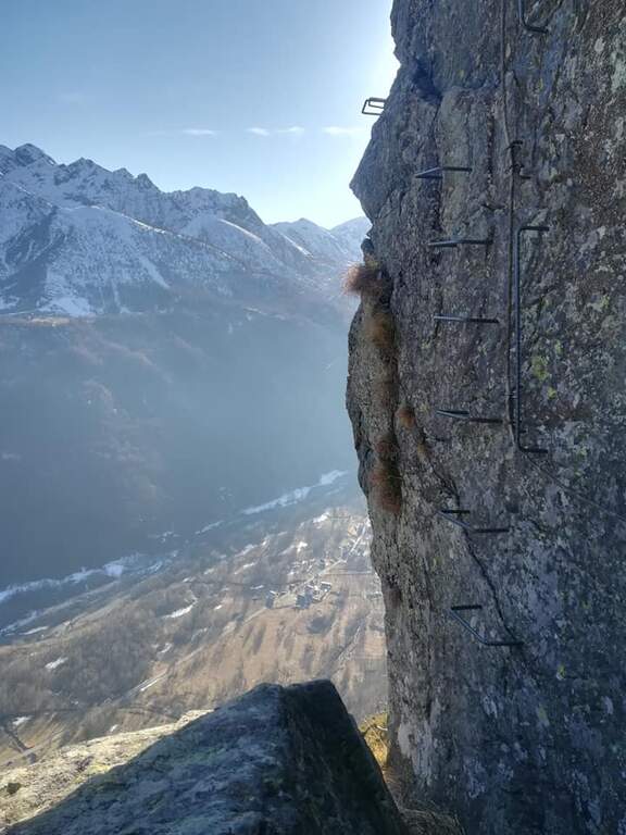
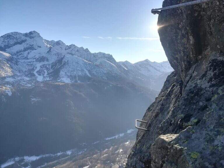
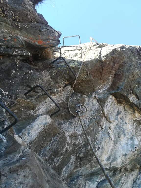
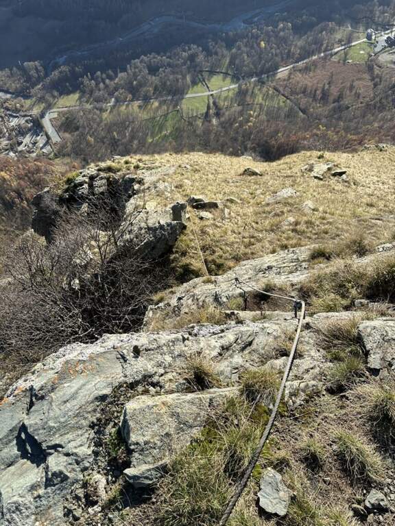
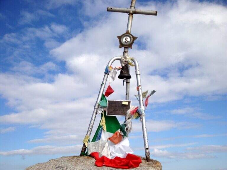
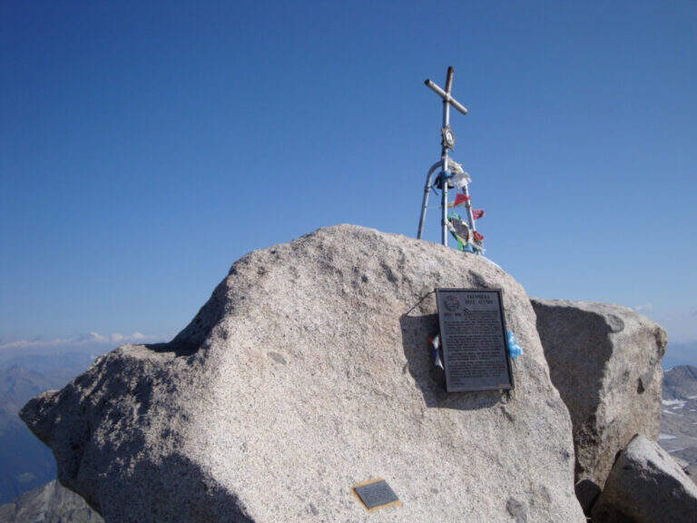
    La via è attrezzata con catena a tratti. Si inizia su un breve spigolo; a un primo terrazzino si cambiano i moschettoni su una nuova catena e si sale verticali su roccia compatta ma levigata. Terminata la catena, un sentierino esposto e roccette portano a un tratto diagonale a sinistra e poi a una salita più ripida ma senza difficoltà tecniche. Dove le attrezzature finiscono si seguono segni bianco-rossi e ometti fino a una placca inclinata dove le catene riprendono: la si risale in linea retta e poi a destra, si percorre una cengia terrosa e un traverso esposto attrezzato, quindi una breve placca chiude le attrezzature poco sotto il Passo dell'Adamello (3240 m, 1h from the attack, 4h 30' total). From here the itinerary continues in the glacial environment: you descend on the left edge of the Adamello Glacier (Bivacco Ugolini and Cima del Laghetto on the left), then climb the last ~300 m on rocks of I degree up to the west ridge and, for the thread with small balconies exposed, to the summit cross of the Adamello (3539 m, 1h 30' from the Pass, 6h total).

    ▲Character and difficulty

    Technically the ferrata is not difficult for those who already have good experience; the rock is good but not always rich in hooks. The real difficulties are the environment, the length, the altitude difference (over 2000 m overall) and the altitude. Development 22 km, maximum altitude 3539 m.

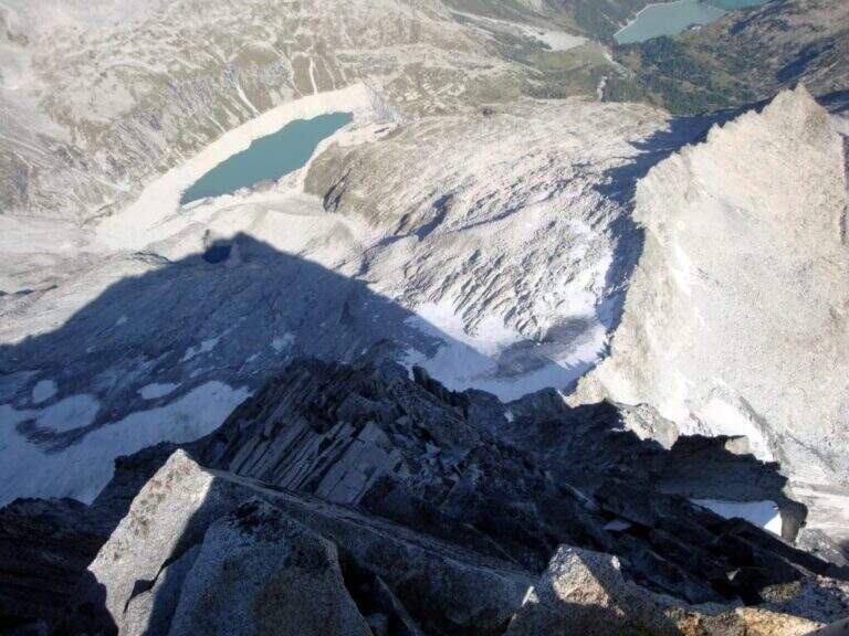
    ⚠ Itinerary d' high mountain: necessary ramponi and peak for the Snow Plan, evaluation of the conditions of the glacier on the spot and stable weather. The descent è long, exhausting and at times steep and exposed (in particular the crest from the summit to the glacier). It is recommended to break l' two-day itinerary by staying at the Gnutti Refuge.
    ▲Discipline

    The descent follows l' the entire ascent itinerary, disarrampicando also the Ferrata Terzulli (the normal & free route; a different itinerary that would require an overnight stay). From the summit, taking care of the steep and exposed traits; from the refuge there are the Miller Stairs and the last kilometers up to ' car (1h 30' from the refuge, 5h from the summit, 11h totali).

    ▲To match

    Staying in the upper Val Camonica you can walk, further south, the Ferrata at Corno di Grevo e la Ferrata at Pizzo Badile Camuno; towards the Tonale Pass Ferrata del Sentiero dei Fiori and, on the trentino side, the Ferrata Monte Nero.
    ▲Gallery
    Technical data
    • DifficultyHard
    • RegionLombardy
    • GroupAdamello
    • Approach3:30 h
    • Ferrata1:00 h
    • Itinerary (a/r)11:00 h
    • Hardware level difference200 m
    • Route difference2011 m
    • Max3539 m
    • Length22 Km
  • Ferrata Severino Casara (Croda dei Toni)

    Ferrata Severino Casara (Croda dei Toni)

    Vie Ferrate › Trentino-Alto Adige › Bolzano
    Ferrata Severino Casara (Croda dei Toni)

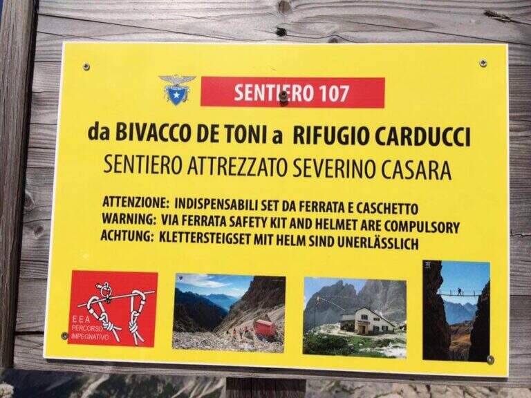
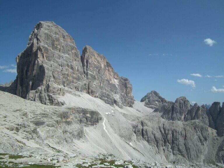
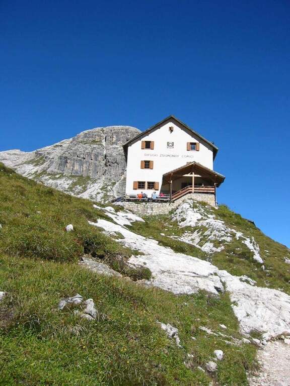
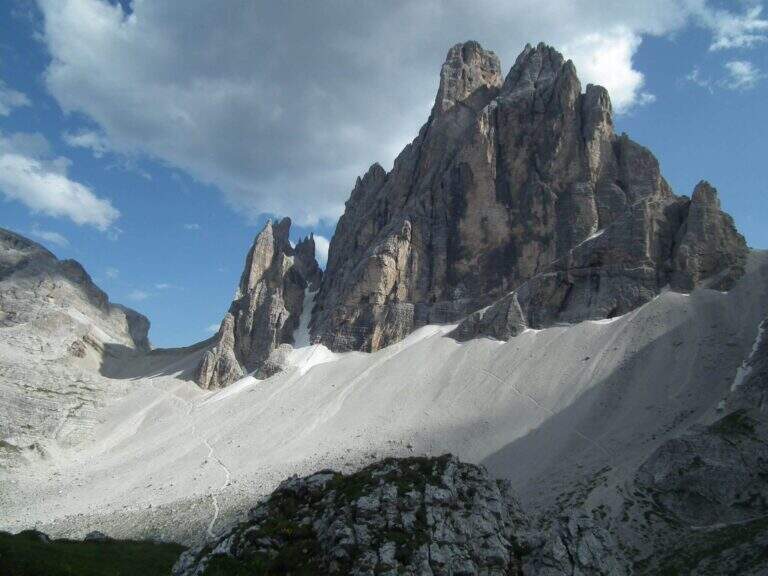
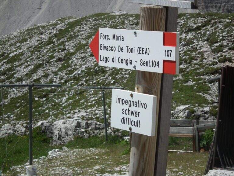
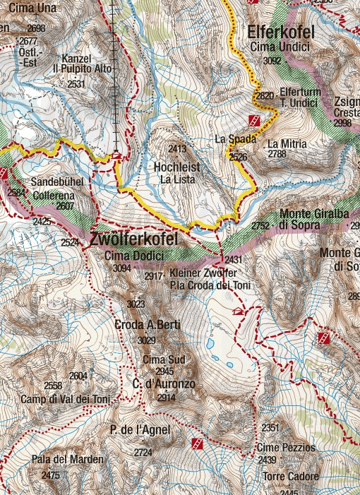
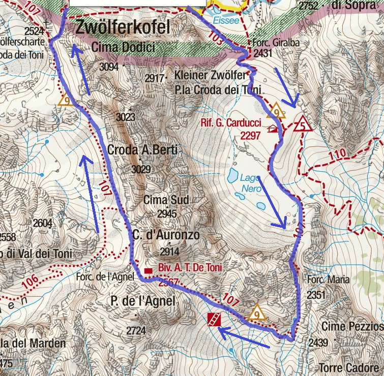
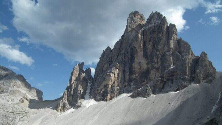
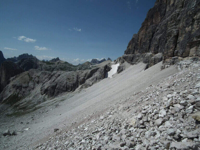
    La Ferrata Severino Casara (sentiero 107) connects the eastern side with the western side under Cima Twelve (Croda dei Toni), in the Dolomites of Sesto. È a route d' high mountain very challenging and tiring if route in the day (about 19 km, 10 hours, altitude difference 1350 m), exposed but without difficultà remarkable techniques in the equipped sections, in a spectacular environment in the presence of some of the pi&grave Dolomites peaks; Ardite.

    : Notice: A big landslide detached from the Witzenmann Tower in 2017 hit the last few meters of ferrata towards the Forcella de l'Agnel, making the formally unable. The section è only was put partly in safety with mountaineering ropes: the deviation è difficult and requires experience, not to be underestimated. Before you start checking out l' effective forcorribilità contacting Rifugi Comici e Carducci.
    ▲Approach

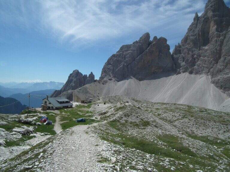
    Starting point l' Hotel Dolomitenhof in Val Fiscalina (1454 m), reachable from Moso in Val Pusteria. Open road signs on Google Maps. Follow the 102 road towards the south to the Rifugio al Fondo Valle (1548 m, 30'); continue on 102 towards the south-west and at a crossroads take the left on the path 103 towards the Rifugio Comici, constantly climbing the left of the Val Fiscalina Bassa (on the opposite side you can see the ridge of the Strada degli Alpini) up to the Rifugio Comici (2224 m, 2h 30' from the parking ). Continue on the 103 south, with the north wall of the Croda dei Toni in front, up to Forcella Giralba (2431 m); descend to the detritic valley at the Rifugio Carducci (2297 m, 3h 30' totali), start of path 107 «Sentiero Attrezzato Severino Casara».

    ▲The path

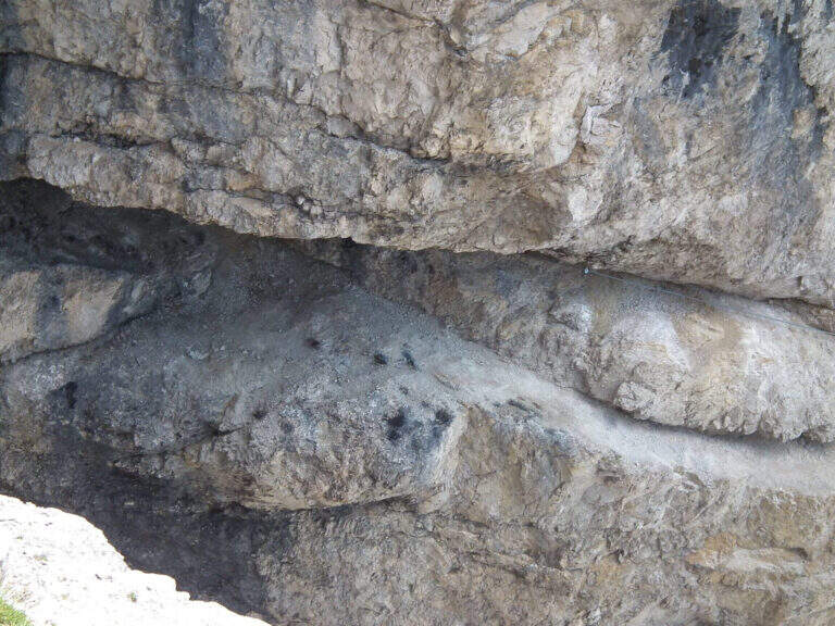
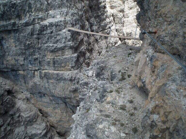
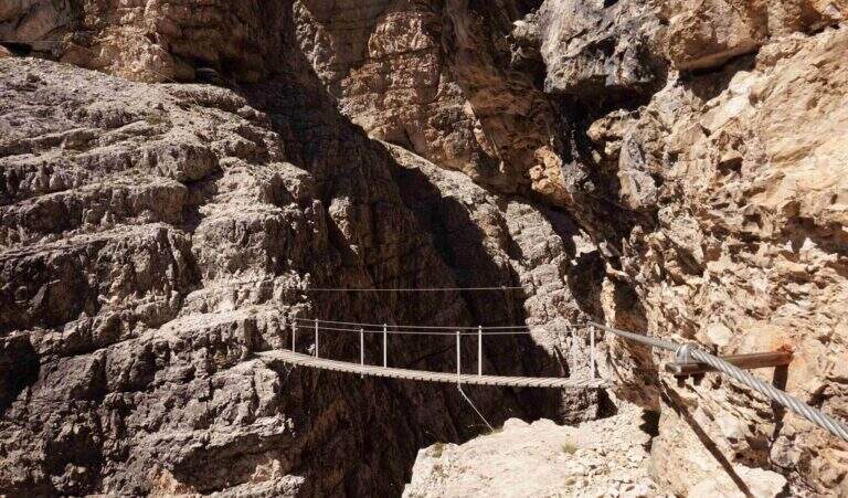
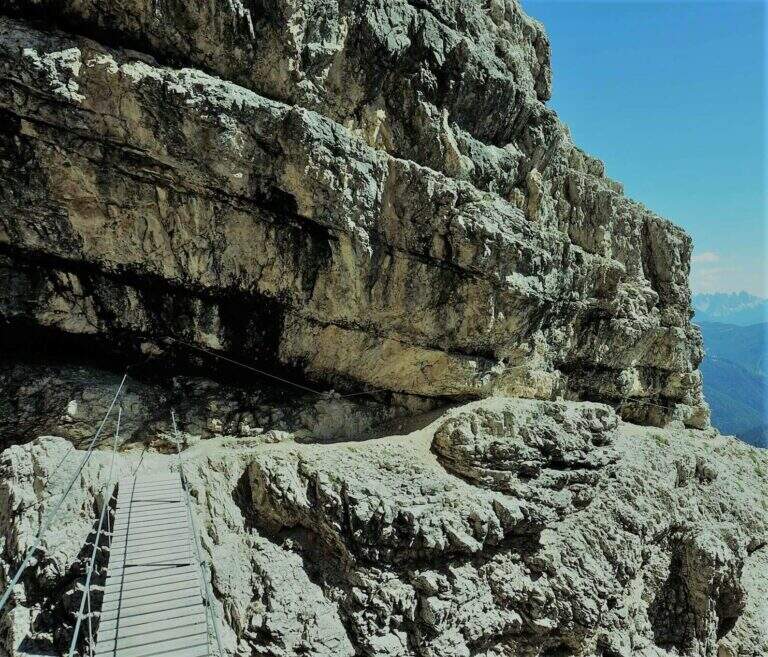
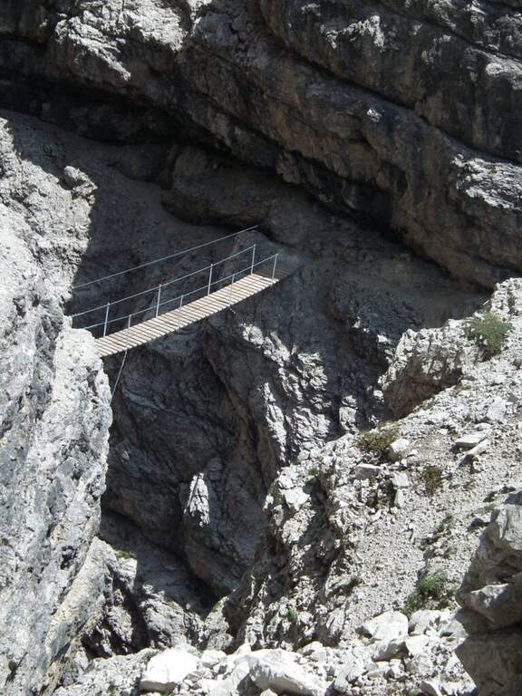
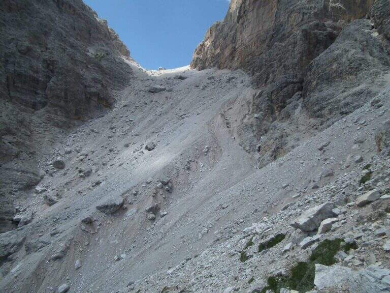
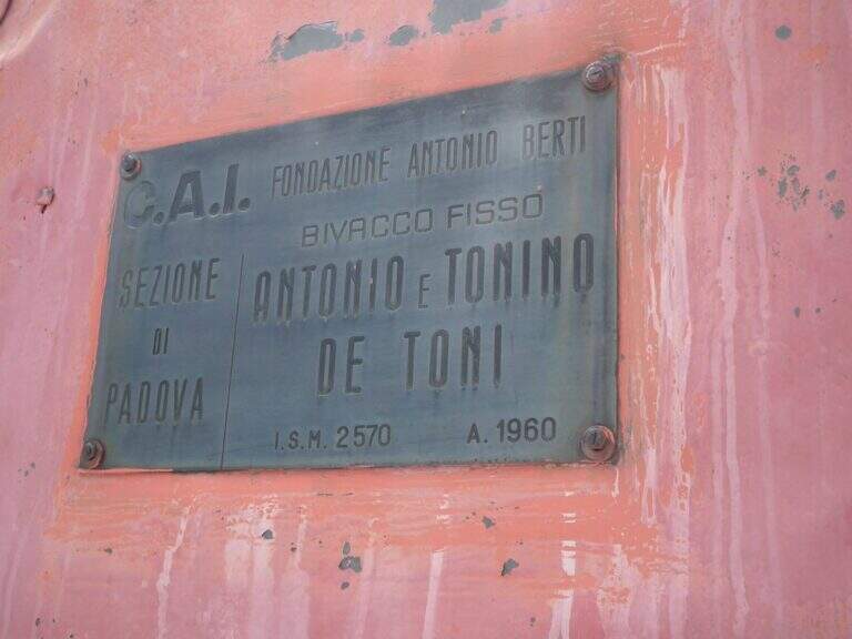
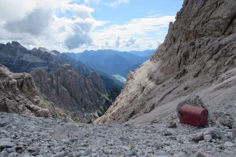
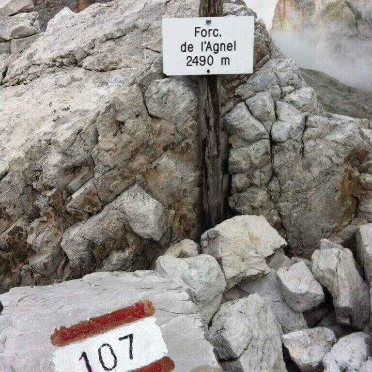
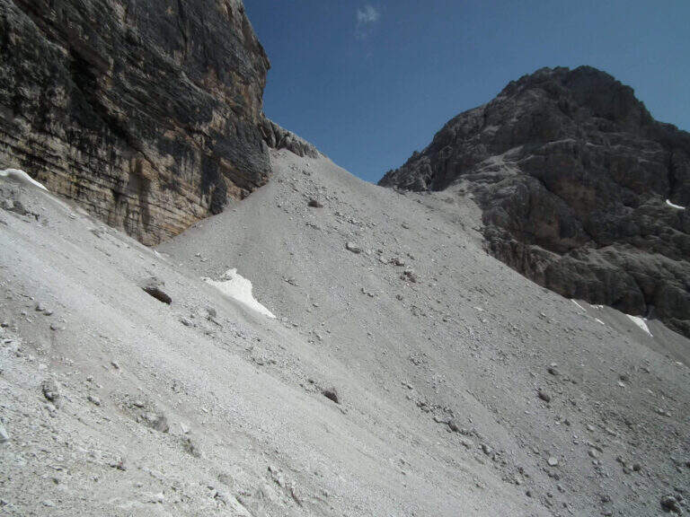
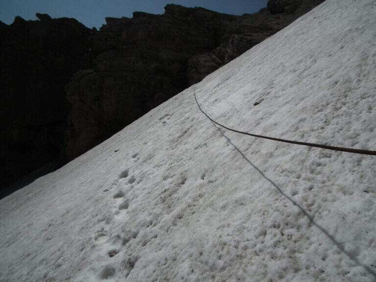
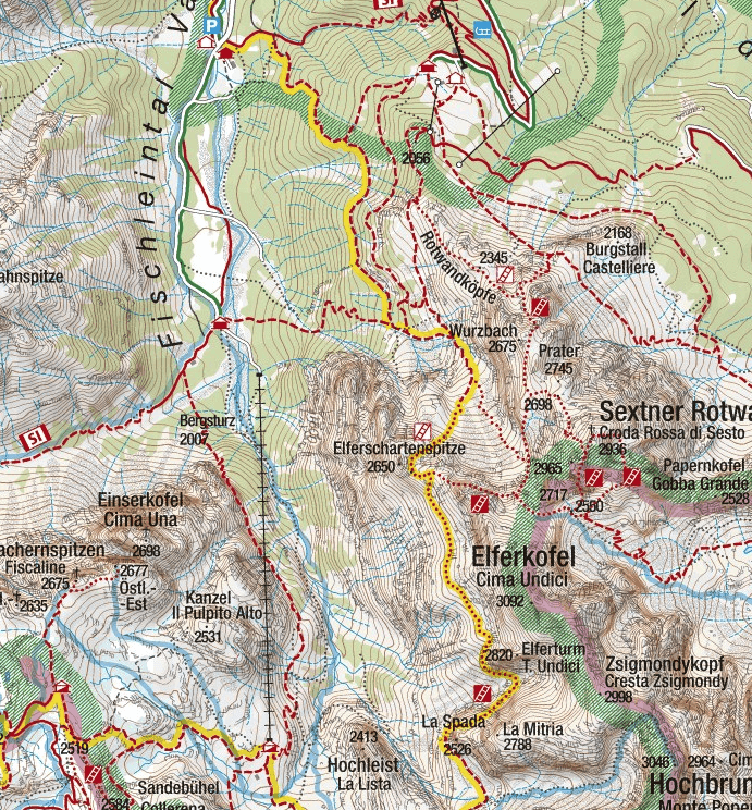
    Poco sopra il Rifugio Carducci iniziano le attrezzature. Si percorre un'esile cengia su fondo detritico lungo la parete sud-est della Croda dei Toni, alternando tratti attrezzati e sentiero, fino al bivio di Forcella Maria (2351 m, 45' dal rifugio) tra il vecchio 107 (chiuso per frane) e la via ferrata. Un traverso esposto ma non difficile porta a un primo ponte sospeso (fune a sinistra, ampie traversine di legno); si prosegue in orizzontale aggirando uno spigolo su cengia, con qualche balzo attrezzato con staffe e cambre. Verso metà itinerario si aggira lo spigolo sud e si procede verso nord-ovest su cengie esposte sulla Val Gravasecca, alternate a tratti di sentiero anche non attrezzato su terreno friabile. Sotto un caratteristico tetto roccioso si trova il passaggio chiave: in forte esposizione si raggiunge un angusto passaggio da fare a carponi (Passo del Gatto), scomodo ma non difficile. Oltre il tetto, roccette e una nuova cengia; la ferrata svolta a destra risalendo roccette arrampicabili, poi entra in una gola fino a un secondo ponte sospeso, più esposto del primo, con un salto di un paio di centinaia di metri sotto. Si sale un breve salto con due pioli e si esce dalla gola su cengia; un tratto in discesa su fondo instabile porta verso il canalone. Qui il percorso compie attualmente una deviazione con corde alpinistiche verso l'alto per aggirare la frana del 2017: tratto difficile, da non sottovalutare. Risalito il ripido ghiaione, con radi segni bianco-rossi, si raggiunge il Bivacco De Toni e poco oltre la Forcella de l'Agnel (2490 m, 2h 30' dal Carducci, 6h totali). Per chiudere l'anello verso il Rifugio Comici si attraversa a mezzacosta la parete occidentale della Croda dei Toni: si scende un ripido canalone franoso, si prosegue a mezzacosta ignorando le tracce che scendono verso Giralba, fino a un'insellatura dove, secondo la stagione, è presente un nevaio assicurato da una fune; si risale la sella detritica e, per cengia e cresta, si raggiunge la Forcella dei Toni (2524 m, 1h da Forcella de l'Agnel, 7h totali).

    ▲Character and difficulty

    Recent and well maintained equipment. The route does not offer technically difficult passages, but the high mountain environment, exposure, length and altitude difference make it very challenging. It is advisable to walk in this direction to face uphill the steep and slippery stretch between the end of the ferrata and the Forcella de l'Agnel.

    ⚠ With fog or low clouds, be careful to identify the attack of the ropes that help to overcome the snow between Forcella de l'Agnel and Forcella dei Toni, also present in late season: the rope assures it, but for greater safety it can be possible to have with it the ramps.

    ▲Period and safety

    GPS tracks (GPX and KMZ) are available; the 4Land Dolomites map is useful for the area. Always check the status of the route with the Comic Refugees and Carducci.

    ▲History

    The ferrata, which connects the Rifugio Carducci with Bivacco De Toni, was inaugurated in 2015 and is dedicated to the alpinist Vicentino Severino Casara, a controversial figure but very great mountaineer of his time: he climbed in rope with Comici, opened over 300 routes, he was writer and director.

    ▲Discipline

    From Forcella dei Toni begins the long descent: you descend on the gravel to the right under the northern wall of Cima Twelve, you ignore two tracks eastward, you pass under the ramparts of the Collerena and, halfway, you reach the Rifugio Comici; from here to back on 103 until the parking lot (3h from Forcella dei Toni, 10h totali).

    ▲To match

    From Rifugio Carducci you can continue towards Ferrata alla Cengia Gabriella e la Ferrata Roghel; beyond Ferrata Zandonella to the Red Croda of Sesto and the Red Croda Costumes. From the Rifugio Fondo Valle, along the Val Sasso Vecchio, you can reach the Ferrata Hosp at Toblin Tower e la Innerkofler at Mount Paterno.

    ▲Gallery
    Technical data
    • DifficultyHard
    • RegionTrentino-Alto Adige
    • GroupSesto Dolomites
    • Approach3:30 h
    • Ferrata3:30 h
    • Itinerary (a/r)10:00 h
    • Hardware level difference260 m
    • Route difference1350 m
    • Max2556 m
    • Length19 Km
  • Ferrata Contessi at Monte Due Mani

    Ferrata Contessi at Monte Due Mani

    Vie Ferrate › Lombardia › Lecco
    Ferrata Contessi at Monte Due Mani

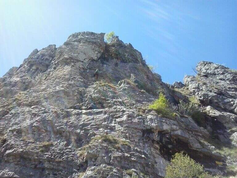
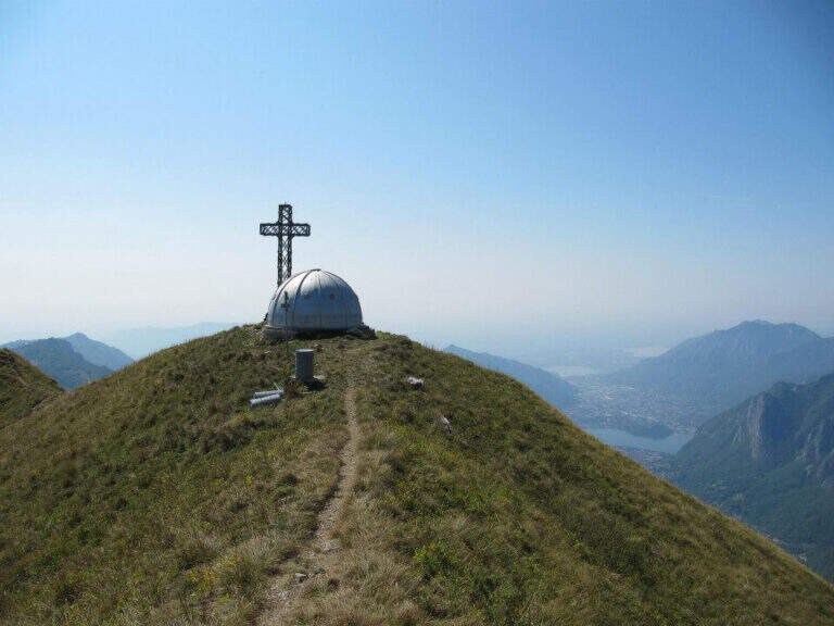
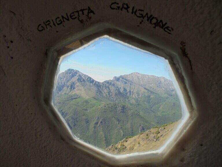
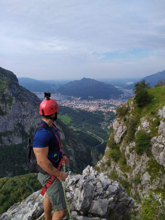
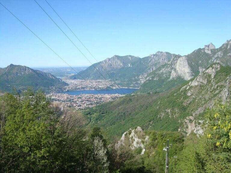
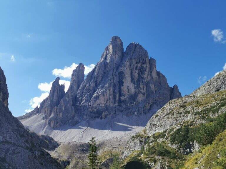
    La Ferrata Simone Contessi climbs along the rocky towers of the ridge of Monte Due Mani, in the province of Lecco. È a demanding and very varied , with vertical walls, beams and a dozen towers, and gives a wonderful view on Grigne, Resegone and Lake. A path along the ferrata and allows you to bypass the individual towers, offering numerous escape routes.

    ▲Approach

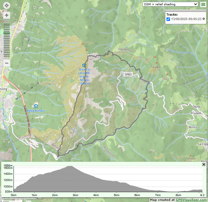
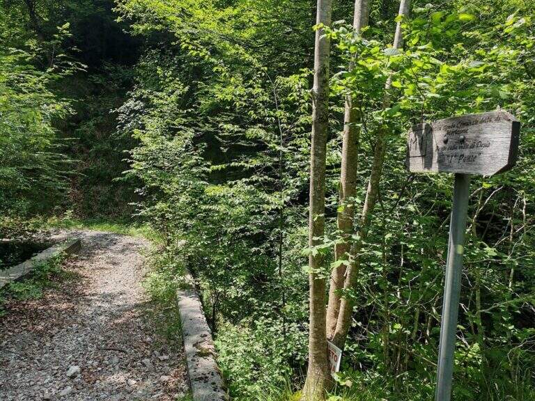
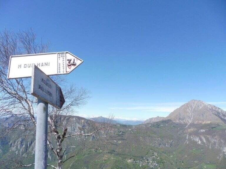
    Starting point along the road that connects Ballabio to Morterone (Lecco): from Ballabio you go for almost 5 km to the winding road to Morterone, you cross a tunnel and, after a few bends, you find a slargo on the left with a couple of parking spaces and a sign (other parking spaces just beyond). Open road signs on Google Maps. From the parking lot, a steep path in the forest takes short to the tag d' attack (10' from the parking lot).

    ▲The path

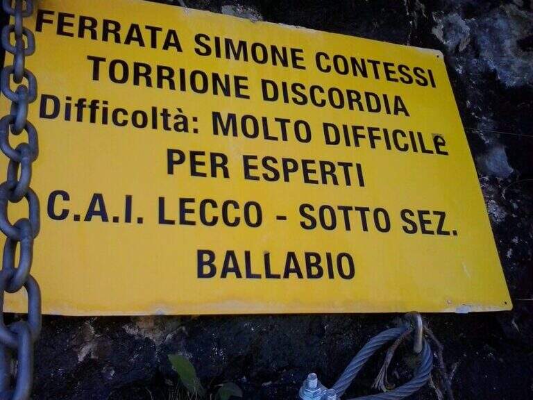
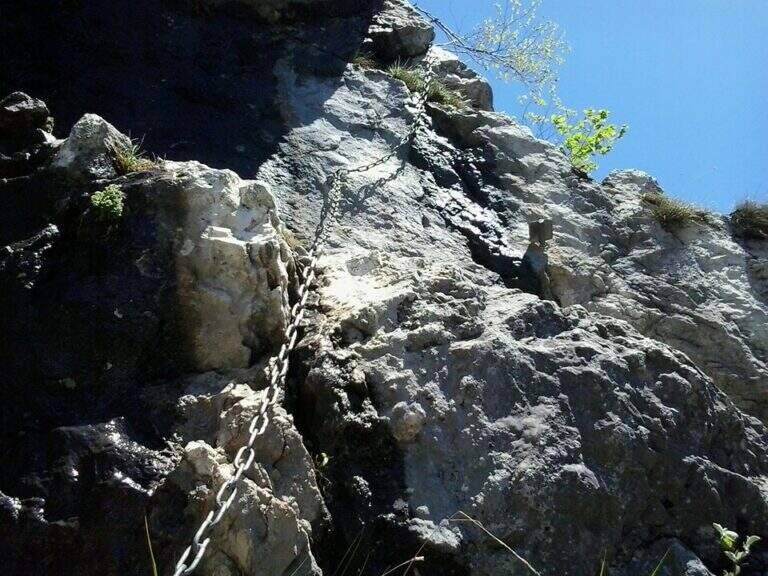
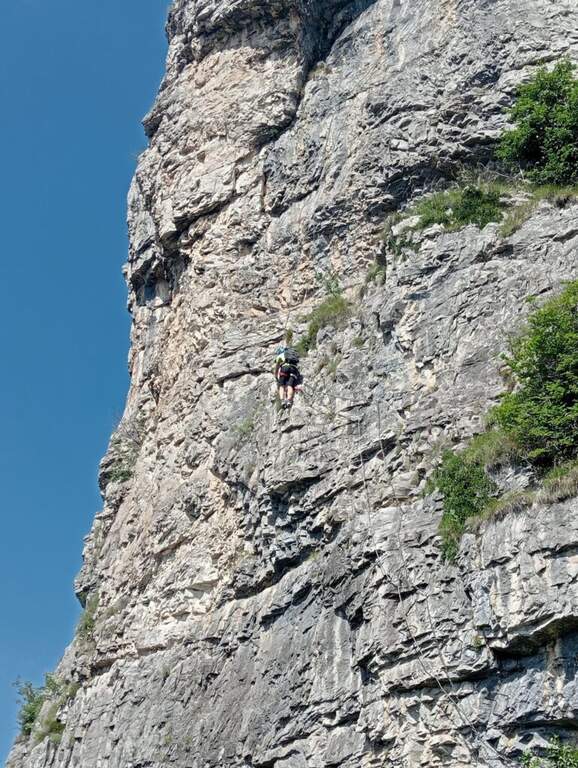
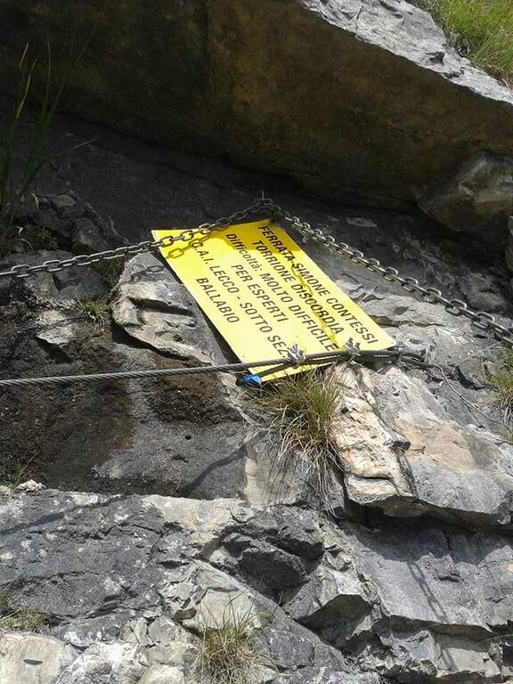
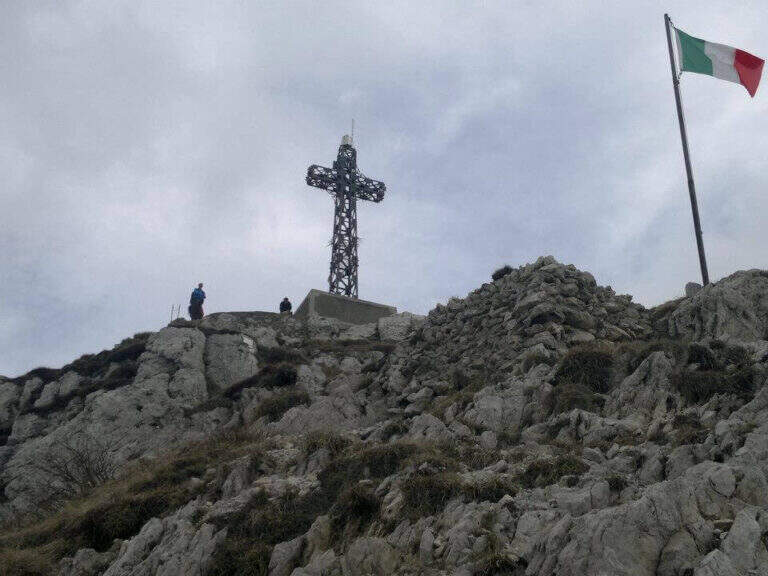
    The Via è marked by a series of torrioni, each one by the path. It starts with the chain that bends left onto small rocks, circumvents a prominence and then on the right leads under a first wall with few hooks (a bracket helps the foot); it follows a più wall; long with natural hooks and brackets and a diagonal traverse left towards a corner, which closes the first section. The second section, all' più appearance; lasts as long as it is, rises with a left-hand side, a vertical wall with good supports and small rocks. The third, challenging, alternates a short right-handed traverse, a diagonal traverse exposed to the left and a vertical dihedron. The fourth tower, più easy, goes up a corner and descends on the opposite side; the fifth has a steep vertical wall, a exposed traverse and a last vertical stretch, followed by a ridge path equipped. The sixth è a short plaque, the seventh the più easy. L' eighth section — the Torrione della Discordia — è of a very difficult level: a narrow nod under a roof, a wall definitely overhanging with brackets, chain and cable, a short diagonal traverse and another 5-6 meters overhanging, then a long diagonal traverse in adherence on rock poor d' The ninth section è a beautiful vertical plate, at first apparently smooth then più attached to the left, about ten meters (1h 30' from' ) attack. Follows a ridge with equipped sections and path (about 1h 15') up to a last crossroads: the tenth and short section goes up a spur and descends on the opposite side, otherwise bypassable, up to the peak cross with the bedless bivouac (3h from' attack, 3h 15' totali).

    ▲Character and difficulty

    Limestone rock that allows you to climb in many stretches. Overall the road remains difficile, although with the Torrione della Discordia of a very difficult but bypassable level.

    ⚠ The muskable chain is in some stretches lasca, with rather spaced tokens: proceed with caution. Itinerary long and with important difference in altitude; a pair of telescopic sticks are useful downhill.

    ▲Period and safety

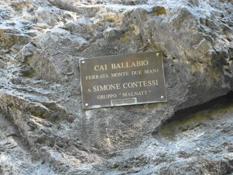
    GPS tracks (GPX and KMZ) are available; the Grigne, Resegone and Valsassina map is useful for the area. The ferrata is dedicated to the young climber Simone Contessi, of the Malnatt group of Lecco, who died in an accident.

    ▲Discipline

    It can be arranged; go down the normal road: reached the asphalted road upstream of the' car, keep the left downhill and take right l' ancient municipal road of Morterone in the forest until the parking lot. Alternatively, go down the steep path that runs along the towers, up to ' attack and all' car (1h 45' from the summit, 5h totali).

    ▲To match

    Area rich in itineraries: in increasing order of difficulty the River Trail, la Gallery of Morcate, la Range 1 to the Planets, la Ferrata al Corno Medale e la 30° OSA at Corno Rat; for the most prepared the Range 2 o la Ferrata del Monte Ocone.

    ▲Gallery
    Technical data
    • DifficultyHard
    • RegionLombardy
    • GroupPrealps Lecchesi
    • Approach0:10 h
    • Ferrata30
    • Itinerary (a/r)5:00 h
    • Hardware level difference756 m
    • Route difference756 m
    • Max1656 m
    • Length9,9 Km
  • Ferrata Silvano de Franco (Resegone)

    Ferrata Silvano de Franco (Resegone)

    Vie Ferrate › Lombardia › Lecco
    Ferrata Silvano de Franco (Resegone)

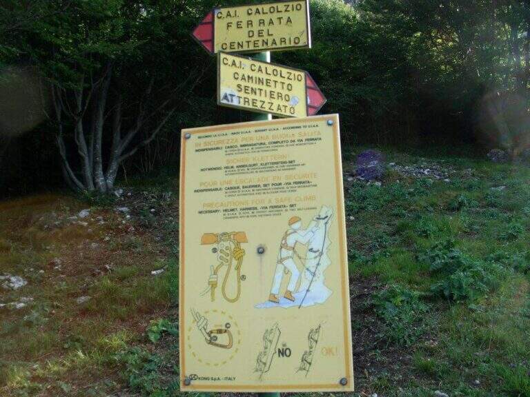
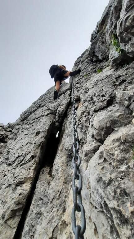
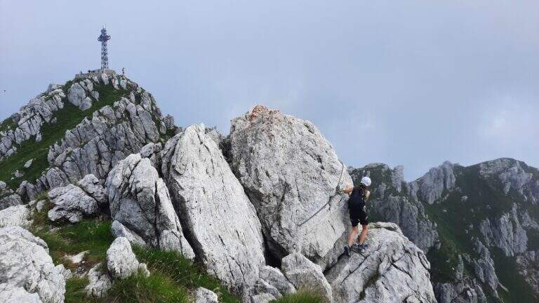
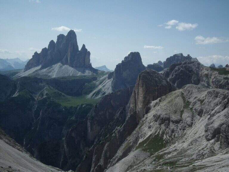
    La Ferrata Silvano de Franco ` an alternative route to the più routes; bars for the summit of Resegone, the mountain that dominates Lecco. È a corto itinerary but challenging, along the southwest ridge, on high exposure and with some difficult plaques; l' & ` rather long, reason why it is often chained with other equipped routes that go back to Pian Serrada.

    ▲Approach

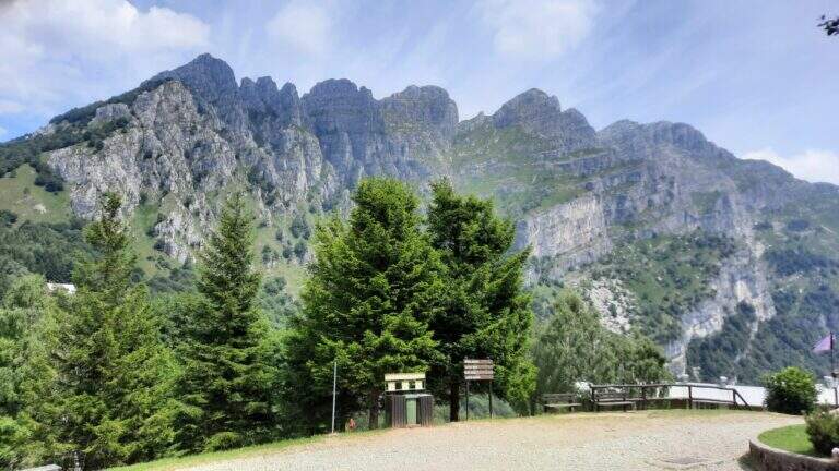
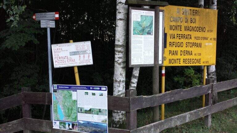
    Starting point l' wide cable car square for the Piani d'Erna in Lecco. Open road signs on Google Maps. There are more alternatives, depending on whether you use the cable car and want to insert another equipped path. The most direct: from the mountain station follow the path 5 towards the Rifugio Azzoni; at the crossroads with the path 1 take it to the left uphill, you pass the Passo della Zibretta (1h 15' from the cable car) and, paying attention to a' slight trace to the left towards a pole, you descend slightly until the' attack (1h 30' from the cable car). Alternatively, you can go up on foot from the parking lot on path 1 above the Stoppani Refuge (about 3h all' attack) or enter the Centenary Ferrata or the Caminetto Path first from the Fò Pass; and the Pian Serrada.
    ▲The path

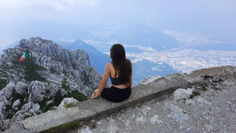
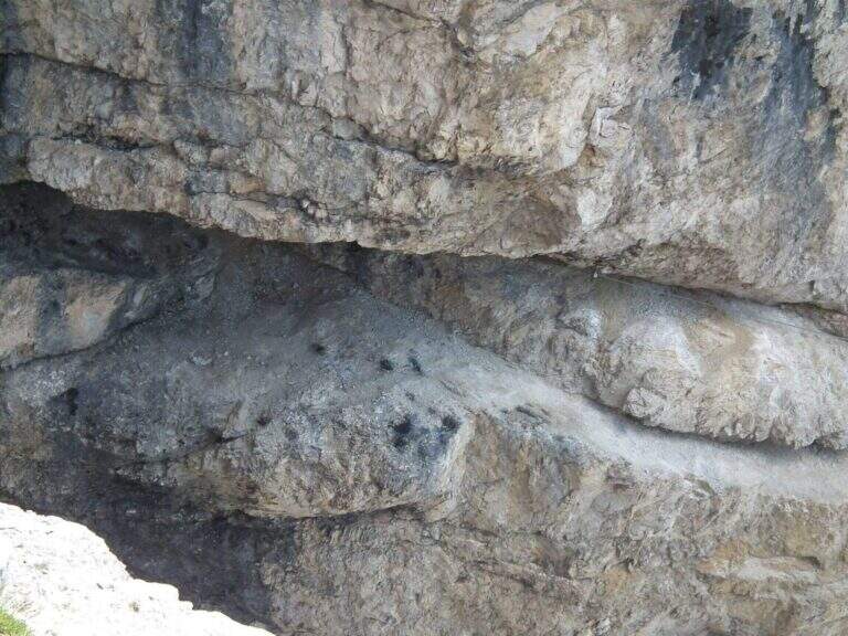
    La ferrata inizia con un breve balzo dove la catena passa in una fessura della roccia; seguono roccette ricche di appigli naturali e un secondo tratto più lungo, con roccia frastagliata, dove la pendenza cresce e la catena corre in un canalino con un piccolo balzo più difficile (utile la catena). Dal pulpito di questo tratto si vede un secondo settore verticale, preceduto da un breve sentiero di cresta su esile traccia attrezzata sul lato destro del filo. Il secondo torrione attacca con un diedro di 4 metri dagli appigli poco evidenti (conviene salire coi piedi a sinistra, pur scorrendo la catena a destra); si aggira una sporgenza a destra, si rimontano un paio di risalti — uno più faticoso — fino a un terrazzino, oltre il quale c'è un tratto di discesa attrezzata. Seguendo la traccia si raggiunge un nuovo tratto che parte sotto un basso tetto, difficile da iniziare senza trazionare sulla catena, poi più appigliato; una breve cengia a sinistra porta a una parete con fessura a sinistra e paretina a destra. Si stacca un attimo dai moschettoni e si riattacca su un risalto; un esposto tratto verticale, ben appigliato dopo i primi metri, rimonta uno spigolo sul lato destro fino a un tratto di cresta tra balzi e roccette, meno impegnativo ma molto esposto. Oltre un'esposta selletta si attacca l'ultima sezione su un pilastro (lato sinistro), poi roccette e risalti più marcati sul filo destro della cresta; si esce sul sentiero di cresta, non difficile ma da fare con attenzione dopo le piogge, con la croce di Punta Cermenati in vista. Alcuni saliscendi, l'aggiramento in discesa di un masso e si arriva alla croce (1h dall'attacco, 2h 30' dalla stazione a monte).

    ▲Character and difficulty

    Ferrata not long but with some difficult passages not to be underestimated, less joke of other routes in the area of Resegone.

    ⚠ The chain, present along the whole path, is mosquitable but rather bulky: sometimes I hang in the progression, and the puppets tend to entangle.

    ▲Period and safety

    GPS tracks (GPX and KMZ) are available; the Grigne, Resegone and Valsassina map is useful for the area.

    ▲Discipline

    Dalla croce si vede il Rifugio Azzoni; raggiuntolo si scende sul sentiero 1 fino al bivio col 5, da cui si può tenere il 5 a destra verso i Piani d'Erna e la funivia (1h 15' dal termine, 3h 45' totali) oppure restare sul sentiero 1 verso il Rifugio Stoppani e il parcheggio (2h dal termine, 4h 30' totali).

    ▲To match

    It often concatenates with one of the equipped paths that go back to Passo Fò, or climbing the Ferrata Gamma 1 from the Piani d'Erna. On the Resegone you can also walk Ferrata Gamma 2 e la Cresta della Giumenta.

    ▲Gallery
    Technical data
    • DifficultyHard
    • RegionLombardy
    • GroupResegone
    • Approach1:30 h
    • Ferrata1:00 h
    • Itinerary (a/r)3:45 h
    • Hardware level difference180 m
    • Route difference485 m
    • Max1860 m
    • Length8 Km
  • Ferrata Sass del Tavarac

    Ferrata Sass del Tavarac

    Vie Ferrate › Lombardy › Como
    Ferrata Sass del Tavarac

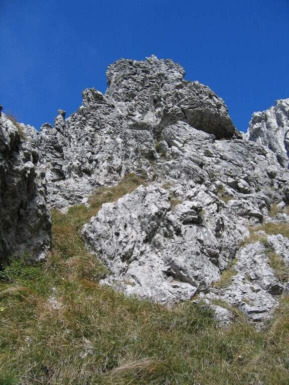
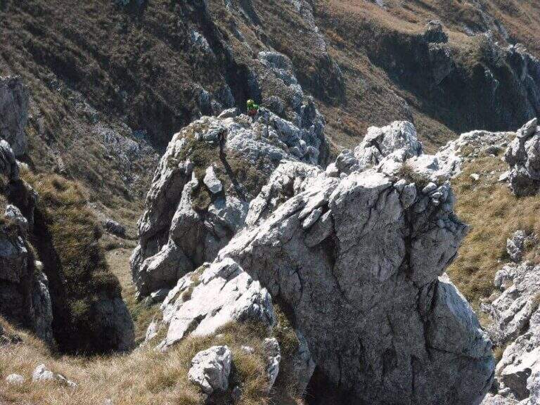
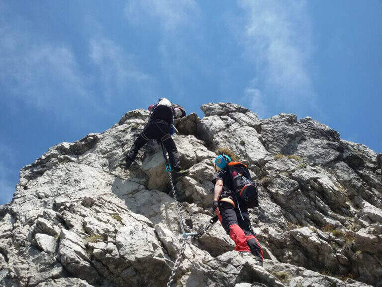
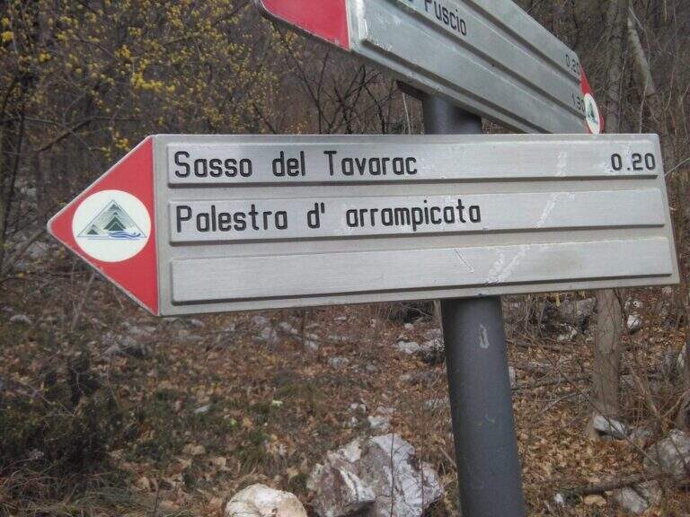
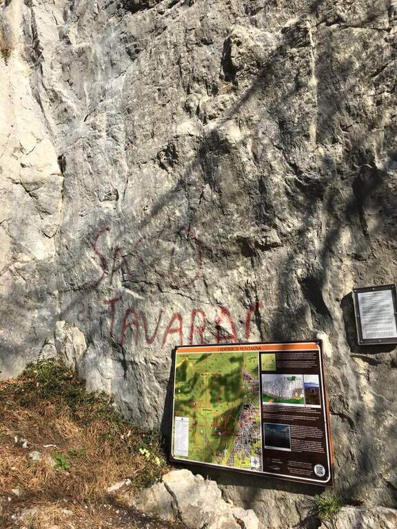
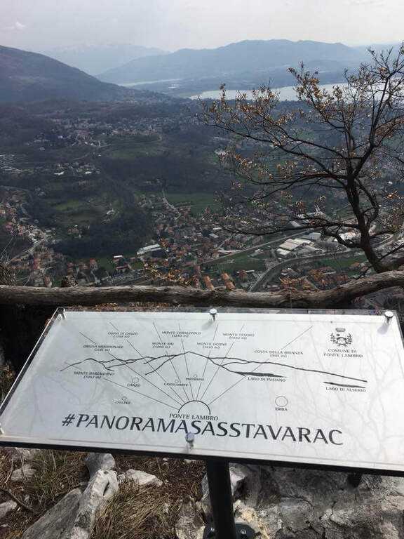
    La Ferrata Sass del Tavarac ` a difficult and athletic street above Erba, in the province of Como. È of traditional type, with equipment reduced to the minimum and without fixtures in support of the climb: it is aimed at expert hikers, well trained and with good force of arms. The rock offers almost everywhere good climbing skills; and despite the low altitude (749 m), it can be appreciated also by più climbers; demanding.

    ▲Approach

    It starts from the 'inhabited of Crevenna (common of Erba), in the direction of the 'Heremo di San Salvatore. Open road signs on Google Maps. The road that leads to the 'Eremo è private and in theory not accessible (who uses it risks the fine, but saves 30'); alternatively it goes partially via San Giorgio up to a dirt road on the right where to park. From here two options: take the paved road and then climb from the path into the wood, cutting various bends (entrance «official » signalled by two steps in stone; 30-35' from the parking lot); or take the path starting from ' We will, following the signs for the ferrata and the nearby crag with red stamps, up to search for l' attack on the right of the crag (30' from'Eremo, 1h from the slargo San Giorgio).

    ▲The path

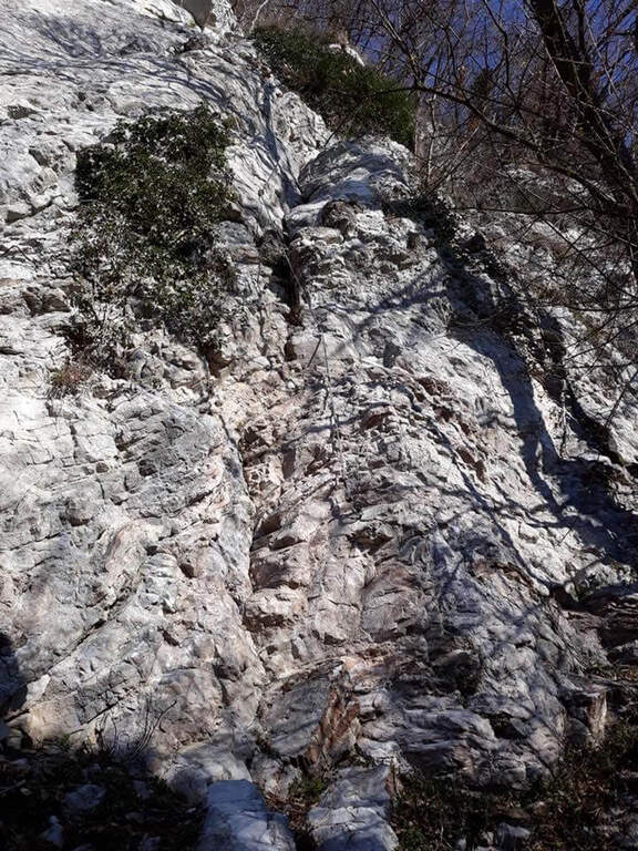
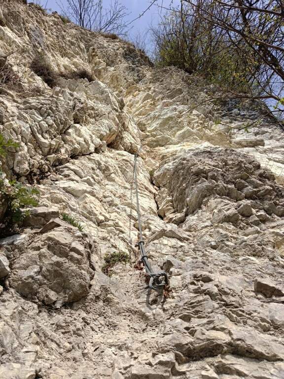
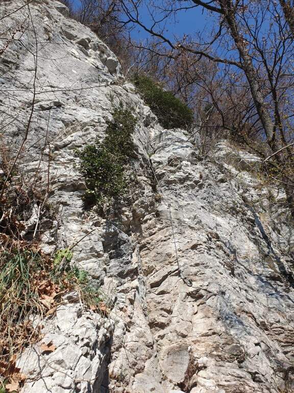
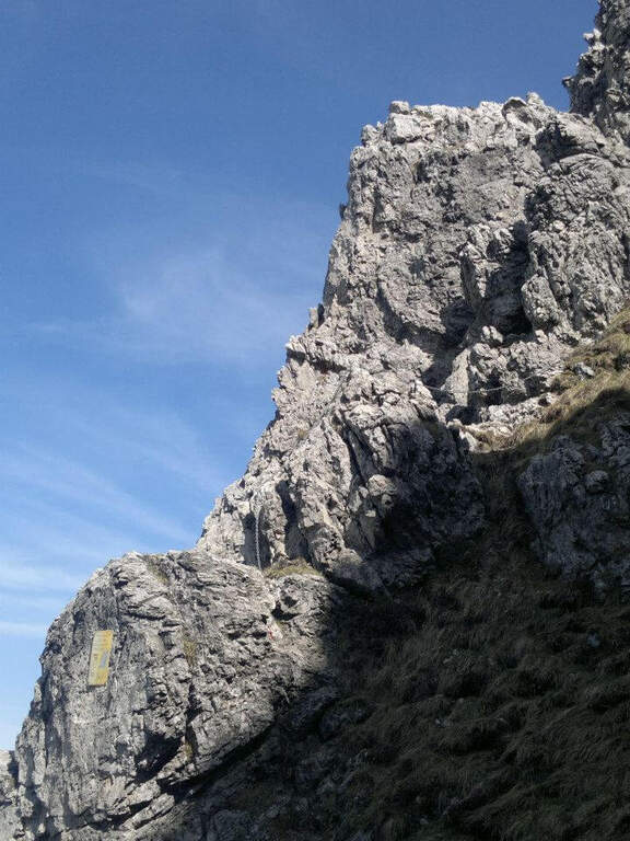
    The route is divided into tre sections difficult to understand; decreasing. La first è the più selective: immediately climbs a wall with characteristics of unmarked dihedron, about 30 meters very challenging and with few hooks; on top a cross with chains to the left, exposed and tiring, with the feet in adherence, leads to a canal to be climbed up to a crossroads (right the second section, to the left a d' street). The seconda attacks with a path equipped along a ramp and rocky and grassy steps up to a second vertical wall, less hard than the first but with less solid rock: it goes up for about fifteen meters, then a più traverse; easy closes the section (here you meet the chain of the descent path, usable as escape route). The terza section starts on fairly coricated rocks up to a white-yellow wall of difficultà similar to the second but with less secure rock, on which to pay attention to hands and feet remembering that under c'è the cliff; the last balconies close the ferrata (45' from' attack, about 2h from the parking space).

    ▲Character and difficulty

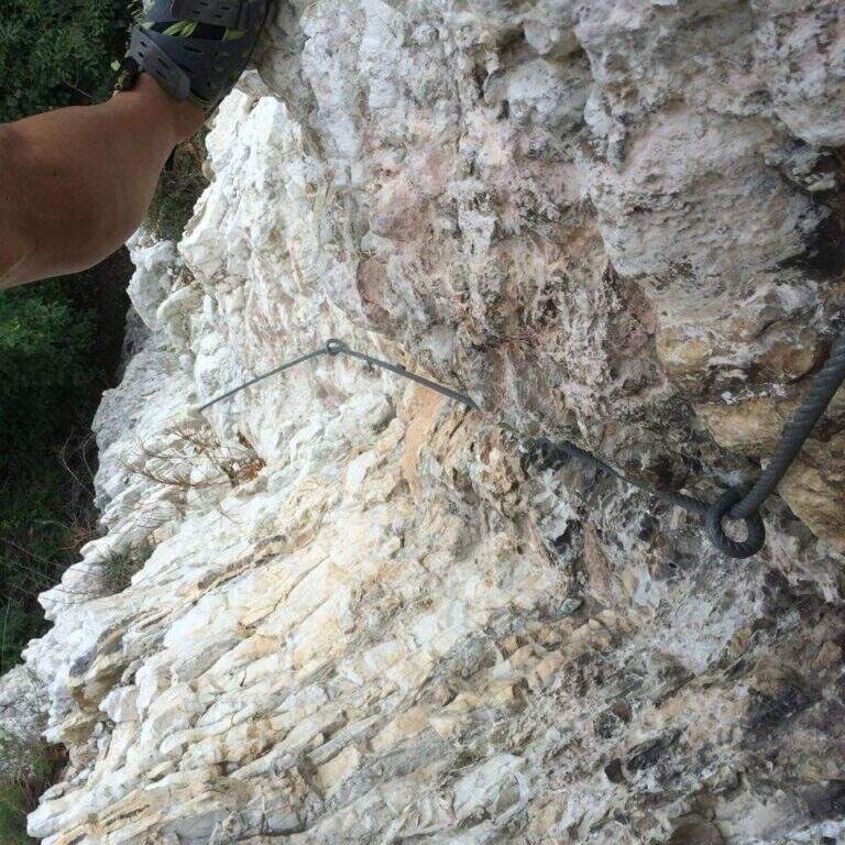
    Short but demanding and technically difficult, with metal equipment reduced to the minimum (in good condition): it favors those who master the climbing technique.

    ⚠ The first section is very selective: a pair of climbing shoes can be useful. In several points, especially in the second and third section, the rock is less secure and the way develops over a cliff. If you park at the Hermitage, return by 7 pm because then the bar is closed at the entrance of Via San Giorgio.

    ▲Period and safety

    Low altitude, therefore accessible in most of the year with good rock conditions. GPS tracks (GPX and KMZ) are available.

    ▲Discipline

    Due alternative: al termine della ferrata seguire subito a destra la traccia con catena, che scende presso la parete di salita — a tratti esposta, instabile e attrezzata con catena piuttosto lasca, con un paio di brevi disarrampicate — fino all'attacco e poi a ritroso (45' dal termine, 2h 45' totali); oppure salire leggermente nel bosco fino a una mulattiera, imboccarla a sinistra in discesa passando accanto ai settori d'arrampicata Sasso San Salvatore e Sasso d'Erba, ignorando i bivi, fino all'Eremo e all'auto (1h dal termine, 3h totali).

    ▲To match

    Area rich in similar difficulties: the 30° OSA at Corno Rat, la of the 25th anniversary of the Western Horn, la Ferrata al Corno Medale e la Countess of Monte Due Mani; towards Varesotto la Ferrata Bellotti near Mesenzana.

    ▲Gallery
    Technical data
    • DifficultyHard
    • RegionLombardy
    • GroupLarian Triangle
    • Approach1:00 h
    • Ferrata30
    • Itinerary (a/r)3:00 h
    • Hardware level difference170 m
    • Route difference350 m
    • Max749 m
    • Length4 Km
  • Ferrata Sant’Antone al Monte Serra (Buti)

    Ferrata Sant'Antone al Monte Serra (Buti)

    Vie Ferrate › Tuscany › Pisa
    Ferrata Sant'Antone al Monte Serra (Buti)

    ⚠ Reported as a CHIUSA. The source shows the status of this ferrata as chiusa: check agibilità and conditions at the CAI section of Pontedera (which manages it) or the authorities; local, and do not travel untilché it is not reopened.

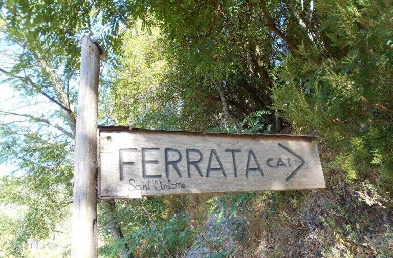
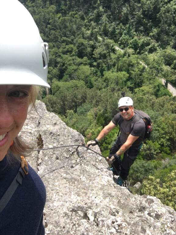
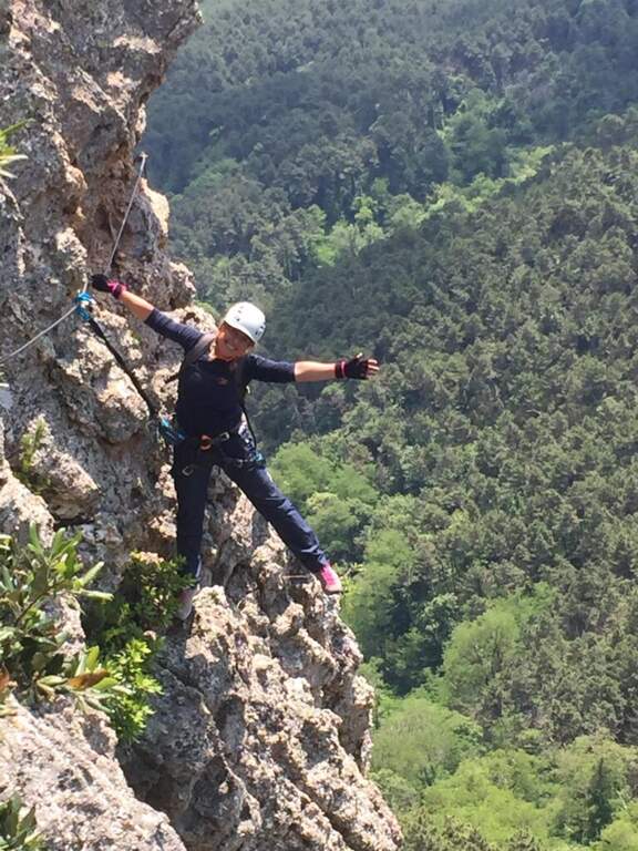
    The Ferrata Sant'Antone è a difficile street on the Pisani Mountains, between 500 and 600 meters of altitude. It has no great difference in altitude, but & made of numerous traversi exposed and overhanging that test arms and technique.

    ▲Approach

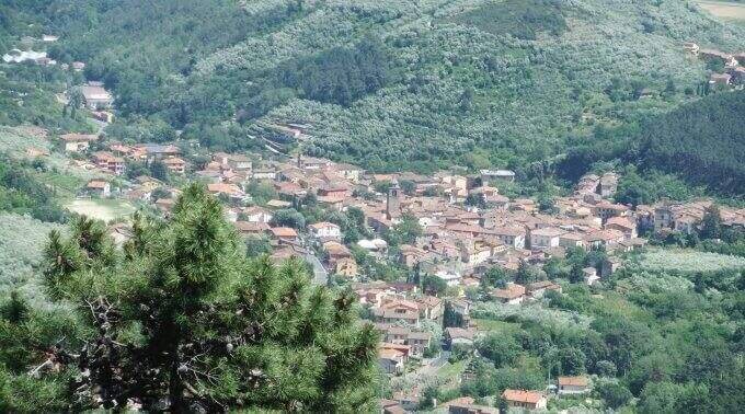
    Starting point a well visible pitch along the SP 56 that from Buti (PI) climbs to Monte Serra, recognizable for the fontana and the canton house on the opposite side. Open road signs on Google Maps. You go up the paved road for about 200 m up to the ferrata sign, you take 5' an uphill path with white-red signs and at the crossroad you will take the destra towards l' attack (10' parking ).
    ▲The path

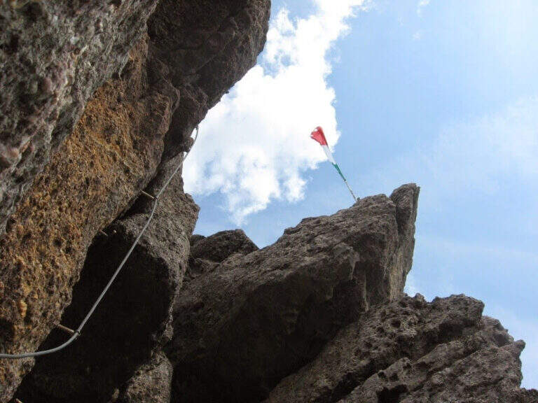
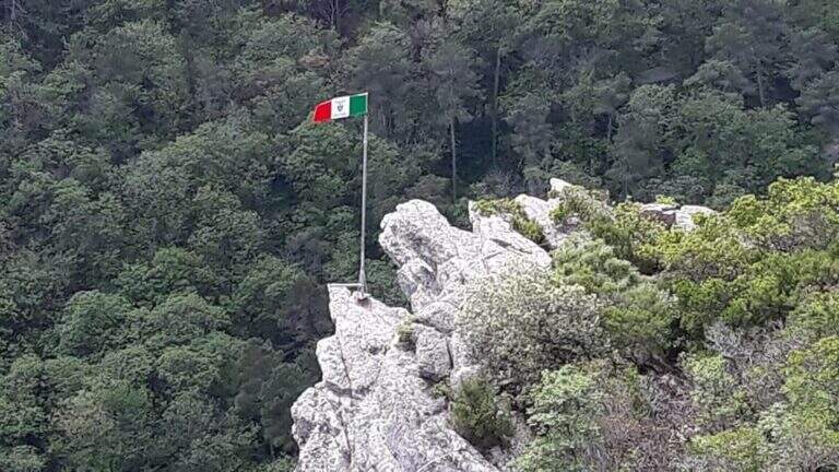
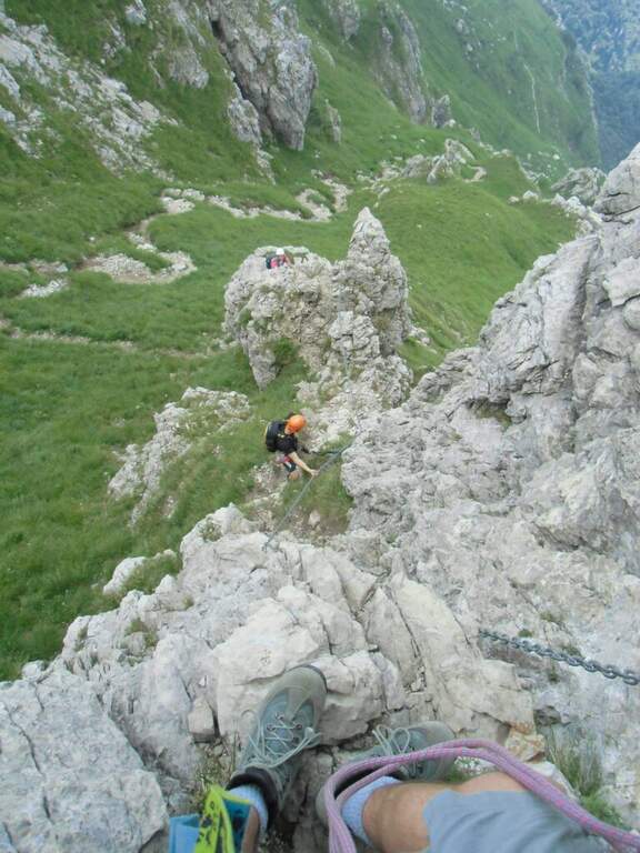
    Si parte subito con un obliquo traverso che supera uno spigolo in esposizione, in trazione sul cavo e con gli scarponi in aderenza — il tema dominante della via. Si risale una parete verticale con attacco leggermente strapiombante (aiutano le cambre), poi un esposto traverso orizzontale in aderenza, attenti alla roccia sporgente sopra la testa; un passaggio in discesa non banale (bisogna buttarsi in fuori per cercare gli appoggi) precede un impegnativo traverso a sinistra leggermente strapiombante che entra e aggira una gola. Si sale in diagonale dove un tetto obbliga ad abbassarsi, si supera un'ultima parete verticale di media difficoltà e si raggiunge una via di fuga (in salita conduce alla fine della via in 5', in discesa all'attacco in 10'). Proseguendo a sinistra, dopo un traverso obliquo e l'aggiramento di un altro spigolo esposto, si scende un passaggio in cui studiare bene la posizione per non essere sbalzati contro la roccia; seguono saliscendi, camini e traversi generalmente difficili e atletici. L'ultima sezione, più verticale, ha due passaggi più duri: un camino decisamente strapiombante (tecnico nei primi metri) e, dopo una breve interruzione delle attrezzature, un sasso da risalire in spaccata con pochi appigli e un leggero strapiombo. Alcuni traversi esposti ma non difficili portano all'ultimo bivio: a destra si conclude la via; a sinistra, dopo un traverso, un breve ed esposto ponte sospeso introduce al passaggio chiave, un tratto verticale tecnico e fisico (5 fittoni fino alla bandiera italiana), reso difficile dalla mancanza di appigli e dalla stanchezza: l'ostacolo maggiore è staccarsi dal ponte, soprattutto per chi è di bassa statura, aiutandosi poi con due singolari staffe a Y sul lato destro. Così si conclude la ferrata (1h 15' dall'attacco / 1h 25' dal parcheggio).

    ▲Character and difficulty

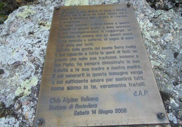
    Very varied and athletes: plenty of transverses, challenging downhill stretches, walls and fireplaces, with many overhanging steps that require good force of arms. Each stick is numbered (about 170 in everything). Inaugurated on the 14 June 2008 and managed by the CAI section of Pontedera; very exciting the descent into the ridge.

    ▲Period and safety

    Low altitude, in theory all l' year with good grip of rock; at the moment, però, the route turns out chiusa (see notice in the head). For the many transverses it lends itself to be chased back by experts.

    ▲Discipline

    From the term, a labile trace to sinistra is followed to a series of stones to be traced back and to the «Ghiaccietto» ; cross right towards the parking lot following the CAI path to the first escape route, then giù until all' attack and, backwards, all' car. After l' crossing with the escape route the signs ` poor: the road & however a few tens of più meters; below and, between shrubs and franosis traits, it is reached by holding the left (25' from the term / 1h 45' from the parking ).

    ▲To match

    In Tuscany, towards Arezzo la Ferrata Romana Nesi at Pratomagno; on the Apuans the Ferrata Salvatori e la Ferrata del Procinto.

    ▲Gallery
    Technical data
    • DifficultyHard
    • RegionTuscany
    • GroupMonti Pisani
    • Approach0:10 h
    • Ferrata1:10 h
    • Itinerary (a/r)1:50 h
    • Hardware level difference120 m
    • Route difference200 m
    • Max540 m
    • Length3,3 Km
  • Ferrata Santa Felicita (Bassano del Grappa)

    Ferrata Santa Felicita (Bassano del Grappa)

    Vie Ferrate › Veneto › Vicenza
    Ferrata Santa Felicita (Bassano del Grappa)

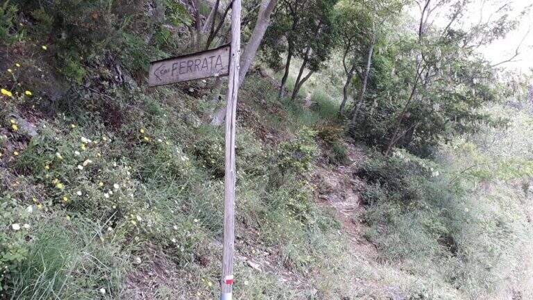
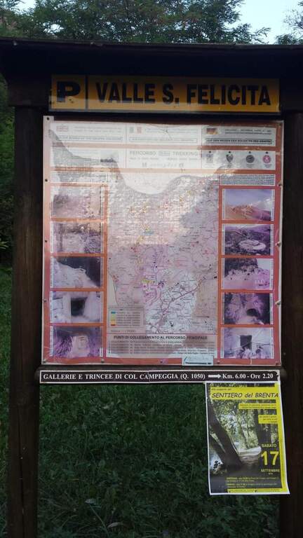
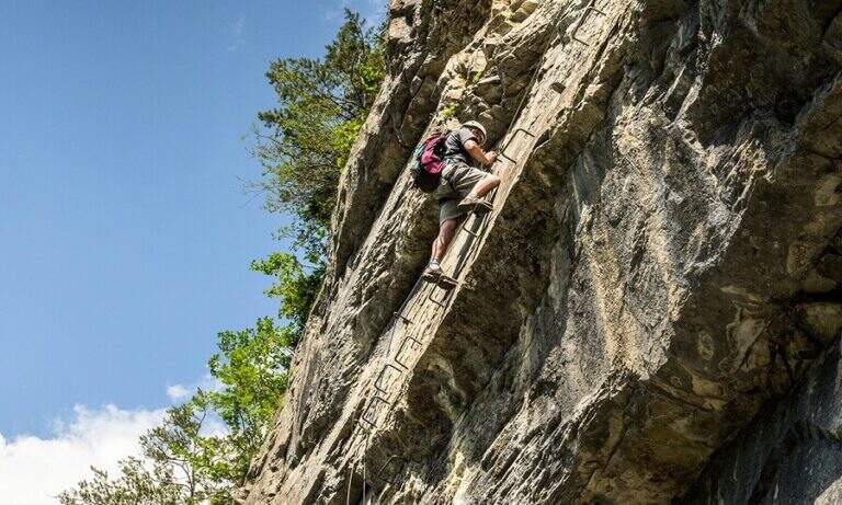
    The Ferrata Santa Felicita è a short route and atletica in' the homonymous valley near Bassano del Grappa: short but varied and intense itinerary, which requires good force of arms. It takes place in an area famous for l' sports and & leisure climbing; ideal for training in cold months.

    ▲Approach

    Starting point the parking d' access to the Valle Santa Felicita, in Romano d'Ezzelino (VI): following the directions to via Santa Felicita you leave l' car in the ' wide parking at the end of the road. Open road signs on Google Maps. You walk north along the path that leads to the wall; part of the path is tiring, on a series of steps in rock, up to the rock gym where you find the indications for the ferrata.

    ▲The path

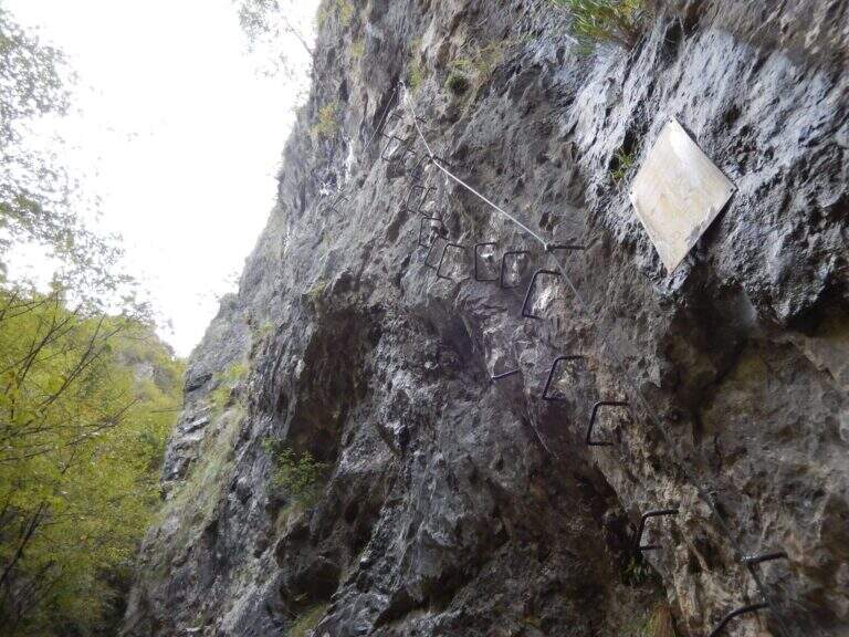
    It attaches a beautiful vertical wall well equipped with abundant brackets, on excellent granite that, where not replaced by fixtures, offers solid hooks. The brackets move gradually to sinistra with a slight overhanging (first difficult & agrave;); after about ten vertical meters a short horizontal section on the left precedes a second vertical section, always on brackets, with which you quickly gain altitude and exposure. Take a left-hand side, using the pins for the feet, up to a vertical wall of about fifteen meters which above takes the form of a diedro along a crack: climb on brackets, move from the left to the right side of the dihedron, pass a slightly overhanging passage and exit on a left side where to rest. From the census you move left in a stretch of descent, you get around a edge and you get to the più tract; characteristic: a plane across horizontal with nails as foot support. A wall of about 6 meters is down and diagonally on the left begins l' last section, with a slight descent (again on nails); it loses altitude until the end of the crossing, a vertical wall is descended on brackets and a diagonal ramp equipped until the end (30' from' attack / 1h 15' from parking ).

    ▲Character and difficulty

    Short but intense and challenging, with strong exposure throughout the route. Difficult & Agrave; they are mainly athletic: the possibility to climb ` limited by ' abundant use of brackets and piles, and serves good force of arms.

    ⚠ Strong exposure and athletic steps: not recommended to those who are not trained in arms. Excellent in winter for low altitude, but always with dry rock.
    ▲Period and safety

    Low altitude (maximum 350 m): most of the year can be traveled, indicated as training in cold months.

    ▲Discipline

    From the end, a path returns in short to the' the return to the car park takes place on the backward approach path (30' from the term / 1h 45' totali).

    ▲To match

    Near the Grappa massif, it is combined in the day with one of the two itineraries that go up: the Ferrata Sass Brusai e la Ferrata Guzzella. To the north Ferrata Gabrielli to the Cima d'Asta; in Val d'Astico the recent Ferrata Anelli delle Anguane.

    ▲Gallery
    Technical data
    • DifficultyHard
    • RegionVeneto
    • GroupGrappa Massif
    • Approach0:45 h
    • Ferrata0:30 h
    • Itinerary (a/r)1:45 h
    • Hardware level difference40 m
    • Route difference140 m
    • Max350 m
    • Length3 Km
  • Ferrata Grasselli at Picco di Carnizza and Monte Canin

    Ferrata Grasselli at Picco di Carnizza and Monte Canin

    Vie Ferrate › Friuli-Venezia Giulia › Udine
    Ferrata Grasselli at Picco di Carnizza and Monte Canin

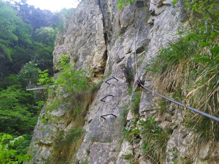
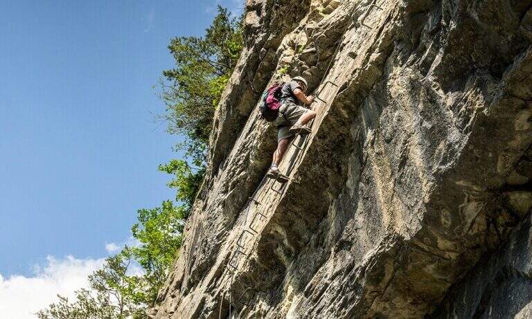
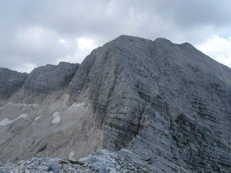
    A challenging and mountaineering itinerary in the Alpi Giulie: the Ferrata Grasselli climbs the Picco di Carnizza, then a long ridge connects to the Monte Canin (2587 m) and the descent takes place from Ferrata Julia to the Glacier del Canin. Very varied route, with exposed stretches both on the crest and downhill, to be faced only with experience and stable time.

    ▲Approach

    From the cable car upstream station that from Sella Nevea rises to the Gilberti-Soravito Refuge. From Chiusaforte (20' from ' exit Carnia-Tolmezzo on'A23) follow the signs for Sella Nevea to the east, you pass the bridge and drive for about 20 km until the plants. Open road signs on Google Maps. From the refuge (1850 m) you take to right the path 632 towards the Sella Bila Pec (ruders of a barracks), then halfway towards the Sella Grubia and Bivacco Marussich, going up to the west with the Montasio behind, up to the Bivacco Marussich (2040 m, 1h 30' from the mountain station).

    ▲The path

    Dal bivacco si sale su traccia per prati e rocce verso l'evidente spigolo dove la targa segna l'inizio della Ferrata Grasselli (20' dal bivacco). Spostandosi un paio di metri a destra della targa e seguendo i triangoli rossi, si risale una prima parete verticale ben appigliata ma impegnativa (qualche piolo aiuta); si guadagna quota ed esposizione fino a una parete con fessura, che si supera restando a destra su staffe metalliche. Un breve tratto di collegamento e una traccia esposta a sinistra portano su un tratto di cresta attrezzata: roccette esposte ma senza difficoltà sostanziali e alcuni canalini concludono il primo tratto ferrato. Per sentiero ripido tra sfasciumi si raggiunge l'ampia cresta che porta al Picco di Carnizza (2441 m, 1h dall'attacco / circa 3h totali). Inizia la seconda parte verso il Canin: si perde quota e si percorre una cresta che alterna sentiero e placche inclinate (attenzione col bagnato), con notevole precipizio a nord verso il Ghiacciaio del Canin. Seguendo i bolli rossi (triangoli dell'Alta Via Resiniana) si aggira una cengia erbosa, si risalgono balzi attrezzati lungo un canalino e si raggiunge lo spigolo ovest del Canin; alternando tratti su sentiero, placche e roccette si sale fino ai resti della croce del Monte Canin (2587 m, 2h 30' dall'attacco / circa 4h 30' totali).

    ▲Character and difficulty

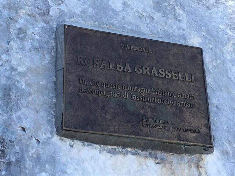
    Beautiful and fulfilling itinerary but challenging, exposed and more difficult traits: both Grasselli and Julia downhill require good experience, discreet technique and no problem with exposure. Installed in 1995 from the CAI of Tricesimo, is named after Rosalba Grasselli.

    ⚠ Da avoid with unstable weather: between the peak of Carnizza, the Canin and the descent from Julia there are no escape routes. Beware of snow at the beginning of the season on the north side of the Picco di Carnizza.
    ▲Period and safety

    Itinerary d' high altitude (2587 m): full summer with stable conditions. For the descent on the glacier are recommended the crampons.

    ▲Discipline

    From the peak of the Canin you descend on the normal road (east side) and in 10-15' you reach the crossroads on the left for the Ferrata Julia (difficultà medium;, downhill requires attention; rock well attached except l' last plaque, più tiring for arms but a few meters). The ferrata ends on the Ghiste of the Canin (1h 30' from the peak / 6h total). The descent of the glacier requires a lot of attention and the ramponi are definitely recommended (usually without big cracks); the track continues south, Sella Bila Pec and the upstream station of the cable car (1h 15' from the end of Julia / about 7h 30' totali).

    ▲To match

    In the Julian Alps: on the Jof Montasio la Via Amalia; towards Val Dogna the long Ferrata Norina at Monte Cavallo; on Jof Fuart the Ferrata Anita Goitan; towards Mangart la Ferrata della Vita.

    ▲Gallery
    Technical data
    • DifficultyHard
    • RegionFriuli-Venezia Giulia
    • GroupJulian Alps
    • Approach1:30 h
    • Ferrata2:30 h
    • Itinerary (a/r)7:30 h
    • Hardware level difference547 m
    • Route difference737 m
    • Max2587 m
    • Length11 Km
  • Ferrata di Rocca Senghi (Val Varaita)

    Ferrata di Rocca Senghi (Val Varaita)

    Vie Ferrate › Piedmont › Cuneo
    Ferrata di Rocca Senghi (Val Varaita)

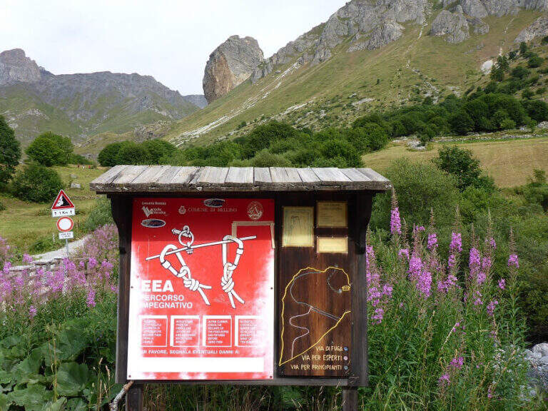
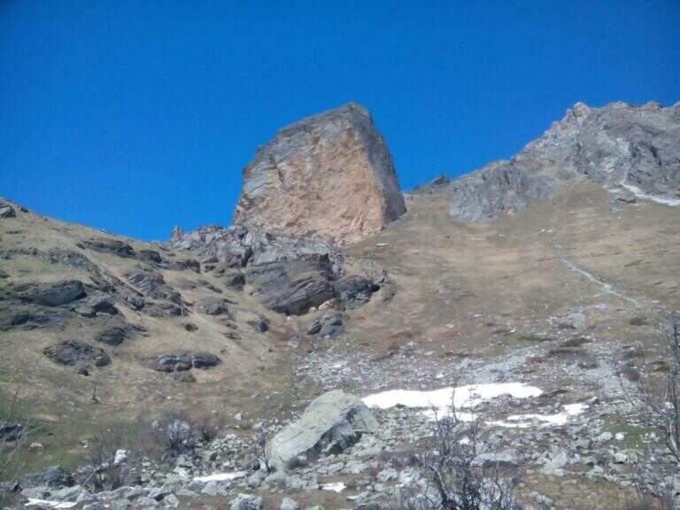
    The Ferrata di Rocca Senghi dates back to l' the homonymous torrione isolated in Val Varaita: a difficult, athletic and « French », with different stretches overhanging. Difficult & Agrave; techniques are not very high, given l' abundance of cambres and brackets, but it should be faced only if well trained. Downhill you can può cross a suggestive galleria militare.

    ▲Approach

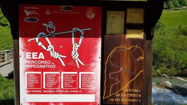
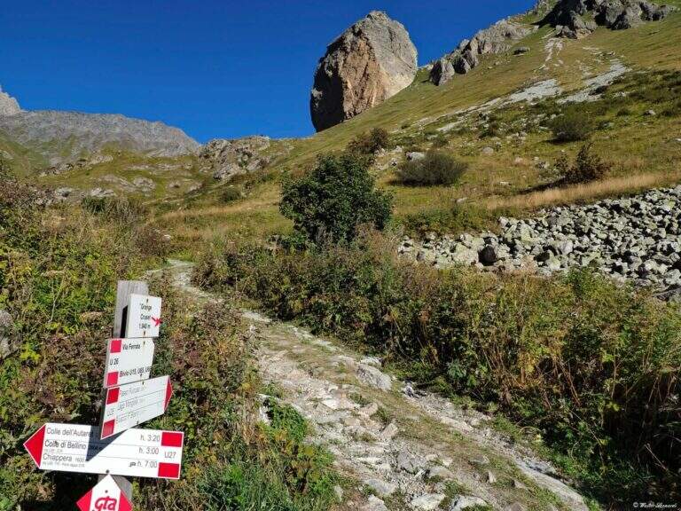
    Starting point the Sant'Anna of Bellino (CN): you pass the bridge over the Varaita stream and park in the bay. Open road signs on Google Maps. On foot you continue towards the next bridge (fontana on the left), you cross it and you take the path U26 towards the Grange Cruset, then at the crossroads right on the branch for Rocca Senghi (cartel). Passed a basin that shows the way and the escape routes, you go up the steep path to serpentine along a grassy canal up to the isolated rock; the attack is on 2190 m, on the left side, near a comfortable deck to equip itself (1h from the parking lot).

    ▲The path

    Lo sviluppo è visibile dal basso: ci si sposta progressivamente lungo il filo dello spigolo in forte esposizione. Si attacca con un tratto orizzontale a sinistra scendendo un paio di metri dal sentiero, quindi si sale in verticale su parete a tratti leggermente strapiombante, con abbondanti staffe (talvolta distanti tra loro, scomode per chi è di bassa statura). Si guadagna quota rapidamente fino a un tratto orizzontale a sinistra con staffe per mani e piedi, e si raggiunge il caratteristico spigolo in forte esposizione. Si prosegue su una serie di pareti verticali alternate a brevi tratti orizzontali, decisamente impegnative; dopo circa 45' dall'attacco si arriva a una cengia diagonale dove rifiatare dopo la prima serie di pareti atletiche (qui, a destra, una via di fuga che, per una cengia, raggiunge un ricovero militare abbandonato e da lì la vetta per sentiero o per una galleria militare di 30 m). La seconda parte ha caratteristiche simili ma con meno strapiombi e qualche parete più appoggiata: dopo un tratto orizzontale a destra si passa dentro un caratteristico foro nella roccia; ancora pochi minuti in verticale e si raggiunge la croce metallica della vetta di Rocca Senghi (circa 1h 30' dall'inizio / 2h 30' totali).

    ▲Character and difficulty

    cut cable to French , therefore little tense: less useful to traction in difficult points, but the abundant brackets give much support for hands and feet.

    ⚠ Athletic route: not recommended to those who do not è well trained. For the downhill military tunnel è needs a front stack. Attention to the distance between the brackets for low-stage people.
    ▲Period and safety

    High valley summer itinerary; start early and with good physical conditions. Height of the attack 2190 m.

    ▲Discipline

    From the top you go down to a saddle and at a crossroad: at destra a path leads to the remains of the military shelter; at sinistra you can può go downhill the galleria militare (about 30 m, initially equipped with metal steps and cable, indispensable frontal pile) that connects the two sides and deposits. From the shelter a path shows near the ' attack and then, backwards, to the parking lot (1h from the term / 3h 30' totali).

    ▲To match

    On day, in Val Varaita, la Ferrata di Chiaronto. Among the other routes of the Cuneese: the long Ferrata degli Alpini all'Oronaye, la Ferrata di Camoglieres, la Ferrata dei Funs e la Ferrata del Bec Valletta to Limone; further south, in the province of Savona, the Ferrata degli Artisti.

    ▲Gallery
    Technical data
    • DifficultyHard
    • RegionPiedmont
    • GroupVal Varaita
    • Approach1:00 h
    • Ferrata1:30 h
    • Itinerary (a/r)3:30 h
    • Hardware level difference230 m
    • Route difference320 m
    • Max2450 m
    • Length8,7 Km
  • Ferrata di Rocca Candelera (Valli di Lanzo)

    Ferrata di Rocca Candelera (Valli di Lanzo)

    Vie Ferrate › Piedmont › Turin
    Ferrata di Rocca Candelera (Valli di Lanzo)

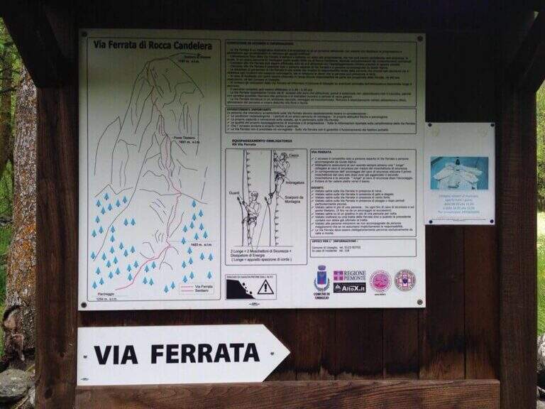
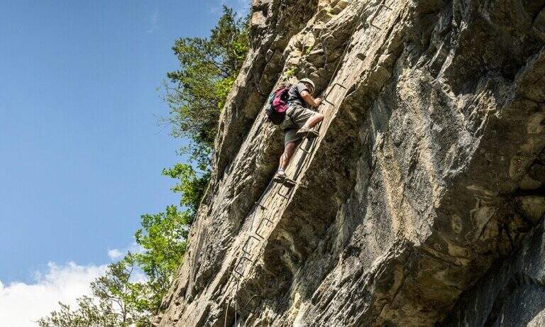
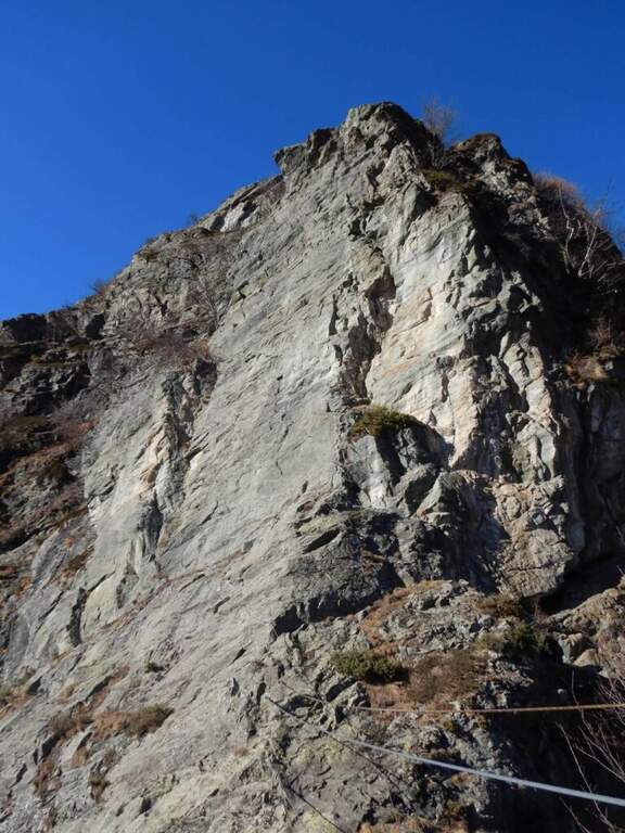
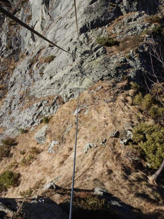
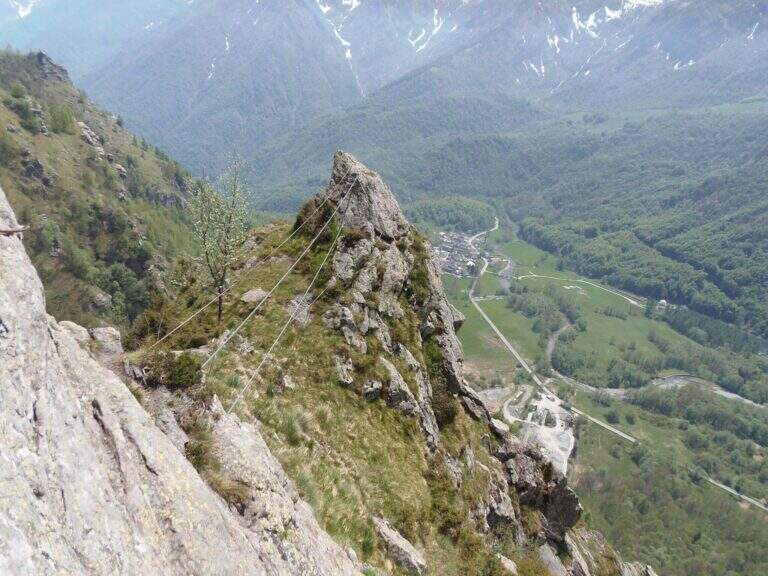
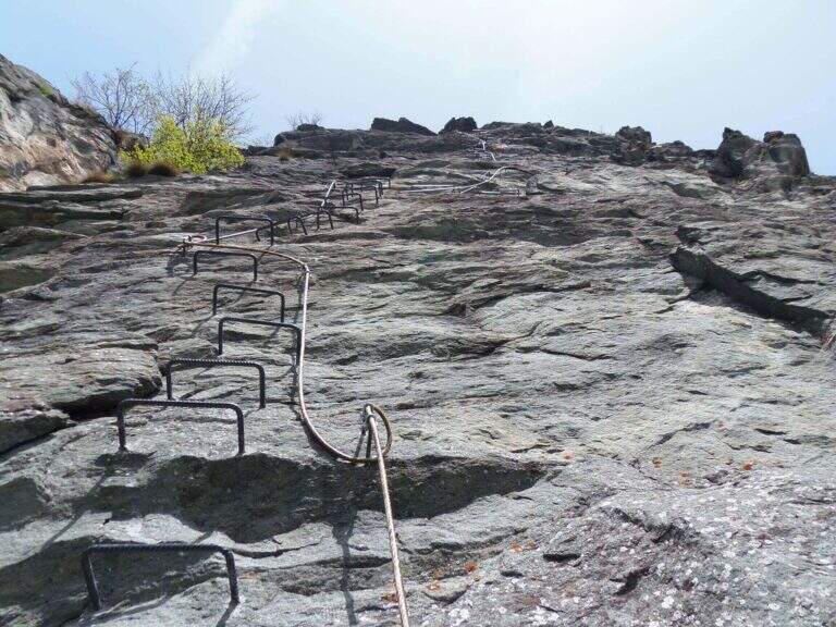
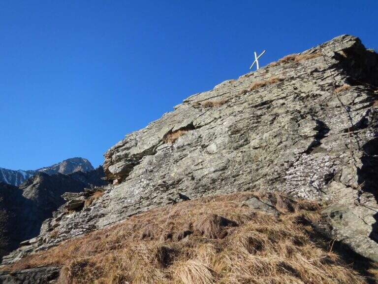
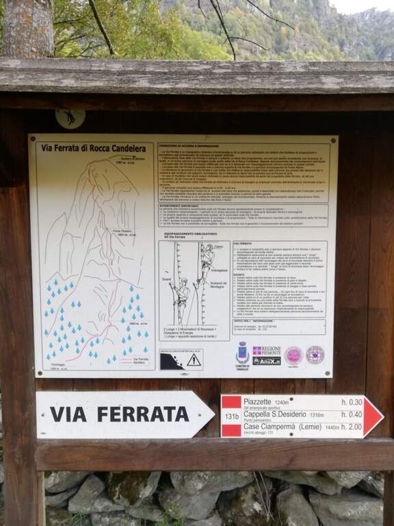
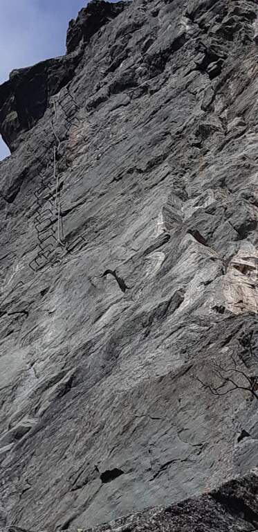
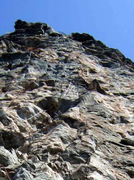
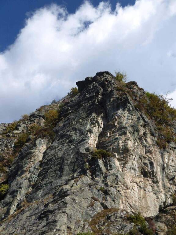
    The new Ferrata di Rocca Candelera rises a rocky counterfeit of the Valli di Lanzo, which rises steeply above the wood and the village of Piazzette. Wild and vertical environment, with a bridge suspended and some overhanging features, on excellent granite rock.

    ▲Approach

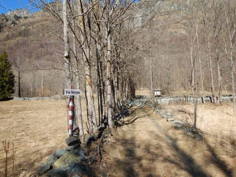
    Starting point the village of Usseglio (TO): just before ' inhabited park at a cava, paying attention to the sign along the road. Open road signs on Google Maps. From the parking lot (bacheca) follow a path that runs along dry walls to a crossroads: on the right the return path, take the sinistra with directions for the ferrata. On the path well marked, along the slope line, you reach the sign d' start (40' from the parking ).

    ▲The path

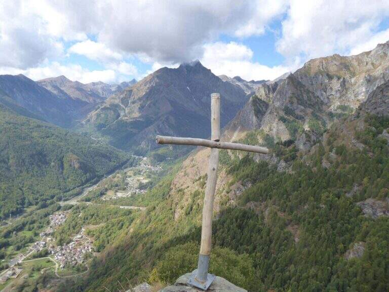
    La prima parte può trarre in inganno: si superano modesti risalti rocciosi e pareti appoggiate con staffe dove serve, alternati a tratti di collegamento, mentre si guadagna quota sulla valle. Si risalgono un paio di paretine di una ventina di metri ciascuna, senza particolari difficoltà, su ottimo granito, fino all'inizio della seconda sezione, decisamente più verticale e impegnativa. Si parte con una placchetta appoggiata senza staffe e si raggiunge la lunga parete che caratterizza la via: si sale in verticale per 30-40 metri — non tecnicamente difficile per l'abbondanza di staffe, ma con qualche leggero strapiombo ed esposizione crescente. Spostandosi gradualmente a destra lungo un bello spigolo, poi un traverso a sinistra, si guadagna un terrazzino; si risale un pulpito senza staffe fino al ponte sospeso a 3 corde, piuttosto stabile. Oltre il ponte si traversa in diagonale a sinistra sotto una lunga placconata grigia attrezzata con staffe: 20 metri verticali, poi a destra sopra una lama, ancora traverso e verticale in forte esposizione verso un tetto roccioso, che si aggira sul lato destro. Un tratto di collegamento panoramico precede una breve paretina e uno spigolo, aggirato a sinistra; si risale un diedro non marcato, una placchetta, un tratto su erba e l'ultima placchetta appoggiata fino alla croce di legno di Rocca Candelera (circa 2h 30' dall'inizio / 3h totali).

    ▲Character and difficulty

    Like many fervent Piedmontese people, they use plenty of staff and equipment, which lowers the degree and makes it accessible to unexperienced hikers of climbing; some overhanging traits remain to be carefully addressed.

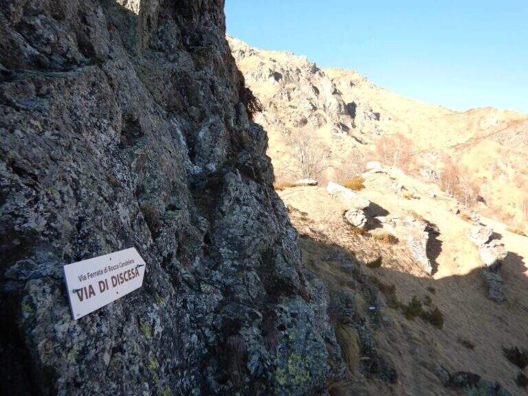
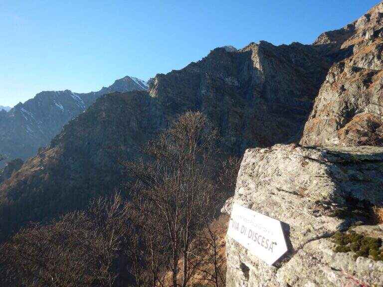
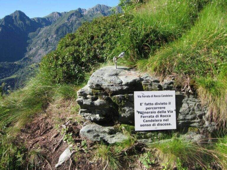
    ⚠ È explicitly forbidden to descend along the via ferrata: you leave only from the summit and you return from the path indicated.
    ▲Period and safety

    Long way: leave now. Season from spring to autumn with dry rock.

    ▲Discipline

    From the summit you turn to destra along a ridge path to a sign indicating the descent; you go down a steep path with traverse tracts on slippery grass, following the red signs on the trees. Più below the path becomes più easy and brings back to the quarry (1h from the term / 4h 30' total).

    ▲To match

    It is the first ferrata of the Valli di Lanzo; to combine another one in the day, given the length, it is advisable to leave early and choose a way about an hour by car: the Ferrata di Pont Canavese, la Ferrata di Rocca Bianca in Caprie or Ferrata Carlo Giorda.

    ▲Gallery
    Technical data
    • DifficultyHard
    • RegionPiedmont
    • GroupValli di Lanzo
    • Approach0:40 h
    • Ferrata2:30 h
    • Itinerary (a/r)4:30 h
    • Hardware level difference364 m
    • Route difference533 m
    • Max1787 m
    • Length5 Km
Need help? Write to us!