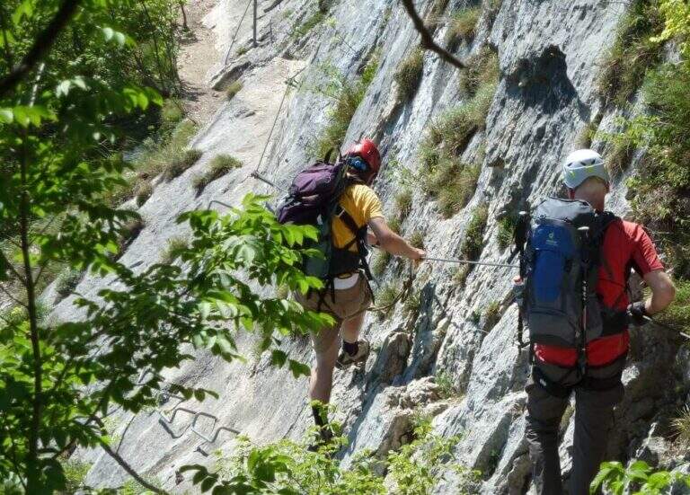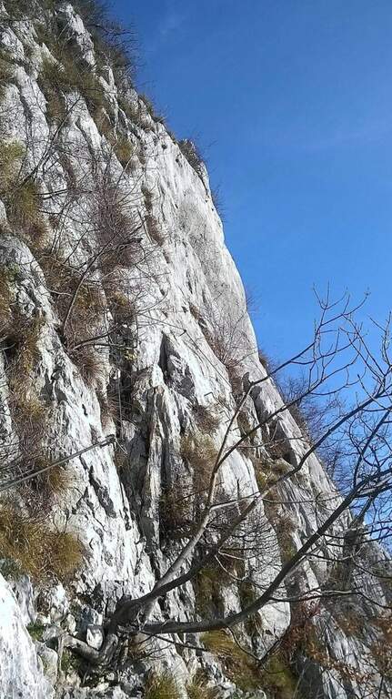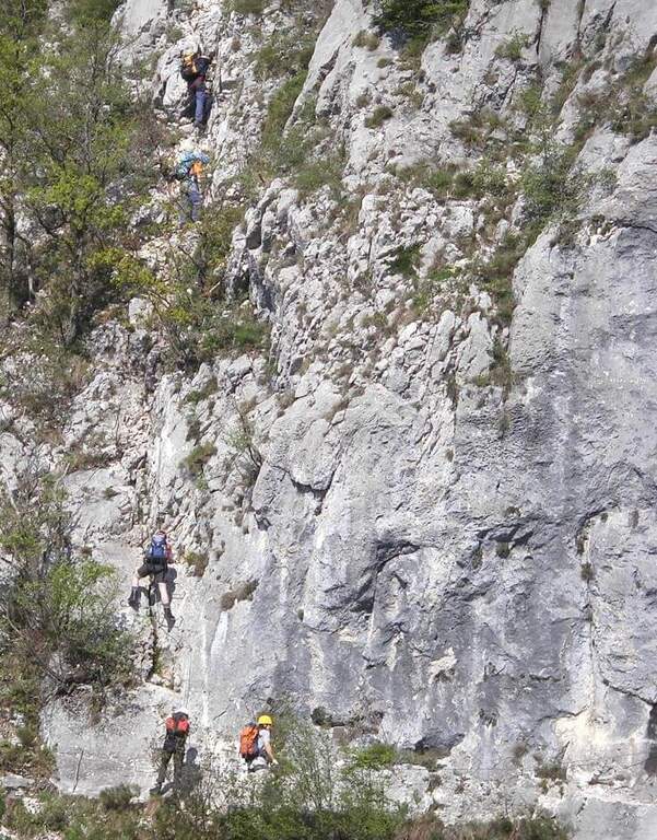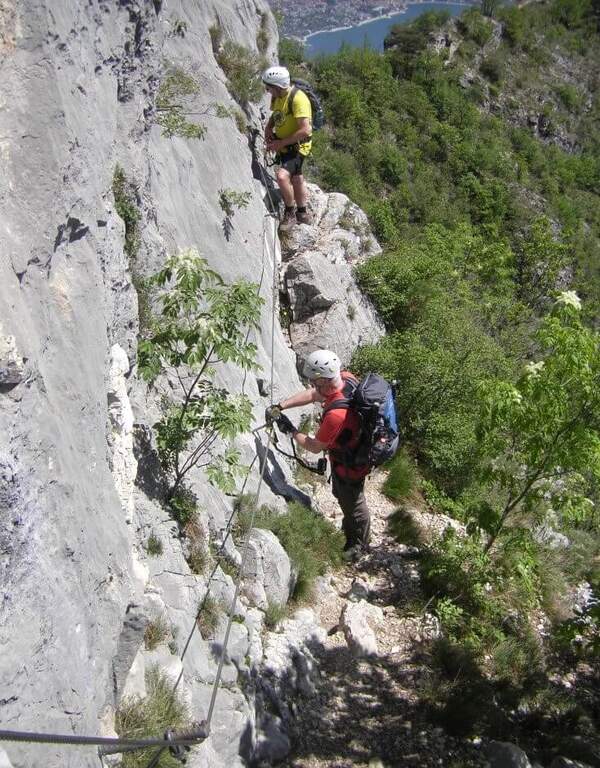
Difficoltà: Difficile

  • Sentiero Attrezzato Gino Badia

    Sentiero Attrezzato Gino Badia

    Vie Ferrate › Trentino-Alto Adige › TN
    Sentiero Attrezzato Gino Badia

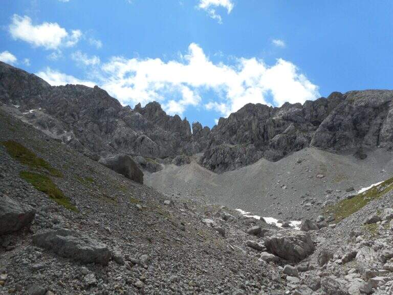
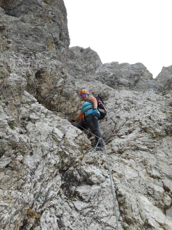
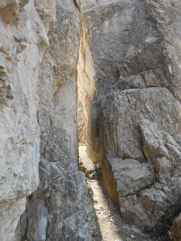
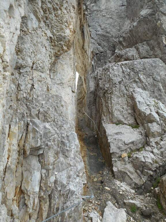
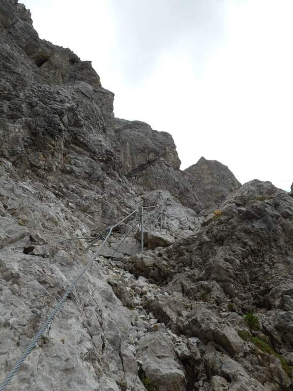
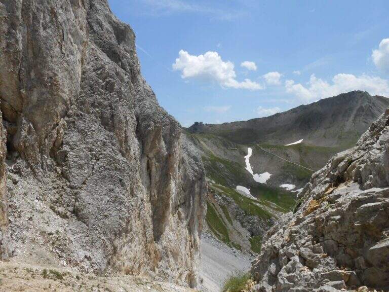
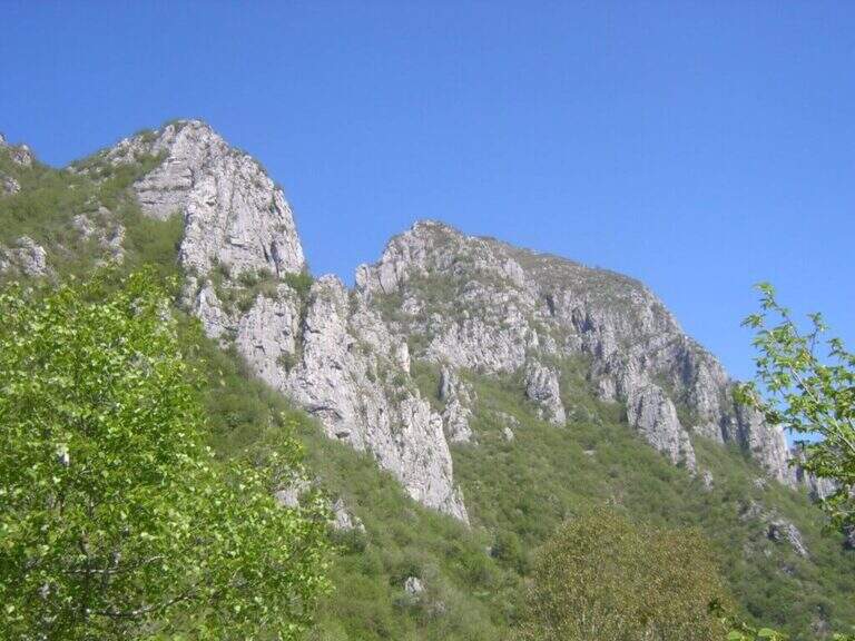
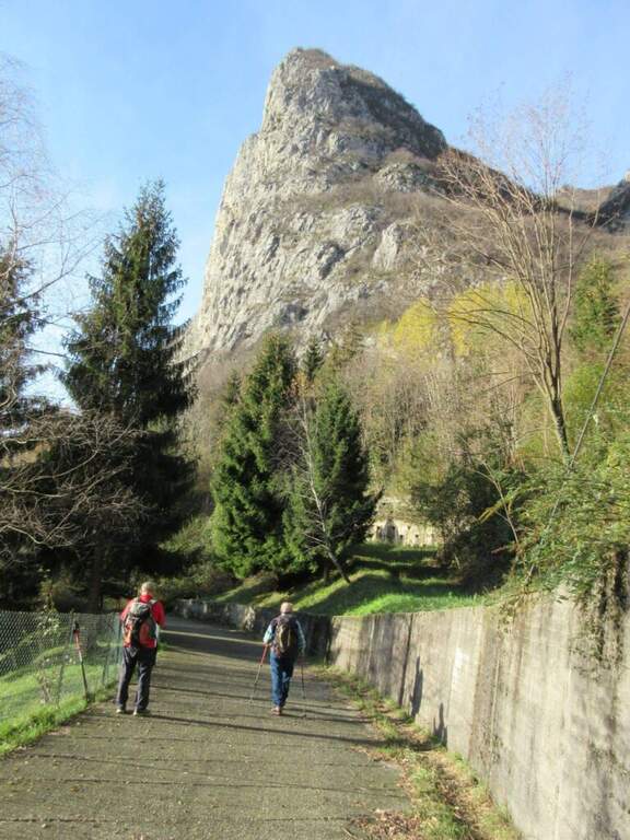
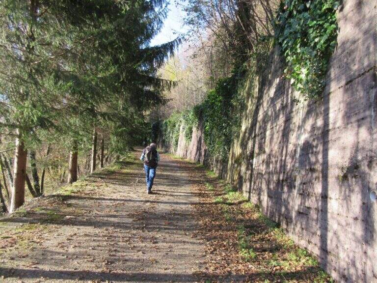
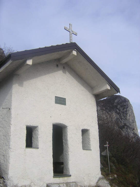
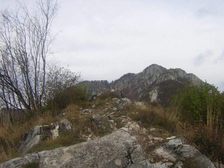
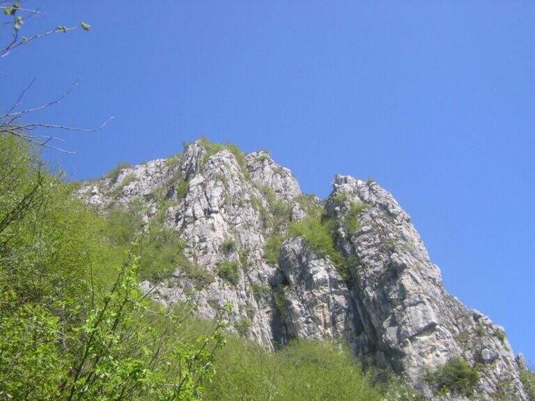
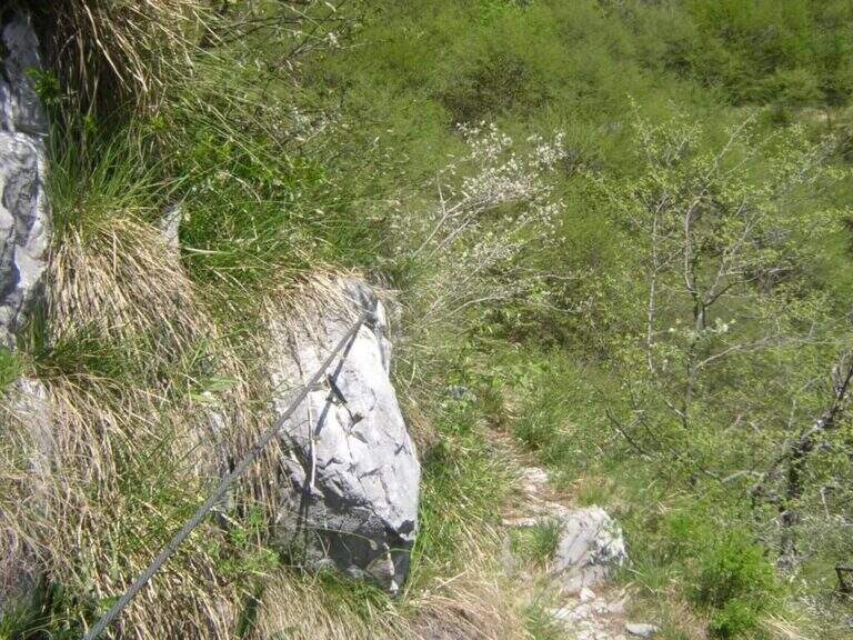
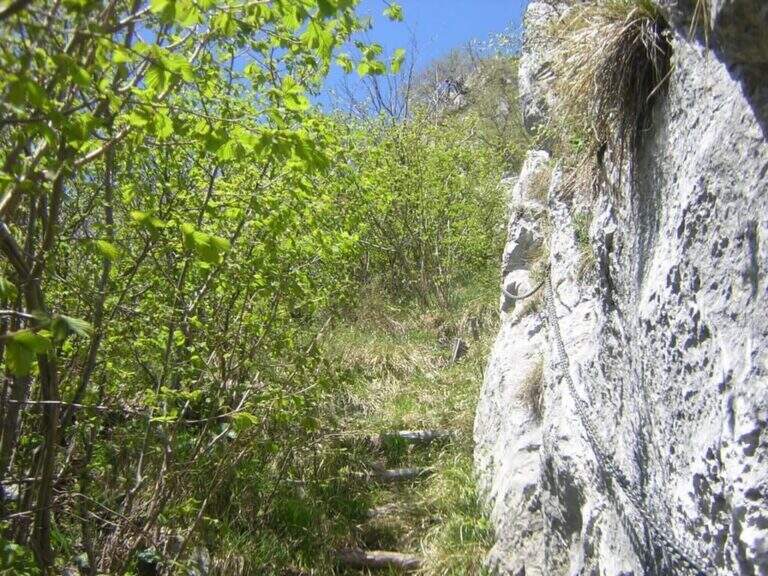
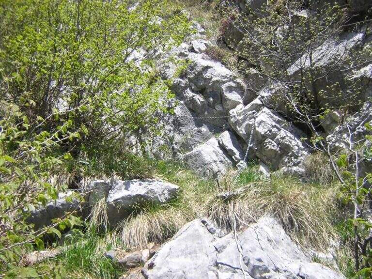
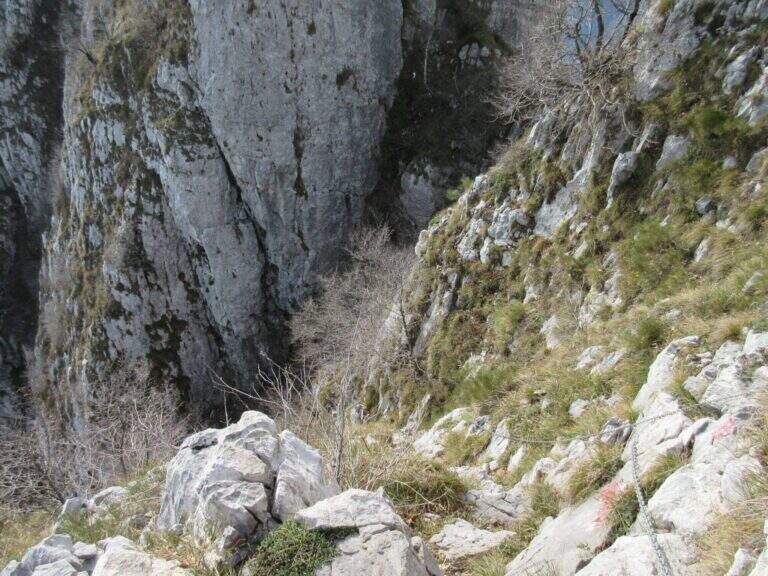
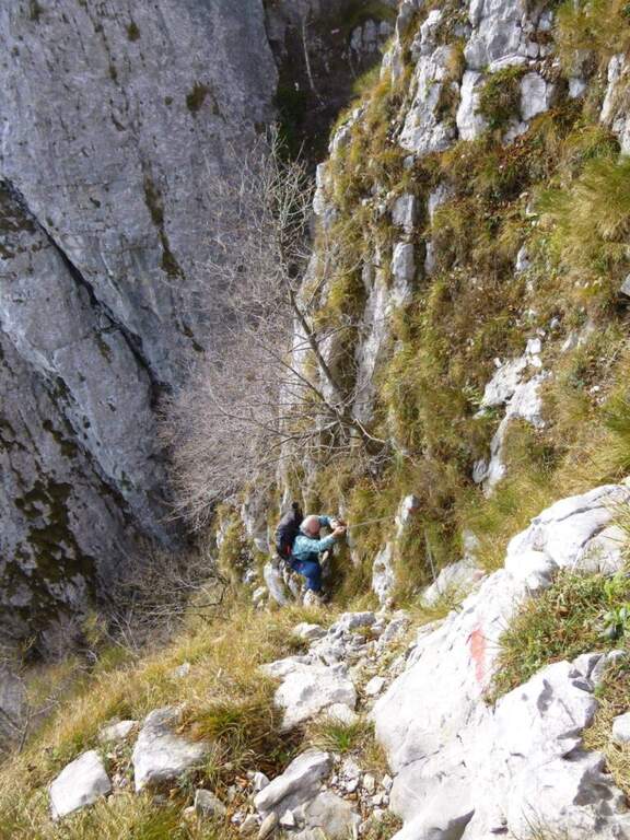
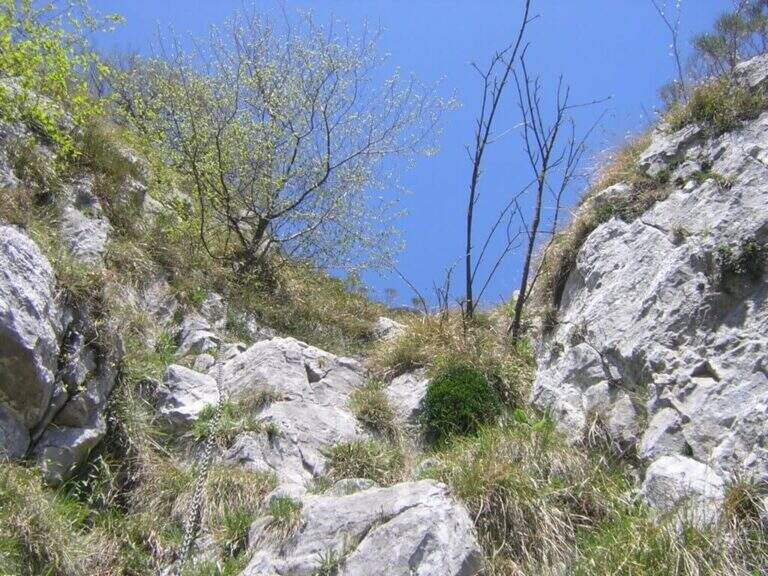
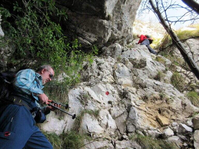
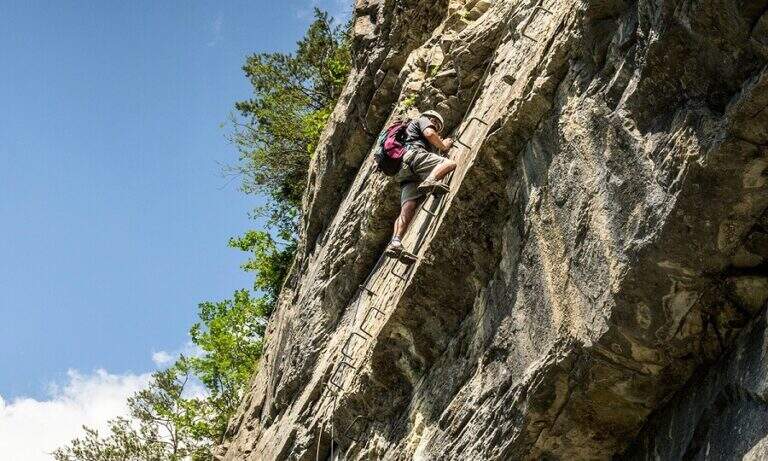
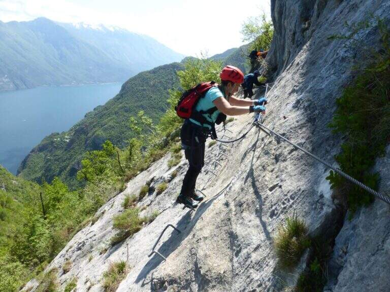
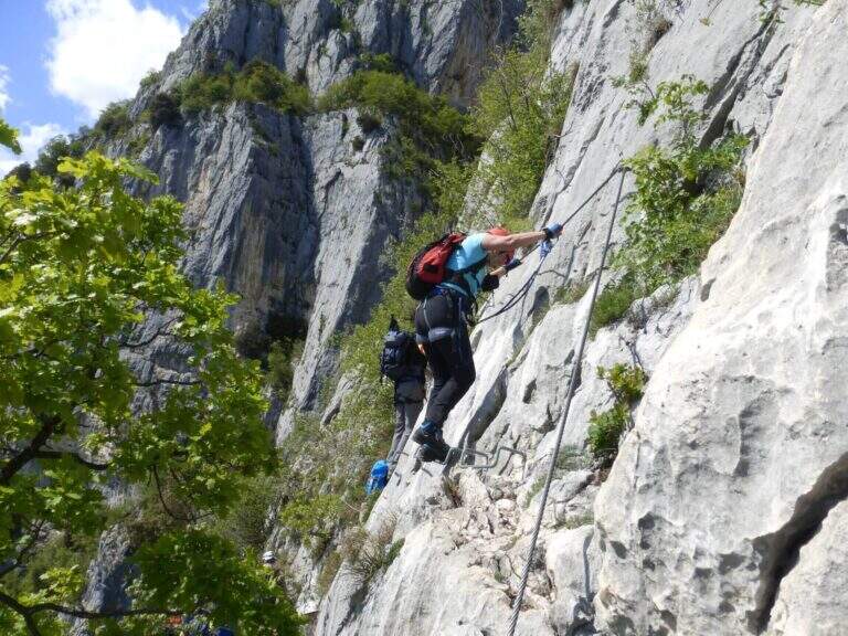
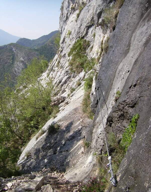
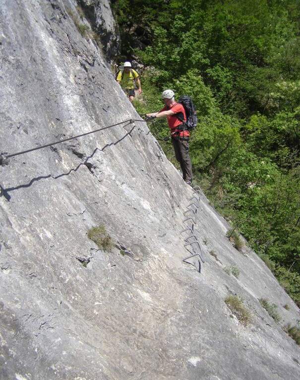
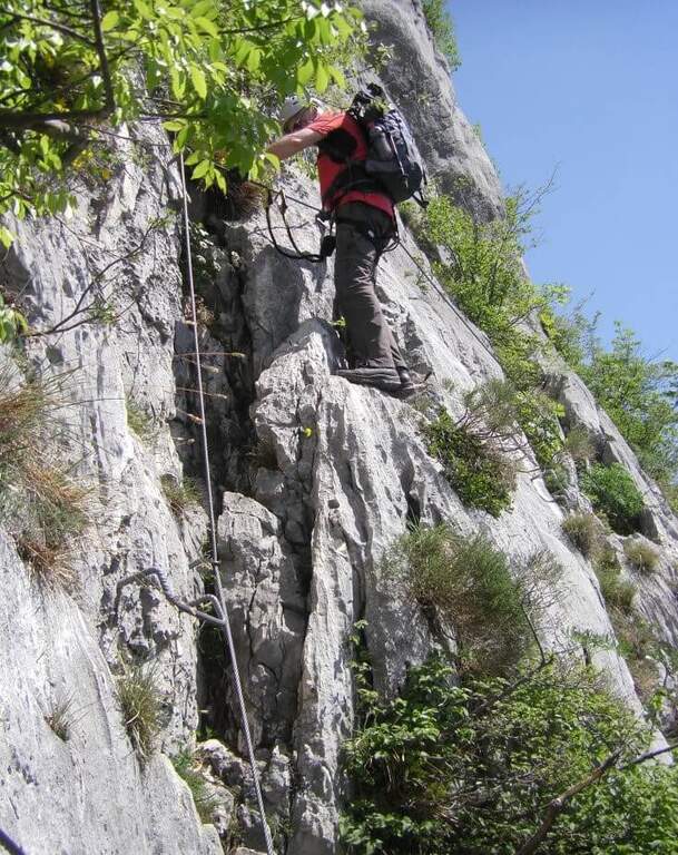
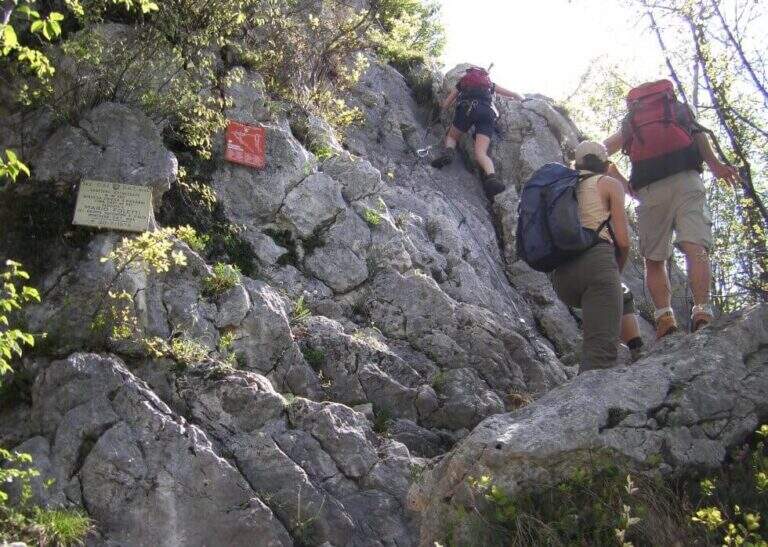
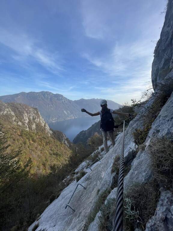
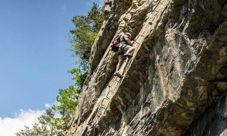
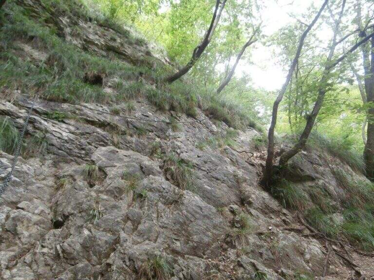
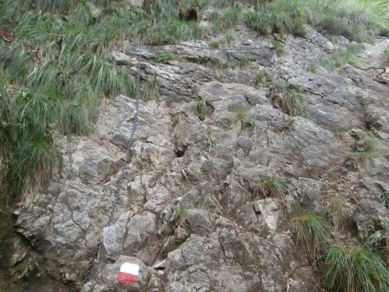
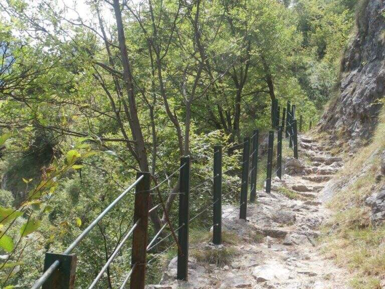
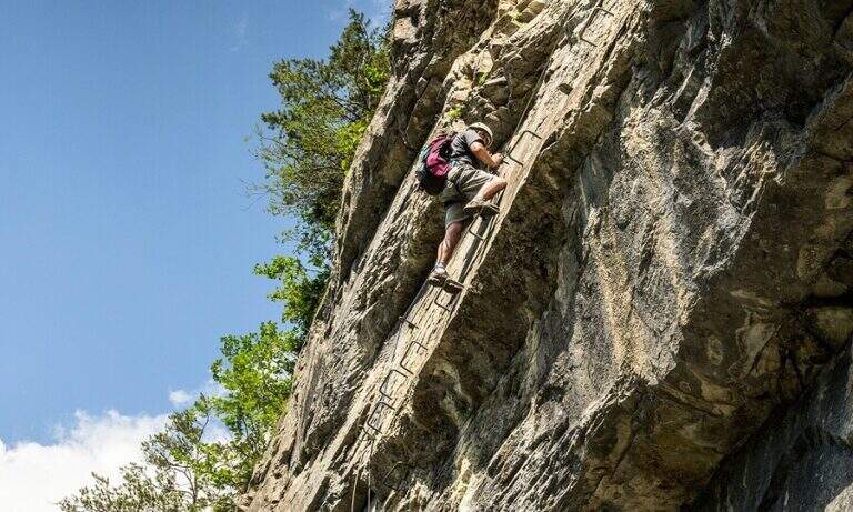
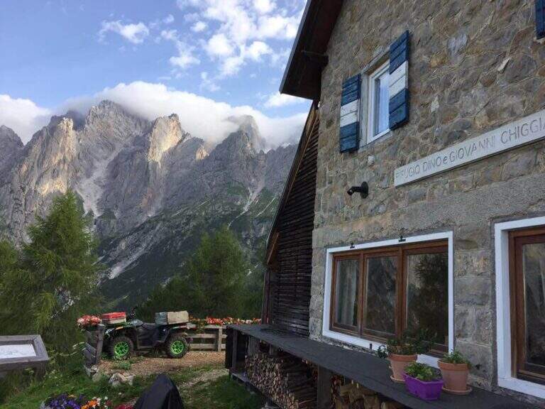
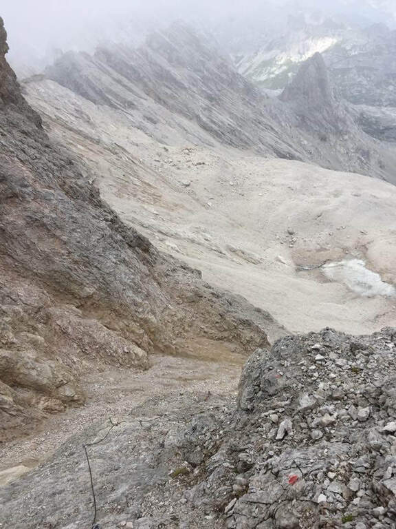
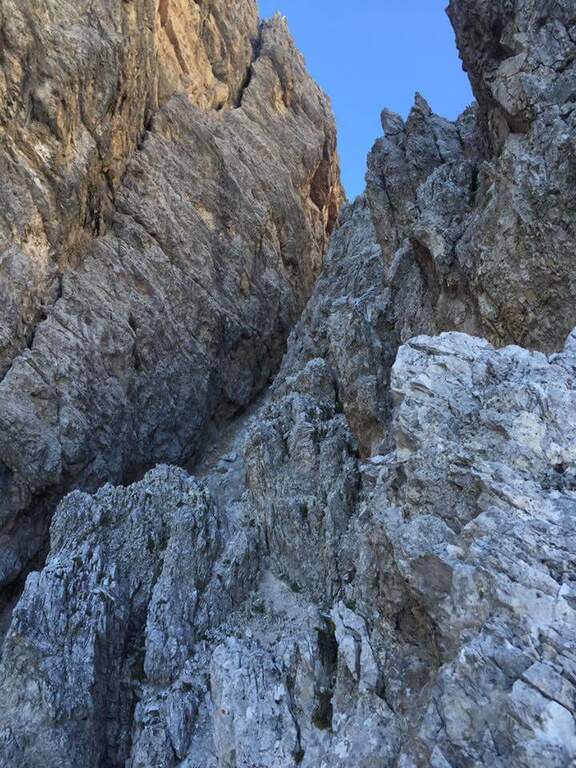
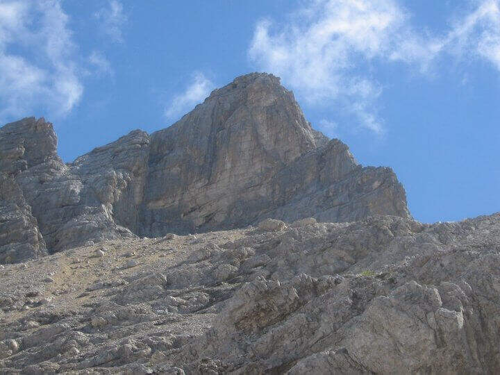
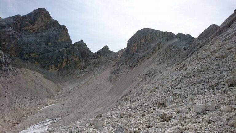
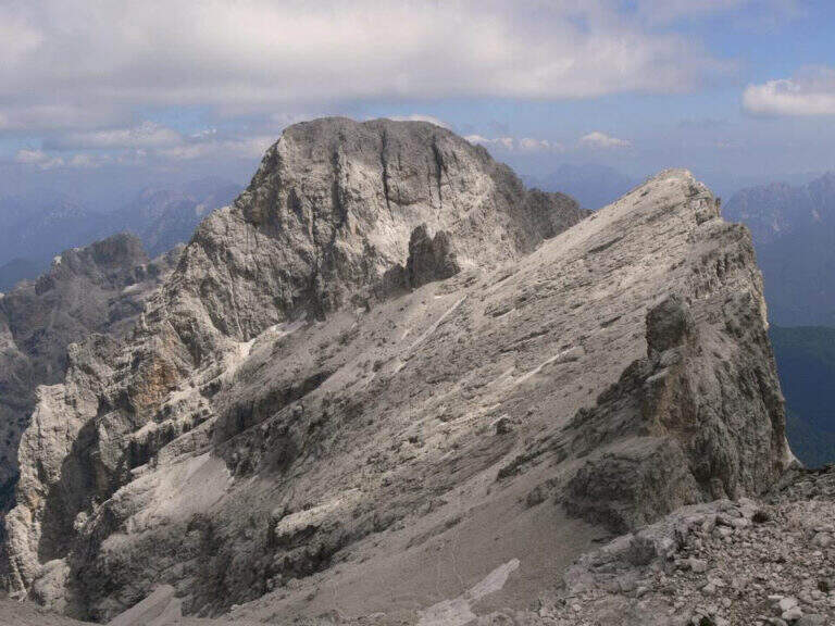
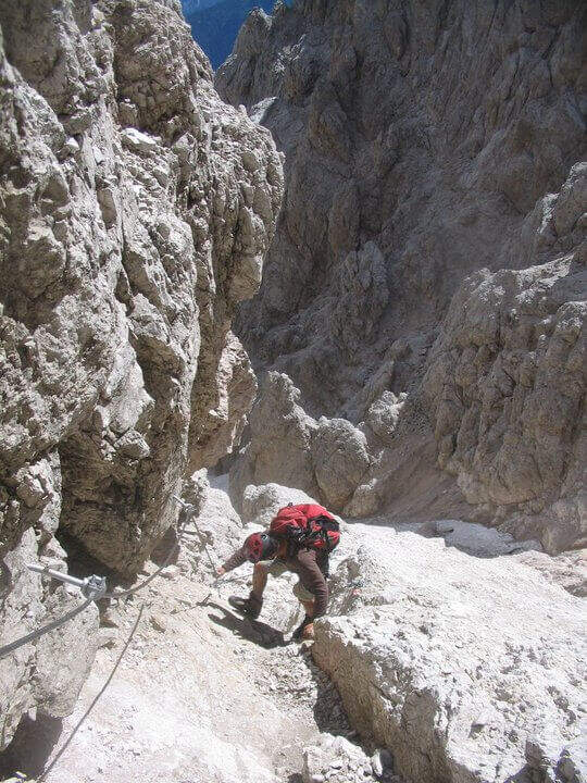
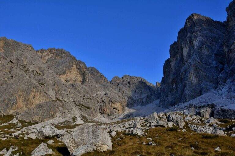
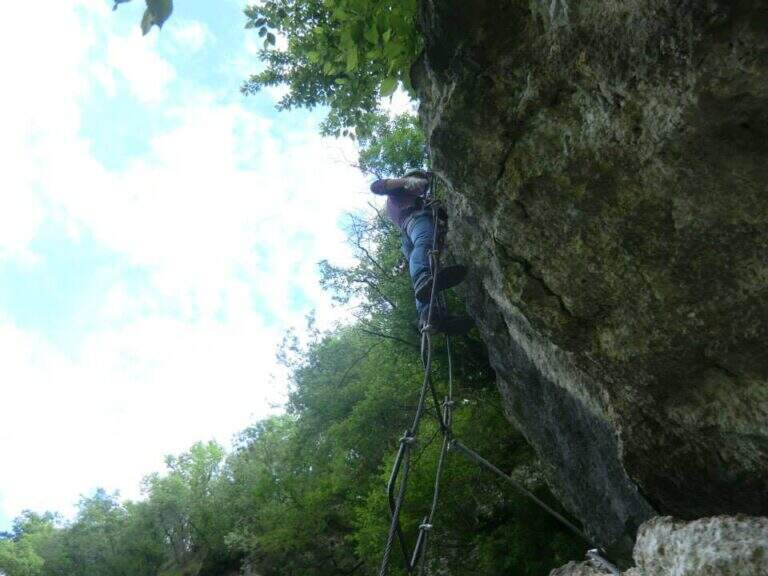
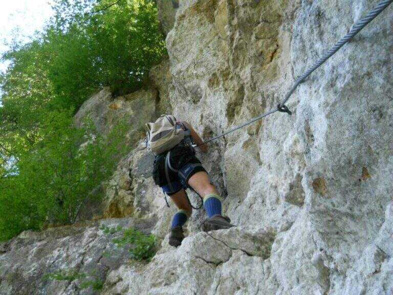
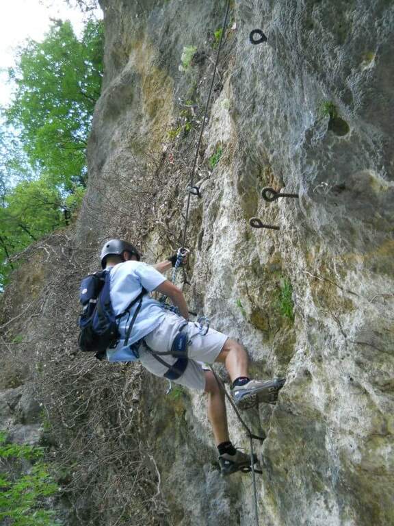
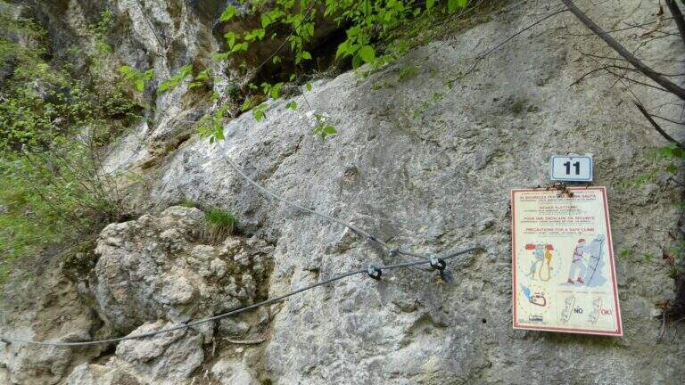
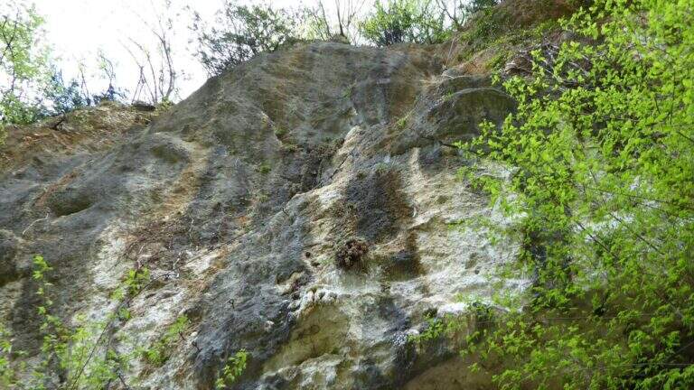
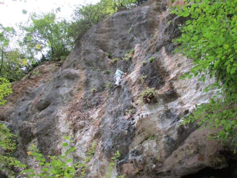
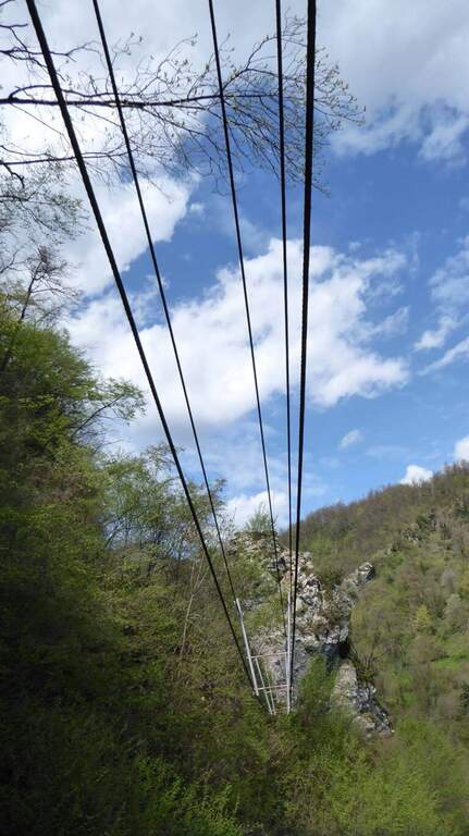
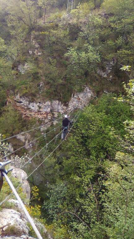
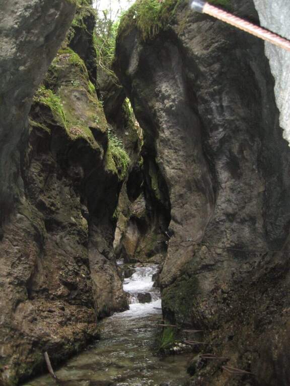
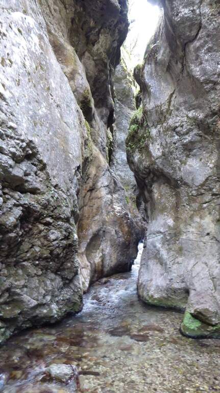
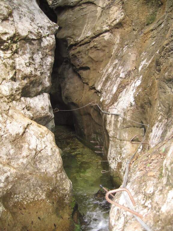
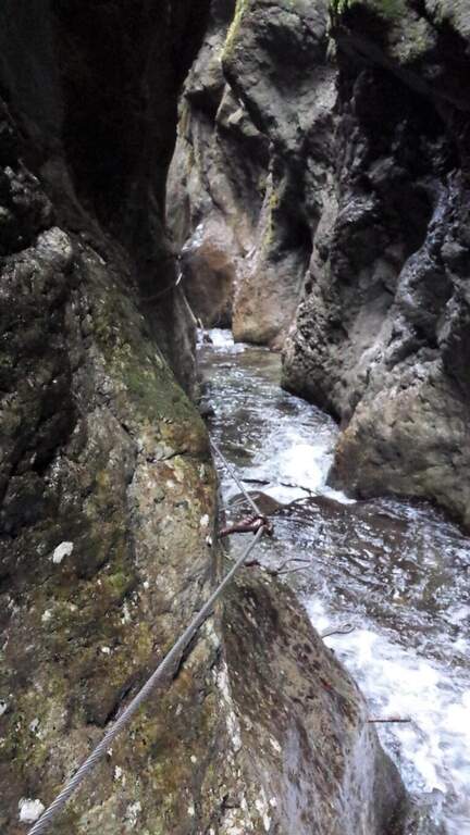
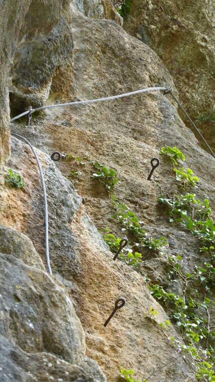
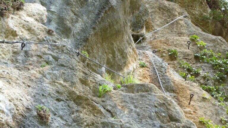
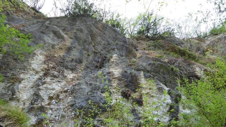
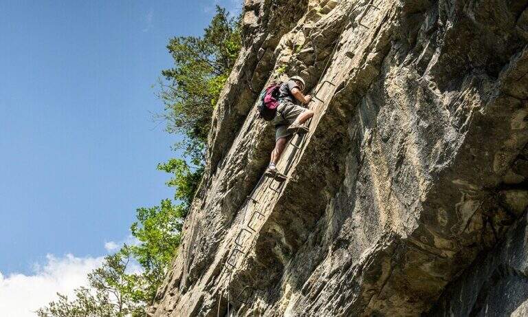
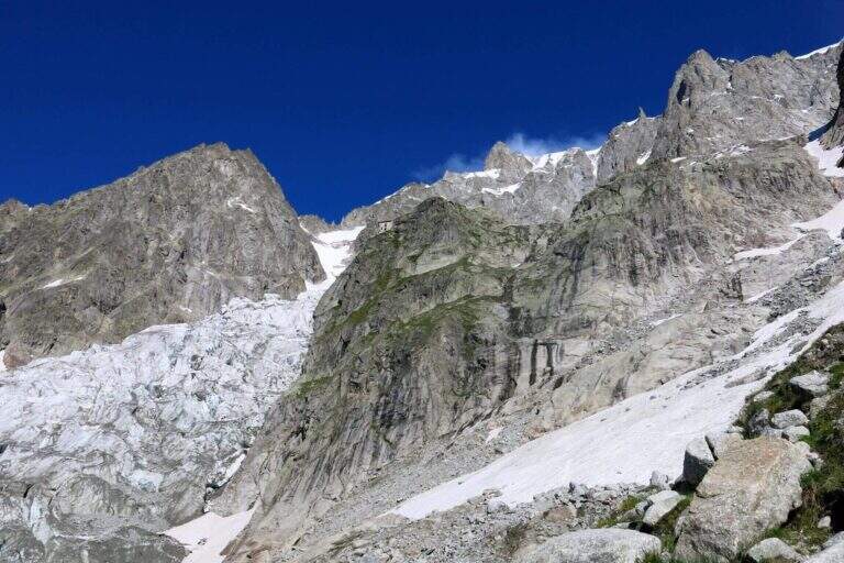
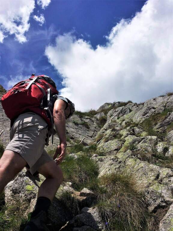
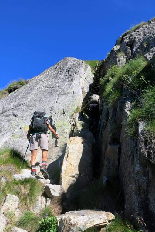
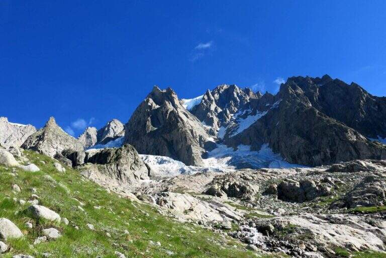
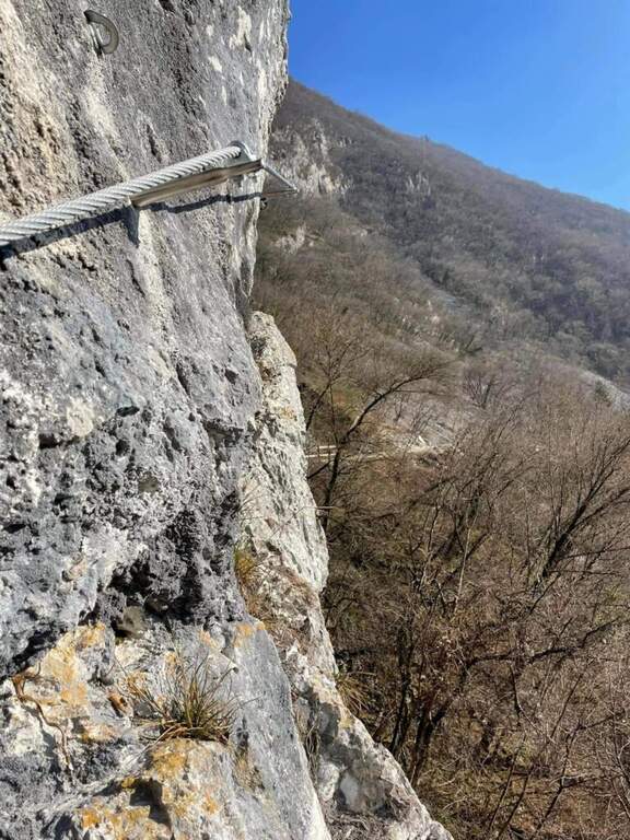
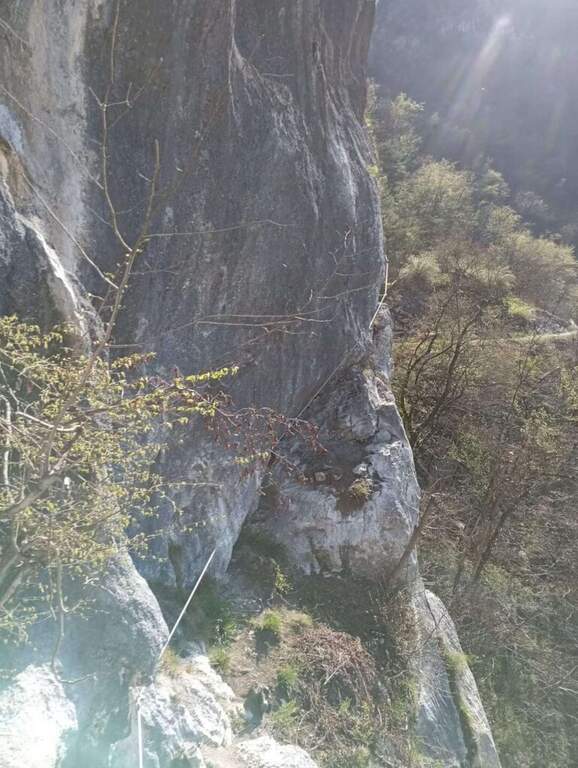
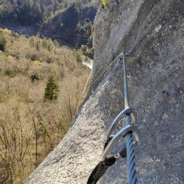
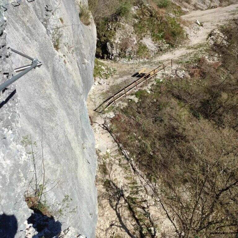
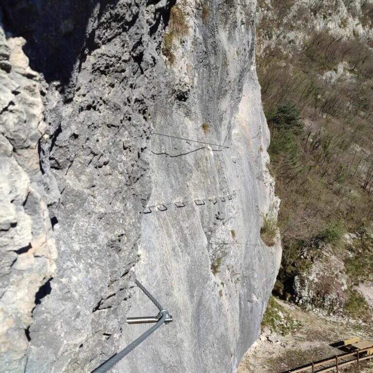
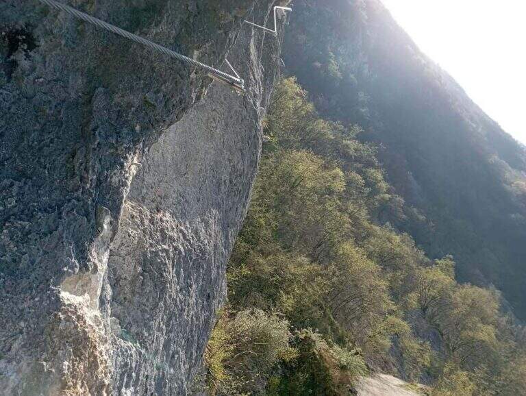
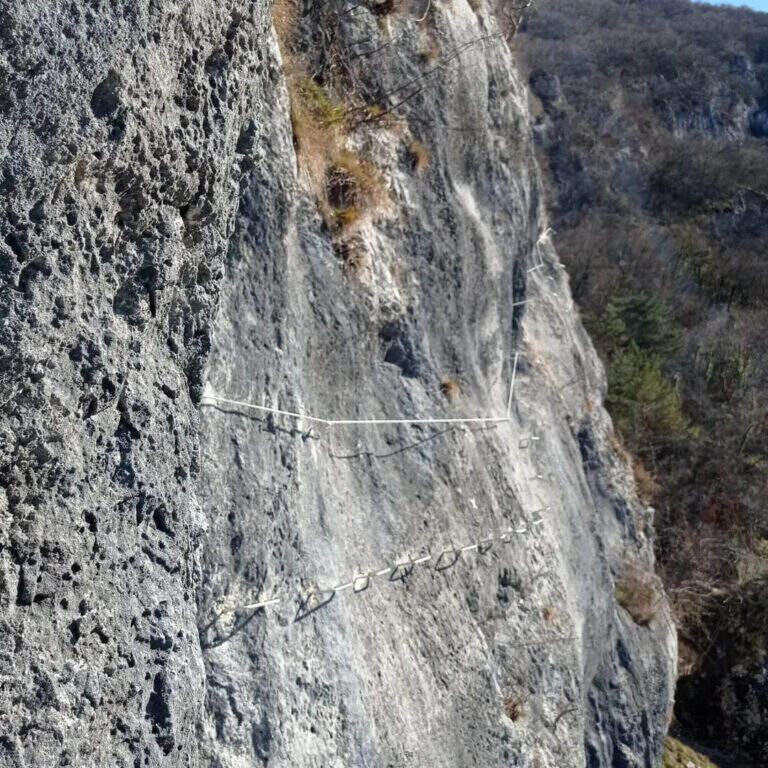
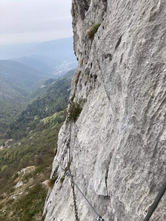
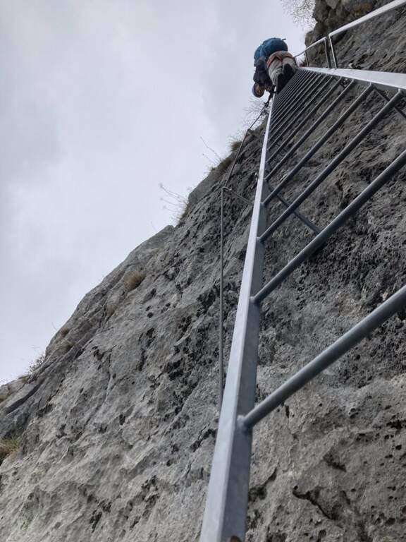
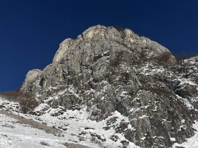
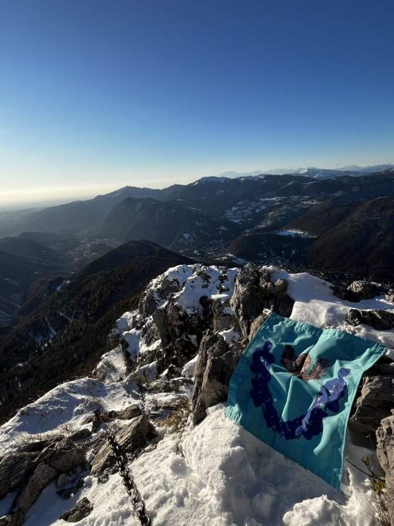
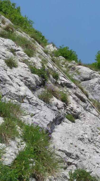
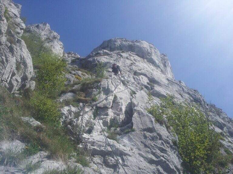
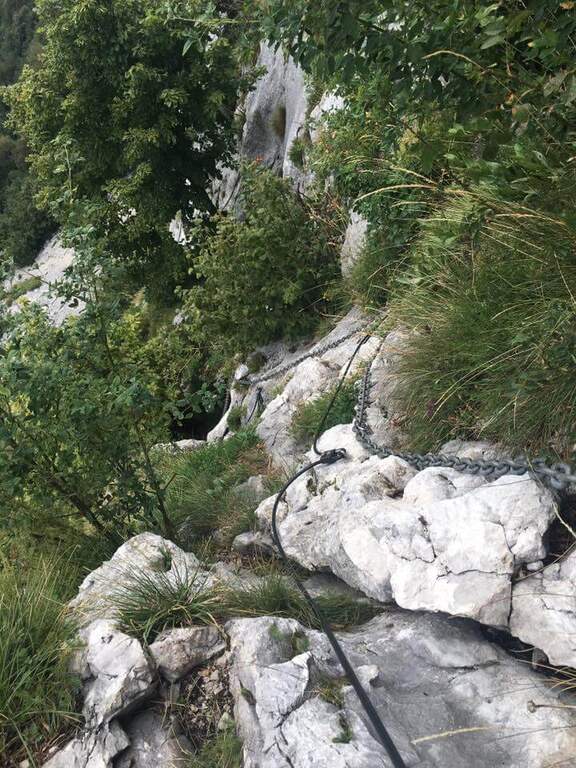
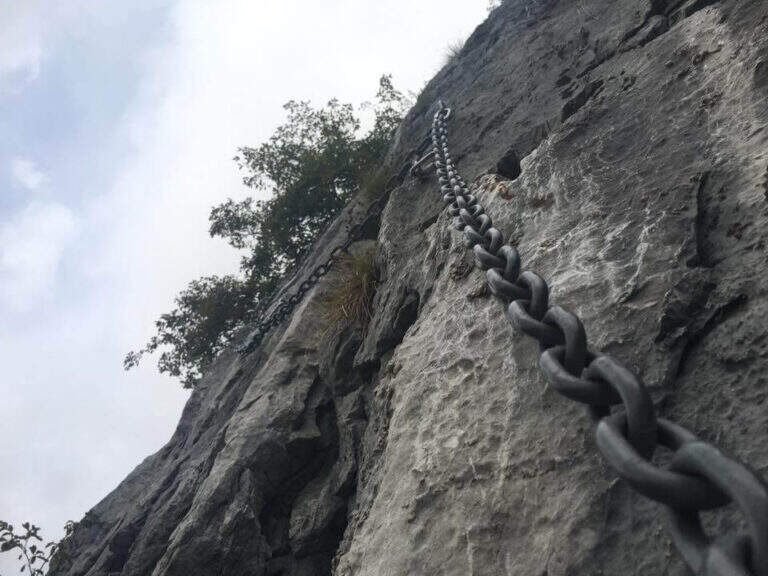
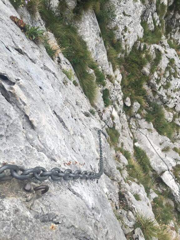
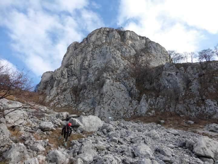
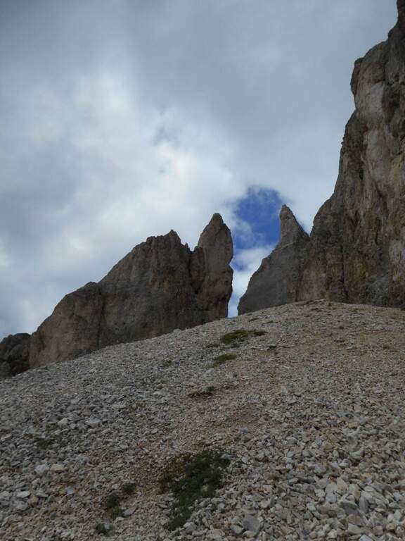
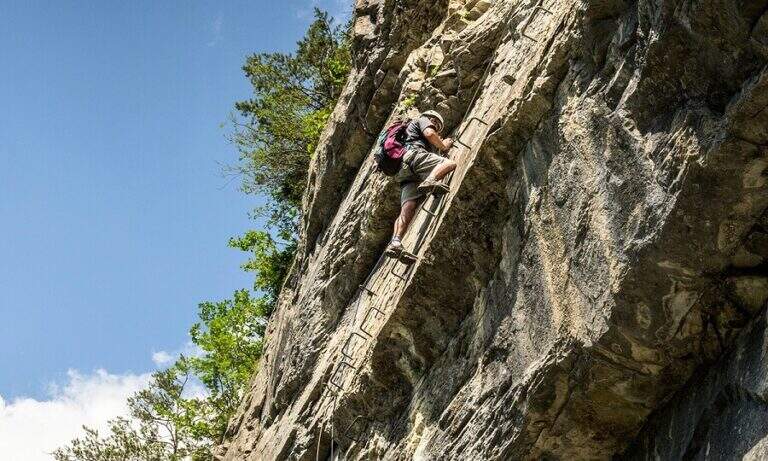
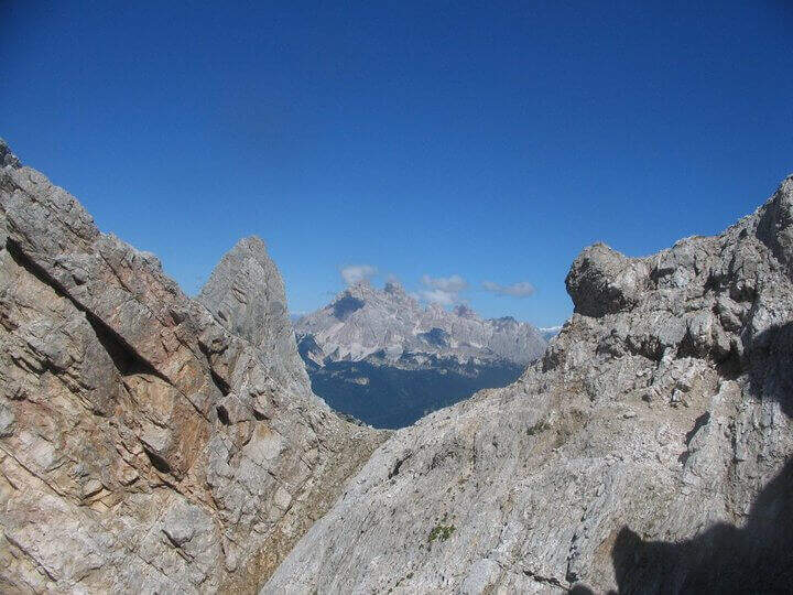
    The Sentiero Attrezzato Gino Badia is a high mountain route in the Trentino Dolomites of Val San Nicolò, near Pozza di Fassa: a challenging climb with equipped stretches that culminates in the iconic carving of the Forcella del’Ort between two rocky towers.

    How to arrive and approach

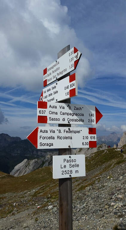
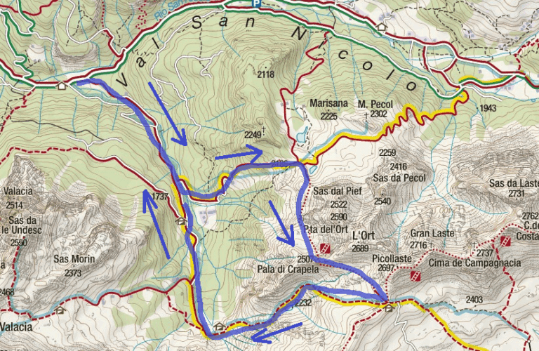
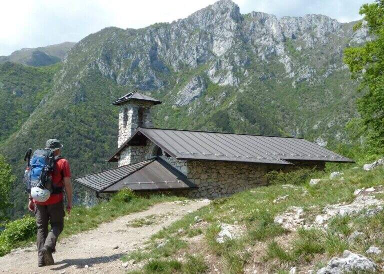
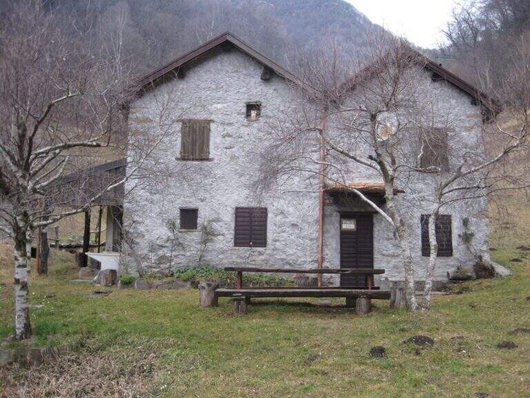
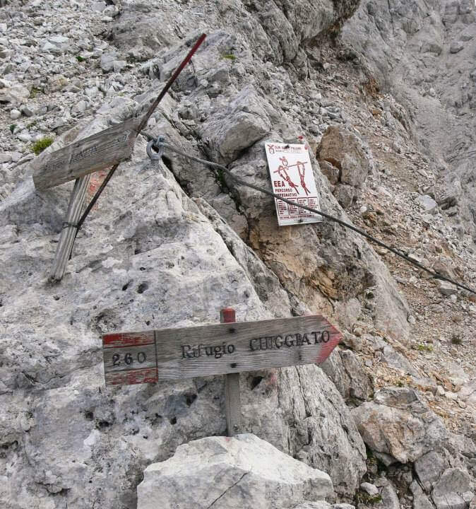
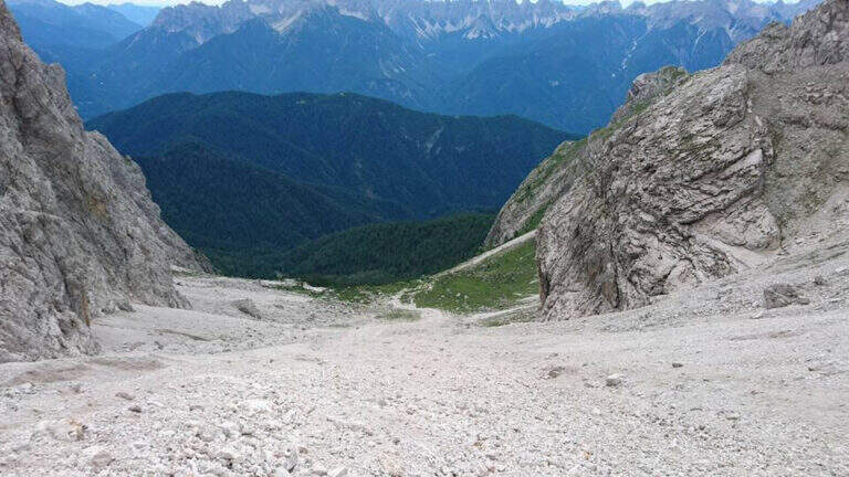
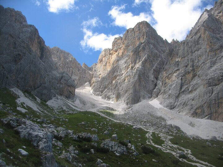
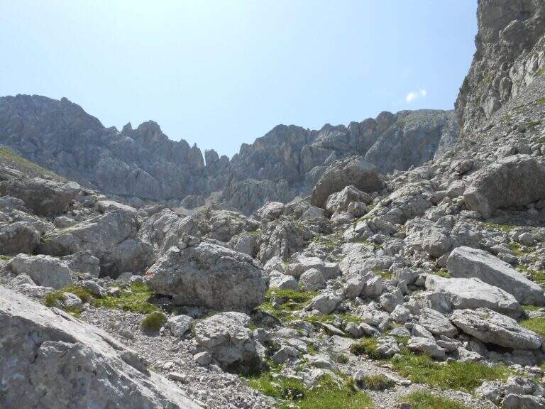
    The starting point is Malga Crocefisso (1522m), reachable from Val San Nicolò — right side of Val di Fassa — near Pozza di Fassa (TN). Follow the forest road that goes up the Val San Nicolò until the parking lot at the hut. From the parking lot take the 603 signpost that enters the valley. Approximation takes about 2 hours to the Forcella from Pief (2186m), along the signs 603, 641 and 640A in succession.

    The path

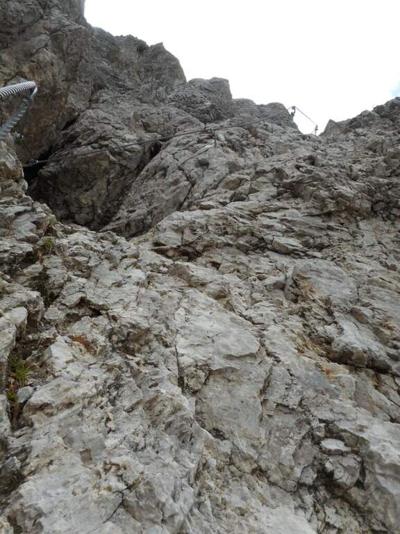
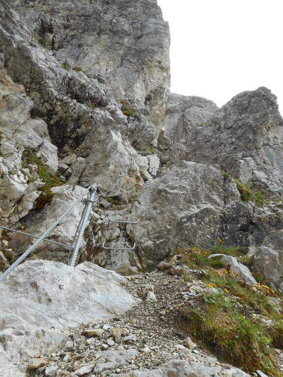
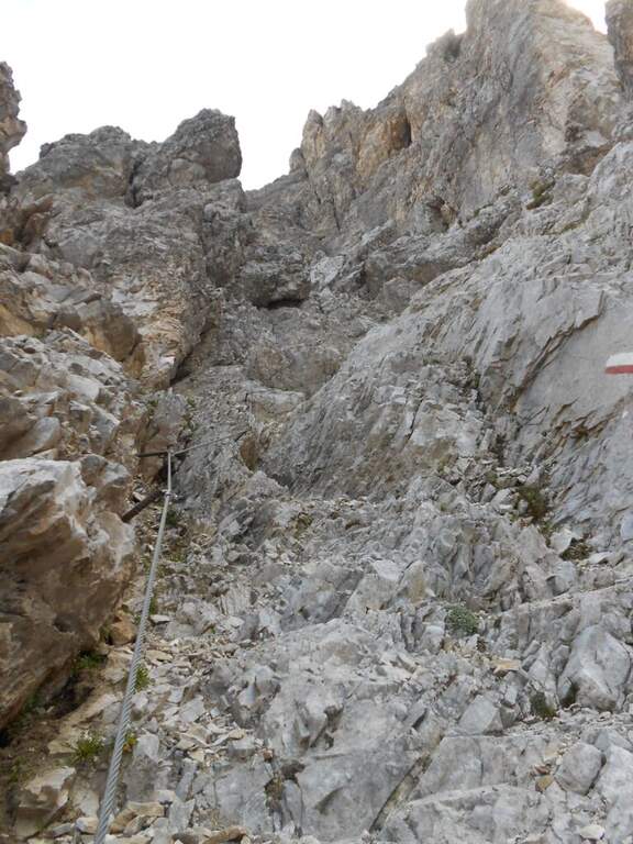
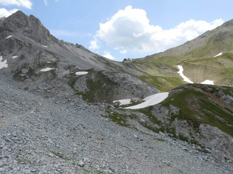
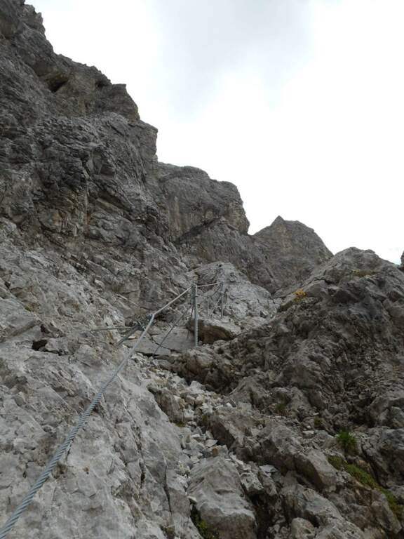
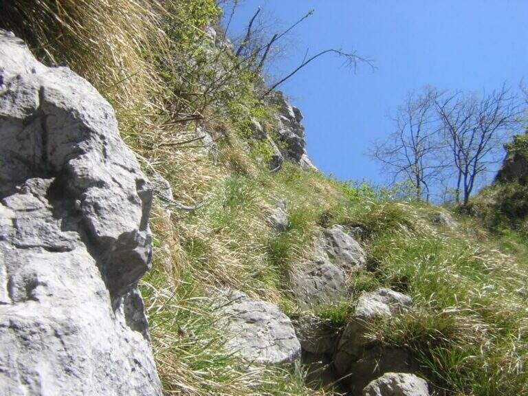
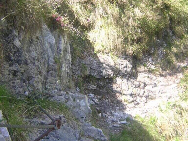
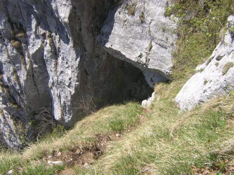
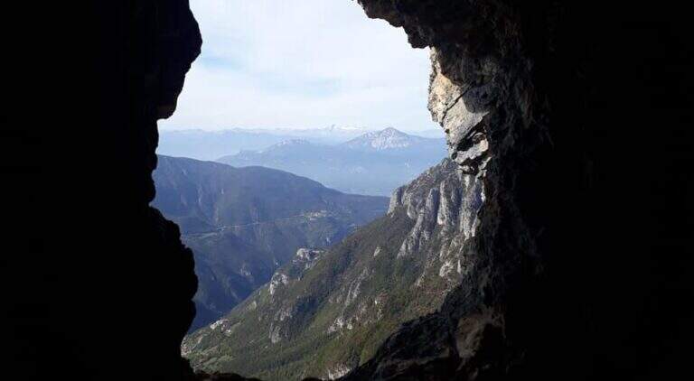
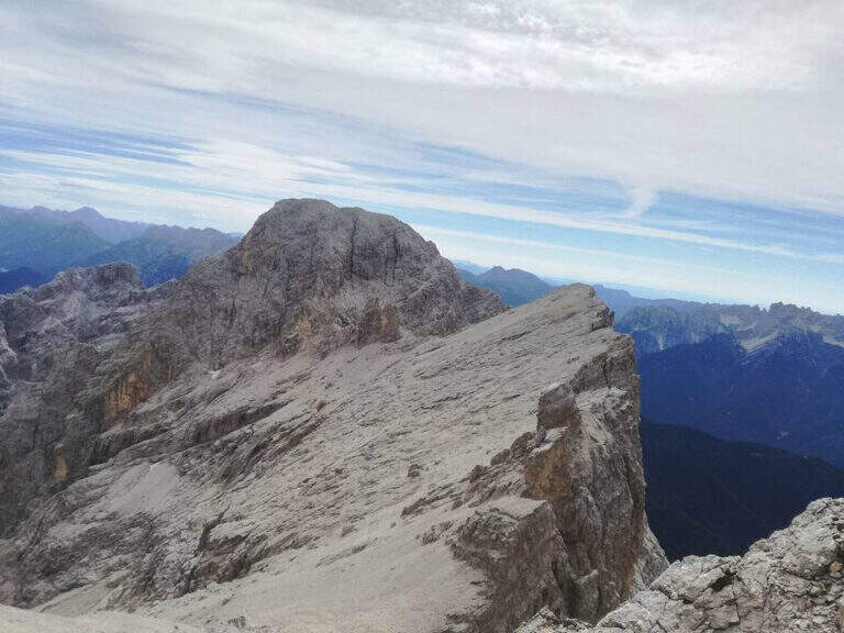
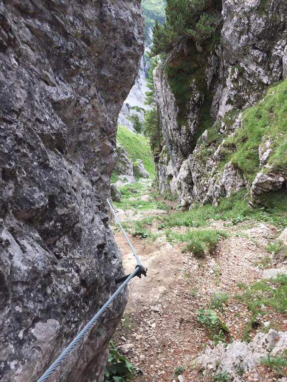
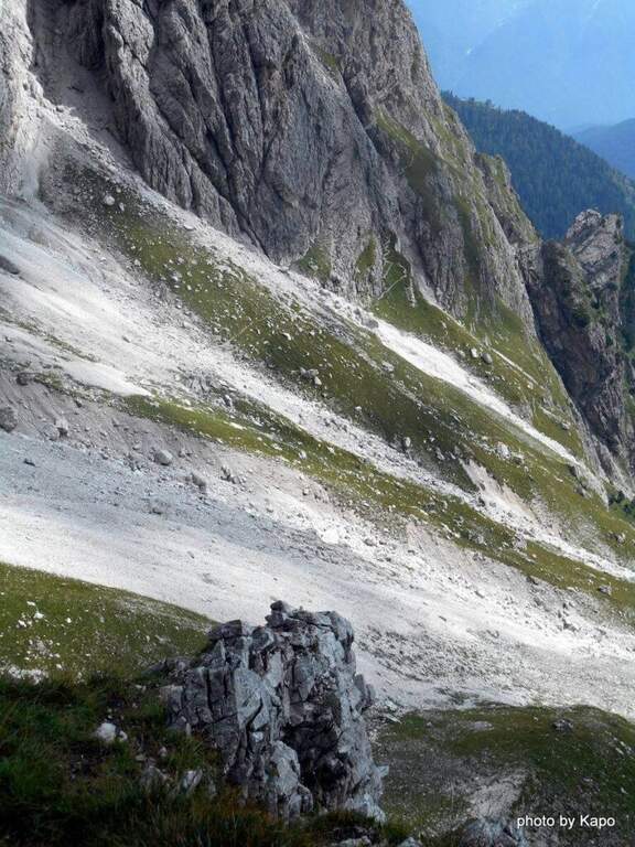
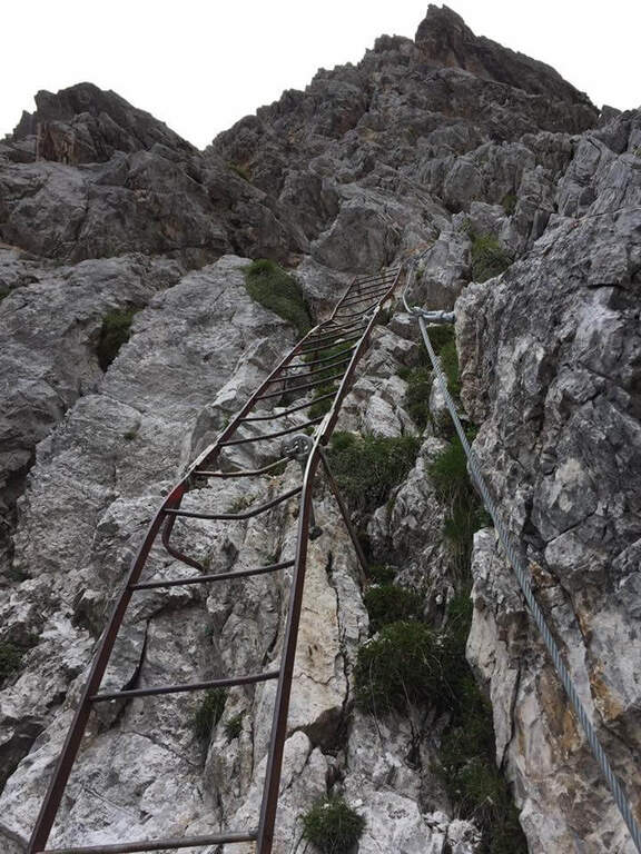
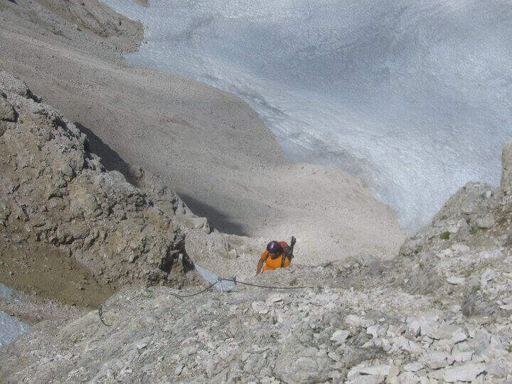
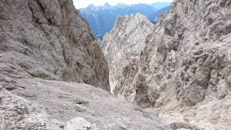
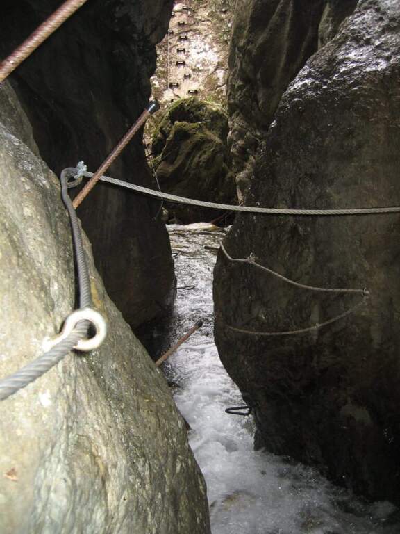
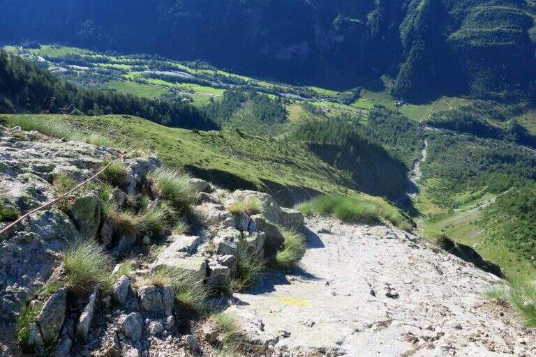
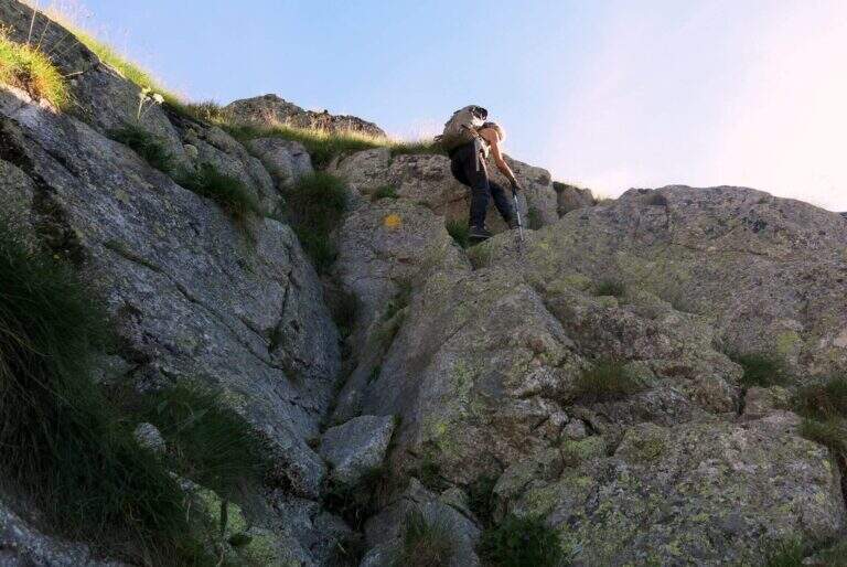
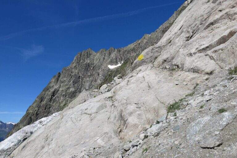
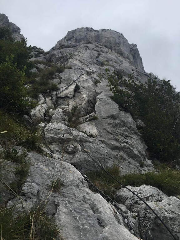
    From Malga Crocefisso (1522m) go up for the 603-641-640A signs to the Forcella from Pief (2186m) in about 1h30′. From the fork begin the equipped sections of the Sentiero Gino Badia: about 45 minutes of progression on dolomitic rock with a height difference of 75m. The route culminates in the spectacular Forcella del Ort, a narrow air carving between two rocky Dolomite towers that constitutes the most characteristic passage of the route. The maximum quota reached is 2528m.

    Character and difficulty

    The path is classified difficult especially for the long approach (2 hours) and the total difference (1006m on 13km total). The section equipped in the strict sense is short-lived but takes place on dolomitic soil at more than 2400m of altitude, requiring good technique of progression and absence of dizziness. The Forcella del Ort is a very characteristic air passage. Difficulty: Hard.

    Period and safety

    Recommended from July to September. At an altitude of 2528m the Dolomitic weather can change quickly: the morning departure is mandatory to avoid the afternoon storms. Snow presence possible even in summer in the canals of the Forcella del Ort. Check conditions before facing the route, especially in the first and last part of the summer season.

    Discipline

    From the highest point (2528m) it descends towards the Forcella from Pief and then to Malga Crocefisso for the climb path, or you can access other routes of the Val Monzoni area. The total time of the excursion is about 5h30′.

    To match

    The Val di Fassa and the surrounding Dolomites are equipped with trails of all levels. The Val San Nicolò is a quiet and unpopular environment, ideal for approaching other peaks of the Monzoni Group. In the surroundings of Pozza di Fassa there are numerous itineraries of the Dolomites of Fassa.
    ▲Gallery
    Technical data
    • DifficultyHard
    • RegionTrentino-Alto Adige
    • GroupDolomites
    • Approach2:00
    • Ferrata0:45 h
    • Itinerary (a/r)5:30 h
    • Hardware level difference75 m
    • Route difference1006 m
    • Max2528 m
    • Length13 Km
  • Path equipped GER

    Path equipped GER

    Vie Ferrate › Lombardy › LC
    Path equipped GER

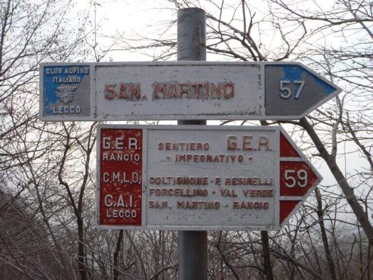
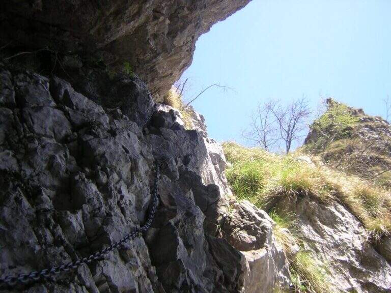
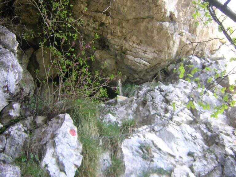
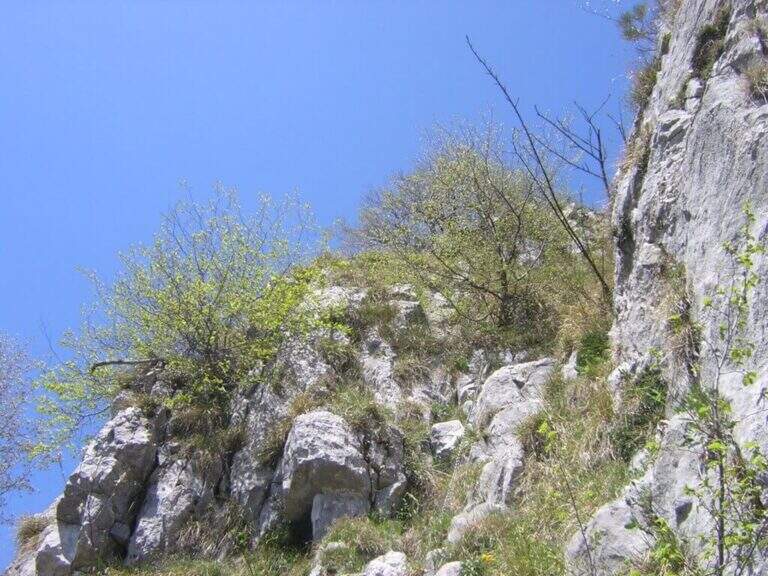
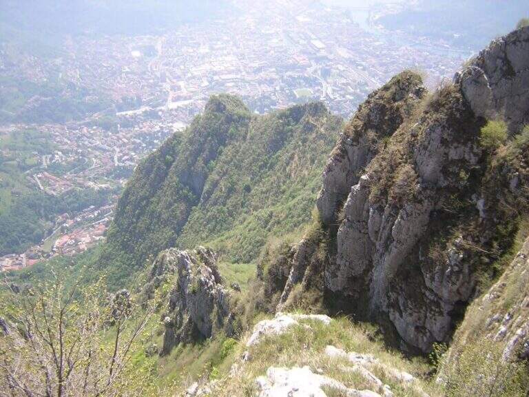
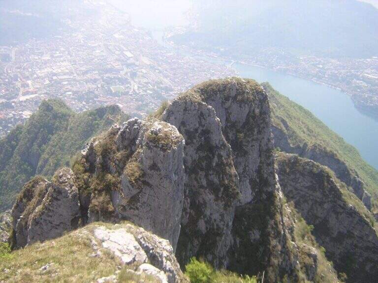
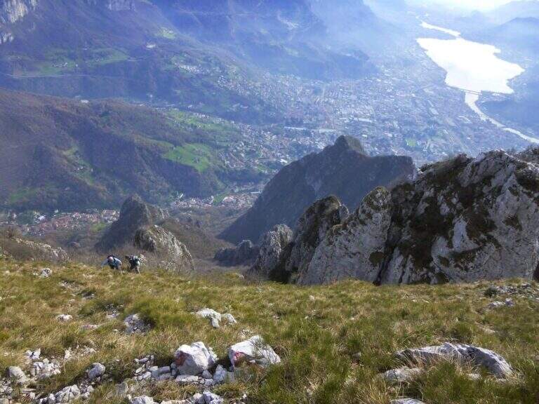
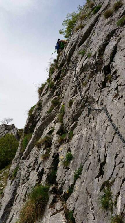
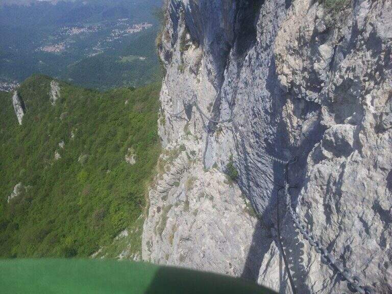
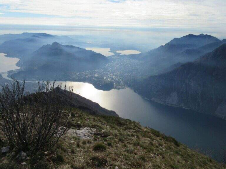
    The Sentiero Attrezzato GER — signed by the Gruppo Escursionisti Rancesi — dates back to the southern slope of Monte Coltiglione above Lecco: a long prealpine itinerary, with exposed sections and an exceptional panorama on Lake Como and the surrounding Alps.

    How to arrive and approach

    The starting point is located in Rancio Alto, a hilly hamlet above the district of Rancio di Lecco, reachable via Quarto from the city of Lecco. You climb up to a bar that prevents transit to motorized vehicles and park in the few spaces available along the road. The approach from the bar to the attack of the first equipped sections requires about 1h30′ walk in the forest on a path without technical difficulties.

    The path

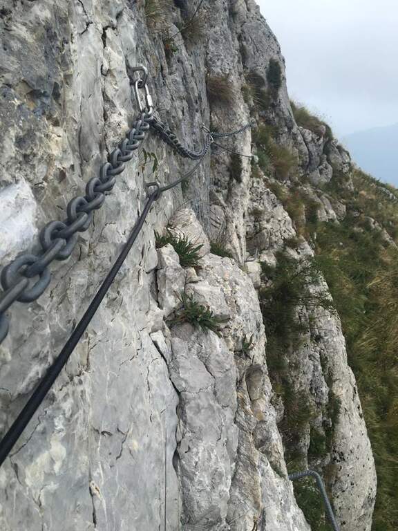
    From the parking lot you go up the forest on the path to the attack of the first equipment, on the south side of Monte Coltiglione (1479m). The equipped stretch develops for about 1h45′ with fixed cables and piles that exceed the steepest sections of the limestone slope. The route also includes unequipped exposed traits that require attention and sense of orientation. The peak of Monte Coltiglione (1479m) offers ample views of Lake Como, the Grigne and the Lombard Prealps to the Alps.

    Character and difficulty

    Itinerary difficult and tiring mainly for the length (16km, 1110m of total difference, 6 hours total) more than for the individual technical difficulties of the equipment. Some unequipped exposed traits require autonomous progression on prealpine soil. The GER is mainly frequented by hikers from Lecco and Rancio. Difficulty: Hard. Not suitable for fog or poor visibility for unequipped traits.

    Period and safety

    Recommended from April to October. The length and altitude difference make the itinerary challenging on hot summer days: prefer autumn or spring for the most favorable temperatures. Beware of unequipped traits in case of wet. There are no shelters along the path: adequate supply of water and food is necessary.

    Discipline

    The descent takes place on the return path towards Rancio Alto, completing the ring tour in about 6 hours total. The route does not have intermediate water points: plan stocks accordingly.

    To match

    The Monte Coltiglione is located in the heart of the Prealps of Lecco, where there are numerous equipped routes. Nearby are the Sentiero Attrezzato della Direttissima on the South Grigna and the Route of the River mandello del Lario.

    ▲Gallery
    Technical data
    • DifficultyHard
    • RegionLombardy
    • GroupPrealpi Lombarde
    • Approach1:30 h
    • Ferrata1:45 h
    • Itinerary (a/r)6:00 h
    • Hardware level difference250 m
    • Route difference1110 m
    • Max1479 m
    • Length16 Km
  • Path equipped Franco Galli

    Path equipped Franco Galli

    Vie Ferrate › Trentino-Alto Adige › TN
    Path equipped Franco Galli

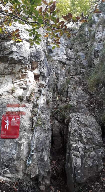
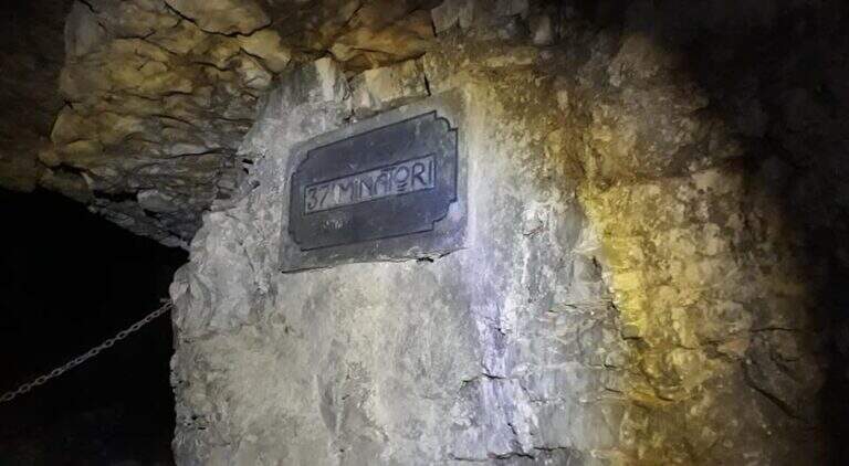
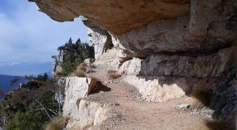
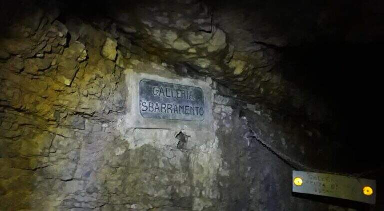
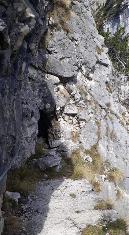
    The Attrezzato Path Franco Galli leads to the Corno Battisti (1762m) on the Trentino side of the Massif of the Pasubio, going through places marked by the events of the First World War and rich of still well preserved war installations.

    How to arrive and approach

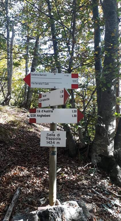
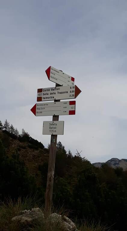
    The starting point is the village of Tezze, near Valmorbia (TN), on the state road 46 Rovereto-Valli del Pasubio. From Valmorbia turn left towards the center of the village and then right on the first road uphill, narrow and winding, up to a slargo where leave the car (about 750m). Parking is poor: those who do not find a place can leave the car in the village and walk the last stretches on asphalt road, adding about 200m of altitude difference. We recommend the route counterclockwise so that the tunnels are crossed uphill: take the 122A signpost to the right, leaving the 123 mark on the left (it will be the return route). The path 122A climbs steadily and steeply in the woods without technical difficulties until the Sella di Trappola (1435m, about 2 hours from Tezze); from the saddle you hold the left towards the Corno Battisti.

    The path

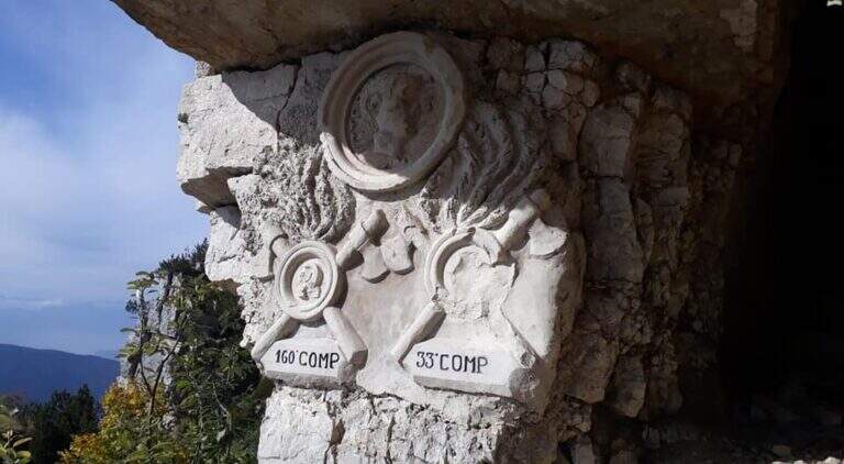
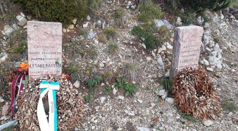
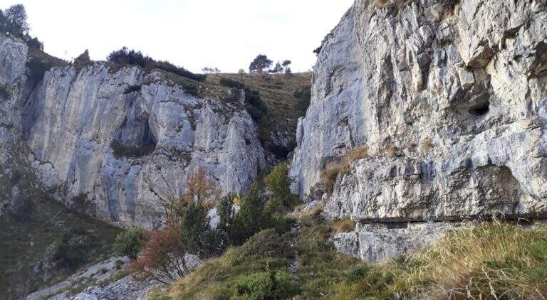
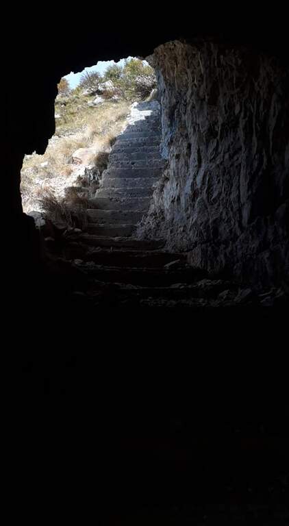
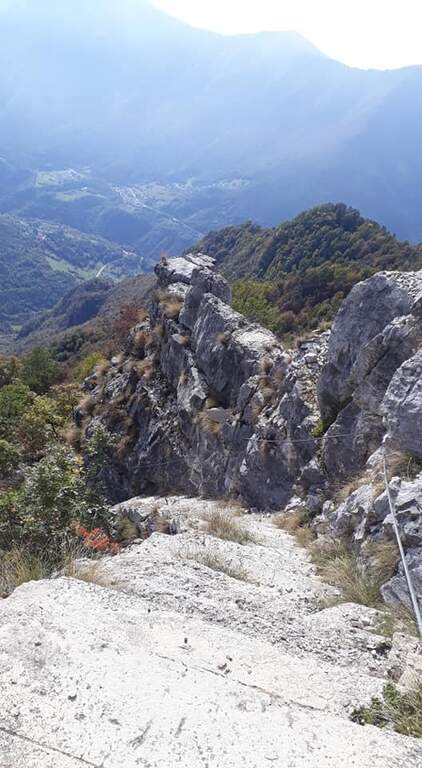
    From Sella di Trappola (1435m) begins the stretch equipped towards Corno Battisti. The path in the forest rarely leads to the first war station of the Great War and to the first equipped highlight marked by a characteristic red sign. You go up a rocky canal, you reach another location and then a first gallery. Following the white-red signposts you will meet new positions and a sign indicating the Pulcinella Hat (photography, optional deviation on the left). The itinerary alternates galleries and outdoor paths; a staircase carved into the rock precedes a wooded section and then a new gallery to be climbed internally for a long staircase. At the exit, marble marks commemorate the military units that fought in this area. You will walk through a picturesque nod and a rocky highlight before taking the main tunnel, to be crossed entirely without entering the closed branches. You can reach the Corno Battisti (1762m).

    Character and difficulty

    Itinerary of considerable historical interest — in these places were captured by the Austrian troops the Trentino irredentists Cesare Battisti and Fabio Filzi — and physically challenging for the total length and difference (1000m, 14km, 6 hours total). The equipped traits are of average level but follow after a long approach that requires good physical preparation. Difficulty: Hard. Need a front torch for tunnels.

    Period and safety

    From May to October. The galleries are in the dark: the front torch is indispensable. Attention to the wet rock in the exposed sections of the nod. In winter, tunnels can present ice. The length of the route (6 total hours) requires adequate supply of water and food and to leave early morning.

    Discipline

    From Corno Battisti (1762m) you descend for the 123 marker, which closes the ring returning to Tezze in about 3h30′. This return path is more direct than the route but without the tunnels. The total time of the ring hike is about 6 hours.

    To match

    On the Venetian side of the Pasubio is the Sentiero Attrezzato Falcipieri alle 5 Cime del Pasubio, great crossing equally rich in history of the Great War. The Piccole Dolomiti and Massiccio del Pasubio host many other historical and mountaineering routes.

    ▲Gallery
    Technical data
    • DifficultyHard
    • RegionTrentino-Alto Adige
    • GroupSmall Dolomites
    • Approach2:30 h
    • Ferrata1:30 h
    • Itinerary (a/r)6:00 h
    • Hardware level difference200 m
    • Route difference1000 m
    • Max1762 m
    • Length14 Km
  • Path equipped Foletti

    Path equipped Foletti

    Vie Ferrate › Trentino-Alto Adige › TN
    Path equipped Foletti

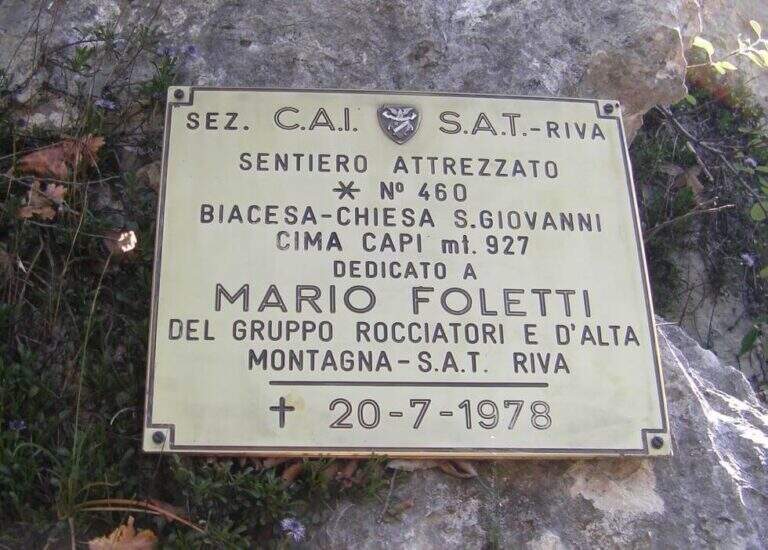
    The Sentiero Attrezzato Foletti is a short but exposed route that descends from the north side of Cima Capi towards Biacesa di Ledro, frequently combined as a descent path to Ferrata Susatti.
    How to arrive and approach

    The village of Biacesa is reached from Riva del Garda along the tunnels towards the Val di Ledro; after the second tunnel it is almost immediately in Biacesa. In the village take Via dei Dazi on the right and, at the bottom, turn right still continuing briefly until a playground with large parking, which is the base of the excursion. Those who intend to walk the Foletti as a descent path after Ferrata Susatti will have to read the report of the Ferrata for the starting point at altitude. For those who want to go back to the Foletti from the bottom, you can reach the Church of San Giovanni for the Path Atrezzato delle Laste (1 hour) or for the CAI 417 path and then CAI 460 from Biacesa (1 hour).

    The path

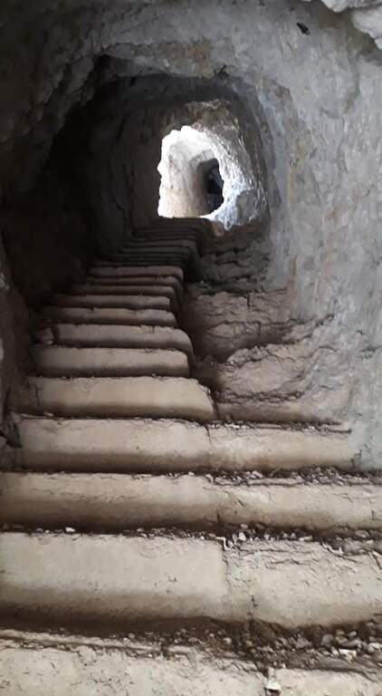
    The first metal equipment guides along a beam exposed to inclined plates, where the foot support points are good and the metal handles fill the missing traits. It follows a vertical stretch uphill and then a more challenging one downhill on the wall. The progression continues up to a wall to be crossed diagonally without particular technical difficulties, until the plaque that marks the end of the equipped path (about 20 minutes from the attack).

    Character and difficulty

    Short course, without marked technical difficulties, but to be faced carefully especially in the downhill section that requires coordination and safe step. The Foletti does not require advanced experience of ferrata, but the exposure of some passages suggests to equip itself at least with sling and longe. The low altitude and brevity make it suitable as a natural completion of the tour with Ferrata Susatti. Difficulty: Hard.

    Period and safety

    Unconscious on the hottest days of summer for the solar exposure of the slope. The limestone rock of Upper Garda can be slippery in the presence of moisture. The low altitude of Cima Capi (909m) allows the journey in almost all seasons, with greater caution in winter. Pay special attention in the downhill section.

    Discipline

    At the end of the Sentiero Foletti is located near the Church of San Giovanni. From here you will descend to Biacesa following the Route Attrezzato delle Laste (about 45 minutes from the church, 4 hours total starting from Biacesa with the Ferrata Susatti) or along the CAI 460 path in connection with the CAI 417.

    To match

    The Foletti is matched by definition to Ferrata Susatti for Cima Capi, of which it constitutes the classic path of descent. In the area there are also numerous other routes and paths equipped on the Gardesane Prealps, including the Ferrata delle Laste.

    ▲Gallery
    Technical data
    • DifficultyHard
    • RegionTrentino-Alto Adige
    • GroupPrealps Gardesane
    • Approach2:45 h
    • Ferrata0:20 h
    • Itinerary (a/r)4:00 h
    • Hardware level difference70 m
    • Route difference490 m
    • Max909 m
    • Length8,1 Km
  • Route of the River

    Route of the River

    Vie Ferrate › Lombardy › LC
    Route of the River

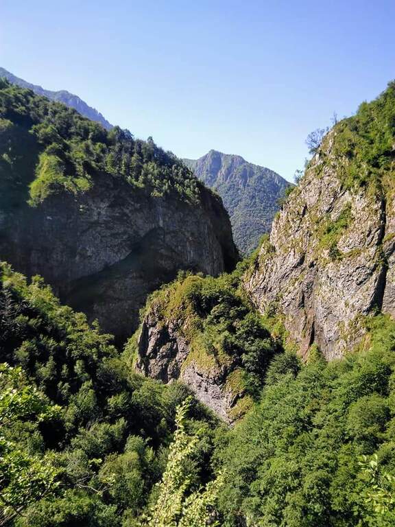
    The Sentiero Attrezzato del Fiume runs uphill through the picturesque hill of the river Era in the surroundings of Mandello del Lario, offering a low altitude hike through almost all seasons.

    How to arrive and approach

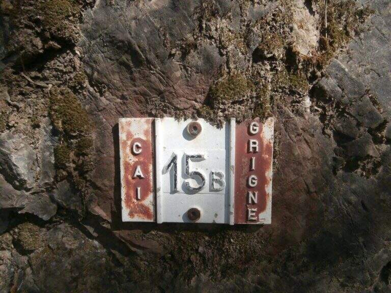
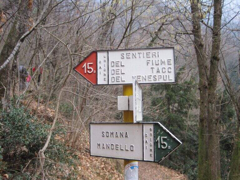
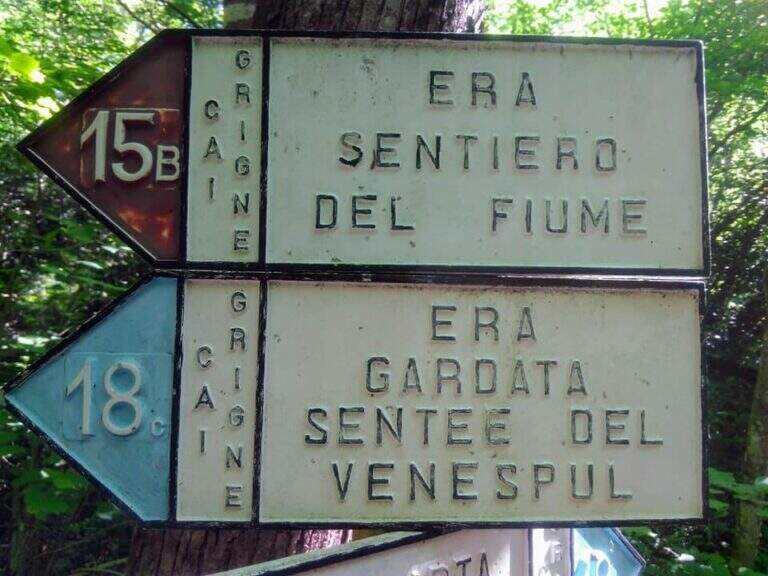
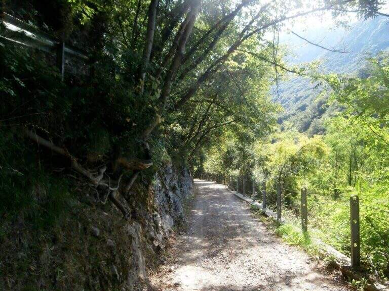
    The starting point is located in the hamlet of Sonvico, in the municipality of Mandello del Lario (LC), reachable from the Larian state leaving in Abbadia Lariana and following the signs for Mandello del Lario. From Mandello you go up to the hamlet of Somana and then towards Sonvico. At the crossroads you will find some parking options. From the parking lot follow the signs: the route is marked with the number 15B. You walk on a false plateau in the woods to a fountain (at the crossroads you hold the left), then still on the floor until a second pole (newly on the left), then in a slight descent to the river Era, where the route begins (about 30 minutes from the parking lot).

    The path

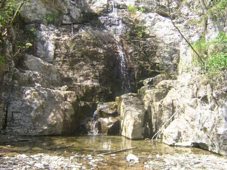
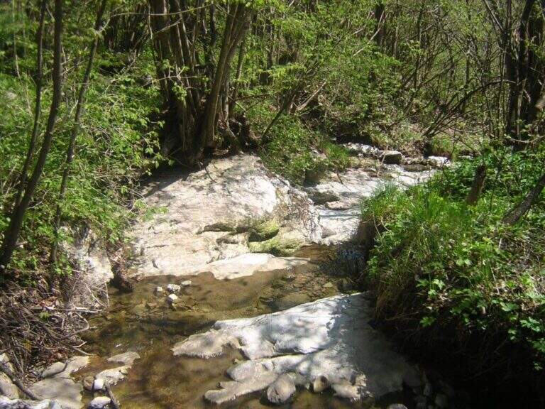
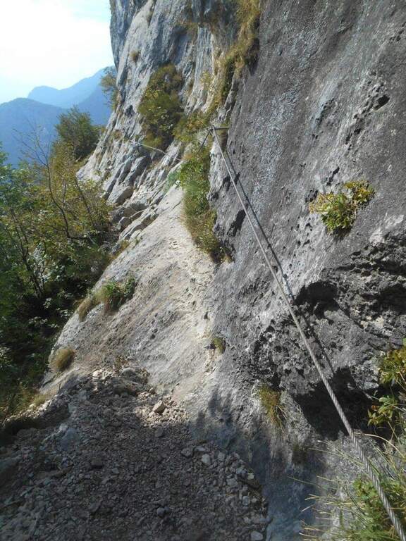
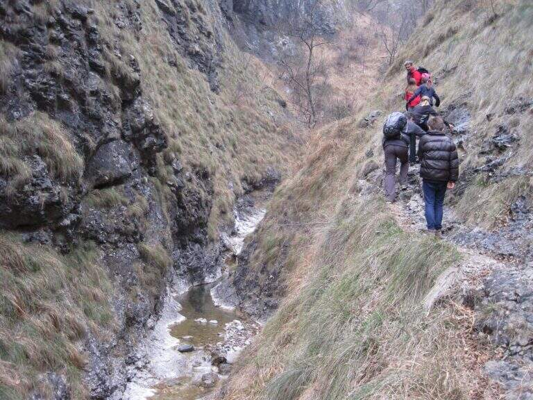
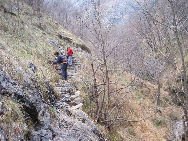
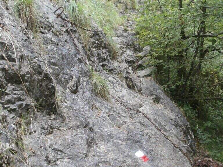
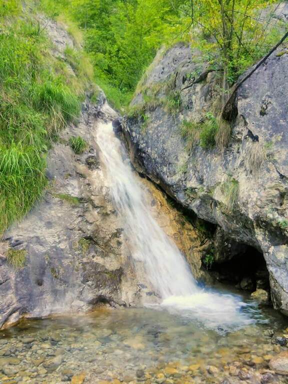
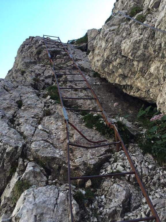
    The path, marked with red and white-red signs, develops mainly on the left bank of the river Era. After a first forado you will meet the stretches equipped with chains that ensure the most exposed steps. The itinerary alternates uphill stretches and descent, with the noise of the water always present. A second time you cross the water course, taking you to the right bank, and gradually climb up rocky ridges. In close proximity to an area of rapids and particularly scenic waterfalls there is a cross equipped with metal brackets. The longer vertical stretch — about 6 meters — goes up with excellent hooks for hands and feet. Some concluding rocks and a traverse to the right complete the equipped section (about 1 hour from the attack).

    Character and difficulty

    Despite the low altitude and brevity, the route has high difficulty passages due to the presence of vertical rock traits requiring progressive technique. The sections with chain are interspersed with stretches of unequipped path in which it is essential not to miss the signs. Difficulty: Hard. It is recommended equipped by ferrata (imbrago, longe, helmet) for vertical stretches. The low altitude and the surrounding wood keep the route fresh even on summer days.

    Period and safety

    It can be traveled almost all year thanks to the maximum modest quota (about 850m). It is essential to avoid the route in case of full of the river Era: some sections take place in the river bed or very close to the water and under high level conditions become impractical and dangerous. Be careful to keep the signs in particular in the stretches where the path crosses the same bed of the stream.

    Discipline

    At the end of the equipped route there is a pole with the signs. To return to the parking lot of Sonvico descends left on path n. 15, which leads to the starting point in about 1h15′ (3h30′ total for the entire excursion). There are at least two other variants of descent to the Mandello del Lario area.

    To match

    From Mandello del Lario there are several routes on the Larian Prealps. Nearby is the Route GER at Monte Coltiglione, more challenging itinerary for length and altitude difference on the same slope prealpino lecchese.

    ▲Gallery
    Technical data
    • DifficultyHard
    • RegionLombardy
    • GroupPrealpi Lombarde
    • Approach0:30 h
    • Ferrata1:00 h
    • Itinerary (a/r)3:30 h
    • Hardware level difference250 m
    • Route difference500 m
    • Max850 m
    • Length9,2 Km
  • Sentiero Attrezzato degli Alpini in Forcella Jau Tana

    Sentiero Attrezzato degli Alpini in Forcella Jau Tana

    Vie Ferrate › Veneto › Belluno
    Sentiero Attrezzato degli Alpini in Forcella Jau Tana

    The Sentiero Attrezzato degli Alpini in Forcella Jau Tana, in the Marmarole Group, is a challenging itinerary: high altitude difference, wild and unspoilt environment. The equipped strokes are of medium-low difficulty, but the long stretches are not protected and must be avoided absolutely with bad weather.

    ▲Approach

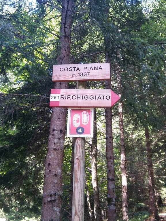
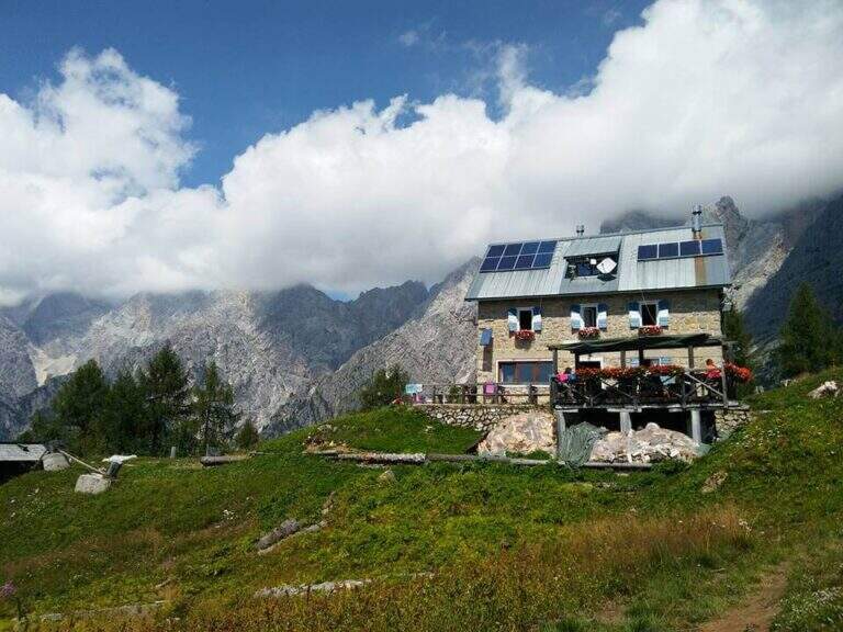
    It starts from the resort Stua, near Calalzo di Cadore (BL). In Calalzo follow the signs for Pian dei Buoi, on a narrow but asphalted road, entering the wood towards Val d’Oten up to a crossroads 2,5 km from the center, where you take to the right and continue for another 2,5 km in the wood until the parking lot (open up Google Maps). From Stua (1555 m) follow the path 261, which climbs steeply in the forest to the bends towards the Chiggiato Refuge: you pass the resort Costapiana (1337 m, 30′ from the parking lot) and the locality La Serra, recognizable for a trip that recalls the passage of Pope John Paul II, up to the Chiggiato Refuge (1911 m, 2h from the parking lot). From the refuge you go north along the high street 5, signpost 260/262, to the Forcella Sacu, where you will meet a first easy passage equipped (1914 m, 15′ from the shelter, 2h15 total). From here the path changes character and begins to climb north-east, cutting diagonally the south walls of the Cimon della Froppa with a succession of narrow cenges exposed; at the top, straight at the front, you can see the fork Jau Tana, the destination. Crossing a detritic valley meet the first metal equipment (1h by Forcella Sacu, 3h15 total).
    ▲The path

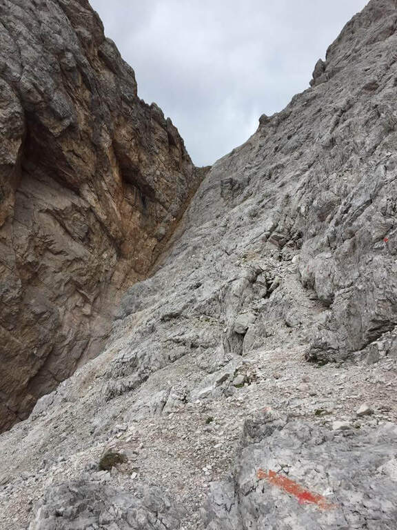
    There are about twenty meters of rocks without particular difficulty and you reach a first metal staircase resting; the ropes then help to climb up the canal, entering the throat that leads to the fork. After a second ladder, a corner is around and climbs towards the fork, with typically easy stretches alternating with stretches of unprotected and rather exposed path, to be faced with caution. In the upper part of the valley you climb on the right side without crossing it, with few equipment, until you reach the fork after a long and constant climb (1h from the attack, 4h15 total). The environment is wild and imposing, with the Cimon della Froppa that stands out right. The route now bends right towards the Forcella delle Marmarole, where the descent begins: it cuts in half-coast the summits, with attention to the bottom not always stable, until the Forcella delle Foppe (2790 m), then a stretch of descent at times equipped leads to the Forcella Marmarole (2661 m, 1h15 from Forcella Jau Tana), with in front of the Cresta degli Invalidi. The difficulties, however, are not finished: the descent continues along the Vallon del Froppa, a steep canyon with an unstable bottom, equipped in the first meters and followed by about 20 minutes on a steep and exposed background to be covered with great attention. At the end of the wreath we start on path 262, where the difficulties — and with them the equipped path — end (1h from Forcella Marmarole, 6h30 total).

    ▲Character and difficulty

    The equipped sections do not have any technical difficulties: the real difficulties are the long stretches not protected on unstable background, in particular the connection section at altitude and the descent in the Vallon del Froppa. It is a physically demanding itinerary, in a wild and unpopular environment.

    ⚠ Long stretches not protected on unstable and infido background, exposed, to avoid absolutely with bad weather. Development (17 km, 1498 m of altitude difference, 8h15) requires excellent physical preparation, experience and stable weather.
    ▲Period and safety

    High mountain summer itinerary (max. 2790 m), reserved for trained and experienced hikers, autonomous on unstable and unprotected terrain. The detritic background and exposure impose constant prudence.

    ▲Discipline

    Follow the path 262 downhill towards the south (right) to the Forcella Sacu and then back, along the approach path, to the Chiggiato Refuge and finally to the parking lot (1h45 from the graft on 262, 8h15 overall).

    ▲Gallery
    Technical data
    • DifficultyHard
    • RegionVeneto
    • GroupMarmarole
    • Approach3:15 h
    • Ferrata3:15 h
    • Itinerary (a/r)8:15 h
    • Hardware level difference200 m
    • Route difference1498 m
    • Max2790 m
    • Length17 Km
  • Ferrate del Parco delle Fucine di Casto

    Ferrate del Parco delle Fucine di Casto

    Vie Ferrate › Lombardy › Brescia
    Ferrate del Parco delle Fucine di Casto

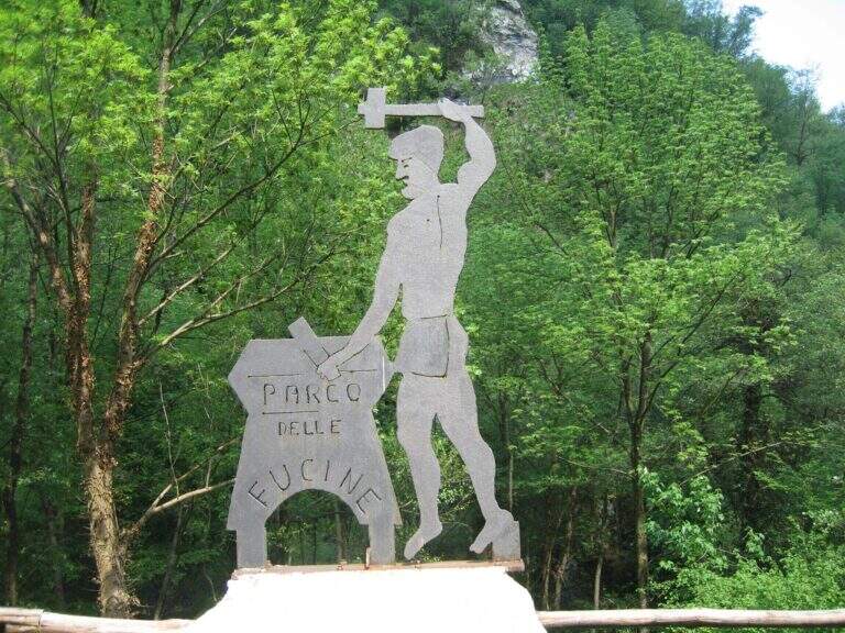
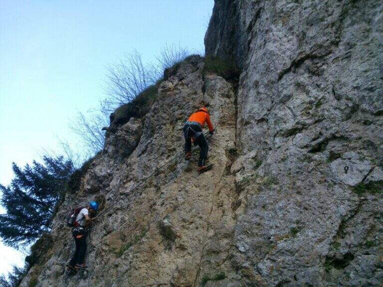
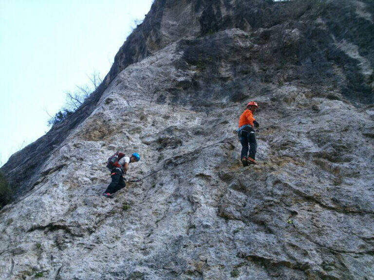
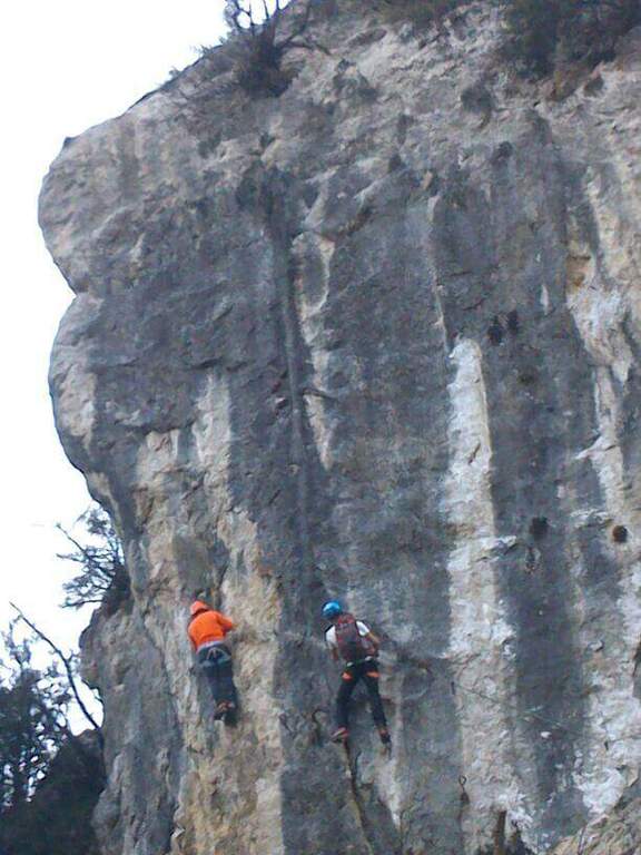
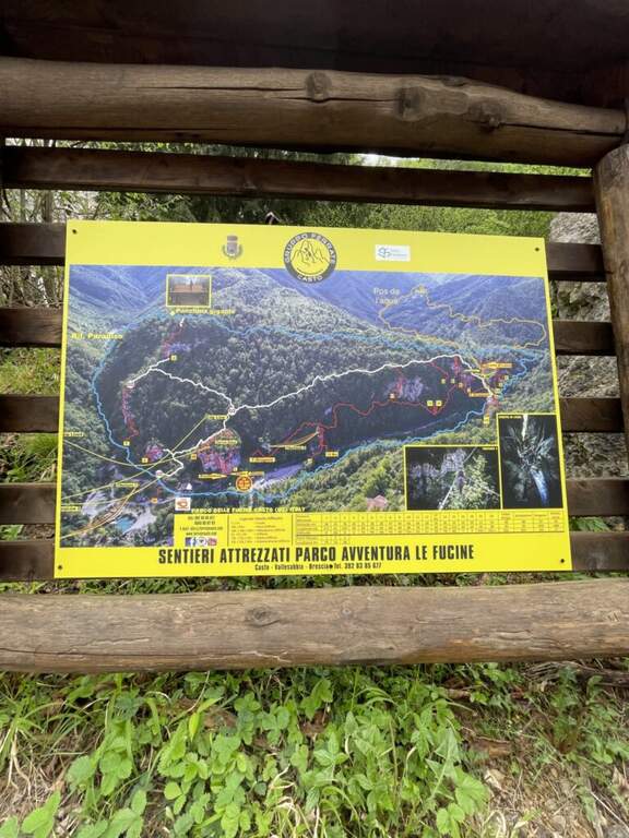
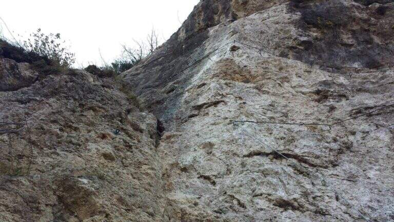
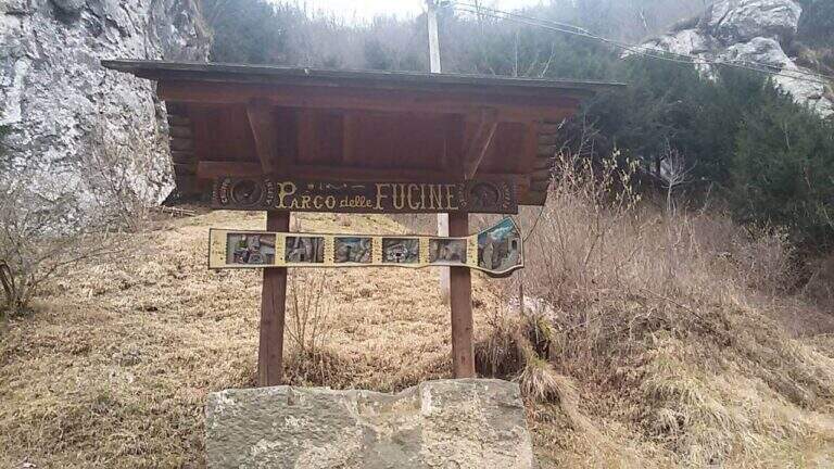
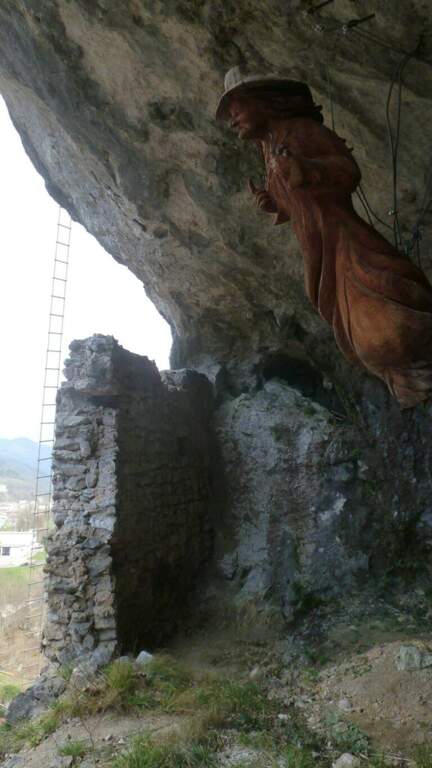
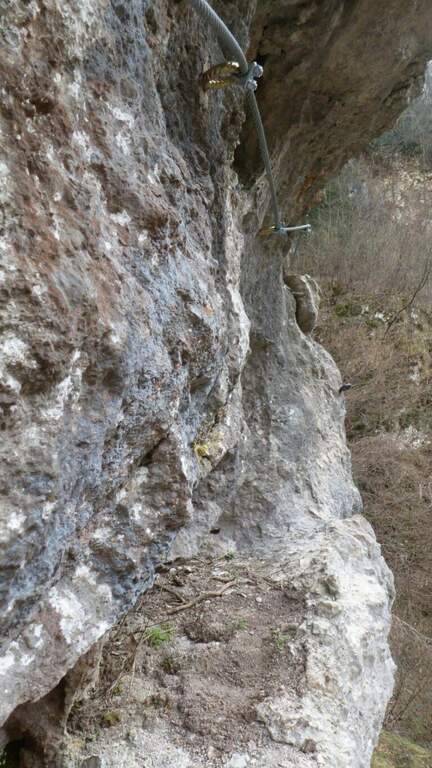
    Il Parco delle Fucine di Casto (Brescia, Valle Sabbia) è a unique park in Italy: at free entrance, it gathers on a few walls over fifteen equipped routes, as well as hiking, mountain biking, zip line, suspended bridges and refreshments. The streets are largely atletic and little climbable, excellent for l' training; the difficult ` ranges from an easy way to vertical and very demanding tracks.

    ▲Approach

    Starting from the ' ample parking along the park, at Casto. From the center of the village take left (south) via Marconi which, with clear indications, leads to the Parco delle Fucine in about a kilometer. Open road signs on Google Maps. Parking is just a few steps from the entrance (free); from here you can see some streets (the Strega Colpo, the Arcobaleno) and at least one suspended bridge. The times of approach to the individual attacks range from a few minutes up to about 15 minutes in the most distant ways, towards the Strait of Luina.

    ▲The equipped routes

    Each path has development to itself and signalled attack; below a faithful picture of length, difference in level and character.

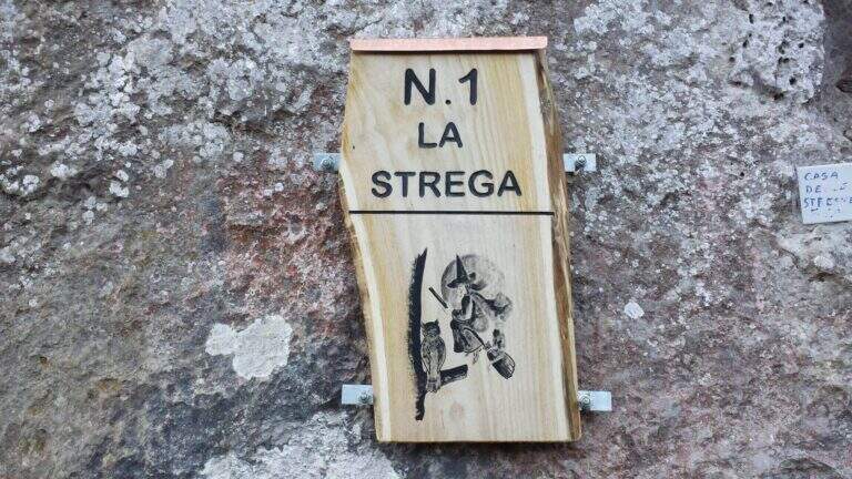
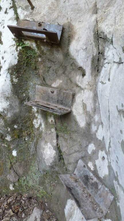
    Ferrata 1 (House of Witches, on Corna Zana, near the parking lot): 115 m, height difference 28 m. Dedicated diagonal traverse and horizontal beams exposed, with brackets and pioli on polished rock.
    Ferrata 2: 61 m, height difference 23 m. The least challenging of the park, on beams with good supports and a vertical variant; ideal for starting.
    Ferrata 3: 152 m, height difference 78 m. Long and challenging, with long beams on very smooth rock (strong traction on the cable) and vertical aerial traits.
    Ferrata 4: 60 m, height difference 49 m. Vertical, with first challenging and slightly overhanging meters and an aerial edge; higher climbing part.
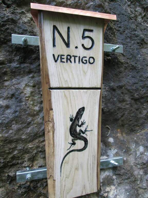
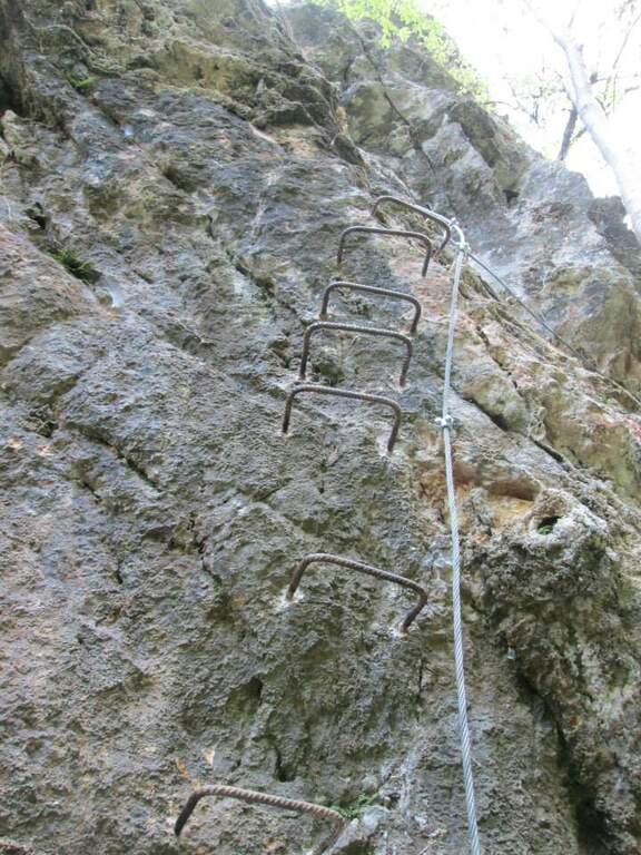
    Ferrata 5 «Vertigo»: 40 m, height difference 25 m. Verticality, slightly overhanging brackets and a challenging overhanging passage; ends at a suspended bridge of about 30 m.
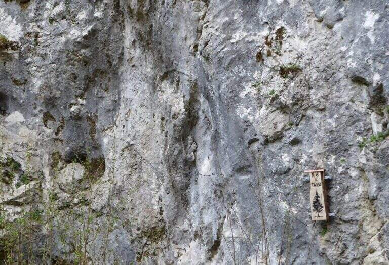
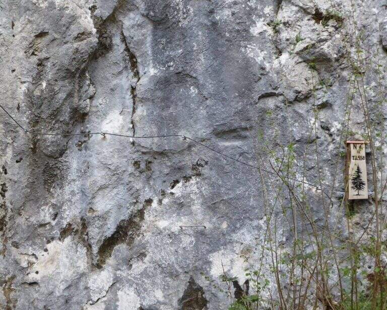
    Ferrata 6 «Tasso»: 28 m, altitude difference 25 m. Short: initial crossing, overhanging stretch with brackets; at the end you cross the bridge suspended on the Strait of Luina.
    Ferrata 7: 60 m, height difference 28 m. Follow us downhill from the suspended bridge; adrenaline exposed edge and tiring vertical descent, up to join Ferrata 8.
    Ferrata 8: 68 m, height difference 47 m. Impegnative, with key passage on dark and polished wall of 4-5 m and marine scale final.
    Ferrata 9: 68 m, height difference 47 m. Adjacent to 8, with a demanding vertical tear up to the common sea scale.
    Ferrata 10: 60 m, elevation difference 46 m. Diagonal copper, exposed beams and challenging vertical passages alternating with terraces.
    Ferrata 11: 58 m, dislivello 45 m. Tra le più dure del parco: parete giallastra verticale e strapiombante, variante verticale estrema e forte esposizione.
    Ferrata 12: 65 m, dislivello 28 m. Spigolo, canalino e un passo strapiombante; sale un gendarme (bandiera in vetta), con rientro per un ponte sospeso di quasi 40 m piuttosto ballerino.
    Ferrata 12 bis: 46 m, dislivello 26 m. Attacco subito verticale e strapiombante, ponte delle scimmie di circa 8 m, poi si innesta sulla Ferrata 12.
    Ferrata 14 «Edera»: 44 m, dislivello 36 m. Diedro tecnico e piacevole, poi un ponte sospeso a 4 corde di circa 35-40 m e un secondo ponte più stabile.
    Ferrata 15: 125 m, dislivello 23 m. Prevalentemente in traverso lungo il torrente, con ponti sospesi e un ponte delle scimmie; senza difficoltà particolari ma talvolta scivolosa.
    Colpo della Strega (sopra il parcheggio): 45 m, dislivello 38 m. Verticale, tecnica e difficile, su roccia levigata povera di appigli che sollecita molto le braccia.
    Arcobaleno: 55 m, dislivello 38 m. Privilegia l'arrampicata su pioli e prese sferiche (cavo «alla francese»), con spigolo aereo e passaggio strapiombante assistito.
    Dragone (Grotta del Dragone): 240 m, sviluppo 50 m. Meno verticale, di fatto un sentiero attrezzato con scala marinara e un lungo ponte sospeso, che tocca gli attacchi delle vie 11, 10, 9, 8, 7 e quelle 5, 6 e 14.
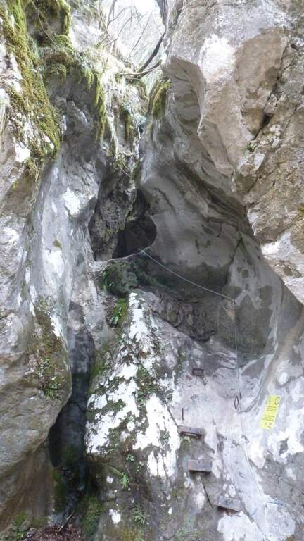
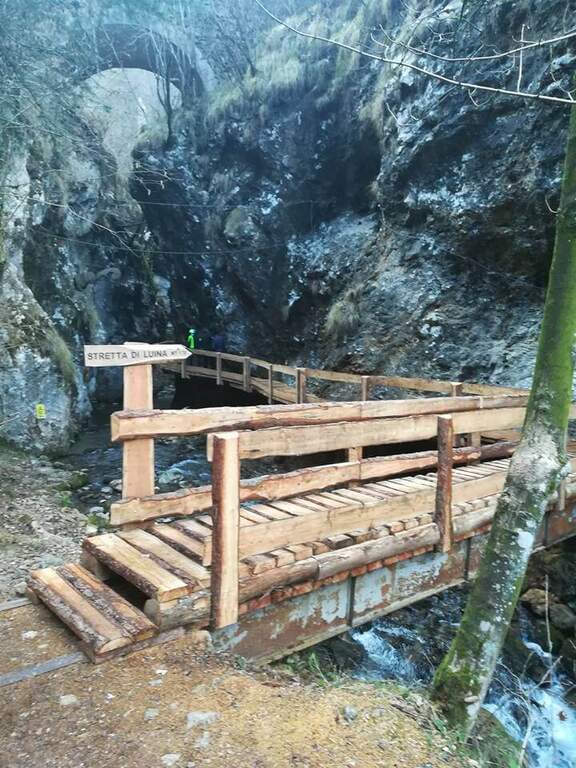
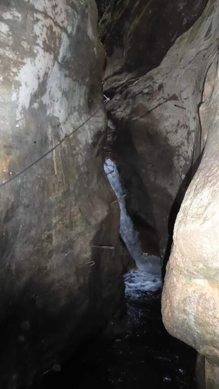
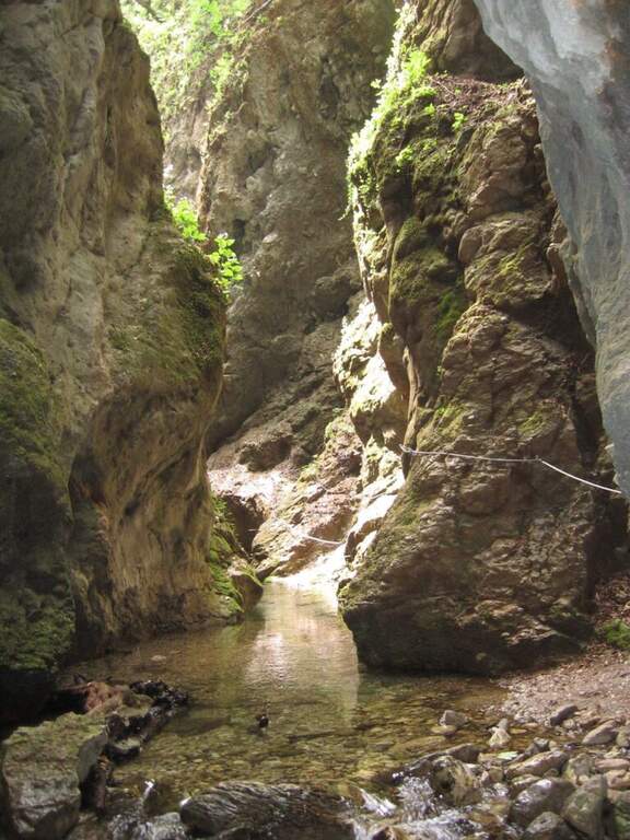
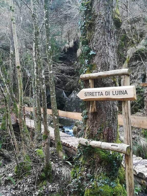
    Stretta di Luina: percorso prevalentemente orizzontale, quasi al pelo dell'acqua nella forra del torrente; non difficile ma scivoloso, con ponti su tronchi e ponti delle scimmie.

    ▲Character and difficulty

    The park offers a wide range: from easy Ferrata 2 and the Dragon to extremely athletic and overhanging routes (Ferrata 11, Vertigo, Colpo della Strega). The rock is often smoothed and undressed, with frequent traction on the cable; numerous suspended bridges and monkey bridges, exposed but fun.

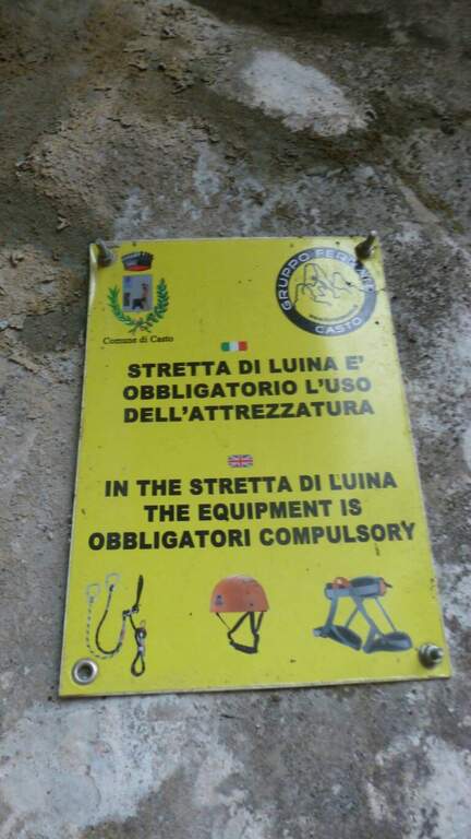
    ⚠ Many routes are physically demanding and little climbing, not suitable for neophytes (except Ferrata 2 and Dragon). Helmet and hardware set are indispensable; attention to the slippery bottom in the holes and swinging bridges. Choose the route based on your training.

    ▲Discipline

    Almost all routes fall for sentiero (usually holding the right at the end). The routes 5, 6 and 14 and 7-8 use the bridges suspended on the Strait of Luina; the 12 and the 12 bis fall through the suspension bridge of almost 40 m at the tower. The times are short given the proximity to the parking lot.

    ▲Period and safety

    The best periods are the mezze season; the itineraries can also be covered d' winter, except in snowy periods. Being at low altitude, in the middle of summer some walls exposed to the sun are very warm.

    ▲To match

    Always in the area of Lake Idro you can walk Ferrata Crench, il Idro Waterfall Trail e la Ferrata delle Ginestre.

    ▲Gallery
    Technical data
    • DifficultyFrom Easy to Extremely Hard
    • RegionLombardy
    • ProvinceBrescia
    • GroupPrealps Bresciane
    • Approach5-15 min
    • Fully equippedover 15
    • EntryFree
    • PeriodHalf seasons (also winter except snow)
  • Sentiero Attrezzato al Bivacco Boccalatte-Piolti

    Sentiero Attrezzato al Bivacco Boccalatte-Piolti

    Vie Ferrate › Aosta Valley › Aosta
    Sentiero Attrezzato al Bivacco Boccalatte-Piolti

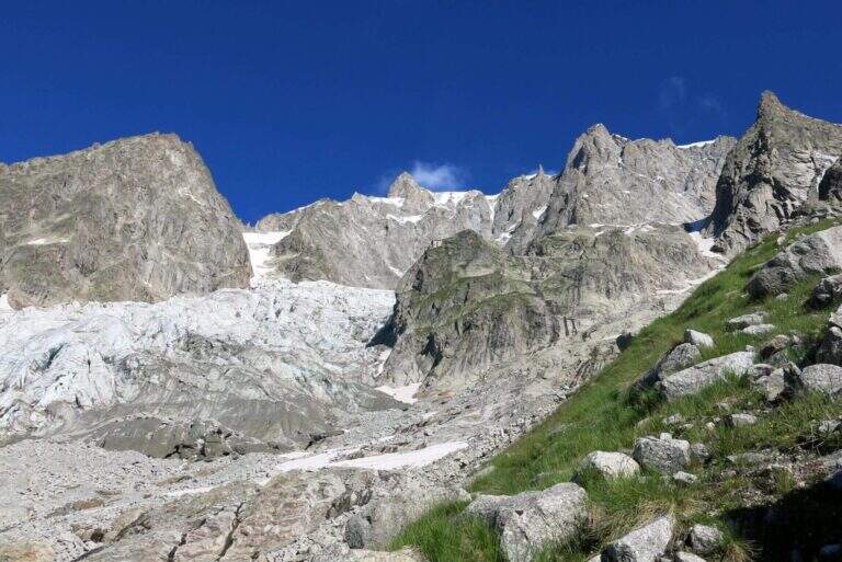
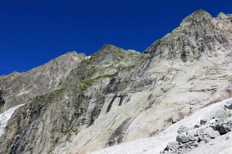
    The ascent to the Bivacco Boccalatte-Piolti, at the foot of the Grandes Jorasses in the group of Mont Blanc, & a long and challenging itinerary, with considerable difference in altitude and some not always easy. The part with fixed protections (bridges and stairs) covers about 200 meters and ` only a component of un' hike with a strong alpine character.

    ▲Approach

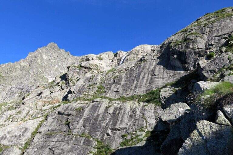
    Starting point & free; Planpincieux, a fraction of Courmayeur (Aosta): turn towards the center of the village, where c' ` a wide deck to park, and follow the signs of the sentiero 21 at l' hotel-restaurant Miravalle. Open road signs on Google Maps. The first hour & quiet, first in the woods then on the meadows with incredible views of Mont Blanc and Grandes Jorasses; after about one' now we face due guadi climbing up the walls of a stream. Then a placconata is very steep with passages of I and II degree (not always stable and slippery if wet); following the yellow signs and a few short stretches equipped you reach a wire scale that exceeds a leap of 20 meters (1h 30' from the parking lot). Continue to zig-zag on a morainic crest and, after about one' now, turn left through a nevaio to the rocky bastion above which rises the bivouac.

    ▲The path

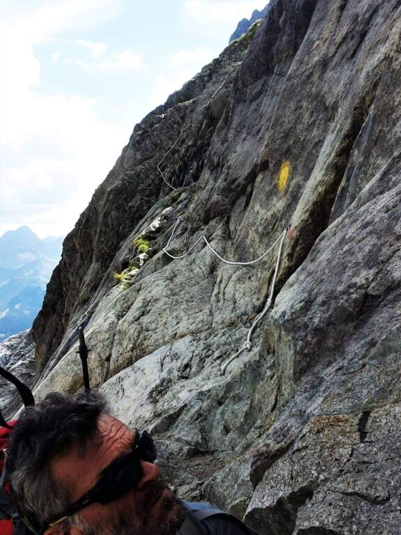
    Climb on rock sections helped by grossi canaponi which cut to the left; follow the fixed ropes up to a pulpit and then, on air route, up to the balcony on which è built the Bivacco Boccalatte-Piolti (30' from the strike, 3h 30' from the parking lot È you can continue beyond the refuge on fixed ropes until you reach the glacier.

    ▲Character and difficulty

    Itinerary for experienced hikers: the difficulty lies in the difference in altitude, in the guds, in the rock passages of I-II degree and in the mountain environment at the base of one of the most challenging climbs of the Alps.

    ⚠ In the ' last traverse on the nerve attention to the above steel, which può download ice blocks: mandatory helmet. Guades can be difficult at certain times. Il bivacco/rifugio è open on weekends of June and every day of July and August (information at the CAI of Turin).

    ▲Discipline

    You descend along the same climb route (about 3h).

    ▲To match

    For the length does not match other routes in the same day, but in the area there are the Sentiero Attrezzato al Rifugio Dalmazzi, la Ferrata al Bivacco Borelli, il Sentiero al Mont de la Brenva e la Ferrata at Monzino Refuge.

    ▲Gallery
    Technical data
    • DifficultyHard
    • RegionAosta Valley
    • ProvinceAosta
    • GroupMont Blanc
    • Approach3h
    • Fully equipped30 min
    • Complete itinerary (a/r)6h 30'
    • Level difference150 m
    • Route difference1224 m
    • Maximum2803 m
    • Length8,3 km
  • Ferrata di Valmeduna

    Ferrata di Valmeduna

    Vie Ferrate › Friuli-Venezia Giulia › Pordenone
    Ferrata di Valmeduna

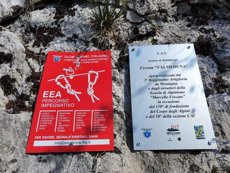
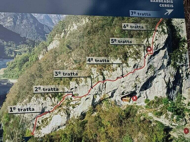
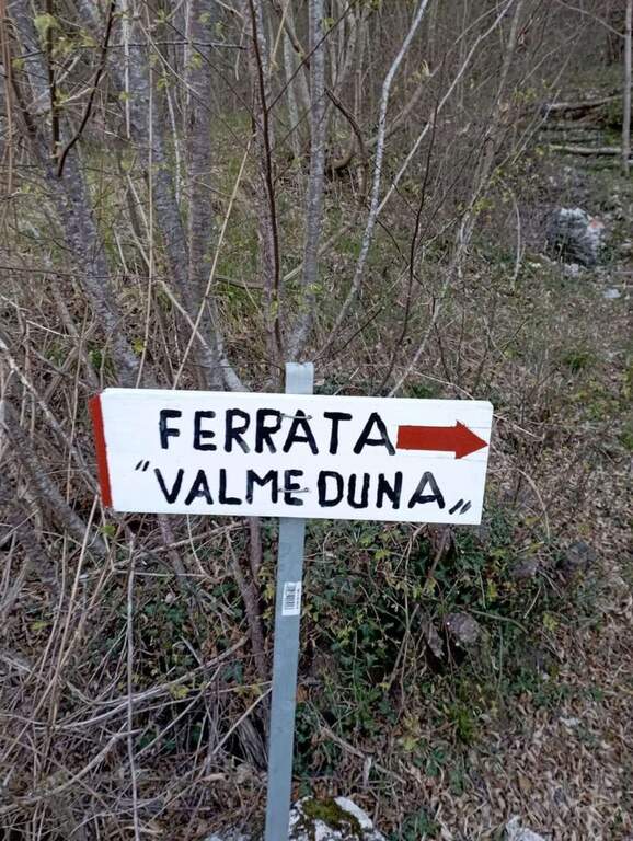
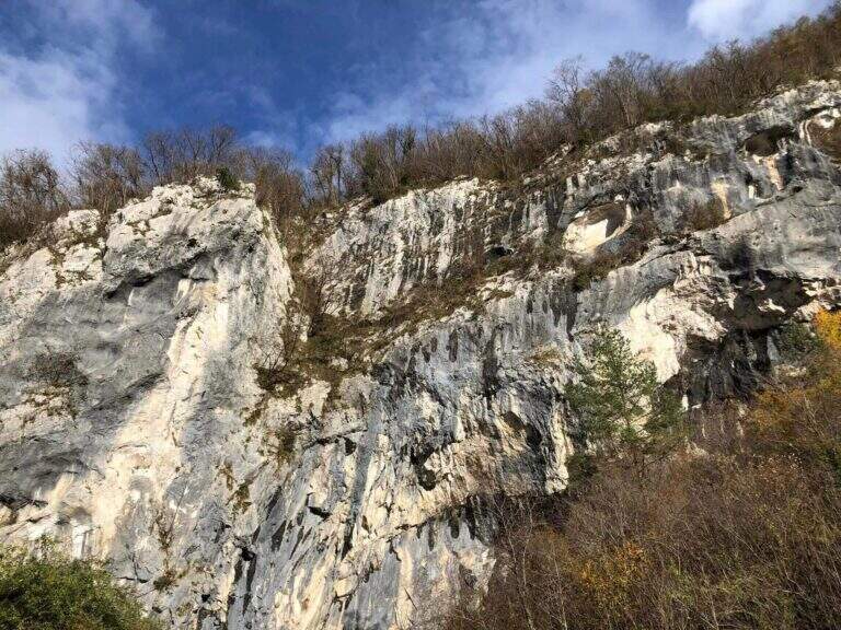
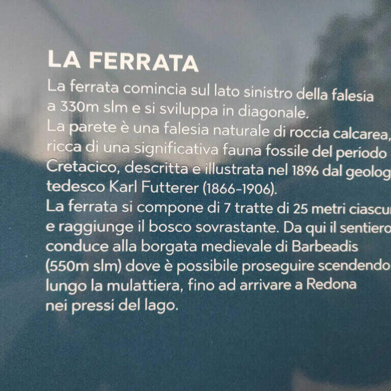
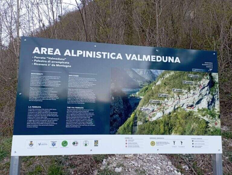
    La Ferrata di Valmeduna is a recent route in the province of Pordenone, near the town of Redona. Of modern style, it proposes quite constant difficulties in an environment from "rock plate": it does not reach a peak, but it is an excellent training for altitude itineraries. It is well equipped and not devoid of athletic passages.

    ▲Approach

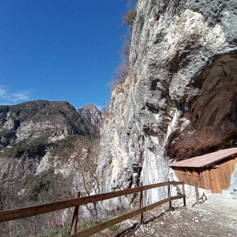
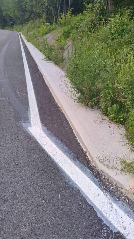
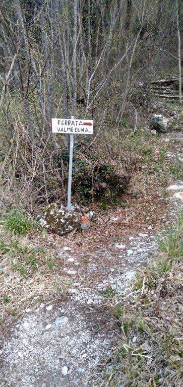
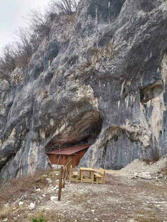
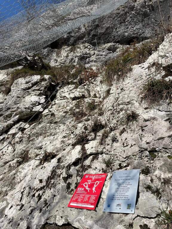
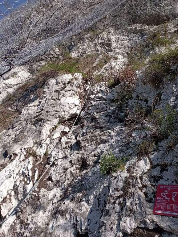
    Follow the regional road linking Meduno a Tramonti di Sopra: arriving from the south, the parking is on the right side before the "Tramonti di Sopra" sign and before the artificial invader. Open road signs on Google Maps. From the parking lot follow the sidewalk to a path that climbs on the right; following the signs and the bolli red towards the east-southest you arrive at a bend, then at a crossroad where you descend slightly left to the new rock gym on beautiful limestone, where you will find a bivacco, tables and benches, d' routes; climbing and climbing. Near the bivouac a path descends to the left at ' attack, on the left side of the wall, at the CAI red sign and a paramass network (about 10').

    ▲The path

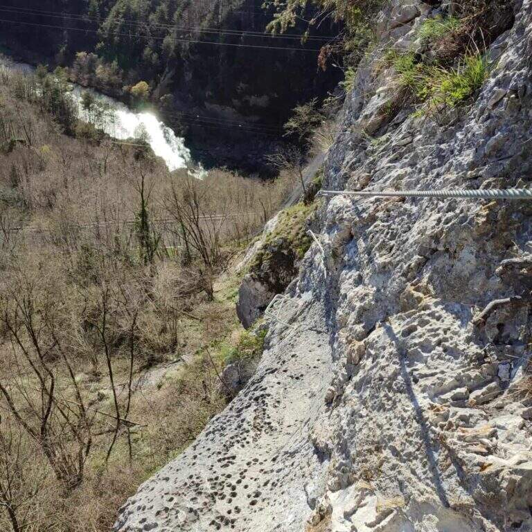
    The development è mainly on traverses and short vertical traits. It is attacked by a paretin backed under the paramassive network, climbing on rock very jagged; climb some small rocks proceed rightwards meeting the first beams and a in grip. You can reach and double a edge, with a view below sé on the ' area of the ' approach. The central part è the più challenging: a long series of horizontal and diagonal transverses from left to right, some on cambre for the feet, others in adherence, with stretches in slightly overhanging that require decision and rapidtà in the changes of muskete; without becoming extreme, the way asks for a certain physical and good habit all' exposure. You can reach a nicchia with the book cassette signatures; from here a short passage crosses a edge and the cable continues vertical for a few meters without cambre, where you should climb. After a few più meters; easy ends the central section. The final part, on small rocks and short balconies, & difficult & agrave; lower: following the uphill cable, after about ten minutes you reach the end of the street (about 45' from' attack, 1h from' car).

    ▲Character and difficulty

    Technical and athletic route, with constant exposure in the central section and very beautiful limestone rock. Recent and abundant equipment. The difficulty remains concentrated in the central part of the overhanging transverses.

    ⚠ The slightly overhanging beams require trained arms and rapidity in musketeton changes: it is not a way for those who are at first experience. Although it is of low altitude, helmet and ferrata sets are indispensable.

    ▲Period and safety

    Inaugurated on November 26, 2022 (50° anniversary of the CAI section of Spilimbergo, with the Alpini group of the 3rd Mountain artillery). Given the low altitude it lends itself to the whole year, including the beautiful winter days.

    ▲Discipline

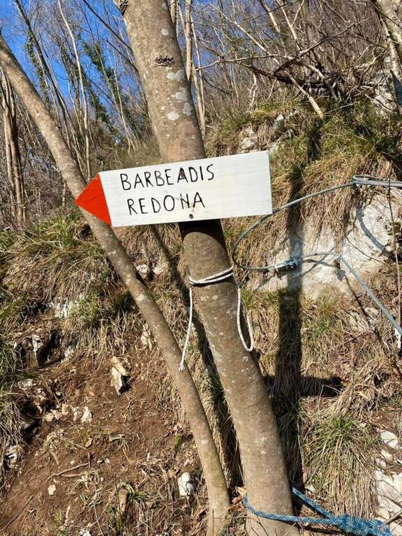
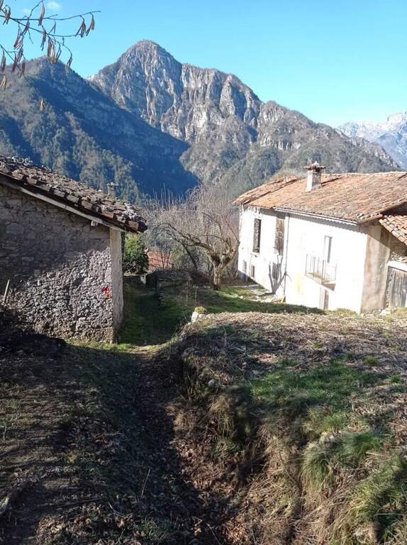
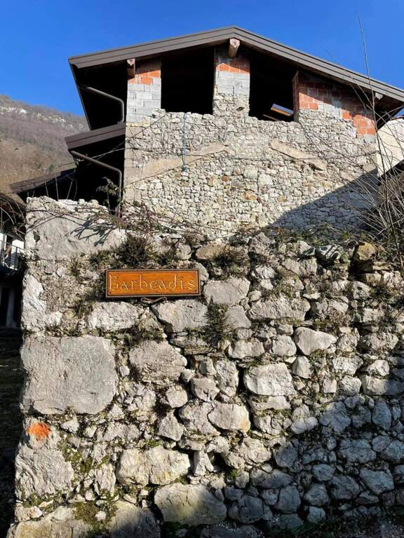
    You should not immediately remove l'imbrago: a few minutes after the term you will meet a equipped roofing channel. Following the signs you descend towards the localtà Barbeadis, a small village only reachable on foot, returning to ring along a mule track in the woods with panoramic views of the valley (about 1h 15' overall).

    ▲To match

    In the province of Pordenone there is also the Ferrata del Tramuntin e l'Alta Via dei Rondoi. Climbing to Forni di Sopra there are Ferrata Adventure Climb at Clap Varmost e la Ferrata Cassiopea al Torrione Comici.

    ▲Gallery
    Technical data
    • DifficultyHard
    • RegionFriuli-Venezia Giulia
    • ProvincePordenone
    • GroupCarnic prealps
    • Approach10 min
    • Ferrata45 min
    • Complete itinerary (a/r)1h 20'
    • Hardware level differenceca 125 m
    • Route differenceca 220 m
    • Maximumca 550 m
    • Lengthca 4 km
    • Year2022
  • Ferrata del Twenty-fivennale al Corno Occidentale di Canzo

    Ferrata del Twenty-fivennale al Corno Occidentale di Canzo

    Vie Ferrate › Lombardy › Como
    Ferrata del Twenty-fivennale al Corno Occidentale di Canzo

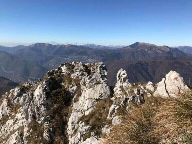
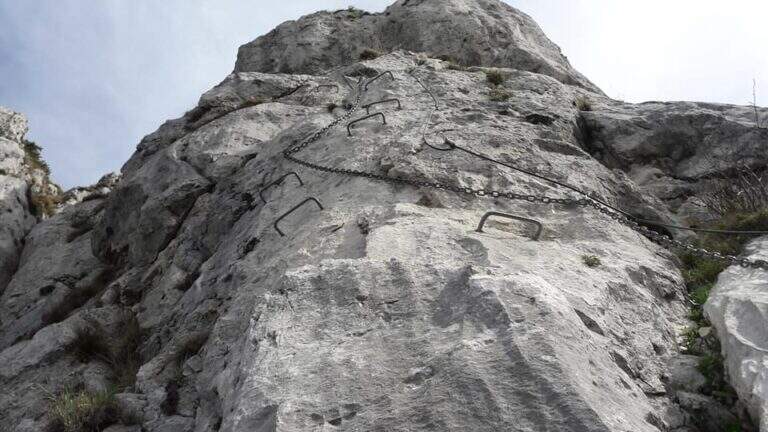
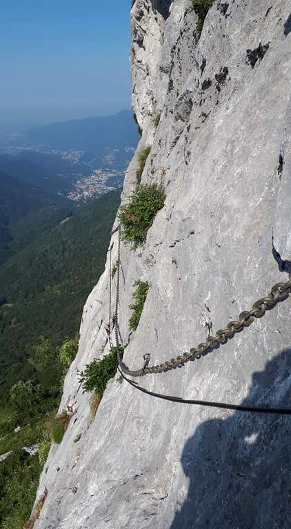
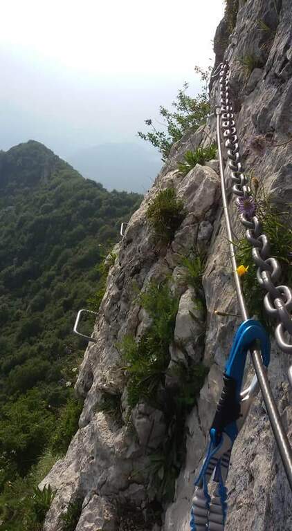
    La Ferrata del Twenty-fivennale at the Western Horn of Canzo, in the comasco, is a challenging route with rather long approach. It develops on a wall that makes little use of brackets: in order not to strain unnecessarily the arms on the chain it is advisable to climb, exploiting the excellent natural hooks.

    ▲Approach

    It starts from the Sorgenti of Gajum, in Canzo (Como), where at the end of via Gajum c'è a deck to park. Open road signs on Google Maps. Da Gajum si raggiunge il Rifugio Terz'Alpe (sentiero lungo il torrente Ravella oppure per Prim'Alpe e Second'Alpe); dal rifugio si sale ripidi a nord verso la Colma di Pianezzo e, poco prima della croce, si segue a destra una traccia che per un ghiaione porta all'attacco (1h 45' da Gajum).

    ▲The path

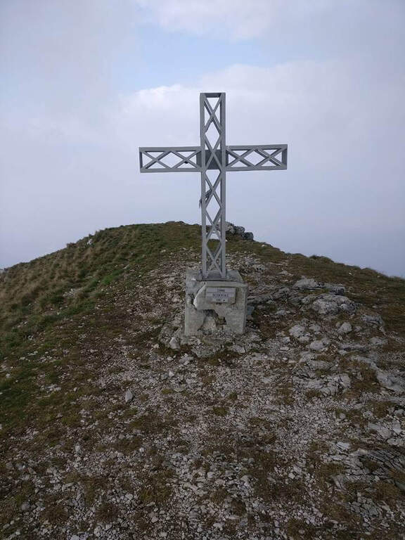
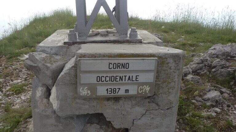
    It sticks on a short plate leaning on the right, then on the left diagonally on a well-dressed wall up to a long smooth plate, originally without brackets and today with some artificial hooks: it should climb. Turn right into a narrow canal with two brackets, walk around a tree and face a long traverse to the right with good supports but not always easy hooks (use the chain to balance, without induging in the stretches in light overhangs). There is a non-banal dihedron, some small rocks, a vertical wall of medium difficult to use; and a wire scale of about 20 meters; after a belly and small rocks you can reach a well-equipped path and l' last pillar, which requires good technique on smooth plaques (some staff present). After the walls, follow the red boils to the right, descend the saddle and go up to the summit of the Corno Occidentale (1h 30' from the attack, 3h total).

    ▲Character and difficulty

    Not long but with numerous technical steps, not recommended for beginners. The rope è often flanked or replaced by a catena coarse which sometimes prevents the carabiner to flow. Lifting height 250 m, total 900 m, maximum altitude 1373 m, development 11 km.

    ⚠ Beware of the Passo della Vacca, to be faced at least once at the end of the summit: passage not difficult but exposed, not to be underestimated just when you relax after the effort.
    ▲Discipline

    Two options. For a ripido Canalno (passages of I degree, slippery if wet) follow the red boils north to the fork of the Two Horns, then to the Rifugio Pianezzo and Gajum (1h 45' from the term, 4h 45' totali). Alternatively, go back to the path from the saddle to the ridge to a less steep canal, descending at the cross of the' approach and then to the Rifugio Pianezzo and Gajum (2h from the term, 5h total).

    ▲To match

    The most trained hikers can combine it in a long ring with Ferrata at Corno Rat, from Valmadrera.

    ▲Gallery
    Technical data
    • DifficultyHard
    • RegionLombardy
    • GroupLarian Triangle
    • Approach1:45 h
    • Ferrata1:30 h
    • Itinerary (a/r)4:45 h
    • Hardware level difference250 m
    • Route difference900 m
    • Max1373 m
    • Length11 Km
Need help? Write to us!