Difficoltà: Difficile

  • Ferrata della Regina

    Ferrata della Regina

    Vie Ferrate › Sardinia › Sassari
    Ferrata della Regina

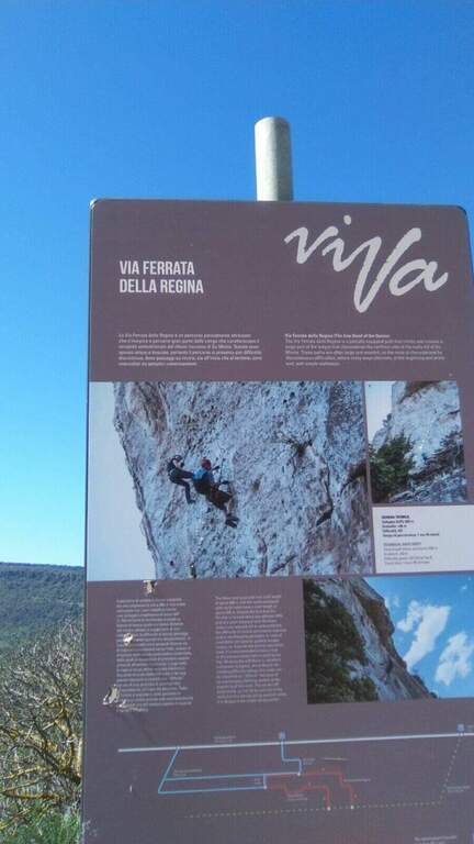
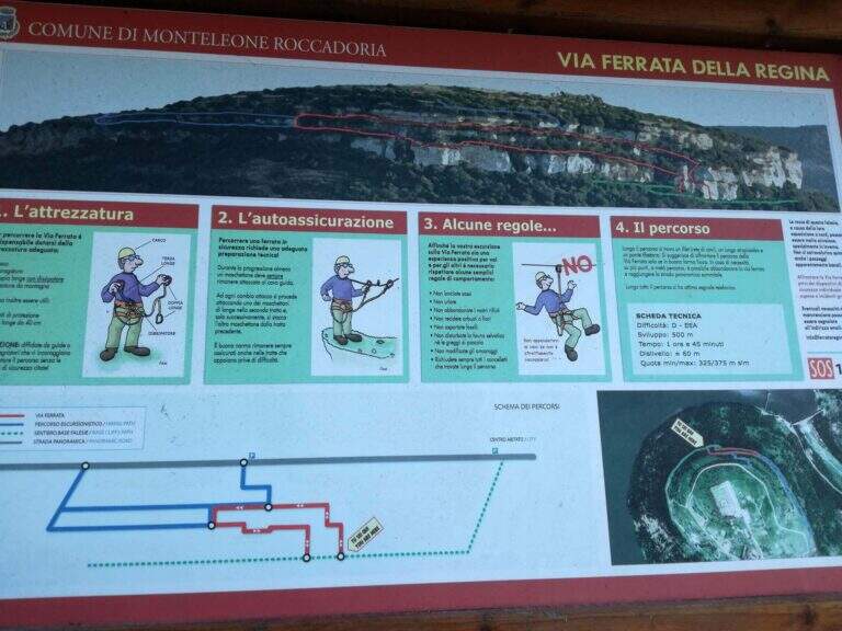
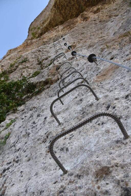
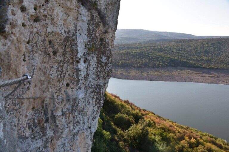
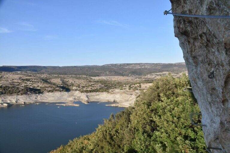
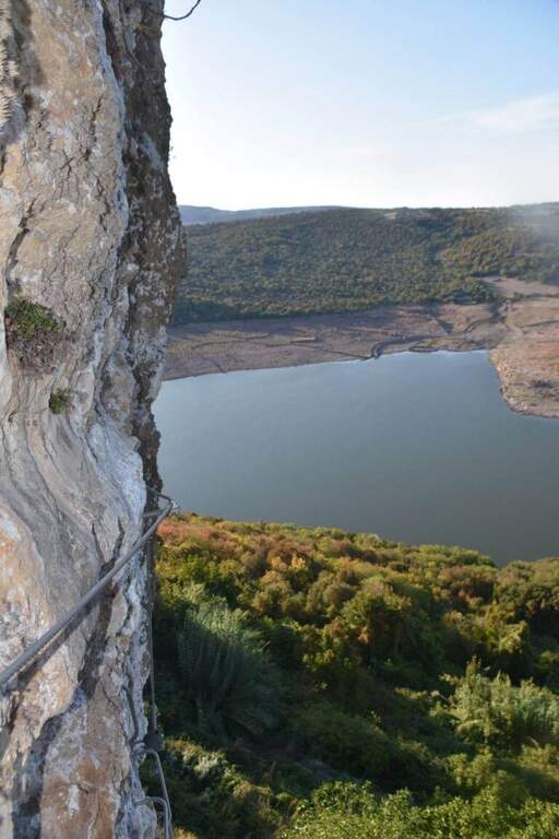
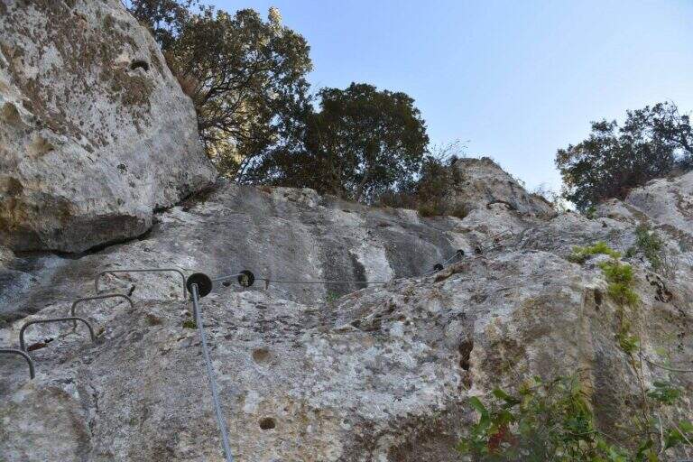
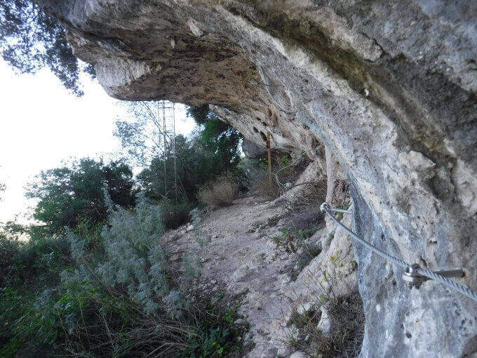
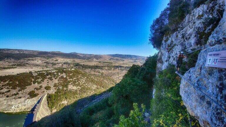
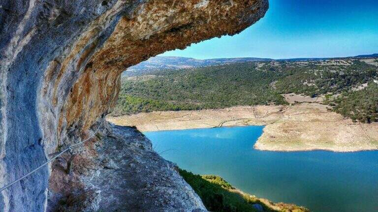
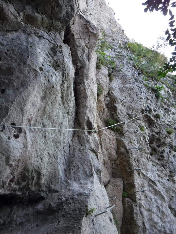
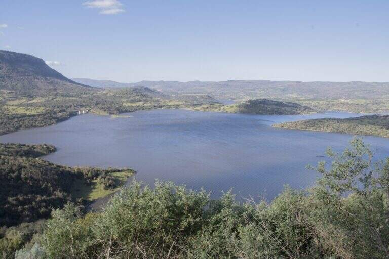
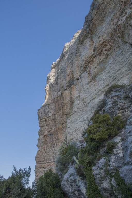
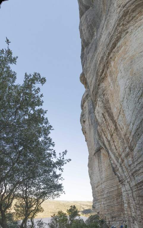
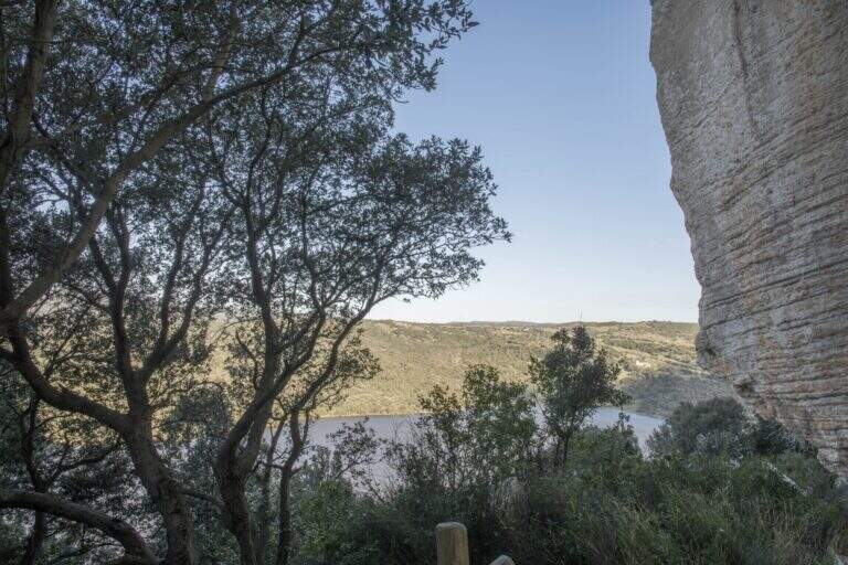
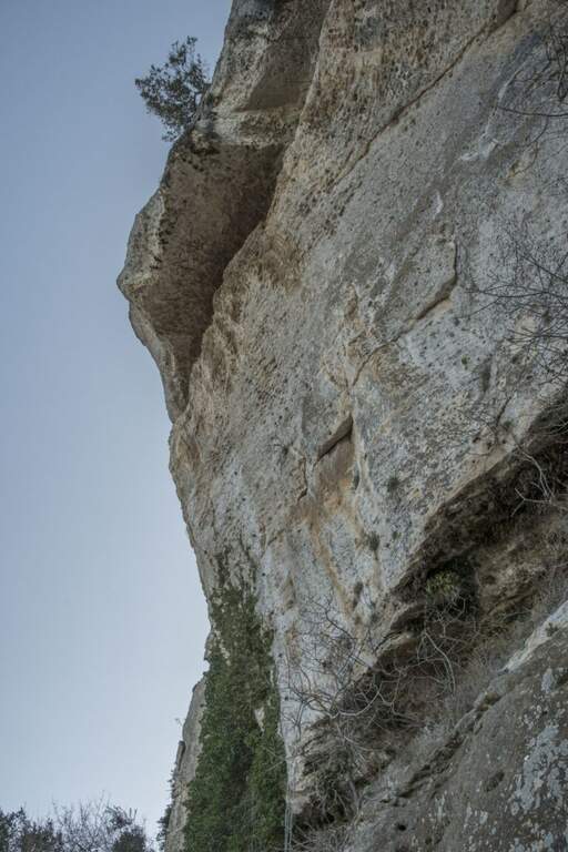
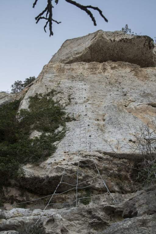
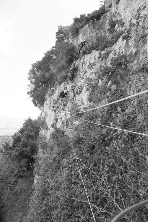
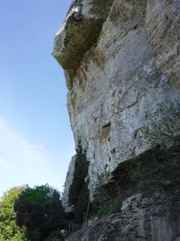
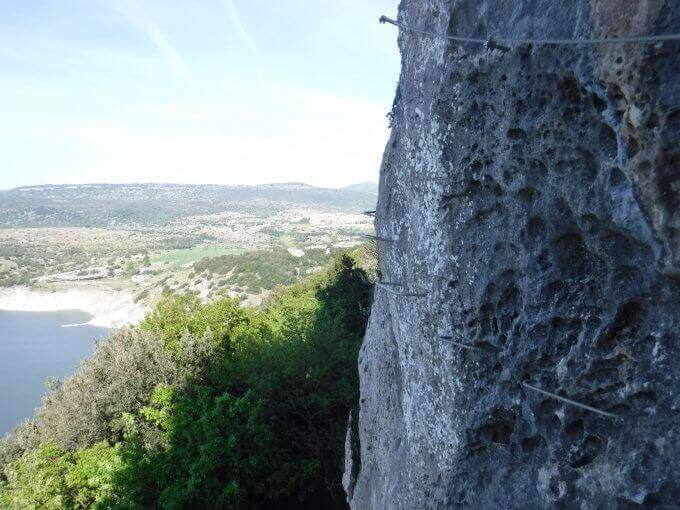
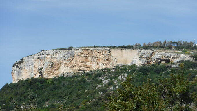
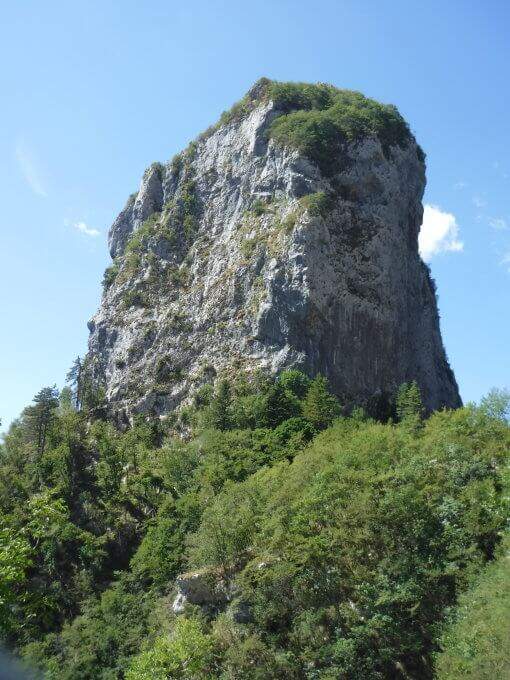
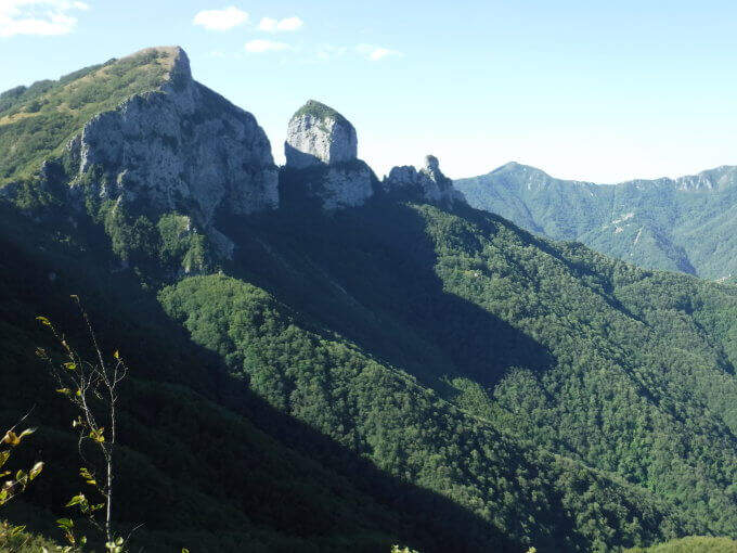
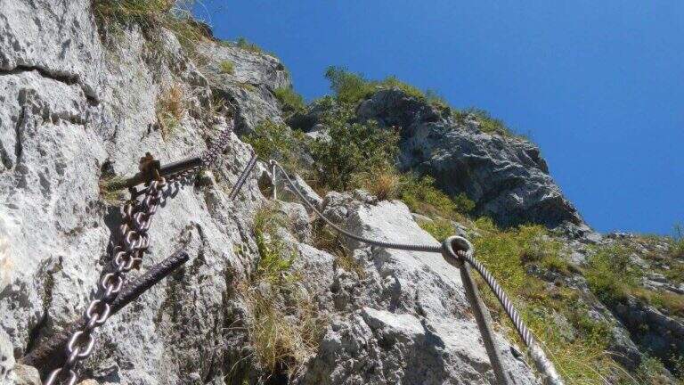
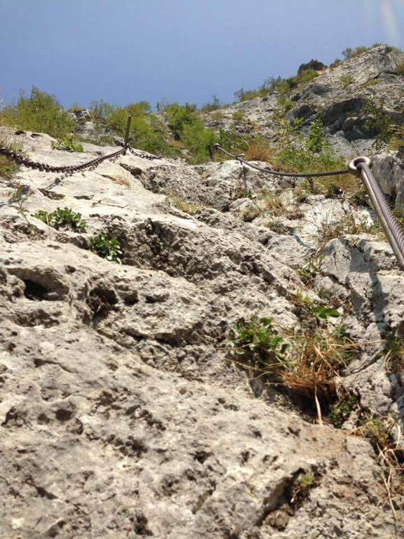
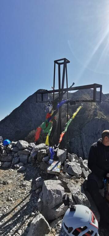
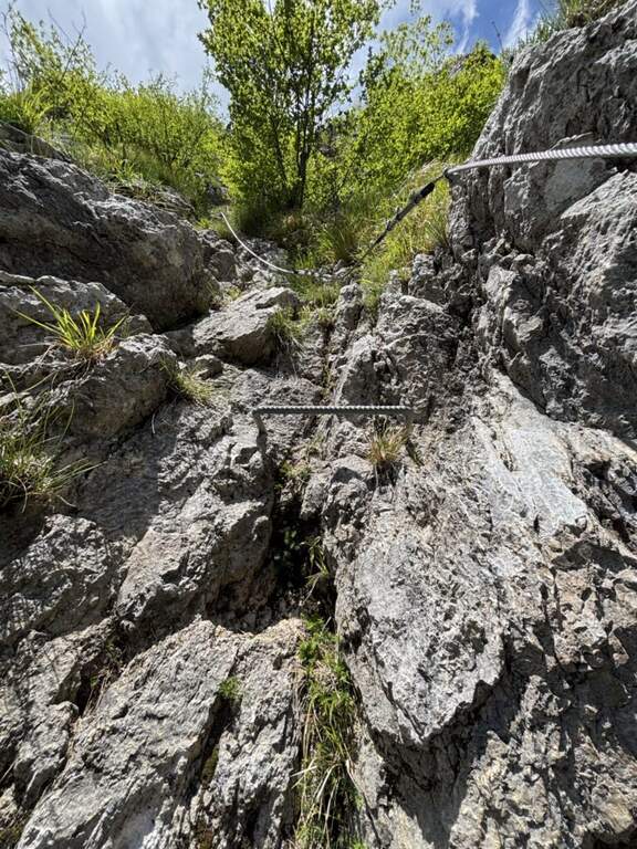
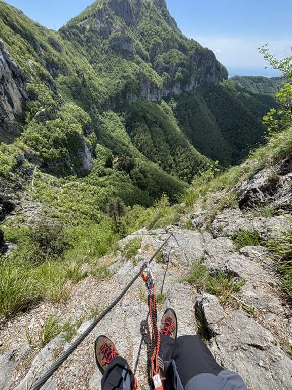
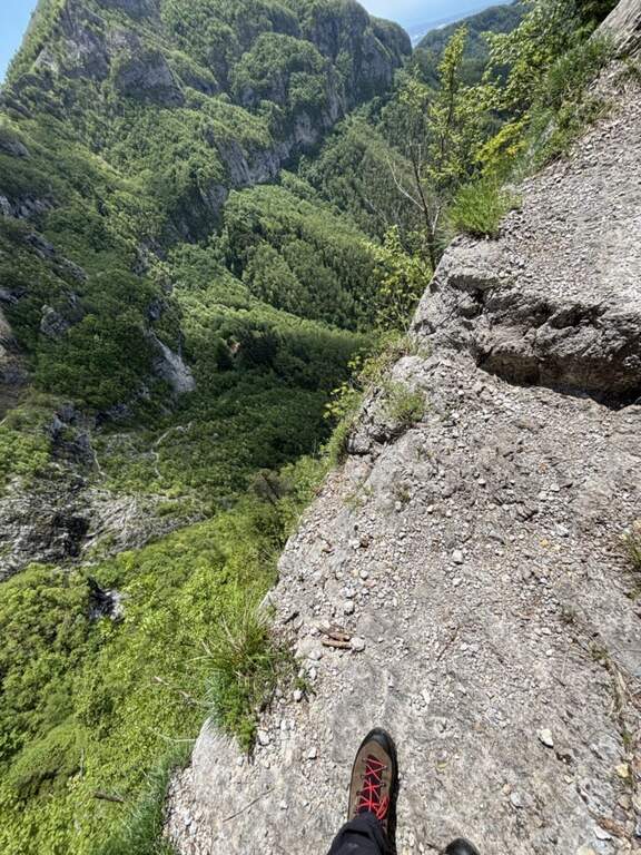
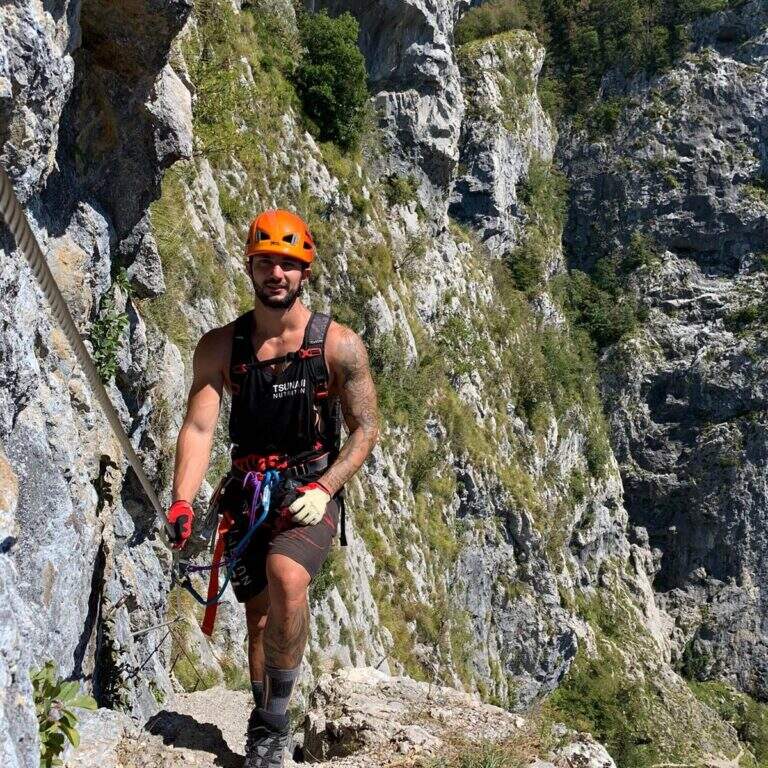
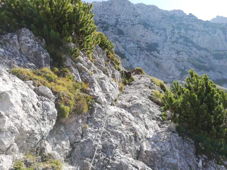
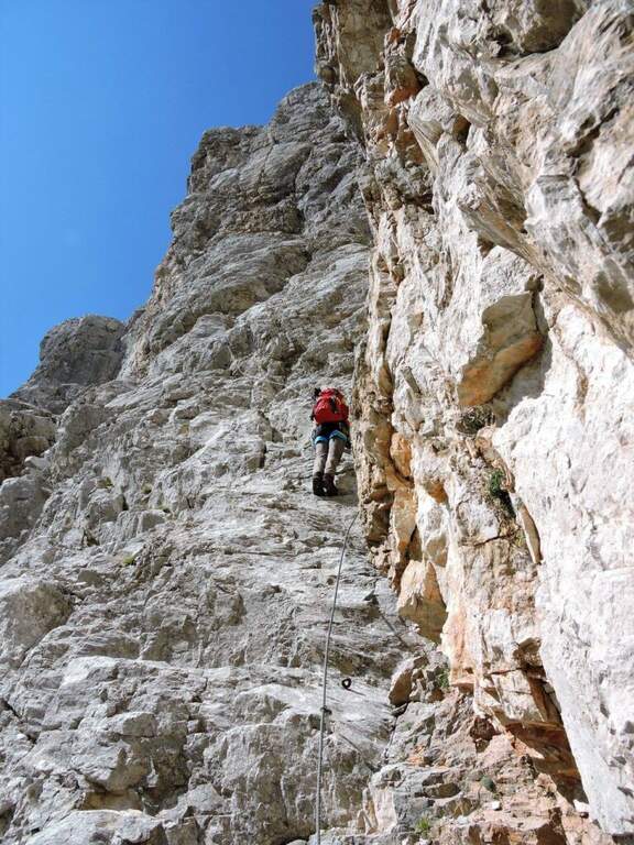
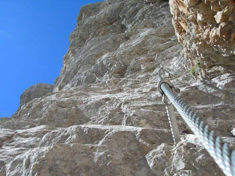
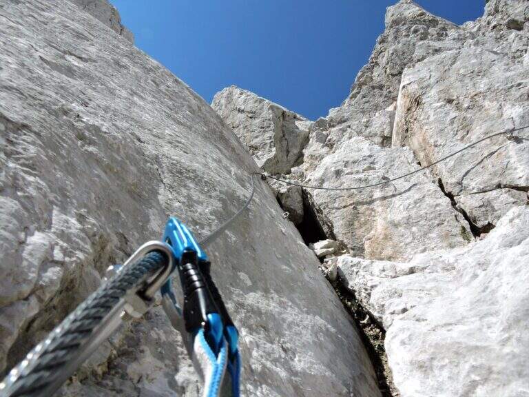
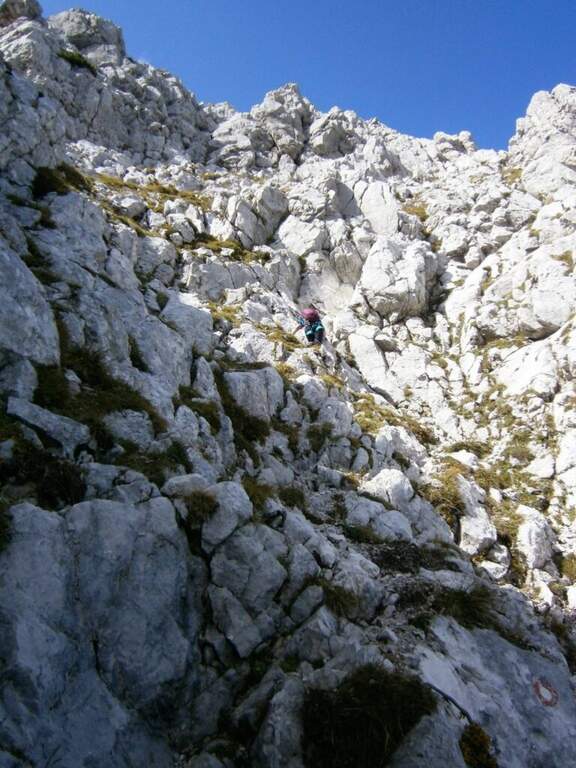
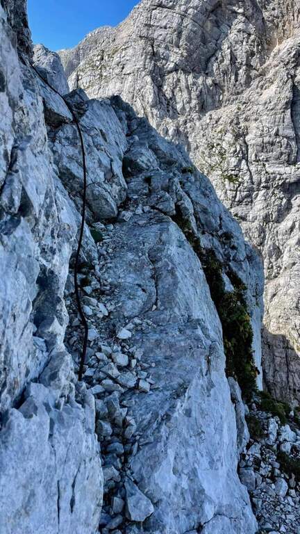
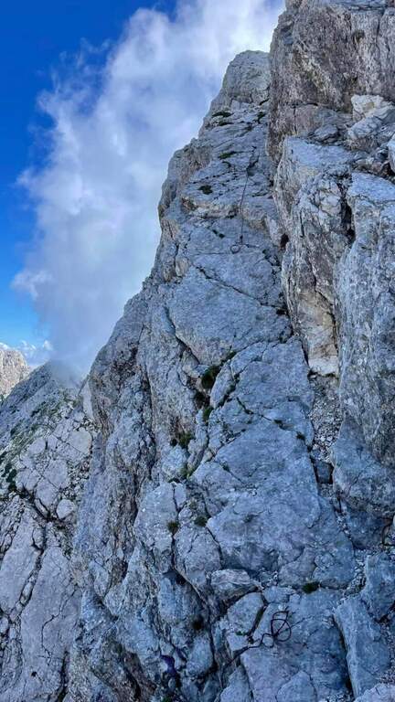
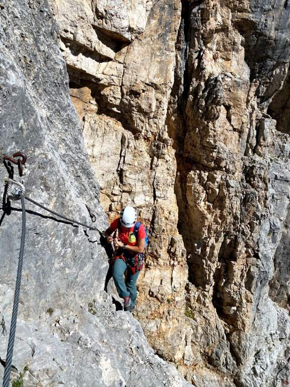
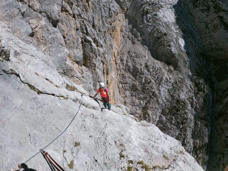
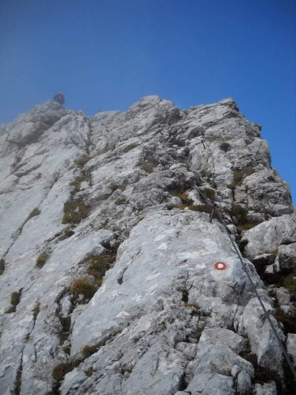
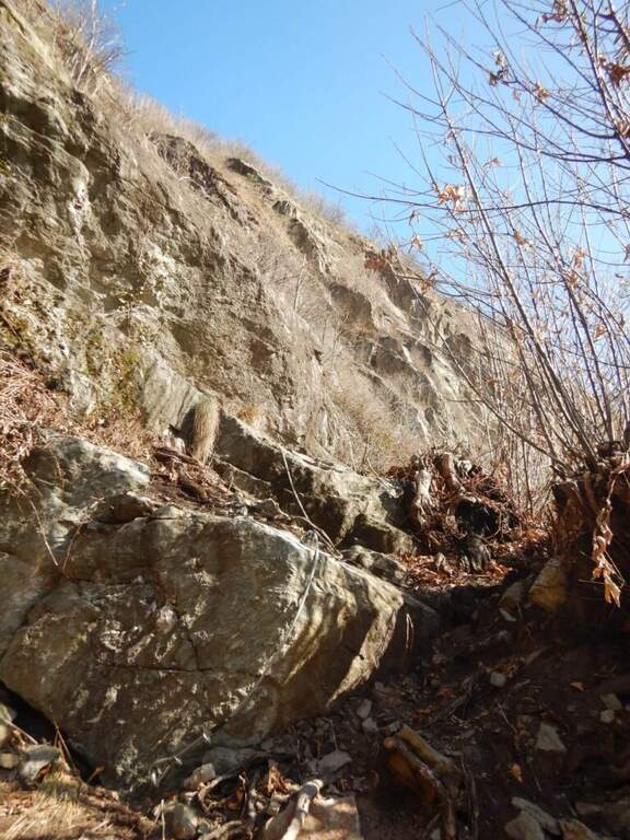
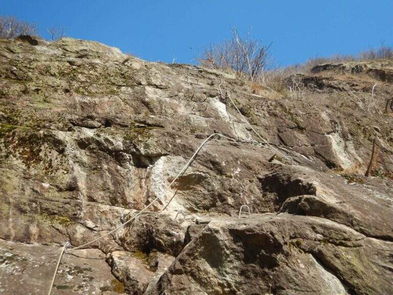
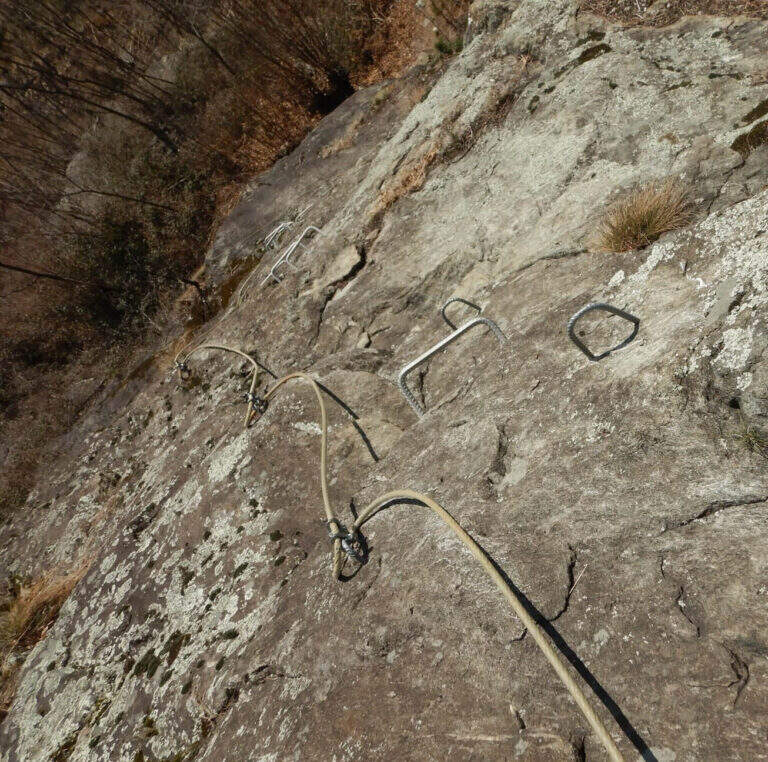
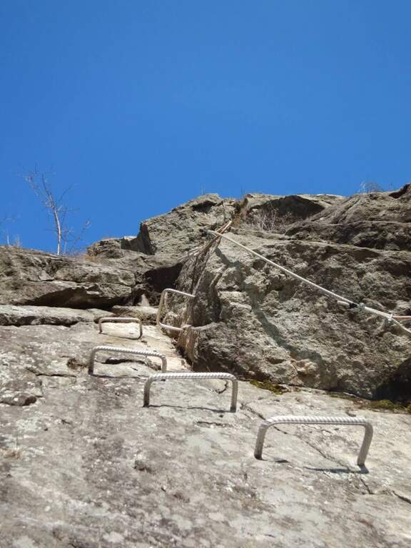
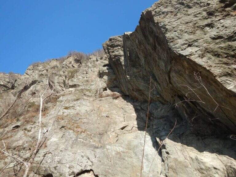
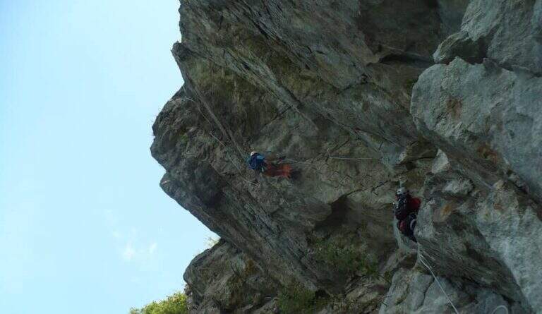
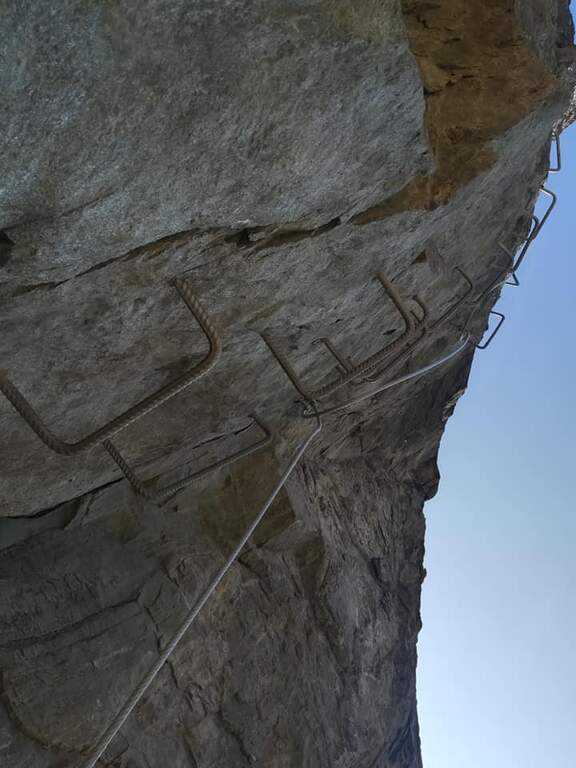
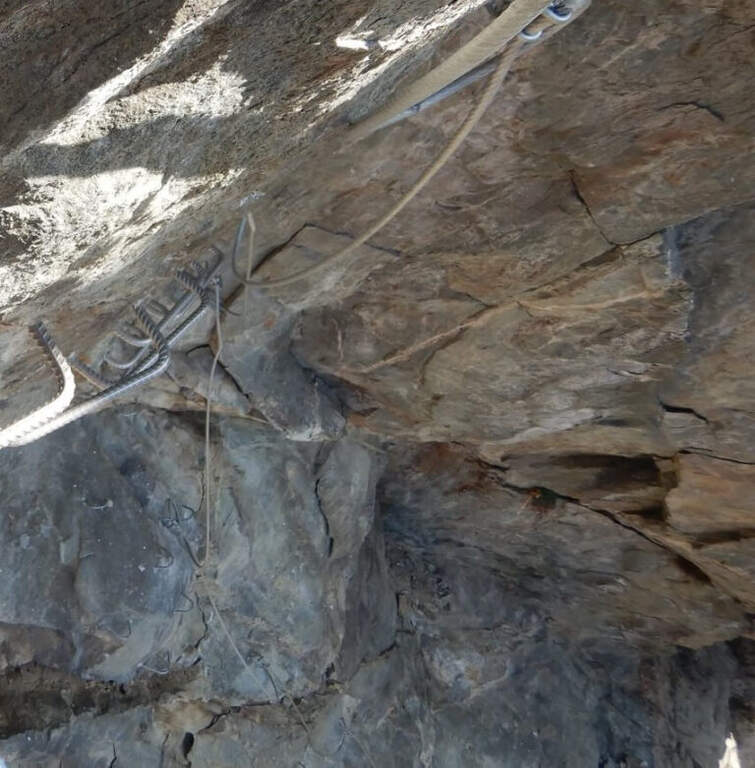
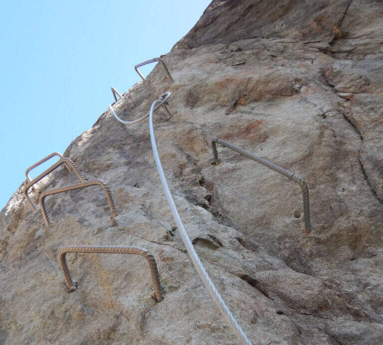
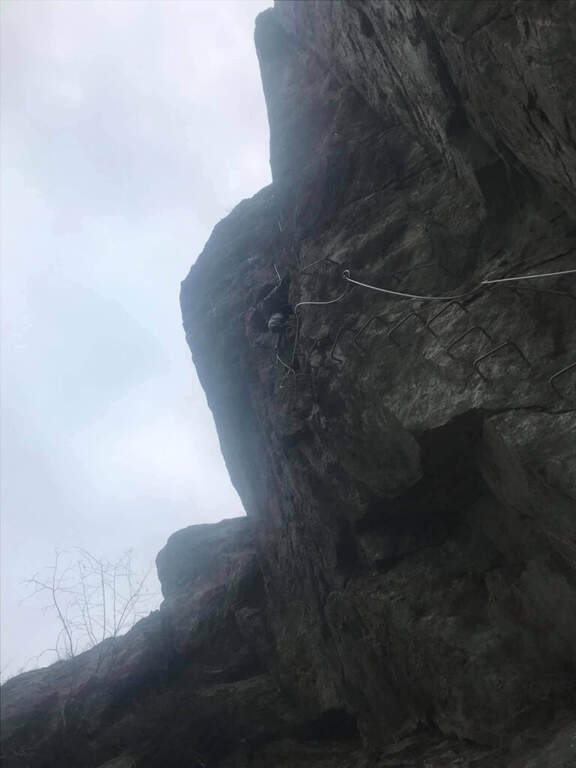
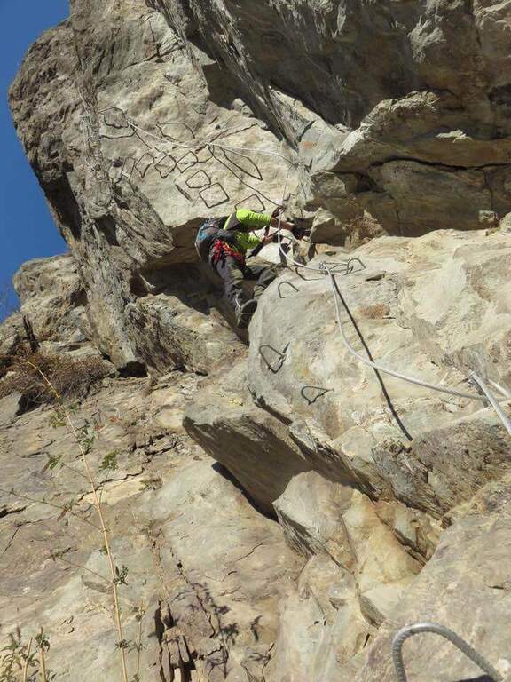
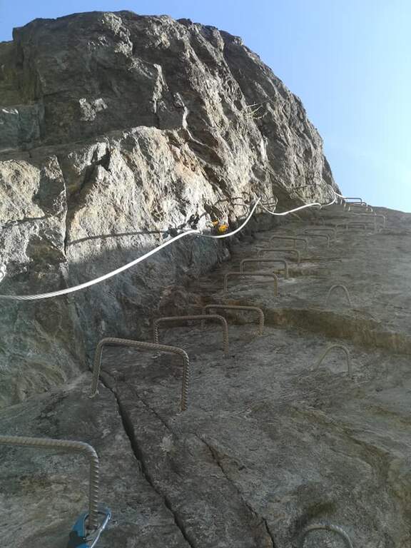
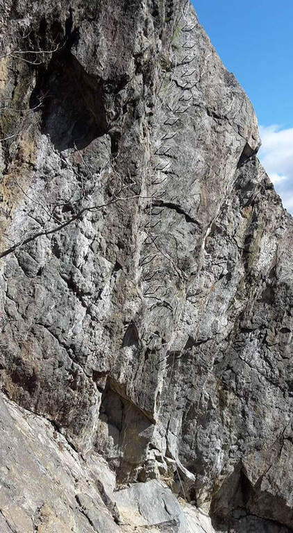
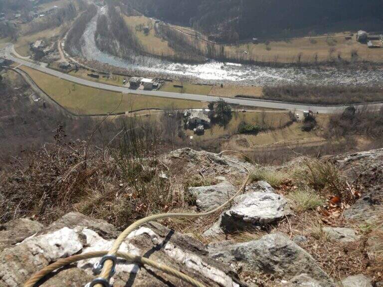
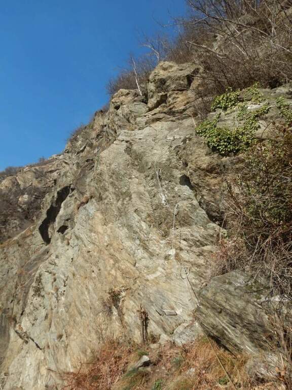
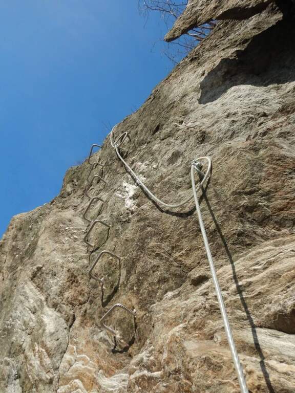
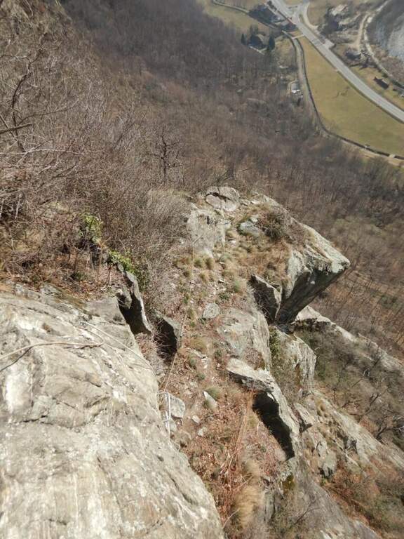
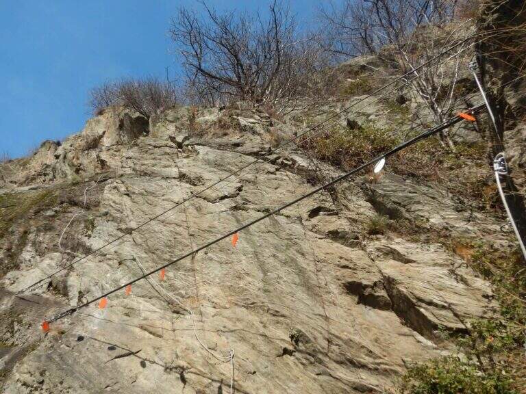
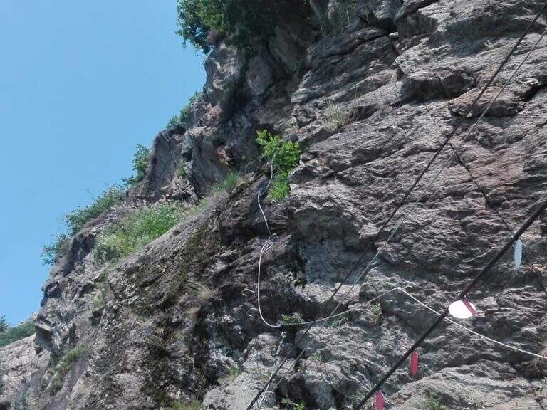
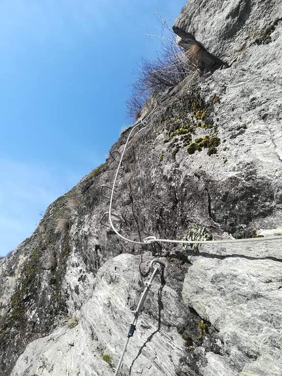
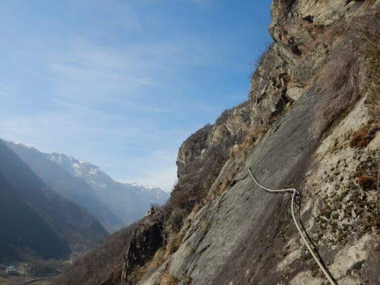
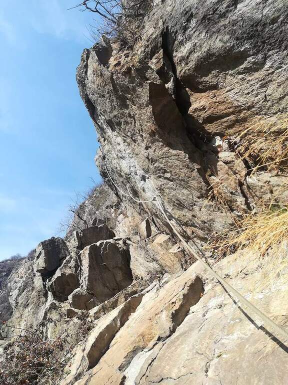
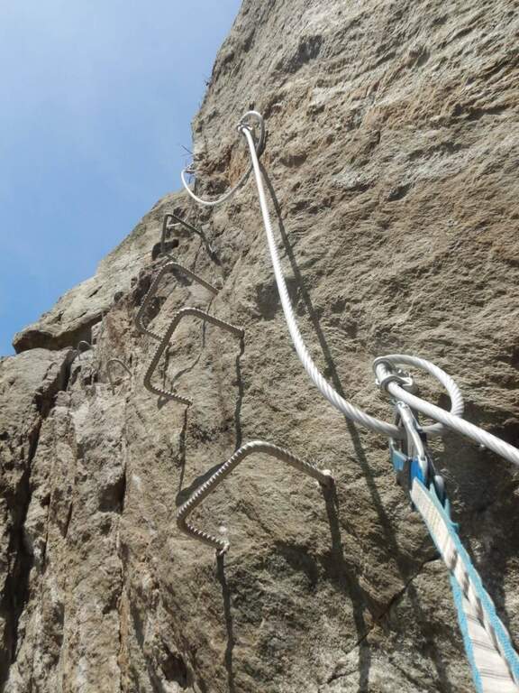
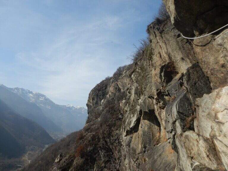
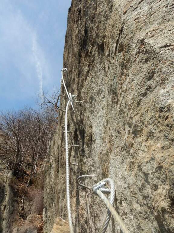
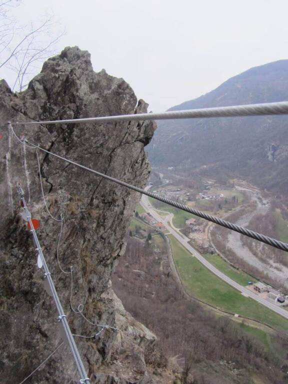
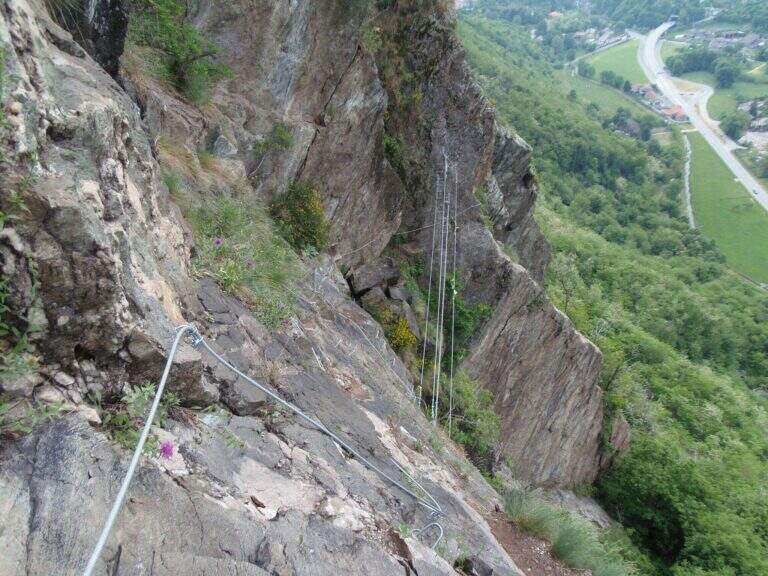
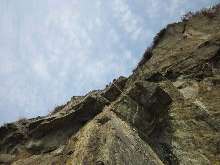
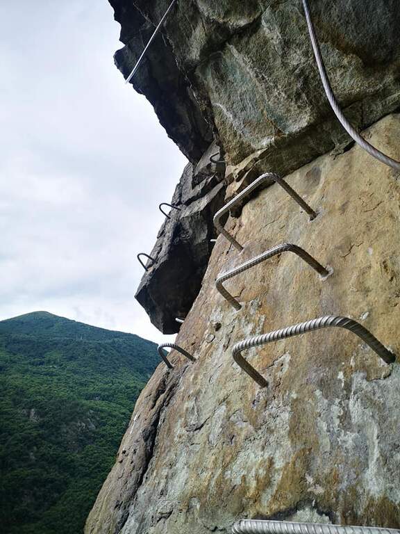
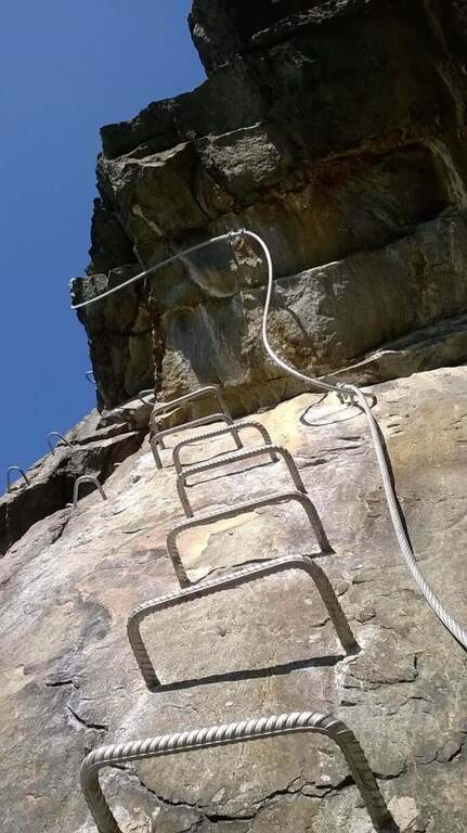
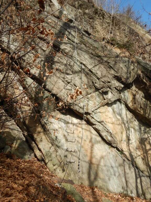
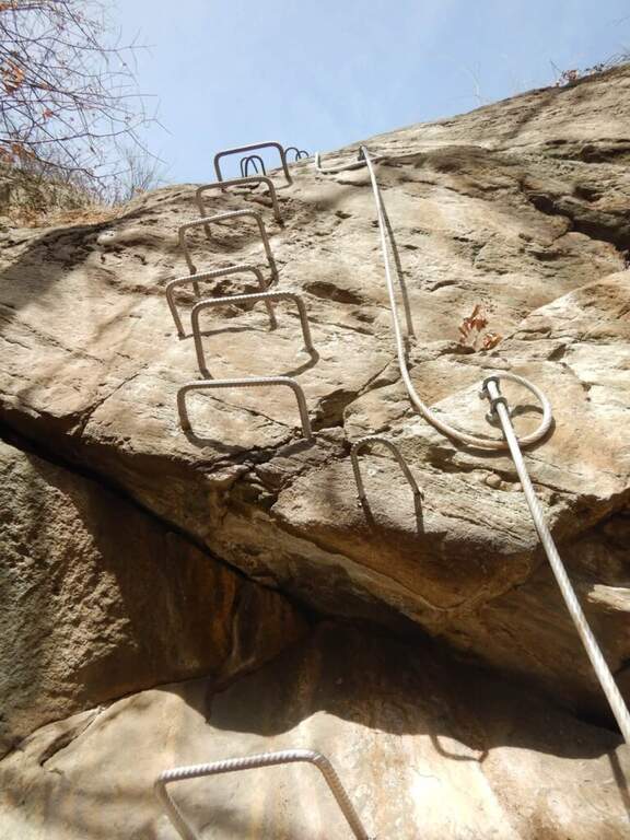
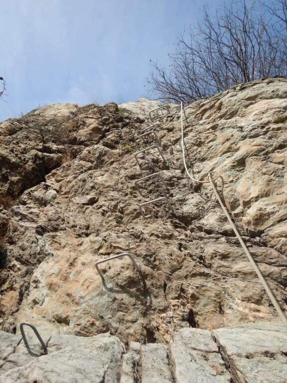
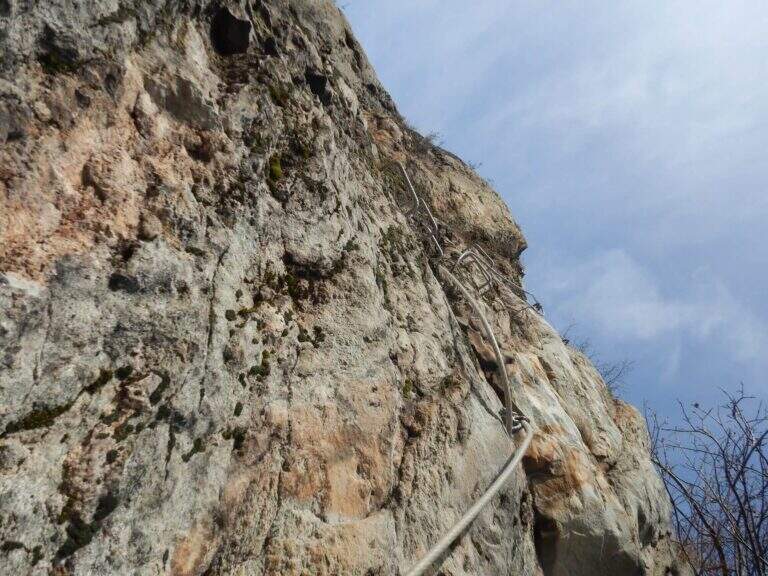
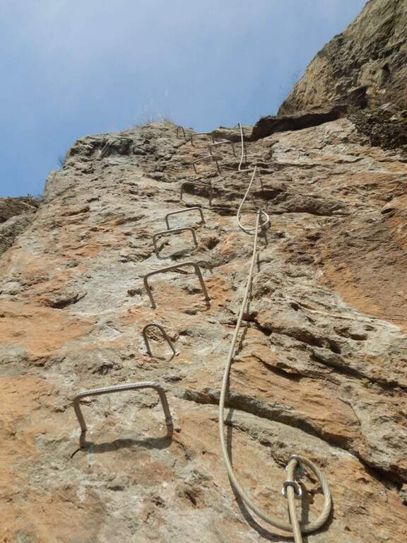
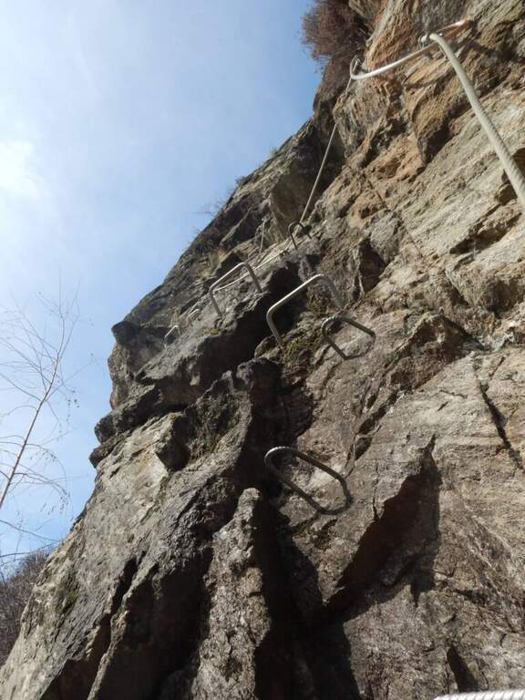
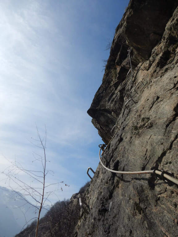
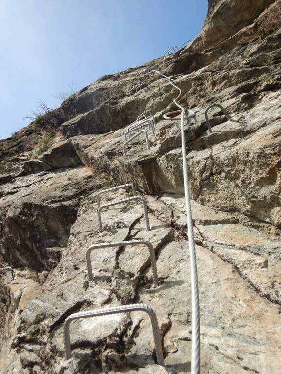
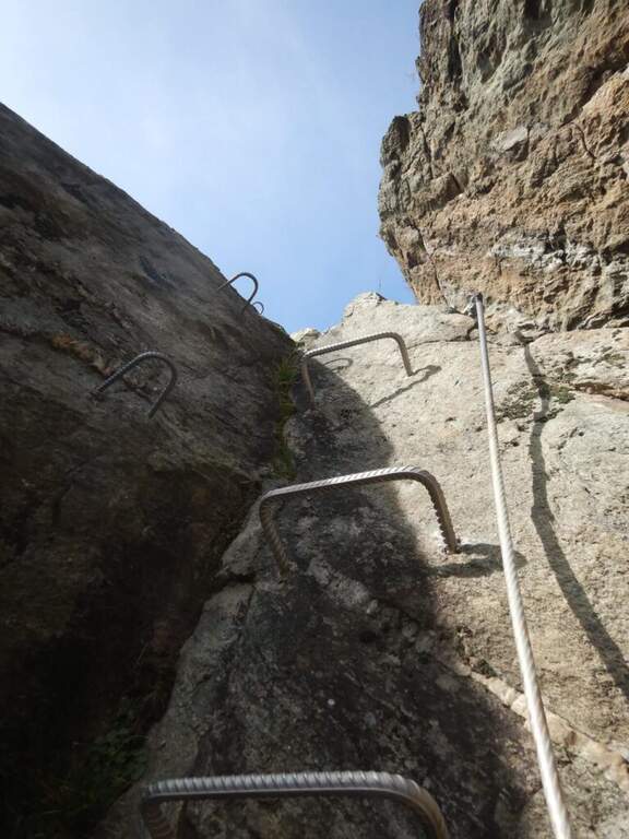
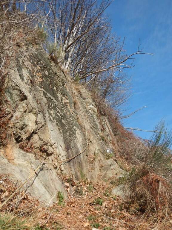
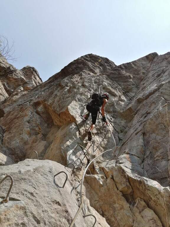
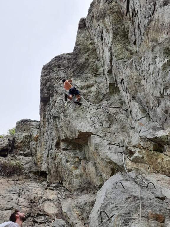
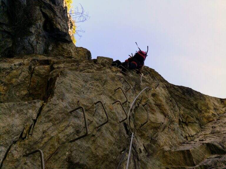
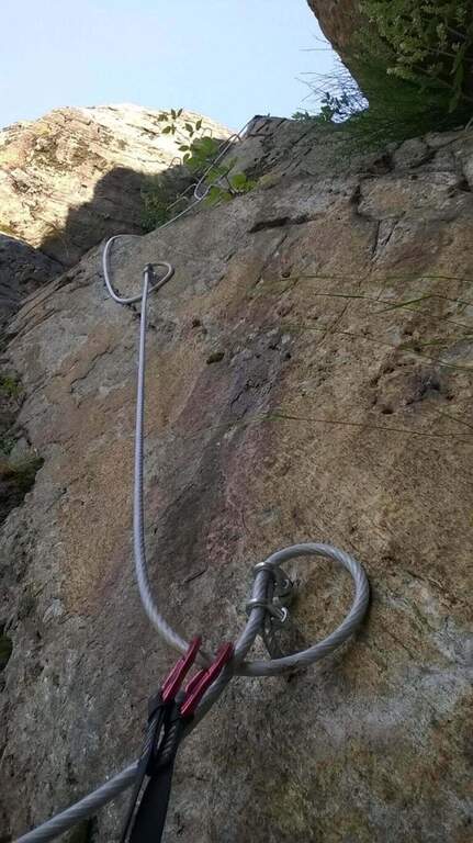
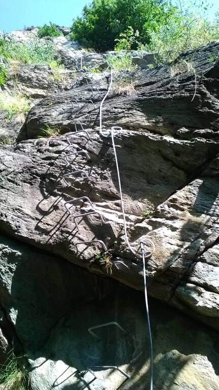
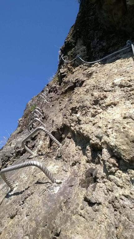
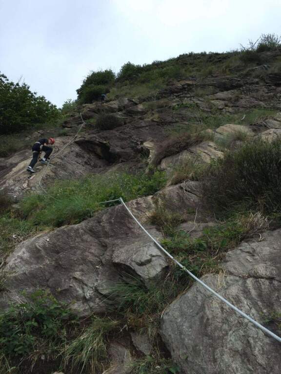
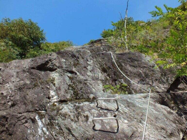
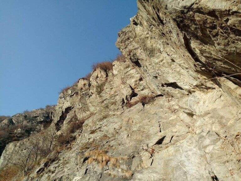
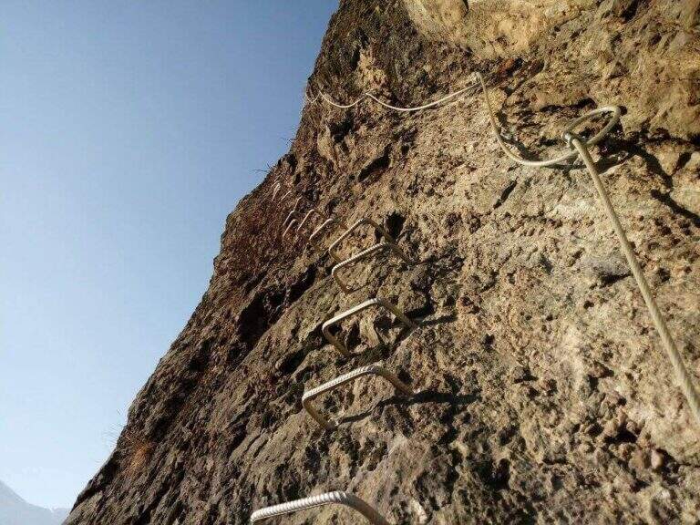
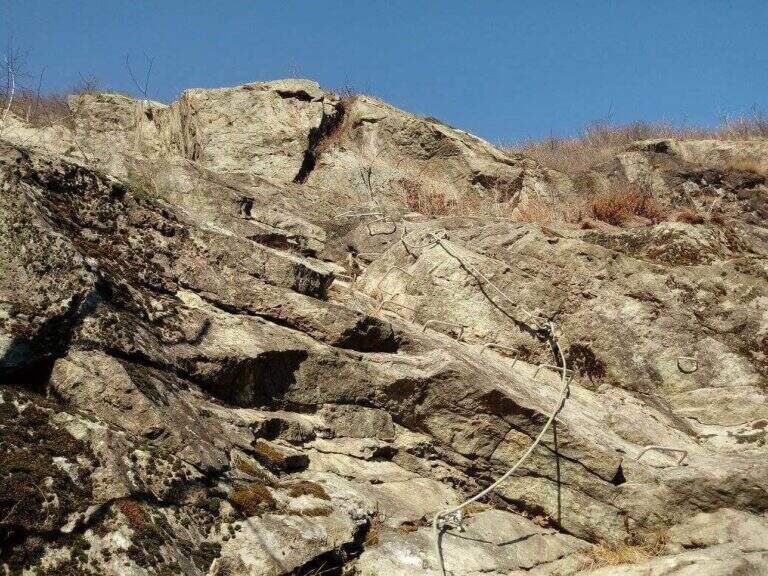
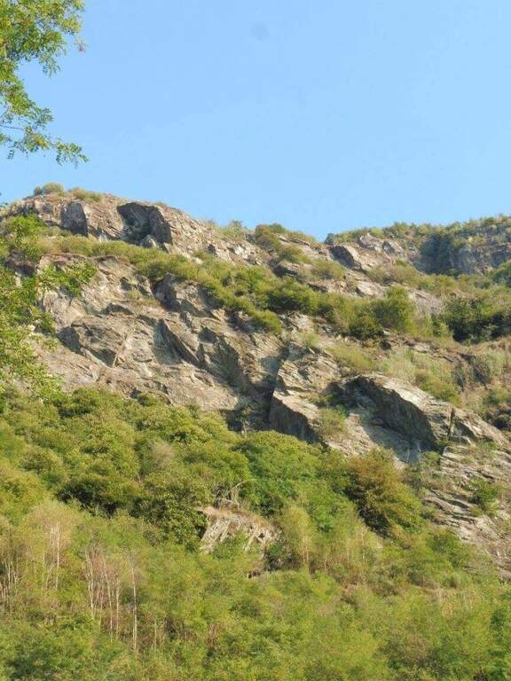
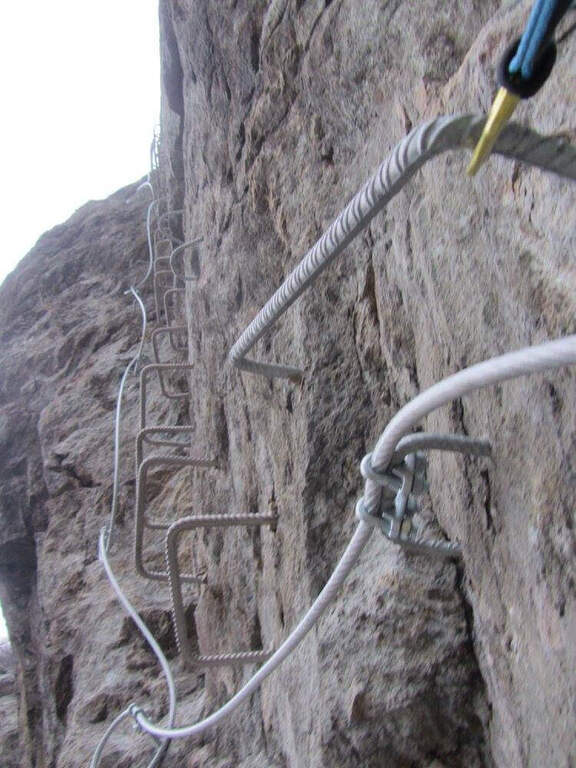
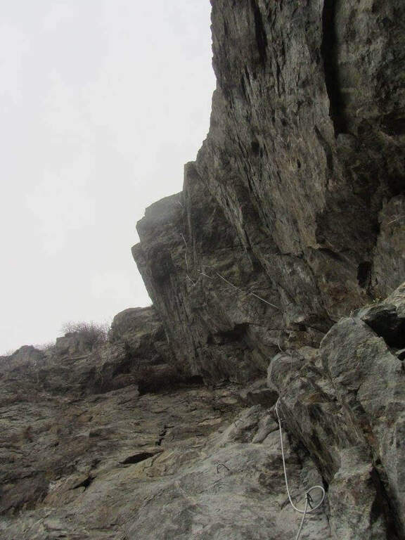
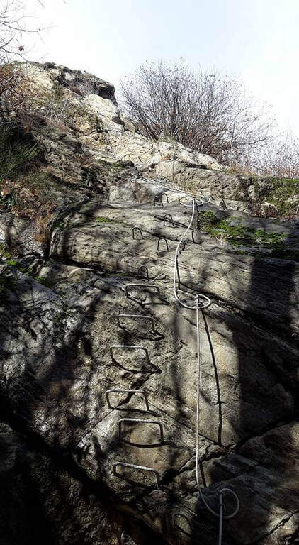
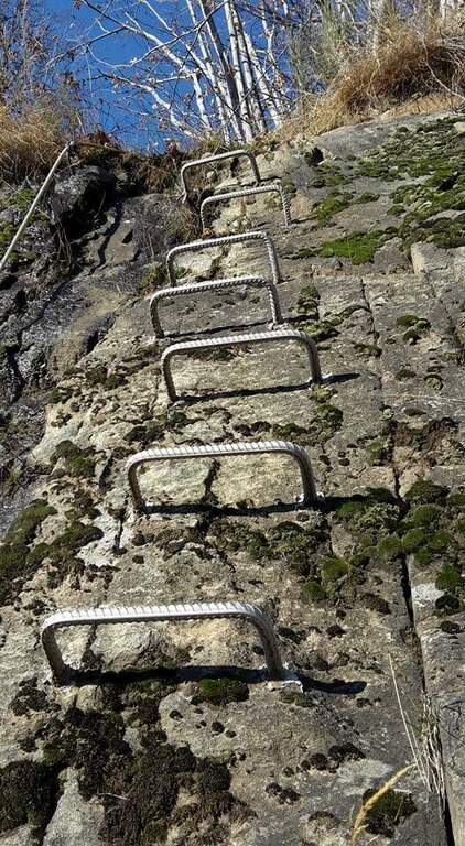
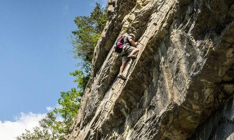
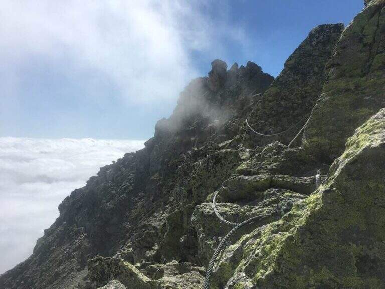
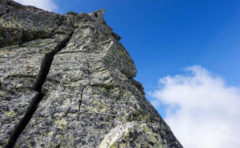
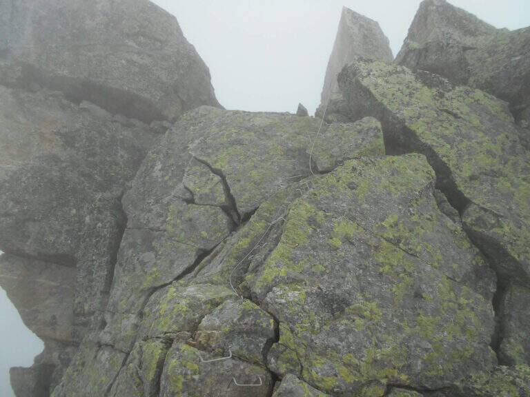
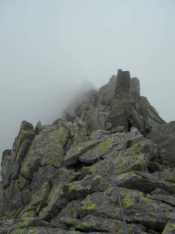
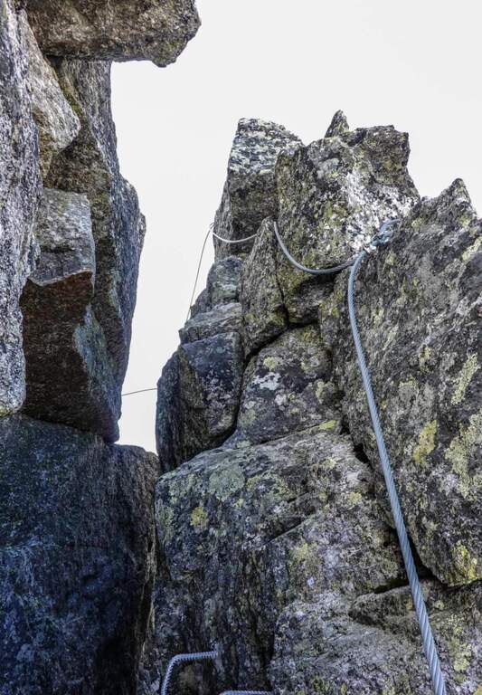
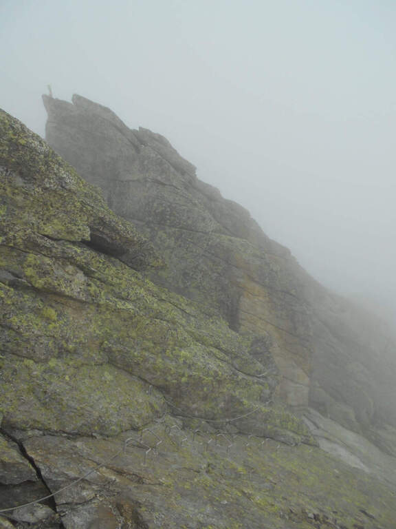
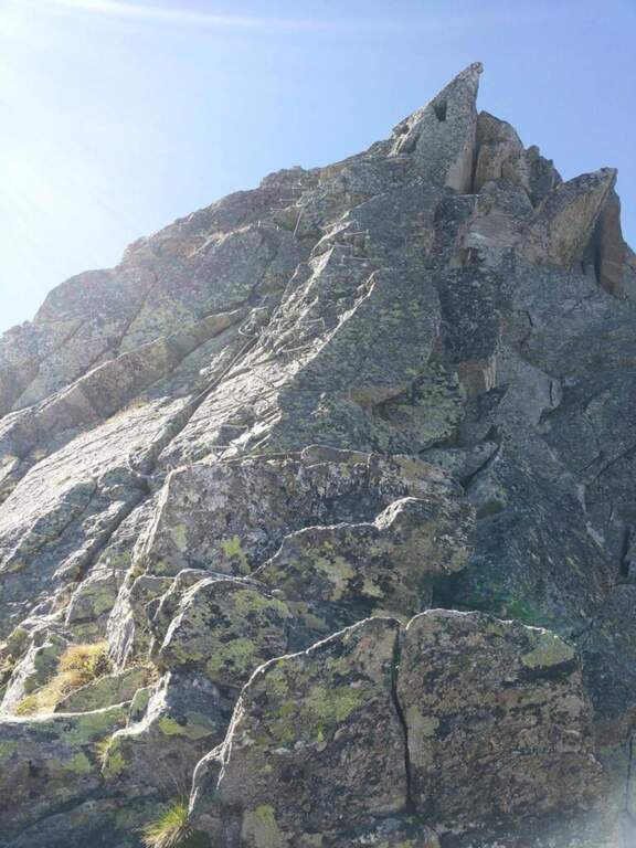
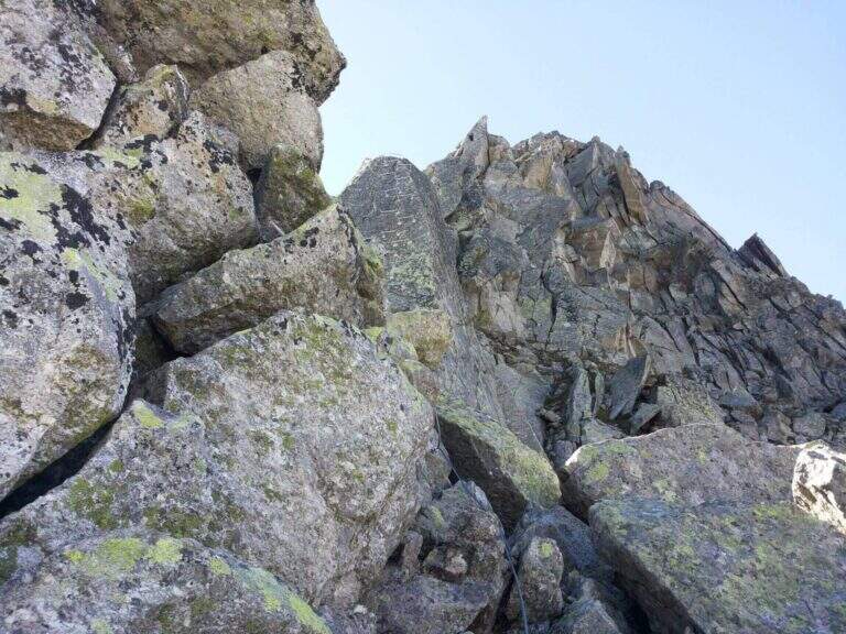
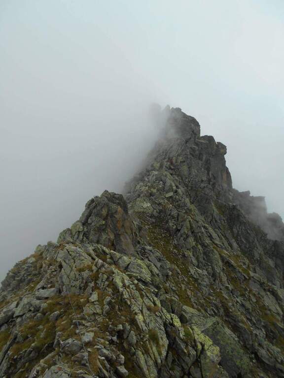
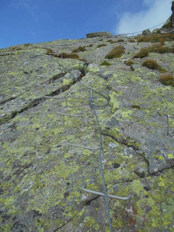
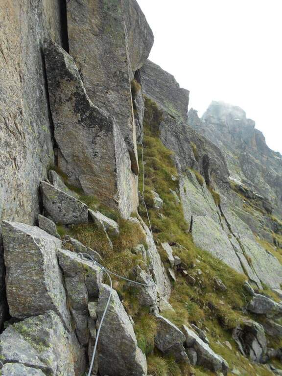
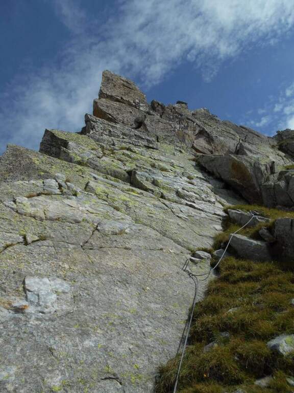
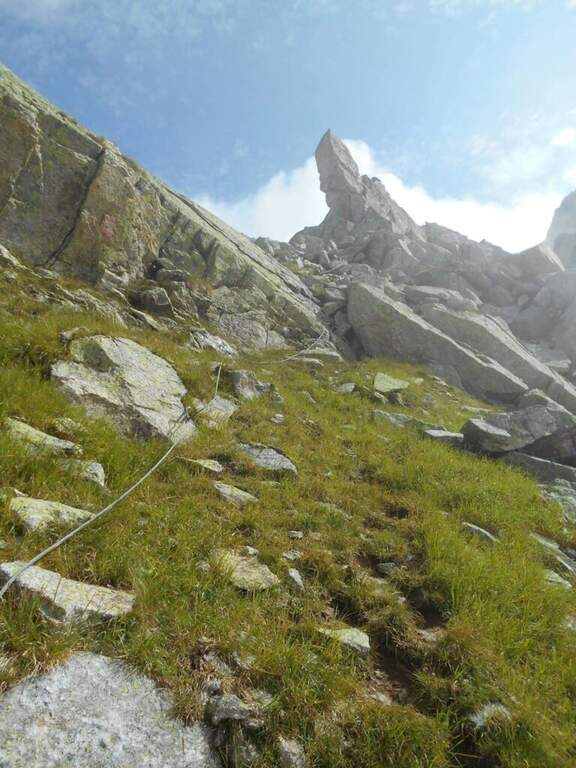
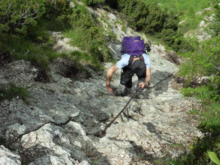
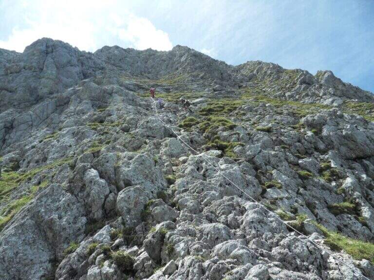
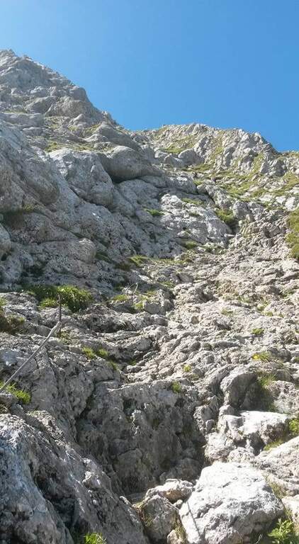
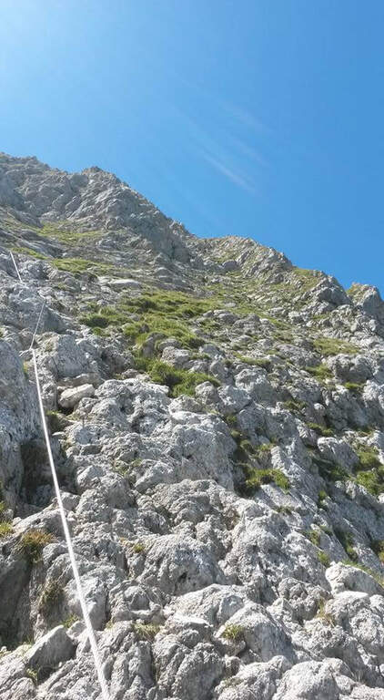
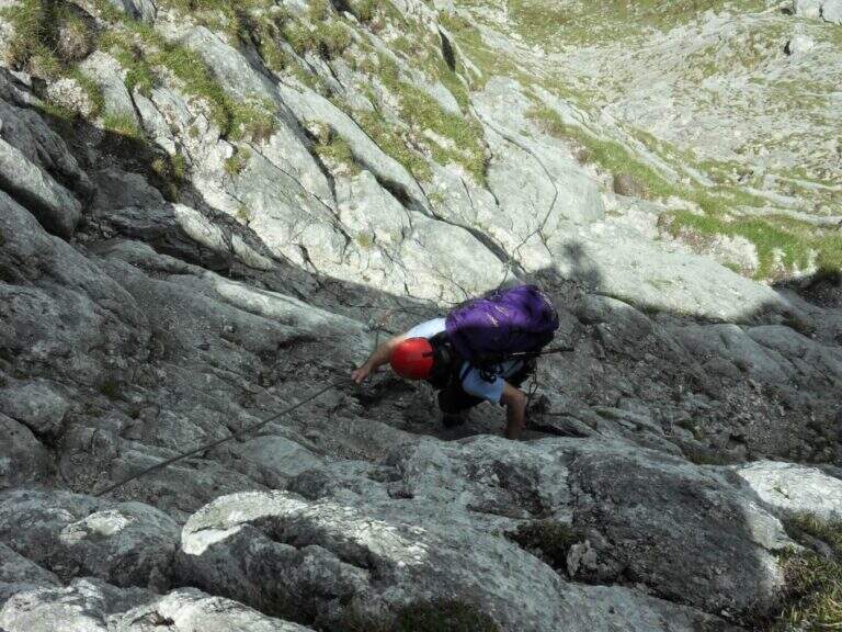
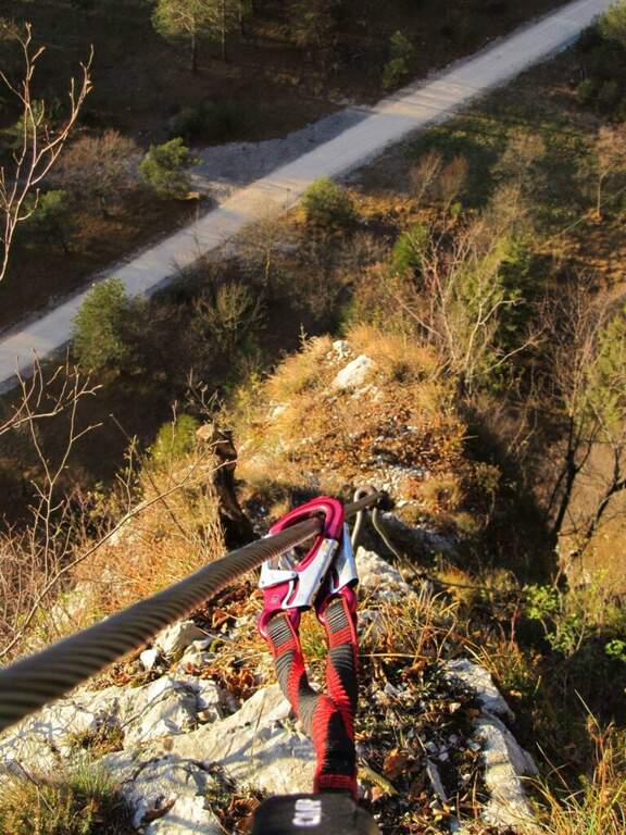
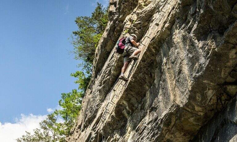
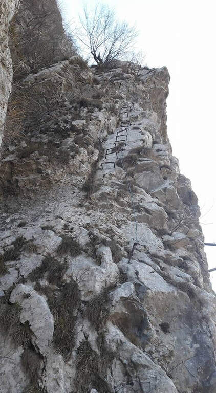
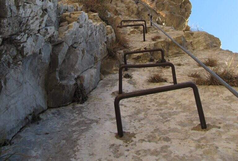
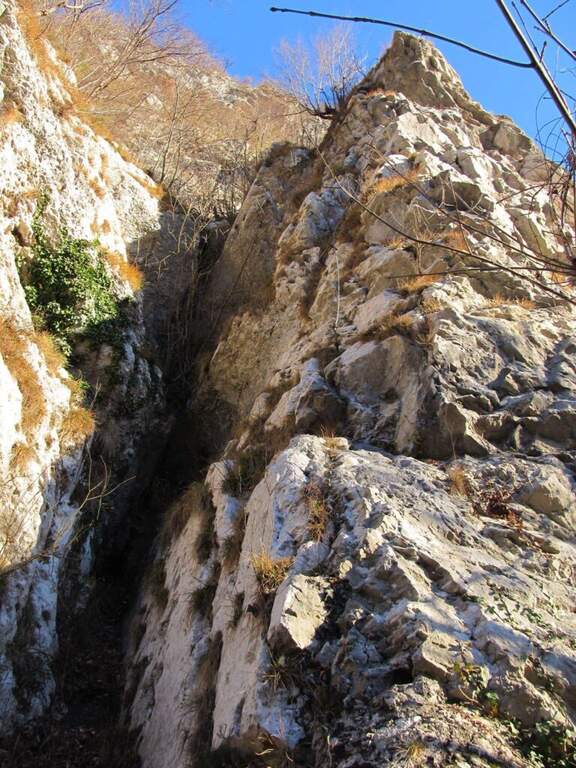
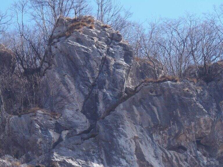
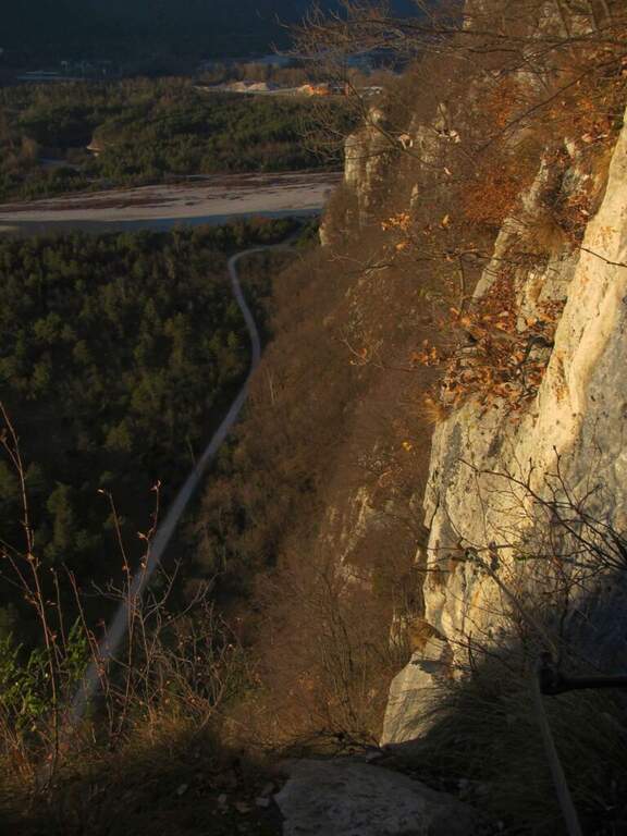
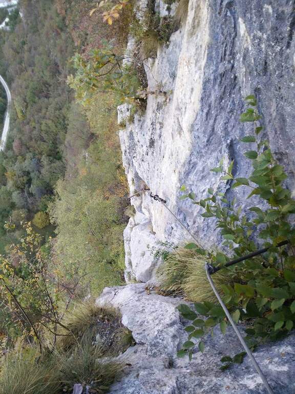
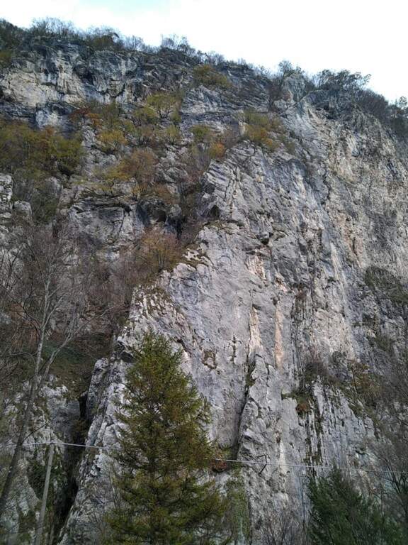
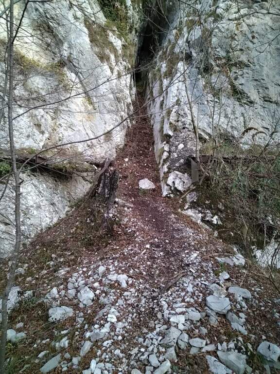
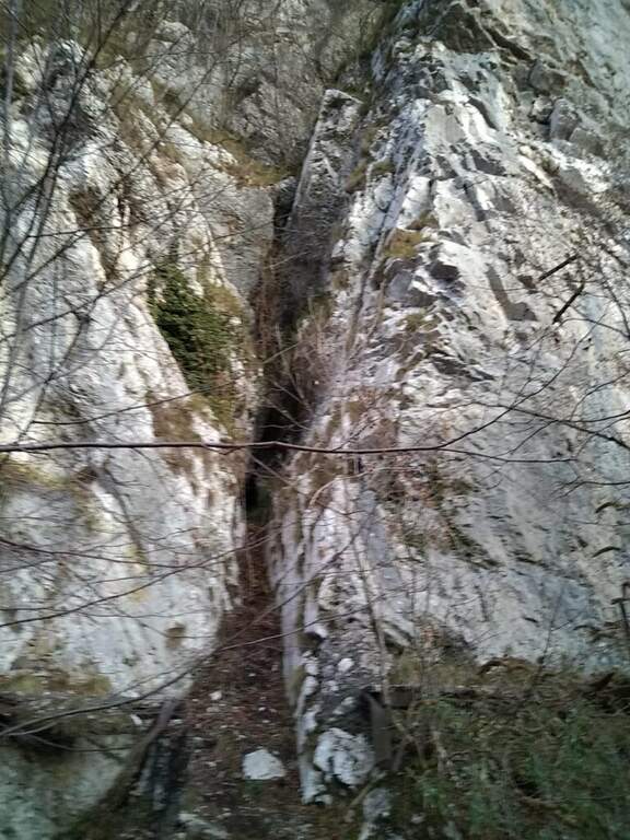
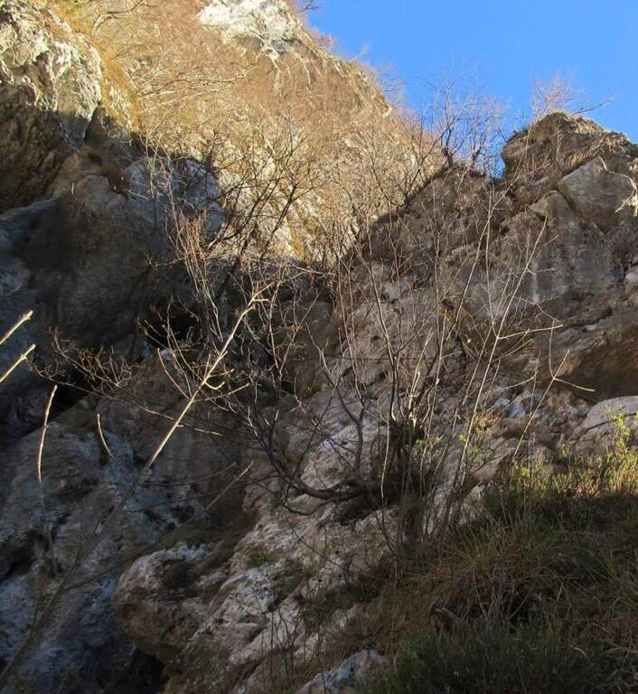
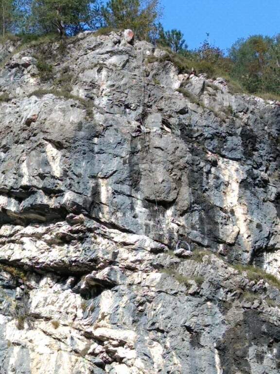
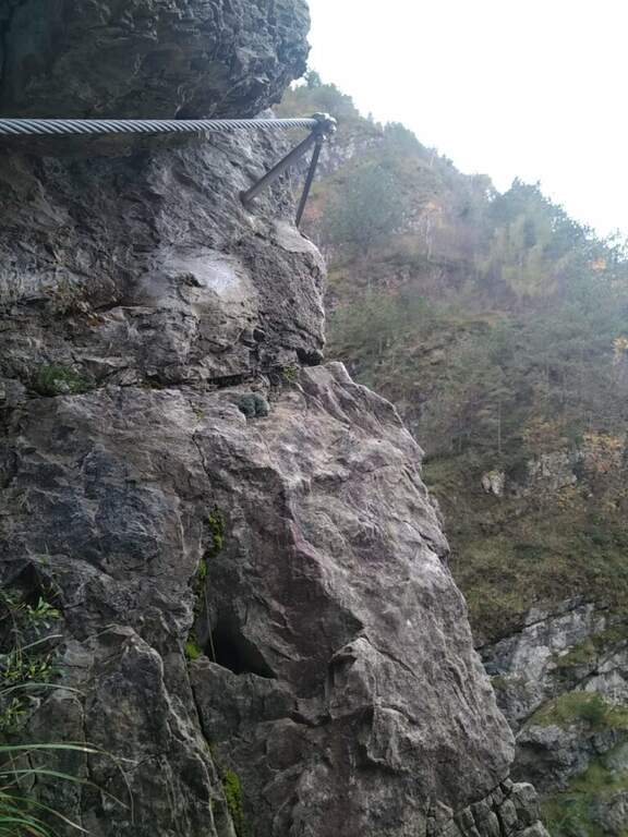
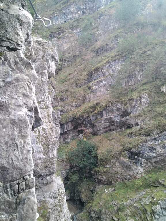
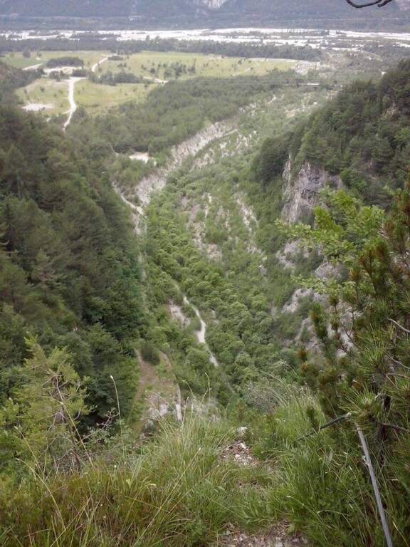
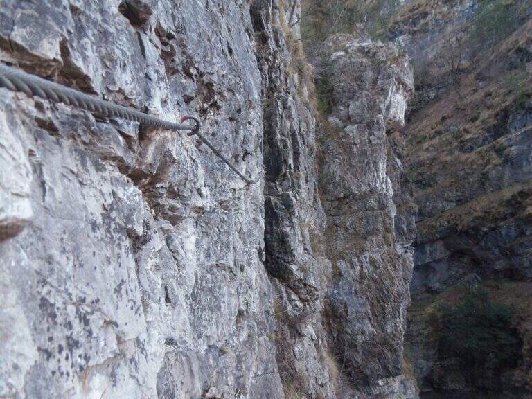
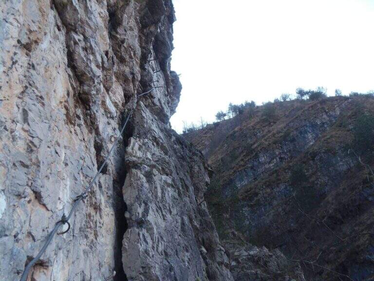
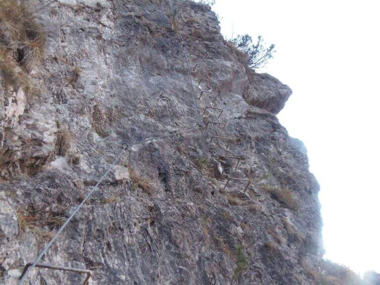
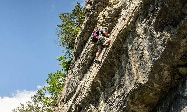
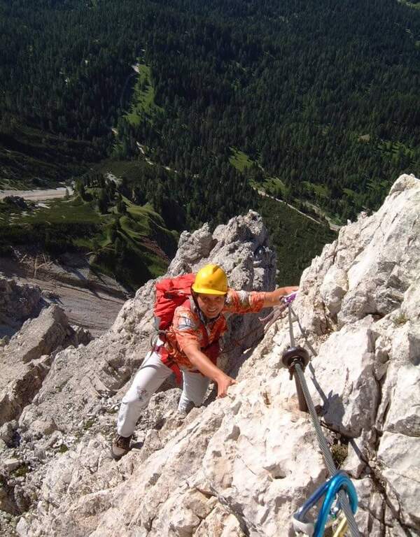
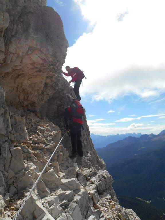
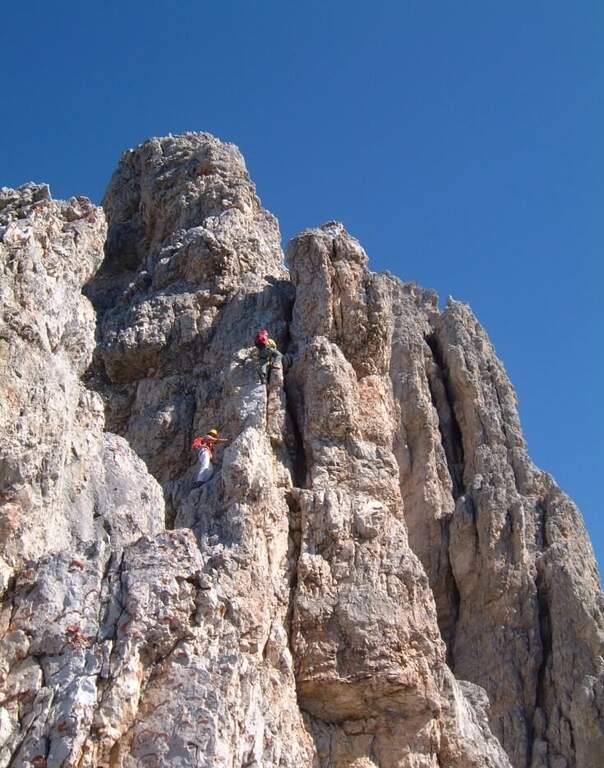
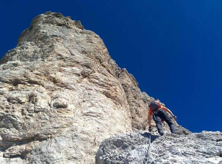
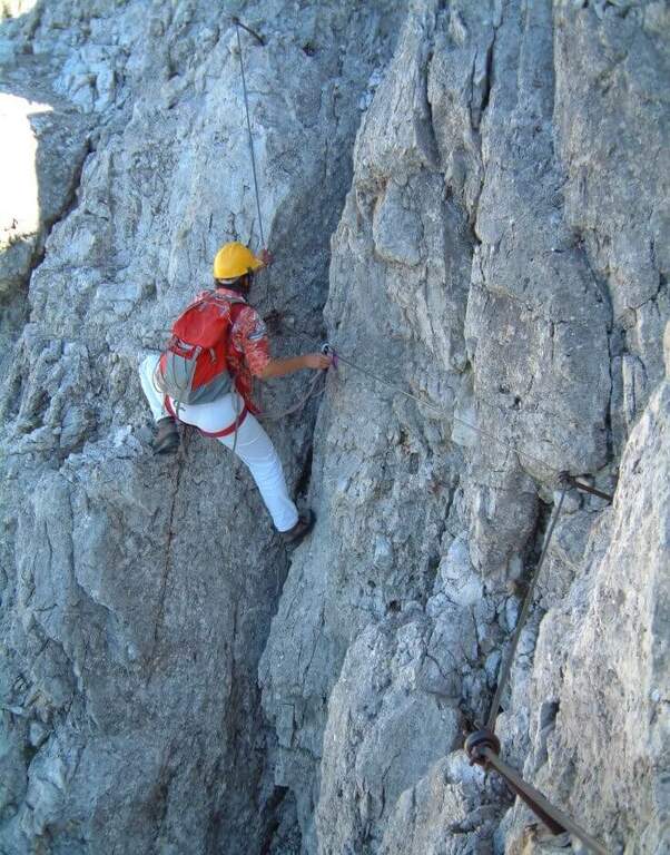
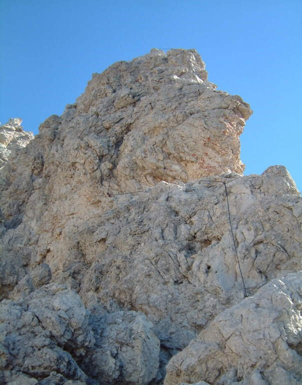
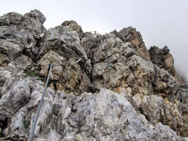
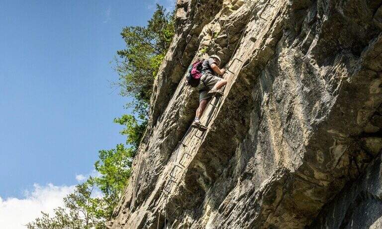
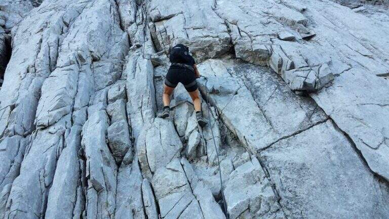
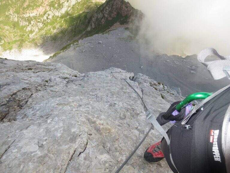
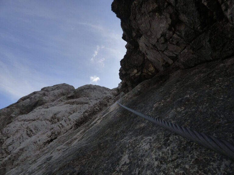
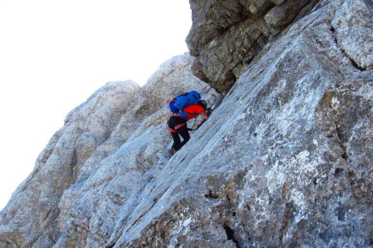
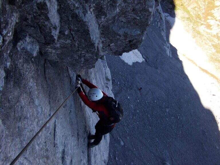
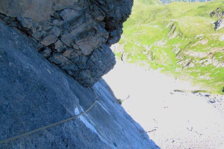
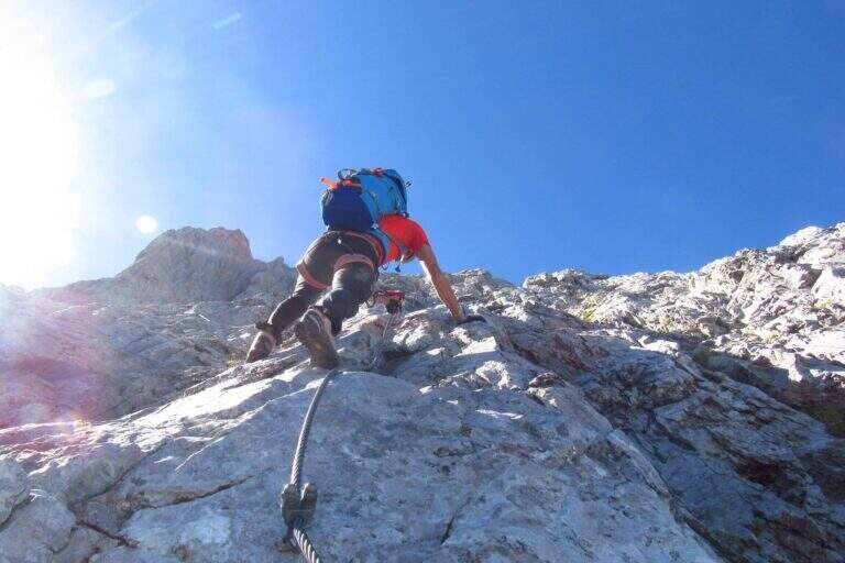
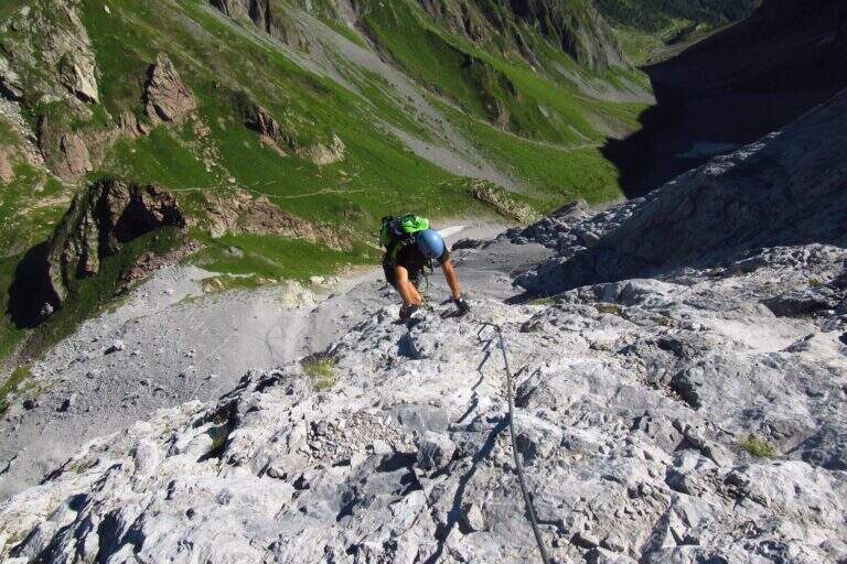
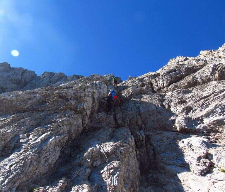
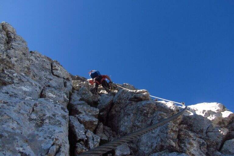
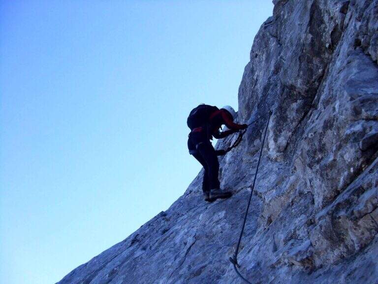
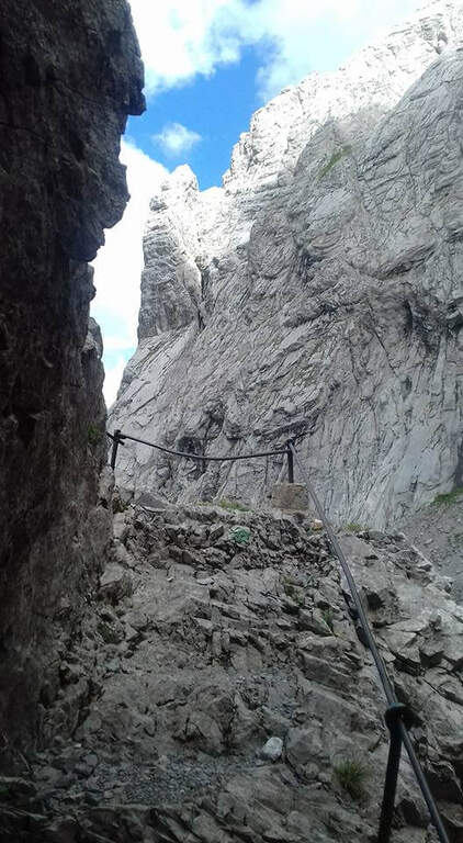
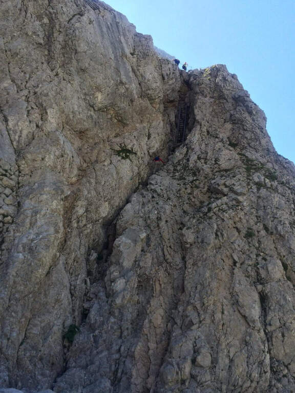
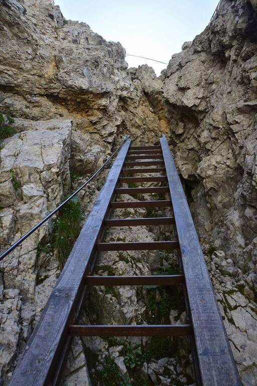
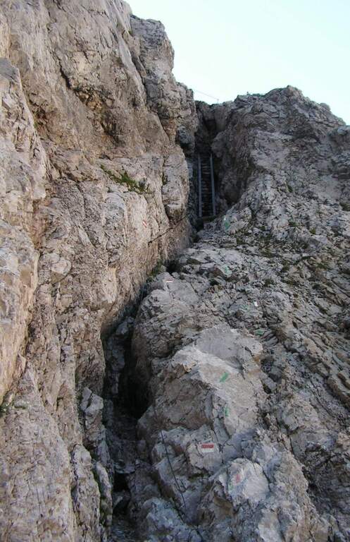
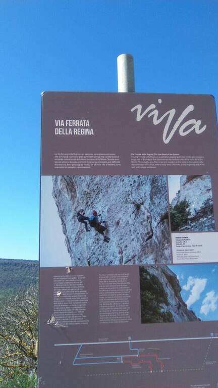
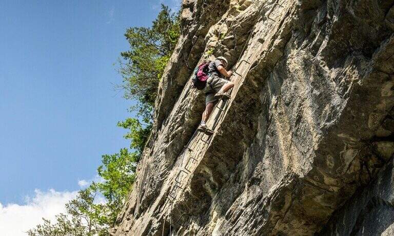
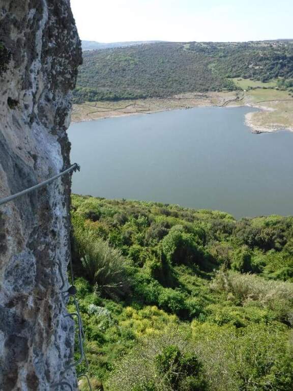
    The Ferrata della Regina runs a wide section of the cenges that characterize the relief of Su Monte, near Monteleone Rocca Doria, south of Sassari and close to Lake Temo. It is widely equipped with brackets, which makes it technically not difficult, but exposed along wide stretches and embellished by an adrenaline-free Tibetan bridge.

    ▲Approach

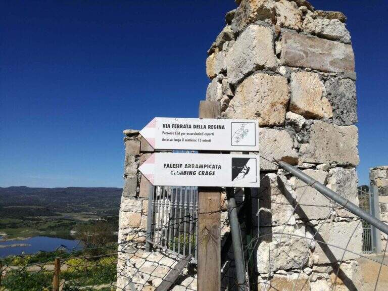
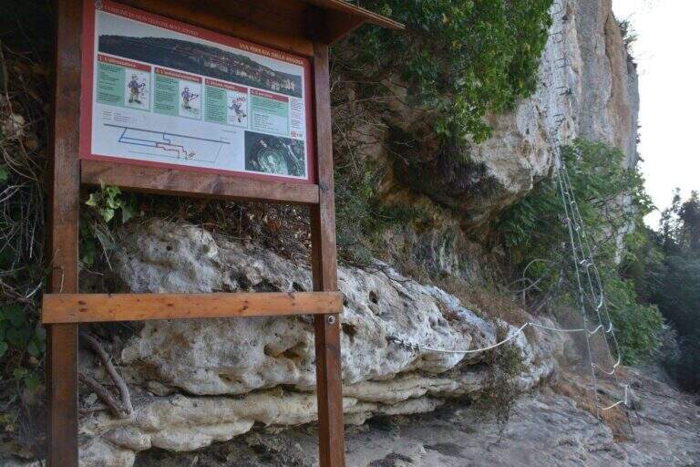
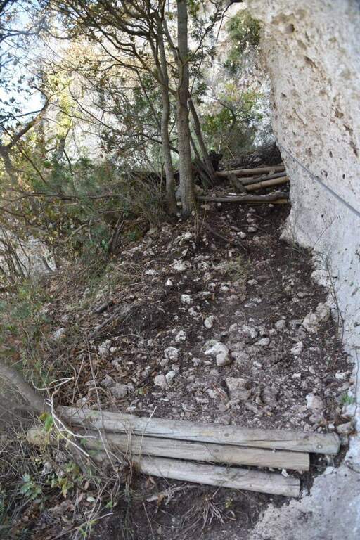
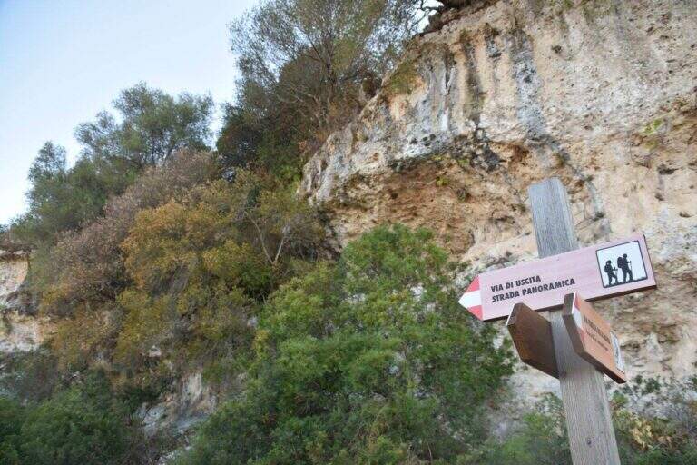
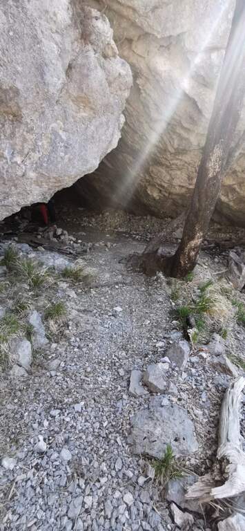
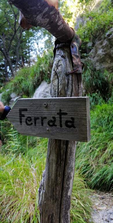
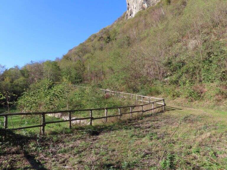
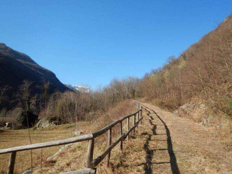
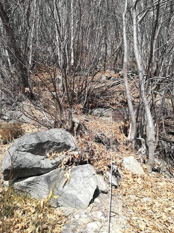
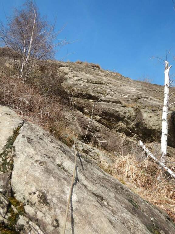
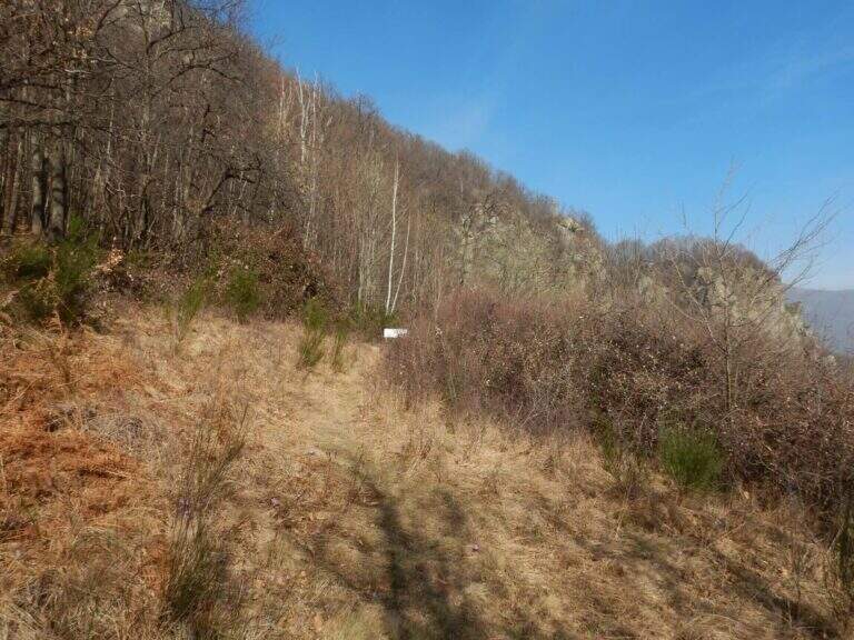
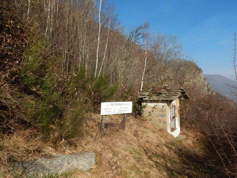
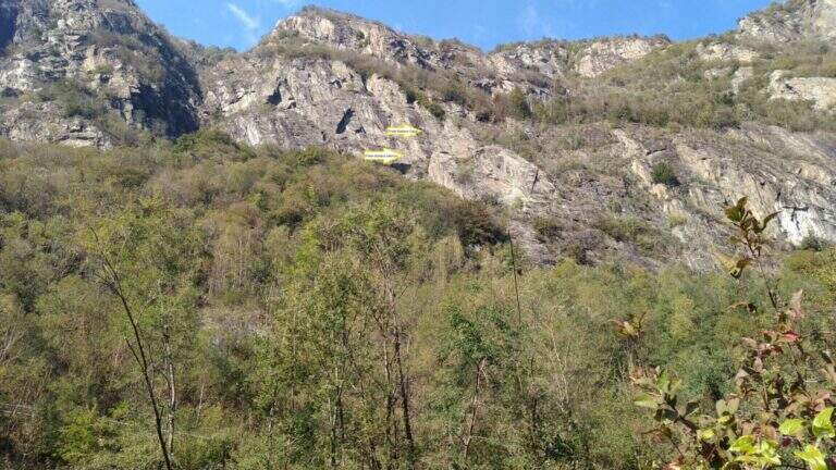
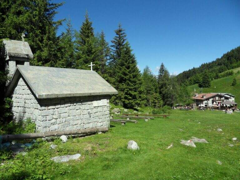
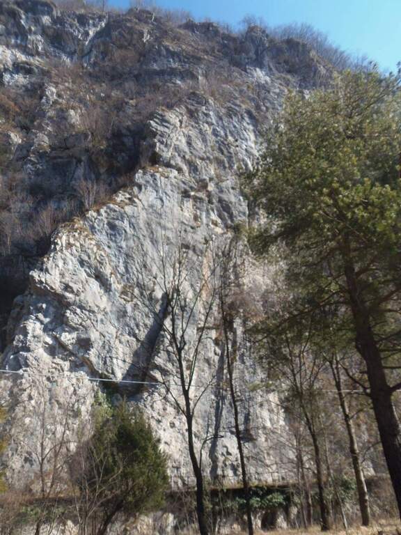
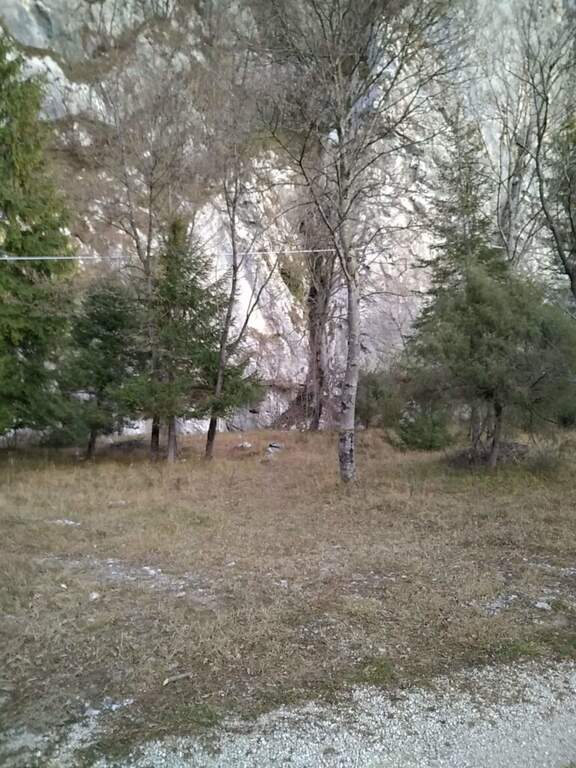
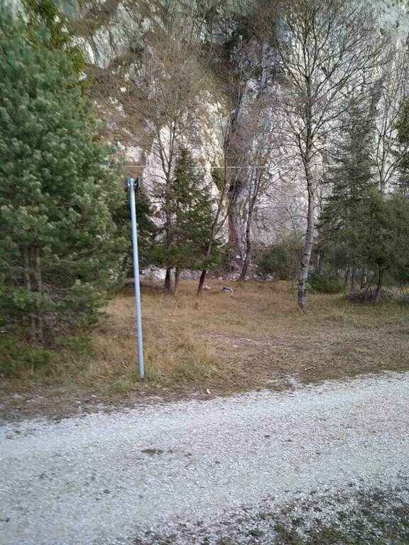
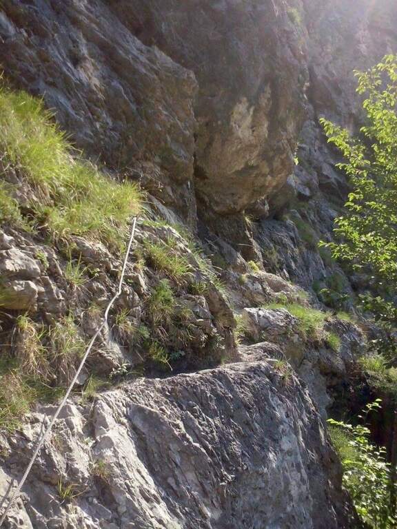
    The starting point is on the Strada Panoramica Subramonte that runs around Monteleone Rocca Doria: along the road you can see a wooden basin with information on the street, where you park. Starting point on Google Maps. From the dirt road you continue to a sign that indicates a path downhill towards the ferrata; you descend a few steps, turn right and, always downhill, you arrive under a rocky roof and then under a majestic wall; between climbs you reach a spring to the attack, signaled by a wooden basin (20' from the car).

    ▲The path

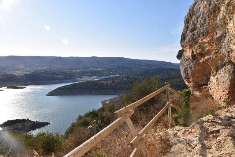
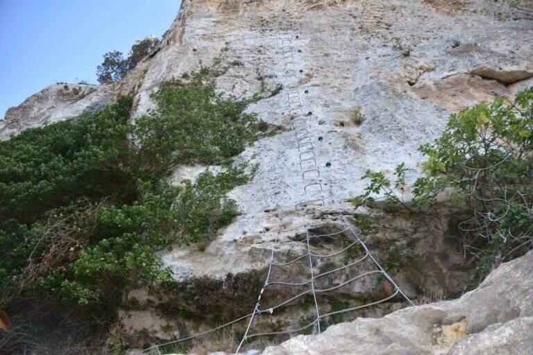
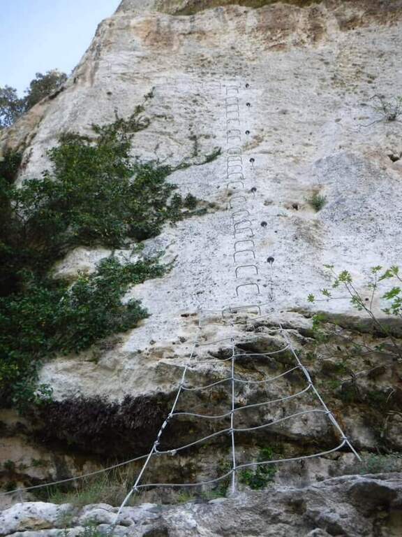
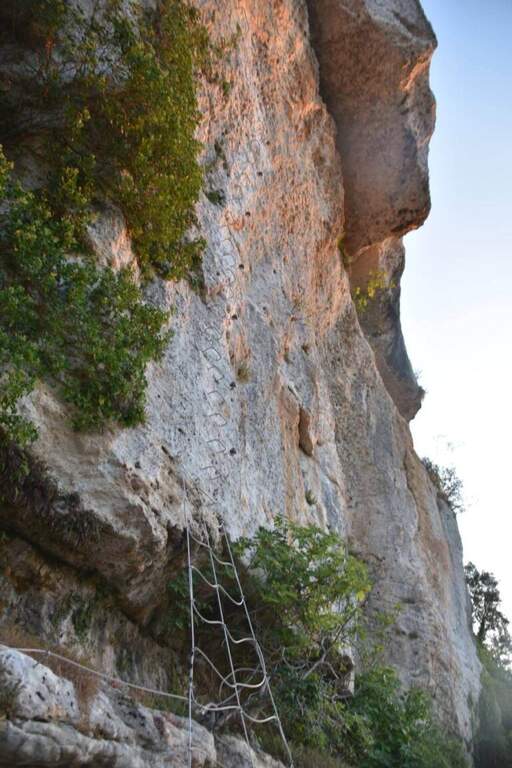
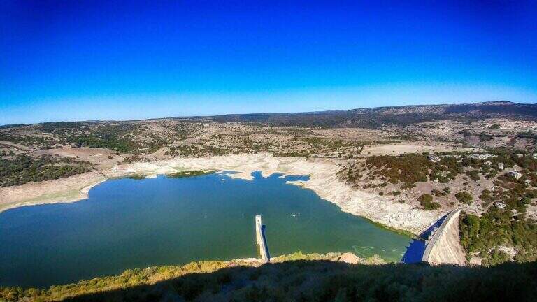
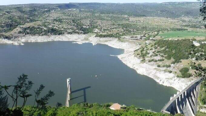
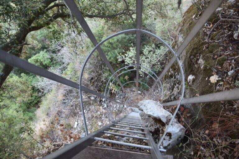
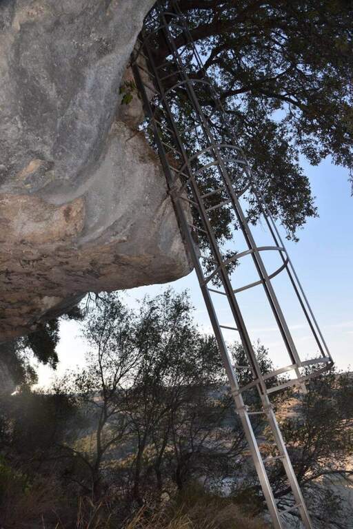
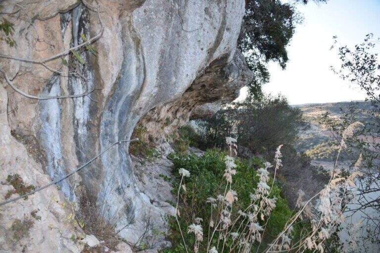
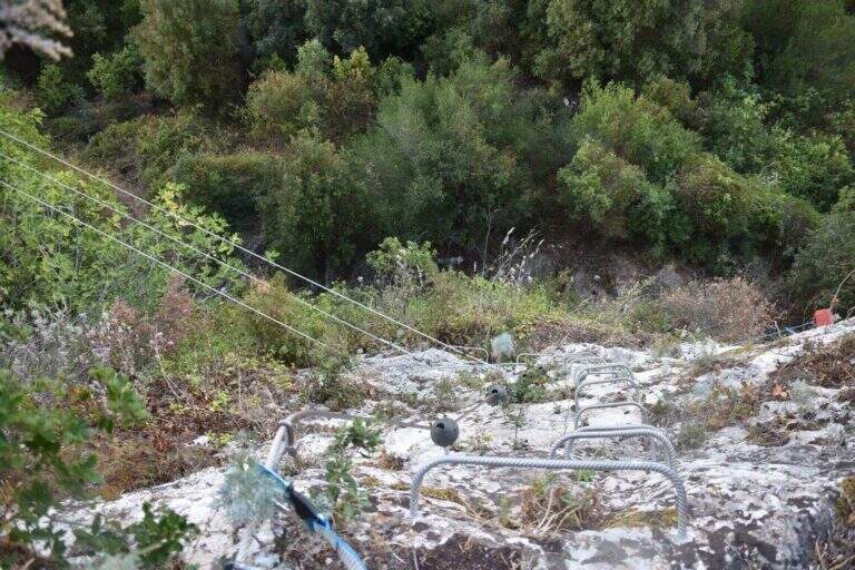
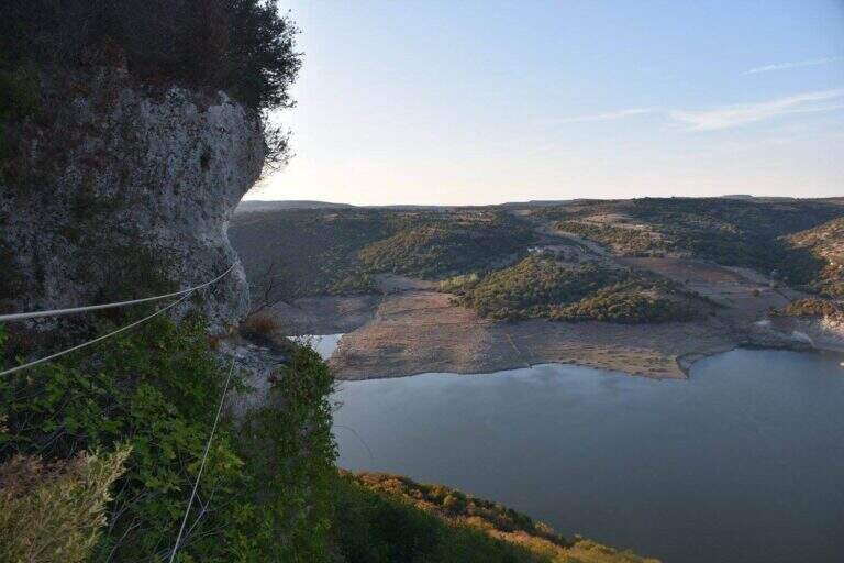
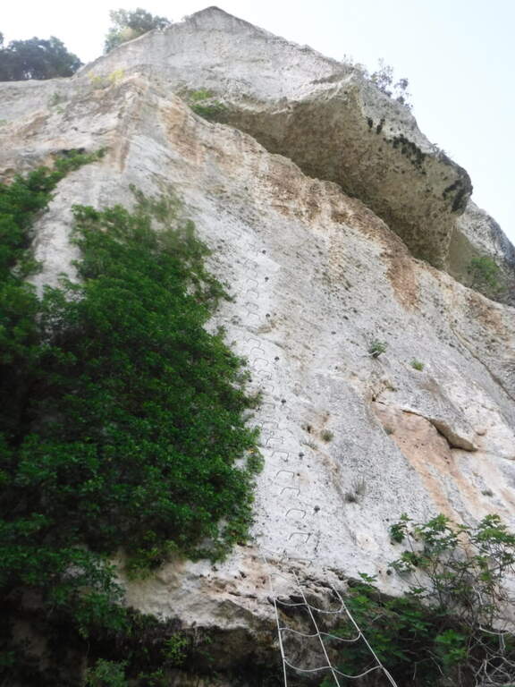
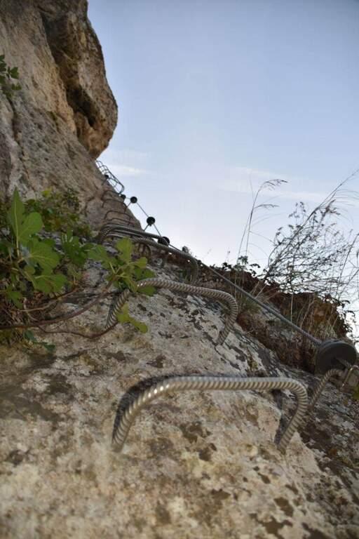
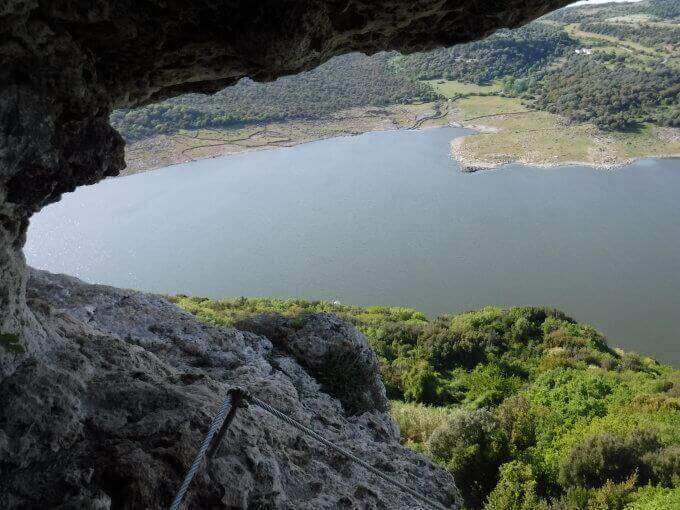
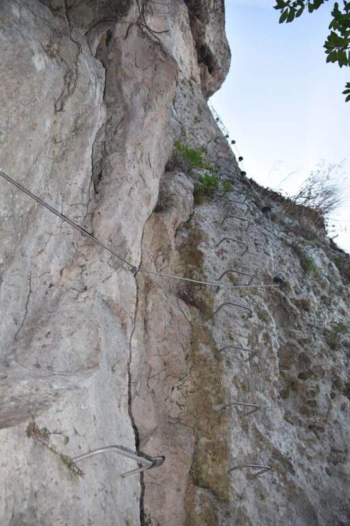
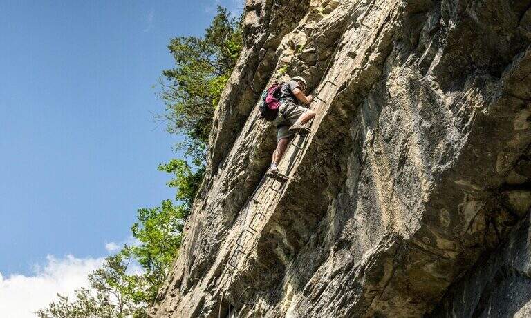
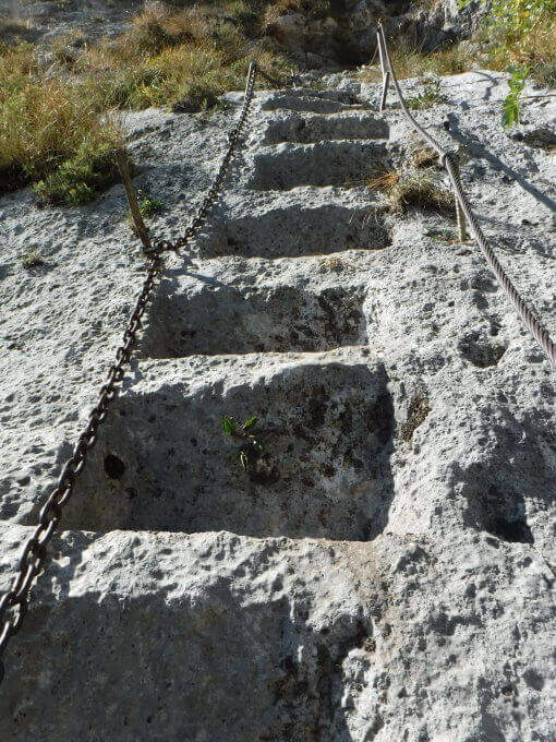
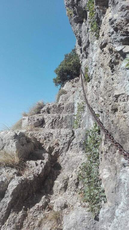
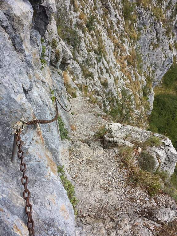
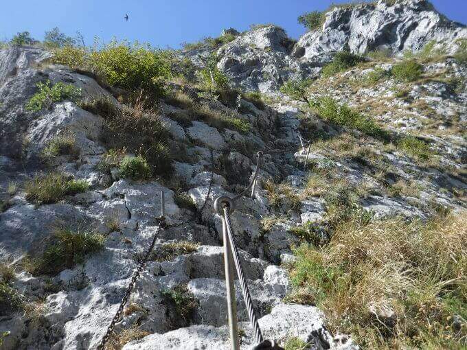
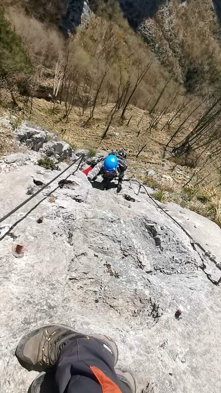
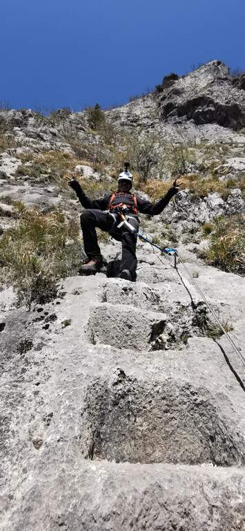
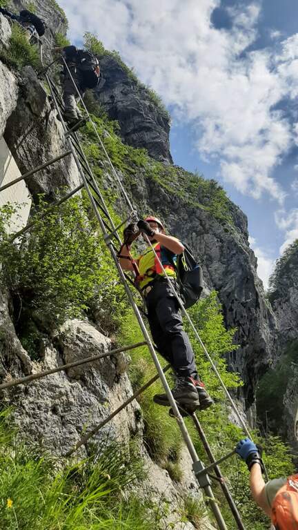
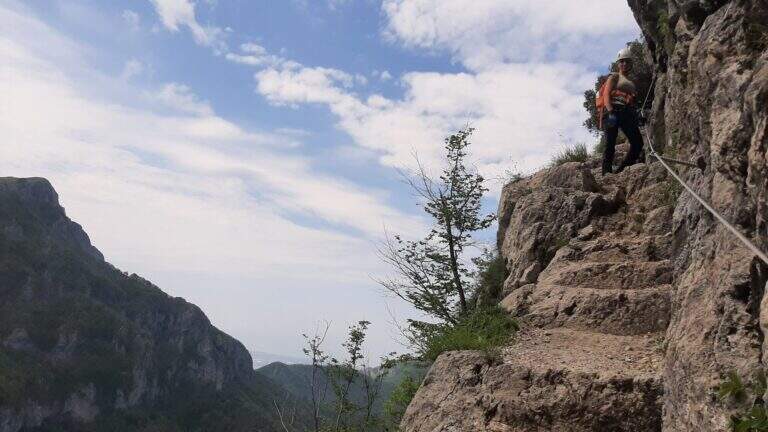
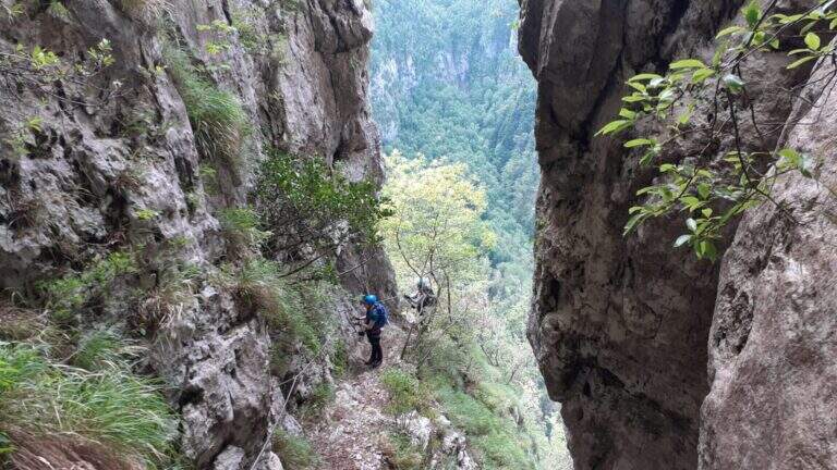
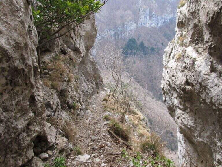
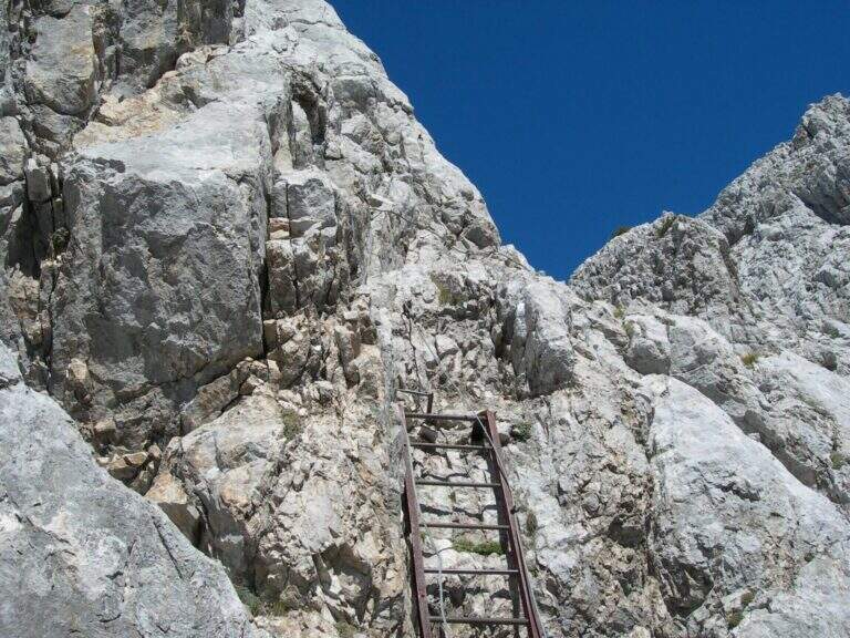
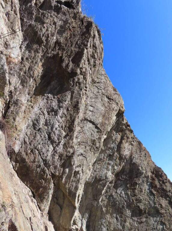
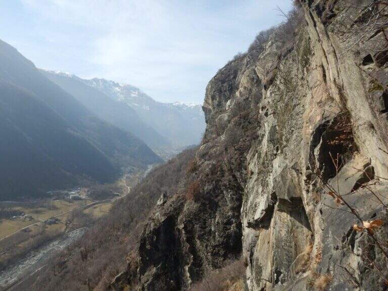
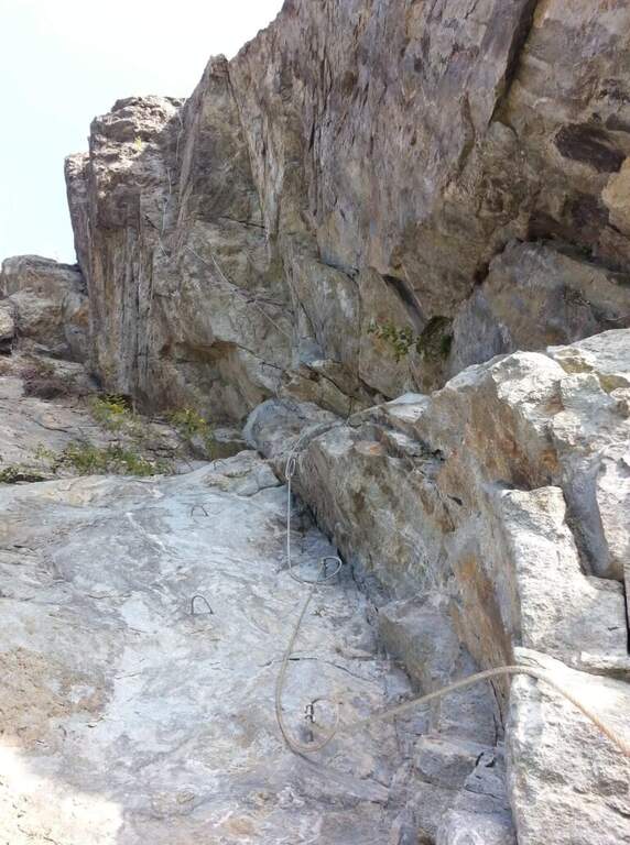
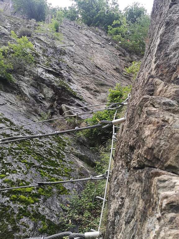
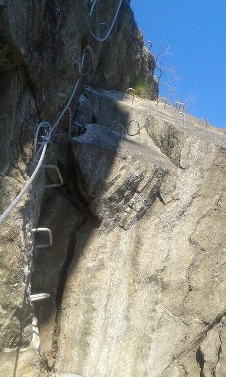
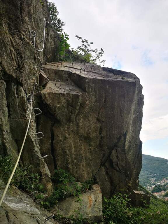
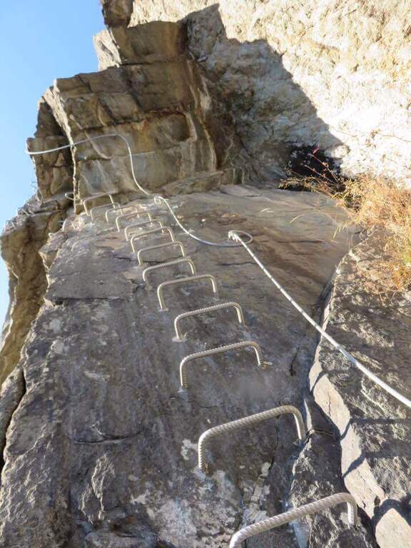
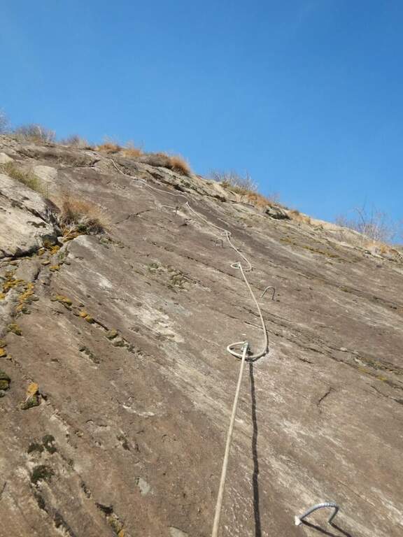
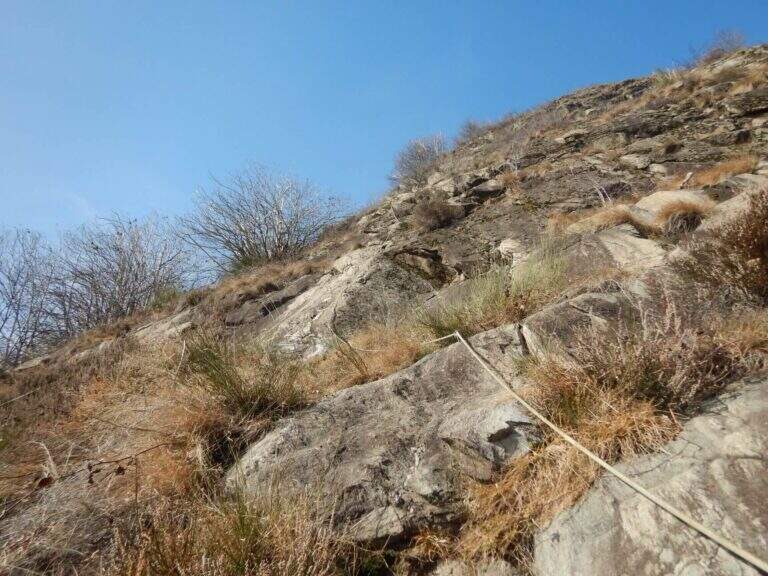
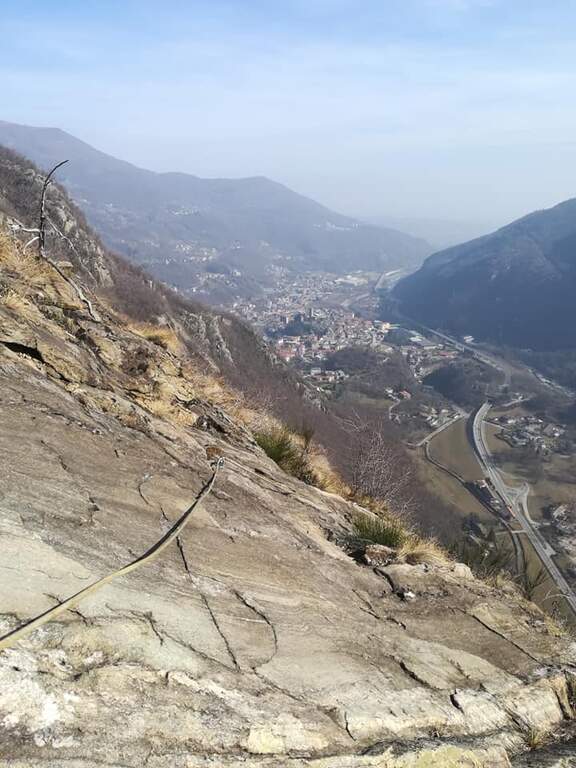
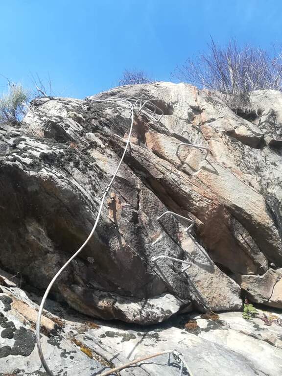
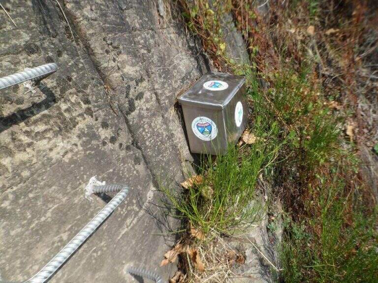
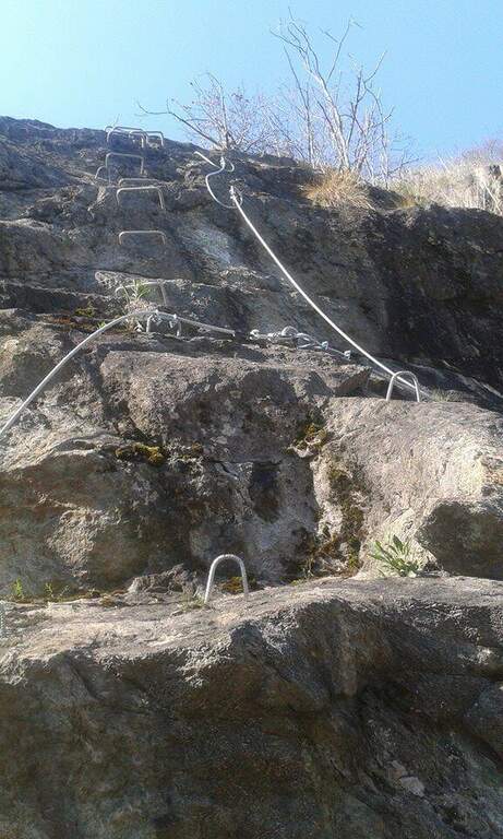
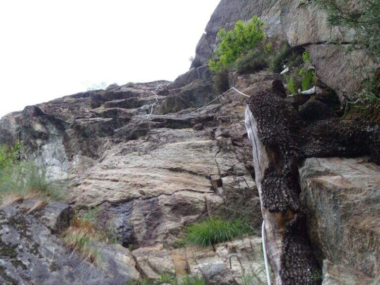
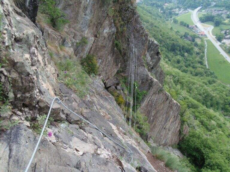
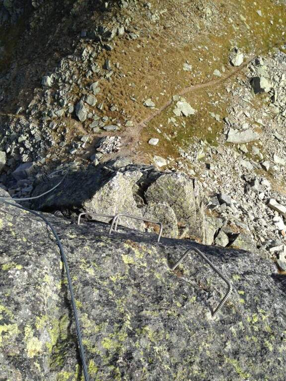
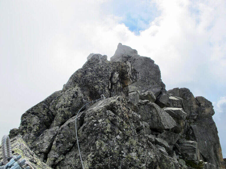
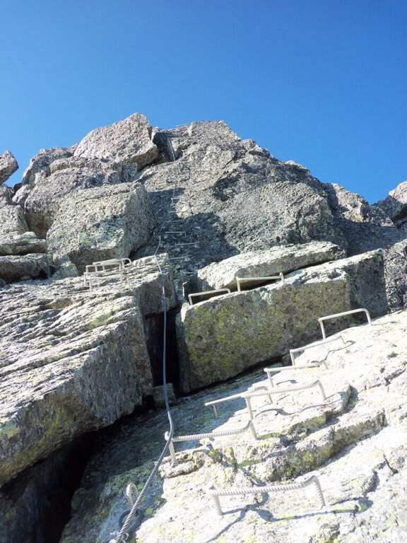
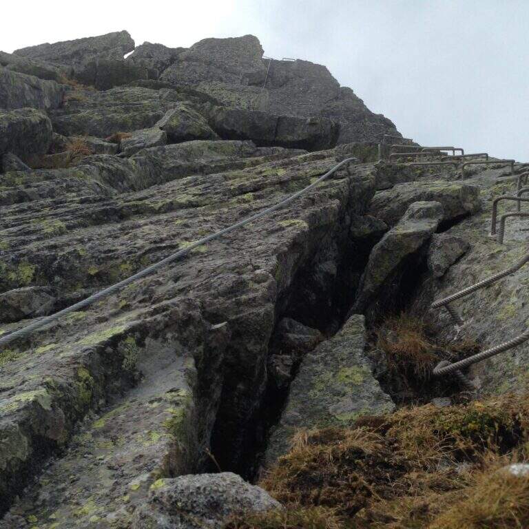
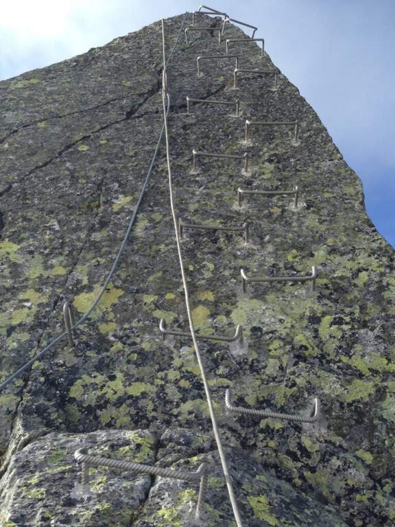
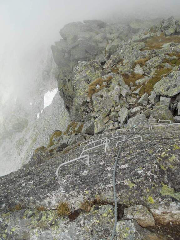
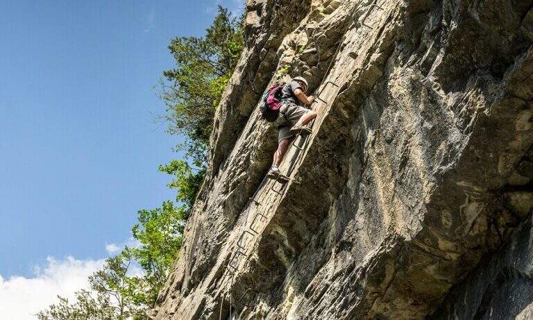
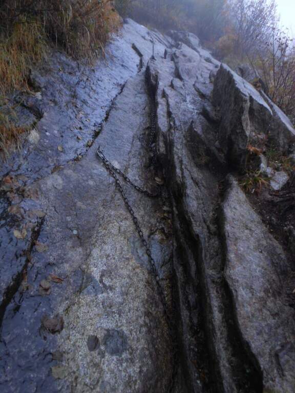
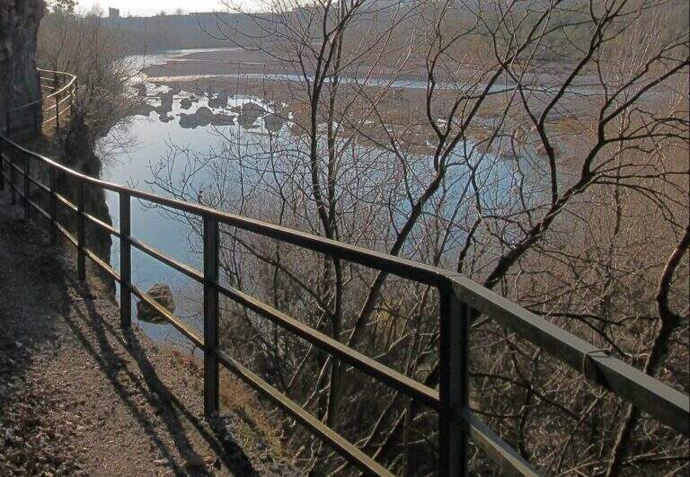
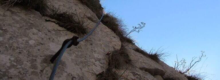
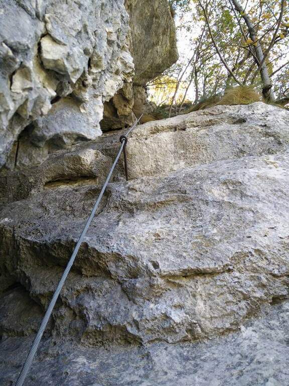
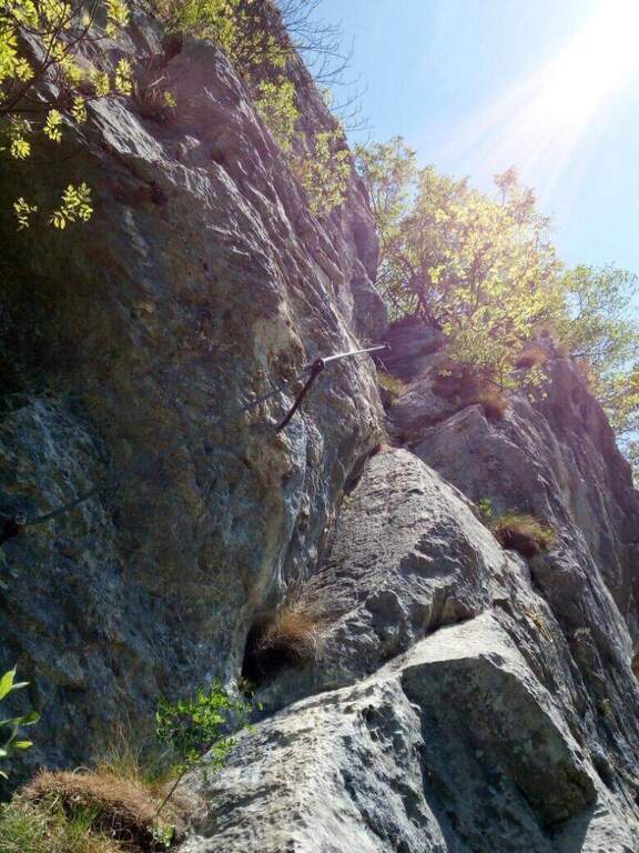
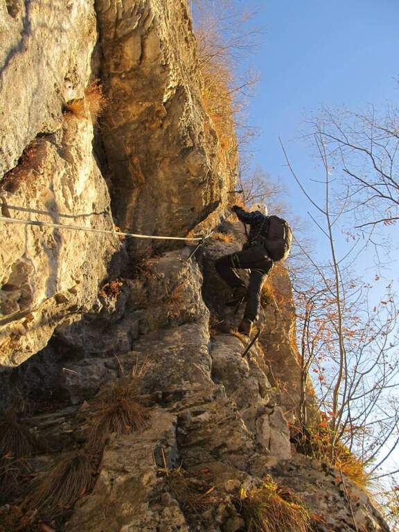
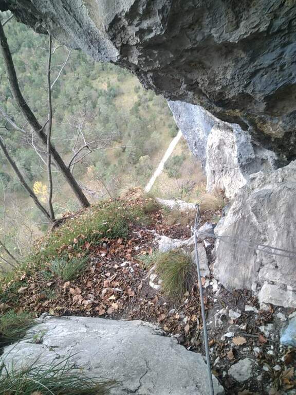
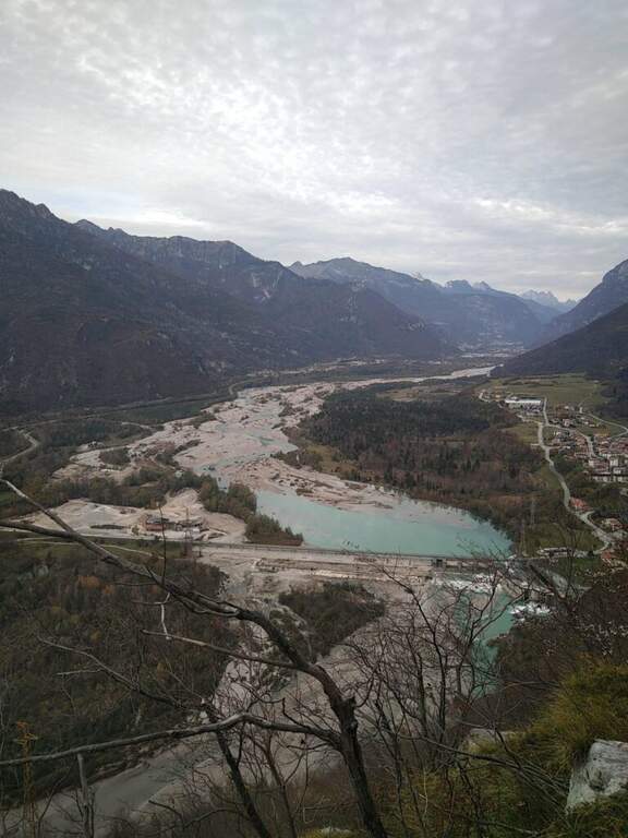
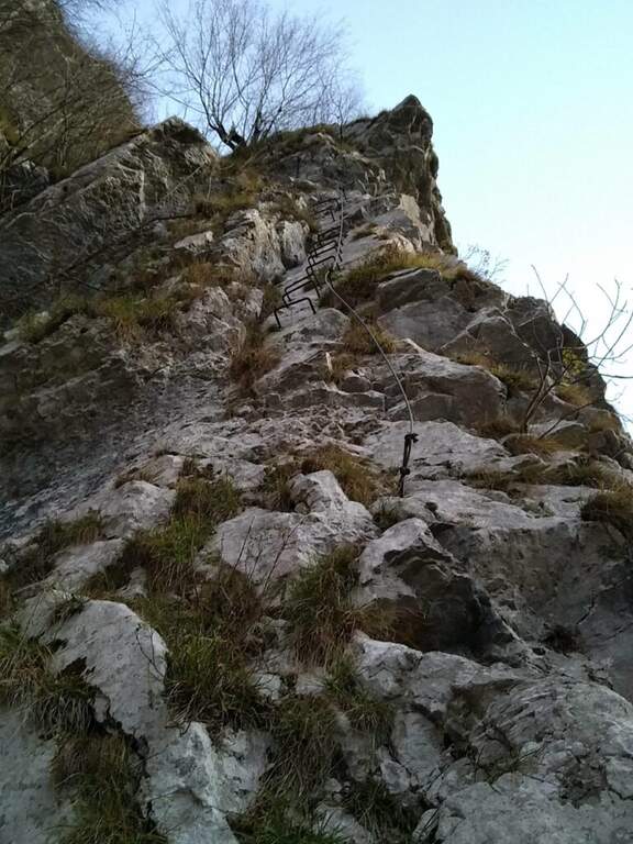
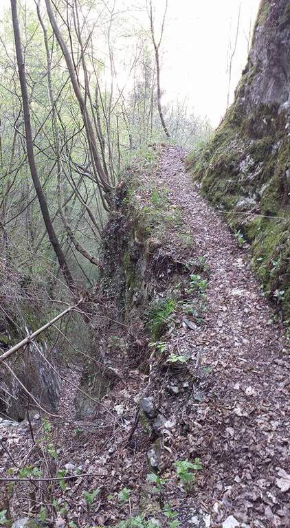
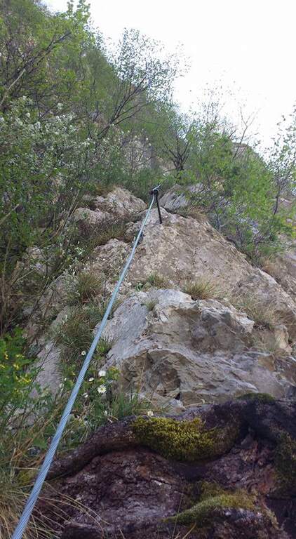
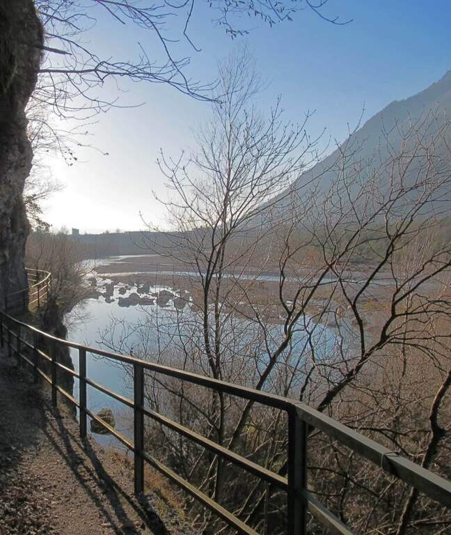
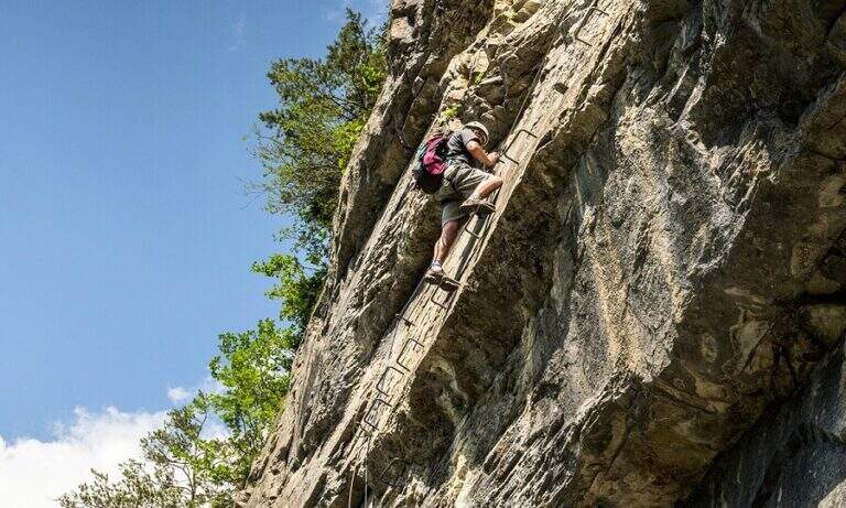
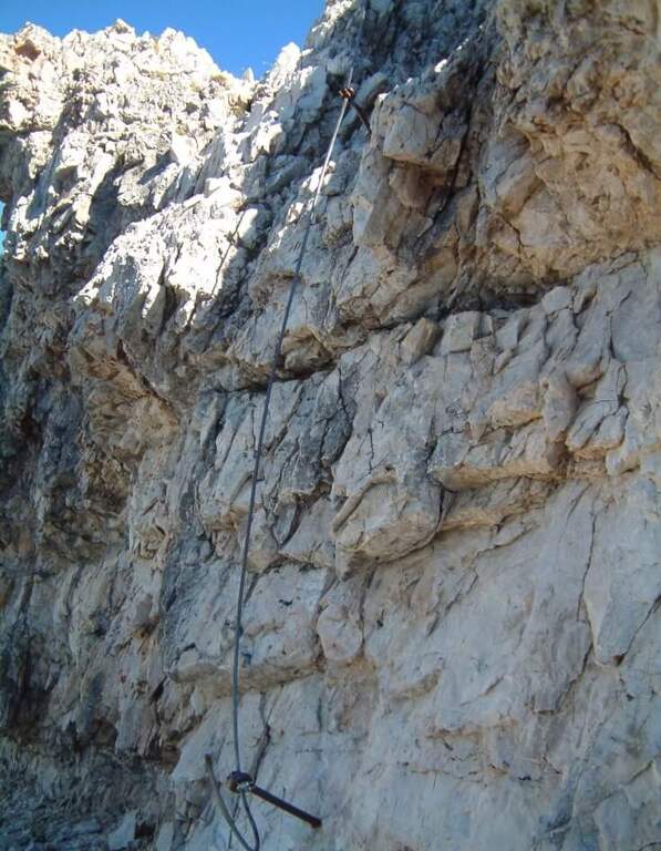
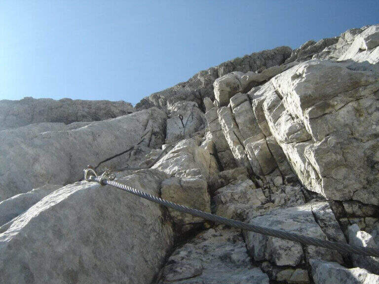
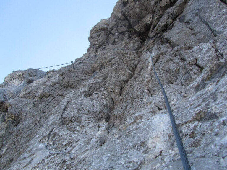
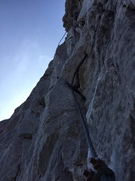
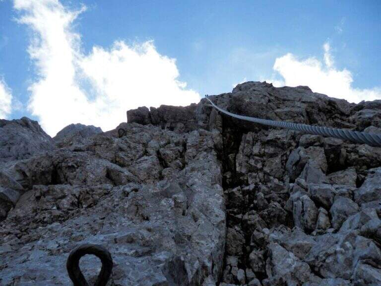
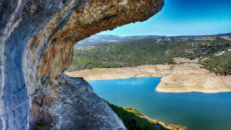
    The attack is very special: a network of wires that goes up like a staircase. On the top you climb the vertical wall on brackets, in slight overhanging, gaining altitude quickly; the cable turns left and on brackets you continue horizontally by wandering an exposed edge. After finishing the horizontal, the cable starts vertically, always with abundant brackets, until a passage in light overhanging that deposits on a wide census partly protected. Continuing on the nod, overlooking the artificial lake and the dam, you will arrive at a crossroads: on the left the escape route, straight the continuation. Continue on the path up to a sign that indicates on the left a staircase with metal armor to be descended; from the underside it continues horizontally up to a series of downhill cambres, with the suspended bridge already visible below. Cross the Tibetan bridge with 3 ropes, cross a long horizontal census and go up a vertical wall equipped with cambre; finally, to the right, a census under a roof and a last stretch down close the road close to the attack (1h 15' from the attack, 1h 30' total).

    ▲Character and difficulty

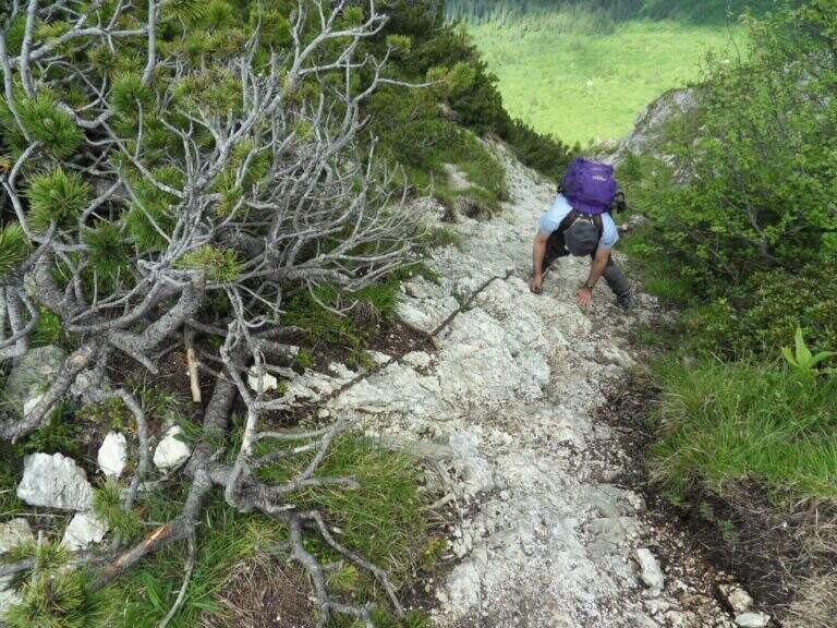
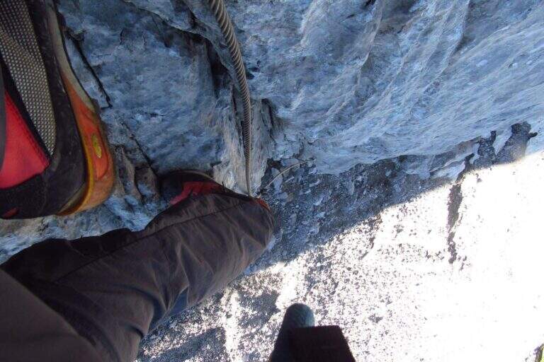
    The brackets along all the walls reduce the technical difficulty; the commitment comes from the exhibition, present for large sections, and from the Tibetan bridge (about 15-20 m).

    ⚠ Itinerary: helmet and ironing set indispensable. An escape route allows you to stop halfway.
    ▲Period and safety

    At low altitude and in mild climate, it is possible to travel most of the year; to avoid with wet rock and in the warmest hours of summer.

    ▲Discipline

    You follow the return path that takes you short on the approach path and then uphill to the car (20' from the end, 1h 50' total).

    ▲To match

    It is one of the Sardinian ferrates. Less than two hours by car Ferrata del Cabirol, la Ferrata del Castello Medusa, la Ferrata di Badde Pentumas e la Ferrata di Giorrè; la Ferrata degli Angeli in Tavolara requires to organize the boat. Towards Sulcis le Ferrata del Pan di Zucchero e Gutturu Xeu.
    ▲Gallery
    Technical data
    • DifficultyHard
    • RegionSardinia
    • GroupMonteleone Rocca Doria
    • Approach0:20 h
    • Ferrata1:15 h
    • Itinerary (a/r)2:00 h
    • Hardware level difference70 m
    • Route difference70 m
    • Max400 m
    • Length1,4 Km
  • Ferrata del Procinto (Aristide Bruni)

    Ferrata del Procinto (Aristide Bruni)

    Vie Ferrate › Tuscany › Lucca
    Ferrata del Procinto (Aristide Bruni)

    The Monte Procinto is a truly unique formation: a square tower of 150 m with straight and overhanging walls on the four sides. For almost a century, an equipped road goes up its side and leads to the summit grove in about 40 minutes. Technically it is not difficult, but it is strongly exposed and should be faced both uphill and downhill.

    ▲Approach

    The starting point is the Rifugio Alto Matanna, reachable by a narrow steep road but in good condition: from Lucca you enter Garfagnana on the SS12, then towards Diecimo and Pescaglia; passed Pascoso, following the indications for "Rifugio Alto Matanna" turn left on an asphalt road. Starting point on Google Maps. Behind the refuge starts the path CAI 5, which follows right uphill to the north; you cross the basin of the Callare di Matanna and you descend along the south wall of Mount Nona, glimpse the panettone of the Procinto to the south-west. In the forest, at a crossroads, you leave the CAI 5 (which goes down to the Forte dei Marmi Refuge) for a narrow right track indicated for the Monte Procinto; a wooden bridge crosses the narrow nod at the base of the tower, you hold the left and, with attention, you will find the deviation to the right (without signals) that leads to the tombstones and the attack of Ferrata Aristide Bruni (1h from the parking lot).

    ▲The path

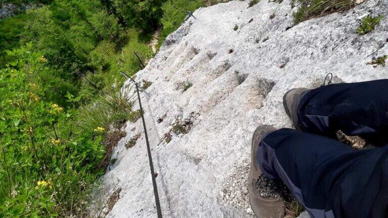
    A ladder equipped with cable and chain goes up immediately, then a wall where artificially carved several steps that rise in marked exposure, with metal equipment in support of progression. Once you reach a comfortable terrace you face a passage where it is not trivial to find supports for your feet; you continue taking advantage also some artificial steps, you walk a diagonal census and, with the last minutes in the woods, you reach the top (40' from the attack, 1h 40' from the parking lot).

    ▲Character and difficulty

    Short but strongly exposed: more than technical difficulties, it is the air under the feet to make it challenging.

    ⚠ It goes both uphill and downhill on the same route: maximum attention to hikers who proceed in the opposite direction, above and below. The rope and chain are not perfectly stretched and can unbalance; for the strong exposure it is not suitable for neophytes.
    ▲History

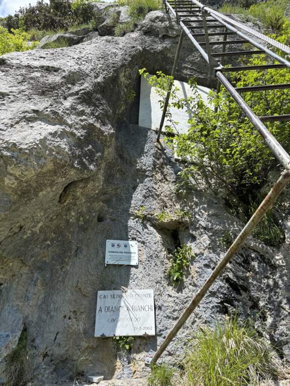
    It is the oldest railway in Italy: it dates back to 1893, several times renovated (last revision in 2020). It is named after Aristide Bruni, who in 1879 climbed first, with others, this unique tower in the first documented climb; the route was then converted into a path equipped with the support of the CAI of Florence.

    ▲Discipline

    You go down the same route, with care for those who go up. Back to the base of the Forcinto you go back to CAI 5 left on the way: you go up, you go over the Callare di Matanna and you go down to the car (1h 20' from the end of the ferrata, 3h overall).

    ▲To match

    It is often combined with the neighbor Ferrata Salvatori at Monte Forato, extending the itinerary of at least 3 hours: from the graft on the CAI 5 it is held the right, then the CAI 121 and the CAI 109 to the Foce di Petrosciana, from which the crest of the Salvatori.

    ▲Gallery
    Technical data
    • DifficultyHard
    • RegionTuscany
    • GroupApuan Alps
    • Approach1:00 h
    • Ferrata0:40 h
    • Itinerary (a/r)3:00 h
    • Hardware level difference170 m
    • Route difference170 m
    • Max1172 m
    • Length4 Km
  • Ferrata Ponza Grande

    Ferrata Ponza Grande

    Vie Ferrate › Friuli-Venezia Giulia › Udine
    Ferrata Ponza Grande

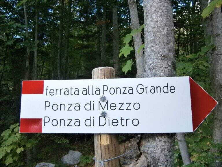
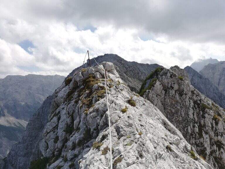
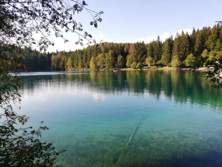
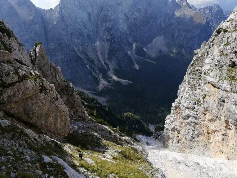
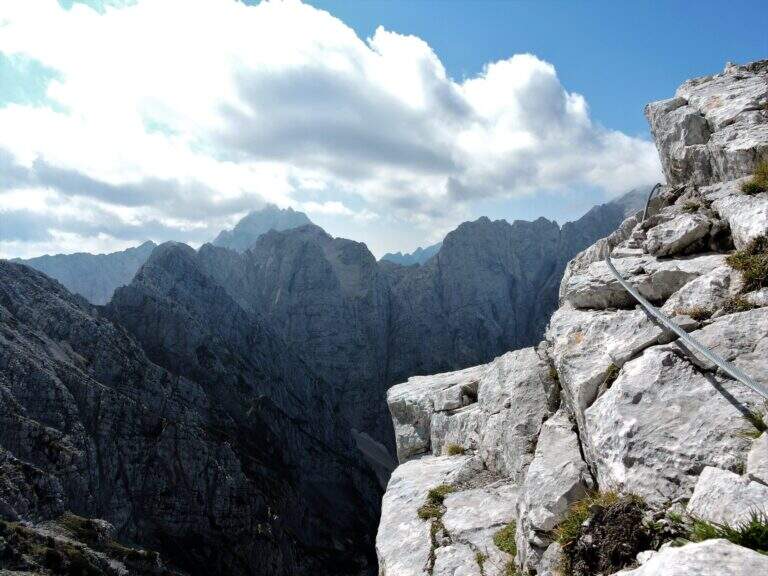
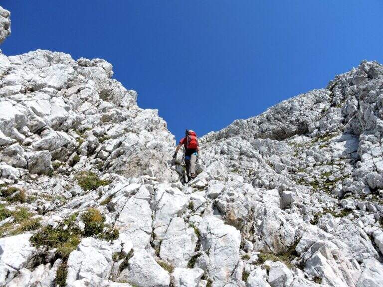
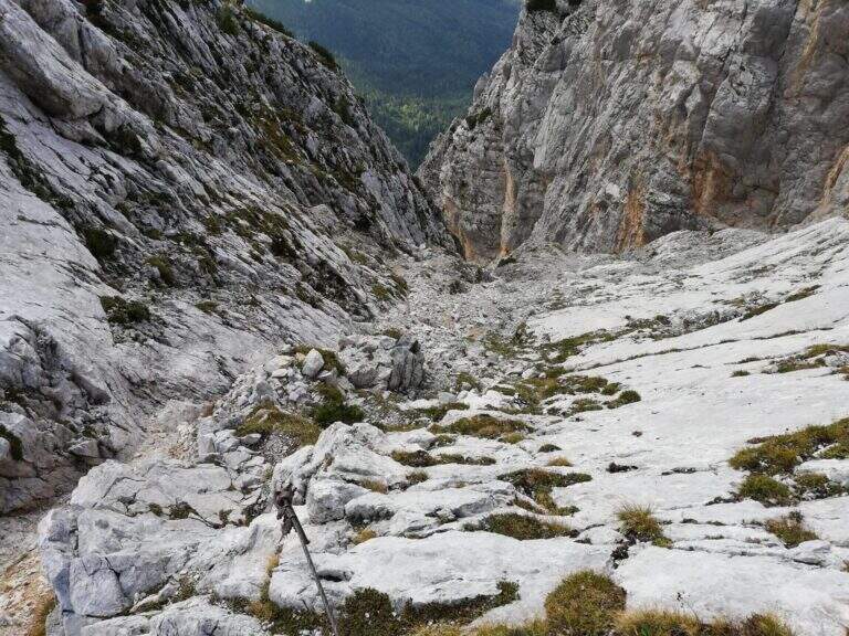
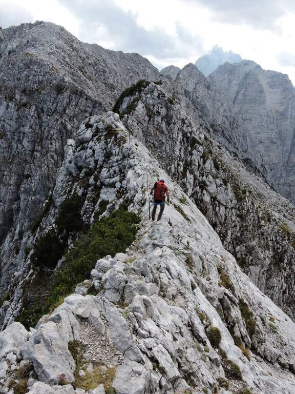
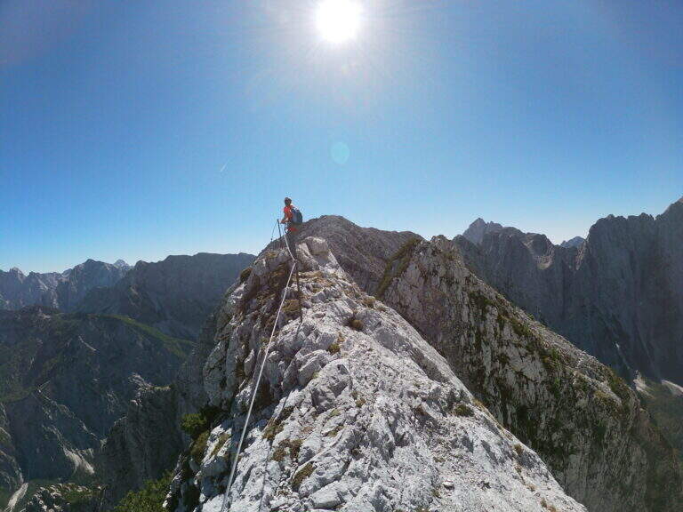
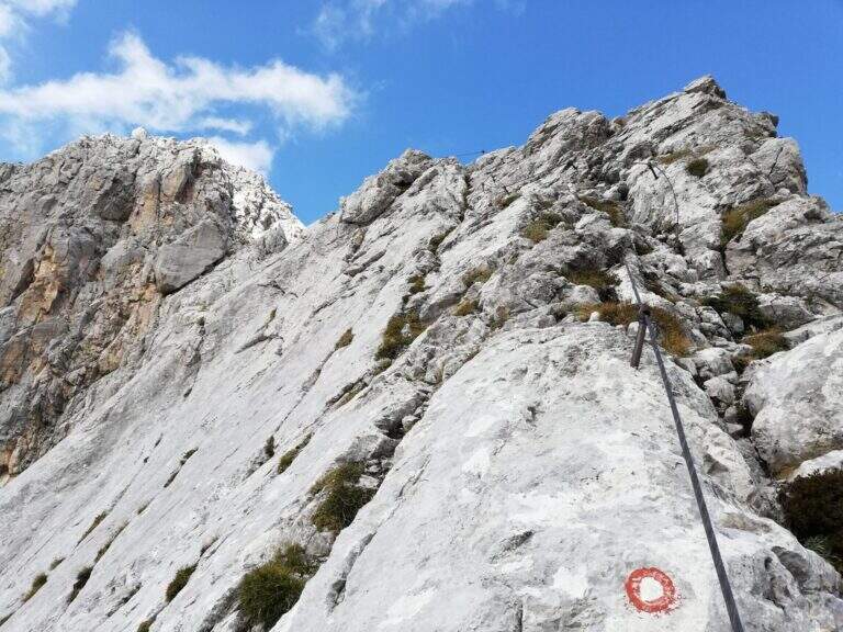
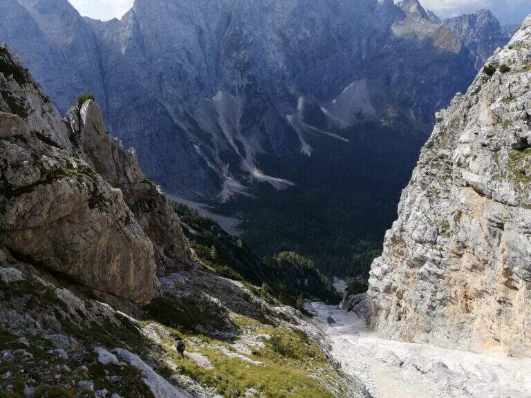
    The Ferrata Ponza Grande climbs to the summit of the same name (2274 m) in the Julian Alps, starting from the lakes of Fusine. It is an itinerary of medium technical difficulty that becomes exposed in the stretch of ridge and the descent along the canalone; the panorama on the mountains of the Giulie, both on the Italian and Slovenian side, is magnificent.

    ▲Approach

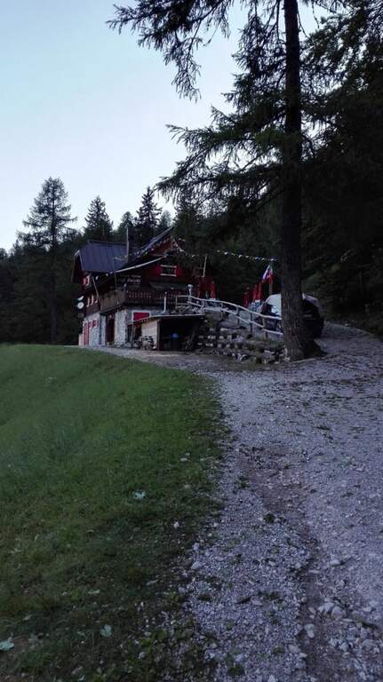
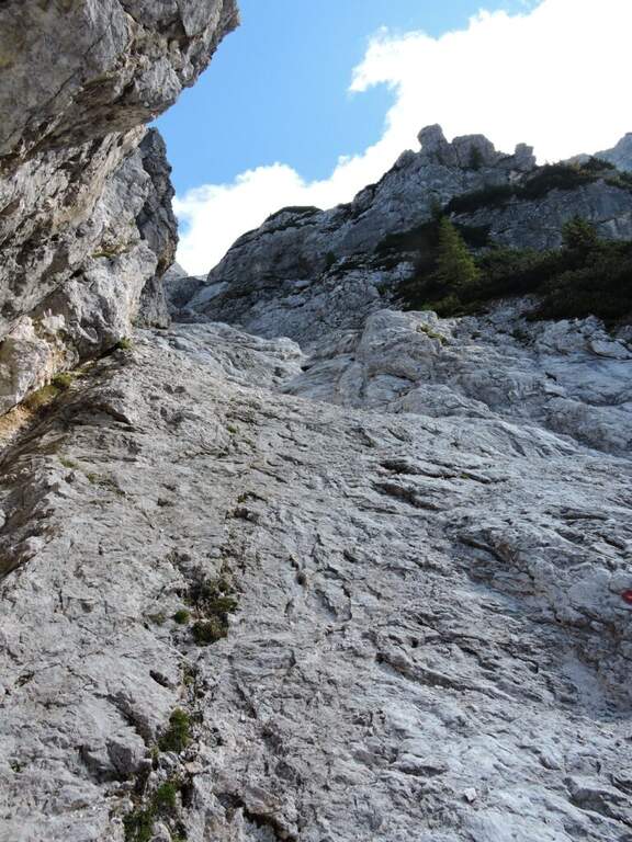
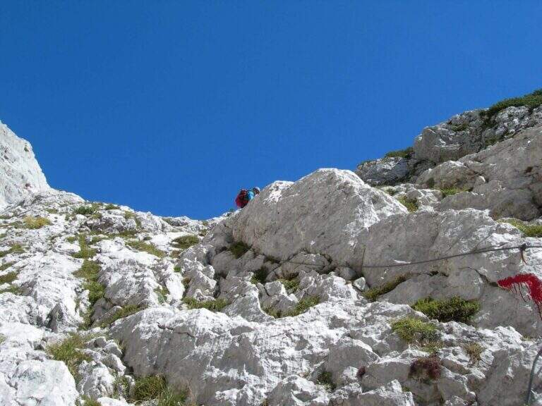
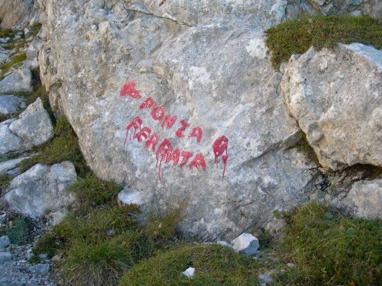
    Starting from the parking lot of the lakes of Fusine (Udine): from Tarvisio (exit A23) you reach Fusine Valromana and follow the deviation for the lakes. Starting point on Google Maps. From the parking lot follow the path 512 towards the Zacchi refuge: wide at the beginning along a road, then turn right into the wood and with about 400 m of altitude gain the refuge (1380 m, 1h 15' from the parking lot). From the refuge, crossroads of paths, follow the signs to the east for the Ponza Grande (ferrata already reported) and for the Forca Rossa and the cliff. Exit from the wood you climb on stone between the mughi encountering a first series of not difficult equipped sections; the path becomes then steep, exposed and unprotected (serve foot steady). To a large red stamp on the wall is held the left (on the right the signs for the Ponza di Mezzo); you cross a fragrant colatoio and another stretch equipped while the path tightens, with a last step disturbed by a landslide, up to the attack marked by a red stamp well visible (1h 30' from the shelter, 2h 45' from the parking lot).

    ▲The path

    The road starts on a vertical plaque with which a rocky spur is around; the rock is excellent and, except for a few points, gives a nice climbing. Rocky jumps alternating and moving up to an old but solid metal ladder; turning the Mangart into the fork of the Planiza, where the return will begin. There is a nod that wanders around a corner and enters a detritic canal, to go up without equipment until you reach the summit of Ponza Grande (2274 m, 1h 15' from the beginning of the ferrata, 4h total).

    ▲Character and difficulty

    The Julian Alps offer an austere and exciting environment: the technical difficulty is average, but ridge and descent require firm foot and absence of dizziness.

    ⚠ The ridge that from Ponza Grande leads to Mangart is very beautiful but exposed and with sometimes precarious equipment: not recommended to those who are not experienced. Beware of the rape approach, which at the beginning of the season can be snowed and unstable.
    ▲History

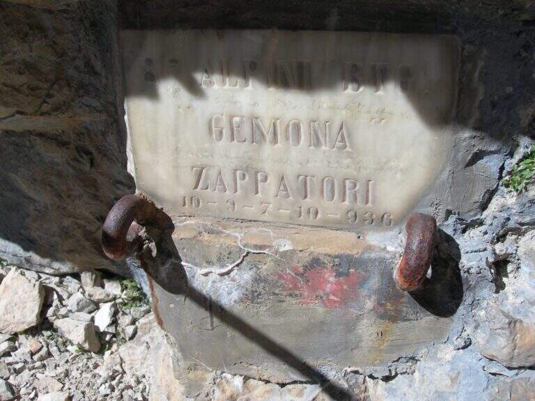
    Like the nearby Ferrata della Vita, it was built by the Alpini departments in the 1920s to monitor the border with the former Yugoslavia: it was one of the accesses to the "Strada degli Alpini", a path equipped with crest that from Ponza Grande reached the Forcella Sagherza.

    ▲Discipline

    From the summit follow the white-red signs on the Slovenian slope, a few meters under the crest wire, in a stretch exposed and only partly equipped; you lose slightly altitude and you return on the wire — narrow and adrenaline — before you descend to a fork, from which a path to the right brings back to Italian territory and lower to the refuge (discesa steep with some exposed traverse). You will find the crossroads and backwards you return to the refuge Zacchi and then to the parking (2h 30' from the summit, 6h 30' total). Alternatively, from 2022 the historic Ferrata Kugy allo Strugova has been restored and offers a different return: you go along the ridge that connects the Ponze allo Strugova (all but trivial, with old equipment in bad state that do not offer real insurance), you descend the ferrata of the Strugova and from the guiaione to the base you return to the Zacchi refuge - option reserved to experts.

    ▲To match

    From the lakes of Fusine leave two other beautiful ferrates on the italo-Slovene ridge, the Ferrata della Vita e la Ferrata al Mangart; downstream, on the A23, short and athletic Ferrata Lieutenant Ferrante di Ruffano. On the side of Sella Nevea, in order of difficulty, the Sentiero Attrezzato King of Saxony e la Ferrata Anita Goitan.

    ▲Gallery
    Technical data
    • DifficultyHard
    • RegionFriuli-Venezia Giulia
    • GroupJulian Alps
    • Approach2:45 h
    • Ferrata1:15 h
    • Itinerary (a/r)6:30 h
    • Hardware level difference330 m
    • Route difference1337 m
    • Max2274 m
    • Length10 Km
  • Ferrata di Pont Canavese

    Ferrata di Pont Canavese

    Vie Ferrate › Piedmont › Turin
    Ferrata di Pont Canavese

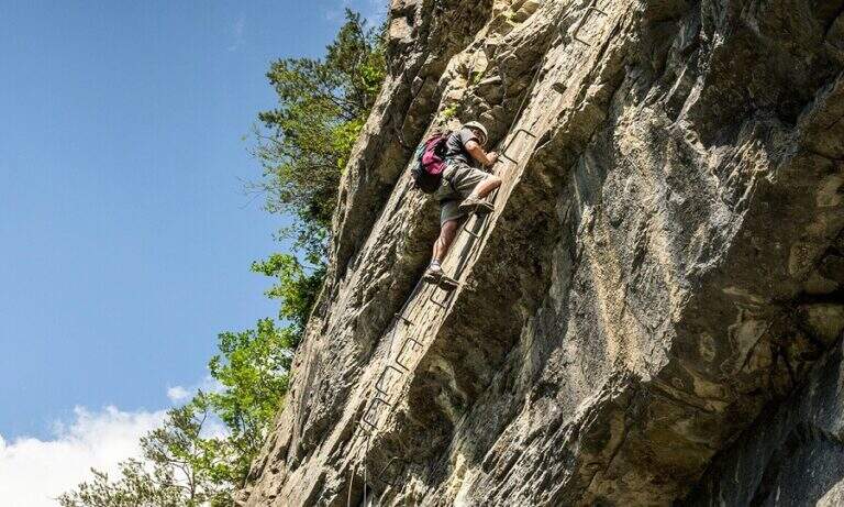
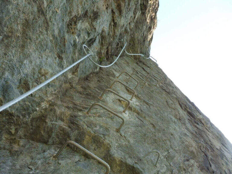
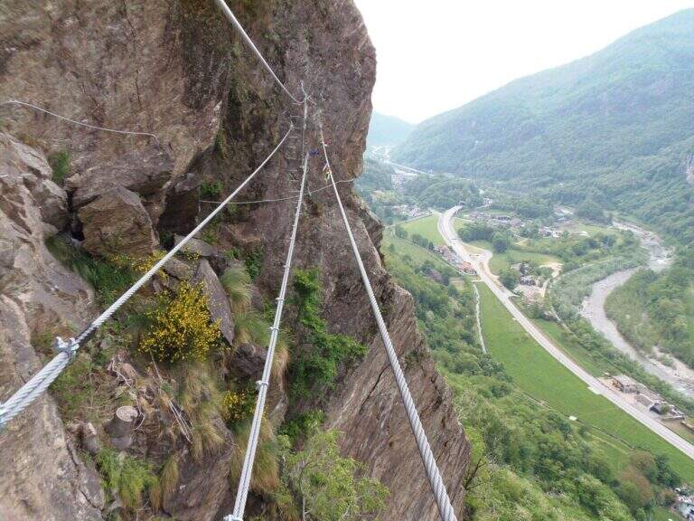
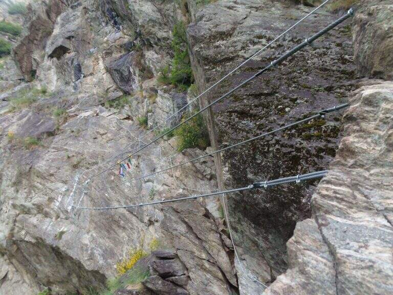
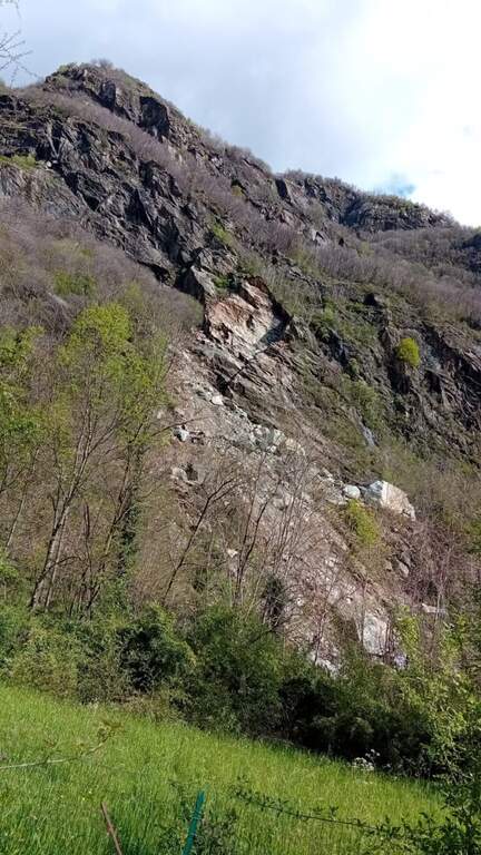
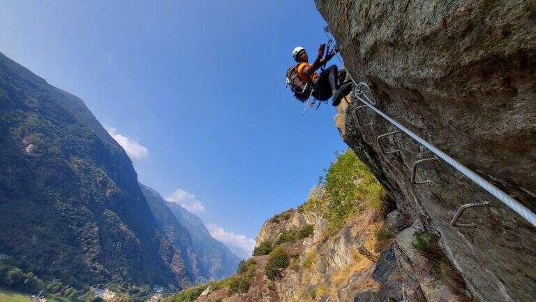
    The Ferrata of Pont Canavese is a very satisfying and complete itinerary, rich in different passages — plates, diedri, beams, overhanging walls, suspended bridges. The equipment is abundant and makes a line that would otherwise require excellent climbing skills; the athletic variant is extremely difficult and physically intense, among the hardest in Italy.

    ▲Approach

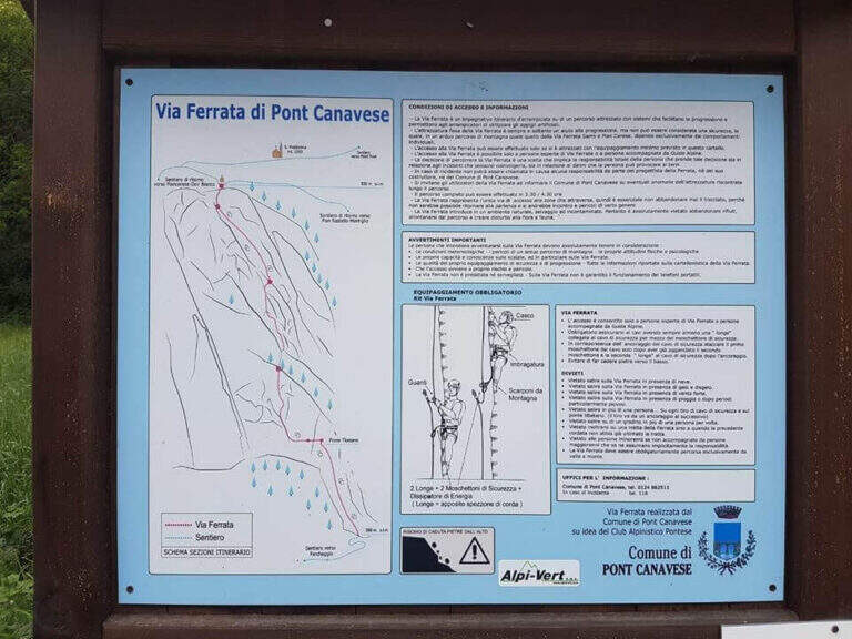
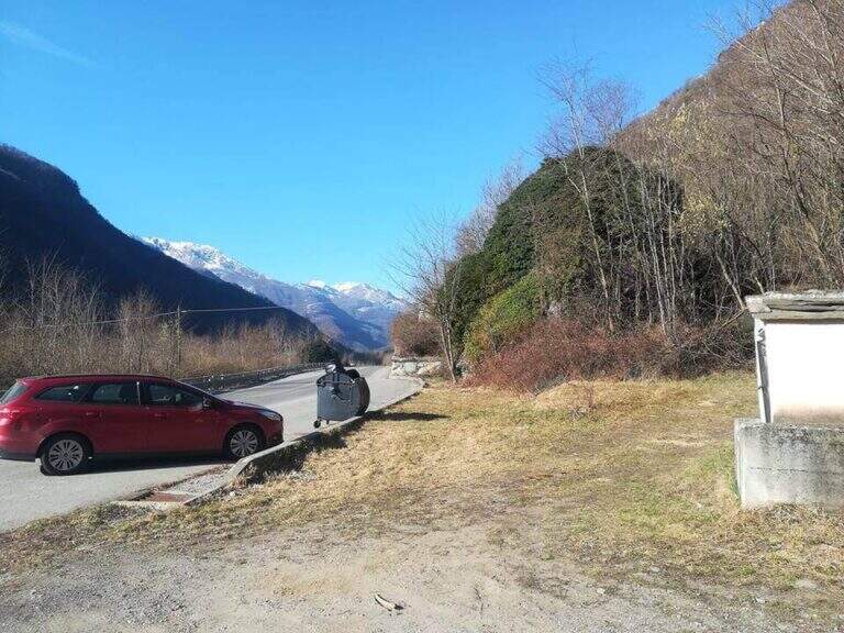
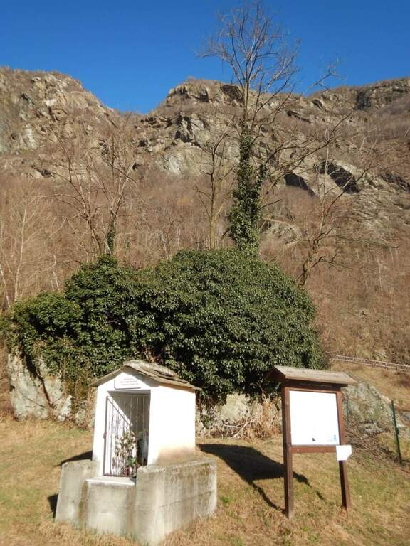
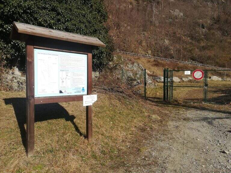
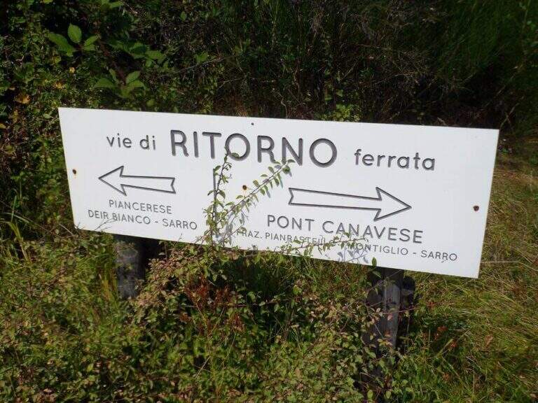
    You reach Pont Canavese (Turin) and you pass it along the SP460 circumvallation; in Sarrò, on the right, a large terrace with a green gate is a parking lot. Starting point on Google Maps. Next to an information board you pass the gate (not closed) and follow the signs for the ferrata: a dirt road uphill narrows soon on a path, which climbs steep until the attack (15' from the parking lot).

    ▲The path

    The first and last section is easy and lean. The ferrata begins with a ramp in the woods, then a plaque full of brackets and handles leads to a crossroads: on the right the variant Efficile, athletic and overhanging; on the left the variant Editely Difficile, with a couple of exposed but not athletic passages. Both have a suspended bridge (stable and avoidable) and gather about metà itinerary, where on the right there is an escape route.

    Extremely Difficult Variant: the abundance of brackets deceives, because the required force is remarkable. After the first metres, you will arrive under a first imposing overhanging, which moves to the left (probable key passage); bypassing the edge you will climb a vertical placconata well supplied with cambre, not difficult, where it is refled. A short equipped path leads to a second overhanging wall, much easier; it goes up and moves right towards the suspended bridge. Beyond the bridge you pass a short overhanging with brackets, then a diagonal traverse on the left until a 4 meters overhanging but well equipped wall; you arrive under a rocky roof, wandering left with a delicate passage, and after a few steps you face a last wall first vertical and then overhanging, which closes the variant entering the wood.

    Moderately Difficult: from the crossroads you move diagonally to the left on easy passages equipped to the suspended bridge (also avoidable with a stretch equipped below). Beyond the bridge, continue diagonally until you turn a corner and face a more challenging leap; then climb more vertically up to a long wall with the most exposed and adrenaline passage of the variant, where you get around in full exposure a edge under a rocky roof ( easier than you look on the ground) using the brackets, until you return to the wood and rejoin the difficult variant.

    Assemble the lines, climb a beautiful vertical wall with brackets that reduce the difficulties, then move to stretches in light overhanging but never hard; after a right turn you go up a vertical wall and move to the left on brackets to bypass a roof (the most challenging passage after the meeting), until a dih beyond which begins the last, easy section: granite plates rested with brackets and handles.

    ▲Character and difficulty

    The normal way is difficult, varied and exposed; the athletic variant is extremely difficult and physically very intense.

    ⚠ To deal with in good state of training and without problems of dizziness. For the athletic variant it is highly recommended to carry a longe in order to rest and rest the arms along the overhanging traits.
    ▲Period and safety

    Low altitude: practicable most of the year with dry rock.

    ▲Discipline

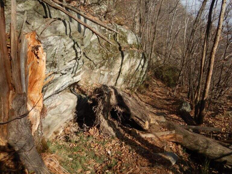
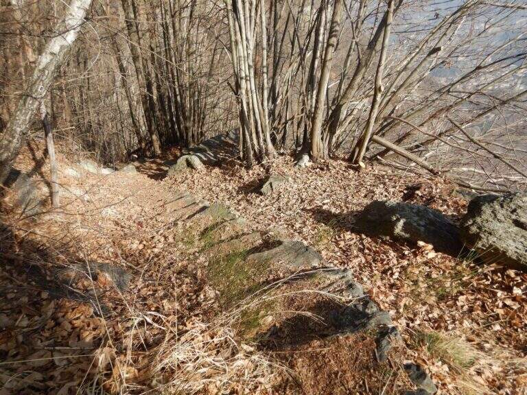
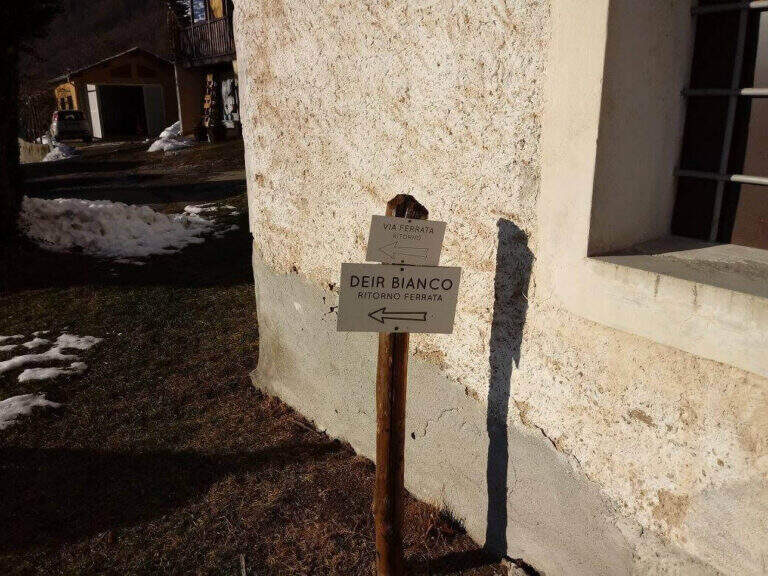
    From the end you reach a marked crossroads; both options report to the parking space in 30-40'. On the right you go down the trail in the woods, then steeper, until Pont Canavese, where you keep the right along the state road to the car. On the left you descend towards the hamlet of Piancerese and, following a sign in the village, you return to the valley at the parking lot (about 3h 30' total).

    ▲To match

    About an hour's drive: the Ferrata di Covarey, il Sentiero Attrezzato dell'Infernone, la Ferrata Nito Staich and, in the lower Val di Susa, the Ferrata Rocca Bianca e la Ferrata Carlo Giorda.

    ▲Gallery
    Technical data
    • DifficultyHard
    • RegionPiedmont
    • GroupCanavese
    • Approach0:20 h
    • Ferrata2:30 h
    • Itinerary (a/r)3:30 h
    • Hardware level difference400 m
    • Route difference483 m
    • Max1004 m
    • Length4,5 Km
  • Ferrata Montevecchio

    Ferrata Montevecchio

    Vie Ferrate › Piedmont › Vercelli
    Ferrata Montevecchio

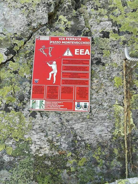
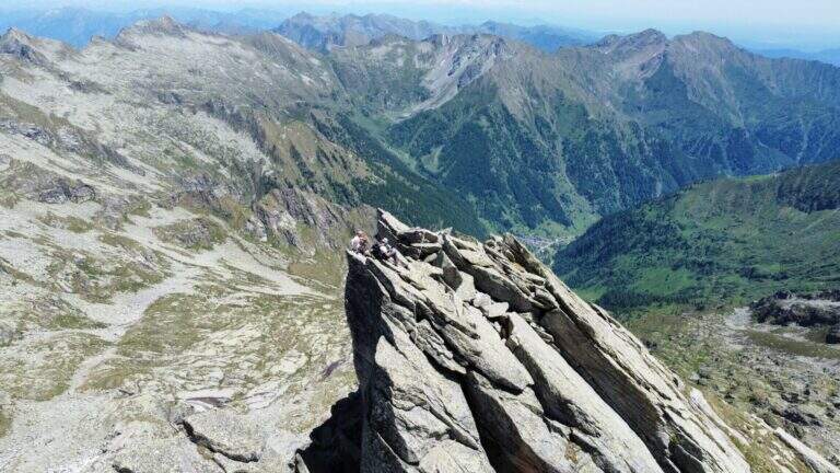
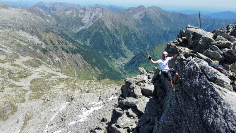
    Inaugurated in 2016, Ferrata Montevecchio dates back to an ardent ridge in the upper Valsesia. It never has too difficult traits, but it is very varied and exposed and it goes also on the return, facing numerous passages in un Discounted climbing: it requires good experience and training.

    ▲Approach

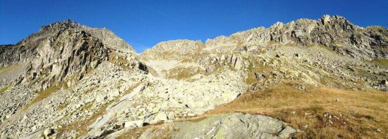
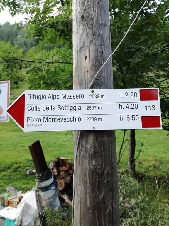
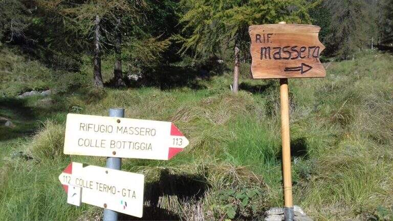
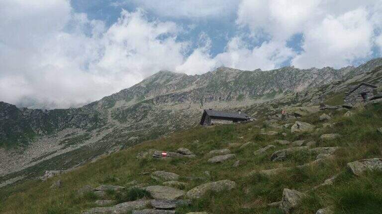
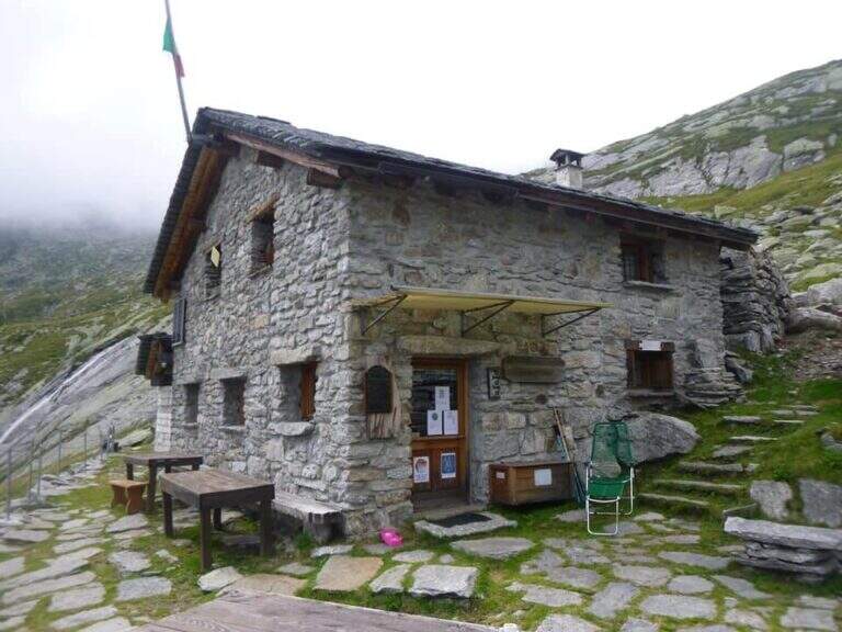
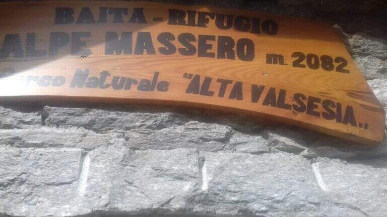
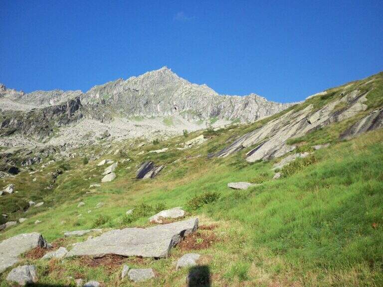
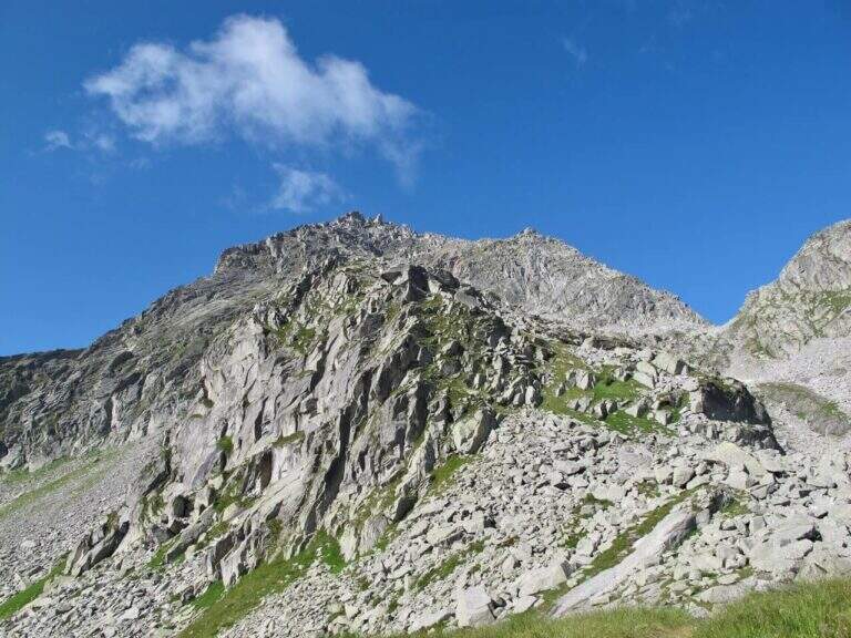
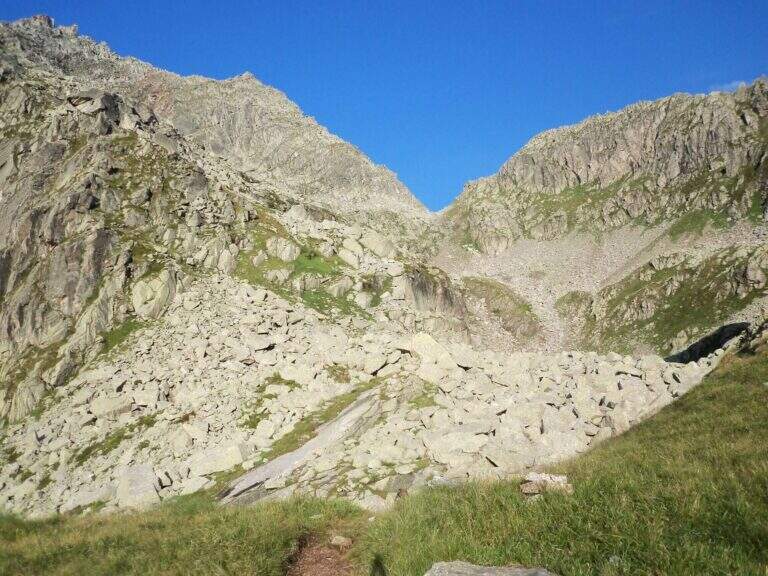
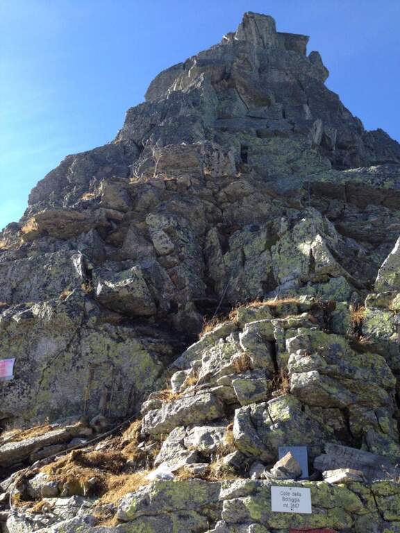
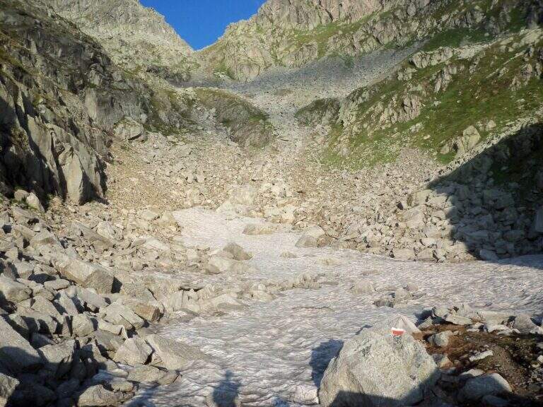
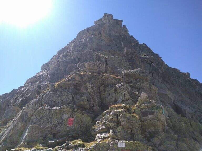
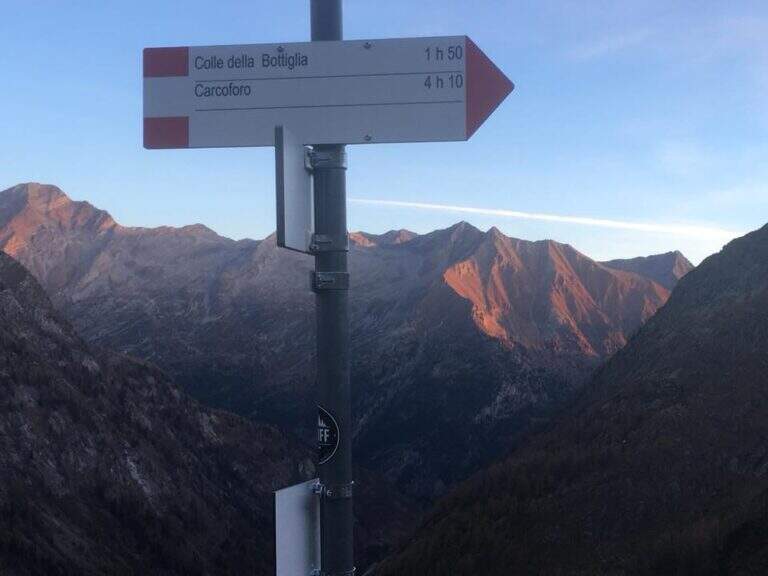
    The starting point is Carcoforo, in the upper Valsesia (Vercelli), which can be reached from Varallo, going up the valleys; it is parked in the wide beach in the center of the village. Starting point on Google Maps. Follow the path 113, first in falseland then steeper but always well marked, up to the Rifugio Massero (2082 m). Beyond the refuge you go up to a crossroads where you hold the left towards the Colle della Bottiggia, ignoring the right track; the track is reduced but omits and signs lead in the progression. There is a stony valley between the rocks up to the rocky carving of the Colle della Bottiggia (2607 m), where the ferrata begins (2h 45' from the parking lot); at the beginning of the season the last stretch can present snow. Alternatively you can climb from the Colle Vallè, on the north-east ridge, which leads to the anticyme for a easier line; however, the relationship considers the ascent from the Colle della Bottiggia, more challenging, and the ring return from Colle Vallè.

    ▲The path

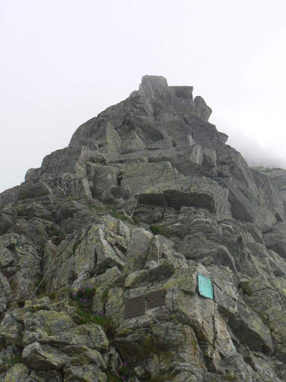
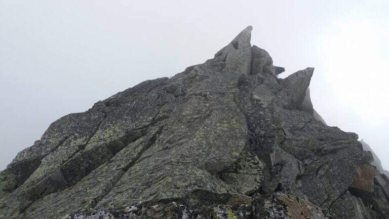
    From the hill the cable starts on a vertical wall where it is best to look calmly for the hooks, not immediately obvious: the first meters are vertical and the exposure grows quickly. Risalita the plaque follows the crest with short vertical sections, beams and blinds on both sides; the vertical steps are always assisted by abundant cambres, therefore little tiring and technical, but by hand the exposure increases and the passages are more varied, with climbs and short descents, up to the anticyme (2777 m). Here you can see the cable coming from the west ridge, uphill from the Colle Vallè (return option). From the anticyme we continue on coricated steps, then a short stretch of non-banal descent leads to the top: we face a vertical wall, a split in the rock and an exposed fireplace (the key passage), followed by a short vertical; a horizontal stretch, a descent and the last metres of uphill ridge lead to the metal cross of Pizzo Montevecchio (2789 m, 2h from the attack, 4h 45' total).

    ▲Back from the ferrata

    The road does not end up at the top: first return to the anticyme retracing the last stretch, then you choose between two options. The first is to retrace entirely backwards the ferrata of the way (1h 30' from the term, 6h 15' total). The second — recommended to close in part a ring — is the deviation that from the anticyme, where on the left a metal cable is known, descends along the western ridge to the Colle Vallè: simpler line because less vertical and exposed, but still not trivial, with some well equipped vertical points. From Colle Vallè a path on the slope of Val Quarazza, marked with green signs, leads to the Colle della Bottiggia crossing some lands (1h 30' from the end of the ferrata, 6h 15' total).

    ▲Character and difficulty

    Recent Ferrata alternating abundant equipment in the vertical sections with more exposed and varied passages left to the autonomy of the hiker, between jumps, beams, chimneys and slits. Very beautiful and wild environment.

    ⚠ The wide stretches of climbing, especially when returning, are not trivial. For altitude and exposure it is not rare to find verglas or ice traits on the north side of the ridge: necessary experience, training and reliable weather.
    ▲Discipline

    From the Colle della Bottiggia you return to the same route path (2h from the hill, 8h 15' total).

    ▲To match

    In the nearby valleys you can face the adjacent days Ferrata Detomasi in Alagna Valsesia and, more downstream, the Ferrata Falconera, la Ferrata Partusac e la Picasass Ferrata.

    ▲Gallery
    Technical data
    • DifficultyHard
    • RegionPiedmont
    • GroupPennine Alps – Valsesia
    • Approach2:45 h
    • Ferrata2:00 h
    • Itinerary (a/r)7:30 h
    • Hardware level difference180 m
    • Route difference1485 m
    • Max2789 m
    • Length12,6 Km
  • Ferrata at Pizzo Badile Camuno

    Ferrata at Pizzo Badile Camuno

    Vie Ferrate › Lombardy › Brescia
    Ferrata at Pizzo Badile Camuno

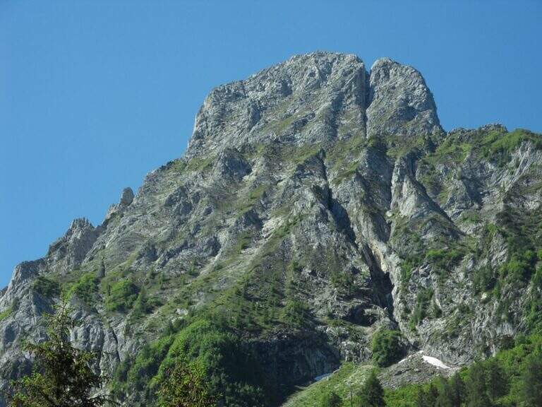
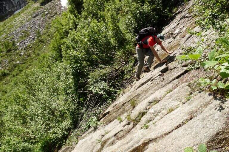
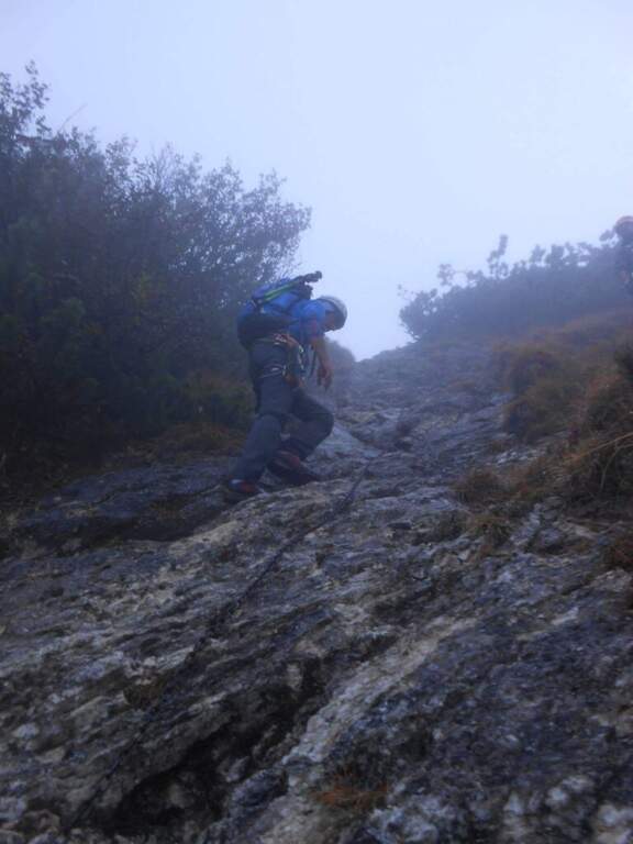
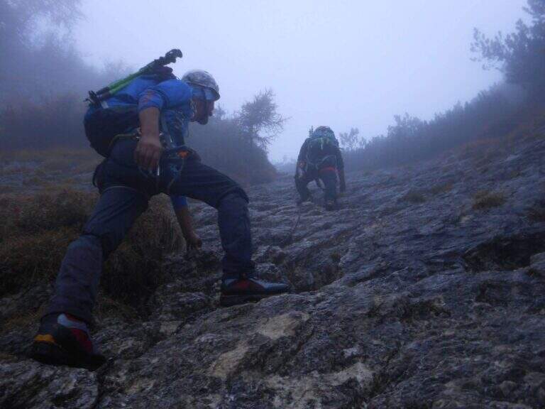
    The Ferrata al Pizzo Badile Camuno is a great excursion on one of the southern peaks of the Adamello Group, in the upper Val Camonica (Brescia). The itinerary is challenging for the long approach and the difference in altitude, while the fully equipped section does not have significant technical difficulties; the view from the top largely repays fatigue.

    ▲Approach

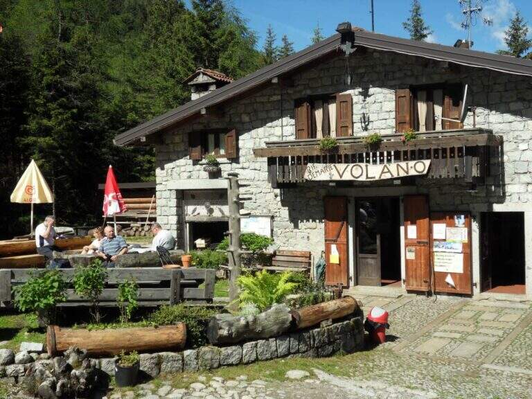
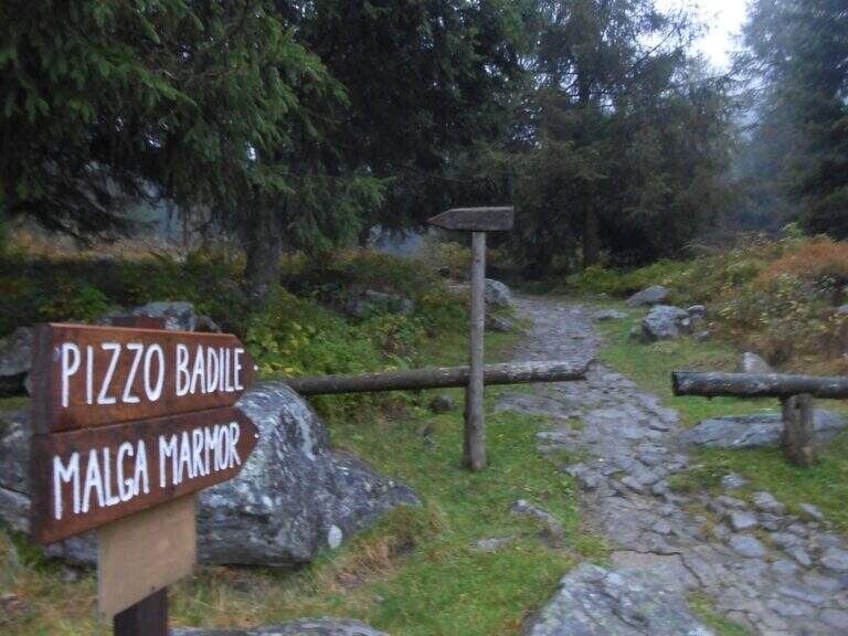
    The starting point is at Cimbergo, in the upper Val Camonica. Once in the village, on the right you take the road with directions to Volano and Redole; initially in good condition, it must be followed by ignoring the secondary bivi until it becomes dirt, where you can leave the car (willing to continue until the next slargo, but the bottom is more dissected). Starting point on Google Maps. From the parking lot follow the dirt road, which coincides with path CAI 16, to the Rifugio De Marie; here you leave the 16 and take the CAI 77 path, well marked. The path climbs steeply in the woods and after about 30 minutes leads to the first equipped sections: a plaque supported with a lasca chain, then stretches of steep path with small rocks following the white-red signs, some rocks to be overcome with the help of brackets and the exit from the wood. You reach a second stretch equipped with chain, a wall resting of 30-40 meters not trivial (a couple of scarce, chain lasca in several points); a little further you pass near a bivouac, from which a path exposed to stretches equipped leads, between aerial passages but easy, to the attack of the ferrata (2h 30' from the parking lot).

    ▲The path

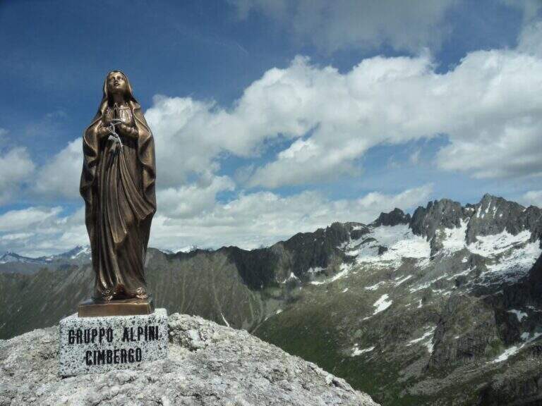
    The ferrata begins by climbing a wall almost everywhere: the climb is pleasant and logical, with the cable that often acts as a handrail. After a first linear stretch bends slightly to the right on an ascending, comfortable and panoramic nod; from this pulpit the cable resumes more vertical, first to the right then to the left, on very stable rock and in prevalence diagonally. You earn another terrace, then the slope increases: you pass a couple of walls leaned but more steep and then a vertical wall that goes up a little marked canal. Folding to the right, some rocks are reassembled in the crest, beyond which the equipment ends; along the wide ridge you reach the Madonnina just below the summit (2435 m), where the road ends (30' from the attack, 3h 30' total).

    ▲Character and difficulty

    It is a traditional ferrata: few metal supports, logical climb, the goal of reaching a top more than looking for the degree. Although with relatively low altitude, the set has the character of a difficult alpine hike.

    ⚠ The real commitment lies in approaching and returning: exposed traits and some passages of I degree in climbing and climbing in the wood. The fatigue of the long descent must be realized.
    ▲Period and safety

    Summer itinerary: the length and rocky sections of the path require a stable day and good energy management.

    ▲Discipline

    You return to the same route. Maximum attention to the climbing of the ferrata and the rocky stretches climbed; the descent is challenging and should be considered in the balance of the day (2h 45' from the summit, 6h 30' total).

    ▲To match

    Itinerary long that hardly converges in the day, but the high valleys of Brescia offer many equipped. Risalendo la Val Camonica: la Ferrata Arosio al Corno del Grevo, la Ferrata Terzulli and, at the Passo del Tonale, the Path of Flowers; towards Valtellina the easy Ferrata del Cuore at the Cross of Monte Palabione.

    ▲Gallery
    Technical data
    • DifficultyHard
    • RegionLombardy
    • GroupAdamello
    • Approach3:00 h
    • Ferrata0:30 h
    • Itinerary (a/r)6:30 h
    • Hardware level difference200 m
    • Route difference1385 m
    • Max2435 m
    • Length10 Km
  • Ferrata Parete dei Falchi

    Ferrata Parete dei Falchi

    Vie Ferrate › Veneto › Belluno
    Ferrata Parete dei Falchi

    Attention: the road has long been maintained. The source signals (autumn 2020) cable in some parade points, soft terminals and very spaced thickens, with high fall factor in case of flight. The historic approach from the parking lot of the power station was also interrupted by a landslide on the cycle path. Carefully assess the state of the equipment before engaging and checking the current conditions.

    The Ferrata alla Parete dei Falchi, near Soverzene (Belluno), is short, intense, athletic and difficult: it rises by making wide use of the arms, with a free attack and a striking key stroke. For brevity it is a good training, but the overall safety of the way is questionable and the return is exposed and on unstable background.

    ▲Approach

    The historic starting point is the Central Elettrica between Soverzene and Pian di Vedoia (Belluno): cross the bridge over the Piave you search parking at the central. Starting point on Google Maps. From here an unpaved road (transit prohibition) takes off to the right towards the Piave and, along the climbing walls, leads to a metal walkway beyond which, on a distinct rocky rib, you can see the attack (15' from the parking lot). After a landslide on the cycle path, this approach may be interrupted: Alternatively, you park at the church of the hamlet of Soccher (from Cadola) and you reach the base of the rib along the cycle path to the north, carefully identifying the attack, which is not on the road but higher.

    ▲The path

    The attack is the first test bench: the cable starts at 4 meters from the ground and you need to climb a section of III degree free to secure. Once you reach the cable you climb a vertical wall of about twenty meters where, despite the cambres, the slope makes you feel the first difficulties; beyond the cambre the road continues vertical and aerial on rock poor of hooks and at times covered with vegetation, little climbable. Attached a edge rises a grassy tract (useful hollow on slippery soil) and leads under a rocky roof on a spurt but easy; it wanders the roof on the left with a diagonal traverse and bends right onto balzi of mixed grass and rock up to a balcony. It follows the passage probably more challenging: a spur with ascending traverse to the right, at times overhanging, which requires strength and agility (some pioli help the feet on smooth rock); the last stretch on plaque is decidedly athletic. After passing this section of about fifteen meters the ferrata ends (30' from the attack, 45' from the parking lot).

    ▲Character and difficulty

    A short but not technically prohibitive way, where the force of arms counts above all. The main limit is safety: in several points the distance between the tokens is many meters, with high fall factor; maximum caution.

    ▲Discipline

    You follow the orange signs that descend steeply towards the central; the path is very steep and the foliage makes it slippery. Towards the end you walk an exposed and narrow nod with friable soil and slippery sloped rock, equipped with a unconscious cord: it is advisable to follow the arrow that, shortly before, bypasses the stretch exposed on the left. Then you return to the approach path and to the car (30' from the top, 1h 15' total).

    ▲To match

    For short approach and return it is well matched with other trips of the area: the neighbor Ferrata Palestra di Roccia della Val Gallina, the imprint Ferrata della Memoria al Vajont and, towards the Fall, the Costacurta; on the pordenonese sideAlta Via dei Rondoi.

    ▲Gallery
    Technical data
    • DifficultyHard
    • RegionVeneto
    • GroupVal Gallina
    • Approach0:15 h
    • Ferrata0:30 h
    • Itinerary (a/r)1:30 h
    • Hardware level difference150 m
    • Route difference170 m
    • Max250 m
    • Length1,5 Km
  • Ferrata Palestra di Roccia Val Gallina

    Ferrata Palestra di Roccia Val Gallina

    Vie Ferrate › Veneto › Belluno
    Ferrata Palestra di Roccia Val Gallina

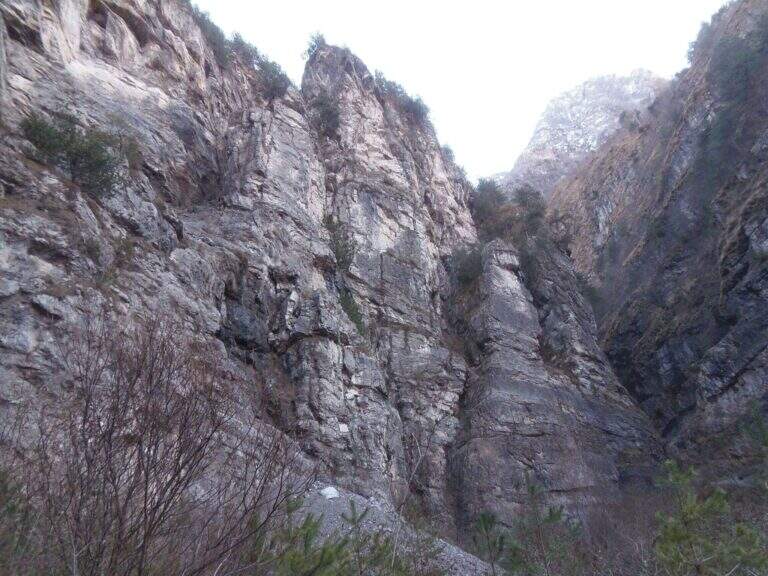
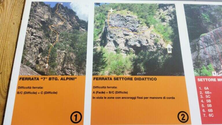
    Alla Palestra di Roccia della Val Gallina (nota anche come VII Reggimento Alpini), presso Soverzene (Belluno), si sviluppano sulla stessa bastionata più vie attrezzate: la Ferrata A, facile ma molto esposta, e la Ferrata B, decisamente difficile con un paio di passaggi che richiedono tecnica e forza nelle braccia. Nel 2019 è stata aperta anche una terza via, C, difficile e atletica. Itinerari brevi, ottimi come allenamento anche in stagione invernale.

    ▲Approach

    Si raggiunge Soverzene sul versante orientale del Piave: da sud si arriva da Pian di Vedoia attraversando il ponte sul Piave, si passa accanto alla centrale elettrica (punto di partenza della vicina Ferrata Parete dei Falchi) e si entra in paese; verso nord si imbocca via Val Gallina e, a un bivio presso un piccolo edificio religioso, si tiene la sinistra verso Longarone fino alle indicazioni per il parcheggio della palestra di roccia. Starting point on Google Maps. Dal parcheggio, attraversato un torrente, in pochi minuti si è sotto la parete: a sinistra la Ferrata A, a destra il diedro della Ferrata B.

    ▲The path

    Ferrata A. Verso sinistra si sale una rampa diagonale di una decina di metri, poi una parete verticale di roccia impegnativa resa semplice da numerosi pioli e staffe. Una nuova rampa a sinistra porta sotto il passaggio più impegnativo della A: un canalino ben attrezzato ma verticale ed esposto. Seguono una stretta e aerea cengia a sinistra, un camino non difficile e un traverso a destra; dopo alcuni balzi innocui si raggiunge il termine (15' dall'attacco, 30' dal parcheggio).

    Ferrata B. Dallo spiazzo si va a destra in discesa fino al torrente, dove attacca la via. Dopo i primi metri di cavo in diagonale si sale verticali e, dopo 4 metri, si affronta un tratto strapiombante: la roccia spancia, il cavo sale a destra della sporgenza mentre gli appigli migliori (naturali e staffe) sono a sinistra; conviene procedere rapidi nei 3 metri strapiombanti. Si esce su un balconcino, si risale un breve tratto di roccette che piega a sinistra sotto un camino (cavo prima a sinistra poi a destra, con staffe e appoggi naturali); usciti dal camino, un traverso di 3 metri a destra porta a una lunga serie di cambre su parete levigata, poi a una stretta cengia verso sinistra fino a un breve diedro. Si arriva al passaggio chiave: un impegnativo traverso che prima risale un tetto roccioso (con pioli, aggirando uno spigolo), poi prosegue orizzontale, aereo e su roccia molto levigata; il cavo sale quindi in una fessura con buoni appoggi per i piedi e, dopo un altro traverso ascendente a destra, porta sotto una parete verticale e leggermente strapiombante con staffe e pioli. Superato il tratto chiave si sale su parete più appoggiata, poi due lunghe serie di cambre unite da un breve traverso diagonale; il cavo piega infine a destra su una rampa di terra e roccia, aggira uno spigolo e termina (30' dall'attacco, circa 50' dal parcheggio).

    Ferrata C. Aperta nel 2019, difficile e atletica; la relazione di dettaglio non è ancora disponibile sulla fonte.

    ▲Character and difficulty

    Per i ferratisti l'itinerario consigliato è salire la B e scendere la A. La Ferrata B è la più difficile: il tratto strapiombante iniziale, il camino e il traverso non sono da sottovalutare (per questo è classificata difficile nonostante la brevità). La Ferrata A non ha passaggi tecnici impegnativi ma è decisamente esposta.

    ⚠ Le vie sono state ri-attrezzate di recente, con cavo largo ma non sempre teso. Un tratto della Ferrata B risultava (2017) instabile, con un fittone su una porzione di roccia in distacco: serve prudenza. Casco sempre obbligatorio.
    ▲Discipline

    Dalla Ferrata A si scende per una traccia a sinistra fino al punto di partenza e al parcheggio (20' dal termine). Dalla Ferrata B si segue la traccia a sinistra fino al termine della A e si scende come per quest'ultima (circa 1h 30' totali).

    ▲To match

    Vista la brevità, si abbina bene alla vicina Ferrata Parete dei Falchi. Verso Longarone l'impegnativa Ferrata della Memoria al Vajont; a est la Ferrata Costacurta e l'Alta Via dei Rondoi; sullo Schiara diverse ferrate impegnative (Sperti, Berti, Marmol, Zacchi).

    ▲Gallery
    Technical data
    • DifficultyHard
    • RegionVeneto
    • GroupVal Gallina
    • Approach0:05 h
    • Ferrata0:30 h
    • Itinerary (a/r)1:30 h
    • Hardware level difference90 m
    • Route difference100 m
    • Max560 m
    • Length1 Km
  • Ferrata Olivieri a Punta Anna (Tofane)

    Ferrata Olivieri a Punta Anna (Tofane)

    Vie Ferrate › Veneto › Belluno
    Ferrata Olivieri a Punta Anna (Tofane)

    La Ferrata Olivieri sale a Punta Anna nelle Tofane, sopra Cortina d'Ampezzo: bella e impegnativa, si svolge su ottima roccia con passaggi esposti molto arrampicabili e appaganti. Si parte dal Rifugio Pomedes lungo lo spigolo-cresta fino al Dos de Tofana.

    ▲Approach

    Punto di partenza la Baita Pie Tofana (1675 m) sopra Cortina, da cui salire al Rifugio Pomedes (2303 m): comodo in seggiovia (via Rifugio Duca d'Aosta), oppure a piedi col sentiero 405 al Duca d'Aosta (2098 m) e poi per carrareccia al Pomedes (2h). Open road signs on Google Maps. In alternativa, partendo dal Rifugio Dibona si raggiunge il Pomedes col sentiero 421 (45'). Dal Rifugio Pomedes, dietro la stazione di arrivo della seggiovia, le indicazioni portano su un ripido sentierino (prati poi ghiaione) verso una forcella dove si trova la targa d'attacco (2440 m, 30' dal Pomedes).

    ▲The path

    Fin dall'attacco la via mostra il suo carattere: roccia verticale, poche staffe e attrezzature di sostegno ma ottima roccia. Si sale una prima parete di una ventina di metri, ben appigliata, che piega a destra in alto; segue un tratto in leggera discesa, un traverso con buoni appoggi per i piedi e roccette verso destra, poi una comoda cengia a sinistra. Si aggira uno spigolo e si sale un balzo verticale fino a un terrazzino con vista sulla Tofana di Rozes; su roccette facili si raggiunge una forcella dove le attrezzature si interrompono. Si attacca poi un esposto spigolo, arrampicabile e ben appigliato: nella prima parte si resta sul lato destro del filo guadagnando quota, con un paio di punti angusti dove sostare, fino a un balconcino panoramico su Averau e Nuvolau. Si sale una parete di 4 metri leggermente strapiombante con pochi appigli (necessario il cavo), quindi il tratto conclusivo dello spigolo, affilato e molto esposto, che piega a sinistra verso un evidente pulpito. Si traversa a sinistra (passaggio non banale) e si sale una parete dove la fune zigzaga, sempre molto esposti ma su roccia ben appigliata; un canalino con traverso a sinistra, roccette in diagonale e una parete verticale frastagliata portano oltre i 2700 m, dove il cavo termina su un punto panoramico affacciato su Cortina. Segue un tratto di sentiero in quota con alcuni passaggi attrezzati e un bivio da cui a sinistra si scende al Rifugio Giussani (opzione 3); tenendo la destra (segnavia rossi verso il Dos de Tofana) si supera una placca verticale levigata in aderenza e un breve diedro angusto, quindi una cengia che porta al Dos de Tofana (2850 m, 1h 30' dall'attacco, 2h dal Pomedes), dove la ferrata termina.
    ▲Character and difficulty

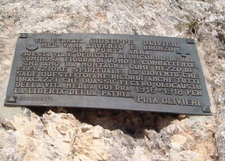
    Ferrata esposta e intensa, di media difficoltà; alcuni passaggi più impegnativi, sommati all'ambiente di alta montagna, la rendono difficile ma non proibitiva. Roccia molto buona, frastagliata e ben arrampicabile; cavo generalmente ben teso e d'aiuto. È intitolata a Giuseppe Olivieri, alpinista veneziano; costruita e inaugurata nel 1972 dalla guida alpina Luigi Ghedina.

    ⚠ Ambiente di alta montagna esposto: valutare meteo e condizioni. Diverse opzioni di rientro impongono di pianificare in anticipo dove lasciare l'auto (Baita Pie Tofana o Rifugio Dibona).
    ▲Period and safety

    Piena estate, con roccia asciutta e meteo stabile. Quota fino a 2850 m.

    ▲Discipline

    Tre opzioni: (1) dal Dos de Tofana si scende verso il Rifugio Ra Vales fino a un bivio (2580 m), dove a destra si prende il Sentiero Attrezzato Olivieri che riporta al Rifugio Pomedes (2h 15' dal termine, 4h 30' dal Pomedes); (2) a sinistra del bivio, la Ferrata Aglio porta alla Tofana di Mezzo e alla stazione a monte della funivia, con cui scendere a Col Druscè e poi al parcheggio col sentiero 413 (3h dal termine, 5h 30' totali); (3) dal bivio per il Rifugio Giussani, prima dell'ultimo tratto, si scende per un sentiero a tratti attrezzato ed esposto ma non difficile fino al Giussani e, col sentiero 403, al Rifugio Dibona (preferibile lasciare qui l'auto per questa opzione).

    ▲To match

    Spesso abbinata alla Ferrata Aglio alla Tofana di Mezzo o al Sentiero Attrezzato Olivieri; dal Pomedes si raggiungono anche le ferrate Ra Bujela e Ra Pegna. Verso il Passo Falzarego: Ferrata Tomaselli, Ferrata Fusetti at Sas de Stria e Ferrata at Col dei Bos; to the south Ferrata dei Caprioli san Vito di Cadore.

    ▲Gallery
    Technical data
    • DifficultyHard
    • RegionVeneto
    • GroupTofa
    • Approach0:30 h
    • Ferrata1:30 h
    • Itinerary (a/r)4:30 h
    • Hardware level difference312 m
    • Route difference514 m
    • Max2850 m
    • Length5,1 Km
  • Ferrata Nord del Coglians (Weg der 26er)

    Ferrata Nord del Coglians (Weg der 26er)

    Vie Ferrate › Friuli-Venezia Giulia › Udine
    Ferrata Nord del Coglians (Weg der 26er)

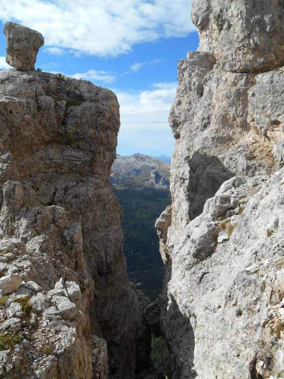
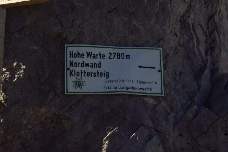
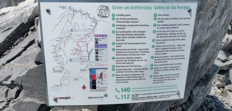
    La Ferrata sulla parete nord del Coglians (in tedesco Hohe Warte), recentemente ristrutturata, è difficile e si svolge in un bellissimo e severo ambiente di alta montagna al confine tra Italia e Austria. Itinerario lungo, con oltre 2 ore di avvicinamento e rientro per sentiero attrezzato: ideale da dividere in due giornate.

    ▲Approach

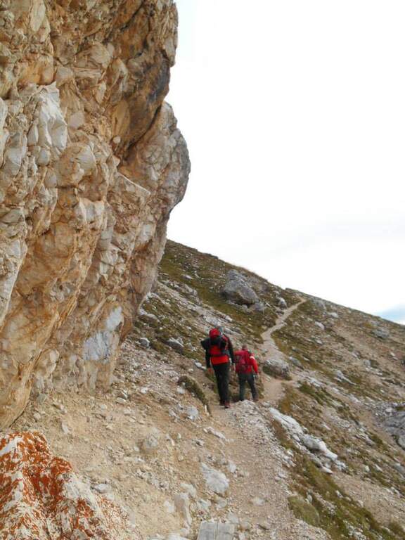
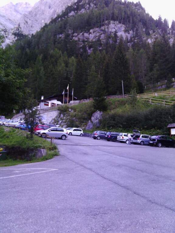
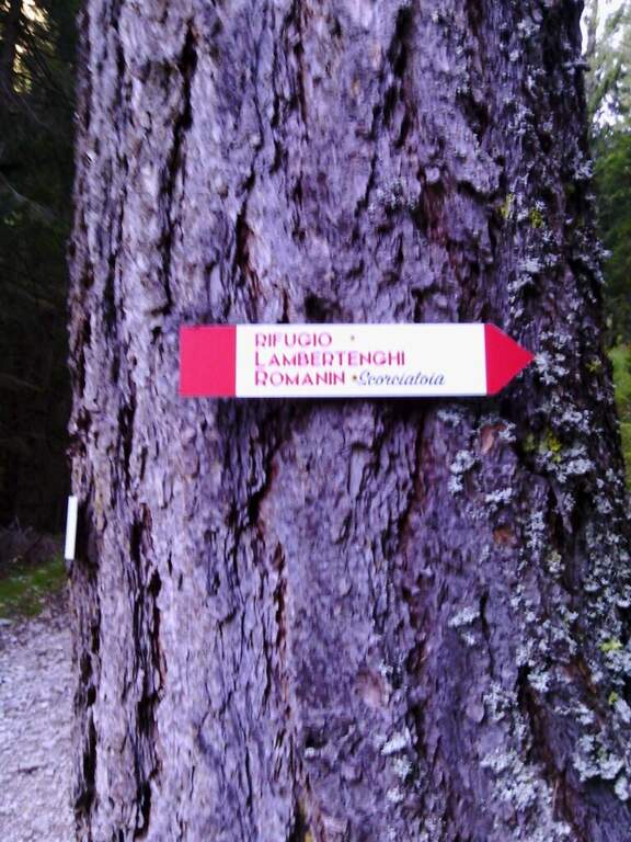
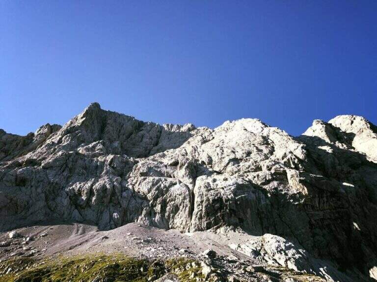
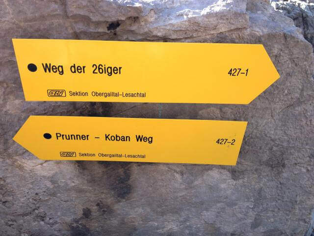
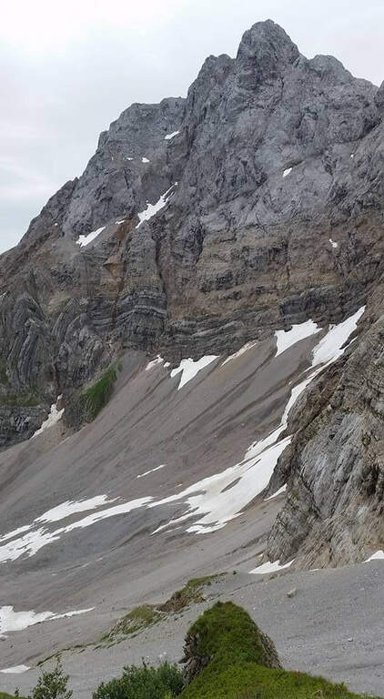
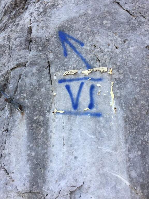
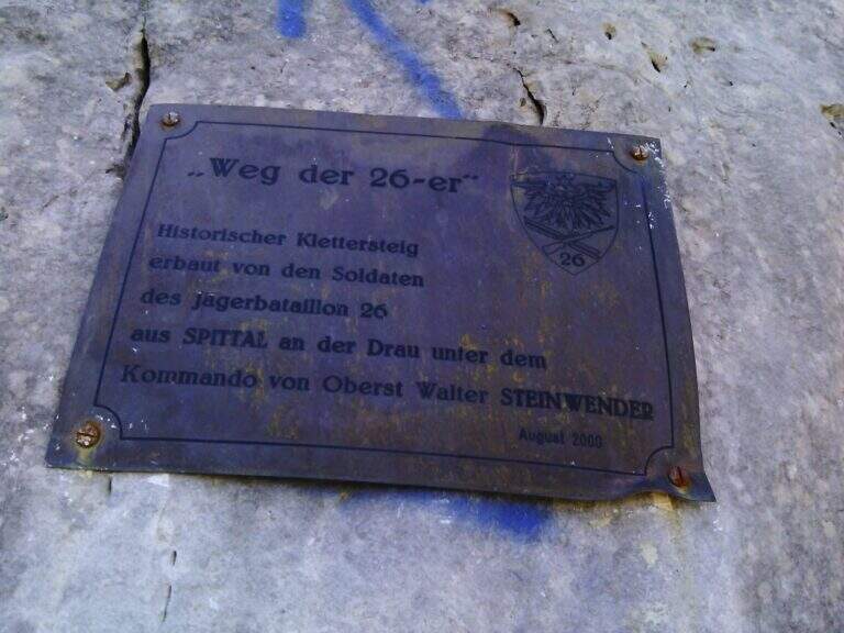
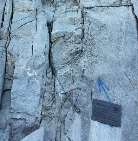
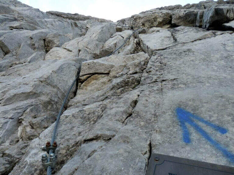
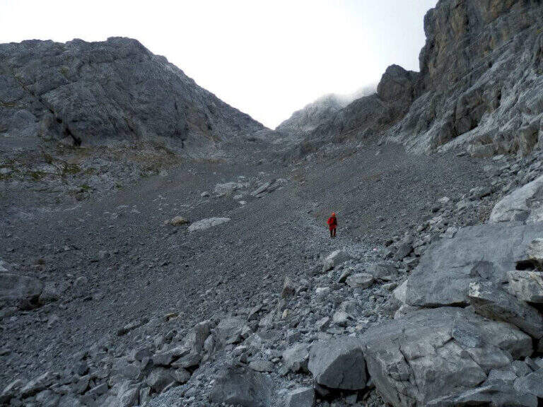
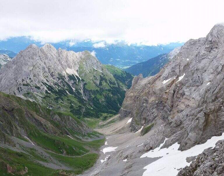
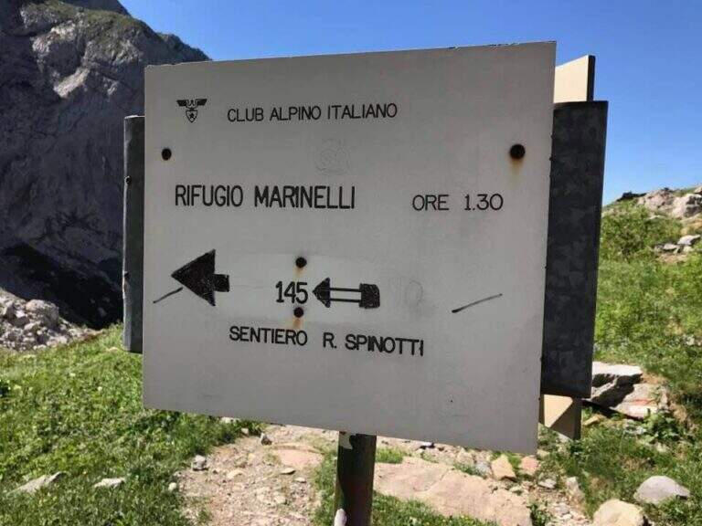
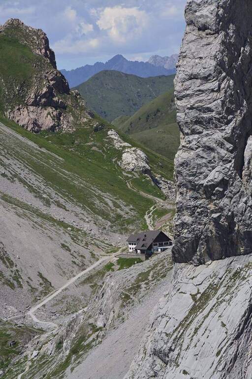
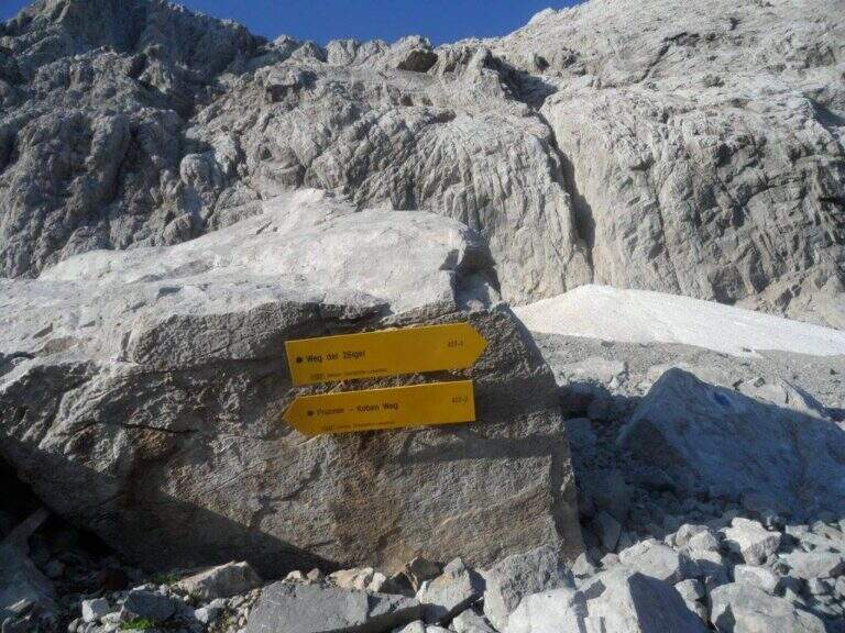
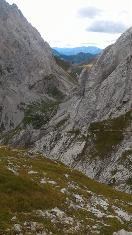
    Si parte dal Rifugio Tolazzi (1350 m), a Collina di Forni Avoltri (Udine), vicinissimo al confine austriaco. Open road signs on Google Maps. Si sale per il Sentiero dei Cramars (segnavia 144) verso il Rifugio Lambertenghi Romanin (1955 m): forestale poi sentiero, ignorando la deviazione a destra per il Sentiero Spinotti (145), usata al rientro (1h 30' dal parcheggio). Dal rifugio si sale al Passo Volaia (1974 m), confine di stato affacciato sul Lago Volaia; si scende leggermente e, tenendo la traccia a destra del lago, ci si immette sul sentiero 403 in salita verso est. Su pietraia si punta alla forcella del Valentintörl seguendo i segnavia austriaci «Weg der 26er» (427): attenzione al bivio poco segnalato, dove si taglia a destra verso una sella (2147 m) lasciando la forcella sulla sinistra. Si piega a sud (427-1, radi bolli blu) fino a una parete di una cinquantina di metri — non la ferrata vera e propria, ma il preludio — che si sale e si scende sul versante opposto, sul ghiaione (eventualmente innevato) sotto la parete nord. A un bivio segnalato si ignora la traccia a sinistra (nuova ferrata 427-2) e si raggiunge l'attacco, indicato da una freccia blu e una targhetta (2276 m, 2h 30' totali).

    ▲The path

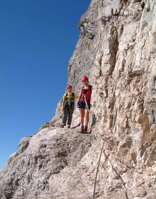
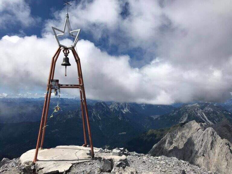
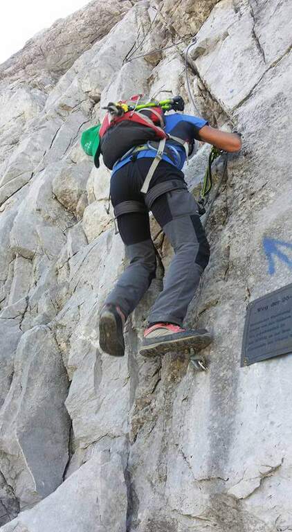
    La via è particolarmente impegnativa nei primi 150 metri: verticale, varia e atletica, con infissi presenti ma non eccessivi. L'attacco su alta parete con canalini dà subito il tono; si guadagnano i primi metri verticali piegando a sinistra in un canalino (utile un primo piolo in un passaggio strapiombante), poi si aggira a sinistra un primo tetto con traverso diagonale impegnativo fino a un terrazzino. La parete prosegue verticale fino a un secondo tetto, aggirato con un traverso orizzontale su pioli, molto aereo. Si entra in un canalino e si arriva al passaggio probabilmente più impegnativo: un terzo tetto aggirato con un lungo traverso a sinistra su placca levigata e spesso umida, in aderenza, con un paio di trazioni per uscirne. Si sale ancora verticali fino a un terrazzino, poi passaggi di media difficoltà e un ulteriore traverso simile ai precedenti, fino al termine momentaneo delle attrezzature e della prima difficile sezione. Su ghiaia si raggiunge la seconda parte attrezzata: roccette verticali ma gradonate e passaggi appoggiati arrampicabili (roccia meno levigata, più appigli, ma ghiaino da non smuovere), fino a un ultimo canalino esposto che porta alla cresta spartiacque e confine di stato (circa 2700 m, 2h dall'attacco). Si percorre la cresta, prima larga poi sul filo, con passaggi esposti ma non difficili, e una sezione finale gradonata e arrampicabile fino alla vetta del Coglians (2780 m, 3h dall'attacco, 5h 30' totali), con croce e campana.

    ▲Character and difficulty

    Storica ferrata costruita nel 2000 dal 26° battaglione austriaco di Spittal (da cui «Weg der 26er»). Ambiente severo, prima sezione molto esposta. Fondamentale dosare le energie per arrivare lucidi ai passaggi chiave, che richiedono forte trazione sul cavo.

    ⚠ La prima sezione è difficile e almeno un paio di passaggi sono da considerarsi «Molto Difficili», soprattutto con roccia bagnata (frequente). Facile imbattersi in nevai nel canalone del Valentintörl e nel ghiaione sotto l'attacco. Oltre il confine si seguono i cartelli austriaci: ricordare i nomi locali (Weg der 26er, Hohe Warte).
    ▲Period and safety

    Piena estate con meteo stabile. Alta montagna di confine: valutare neve nei canaloni e condizioni della roccia. Consigliato spezzare in due giorni con pernottamento in rifugio.

    ▲Discipline

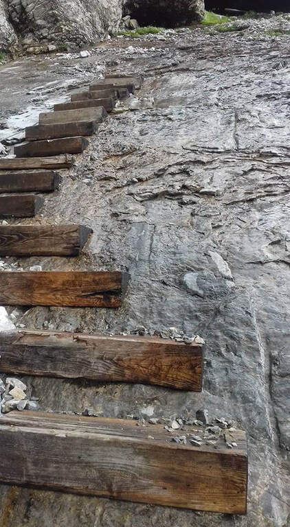
    Dalla campana di vetta si scende per la via normale (segnavia 143), su roccette ben segnate poi ghiaione, fino a un bivio (2330 m, circa 45' dalla vetta) dove si tiene la destra verso il Sentiero Attrezzato Spinotti (145). Lo Spinotti ha tratti attrezzati: un curioso tratto su placca con gradini di legno, una cengia e un camino che si scende su scala metallica e poi su fune lungo l'esposta parete esterna, fino a rientrare al Rifugio Lambertenghi Romanin (2h 30' dalla vetta). Si riprende il sentiero dell'avvicinamento fino al Rifugio Tolazzi (3h 30' dalla vetta, 9h totali).

    ▲To match

    Sulle Alpi Carniche: a est la Ferrata Chiadenis; più a sud la Ferrata 50 del Clap, la Ferrata Cassiopea e, verso Tolmezzo, la Ferrata Farina del Diavolo.

    ▲Gallery
    Technical data
    • DifficultyHard
    • RegionFriuli-Venezia Giulia
    • GroupAlps Carnia
    • Approach2:30 h
    • Ferrata50
    • Itinerary (a/r)9:00 h
    • Hardware level difference530 m
    • Route difference1430 m
    • Max2780 m
    • Length10,3 Km
Need help? Write to us!