Difficoltà: Facile

  • Ferrata Sora el Sass

    Ferrata Sora el Sass

    Vie Ferrate › Veneto › Belluno
    Ferrata Sora el Sass

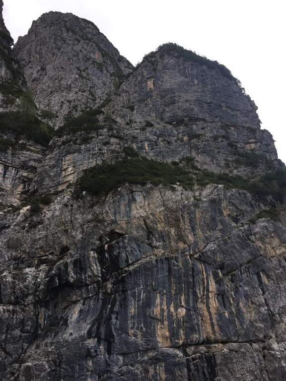
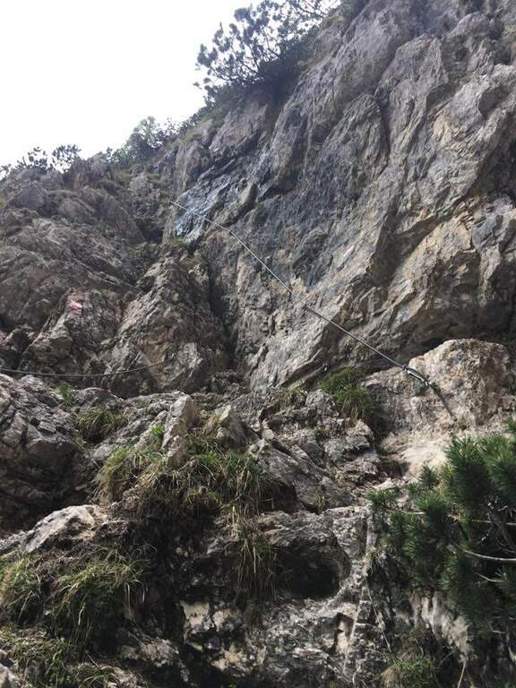
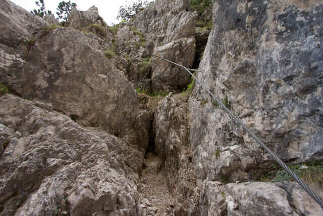
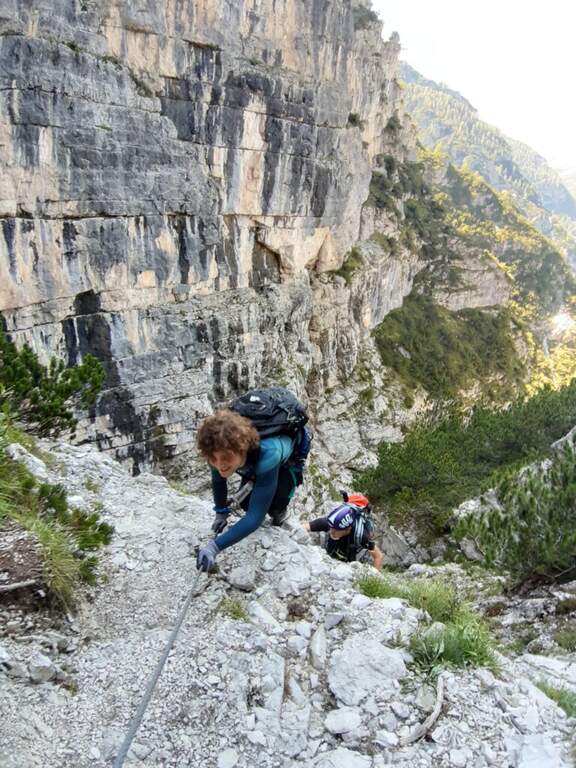
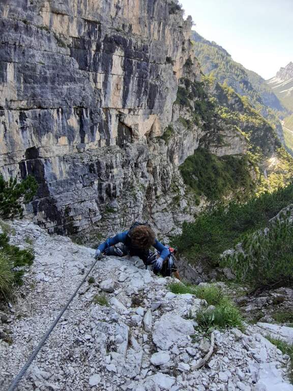
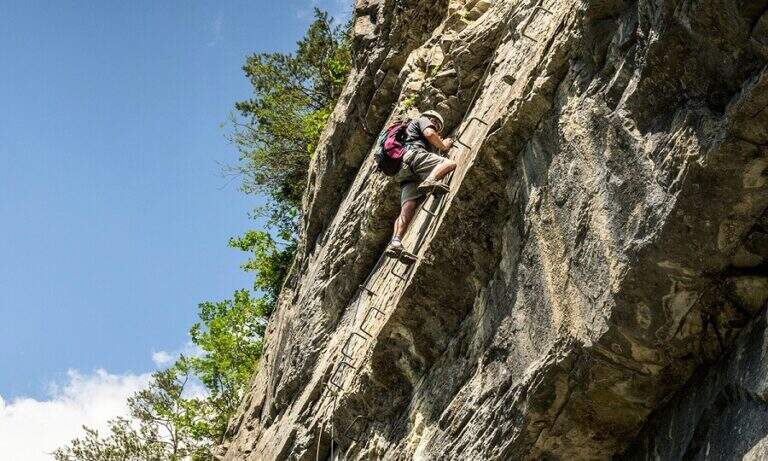
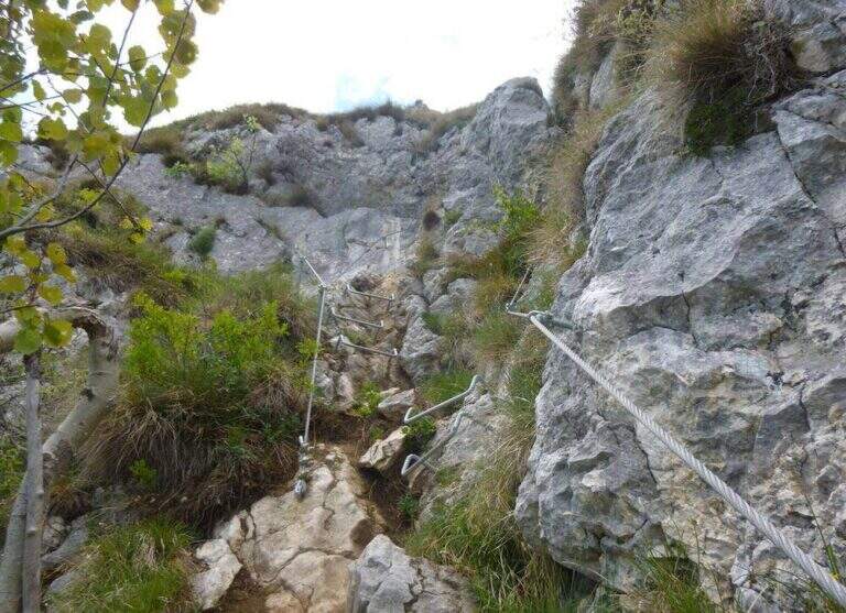
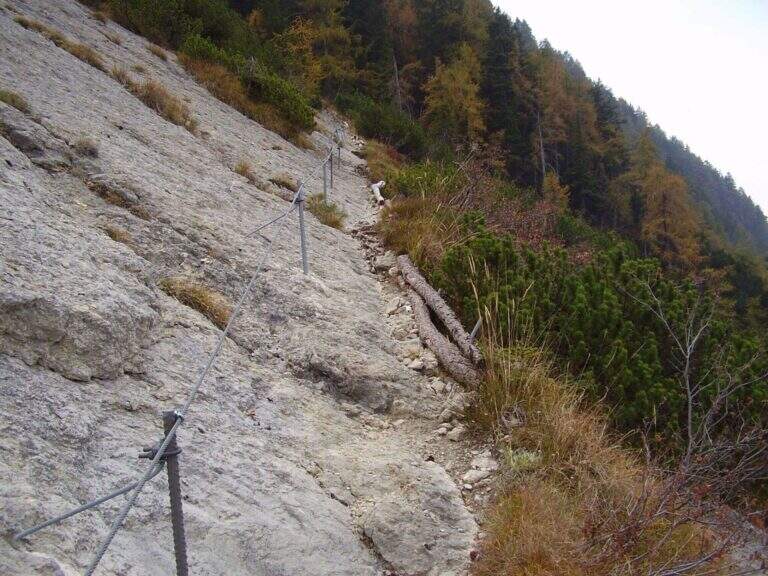
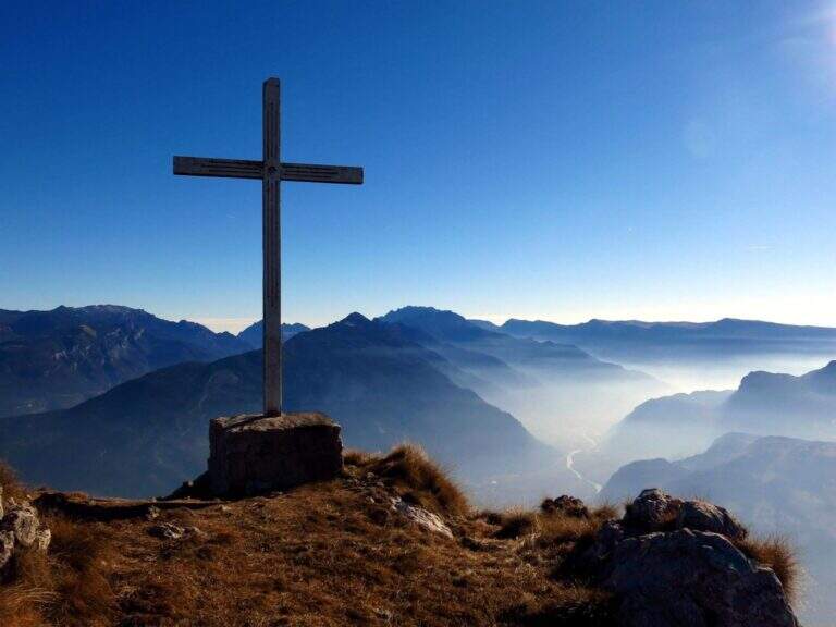
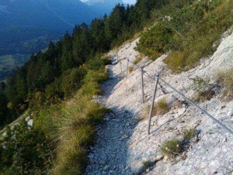
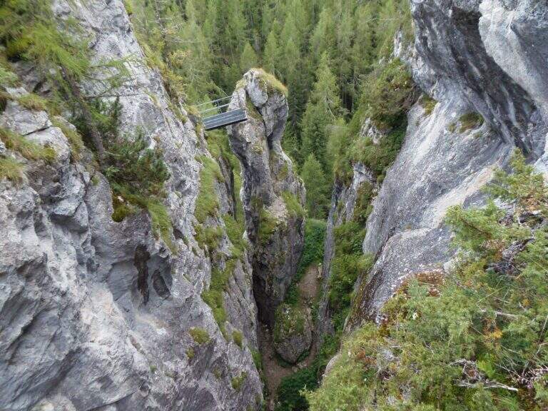
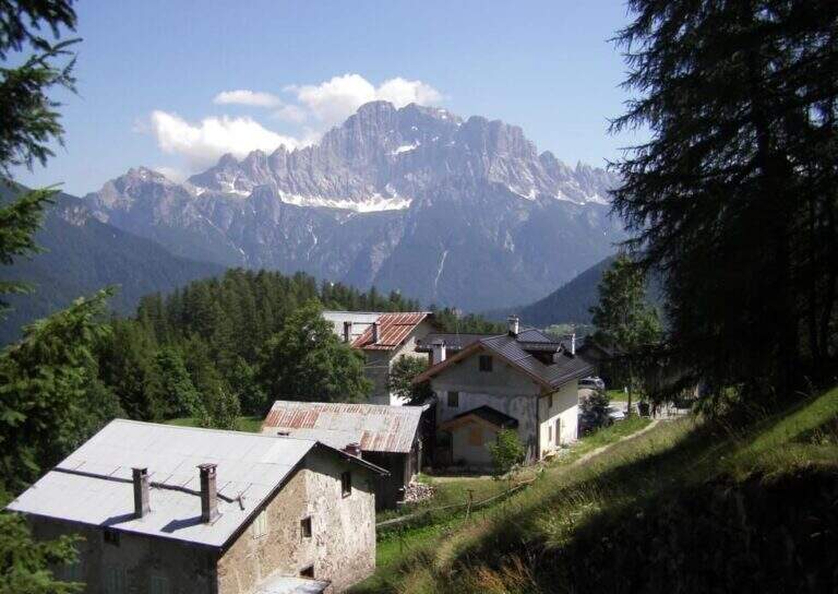
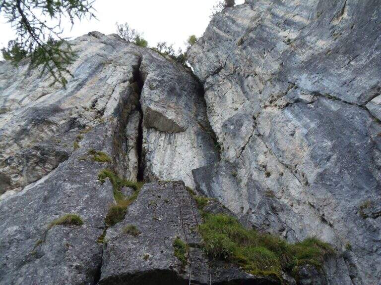
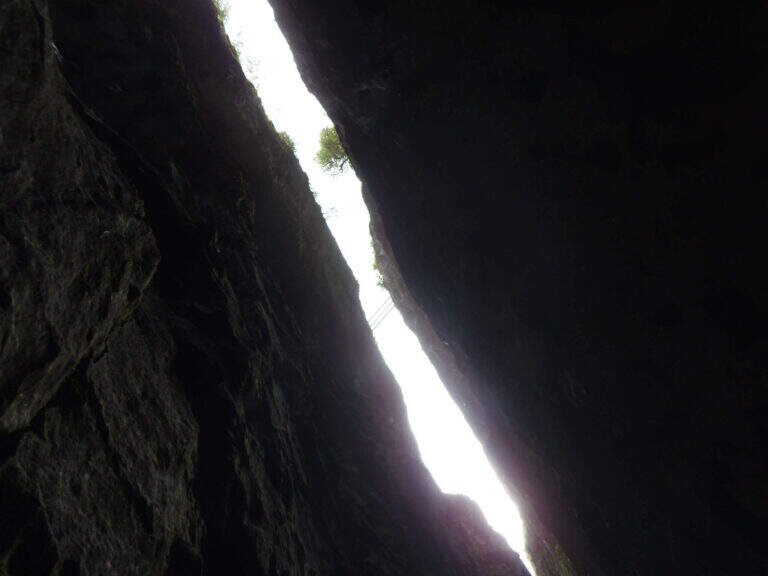
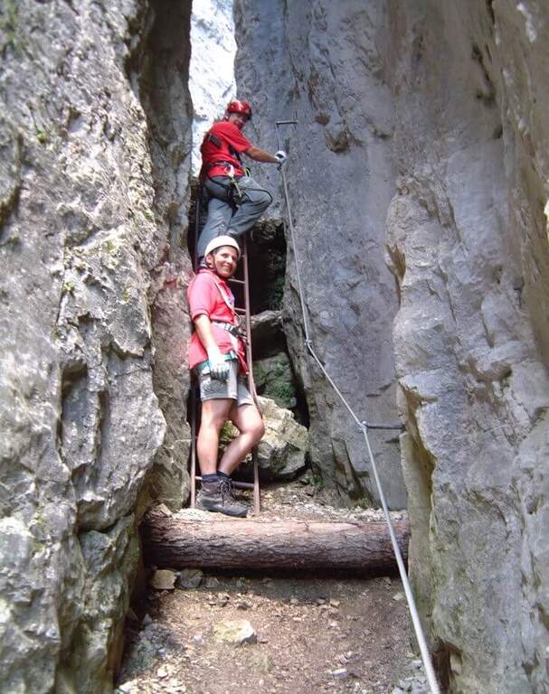
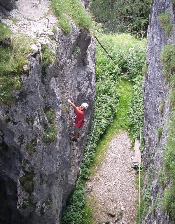
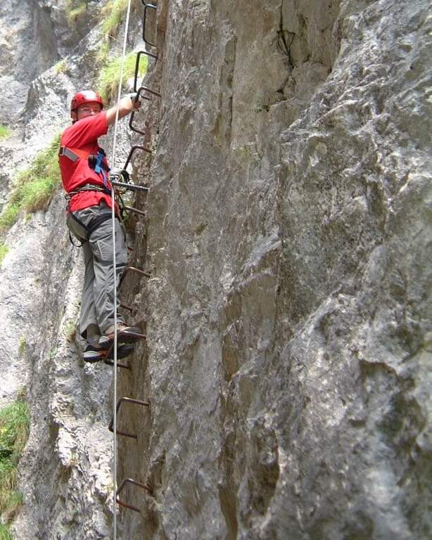
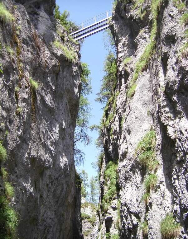
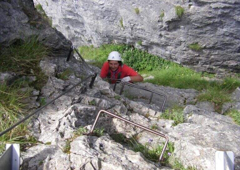
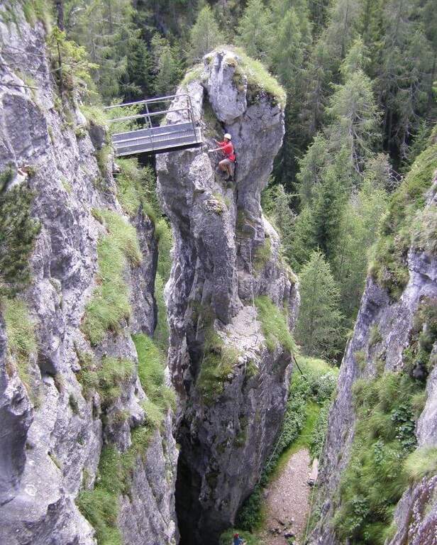
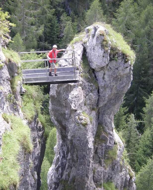
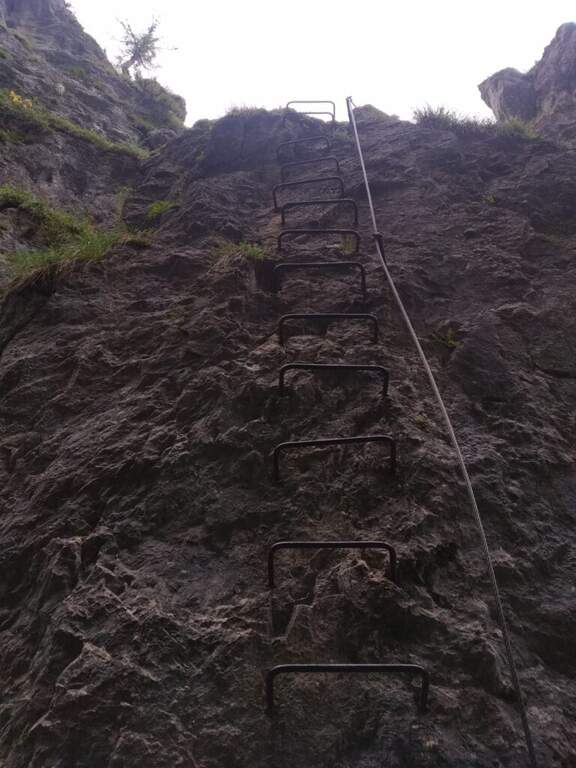
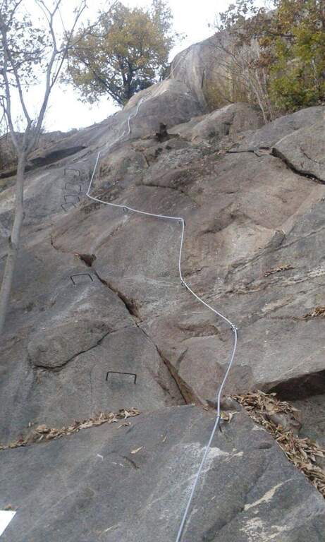
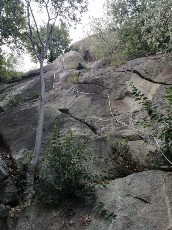
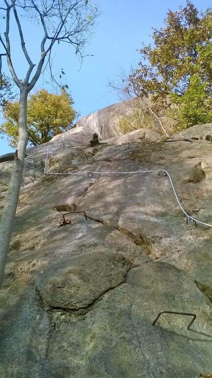
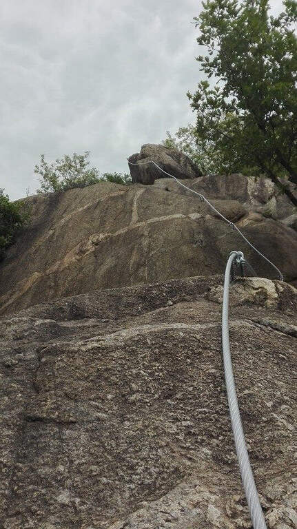
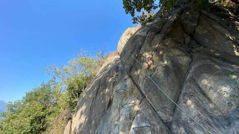
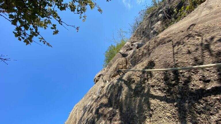
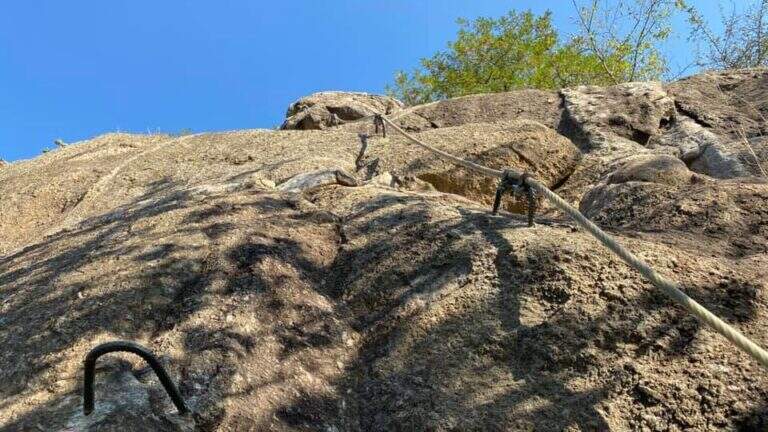
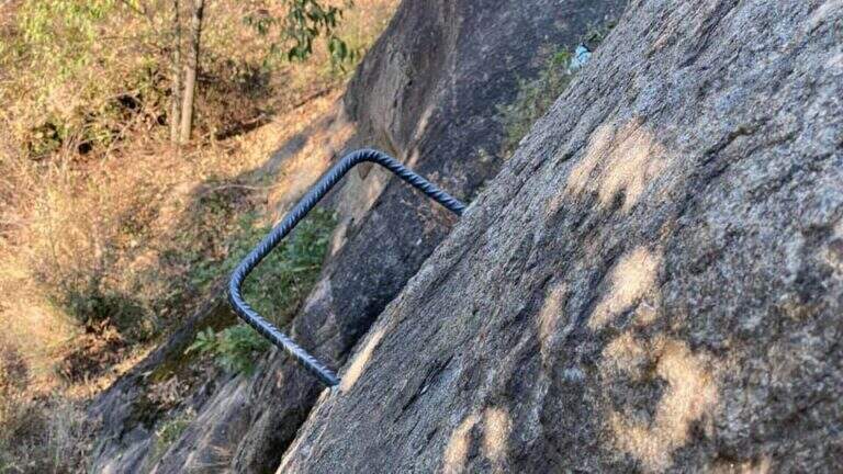
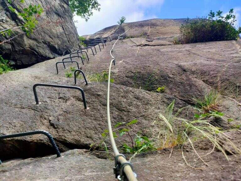
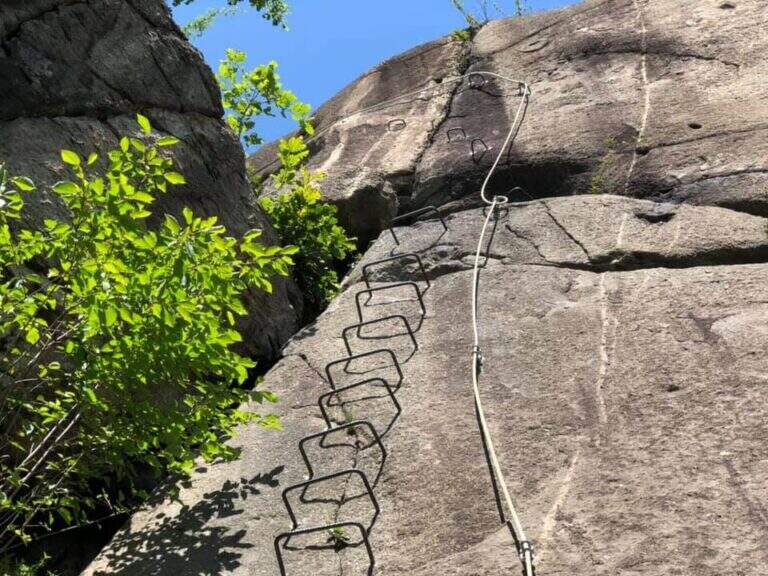
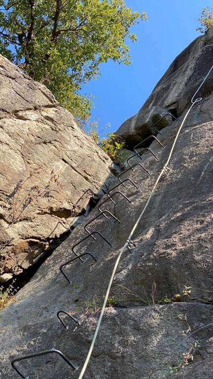
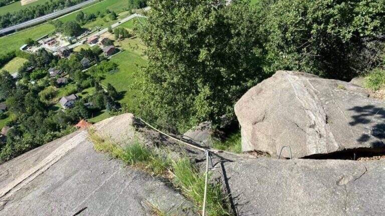
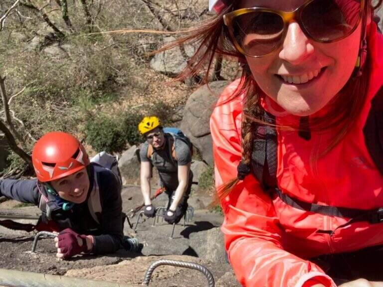
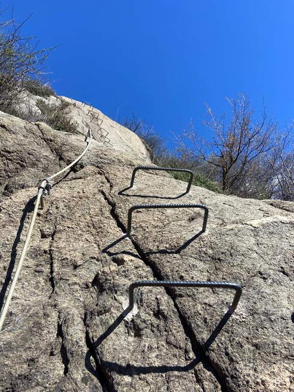
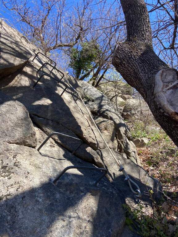
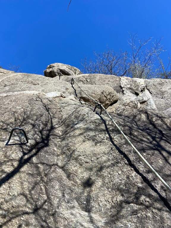
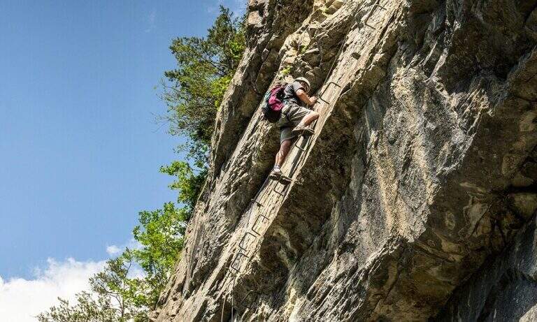
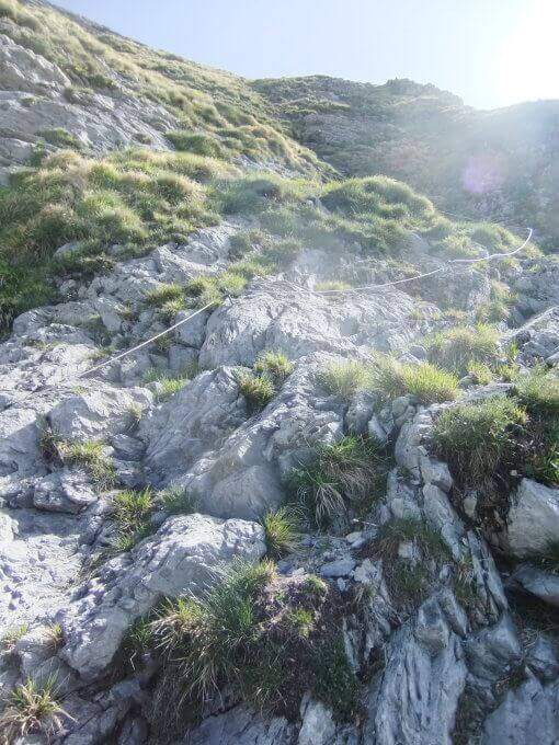
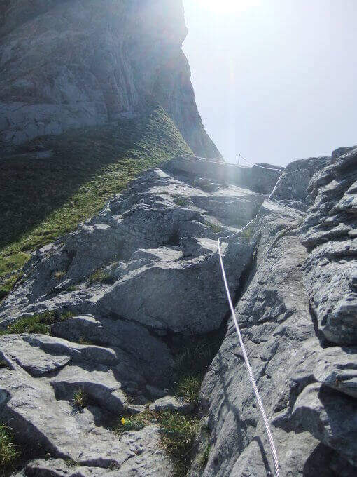
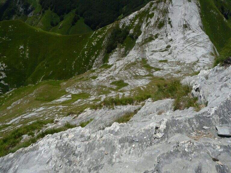
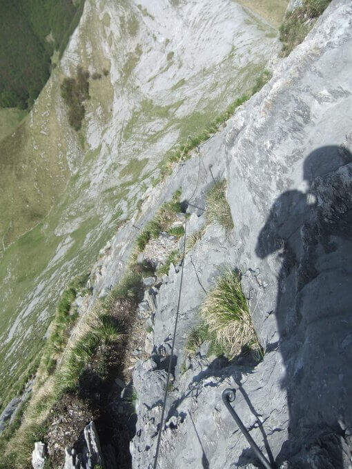
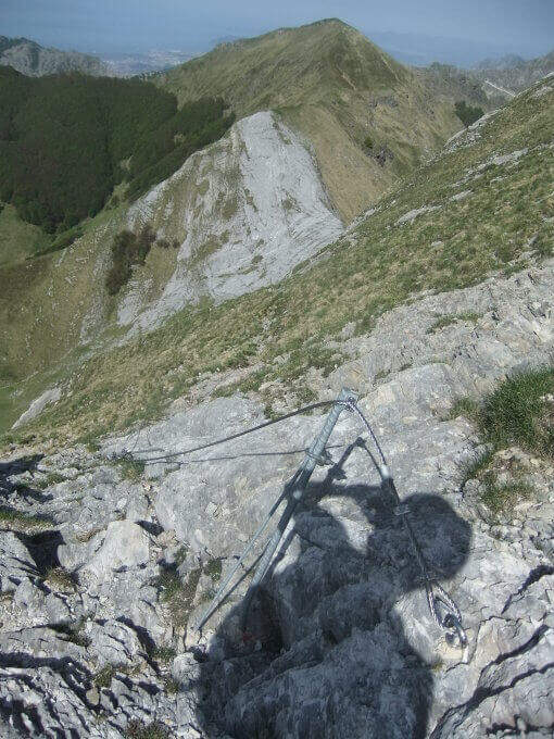
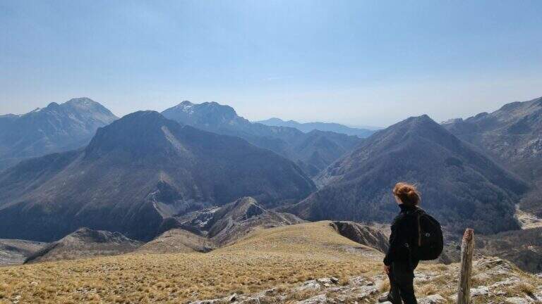
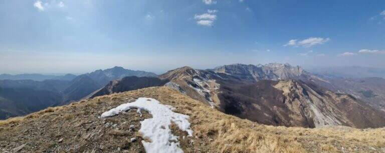
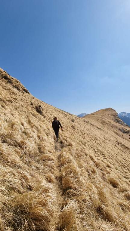
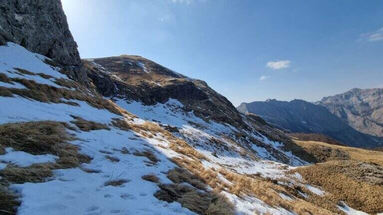
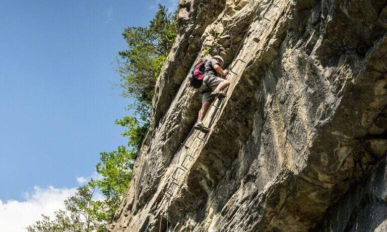
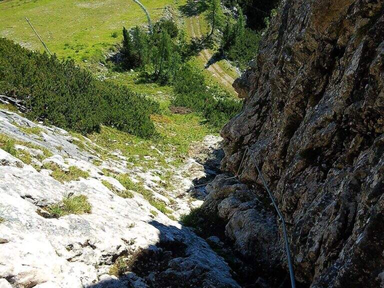
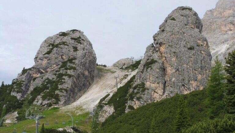
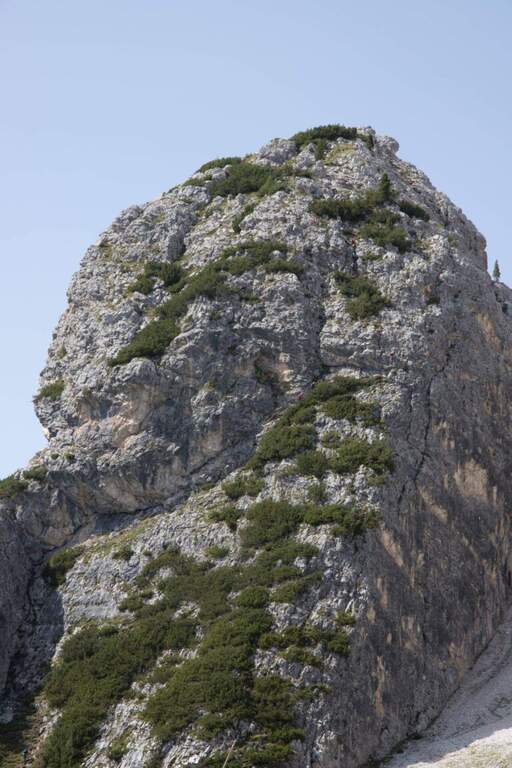
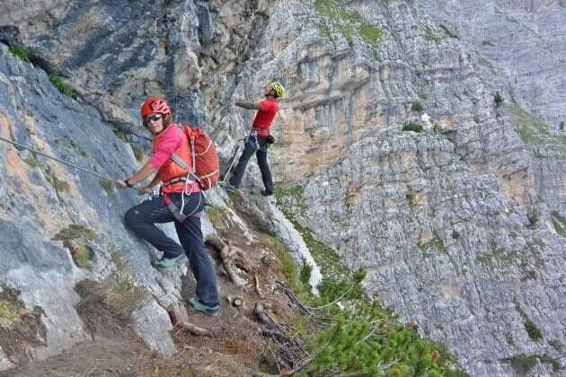
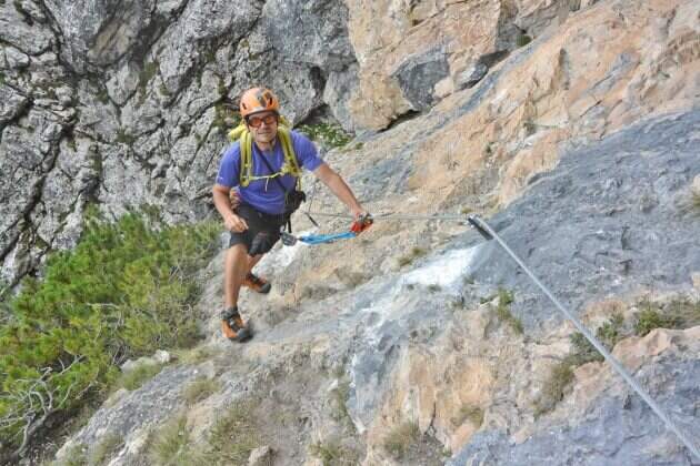
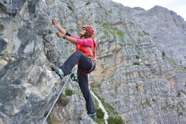
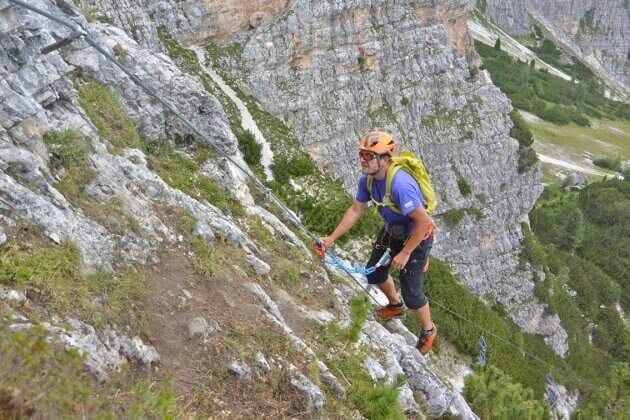
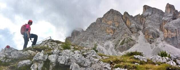
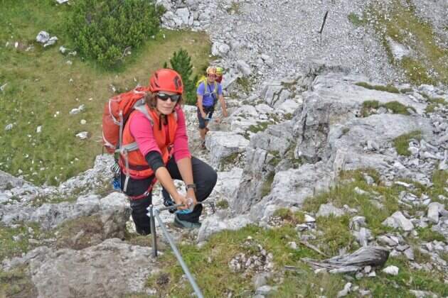
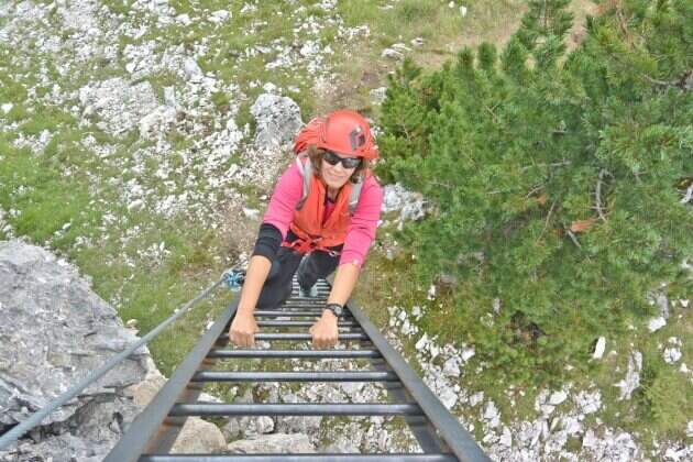
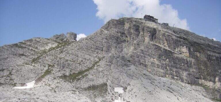
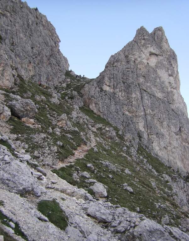
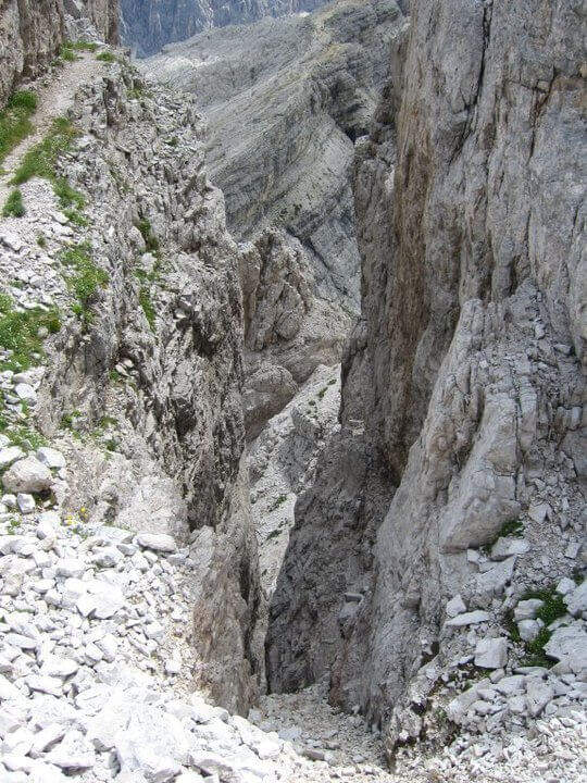
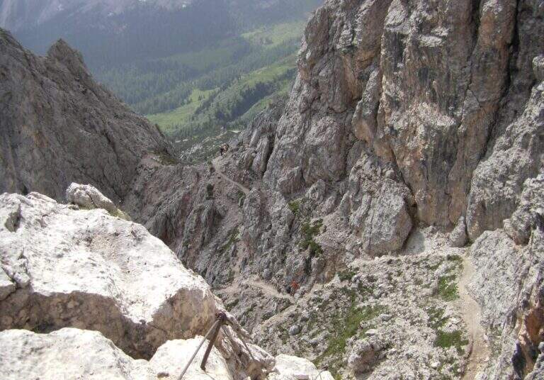
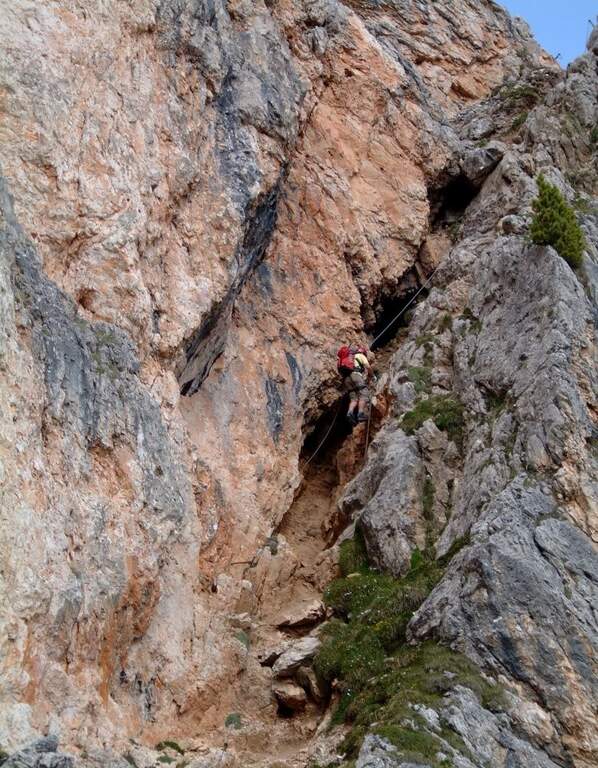
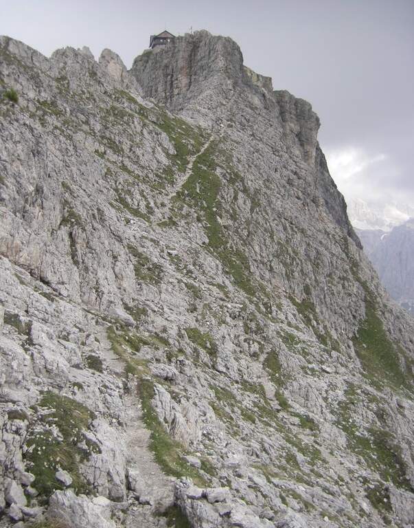
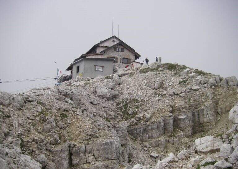
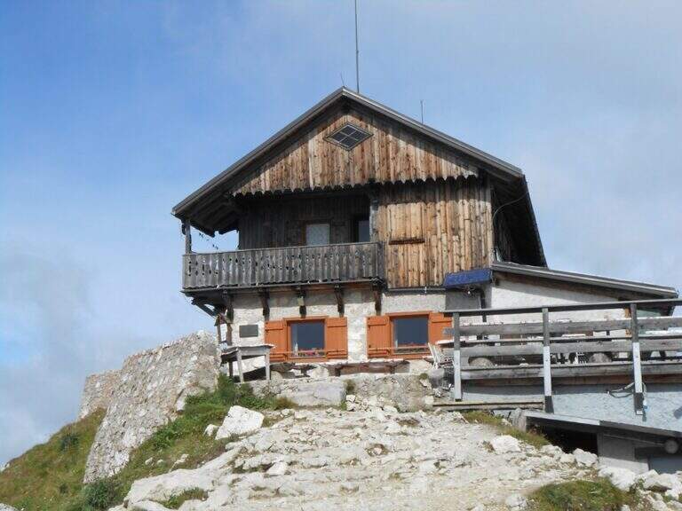
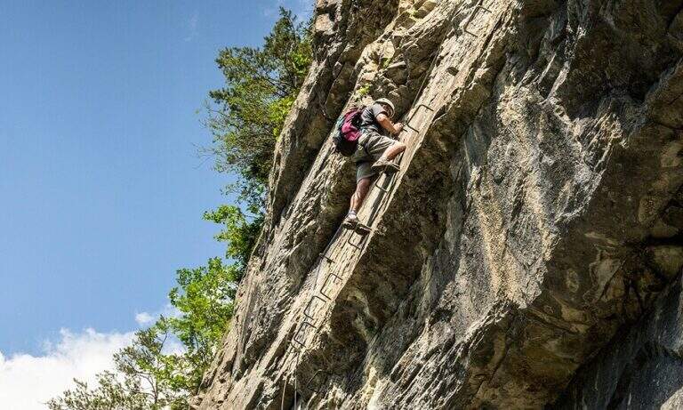
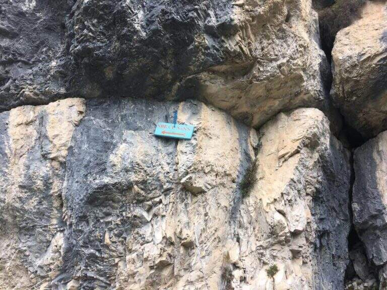
    La Ferrata at the Sora el Sas, near the Spitz of Mezzodì, è a facile street divided into two short sections: the first goes up a canalone, the second goes up to a panoramic pulpit called Belvedere. Adapted to the neophytes, it offers beautiful views of the Dolomites of Bellunese.

    ▲Approach

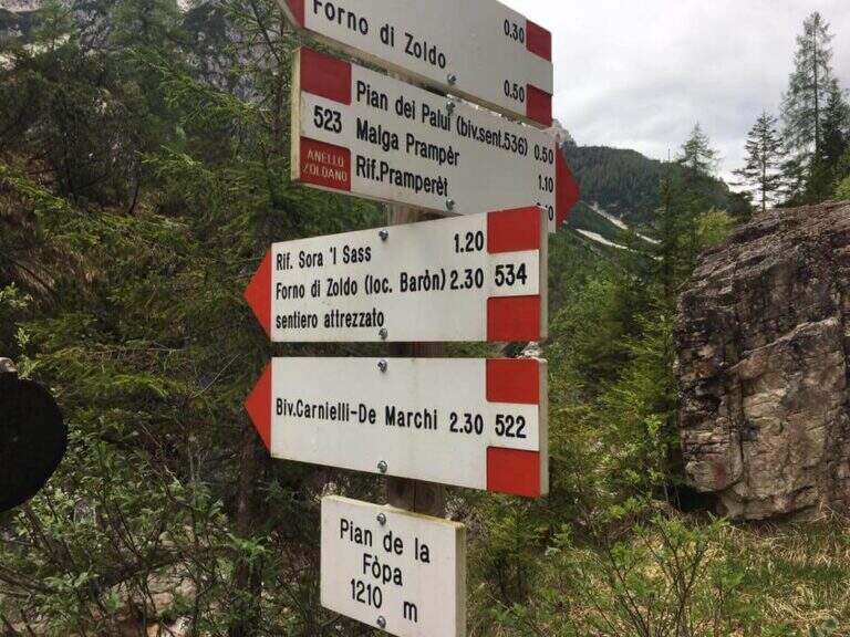
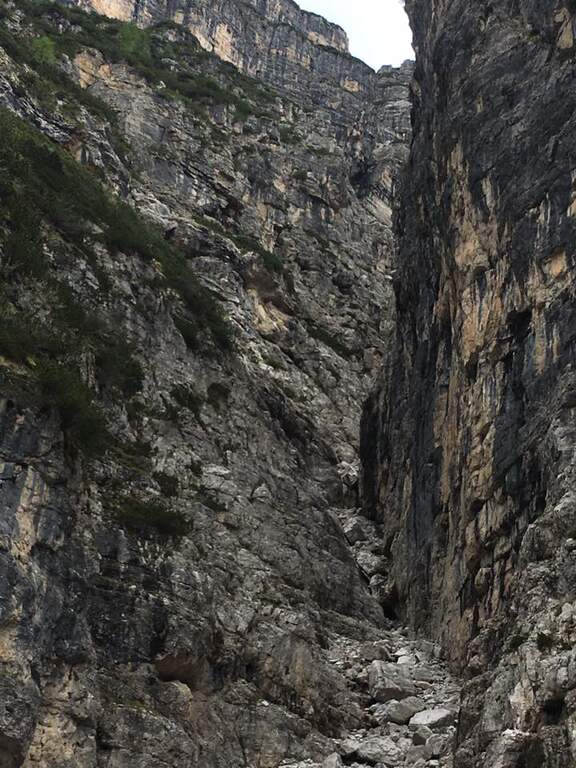
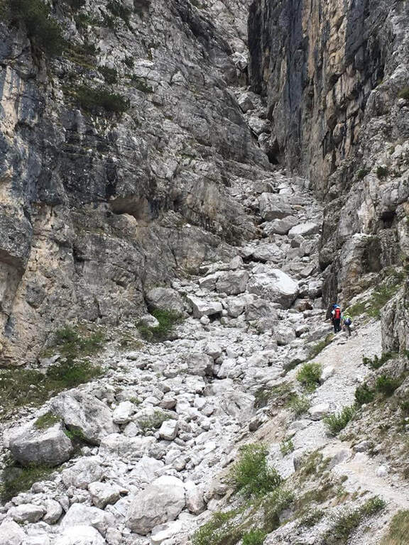
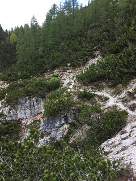
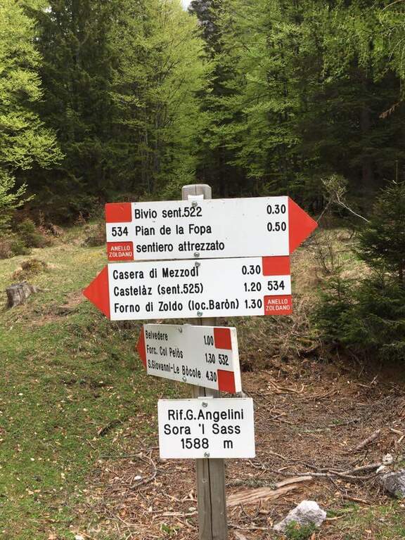
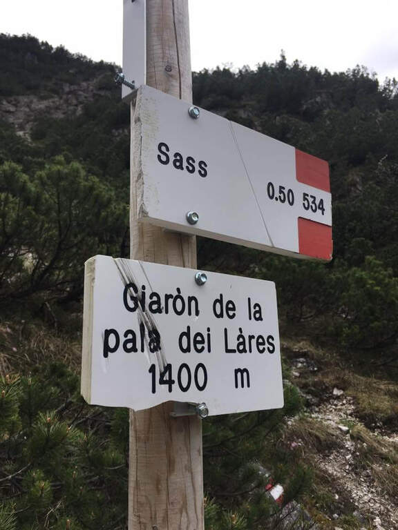
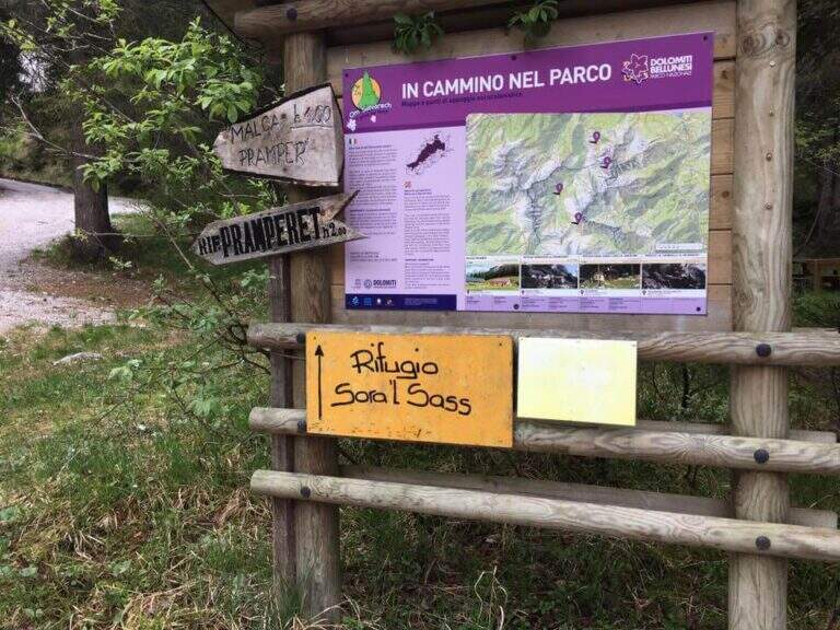
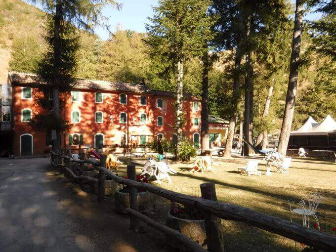
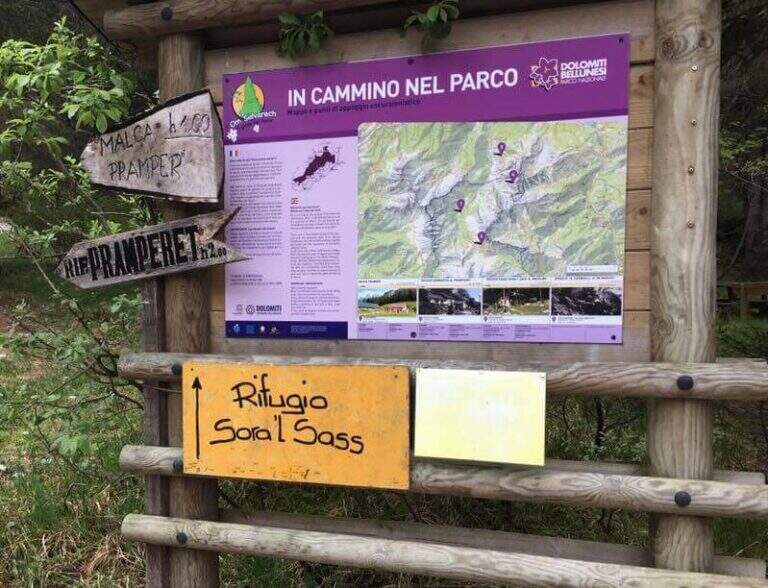
    Starting point parking in the village of Pian de la Fopa, in Val Pramper south of Forni di Zoldo (Belluno): in the village follow the signs south towards the Rifugio Pramperet, then at a crossroad take the secondary road (in part dirt road but in good condition) to the Rifugio Sora el Sass, for about 4.5 km until the parking lot. Open road signs on Google Maps. Follow the forest and then the CAI path 534 for the refuge Sora el Sass towards the walls of the Spitz of Mezzodì at a crossroads you leave 522 (to the Bivacco Carnielli) holding the left towards a shady canalone, up to the first equipment (45' from the parking lot).

    ▲The path

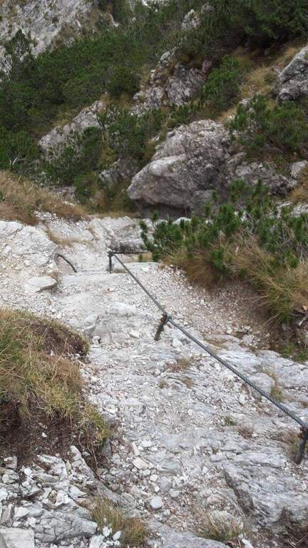
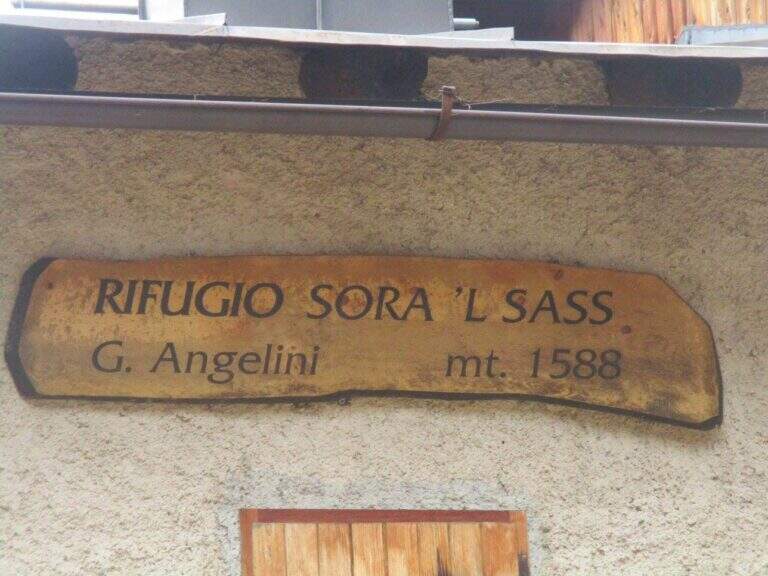
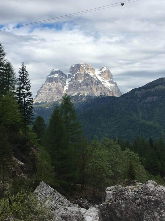
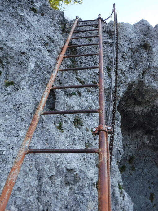
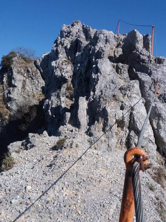
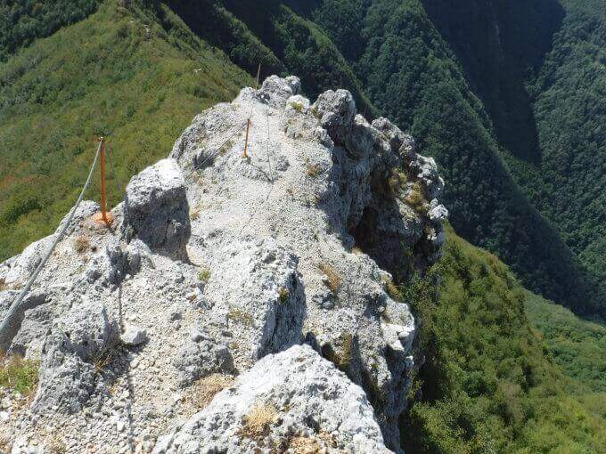
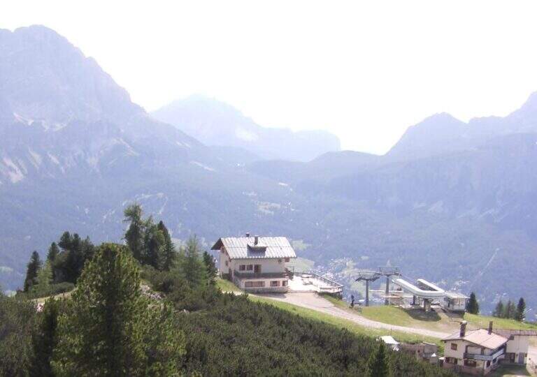
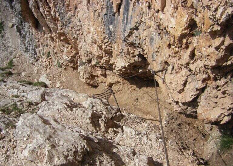
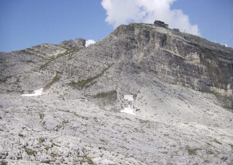
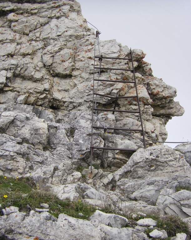
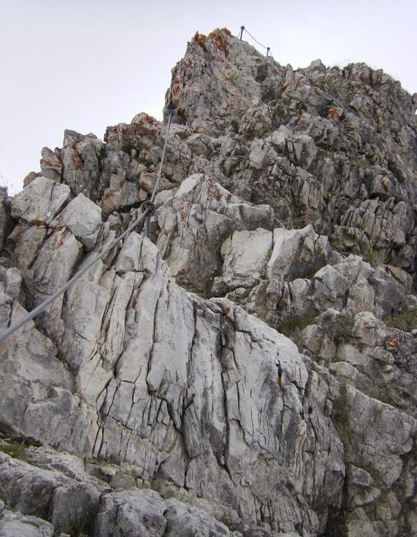
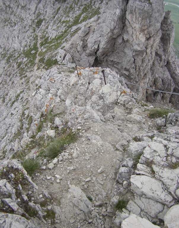
    La first section esce dal canalone con una rampa a sinistra priva di difficoltà e un facile canalino gradonato (attrezzatura a destra, appigli abbondanti a sinistra); si piega a destra per pochi metri e poi su comoda cengia a sinistra, si aggira uno spigolo e si salgono roccette ben appigliate, arrampicabili (attenzione al fondo di ghiaino instabile, rischio di smuovere detriti). Una facile placchetta e una cengia a sinistra chiudono le attrezzature (20' dall'attacco); su comodo sentiero si raggiunge il Rifugio Angelini (Sora el Sass, 1588 m, 1h 30' dal parcheggio). Da qui si può rientrare oppure proseguire verso il Belvedere col CAI 532: a un bivio si sale a destra per il sentiero attrezzato (per scendere poi dalla via normale), superando un balzo verticale ben appigliato, una cengia, un canalino e un balzo più marcato, fino al Belvedere, punto panoramico sui gruppi bellunesi con il Pelmo in evidenza (1965 m, 45' dal rifugio, 2h 15' totali).

    ▲Character and difficulty

    Easy itinerary, ideal for neophytes and families.

    ⚠ At the beginning of the season the canalone can still be snowed: it is useful to have the ramps. The equipped sections are quite dirty with debris material: pay close attention not to move stones.

    ▲Period and safety

    An official GPS track is not available for this route. The map of the 4Land Dolomites is useful.

    ▲Discipline

    Dal Belvedere si scende sul lato nord per sentiero facile, si aggira il Belvedere e si rientra al Rifugio Angelini (45' dalla vetta); per chiudere l'anello si prosegue verso nord sul CAI 534 verso la Casera di Mezzodì, scendendo il ripido Vallon Piccolo a tornanti, poi sul 525 fino alla forestale e in salita al parcheggio (1h 30' dal Rifugio Angelini, 4h 30' totali).

    ▲To match

    The way is in the Pramper group. To the west the Civetta and the Moiazza with the difficult Constantine, Titus, Alleghesi e Yellow Flames; to the south Ferrata della Memoria al Vajont e la Val Gallina; northwards Vandal and the impegnative Ferrata at the Glacier of Antelaoto Agordo Alpine star at Agner.
    ▲Gallery
    Technical data
    • DifficultyEasy
    • RegionVeneto
    • GroupPrampering
    • Approach0:45 h
    • Ferrata1:15 h
    • Itinerary (a/r)4:30 h
    • Hardware level difference200 m
    • Route difference764 m
    • Max1964 m
    • Length6 Km
  • Ferrata del Somator (Monte Biaena)

    Ferrata del Somator (Monte Biaena)

    Vie Ferrate › Trentino-Alto Adige › Trento
    Ferrata del Somator (Monte Biaena)

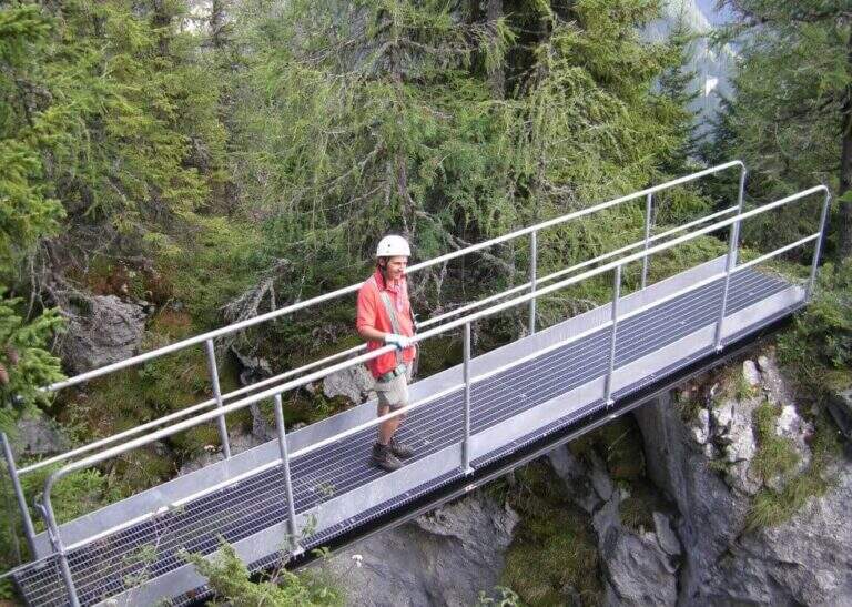
    La Somator Ferrata ` a pleasant ring itinerary at Monte Biaena, in the Gardesane Prealps between Rovereto and Riva del Garda. È a facile street: some elementary rocky ridges are equipped with brackets and cambres to facilitate hikers, and l' environment with lake view makes it an ideal destination for families.

    ▲Approach

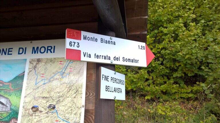
    Starting point is the parking of the Restaurant Pizzeria La Baita, between Ronzo-Chienis and Castellano (Trento). Open road signs on Google Maps. From the parking lot follow the CAI signs 671 on asphalt road to the east; the first crossroad to the left is ignored for the Path Attrezzato de le Laste (which will be the return) and, between the tracks that detach to the right, we start after a few minutes on the path 673, where the Somator Path begins (30' from'auto); wanting, a short deviation on 642 reaches the Malga Somator Refuge.

    ▲The path

    The path always remains quite easy, with some stretches that shrink and become equipped, a couple of easy vertical leaps and a canal. After passing the stretches, continue in view of Mount Biaena, with a beautiful view of the lake (1617 m, 1h 30' from'auto).

    ▲Character and difficulty

    Although known as «ferrata», the climb to Mount Biaena is an easy route, suitable for neophytes and families.

    ▲Period and safety

    GPS tracks (GPX and KMZ) are available; the map of Alto Garda and Valle di Ledro is useful for the area, or Pasubio and Vallagarina 4Land.

    ▲Discipline

    For the return you descend on the east side following the track 671; after about 10' the trail 678 is ignored on the left and continues in the forest with some easy stretches equipped up to a track and at the junction of the ' gone, returning all' car ( approximately 2h 30' totali).

    ▲To match

    Garda offers many similar routes: Ferrata Rio Sallagoni in Castel Drena, la Ferrata Colodri to Arco; on the western side the Susatti a Cima Capi e l'Friendship in Cima Sat; for a higher degree the Marangoni to Mori.

    ▲Gallery
    Technical data
    • DifficultyEasy
    • RegionTrentino-Alto Adige
    • GroupPrealps Gardesane
    • Approach0:30 h
    • Ferrata1:00 h
    • Itinerary (a/r)2:30 h
    • Hardware level difference70 m
    • Route difference315 m
    • Max1617 m
    • Length4,5 Km
  • Ferrata della Sassella

    Ferrata della Sassella

    Vie Ferrate › Lombardy › Sondrio
    Ferrata della Sassella

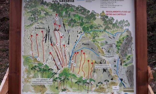
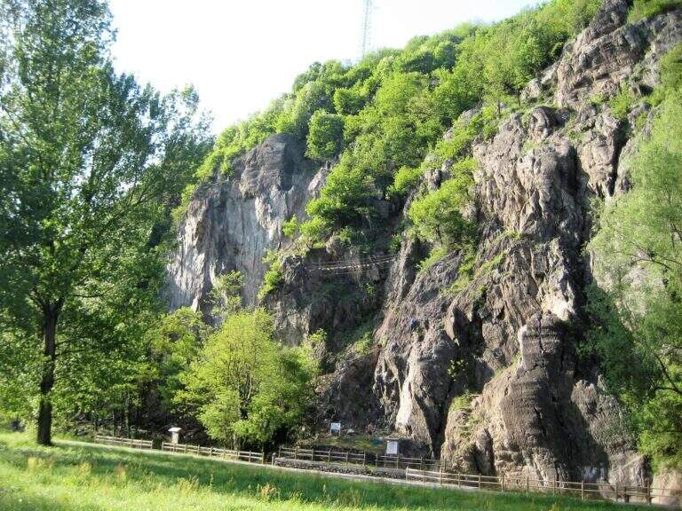
    La Ferrata della Sassella ` a short, well-equipped route built on the rock gym of the same name, at the western gates of Sondrio in Valtellina. The development è content and, except for short sections, does not have any difficulty and importance. The wall offers two parallel routes connected by a suspended bridge, indicated in the all' basin; entrance: a quick and fun itinerary, perfect to join some d' shooting; climbing.

    ▲Approach

    You can reach the locality; Sassella, on the west outskirts of Sondrio. Open road signs on Google Maps. Already from the parking lot is well visible, on the opposite side of the road, the wall on which the ferrata and the climbing routes run; a short path leads in a few minutes to the wall and the attack.

    ▲The path

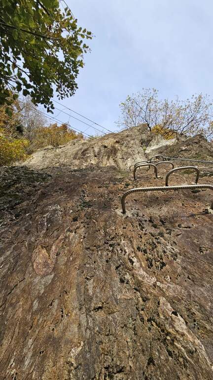
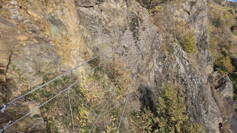
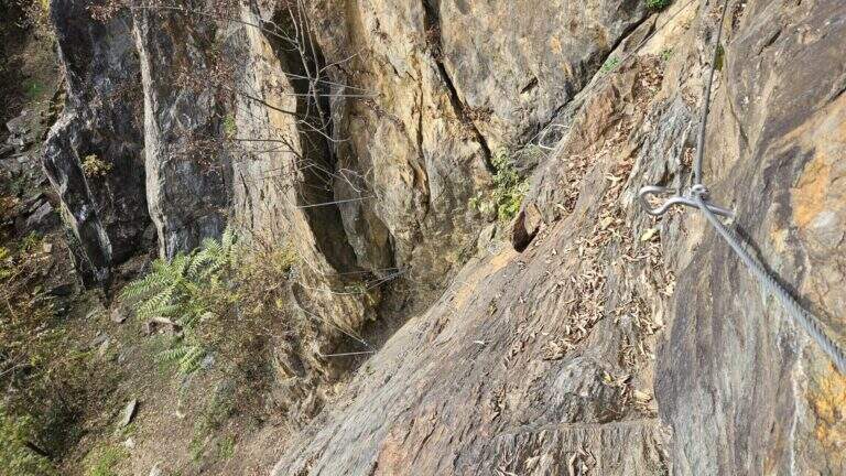
    The wall, a sixty-foot tall, houses two tracks that rejoin to metà. The settore right rises a rather lean hedgehog, then a vertical at first and finally with a short overhanging section, supported by numerous brackets; it arrives così to the ponte suspended on three ropes. Cross it, continue on a plaque with an easy traverse to the left until you meet the left settore , which attacks about fifty meters beyond the right leaving, going up a vertical wall but full of brackets and handles. From the point where the two itineraries are joined vertically on brackets along a placconata, then the path enters the forest turning into a path equipped and ends in short (circa 20' overall wall).

    ▲Character and difficulty

    Short and never really difficult, ideal for those who move the first steps and perfect to match some shooting along the adjacent rock gym.

    ▲Period and safety

    The low share makes it possible for most of the year. An official GPS track is not available for this route.

    ▲Discipline

    You descend on the right following the traces of return.

    ▲History

    The Ferrata è was inaugurated on the 21 April 2018, at the adjacent rock gym.

    ▲To match

    Ferrates in Valtellina are not many: Sassella lends itself to be combined with Torrione Porro or Ferrata della Croce al Palabione; not far, in Valchiavenna, the ferrates ♪ e Succeeds.

    ▲Gallery
    Technical data
    • DifficultyEasy
    • RegionLombardy
    • GroupValtellina
    • Approach0:10 h
    • Ferrata0:25 h
    • Itinerary (a/r)1:00 h
    • Hardware level difference70 m
    • Route difference80 m
    • Length0,5 Km
  • Ferrata Sass de Rocia

    Ferrata Sass de Rocia

    Vie Ferrate › Veneto › Belluno
    Ferrata Sass de Rocia

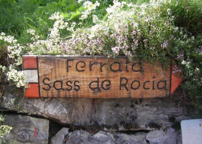
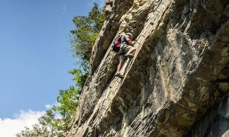
    La Ferrata at Sass de Rocia is located near Laste, in the province of Belluno, and è among the più simple of the subgroup of Marmolada. Technically elementary and with low altitude difference, & perfect for those who want to take confidence with verticalit & agrave;: the few steep traits are equipped with abundant brackets and ladders, and the ` enlivened by tre suspension bridges that make it an ideal destination for families and neophytes.

    ▲Approach

    You reach the hamlet of Ronch, just above Laste (Belluno), and you leave l' car in the square in the center of the village. Già along the road, just before ' inhabited, a sign indicates the path that climbs into the forest towards l' attack. Open road signs on Google Maps. From the square you return to the ' climb for a few meters and take the path to the left, uphill, in the forest: well marked and devoid of difficulty;, in about 10 minutes it leads to all' attack (15' from parking ).

    ▲The path

    Si attacca una paretina attrezzata con staffe e una scaletta metallica, oltre la quale ci si infila in un anfratto stretto fra le pareti del Sass de Rocia, risalito con la corda che fa da corrimano. In fondo una scaletta metallica appoggiata di circa 4 metri conduce a una cengia che, dopo pochi passi, piega con un tornante a sinistra sotto una parete verticale: la roccia è liscia e povera di appigli ma fittamente attrezzata di staffe, e un breve tratto leggermente strapiombante costituisce l'unica vera difficoltà. Si esce su un terrazzino dove le attrezzature piegano a sinistra per qualche metro prima di ripartire in verticale con altre staffe e un breve passaggio a sinistra. Si guadagna così il primo ponte sospeso, che scavalca la gola attraversata all'ingresso. Da qui il tracciato diventa sentiero attrezzato: alcune facili roccette tra i mughi portano al secondo ponte sospeso, quindi un tratto di sentiero inizialmente attrezzato conduce al terzo ponte sospeso. Un'ultima breve traccia termina al Bivacco Pian delle Stelle, dove finisce la ferrata (30' dall'attacco, 45' dal parcheggio).

    ▲Character and difficulty

    A very easy way, designed for principants and families: some vertical traits are exceeded by helping with the brackets, reducing to a minimum l' climbing. L' exhibition è contained and l' modest physical commitment.

    ▲Period and safety

    Due to the approach and the short return, it is an ideal itinerary even on uncertain weather days. GPS tracks (GPX and KMZ) are available.

    ▲Discipline

    La discesa può ripercorrere interamente la via di salita; in alternativa, superati i primi due ponti e giunti in prossimità del terzo, si segue la traccia che aggira la gola scendendo prima una scaletta e poi un sentiero, fino a innestarsi nel sentiero di avvicinamento e rientrare al parcheggio (30' dal bivacco, 1h 15' in totale).

    ▲To match

    It is the easiest of the ferrates of the subgroup of Marmolada, where the historical streets stand out Eternal, a Punta Penia, al With Ombert e al Colac. Towards the Falzarego Pass there are two easy routes, the ♪ e l'Averau; descending towards Civetta the challenging Yellow Flames, Titus e Alleghesi, besides the long Constantine to the Moiazza.

    ▲Gallery
    Technical data
    • DifficultyEasy
    • RegionVeneto
    • GroupMarmolada
    • Approach0:15 h
    • Ferrata0:30 h
    • Itinerary (a/r)1:15 h
    • Hardware level difference100 m
    • Route difference130 m
    • Max1576 m
    • Length0,9 Km
  • Ferrata Salvatori alla Pania Forata (Monte Forato)

    Ferrata Salvatori alla Pania Forata (Monte Forato)

    Vie Ferrate › Tuscany › Lucca
    Ferrata Salvatori alla Pania Forata (Monte Forato)

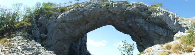
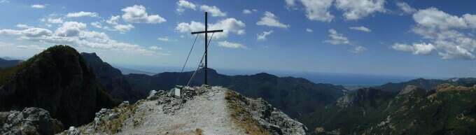
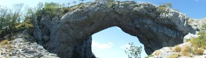
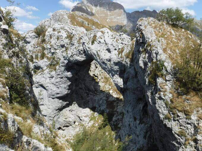
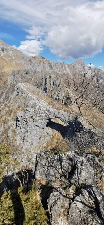
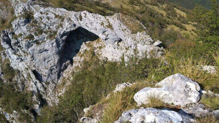
    The Ferrata Salvatori è a facile but aerial way, which faithfully follows the ridge from the Foce Petrosciana al Monte Forato (or Pania Forata), in the Apuan Alps. The low altitude makes it accessible most of the year; the famous natural arch of Monte Forato is worth the whole excursion alone.

    ▲Approach

    Starting point l'Albergo Alto Matanna, in Garfagnana: from Lucca follow the SS 12, then Tenth and Pescaglia, cross the village of Pascoso and, at the indications for l' hotel, turn left on an asphalted road. Open road signs on Google Maps. From ', the hotel rises and soon after takes you to destra il CAI 109, remaining on the north wall of Mount Nona; you reach the Foce delle Porchette and, ignoring the deviations, continue straight on 109 until Foce di Petrosciana (1h 20' from parking).

    ▲The path

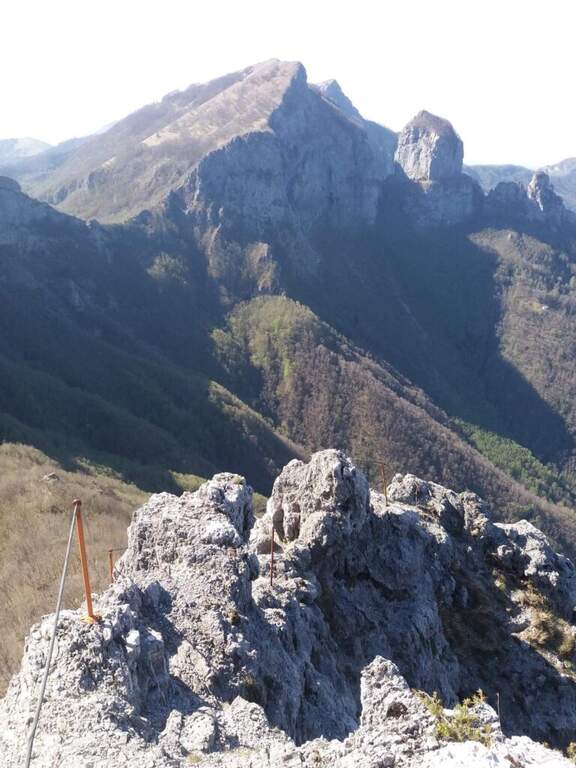
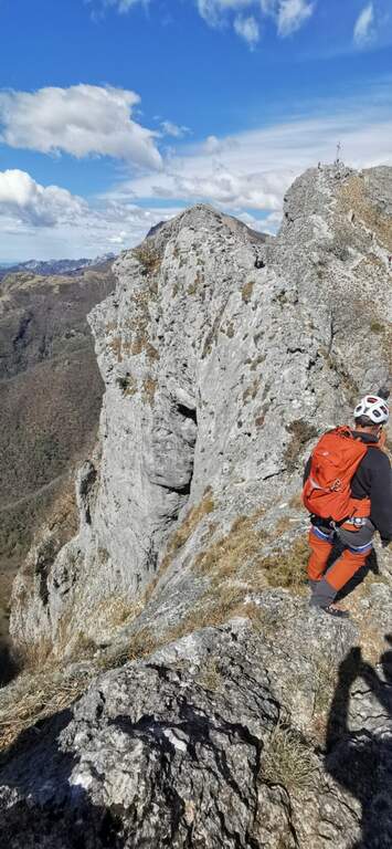
    Alla Foce di Petrosciana una targa in marmo indica il ripido accesso alla ferrata (si ignora il sentiero che costeggia in basso il crinale, percorso al ritorno). Si salgono facili roccette fino al primo cavo, che costeggia un traverso e porta a una via di fuga; proseguendo si raggiunge un gendarme roccioso da risalire su un esposto diedro attrezzato di 15 metri, che deposita su un piccolo piano da cui si riparte su una parete ripida con pochi appigli (passaggio chiave). Una scaletta di 5 metri chiude le difficoltà tecniche; da qui la via segue il filo di cresta, esposto ma mai difficile, fino al termine delle attrezzature. Per un'esile traccia si raggiunge la cima del Monte Forato / Pania Forata (50' dall'attacco / 2h 15' dal parcheggio).

    ▲Character and difficulty

    Overall facile, with only a few più passes; technicians in the initial part (the dihedron and the wall of the key passage); the rest è aerial crest. From the ' arc of the Forata Pania è it is possible to make a double rope descent. Named Renato Salvatori, vice-president of the CAI of Forte dei Marmi; installed in' autumn 1977, inaugurated in 1978 and renewed in 1998.

    ⚠ Although easy, the route takes place on exposed ridge: indispensable harness, helmet and ferrata kits; attention with wet rock or strong wind.
    ▲Period and safety

    Low altitude (maximum 1150 m): large part of the year with dry rock.

    ▲Discipline

    Si scende dal lato garfagnino per circa 40 metri fino al marcato CAI 110, che si percorre a ritroso verso l'attacco della ferrata (20' dal termine); da qui si segue a ritroso il sentiero dell'andata fino all'auto (3h 45' totali). In alternativa si può salire da Fornovolasco (Grotta del Vento) per il CAI 6, che risale il torrente Caraglione passando per la grotta «La tana che urla» fino alla Foce di Petrosciana.

    ▲To match

    Concatenate well with the neighbor Ferrata del Procinto (the combined route is described in the report of the Procinto).

    ▲Gallery
    Technical data
    • DifficultyEasy
    • RegionTuscany
    • GroupApuan Alps
    • Approach1:20 h
    • Ferrata0:50 h
    • Itinerary (a/r)3:45 h
    • Hardware level difference400 m
    • Route difference420 m
    • Max1150 m
    • Length9,4 Km
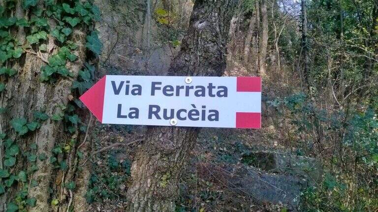
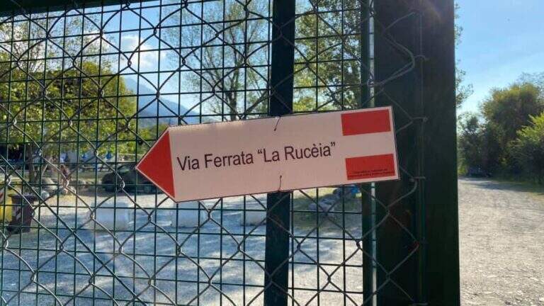
  • Ferrata della Ruceia in Condove

    Ferrata della Ruceia in Condove

    Vie Ferrate › Piedmont › Turin
    Ferrata della Ruceia in Condove

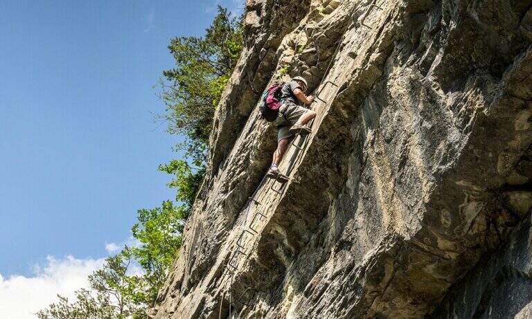
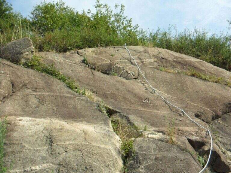
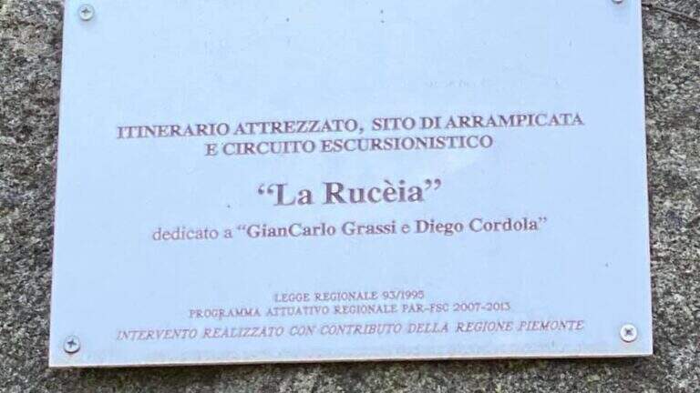
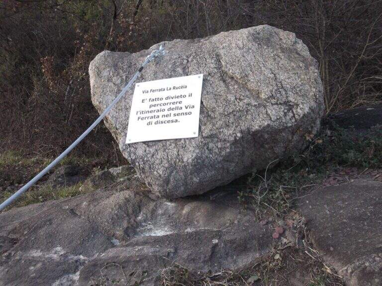
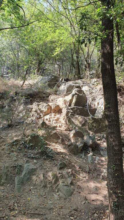
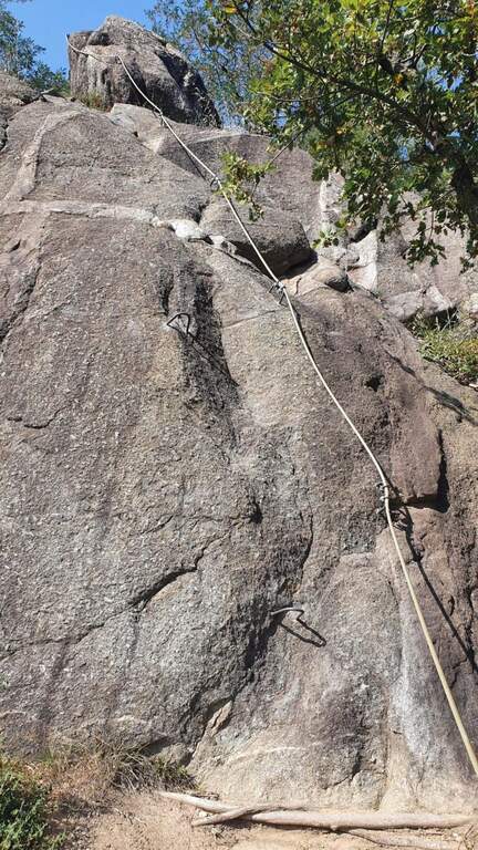
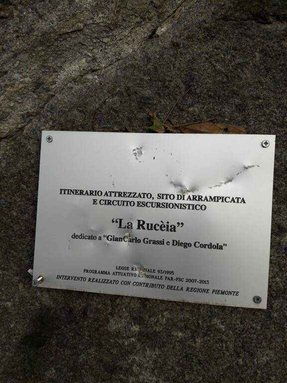
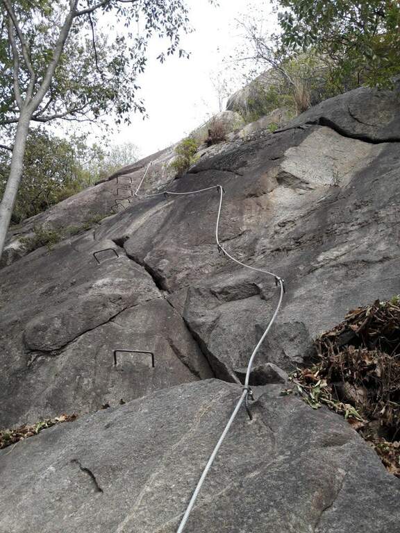
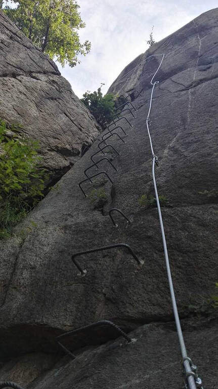
    The Ferrata della Ruceia è a recent street and facile, great to approach the neophytes to the equipped routes. It is divided into areas connected by path, no one with difficulty; of relief, è pleasant, short and accessible practically all l' year. È dedicated to alpinists Gian Carlo Grassi and Diego Cordola.

    ▲Approach

    Starting point the village of Condove (TO): cross the bridge over the creek Gravio and park immediately after, at l' equipped area and the adventure park on the creek. Open road signs on Google Maps. Follow the dirt road that runs along the adventure park and, in the woods, leads to l' attack (10' parking ).

    ▲The path

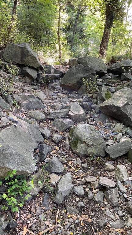
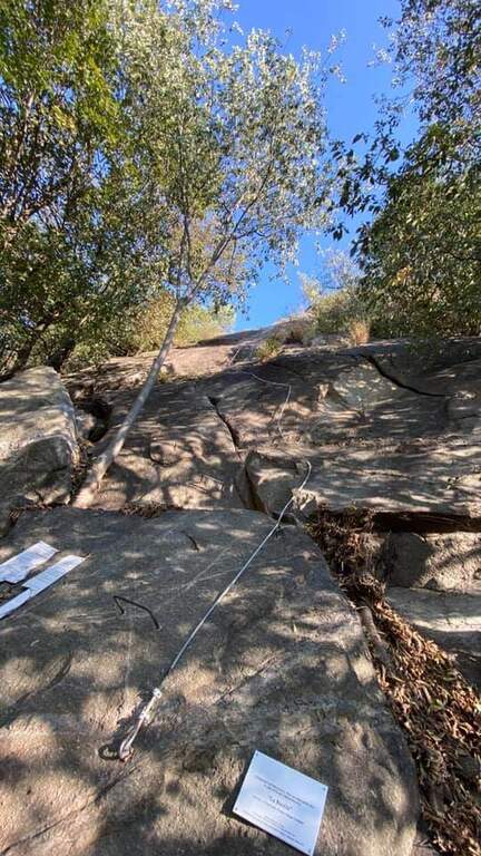
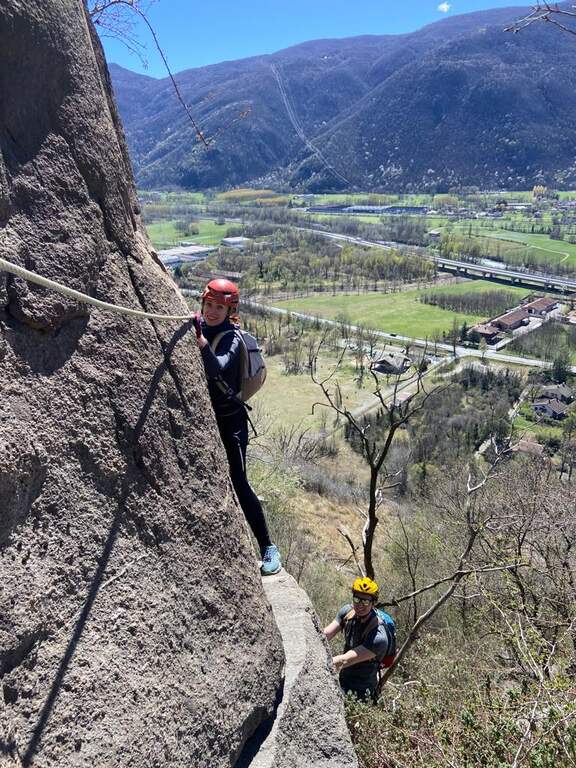
    The Via è made of più sections connected by pathways. The first section goes up a vertical wall on the plate, first straight then turning slightly left on some brackets; without the brackets it would be necessary to proceed in adherence. It overtakes a short stretch in slight overhanging (about 3 meters, easy with brackets) and closes with a first tilted plate then vertical. After the connecting path you go up a vertical stretch of 4 meters with brackets for the feet up to a small terrace; to the left a diagonal stretch with brackets, then a died supported più easy. The terza section è a vertical ridge, however circumventable on the right. The quarta and ultima, at the cliff of Roccabruna, goes on the left side a well-equipped vertical dihedron, then a left-hand traverse, a second similar dihedron and a vertical plate leading to the top (1h from' attack / 1h 15' totali).

    ▲Character and difficulty

    Adapted to beginners and also to the younger ones: abundantly equipped, without difficult passages; only the first stretch is a little more challenging than the others. Inaugurated in 2016 entitled Gian Carlo Grassi, a great mountaineer from Piedmont, originally from Condove, and Diego Cordola, author of the guide «Arrampicare a Caprie».

    ▲Period and safety

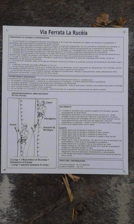
    Low altitude: accessible in most of the year with dry rock. However always necessary harness, helmet and hardware kit.

    ▲Discipline

    From the top you can può descend both from the left and from the right; & preferable the late right, less rough. In both cases you complete a ring tour and return to the parking lot (30' from the term / 1h 45' totali).

    ▲To match

    For brevity it easily connects with other routes of Val di Susa: la Ferrata Guido Rossa to Caprie and the Ferrata Carlo Giorda (to 10' by car), the Ferrata dell'Orrido di Chianocco, la Ferrata dell'Orrido di Foresto and, higher, the Ferrata del Rouas bardonecchia.

    ▲Gallery
    Technical data
    • DifficultyEasy
    • RegionPiedmont
    • GroupVal di Susa
    • Approach0:10 h
    • Ferrata1:00 h
    • Itinerary (a/r)1:45 h
    • Hardware level difference150 m
    • Route difference160 m
    • Max541 m
    • Length1,2 Km
  • Ferrata Poppele Knott in Laces (Val Venosta)

    Ferrata Poppele Knott in Laces (Val Venosta)

    Vie Ferrate › Trentino-Alto Adige › Bolzano
    Ferrata Poppele Knott in Laces (Val Venosta)

    The Ferrata Poppele Knott is a short equipped street just above Laces, in Val Venosta: short and uncomplicated itinerary, perfect for a half day or for those who move the first steps on the ferrates. The name comes from a big erratic rock, the Poppele Knott, which meets right near the attack.

    ▲Approach

    You leave l' car to the small parking lot of the church in locality; Tiss, near Laces (about fifteen places). Open road signs on Google Maps. From the parking lot take the road that descends towards sinistra among the apple groves; in about ten minutes you arrive almost to the state of Stelvio. Shortly before reaching it, on the sinistra, a pole clearly signals the ferrata («Tiss Klettersteig»); a last steep tear in the wood leads to all' attack (15' from parking ).

    ▲The path

    The street is short: about 60 m of height difference for 0,6 km of development, available in about twenty minutes, with a maximum quota around 750 m. At present the source does not publish the detailed description, step by step, of the equipped section: for correctness we do not bring it back and we stick to the only certain data (development, difference in level, times and degree). The overall character is easy, in a sunny setting between the apple trees of Val Venosta.

    ▲Character and difficulty

    Difficultà facile, also suitable for those who ` the first experiences on an equipped basis. The brevità makes it ideal as an introductory exit or as a complement of one' another in the area.

    ⚠ Although it is easy to use a rock-mounted road: imbrago, helmet and homologated ferrata kit are mandatory. It should be covered with dry rock.
    ▲Period and safety

    Low altitude: accessible in most of the season with dry rock. In summer the wall remains exposed to the sun.

    ▲Discipline

    After finishing the ferrata follow the sentiero 5A towards sinistra, which in about fifteen minutes reports all' attack; from here you return to the parking lot (circa 50' in total).

    ▲To match

    In the surroundings, in Naturno, the difficult Ferrata Hoachwool and varied Ferrata Knott; in Merano Ferrata Heini Holzer (deadly difficult), good next step to raise the degree. Recently inaugurated: the Ferrata Olberg near Vipiteno (2022) and the Ferrata Larix in Val Senales (2022). Along the state road of Stelvio you reach the Ferrata di Trafoi; to Trento, of medium difficulty, the Ferrata Mendola al Roen e la Ferrata di Favogna.

    ▲Gallery
    Technical data
    • DifficultyEasy
    • RegionTrentino-Alto Adige
    • GroupVal Venosta
    • Approach0:15 h
    • Ferrata0:20 h
    • Itinerary (a/r)0:20 h
    • Hardware level difference60 m
    • Route difference90 m
    • Max750 m
    • Length0,6 Km
  • Ferrata Malfatti al Sumbra

    Ferrata Malfatti al Sumbra

    Vie Ferrate › Tuscany › Lucca
    Ferrata Malfatti al Sumbra

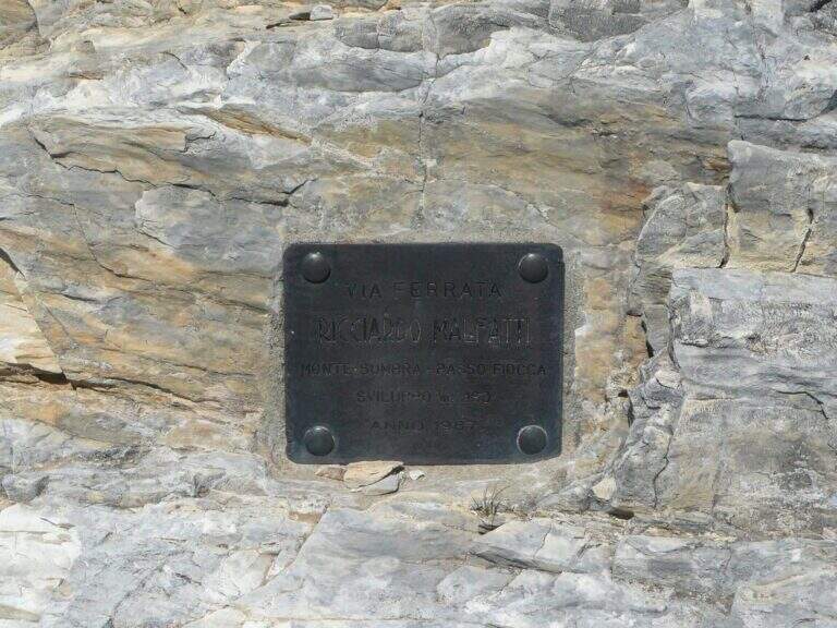
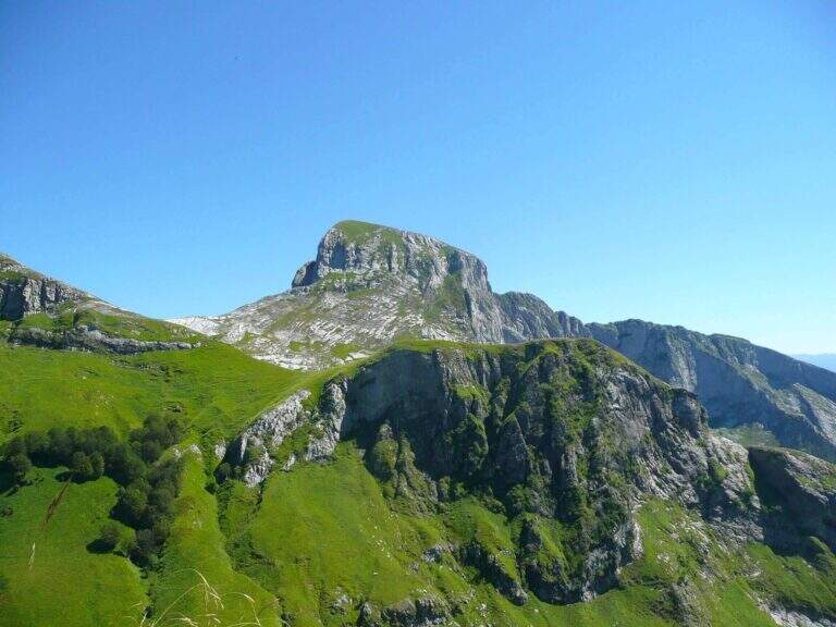
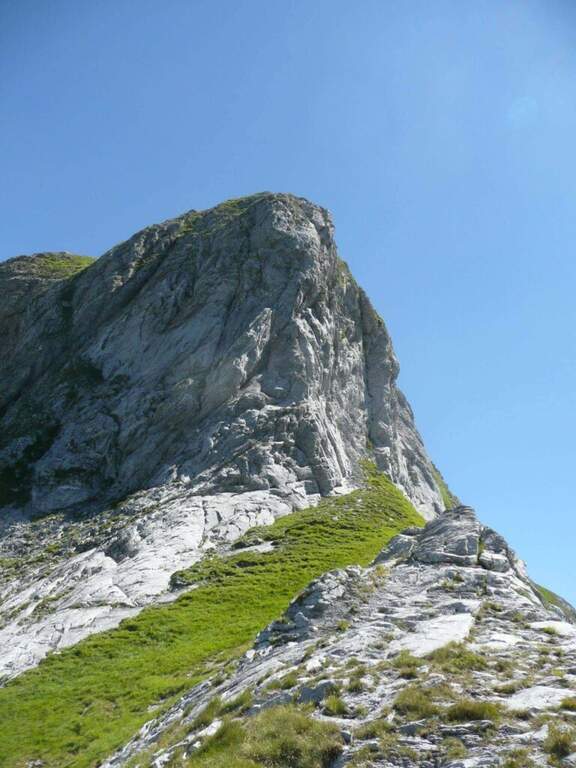
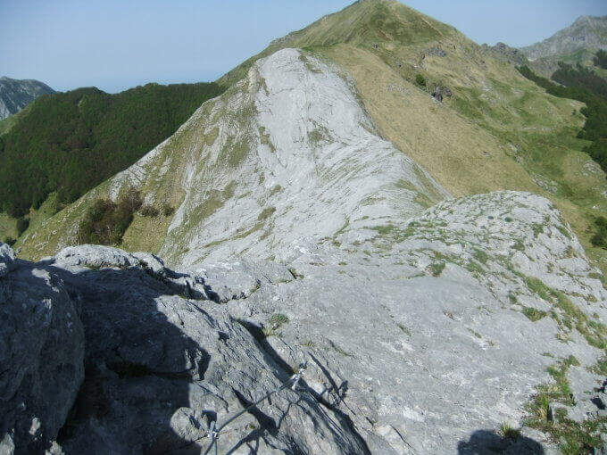
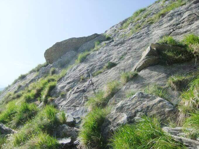
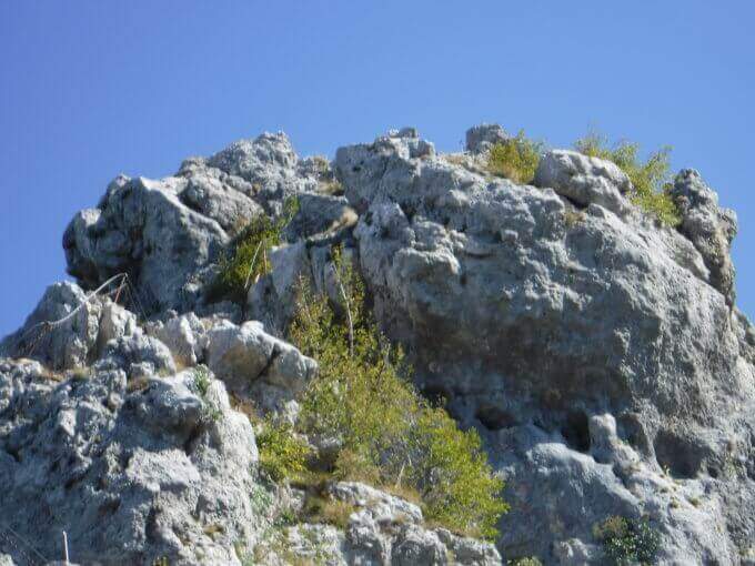
    The Ferrata Malfatti is an easy road that goes up Monte Sumbra from the slope of Passo Fiocca, in the southern Apuans. It develops above all on grassy balconies exposed but never complicated, with the cable that acts as a handrail: a route suitable for those who approach the ferrates.

    ▲Approach

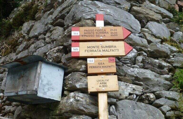
    The starting point is the village of Arni (Lucca), reachable from the Garda side or from the Versilia along the SP13: from Garfagnana (Castelnuovo) turn right before the gallery towards Campagrina and Arni; from Versilia you pass the gallery and turn left for Arni. Starting point on Google Maps. Parked at the obvious church, you climb the staircase and behind you take a road towards the last houses of Arni, where the CAI 144 path begins for the Fiocca Pass (1560 m). The path climbs steep between junipers and shrubs, then halfway the south wall of Monte Fiocca (traccia not always evident, follow the signs); after Malpasso (1h 40' from the parking lot) you face a passage not protected a bit more complex and exposed. Then you enter a beech forest, you get two often dry streams and, beyond a grassy stretch, you reach a saddle; from here a steep slope of rocks and then naked marble leads to Passo Fiocca (2h 30' from the parking lot). From the pass turn right onto the CAI 145 towards the wall of the Sumbra and in a short time you reach the attack (15' from the Fiocca Pass, 2h 45' from the parking lot).

    ▲The path

    The road goes up the south slope of the Sumbra, daring at first sight but in reality more equipped path than real ferrata. Start by reassembling some rocks and continue between exposed grassy balzes until you get on the main path for the summit (30' from the attack, 3h 15' from the parking lot). Turning left on steep ascent you will arrive in short at the top of Mount Sumbra, with satisfying view between the Apennines, sea and Apuane (3h 25' from the parking lot).

    ▲Character and difficulty

    Technical difficulty contained, with the value of bringing to the top of a mountain: a good choice to start with the ferrates.

    ⚠ The equipment is not all in good state of maintenance. To avoid bad weather: the CAI 144 between Arni and Passo Fiocca has points that become ostic with wet soil.
    ▲History

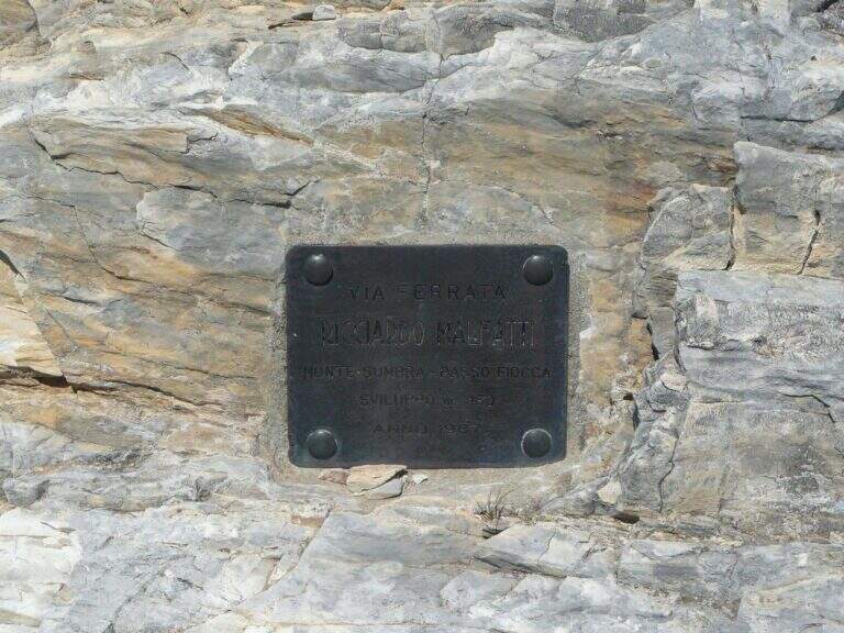
    Ferrata Malfatti was installed in 1987.

    ▲Discipline

    From the summit the ferrata goes back to Passo Fiocca, where there are two options: redefine the steep CAI 144 backwards towards Arni (about 2h from Sumbra, 5h 30' total); or continue straight on CAI 144 (and climb to Monte Fiocca in 40' a/r) that, bypassing the north wall of Fiocca, leads to Passo Sella, from which 31.

    ▲To match

    For length and difference in altitude it is difficult to concatenate in the day, but stopping in the southern Apuans you can walk in the adjacent days Ferrata Salvatori e la Ferrata del Procinto.

    ▲Gallery
    Technical data
    • DifficultyEasy
    • RegionTuscany
    • GroupApuan Alps
    • Approach2:45 h
    • Ferrata0:30 h
    • Itinerary (a/r)5:30
    • Hardware level difference180 m
    • Route difference849 m
    • Max1765 m
    • Length12,5 Km
  • Ferrata Ra Pegna

    Ferrata Ra Pegna

    Vie Ferrate › Veneto › Belluno
    Ferrata Ra Pegna

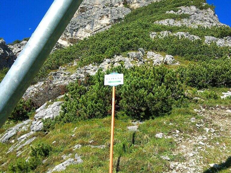
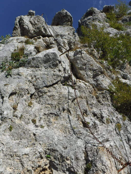
    The recent Ferrata Ra Pegna climbs the homonymous rocky monolith between the Duca d'Aosta Refuge and the Pomedes Refuge, above Cortina d'Ampezzo. It is an easy ferrata, inserted in a short itinerary suitable for neophytes and families.

    ▲Approach

    There are two starting points. You can climb from Cortina to the Falzarego Pass and take the right road to the Dibona Refuge; at a crossroad where on the right you go up to the Duca d'Aosta Refuge you should park in the beach near the crossroads, because the road is accidents (useful option to combine the ring return with the Astaldi Trail). Starting point on Google Maps. Alternatively, park at the large square of the Baita Pie Tofana (1675 m), from which a chairlift goes up to the Duca d'Aosta Refuge (useful option for jumping the approach or returning to the chairlift). For the ferrata you can reach the Rifugio Duca d'Aosta (2098 m): from the junction, 405 mark, about 30'; or by chairlift; or for the Sentiero dei Camosci (405) from the hut (1h 30'). From the hut a chairlift climbs towards Pomedes in the valley between two monoliths: on the right the Ra Bujela (with Ferrata Maria and Andrea Ferrari), on the left the Ra Pegna. On Ra Pegna you can see a rocky rib on the left side: the attack is under that rib, reached up to the slopes up to a sign on the left side (10' from the Rifugio Duca d'Aosta).

    ▲The path

    The street rises where the diagonal plate meets the rocky rib, forming a supported dihedron. Rockets rise and easy leaps for about ten minutes without any particular difficulty; under a rocky roof you go through a nod to the right, then you go still diagonally to the right and you face a well-dressed vertical leap (the key step). Continue on rocks and stretches of path equipped to the last easy meters and to the top of the monolith, with a splendid view on Punta Anna and the Tofane. It is advisable not to remove the sling: some easy stretches to the east and, with a ladder, a more marked leap that closes the way (45' from the attack, 1h from the Rifugio Duca d'Aosta).

    ▲Character and difficulty

    Easy fitting without challenging steps that, for the brevity of approach and return, is also accessible by families.

    ⚠ Although easy remains an equipped road with a stretch of descent: helmet and set of necessary ferrata, attention to the return ski slope.
    ▲Discipline

    From the end you turn right down the steep ski slope to the Rifugio Duca d'Aosta, already visible (15' from the end); from here you return to the car park backwards to the approaching path.

    ▲To match

    Easily match the neighbor Ferrata at Ra Bujela (longer and harder). Climbing towards the Pomedes the Path equipped Astaldi and, towards the Tophans, the Ferrata Olivieri e la Ferrata Aglio. Towards the Falzarego Ferrata Tomaselli, la Ferrata at Col dei Bos e la Ferrata all'Averau.

    ▲Gallery
    Technical data
    • DifficultyEasy
    • RegionVeneto
    • GroupTofane – Dolomiti Ampezzane
    • Approach1:00 h
    • Ferrata0:45 h
    • Itinerary (a/r)2:15 h
    • Hardware level difference100 m
    • Route difference200 m
    • Max2241 m
    • Length1,5 Km
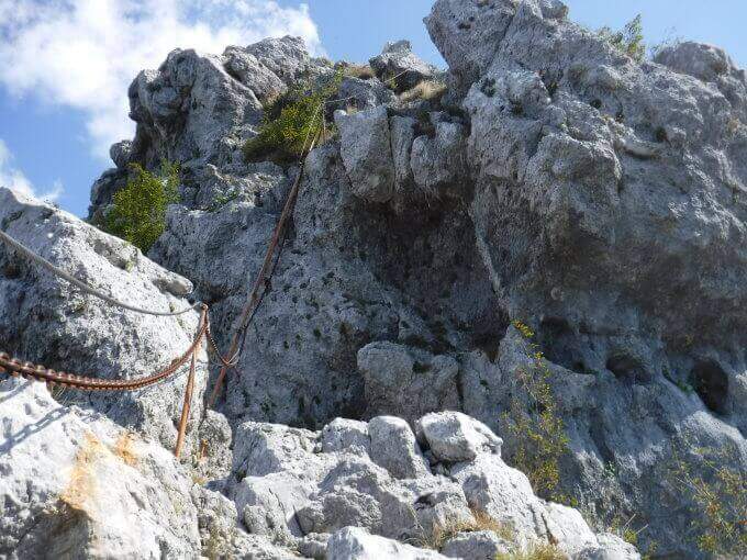
  • Ferrata Ra Gusela at Nuvolau

    Ferrata Ra Gusela at Nuvolau

    Vie Ferrate › Veneto › Belluno
    Ferrata Ra Gusela at Nuvolau

    The easy Ferrata Ra Gusela climbs the south wall of the Nuvolau Group, in the Dolomites Ampezzane. It is suitable for neophytes, with no significant technical difficulties, and very beautiful landscape, with medium length approach and return. You can walk both from the Giau Pass and from the Falzarego side, possibly shortening with the plants.
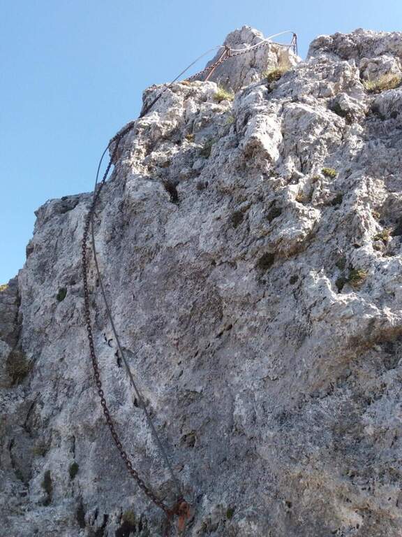
    ▲Approach

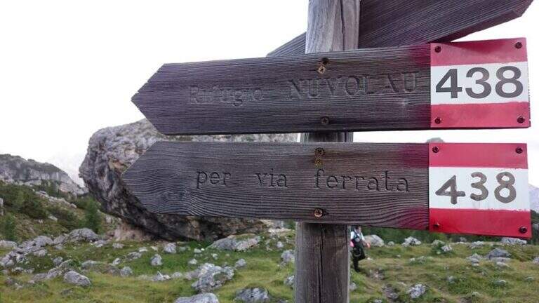
    The most logical option is from Passo Giau (2236 m), going up from Cortina d'Ampezzo or from Selva di Cadore, to close a ring without implants. Starting point on Google Maps. From the pass you walk north, towards the Nuvolau, and in less than 10' you reach a crossroads: to walk uphill you hold the right (path 443), then return on path 452. Continue north-east on a wide path to another crossroads, where the left is held on path 438 (indications for the Ferrata and the Nuvolau Refuge); the 438 is steep up to the first wire rope, at an easy nod (1h from the Giau Pass).

    ▲The path

    From the first cable you follow the right-hand side: it is wide and without difficulty, with the cable that acts as a handrail, and bypasses a edge taking under the yellowish eastern wall of Ra Gusela, where a canal cuts the mountain diagonally. You reach the canal with the nod, you climb easy rocks and you enter the canal, from the friable soil, holding on the left side along the rope; a more vertical leap is exceeded with a short metal ladder. Exit from the canal, after a few easy leaps you go through a new nod until a fork, besides which a plateau leads to the Nuvolau Refuge (attention not to lose the signs). There are about 60 meters of altitude to the ridge: first a census, then an edge that leads to greater exposure on the final ridge, with a first metal ladder, a couple of passages on exposed but not difficult rocks and a second ladder; in short you will reach the Nuvolau Refuge (2575 m, 1h from the attack, 2h from the Giau Pass).

    ▲Character and difficulty

    Itinerary easy, without difficult steps and exposed only in a few points: ideal also for half-day excursions and for those who approach the ferrates.

    ⚠ Attention to the friable bottom of the canal and to the stretches of crest exposed; however easy, remains a road equipped with helmet and iron set.
    ▲Discipline

    Follow the tourist path that descends gently north to Forcella Nuvolau and to the Averau refuge (from which the Ferrata to Auverau leaves); from here you return to the Giau Pass with the path 464/452 to the left (1h 30' from the term, 3h 30' total), or you go right to the Scoiattoli Refuge with the 439 (1h from the term).

    ▲To match

    The Nuvolau Group joins the neighbor Ferrata all'Averau; towards Selva di Cadore the easy Ferrata at Sass de Rocia. Towards the Civetta three challenging routes: the Ferrata degli Alleghesi, la Ferrata Tissi e la Ferrata Fiamme Gialle al Pelsa, up to Ferrata Costantini at Moiazza; towards Cortina la Ferrata Sci Club 18 faloria.

    ▲Gallery
    Technical data
    • DifficultyEasy
    • RegionVeneto
    • GroupNuvolau – Dolomiti Ampezzane
    • Approach1:00 h
    • Ferrata1:00 h
    • Itinerary (a/r)3:30 h
    • Hardware level difference174 m
    • Route difference338 m
    • Max2574 m
    • Length6,6 Km
Need help? Write to us!