Gruppo: Prealpi Carniche

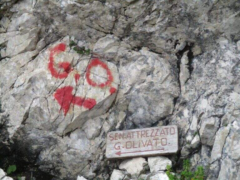
  • Sentiero Attrezzato Olivato – Monte Miaron

    Sentiero Attrezzato Olivato – Monte Miaron

    Vie Ferrate › Friuli-Venezia Giulia › UD
    Sentiero Attrezzato Olivato – Monte Miaron
    Moderately Hard● OpenDescriptionComplexityMapsGallery

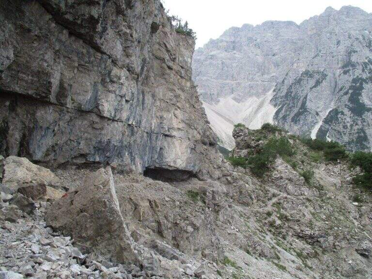
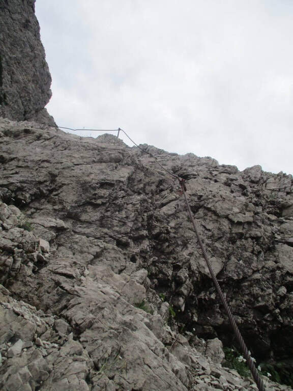
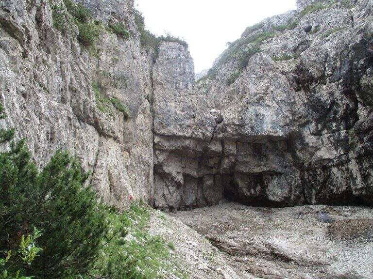
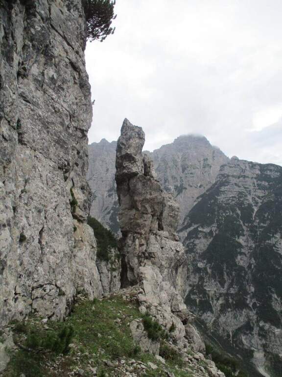
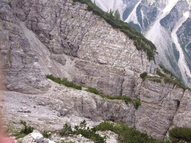
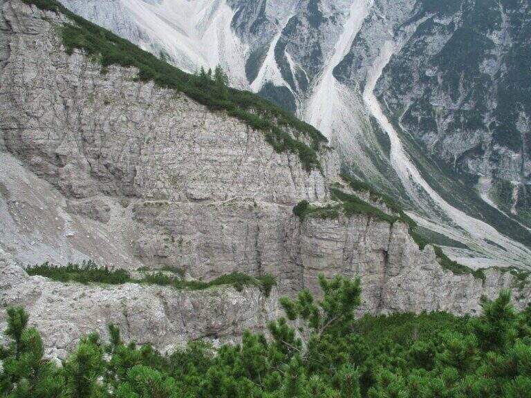
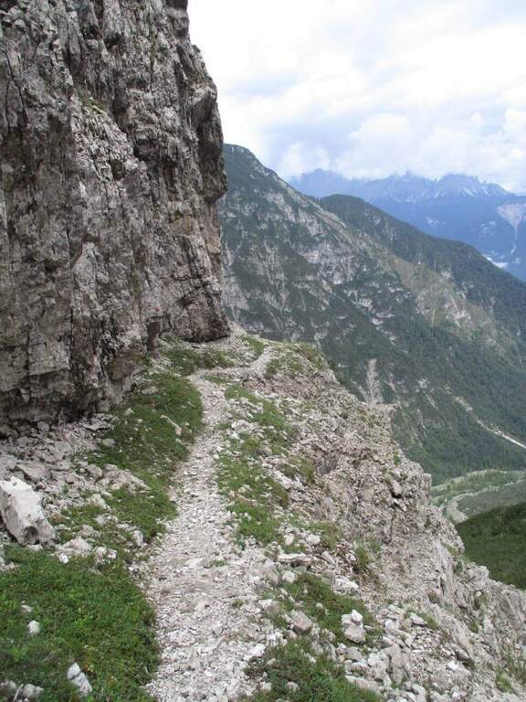
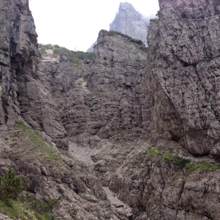
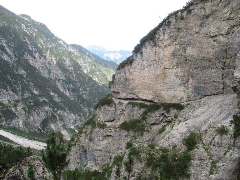
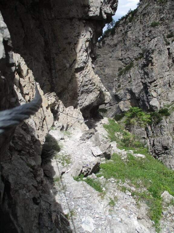
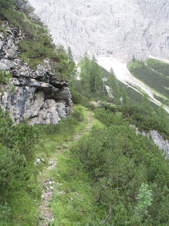
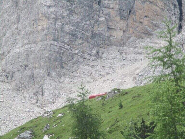
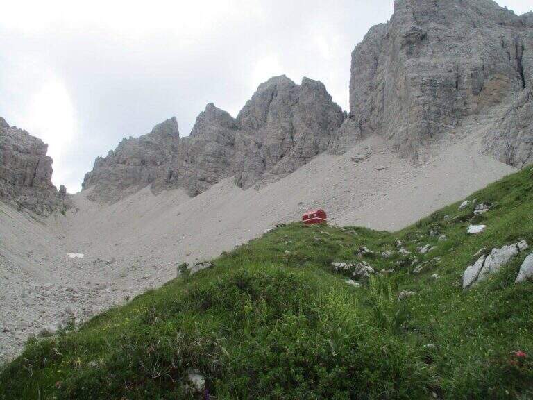
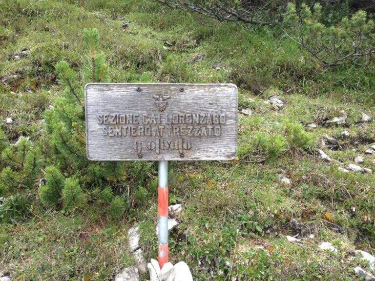
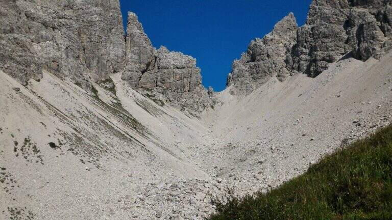
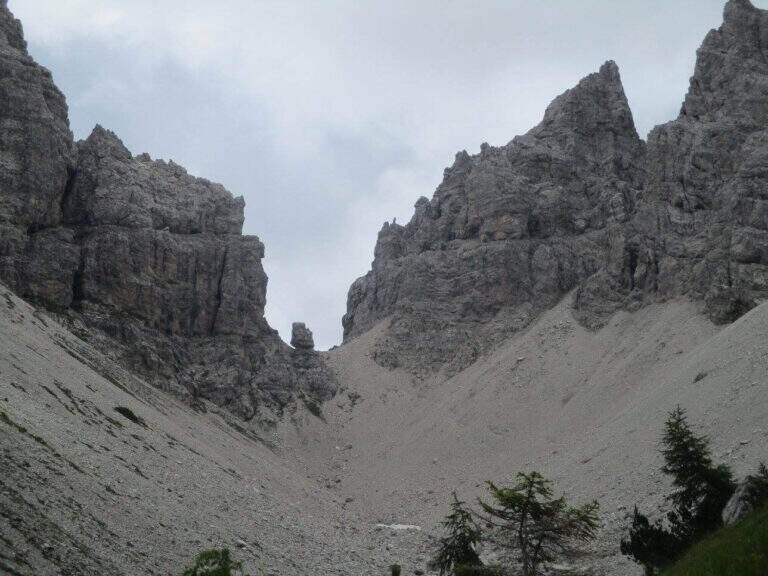
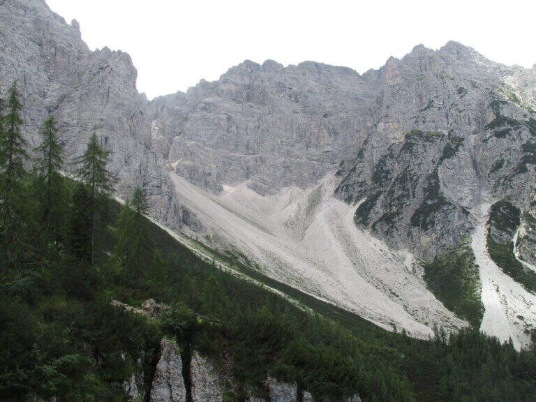
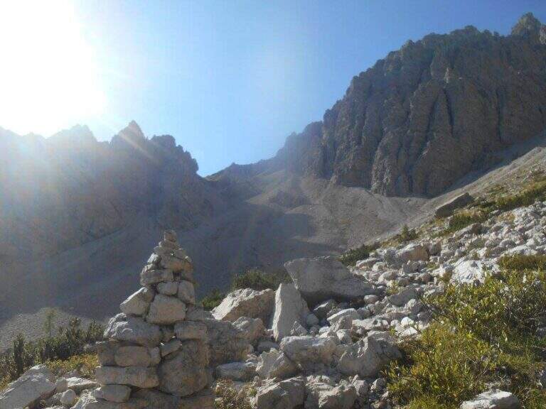
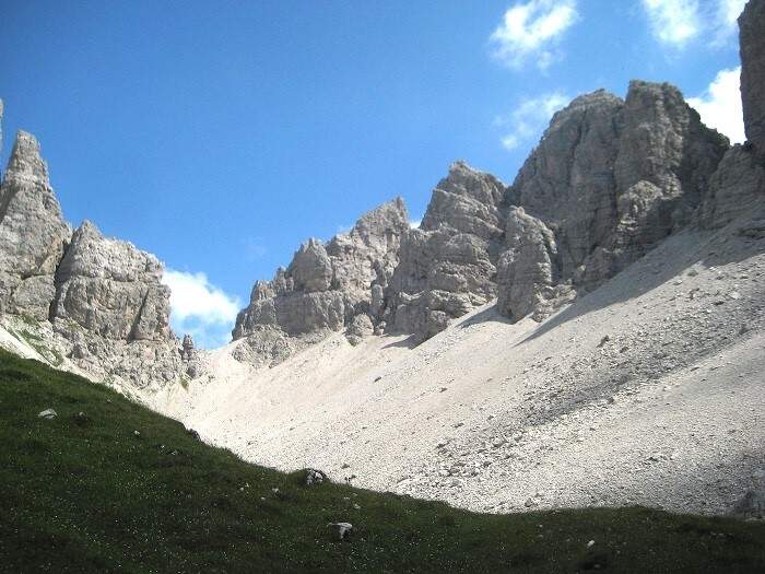
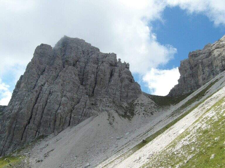
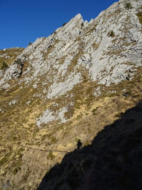
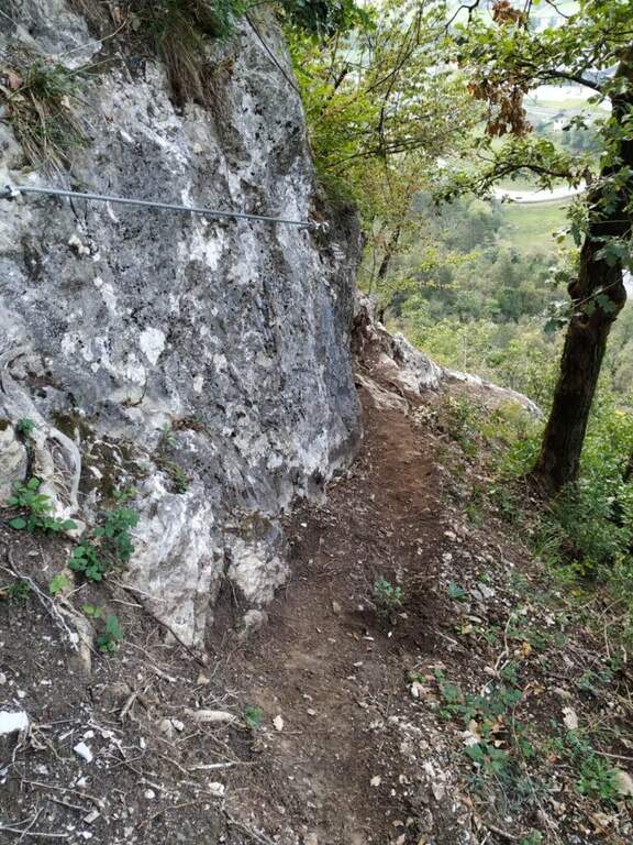
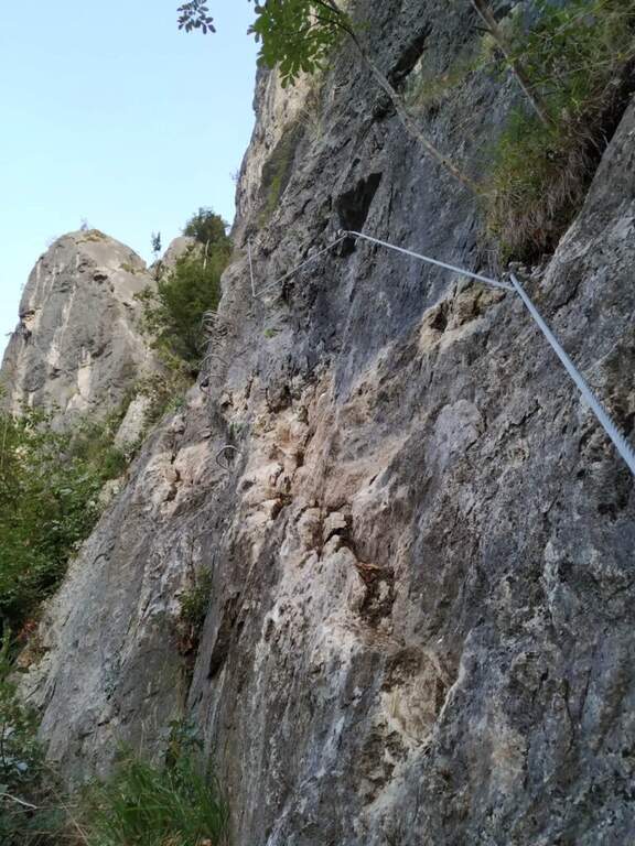
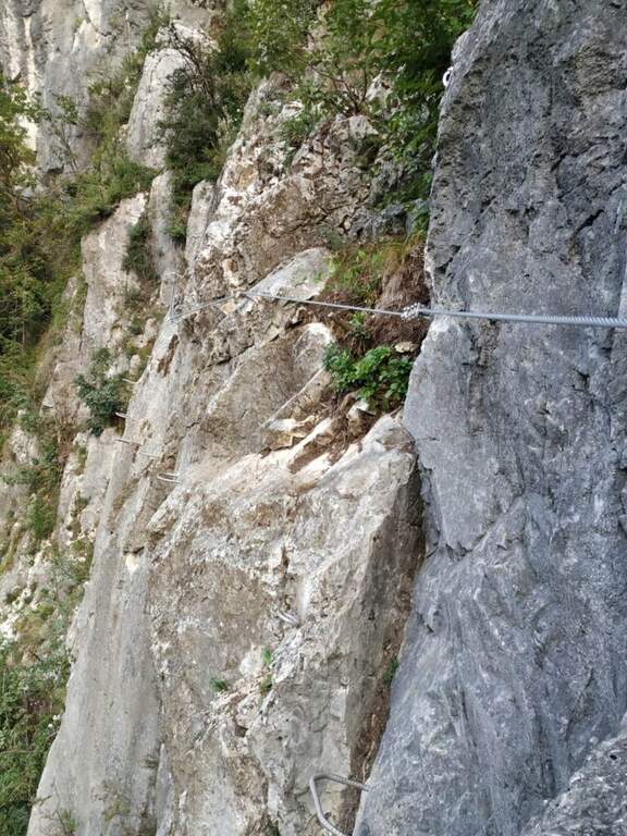
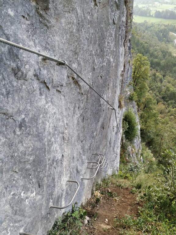
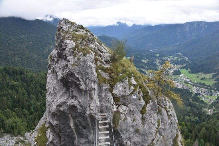
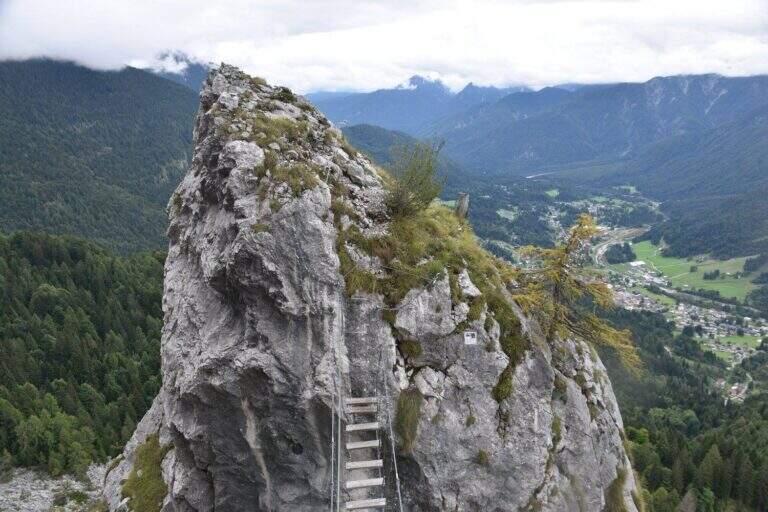
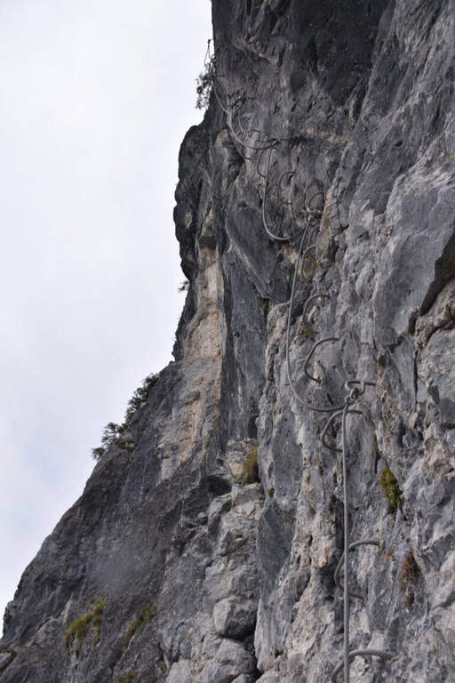
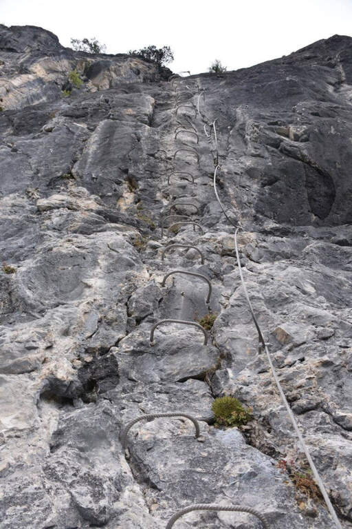
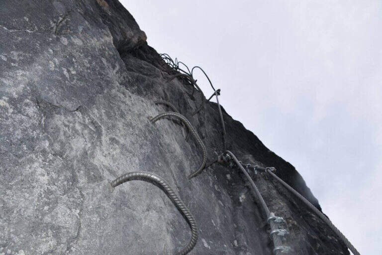
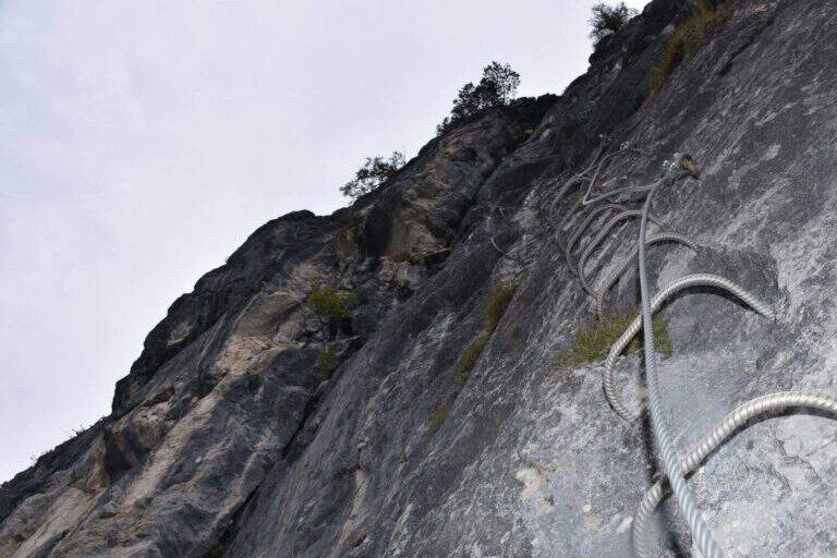
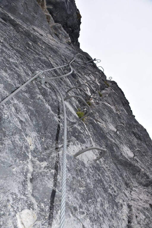
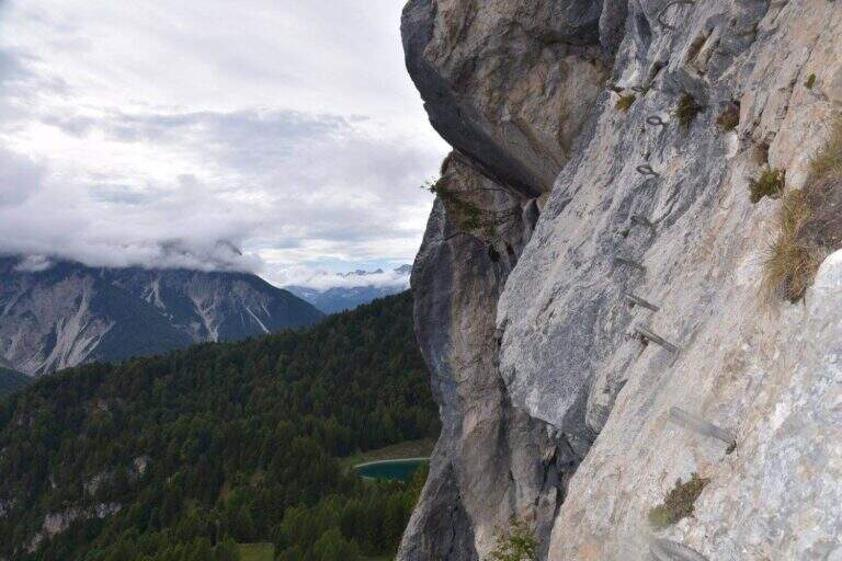
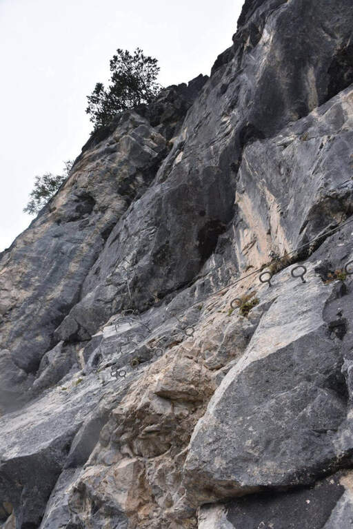
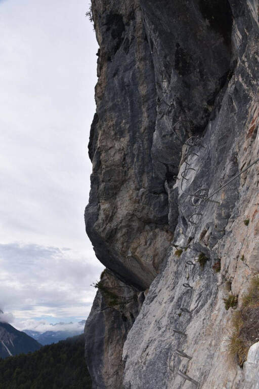
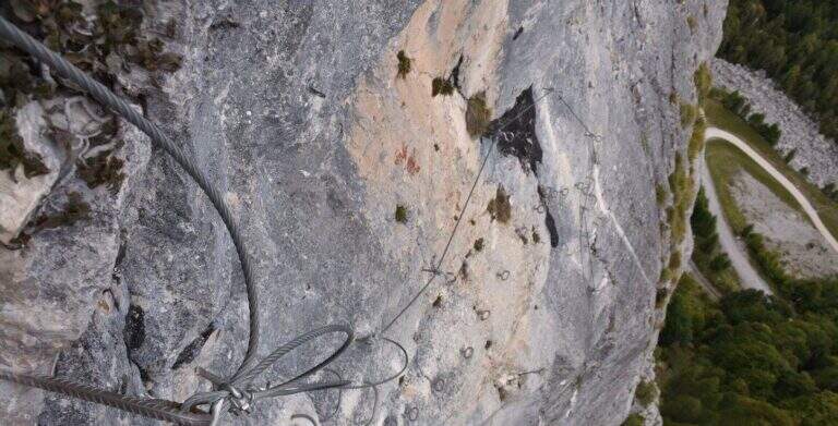
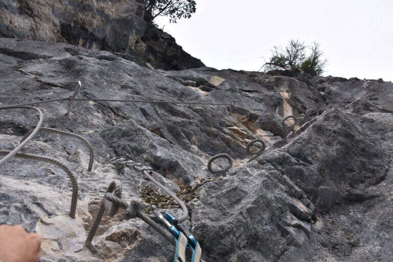
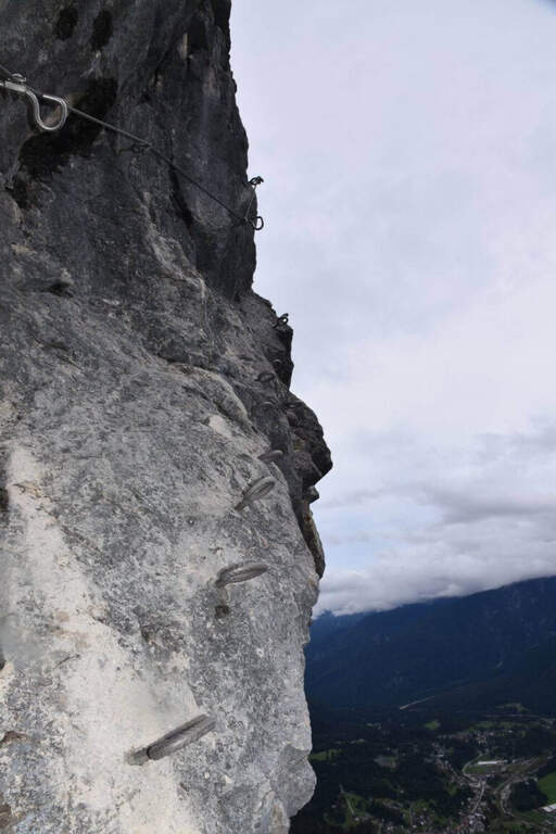
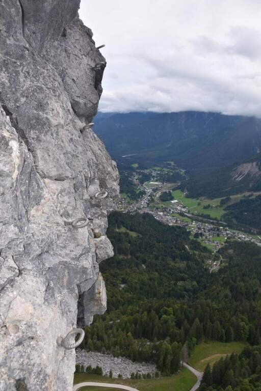
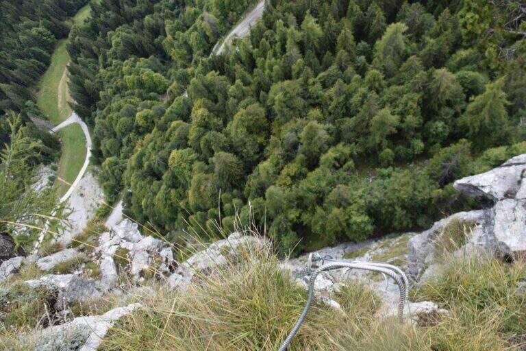
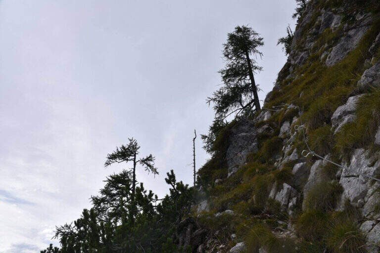
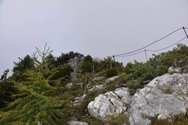
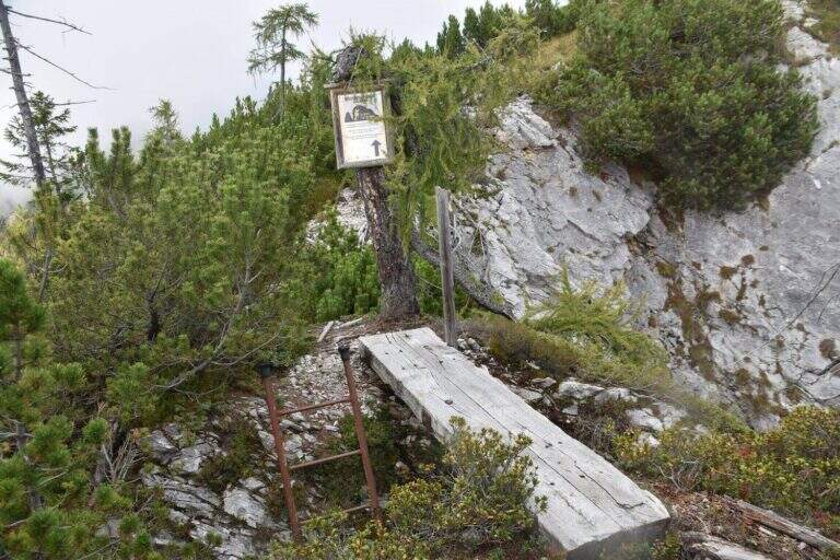
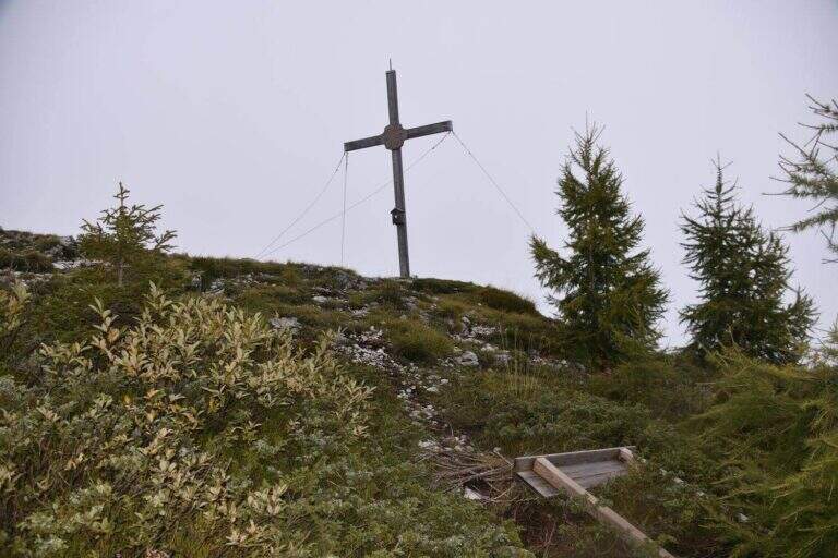
    The route to Mount Miaron starts from the Mauria Pass and goes up the north-west side of the mountain along the cenges and canalons, with short stretches equipped, up to the Bivacco Vaccari at 2050 m. A corner of the Carnic Prealps not frequented, with wild environments and a key section on the guinea without protections that is the true discriminating passage of the excursion.

    ▲Approach

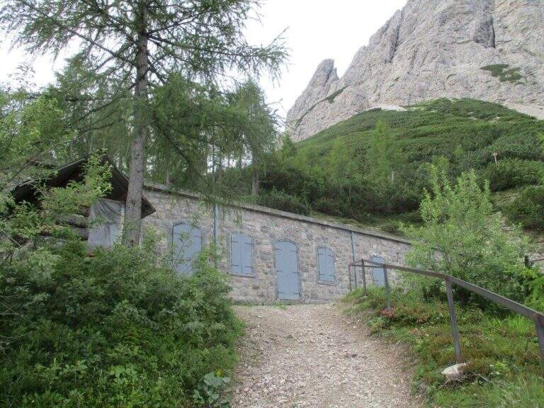
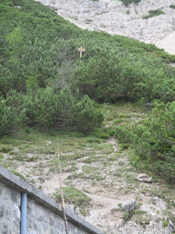
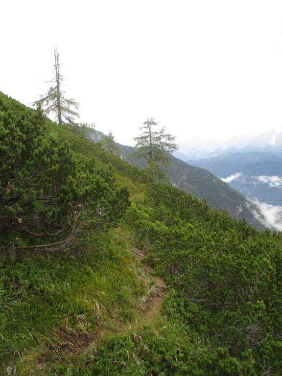
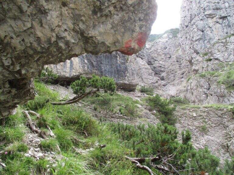
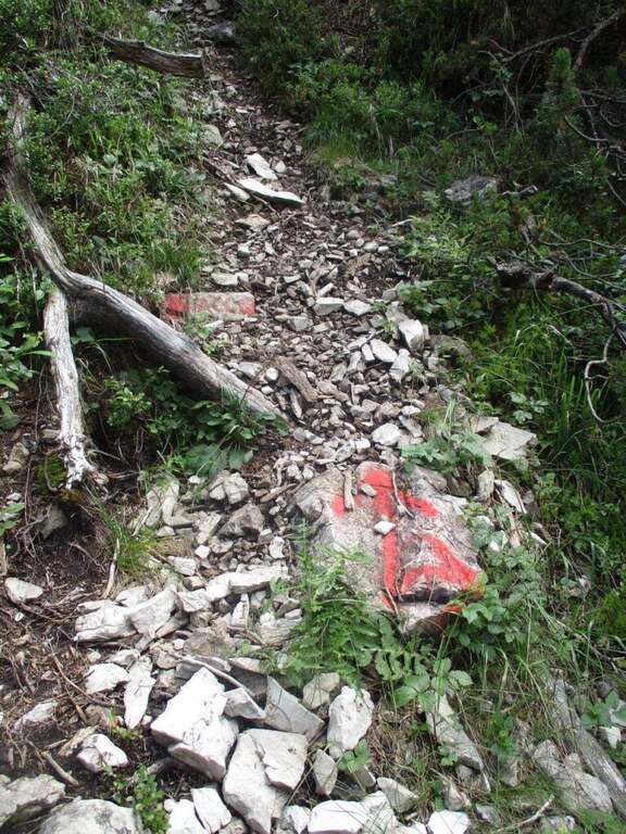
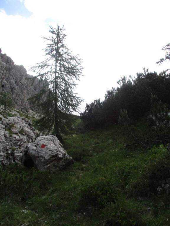
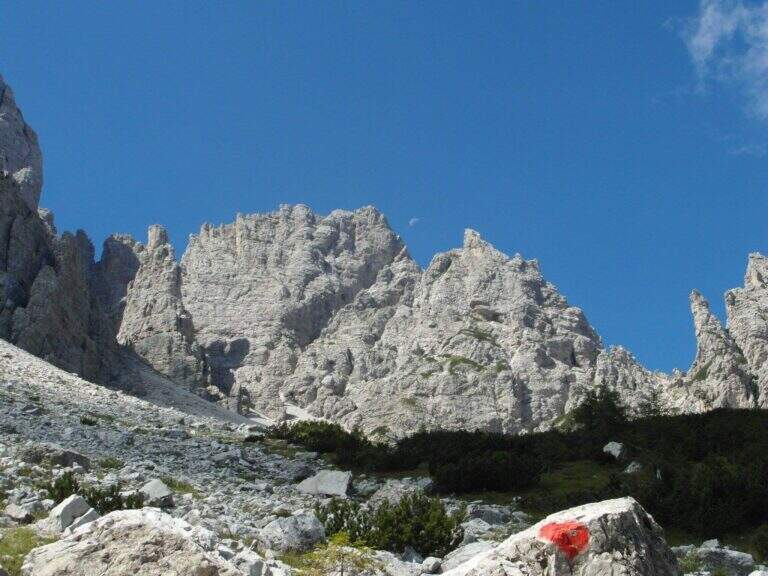
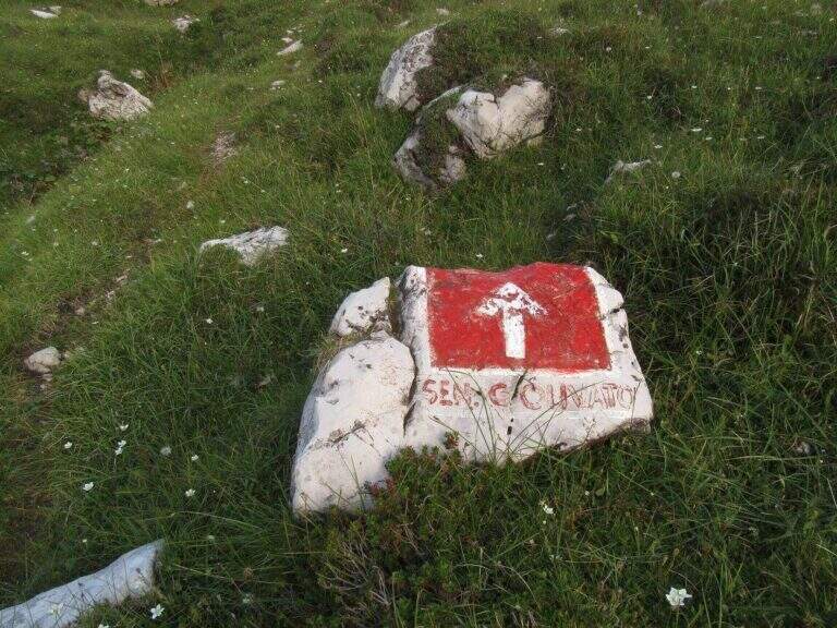
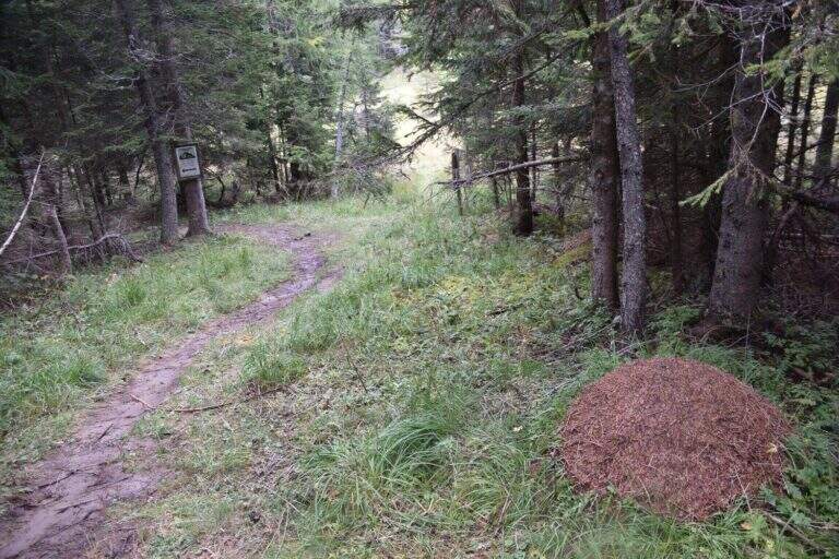
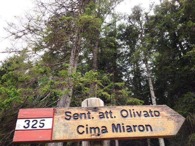
    From the Mauria Pass (1298 m, directions road map) take the trail 325, prohibited by cars. You can reach the Military Miaron in about 45 minutes. At the biforcation you leave the path 327 (normal road) and take the 325 to the right, which leads on a halfway between mughi on the NW side. A red indication signals the deviation towards the detritic ski lift.

    ▲The path

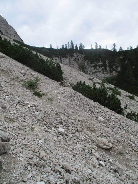
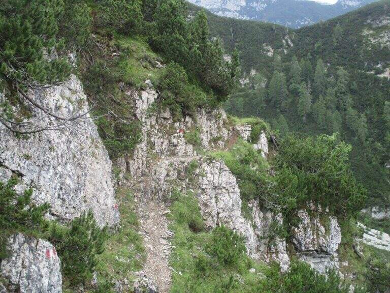
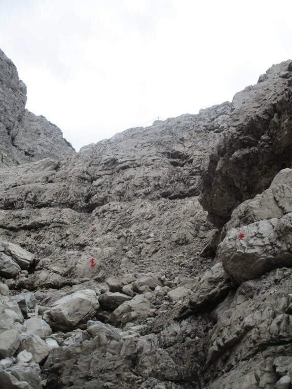
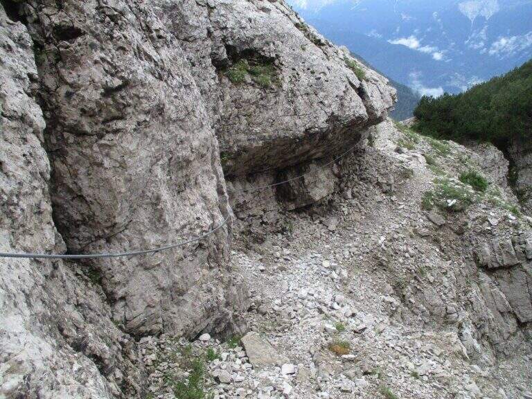
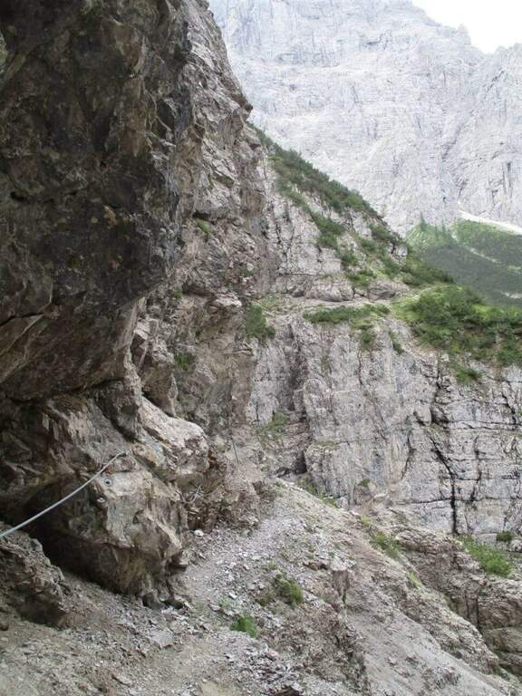
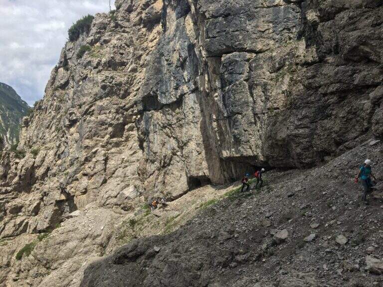
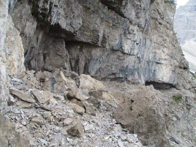
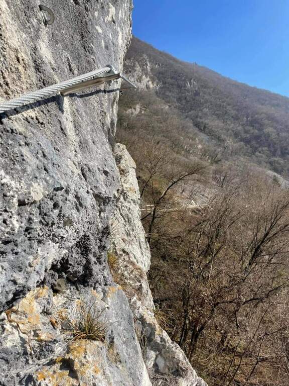
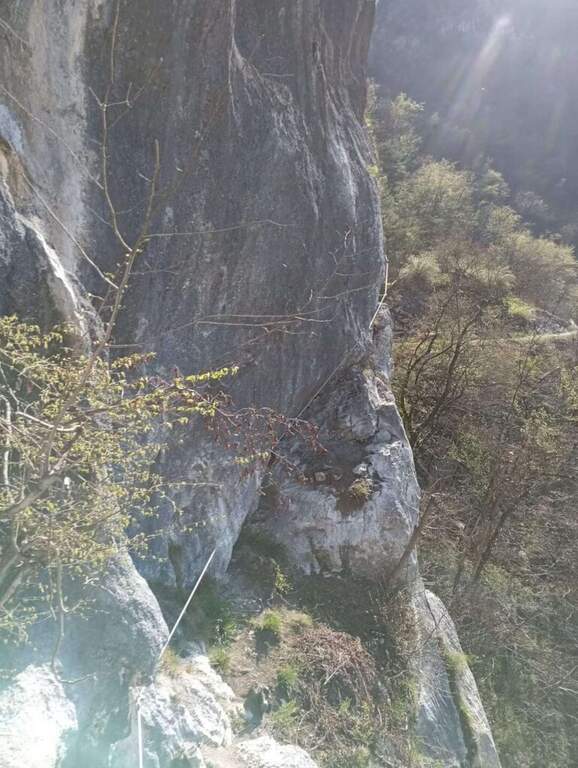
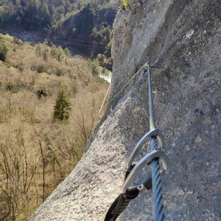
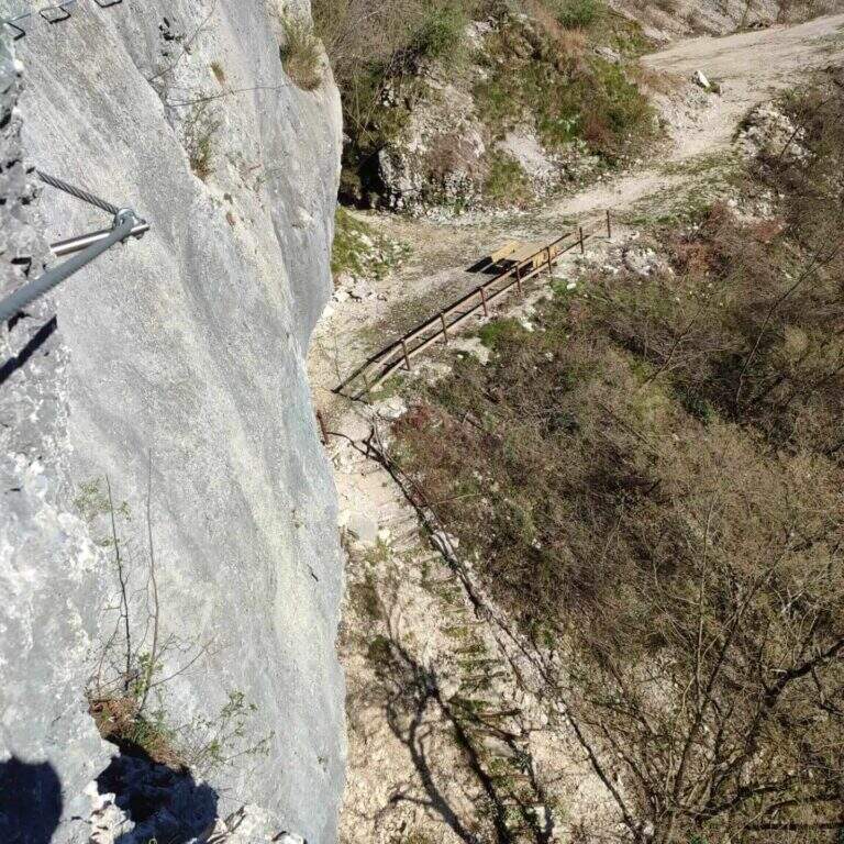
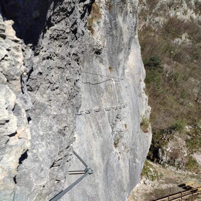
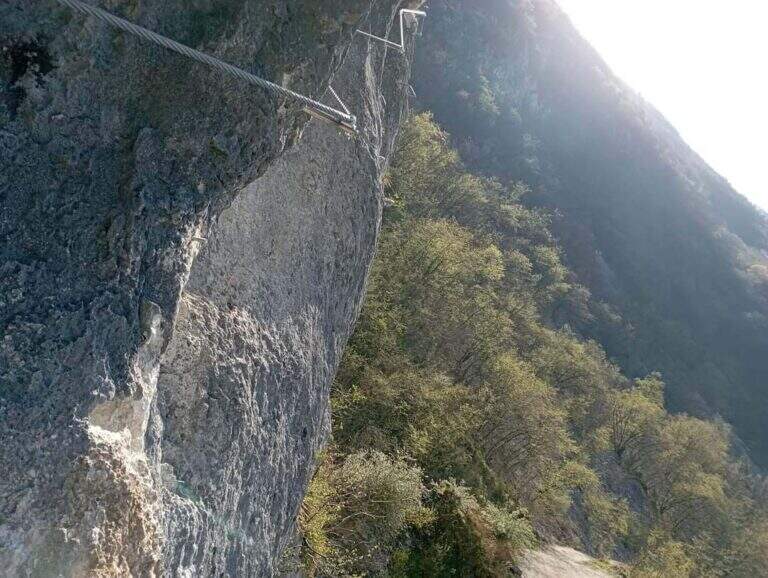
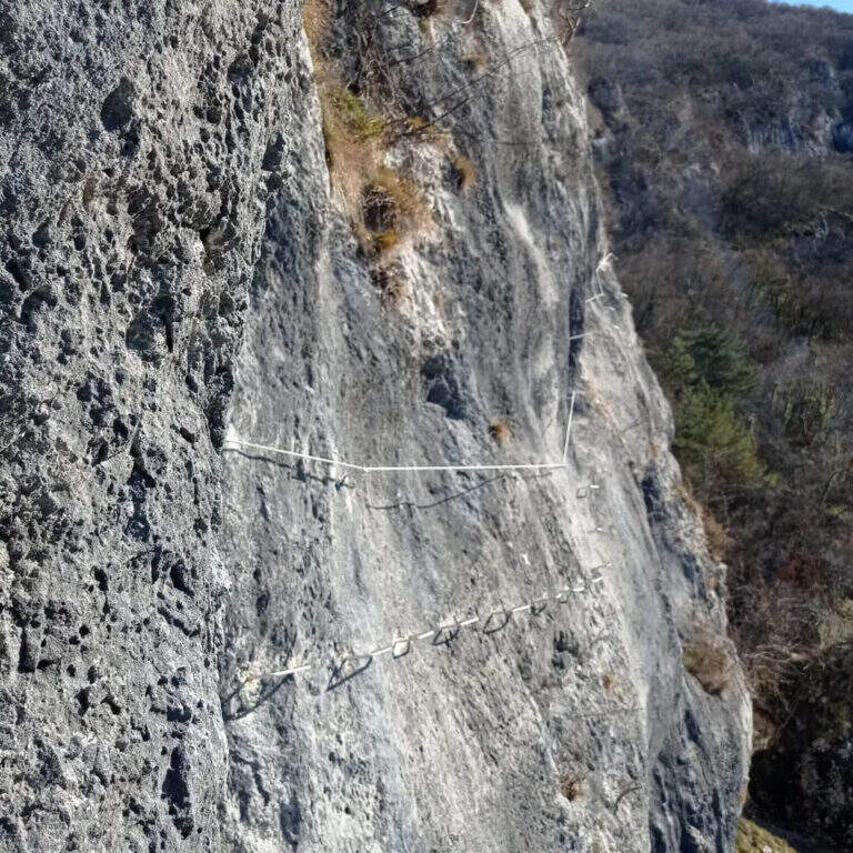
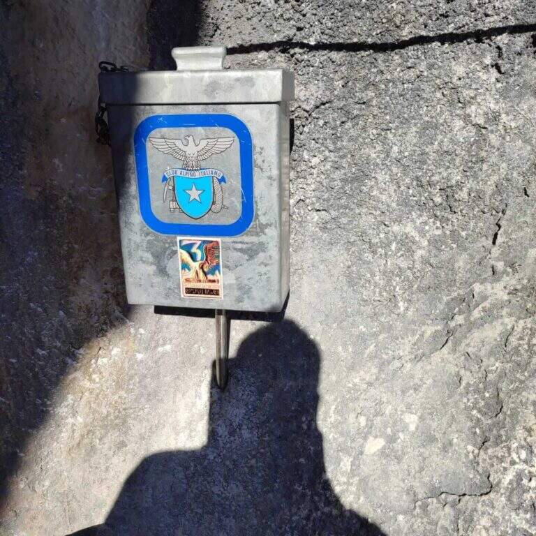
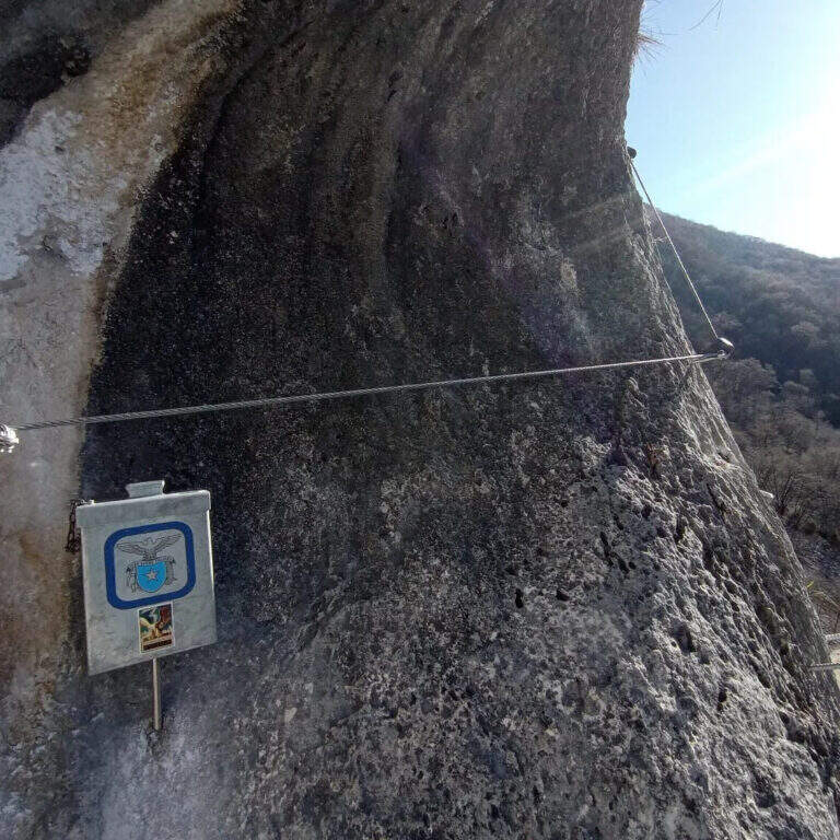
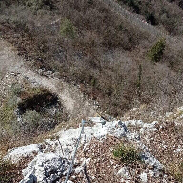
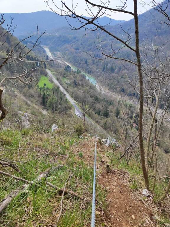
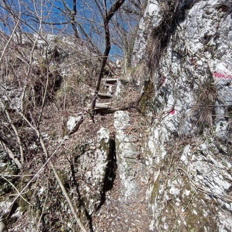
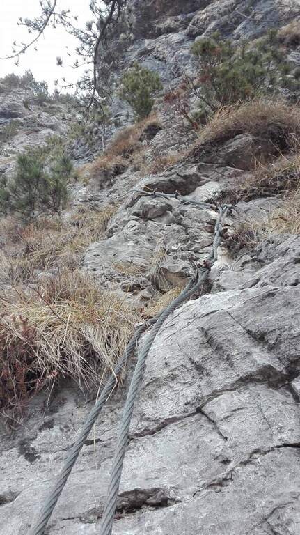
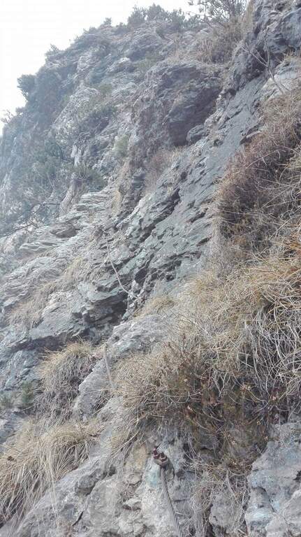
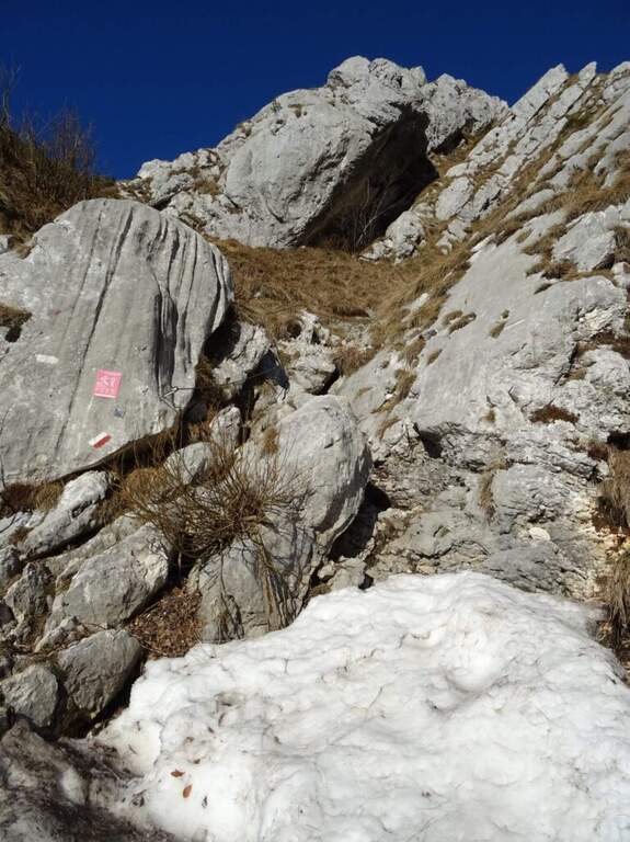
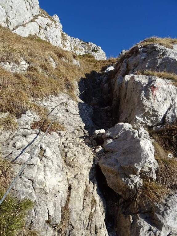
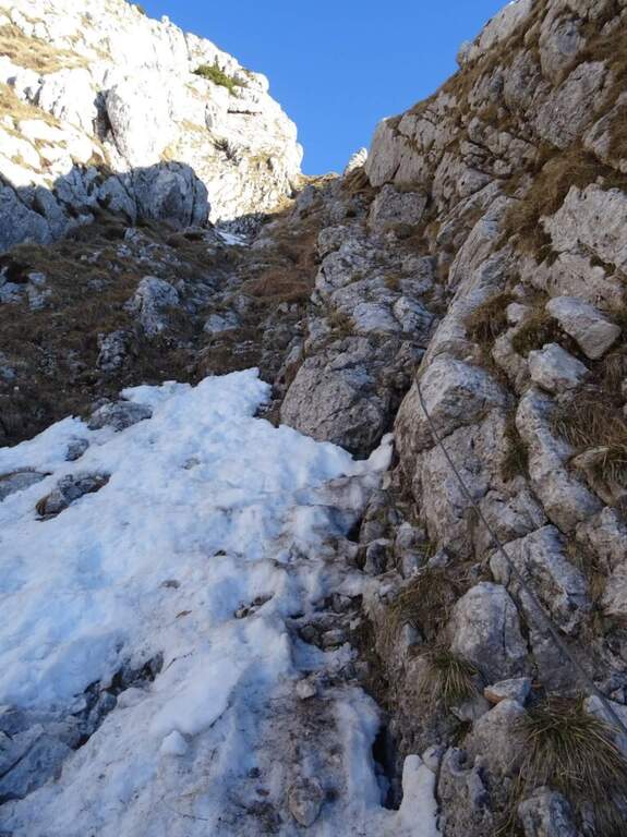
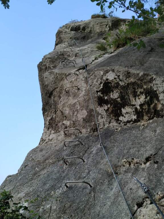
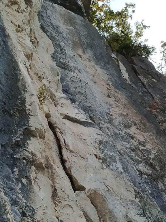
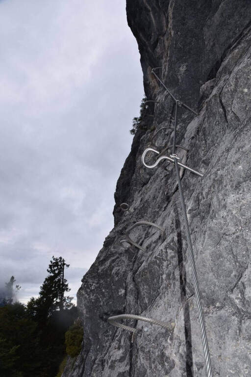
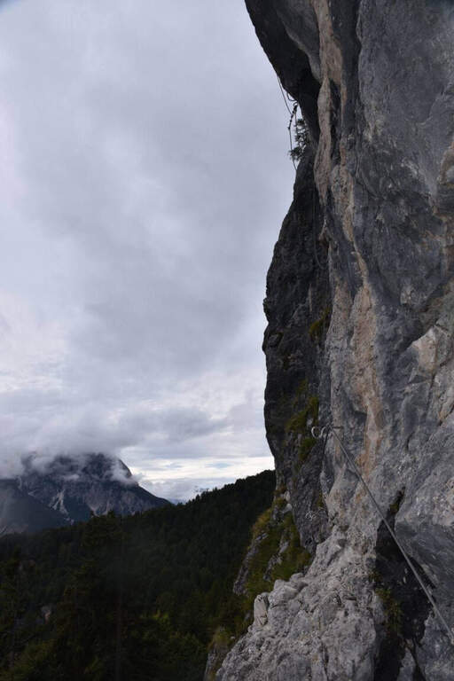
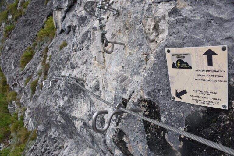
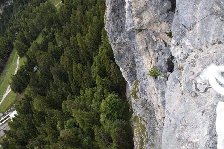
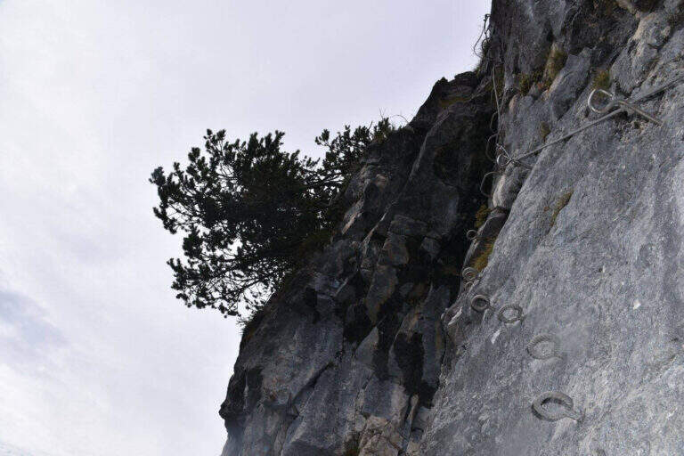
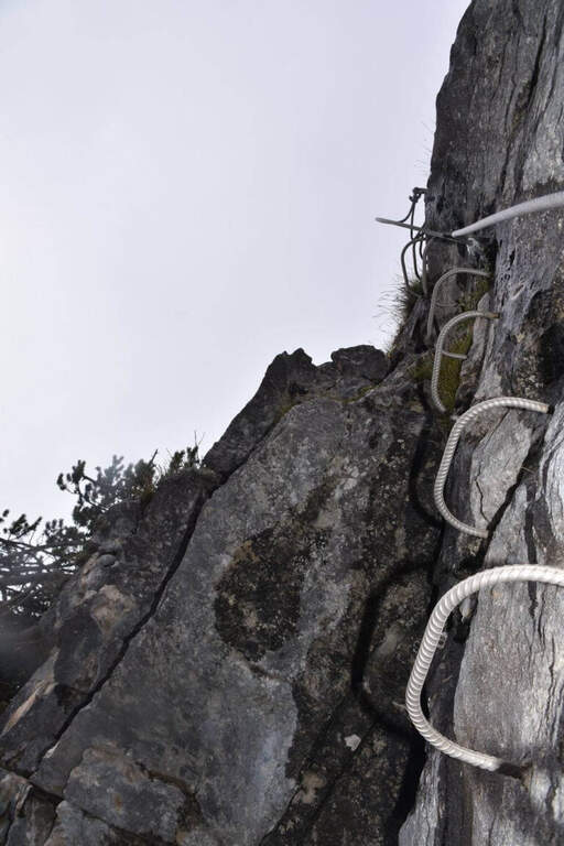
    It faces a first vertical wall equipped to the side of a straw canal, then a half-coast stretch on rocky edge. They follow cenges and canalons on the west side of Miaron, where the helmet is mandatory for the risk of falling mass. You reach a pylon-fork, then at a second similar nod. The key passage is an unprotected wreath at 1900 m altitude: the step must be carefully calibrated since the ground does not offer rope safety. After this stretch, a stable nod leads to a third inlet with a narrow nod equipped, then to Bivacco Vaccari (2050 m, 3h45′ from Passo Mauria).

    ▲Character and difficulty

    Classified Moderately Difficult. The main difficulty does not lie in the equipped traits but in the unprotected gland, which requires safe foot and absolute prudence. Lonely and wild environment.

    ⚠ The helmet is mandatory. Avoid crossing the west side in the presence of other hikers on the wall above for the risk of massive fall.
    ▲Period and safety

    From June to September. The unprotected gland is particularly insidious in wet conditions.

    ▲Discipline

    From Bivacco Vaccari you descend along the path 340 east towards the Forca del Cridola (2176 m), then along the path 348 to the Forcella Fossiana (1967 m), going down the Val del Cadorini to Passo Mauria (6h30′ total).

    ▲To match

    The Mauria Pass is a reference point for numerous itineraries in the Carnic Prealps on the border between Friuli and Veneto.

    ▲Gallery
    Technical data
    • DifficultyModerately Hard
    • RegionFriuli-Venezia Giulia
    • GroupCarnic prealps
    • Approach1:45 h
    • Ferrata2:00 h
    • Itinerary (a/r)6:30 h
    • Hardware level difference90 m
    • Route difference878 m
    • Max2176 m
    • Length9 Km
  • Ferrata di Valmeduna

    Ferrata di Valmeduna

    Vie Ferrate › Friuli-Venezia Giulia › Pordenone
    Ferrata di Valmeduna

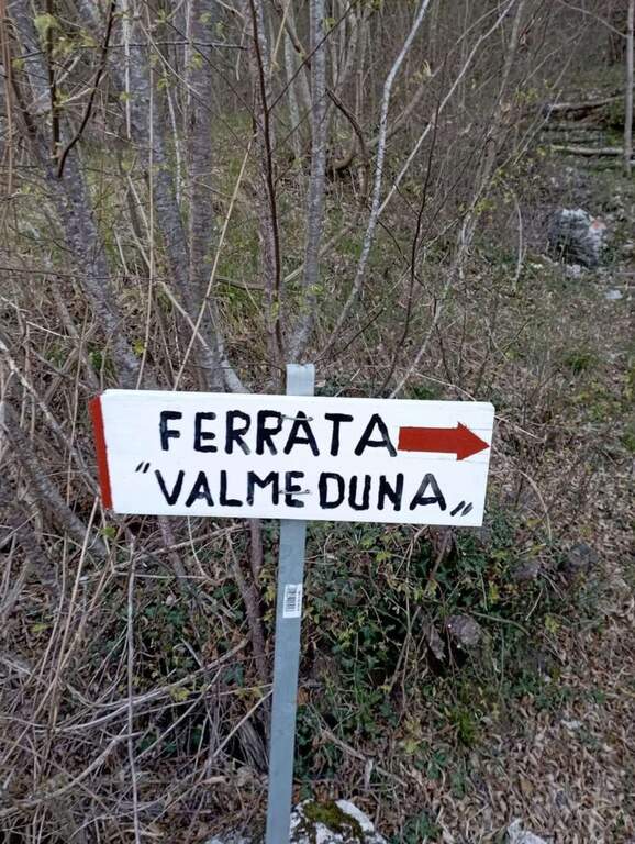
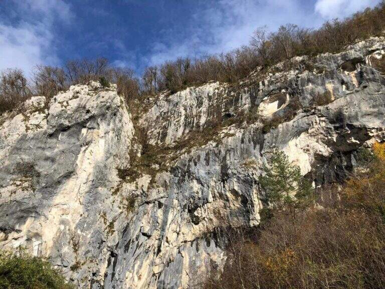
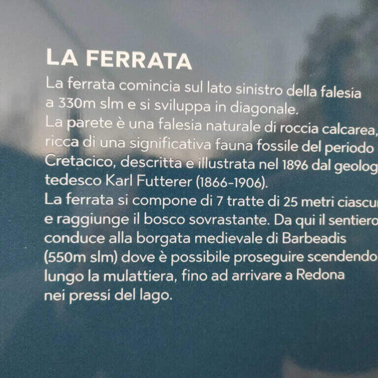
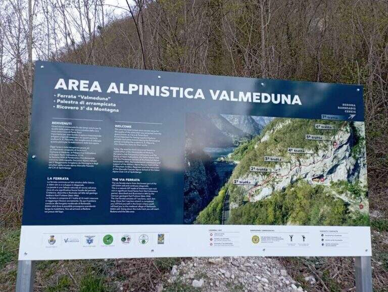
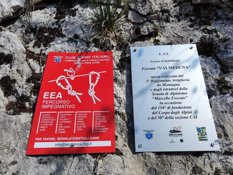
    La Ferrata di Valmeduna is a recent route in the province of Pordenone, near the town of Redona. Of modern style, it proposes quite constant difficulties in an environment from "rock plate": it does not reach a peak, but it is an excellent training for altitude itineraries. It is well equipped and not devoid of athletic passages.

    ▲Approach

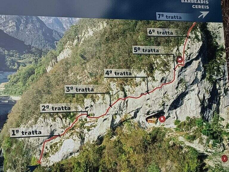
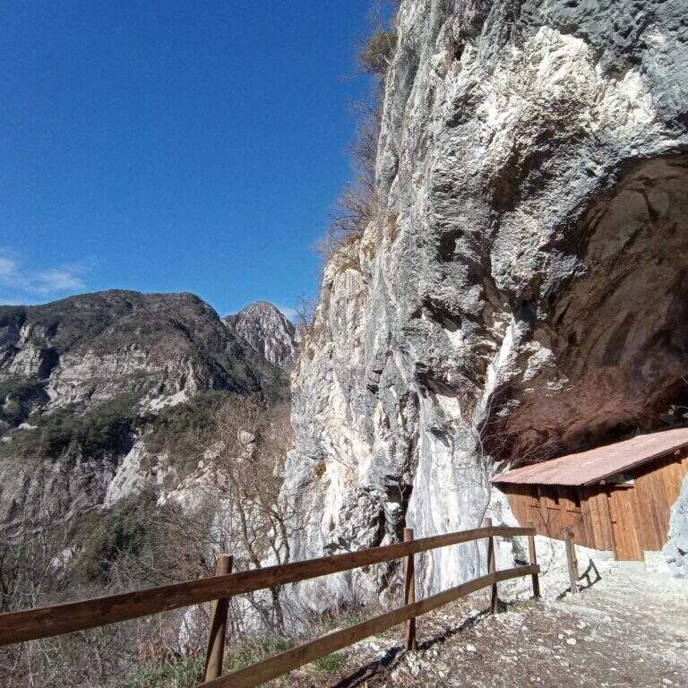
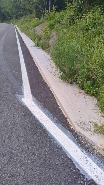
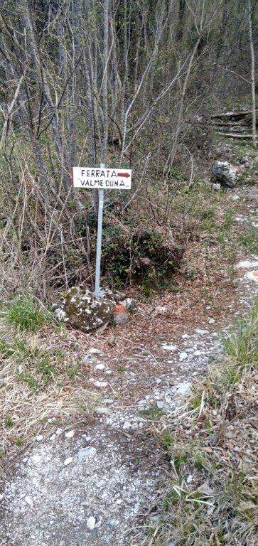
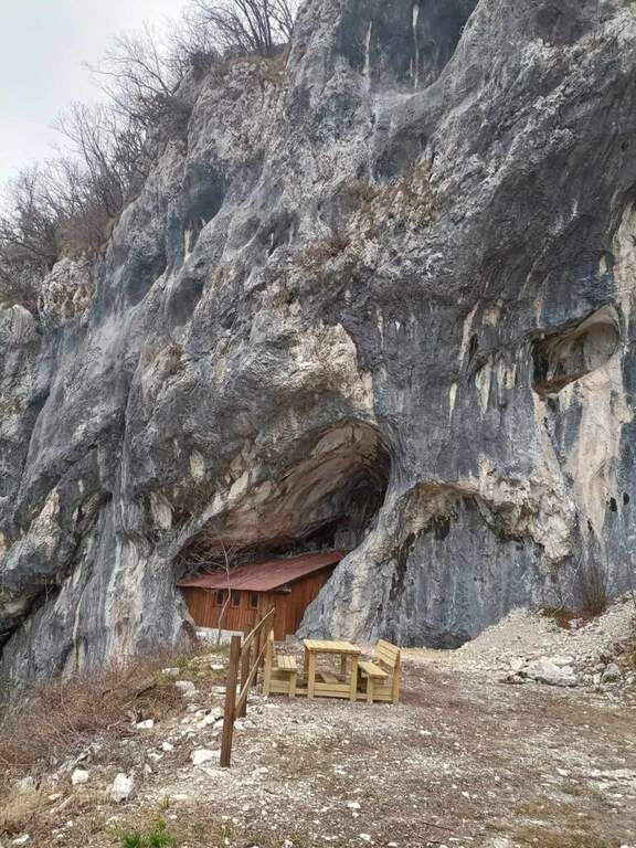
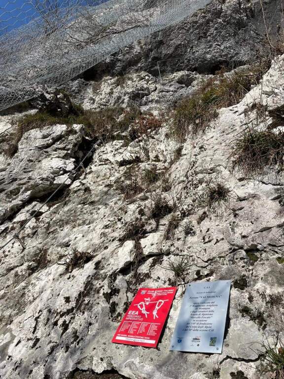
    Follow the regional road linking Meduno a Tramonti di Sopra: arriving from the south, the parking is on the right side before the "Tramonti di Sopra" sign and before the artificial invader. Open road signs on Google Maps. From the parking lot follow the sidewalk to a path that climbs on the right; following the signs and the bolli red towards the east-southest you arrive at a bend, then at a crossroad where you descend slightly left to the new rock gym on beautiful limestone, where you will find a bivacco, tables and benches, d' routes; climbing and climbing. Near the bivouac a path descends to the left at ' attack, on the left side of the wall, at the CAI red sign and a paramass network (about 10').

    ▲The path

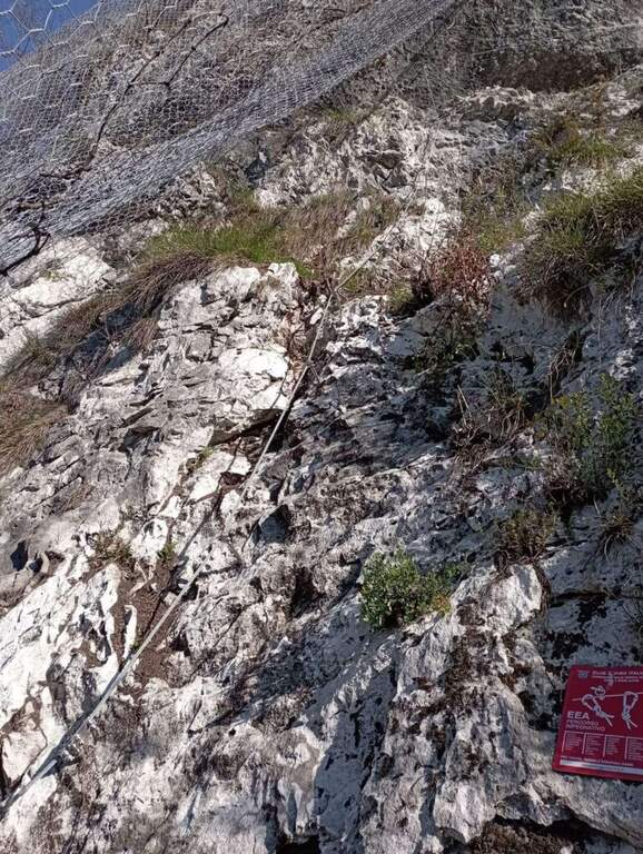
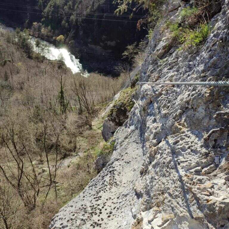
    The development è mainly on traverses and short vertical traits. It is attacked by a paretin backed under the paramassive network, climbing on rock very jagged; climb some small rocks proceed rightwards meeting the first beams and a in grip. You can reach and double a edge, with a view below sé on the ' area of the ' approach. The central part è the più challenging: a long series of horizontal and diagonal transverses from left to right, some on cambre for the feet, others in adherence, with stretches in slightly overhanging that require decision and rapidtà in the changes of muskete; without becoming extreme, the way asks for a certain physical and good habit all' exposure. You can reach a nicchia with the book cassette signatures; from here a short passage crosses a edge and the cable continues vertical for a few meters without cambre, where you should climb. After a few più meters; easy ends the central section. The final part, on small rocks and short balconies, & difficult & agrave; lower: following the uphill cable, after about ten minutes you reach the end of the street (about 45' from' attack, 1h from' car).

    ▲Character and difficulty

    Technical and athletic route, with constant exposure in the central section and very beautiful limestone rock. Recent and abundant equipment. The difficulty remains concentrated in the central part of the overhanging transverses.

    ⚠ The slightly overhanging beams require trained arms and rapidity in musketeton changes: it is not a way for those who are at first experience. Although it is of low altitude, helmet and ferrata sets are indispensable.

    ▲Period and safety

    Inaugurated on November 26, 2022 (50° anniversary of the CAI section of Spilimbergo, with the Alpini group of the 3rd Mountain artillery). Given the low altitude it lends itself to the whole year, including the beautiful winter days.

    ▲Discipline

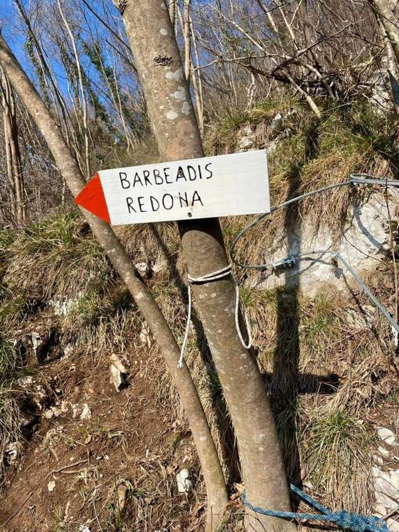
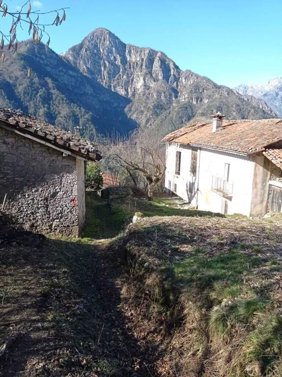
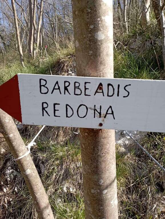
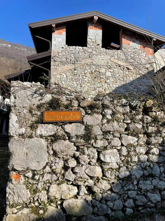
    You should not immediately remove l'imbrago: a few minutes after the term you will meet a equipped roofing channel. Following the signs you descend towards the localtà Barbeadis, a small village only reachable on foot, returning to ring along a mule track in the woods with panoramic views of the valley (about 1h 15' overall).

    ▲To match

    In the province of Pordenone there is also the Ferrata del Tramuntin e l'Alta Via dei Rondoi. Climbing to Forni di Sopra there are Ferrata Adventure Climb at Clap Varmost e la Ferrata Cassiopea al Torrione Comici.

    ▲Gallery
    Technical data
    • DifficultyHard
    • RegionFriuli-Venezia Giulia
    • ProvincePordenone
    • GroupCarnic prealps
    • Approach10 min
    • Ferrata45 min
    • Complete itinerary (a/r)1h 20'
    • Hardware level differenceca 125 m
    • Route differenceca 220 m
    • Maximumca 550 m
    • Lengthca 4 km
    • Year2022
  • Ferrata Tramuntin at Monte Rest

    Ferrata Tramuntin at Monte Rest

    Vie Ferrate › Friuli-Venezia Giulia › Pordenone
    Ferrata Tramuntin at Monte Rest
    Moderately Hard● To checkDescriptionComplexityMapsGallery

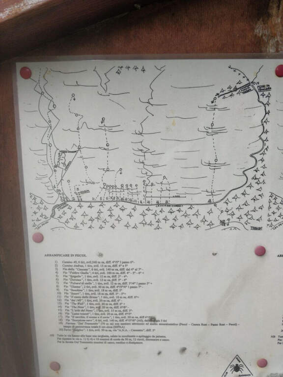
    La Ferrata Tramuntin climb the Monte Rest in the Carniche Prealps, on the Pordenonese side. It is a very scalable and logical way, with only one really challenging passage and many pleasant traits to climb without traction on the cable, in an isolated and unpopular environment.

    ▲Approach

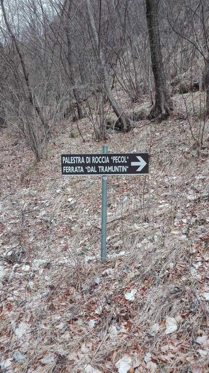
    Start along the road that connects Tramonti di Sopra (Pordenone) to Ampezzo (Udine): at a bend accentuated to the left (coming from the south) a sign on a dark background indicates the Palestra di Roccia and the Ferrata del Tramuntin. Open road signs on Google Maps. It follows the trail in the forest that, with a semicircle in an anti-clockwise sense, leads in about 30' all' attack, little beyond a mountaineering path on canalone and numerous pitches of a nearby cliff (30' from parking).

    ▲The path

    La via risale una parete selvaggia cercando le debolezze della roccia: sviluppo breve (circa 100 m) ma impegnativo. L'inizio è appoggiato e ricco di appigli; dopo pochi minuti si incontra una prima serie di passaggi più impegnativi e si traversa a sinistra con un singolo passaggio più difficile. Nel complesso resta molto arrampicabile, con roccia talora instabile ma ricca di appoggi. Si risale l'ampio colatoio fino al termine delle attrezzature (circa 40' dall'attacco, 1h 15' dall'auto). Da qui inizia il tratto più impegnativo dell'escursione: il sentiero che collega il termine della via a Casera Monte Rest è molto ripido, su roccette ed erba potenzialmente scivolose, a tratti attrezzato; seguendo i bolli rossi si esce dalla faggeta e si raggiunge la casera, da cui si sale in vetta al Monte Rest (1780 m, circa 4h totali).

    ▲Character and difficulty

    Itinerary pleasant and isolated, despite the low altitude. Level difference in ferrata 120 m, total 870 m, maximum altitude 1780 m, development 8 km.

    ⚠ The non è officially opened (due to a dispute between the territorial CAI and the one that installs it;) and does not appear on the hiking maps. The second stretch of the climb, only partially equipped, has free passages not trivial and exposed, and the path towards Casera Rest può be in bad condition: not recommended with uncertain weather, wet background or to inexperienced people. Advisable to have with sé corda and brake to make sure in the stretches where the old equipment is clustered.
    ▲Discipline

    From Monte Rest you go back to Casera Rest, then continue north-north-west, losing altitude to the asphalted road; alternating roadside and stretches of path that cut the mountain you return to the parking lot (2h from Monte Rest, 6h totali).

    ▲To match

    The other equipped route of Pordenone is theAlta Via dei Rondoi on Monte Cavallo. Towards Forni di Sopra, two very different routes: the athletic and modern Adventure Climb at Clap Varmost and the impegnative Ferrata Cassiopea al Torrione Comici.

    ▲Gallery
    Technical data
    • DifficultyModerately Hard
    • RegionFriuli-Venezia Giulia
    • GroupCarnic prealps
    • Approach0:30 h
    • Ferrata1:00 h
    • Itinerary (a/r)6:00 h
    • Hardware level difference120 m
    • Route difference870 m
    • Max1780 m
    • Length8 Km
  • Ferrata del Monte Amariana

    Ferrata del Monte Amariana

    Vie Ferrate › Friuli-Venezia Giulia › Udine
    Ferrata del Monte Amariana

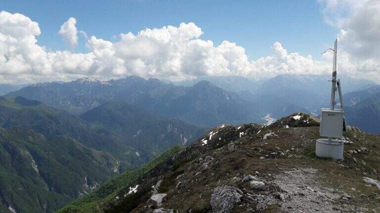
    Mount Amariana (in Friulian "La Mariane"), in the Carniche Prealps, rises at the confluence between Fella and Tagliamento and gives from the summit (1905 m) a 360-degree panorama, much higher than all nearby peaks. The ferrata on the south side is an easy and medium length itinerary (about 7 km between climb and descent) that goes up a canalone up to the saddle below the top.

    ▲Approach

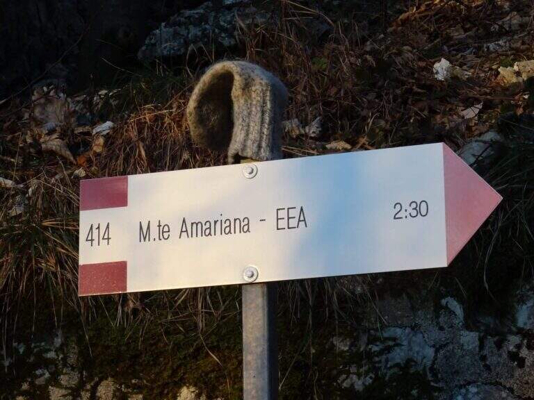
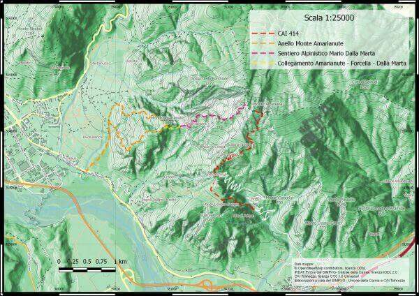
    Exit from the motorway exit of Amaro turn right towards the village; at l', turn left and cross it towards the slopes of the mountain. To the last houses continue along the military road to the Forca del Cristo (980 m). Open road signs on Google Maps. From the Forca del Cristo take the signpost CAI 414, pass by the cuel from the noglars and, out of the woods, you will see the view on Mount San Simeone and the valley. After about 2,6 km you reach the ' attack, about 1700 m; the path is well tracked and free of crossings (except one at the end of the ferrata), so it is practically impossible to miss the road.

    ▲The path

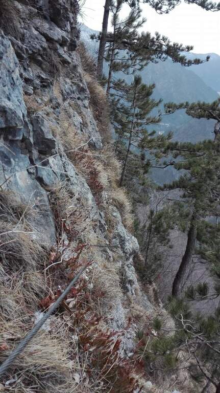
    From ' attack, reported by the CAI red folder (posted after the renovation of the structure in 2016), continues for about 500 m with practical cables grafted into the canalone d' ascent to the saddle under the top. The ferrata is easy; the canalone has quite unstable background, so the helmet is indispensable and should be paid attention not to move debris, which would slide towards the following. After the canal, the equipped sections continue on easy oblique ramps until their end; then you reach the peak (1905 m) in short, on path (2h 30' from ' start).

    ▲Character and difficulty

    Itinerary easy, in fact an equipped path: the ascent could be done even without the cables, but it remains recommended at least for those who have a minimum of experience.

    ⚠ However strongly recommended case: the falls of rocks moved by the weather or other hikers are not infrequent. For low altitude and exposure, address it in spring or autumn: in summer temperatures are very high.
    ▲Period and safety

    Spring and autumn are the best times. Case always worn for the risk of discharges in the tank.

    ▲Discipline

    The quickest option is the return to the uphill route, again to the Forca del Cristo (around 4h 45'). Alternatively, having two cars, you can descend on the north side with the other ferrata up to the Pradut saddle, with possible stop to the newly renovated Bivacco Cimenti-Floreanini (1067 m), continuing up to Illeggio (607 m); or descend the east ridge passing through the shelter Pian d'Aiars (1475 m) and the rec. M. Forcella (1098 m) until the "Ponte".

    ▲To match

    In Carnia: the recent Ferrata Farina del Diavolo in Villa Santina, la Ferrata Cassiopea al Torrione Comici e la Ferrata Cinquanta del Clap.

    ▲Gallery
    Technical data
    • DifficultyEasy
    • RegionFriuli-Venezia Giulia
    • GroupCarnic prealps
    • Approach1:15 h
    • Ferrata1:00 h
    • Itinerary (a/r)4:45 h
    • Hardware level difference300 m
    • Route difference870 m
    • Max1905 m
  • Ferrata la Farina del Diavolo

    Ferrata la Farina del Diavolo

    Vie Ferrate › Friuli-Venezia Giulia › Udine
    Ferrata la Farina del Diavolo
    Moderately Hard● OpenDescriptionComplexityMapsGallery

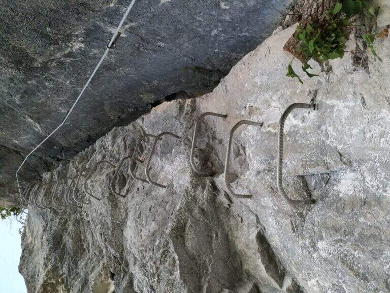
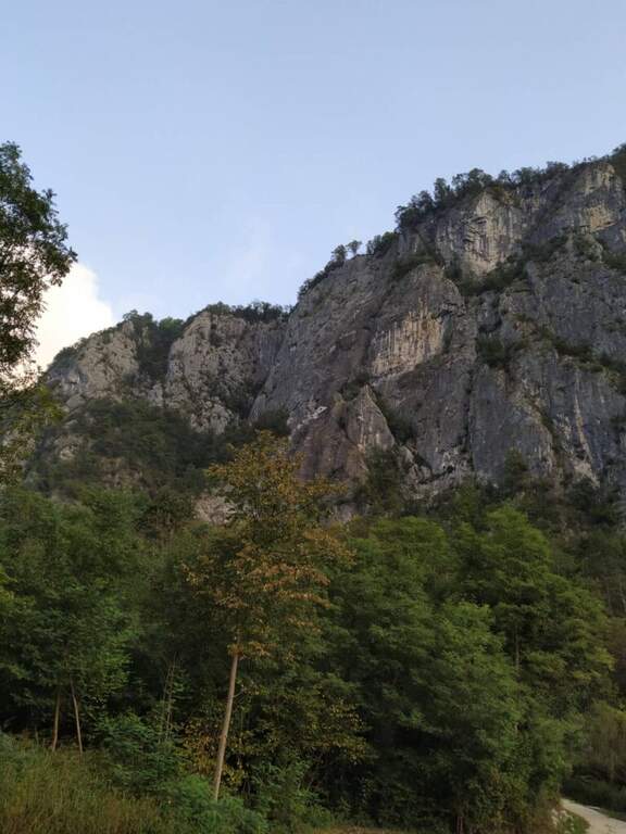
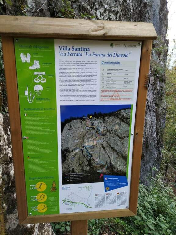
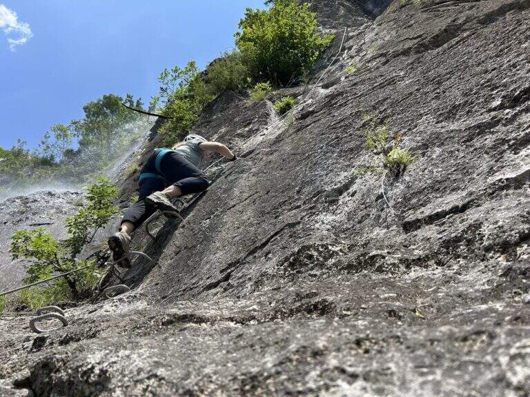
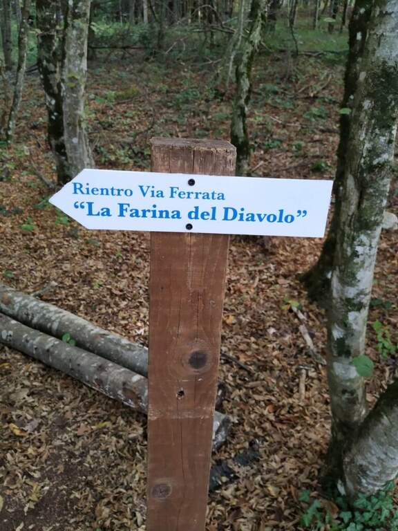
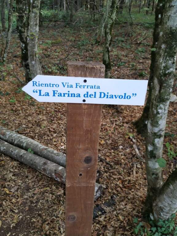
    La Ferrata «La Farina del Diavolo» è una via recente (inaugurata nel 2019) che risale una parete verticale e levigata accanto alla cascata della Radime, una delle più alte d'Europa ma generalmente in secca. La roccia è povera di appigli naturali e costringe a salire quasi sempre con l'ausilio del cavo, con esposizione presente lungo quasi tutto il percorso; tecnicamente non è difficile ed è ideale per una mezza giornata o come allenamento per vie più impegnative in quota.

    ▲Approach

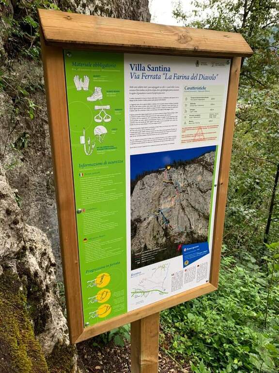
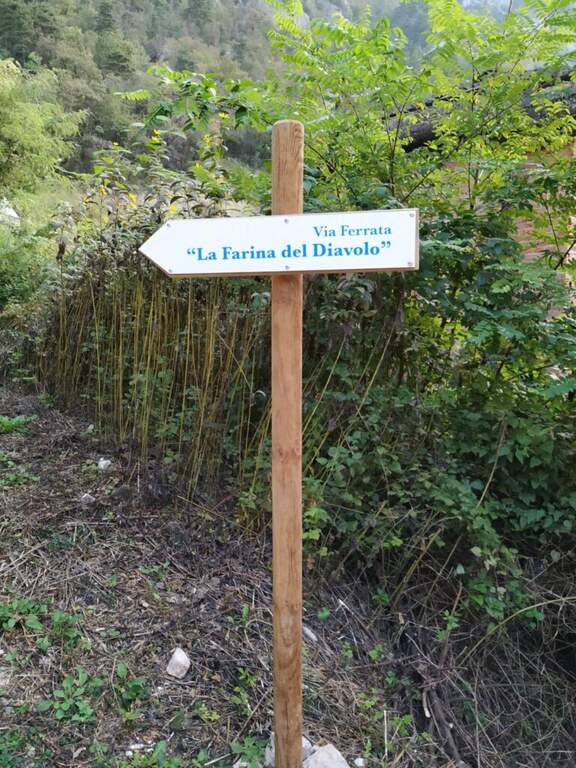
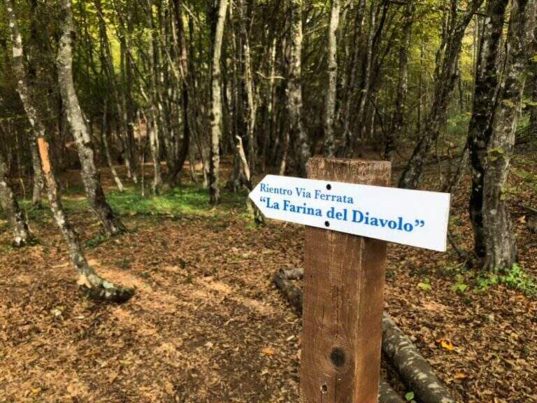
    Il punto di partenza è dietro il cimitero di Villa Santina (363 m), in provincia di Udine, situato prima dell'abitato sulla destra per chi proviene da Tolmezzo; si parcheggia nei pressi del camposanto (starting point on Google Maps). Dall'uscita autostradale di Amaro (A23) si seguono le indicazioni per la SS 52 Carnica verso Tolmezzo e poi Villa Santina (circa 15 km, 20' d'auto). L'avvicinamento parte dietro al cimitero (segnalato): dopo circa 10' di cammino in un boschetto si raggiunge il cartello che indica l'attacco della ferrata.

    ▲The path

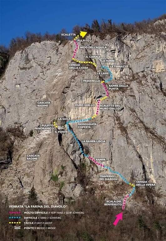
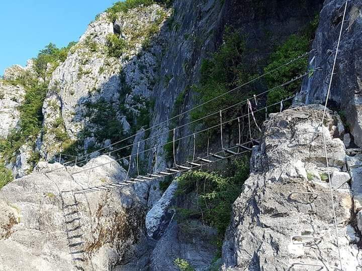
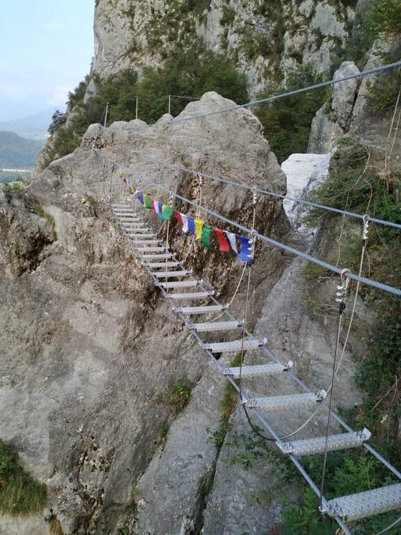
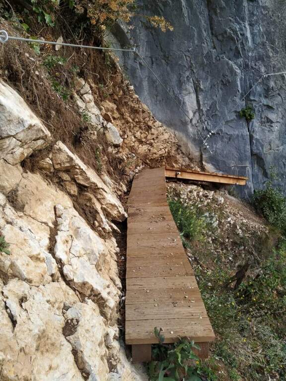
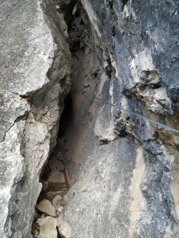
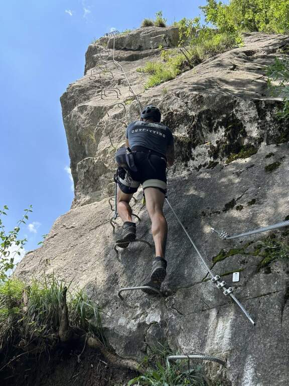
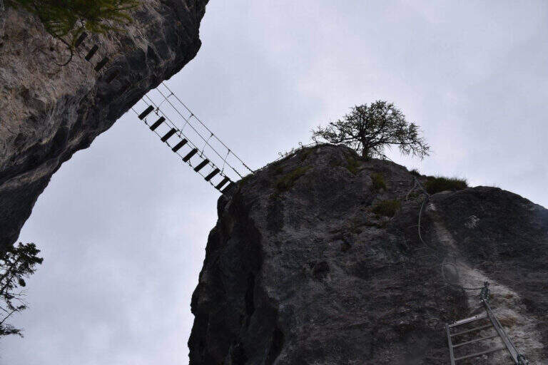
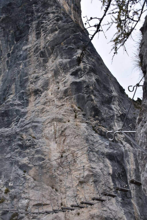
    La via inizia con una piccola scaletta (la «scala del benvenuto») su tratto verticale, piegando leggermente a destra e poi a sinistra su una cengia erbosa, da cui parte un lungo traverso diagonale verso sinistra, ben attrezzato con numerose cambre e diversi appigli naturali che facilitano la progressione. Si prosegue su un tratto più verticale, ma mai difficile grazie alle cambre ravvicinate, fino al termine della rampa, dove uno spuntone di roccia verticale molto suggestivo introduce al ponte tibetano (che in realtà porta a sinistra a un belvedere, facoltativo rispetto al proseguimento della ferrata). Si continua verso un gruppo di alberi e si raggiunge un traverso molto aereo e panoramico, forse il tratto più gratificante della via; un nuovo tratto verticale con cambre ravvicinate conduce a una cengia artificiale con passerella di legno. Si affrontano quindi un tratto verticale e un passaggio orizzontale in un anfratto stretto tra due rocce, seguiti da un ultimo tratto verticale, sempre ottimamente attrezzato, che porta al libro di vetta; un ultimo sperone segna la fine della ferrata (1h 35' dall'attacco, 1h 50' dal parcheggio).

    ▲Character and difficulty

    È un percorso interessante e ben attrezzato, talvolta perfino troppo, adatto a una mezza giornata e come preparazione a vie attrezzate più severe.

    ⚠ Pur non essendo tecnicamente difficile, presenta esposizione lungo quasi tutto il tracciato e va affrontata con la dovuta attenzione. Esposta a sud e a bassa quota, è sconsigliata nel periodo estivo per il caldo.

    ▲Period and safety

    Per l'esposizione a sud e la bassa quota è preferibile nelle mezze stagioni; da evitare nelle giornate estive più calde.

    ▲Discipline

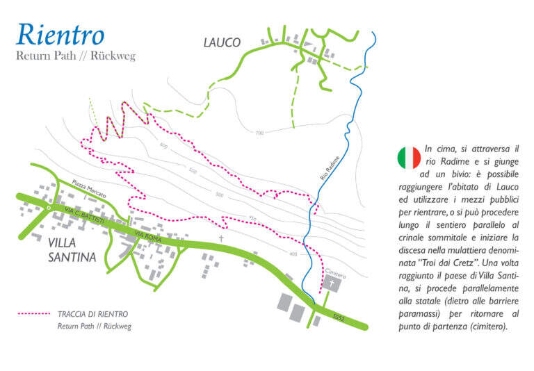
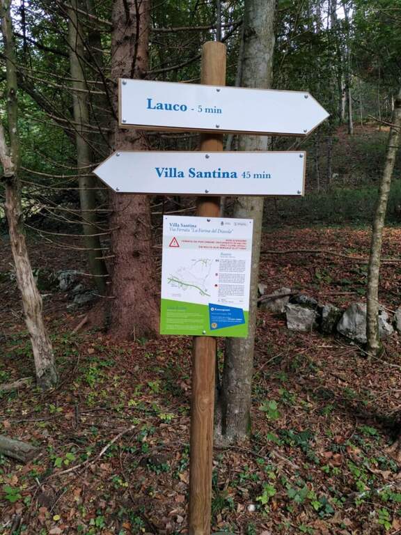
    Subito dopo la fine della ferrata si trovano le indicazioni per il ritorno diretto a Villa Santina. In alternativa si può proseguire fino al grazioso abitato di Lauco e poi rientrare per sentiero seguendo le indicazioni per il cimitero (30' di rientro, 2h 15' totali).

    ▲To match

    La via si trova all'ingresso della Carnia. Risalendo la valle si raggiungono altre belle ferrate, tra cui la Ferrata Adventure Climb at Clap Varmost, la Ferrata Cassiopea al Torrione Comici e la Ferrata Cinquanta del Clap e Simone al Creton di Culzei; verso il confine sloveno, a Pontebba, sale invece la difficile Ferrata Tenente Ruffano.

    ▲Gallery
    Technical data
    • DifficultyModerately Hard
    • RegionFriuli-Venezia Giulia
    • GroupCarnic prealps
    • Approach0:10 h
    • Ferrata1:30 h
    • Itinerary (a/r)2:15 h
    • Hardware level difference347 m
    • Route difference400 m
    • Max710 m
    • Length4 Km
  • Ferrata Adventure Climb at Clap Varmost

    Ferrata Adventure Climb at Clap Varmost

    Vie Ferrate › Friuli-Venezia Giulia › Udine
    Ferrata Adventure Climb at Clap Varmost

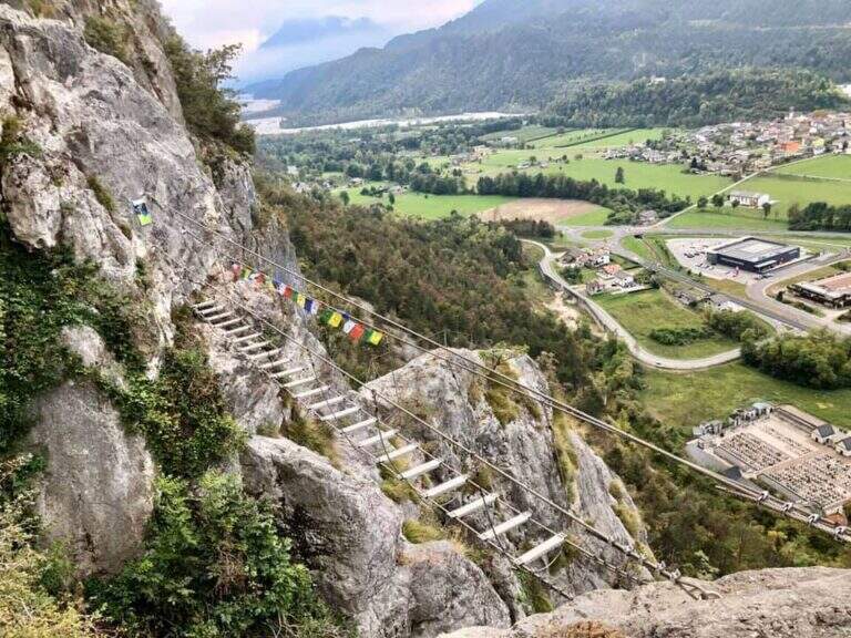
    La Ferrata Adventure Climb at Clap Varmost è una via atletica e moderna sopra Forni di Sopra, nelle Prealpi Carniche (provincia di Udine). Costruita in stile francese, è ottimamente attrezzata e si divide in due sezioni: una prima di media difficoltà, con un ponte sospeso e una scala inclinata che attraversano una gola, e una seconda impegnativa e molto esposta, con due tetti strapiombanti. Avvicinamento brevissimo grazie alla funivia, ma via di grado difficile, non adatta a neofiti.

    ▲Approach

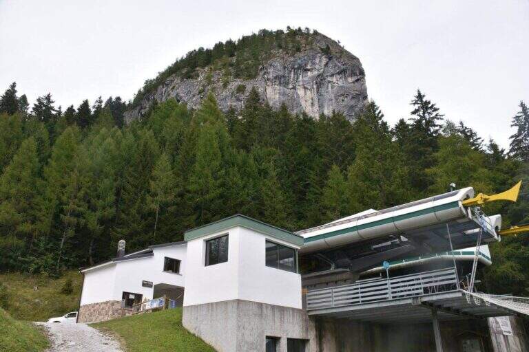
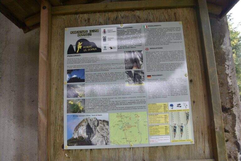
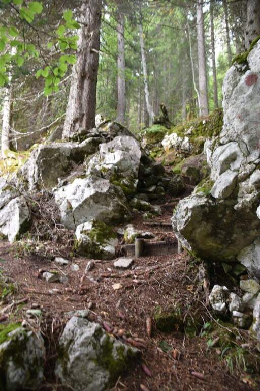
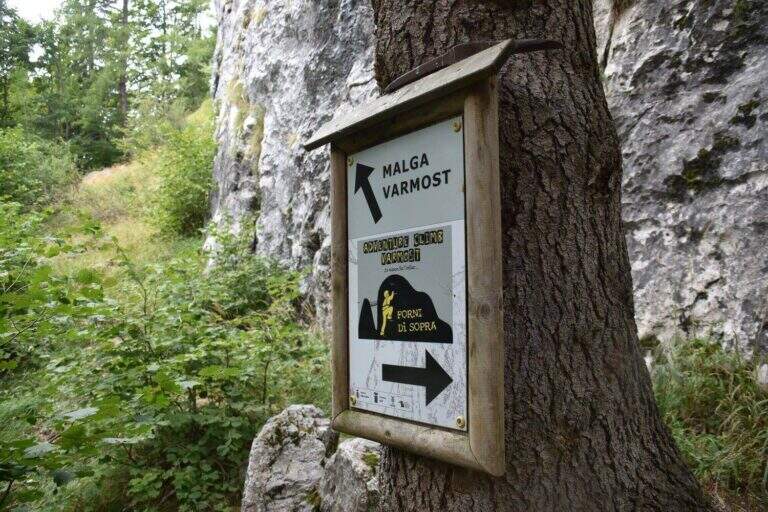
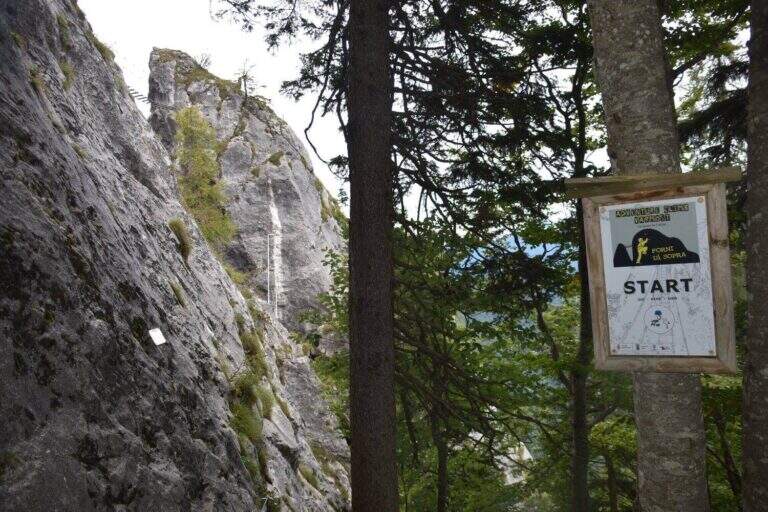
    Il punto di partenza è la stazione a monte della funivia Varmost di Forni di Sopra, raggiungibile dalla SS 52 Carnica (Tolmezzo–Lozzo di Cadore); ampio parcheggio sul lato sud della strada per arrivare a piedi alla stazione a valle (open the starting point on Google Maps). Se la funivia non è in funzione si può salire a piedi da Forni di Sopra lungo la stretta Via Chianeit (asfalto in condizioni non ottimali) fino al bivio dove finisce l’asfalto (spiazzo per 2-3 auto), tenendo poi la sinistra sul sentiero 207 fino alla stazione a monte. Dall’arrivo della funivia il Clap Varmost è ben visibile sulla destra con la sua parete verticale; una bacheca riporta le informazioni sulla via. Si scende sotto l’arrivo della funivia e, seguendo le indicazioni nel bosco e i cartelli verso destra, si cammina sotto le pareti fino all’attacco, segnalato da un cartello bianco (15 minuti dalla stazione a monte).

    ▲The path

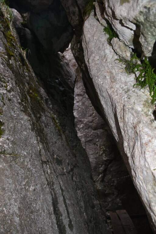
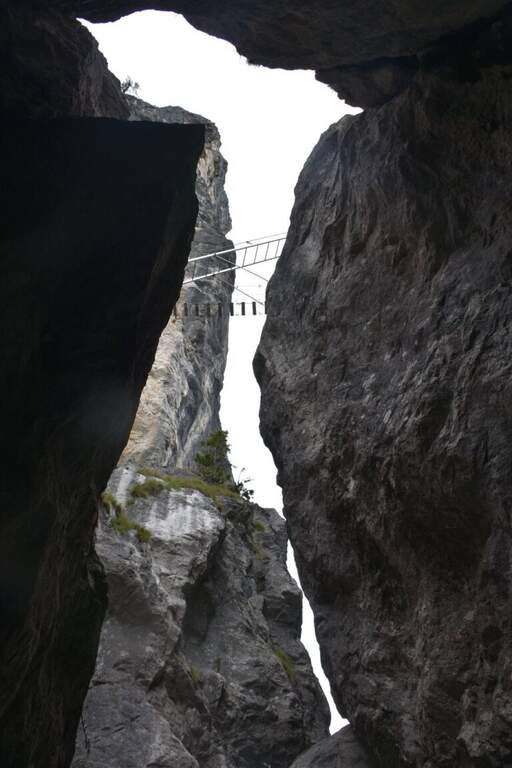
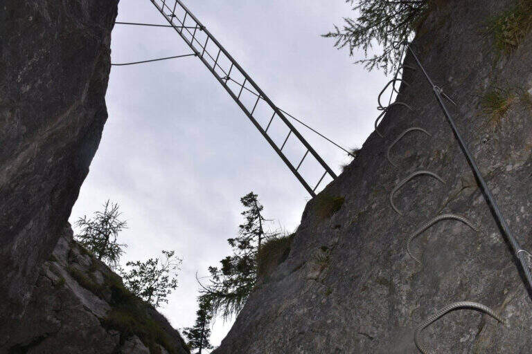
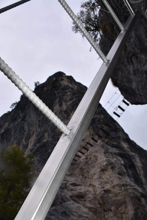
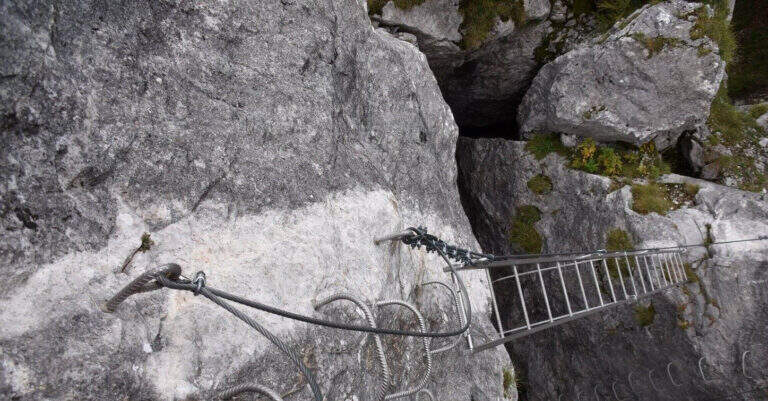
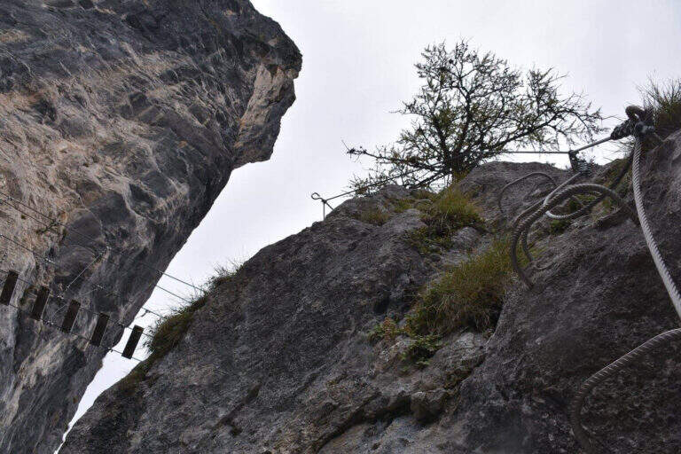
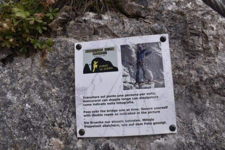
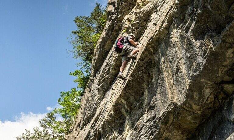
    Dall’attacco una facile cengia in leggera discesa porta all’ingresso di una fessura nella roccia, che si percorre su una passerella di legno. Ritrovate le attrezzature, si sale in diagonale a destra su roccette: sopra la testa appaiono un ponte sospeso e una scala inclinata che attraversa la gola. Una parete verticale abbondantemente attrezzata con pioli e staffe conduce alla scala, che si sale attraversando la gola fino a uno sperone roccioso; da qui, in forte esposizione e con l’aiuto di staffe, si raggiunge il ponte sospeso. Si attraversa il ponte uno per volta e ci si porta sulla parete del Clap Varmost; saliti un paio di metri, un traverso a sinistra su staffe (in salita, poi orizzontale, poi in leggera discesa) porta a un terrazzino, dove un tempo c’era una via di fuga, oggi smantellata. Da qui inizia la parte atletica e impegnativa.

    Il primo passaggio impegnativo è un tetto strapiombante, preceduto da una lunga serie di staffe ravvicinate, da superare con un misto di agilità e forza di braccia senza temporeggiare; oltre il balzo si prosegue in verticale spostandosi prima a sinistra e poi a destra. Un aereo traverso a sinistra su pioli conduce al passaggio chiave: un secondo tetto strapiombante, più impegnativo, al bordo di uno spigolo esposto (ben attrezzato con staffe, ma di impegno superiore alla media della via). Superato il passaggio in forte esposizione, si piega a destra su un diedro attrezzato con pioli e si affronta un aereo traverso a destra verso uno spigolo — il tratto più adrenalinico. Aggirato lo spigolo, un nuovo traverso diagonale a sinistra su pioli precede l’ultimo tratto di parete verticale attrezzata, fino al termine della sezione verticale. Inizia quindi l’ultima parte, su roccette e sentiero attrezzato di difficoltà contenute, su terreno misto di erba e rocce; superata una passerella in legno si raggiunge la croce in vetta al Clap Varmost (2073 m, 1h 15′ dall’attacco, 1h 30′ dalla stazione a monte).

    ▲Character and difficulty

    Classificata Difficile (D): difficoltà tecniche medie (3/5) ma esposizione elevata (4/5) e carattere atletico. È una ferrata “alla francese”, poco arrampicabile, che si progredisce quasi ovunque su infissi metallici (in ottimo stato); il cavo è grosso e infonde sicurezza. Obbligatori imbracatura, kit da ferrata e casco; non è adatta a neofiti, che tendono ad affaticare troppo le braccia.

    ⚠ Nei tetti strapiombanti il cavo è disposto in modo difficile da trazionare: conviene salire usando le staffe. Può essere molto utile portare una fettuccia o un rinvio per sostare e riposare le braccia in caso di affaticamento. I passaggi del cavo nei fittoni sono “alla francese” e il cavo, spesso lasco, tende a inserirsi nella traiettoria di salita: conviene cambiare i moschettoni appena il fittone successivo arriva all’altezza degli occhi, per non lasciarli indietro. La via è breve ma molto esposta: richiede forza e testa.
    ▲Period and safety

    Itinerario percorribile in stagione estiva con meteo stabile; il breve sviluppo lo rende ideale per una mezza giornata. Conviene scegliere una giornata ventilata e non troppo calda, vista la natura atletica della via. Verificare gli orari della funivia se la si utilizza per avvicinamento e rientro.

    ▲Discipline

    Dalla vetta si segue la traccia che, in leggera salita, porta alla stazione a monte del secondo troncone della funivia, oppure si scende per sentiero lungo le piste da sci, passando a fianco di un bacino artificiale, fino alla stazione della funivia utilizzata in avvicinamento (40 minuti dal termine della ferrata).
    ▲To match

    Sempre da Forni di Sopra si può raggiungere il Passo del Mus, con lungo avvicinamento, per l’impegnativa Ferrata Cassiopea al Torrione Comici; verso il Passo Rest, la Ferrata Tramuntin al Monte Rest. In provincia di Udine, più a nord, la Ferrata Cinquanta del Clap, la Ferrata al Monte Coglians, la Ferrata Sartor e la Ferrata del Chiadenis.
    ▲Gallery
    Technical data
    • Approach0:15 h
    • Duration1:15 h
    • Total itinerary2:30 h
    • Hardware level difference200 m
    • Route difference250 m
    • Maximum altitude2073 m
    • Length2,5 Km
Need help? Write to us!