Paese: Italia

  • Ferrata al Pizzo del Becco

    Ferrata al Pizzo del Becco

    Vie Ferrate › Lombardia › Bergamo
    Ferrata al Pizzo del Becco
    Moderately Hard● OpenDescriptionComplexityMapsGallery

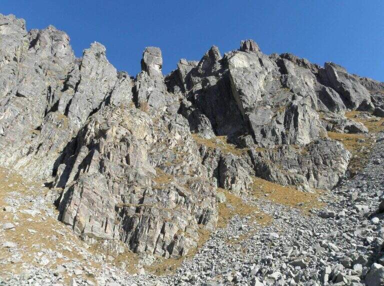
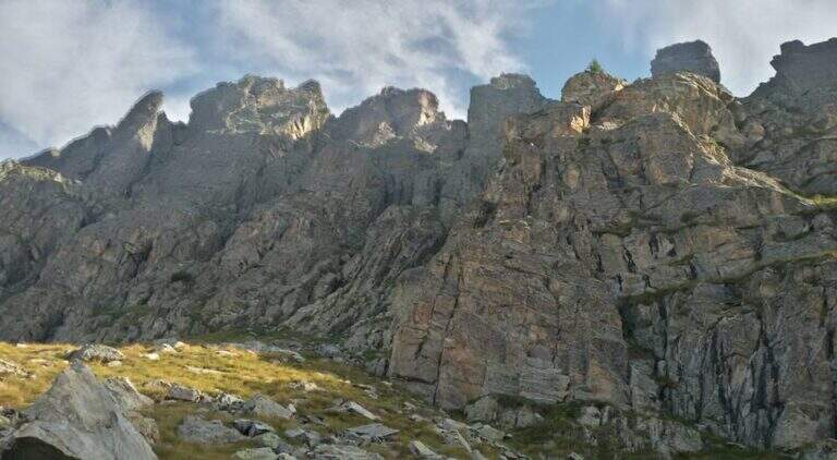
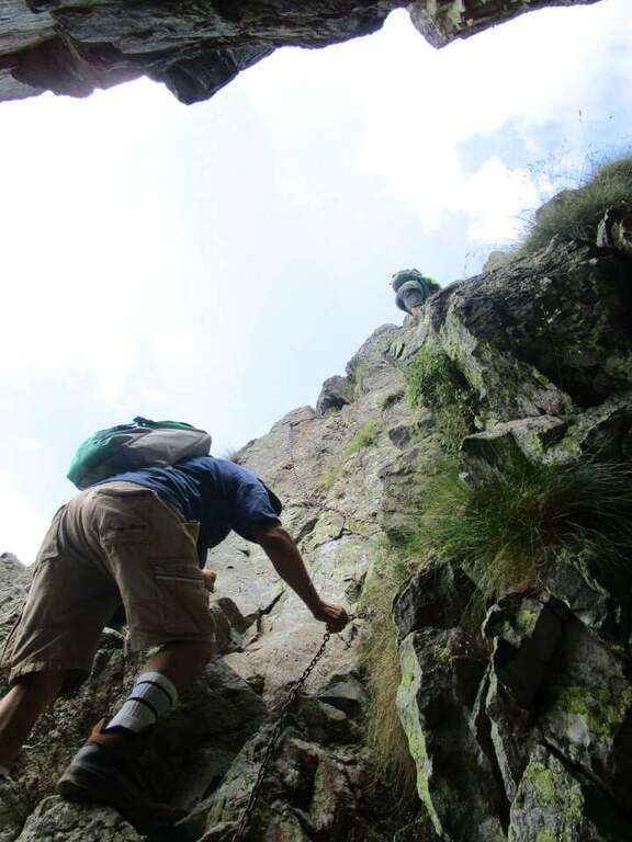
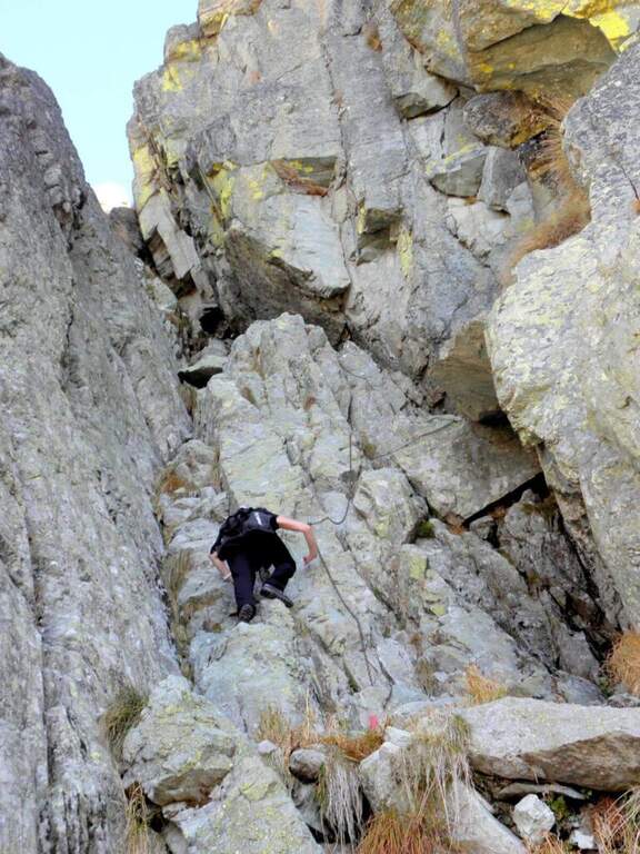
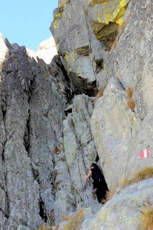
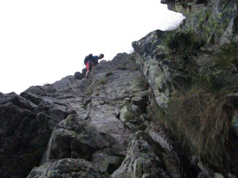
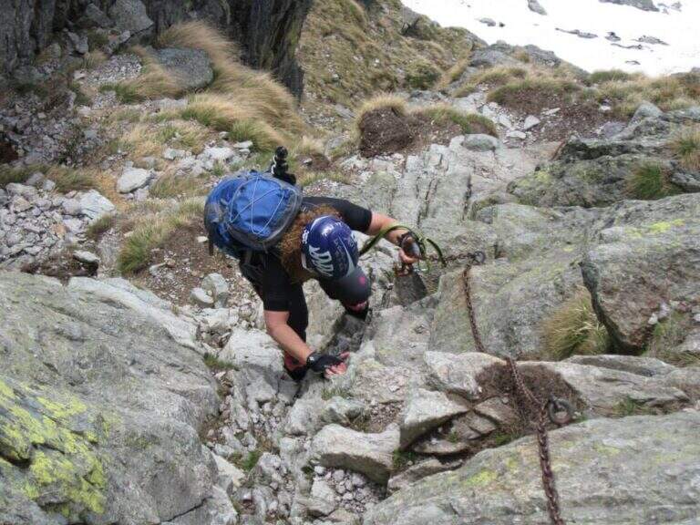
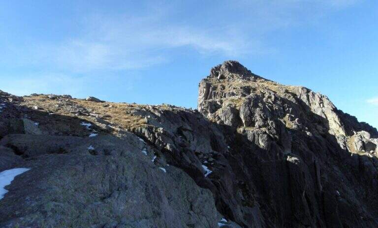
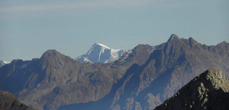
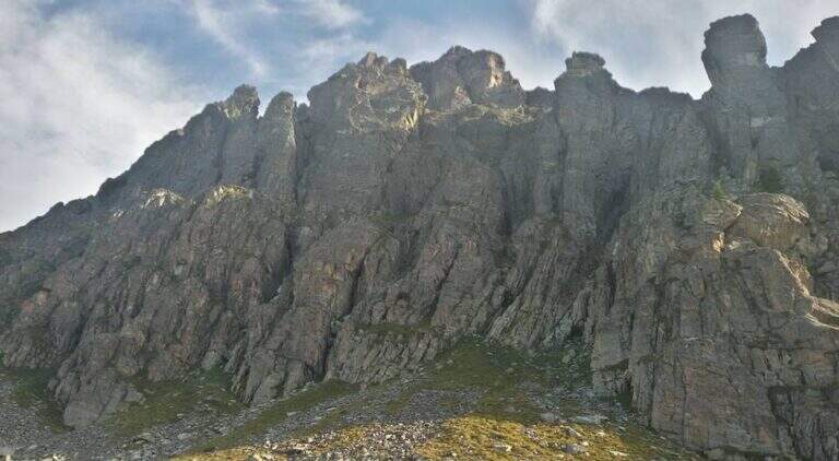
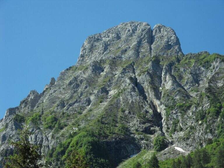
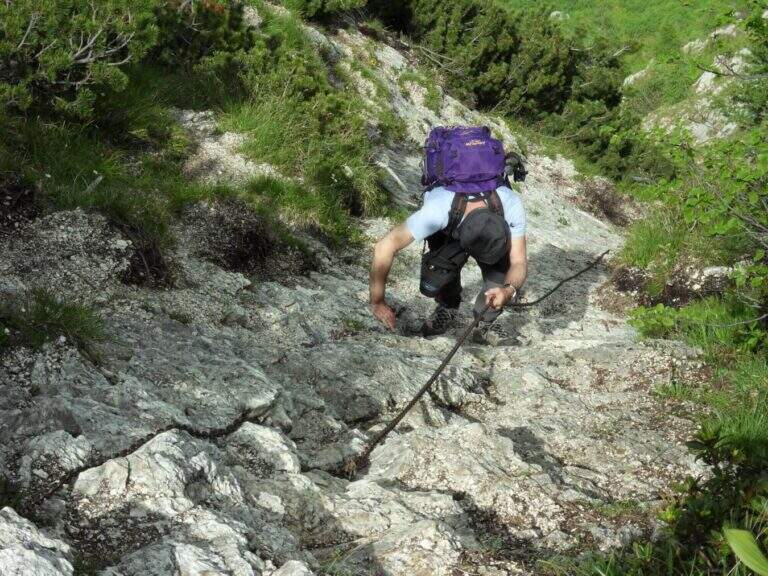
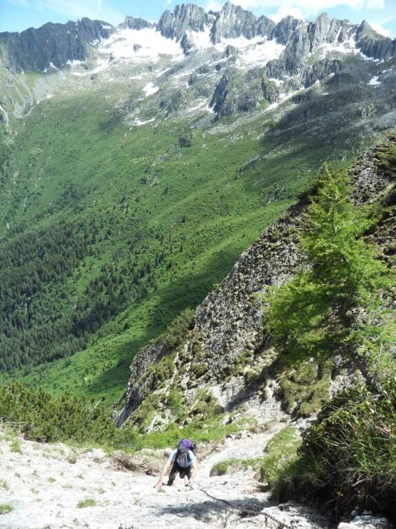
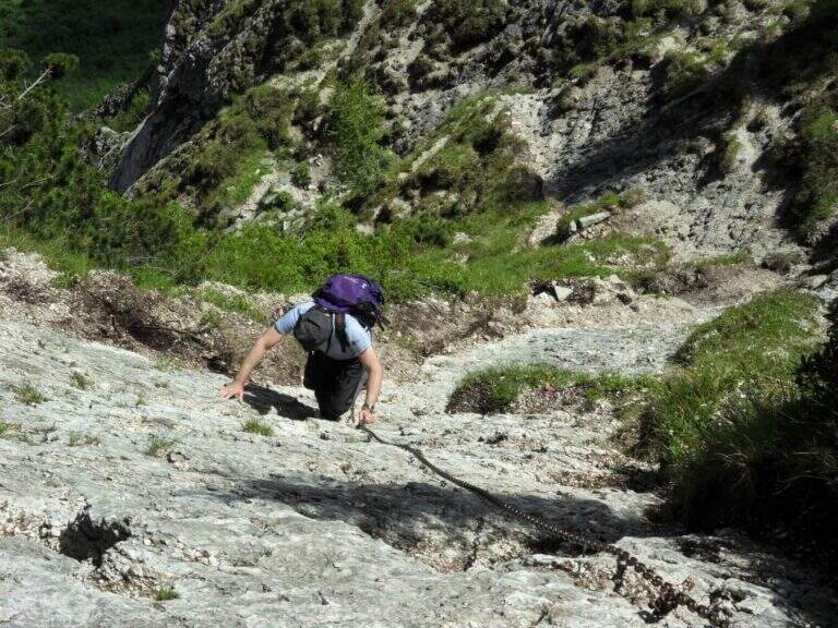
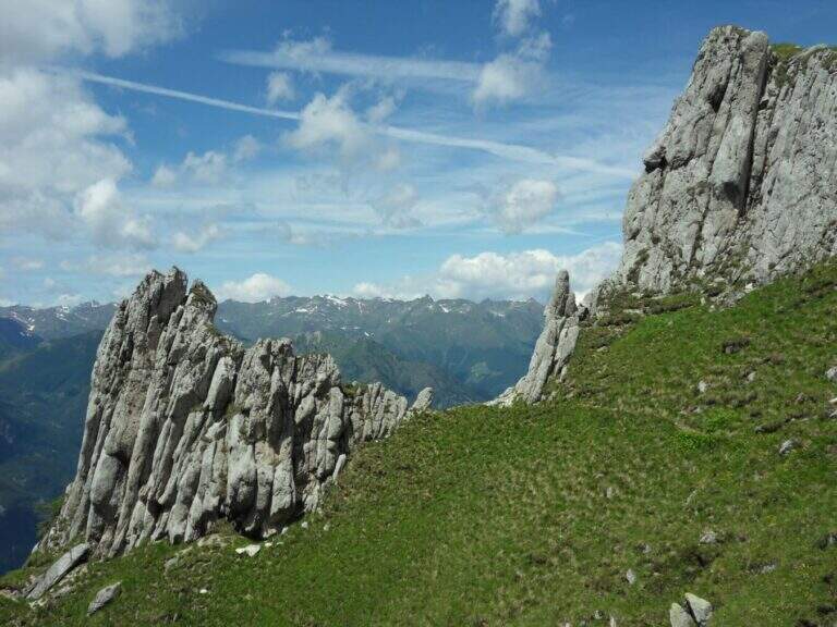
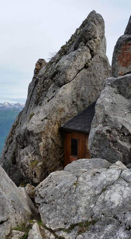
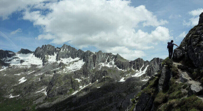
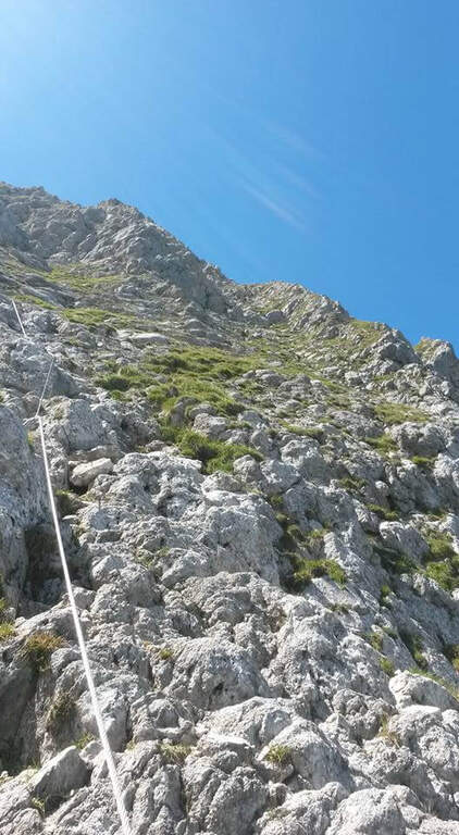
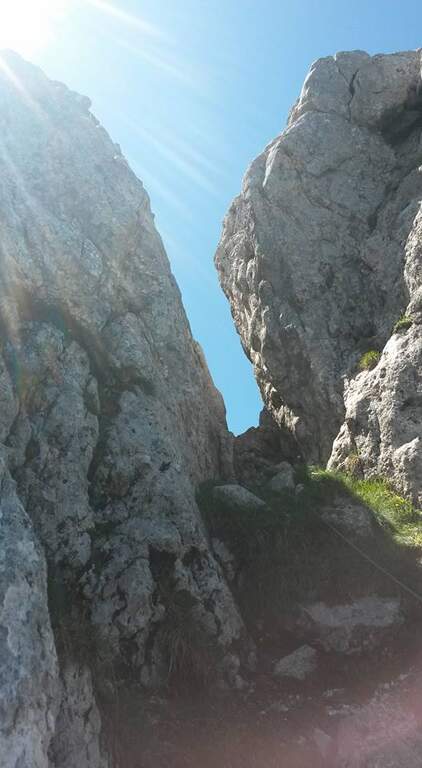
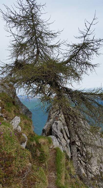
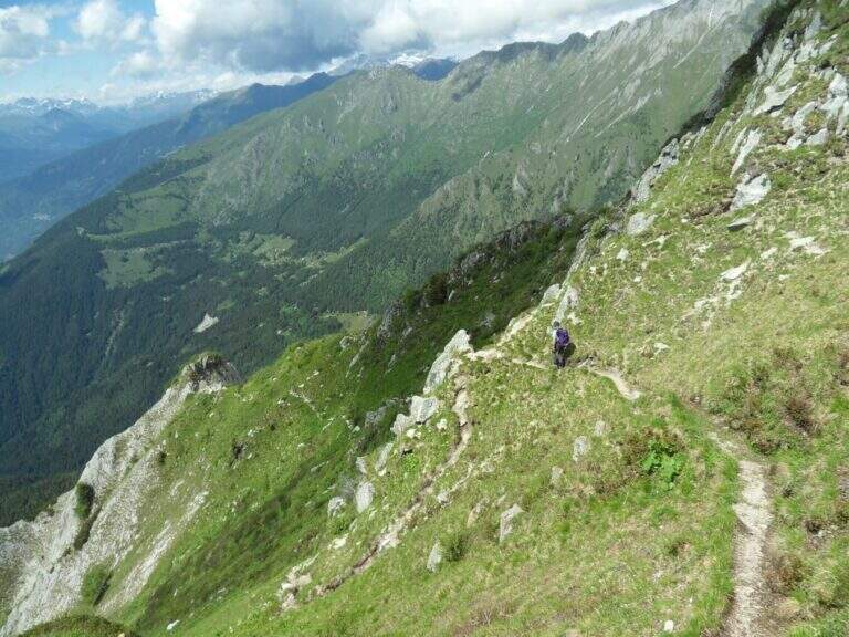
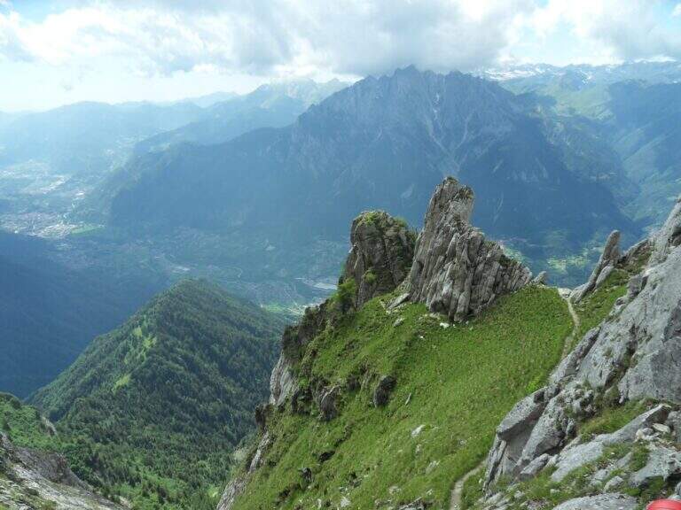
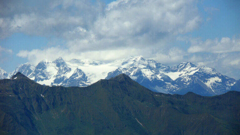
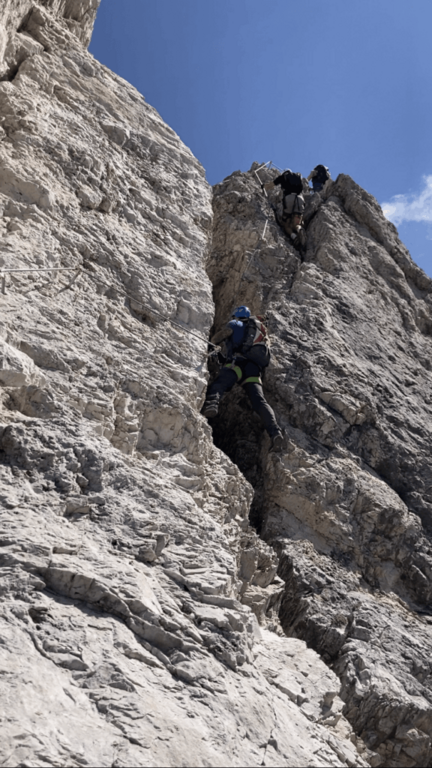
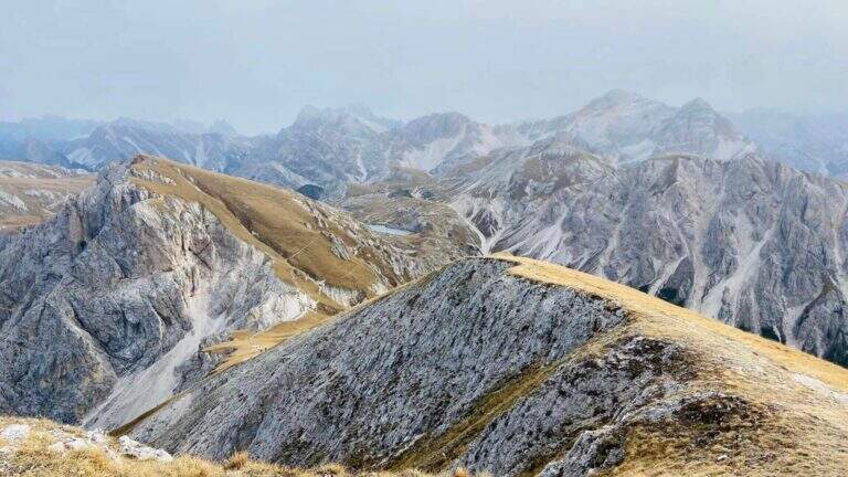
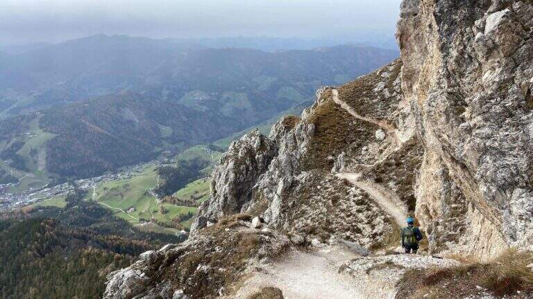
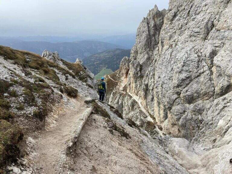
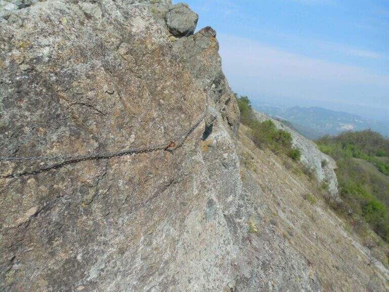
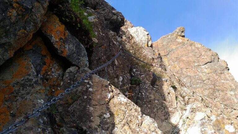
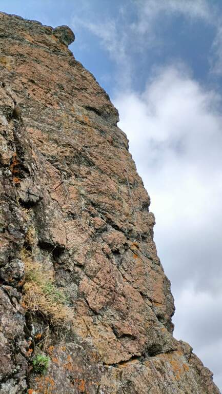
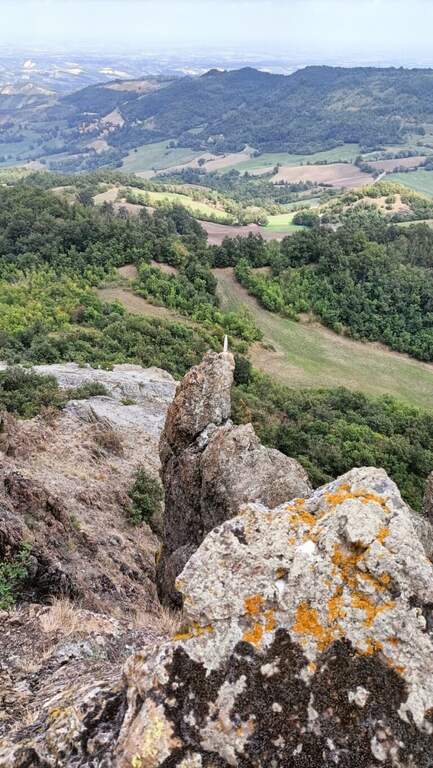
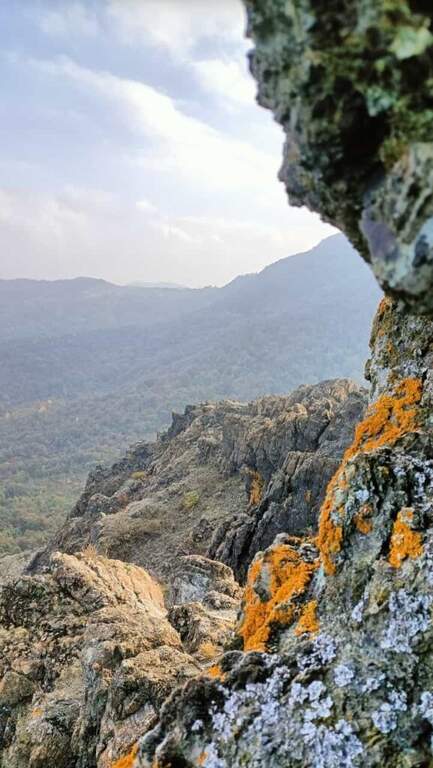
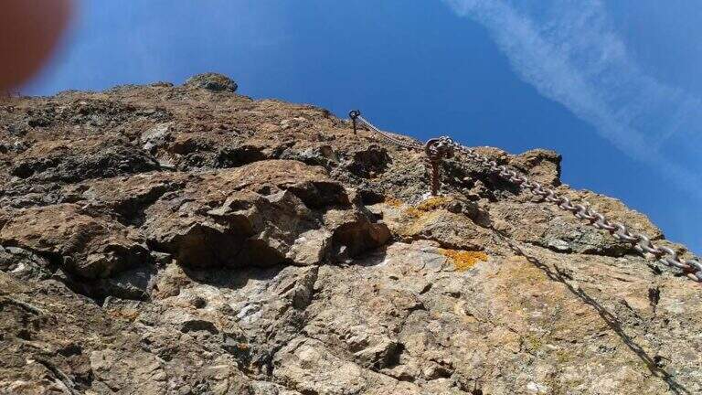
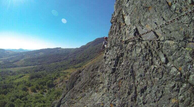
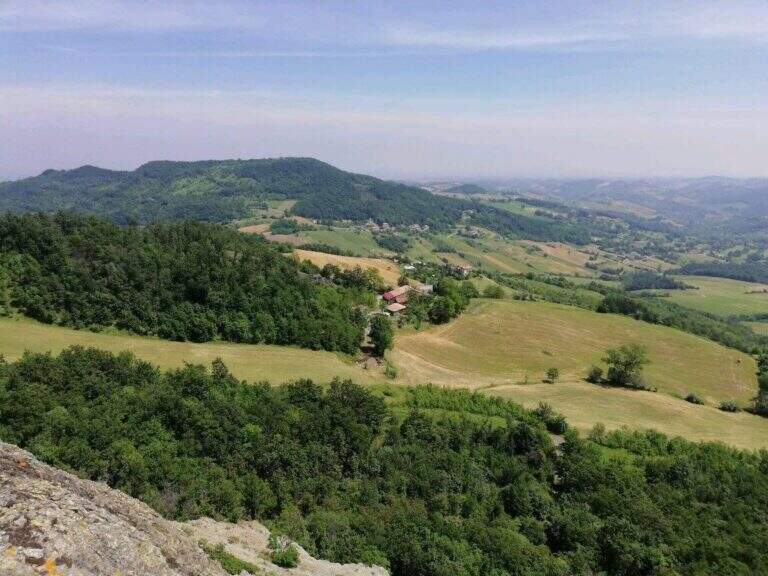
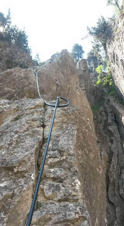
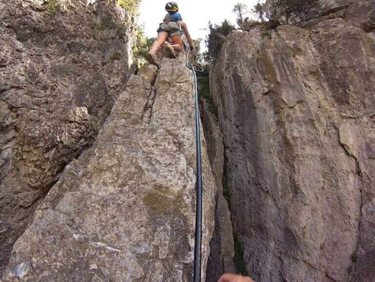
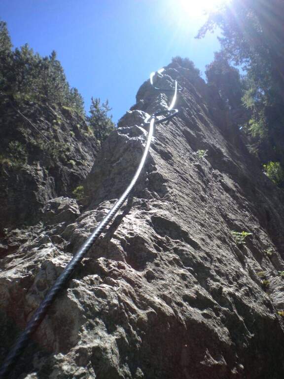
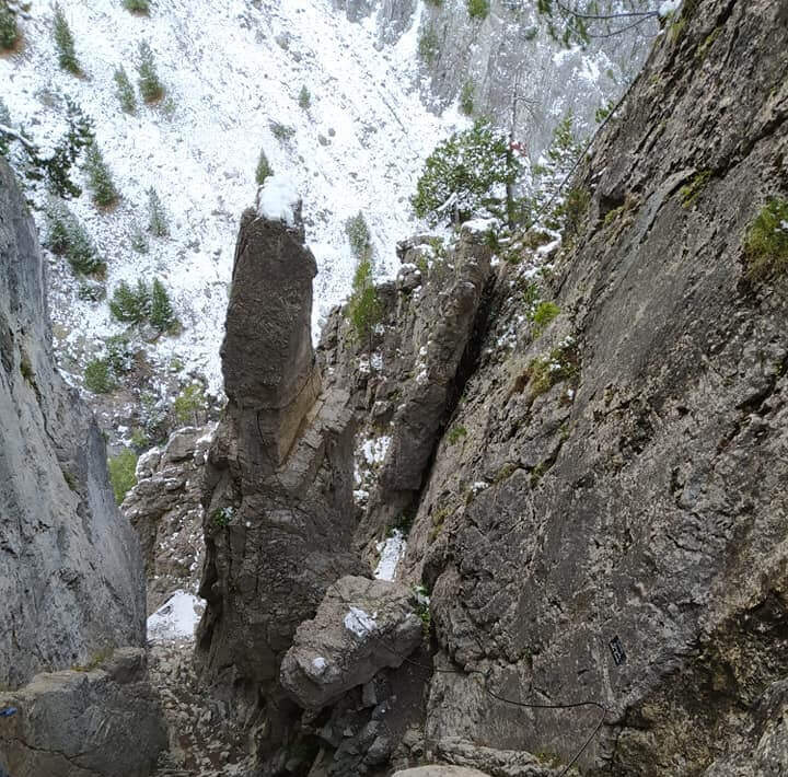
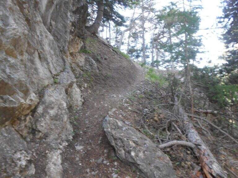
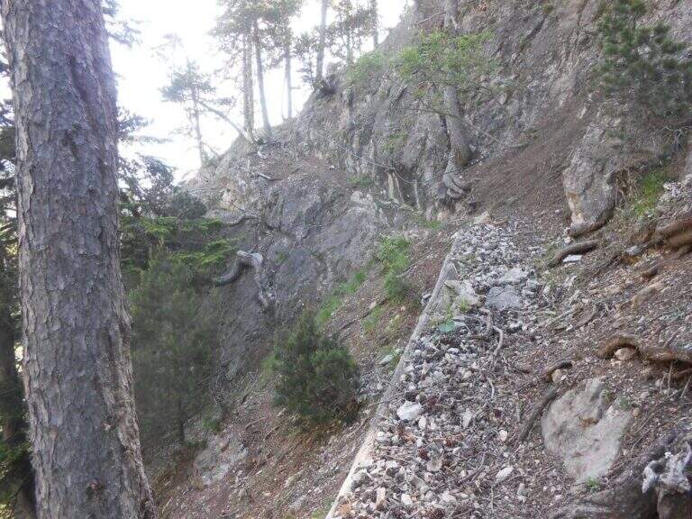
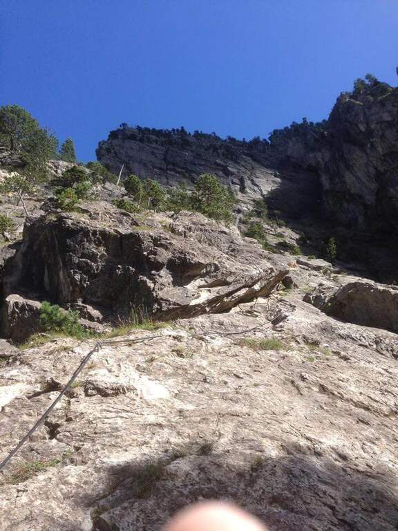
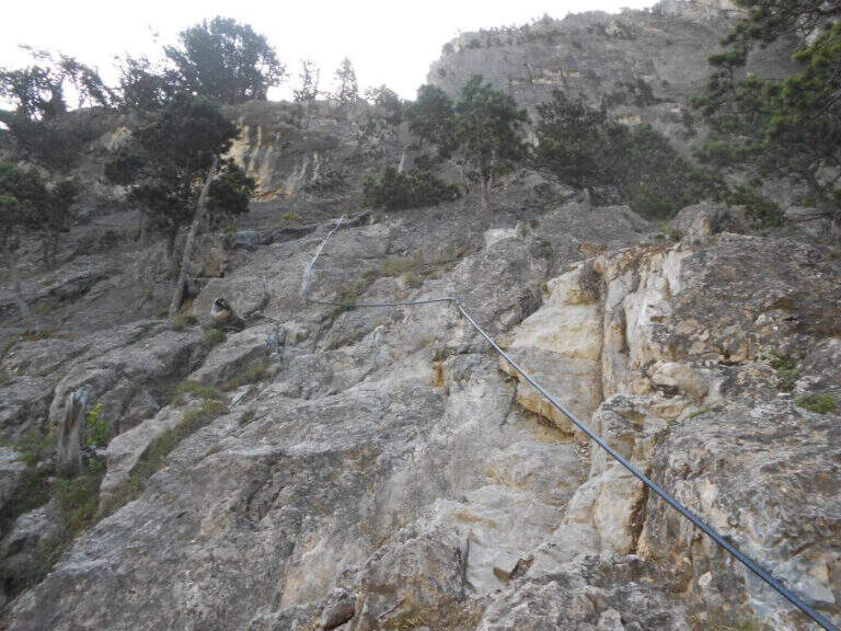
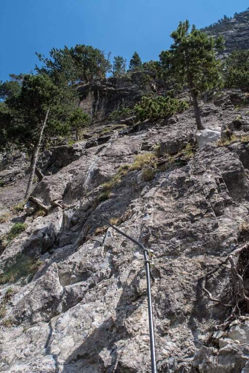
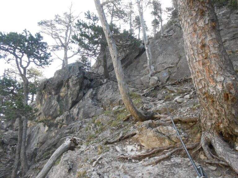
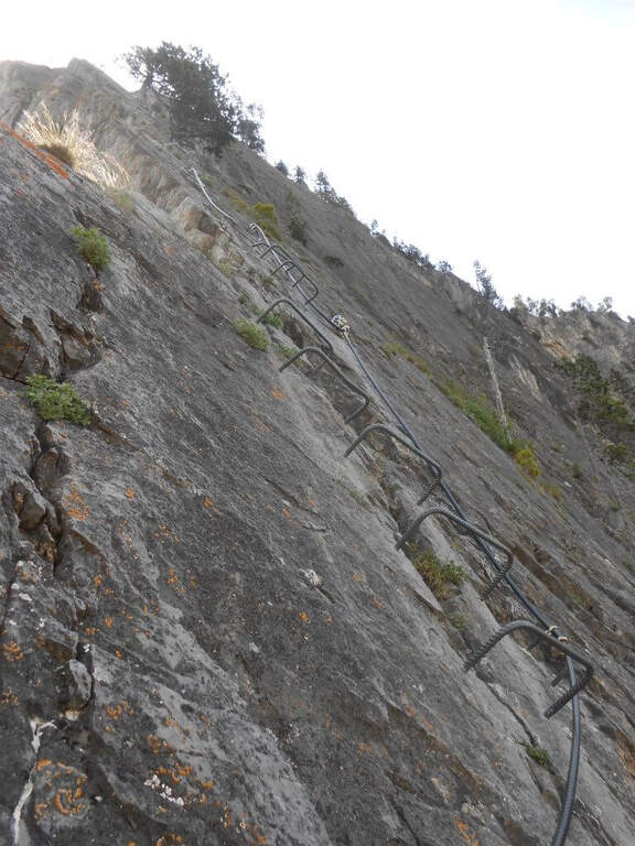
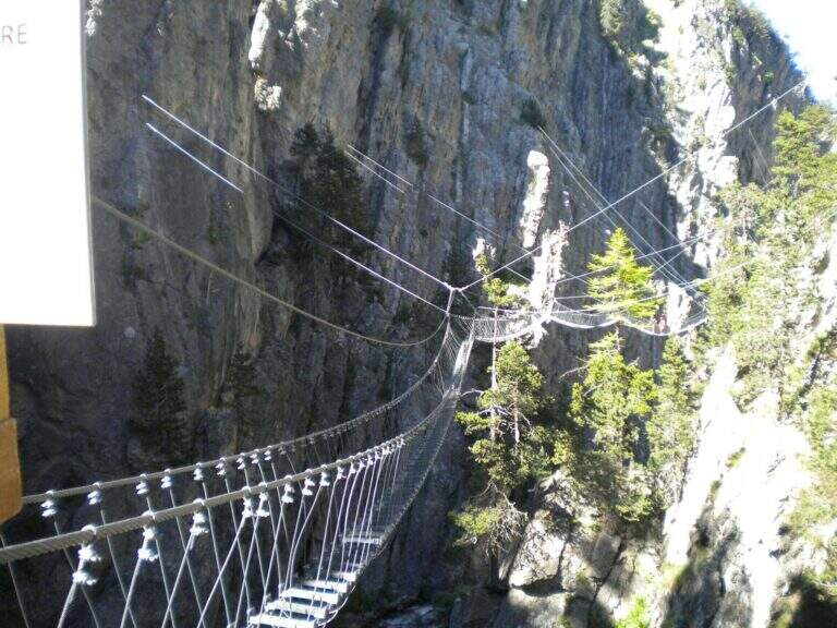
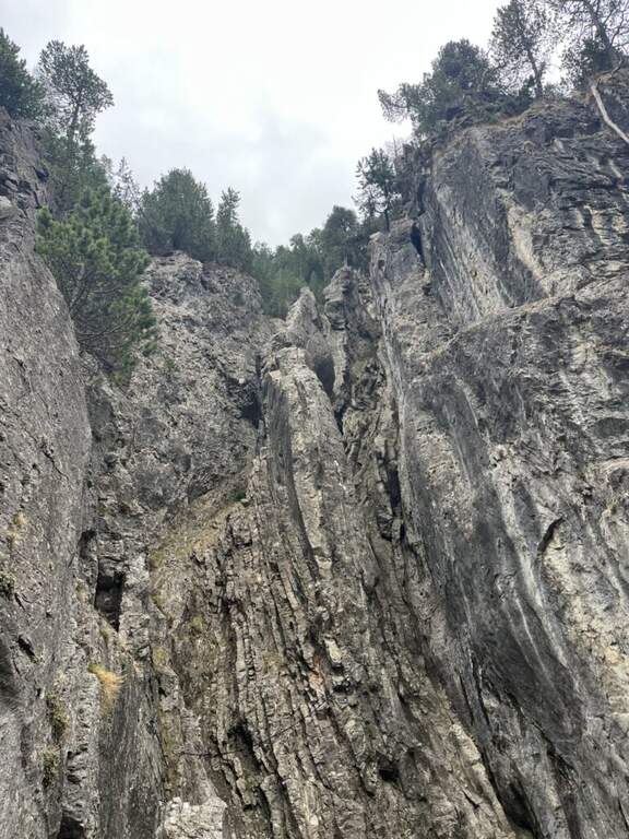
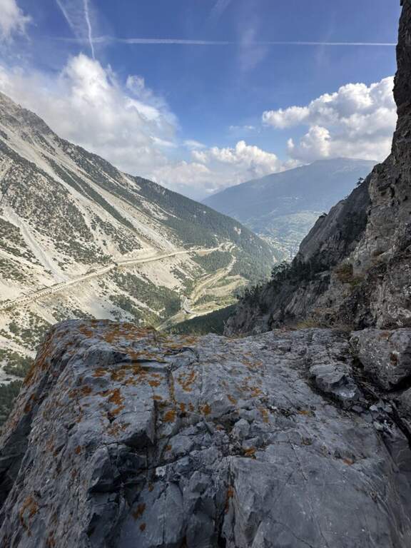
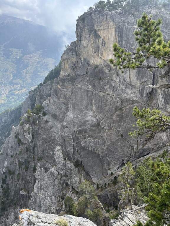
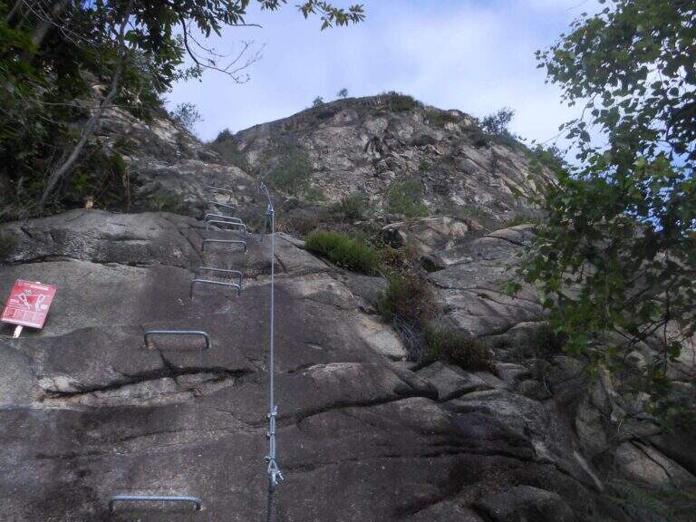
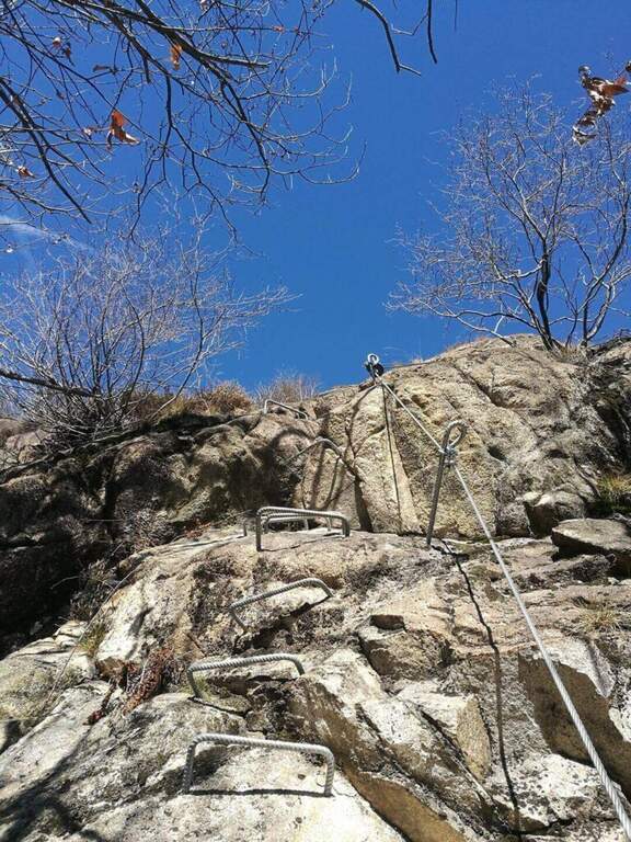
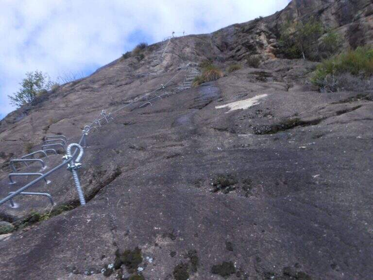
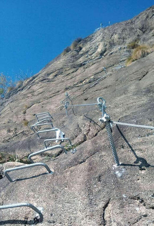
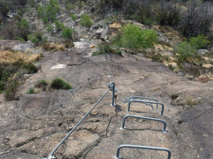
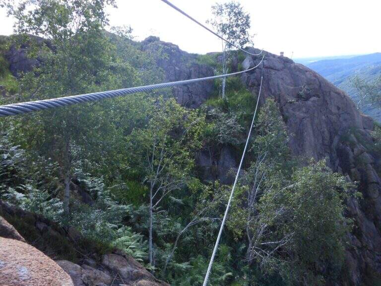
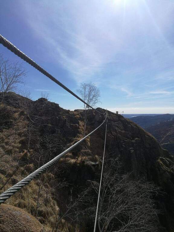
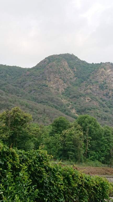
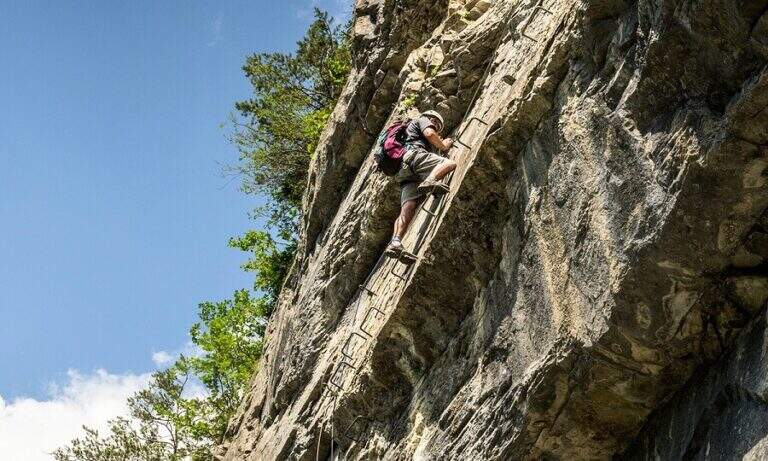
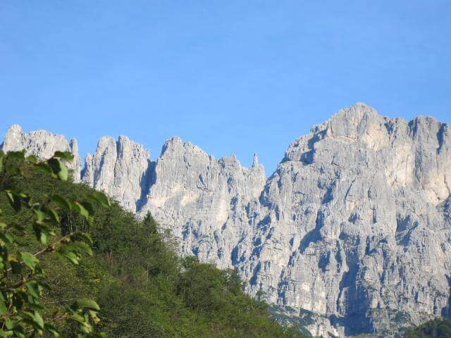
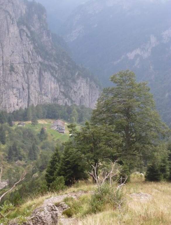
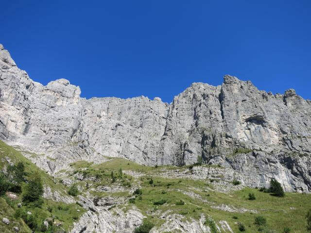
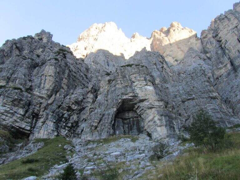
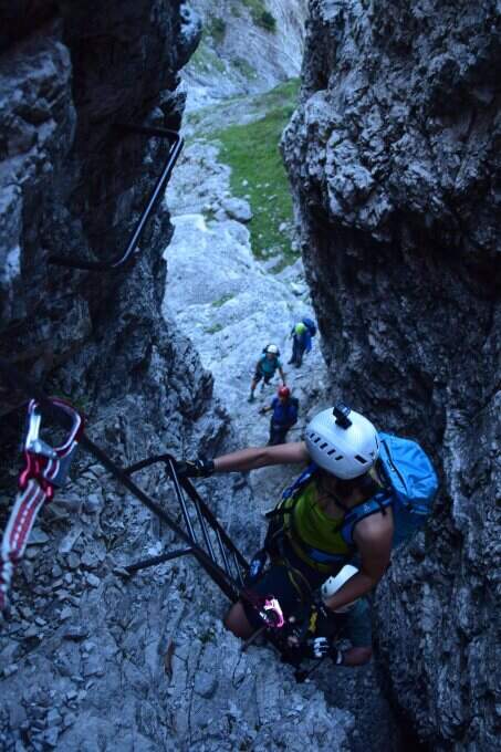
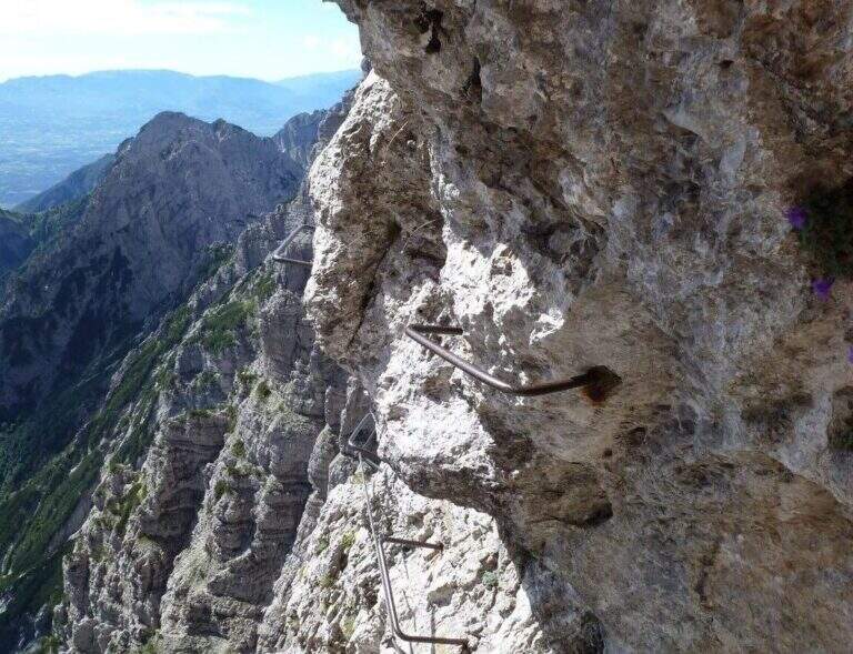
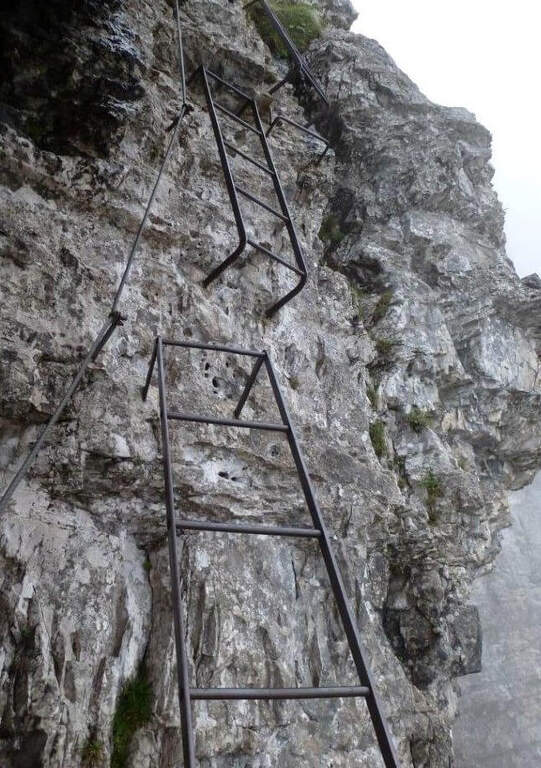
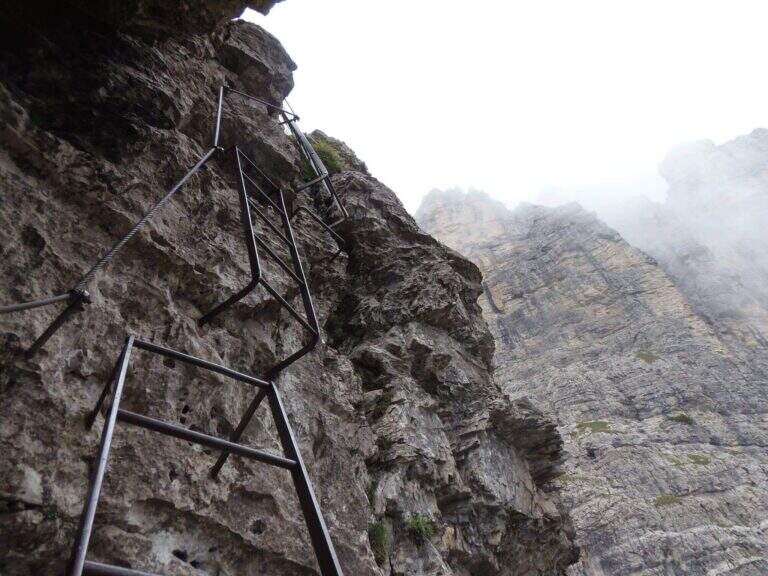
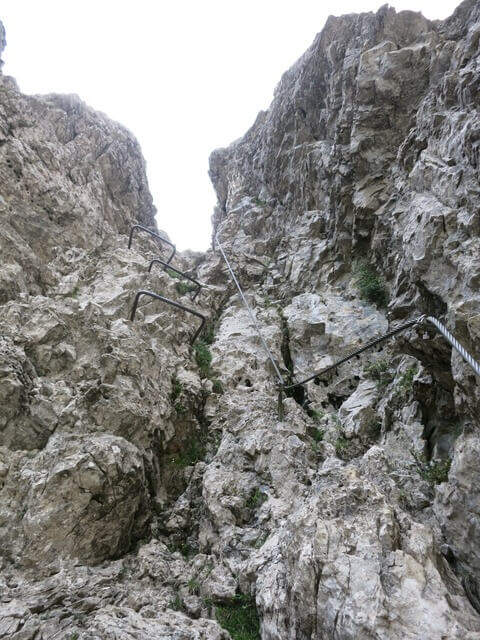
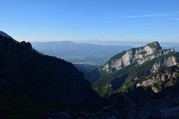
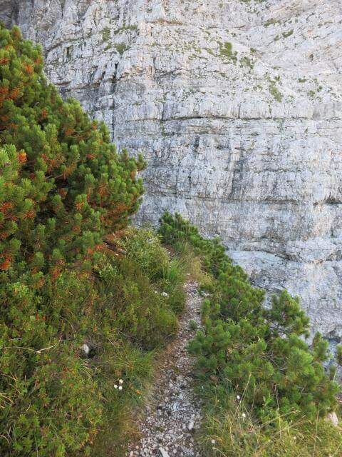
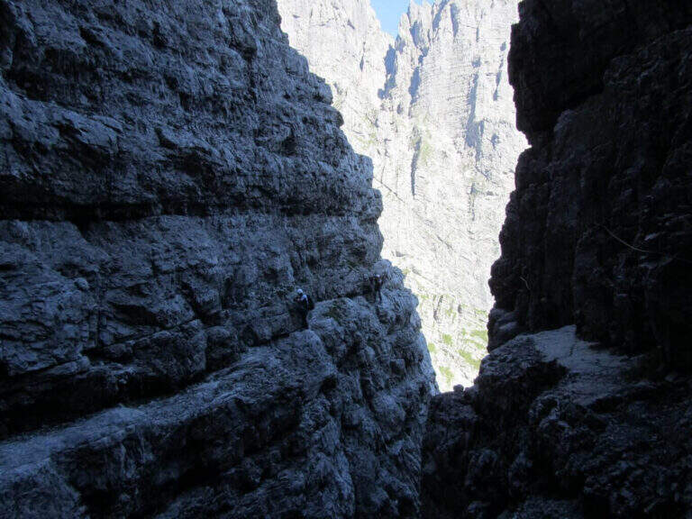
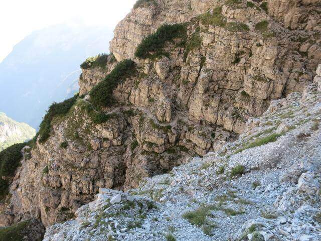
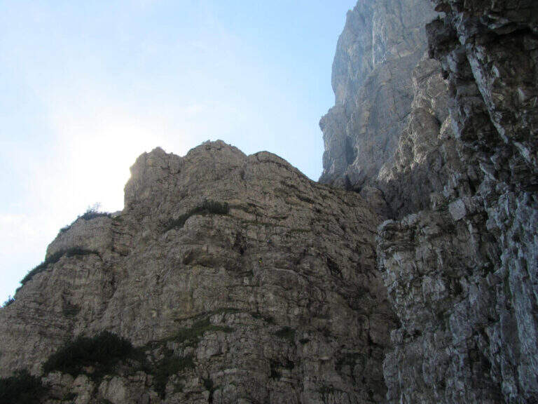
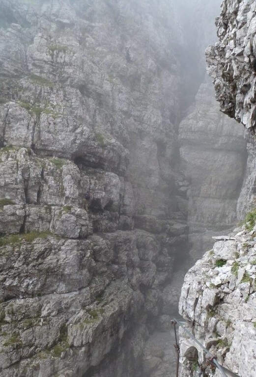
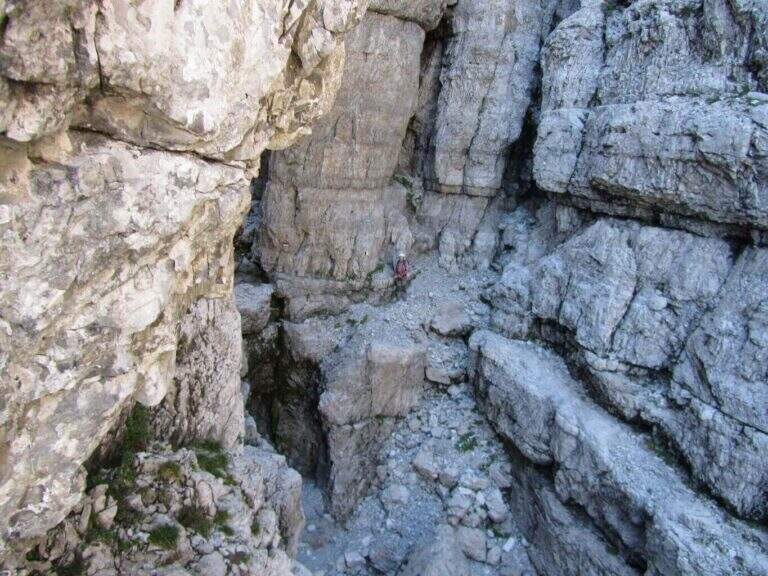
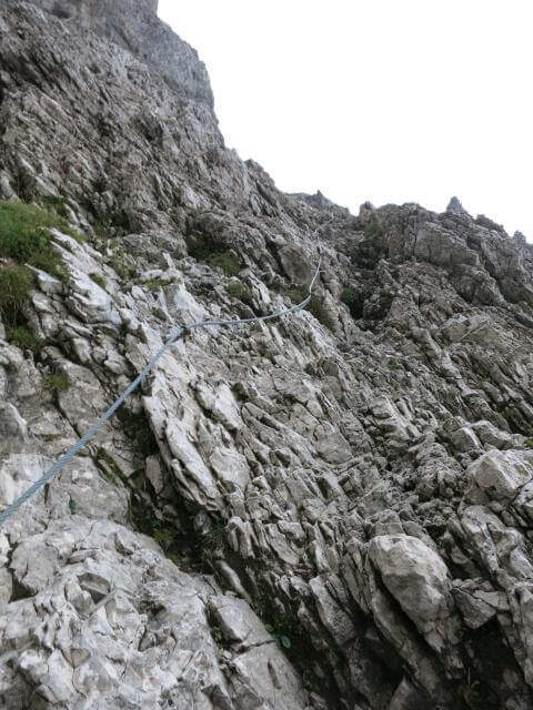
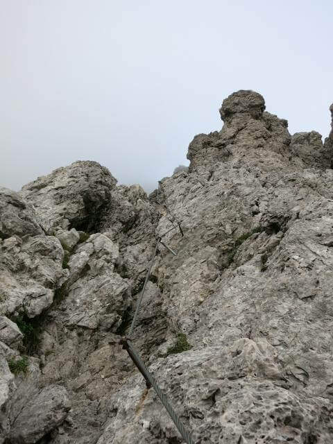
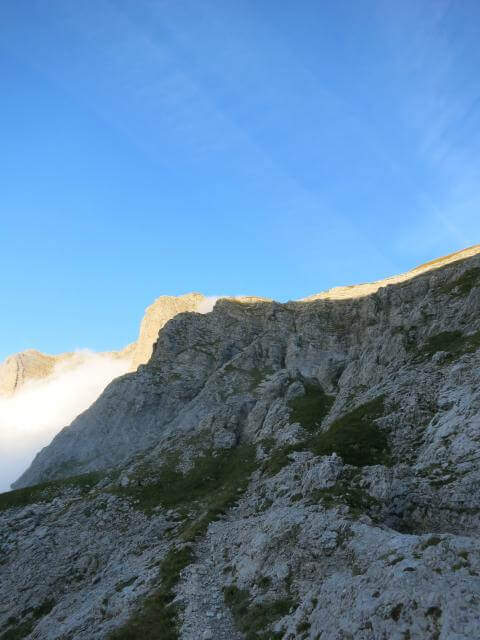
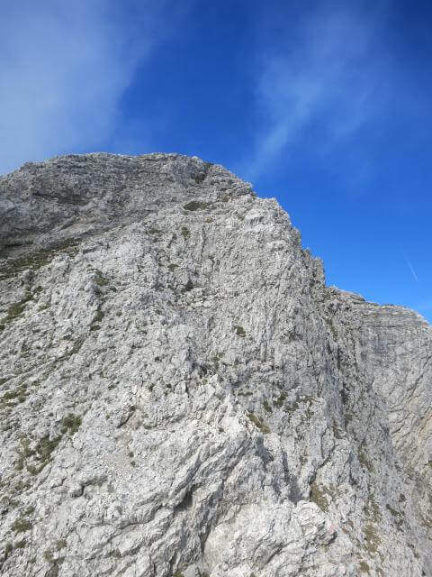
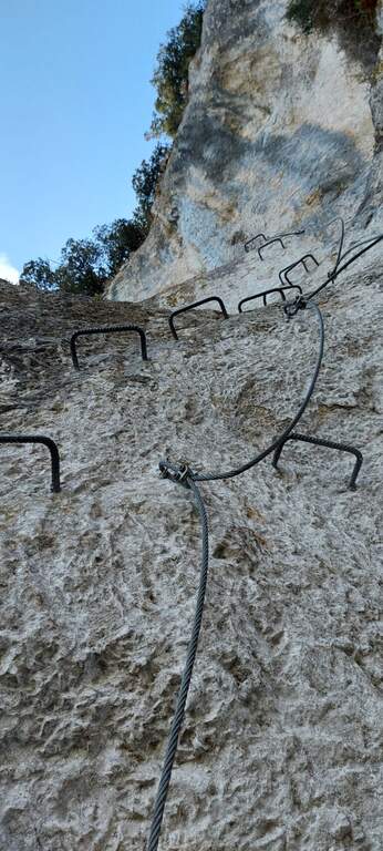
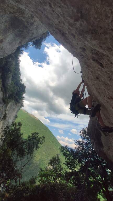
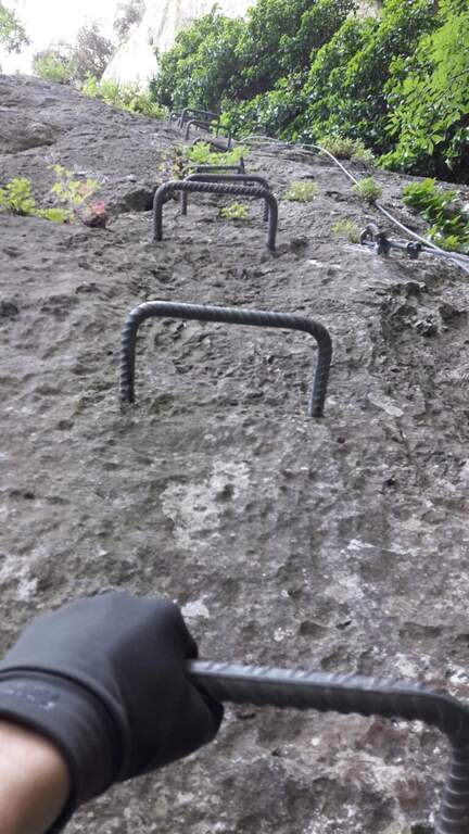
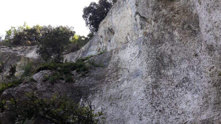
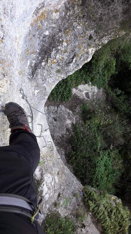
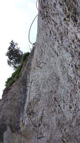
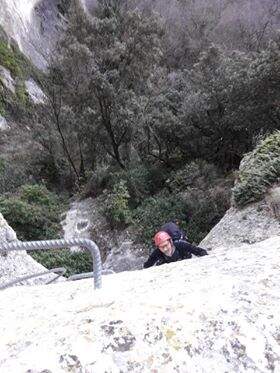
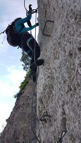
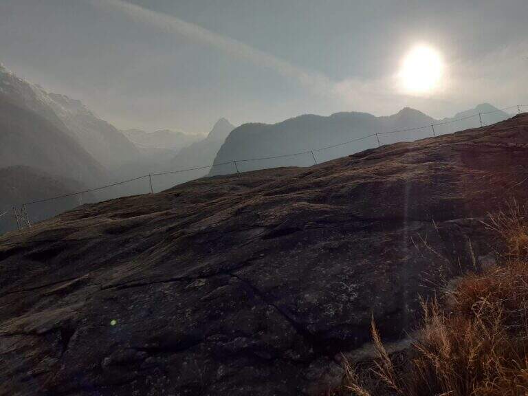
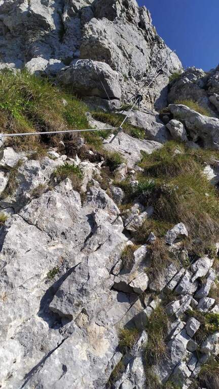
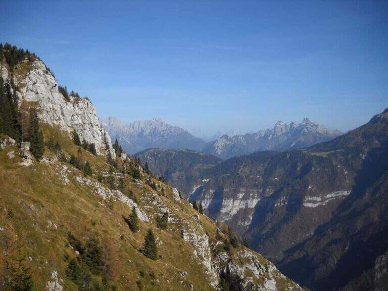
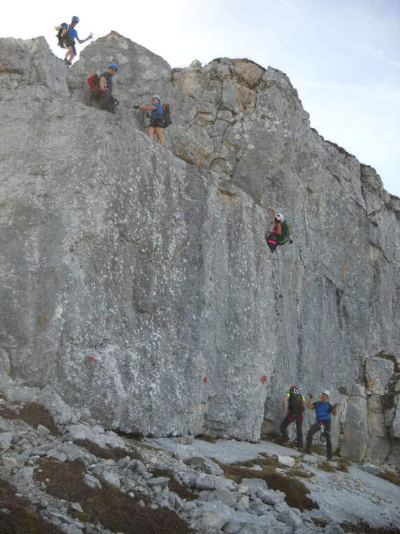
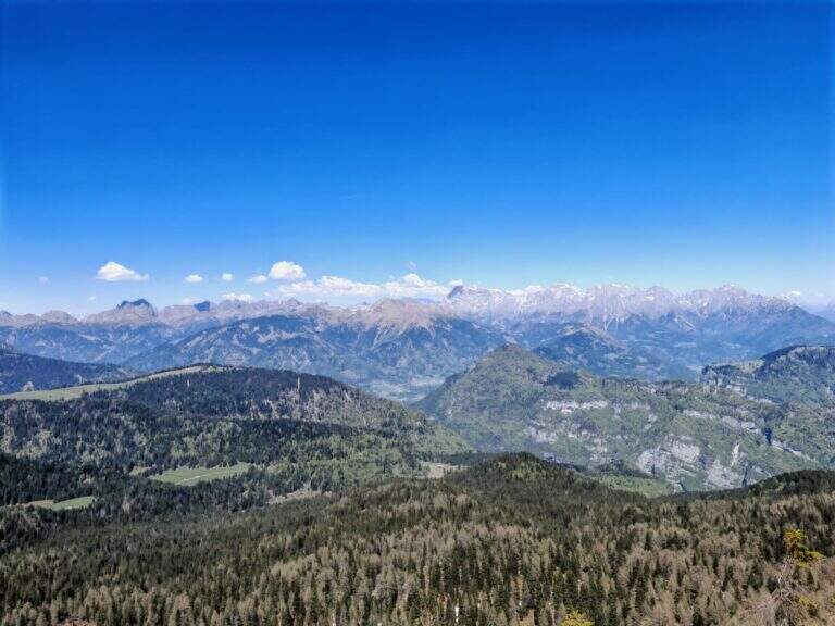
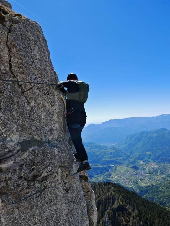
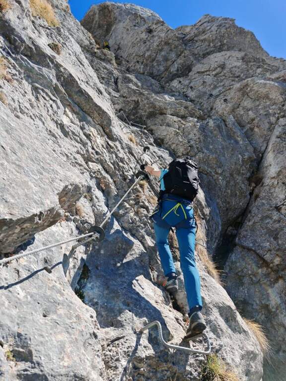
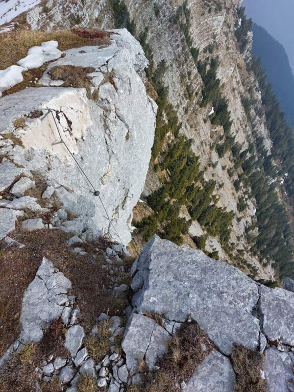
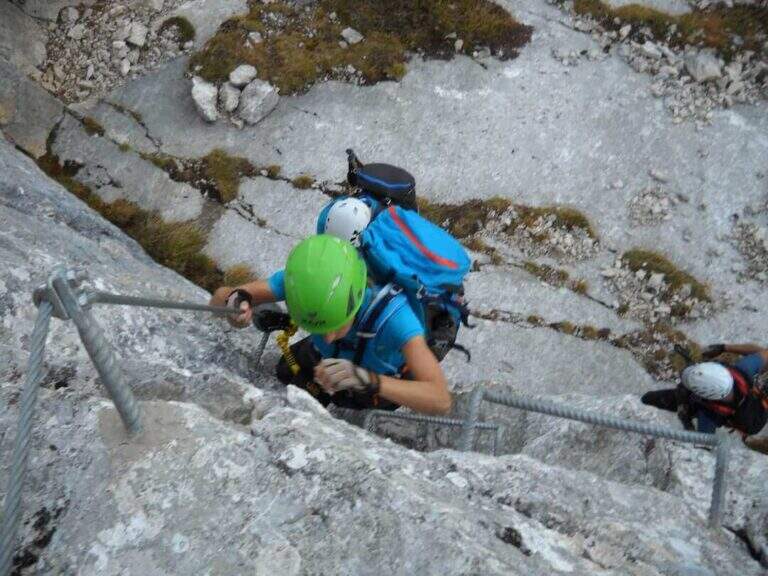
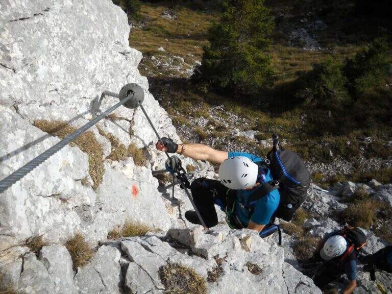
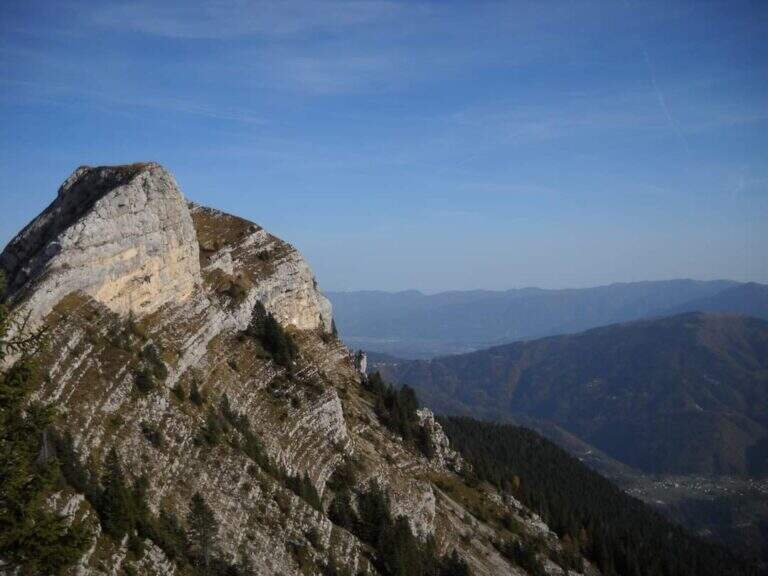
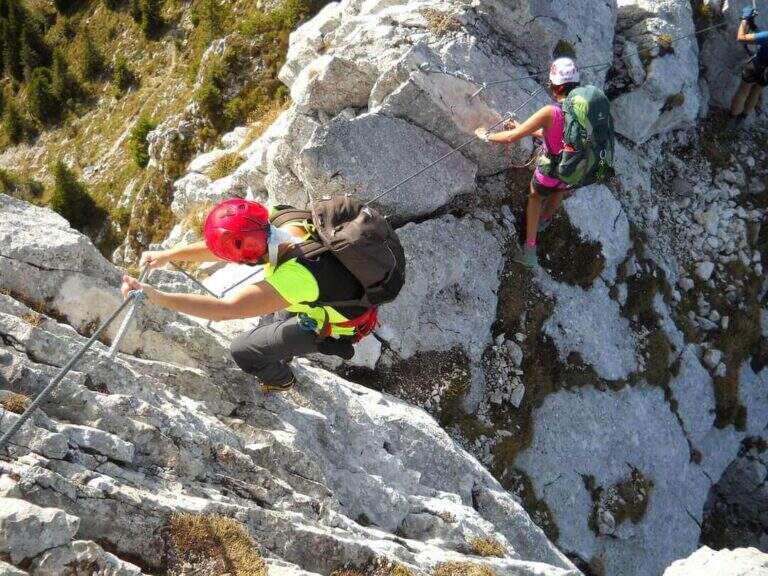
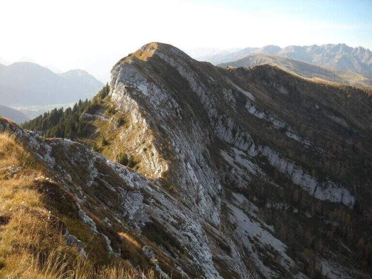
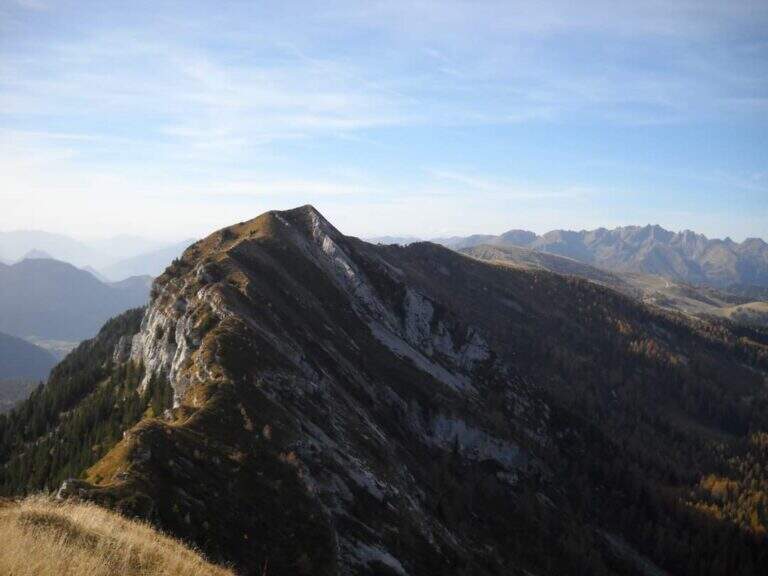
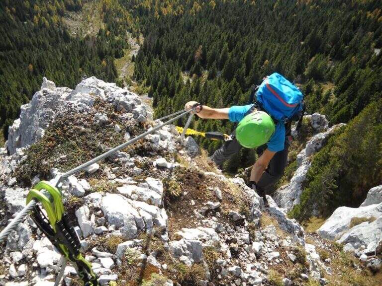
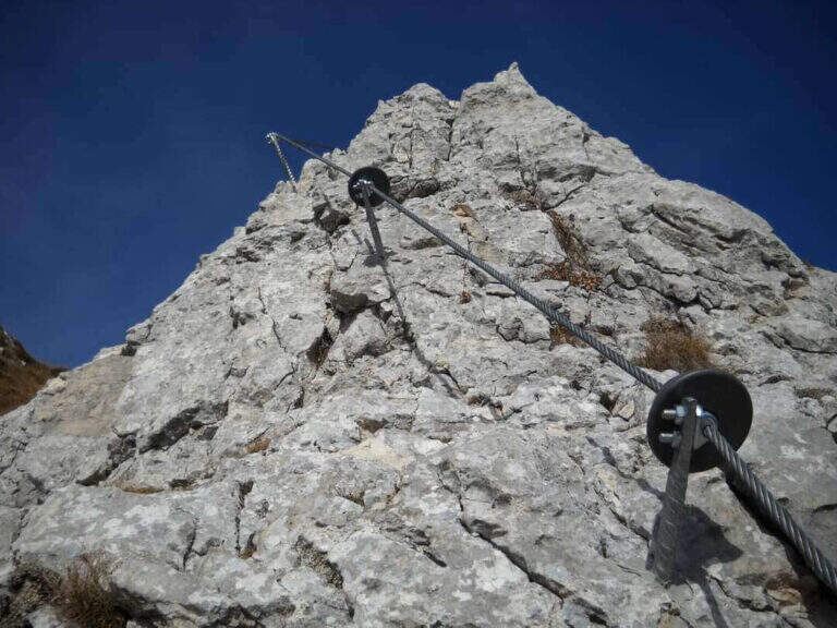
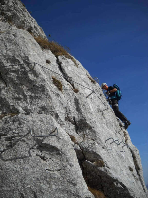
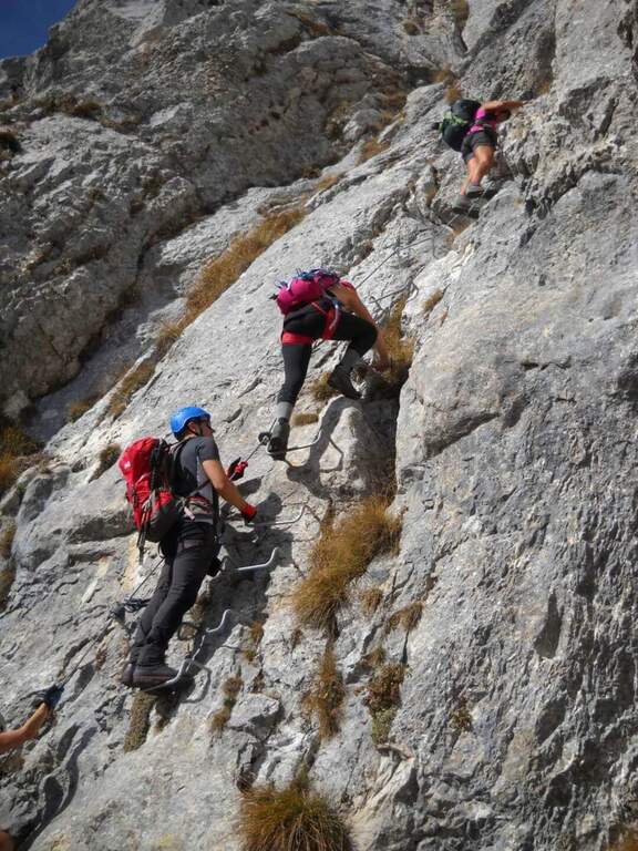
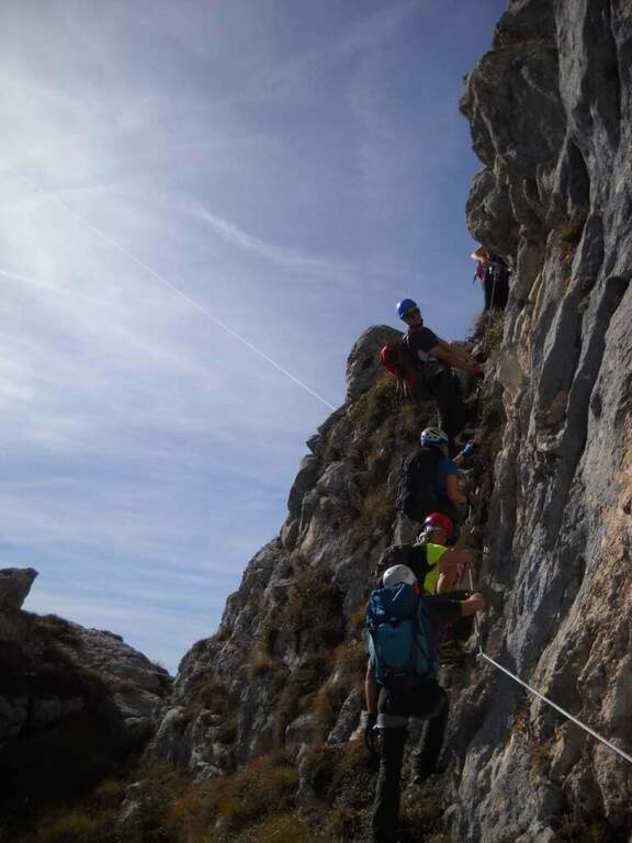
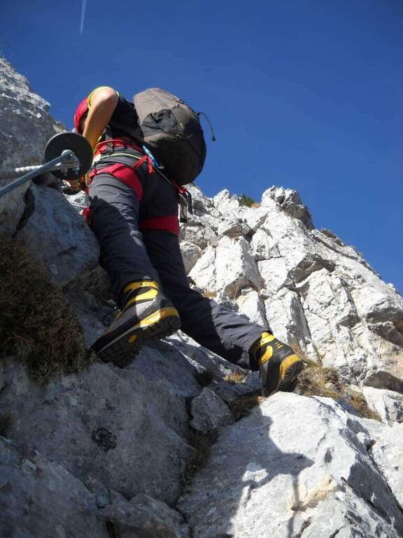
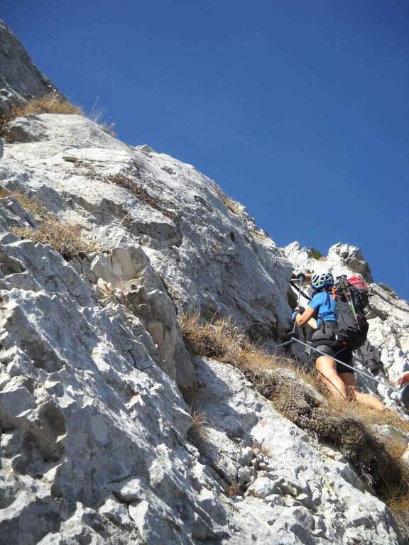
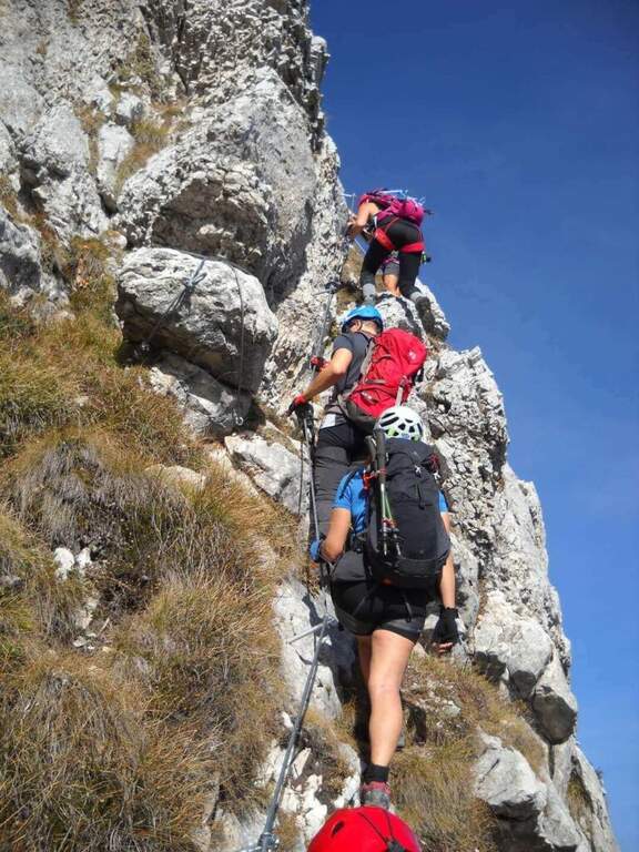
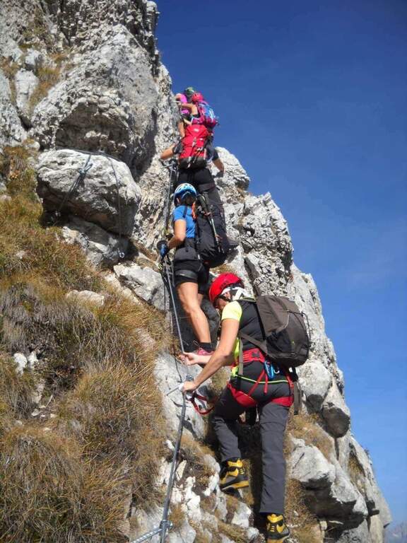
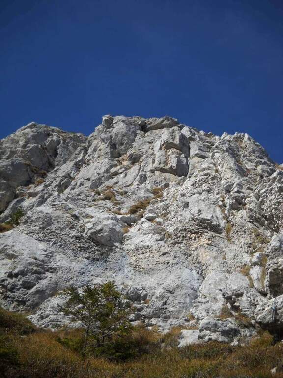
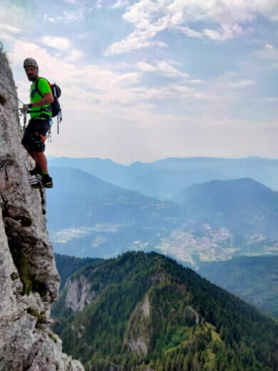
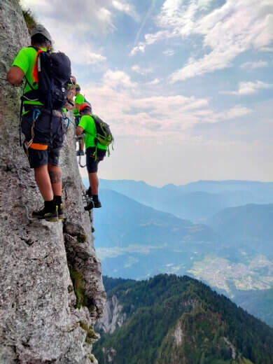
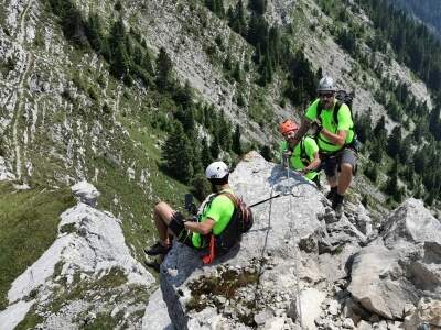
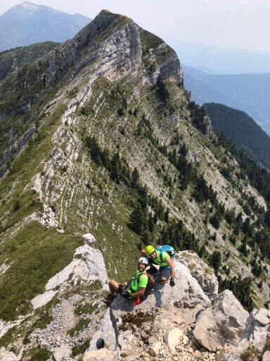
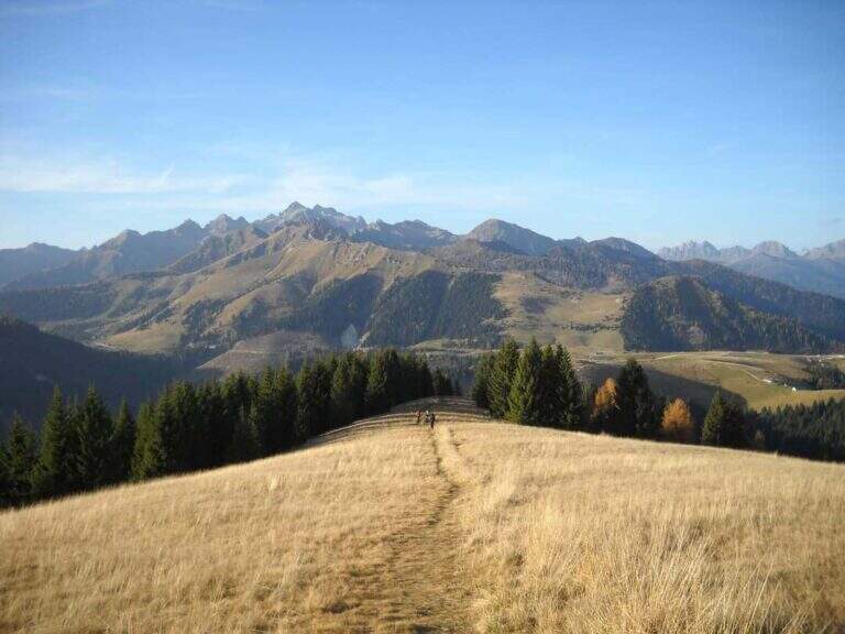
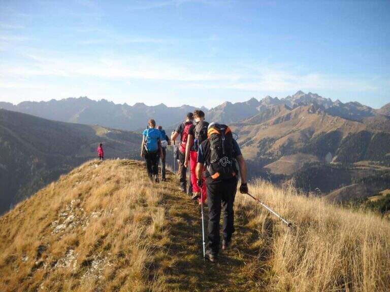
    The Ferrata al Pizzo del Becco is a short stretch equipped with no technical difficulties of importance, but inserted in a long and challenging itinerary: before and after the equipment there are rocks exposed to face in free, where it serves foot. The environment, in the heart of the Bergamo Orobies, is wild and isolated.

    ▲Approach

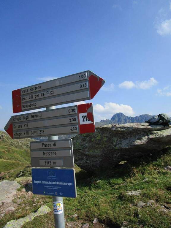
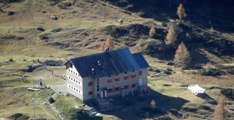
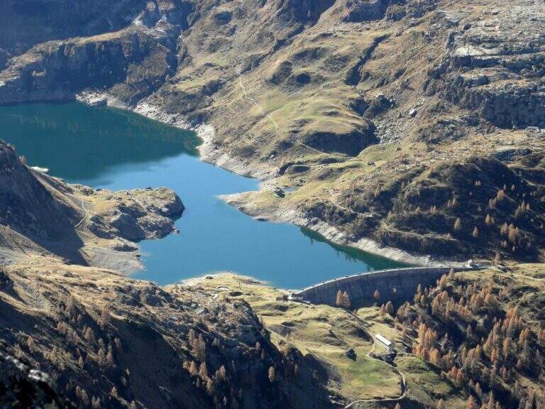
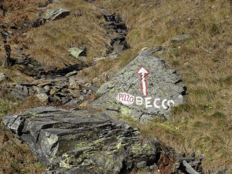
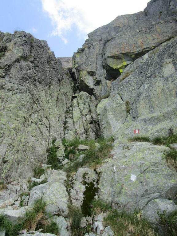
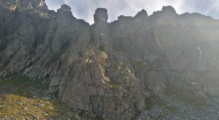
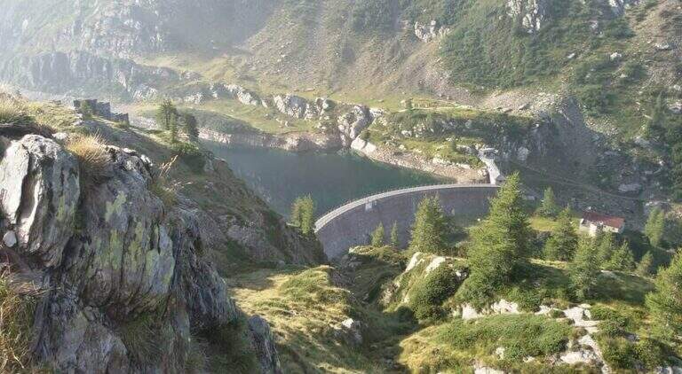
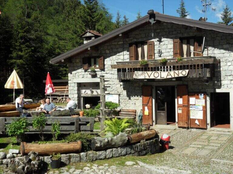
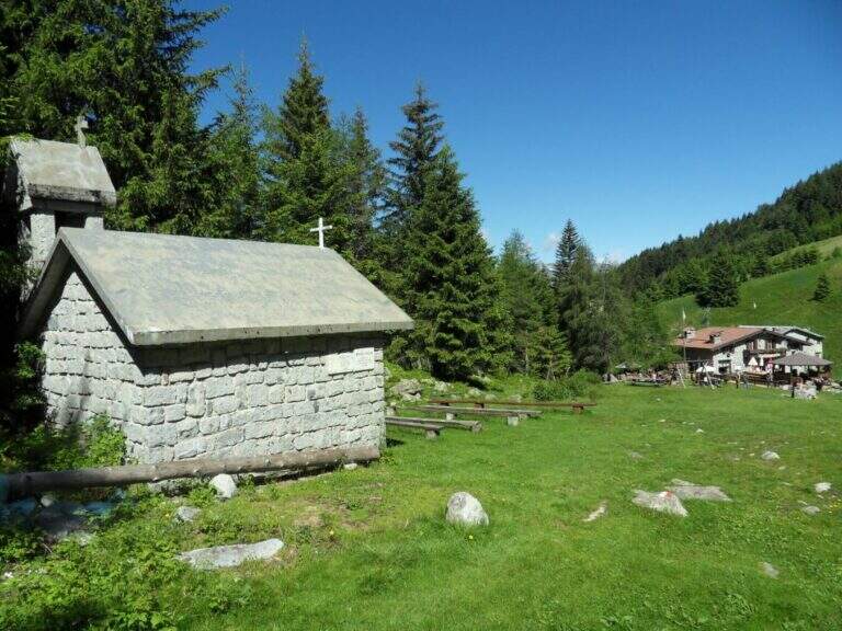
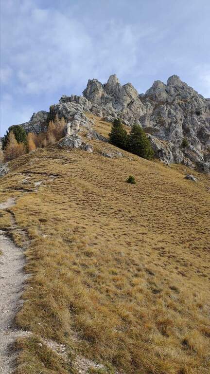
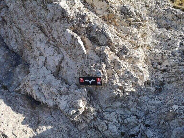
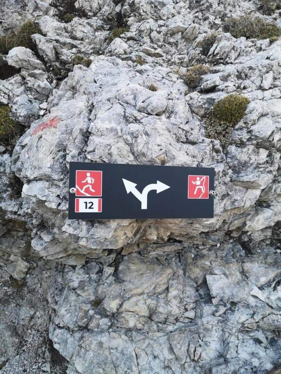
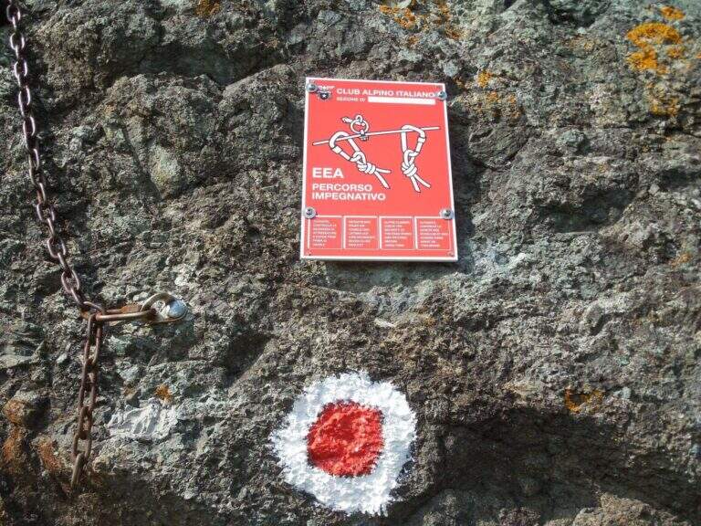
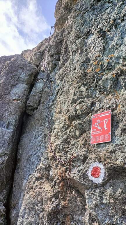
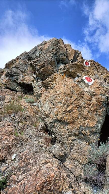
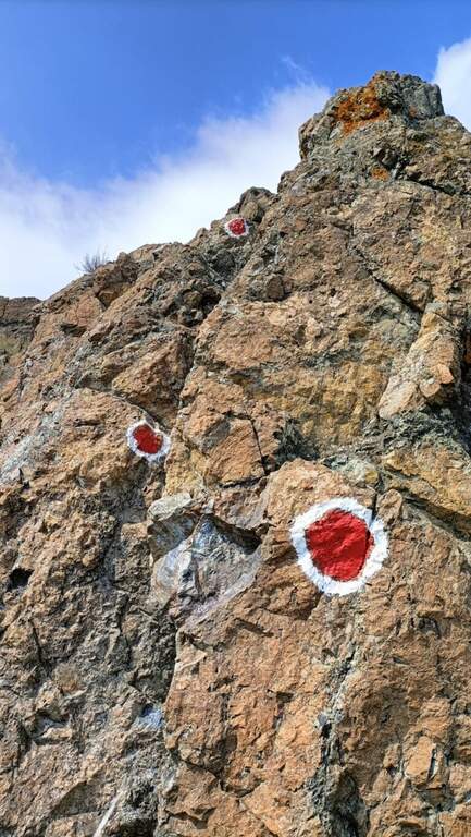
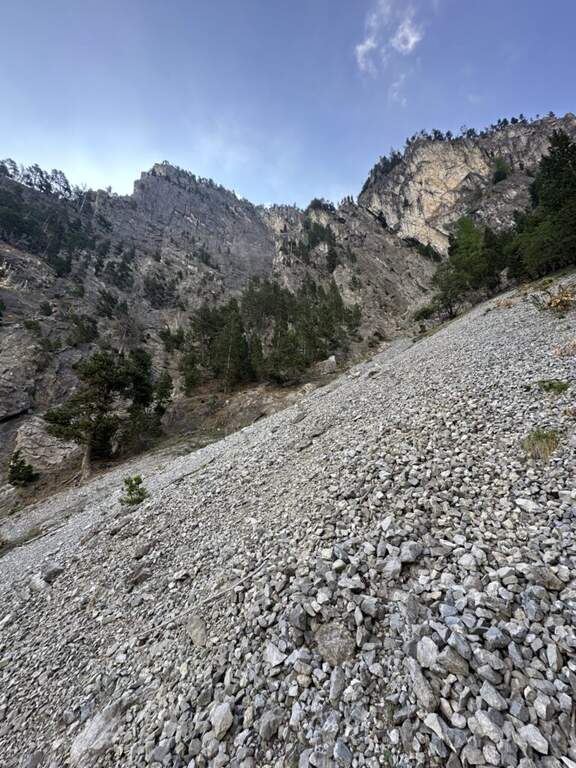
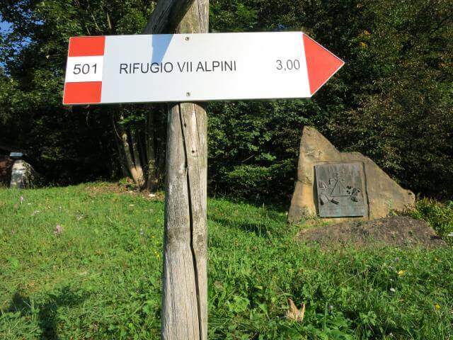
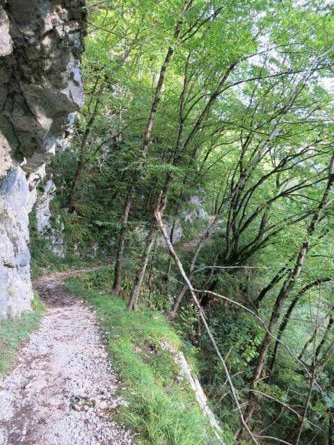
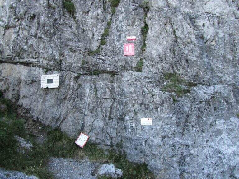
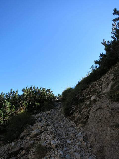
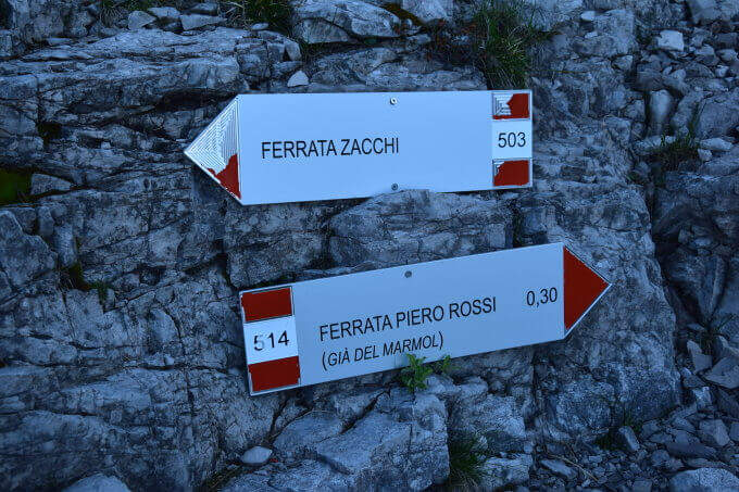
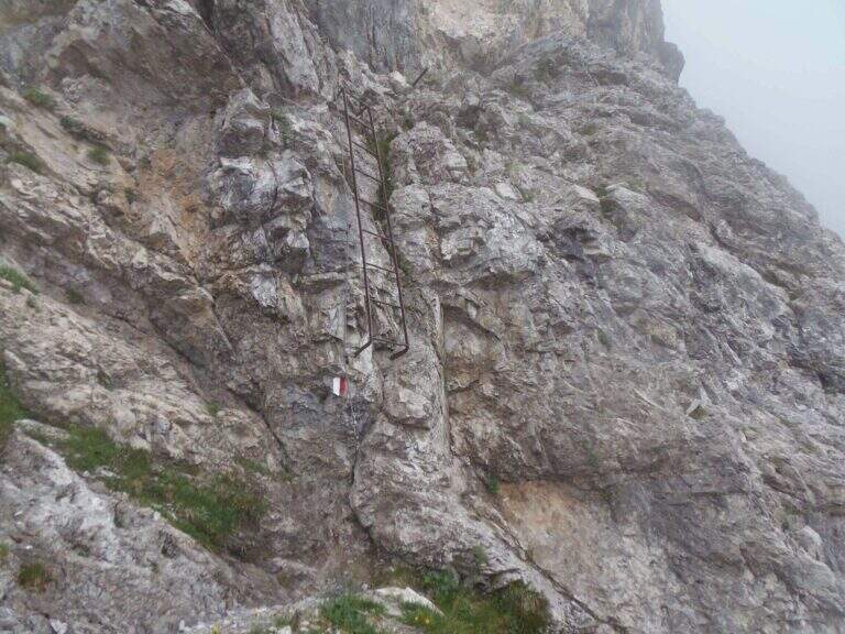
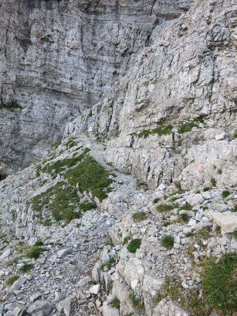
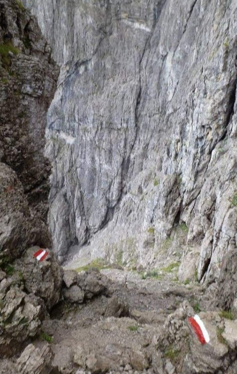
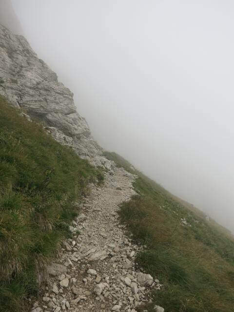
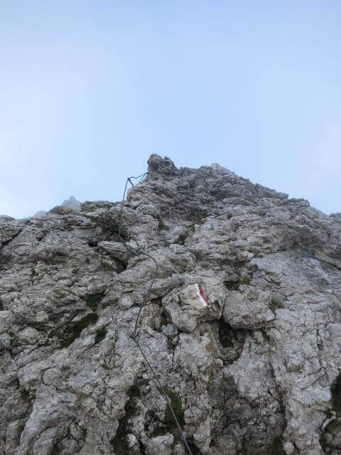
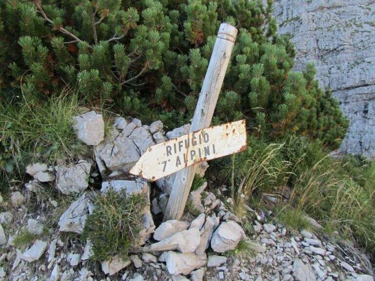
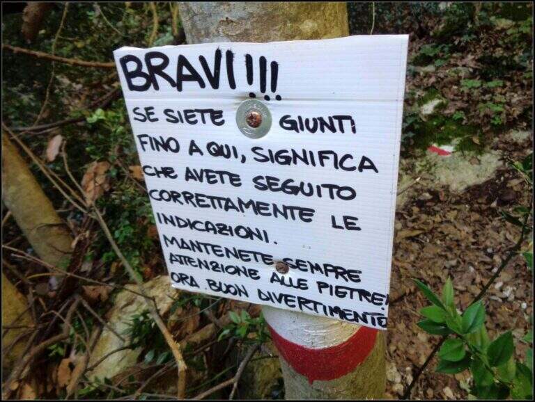
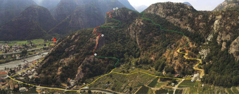
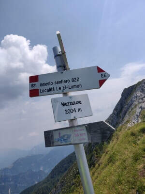
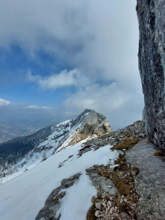
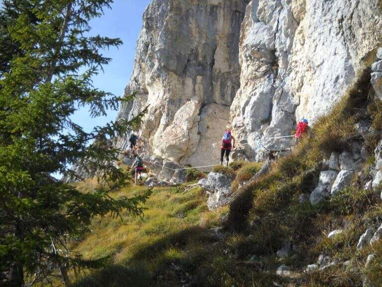
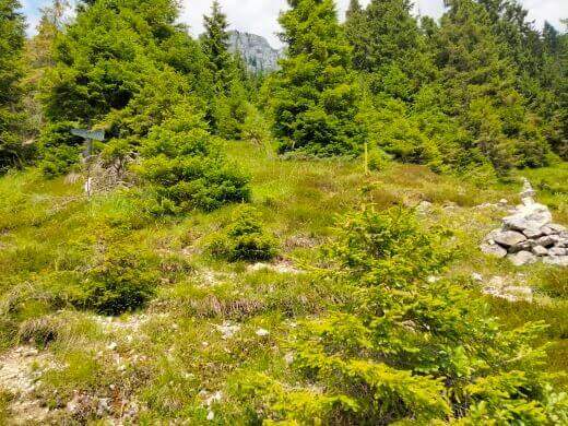
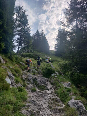
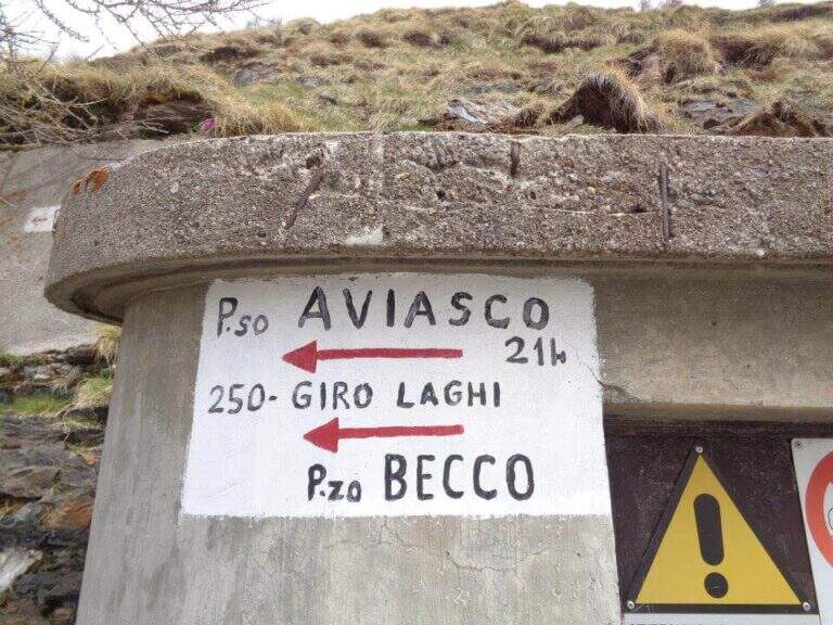
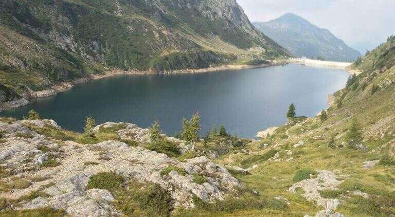
    The starting point is the Baite di Mezzeno, above Roncobello in Val Brembana: from Roncobello you continue on the road first paved and then dirt until you end at the huts, where you park. Starting point on Google Maps. Take the path 215 uphill, which enters almost immediately into the woods; exit on the pastures of height you reach a crossroads where you keep the right towards the Rifugio Laghi Gemelli. The path is steeped to the Mezzeno Pass (2140 m), beyond which a pier, and in a half hour leads to the refuge (2h from the parking lot). Cross the dam of the lake passing on the other side, continue on dirt road to Lake Colombo and cross it on a second dam; just beyond a red sign indicates to keep the left. Approaching the walls of the Pizzo del Becco you follow a clear track first, then the white-red signs on path and rocks, up to the chain that gives start to the ferrata (1h 15' from the shelter, 3h 15' total).

    ▲The path

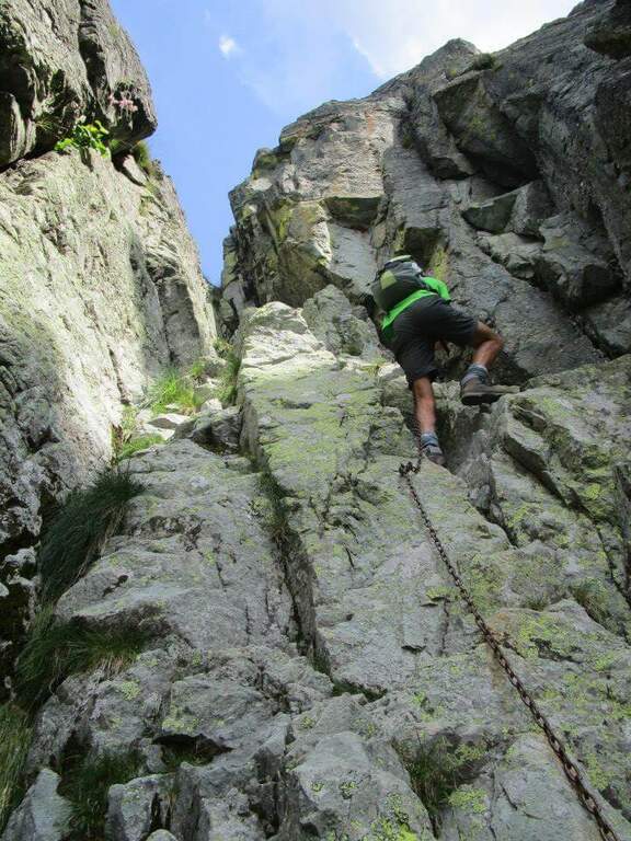
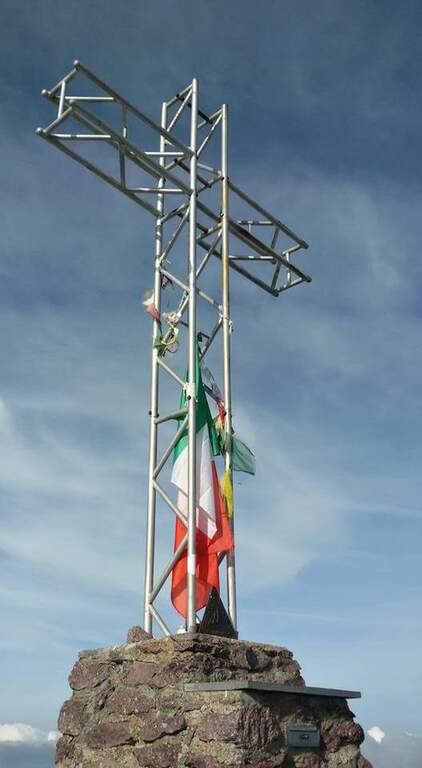
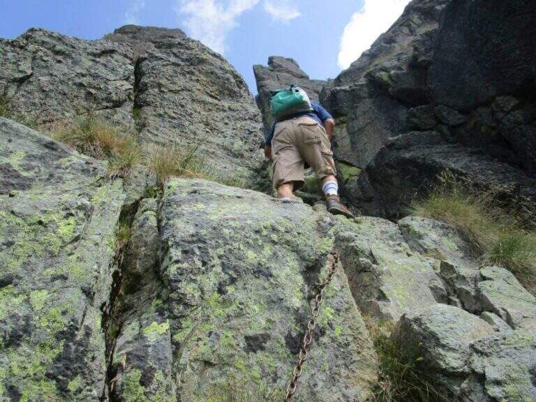
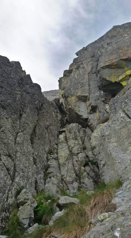
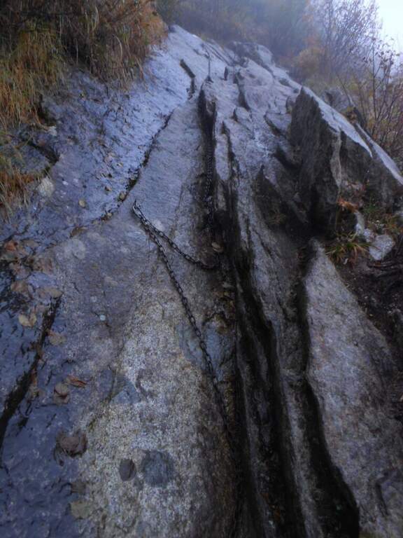
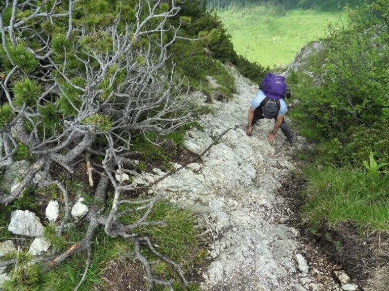
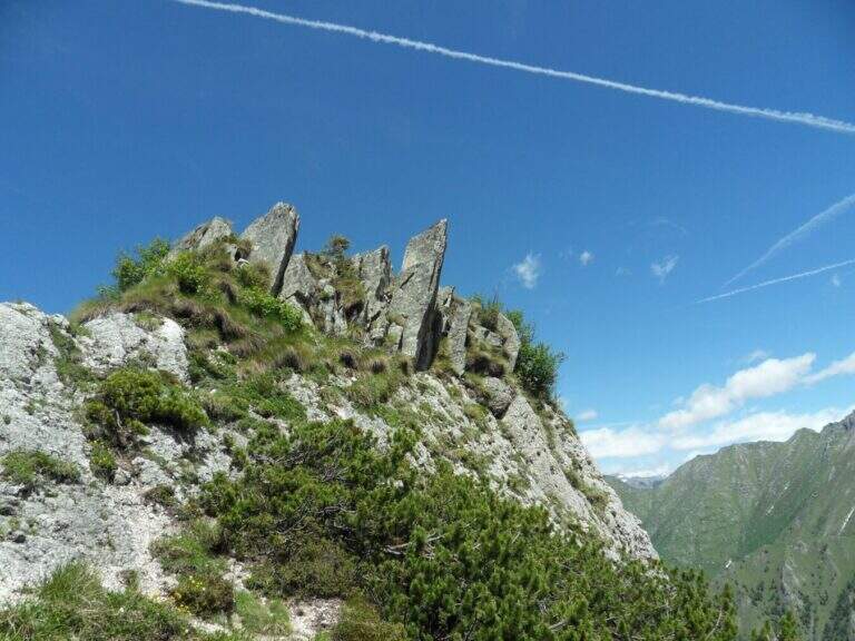
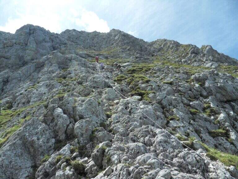
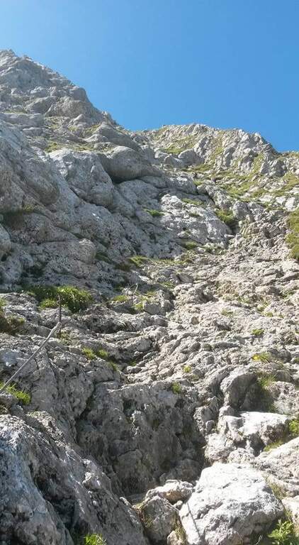
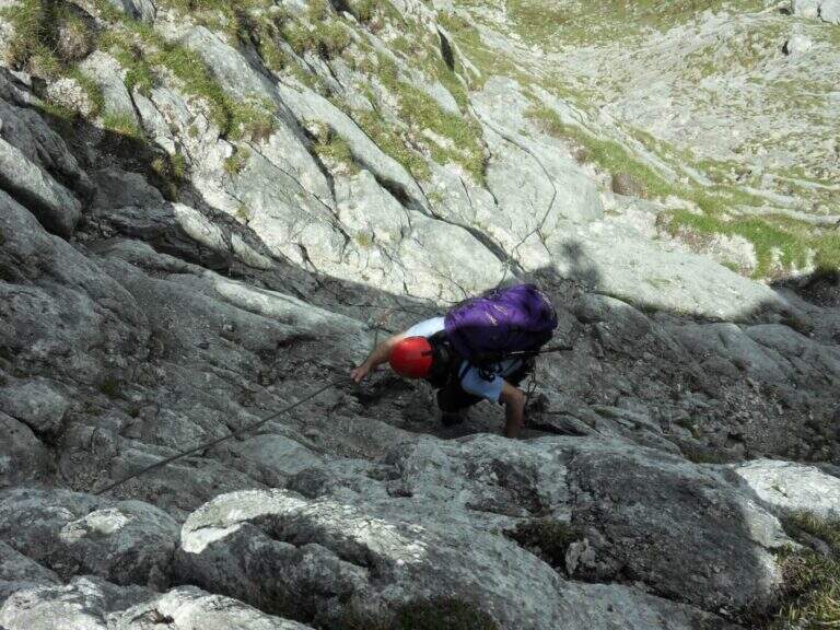
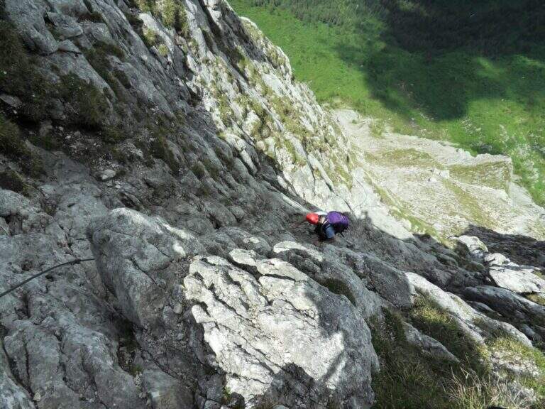
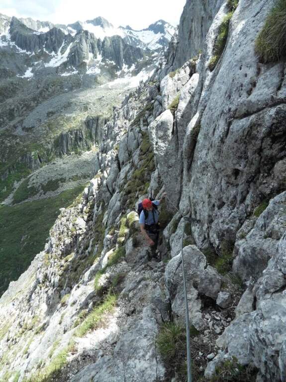
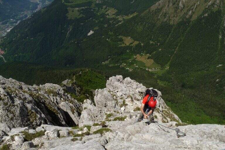
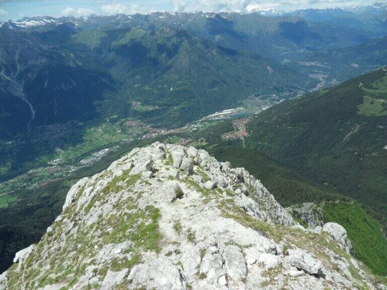
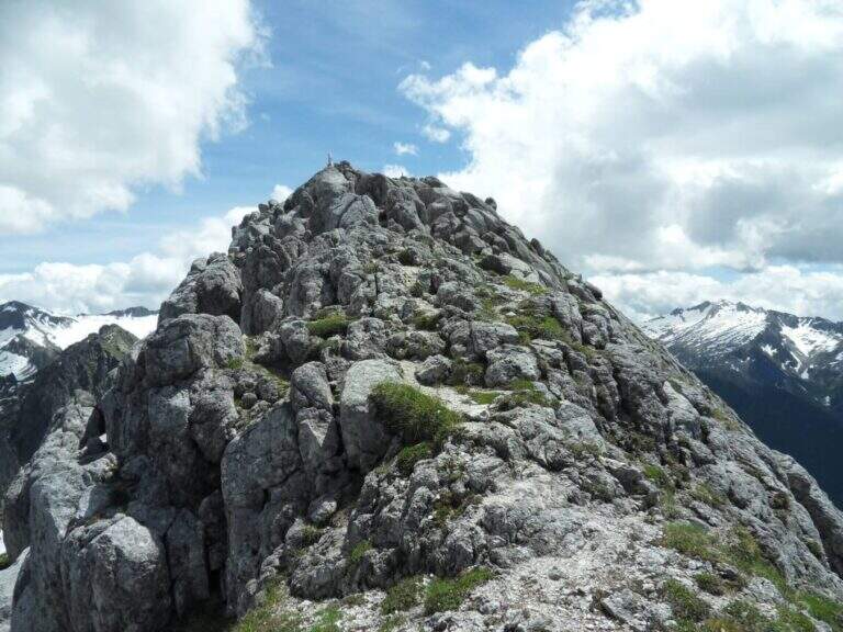
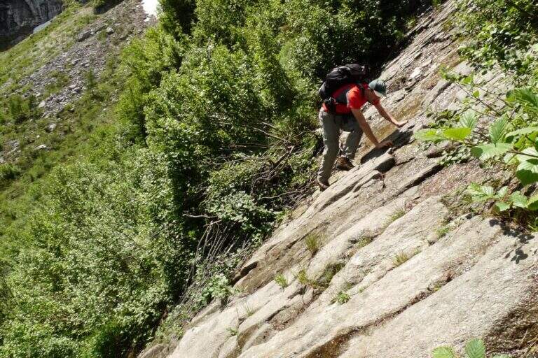
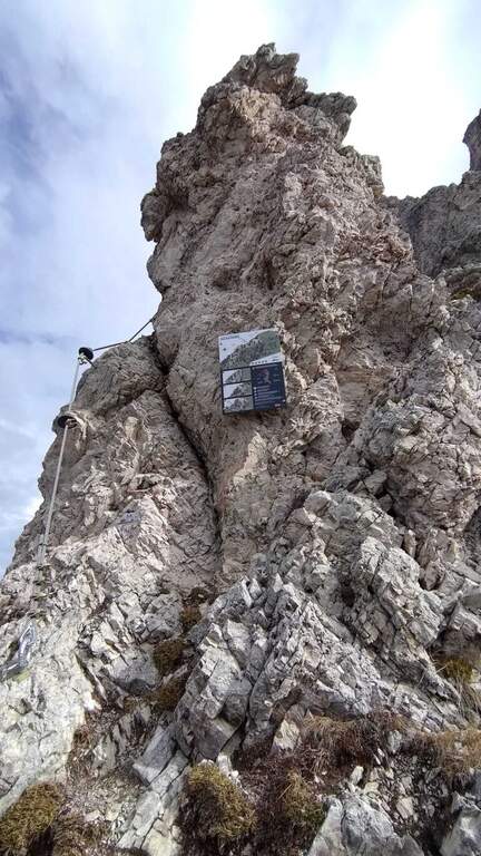
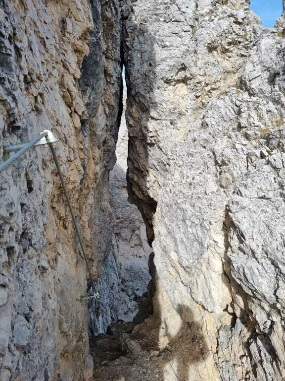
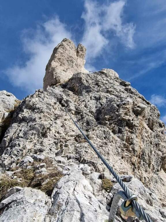
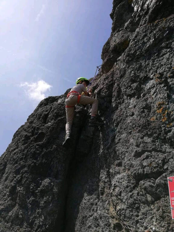
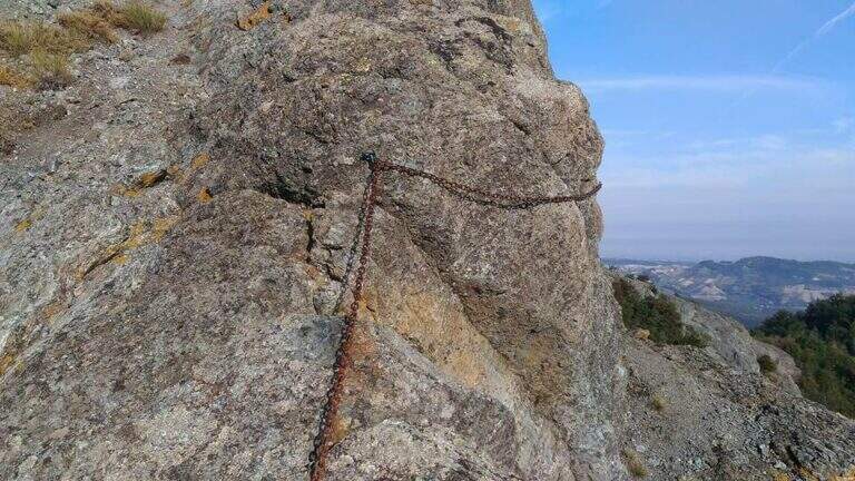
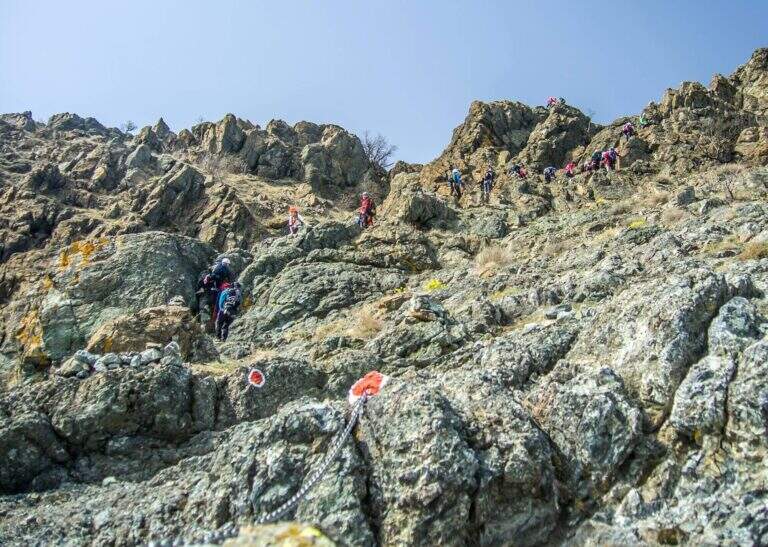
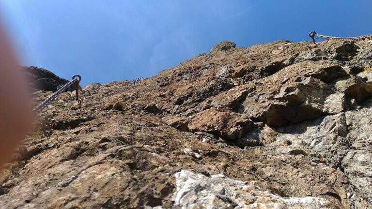
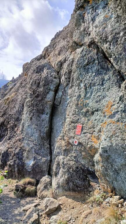
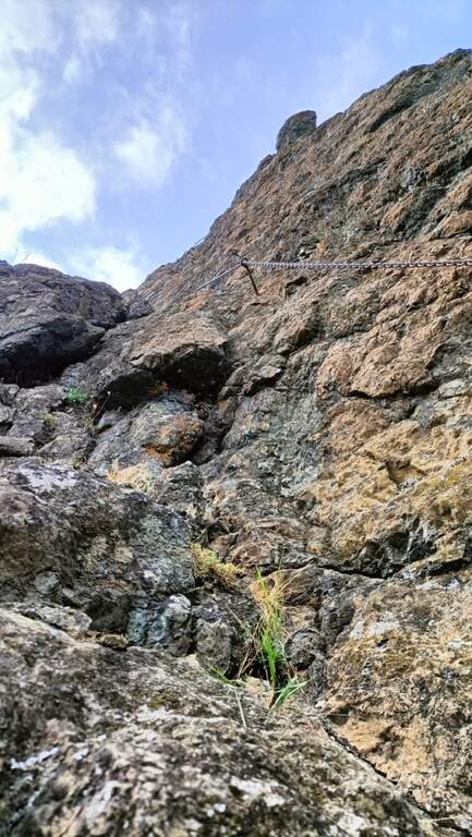
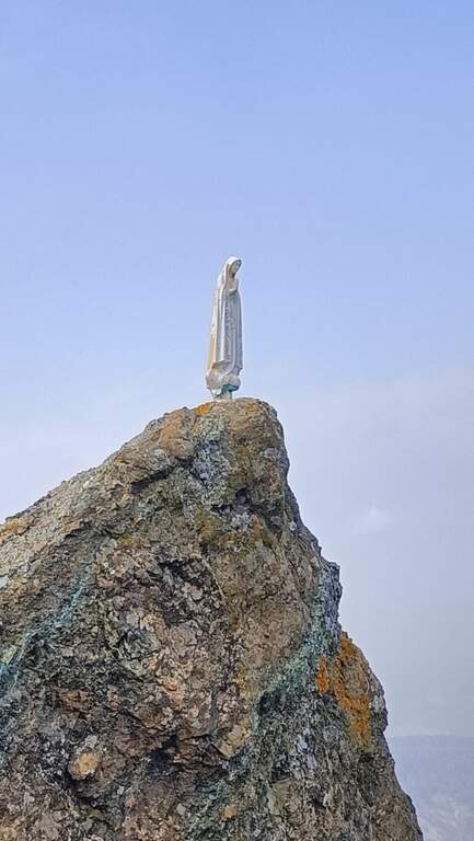
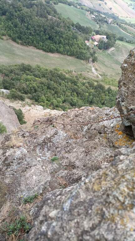
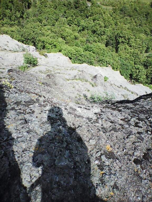
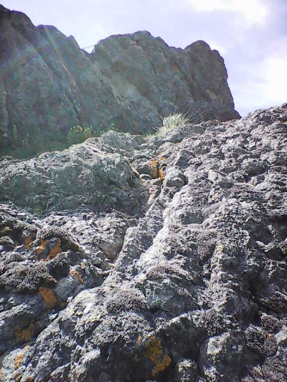
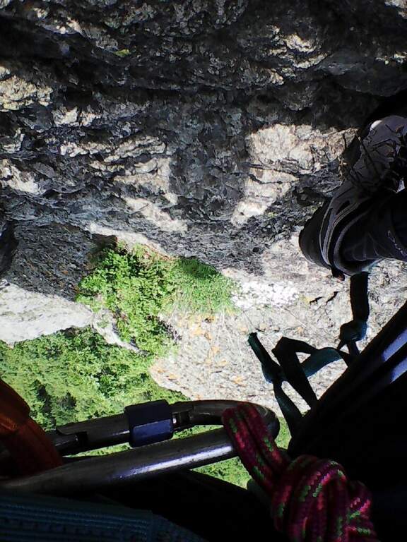
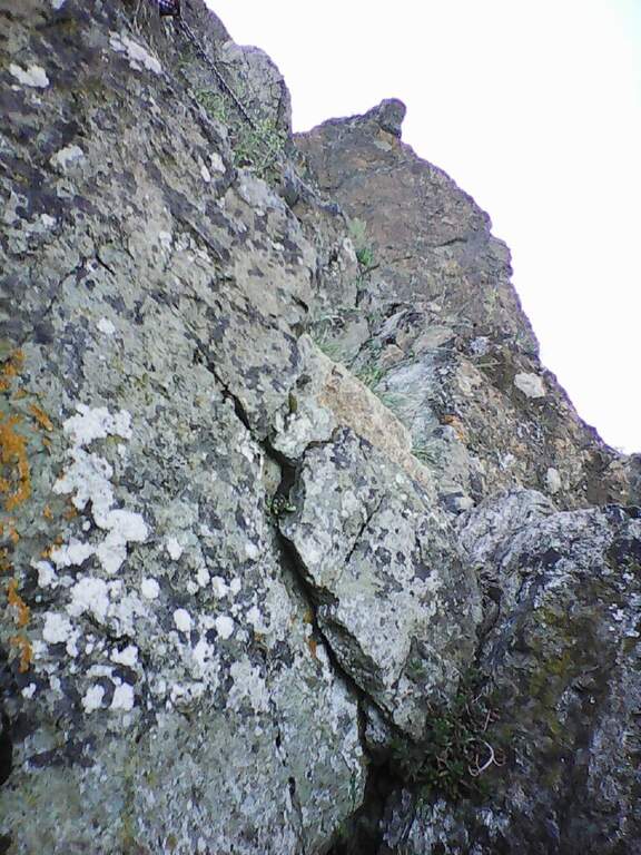
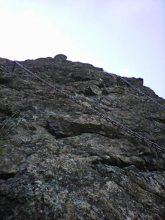
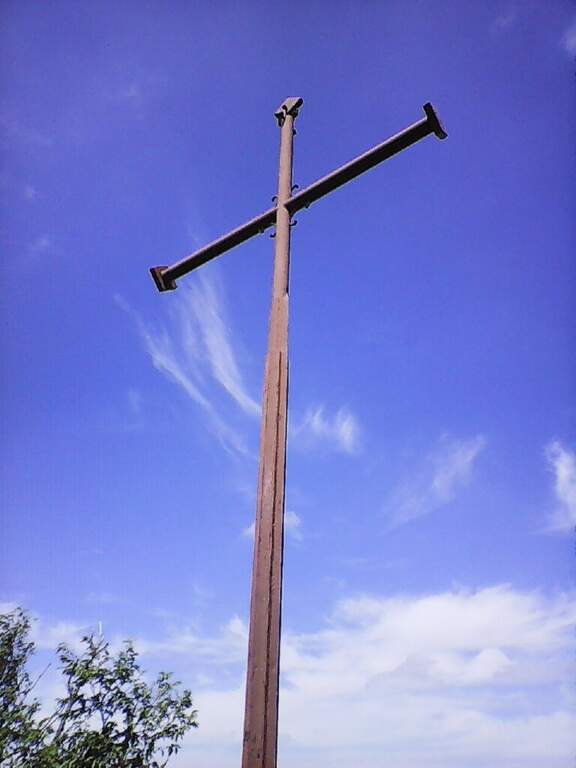
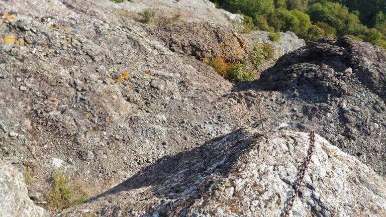
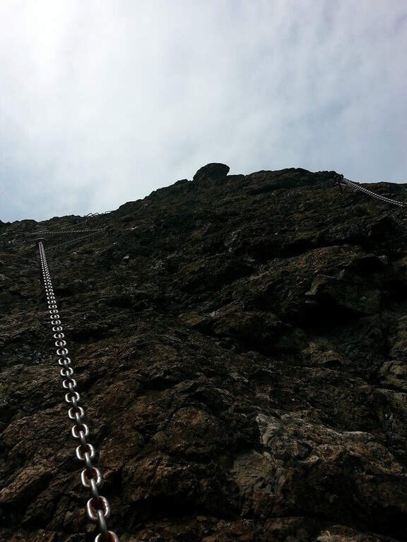
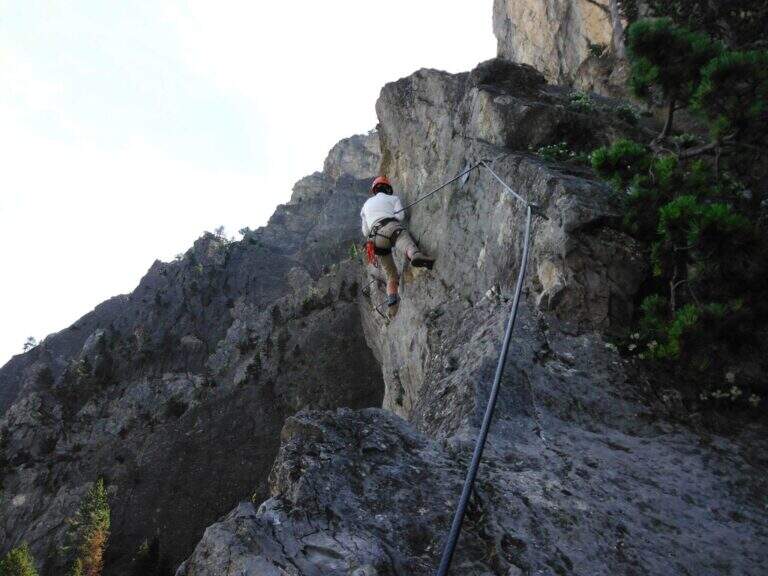
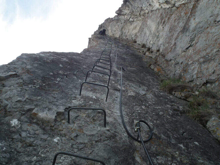
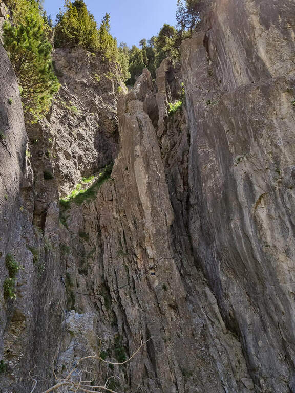
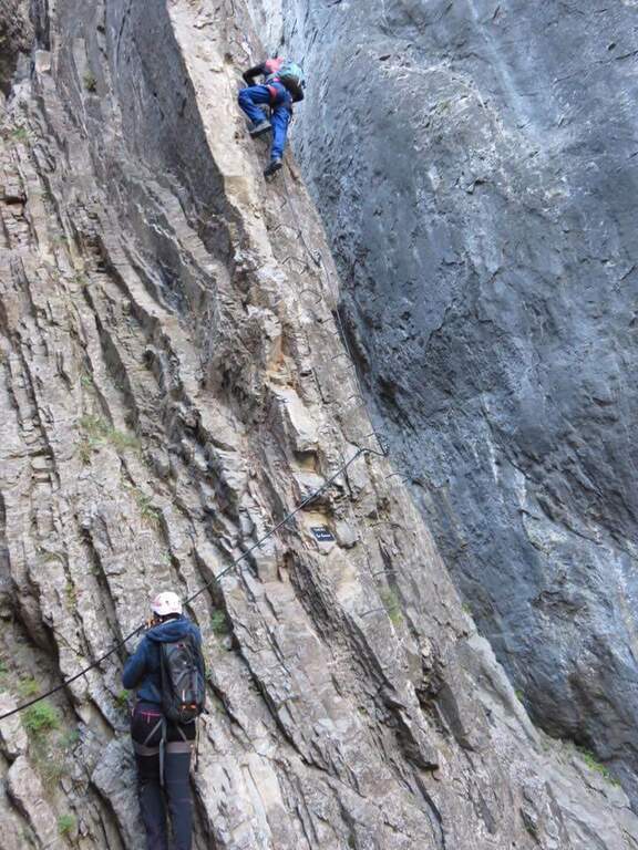
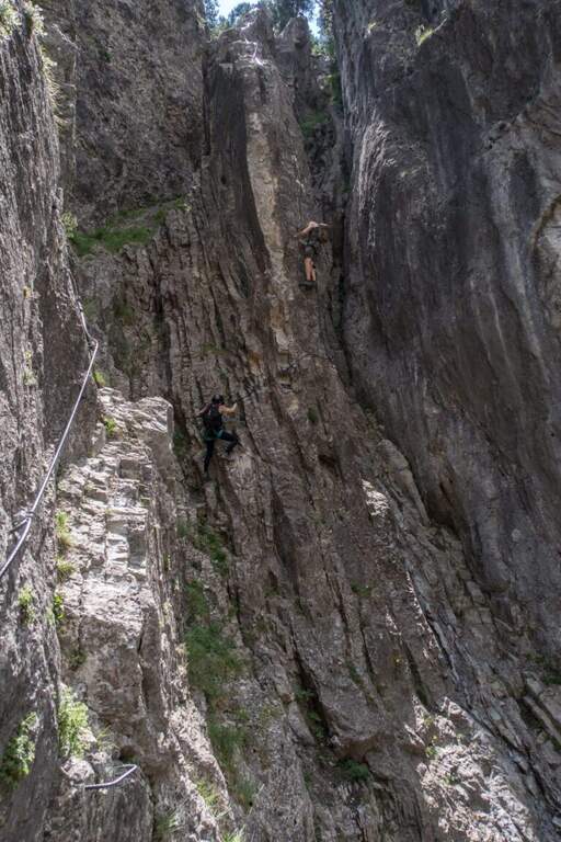
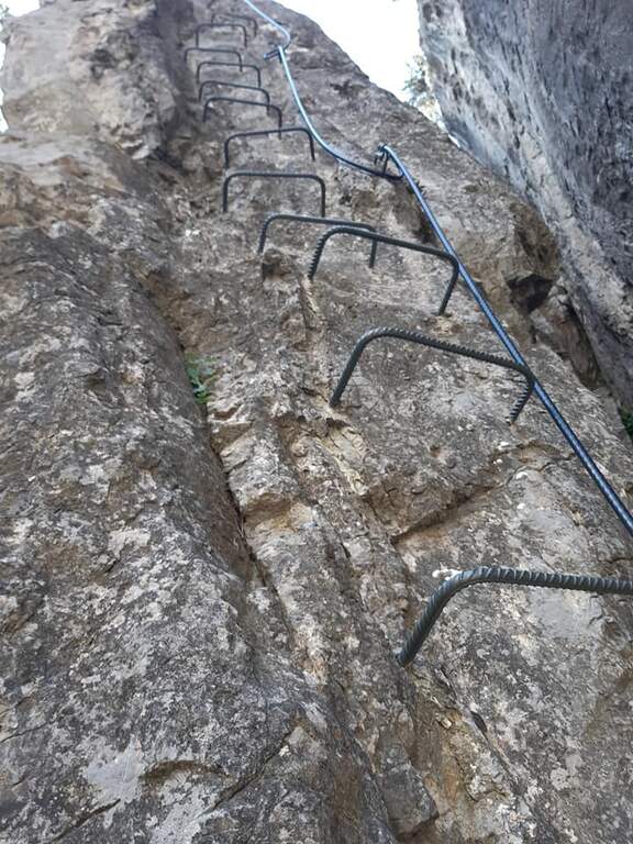
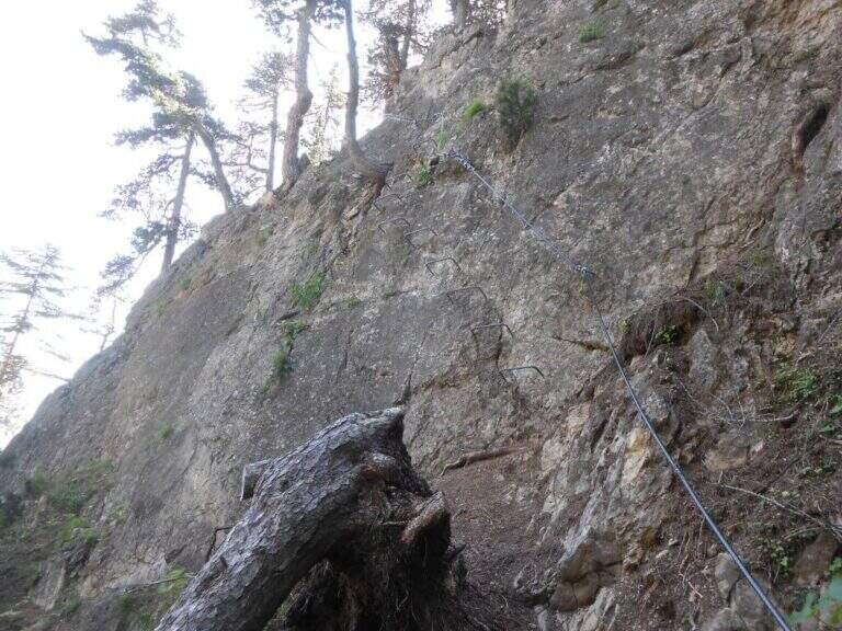
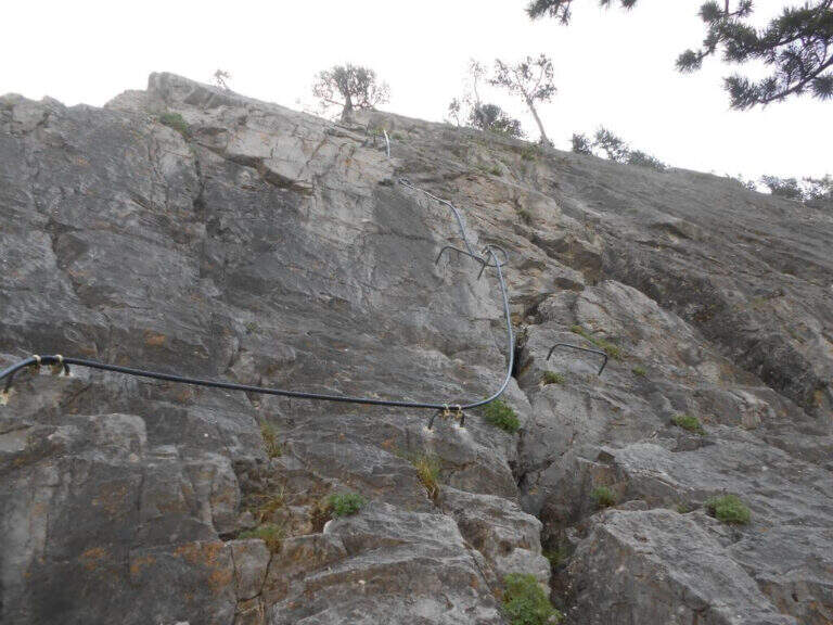
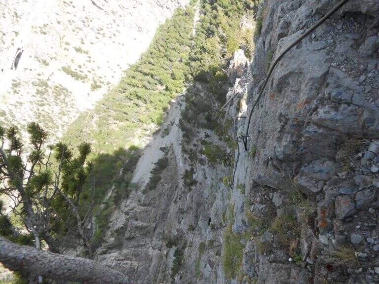
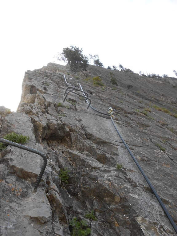
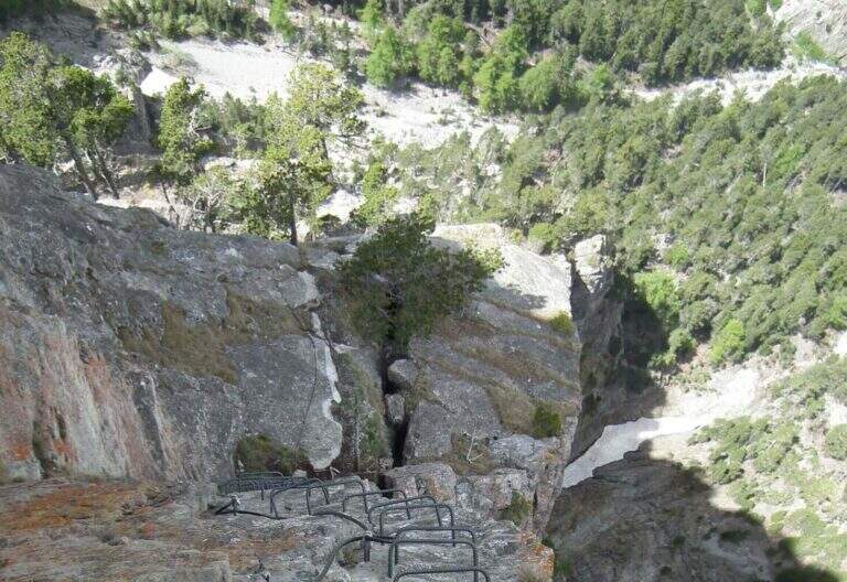
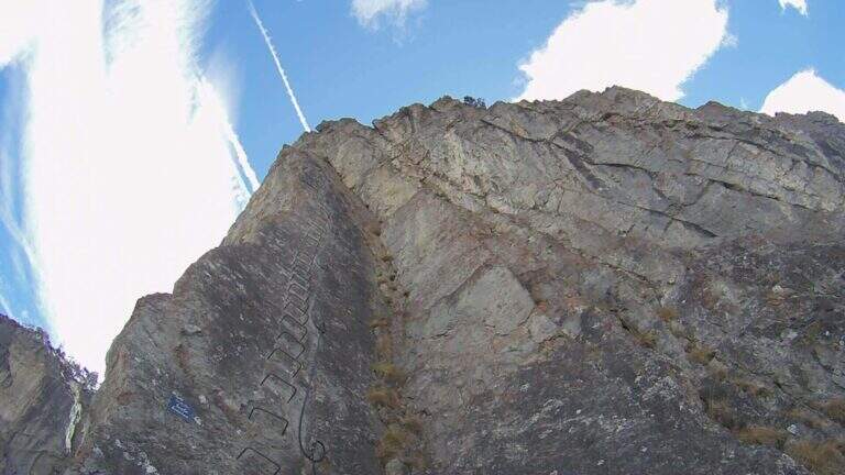
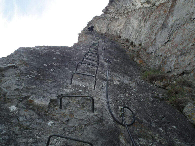
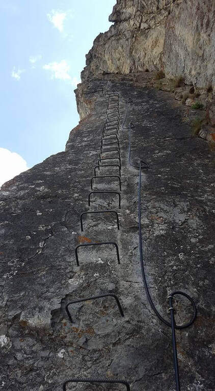
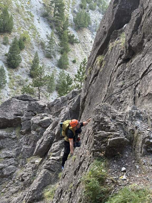
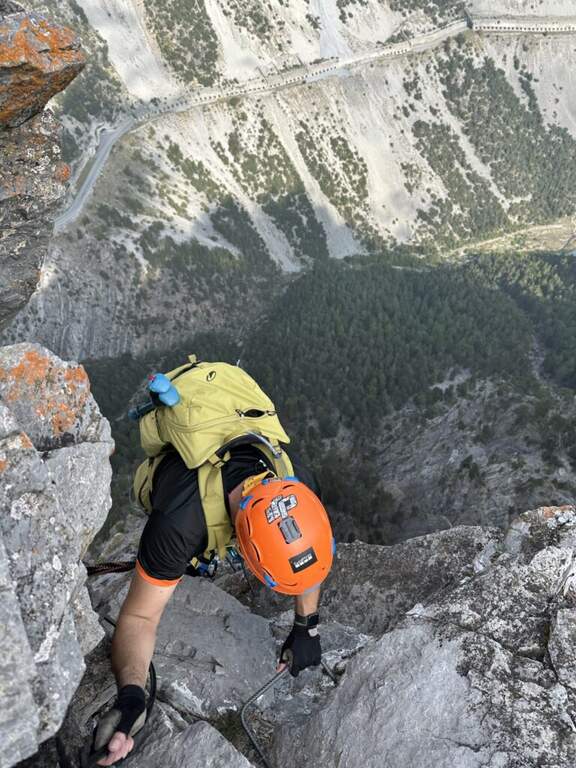
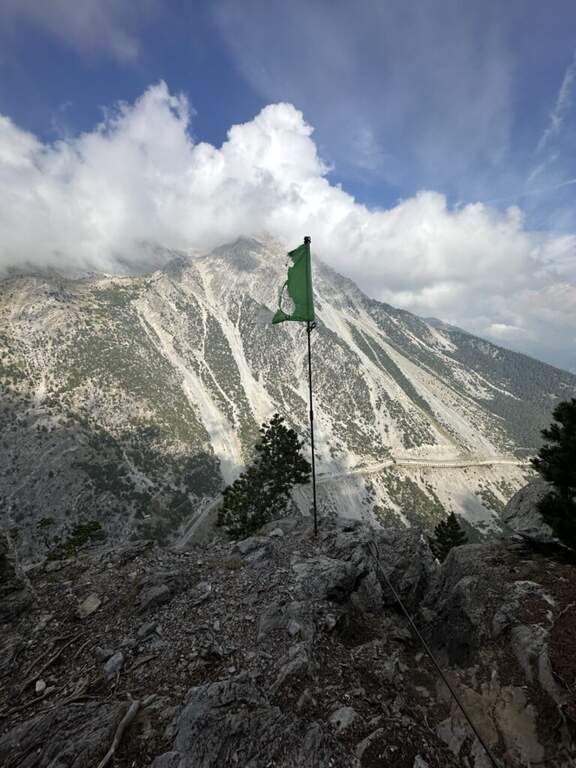
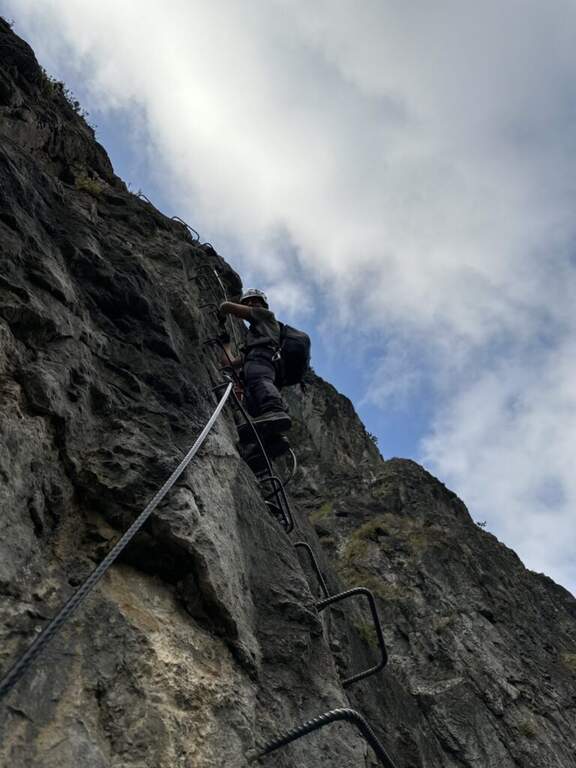
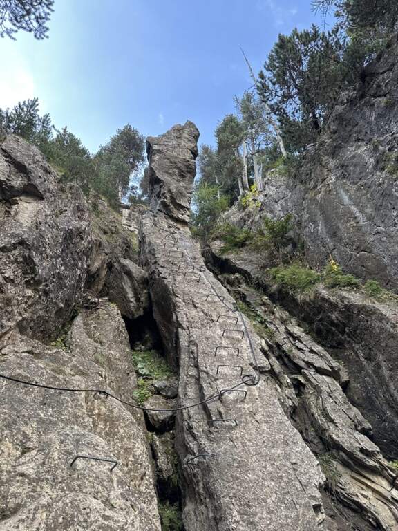
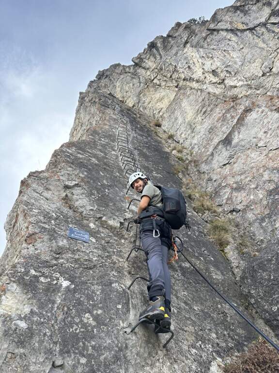
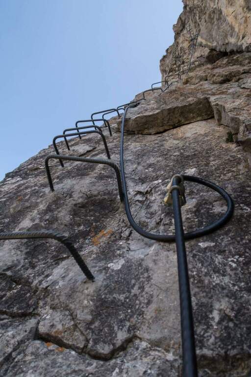
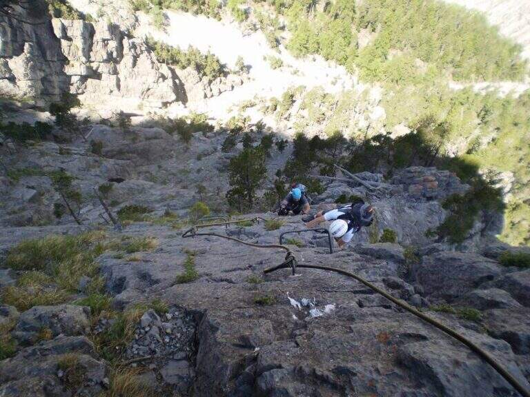
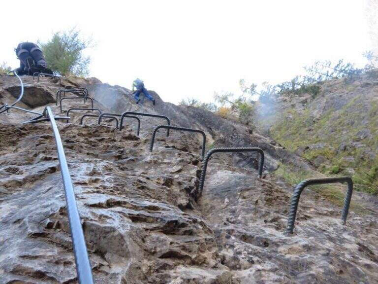
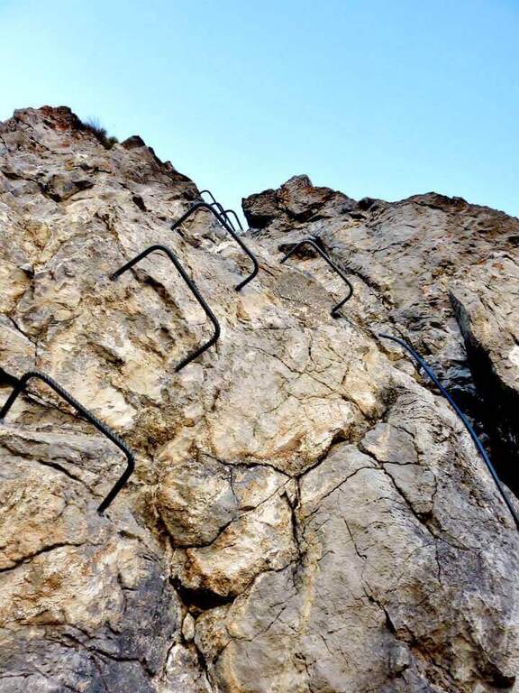
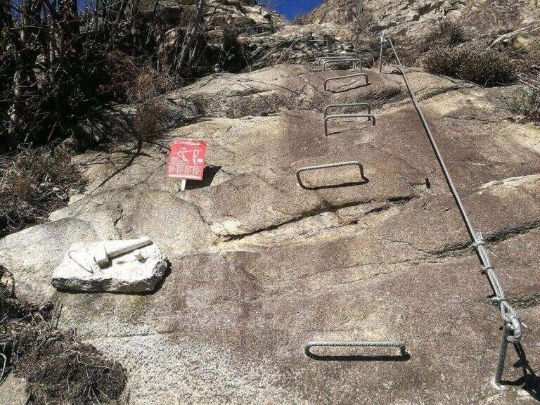
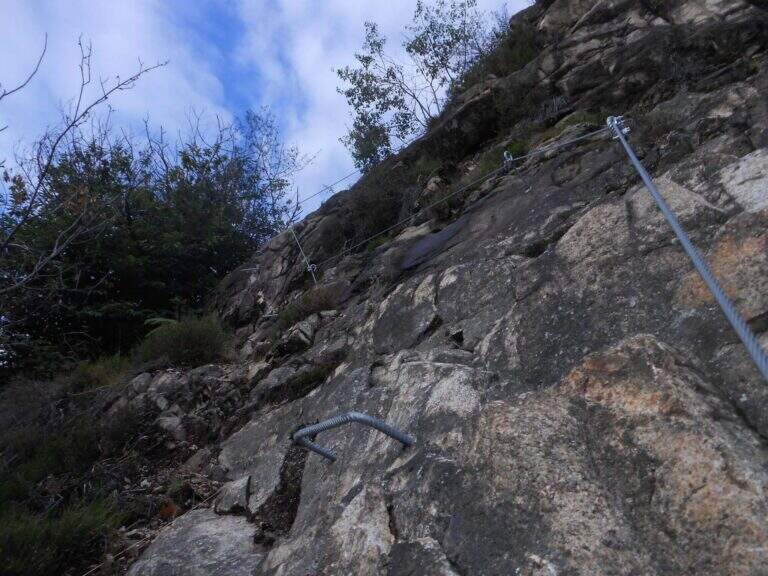
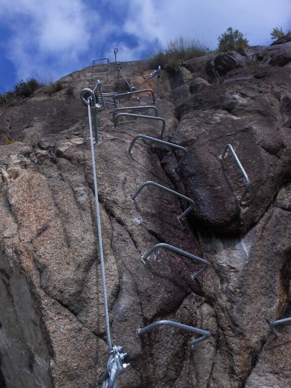
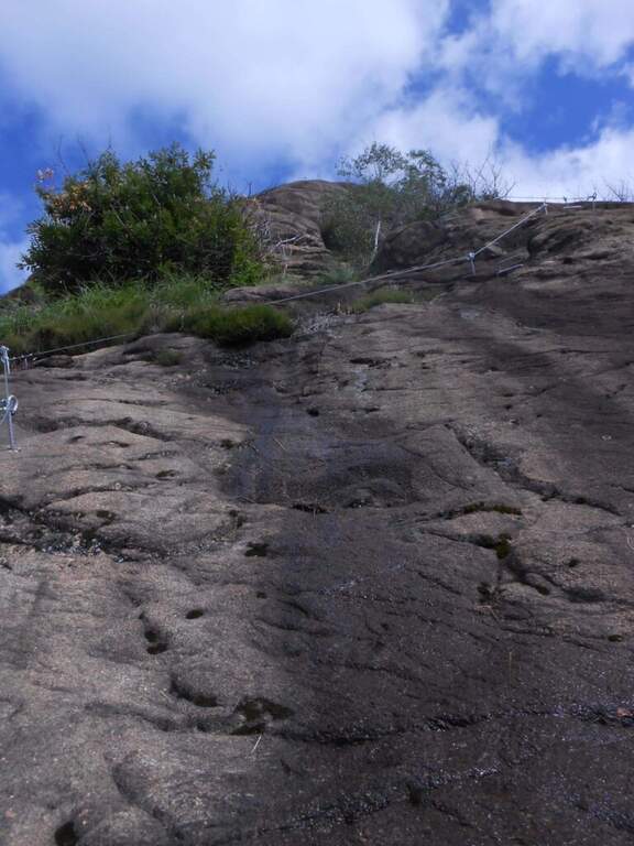
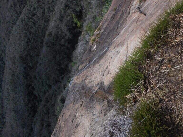
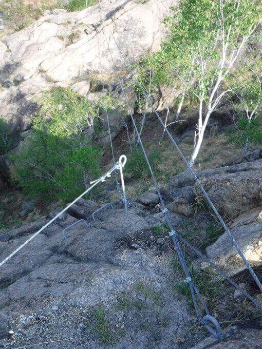
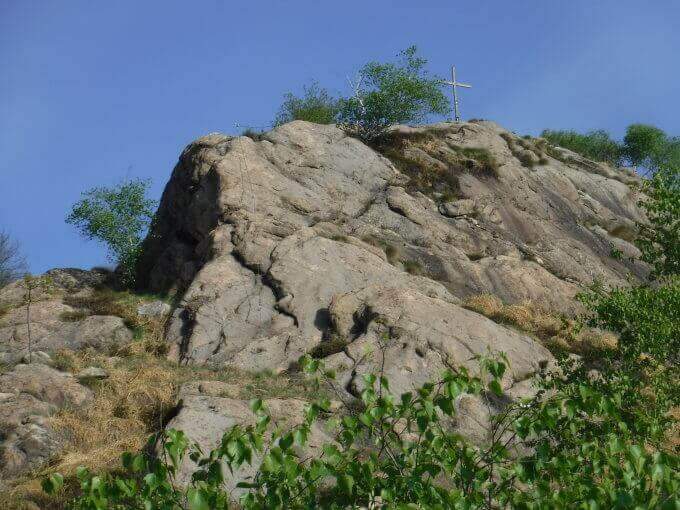
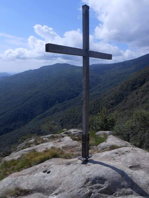
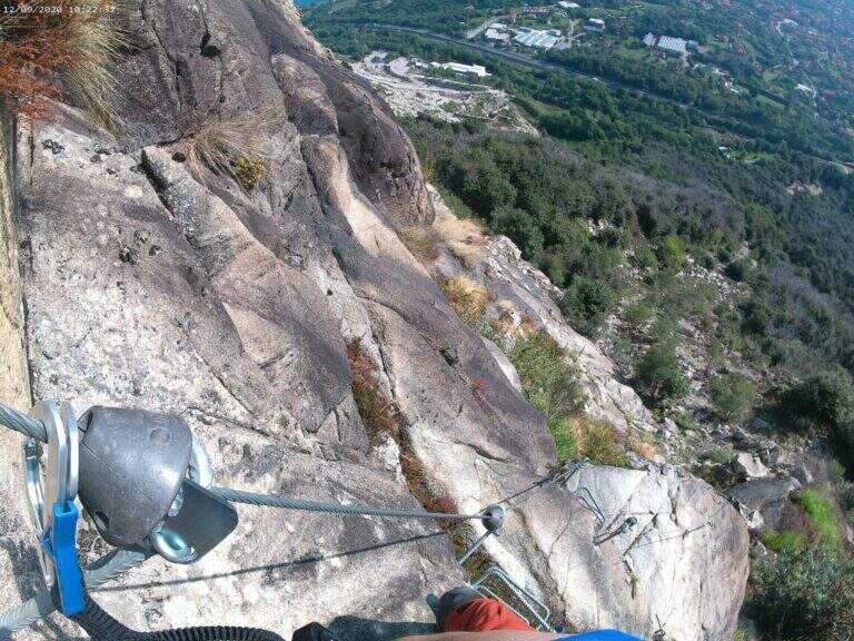
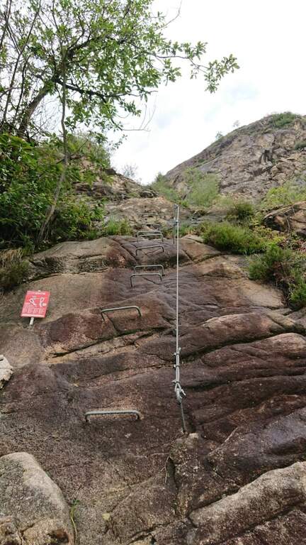
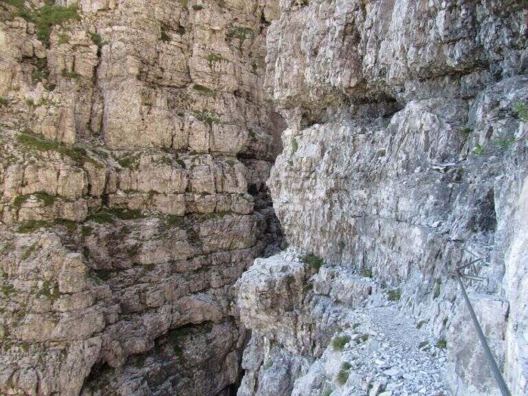
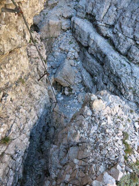
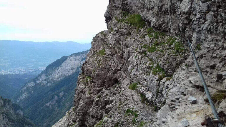
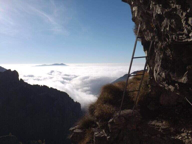
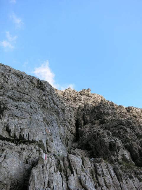
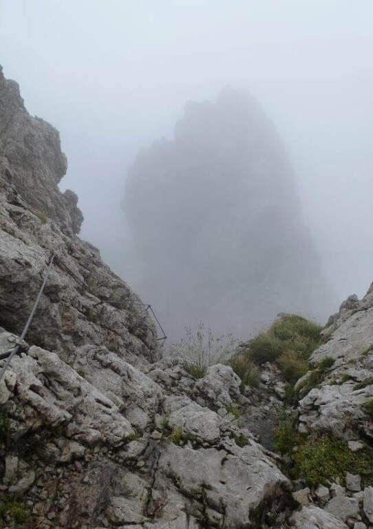
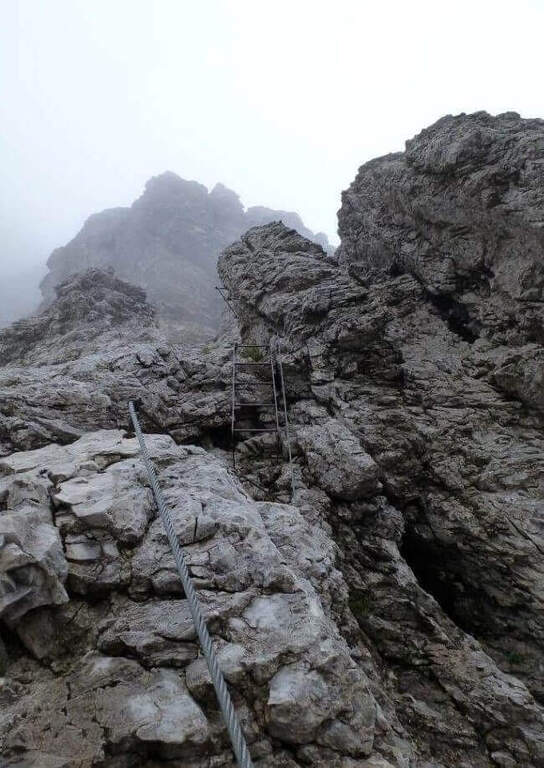
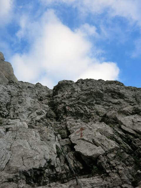
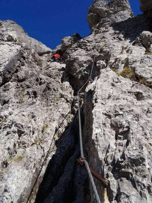
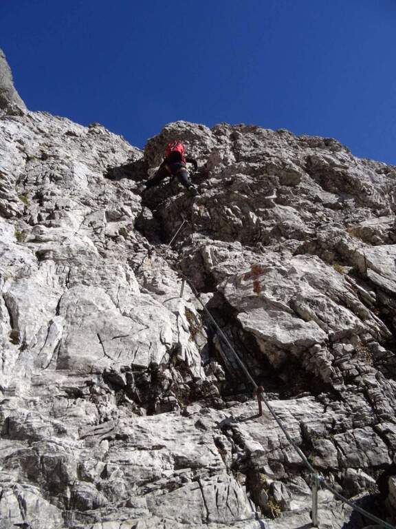
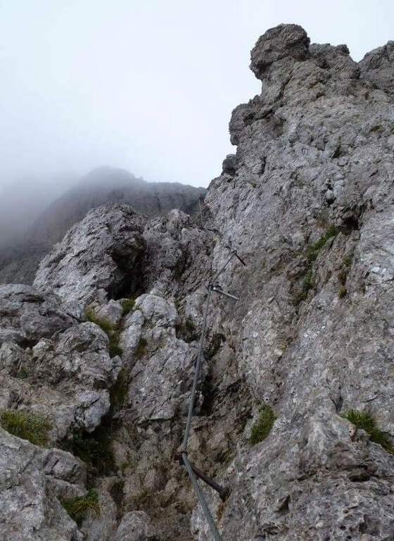
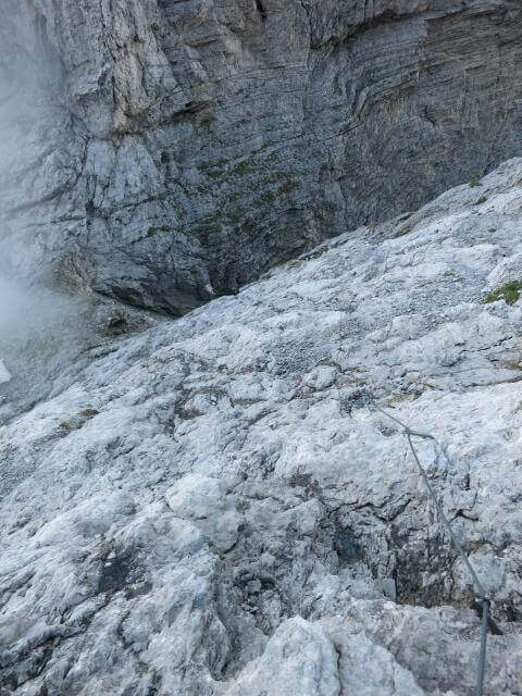
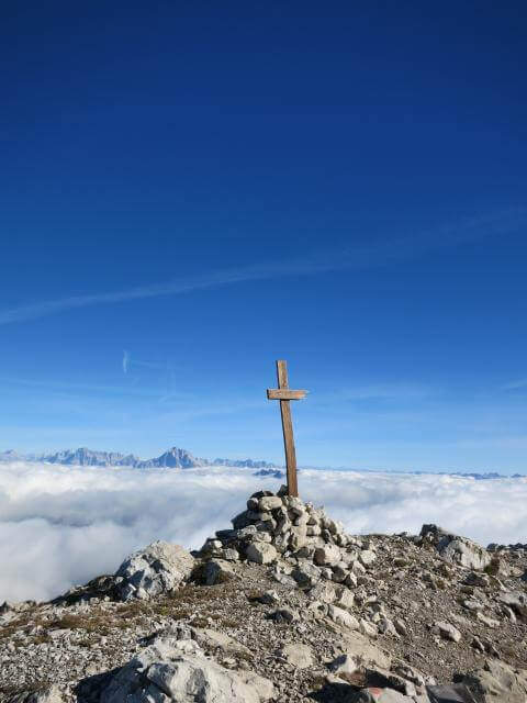
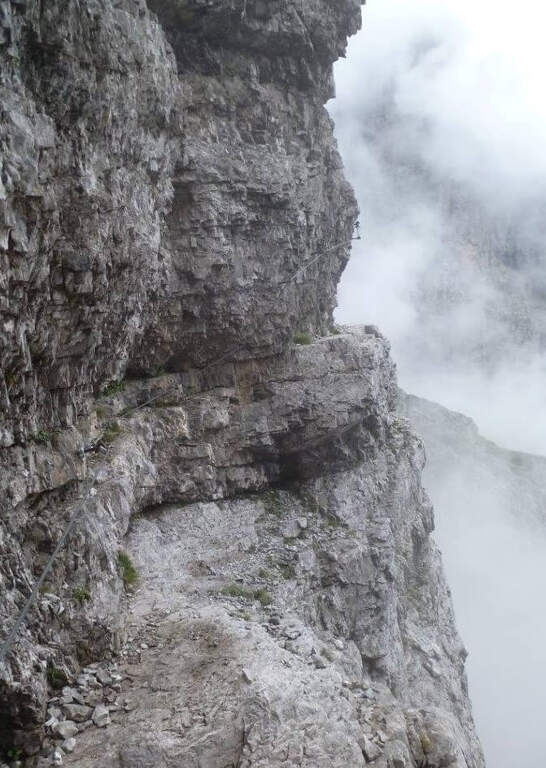
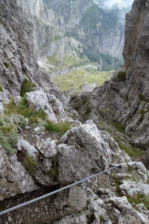
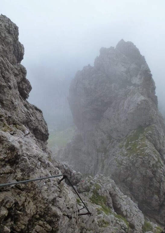
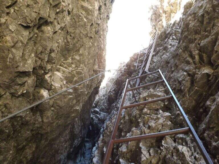
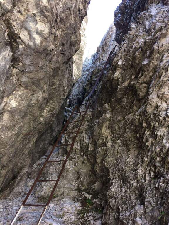
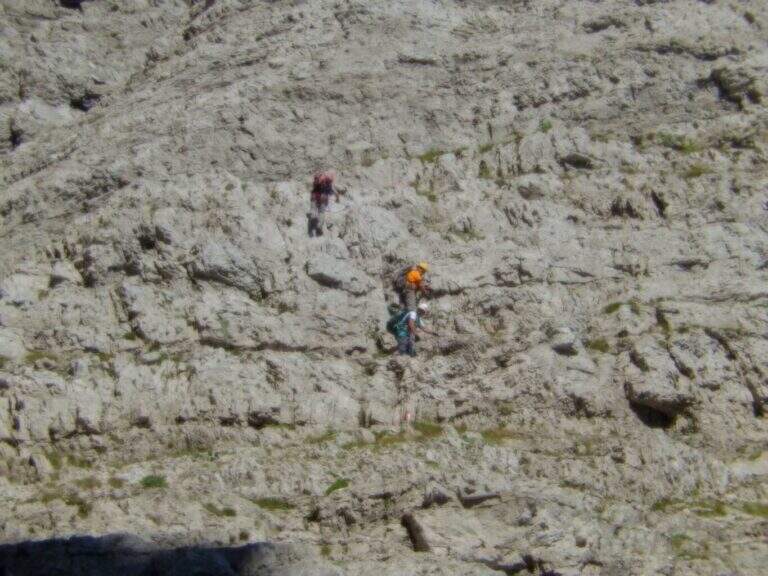
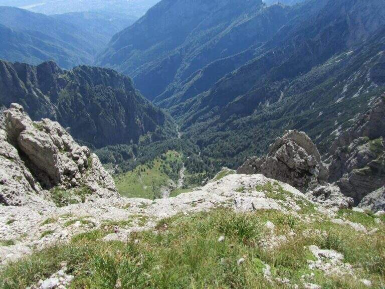
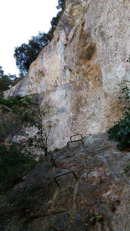
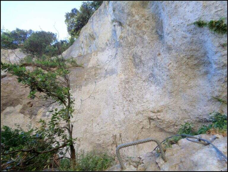
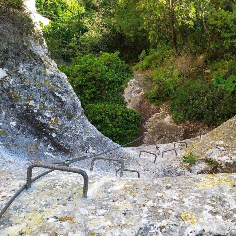
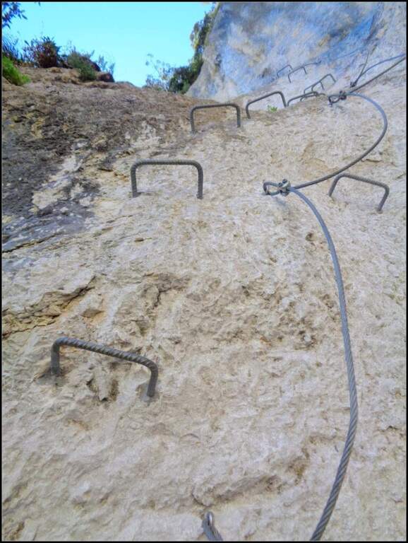
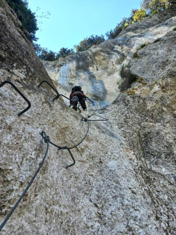
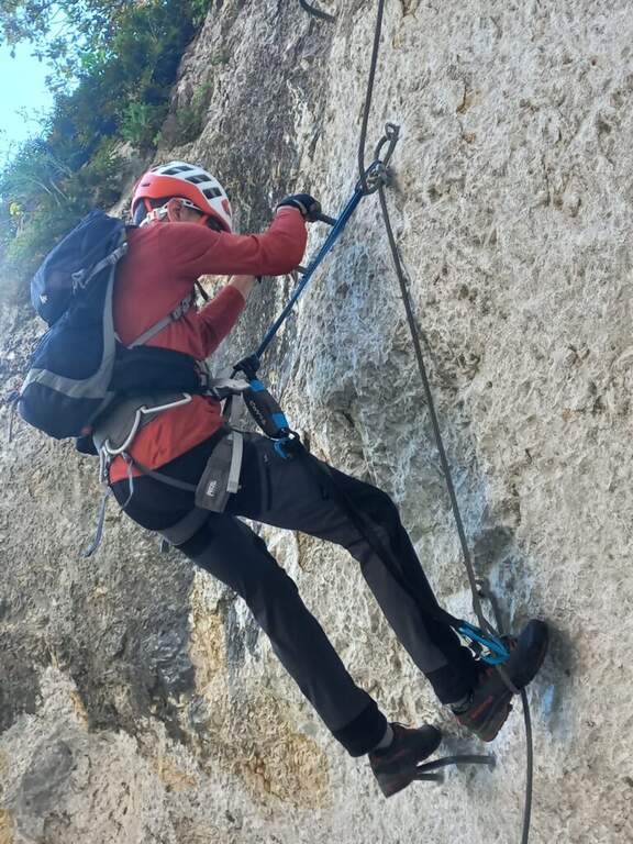
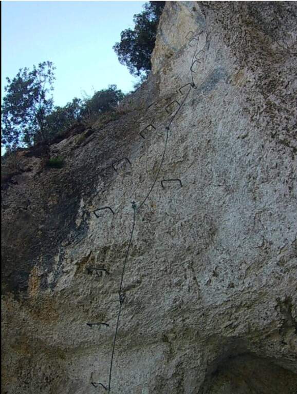
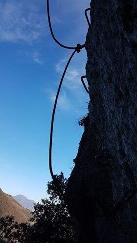
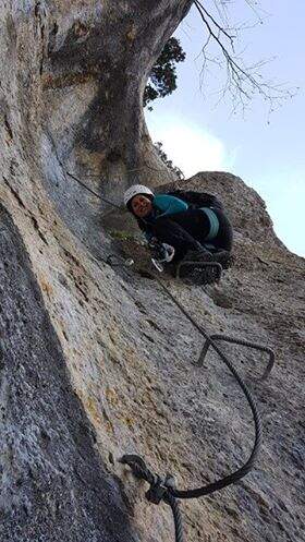
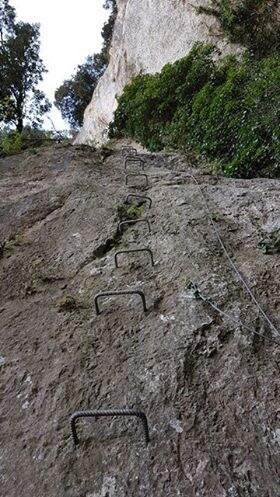
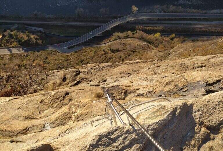
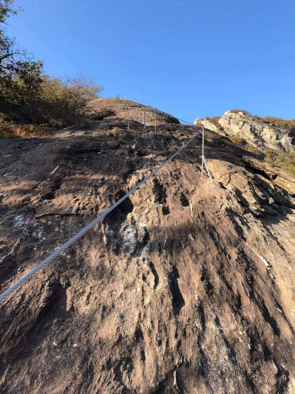
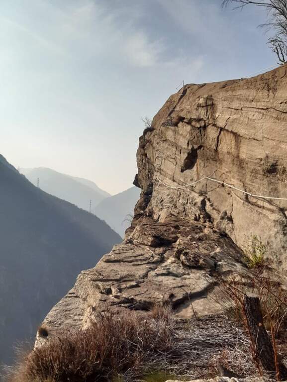
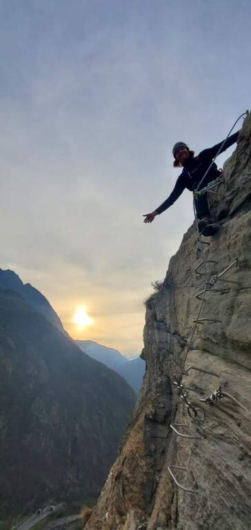
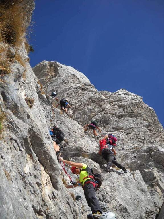
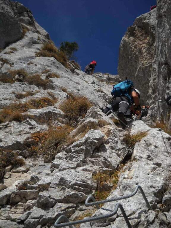
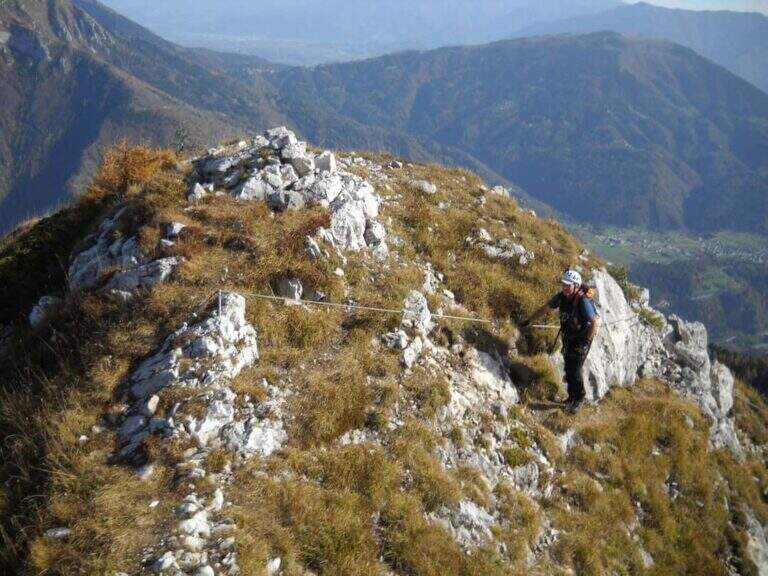
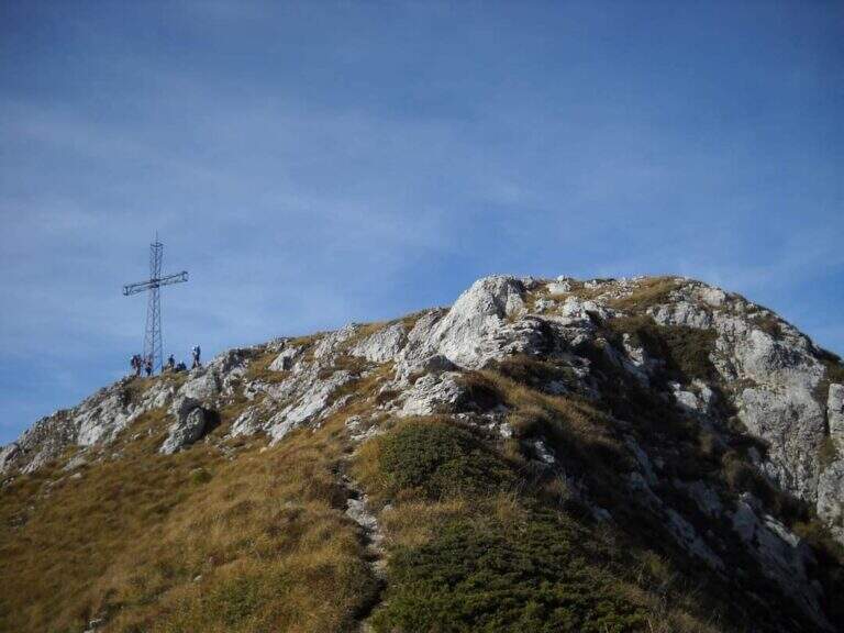
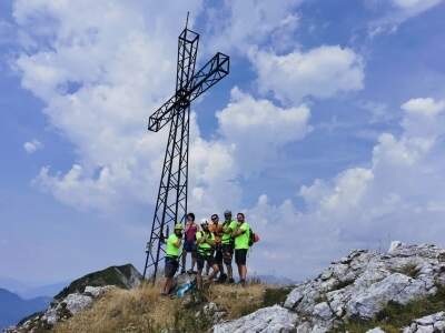
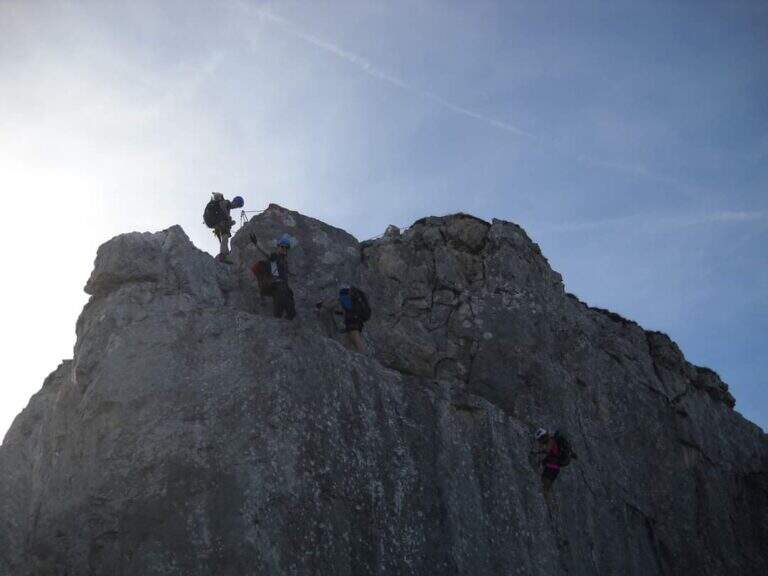
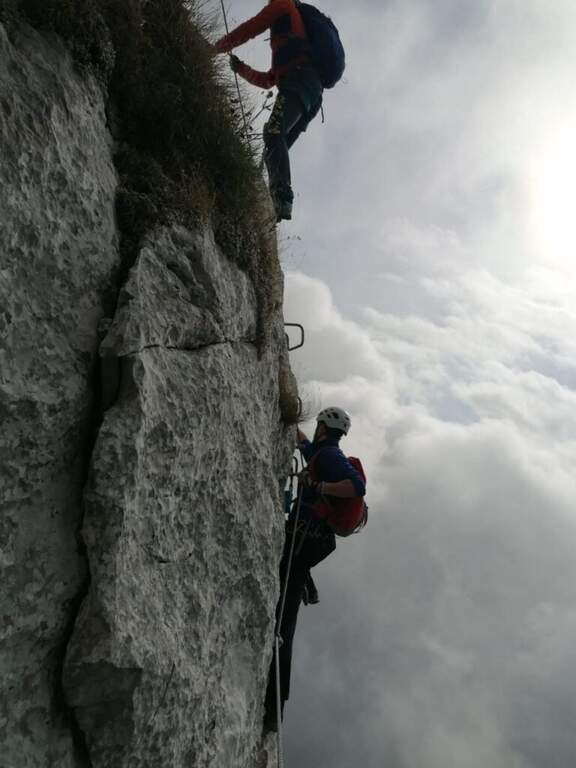
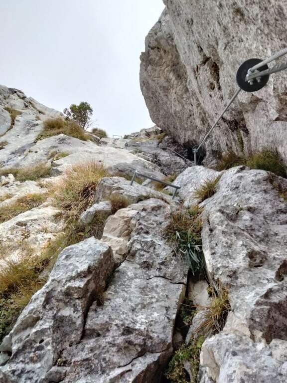
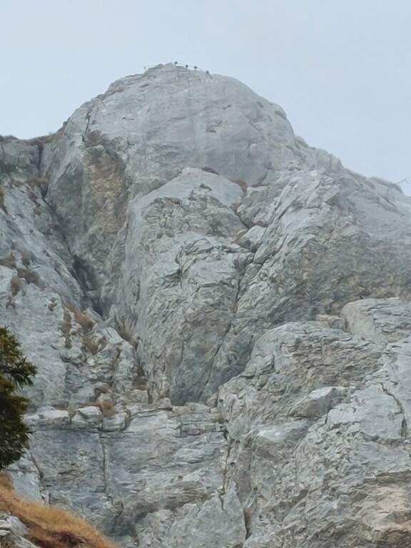
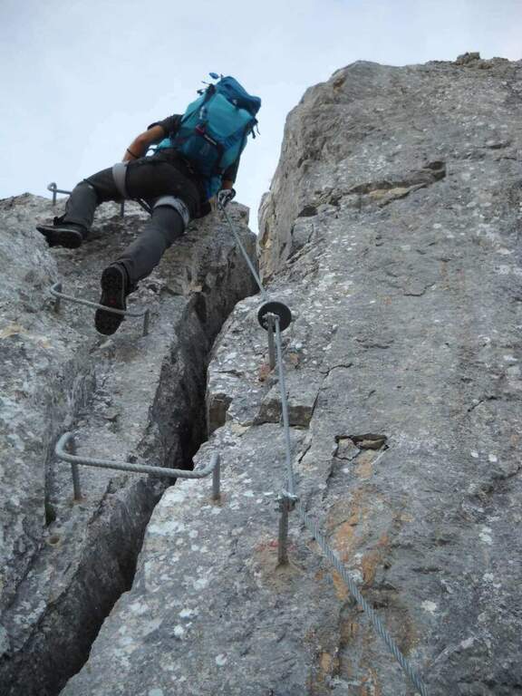
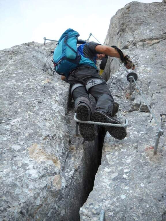
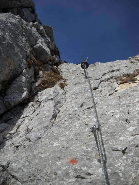
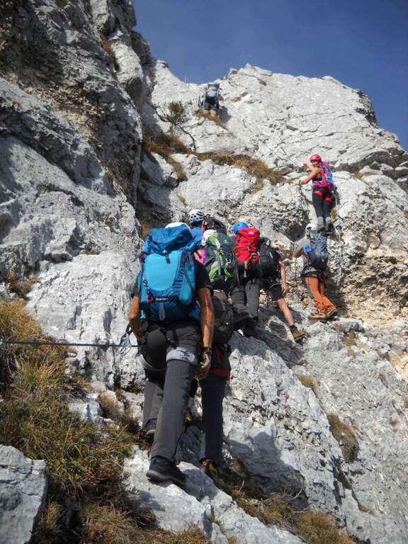
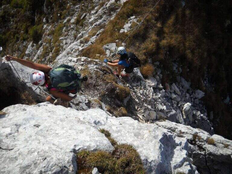
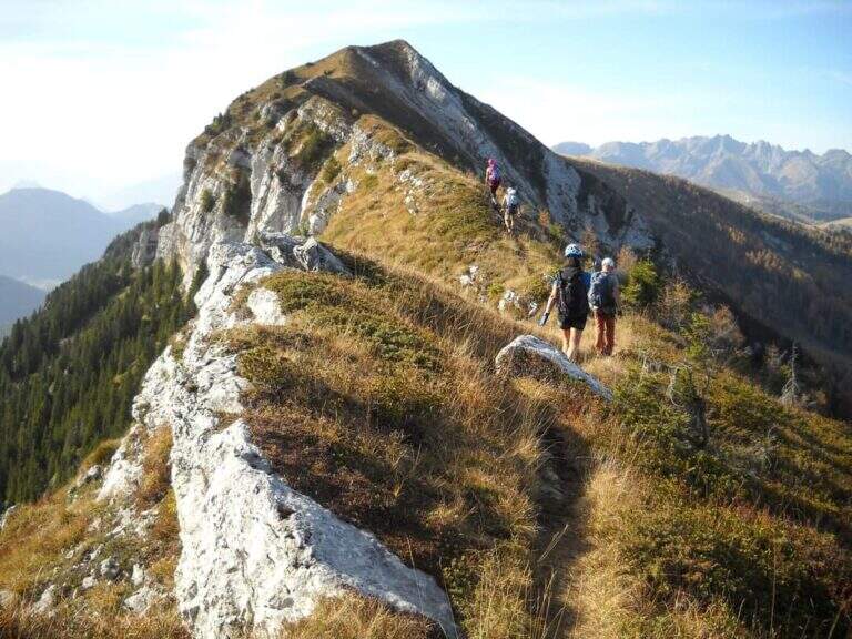
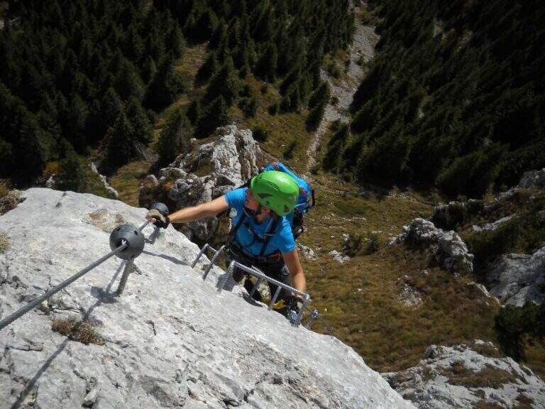
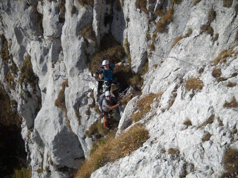
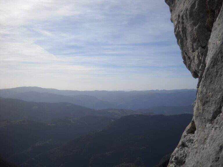
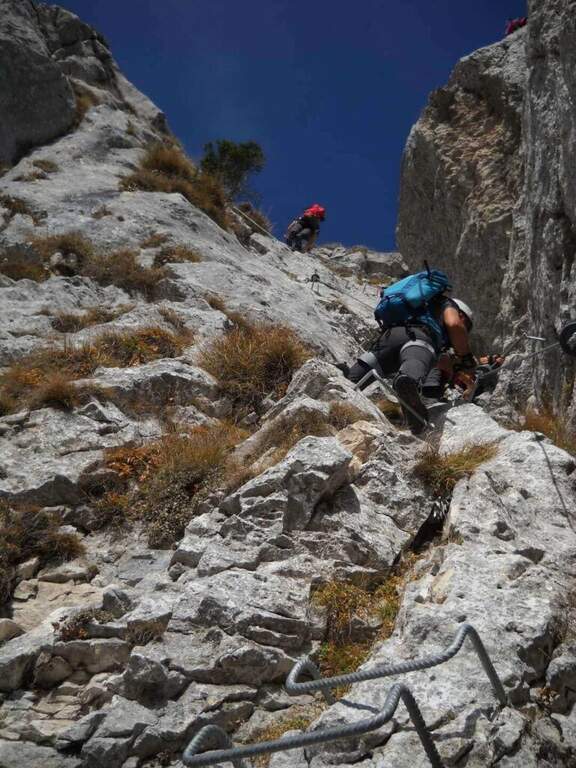
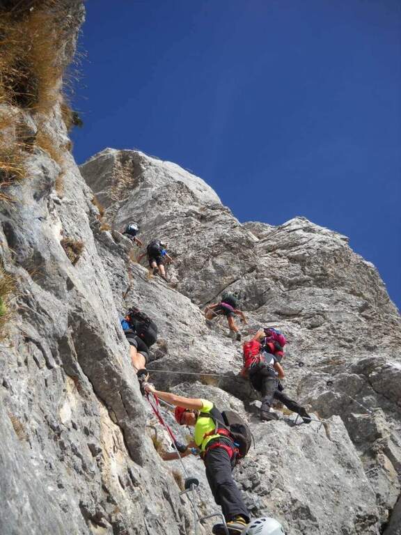
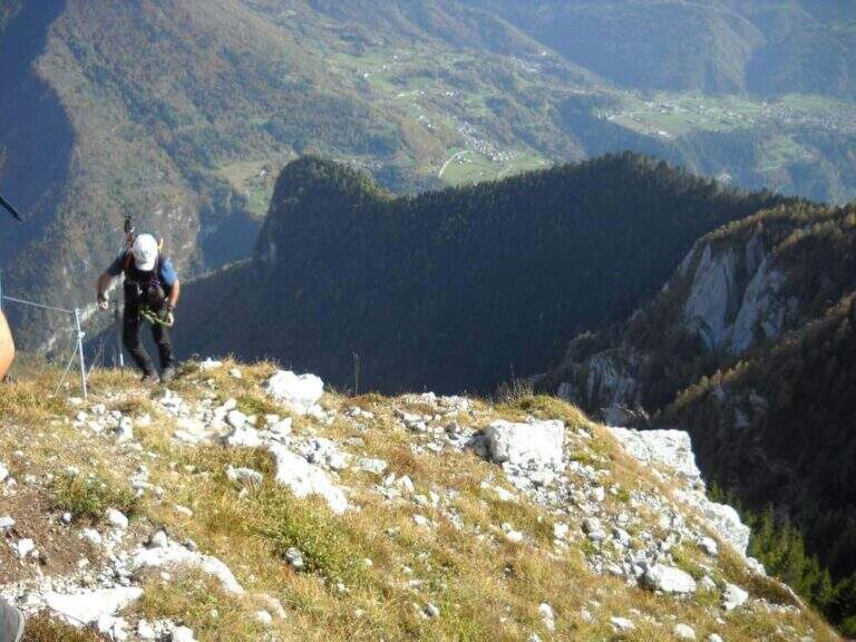
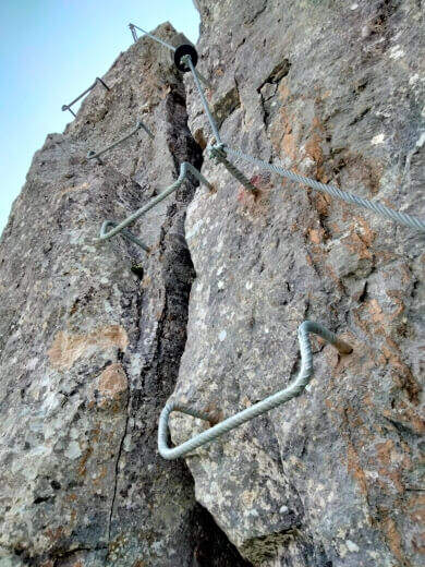
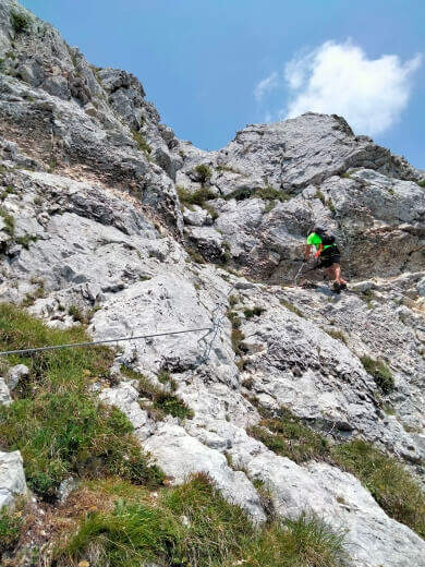
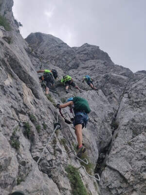
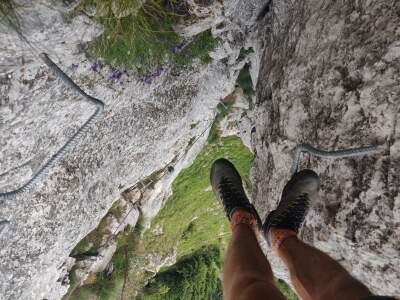
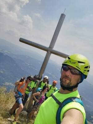
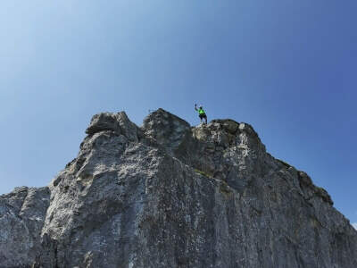
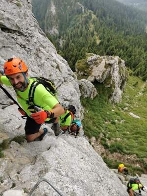
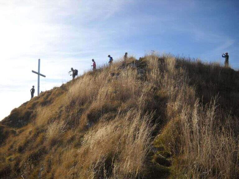
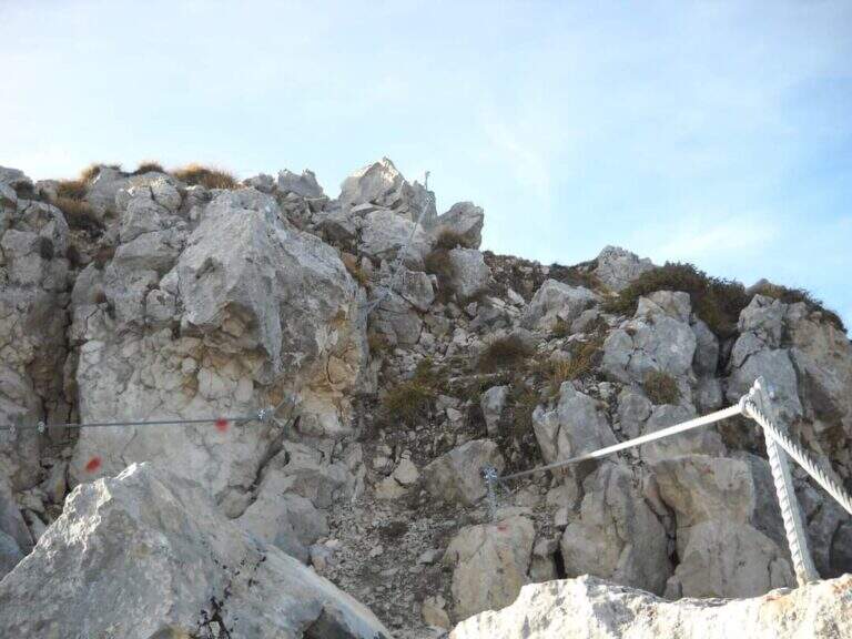
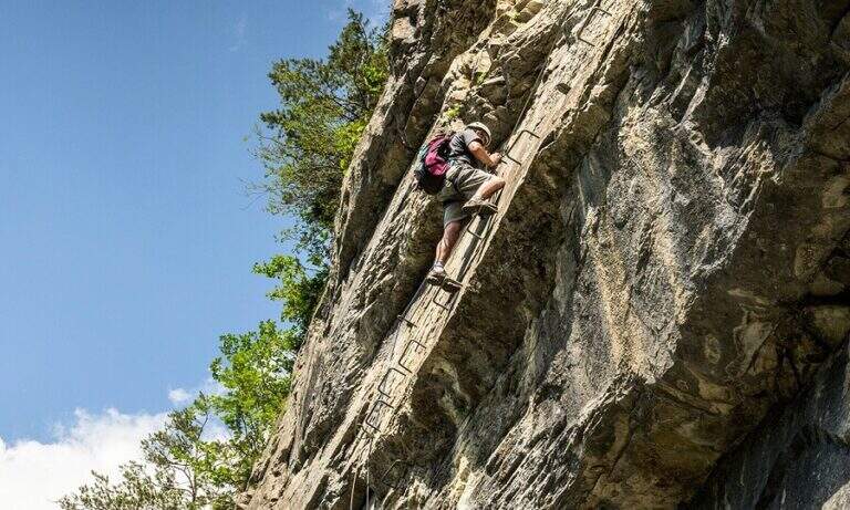
    The equipped stretch covers less than 100 m of altitude difference and has in fact only two vertical points. You start in a well-dressed dihedron, you pass a prominence and turn left on some rocks up to a small terrace where it is worth turning for the nice eye shot on Lake Colombo. Then a second vertical wall rises, with excellent hooks for hands and feet, up to a final exit slot; the chain folds right and on a more coricated wall, with the cable as a simple balance, you reach the end of the equipment (20' from the attack, about 3h 40' total). Continue on uphill track, on easy but exposed rocks, up to the Forcella del Valico (from which to the right would descend the normal way); for the final ridge there are some rocks and a last stretch equipped up to the summit cross (20' from the end of the ferrata, 4h total).

    ▲Character and difficulty

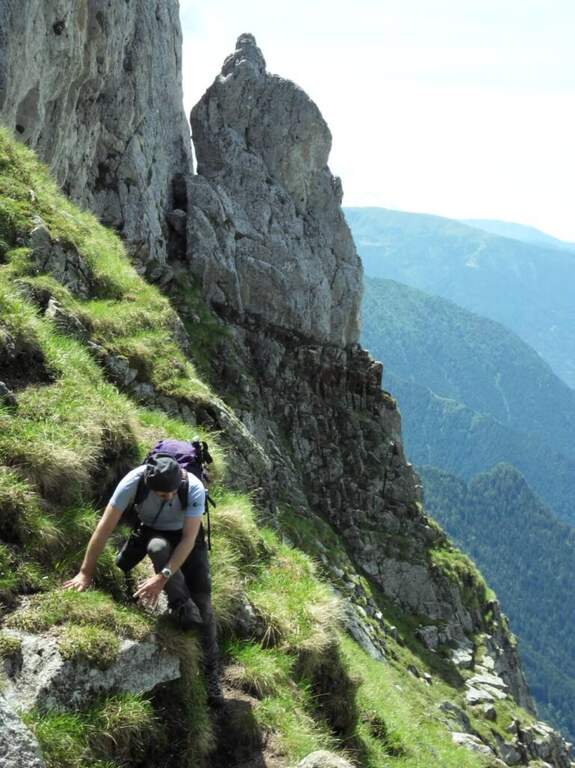
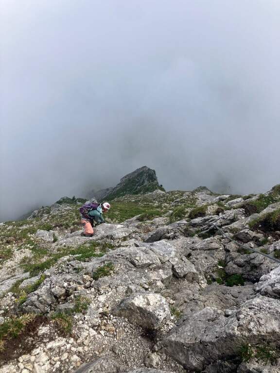
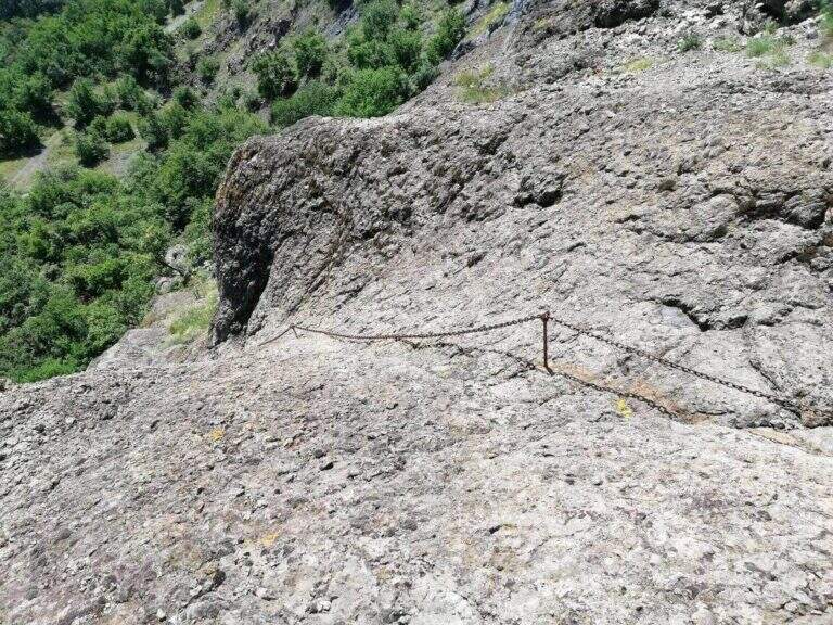
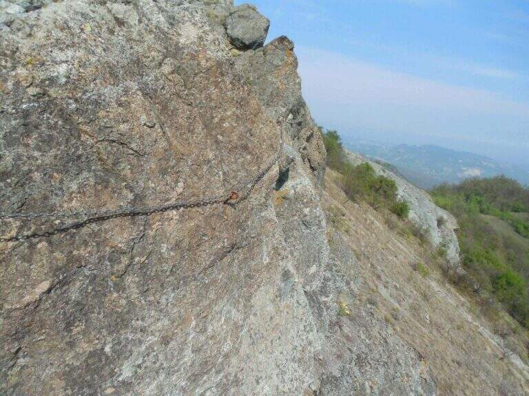
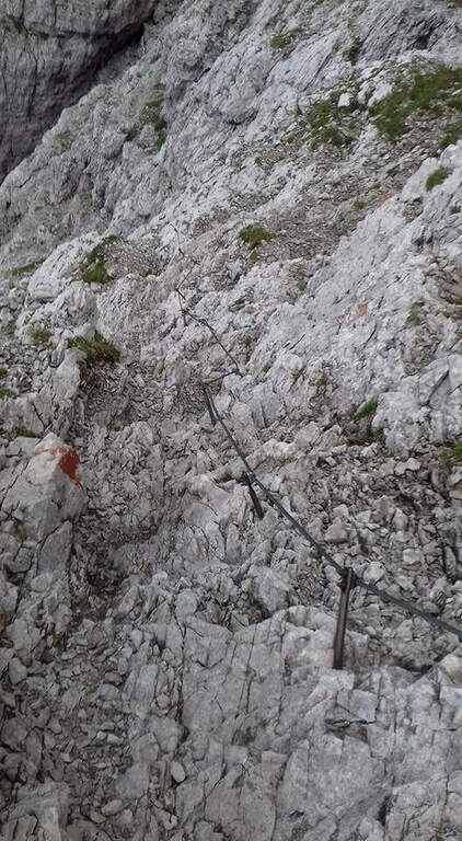
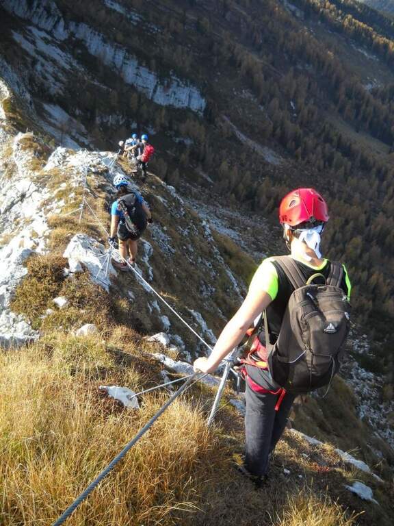
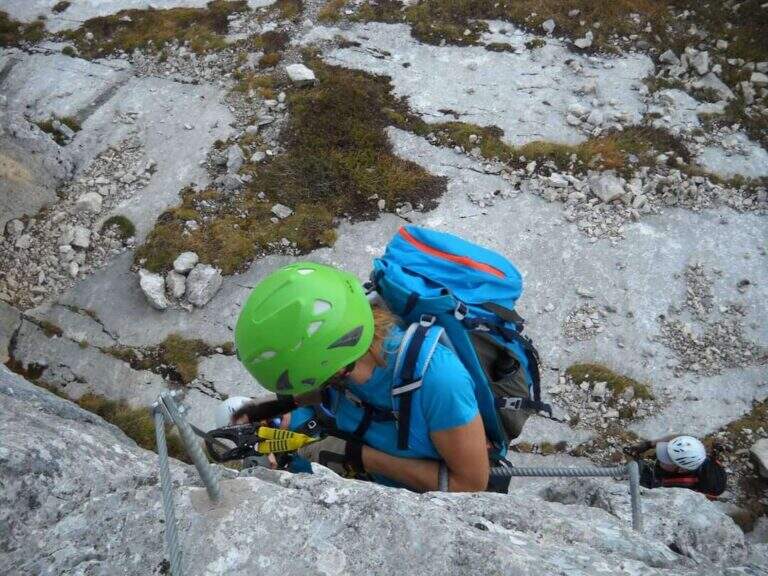
    The equipped part is easy and the chain, not very tense, serves seldom; the commitment lies in the length of the itinerary and in the stretches of exposed rocks, uphill and downhill, to be covered independently.

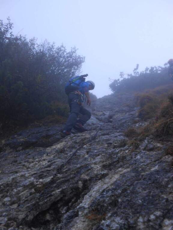
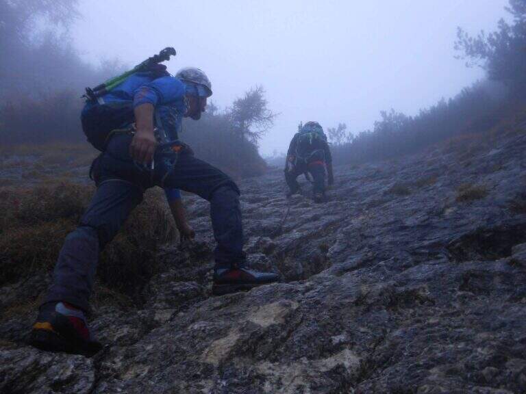
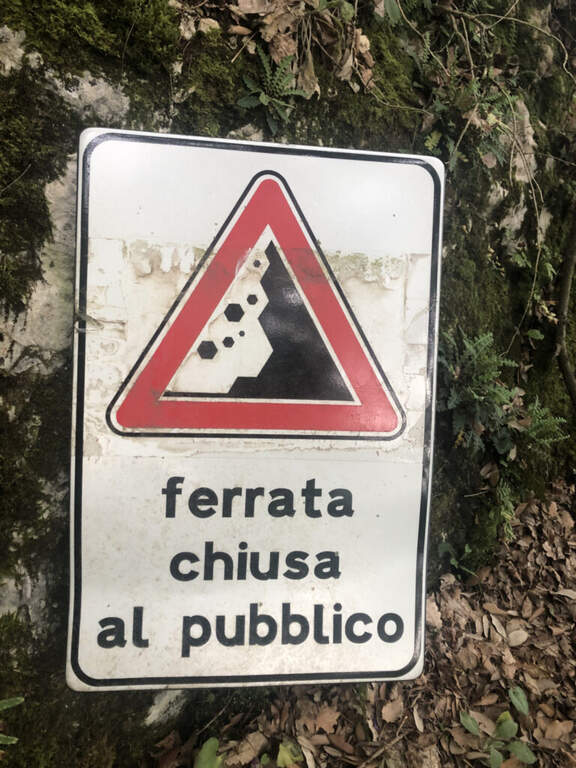
    ⚠ Wearing the helmet just started the rocky area: the main risk is the fall of stones on who goes up or down. Beware of moisture on the rocks before and after the ferrata after recent rains.
    ▲Period and safety

    High mountain road, to be covered in summer with dry rock; the isolated environment requires good autonomy.

    ▲Discipline

    From the cross you go back to the Forcella del Valico, where you can choose if you redefine the ferrata crossed uphill (40' from the summit, be careful not to move stones on who is below) or follow straight signs towards Passo di Sardegnana; in both cases you arrive at Lake Colombo (1h 15' from the summit). From here you go back to the approach path to the parking lot (1h 30' from Lake Colombo, about 6h 15' total).

    ▲To match

    It is part of a long itinerary that leaves little energy for another day, but the Orobie Park and Bergamo offer many equipped to join in several days: the Ferrata Guerino Rossi al Pizzo Strinato, la Ferrata at Monte Ocone, la Ferrata alla Madonnina del Coren, la Ferrata Maurizio and, in Val Brembana, the Ferrata di Santa Croce alla Corna Maria.
    ▲Gallery
    Technical data
    • DifficultyModerately Hard
    • RegionLombardy
    • GroupAlps
    • Approach3:15 h
    • Ferrata0:20 h
    • Itinerary (a/r)6:15 h
    • Hardware level difference70 m
    • Route difference1200 m
    • Max2507 m
    • Length17,2 Km
  • Ferrata at Pizzo Badile Camuno

    Ferrata at Pizzo Badile Camuno

    Vie Ferrate › Lombardy › Brescia
    Ferrata at Pizzo Badile Camuno

    The Ferrata al Pizzo Badile Camuno is a great excursion on one of the southern peaks of the Adamello Group, in the upper Val Camonica (Brescia). The itinerary is challenging for the long approach and the difference in altitude, while the fully equipped section does not have significant technical difficulties; the view from the top largely repays fatigue.

    ▲Approach

    The starting point is at Cimbergo, in the upper Val Camonica. Once in the village, on the right you take the road with directions to Volano and Redole; initially in good condition, it must be followed by ignoring the secondary bivi until it becomes dirt, where you can leave the car (willing to continue until the next slargo, but the bottom is more dissected). Starting point on Google Maps. From the parking lot follow the dirt road, which coincides with path CAI 16, to the Rifugio De Marie; here you leave the 16 and take the CAI 77 path, well marked. The path climbs steeply in the woods and after about 30 minutes leads to the first equipped sections: a plaque supported with a lasca chain, then stretches of steep path with small rocks following the white-red signs, some rocks to be overcome with the help of brackets and the exit from the wood. You reach a second stretch equipped with chain, a wall resting of 30-40 meters not trivial (a couple of scarce, chain lasca in several points); a little further you pass near a bivouac, from which a path exposed to stretches equipped leads, between aerial passages but easy, to the attack of the ferrata (2h 30' from the parking lot).

    ▲The path

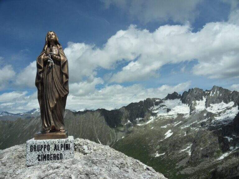
    The ferrata begins by climbing a wall almost everywhere: the climb is pleasant and logical, with the cable that often acts as a handrail. After a first linear stretch bends slightly to the right on an ascending, comfortable and panoramic nod; from this pulpit the cable resumes more vertical, first to the right then to the left, on very stable rock and in prevalence diagonally. You earn another terrace, then the slope increases: you pass a couple of walls leaned but more steep and then a vertical wall that goes up a little marked canal. Folding to the right, some rocks are reassembled in the crest, beyond which the equipment ends; along the wide ridge you reach the Madonnina just below the summit (2435 m), where the road ends (30' from the attack, 3h 30' total).

    ▲Character and difficulty

    It is a traditional ferrata: few metal supports, logical climb, the goal of reaching a top more than looking for the degree. Although with relatively low altitude, the set has the character of a difficult alpine hike.

    ⚠ The real commitment lies in approaching and returning: exposed traits and some passages of I degree in climbing and climbing in the wood. The fatigue of the long descent must be realized.
    ▲Period and safety

    Summer itinerary: the length and rocky sections of the path require a stable day and good energy management.

    ▲Discipline

    You return to the same route. Maximum attention to the climbing of the ferrata and the rocky stretches climbed; the descent is challenging and should be considered in the balance of the day (2h 45' from the summit, 6h 30' total).

    ▲To match

    Itinerary long that hardly converges in the day, but the high valleys of Brescia offer many equipped. Risalendo la Val Camonica: la Ferrata Arosio al Corno del Grevo, la Ferrata Terzulli and, at the Passo del Tonale, the Path of Flowers; towards Valtellina the easy Ferrata del Cuore at the Cross of Monte Palabione.

    ▲Gallery
    Technical data
    • DifficultyHard
    • RegionLombardy
    • GroupAdamello
    • Approach3:00 h
    • Ferrata0:30 h
    • Itinerary (a/r)6:30 h
    • Hardware level difference200 m
    • Route difference1385 m
    • Max2435 m
    • Length10 Km
  • Ferrata at Piz de Peres

    Ferrata at Piz de Peres

    Vie Ferrate › Trentino-Alto Adige › Bolzano
    Ferrata at Piz de Peres
    Moderately Hard● OpenDescriptionComplexityMapsGallery

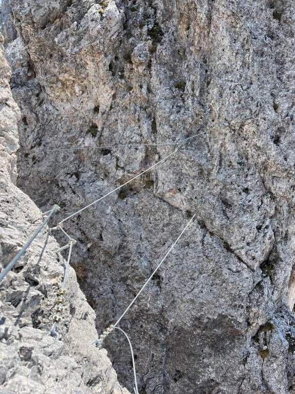
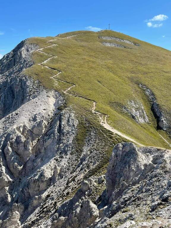
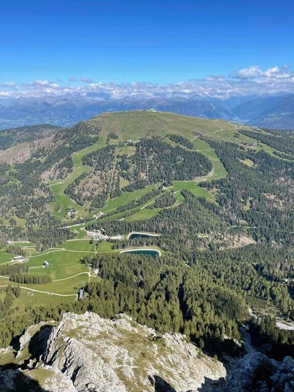
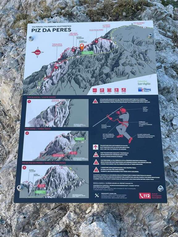
    Inaugurated in 2022 between San Vigilio di Marebbe (Val Badia) and Valdaora (Val Pusteria), a stone's throw from Plan de Corones, the Ferrata al Piz de Peres leads to the panoramic peak of the same name (2507 m). It is a dolomitic mold, of average difficulty with a couple of more challenging points, alternating diedri, walls, canals and stretches of crest exposed with view on the large groups of the Dolomites.

    ▲Approach

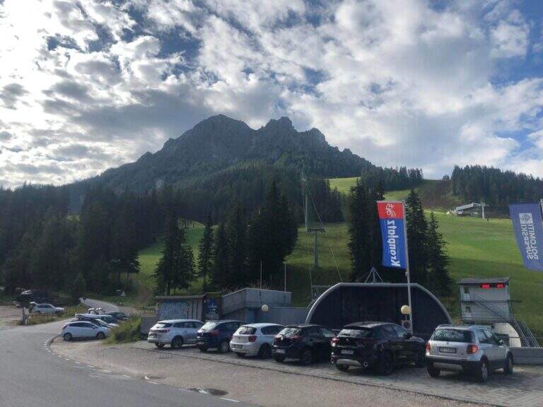
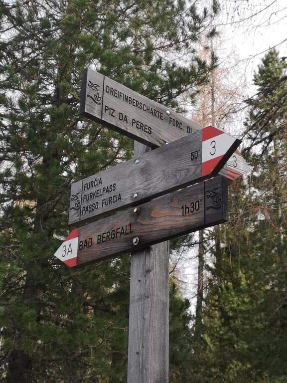
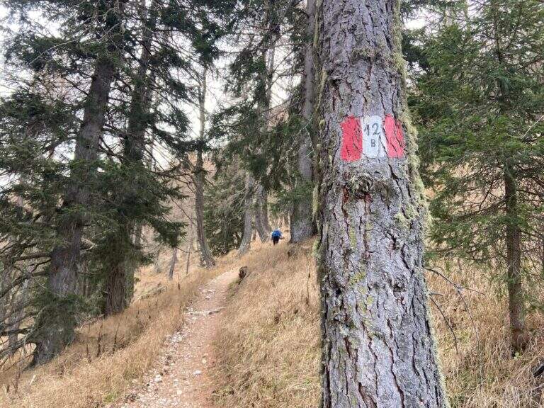
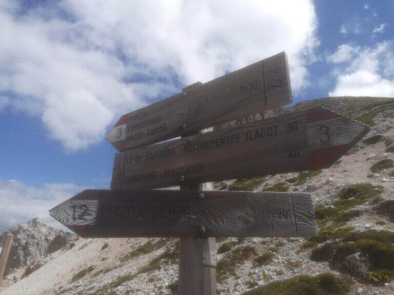
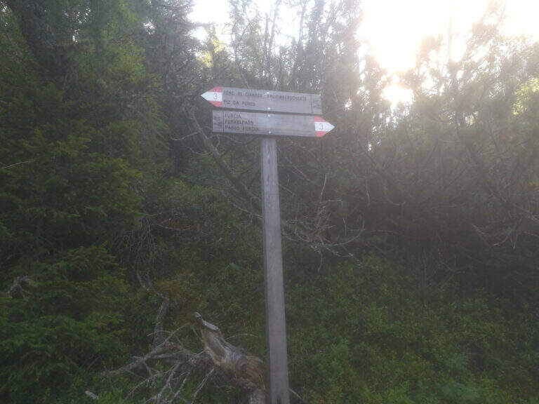
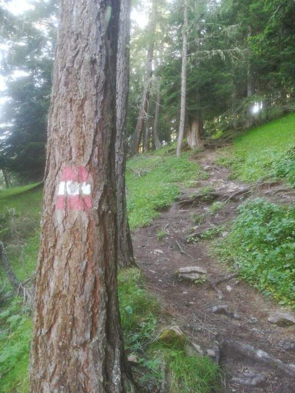
    From the Furcia Pass, on the winding road that connects San Vigilio di Marebbe to Valdaora. Starting point on Google Maps. On the south side you follow path 3 to a crossroads, where you climb steeply on path 12B; pass the refuge and the lifts intersect the path 12, which rises from San Vigilio on the slope of Val Badia. It follows uphill to a clear sign, where you hold the right and in short you reach the attack (about 1h 20' from the parking lot).

    ▲The path

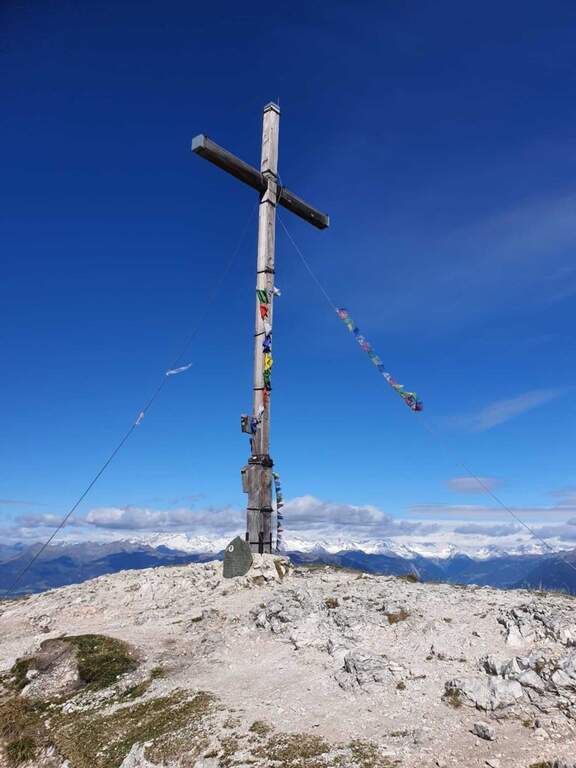
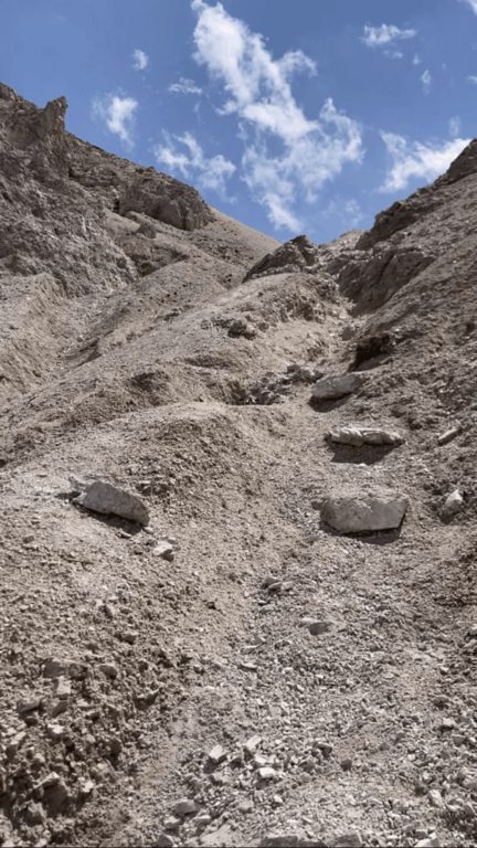
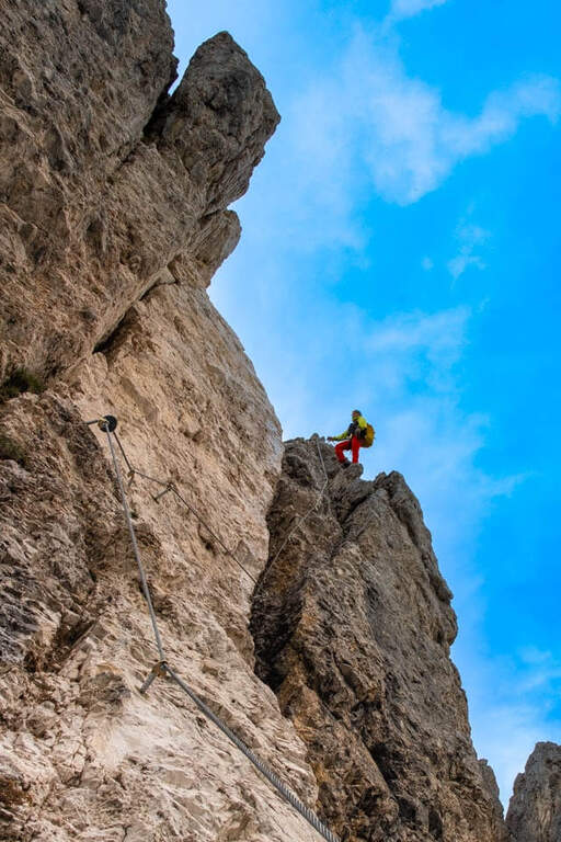
    An all' sign; attack shows the three sections, separated by two escape routes. The prima starts with small rocks equipped to the right; you pass a cave and a wall, then a right nod and, on beautiful exposure, you climb a pillar of medium difficult and pleasant and climbing. The road continues vertically between short terraces up to a transfer nod to the right, where the equipment ends; some rocky leaps lead all' crossroads with path 12, where you can può close (on the left the 12 reports all' attack, on the right you climb to the summit). The seconda section — i «tre denti», the più challenging — starts with a vertical wall hand-marked but hard; with beams to the right you reach a short suspension bridge, then a vertical and exposed but well climbing wall leads to the ridge wire, with never difficult aerial passages, up to a saddle. The second tooth is vertical and challenging; a path along the third tooth avoiding the più passages; hard, while those who complete the third tooth climbs vertically up to a slightly overhanging wall (hard-grade passage), then again on the ridge between ups and downs to the saddle where the second section ends (right a way to escape to path 12). The terza, the più easy, & easy; a long series of jumps and short walls along the crest that leads to the end of the equipment, now in sight of the summit (about 2h from' attack, 3h 15' from the parking lot). From here a path in 15' it reaches the cross of the Piz de Peres (2507 m), about 800 m above the Furcia Pass (3h 30' total).

    ▲Character and difficulty

    Altogether average difficulty, with the key points (the wall of the first tooth and the overhanging of the third) of difficult and exposed degree. Equipment in good condition.

    ⚠ The two escape routes allow to reduce the effort by skipping the hardest teeth. As a crest exposed at altitude, it is advisable to start with stable weather and snow free canals.
    ▲Period and safety

    Summer itinerary of medium-high altitude: indicated from late spring to autumn, with dry rock and bottom of the canals.

    ▲Discipline

    Two options. You can go back to path 12, which runs parallel to the ferrata, up to the attack and then to the parking lot. Or — recommended the ring — from the opposite side to the uphill one goes down to the Forcella delle Tre Dita (2330 m, about 30'), then left along the valley up to the wide path 3 that leads back to the forest to the Furcia Pass (about 2h from the summit, 5h 30' total).

    ▲To match

    The road rises between two valleys rich in ferrate. Not far, on the side of Valdaora, the Ferrata di ValdaoraThe whole of Val Badia and Val Pusteria also offer numerous other routes equipped to concatenate in the following days.

    ▲Gallery
    Technical data
    • DifficultyModerately Hard
    • RegionTrentino-Alto Adige
    • GroupDolomiti – Plan de Corones
    • Approach1:20 h
    • Ferrata2:00 h
    • Itinerary (a/r)5:30 h
    • Hardware level difference250 m
    • Route difference720 m
    • Max2507 m
    • Length5,5 Km
  • Ferrata di Pietra Nera

    Ferrata di Pietra Nera

    Vie Ferrate › Emilia-Romagna › Parma
    Ferrata di Pietra Nera
    Very difficult● OpenDescriptionComplexityMapsGallery

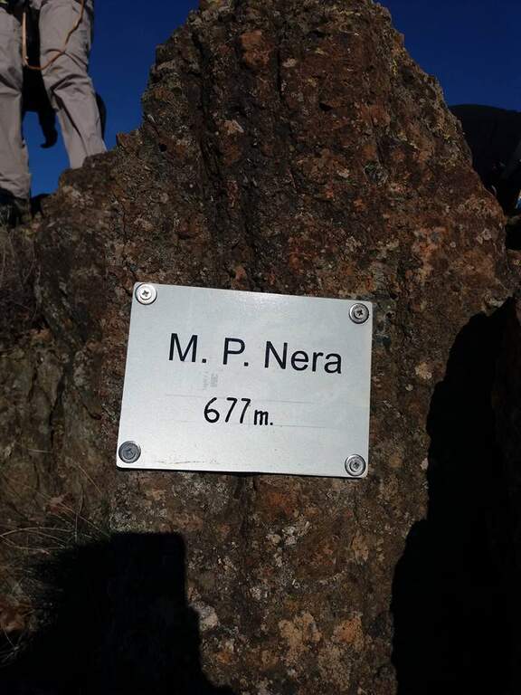
    The Ferrata di Pietra Nera dates back to a curious mountain of dark ophiolitic rock in the Parmensi hills, a few kilometers from Salsomaggiore Terme. It is a short but surprisingly varied itinerary, divided into three sections with a completely different character; the modest quota (vetta at 677 m) makes it available practically throughout the year.
    ▲Approach

    From Salsomaggiore Terme take the SP359 towards Bardi and turn right at the junction for the hamlet of Grotta (about 40' from the A1 toll of Salsomaggiore-Fidenza). Crossing the village, just before the deviation for Case di Pietra Nera, you leave the car in the pitches along the road; on the opposite side, beyond a bar, part of an unnumbered CAI path marked in white-red — there is no sign for the ferrata. Starting point on Google Maps. Follow the path in the woods and, bypass some rocky ridges, in about ten minutes you reach the attack.

    ▲The path

    The route is divided into three net sections. The prima è real hardware: you climb a non-banal initial dihedron, then a più plaque; lean; follows a horizontal beam to be followed in adherence, you climb a edge and you get to the key passage, a traverse with the low chain, to be faced with looseness and to close quickly (15' from the parking &# The seconda non è section; equipped: è a stretch to climb into free climbing on rocky difficult ` growing, protected by spit — first some rocks of I degree, then a spur of II and finally a diedron of III (10', 35' from parking). The terza comes back in a piece: you go around a corner, you climb an easy diagonal ramp and you get to a rock blade, where you can può choose — on the left the easy line, with some metal brackets, which leads to the summit without problems; on the right the difficult variant, which faces the chain without artificial hooks and requires good technique forch&eac. The two lines rejoin over a corner and in a few minutes close the short street (5', 40' from the parking lot).

    ▲Character and difficulty

    Even short and low, it should not be taken under the boat. Three technical steps, if faced without leaning on the chain, require good climbing technique, and the central section goes free (I-III) on spit.

    ⚠ Technical itinerary despite the brevity: helmet, set from ferrata and familiarity with the rock are indispensable. Drained with wet rock, which makes the traverses in grip and the final blade.
    ▲Period and safety

    At 677 m of altitude it is practicable almost all year round, including the beautiful winter days; to avoid after the rain.

    ▲Discipline

    From the peak of Monte Pietra Nera (677 m) you descend in two ways: right along the crinaletto to the provincial road and back right down to the car (15', 1h from the parking lot); or left to the CAI path to the saddle between Pietra Nera and Monte Canate, then right on a mule track up to the car (15').

    ▲To match

    Just 40' from the motorway exit, it is perfect as a stopover. In the surroundings of the Apennines between Emilia and Liguria: Ferrata Mazzocchi e Ferrata Adolfo Ferrari on the border between Piacenza and Genoa, the Ferrata Deanna Orlandini, la Ferrata del Barranco del Dolo, la Ferrata Monte Penna and the ways of Stone of Bismantova.

    ▲Gallery
    Technical data
    • DifficultyVery difficult
    • RegionEmilia-Romagna
    • GroupHanging Parmense
    • Approach0:10 h
    • Ferrata0:20 h
    • Itinerary (a/r)1:00
    • Hardware level difference70 m
    • Route difference150 m
    • Max677 m
    • Length1,7 Km
  • Ferrata Perona-Saglia alla Rocca di Clarì

    Ferrata Perona-Saglia alla Rocca di Clarì

    Vie Ferrate › Piedmont › Turin
    Ferrata Perona-Saglia alla Rocca di Clarì
    Very difficult● OpenDescriptionComplexityMapsGallery

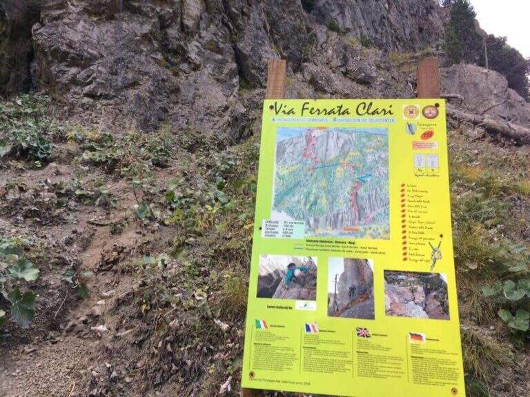
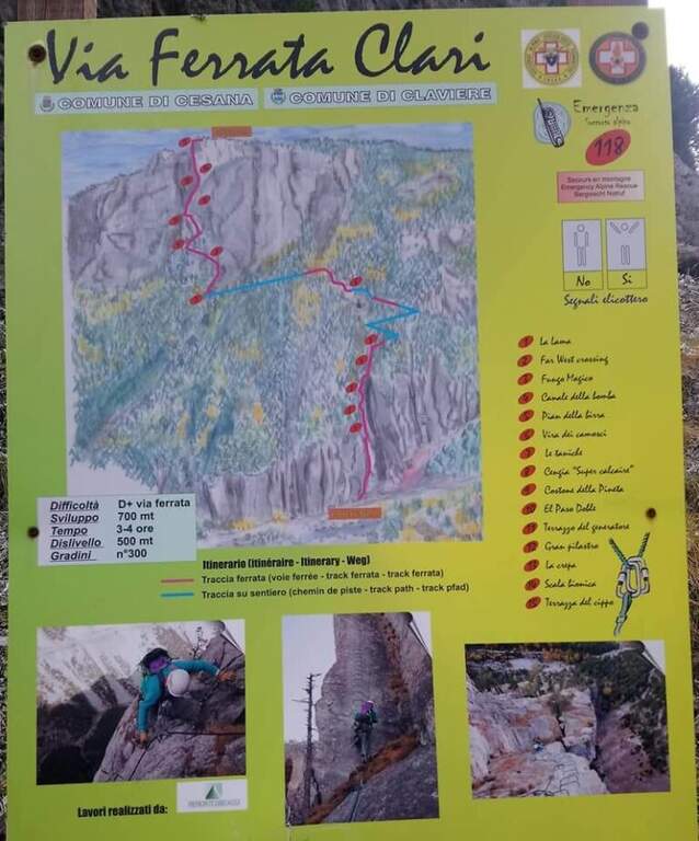
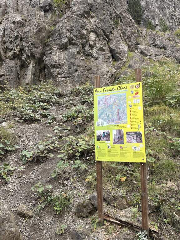
    The Ferrata Perona-Saglia alla Rocca di Clarì, in the upper Val di Susa, is one of the most demanding and beautiful in Piedmont. Athletic but also very varied, it alternates vertical walls (equipped and not), climbing traits, air passages, beams and short disarrampicate along the thread of an uphill edge. It is not suitable for neophytes and requires good training and absence of dizziness.

    ▲Approach

    Departure from Claviere (Turin). Two options: park along the straight between Claviere and Cesana Torinese, in a dirt square before the tunnel, or at the campsite of Claviere, where the path for the Tibetan bridge "Sergio Bompard". Starting point on Google Maps. From the first you descend a path towards the Gorge of San Gervasio, you go up the river and, cross it on a bridge, climb on the right horogram until the attack (15'); from the second you go down steeply to the creek, cross it and climb right up to the sign of the ferrata, which attacks a few meters above the path (15').

    ▲The path

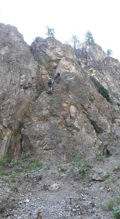
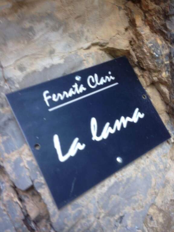
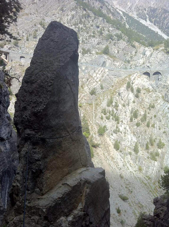
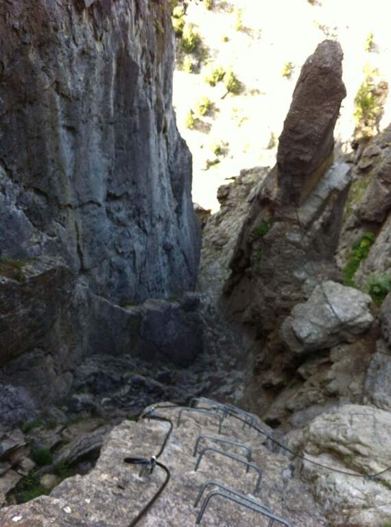
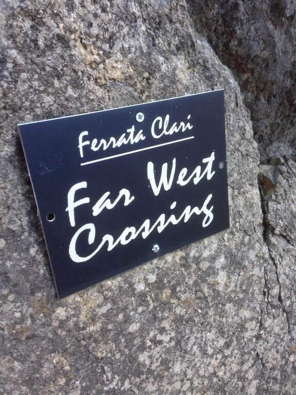
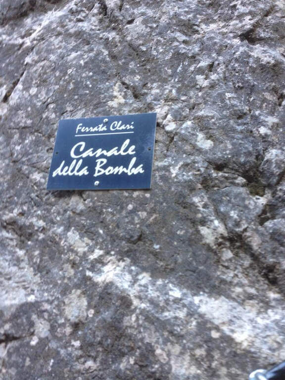
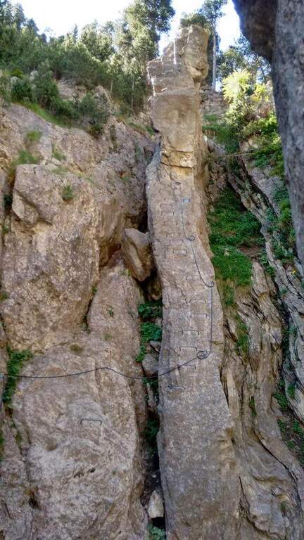
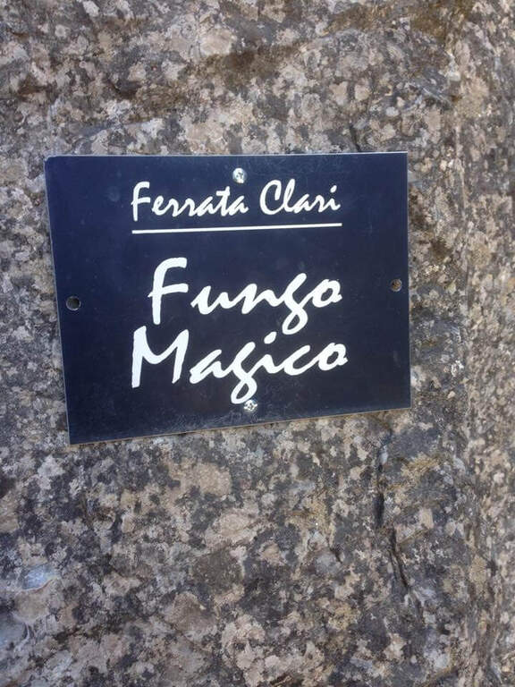
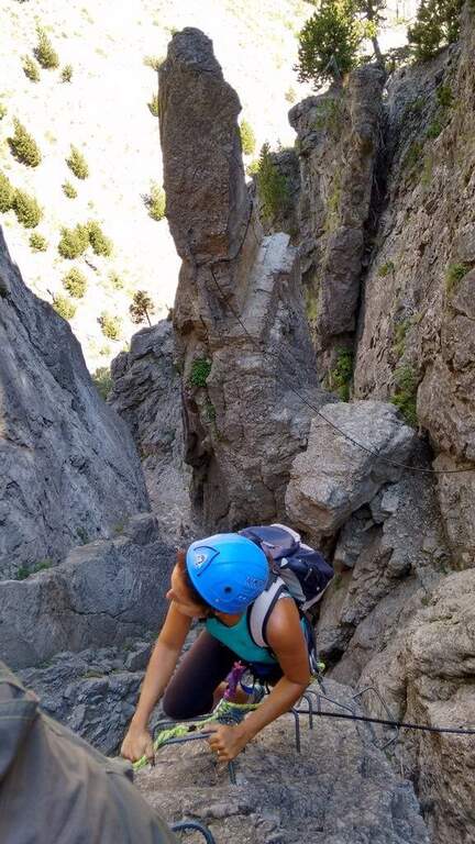
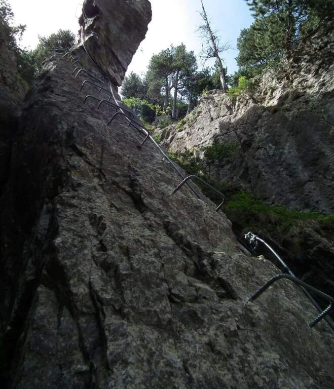
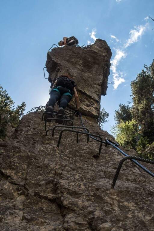
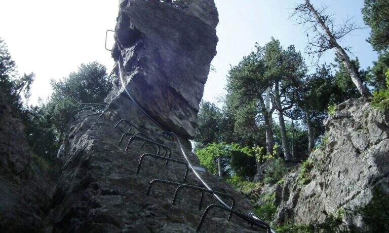
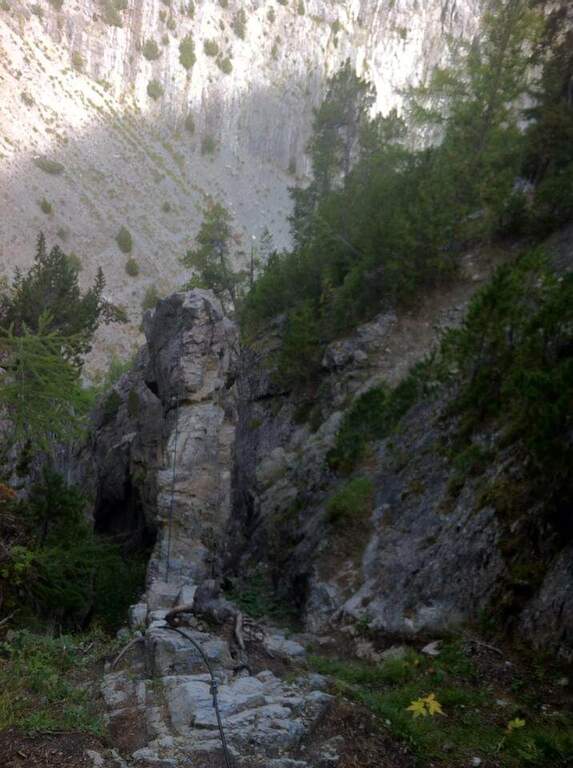
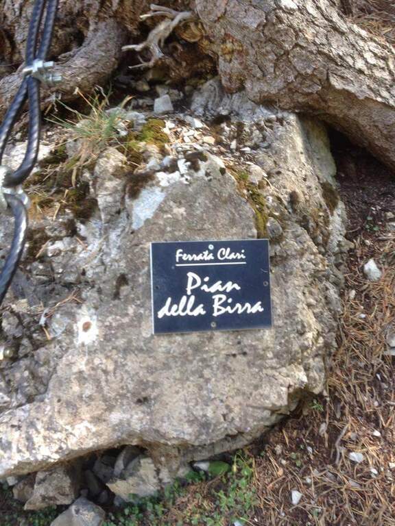
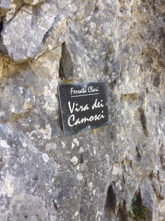
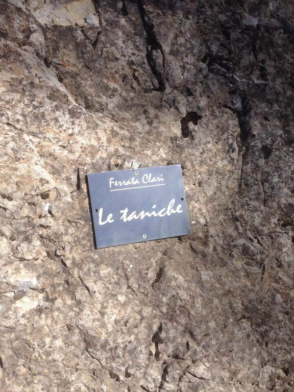
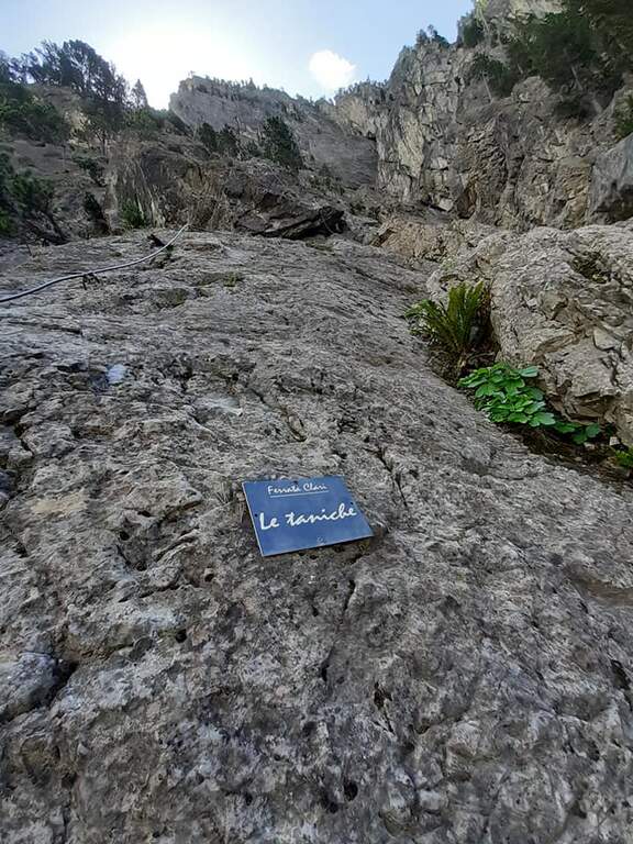
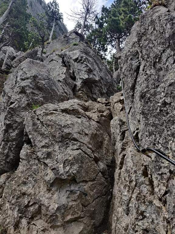
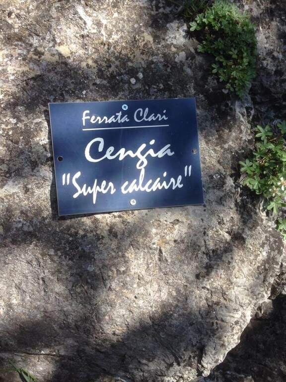
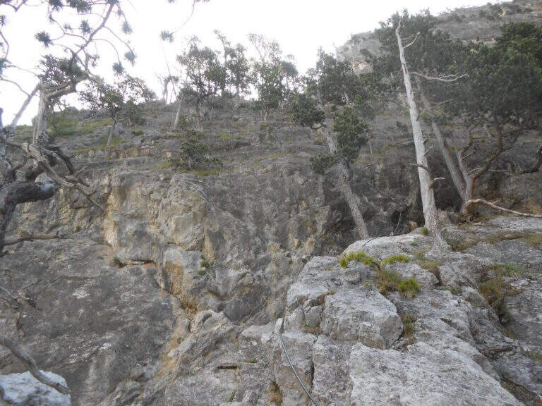
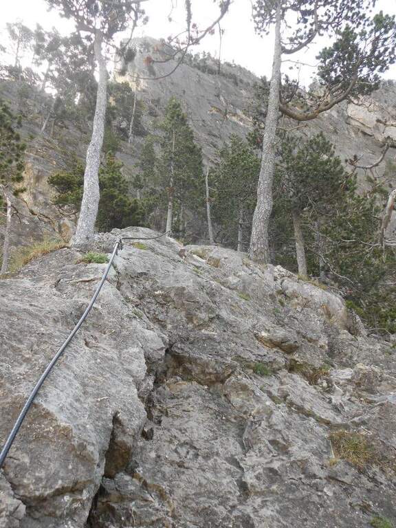
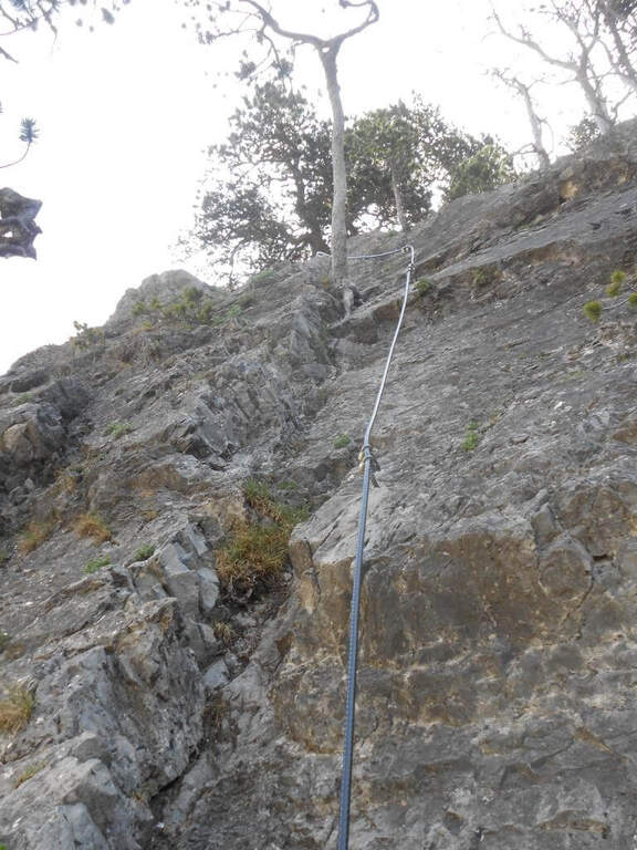
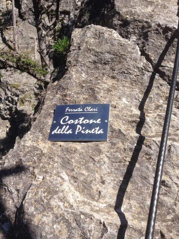
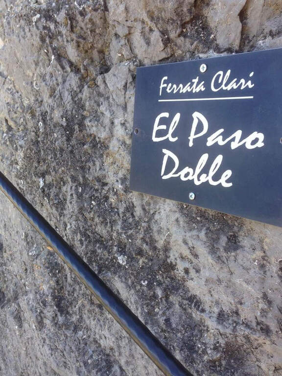
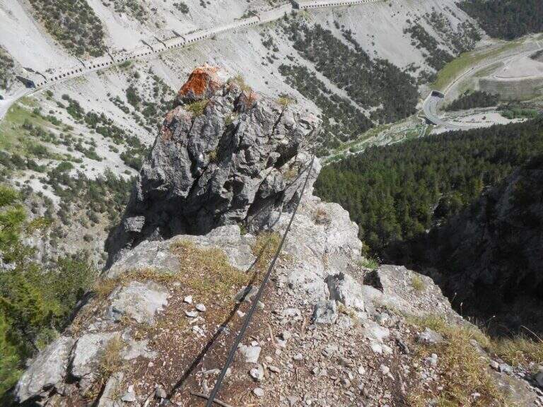
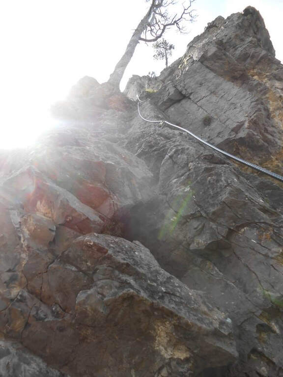
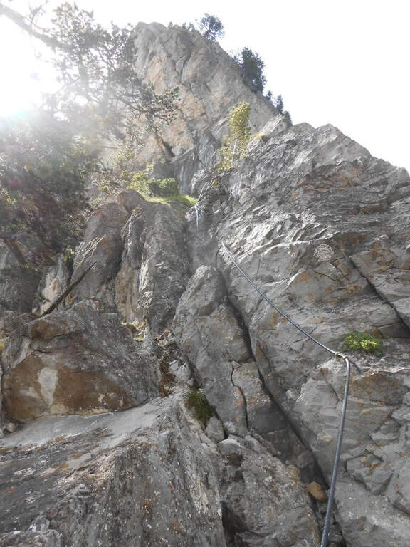
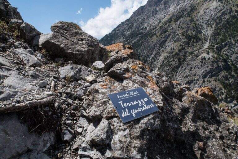
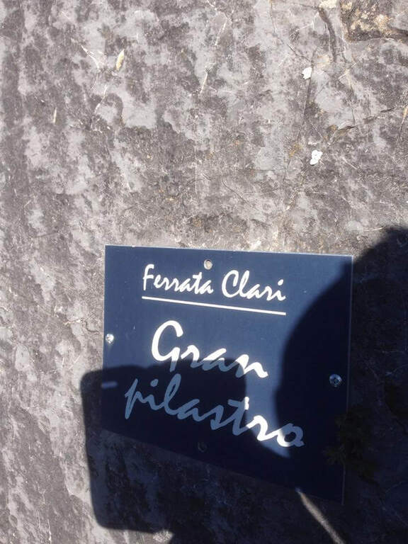
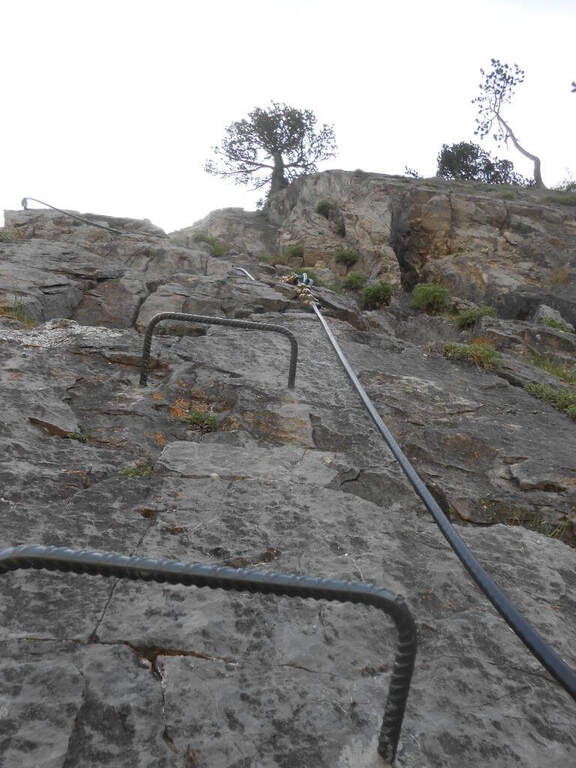
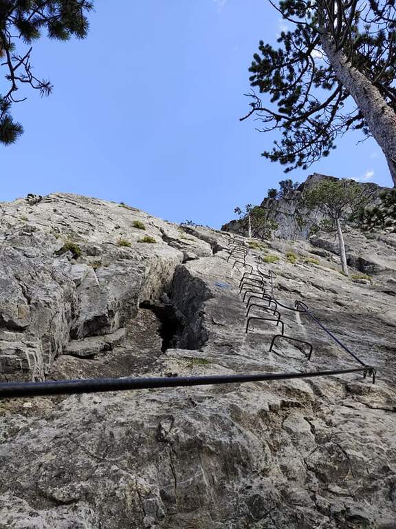
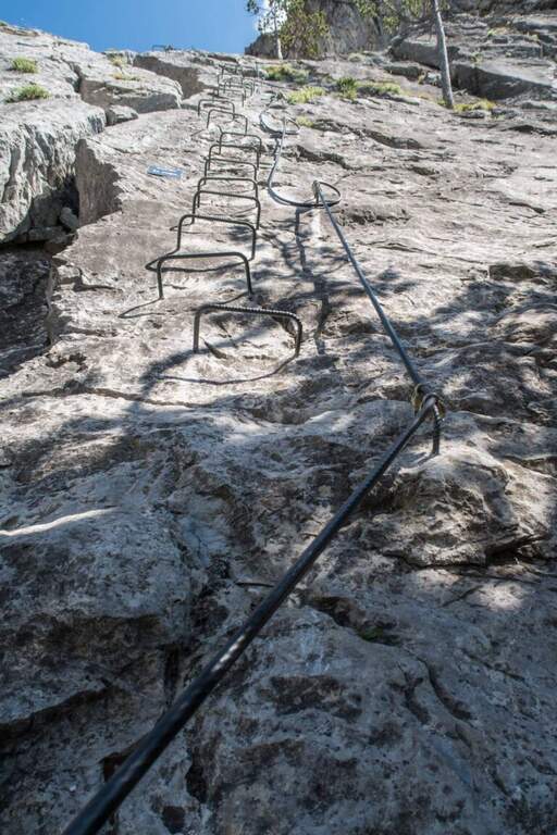
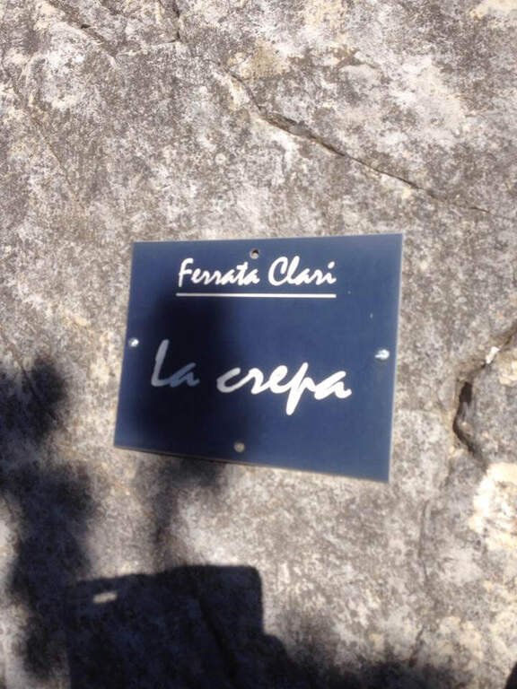
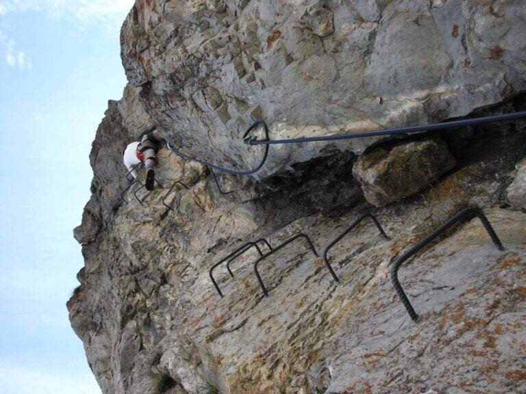
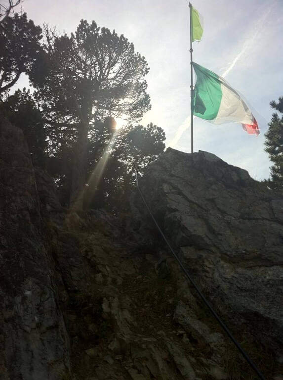
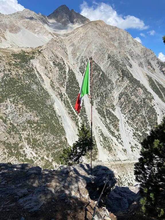
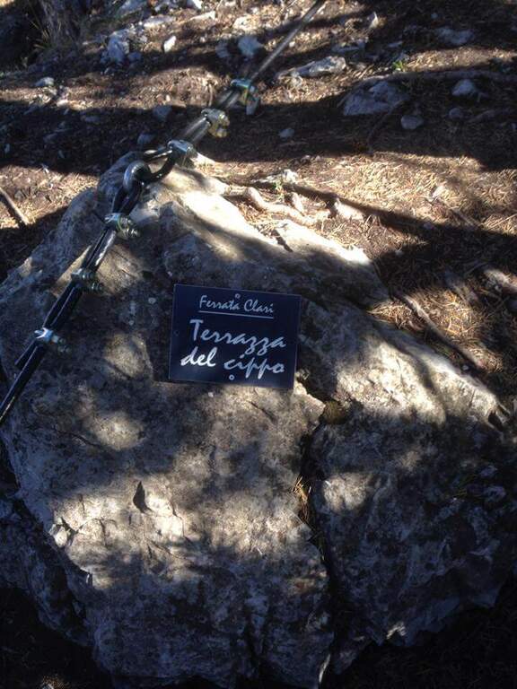
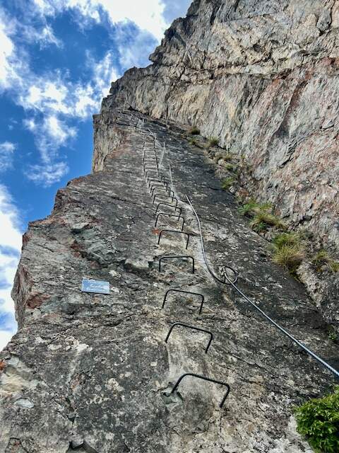
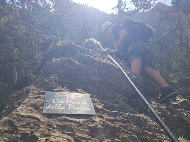
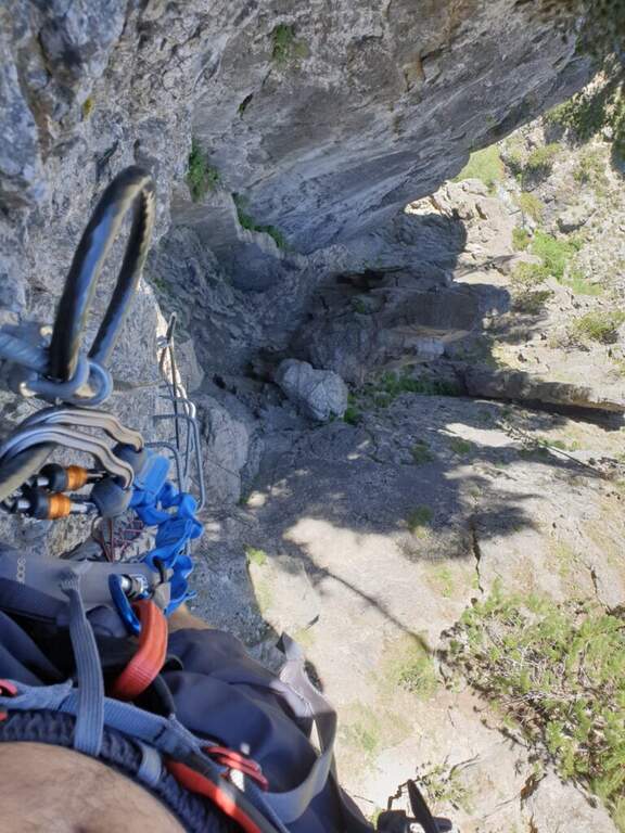
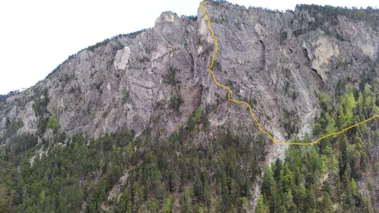
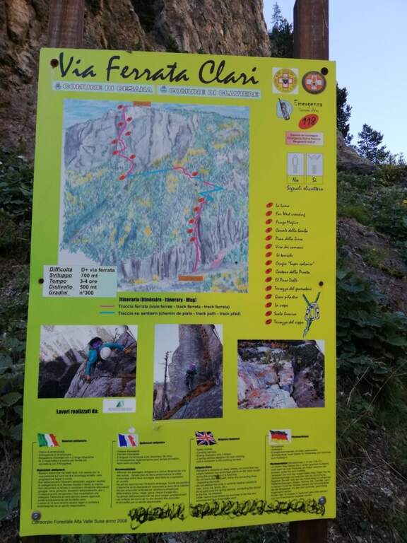
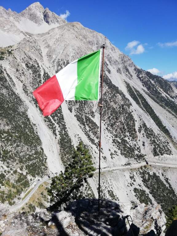
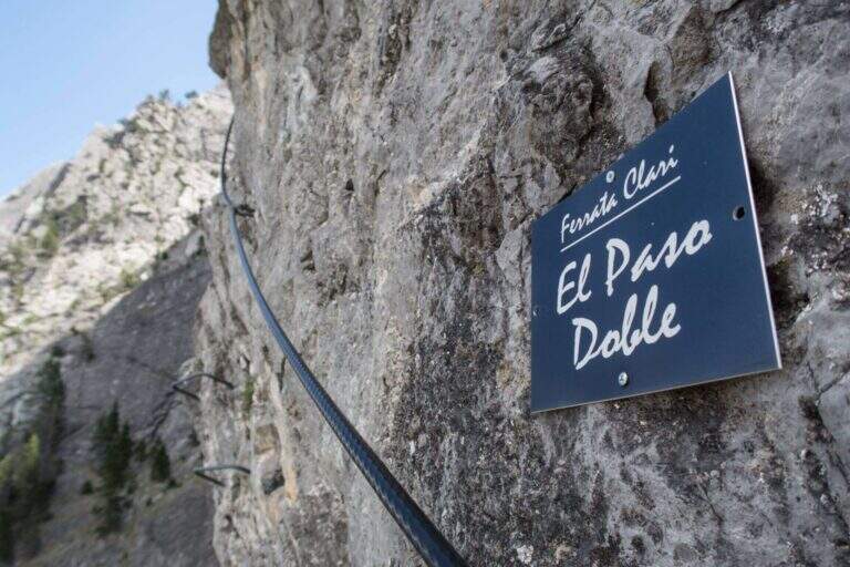
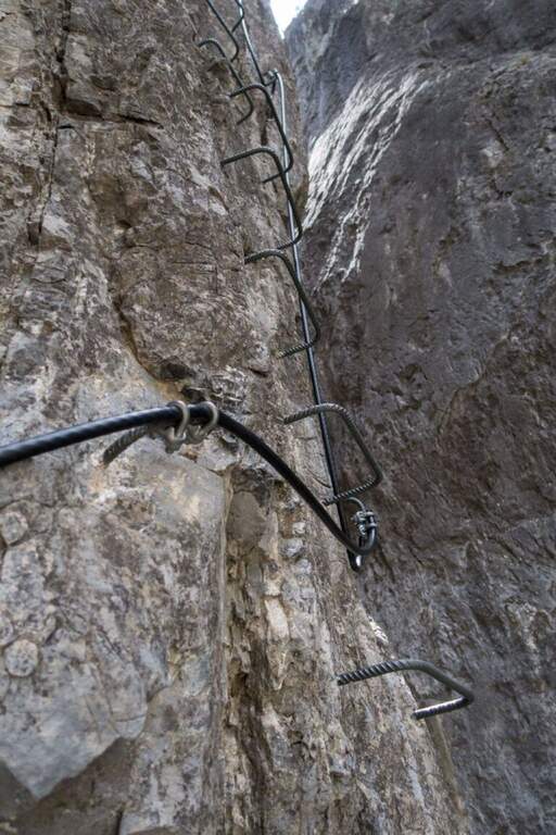
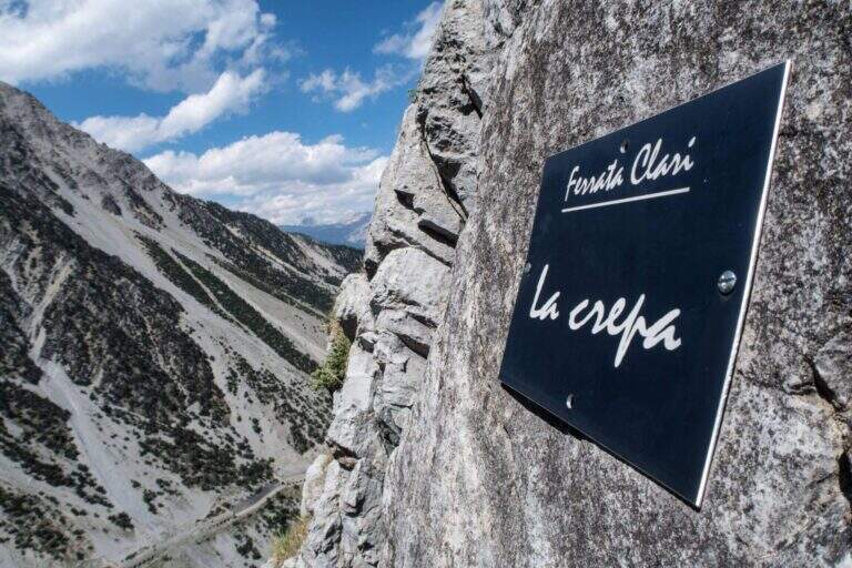
    The route is divided into 15 sectors, each with its own name. It is attached to the vertical wall («La Lama»), with brackets and climbing passages, immediately gaining altitude on the stream; inside a canalone and after a right turn a vertical blade is up on the brackets, then a rocky cres with natural hooks. The "Far West Crossing" crosses the "Canale della Bomba" and reaches the gendarme of the "Fungo Magico", climbed over the brackets, circled and crossed along a narrow and exposed blade. After the stop of the «Pian della Birra» you pass the franosa throat of the «Via dei Camosci» and you get to the most climbing section, «Le Taniche», on beautiful steps ranked. Follow the "Cengia Super Calcaire" and the "Costone della Pineta", then "El Paso Doble", a traverse on the left in light overhanging, short but very exposed. After the «Terrazzo del Generator» three beautiful sections remain: the «Gran Pilastro», with the cable on the edge and an exit at the center of the wall in strong exposure; «La Crepa», vertical and smooth wall made accessible by abundant brackets; and finally the «Scala Bionica», a steep vertical wall on brackets, aerial and exposed, with slightly overhanging athletic exit to the left. It exits at the top of the Rocca di Clari (2045 m), at the "Terrazza del Cippo" with the Italian flag (3h from the attack, 3h 15' total), with a view on Chaberton, Claviere and Cesana.

    ▲Character and difficulty

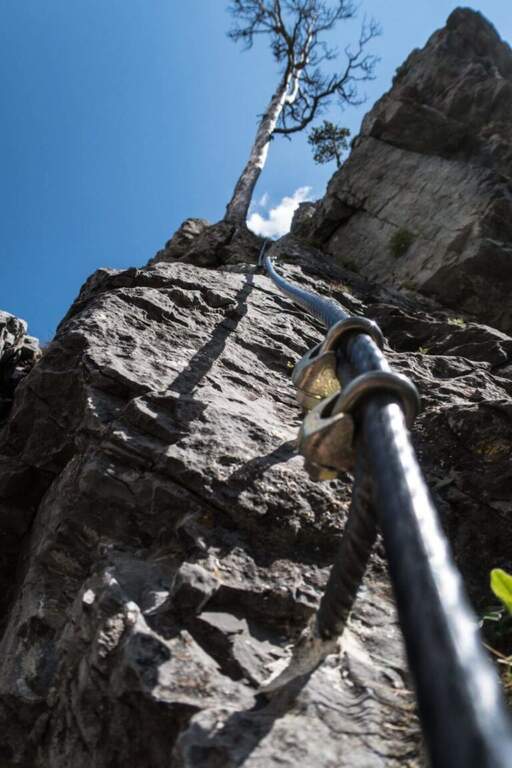
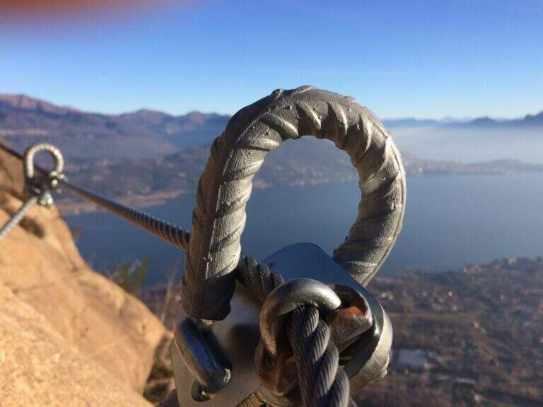
    Excellently equipped, with brackets positioned intelligently and not invasively. The inguainated black cable forms a ring at the tokens: excellent in case of fall (it avoids the musketet-fittone clash), but little tense, therefore it is better to climb by exploiting hooks and natural and artificial supports. It requires good form and experience.

    ⚠ Itinerary long, athletic and very exposed, not suitable for beginners: it serves specific training and absence of dizziness. You can rent the equipment at the ticket office of the Tibetan bridge.
    ▲History

    The route is dedicated to Mario Perona, Alpina Guide, and to Aldo Saglia, a helicopter pilot, very appreciated in Val di Susa, who died in Easter 2003 in a tragic helicopter accident. The idea of the ferrata was by Perona; the construction dates back to 2010.

    ▲Discipline

    You descend west on a clear track above the summit to some abandoned military stations, then on dirt road to La Coche (skiing plants) and still downhill to Claviere. Just before the village you turn right, cross a ski lift and take the path towards the Gorges of San Gervasio up under the Tibetan bridge; from the, depending on the parking lot, you return to the backward car (1h 30' from the downhill attack, 4h 45' total).

    ▲To match

    It combines with Ferrata del Bunker (of the Military) on the opposite side of the Tibetan bridge; always from Claviere the Low Battery Ferrata and the Chaberton Ferrata. The lower the valley offers the Ferrata dell'Orrido di Foresto e la Ferrata dell'Orrido di Chianocco.

    ▲Gallery
    Technical data
    • DifficultyVery difficult
    • RegionPiedmont
    • GroupVal di Susa
    • Approach0:15 h
    • Ferrata3:00 h
    • Itinerary (a/r)4:15 h
    • Hardware level difference315 m
    • Route difference550 m
    • Max2045 m
    • Length8 Km
  • Ferrata dei Picasass al Monte Camoscio

    Ferrata dei Picasass al Monte Camoscio

    Vie Ferrate › Piemonte › Verbano-Cusio-Ossola
    Ferrata dei Picasass al Monte Camoscio
    Moderately Hard● OpenDescriptionComplexityMapsGallery

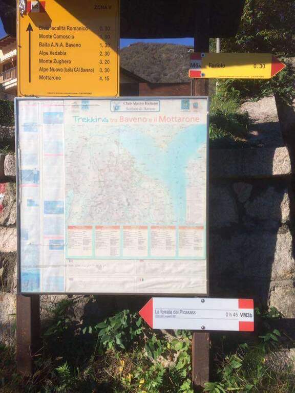
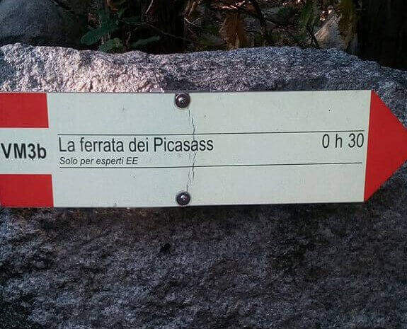
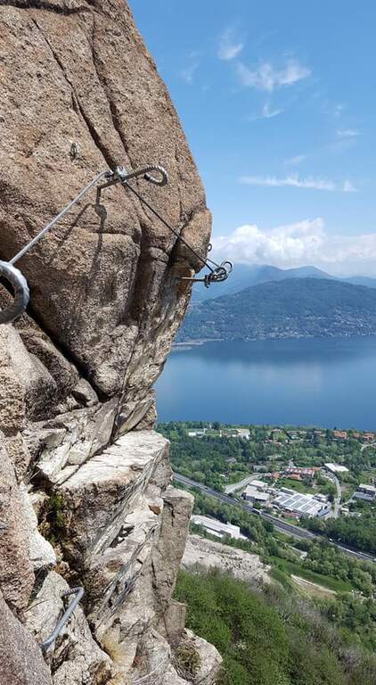
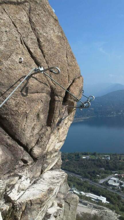
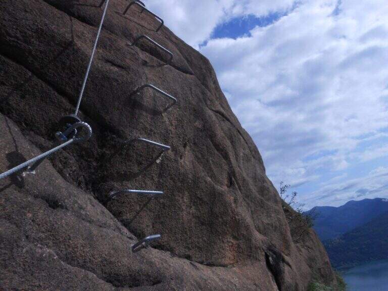
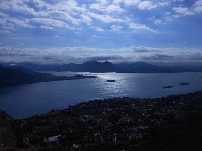
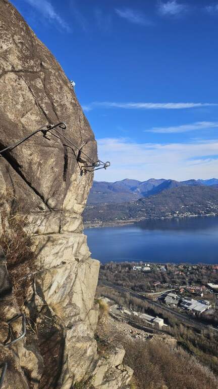
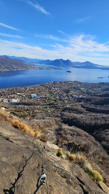
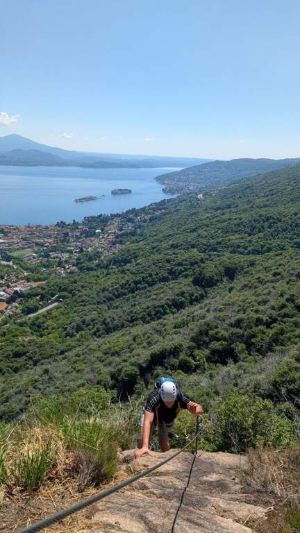
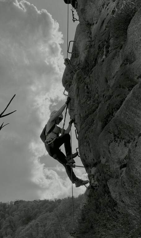
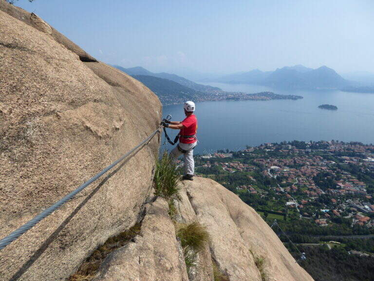
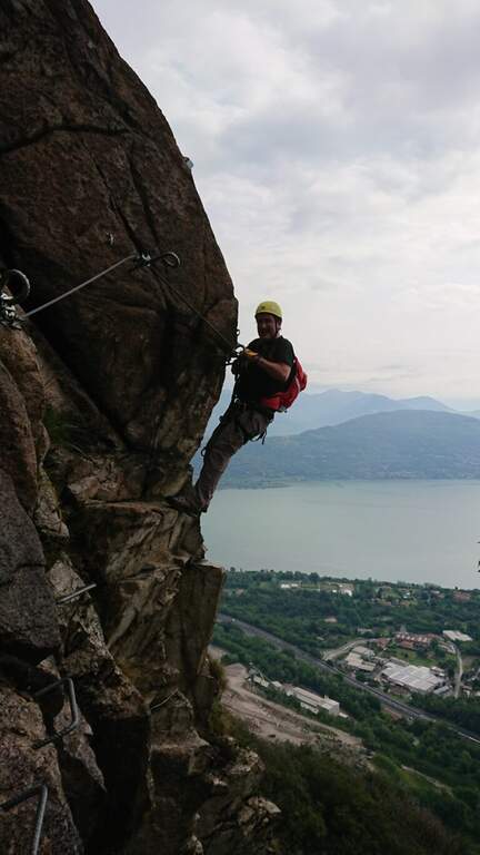
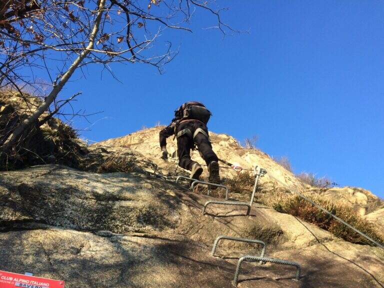
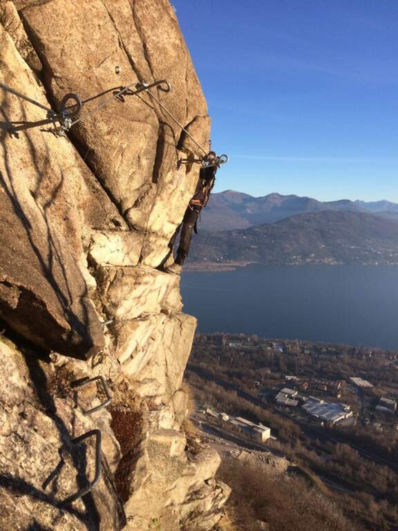
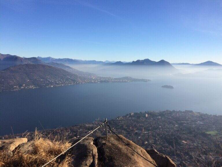
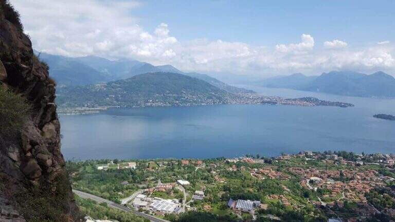
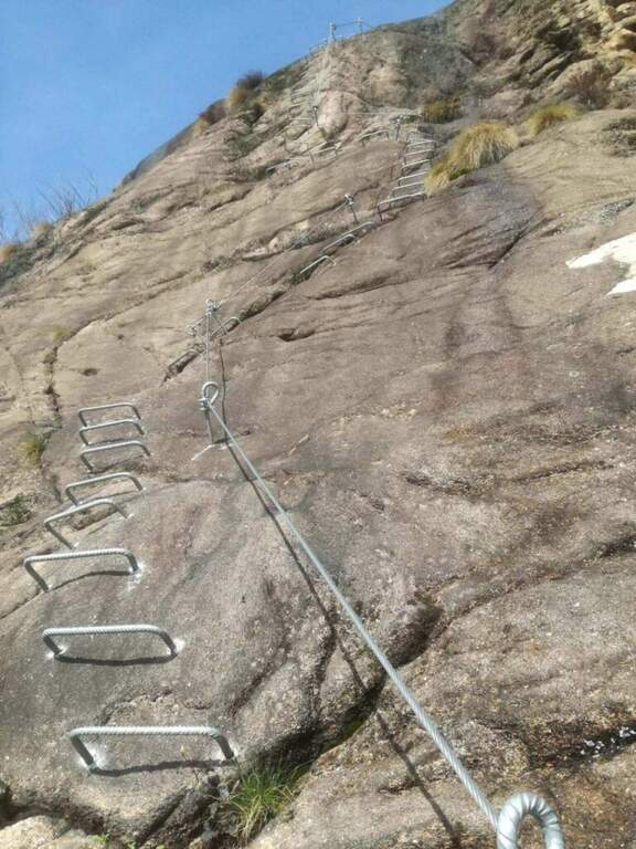
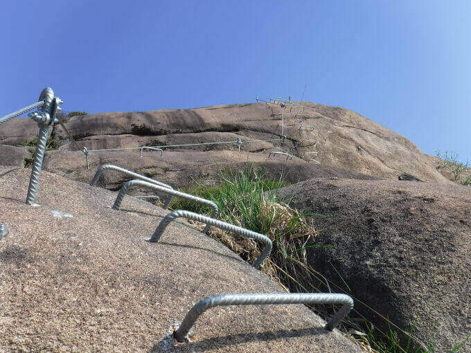
    The Ferrata dei Picasass is a recent and well-equipped street on the excellent Baveno granite, above Lake Maggiore. It is exposed uphill, with a challenging key passage — a overhanging horizontal traverse that bypasses a spy plane — and in the final offers a long and exciting bridge of the monkeys.

    ▲Approach

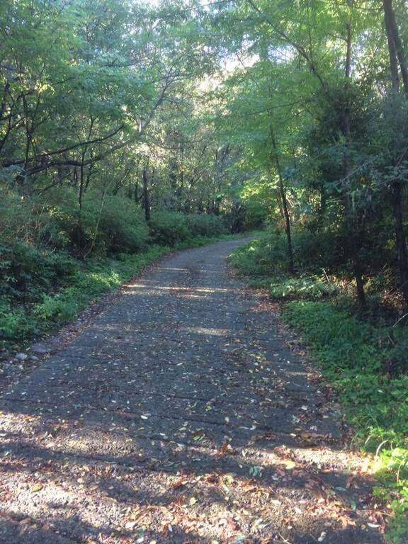
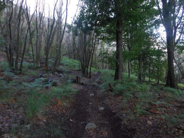
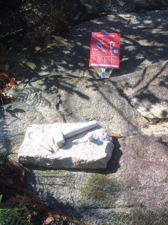
    Departure from Baveno (Verbano-Cusio-Ossola): follow the campsite La Tranquilla, behind which you will find via alle Cave, where you can search for parking (also in via Sesena). Starting point on Google Maps. From Via alle Cave you take a road uphill (white-red signs and a sign for the ferrata), first asphalt then dirt road; you cross the highway and, at a crossroad, you hold the right following the sign for the Picasass until the attack (45' from the parking lot).
    ▲The path

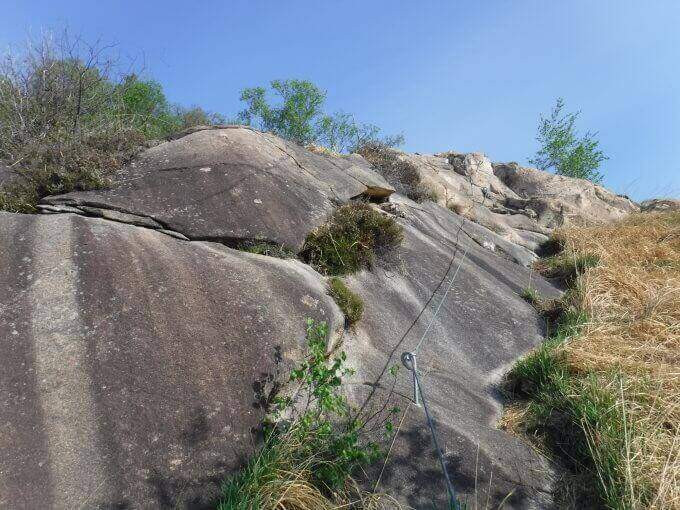
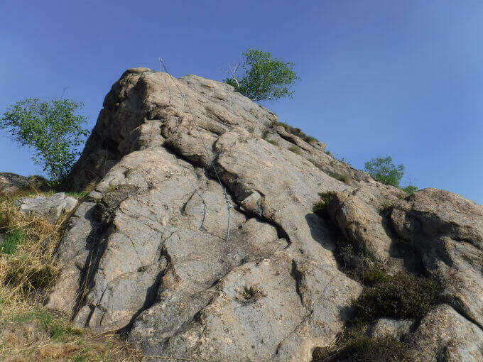
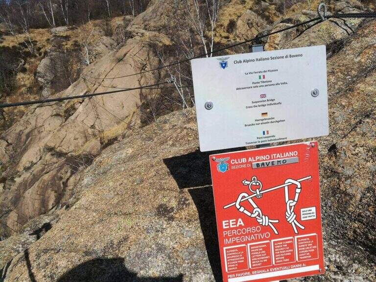
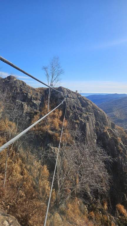
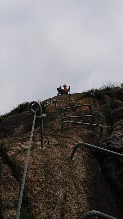
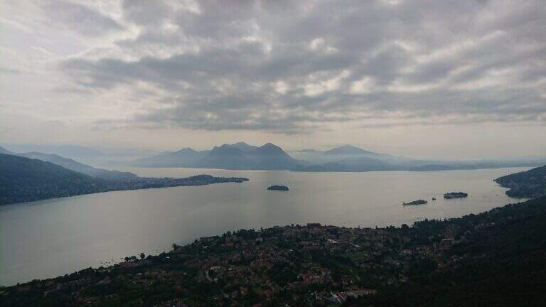
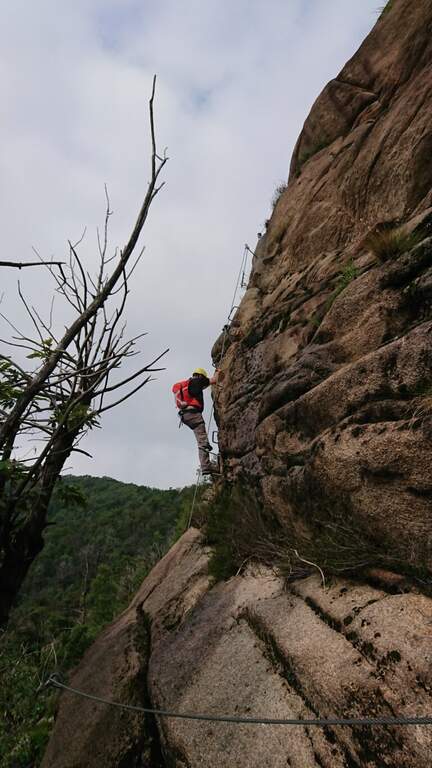
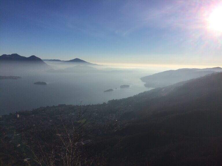
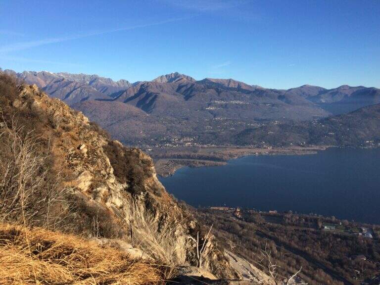
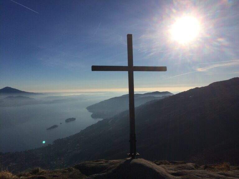
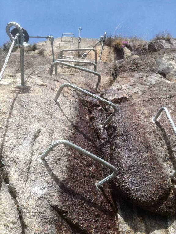
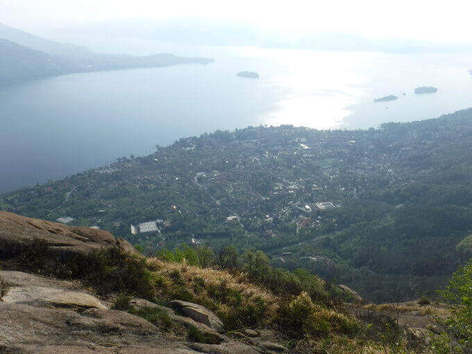
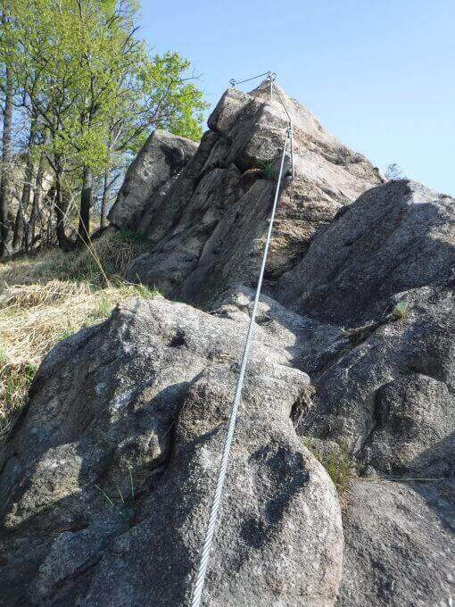
    It attaches a beautiful vertical wall, where brackets and excellent rock allow to proceed also in adherence; it bends left in an easy traverse and goes up a wall full of hooks, then another traverse to the left and a new vertical wall with abundant brackets. After a right nod and another wall you arrive at the key passage: a transverse overhanging exposure that bypasses a edge — not very difficult but with good demand of arms and clear exposure, short (three mosquitoes) and adrenaline; a low support helps not to pull too much on the cable. There is a boulder and a vertical wall with a short overhanging, then a long aerial wall but not difficult on brackets; a traverse on the right leads to another wall and therefore to more lean rock, climbed into adherence to the suspended bridge. The long bridge of the three-string monkeys is very exciting (adjustable on the path for those who prefer); beyond the bridge an easy wall leads to the summit cross, where the ferrata ends with beautiful view on Lake Maggiore (1h 30' from the attack, 2h 15' total).

    ▲Character and difficulty

    Pleasant, vertical and exposed but never too difficult, on excellent rock. The overhanging cross is the highlight; the bridge, long and adrenaline, is in a stable complex.

    ▲Discipline

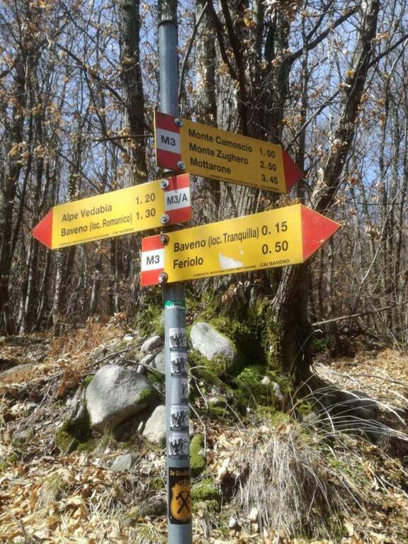
    From the end follow the well marked path M3 to the junction of the approach and, backwards, to the car (45' from the end, 3h total).

    ▲To match

    For those looking for extreme difficulties, the Ferrata Miccia starts a few meters beyond the Picasass, on the same wall but much harder. In the day you can reach the ferrates of Varallo, the Falconera e il Partusac; in high Piedmont Macugnaga Guides.

    ▲Gallery
    Technical data
    • DifficultyModerately Hard
    • RegionPiedmont
    • GroupLake Maggiore
    • Approach0:45 h
    • Ferrata1:30 h
    • Itinerary (a/r)3:00 h
    • Hardware level difference320 m
    • Route difference530 m
    • Max890 m
    • Length5,1 Km
  • Ferrata Piero Rossi at Forcella Marmol

    Ferrata Piero Rossi at Forcella Marmol

    Vie Ferrate › Veneto › Belluno
    Ferrata Piero Rossi at Forcella Marmol
    Moderately Hard● OpenDescriptionComplexityMapsGallery

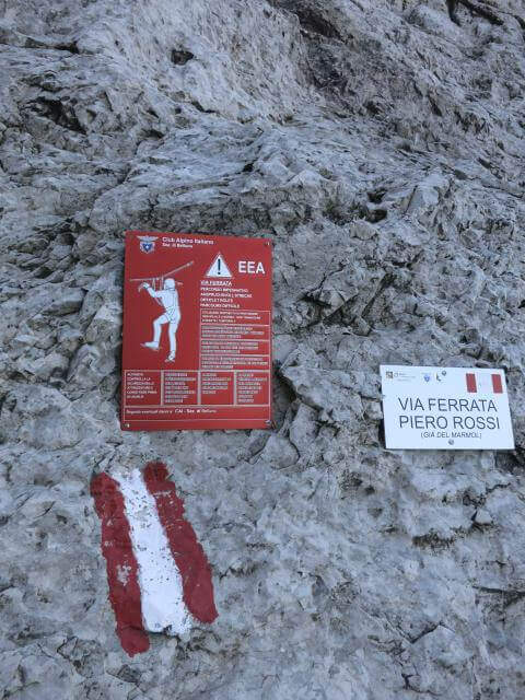
    Ferrata Piero Rossi (formerly Ferrata Marmol) climbs to Forcella Marmol in the Schiara group. It is of medium technical difficulty, but it develops in a severe and demanding environment, with a very long itinerary; it lends itself to numerous combinations with the other ferrates of the Schiara.

    ▲Approach

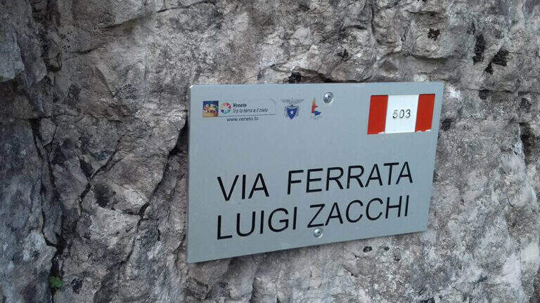
    Departure from Case Bortot (Belluno): from Belluno follow Bolzano Bellunese and the Parco delle Dolomiti Bellunesi, over Gioz, up to Case Bortot, where the road ends in a small street. Starting point on Google Maps. From the parking lot (695 m) follow the CAI 501 towards Rifugio VII Alpini: you descend to the Ponte del Mariano (30'), you ignore the junction with 507 and you climb to the forest along the Ardo stream until the clearing of Rifugio VII Alpini (1502 m, 2h 45'). Behind the shelter follow the CAI 503 signs towards the attack of Ferrata Zacchi, with which Piero Rossi shares the first hundred meters; passing through the characteristic Porton you reach the attack of Zacchi (45' from the refuge, 3h 30' total).

    ▲The path

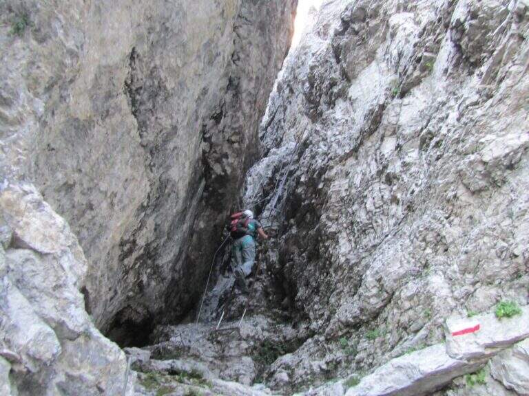
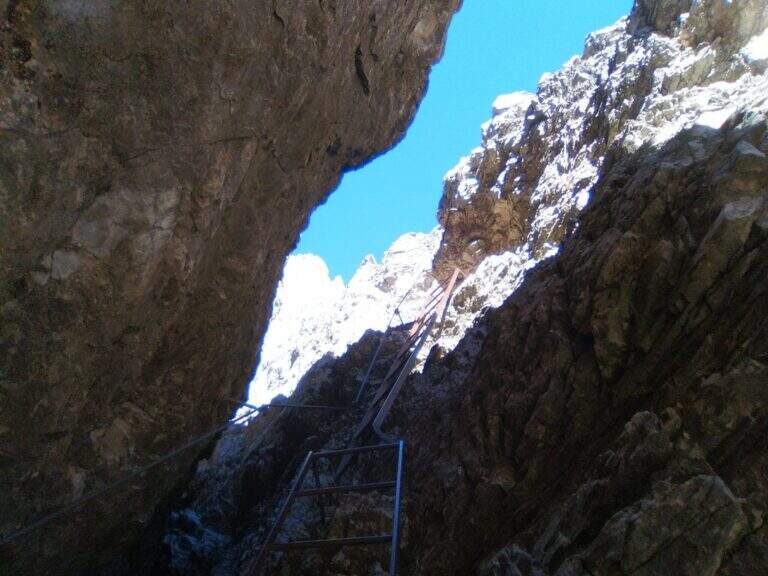
    The first section is in common with the Ferrata Zacchi: immediately challenging attack (a few vertical meters and a right traverse on good rock and graded), then a flat stretch that enters a gorge with some ladders, a nod on the left and a horizontal plane under other exposed ladders, finally a canal with climbing traits and brackets. Cessate the equipment, a link path leads to the crossroads between Piero Rossi and Zacchi: the right is held and the real Ferrata Piero Rossi begins towards the Forcella Marmol. An unprotected nod leads to the southeastern slope of the Schiara in a first throat; the nod becomes equipped until a descent of about 8 meters, then wanders a throat (often snowy at the beginning of the season) and continues on climbing balconies under the looming walls of the Schiara, alternating cenges, rocks and path. Attached another cove, some ladders and a vertical tract precede a short break on the path, prelude to the more vertical section: plaques and walls with a fireplace with a zigzag cable, to be climbed into the split. Continue right on horizontal and diagonal traits and another vertical stretch on good rock, up to the path leading to the Bivacco Bocco Zago (2266 m, 2h 30' from the attack). Beyond the bivouac a vertical wall and a stretch on the left, then another stretch equipped with a view on the Cadore groups; past the crossroads for the east ridge of the Schiara descends the last stretch equipped to the Forcella Marmol (2262 m, 3h from the attack), where the itinerary ends.

    ▲Character and difficulty

    Medium technical difficulty in harsh and spectacular Dolomite environment. Often inserted in the classic ring of the Schiara (salita con Zacchi o Sperti, summit with the Berti, return downhill with Piero Rossi, the easiest of the three downhill).

    ⚠ Itinerary very long (about 18 km and 1566 m of altitude difference): strongly recommended to break it in two or more days, staying at the refuge or in one of the bivouac at the altitude. Beware of the snowing of the gorges, which can complicate the way.
    ▲History

    The ferrata is dedicated to the alpinist and writer Piero Rossi (1930), a great connoisseur of the Belluno Dolomites and among the promoters of the National Park, author of the volume on the Schiara of the series Guida dei Monti d'Italia. It was inaugurated in 1967, redesigning the descent from the Forcella Marmol and avoiding the old way to the Gola del Canalone, subject to frequent drains of stones.

    ▲Discipline

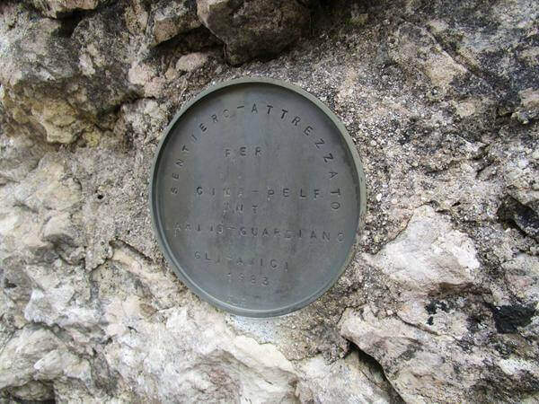
    From the Forcella Marmol more options: climb to the Pelf (1h 30') with the exhibited Sentiero Attrezzato Guardiano and get off the normal way to Case Bortot (11h 30' total); or climb to the Schiara for the east ridge and get off with Ferrata Berti and then Ferrata Sperti at Rifugio VII Alpini ( ring route, 14h 30' total). The quickest route is the return to the rear end (4h 30' from the fork, 11h total).

    ▲To match

    The Schiara is full of streets. To the east the Ferrata Costacurta al Teverone; little to the north three ferrates with short approach: the Ferrata della Memoria al Vajont, la Gym of Rock of Val Gallina e la Walls of the Hawks. To the Civetta la Titus and Alleghesi.

    ▲Gallery
    Technical data
    • DifficultyModerately Hard
    • RegionVeneto
    • GroupUnited States
    • Approach3:30 h
    • Ferrata3:00 h
    • Itinerary (a/r)11:00 h
    • Hardware level difference486 m
    • Route difference1566 m
    • Max2280 m
    • Length18 Km
  • Ferrata dei Piceni in Pioraco

    Ferrata dei Piceni in Pioraco

    Vie Ferrate › Brands › Macerata
    Ferrata dei Piceni in Pioraco
    Moderately Hard● OpenDescriptionComplexityMapsGallery

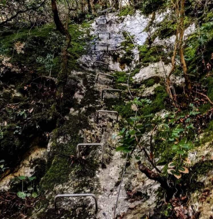
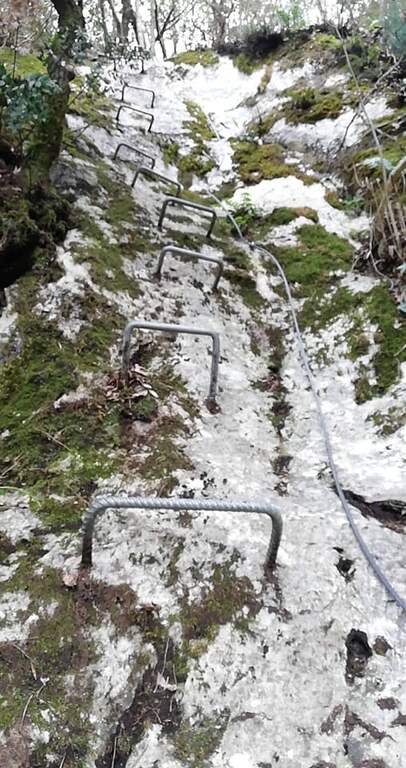
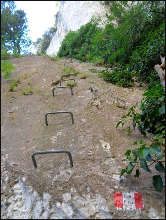
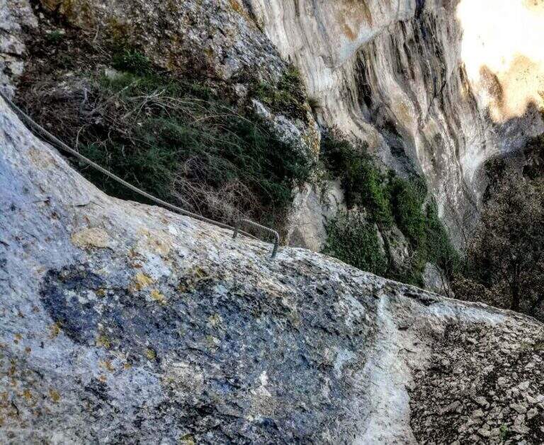
    The Ferrata dei Piceni is a recent route and the only via ferrata delle Marche, near Pioraco (Macerata). It is overall easy, but has a couple of athletic traits that require a minimum of training; short and low altitude, you can travel almost all year round.

    ▲Approach

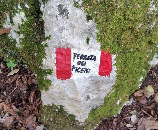
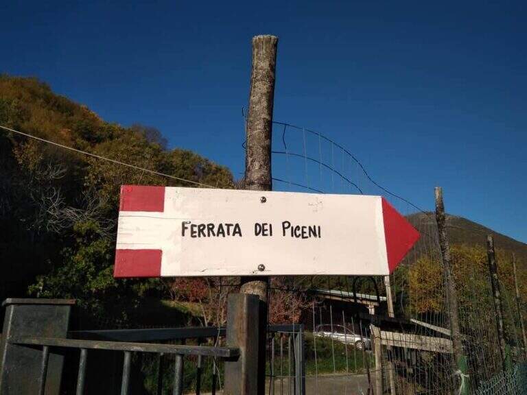
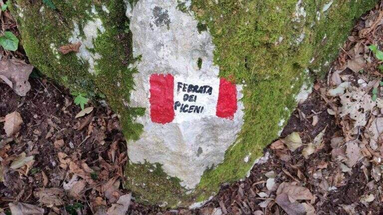
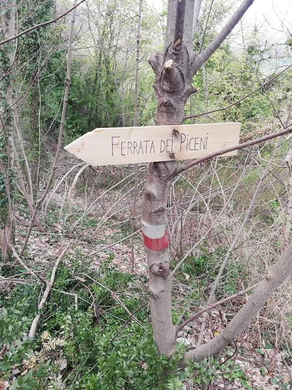
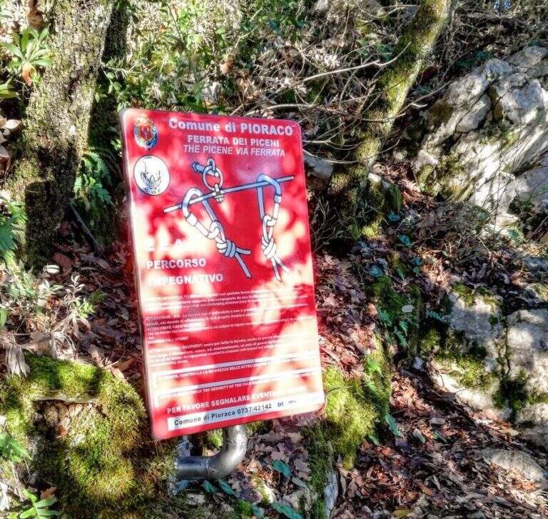
    The SP 361 goes up towards Pioraco; before the village, in correspondence of the sign "Cartiere di Fabriano", after about 200 meters you take on the left an asphalted road uphill until a small church where to park (you can see the signs of the ferrata). Starting point on Google Maps. Follow the CAI signs in the woods to the red plate that marks the beginning of the ferrata (30' from the parking lot).

    ▲The path

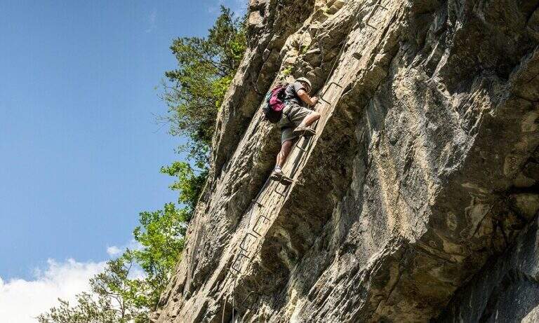
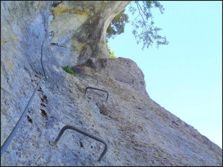
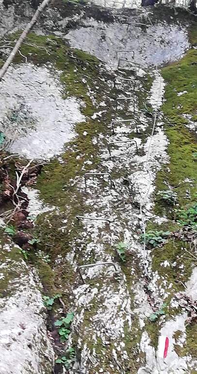
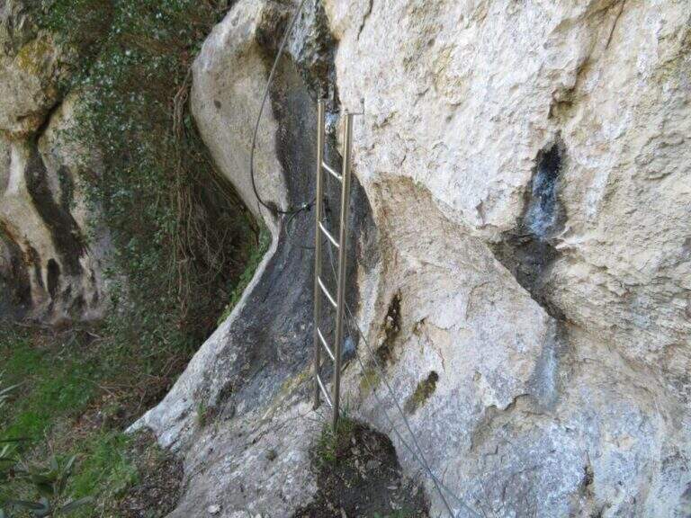
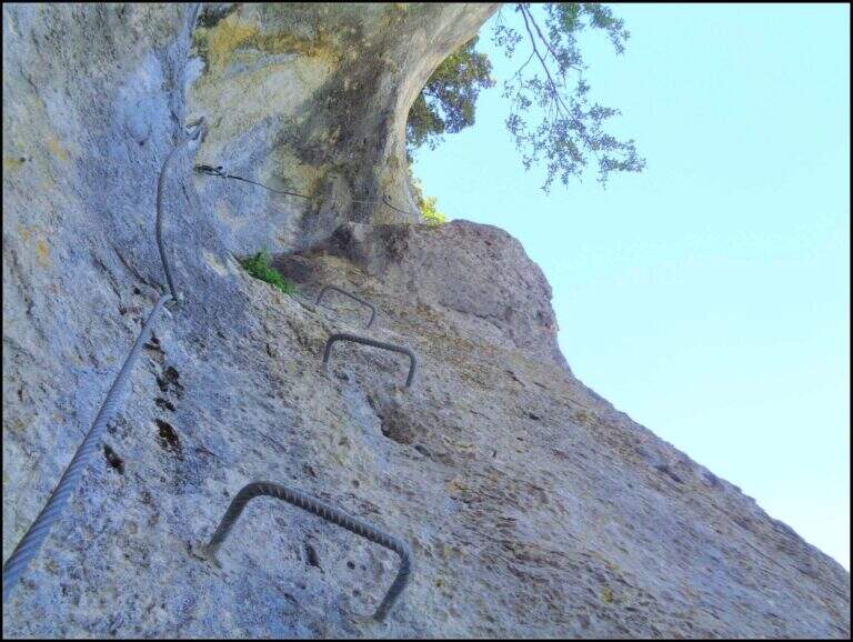
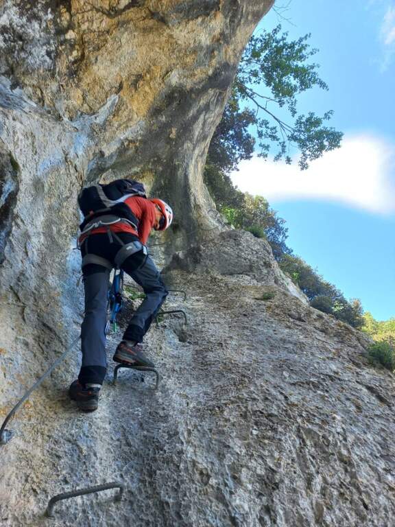
    The first equipped section is downhill and serves as a handrail; then there are parts equipped in the wood, of low difficulty, on rock at times muschiata (attention to adherence). You reach a wall with a slightly overhanging attack that climbs vertically with different cambres; the road follows a rather vertical line, exploiting abundant cambres on polished rock. After a horizontal stretch you get to the key passage: a vertical wall with overhanging roof that requires discreet force of arms in the first two changes of carabiner (the artificial brackets help, but it is not underrated). Passed the wall, a short ladder and still cambre, moving to the right, lead to the end of the ferrata, where is the book of the signatures (30', 1h from the parking lot).

    ▲Character and difficulty

    Interesting way in a little known environment: the smoothed rock and abundance of cambre mark the progression. Suitable for neophytes, with a couple of more athletic steps requiring a minimum of training.

    ▲Discipline

    The trail goes up to a crossroads with the signs for the return, which takes place in the woods (20' from the end, 1h 20' total).

    ▲To match

    There are no other equipped routes in the surroundings. The nearest are on Gran Sasso: la Ferrata Danesi, the Ferrata Ricci and, on the southern slope, the Ferrata al Bivacco Bafile and the long Path of the Centenary; in Umbria the Ferrata delle Gole del Serra.

    ▲Gallery
    Technical data
    • DifficultyModerately Hard
    • RegionMarche
    • GroupApennine Umbro-Marche
    • Approach0:30 h
    • Ferrata0:30 h
    • Itinerary (a/r)1:20 h
    • Hardware level difference200 m
    • Route difference377
    • Max768 m
    • Length2,7 Km
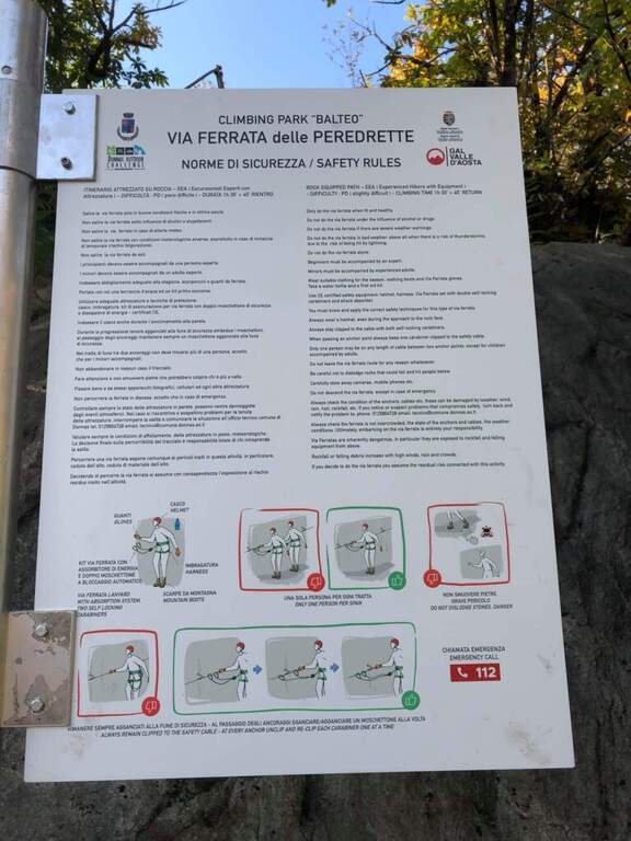
  • Ferrata delle Peredrette in Donnas

    Ferrata delle Peredrette in Donnas

    Vie Ferrate › Aosta Valley › Aosta
    Ferrata delle Peredrette in Donnas

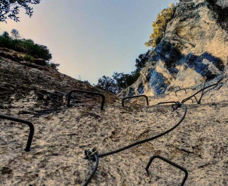
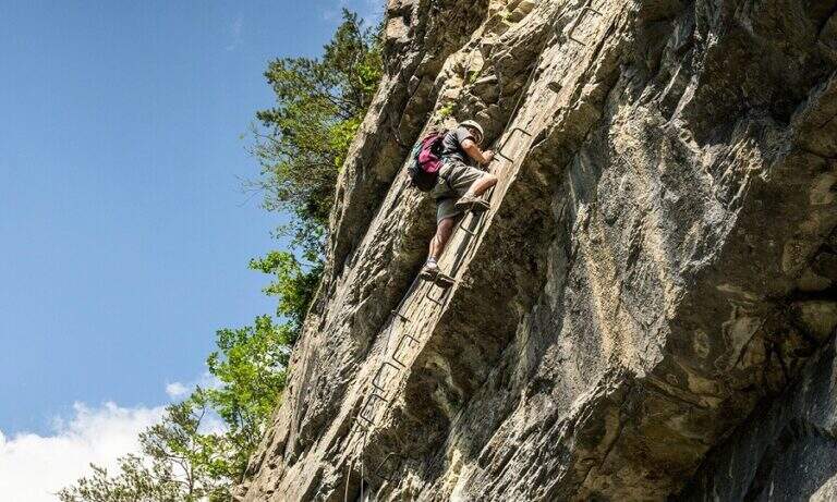
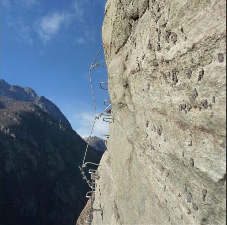
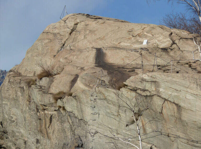
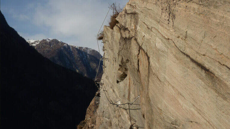
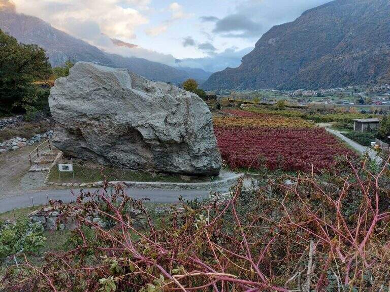
    The Ferrata delle Peredrette is a recent route that dates back to a rocky coast near Donnas, in the lower Aosta Valley. It is easy and suitable for beginners and, for altitude and exposure, it lends itself well to the half seasons and the beautiful winter days.

    ▲Approach

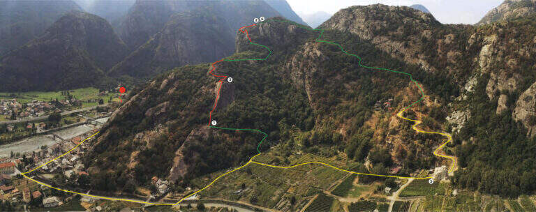
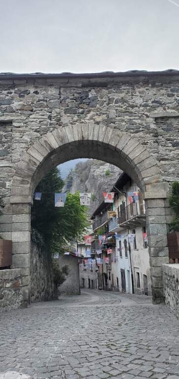
    You reach Donnas; the most convenient option is to park in an old industrial area along the Dora Baltea: shortly after the village, at a roundabout where the state road continues straight, you descend to the left until a large parking lot. Starting point on Google Maps. You pass under the state road, continue north-east in a street of the village up to a stone arch; you cross it and climb left for about 300 meters. After a first bridge (indications for Pomeroud) you reach a second bridge, where you turn left following the signs: about 300 meters, a turn left and you reach the first equipment in the wood (about 20' from the parking lot).

    ▲The path

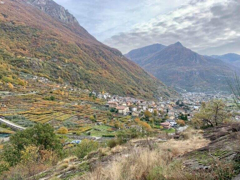
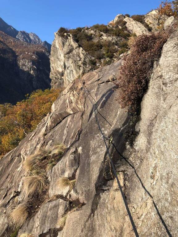
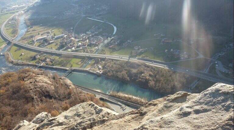
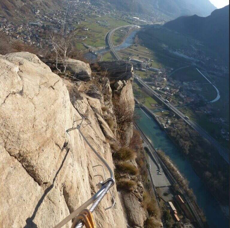
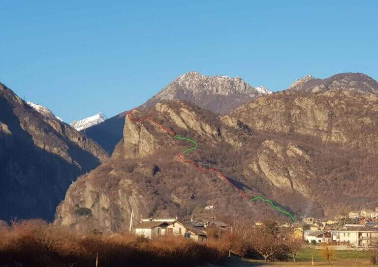
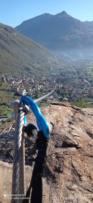
    The first part is a path equipped with low difficulty that climbs ramps and pitches in the woods, with beautiful views of the valley and the vineyards; it has more the characteristics of an equipped path than a real ferrata, missing with verticality. After a short stretch downhill and other easy passages ends the first part; it follows a stretch of connection in the forest (about ten minutes, yellow pollen) until the second part, more vertical and fun. The cable resumes on plates supported up to a first prominence with abundant cambre; it exits right in view of the valley, you pass another short stretch downhill and you reach the most characteristic passage, on the edge of the wall overlooking the valley (without difficulty, but very panoramic). At a crossroads you can choose on the right the easy street or on the left a moderately difficult variant, which after a short crossing rises a small wall slightly adjective of about ten meters, rich of cambre. The two routes gather for the final meters: a few horizontal steps and an easy diagonal crossing up to the end (about 1h 15' from the beginning of the equipment, about 1h 45' total).

    ▲Character and difficulty

    Itinerary short and easy, ideal for neophytes and accessible most of the year; the left variant adds a pinch of commitment for those who want something more vertical.

    ▲History

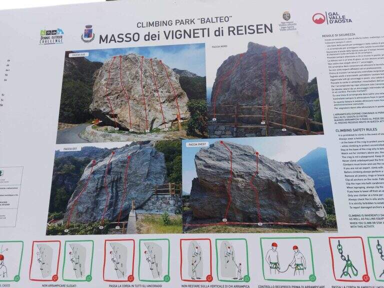
    The ferrata was inaugurated on 6 November 2021, within a larger project that also includes new equipped cliffs (Piramide di Pomerou, Falesia delle Ciliegie, Masso Vigneti di Reisen).

    ▲Discipline

    The return path is well marked and develops in the woods, rejoining with the final part of the approach; you return to the car backwards (about 40' from the term, about 2h 30' total).

    ▲To match

    Short and easy, leave time for a second way in the day: the most difficult Ferrata del Gorbeillon towards Cervinia, the Ferrata Casimiro o la Ferrata José Angster; staying in the lower valley Ferrata di Covarey.

    ▲Gallery
    Technical data
    • DifficultyEasy
    • RegionAosta Valley
    • GroupLower Aosta Valley
    • Approach0:20 h
    • Ferrata1:15 h
    • Itinerary (a/r)2:30 h
    • Hardware level difference200 m
    • Route difference300 m
    • Max639 m
    • Length4 Km
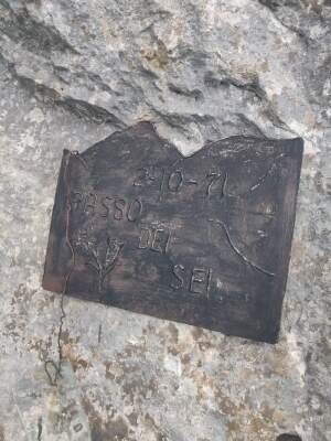
  • Ferrata Passo dei 6 at Monte Coppolo

    Ferrata Passo dei 6 at Monte Coppolo

    Vie Ferrate › Veneto › Belluno
    Ferrata Passo dei 6 at Monte Coppolo
    Moderately Hard● OpenDescriptionComplexityMapsGallery

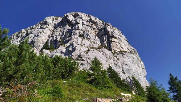
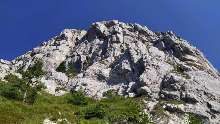
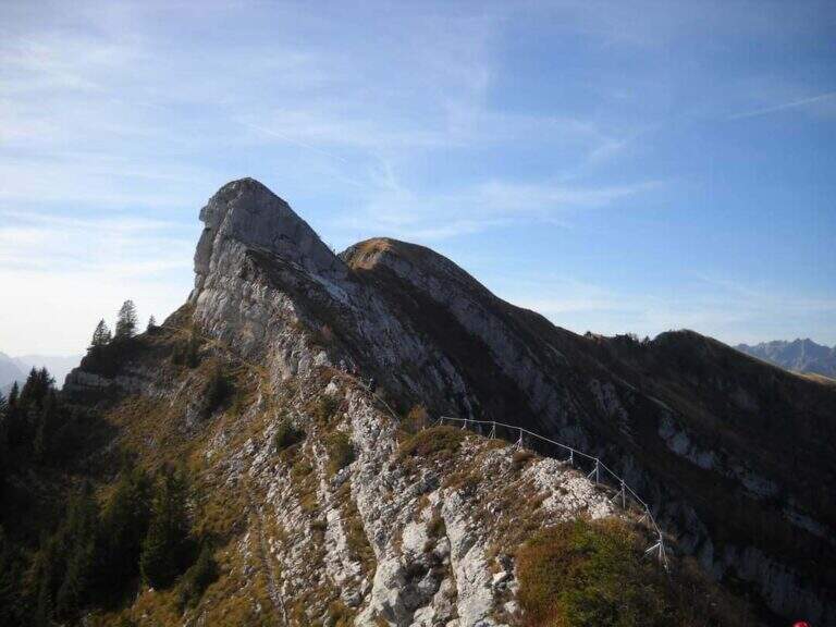
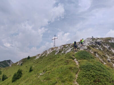
    The Monte Coppolo ferrata, in the Dolomites Feltrine, is a historical itinerary renovated and extended in 2022. Climb to Passo dei 6, continue along the ridge and closes on a last torrione: moderate difficulty with a couple of more challenging steps and a discreet exposure.

    ▲Approach

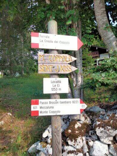
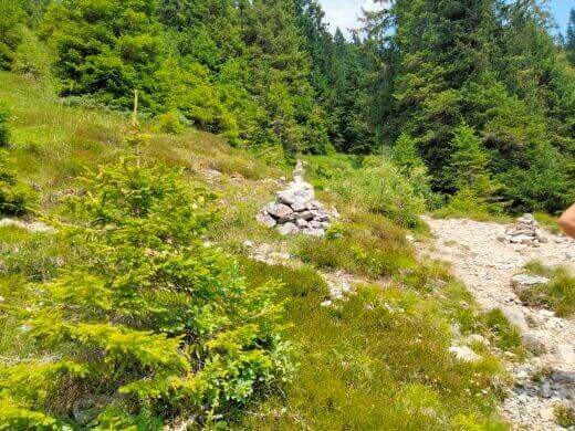
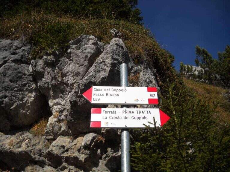
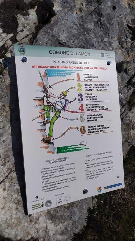
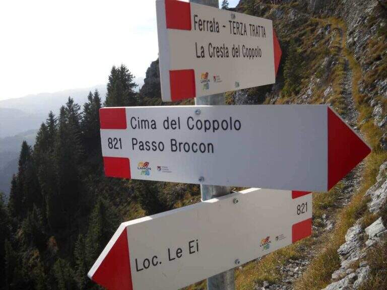
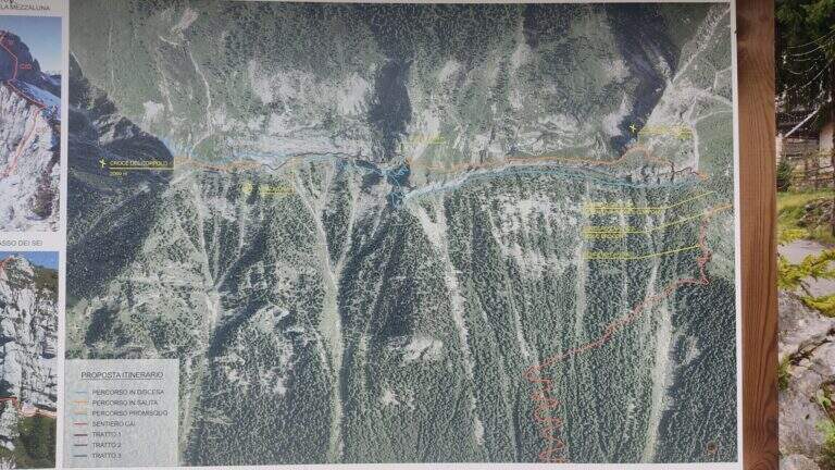
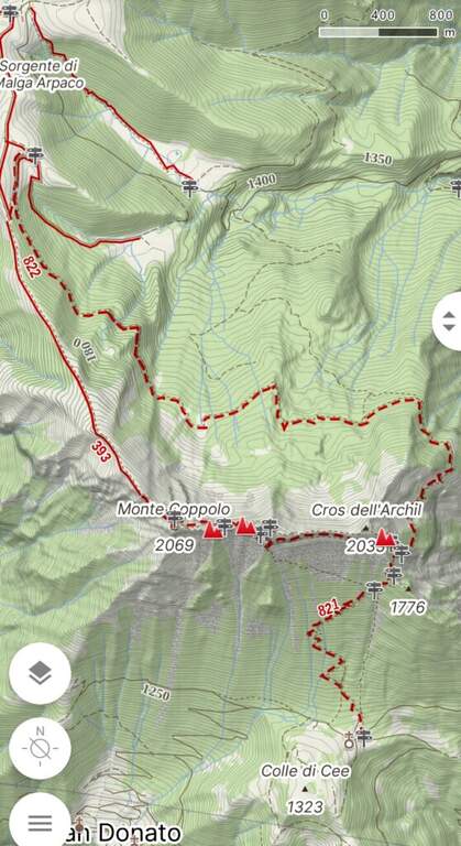
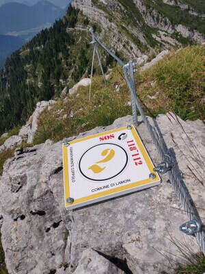
    Departure from the resort Le Ej (Belluno): from Lamon go up the road to the left of the municipality, under the old hospital, with indications Le Ej, for about 9 km, parking at the hotel El Tajol or the Chalet da Pina. Starting point on Google Maps. At the parking lot, a bulletin board illustrates the ring; follow the signs of an uphill CAI cartel and, shortly after, a trace clearly visible to the left with omits and signs up to an important crossroads: on the left the way back (normal to Monte Coppolo), on the right the ferrata. Continue starting to see the first equipped stretch (1h 30' from the parking lot).

    ▲The path

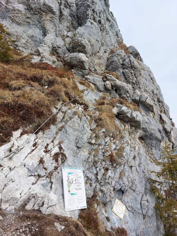
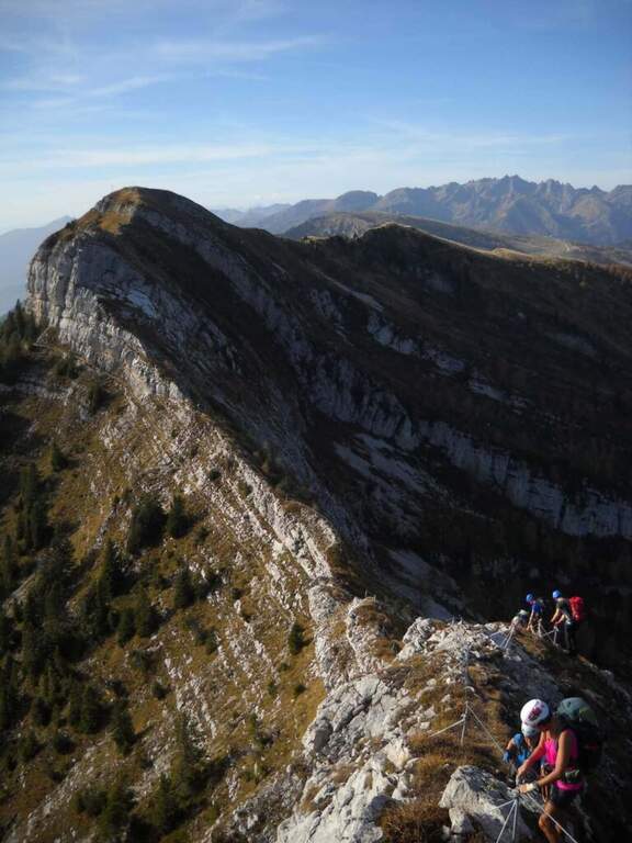
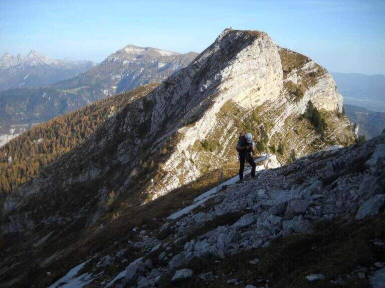
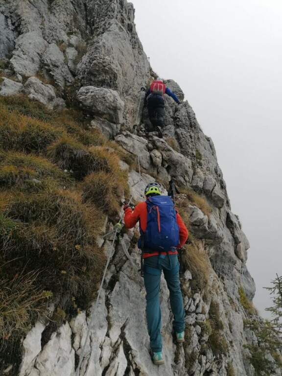
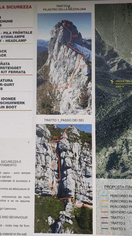
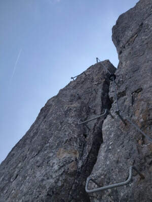
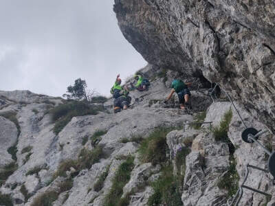
    The first section, at Passo dei 6, is the “Pilastro dei Six”: after an easy diagonal crossing, you climb to the right a small wall towards a canalone, then vertical with moderate difficulties helped by metal cambres and increasing exposure; a last traverse on the right closes the stretch, with beautiful view on the Dolomites Feltrine. Finish the equipment, on the path you reach the first cross with the top book. Then start the second stretch, an easy path equipped on the crest, first downhill, up to a crossroads where you keep the left towards the third section. The last stretch, the "Pilastro della Mezzaluna", is more challenging and exposed: after an easy crossing to the right the way climbs decided vertically with some difficult passages; coming into the crest follows the thread towards the obvious pillar, we move on the north side and climbs vertically on a challenging wall, then a traverse to the left and last steps ranked lead to the second cross, the west summit (about 1h attack).

    ▲Character and difficulty

    Moderate difficulty with a couple of more vertical and challenging passages (the two pillars) and discreet exposure; overall a beautiful excursion in an otherwise poor area of ferrate.

    ▲History

    The original ferrata, inaugurated in 1971, dates back to Passo dei 6; in 2022 it was completely renovated and reopened, with two additional sections that have expanded its interest. Report prepared with the contribution of Marco Marni of Gruppo Ferrate and Cazzate.

    ▲Discipline

    From the west peak you will find a little marked track to the junction between the second and the third section; from the slope you will descend and you will reconnect on the approach path, then to the parking lot (about 5h total).

    ▲To match

    The Dolomites Feltrine offer few ferrates: for other routes you can travel to the Belluno Dolomites. To the south, the Sentiero Attrezzato degli Eroi; going up to the Pale di San Martino the easy Ferrata della Val di Scala.

    ▲Gallery
    Technical data
    • DifficultyModerately Hard
    • RegionVeneto
    • GroupDolomites Feltrine
    • Approach1:30 h
    • Ferrata1:30 h
    • Itinerary (a/r)5:00 h
    • Hardware level difference200 m
    • Max2069 m
Need help? Write to us!