Regione: Lombardia

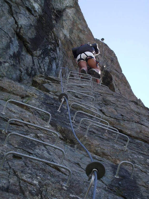
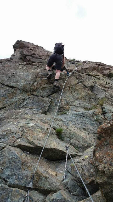
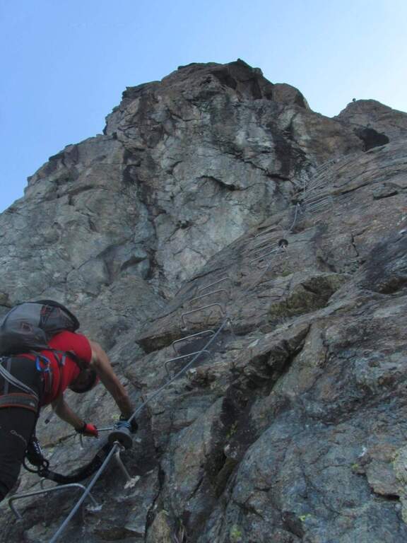
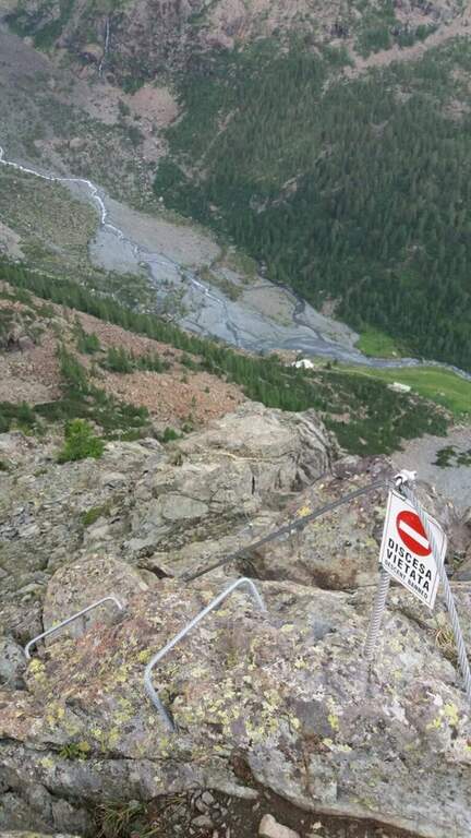
  • Ferrata Terzulli all’Adamello

    Ferrata Terzulli at Adamello

    Vie Ferrate › Lombardy › Brescia
    Ferrata Terzulli at Adamello

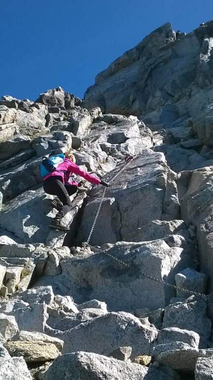
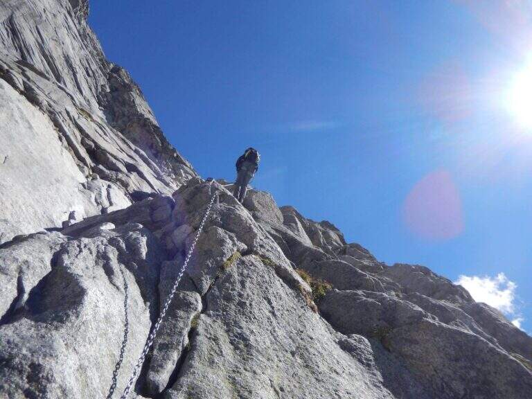
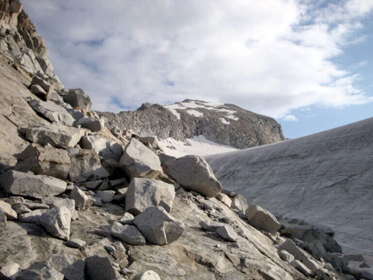
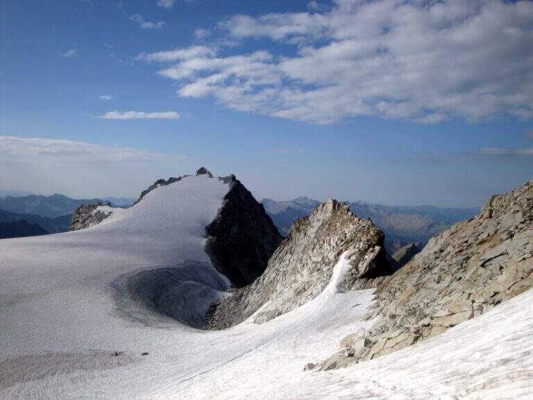
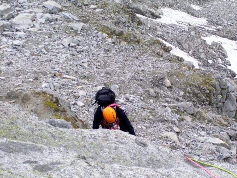
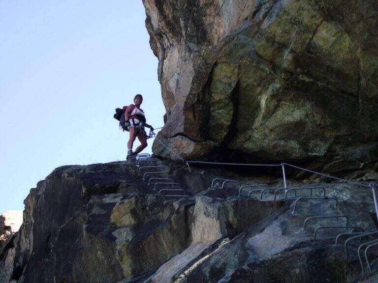
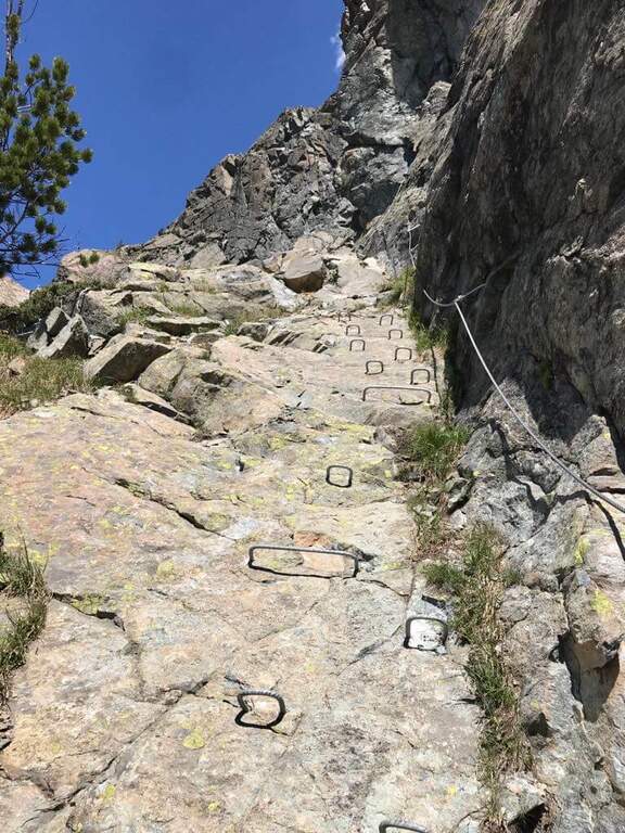
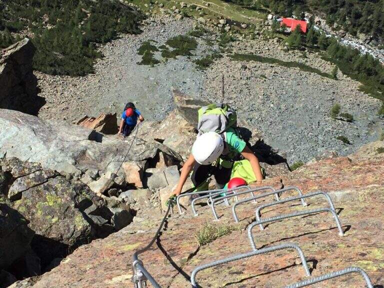
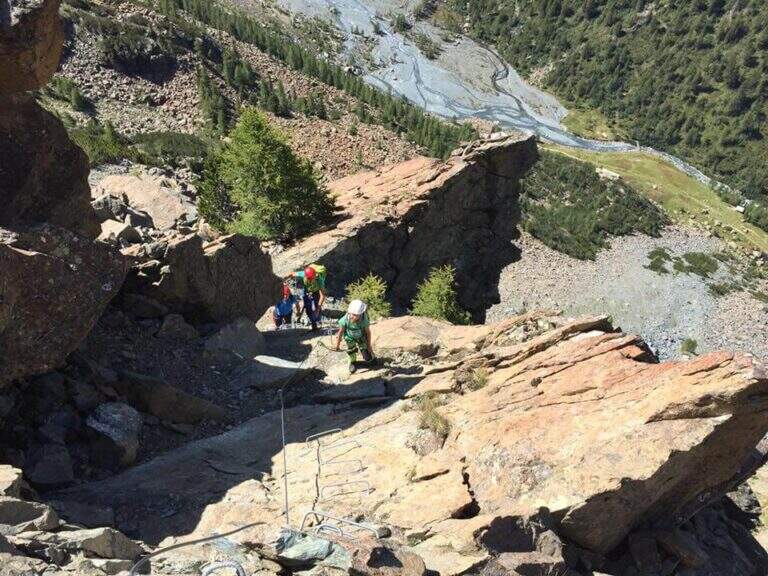
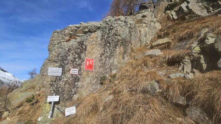
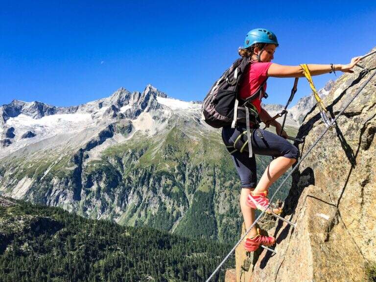
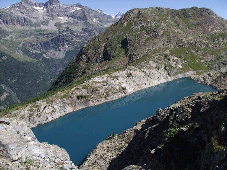
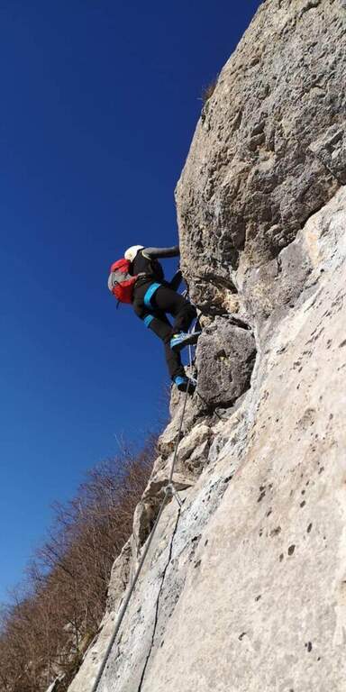
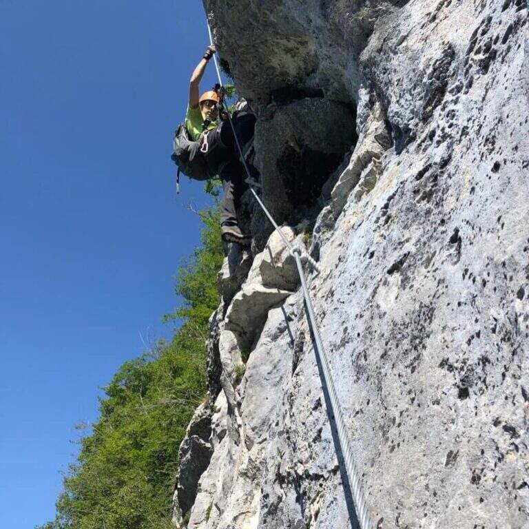
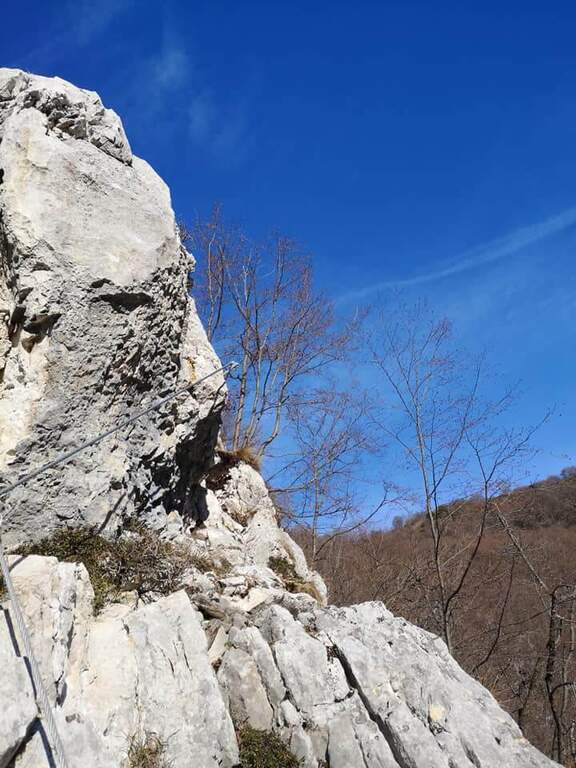
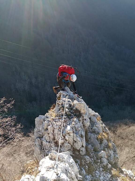
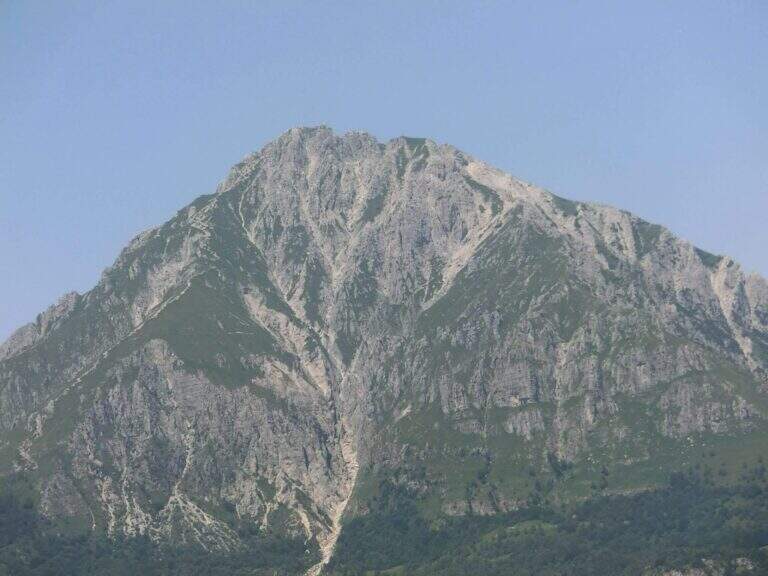
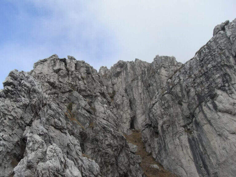
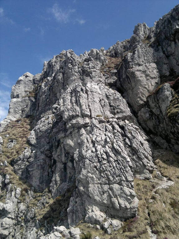
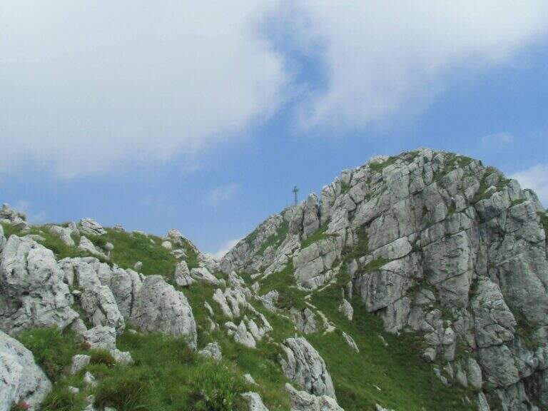
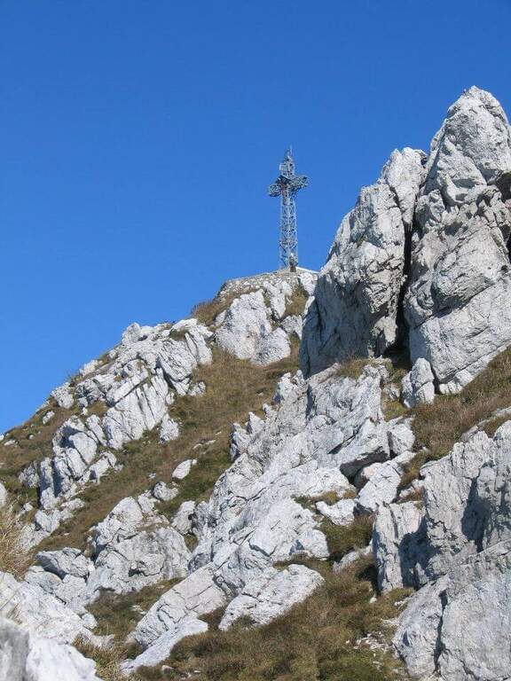
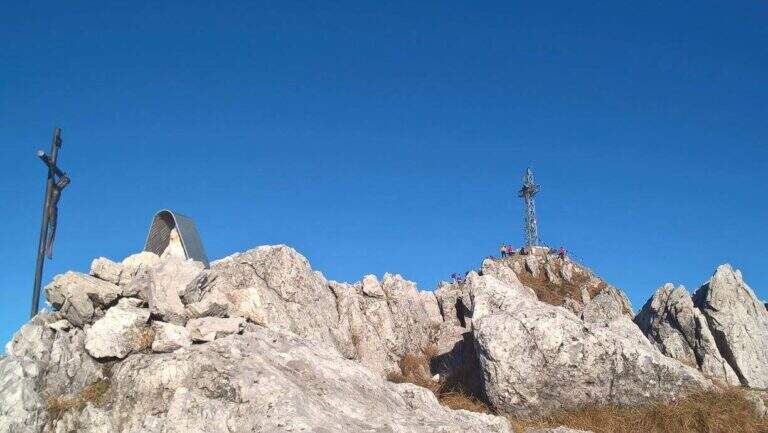
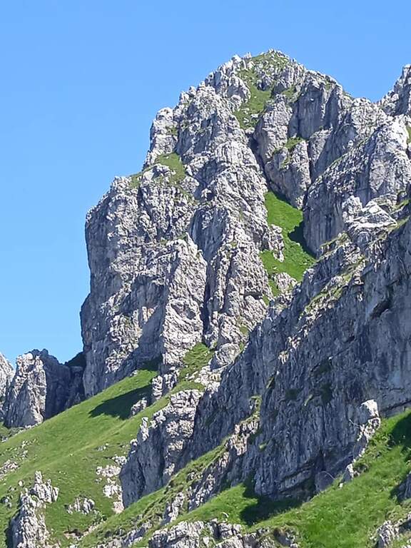
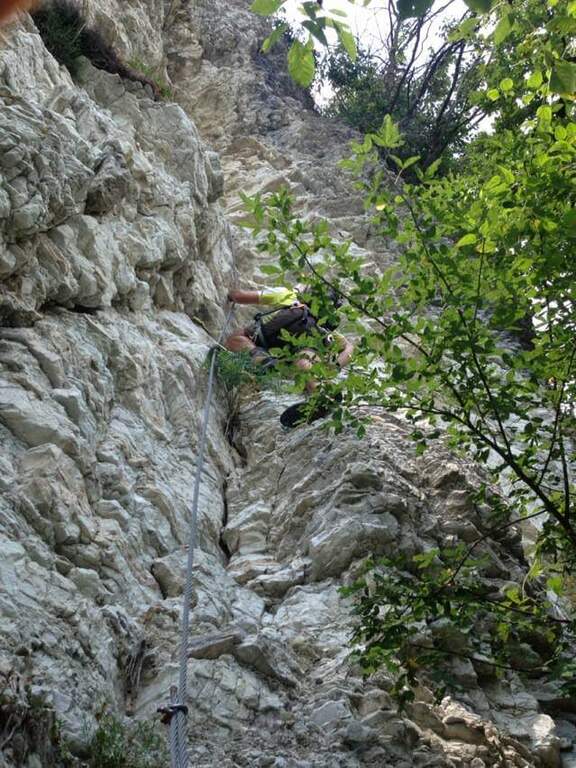
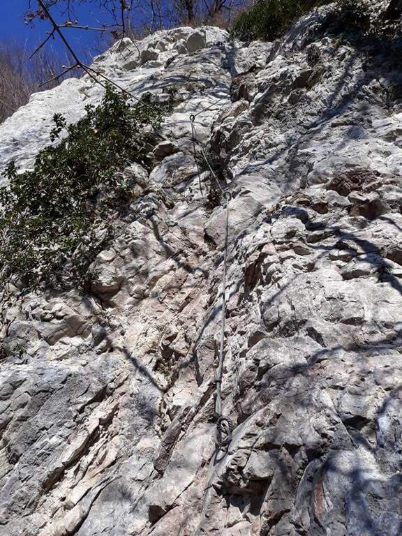
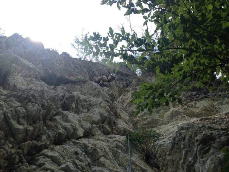
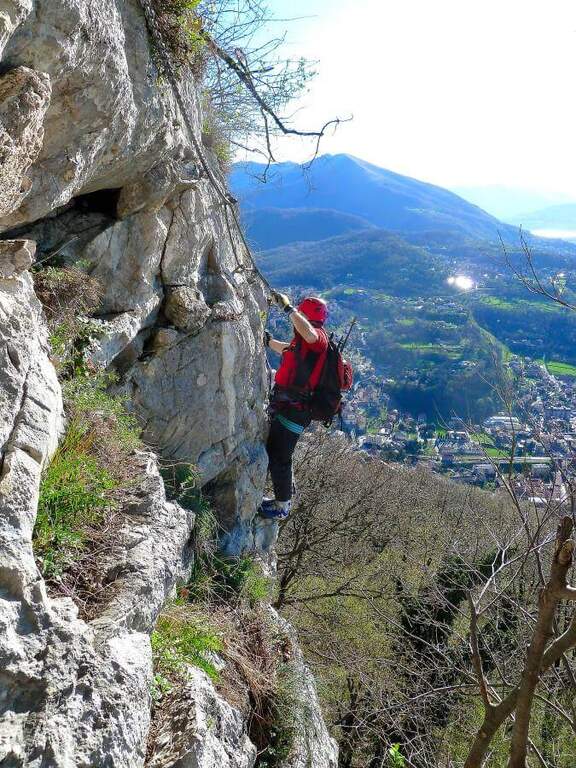
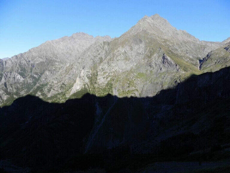
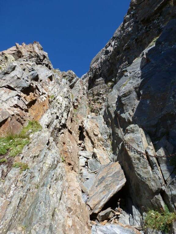
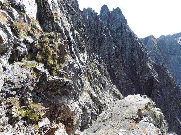
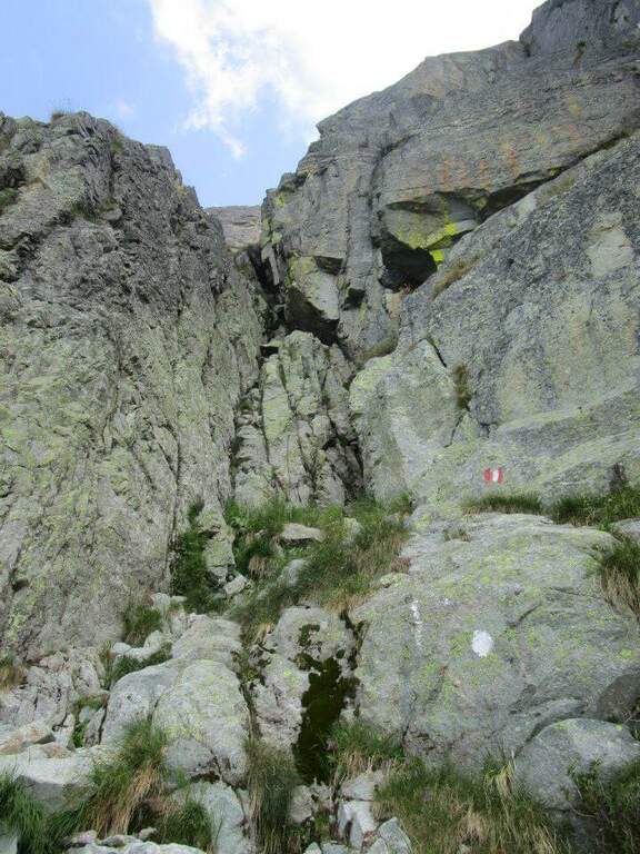
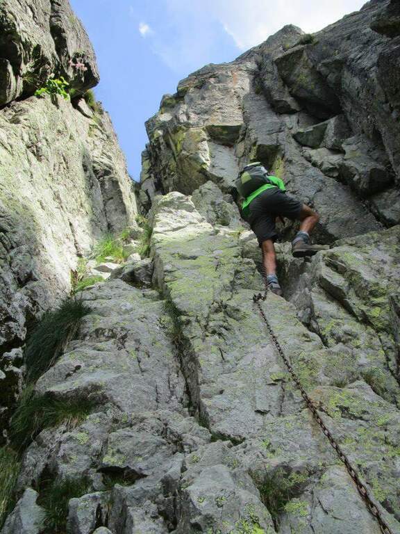
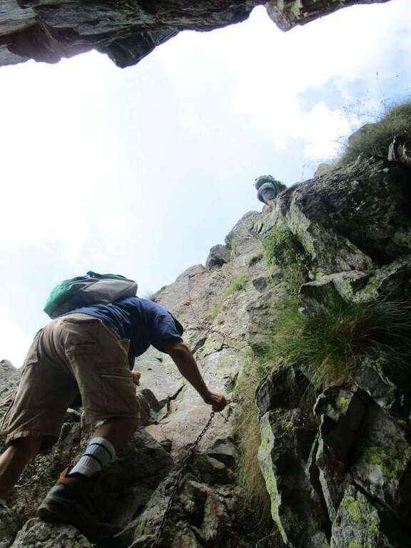
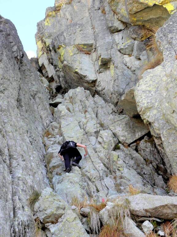
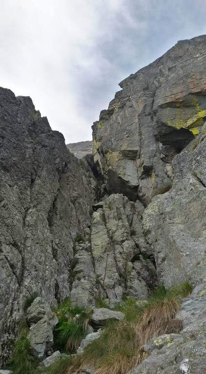
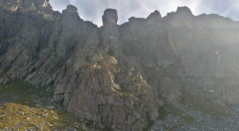
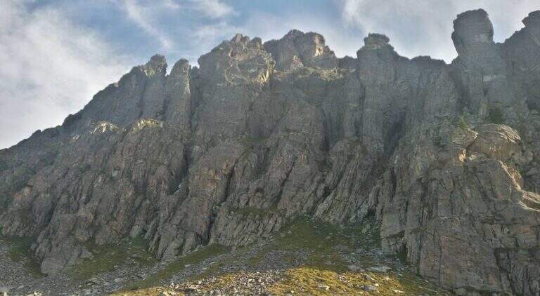
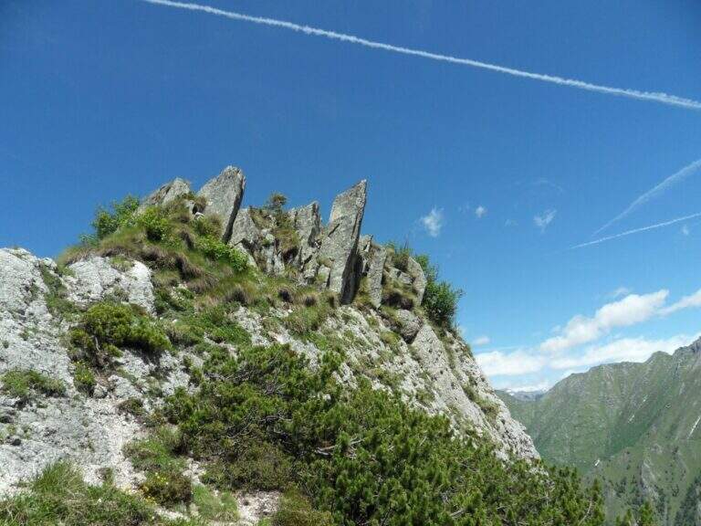
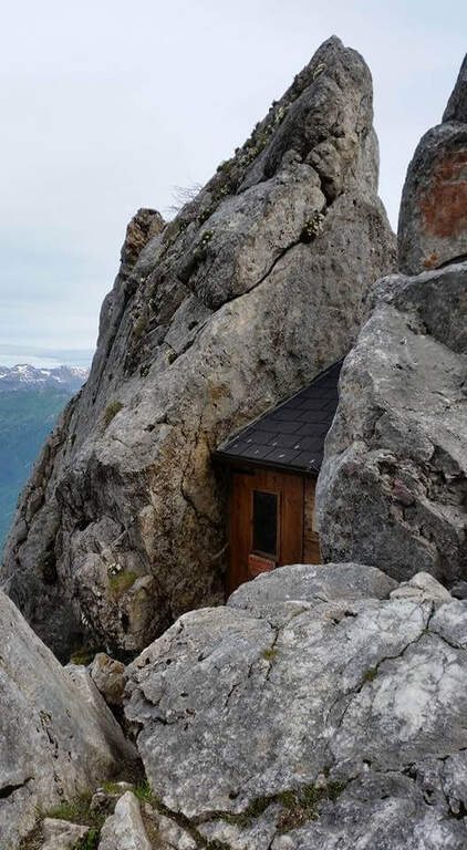
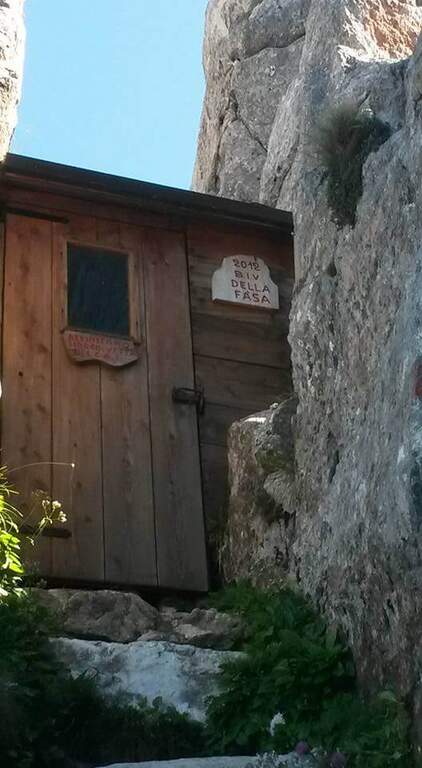
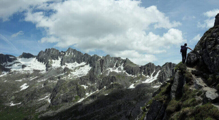
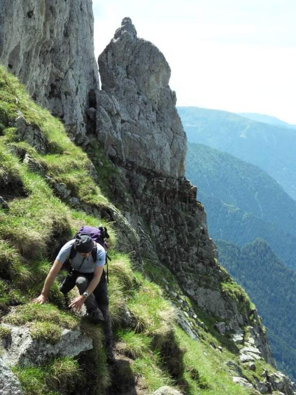
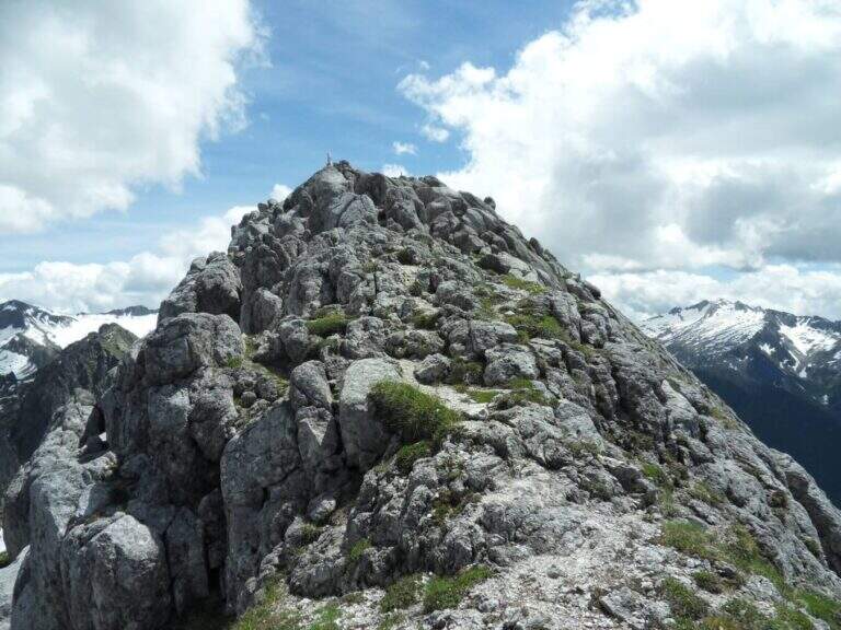
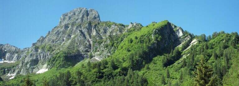
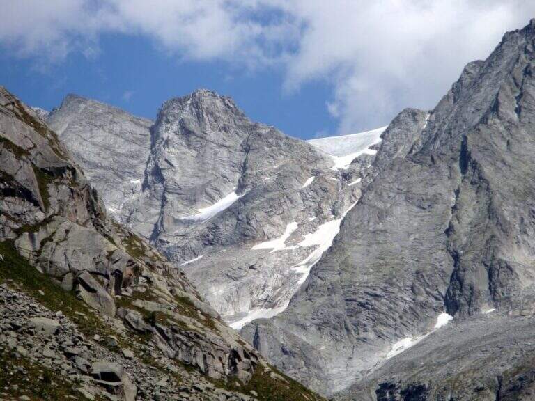
    La Ferrata Terzulli connects the Val Miller with the Adamello Pass and is normally inserted in the ascent to the Adamello. The equipment itself is of limited difficulty, but the itinerary takes place in a high mountain environment with a strong mountain character: it is therefore reserved for those with experience of ferrate and high altitude, with stable time.

    ▲Approach

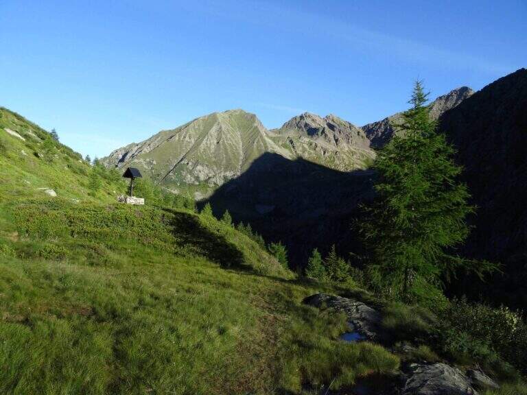
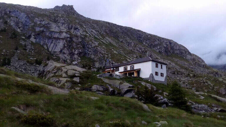
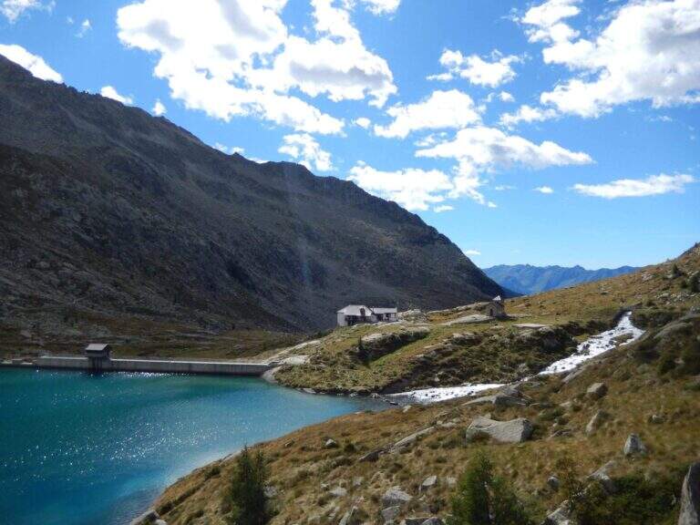
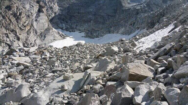
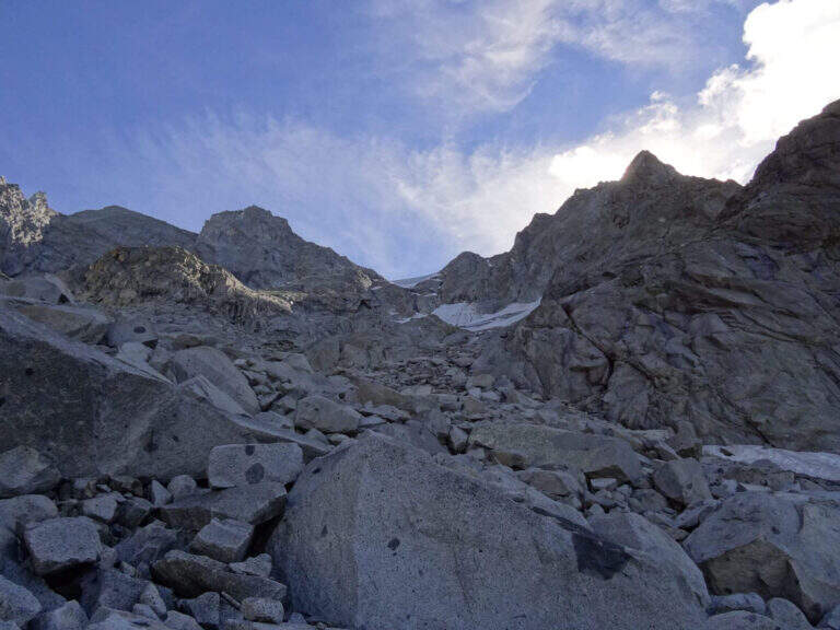
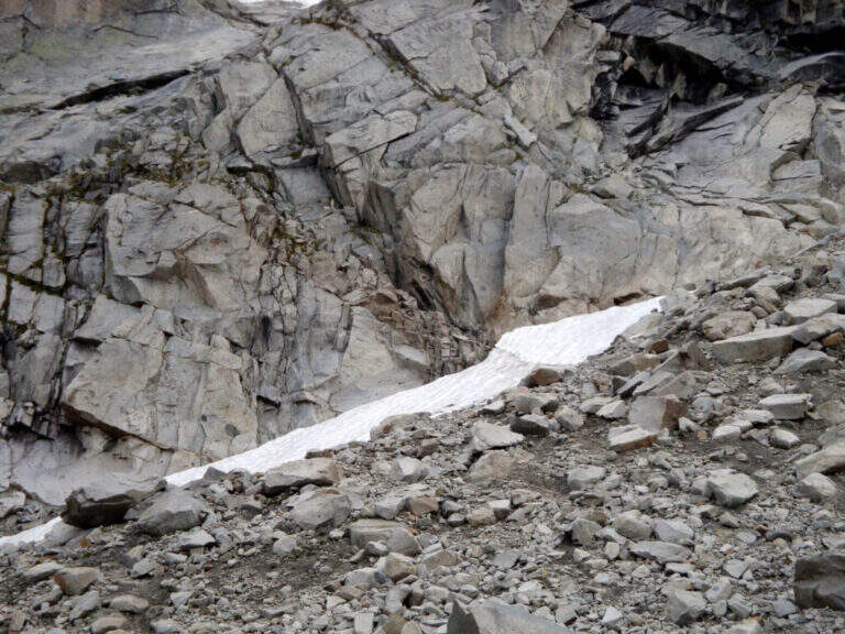
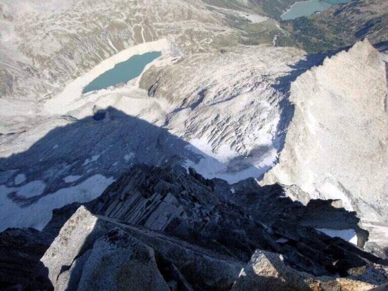
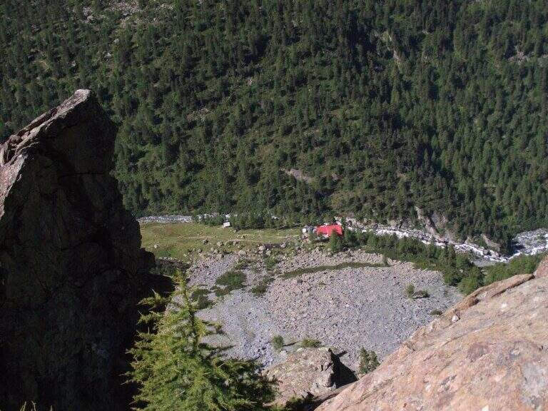
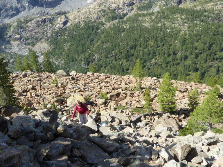
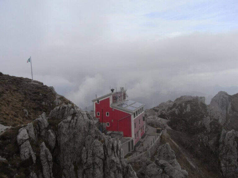
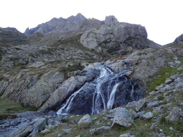
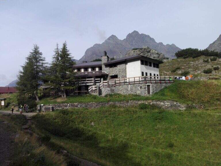
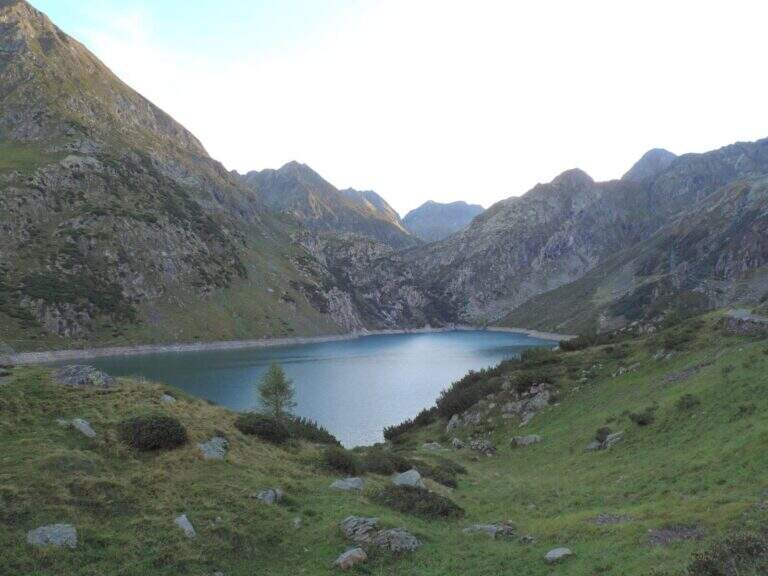
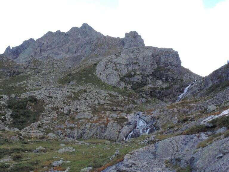
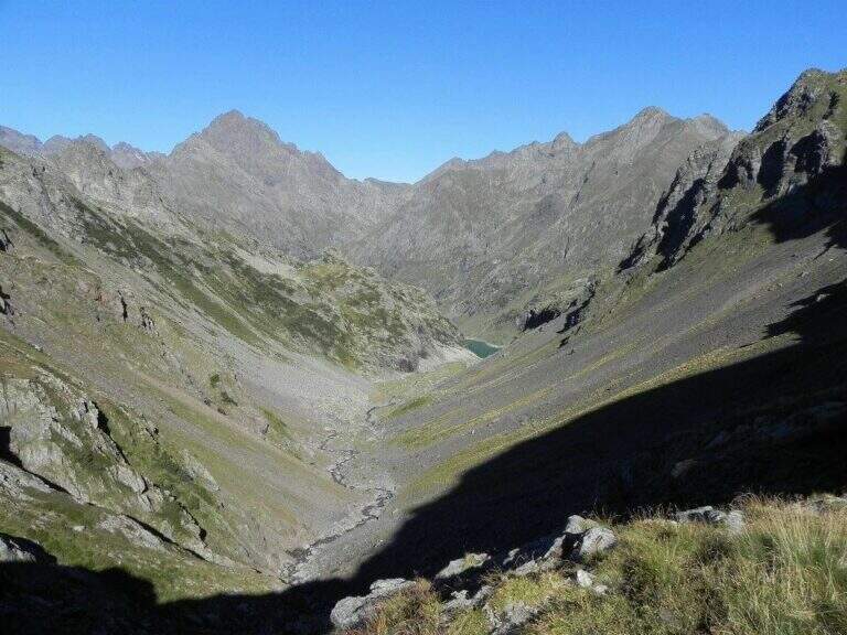
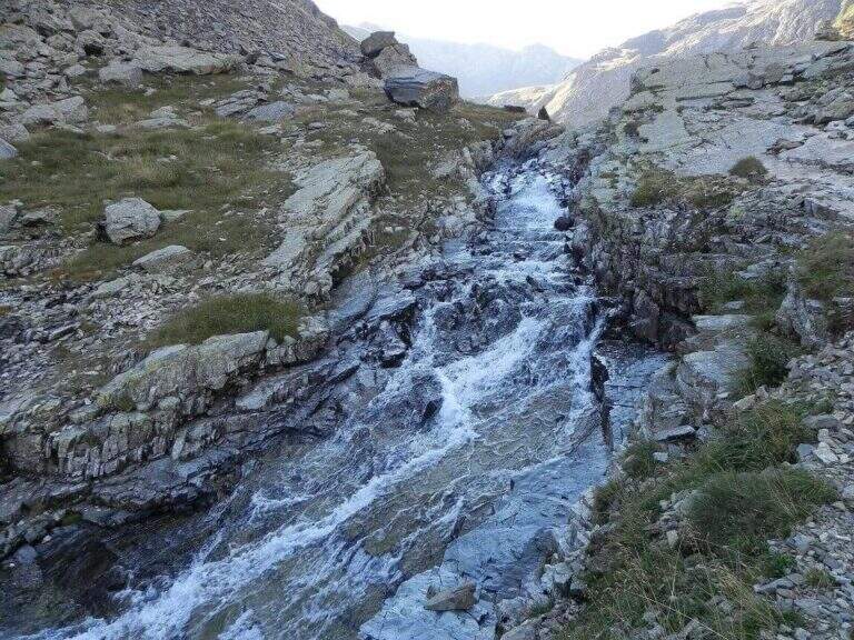
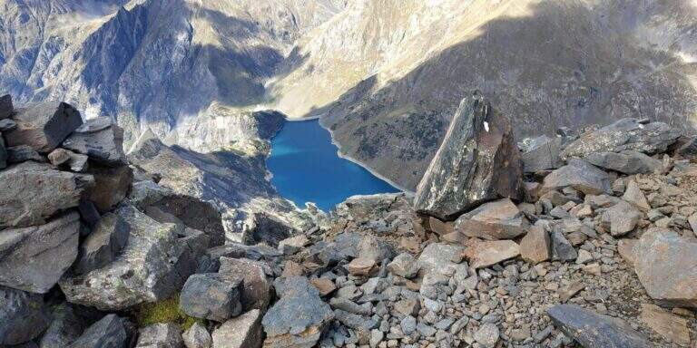
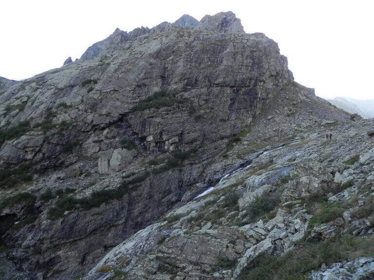
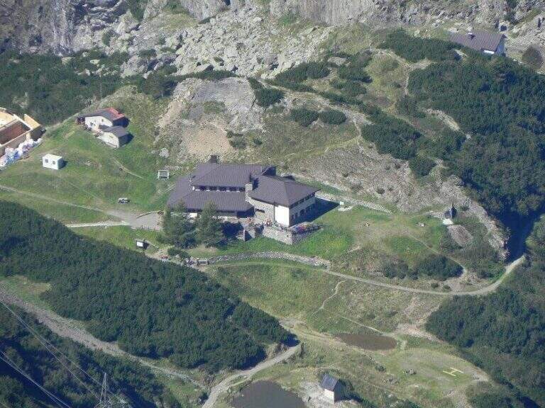
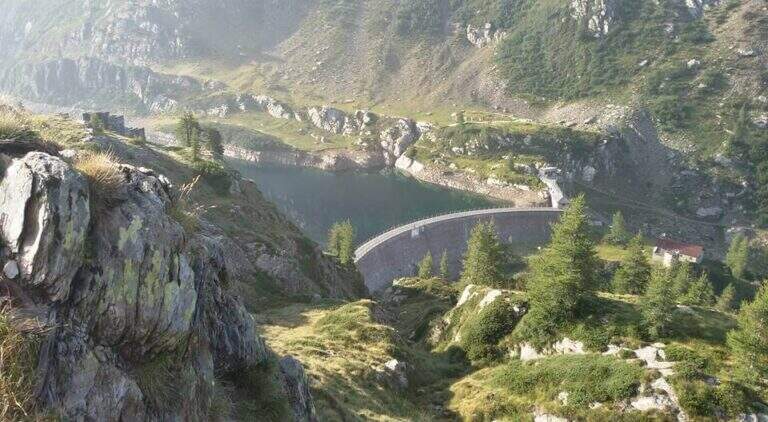
    Start from the beach at the bridge on the river Remulo, along the road to Val Malga (1528 m). Open road signs on Google Maps. Beyond the bridge, follow the dirt road to Malga Premassone, then the sentiero 23 over Malga Frino (1698 m) and go up the Miller Valley, passing the characteristics Scale Miller (rock steps with short equipped sections, 2050 m). You can reach the Rifugio Gnutti (2166 m, 1h 30' from the parking lot); continue on the 23rd along the Lake Miller and crossing the «Pantano Miller», on soil always più rocky and with possible snow languages, until all' attack (2930 m, 2h from Gnutti, 3h 30' totali).

    ▲The path

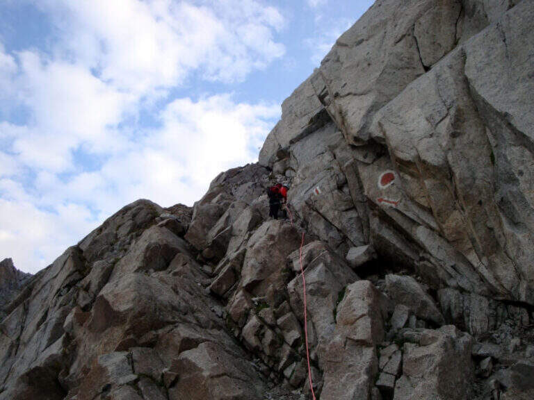
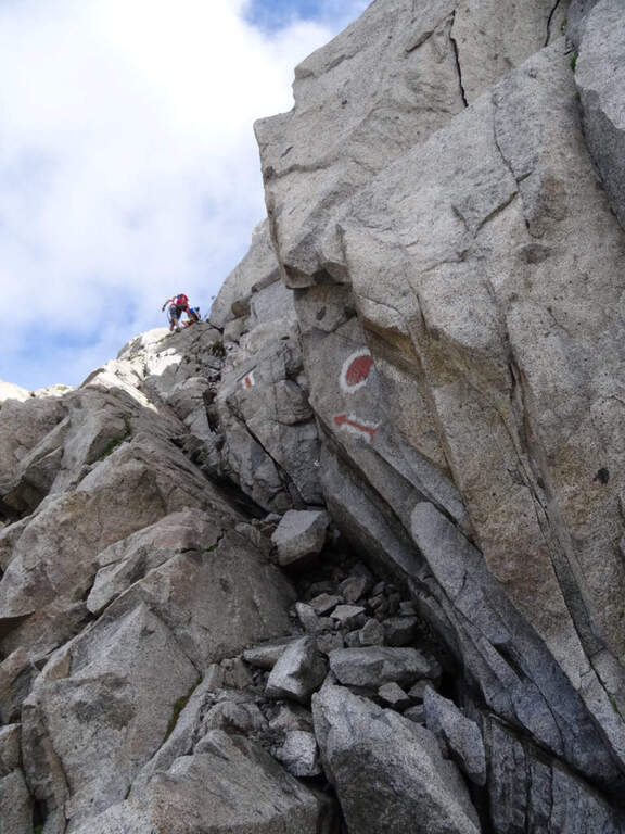
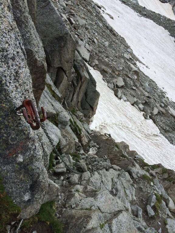
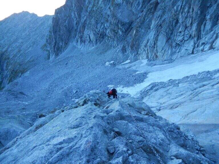
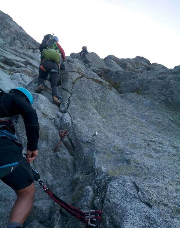
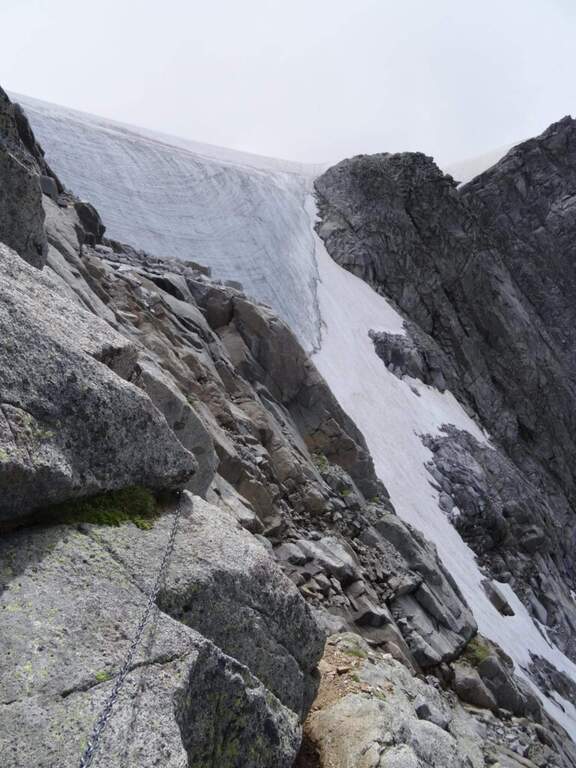
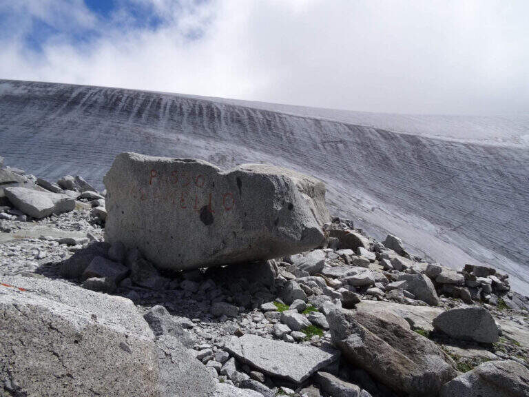
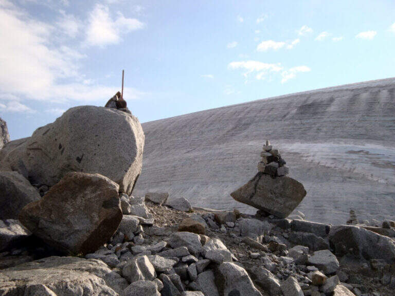
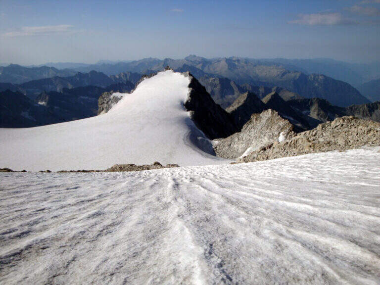
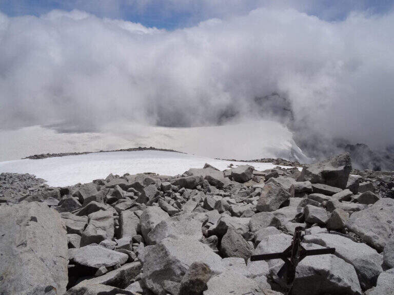
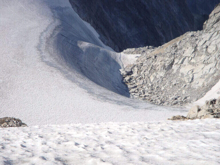
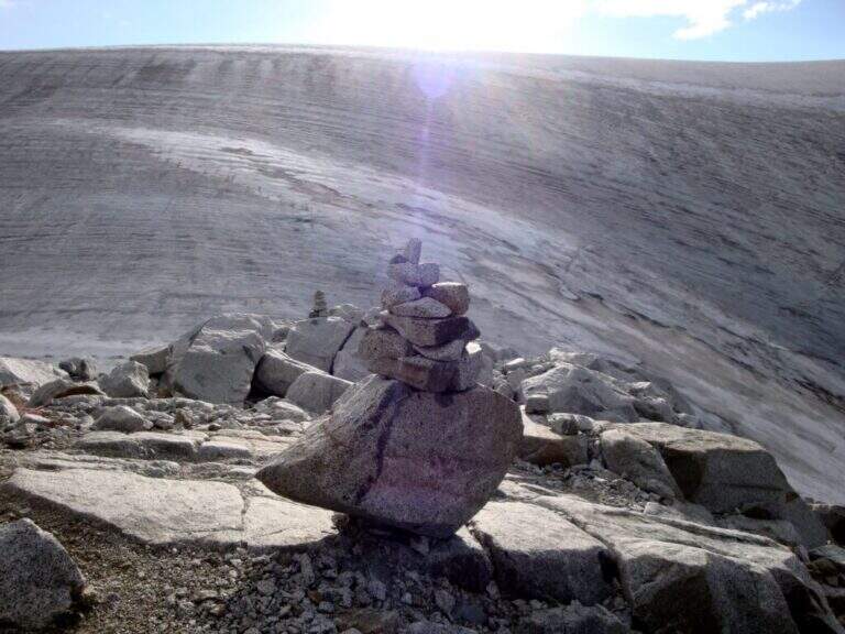
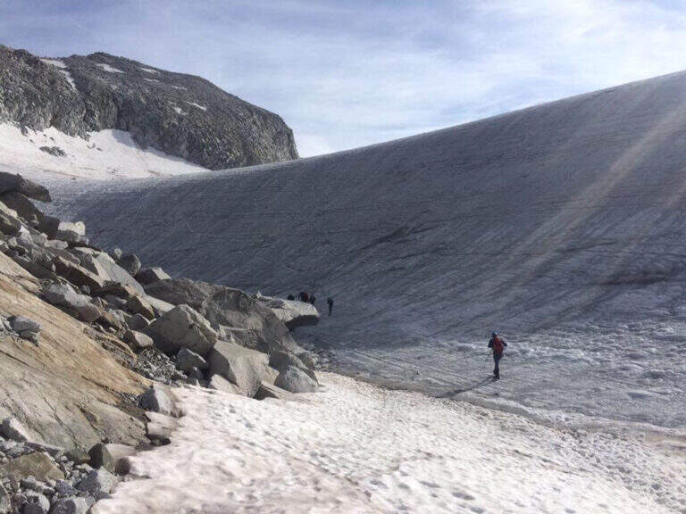
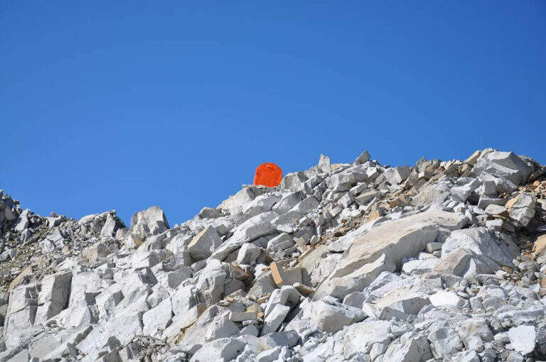
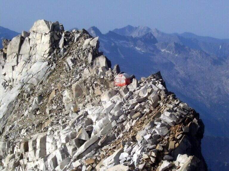
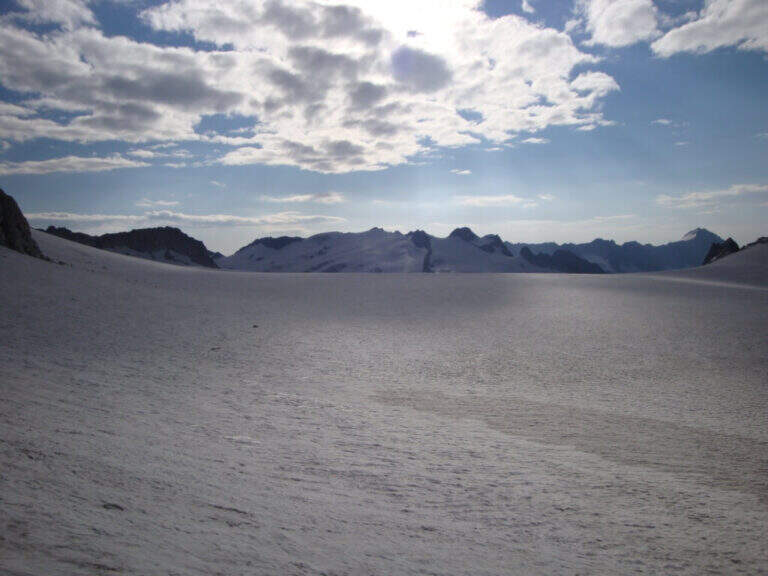
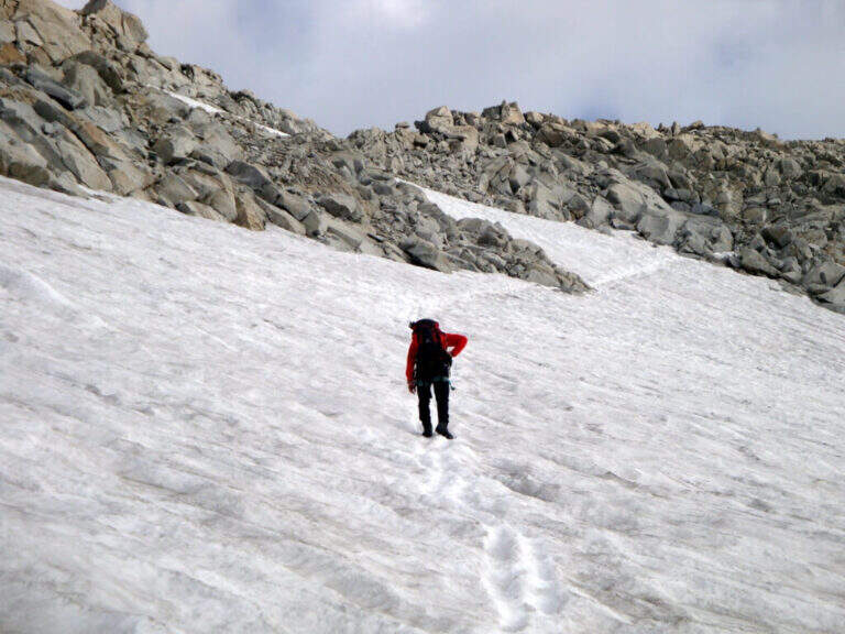
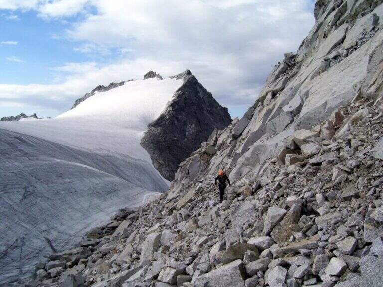
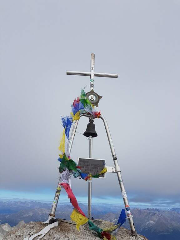
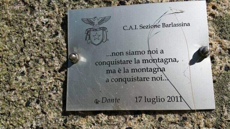
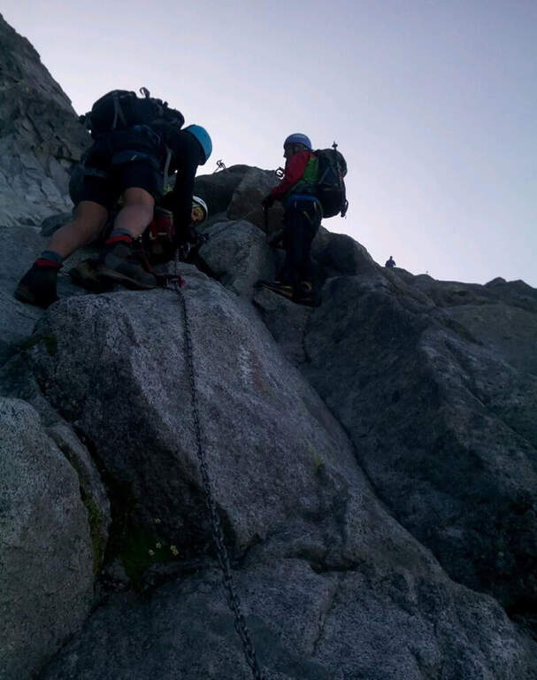
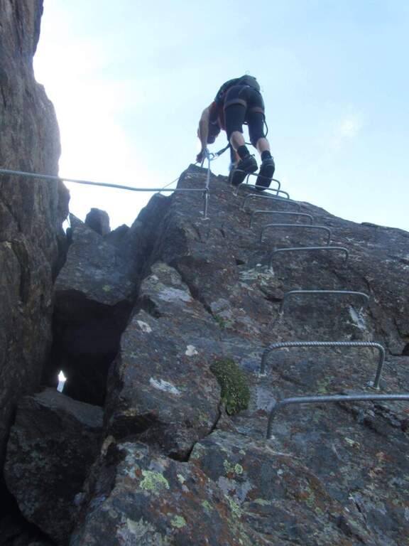
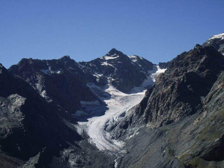
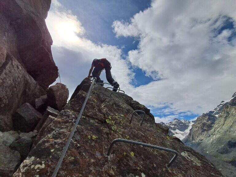
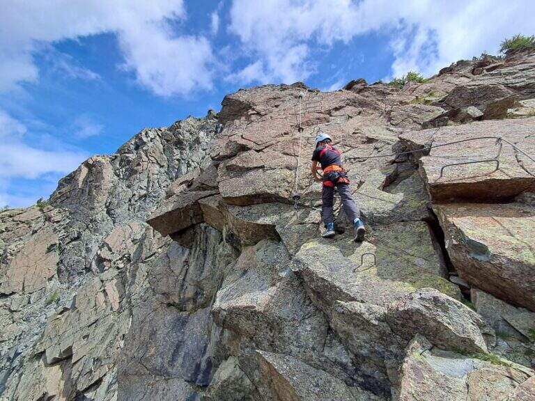
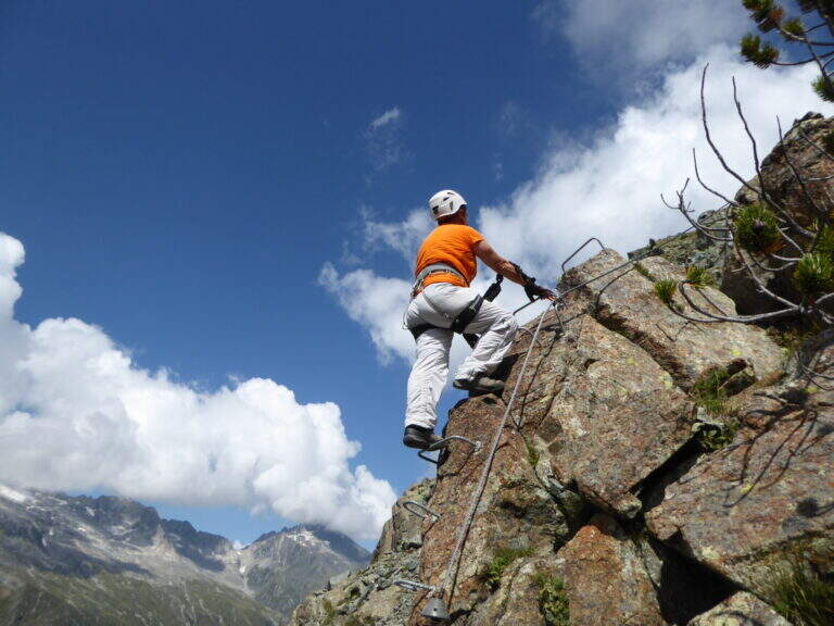
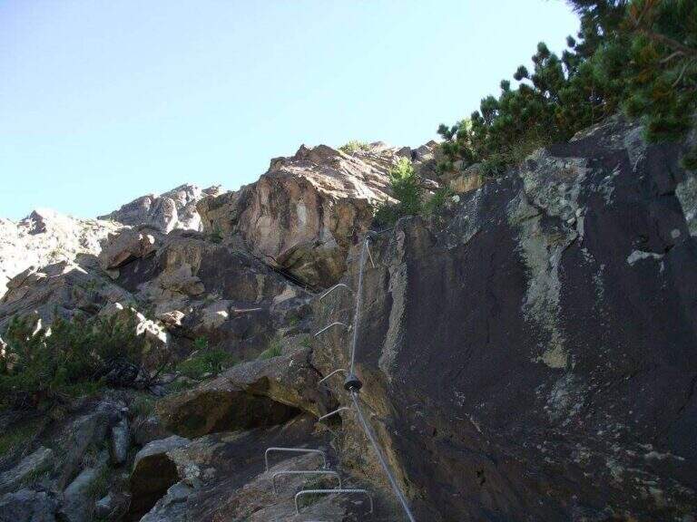
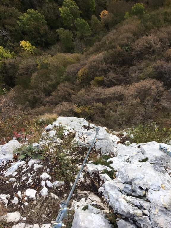
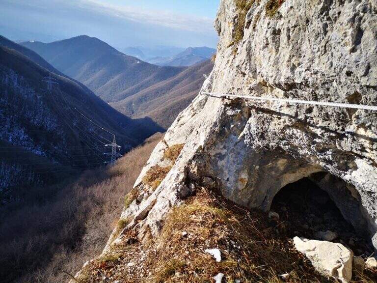
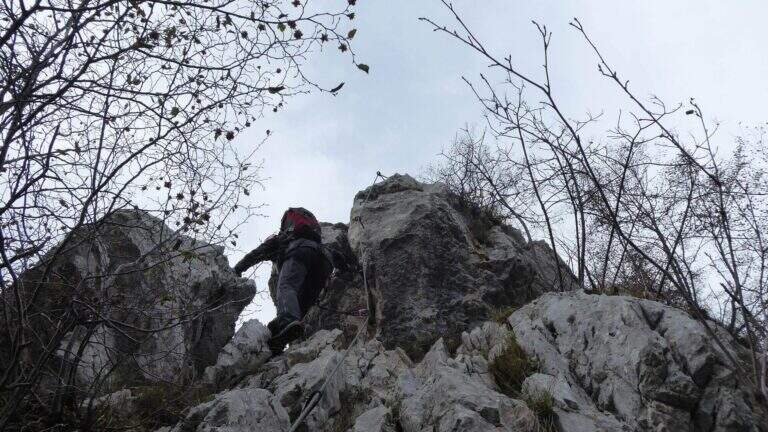
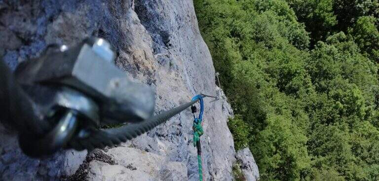
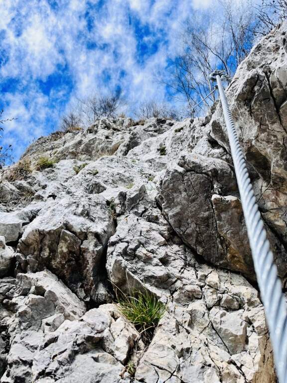
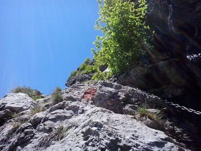
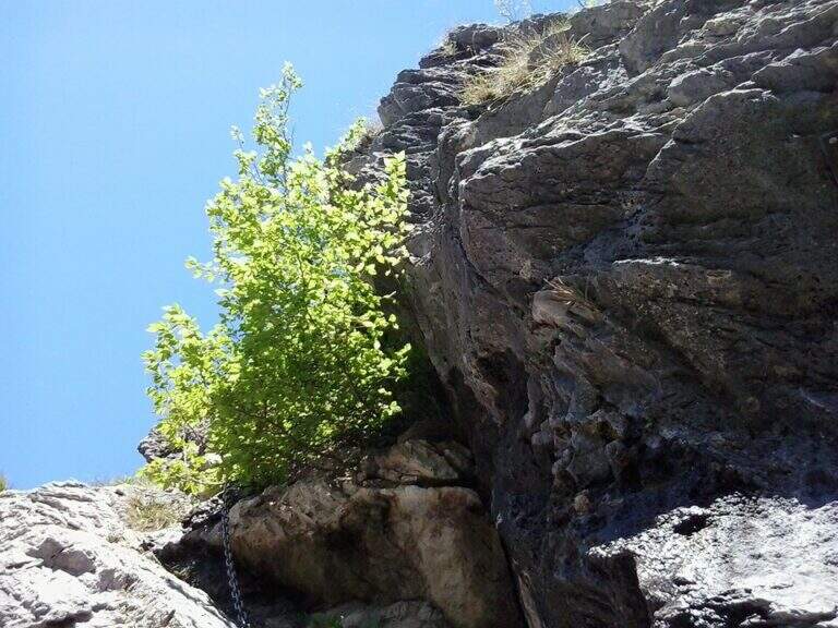
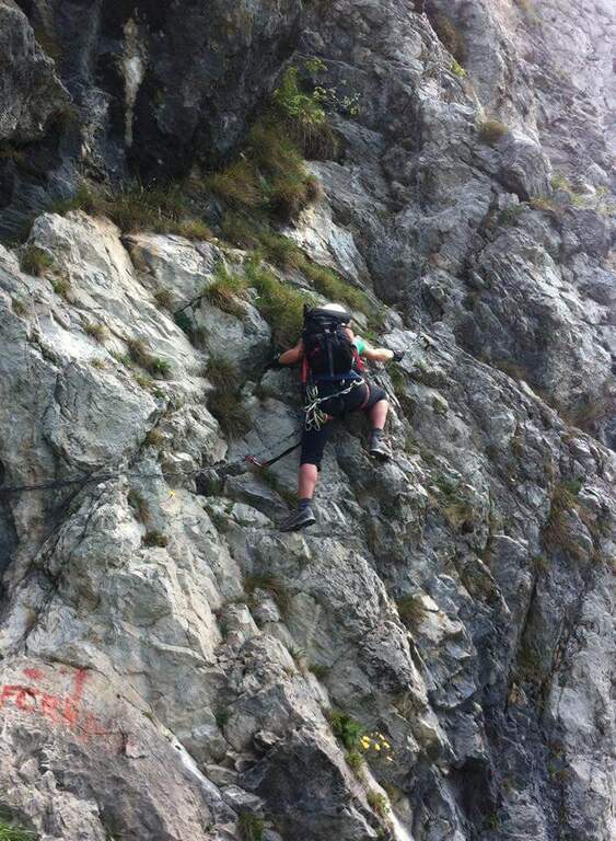
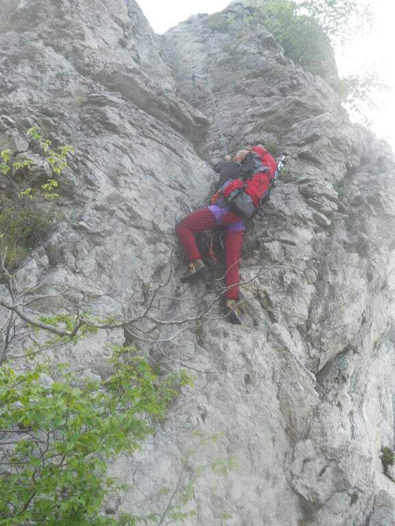
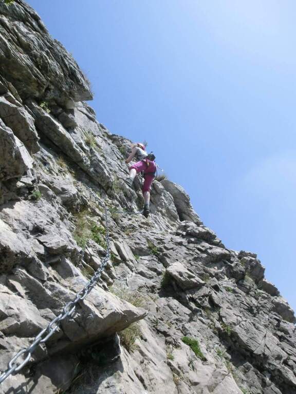
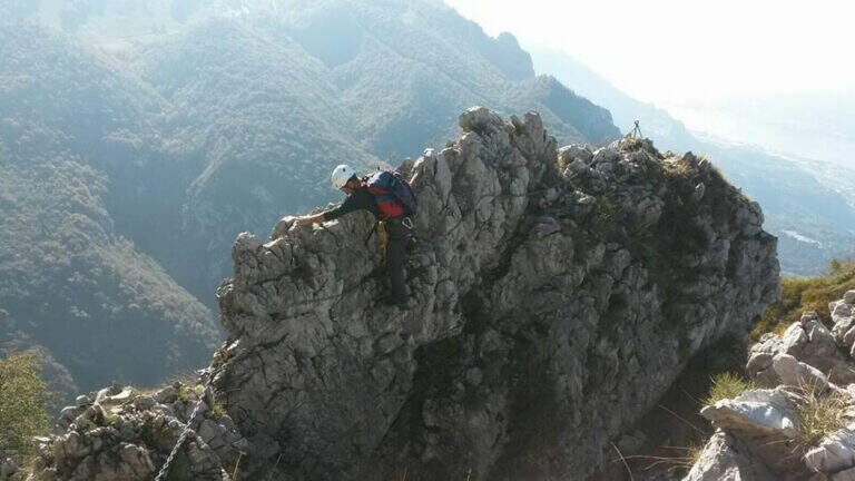
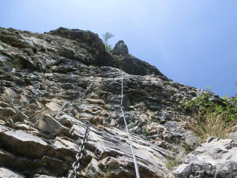
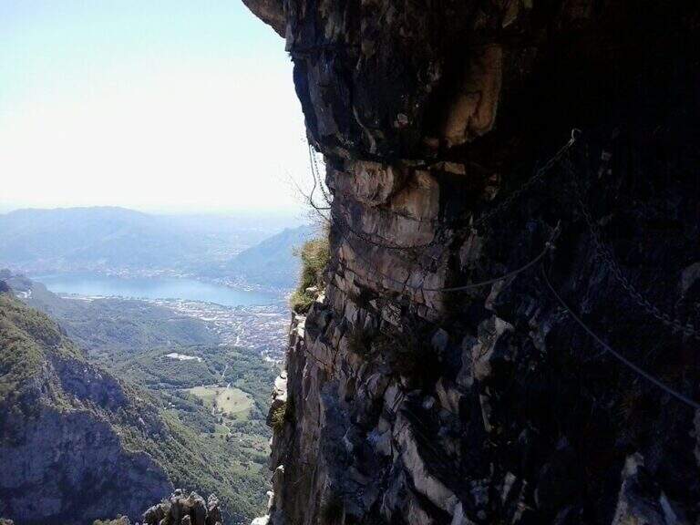
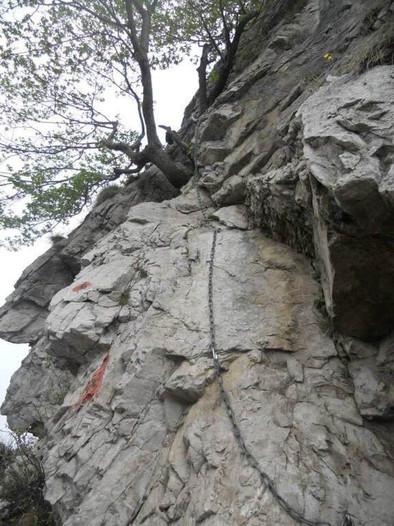
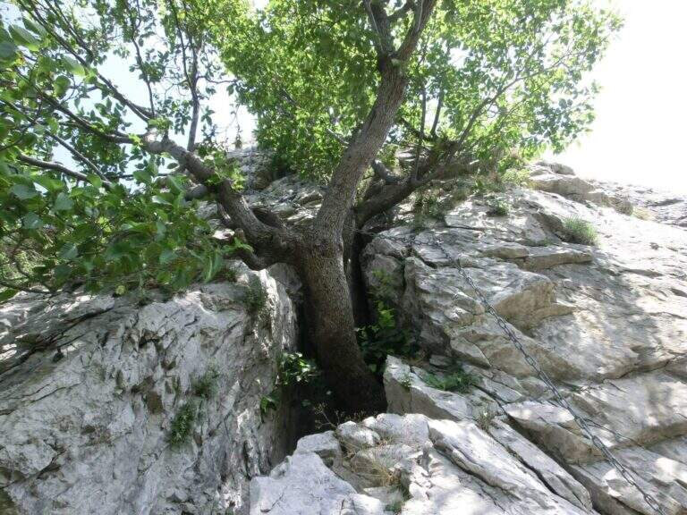
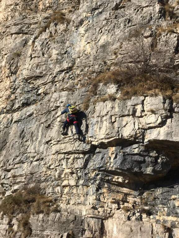
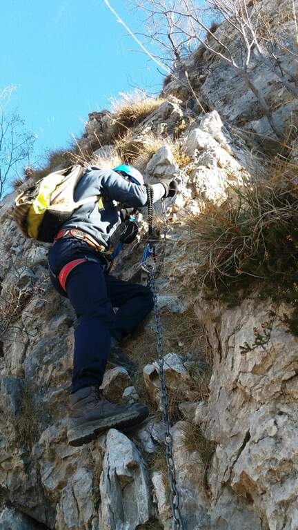
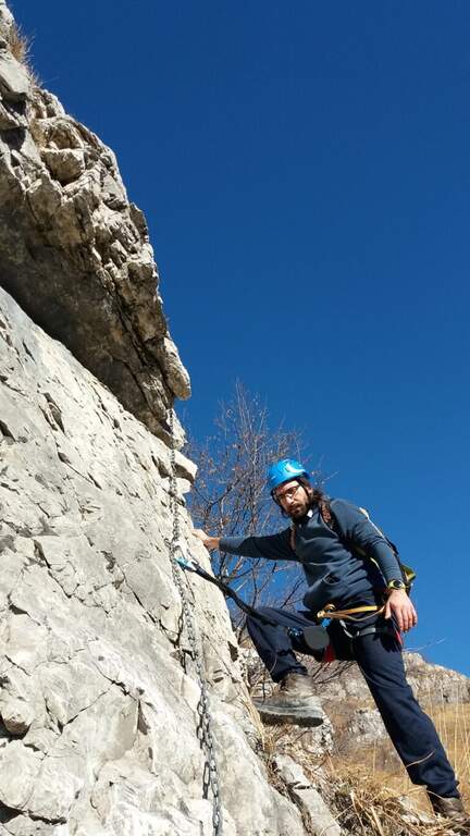
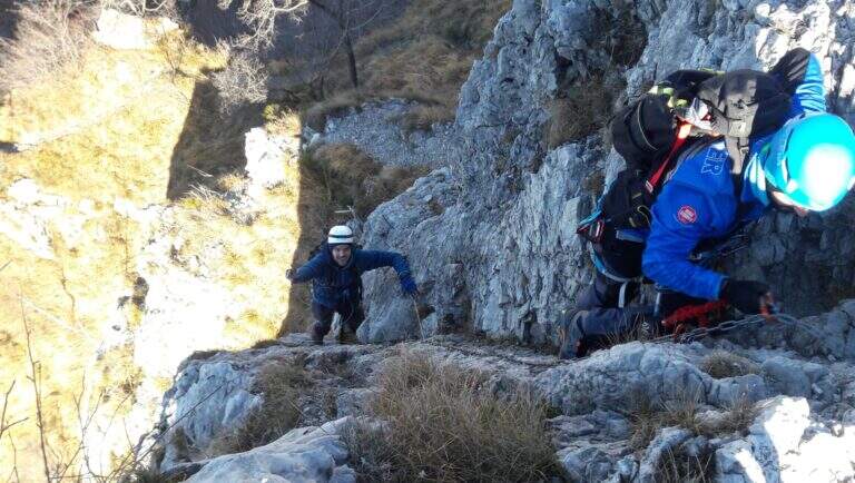
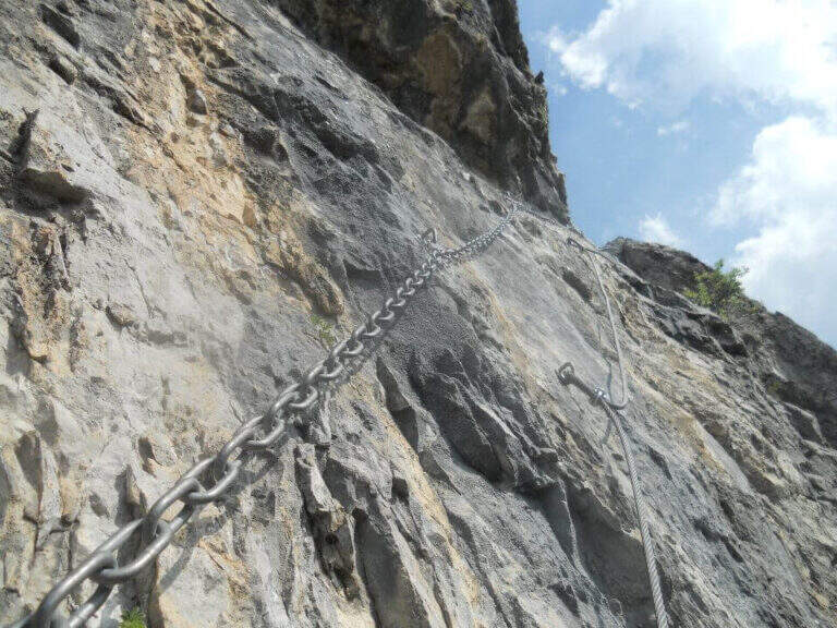
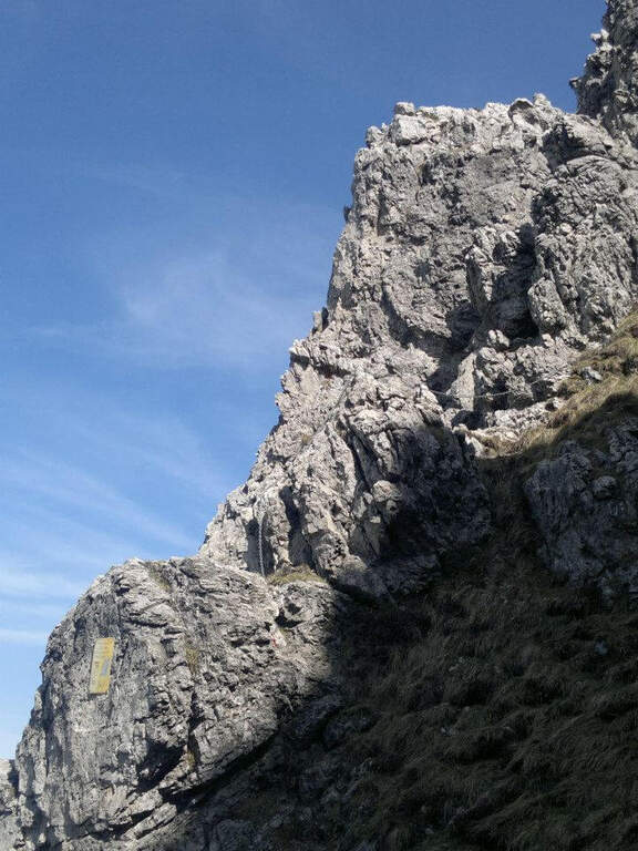
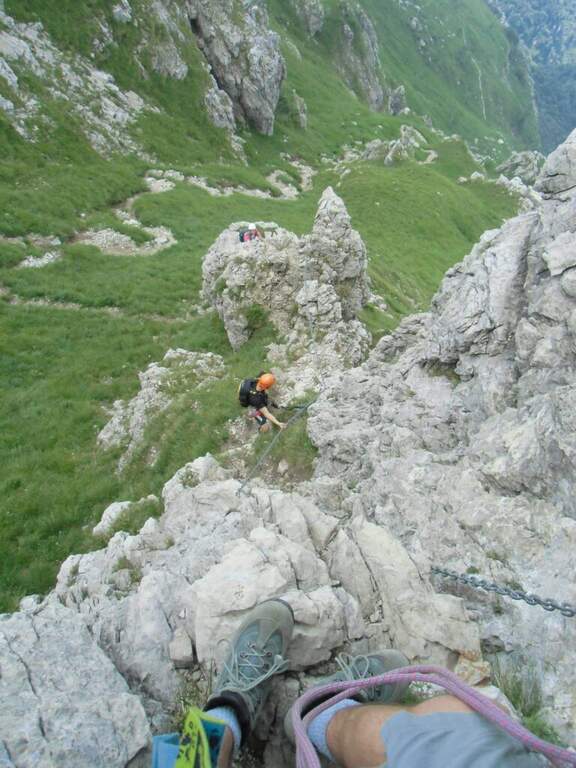
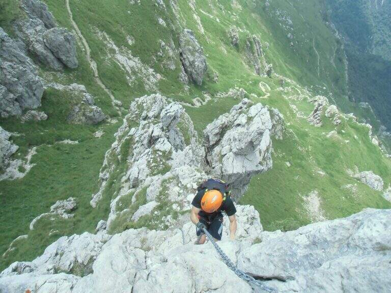
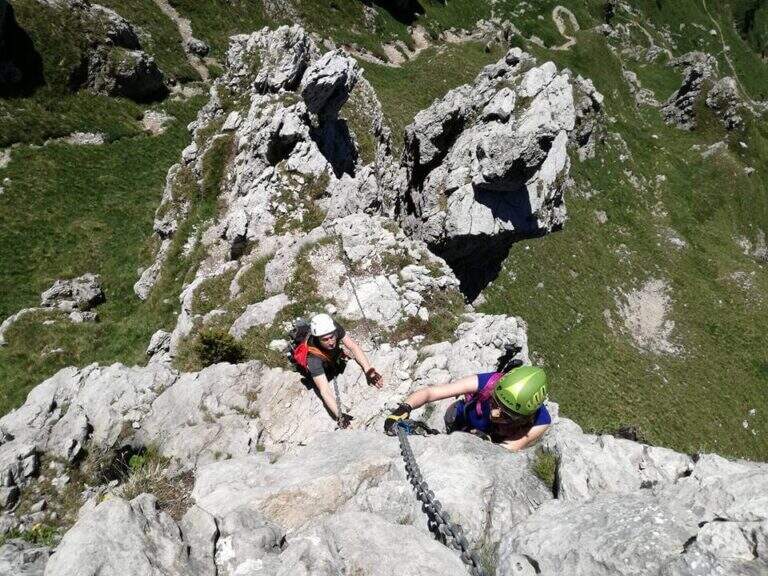
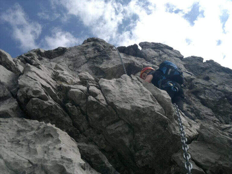
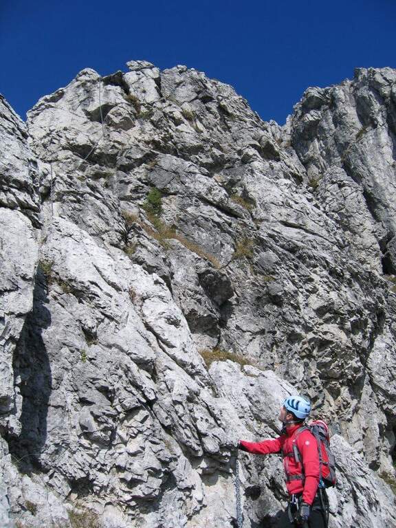
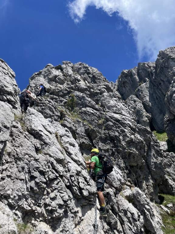
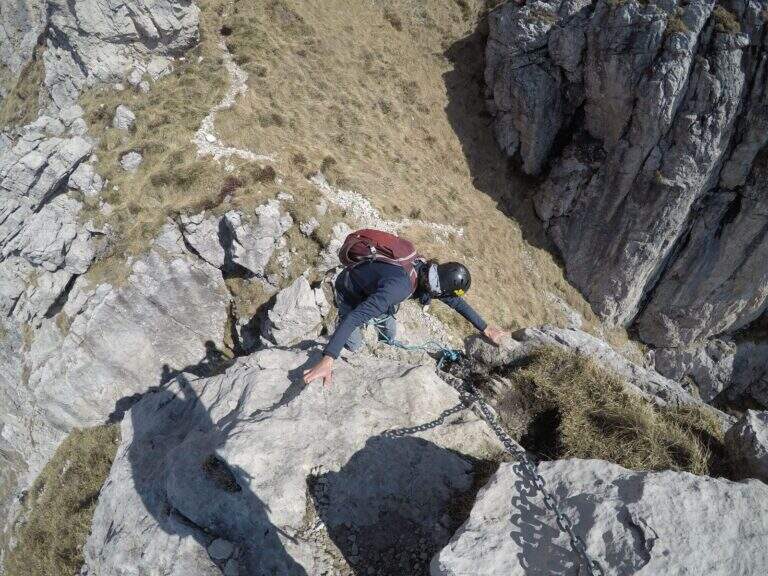
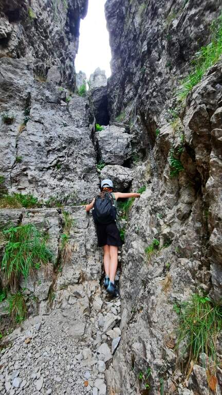
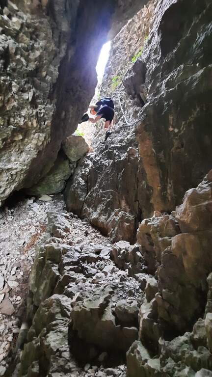
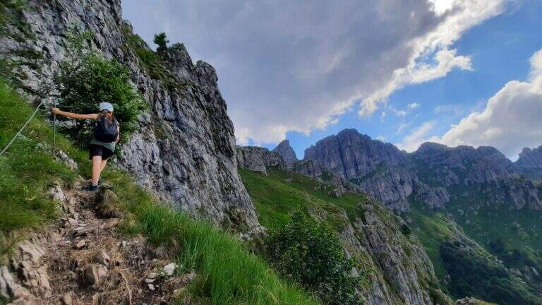
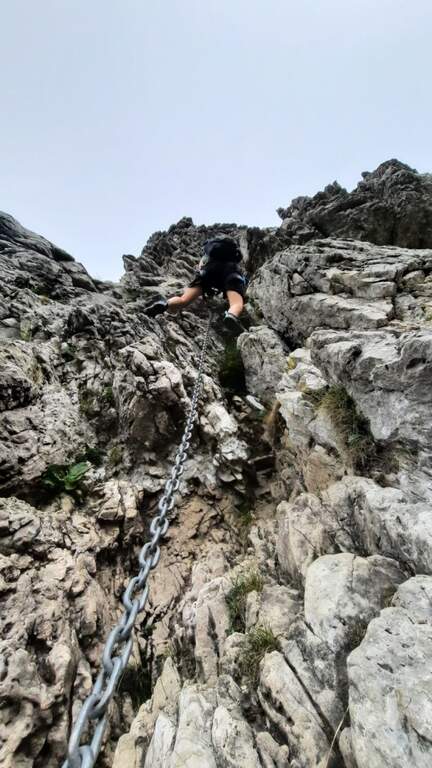
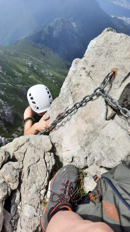
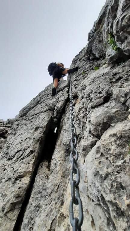
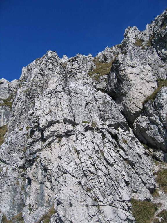
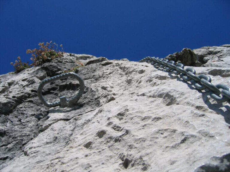
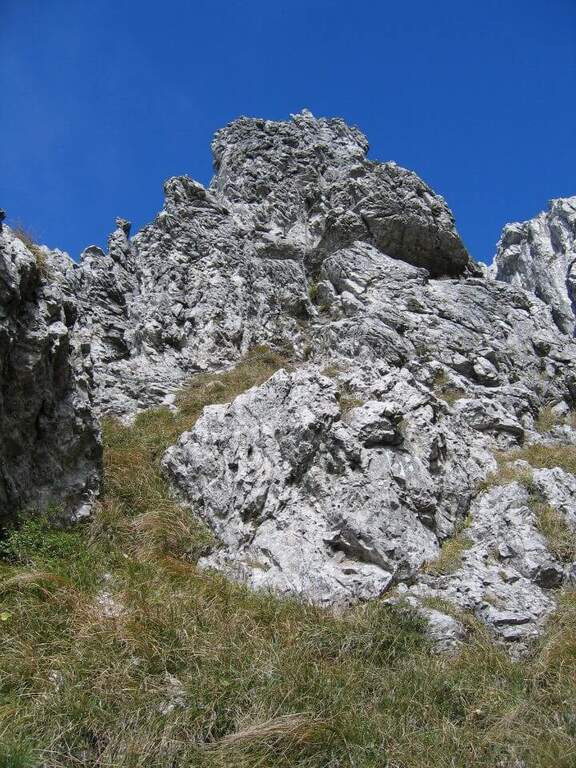
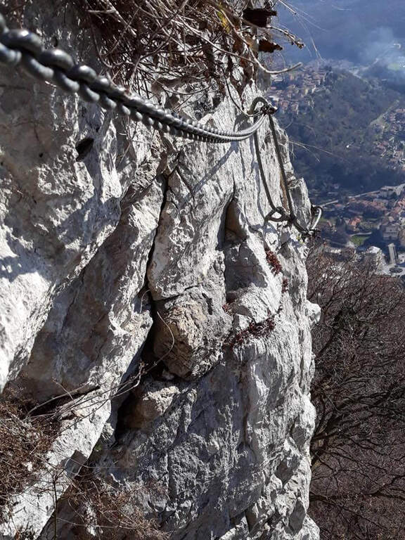
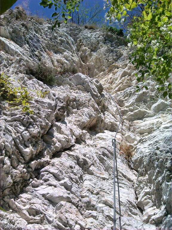
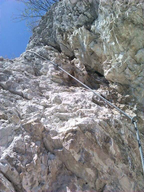
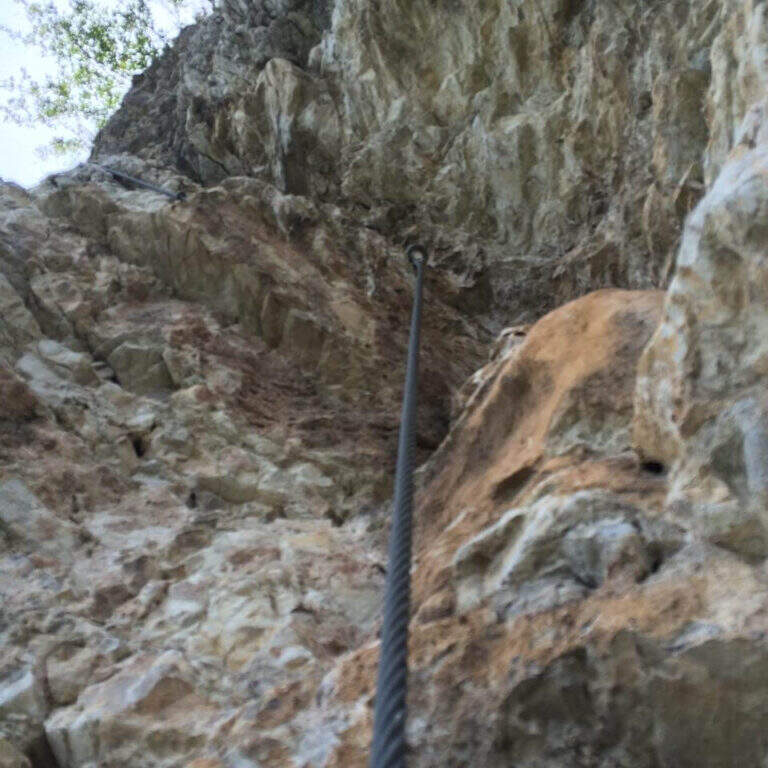
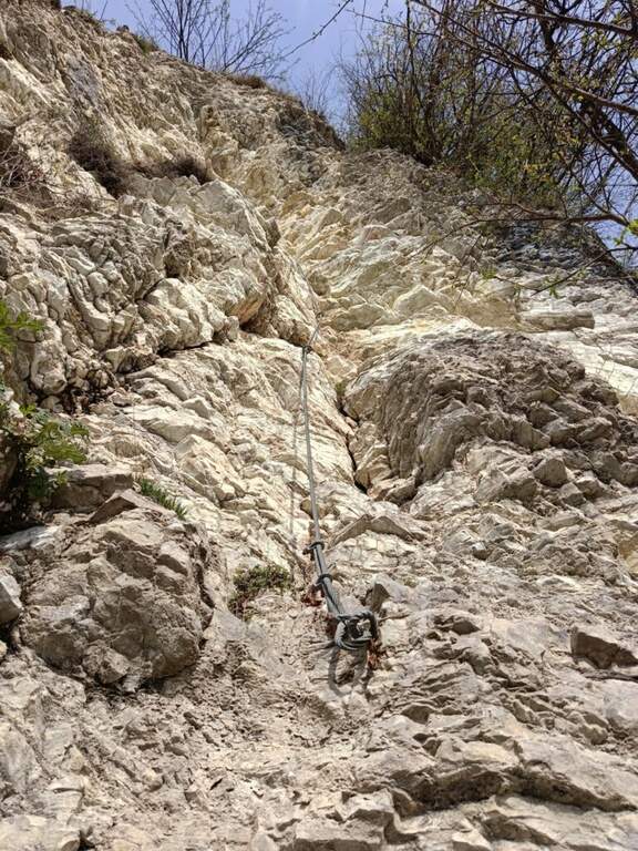
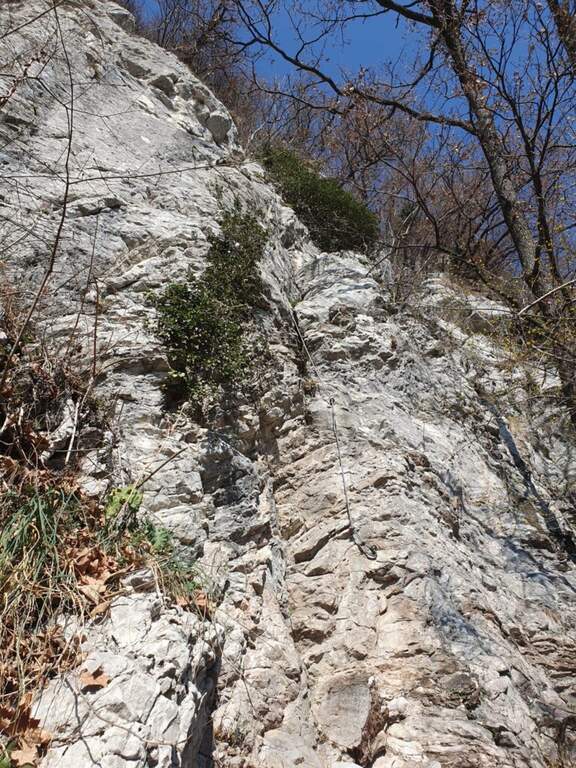
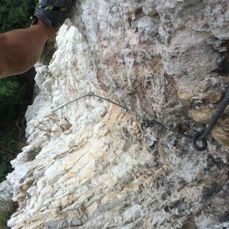
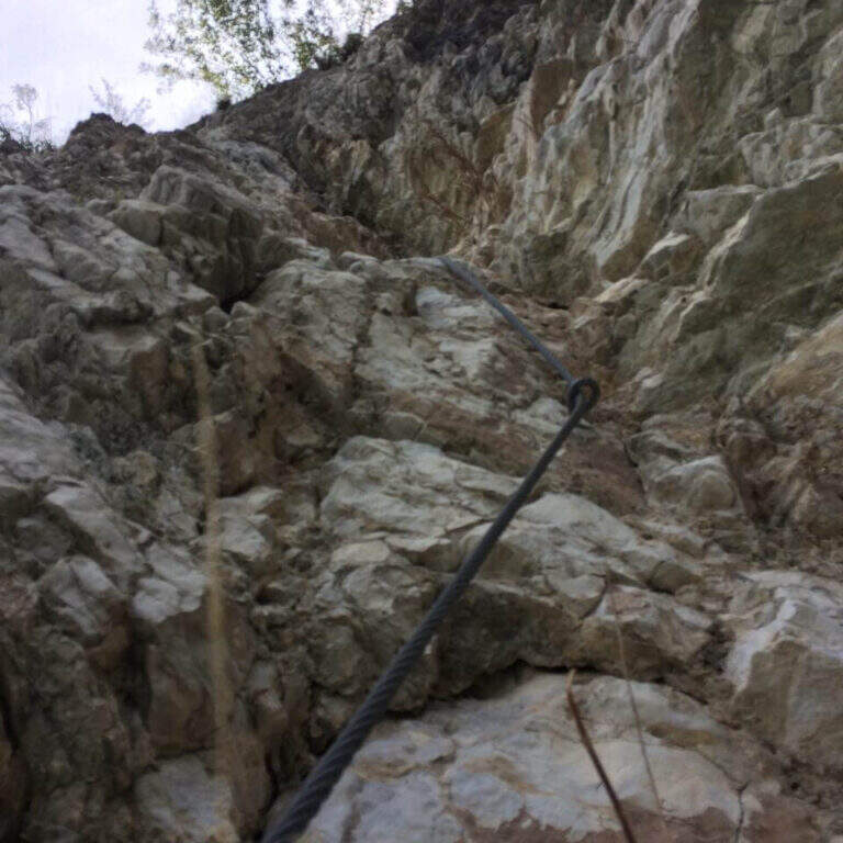
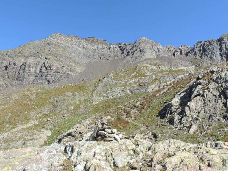
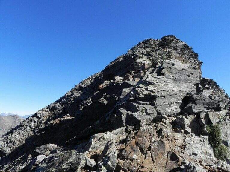
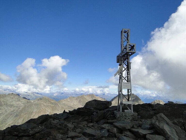
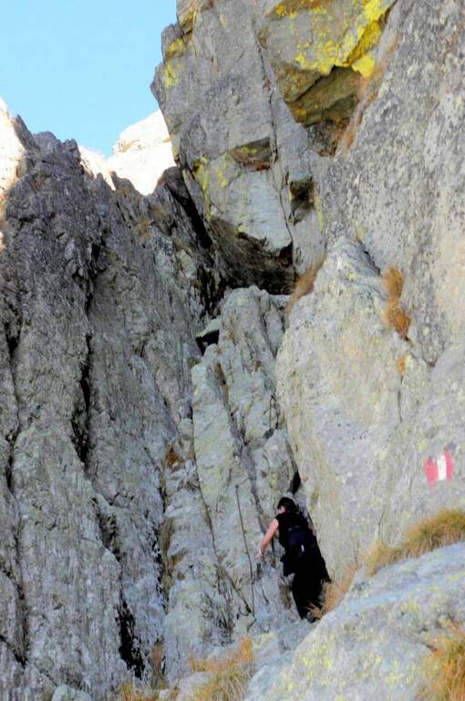
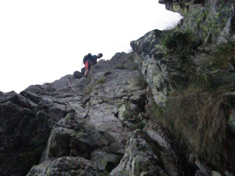
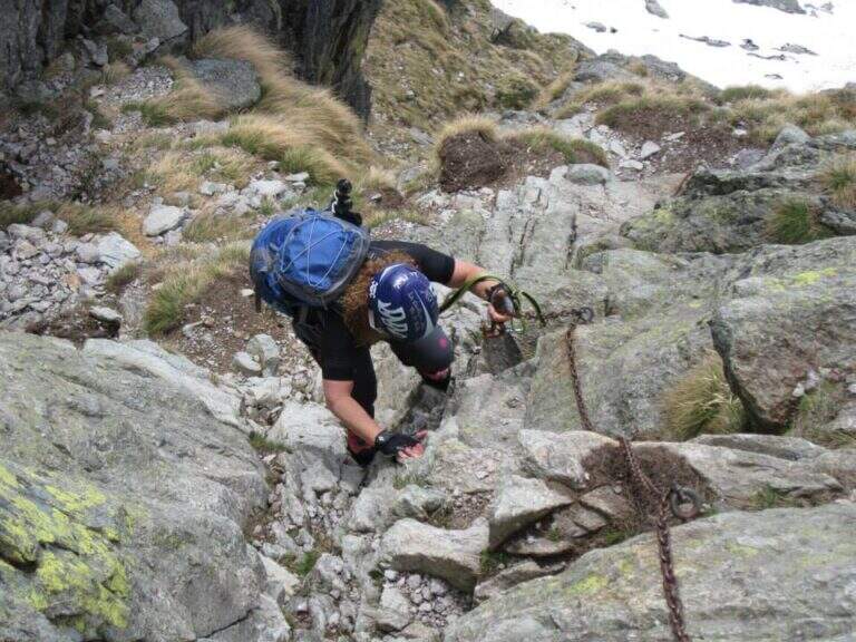
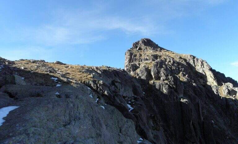
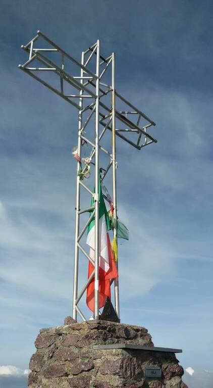
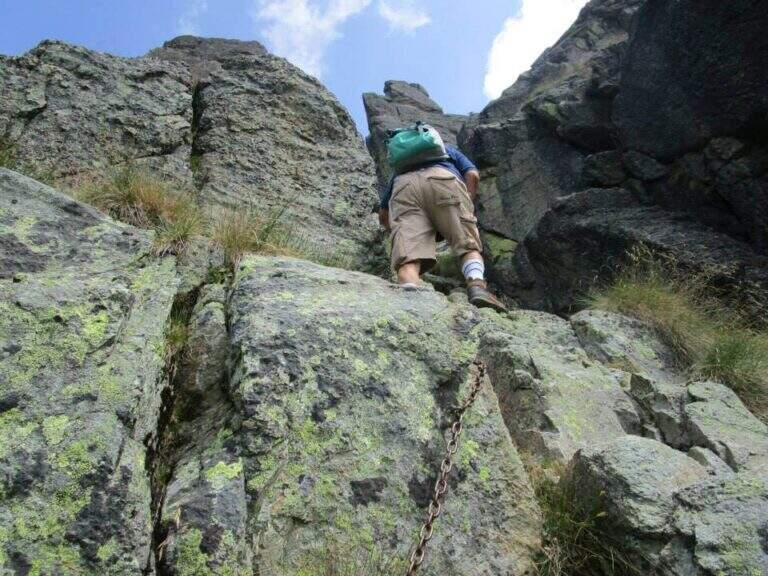
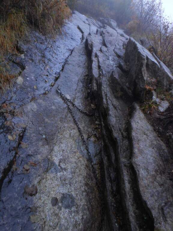
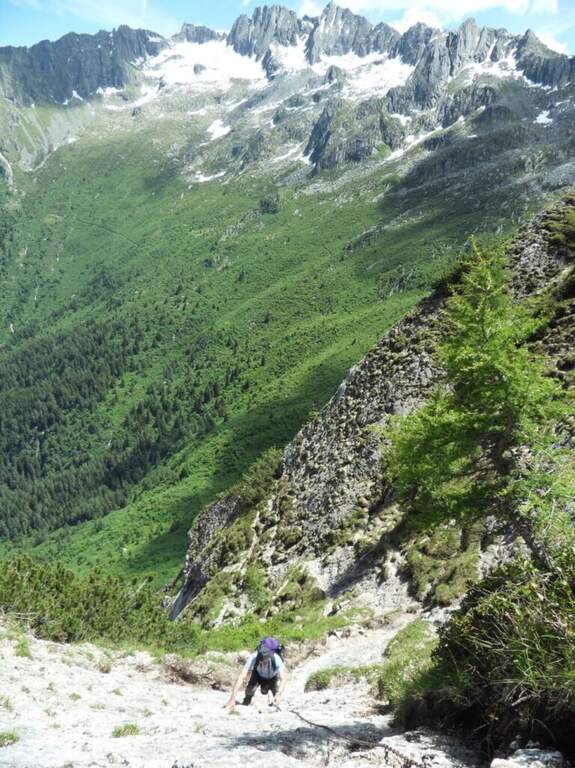
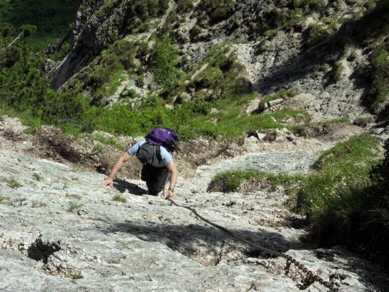
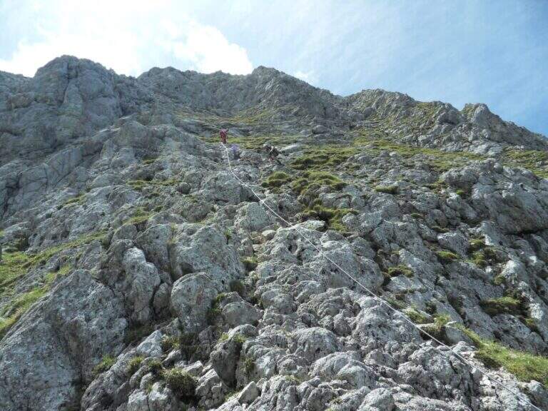
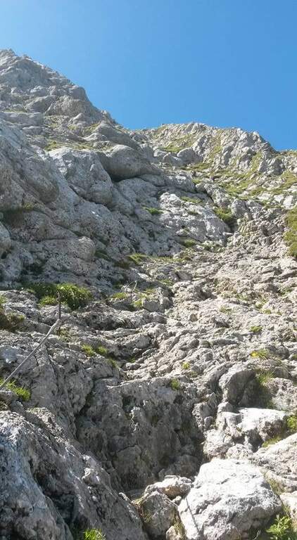
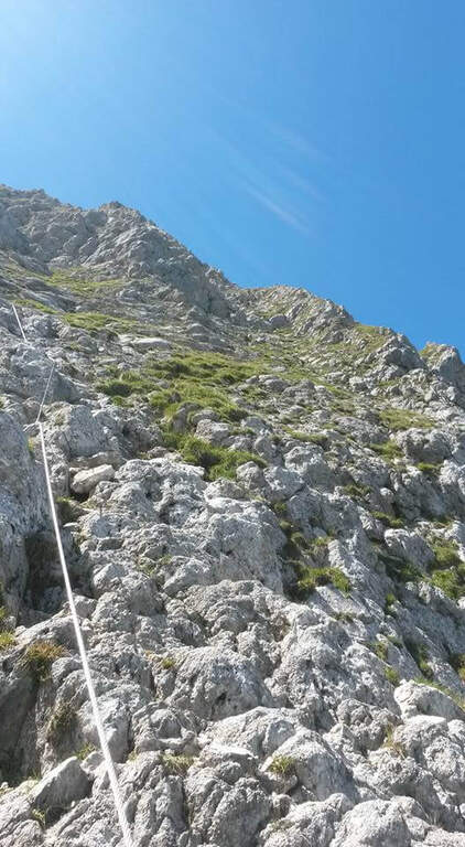
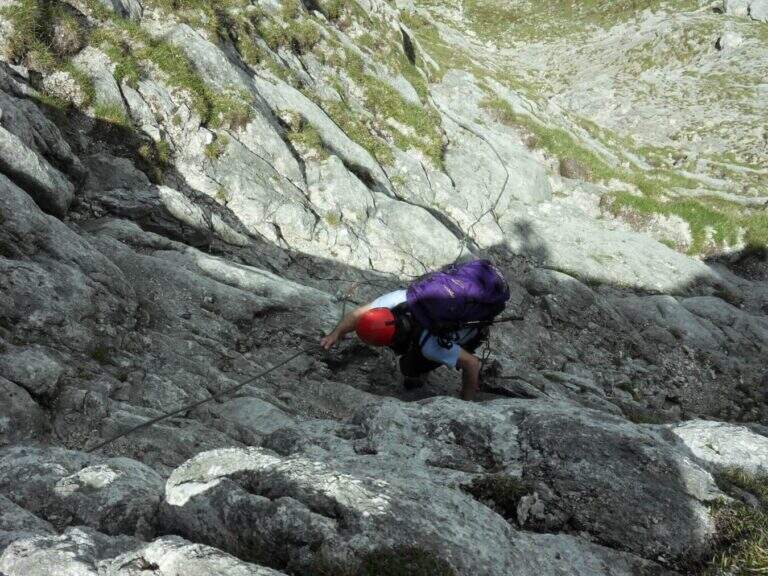
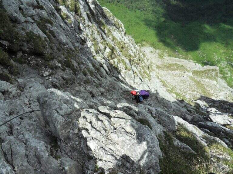
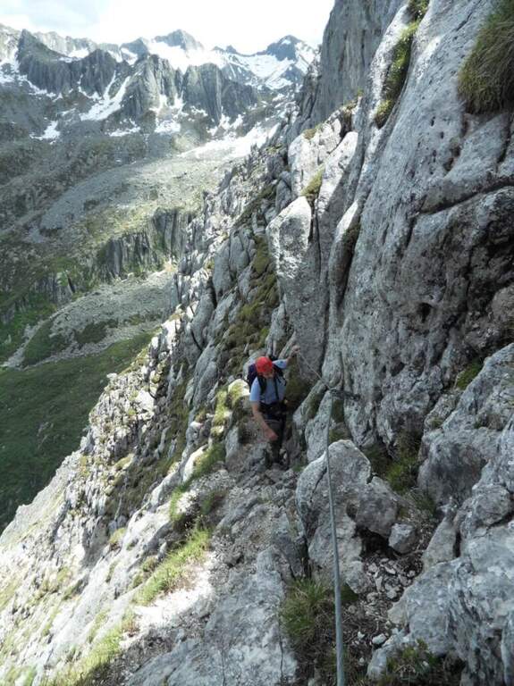
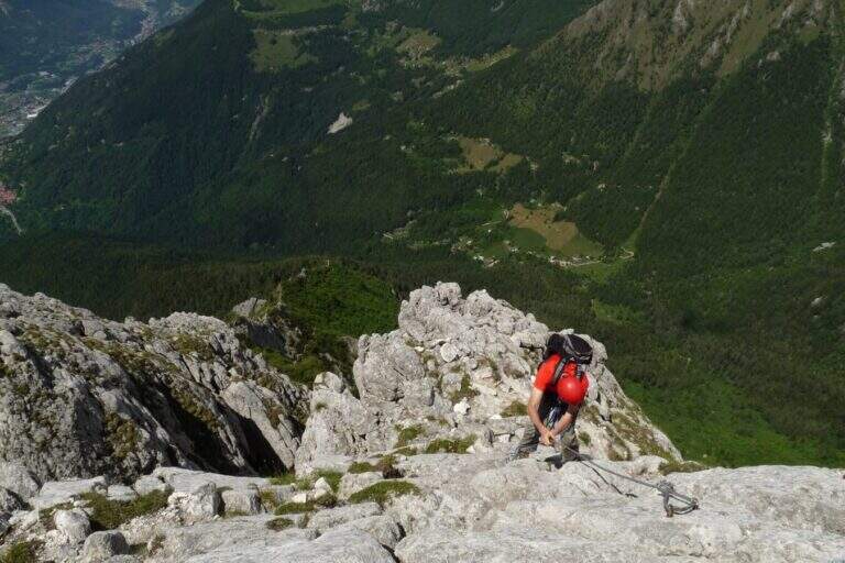
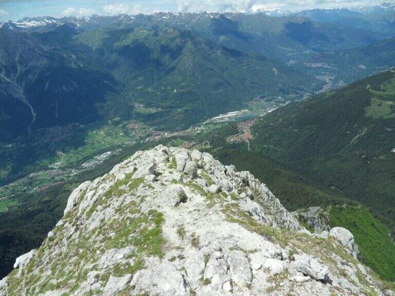
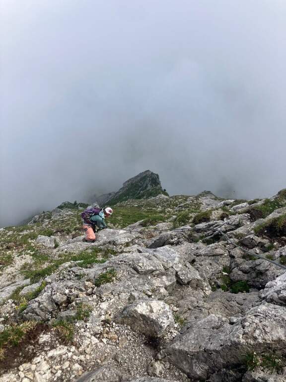
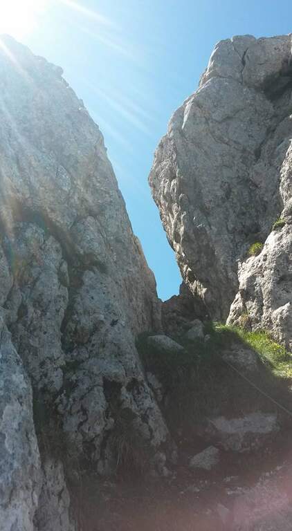
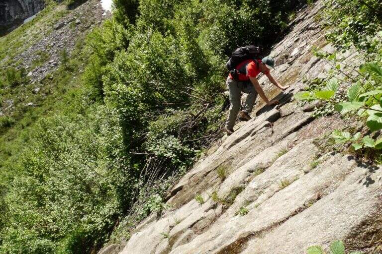
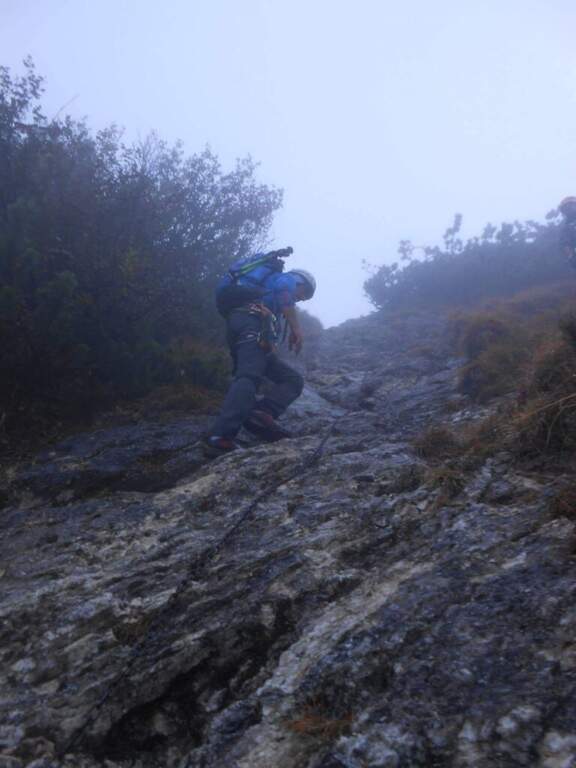
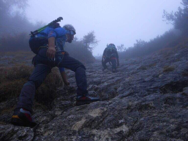
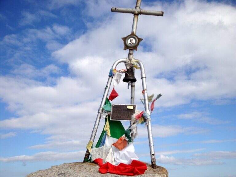
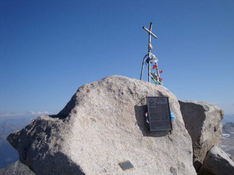
    La via è attrezzata con catena a tratti. Si inizia su un breve spigolo; a un primo terrazzino si cambiano i moschettoni su una nuova catena e si sale verticali su roccia compatta ma levigata. Terminata la catena, un sentierino esposto e roccette portano a un tratto diagonale a sinistra e poi a una salita più ripida ma senza difficoltà tecniche. Dove le attrezzature finiscono si seguono segni bianco-rossi e ometti fino a una placca inclinata dove le catene riprendono: la si risale in linea retta e poi a destra, si percorre una cengia terrosa e un traverso esposto attrezzato, quindi una breve placca chiude le attrezzature poco sotto il Passo dell'Adamello (3240 m, 1h from the attack, 4h 30' total). From here the itinerary continues in the glacial environment: you descend on the left edge of the Adamello Glacier (Bivacco Ugolini and Cima del Laghetto on the left), then climb the last ~300 m on rocks of I degree up to the west ridge and, for the thread with small balconies exposed, to the summit cross of the Adamello (3539 m, 1h 30' from the Pass, 6h total).

    ▲Character and difficulty

    Technically the ferrata is not difficult for those who already have good experience; the rock is good but not always rich in hooks. The real difficulties are the environment, the length, the altitude difference (over 2000 m overall) and the altitude. Development 22 km, maximum altitude 3539 m.

    ⚠ Itinerary d' high mountain: necessary ramponi and peak for the Snow Plan, evaluation of the conditions of the glacier on the spot and stable weather. The descent è long, exhausting and at times steep and exposed (in particular the crest from the summit to the glacier). It is recommended to break l' two-day itinerary by staying at the Gnutti Refuge.
    ▲Discipline

    The descent follows l' the entire ascent itinerary, disarrampicando also the Ferrata Terzulli (the normal & free route; a different itinerary that would require an overnight stay). From the summit, taking care of the steep and exposed traits; from the refuge there are the Miller Stairs and the last kilometers up to ' car (1h 30' from the refuge, 5h from the summit, 11h totali).

    ▲To match

    Staying in the upper Val Camonica you can walk, further south, the Ferrata at Corno di Grevo e la Ferrata at Pizzo Badile Camuno; towards the Tonale Pass Ferrata del Sentiero dei Fiori and, on the trentino side, the Ferrata Monte Nero.
    ▲Gallery
    Technical data
    • DifficultyHard
    • RegionLombardy
    • GroupAdamello
    • Approach3:30 h
    • Ferrata1:00 h
    • Itinerary (a/r)11:00 h
    • Hardware level difference200 m
    • Route difference2011 m
    • Max3539 m
    • Length22 Km
  • Ferrata al Torrione Porro

    Ferrata al Torrione Porro

    Vie Ferrate › Lombardy › Sondrio
    Ferrata al Torrione Porro
    Moderately Hard● OpenDescriptionComplexityMapsGallery

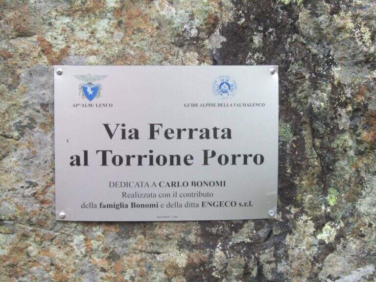
    La Ferrata al Torrione Porro develops in high Valmalenco, above Chiareggio. It is abundantly equipped and of moderate difficulty, without technical passages relevant even in the second part, more exposed; from the summit you enjoy a beautiful view on the Glacier of the Ventina and the Group of Disgrace.

    ▲Approach

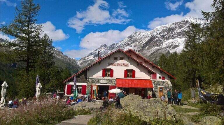
    It starts from the 'inhabited of Chiareggio (Chiesa in Valmalenco). Open road signs on Google Maps. At the end of the village a staircase descends to a pole with the CAI signposts: cross the bridge over the Mallero stream and cross the dirt road to the Rifugio Gerli-Porro (1h from the parking lot). Beyond the refuge follow the path to Lake Pirola up to a pole; you keep the left towards l' attack, you go up some bends up to a junction where you separate ferrata and normal way, and in short you reach the red sign d' start (30' from the refuge, 1h 30' from the parking ).

    ▲The path

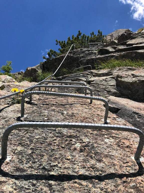
    The equipment starts on an ascending ramp to the right, runs smoothly until the first vertical sections with plenty of brackets. There are short rocky cliffs and diagonal stretches up to a ramp where the cable acts almost as a handrail. The second part è definitely più vertical and exposed but technically easy thanks to brackets and handles: tre long walls, one of which with a exposed section where the rock pushes towards l' outside and requires pi` Come on. At the end you can può climb left at the top of the Torrione Porro (50' from the attack, 2h 30' total) or continue right towards the path of the normal road.

    ▲Character and difficulty

    Recently (launched July 10, 2016, built by CAI Valmalenco and Guide Alpine Valmalenco), with equipment in good condition and very abundant: the technical difficulties are reduced and the ascent is also suitable for those who have moderate experience. 195 m, total 823 m, maximum altitude 2435 m, development 12 km.

    ⚠ As indicated by a fine-tune sign, la descent along the è route; prohibited: it falls from the normal route.
    ▲Discipline

    From the ' summit lift follow the via normal, which leads to the junction of the ' then, downhill, to the Rifugio Gerli-Porro and to the parking lot (1h 30' from the summit, 4h totali).

    ▲Gallery
    Technical data
    • DifficultyModerately Hard
    • RegionLombardy
    • GroupValmale
    • Approach1:30 h
    • Ferrata0:50 h
    • Itinerary (a/r)4:00 h
    • Hardware level difference195 m
    • Route difference823 m
    • Max2435 m
    • Length12 Km
  • Ferrata Spigolo della Bandiera

    Ferrata Spigolo della Bandiera

    Vie Ferrate › Lombardy › Brescia
    Ferrata Spigolo della Bandiera
    Moderately Hard● OpenDescriptionComplexityMapsGallery

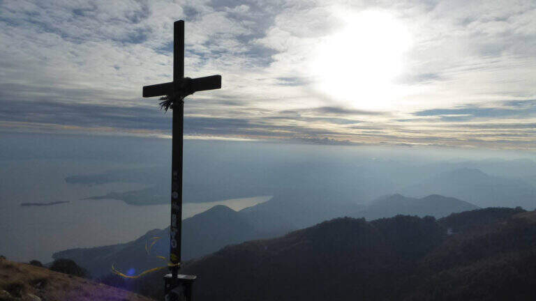
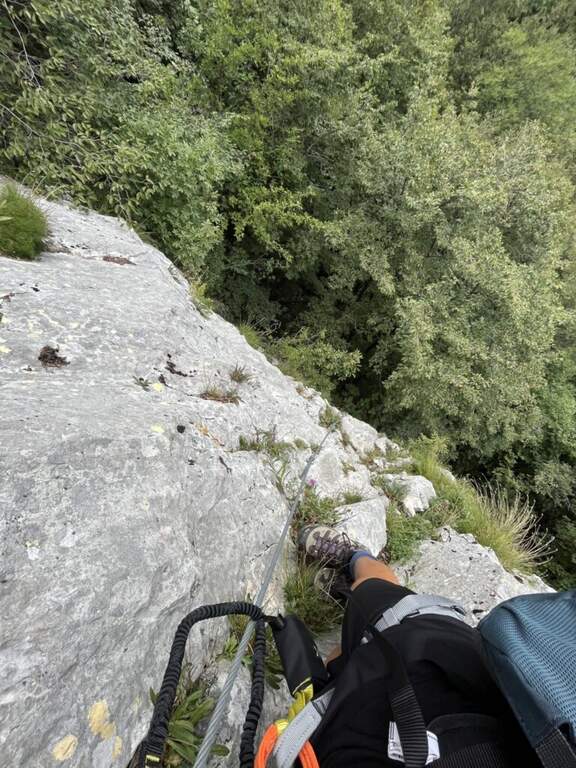
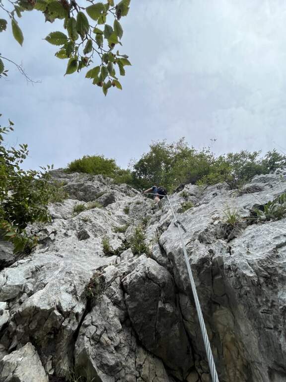
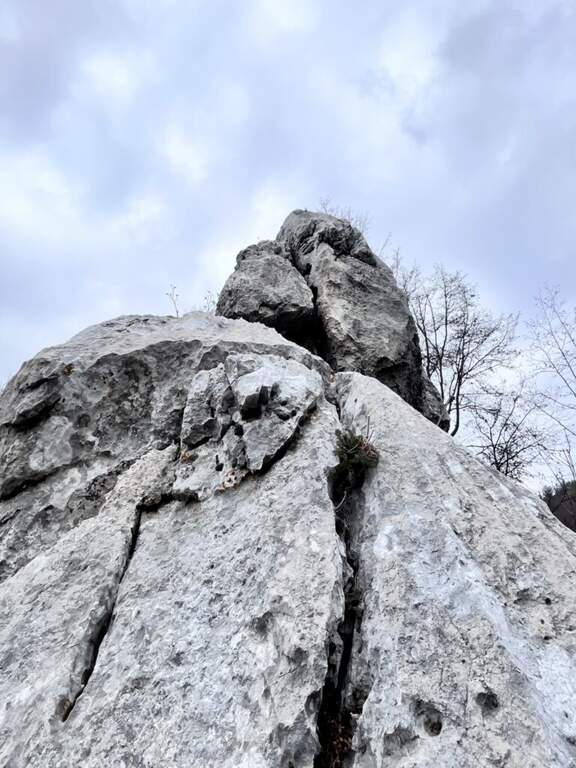
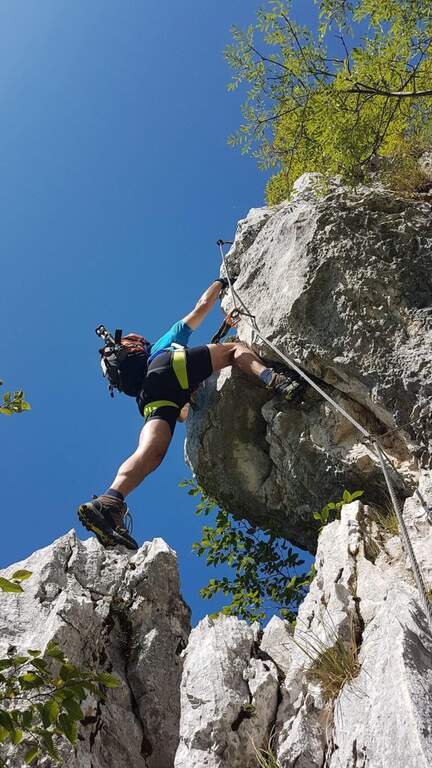
    La Ferrata Spigolo della Bandiera climbs an aerial edge at Monte Spino, above the western coast of Lake Garda. È a short but exposed and athletics: in più points l' excellent jagged rock allows to climb, but a passage requires a momentum due to the scarce natural couple. The route è was renovated in 2019 with a slightly modified track that avoids the old key point, but that introduces a short overhanging step of level difficult not to underestimate.

    ▲Approach

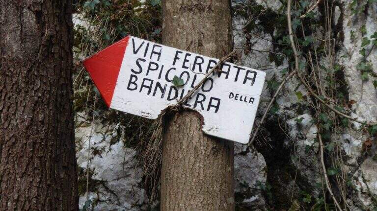
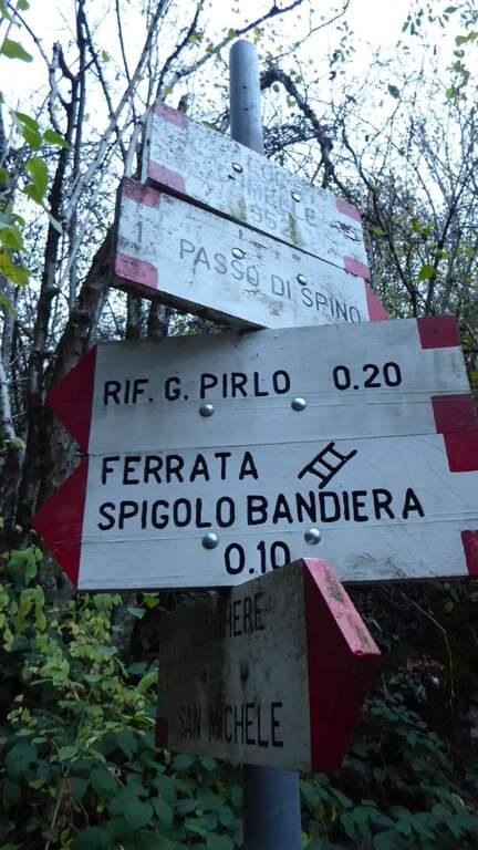
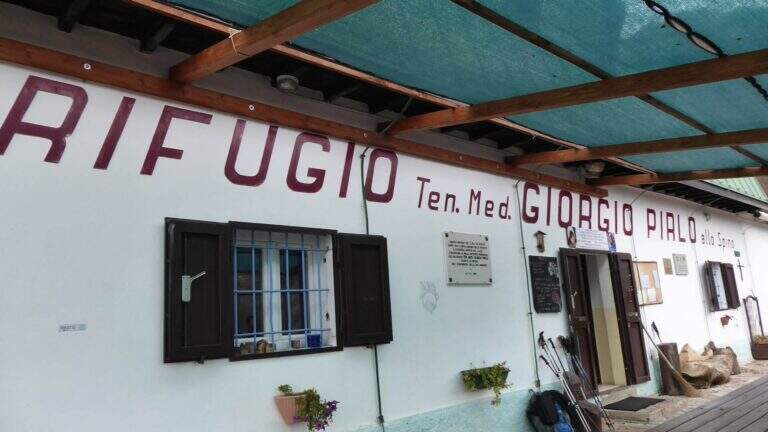
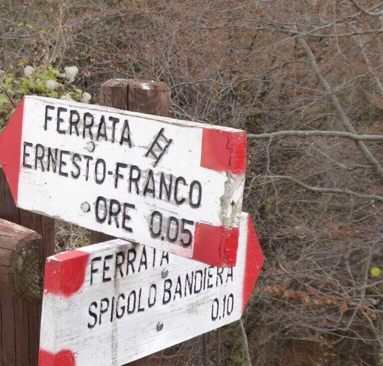
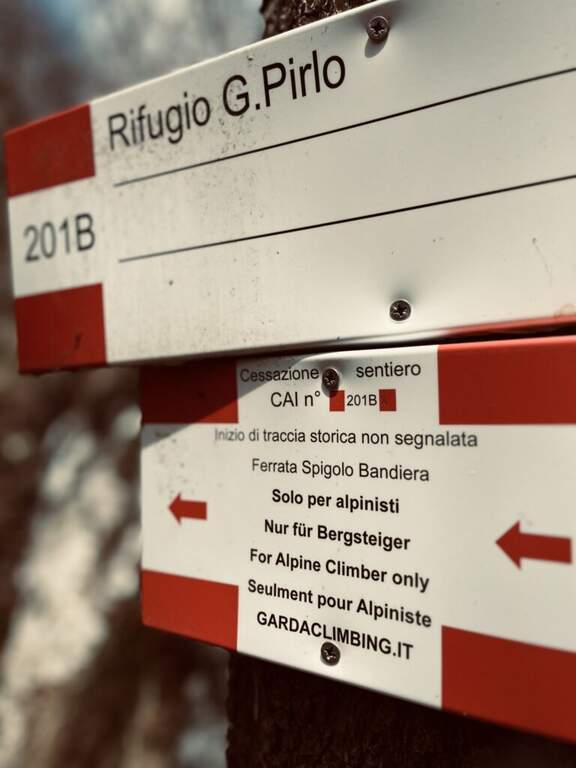
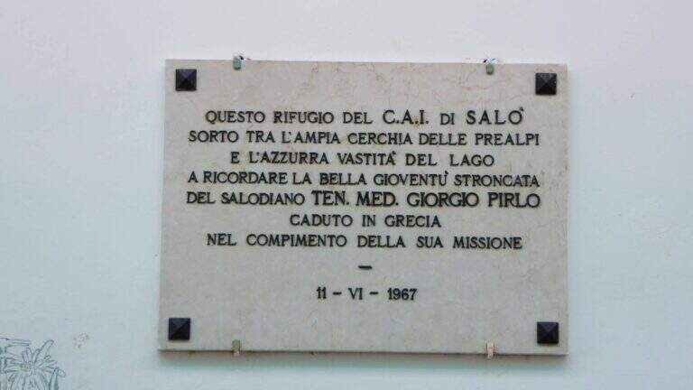
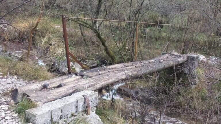
    Starting point San Michele, at Gardone Riviera (crossing Brescia del Garda): from San Michele you go towards the Val di Sura to the Restaurant Colomber, at a fork. Open road signs on Google Maps. You can park at the restaurant or keep the left on a road that soon becomes dirt and then dissected (recommended to the low cars), with several wide to the locality Verghere. From the restaurant continue on the road on the left to Verghere, then on the CAI path 201, guadando due volte il torrente Barbarano (attenzione a seguire i segni CAI, talvolta ingannevoli) fino al bivio di Cascina Gemelle (950 m, 1h dal parcheggio), dove si tiene la sinistra in salita verso il Rifugio Pirlo allo Spino e la ferrata; un ripido sentiero porta al bivio segnalato per la Spigolo della Bandiera (1h 10' dal parcheggio, 1h 30' dal ristorante).

    ▲The path

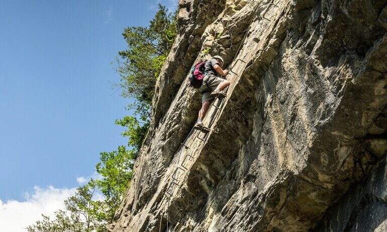
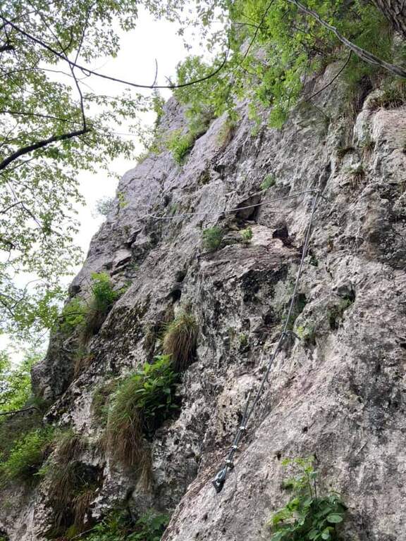
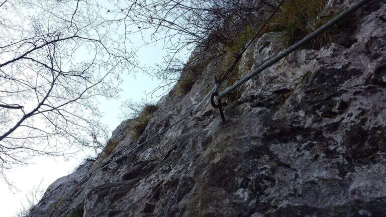
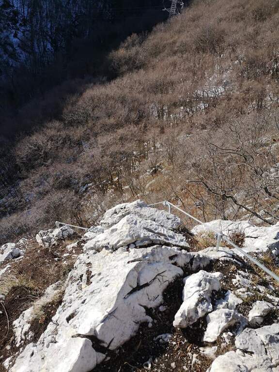
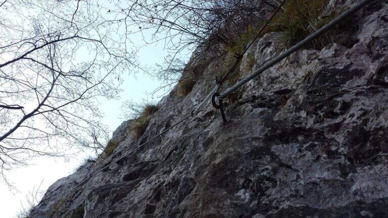
    The road begins with a medium-traverse of difficult-to-grave; to the left to a vertical wall on the right side of the edge: part quite entangled, with a couple of challenging passages for the small hooks, up to a nail beyond which the edge becomes più easy and pleasantly climbable, albeit aerial (attention to the stability & agrave; of some blocks). You reach a rough terrace where to stay. On the new track 2019, from the terrace you move to the left in an exposed area, crossing on smooth rock and difficult to climb, up to good supports for the feet leading under the new key step: a overhanging wall of 4-5 meters, where two brackets help the first two meters but the rest is probably going over the cable. You get under the characteristic passage of the old track, which goes right up a wall with l' aid of a bracket, reconnecting just above all' original itinerary on the terminal crest. Quest' last stretch è exposed but not difficult, with the cable that mainly acts as a handrail; finished the equipment, the path leads to the top flag (30' from' attack, 1h 40' totali).

    ▲Character and difficulty

    Short but exposed, good test bench after the first easy ferrates: vertical, with stretches free of natural or artificial hooks in which you need to pull up of arms with a certain athleticity. The rock is however good and in many ways gives idea of stability.

    ⚠ Strong exposure along almost the entire route, with a peak in the last passage before the final crestine. The new 2019 track does not reduce the difficulties but increases them, with the overhanging step as a key point.

    ▲Period and safety

    GPS tracks are available (GPX and KMZ); for the area is useful the map of the 4Land Alto Garda Bresciano Park.

    ▲Discipline

    Dal termine si segue la traccia più marcata a sinistra verso il Rifugio Pirlo (da cui il sentiero direttissimo riporta al bivio della ferrata e all'auto, 3h totali), oppure a destra verso il Passo dello Spino e poi il CAI 1 fino al bivio dell'andata (3h 30' totali); in alternativa l'ampia forestale riporta al Ristorante Colomber (4h totali).

    ▲To match

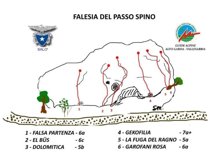
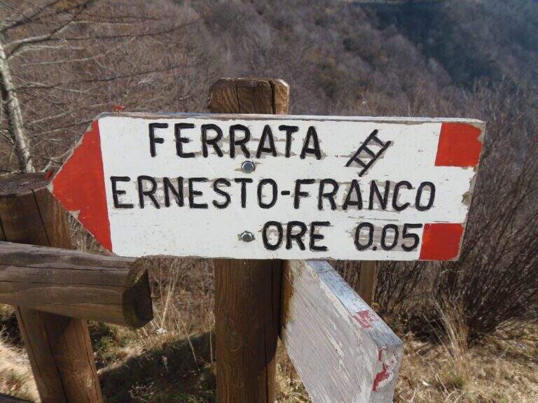
    The nearby Ferrata Ernesto Franco, an ideal time to match, was dismantled and replaced by a cliff equipped at the Pirlo refuge. Returning, you can continue towards Sentiero Sperone del Crocefisso o, towards Lake Idro, la Ferrata Crench and the neighbors ♪ e Gypsies.

    ▲Gallery
    Technical data
    • DifficultyModerately Hard
    • RegionLombardy
    • GroupAlto Garda Bresciano
    • Approach1:10 h
    • Ferrata0:30 h
    • Itinerary (a/r)3:00 h
    • Hardware level difference100 m
    • Route difference650 m
    • Max1165 m
    • Length11,6 Km
  • Ferrata Contessi at Monte Due Mani

    Ferrata Contessi at Monte Due Mani

    Vie Ferrate › Lombardia › Lecco
    Ferrata Contessi at Monte Due Mani

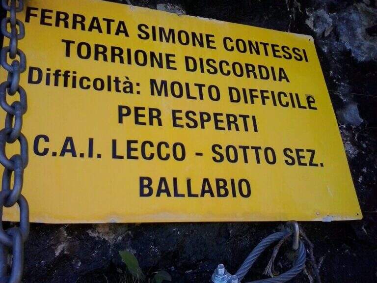
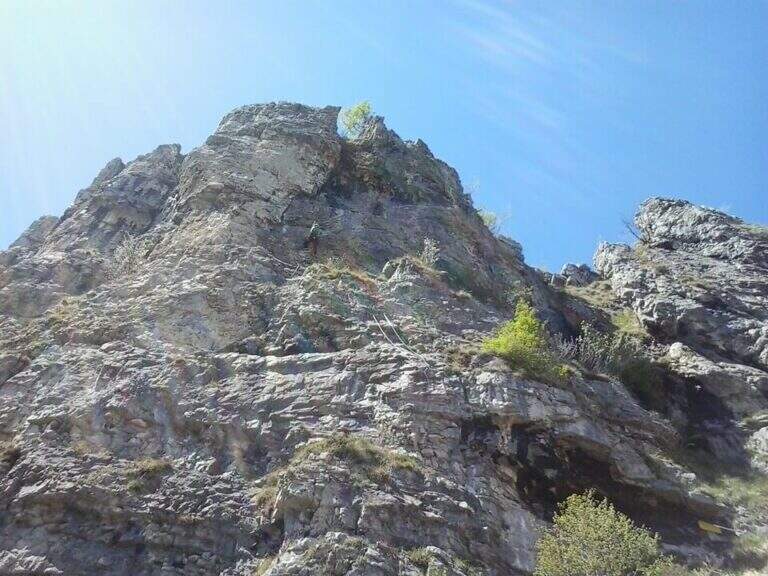
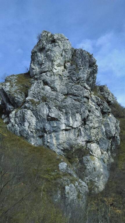
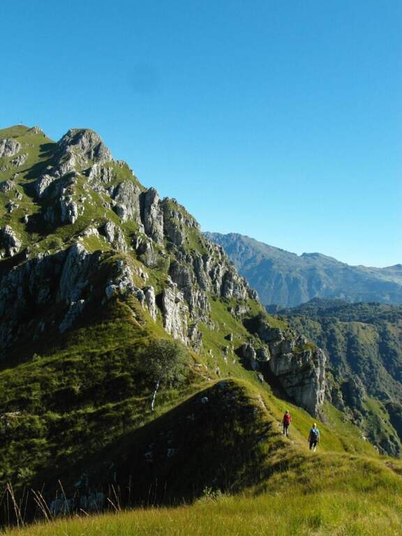
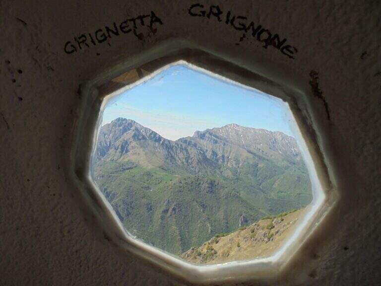
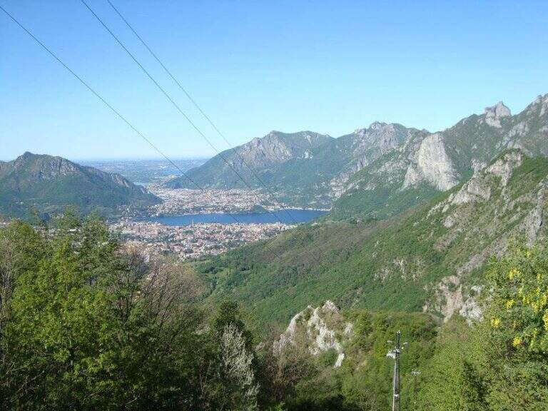
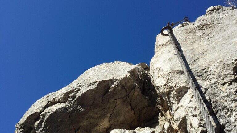
    La Ferrata Simone Contessi climbs along the rocky towers of the ridge of Monte Due Mani, in the province of Lecco. È a demanding and very varied , with vertical walls, beams and a dozen towers, and gives a wonderful view on Grigne, Resegone and Lake. A path along the ferrata and allows you to bypass the individual towers, offering numerous escape routes.

    ▲Approach

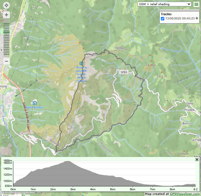
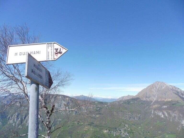
    Starting point along the road that connects Ballabio to Morterone (Lecco): from Ballabio you go for almost 5 km to the winding road to Morterone, you cross a tunnel and, after a few bends, you find a slargo on the left with a couple of parking spaces and a sign (other parking spaces just beyond). Open road signs on Google Maps. From the parking lot, a steep path in the forest takes short to the tag d' attack (10' from the parking lot).

    ▲The path

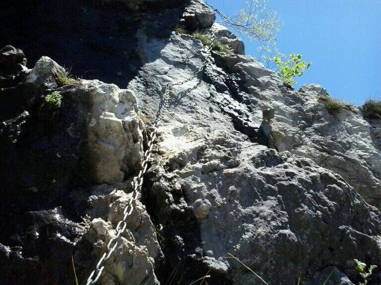
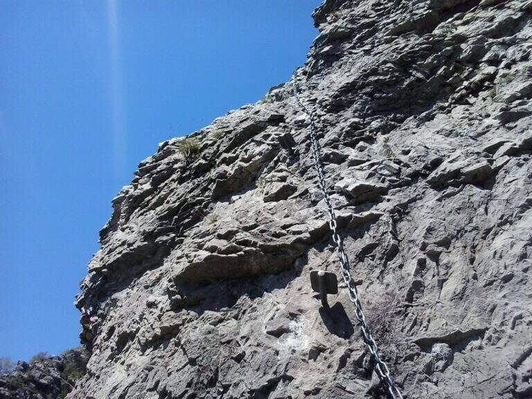
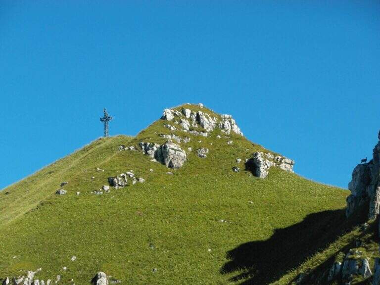
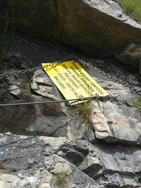
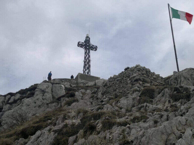
    The Via è marked by a series of torrioni, each one by the path. It starts with the chain that bends left onto small rocks, circumvents a prominence and then on the right leads under a first wall with few hooks (a bracket helps the foot); it follows a più wall; long with natural hooks and brackets and a diagonal traverse left towards a corner, which closes the first section. The second section, all' più appearance; lasts as long as it is, rises with a left-hand side, a vertical wall with good supports and small rocks. The third, challenging, alternates a short right-handed traverse, a diagonal traverse exposed to the left and a vertical dihedron. The fourth tower, più easy, goes up a corner and descends on the opposite side; the fifth has a steep vertical wall, a exposed traverse and a last vertical stretch, followed by a ridge path equipped. The sixth è a short plaque, the seventh the più easy. L' eighth section — the Torrione della Discordia — è of a very difficult level: a narrow nod under a roof, a wall definitely overhanging with brackets, chain and cable, a short diagonal traverse and another 5-6 meters overhanging, then a long diagonal traverse in adherence on rock poor d' The ninth section è a beautiful vertical plate, at first apparently smooth then più attached to the left, about ten meters (1h 30' from' ) attack. Follows a ridge with equipped sections and path (about 1h 15') up to a last crossroads: the tenth and short section goes up a spur and descends on the opposite side, otherwise bypassable, up to the peak cross with the bedless bivouac (3h from' attack, 3h 15' totali).

    ▲Character and difficulty

    Limestone rock that allows you to climb in many stretches. Overall the road remains difficile, although with the Torrione della Discordia of a very difficult but bypassable level.

    ⚠ The muskable chain is in some stretches lasca, with rather spaced tokens: proceed with caution. Itinerary long and with important difference in altitude; a pair of telescopic sticks are useful downhill.

    ▲Period and safety

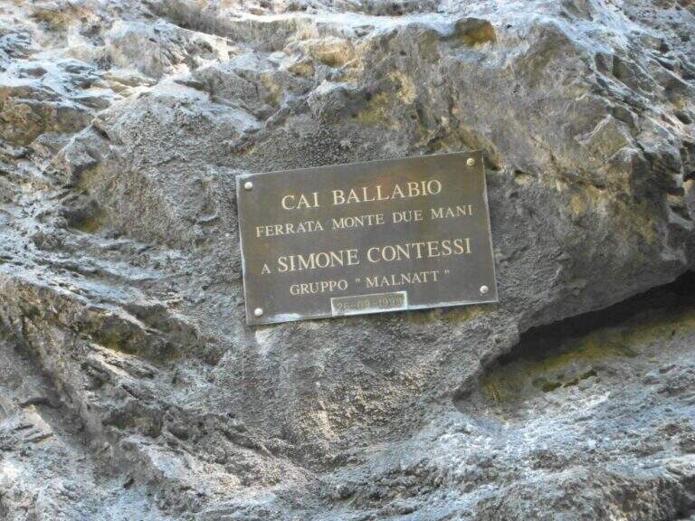
    GPS tracks (GPX and KMZ) are available; the Grigne, Resegone and Valsassina map is useful for the area. The ferrata is dedicated to the young climber Simone Contessi, of the Malnatt group of Lecco, who died in an accident.

    ▲Discipline

    It can be arranged; go down the normal road: reached the asphalted road upstream of the' car, keep the left downhill and take right l' ancient municipal road of Morterone in the forest until the parking lot. Alternatively, go down the steep path that runs along the towers, up to ' attack and all' car (1h 45' from the summit, 5h totali).

    ▲To match

    Area rich in itineraries: in increasing order of difficulty the River Trail, la Gallery of Morcate, la Range 1 to the Planets, la Ferrata al Corno Medale e la 30° OSA at Corno Rat; for the most prepared the Range 2 o la Ferrata del Monte Ocone.

    ▲Gallery
    Technical data
    • DifficultyHard
    • RegionLombardy
    • GroupPrealps Lecchesi
    • Approach0:10 h
    • Ferrata30
    • Itinerary (a/r)5:00 h
    • Hardware level difference756 m
    • Route difference756 m
    • Max1656 m
    • Length9,9 Km
  • Ferrata Silvano de Franco (Resegone)

    Ferrata Silvano de Franco (Resegone)

    Vie Ferrate › Lombardia › Lecco
    Ferrata Silvano de Franco (Resegone)

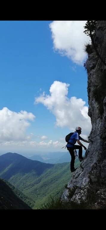
    La Ferrata Silvano de Franco ` an alternative route to the più routes; bars for the summit of Resegone, the mountain that dominates Lecco. È a corto itinerary but challenging, along the southwest ridge, on high exposure and with some difficult plaques; l' & ` rather long, reason why it is often chained with other equipped routes that go back to Pian Serrada.

    ▲Approach

    Starting point l' wide cable car square for the Piani d'Erna in Lecco. Open road signs on Google Maps. There are more alternatives, depending on whether you use the cable car and want to insert another equipped path. The most direct: from the mountain station follow the path 5 towards the Rifugio Azzoni; at the crossroads with the path 1 take it to the left uphill, you pass the Passo della Zibretta (1h 15' from the cable car) and, paying attention to a' slight trace to the left towards a pole, you descend slightly until the' attack (1h 30' from the cable car). Alternatively, you can go up on foot from the parking lot on path 1 above the Stoppani Refuge (about 3h all' attack) or enter the Centenary Ferrata or the Caminetto Path first from the Fò Pass; and the Pian Serrada.
    ▲The path

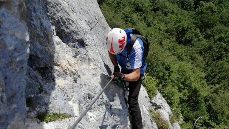
    La ferrata inizia con un breve balzo dove la catena passa in una fessura della roccia; seguono roccette ricche di appigli naturali e un secondo tratto più lungo, con roccia frastagliata, dove la pendenza cresce e la catena corre in un canalino con un piccolo balzo più difficile (utile la catena). Dal pulpito di questo tratto si vede un secondo settore verticale, preceduto da un breve sentiero di cresta su esile traccia attrezzata sul lato destro del filo. Il secondo torrione attacca con un diedro di 4 metri dagli appigli poco evidenti (conviene salire coi piedi a sinistra, pur scorrendo la catena a destra); si aggira una sporgenza a destra, si rimontano un paio di risalti — uno più faticoso — fino a un terrazzino, oltre il quale c'è un tratto di discesa attrezzata. Seguendo la traccia si raggiunge un nuovo tratto che parte sotto un basso tetto, difficile da iniziare senza trazionare sulla catena, poi più appigliato; una breve cengia a sinistra porta a una parete con fessura a sinistra e paretina a destra. Si stacca un attimo dai moschettoni e si riattacca su un risalto; un esposto tratto verticale, ben appigliato dopo i primi metri, rimonta uno spigolo sul lato destro fino a un tratto di cresta tra balzi e roccette, meno impegnativo ma molto esposto. Oltre un'esposta selletta si attacca l'ultima sezione su un pilastro (lato sinistro), poi roccette e risalti più marcati sul filo destro della cresta; si esce sul sentiero di cresta, non difficile ma da fare con attenzione dopo le piogge, con la croce di Punta Cermenati in vista. Alcuni saliscendi, l'aggiramento in discesa di un masso e si arriva alla croce (1h dall'attacco, 2h 30' dalla stazione a monte).

    ▲Character and difficulty

    Ferrata not long but with some difficult passages not to be underestimated, less joke of other routes in the area of Resegone.

    ⚠ The chain, present along the whole path, is mosquitable but rather bulky: sometimes I hang in the progression, and the puppets tend to entangle.

    ▲Period and safety

    GPS tracks (GPX and KMZ) are available; the Grigne, Resegone and Valsassina map is useful for the area.

    ▲Discipline

    Dalla croce si vede il Rifugio Azzoni; raggiuntolo si scende sul sentiero 1 fino al bivio col 5, da cui si può tenere il 5 a destra verso i Piani d'Erna e la funivia (1h 15' dal termine, 3h 45' totali) oppure restare sul sentiero 1 verso il Rifugio Stoppani e il parcheggio (2h dal termine, 4h 30' totali).

    ▲To match

    It often concatenates with one of the equipped paths that go back to Passo Fò, or climbing the Ferrata Gamma 1 from the Piani d'Erna. On the Resegone you can also walk Ferrata Gamma 2 e la Cresta della Giumenta.

    ▲Gallery
    Technical data
    • DifficultyHard
    • RegionLombardy
    • GroupResegone
    • Approach1:30 h
    • Ferrata1:00 h
    • Itinerary (a/r)3:45 h
    • Hardware level difference180 m
    • Route difference485 m
    • Max1860 m
    • Length8 Km
  • Ferrata Sass del Tavarac

    Ferrata Sass del Tavarac

    Vie Ferrate › Lombardy › Como
    Ferrata Sass del Tavarac

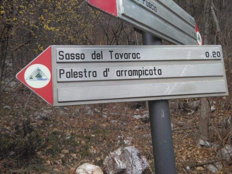
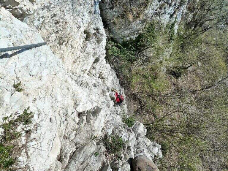
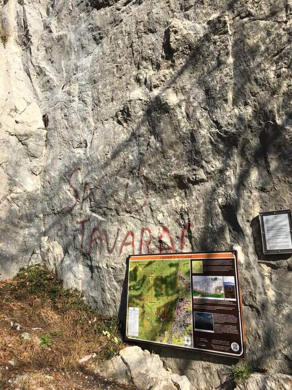
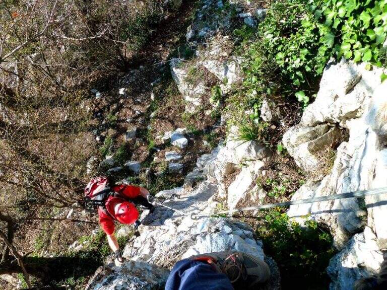
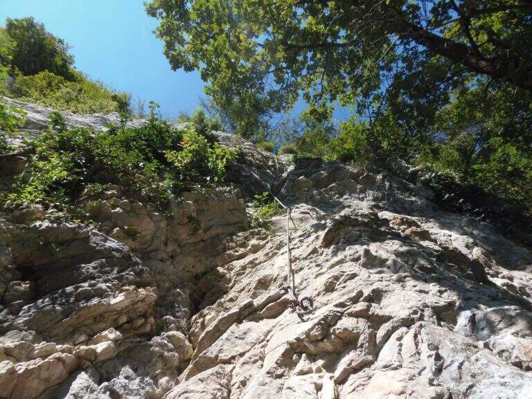
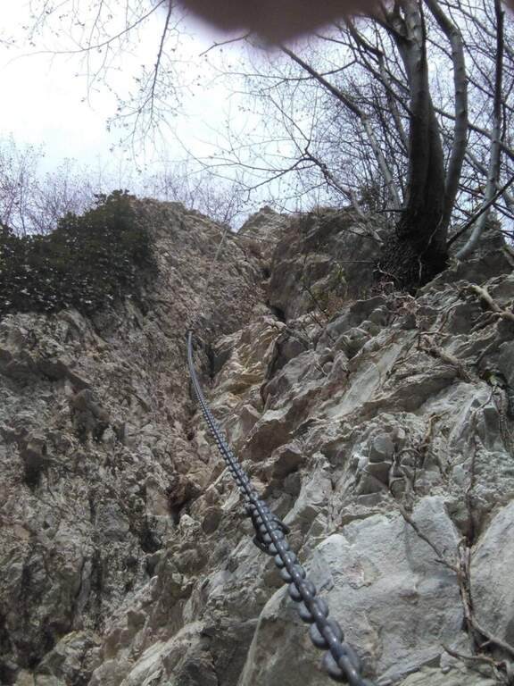
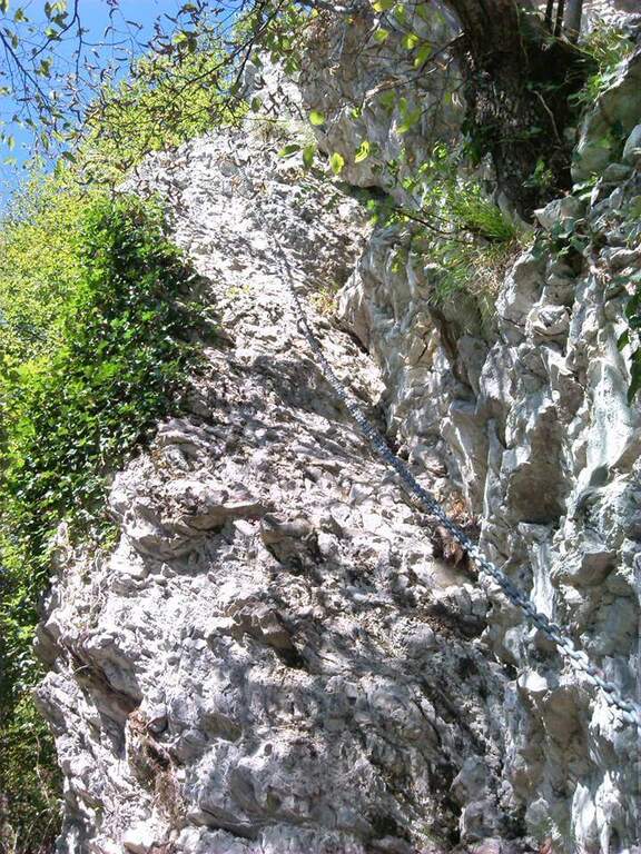
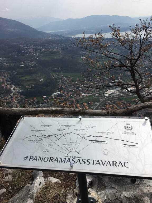
    La Ferrata Sass del Tavarac ` a difficult and athletic street above Erba, in the province of Como. È of traditional type, with equipment reduced to the minimum and without fixtures in support of the climb: it is aimed at expert hikers, well trained and with good force of arms. The rock offers almost everywhere good climbing skills; and despite the low altitude (749 m), it can be appreciated also by più climbers; demanding.

    ▲Approach

    It starts from the 'inhabited of Crevenna (common of Erba), in the direction of the 'Heremo di San Salvatore. Open road signs on Google Maps. The road that leads to the 'Eremo è private and in theory not accessible (who uses it risks the fine, but saves 30'); alternatively it goes partially via San Giorgio up to a dirt road on the right where to park. From here two options: take the paved road and then climb from the path into the wood, cutting various bends (entrance «official » signalled by two steps in stone; 30-35' from the parking lot); or take the path starting from ' We will, following the signs for the ferrata and the nearby crag with red stamps, up to search for l' attack on the right of the crag (30' from'Eremo, 1h from the slargo San Giorgio).

    ▲The path

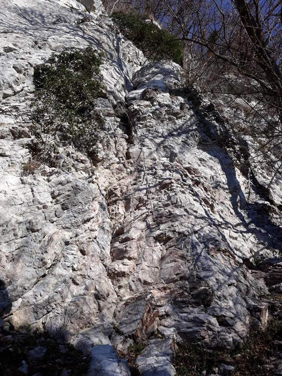
    The route is divided into tre sections difficult to understand; decreasing. La first è the più selective: immediately climbs a wall with characteristics of unmarked dihedron, about 30 meters very challenging and with few hooks; on top a cross with chains to the left, exposed and tiring, with the feet in adherence, leads to a canal to be climbed up to a crossroads (right the second section, to the left a d' street). The seconda attacks with a path equipped along a ramp and rocky and grassy steps up to a second vertical wall, less hard than the first but with less solid rock: it goes up for about fifteen meters, then a più traverse; easy closes the section (here you meet the chain of the descent path, usable as escape route). The terza section starts on fairly coricated rocks up to a white-yellow wall of difficultà similar to the second but with less secure rock, on which to pay attention to hands and feet remembering that under c'è the cliff; the last balconies close the ferrata (45' from' attack, about 2h from the parking space).

    ▲Character and difficulty

    Short but demanding and technically difficult, with metal equipment reduced to the minimum (in good condition): it favors those who master the climbing technique.

    ⚠ The first section is very selective: a pair of climbing shoes can be useful. In several points, especially in the second and third section, the rock is less secure and the way develops over a cliff. If you park at the Hermitage, return by 7 pm because then the bar is closed at the entrance of Via San Giorgio.

    ▲Period and safety

    Low altitude, therefore accessible in most of the year with good rock conditions. GPS tracks (GPX and KMZ) are available.

    ▲Discipline

    Due alternative: al termine della ferrata seguire subito a destra la traccia con catena, che scende presso la parete di salita — a tratti esposta, instabile e attrezzata con catena piuttosto lasca, con un paio di brevi disarrampicate — fino all'attacco e poi a ritroso (45' dal termine, 2h 45' totali); oppure salire leggermente nel bosco fino a una mulattiera, imboccarla a sinistra in discesa passando accanto ai settori d'arrampicata Sasso San Salvatore e Sasso d'Erba, ignorando i bivi, fino all'Eremo e all'auto (1h dal termine, 3h totali).

    ▲To match

    Area rich in similar difficulties: the 30° OSA at Corno Rat, la of the 25th anniversary of the Western Horn, la Ferrata al Corno Medale e la Countess of Monte Due Mani; towards Varesotto la Ferrata Bellotti near Mesenzana.

    ▲Gallery
    Technical data
    • DifficultyHard
    • RegionLombardy
    • GroupLarian Triangle
    • Approach1:00 h
    • Ferrata30
    • Itinerary (a/r)3:00 h
    • Hardware level difference170 m
    • Route difference350 m
    • Max749 m
    • Length4 Km
  • Ferrata della Sassella

    Ferrata della Sassella

    Vie Ferrate › Lombardy › Sondrio
    Ferrata della Sassella

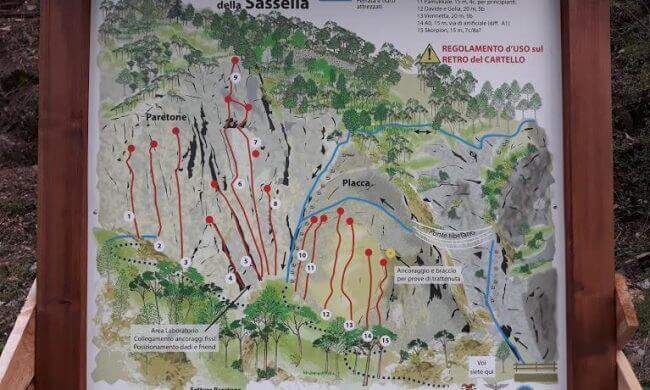
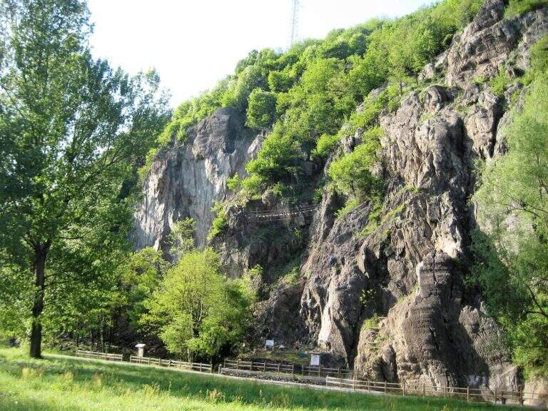
    La Ferrata della Sassella ` a short, well-equipped route built on the rock gym of the same name, at the western gates of Sondrio in Valtellina. The development è content and, except for short sections, does not have any difficulty and importance. The wall offers two parallel routes connected by a suspended bridge, indicated in the all' basin; entrance: a quick and fun itinerary, perfect to join some d' shooting; climbing.

    ▲Approach

    You can reach the locality; Sassella, on the west outskirts of Sondrio. Open road signs on Google Maps. Already from the parking lot is well visible, on the opposite side of the road, the wall on which the ferrata and the climbing routes run; a short path leads in a few minutes to the wall and the attack.

    ▲The path

    The wall, a sixty-foot tall, houses two tracks that rejoin to metà. The settore right rises a rather lean hedgehog, then a vertical at first and finally with a short overhanging section, supported by numerous brackets; it arrives così to the ponte suspended on three ropes. Cross it, continue on a plaque with an easy traverse to the left until you meet the left settore , which attacks about fifty meters beyond the right leaving, going up a vertical wall but full of brackets and handles. From the point where the two itineraries are joined vertically on brackets along a placconata, then the path enters the forest turning into a path equipped and ends in short (circa 20' overall wall).

    ▲Character and difficulty

    Short and never really difficult, ideal for those who move the first steps and perfect to match some shooting along the adjacent rock gym.

    ▲Period and safety

    The low share makes it possible for most of the year. An official GPS track is not available for this route.

    ▲Discipline

    You descend on the right following the traces of return.

    ▲History

    The Ferrata è was inaugurated on the 21 April 2018, at the adjacent rock gym.

    ▲To match

    Ferrates in Valtellina are not many: Sassella lends itself to be combined with Torrione Porro or Ferrata della Croce al Palabione; not far, in Valchiavenna, the ferrates ♪ e Succeeds.

    ▲Gallery
    Technical data
    • DifficultyEasy
    • RegionLombardy
    • GroupValtellina
    • Approach0:10 h
    • Ferrata0:25 h
    • Itinerary (a/r)1:00 h
    • Hardware level difference70 m
    • Route difference80 m
    • Length0,5 Km
  • Ferrata Pizzo Recastello

    Ferrata Pizzo Recastello

    Vie Ferrate › Lombardia › Bergamo
    Ferrata Pizzo Recastello
    Moderately Hard● OpenDescriptionComplexityMapsGallery

    The climb to the Pizzo Recastello is one of the classic routes of Orobie. The equipped section is short and dates back to a detritic canal not difficult but from the unstable background; the itinerary in the complex is however long, with almost 2000 m of altitude difference in an imposing mountain environment.

    ▲Approach

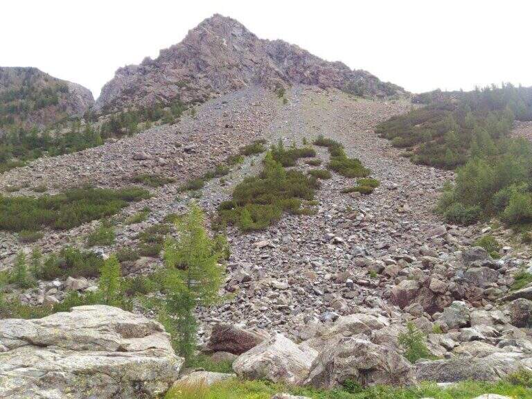
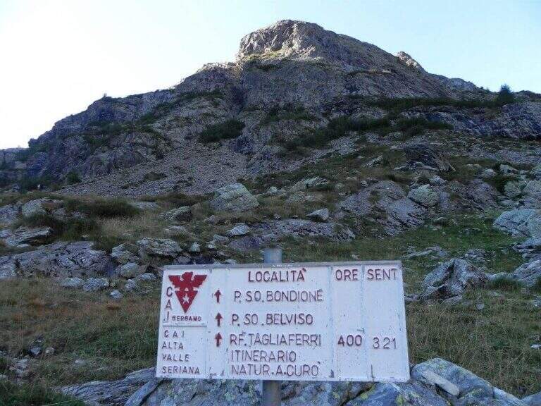
    The starting point is Grumetti, in the municipality of Valbondione, in the upper Val Seriana (Bergamo): from Valbondione go straight to Grumetti, parking in the beach at the end of the road. Starting point on Google Maps. You go up the path 332 towards the artificial lake of the Barbellino, reaching on its shore the Hostel Curò (about 2h 15' from the parking lot). The right is held along the southern shore of the lake to a clear crossroads, where you climb on the path 321 in the Val Cerviera; you go up towards the walls of the Pizzo Recastello while keeping on the left the river (in front you will see the imposing Pizzo Coca). Where the valley is tightened you cross the creek and, following the signs, you go to the south wall; carefully follow a trace with some red stamp on pietrisco and drain until you find the rocky canal where the via equipped (3h 30' from the parking lot).

    ▲The path

    You go up a rocky canal very climbing, with the chain on the right: the climb is steep but well-tended and you go climbing without excessive tractions on the cable (difficulty never beyond the II degree). After a first steep stretch there is a more supported one and then a third again steep, with almost absent exposure; in about 15' it comes out from the canal and ends the equipment. Then follow a track that cuts diagonally the wall and leads to the final crest, in good exposure with Lake Barbellino a thousand meters lower; between climbs and easy small rocks (insidious if wet) you reach the summit cross of Pizzo Recastello (2886 m, about 4h 30'-5h from the parking lot), with views of Orobie, Bernina and Adamello.

    ▲Character and difficulty

    Technically the equipped road is contained (channel of 2nd degree), but it should be framed in a long climb of high mountain; the detritic bottom of the canal requires caution.

    ⚠ The main objective risk is the fall of stones, from those who precede or from those who fall back: wear the helmet just started the canal.
    ▲Period and safety

    High-altitude summer climb; the length and altitude difference impose departure at dawn and good energy management.

    ▲Discipline

    You go down backwards through the route, via equipped, up to the Curò hut already visible from the summit. A recommended variant: coming to the Barbellino Lake near the Curò, you keep the left on path 304/306 for a return different from the first part of the route; the 304 runs in falsepiano south bypassing Monte Verme and in about 20' leads to a crossroad where you keep the right downhill on the 305 signpost, which after a steep stretch enters the wood and returns to the parking lot of Grumetti (about 9-10h total).

    ▲To match

    For those staying in the area: from the hut Barbellino you can face the next day the Ferrata at Pizzo Strinato, with a similar but longer character, or the neighbor Ferrata al Pizzo del Becco. In the area Presolana the easiest Ferrata del Monte Sarrandone; going down to the city Ferrata Maurizio, la Ferrata alla Madonnina del Coren and, towards Lecco, the Ferrata at Monte Ocone.

    ▲Gallery
    Technical data
    • DifficultyModerately Hard
    • RegionLombardy
    • GroupAlps
    • Approach3:30 h
    • Ferrata0:20 h
    • Itinerary (a/r)9:00 h
    • Route difference1950 m
    • Max2886 m
  • Ferrata al Pizzo del Becco

    Ferrata al Pizzo del Becco

    Vie Ferrate › Lombardia › Bergamo
    Ferrata al Pizzo del Becco
    Moderately Hard● OpenDescriptionComplexityMapsGallery

    The Ferrata al Pizzo del Becco is a short stretch equipped with no technical difficulties of importance, but inserted in a long and challenging itinerary: before and after the equipment there are rocks exposed to face in free, where it serves foot. The environment, in the heart of the Bergamo Orobies, is wild and isolated.

    ▲Approach

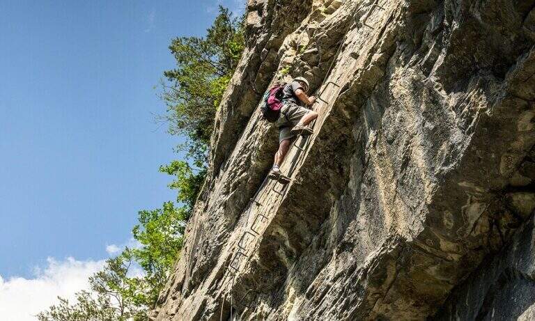
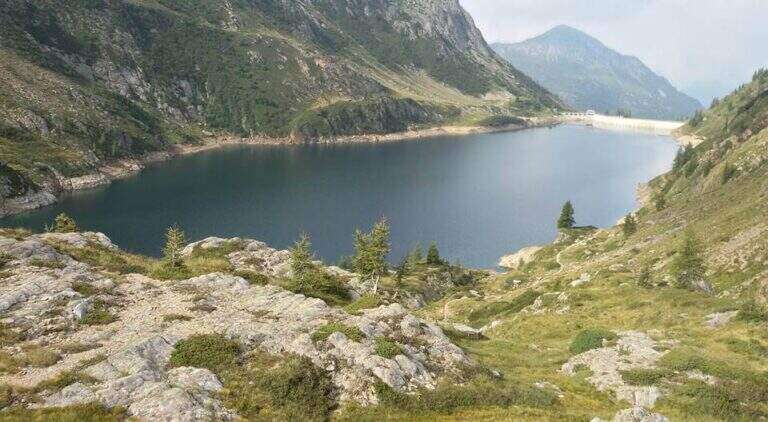
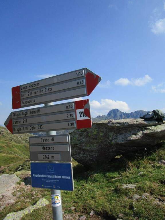
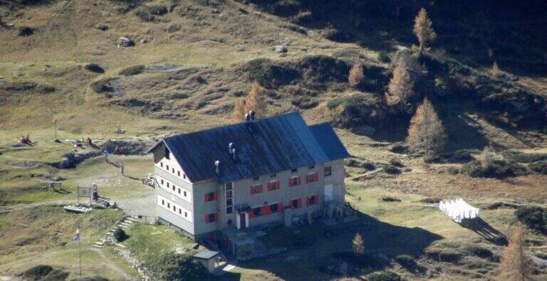
    The starting point is the Baite di Mezzeno, above Roncobello in Val Brembana: from Roncobello you continue on the road first paved and then dirt until you end at the huts, where you park. Starting point on Google Maps. Take the path 215 uphill, which enters almost immediately into the woods; exit on the pastures of height you reach a crossroads where you keep the right towards the Rifugio Laghi Gemelli. The path is steeped to the Mezzeno Pass (2140 m), beyond which a pier, and in a half hour leads to the refuge (2h from the parking lot). Cross the dam of the lake passing on the other side, continue on dirt road to Lake Colombo and cross it on a second dam; just beyond a red sign indicates to keep the left. Approaching the walls of the Pizzo del Becco you follow a clear track first, then the white-red signs on path and rocks, up to the chain that gives start to the ferrata (1h 15' from the shelter, 3h 15' total).

    ▲The path

    The equipped stretch covers less than 100 m of altitude difference and has in fact only two vertical points. You start in a well-dressed dihedron, you pass a prominence and turn left on some rocks up to a small terrace where it is worth turning for the nice eye shot on Lake Colombo. Then a second vertical wall rises, with excellent hooks for hands and feet, up to a final exit slot; the chain folds right and on a more coricated wall, with the cable as a simple balance, you reach the end of the equipment (20' from the attack, about 3h 40' total). Continue on uphill track, on easy but exposed rocks, up to the Forcella del Valico (from which to the right would descend the normal way); for the final ridge there are some rocks and a last stretch equipped up to the summit cross (20' from the end of the ferrata, 4h total).

    ▲Character and difficulty

    The equipped part is easy and the chain, not very tense, serves seldom; the commitment lies in the length of the itinerary and in the stretches of exposed rocks, uphill and downhill, to be covered independently.

    ⚠ Wearing the helmet just started the rocky area: the main risk is the fall of stones on who goes up or down. Beware of moisture on the rocks before and after the ferrata after recent rains.
    ▲Period and safety

    High mountain road, to be covered in summer with dry rock; the isolated environment requires good autonomy.

    ▲Discipline

    From the cross you go back to the Forcella del Valico, where you can choose if you redefine the ferrata crossed uphill (40' from the summit, be careful not to move stones on who is below) or follow straight signs towards Passo di Sardegnana; in both cases you arrive at Lake Colombo (1h 15' from the summit). From here you go back to the approach path to the parking lot (1h 30' from Lake Colombo, about 6h 15' total).

    ▲To match

    It is part of a long itinerary that leaves little energy for another day, but the Orobie Park and Bergamo offer many equipped to join in several days: the Ferrata Guerino Rossi al Pizzo Strinato, la Ferrata at Monte Ocone, la Ferrata alla Madonnina del Coren, la Ferrata Maurizio and, in Val Brembana, the Ferrata di Santa Croce alla Corna Maria.

    ▲Gallery
    Technical data
    • DifficultyModerately Hard
    • RegionLombardy
    • GroupAlps
    • Approach3:15 h
    • Ferrata0:20 h
    • Itinerary (a/r)6:15 h
    • Hardware level difference70 m
    • Route difference1200 m
    • Max2507 m
    • Length17,2 Km
  • Ferrata at Pizzo Badile Camuno

    Ferrata at Pizzo Badile Camuno

    Vie Ferrate › Lombardy › Brescia
    Ferrata at Pizzo Badile Camuno

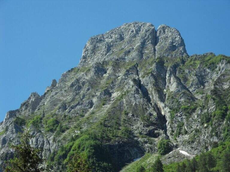
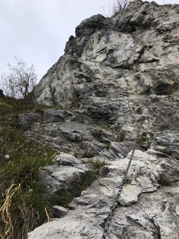
    The Ferrata al Pizzo Badile Camuno is a great excursion on one of the southern peaks of the Adamello Group, in the upper Val Camonica (Brescia). The itinerary is challenging for the long approach and the difference in altitude, while the fully equipped section does not have significant technical difficulties; the view from the top largely repays fatigue.

    ▲Approach

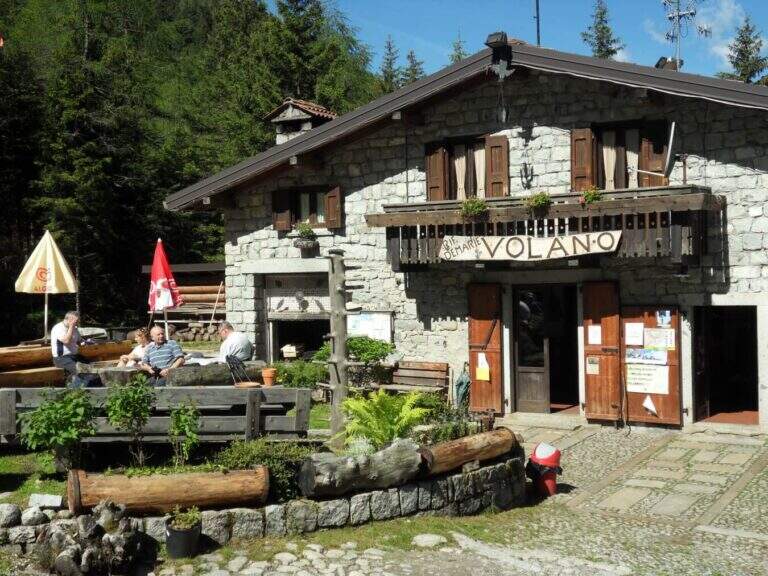
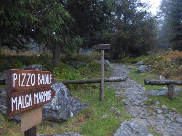
    The starting point is at Cimbergo, in the upper Val Camonica. Once in the village, on the right you take the road with directions to Volano and Redole; initially in good condition, it must be followed by ignoring the secondary bivi until it becomes dirt, where you can leave the car (willing to continue until the next slargo, but the bottom is more dissected). Starting point on Google Maps. From the parking lot follow the dirt road, which coincides with path CAI 16, to the Rifugio De Marie; here you leave the 16 and take the CAI 77 path, well marked. The path climbs steeply in the woods and after about 30 minutes leads to the first equipped sections: a plaque supported with a lasca chain, then stretches of steep path with small rocks following the white-red signs, some rocks to be overcome with the help of brackets and the exit from the wood. You reach a second stretch equipped with chain, a wall resting of 30-40 meters not trivial (a couple of scarce, chain lasca in several points); a little further you pass near a bivouac, from which a path exposed to stretches equipped leads, between aerial passages but easy, to the attack of the ferrata (2h 30' from the parking lot).

    ▲The path

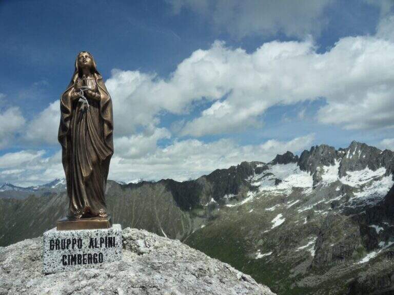
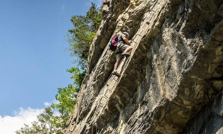
    The ferrata begins by climbing a wall almost everywhere: the climb is pleasant and logical, with the cable that often acts as a handrail. After a first linear stretch bends slightly to the right on an ascending, comfortable and panoramic nod; from this pulpit the cable resumes more vertical, first to the right then to the left, on very stable rock and in prevalence diagonally. You earn another terrace, then the slope increases: you pass a couple of walls leaned but more steep and then a vertical wall that goes up a little marked canal. Folding to the right, some rocks are reassembled in the crest, beyond which the equipment ends; along the wide ridge you reach the Madonnina just below the summit (2435 m), where the road ends (30' from the attack, 3h 30' total).

    ▲Character and difficulty

    It is a traditional ferrata: few metal supports, logical climb, the goal of reaching a top more than looking for the degree. Although with relatively low altitude, the set has the character of a difficult alpine hike.

    ⚠ The real commitment lies in approaching and returning: exposed traits and some passages of I degree in climbing and climbing in the wood. The fatigue of the long descent must be realized.
    ▲Period and safety

    Summer itinerary: the length and rocky sections of the path require a stable day and good energy management.

    ▲Discipline

    You return to the same route. Maximum attention to the climbing of the ferrata and the rocky stretches climbed; the descent is challenging and should be considered in the balance of the day (2h 45' from the summit, 6h 30' total).

    ▲To match

    Itinerary long that hardly converges in the day, but the high valleys of Brescia offer many equipped. Risalendo la Val Camonica: la Ferrata Arosio al Corno del Grevo, la Ferrata Terzulli and, at the Passo del Tonale, the Path of Flowers; towards Valtellina the easy Ferrata del Cuore at the Cross of Monte Palabione.

    ▲Gallery
    Technical data
    • DifficultyHard
    • RegionLombardy
    • GroupAdamello
    • Approach3:00 h
    • Ferrata0:30 h
    • Itinerary (a/r)6:30 h
    • Hardware level difference200 m
    • Route difference1385 m
    • Max2435 m
    • Length10 Km
Need help? Write to us!