Regione: Veneto

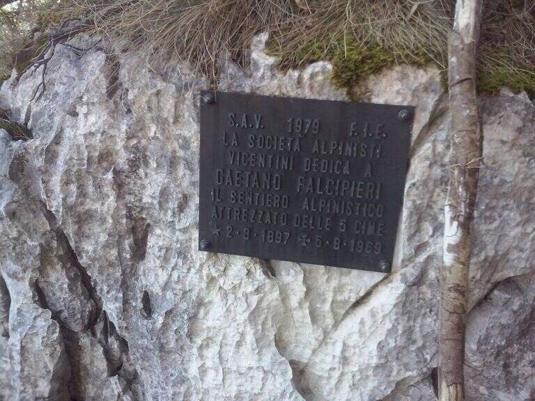
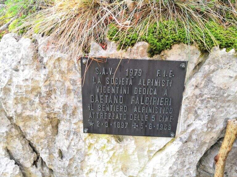
  • Sentiero Attrezzato Falcipieri

    Sentiero Attrezzato Falcipieri

    Vie Ferrate › Veneto › VI
    Sentiero Attrezzato Falcipieri
    Moderately Hard● OpenDescriptionComplexityMapsGallery

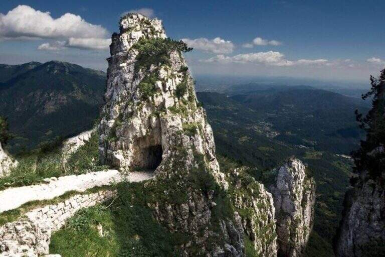
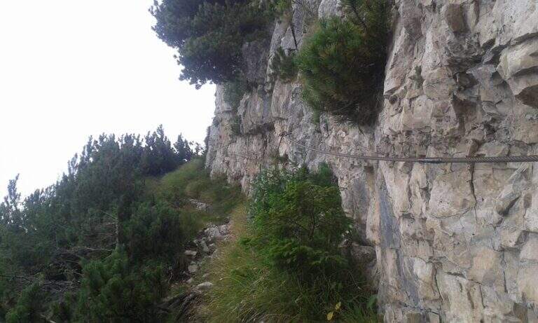
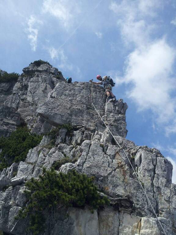
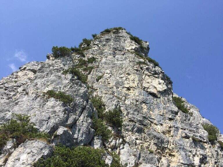
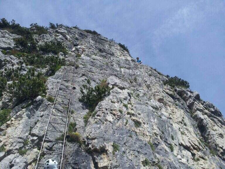
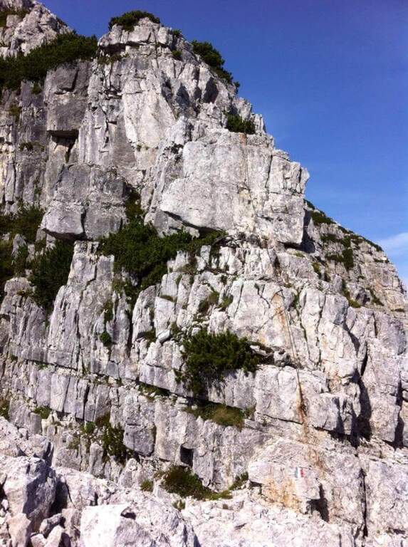
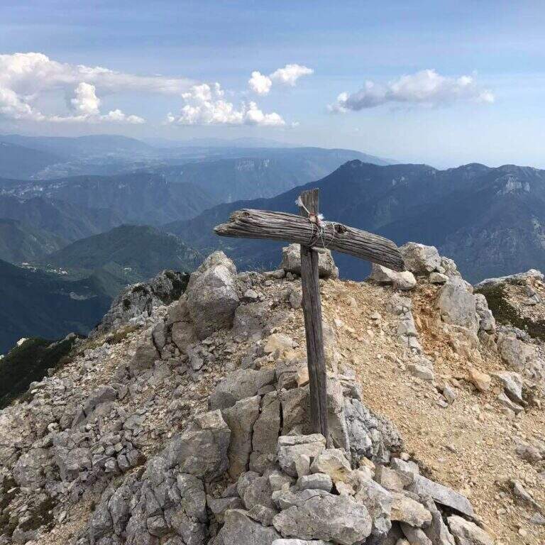
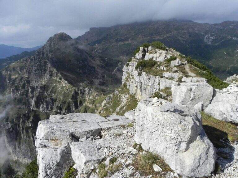
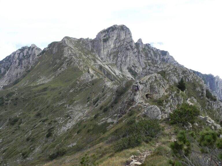
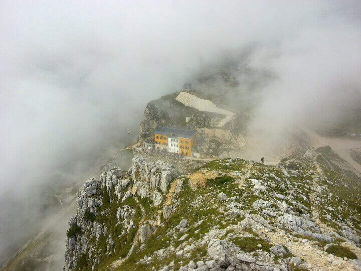
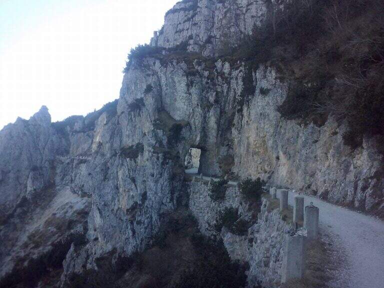
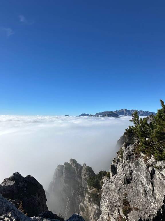
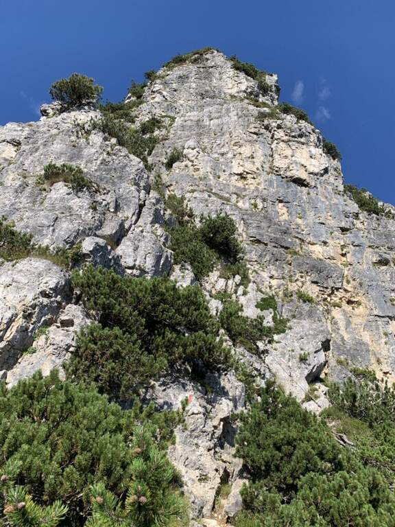
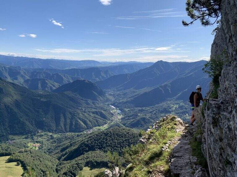
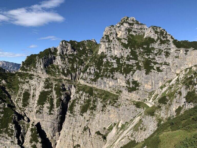
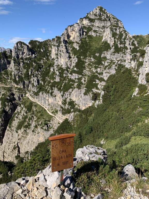
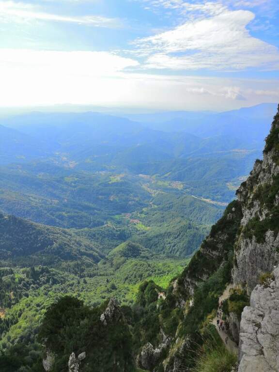
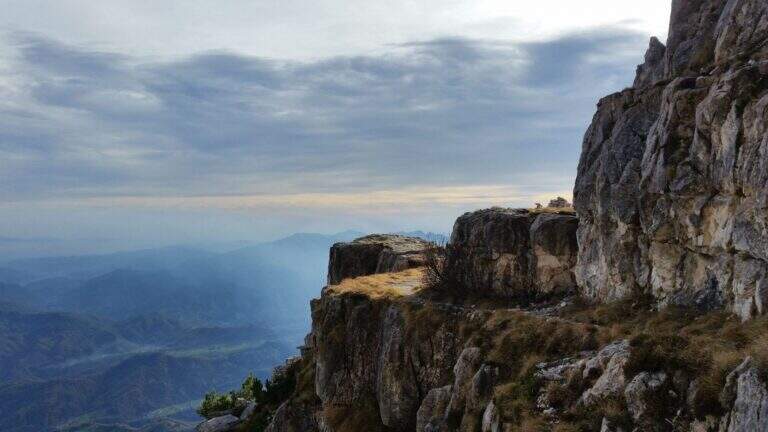
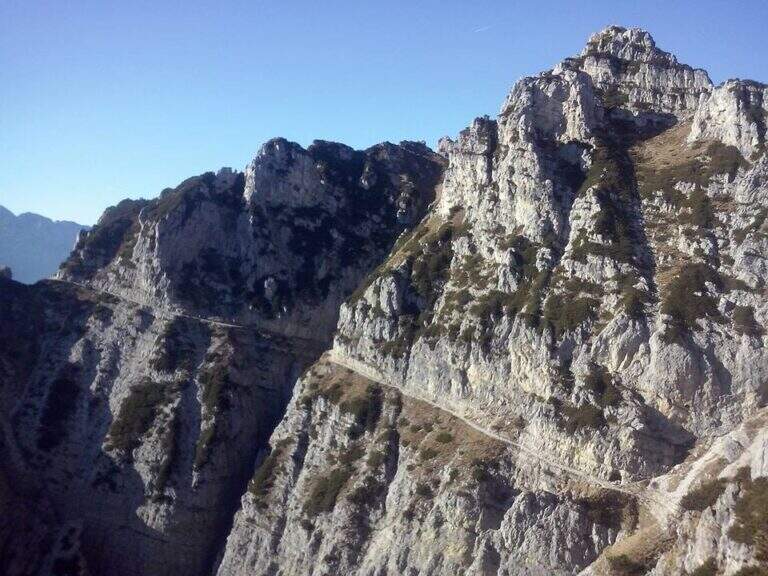
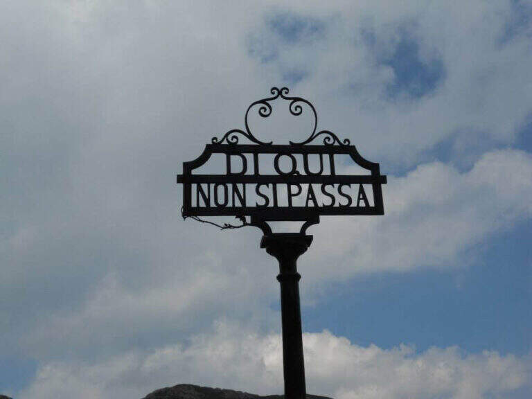
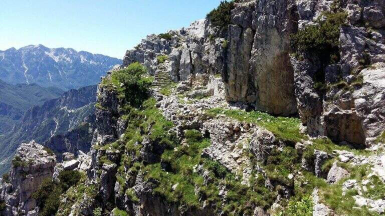
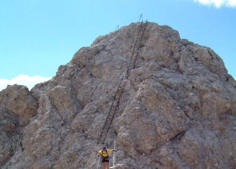
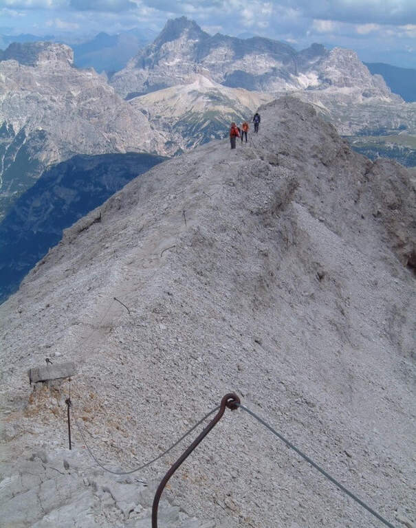
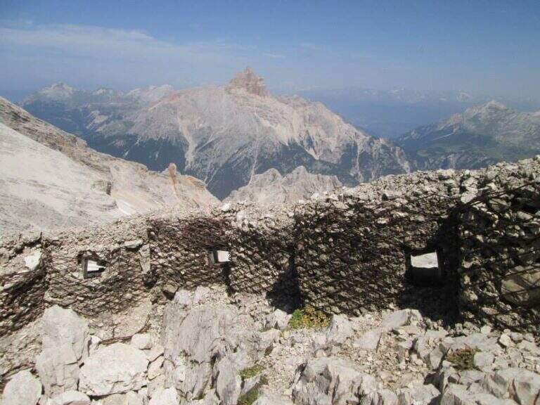
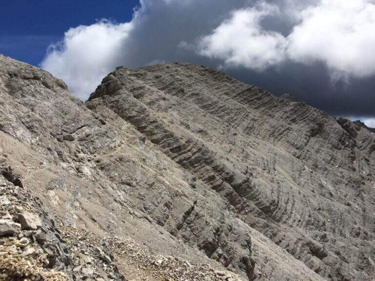
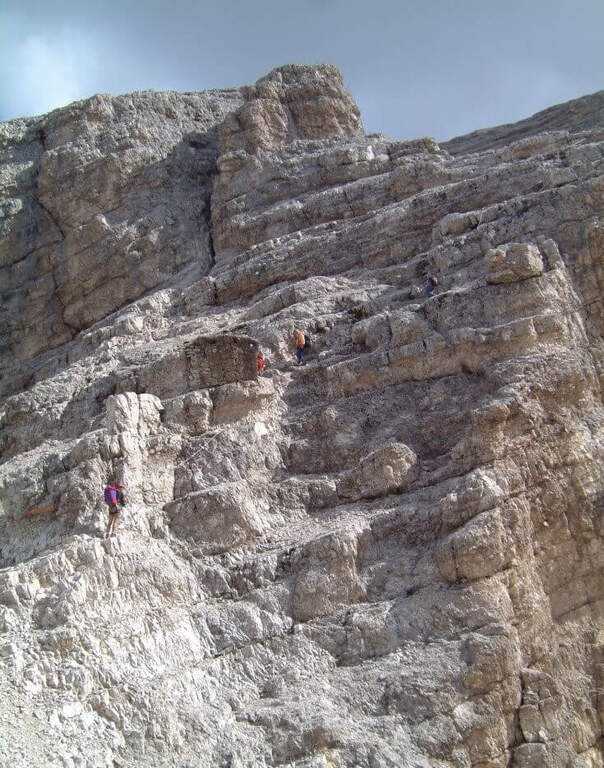
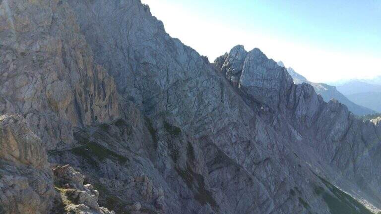
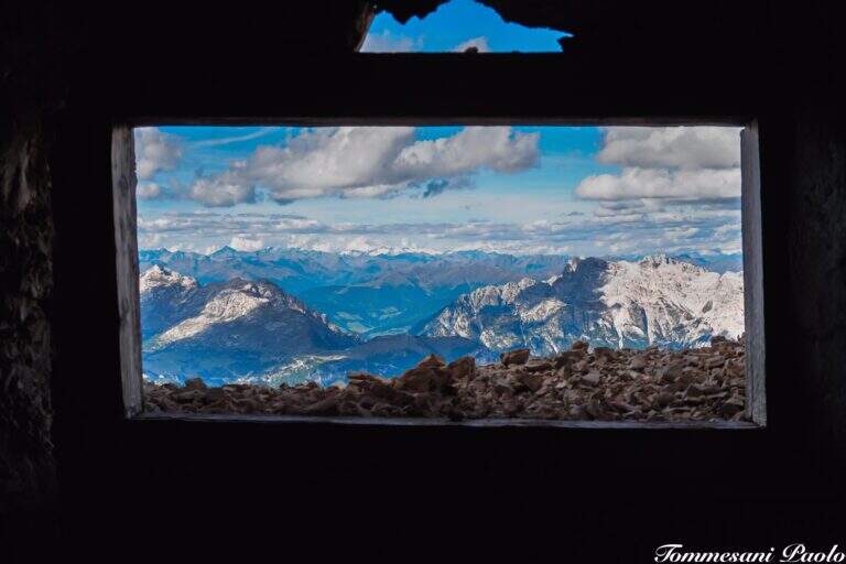
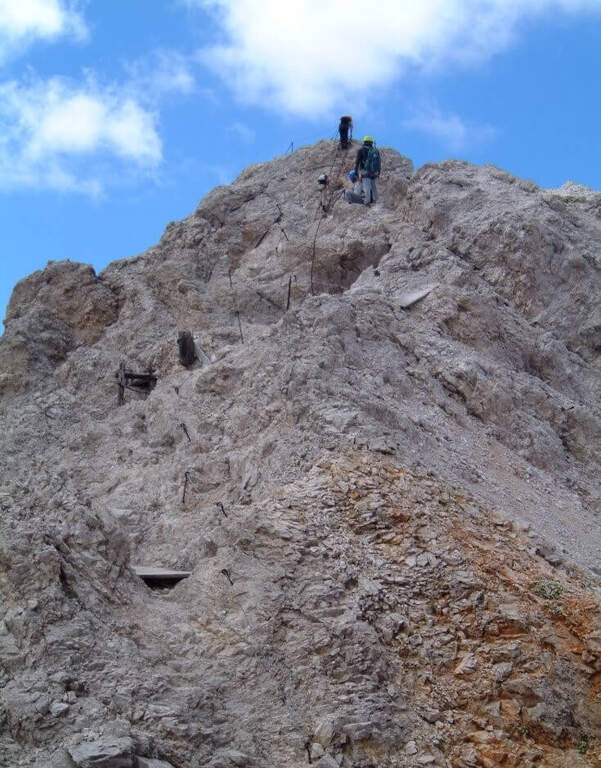
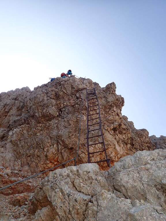
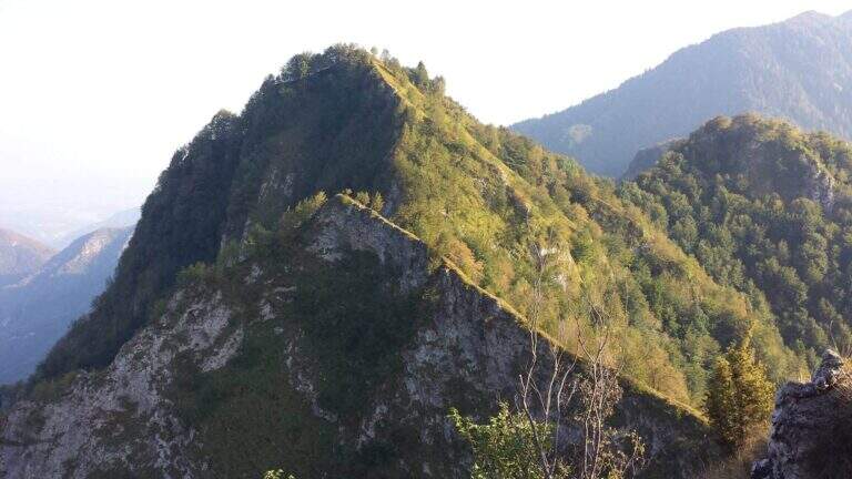
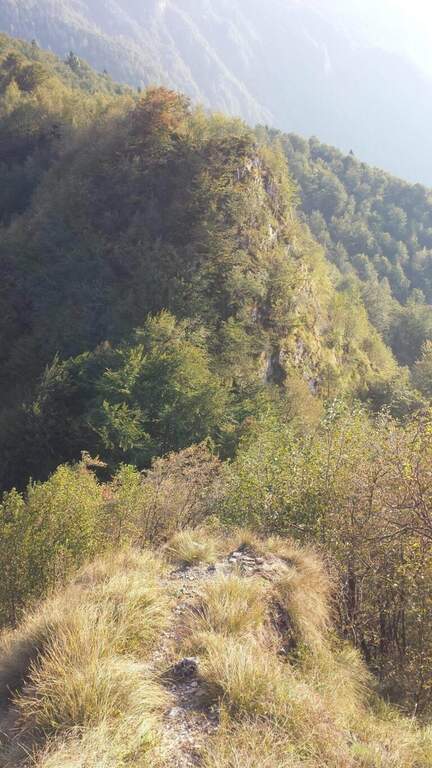
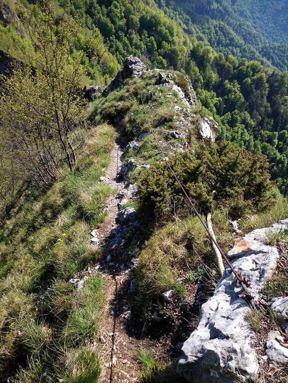
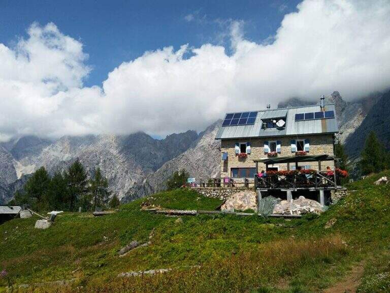
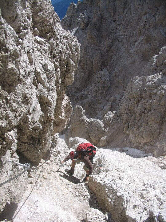
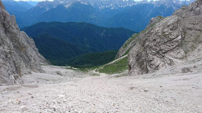
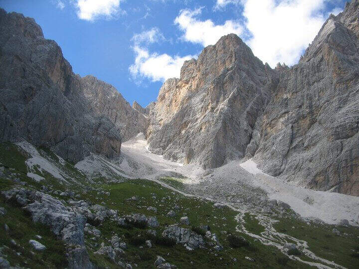
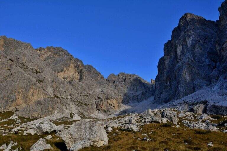
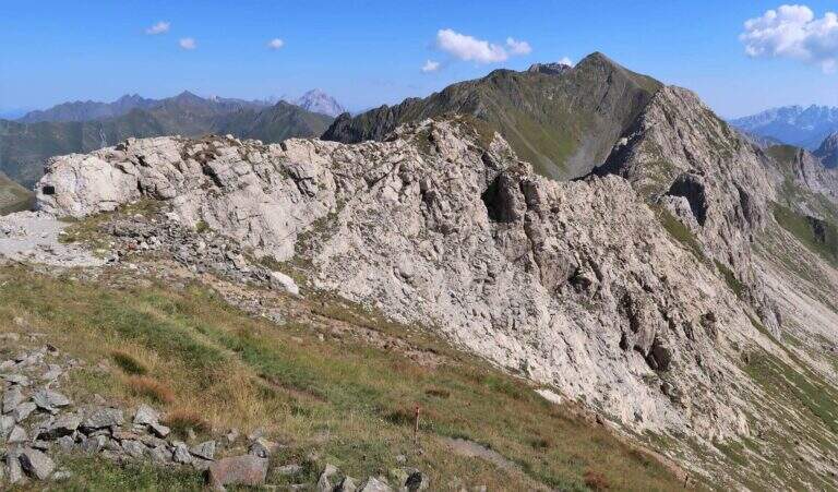
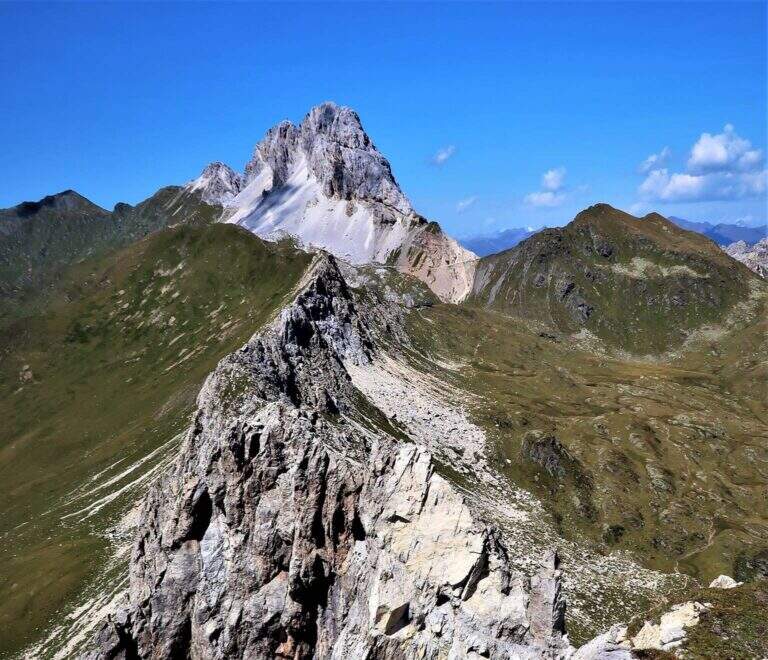
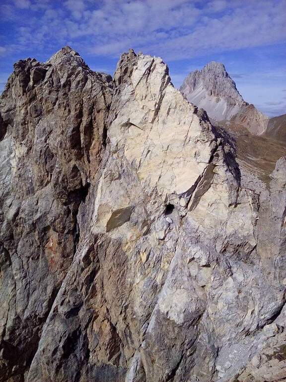
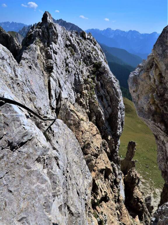
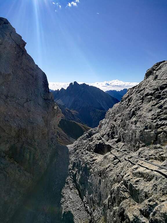
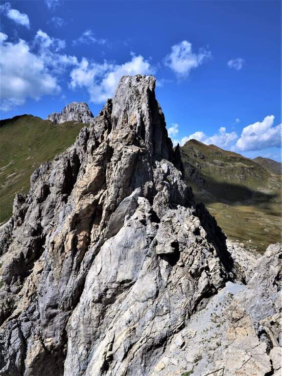
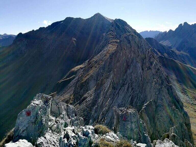
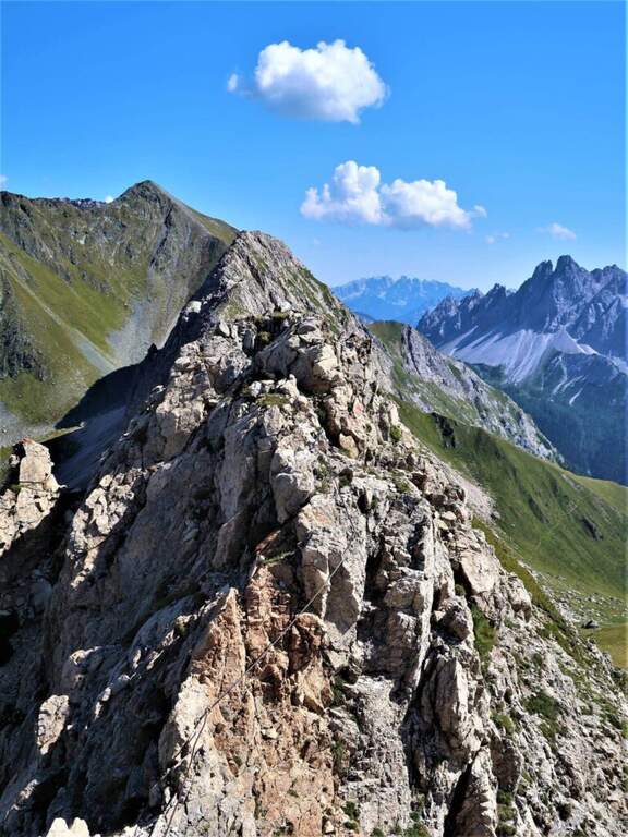
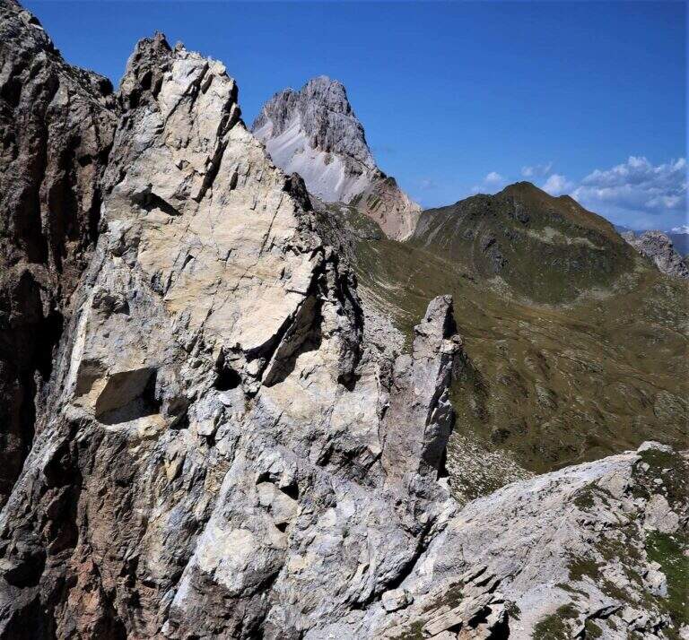
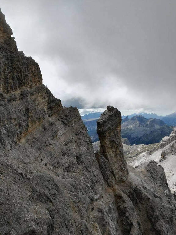
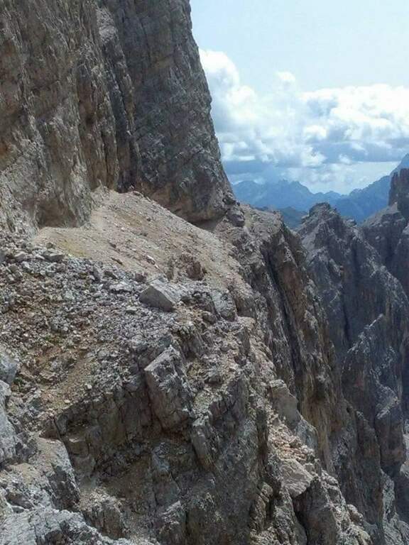
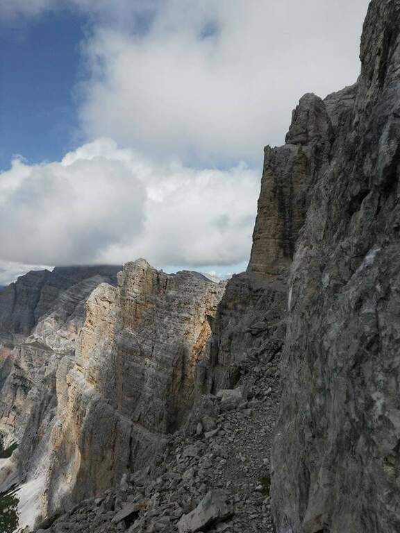
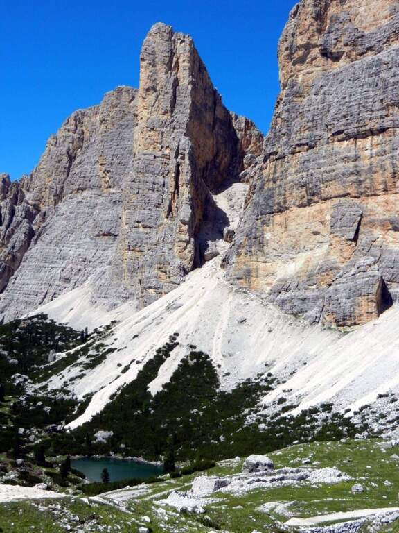
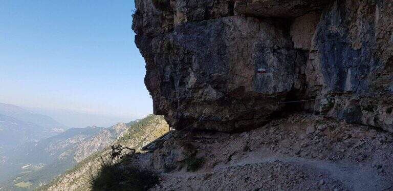
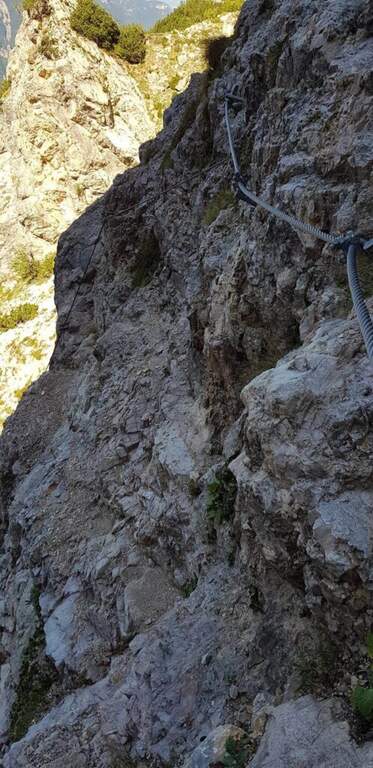
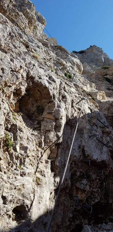
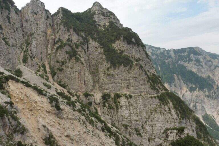
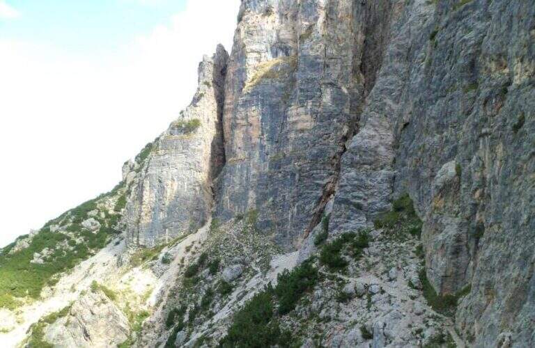
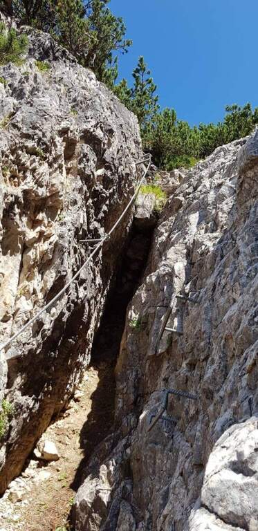
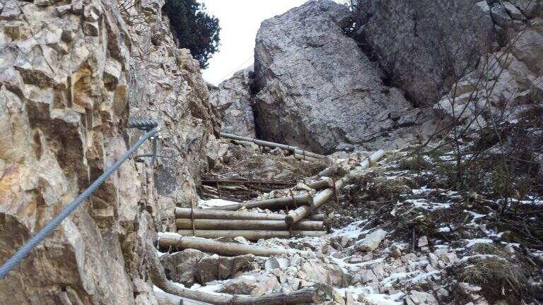
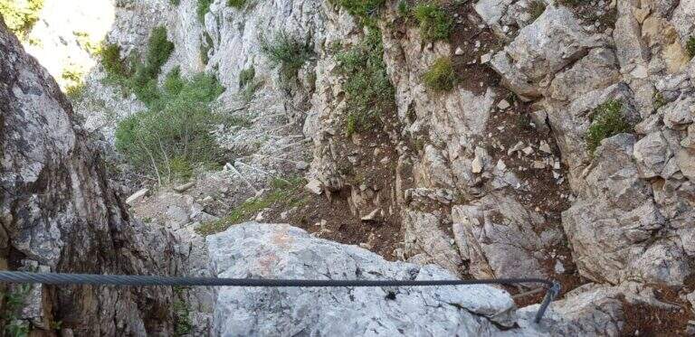
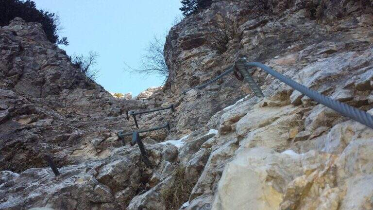
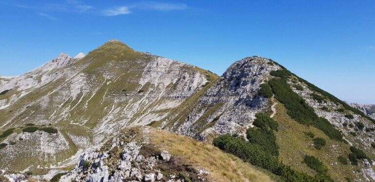
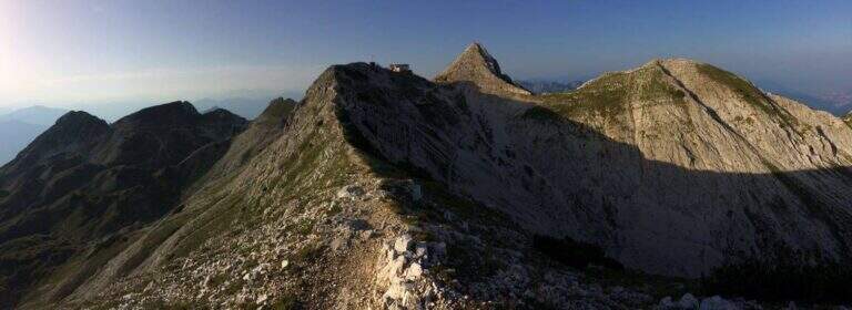
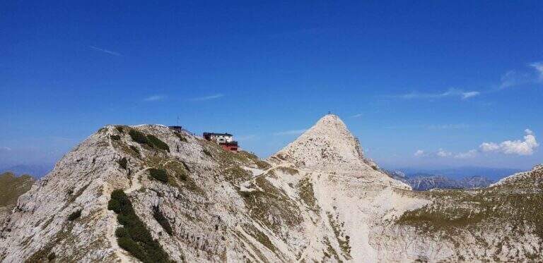
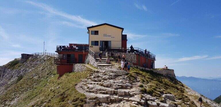
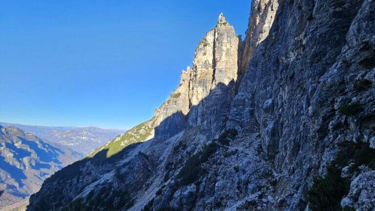
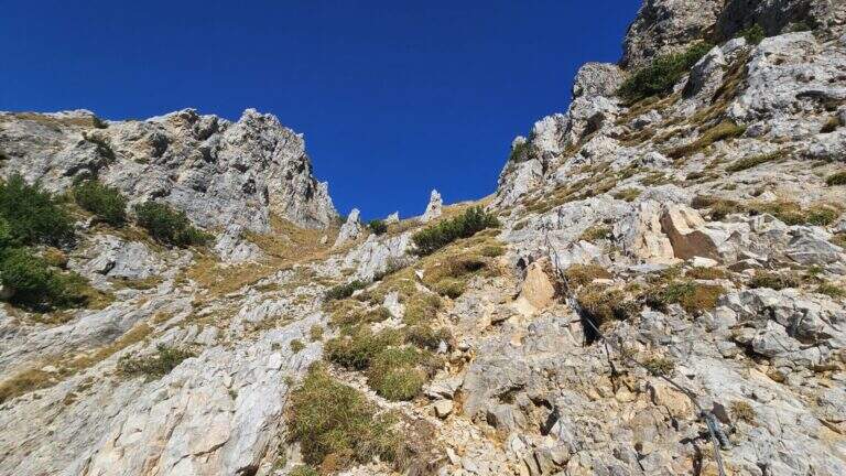
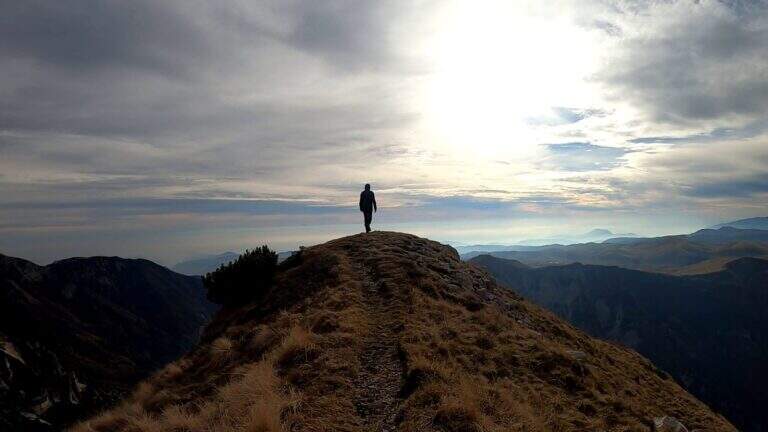
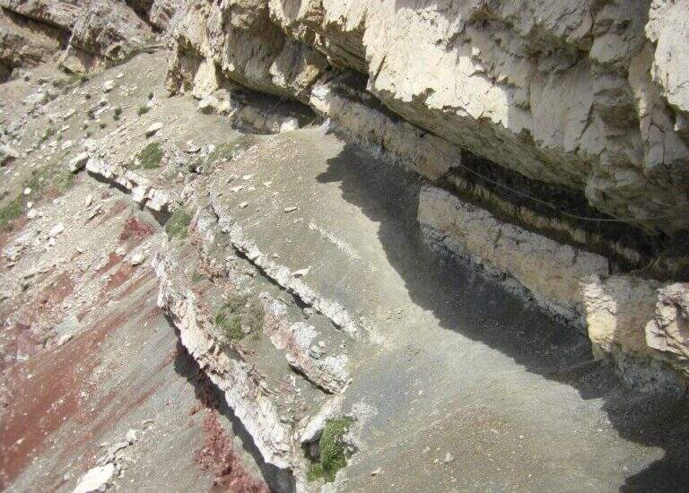
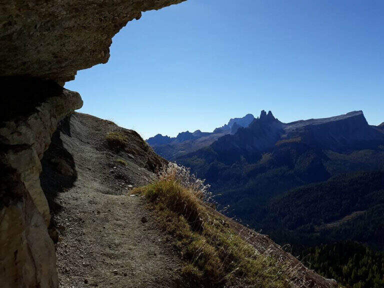
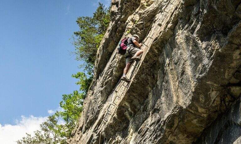
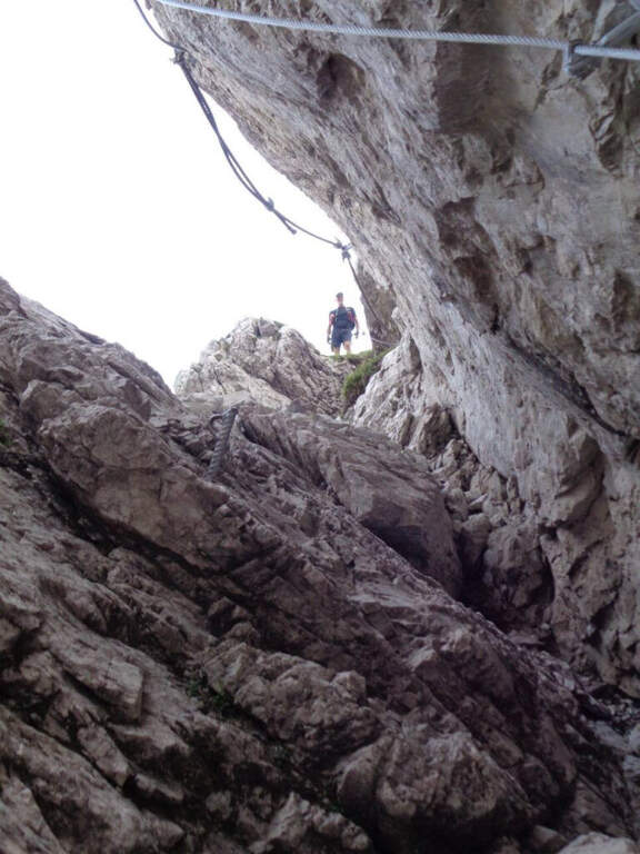
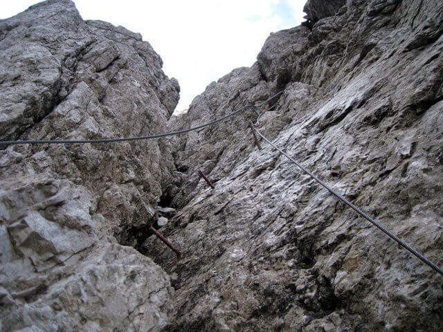
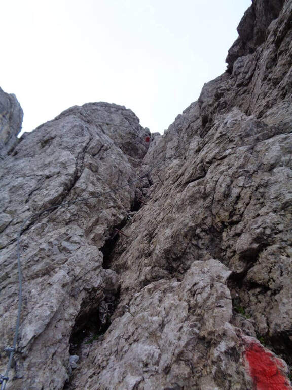
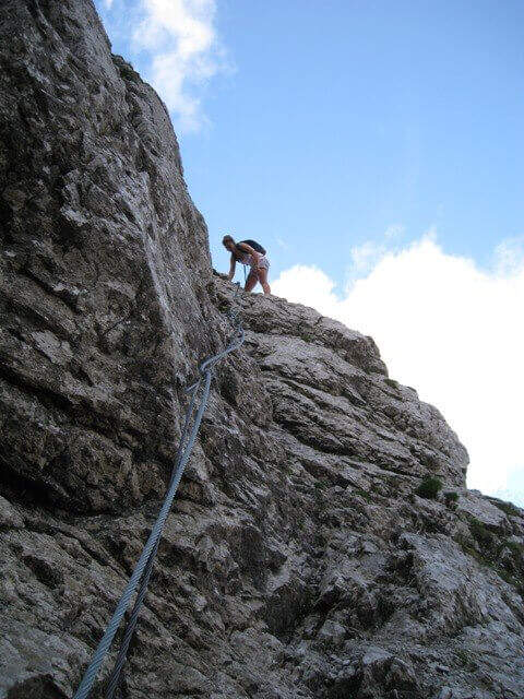
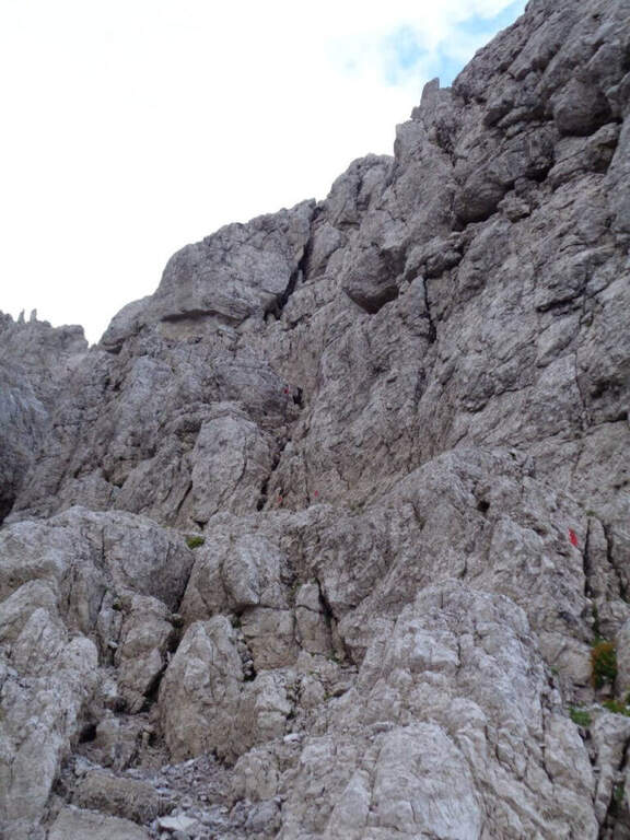
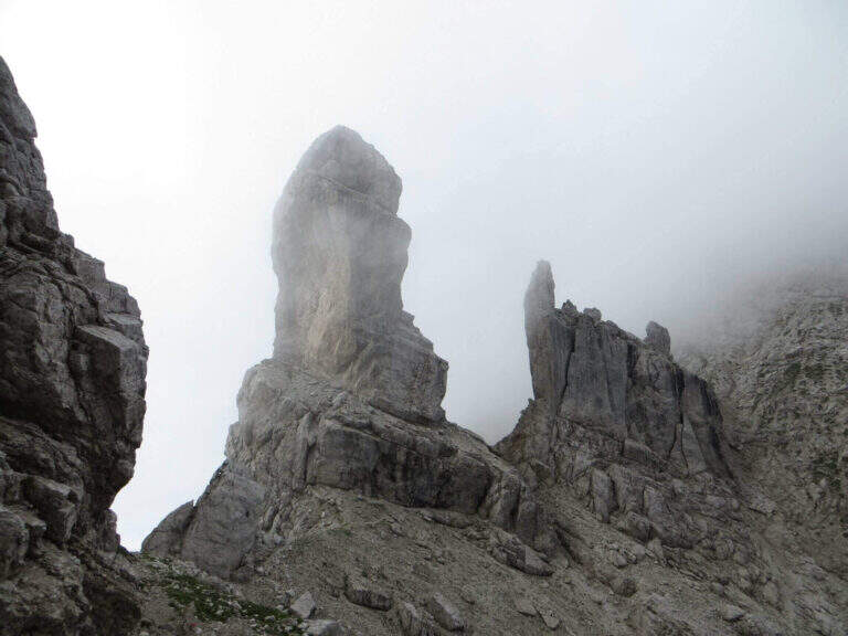
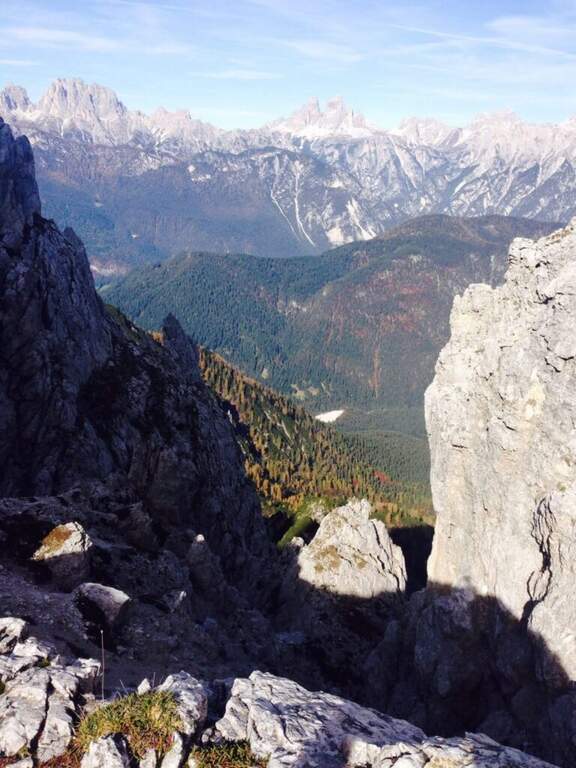
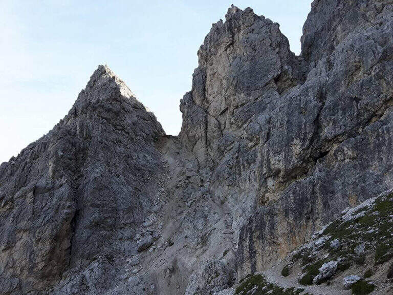
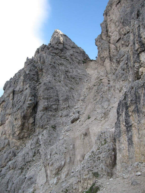
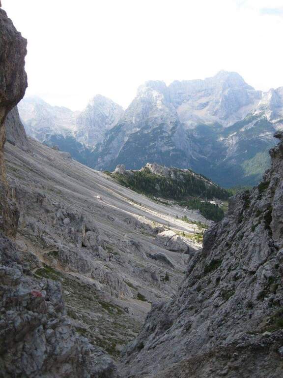
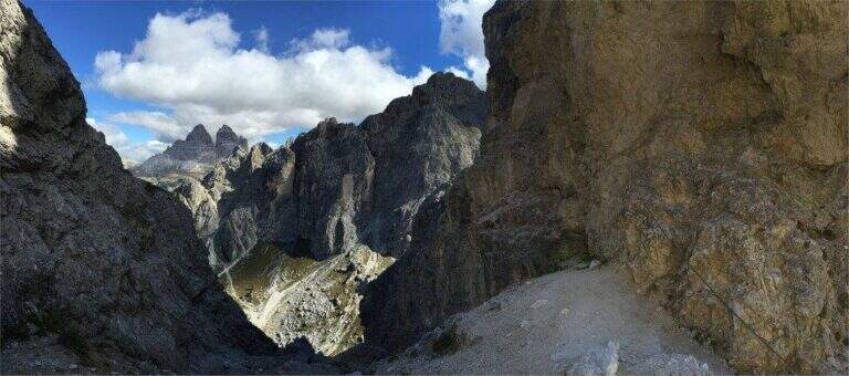
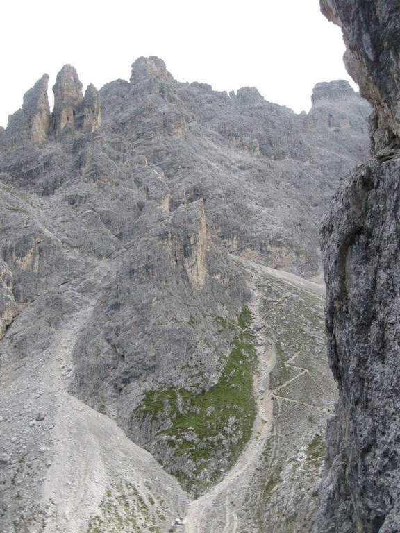
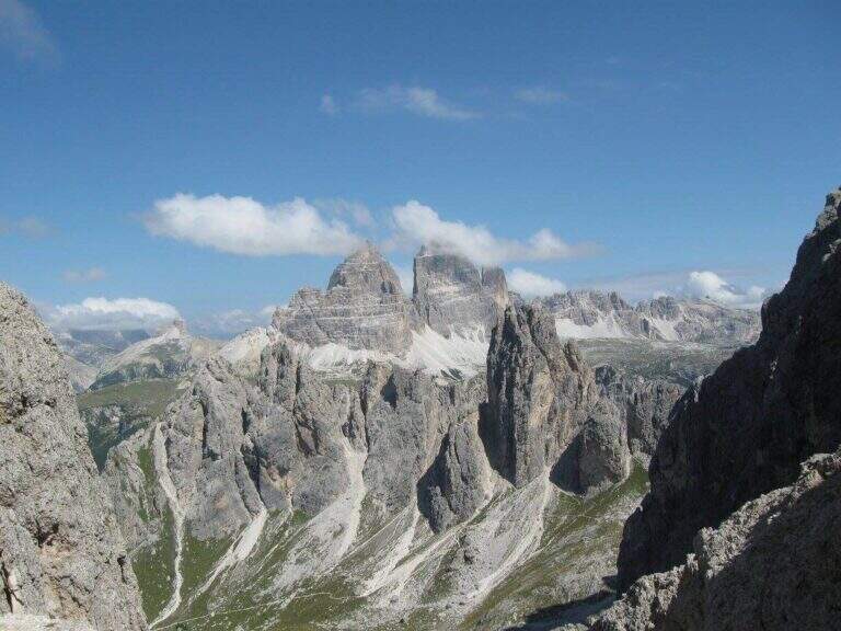
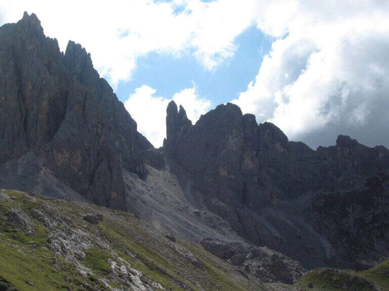
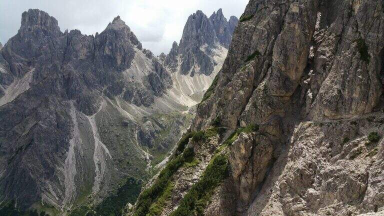
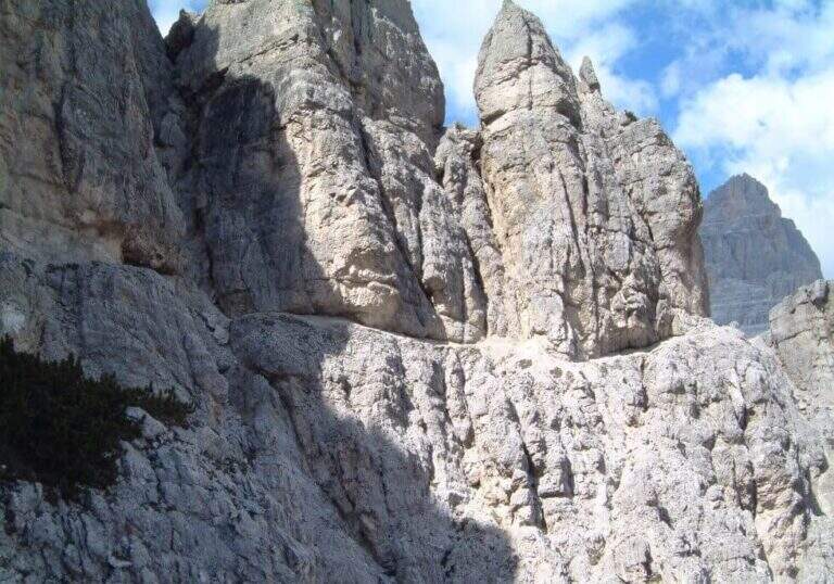
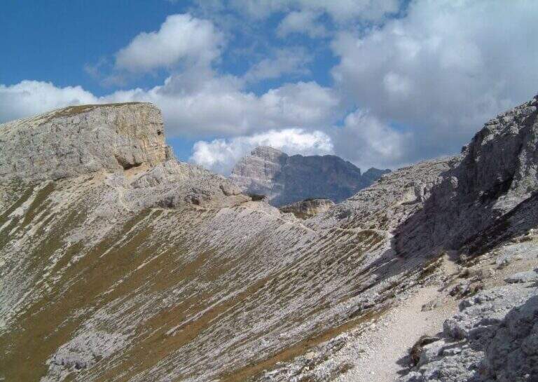
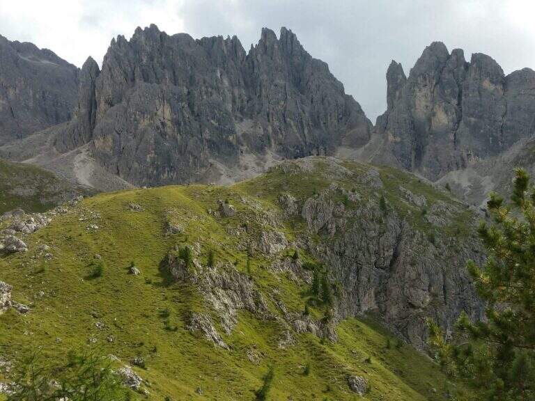
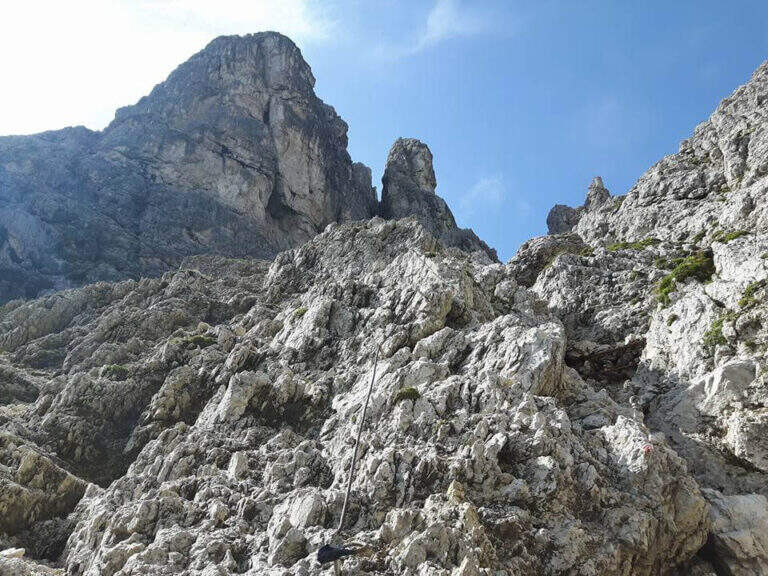
    The Sentiero Attrezzato Falcipieri is a long crossing on the 5 peaks of the Pasubio (Veneto), in an environment steeped in history of the Great War with extensive views on the small Vicentin Dolomites.

    How to arrive and approach

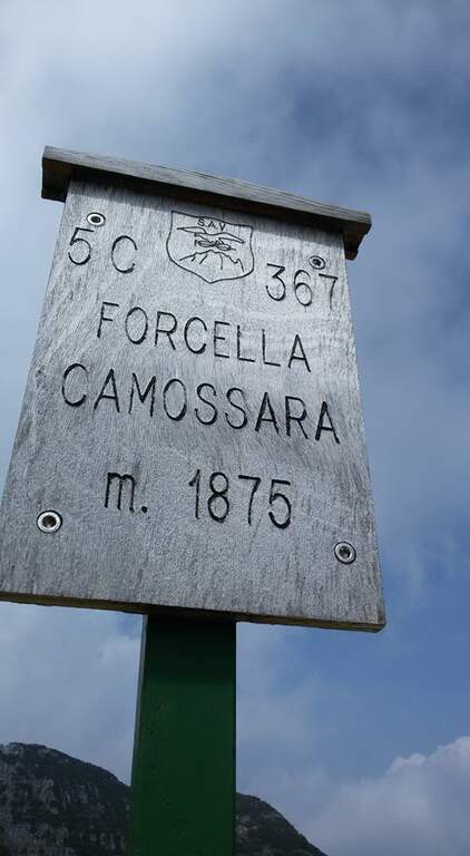
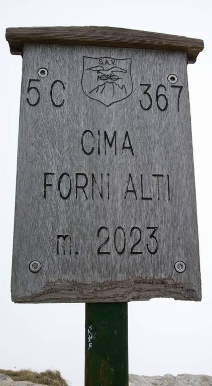
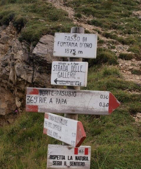
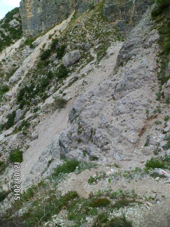
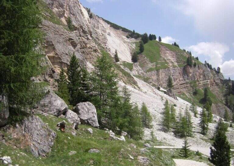
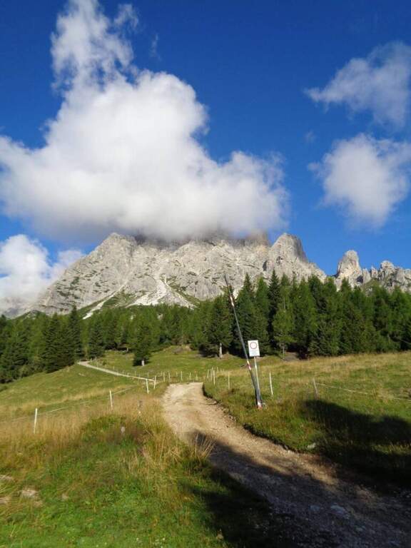
    The starting point is Bocchetta di Campiglia (1220m), in the province of Vicenza, reachable from Schio or Rovereto along the road that climbs towards Pian delle Fugazze. From the large parking lot of the Bocchetta di Campiglia take the 367 signpost that, in short approach of about 15 minutes walk, leads to the attack of the equipped route.

    The path

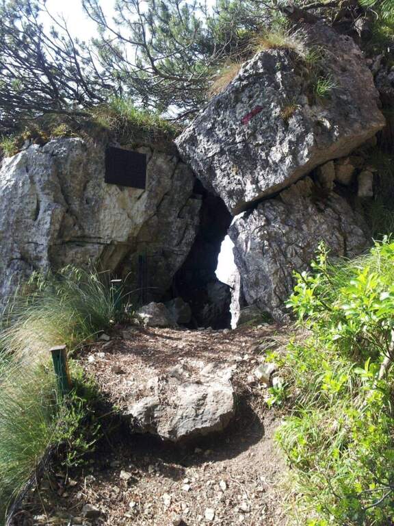
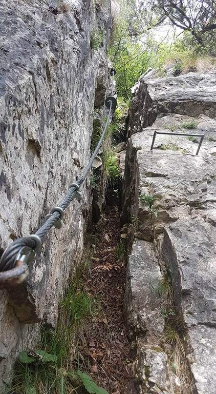
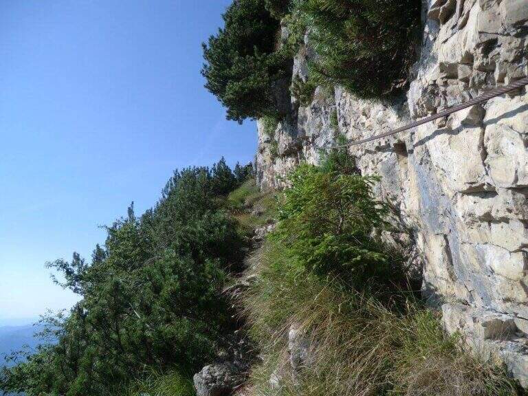
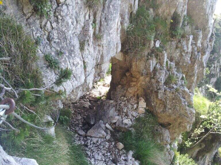
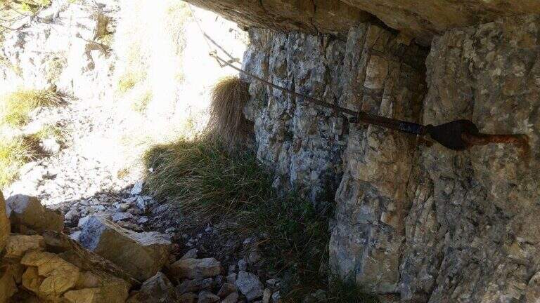
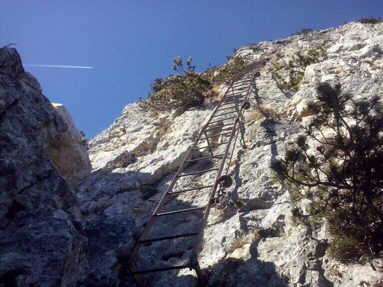
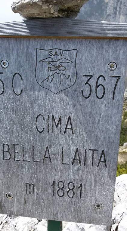
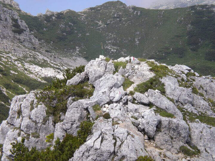
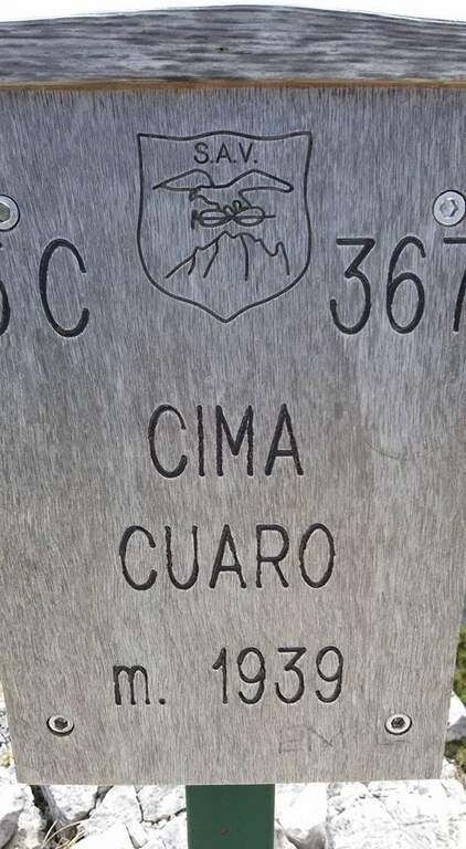
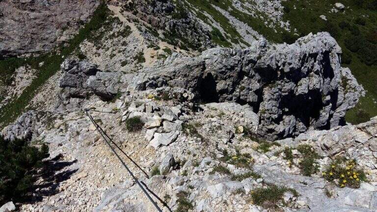
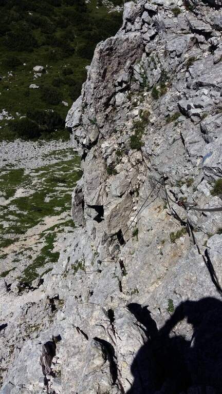
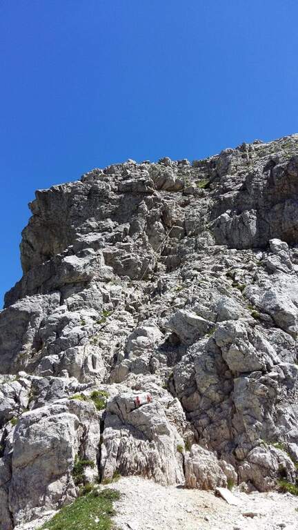
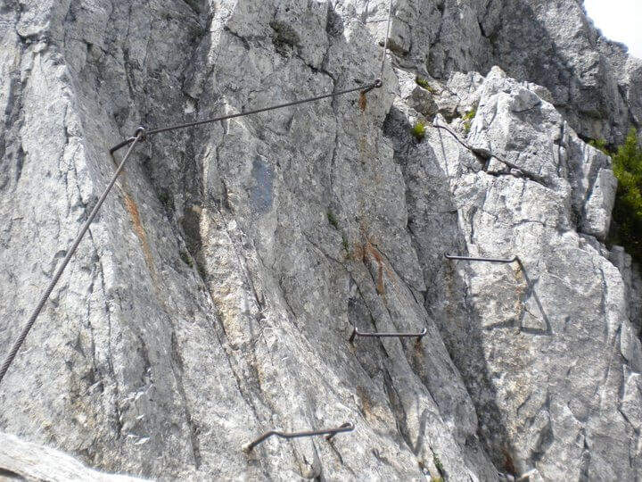
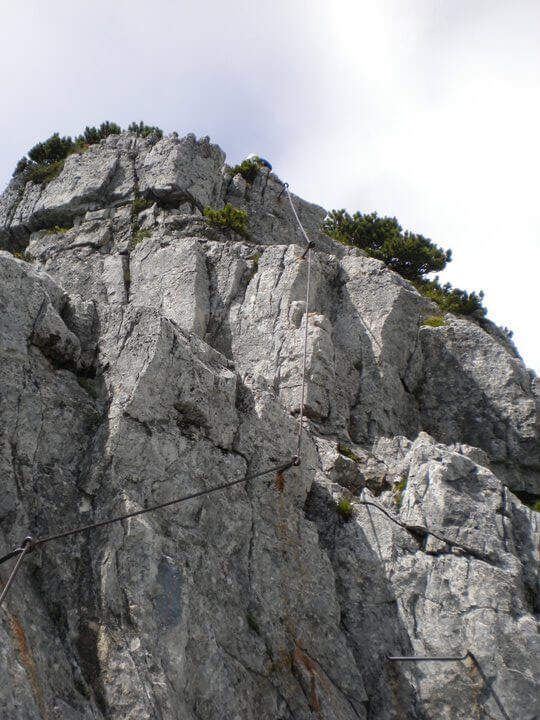
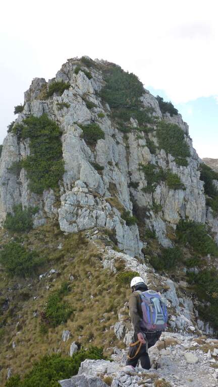
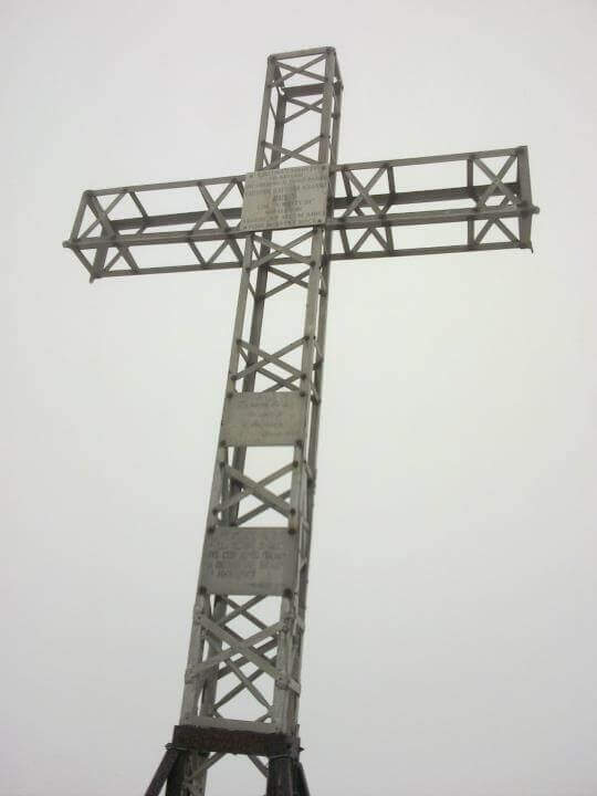
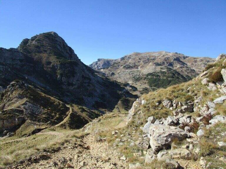
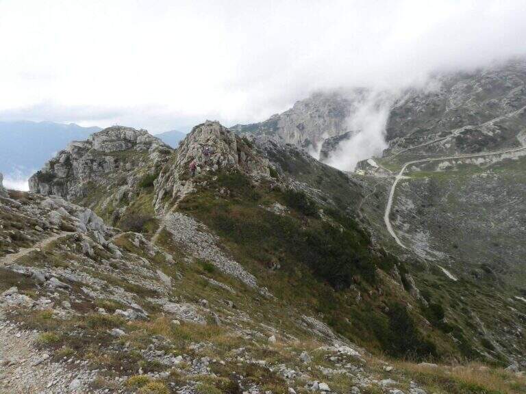
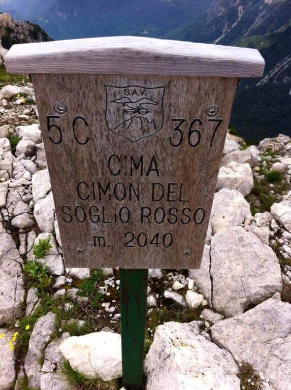
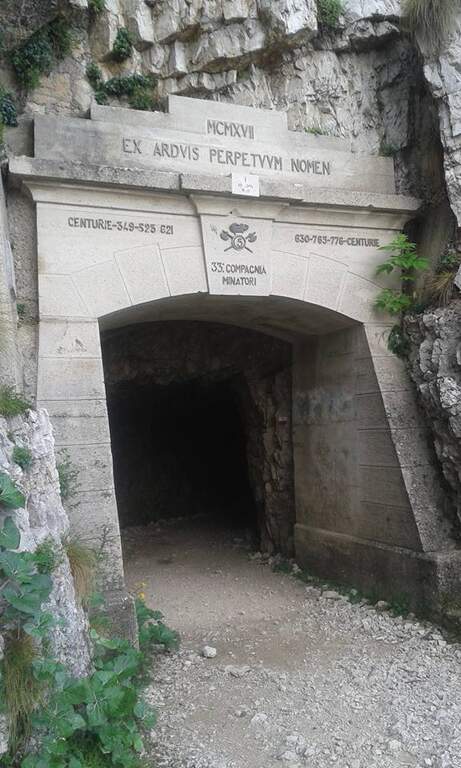
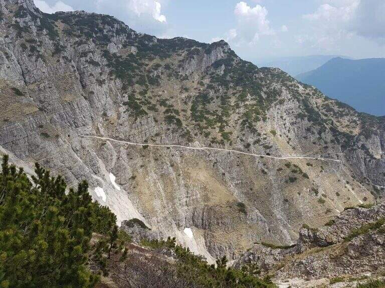
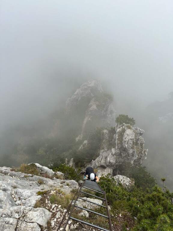
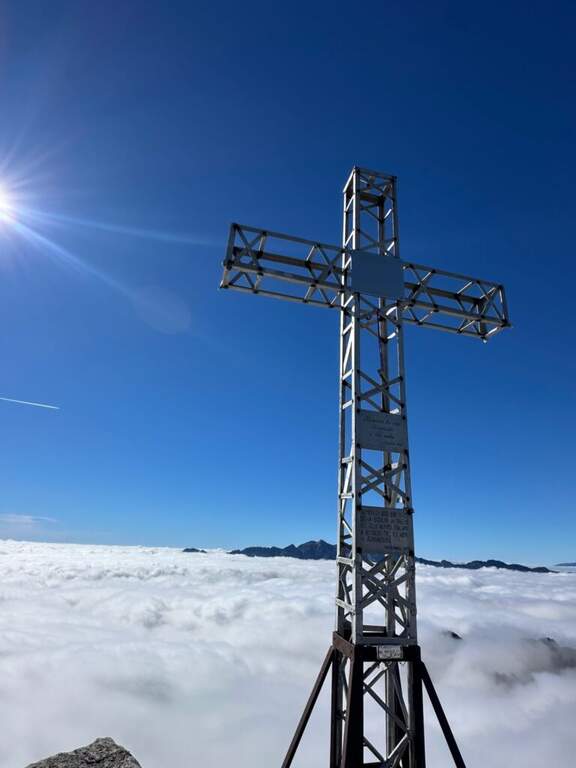
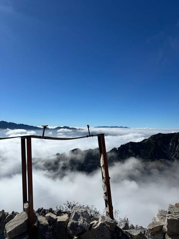
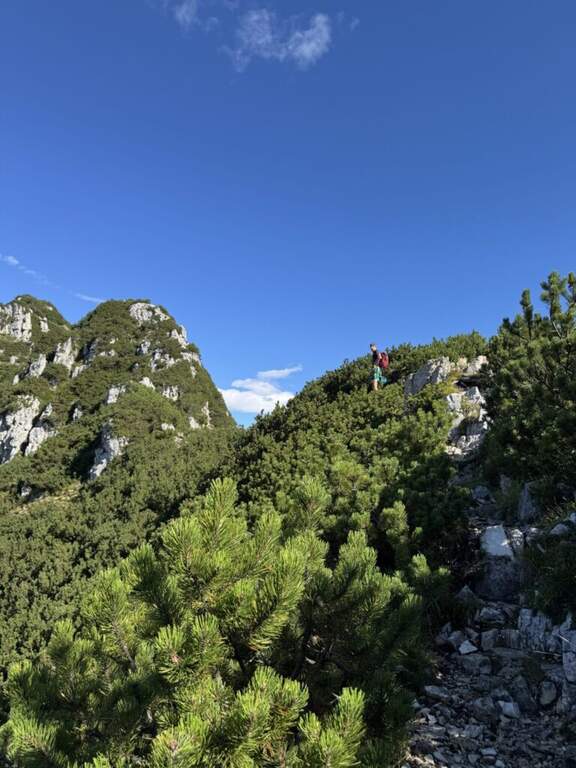
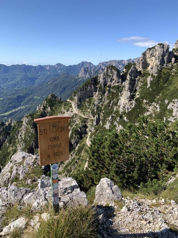
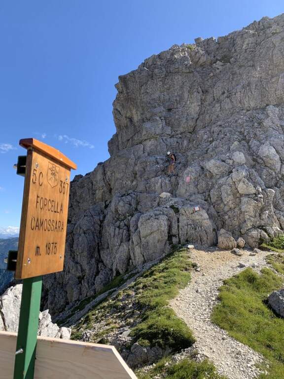
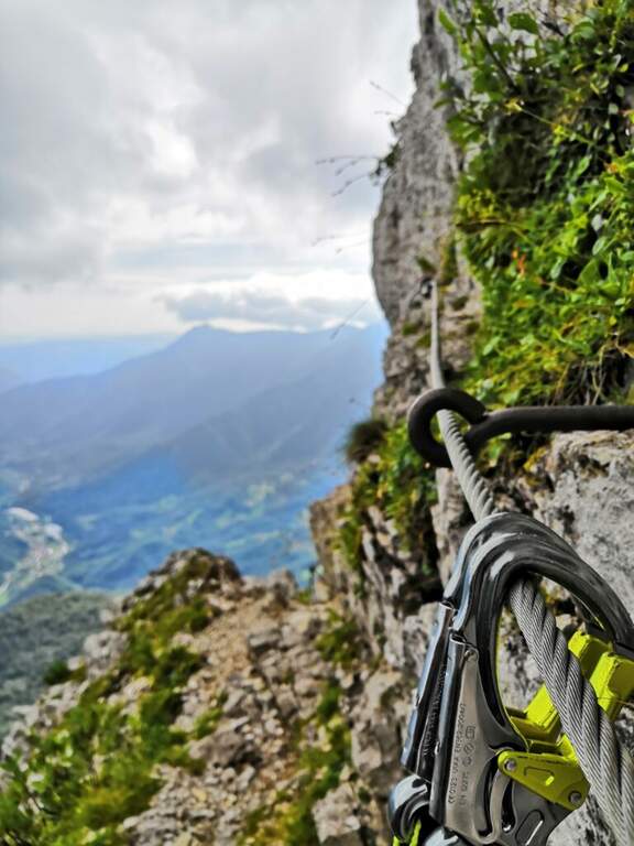
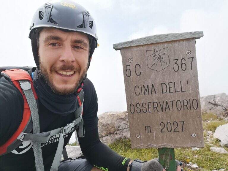
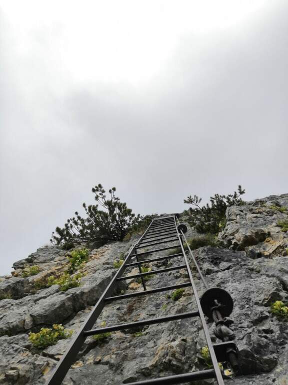
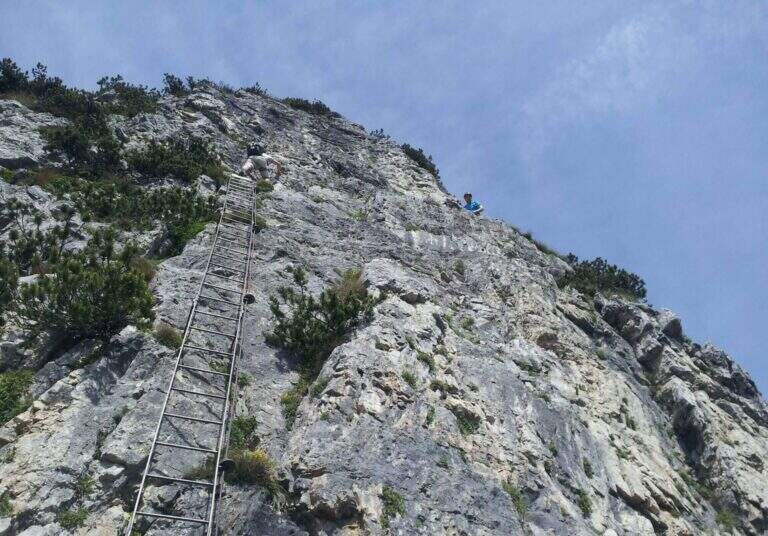
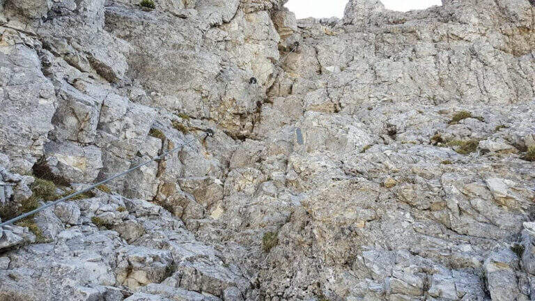
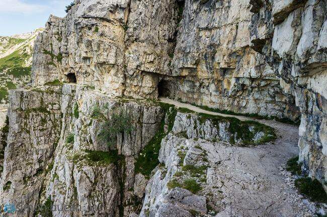
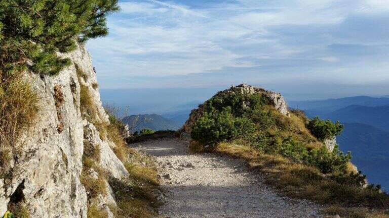
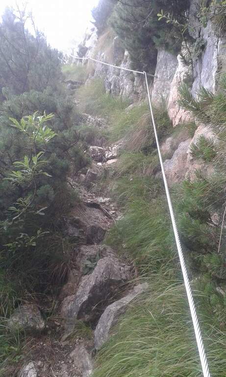
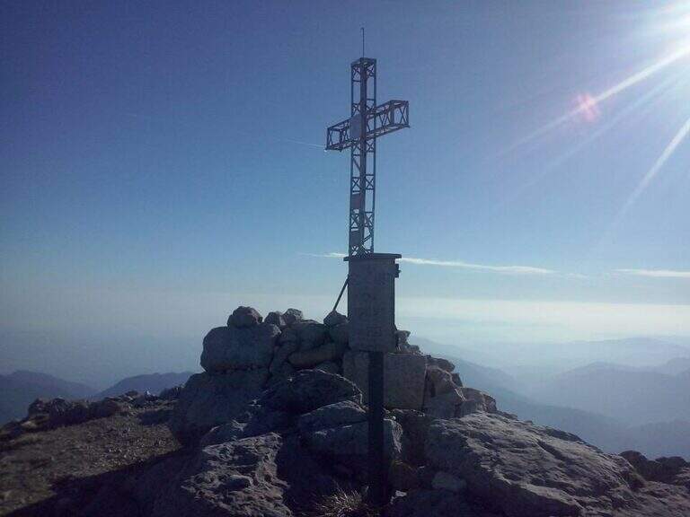
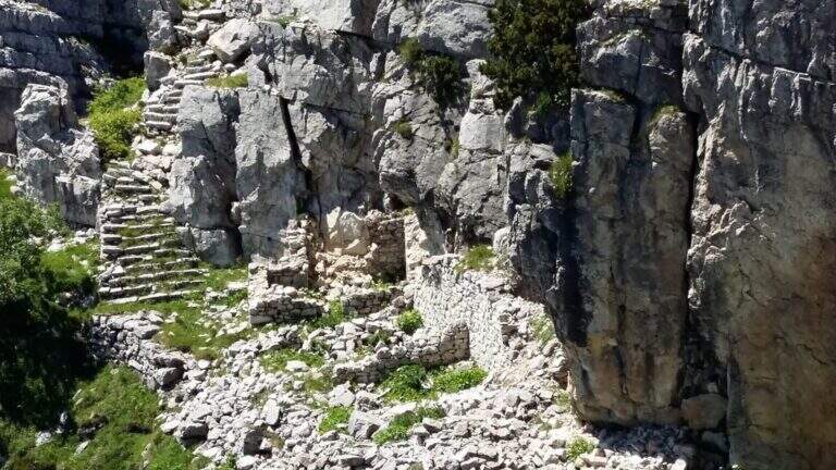
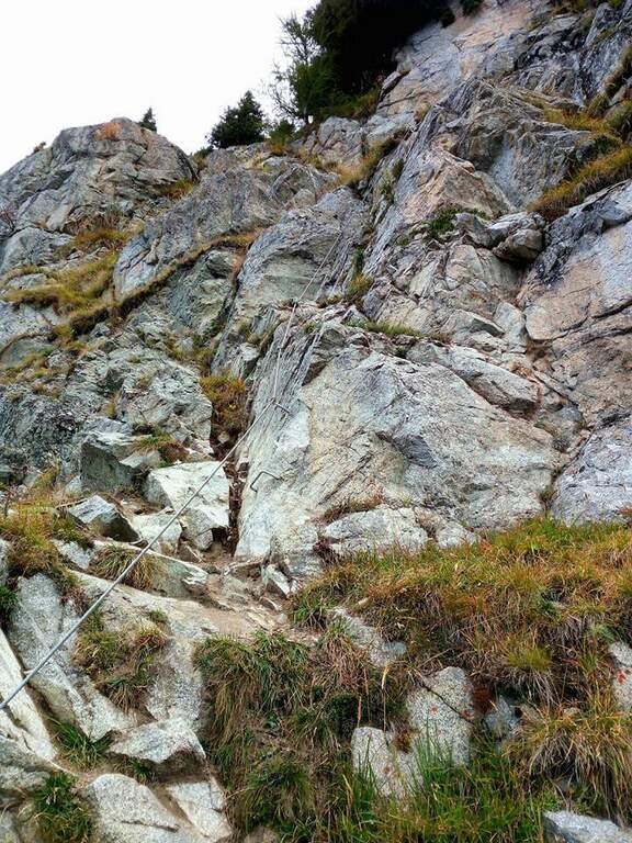
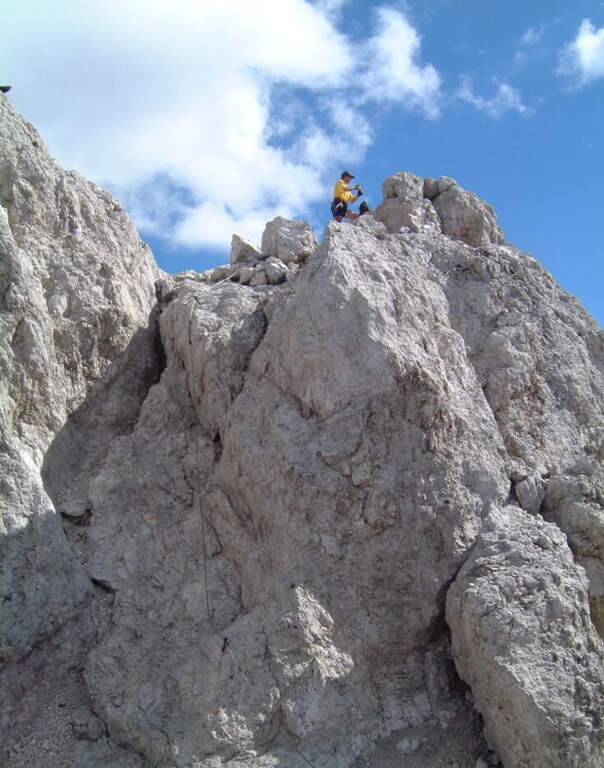
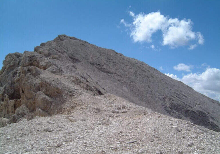
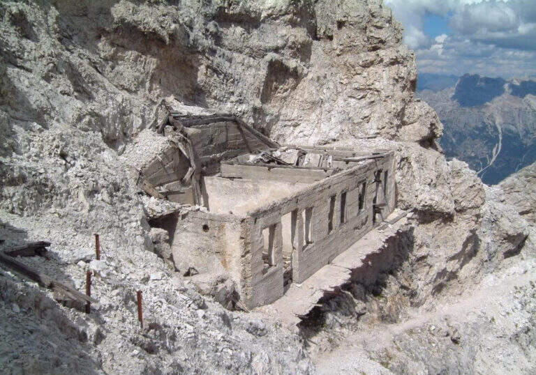
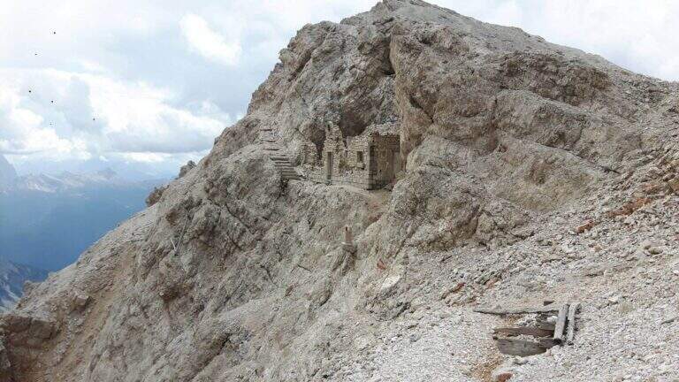
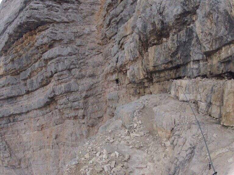
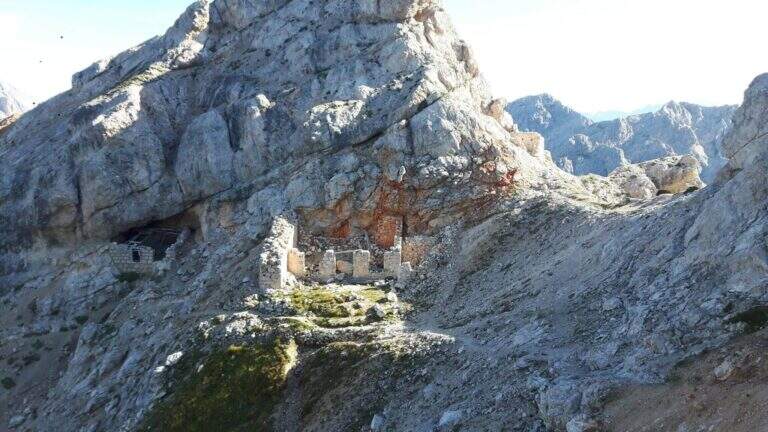
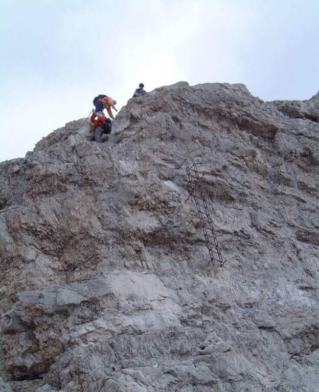
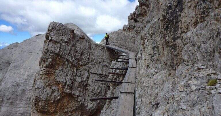
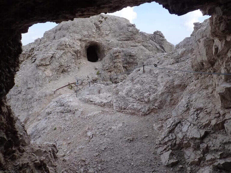
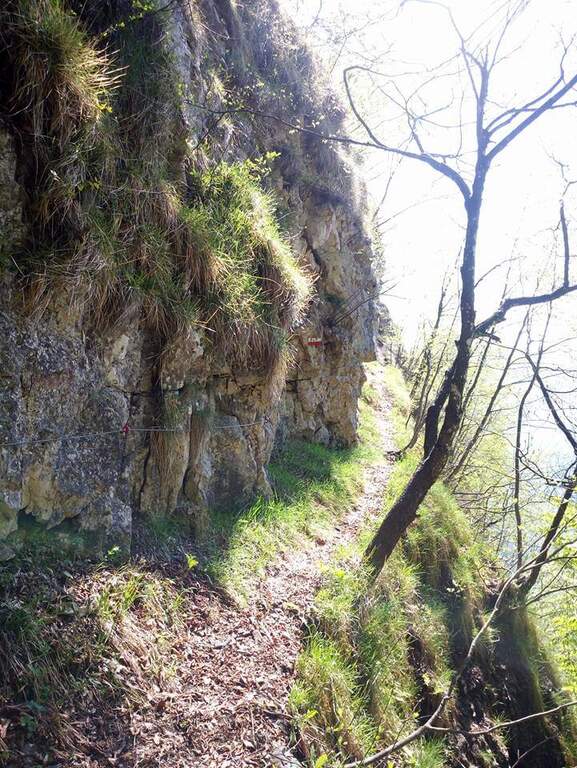
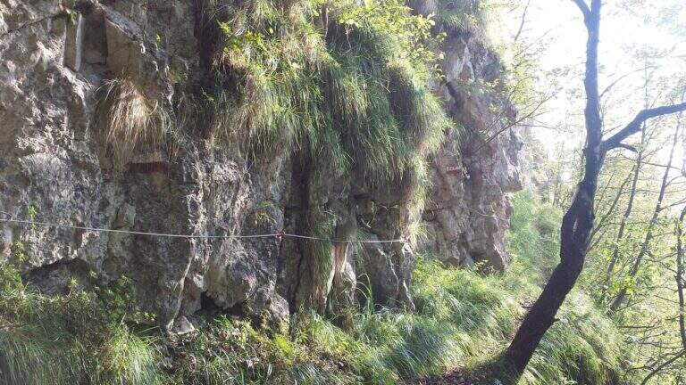
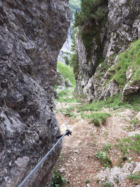
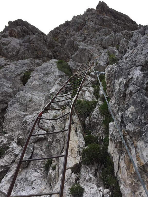
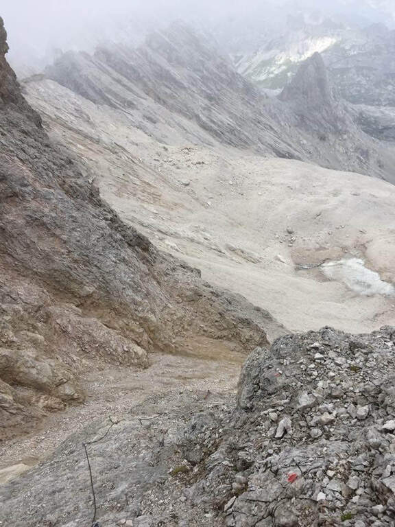
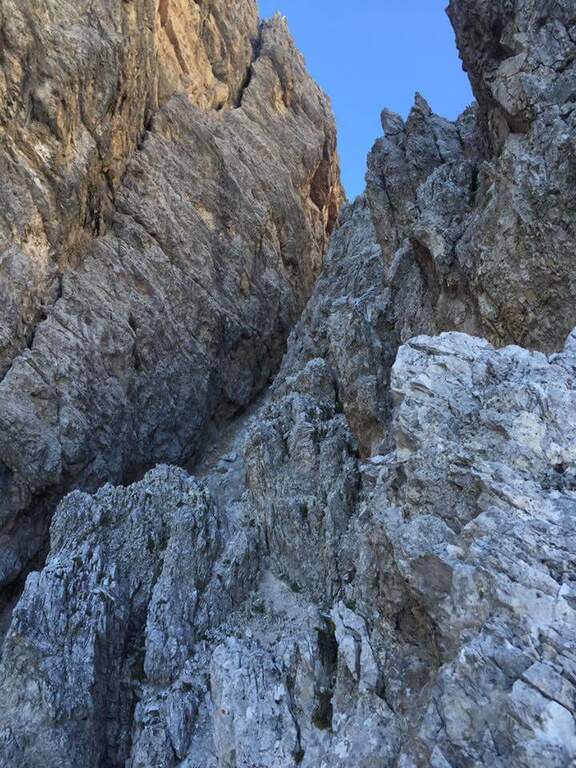
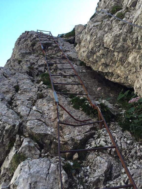
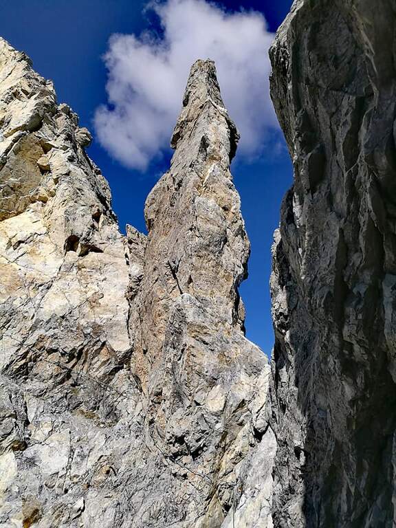
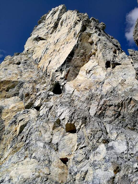
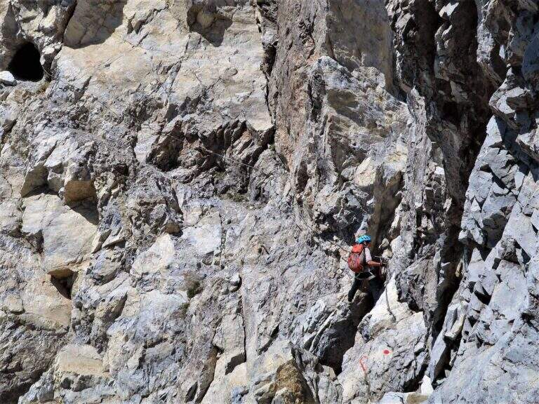
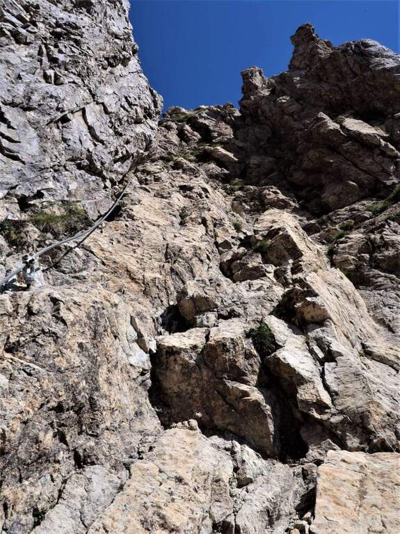
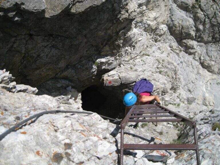
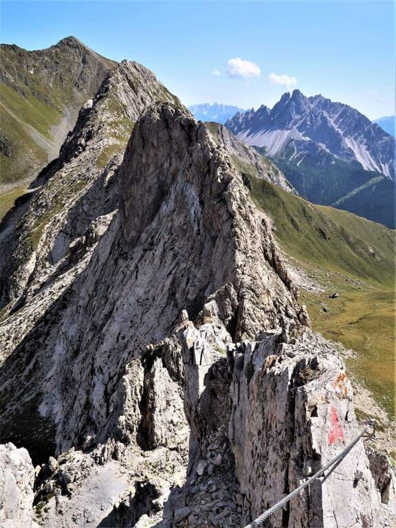
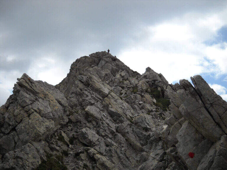
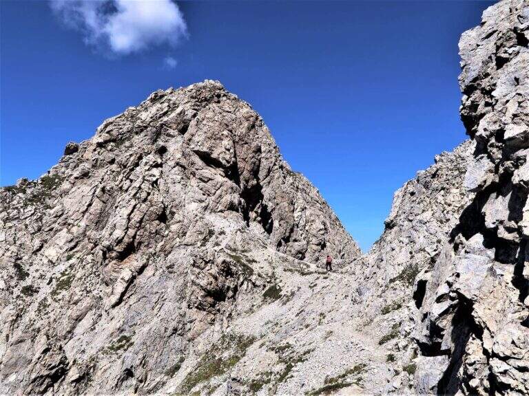
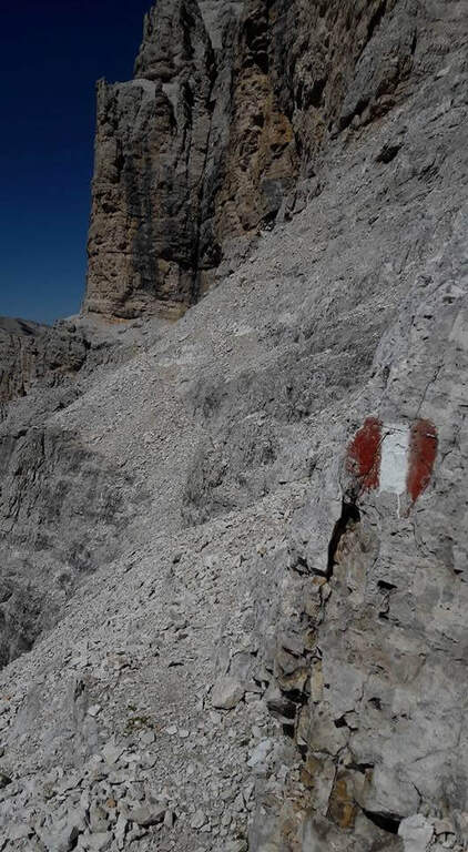
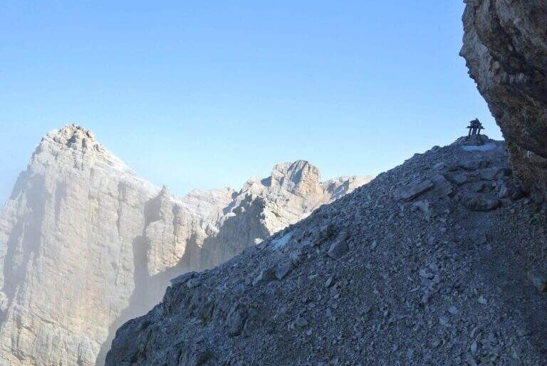
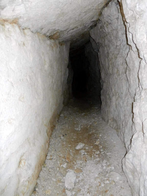
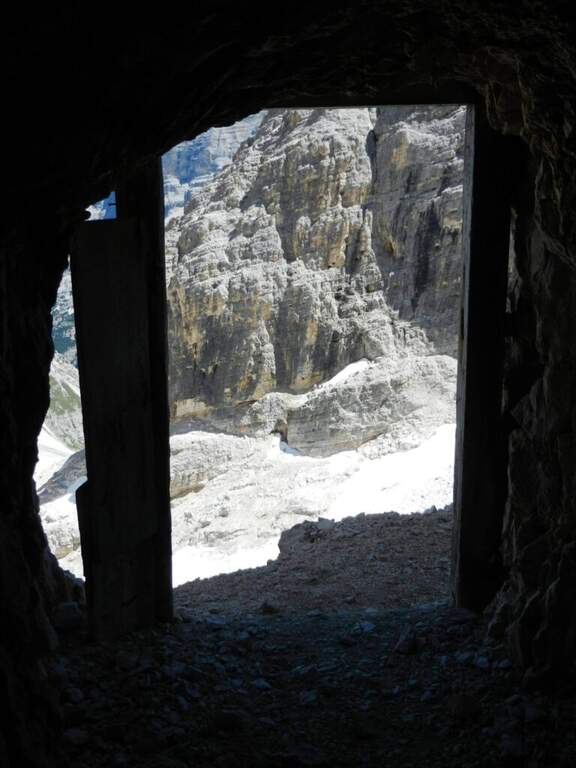
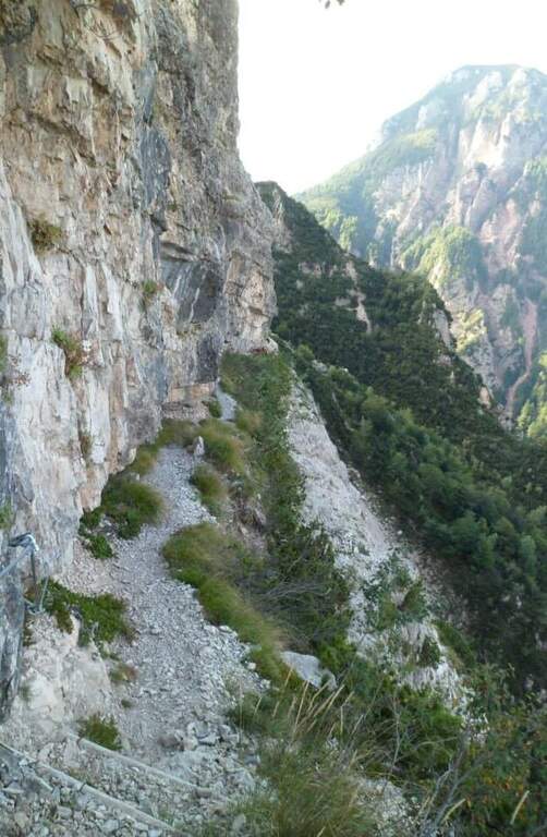
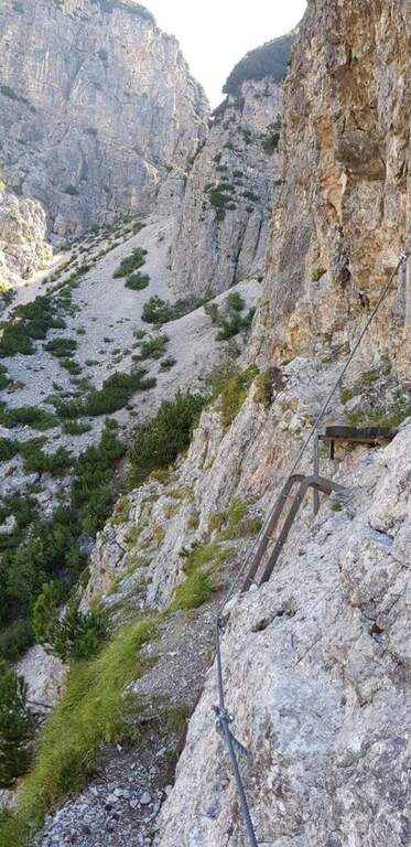
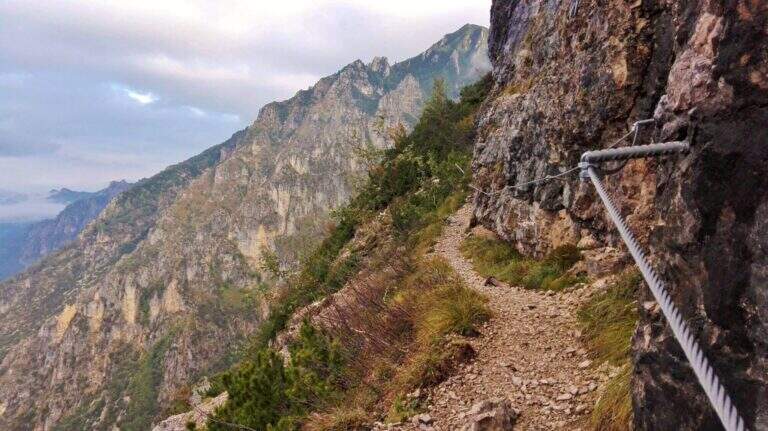
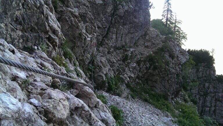
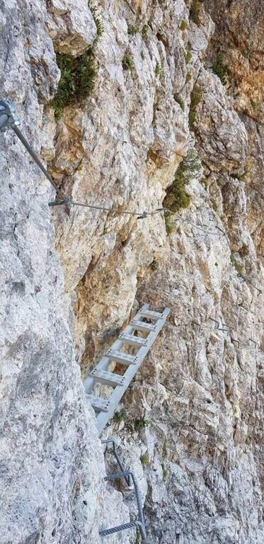
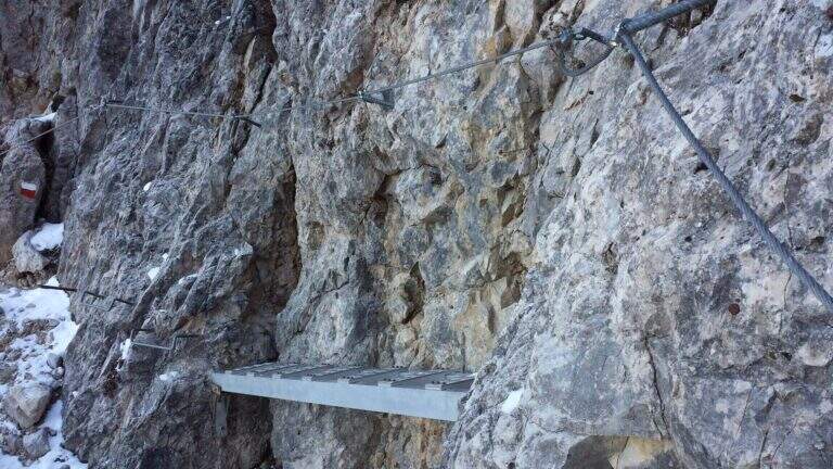
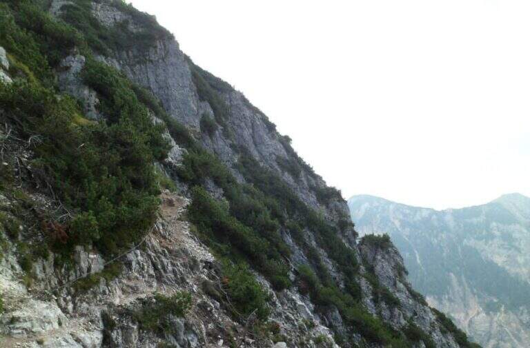
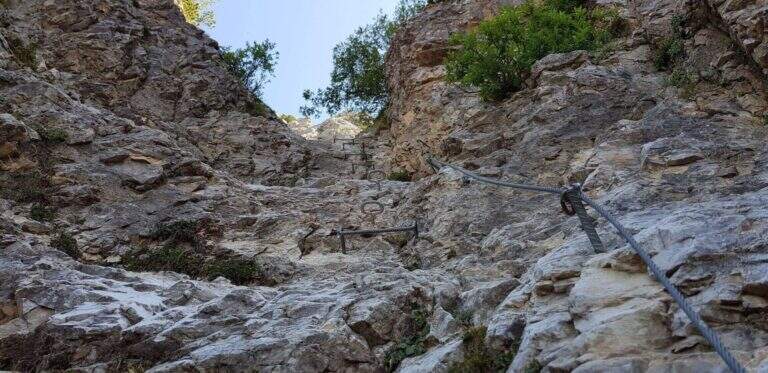
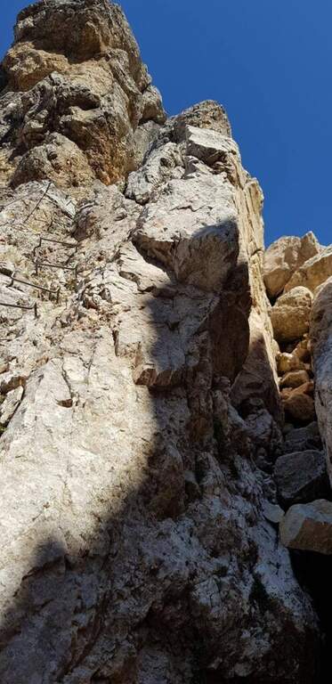
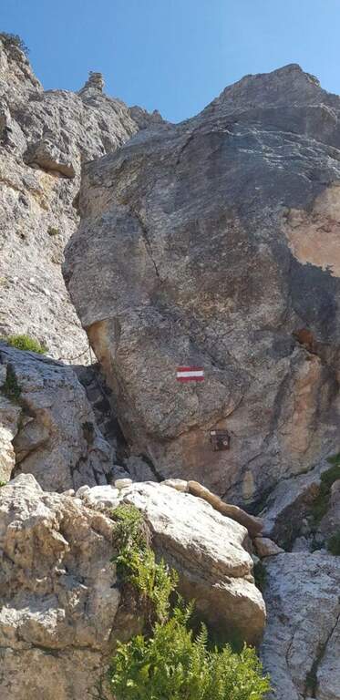
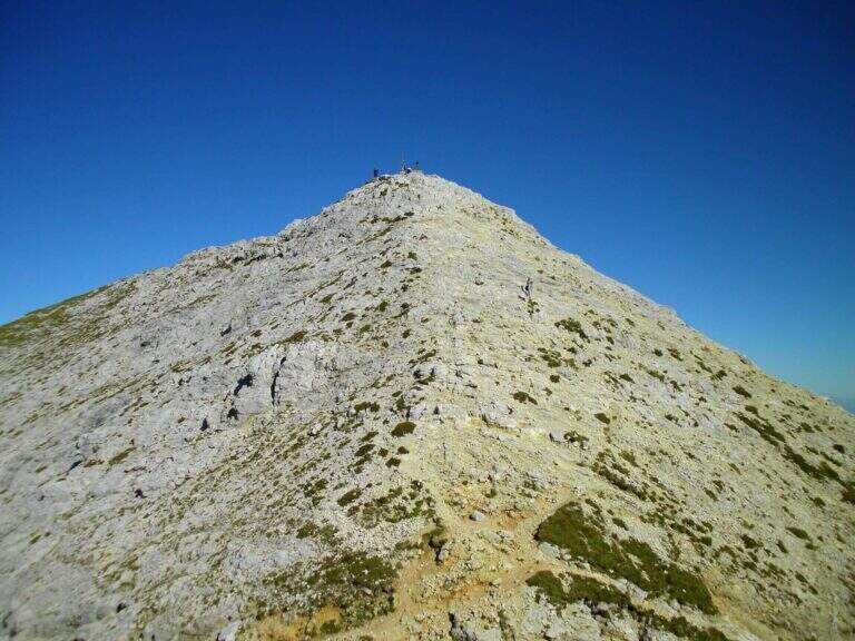
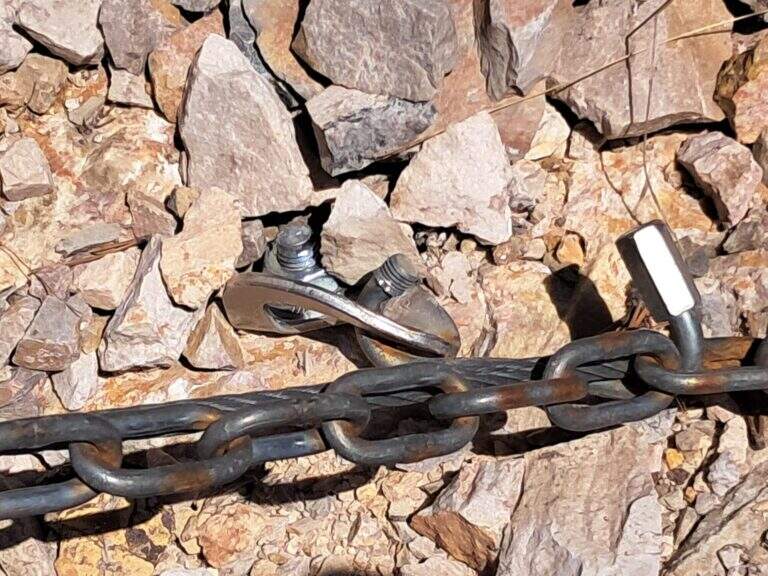
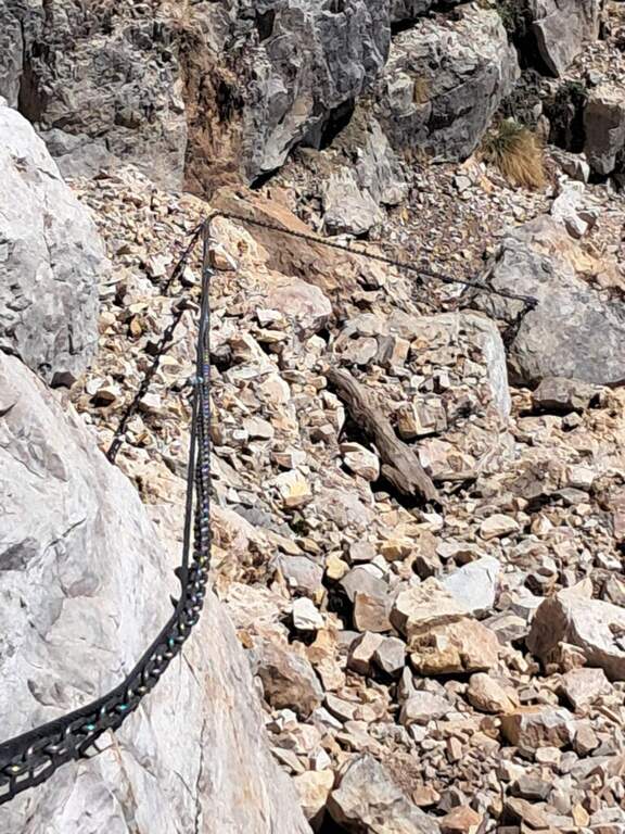
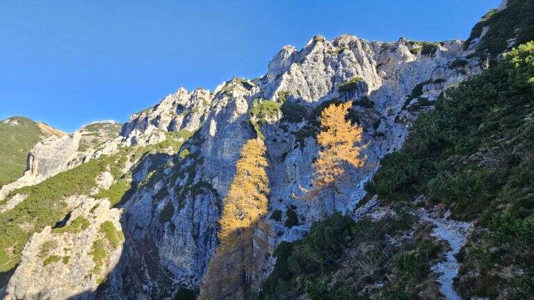
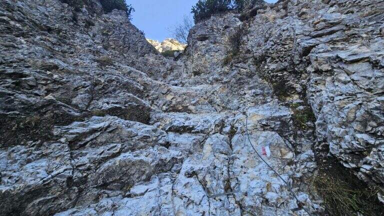
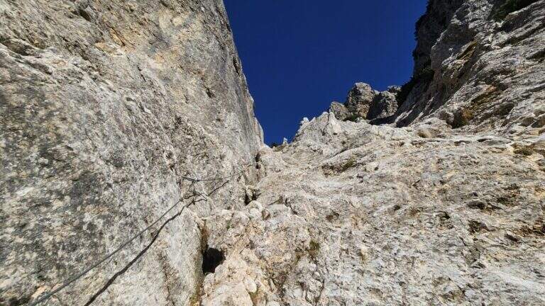
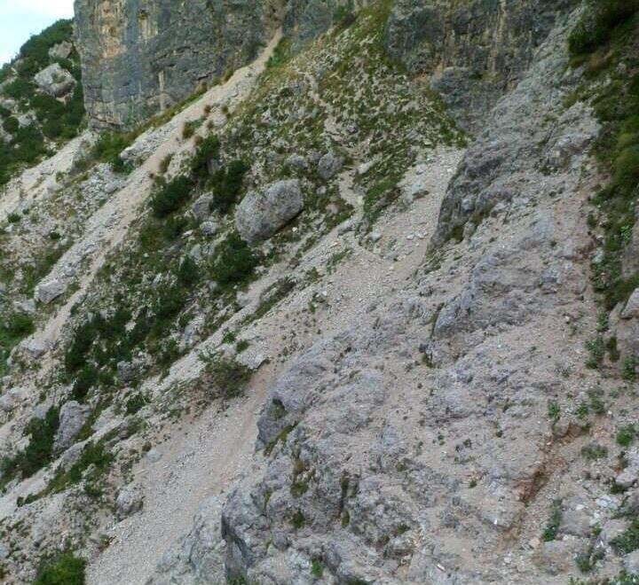
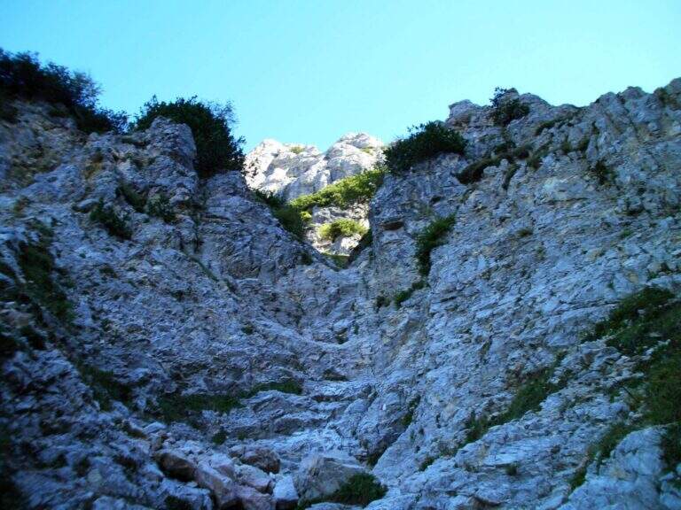
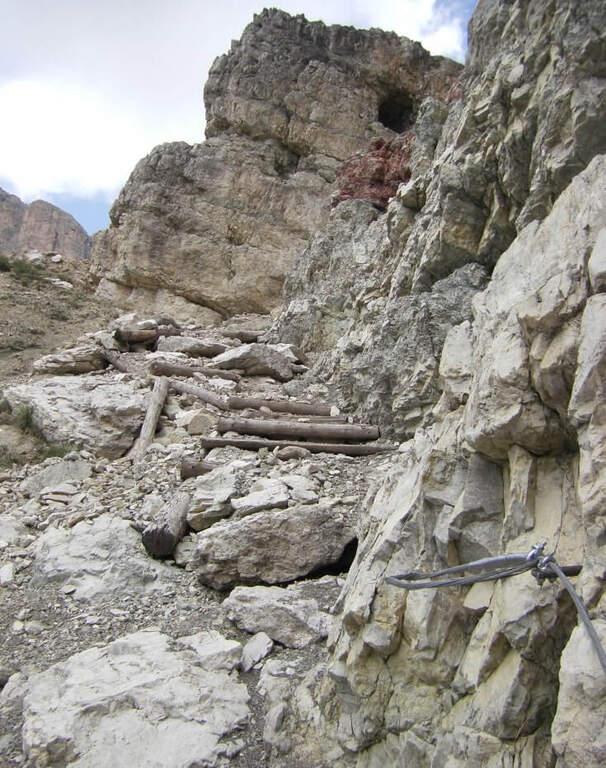
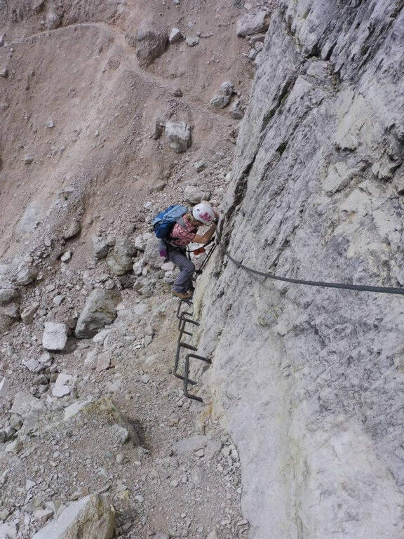
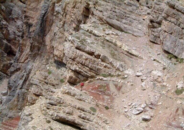
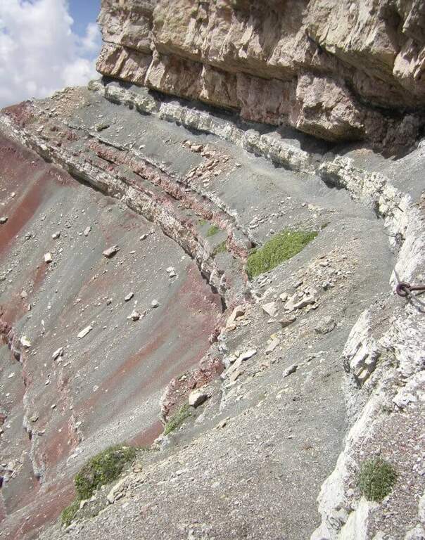
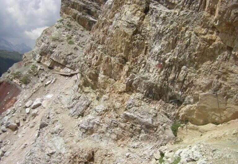
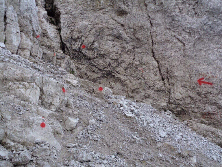
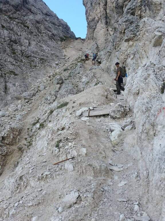
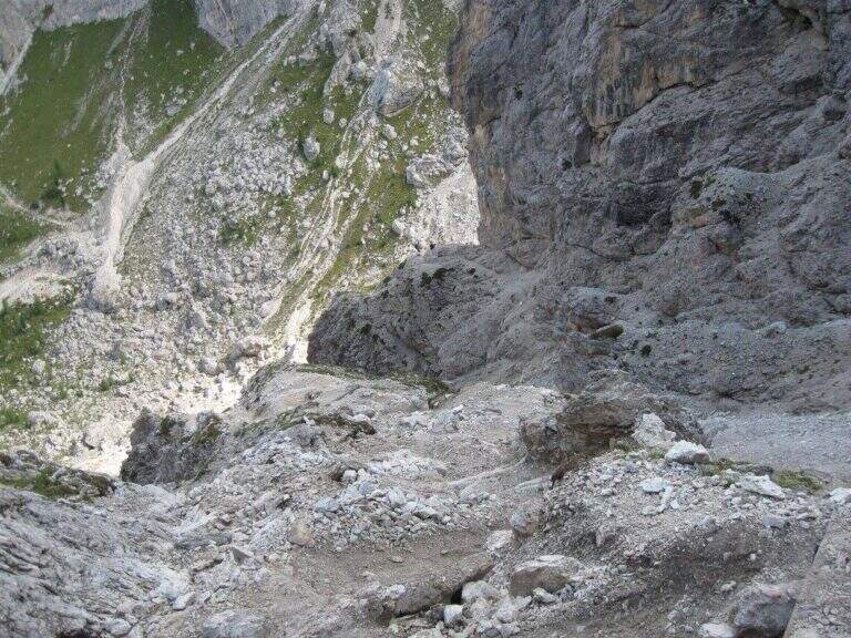
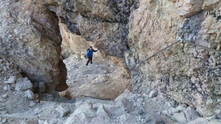
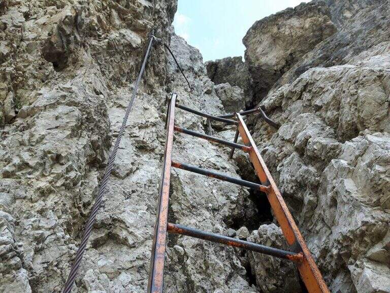
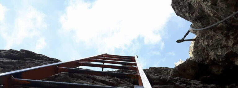
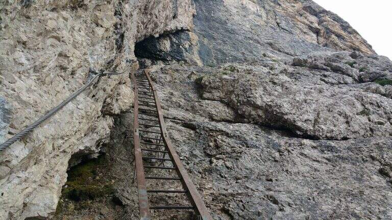
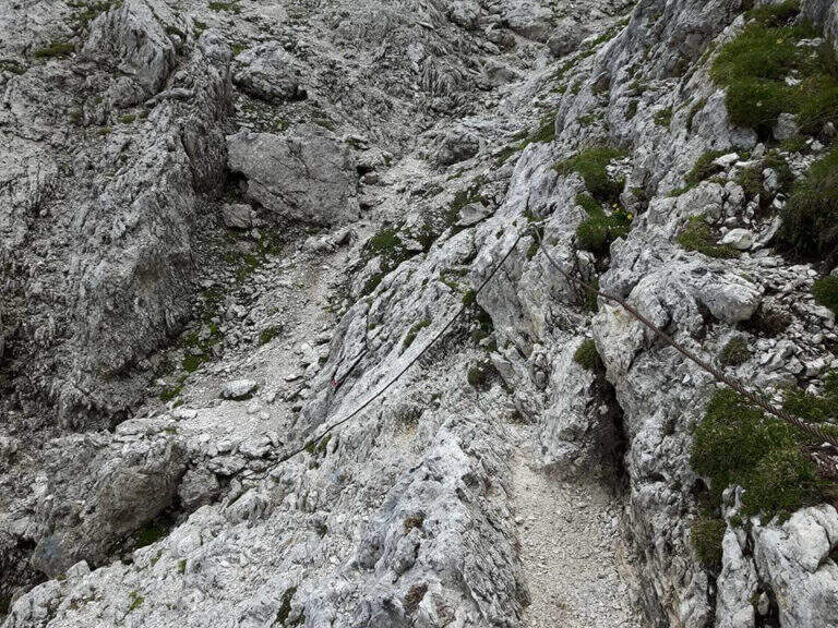
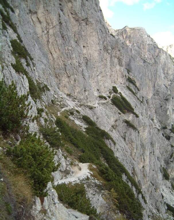
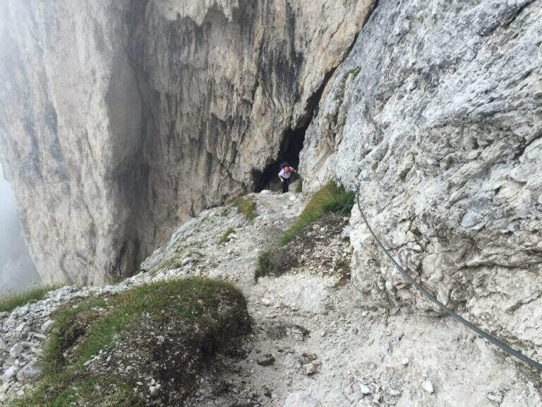
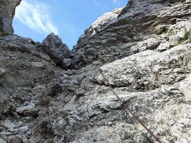
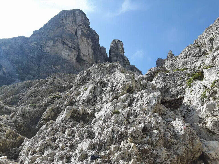
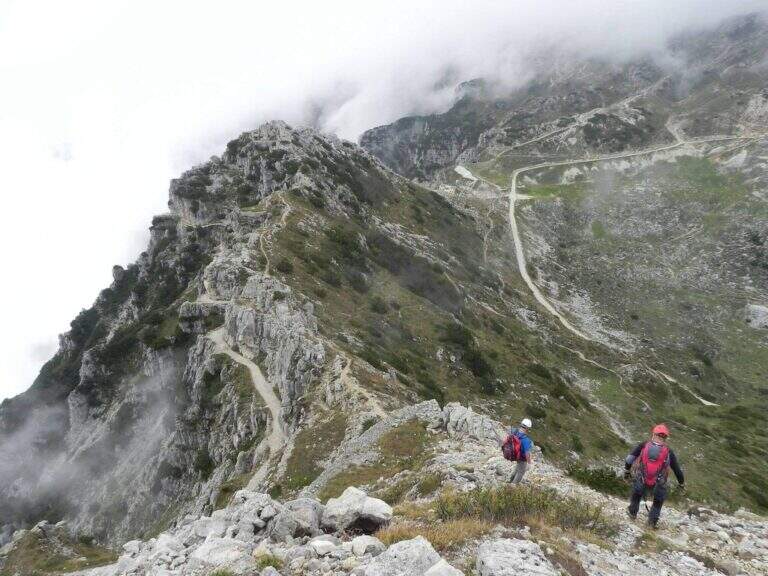
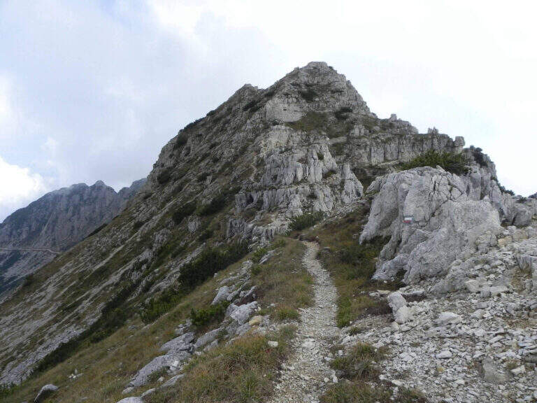
    The Sentiero Falcipieri develops for about 5 hours along the ridge of the 5 peaks of the Pasubio, with a difference in altitude of 700m. The track follows the 367 mark through open and windy environments where the testimonies of the First World War are still very visible: walks, trenches and tunnels dug in the live of the rock. The equipped sections follow the various peaks with metal cables and piles that make sure the most exposed passages. The maximum quota reached is 2040m. The complete crossing, for length and environment, is one of the most characteristic of the Venetian-trentine Prealps.

    Character and difficulty

    The Falcipieri is especially challenging for the duration (5 hours of equipped path, 7h30′ total) and the open environment on the ridge, more than for the technical difficulties of the individual passages. Wind exposure and rapid weather variations typical of Pasubio require good physical preparation and ability to manage energies on a long path. Difficulty: Moderately Difficult. Exceptional historical interest: the entire area was the scene of bloody fighting of the Great War. Standard equipment from recommended hardware.

    Period and safety

    Recommended from June to September. The ridge of the 5 Peaks is completely exposed: in case of afternoon thunderstorms the retreat may be difficult along the path. The morning departure is essential to complete the crossing before the afternoon. In the presence of residual snow (possible even in May to 2000m) the ridge strokes require careful assessment of the conditions.

    Discipline

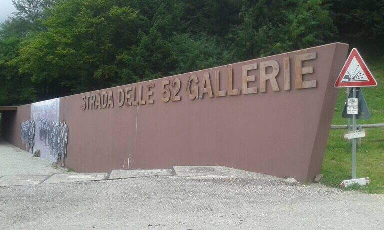
    The return from the crossing takes place on the 52 Galleries Road (mark 366), a historic military route of the Great War that descends towards the Bocchetta di Campiglia. This descent itinerary is itself of great historical interest. Total time of the excursion: about 7h30′ including the approach.

    To match

    On the Trentino side of the Pasubio is the Sentiero Attrezzato Franco Galli al Corno Battisti, as rich in history of the First World War. The Piccole Dolomiti offer many other ferrates in the area between Recoaro Terme and Rovereto.

    ▲Gallery
    Technical data
    • DifficultyModerately Hard
    • RegionVeneto
    • GroupPasub
    • Approach0:15 h
    • Ferrata5:00 h
    • Itinerary (a/r)7:30 h
    • Hardware level difference700 m
    • Route difference808 m
    • Max2040 m
    • Length11 Km
  • Ferrata Ivano Dibona al Cristallo

    Ferrata Ivano Dibona al Cristallo

    Vie Ferrate › Veneto › Belluno
    Ferrata Ivano Dibona al Cristallo
    Moderately Hard● OpenDescriptionComplexityMapsGallery

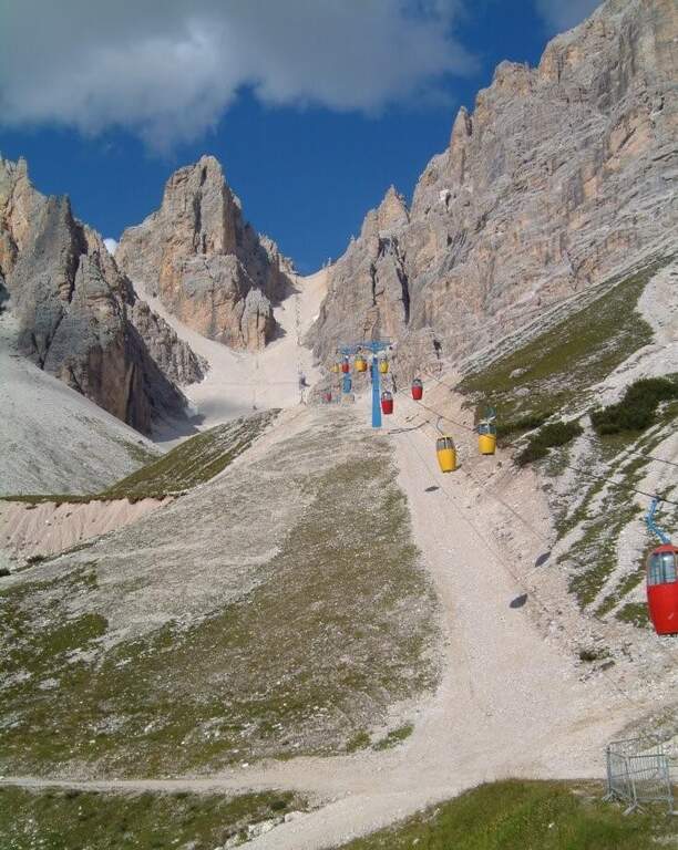
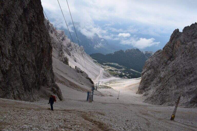
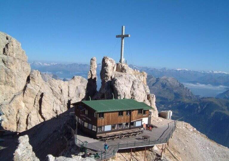
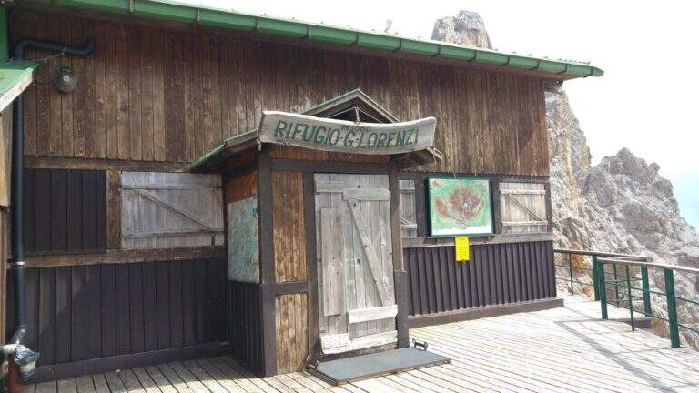
    viso Notice — The bidonvia that climbed to Forcella Staunies has been dismantled (July 2017) and is waiting for reconstruction to date to be allocated; the only way to reach the attack is today to trace the steep detritic valley of the Gran Staunies, on an unstable gravel bottom (at least 2h from the end of the chairlift). The Lorenzi refuge, at the beginning of the ferrata, is also closed. It is a long and challenging itinerary regardless: plan time and weather carefully.

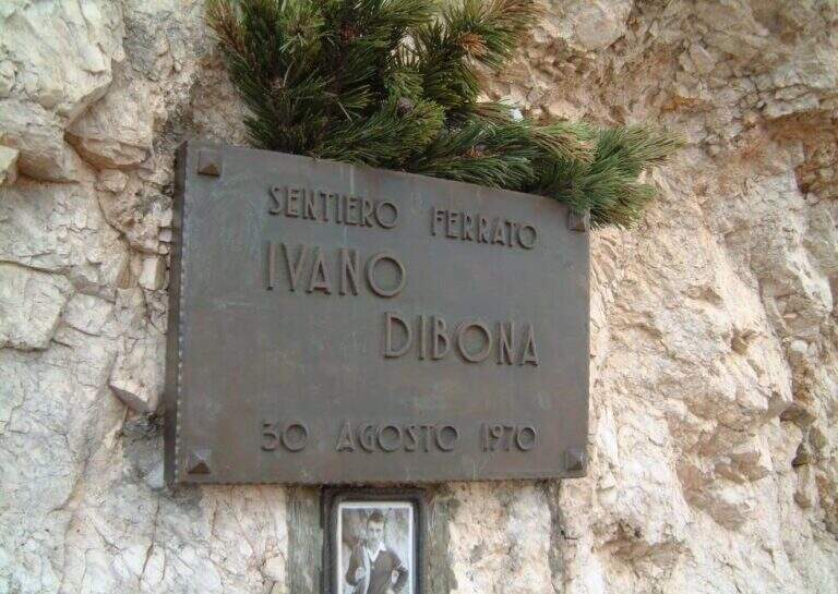
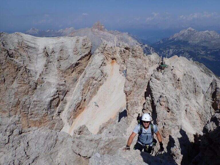
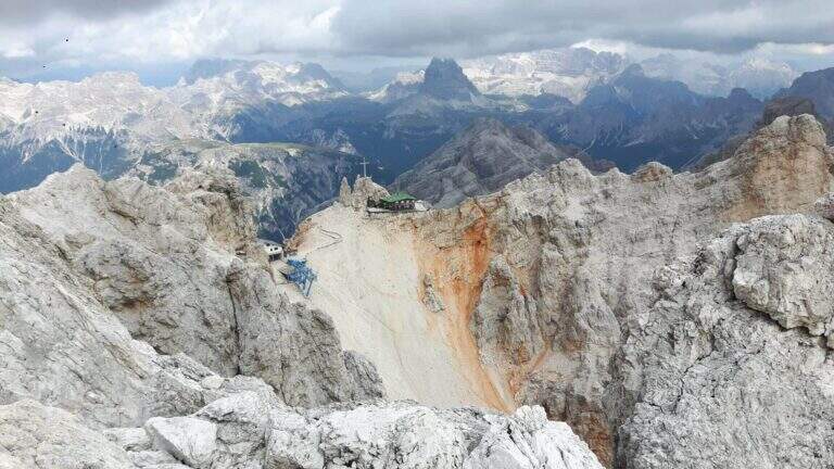
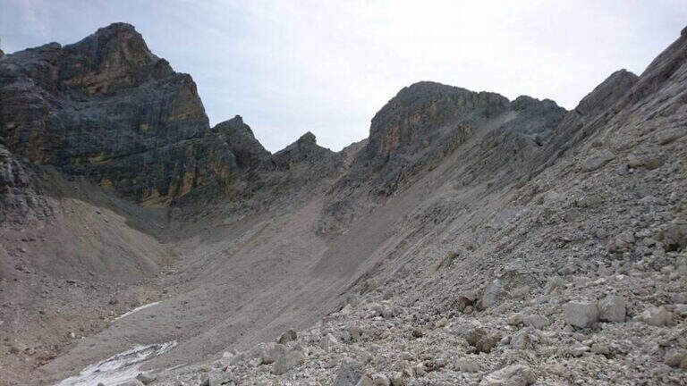
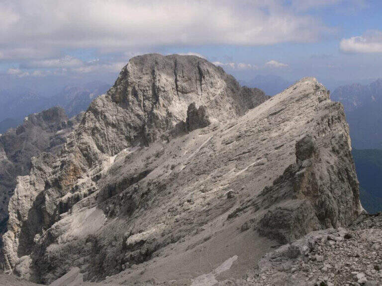
    The Ferrata Ivano Dibona is a wonderful ridge route on the Crystal Group. From Forcella Staunies runs through the entire ridge that descends to the Col dei Stombi, in a path of great landscape interest and rich in in indelible traces of the fighting of the Great War. The technical difficulties are not high, but some traits are exposed and above all the overall difference requires an excellent training.

    ▲Approach

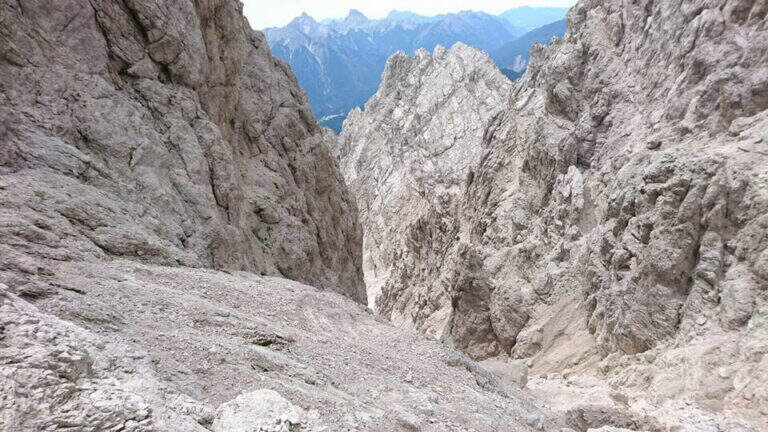
    Starting from the parking lot at the Restaurant Rio Gere, from which rises the chairlift that connects Rio Gere (1700 m) with the Son Forca Refuge (2215 m), along the road of the Passo delle Tre Croci that joins Cortina d’Ampezzo to Auronzo di Cadore, on the ampezzano slope (open up Google Maps). The attack is in Forcella Staunies (2932 m): from Rio Gere there are almost 1250 m of altitude, so it is highly recommended to use the chairlift up to the Son Forca Refuge. From here, dismantling the old bidonvia that climbed to the fork, the only solution is to climb up the detritic valley of the Gran Staunies, a steep channel and on unstable gravel bottom to deal with carefully, taking into account at least 2 hours from the end of the chairlift.

    ▲The path

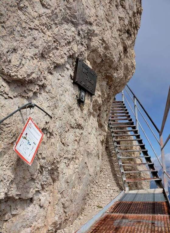
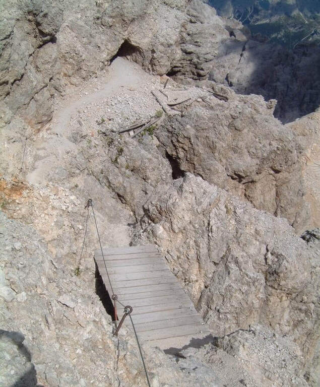
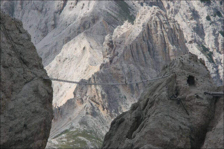
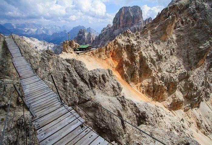
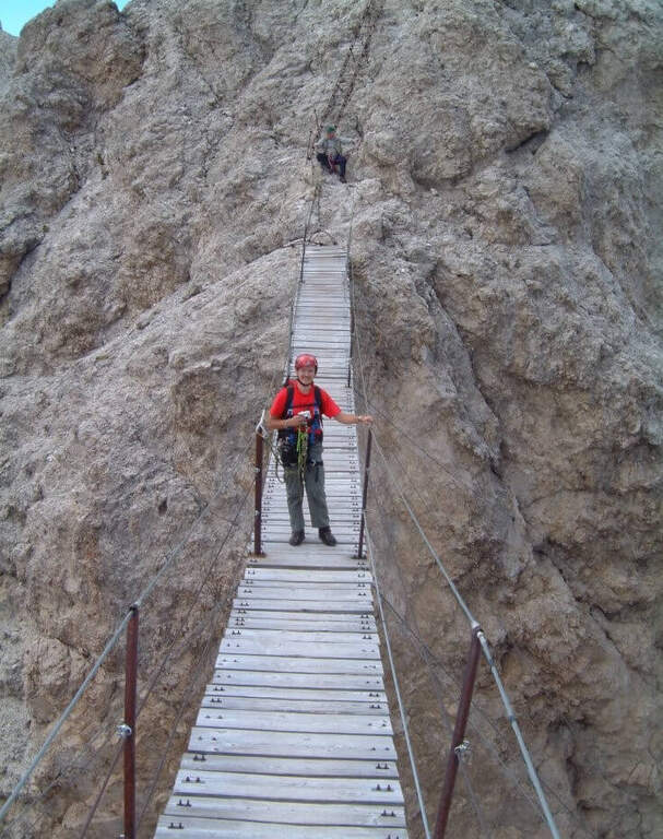
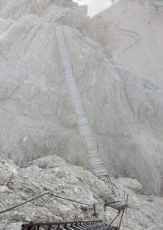
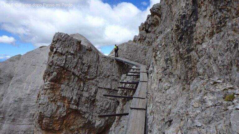
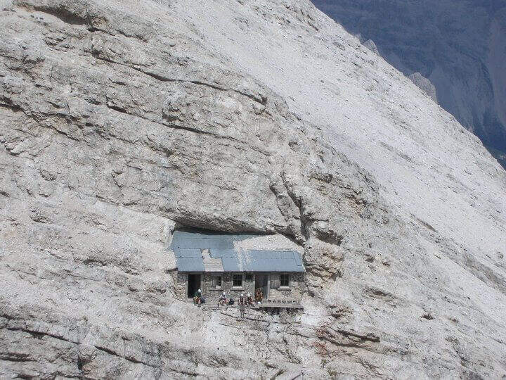
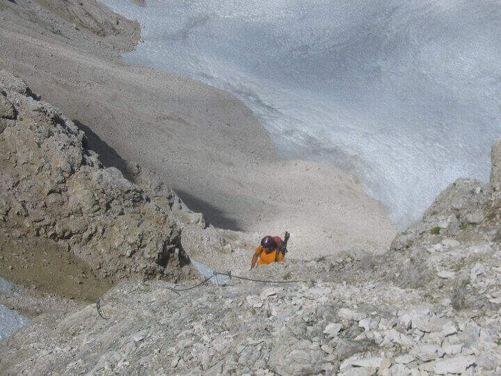
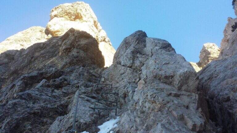
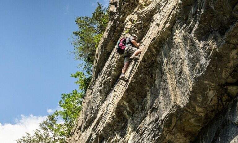
    Adding the Forcella Staunies you can see the silhouette of the Lorenzi Refuge, in a beautiful but closed position; behind it a metal staircase set in the rock gives start to the ferrata. After finishing the metal walkway, a ladder starts the first section, the most “ferrate” of the entire itinerary: a nod with a passage on a wooden walkway, a short passage that circumvents a rocky highlight with a couple of climbs without difficulty, some small rocks towards a rather short arcade that bends immediately to the left (not necessary twist) and a comfortable nod with wooden walkway. There are other small rocks and you will continue just below the ridge, with large passages and wooden walkways where the ground narrows, up to the suspended bridge of about 30 meters, one of the most iconic points of the route: turning you see the Lorenzi Refuge just left and the beginning of Ferrata Bianchi, which proceeded in reverse direction (15′ from the attack to the refuge, 2h30 total). The bridge is very large, built with wooden beams (a pair not fixed). Beyond the bridge a long metal staircase, divided into two sections, earns altitude and leads on the long ridge that characterizes this part of the route, well equipped with rope despite it is almost everywhere wide. After a slight descent to the Forcella Grande you will find a crossroads (2980 m, 15′ from the bridge, 30′ from the attack): you can go straight on the Dibona or take the optional turn left for Cima Cristallino, going up halfway to an insellatura and then on a corner not difficult to the base of the summit (2997 m, 10′ from the junction); you will climb preferably from the west side, Resumption downhill the Dibona, descends towards the Forcella Grande (2874 m), where on the right is the path to the Ferrata Renè de Pol at the Punta del Forame and you will meet some remains of snipers of the Great War; on the fork is held the left remaining on the Dibona. On the left side you pass next to the ruins of a former Italian military shelter and follow, under the Cresta Bianca, a section where you alternate paths, cenges, easy walks and walks equipped with a modest difference in altitude, up to the Forcella Padeon (2762 m, 2h from the attack included the deviation to the Cristallino, 4h15 total), where stands the Bivacco Buffa di Perre Guerra Continue on a half-coast on the south side of Vecio del Forame, with some exposed cenges at unprotected strokes, up to a detritic canalone that descends on the left with a long stretch, reaching first the Forcella Alta (2650 m) and then a fork (2490 m, 1h from the Bivacco Buffa di Perrero, 5h15 total). Here, while on the left the steep franous canal of Val Padeon is a difficult and little advisable escape route, continue straight on the path Dibona up to the Forcella Bassa (2450 m); then walk halfway without equipment along the Cresta dello Zurlon, climb a ladder that leads to some military ruins (2360 m, 40′ from Forcella Bassa, 6h total) and, after a short climb From Col dei Stombi you descend steeply, between bends and serpentine, up to the graft on the forest (CAI 203, 1700 m, 30′ from the hill, 7h15 total).

    ▲Character and difficulty

    The technical difficulties are not high, but the itinerary is long and contracting, with exposed traits and some unprotected cenges; the difference in level to be faced is remarkable and requires excellent training. Historically it is one of the most fascinating routes in the Dolomites, scattered with traces of the Great War.

    ⚠ Itinerary very long (23 km, up to 10h) and challenging, with exposed traits and blinds at unprotected strokes: start early, with stable weather, and take into account the now more tiring access (risalita del Gran Staunies).
    ▲Period and safety

    High mountain summer itinerary (max. 3008 m at Cristallino). The length, exposure and demanding access make it suitable for well-trained and autonomous hikers.

    ▲Discipline

    Adding the forest is left on path 203, ignoring all deviations, up to Passo Son Forcia (2109 m, 1h45 from graft on the forest, 8h total). From here you can go up to the Son Forca refuge to take the chairlift that goes down to the Rio Gere (attention to the opening hours of the lifts), or keep the right on 203 until you turn left for the CAI 206 (1948 m, 20′ from the Son Forcia Pass), in the direction of Malga Lareto; go down on 206 until you find an exotic unmarked track that goes down to the Rio Gere (30′ from the end of the inn.

    ▲To match

    From the Forcella Grande the Ferrata Renè de Pol to the Punta del Forame, natural continuation for those who still have energies.
    ▲Gallery
    Technical data
    • DifficultyModerately Hard
    • RegionVeneto
    • GroupCrystal
    • Approach2:15 h
    • Ferrata5:00 h
    • Itinerary (a/r)10:00 h
    • Hardware level difference1300 m
    • Route difference1300 m
    • Max3008 m
    • Length23 Km
  • Sentiero Attrezzato degli Eroi al Monte Peurna

    Sentiero Attrezzato degli Eroi al Monte Peurna

    Vie Ferrate › Veneto › Belluno
    Sentiero Attrezzato degli Eroi al Monte Peurna

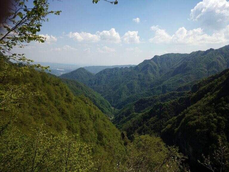
    The Athletic Path of the Heroes rises to Mount Peurna, in Val Schievenin. It is easy in the short stretches equipped, but ostic in the long stretches not protected on unstable background; the itinerary is not subject to punctual maintenance and sometimes it is difficult to identify. It runs in an area full of testimonies of the Great War.

    ▲Approach

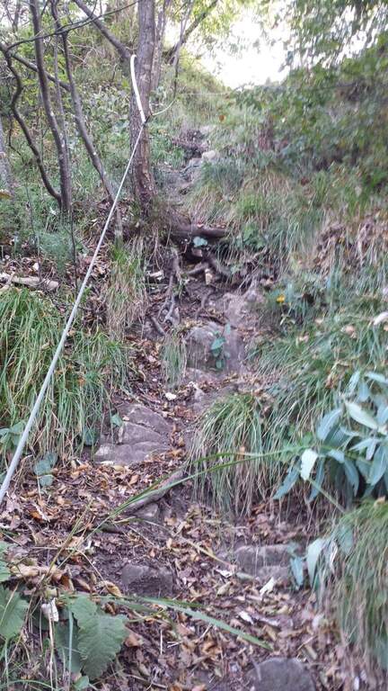
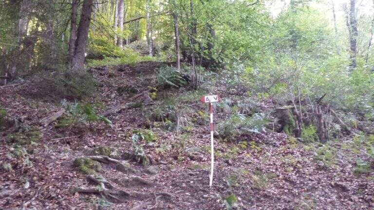
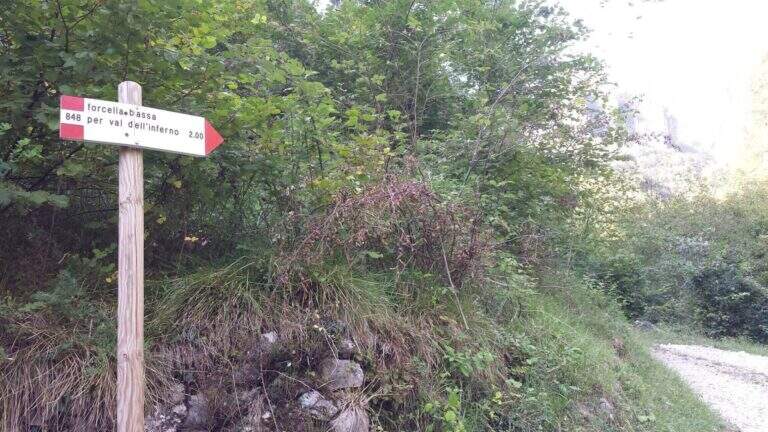
    You reach the Schievenin Valley, in the province of Belluno: from the Piave valley, near Quero, you proceed towards the east following the indications for Schievenin; arrived in the village you enter the valley on a narrow but paved road until a parking lot, beyond which there is no transit (attention to some colatoi and holes that can damage the low cars) (open up Google Maps). From the parking lot (515 m) you walk along the road to the north, on dirt road with signpost 848, following for Forcella Bassa; in proximity to a curve a track takes off to the left in the wood, without pole and signaled only by a small sign (15′ from the parking lot). The path 848 climbs along the Valley of Hell to Forcella Bassa: a stretch that at 2017 was rather poorly kept, with divel trees, trace at times difficult to spot and half-coast passes on slippery bottom and exposed on the left side. Adding Forcella Bassa (1044 m, 1h from the crossroads), the left is held on the longest path of the Heroes (AV8 carts), of which you only walk a stretch; southward, on the eastern side of the Peurna, the path has stretches on grass and insidious and unprotected soil. Attached the east wall, on the south-eastern side you reach the first equipped stretch (1h15 from Forcella Bassa, 2h30 total).

    ▲The path

    The first equipped stretch develops in the ridge, with the cable to the right: it descends along this stretch until an easy and wide equipped nod. Continue on the path south to the second stretch equipped, where you go up a very steep passage on slippery bottom, protected for safety. Beyond this point the equipment ends and with them the equipped part of the Heroes Path (30′ from the attack, 3h total).

    ▲Character and difficulty

    Where protected, the itinerary does not have technical difficulties; the main difficulties are due to the numerous stretches of path on an insidious and unprotected background. It is also easy to lose the track: both approaching and returning there are points with fallen trees and traits invaded by tall orchards and herbs.

    ⚠ Itinerary little maintained and at times difficult to spot, with long stretches not protected on unstable, slippery and exposed background. Long trousers and telescopic poles are recommended; carefully evaluate weather and orientation capacity.
    ▲Period and safety

    Low altitude (maximum 1207 m): the route is accessible in most of the hiking season, but the conditions of the bottom and the vegetation can make it tiresome. Care in orientation is the main security factor.

    ▲Discipline

    Continue on a slight descent until you cross the path 843, you keep the left and shortly after the left following the signpost 839 that leads to Schievenin. Once the paved road runs along the way, you find yourself downstream from the parking lot, then you go up the road to the starting point (2h from the end of the equipment, 5h overall).

    ▲To match

    To the south, towards Bassano del Grappa, there are two ferrates that go up to the sacred area of Grappa, the Ferrata Sass Brusai e la Ferrata Guzzella; for something more challenging, although short Ferrata Santa Felicità. To the north you reach the Lagorai with the Ferrata Gabrielli in Cima d’Asta, while towards the Dolomites Feltrine lies Ferrata at Monte Coppolo.

    ▲Gallery
    Technical data
    • DifficultyEasy
    • RegionVeneto
    • GroupDolomiti Feltrine – Val Schievenin
    • Approach2:30 h
    • Ferrata0:30 h
    • Itinerary (a/r)5:00 h
    • Hardware level difference100 m
    • Route difference785 m
    • Max1207 m
    • Length9,1 Km
  • Sentiero Attrezzato degli Alpini in Forcella Jau Tana

    Sentiero Attrezzato degli Alpini in Forcella Jau Tana

    Vie Ferrate › Veneto › Belluno
    Sentiero Attrezzato degli Alpini in Forcella Jau Tana

    The Sentiero Attrezzato degli Alpini in Forcella Jau Tana, in the Marmarole Group, is a challenging itinerary: high altitude difference, wild and unspoilt environment. The equipped strokes are of medium-low difficulty, but the long stretches are not protected and must be avoided absolutely with bad weather.

    ▲Approach

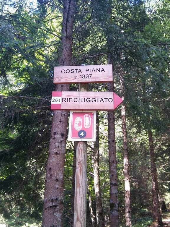
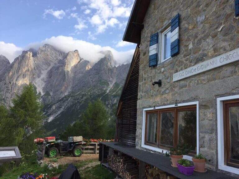
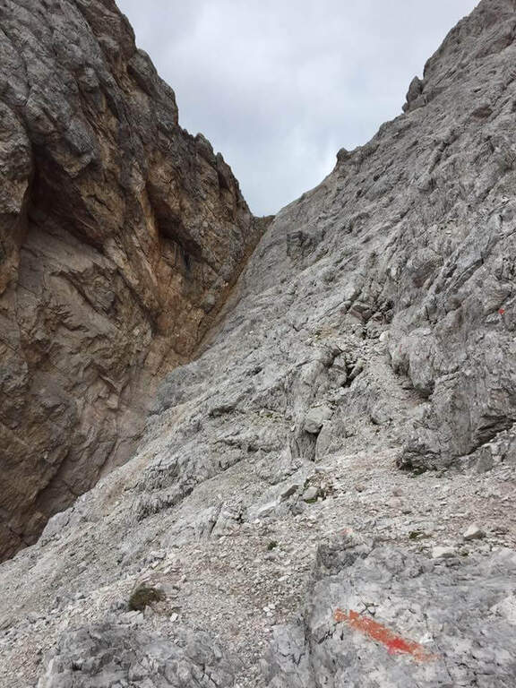
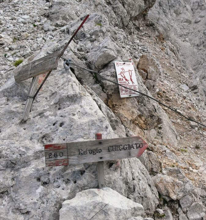
    It starts from the resort Stua, near Calalzo di Cadore (BL). In Calalzo follow the signs for Pian dei Buoi, on a narrow but asphalted road, entering the wood towards Val d’Oten up to a crossroads 2,5 km from the center, where you take to the right and continue for another 2,5 km in the wood until the parking lot (open up Google Maps). From Stua (1555 m) follow the path 261, which climbs steeply in the forest to the bends towards the Chiggiato Refuge: you pass the resort Costapiana (1337 m, 30′ from the parking lot) and the locality La Serra, recognizable for a trip that recalls the passage of Pope John Paul II, up to the Chiggiato Refuge (1911 m, 2h from the parking lot). From the refuge you go north along the high street 5, signpost 260/262, to the Forcella Sacu, where you will meet a first easy passage equipped (1914 m, 15′ from the shelter, 2h15 total). From here the path changes character and begins to climb north-east, cutting diagonally the south walls of the Cimon della Froppa with a succession of narrow cenges exposed; at the top, straight at the front, you can see the fork Jau Tana, the destination. Crossing a detritic valley meet the first metal equipment (1h by Forcella Sacu, 3h15 total).

    ▲The path

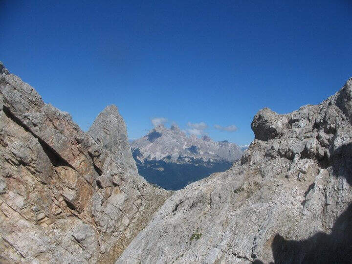
    There are about twenty meters of rocks without particular difficulty and you reach a first metal staircase resting; the ropes then help to climb up the canal, entering the throat that leads to the fork. After a second ladder, a corner is around and climbs towards the fork, with typically easy stretches alternating with stretches of unprotected and rather exposed path, to be faced with caution. In the upper part of the valley you climb on the right side without crossing it, with few equipment, until you reach the fork after a long and constant climb (1h from the attack, 4h15 total). The environment is wild and imposing, with the Cimon della Froppa that stands out right. The route now bends right towards the Forcella delle Marmarole, where the descent begins: it cuts in half-coast the summits, with attention to the bottom not always stable, until the Forcella delle Foppe (2790 m), then a stretch of descent at times equipped leads to the Forcella Marmarole (2661 m, 1h15 from Forcella Jau Tana), with in front of the Cresta degli Invalidi. The difficulties, however, are not finished: the descent continues along the Vallon del Froppa, a steep canyon with an unstable bottom, equipped in the first meters and followed by about 20 minutes on a steep and exposed background to be covered with great attention. At the end of the wreath we start on path 262, where the difficulties — and with them the equipped path — end (1h from Forcella Marmarole, 6h30 total).

    ▲Character and difficulty

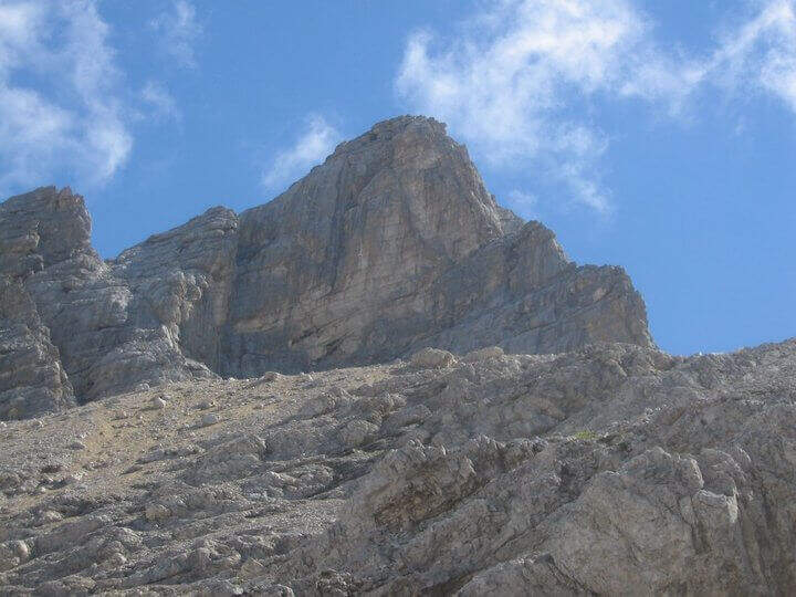
    The equipped sections do not have any technical difficulties: the real difficulties are the long stretches not protected on unstable background, in particular the connection section at altitude and the descent in the Vallon del Froppa. It is a physically demanding itinerary, in a wild and unpopular environment.

    ⚠ Long stretches not protected on unstable and infido background, exposed, to avoid absolutely with bad weather. Development (17 km, 1498 m of altitude difference, 8h15) requires excellent physical preparation, experience and stable weather.
    ▲Period and safety

    High mountain summer itinerary (max. 2790 m), reserved for trained and experienced hikers, autonomous on unstable and unprotected terrain. The detritic background and exposure impose constant prudence.

    ▲Discipline

    Follow the path 262 downhill towards the south (right) to the Forcella Sacu and then back, along the approach path, to the Chiggiato Refuge and finally to the parking lot (1h45 from the graft on 262, 8h15 overall).

    ▲Gallery
    Technical data
    • DifficultyHard
    • RegionVeneto
    • GroupMarmarole
    • Approach3:15 h
    • Ferrata3:15 h
    • Itinerary (a/r)8:15 h
    • Hardware level difference200 m
    • Route difference1498 m
    • Max2790 m
    • Length17 Km
  • Sentiero Attrezzato d’Ambros sulla Cresta Pitturina

    Sentiero Attrezzato d'Ambros sul Cresta Pitturina

    Vie Ferrate › Veneto › Belluno
    Sentiero Attrezzato d'Ambros sul Cresta Pitturina
    Moderately Hard● OpenDescriptionComplexityMapsGallery

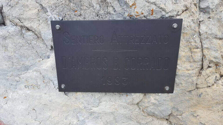
    The Path Atrezzato d’Ambros runs along the well-known Cresta Pitturina, on the border between Italy and Austria, between Monte Cavallino and Cima Vallona. It is a very exposed but never too difficult ridge itinerary, with very beautiful views of the Carnic Alps and the nearby Sesto Dolomites.

    ▲Approach

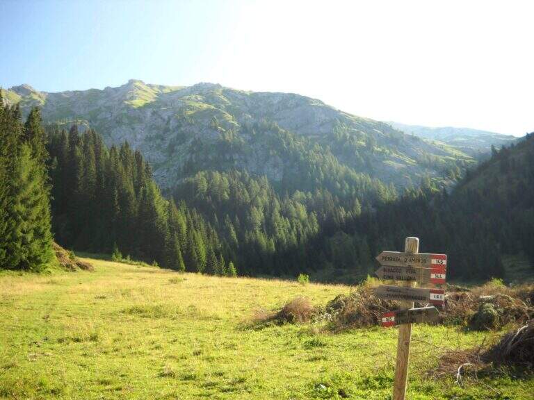
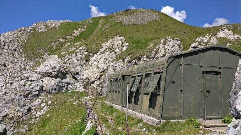
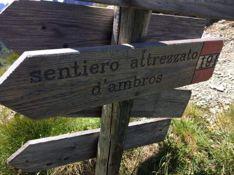
    Starting from Malga Melin, in the municipality of San Nicolò di Comelico (BL), reachable on a narrow road but asphalted by the town of Sega Digon, along the SS 52 Carnica that connects San Candido (BZ) with Venzone (UD) (open up Google Maps). From Casera Melin (1673 m) follow the signs to the north for the path 144, directed to Bivacco Piva and the Path of Ambros: climb steep first on 161, then holding the right on 144, going up a long series of hairpin bends up to Bivacco Piva (2250 m, 1h15 from the parking lot), from the unusual form that recalls a military tent. Just before the bivouac you follow the signs to the right to Cima Vallona, on the path 191; climb steeply towards Cima Vallona until you find a track that detaches to the left and leads to a fork. Near the fork, on the Italian-Austrian border, there is the attack of the Ambros Path (30′ from the Piva Bivacco, 1h45 from the parking lot).

    ▲The path

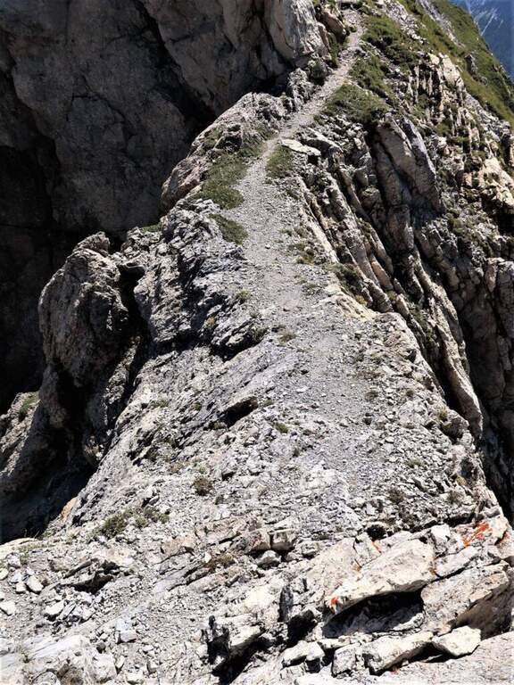
    The road develops along the sharp border ridge that ends at Monte Cavallino. It rises for about fifteen meters, mainly diagonally and with easy transverses, up to a stretch not protected of crest, decidedly exposed but without difficulty. A second equipped section goes on the left side of the wire, on the Italian side; it descends a few meters towards a rocky point and you walk through cenges and beams, exposed but never challenging, up to a cave already visible from the crest. You climb on some small rocks and you reach a second and a third gallery, where a front torch is useful because of the rather unstable background; exit, a staircase leads to the ridge. Continue on the sharp crest up to a wide grassy saddle, where you ignore a way of escape, and continue little below the thread, first on the Italian side, then on the Austrian side and finally in more marked descent on the Italian side; at the end of the descent you face carefully a fireplace. You will then reach an equipped fork, besides which you will find the key passage: a short traverse but on plate, above the average of the street — not difficult, but to deal with carefully. Continue along with a stretch of descent on the wall of 8-10 meters, well attached, then a stretch of connection up to a canal equipped with ridge; return on the crest, in good exposure, alternate stretches not equipped to a stretch equipped up to the highest point of the crest. The path leads finally to the end of the street, at a marble block that marks the border between Italy and Austria (2h from the attack, about 4h overall).

    ▲Character and difficulty

    Although it is called a well-equipped path, it has some vertical climbs that approach it more to a ferrata: there are no particular technical difficulties, except for 3-4 more challenging points, but — as often happens in the ridge paths — the exhibition is strong along almost all the way.

    ⚠ Strong exposure on almost all ridge path. For tunnels, a front torch (unsteady background). Attention to return, not marked in an impeccable way: useful orientation experience.
    ▲Period and safety

    High mountain summer itinerary (max. 2486 m). Constant exposure and presence of unprotected traits require steady pace, experience and stable time.

    ▲Discipline

    From the end of the road it is possible to reach the nearby peak of Cavallino (1h gone, 1h45 gone and back) continuing on the crest and following the traces on the gland up to some small rocks and on the summit cross. The return to Casera Melin takes place on the left, on the Italian side, taking the path 160, parallel to the crest just crossed, up to Bivacco Piva and then back along the path (2h from the end of the ferrata, about 6h overall). There are some shorter reentry routes that avoid bivouac, but are more impervious.

    ▲Gallery
    Technical data
    • DifficultyModerately Hard
    • RegionVeneto
    • GroupCarnic Alps – Comelico
    • Approach1:45 h
    • Ferrata2:00 h
    • Itinerary (a/r)6:00 h
    • Hardware level difference100 m
    • Route difference813 m
    • Max2486 m
    • Length12 Km
  • Sentiero Attrezzato della Cengia Veronesi

    Sentiero Attrezzato della Cengia Veronesi

    Vie Ferrate › Veneto › Belluno
    Sentiero Attrezzato della Cengia Veronesi
    Moderately Hard● OpenDescriptionComplexityMapsGallery

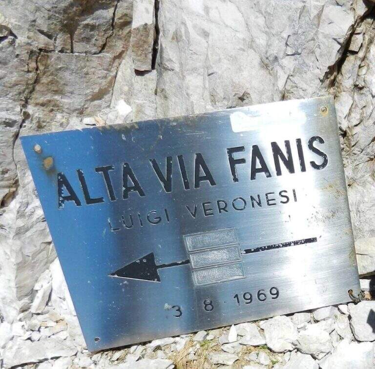
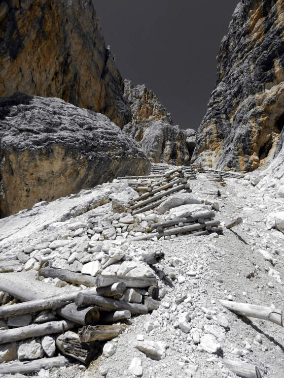
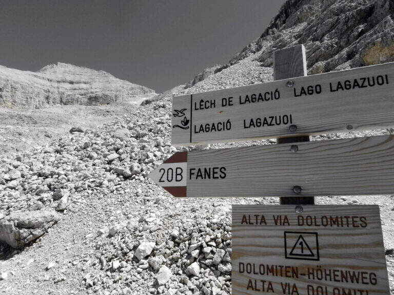
    The Cengia Veronesi is a technically not difficult but very exposed itinerary, not to be taken lightly already for the approach: in order to reach it, in fact, you have to follow a section of the difficult Ferrata Tomaselli. In return, it offers magnificent landscapes in the heart of the Fanis group. Here we describe it in the direction of Cima Fanis – Forcella Lech, but nothing forbids it in reverse direction, uphill.

    ▲Approach

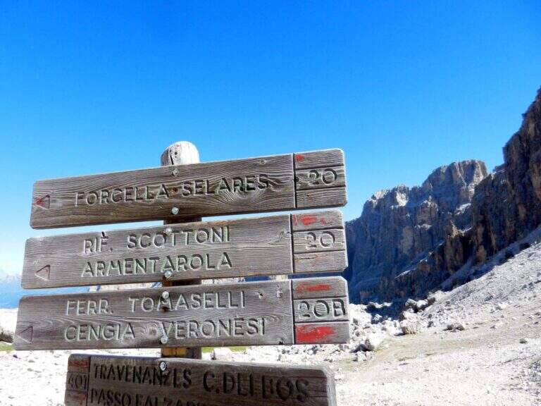
    You have to get under Cima Fanis Sud. The quickest way coincides with the approach of Ferrata Tomaselli: you reach the Falzarego Pass (2105 m) — from Cortina d’Ampezzo, from San Cassiano in Val Badia or from Alleghe (Belluno) — you park in the large square at the valley station and climb with the cable car to the Lagazuoi Refuge (open up Google Maps). From here there are three options, in increasing order of engagement. The first follows the approach of the Tomaselli on the eastern side of the Grande Lagazuoi, from Forcella Travenazes to Forcella Gasser Depot, then up to saddle Fanes; then the maximum attention is paid to a census that detaches on the left (omit), you walk it and you get to the nod from which the road (2h from the mountain station). The second reaches the Bivacco Chiesa always along the Tomaselli, it follows the first difficult stretch — including the famous traverse — and flows into the starting census (1h45 from the mountain station): it is the option described here for the times. The third walks through the difficult Ferrata Tomaselli (3h), descends the downhill ferrata and identifies a half-coast path that, with a first equipped section, leads to the tunnel for Cengia Veronesi (4h from the mountain station).

    ▲The path

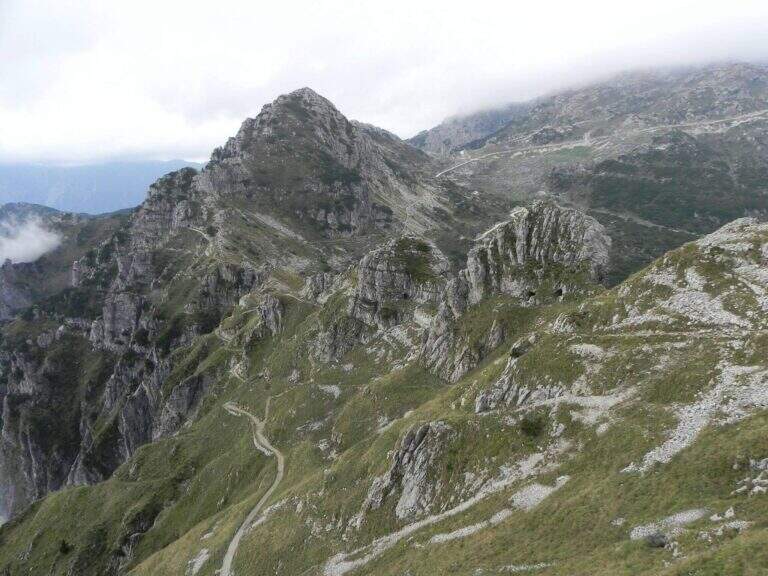
    From the second nod after the attack of Tomaselli we pay attention to a crossroads where Tomaselli continues to the right while the Cengia Veronesi goes left, with unfortunately faded signs. It starts immediately with an exposed and uninsured nod, followed by an even more exposed and narrow passage, in light descent but protected. After this, you go up a canal up to a saddle and continue to the left to a cave (a meeting point with approach 3): you can cross it for about 100 meters with a frontal stack, pouring on the opposite side of Cima Fanis. On the other hand, the long nod follows the track that, between modest climbs on exposed traits, leads to a edge that alternates short stretches equipped with long stretches, even very exposed, completely without protection. The nod runs with a remarkable precipice on the left and requires firm foot, even without any technical difficulties. We proceed up to a first fork between Cima Fanis and Piz Scottoni and then, with minor exposure, towards the Forcella Lech, where the route ends (1h15 from the deviation from Tomaselli, 3h overall).
    ▲Character and difficulty

    It is a difficult path to classify: the census in itself is very exposed and at times not equipped, but for the experienced hiker with a firm foot does not pose problems, indeed it becomes a very pleasant experience for the views. It is the constant exposure, more than the technique, to be able to trouble those who lack experience.

    ⚠ In each variant, access requires a stretch of the difficult Ferrata Tomaselli (including the famous cross): it must be evaluated honestly and not underestimated. The path is not marked and difficult to find. The census is very exposed and in several places without protection, with precipice at the side: it serves absolute firm foot. For the cave (100 m) a frontal stack is required.
    ▲Period and safety

    Itinerary of high mountain (max. 2843 m), to be faced in the summer season with stable weather. Reserved for experienced hikers, accustomed to exposure and autonomy on unprotected terrain.

    ▲Discipline

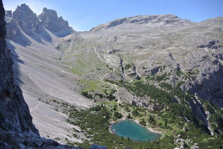
    From Forcella Lech (2486 m) you descend a steep detritic canyon that quickly loses altitude in the direction of Lake Lagazuoi. Before reaching the lake, at a crossroads, it is advisable to keep the left without going too far, to start further on the path 20 that climbs to Forcella Lagazuoi; from here, to backwards, you return to the mountain station of the cable car and then to the parking (2h from Forcella Lech, 5h overall).

    ▲To match

    Natural matching is precisely with Ferrata TomaselliThe Cengia Veronesi is often a variant or extension.

    ▲Gallery
    Technical data
    • DifficultyModerately Hard
    • RegionVeneto
    • GroupDolomiti d'Ampezzo – Fanis
    • Approach1:45 h
    • Ferrata1:15 h
    • Itinerary (a/r)5:00 h
    • Hardware level difference100 m
    • Route difference370 m
    • Max2843 m
    • Length7,8 Km
  • Pojesi Path at Carega

    Pojesi Path at Carega

    Vie Ferrate › Veneto › Verona
    Pojesi Path at Carega
    Moderately Hard● OpenDescriptionComplexityMapsGallery

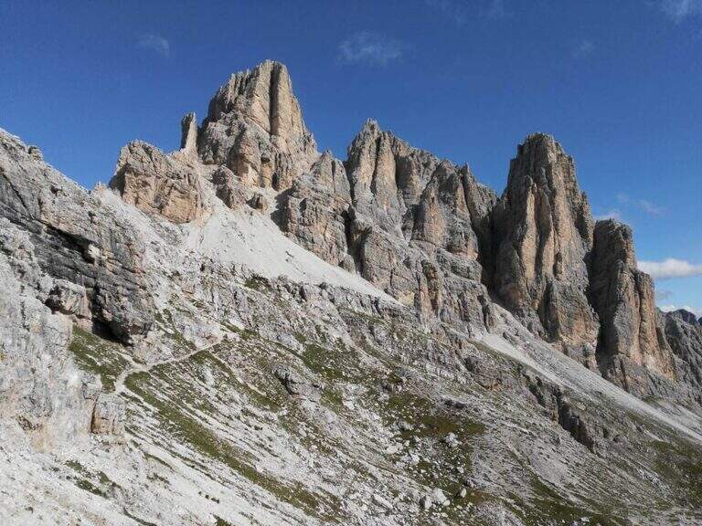
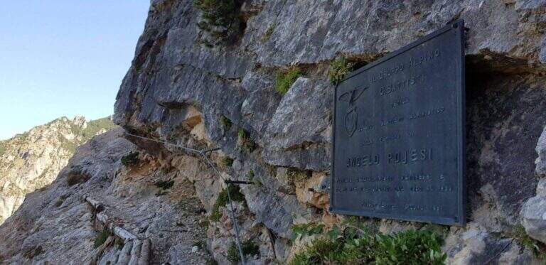
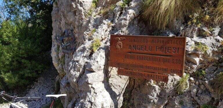
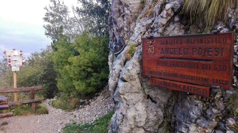
    Il Path equipped Pojesi salt at the Carega in the small Dolomites of Verona. Recently refurbished, it offers a varied and satisfying excursion with a total difficulty: few steps of average difficulty, but at times unstable background on which to pay attention. It is long if you include the climb to Carega.

    ▲Approach

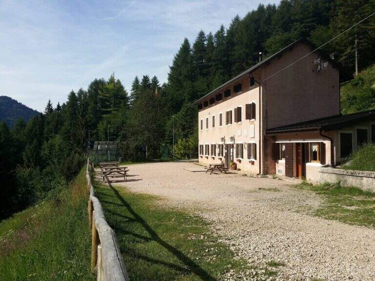
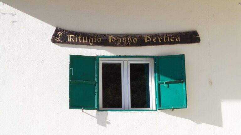
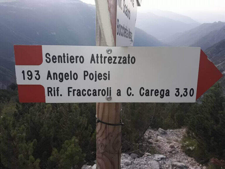
    Starting from the Rifugio Revolto (1355 m), go up the Val d'Illasi: from the south you leave from the 'A4 to Verona East or Soave, you reach Selva di Progno and then Giazza, from which you continue about 7 km on narrow but paved road to the refuge. Open road signs on Google Maps. From the Revolto you go up to the Rifugio Passo Pertica (1530 m), for the forest (30') or for the path in the wood that the size (20'); from here follow the plates to the north-west to the ' start of the path equipped, at a nod (about 30' from the parking lot).

    ▲The path

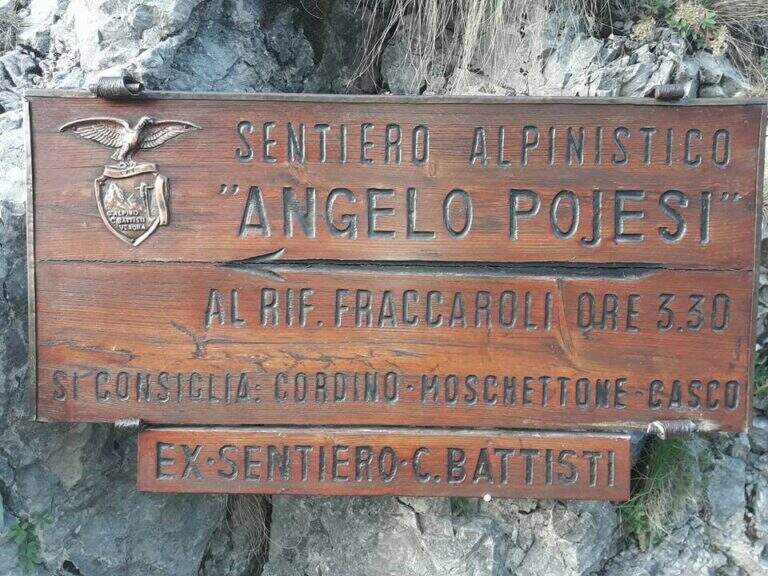
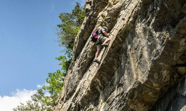
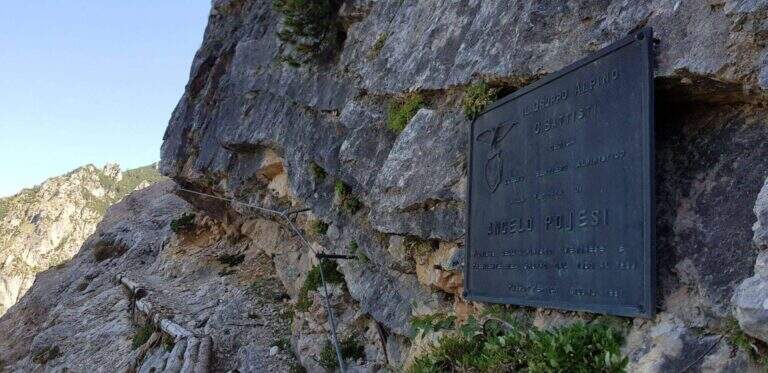
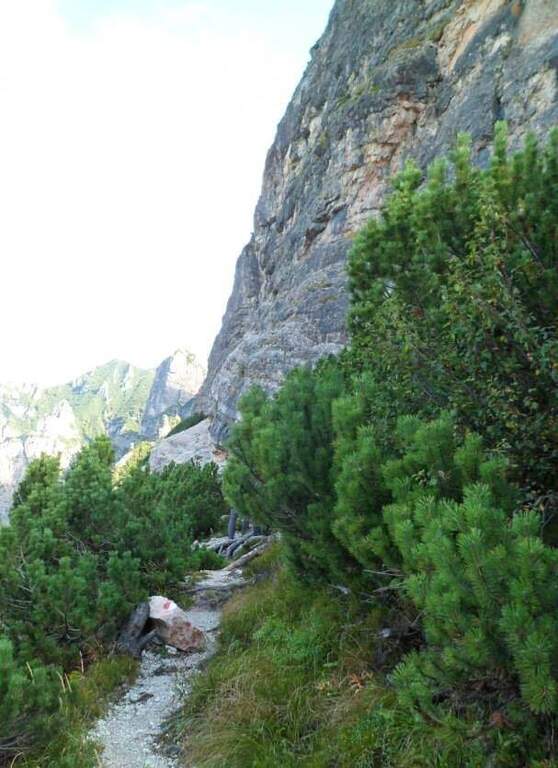
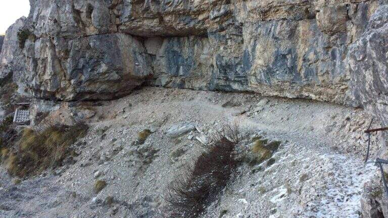
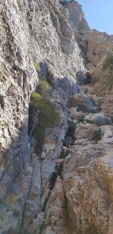
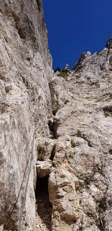
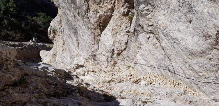
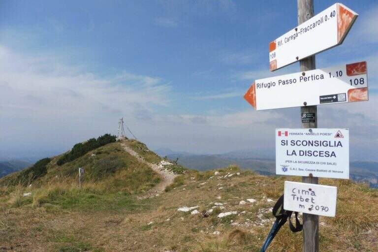
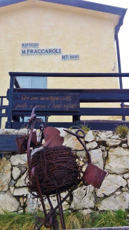
    Il Pojesi inizia con un'esposta ma comoda cengia attrezzata verso sinistra, con passerelle, brevi balzi e scalini; una scaletta metallica e un tratto su fondo ghiaioso portano a un breve e aereo traverso da percorrere su cambre e pioli. Aggirato uno spigolo, una passerella riporta sulla cengia; in lieve discesa su fondo instabile si raggiunge un traverso più corto e facile, poi un tratto di discesa attrezzata, e si piega a destra in salita chiudendo il primo tratto di cengia. Inizia il secondo tratto: un balzo verticale di 4 metri e una serie di balzi e massi attrezzati – il primo realmente arrampicabile – poi un camino con cavo a sinistra e solide cambre a destra. Si prosegue in salita fino a un tratto di discesa attrezzata di circa 15 metri (paretina con cambre, roccette, canalino) e a ripidi gradoni di legno; segue un breve tratto attrezzato e una disarrampicata verticale su roccia molto appigliata. Si scende ancora tra mughi e ghiaioni, con brevi tratti attrezzati, fino sotto una bella parete verticale che si risale per una ventina di metri (cambre e appigli naturali), uscendo su una rampa gradonata; si raggiunge il libro delle firme. La salita però non è finita: si entra in un canalone attrezzato e arrampicabile (conviene restare sul lato destro in spaccata anche se la fune corre a sinistra), poi si risale una parete verticale di una trentina di metri su cambre e appigli. Con alcune roccette e brevi tratti attrezzati il Pojesi termina innestandosi sul sentiero 108 (2h 30' dall'attacco, 3h dal parcheggio). Dal bivio si può rientrare a destra al Rifugio Pertica (circa 1h 15') oppure proseguire a sinistra verso il Rifugio Fraccaroli (2230 m, 45' dal termine) su un bel sentiero di cresta panoramico, salendo infine alla vetta del Carega (2259 m, 4h complessive).

    ▲Character and difficulty

    The renovation has modernized the road and added artificial hooks: apart from three steps (the initial traverse and the two final channels) the route can be considered easy. Functions, fixtures and walkways are in very good condition.

    ⚠ The Piccole Dolomiti often wind up of nebbia in the afternoon, especially in the warm months: better start soon. Attention to stones and unstable background; in the area there are many chamois, therefore always indispensable helmet.

    ▲Discipline

    From the top of the Carega you return to the crossroads between the Pojesi and the path 108 and descend on the 108, without difficulty, first at the Rifugio Pertica and then, on the path of approach, at the Revolto Refuge (2h from the summit, 6h overall).

    ▲To match

    From the Rifugio Pertica part the vertical and exposed Ferrata Biasin and the excursion to Ferrata Campalani. Towards the Gramolon there are Ferrata Viali e la Ferrata Ferrari; towards the Pasubio the Dark Vajo e il Vajo Strait.

    ▲Gallery
    Technical data
    • DifficultyModerately Hard
    • RegionVeneto
    • ProvinceVerona
    • GroupSmall Dolomites – Carega
    • Approach30 min
    • Fully equipped3h 30'
    • Complete itinerary6h
    • Level difference700 m
    • Route difference908 m
    • Maximum2260 m
    • Length15 km
  • Path equipped Astaldi

    Path equipped Astaldi

    Vie Ferrate › Veneto › Belluno
    Path equipped Astaldi
    Moderately Hard● OpenDescriptionComplexityMapsGallery

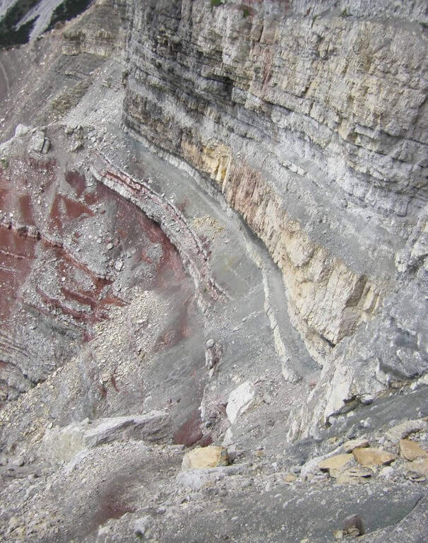
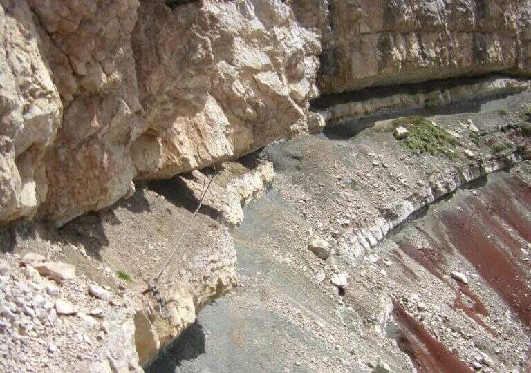
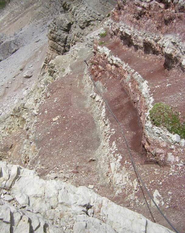
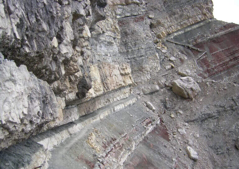
    Il Path equipped Astaldi walks through the base of the southern slope of Punta Anna, in the Tofane above Cortina d'Ampezzo. It is scenically remarkable, with modest technical difficulties and contained physical commitment, ideal for a half day; however, it should be carefully addressed for a couple of unprotected detritic canals.

    ▲Approach

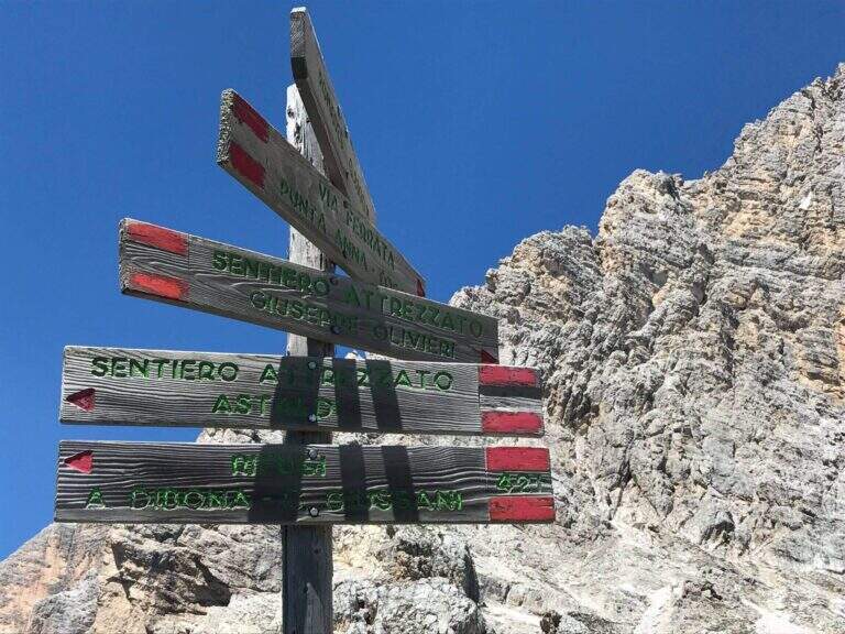
    Starting from the Rifugio Dibona (2083 m), reachable by road paved by the state road Cortina– Passo Falzarego (follow the signs for the Dibona, avoiding the junction for the Rifugio Duca d'Aosta). Open road signs on Google Maps. From the parking lot follow eastwards the sentiero 403 (towards the Giussani Refuge) along the valley between the south face of the Tofana of Rozes to the left and Punta Anna to the right; on the ascent there is a trail that leaves the mule track at a decisive turn left. Go up on detritic slope to a drainage and follow the trail towards the rocky bastion, where – to the right of an artificial foro in the rock – start the path equipped (45' from the Rifugio Dibona).

    ▲The path

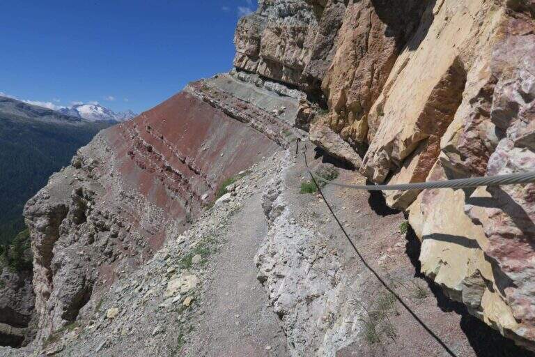
    The trail crosses the colorful Formation of Raibl. You descend a few meters in a canal up to the first rope, which assists on the exposed nod; you continue alternating stretches wide and not protected at più points; tight. At a rocky roof the nod shrinks and in some places it is necessary to lower to pass below. You reach a canale which interrupts the path and goes up using the crossroads placed to make the bottom less slippery; it follows a più nod; exposed above the red stratifications. The passage più is attached to the edge; insidioso: a canal with an unstable, short and unequipped bottom, where è absolutely to avoid a slip. After a short traverse on brackets and another detritic canal, one enters the ' last section, on a più nod; large and largely unprotected; one descends one last stretch and reaches l' last stretch equipped, ending at the sentiero 421 Dibona–Pomedes (1h 15' from the shelter, attack).

    ▲Character and difficulty

    Itinerary mainly in census, of difficultà modest; the critical points are the two non-protected detritic , from the bottom not entirely stable.

    ⚠ Il helmet is indispensable, both for the possible fall of detritic material and for rocky roofs at times low. Maximum caution in unequipped canals: a slip is to be avoided absolutely.

    ▲Discipline

    You return immediately to the parking lot along the sentiero 421 holding the right: between rocks and conifers, in a little più 30 minutes you return to the Rifugio Dibona (2h 15' overall). From the junction è you can climb in 10' to the Pomedes Refuge.

    ▲To match

    The Astaldi connects the two sides of Punta Anna. From the Giussani refuge you can reach Ferrata Lipella to the Tofana of Rozes; on the eastern side the Ferrata Olivieri, la Ferrata Aglio e la Ferrata Formenton.

    ▲Gallery
    Technical data
    • DifficultyModerately Hard
    • RegionVeneto
    • ProvinceBelluno
    • GroupTofa
    • Approach45 min
    • Fully equipped1h
    • Complete itinerary2h 15'
    • Level difference50 m
    • Route difference240 m
    • Maximum2283 m
    • Length3,3 km
  • Sentiero Attrezzato Amalio da Prà al Monte Ciareido

    Sentiero Attrezzato Amalio da Prà al Monte Ciareido

    Vie Ferrate › Veneto › Belluno
    Sentiero Attrezzato Amalio da Prà al Monte Ciareido
    Moderately Hard● OpenDescriptionComplexityMapsGallery

    Il Sentiero Attrezzato Amalio da Prà circumvents Monte Ciareido in the Marmarole, a much less popular dolomitic group of neighbors and for this wild and surprising. It is a medium difficulty ring: a couple of challenging equipped steps and, above all, exposed and unprotected traits that raise the overall commitment.

    ▲Approach

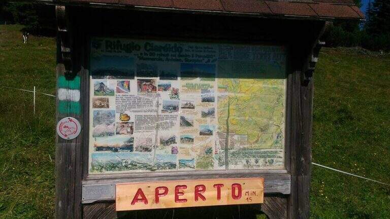
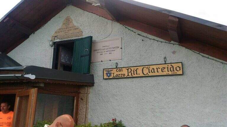
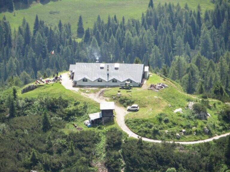
    It starts from the Parco to the Memory of Pian dei Buoi, above Lozzo di Cadore. Just before the' intersection between the SS52 and the SS51 a road on the left, with indications for the Ciareido and the Marmarole, rises for several kilometers and è narrow: in high season there is the senso unico alternating at times (verify on the site of the Municipality). You get to' last parking (100 places), not far from the Ciareido Refuge. Open road signs on Google Maps. Continue on the dirt road until the Rifugio Ciareido (1969 m, 15' from the parking lot); just beyond, at a crossroad, the destra is held on the CAI 272 towards the north, remaining on the floor until a crossroad where on the left a path with red signs climbs rapidly towards l' obvious fork between the Ciareido and a.

    ▲The path

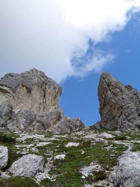
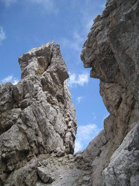
    From the fork you go down to the left and quickly meet the equipment: the cable acts as the runner downhill to bypass the Pian dei Buoi Tower first and then the east side of the Ciareido; characteristic a passage where the cable runs along a channel carved diagonally into the wall. The path descends steeply and bends to the left with some cenge almost always protected. Start the più tract; interesting: you descend a few meters in dis climbing on the east walls of the Ciareido, you walk a stretch of exposed and equipped path and you go up a vertical parete equipped – the più point; difficult of the track, however on moderate levels. A last canal with a few leaps closes the equipment; we continue halfway following the abundant signs to the fork on the south side of the Ciareido, where the equipped path ends (1h 30' from' attack, 2h 30' from parking).

    ▲Character and difficulty

    The equipped parts are quite easy, except for the downhill section and the vertical wall to rise, not trivial. L' greater commitment lies in the unprotected tracts and exposed, where they serve firm foot and attention: no excessively difficult passage, but not to underestimate.

    ⚠ Some sections remain often snow-covered even in late season: è prudent to bring peak and ramps. Maximum attention in exposed and unequipped steps.

    ▲Discipline

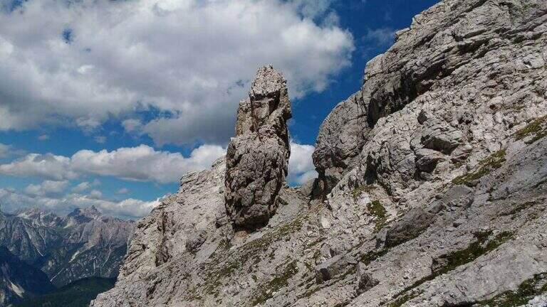
    From the end the parete south of the Ciareido (leaving behind the spire called « Il Pupo») in a very beautiful environment, descending towards the refuge. At a crossroads, you can go right to the Rifugio Baion-Boni (1828 m, 45' from the end), or continue bypassing the Ciareido to the Rifugio Ciareido dell' then go back to the parking lot (1h 15' from the end, 3h 45' overall).

    ▲To match

    Nearby, challenging, the Sentiero Attrezzato degli Alpini that climbs to Forcella Jau Tana: easy in the equipped but of strong character in those not protected, to reserve to experienced hikers.

    ▲Gallery
    Technical data
    • DifficultyModerately Hard
    • RegionVeneto
    • ProvinceBelluno
    • GroupMarmarole
    • Approach1h
    • Fully equipped1h 30'
    • Ring itinerary4h
    • Level difference100 m
    • Route difference550 m
    • Maximum2298 m
    • Length8,7 km
  • Path equipped Bonacossa

    Path equipped Bonacossa

    Vie Ferrate › Veneto › Belluno
    Path equipped Bonacossa
    Moderately Hard● To checkDescriptionComplexityMapsGallery

    viso Notice — Since 2017 the Forcella di Misurina è affected by a landslide that has made it impossible to reach the point of the path is still closed. È it is possible to travel on the route from the Ciadin de la Neve. Always check the current conditions at the refuges in the area before leaving.

    Il Path equipped Bonacossa is a long and beautiful itinerary, partly equipped, which cuts in south-north direction the Group of the Cadini di Misurina (Dolomiti di Sesto). Different room forks, with a total difference of height much greater than the absolute for the continuous climbs. The equipped stretches are not difficult, but the excursion requires good training and steady foot, especially from Forcella de Rinbianco onwards.

    ▲Approach

    The starting point & the mountain station of the Col de Varda, on the eastern side of Lake Misurina. You park at the south side of the lake, near the ' Hotel Alpenrose, and you reach the facilities. Open road signs on Google Maps. With the seggiovia not c' & ` approaching; alternatively, it rises in 45' from Lake Misurina (1756 m) to the Col de Varda Refuge (2115 m) for the steep 120 signpost.
    ▲The path

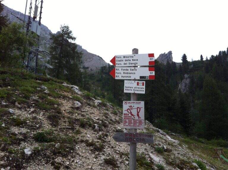
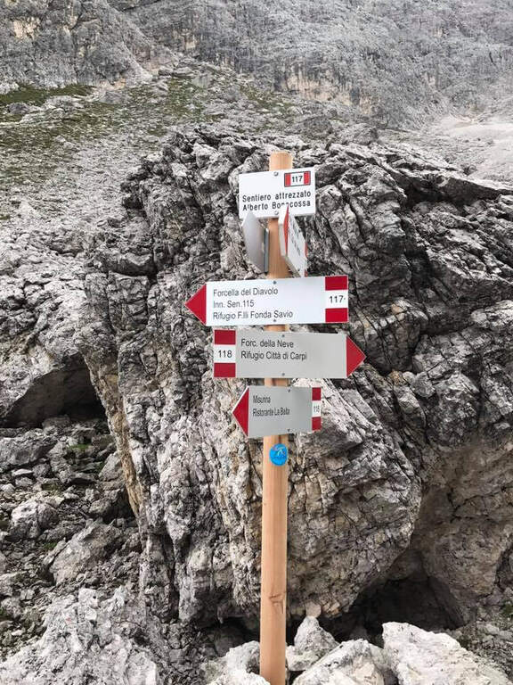
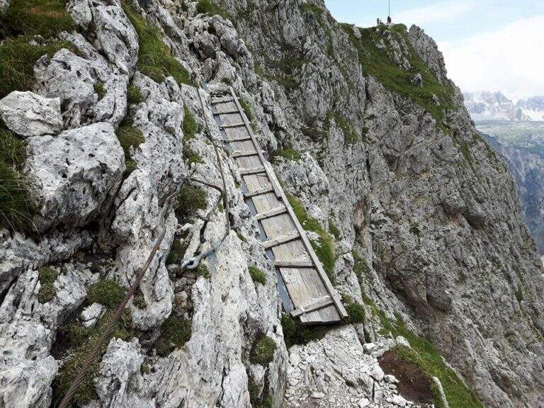
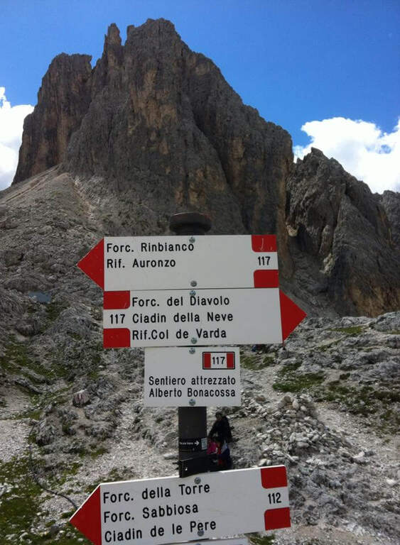
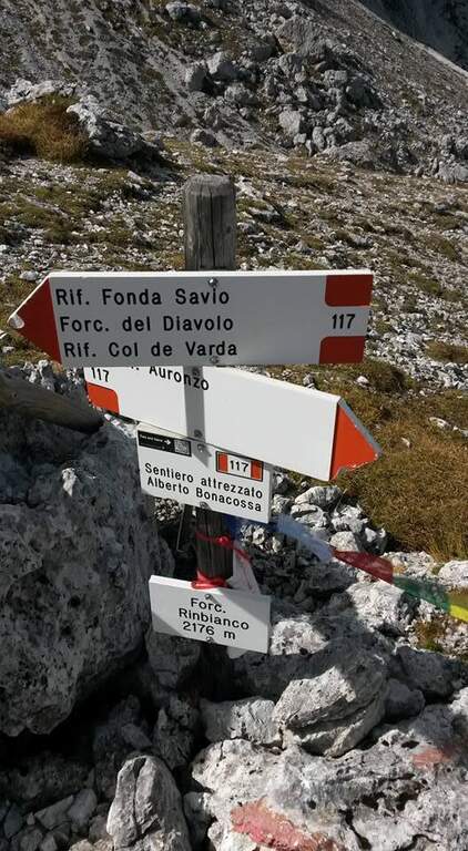
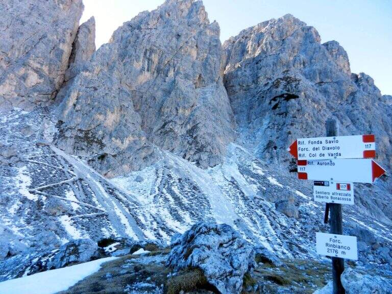
    From the upstream station (Rifugio Col de Varda) the metal plate marks the beginning of the mark 117 north. Following radi red boils rises, first half-coast then steeper, towards the Misurina Fork (2395 m, 45' from the station), going up a detritic canal on the right side to stretches equipped with rope ( steep and tiring, with wooden frames in support of the bottom). NB: questo tratto è quello interessato dalla frana del 2017 (vedi avviso). Dalla forcella si scende ripidamente lo stretto intaglio in un canalino detritico, aiutati da corde metalliche su un paio di balzi verticali e un traverso a destra, e si attraversa un foro nella roccia attrezzato con fune e gradini artificiali, fino al Ciadin della Neve (2250 m, 1h 30' dalla stazione), dove si incrocia il sentiero 118. Restando sul 117 si risale ripidi verso nord-est: due scalette metalliche superano due salti rocciosi, poi si piega a destra salendo la parte alta del canalino, instabile negli ultimi metri, fino alla Forcella del Diavolo (2380 m, circa 2h 15'). Si scende ripidi sulla destra di un ghiaione (possibile neve a stagione inoltrata) fino al Rifugio Fonda Savio (2367 m, circa 3h), crocevia dei Cadini da cui parte verso sud l'attacco dell'aerea Ferrata Merlone. Dal rifugio il 117 prosegue a nord: un tratto ripido con passaggi attrezzati, un canalino attrezzato e una cengia con passerella in legno riportano verso il Ciadin della Neve; ignorata la deviazione per Forcella Sabbiosa (sentiero 112) si raggiunge Forcella de Rinbianco (2176 m, 3h 30'), dove si tiene la destra verso il Rifugio Auronzo. Segue una cengia panoramica, a tratti esposta e attrezzata ma non difficile, sopra la Val de le Cianpedele; superata una passerella e alcuni resti della Grande Guerra, a un bivio si lascia il Sentiero Durissini e si resta sul 117 a sinistra in salita. Si aggira la parete orientale del Ciadin delle Bisse con roccette, una rampa diagonale (cavo a sinistra) e una scaletta appoggiata; i passaggi non sono difficili ma il fondo è spesso umido, quindi conviene assicurarsi. Una serie di cenge e brevi canalini franosi, sempre attrezzati nei punti più esposti, costituisce il tratto più adrenalinico fino a una forcella (2300 m, 4h 30') che scavalca dal versante est a quello ovest, con le Tre Cime di Lavaredo di fronte. Dopo l'ingresso di una galleria (facoltativa, aggirabile per sentiero) si raggiunge il Rifugio Auronzo (2320 m, 5h 15').
    ▲Character and difficulty

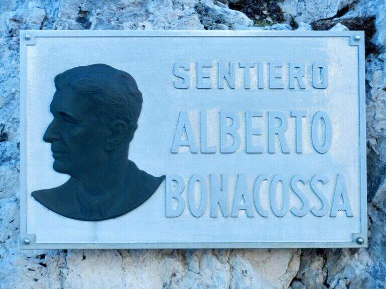
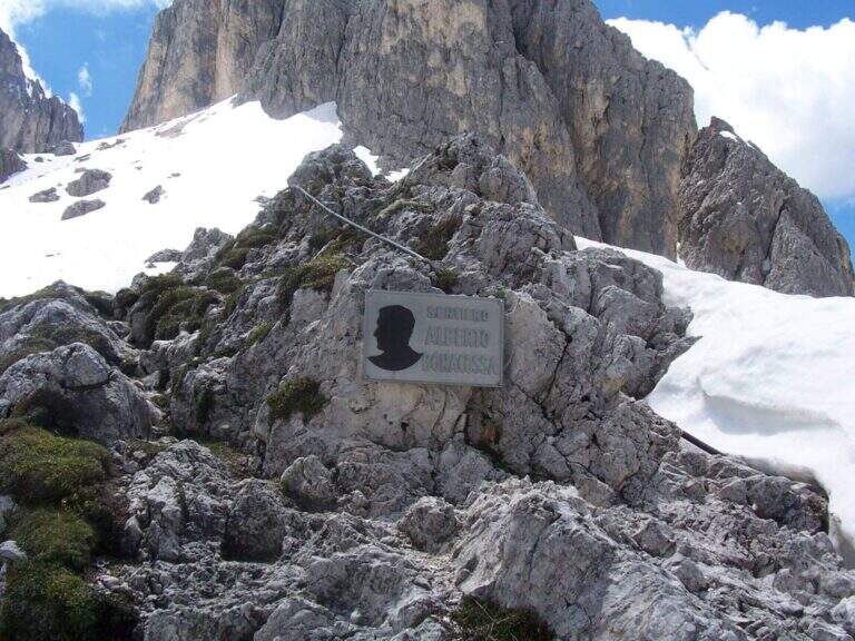
    The equipped sections are without technical difficulties and most useful as handrail; the pitfalls are the length, the numerous ups and some sections exposed (especially by Forcella de Rinbianco), however always well equipped. Itinerary dedicated to Alberto Bonacossa, a multifaceted sports and military figure of the first half of the twentieth century.

    ⚠ Attention to nevai also present in late season, especially in the valleys; the wet bottom of the cenges requires caution. Remember the closure of the stretch of Forcella di Misurina (frana 2017).

    ▲Discipline

    From the refuge Auronzo, the return to Misurina takes place by bus or following the tourist trail 101, in constant and never excessive slope, up to Lake Misurina in 1h 30' (about 7h overall).

    ▲To match

    From the Rifugio Fonda Savio you can turn south to Ferrata Merlone. From the refuge Auronzo you climb to Monte Paterno for the Ferrata Innerkofler-De Luca, or Toblin Tower for Ferrata delle Scalette e la Ferrata Hosp. From Lake Misurina you can reach the itineraries of Cristallo, including the Ferrata René De Pol e la Ferrata Capitano Bilgeri monte Piano.

    ▲Gallery
    Technical data
    • DifficultyModerately Hard
    • RegionVeneto
    • ProvinceBelluno
    • GroupCadini di Misurina
    • Approach5 min (with chairlift)
    • Equipment5h 15'
    • Complete itinerary7h
    • Level difference100 m
    • Route difference624 m
    • Maximum2495 m
    • Length17,5 km
Need help? Write to us!