Regione: Veneto

  • Ferrata Terza Cengia Pomagagnon

    Ferrata Terza Cengia Pomagagnon

    Vie Ferrate โ€บ Veneto โ€บ Belluno
    Ferrata Terza Cengia Pomagagnon

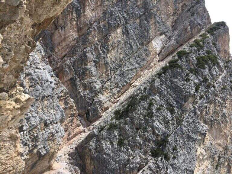
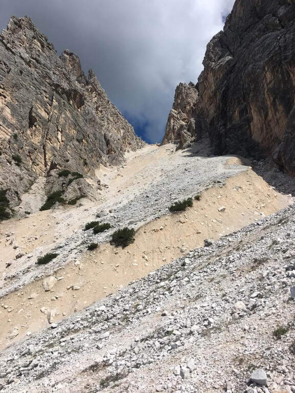
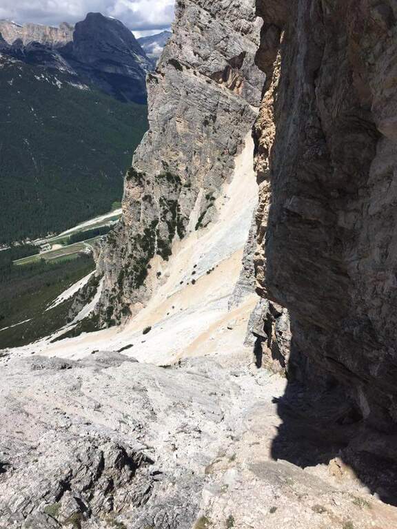
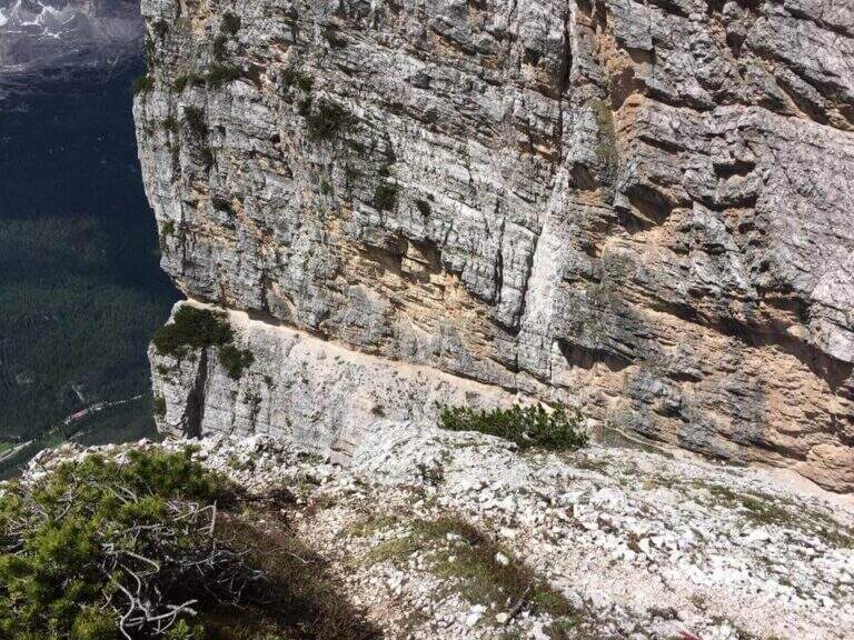
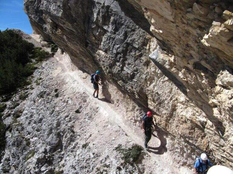
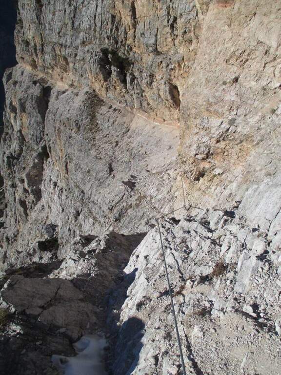
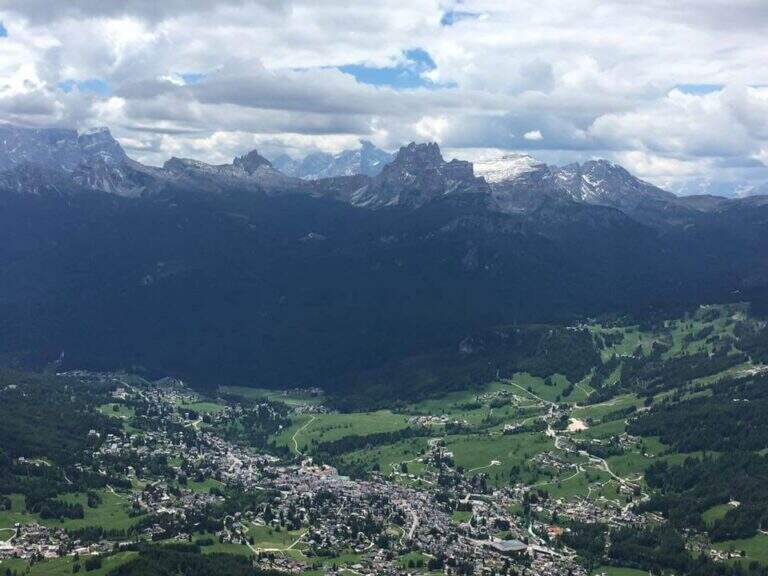
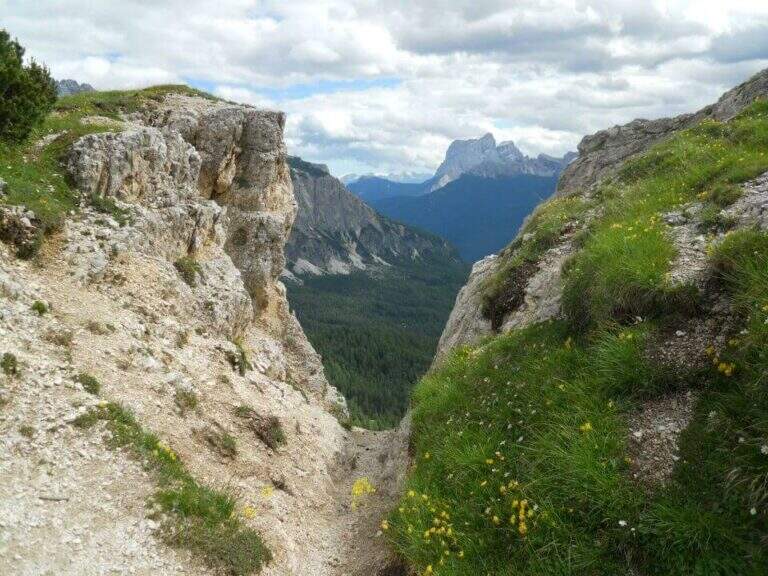
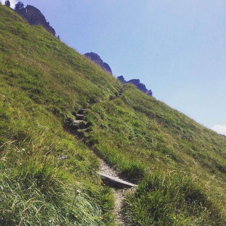
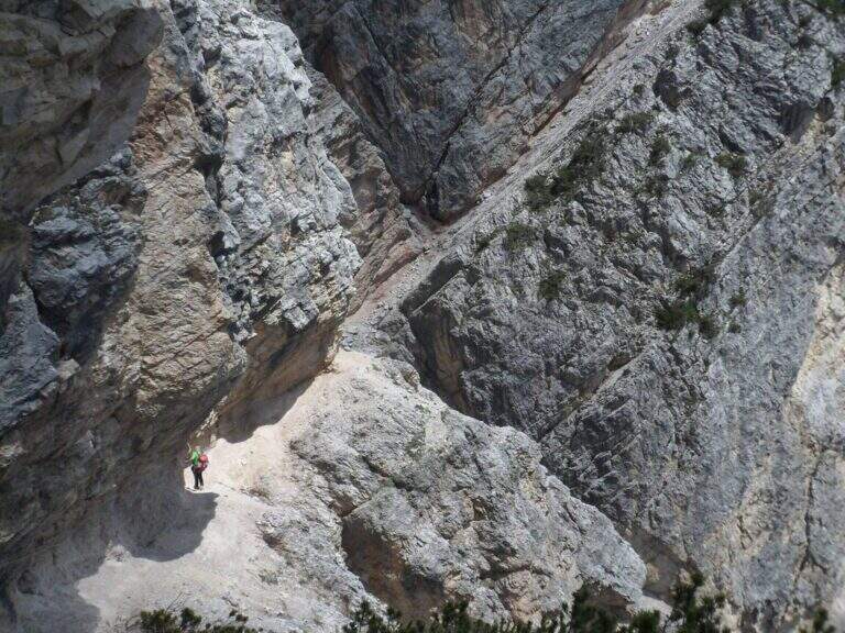
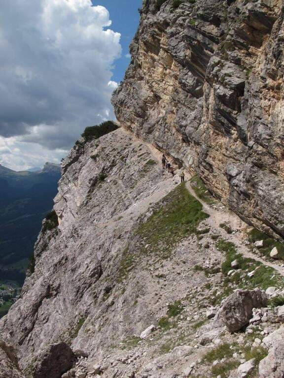
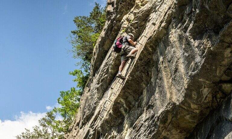
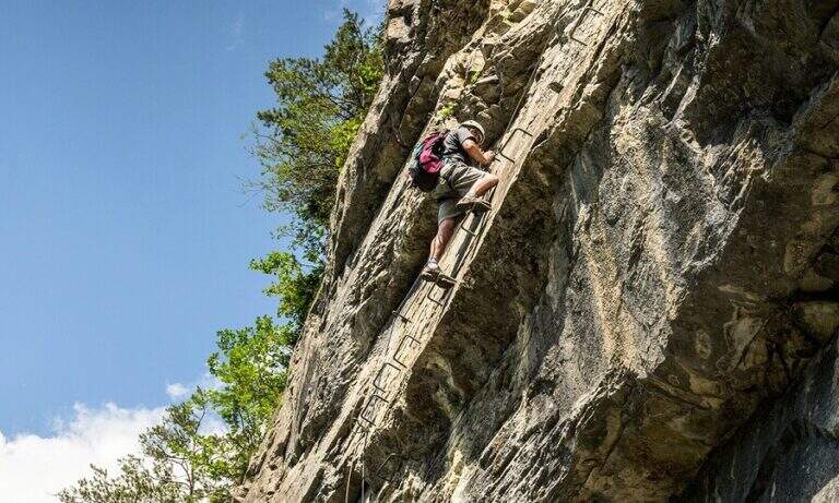
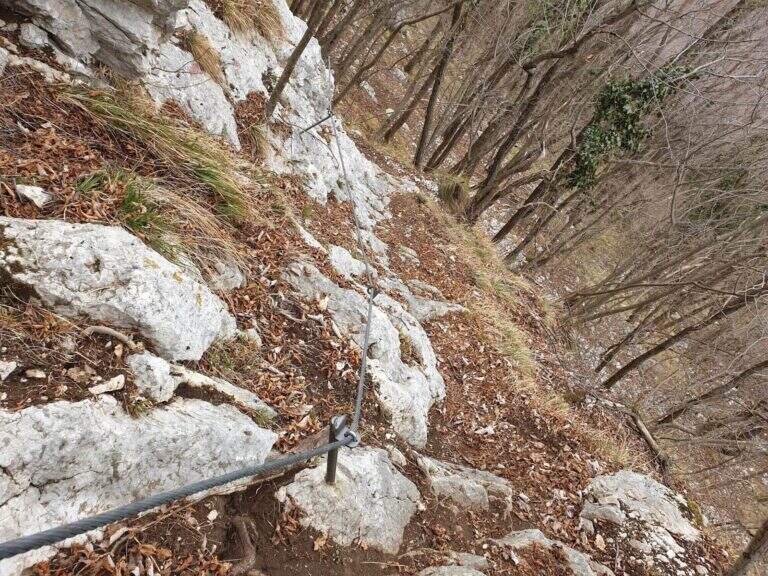
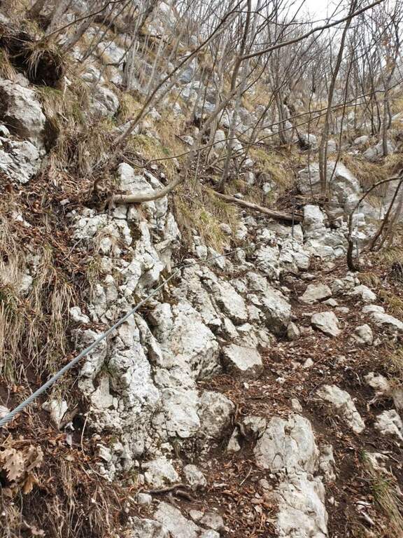
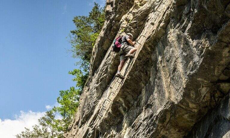
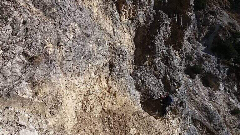
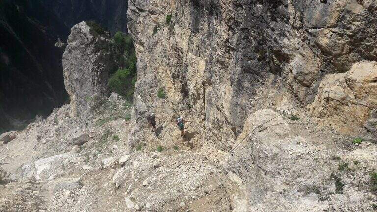
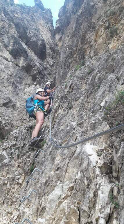
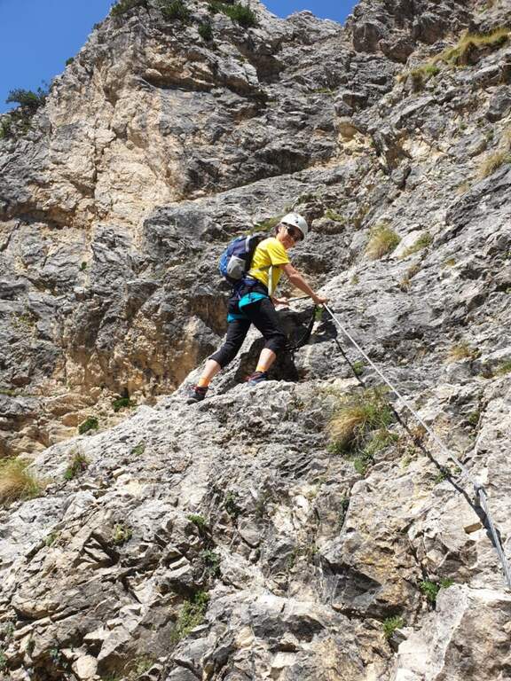
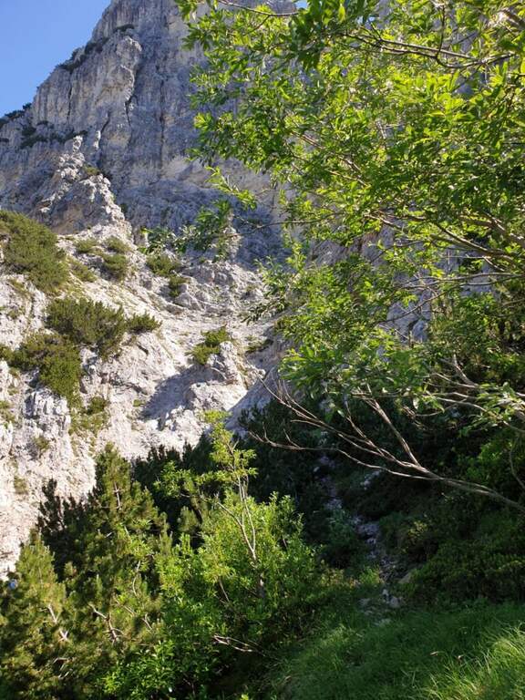
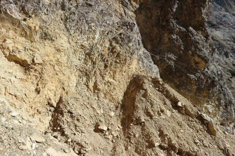
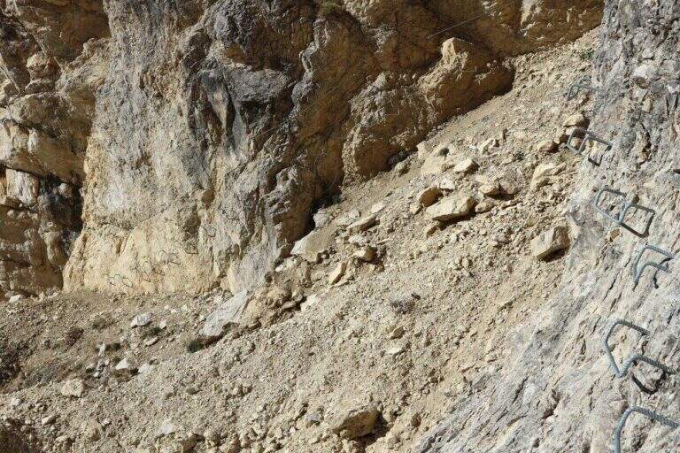
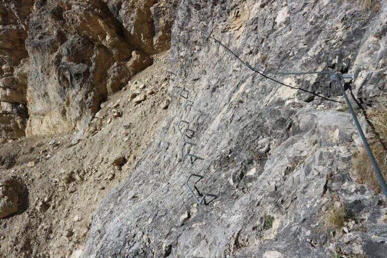
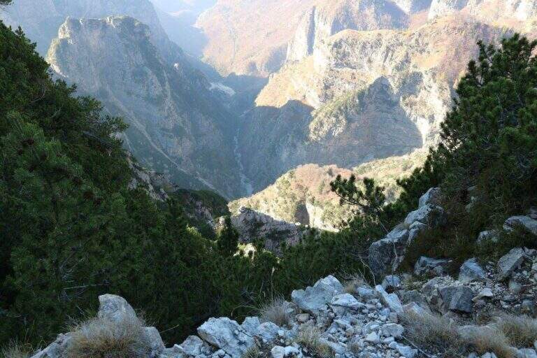
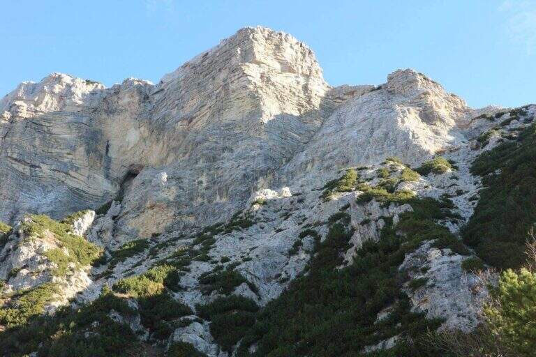
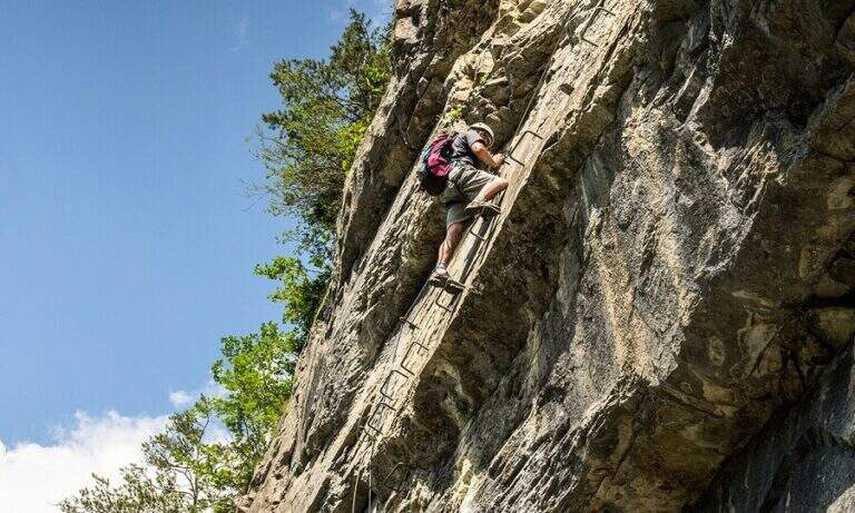
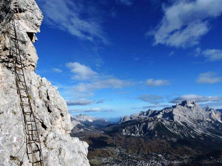
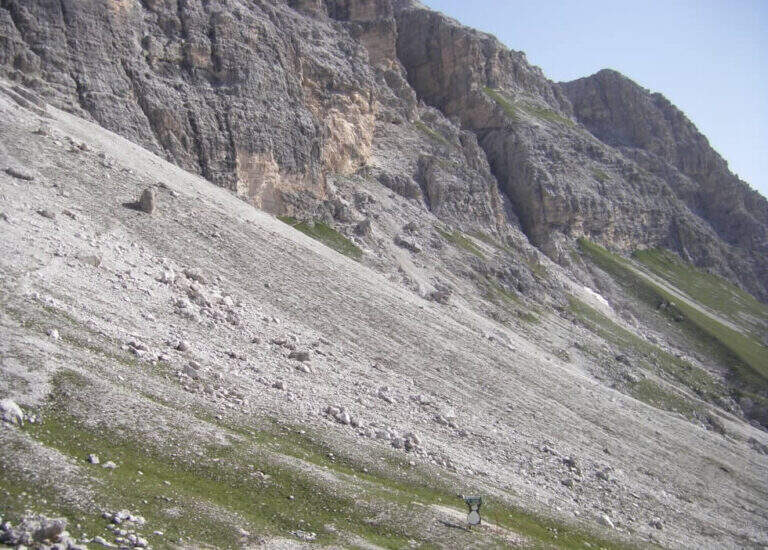
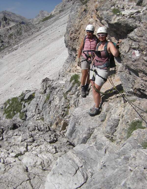
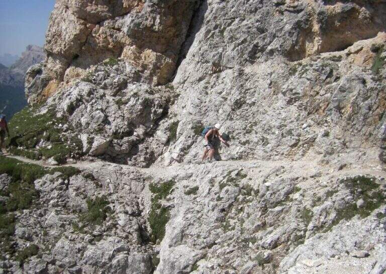
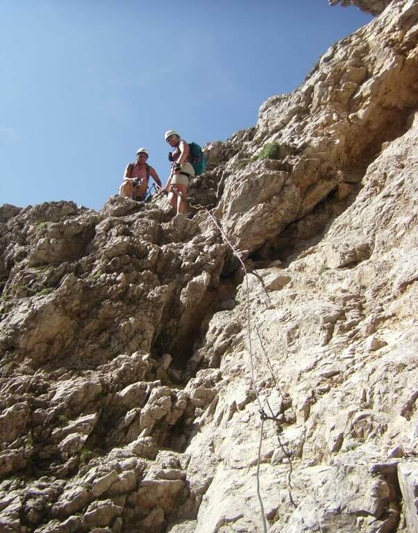
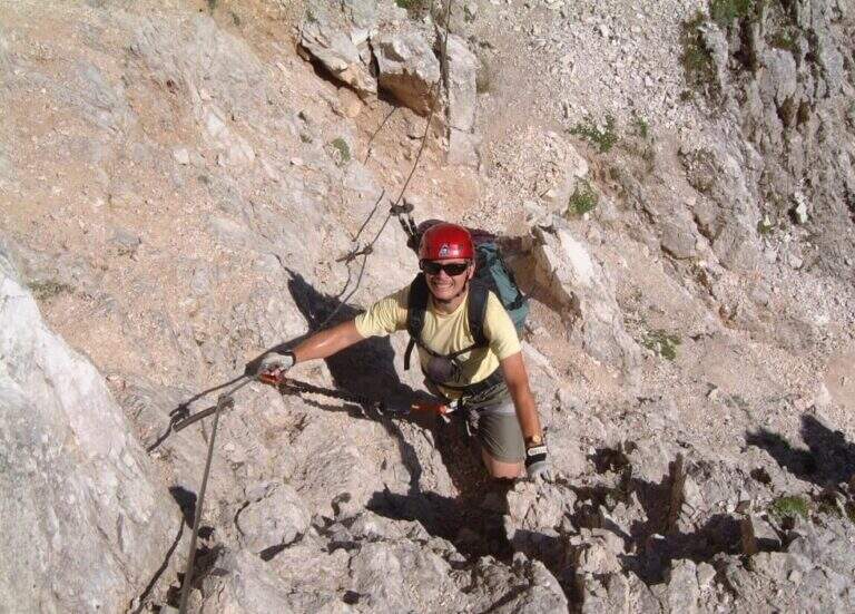
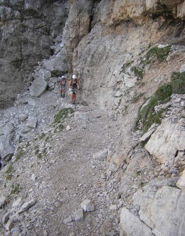
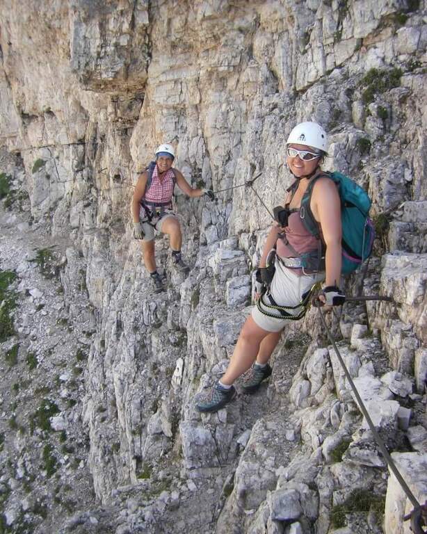
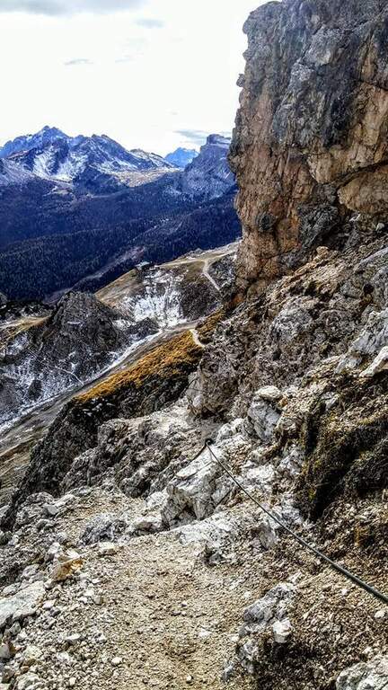
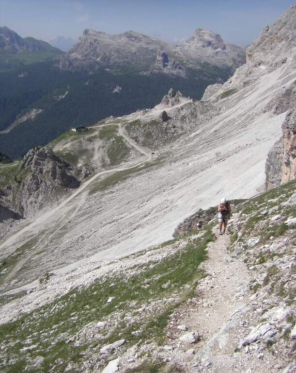
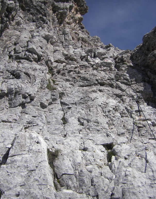
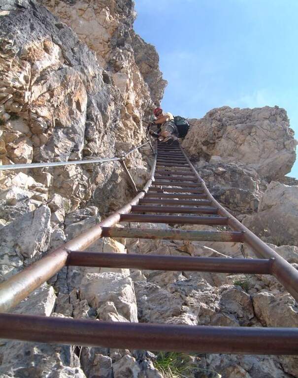
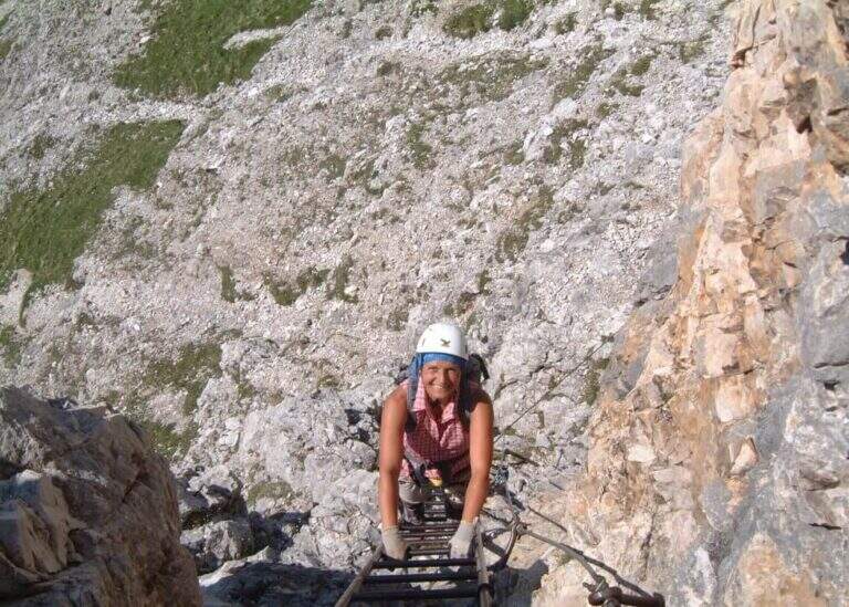
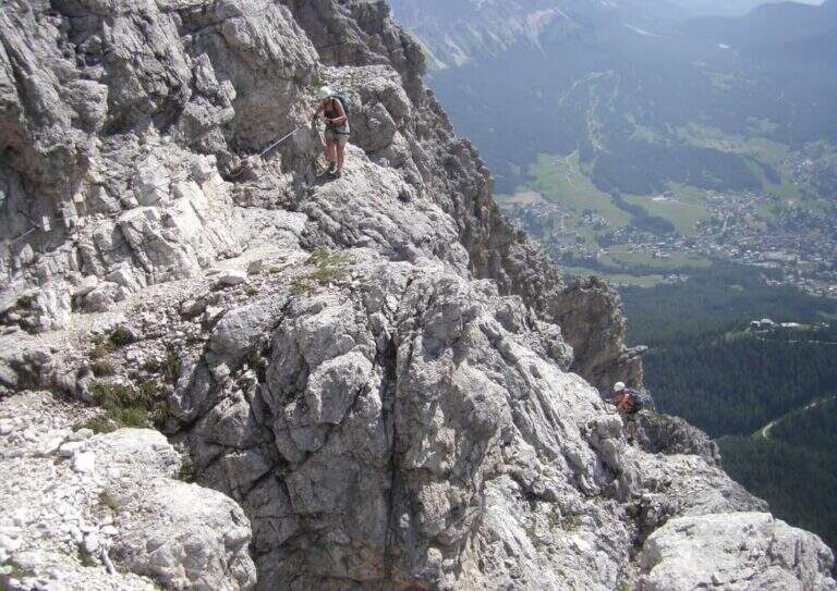
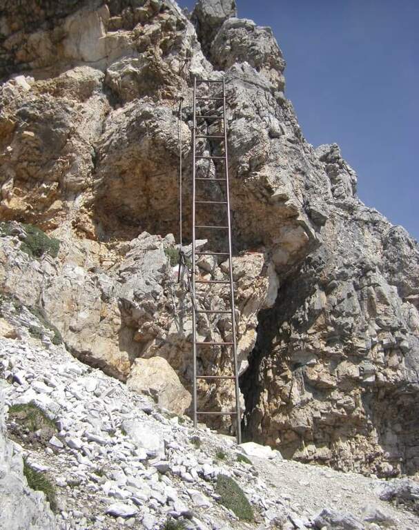
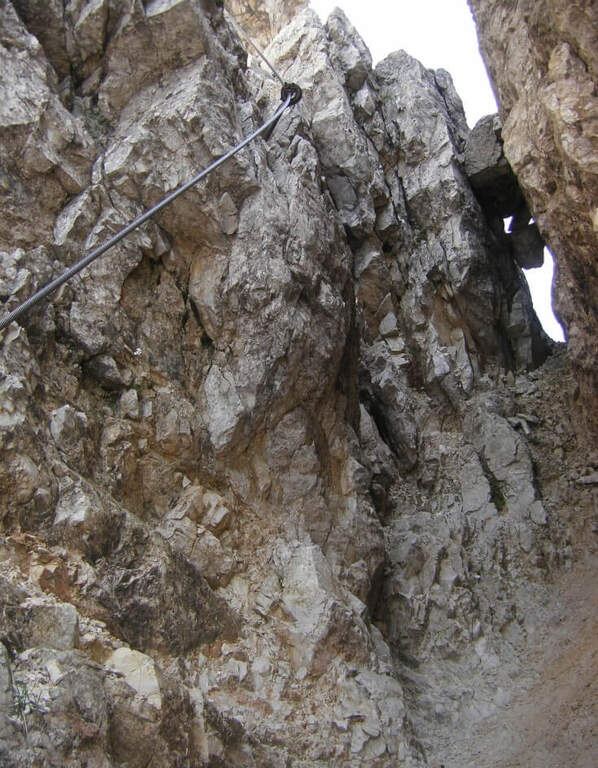
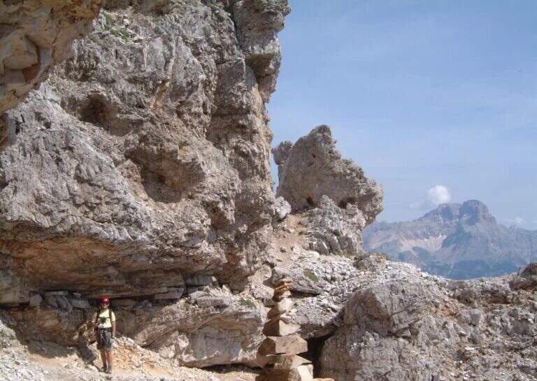
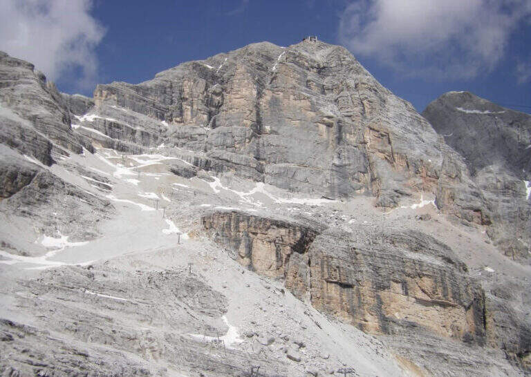
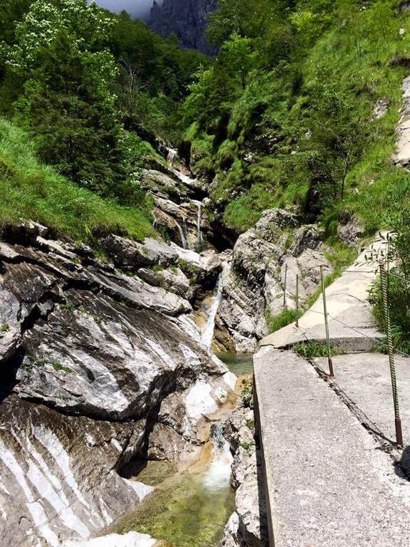
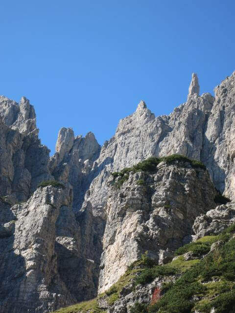
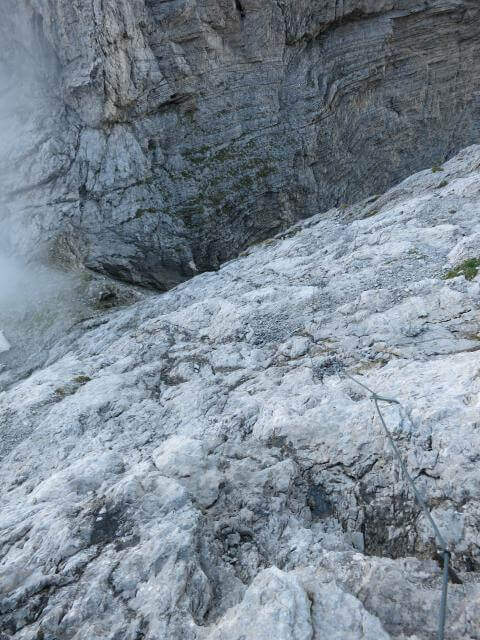
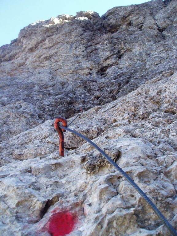
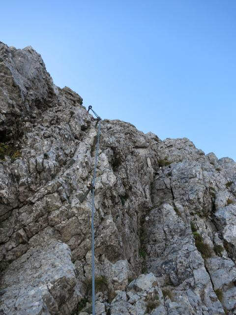
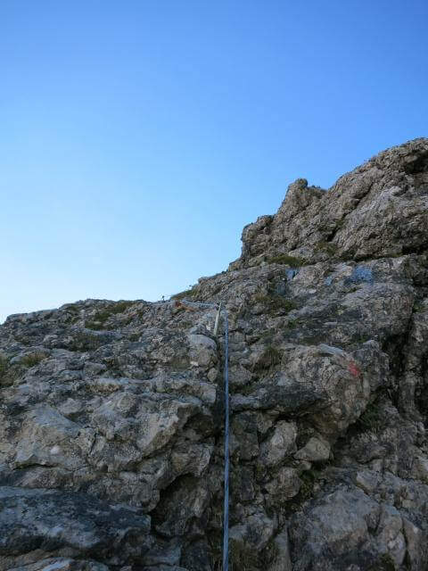
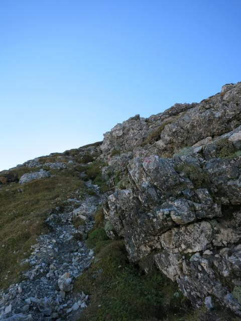
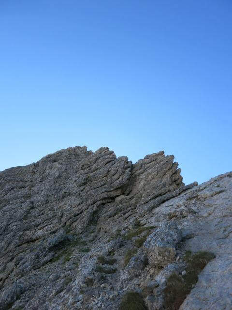
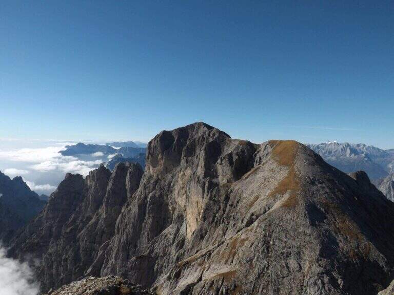
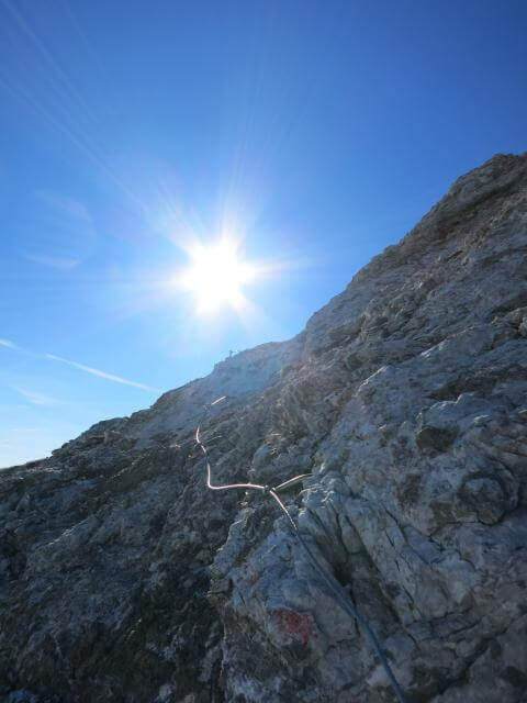
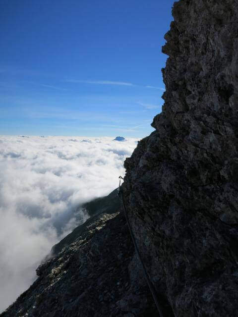
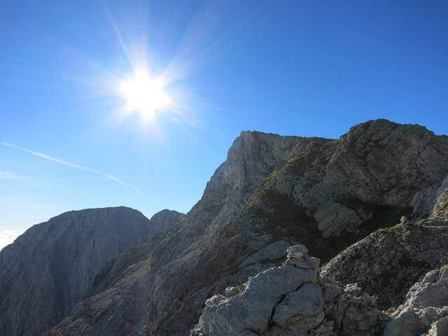
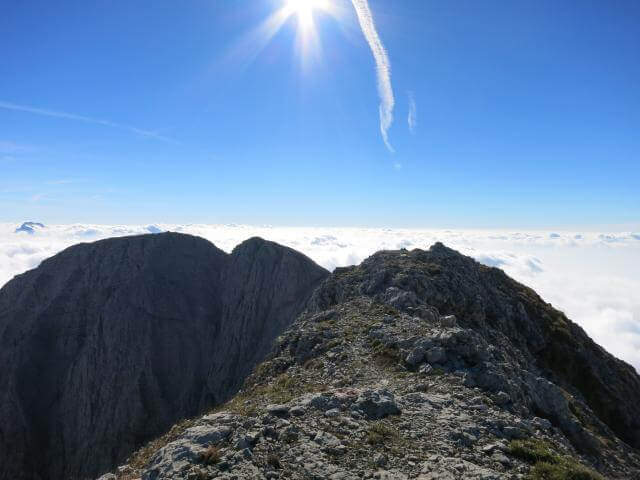
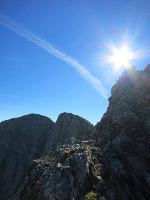
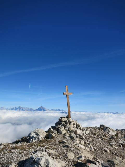
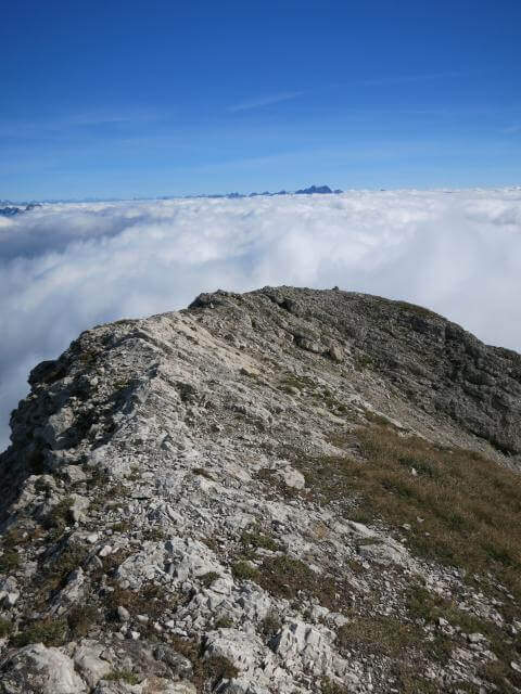
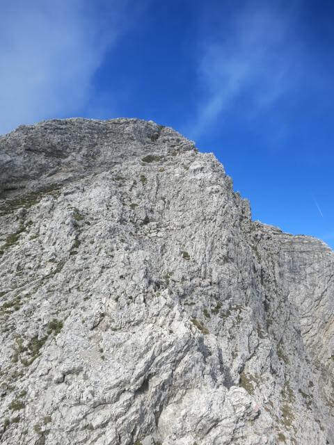
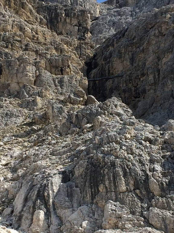
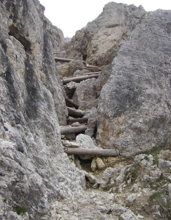
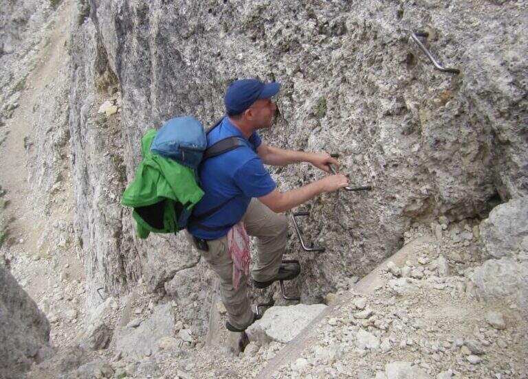
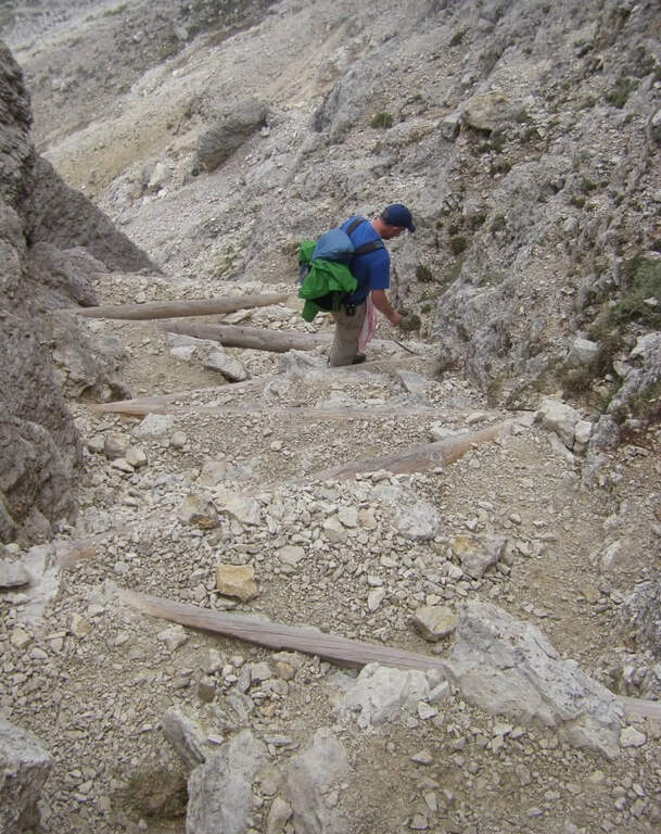
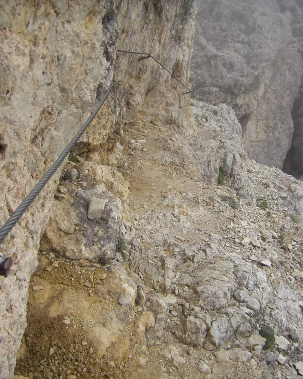
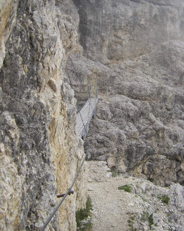
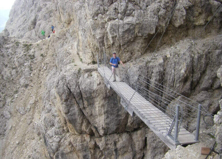
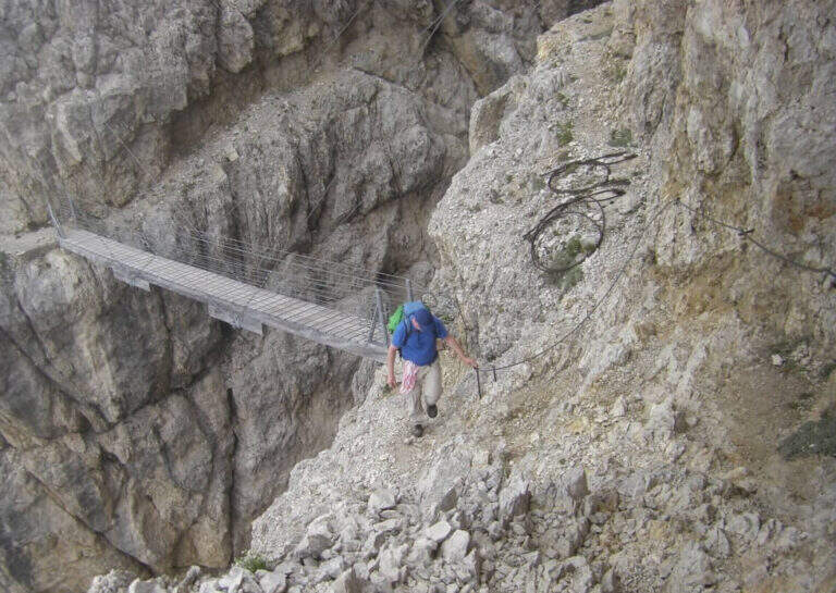
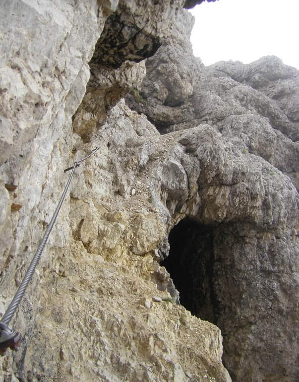
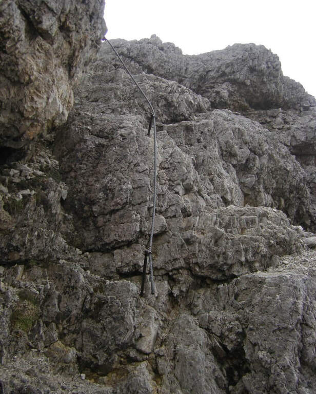
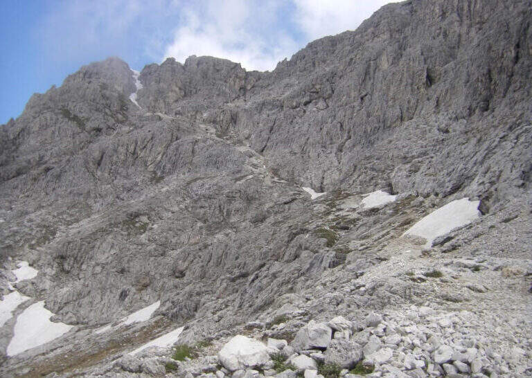
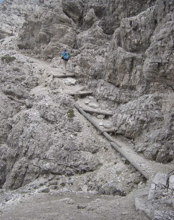
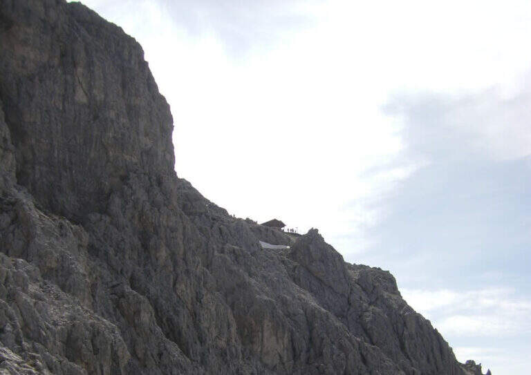
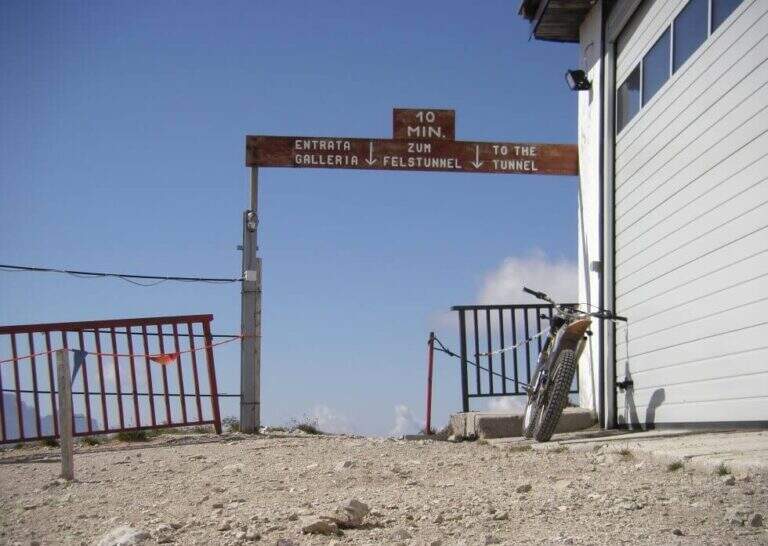
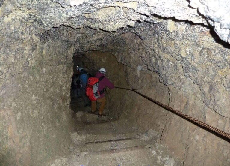
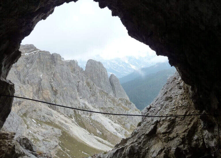
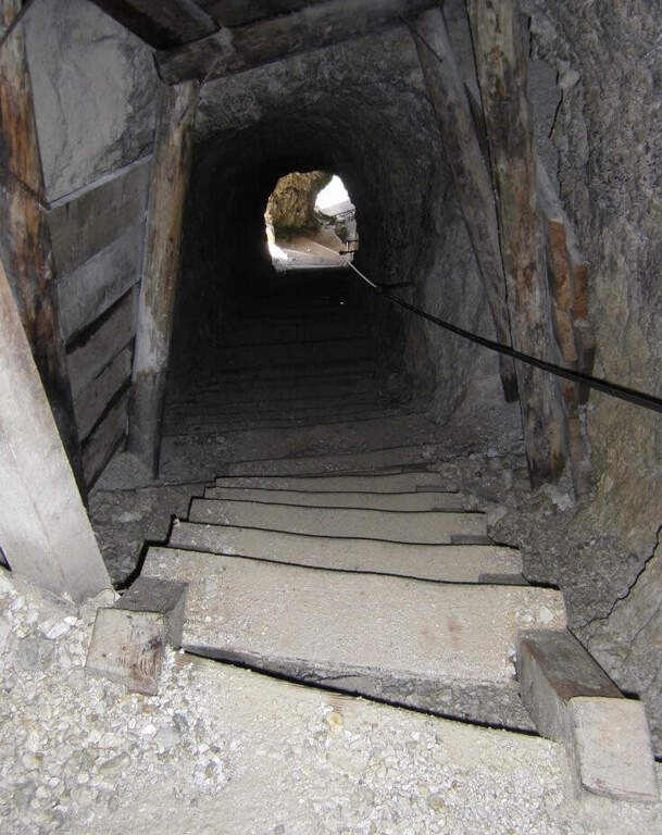
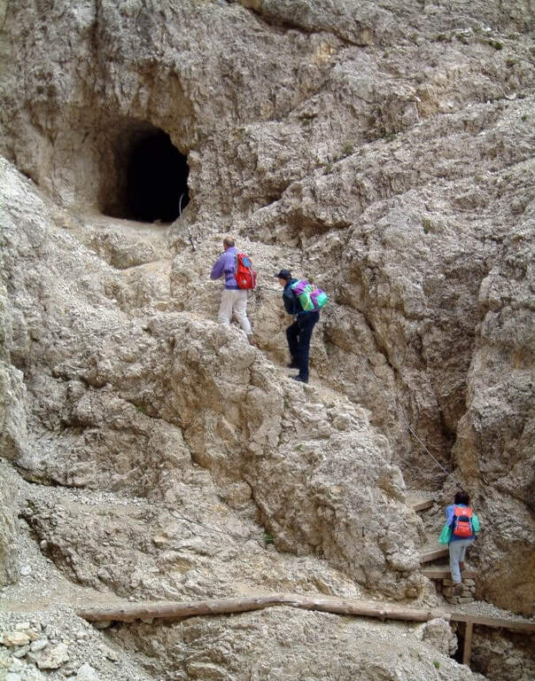
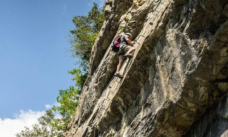
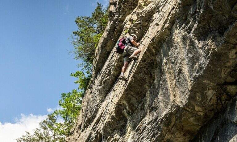
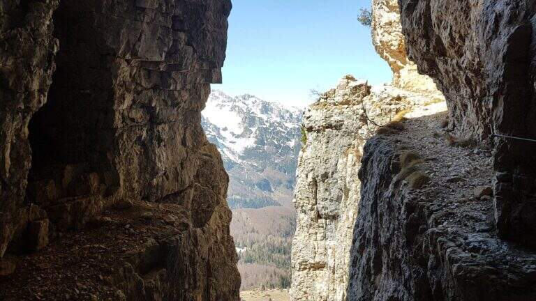
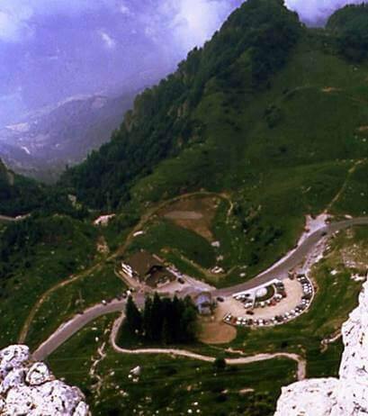
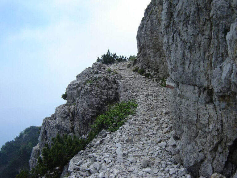
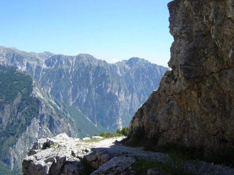
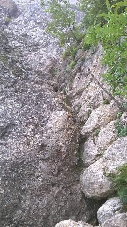
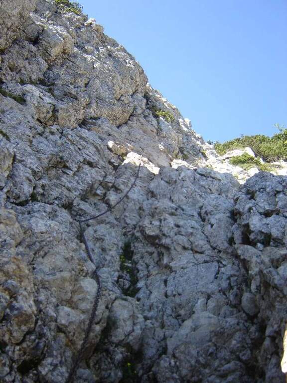
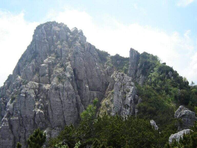
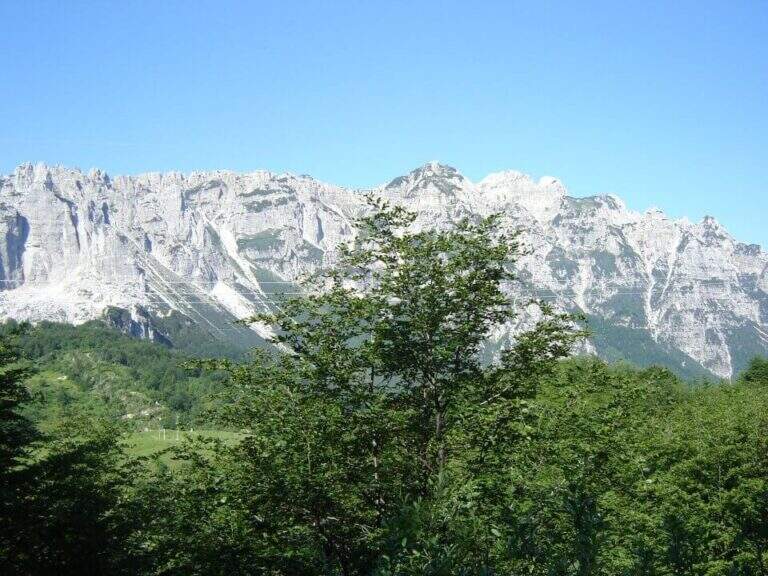
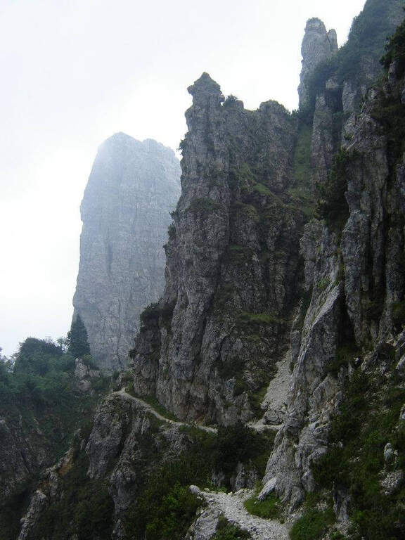
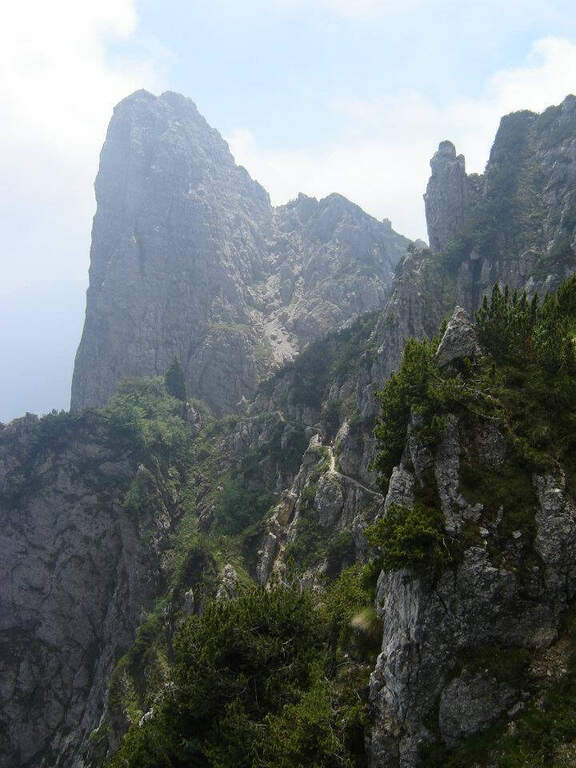
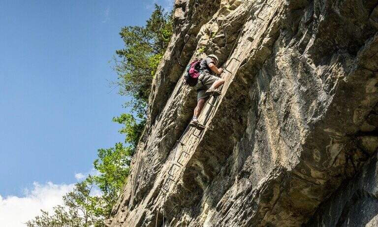
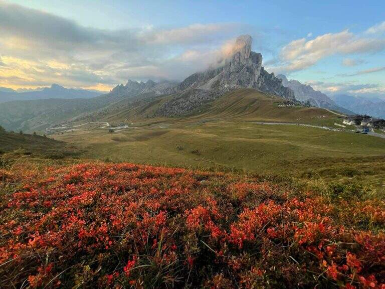
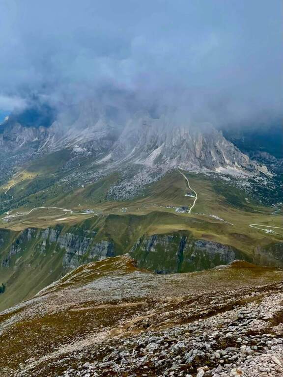
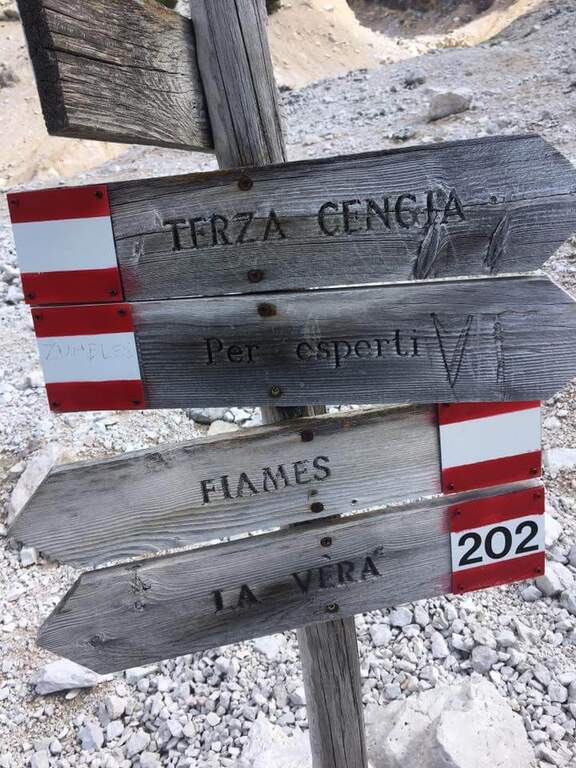
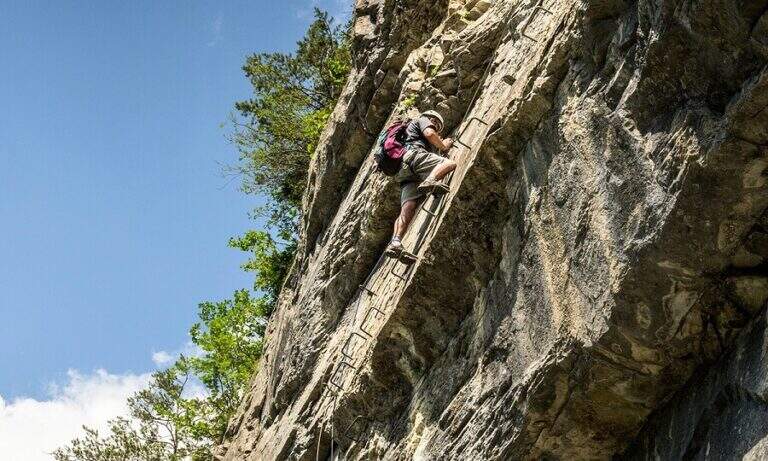
    The Ferrata Terza Cengia Pomagagnon โ€” also known as Sentiero Attrezzato Zumeles โ€” travels through a spectacular census on the eastern walls of Pomagagnon above Cortina dโ€™Ampezzo. The alternation of equipped traits and free passages on a slender and exposed, with unstable gravel background, makes the itinerary more challenging on the level of attention than pure technique. Extraordinary panorama on the surrounding Dolomites.

    ▲Approach

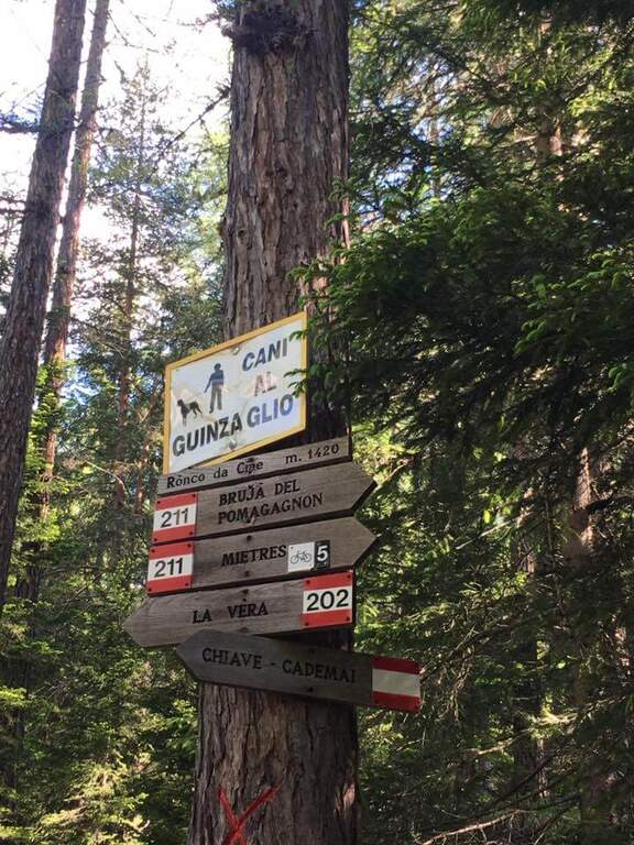
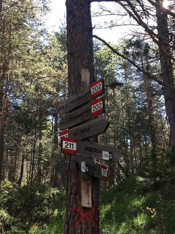
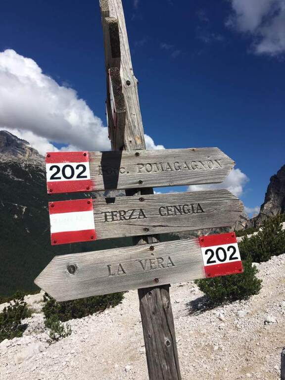
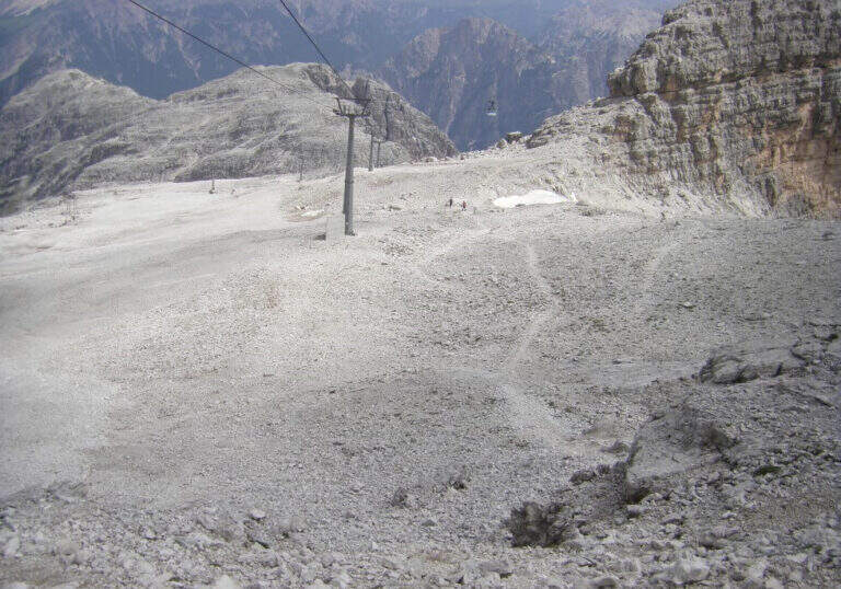
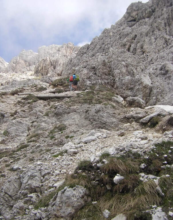
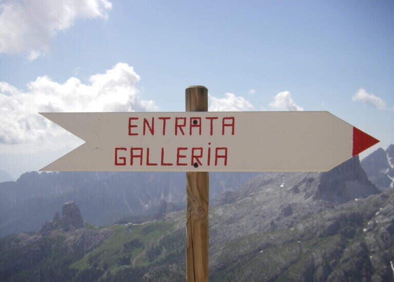
    Starting from parking at the Putti Institute, above Cortina dโ€™Ampezzo (Belluno). You climb north-east on a path, then you take the cycle path 211 holding the left; continue on the sentiero 202 uphill holding the right and ignoring the 218 marker. When you arrive at the Ferrata Strobel you hold the right and you lower it briefly, then go up to the indications for the Terza Cengia: about 1 now and 30 minutes from the โ€™ start.

    ▲The path

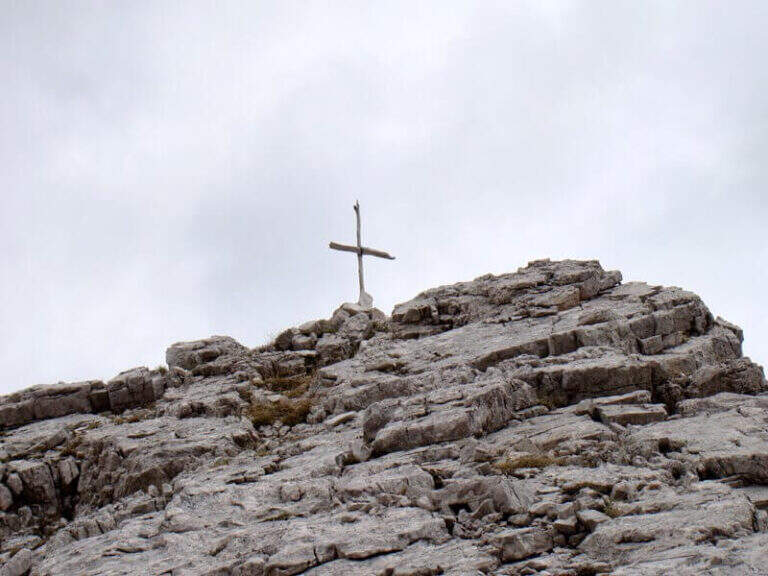
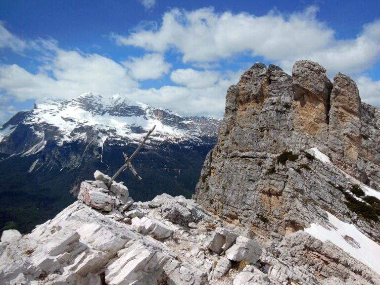
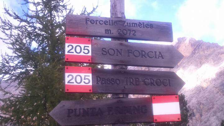
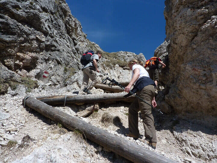
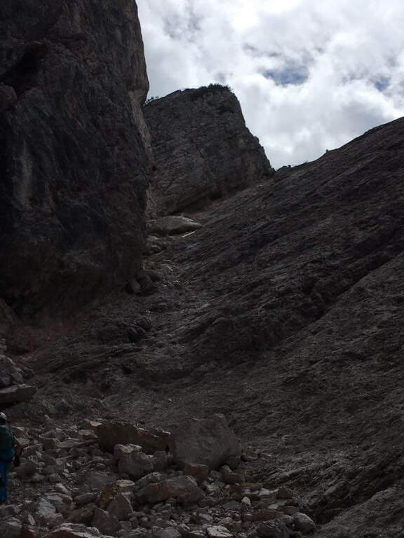
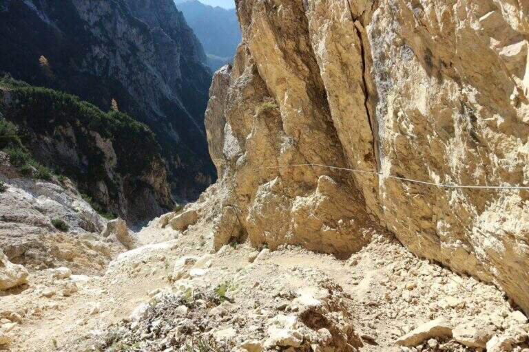
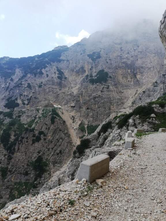
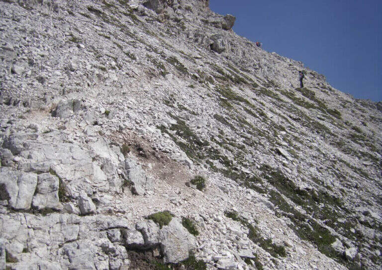
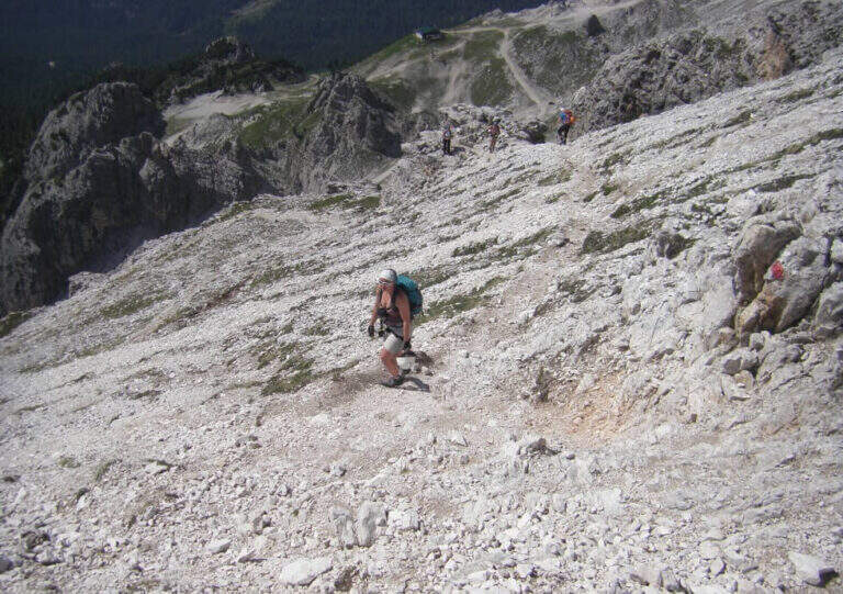
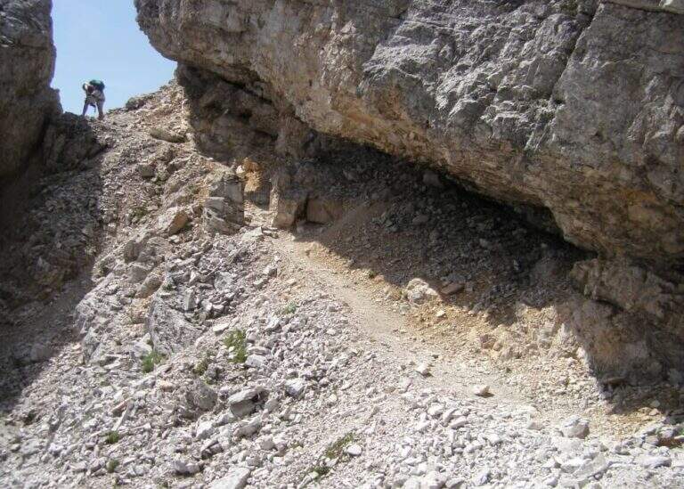
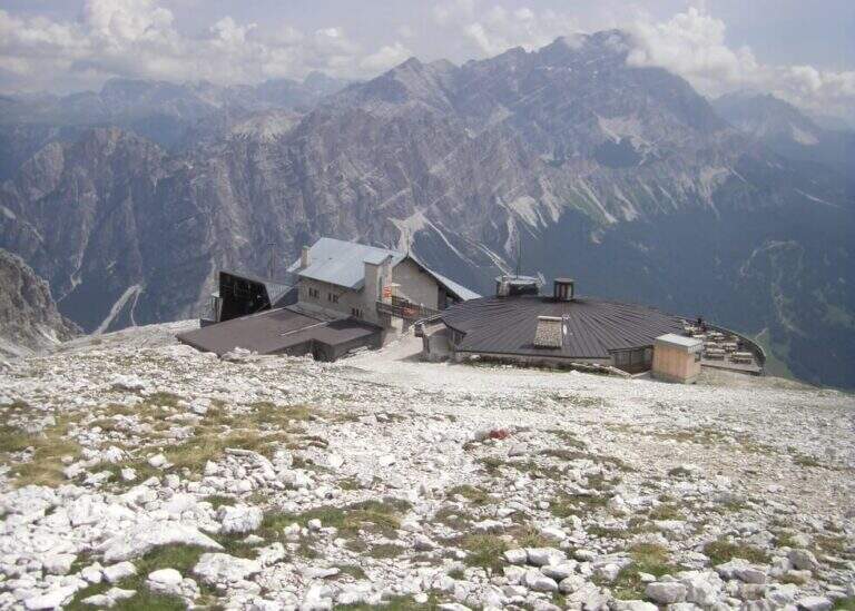
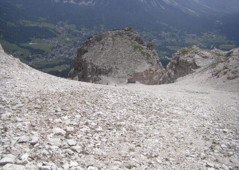
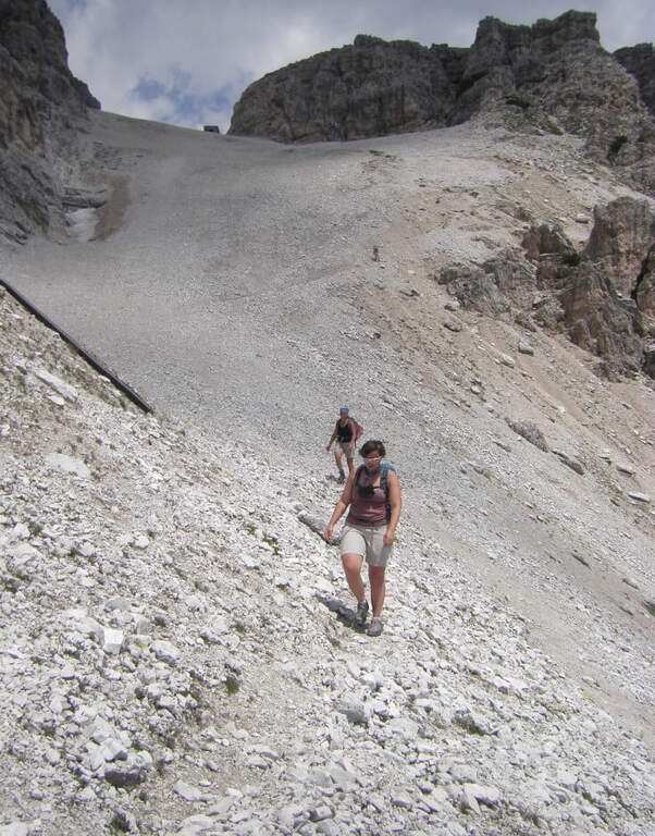
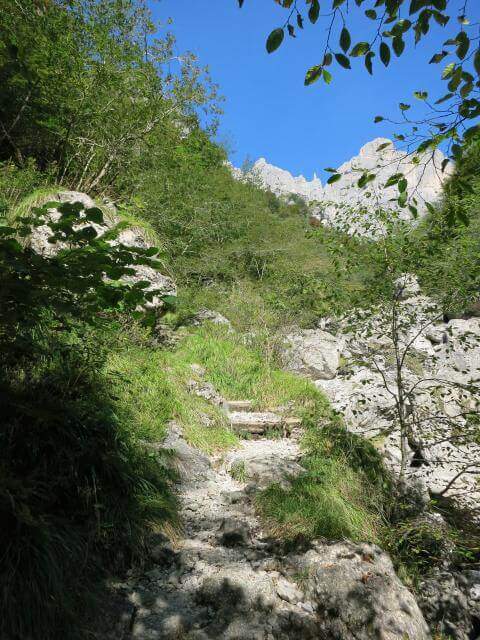
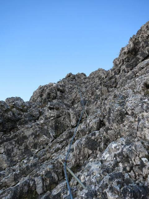
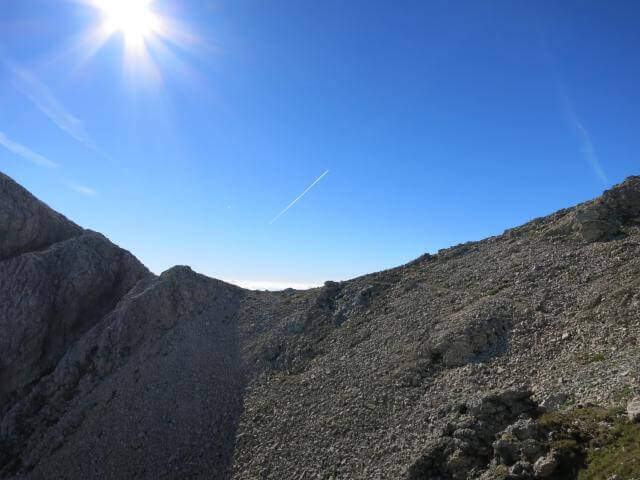
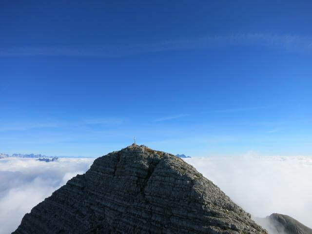
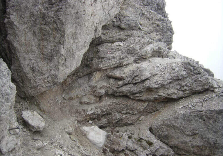
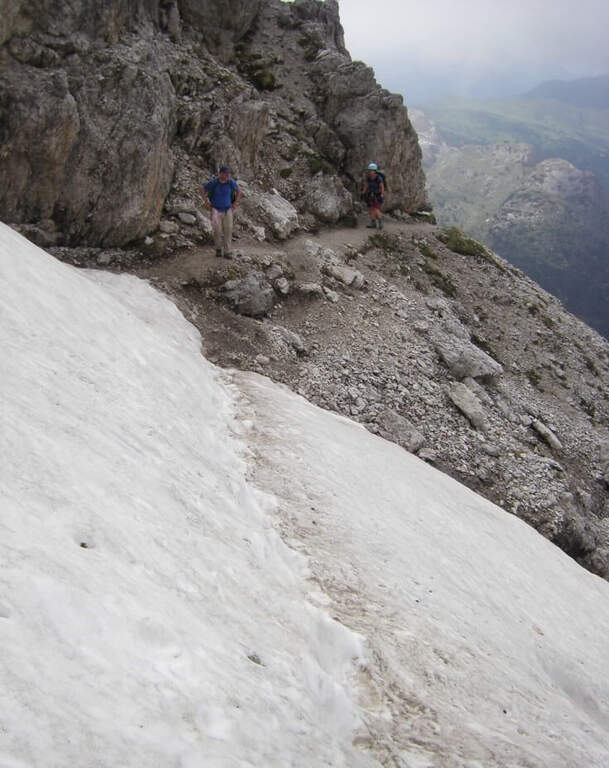
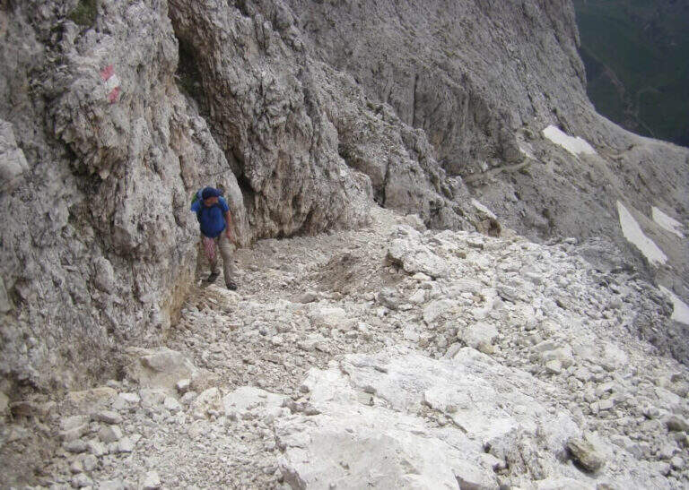
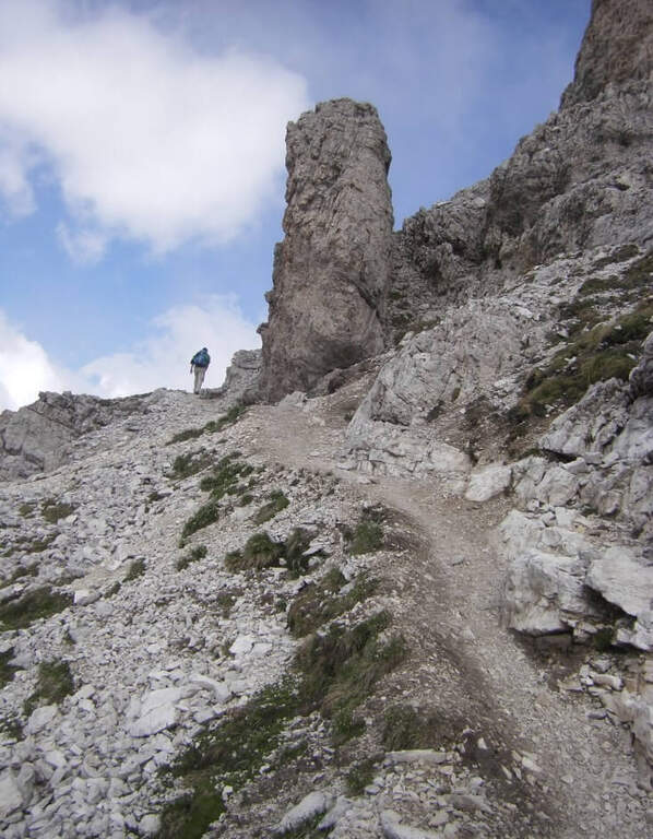
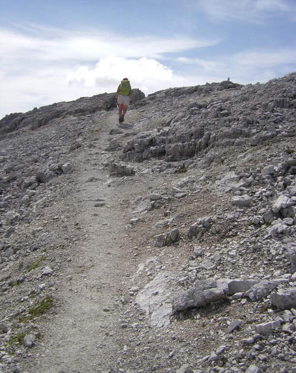
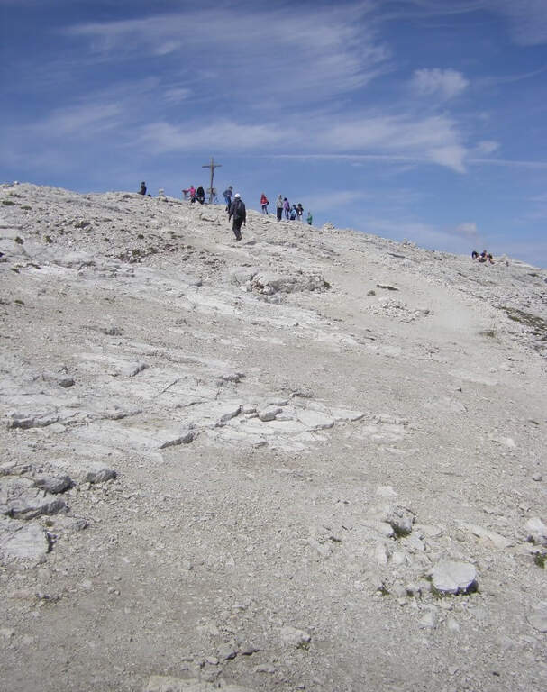
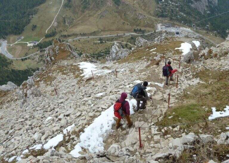
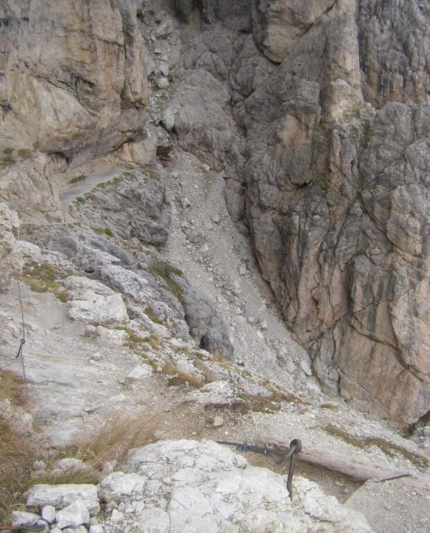
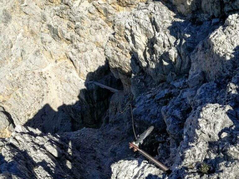
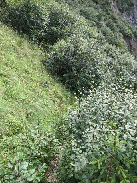
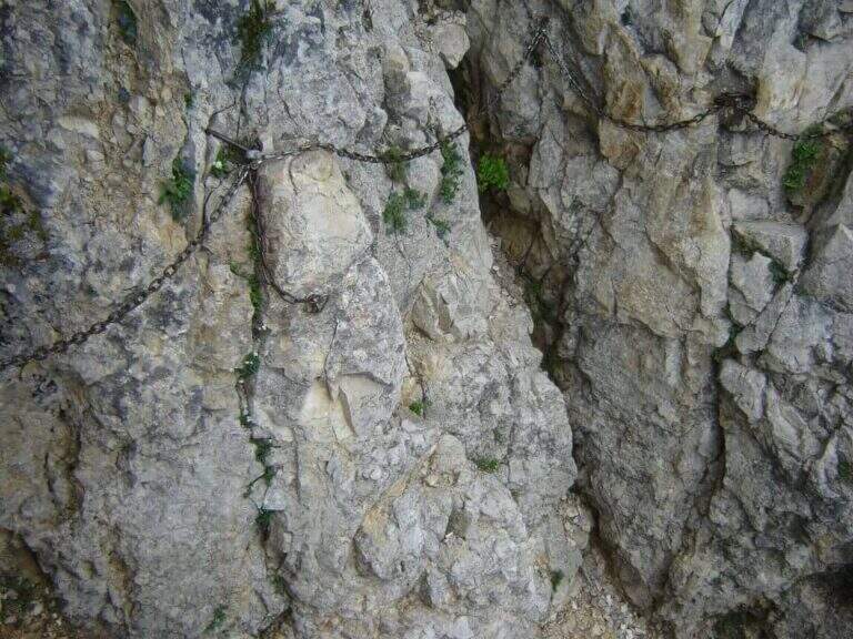
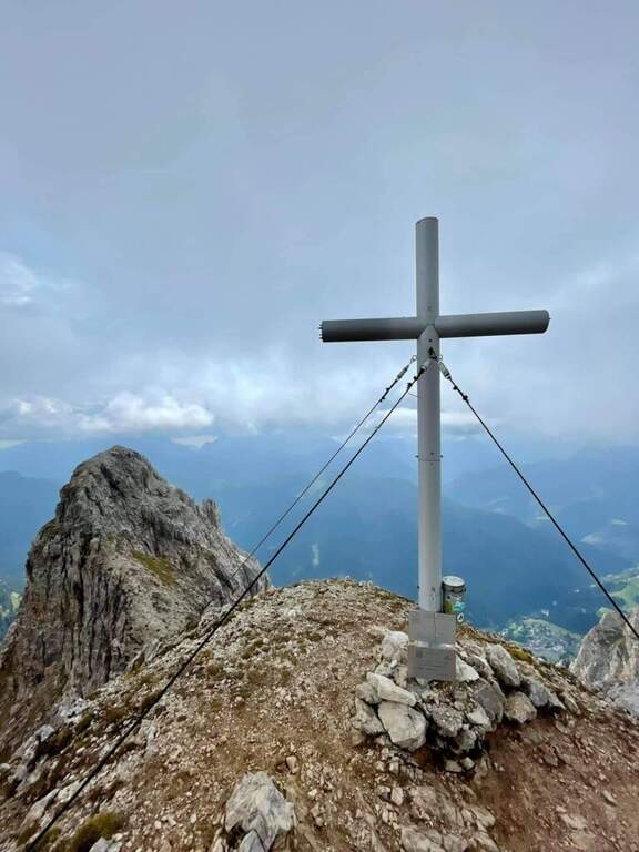
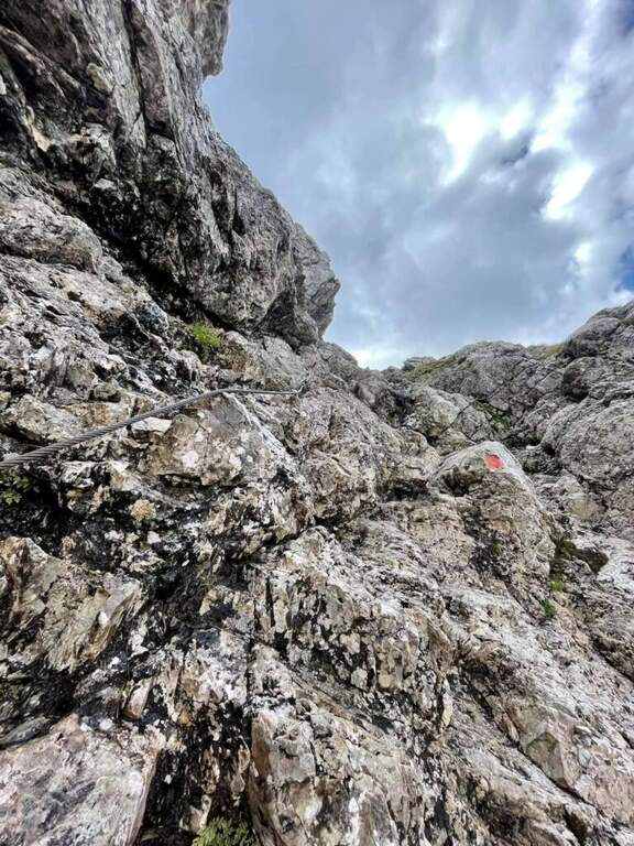
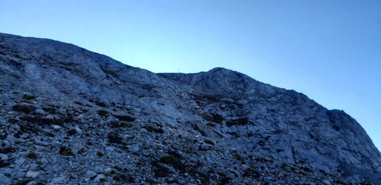
    The nod initially appears wide, then shrinks considerably becoming very slender and exposed. The equipped sections alternate with free passages on tilted and gravel soil: progression requires constant concentration. The unstable background is the true pitfall of this itinerary more than the technical difficulty of the individual sections. After wandering a corner you can reach the Punta Erbin, with an exceptional view of the Tofane group and the Dolomites of Cortina.

    ▲Character and difficulty

    Difficulty Easy for mountaineering, but the exposure and the gravel bottom require care. The altitude difference of the itinerary is 981 m on 16.3 km with a total of 6 hours: the long times are due to the approach and the difference in altitude to be faced, not to the complexity of the ferrata.

    ⚠ The gravel bottom can be slippery even with dry soil. Be careful not to move rocks towards any mountaineers that follow. Carefully evaluate in case of humidity or wet soil.
    ▲Discipline

    From the Punta Erbin you go down the path towards Cortina, returning to the parking lot of the โ€™ Putti Institute. Lโ€™ total round-trip itinerary is about 6 hours for 16.3 km.
    ▲Gallery
    Technical data
    • DifficultyEasy
    • RegionVeneto
    • GroupPomagagnon / Cortina Dolomites
    • Approach1:30 h
    • Ferrata1:30 h
    • Itinerary (a/r)6:00 h
    • Hardware level difference500 m
    • Route difference981 m
    • Max2300 m
    • Length16,3 Km
  • Sentiero Attrezzato della Val Sorda

    Sentiero Attrezzato della Val Sorda

    Vie Ferrate โ€บ Veneto โ€บ Verona
    Sentiero Attrezzato della Val Sorda

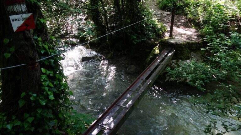
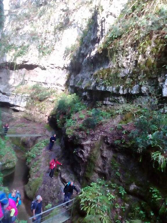
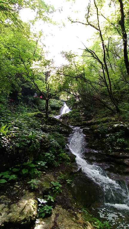
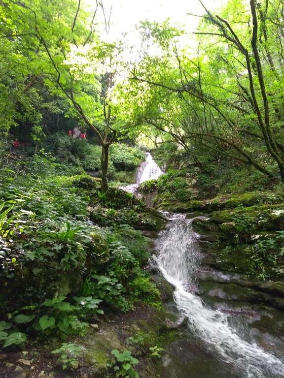
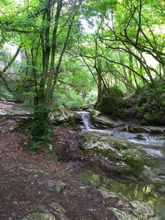
    The Sentiero Attrezzato della Val Sorda develops in the Prealpi Veronesi, going up the wild valley of the same name between wooded limestone walls. Short but full of atmosphere: waterfalls, wells, rocks smoothed and the darkness of a short natural gallery alternate with stretches equipped with ropes and chains, making the ideal route for a half-day exit suitable for the whole family.

    ▲Approach

    It starts from Lumini, fraction of Brentino Belluno (VR). Follow the road that climbs from Rivoli Veronese towards Val Sorda, parking allโ€™ equipped area near the โ€™ entrance to the valley. Lโ€™ approach is very short: you reach lโ€™ gorgia attack in a few minutes walk.

    ▲The path

    The path goes up the stream between narrow and wet walls. Already allโ€™ the first fixed ropes are first encountered to overcome a smooth boulder; then you cross a galleria natural in the total darkness (bring a torch). There are passages on boulders with ropes, passages next to waterfalls and pools, until you leave the gorgia in the upper part of the valley. The route is equipped with ropes and fixed chains at the most technical points.

    ▲Character and difficulty

    Easy difficulty. The environment is wild but the technical difficulties are minimal. The passage in the natural gallery is the most striking moment: it is short but completely dark โ€” a front torch is indispensable.

    ⚠ Bring a torch or front lamp to the gallery. The soil is often wet and slippery due to falls: footwear with good grip. Not suitable during the floods of the stream. It can be traveled all year round but better avoid intense rains.
    ▲Discipline

    From the โ€™ exit of the gorgia you return to the path in the forest that leads back to the starting parking lot. Ring itinerary of about 2 hours and 30 minutes for 4 km with 200 m altitude difference.

    ▲Gallery
    Technical data
    • DifficultyEasy
    • RegionVeneto
    • GroupPrealps Veronesi / Monte Baldo
    • Approach0:10 h
    • Ferrata1:30 h
    • Itinerary (a/r)2:30 h
    • Hardware level difference200 m
    • Route difference200 m
    • Max450 m
    • Length4 Km
  • Sentiero Attrezzato Pierino dal Zuanna โ€“ Monte Pubel

    Sentiero Attrezzato Pierino dal Zuanna โ€“ Monte Pubel

    Vie Ferrate โ€บ Veneto โ€บ VI
    Sentiero Attrezzato Pierino dal Zuanna โ€“ Monte Pubel

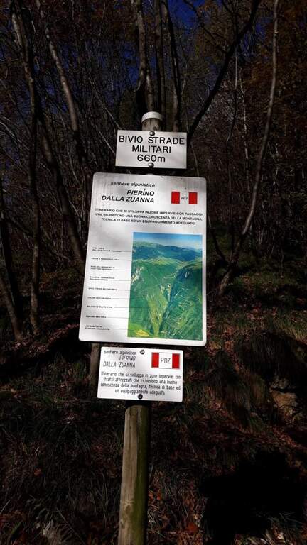
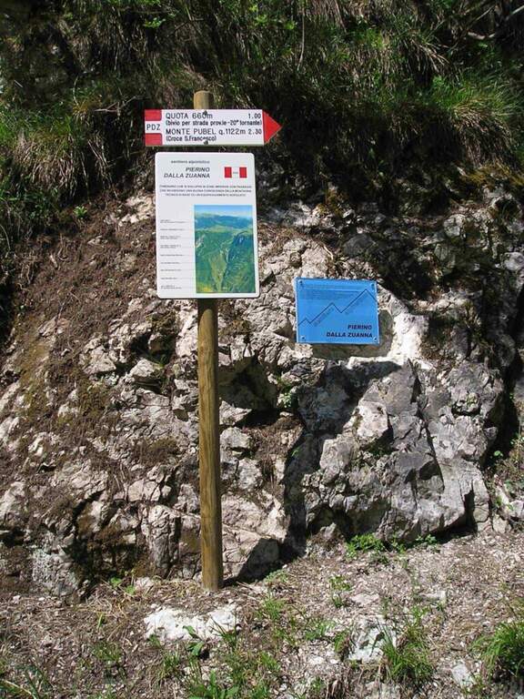
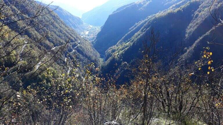
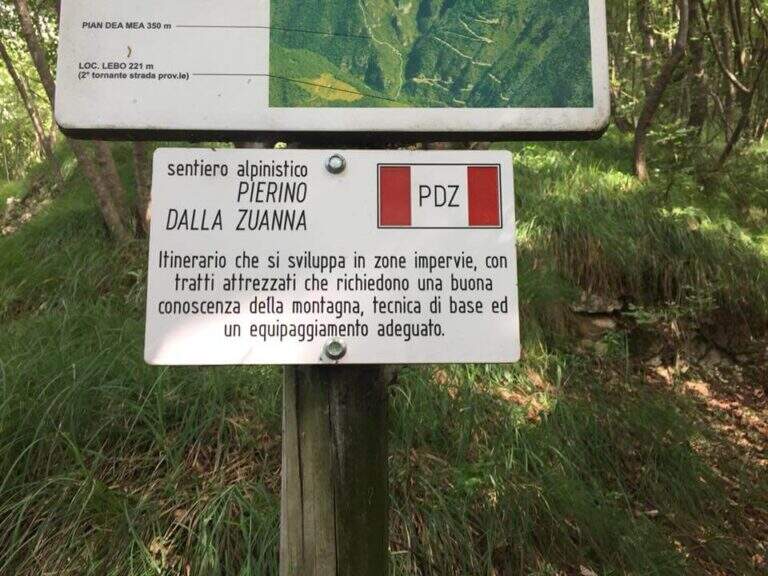
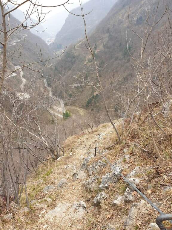
    Historical path of the Great War that goes up Mount Pubel along the artificial nod carved by the mountaineers. Technically elementary, with cables useful especially on wet and wooded soil, ideal as the first approach to the equipped environment.

    ▲Approach

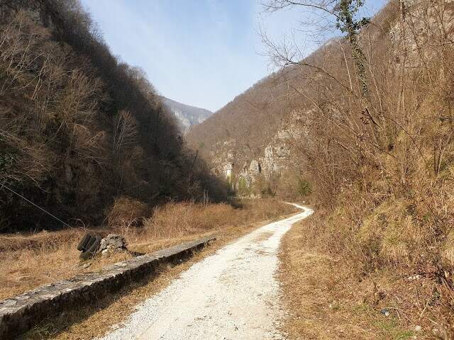
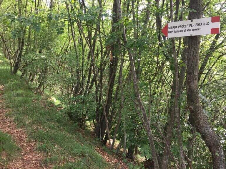
    The starting point is located on the road that connects Valstagna with Foza (Vicenza): you reach Valstagna from the SS47 of Valsugana from Bassano sul Grappa, turn left towards Piazza San Marco and follow the signs for Foza until the second bend, where a sign signs Cala del Sasso. You park on the road. From the parking lot, take a dirt road west in Val Frenzela, then take the path 779, well marked for the Path Pierino dal Zuanna (PDZ).

    ▲The path

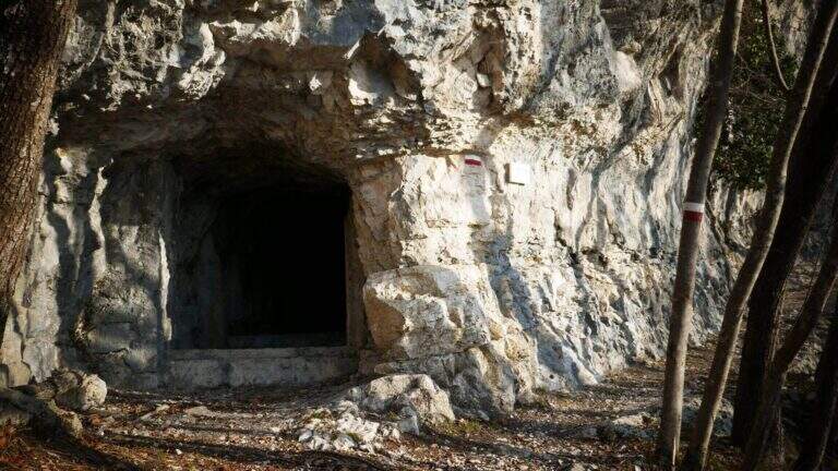
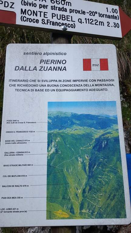
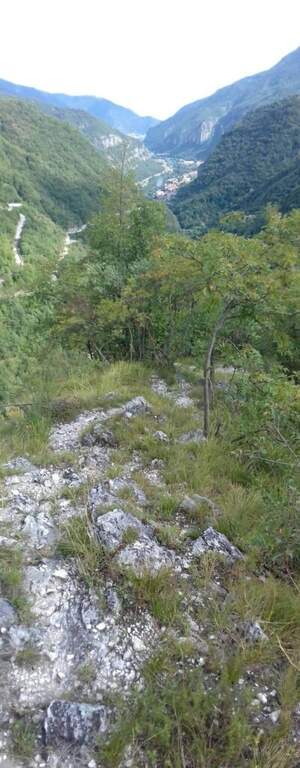
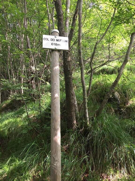
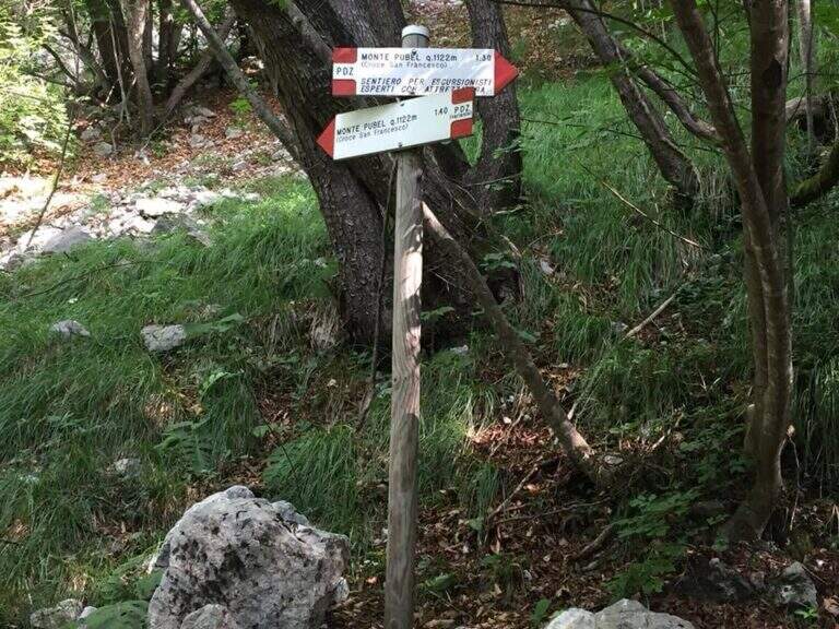
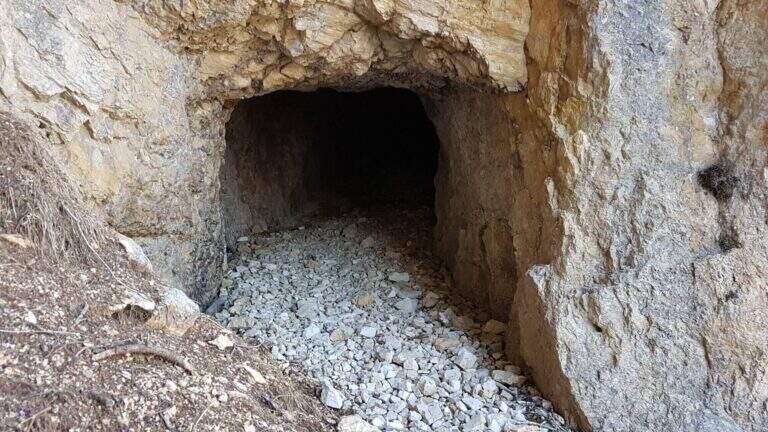
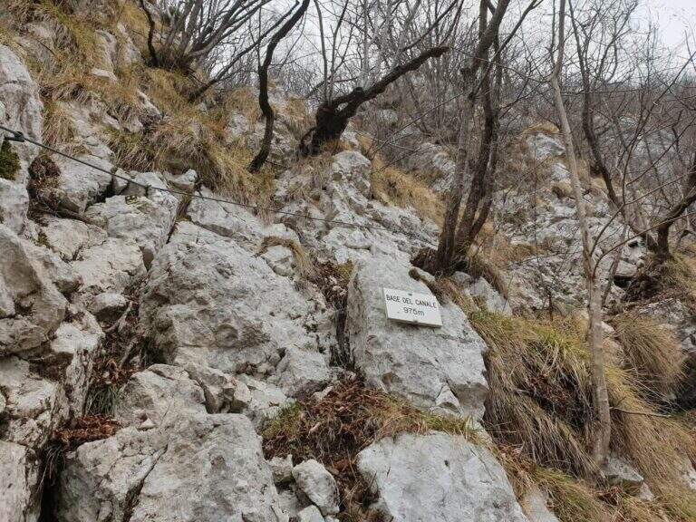
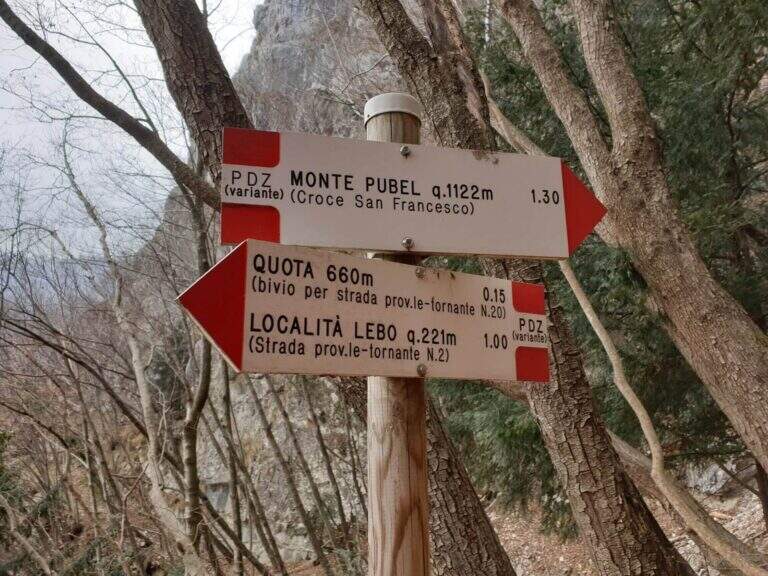
    The path climbs on a clear track, reaching the Pian dea Mea (350 m), the Balcon de Rialto (479 m) and the Col dei Mufloni (618 m). At about an hour from the parking lot you arrive at the Bivio Strada Militare (660 m): holding the left you enter the most interesting part of the itinerary. Shortly after a second crossroads: on the left descends the easy unequipped variant used on the return, on the right the variant is equipped in the wood. You climb up to a military gallery with target, then you walk the artificial nod carved into the rock. A steep stretch with cable leads to the Base del Canale (975 m), from which a metal ladder and about 100 m alternating between equipped sections and path leads to the top of Mount Pubel.

    ▲Character and difficulty

    Easy. The equipment does not compensate for climbing difficulties but increases safety on a wooded, slippery and at some point exposed. The artificial census excavated by mountaineers is the most characteristic passage of the route.

    ⚠ Insidious background with rain or snow: telescopic sticks recommended in the unequipped sections of the wood.

    ▲Period and safety

    From spring to autumn. The street is exposed to the east and the lower part of the forest remains wet long after the rains. Avoid snow or ice. It does not require mountaineering equipment, but the ferrata set is recommended.

    ▲Discipline

    From the end of the road it comes back again taking the unequipped variant to the left of the second junction, which brings back to the junction of the Military Road and then to the parking space.

    ▲To match

    In the area of Monte Pasubio and Altopiano there are several itineraries of the Great War: the Path equipped Baglioni e il Sentiero Falcipieri at 5 Peaks of Pasubio.

    ▲Gallery
    Technical data
    • DifficultyEasy
    • RegionVeneto
    • GroupAsiago / Valbrenta plateau
    • Approach1:00 h
    • Ferrata1:00 h
    • Itinerary (a/r)4:30 h
    • Hardware level difference150 m
    • Route difference900 m
    • Max1138 m
    • Length9 Km
  • Sentiero Attrezzato Baglioni โ€“ Pasubio

    Sentiero Attrezzato Baglioni โ€“ Pasubio

    Vie Ferrate โ€บ Veneto โ€บ VI
    Sentiero Attrezzato Baglioni โ€“ Pasubio

    โš  SENTIERO CHIUSO The Path Attrezzato Baglioni is currently closed due to a dangerous landslide along the way. Do not venture until the official reopening confirmed by the local CAI or the Park Authority.

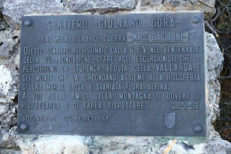
    Path Attrezzato, titled at Pasquale Baglioni, runs on the western side of Pasubio, in the Prison Valley, in an area full of testimonies of the First World War. The route starting from Pian delle Fugazze is as interesting from the historical point of view as varied in the environments, with equipped sections, galleries and belvederi on the valley below.

    ▲Approach

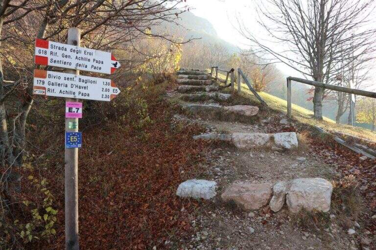
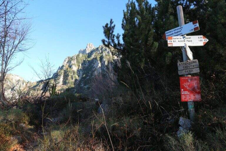
    From Pian delle Fugazze (wide park at the pass, reachable from Rovereto or Schio, directions road map) cross the road to the north and climb to the CAI path 179 (โ€˜Strada degli Eroiโ€™), a track that will also travel back. The path shortens the bends of the road and arrives at Malga Val di Fieno, where you leave the path 170 for the Pope Refuge and follow the signs for the Path Attrezzato Baglioni with CAI 141 marker (1645 m, 1h15โ€ฒ from the parking lot).

    ▲The path

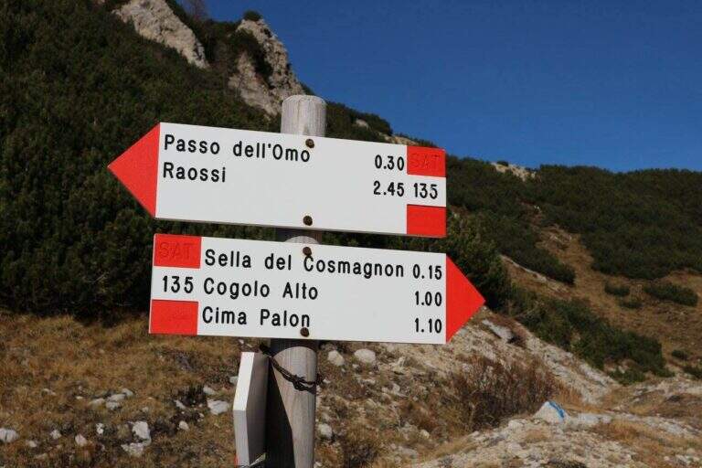
    The path continues halfway, cutting the southern dorsal of the Cima Palon. The first equipped sections, with cables that act more as a handrail than as a true protection, accompany a slight loss of altitude. The view of the valley below and overhead reliefs is remarkable for all progression. You reach the most challenging passage: a rocky canal with unstable and fragrant background, descended while keeping on the right side with the help of cambre. After about 1h15โ€ฒ from the beginning of the Baglioni Path, two galleries cross the rock without requiring the torch. After the tunnels go up a green valley up to a crossroads: on the left the Homo Pass, straight the continuation (1h45โ€ฒ from the beginning, 3h total).

    ▲Character and difficulty

    Classified Hard. The canal with franous background is the most technical passage; the traits equipped in the rest of the route have difficulty contained. The added value is the unique historical-alpinistic environment of the Pasubio with its galleries and testimonies of the Great War.

    ⚠ Attention to the afternoon fog, characteristic of the Pasubio and frequent even in summer. Prefer the morning hours for the excursion.
    ▲Period and safety

    The trail is currently closed. When reopened, the recommended season is from May to October. Always check the opening status at the local CAI before leaving.

    ▲Discipline

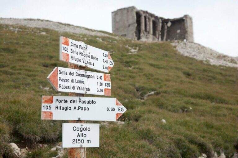
    From the end of the Sentiero Baglioni follow the path 135 towards the right with indications for the General Pope's Refuge. You can go down to the refuge or continue at altitude through tunnels and war finds, grafting on the path to the Pope from Pian delle Fugazze and going down to the fork (2h30โ€ฒ from the end, 5h45โ€ฒ total).

    ▲To match

    The small Dolomites offer great value itineraries including Alpine trail Falcipieri, il Sentiero Attrezzato al Monte Cornetto, la Ferrata Campalani, il Pojesi Path at Carega, la Ferrata Biasin, la Ferrata Viali e la Ferrata Ezio Ferrari.

    ▲Gallery
    Technical data
    • DifficultyHard
    • RegionVeneto
    • GroupSmall Dolomites
    • Approach1:15 h
    • Ferrata1:45 h
    • Itinerary (a/r)5:45 h
    • Hardware level difference100 m
    • Route difference988 m
    • Max2150 m
    • Length8 Km
  • Sentiero Attrezzato Olivieri โ€“ Rifugio Ra Vales

    Sentiero Attrezzato Olivieri โ€“ Rifugio Ra Vales

    Vie Ferrate โ€บ Veneto โ€บ BL
    Sentiero Attrezzato Olivieri โ€“ Rifugio Ra Vales
    Moderately Hardโ— OpenDescriptionComplexityMapsGallery

    Itinerary under the east wall of Punta Anna in Tofane, with a path equipped on exposed cenges, stairs and a fireplace that leads to 2580 m in the heart of the Dolomites of Ampezzo. The Ra Vales Refuge is the intermediate destination of the ring, immersed in an exceptional Dolomite scenery reachable from Cortina.

    ▲Approach

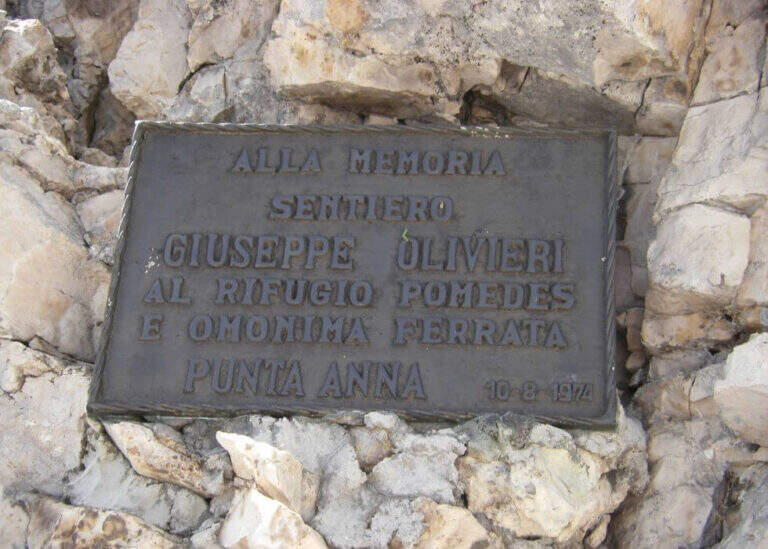
    From Cortina d'Ampezzo you can climb to Baita Pie Tofana (1675 m), directions road map) and continue on the chairlift or on foot on the path 405 to the Pomedes Refuge (2303 m). From the shelter you can walk the track and then a trace in the gravel under the eastern wall of Punta Anna, to the commemorative plate that marks the attack (1h15โ€ฒ from the upper system, 1h45โ€ฒ total).

    ▲The path

    It sticks with an uphill slope equipped, followed by the descent of a short wall with canal (possible remaining snow in spring). You cross a second canal and follow a new nod on a detritic background. You meet the first exposed staircase, then some small rocks and a downhill nod. A steep and winding stretch on gravel leads to the spur with the second staircase. There is a fireplace whose first leap is athletic, we walk through a census under a roof and we pass a corner: the Path Attrezzato ends at 2580 m (1h15โ€ฒ from the attack). From here you descend into the right valley towards the Ra Vales Refuge (2470 m, 2h total).

    ▲Character and difficulty

    Classified Moderately Difficult. The fireplace with the first athletic leap and the exposed stairs are the steps that require more technique. The detritic background and the possible residual snow increase the degree of attention needed.

    ⚠ The canals can store snow until late July. Check conditions before leaving, especially in the first part of the season.
    ▲Period and safety

    July to October. The Ra Vales Refuge offers halfway catering.

    ▲Discipline

    From the Ra Vales Refuge follow the path 407 north to the Forcella Ra Vales (2300 m), then descend to the bay to the Baita Pie Tofana (5h30โ€ฒ total ring). Alternatively, you return to the cable car from the Pomedes Refuge.

    ▲To match

    The Tofane area offers many other high altitude routes in the Dolomites of Ampezzo.

    ▲Gallery
    Technical data
    • DifficultyModerately Hard
    • RegionVeneto
    • GroupDolomiti Ampezzane
    • Approach2:00 h
    • Ferrata2:00 h
    • Itinerary (a/r)5:30 h
    • Hardware level difference120 m
    • Route difference280 m
    • Max2576 m
    • Length2,9 Km
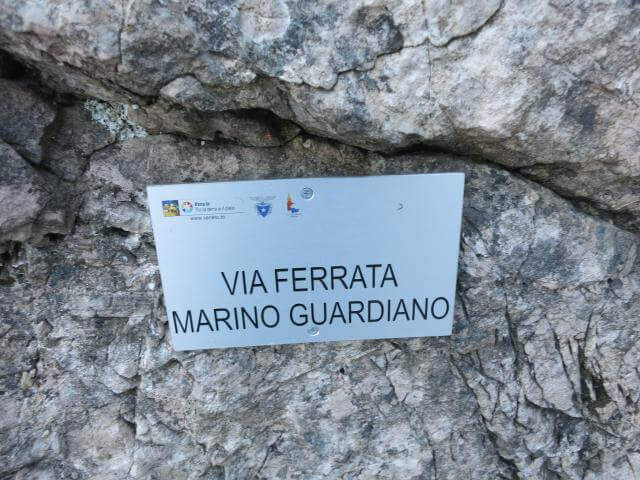
  • Sentiero Attrezzato Marino Guardian โ€“ Monte Pelf

    Sentiero Attrezzato Marino Guardian โ€“ Monte Pelf

    Vie Ferrate โ€บ Veneto โ€บ Belluno
    Sentiero Attrezzato Marino Guardian โ€“ Monte Pelf
    Moderately Hardโ— OpenDescriptionComplexityMapsGallery

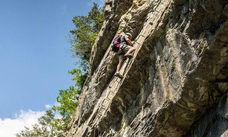
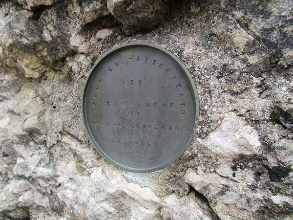
    The Sentiero Attrezzato Marino Guardian climbs to Monte Pelf in the Schiara Group, one of the wildest massifs in the Belluno Dolomites. Long and challenging itinerary โ€” ideal to be combined with other routes of the Schiara in a more days โ€” with moderate technical difficulties in the equipped traits but exposed and not trivial in unprotected passages.

    ▲Approach

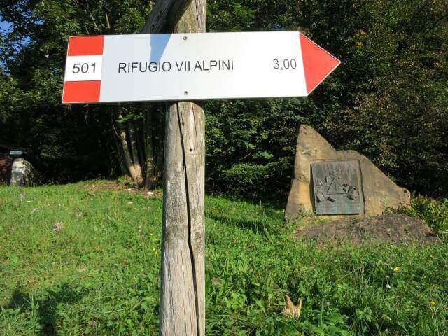
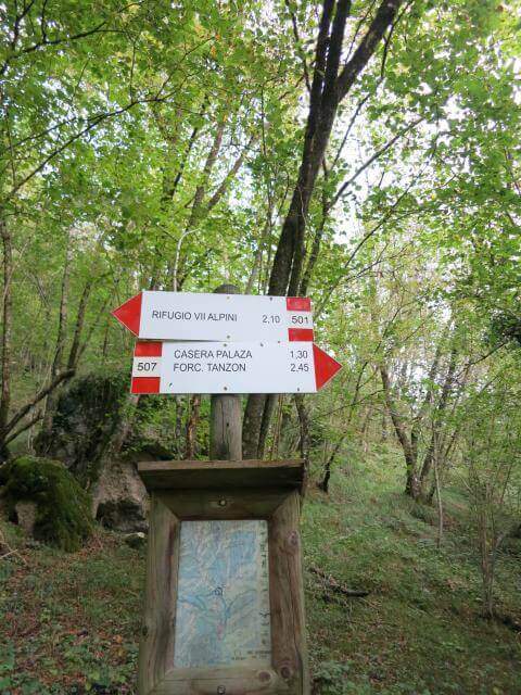
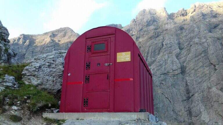
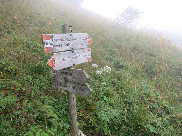
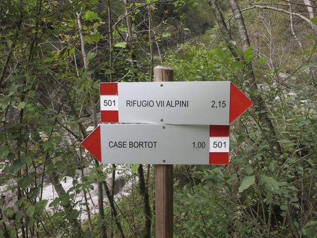
    From Case Bortot (695 m) in the province of Belluno (directions road map): from Belluno follow the road of Col di Lana, then towards Bolzano Bellunese and the Parco delle Dolomiti Bellunesi. Parking is on the final deck. Follow the CAI 501 in the forest: after the Ponte del Mariano (30โ€ฒ) the left for Rifugio VII Alpini (1502 m โ€” 2h 45โ€ฒ).

    ▲The path

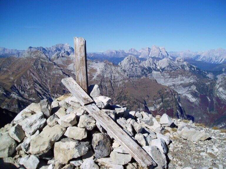
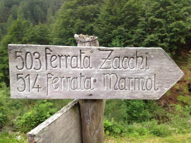
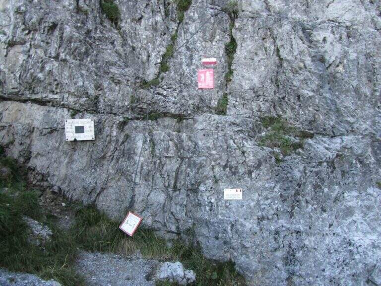
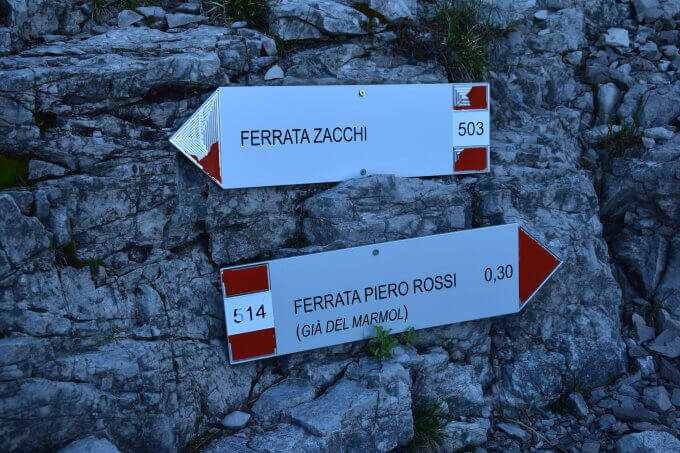
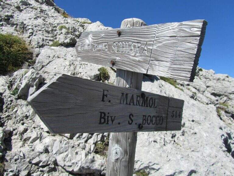
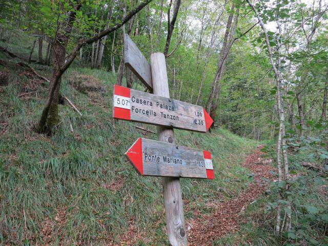
    From Rifugio VII Alpini go up towards Forcella Marmol with Ferrata Marmol, which is the first equipped stretch of the day. Adding the fork you leave the ferrata and attack the Path Attrezzato Guardian in the direction of the Pelf: the route rises on mixed ground, alternating rock and grass, with stretches equipped with moderate difficulty and long passages on exposed crest without protections. The summit of Monte Pelf is the highest and most panoramic point of the itinerary. The return descends along the CAI 507 to Ponte del Mariano and the departure parking.

    ▲Character and difficulty

    Classified Moderately Difficult, with a total length of day very challenging. The equipped routes do not exceed MD but the itinerary is not suitable for those who have no experience on alpine terrain. Complexity: technique 2/5, physics 4/5, exposure 3/5, environment 4/5.

    ⚠ Itinerary not to be underestimated for length and isolation. Bring abundant food and water; check availability of Rifugio VII Alpini (open seasonally).
    ▲Period and safety

    From July to September. The complete excursion takes a full day or an overnight stay at the refuge. Start at dawn to avoid afternoon thunderstorms.

    ▲Discipline

    From Pelf you descend to CAI 507 towards the Mariano Bridge and to the parking lot of Case Bortot (ring itinerary).

    ▲To match

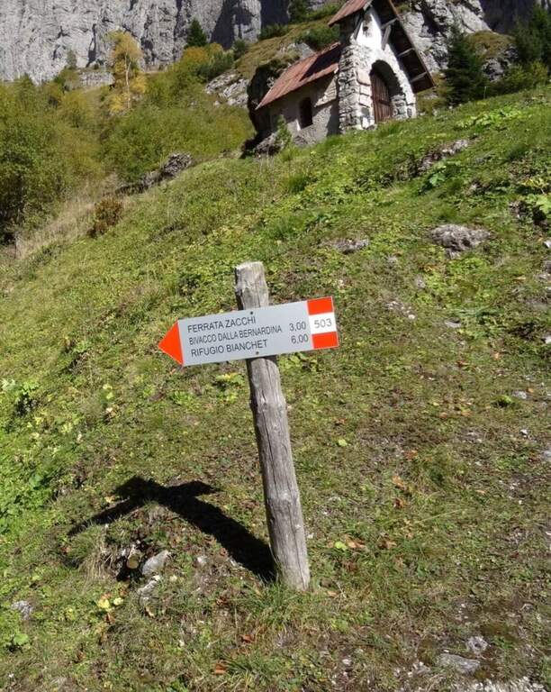
    In the Schiara Group: the Ferrata Zacchi, la Ferrata Marmol e la Ferrata Berti.

    ▲Gallery
    Technical data
    • DifficultyModerately Hard
    • RegionVeneto
    • GroupDolomiti Bellunesi โ€“ Group Schiara
    • Approach6:30 h
    • Ferrata1:30 h
    • Itinerary (a/r)11:30 h
    • Hardware level difference340 m
    • Route difference1805 m
    • Max2502 m
    • Length22 Km
  • Route Kaiserjager at Lagazuoi

    Route Kaiserjager at Lagazuoi

    Vie Ferrate โ€บ Veneto โ€บ Belluno
    Route Kaiserjager at Lagazuoi

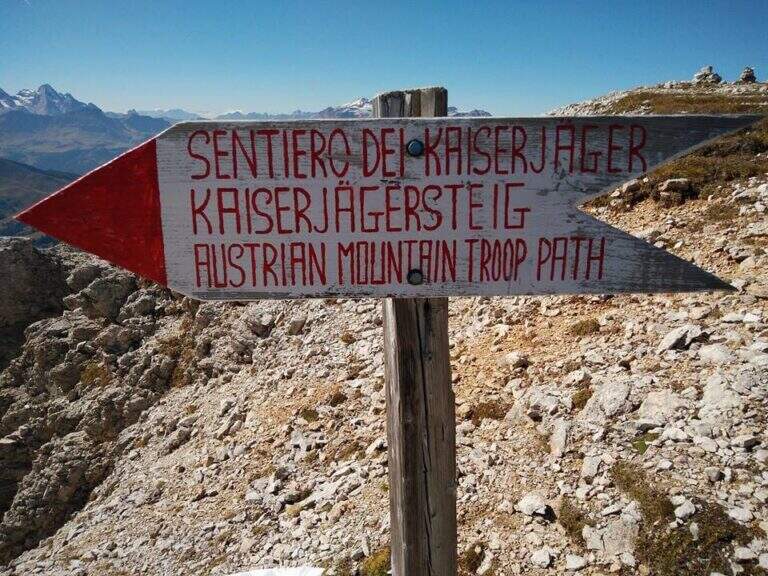
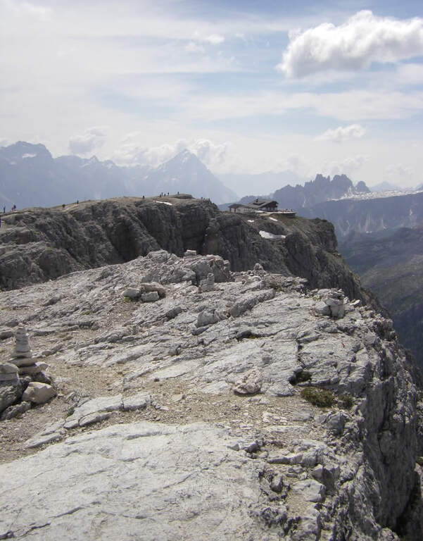
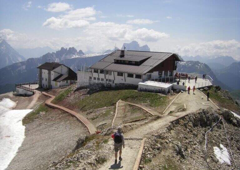
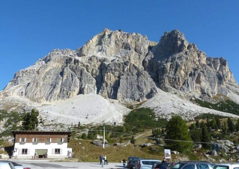
    The Kaiserjager Trail climbs to the Piccolo Lagazuoi from the Valparola Pass, in an impregnated context of war history: the Austrian trenches and defensive structures of the Great War accompany each step. Itinerary easy, ideal to approach the world of ferrate routes with a panoramic experience of great impact.

    ▲Approach

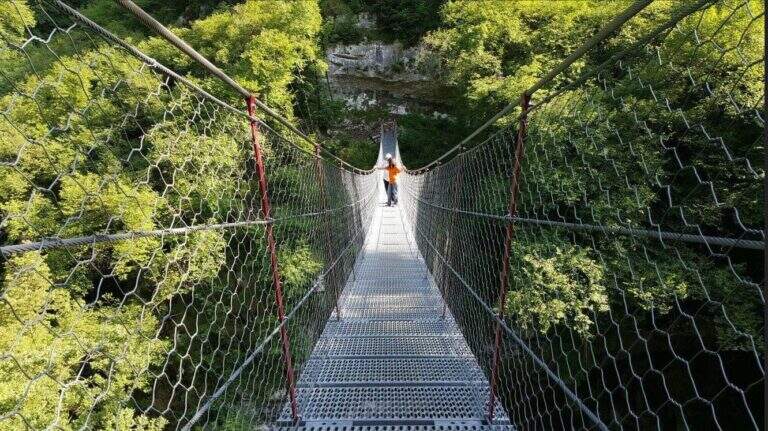
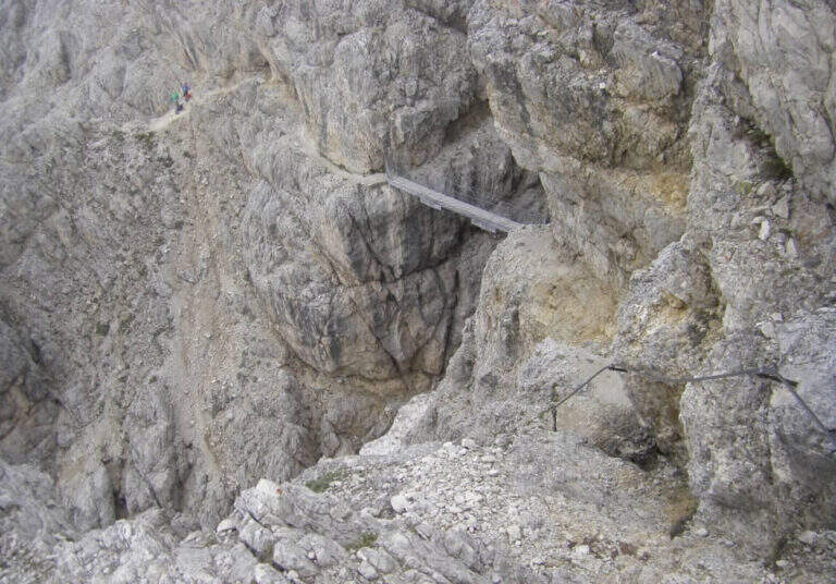
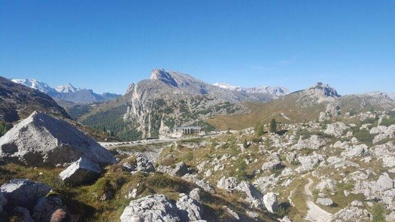
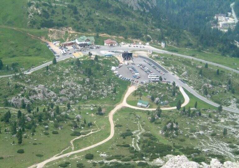
    You can reach the Valparola Pass, 2 Km east of the Falzarego Pass on the road between Cortina and Val Badia. Large parking space near the restaurant bar (directions road map). From the parking lot you descend slightly on the path and walk along a track pointing towards the southern walls of Lagazuoi, identifying the gorge with the suspended bridge. In about 45 minutes you can reach the equipped nod that marks the start of the route.

    ▲The path

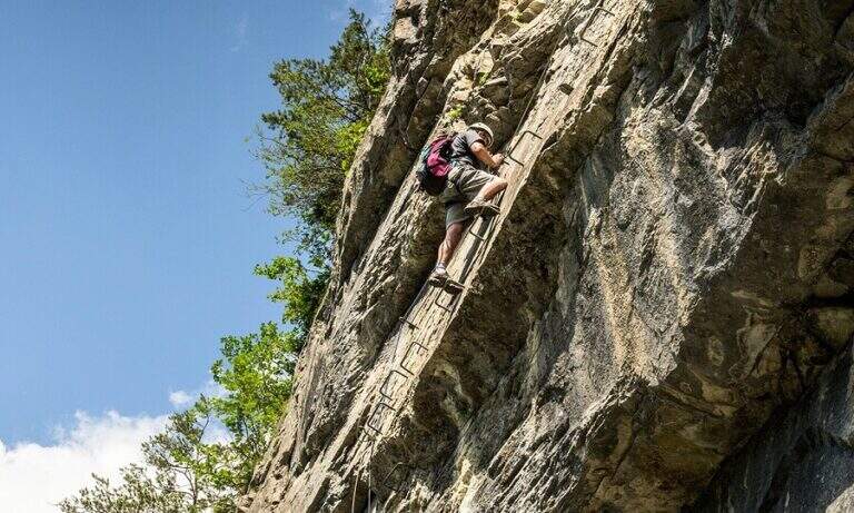
    It goes through the nod to a canal: it goes up using wooden boards framed as steps and a series of metal fixtures without continuous cable. Caution โ€” on these infixes you must ensure individually if you want to proceed safely. After passing the canal you enter an equipped nod with cable that leads upwards, offering an ever wider view of the Dolomites. You reach the summit plateau and the military bivouac of the Piccolo Lagazuoi (1h 15โ€ฒ from the attack, 2778 m). Downhill you can choose the same route or take the war tunnel of Lagazuoi which goes down to the cable car station.

    ▲Character and difficulty

    Easy classified: the equipped steps do not have significant technical difficulties. Complexity: technique 1/5, physics 2/5, exposure 2/5, environment 2/5. Great for neophytes with guide or for families with hiking experience.

    ⚠ The metal frames of the canal do not have a continuous cable: who intends to make sure must connect the longe directly to each infix. Check the route conditions in spring season.
    ▲Period and safety

    From June to October. Avoid in case of storm: the nod is exposed to lightning. The Lagazuoi cable car offers a comfortable alternative return.

    ▲Discipline

    Go down the uphill road (45โ€ฒ to the parking lot) or go through the war tunnel inside the Lagazuoi to the cable car station and go down to Passo Falzarego (extra charge).

    ▲To match

    Nearby: la Ferrata Fusetti at Sas de Stria, la Ferrata Tomaselli and the classic โ™ช.

    ▲Gallery
    Technical data
    • DifficultyEasy
    • RegionVeneto
    • GroupDolomiti Ampezzane
    • Approach0:40 h
    • Ferrata1:15 h
    • Itinerary (a/r)4:45 h
    • Hardware level difference350 m
    • Route difference575 m
    • Max2778 m
    • Length5,2 Km
  • Sentiero Attrezzato dei Mar al Mulaz

    Sentiero Attrezzato dei Mar al Mulaz

    Vie Ferrate โ€บ Veneto โ€บ Belluno
    Sentiero Attrezzato dei Mar al Mulaz
    Moderately Hardโ— ClosedDescriptionComplexityMapsGallery

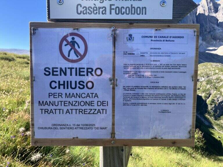
    : ATTENTION โ€” Via CHIUSA: The Equipped Path of the Sea is closed. Check the current conditions before any planning.

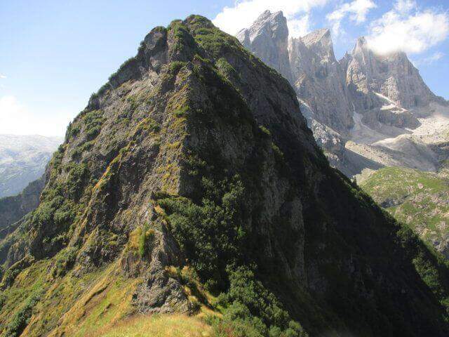
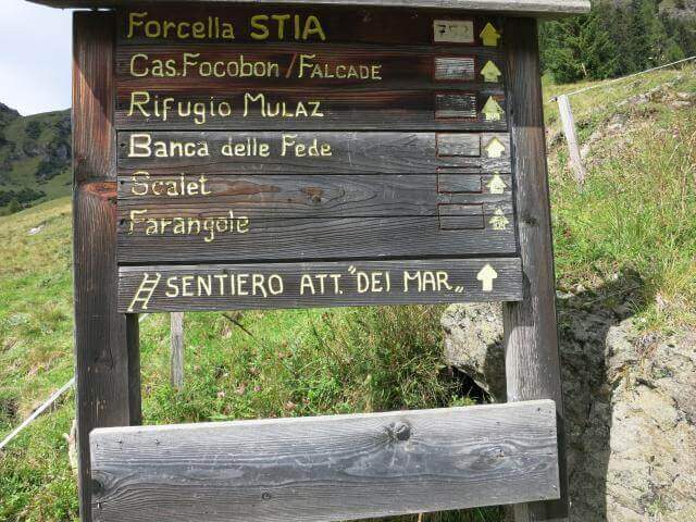
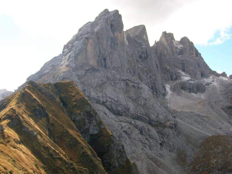
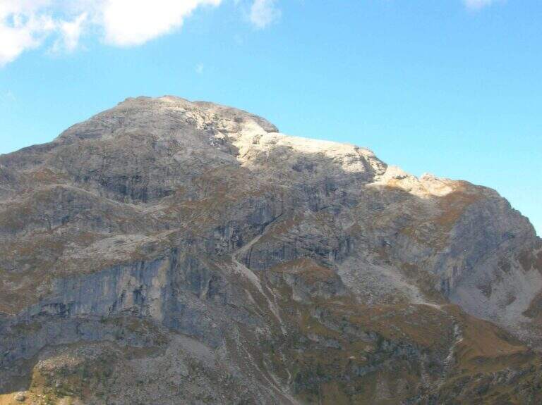
    The Path Attrezzato dei Mar runs through the northern side of the Pale di San Martino with departure from the isolated inhabited area of Gares, climbing towards the Mulaz between views of the Focobon. Itinerary not frequented, technically not difficult but with sometimes insidious background on grass and terrous.

    ▲Approach

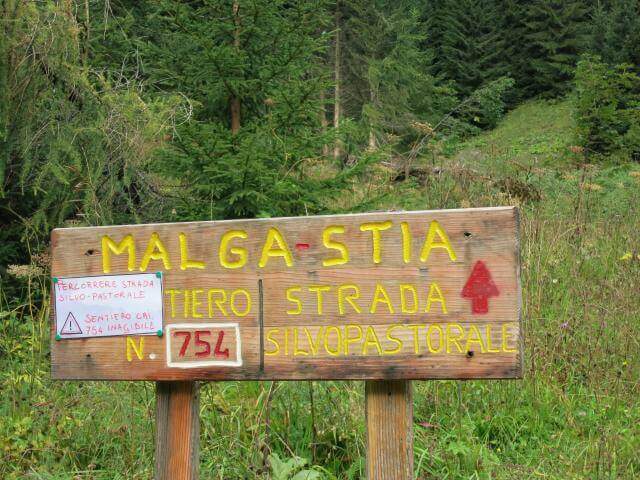
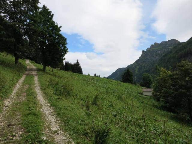
    You reach Gares from Canale d'Agordo turning south (west) for about 7 Km on a beautiful valley (directions road map). Comfortable parking in the village. On foot you will reach the church and take the route towards Malga Stia following the signs, first climbed on track then on path 754 on the left side of Val di Greta. In about 50 minutes you will reach Malga Stia (1785 m), then continue on path 752 towards Forcella Stia.

    ▲The path

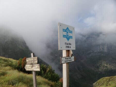
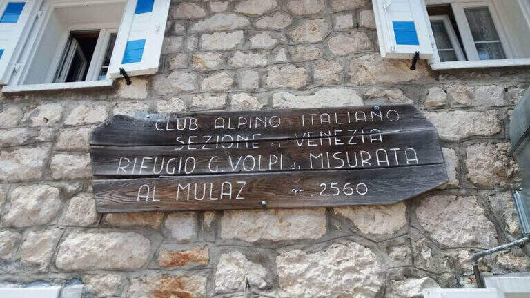
    From Malga Stia follow the path 752 on meadows towards Forcella Stia. At the Cresta dei Mar you arrive at a metal ladder and a sign that marks the beginning of the equipment. You go up the ladder and face a first esile equipped nod. Continue on a grassy ridge following the labile trace towards the rocky ridge that you walk just under the ridge thread, following the metal cables and paying attention to the grassy and terrous bottom that can be slippery with moisture. The route finally leads to the Mulaz.

    ▲Character and difficulty

    Classified Moderately Difficult. The equipped strokes are not technically demanding but the unstable background and lability of the track require orientation and caution. Complexity: technique 2/5, physics 3/5, exposure 2/5, environment 3/5.

    ⚠ It is currently closed. Do not travel without checking the status of the equipment with the competent CAI Section or with the Falcade Finance Guard.
    ▲Period and safety

    Normally open from July to September. Check the reopening before planning the excursion.

    ▲Discipline

    From the Mulaz you descend to the Mulaz refuge and then on a path towards Falcade or return to Gares for the uphill road.

    ▲To match

    In the Pale di San Martino: la Ferrata del Canalino al Mulaz e la Ferrata Gabitta d'Ignoti.

    ▲Gallery
    Technical data
    • DifficultyModerately Hard
    • RegionVeneto
    • GroupPale di San Martino
    • Approach1:45 h
    • Ferrata1:
    • Itinerary (a/r)7:00 h
    • Route difference1180 m
    • Max2560 m
    • Length13 Km
  • Sentiero Attrezzato al Monte Cornetto โ€“ Passo Campogrosso

    Sentiero Attrezzato al Monte Cornetto โ€“ Passo Campogrosso

    Vie Ferrate โ€บ Veneto โ€บ Vicenza
    Sentiero Attrezzato al Monte Cornetto โ€“ Passo Campogrosso

    The Path Trained to Mount Cornetto runs a ring route from Passo Campogrosso through the tunnels and trenches of the Great War, climbing to the Passo degli Onari and the top of Cornetto. A historical and panoramic route, in the complex easy but with a stretch equipped with medium difficulty to walk carefully.

    ▲Approach

    The Campogrosso Pass (Vicenza) can be reached from Recoaro Terme via Merendaore or from Rovereto via Pian delle Fugazze (directions road map). You park at the pass and follow the path 170 north towards Malga Boffetal.

    ▲The path

    From the Campogrosso Pass take the path 170, wide and well marked, westward of the slopes of Monte Cornetto up to the junction with path 176 that bends right uphill. Cross the first military tunnel โ€” useful but not indispensable a torch โ€” and continue on path not difficult through further galleries of war origin. The route diagonally cuts the southern wall of Cornetto on fairly wide panoramic cenges, then enters a throat where the metal cable assists in the narrower passage. It exits from the throat and climbs towards the Passo degli Onari, meeting new tunnels, to the top of Monte Cornetto. The return takes place on path 149 halfway to the Baffelan Pass and back to the Campogrosso Pass.

    ▲Character and difficulty

    Classified Easy with a stretch equipped with medium difficulty in the throat. Complexity: technique 1/5, physics 2/5, exposure 2/5, environment 2/5. The galleries add historical interest without increasing the risk.

    ⚠ Bring a torch to the tunnels. The bottom can be wet inside; attention to slippery terrain at the exit.
    ▲Period and safety

    From April to November due to the relatively low share. Avoid snow or ice on exposed traits.

    ▲Discipline

    Complete ring: Passo degli Onari โ†’ path 149 โ†’ Passo del Baffelan โ†’ Passo Campogrosso.

    ▲To match

    In the small Dolomites Vicentine: la Ferrata del Vajo Stretto e il Pojesi Path at Carega.

    ▲Gallery
    Technical data
    • DifficultyEasy
    • RegionVeneto
    • GroupSmall Dolomites โ€“ Lessini Mountains
    • Approach0:45 h
    • Ferrata1:45 h
    • Itinerary (a/r)4:30 h
    • Hardware level difference100 m
    • Route difference450 m
    • Max1899 m
    • Length11 Km
  • Sentiero Attrezzato del Monte Cernera

    Sentiero Attrezzato del Monte Cernera

    Vie Ferrate โ€บ Veneto โ€บ Belluno
    Sentiero Attrezzato del Monte Cernera

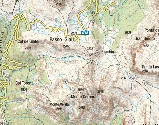
    The Route of Monte Cernera climbs from the Giau Pass to the panoramic summit (2664 m) in the group of the Croda da Lago. Short and only partially equipped path, with a terminal channel that requires special attention when wet.

    ▲Approach

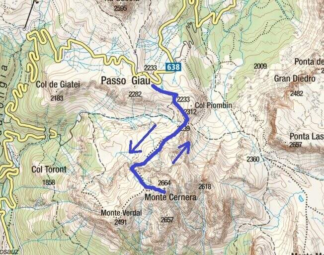
    The Giau Pass (2233 m) can be reached on the road between Alleghe and Cortina d'Ampezzo (directions road map). Large parking space at the pass. Follow the CAI 436 path south towards Forcella Col Piombin. Adding the fork you turn right along the meadows following the track until the first stretch (30' from the parking lot).

    ▲The path

    The first equipped section dates back to a rocky plaque of a few meters. After the highlight you reach a carving and slightly higher you face the second stretch, slightly more vertical than the first. Continue on increasingly steep track until the base of a rocky canal often wet for drainage: it is the key passage, to be followed carefully. After the canal, a few meters of easy climbing on rocks lead to the peak cross (1h 30' approximately from the parking lot), with 360ยฐ views of the Giau Pass and the surrounding Dolomites.

    ▲Character and difficulty

    Classified Easy. The equipped sections are short and well-addressed. Complexity: technique 1/5, physics 2/5, exposure 2/5, environment 2/5.

    ⚠ The final canal drains the water of the wall and is often wet even on peaceful days: pay attention to the slippery bottom.
    ▲Period and safety

    From June to October. Avoid in case of storm: the top is exposed. The pass can be snowed at the beginning of the season.

    ▲Discipline

    Back on the uphill path to Passo Giau (3h total round and back).

    ▲To match

    Moving north you can reach the routes of Cortina: the Ferrata Sci Club 18, la Ferrata Strobel e la Ferrata dell'Averau.

    ▲Gallery
    Technical data
    • DifficultyEasy
    • RegionVeneto
    • GroupDolomiti Ampezzane โ€“ Croda da Lago
    • Approach0:30 h
    • Ferrata1:15 h
    • Itinerary (a/r)3:00 h
    • Hardware level difference50 m
    • Route difference431 m
    • Max2.664 m
    • Length6 Km
Need help? Write to us!