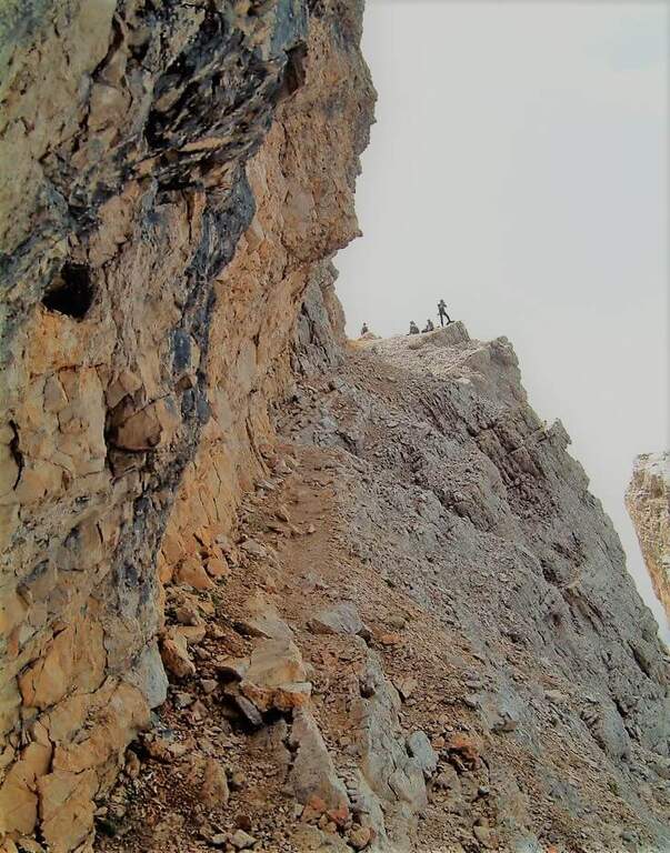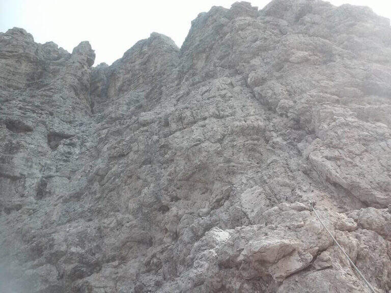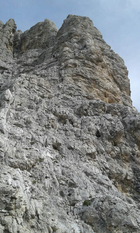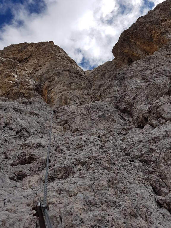
Regione: Veneto

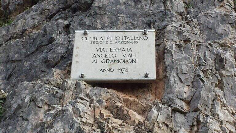
  • Ferrata Viali at Monte Gramolon

    Ferrata Viali at Monte Gramolon

    Vie Ferrate › Veneto › Vicenza
    Ferrata Viali at Monte Gramolon
    Moderately Hard● OpenDescriptionComplexityMapsGallery

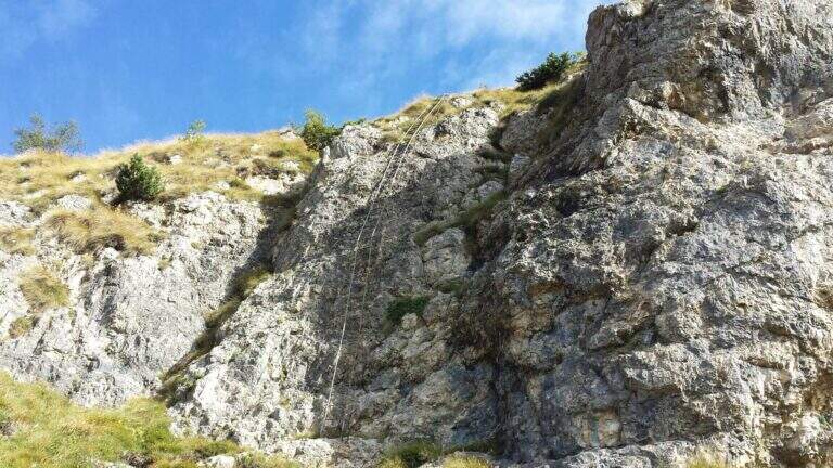
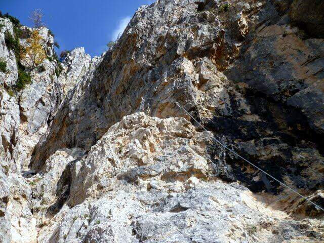
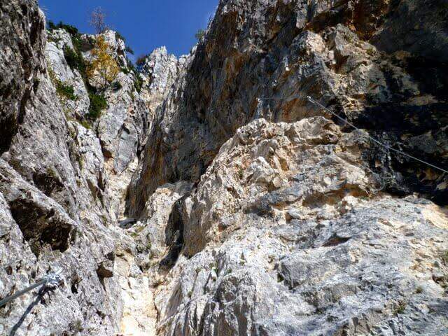
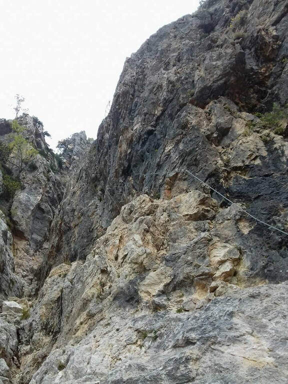
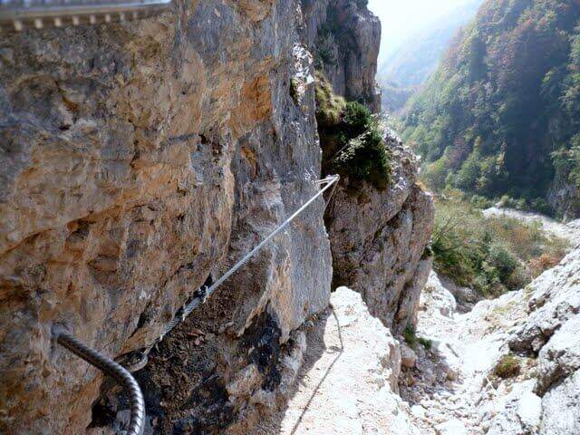
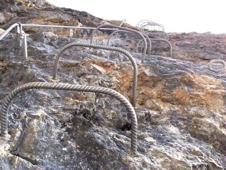
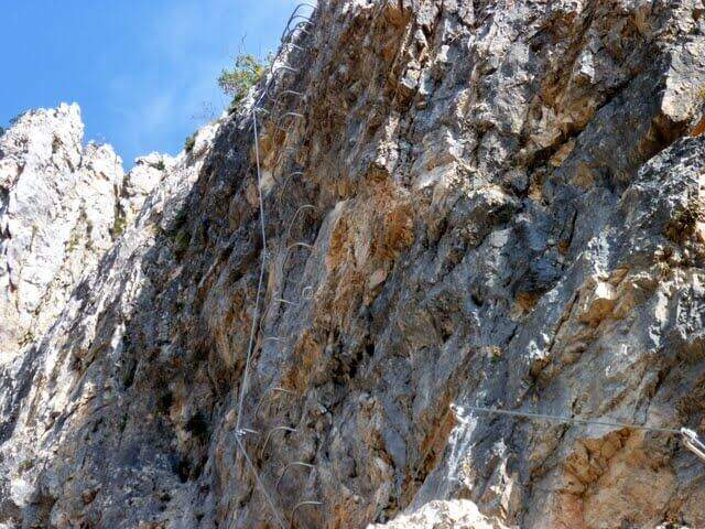
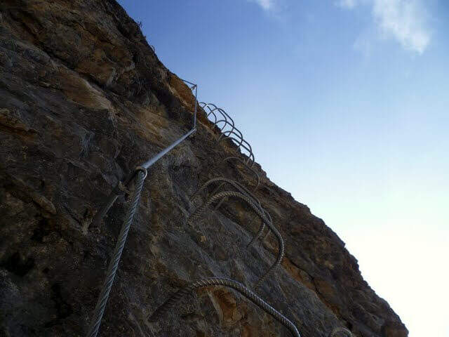
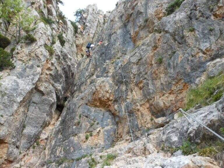
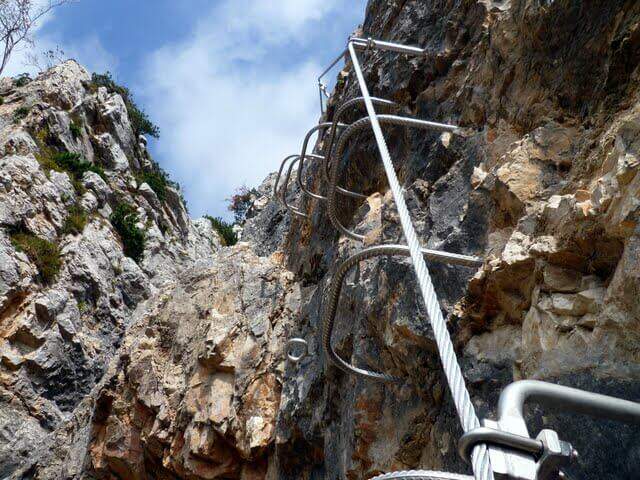
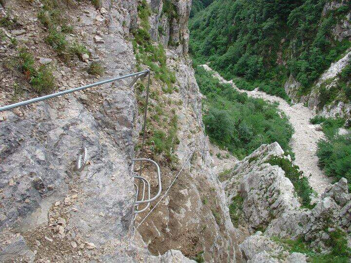
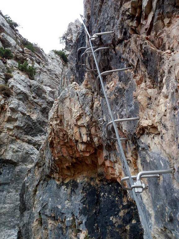
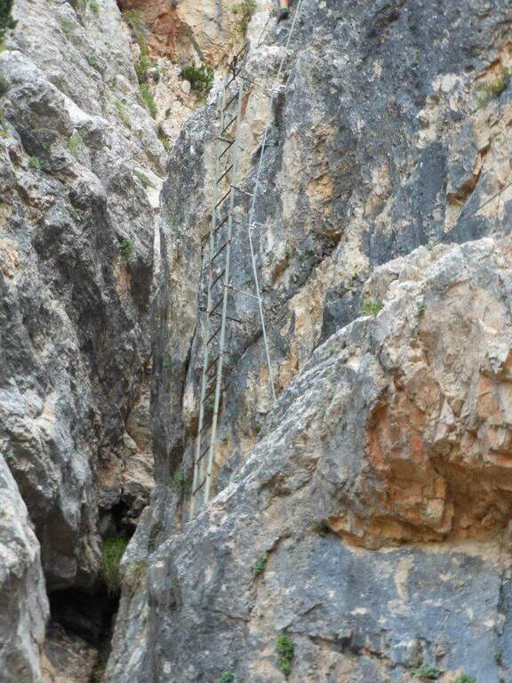
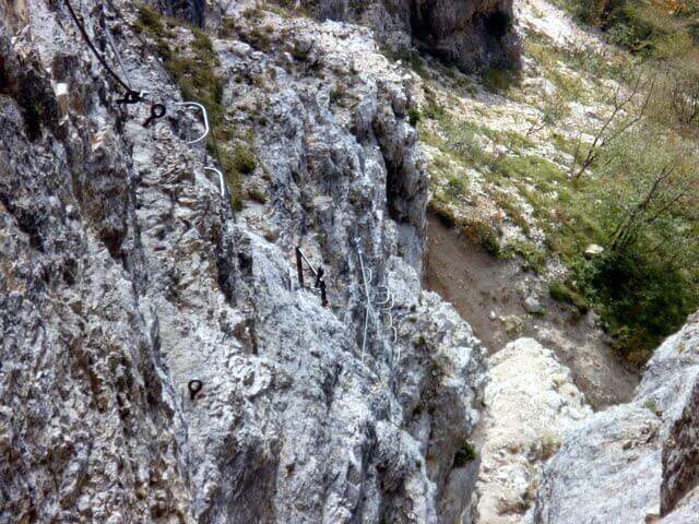
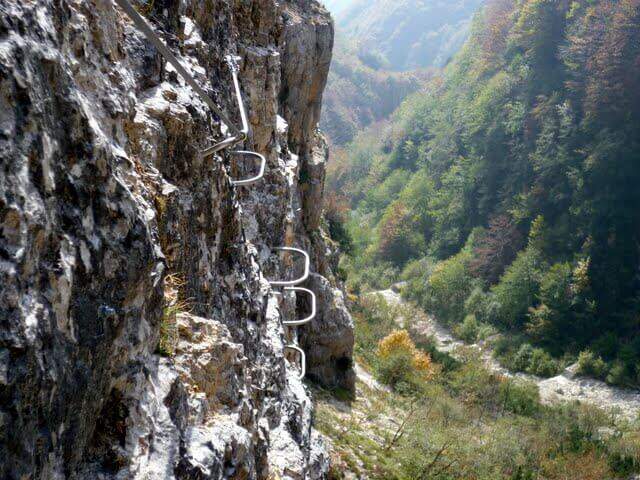
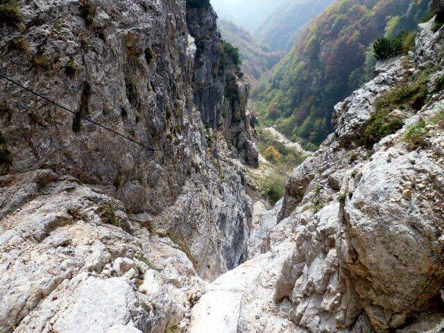
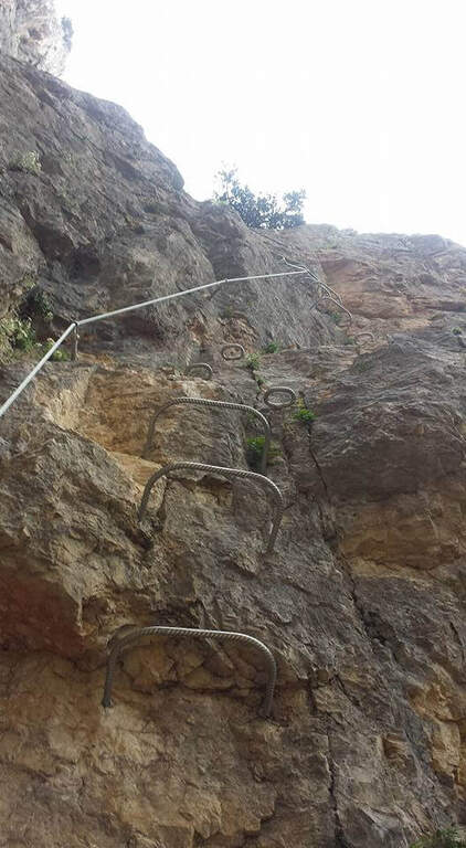
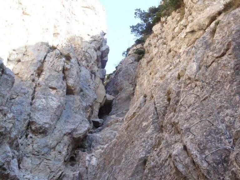
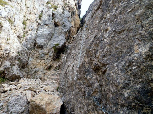
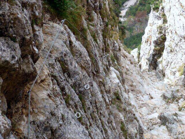
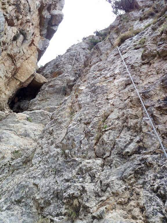
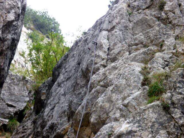
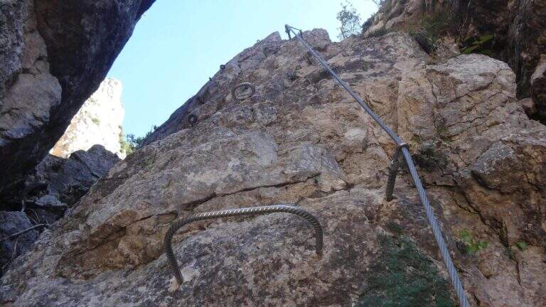
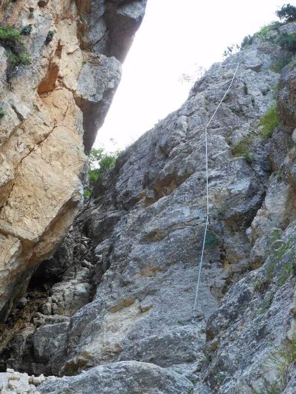
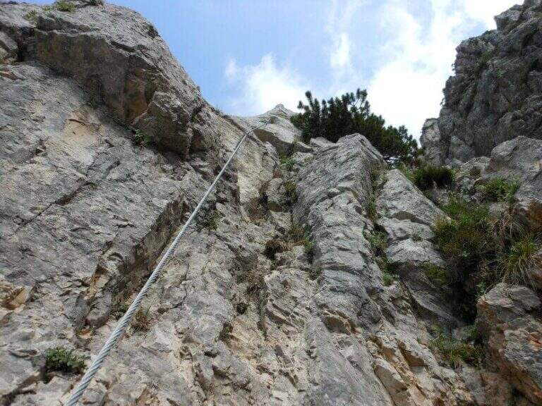
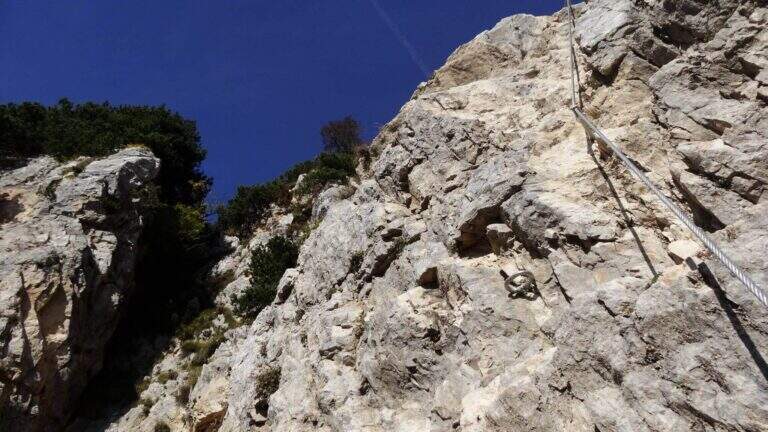
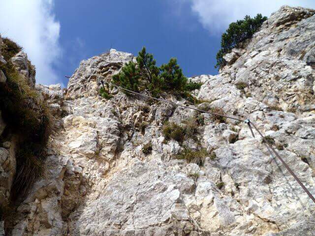
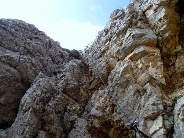
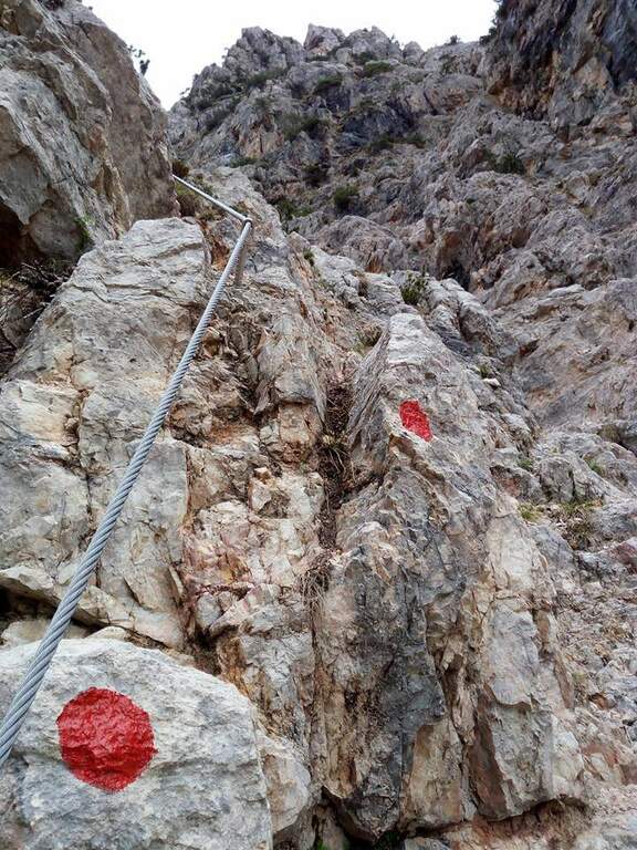
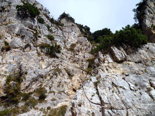
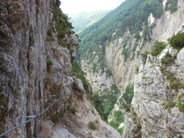
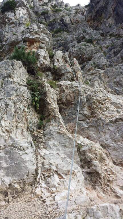
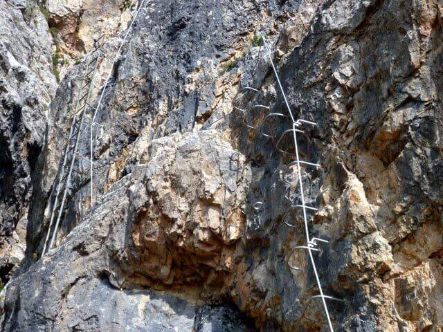
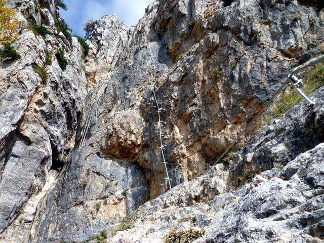
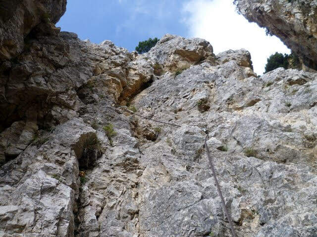
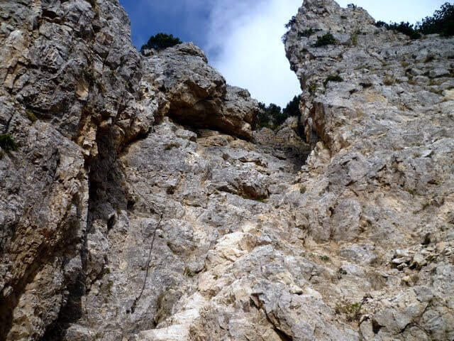
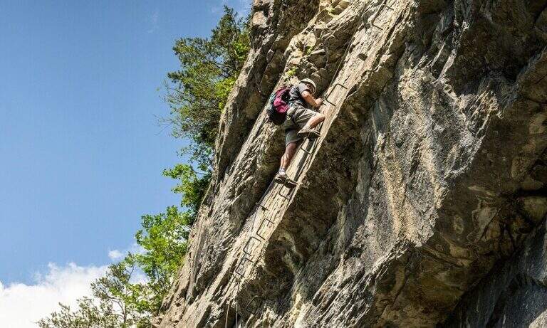
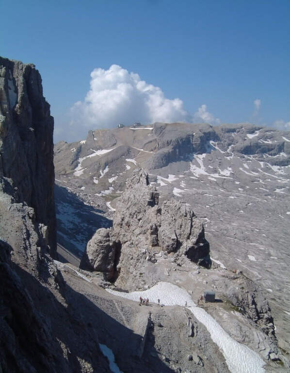
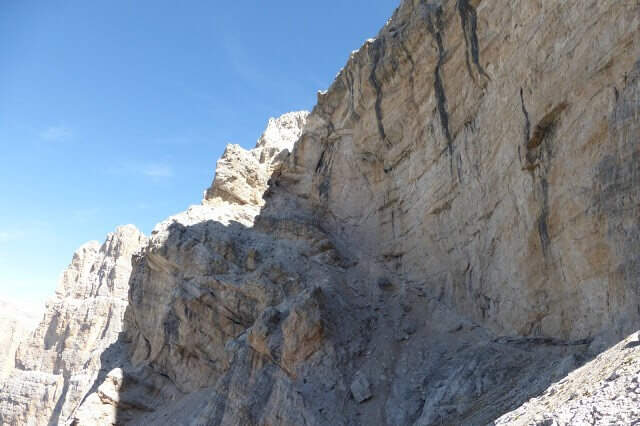
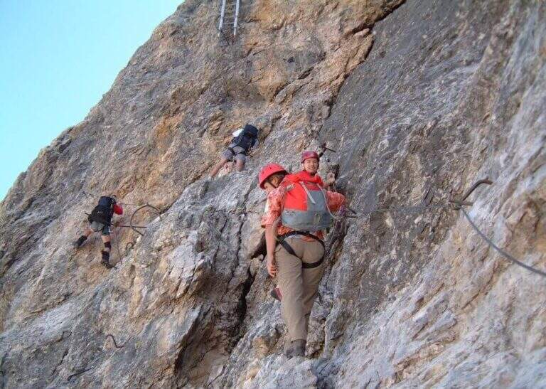
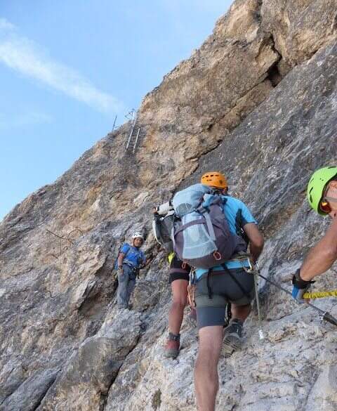
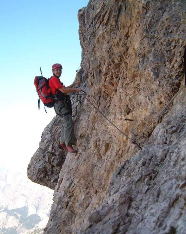
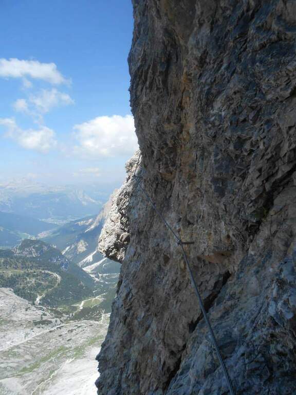
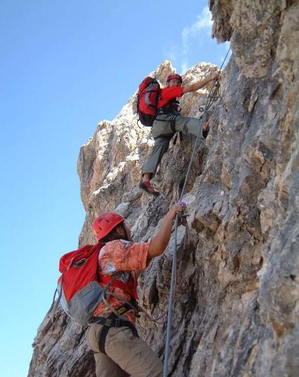
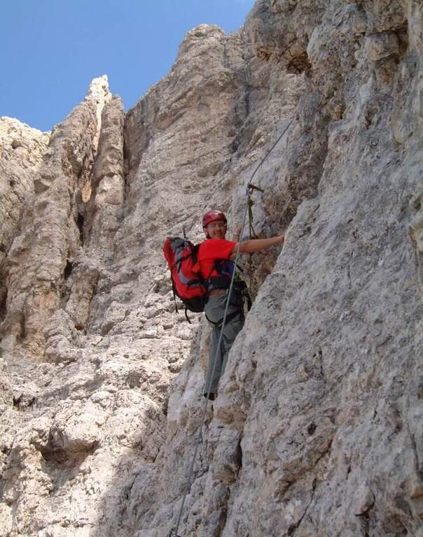
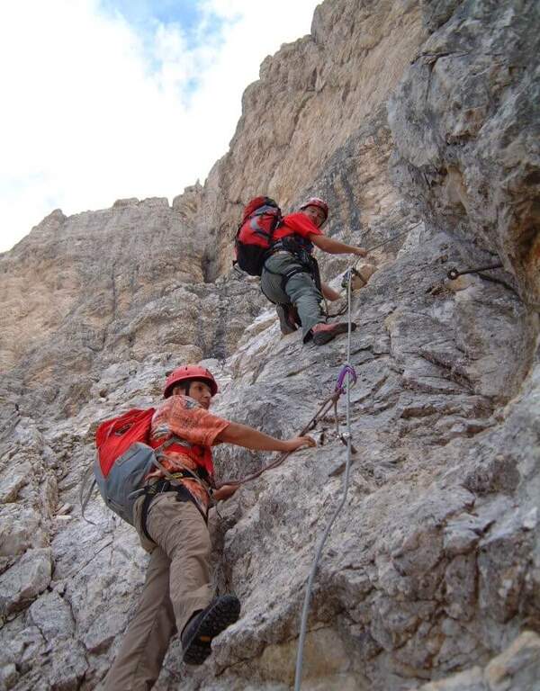
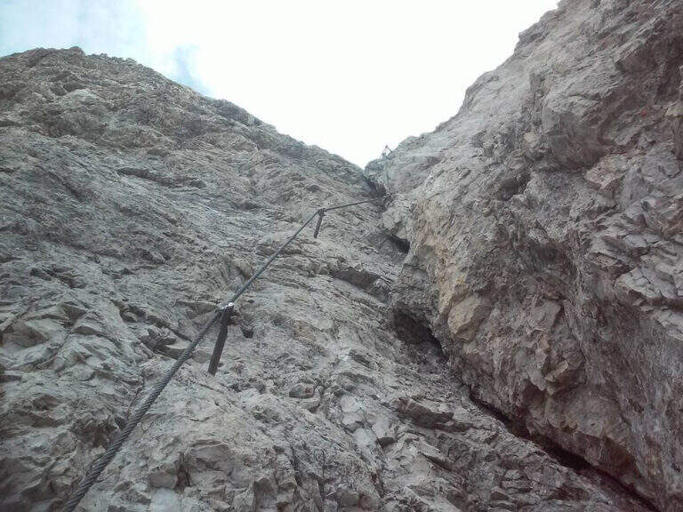
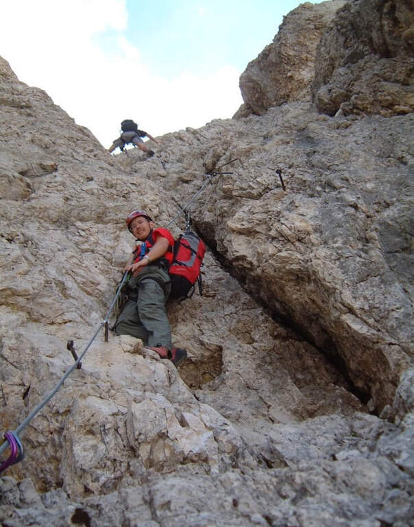
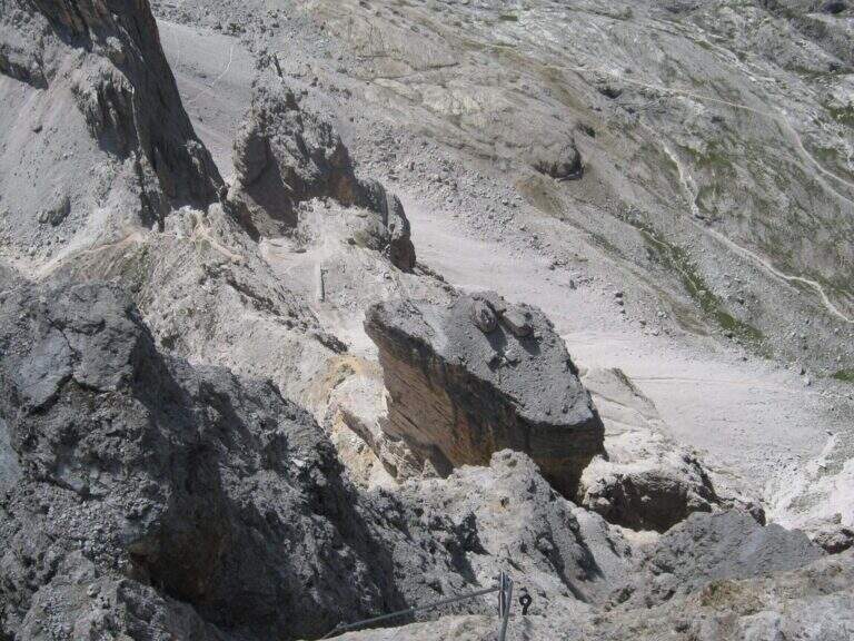
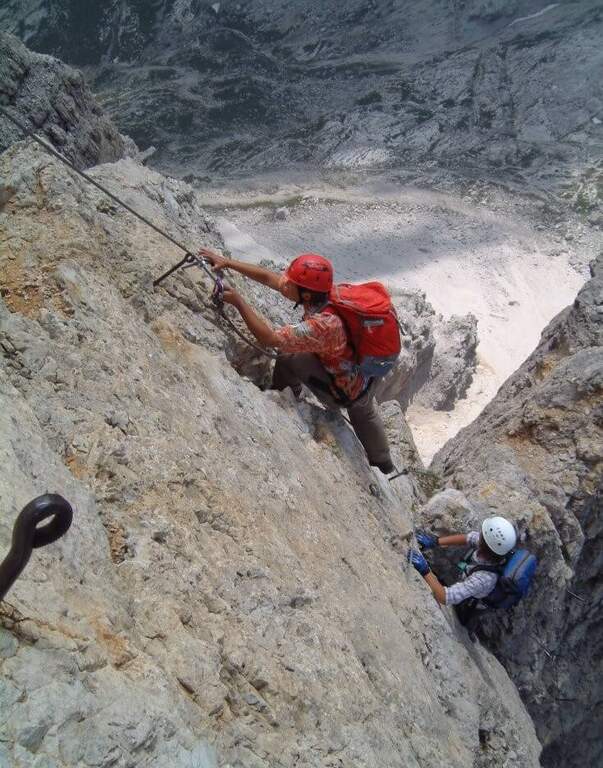
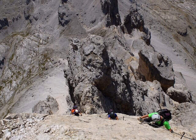
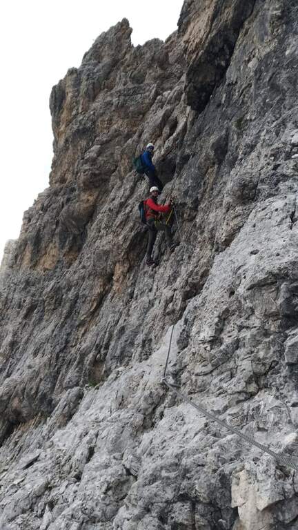
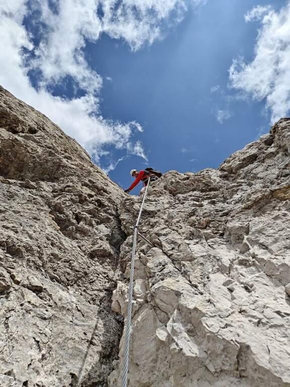
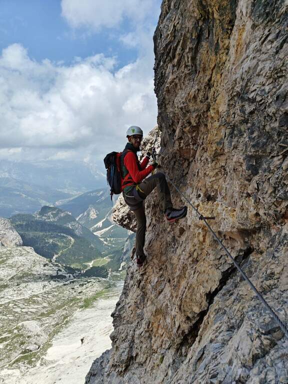
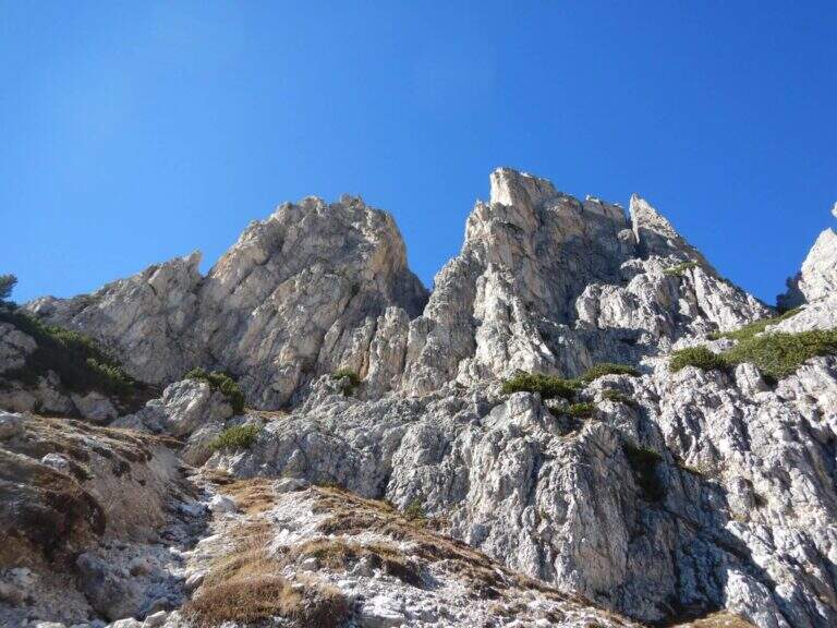
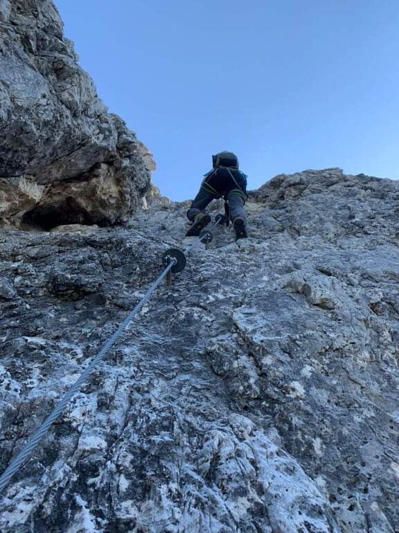
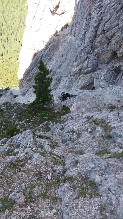
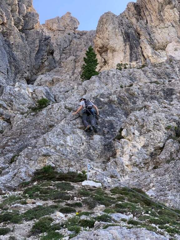
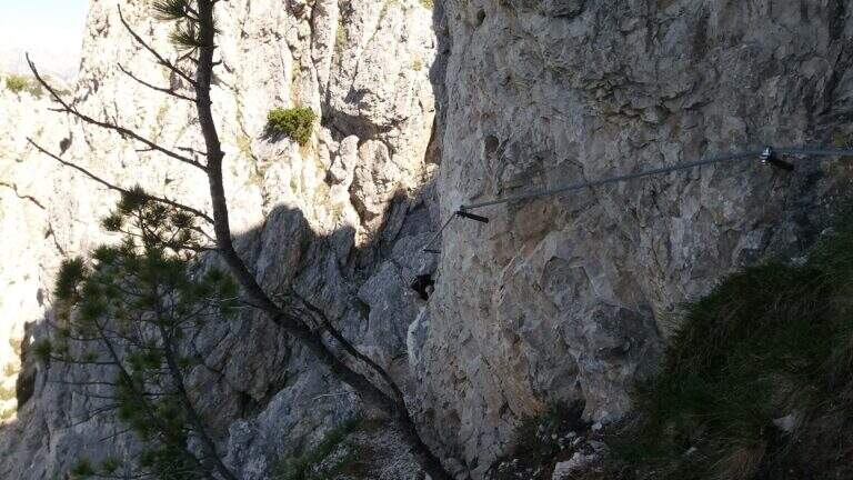
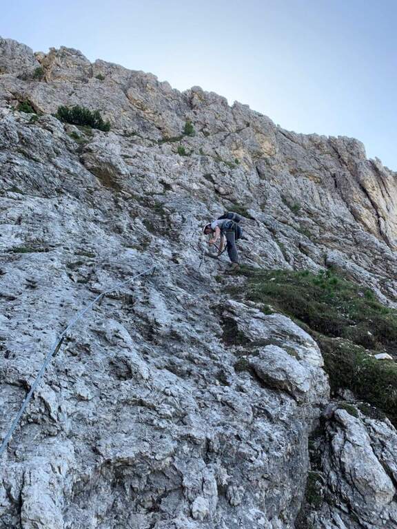
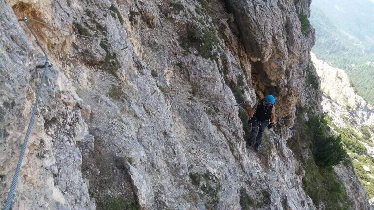
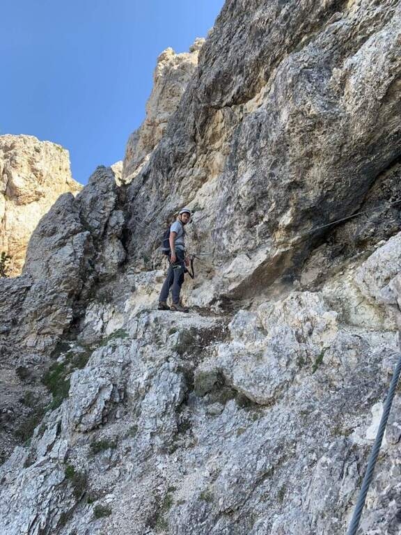
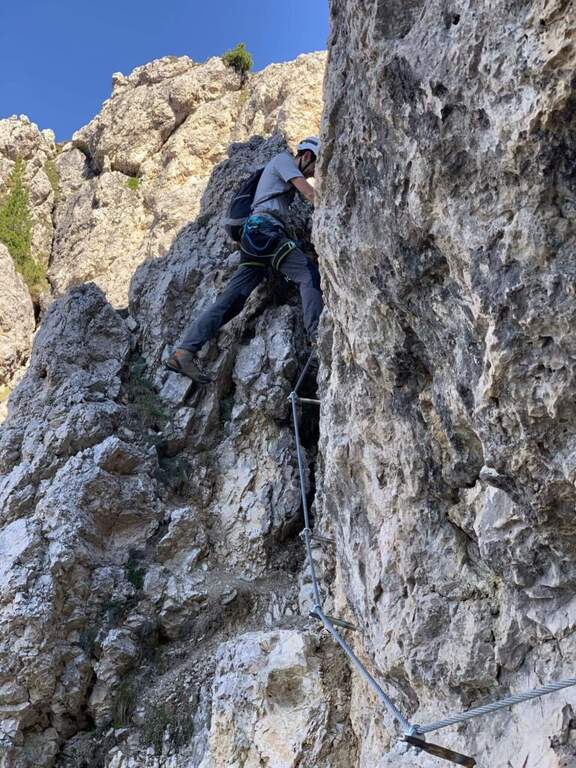
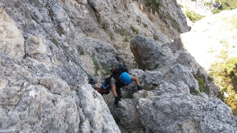
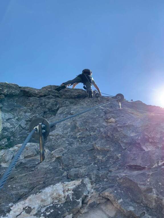
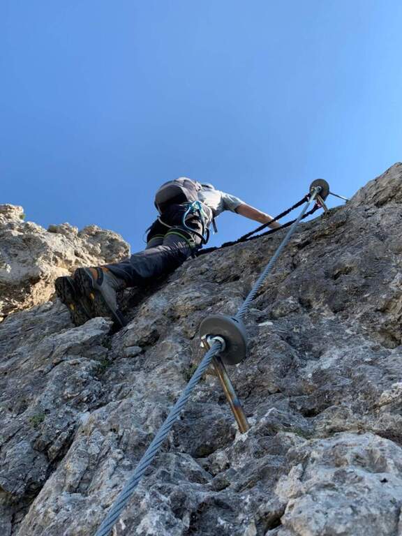
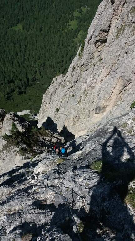
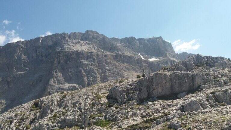
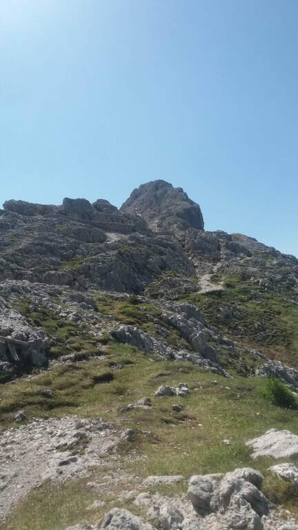
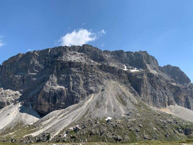
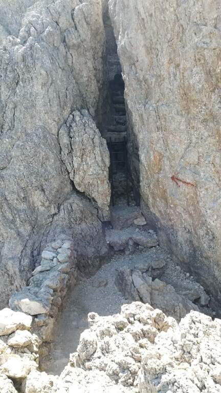
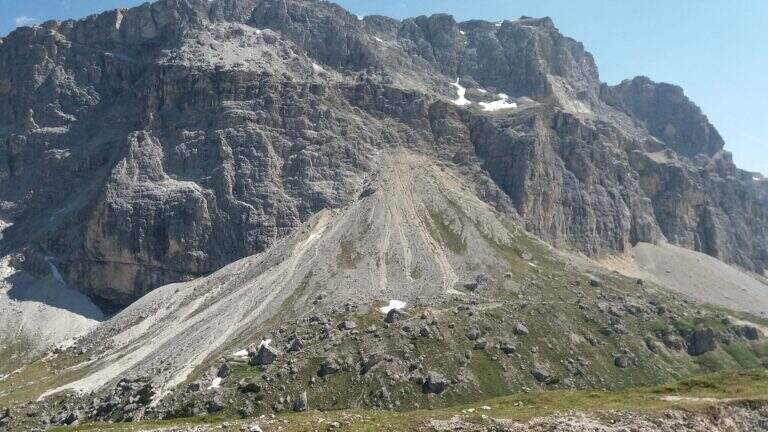
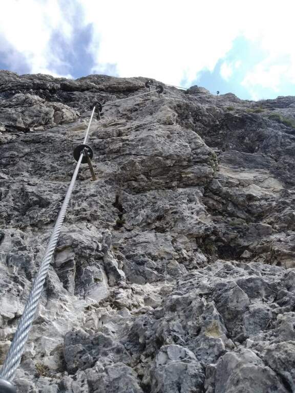
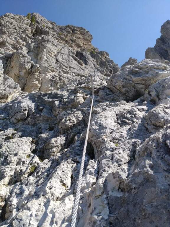
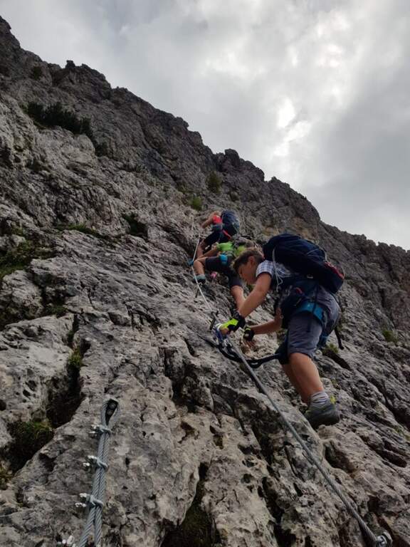
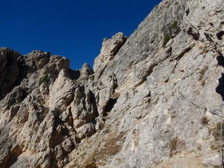
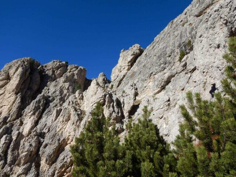
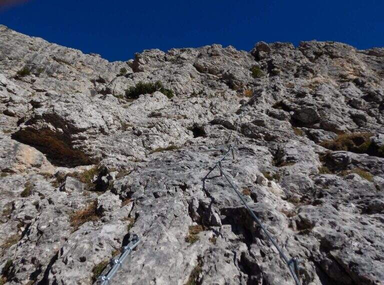
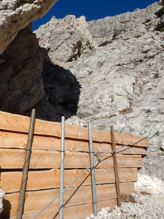
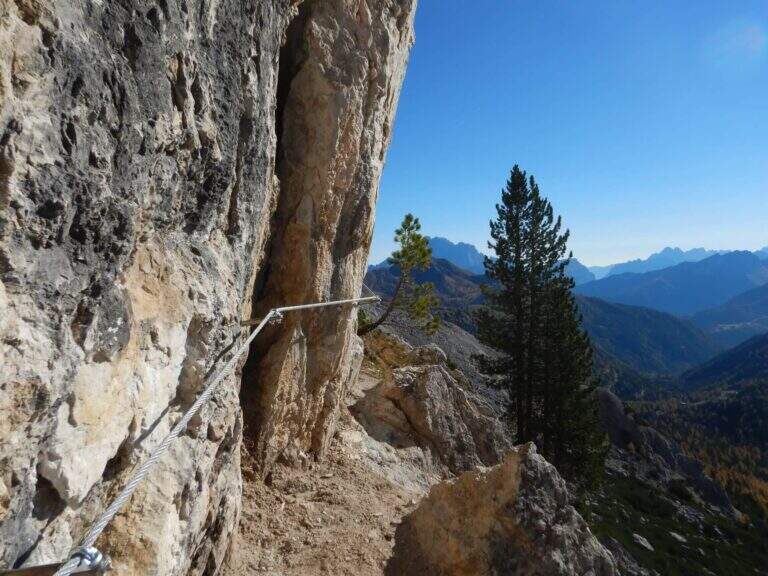
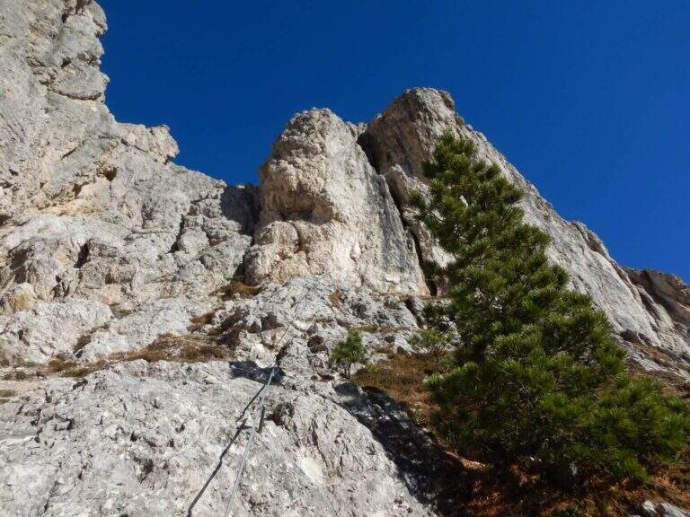
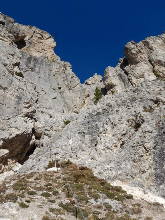
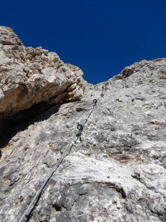
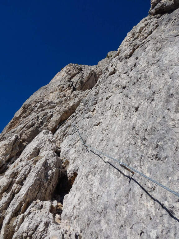
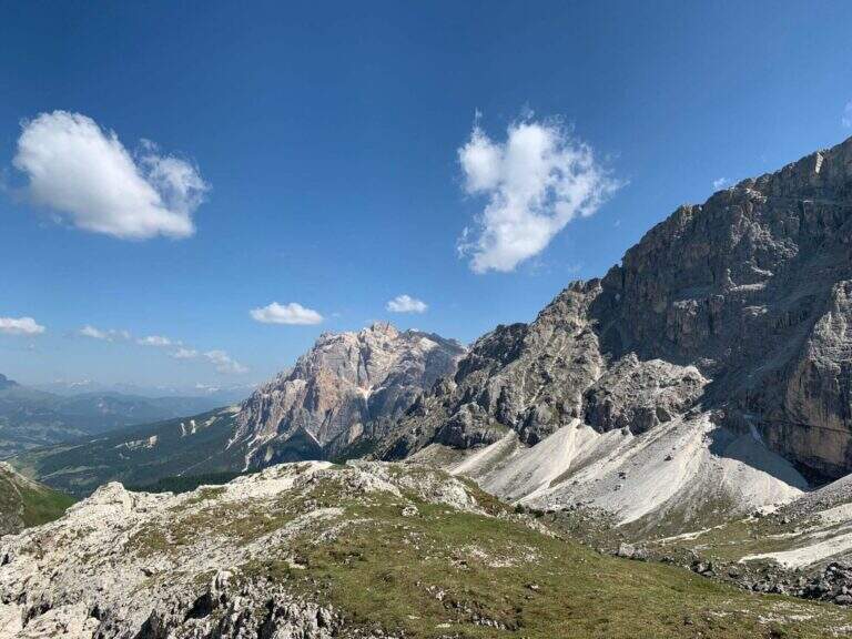
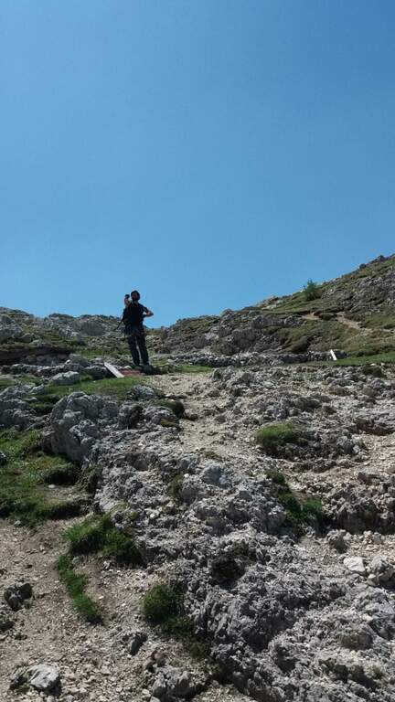
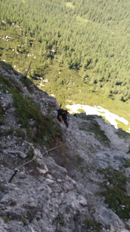
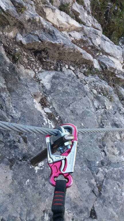
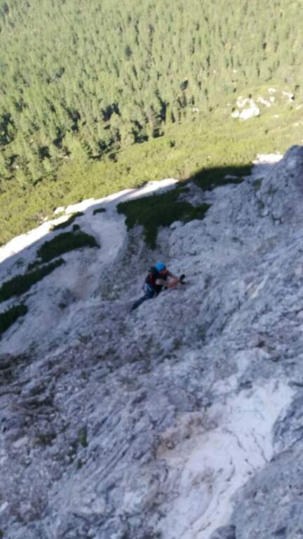
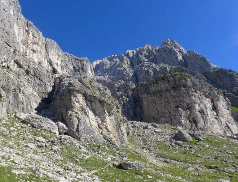
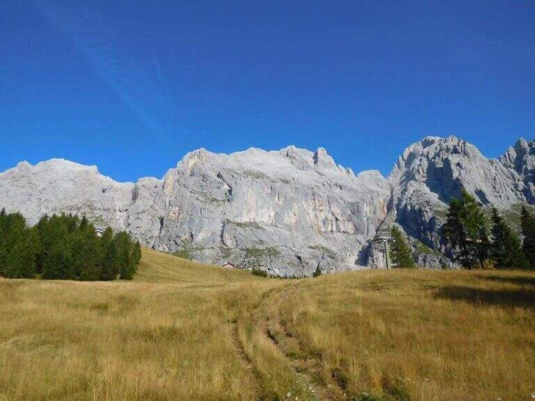
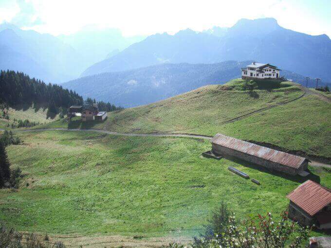
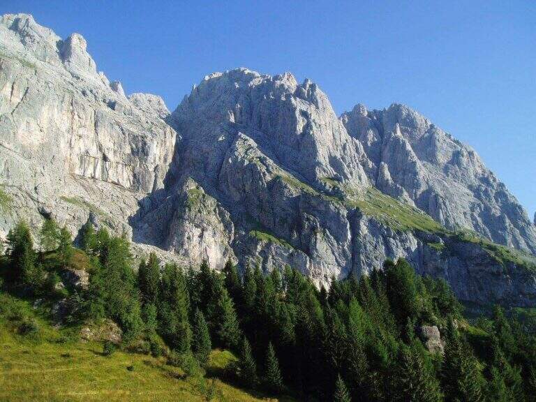
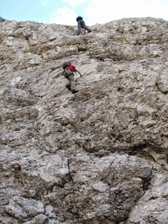
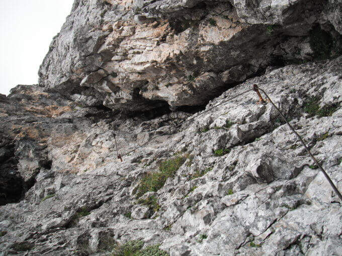
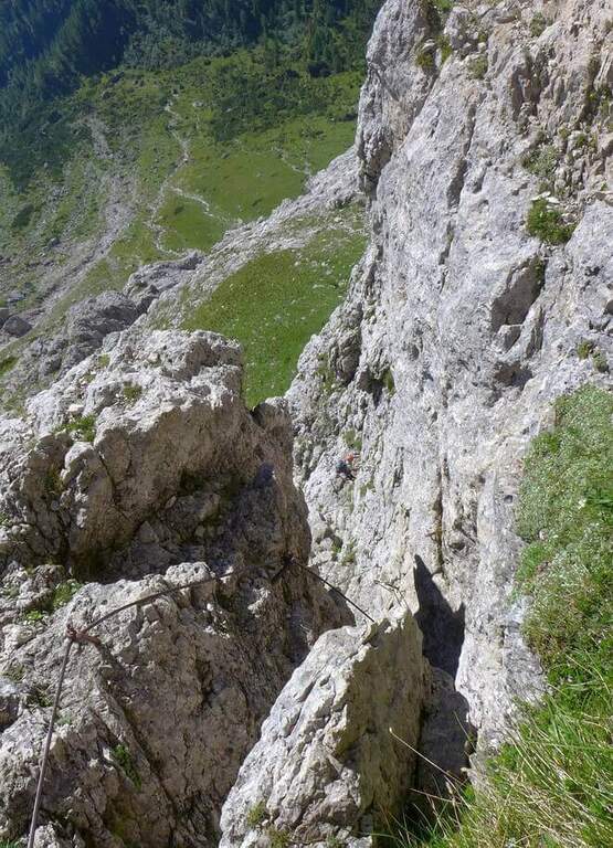
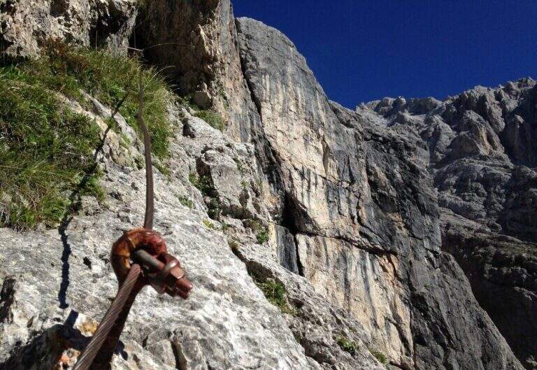
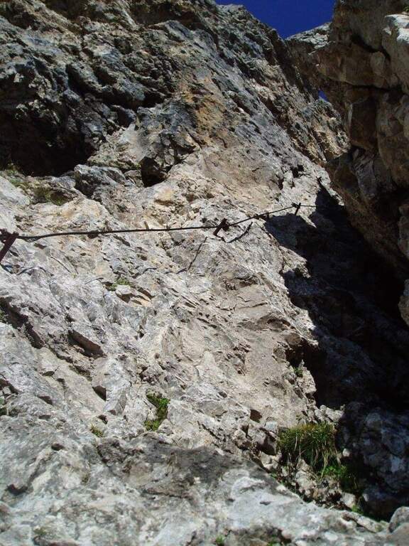
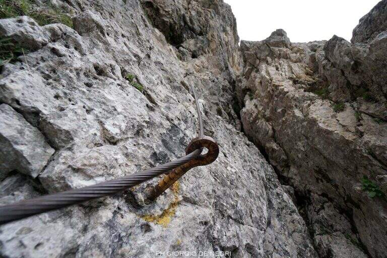
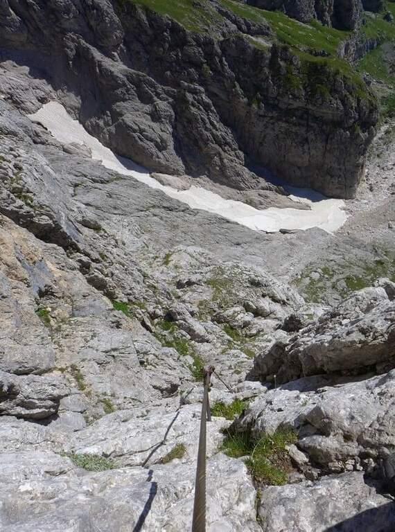
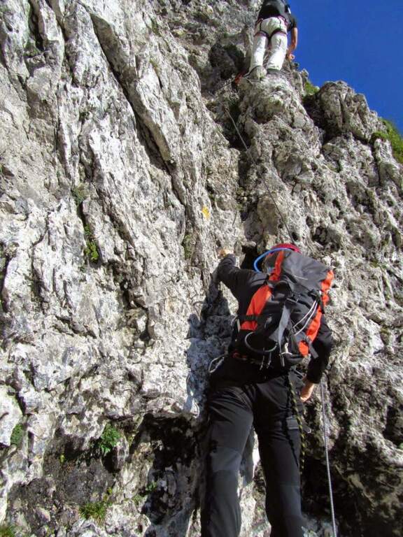
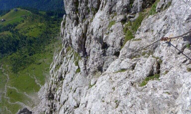
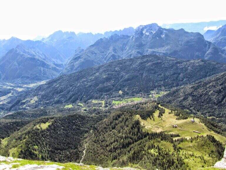
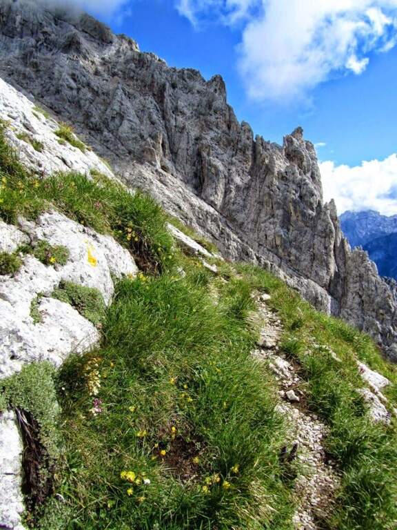
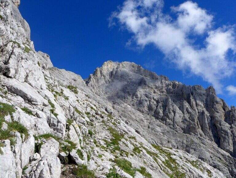
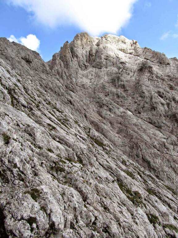
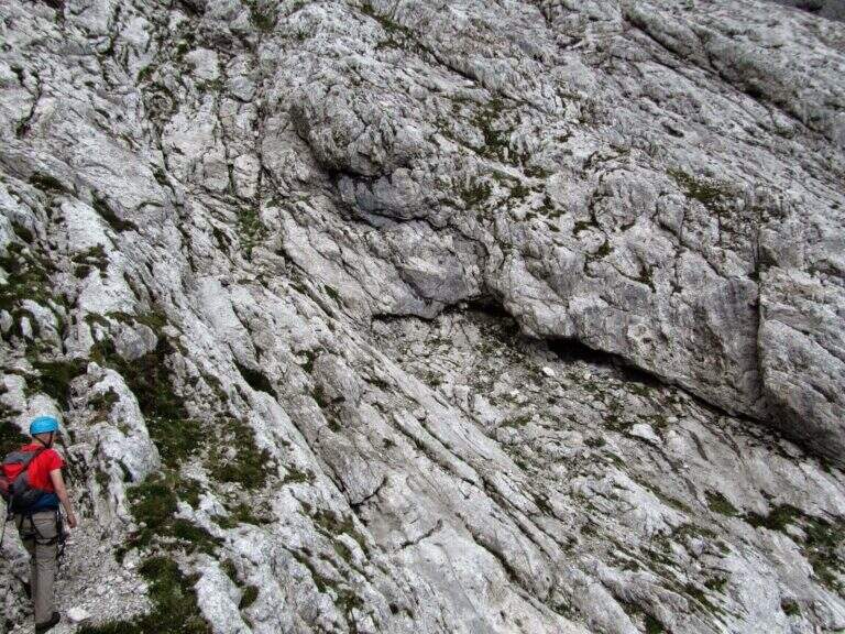
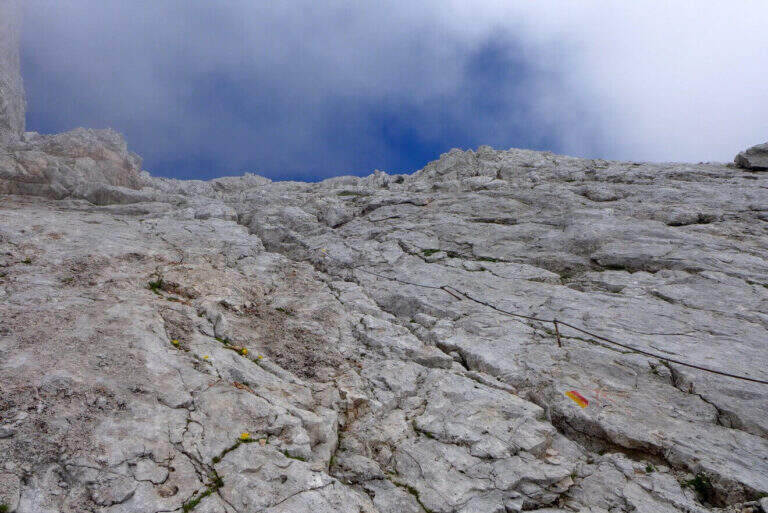
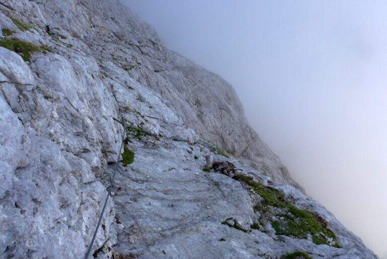
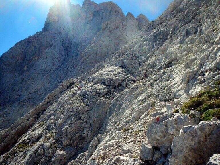
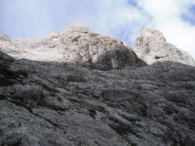
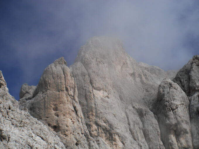
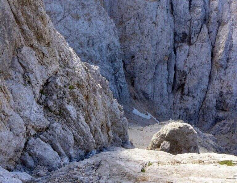
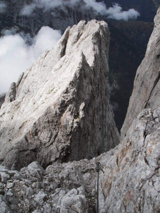
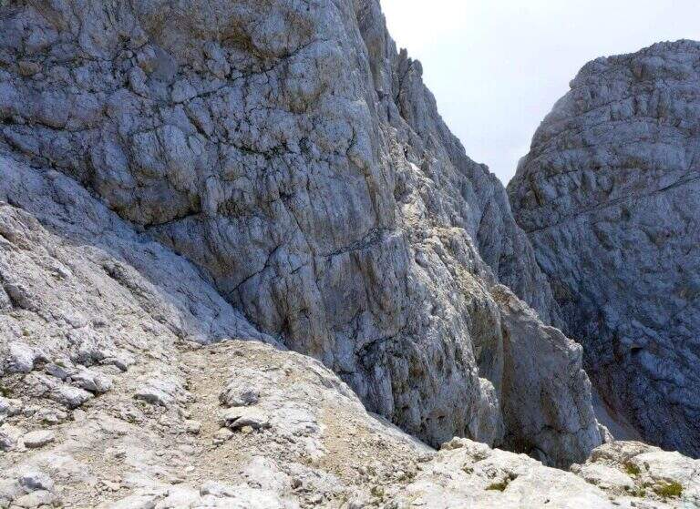
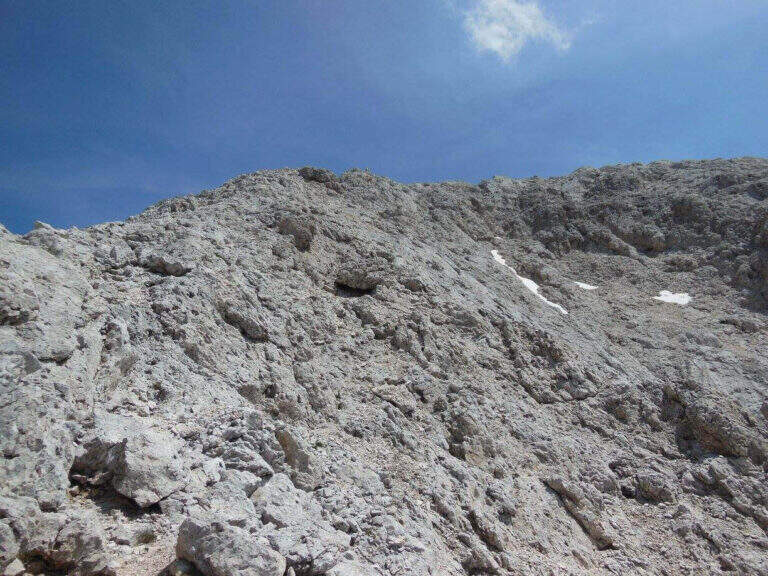
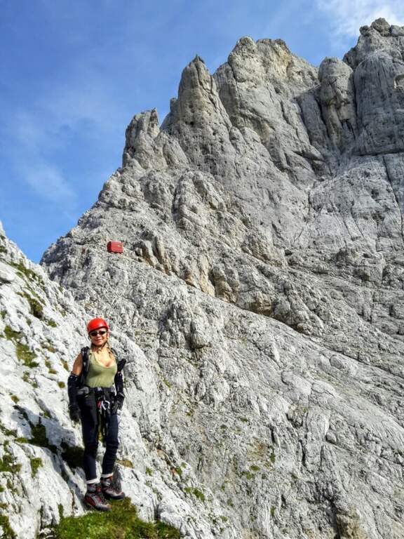
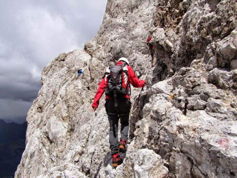
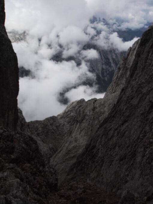
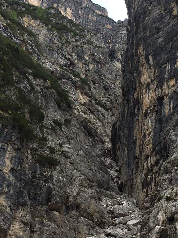
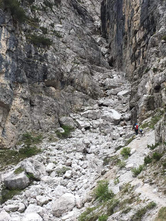
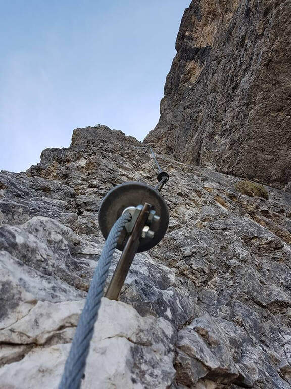
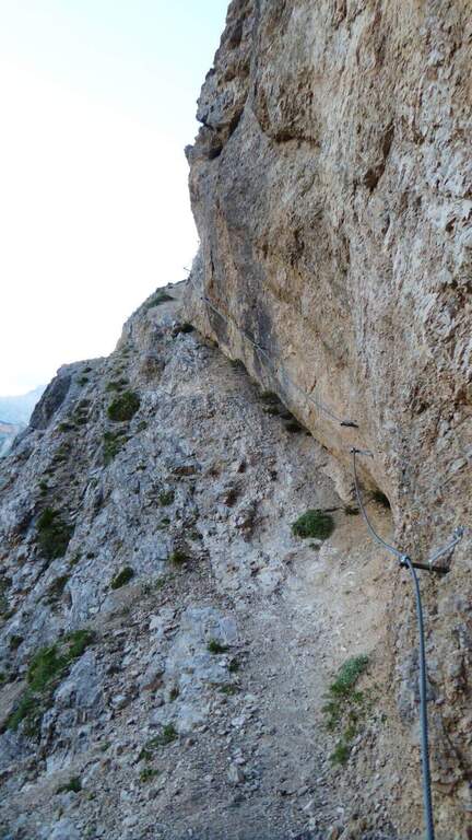
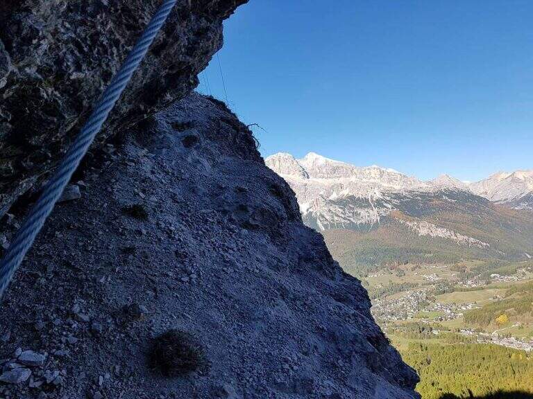
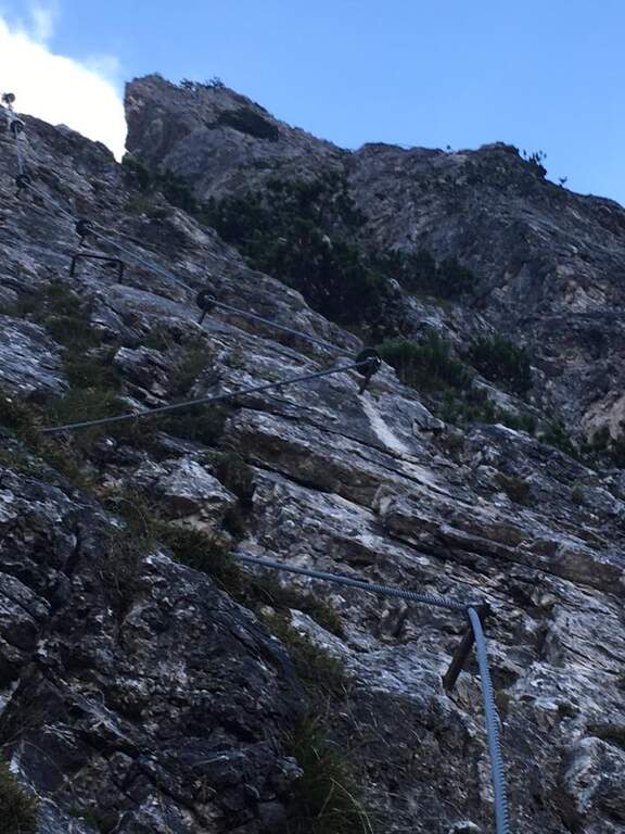
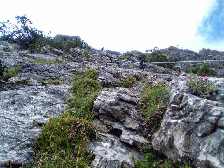
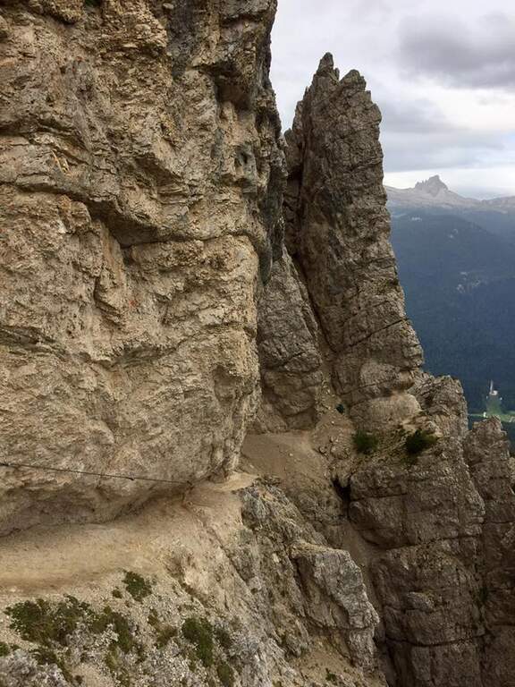
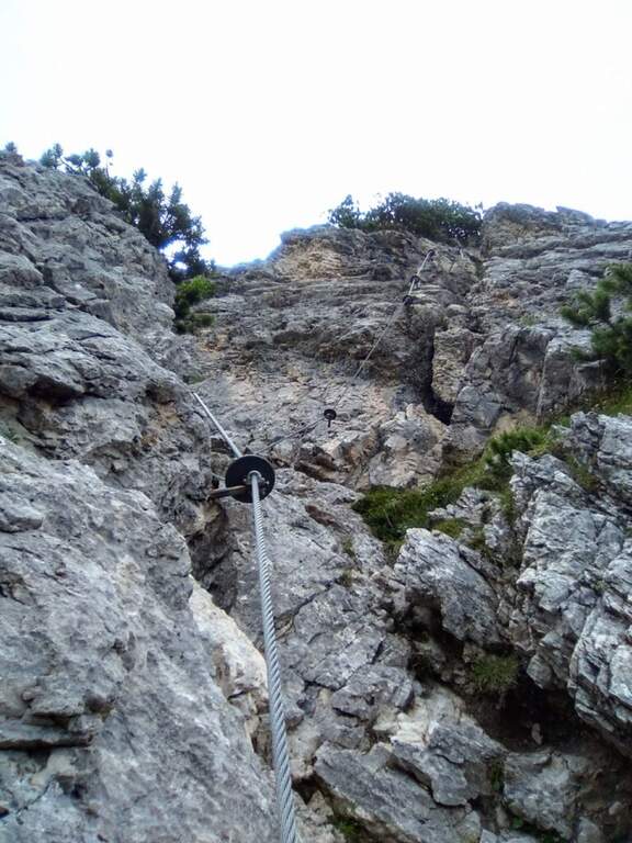
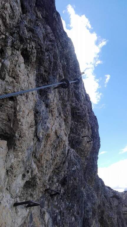
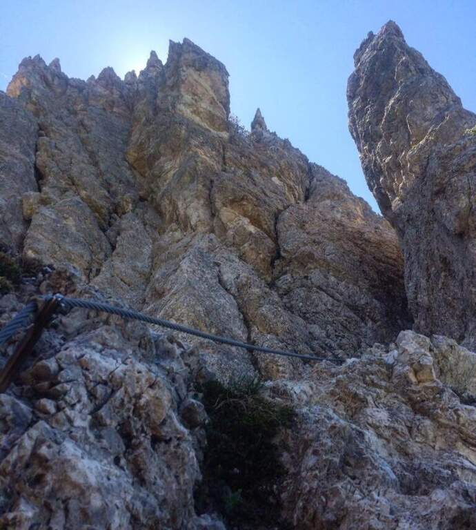
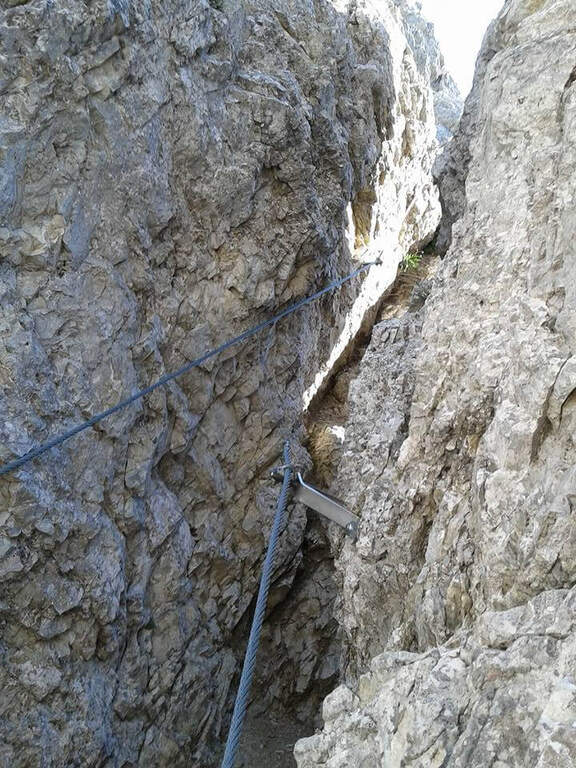
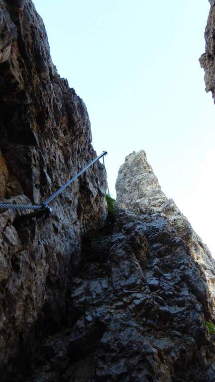
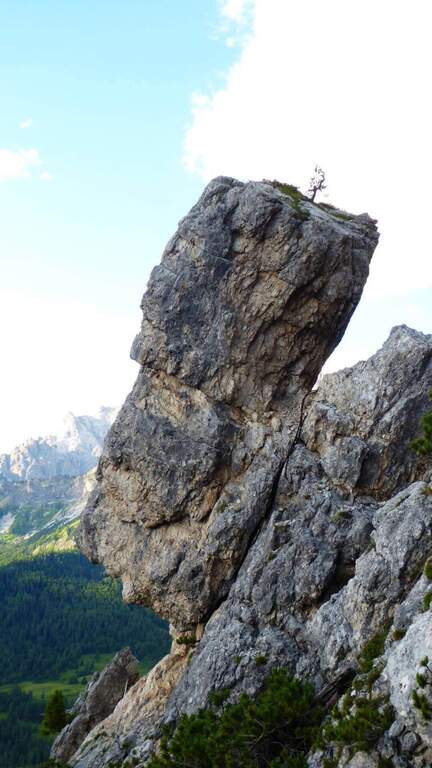
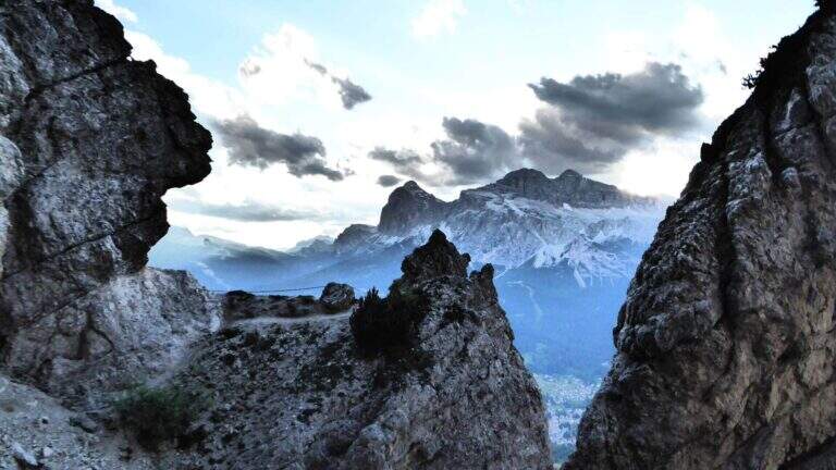
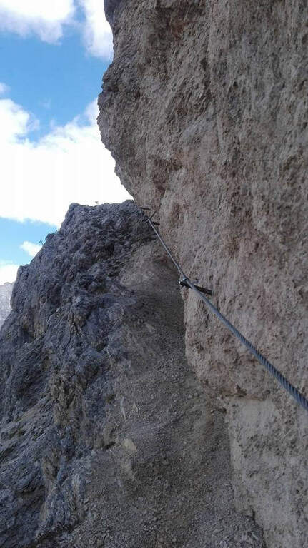
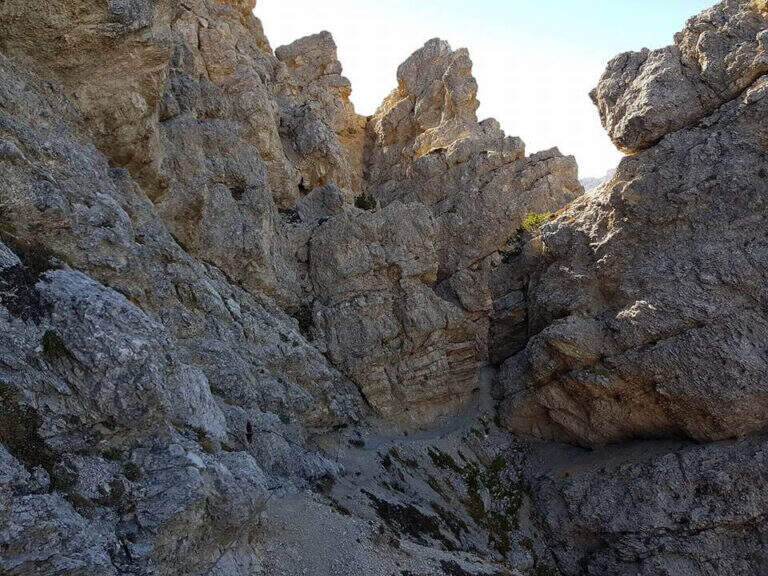
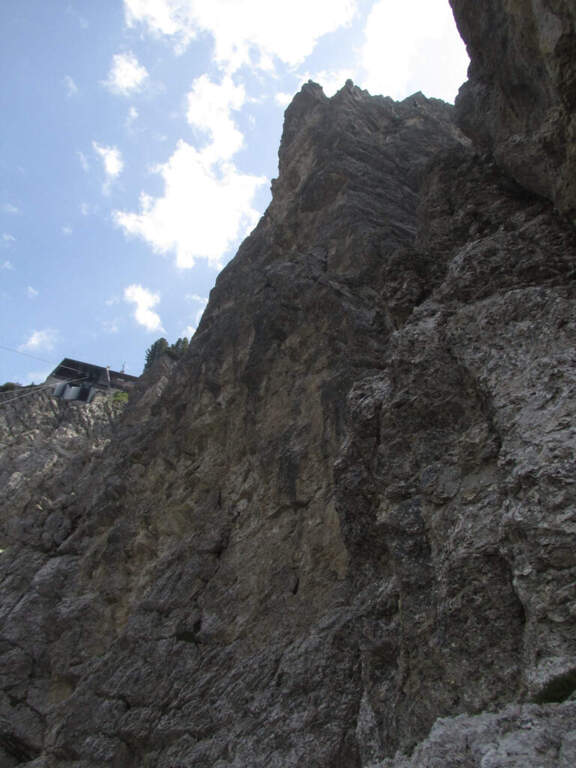
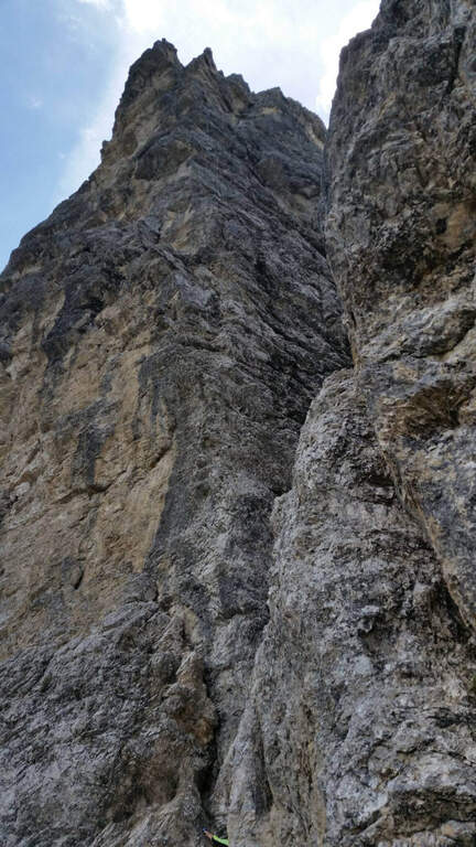
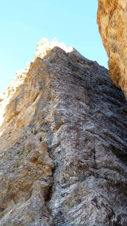
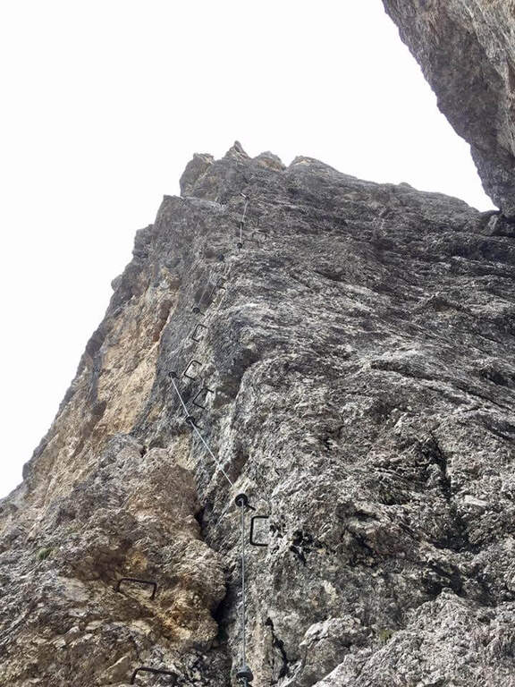
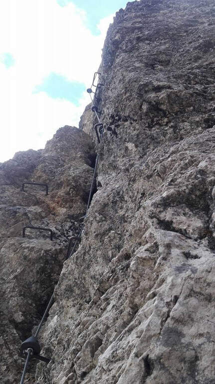
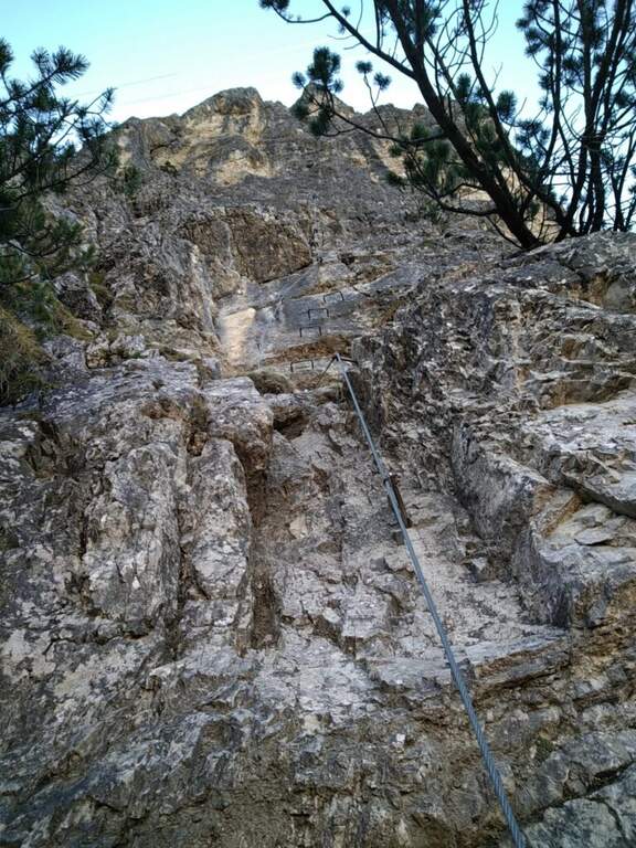
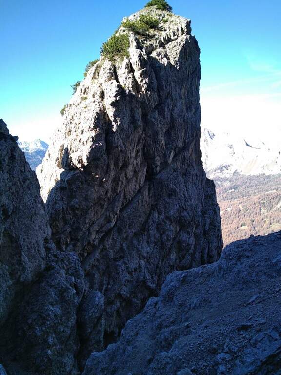
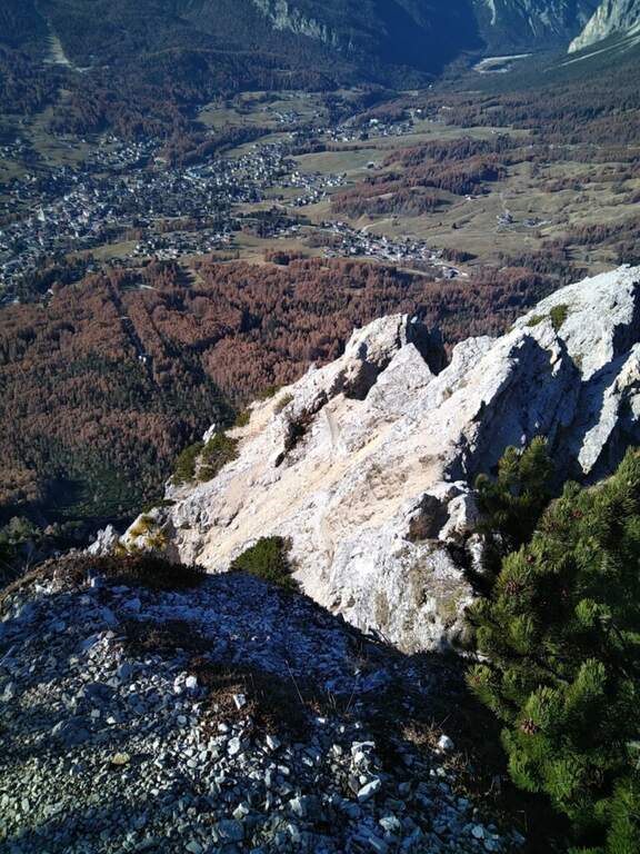
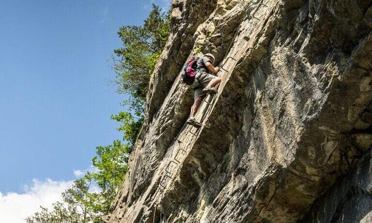
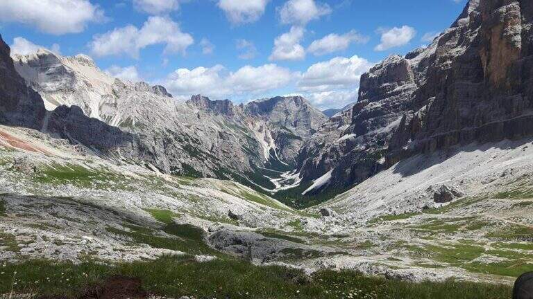
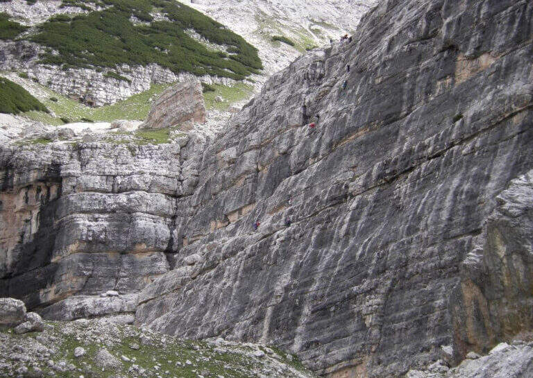
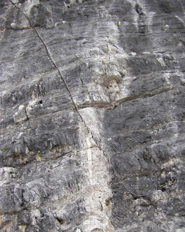
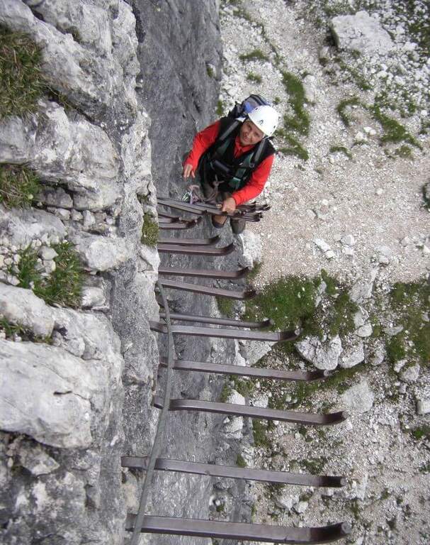
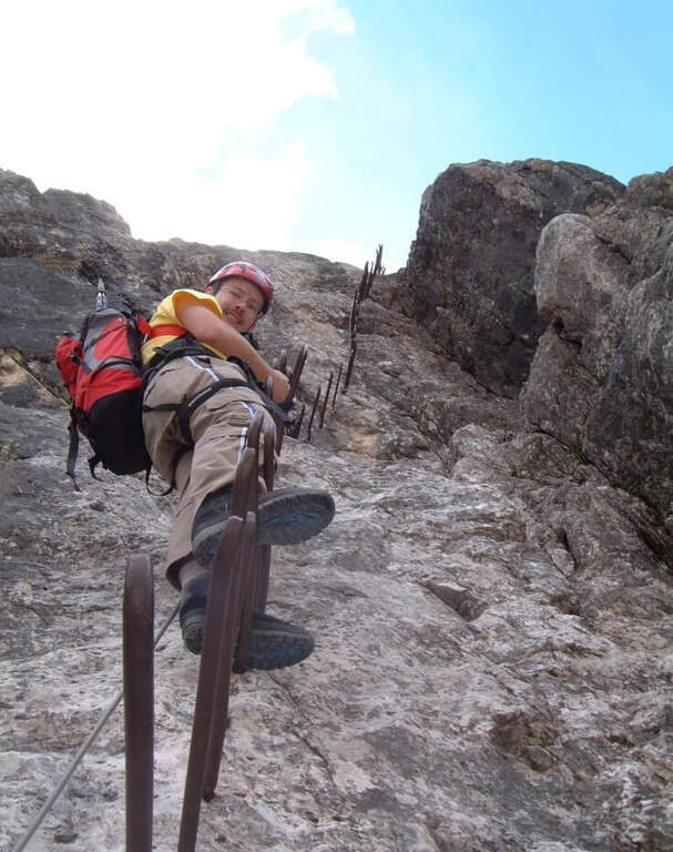
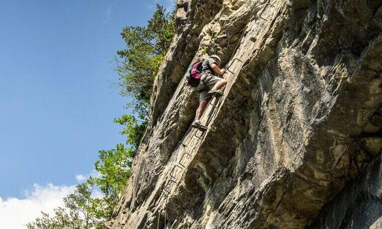
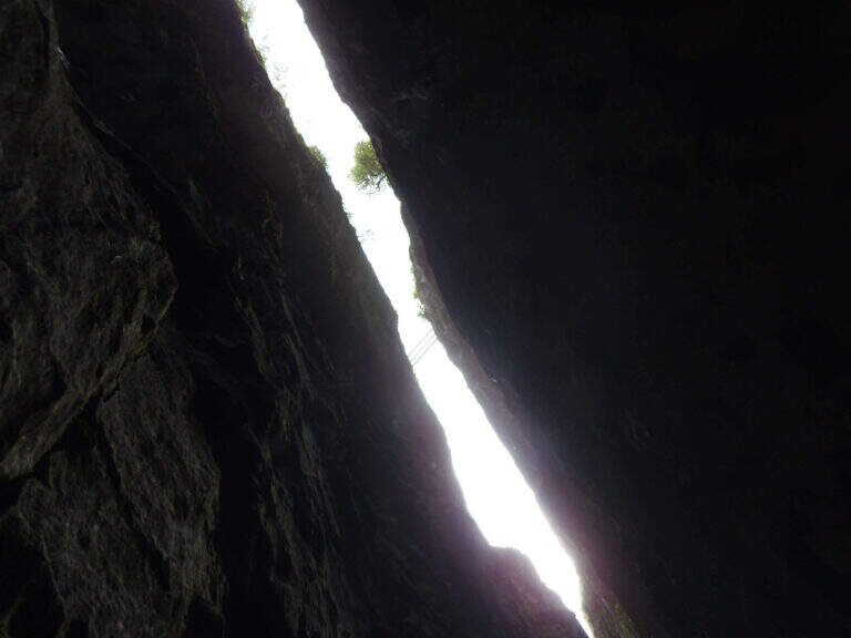
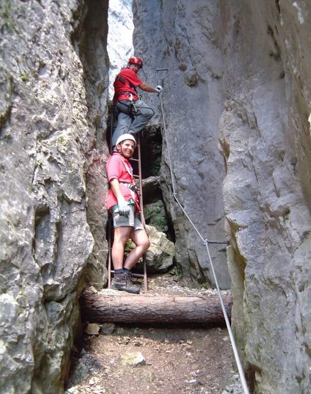
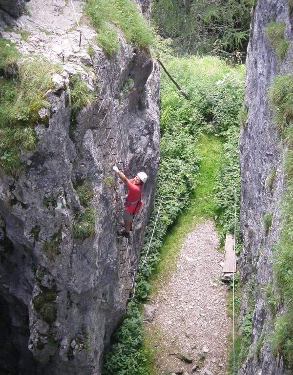
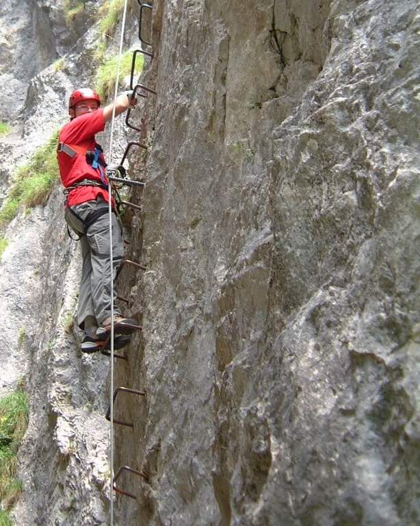
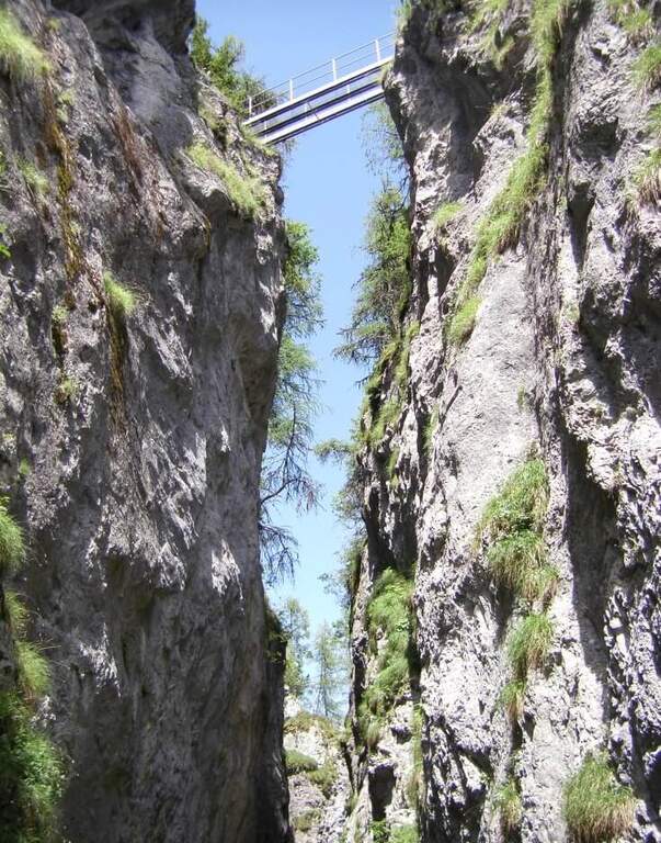
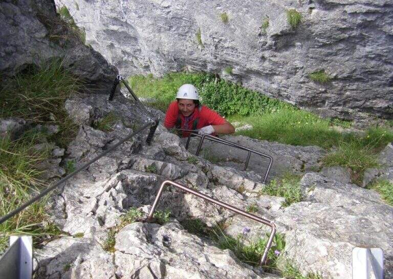
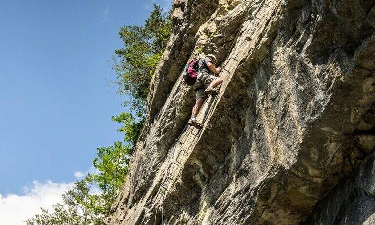
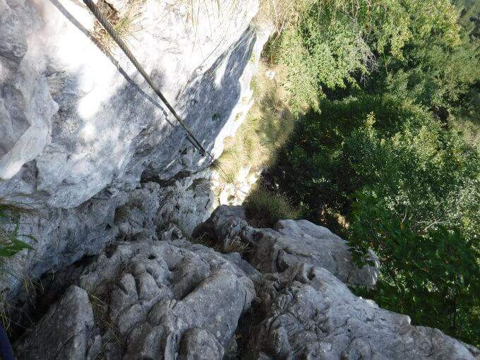
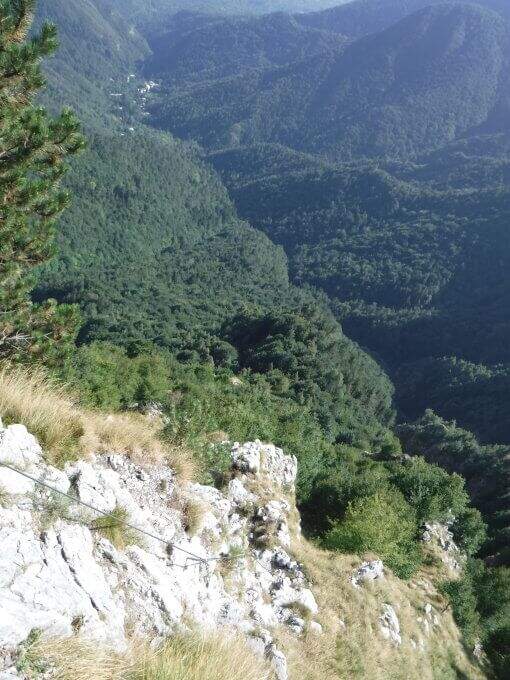
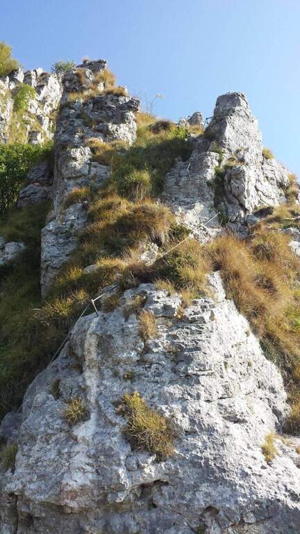
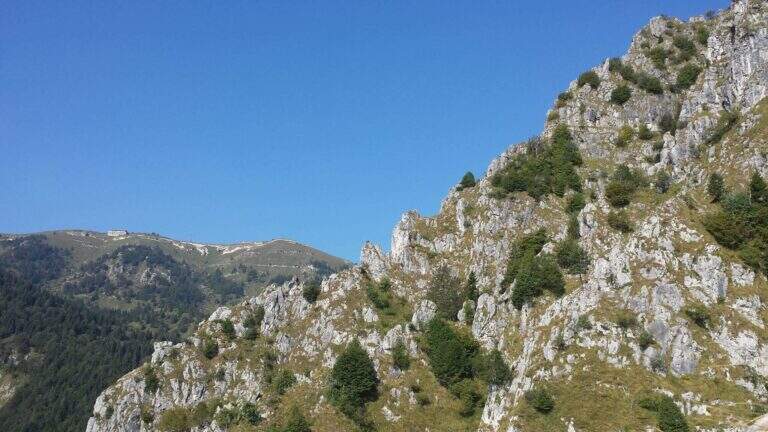
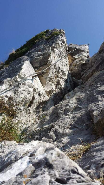
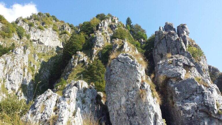
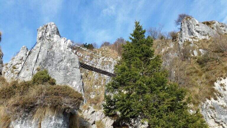
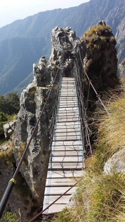
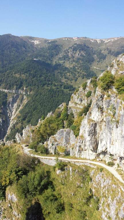
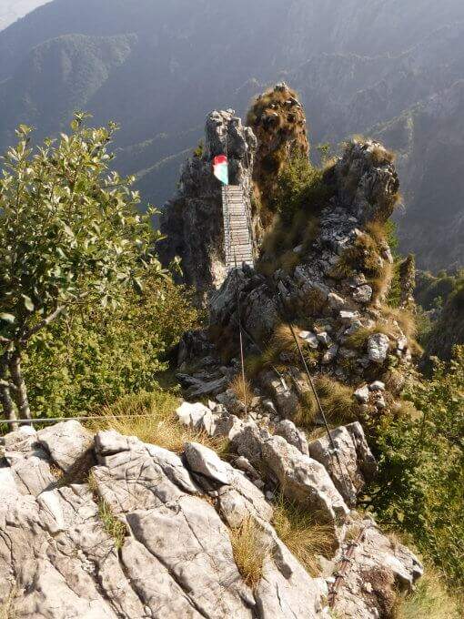
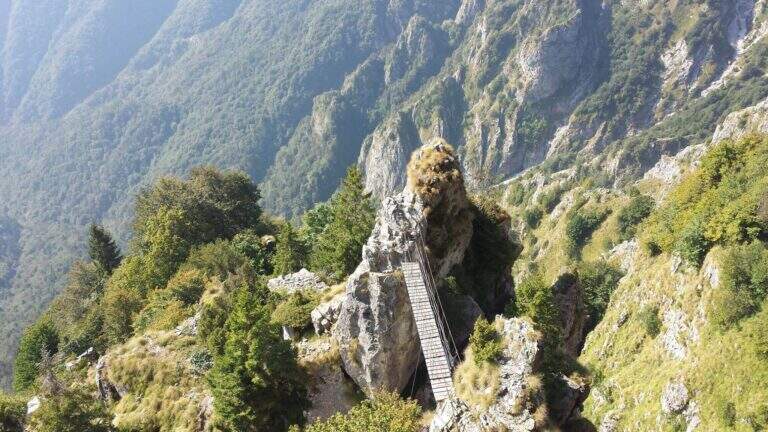
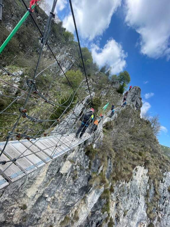
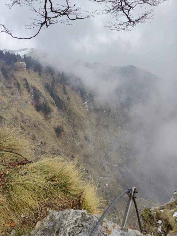
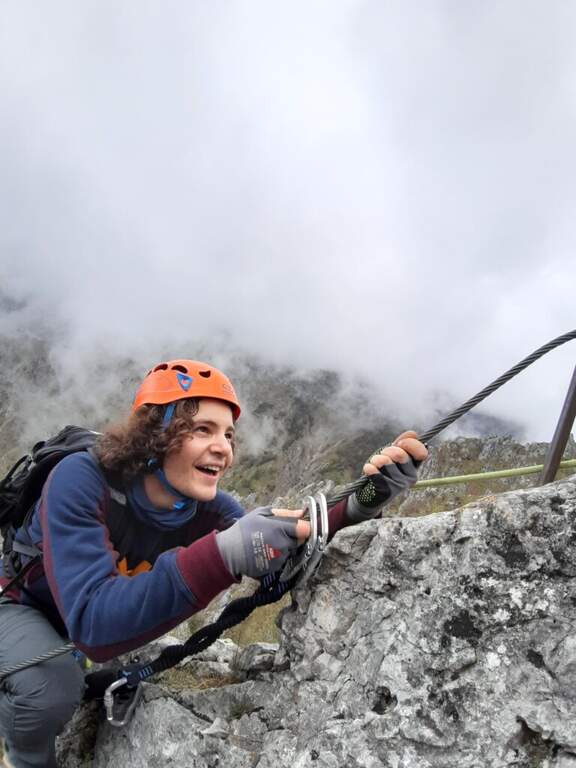
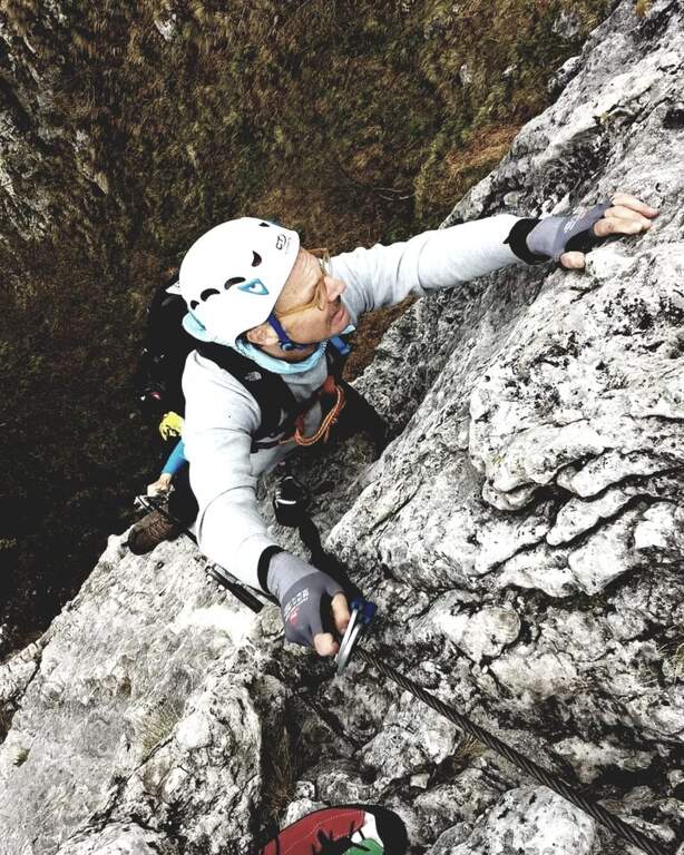
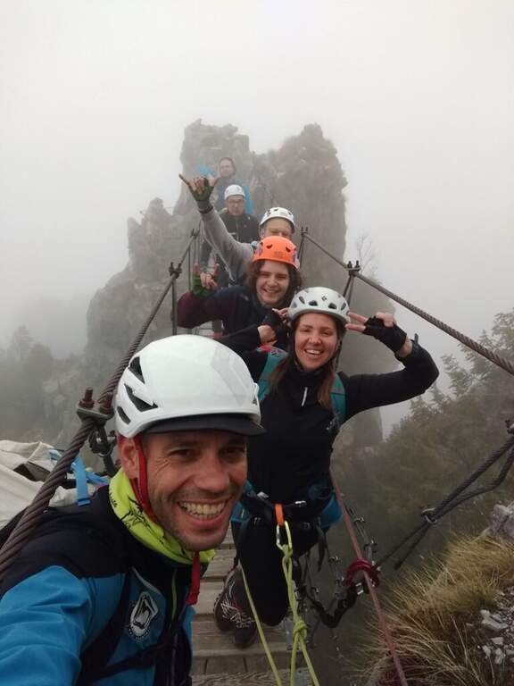
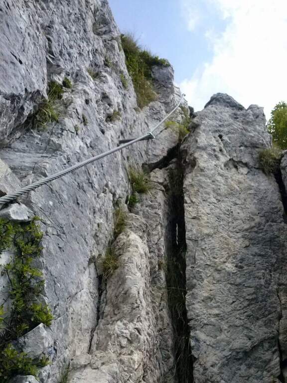
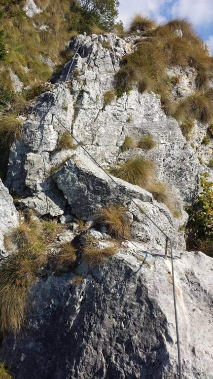
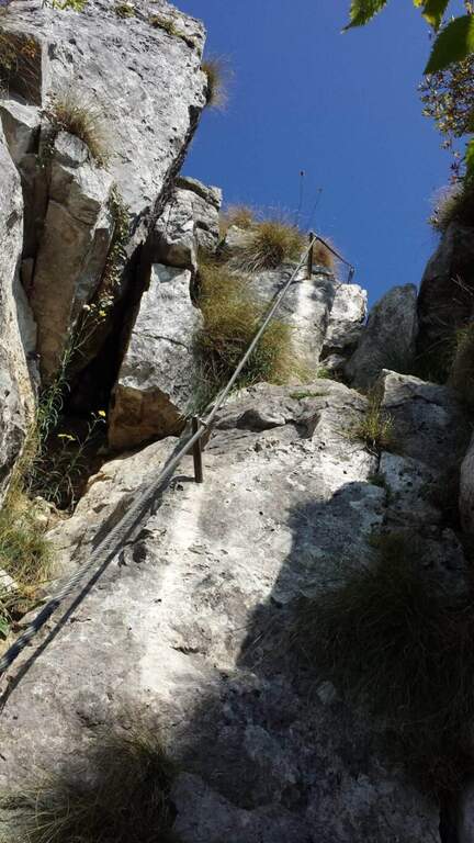
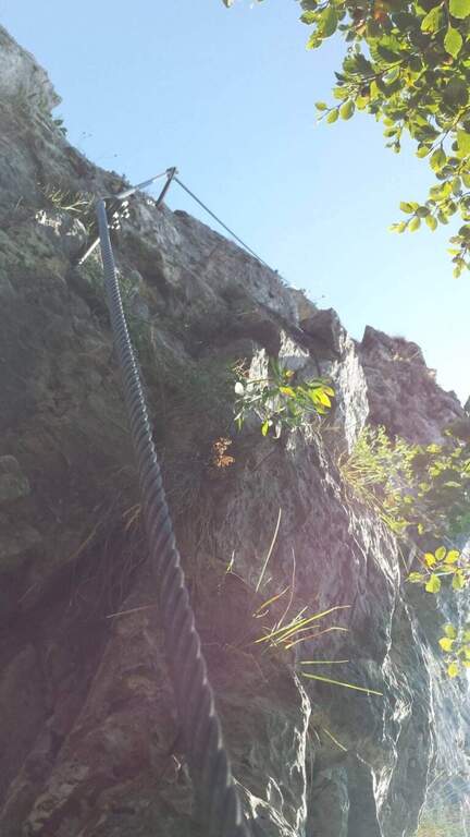
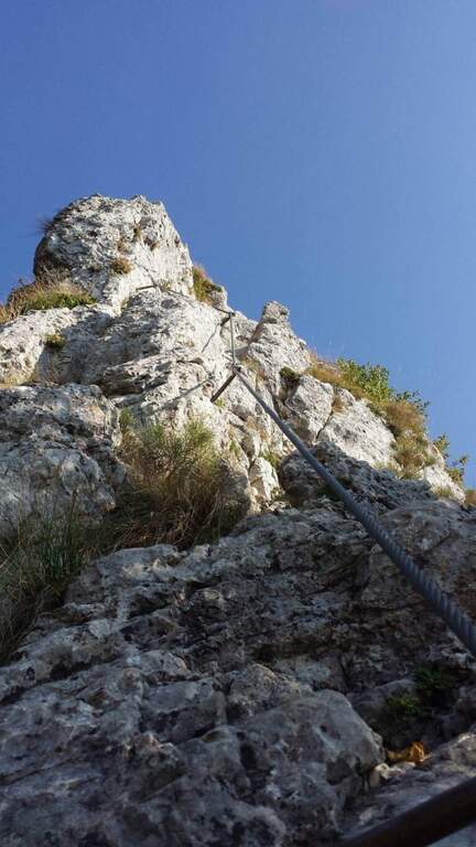
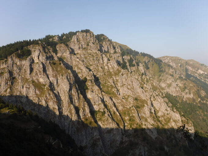
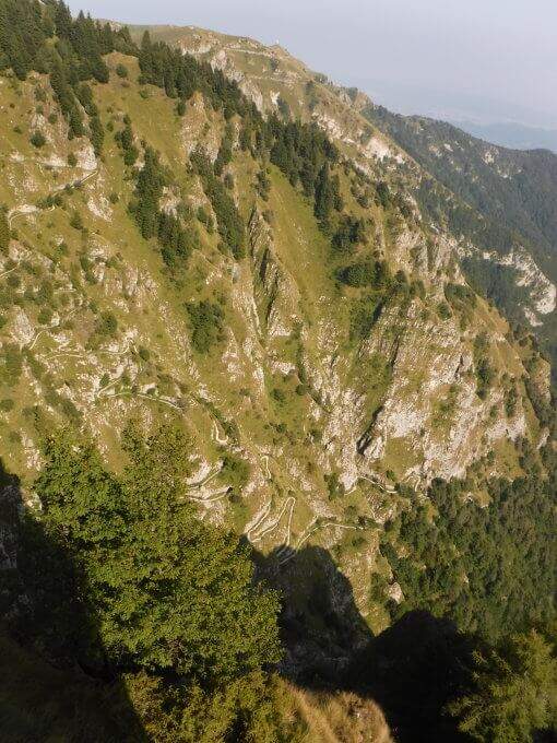
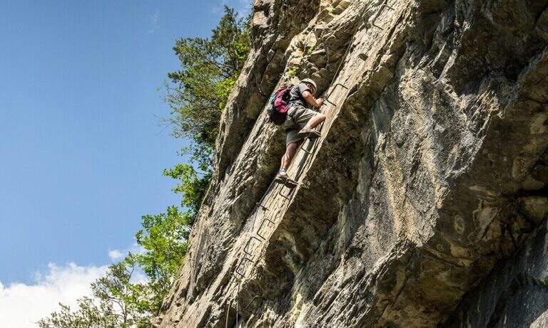
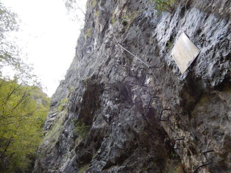
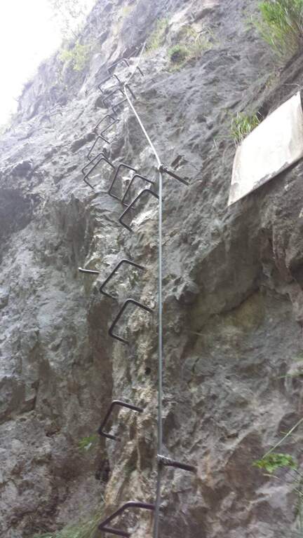
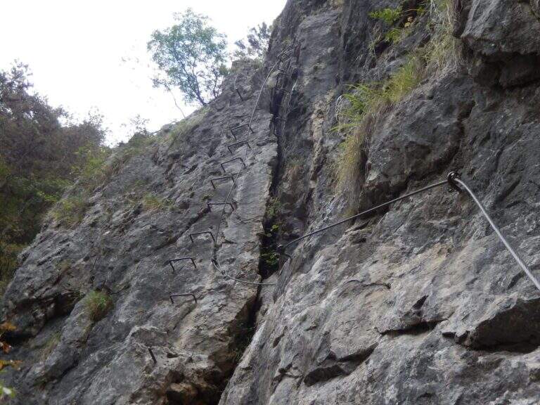
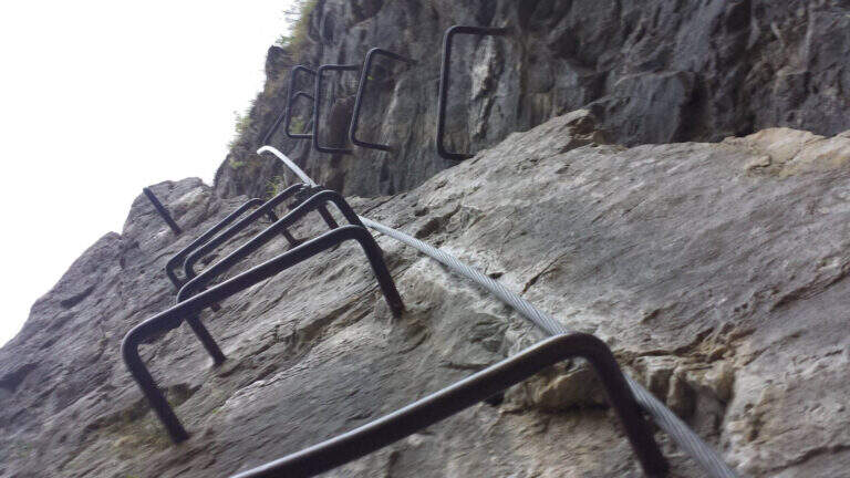
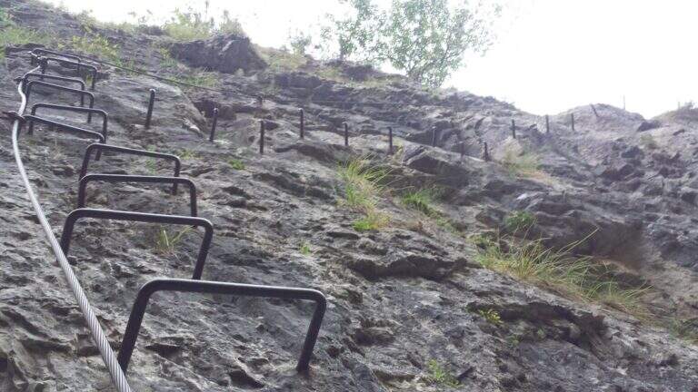
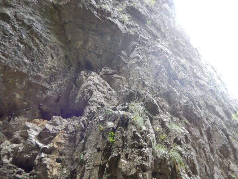
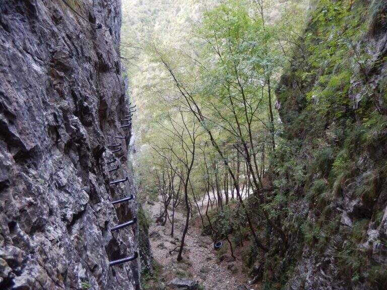
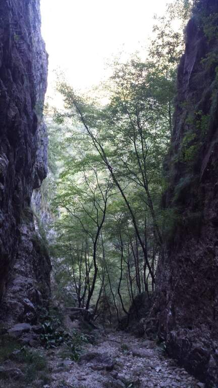
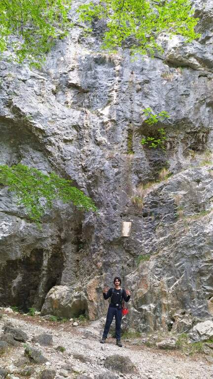
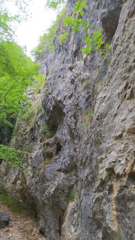
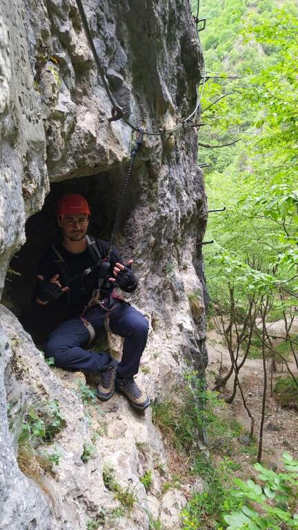
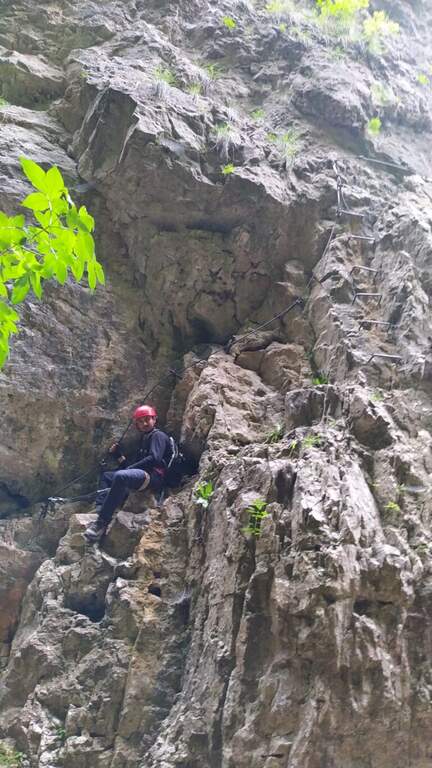
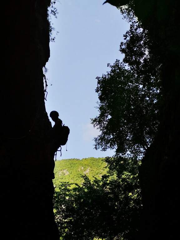
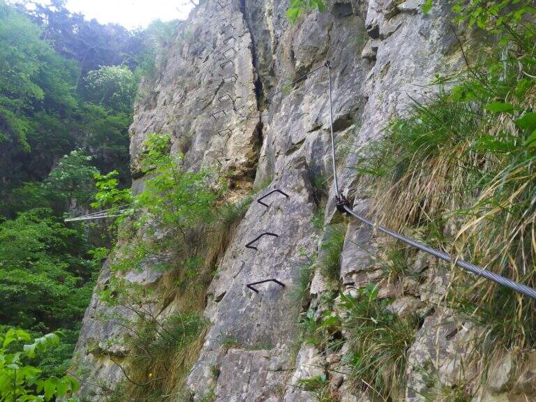
    La Ferrata Viali salt a canon under the Monte Gramolon, in the vicentino. È varied, of medium difficulty and with some pi&grave passages; challenging and athletic (in particular two overhanging walls equipped with brackets), with short approach and return and development at low altitude.

    ▲Approach

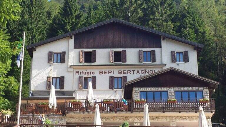
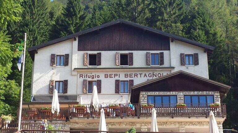
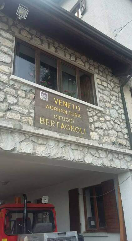
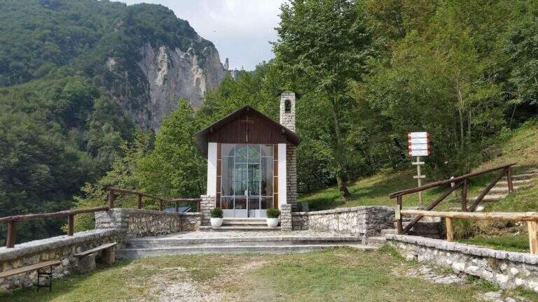
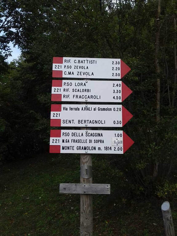
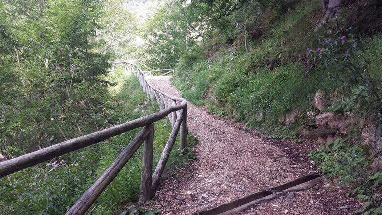
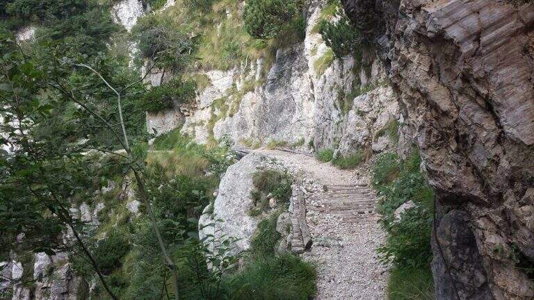
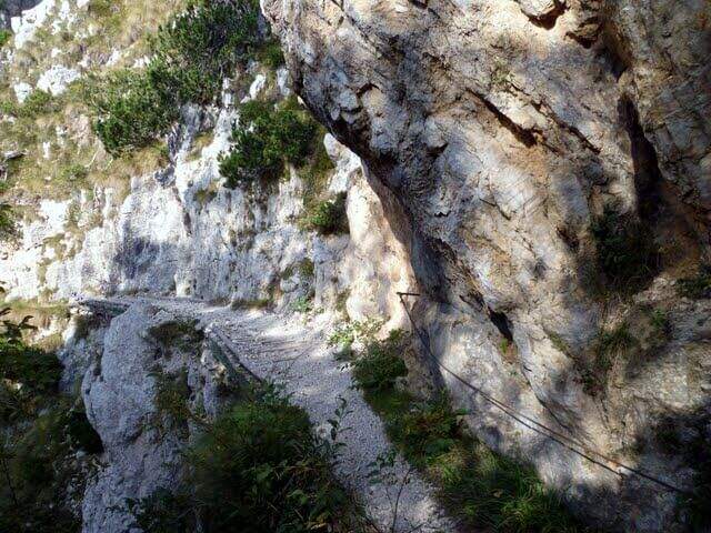
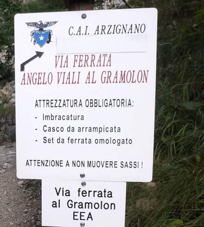
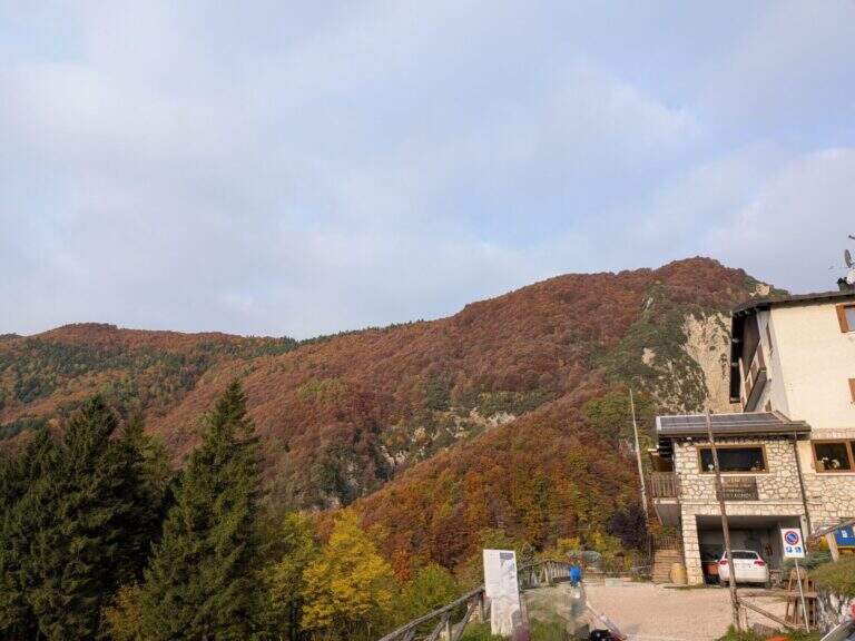
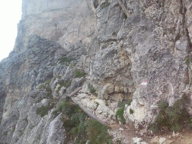
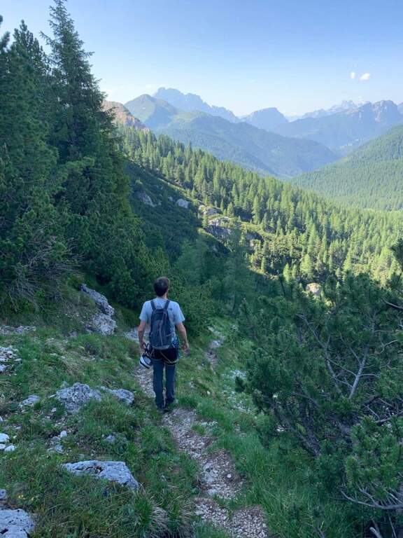
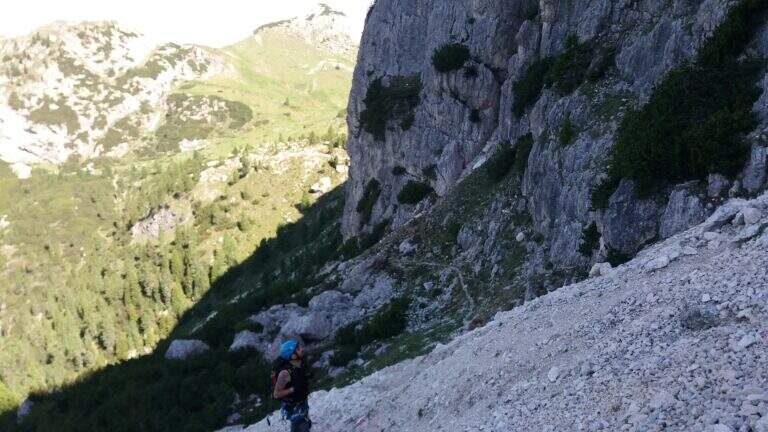
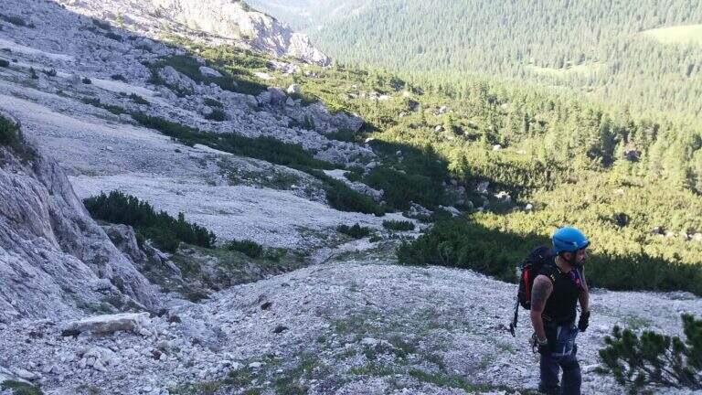
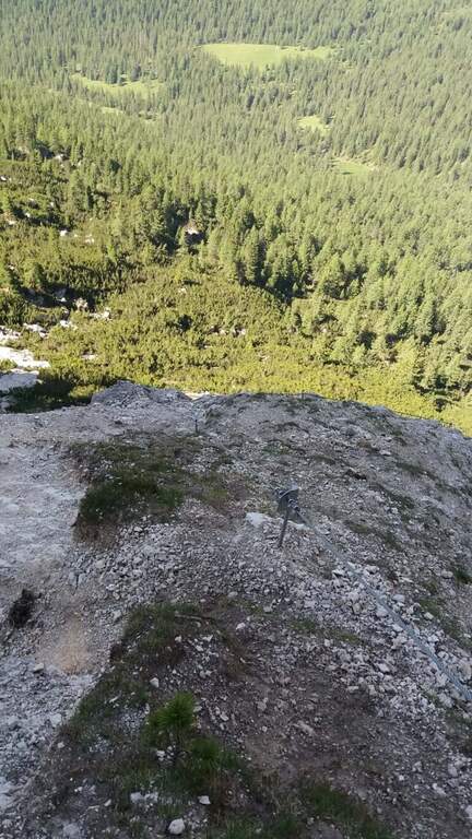
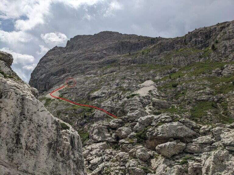
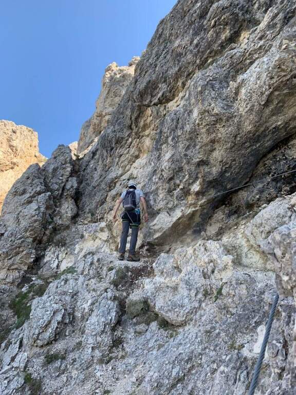
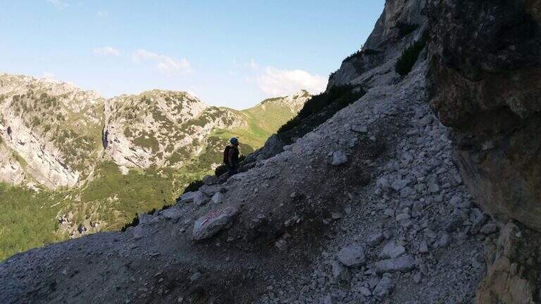
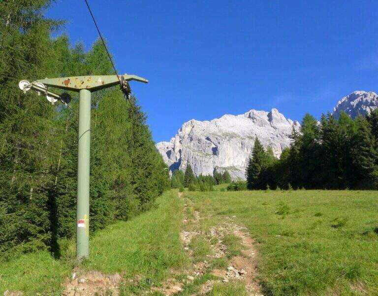
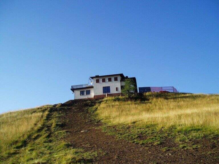
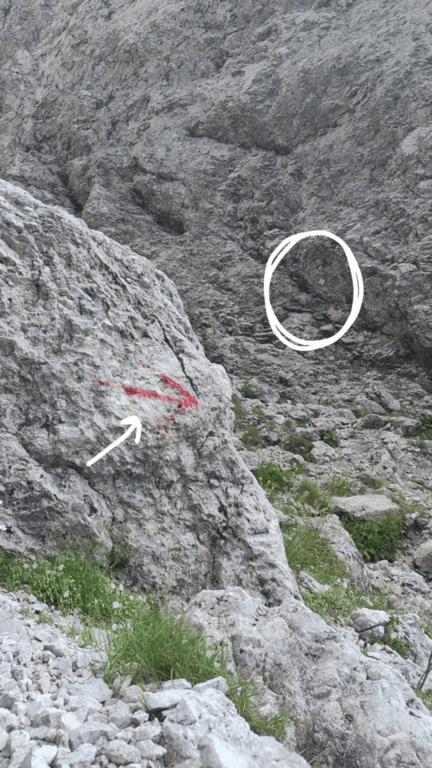
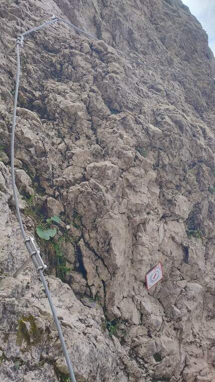
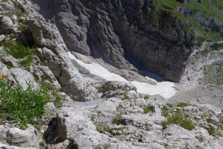
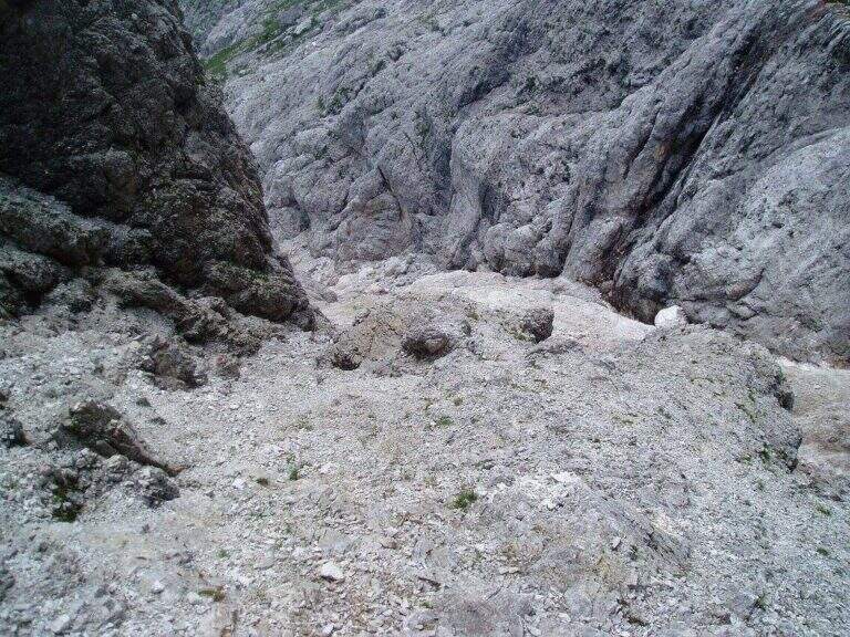
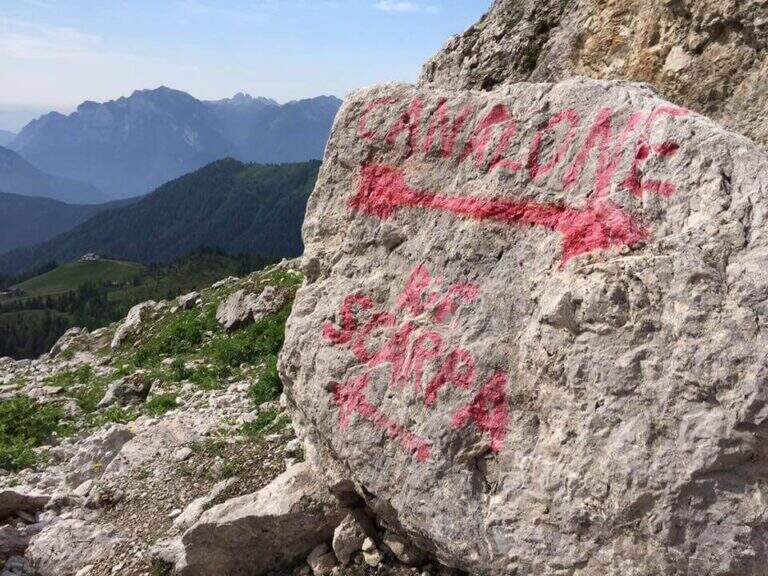
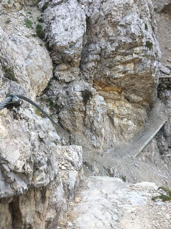
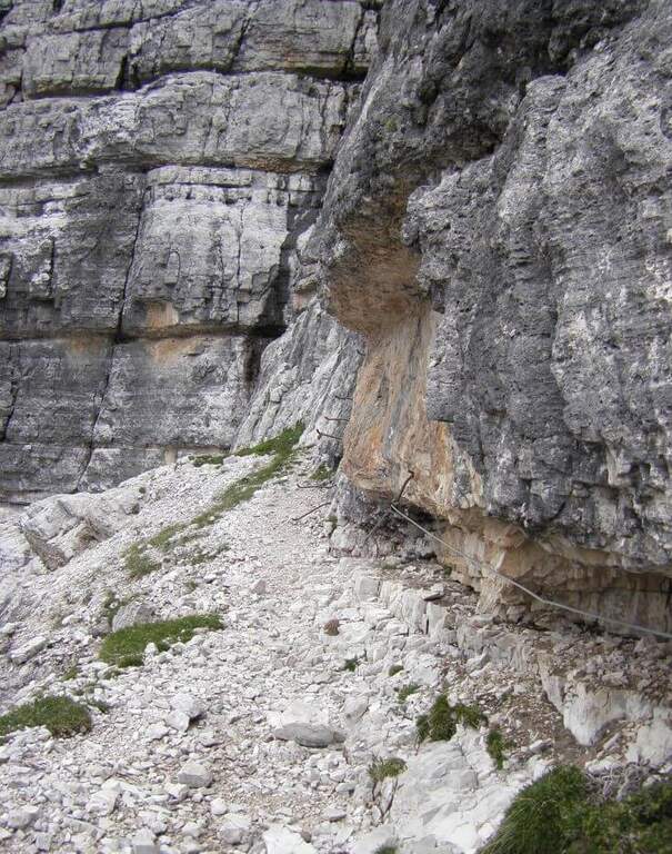
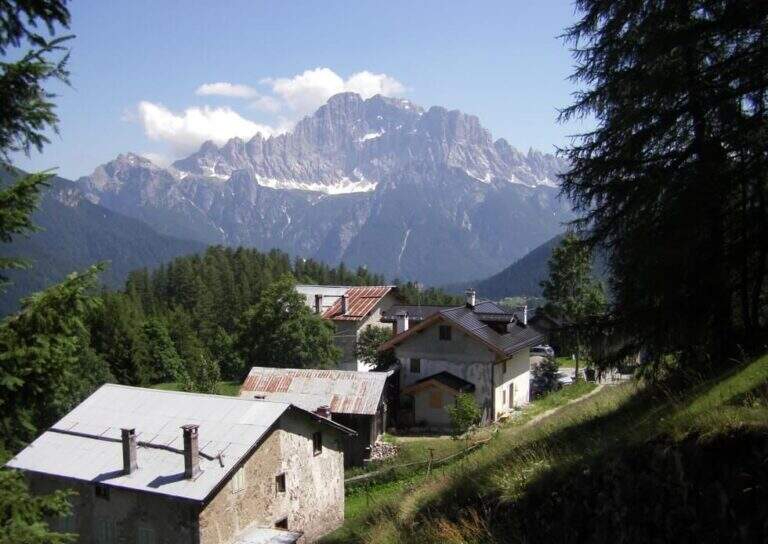
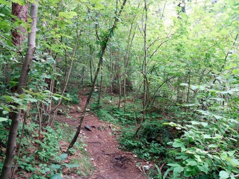
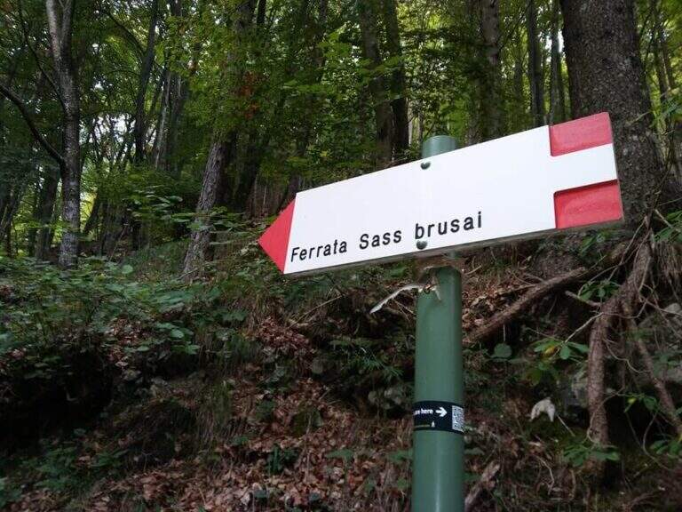
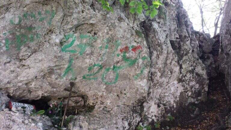
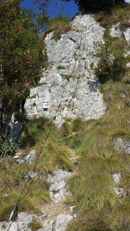
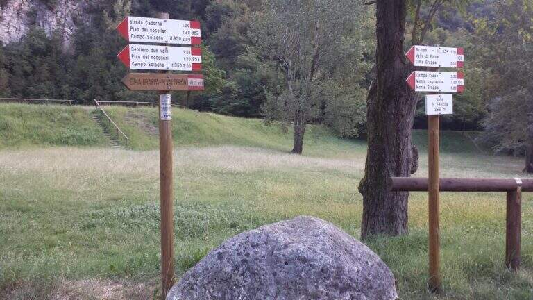
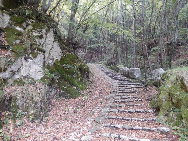
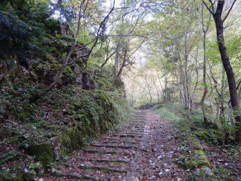
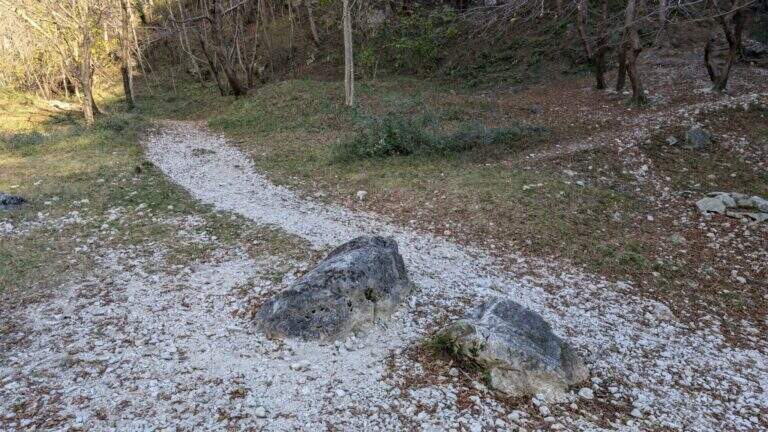
    Starting from the Rifugio Bepi Bertagnoli (1225 m), where ends the road of the valley of Campodalbero (from Arzignano to Chiampo, then right to Campodalbero). Open road signs on Google Maps. Oltre il rifugio, presso una chiesetta, una palina CAI indica a destra il sentiero 221; tra salita e discesa, con alcuni passaggi attrezzati esposti su fondo un po' franoso, si scende alla base del canalone fino al primo cartello della Ferrata Viali e all'attacco poco più in alto (20' dal parcheggio).

    ▲The path

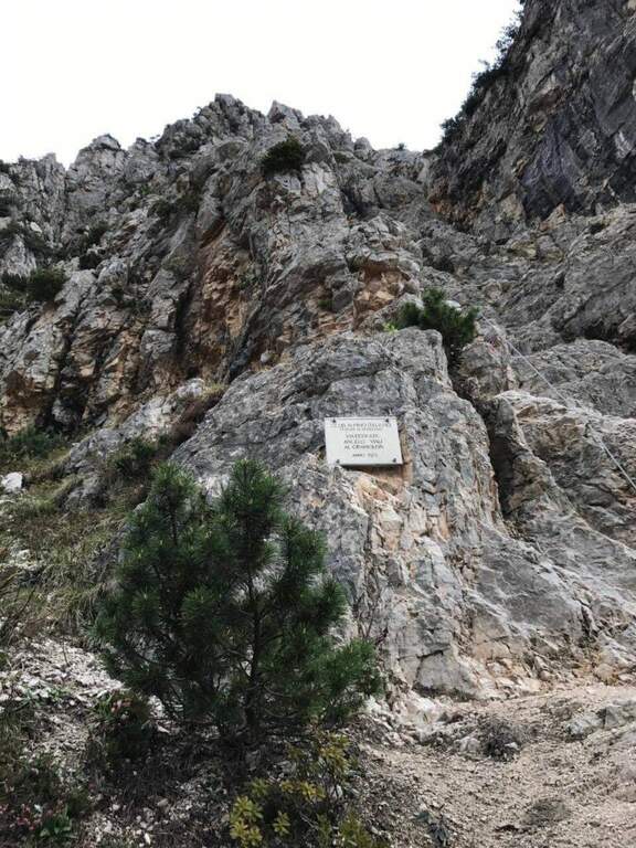
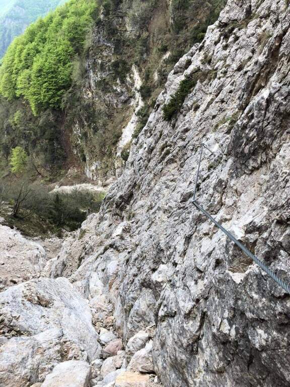
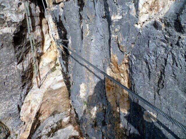
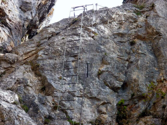
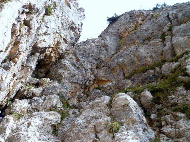
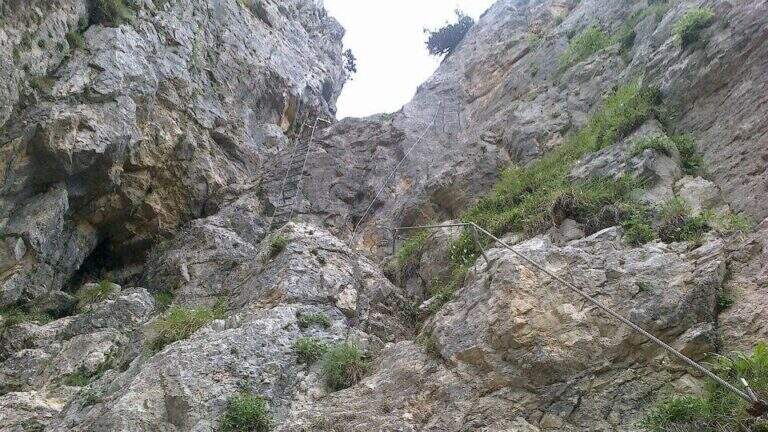
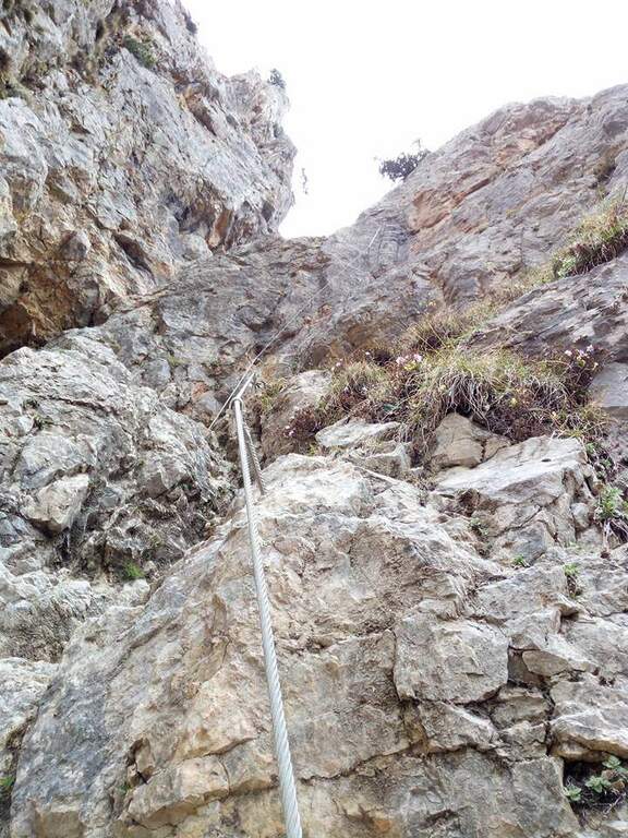
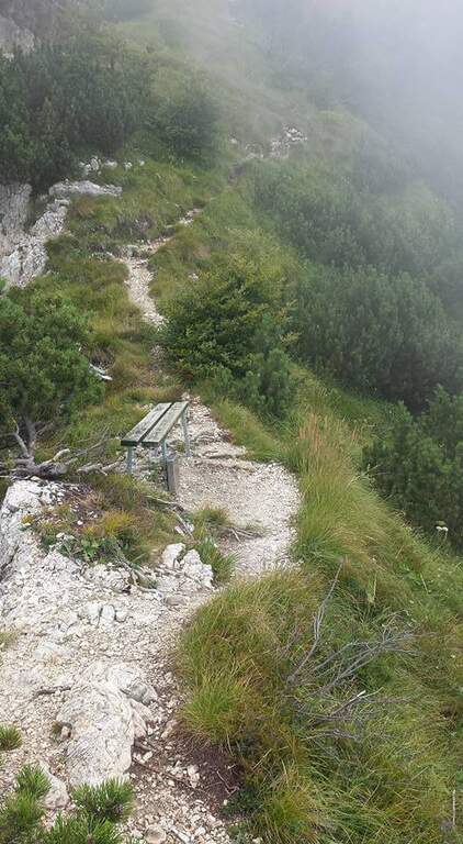
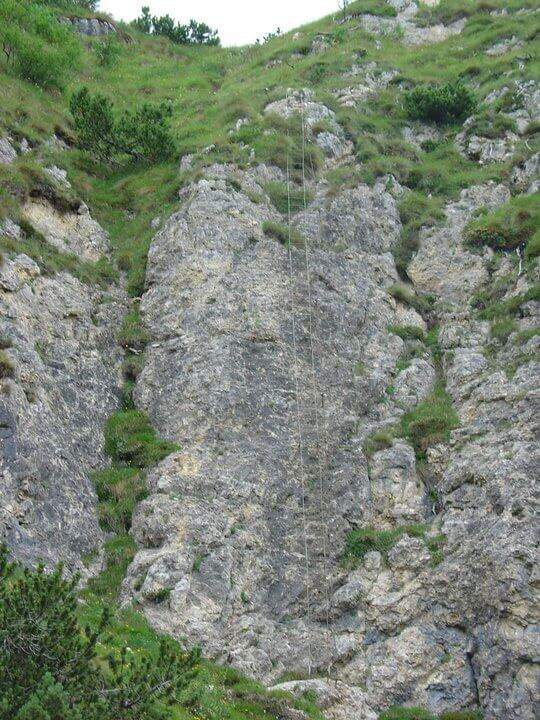
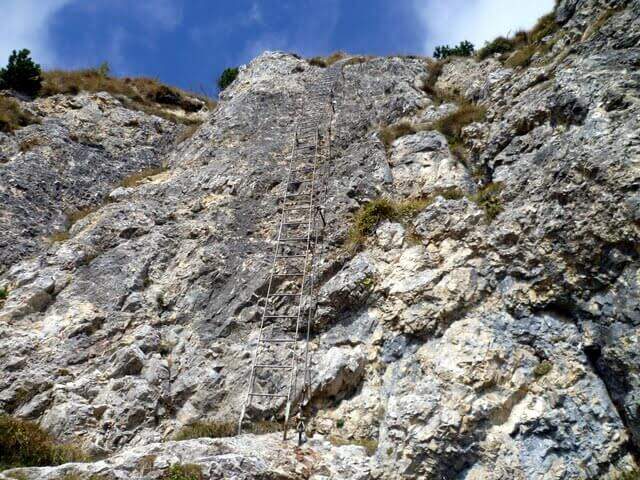
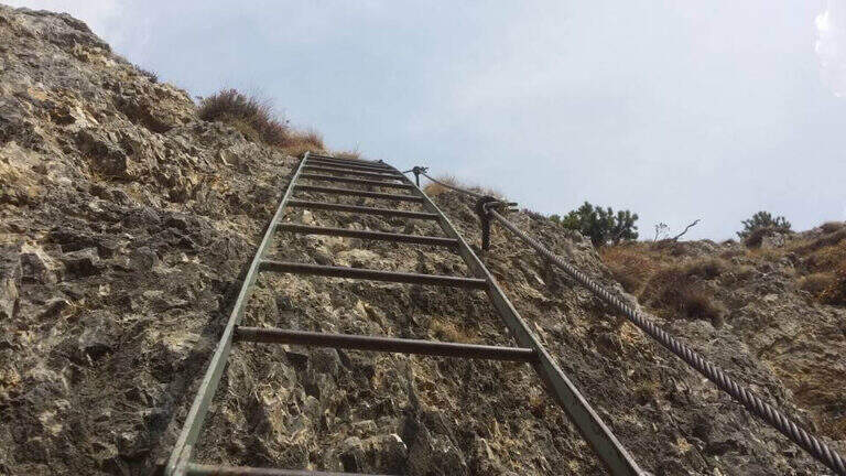
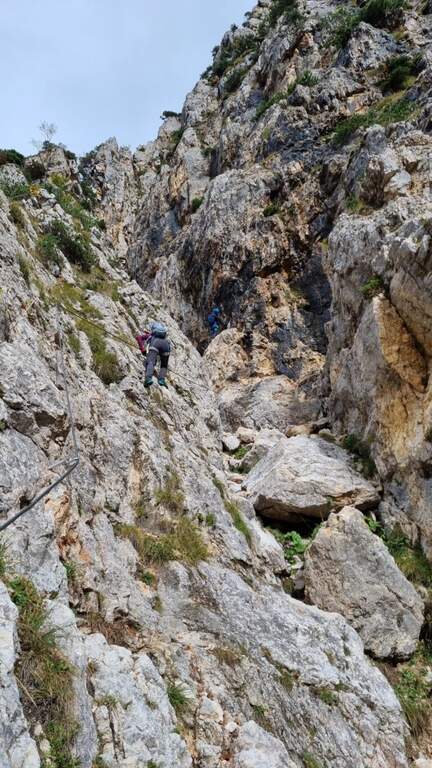
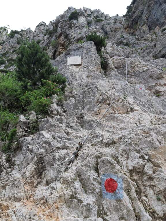
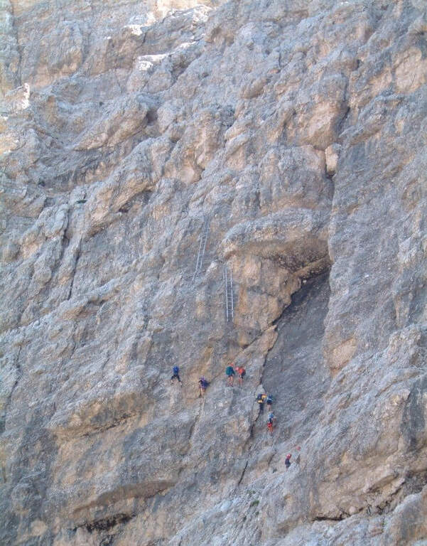
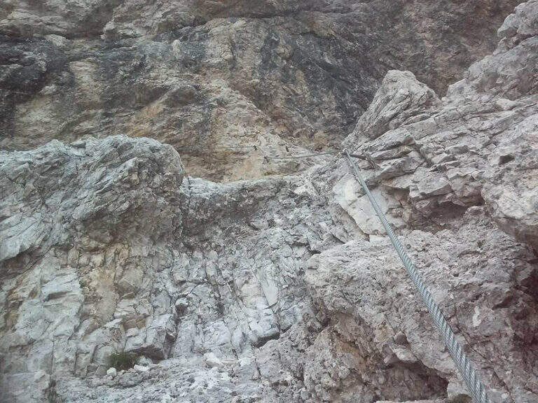
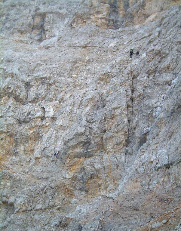
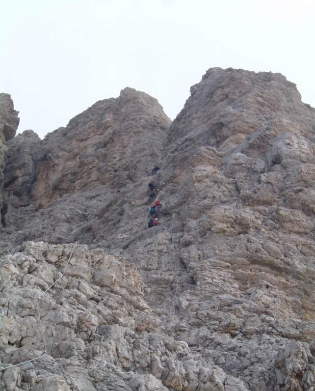
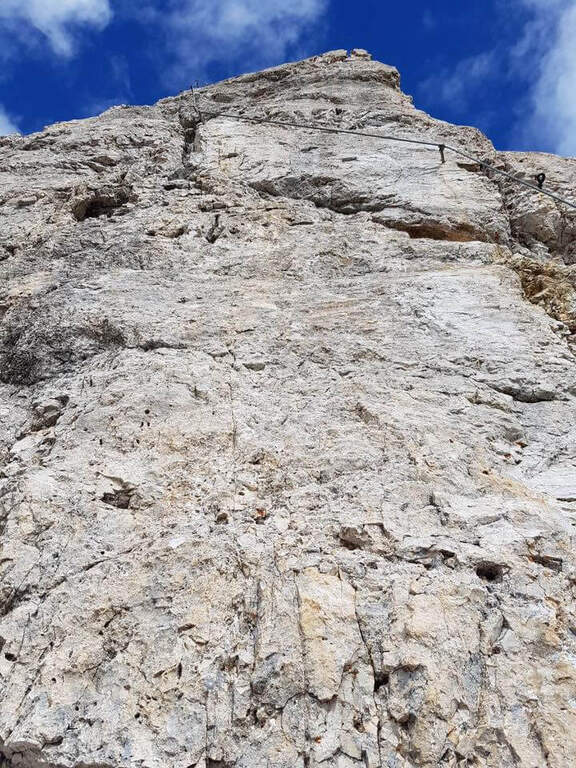
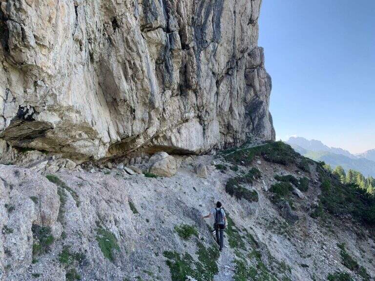
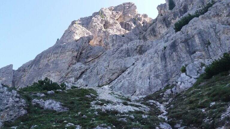
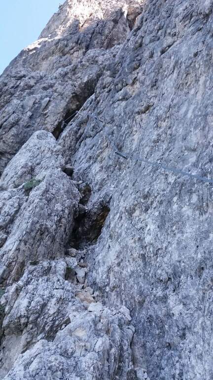
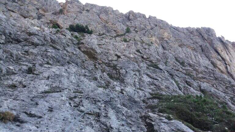
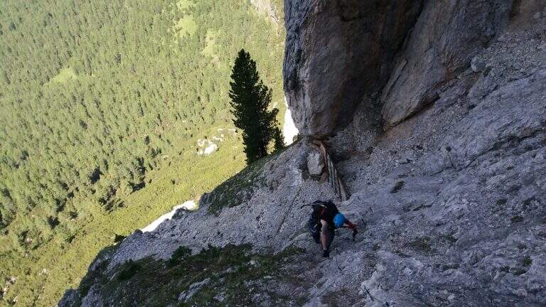
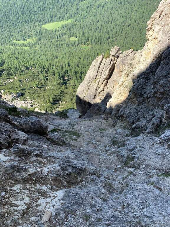
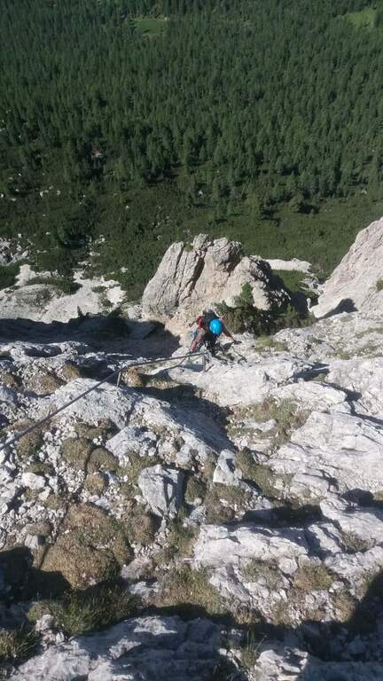
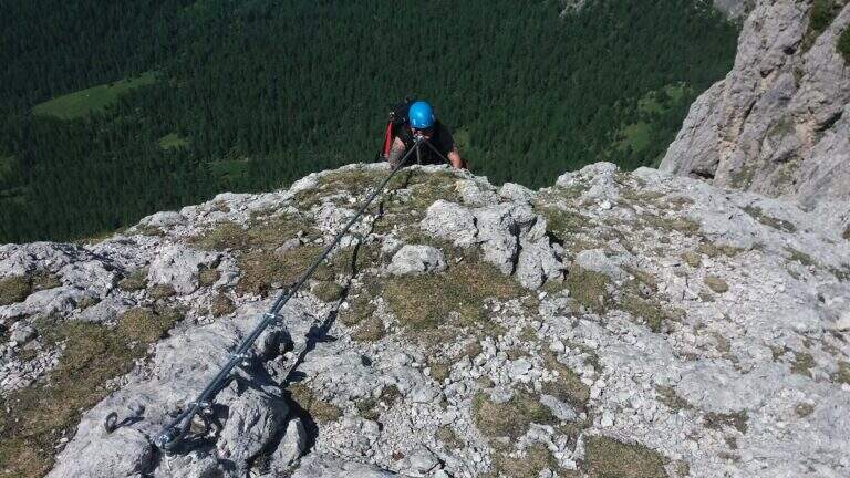
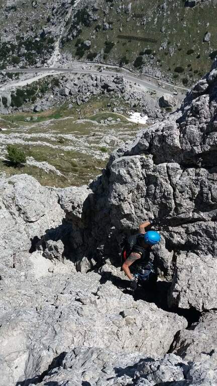
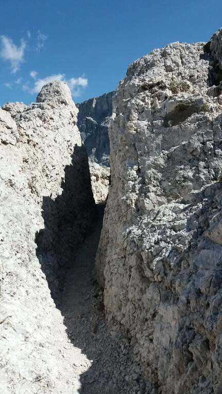
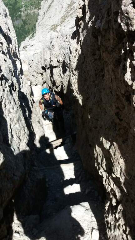
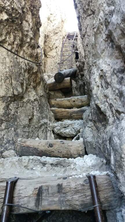
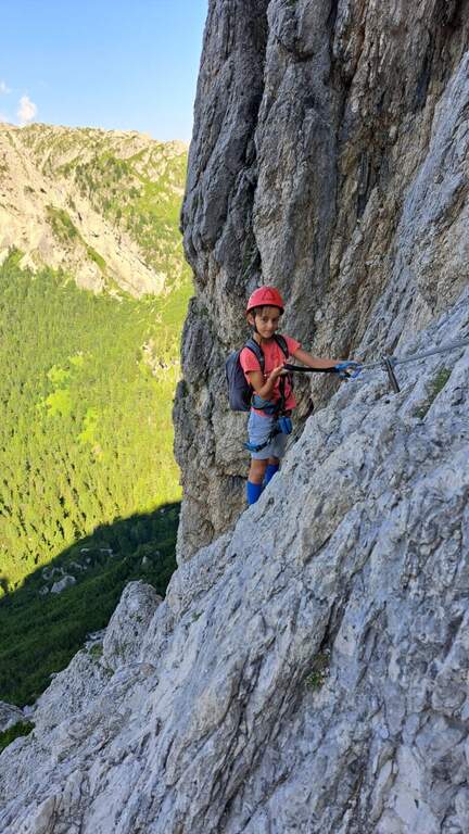
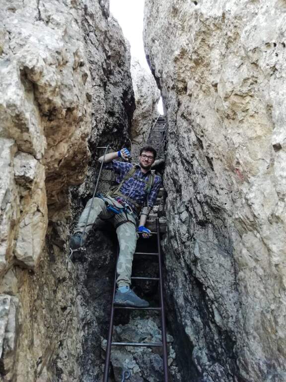
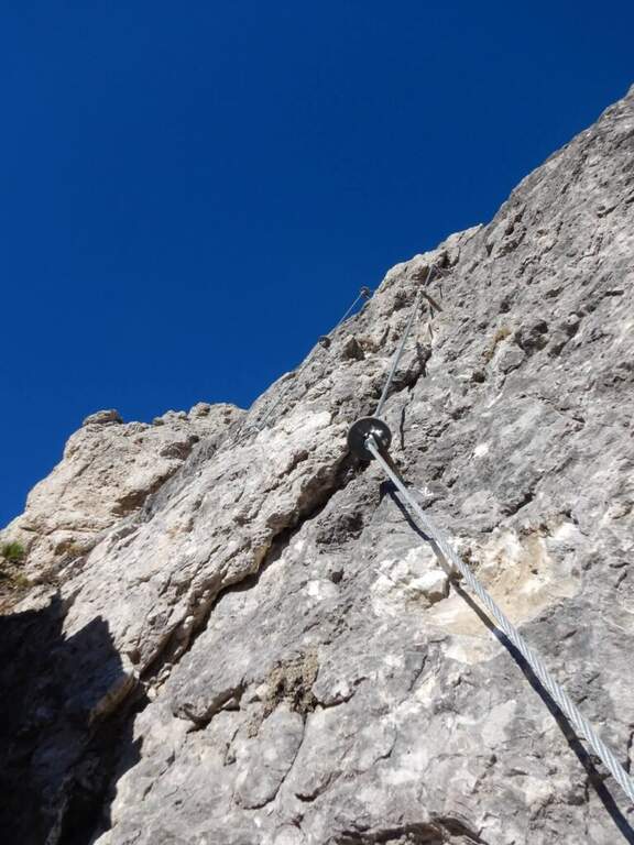
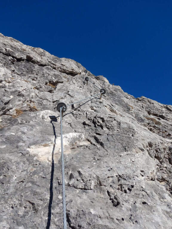
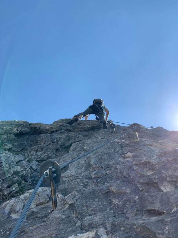
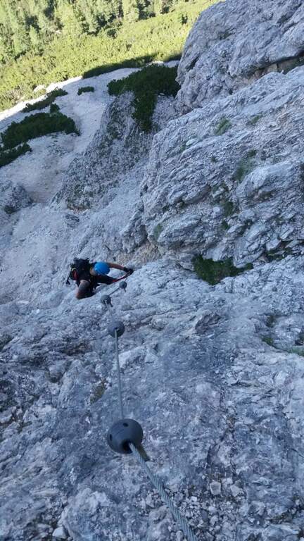
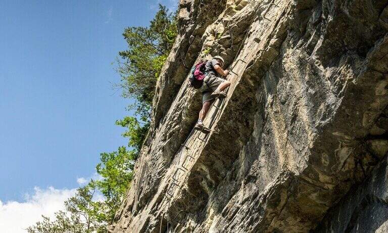
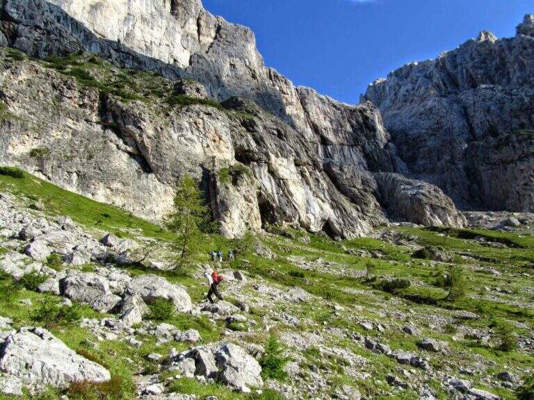
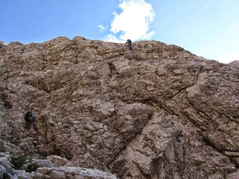
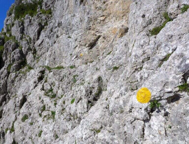
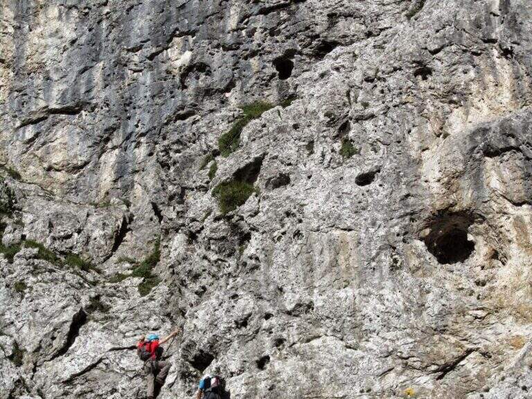
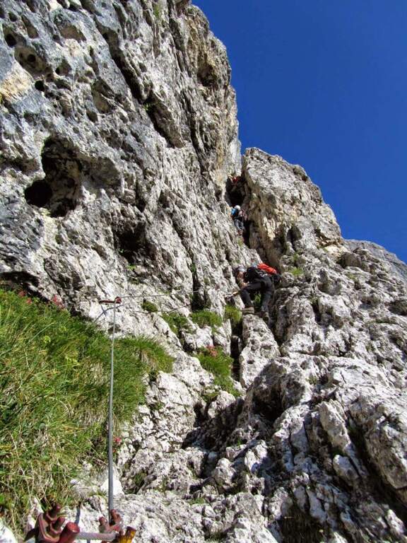
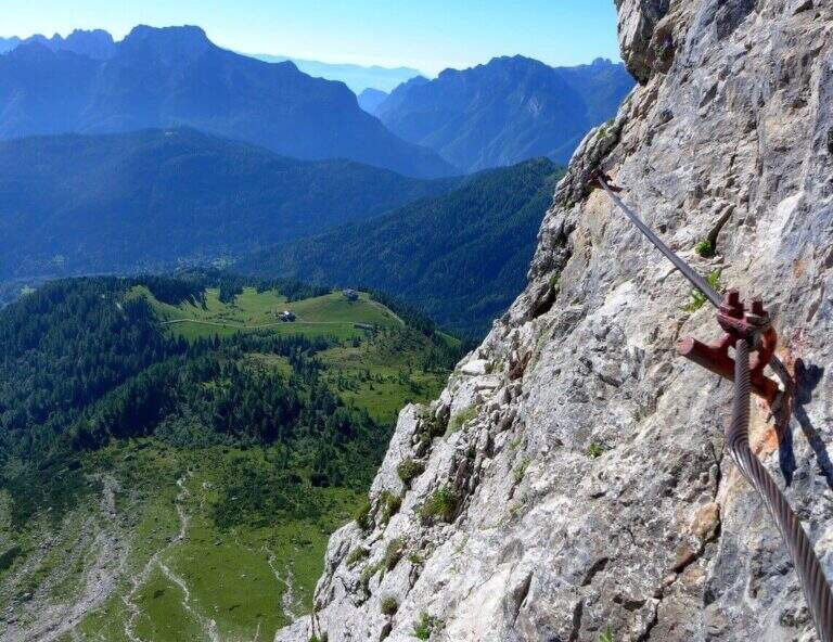
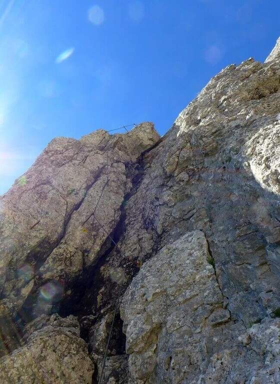
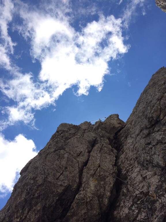
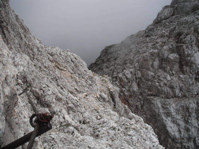
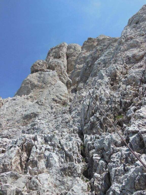
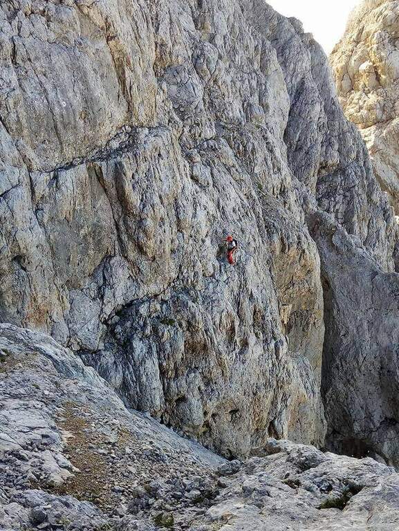
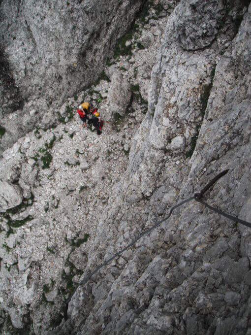
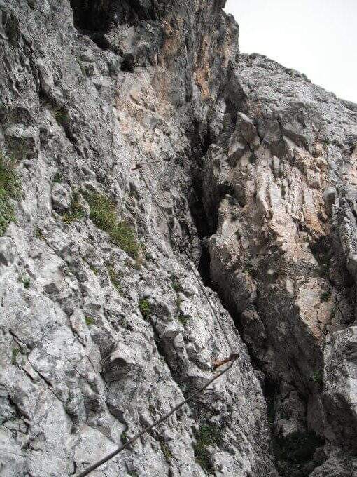
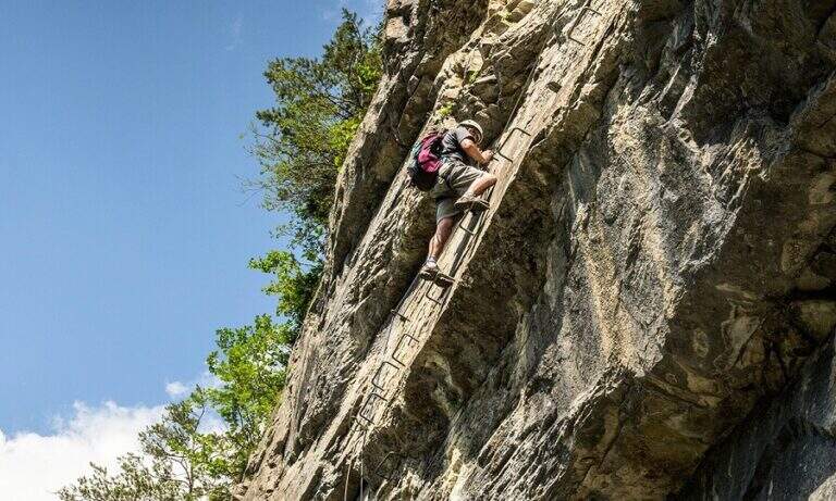
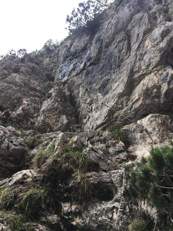
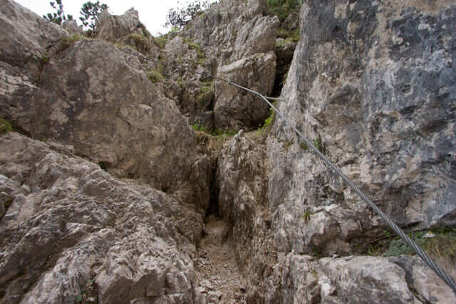
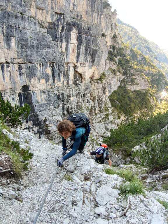
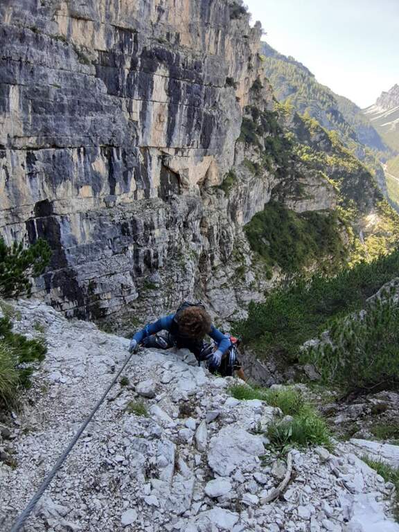
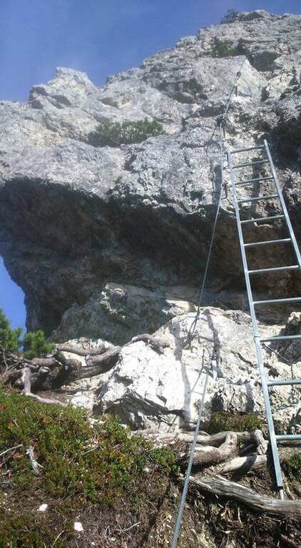
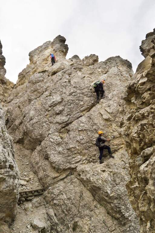
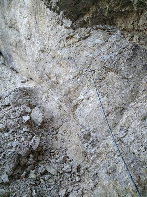
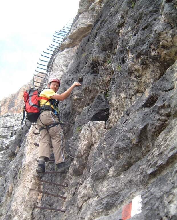
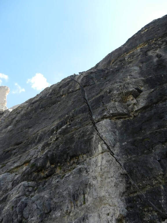
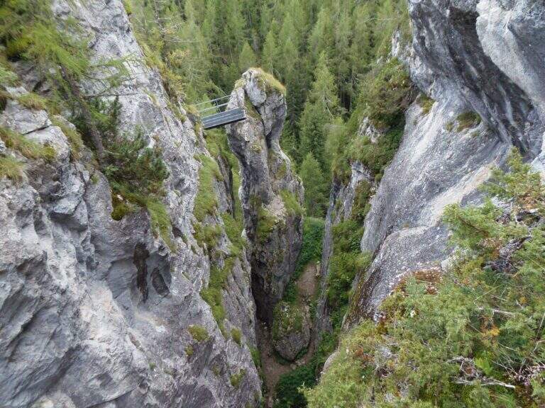
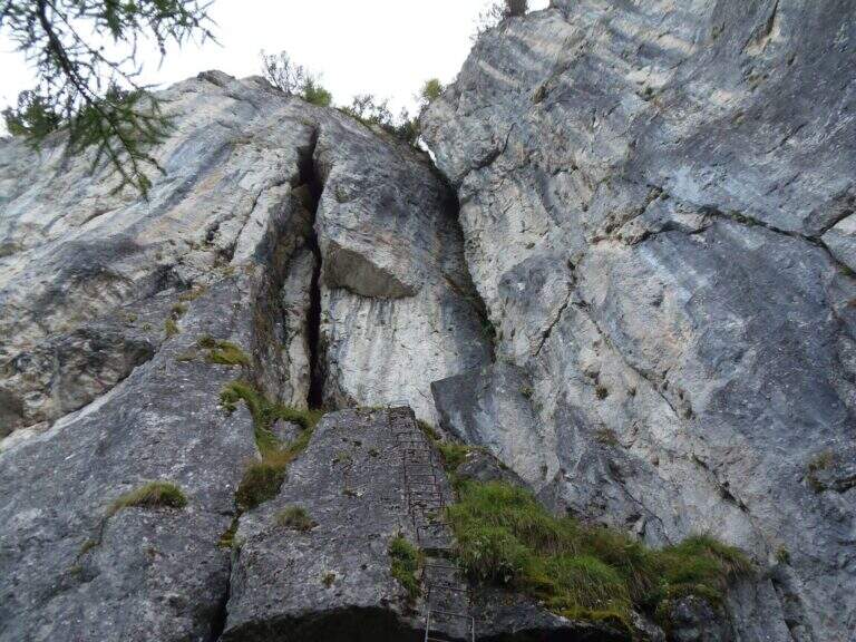
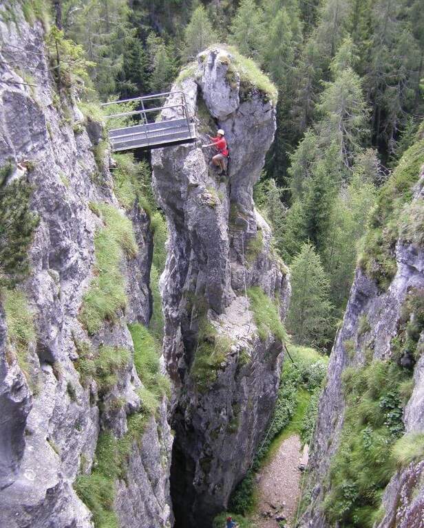
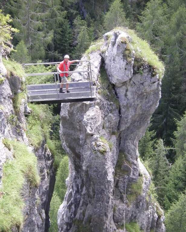
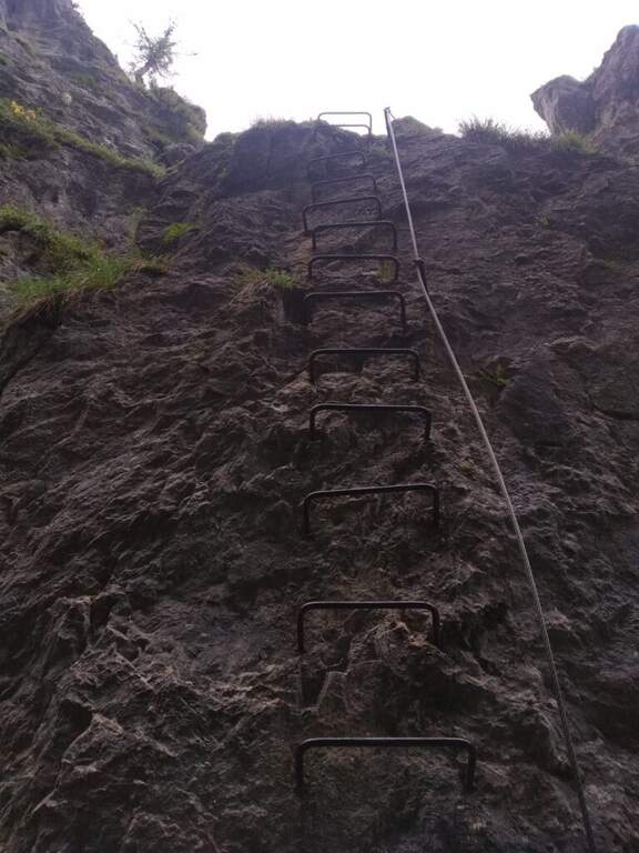
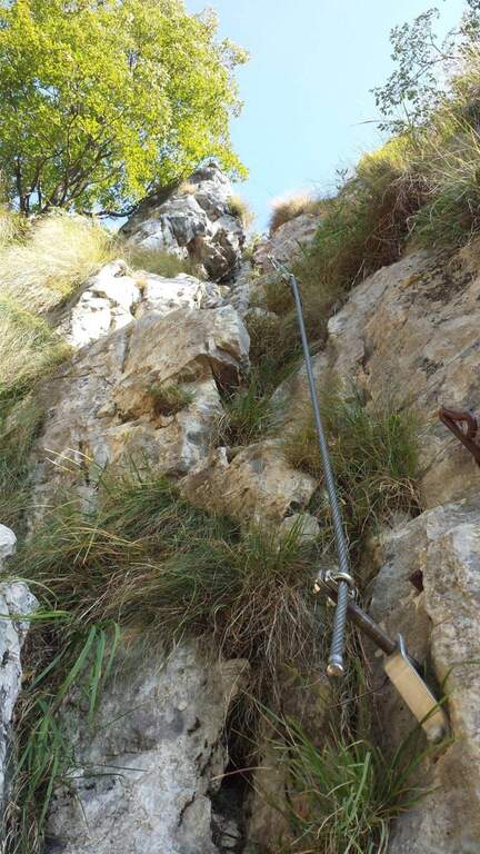
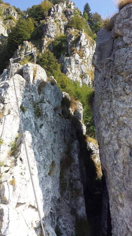
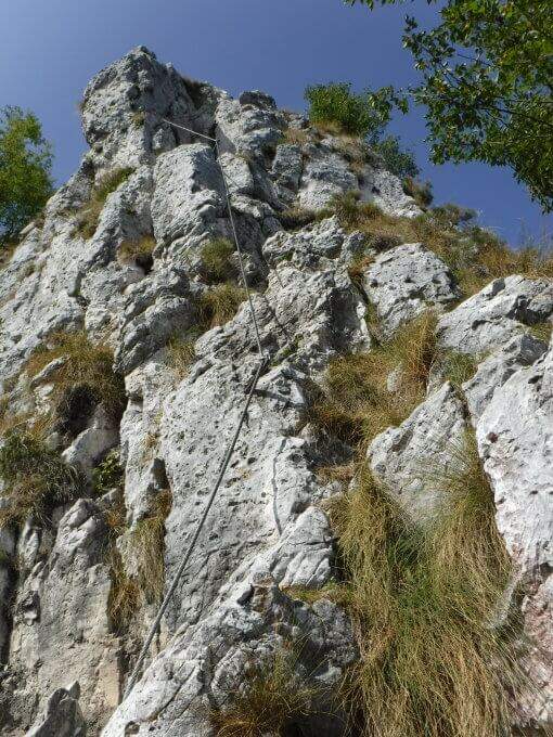
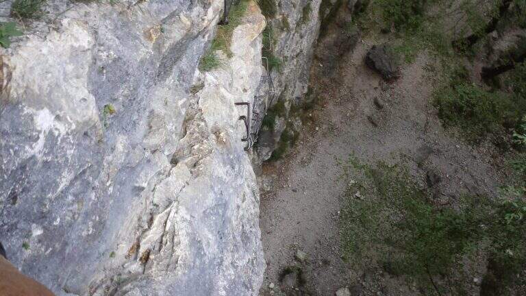
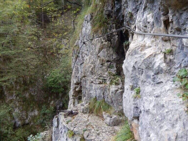
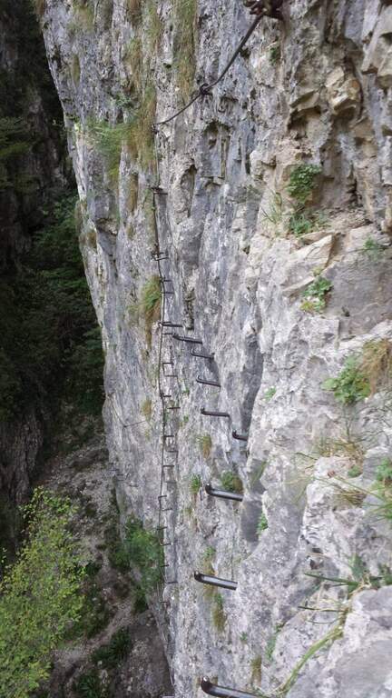
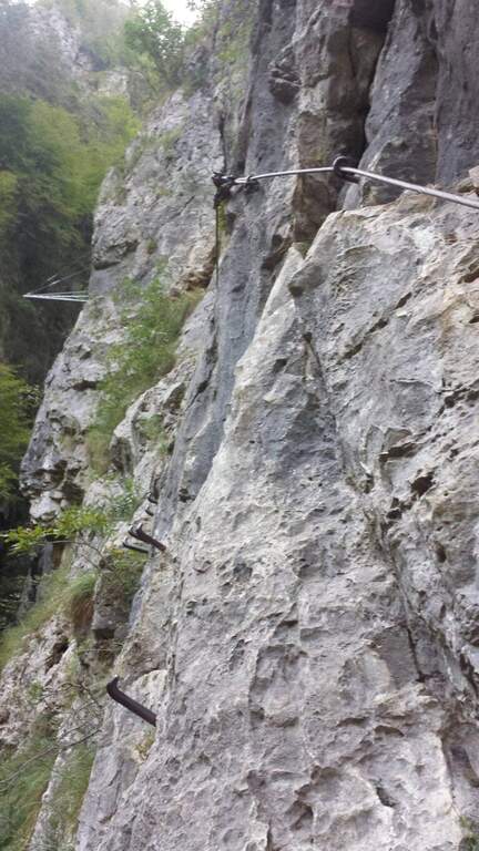
    You climb diagonally on a corner to the left of the canalone, on rock, then a traverse to the right of difficult-and-grave media; it leads to the right side of the canal. After a brief mention, the key pass is facing: a overhanging wall of about fifteen meters equipped with a long series of wide brackets (strapillating all' start, vertical in the center, again overhanging at the top). An exposed cross leads to a second wall equipped , challenging but più short, ending with diagonal brackets on a nod. There is a vertical staircase of about twenty pioli, traverses and vertical traits on poles and brackets in the canalone, a long stretch on slightly overhanging edge and a climb on the opposite side, exposed and graded. A path equipped with a bench connects to the final section: a long metal staircase of about 25 meters and a stretch of equipped path leads to the path 202, where the Ferrata Viali ends (2h from' attack).

    ▲Character and difficulty

    Fun and athletic way in the overhanging stretches, on rock not always solid. Level difference in ferrata 370 m, total 550 m, maximum altitude 1700 m, development 3.5 km. Being low altitude, to avoid on summer days too hot.

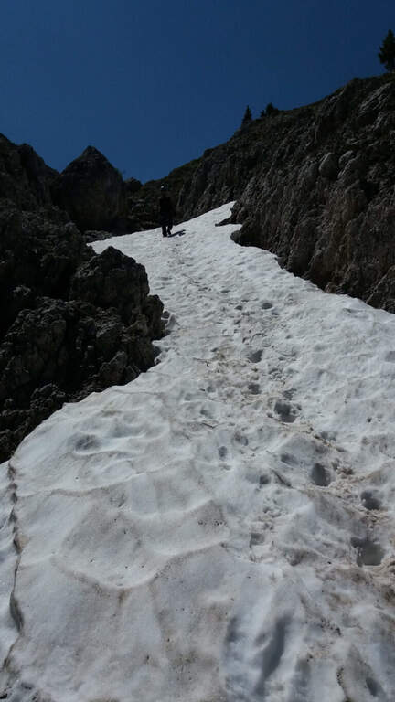
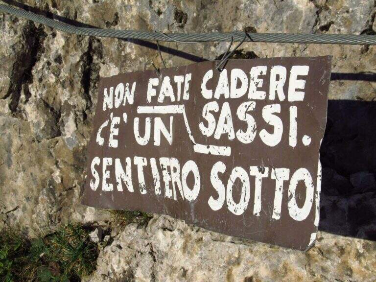
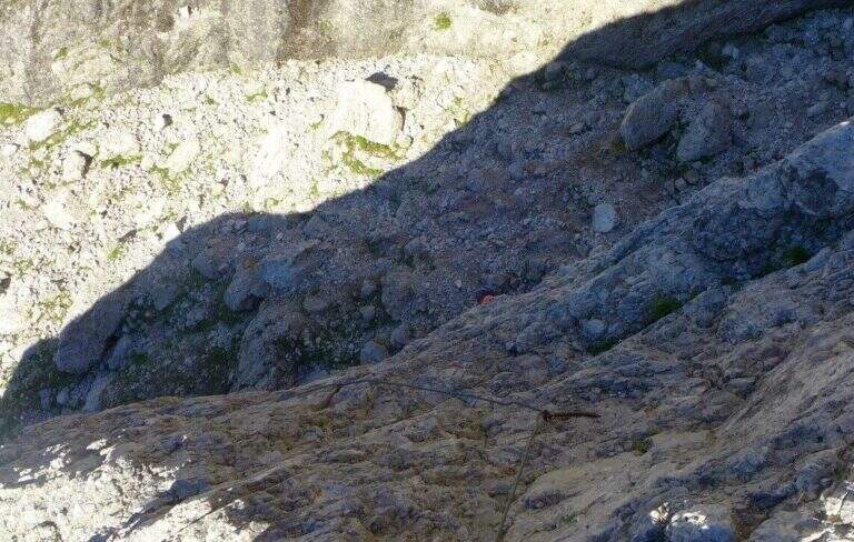
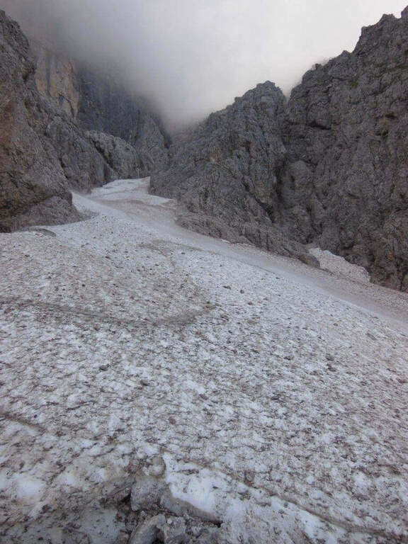
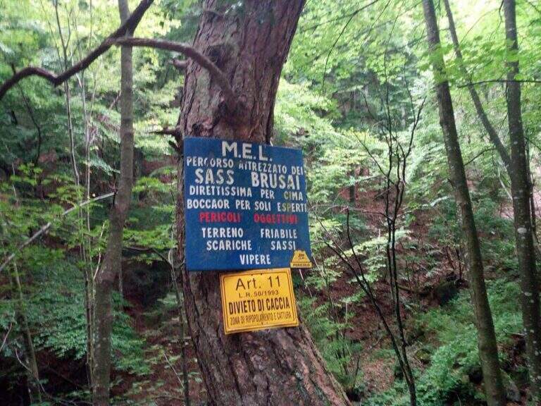
    ⚠ The bottom è composed of pebbles and unstable traits and are not rare the scariche di sassi: the helmet è absolutely mandatory and you need not to move rocks on the canal to the following.
    ▲Discipline

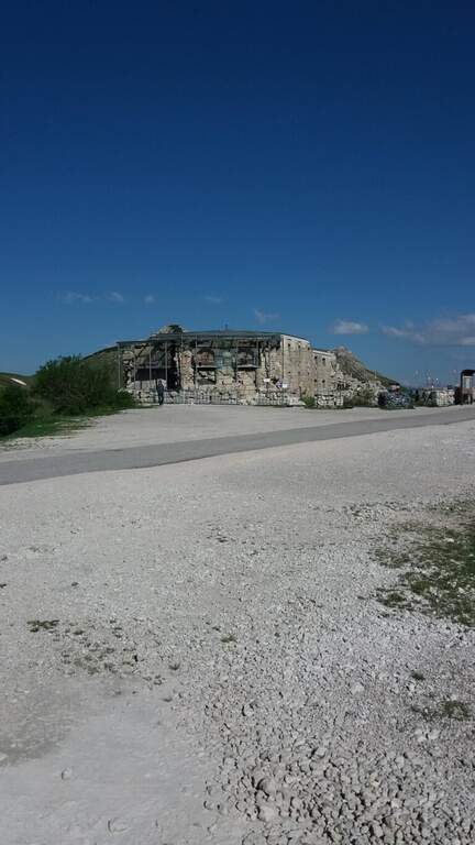
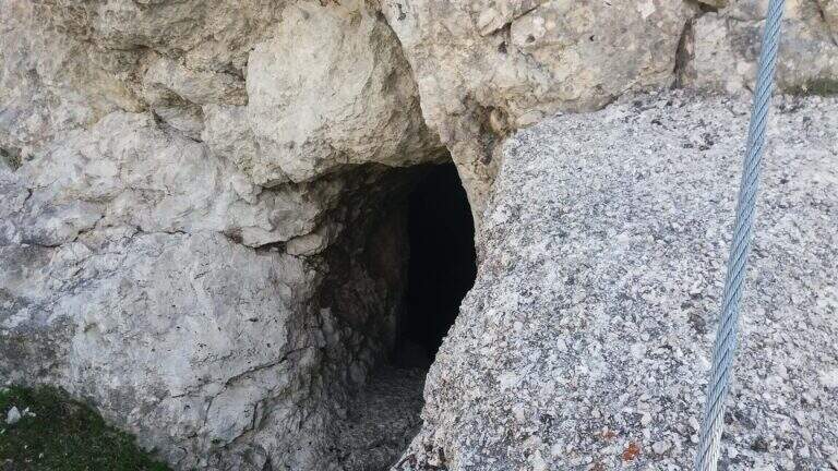
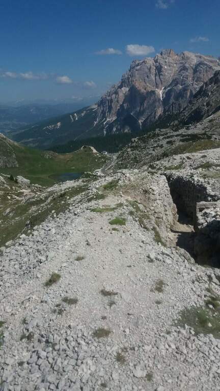
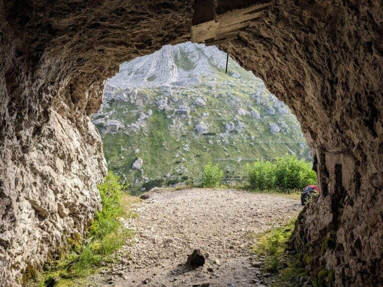
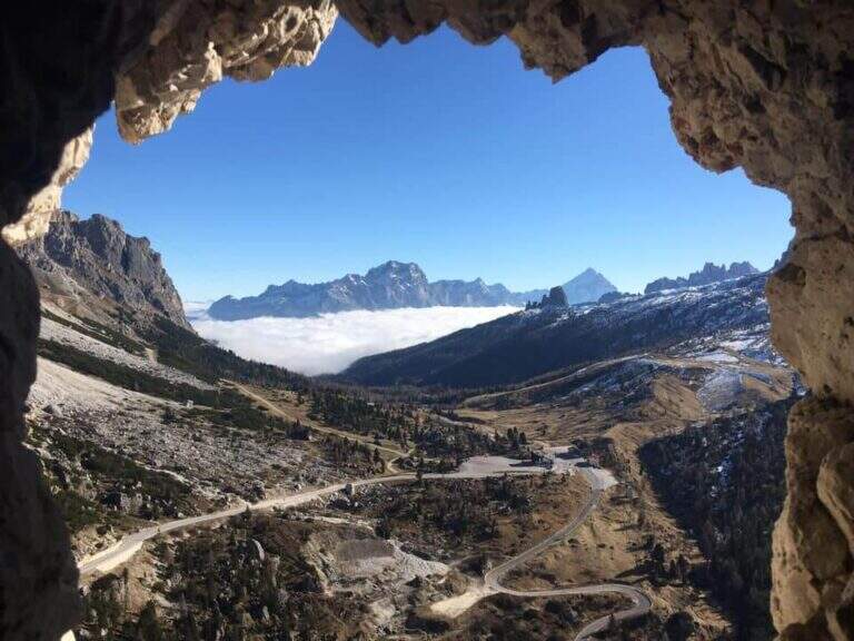
    Per rientrare al Rifugio Bertagnoli si segue il sentiero 202 a sinistra, si attraversa una galleria militare (non serve la torcia) fino a un ripido sentiero prima del Passo di Scagina che scende nel bosco, passando accanto al monumento a Bepi Bertagnoli, fino all'attacco della ferrata (40' dal termine) e quindi a ritroso al parcheggio (circa 1h dal termine, 3h 30' totali). In alternativa si può proseguire verso la vetta del Gramolon.

    ▲To match

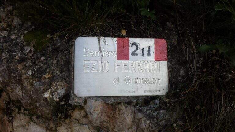
    On the same Gramolon Ferrata Ezio Ferrari; not far, towards the Carega, the Ferrata Campalani.
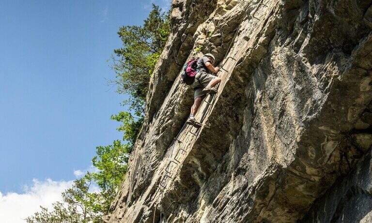
    ▲Gallery
    Technical data
    • DifficultyModerately Hard
    • RegionVeneto
    • GroupSmall Dolomites
    • Approach0:20 h
    • Ferrata2:00 h
    • Itinerary (a/r)3:30 h
    • Hardware level difference370 m
    • Route difference550 m
    • Max1700 m
    • Length3,5 Km
  • Ferrata Cesco Tomaselli in Cima Fanes

    Ferrata Cesco Tomaselli in Cima Fanes

    Vie Ferrate › Veneto › Belluno
    Ferrata Cesco Tomaselli in Cima Fanes
    Very difficult● OpenDescriptionComplexityMapsGallery

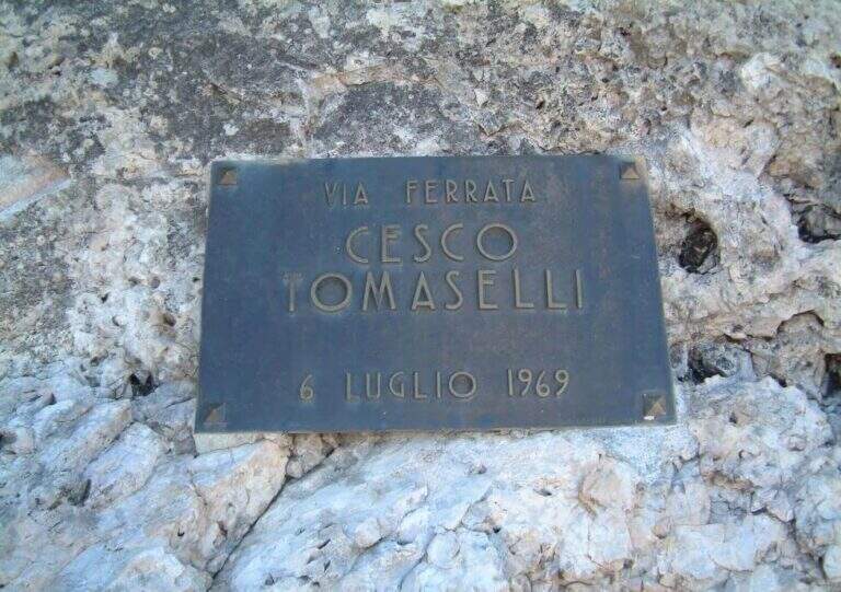
    La Ferrata Cesco Tomaselli climbs the west wall of the Punta di Fanes Sud: a vertical, demanding way, with exposed and technically difficult passages. It is short but very intense, with a series of athletic passages that require experience and strength; from the summit the panorama spans the Tofane and the Dolomites of Badia.

    ▲Approach

    The più mode; quick & free; climb to the Passo Falzarego (2105 m) and take the cable car to the Lagazuoi Refuge. Open road signs on Google Maps. From the mountain station (2752 m) descend north with trail 401 towards the Forcella Lagazuoi (2573 m, 15'); the left on the trail 20 in falsepiano, then to the right the 20B halfway on the west wall of the Great Lagazuoi to the site of the 'ex Bivacco della Chiesa (2655 m, 1h from the refuge), now dismantled. From here, già visible l' attack, a track north leads under the wall all' attack (1h 15' totali).

    ▲The path

    Il key passage is immediately to attack: after the first easy meters you face a traverse that climbs diagonally on a polished wall, then obliges you to descend 2-3 meters very exposed, a horizontal traverse on smooth rock and a 4-5 meters lift; selective and poor stretches of hooks, to walk decided not to fatigue your arms. On a terrace there is a breath and a vertical and exposed wall of about twenty meters, più perched on the top, up to a detritic terrace. A section of exposed and unprotected path and a nod with ups and downs lead to ' start of the second section equipped: horizontal nod, stepped rocks, un' another nod exposed to the right, you get around a corner and you reach the terza section (attention not to follow the left the Ferrata at Cengia Veronesi). There is an entangled plaque, then vertical passages sometimes assisted by pioli, up to the characteristic long dihedron equipped along a deep crack: the first vertical and poor feet of hooks are passed tractioning on the cable, then the rope crosses the dihedron (uses a comfortable right bracket) and continues air to a pulpit in fork. Two very exposed plates, first vertical then diagonal, and a short ridge lead to the summit at Cima Fanes Sud (2960 m, 1h 45' from the attack, 3h from Lagazuoi), with 360° view.

    ▲Character and difficulty

    Vertical and exposed, athletic, with thick rock: the initial traverse and the long dihedron are the most selective traits. Level difference in ferrata 326 m, maximum altitude 2980 m, development 7.5 km.

    ⚠ Also the discesa è a challenging ferrata, with vertical balconies, a slightly overhanging traverse and the descent of a fireplace: it should be faced carefully. Reserved for experienced and trained drivers.
    ▲Discipline

    Dalla vetta si prosegue a nord-est e si scende per una via ferrata di discesa impegnativa: balzi verticali da studiare, un traverso con breve passaggio strapiombante e la discesa di un camino (staffa provvidenziale a metà), poi una cengia e gli ultimi metri verticali fino al canalone che porta al Bivacco della Chiesa (45' dalla vetta, 3h 45' totali). Da qui, per la funivia, si torna a ritroso al Rifugio Lagazuoi (45', 4h 30' totali); in alternativa si tiene la sinistra del crinale verso la Forcella Travenanzes e si scende al Passo Falzarego tra i resti della Grande Guerra (1h 15' dal termine della discesa attrezzata, circa 5h totali).

    ▲To match

    From Falzarego and Lagazuoi: the Kaiserjager Trail, la Ferrata Fusetti at Sas de Stria, la Alpine Brigade at the Col dei Bos; towards Cortina la Ferrata dell'Averau and on the Tofana of Rozes la Ferrata Lipella.

    ▲Gallery
    Technical data
    • DifficultyVery difficult
    • RegionVeneto
    • GroupFanes
    • Approach1:15 h
    • Ferrata1:45 h
    • Itinerary (a/r)4:30 h
    • Hardware level difference326 m
    • Route difference326 m
    • Max2980 m
    • Length7,5 Km
  • Ferrata Fusetti at Sas de Stria

    Ferrata Fusetti at Sas de Stria

    Vie Ferrate › Veneto › Belluno
    Ferrata Fusetti at Sas de Stria
    Moderately Hard● OpenDescriptionComplexityMapsGallery

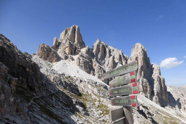
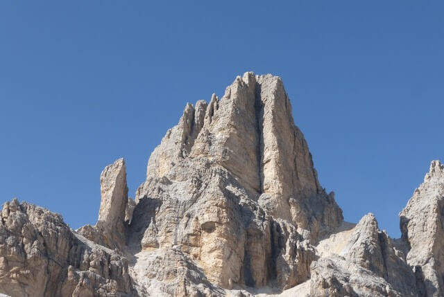
    La Ferrata Fusetti Sass de Stria rises, near the Valparola Pass on the border between Belluno and Bolzano. Built by the Alpini and dedicated to the Lieutenant Mario Fusetti, fell here in the First World War, & a medium-low difficult & agrave; very logical and climbing, of great historical value and perfect for those & beginnings.

    ▲Approach

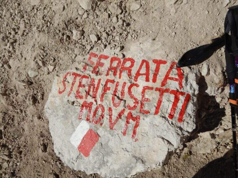
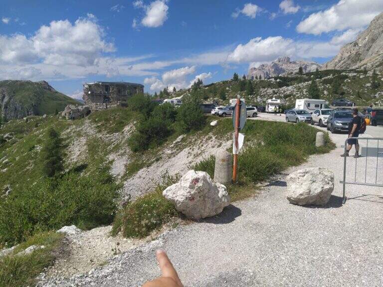
    Starting from the ' large parking lot of the Forte at Passo di Valparola, reachable from Val Badia, Cortina and the Veneto side of Col di Lana. Open road signs on Google Maps. L'attacco è sul versante sud del Sass de Stria, opposto al parcheggio, e si raggiunge in due modi. Via breve: si segue la traccia minore che scende verso il versante ovest e in circa 5' porta alla postazione Edelweiss; da qui, attenzione a una traccia non segnalata che si stacca a sinistra aggirando la parete (presto compaiono bolli rossi e segni bianco-rossi) e, lungo la parete ovest, conduce sotto le bastionate sud fino a un sasso con l'indicazione della deviazione (20') e all'attacco (30' dall'auto). Long way: follow the white road towards Falzarego, visit the Galleries of Guerra and, bypassing the east and south slopes, you reach the same indicator rock (1h from'auto).
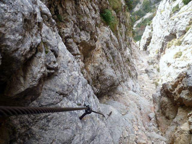
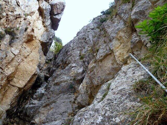
    ▲The path

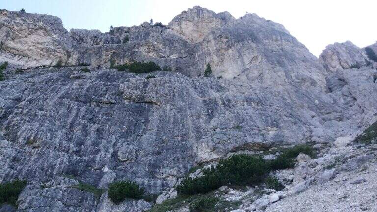
    The first meters are simple: you climb diagonally to the left and then on a sided wall. After a short connection, you will pass easy rocky leaps on a detritic background (attention not to move stones) moving to the right, up to a nod with wooden parasassis that closes the first section, easy. In front of it you can see the development on a supported plate: you climb first to the right, then to the left in a horizontal section, then a short camino full of hooks. It comes as well; under the sezione più challenging (obviously difficult): a vertical plate of about ten meters with supports present but less evident. A galleria di guerra is reached by the galleria and, for the last metres supported, the equipment is closed (45' by ' attack, 1h 15' by'auto).

    ▲Character and difficulty

    Logic and very climbing climb: the technical difficulties remain moderate and the experienced ferratista can minimize the use of the cable, while beginners find an ideal way. Level difference in ferrata 200 m, total 307 m, maximum altitude 2477 m, development 3.5 km. Inaugurated on 18 October 2018, it is a "return to the ancient" with metal equipment reduced to the minimum.

    ⚠ As often in the Dolomite ferrates the bottom is rich in debris and the ascent line is linear: pay special attention not to move stones towards those who follow.
    ▲Period and safety

    Summer street with a strong historical value, with a true open-air museum of the Great War (trinces and galleries) along the route. Short approach and return, easy to match with nearby ferrates. GPX and KMZ tracks available.

    ▲Discipline

    The ferrata ends on a plateau in the middle of the normal route of the Sass de Stria. You can return directly to the Valparola Pass (20' from the term, about 1h 30' total) or, recommended, climb up to the top: follow a track between the trenches, some rocks of I degree and two series of ladders with cord, reaching the top in about 30' from the end of the ferrata, with 360° view over the dolomites.

    ▲To match

    From the Valparola Pass and the nearby Falzarego are many equipped: the Kaiserjager trail at Lagazuoi, la Ferrata Cesco Tomaselli in Cima Fanis Sud, la Alpine Brigade Cadore at Col dei Bos; going down towards Cortina la Ferrata dell'Averau e la Nuvolau; on the Tofana of Rozes Ferrata Lipella; towards Val Badia il Piz Conturines and the long Ferrata della Pace.

    ▲Gallery
    Technical data
    • DifficultyModerately Hard
    • RegionVeneto
    • GroupDolomites
    • Approach0:30 h
    • Ferrata0:45 h
    • Itinerary (a/r)2:00 h
    • Hardware level difference200 m
    • Route difference307 m
    • Max2477 m
    • Length3,5 Km
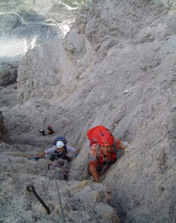
  • Ferrata Stella Alpina all’Agner

    Ferrata Stella Alpina at Agner

    Vie Ferrate › Veneto › Belluno
    Ferrata Stella Alpina at Agner
    Very difficult● OpenDescriptionComplexityMapsGallery

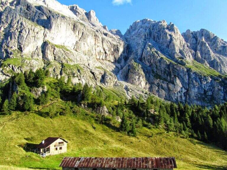
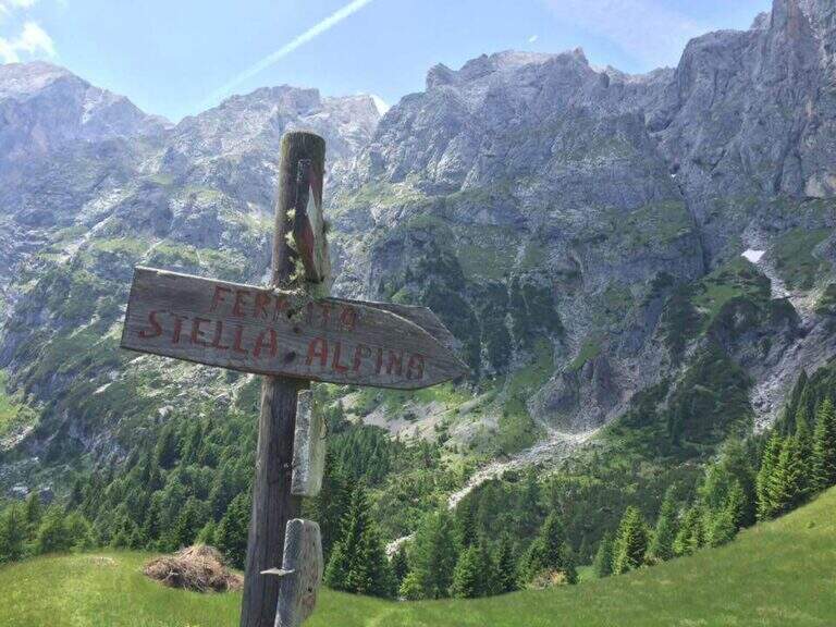
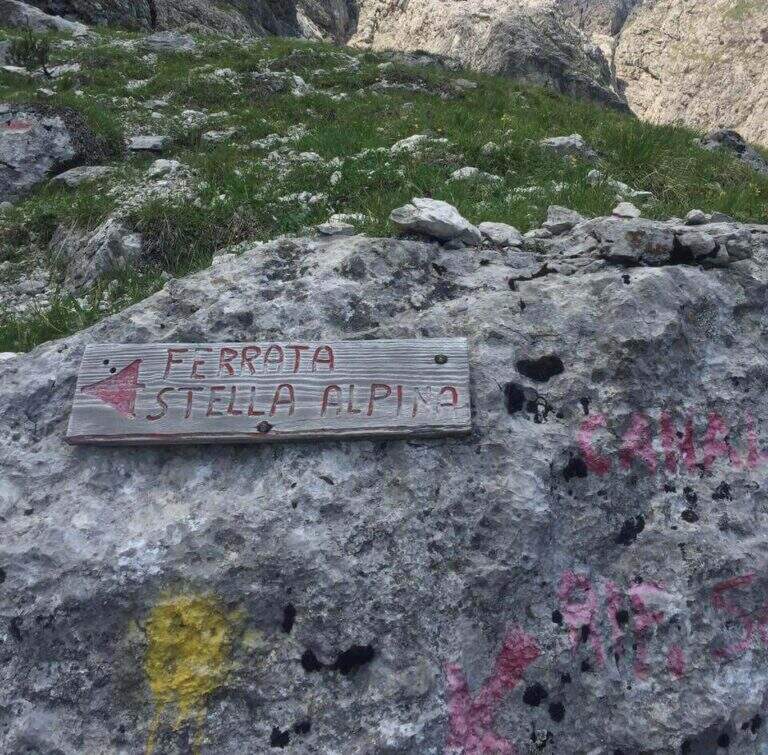
    La Ferrata Stella Alpina ` the equipped road that leads to Monte Agner, in the Pale di San Martino. The complete è tra i più challenging Italian landscape: more than 10 hours, reserved for very experienced hikers not only of ferrate but also of high mountain. At the difficulty and the stretch is added the long crossing of the Laste, the ascent all'Agner and the difficult descent along the Canalone.

    ⚠ Itinerary very long (more than 10 hours, altitude difference almost 1700 m, peak 2872 m) and extremely serious. The crossing of the Laste è exposed, with signs often faded, and becomes prohibitive with fog; with wet è rocks; not recommended. The discesa along the Canalone è steep, on unstable gravel bottom, often with snow in the lower part: useful ramps and telescopic sticks. Face it only in good state of training and with stable weather; it is recommended to break it in two days (Bivacco Biasin in Forcella Pizzon).
    ▲Approach

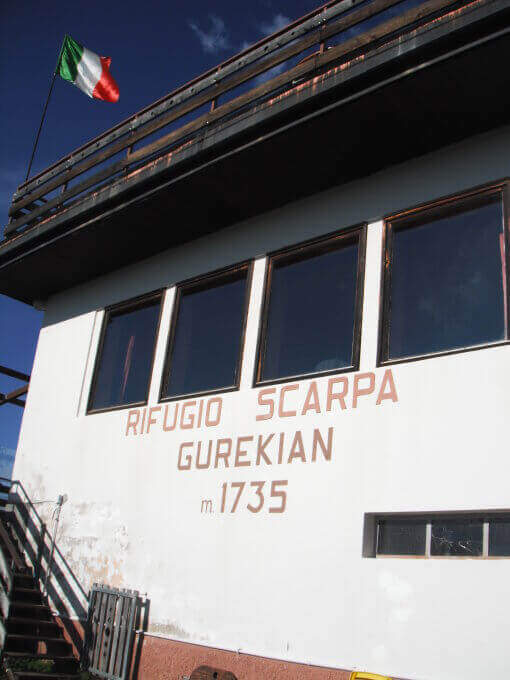
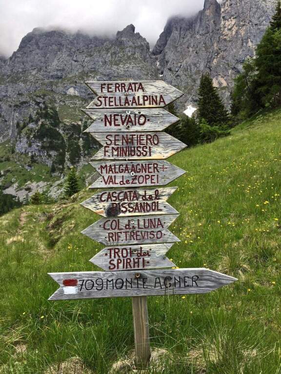
    The starting point is Frassanè (Belluno), at the foot of the Agner, reachable from Agordo or from Fiera di Primiero. Open road signs on Google Maps. In the village, from Via della Vittoria take via Domadore to a biforcation with CAI signposts (right on 771, left on 772) and park in a deck (1182 m). It goes up with 771 lungo la forestale, poi per prati lungo le piste da sci fino al Rifugio Scarpa (1735 m, 1h dal parcheggio). Dal rifugio, seguendo le indicazioni per la Ferrata e il Sentiero Miniussi, si raggiunge Malga Losch e si tiene la sinistra uscendo dal bosco; avvicinandosi alle bastionate dell'Agner, a un bivio (dove davanti si vede il nevaio del canalone di rientro) si segue a sinistra per l'attacco, al termine di una gola senza uscita, su roccette con bolli giallo-rossi e l'attraversamento di un canale fino al cartello romboidale (1955 m, 1h 45' dal parcheggio).

    ▲The path

    La prima sezione supera un risalto roccioso, verticale ma appigliato, poi piega a destra su roccette e a sinistra; segue un tratto di collegamento su ghiaia, prato e roccia con vistosi bolli gialli. Si ritrovano le attrezzature presso un cartello che invita a non smuovere sassi: inizia la seconda e più impegnativa sezione. Dopo un tratto diagonale, il cavo sale verticale su una parete dagli appigli poco evidenti, poi traversa a destra verso il primo di una serie di camini, risalito in spaccata con l'aiuto di alcuni pioli. Si traversa a destra verso una stretta gola (attenzione agli zaini ingombranti), che si risale sul versante sinistro; seguono passaggi verticali in esposizione crescente, con il canalone innevato del rientro alle spalle. L'ultima sezione traversa a sinistra fino a un aereo spigolo con vista sul Rifugio Scarpa; si sale una parete verticale fino a un passaggio delicato e leggermente strapiombante lungo una fessura, da affrontare con agilità, poi il cavo piega a destra sotto il passaggio chiave: una placca verticale e liscia da risalire cercando i pochi appigli naturali e i pioli metallici. Gli ultimi metri esposti portano a «Le Laste» (2320 m, 1h 45' dall'attacco, 3h 30' totali). Inizia qui il lungo attraversamento delle Laste dell'Agner, su sentiero dapprima su sassi e prato poi su fondo roccioso, tutt'altro che banale (proibitivo con la nebbia): si seguono segni sbiaditi e ometti, fra roccette da arrampicare in libera e tratti attrezzati su placca e cengia, generalmente esposti e sconsigliati con roccia bagnata, fino al Bivacco Biasin a Forcella Pizzon (2645 m, 1h 45' dal termine della ferrata, 5h 15' totali). Per chi prosegue verso la vetta, si aggira la parete sud-occidentale dell'Agner su tratti attrezzati e un'esposta e aerea cengia, poi una rampa esposta ma non difficile e una traccia ripida fino alla croce sull'anticima dell'Agner (2872 m, 1h dal Bivacco Biasin, 6h 15' totali).

    ▲Character and difficulty

    The technical difficulties of the single stretch are "very difficult"; to these are added the objective difficulties of the Laste, the climb to the Agner and the difficult descent along the Canalone, in addition to a long approach and return. Overall it is one of the most demanding excursions in Italy.

    ▲Period and safety

    GPS tracks (GPX and KMZ) are available. From Forcella Pizzon you can go back avoiding the climb to the summit. Bivacco Biasin is in good condition for overnight stays.

    ▲Discipline

    Dalla vetta si torna a Forcella Pizzon e al Bivacco Biasin (45' dalla vetta), prestando attenzione al tratto tra cima e cengia per i pochi segni sbiaditi. Dal bivacco si scende ripidamente sul lato sinistro del canalone, su fondo sdrucciolevole con tratti attrezzati, fino a un bivio (segni sbiaditi su roccia): a destra il sentiero lungo il Canalone (qui descritto), a sinistra la via normale con segni gialli. Il Canalone scende a ripidi tornanti su ghiaione instabile, con nevaio nella parte bassa, fino in vista del Rifugio Scarpa e al bivio dell'attacco (1820 m, 1h 30' dal bivacco, 8h 30' totali); poi a ritroso fino al Rifugio Scarpa e, per il 771, al parcheggio (circa 10h totali).

    ▲To match

    Itinerary that alone engages comfortably two days. Staying in the Pale di San Martino you can reach Ferrata dell'Orsa in Val San Lucano or, in Val Canali, la Ferrata Buzzati, il Hunter's Path e la Ferrata del Canalone; towards Civetta la Yellow Flames, the extenuating Constantine, la Titus e l'Alleghesi.

    ▲Gallery
    Technical data
    • DifficultyVery difficult
    • RegionVeneto
    • GroupPale di San Martino
    • Approach1:45 h
    • Ferrata1:45 h
    • Itinerary (a/r)10:00 h
    • Hardware level difference346 m
    • Route difference1692 m
    • Max2872 m
    • Length14,4 Km
  • Ferrata Sora el Sass

    Ferrata Sora el Sass

    Vie Ferrate › Veneto › Belluno
    Ferrata Sora el Sass

    La Ferrata at the Sora el Sas, near the Spitz of Mezzodì, è a facile street divided into two short sections: the first goes up a canalone, the second goes up to a panoramic pulpit called Belvedere. Adapted to the neophytes, it offers beautiful views of the Dolomites of Bellunese.

    ▲Approach

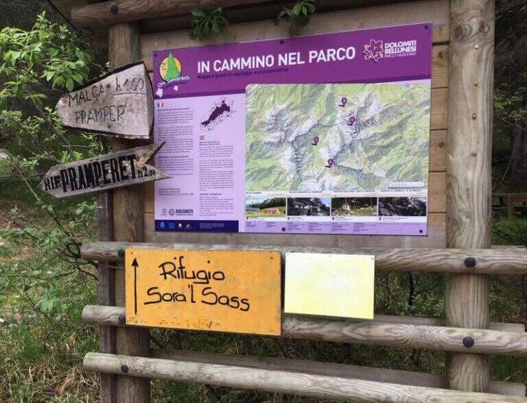
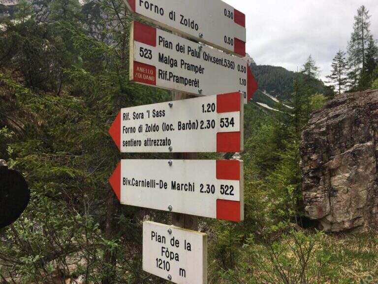
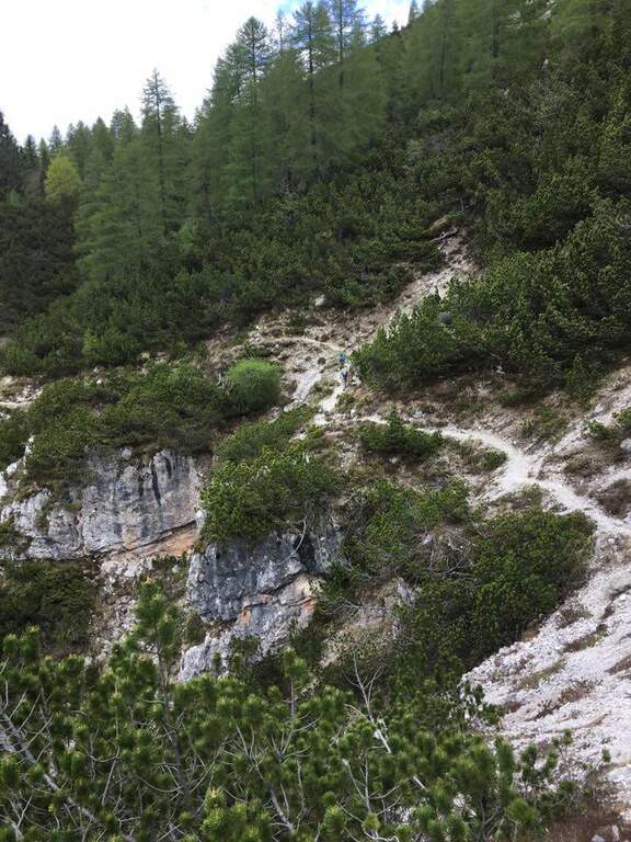
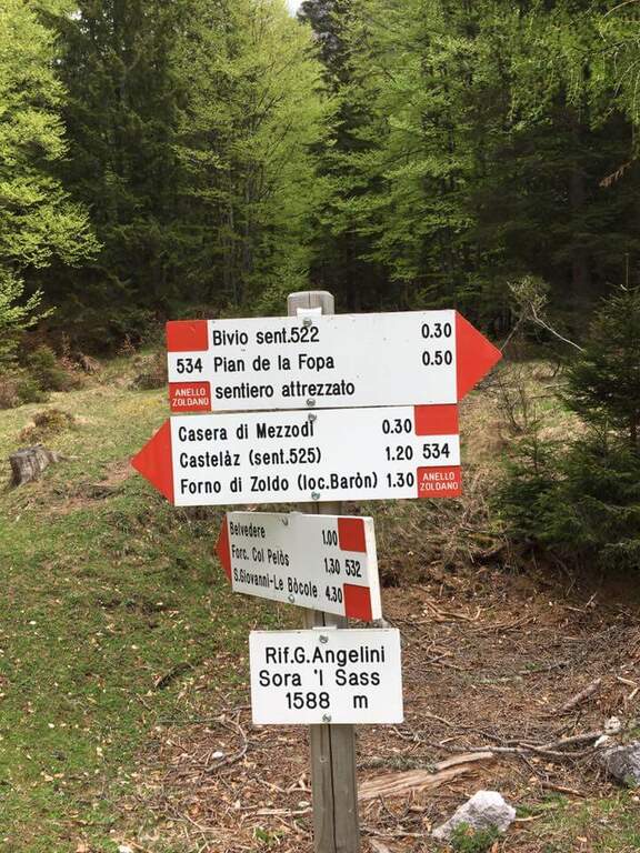
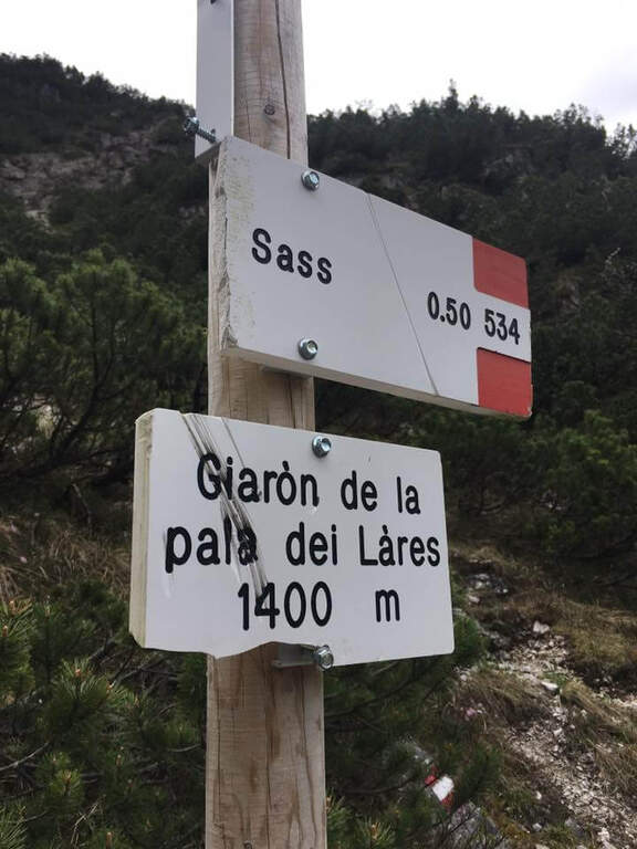
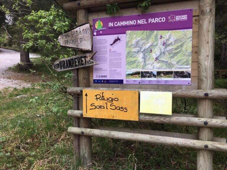
    Starting point parking in the village of Pian de la Fopa, in Val Pramper south of Forni di Zoldo (Belluno): in the village follow the signs south towards the Rifugio Pramperet, then at a crossroad take the secondary road (in part dirt road but in good condition) to the Rifugio Sora el Sass, for about 4.5 km until the parking lot. Open road signs on Google Maps. Follow the forest and then the CAI path 534 for the refuge Sora el Sass towards the walls of the Spitz of Mezzodì at a crossroads you leave 522 (to the Bivacco Carnielli) holding the left towards a shady canalone, up to the first equipment (45' from the parking lot).

    ▲The path

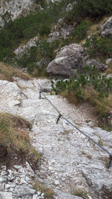
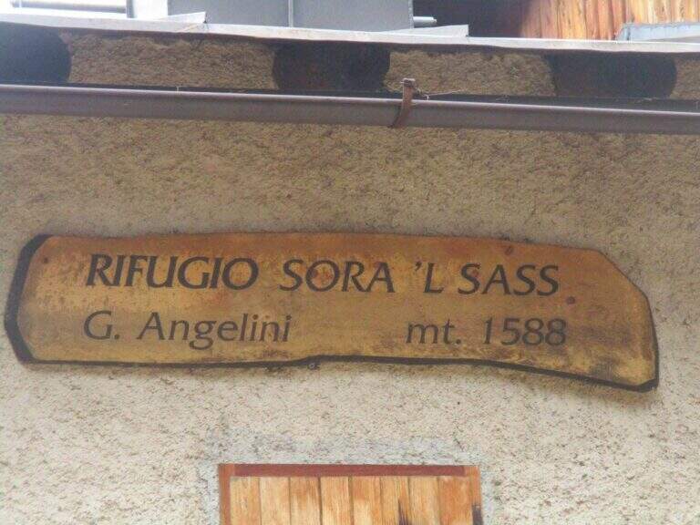
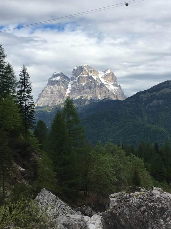
    La first section esce dal canalone con una rampa a sinistra priva di difficoltà e un facile canalino gradonato (attrezzatura a destra, appigli abbondanti a sinistra); si piega a destra per pochi metri e poi su comoda cengia a sinistra, si aggira uno spigolo e si salgono roccette ben appigliate, arrampicabili (attenzione al fondo di ghiaino instabile, rischio di smuovere detriti). Una facile placchetta e una cengia a sinistra chiudono le attrezzature (20' dall'attacco); su comodo sentiero si raggiunge il Rifugio Angelini (Sora el Sass, 1588 m, 1h 30' dal parcheggio). Da qui si può rientrare oppure proseguire verso il Belvedere col CAI 532: a un bivio si sale a destra per il sentiero attrezzato (per scendere poi dalla via normale), superando un balzo verticale ben appigliato, una cengia, un canalino e un balzo più marcato, fino al Belvedere, punto panoramico sui gruppi bellunesi con il Pelmo in evidenza (1965 m, 45' dal rifugio, 2h 15' totali).

    ▲Character and difficulty

    Easy itinerary, ideal for neophytes and families.

    ⚠ At the beginning of the season the canalone can still be snowed: it is useful to have the ramps. The equipped sections are quite dirty with debris material: pay close attention not to move stones.

    ▲Period and safety

    An official GPS track is not available for this route. The map of the 4Land Dolomites is useful.

    ▲Discipline

    Dal Belvedere si scende sul lato nord per sentiero facile, si aggira il Belvedere e si rientra al Rifugio Angelini (45' dalla vetta); per chiudere l'anello si prosegue verso nord sul CAI 534 verso la Casera di Mezzodì, scendendo il ripido Vallon Piccolo a tornanti, poi sul 525 fino alla forestale e in salita al parcheggio (1h 30' dal Rifugio Angelini, 4h 30' totali).

    ▲To match

    The way is in the Pramper group. To the west the Civetta and the Moiazza with the difficult Constantine, Titus, Alleghesi e Yellow Flames; to the south Ferrata della Memoria al Vajont e la Val Gallina; northwards Vandal and the impegnative Ferrata at the Glacier of Antelaoto Agordo Alpine star at Agner.

    ▲Gallery
    Technical data
    • DifficultyEasy
    • RegionVeneto
    • GroupPrampering
    • Approach0:45 h
    • Ferrata1:15 h
    • Itinerary (a/r)4:30 h
    • Hardware level difference200 m
    • Route difference764 m
    • Max1964 m
    • Length6 Km
  • Ferrata Sci Club 18 (Monte Faloria)

    Ferrata Sci Club 18 (Monte Faloria)

    Vie Ferrate › Veneto › Belluno
    Ferrata Sci Club 18 (Monte Faloria)
    Very difficult● OpenDescriptionComplexityMapsGallery

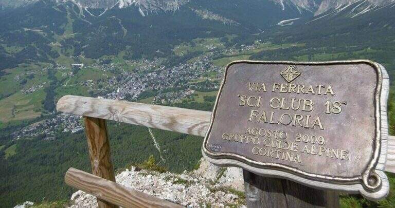
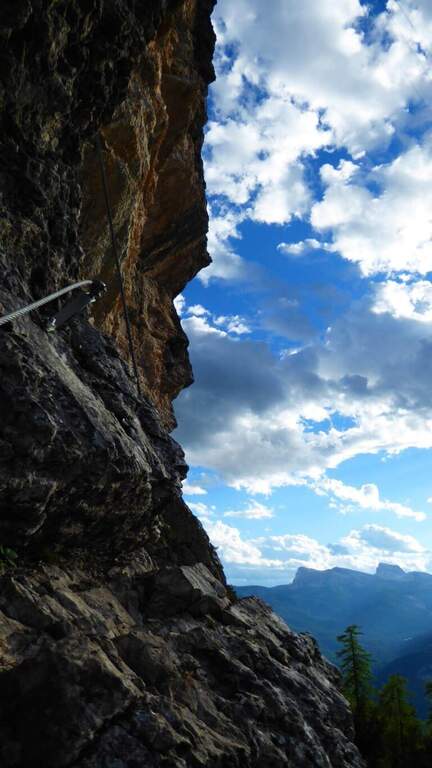
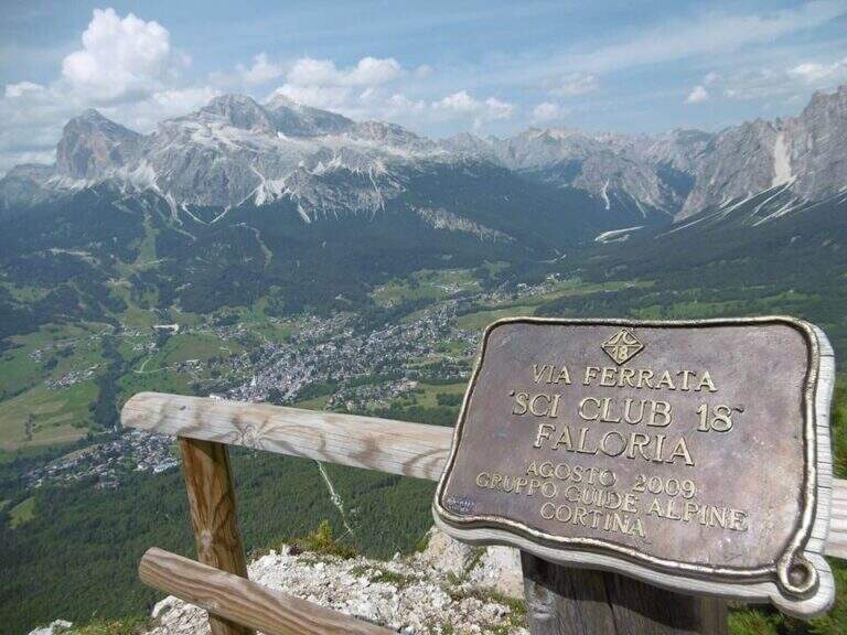
    La Ferrata Sci Club 18 climbs from Monte Faloria, above Cortina d'Ampezzo, with an itinerary ripido, athletic and very difficult. The via è vertical, exposed throughout the track and with challenging passages that often force to traction on the cable: & free; reserved for trained and experienced hikers. The return is also possible with the cable car.

    ▲Approach

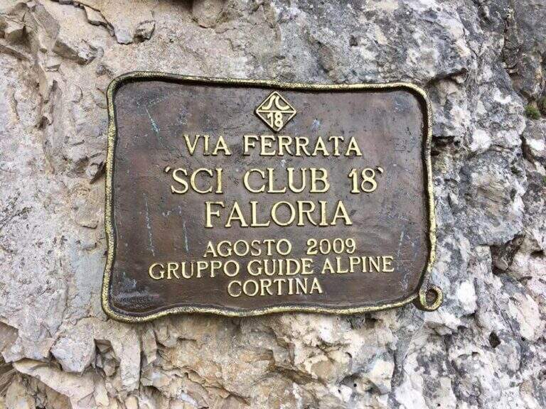
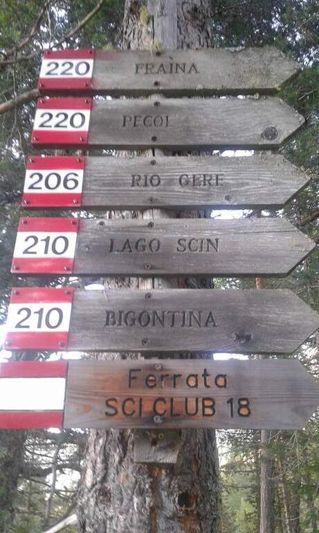
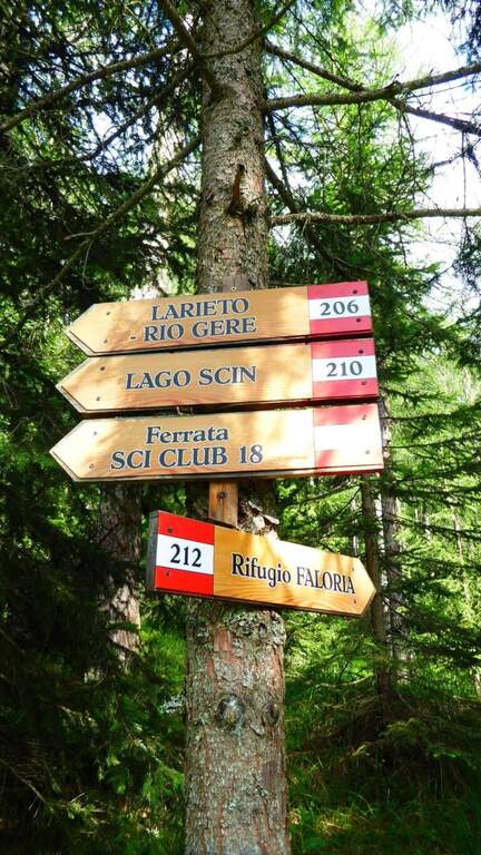
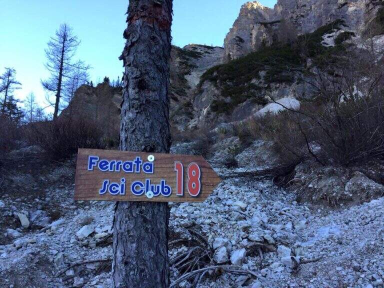
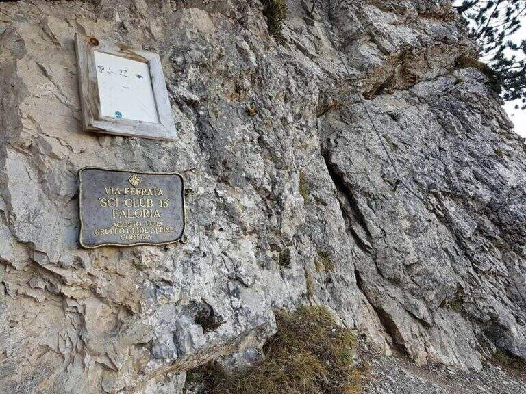
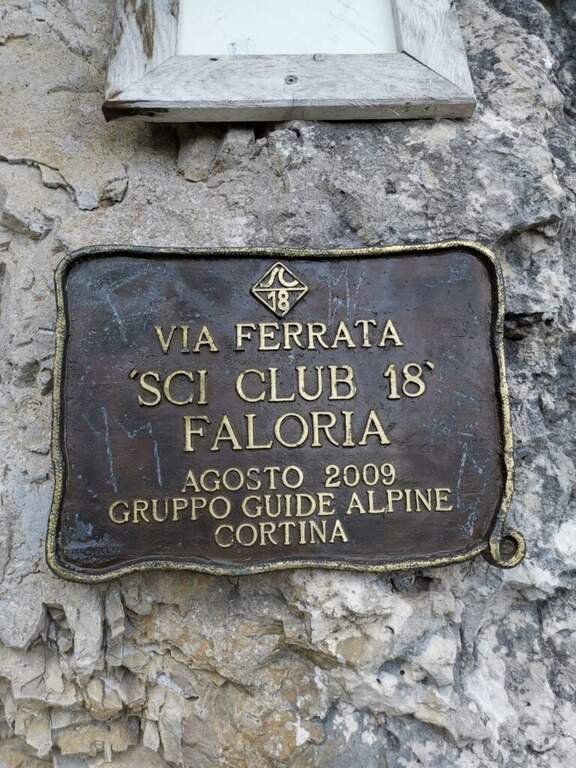
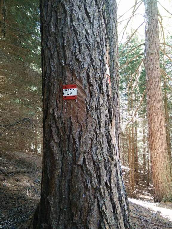
    It starts from the locality; Sompiei, above Cortina: from the center take the Regional Road of the Dolomites towards Misurina/Auronzo and, after less than a kilometre, before the sign «Alverà», a road on the right; just before the cable car a dirt road takes off to the left and leads to the parking lot (attention to the private areas). Open road signs on Google Maps. From the parking lot you go east towards the mountain station of the cable car to the intermediate station Mandres; from here the path 206, on a slight ascent, comes out from the wood and climbs steeply towards the wall of the Faloria. Following the abundant signs you leave the 206 holding the right until all' attack of the Ski Club 18, signaled by a metal plate with the date of construction (1h from the parking lot).

    ▲The path

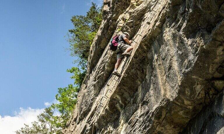
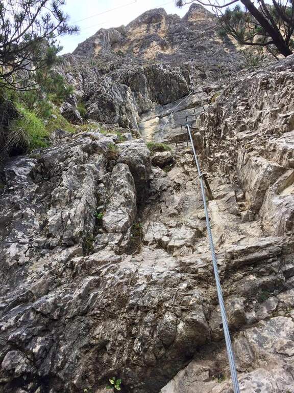
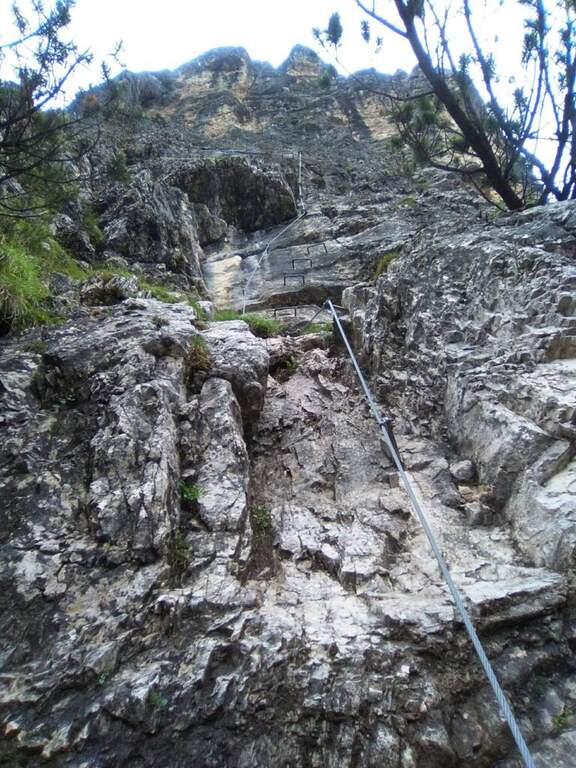
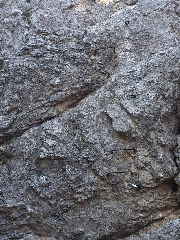
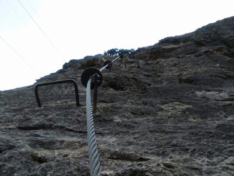
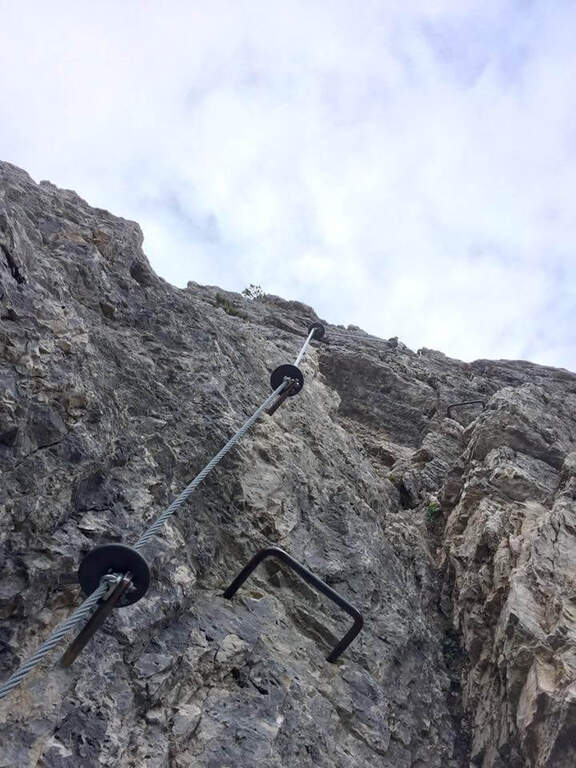
    L'attacco è subito verticale: i primi due metri richiedono una trazione, poi compaiono appoggi per i piedi. Superato il primo balzo, ci si trova sotto una parete liscia sbarrata da un tetto roccioso, che si aggira piegando a destra con solide staffe; si continua a guadagnare quota alternando staffe e appoggi su un tratto leggermente strapiombante, poi si piega a destra in una cengia fino a uno spigolo. Aggirato lo spigolo si risale una lunga parete liscia dove in più punti, mancando appigli, si sale trazionando sul cavo (circa 20 m di placca) fino a un terrazzino di sosta. Seguono un breve tratto appoggiato e un traverso ascendente verso destra su roccia levigata, un nuovo spigolo dopo un'esile cengia, e un tratto verticale; in alto la fune piega a destra su un traverso esposto sostenuto da staffe, fino a una cengia panoramica proprio sotto la funivia del Faloria. Si affronta poi un tratto verticale più appigliato, si scende a un canalino dal fondo instabile e, oltre una cengia, si risale uno spigolo che porta a una placca verticale decisamente impegnativa: le staffe sono distanti e la roccia molto levigata, rendendo i passaggi atletici. Si supera un tetto con una breve scaletta, un terrazzino, altri metri verticali impegnativi, poi un camino arrampicabile in spaccata e una fessura da risalire in spaccata fino a un ampio balcone panoramico sulle Tofane. L'ultima sezione percorre una cengia in salita verso sinistra fino a un imponente spigolo a forma di diedro, fittamente attrezzato di staffe su entrambi i lati; si esce sul lato destro in forte esposizione, si supera un tetto roccioso più atletico con una staffa, poi cenge, un salto verticale attrezzato, un canalino detritico non protetto e una forcellina; dalla forcellina un tratto verticale con staffe porta alla cresta, che si percorre fra brevi tratti attrezzati fino al termine della via (2h dall'attacco, 3h totali).

    ▲Character and difficulty

    Atypical Ferrata for the Dolomites: it does not carry on a real summit, has recent equipment with well-drawn cable and abundant but not excessive brackets, and cones on the tokens that increase safety — important on such a vertical way, where a possible fall factor can have serious consequences. It is sometimes criticized for the difficulty that solicits the arms, forcing them to pull on the cable.

    ⚠ Via molto difficile, verticale ed esposta lungo tutto il tracciato, atletica e faticosa per le braccia: solo per ferratisti esperti e allenati. Non è percorribile in discesa.

    ▲Period and safety

    GPS tracks (GPX and KMZ) are available; the map of Cortina and the 4Land Dolomites is useful for the area.

    ▲Discipline

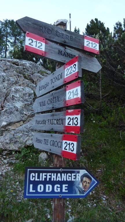
    From the end you are in sight of the refuge Faloria, where the cable car from Cortina arrives. Two options: walk down the trail at the crossroads 212 verso destra in direzione Mandres (dapprima ripido poi più dolce) fino al bivio dell'andata presso la stazione intermedia, quindi a ritroso (1h 30' dal termine, 4h 30' totali); oppure prendere la funivia e scendere alla stazione intermedia, poi a ritroso per il sentiero di avvicinamento (20' dalla stazione intermedia).

    ▲To match

    A challenging itinerary that hardly leaves energy for a second route in the day. From Cortina there are many routes: towards Auronzo la White e la Dibona al Cristallo; towards Dobbiaco the Third Cengia del Pomagagnon, la Bo, la Bullshit, il Path to the Fanes Falls e la Renè de Pol; to the south Ferrata dei Caprioli san Vito di Cadore.

    ▲Gallery
    Technical data
    • DifficultyVery difficult
    • RegionVeneto
    • GroupHeadquarters
    • Approach1:00 h
    • Ferrata2:00 h
    • Itinerary (a/r)4:30 h
    • Hardware level difference340 m
    • Route difference673 m
    • Max2123 m
    • Length6,5 Km
  • Ferrata La Scala del Menighel

    Ferrata La Scala del Menighel

    Vie Ferrate › Veneto › Belluno
    Ferrata La Scala del Menighel
    Moderately Hard● OpenDescriptionComplexityMapsGallery

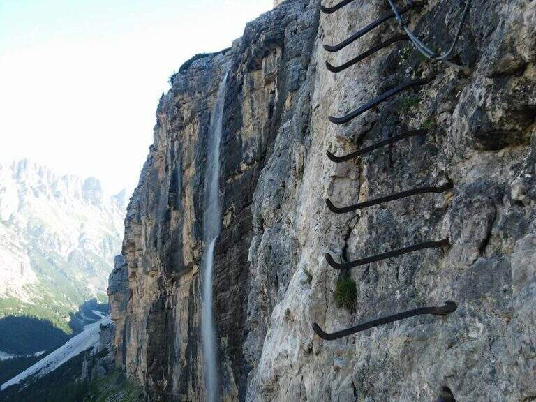
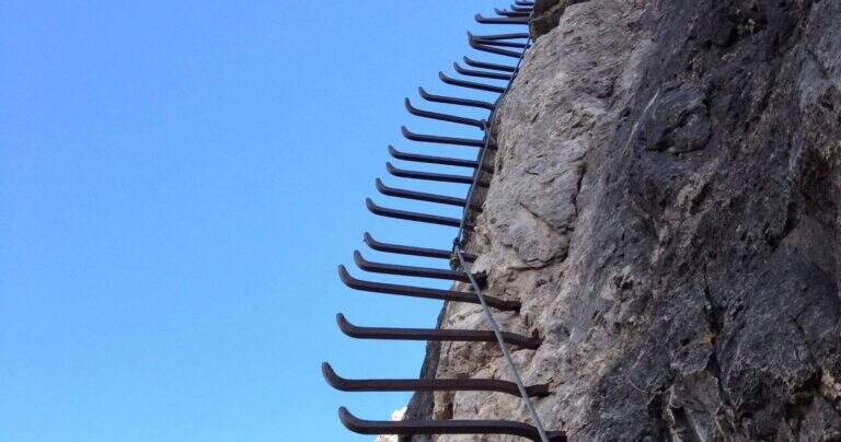
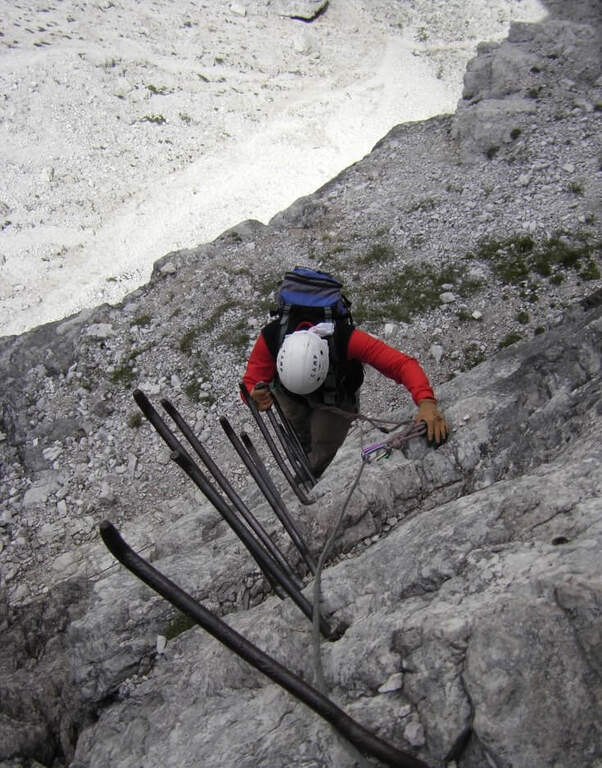
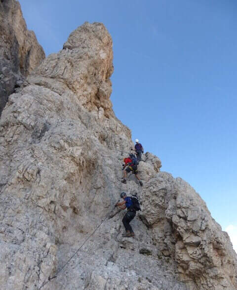
    La Ferrata Scala del Menighel è a short and unique stretch that, as the name says, è a true scala: a long series of metal frames that dates back to a bastion of about 100 meters on the north side of the Tofana of Rozes, cutting the valley of the Masarè. It is usually used to complete the tour at the base of the Tofana di Rozes by leaning to the Giussani Refuge. There is no difficulty; techniques of relief, but è exposta and the structure of the fixtures, dating back to the early twentieth century, requires concentration.

    ▲Approach

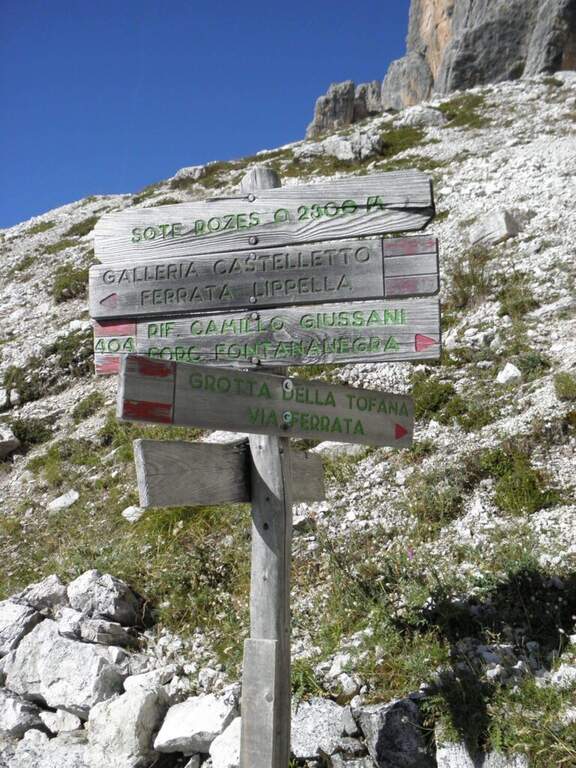
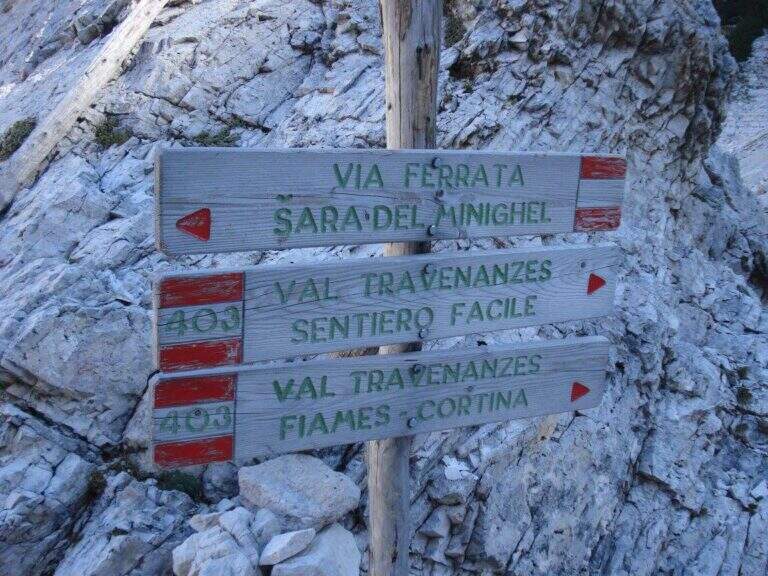
    Starting point the Rifugio Dibona, on the ampezzano slope south of the Tofana di Rozes, reachable by asphalted road that departs from the state Cortina– Passo Falzarego (follow the indications for the Rifugio Dibona, avoiding the junction for the Rifugio Duca d'Aosta). Open road signs on Google Maps. From Dibona take the path 403 on road, with modest slope, towards the south wall of Tofana; at a crossroad the 403 goes right towards the Giussani Refuge, but continue straight towards the south wall on the path 404, ignoring the bivi for the Ferrata of the Tofana Cave and for the Lipella/Gallerie del Castelletto. You reach the Forcella Col dei Bos and turn north into the Val Travenanzes, up to a fork on the right that leads to all' evident bastion of the Scala del Menighel (2h 30' from the Rifugio Dibona).

    ▲The path

    The ferrata è divided into two sections very similar. The first begins with a long series of fixtures, curves in the terminal tract, which rise diagonally to the left on a moderate gradient first then più vertical: the ascent has no difficulty; techniques, being a sequence of steps, but l' exposure quickly becomes evident. You can reach a census from which you can può admire calmly the waterfall that drops a hundred meters più to the left. The second section continues with the same fixtures, now bending to the right and with greater verticalità, until the end of the equipment (20' from' attack, about 3h totali).

    ▲Character and difficulty

    Due to the modest technical difficulties, it is also possible to hikers with moderate experience, but very exposed.

    ⚠ The fixtures date back to the early twentieth century: the ascent, although easy, requires concentration for their structure and exposure. The approach and return are long and tiring, and alone they would almost pass on the second floor the brevity of the equipped section.

    ▲Period and safety

    GPS tracks (GPX and KMZ) are available; the map of Cortina and the Dolomites of Ampezzo or the Val Badia of 4Land is useful for the area.

    ▲History

    The Scale of Menighel is first via ferrata of the area of Cortina d'Ampezzo. Luigi Gilarduzzi, called "Minighèl", blacksmith and manager of the Wolf von Glanvell Refuge in Val Travenanzes (drawn by the Italian artillery in 1915). To connect his refuge to the Giussani Refuge (then Cantor), Gilarduzzi forged 200 robust metal pioli that in 1907 they became the "Scala del Menighel".

    ▲Discipline

    The return is ringing around the Tofana of Rozes. From the end of the ferrata, under the north wall, climb steeply on the path 403 with a series of hairpin bends up to the Giussani Refuge (2580 m, 1h from the end of the ferrata); from here, always for the 403 narrow between the Tofana of Rozes and Punta Anna, you descend to the Rifugio Dibona (1h from Giussani, 2h from the end of the ferrata, 5h totali).

    ▲To match

    Often it matches downhill to Ferrata Lipella that goes up to the Tofana of Rozes. From the Giussani refuge you can reach Ferrata Formenton at Tofana di Dentro e il Sentiero Attrezzato Olivieri; by Dibona Path equipped Astaldi. To the Falzarego Pass Tomaselli, la Fuses at Sas de Stria e l'Averau.

    ▲Gallery
    Technical data
    • DifficultyModerately Hard
    • RegionVeneto
    • GroupTofa
    • Approach2:30 h
    • Ferrata0:20 h
    • Itinerary (a/r)5:00 h
    • Hardware level difference75 m
    • Route difference830 m
    • Max2573 m
    • Length11,4 Km
  • Ferrata Sass de Rocia

    Ferrata Sass de Rocia

    Vie Ferrate › Veneto › Belluno
    Ferrata Sass de Rocia

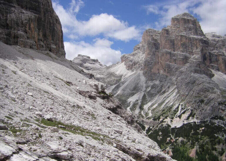
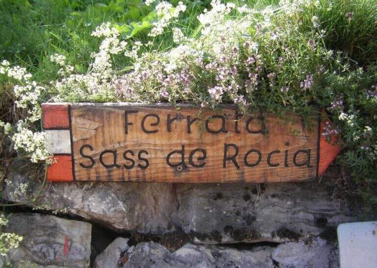
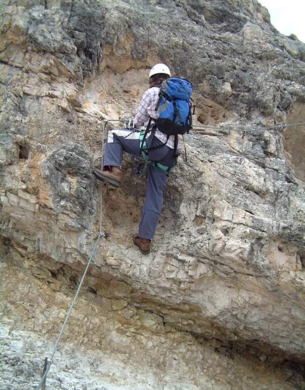
    La Ferrata at Sass de Rocia is located near Laste, in the province of Belluno, and è among the più simple of the subgroup of Marmolada. Technically elementary and with low altitude difference, & perfect for those who want to take confidence with verticalit & agrave;: the few steep traits are equipped with abundant brackets and ladders, and the ` enlivened by tre suspension bridges that make it an ideal destination for families and neophytes.

    ▲Approach

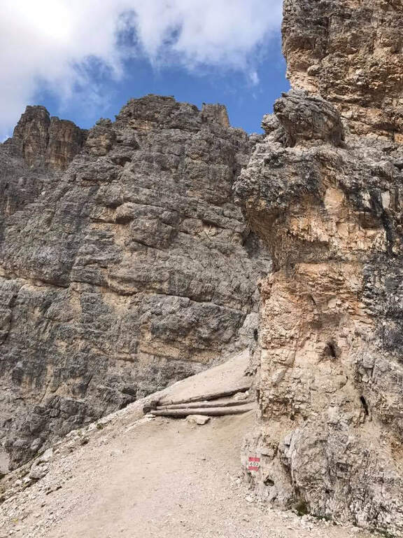
    You reach the hamlet of Ronch, just above Laste (Belluno), and you leave l' car in the square in the center of the village. Già along the road, just before ' inhabited, a sign indicates the path that climbs into the forest towards l' attack. Open road signs on Google Maps. From the square you return to the ' climb for a few meters and take the path to the left, uphill, in the forest: well marked and devoid of difficulty;, in about 10 minutes it leads to all' attack (15' from parking ).

    ▲The path

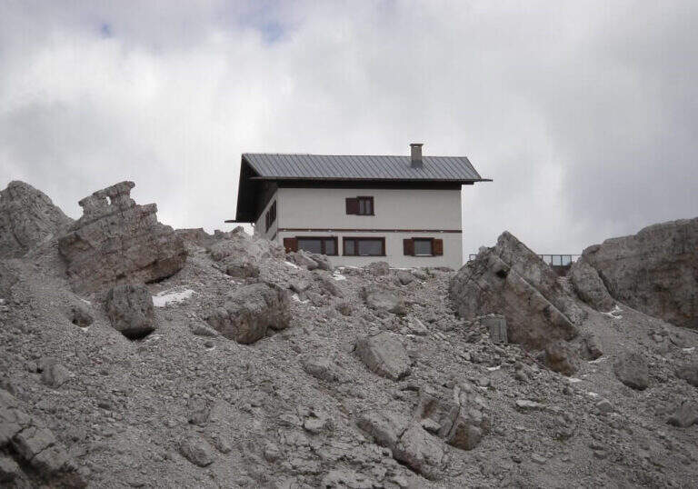
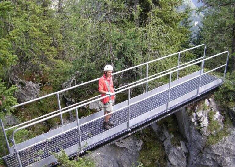
    Si attacca una paretina attrezzata con staffe e una scaletta metallica, oltre la quale ci si infila in un anfratto stretto fra le pareti del Sass de Rocia, risalito con la corda che fa da corrimano. In fondo una scaletta metallica appoggiata di circa 4 metri conduce a una cengia che, dopo pochi passi, piega con un tornante a sinistra sotto una parete verticale: la roccia è liscia e povera di appigli ma fittamente attrezzata di staffe, e un breve tratto leggermente strapiombante costituisce l'unica vera difficoltà. Si esce su un terrazzino dove le attrezzature piegano a sinistra per qualche metro prima di ripartire in verticale con altre staffe e un breve passaggio a sinistra. Si guadagna così il primo ponte sospeso, che scavalca la gola attraversata all'ingresso. Da qui il tracciato diventa sentiero attrezzato: alcune facili roccette tra i mughi portano al secondo ponte sospeso, quindi un tratto di sentiero inizialmente attrezzato conduce al terzo ponte sospeso. Un'ultima breve traccia termina al Bivacco Pian delle Stelle, dove finisce la ferrata (30' dall'attacco, 45' dal parcheggio).

    ▲Character and difficulty

    A very easy way, designed for principants and families: some vertical traits are exceeded by helping with the brackets, reducing to a minimum l' climbing. L' exhibition è contained and l' modest physical commitment.

    ▲Period and safety

    Due to the approach and the short return, it is an ideal itinerary even on uncertain weather days. GPS tracks (GPX and KMZ) are available.

    ▲Discipline

    La discesa può ripercorrere interamente la via di salita; in alternativa, superati i primi due ponti e giunti in prossimità del terzo, si segue la traccia che aggira la gola scendendo prima una scaletta e poi un sentiero, fino a innestarsi nel sentiero di avvicinamento e rientrare al parcheggio (30' dal bivacco, 1h 15' in totale).

    ▲To match

    It is the easiest of the ferrates of the subgroup of Marmolada, where the historical streets stand out Eternal, a Punta Penia, al With Ombert e al Colac. Towards the Falzarego Pass there are two easy routes, the ♪ e l'Averau; descending towards Civetta the challenging Yellow Flames, Titus e Alleghesi, besides the long Constantine to the Moiazza.

    ▲Gallery
    Technical data
    • DifficultyEasy
    • RegionVeneto
    • GroupMarmolada
    • Approach0:15 h
    • Ferrata0:30 h
    • Itinerary (a/r)1:15 h
    • Hardware level difference100 m
    • Route difference130 m
    • Max1576 m
    • Length0,9 Km
  • Ferrata Sass Brusai at Monte Boccaor (Grappa)

    Ferrata Sass Brusai at Monte Boccaor (Grappa)

    Vie Ferrate › Veneto › Treviso
    Ferrata Sass Brusai at Monte Boccaor (Grappa)
    Moderately Hard● OpenDescriptionComplexityMapsGallery

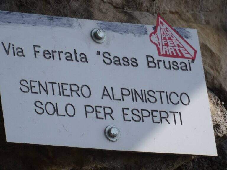
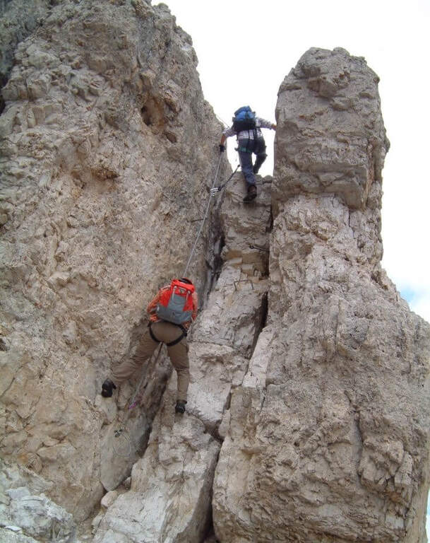
    The Ferrata Sass Brusai climbs the Monte Boccaor in the Grappa Massif: a very climbing route, with più passes; challenging places all' start and end. From the top you can può continue towards the Grappa Shrine and eventually descend from the nearby Ferrata Guzzella. Itinerary of low altitude, for long stretches of the' year.
    ▲Approach

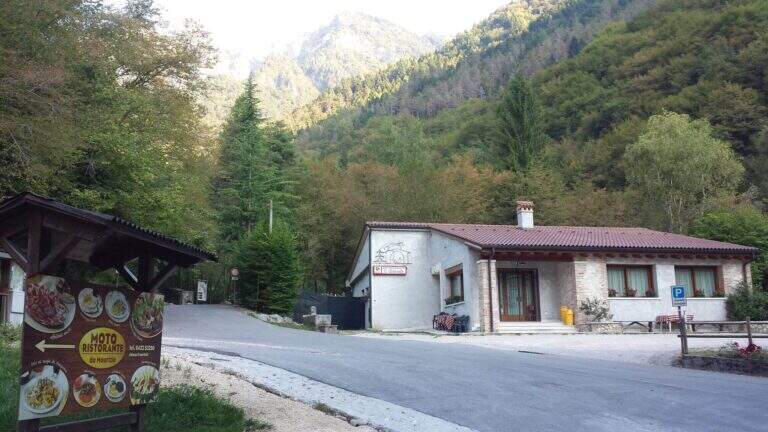
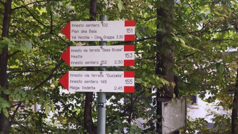
    Starting point the Val San Liberale, at l' the same restaurant, reachable from Crespano del Grappa (TV) along the SP 26: in Crespano follow the signs north to the Val San Liberale up to the ' ample parking at the restaurant (600 m). Open road signs on Google Maps. Si sale per una stradina asfaltata fino a un primo bivio (a sinistra la Ferrata Guzzella, a destra la Sass Brusai): si prosegue dritti finché l'asfalto diventa sterrato e, a un bivio segnalato (710 m, 30' dal parcheggio), si tiene la destra sul CAI 153. Per ripido sentiero nel bosco, seguendo i bolli rossi, si arriva a un bivio dove a sinistra si raggiunge l'attacco (1160 m, 1h 15' dal parcheggio).

    ▲The path

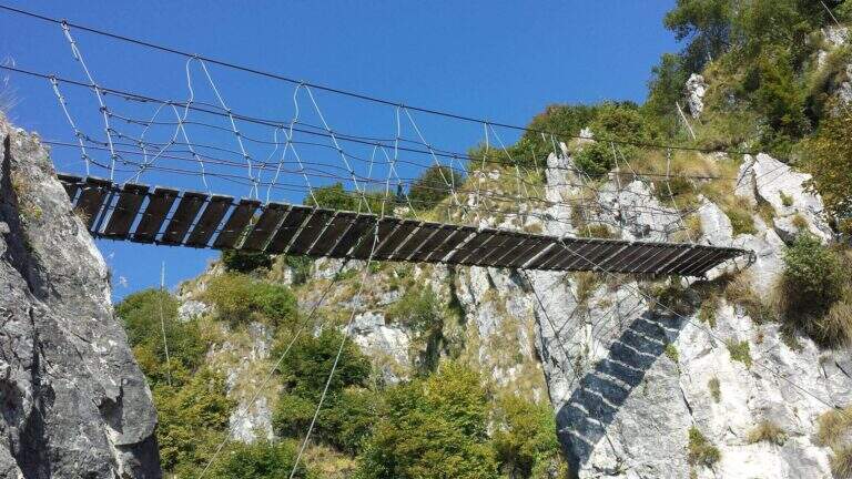
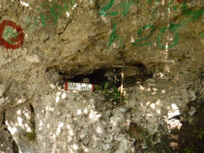
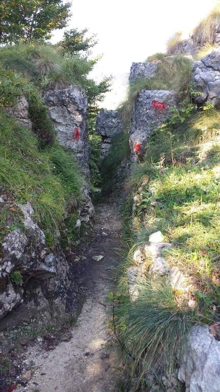
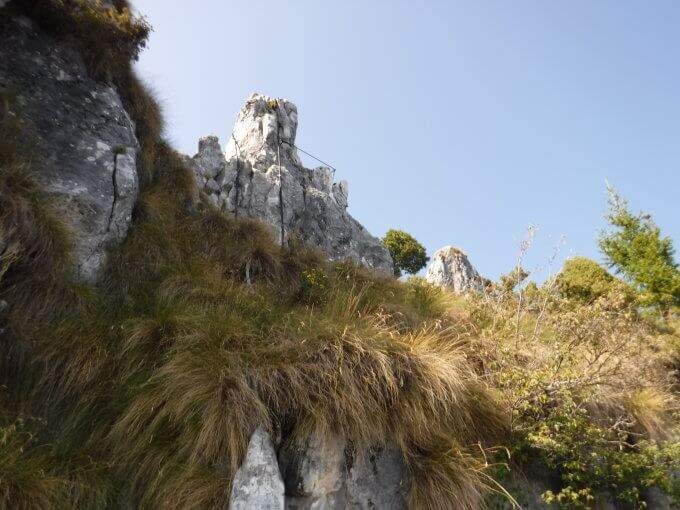
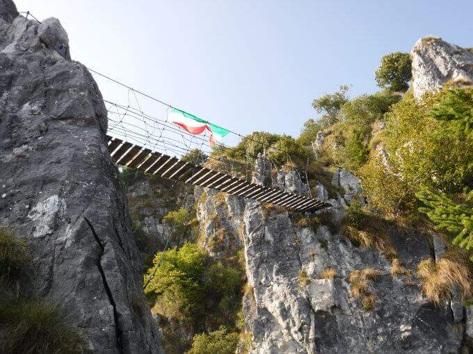
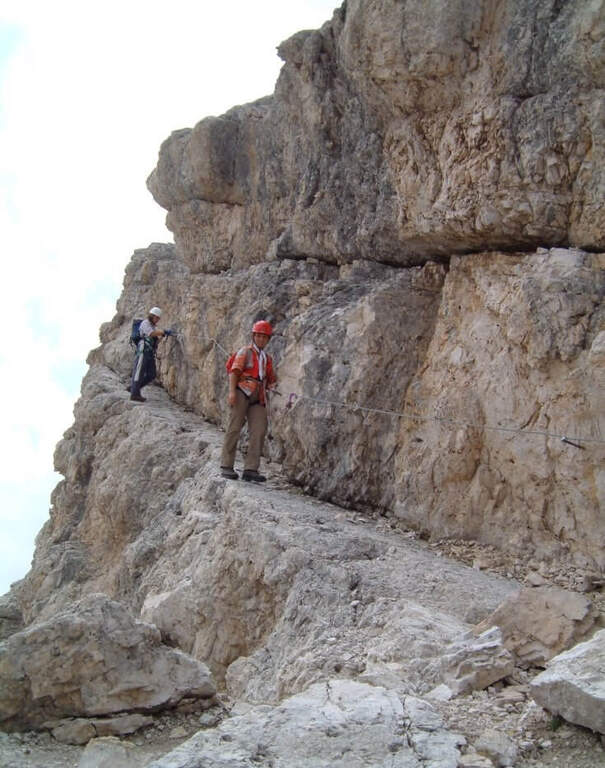
    Dal balconcino d'attacco si salgono alcune roccette a sinistra della targa e si entra nella prima sezione: una parete di una quindicina di metri che in alto prende la forma di un camino, molto piacevole su roccia frastagliata e ricca di appoggi. Usciti dal camino, un paio di balzi su fondo misto roccia-erba (attenzione se umido) e una breve cengia introducono un tratto di sentiero. La seconda sezione risale una cresta di ampi blocchi, tenendosi sul lato sinistro, con basso senso di esposizione per gli alberi circostanti; seguono sentiero erboso e facili balzi attrezzati. La terza sezione sale una costola rocciosa, ben gradonata in basso e più tecnica in alto, dove una fessura e un paio di sporgenze obbligano a procedere in spaccata sul versante opposto alla fune; poi una paretina ben appigliata, una placca e un camino (anch'esso in spaccata) si aprono sulla vista del Monte Grappa. Tra risalti, cenge erbose attrezzate e facili balzi si raggiunge la forcellina «Sella del Candidato» (1345 m, 45' dall'attacco). Oltre la sella due passaggi impegnativi e verticali: una prima parete levigata (possibile qualche trazione sul cavo) e, dopo un collegamento, una nuova paretina esposta presso la cresta. Si prosegue su cresta esposta ma più facile, si risale uno sperone (una rara staffa metallica aiuta dove mancano appigli) e si aggira uno spigolo; una lunga costola, gradoni rocciosi e una placchetta di 6 m portano a un sentiero attrezzato, un balzo e un canalino. Dopo un lungo collegamento si ignora la deviazione per il CAI 152 (1455 m, 1h 15' dall'attacco) e si sale al ponte sospeso: si rimonta il gendarme su placca liscia, lo si aggira a destra e si attraversa il ponte su solide assi (sul versante opposto, a sinistra, una via di fuga verso la strada). Si prosegue a destra: alcune roccette, poi un tratto esposto più impegnativo sotto un gendarme con pochi appigli, una spaccatura da attraversare in spaccata e una cresta appoggiata dove il cavo fa quasi da corrimano. L'ultimo passaggio è una parete di una decina di metri arrampicabile (aggirabile seguendo la freccia rossa presso il libro di via); al termine della placca finiscono le attrezzature e, seguendo la traccia parallela a una vecchia trincea, si raggiunge la vetta del Boccaor (1532 m, 1h 45' dall'attacco / 3h dal parcheggio).

    ▲Character and difficulty

    The most challenging passages are on the first and last wall. Fatious approach and short return to account.

    ⚠ Low altitude and exposure to south: prohibitive in the più months; warm. Beware of unprotected traits with grassy background, which tends to be slippery.
    ▲Period and safety

    Maximum altitude 1532 m: for good part of the year, but to avoid on hot summer days for exposure to the south.

    ▲Discipline

    Dalla vetta si seguono le indicazioni a sinistra per Pian della Bala (1380 m), dove ancora a sinistra si prende il sentiero 151 che scende fino al bivio incontrato all'andata e quindi al parcheggio (1h 30' dal termine / 4h 30' totali).

    ▲To match

    Experts can close a more challenging ring with the neighbor Ferrata Guzzella (preferable downhill, to avoid the many unprotected and slippery sections of Sass Brusai). Near Grappa also athletics Ferrata Santa Felicita; in Val d'Astico the recent Ferrata Anelli delle Anguane; towards the Dolomites Feltrine la Ferrata at Monte Coppolo.

    ▲Gallery
    Technical data
    • DifficultyModerately Hard
    • RegionVeneto
    • GroupGrappa Massif
    • Approach1:15 h
    • Ferrata1:45 h
    • Itinerary (a/r)4:30 h
    • Hardware level difference450 m
    • Route difference905 m
    • Max1532 m
    • Length10 Km
  • Ferrata Santa Felicita (Bassano del Grappa)

    Ferrata Santa Felicita (Bassano del Grappa)

    Vie Ferrate › Veneto › Vicenza
    Ferrata Santa Felicita (Bassano del Grappa)

    The Ferrata Santa Felicita è a short route and atletica in' the homonymous valley near Bassano del Grappa: short but varied and intense itinerary, which requires good force of arms. It takes place in an area famous for l' sports and & leisure climbing; ideal for training in cold months.

    ▲Approach

    Starting point the parking d' access to the Valle Santa Felicita, in Romano d'Ezzelino (VI): following the directions to via Santa Felicita you leave l' car in the ' wide parking at the end of the road. Open road signs on Google Maps. You walk north along the path that leads to the wall; part of the path is tiring, on a series of steps in rock, up to the rock gym where you find the indications for the ferrata.

    ▲The path

    It attaches a beautiful vertical wall well equipped with abundant brackets, on excellent granite that, where not replaced by fixtures, offers solid hooks. The brackets move gradually to sinistra with a slight overhanging (first difficult & agrave;); after about ten vertical meters a short horizontal section on the left precedes a second vertical section, always on brackets, with which you quickly gain altitude and exposure. Take a left-hand side, using the pins for the feet, up to a vertical wall of about fifteen meters which above takes the form of a diedro along a crack: climb on brackets, move from the left to the right side of the dihedron, pass a slightly overhanging passage and exit on a left side where to rest. From the census you move left in a stretch of descent, you get around a edge and you get to the più tract; characteristic: a plane across horizontal with nails as foot support. A wall of about 6 meters is down and diagonally on the left begins l' last section, with a slight descent (again on nails); it loses altitude until the end of the crossing, a vertical wall is descended on brackets and a diagonal ramp equipped until the end (30' from' attack / 1h 15' from parking ).

    ▲Character and difficulty

    Short but intense and challenging, with strong exposure throughout the route. Difficult & Agrave; they are mainly athletic: the possibility to climb ` limited by ' abundant use of brackets and piles, and serves good force of arms.

    ⚠ Strong exposure and athletic steps: not recommended to those who are not trained in arms. Excellent in winter for low altitude, but always with dry rock.
    ▲Period and safety

    Low altitude (maximum 350 m): most of the year can be traveled, indicated as training in cold months.

    ▲Discipline

    From the end, a path returns in short to the' the return to the car park takes place on the backward approach path (30' from the term / 1h 45' totali).

    ▲To match

    Near the Grappa massif, it is combined in the day with one of the two itineraries that go up: the Ferrata Sass Brusai e la Ferrata Guzzella. To the north Ferrata Gabrielli to the Cima d'Asta; in Val d'Astico the recent Ferrata Anelli delle Anguane.

    ▲Gallery
    Technical data
    • DifficultyHard
    • RegionVeneto
    • GroupGrappa Massif
    • Approach0:45 h
    • Ferrata0:30 h
    • Itinerary (a/r)1:45 h
    • Hardware level difference40 m
    • Route difference140 m
    • Max350 m
    • Length3 Km
Need help? Write to us!