Stato: Aperta

  • Ferrata del Monte Ocone

    Ferrata del Monte Ocone

    Vie Ferrate › Lombardia › Bergamo
    Ferrata del Monte Ocone

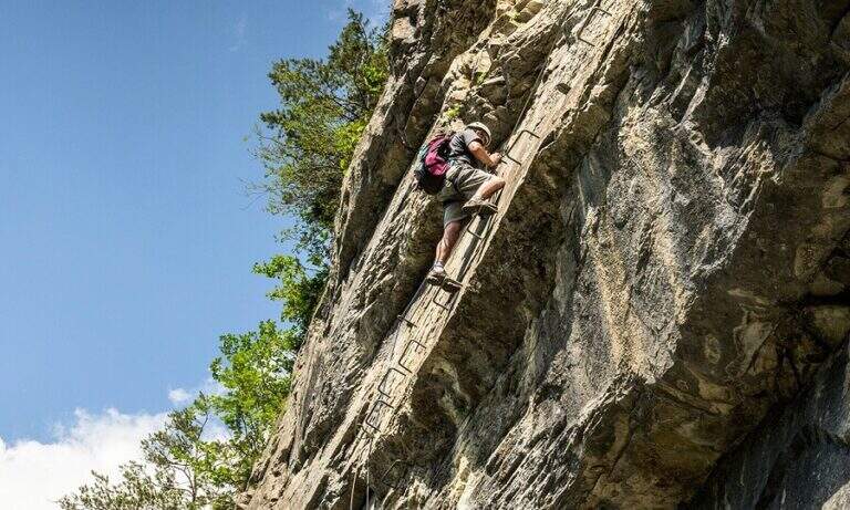
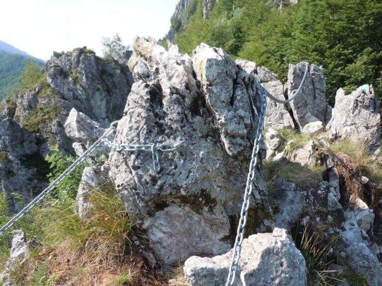
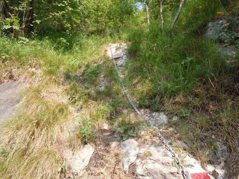
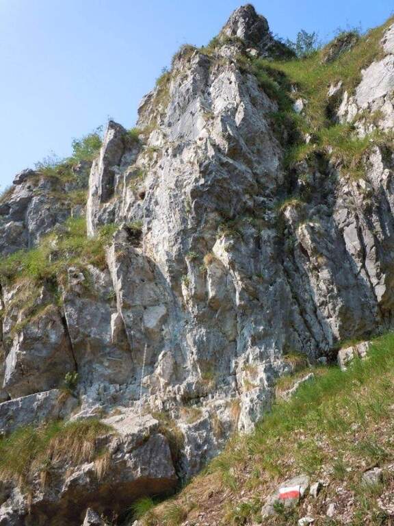
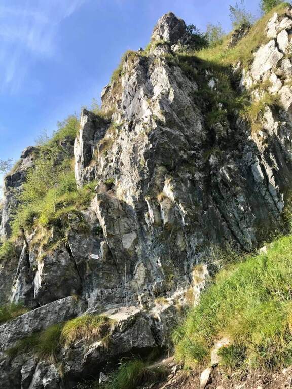
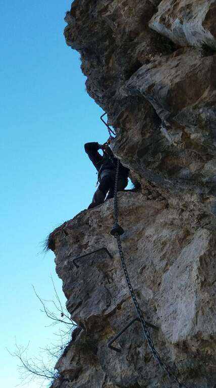
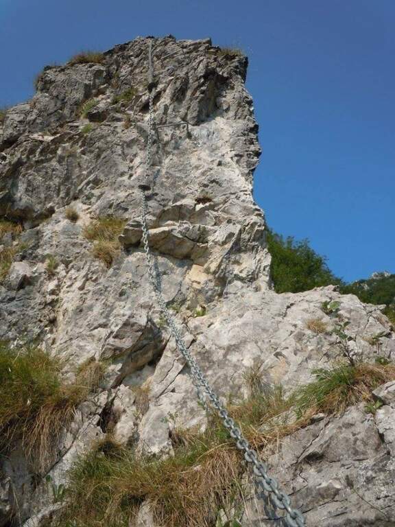
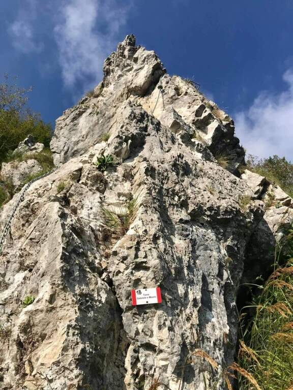
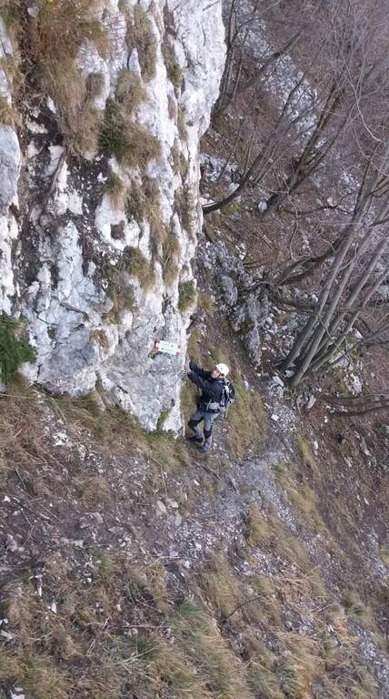
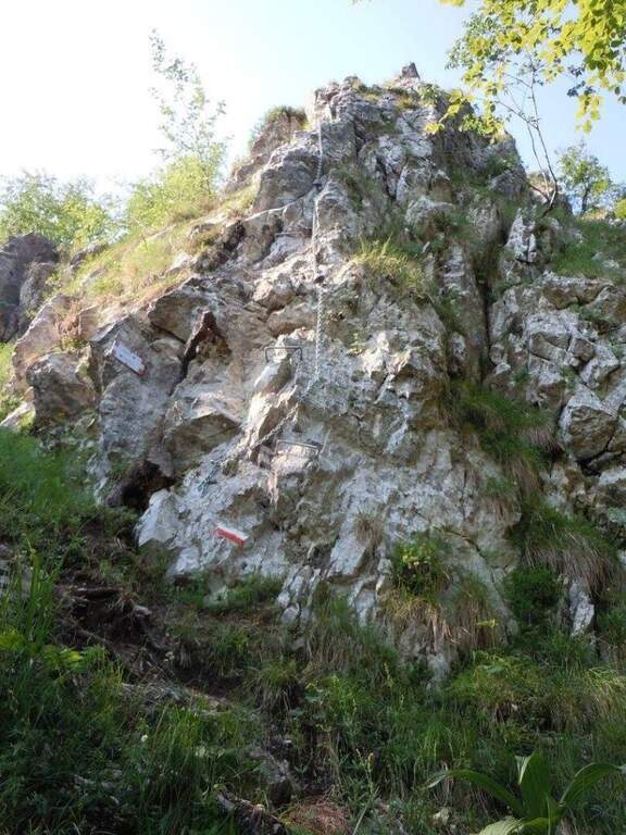
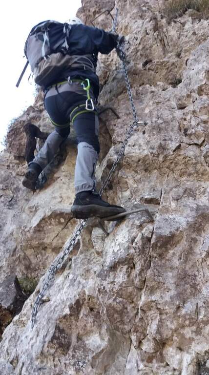
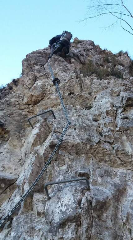
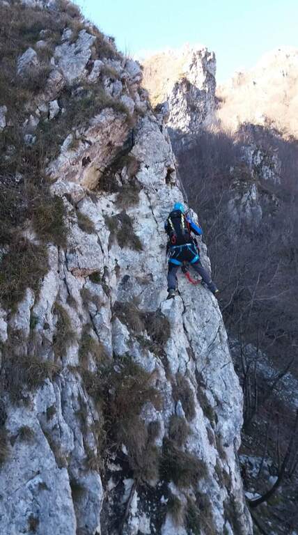
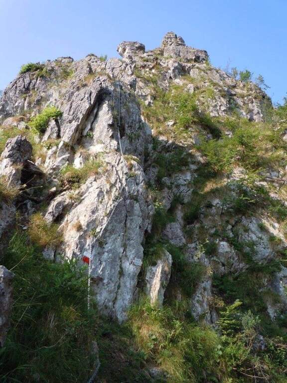
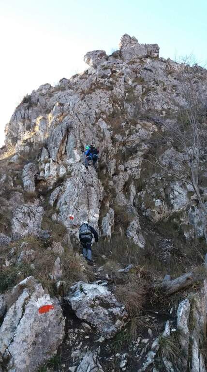
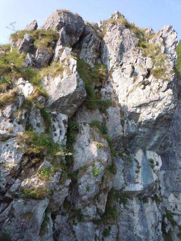
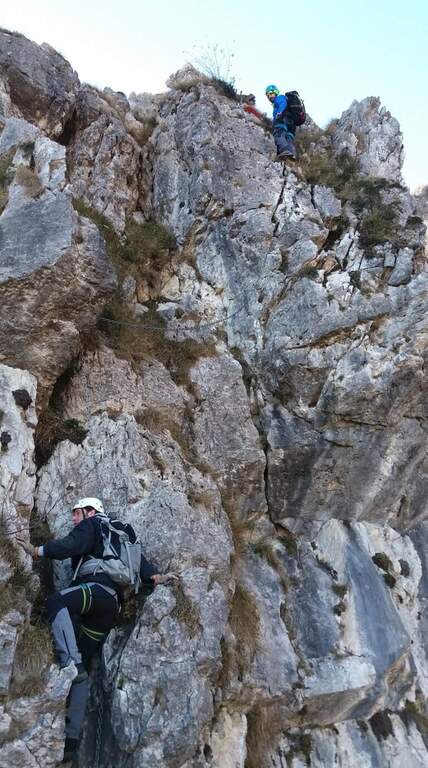
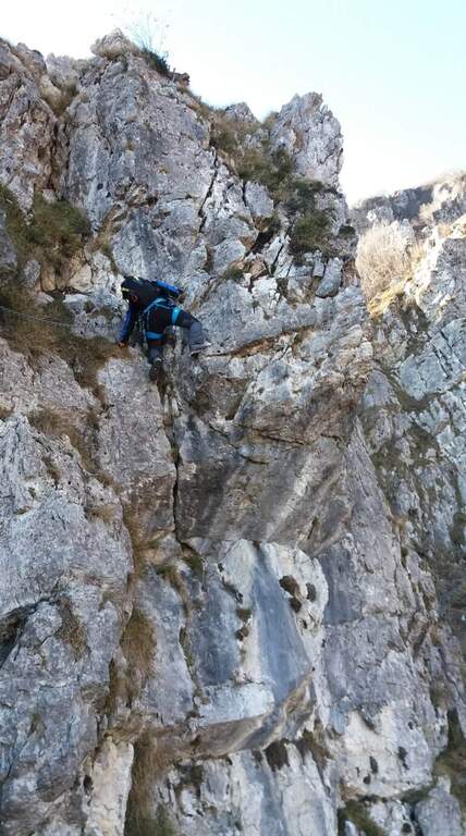
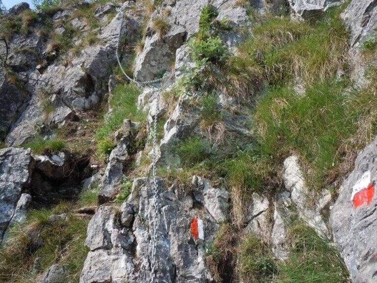
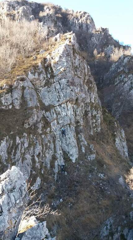
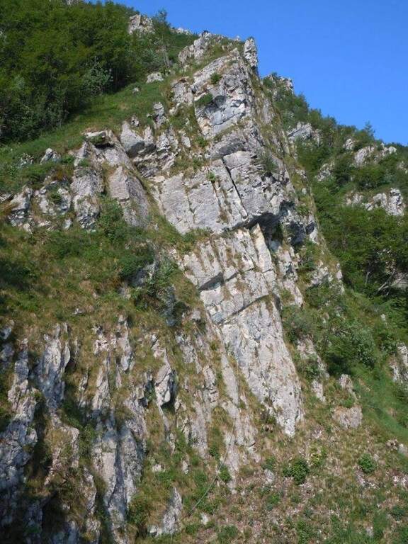
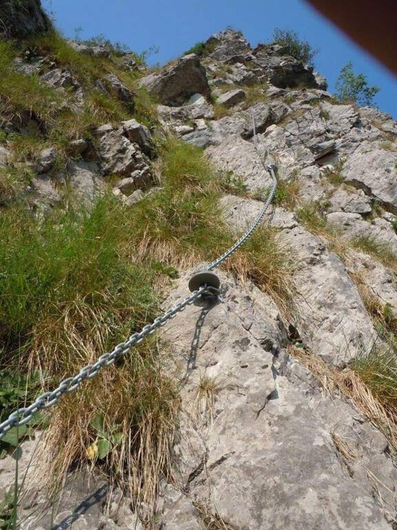
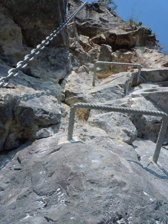
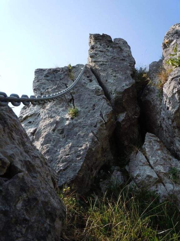
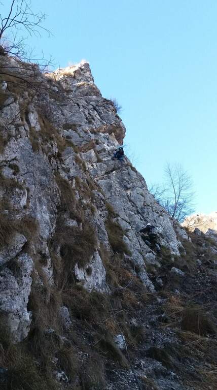
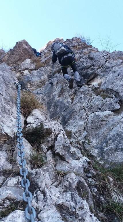
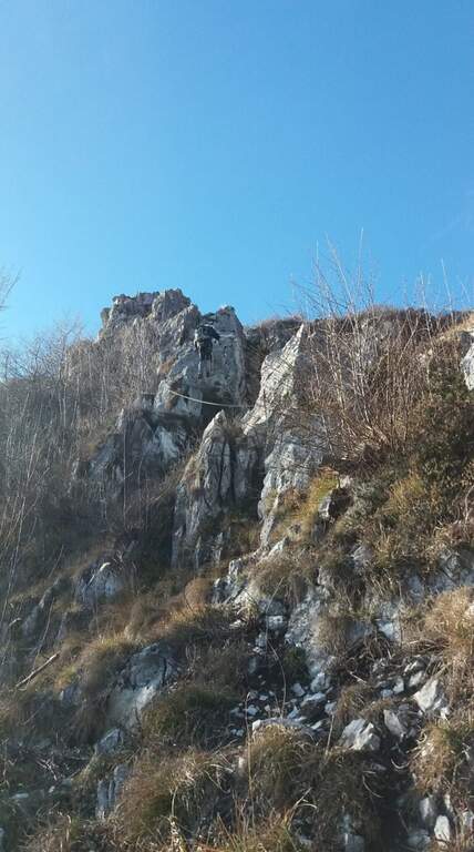
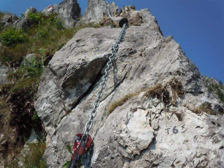
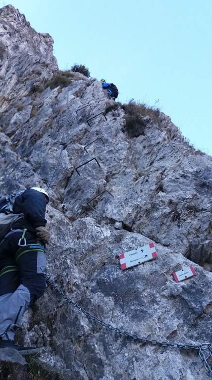
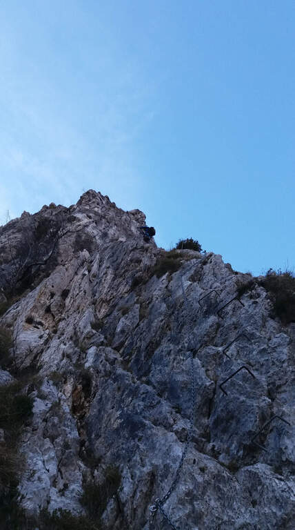
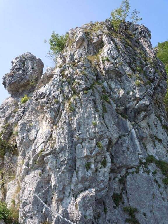
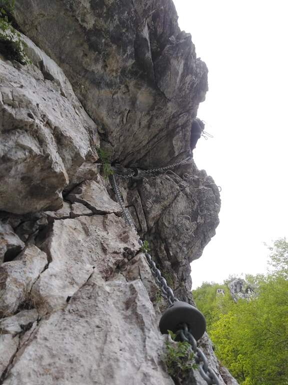
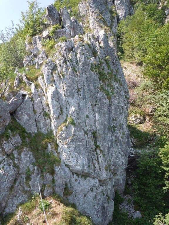
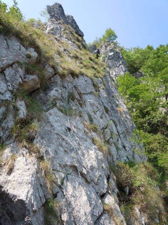
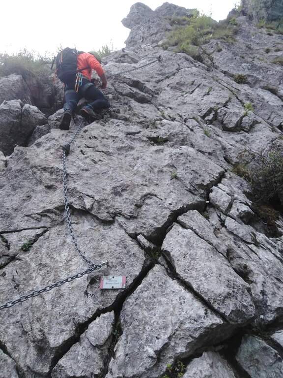
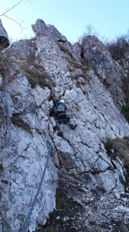
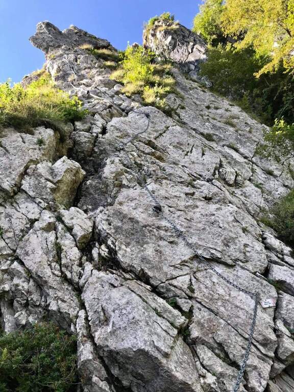
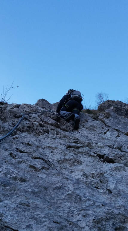
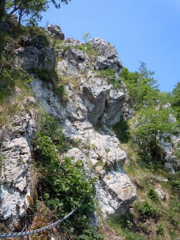
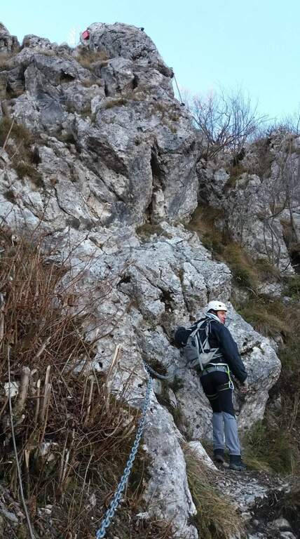
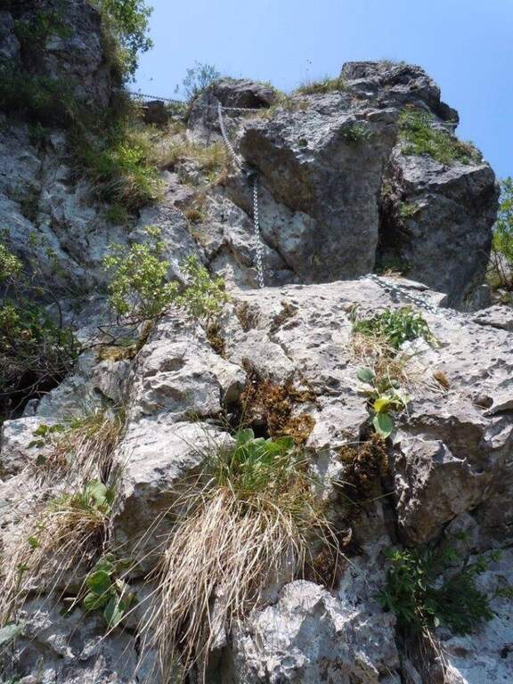
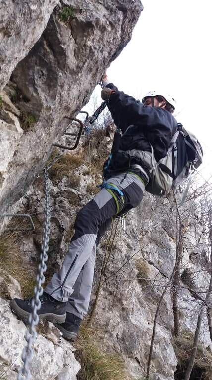
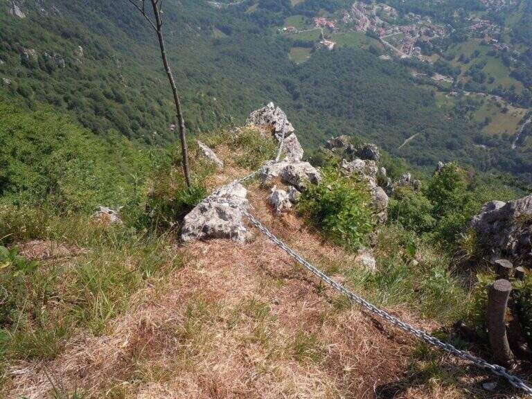
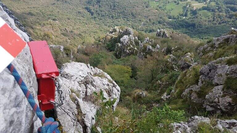
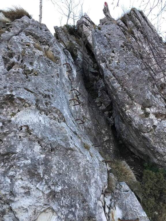
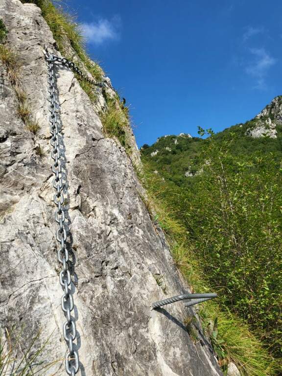
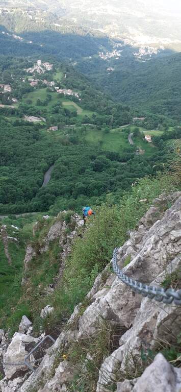
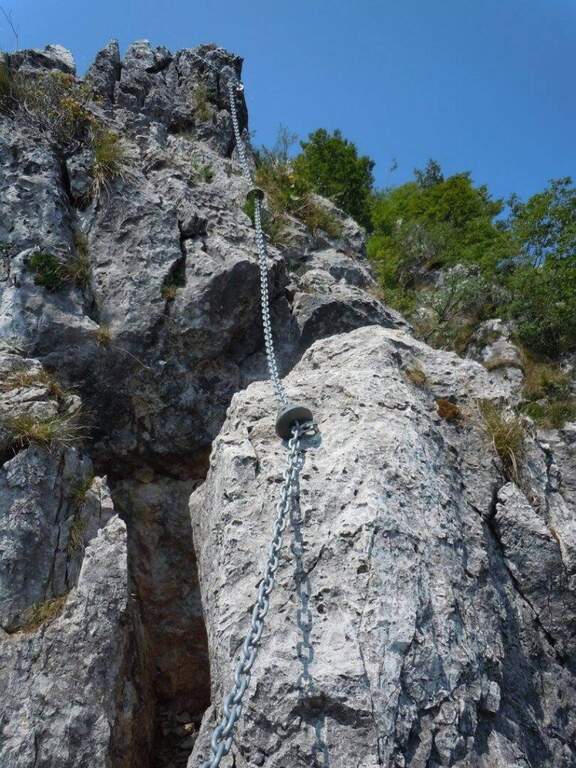
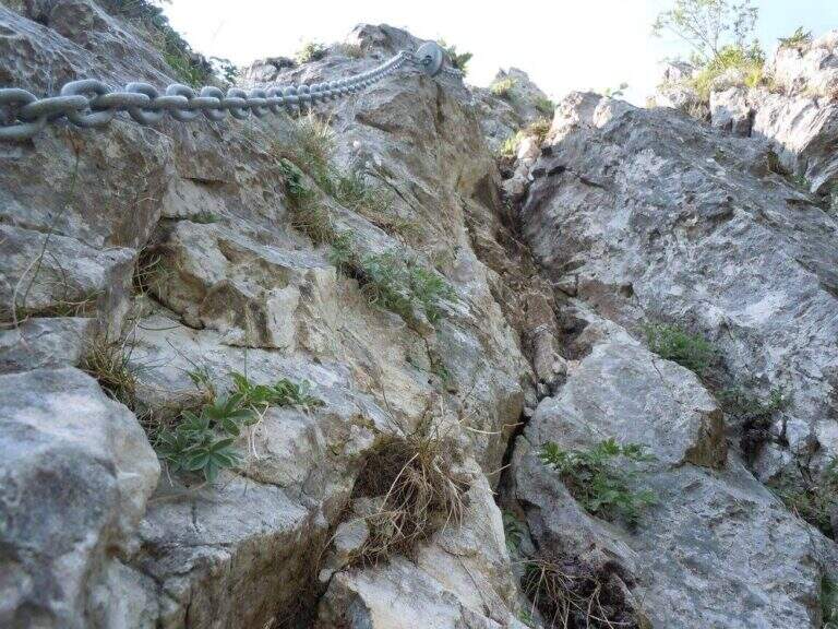
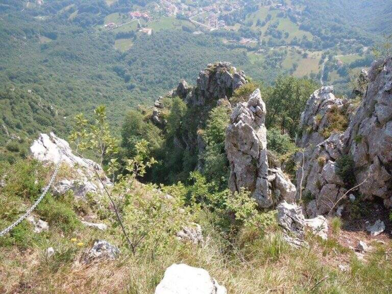
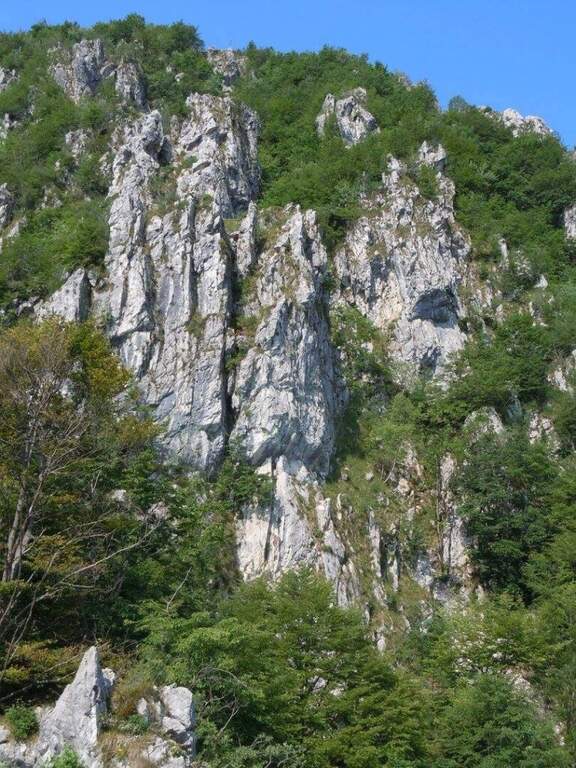
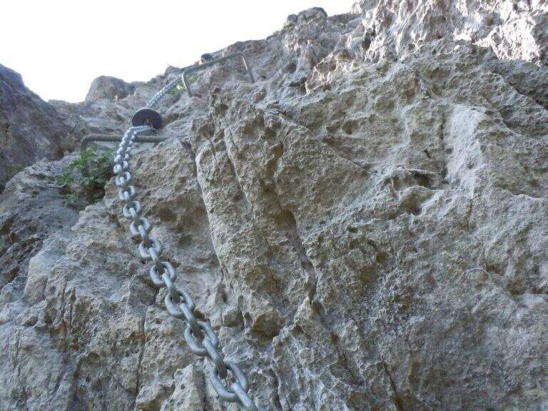
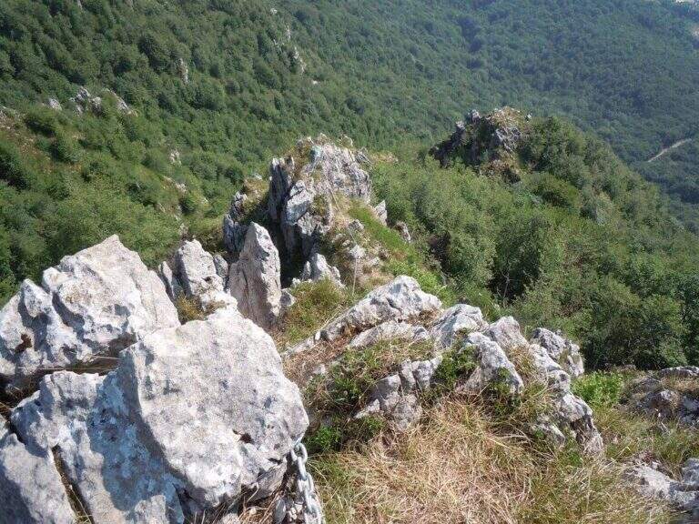
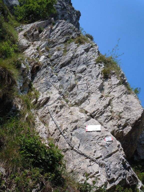
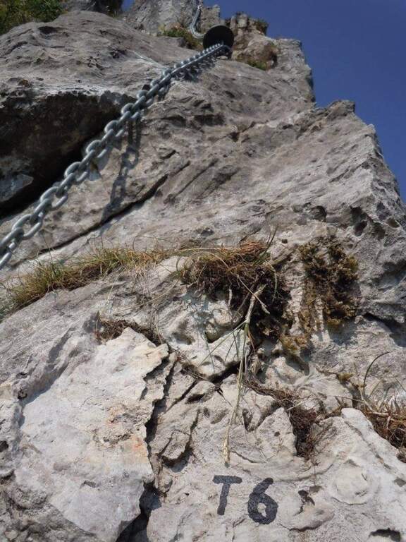
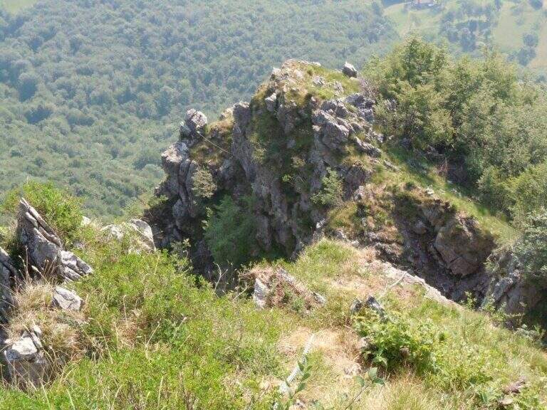
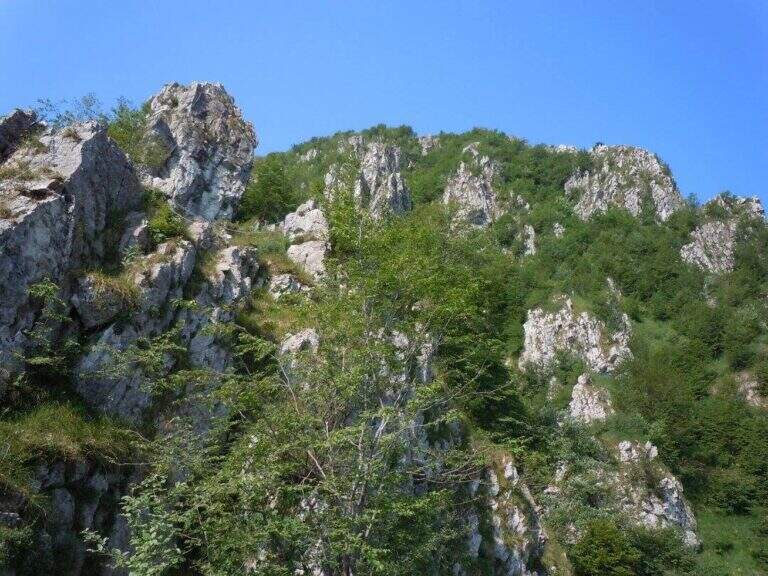
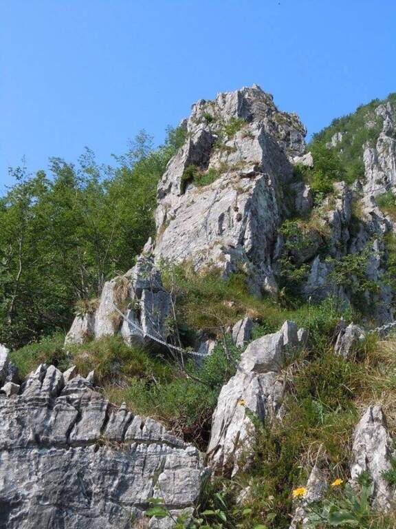
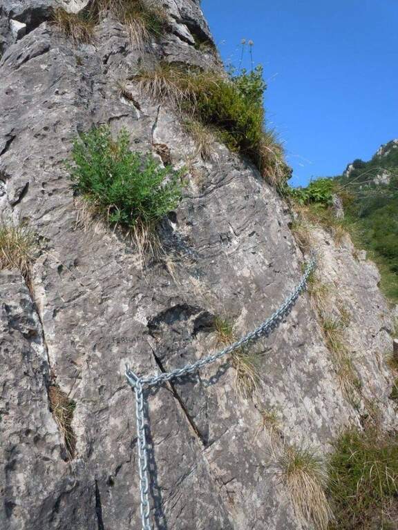
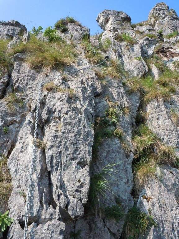
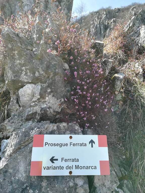
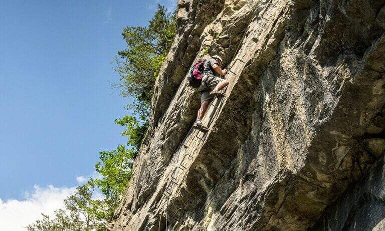
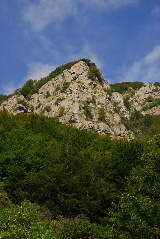
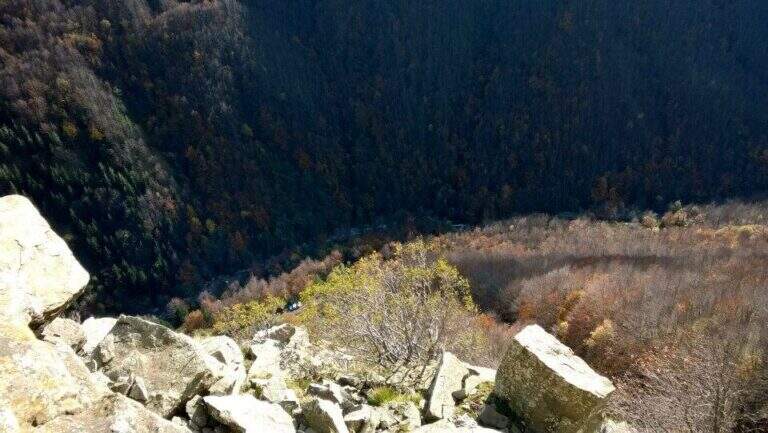
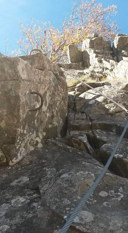
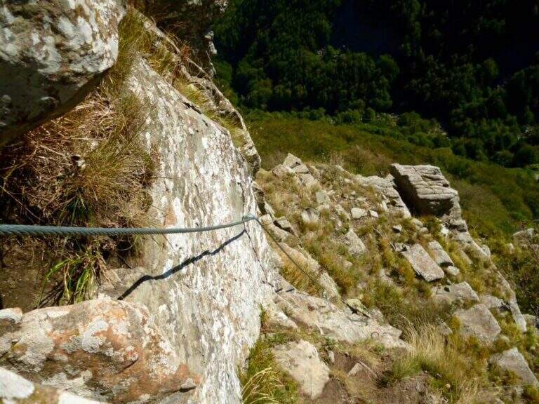
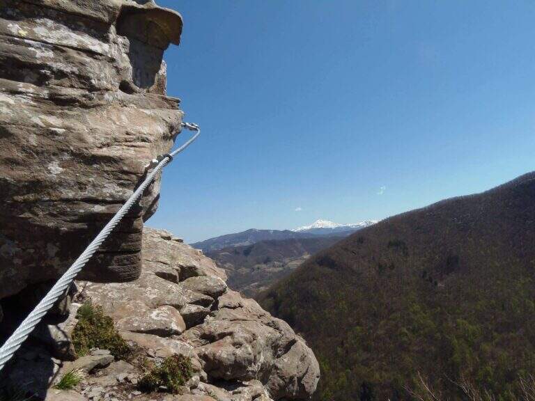
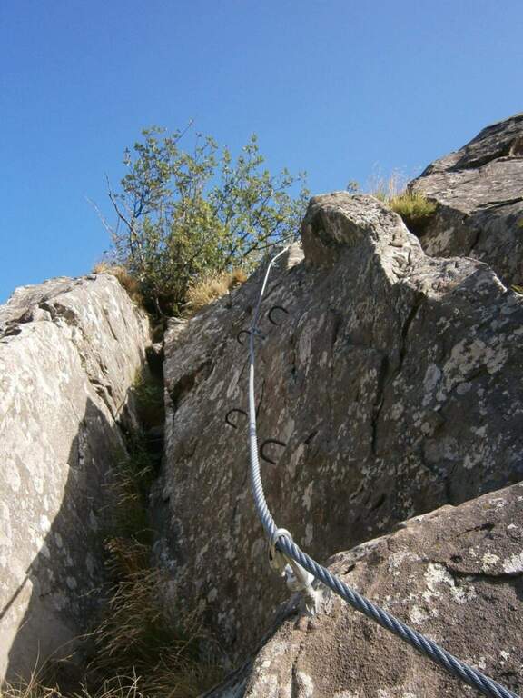
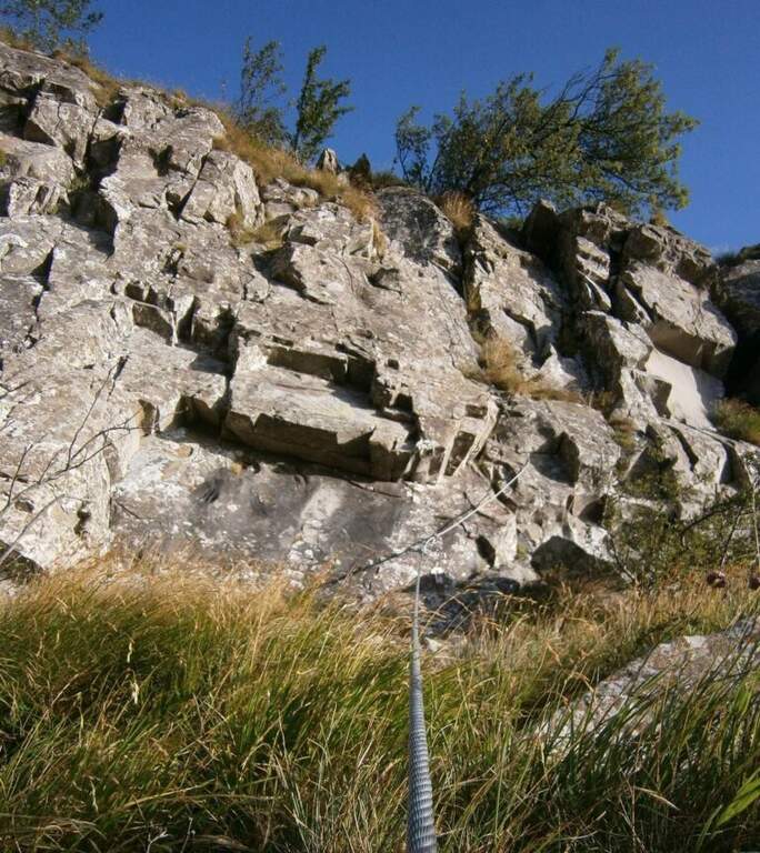
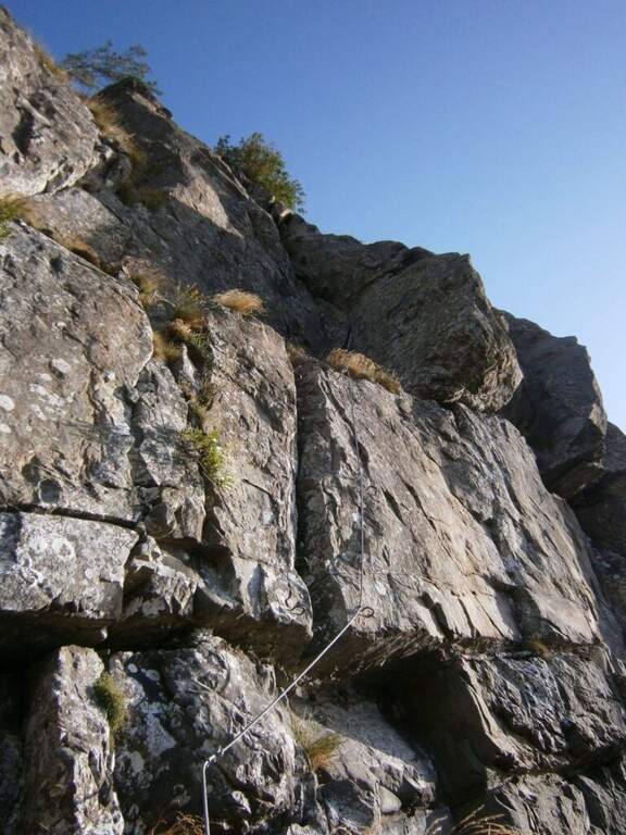
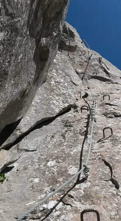
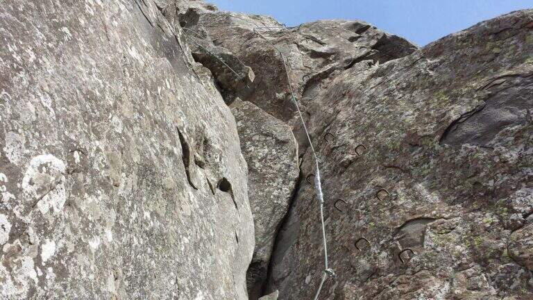
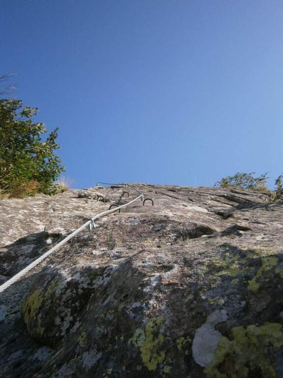
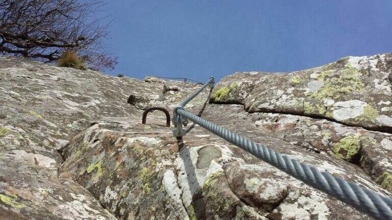
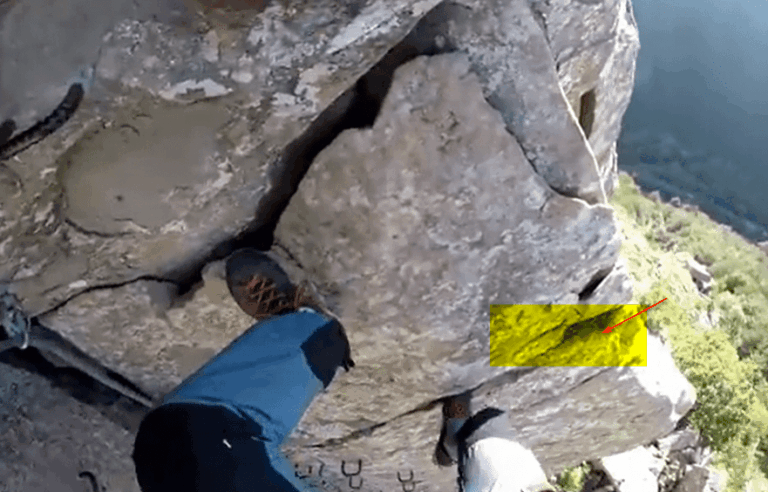
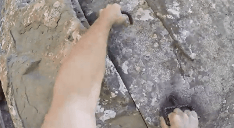
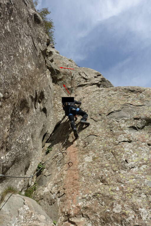
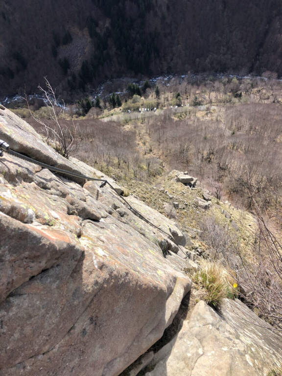
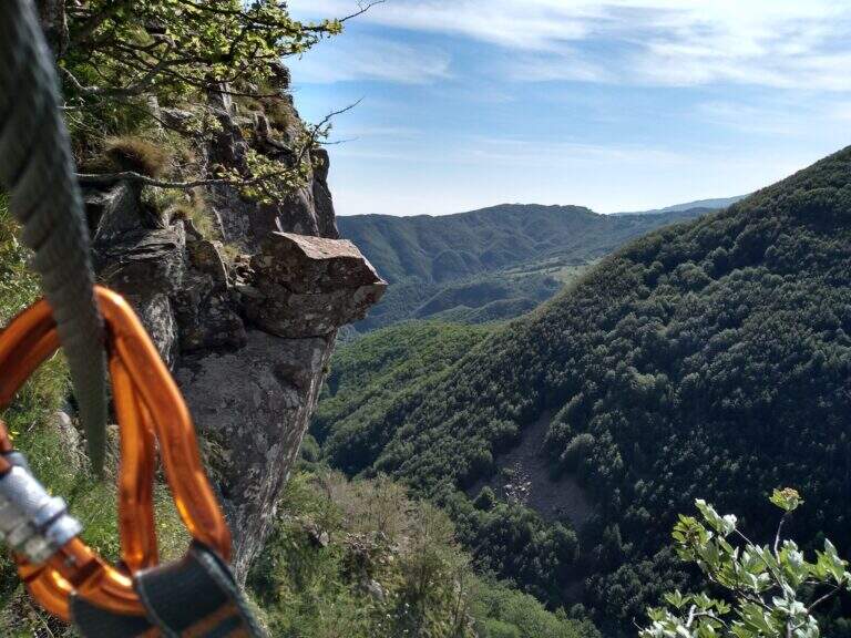
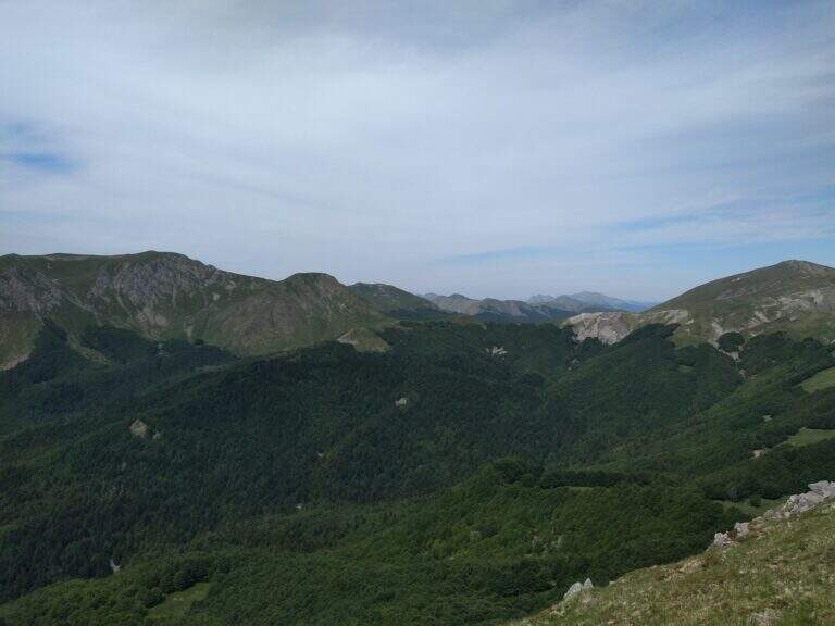
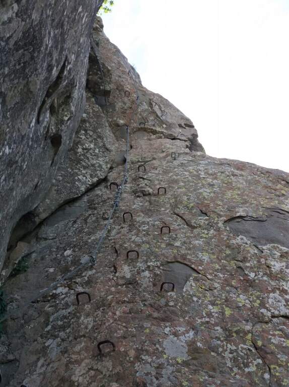
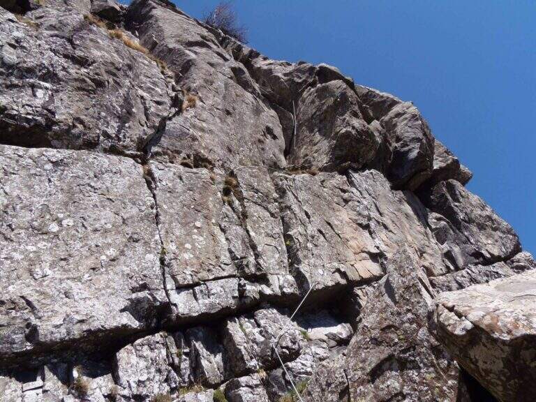
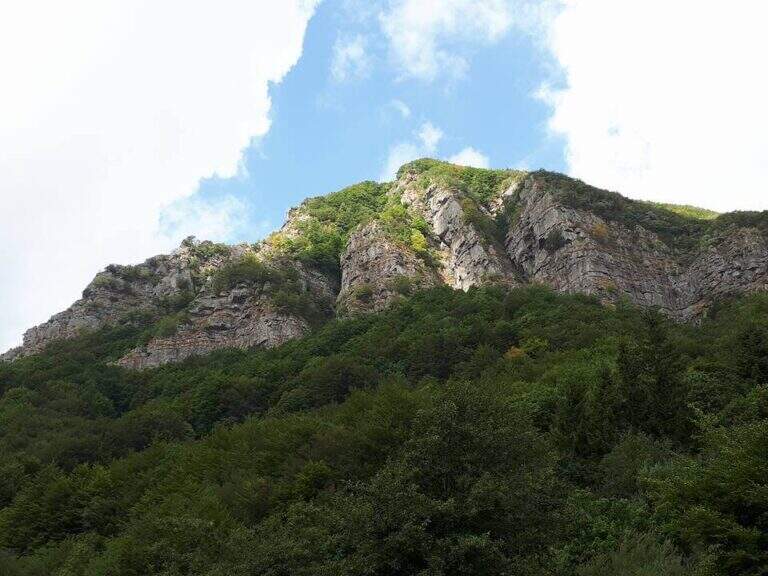
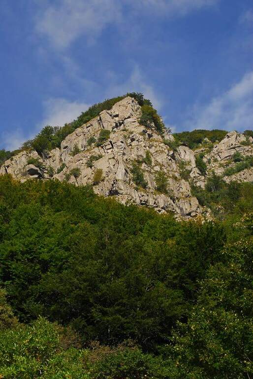
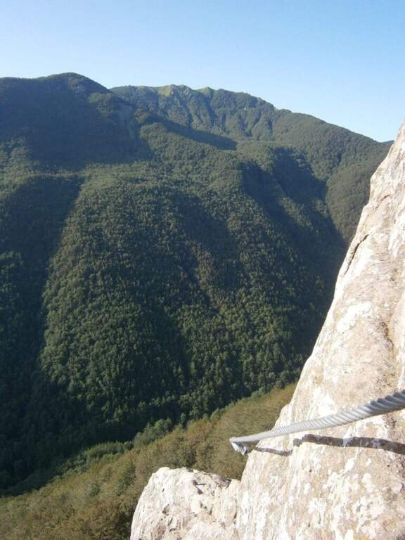
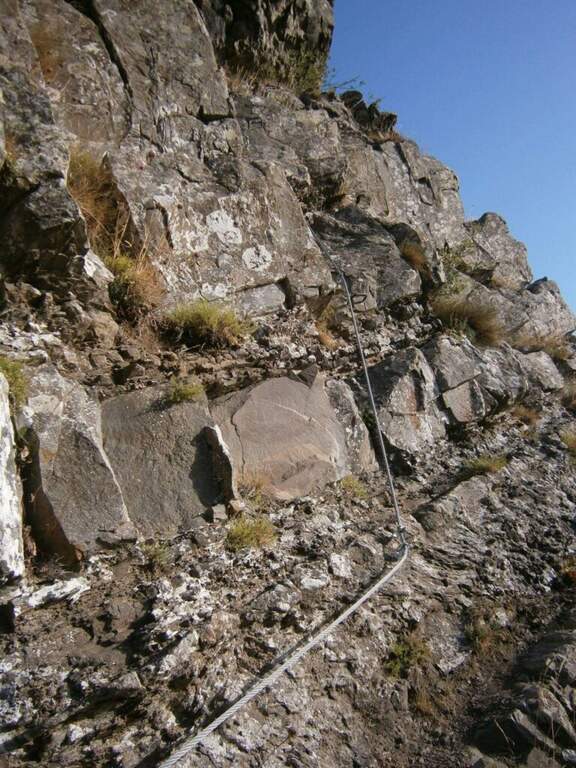
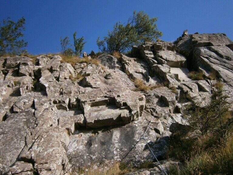
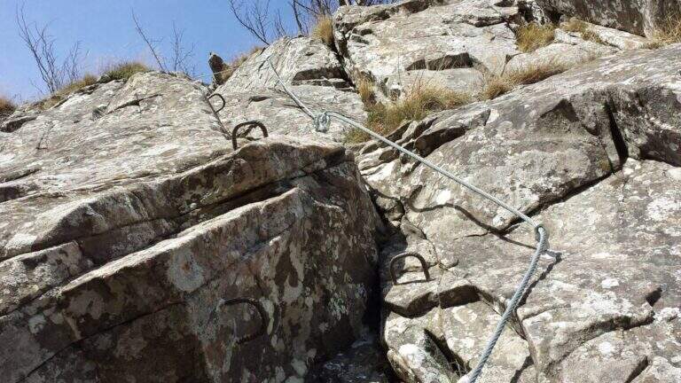
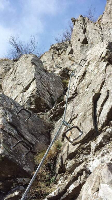
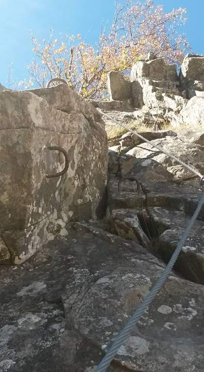
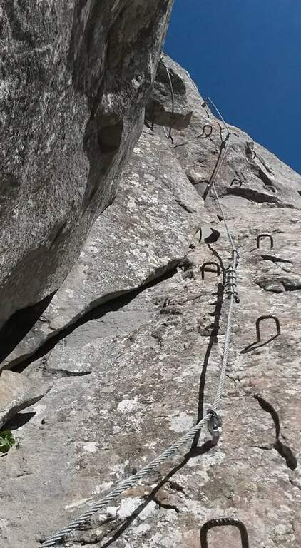
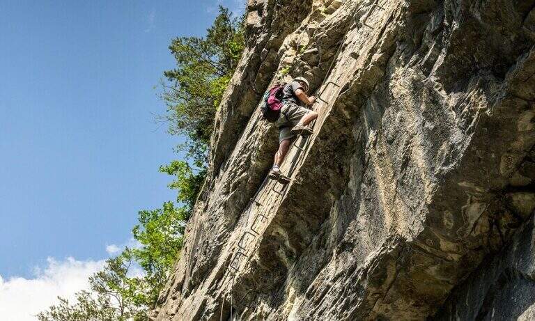
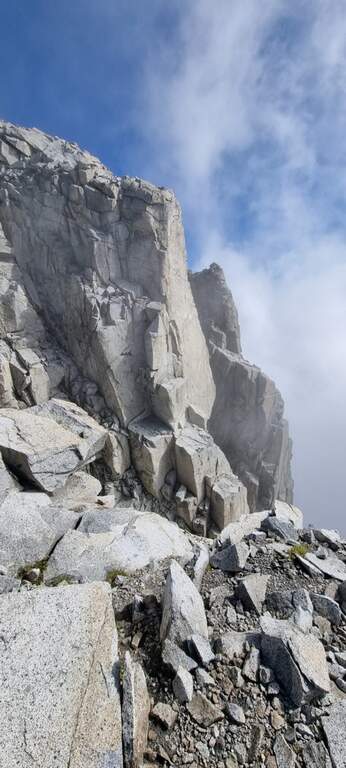
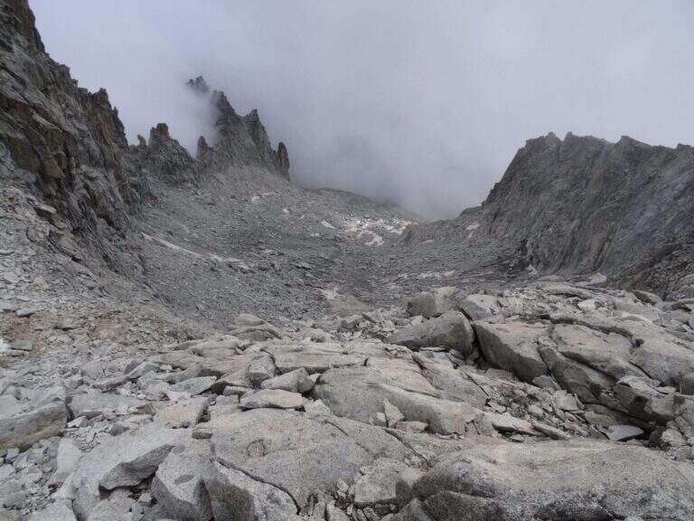
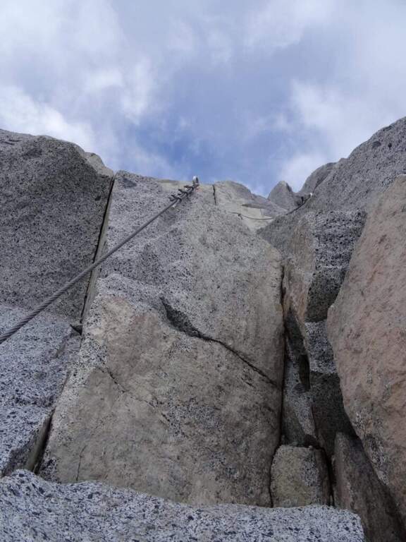
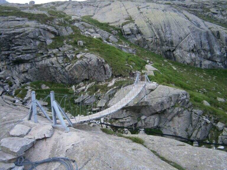
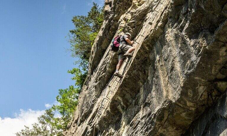
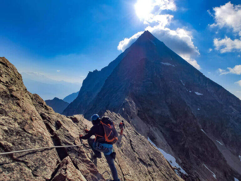
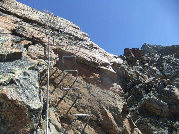
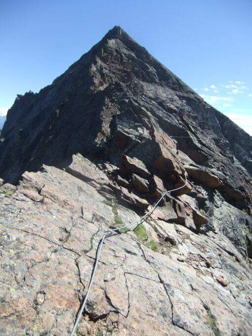
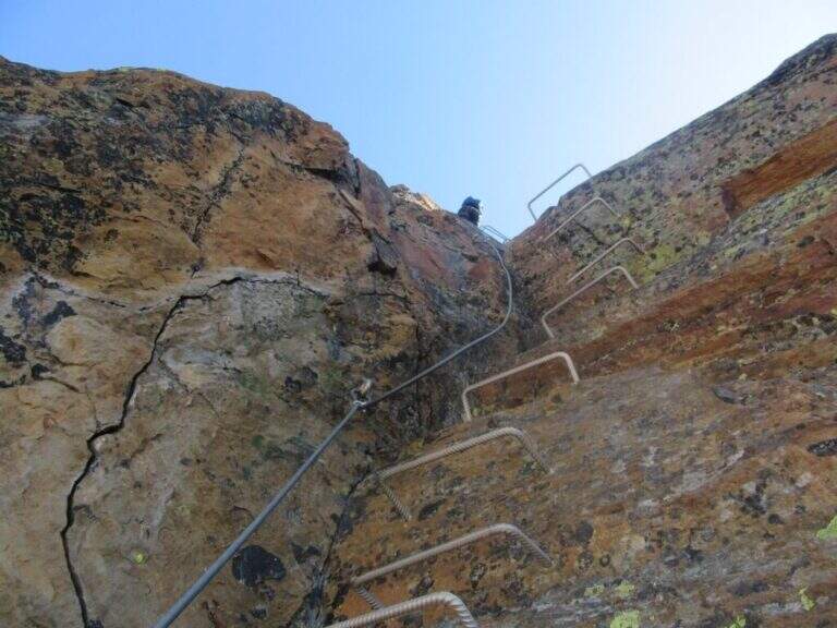
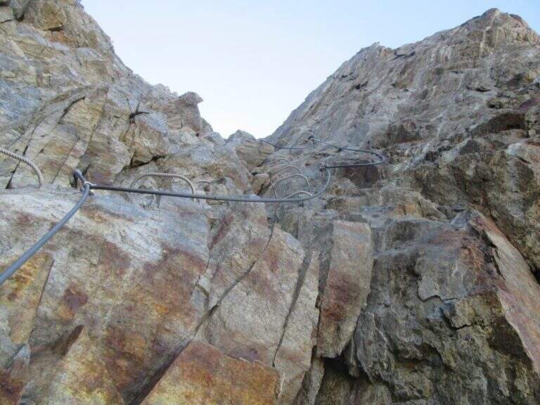
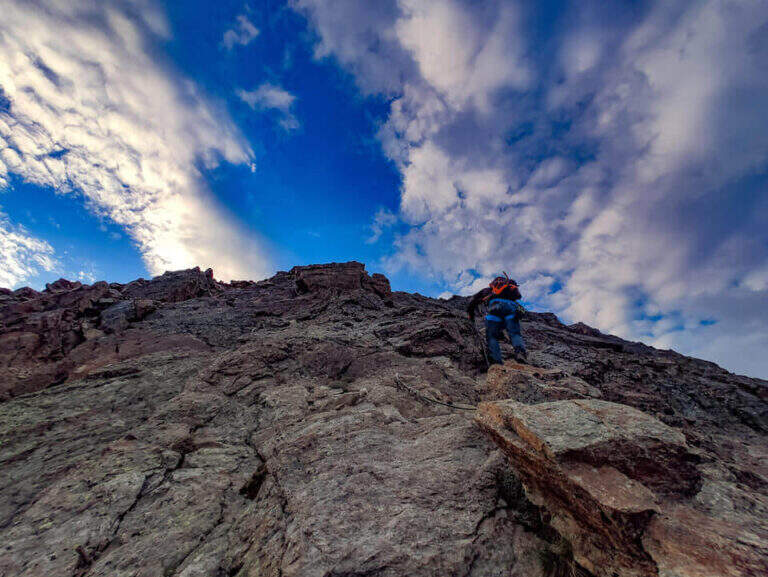
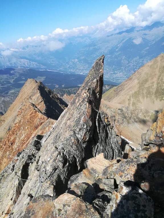
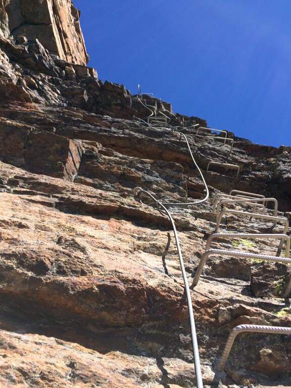
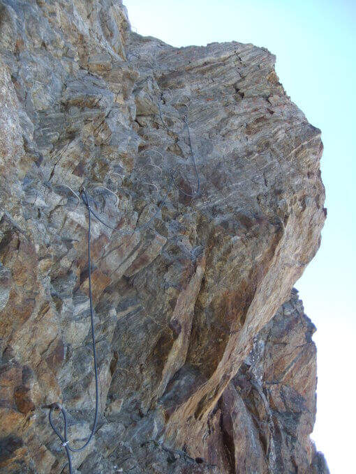
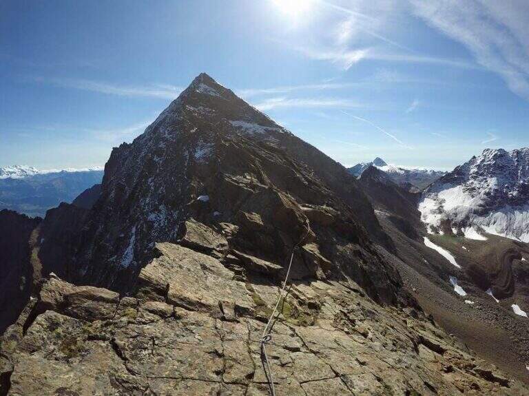
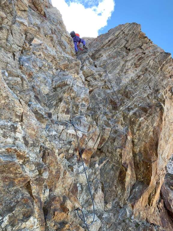
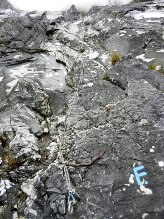
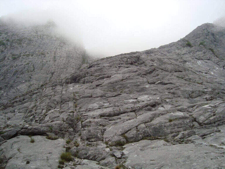
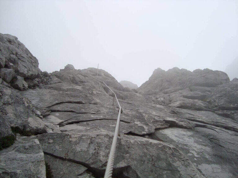
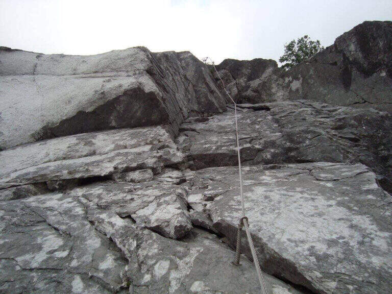
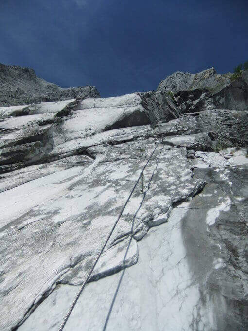
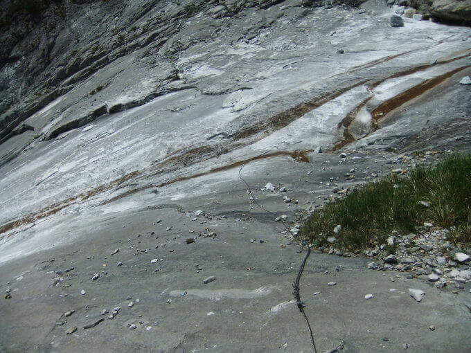
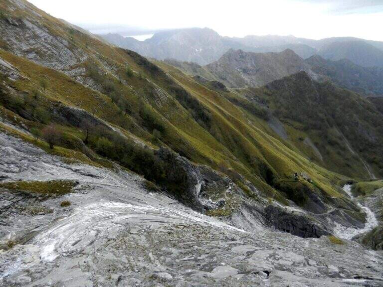
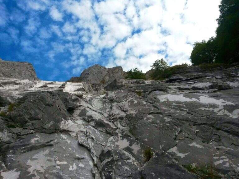
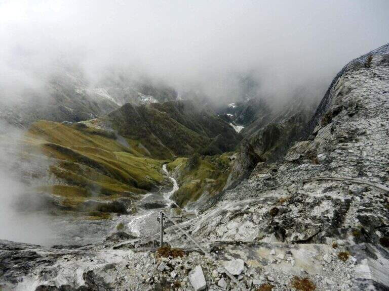
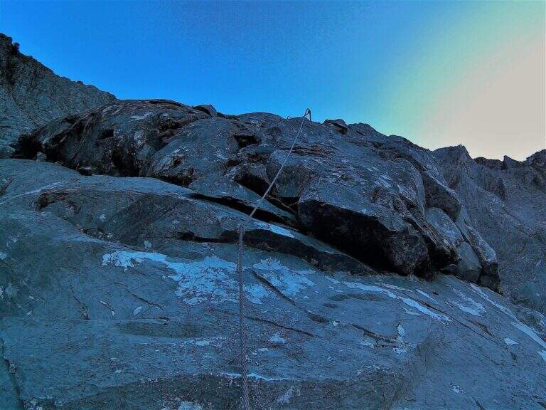
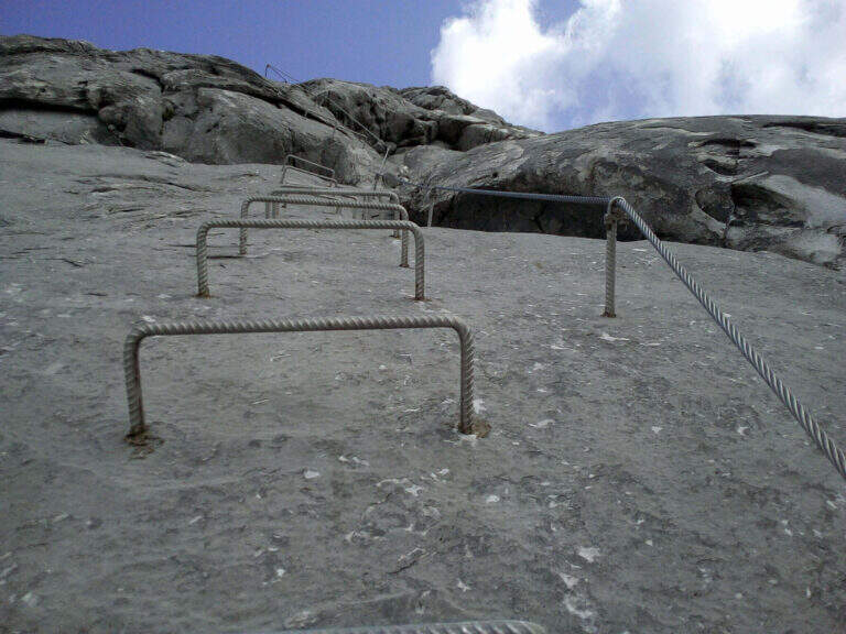
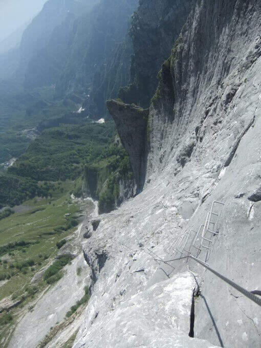
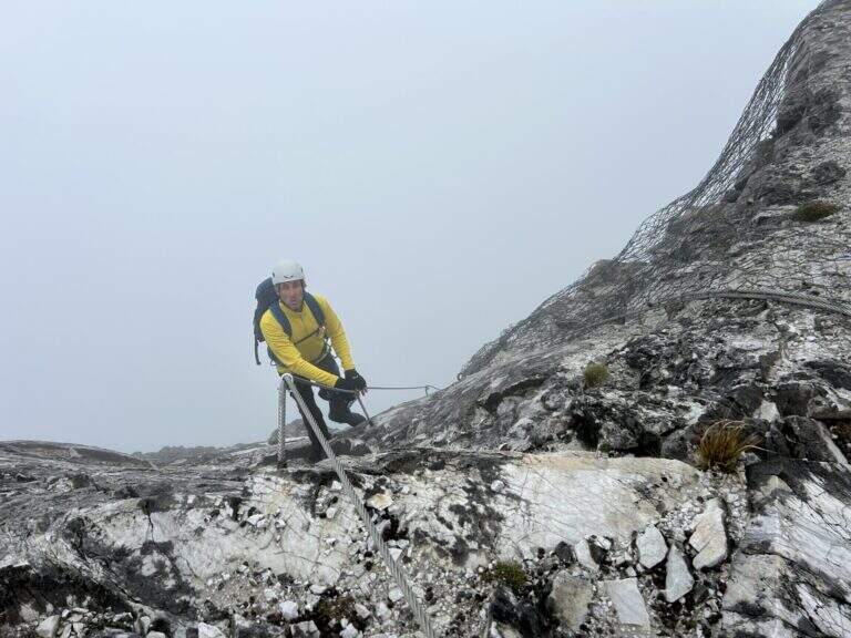
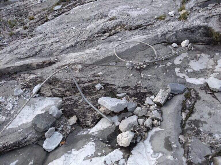
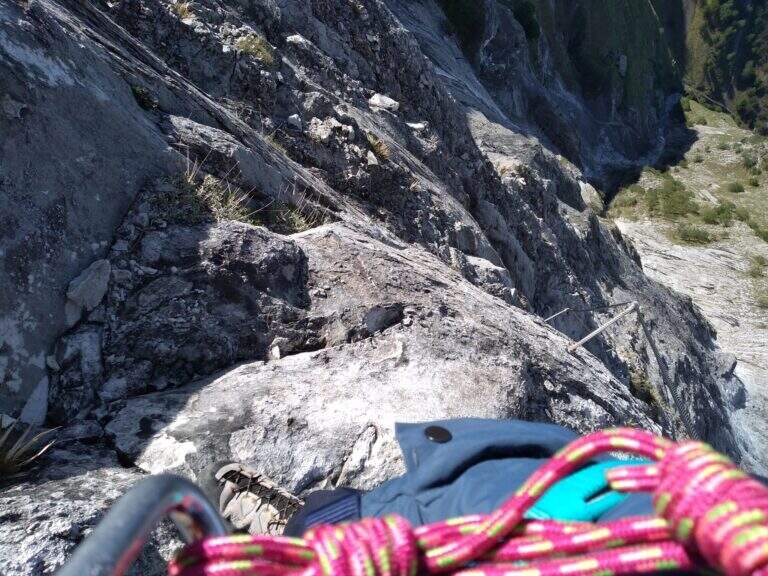
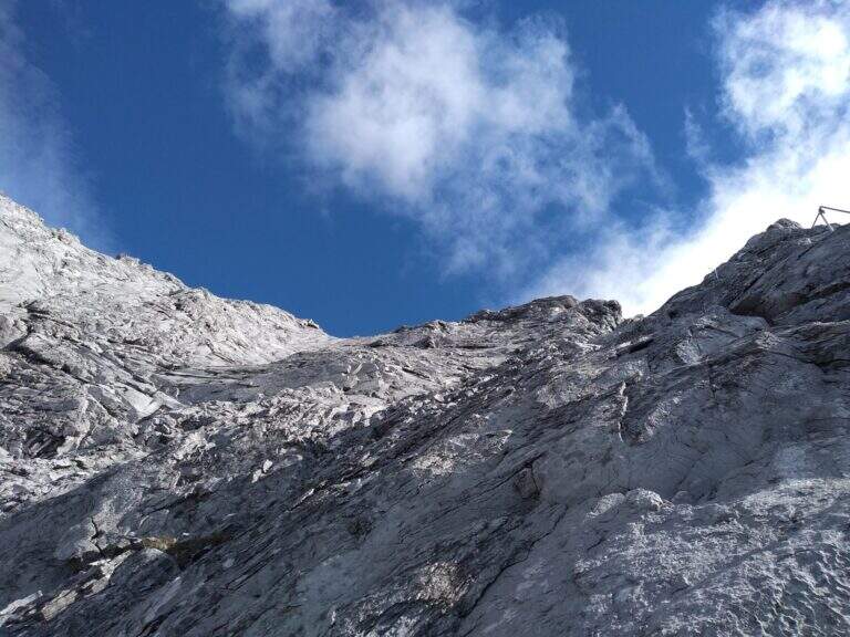
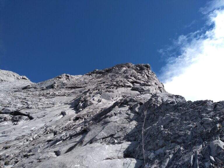
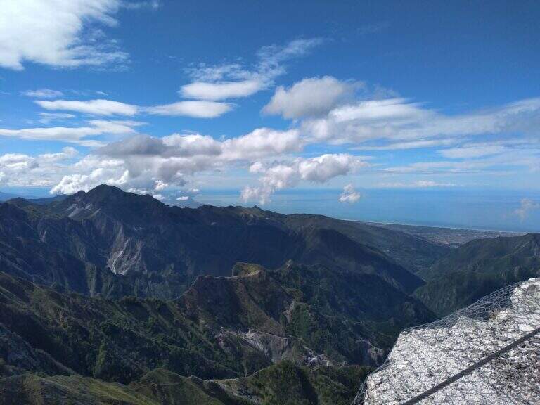
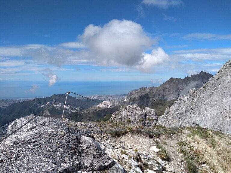
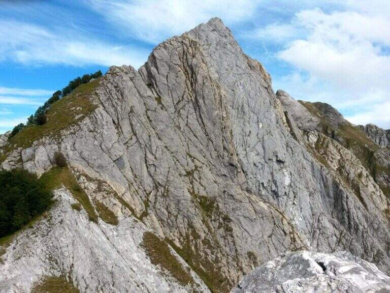
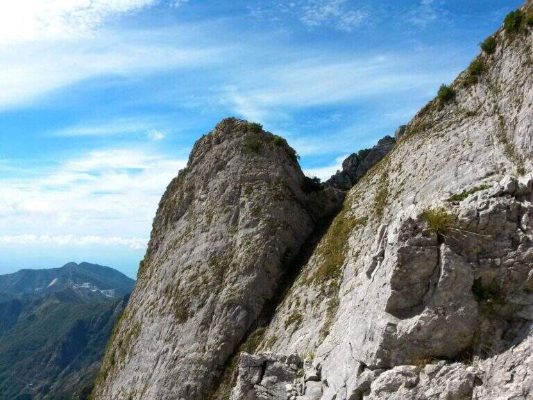
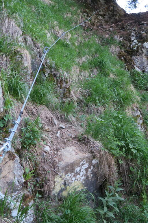
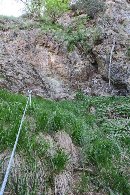
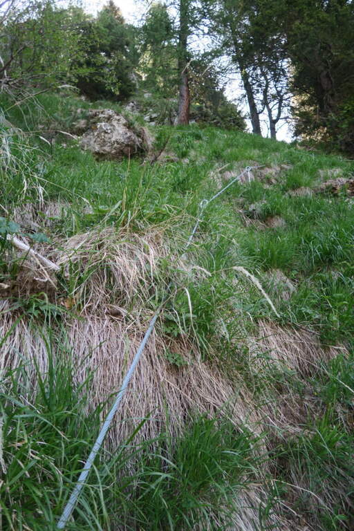
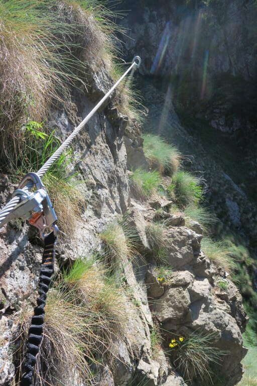
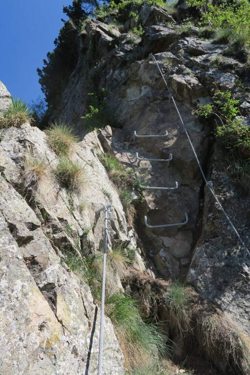
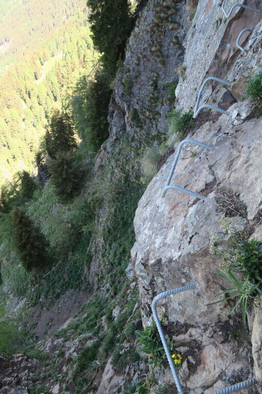
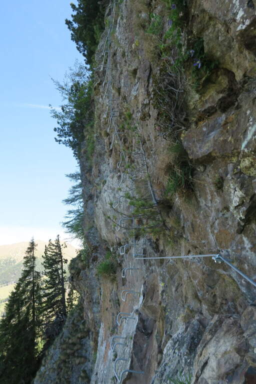
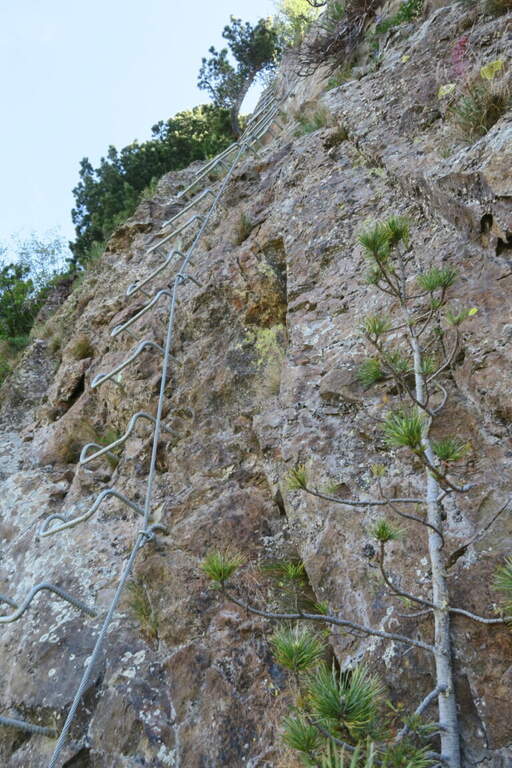
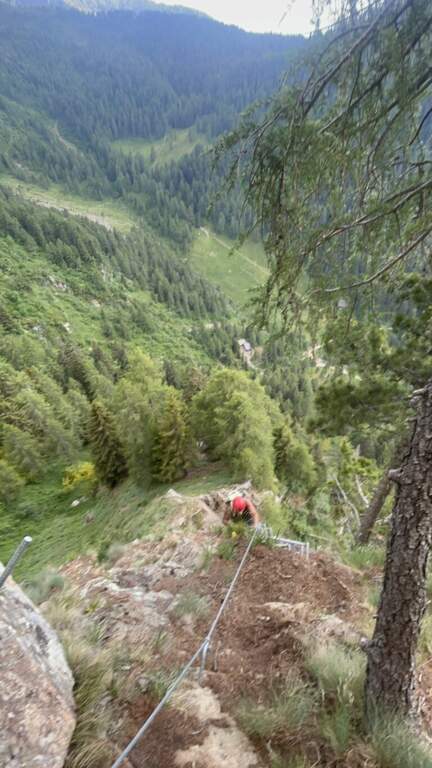
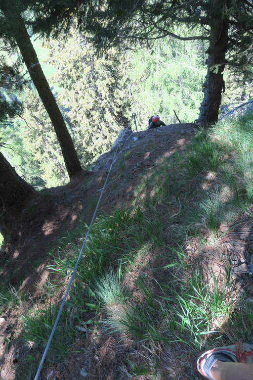
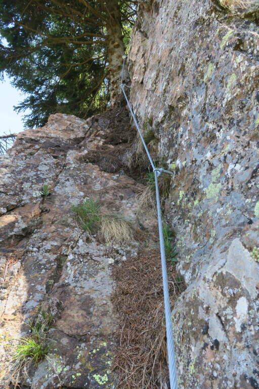
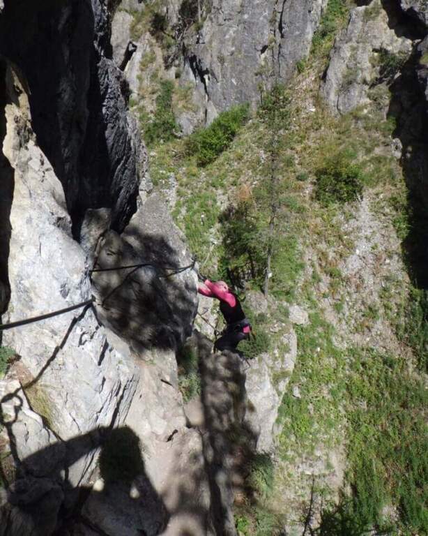
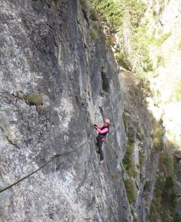
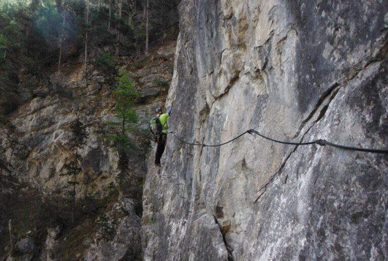
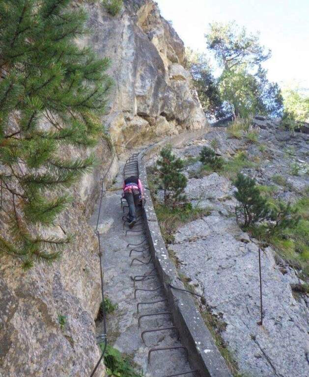
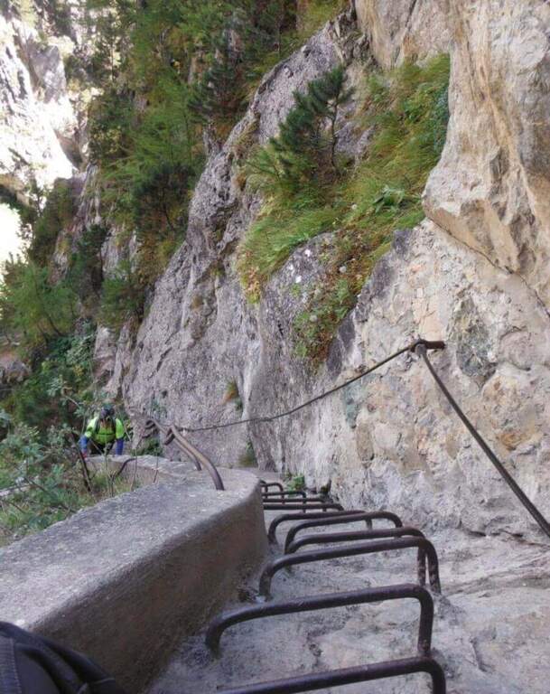
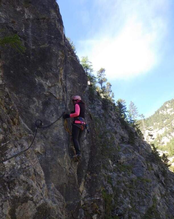
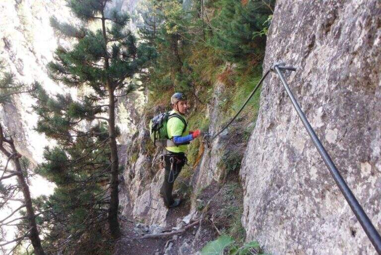
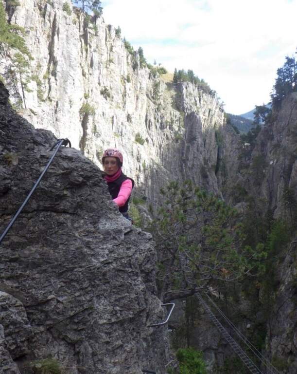
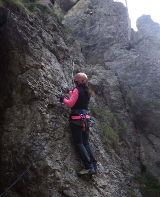
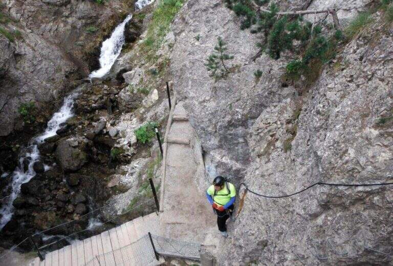
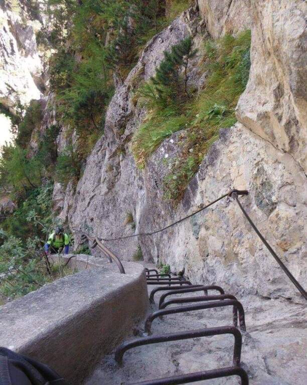
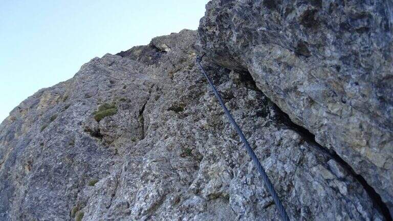
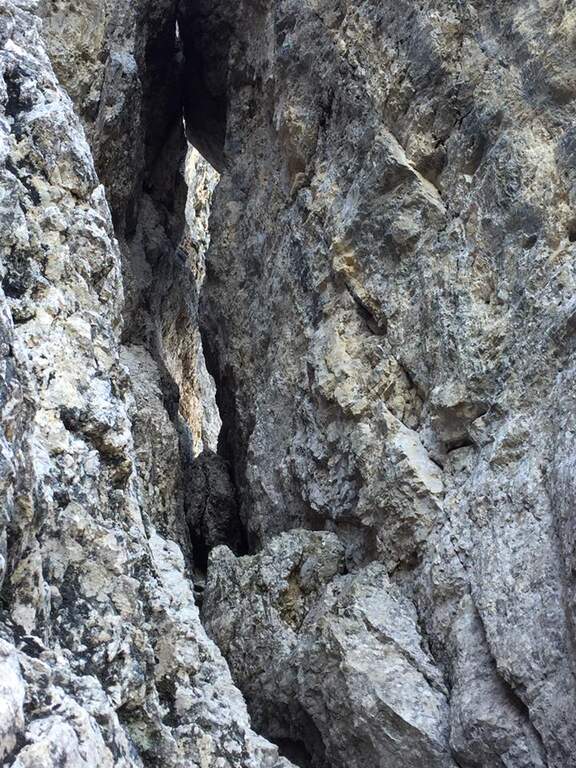
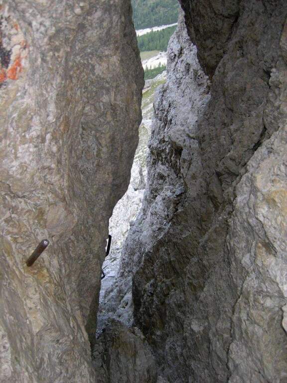
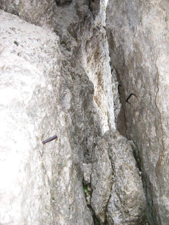
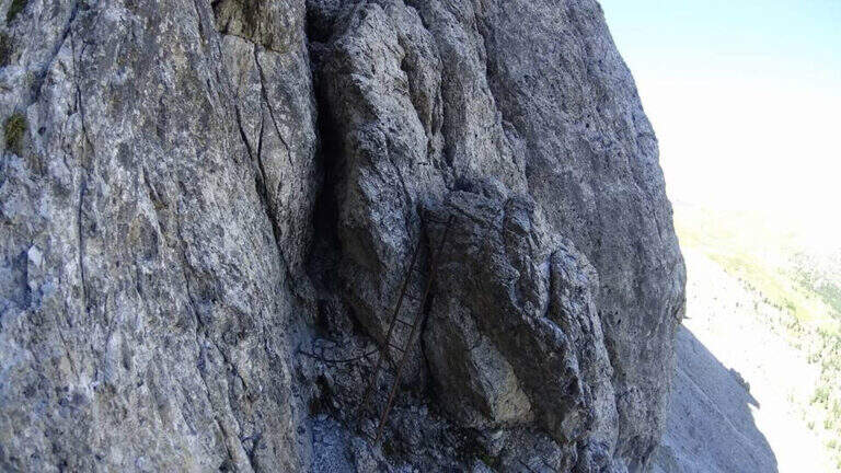
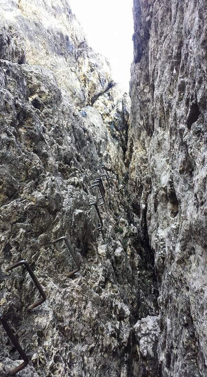
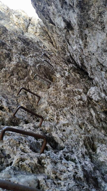
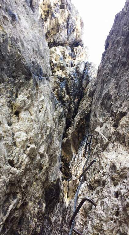
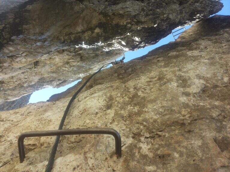
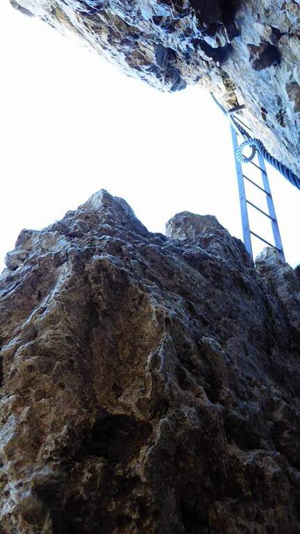
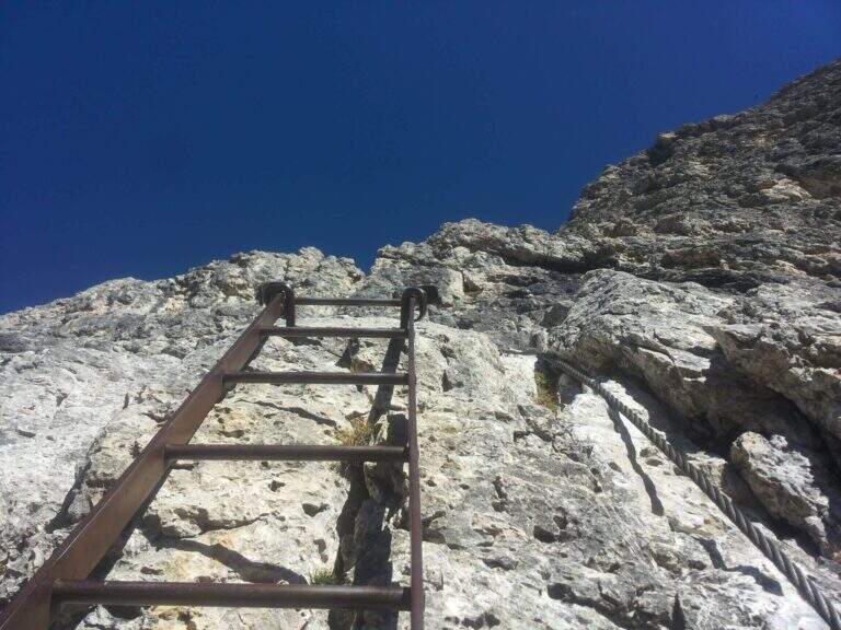
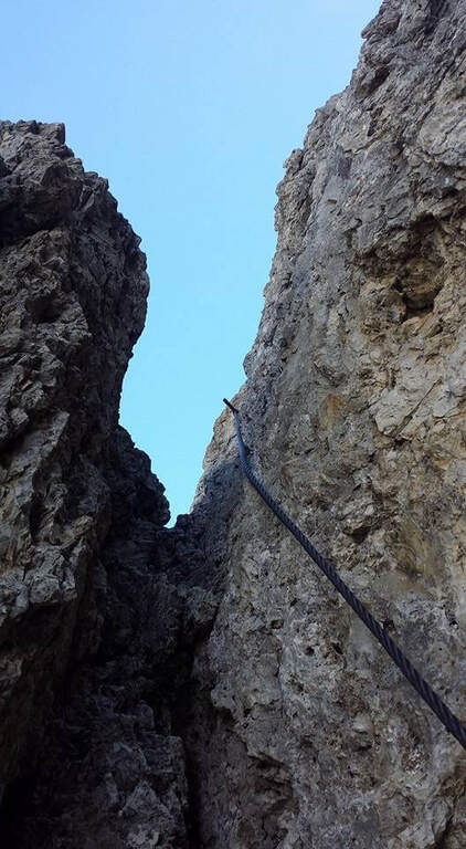
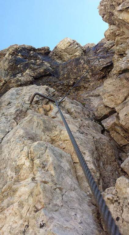
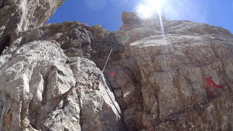
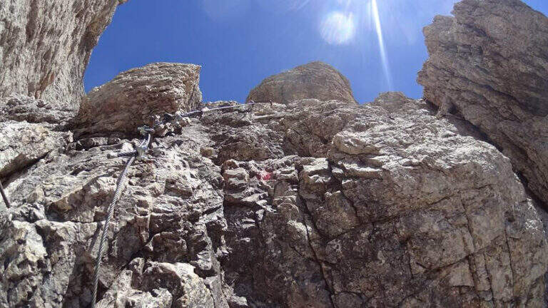
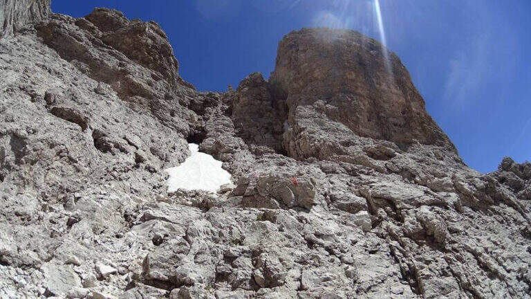
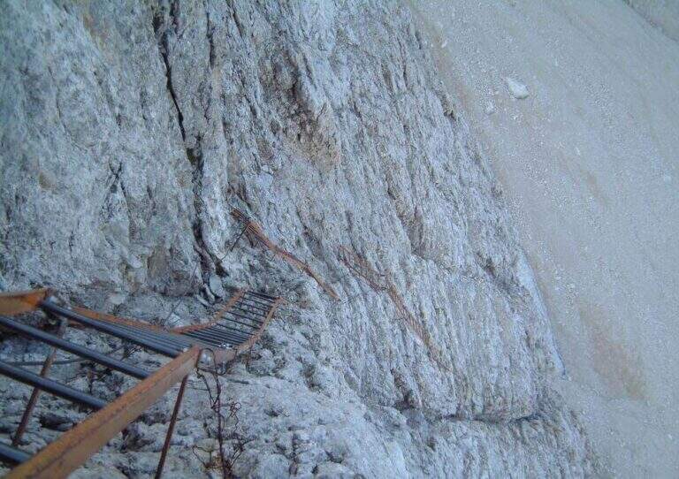
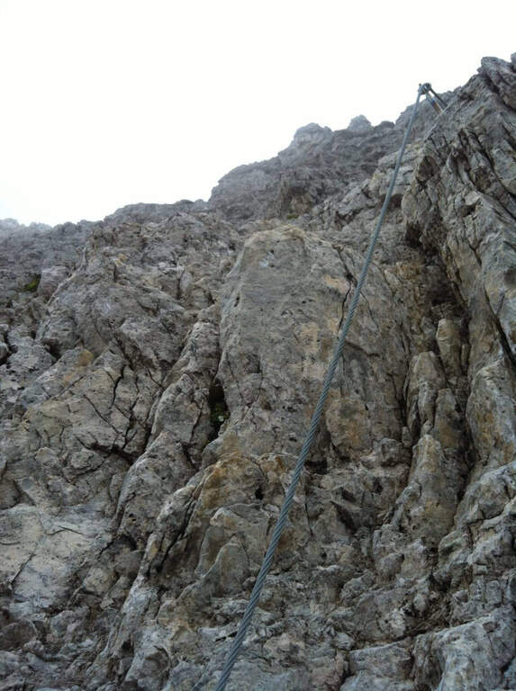
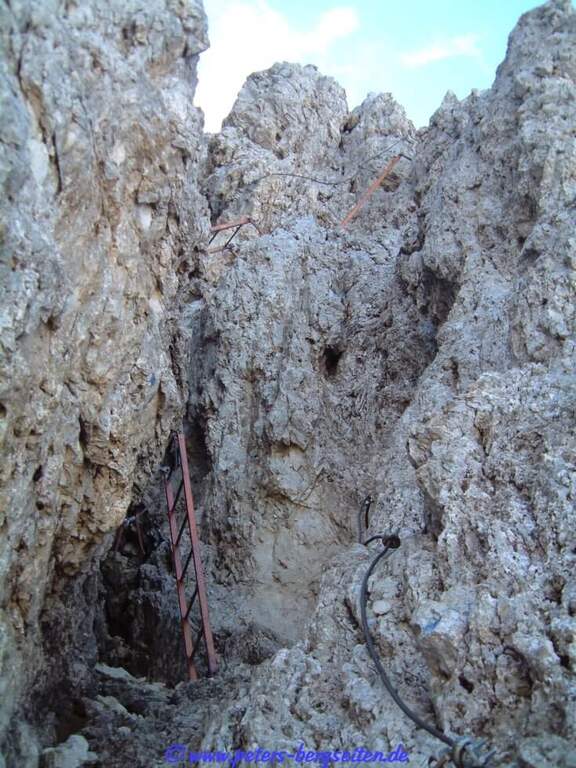
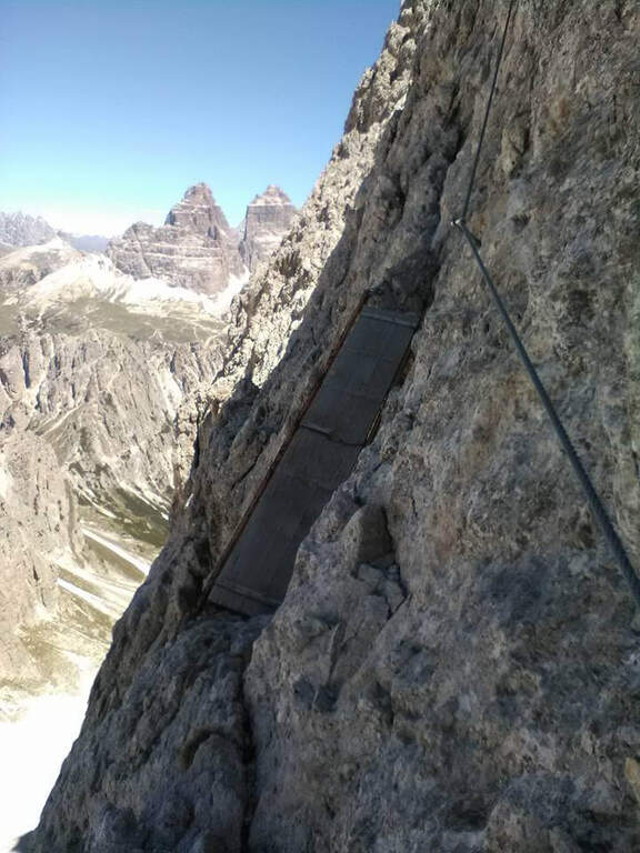
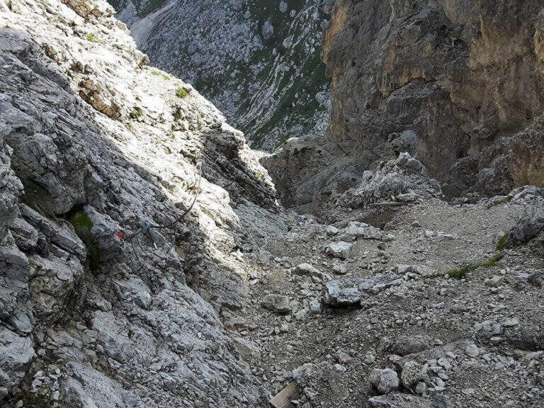
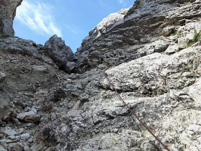
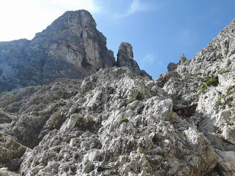
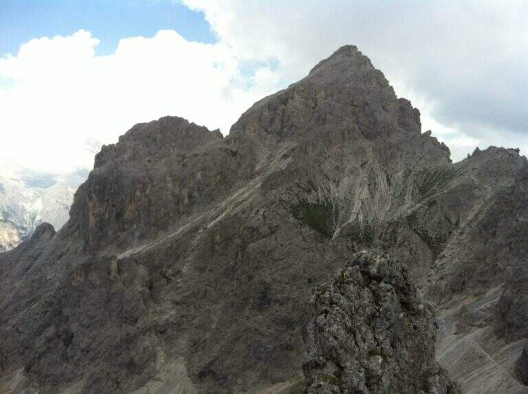
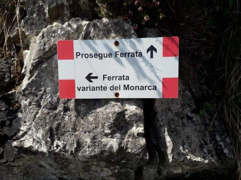
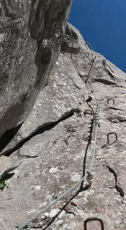
    The Ferrata del Monte Ocone is vertical, exposed and at times athletic, but generous of pauses: in fact the concatenation of 11 torrioni connected by short stretches of path. It also features some more difficult variants (the Monarch variant on the seventh tower and the extremely difficult variant all' eleventh).

    ▲Approach

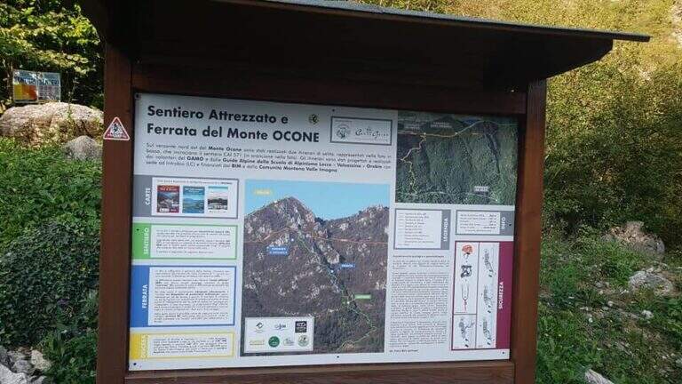
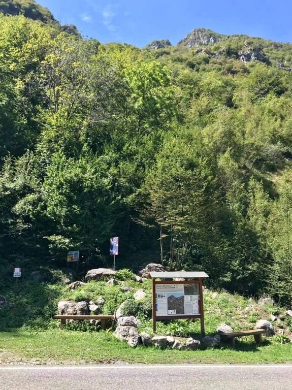
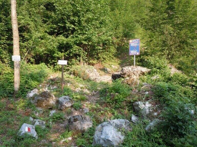
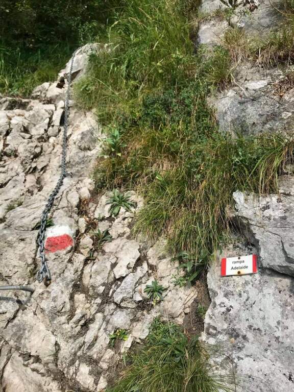
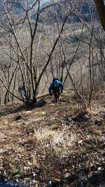
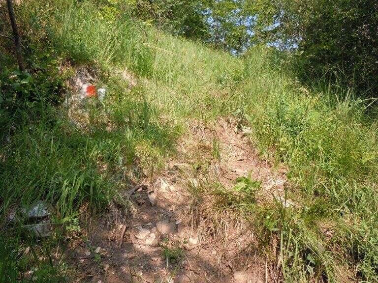
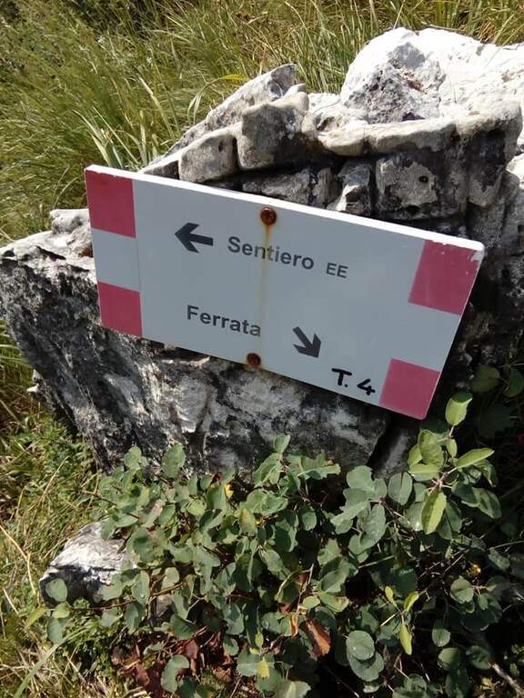
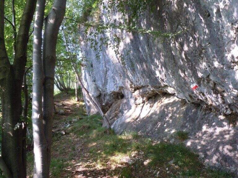
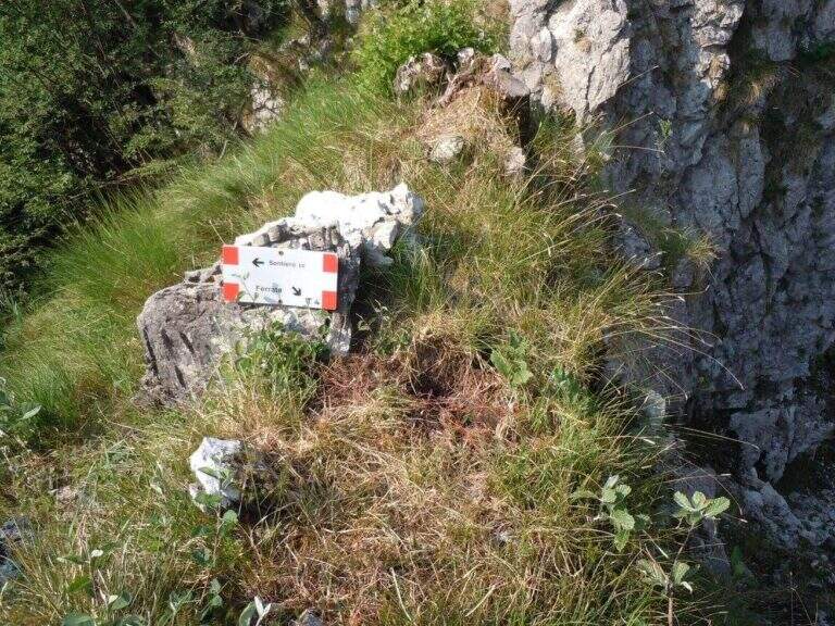
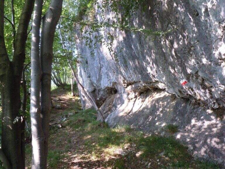
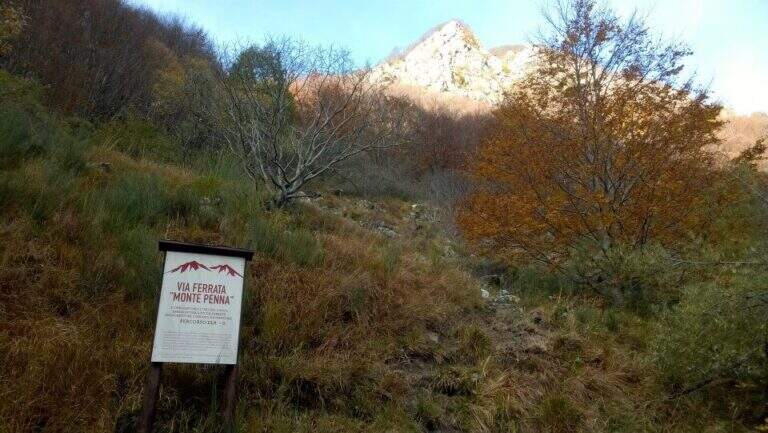
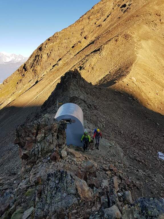
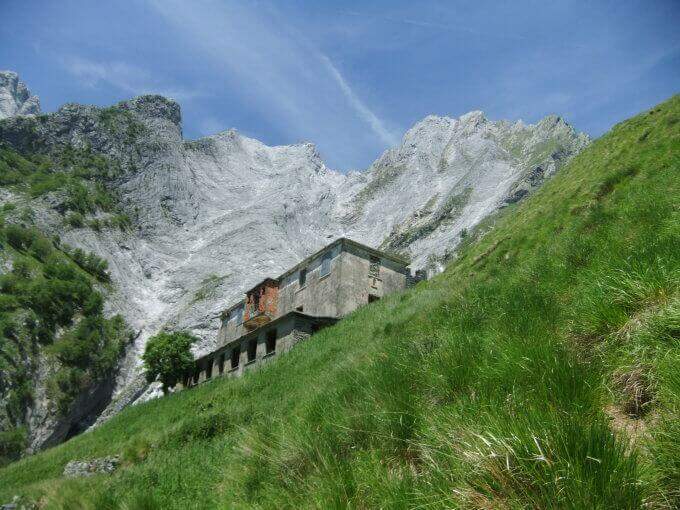
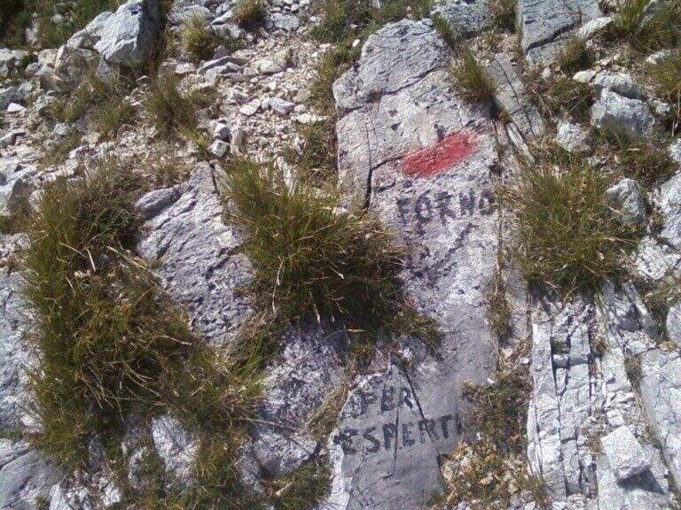
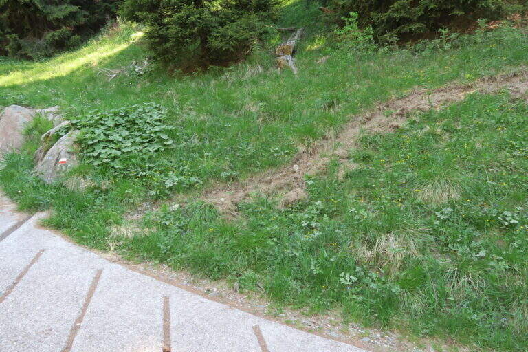
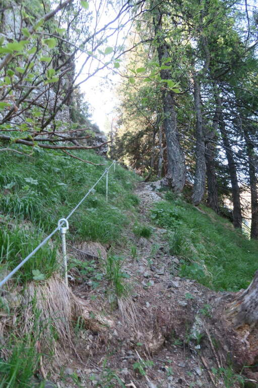
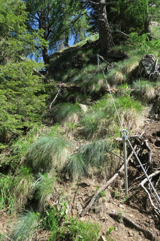
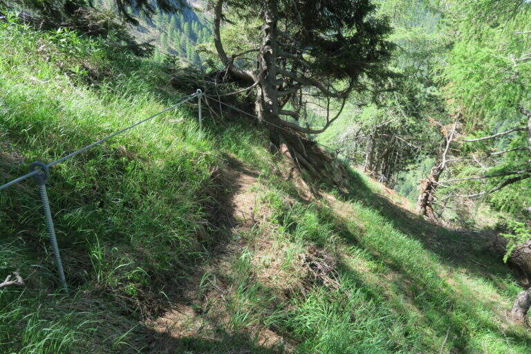
    From the road that connects Costa Valle Imagna to Valsecca (province of Bergamo, on the border with Lecco). Arriving from Costa Valle Imagna, after a little more than 3 km and before a bend on the left, you notice a basin with information on the route; you park on a right side. Open road signs on Google Maps. From the basin follow the steep path in the woods; a small building is reached a first equipped section (the Rampa Adelaide) and, after a few minutes, a saddle where you can see l' equipment of the first of the eleven towers (20' from the parking lot).

    ▲The path

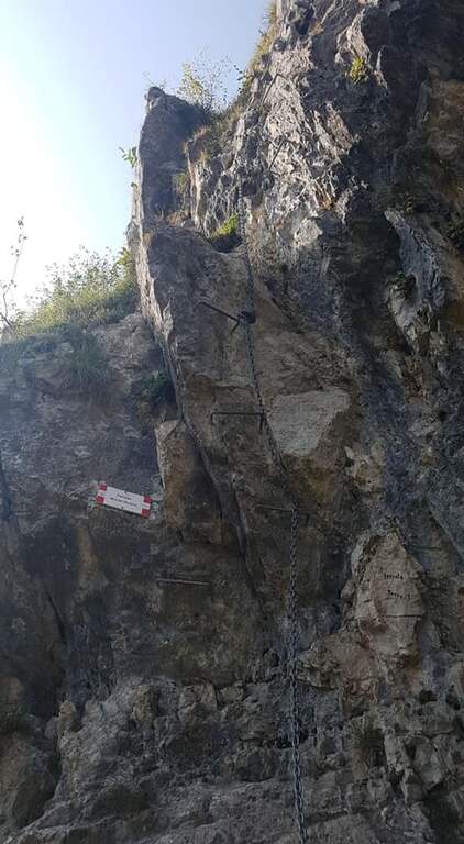
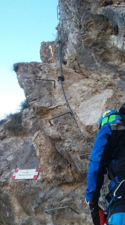
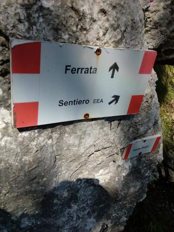
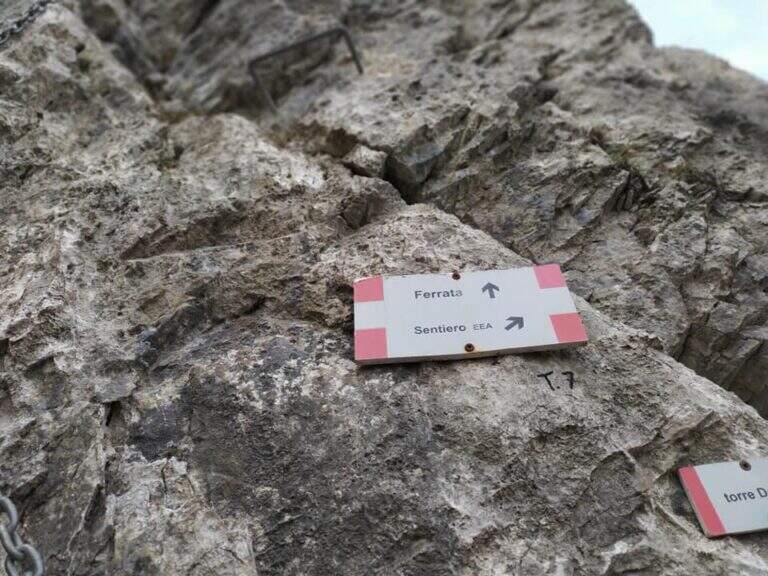
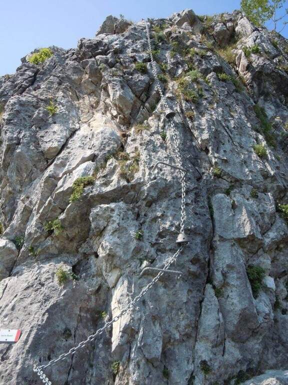
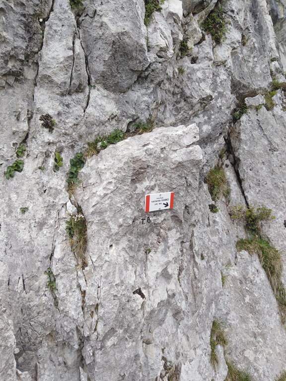
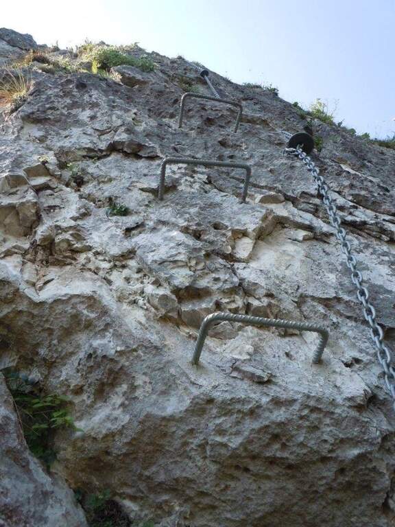
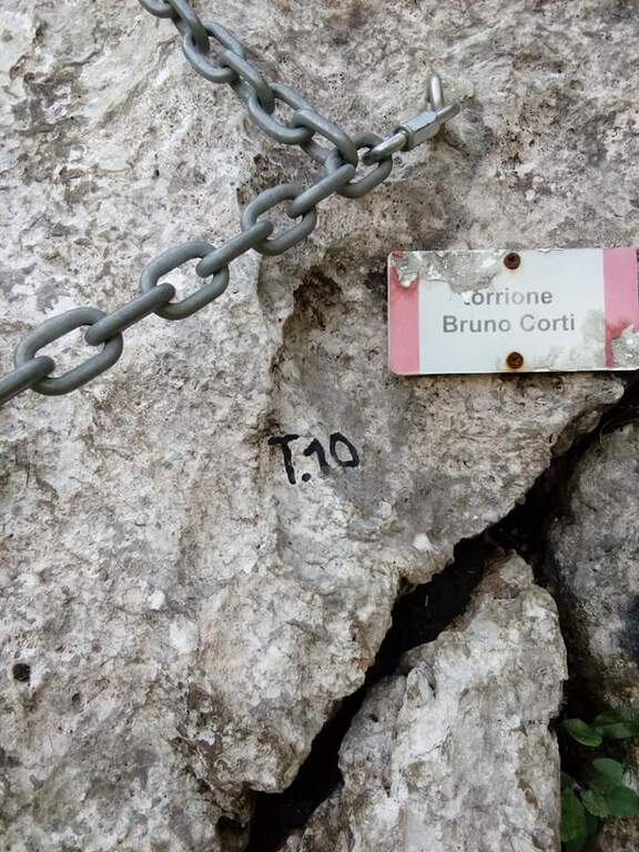
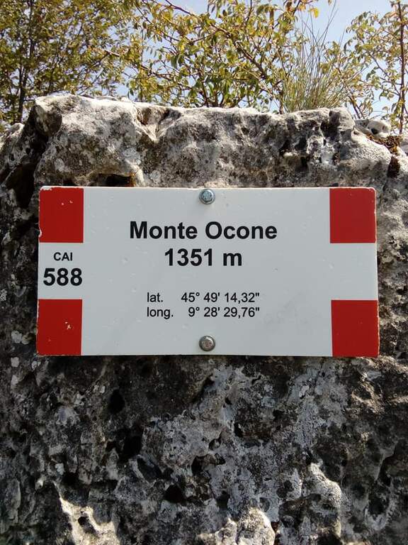
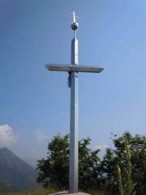
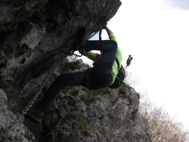
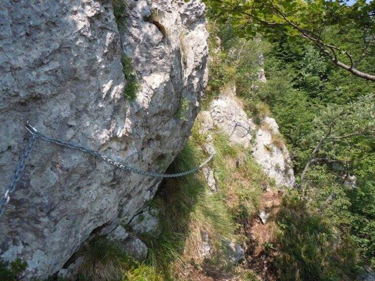
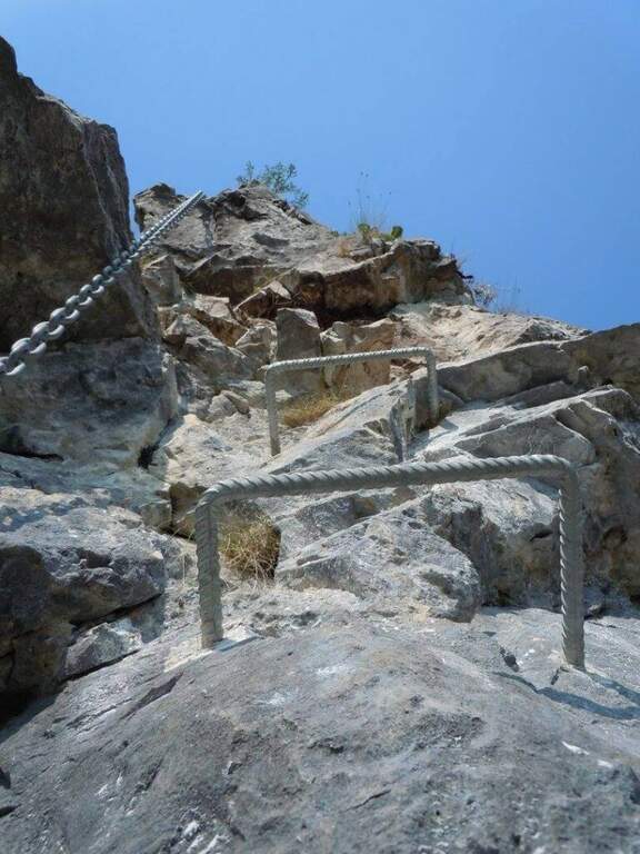
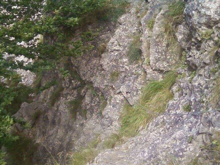
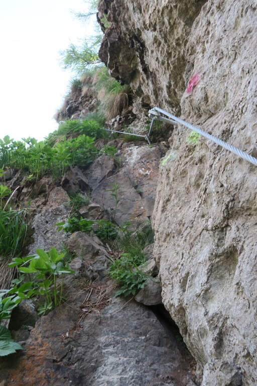
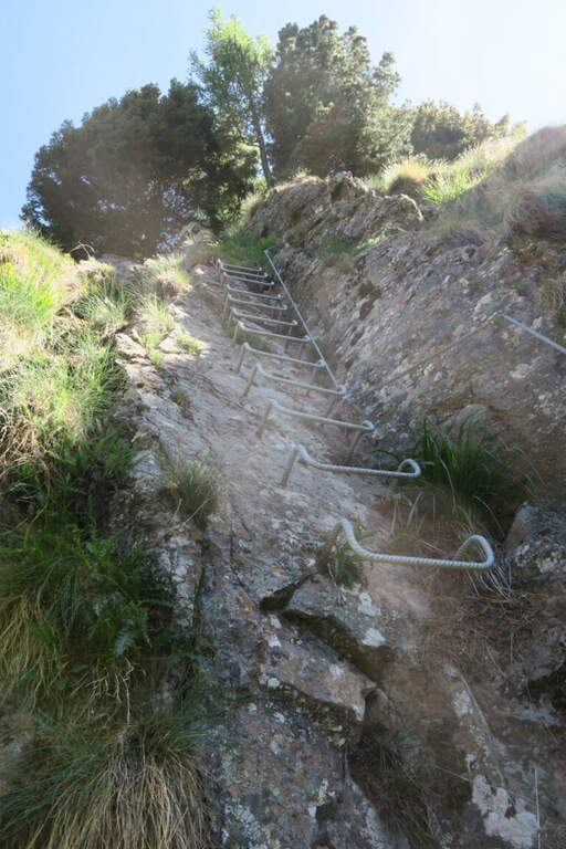
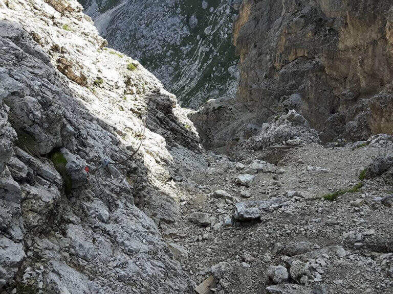
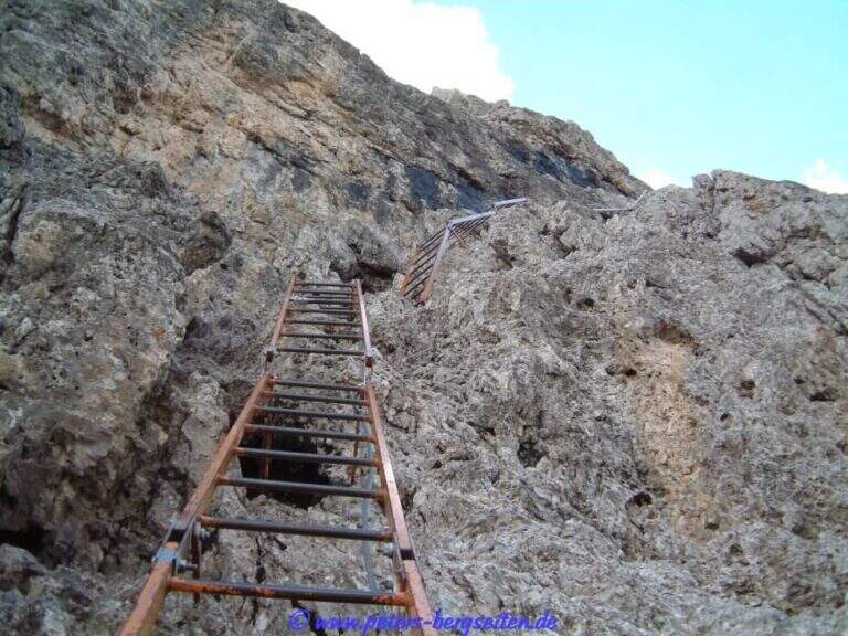
    La via sale concatenando 11 torrioni di difficoltà variabile, ciascuno spesso aggirabile da un sentierino sulla destra. Il primo torrione attacca subito impegnativo, con i primi 3 metri strapiombanti (utili le due staffe a sinistra e un buon appiglio per il piede a destra), poi piega a destra su uno spigolo esposto. Il secondo sale molto verticale su parete levigata con staffe, poi uno spigolo più appigliato e un traverso che aggira uno sperone. Il terzo alterna verticali, una cengia di collegamento e una lunga placca affrontata in diagonale (il tratto più difficile finora, roccia povera di appigli), chiudendo con un diedro e una breve parete. Il quarto entra in un diedro (prima in spaccata, poi su staffe) e aggira un esposto spigolo verso sinistra, breve ma adrenalinico. Il quinto inizia dopo una forcella erbosa; qui si sceglie se proseguire sulla variante del Monarca (sinistra) o sulla via normale, che affronta un gendarme con uscita esposta su spigolo. Il sesto è un bel diedro appigliato; segue una crestina in saliscendi fino al settimo torrione «Dolci», da cui un sentiero permette di salire in vetta evitando gli ultimi torrioni: è verticale e nella parte alta strapiombante e atletico, con abbondante uso della catena (che, se trazionata, sbandiera a sinistra: meglio procedere in spaccata). L'ottavo «Busti» risale uno spigolo e aggira a sinistra un tetto roccioso in forte esposizione (parallela, sulla destra, la dura variante «GAMO», fra i tratti più impegnativi). Il nono ha un attacco insidioso e fisico ma breve. Il decimo «Corti» offre una placca appigliata e una bella arrampicata su un gendarme ricco di maniglie naturali. L'undicesimo «Torre Orobie» propone due opzioni che si ricongiungono pochi metri sopra: a destra estremamente difficile (parte con strapiombo evidente), a sinistra difficile (parete liscia). Si conclude presso il libro di vetta e, in pochi metri di sentiero, si raggiunge la vetta del Monte Ocone (1351 m, 3h dall'attacco, 3h 20' totali).

    ▲Character and difficulty

    Hard, athletic and long enough. A parallel path (CAI 571) runs halfway and acts as a way of escape and return to the seventh tower; in the successive towers there are two more escape routes. All variants are more difficult than the average level (from very difficult to extremely difficult): those who do not look for natural hooks will find it, overall, very tiring.

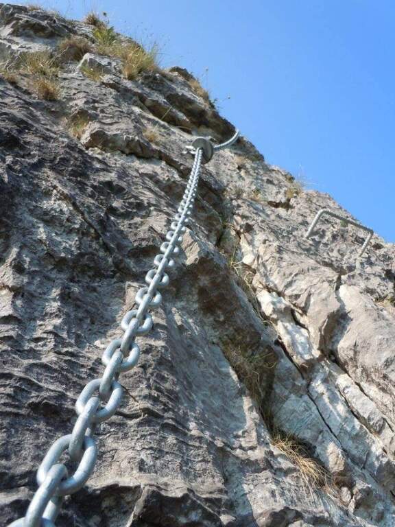
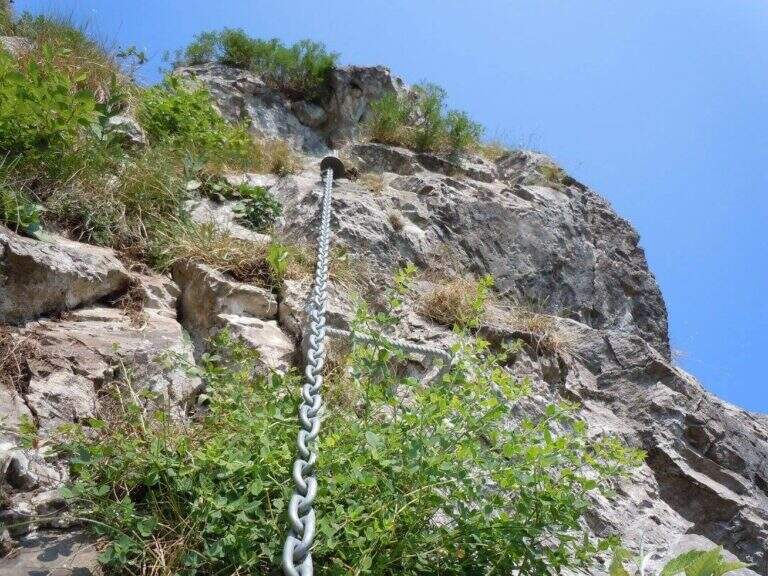
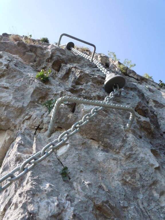
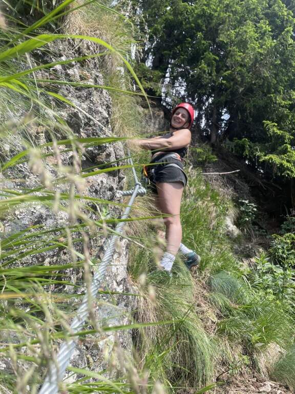
    ⚠ The chain has a rather wide diameter and in some points it tends to prevent the gliding of the muskets: keep it present in the progression. Rock often compact but smooth: very useful brackets. Inaugurated in June 2017.
    ▲Period and safety

    Season from spring to autumn. Good training recommended for overall physical engagement.

    ▲Discipline

    From the top, three options in descending order of difficulty: (1) to the left (bergamasco side), descending the crestine exposition with equipped sections up to the CAI 571 and then to the parallel path to the ferrata, downhill to the car (1h, 4h 30' total); (2) to the right, for the simplest normal route up to the CAI 571 at Passo Pertus, then left to the north and down from the parallel path to the towers (1h, 4h 30'); (3) as the 2 but holding the right on the CAI 571 south to the Convent Pertus, then CAI 574 and CAI down to the road and to the car (1h 15', 4h 45' total).

    ▲Gallery
    Technical data
    • DifficultyHard
    • RegionLombardy
    • GroupPrealps Bergamasche
    • Approach0:20 h
    • Ferrata2:30
    • Itinerary (a/r)4:15 h
    • Hardware level difference300 m
    • Route difference500 m
    • Max1355 m
    • Length3,5 Km
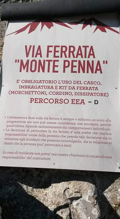
  • Ferrata Monte Penna (Penna di Civago)

    Ferrata Monte Penna (Penna di Civago)

    Vie Ferrate › Emilia-Romagna › Reggio Emilia
    Ferrata Monte Penna (Penna di Civago)

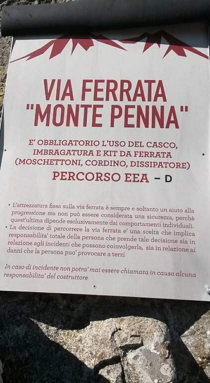
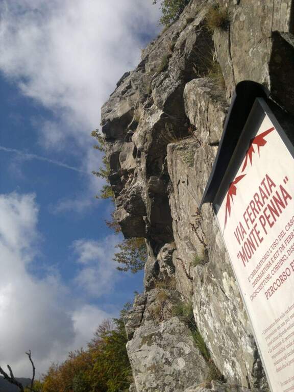
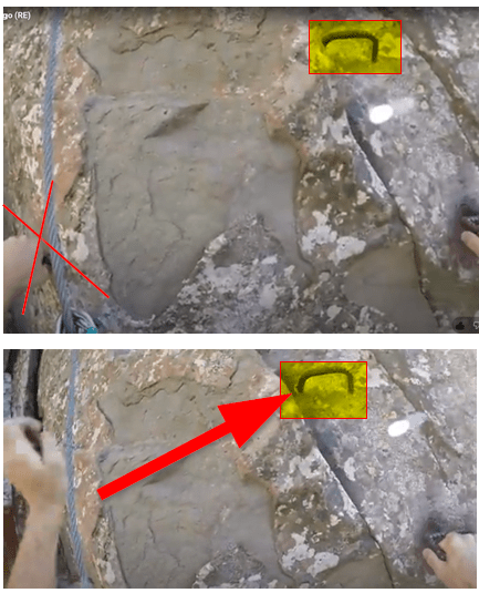
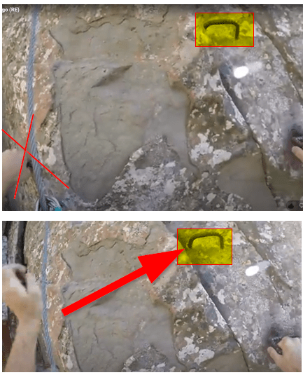
    Above Civago, the last foreman before the Passo delle Radici, stands the Penna di Civago: a sharp profile of walls that rise rapidly towards 1400 m. On this wall runs a short but difficult and athletic ferrata, where challenging steps increase away after the attack.

    ▲Approach

    It starts from the village Case of Civago (about 1h 30' from Reggio Emilia or Modena), where you park along the dirt road from which the paths for the refuges Battisti, Segheria and Bargetana leave. Open road signs on Google Maps. On foot you continue on the dirt road for about 5 minutes, holding the Penna di Civago on the right, up to a sign with directions for the ferrata; at a steep track you go up following white signs and omits, first for a stone then for steep paths, up to a traverse exposed that leads to the beginning of the equipment (30' from the parking lot).

    ▲The path

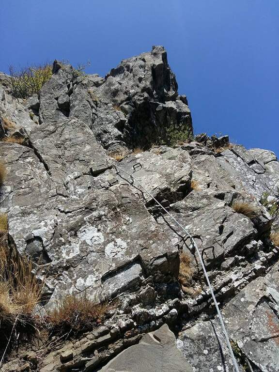
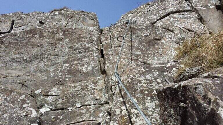
    The street is markedly vertical: l'arenaria is sometimes not climbing, but pioli, handles and cambre are well arranged to facilitate progression. You first climb on two diedri, then an exposed edge and a challenging fireplace; finished the fireplace you cross a grassy path where to rest before the second part, harder. This immediately attaches vertically with a slightly overhanging wall (about 10 m) on hardness, up to a small nod where to catch breath before the key pass: a overhanging belly on a 8-metre wall. Although well equipped, it must be faced with caution and rapidity in order not to exhaust the forces in the arms; it is advisable to study the arrangement of the handles before leaving. It follows a 'exposed sandstone plate where some brackets help, but it is difficult to avoid tracing the cable in a couple of points seen the smooth rock. L' last stretch has difficulty: in 5' a wall and an exposed but simple nod are exceeded, and the ferrata ends with beautiful view on Civago, on Lake Fontanaluccia and Mount Giovarello (1h from' attack, 1h 30' total).

    ▲Character and difficulty

    Short but athletic: a couple of steps can put in serious difficulty who is inexperienced or untrained. Peculiarity: difficulties increase after the attack, leaving few opportunities to stop the climb and go back.

    ⚠ In summer 2018 two brackets were added in the key passage, which significantly reduces the difficulty. It remains a physical way: honest assessment of training and experience. Inaugurated in October 2014.
    ▲Period and safety

    Season from spring to autumn. Case and progression careful on smooth sandstone.

    ▲Discipline

    Continue for 5' uphill on steep path until you get on a CAI path. It is recommended to continue left on the CAI 631 A towards the Cavallina (less steep and slippery of CAI 607, about 40'), going down to the CAI 605 that you take to the left; this convenient mule track ends at the dirt road of the parking (2h 30' total). For water, the CAI 605 to the right leads to 5' to a source.

    ▲Gallery
    Technical data
    • DifficultyHard
    • RegionEmilia-Romagna
    • GroupAppennino Tosco-Emiliano
    • Approach0:30 h
    • Ferrata1:00 h
    • Itinerary (a/r)2:30 h
    • Hardware level difference145 m
    • Route difference480 m
    • Max1505 m
    • Length5 Km
  • Ferrata Monte Nero (Presanella)

    Ferrata Monte Nero (Presanella)

    Vie Ferrate › Trentino-Alto Adige › Trento
    Ferrata Monte Nero (Presanella)

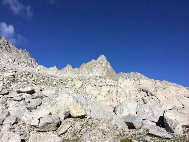
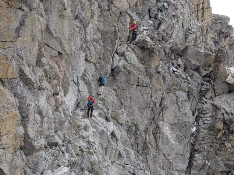
    The recent Ferrata Monte Nero is only a part — short (95 m of altitude) but central — of a long and challenging high mountain route that, from Val d'Amola and the Segantini Refuge, leads to the summit of the Presanella (3558 m), the highest point entirely in Trentino. L' itinerary requires l' crossing a vedretta with ramps.

    ▲Approach

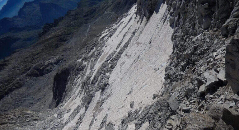
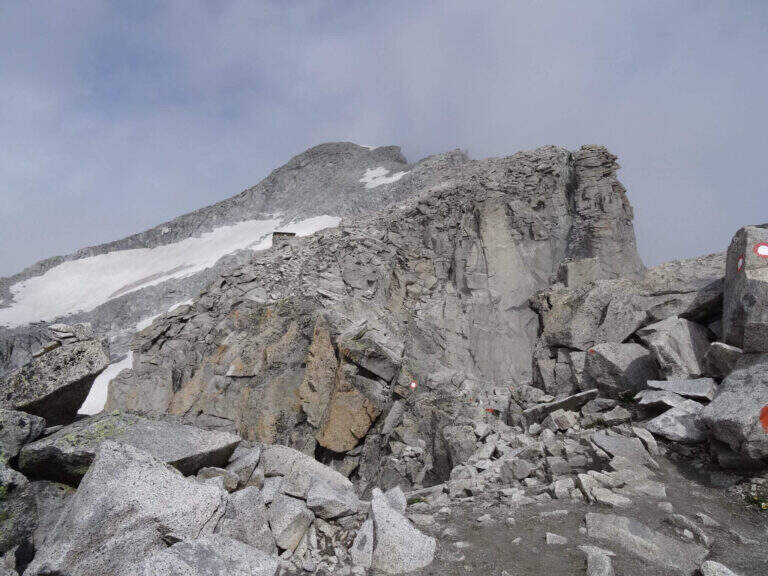
    From the parking lot at the bridge on the Sarca stream, in Val d'Amola (Malga Vallina d'Amola, 2006 m). From the SS239 Pinzolo–Madonna di Campiglio, in Pinemonte Basso take the road to the Val Nambrone; beyond the Nambrone Refuge you climb on a carrabile up to a crossroad where you continue to the left (to the right the Cornisello Refuge) to the parking lot. Open road signs on Google Maps. Follow the signpost west 211, then at the junction you hold the right on the 211 «Oscar Collini» which, steep but without difficulty, leads to Rifugio Segantini (2373 m, 1h from parking). Behind the hut follow the signs for the Presanella to the north-west, pointing to the moraine and taking as reference the Black Mountain; you reach the vedretta (live ice or snow according to season: necessary ramps, attention to the rocks) and cut diagonally up to the rock, climbed up with passages of Igan up to the ' attack (3070 m, 1h 30&#.

    ▲The path

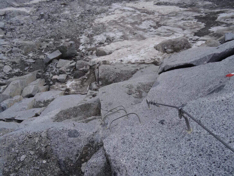
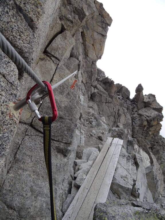
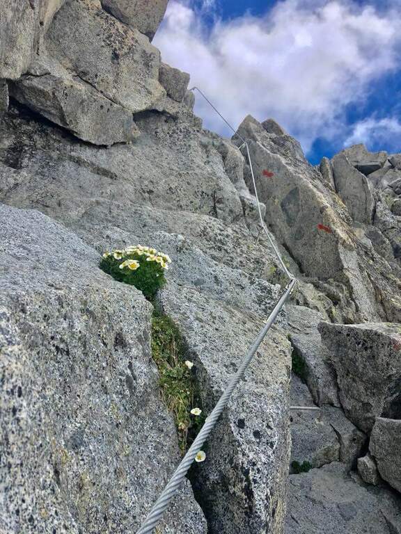
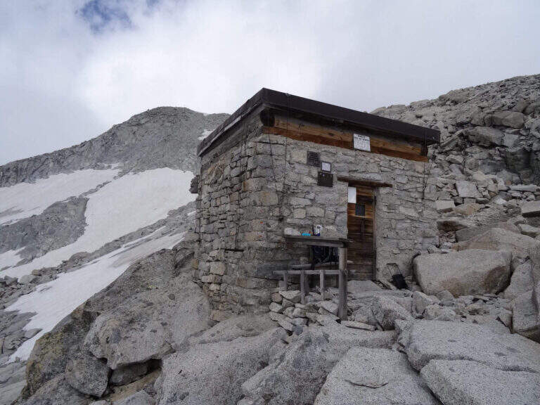
    New metal cable and numerous fixtures help on smooth rock passages. It rises on plates supported with some brackets, then an exposed but not challenging traverse overlooking the ' route. The ferrata is not continuous: in some places the cable leaves space to rocks and easy balconies. There is a narrow nod equipped with wooden catwalk, then alternating plaques and balconies and a'exposed sloped ramp to the right to the highest point of the road on the crest (3165 m). The cable then leads to the opposite side, going down for about 50 m towards the Vedretta of Nardis Orientale with uncomplicated climbing and a long set of fixtures, where the ferrata ends (30' from' attack). On this vedretta, in late season, the ramps usually do not serve; the main difficulty is l' orientation with poor visibility (pow omits and boils). Continue north-west along the valley to the plateau above the vedretta, from which you will find the Bivacco Orobica: to reach it a couple of delicate passages (a stretch equipped in descent and a cross exposed on friable bottom with wooden axles). From the bivouac (3382 m, 1h 30' from the end of the ferrata) follow the track on the left side of the crest to the summit of the Presanella (3558 m, 45' from the bivouac, 5h from the parking lot).

    ▲Character and difficulty

    Long itinerary, with significant difference in altitude and mountaineering character. The ferrata itself is difficult but short; the greater commitment is environmental. In the stretch between the Vedretta di Nardis and the Bivacco Orobica there are nails with mosquitoes useful for a sure with rope.

    ⚠ Need ramps and peak. Maximum attention in the crossing of the Vedretta di Monte Nero, also for the instability of stones. Start early: recommended overnight at the Segantini Refuge to reach the summit in the morning. Stable weather.
    ▲Period and safety

    Summer season with glacier under conditions. High mountain: evaluate snow, visibility and weather.

    ▲Discipline

    The return takes place backwards for the route (about 5h to the car, about 10h total).

    ▲To match

    Similar climbs in the area: Flower trail at Tonale, Ferrata Tabaretta all'Ortles e Cengles Croda Ferrata.

    ▲Gallery
    Technical data
    • DifficultyHard
    • RegionTrentino-Alto Adige
    • GroupAdamello-Presanella
    • Approach2:30 h
    • Ferrata0:30 h
    • Itinerary (a/r)10:00 h
    • Hardware level difference95 m
    • Route difference1558 m
    • Max3558 m
    • Length15,5 Km
  • Ferrata del Monte Emilius (Col Carrel)

    Ferrata del Monte Emilius (Col Carrel)

    Vie Ferrate › Aosta Valley › Aosta
    Ferrata del Monte Emilius (Col Carrel)
    Very difficult● OpenDescriptionComplexityMapsGallery

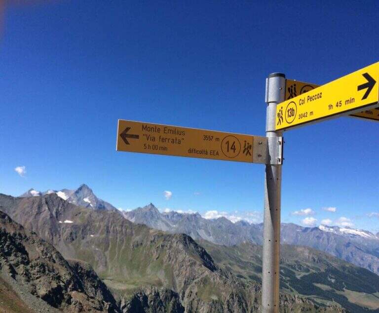
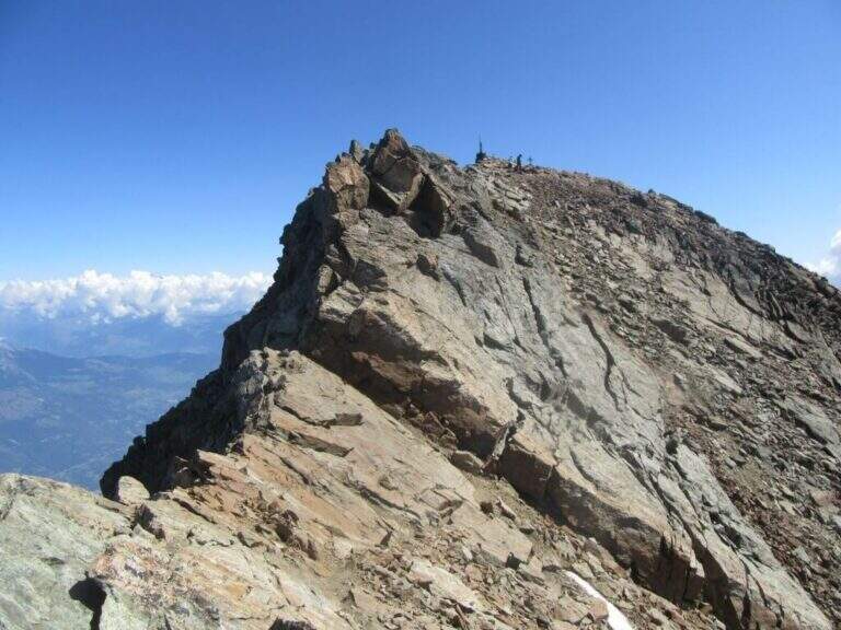
    The Ferrata del Monte Emilius crosses the north and north-west ridge of the top (3551 m) from the Colle Carrel: for length, environment and altitude difference should be considered one of the most challenging. It is a high mountain itinerary not to be underestimated, more than 16 km, which should be broken in two days with overnight stay at the Arbolle Refuge or the Federigo Bivacco.

    ▲Approach

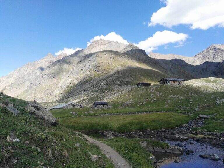
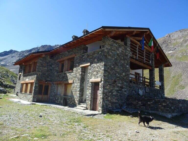
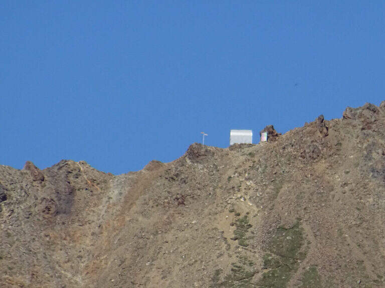
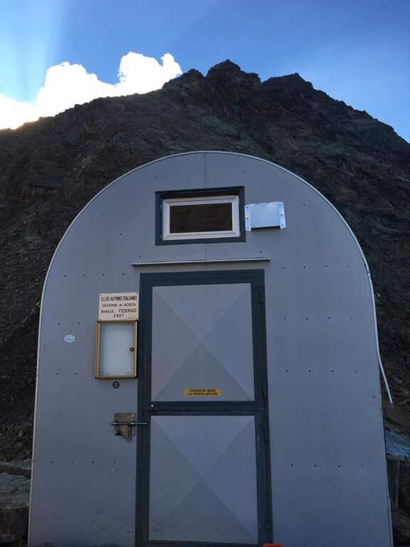
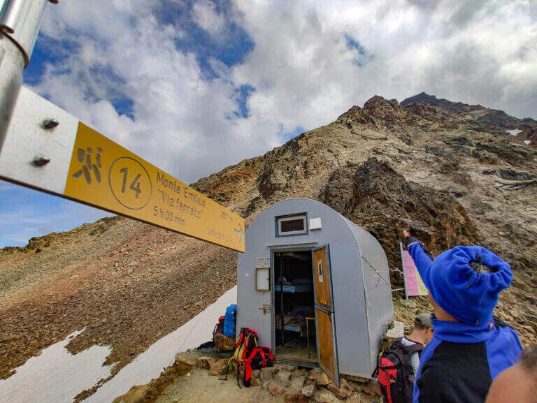
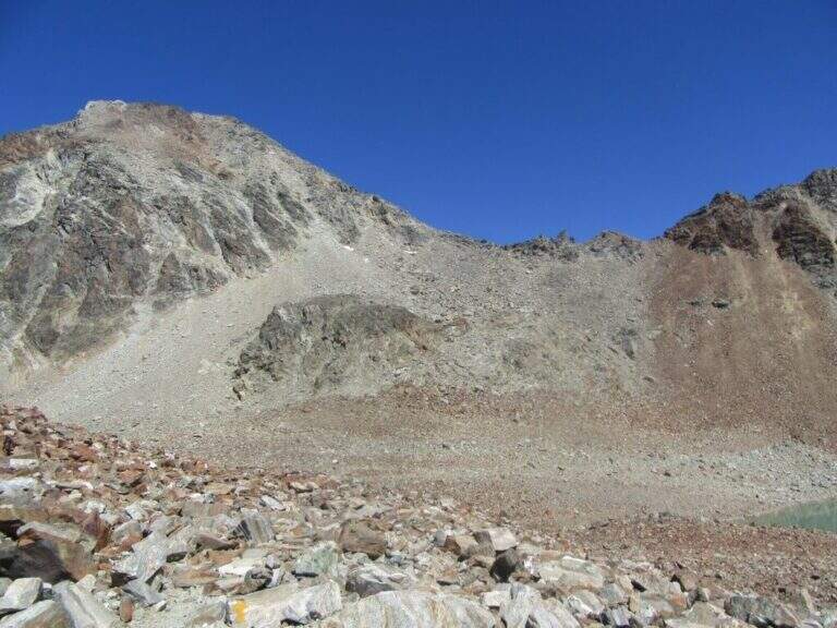
    From the Aosta-Pila mountain station, continue to Chamolé station (2300 m). Open road signs on Google Maps. Follow the path towards Refuge Arbolle (mark 19c then 19a uphill, then a hundred meters downhill in the Arbolle valley; 1h 30' from the upstream station). You should stay at the shelter. From there go down the path 14 (Vallone di Comboe) up to a crossroads where you keep the right on the paths 16c e 16a to the spartan Bivacco Federigo (2907 m), under the Colle Carrel (1h 30' from the refuge, 3h 45' total). The ferrata starts right behind the bivouac.

    ▲The path

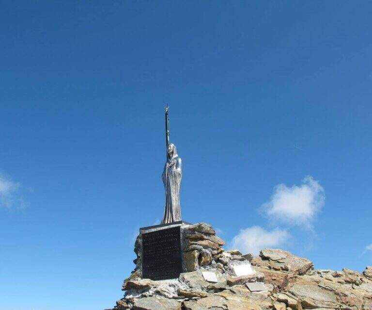
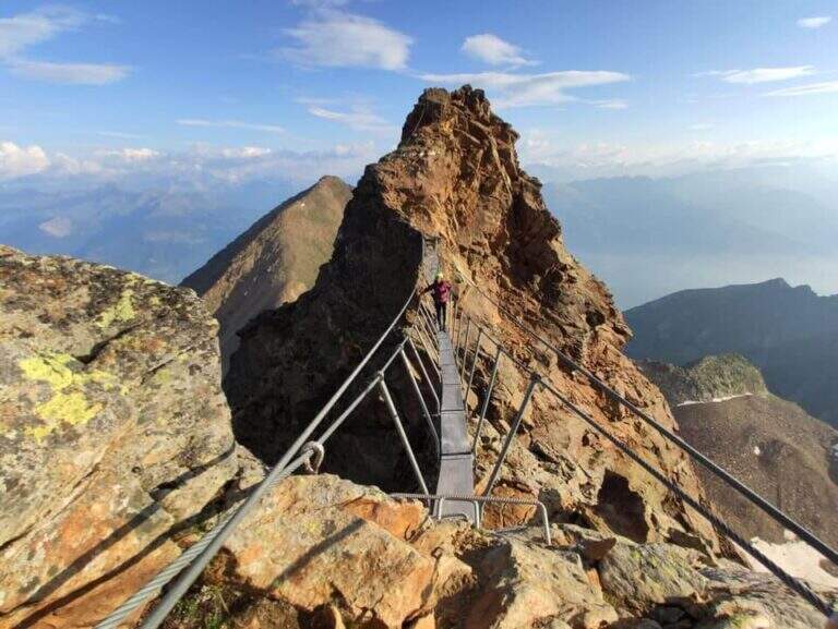
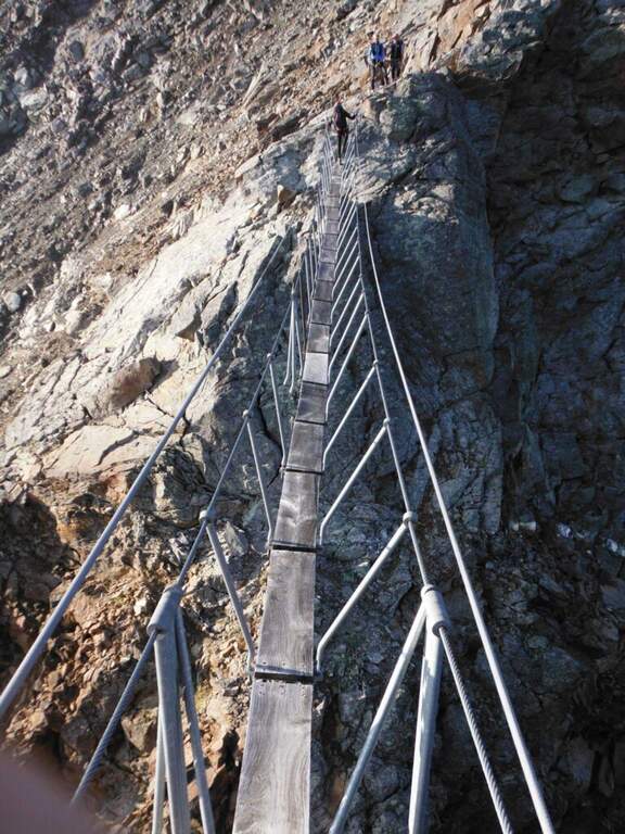
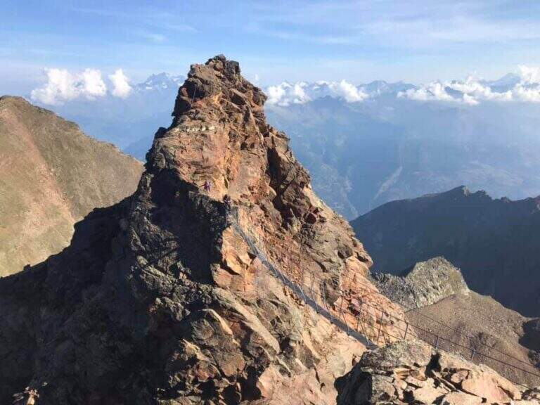
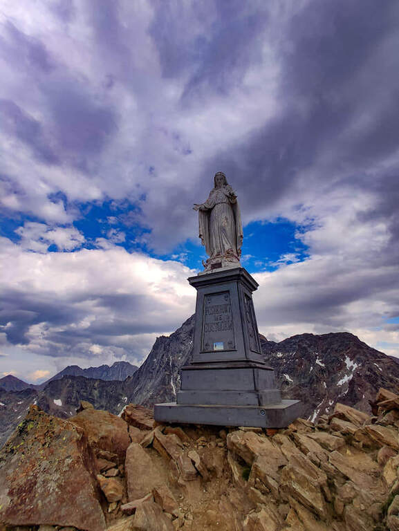
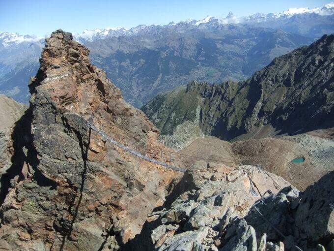
    From the bivouac follow the traces up to the' attack; the road takes place mainly on the crest wire. There are rocks and several exposed but not difficult traverses, up to a point where you disarrampica towards a suspended bridge very exposed, with wooden walkway for your feet. Beyond the bridge you reach the Mont Ross, from which you continue on the right side on sloped and exposed plates; here a via escape (cart) descends right towards Lake Gelato. The ferrata alternates along the crest path and vertical or exposed passages protected by cable and cambre, along beautiful granite plaques, up to the Petit Emilius (3342 m). Always holding the right of the wire you pass the steps and a vertical section with metal fixtures where there can be a snowmaker even in late season (better to have the ramps). A last rocky highlight leads to the final ridge and, in about ten minutes, to the top madonnine (3551 m, 4h 30' from the bivouac, 7h 30' total).

    ▲Character and difficulty

    Excellent and well positioned equipment, but it is a ferrata to be considered as part of a long, challenging and fulfilling alpine itinerary. At the end of the road, attention is paid to some unprotected sections on rock not always stable.

    ⚠ Until at least at the end of July bringing ramps and peak: it is not unusual to find snow at altitude, where safety equipment can be unusable. A stable weather is indispensable. The cable car closes relatively early in summer: prohibitive route in one day, better in two.
    ▲Period and safety

    Full summer with snow absent or manageable at altitude. High mountain: assess conditions, plant and weather times.

    ▲Discipline

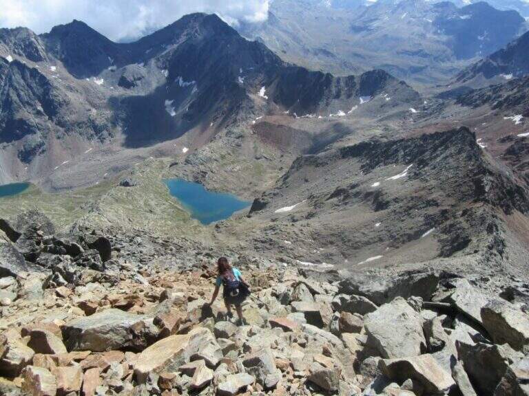
    From the top you descend along the normal road to the Passo dei Tre Cappuccini, along the Gelato Lake and continue until the Rifugio Arbolle (2h 30' from the top, 10h total). From the refuge, back to the path of approach to the cable car (1h from the refuge, 11h total).

    ▲To match

    Staying in Arbolle, on the return you can walk the simplest but panoramic Sentiero Attrezzato Panorama. Other itineraries in Valle d'Aosta: Ferrata del Gran Paradiso, Ferrata al Bivacco Borelli e Ferrata delle Crete Seche.

    ▲Gallery
    Technical data
    • DifficultyVery difficult
    • RegionAosta Valley
    • GroupMonte Emilius
    • Approach3:00 h
    • Ferrata4:30 h
    • Itinerary (a/r)11:00 h
    • Hardware level difference750 m
    • Route difference1250 m
    • Max3551 m
    • Length16,4 Km
  • Ferrata Monte Contrario

    Ferrata Monte Contrario

    Vie Ferrate › Tuscany › Massa-Carrara
    Ferrata Monte Contrario
    Very difficult● OpenDescriptionComplexityMapsGallery

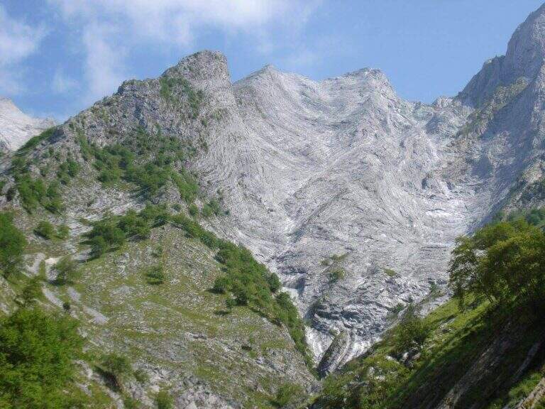
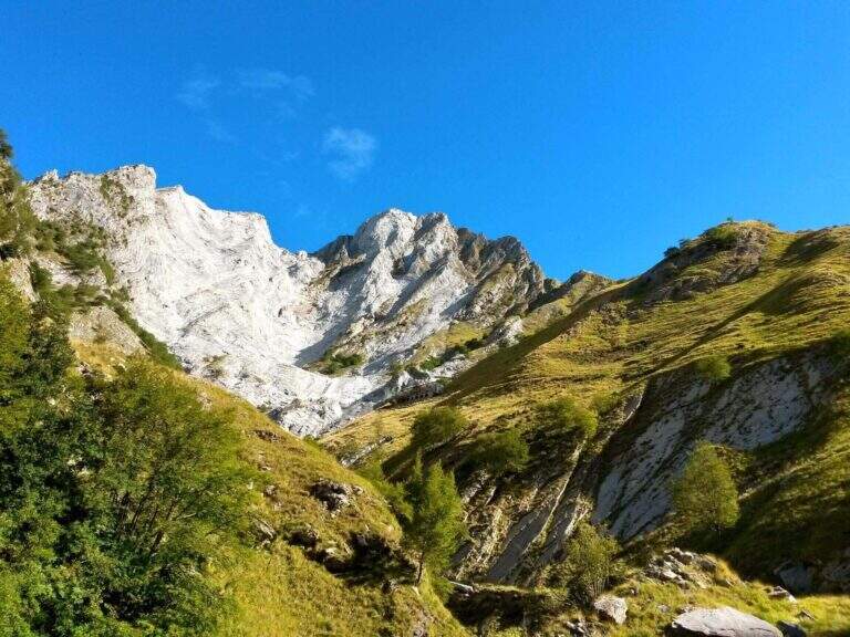
    Recent and technical, the Ferrata del Monte Contrario dates back to the southern wall of the homonymous summit until near the Passo delle Pecore: it is the technically more difficult ferrata of the Apuan Alps, inserted in a long and tiring itinerary both uphill and returning.

    ▲Approach

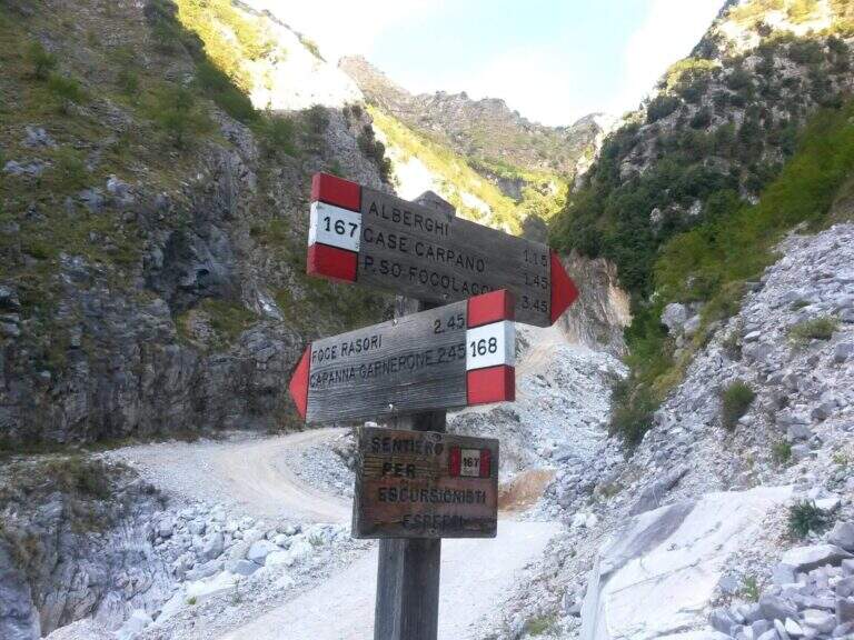
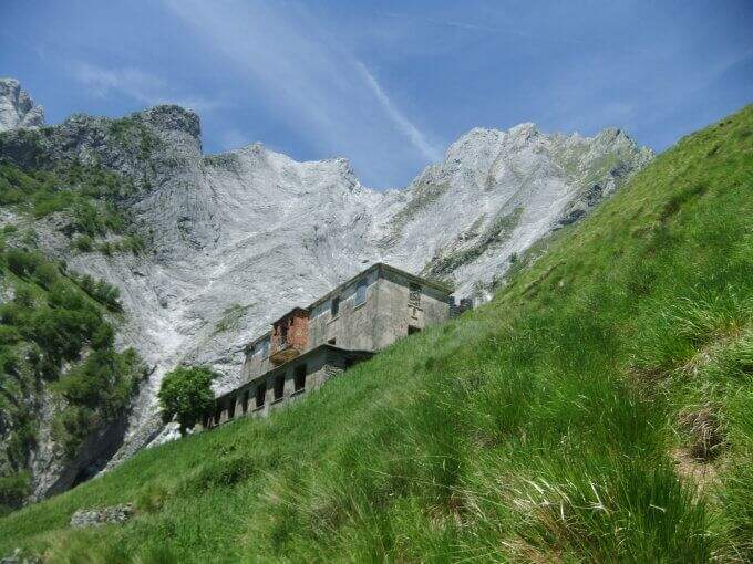
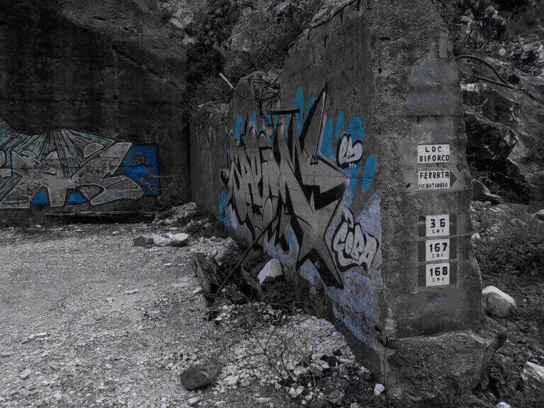
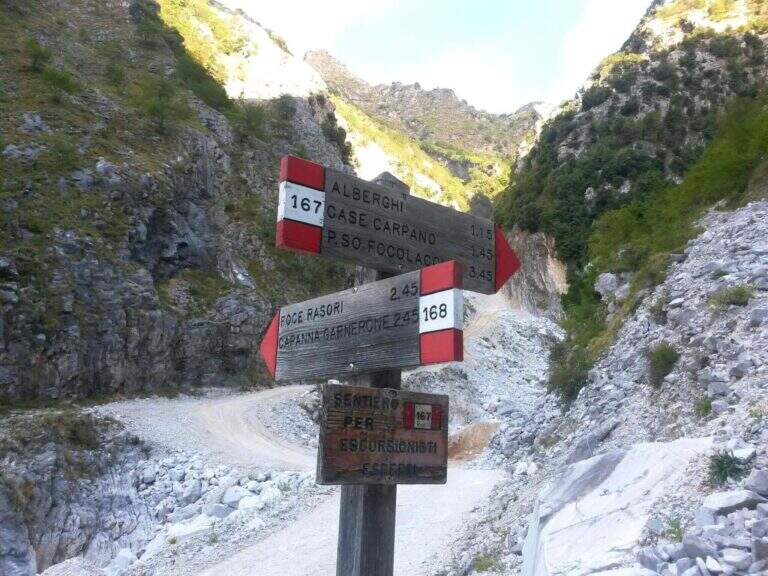
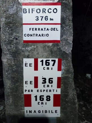
    Starting from the locality Biforco, near Forno: from the toll of Massa (A12) you go up the Via Bassa Tambura; in Biforco l' asphalt ends in front of a bar, where the marble road begins. Open road signs on Google Maps. From Biforco take uphill the paths CAI 167-168 along the Canal Fondone; after about a kilometer take the CAI 167 towards the Valley of the Hotels. The path climbs steep under l' imposing south wall; passed an abandoned building (former cave workers' dwelling) continues on track, omits and wooden poles until all' attack, after a last tiring tear (2h from the parking lot).

    ▲The path

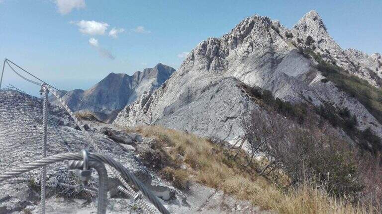
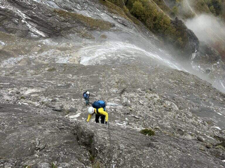
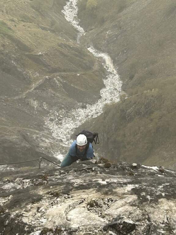
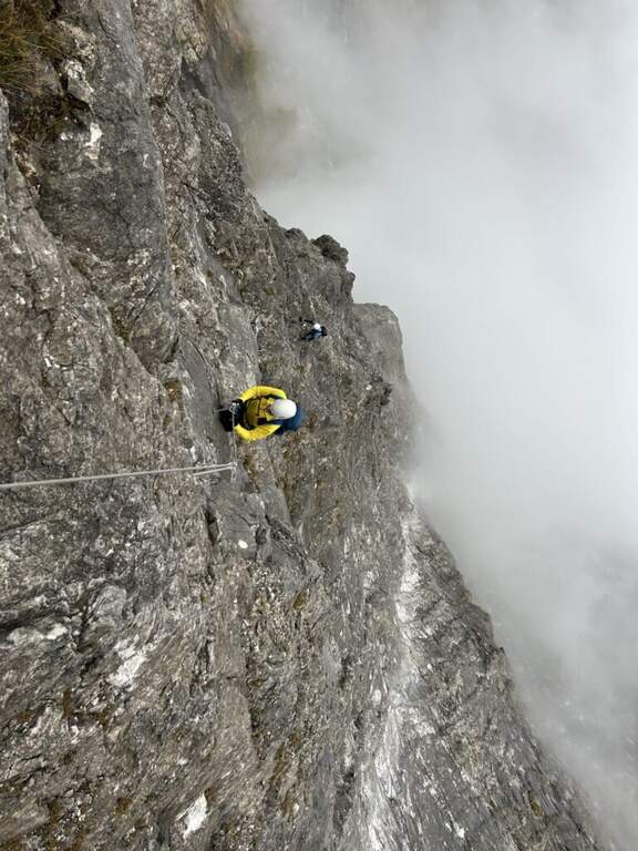
    The ferrata starts on a long slanted slab, to be climbed into the grip using natural hooks and, where it serves, the chain, up to a small terrace where the cable ends momentarily. The second section increases slope and exposure along the approximately 400 meters of altitude difference: in the lower part there are good natural sticks, while in the upper part the rock becomes smoother and, in the absence of good climbing skills, are comfortable some artificial hooks. The last walls rise and the street ends after a paramassive network (2h 30' from the attack, 4h 30' from the parking lot).

    ▲Character and difficulty

    It is the most difficult from the technical point of view among the Apuan ferrates: the level is not prohibitive uphill, but rock and exposure impose caution. To be faced with caution in the summer months: the not high altitude and exposure to the south can make the climb very warm.

    ⚠ Both return options are challenging, steep and exposed: to avoid in bad weather. The descent via Grondilice / Foce dei Rasori (CAI 168) is currently chiusa by order and indicated as inagibile by CAI signs; use the descent of Pradacetti.
    ▲Period and safety

    Better than half seasons or days does not towers. Stable time indispensable given the steepness of the return paths.

    ▲Discipline

    At the end of the ferrata turn left towards Grondilice. Recommended option: in about 20' you reach the Sella dei Pradacetti, from which a steep and exposed path descends in about 2h 30' to the Valley of the Hotels and, along the CAI 167, back to Biforco (3h 45' from the end of the ferrata, about 8h 30' total). The second option (CAI 186 at Grondilice Window, Rasor Foce and CAI 168 along the Fondone Canal) is currently not recommended and closed by order.

    ▲To match

    The length of the itinerary precludes concatenaments in the day. A valid option is to stay at the Orto refuges of Donna or Donegani and to face another excursion the following day.

    ▲Gallery
    Technical data
    • DifficultyVery difficult
    • RegionTuscany
    • GroupApuan Alps
    • Approach2:00 h
    • Ferrata2:45 h
    • Itinerary (a/r)8:00 h
    • Hardware level difference587 m
    • Route difference1270 m
    • Max1625 m
    • Length11 Km
  • Ferrata del Monte Amariana

    Ferrata del Monte Amariana

    Vie Ferrate › Friuli-Venezia Giulia › Udine
    Ferrata del Monte Amariana

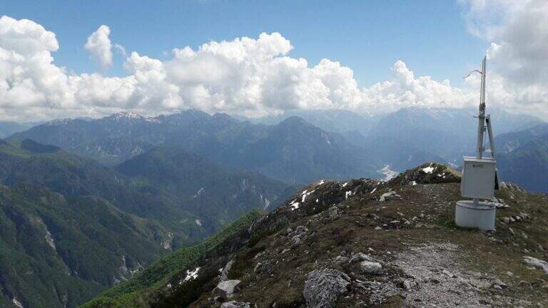
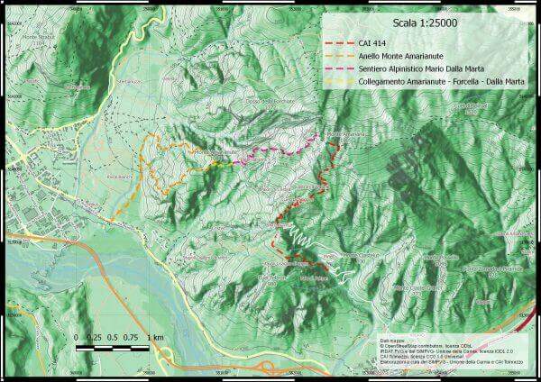
    Mount Amariana (in Friulian "La Mariane"), in the Carniche Prealps, rises at the confluence between Fella and Tagliamento and gives from the summit (1905 m) a 360-degree panorama, much higher than all nearby peaks. The ferrata on the south side is an easy and medium length itinerary (about 7 km between climb and descent) that goes up a canalone up to the saddle below the top.

    ▲Approach

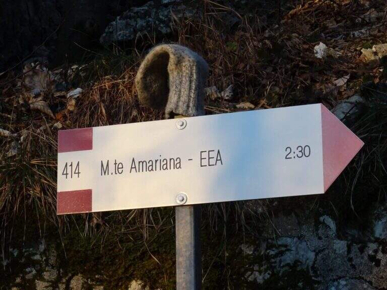
    Exit from the motorway exit of Amaro turn right towards the village; at l', turn left and cross it towards the slopes of the mountain. To the last houses continue along the military road to the Forca del Cristo (980 m). Open road signs on Google Maps. From the Forca del Cristo take the signpost CAI 414, pass by the cuel from the noglars and, out of the woods, you will see the view on Mount San Simeone and the valley. After about 2,6 km you reach the ' attack, about 1700 m; the path is well tracked and free of crossings (except one at the end of the ferrata), so it is practically impossible to miss the road.

    ▲The path

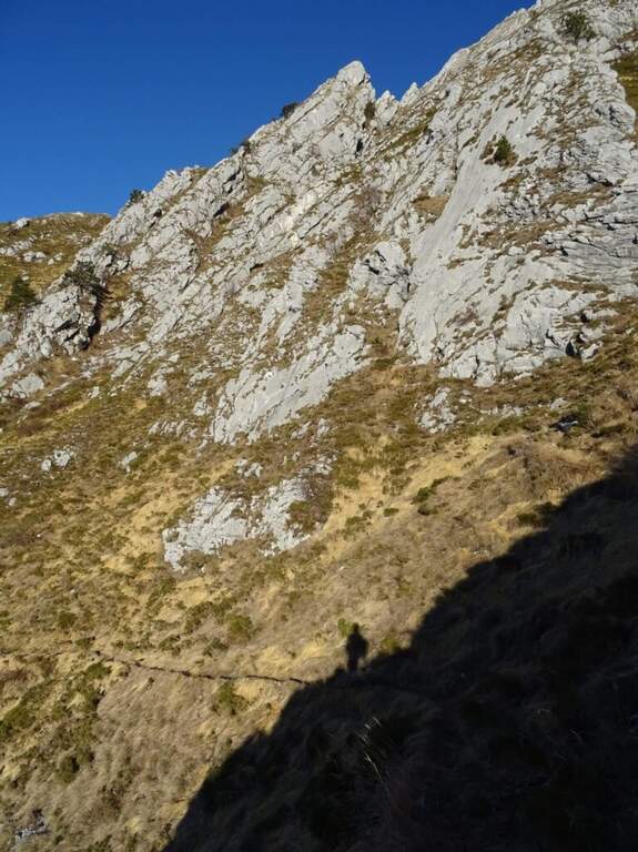
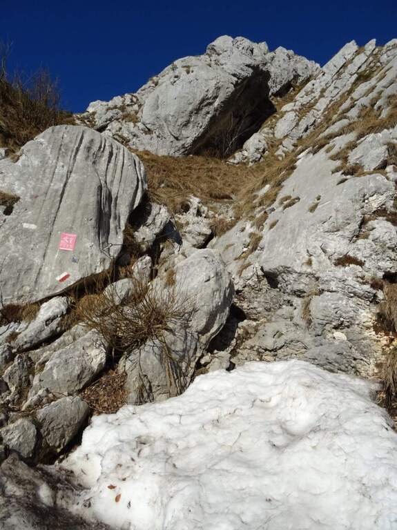
    From ' attack, reported by the CAI red folder (posted after the renovation of the structure in 2016), continues for about 500 m with practical cables grafted into the canalone d' ascent to the saddle under the top. The ferrata is easy; the canalone has quite unstable background, so the helmet is indispensable and should be paid attention not to move debris, which would slide towards the following. After the canal, the equipped sections continue on easy oblique ramps until their end; then you reach the peak (1905 m) in short, on path (2h 30' from ' start).

    ▲Character and difficulty

    Itinerary easy, in fact an equipped path: the ascent could be done even without the cables, but it remains recommended at least for those who have a minimum of experience.

    ⚠ However strongly recommended case: the falls of rocks moved by the weather or other hikers are not infrequent. For low altitude and exposure, address it in spring or autumn: in summer temperatures are very high.
    ▲Period and safety

    Spring and autumn are the best times. Case always worn for the risk of discharges in the tank.

    ▲Discipline

    The quickest option is the return to the uphill route, again to the Forca del Cristo (around 4h 45'). Alternatively, having two cars, you can descend on the north side with the other ferrata up to the Pradut saddle, with possible stop to the newly renovated Bivacco Cimenti-Floreanini (1067 m), continuing up to Illeggio (607 m); or descend the east ridge passing through the shelter Pian d'Aiars (1475 m) and the rec. M. Forcella (1098 m) until the "Ponte".

    ▲To match

    In Carnia: the recent Ferrata Farina del Diavolo in Villa Santina, la Ferrata Cassiopea al Torrione Comici e la Ferrata Cinquanta del Clap.

    ▲Gallery
    Technical data
    • DifficultyEasy
    • RegionFriuli-Venezia Giulia
    • GroupCarnic prealps
    • Approach1:15 h
    • Ferrata1:00 h
    • Itinerary (a/r)4:45 h
    • Hardware level difference300 m
    • Route difference870 m
    • Max1905 m
  • Ferrata della Miniera dell’Erdemolo

    Hardware of the Erdemolo Mine

    Vie Ferrate › Trentino-Alto Adige › Trento
    Hardware of the Erdemolo Mine
    Moderately Hard● OpenDescriptionComplexityMapsGallery

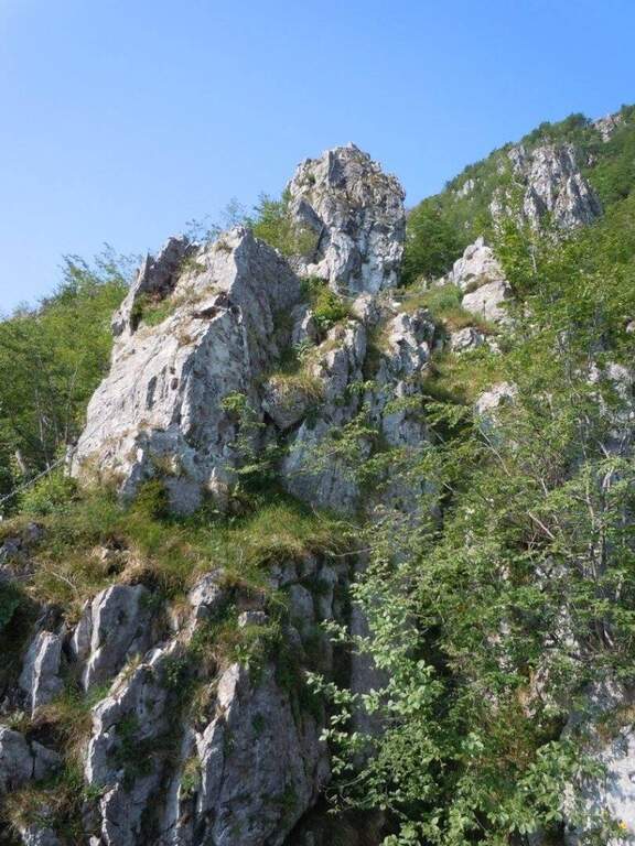
    The Ferrata della Miniera dell'Erdemolo is a very recent itinerary, realized above the ancient mines of calcopirite (arms) active between 1400 and 1600, in Val dei Mocheni. It is short and in the complex easy, with the only concluding part "moderately difficult": ideal for beginners and for those looking for a first taste of equipped path, between steep path, a short exposed crossing and a vertical wall bracketed with a pinch of overhanging.
    ▲Approach

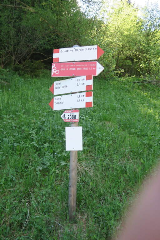
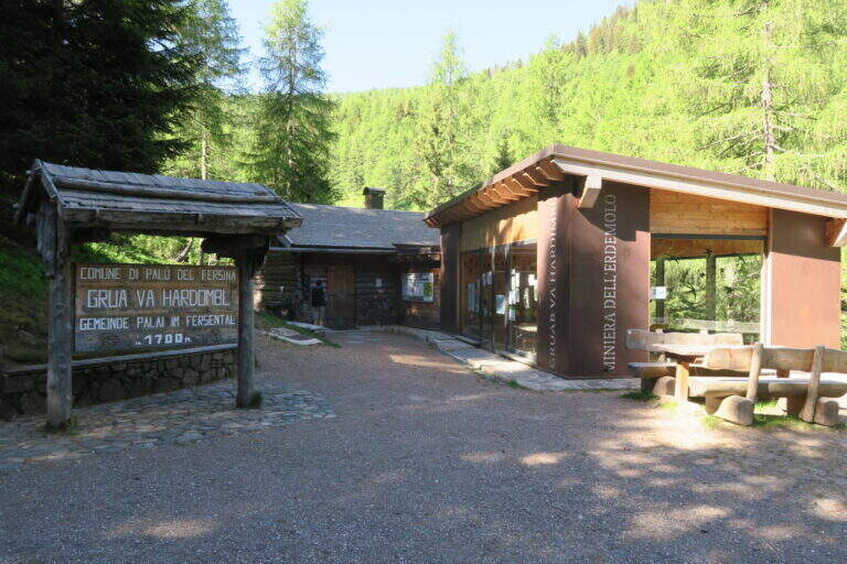
    Starting from the ' ample paid parking in the locality Frotten («Vròttn» in mòcheno), municipality of Palù del Fersina (TN), reachable by Pergine Valsugana; just before there is also a free parking lot in loc. Canopi, about 20' on foot. Open road signs on Google Maps. From the Frotten parking lot follow the forest road n. 325 towards «Miniera dell'Erdemolo»/Maso Lenzi, reaching in about 30' l' building of mine visits. Continue on the ascent cemented road (indications «Laner – Sette Selle») for about 300 m: on the right a diagonal track (if you reach the sign «343B – Intertol Sette Selle» you have gone over a few meters). This track, uphill south-east in the underwood, leads to all' attack in about 15' (1830 m, about 50' from parking).

    ▲The path

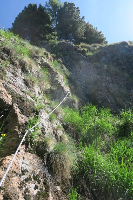
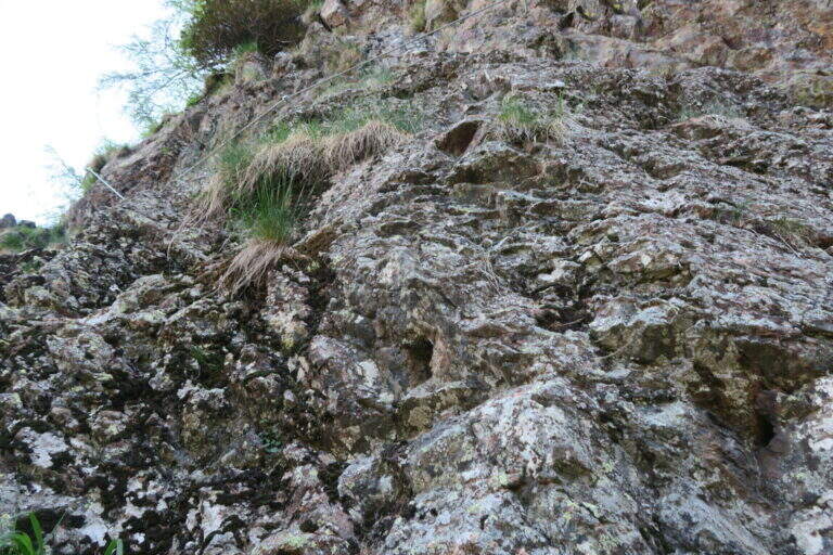
    The rope begins on a simple slope, followed by easy rocks and an easy crossing. For a large part it is a path equipped with the cord as a handrail, useful on the steep soil mixed with grassy laces and land; a short stretch of rock interrupts the grassy ascent, which continues to bends. A first cambre ladder is easily overcome, then a stretch in the undergrowth and a short and fun across rock in light exposure. Some brackets earn altitudes up to the most beautiful stretch: a traverse on rock and brackets to the left, well exposed for a few meters. The key point remains: a vertical paretine of about 10 m with a short and light strapiombo, however without force on the arms. It stands on a last grassy slope where the cord ends, at 1960 m (40' from' attack, about 1h 30' from parking).

    ▲Character and difficulty

    Short path and satisfaction, suitable for those who approach the ferrates. Exposed to the west, you can also face on summer days thanks to the limited direct irradiation. In both ways, unless otherwise indicated.

    ⚠ Ferrata completed in summer 2026 (Common of Palù del Fersina, PNRR funds): this is a very recent work, it is advisable to verify its status before departure.
    ▲Period and safety

    Summer season; given the low altitude and exposure to the west is pleasant also with moderate heat.

    ▲Discipline

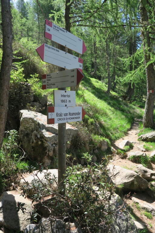
    Continue east for a few dozen meters until you enter the trail 324, which takes to the left for the descent (about 20') until the crossroads "loc. Intertol". To return to the forest road and the mine holds the left on 343B; alternatively, on the right on the 324 you reach the Rifugio Sette Selle (about 20') and then descend to the sentiero 343 at the Frotten parking lot, closing a ring (recommended option).

    ▲To match

    Given the brevity, in the Valsugana area: the easy Ferrata di Valimpach at Caldonazzo, il Sentiero Attrezzato Church in Levico Terme, il Sentiero Attrezzato Bertotti at Passo del Cimirlo and, in the heart of Lagorai, the most challenging Ferrata Gabrielli in Cima d'Asta.

    ▲Gallery
    Technical data
    • DifficultyModerately Hard
    • RegionTrentino-Alto Adige
    • GroupChain of Lagorai
    • Approach0:50 h
    • Ferrata0:40 h
    • Itinerary (a/r)1:45 h
    • Hardware level difference130 m
    • Route difference460 m
    • Max1960 m
    • Length4,5 Km
  • Ferrata del Bunker (of the Military)

    Ferrata del Bunker (of the Military)

    Vie Ferrate › Piedmont › Turin
    Ferrata del Bunker (of the Military)
    Moderately Hard● OpenDescriptionComplexityMapsGallery

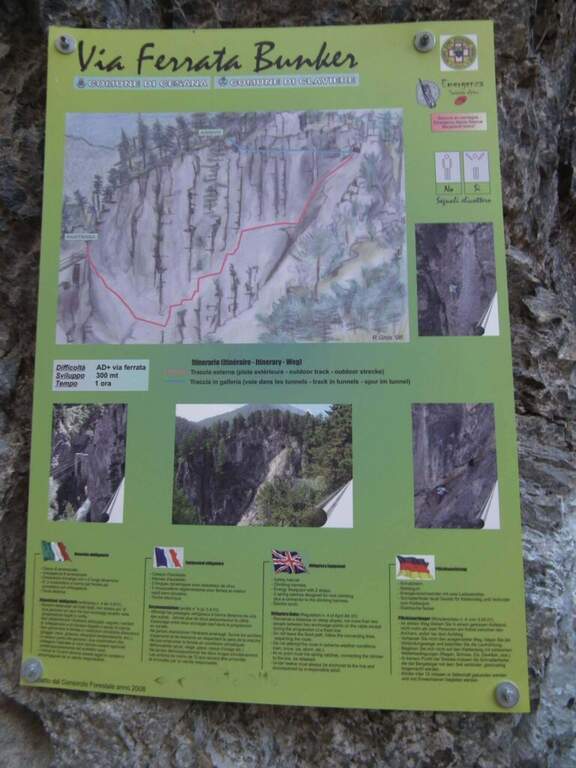
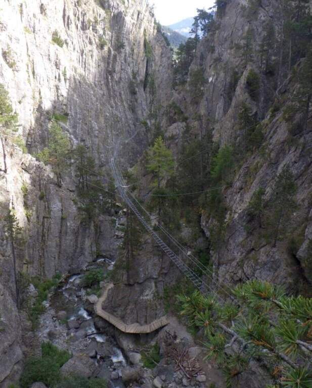
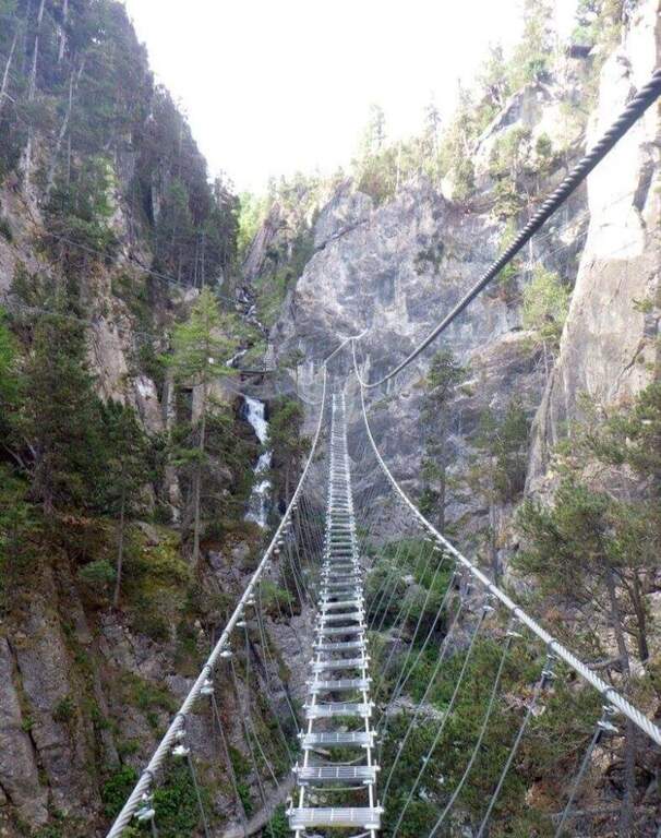
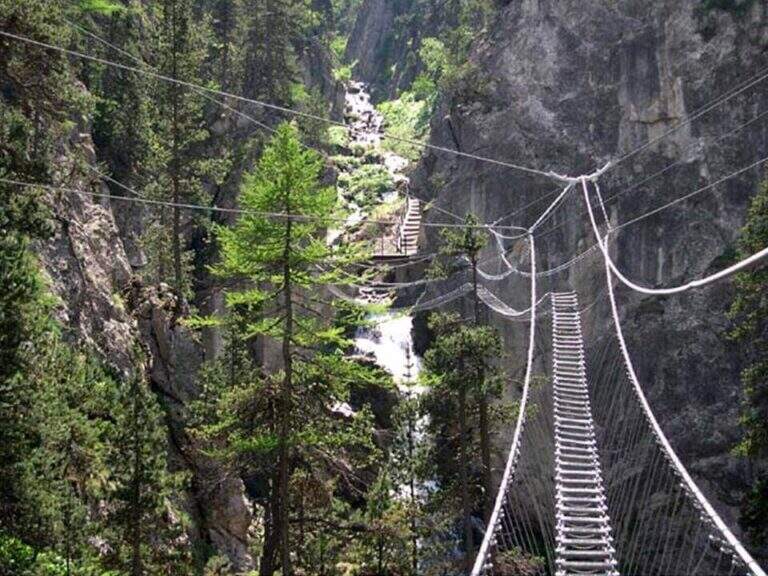
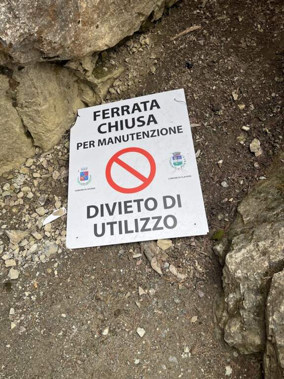
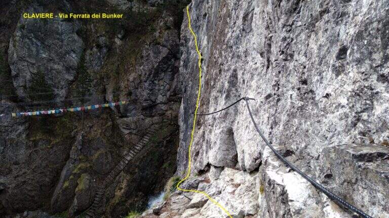
    The Ferrata del Bunker (or the Military) runs along the wall that divides the Gorges of San Gervasio, on the Dora Piccola, near Claviere. It's not difficult, but it's definitely aerial: it starts immediately after the world's longest suspended bridge and closes through a short bunker and two other Tibetan bridges.

    ▲Approach

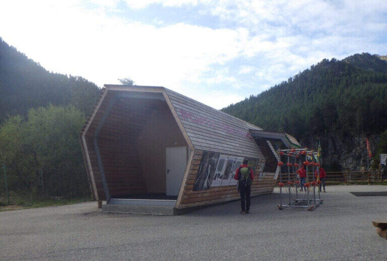
    The usual starting point is the ticket office of the Tibetan Bridge of Claviere (high Val di Susa, Turin), a wooden case well marked in the village. Open road signs on Google Maps. From the center you cross the suspension bridge «Sergio Bompard» (408 m), followed by an approach bridge of another 70 m: at the end it is at l' attack (30' from parking). Alternatively, park at the campsite after the roundabout before the gallery: go down to the ski lift for children, go up the opposite side and go left towards the gorge of the Tibetan bridge (25').

    ▲The path

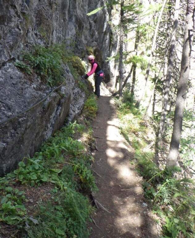
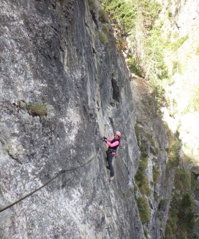
    The ferrata begins with a downhill stretch, then climbs right onto the wall that divides the Dora Piccola, earning immediately exposure. It proceeds on a horizontal across a lot of plane above the river, well assisted by brackets, up to a tilted ramp that becomes vertical ascent and ends on a nod. The nod leads to the bunker (usually illuminated in opening hours, but a torch is recommended); all' exit is at a third long Tibetan bridge that leads to the slope where the ferrata ends (1h from' attack, 1h 30' parking).

    ▲Character and difficulty

    Technically contained, but very exposed: the three Tibetan bridges require absolute absence of dizziness. Suitable for those with little experience but firm head.

    ⚠ Bring a flashlight to the bunker. At the ticket office of the Tibetan Bridge you can rent the equipment.
    ▲Period and safety

    Season from late spring to autumn. Check times and accessibility of bridges at the operator.

    ▲Discipline

    From the end of the final Tibetan bridge you descend in short to the ticket office (15', 2h total).

    ▲To match

    Often combined with the Ferrata di Rocca Clarì (difficile) and the Low-High and Chaberton Battery Hardware, which concatenates three ways. From 2024 we also signal the Ferrata delle Cascate di Novalesa.

    ▲Gallery
    Technical data
    • DifficultyModerately Hard
    • RegionPiedmont
    • GroupAlta Val di Susa
    • Approach0:30 h
    • Ferrata1:00 h
    • Itinerary (a/r)2:00 h
    • Hardware level difference90 m
    • Route difference100 m
    • Max1758 m
    • Length2 Km
  • Ferrata delle Mesules (Pößnecker)

    Ferrata delle Mesules (Pößnecker)

    Vie Ferrate › Trentino-Alto Adige › Trento
    Ferrata delle Mesules (Pößnecker)

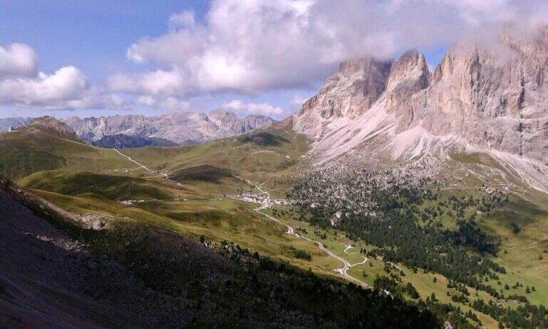
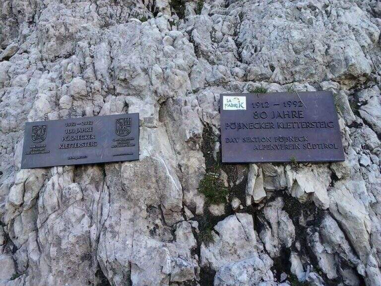
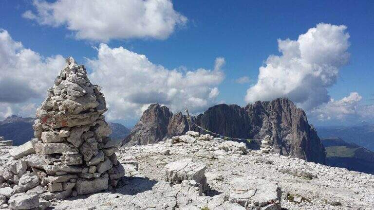
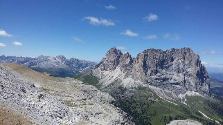
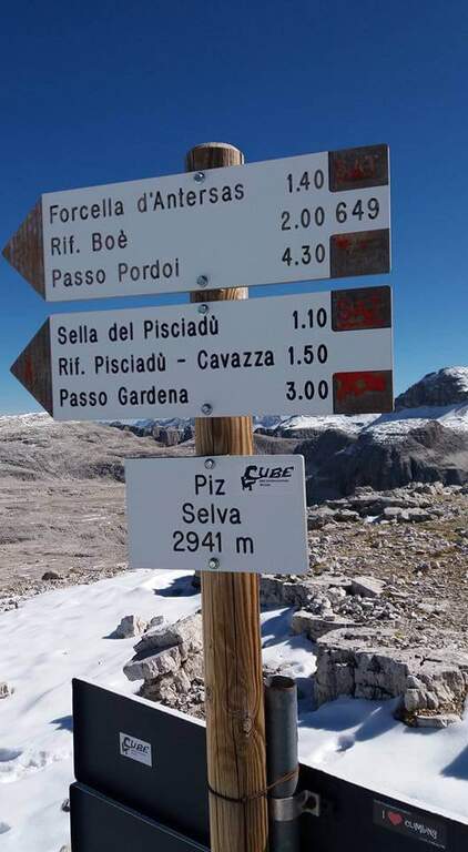
    La Ferrata delle Mesules — storica Pößnecker Klettersteig del 1912 — risale il versante occidentale del Gruppo Sella fino al Piz Selva (2941 m). È un itinerario lungo, tecnico e vario, con alcuni punti chiave non protetti che richiedono piede fermo e assenza di vertigini, immerso in un panorama a 360 gradi sui grandi gruppi dolomitici di Val di Fassa e Val Gardena.

    ▲Approach

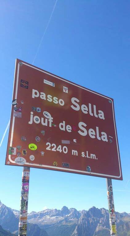
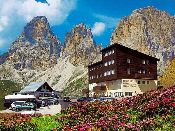
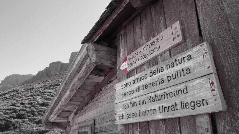
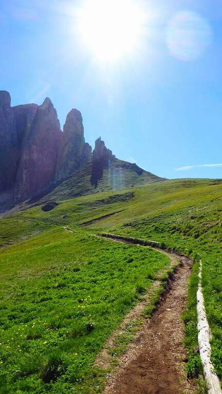
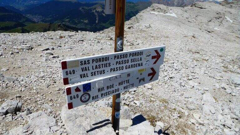
    Si parte dal Passo Sella, tra Val di Fassa e Val Gardena. Conviene lasciare l'auto sul versante della Val di Fassa, nei pressi dell'Albergo Maria Flora: così si imbocca direttamente il sentiero d'attacco e ci si ritrova allo stesso versante al rientro. Open road signs on Google Maps. Dal parcheggio si segue il segnavia CAI 649 verso nord-est, in direzione delle Torri del Sella: prima su prato, poi su fondo detritico con pendenza crescente fino all'attacco (2290 m, 30' dal parcheggio).

    ▲The path

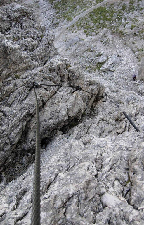
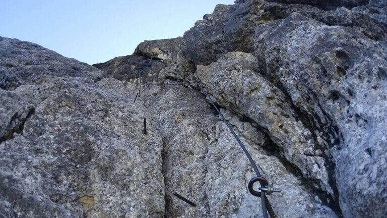
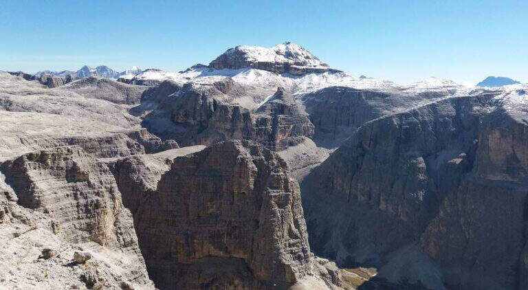
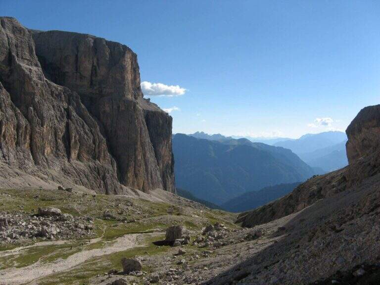
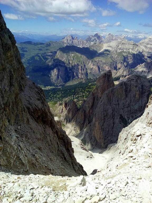
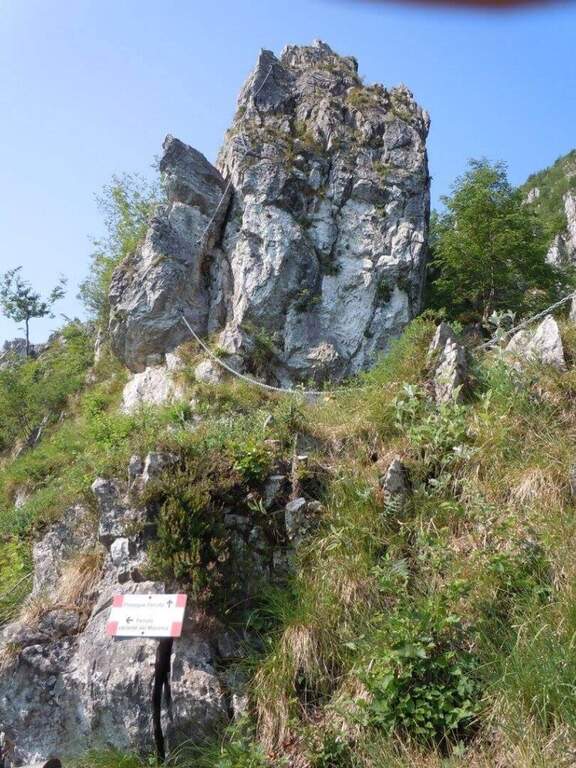
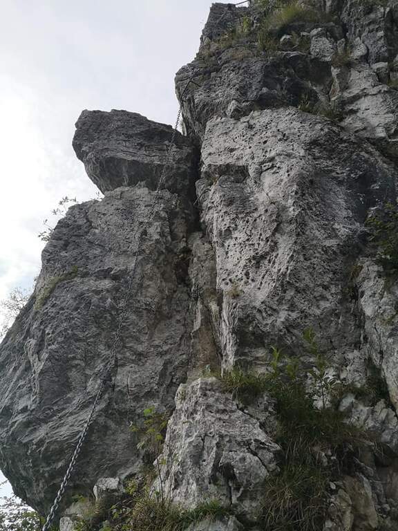
    L'attacco è stato modificato rispetto al tracciato originale e oggi è considerato più difficile. Superate le prime roccette non protette si entra nel primo di una lunga serie di camini, su parete appoggiata verso sinistra; pochi chiodi segnalano l'aumento di difficoltà e la riduzione degli appigli. Si alternano tratti verticali e diagonali con una fessura d'appoggio fino a un terrazzino. Qui inizia la sezione più impegnativa: ci si addentra in un anfratto risalendo roccette di I grado fino a un passaggio di II grado in spaccata, non protetto da fune, da affrontare con buon piede, cercando gli appoggi e aiutandosi con le mani su entrambi i lati dell'anfratto per superare un masso fino ad alcune staffe. Si scende qualche metro alla prima scaletta, da cui ci si gira a osservare il tratto appena salito. Dopo una seconda scaletta arriva l'altro punto chiave: uno stretto camino con staffe (prima a sinistra), unica assicurazione perché manca la fune; nella parte alta le staffe passano sul lato destro e occorre girarsi su sé stessi (manovra ostica con zaino voluminoso), per uscire poi a sinistra su due pioli in un passaggio molto aereo e prendere una scaletta poco stabile. Si sale una parete levigata, quindi un facile camino con buoni appoggi e staffe; brevi tratti orizzontali e roccette chiudono le attrezzature. Si entra in un vallone che si risale su traccia, si superano altri facili tratti attrezzati e un sentiero esposto a mezzacosta verso destra fino all'Altopiano delle Mesules. Un sentiero di collegamento porta sotto l'ultima sezione: una cengia esposta, balzi rocciosi ben appigliati e passaggi solo a tratti attrezzati conducono alla vetta del Piz Selva (2941 m), affacciata sul Sassolungo (3h dall'attacco, 3h 30' totali).
    ▲Character and difficulty

    Escursione ad ampio respiro, dal carattere alpino, riservata a ferratisti esperti e preparati. I due passaggi chiave della prima sezione (max II grado) non sono protetti: le difficoltà sono soprattutto psicologiche, per l'esposizione e per gli spazi angusti. Il lungo camino richiede agilità nella parte alta e sconsiglia zaini ingombranti.

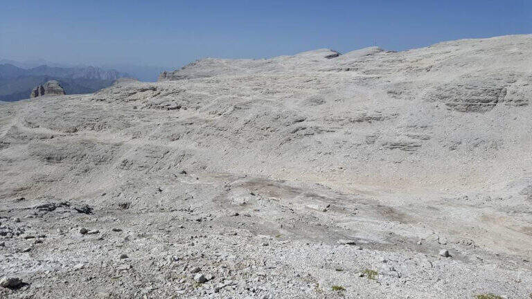
    ⚠ L'Altopiano delle Mesules è selvaggio e isolato, senza punti d'appoggio: con nebbia il rischio di perdere l'orientamento è concreto. Percorrere la via solo con previsioni di tempo stabile. Per uscire dal camino può servire un rinvio o una fettuccia per agganciare lo zaino all'imbraco e riuscire a girarsi.
    ▲Period and safety

    Piena estate, con meteo stabile: l'itinerario è lungo (16 km, 7h 45' complessive) e si svolge a quasi 3000 m senza punti d'appoggio. Buona pianificazione e partenza mattutina.

    ▲Discipline

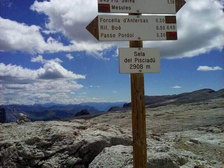
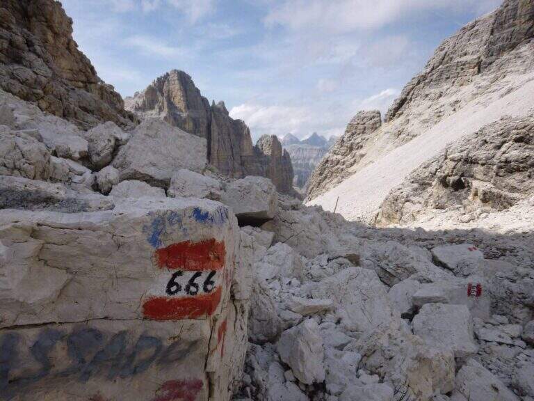
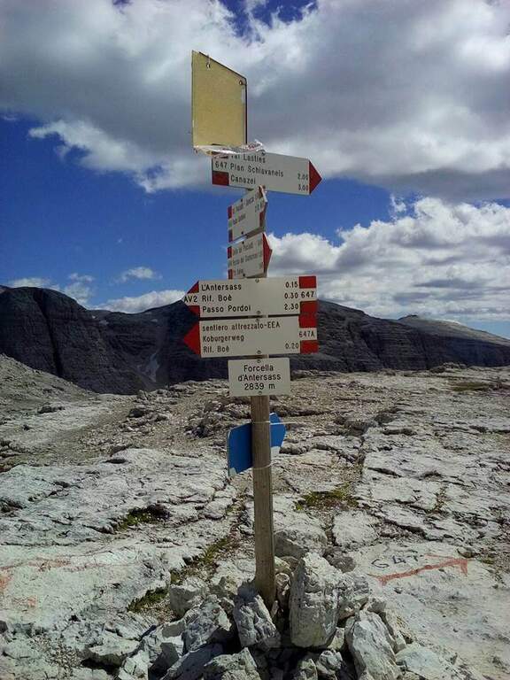
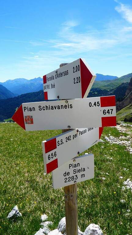
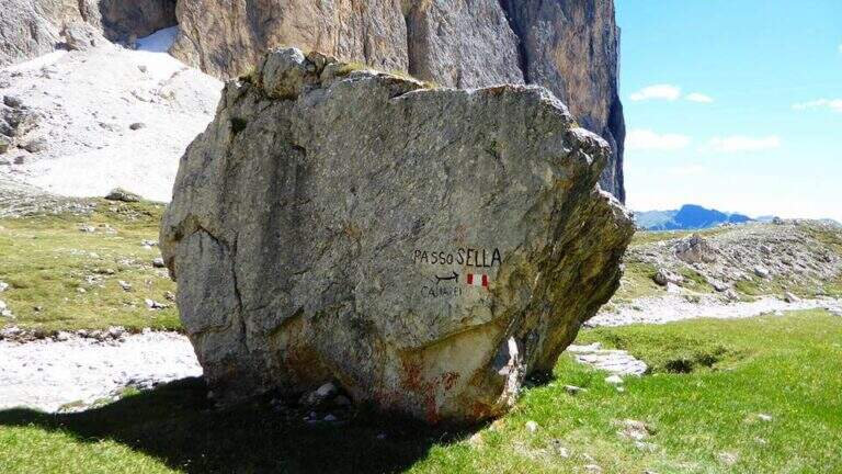
    Dal Piz Selva si percorre il lungo e brullo Altopiano delle Mesules verso nord-est seguendo i radi segni del CAI 649 fino al Piz Miara (2964 m). Da qui l'opzione normale prosegue sul 649 perdendo leggermente quota: si ignorano i bivi col 767 (Rifugio Pisciadù) e col 666 (Val de Tita) fino alla Forcella dell'Antersass (2842 m, 1h 15' dalla vetta). Si prende a destra il sentiero 647 che cala nella Val de Lasties fino al Pian di Sella (2283 m, 2h 30' dalla vetta), poi indicazioni e tratto asfaltato fino al Passo Sella (4h dalla vetta, 7h 30' totali). Solo per esperti, un canalone non segnato sotto il Piz Miara (labili tracce, un paio di tratti attrezzati) scende diretto nella Val de Lasties risparmiando circa 1h 30'.

    ▲To match

    Sul Gruppo Sella, raggiungibili in breve in auto: Ferrata Piazzetta, Ferrata Tridentina, Ferrata del Piz da Lech e Ferrata del Vallon; vicino al Passo Sella la Ferrata Schuster al Sassopiatto e la Ferrata at the Col Rodella.

    ▲Gallery
    Technical data
    • DifficultyHard
    • RegionTrentino-Alto Adige
    • GroupGruppo del Sella
    • Approach0:30 h
    • Ferrata3:00 h
    • Itinerary (a/r)7:45 h
    • Hardware level difference650 m
    • Route difference700 m
    • Max2973 m
    • Length16 Km
  • Ferrata Merlone ai Cadini di Misurina

    Ferrata Merlone ai Cadini di Misurina

    Vie Ferrate › Veneto › Belluno
    Ferrata Merlone ai Cadini di Misurina
    Very difficult● OpenDescriptionComplexityMapsGallery

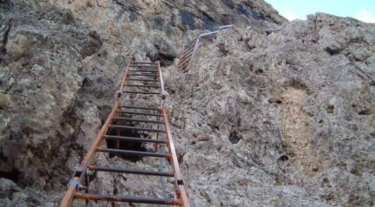
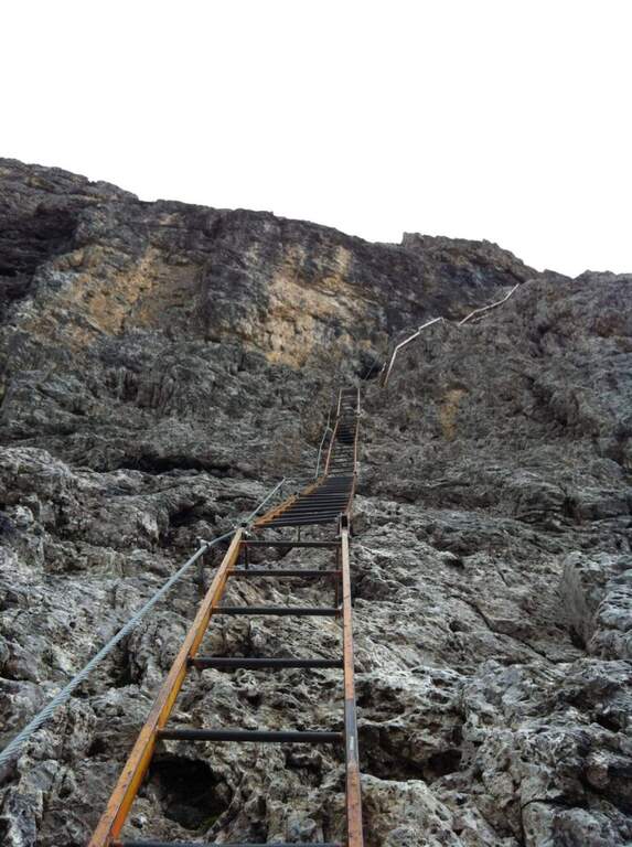
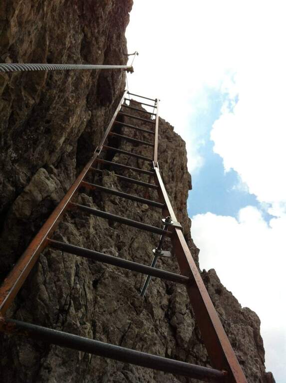
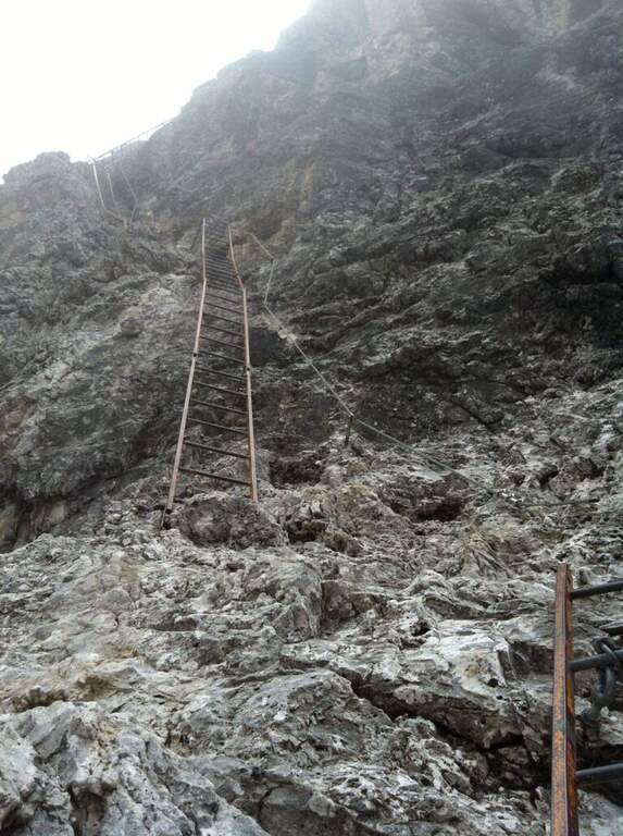
    La Ferrata Merlone raggiunge la cima più alta del sottogruppo dei Cadini di Misurina, nelle Dolomiti di Sesto: una linea verticale e fortemente aerea, celebre (e discussa) per le sue interminabili scalinate metalliche e per un traverso esposto che resta impresso. Itinerario lungo, con dislivello assoluto importante e un rientro che impone saliscendi e la risalita di forcelle.

    ▲Approach

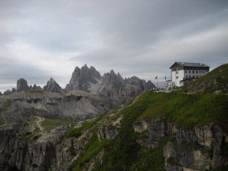
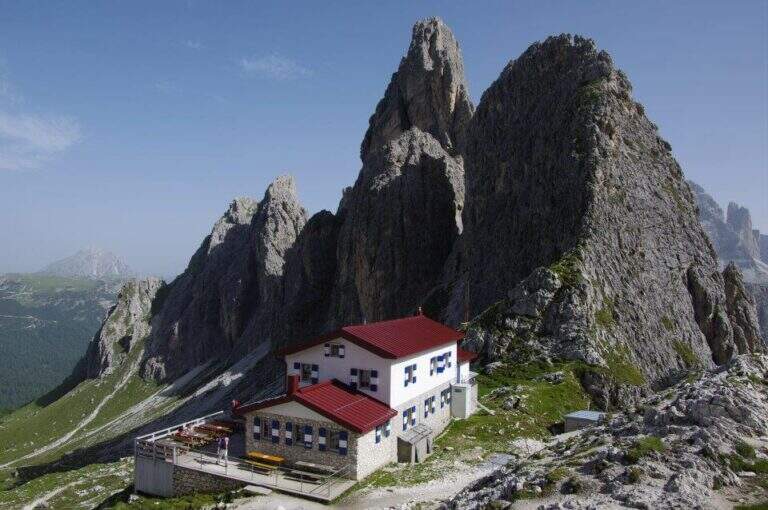
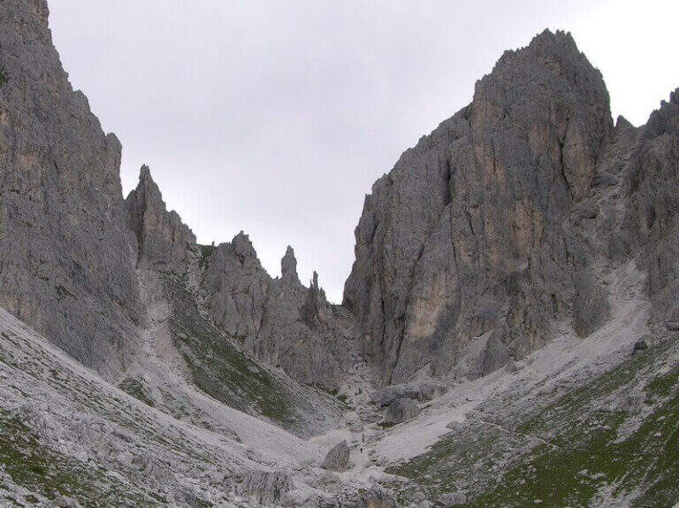
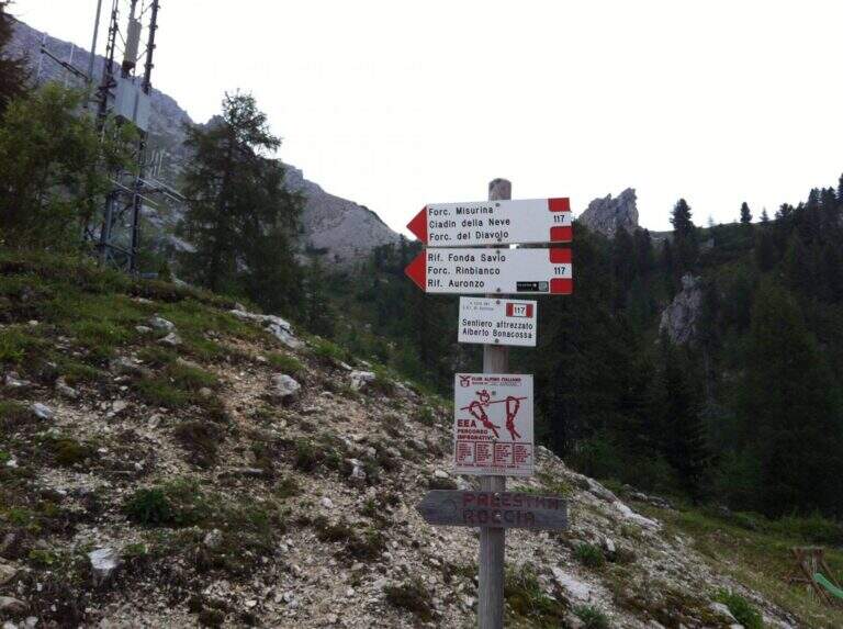
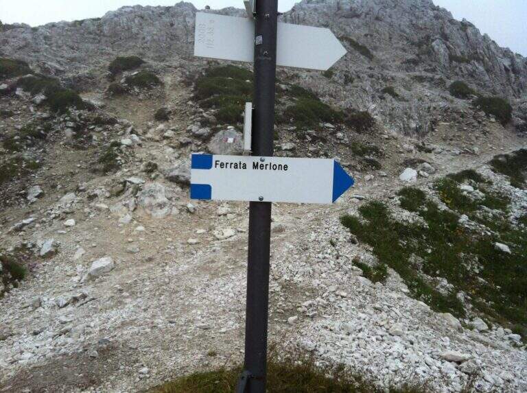
    Si parte dalla strada che collega il Lago di Misurina al Rifugio Auronzo. Poco prima del pedaggio, dopo una doppia curva, sulla destra si apre uno spiazzo in leggera discesa dove lasciare l'auto (posti limitati in alta stagione), riconoscibile da una palina biancorossa del CAI. Open road signs on Google Maps. Dallo spiazzo si imbocca la sterrata che sale verso est nel bosco di conifere seguendo il segnavia CAI 115; superato il Pian degli Spiriti (1895 m) la pendenza resta moderata fino al Rifugio Fonda Savio (2367 m, 1h 30' dal parcheggio), al Passo di Toce. Da qui si segue l'indicazione in ripida salita verso sud fino a un vallone detritico; una traccia con radi segni lo attraversa portando sul versante opposto, dove due lunghe scale metalliche — già visibili dal basso — annunciano l'attacco (30' dal rifugio, 2h totali dall'auto).

    ▲The path

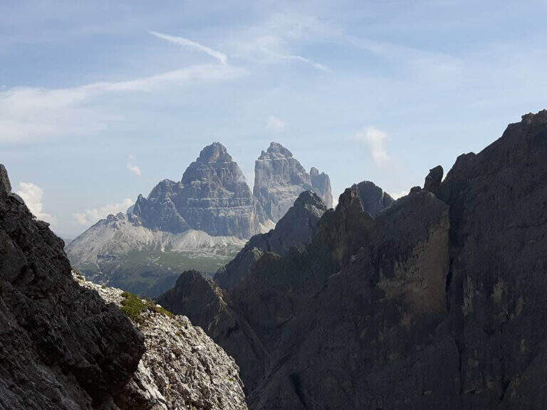
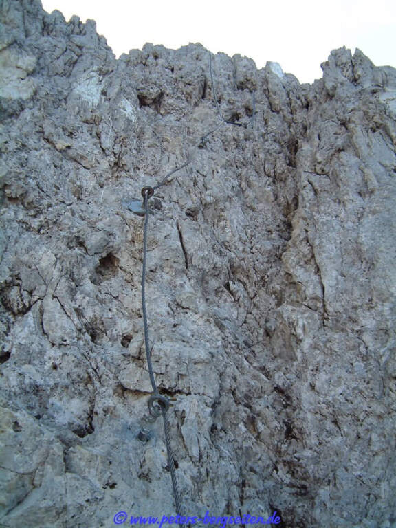
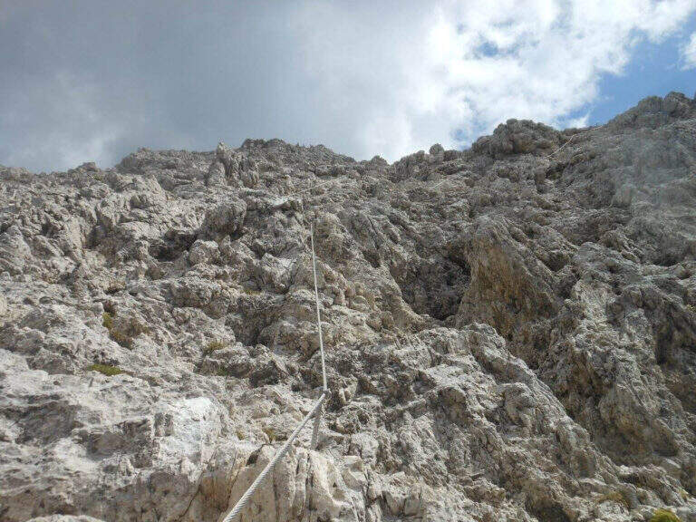
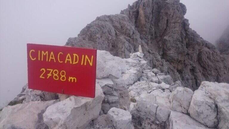
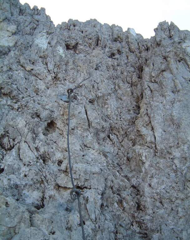
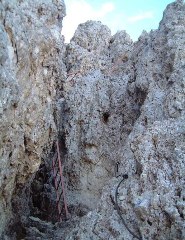
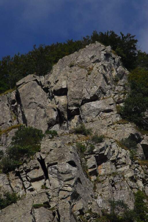
    Si risalgono alcune roccette instabili fino alla prima fune, che procede orizzontale per pochi metri prima di un balzo di un paio di metri dove si trova la targhetta dedicatoria. La prima sezione alterna roccette attrezzate e un paio di facili salti da arrampicare in libera (I grado, segni blu, roccia ben appigliata) e porta verso destra, in direzione delle lunghe scale. La prima parte da un terrazzino panoramico affacciato sulle Tre Cime di Lavaredo: inizia qui la salita di oltre 300 gradini, tecnicamente facile ma via via sempre più esposta. Un tratto diagonale verso destra, un breve diedro e una parete appoggiata conducono a nuove serie di scale in forte esposizione, a volte sorprendenti perché da verticali piegano bruscamente a destra o a sinistra. Si raggiunge un traverso esposto verso sinistra che porta a una passerella in legno; oltre la passerella il traverso si impenna nel passaggio chiave, molto aereo, fino a un'altra scaletta verticale. Questa termina sotto un masso, che si aggira a sinistra per riprendere a salire in verticale; segue un traverso ascendente verso destra che, presso un salto, piega a sinistra dove una delle poche staffe della via aiuta a superare un leggero spanciamento. Nel tratto conclusivo si sale una parete appigliata ma verticale ed esposta, quindi un sentiero e un ultimo dislivello di circa 70 m fino alla vetta Cadin di Nord Est (2788 m), segnalata da uno spartano cartello rosso (1h 30' di sola ferrata).

    ▲Character and difficulty

    Le scale — a tratti davvero troppe per i puristi dell'arrampicata — abbassano la difficoltà tecnica di una parete che, senza attrezzatura e su roccia spesso verticale e tendente all'unto, sarebbe molto difficile. Resta però la forte esposizione, costante, e un paio di passaggi più impegnativi nella seconda metà: di qui la valutazione complessiva Molto Difficile. Attenzione anche ai brevi tratti in libera (I grado), dove la sabbiolina può rendere insidiosi gli appoggi.

    ⚠ La via è percorsa nei due sensi: il caschetto è obbligatorio per il rischio di scariche di sassi smossi da chi sta sopra. Il vallone che precede l'attacco resta spesso innevato anche a stagione inoltrata; la pendenza è modesta (i ramponi sono in genere eccessivi), ma per le condizioni conviene sentire il Rifugio Fonda Savio.
    ▲Period and safety

    Stagione estiva, quando il vallone d'attacco è libero dalla neve. Verificare le condizioni al Rifugio Fonda Savio. Calma e prudenza nei tratti in libera e nei diagonali sabbiosi; la discesa è impegnativa per l'esposizione continua.

    ▲Discipline

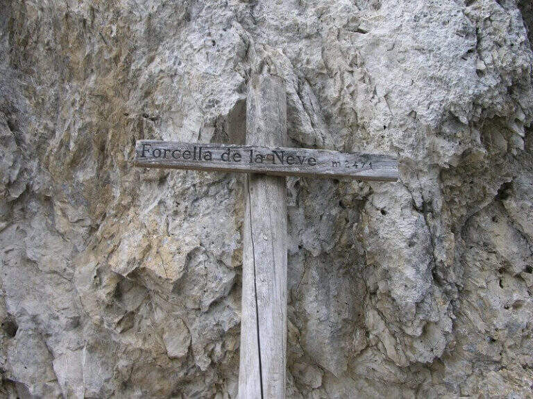
    Si scende disarrampicando la stessa Ferrata Merlone fino al vallone detritico (1h 30' dalla vetta, 5h totali). Da qui tre opzioni: (1) verso sud, tenendosi sul versante destro del vallone, con brevi tratti attrezzati fino alla Forcella de la Neve (2471 m, 1h 30'), poi giù nel Ciadin de la Neve sul sentiero 118 fino alla deviazione a destra per il 115 e ritorno all'auto (1h 30', 8h totali); (2) tenere la destra fino al Rifugio Fonda Savio e prendere il sentiero 117 verso la Forcella del Diavolo (alcuni tratti attrezzati), scendendo poi nel Ciadin de la Neve come nell'opzione 1 (7h 30' totali); (3) a ritroso per il sentiero dell'andata (2h, 7h totali).

    ▲To match

    Con partenza all'alba la Merlone si concatena con il Path equipped Bonacossa. Nelle vicinanze, sulle Dolomiti di Sesto: Ferrata delle Scalette, Ferrata Cappellano Hosp alla Torre di Toblin e Ferrata Innerkofler al Monte Paterno; sul Cristallo la Ferrata Bianchi.

    ▲Gallery
    Technical data
    • DifficultyVery difficult
    • RegionVeneto
    • GroupCadini di Misurina
    • Approach2:00 h
    • Ferrata1:30 h
    • Itinerary (a/r)8:00 h
    • Hardware level difference438 m
    • Route difference1036 m
    • Max2788 m
    • Length11 Km
Need help? Write to us!