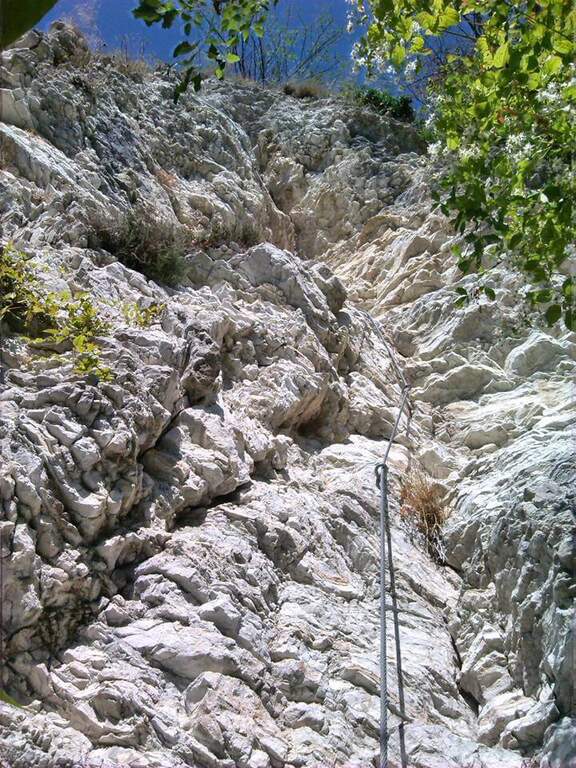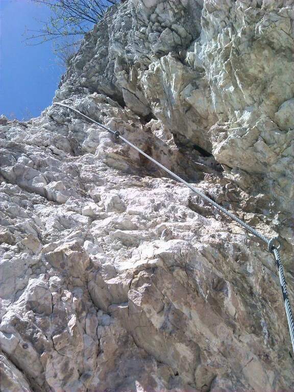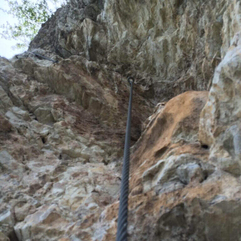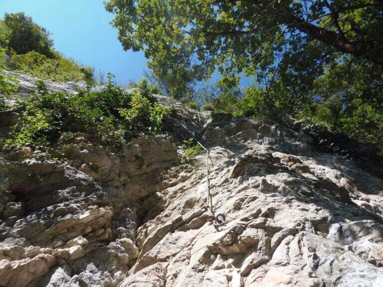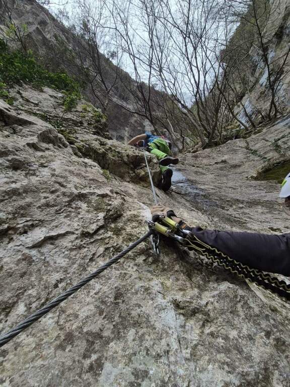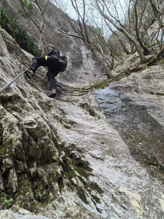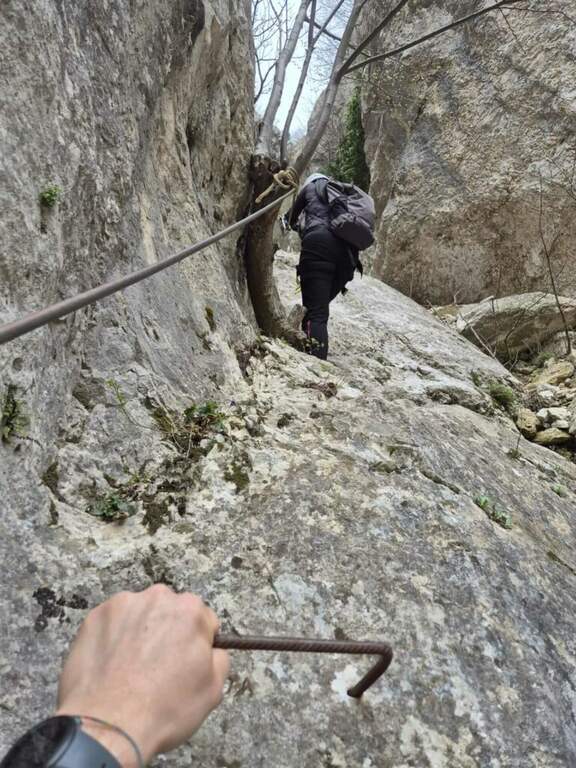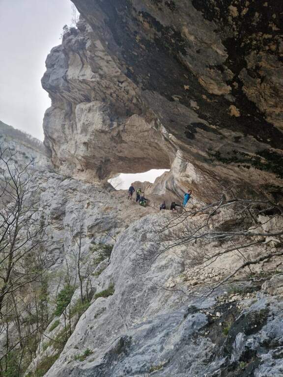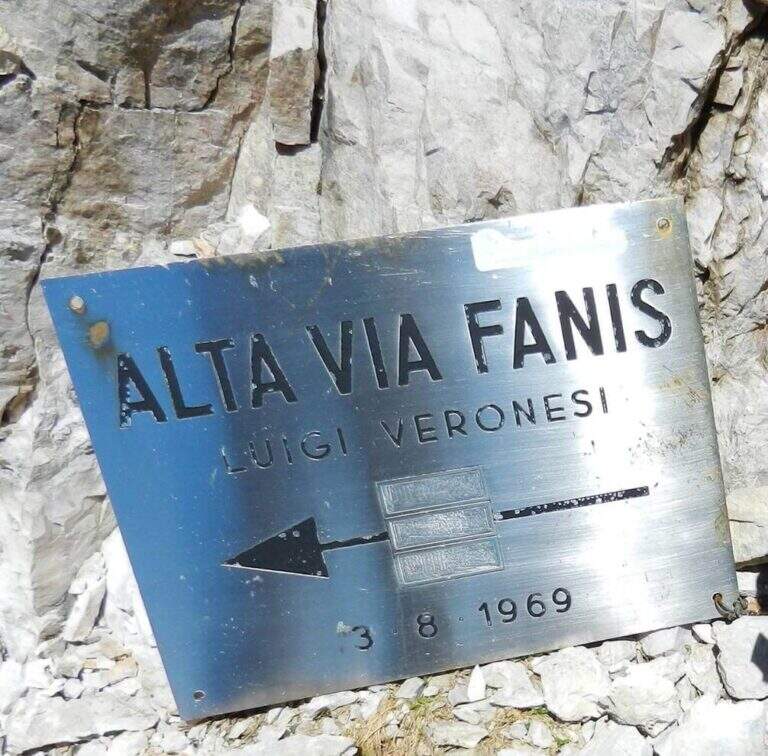
Caratteristica: Per esperti

  • Sentiero Attrezzato della Cengia Veronesi

    Sentiero Attrezzato della Cengia Veronesi

    Vie Ferrate › Veneto › Belluno
    Sentiero Attrezzato della Cengia Veronesi
    Moderately Hard● OpenDescriptionComplexityMapsGallery

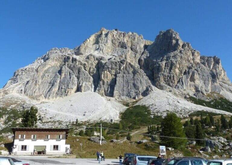
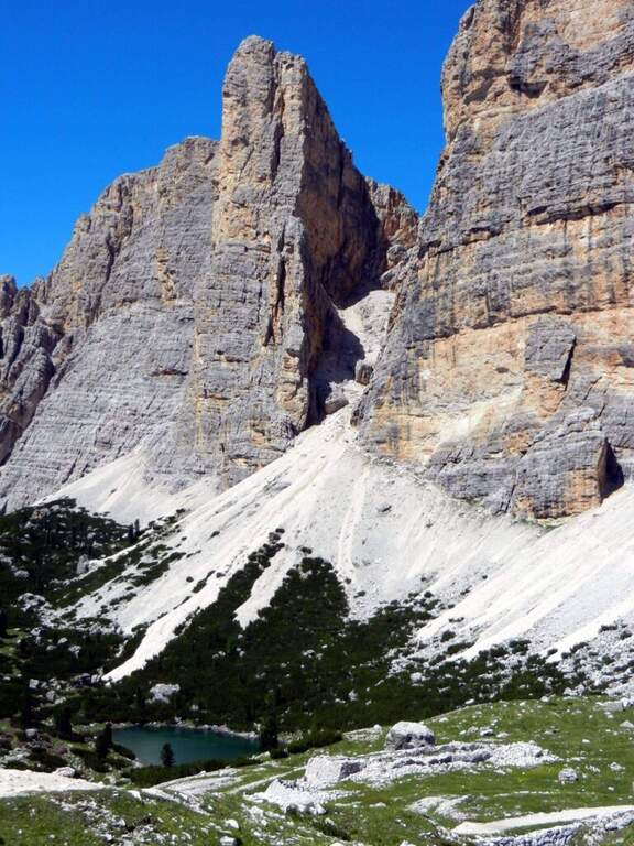
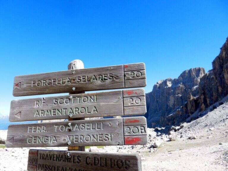
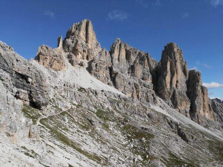
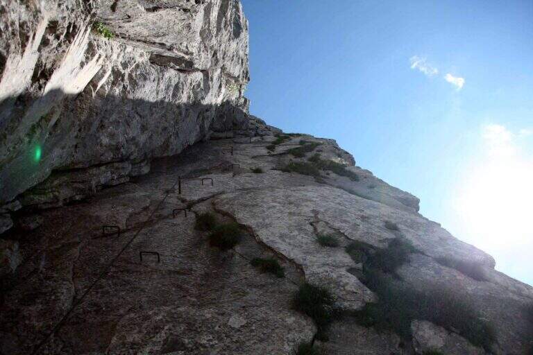
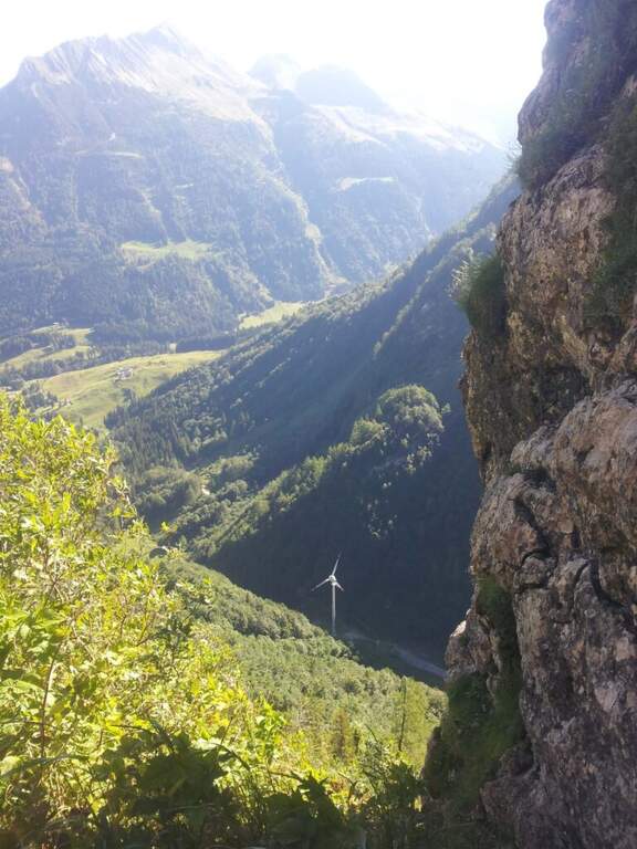
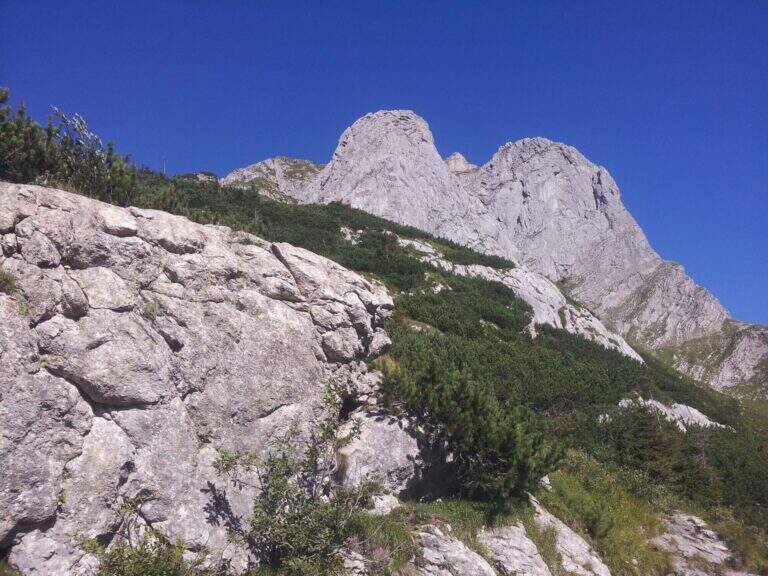
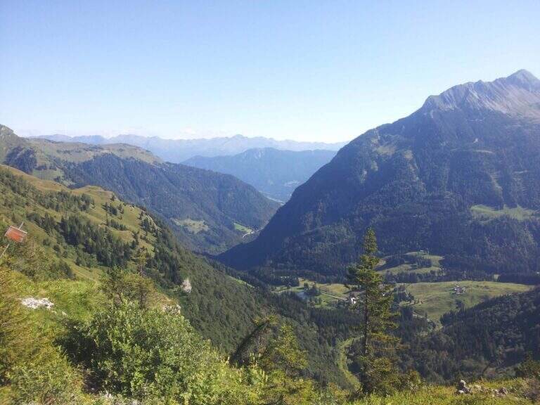
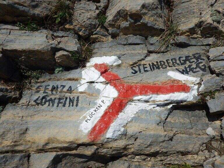
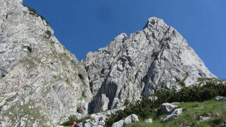
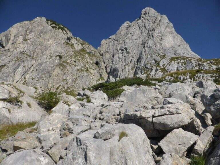
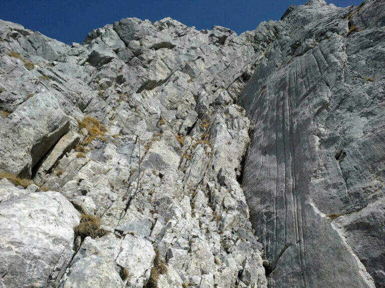
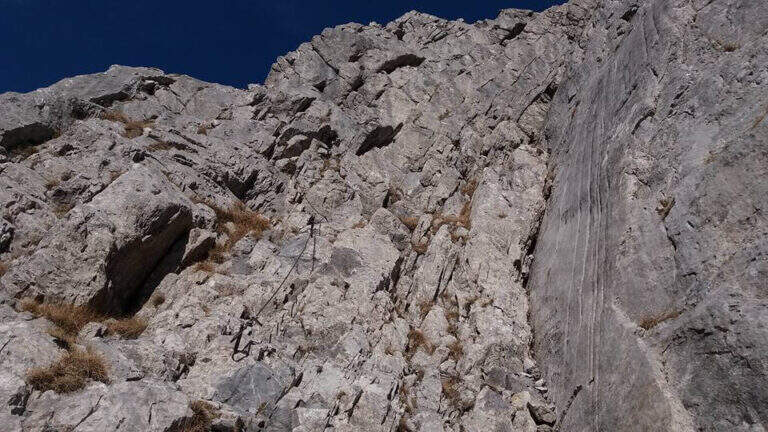
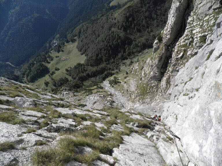
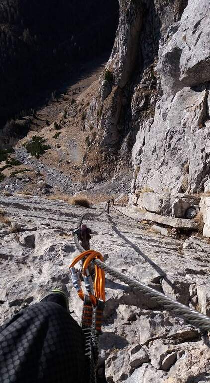
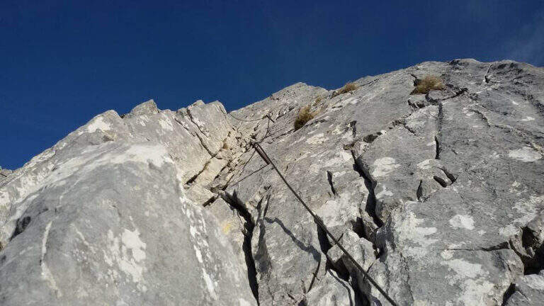
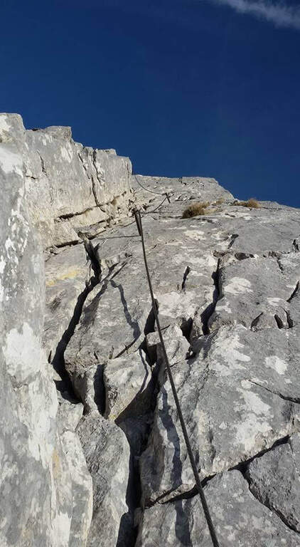
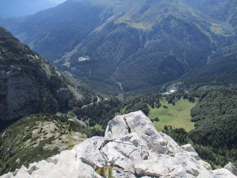
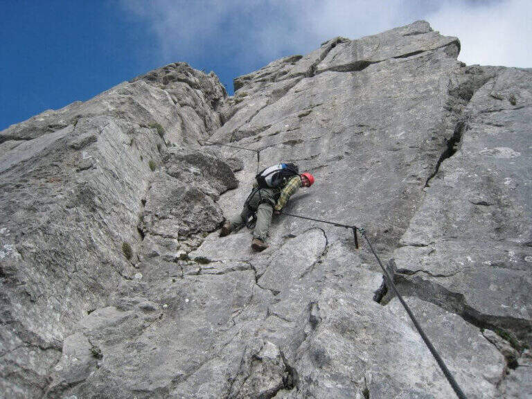
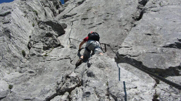
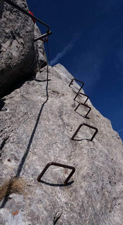
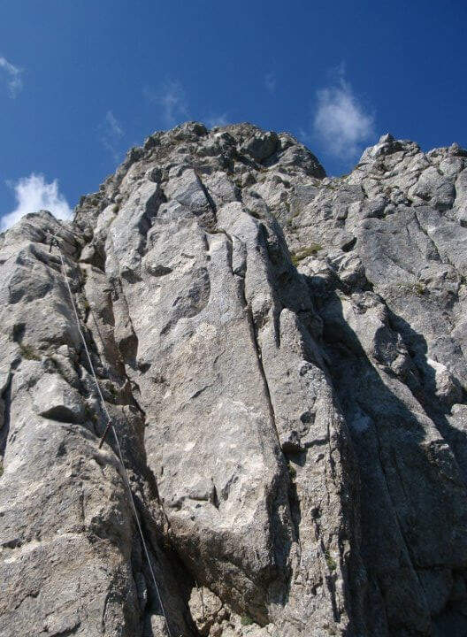
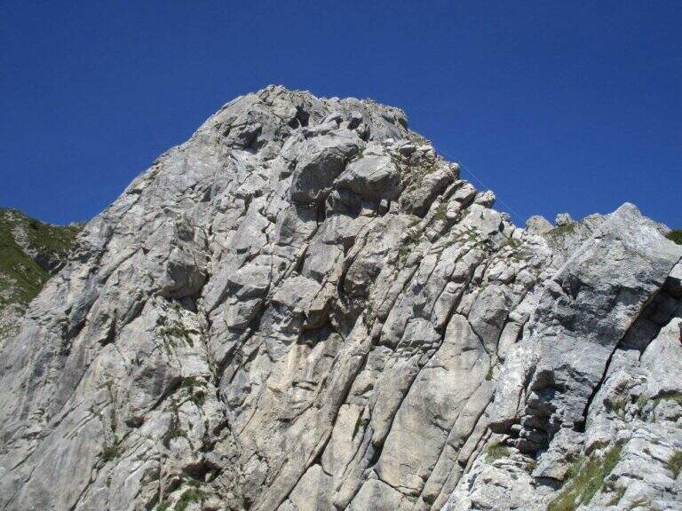
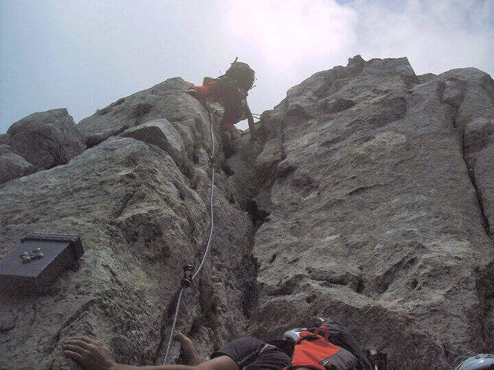
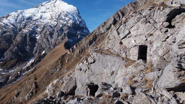
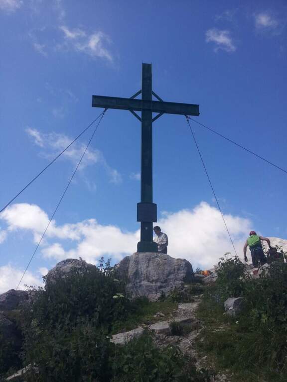
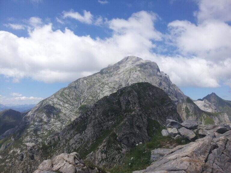
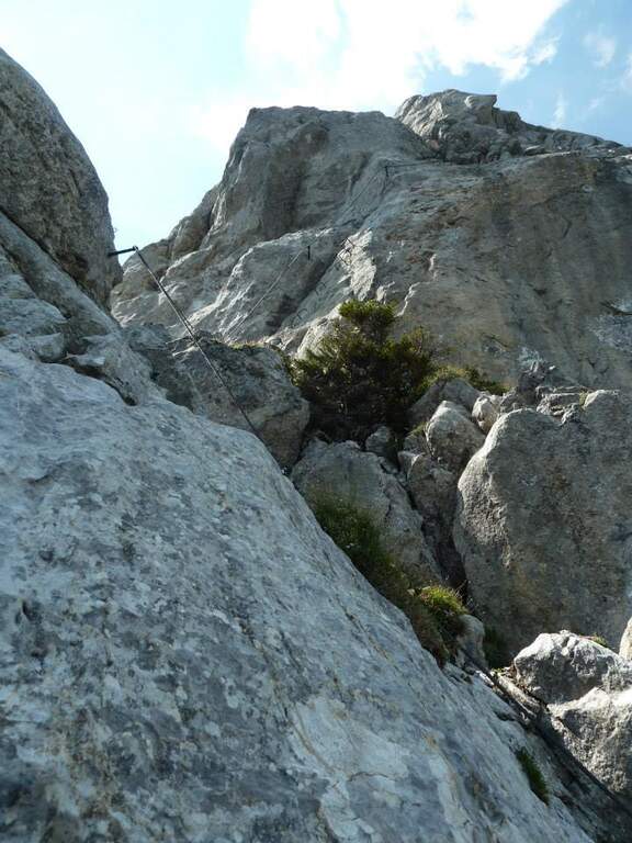
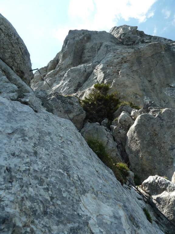
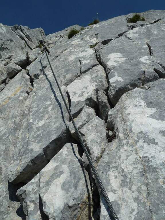
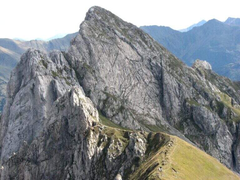
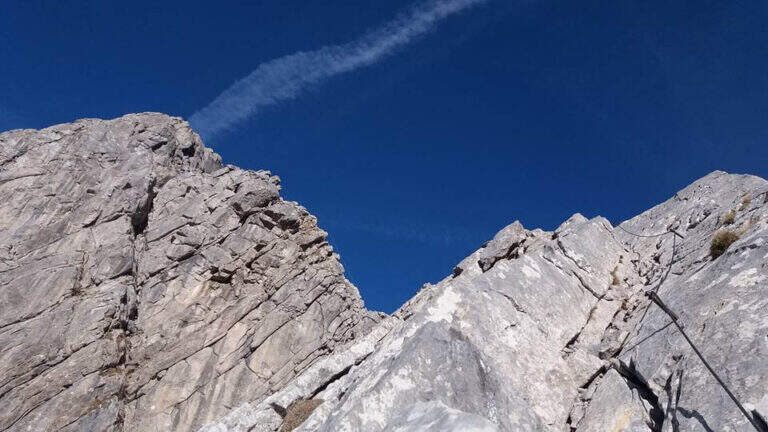
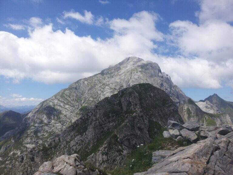
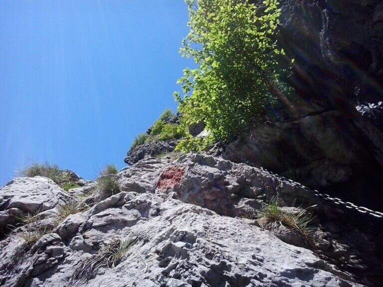
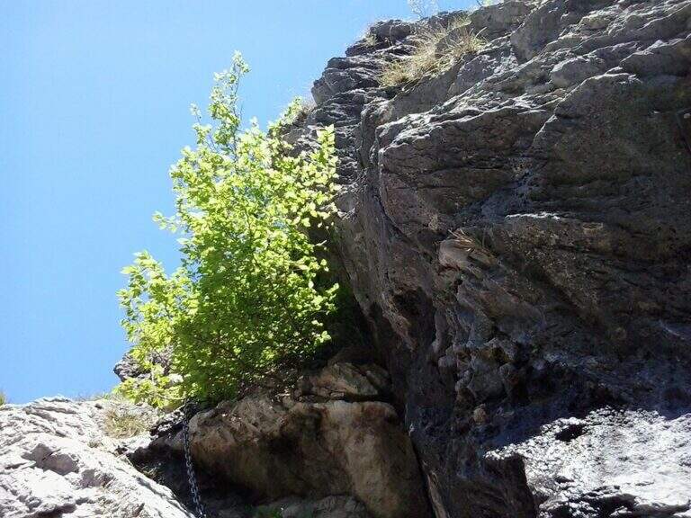
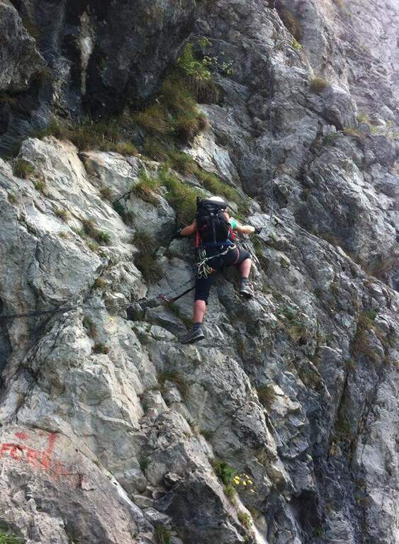
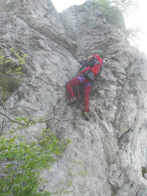
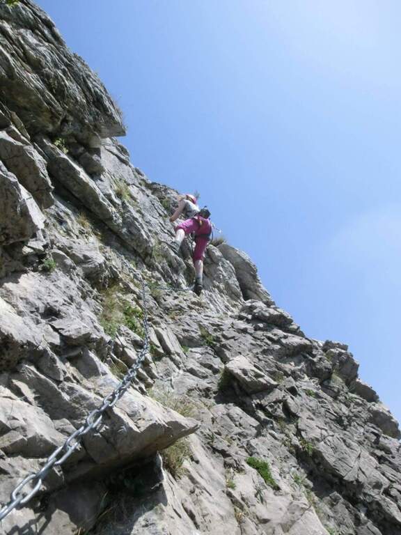
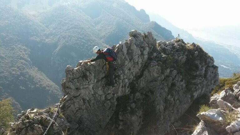
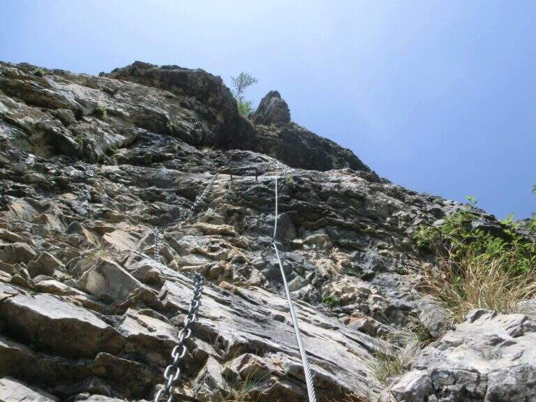
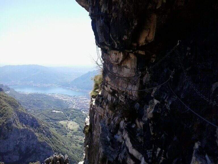
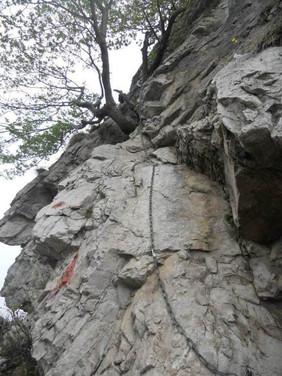
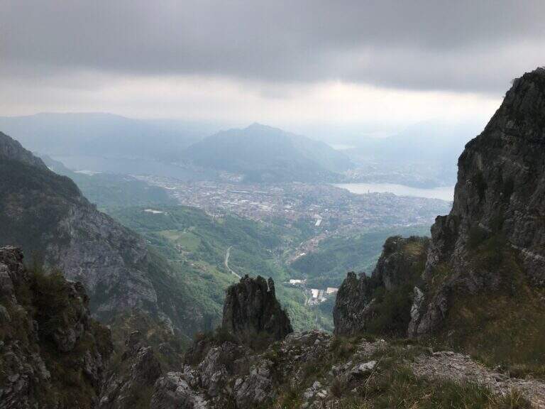
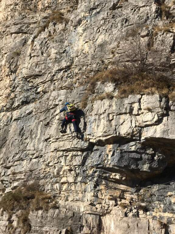
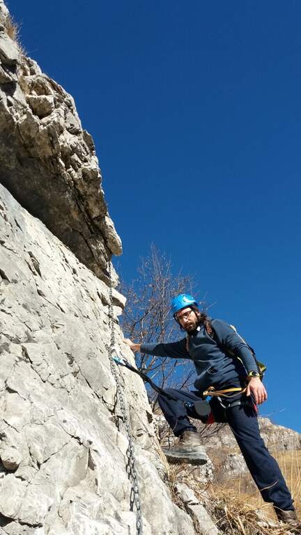
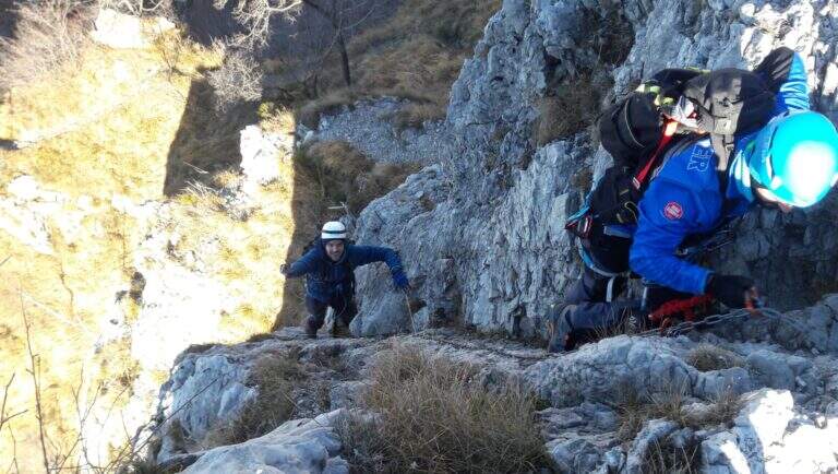
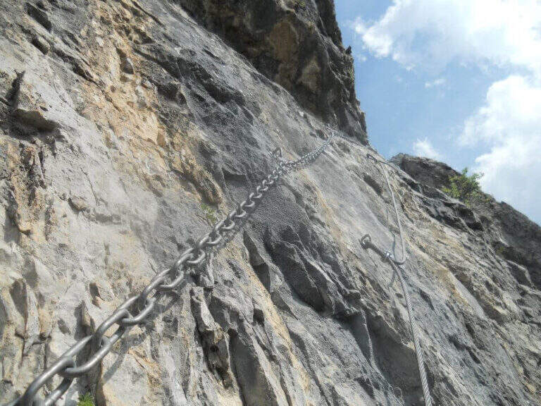
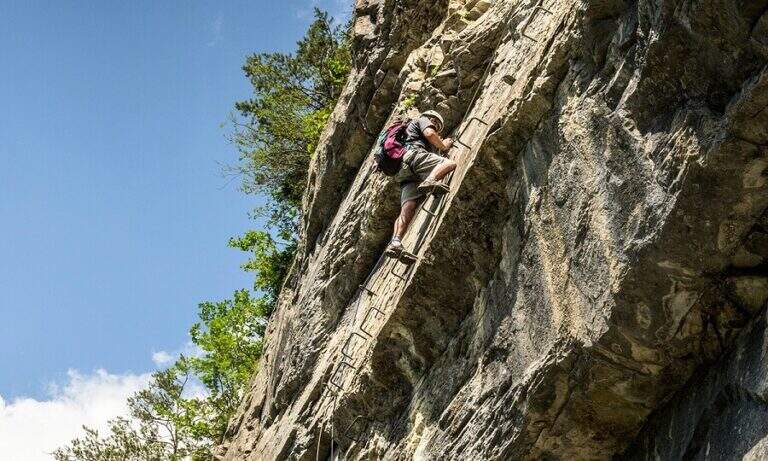
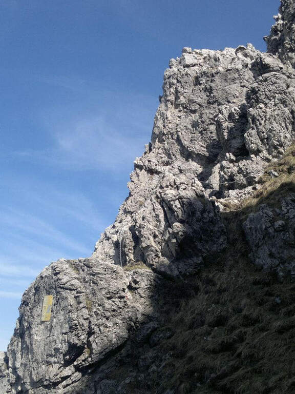
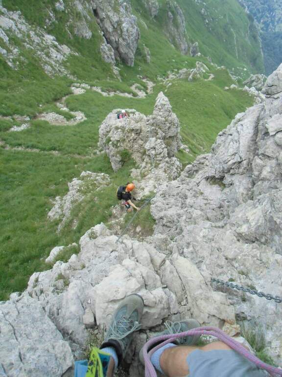
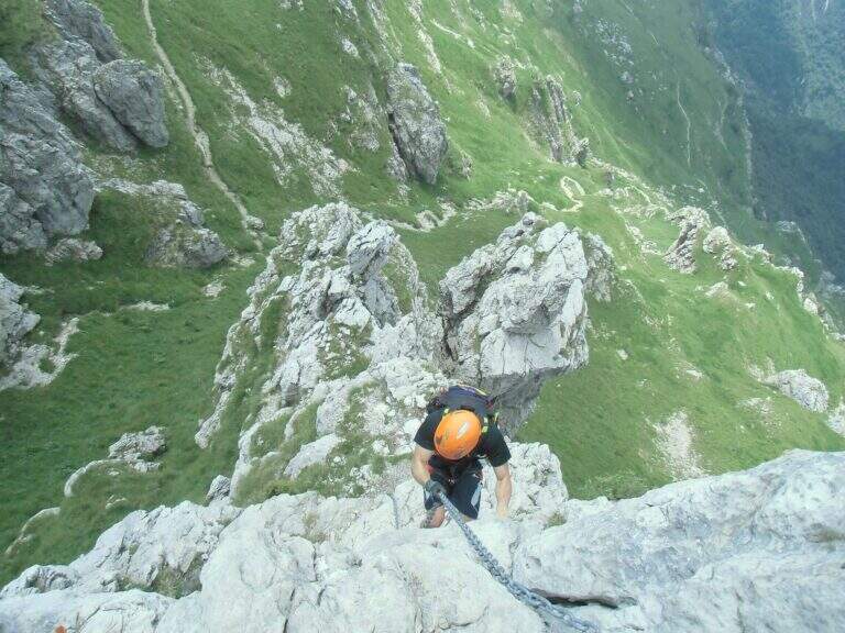
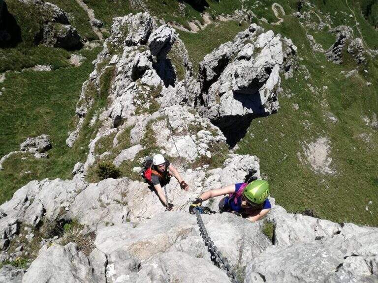
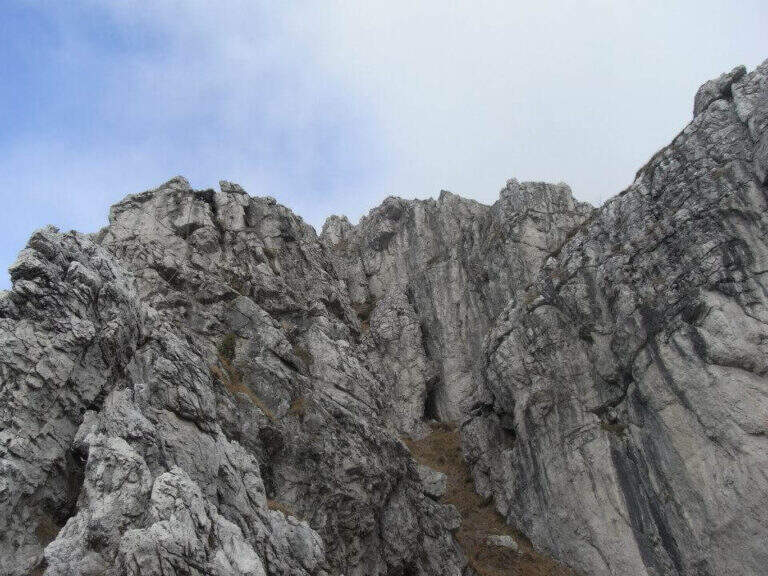
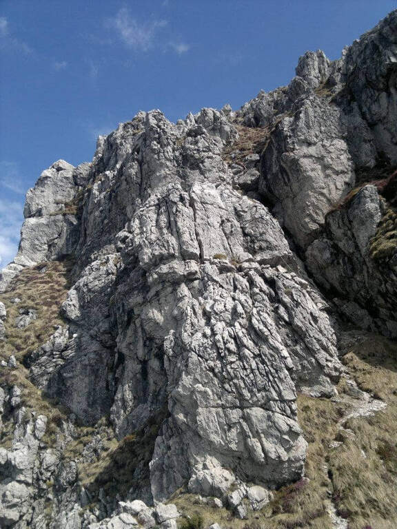
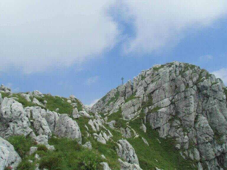
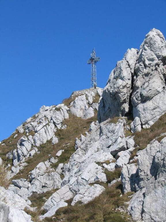
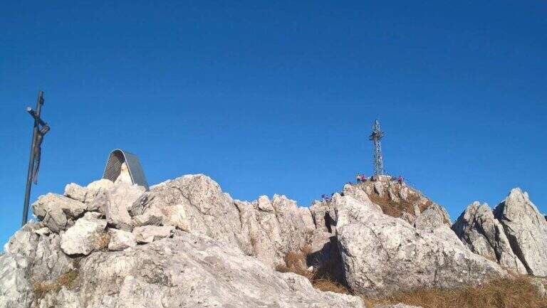
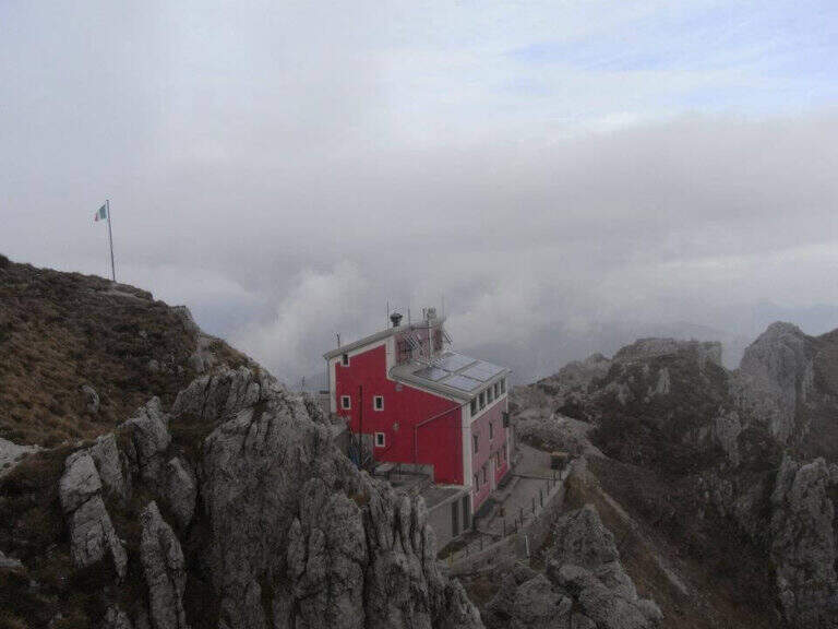
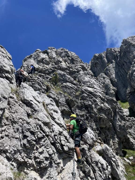
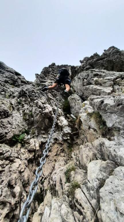
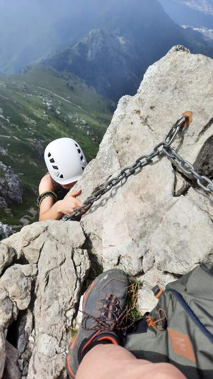
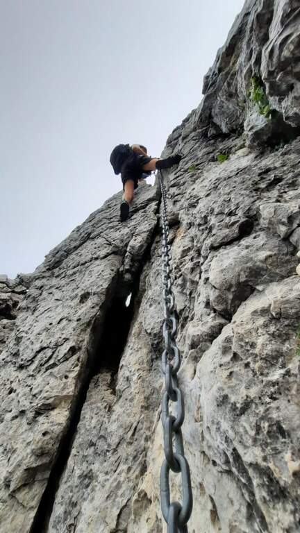
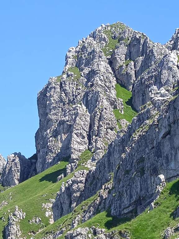
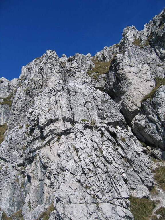
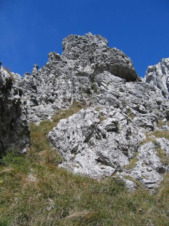
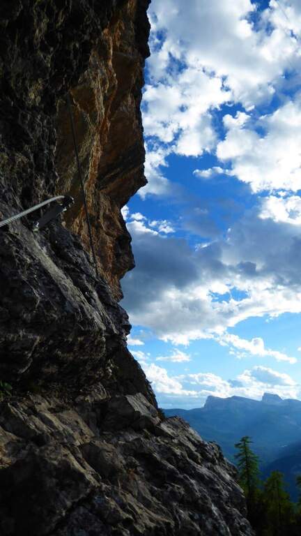
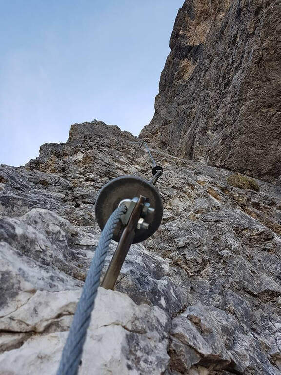
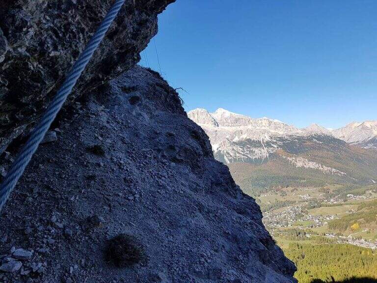
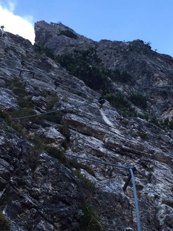
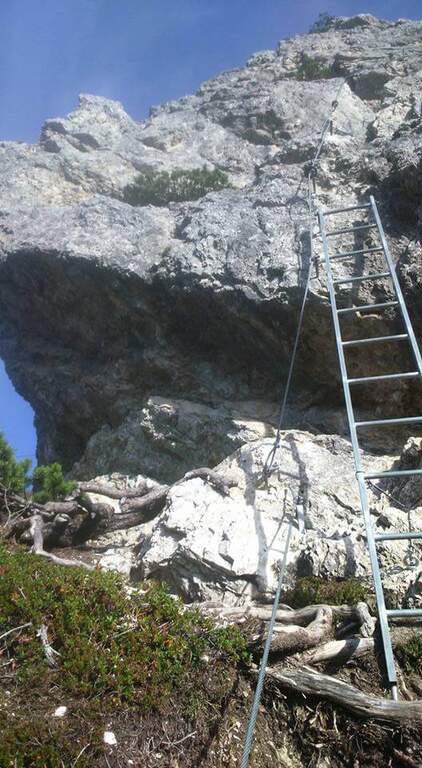
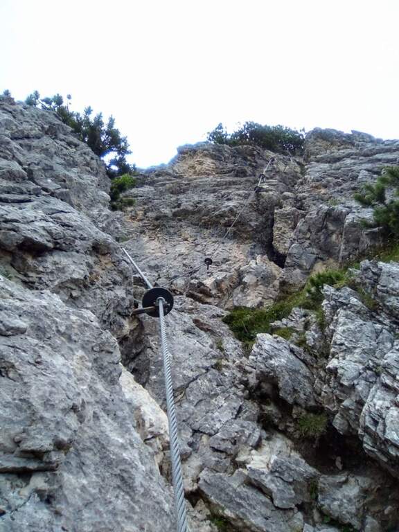
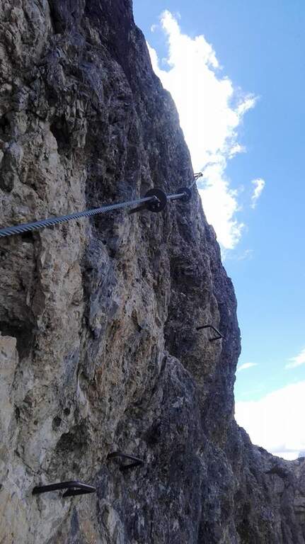
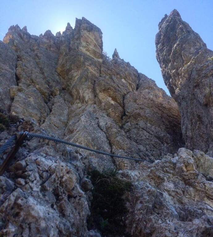
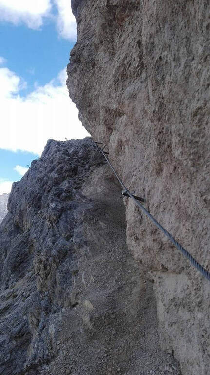
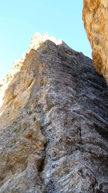
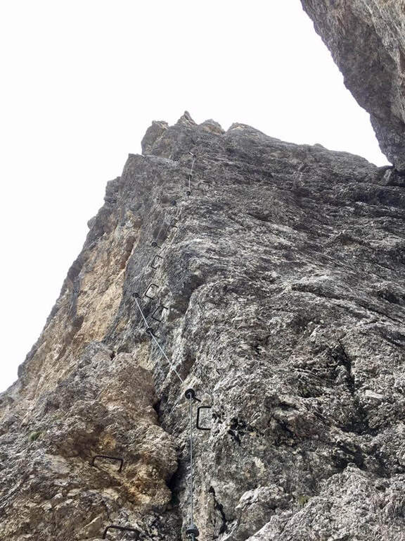
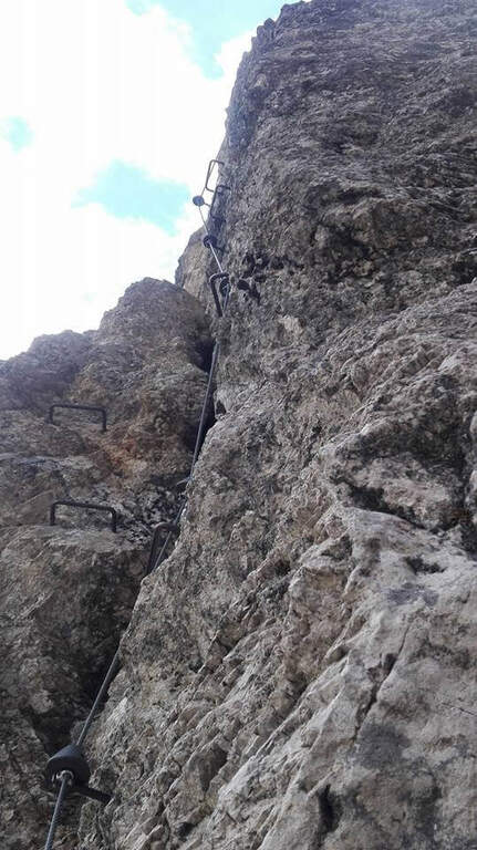
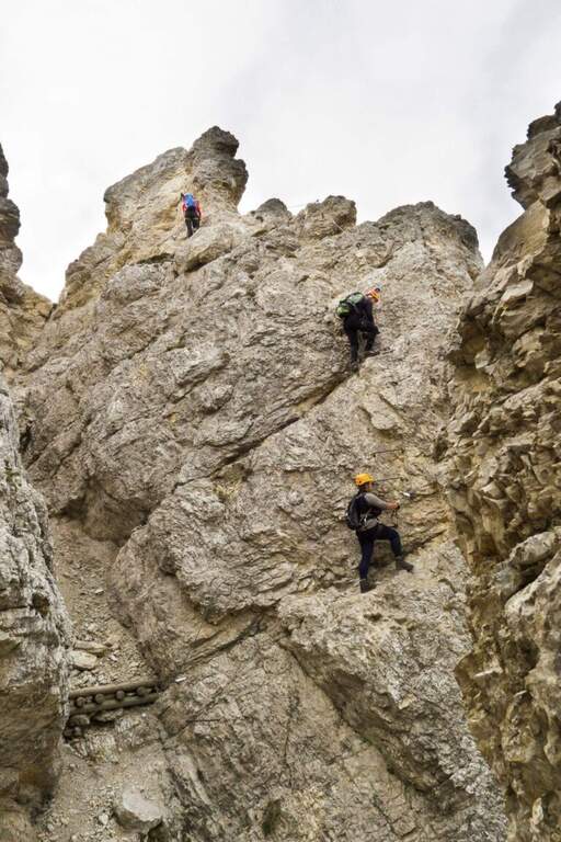
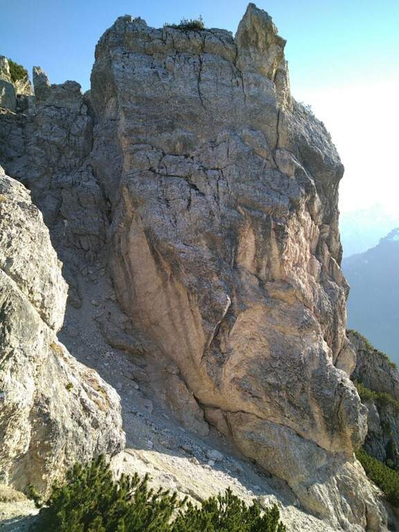
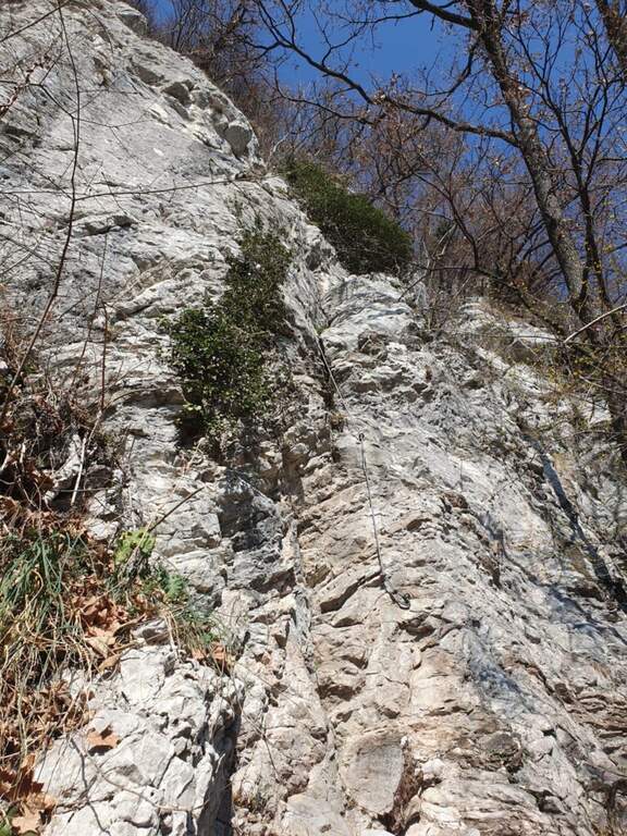
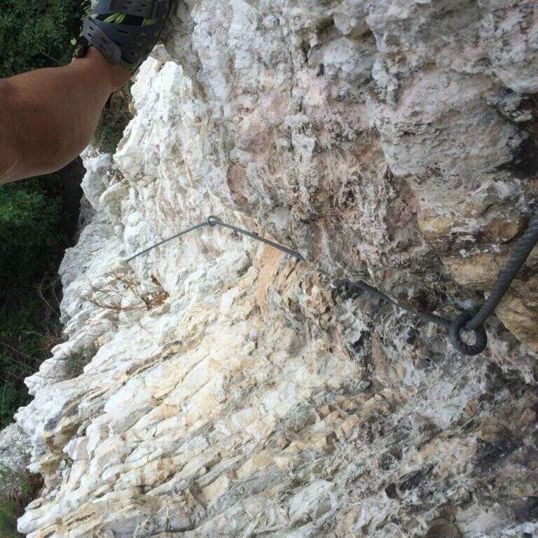
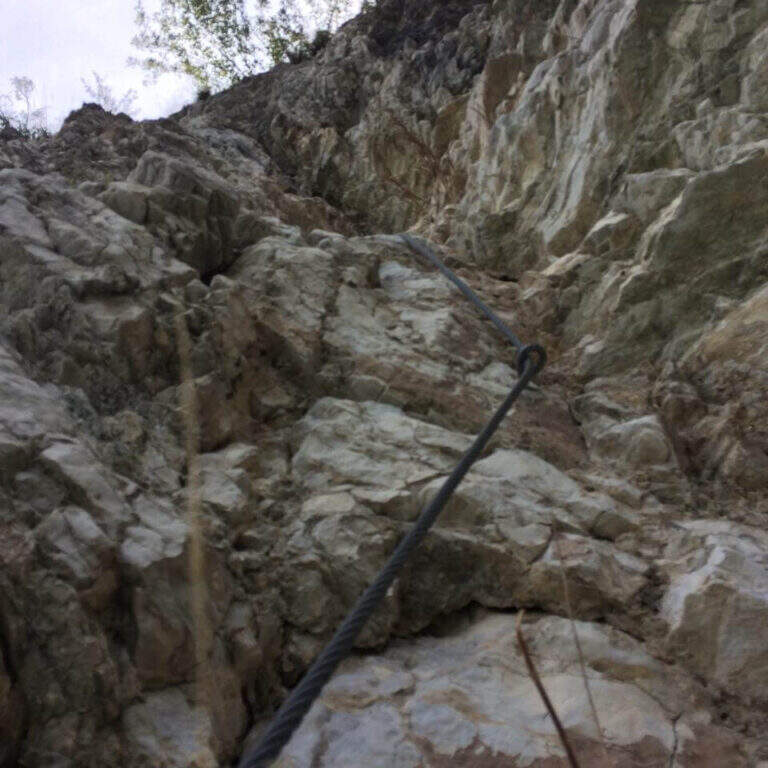
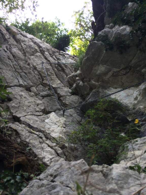
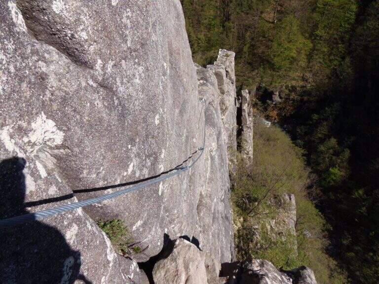
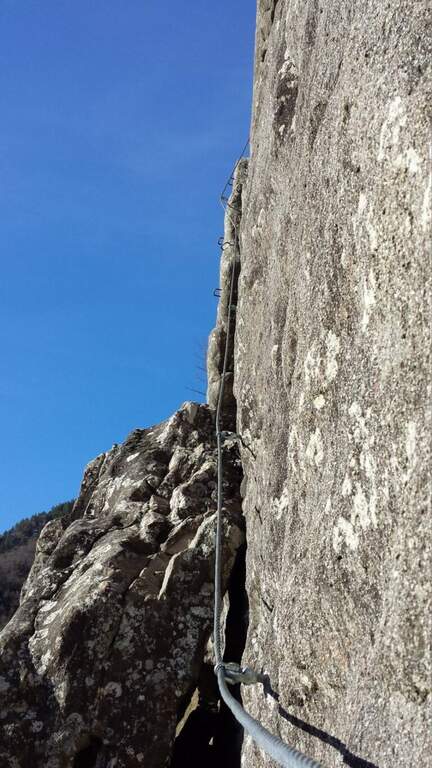
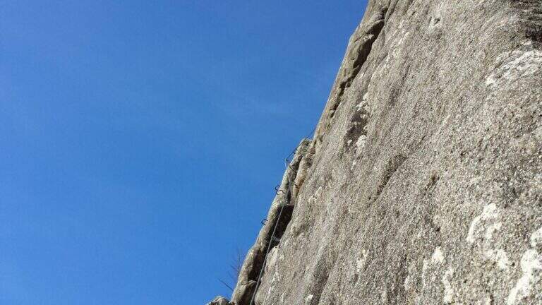
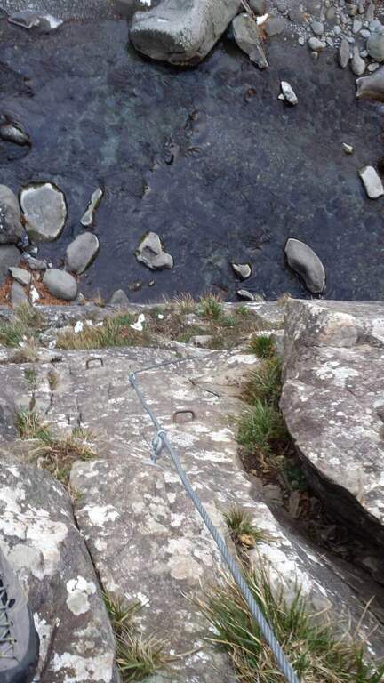
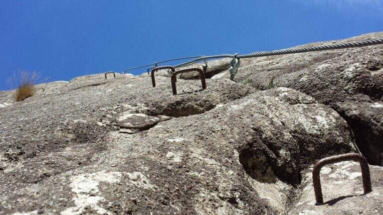
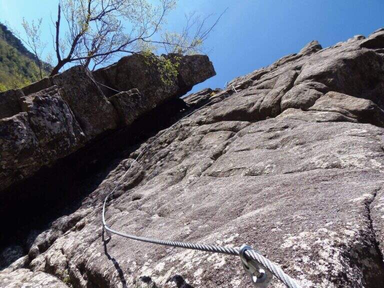
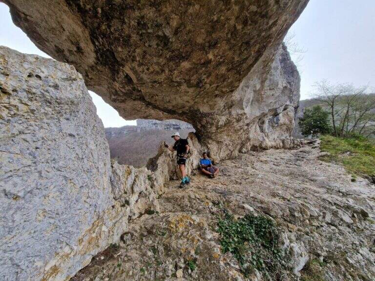
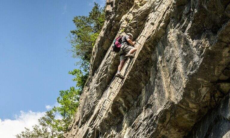
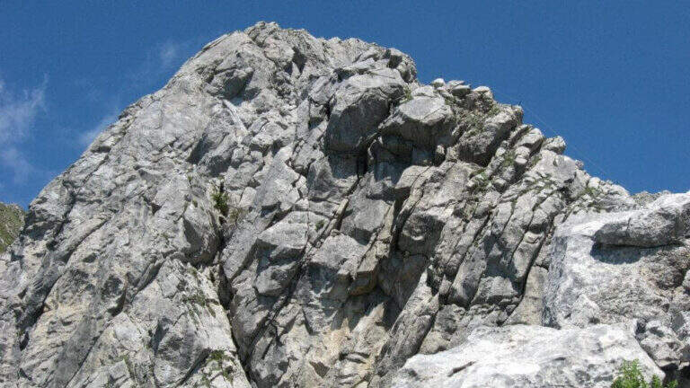
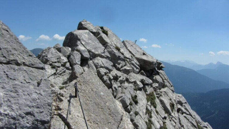
    The Cengia Veronesi is a technically not difficult but very exposed itinerary, not to be taken lightly already for the approach: in order to reach it, in fact, you have to follow a section of the difficult Ferrata Tomaselli. In return, it offers magnificent landscapes in the heart of the Fanis group. Here we describe it in the direction of Cima Fanis – Forcella Lech, but nothing forbids it in reverse direction, uphill.

    ▲Approach

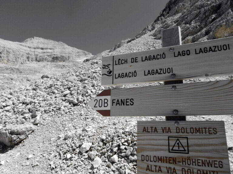
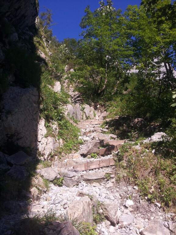
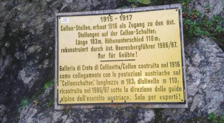
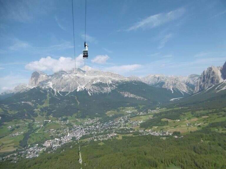
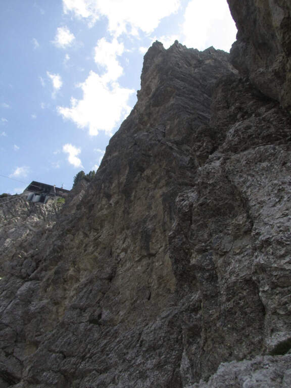
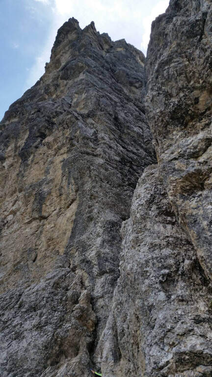
    You have to get under Cima Fanis Sud. The quickest way coincides with the approach of Ferrata Tomaselli: you reach the Falzarego Pass (2105 m) — from Cortina d’Ampezzo, from San Cassiano in Val Badia or from Alleghe (Belluno) — you park in the large square at the valley station and climb with the cable car to the Lagazuoi Refuge (open up Google Maps). From here there are three options, in increasing order of engagement. The first follows the approach of the Tomaselli on the eastern side of the Grande Lagazuoi, from Forcella Travenazes to Forcella Gasser Depot, then up to saddle Fanes; then the maximum attention is paid to a census that detaches on the left (omit), you walk it and you get to the nod from which the road (2h from the mountain station). The second reaches the Bivacco Chiesa always along the Tomaselli, it follows the first difficult stretch — including the famous traverse — and flows into the starting census (1h45 from the mountain station): it is the option described here for the times. The third walks through the difficult Ferrata Tomaselli (3h), descends the downhill ferrata and identifies a half-coast path that, with a first equipped section, leads to the tunnel for Cengia Veronesi (4h from the mountain station).

    ▲The path

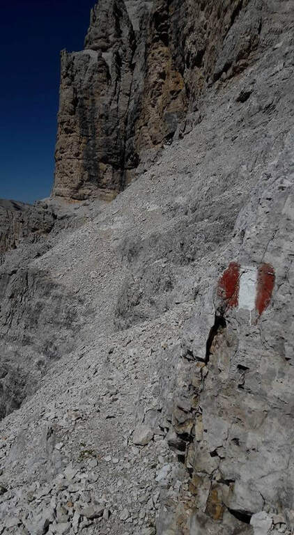
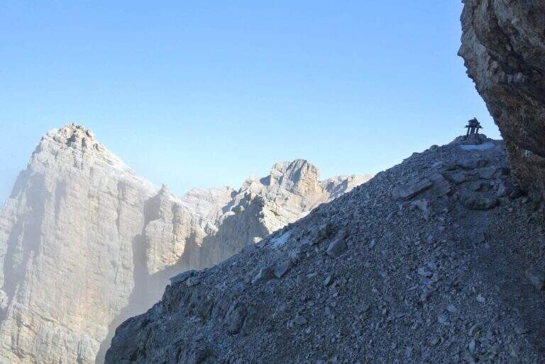
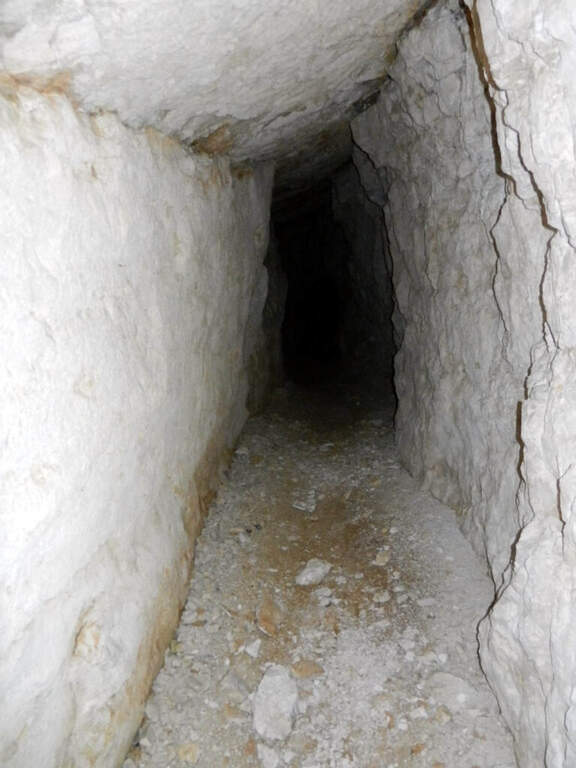
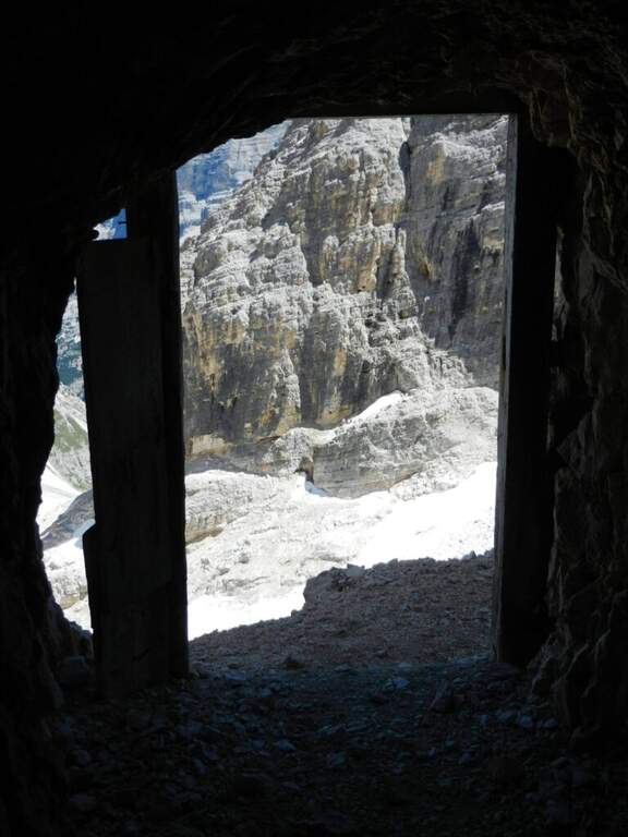
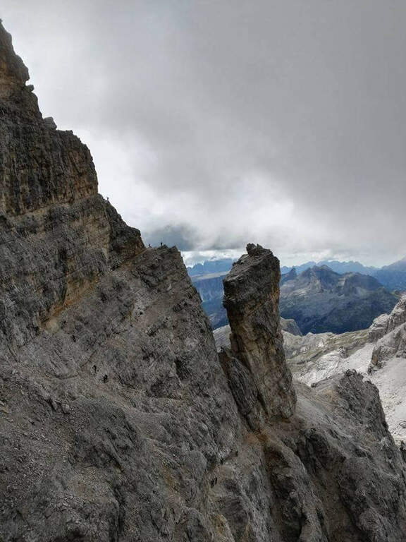
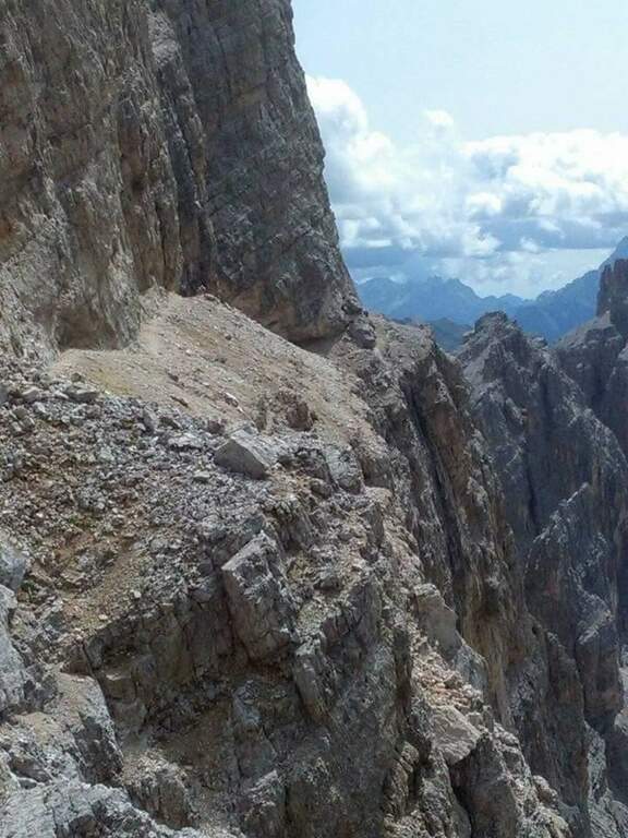
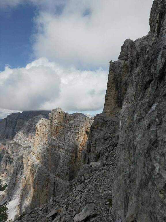
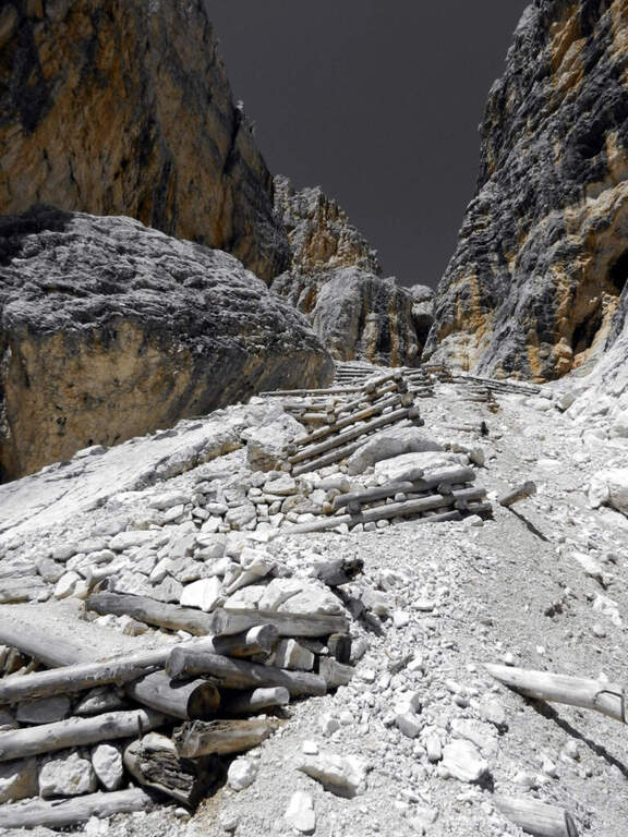
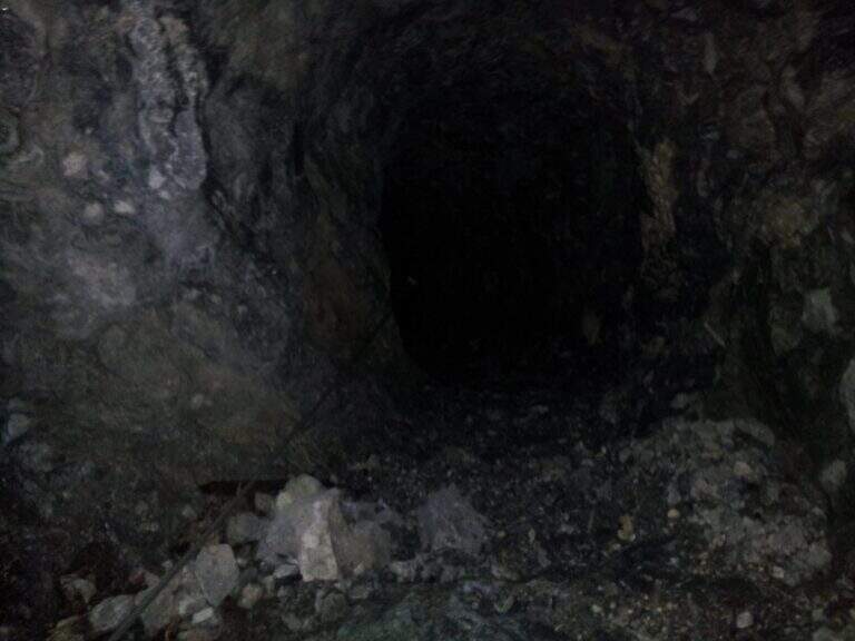
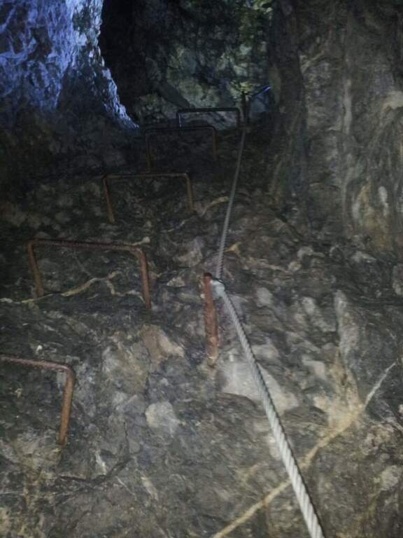
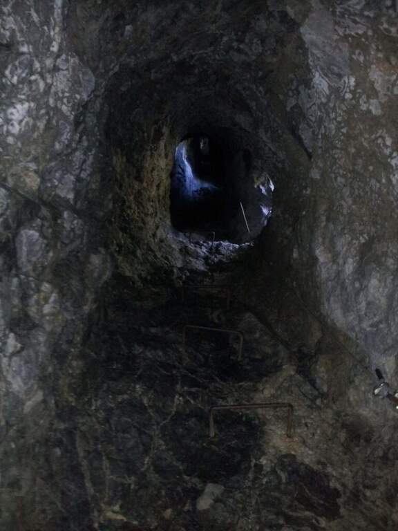
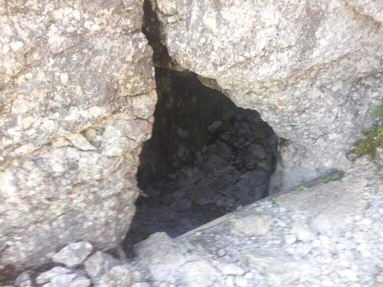
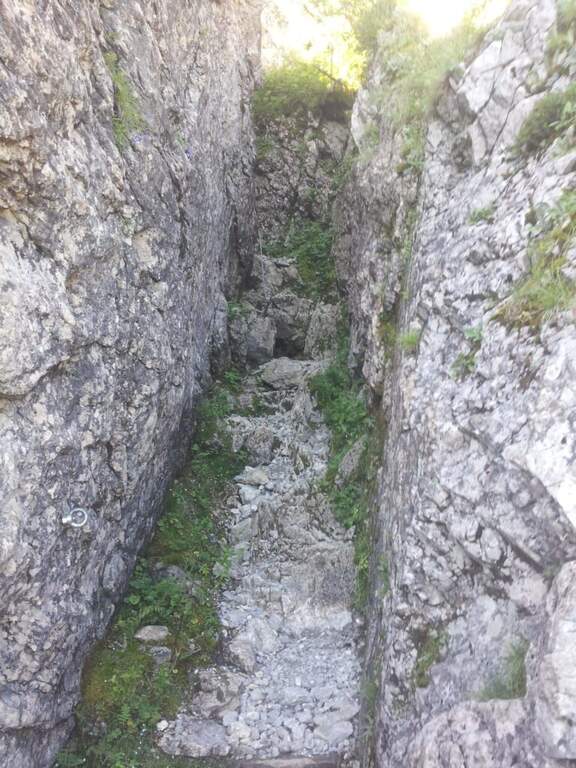
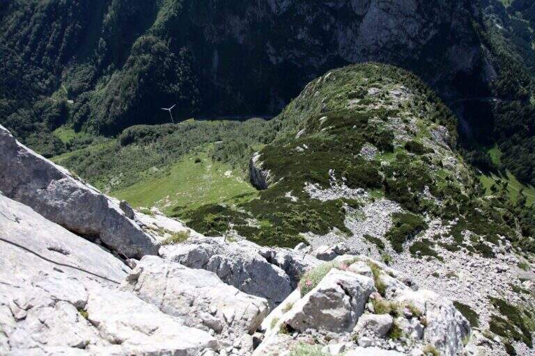
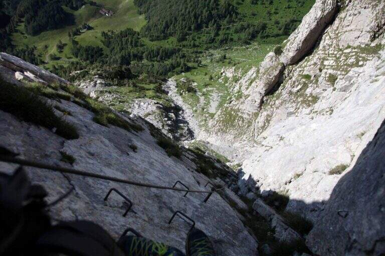
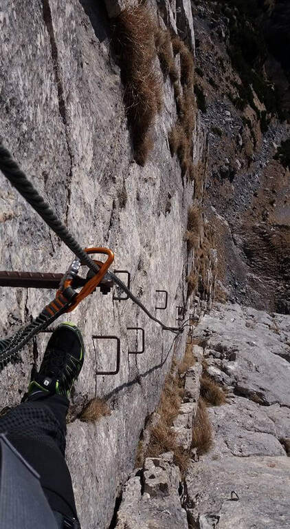
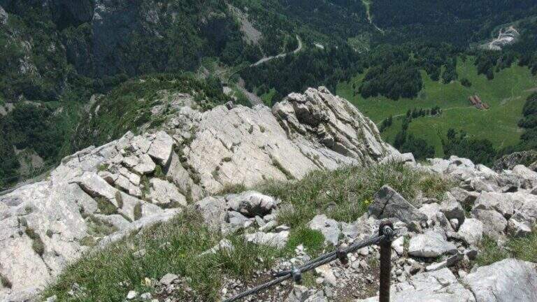
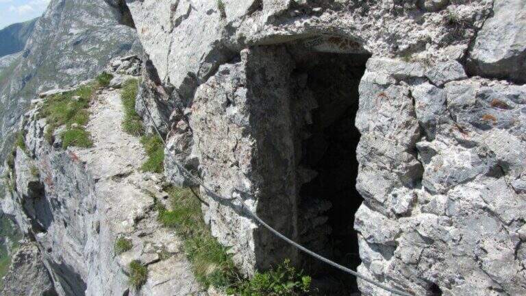
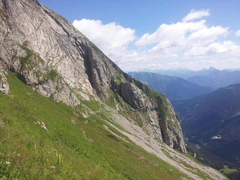
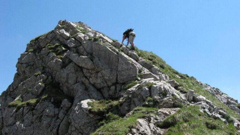
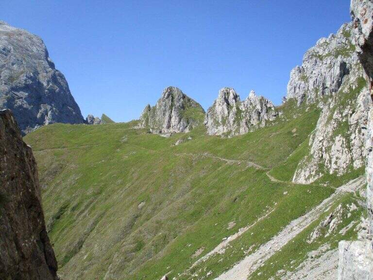
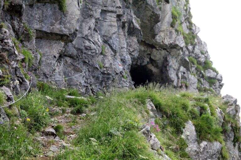
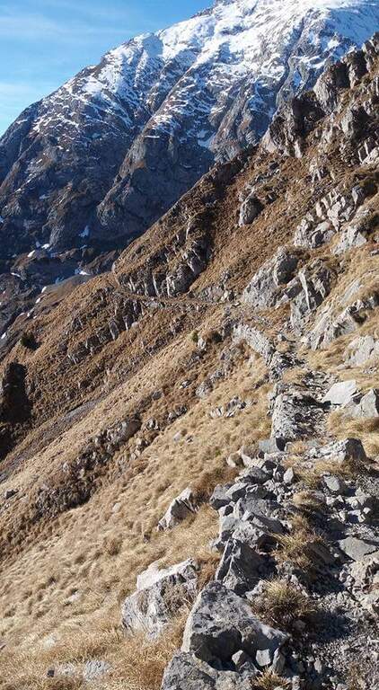
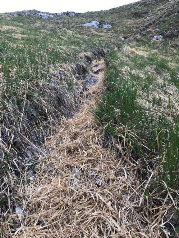
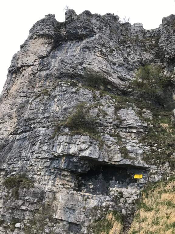
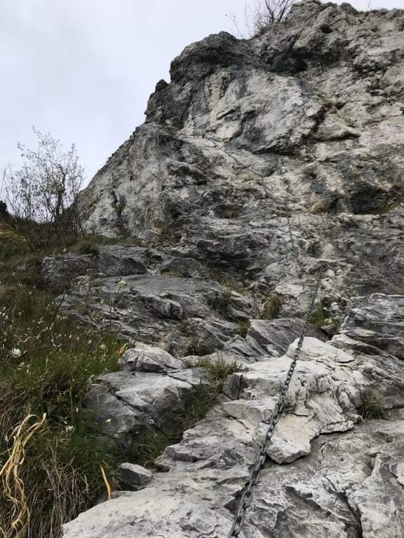
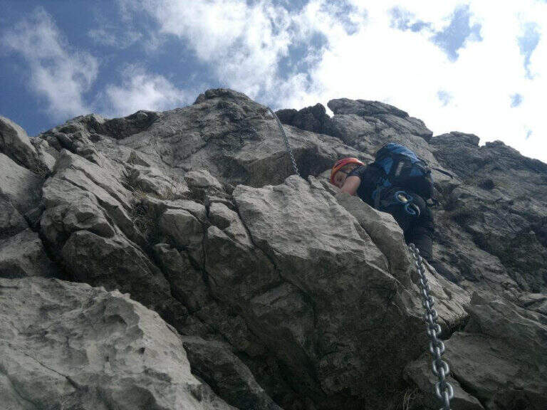
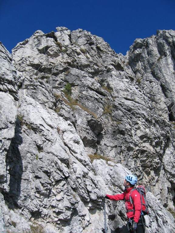
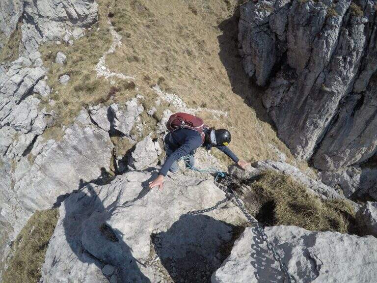
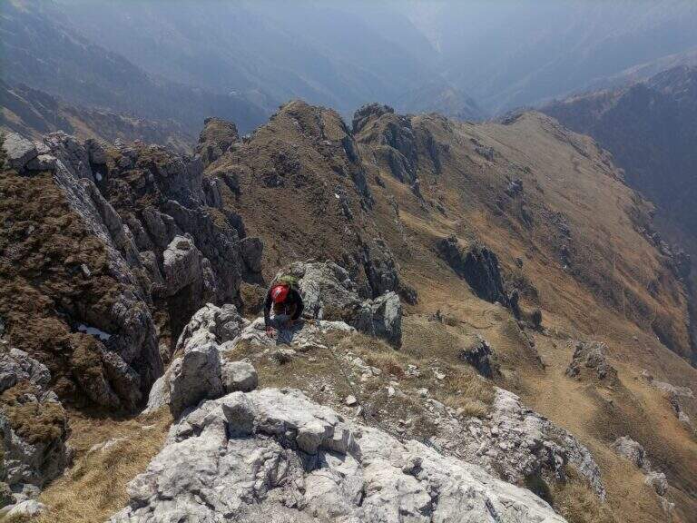
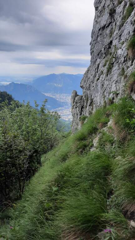
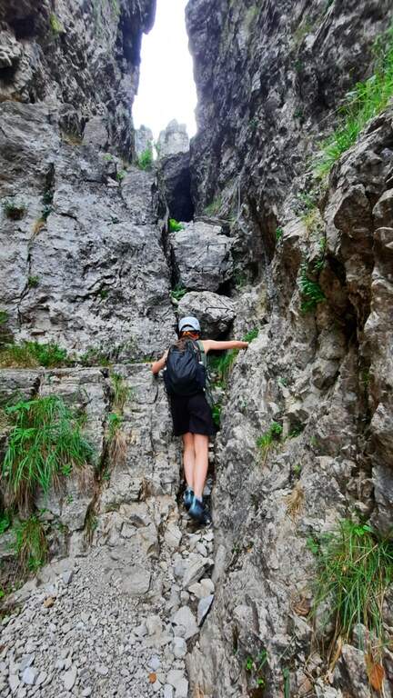
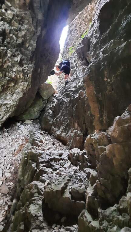
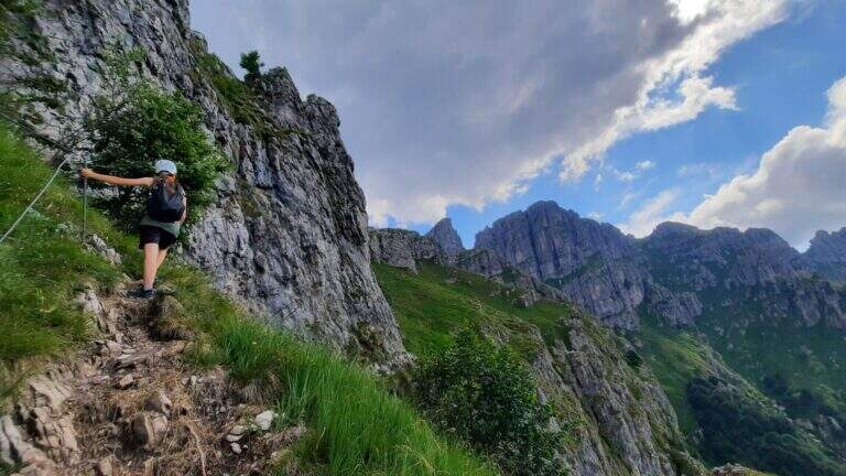
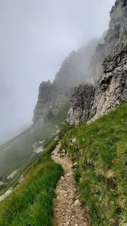
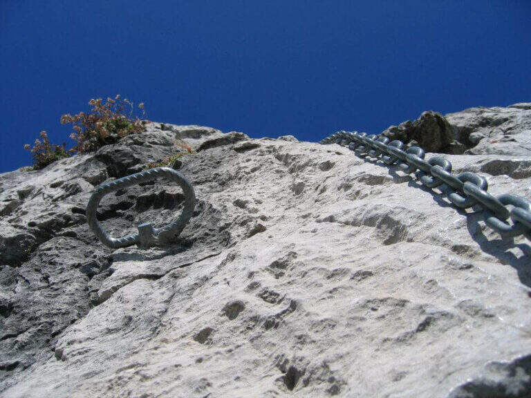
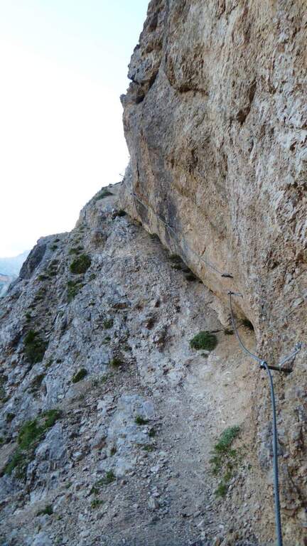
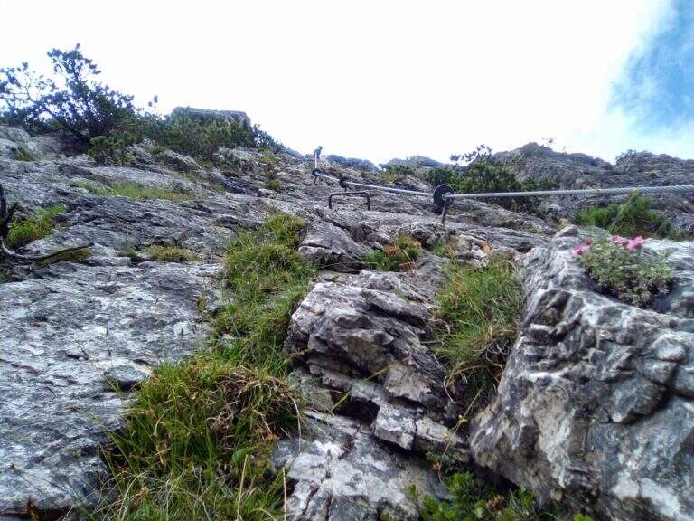
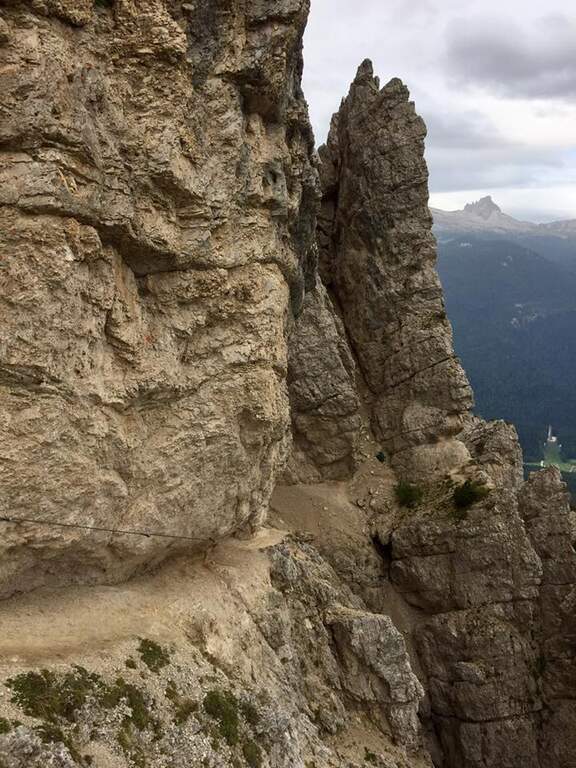
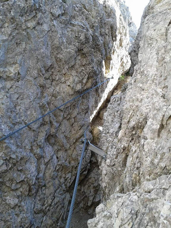
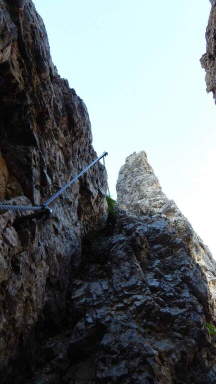
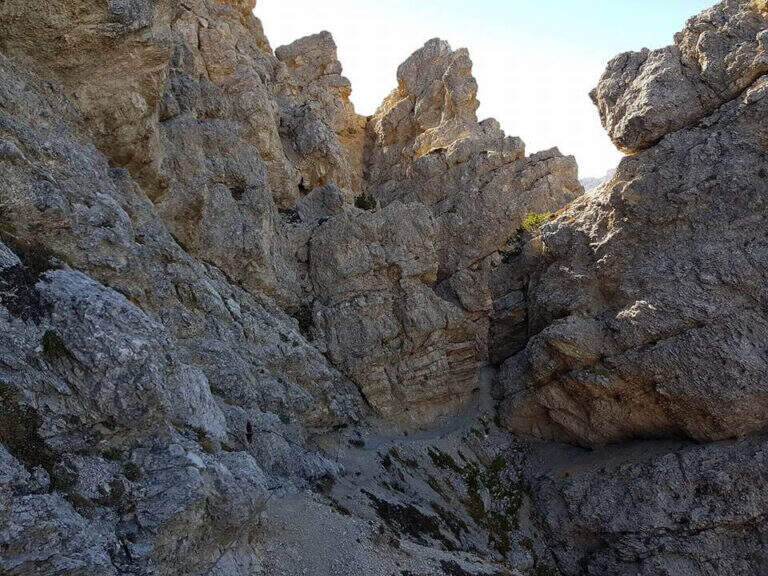
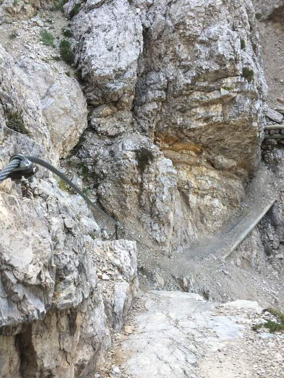
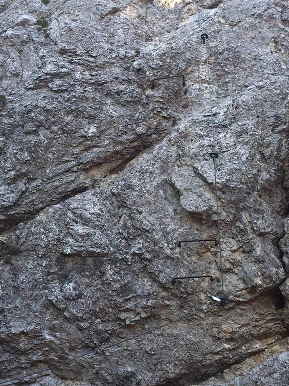
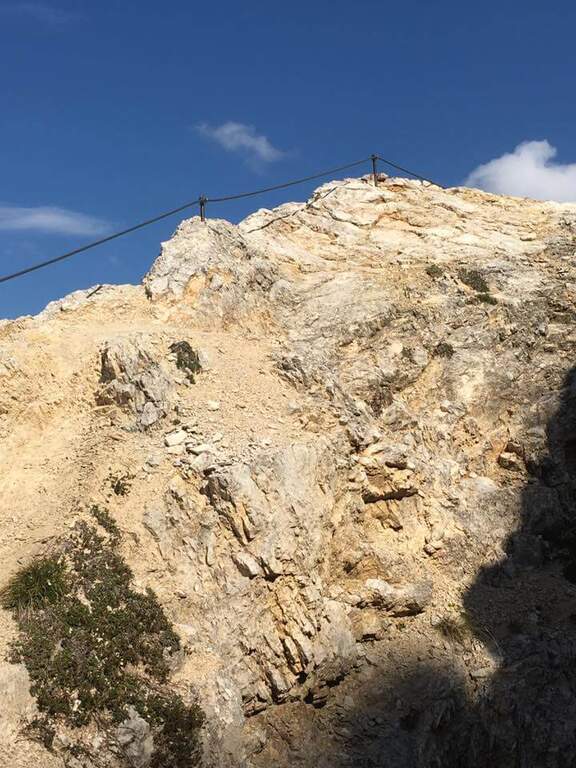
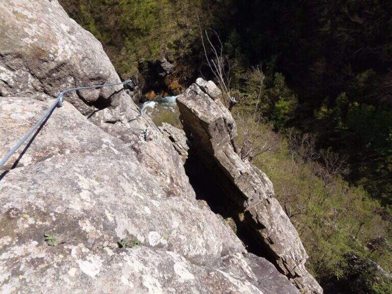
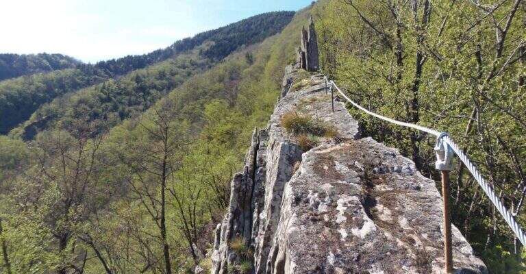
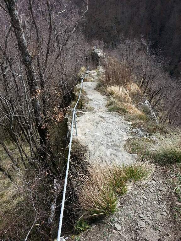
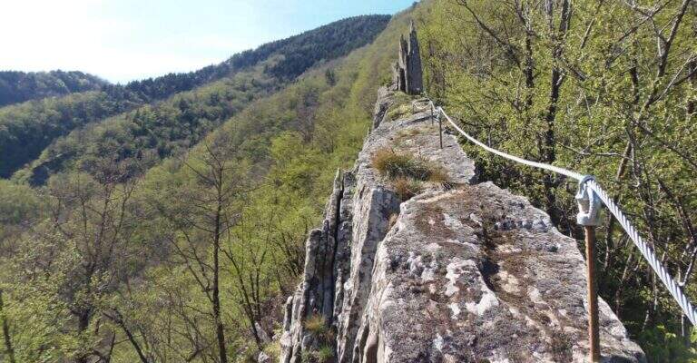
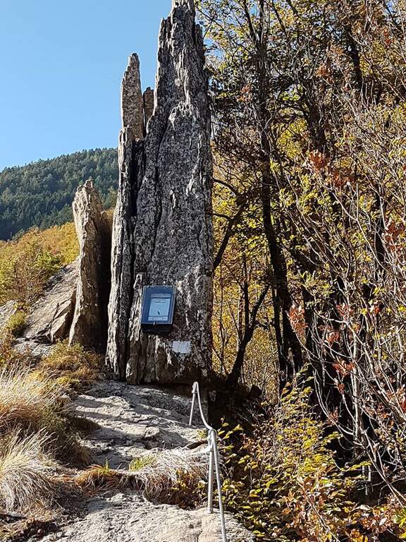
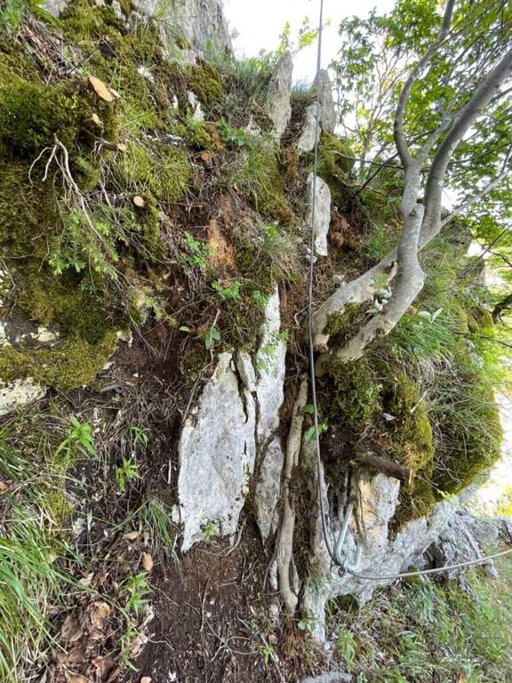
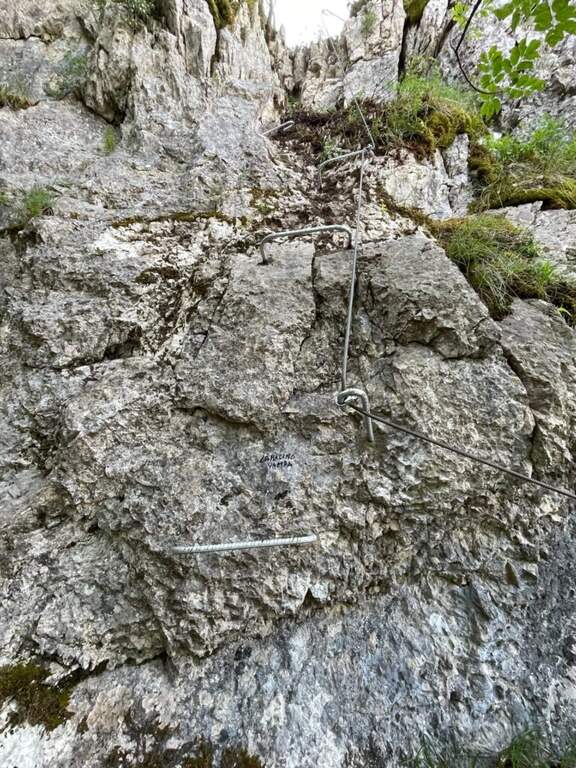
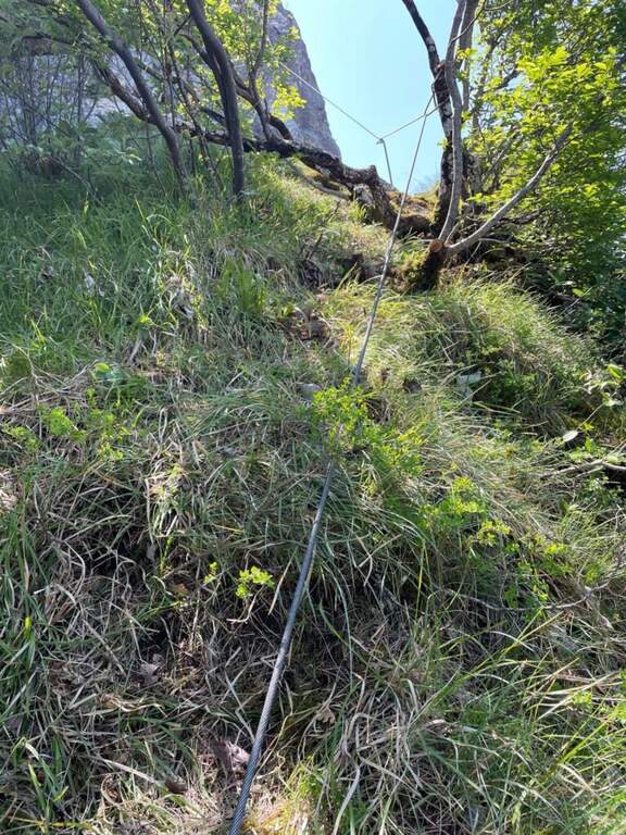
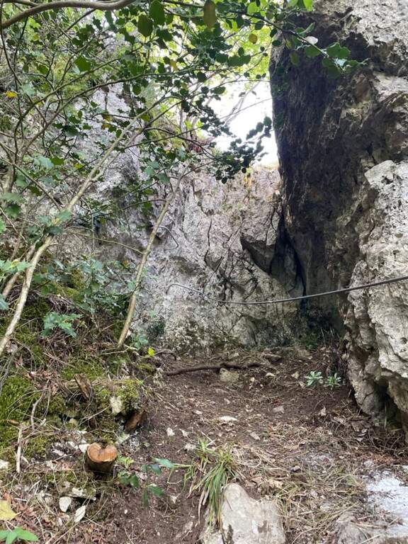
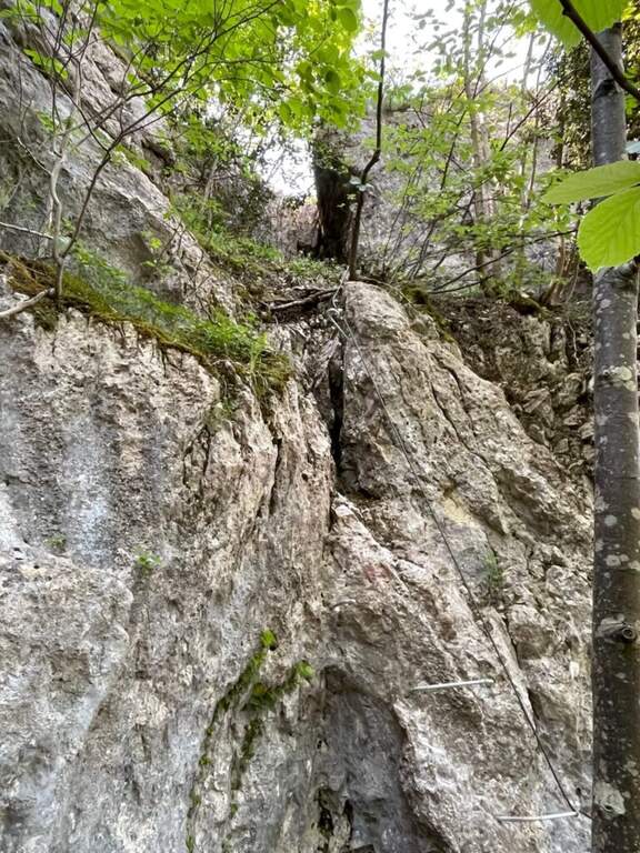
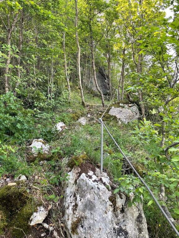
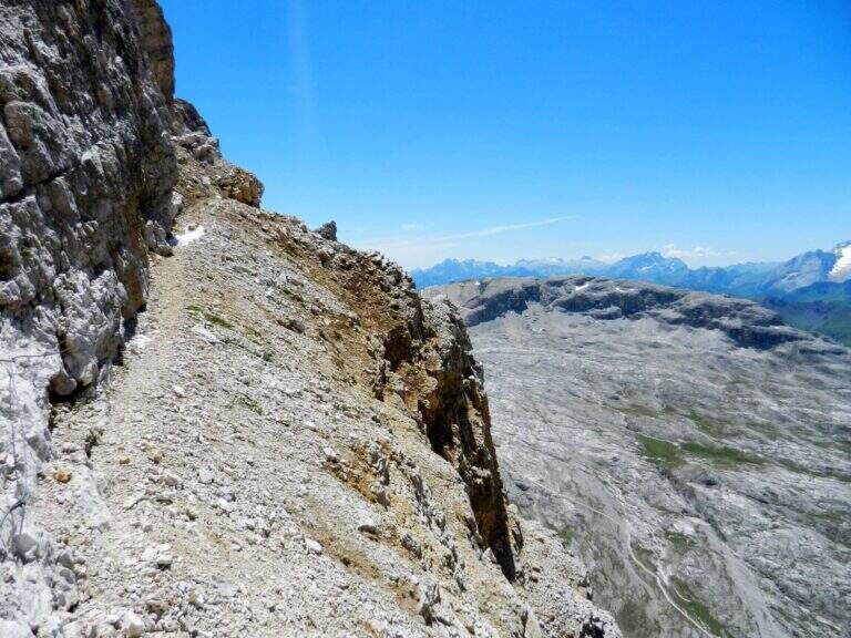
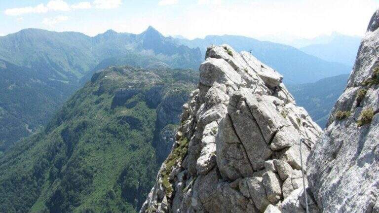
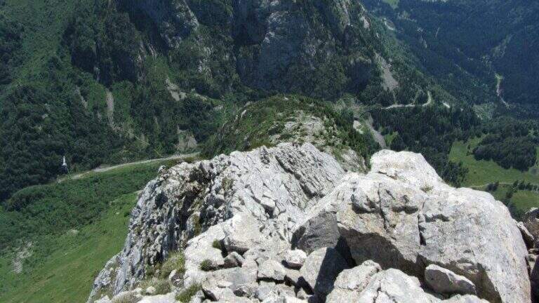
    From the second nod after the attack of Tomaselli we pay attention to a crossroads where Tomaselli continues to the right while the Cengia Veronesi goes left, with unfortunately faded signs. It starts immediately with an exposed and uninsured nod, followed by an even more exposed and narrow passage, in light descent but protected. After this, you go up a canal up to a saddle and continue to the left to a cave (a meeting point with approach 3): you can cross it for about 100 meters with a frontal stack, pouring on the opposite side of Cima Fanis. On the other hand, the long nod follows the track that, between modest climbs on exposed traits, leads to a edge that alternates short stretches equipped with long stretches, even very exposed, completely without protection. The nod runs with a remarkable precipice on the left and requires firm foot, even without any technical difficulties. We proceed up to a first fork between Cima Fanis and Piz Scottoni and then, with minor exposure, towards the Forcella Lech, where the route ends (1h15 from the deviation from Tomaselli, 3h overall).

    ▲Character and difficulty

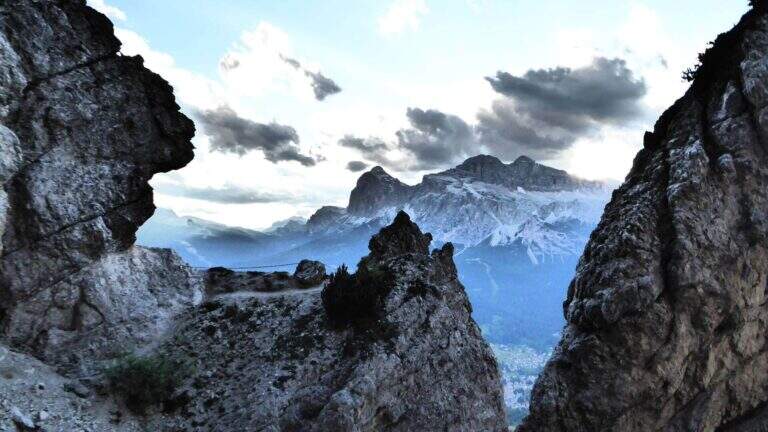
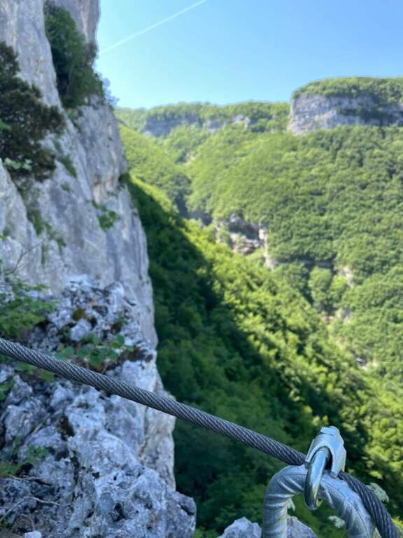
    It is a difficult path to classify: the census in itself is very exposed and at times not equipped, but for the experienced hiker with a firm foot does not pose problems, indeed it becomes a very pleasant experience for the views. It is the constant exposure, more than the technique, to be able to trouble those who lack experience.

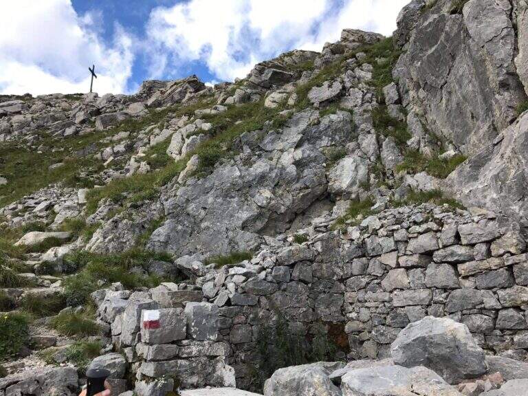
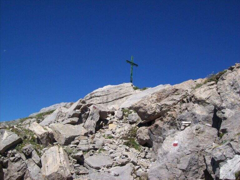
    ⚠ In each variant, access requires a stretch of the difficult Ferrata Tomaselli (including the famous cross): it must be evaluated honestly and not underestimated. The path is not marked and difficult to find. The census is very exposed and in several places without protection, with precipice at the side: it serves absolute firm foot. For the cave (100 m) a frontal stack is required.
    ▲Period and safety

    Itinerary of high mountain (max. 2843 m), to be faced in the summer season with stable weather. Reserved for experienced hikers, accustomed to exposure and autonomy on unprotected terrain.

    ▲Discipline

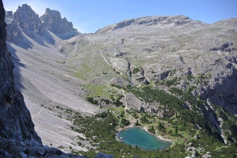
    From Forcella Lech (2486 m) you descend a steep detritic canyon that quickly loses altitude in the direction of Lake Lagazuoi. Before reaching the lake, at a crossroads, it is advisable to keep the left without going too far, to start further on the path 20 that climbs to Forcella Lagazuoi; from here, to backwards, you return to the mountain station of the cable car and then to the parking (2h from Forcella Lech, 5h overall).

    ▲To match

    Natural matching is precisely with Ferrata TomaselliThe Cengia Veronesi is often a variant or extension.
    ▲Gallery
    Technical data
    • DifficultyModerately Hard
    • RegionVeneto
    • GroupDolomiti d'Ampezzo – Fanis
    • Approach1:45 h
    • Ferrata1:15 h
    • Itinerary (a/r)5:00 h
    • Hardware level difference100 m
    • Route difference370 m
    • Max2843 m
    • Length7,8 Km
  • Ferrata Senza Confini (Cellon)

    Ferrata Senza Confini (Cellon)

    Vie Ferrate › Friuli-Venezia Giulia › Udine
    Ferrata Senza Confini (Cellon)
    Very difficult● OpenDescriptionComplexityMapsGallery

    La Ferrata Senza Confini sale al Cellon (Creta di Collinetta), al Passo di Monte Croce Carnico, sul confine tra Italia e Austria. È una via molto impegnativa, verticale, esposta e fisica, da evitare se non ben allenati e abituati all'esposizione, ma di forte interesse storico: l'itinerario consente di percorrere anche una lunga galleria bellica della Prima Guerra Mondiale. La vetta della Creta di Collinetta tocca i 2241 m.

    ▲Approach

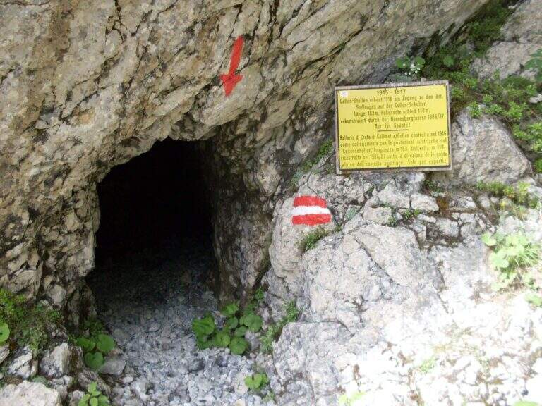
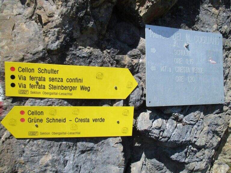
    Starting point the Passo di Monte Croce Carnico (1360 m), reachable in about 40' from Tolmezzo (Udine) to the SS 52b. Open road signs on Google Maps. L' itinerary begins in Austrian territory and falls from Italian territory. After passing the customs, on the western side of the pass, the CAI path towards the Crete of Collinetta; one ignores a first sign for the Without Confini on the left continuing straight towards the Gallery and the Canalone Steinbergerweg. After about 15' at a crossroads the sinistra is held steeply uphill towards the Schulter Gallery; a first steep stretch equipped with rope leads to war settlements and all' entrance of the Gallery of the Cellon (1541 m, about 30'). The gallery rises about 110 m of altitude difference on almost 200 m of development: steep interior, wet and slippery rock, equipped with rope for the whole length and with some brackets in the più traits; I'm sorry. It comes out in a little less than 30' from a narrow slit, you go through a stretch equipped and you reach a counterfeit war (1h from the parking lot). Keeping the right towards the top and, at a second crossroads marked on rock, still the left (on the right goes to the Steinbergerweg), continue between grass, mooring and stone up to a evident dihedron/fenditure diagonal where the ferrata begins, without tags (1h 30' from the parking lot).

    ▲The path

    L' attack è about 4 meters from the ground and must be reached climbing free on passages supported with good hooks. I took the cable, climb rocks leaning with some easy leap, then bend right into a channel at whose end the cable turns abruptly vertically at the base of a lungo, challenging and diedro plane: the plate è poor of natural hooks and equipped with distant brackets among themselves, which oblige a certain traction on the cable; ldisplay&39; Exit from the dihedron and move left on a challenging passage, you arrive on the ridge, plane, with view on the step. They follow più passages; easy that soon return on medium-difficult levels: tilted plates first to the left then to the right of the crest, an exposed edge and some diagonal plates to face in adherence and with good force of arms. At a c' framed rock; ` a first overhanging pass equipped only with rope, requiring agilità and strength; più forward a second strapiombo, initially with metal steps, then a diedron and a well-graded fireplace, both climbed on the left side. A stretch of crest supported with mughi invites you to rest; faithfully resumes the ridge, air, up to the book of signatures and a last dihedron, beyond which the equipment ends. A ridge path leads to some barracks of the Great War and a crossroads (2103 m, 1h 30' ); from here it rises to the summit of the Crete of Collinetta (2241 m, 20' from the end of the ferrata, about 3h totali), with metal cross and memorial plaque.

    ▲Character and difficulty

    Athletic and difficult to test: little climbing for long stretches, with individual high-level passages leading to a strong traction on the cable. It runs in part parallel to a historic Friulian climbing route (Mazzilis and De Infanti).

    ⚠ Suitable only for trained hikers, with force of arms and who do not suffer from dizziness: a couple of steps are very exposed. For the Cellon tunnel è indispensable a frontal stack, forché the first section è completely dark; the inner rock è wet and slippery.

    ▲Period and safety

    GPS tracks (GPX and KMZ); the map of the Central Carnic Alps is useful for the area. The words "Creta di Collinetta" and "Cellon" are used indistinctly.

    ▲Discipline

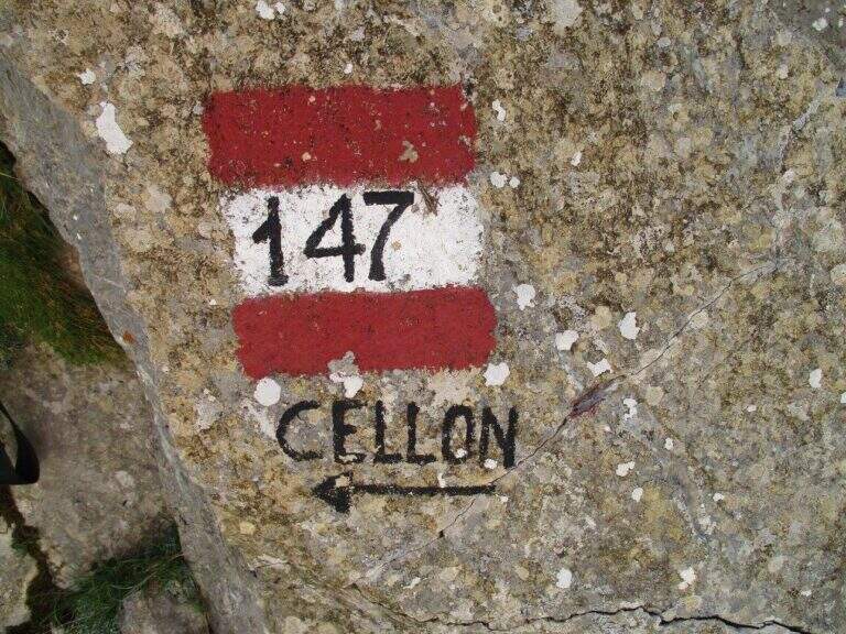
    You return to the crossroads reached at the end of the ferrata and you go right on the path 147, Italian side, cutting horizontally; then along the mule track you rejoin the path dell' approach and return to the parking lot (1h 30' from the summit, 4h 30' totali).

    ▲To match

    The itinerary shares approach and return with the neighbor Ferrata Steinbergerweg, assessable as a downhill option for experienced hikers. In Carnia, more south of the pass, the Path equipped Cuestalta and, reachable via Rifugio Romanin, la Ferrata del Coglians; further south, in the province of Udine, the Cassiopea al Torrione Comici, la 50° of the Clap e la Ferrata at the Clap Varmost.

    ▲Gallery
    Technical data
    • DifficultyVery difficult
    • RegionFriuli-Venezia Giulia
    • GroupAlps Carnia
    • Approach1:30 h
    • Ferrata50
    • Itinerary (a/r)5:30 h
    • Hardware level difference408 m
    • Route difference868 m
    • Max2228 m
    • Length6,8 Km
  • Ferrata Contessi at Monte Due Mani

    Ferrata Contessi at Monte Due Mani

    Vie Ferrate › Lombardia › Lecco
    Ferrata Contessi at Monte Due Mani

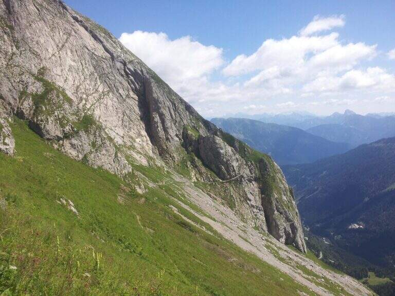
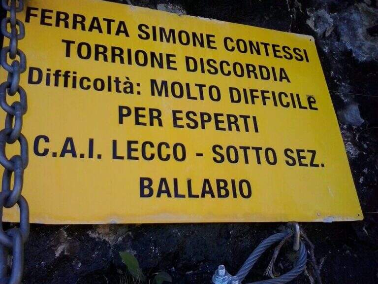
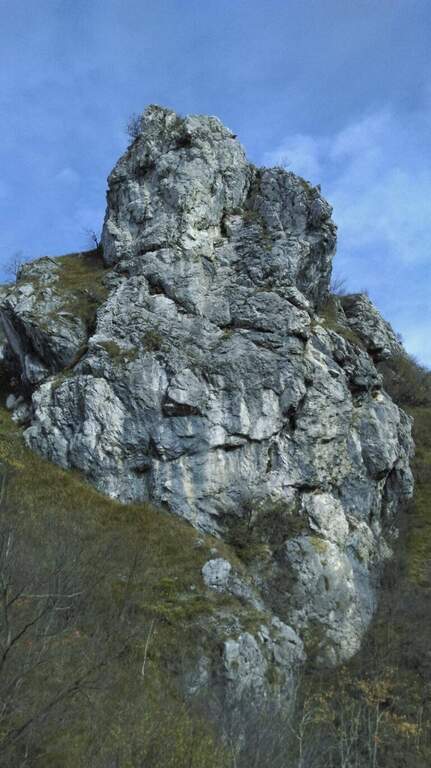
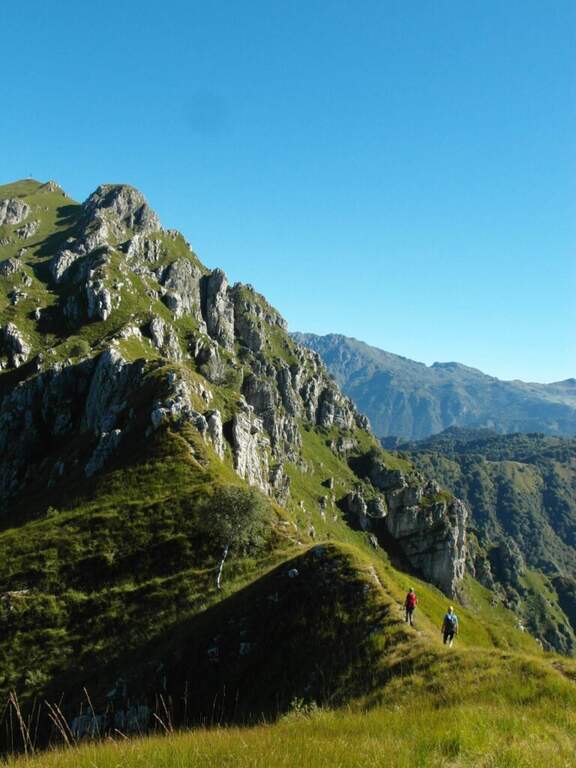
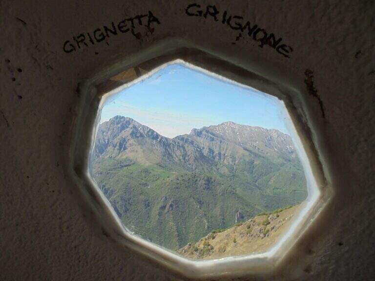
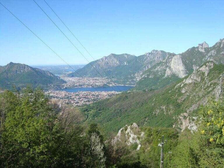
    La Ferrata Simone Contessi climbs along the rocky towers of the ridge of Monte Due Mani, in the province of Lecco. È a demanding and very varied , with vertical walls, beams and a dozen towers, and gives a wonderful view on Grigne, Resegone and Lake. A path along the ferrata and allows you to bypass the individual towers, offering numerous escape routes.

    ▲Approach

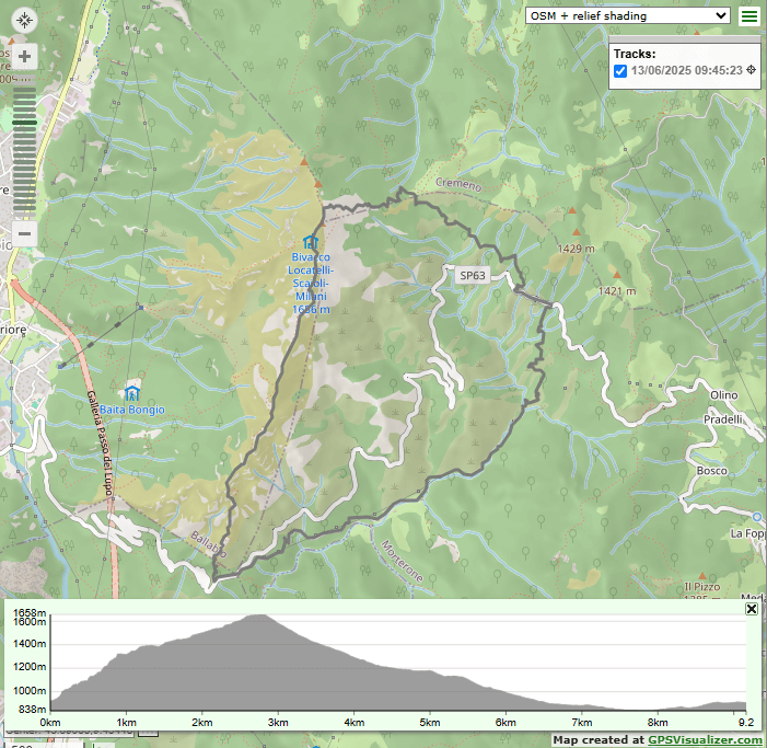
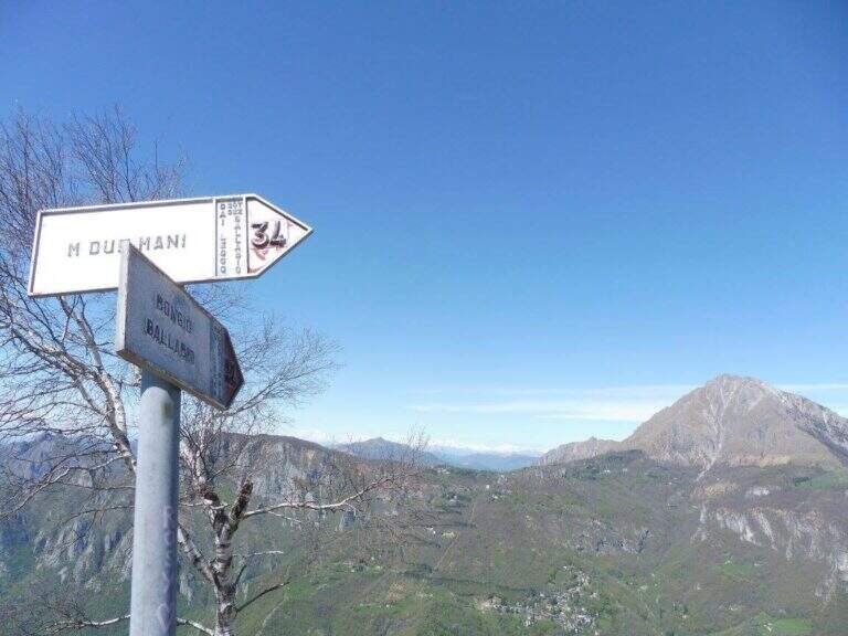
    Starting point along the road that connects Ballabio to Morterone (Lecco): from Ballabio you go for almost 5 km to the winding road to Morterone, you cross a tunnel and, after a few bends, you find a slargo on the left with a couple of parking spaces and a sign (other parking spaces just beyond). Open road signs on Google Maps. From the parking lot, a steep path in the forest takes short to the tag d' attack (10' from the parking lot).

    ▲The path

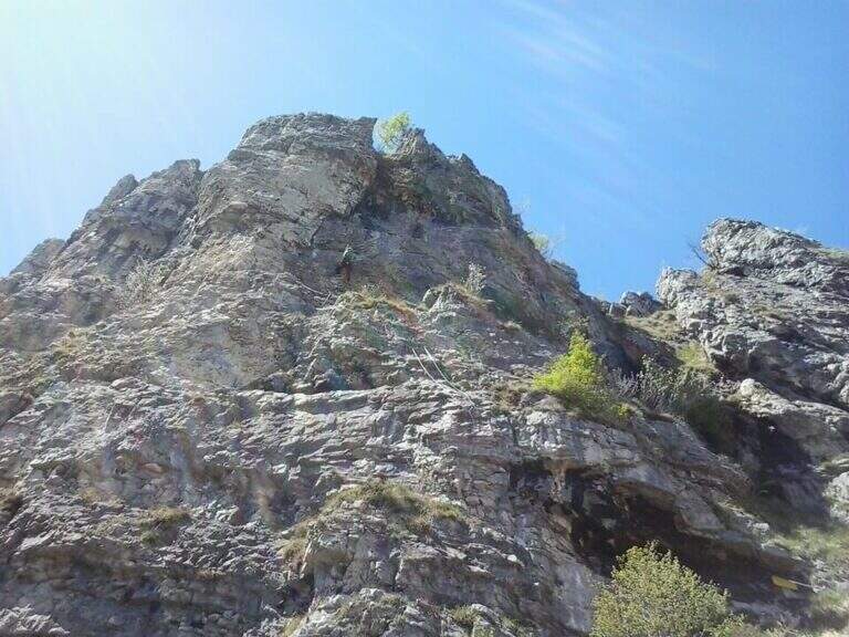
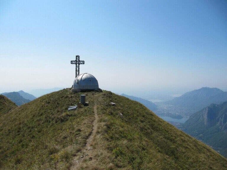
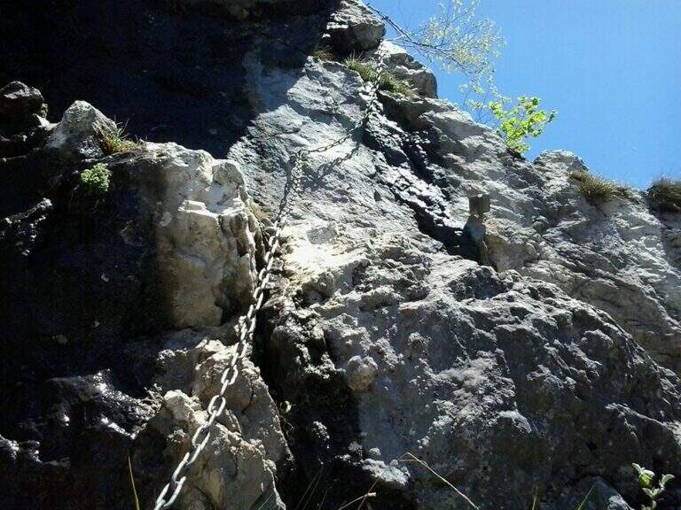
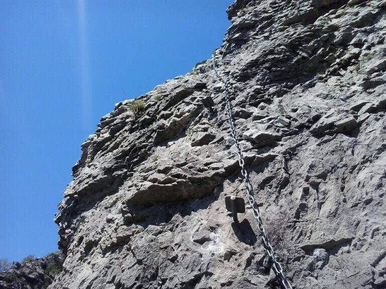
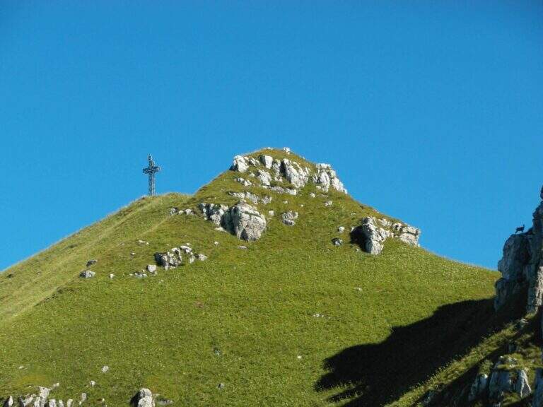
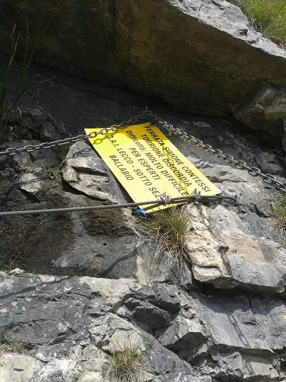
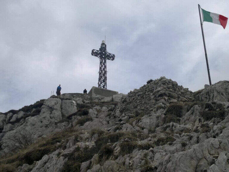
    The Via è marked by a series of torrioni, each one by the path. It starts with the chain that bends left onto small rocks, circumvents a prominence and then on the right leads under a first wall with few hooks (a bracket helps the foot); it follows a più wall; long with natural hooks and brackets and a diagonal traverse left towards a corner, which closes the first section. The second section, all' più appearance; lasts as long as it is, rises with a left-hand side, a vertical wall with good supports and small rocks. The third, challenging, alternates a short right-handed traverse, a diagonal traverse exposed to the left and a vertical dihedron. The fourth tower, più easy, goes up a corner and descends on the opposite side; the fifth has a steep vertical wall, a exposed traverse and a last vertical stretch, followed by a ridge path equipped. The sixth è a short plaque, the seventh the più easy. L' eighth section — the Torrione della Discordia — è of a very difficult level: a narrow nod under a roof, a wall definitely overhanging with brackets, chain and cable, a short diagonal traverse and another 5-6 meters overhanging, then a long diagonal traverse in adherence on rock poor d' The ninth section è a beautiful vertical plate, at first apparently smooth then più attached to the left, about ten meters (1h 30' from' ) attack. Follows a ridge with equipped sections and path (about 1h 15') up to a last crossroads: the tenth and short section goes up a spur and descends on the opposite side, otherwise bypassable, up to the peak cross with the bedless bivouac (3h from' attack, 3h 15' totali).

    ▲Character and difficulty

    Limestone rock that allows you to climb in many stretches. Overall the road remains difficile, although with the Torrione della Discordia of a very difficult but bypassable level.

    ⚠ The muskable chain is in some stretches lasca, with rather spaced tokens: proceed with caution. Itinerary long and with important difference in altitude; a pair of telescopic sticks are useful downhill.

    ▲Period and safety

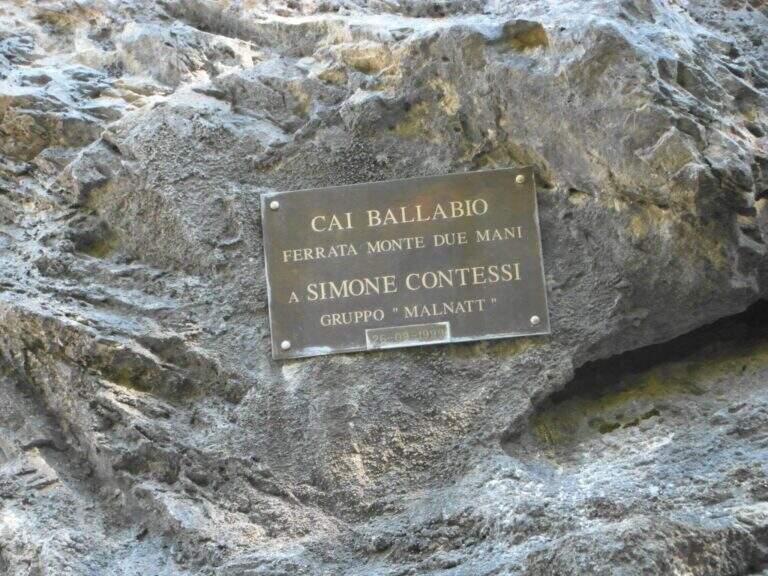
    GPS tracks (GPX and KMZ) are available; the Grigne, Resegone and Valsassina map is useful for the area. The ferrata is dedicated to the young climber Simone Contessi, of the Malnatt group of Lecco, who died in an accident.

    ▲Discipline

    It can be arranged; go down the normal road: reached the asphalted road upstream of the' car, keep the left downhill and take right l' ancient municipal road of Morterone in the forest until the parking lot. Alternatively, go down the steep path that runs along the towers, up to ' attack and all' car (1h 45' from the summit, 5h totali).

    ▲To match

    Area rich in itineraries: in increasing order of difficulty the River Trail, la Gallery of Morcate, la Range 1 to the Planets, la Ferrata al Corno Medale e la 30° OSA at Corno Rat; for the most prepared the Range 2 o la Ferrata del Monte Ocone.

    ▲Gallery
    Technical data
    • DifficultyHard
    • RegionLombardy
    • GroupPrealps Lecchesi
    • Approach0:10 h
    • Ferrata30
    • Itinerary (a/r)5:00 h
    • Hardware level difference756 m
    • Route difference756 m
    • Max1656 m
    • Length9,9 Km
  • Ferrata Silvano de Franco (Resegone)

    Ferrata Silvano de Franco (Resegone)

    Vie Ferrate › Lombardia › Lecco
    Ferrata Silvano de Franco (Resegone)

    La Ferrata Silvano de Franco ` an alternative route to the più routes; bars for the summit of Resegone, the mountain that dominates Lecco. È a corto itinerary but challenging, along the southwest ridge, on high exposure and with some difficult plaques; l' & ` rather long, reason why it is often chained with other equipped routes that go back to Pian Serrada.

    ▲Approach

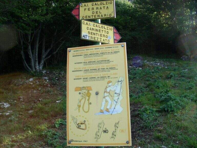
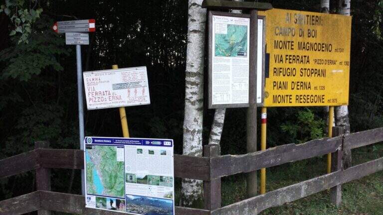
    Starting point l' wide cable car square for the Piani d'Erna in Lecco. Open road signs on Google Maps. There are more alternatives, depending on whether you use the cable car and want to insert another equipped path. The most direct: from the mountain station follow the path 5 towards the Rifugio Azzoni; at the crossroads with the path 1 take it to the left uphill, you pass the Passo della Zibretta (1h 15' from the cable car) and, paying attention to a' slight trace to the left towards a pole, you descend slightly until the' attack (1h 30' from the cable car). Alternatively, you can go up on foot from the parking lot on path 1 above the Stoppani Refuge (about 3h all' attack) or enter the Centenary Ferrata or the Caminetto Path first from the Fò Pass; and the Pian Serrada.

    ▲The path

    La ferrata inizia con un breve balzo dove la catena passa in una fessura della roccia; seguono roccette ricche di appigli naturali e un secondo tratto più lungo, con roccia frastagliata, dove la pendenza cresce e la catena corre in un canalino con un piccolo balzo più difficile (utile la catena). Dal pulpito di questo tratto si vede un secondo settore verticale, preceduto da un breve sentiero di cresta su esile traccia attrezzata sul lato destro del filo. Il secondo torrione attacca con un diedro di 4 metri dagli appigli poco evidenti (conviene salire coi piedi a sinistra, pur scorrendo la catena a destra); si aggira una sporgenza a destra, si rimontano un paio di risalti — uno più faticoso — fino a un terrazzino, oltre il quale c'è un tratto di discesa attrezzata. Seguendo la traccia si raggiunge un nuovo tratto che parte sotto un basso tetto, difficile da iniziare senza trazionare sulla catena, poi più appigliato; una breve cengia a sinistra porta a una parete con fessura a sinistra e paretina a destra. Si stacca un attimo dai moschettoni e si riattacca su un risalto; un esposto tratto verticale, ben appigliato dopo i primi metri, rimonta uno spigolo sul lato destro fino a un tratto di cresta tra balzi e roccette, meno impegnativo ma molto esposto. Oltre un'esposta selletta si attacca l'ultima sezione su un pilastro (lato sinistro), poi roccette e risalti più marcati sul filo destro della cresta; si esce sul sentiero di cresta, non difficile ma da fare con attenzione dopo le piogge, con la croce di Punta Cermenati in vista. Alcuni saliscendi, l'aggiramento in discesa di un masso e si arriva alla croce (1h dall'attacco, 2h 30' dalla stazione a monte).

    ▲Character and difficulty

    Ferrata not long but with some difficult passages not to be underestimated, less joke of other routes in the area of Resegone.

    ⚠ The chain, present along the whole path, is mosquitable but rather bulky: sometimes I hang in the progression, and the puppets tend to entangle.

    ▲Period and safety

    GPS tracks (GPX and KMZ) are available; the Grigne, Resegone and Valsassina map is useful for the area.

    ▲Discipline

    Dalla croce si vede il Rifugio Azzoni; raggiuntolo si scende sul sentiero 1 fino al bivio col 5, da cui si può tenere il 5 a destra verso i Piani d'Erna e la funivia (1h 15' dal termine, 3h 45' totali) oppure restare sul sentiero 1 verso il Rifugio Stoppani e il parcheggio (2h dal termine, 4h 30' totali).

    ▲To match

    It often concatenates with one of the equipped paths that go back to Passo Fò, or climbing the Ferrata Gamma 1 from the Piani d'Erna. On the Resegone you can also walk Ferrata Gamma 2 e la Cresta della Giumenta.

    ▲Gallery
    Technical data
    • DifficultyHard
    • RegionLombardy
    • GroupResegone
    • Approach1:30 h
    • Ferrata1:00 h
    • Itinerary (a/r)3:45 h
    • Hardware level difference180 m
    • Route difference485 m
    • Max1860 m
    • Length8 Km
  • Ferrata Sci Club 18 (Monte Faloria)

    Ferrata Sci Club 18 (Monte Faloria)

    Vie Ferrate › Veneto › Belluno
    Ferrata Sci Club 18 (Monte Faloria)
    Very difficult● OpenDescriptionComplexityMapsGallery

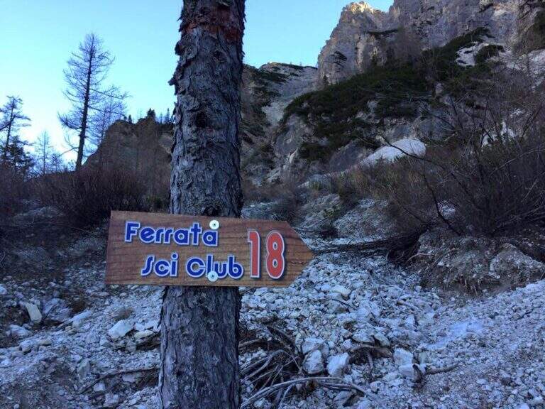
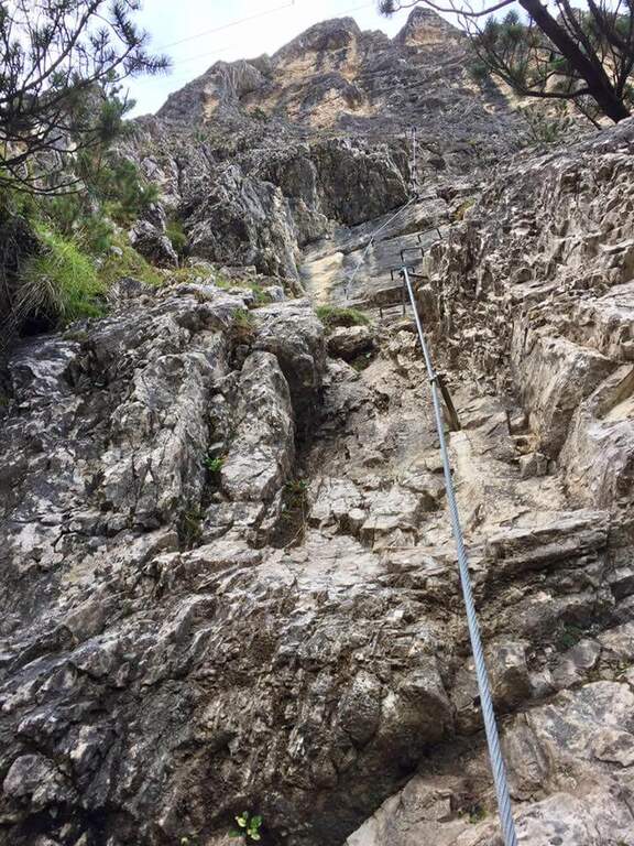
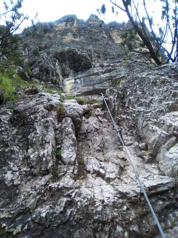
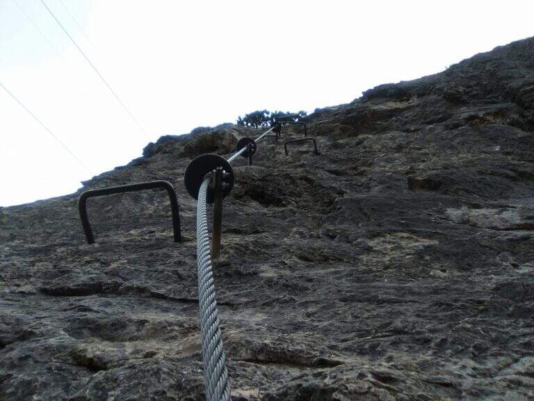
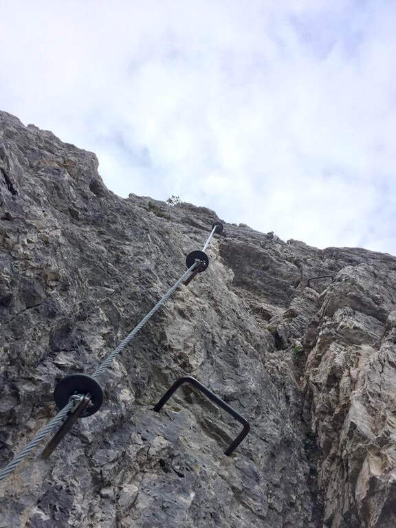
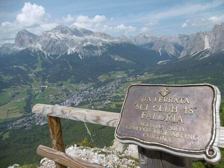
    La Ferrata Sci Club 18 climbs from Monte Faloria, above Cortina d'Ampezzo, with an itinerary ripido, athletic and very difficult. The via è vertical, exposed throughout the track and with challenging passages that often force to traction on the cable: & free; reserved for trained and experienced hikers. The return is also possible with the cable car.

    ▲Approach

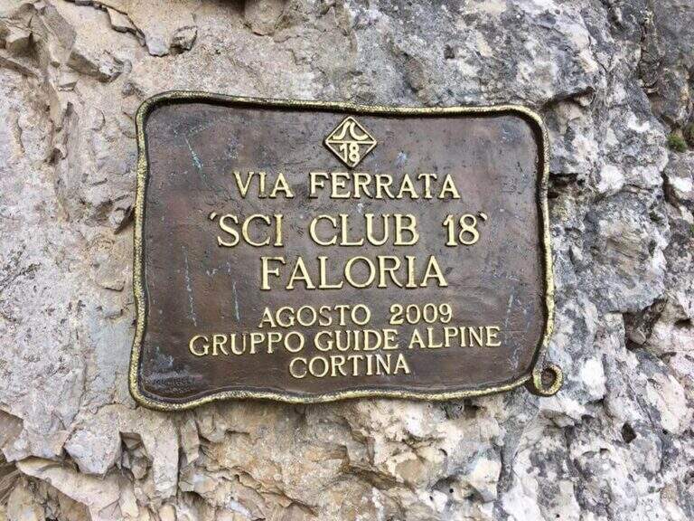
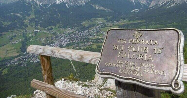
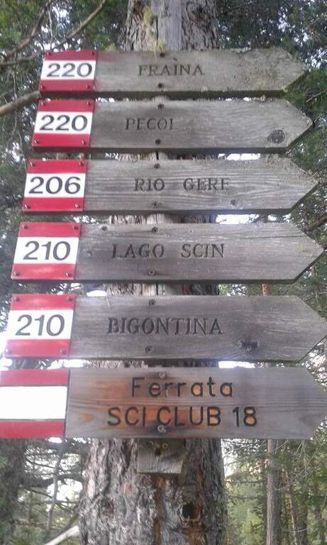
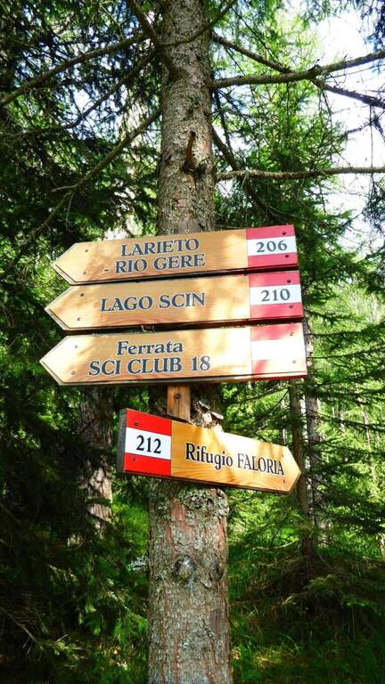
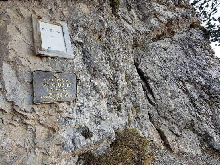
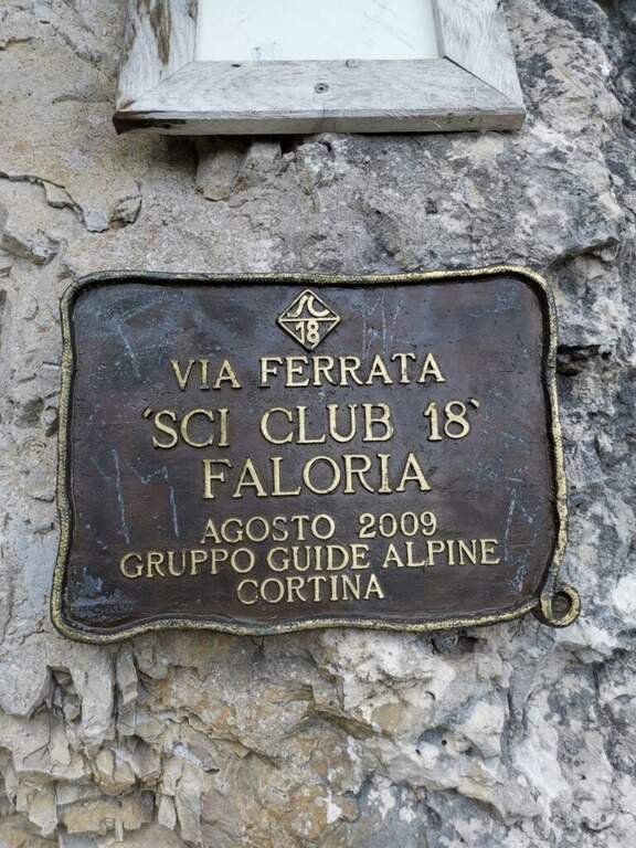
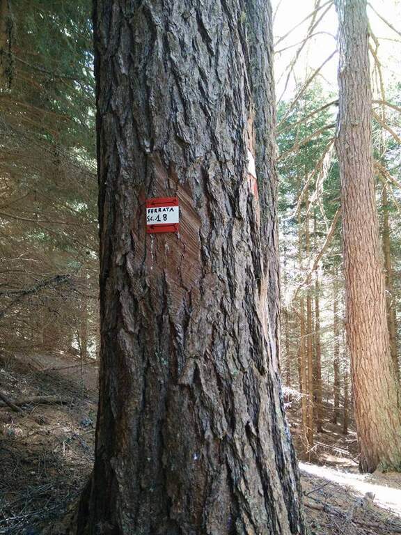
    It starts from the locality; Sompiei, above Cortina: from the center take the Regional Road of the Dolomites towards Misurina/Auronzo and, after less than a kilometre, before the sign «Alverà», a road on the right; just before the cable car a dirt road takes off to the left and leads to the parking lot (attention to the private areas). Open road signs on Google Maps. From the parking lot you go east towards the mountain station of the cable car to the intermediate station Mandres; from here the path 206, on a slight ascent, comes out from the wood and climbs steeply towards the wall of the Faloria. Following the abundant signs you leave the 206 holding the right until all' attack of the Ski Club 18, signaled by a metal plate with the date of construction (1h from the parking lot).

    ▲The path

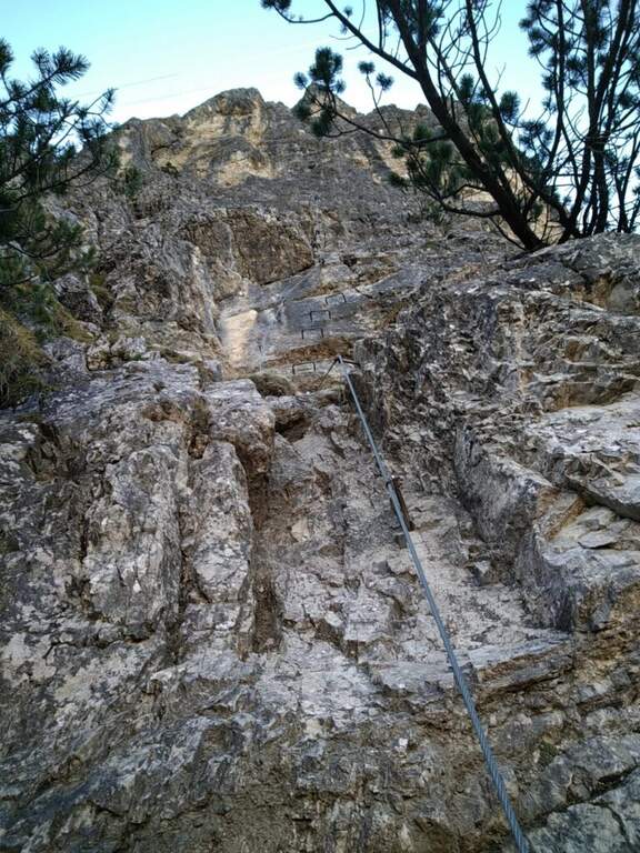
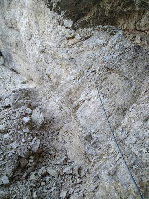
    L'attacco è subito verticale: i primi due metri richiedono una trazione, poi compaiono appoggi per i piedi. Superato il primo balzo, ci si trova sotto una parete liscia sbarrata da un tetto roccioso, che si aggira piegando a destra con solide staffe; si continua a guadagnare quota alternando staffe e appoggi su un tratto leggermente strapiombante, poi si piega a destra in una cengia fino a uno spigolo. Aggirato lo spigolo si risale una lunga parete liscia dove in più punti, mancando appigli, si sale trazionando sul cavo (circa 20 m di placca) fino a un terrazzino di sosta. Seguono un breve tratto appoggiato e un traverso ascendente verso destra su roccia levigata, un nuovo spigolo dopo un'esile cengia, e un tratto verticale; in alto la fune piega a destra su un traverso esposto sostenuto da staffe, fino a una cengia panoramica proprio sotto la funivia del Faloria. Si affronta poi un tratto verticale più appigliato, si scende a un canalino dal fondo instabile e, oltre una cengia, si risale uno spigolo che porta a una placca verticale decisamente impegnativa: le staffe sono distanti e la roccia molto levigata, rendendo i passaggi atletici. Si supera un tetto con una breve scaletta, un terrazzino, altri metri verticali impegnativi, poi un camino arrampicabile in spaccata e una fessura da risalire in spaccata fino a un ampio balcone panoramico sulle Tofane. L'ultima sezione percorre una cengia in salita verso sinistra fino a un imponente spigolo a forma di diedro, fittamente attrezzato di staffe su entrambi i lati; si esce sul lato destro in forte esposizione, si supera un tetto roccioso più atletico con una staffa, poi cenge, un salto verticale attrezzato, un canalino detritico non protetto e una forcellina; dalla forcellina un tratto verticale con staffe porta alla cresta, che si percorre fra brevi tratti attrezzati fino al termine della via (2h dall'attacco, 3h totali).

    ▲Character and difficulty

    Atypical Ferrata for the Dolomites: it does not carry on a real summit, has recent equipment with well-drawn cable and abundant but not excessive brackets, and cones on the tokens that increase safety — important on such a vertical way, where a possible fall factor can have serious consequences. It is sometimes criticized for the difficulty that solicits the arms, forcing them to pull on the cable.

    ⚠ Via molto difficile, verticale ed esposta lungo tutto il tracciato, atletica e faticosa per le braccia: solo per ferratisti esperti e allenati. Non è percorribile in discesa.

    ▲Period and safety

    GPS tracks (GPX and KMZ) are available; the map of Cortina and the 4Land Dolomites is useful for the area.

    ▲Discipline

    From the end you are in sight of the refuge Faloria, where the cable car from Cortina arrives. Two options: walk down the trail at the crossroads 212 verso destra in direzione Mandres (dapprima ripido poi più dolce) fino al bivio dell'andata presso la stazione intermedia, quindi a ritroso (1h 30' dal termine, 4h 30' totali); oppure prendere la funivia e scendere alla stazione intermedia, poi a ritroso per il sentiero di avvicinamento (20' dalla stazione intermedia).

    ▲To match

    A challenging itinerary that hardly leaves energy for a second route in the day. From Cortina there are many routes: towards Auronzo la White e la Dibona al Cristallo; towards Dobbiaco the Third Cengia del Pomagagnon, la Bo, la Bullshit, il Path to the Fanes Falls e la Renè de Pol; to the south Ferrata dei Caprioli san Vito di Cadore.

    ▲Gallery
    Technical data
    • DifficultyVery difficult
    • RegionVeneto
    • GroupHeadquarters
    • Approach1:00 h
    • Ferrata2:00 h
    • Itinerary (a/r)4:30 h
    • Hardware level difference340 m
    • Route difference673 m
    • Max2123 m
    • Length6,5 Km
  • Ferrata Sass del Tavarac

    Ferrata Sass del Tavarac

    Vie Ferrate › Lombardy › Como
    Ferrata Sass del Tavarac

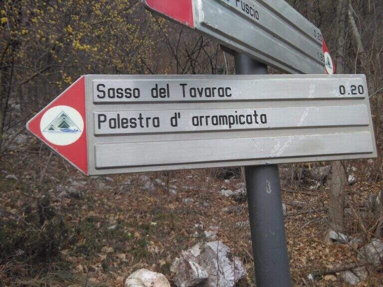
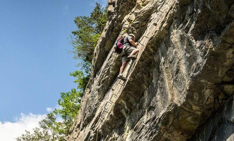
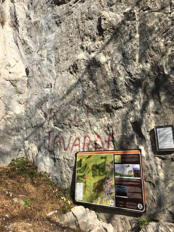
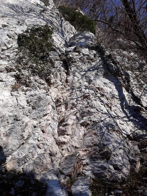
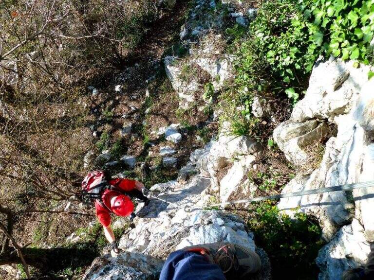
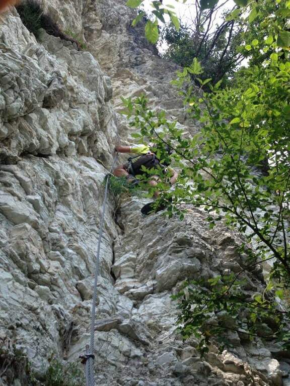
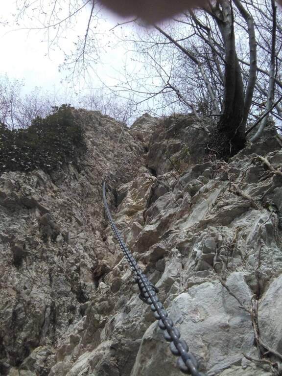
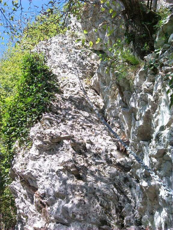
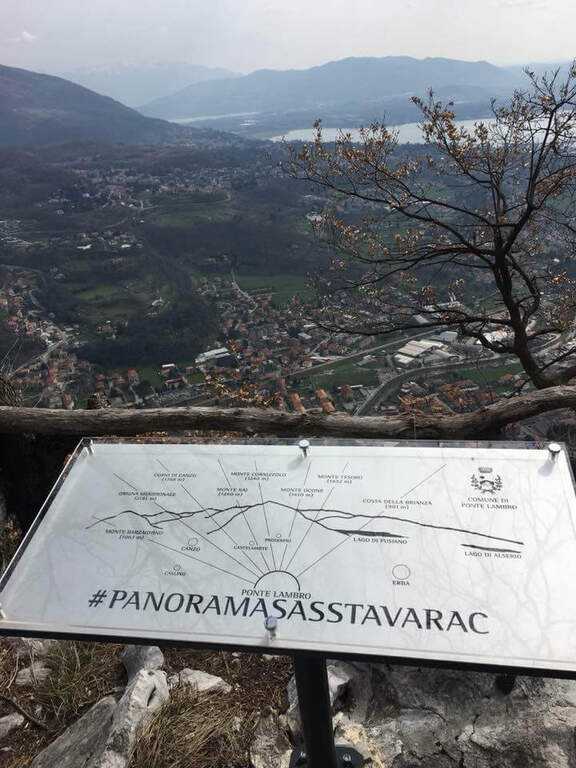
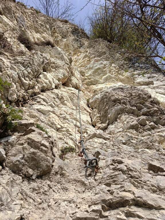
    La Ferrata Sass del Tavarac ` a difficult and athletic street above Erba, in the province of Como. È of traditional type, with equipment reduced to the minimum and without fixtures in support of the climb: it is aimed at expert hikers, well trained and with good force of arms. The rock offers almost everywhere good climbing skills; and despite the low altitude (749 m), it can be appreciated also by più climbers; demanding.

    ▲Approach

    It starts from the 'inhabited of Crevenna (common of Erba), in the direction of the 'Heremo di San Salvatore. Open road signs on Google Maps. The road that leads to the 'Eremo è private and in theory not accessible (who uses it risks the fine, but saves 30'); alternatively it goes partially via San Giorgio up to a dirt road on the right where to park. From here two options: take the paved road and then climb from the path into the wood, cutting various bends (entrance «official » signalled by two steps in stone; 30-35' from the parking lot); or take the path starting from ' We will, following the signs for the ferrata and the nearby crag with red stamps, up to search for l' attack on the right of the crag (30' from'Eremo, 1h from the slargo San Giorgio).

    ▲The path

    The route is divided into tre sections difficult to understand; decreasing. La first è the più selective: immediately climbs a wall with characteristics of unmarked dihedron, about 30 meters very challenging and with few hooks; on top a cross with chains to the left, exposed and tiring, with the feet in adherence, leads to a canal to be climbed up to a crossroads (right the second section, to the left a d' street). The seconda attacks with a path equipped along a ramp and rocky and grassy steps up to a second vertical wall, less hard than the first but with less solid rock: it goes up for about fifteen meters, then a più traverse; easy closes the section (here you meet the chain of the descent path, usable as escape route). The terza section starts on fairly coricated rocks up to a white-yellow wall of difficultà similar to the second but with less secure rock, on which to pay attention to hands and feet remembering that under c'è the cliff; the last balconies close the ferrata (45' from' attack, about 2h from the parking space).

    ▲Character and difficulty

    Short but demanding and technically difficult, with metal equipment reduced to the minimum (in good condition): it favors those who master the climbing technique.

    ⚠ The first section is very selective: a pair of climbing shoes can be useful. In several points, especially in the second and third section, the rock is less secure and the way develops over a cliff. If you park at the Hermitage, return by 7 pm because then the bar is closed at the entrance of Via San Giorgio.

    ▲Period and safety

    Low altitude, therefore accessible in most of the year with good rock conditions. GPS tracks (GPX and KMZ) are available.

    ▲Discipline

    Due alternative: al termine della ferrata seguire subito a destra la traccia con catena, che scende presso la parete di salita — a tratti esposta, instabile e attrezzata con catena piuttosto lasca, con un paio di brevi disarrampicate — fino all'attacco e poi a ritroso (45' dal termine, 2h 45' totali); oppure salire leggermente nel bosco fino a una mulattiera, imboccarla a sinistra in discesa passando accanto ai settori d'arrampicata Sasso San Salvatore e Sasso d'Erba, ignorando i bivi, fino all'Eremo e all'auto (1h dal termine, 3h totali).

    ▲To match

    Area rich in similar difficulties: the 30° OSA at Corno Rat, la of the 25th anniversary of the Western Horn, la Ferrata al Corno Medale e la Countess of Monte Due Mani; towards Varesotto la Ferrata Bellotti near Mesenzana.

    ▲Gallery
    Technical data
    • DifficultyHard
    • RegionLombardy
    • GroupLarian Triangle
    • Approach1:00 h
    • Ferrata30
    • Itinerary (a/r)3:00 h
    • Hardware level difference170 m
    • Route difference350 m
    • Max749 m
    • Length4 Km
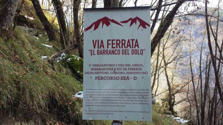
  • Ferrata Barranco del Dolo

    Ferrata Barranco del Dolo

    Vie Ferrate › Emilia Romagna › Reggio Emilia
    Ferrata Barranco del Dolo

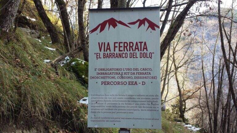
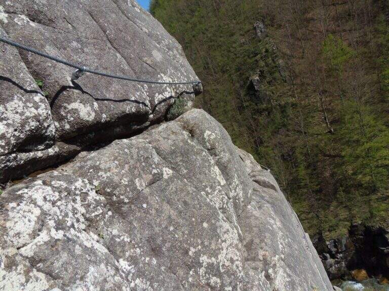
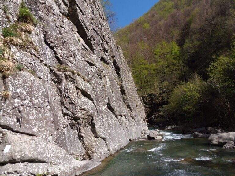
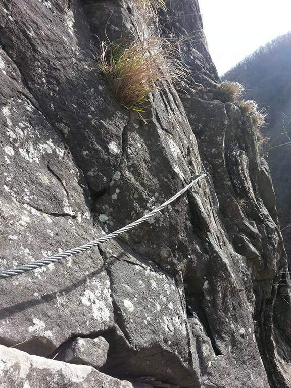
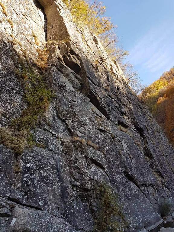
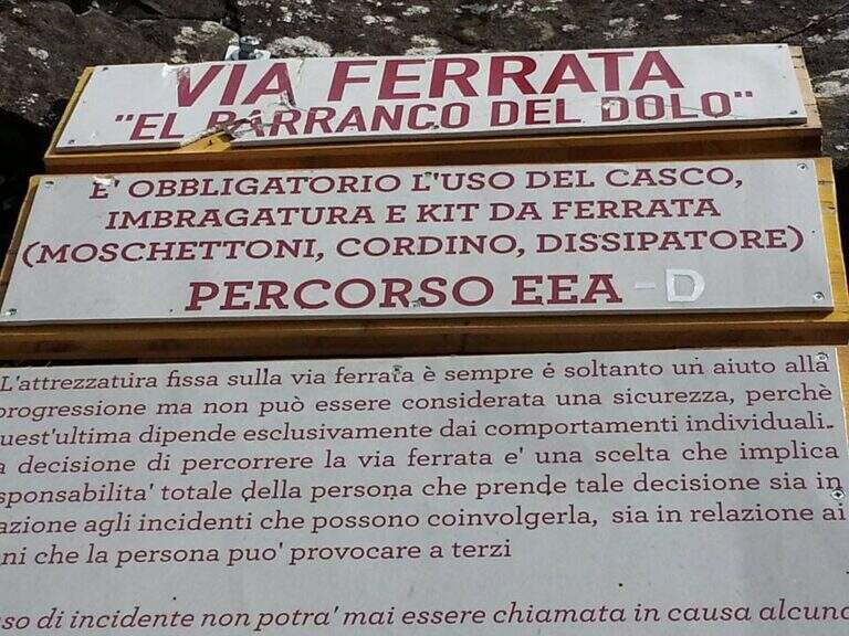
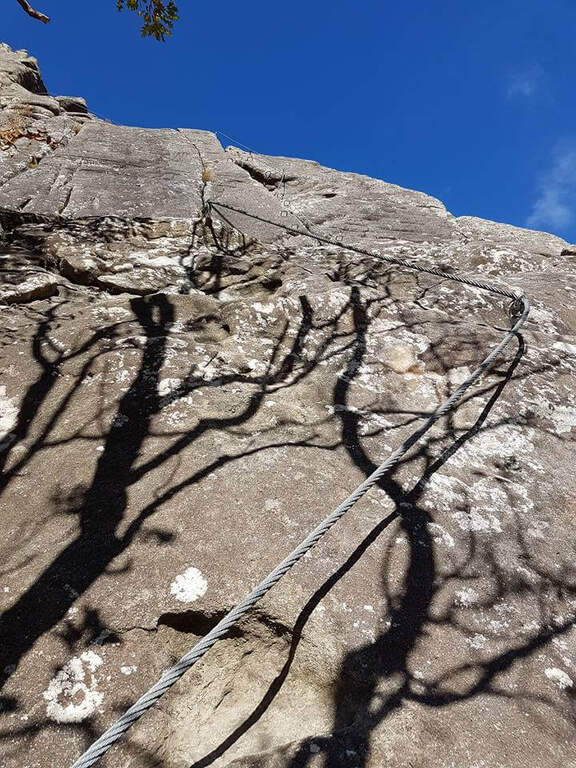
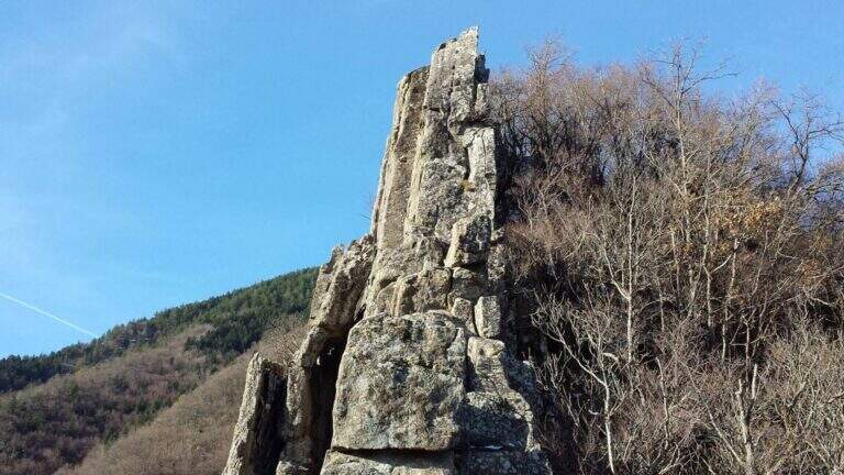
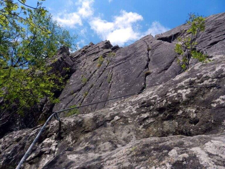
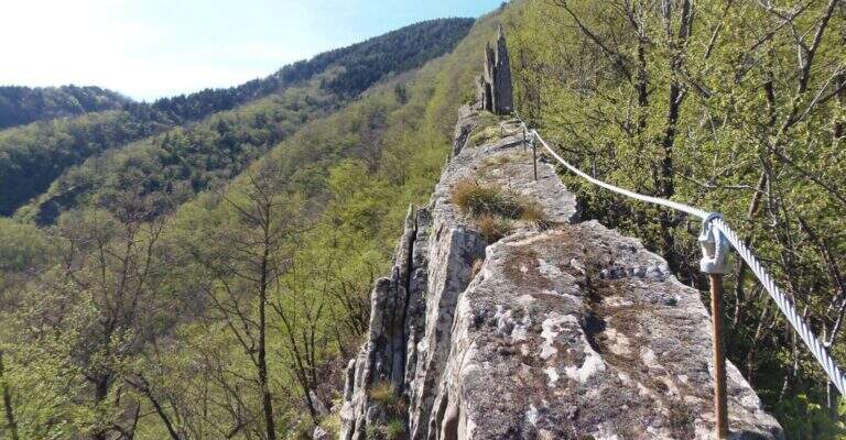
    Nei pressi di Civago, nell’alto Appennino Reggiano, la Ferrata Barranco del Dolo (inaugurata nel 2015) risale una lama di roccia di circa 200 metri che dal letto del torrente Dolo sale fino alla strada per il paese. Un itinerario breve ma appagante, in un ambiente splendido con il fiume alle spalle e una buona dose di passaggi verticali.

    ▲Approach

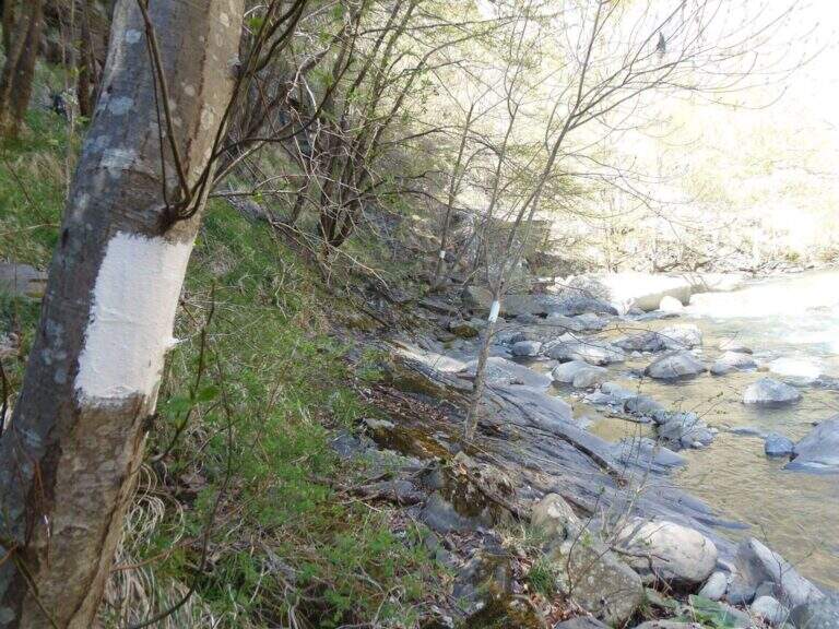
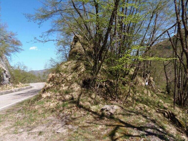
    Pochi km prima di Civago, dopo un tornante, un cartello indica l’inizio del sentiero (piu visibile per chi arriva da Civago che da Reggio Emilia). Arrivando da Reggio, superata la galleria, si trovano un paio di ampi slarghi sul lato sinistro dove lasciare l’auto; a piedi, guardando a sinistra, dopo una protuberanza rocciosa si vede il cartello e la traccia che scende nei boschi. L’avvicinamento e anomalo: invece di salire si scende, seguendo i segni bianchi lungo un ripido sentiero che in circa 20 minuti porta al letto del torrente e quindi all’attacco, letteralmente un paio di metri sopra il pelo dell’acqua. Apri il punto di partenza su Google Maps.
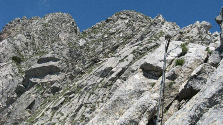
    ▲The path

    Si parte in obliquo guadagnando i primi metri fino a un paio di stacchi verticali che, pur non difficili, danno il tono della via e della roccia (arenaria compatta): gli strappi verticali sono impegnativi ma divertenti, con staffe provvidenziali dove la roccia e levigata. Superato un terzo tratto verticale, un ripido sentiero erboso porta davanti a una placca liscia da risalire in verticale con le maniglie. Segue un traverso dove riposare in vista del passaggio chiave (20 minuti dall’attacco): sull’esposto traverso orizzontale si aggira uno spigolo e si affronta un camino aperto privo di appigli, dapprima in spaccata sulla parete esterna opposta; poi la difficolta aumenta e diventa di fatto necessaria una trazione sul cavo (V grado senza trazionare), per circa 15 metri. Si raggiunge un’ampia cengia dove riposare, notando le chiodature della via di arrampicata sul lato opposto della lama (30 minuti dall’attacco). Un nuovo traverso orizzontale esposto, simile al precedente ma piu breve, si supera con un paio di trazioni decise sul cavo fino ad alcune maniglie e alla parte finale (45 minuti). Si chiude la placca e, con un leggero saliscendi sul filo di cresta sempre assicurato, si arriva al libro di vetta sotto l’ultima parte della lama (1 ora dall’attacco).

    ▲Carattere e difficolta

    Difficolta complessiva moderata, ma le due placche verticali, esposte e prive di appigli nella parte finale alzano nettamente il grado e non vanno sottovalutate. L’attrezzatura e in ottimo stato. Ottima nelle mezze stagioni e, negli inverni miti, anche d’inverno.

    ⚠ Le due placche lische ed esposte e il camino di V grado rendono la via inadatta a persone inesperte o poco allenate. In certi periodi il torrente Dolo ha buona portata: attenzione nei metri di cengia prima dell’attacco.
    ▲Discipline

    Si segue l’evidente sentiero fino a innestarsi su un sentiero CAI presso alcune falesie, poi verso sinistra fino in prossimita della strada dove si e parcheggiato.

    ▲To match

    Spesso si abbina alla vicina Ferrata del Monte Penna (5 minuti d’auto, 30 di avvicinamento). Per completare il giro delle ferrate reggiane: Ferrata Balze del Malpasso (circa 45 minuti) e la Alpine Ferrata e la Ferrata Ovest alla Pietra di Bismantova (circa 1 ora).

    ▲Gallery
    Technical data
    • DifficoltaHard
    • RegionEmilia Romagna
    • GroupAppenino Tosco-Emiliano
    • Approach0:20 h
    • Ferrata1:00 h
    • Itinerary (a/r)1:30 h
    • Hardware level difference135 m
    • Route difference235 m
    • Max950 m
    • Length1,7 Km
  • Sentiero Attrezzato del Canalino della Balza Forata

    Sentiero Attrezzato del Canalino della Balza Forata

    Vie Ferrate › Marche › Pesaro-Urbino
    Sentiero Attrezzato del Canalino della Balza Forata
    Moderately Hard● OpenDescriptionComplexityMapsGallery

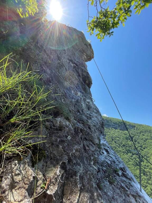
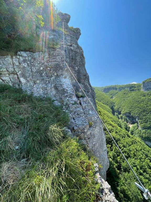
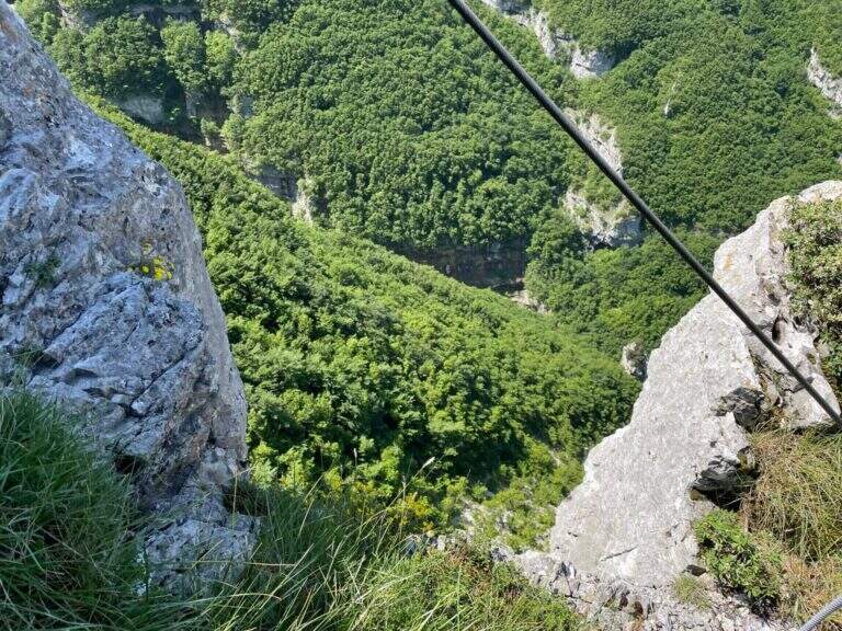
    Il Sentiero Attrezzato del Canalino della Balza Forata sale, tra cenge e tratti verticali, fino alla spettacolare apertura naturale a forma di finestra che da il nome alla parete, nella suggestiva cornice della Valle dell’Abisso e dell’Infernaccio del Monte Nerone. Non e una ferrata in senso stretto ma un itinerario alpinistico reso piu accessibile da corde fisse: difficolta tecniche moderate, ma ambiente serio con tratti sprotetti. Consigliato a chi ha gia esperienza.

    ▲Approach

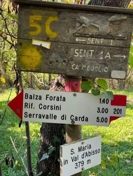
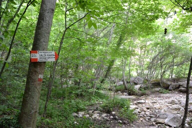
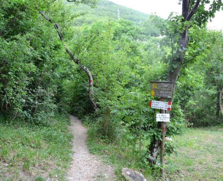
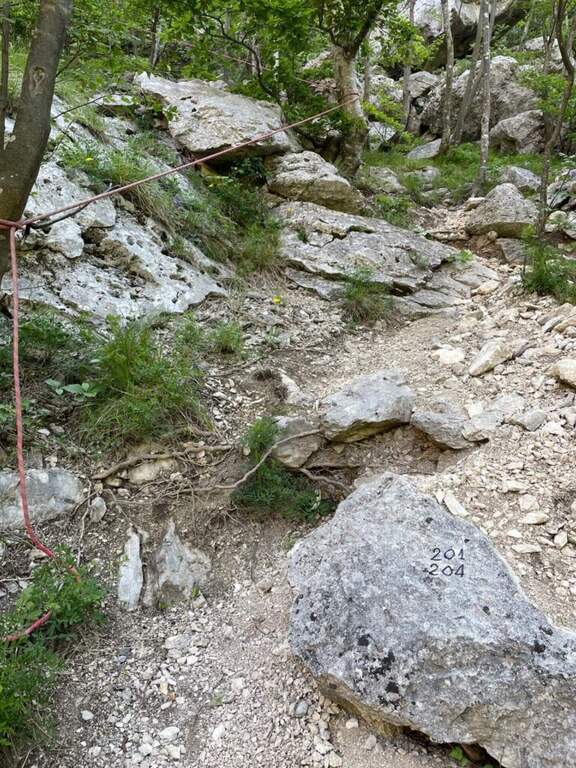
    Sono possibili due avvicinamenti. Avvicinamento 1 (consigliato per l’anello con la sola Balza Forata): si parte dal Santuario di Santa Maria in Val d’Abisso (380 m), dove si parcheggia. Oltrepassata la chiesa tenendola a sinistra, si imbocca il sentiero 201 che attraversa la Val d’Abisso per circa 40 minuti, supera un vecchio mulino dove si tiene la sinistra restando sul 201; si oltrepassa il torrente, poco dopo si tiene la destra in salita e a un bivio successivo ancora a destra (ignorando il sentiero a mezzacosta). Raggiunta la cava di travertino, con un ampio piazzale e una panchina sotto le pareti bianche di Punta Anna, si segue a sinistra il sentiero a bolli rossi fino a superare l’acquedotto col pannello solare; sulla sinistra un grosso masso segna l’attacco (cavetto metallico e corda gialla), circa 1 ora dal parcheggio. Avvicinamento 2 (consigliato in discesa se si vogliono fare entrambi gli itinerari): si raggiunge in auto il secondo tornante che si affaccia sulla valle dell’Infernaccio (1101 m) e si parcheggia; si scende per il sentiero 204 seguendo ometti e segni rossi fino al sentiero 201, poi a un bivio si scende a destra alla base della parete della Balza Forata, la si aggira a destra fino alla ferrata e si scende a sinistra fino al grosso masso dell’attacco (678 m), circa 1 ora. Apri il punto di partenza su Google Maps.

    ▲The path

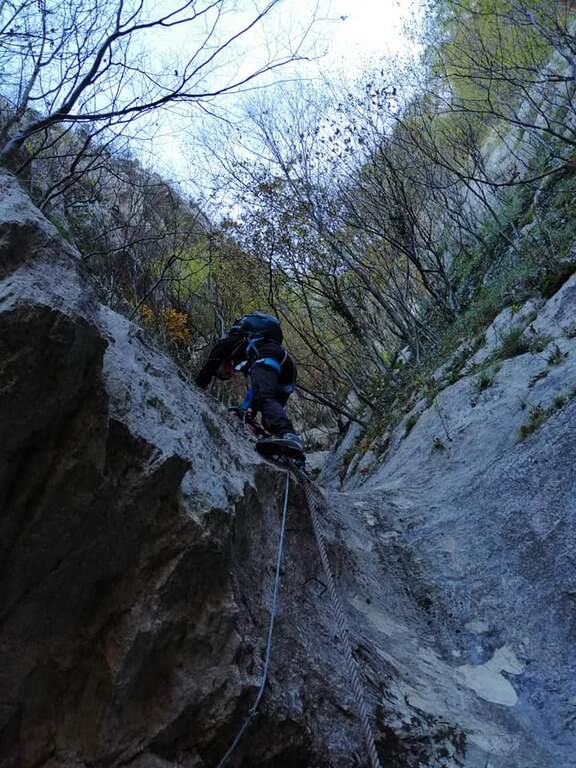
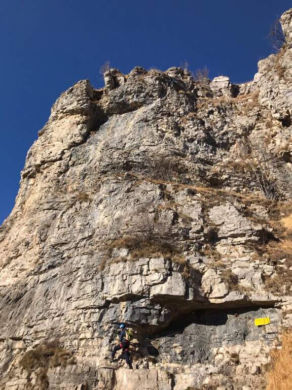
    Dall’attacco la via attrezzata alterna sezioni verticali a tratti piu agevoli, con alcuni passaggi impegnativi dove alcune cambre metalliche aiutano pur richiedendo passi di forza. Seguendo la parete fino all’entrata del canalino sulla sinistra (alcuni vecchi chiodi indicano la via), si risale il canalino detritico con catene e corde fisse fino a un primo tratto verticale piu attrezzato. Superato il muretto con gli scalini in ferro, si segue il cavo a sinistra lungo il canalone alternando fondo terroso e tratti verticali fino in cima a Punta Anna. Si arriva a un “grottino”: un tratto scivoloso attrezzato con gradini in ferro e fune d’acciaio, da affrontare con la massima attenzione perche il terreno e pieno di sassi. Raggiunto il “Grottone”, si prende una bella cengia leggermente esposta; svoltando a sinistra si supera un breve tratto con scalini e corda, si percorre un’altra cengia e infine l’ultimo tratto attrezzato che conduce all’interno della Balza Forata, dove la via termina (circa 1 ora dall’attacco, 2 ore dal parcheggio). Volendo, oltre la finestra si puo proseguire sul nuovo Canalino Vampa (circa 40 minuti), itinerario verticale ed esposto che costeggia lo strapiombo dell’Infernaccio.

    ▲Carattere e difficolta

    Le difficolta tecniche restano moderate, ma vanno distinte dall’impegno complessivo: l’itinerario presenta tratti sprotetti e si svolge in un ambiente che richiede attenzione ed esperienza. Il cavo e nel complesso in ottimo stato; qualche gradino in ferro e meno saldo ma non pericoloso, e in alcuni punti il cavo non e molto teso.

    ⚠ Forte rischio di caduta sassi: caschetto obbligatorio e, se si va in compagnia, mantenere ampia distanza. Dove il cavo e poco teso non restare vicini. Usate le corde fisse come corrimano e sicurezza, evitando di appendervisi: e un itinerario per escursionisti gia esperti.
    ▲Discipline

    Con l’avvicinamento 1 si oltrepassa la Balza Forata tenendo la sinistra fino a un ghiaione in discesa che si attraversa per immettersi nel sentiero 201, chiudendo l’anello fino alla cava di travertino e quindi a ritroso fino al Santuario. Con l’avvicinamento 2, dopo l’eventuale Canalino Vampa si rientra risalendo il sentiero 204 (e poi il 201), circa dieci minuti fino al tornante.

    ▲Storia e dintorni

    Il canalino fu percorso da alpinisti marchigiani a fine anni Sessanta; il progetto di attrezzarlo a sentiero attrezzato e iniziato nel 2015 e completato nel 2020, mentre il Canalino Vampa e stato trasformato in via attrezzata da alcuni volontari nel maggio 2026. La Balza Forata, con il sole che filtra dalla finestra naturale, regala un colpo d’occhio davvero scenografico (relazione a cura di Cristian Manduchi). In zona si possono abbinare il trekking dell’Orrido dei Cupi di Fiamma e le cascate di Pian dell’Acqua. Per quanto riguarda le vie ferrate, nelle Marche l’unica altra opzione al momento e la Ferrata dei Piceni a Pioraco, piuttosto lontana.

    ▲Gallery
    Technical data
    • DifficoltaModerately Hard
    • RegionMarche
    • GroupAppennino Marchigiano
    • Approach1:00 h
    • Ferrata1:00 h
    • Itinerary (a/r)3:00 h
    • Hardware level difference200 m
    • Route difference560 m
    • Max880 m
    • Length6,2 Km
Need help? Write to us!