Caratteristica: Tecnica e atletica

  • Ferrata Senza Confini (Cellon)

    Ferrata Senza Confini (Cellon)

    Vie Ferrate › Friuli-Venezia Giulia › Udine
    Ferrata Senza Confini (Cellon)
    Very difficult● OpenDescriptionComplexityMapsGallery

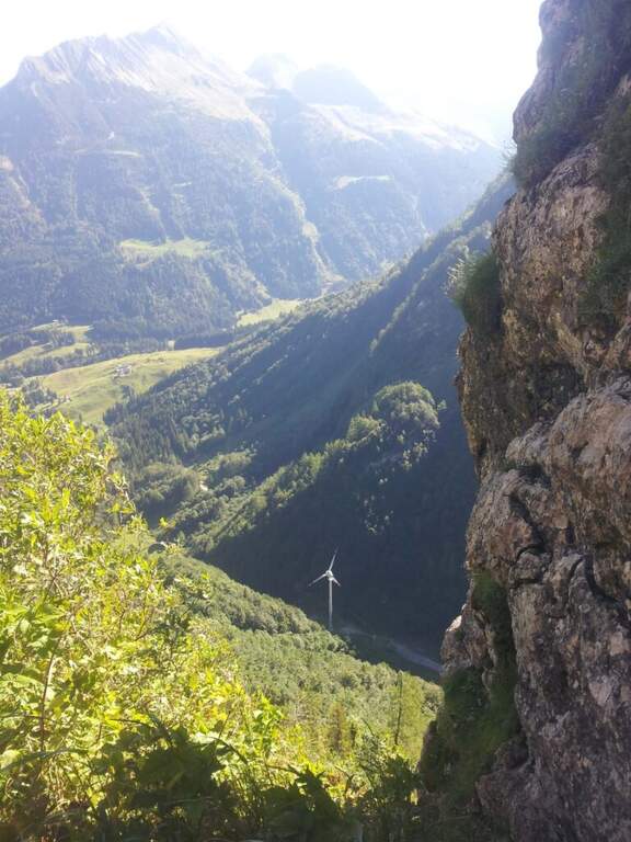
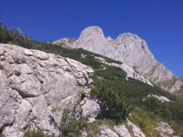
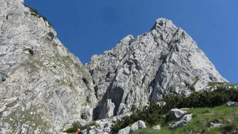
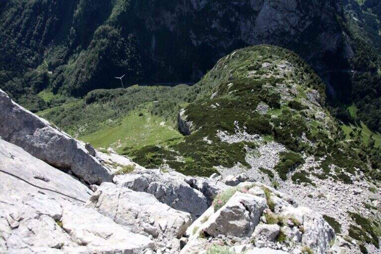
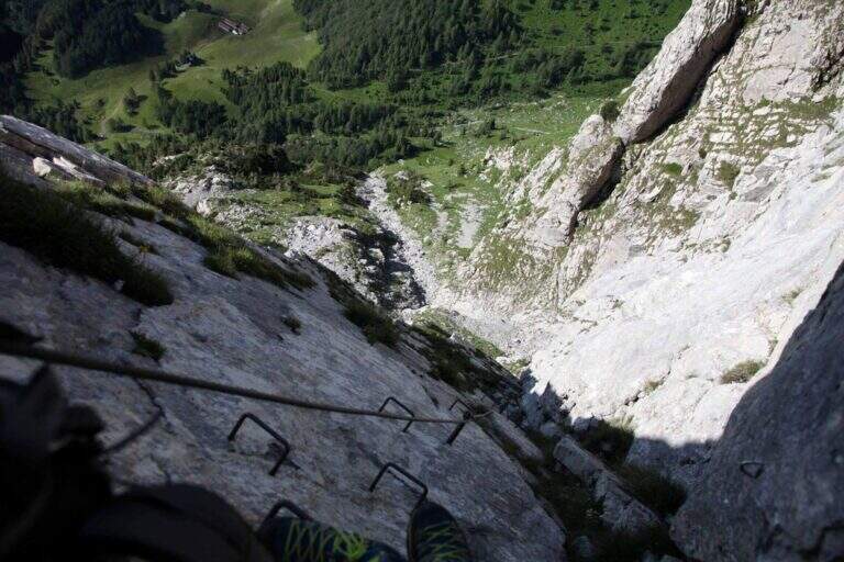
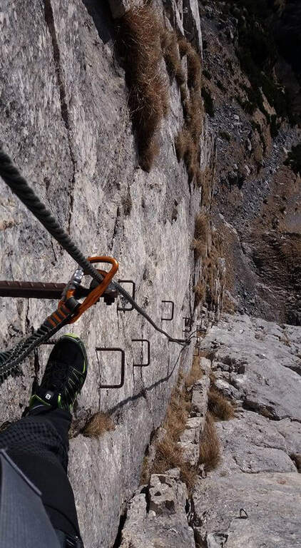
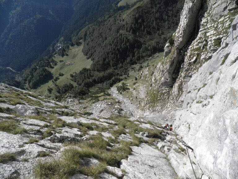
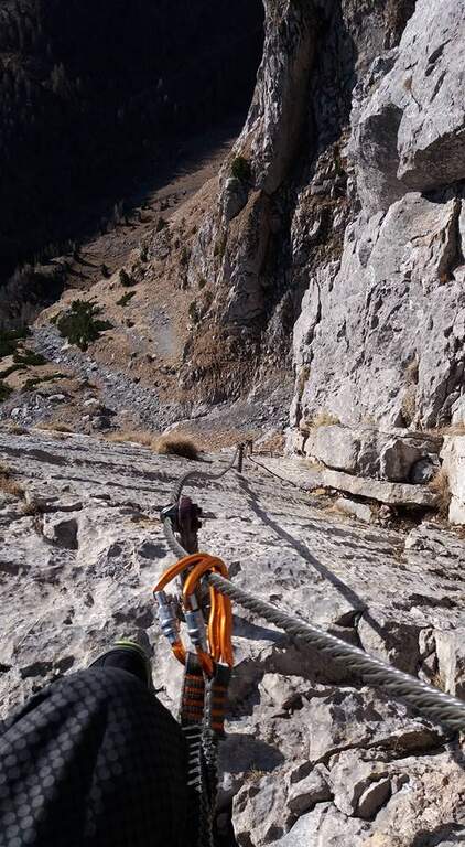
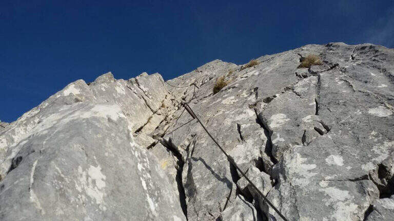
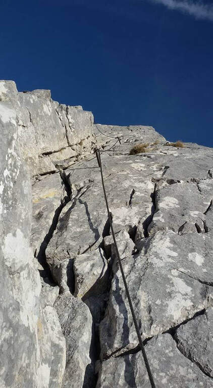
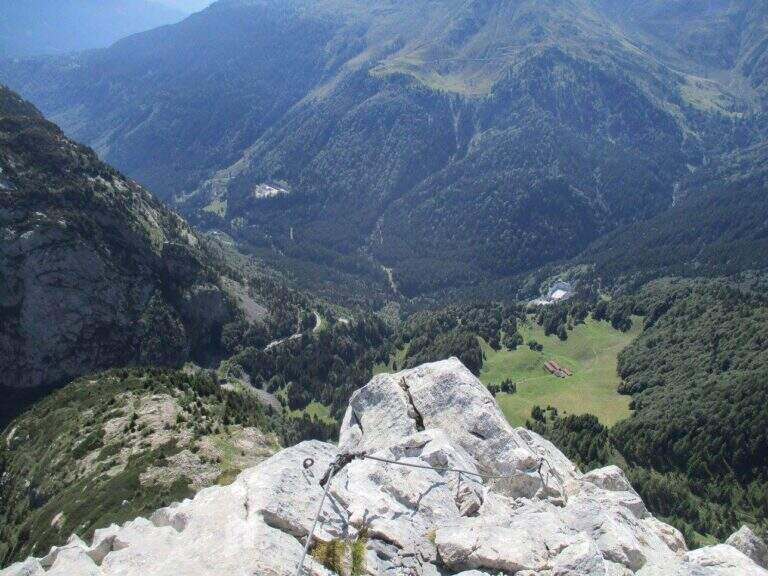
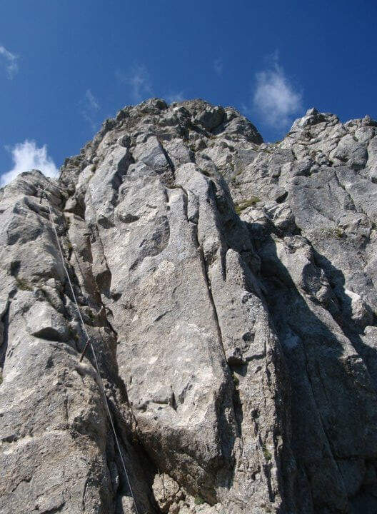
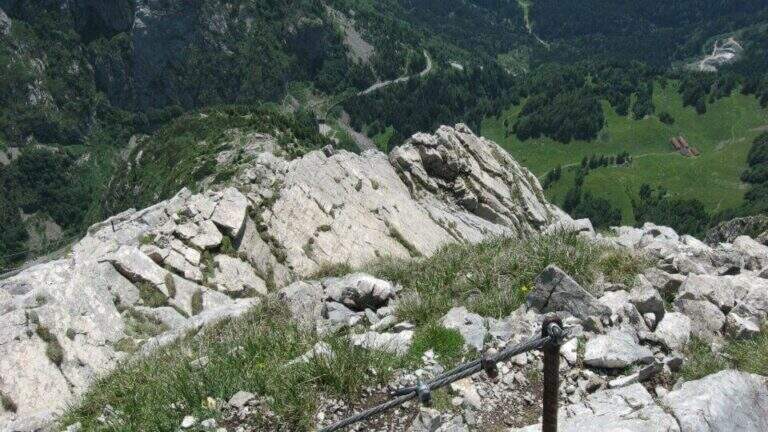
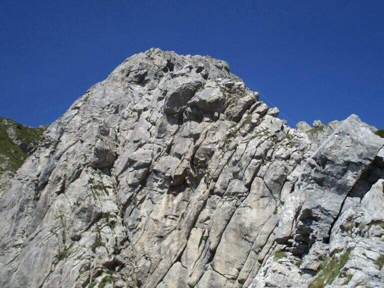
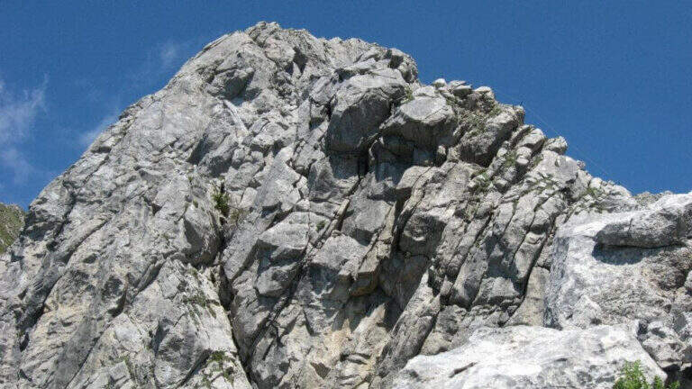
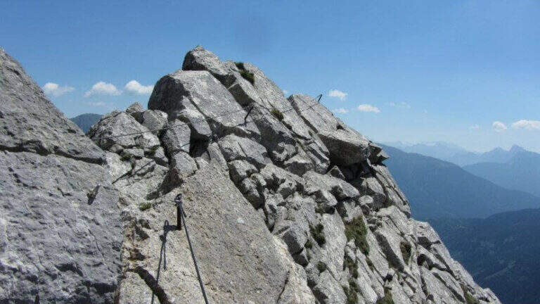
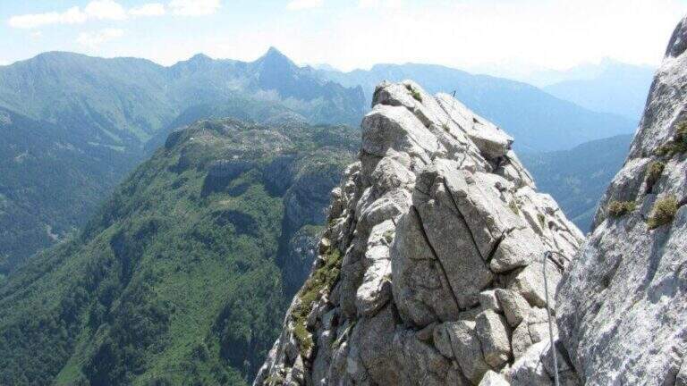
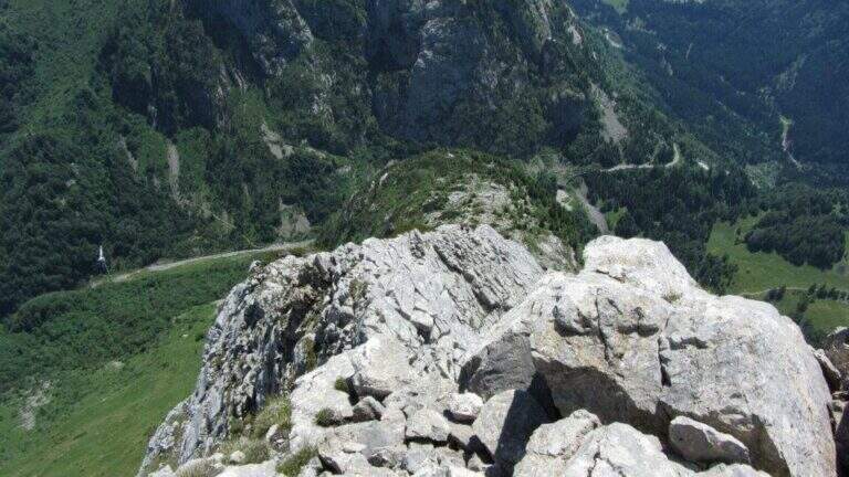
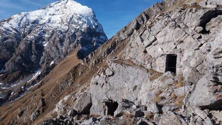
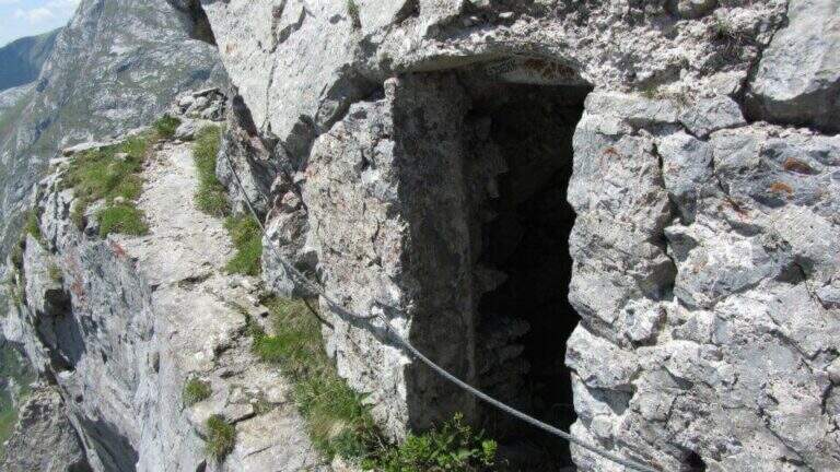
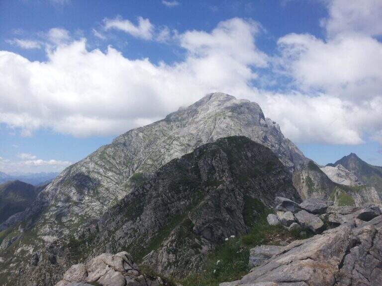
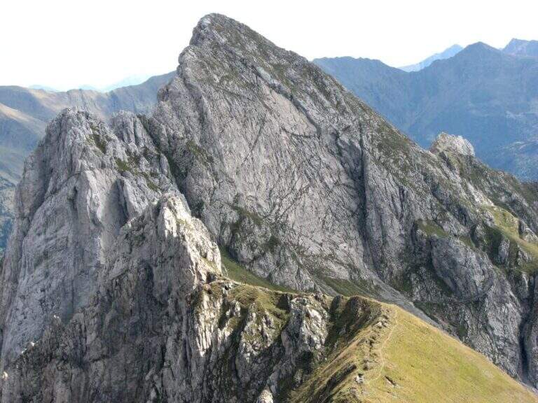
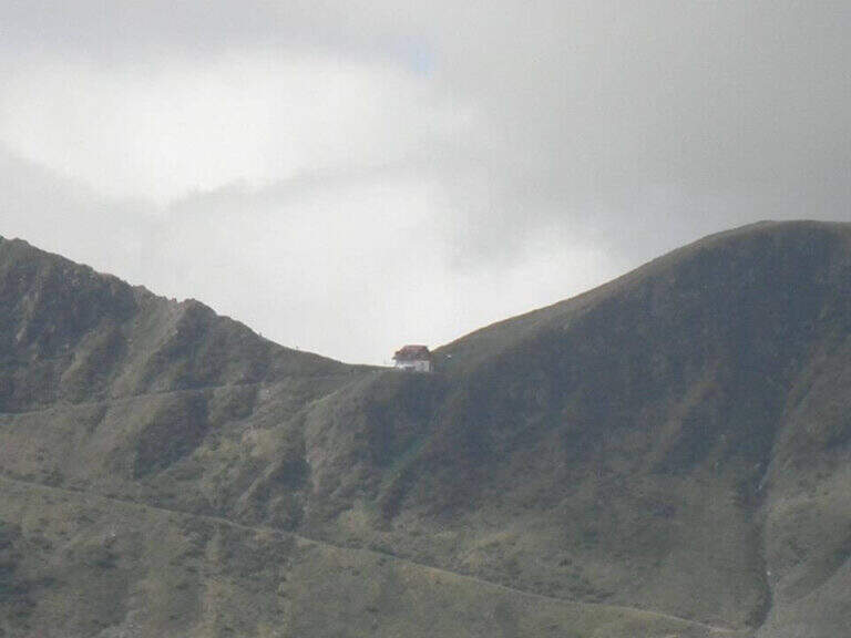
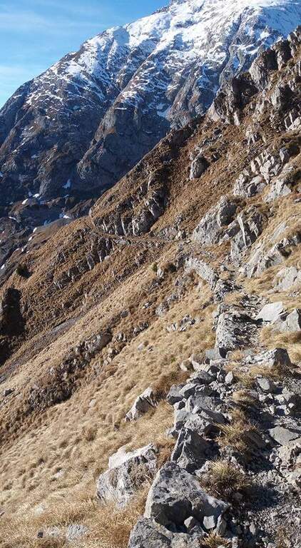
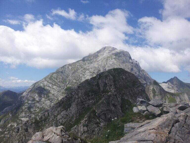
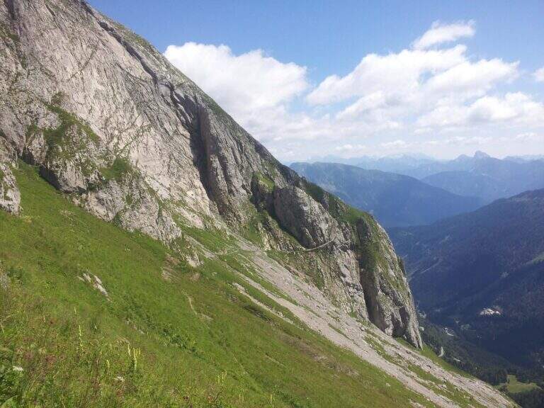
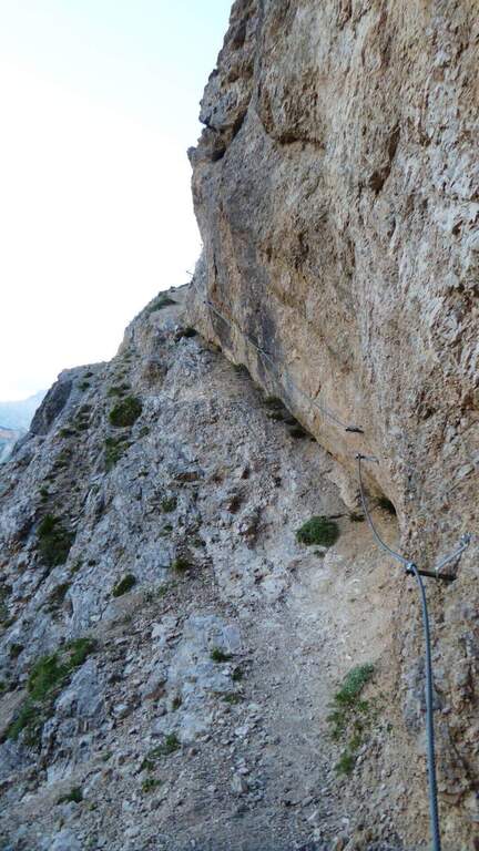
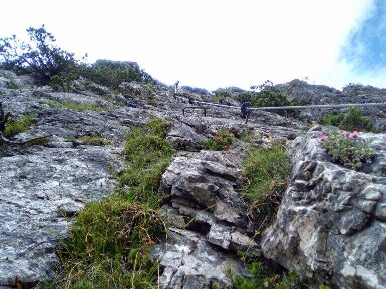
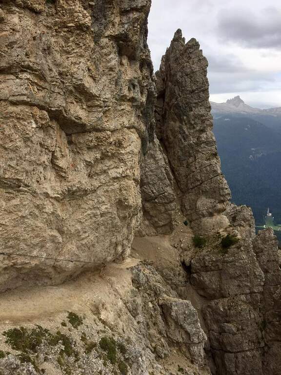
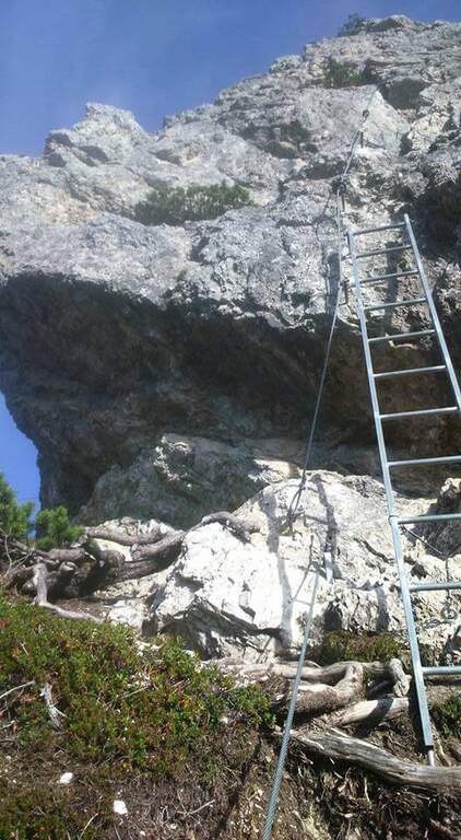
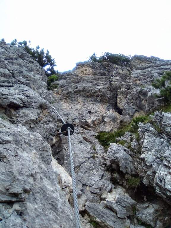
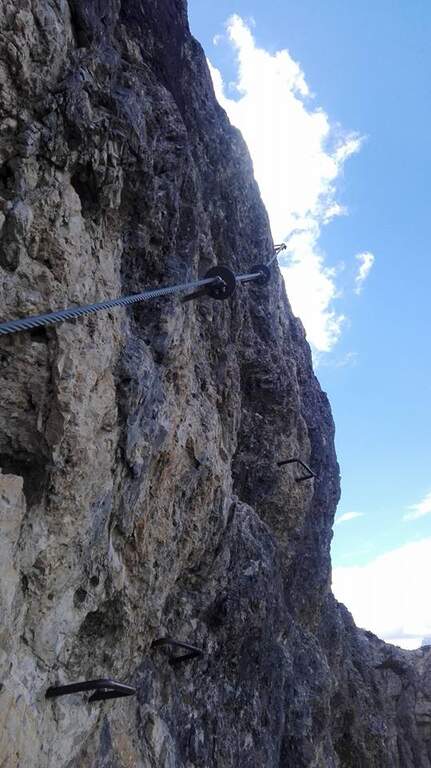
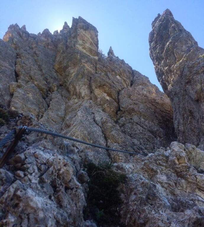
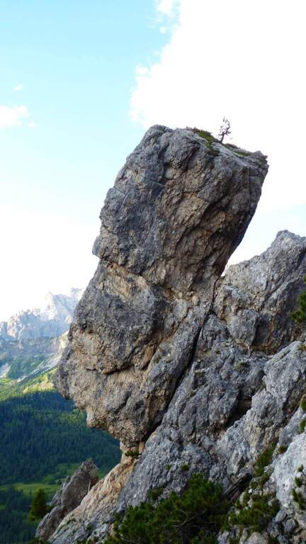
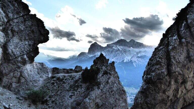
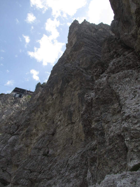
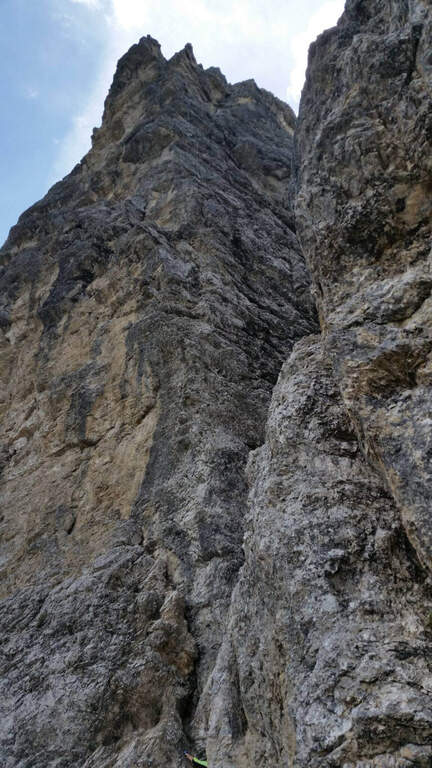
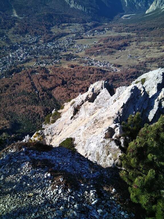
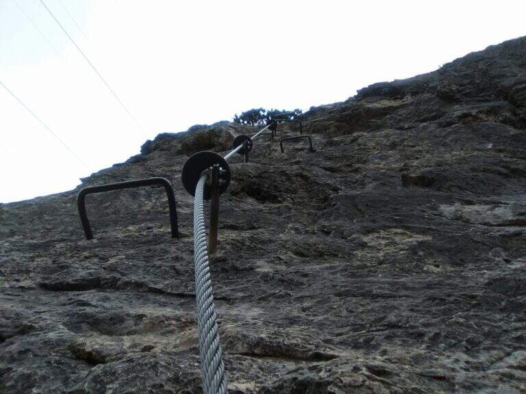
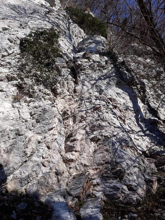
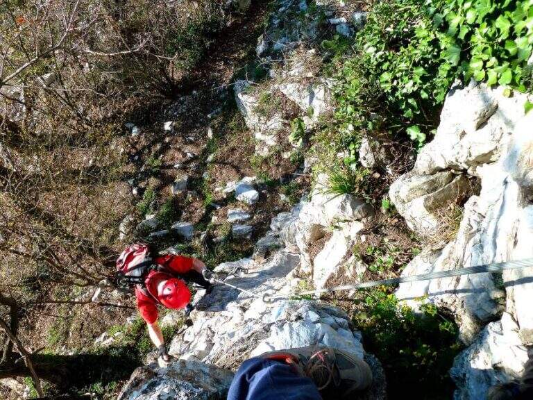
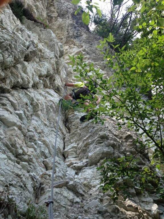
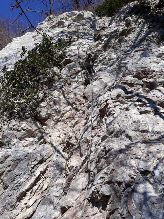
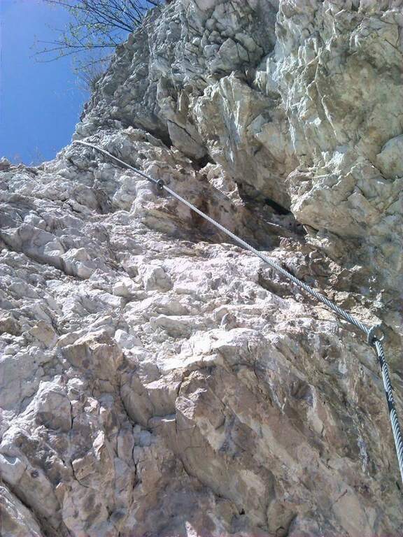
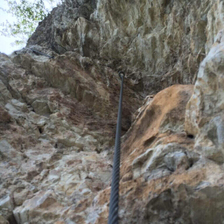
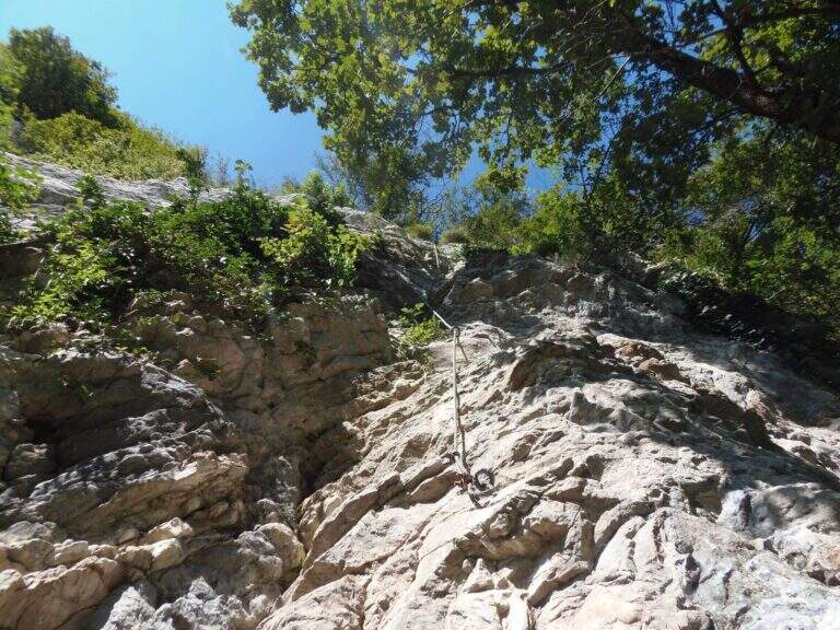
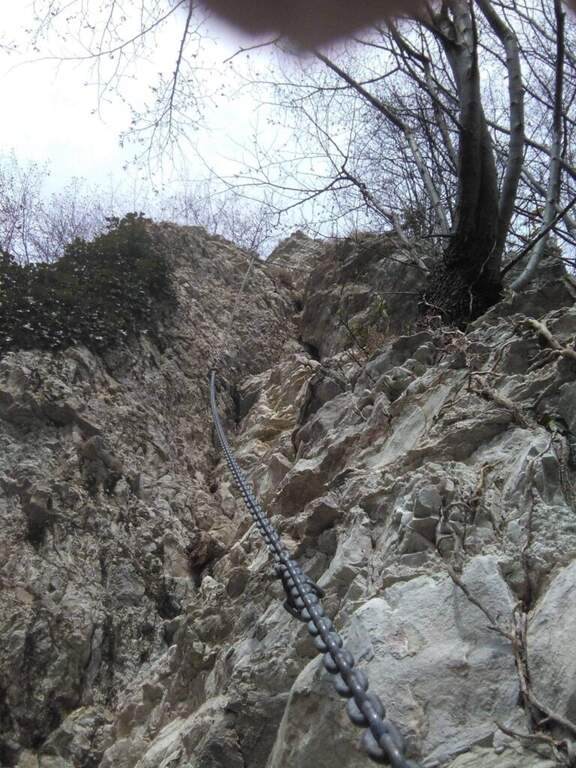
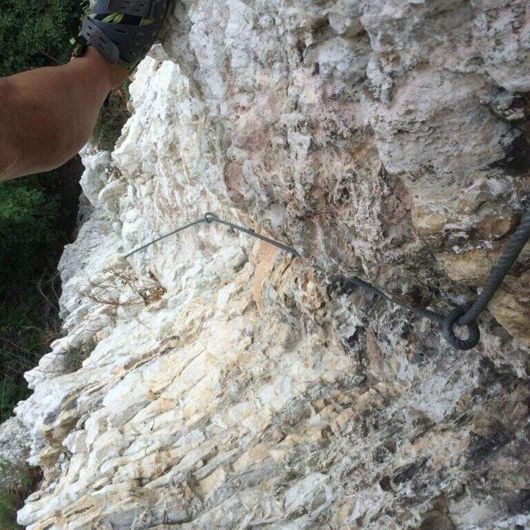
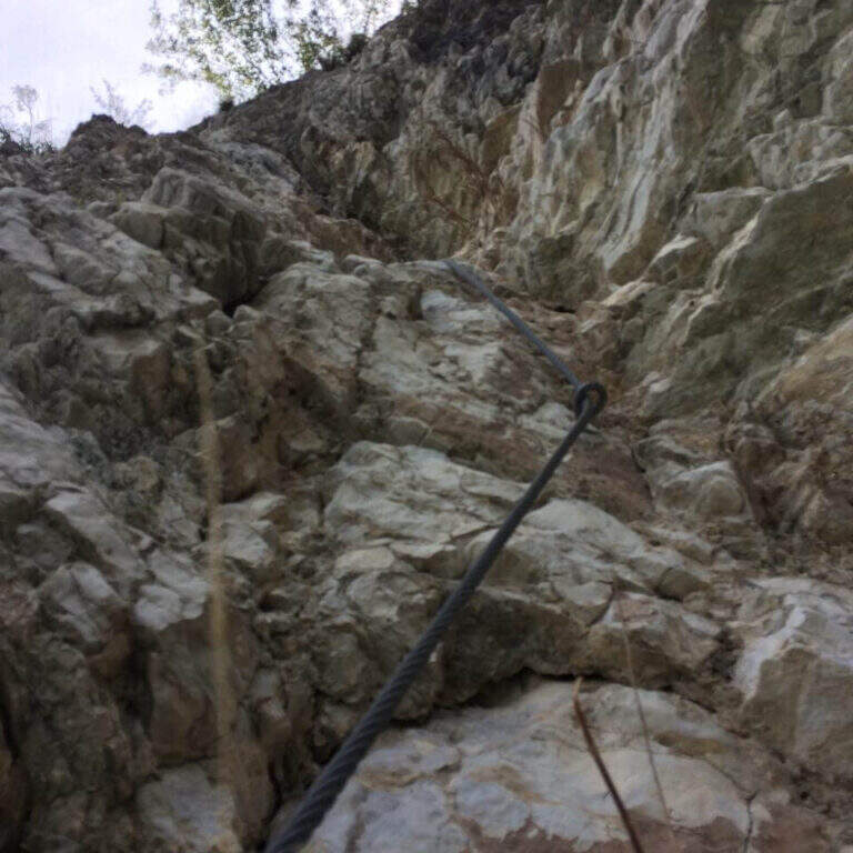
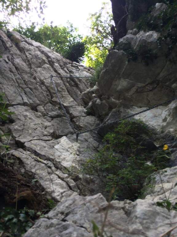
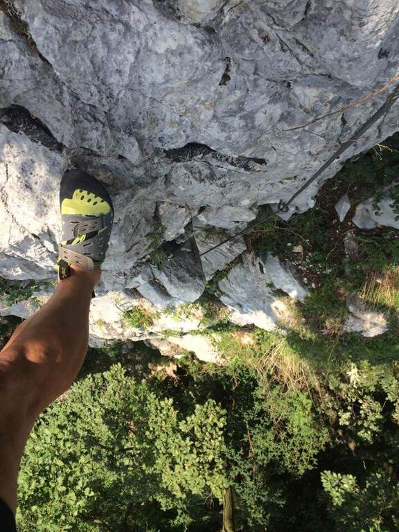
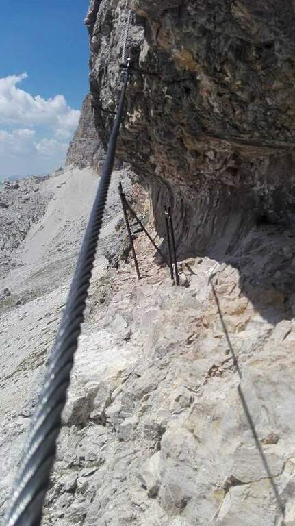
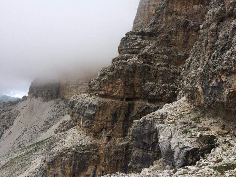
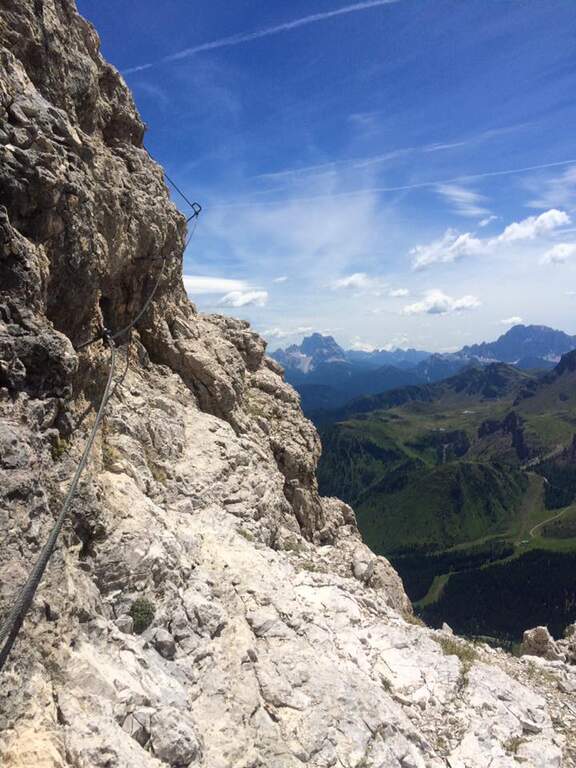
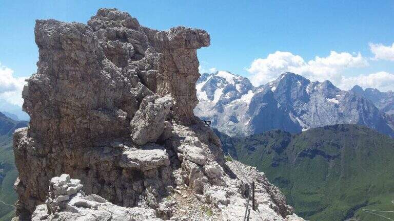
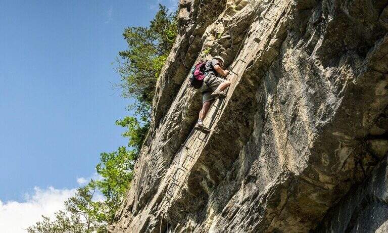
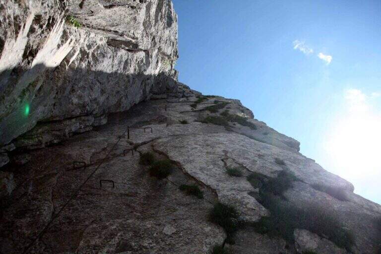
    La Ferrata Senza Confini sale al Cellon (Creta di Collinetta), al Passo di Monte Croce Carnico, sul confine tra Italia e Austria. È una via molto impegnativa, verticale, esposta e fisica, da evitare se non ben allenati e abituati all'esposizione, ma di forte interesse storico: l'itinerario consente di percorrere anche una lunga galleria bellica della Prima Guerra Mondiale. La vetta della Creta di Collinetta tocca i 2241 m.

    ▲Approach

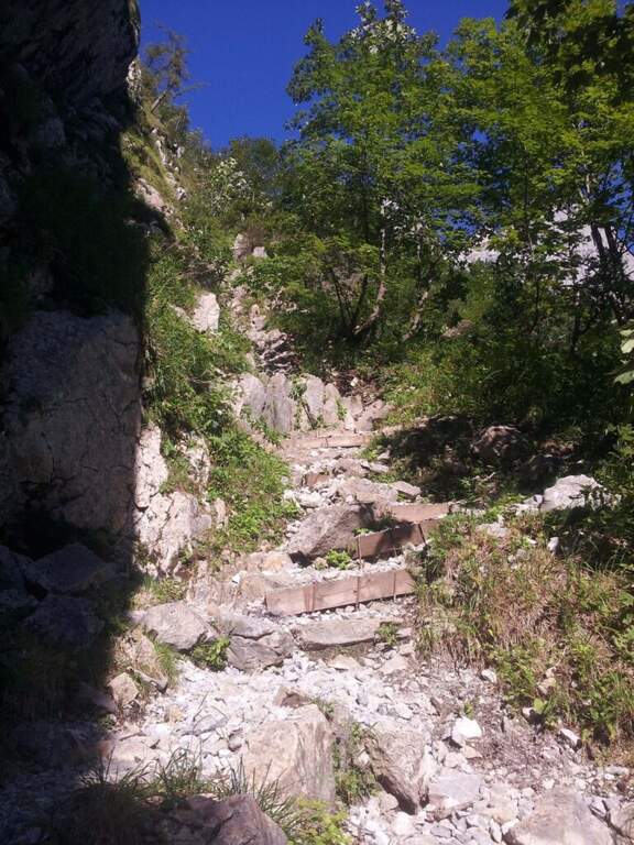
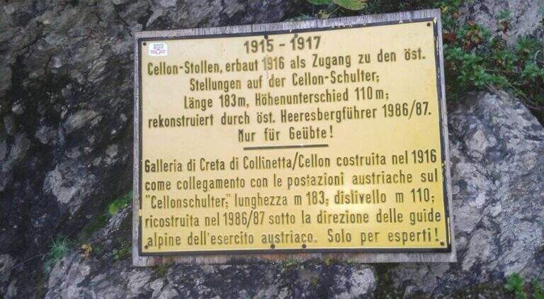
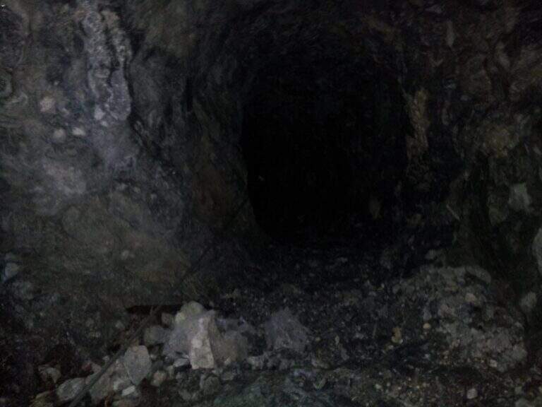
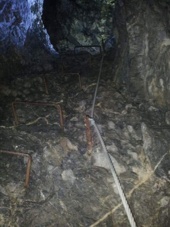
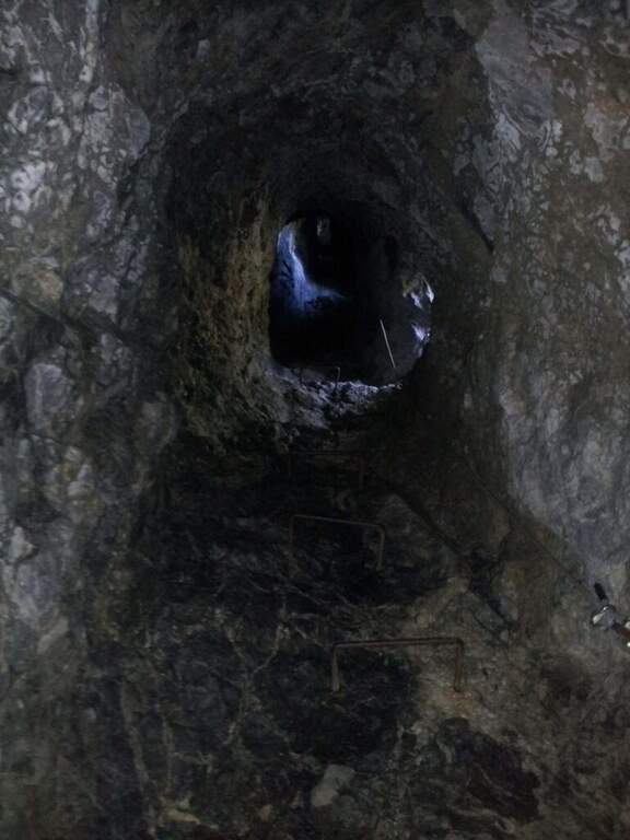
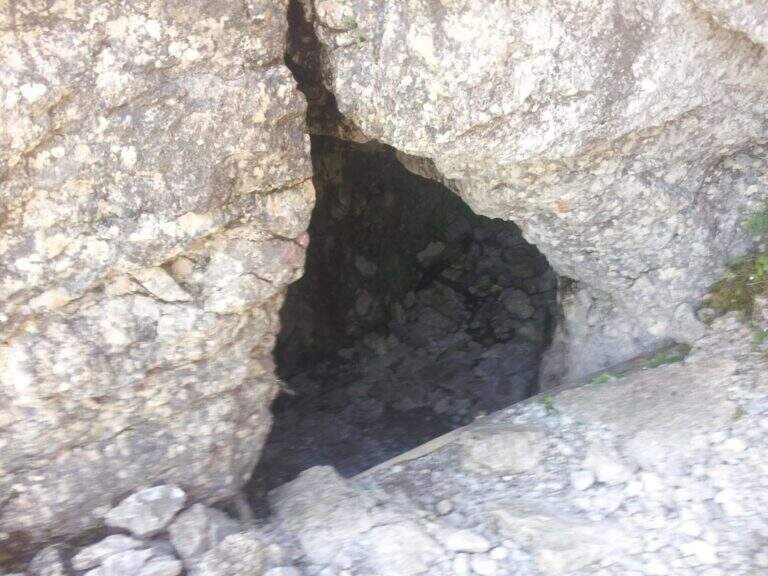
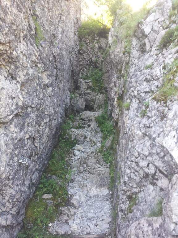
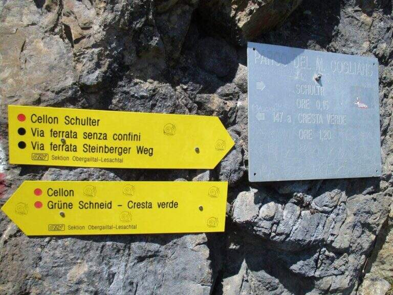
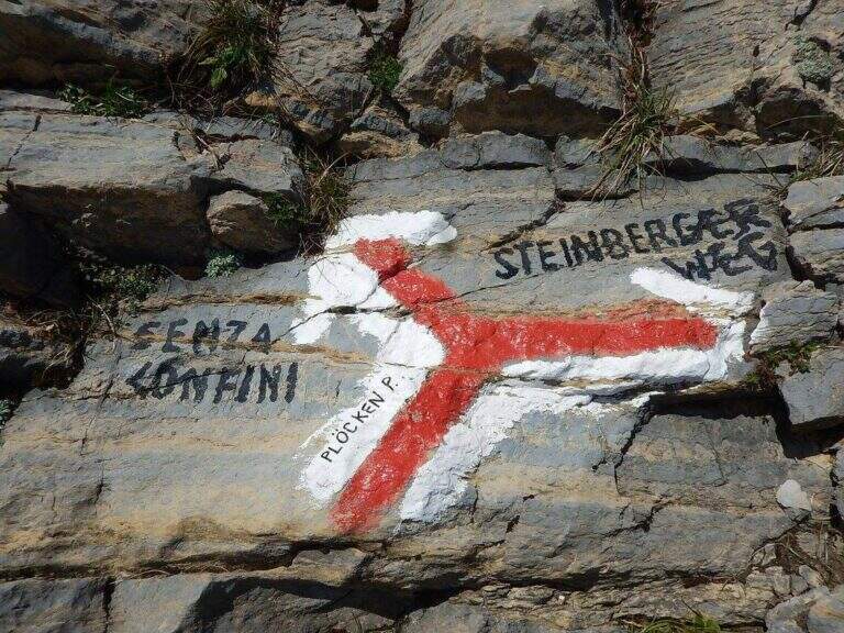
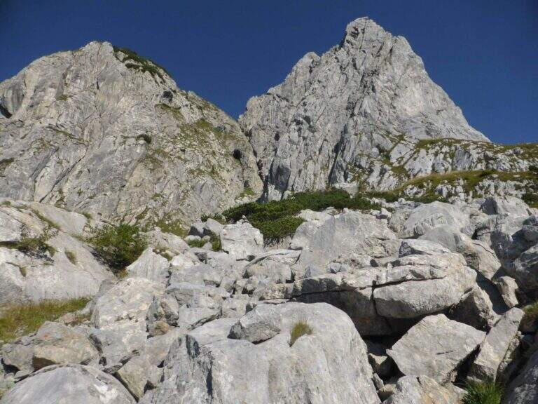
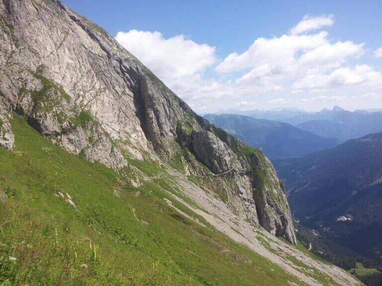
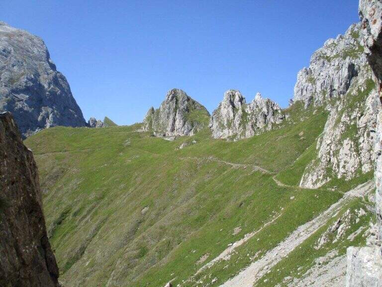
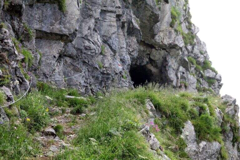
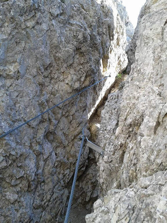
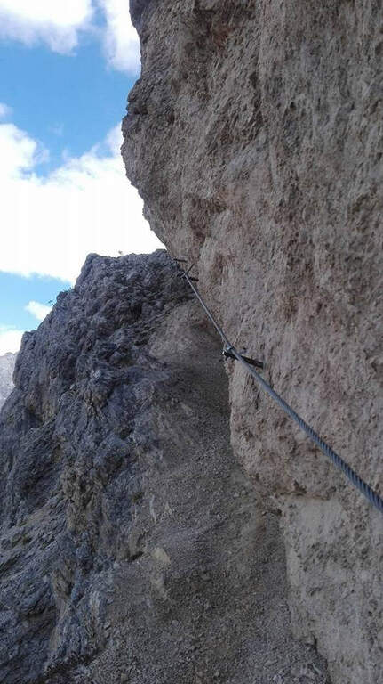
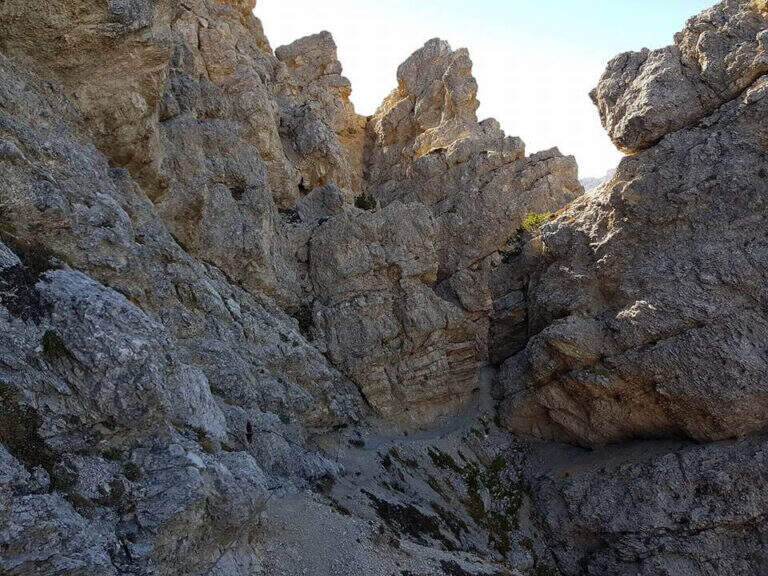
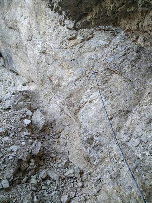
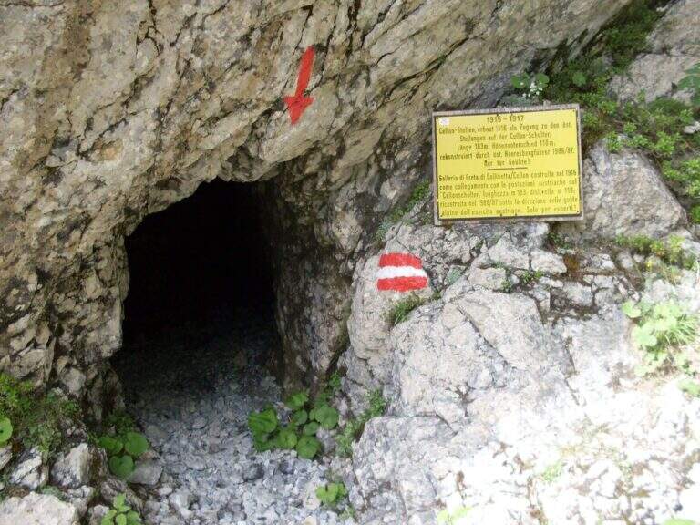
    Starting point the Passo di Monte Croce Carnico (1360 m), reachable in about 40' from Tolmezzo (Udine) to the SS 52b. Open road signs on Google Maps. L' itinerary begins in Austrian territory and falls from Italian territory. After passing the customs, on the western side of the pass, the CAI path towards the Crete of Collinetta; one ignores a first sign for the Without Confini on the left continuing straight towards the Gallery and the Canalone Steinbergerweg. After about 15' at a crossroads the sinistra is held steeply uphill towards the Schulter Gallery; a first steep stretch equipped with rope leads to war settlements and all' entrance of the Gallery of the Cellon (1541 m, about 30'). The gallery rises about 110 m of altitude difference on almost 200 m of development: steep interior, wet and slippery rock, equipped with rope for the whole length and with some brackets in the più traits; I'm sorry. It comes out in a little less than 30' from a narrow slit, you go through a stretch equipped and you reach a counterfeit war (1h from the parking lot). Keeping the right towards the top and, at a second crossroads marked on rock, still the left (on the right goes to the Steinbergerweg), continue between grass, mooring and stone up to a evident dihedron/fenditure diagonal where the ferrata begins, without tags (1h 30' from the parking lot).

    ▲The path

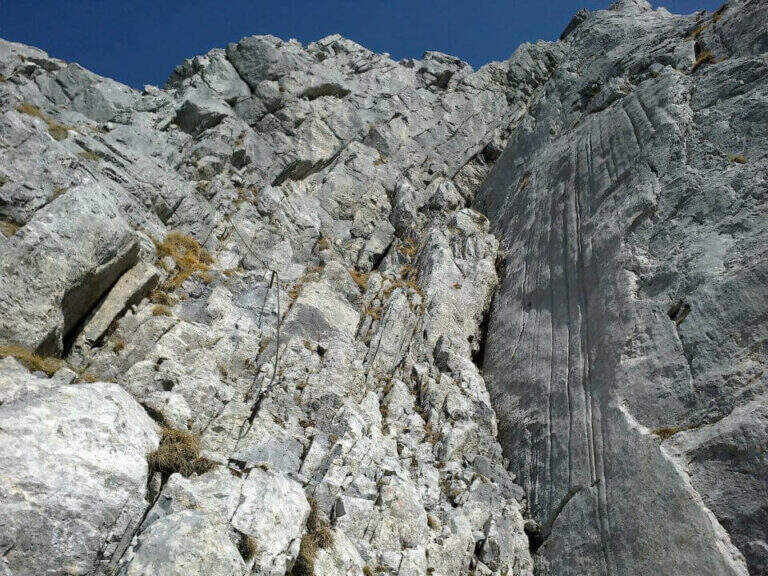
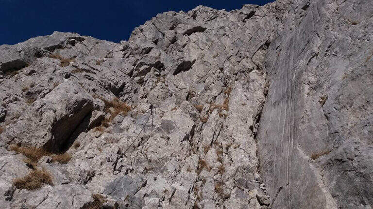
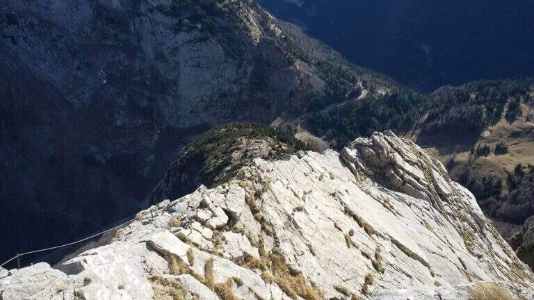
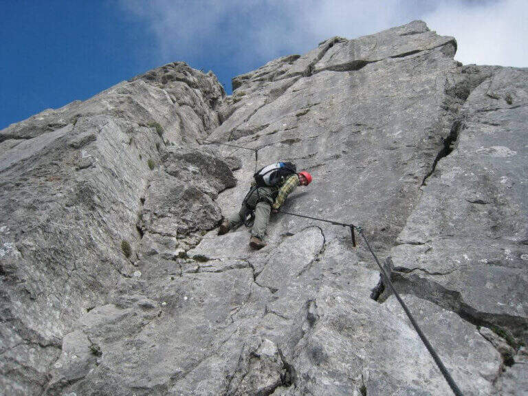
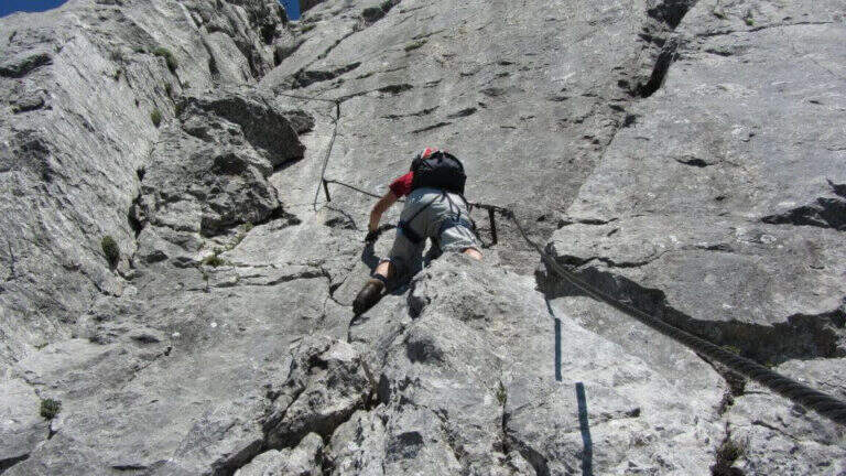
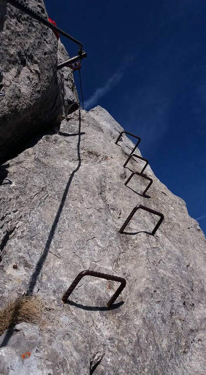
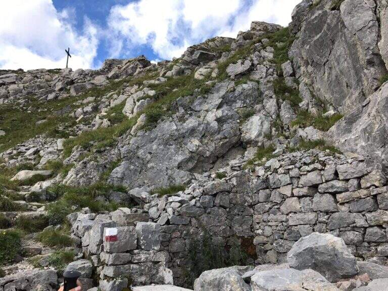
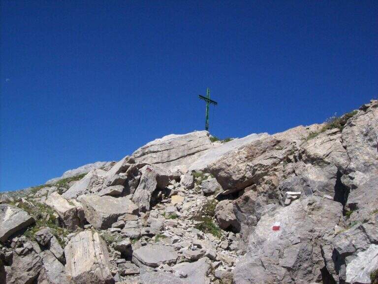
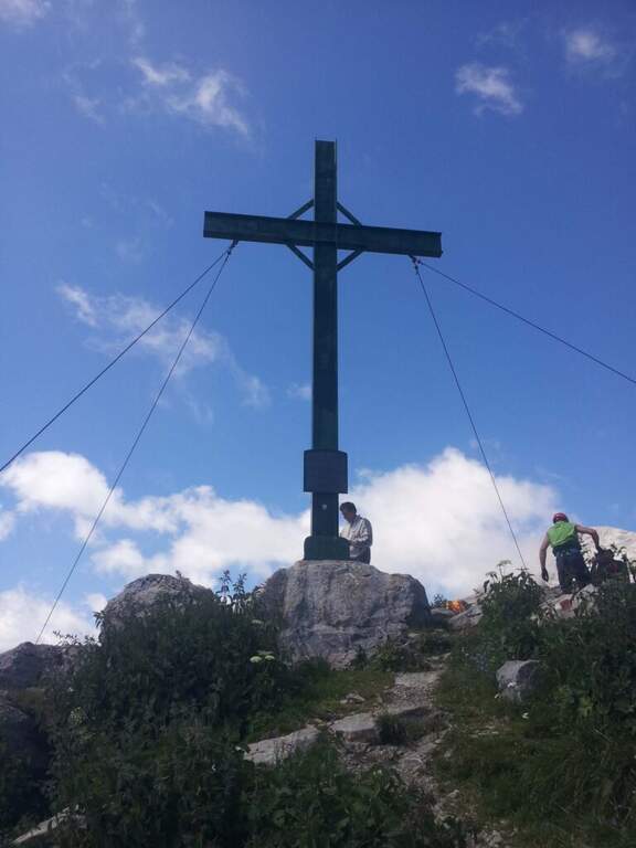
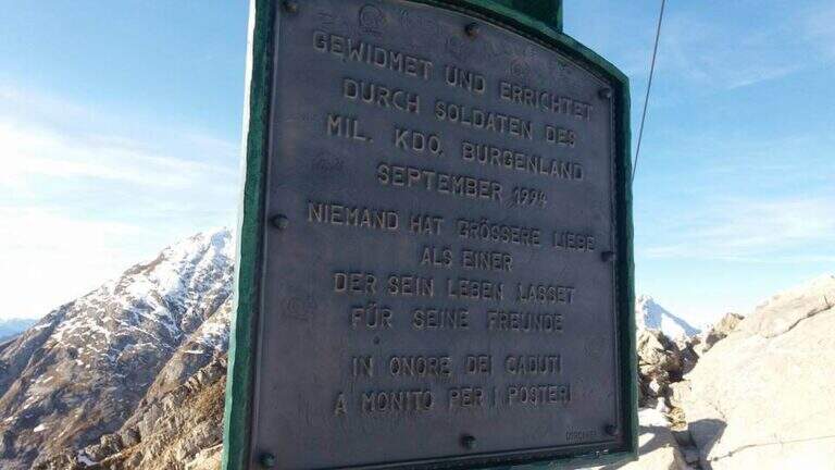
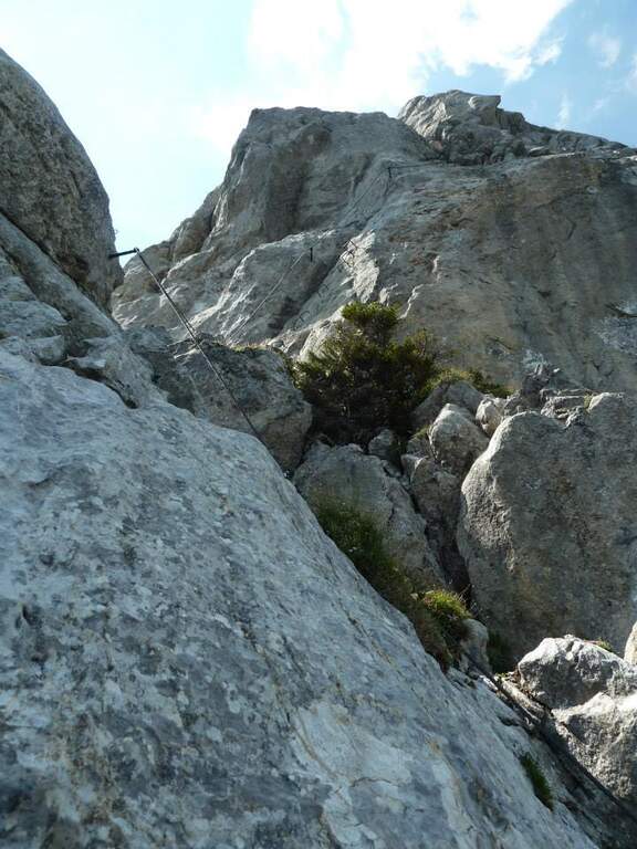
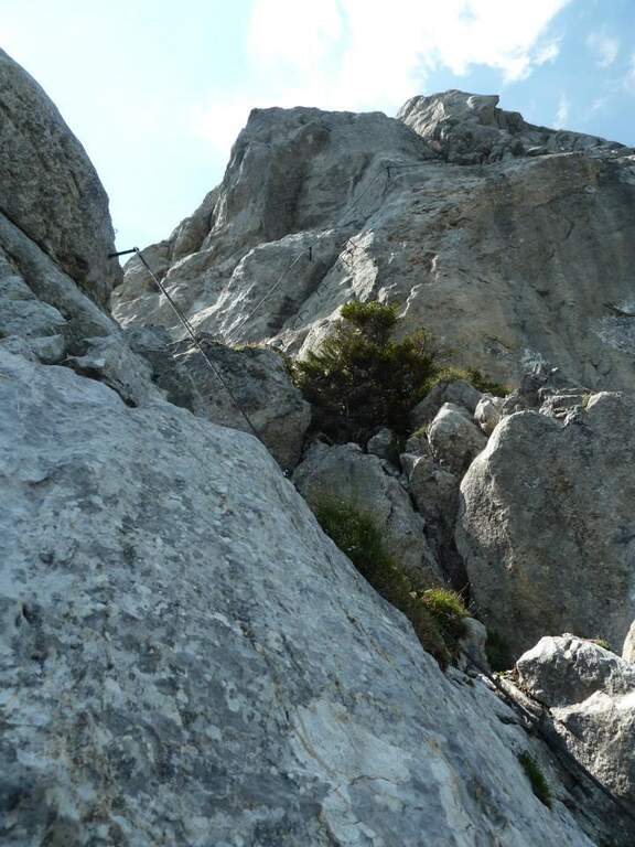
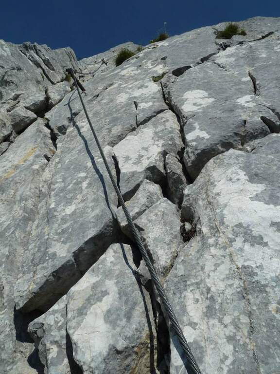
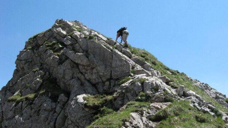
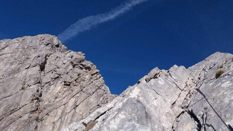
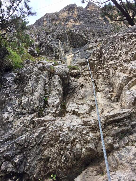
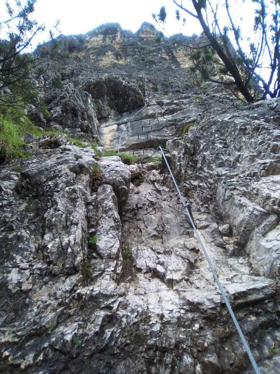
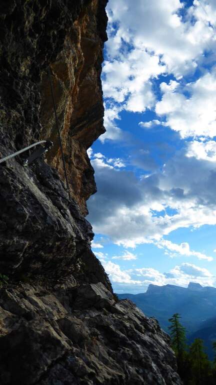
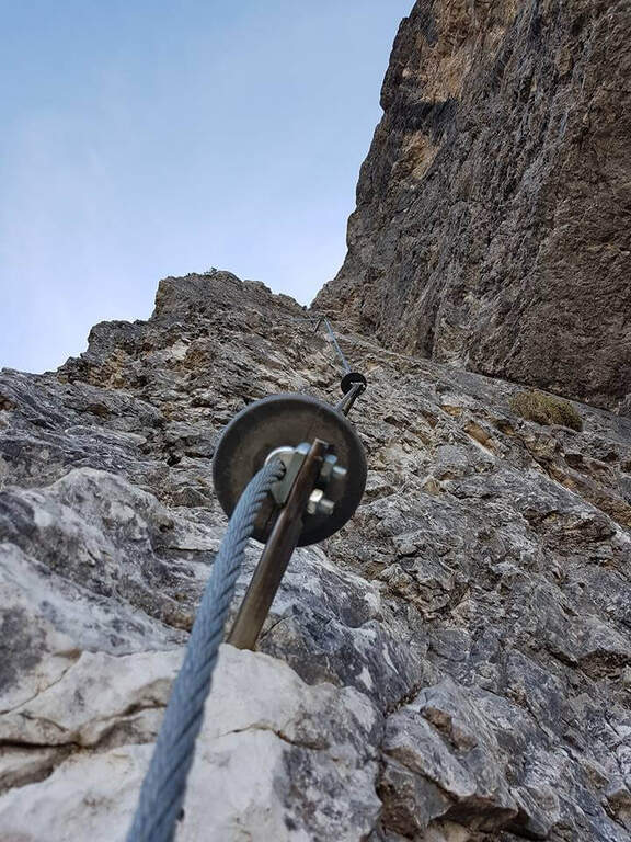
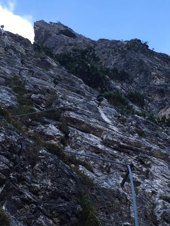
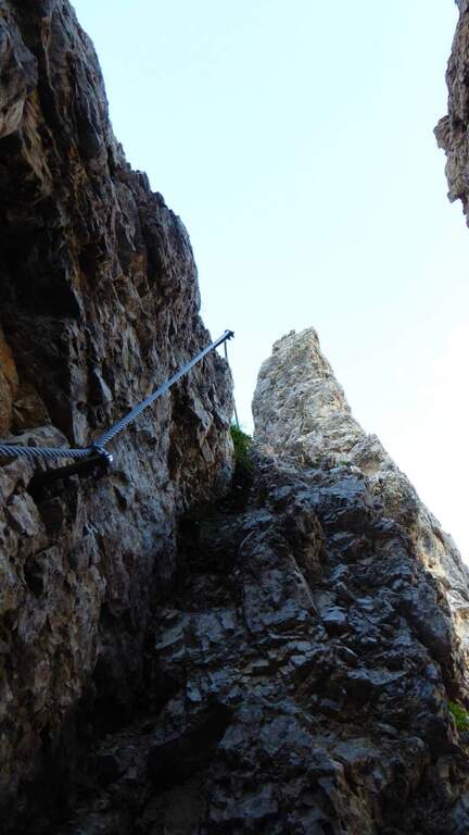
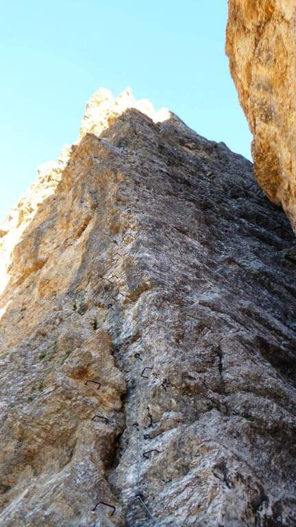
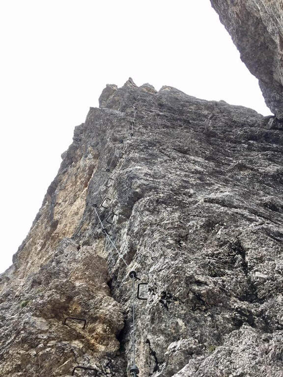
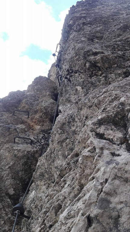
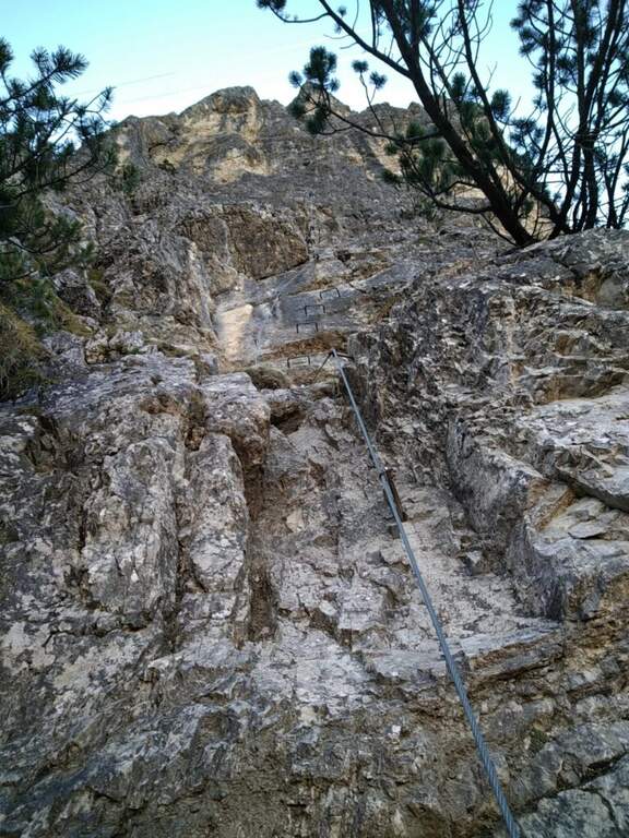
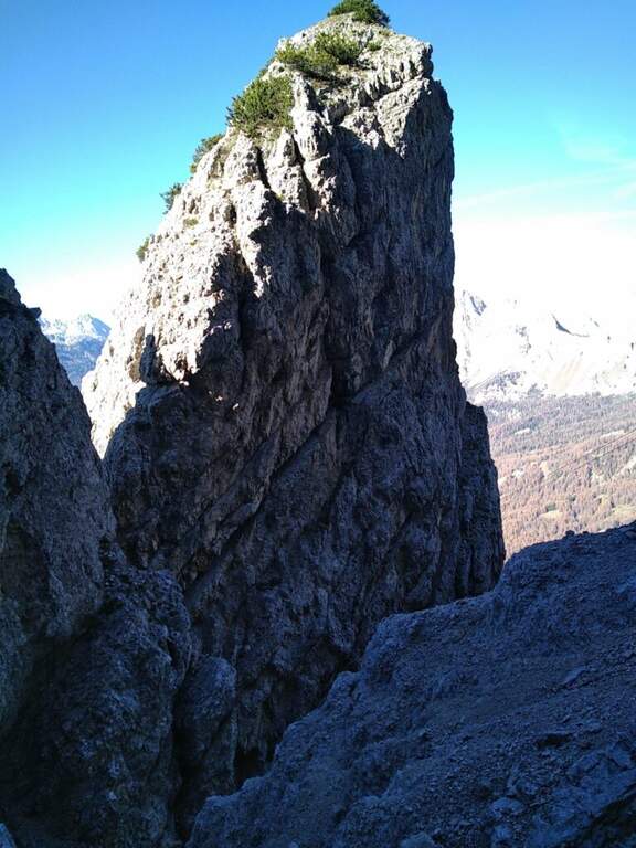
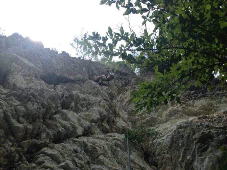
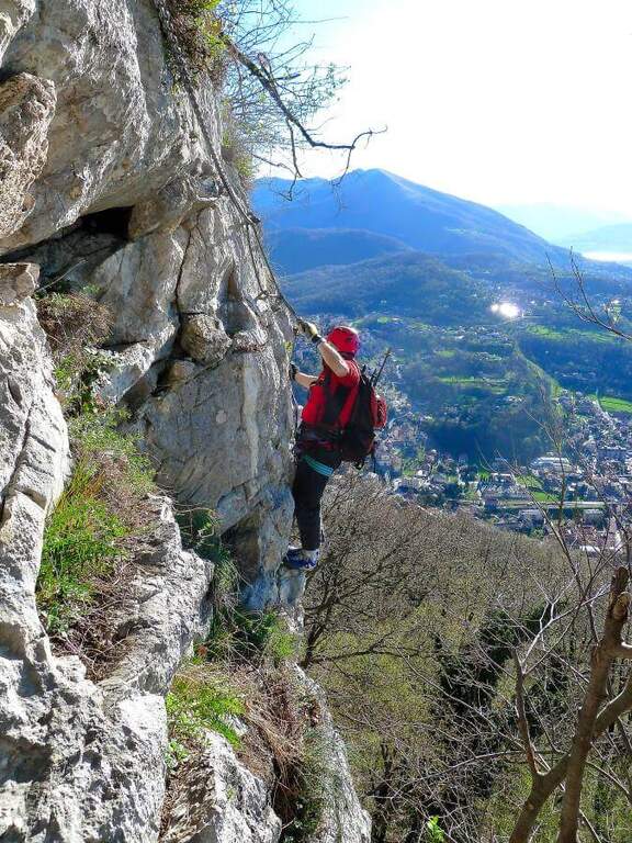
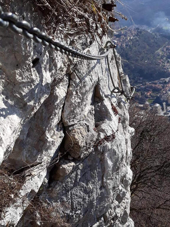
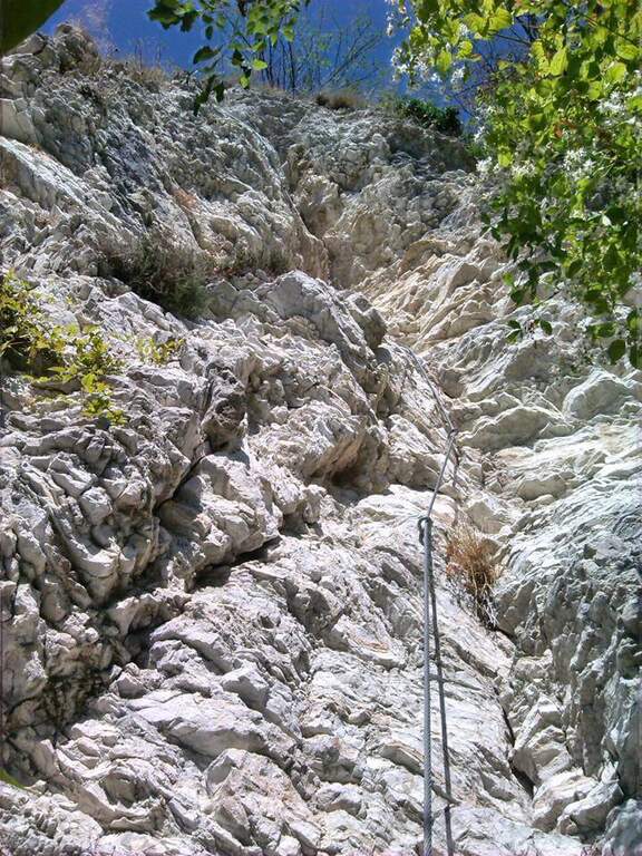
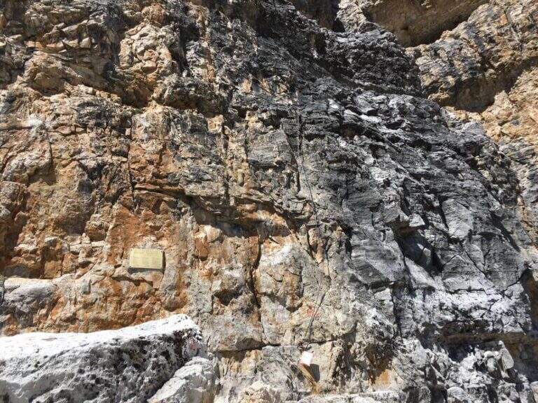
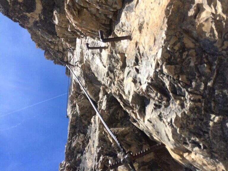
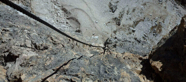
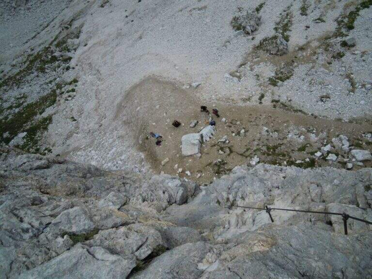
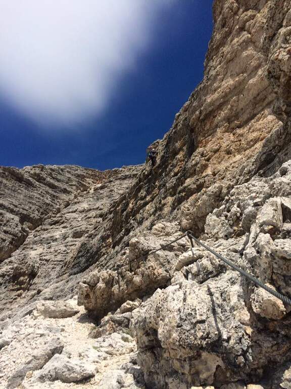
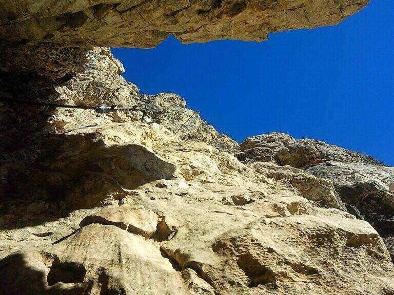
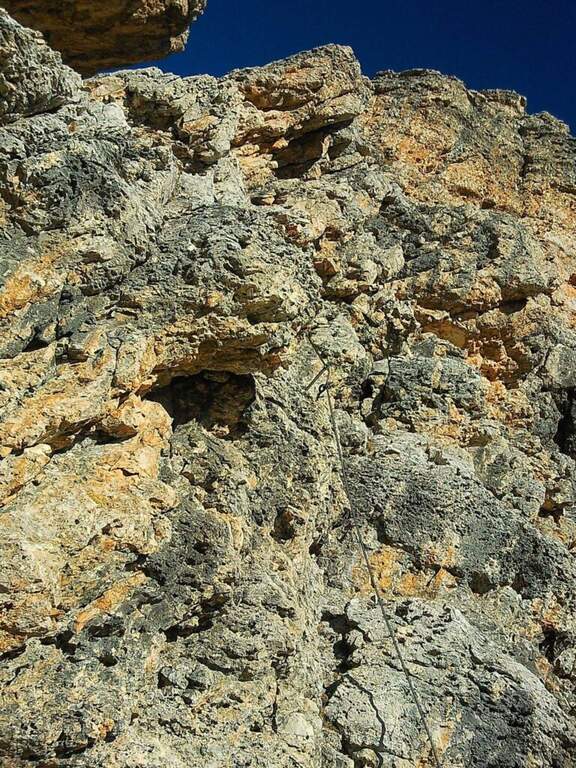
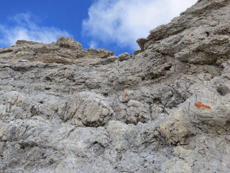
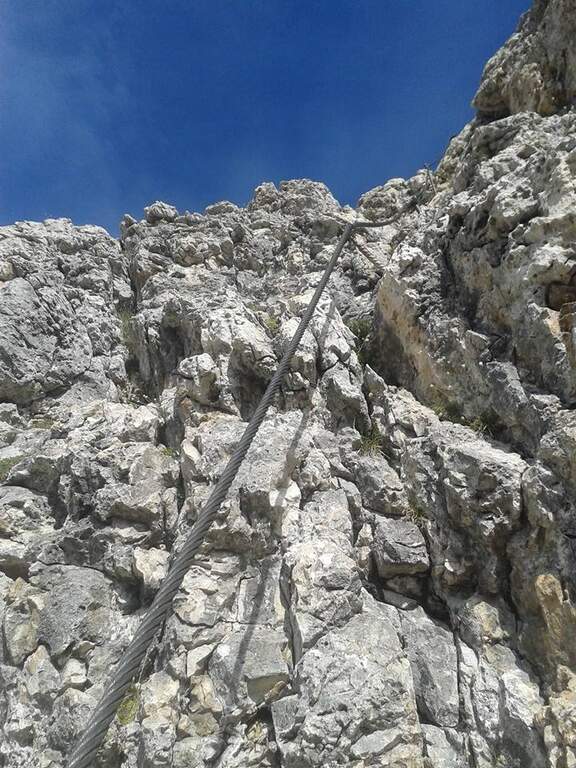
    L' attack è about 4 meters from the ground and must be reached climbing free on passages supported with good hooks. I took the cable, climb rocks leaning with some easy leap, then bend right into a channel at whose end the cable turns abruptly vertically at the base of a lungo, challenging and diedro plane: the plate è poor of natural hooks and equipped with distant brackets among themselves, which oblige a certain traction on the cable; ldisplay&39; Exit from the dihedron and move left on a challenging passage, you arrive on the ridge, plane, with view on the step. They follow più passages; easy that soon return on medium-difficult levels: tilted plates first to the left then to the right of the crest, an exposed edge and some diagonal plates to face in adherence and with good force of arms. At a c' framed rock; ` a first overhanging pass equipped only with rope, requiring agilità and strength; più forward a second strapiombo, initially with metal steps, then a diedron and a well-graded fireplace, both climbed on the left side. A stretch of crest supported with mughi invites you to rest; faithfully resumes the ridge, air, up to the book of signatures and a last dihedron, beyond which the equipment ends. A ridge path leads to some barracks of the Great War and a crossroads (2103 m, 1h 30' ); from here it rises to the summit of the Crete of Collinetta (2241 m, 20' from the end of the ferrata, about 3h totali), with metal cross and memorial plaque.

    ▲Character and difficulty

    Athletic and difficult to test: little climbing for long stretches, with individual high-level passages leading to a strong traction on the cable. It runs in part parallel to a historic Friulian climbing route (Mazzilis and De Infanti).

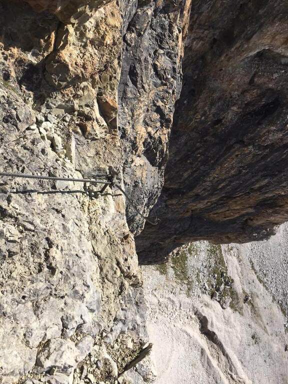
    ⚠ Suitable only for trained hikers, with force of arms and who do not suffer from dizziness: a couple of steps are very exposed. For the Cellon tunnel è indispensable a frontal stack, forché the first section è completely dark; the inner rock è wet and slippery.

    ▲Period and safety

    GPS tracks (GPX and KMZ); the map of the Central Carnic Alps is useful for the area. The words "Creta di Collinetta" and "Cellon" are used indistinctly.

    ▲Discipline

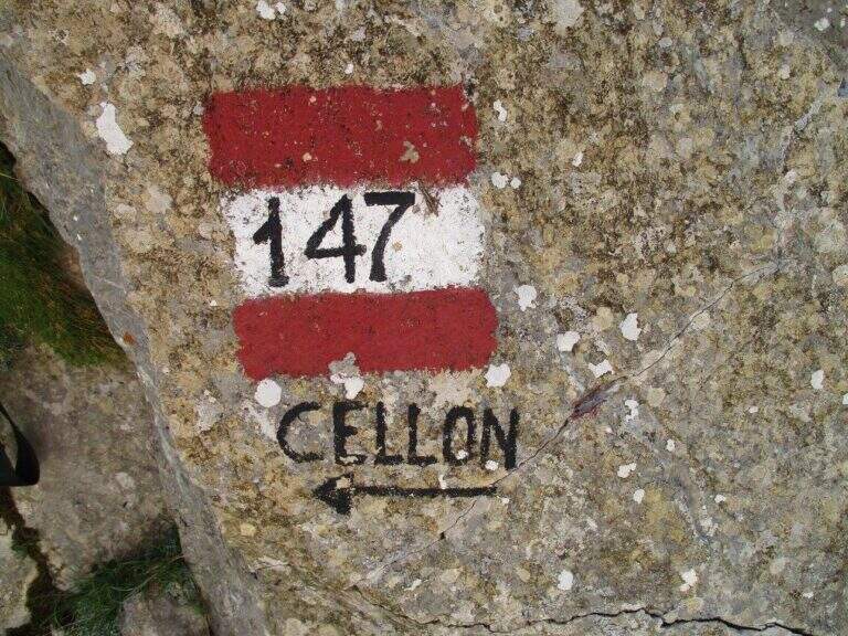
    You return to the crossroads reached at the end of the ferrata and you go right on the path 147, Italian side, cutting horizontally; then along the mule track you rejoin the path dell' approach and return to the parking lot (1h 30' from the summit, 4h 30' totali).

    ▲To match

    The itinerary shares approach and return with the neighbor Ferrata Steinbergerweg, assessable as a downhill option for experienced hikers. In Carnia, more south of the pass, the Path equipped Cuestalta and, reachable via Rifugio Romanin, la Ferrata del Coglians; further south, in the province of Udine, the Cassiopea al Torrione Comici, la 50° of the Clap e la Ferrata at the Clap Varmost.
    ▲Gallery
    Technical data
    • DifficultyVery difficult
    • RegionFriuli-Venezia Giulia
    • GroupAlps Carnia
    • Approach1:30 h
    • Ferrata50
    • Itinerary (a/r)5:30 h
    • Hardware level difference408 m
    • Route difference868 m
    • Max2228 m
    • Length6,8 Km
  • Ferrata Sci Club 18 (Monte Faloria)

    Ferrata Sci Club 18 (Monte Faloria)

    Vie Ferrate › Veneto › Belluno
    Ferrata Sci Club 18 (Monte Faloria)
    Very difficult● OpenDescriptionComplexityMapsGallery

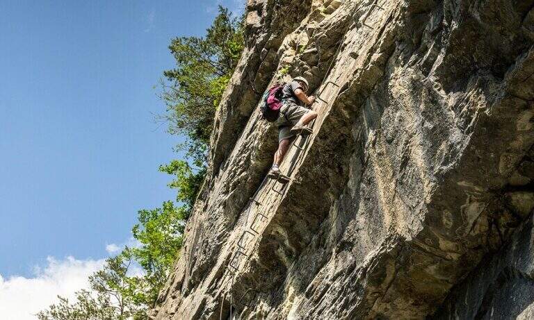
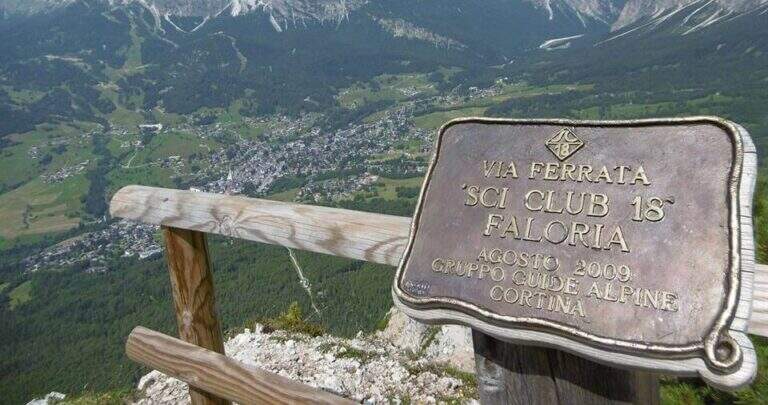
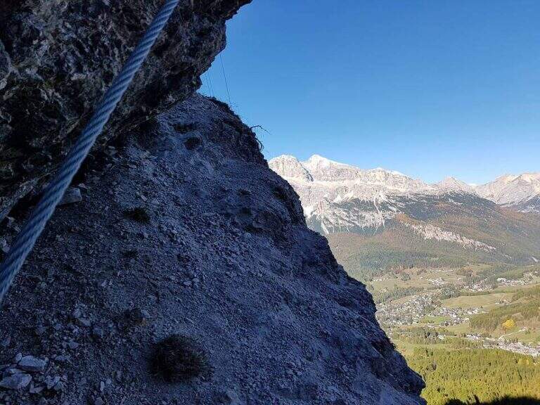
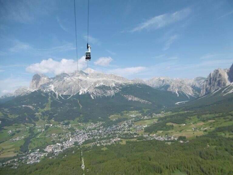
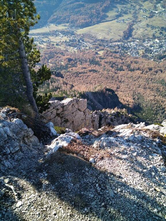
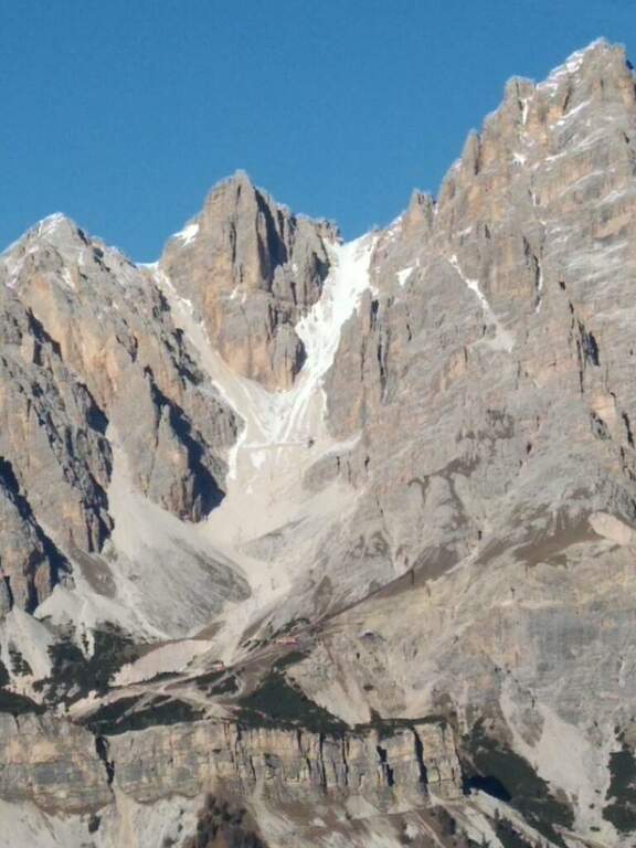
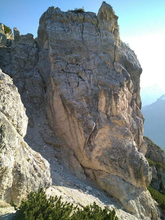
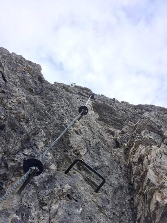
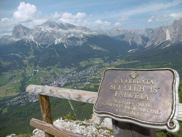
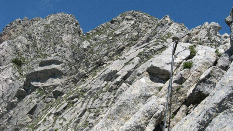
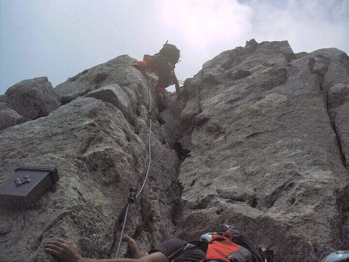
    La Ferrata Sci Club 18 climbs from Monte Faloria, above Cortina d'Ampezzo, with an itinerary ripido, athletic and very difficult. The via è vertical, exposed throughout the track and with challenging passages that often force to traction on the cable: & free; reserved for trained and experienced hikers. The return is also possible with the cable car.
    ▲Approach

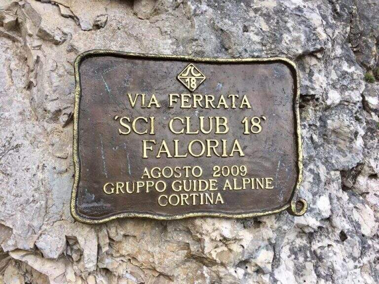
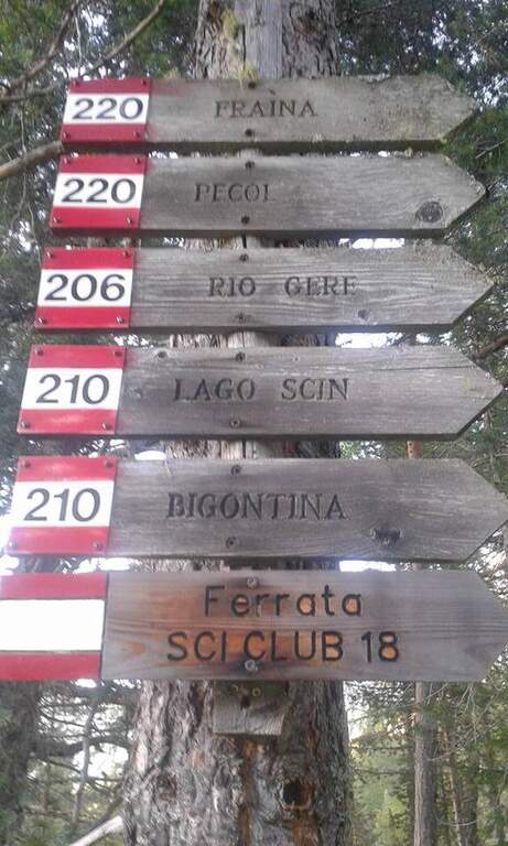
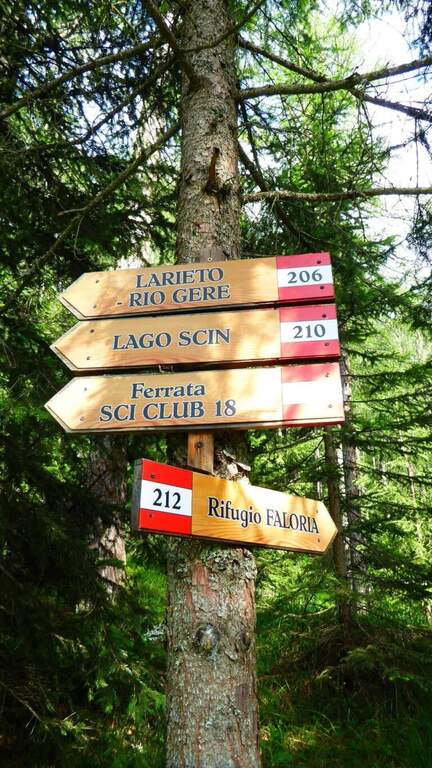
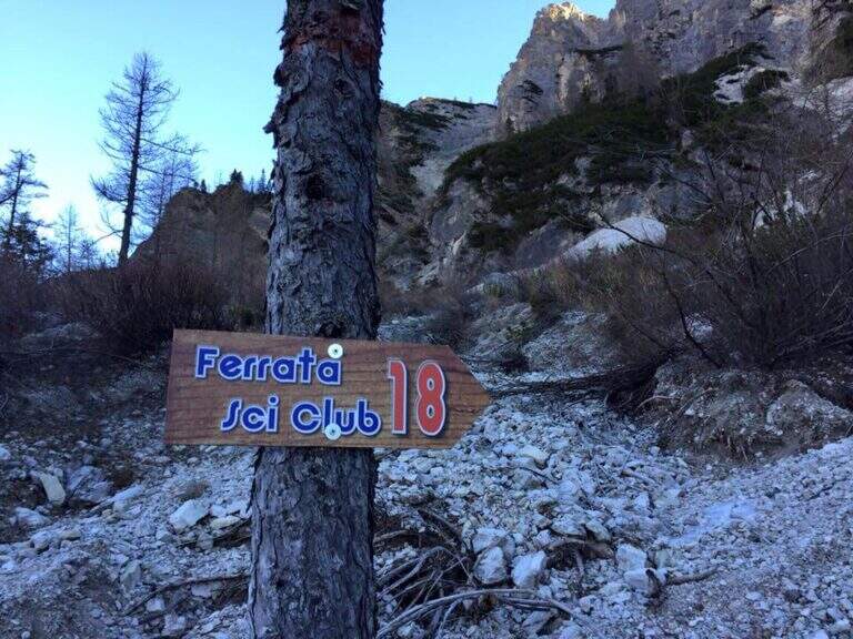
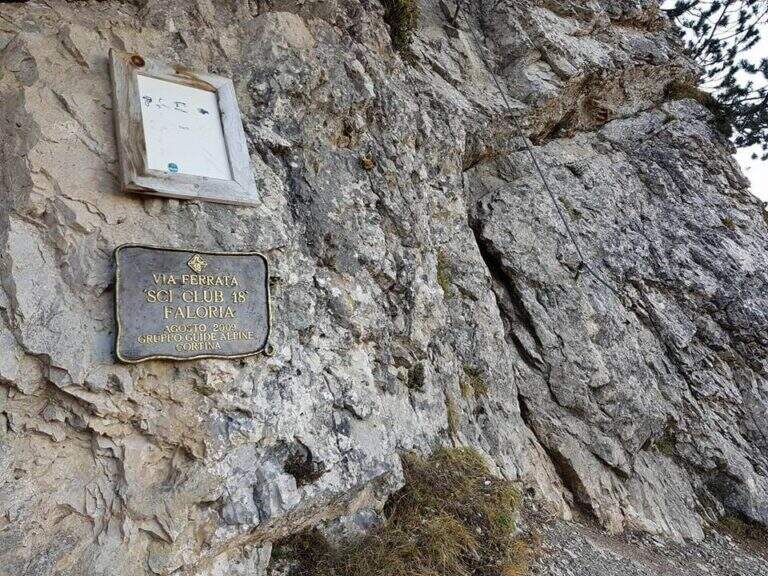
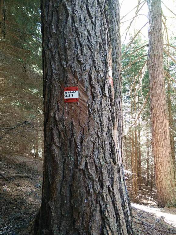
    It starts from the locality; Sompiei, above Cortina: from the center take the Regional Road of the Dolomites towards Misurina/Auronzo and, after less than a kilometre, before the sign «Alverà», a road on the right; just before the cable car a dirt road takes off to the left and leads to the parking lot (attention to the private areas). Open road signs on Google Maps. From the parking lot you go east towards the mountain station of the cable car to the intermediate station Mandres; from here the path 206, on a slight ascent, comes out from the wood and climbs steeply towards the wall of the Faloria. Following the abundant signs you leave the 206 holding the right until all' attack of the Ski Club 18, signaled by a metal plate with the date of construction (1h from the parking lot).

    ▲The path

    L'attacco è subito verticale: i primi due metri richiedono una trazione, poi compaiono appoggi per i piedi. Superato il primo balzo, ci si trova sotto una parete liscia sbarrata da un tetto roccioso, che si aggira piegando a destra con solide staffe; si continua a guadagnare quota alternando staffe e appoggi su un tratto leggermente strapiombante, poi si piega a destra in una cengia fino a uno spigolo. Aggirato lo spigolo si risale una lunga parete liscia dove in più punti, mancando appigli, si sale trazionando sul cavo (circa 20 m di placca) fino a un terrazzino di sosta. Seguono un breve tratto appoggiato e un traverso ascendente verso destra su roccia levigata, un nuovo spigolo dopo un'esile cengia, e un tratto verticale; in alto la fune piega a destra su un traverso esposto sostenuto da staffe, fino a una cengia panoramica proprio sotto la funivia del Faloria. Si affronta poi un tratto verticale più appigliato, si scende a un canalino dal fondo instabile e, oltre una cengia, si risale uno spigolo che porta a una placca verticale decisamente impegnativa: le staffe sono distanti e la roccia molto levigata, rendendo i passaggi atletici. Si supera un tetto con una breve scaletta, un terrazzino, altri metri verticali impegnativi, poi un camino arrampicabile in spaccata e una fessura da risalire in spaccata fino a un ampio balcone panoramico sulle Tofane. L'ultima sezione percorre una cengia in salita verso sinistra fino a un imponente spigolo a forma di diedro, fittamente attrezzato di staffe su entrambi i lati; si esce sul lato destro in forte esposizione, si supera un tetto roccioso più atletico con una staffa, poi cenge, un salto verticale attrezzato, un canalino detritico non protetto e una forcellina; dalla forcellina un tratto verticale con staffe porta alla cresta, che si percorre fra brevi tratti attrezzati fino al termine della via (2h dall'attacco, 3h totali).

    ▲Character and difficulty

    Atypical Ferrata for the Dolomites: it does not carry on a real summit, has recent equipment with well-drawn cable and abundant but not excessive brackets, and cones on the tokens that increase safety — important on such a vertical way, where a possible fall factor can have serious consequences. It is sometimes criticized for the difficulty that solicits the arms, forcing them to pull on the cable.

    ⚠ Via molto difficile, verticale ed esposta lungo tutto il tracciato, atletica e faticosa per le braccia: solo per ferratisti esperti e allenati. Non è percorribile in discesa.

    ▲Period and safety

    GPS tracks (GPX and KMZ) are available; the map of Cortina and the 4Land Dolomites is useful for the area.

    ▲Discipline

    From the end you are in sight of the refuge Faloria, where the cable car from Cortina arrives. Two options: walk down the trail at the crossroads 212 verso destra in direzione Mandres (dapprima ripido poi più dolce) fino al bivio dell'andata presso la stazione intermedia, quindi a ritroso (1h 30' dal termine, 4h 30' totali); oppure prendere la funivia e scendere alla stazione intermedia, poi a ritroso per il sentiero di avvicinamento (20' dalla stazione intermedia).

    ▲To match

    A challenging itinerary that hardly leaves energy for a second route in the day. From Cortina there are many routes: towards Auronzo la White e la Dibona al Cristallo; towards Dobbiaco the Third Cengia del Pomagagnon, la Bo, la Bullshit, il Path to the Fanes Falls e la Renè de Pol; to the south Ferrata dei Caprioli san Vito di Cadore.

    ▲Gallery
    Technical data
    • DifficultyVery difficult
    • RegionVeneto
    • GroupHeadquarters
    • Approach1:00 h
    • Ferrata2:00 h
    • Itinerary (a/r)4:30 h
    • Hardware level difference340 m
    • Route difference673 m
    • Max2123 m
    • Length6,5 Km
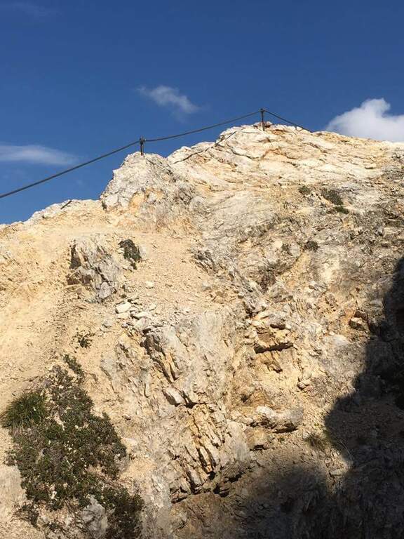
  • Ferrata Sass del Tavarac

    Ferrata Sass del Tavarac

    Vie Ferrate › Lombardy › Como
    Ferrata Sass del Tavarac

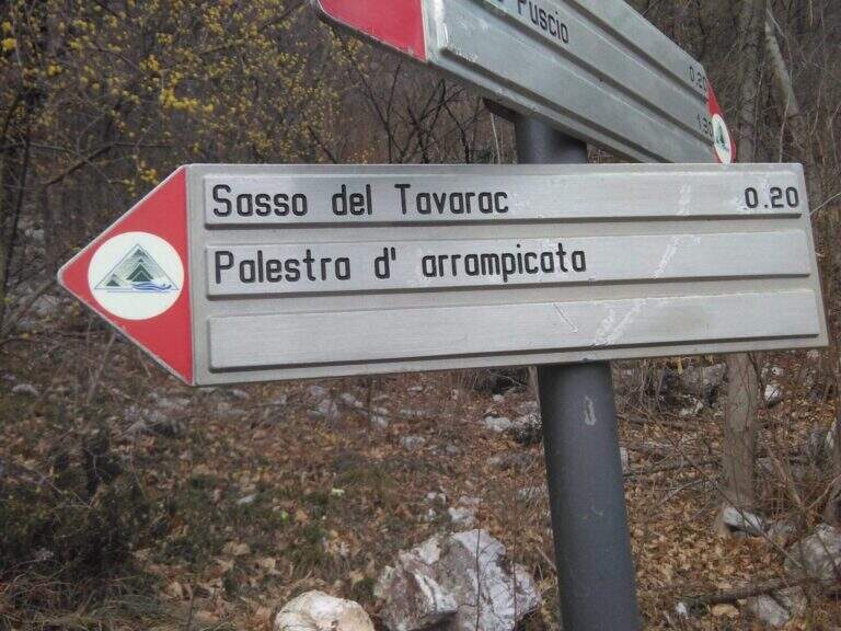
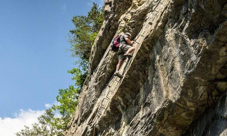
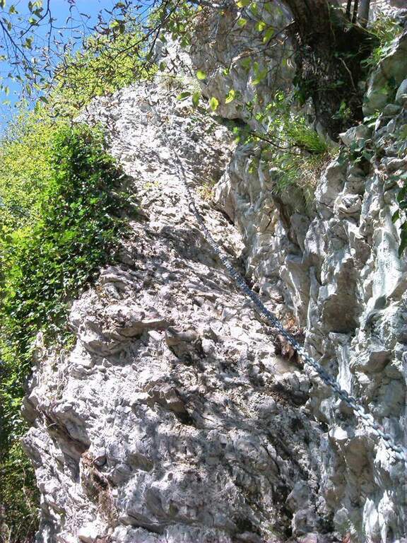
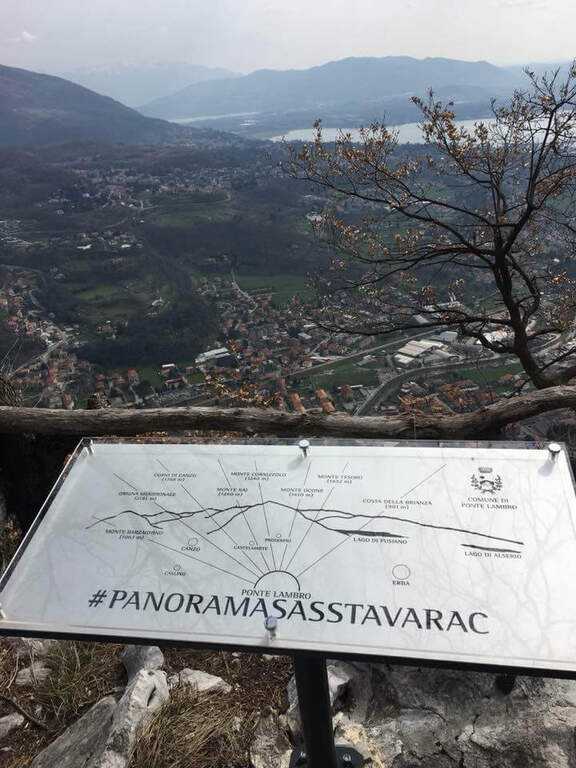
    La Ferrata Sass del Tavarac ` a difficult and athletic street above Erba, in the province of Como. È of traditional type, with equipment reduced to the minimum and without fixtures in support of the climb: it is aimed at expert hikers, well trained and with good force of arms. The rock offers almost everywhere good climbing skills; and despite the low altitude (749 m), it can be appreciated also by più climbers; demanding.

    ▲Approach

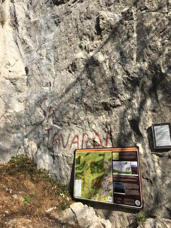
    It starts from the 'inhabited of Crevenna (common of Erba), in the direction of the 'Heremo di San Salvatore. Open road signs on Google Maps. The road that leads to the 'Eremo è private and in theory not accessible (who uses it risks the fine, but saves 30'); alternatively it goes partially via San Giorgio up to a dirt road on the right where to park. From here two options: take the paved road and then climb from the path into the wood, cutting various bends (entrance «official » signalled by two steps in stone; 30-35' from the parking lot); or take the path starting from ' We will, following the signs for the ferrata and the nearby crag with red stamps, up to search for l' attack on the right of the crag (30' from'Eremo, 1h from the slargo San Giorgio).

    ▲The path

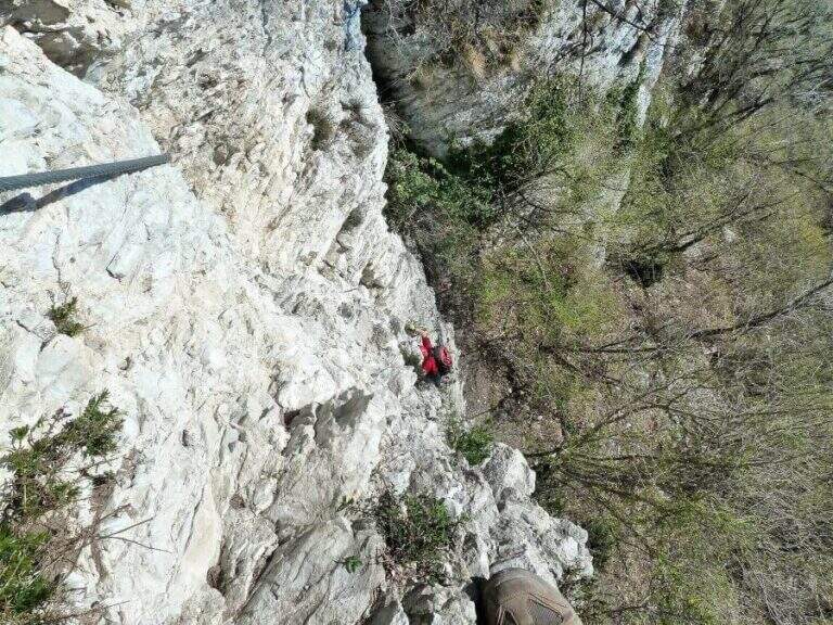
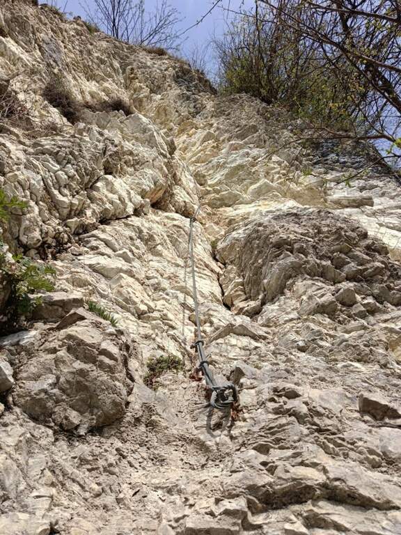
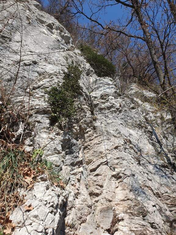
    The route is divided into tre sections difficult to understand; decreasing. La first è the più selective: immediately climbs a wall with characteristics of unmarked dihedron, about 30 meters very challenging and with few hooks; on top a cross with chains to the left, exposed and tiring, with the feet in adherence, leads to a canal to be climbed up to a crossroads (right the second section, to the left a d' street). The seconda attacks with a path equipped along a ramp and rocky and grassy steps up to a second vertical wall, less hard than the first but with less solid rock: it goes up for about fifteen meters, then a più traverse; easy closes the section (here you meet the chain of the descent path, usable as escape route). The terza section starts on fairly coricated rocks up to a white-yellow wall of difficultà similar to the second but with less secure rock, on which to pay attention to hands and feet remembering that under c'è the cliff; the last balconies close the ferrata (45' from' attack, about 2h from the parking space).

    ▲Character and difficulty

    Short but demanding and technically difficult, with metal equipment reduced to the minimum (in good condition): it favors those who master the climbing technique.

    ⚠ The first section is very selective: a pair of climbing shoes can be useful. In several points, especially in the second and third section, the rock is less secure and the way develops over a cliff. If you park at the Hermitage, return by 7 pm because then the bar is closed at the entrance of Via San Giorgio.

    ▲Period and safety

    Low altitude, therefore accessible in most of the year with good rock conditions. GPS tracks (GPX and KMZ) are available.

    ▲Discipline

    Due alternative: al termine della ferrata seguire subito a destra la traccia con catena, che scende presso la parete di salita — a tratti esposta, instabile e attrezzata con catena piuttosto lasca, con un paio di brevi disarrampicate — fino all'attacco e poi a ritroso (45' dal termine, 2h 45' totali); oppure salire leggermente nel bosco fino a una mulattiera, imboccarla a sinistra in discesa passando accanto ai settori d'arrampicata Sasso San Salvatore e Sasso d'Erba, ignorando i bivi, fino all'Eremo e all'auto (1h dal termine, 3h totali).

    ▲To match

    Area rich in similar difficulties: the 30° OSA at Corno Rat, la of the 25th anniversary of the Western Horn, la Ferrata al Corno Medale e la Countess of Monte Due Mani; towards Varesotto la Ferrata Bellotti near Mesenzana.

    ▲Gallery
    Technical data
    • DifficultyHard
    • RegionLombardy
    • GroupLarian Triangle
    • Approach1:00 h
    • Ferrata30
    • Itinerary (a/r)3:00 h
    • Hardware level difference170 m
    • Route difference350 m
    • Max749 m
    • Length4 Km
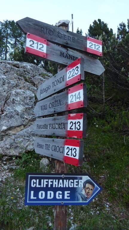
  • Ferrata Cesare Piazzetta al Piz Boè

    Ferrata Cesare Piazzetta al Piz Boè

    Vie Ferrate › Trentino Alto Adige › Trento
    Ferrata Cesare Piazzetta al Piz Boè
    Very difficult● OpenDescriptionComplexityMapsGallery

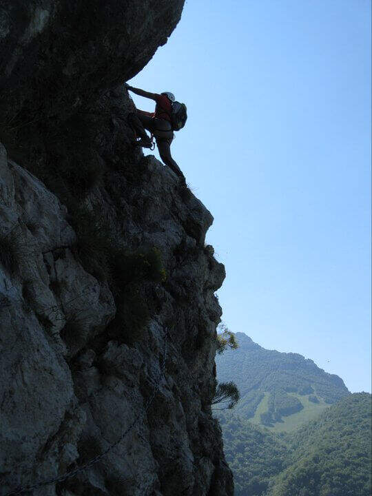
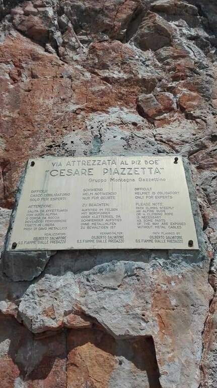
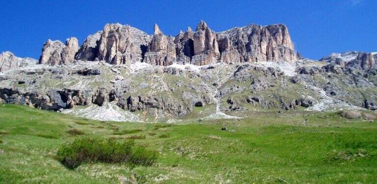
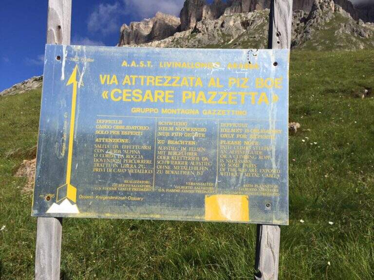
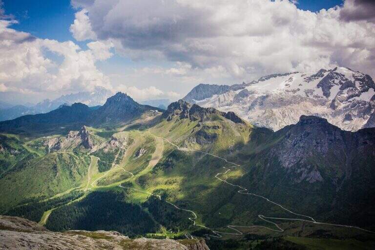
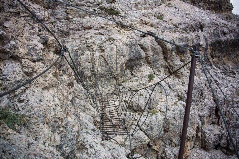
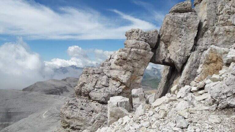
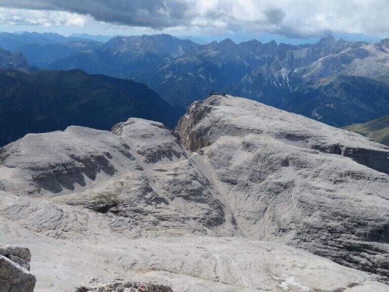
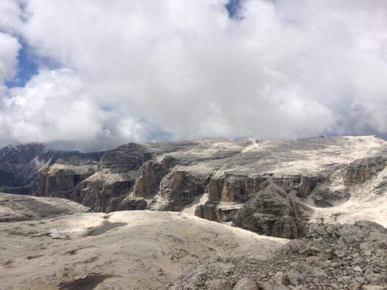
    La Ferrata Cesare Piazzetta al Piz Boè è una delle vie attrezzate più famose e severe delle Dolomiti. Deve la sua fama al contesto magnifico del Gruppo del Sella e a un primo tratto di difficoltà estrema, su roccia levigata e priva di appoggi; superato il ponte sospeso il livello cala, ma la stanchezza accumulata impone concentrazione fino in vetta. Da affrontare solo se ben allenati e abituati alle ferrate impegnative.

    ▲Approach

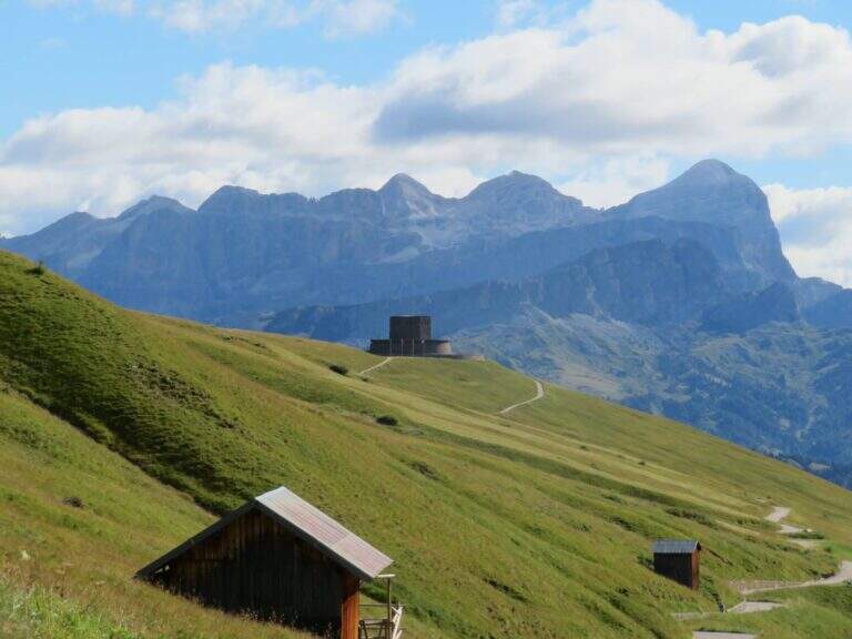
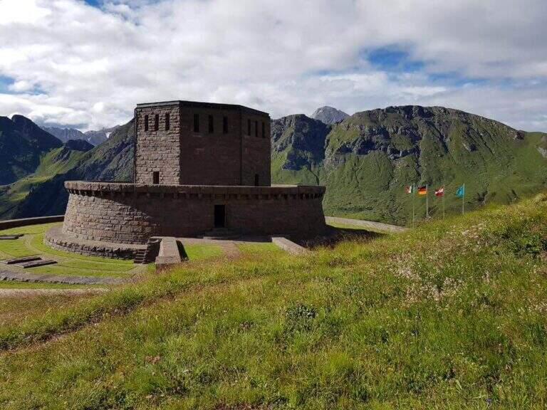
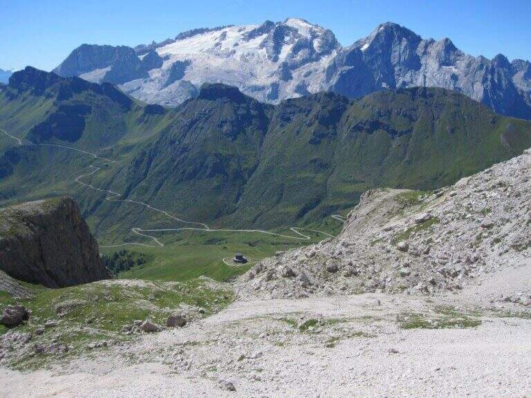
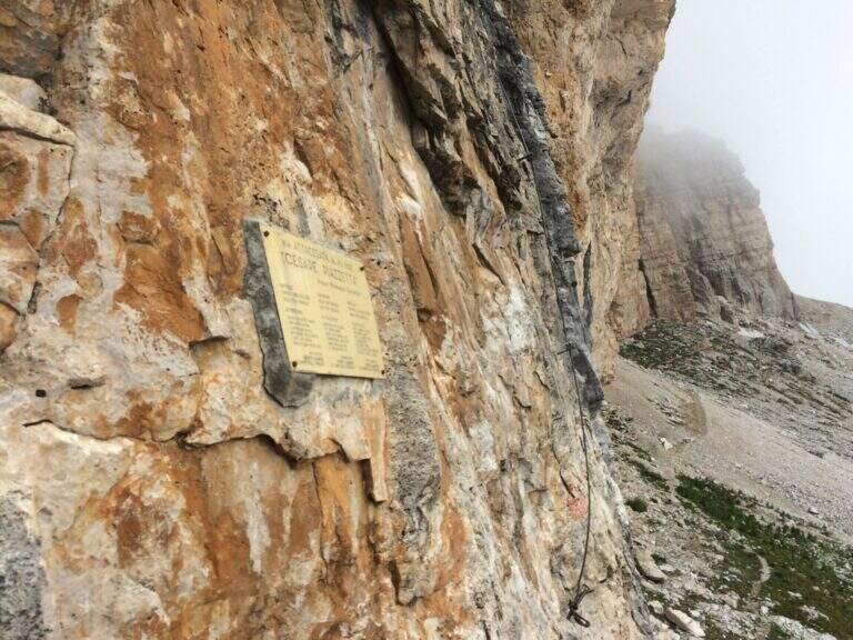
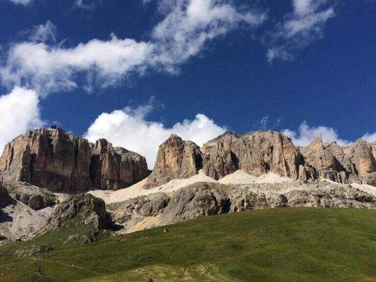
    Si parte dal Passo Pordoi (2239 m), che collega Canazei (Trento) e Arabba (Belluno), parcheggiando in uno degli spiazzi del passo (starting point on Google Maps). Si percorre la stretta strada asfaltata tra i prati fino all’Ossario del Pordoi (2229 m, 20′ dal passo), tenendosi sul versante est del Gruppo Sella; da qui un sentiero via via più ripido risale un canalone ghiaioso fino a innestarsi sul CAI 626, che corre a mezzacosta sotto le pareti del Sella. Seguendo il 626 verso destra si raggiunge la targa metallica dell’attacco, sotto una liscia parete giallastra (2630 m, 1h 15′ dal Passo Pordoi).

    ▲The path

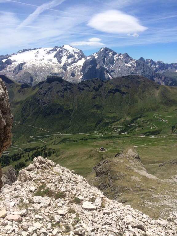
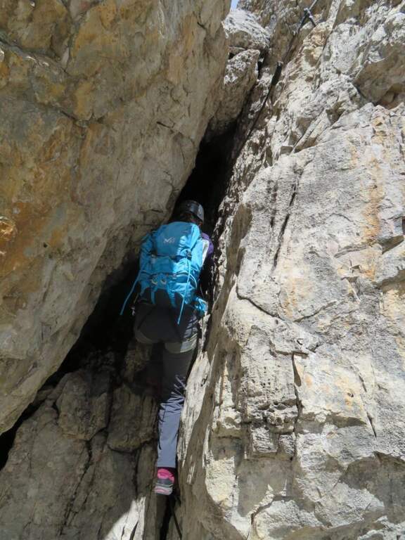
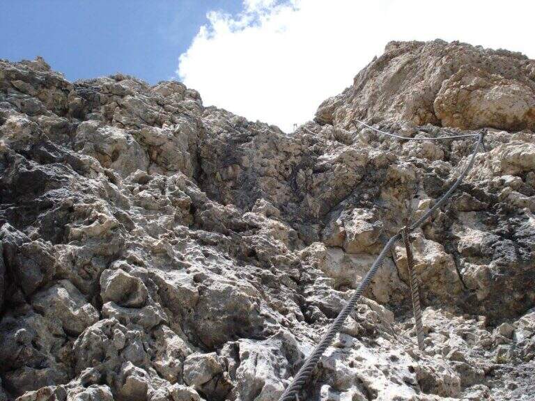
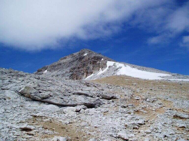
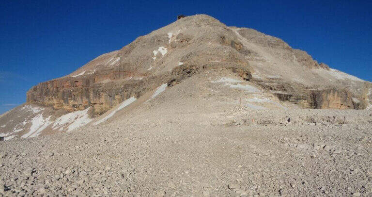
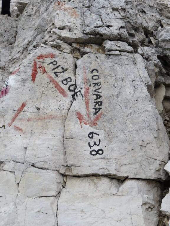
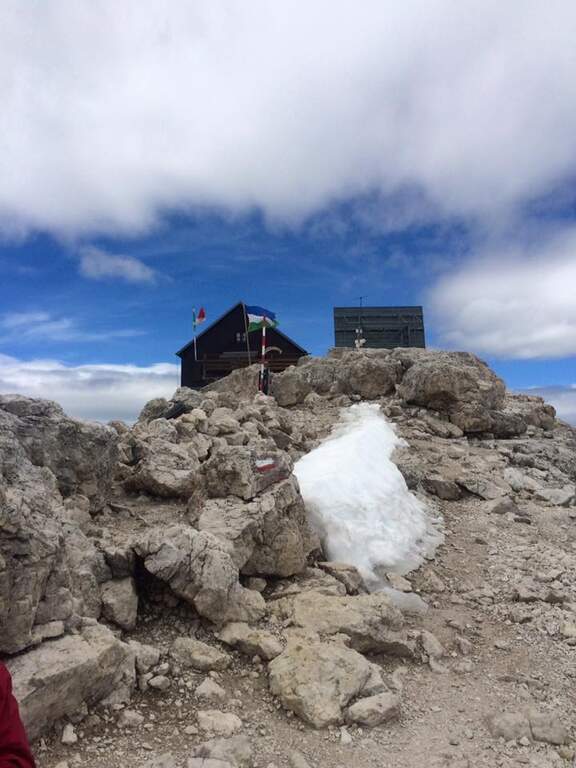
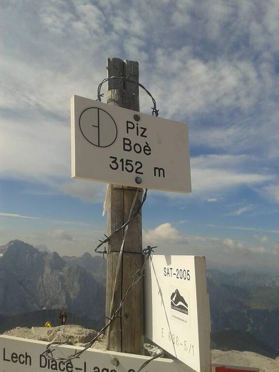
    L’avvio e i primi 30 metri — una placca e un traverso — sono di estrema difficoltà, tra i tratti più duri del panorama ferratistico italiano per roccia levigata, assenza di appoggi e intensità: meritano la qualifica di Estremamente Difficile, mentre il resto della via si attesta su Molto Difficile. Saliti 8-10 metri verticali, il cavo piega a sinistra in un traverso aereo e severo (può servire un rinvio o una fettuccia per sostare); oltre un terrazzino una breve cengia consente di riprendere fiato, con la Marmolada e il suo ghiacciaio di fronte. Si supera un salto verticale aiutati da due singolari staffe metalliche, poi la salita resta difficile su roccia liscia e spesso unta, costringendo a usare molto il cavo. Dopo una cengia a destra si risale una fessura verticale attrezzata con due cavi (uno per lato) e qualche chiodo, una scaletta metallica e una parete liscia, fino a un traverso a sinistra; si aggira uno spigolo e si sale a un’ampia cengia sabbiosa, ideale per una sosta panoramica. Segue il passaggio in un camino stretto entro una fessura: con zaini voluminosi conviene assicurare lo zaino all’imbrago e tenerlo sotto i piedi. Risalita la fessura e aggirata una spalla rocciosa si arriva al ponte sospeso (40′ dall’attacco, circa 2h totali). Oltre il ponte le difficoltà scendono al livello difficile: roccette più appigliate, una cengia a sinistra, un ultimo traverso impegnativo a sinistra e una cengia a destra che aggira una parete; poi balzi rocciosi e tratti che alternano arrampicata libera (max I grado) e attrezzature, fino al termine del cavo (1h 30′ dall’attacco) presso una caratteristica «porta naturale» di massi incastrati. Si sale infine il ghiaione dell’altopiano, si incontra il CAI 638 che sale da Corvara e con facili balzi si raggiunge il Rifugio Capanna Fassa, sopra il quale è la vetta del Piz Boè (3152 m, 45′ dal termine delle attrezzature, 2h 15′ dall’attacco, 3h 30′ totali).

    ▲Character and difficulty

    Via tecnica e atletica, con un avvio estremo e un seguito comunque sostenuto: 190 m di dislivello attrezzato in un contesto d’alta quota tra i più scenografici delle Dolomiti. Difficoltà complessiva Molto Difficile (primo tratto Estremamente Difficile).
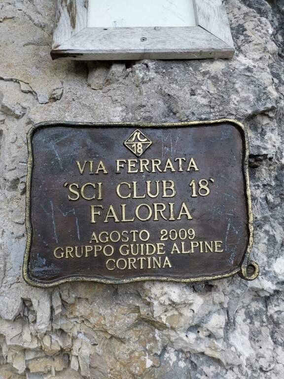
    ⚠ I primi 30 metri selezionano subito: roccia levigata e unta, niente appoggi, forza di braccia indispensabile. La fessura/camino è ostica con zaini ingombranti — assicurarlo all’imbrago. Quota elevata (3152 m): attenzione a meteo e temperatura.
    ▲Period and safety

    Ambiente di alta montagna (massimo 3152 m): stagione estiva, con roccia asciutta. La roccia spesso unta dal passaggio rende il primo tratto ancora più insidioso con umidità. Dislivello complessivo 910 m, sviluppo 8,6 km.

    ▲Discipline

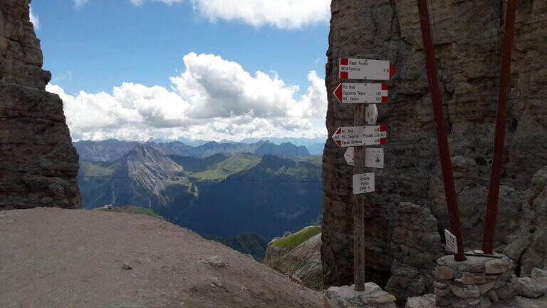
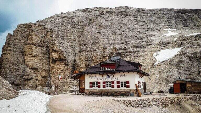
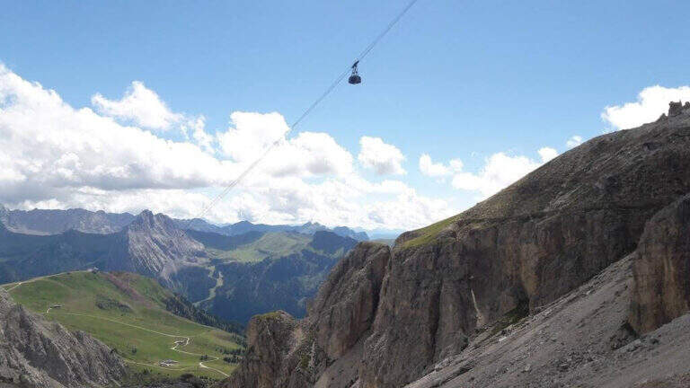
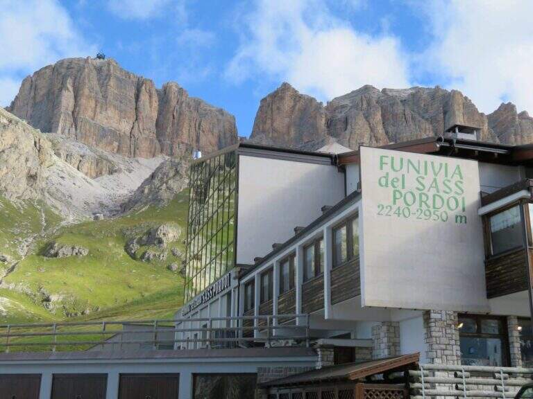
    Dalla vetta si scende sul sentiero CAI 638 verso la Forcella Pordoi; i primi metri sotto il Piz Boè sono ripidi e attrezzati nei punti più impegnativi. Dalla Forcella Pordoi si rientra al Passo Pordoi a piedi lungo il sentiero, oppure utilizzando la funivia del Sass Pordoi.

    ▲To match

    Restando nel Gruppo del Sella si possono combinare le altre vie del massiccio: la Ferrata Tridentina at Pisciadù, la Ferrata del Vallon e la Ferrata Gran Cir.

    ▲Gallery
    Technical data
    • DifficultyVery difficult
    • RegionTrentino Alto Adige
    • GroupGruppo del Sella
    • Approach1:15 h
    • Ferrata2:15 h
    • Itinerary (a/r)5:30 h
    • Hardware level difference190 m
    • Route difference910 m
    • Max3152 m
    • Length8,6 Km
Need help? Write to us!