Difficoltà: Moderatamente Difficile

  • Sentiero Attrezzato Marino Guardian – Monte Pelf

    Sentiero Attrezzato Marino Guardian – Monte Pelf

    Vie Ferrate › Veneto › Belluno
    Sentiero Attrezzato Marino Guardian – Monte Pelf
    Moderately Hard● OpenDescriptionComplexityMapsGallery

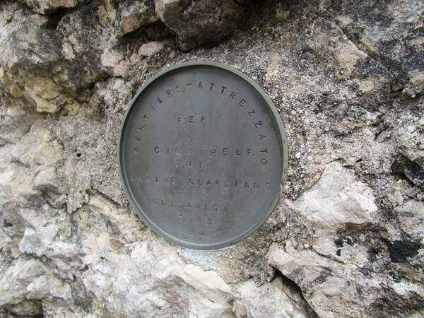
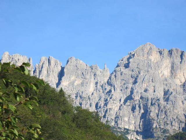
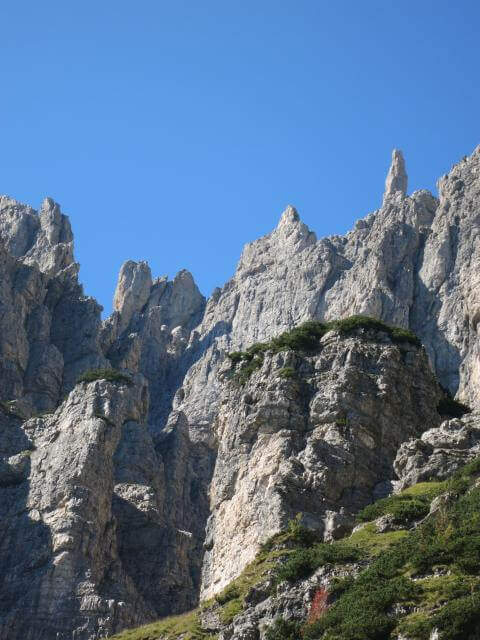
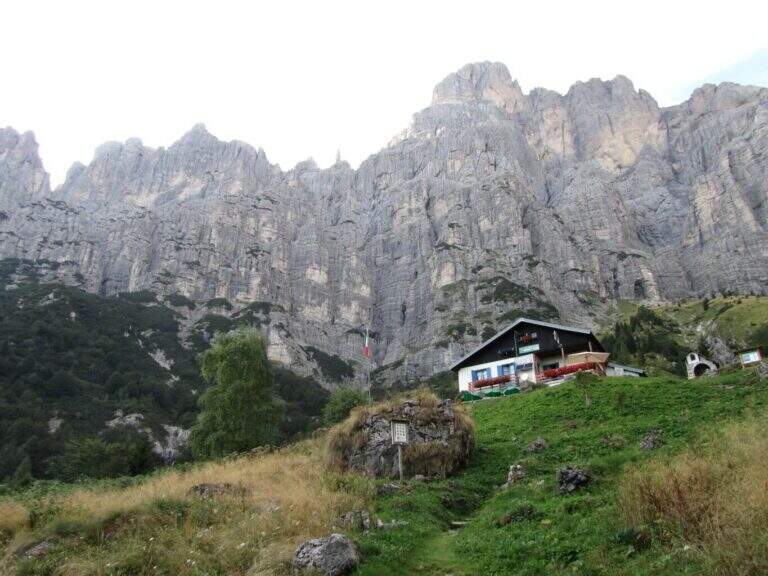
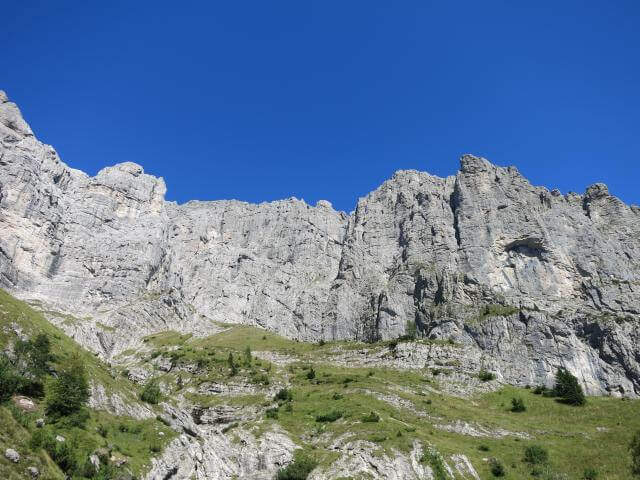
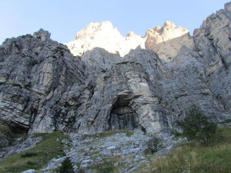
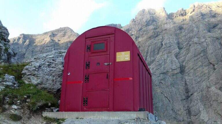
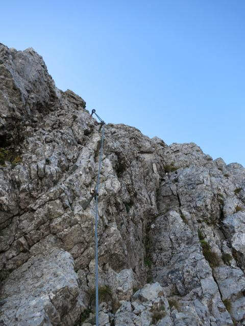
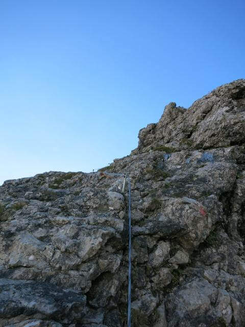
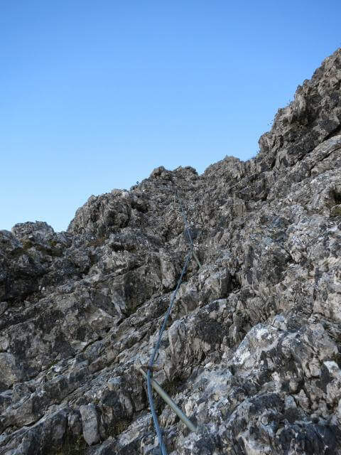
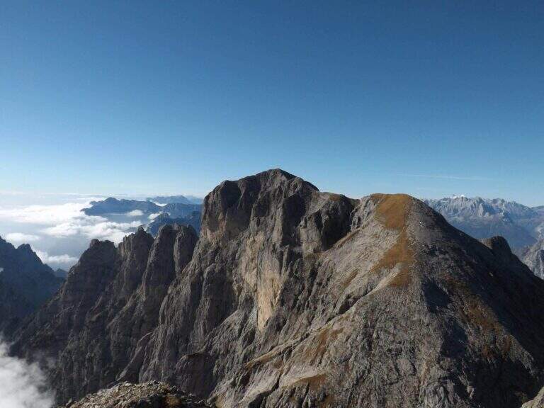
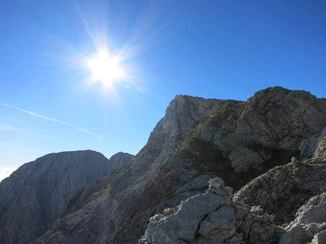
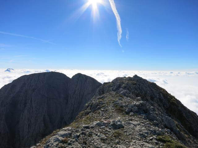
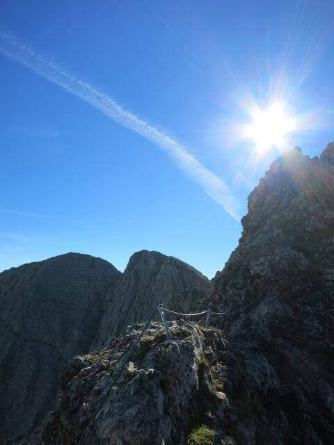
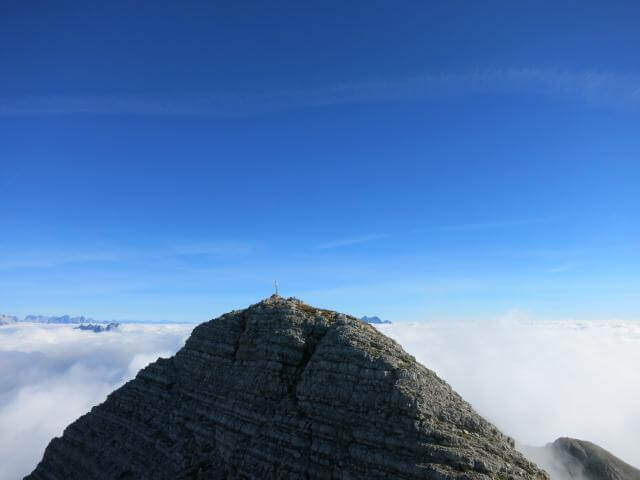
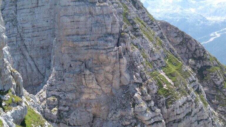
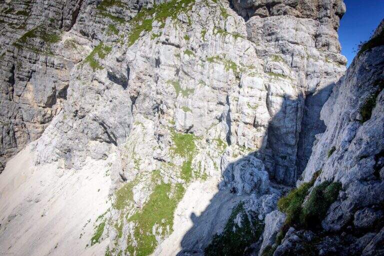
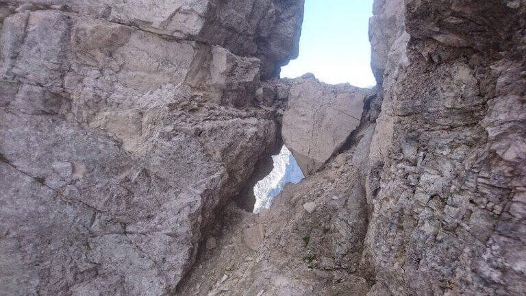
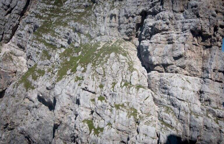
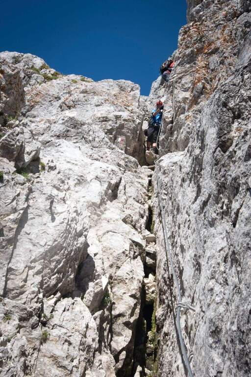
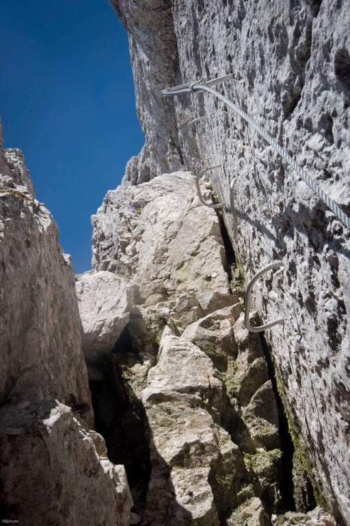
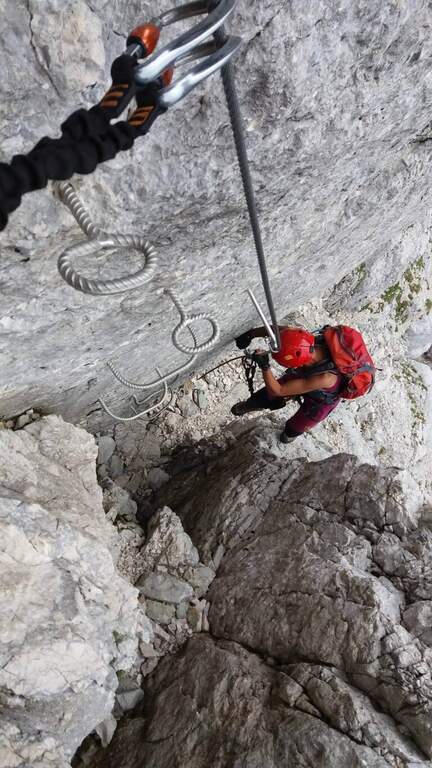
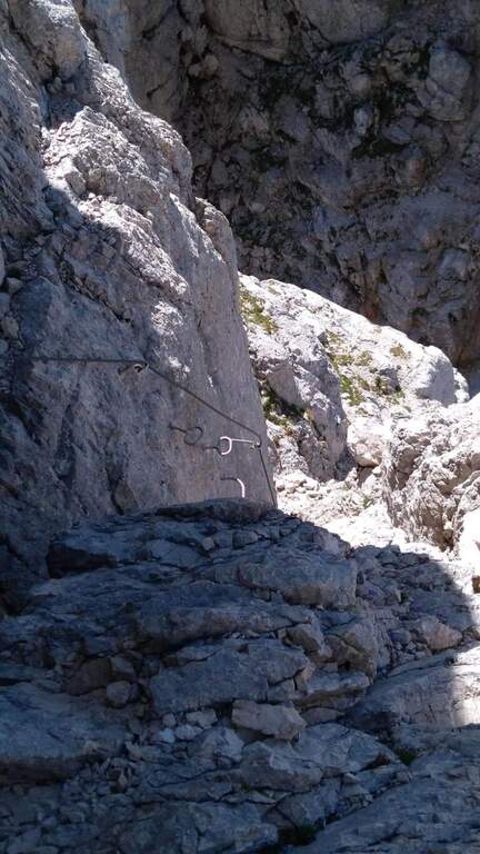
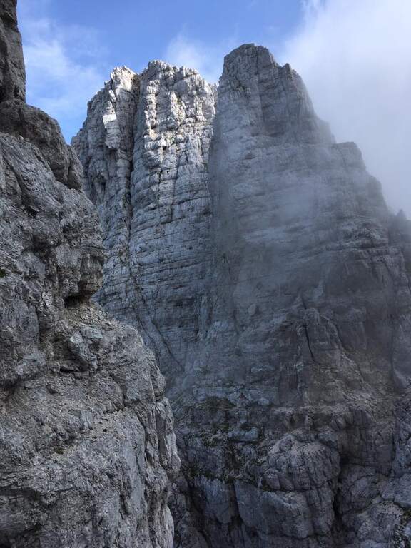
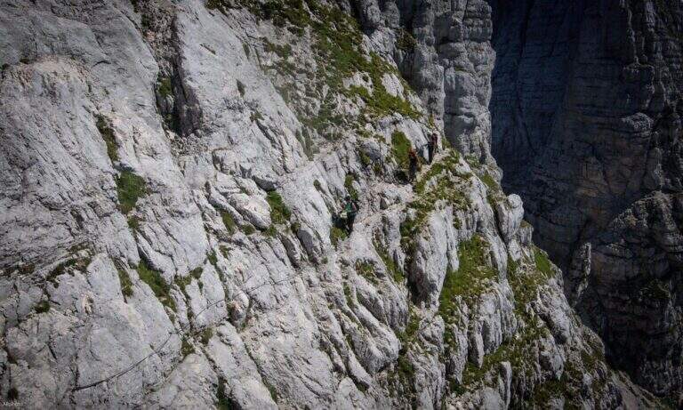
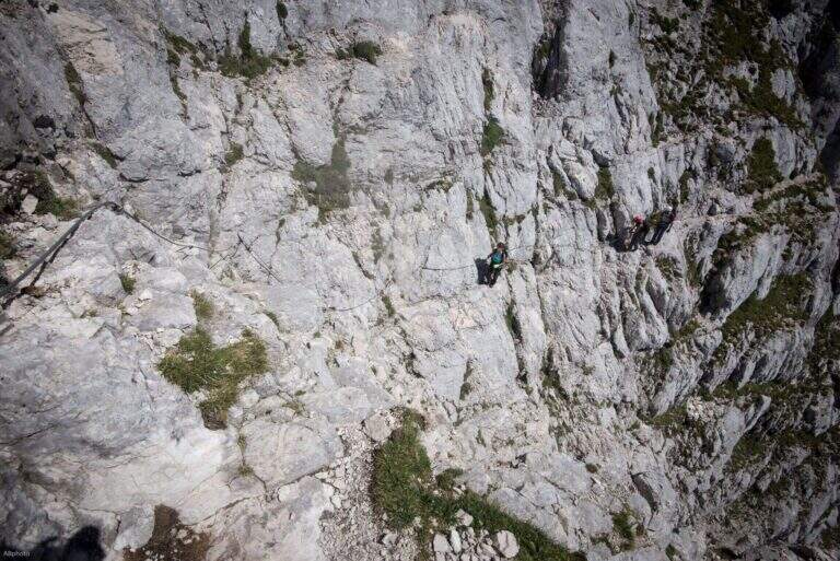
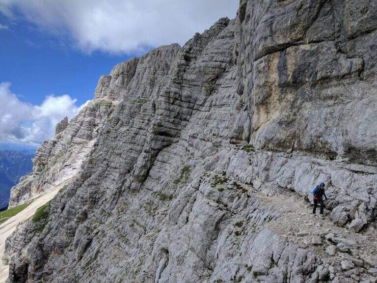
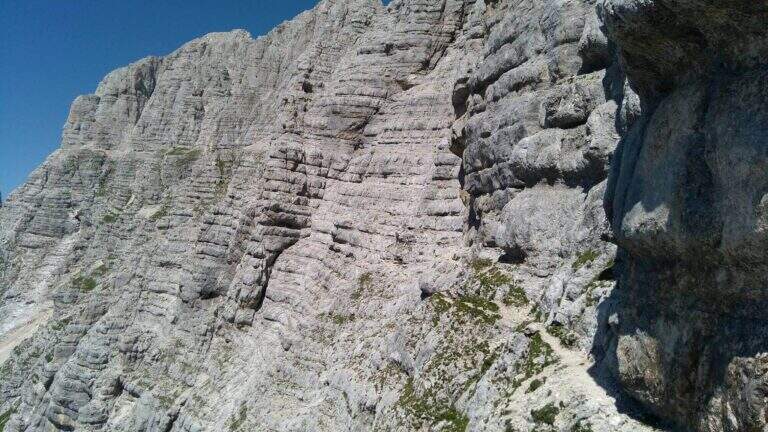
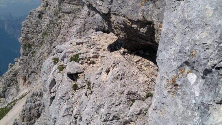
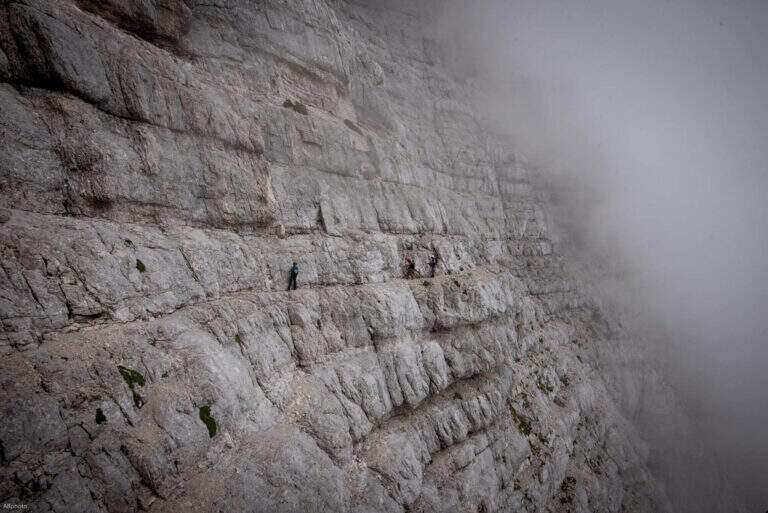
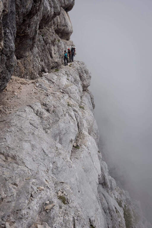
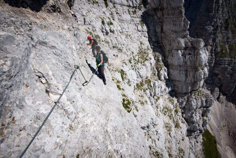
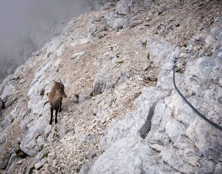
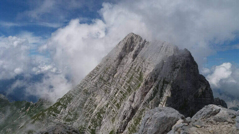
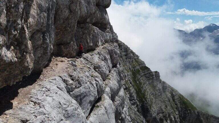
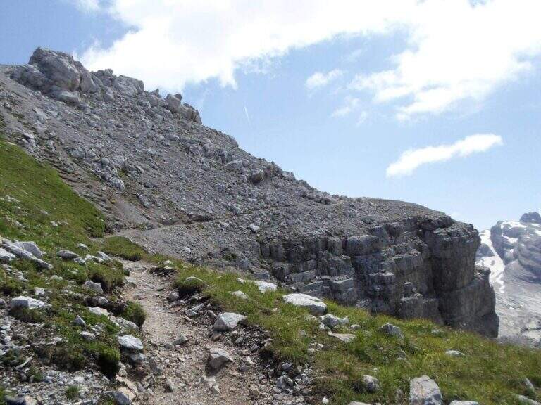
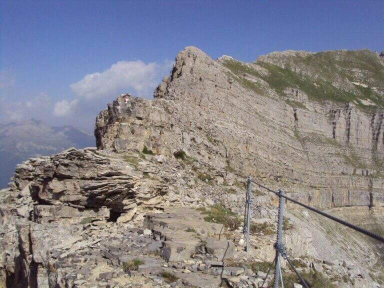
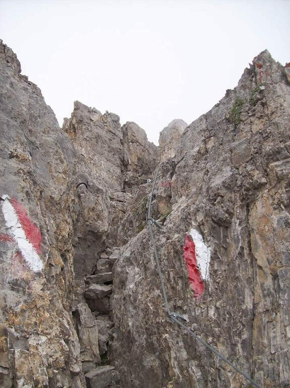
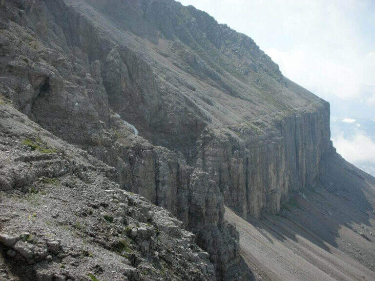
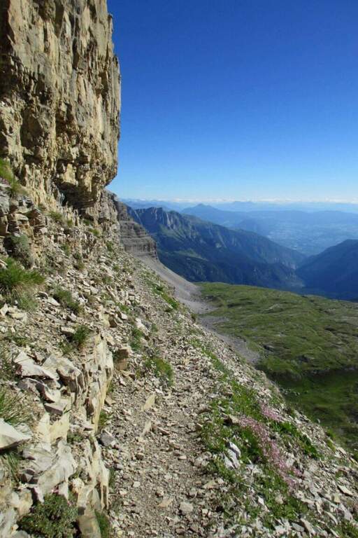
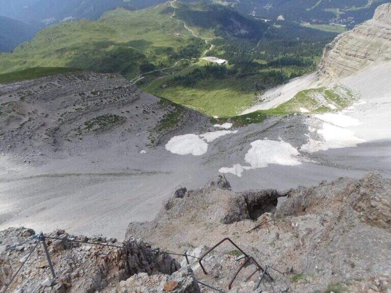
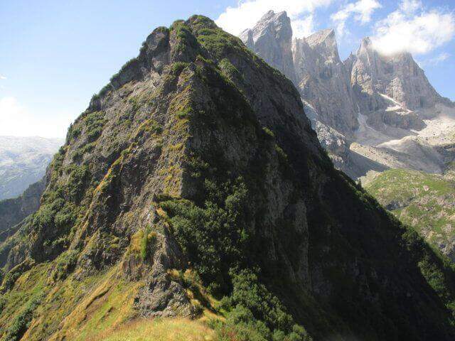
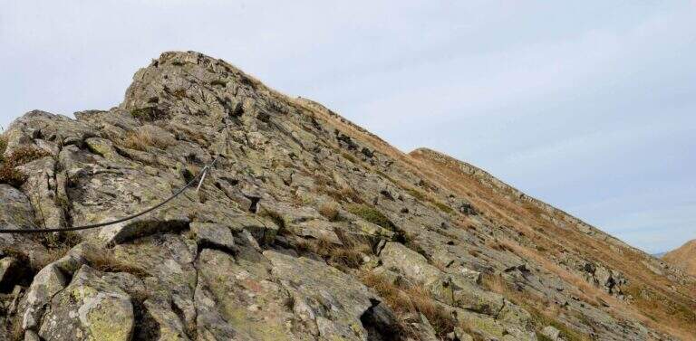
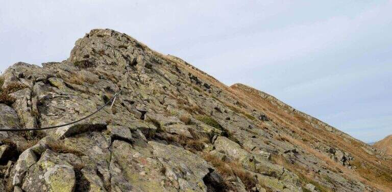
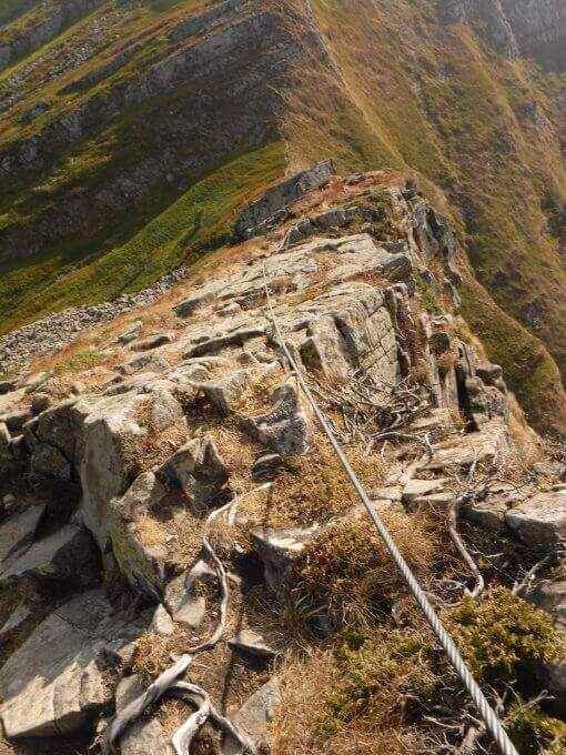
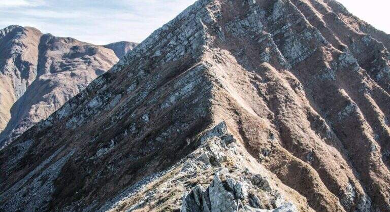
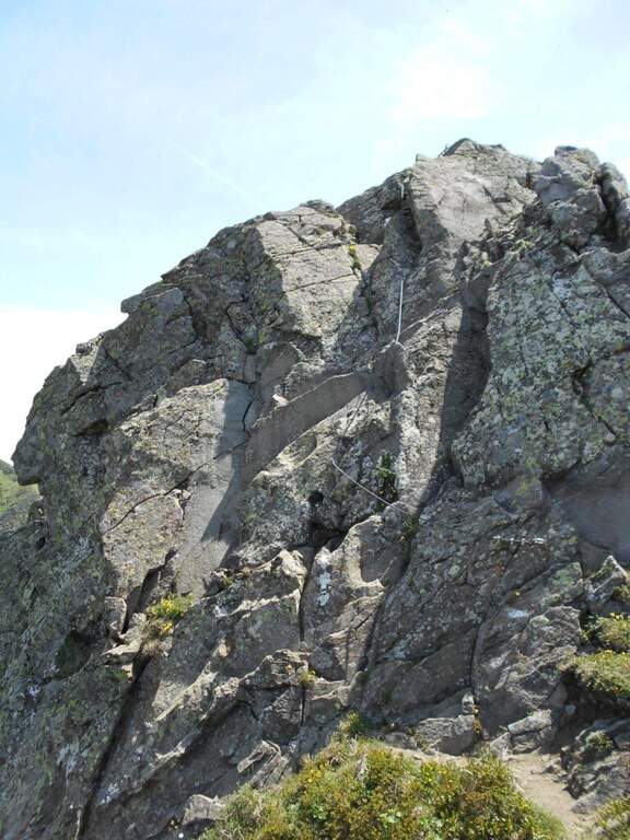
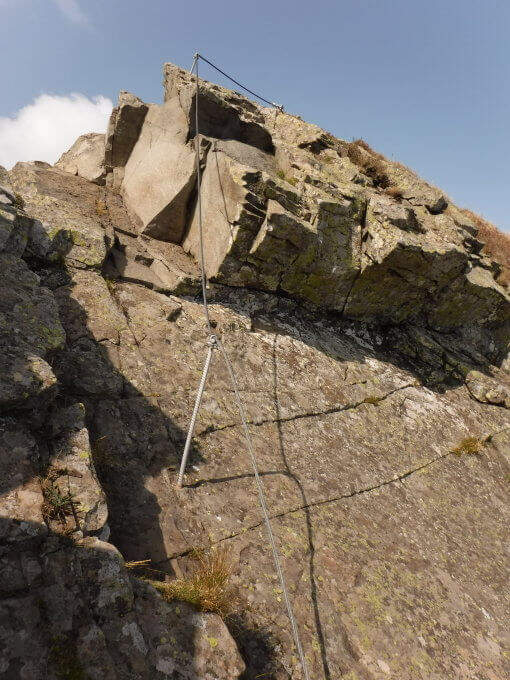
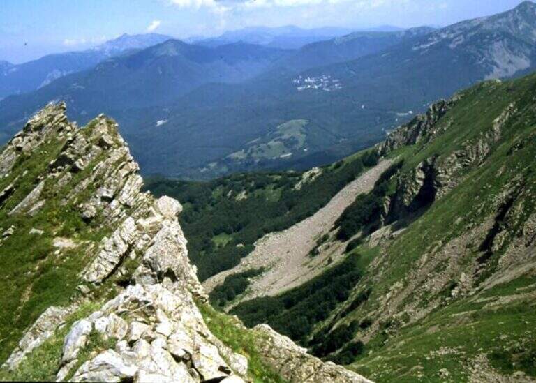
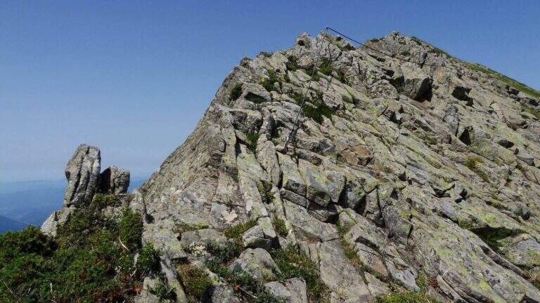
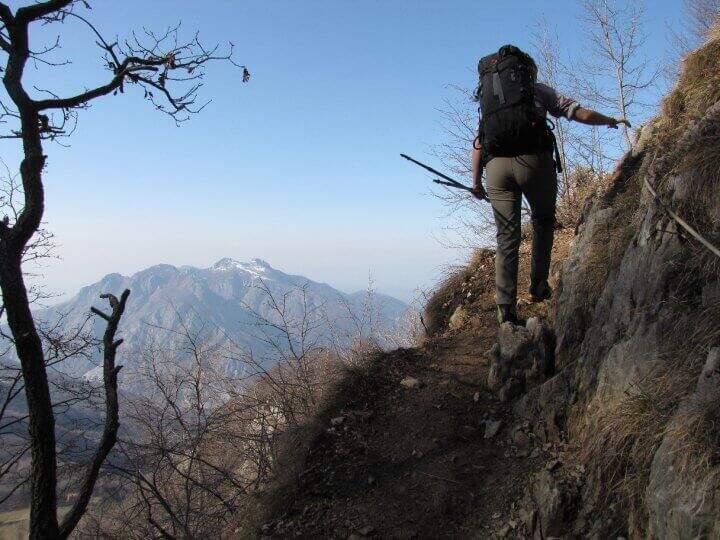
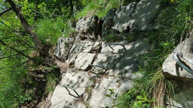
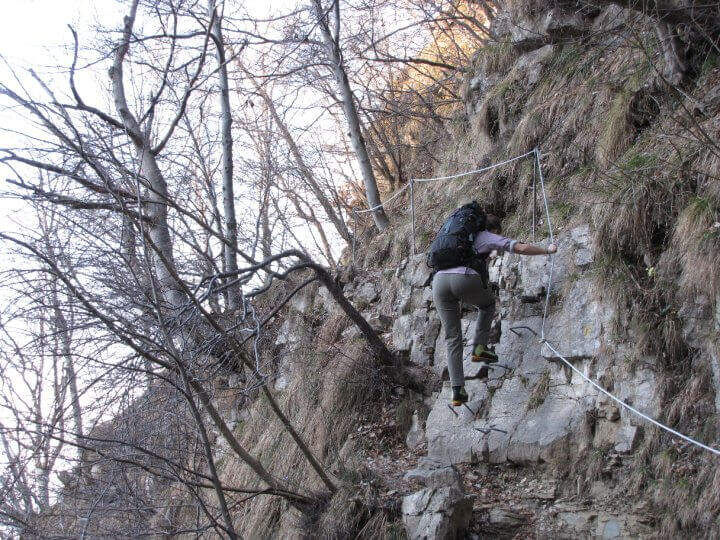
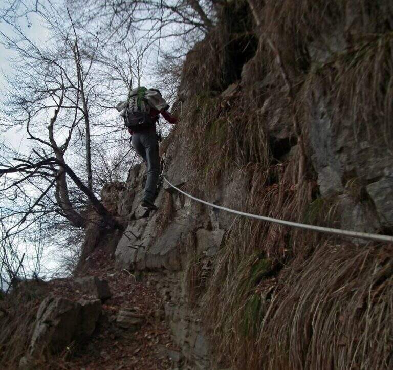
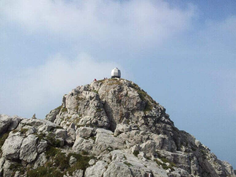
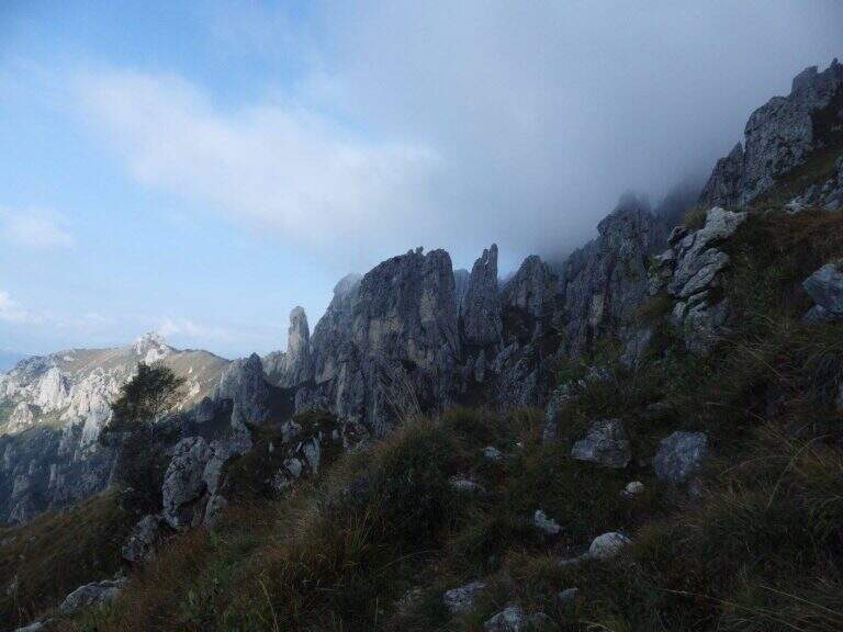
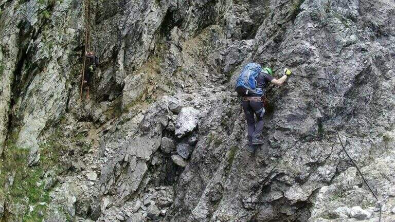
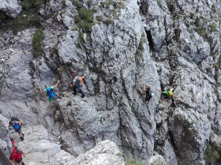
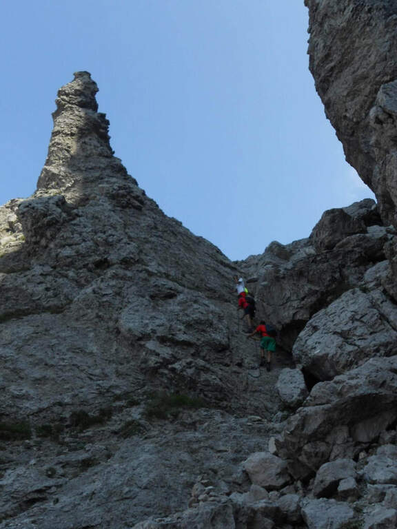
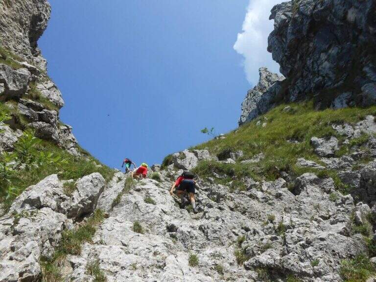
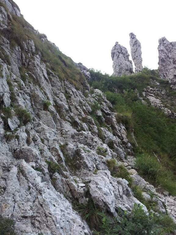
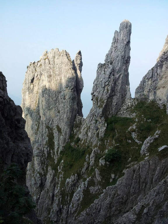
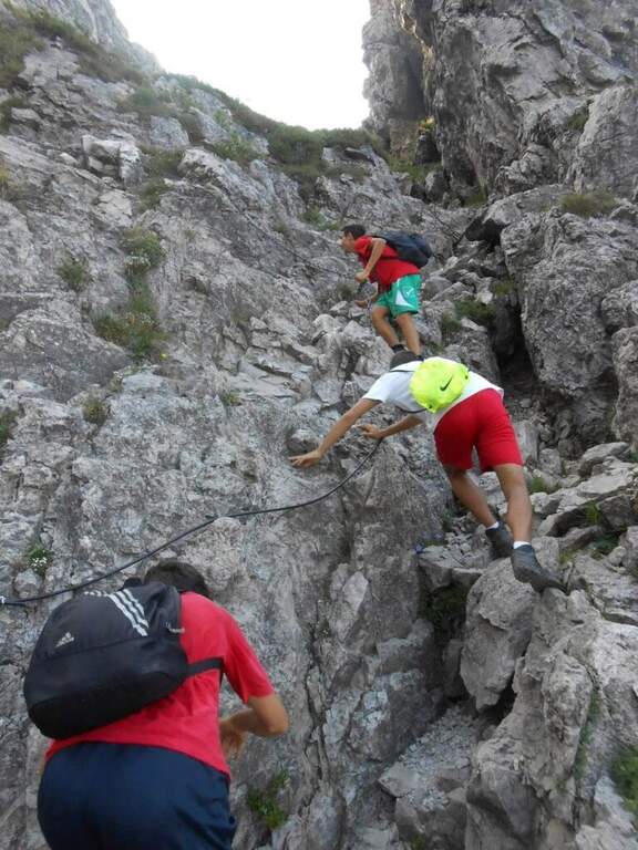
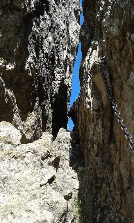
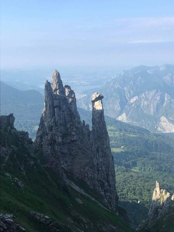
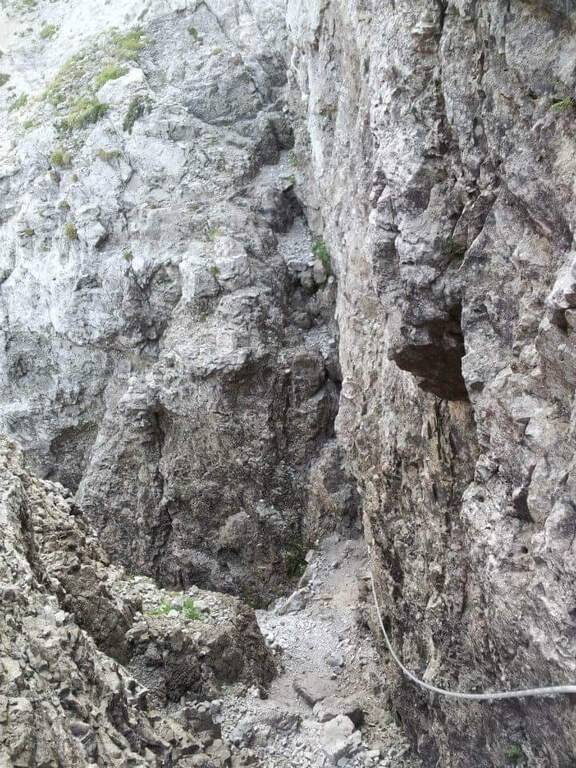
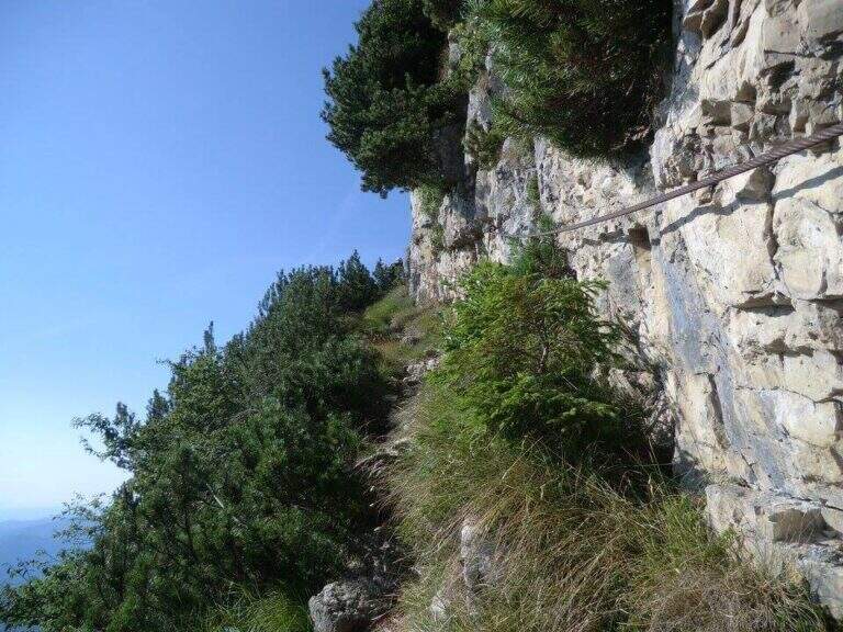
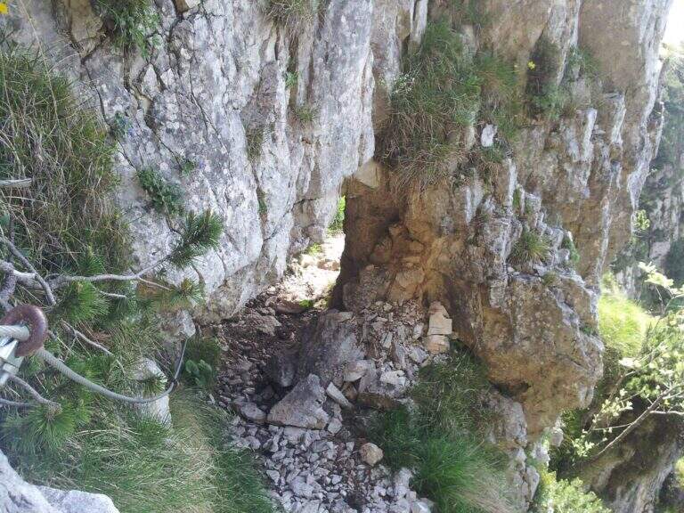
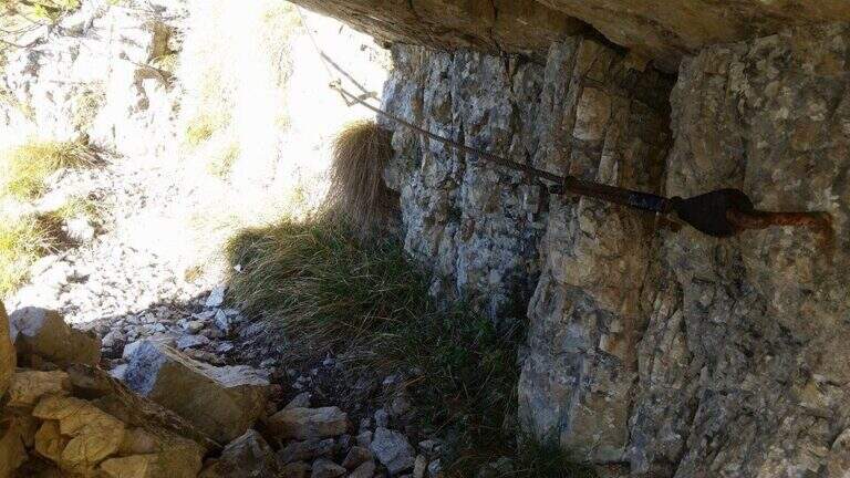
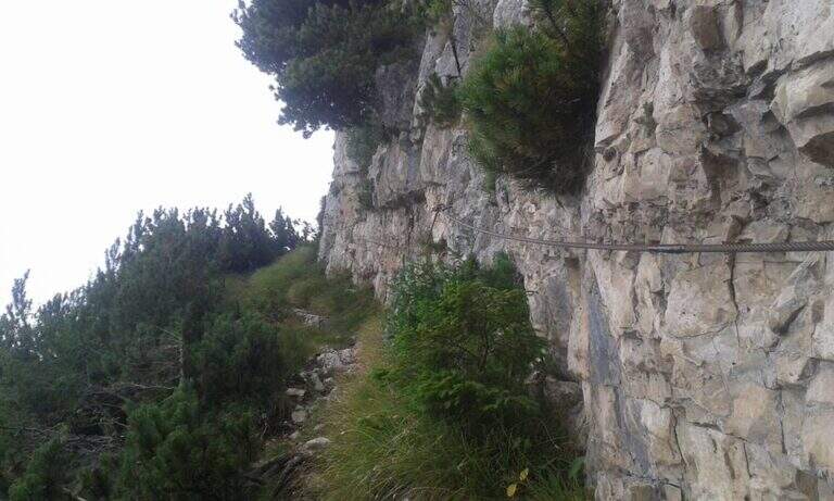
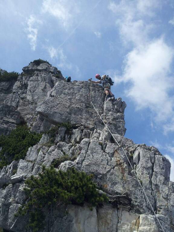
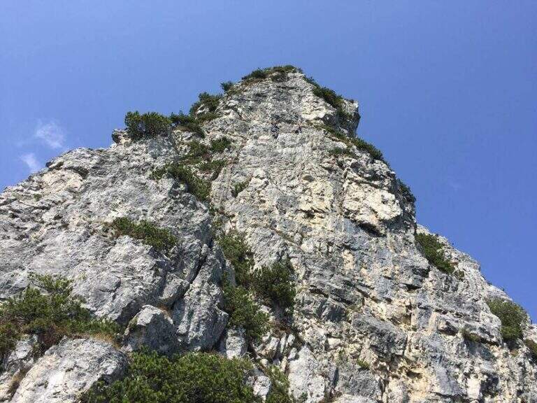
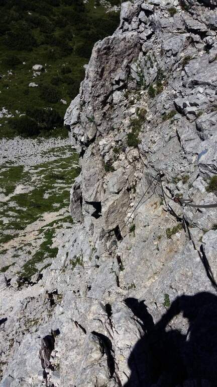
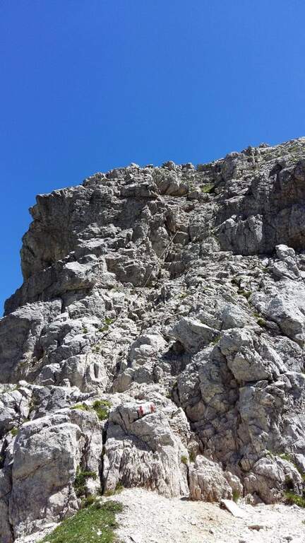
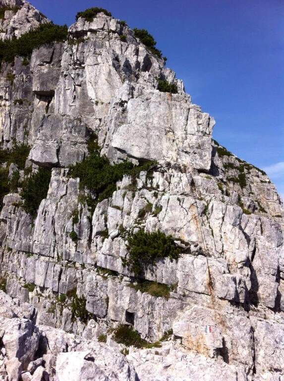
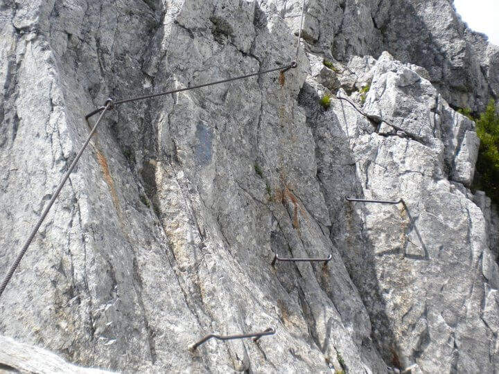
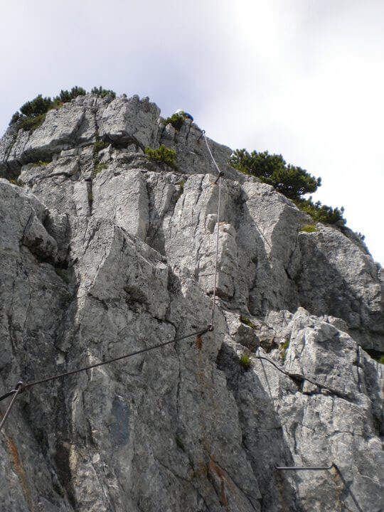
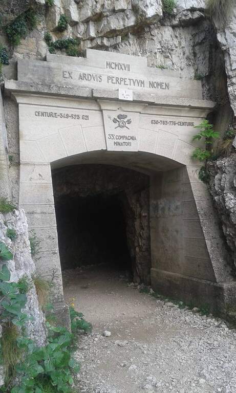
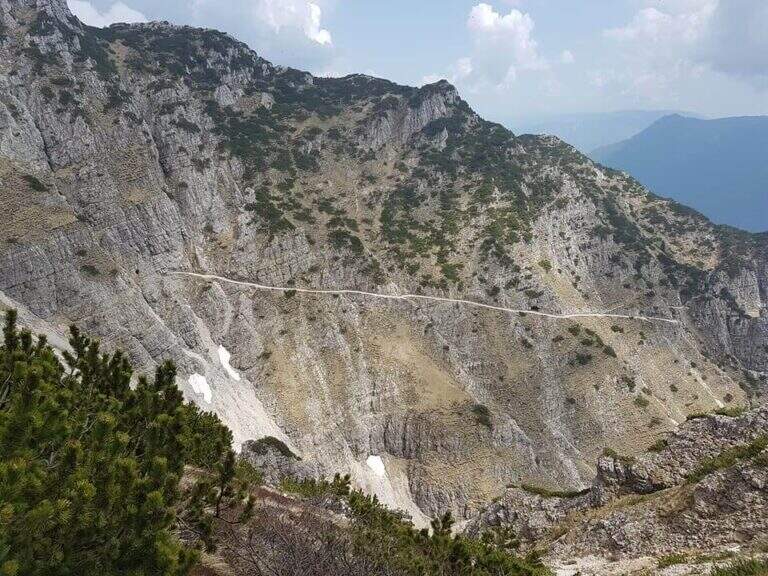
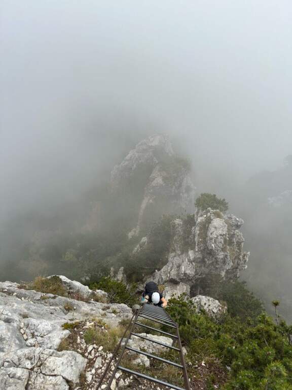
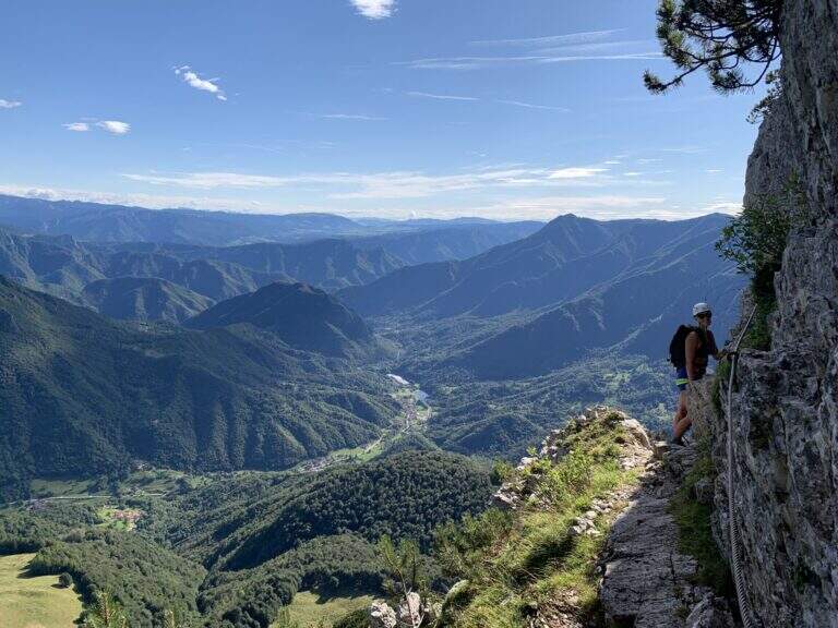
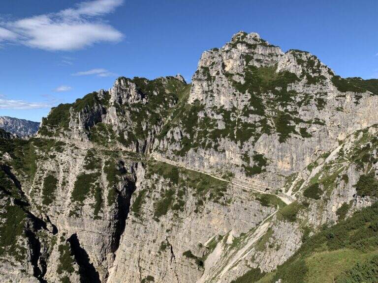
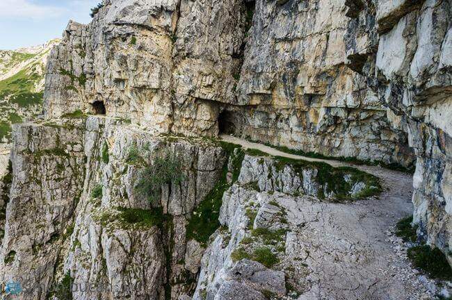
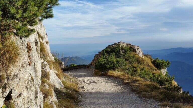
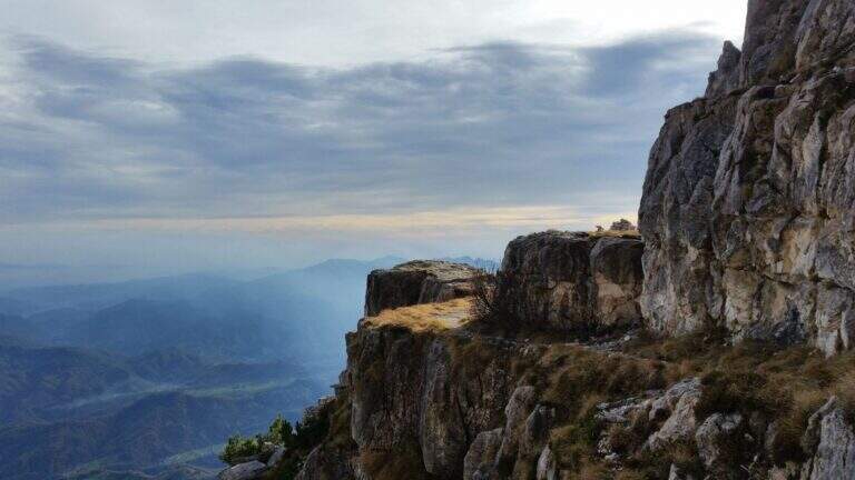
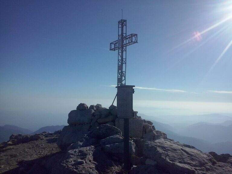
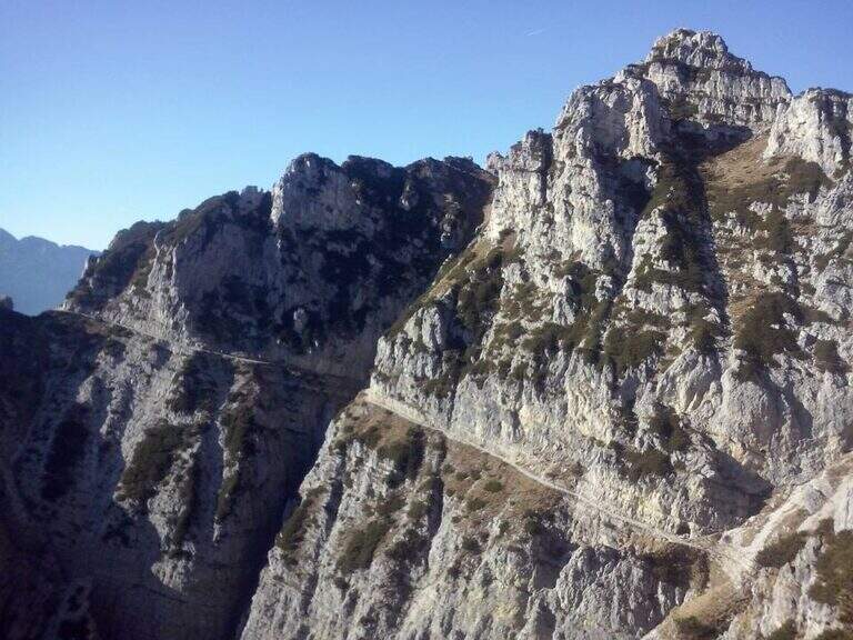
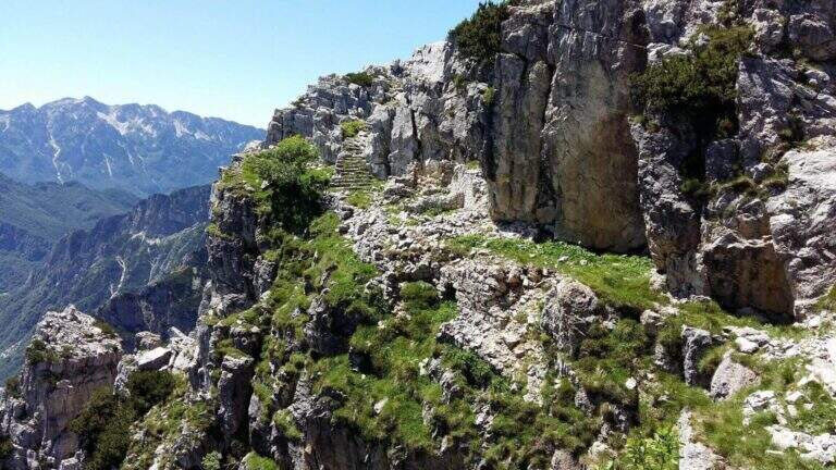
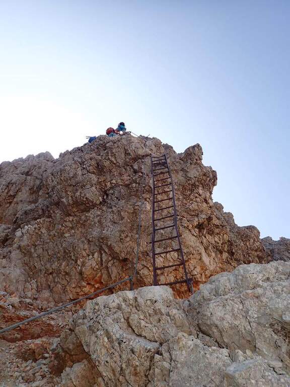
    The Sentiero Attrezzato Marino Guardian climbs to Monte Pelf in the Schiara Group, one of the wildest massifs in the Belluno Dolomites. Long and challenging itinerary — ideal to be combined with other routes of the Schiara in a more days — with moderate technical difficulties in the equipped traits but exposed and not trivial in unprotected passages.

    ▲Approach

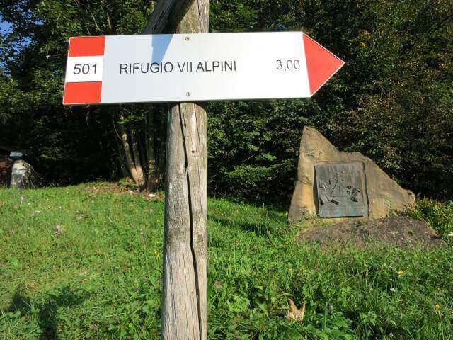
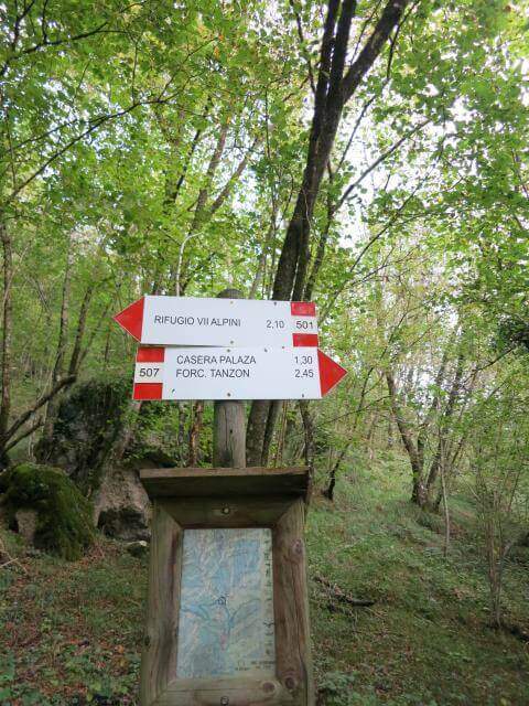
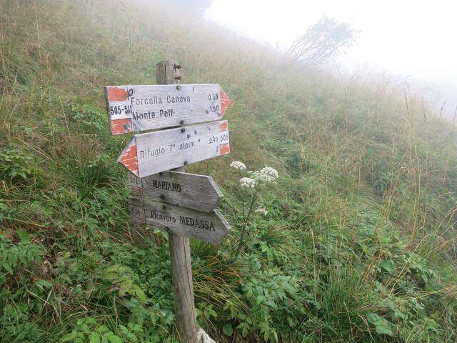
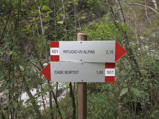
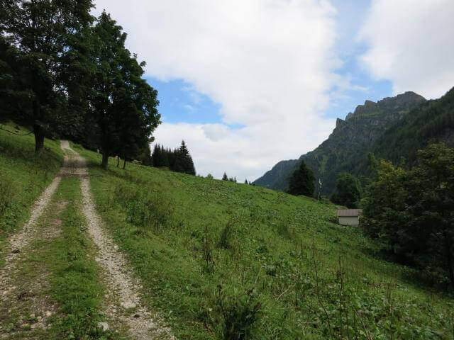
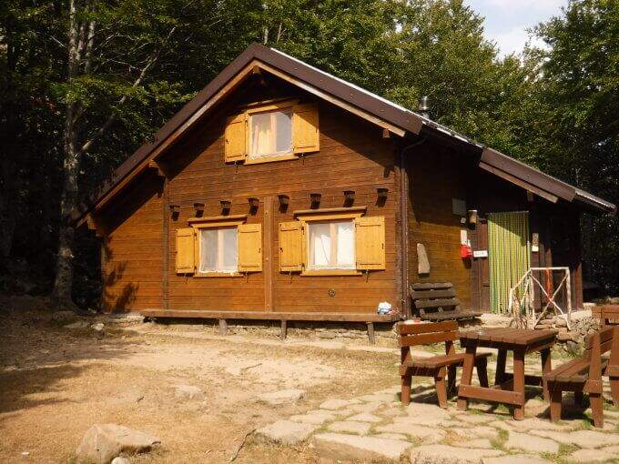
    From Case Bortot (695 m) in the province of Belluno (directions road map): from Belluno follow the road of Col di Lana, then towards Bolzano Bellunese and the Parco delle Dolomiti Bellunesi. Parking is on the final deck. Follow the CAI 501 in the forest: after the Ponte del Mariano (30′) the left for Rifugio VII Alpini (1502 m — 2h 45′).

    ▲The path

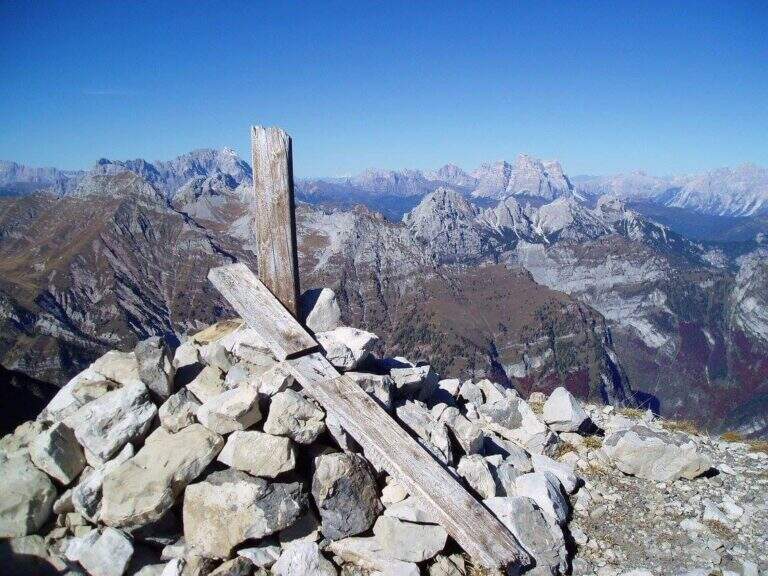
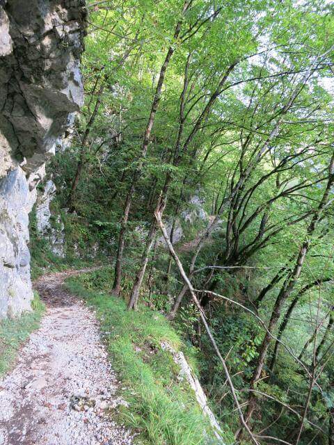
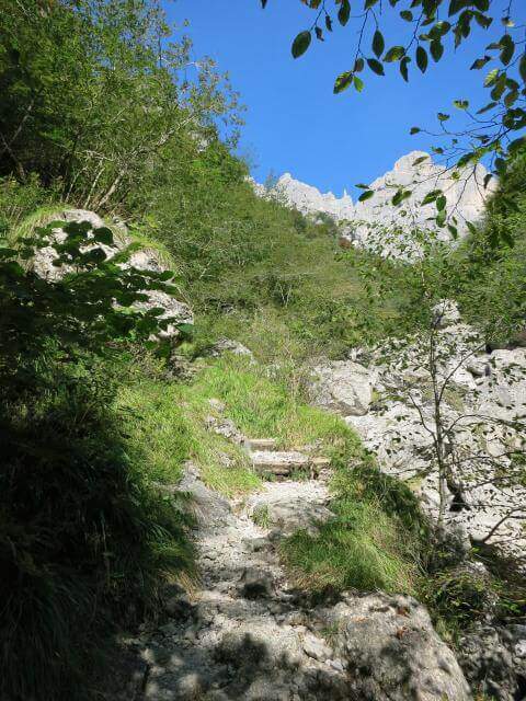
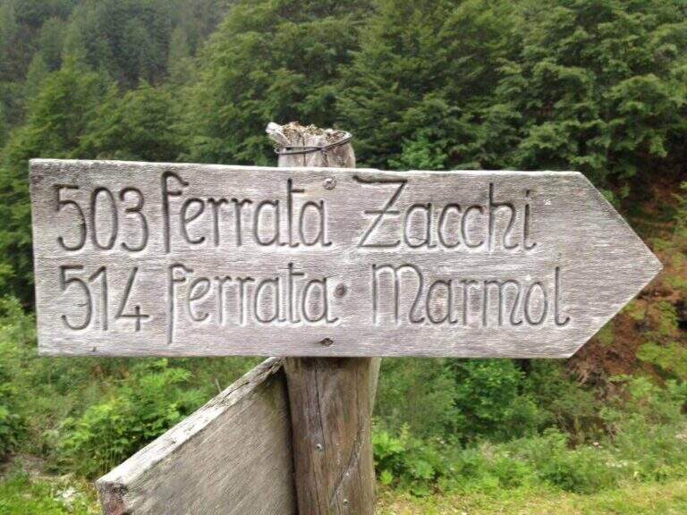
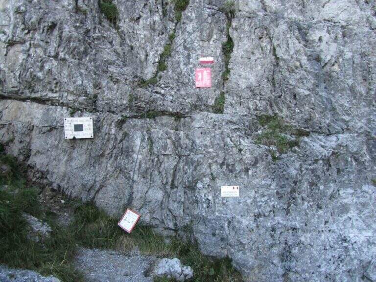
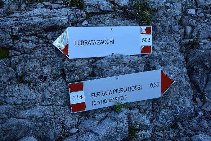
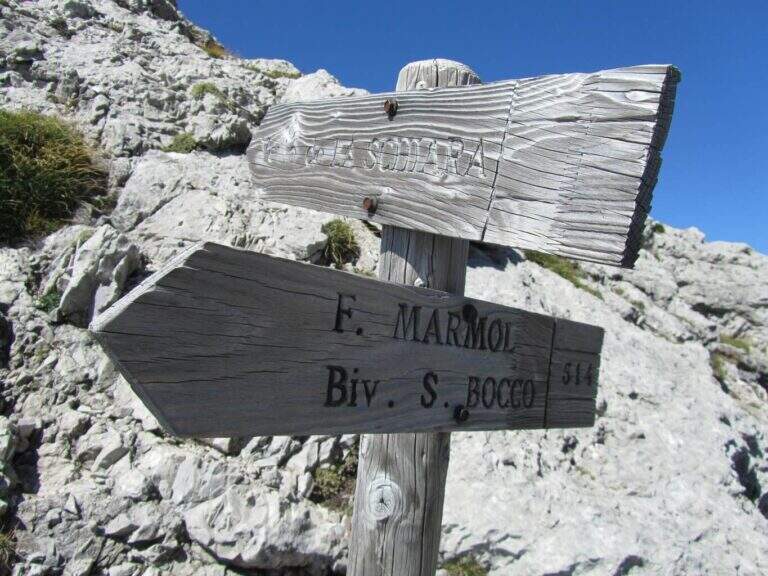
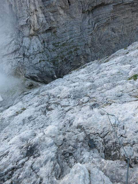
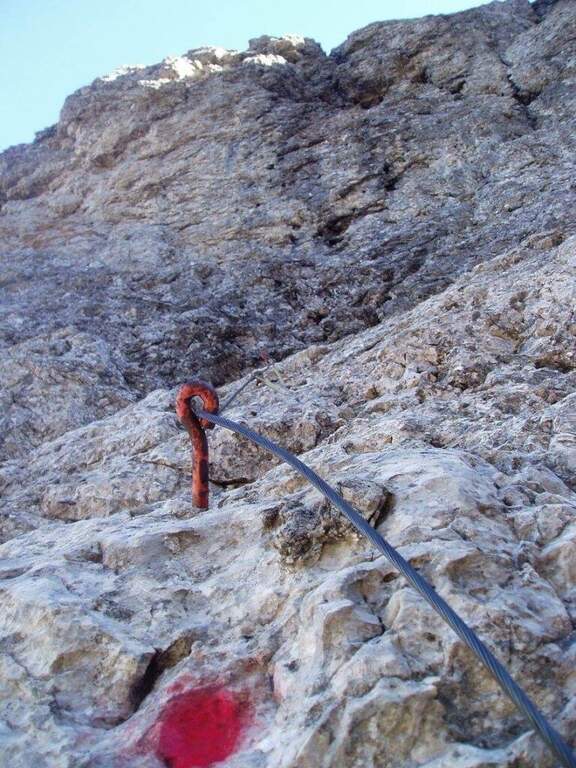
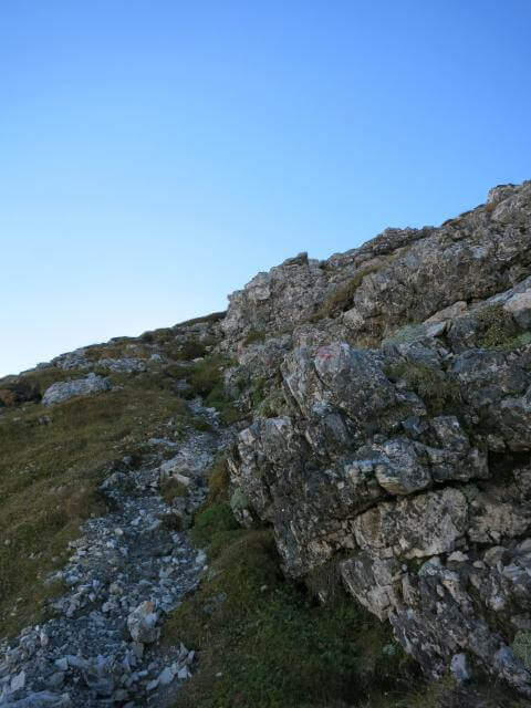
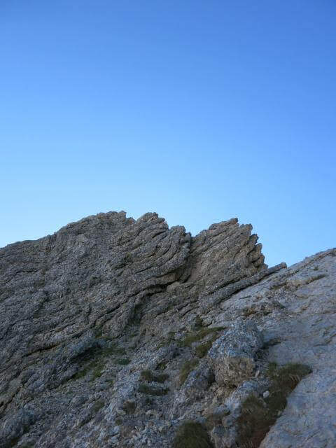
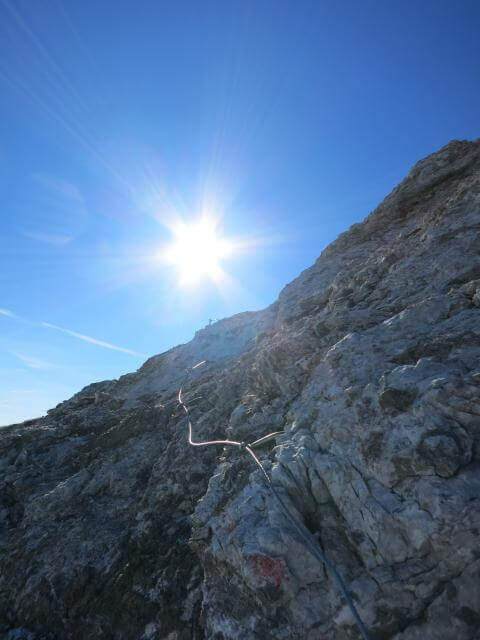
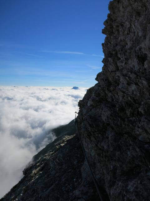
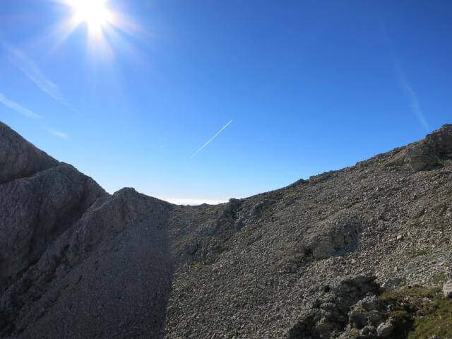
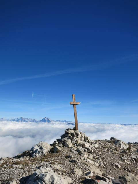
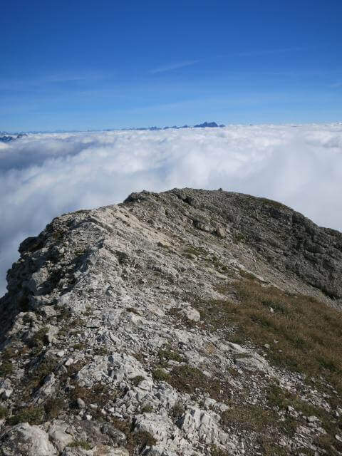
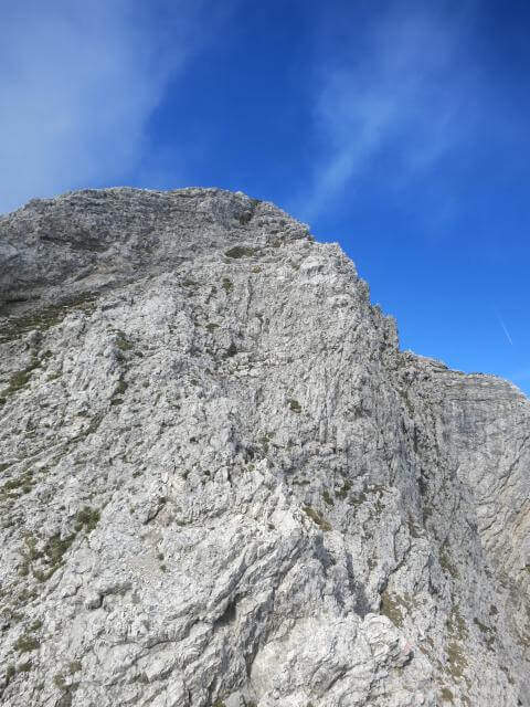
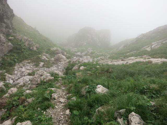
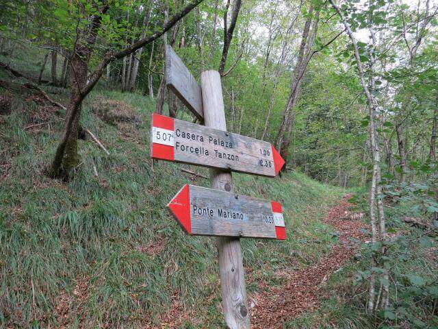
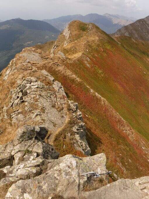
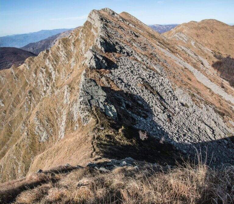
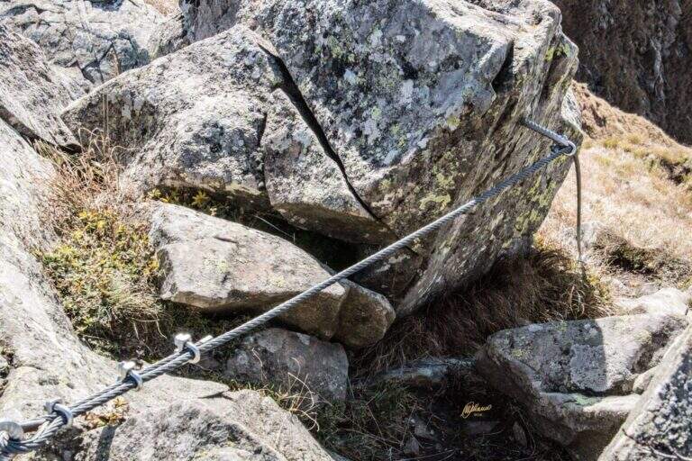
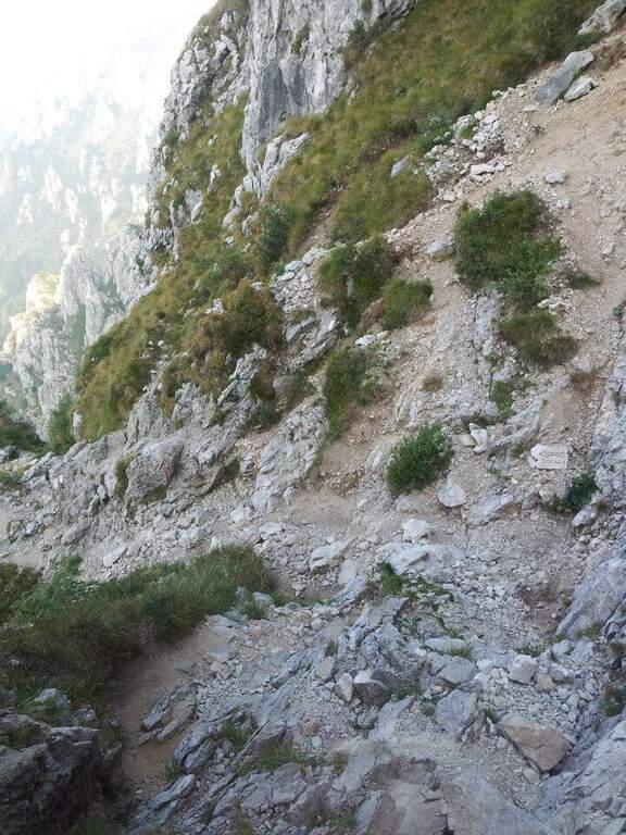
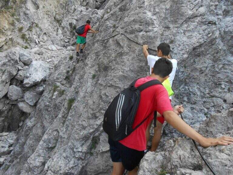
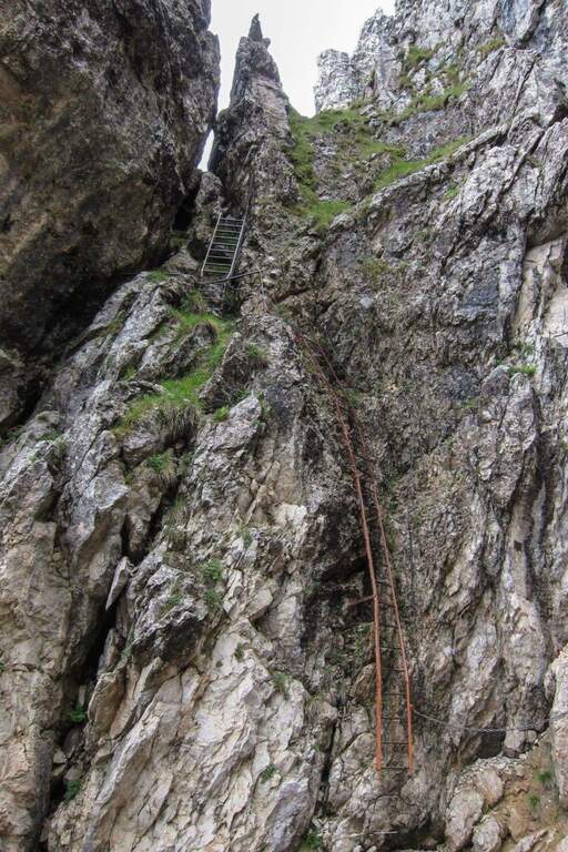
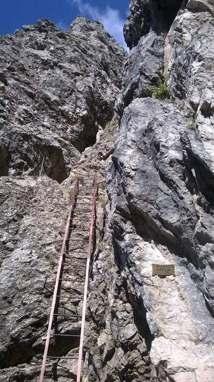
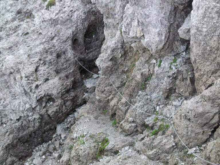
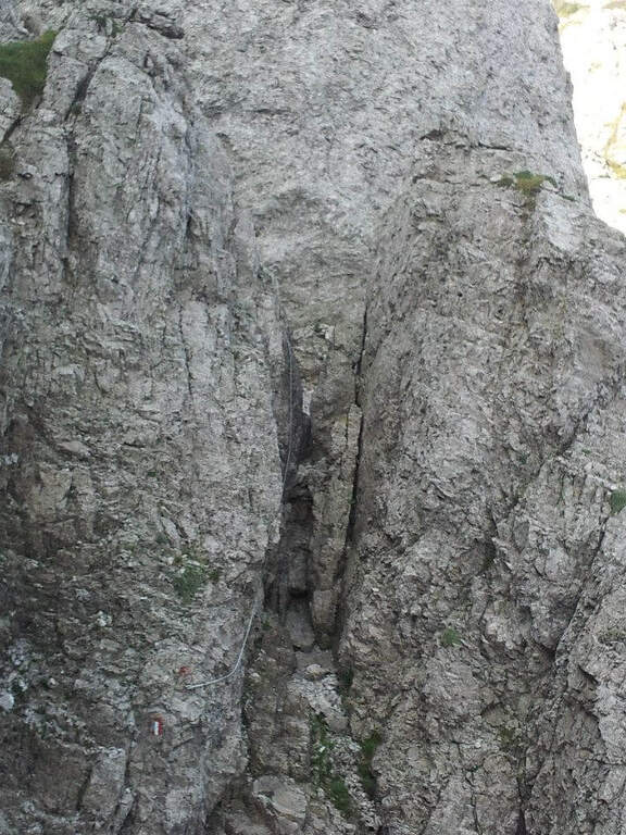
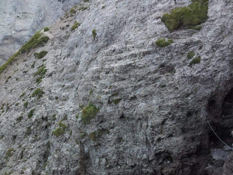
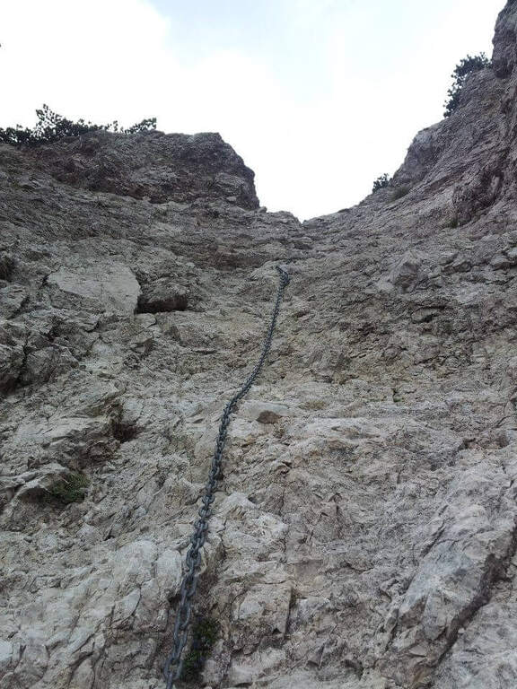
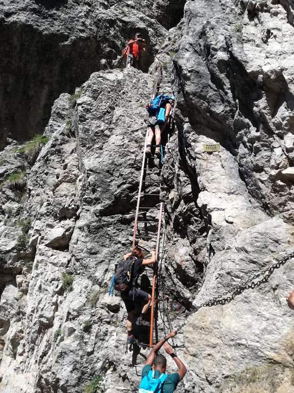
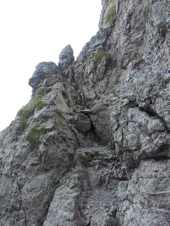
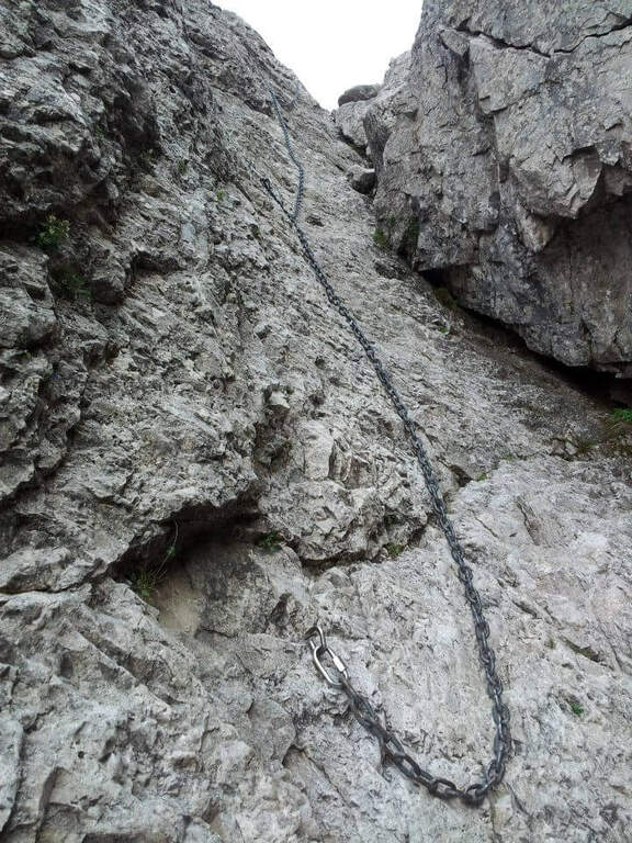
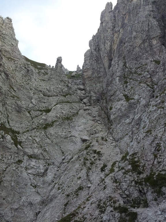
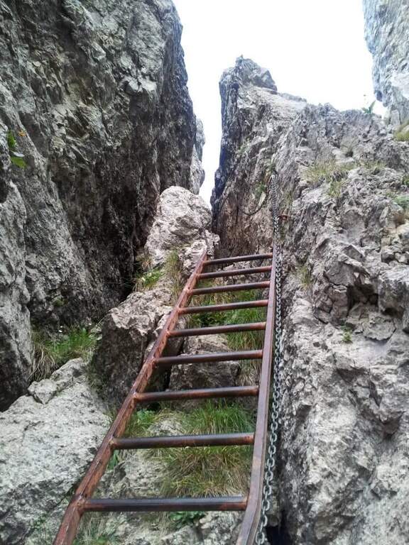
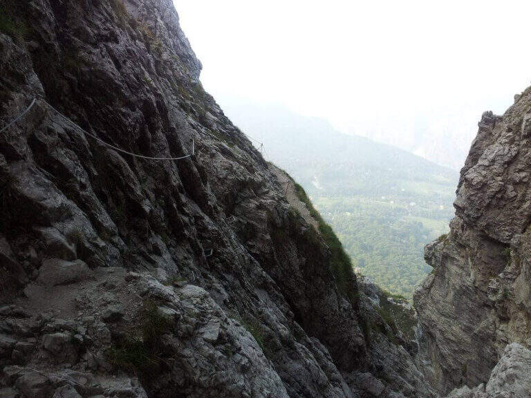
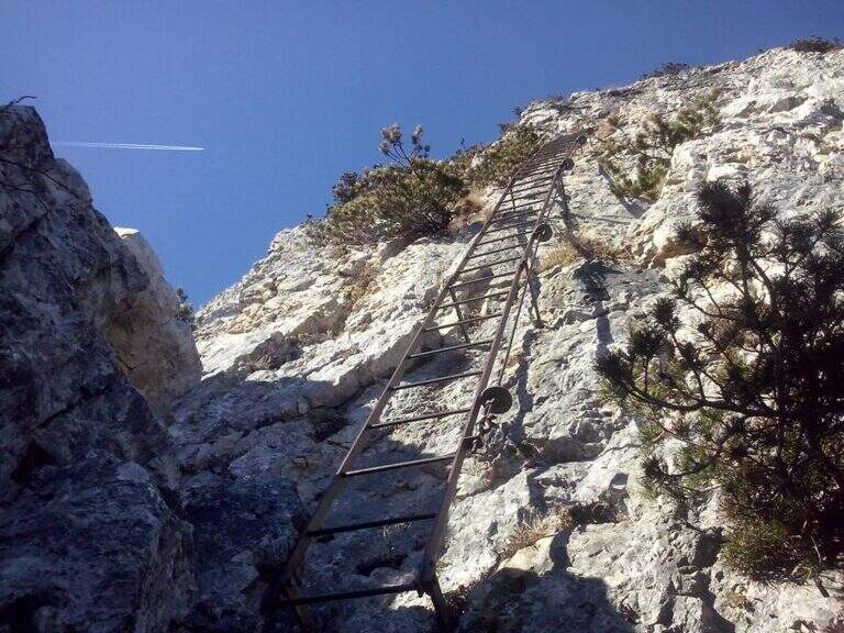
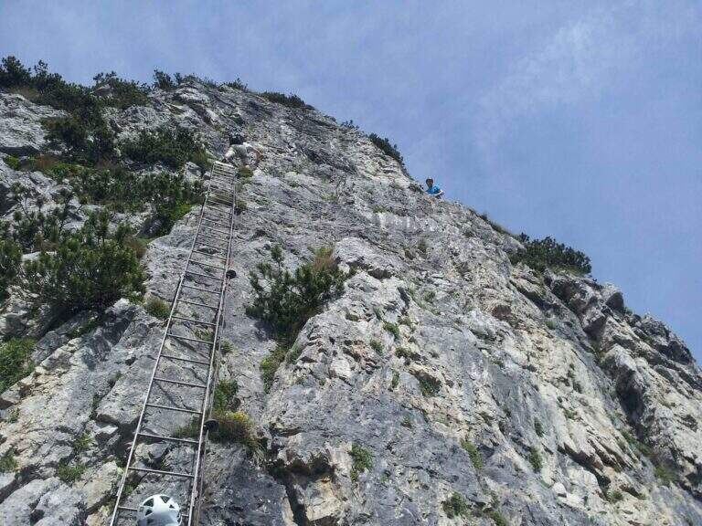
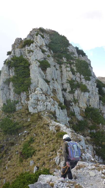
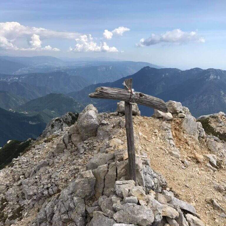
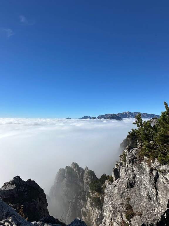
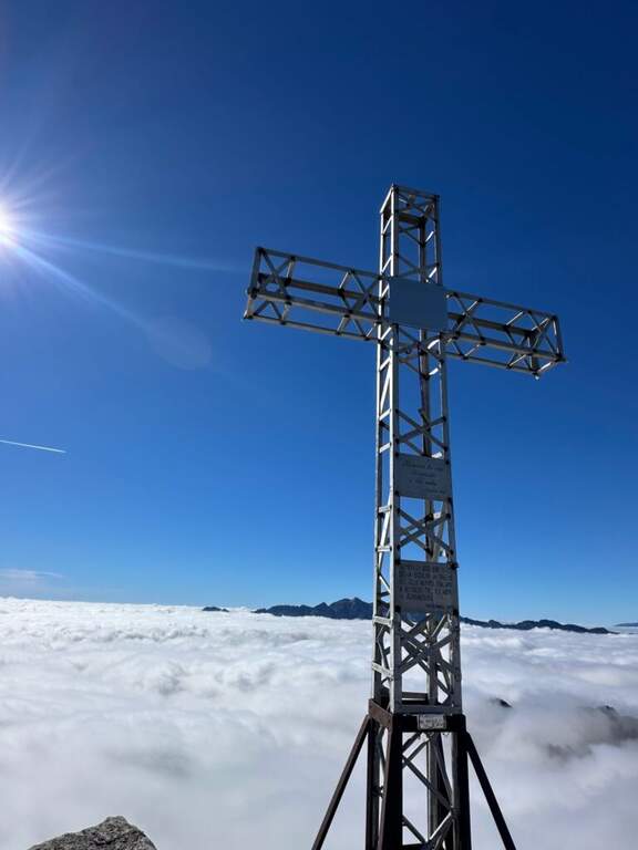
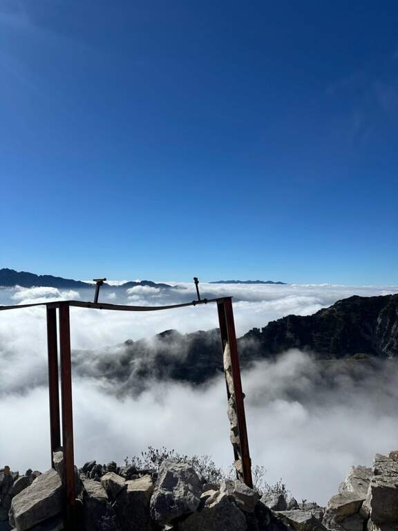
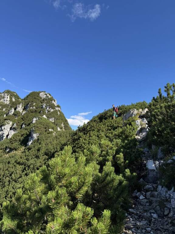
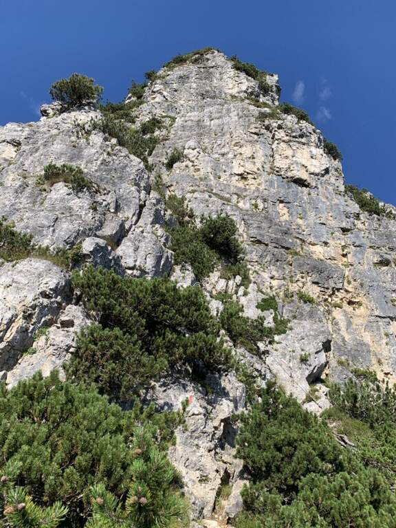
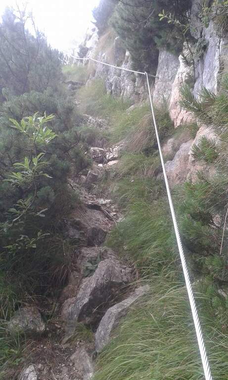
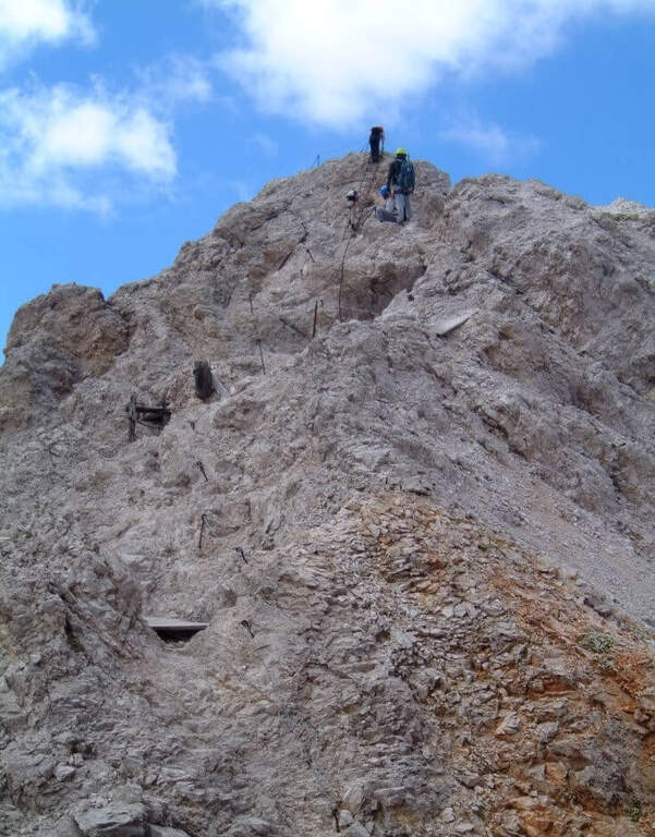
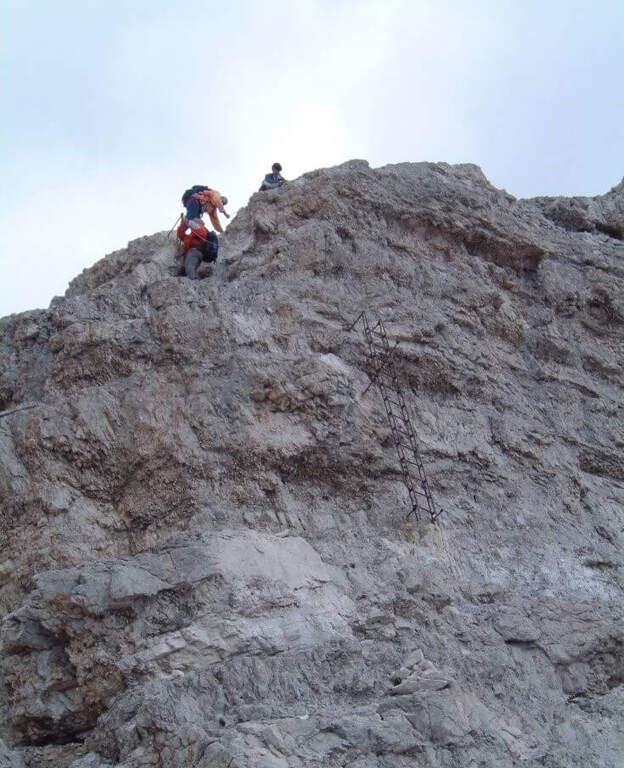
    From Rifugio VII Alpini go up towards Forcella Marmol with Ferrata Marmol, which is the first equipped stretch of the day. Adding the fork you leave the ferrata and attack the Path Attrezzato Guardian in the direction of the Pelf: the route rises on mixed ground, alternating rock and grass, with stretches equipped with moderate difficulty and long passages on exposed crest without protections. The summit of Monte Pelf is the highest and most panoramic point of the itinerary. The return descends along the CAI 507 to Ponte del Mariano and the departure parking.

    ▲Character and difficulty

    Classified Moderately Difficult, with a total length of day very challenging. The equipped routes do not exceed MD but the itinerary is not suitable for those who have no experience on alpine terrain. Complexity: technique 2/5, physics 4/5, exposure 3/5, environment 4/5.

    ⚠ Itinerary not to be underestimated for length and isolation. Bring abundant food and water; check availability of Rifugio VII Alpini (open seasonally).
    ▲Period and safety

    From July to September. The complete excursion takes a full day or an overnight stay at the refuge. Start at dawn to avoid afternoon thunderstorms.

    ▲Discipline

    From Pelf you descend to CAI 507 towards the Mariano Bridge and to the parking lot of Case Bortot (ring itinerary).

    ▲To match

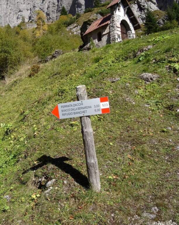
    In the Schiara Group: the Ferrata Zacchi, la Ferrata Marmol e la Ferrata Berti.

    ▲Gallery
    Technical data
    • DifficultyModerately Hard
    • RegionVeneto
    • GroupDolomiti Bellunesi – Group Schiara
    • Approach6:30 h
    • Ferrata1:30 h
    • Itinerary (a/r)11:30 h
    • Hardware level difference340 m
    • Route difference1805 m
    • Max2502 m
    • Length22 Km
  • Sentiero Attrezzato Leva – Cima di Terrarossa, Montasio

    Sentiero Attrezzato Leva – Cima di Terrarossa, Montasio

    Vie Ferrate › Friuli-Venezia Giulia › Udine
    Sentiero Attrezzato Leva – Cima di Terrarossa, Montasio
    Moderately Hard● OpenDescriptionComplexityMapsGallery

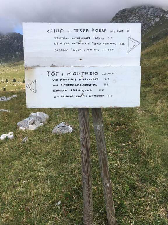
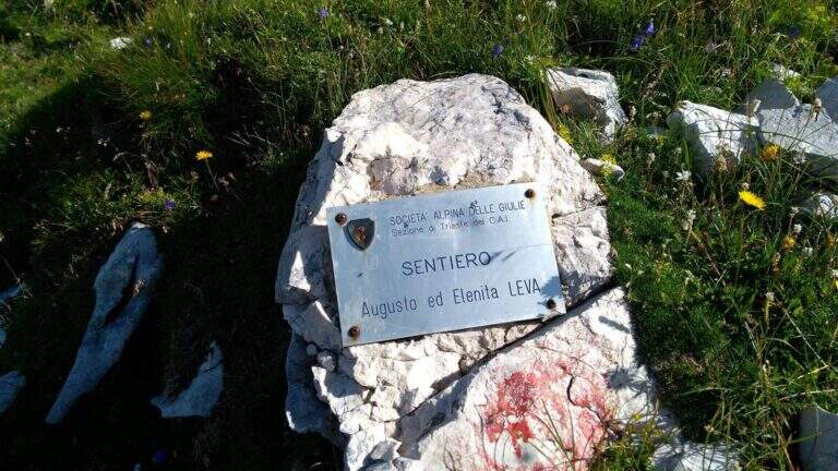
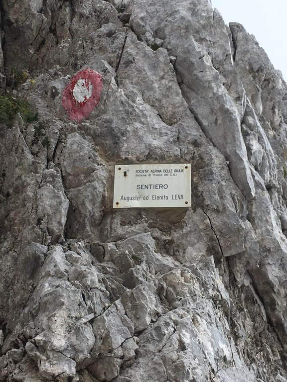
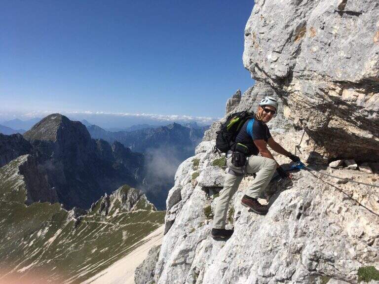
    The Path Attrezzato Leva walks through the scenic hint between the Cima di Terrarossa and the Forca dei Disteis on the slopes of the Jof di Montasio. Itinerary of medium difficulty with exposed and unprotected traits that require safe passage: ideal to be inserted in a more days on the Montasio plateau.

    ▲Approach

    You reach Chiusaforte on the A23 (exit Carnia Tolmezzo) and continue east for 20 Km until Sella Nevea. From a hairpin bend follow the brown sign for Altopiano del Montasio until the end of the road, where there is a large parking (directions road map). The proposed route passes through the Rifugio Brazza and the Cima di Terrarossa; it does not include the climb to the Jof di Montasio (that is the Ferrata Amalia).

    ▲The path

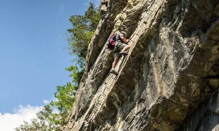
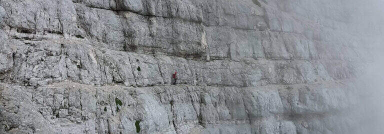
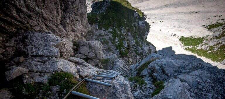
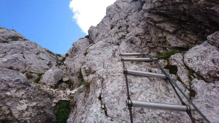
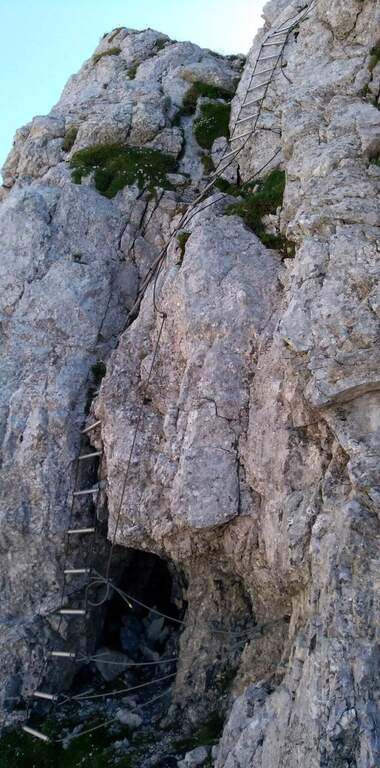
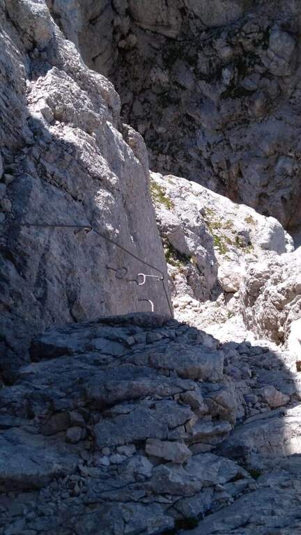
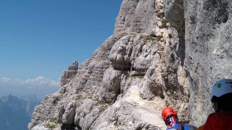
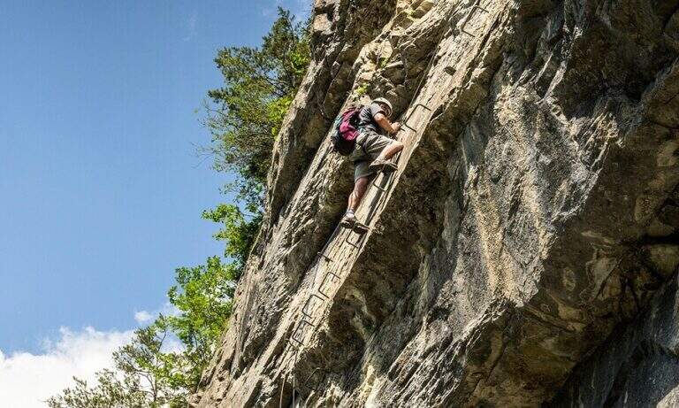
    Take the path from Cima Terrarossa to the west towards Forca dei Disteis. From the top you descend towards the Forca del Pallone (2242 m) facing a characteristic metal staircase leaning on the rock — it requires attention. Then take the equipped nod that wanders the west wall of the Cima Terrarossa: the stretch is exposed for long stretches and not always protected by cables. After passing the Forca del Pallone, the route resumes on the opposite side of the gorge and climbs back to the Forca dei Disteis. The most vertical stretches are located near the Forca, where the most challenging climb of the entire route takes place.

    ▲Character and difficulty

    Classified Moderately Difficult. The equipped traits are contained but the unprotected passages on exposed census represent the real challenge: they require concentration and stability even with heavy backpack. Complexity: technique 2/5, physics 3/5, exposure 3/5, environment 3/5.

    ⚠ The Montasio plateau can preserve snow until late June. Check the conditions with the Rifugio Brazza before leaving.
    ▲Period and safety

    From July to September. High mountain with unstable weather: start early. The route can be reached in both directions but in the direction described (east→west) the more vertical section is going uphill.

    ▲Discipline

    From the Forca dei Disteis you descend to the Rifugio Brazza and then to the starting parking lot along the paths of the Montasio plateau.

    ▲To match

    In the Julian Alps: the Ferrata Goitan at Jof Fuart e la Ferrata Julia at Canin.

    ▲Gallery
    Technical data
    • DifficultyModerately Hard
    • RegionFriuli-Venezia Giulia
    • GroupJulian Alps
    • Approach2:00 h
    • Ferrata1:30 h
    • Itinerary (a/r)5:00 h
    • Hardware level difference178 m
    • Route difference918 m
    • Max2420 m
    • Length9,1 Km
  • Sentiero Attrezzato Vidi al Grostè

    Sentiero Attrezzato Vidi al Grostè

    Vie Ferrate › Trentino-Alto Adige › Trento
    Sentiero Attrezzato Vidi al Grostè
    Moderately Hard● OpenDescriptionComplexityMapsGallery

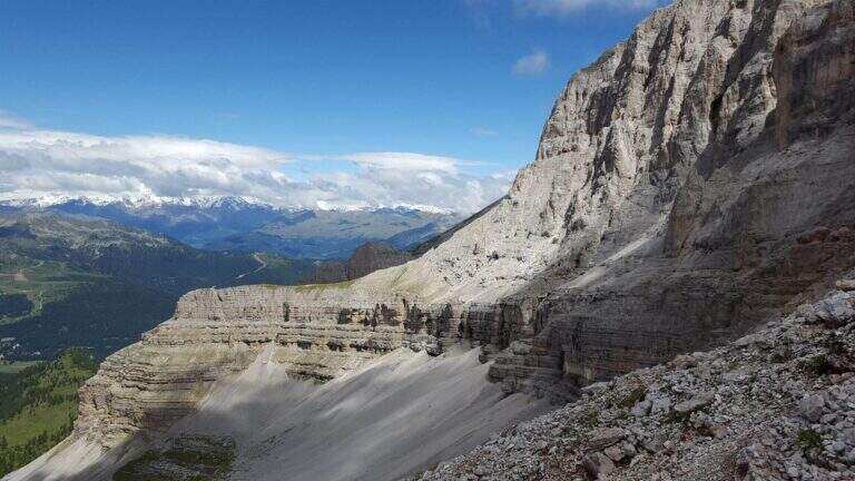
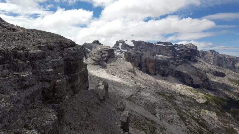
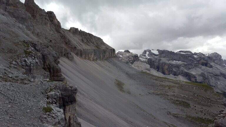
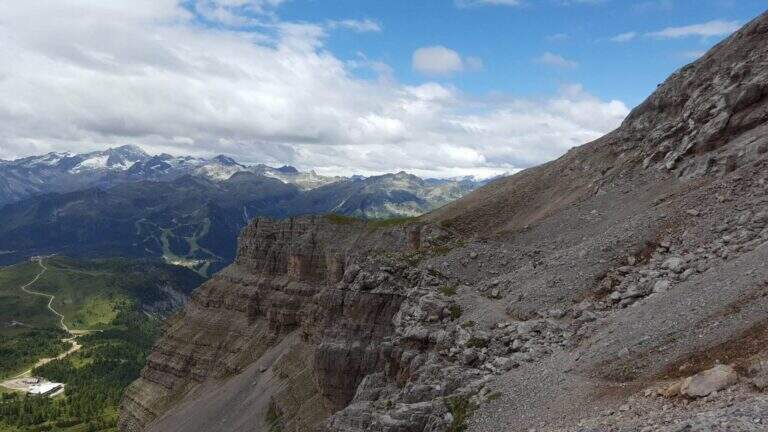
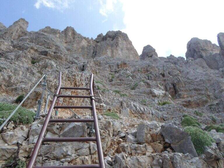
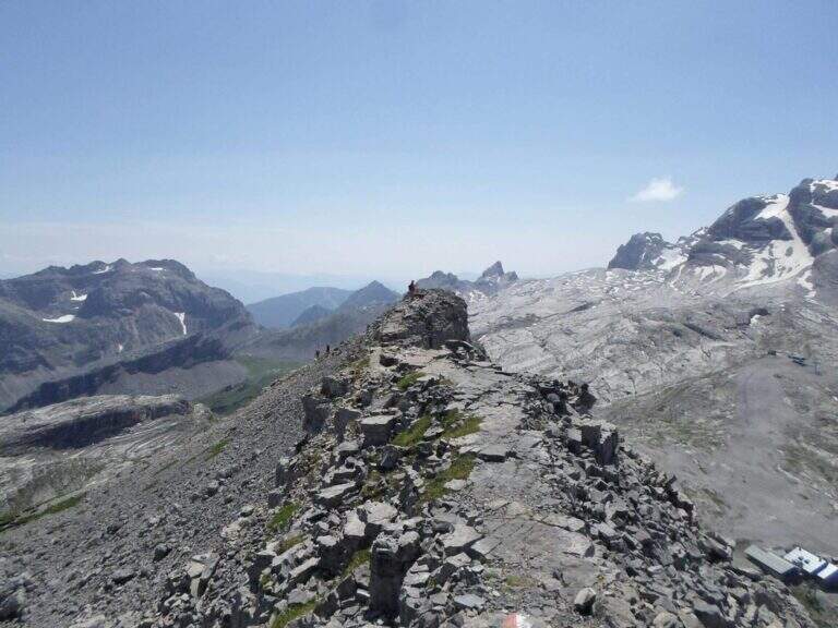
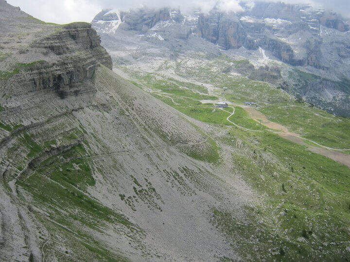
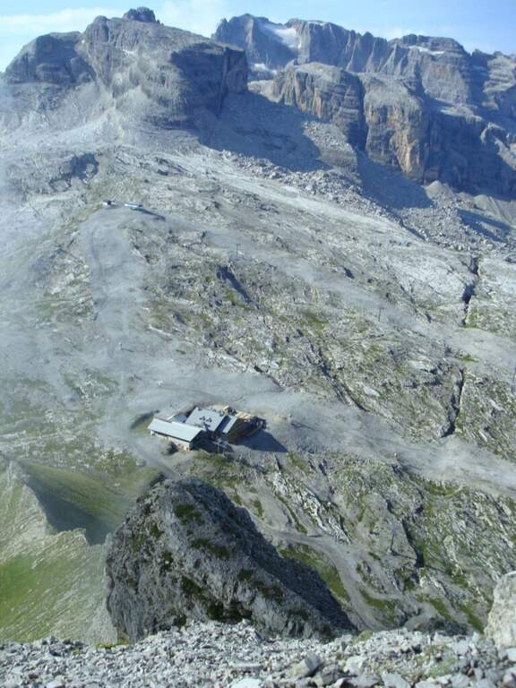
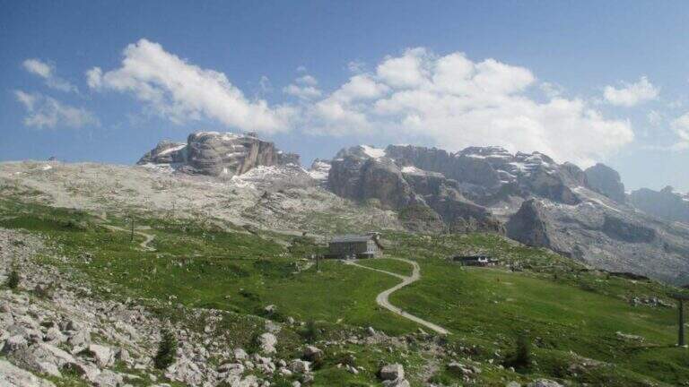
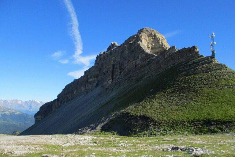
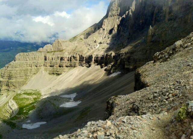
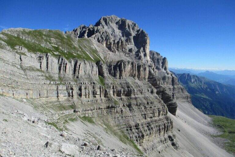
    The Sentiero Attrezzato Gustavo Vidi winds around Pietra Grande and the Orti della Regina in the Brenta Dolomites, starting from the mountain station of Madonna di Campiglio al Grostè. A ring of rare beauty in a corner among the least frequented of the Brenta, with exposure not to be underestimated despite the technical difficulties contained.

    ▲Approach

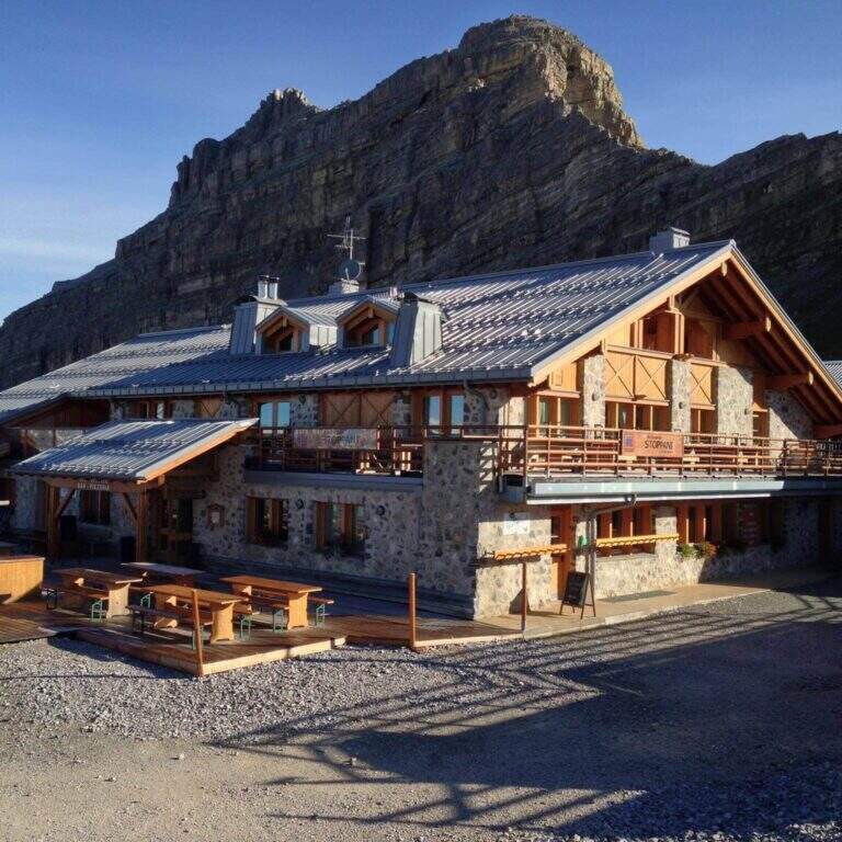
    You can reach Madonna di Campiglio and take the cable car to Stoppani Refuge at Grostè (directions road map). Alternatively, you walk up the CAI 301 path, which recovers 800 m of altitude in about two hours without excessive slope.

    ▲The path

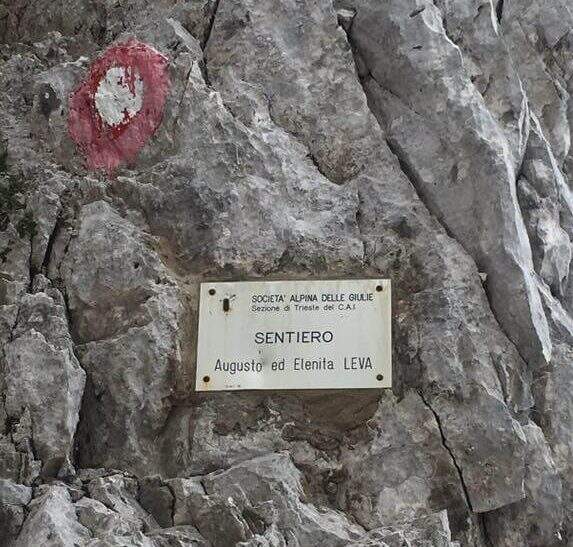
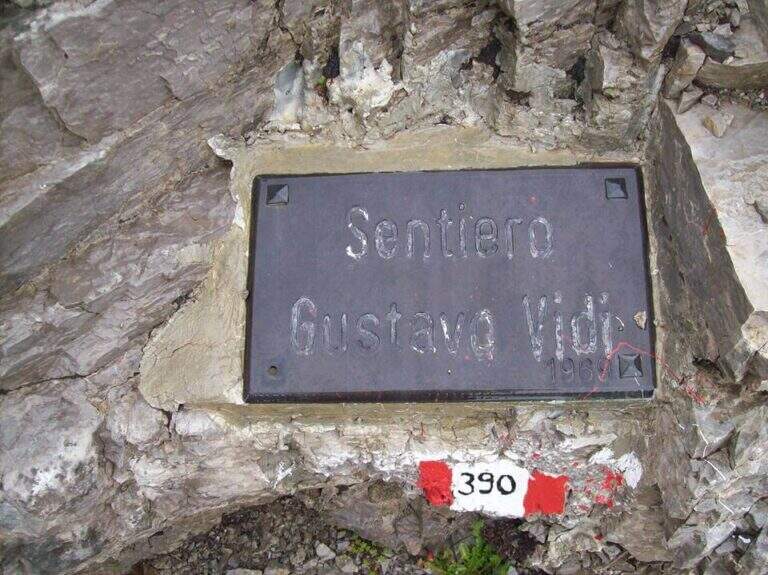
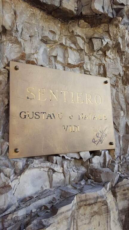
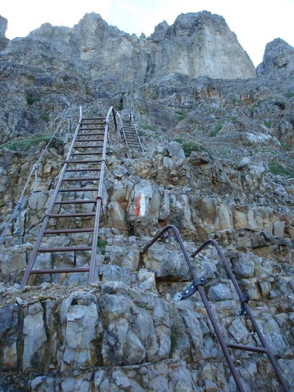
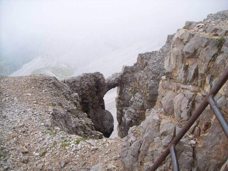
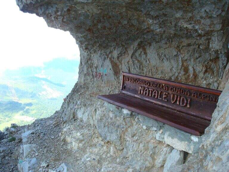
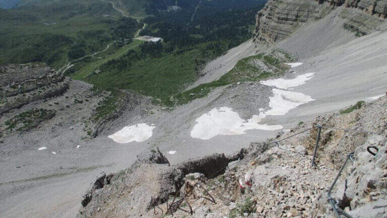
    From the mountain station of the cable car follow the many CAI 390 signs towards Pietra Grande. In twenty minutes you will meet the first red sign that marks the official entrance to the Route Attrezzato Vidi. There are some easy rocks and a steep and gravel path up to a characteristic wide nod, where a metal plate recalls the dedication of the route. Continue north, keeping the altitude, until a first narrowing of ridge with metal equipment. After some unprotected rocks, you face a narrow canal where the cable accompanies the ascent. The route describes an arc around the massif: a long stretch of nod, partially without protection, requires firm foot and concentration. Below you can see the Rifugio Graffer, destination of the return (about 2h 30' from the attack).

    ▲Character and difficulty

    Classified Moderately Difficult. Strictly equipped traits do not have high technical difficulties, but wide nods are exposed and free of cable: they require safe foot and lack of dizziness. Complexity: technique 2/5, physics 2/5, exposure 3/5, environment 2/5.

    ⚠ In late season some passages can preserve snow or ice: peak or ramps as precaution, similar to the whole sector of the Brenta.
    ▲Period and safety

    Recommended from June to September. Avoid in the presence of rainfall or afternoon temporal risk. The cable car closes seasonally: check its availability before leaving.

    ▲Discipline

    From the Rifugio Graffer you will descend by cable car from the intermediate station or continue on foot along the CAI 301 path to Madonna di Campiglio (about 5h total counting the cable car uphill and the descent on foot). Alternatively, go up to the Stoppani Refuge to resume the cable car (3h 30' total).

    ▲To match

    In the same area of the Brenta you can match the Ferrata della Val Gelada or the neighbor Path Equipped with the Palete.

    ▲Gallery
    Technical data
    • DifficultyModerately Hard
    • RegionTrentino-Alto Adige
    • GroupDolomiti di Brenta
    • Approach0:20 h
    • Ferrata2:30 h
    • Itinerary (a/r)3:30 h
    • Hardware level difference220 m
    • Route difference300 m
    • Max2662 m
    • Length4,4 Km
  • Sentiero Attrezzato dei Mar al Mulaz

    Sentiero Attrezzato dei Mar al Mulaz

    Vie Ferrate › Veneto › Belluno
    Sentiero Attrezzato dei Mar al Mulaz
    Moderately Hard● ClosedDescriptionComplexityMapsGallery

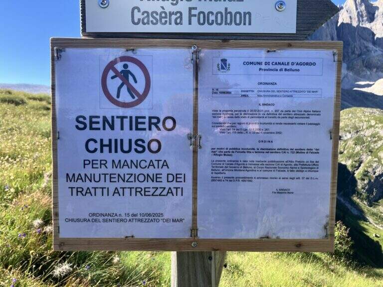
    : ATTENTION — Via CHIUSA: The Equipped Path of the Sea is closed. Check the current conditions before any planning.

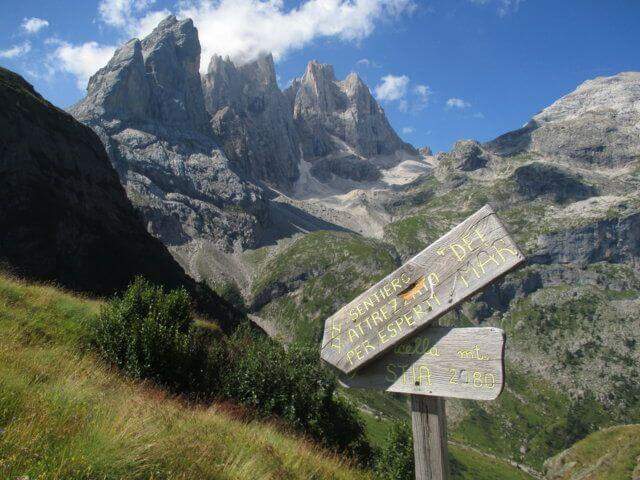
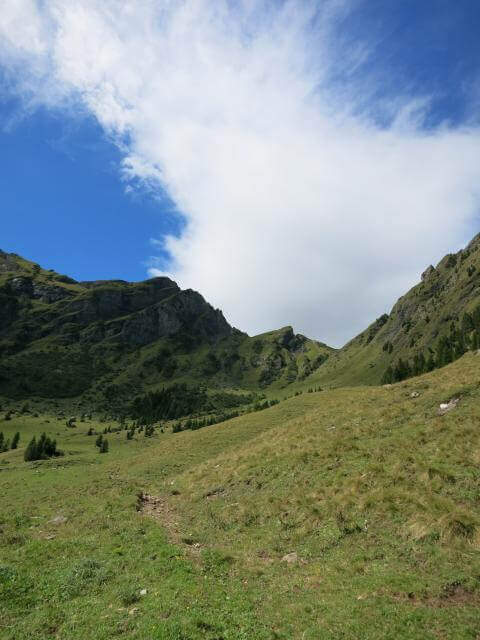
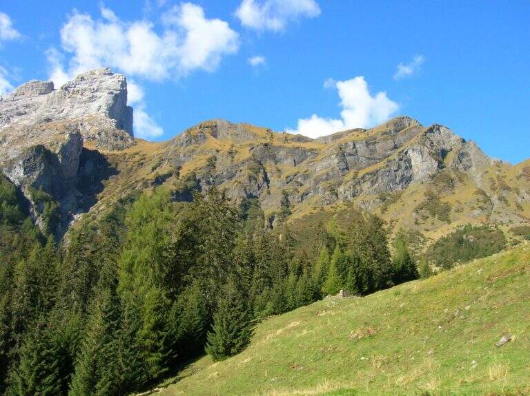
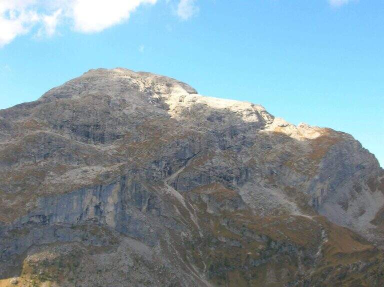
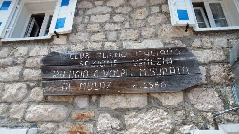
    The Path Attrezzato dei Mar runs through the northern side of the Pale di San Martino with departure from the isolated inhabited area of Gares, climbing towards the Mulaz between views of the Focobon. Itinerary not frequented, technically not difficult but with sometimes insidious background on grass and terrous.

    ▲Approach

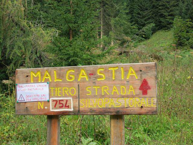
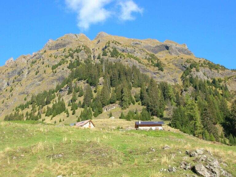
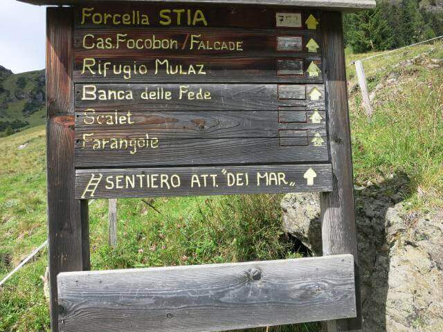
    You reach Gares from Canale d'Agordo turning south (west) for about 7 Km on a beautiful valley (directions road map). Comfortable parking in the village. On foot you will reach the church and take the route towards Malga Stia following the signs, first climbed on track then on path 754 on the left side of Val di Greta. In about 50 minutes you will reach Malga Stia (1785 m), then continue on path 752 towards Forcella Stia.

    ▲The path

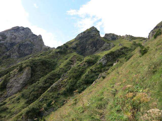
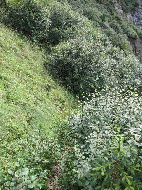
    From Malga Stia follow the path 752 on meadows towards Forcella Stia. At the Cresta dei Mar you arrive at a metal ladder and a sign that marks the beginning of the equipment. You go up the ladder and face a first esile equipped nod. Continue on a grassy ridge following the labile trace towards the rocky ridge that you walk just under the ridge thread, following the metal cables and paying attention to the grassy and terrous bottom that can be slippery with moisture. The route finally leads to the Mulaz.

    ▲Character and difficulty

    Classified Moderately Difficult. The equipped strokes are not technically demanding but the unstable background and lability of the track require orientation and caution. Complexity: technique 2/5, physics 3/5, exposure 2/5, environment 3/5.

    ⚠ It is currently closed. Do not travel without checking the status of the equipment with the competent CAI Section or with the Falcade Finance Guard.
    ▲Period and safety

    Normally open from July to September. Check the reopening before planning the excursion.

    ▲Discipline

    From the Mulaz you descend to the Mulaz refuge and then on a path towards Falcade or return to Gares for the uphill road.

    ▲To match

    In the Pale di San Martino: la Ferrata del Canalino al Mulaz e la Ferrata Gabitta d'Ignoti.

    ▲Gallery
    Technical data
    • DifficultyModerately Hard
    • RegionVeneto
    • GroupPale di San Martino
    • Approach1:45 h
    • Ferrata1:
    • Itinerary (a/r)7:00 h
    • Route difference1180 m
    • Max2560 m
    • Length13 Km
  • Sentiero Attrezzato dell’Ideale – Bocca d’Ambiez

    Sentiero Attrezzato dell'Ideale – Bocca d'Ambiez

    Vie Ferrate › Trentino-Alto Adige › Trento
    Sentiero Attrezzato dell'Ideale – Bocca d'Ambiez
    Moderately Hard● OpenDescriptionComplexityMapsGallery

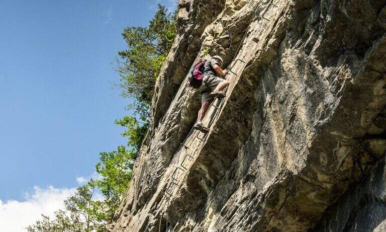
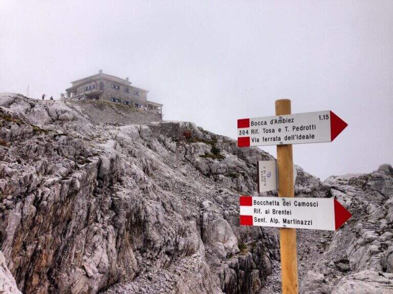
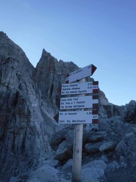
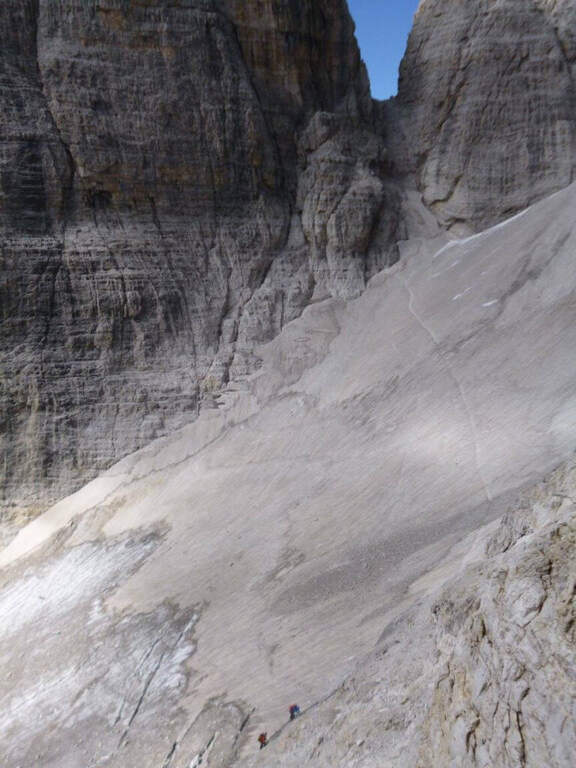
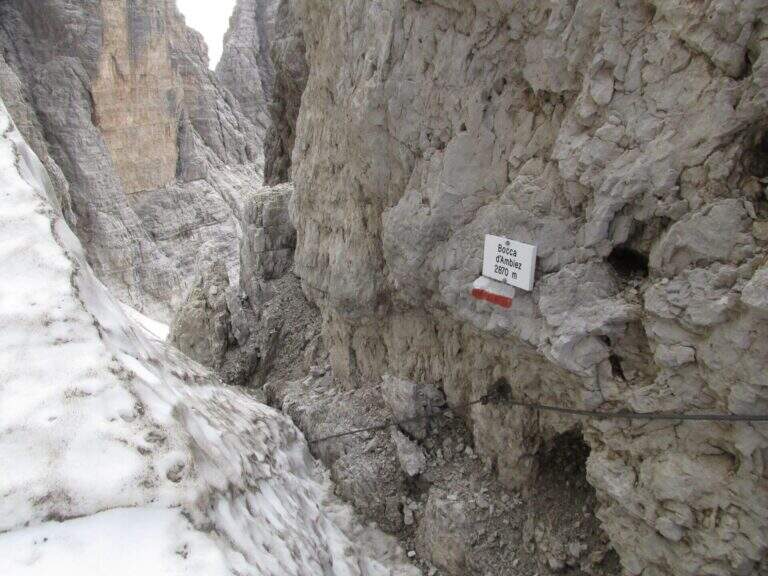
    The Attrezza dell'Ideale Path crosses the wall under the Cima d'Ambiez in the Brenta Dolomites, connecting the Refugi XII Apostoli and Agostini. Although historically classified as an equipped path, it has vertical traits and exposed worthy of a true via ferrata — not to be underestimated.

    ▲Approach

    The most common starting point is the cable car from Pinzolo to Doss del Sabion (directions road map). From Pinzolo on the SS 239 you park in the wide beaches next to the lifts. From the mountain station, follow the Attrezza della Scala Santa path to reach the XII Apostoli refuge (about 3h).

    ▲The path

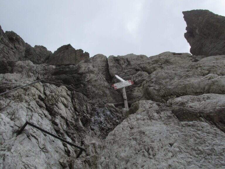
    From Rifugio XII Apostoli follow the CAI 307 towards the east towards the Bocchetta dei Camosci. You go up a valley on a detritic background with slope supported up to a point where the wall tightens: here begin the vertical and exposed traits that justify the reputation of this path. The route climbs towards the Bocca d'Ambiez alternating equipped rocks and aerial cenges. The exit leads to the Rifugio Agostini. The route can also be routed in reverse direction, or as a natural continuation of the Ferrata Brentari that starts from the Rifugio Pedrotti.

    ▲Character and difficulty

    Classified Moderately Difficult, but with passages that approach the Difficult for exposure and verticality. Not suitable for those with the use of the hardware set. Complexity: technique 2/5, physics 3/5, exposure 3/5, environment 3/5.

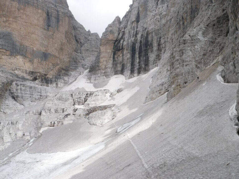
    ⚠ The itinerary takes place at high altitude in the Brenta: possible presence of snow and ice even in summer. Check the conditions at the Rifugio Agostini before leaving.
    ▲Period and safety

    From July to September. High altitude and shaded orientation can keep snow long. Recommended in company or after having traveled other similar level ferrates.

    ▲Discipline

    From the Rifugio Agostini you can descend towards Molveno along CAI paths or return to the Rifugio XII Apostoli to resume the cable car towards Pinzolo.

    ▲To match

    Complementary Ferrata Brentari, al Sentiero della Scala Santa and Ferrata Benini.

    ▲Gallery
    Technical data
    • DifficultyModerately Hard
    • RegionTrentino-Alto Adige
    • GroupDolomiti di Brenta
    • Approach3:00 h
    • Ferrata2:30 h
    • Itinerary (a/r)10:30 h
    • Hardware level difference400 m
    • Route difference450 m
    • Max1750 m
    • Length6 Km
  • Caves of Camporaghena and Monte Alto

    Caves of Camporaghena and Monte Alto

    Vie Ferrate › Emilia Romagna › RE
    Caves of Camporaghena and Monte Alto
    Moderately Hard● OpenDescriptionComplexityMapsGallery

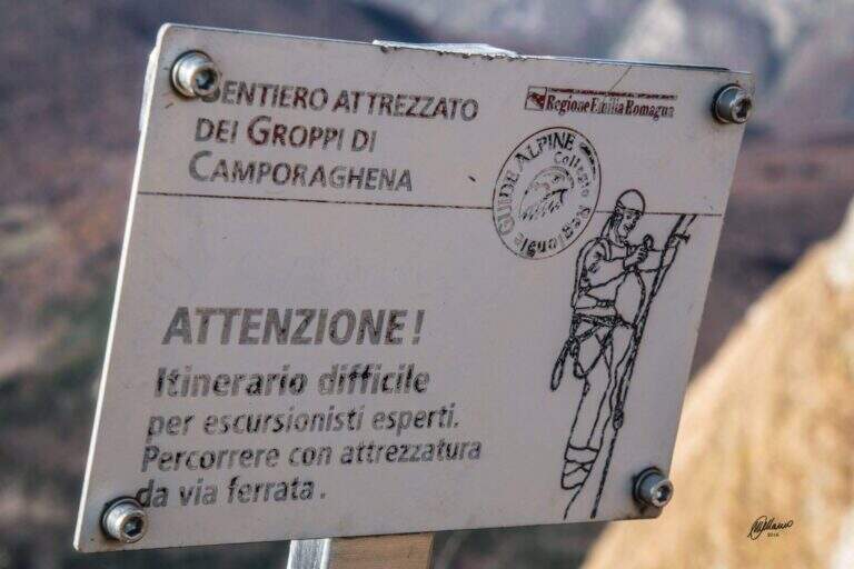
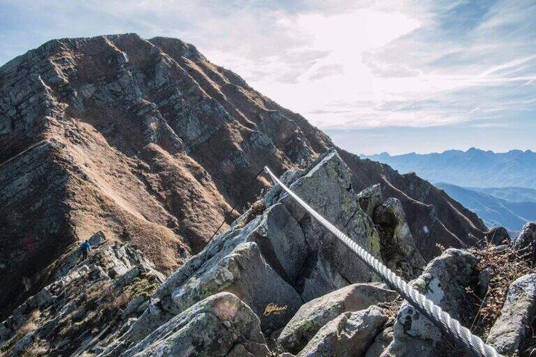
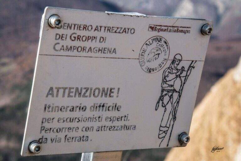
    The Groppi di Camporaghena and Monte Alto (1904m) represent the most alpine corner of the Tuscan-Emilian Apennines: a long itinerary with three sections equipped on Monte Alto at the triple border between the provinces of Reggio Emilia, Parma and Massa-Carrara.

    How to arrive and approach

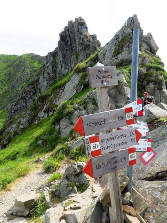
    The starting point is Succiso Nuovo, a small hamlet of the municipality of Ventasso in the province of Reggio Emilia (RE), reachable along the road that climbs from Busana or from Collagna to the upper valley of the Secchia. Park in the village and take the CAI 653 signpost that leads to the high altitude. The approach takes about 3 hours: the path crosses the Torrente Liocca and goes up towards the plateau of Camporaghena, area of high altitude pastures at the provincial border RE/PR/MS.

    The path

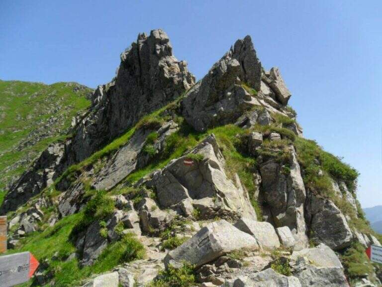
    From Succiso Nuovo you go up to the 653 signpost, crossing the Torrente Liocca and earning altitude towards the panoramic Groppi di Camporaghena. The three equipped sections are located on the crest of Monte Alto (1904m) and exceed the steepest and rocky sections of the itinerary with about 2h30′ of equipped route (rail level difference: 100m). The landscape has a morphology reminiscent of prealpine areas, with unusual vertical walls for the northern Appennine. The maximum quota is 1904m.

    Character and difficulty

    A challenging itinerary mainly for the exceptional length (16km, 9 total hours, 1325m of total altitude difference) and the isolation of the environment. The three sections equipped on Monte Alto are never technically extreme but the fatigue accumulated in the 3 hours of approach makes them more significant. The environment of the Tuscan-Emilian Apennines at this altitude is wild and far from services. Difficulty: Moderately Difficult. Not suitable for beginners for durability and insulation.

    Period and safety

    Recommended from June to October. The length requires morning departure to complete the itinerary with daylight (9 hours). The isolation of the path requires bringing water, food and clothing for all weather conditions. In case of bad weather the descent can be complicated. Check snow conditions at altitude in late spring.

    Discipline

    The descent takes place through the reverse climb, descending from Monte Alto to the Groppi di Camporaghena and then along the 653 signpost to Succiso Nuovo. The total time of the round trip is about 9 hours.

    To match

    The Monte Alto and the Groppi di Camporaghena are located in a small area of the Apennine reggiano-parmense, suitable for those who love hiking in wild environments and far from the crowd. In the nearby Apuan Alps (Turkish) there are more technical and spectacular ferrate. The Alta Via dei Parchi runs through this area of the northern Apennines.

    ▲Gallery
    Technical data
    • DifficultyModerately Hard
    • RegionEmilia-Romagna
    • GroupAppennino Tosco-Emiliano
    • Approach3:00 h
    • Ferrata2:30 h
    • Itinerary (a/r)9:00 h
    • Hardware level difference100 m
    • Route difference1325 m
    • Max1904 m
    • Length16 Km
  • Sentiero Attrezzato delle Foppe

    Sentiero Attrezzato delle Foppe

    Vie Ferrate › Lombardy › LC
    Sentiero Attrezzato delle Foppe
    Moderately Hard● OpenDescriptionComplexityMapsGallery

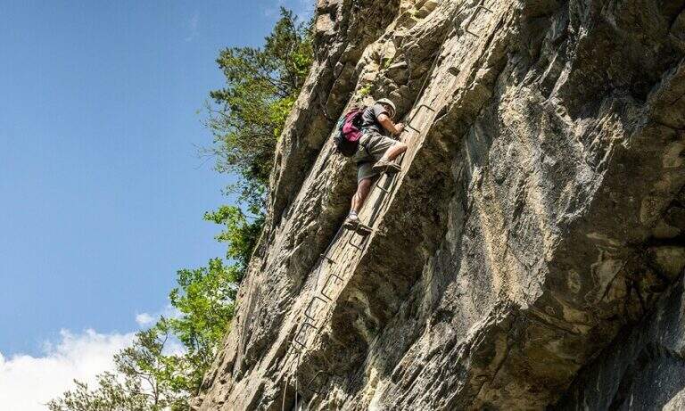
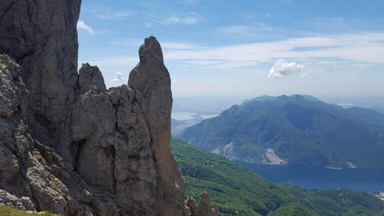
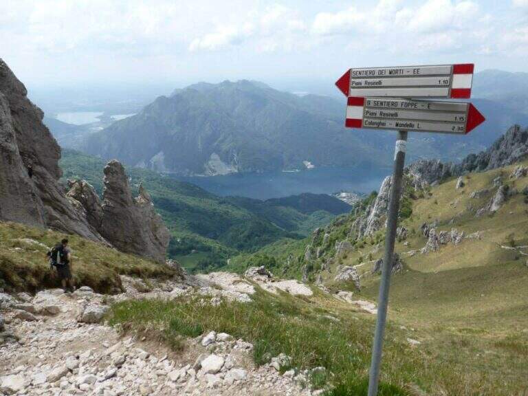
    The Sentiero Attrezzato delle Foppe is a difficult path that connects the Piani dei Resinelli to the Rosalba Refuge, a gateway to the South Grigna, with a few but well positioned equipped sections.

    How to arrive and approach

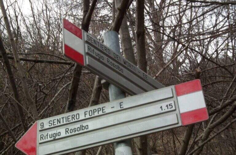
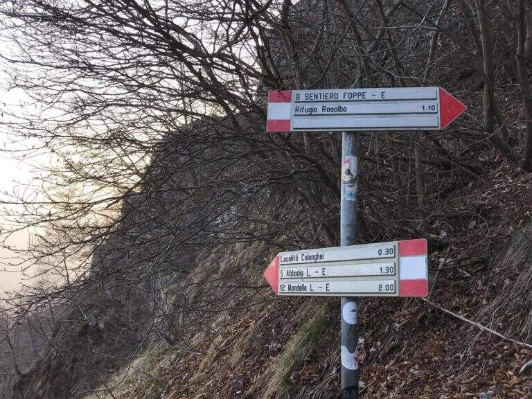
    You can reach the Piani dei Resinelli da Ballabio, going up the panoramic road with its many bends. When you arrive at the hamlet you will find parking near the former Alippi refuge. From the parking lot follow the abundant indications for path no. 9, also called Sentiero delle Foppe. At first you can walk to the Foppe, a private asphalted road with moderate slope that leads out of the village; at a signposted crossroad you continue to the right increasing the steepness and following the white-red road signs up to the first equipped section (about 30 minutes from the parking lot).

    The path

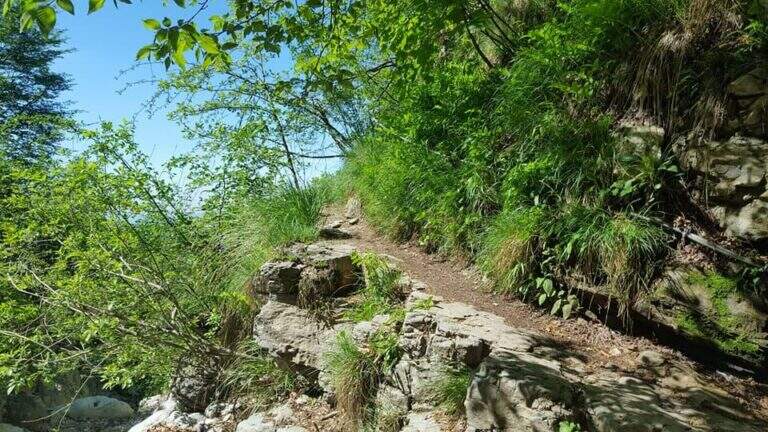
    The first equipped stretch is immediately after a detritic canal: a chain ensures the most exposed passage. Continuing you leave on the left the deviation for the Mountain Towers Punta Giulia, Torre Costanza and Mongolfiera. A short distance away is the second short stretch, consisting of a pair of metal brackets and a fixed rope that helps to climb a short jump of rock. From this point the slope increases considerably and the equipped section ends, leaving room for a steep path in the woods. A third and last equipped passage — an easy wall — precedes the arrival to the Rosalba Refuge (1730m), destination of the route (about 1 hour in total from the first equipped sections).

    Character and difficulty

    Path with very limited technical difficulties: the few equipment present help to overcome the rare challenging steps without requiring real experience of ferrata. The altitude difference of 550m in 13km makes it a suitable itinerary for hikers who want to approach the paths equipped in a landscape of great beauty. Difficulty: Moderately Difficult. On summer weekends the path and the shelter are very frequent.

    Period and safety

    Recommended from April to November. The path takes place mainly in the wood and the equipment is easy to progress; however, limestone rock can become slippery in case of frost or rain. Pay attention to crowding on summer weekends. The Rosalba Refuge (1730m) offers refreshment and shelter in case of rapid deterioration of weather conditions.

    Discipline

    From the Rosalba refuge you can return to the Resinelli for the uphill path in about 1 hour (3 hours total). An interesting alternative is the descent to the Path Attrezzato dei Morti: from the refuge you descend briefly, then you turn left on a steep path with a stretch equipped on exposed traverse, which reports just above the first section of the Path of the Foppe (about 1h30′ from the refuge, 3h30′ total).

    To match

    From the Rosalba refuge there are many equipped and mountaineering routes on the South Grigna. From here you can continue towards Sentiero Attrezzato della Direttissima and towards Sentiero Cecilia. The Route GER at Monte Coltiglione can be reached from the same area of the Resinelli.

    ▲Gallery
    Technical data
    • DifficultyModerately Hard
    • RegionLombardy
    • GroupPrealpi Lombarde
    • Approach0:30 h
    • Ferrata0:30 h
    • Itinerary (a/r)3:00 h
    • Hardware level difference60 m
    • Route difference550 m
    • Max1730 m
    • Length13 Km
  • Sentiero Attrezzato della Direttissima

    Sentiero Attrezzato della Direttissima

    Vie Ferrate › Lombardy › LC
    Sentiero Attrezzato della Direttissima
    Moderately Hard● OpenDescriptionComplexityMapsGallery

    The Direttissima alla Grigna Meridionale is one of the most beautiful equipped routes of the Lombard Alps, able to give spectacular views on the limestone spires of Grignetta up to Lake Como.

    How to arrive and approach

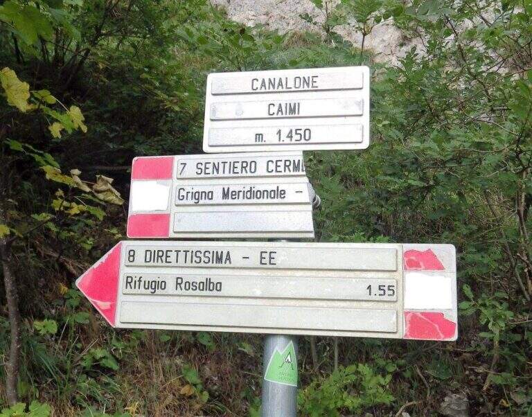
    The starting point is the plateau of the Resinelli in the province of Lecco, reachable from Ballabio along the panoramic road that goes up with numerous bends the left golden slope. Arrived near the brown welcome sign you continue a hairpin bend, then you hold the left to the next branch along the narrow paved road until the parking lot near a bar. From the parking lot you can reach the Rifugio Carlo Porta in a few minutes, from which you take the path n. 8 that goes up in the woods. At a first crossroads you leave the Cresta Cermentati on the right and continue on the left towards the Direttissima. After transiting near a canalone, the track gradually becomes steeper until the first metal equipment (about 30 minutes from the parking lot).

    The path

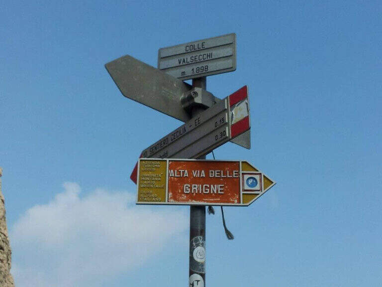
    The equipped road develops on rocky spurs, often diagonally, where you can exploit the rock to rise without relying exclusively on the chains. They face a series of laughter assisted by a metal cable, therefore an exposed traverse equipped with brackets for the feet, before entering into a canalone with some jumps. The most technical section is the Pagani Caminetto, climbed up with two metal stairs: the first overhanging, the second most supported. Exit from the fireplace — attention to the voluminous backpacks in the narrow passage — you walk a scenic stretch between the pinnacles and limestone spires, ignoring the lateral deviations. After a crossroads near the Canalone Angelina, there are walls resting up to Colle Valsecchi (2177m), where the main equipment ends.

    Character and difficulty

    Moderate difficulty path, never technical in an extreme way but rich in exposed passages that require good balance and absence of dizziness. Progression is almost always intuitive and the equipment is rational. The most challenging sections are the exposed traverse before the Pagani Caminetto and the two metal stairs of the fireplace itself. Difficulty: Moderately Difficult. Recommended standard hardware equipment: sling, double longe with heatsink, helmet.

    Period and safety

    Recommended from May to October, avoiding days with low fog or risk of afternoon storms. The route takes place at altitudes between 1300m and 2177m: even in summer temperatures can be lowered quickly with the arrival of disturbances. The limestone rock of the Grignetta becomes slippery after the rain. On summer weekends the path is very popular: an early departure allows to avoid queues on the equipment.

    Discipline

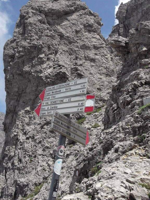
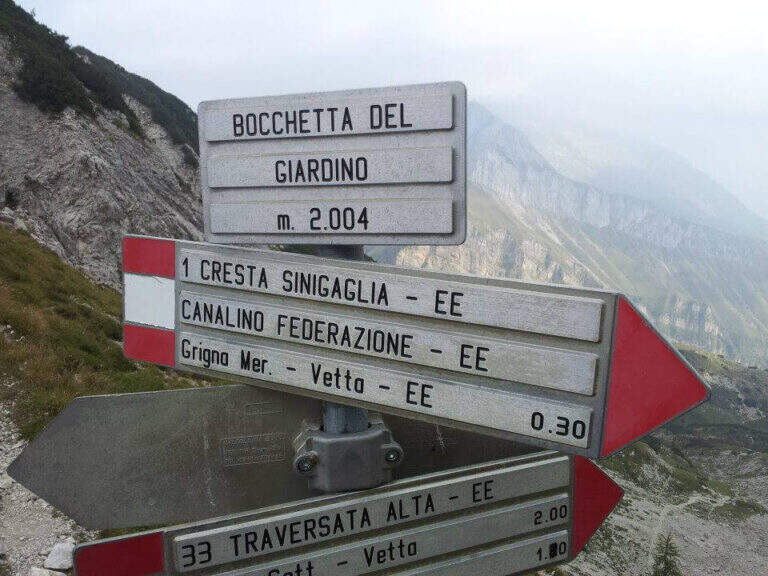
    From Colle Valsecchi (2177m) you have multiple return options. You can continue on the Path Attrezzato Cecilia or go down towards the Val Scarlettone following the Canalino Federation, a well-equipped route that leads back to the Resinelli. Alternatively, Cresta Cermentati or Cresta Sinigaglia offer longer but panoramic descents. The total time of the tour is 6 hours.

    To match

    The Athletic Path of the Direttissima naturally matches Sentiero Attrezzato Cecilia, with which he shares the terminal stretch from Colle Valsecchi. In the immediate vicinity are also located Sentiero Attrezzato delle Foppe for the Rosalba refuge and numerous other mountaineering itineraries on the South Grigna.

    ▲Gallery
    Technical data
    • DifficultyModerately Hard
    • RegionLombardy
    • GroupPrealpi Lombarde
    • Approach0:45 h
    • Ferrata2:30 h
    • Itinerary (a/r)6:00 h
    • Hardware level difference600 m
    • Route difference930 m
    • Max2177 m
    • Length10 Km
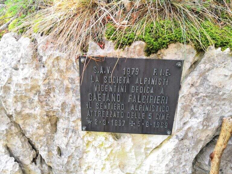
  • Sentiero Attrezzato Falcipieri

    Sentiero Attrezzato Falcipieri

    Vie Ferrate › Veneto › VI
    Sentiero Attrezzato Falcipieri
    Moderately Hard● OpenDescriptionComplexityMapsGallery

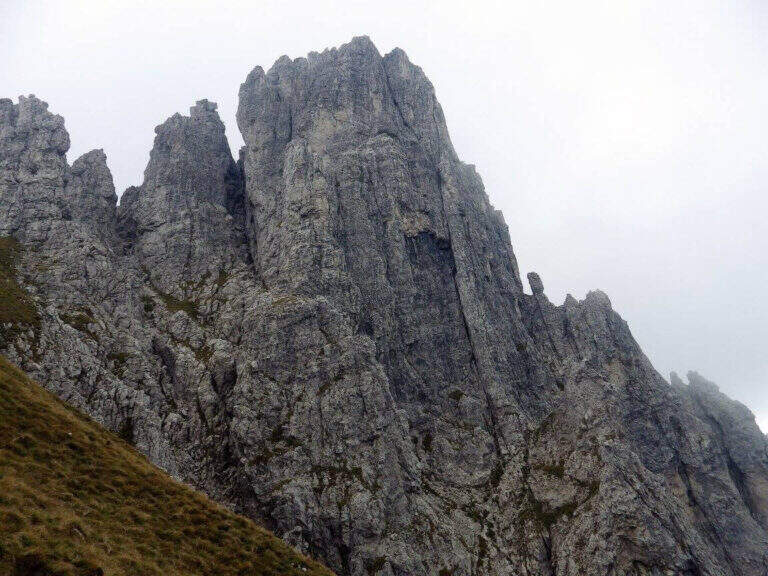
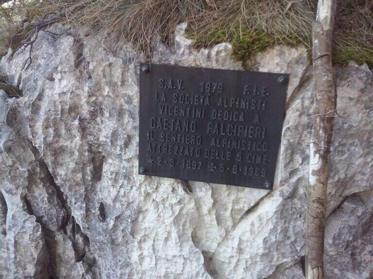
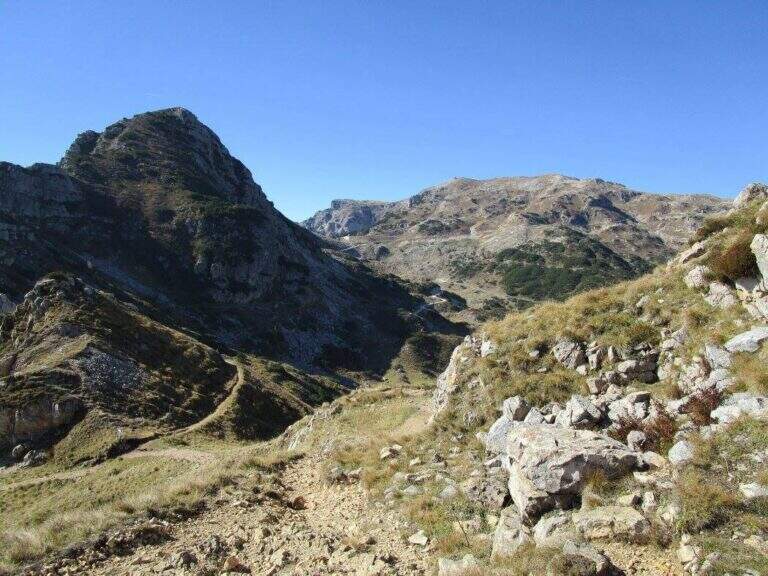
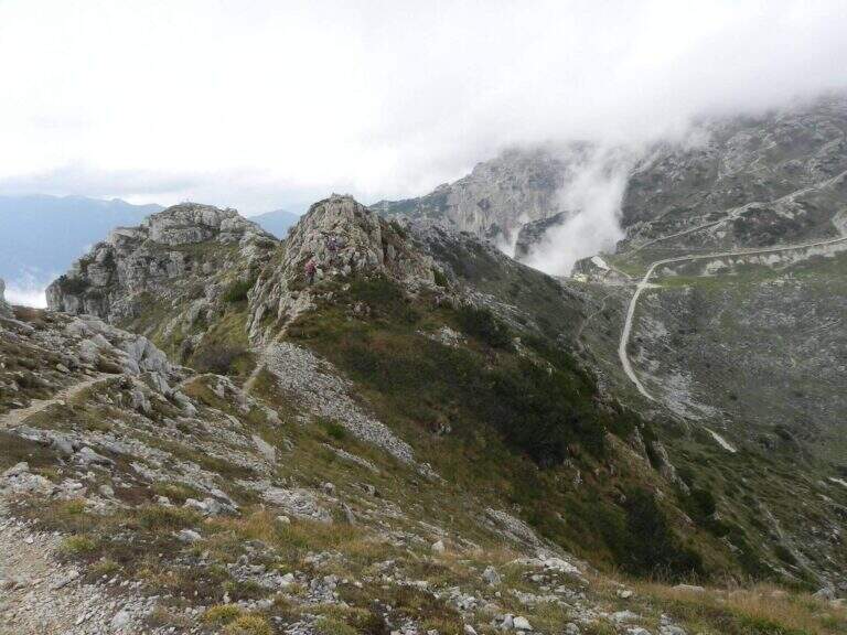
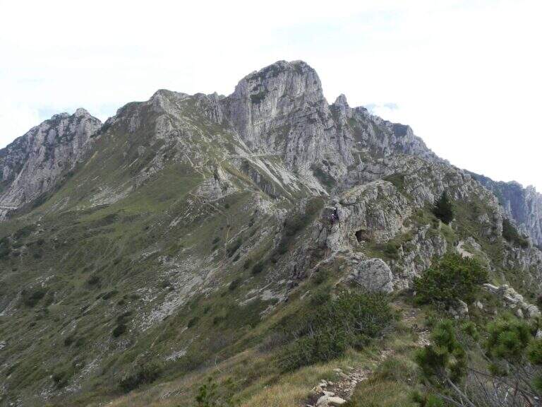
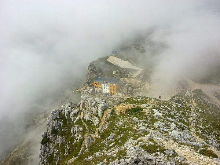
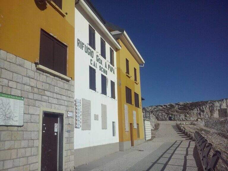
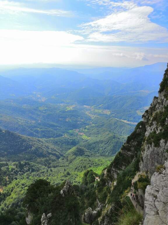
    The Sentiero Attrezzato Falcipieri is a long crossing on the 5 peaks of the Pasubio (Veneto), in an environment steeped in history of the Great War with extensive views on the small Vicentin Dolomites.

    How to arrive and approach

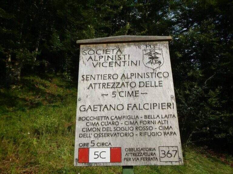
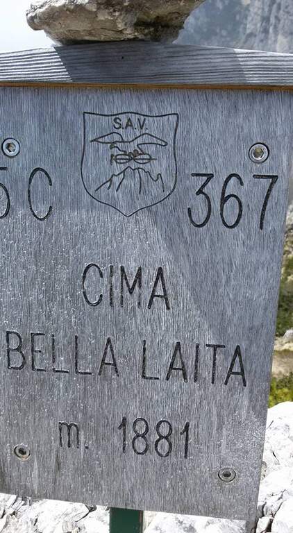
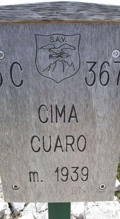
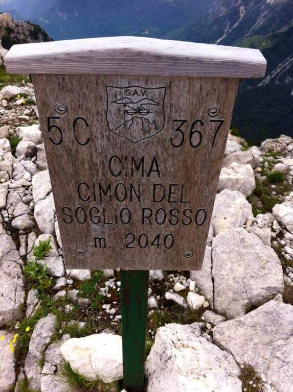
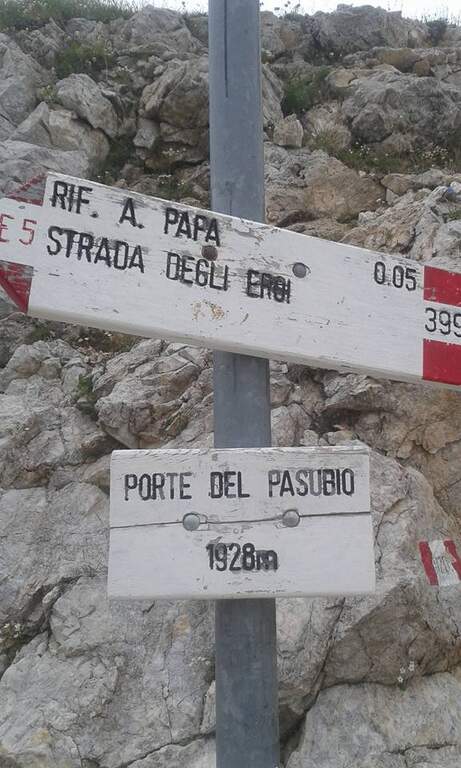
    The starting point is Bocchetta di Campiglia (1220m), in the province of Vicenza, reachable from Schio or Rovereto along the road that climbs towards Pian delle Fugazze. From the large parking lot of the Bocchetta di Campiglia take the 367 signpost that, in short approach of about 15 minutes walk, leads to the attack of the equipped route.

    The path

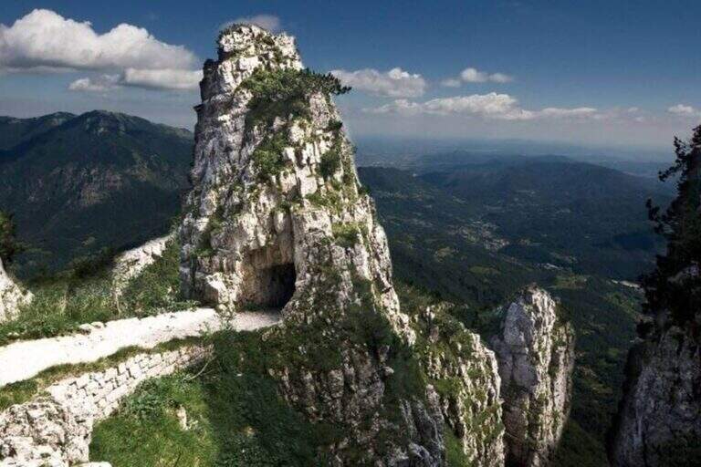
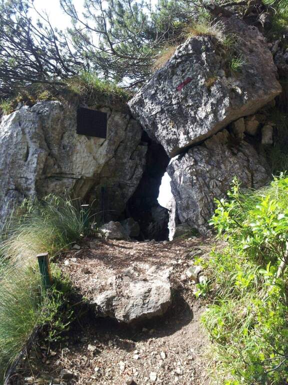
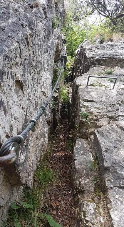
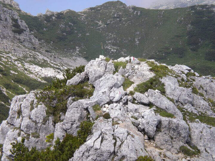
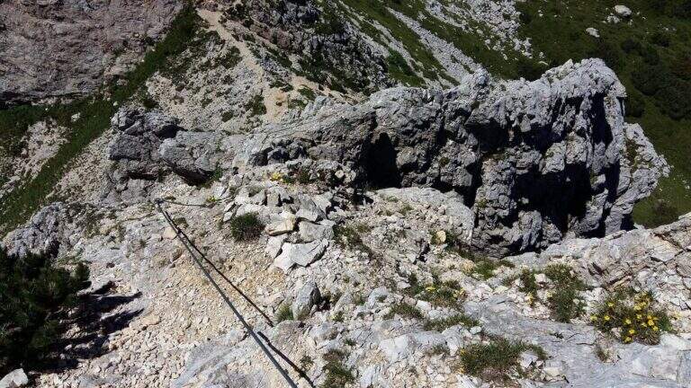
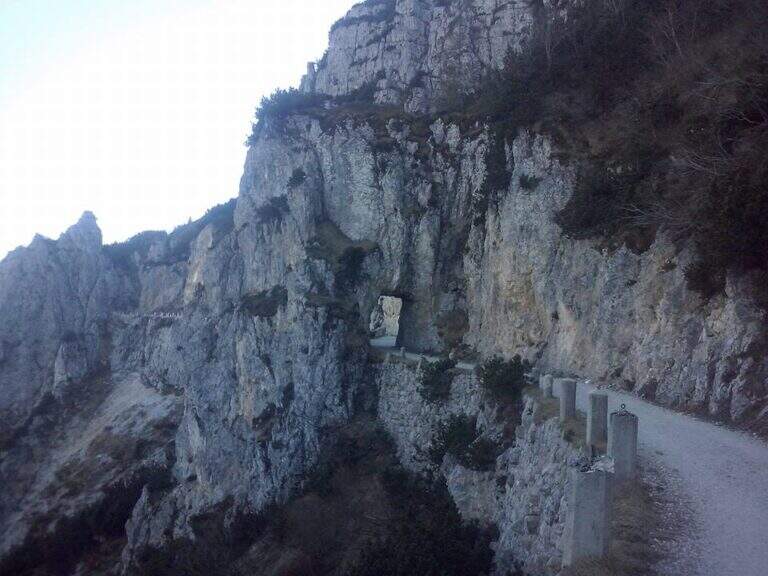
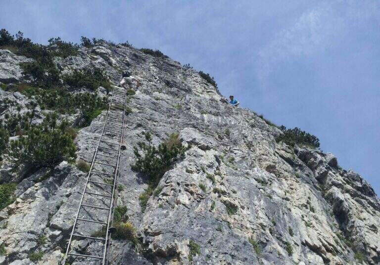
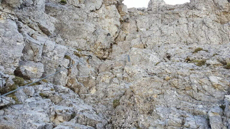
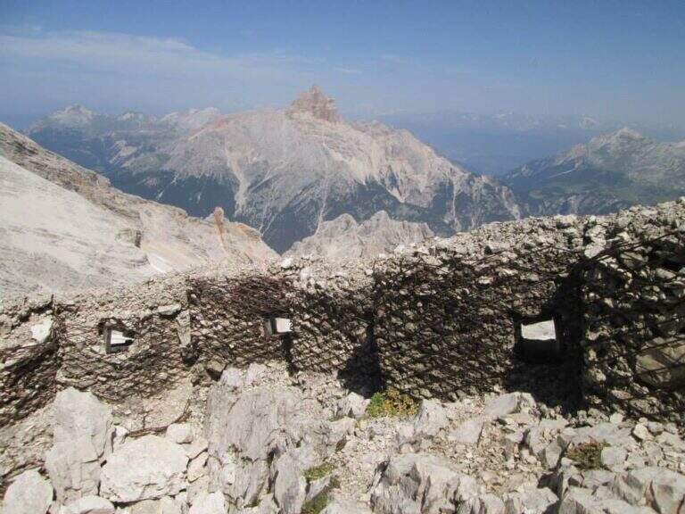
    The Sentiero Falcipieri develops for about 5 hours along the ridge of the 5 peaks of the Pasubio, with a difference in altitude of 700m. The track follows the 367 mark through open and windy environments where the testimonies of the First World War are still very visible: walks, trenches and tunnels dug in the live of the rock. The equipped sections follow the various peaks with metal cables and piles that make sure the most exposed passages. The maximum quota reached is 2040m. The complete crossing, for length and environment, is one of the most characteristic of the Venetian-trentine Prealps.

    Character and difficulty

    The Falcipieri is especially challenging for the duration (5 hours of equipped path, 7h30′ total) and the open environment on the ridge, more than for the technical difficulties of the individual passages. Wind exposure and rapid weather variations typical of Pasubio require good physical preparation and ability to manage energies on a long path. Difficulty: Moderately Difficult. Exceptional historical interest: the entire area was the scene of bloody fighting of the Great War. Standard equipment from recommended hardware.

    Period and safety

    Recommended from June to September. The ridge of the 5 Peaks is completely exposed: in case of afternoon thunderstorms the retreat may be difficult along the path. The morning departure is essential to complete the crossing before the afternoon. In the presence of residual snow (possible even in May to 2000m) the ridge strokes require careful assessment of the conditions.

    Discipline

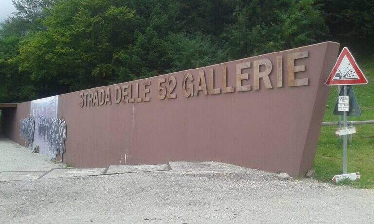
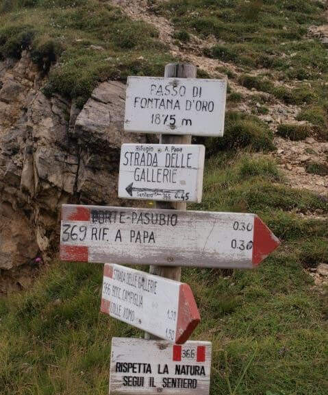
    The return from the crossing takes place on the 52 Galleries Road (mark 366), a historic military route of the Great War that descends towards the Bocchetta di Campiglia. This descent itinerary is itself of great historical interest. Total time of the excursion: about 7h30′ including the approach.

    To match

    On the Trentino side of the Pasubio is the Sentiero Attrezzato Franco Galli al Corno Battisti, as rich in history of the First World War. The Piccole Dolomiti offer many other ferrates in the area between Recoaro Terme and Rovereto.

    ▲Gallery
    Technical data
    • DifficultyModerately Hard
    • RegionVeneto
    • GroupPasub
    • Approach0:15 h
    • Ferrata5:00 h
    • Itinerary (a/r)7:30 h
    • Hardware level difference700 m
    • Route difference808 m
    • Max2040 m
    • Length11 Km
  • Ferrata Ivano Dibona al Cristallo

    Ferrata Ivano Dibona al Cristallo

    Vie Ferrate › Veneto › Belluno
    Ferrata Ivano Dibona al Cristallo
    Moderately Hard● OpenDescriptionComplexityMapsGallery

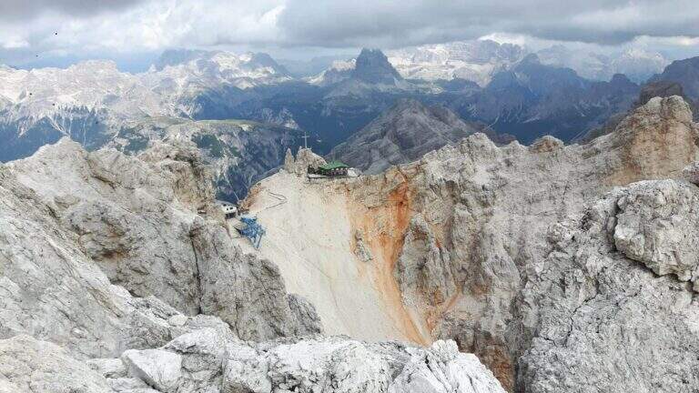
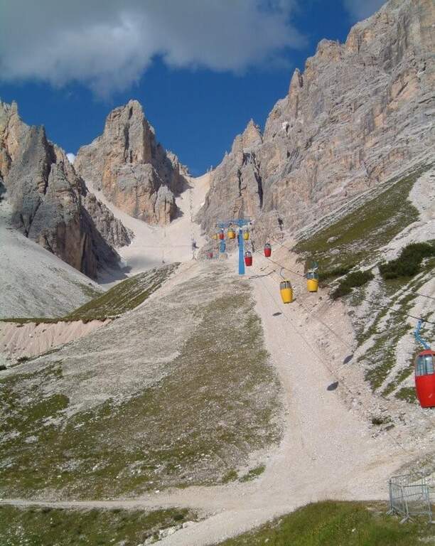
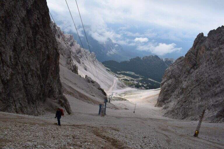
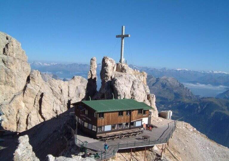
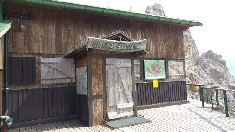
    viso Notice — The bidonvia that climbed to Forcella Staunies has been dismantled (July 2017) and is waiting for reconstruction to date to be allocated; the only way to reach the attack is today to trace the steep detritic valley of the Gran Staunies, on an unstable gravel bottom (at least 2h from the end of the chairlift). The Lorenzi refuge, at the beginning of the ferrata, is also closed. It is a long and challenging itinerary regardless: plan time and weather carefully.

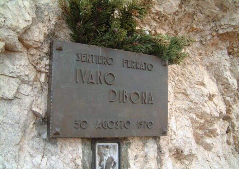
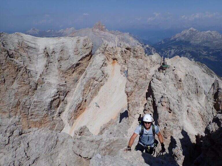
    The Ferrata Ivano Dibona is a wonderful ridge route on the Crystal Group. From Forcella Staunies runs through the entire ridge that descends to the Col dei Stombi, in a path of great landscape interest and rich in in indelible traces of the fighting of the Great War. The technical difficulties are not high, but some traits are exposed and above all the overall difference requires an excellent training.

    ▲Approach

    Starting from the parking lot at the Restaurant Rio Gere, from which rises the chairlift that connects Rio Gere (1700 m) with the Son Forca Refuge (2215 m), along the road of the Passo delle Tre Croci that joins Cortina d’Ampezzo to Auronzo di Cadore, on the ampezzano slope (open up Google Maps). The attack is in Forcella Staunies (2932 m): from Rio Gere there are almost 1250 m of altitude, so it is highly recommended to use the chairlift up to the Son Forca Refuge. From here, dismantling the old bidonvia that climbed to the fork, the only solution is to climb up the detritic valley of the Gran Staunies, a steep channel and on unstable gravel bottom to deal with carefully, taking into account at least 2 hours from the end of the chairlift.

    ▲The path

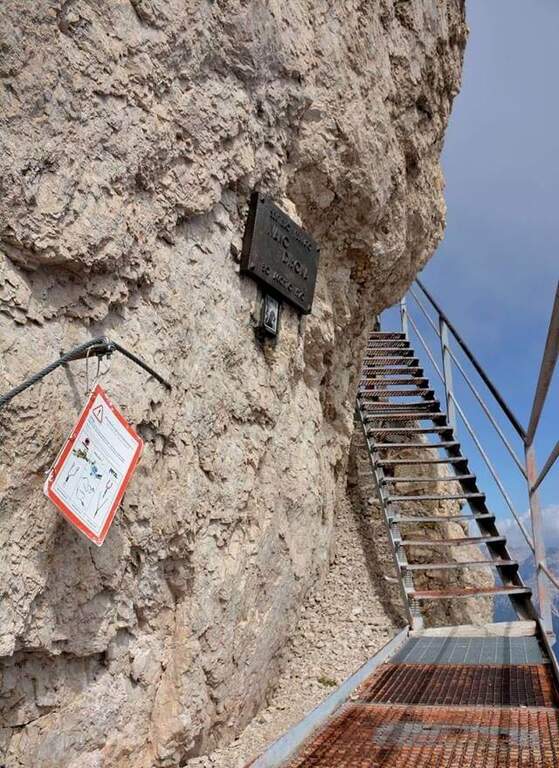
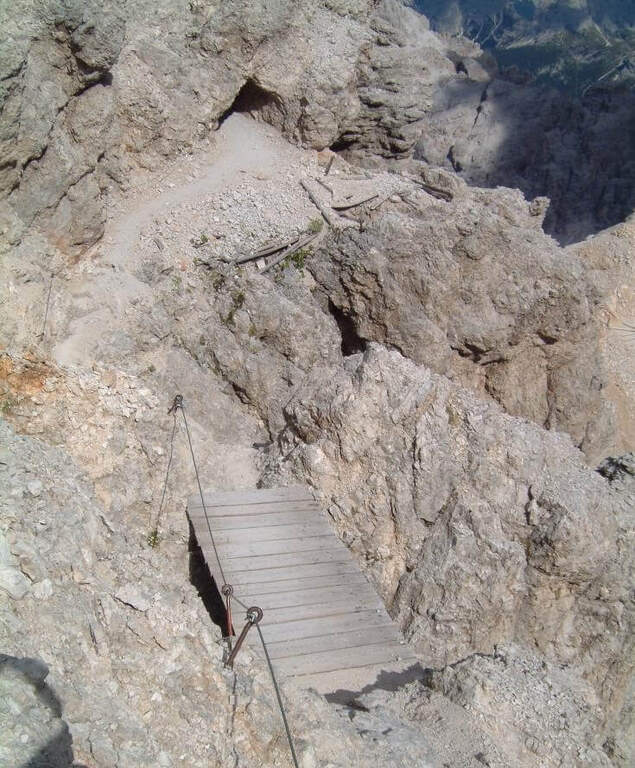
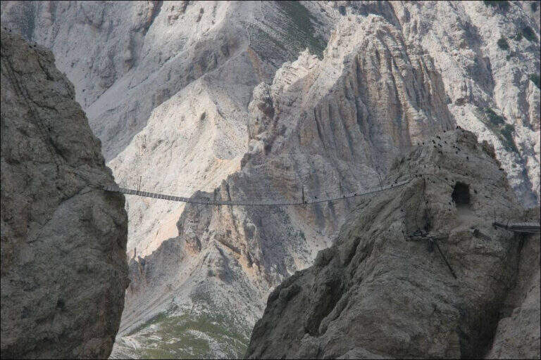
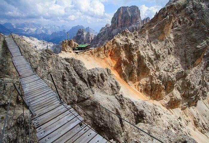
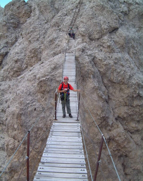
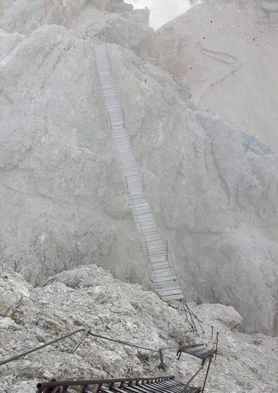
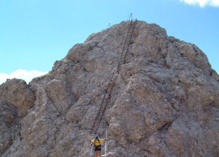
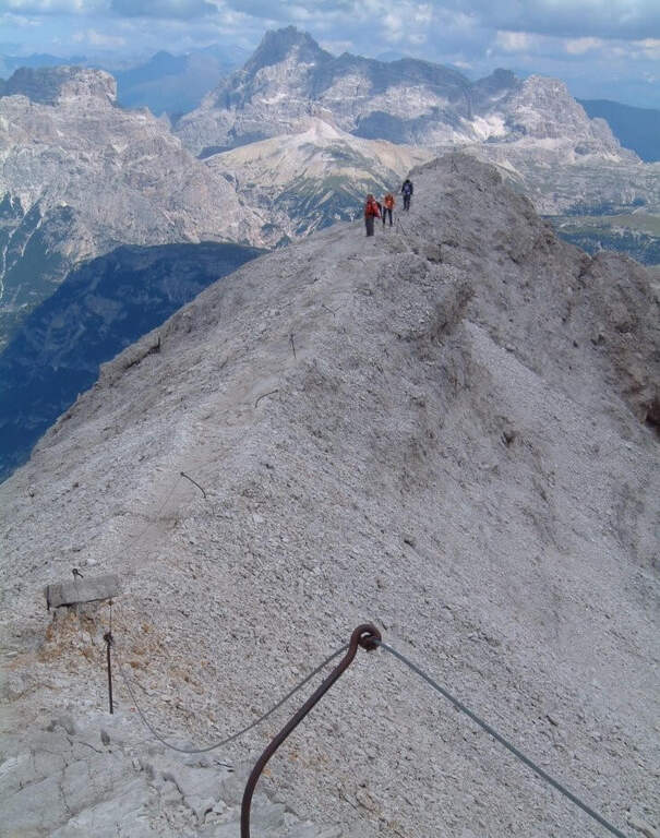
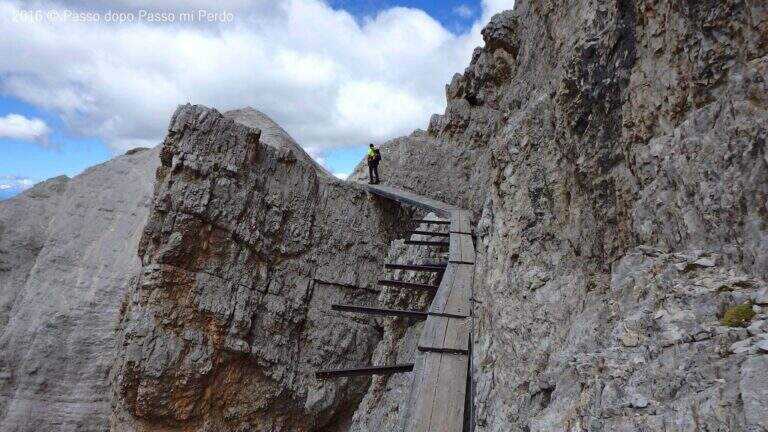
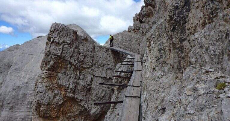
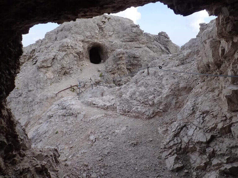
    Adding the Forcella Staunies you can see the silhouette of the Lorenzi Refuge, in a beautiful but closed position; behind it a metal staircase set in the rock gives start to the ferrata. After finishing the metal walkway, a ladder starts the first section, the most “ferrate” of the entire itinerary: a nod with a passage on a wooden walkway, a short passage that circumvents a rocky highlight with a couple of climbs without difficulty, some small rocks towards a rather short arcade that bends immediately to the left (not necessary twist) and a comfortable nod with wooden walkway. There are other small rocks and you will continue just below the ridge, with large passages and wooden walkways where the ground narrows, up to the suspended bridge of about 30 meters, one of the most iconic points of the route: turning you see the Lorenzi Refuge just left and the beginning of Ferrata Bianchi, which proceeded in reverse direction (15′ from the attack to the refuge, 2h30 total). The bridge is very large, built with wooden beams (a pair not fixed). Beyond the bridge a long metal staircase, divided into two sections, earns altitude and leads on the long ridge that characterizes this part of the route, well equipped with rope despite it is almost everywhere wide. After a slight descent to the Forcella Grande you will find a crossroads (2980 m, 15′ from the bridge, 30′ from the attack): you can go straight on the Dibona or take the optional turn left for Cima Cristallino, going up halfway to an insellatura and then on a corner not difficult to the base of the summit (2997 m, 10′ from the junction); you will climb preferably from the west side, Resumption downhill the Dibona, descends towards the Forcella Grande (2874 m), where on the right is the path to the Ferrata Renè de Pol at the Punta del Forame and you will meet some remains of snipers of the Great War; on the fork is held the left remaining on the Dibona. On the left side you pass next to the ruins of a former Italian military shelter and follow, under the Cresta Bianca, a section where you alternate paths, cenges, easy walks and walks equipped with a modest difference in altitude, up to the Forcella Padeon (2762 m, 2h from the attack included the deviation to the Cristallino, 4h15 total), where stands the Bivacco Buffa di Perre Guerra Continue on a half-coast on the south side of Vecio del Forame, with some exposed cenges at unprotected strokes, up to a detritic canalone that descends on the left with a long stretch, reaching first the Forcella Alta (2650 m) and then a fork (2490 m, 1h from the Bivacco Buffa di Perrero, 5h15 total). Here, while on the left the steep franous canal of Val Padeon is a difficult and little advisable escape route, continue straight on the path Dibona up to the Forcella Bassa (2450 m); then walk halfway without equipment along the Cresta dello Zurlon, climb a ladder that leads to some military ruins (2360 m, 40′ from Forcella Bassa, 6h total) and, after a short climb From Col dei Stombi you descend steeply, between bends and serpentine, up to the graft on the forest (CAI 203, 1700 m, 30′ from the hill, 7h15 total).

    ▲Character and difficulty

    The technical difficulties are not high, but the itinerary is long and contracting, with exposed traits and some unprotected cenges; the difference in level to be faced is remarkable and requires excellent training. Historically it is one of the most fascinating routes in the Dolomites, scattered with traces of the Great War.

    ⚠ Itinerary very long (23 km, up to 10h) and challenging, with exposed traits and blinds at unprotected strokes: start early, with stable weather, and take into account the now more tiring access (risalita del Gran Staunies).
    ▲Period and safety

    High mountain summer itinerary (max. 3008 m at Cristallino). The length, exposure and demanding access make it suitable for well-trained and autonomous hikers.

    ▲Discipline

    Adding the forest is left on path 203, ignoring all deviations, up to Passo Son Forcia (2109 m, 1h45 from graft on the forest, 8h total). From here you can go up to the Son Forca refuge to take the chairlift that goes down to the Rio Gere (attention to the opening hours of the lifts), or keep the right on 203 until you turn left for the CAI 206 (1948 m, 20′ from the Son Forcia Pass), in the direction of Malga Lareto; go down on 206 until you find an exotic unmarked track that goes down to the Rio Gere (30′ from the end of the inn.

    ▲To match

    From the Forcella Grande the Ferrata Renè de Pol to the Punta del Forame, natural continuation for those who still have energies.
    ▲Gallery
    Technical data
    • DifficultyModerately Hard
    • RegionVeneto
    • GroupCrystal
    • Approach2:15 h
    • Ferrata5:00 h
    • Itinerary (a/r)10:00 h
    • Hardware level difference1300 m
    • Route difference1300 m
    • Max3008 m
    • Length23 Km
Need help? Write to us!