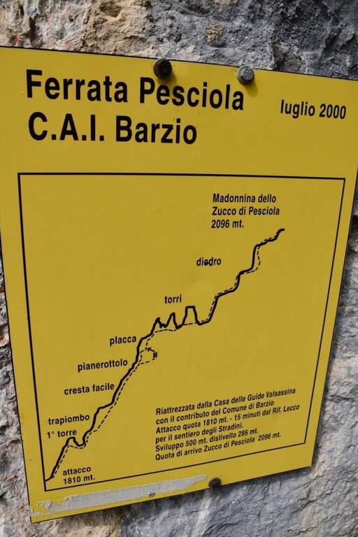
Difficoltà: Molto Difficile

  • Ferrata Zucco Pesciola

    Ferrata Zucco Pesciola

    Vie Ferrate › Lombardia › Lecco
    Ferrata Zucco Pesciola
    Very difficult● OpenDescriptionComplexityMapsGallery

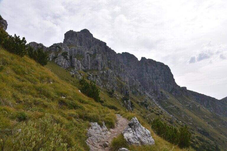
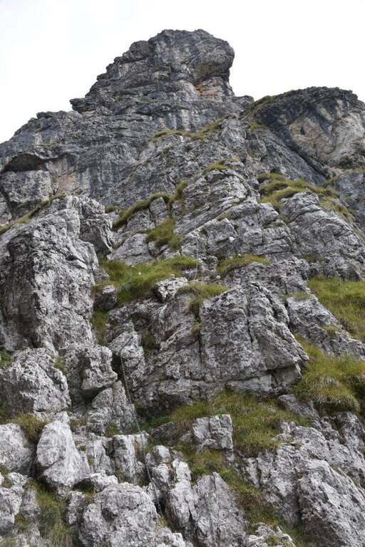
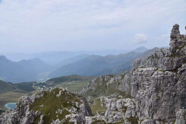
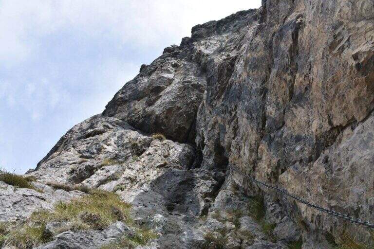
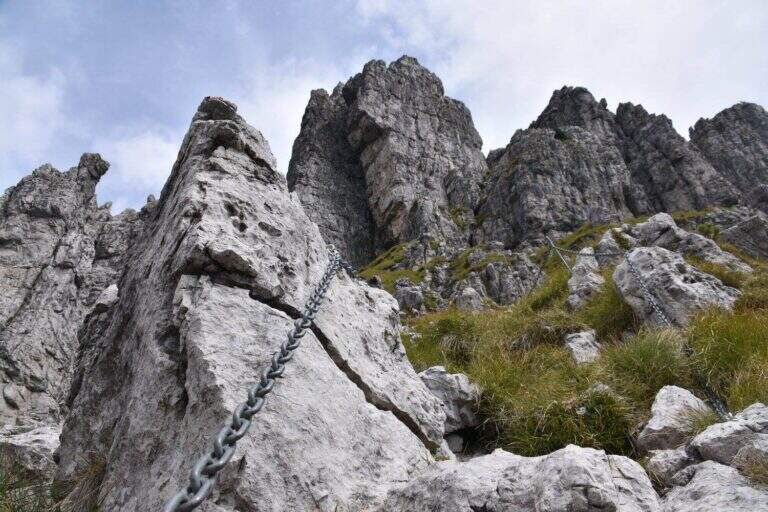
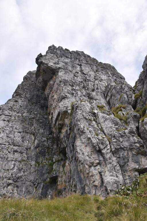
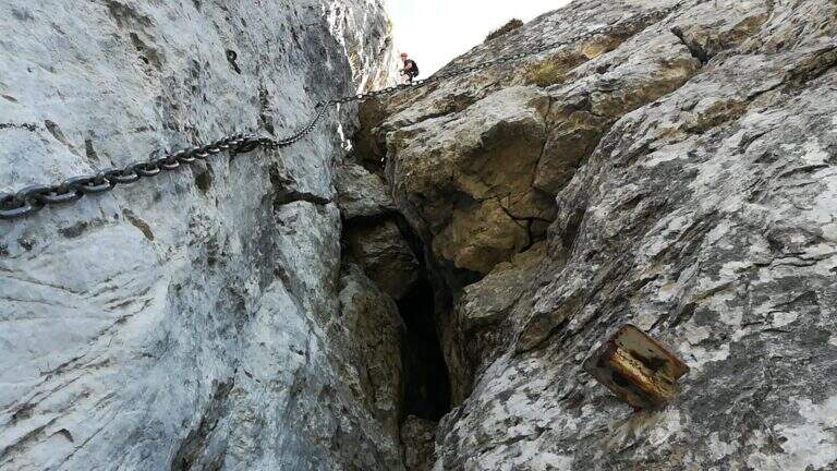
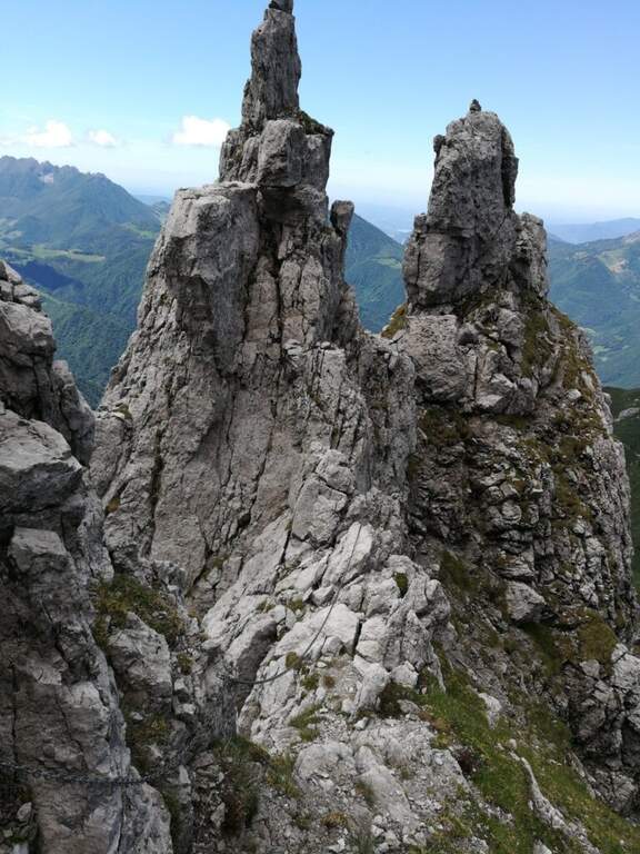
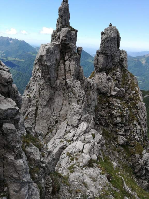
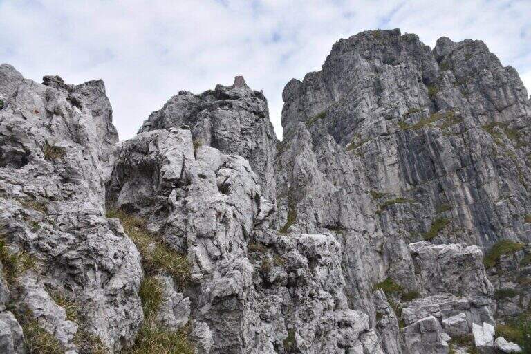
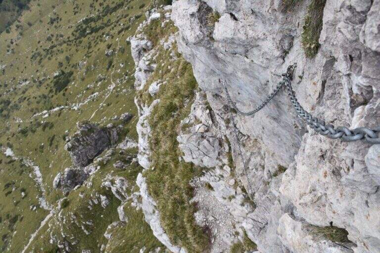
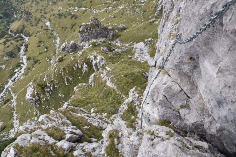
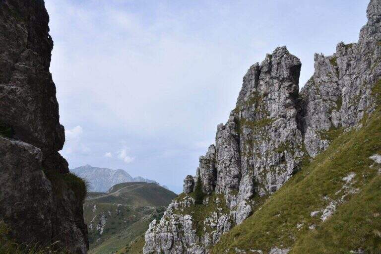
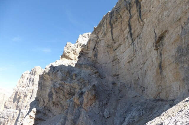
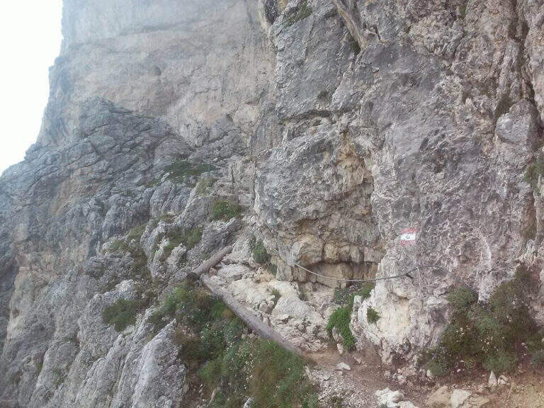
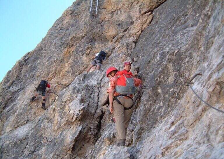
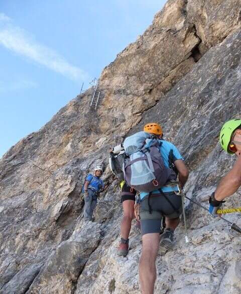
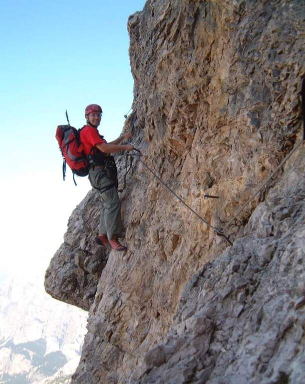
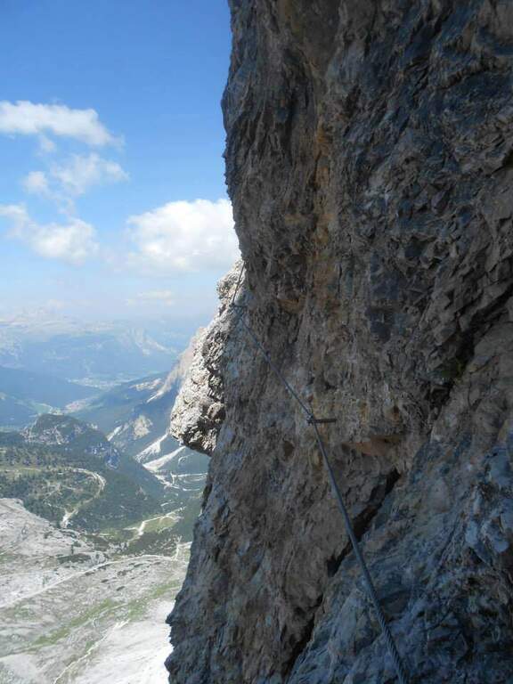
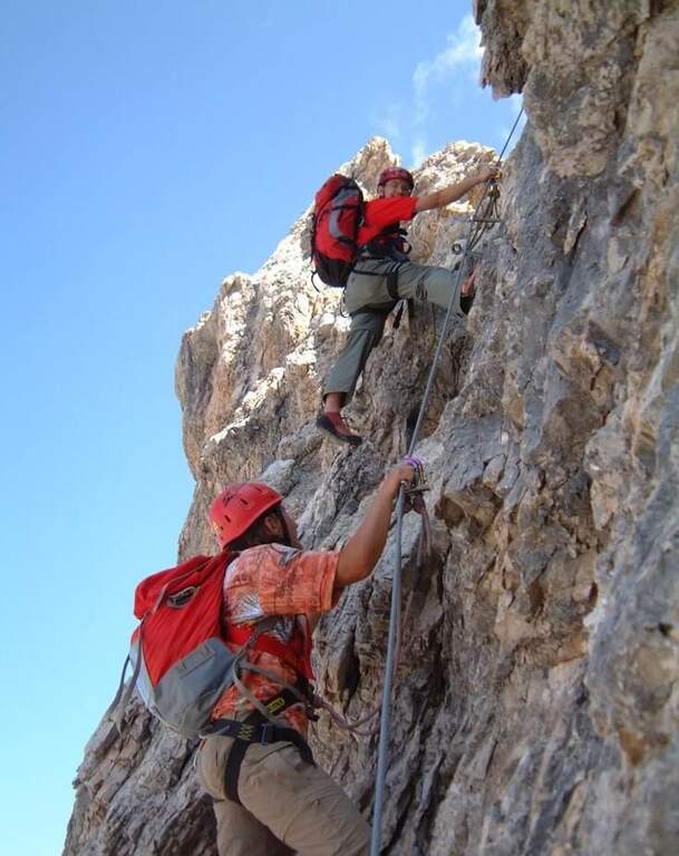
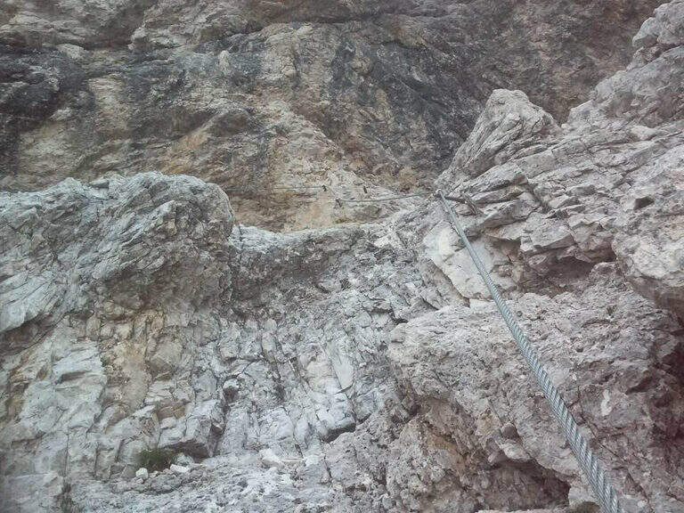
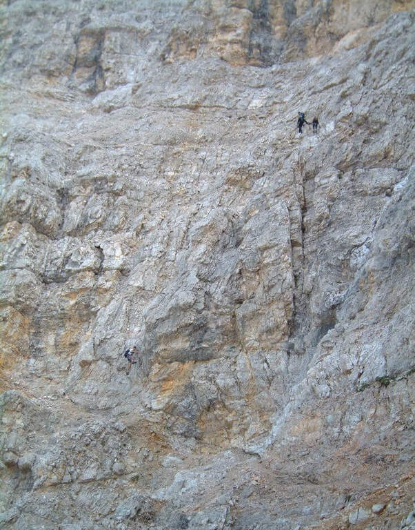
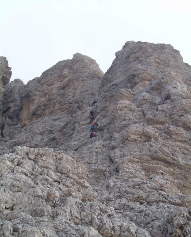
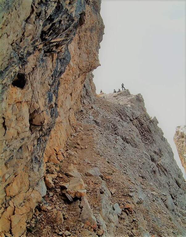
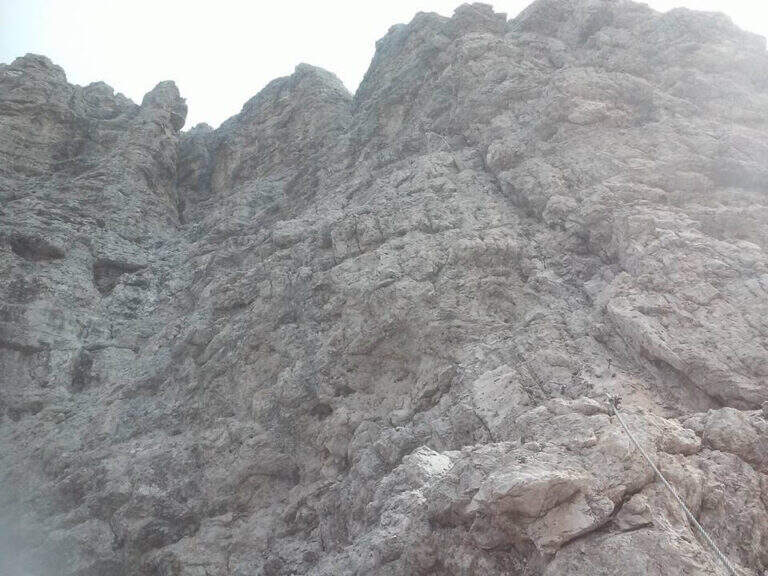
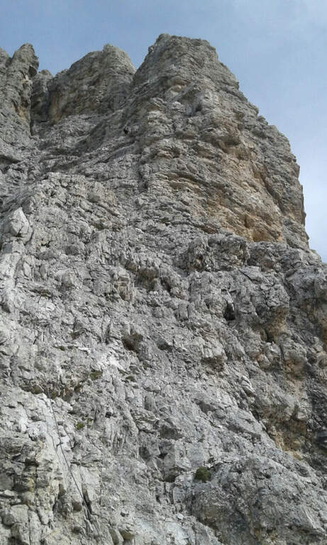
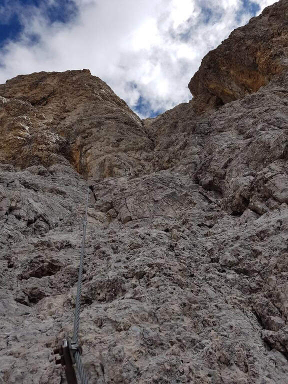
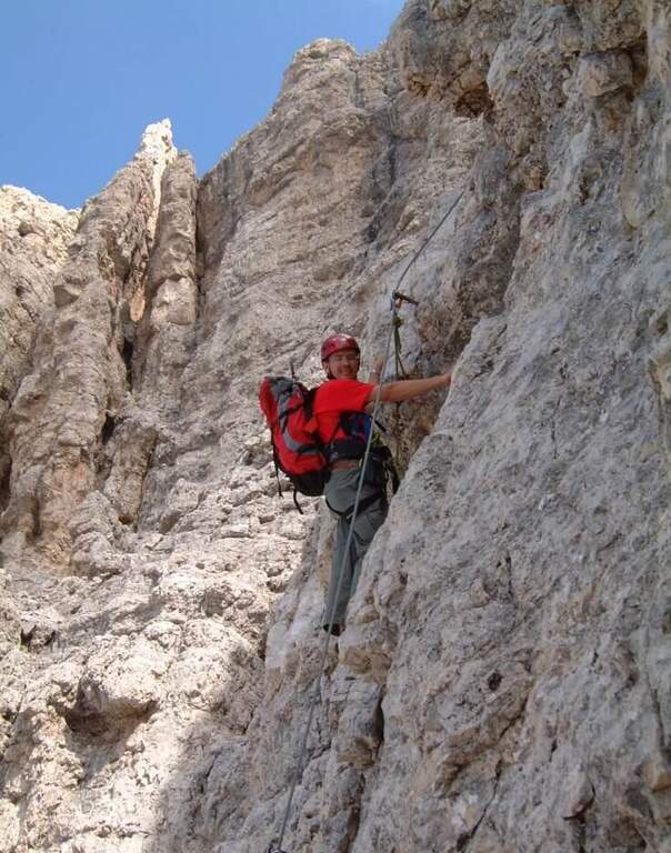
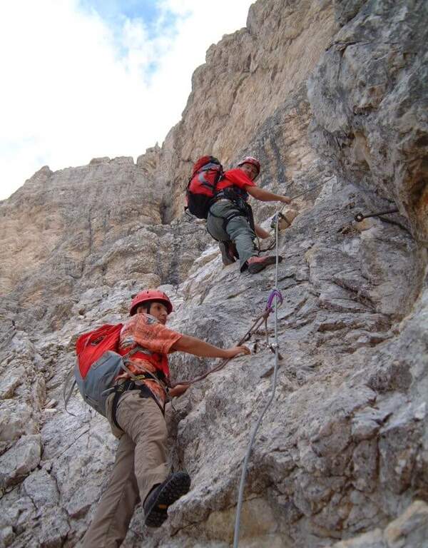
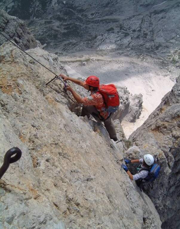
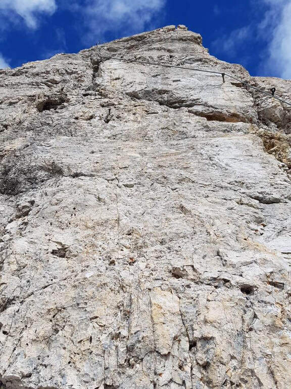
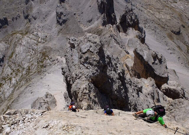
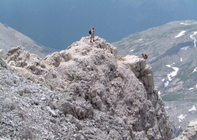
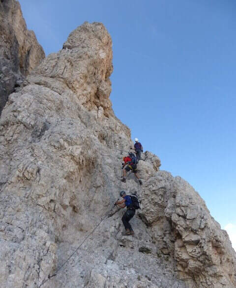
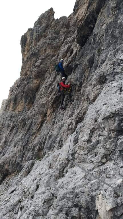
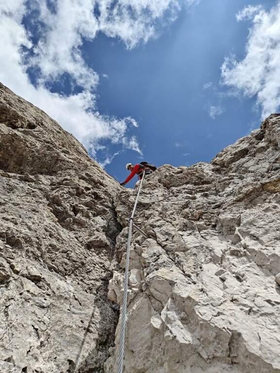
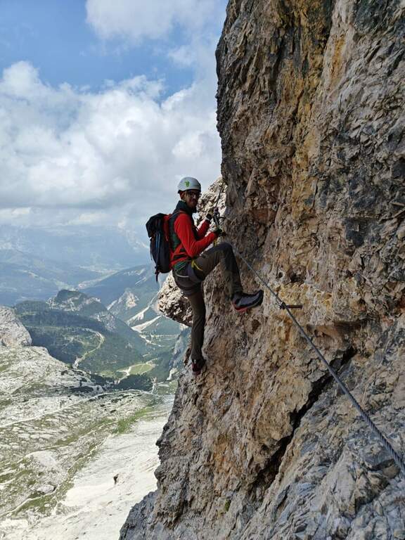
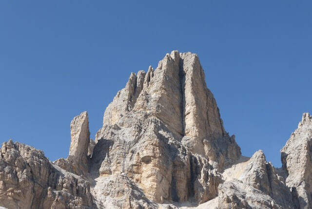
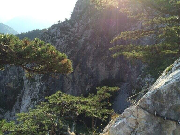
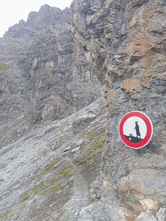
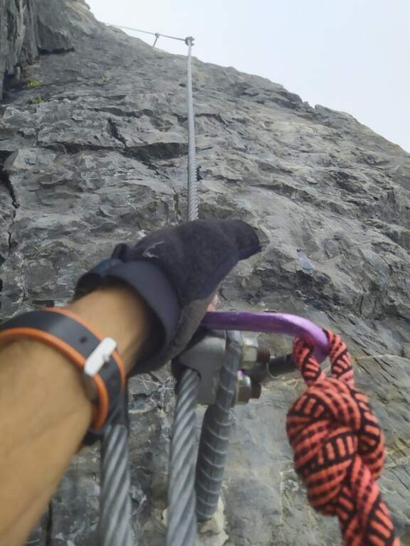
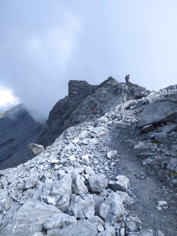
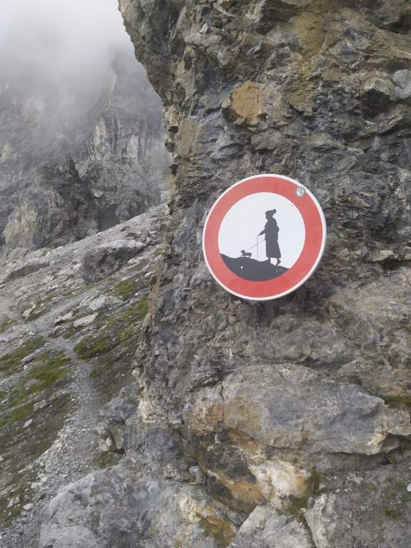
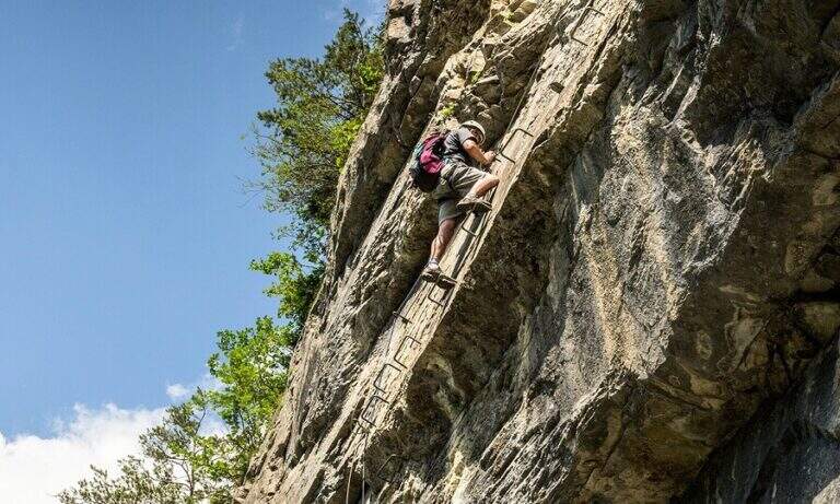
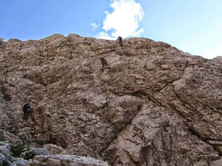
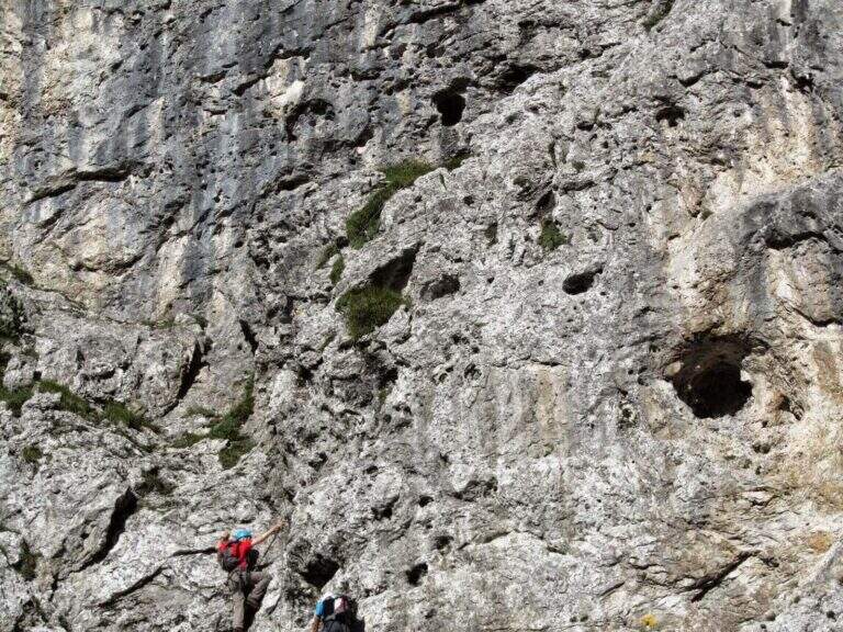
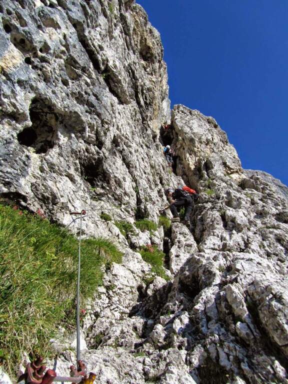
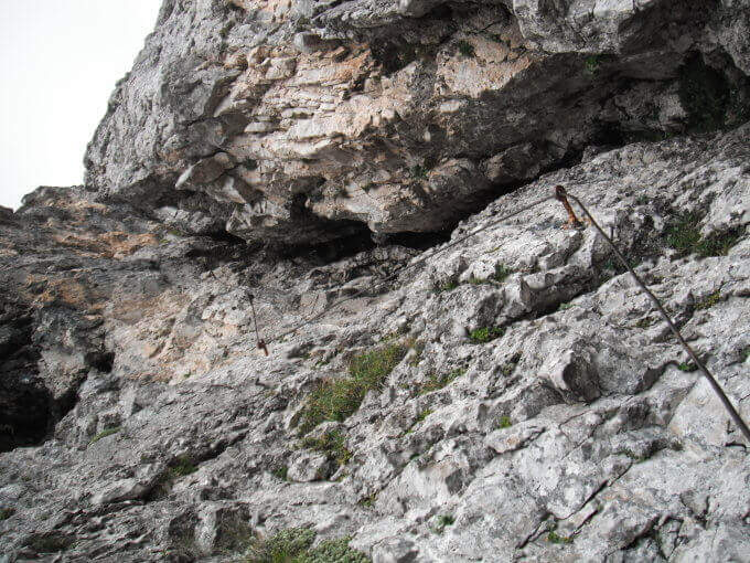
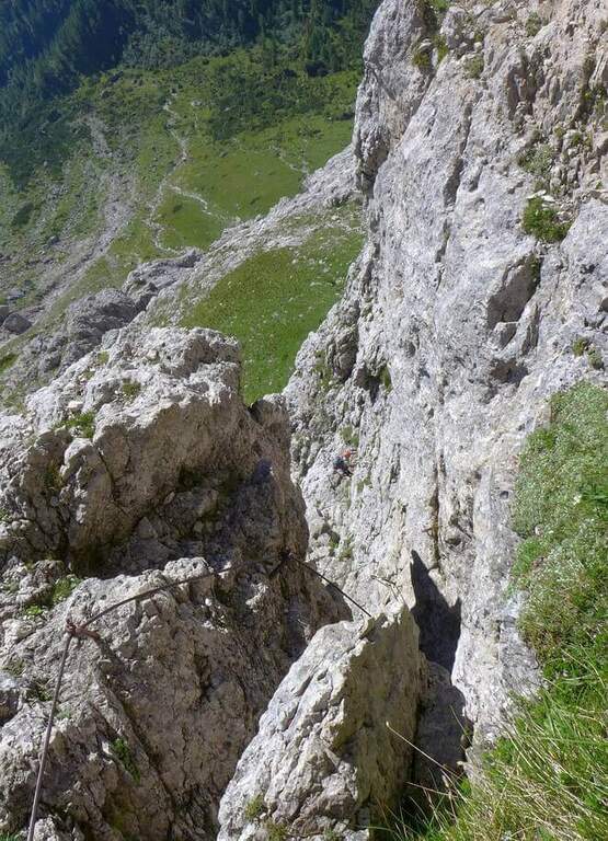
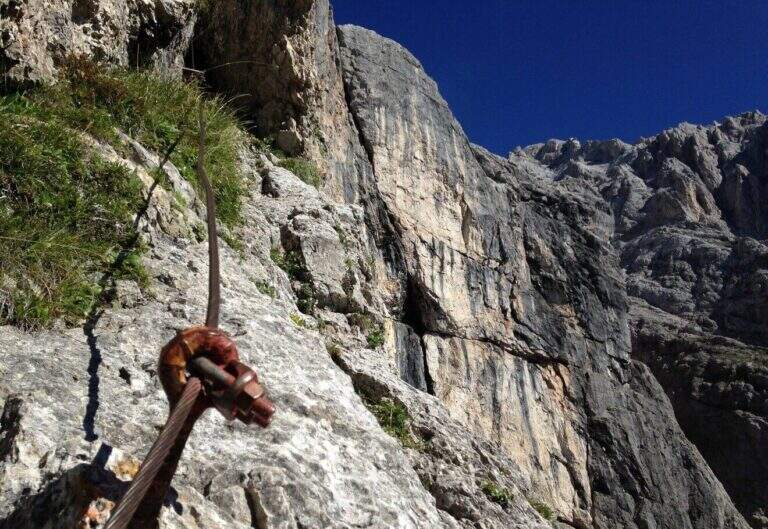
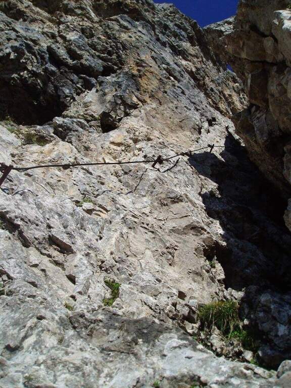
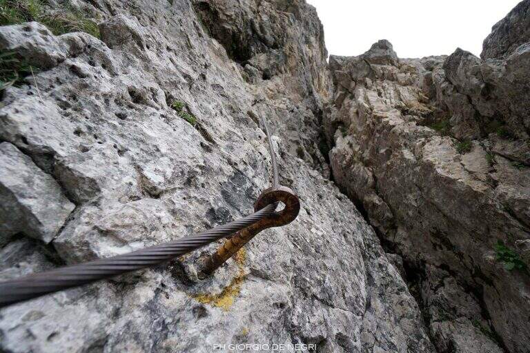
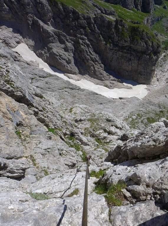
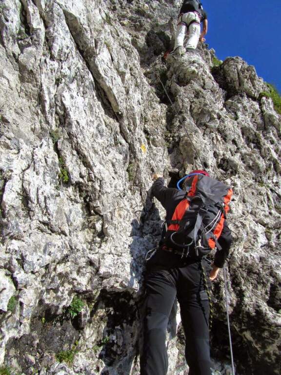
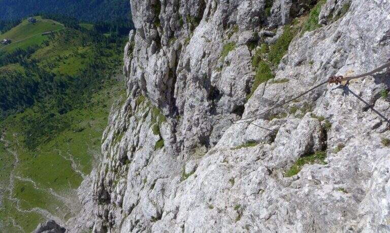
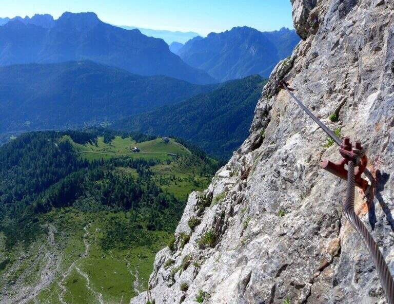
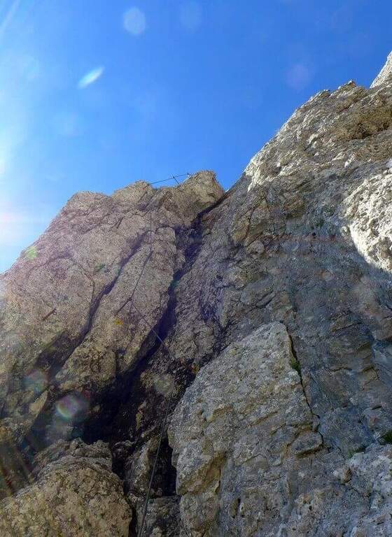
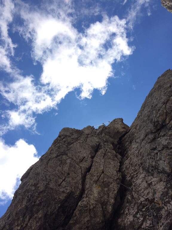
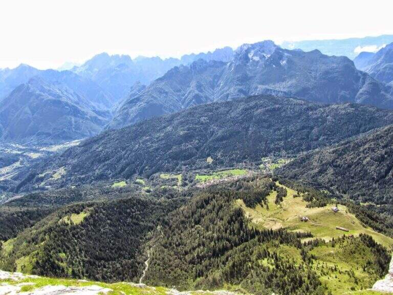
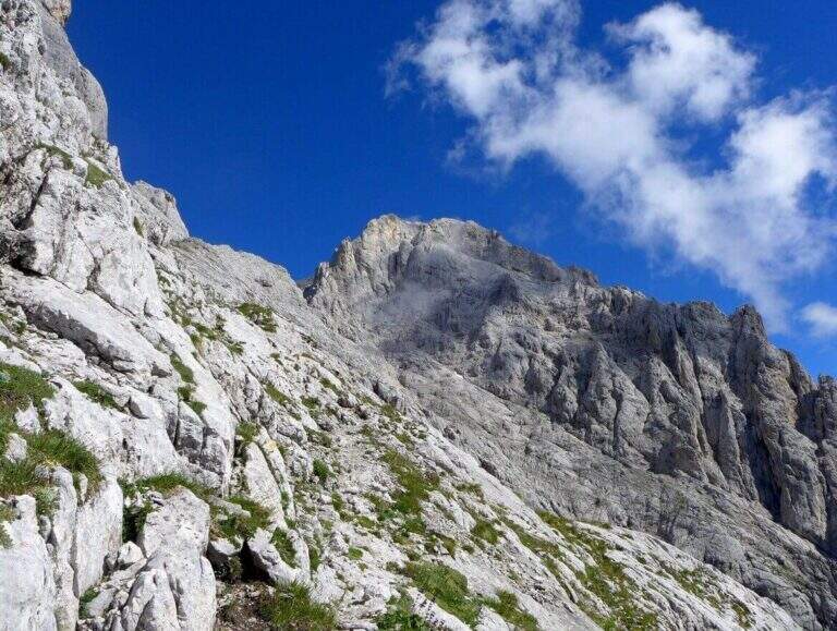
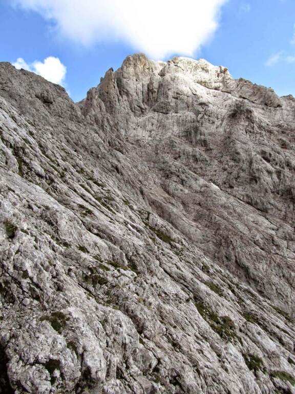
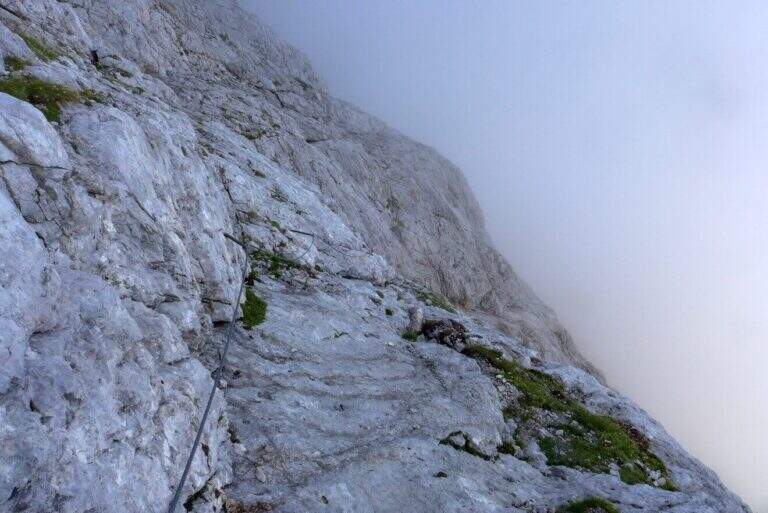
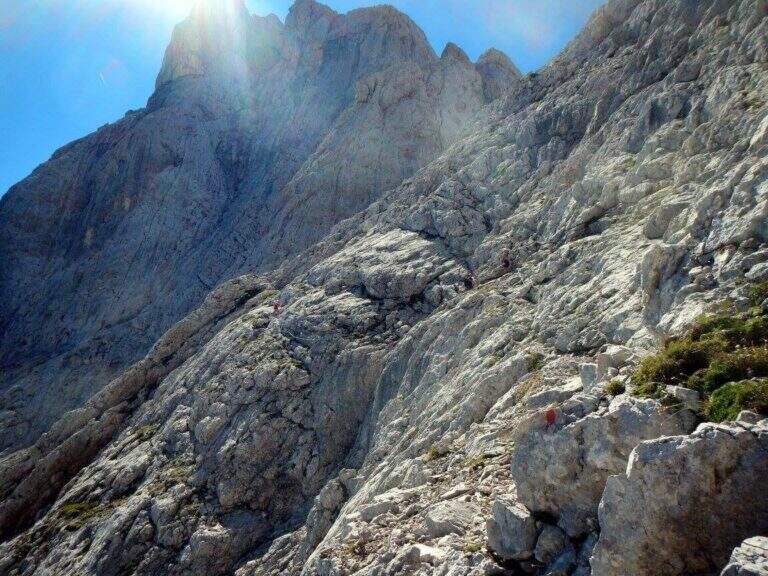
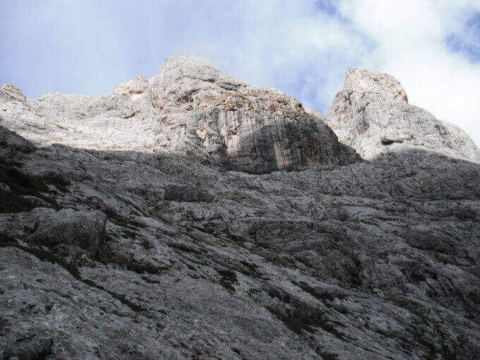
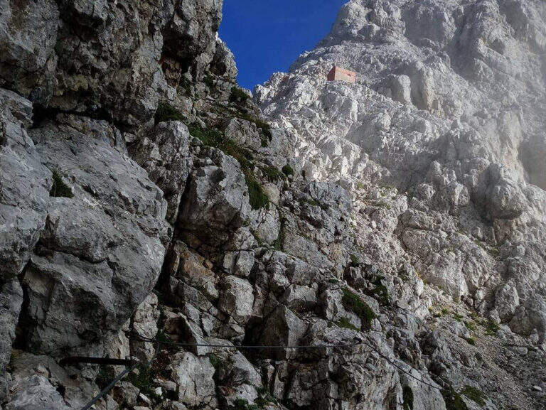
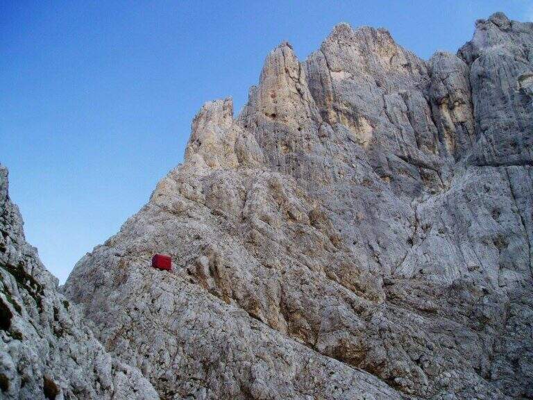
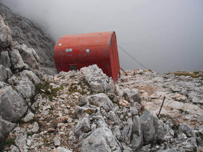
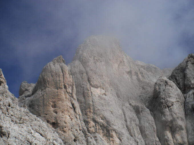
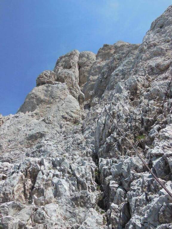
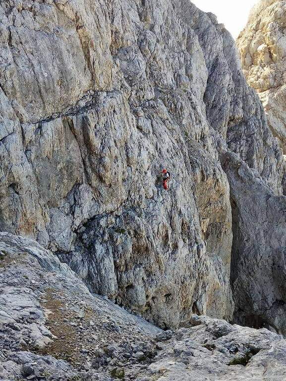
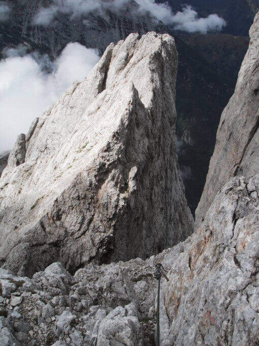
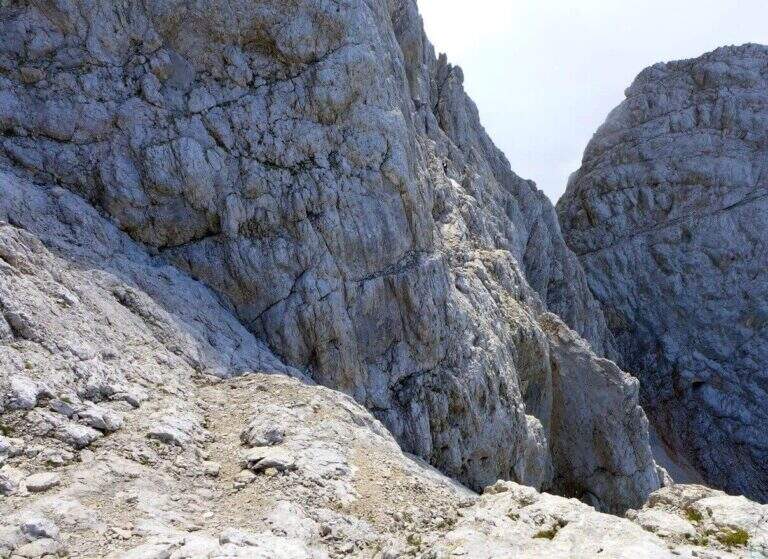
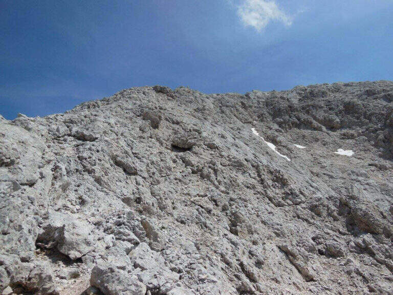
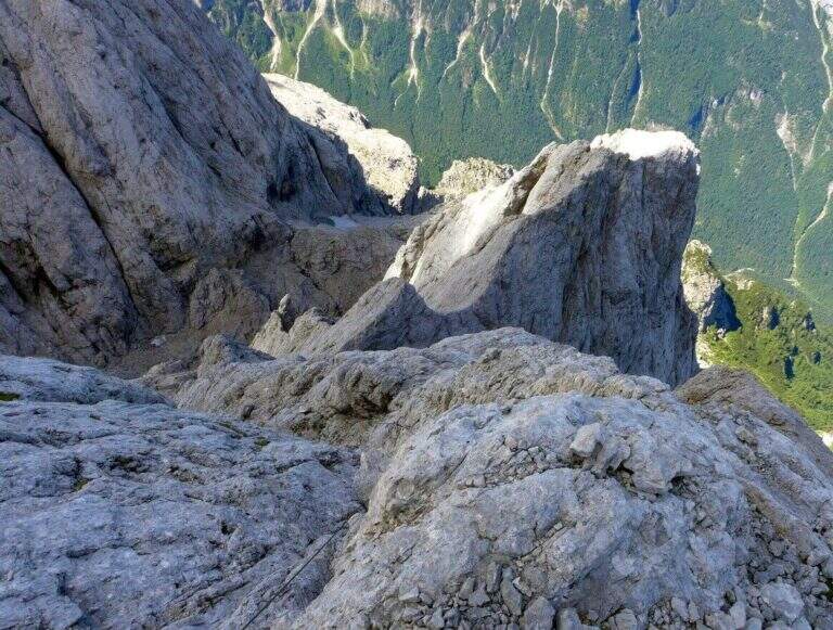
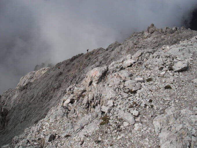
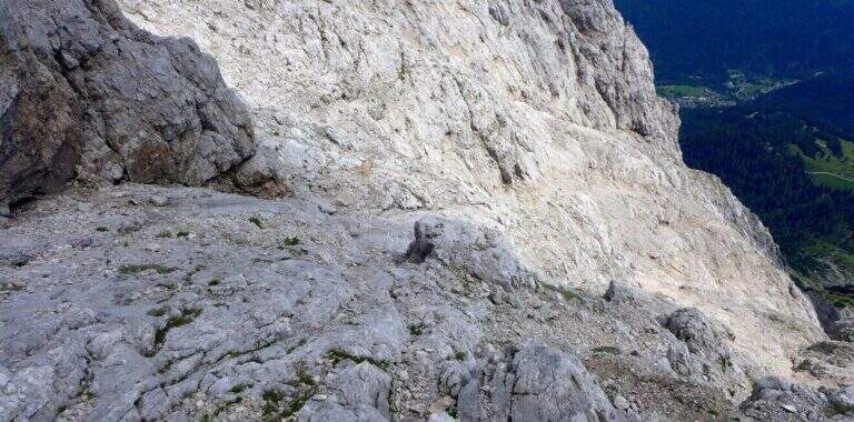
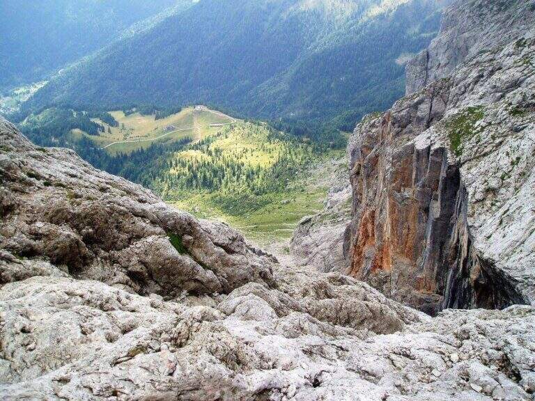
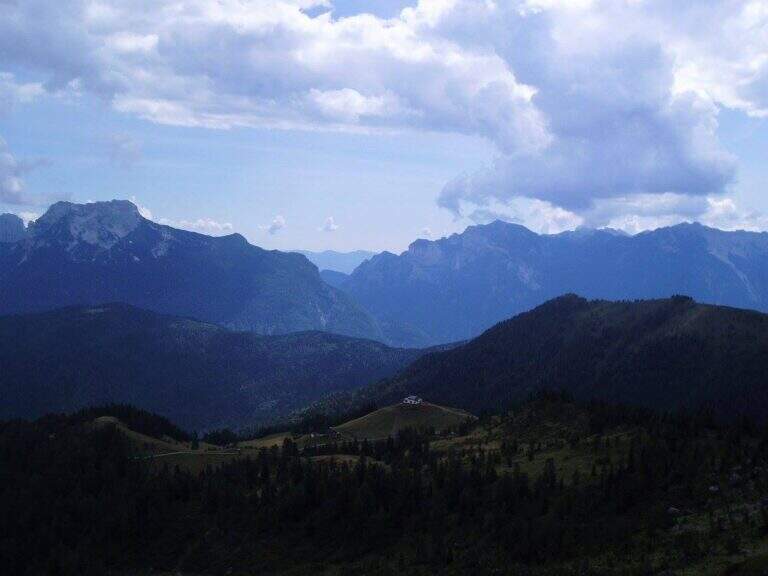
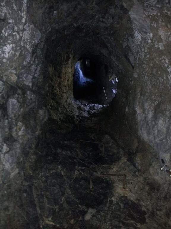
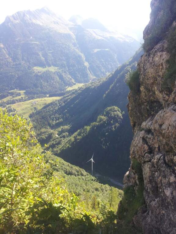
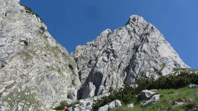
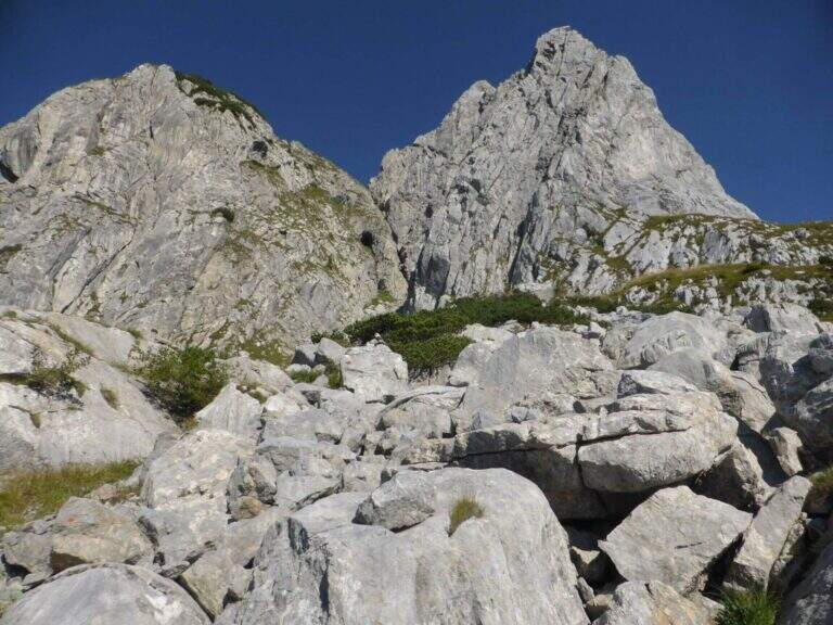
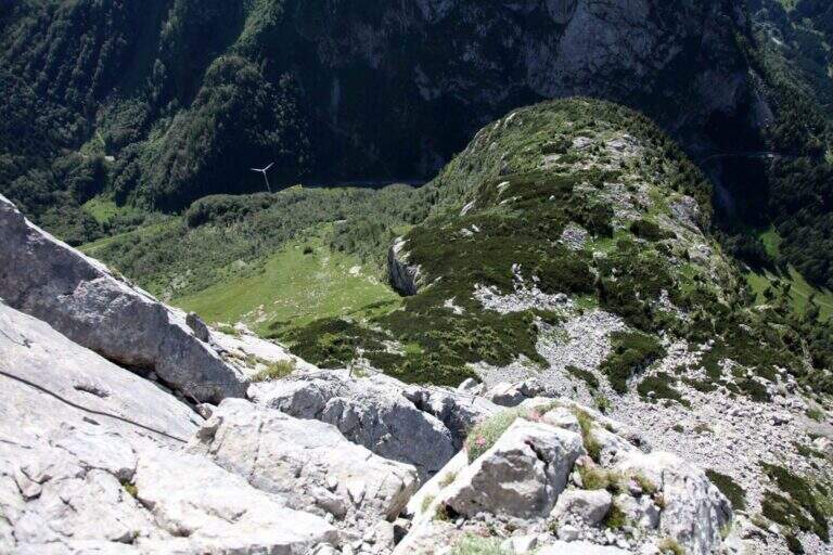
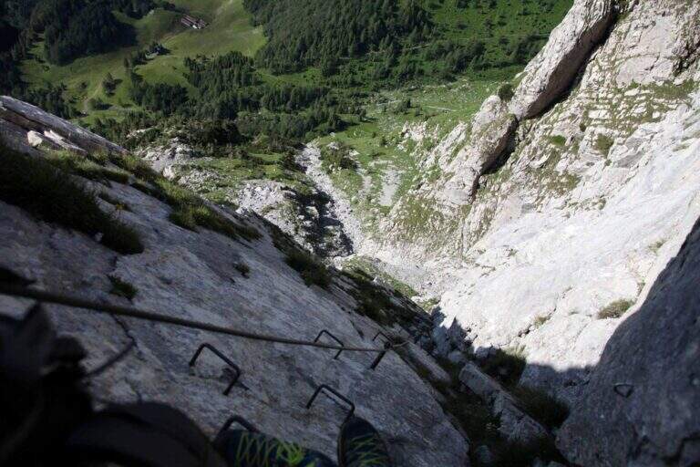
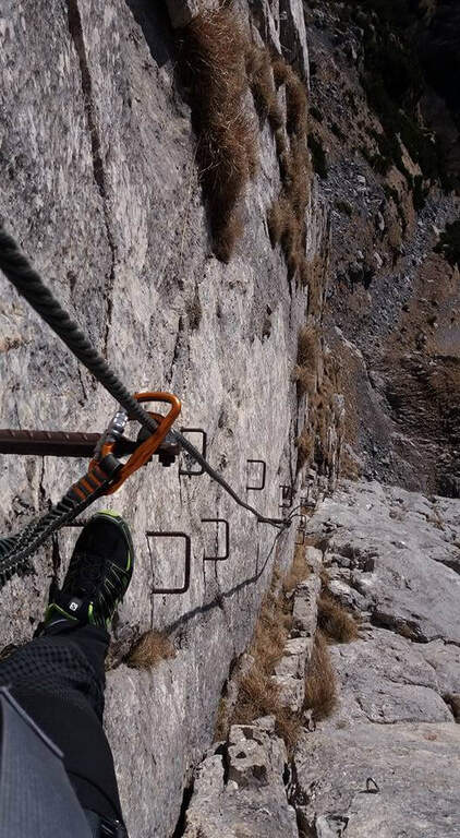
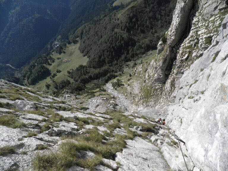
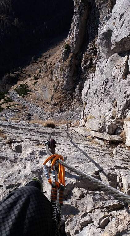
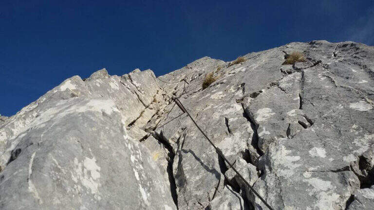
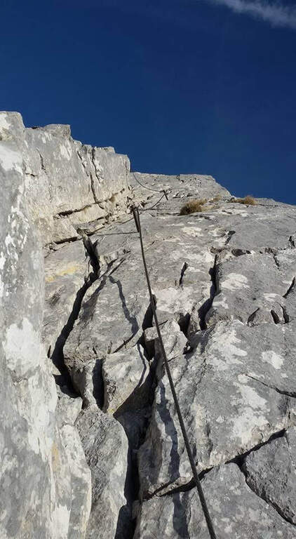
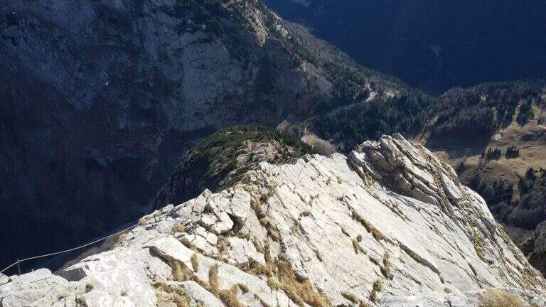
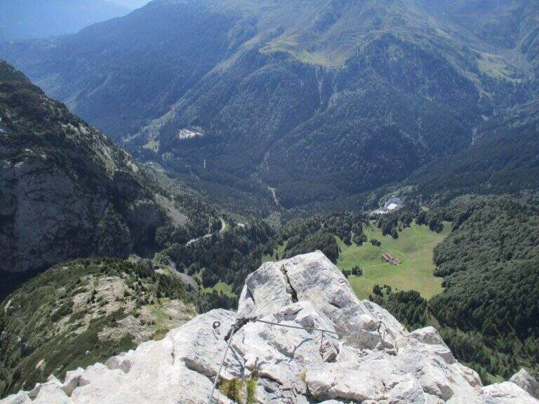
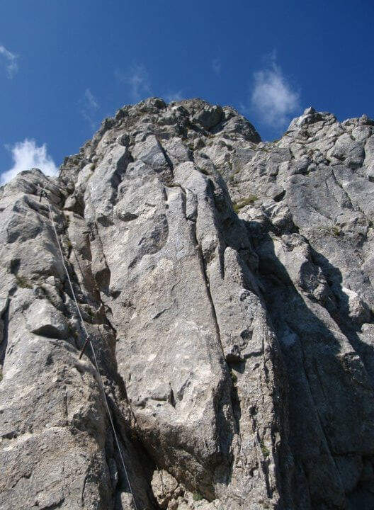
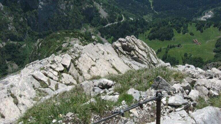
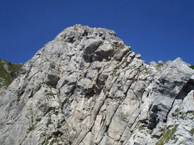
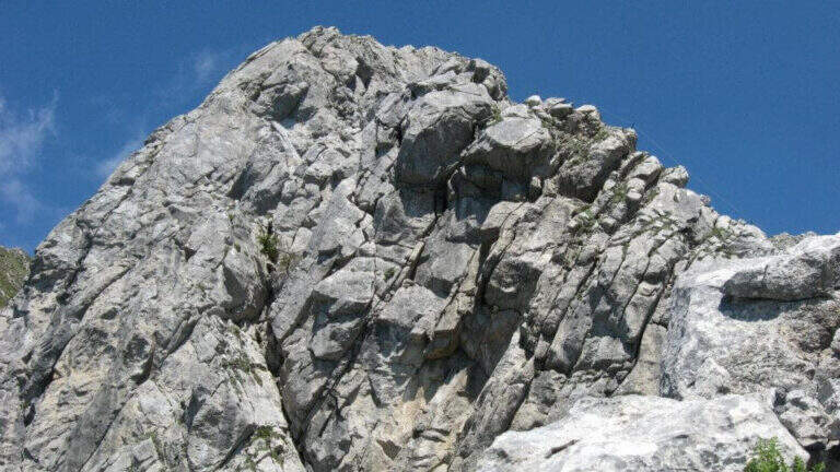
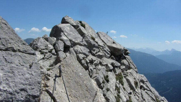
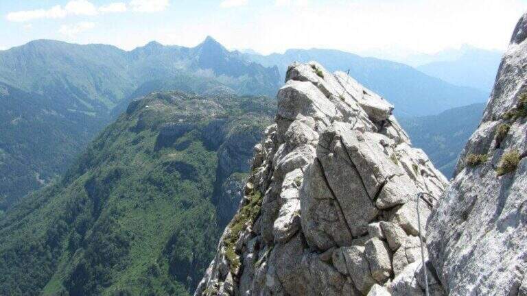
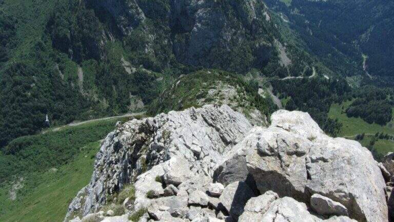
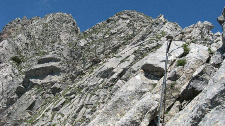
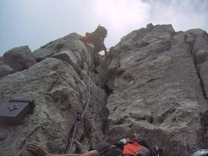
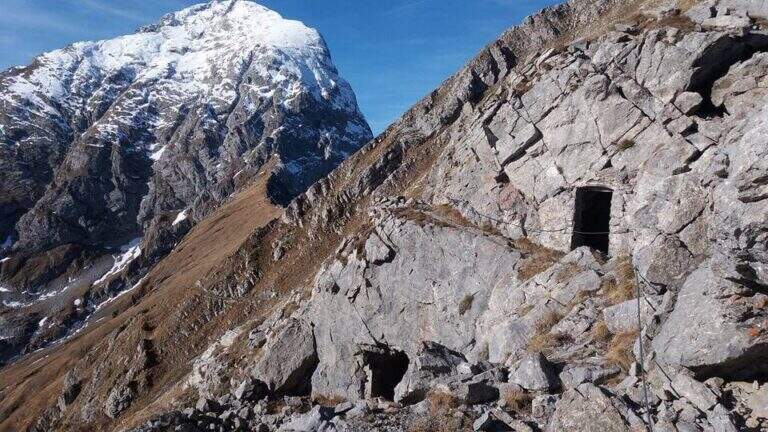
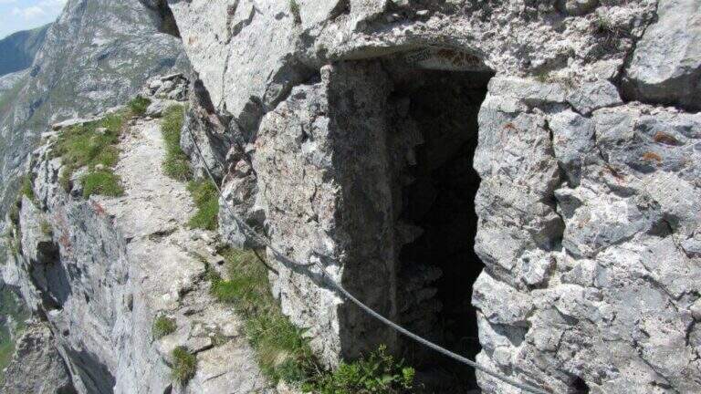
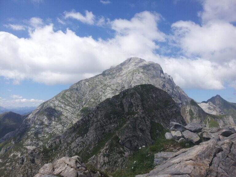
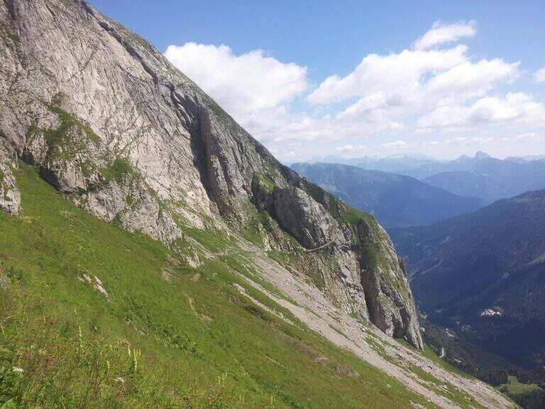
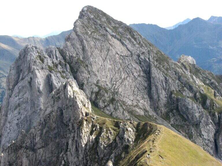
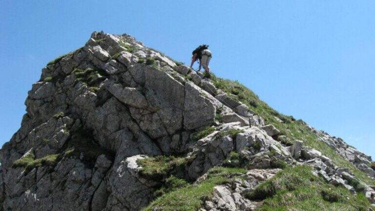
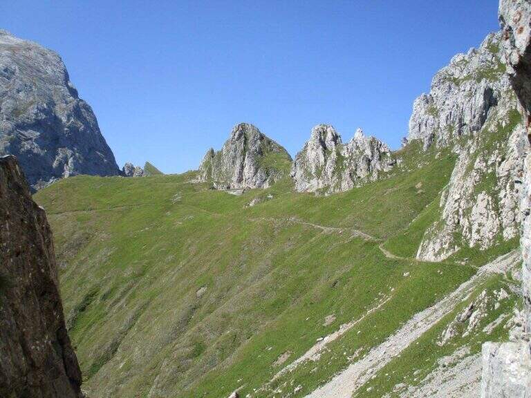
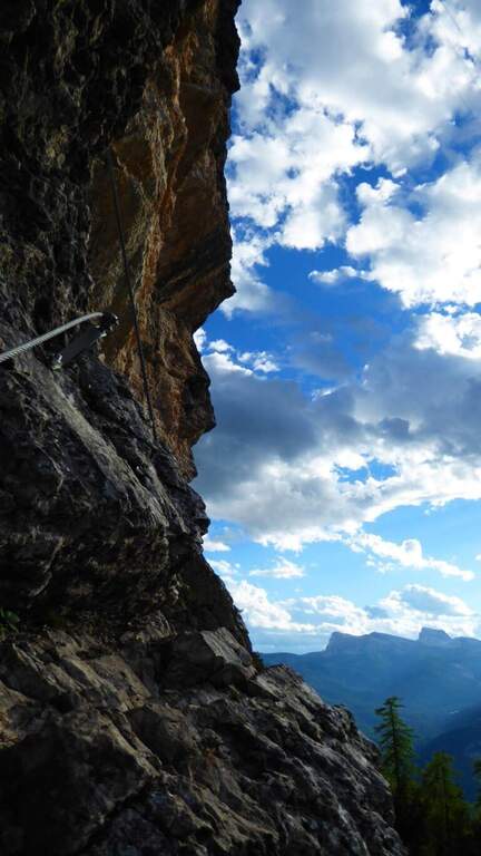
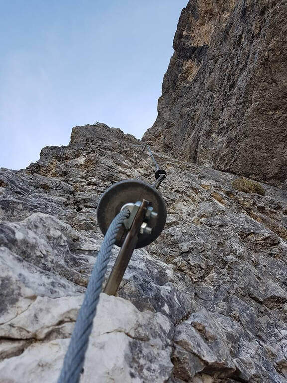
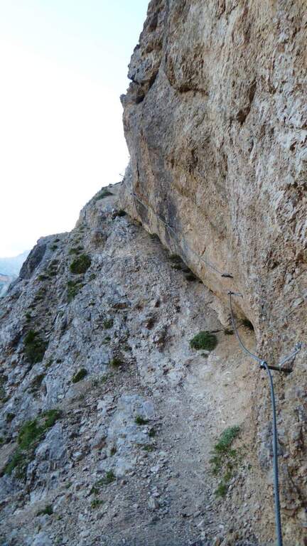
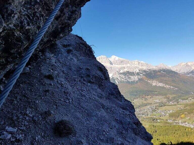
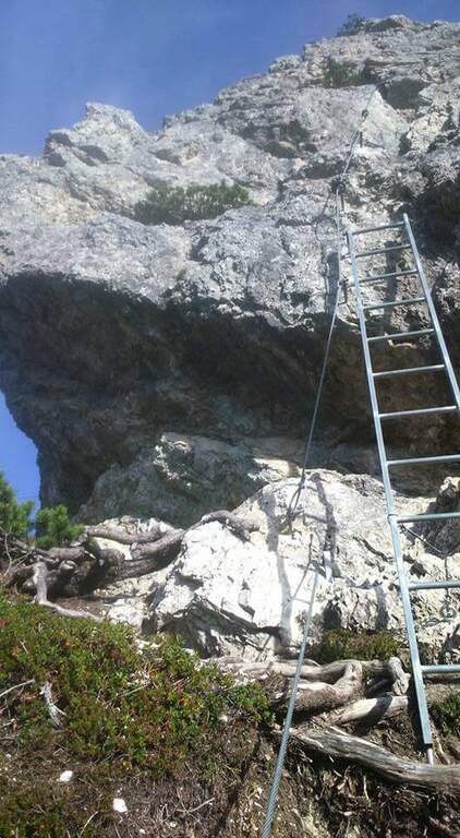
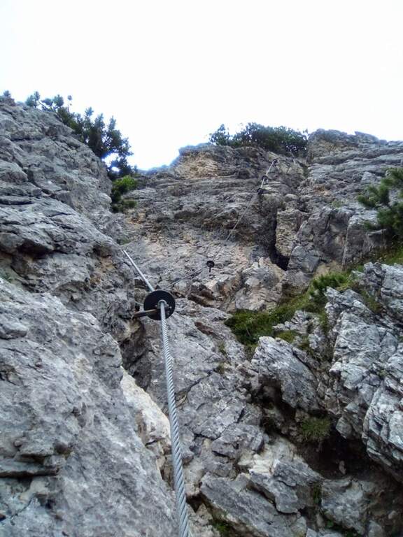
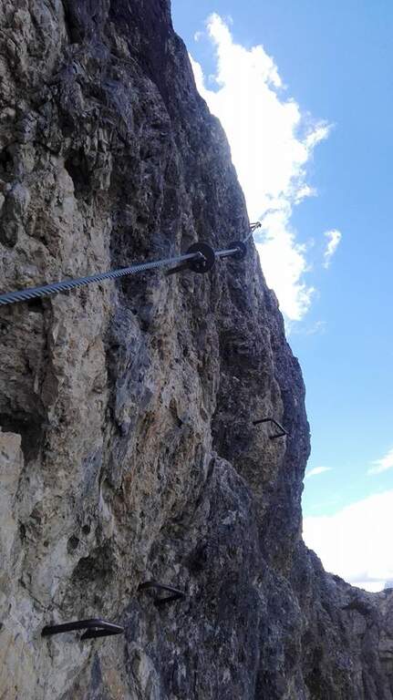
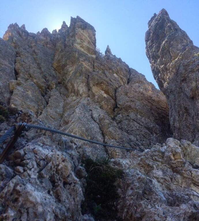
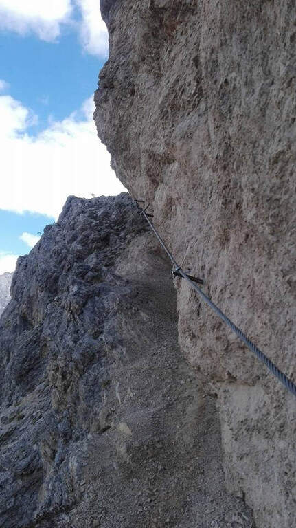
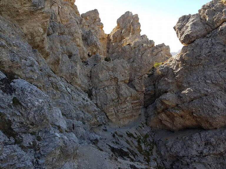
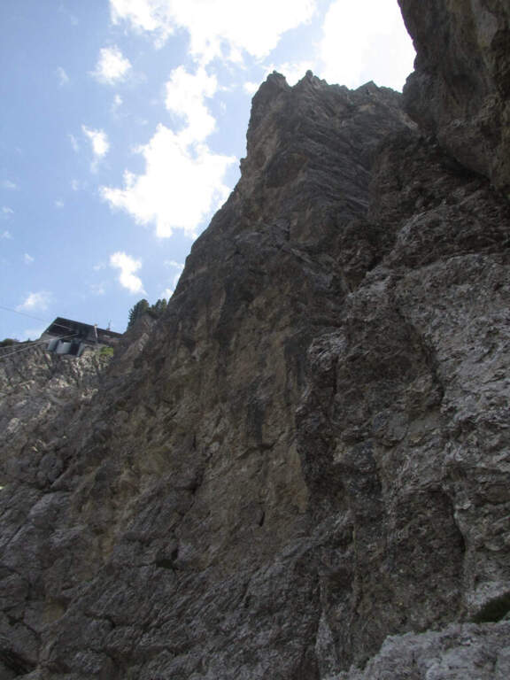
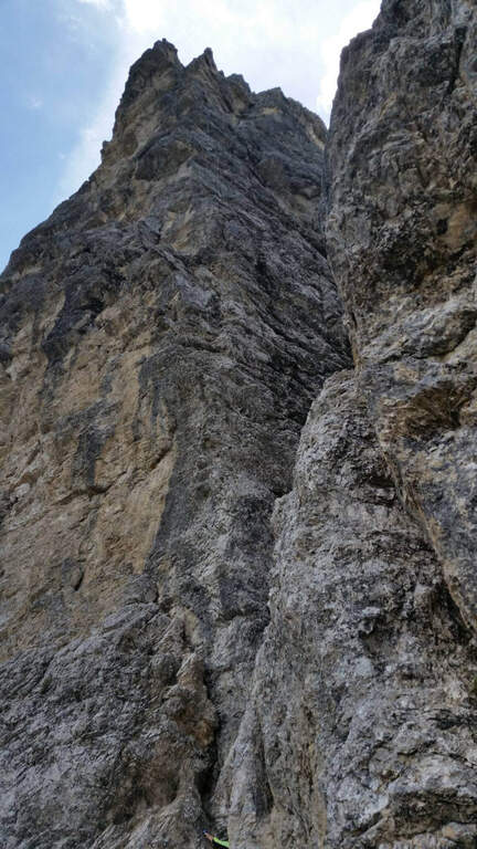
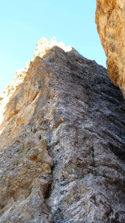
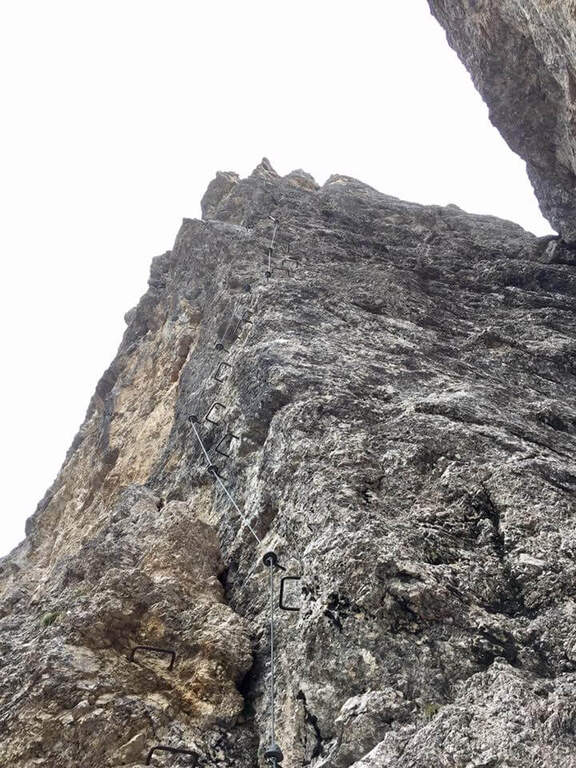
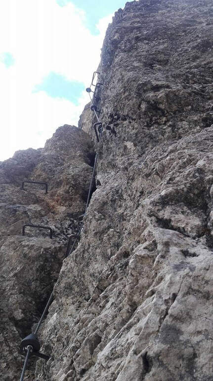
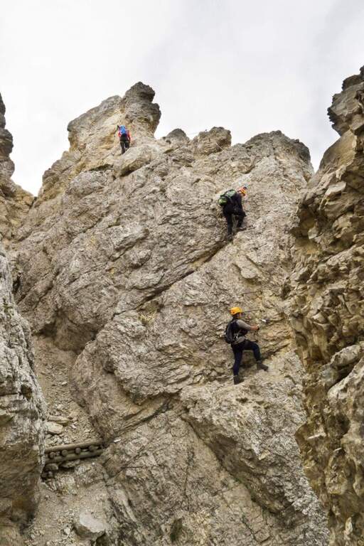
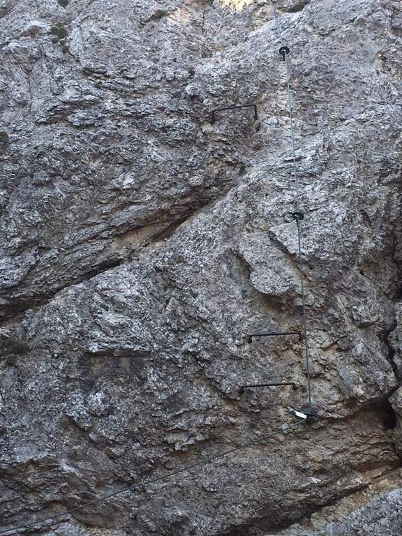
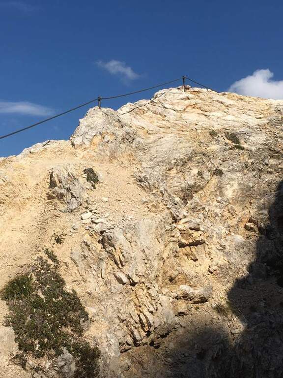
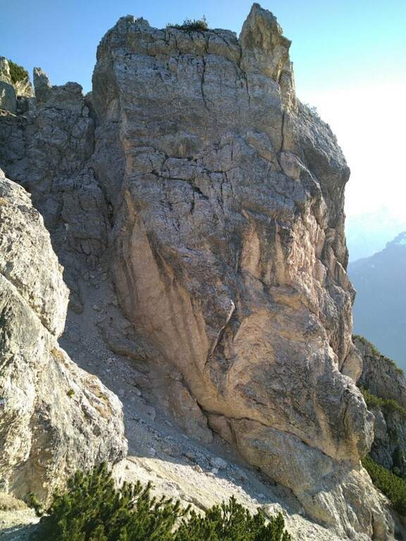
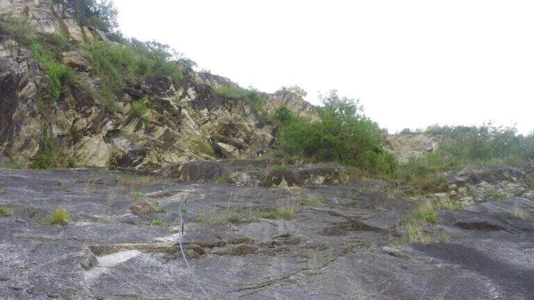
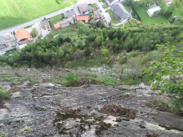
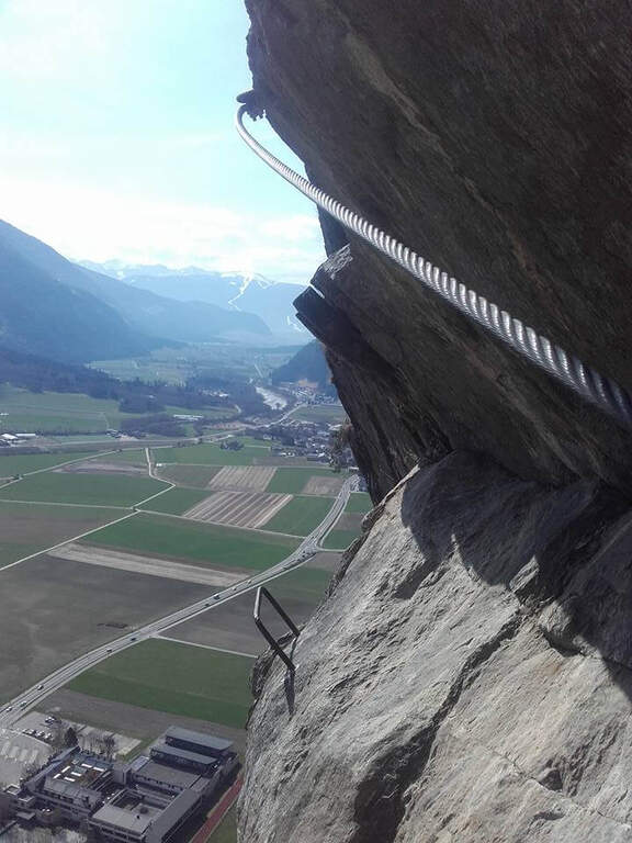
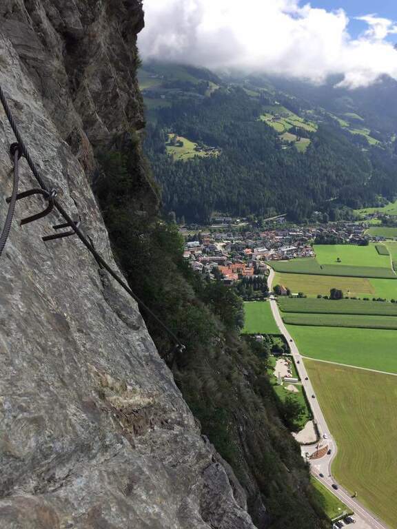
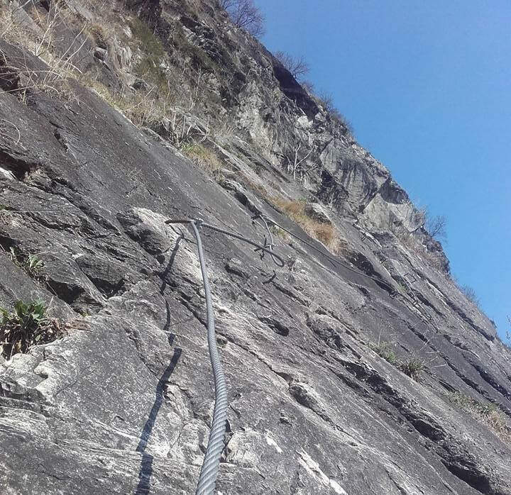
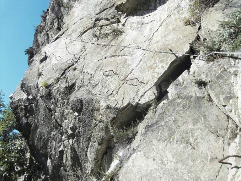
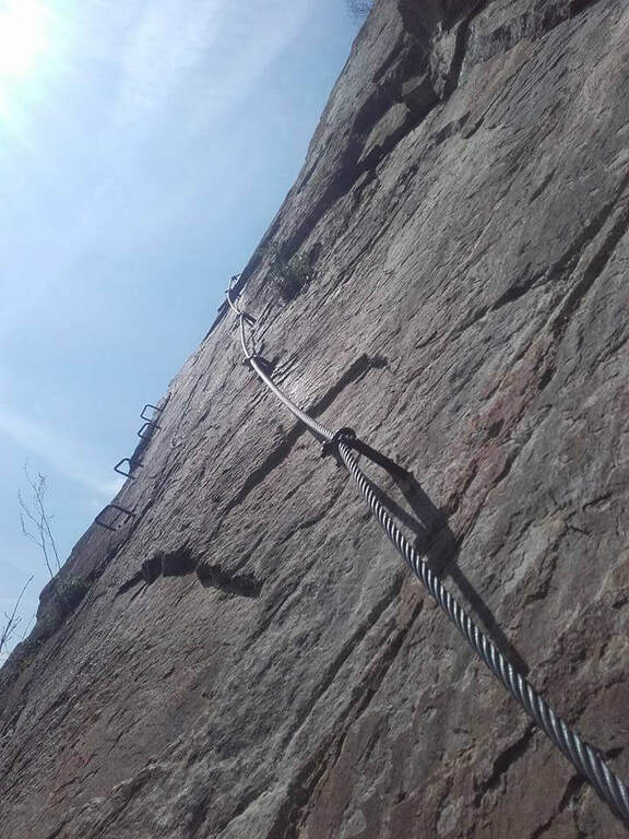
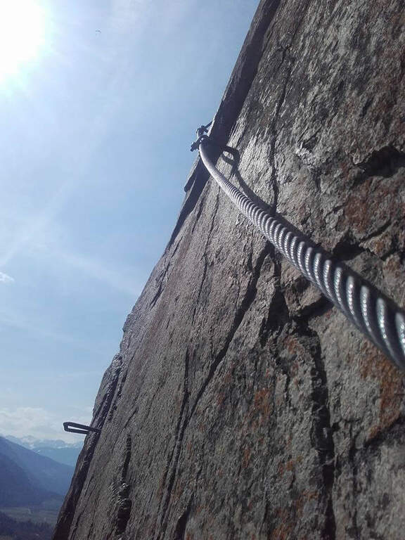
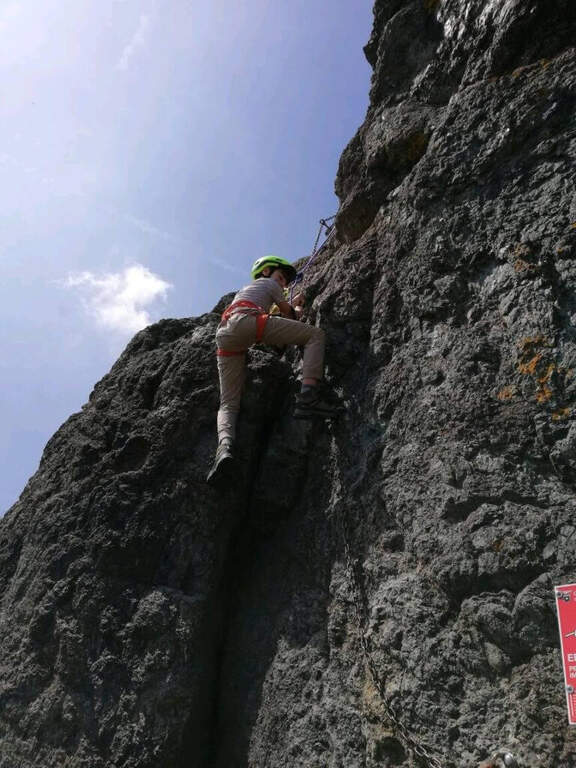
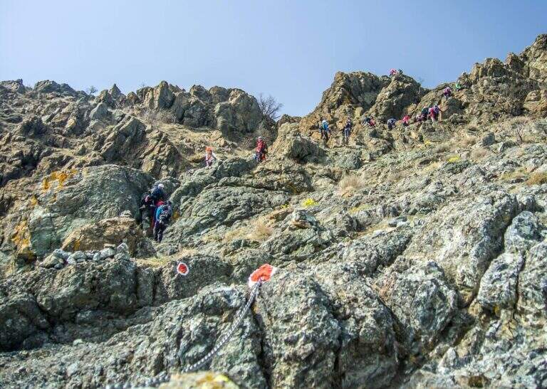
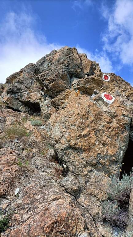
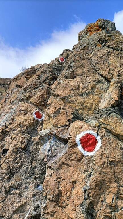
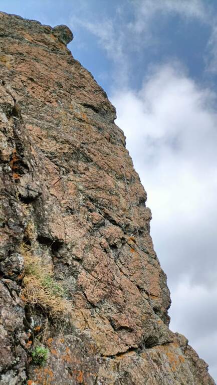
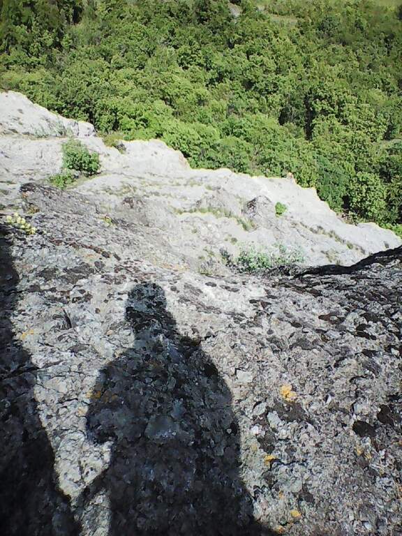
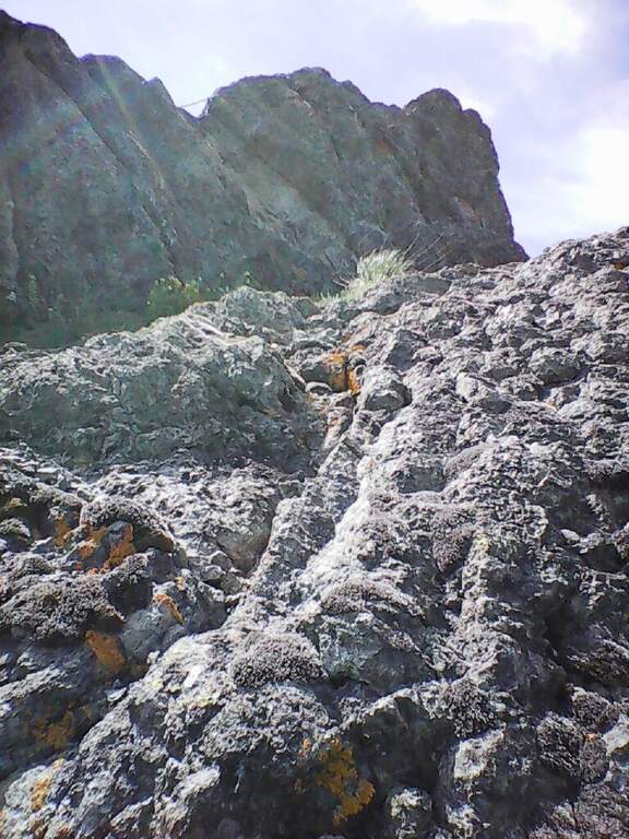
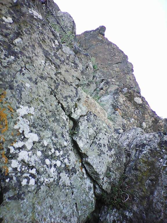
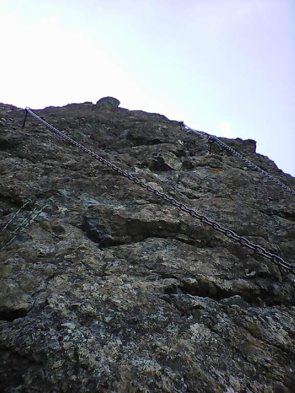
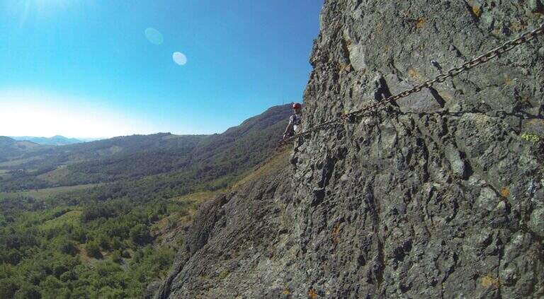
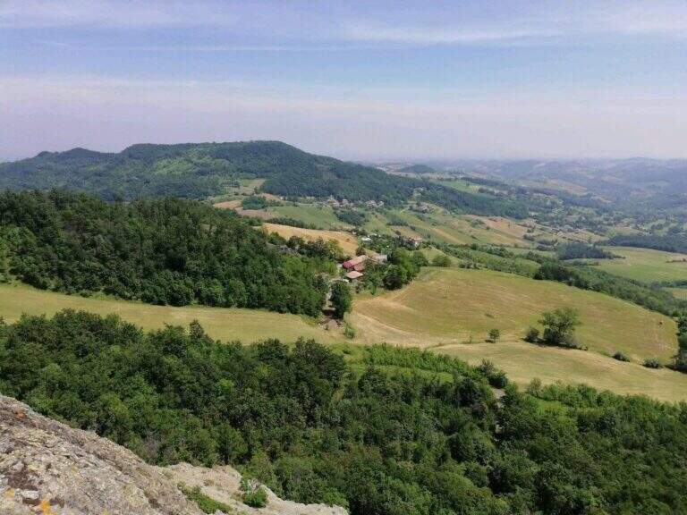
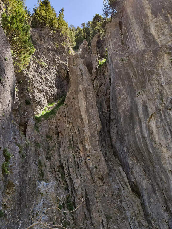
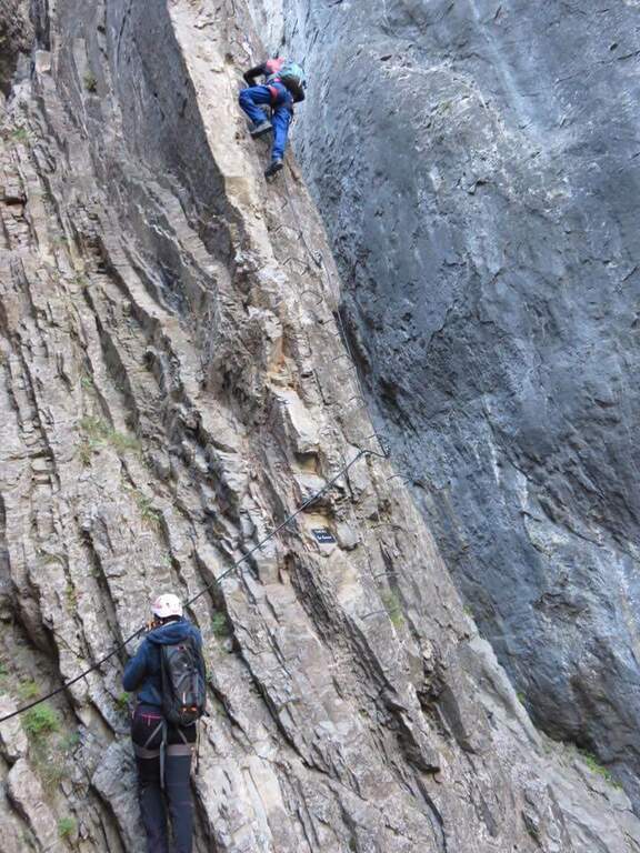
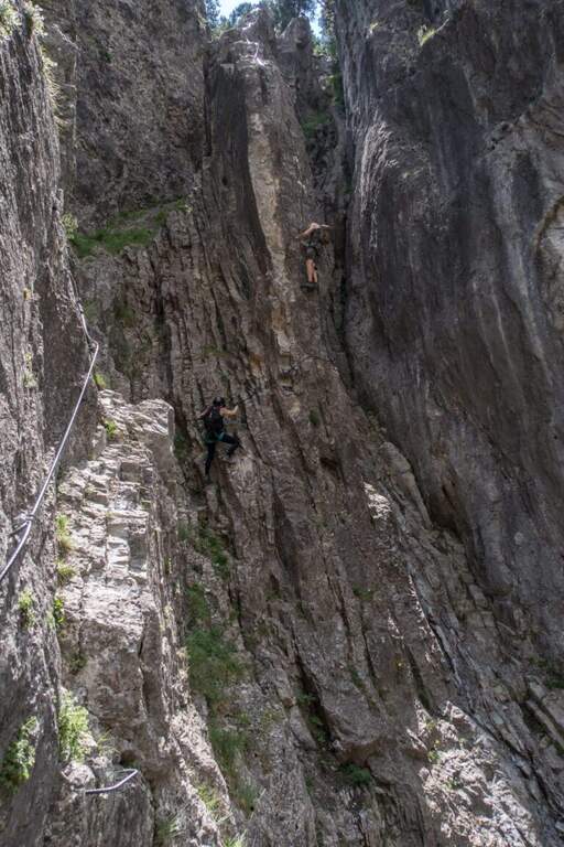
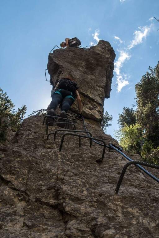
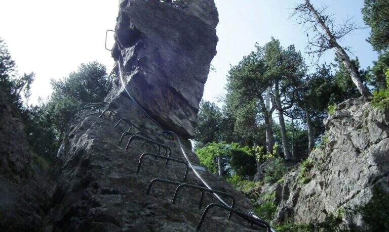
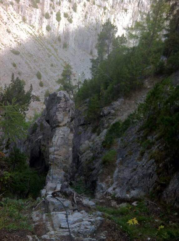
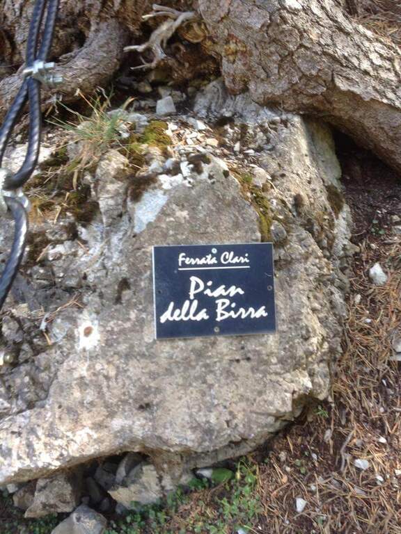
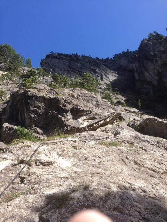
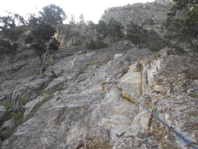
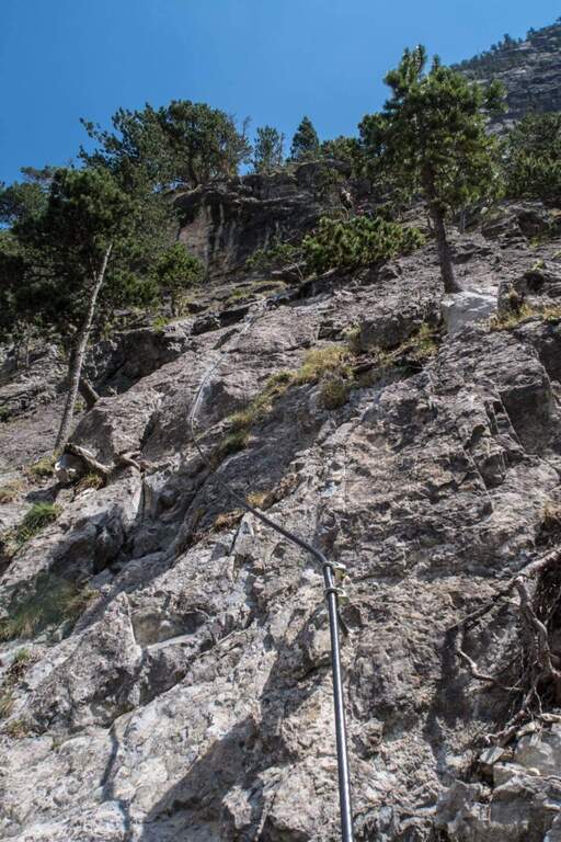
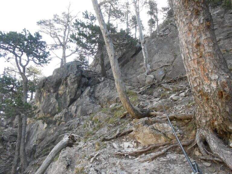
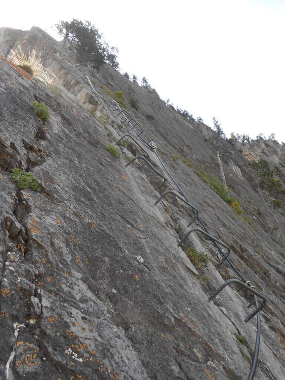
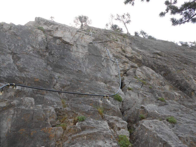
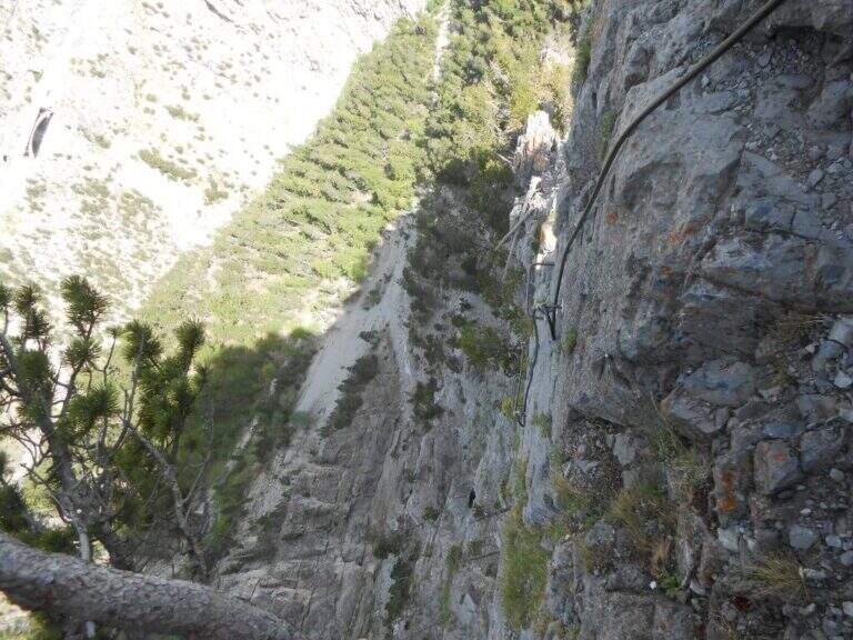
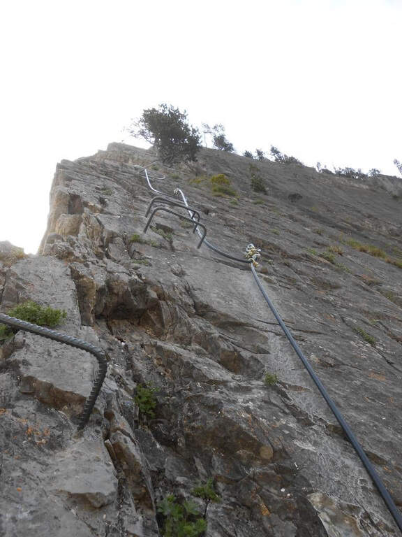
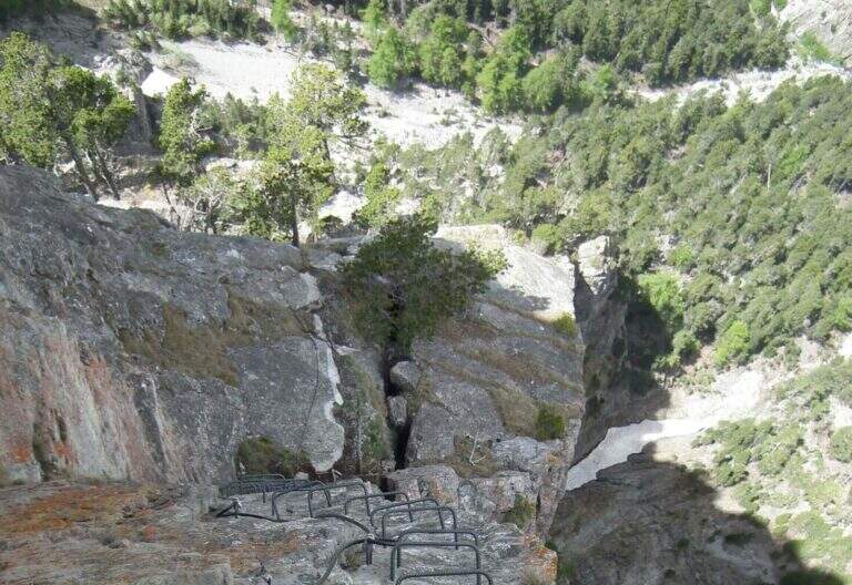
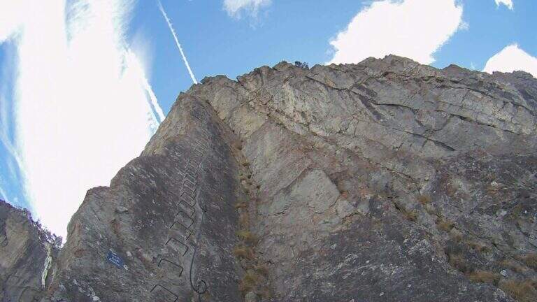
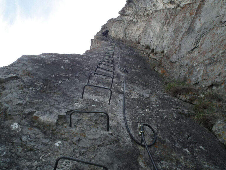
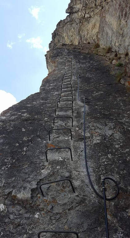
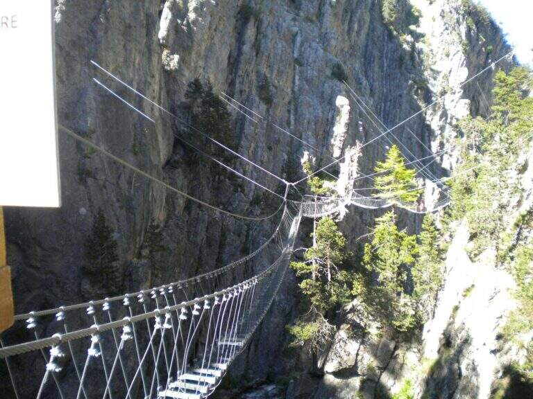
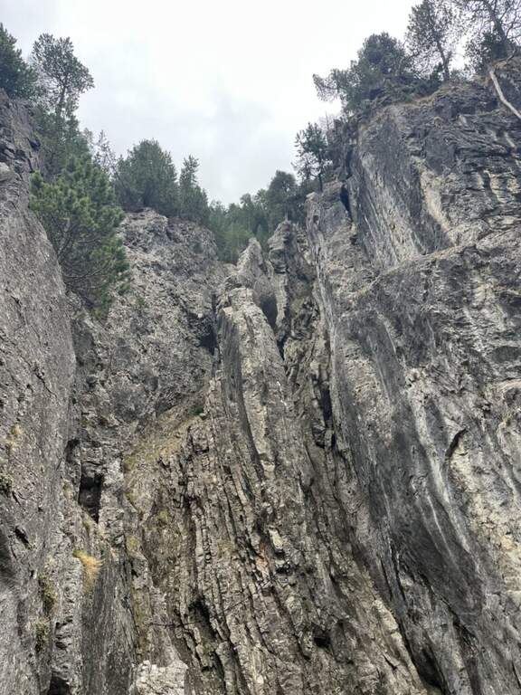
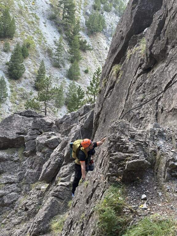
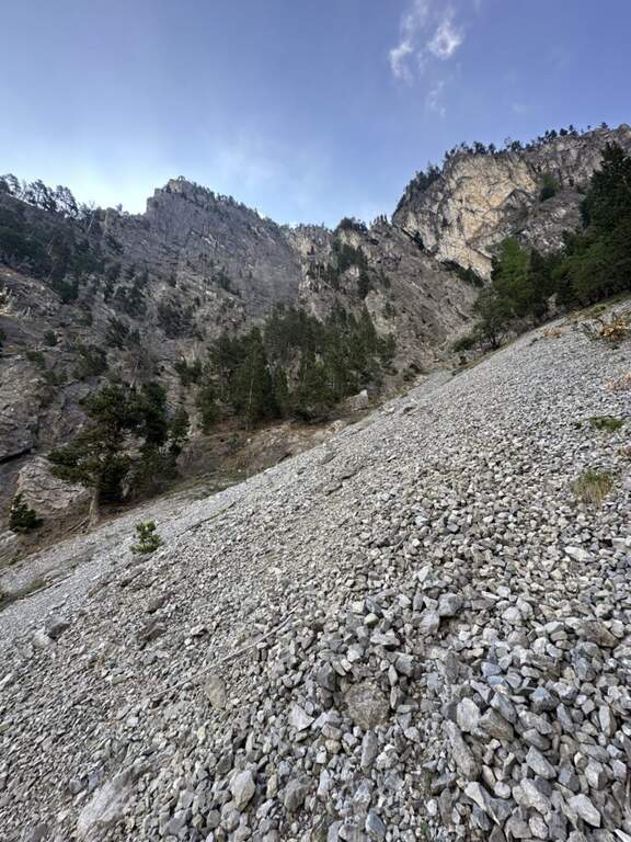
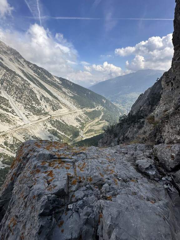
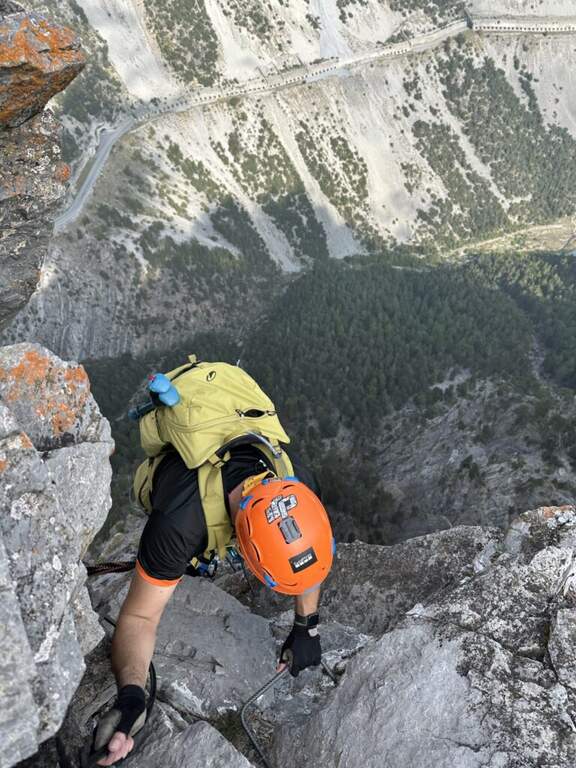
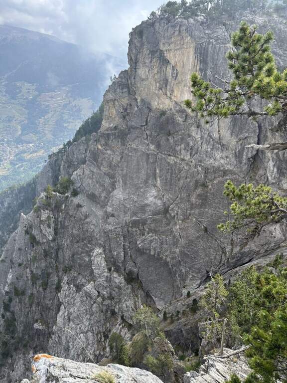
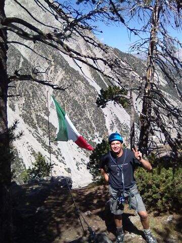
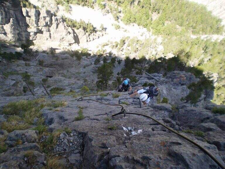
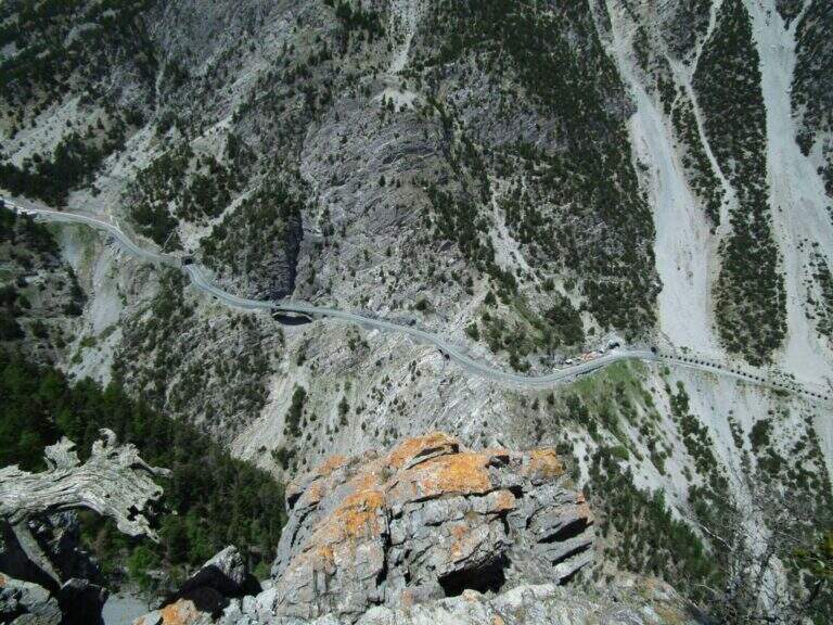
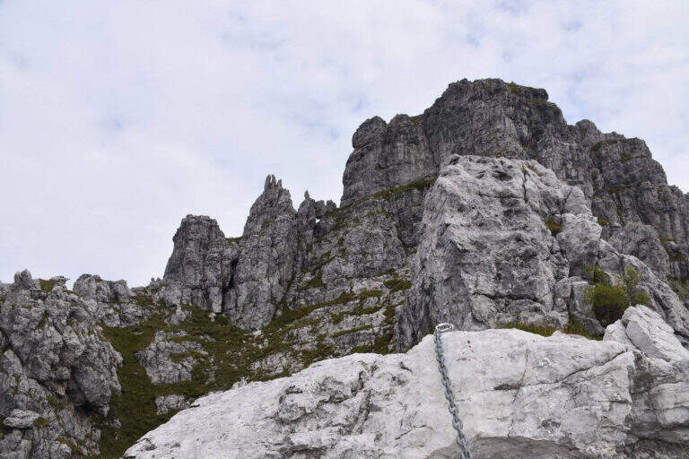
    La Ferrata Zucco Pesciola & a beautiful, challenging and panoramic Via delle Orobie over the Piani di Bobbio. Tests between fireplaces, diedri, climbing walls and ridge traits; its variante difficult & free; among the più traits; hard of the Italian railway landscape and should be faced only with excellent training.

    ▲Approach

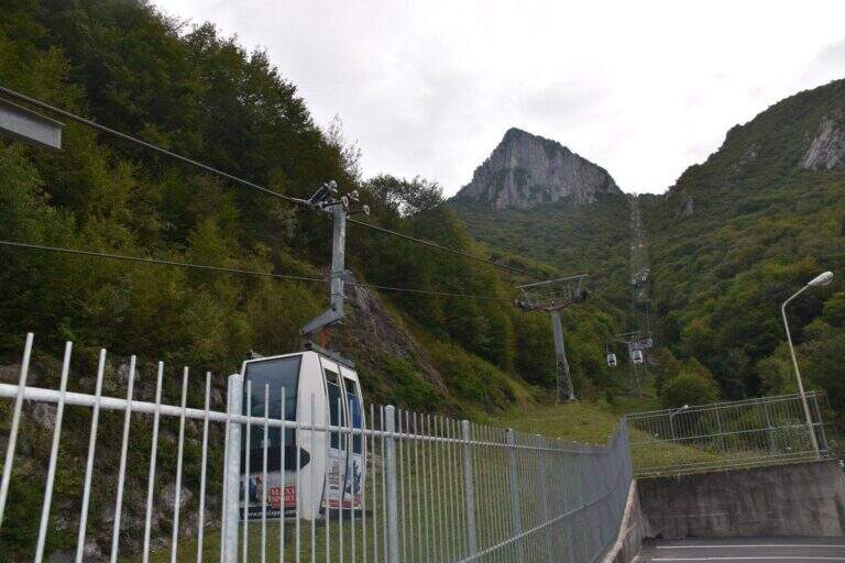
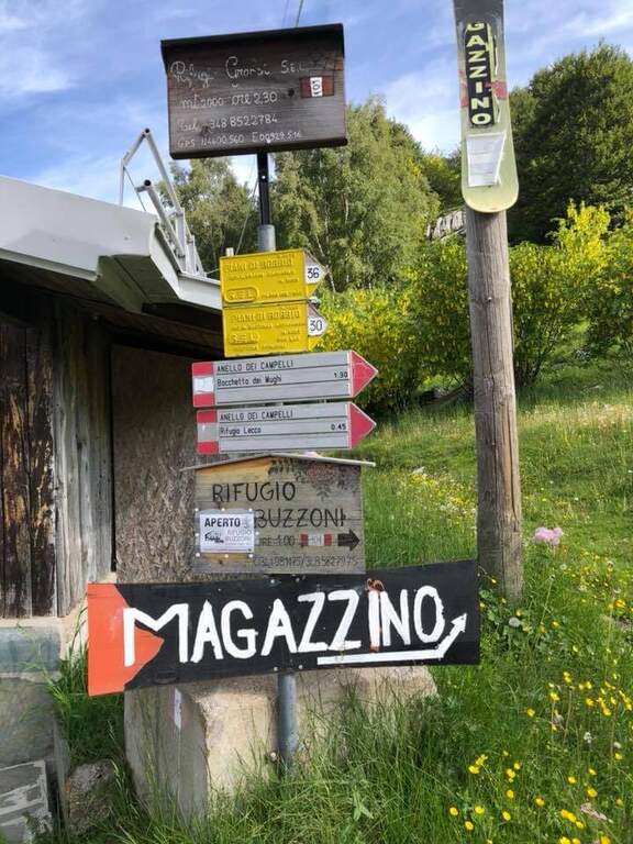
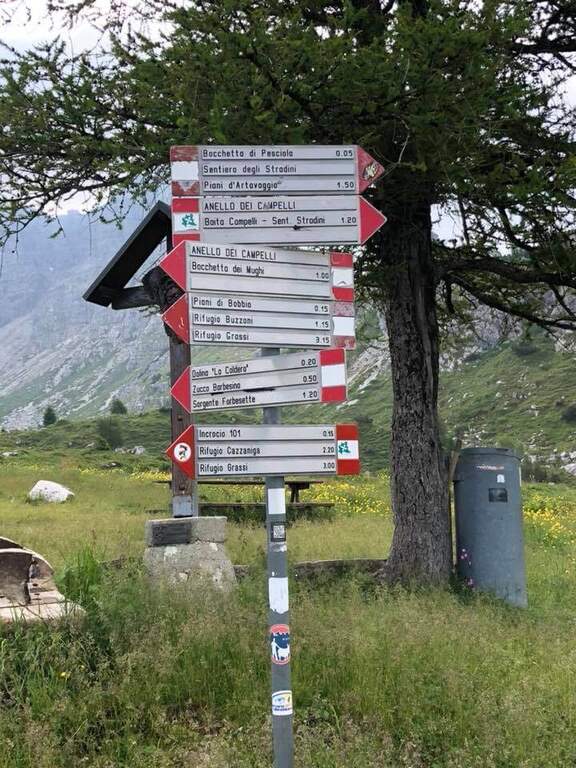
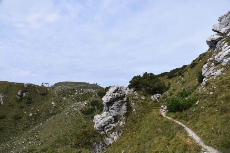
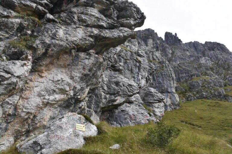
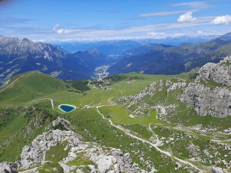
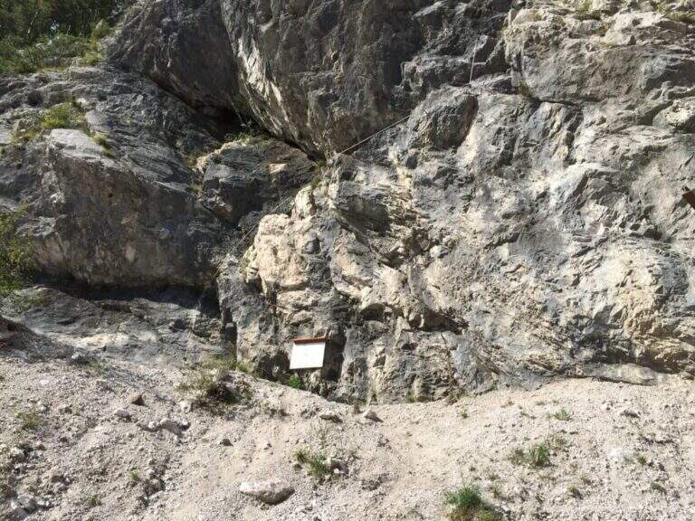
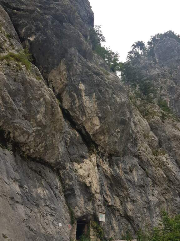
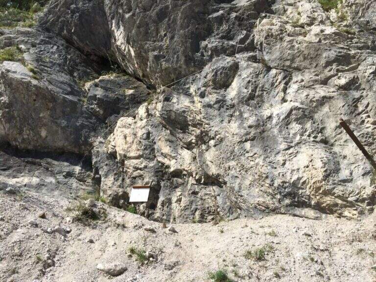
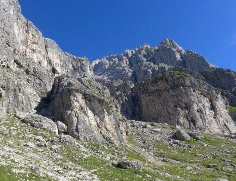
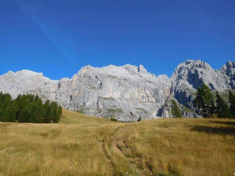
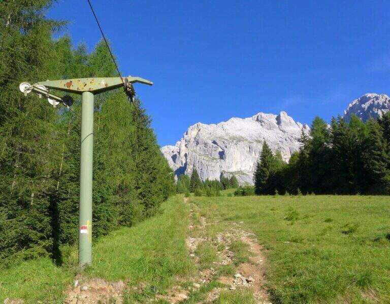
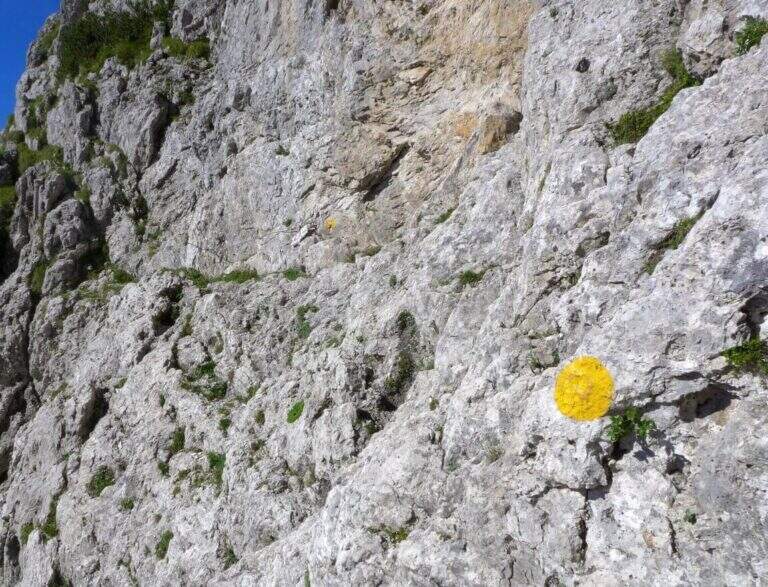
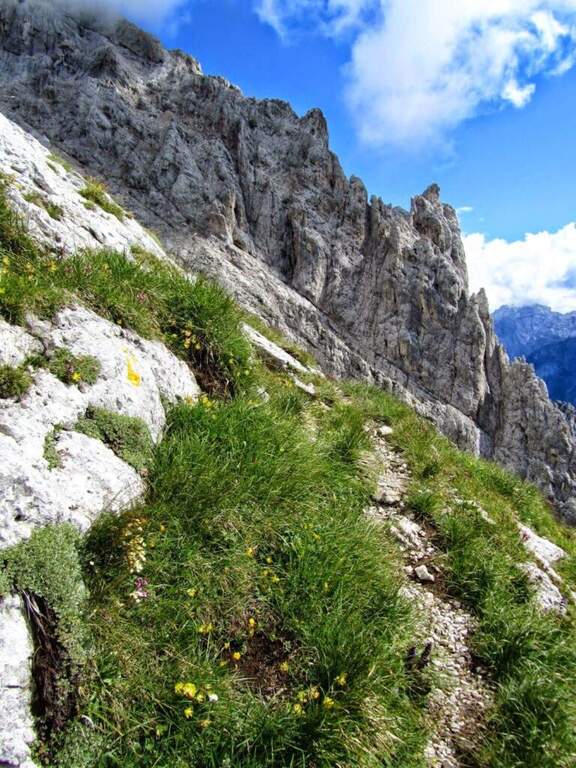
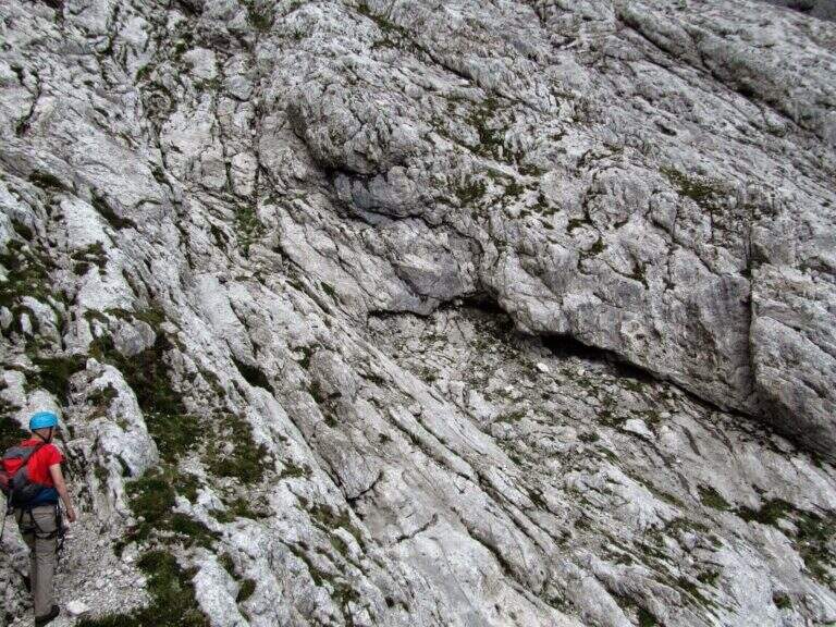
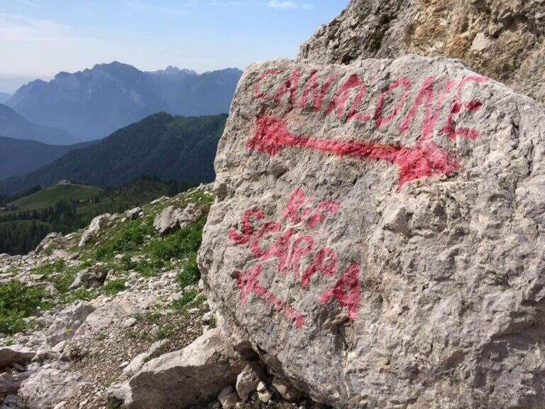
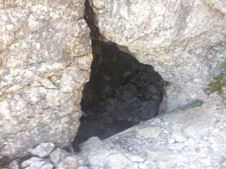
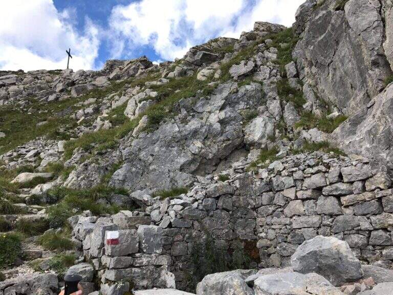
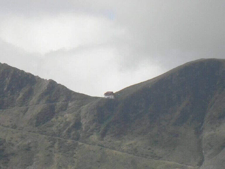
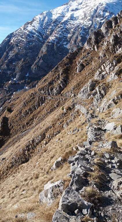
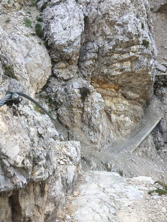
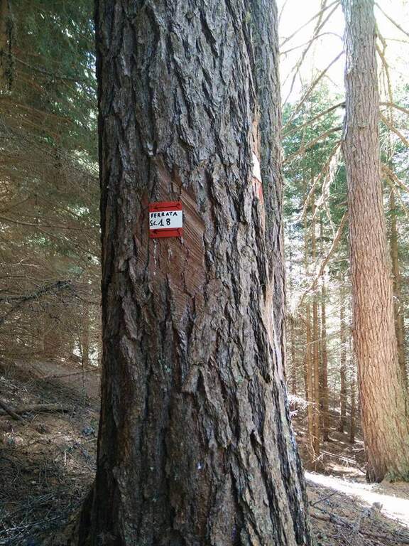
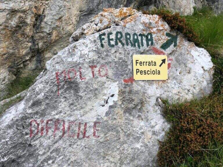
    From the upstream station of the funivia dei Piani di Bobbio (from Lecco to Barzio, then to the plants). Open road signs on Google Maps. You climb along the slopes towards the Rifugio Lecco, then to the right the sentiero 30 (which becomes Path Attrezza degli Stradini) towards the Bocchetta di Pesciola, up to a rock with l' indication of the ' attack just off the path (' from the mountain station). Alternatively, it can be recognised; it can be reached by Plans d' Artavaggio per il Sentiero degli Stradini.

    ▲The path

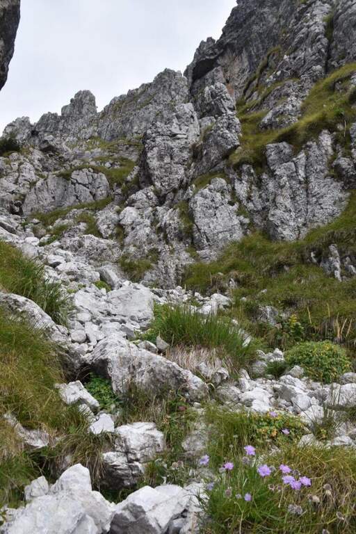
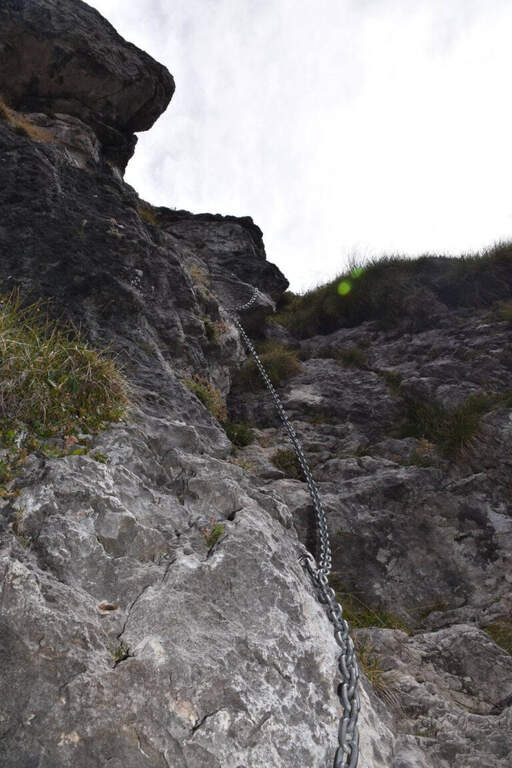
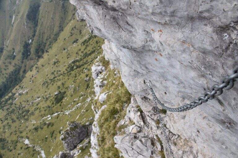
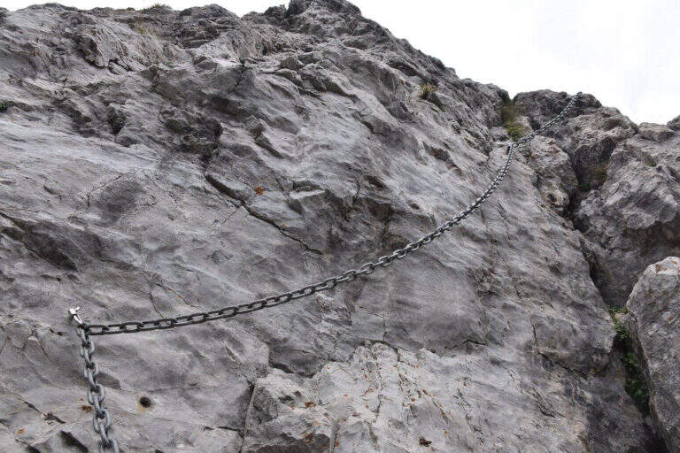
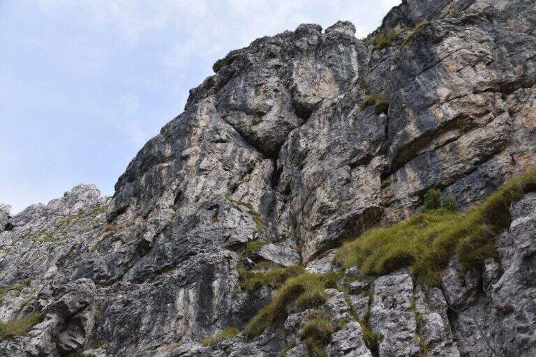
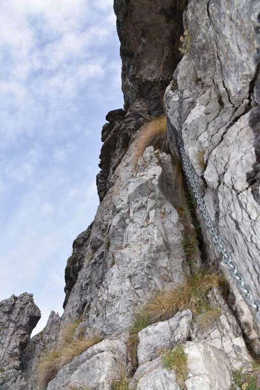
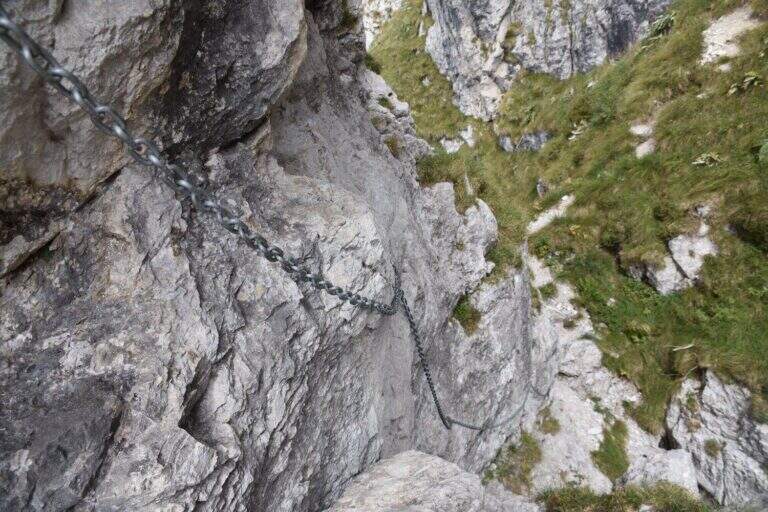
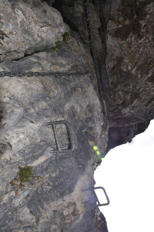
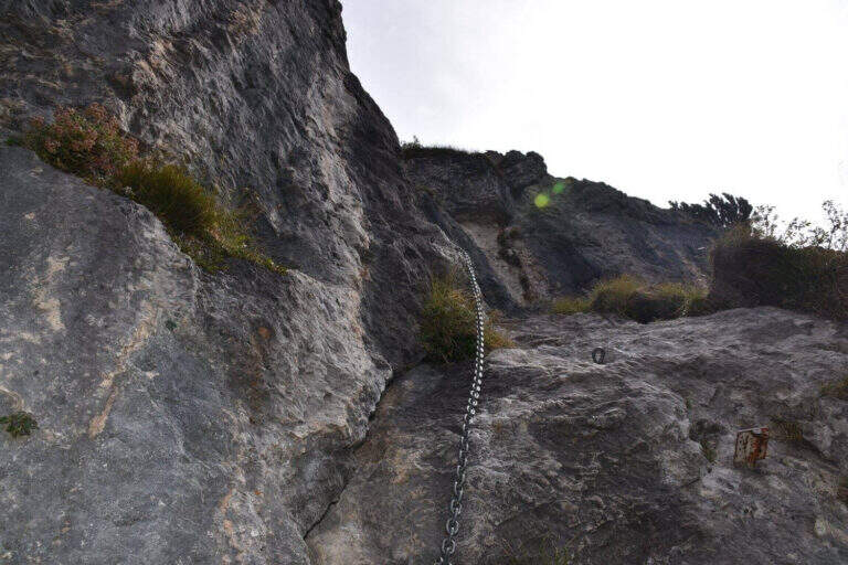
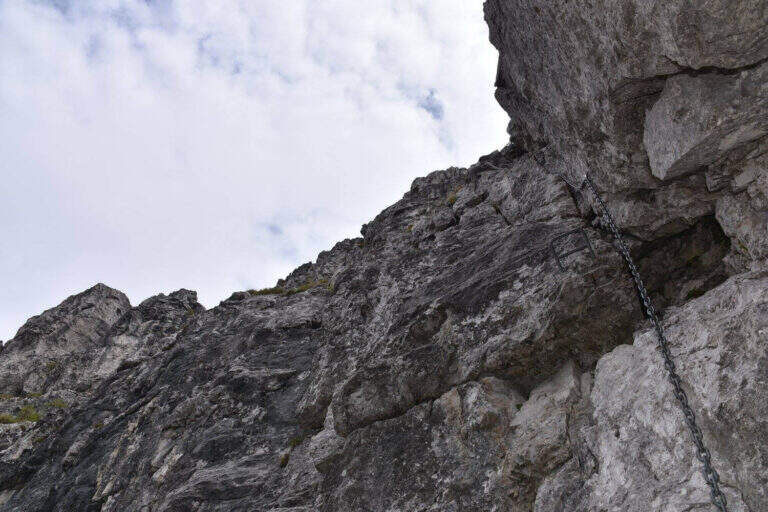
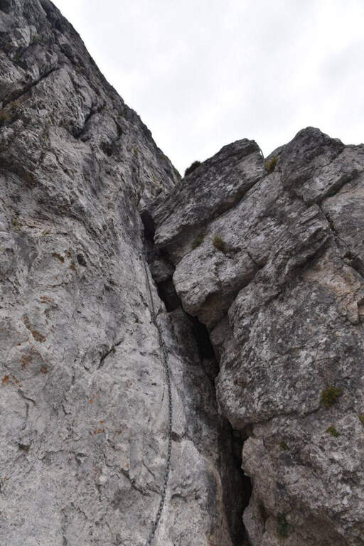
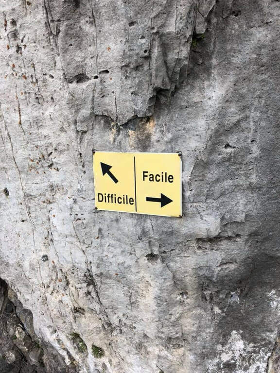
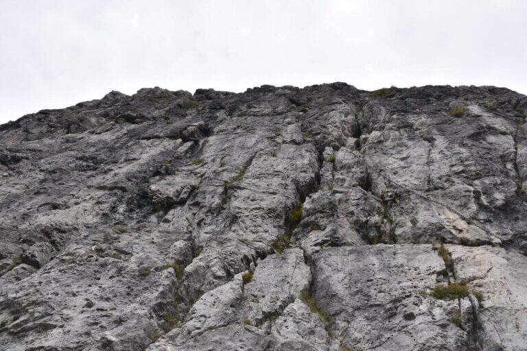
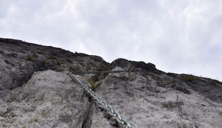
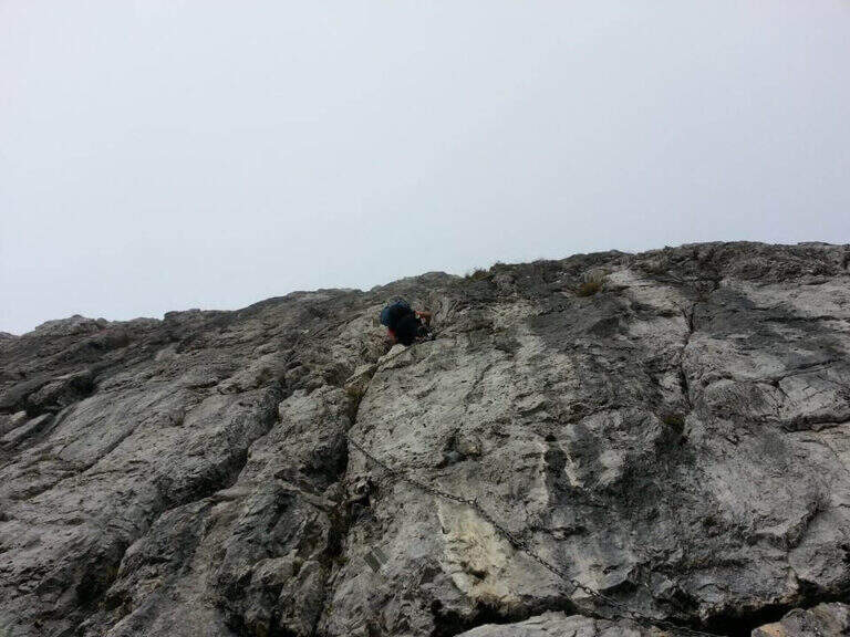
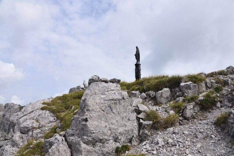
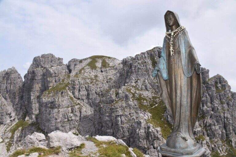
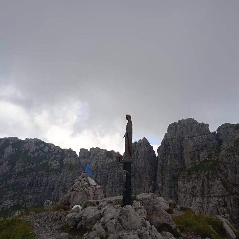
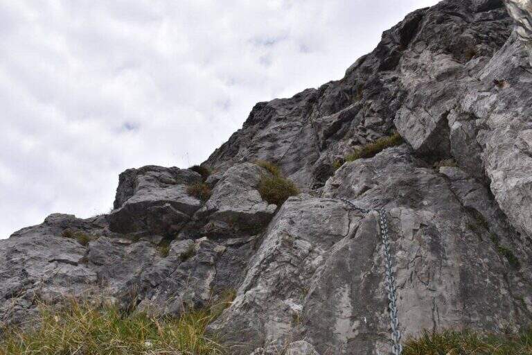
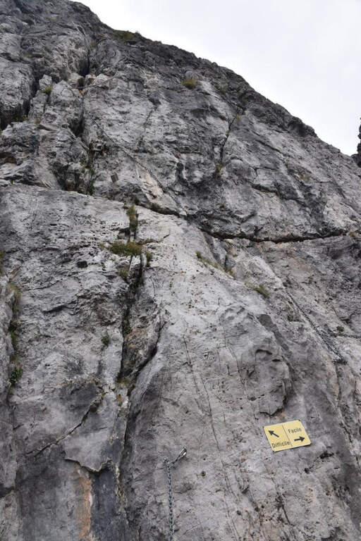
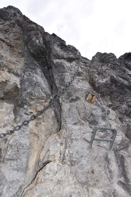
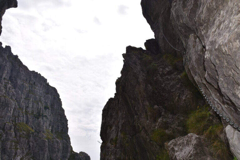
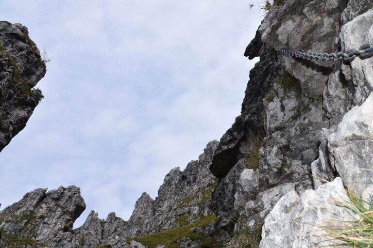
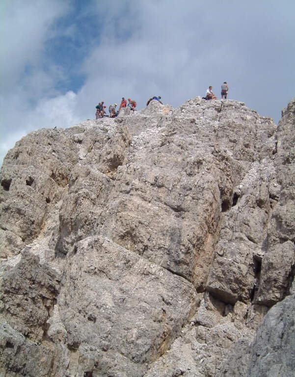
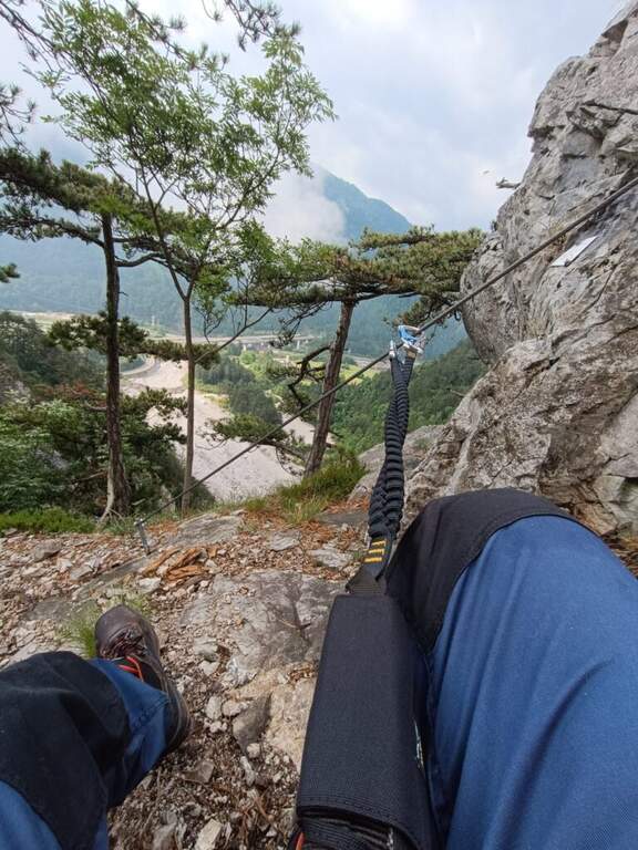
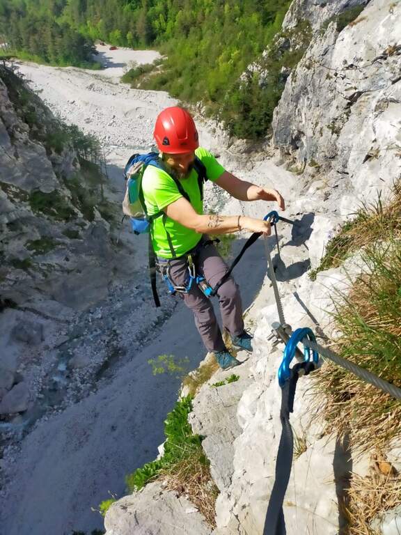
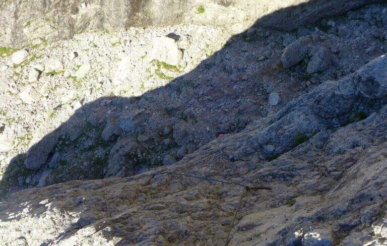
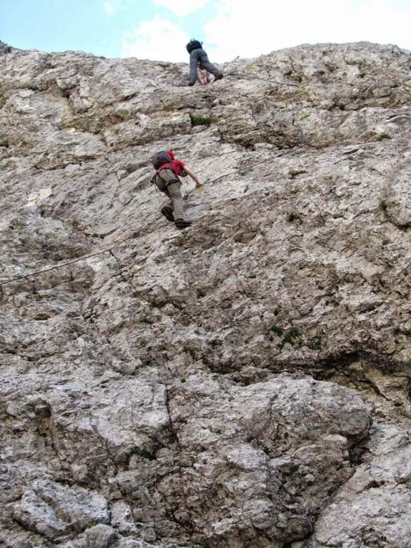
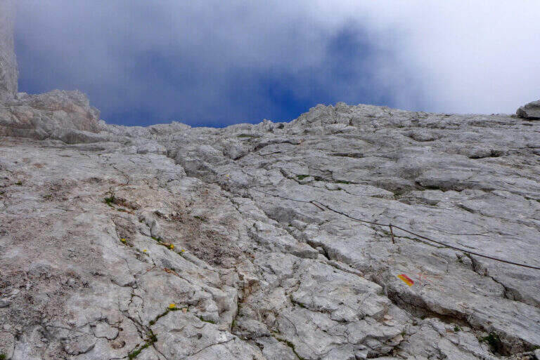
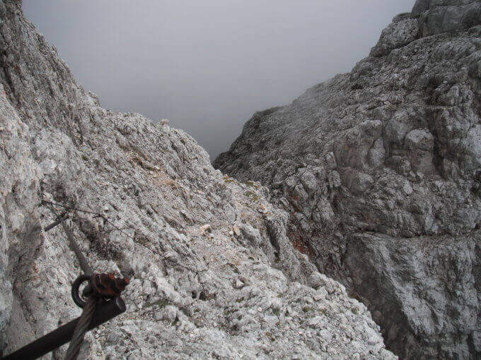
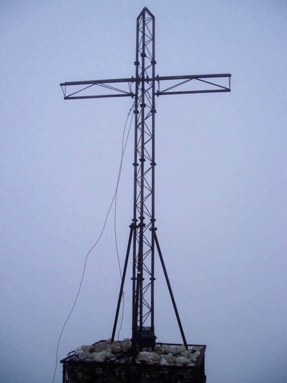
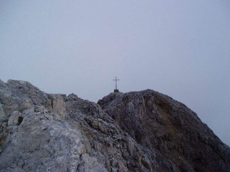
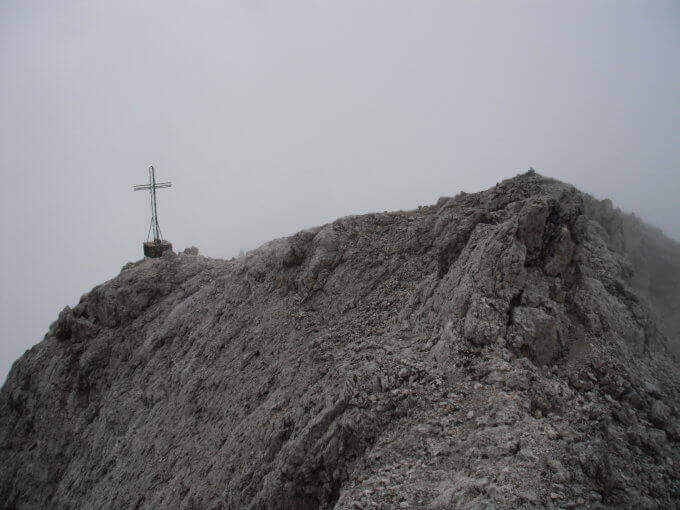
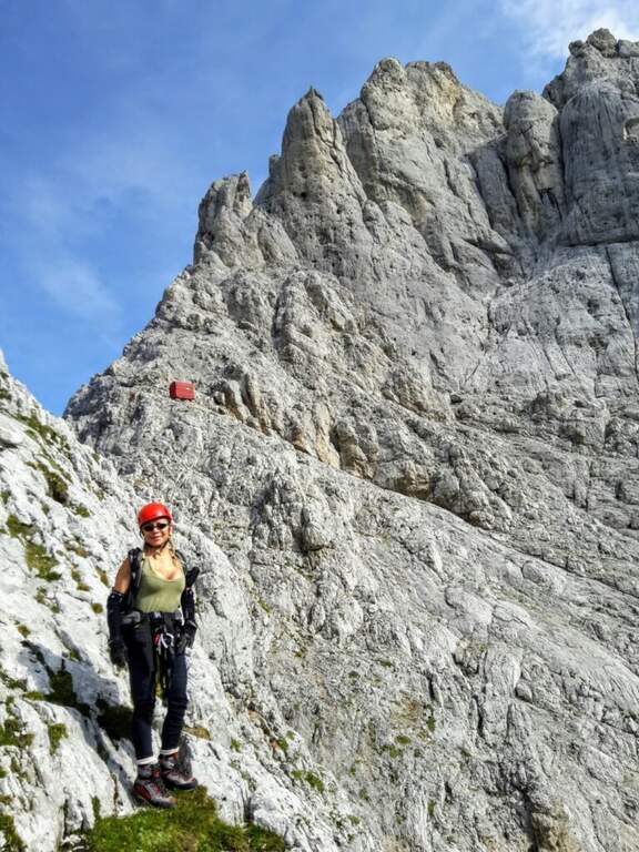
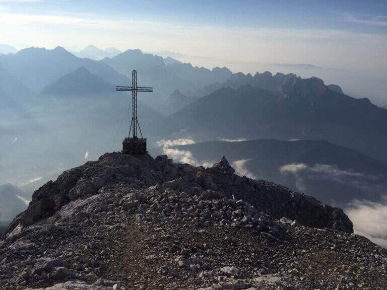
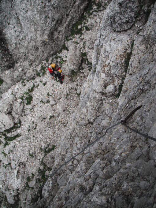
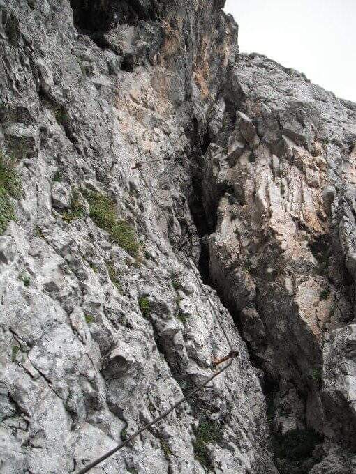
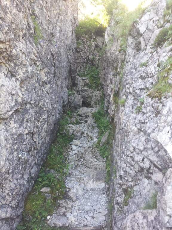
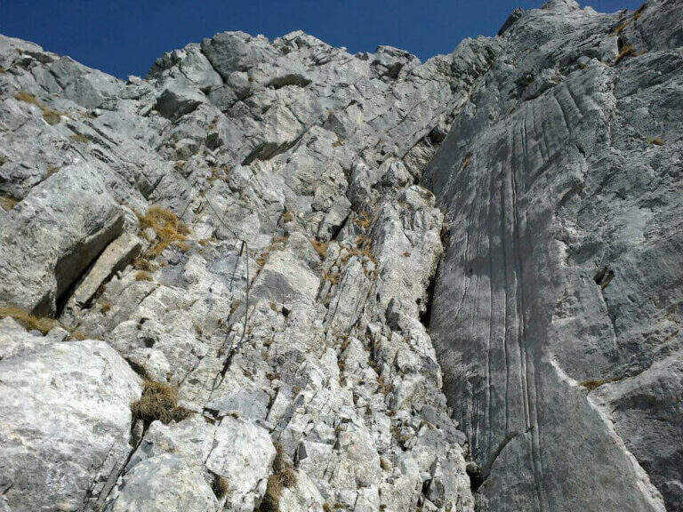
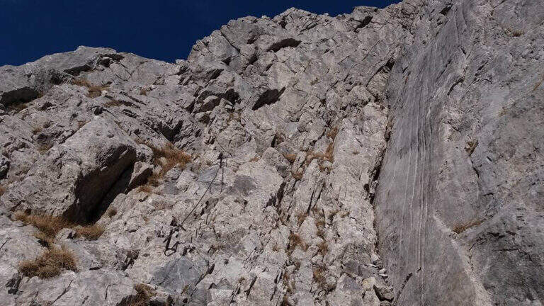
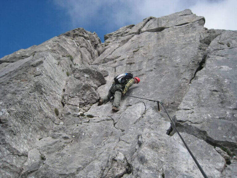
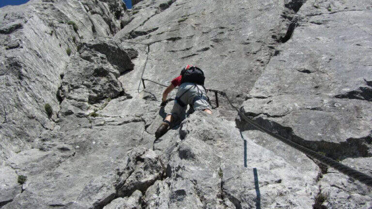
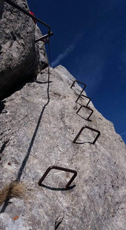
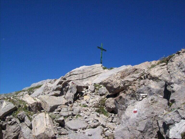
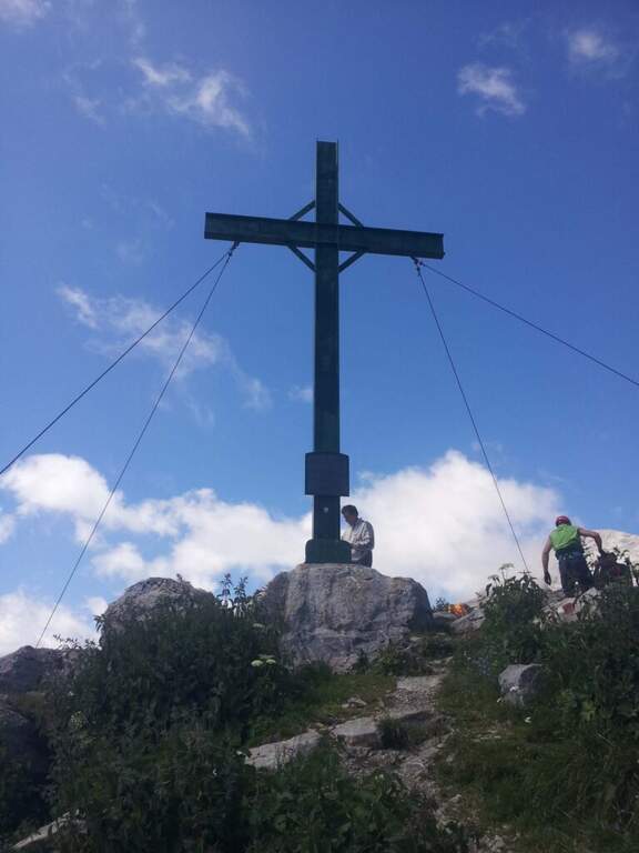
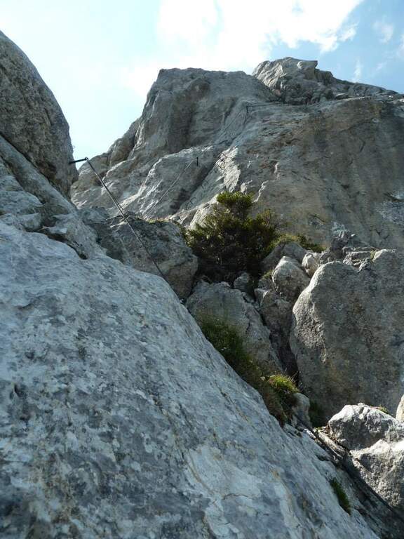
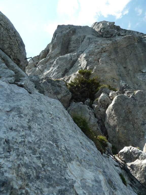
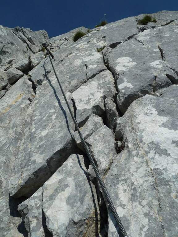
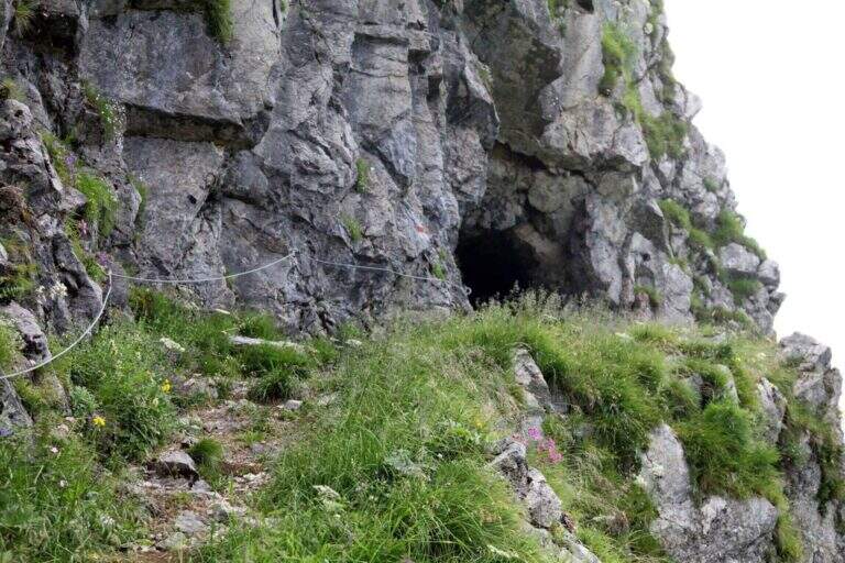
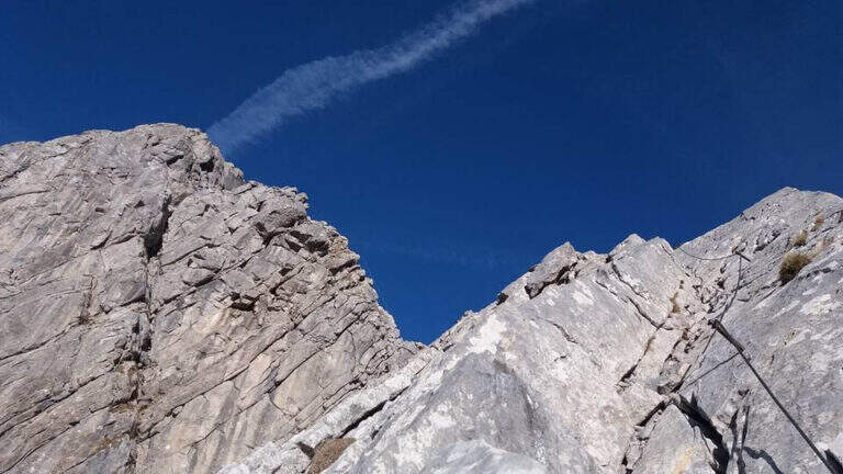
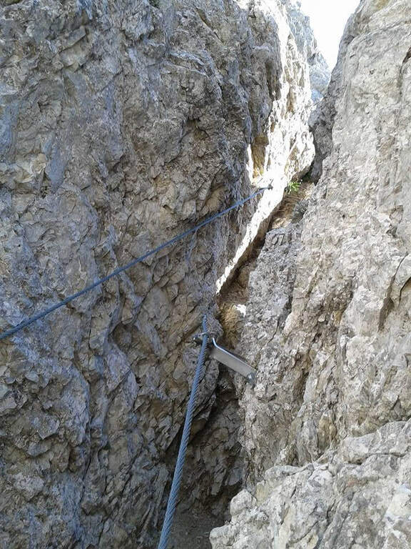
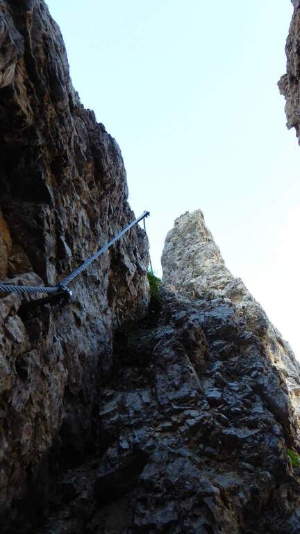
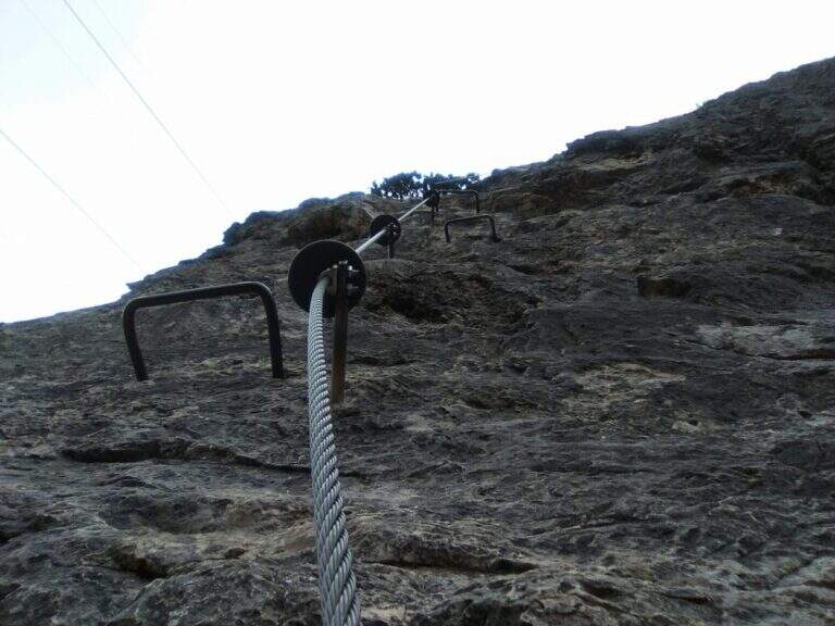
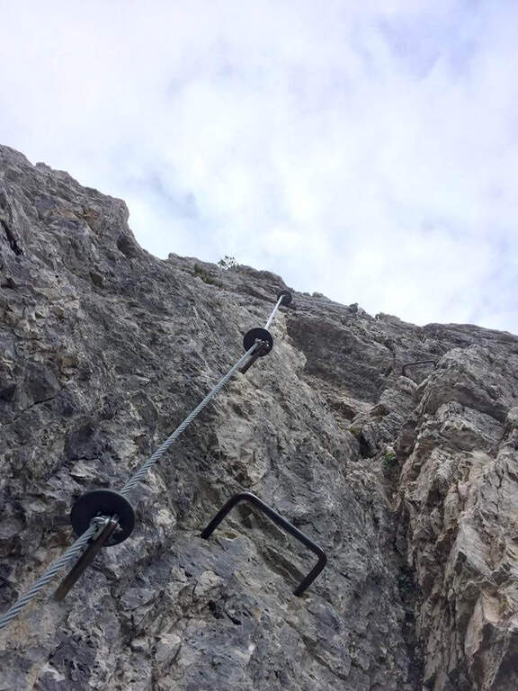
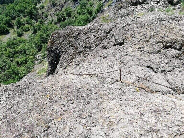
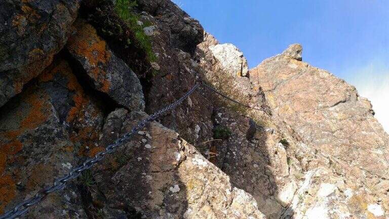
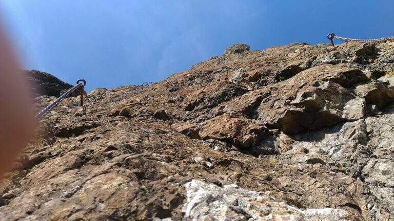
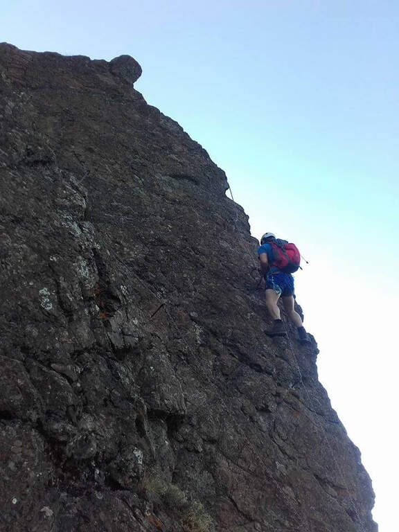
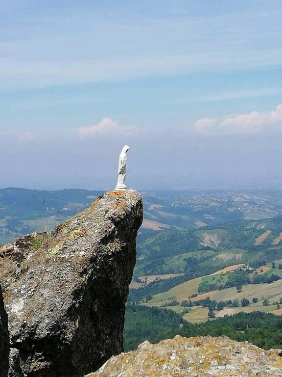
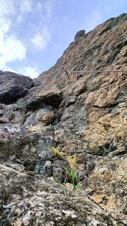
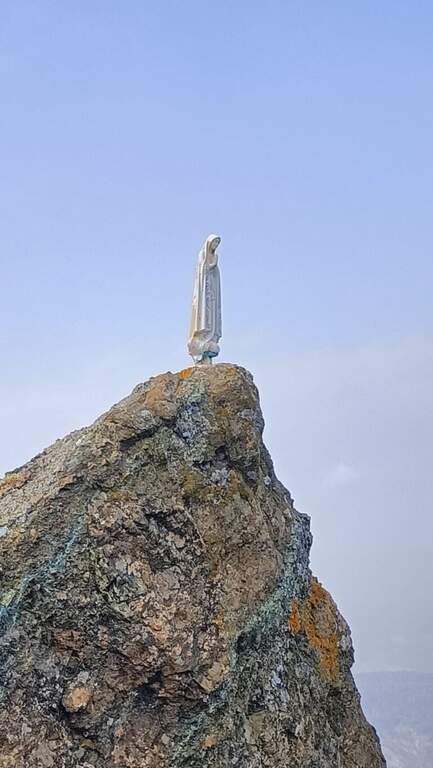
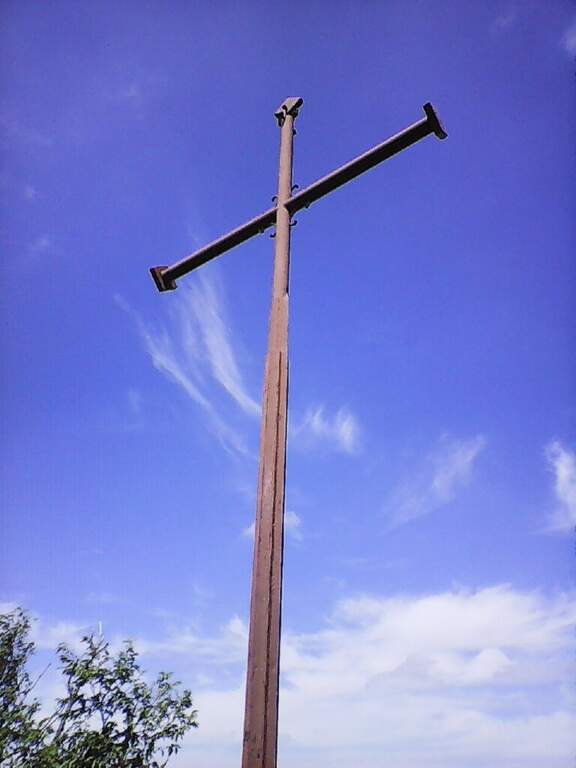
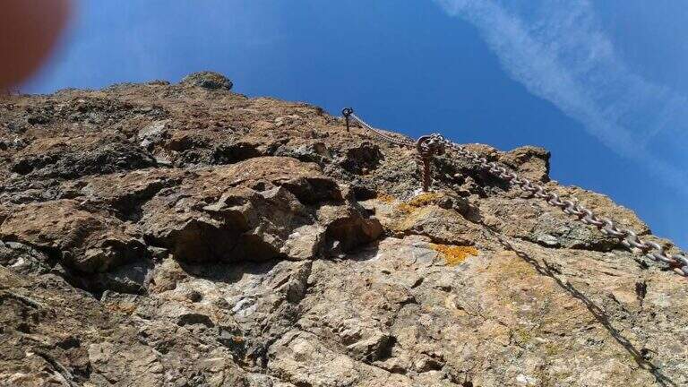
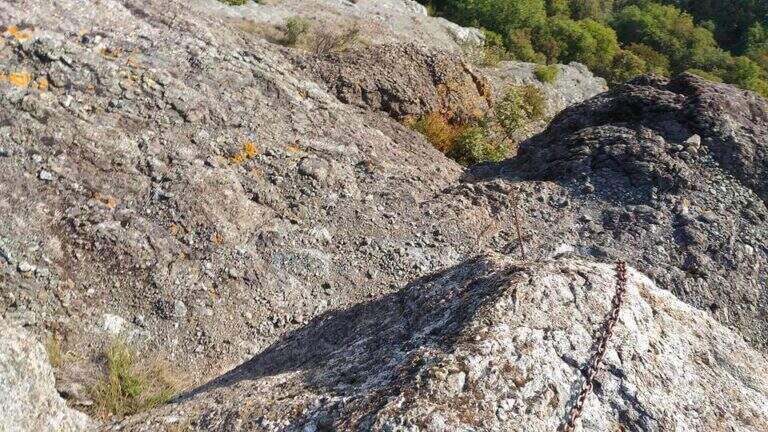
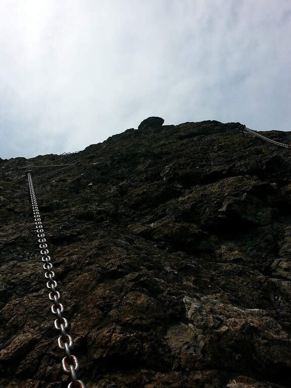
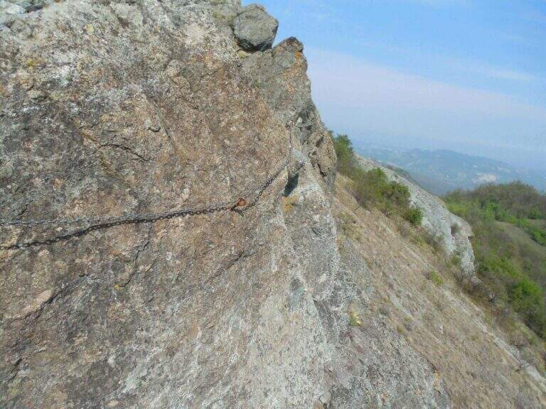
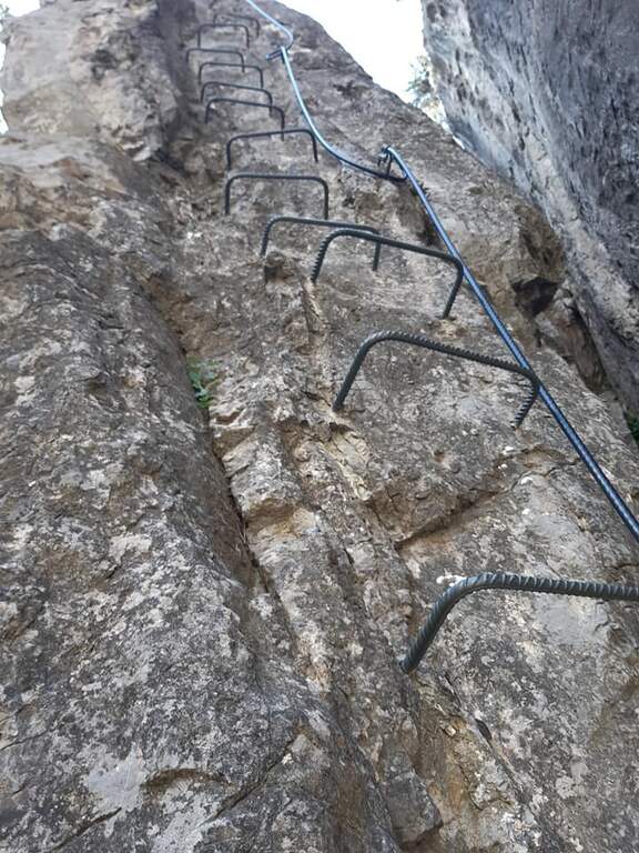
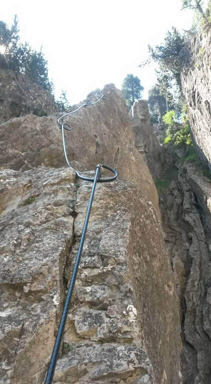
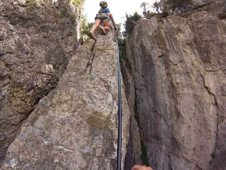
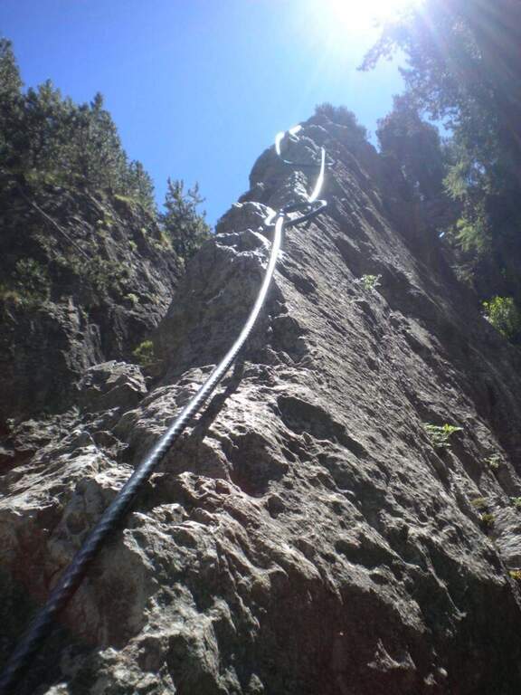
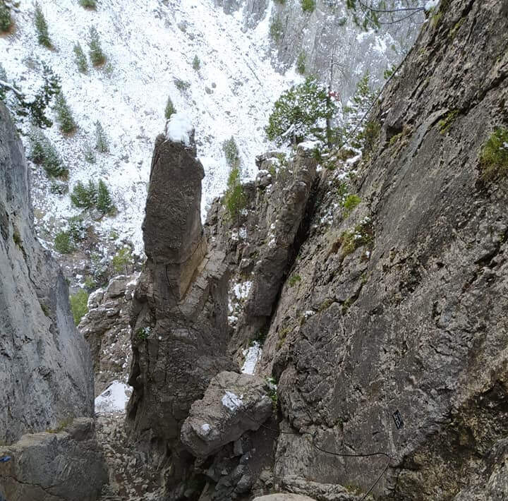
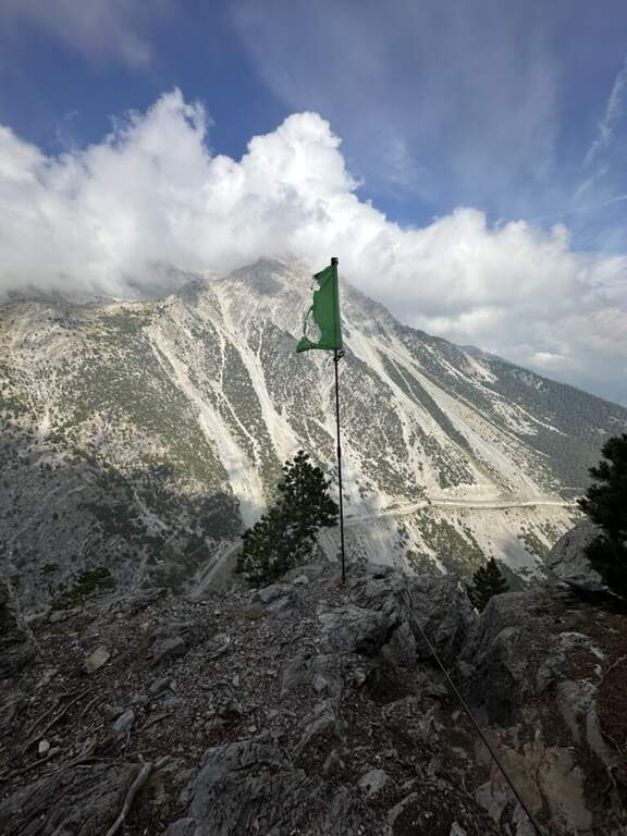
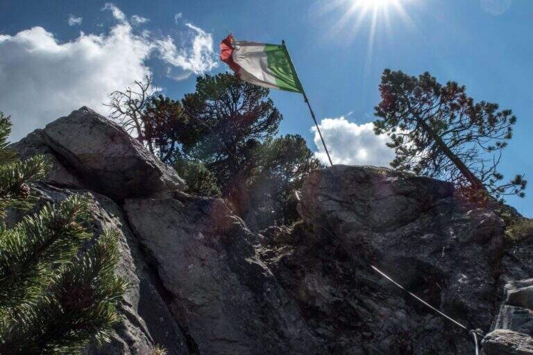
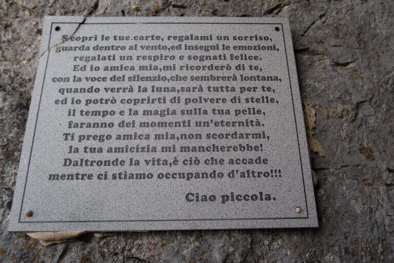
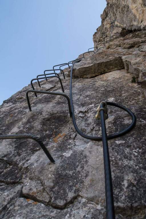
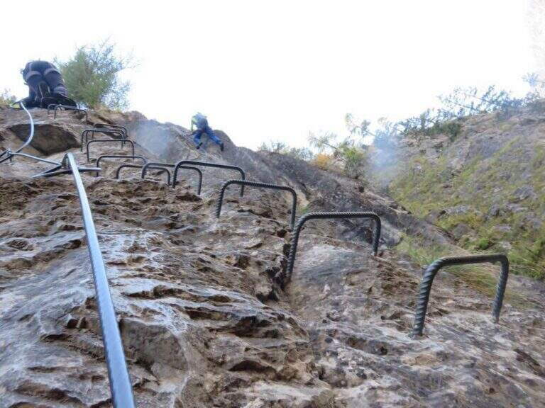
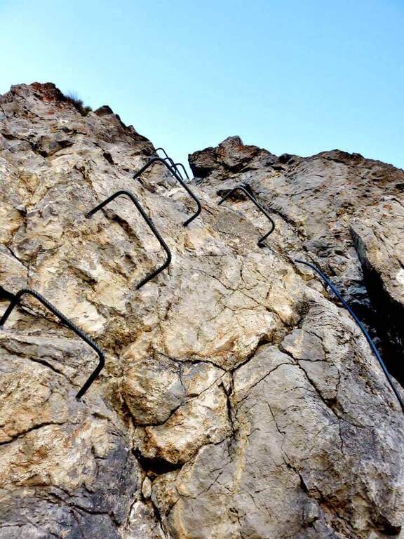
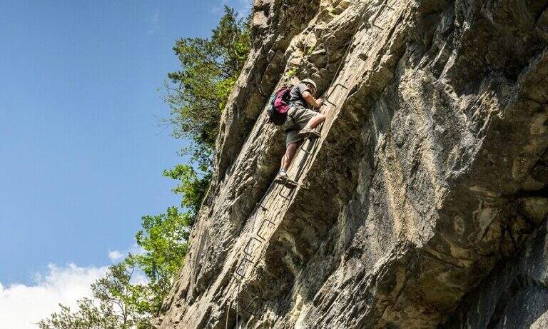
    Si inizia risalendo un torrione: roccette a sinistra, poi balzi e placche verticali su buona roccia fino a un traverso esposto che ne chiude la cima. Un breve tratto di discesa attrezzato porta alla seconda parte: una parete con fessura e poi un diedro strapiombante dove la catena scorre a destra e gli appigli sono a sinistra (si procede in spaccata, con una seconda catena e una maniglia nel punto più sporgente). Seguono cresta, un breve camino (4 m), un traverso atletico in diagonale su staffe e un impegnativo diedro con traverso a destra. Si arriva a un bivio: a destra la via facile (un canalino arrampicabile in spaccata fino a una scaletta), in verticale la variante estremamente difficile (parete strapiombante povera di appigli, catena lasca, occhielli per sostare con un rinvio). Le due varianti si ricongiungono; un ultimo tratto verticale, una sporgenza e un camino con cambio moschettone portano a un breve sentiero di cresta. Dopo un tratto pianeggiante e l'ultima parete appoggiata si raggiunge la madonnina di vetta (1h 45' from the attack, 2h 30' total).

    ▲Character and difficulty

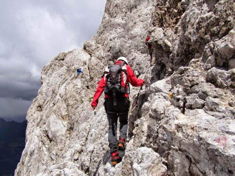
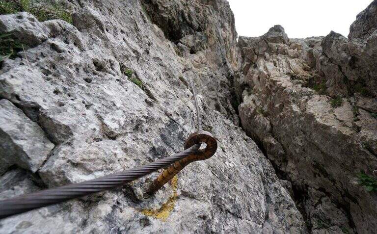
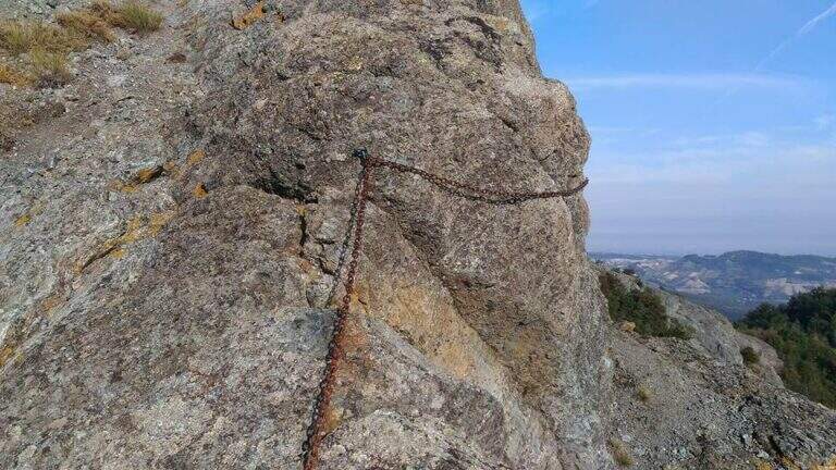
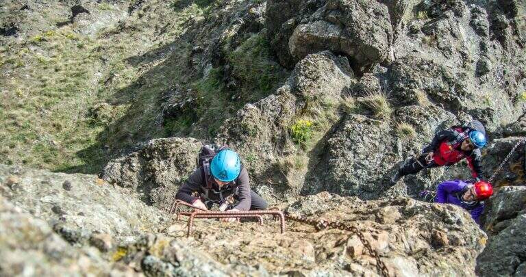
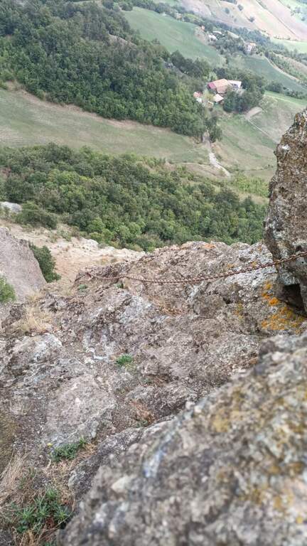
    Hard way with many challenging steps: diedri and chimneys in which it is recommended, if not obligatory, proceed climbing so as not to get too busy. The chain is sometimes lasca (the carabiner flows badly) but can be used almost everywhere to stop. It traces almost entirely the historical ferrata dedicated to Domenico Rebuzzini. Level difference in ferrata 190 m, total 426 m, maximum altitude 2161 m, development 6 km.

    ⚠ Along the way there are many detriti: be careful not to move them. The difficult and extremely difficult variante; extremely difficult , overhanging and poor of hooks: carefully evaluate their conditions at the crossroads.
    ▲Discipline

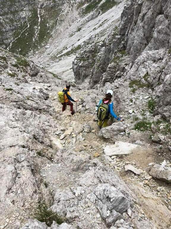
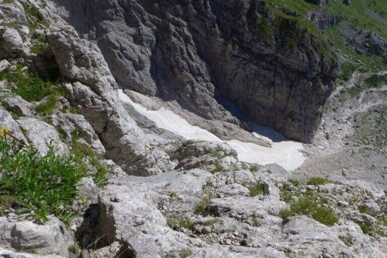
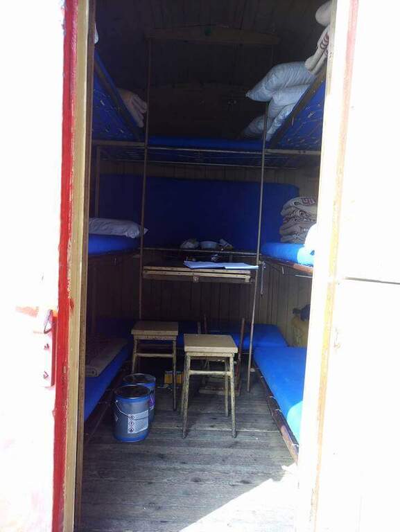
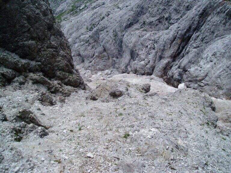
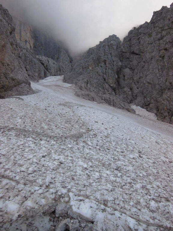
    Towards the plains of Bobbio you go east for obvious track to a mouth, where on the left you take the steep Canale Madonna which leads to the Valley of the Camosci; from here you descend west towards the Rifugio Lecco (1h from the end of the ferrata).

    ⚠ The return channel is exposed to the north and often remains snowed until late season: it can be dangerous, equip itself accordingly.
    ▲To match

    For experienced hikers, from the top you can reach the Zuccone Campelli and descend along the Ferrata Mario Minonzio.
    ▲Gallery
    Technical data
    • DifficultyVery difficult
    • RegionLombardy
    • Group♪
    • Approach0:45 h
    • Ferrata1:45 h
    • Itinerary (a/r)3:30 h
    • Hardware level difference190 m
    • Route difference426 m
    • Max2161 m
    • Length6 Km
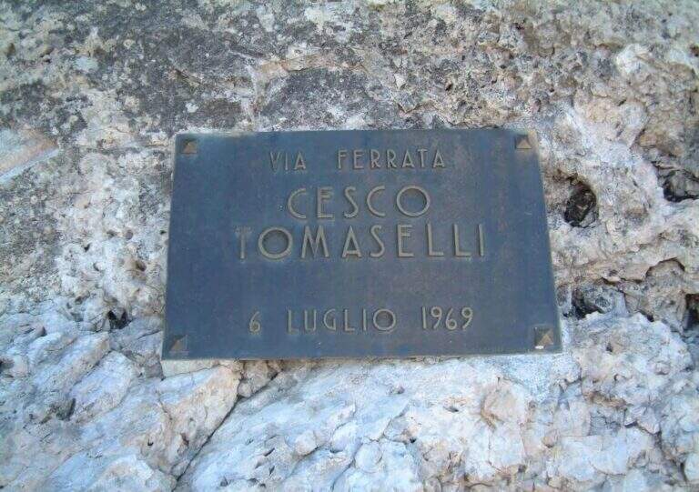
  • Ferrata Cesco Tomaselli in Cima Fanes

    Ferrata Cesco Tomaselli in Cima Fanes

    Vie Ferrate › Veneto › Belluno
    Ferrata Cesco Tomaselli in Cima Fanes
    Very difficult● OpenDescriptionComplexityMapsGallery

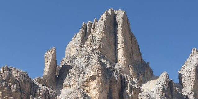
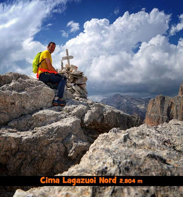
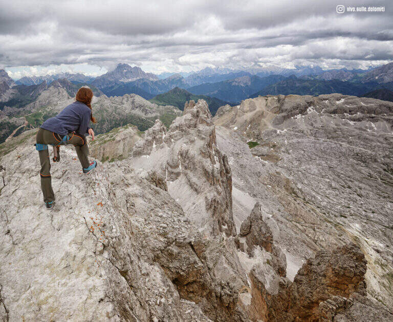
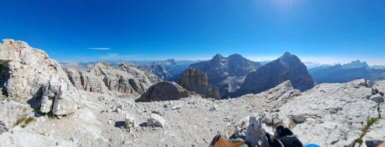
    La Ferrata Cesco Tomaselli climbs the west wall of the Punta di Fanes Sud: a vertical, demanding way, with exposed and technically difficult passages. It is short but very intense, with a series of athletic passages that require experience and strength; from the summit the panorama spans the Tofane and the Dolomites of Badia.

    ▲Approach

    The più mode; quick & free; climb to the Passo Falzarego (2105 m) and take the cable car to the Lagazuoi Refuge. Open road signs on Google Maps. From the mountain station (2752 m) descend north with trail 401 towards the Forcella Lagazuoi (2573 m, 15'); the left on the trail 20 in falsepiano, then to the right the 20B halfway on the west wall of the Great Lagazuoi to the site of the 'ex Bivacco della Chiesa (2655 m, 1h from the refuge), now dismantled. From here, già visible l' attack, a track north leads under the wall all' attack (1h 15' totali).

    ▲The path

    Il key passage is immediately to attack: after the first easy meters you face a traverse that climbs diagonally on a polished wall, then obliges you to descend 2-3 meters very exposed, a horizontal traverse on smooth rock and a 4-5 meters lift; selective and poor stretches of hooks, to walk decided not to fatigue your arms. On a terrace there is a breath and a vertical and exposed wall of about twenty meters, più perched on the top, up to a detritic terrace. A section of exposed and unprotected path and a nod with ups and downs lead to ' start of the second section equipped: horizontal nod, stepped rocks, un' another nod exposed to the right, you get around a corner and you reach the terza section (attention not to follow the left the Ferrata at Cengia Veronesi). There is an entangled plaque, then vertical passages sometimes assisted by pioli, up to the characteristic long dihedron equipped along a deep crack: the first vertical and poor feet of hooks are passed tractioning on the cable, then the rope crosses the dihedron (uses a comfortable right bracket) and continues air to a pulpit in fork. Two very exposed plates, first vertical then diagonal, and a short ridge lead to the summit at Cima Fanes Sud (2960 m, 1h 45' from the attack, 3h from Lagazuoi), with 360° view.

    ▲Character and difficulty

    Vertical and exposed, athletic, with thick rock: the initial traverse and the long dihedron are the most selective traits. Level difference in ferrata 326 m, maximum altitude 2980 m, development 7.5 km.

    ⚠ Also the discesa è a challenging ferrata, with vertical balconies, a slightly overhanging traverse and the descent of a fireplace: it should be faced carefully. Reserved for experienced and trained drivers.
    ▲Discipline

    Dalla vetta si prosegue a nord-est e si scende per una via ferrata di discesa impegnativa: balzi verticali da studiare, un traverso con breve passaggio strapiombante e la discesa di un camino (staffa provvidenziale a metà), poi una cengia e gli ultimi metri verticali fino al canalone che porta al Bivacco della Chiesa (45' dalla vetta, 3h 45' totali). Da qui, per la funivia, si torna a ritroso al Rifugio Lagazuoi (45', 4h 30' totali); in alternativa si tiene la sinistra del crinale verso la Forcella Travenanzes e si scende al Passo Falzarego tra i resti della Grande Guerra (1h 15' dal termine della discesa attrezzata, circa 5h totali).

    ▲To match

    From Falzarego and Lagazuoi: the Kaiserjager Trail, la Ferrata Fusetti at Sas de Stria, la Alpine Brigade at the Col dei Bos; towards Cortina la Ferrata dell'Averau and on the Tofana of Rozes la Ferrata Lipella.

    ▲Gallery
    Technical data
    • DifficultyVery difficult
    • RegionVeneto
    • GroupFanes
    • Approach1:15 h
    • Ferrata1:45 h
    • Itinerary (a/r)4:30 h
    • Hardware level difference326 m
    • Route difference326 m
    • Max2980 m
    • Length7,5 Km
  • Ferrata Lieutenant Ferrante di Ruffano

    Ferrata Lieutenant Ferrante di Ruffano

    Vie Ferrate › Friuli-Venezia Giulia › Udine
    Ferrata Lieutenant Ferrante di Ruffano
    Very difficult● OpenDescriptionComplexityMapsGallery

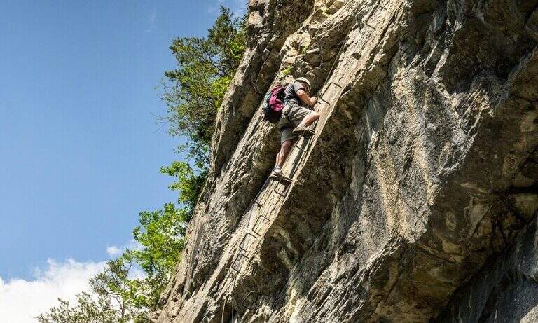
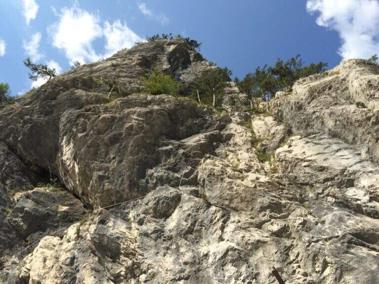
    La Ferrata Lieutenant Ferrante di Ruffano was created by the Alpini near Pontebba, in the province of Udine. It is a vertical, challenging and athletic way in many passages, ideal as training in the months when high altitudes are not practicable: it does not reach any peak and develops at low altitude alongside numerous climbing pitches.

    ▲Approach

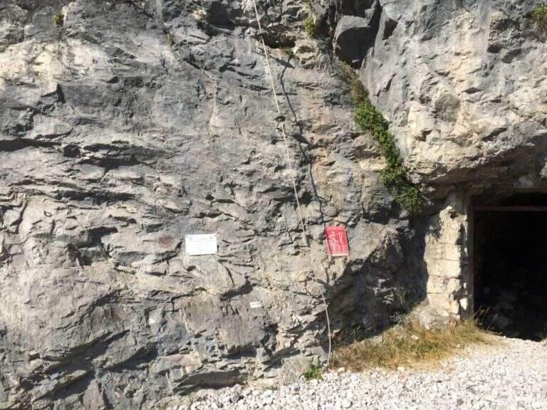
    From the tollgate of Pontebba you hold the left towards the center; over a bridge, under the viaduct of the highway you turn right on an asphalted road that continues under the highway towards the valley, becomes dirt in good condition and ends at a pedestal. Open road signs on Google Maps. Continue towards the Falesia Rio degli Uccelli following a sign that indicates l' the ferrata attack (5' from'auto), on the right side of the stream, reached with some fixed ropes just above the raw.

    ▲The path

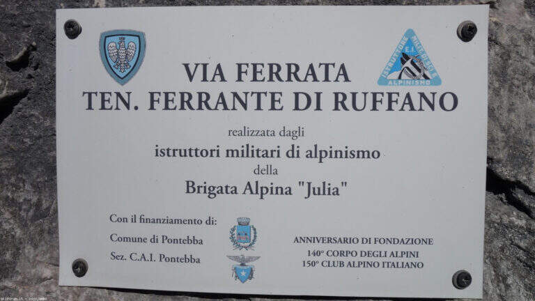
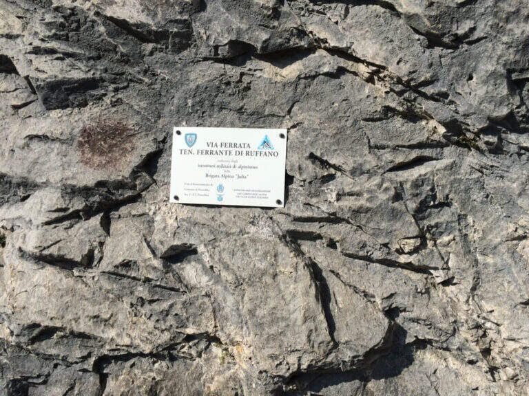
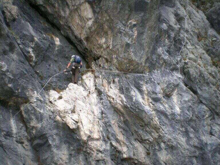
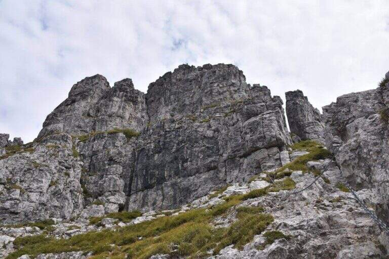
    Accanto alla targa commemorativa il cavo parte verticale e l'impostazione atletica è subito chiara. I primi metri salgono su roccia levigata e traversano a destra fino a un terrazzino con breve cengia; segue un impegnativo traverso orizzontale di 6-8 metri, dove la scarsità di appoggi per i piedi è la difficoltà principale: si scende un paio di metri e poi il cavo riparte verticale, agevolato da alcune cambre. Con l'aiuto di staffe si raggiunge un breve tratto di collegamento appoggiato (attenzione a non smuovere sassi su chi segue). Dopo una cengia a sinistra ci si porta verso un evidente diedro: lo si sale prima a destra, poi attraversandolo a sinistra senza difficoltà sostanziali grazie a numerose cambre, fino a un passo strapiombante da affrontare con decisione e rapidità (qui avviene il cambio di moschettone in pieno strapiombo). Si esce su una parete verticale molto esposta ma ricca di cambre, dove è possibile riposare; ci si sposta a sinistra su buona roccia e si sale una paretina e un bel diedro, quindi facili gradoni appoggiati. La via riparte verticale e impegnativa fino a un tratto di sentiero attrezzato tra i pini, da cui una deviazione raggiunge un pulpito. Riprende con un traverso a sinistra in leggera discesa (occhio ai sassi mobili) e uno in salita in lieve strapiombo, fino a uno spigolo da cui inizia un lungo tratto di discesa attrezzata su placca, non difficile ma che richiede attenzione nella ricerca degli appoggi. Si raggiunge così il termine della via (circa 1h 30' dall'attacco).
    ▲Character and difficulty

    Low-altitude, training and vertical, physical at the most difficult points and with new fixtures in good state. Not to be underestimated also for the long stretch of descent equipped. Level difference in ferrata 130 m, total 160 m, development 4 km.

    ⚠ Along the vertical and overhanging traits it is worth planning the stops; in the connecting tract and in the beams they are easily removed stones: maximum prudence for those below.
    ▲Period and safety

    It is a low-altitude è route; it can be reached in much of the ' year, rock conditions allowing. GPX and KMZ tracks are available.

    ▲Discipline

    From the end of the road follow the trail used for nearby climbing routes ( approximately 30', 2h totali).

    ▲Gallery
    Technical data
    • DifficultyVery difficult
    • RegionFriuli-Venezia Giulia
    • GroupAlps Carnia
    • Approach0:15 h
    • Ferrata1:15 h
    • Itinerary (a/r)2:00 h
    • Hardware level difference130 m
    • Route difference160 m
    • Max726 m
    • Length4 Km
  • Ferrata Tabaretta

    Ferrata Tabaretta

    Vie Ferrate › Trentino-Alto Adige › Bolzano
    Ferrata Tabaretta
    Very difficult● OpenDescriptionComplexityMapsGallery

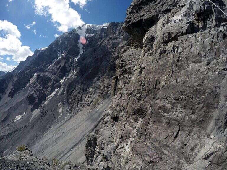
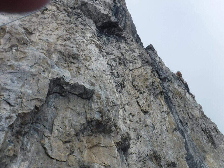
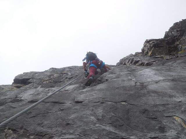
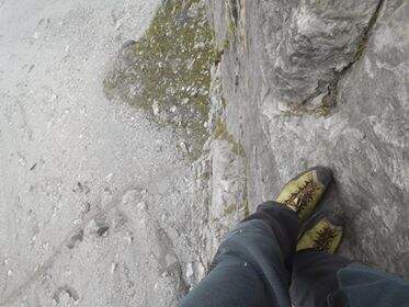
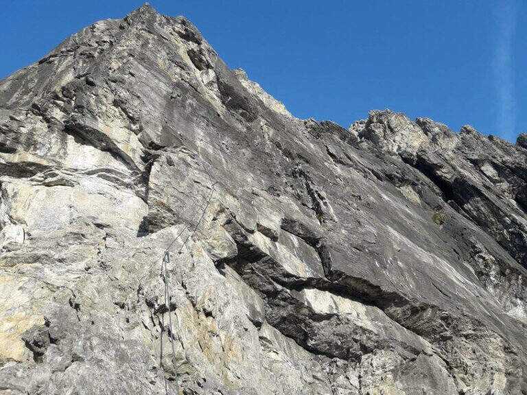
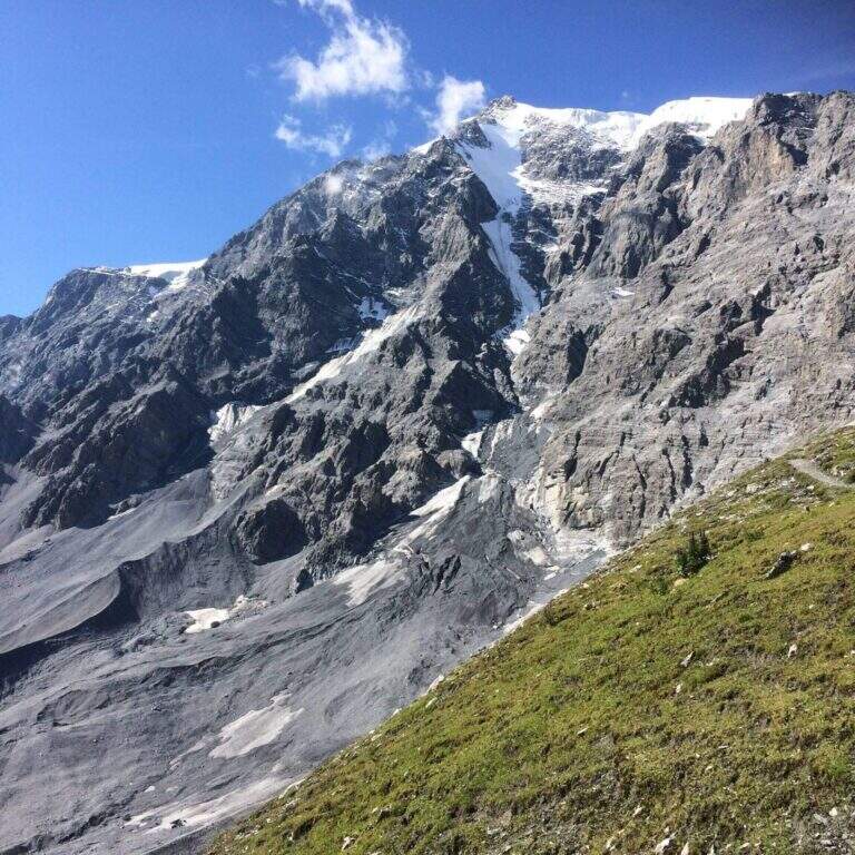
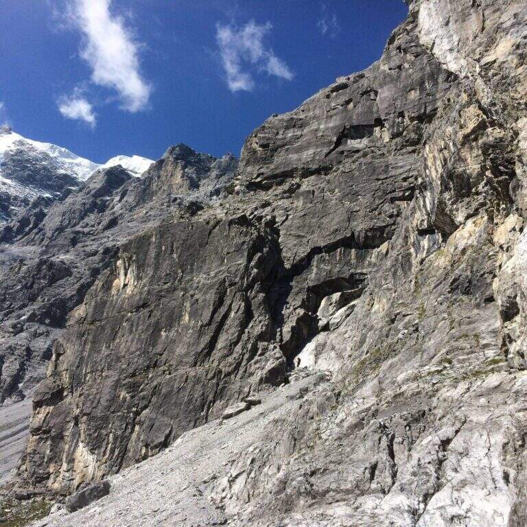
    La Ferrata Tabaretta is one of the most severe routes in the Italian Alps: the imposing north wall of the Ortles, under Punta Tabaretta, dates back to a high mountain environment over 3000 meters. Technical difficulties up to the extreme are added to a remarkable physical and mental commitment; the rock is often poor of hooks and in many ways it advances by pulling on the cable. There are no escape routes.

    ▲Approach

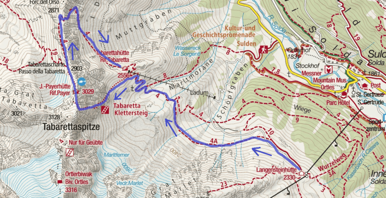
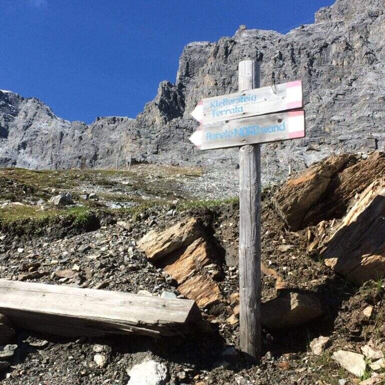
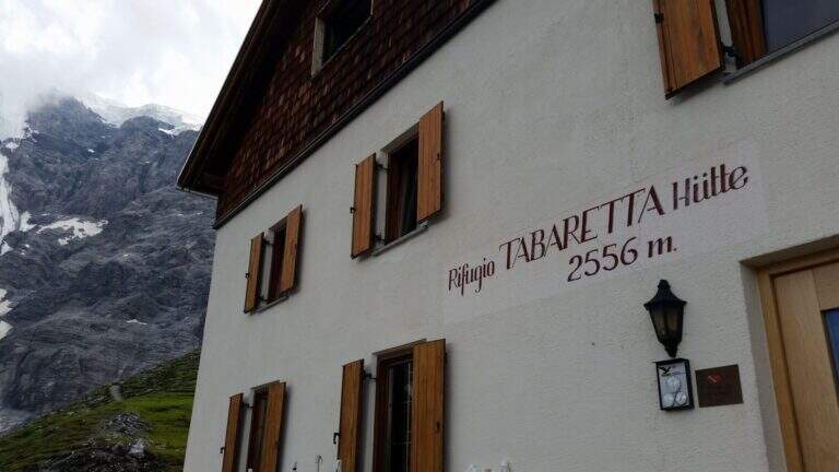
    From the upstream station of the seggiovia dell'Orso in Solda (2330 m); è the share to which to descend, without continuing beyond. Open road signs on Google Maps. Dalla stazione si segue il sentiero CAI 10 a mezza costa fino a un bivio, dove si tiene la sinistra sul CAI 4A; si procede verso ovest aggirando la parete nord dell'Ortles fino a innestarsi sul CAI 4 e, per alcuni tornanti, si raggiunge il Rifugio Tabaretta (2556 m, 45' from the upstream station). Behind the refuge starts the marked path «Ferrata – North-and-raque wall; which, halfway south-west, leads under the bastion all' attack (15' from the shelter, 1h from the station).

    ▲The path

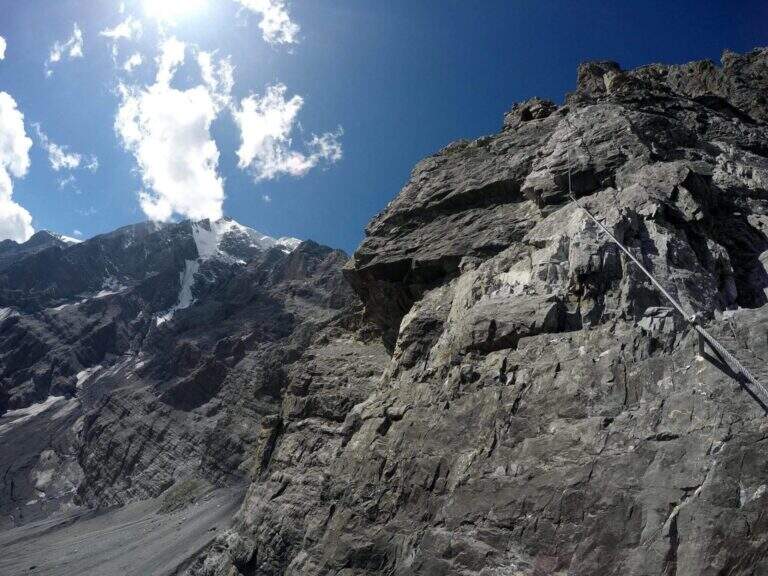
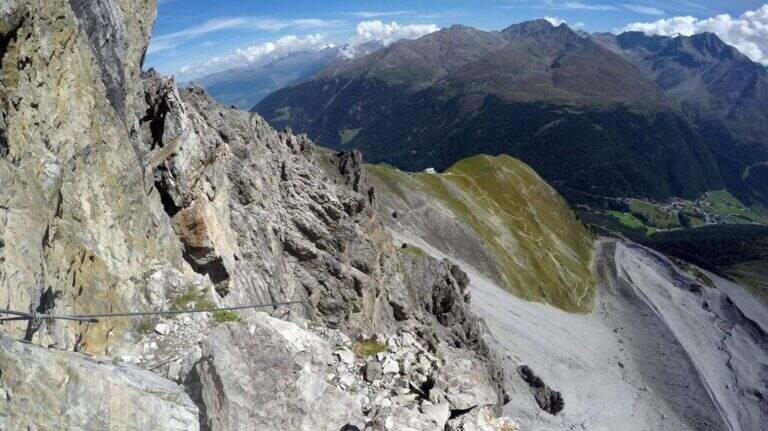
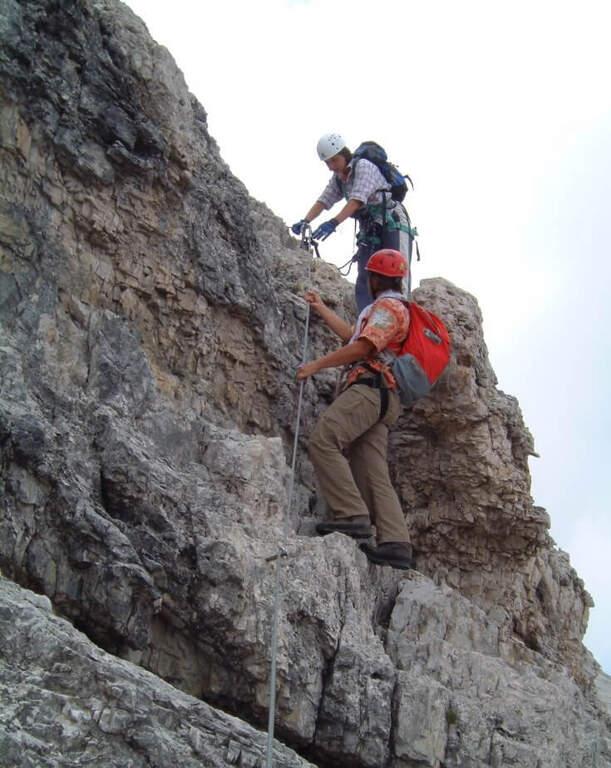
    You start on rocks at a corner; climb it immediately you gain exposure and you enter the street figure, with few hooks that force you to pull on the cable. After a terrace you descend a couple of meters and you will reassemble a very exposed dihedron, then a diagonal plate leads to a small terrace. Since 2019 the original attack has been replaced by a more challenging variant: a wall of a hundred meters, vertical, exposed and flooded with supports, which stands on the same terrace. Continue to the right on small rocks and on a vertical plaque, a short traverse to the right and a dihedron taste; a rocky roof forces to cross to the left at a crack (first tiring tract). The cable starts vertically in a slightly overhanging and little stretched up to a panoramic terrace on the Tabaretta Refuge and Ortles. After some vertical meters bend diagonally to the right in ascending cross of Geelen Knott, the key passage: very few supports for the feet, to be overcome with rapidity and force of arms not to "burn" (use a referral or a fog). You pass the roof, you go up with a second rope on the right, you walk around a corner and you reach a large terrace with short hint. They follow a plaque of about twenty meters, easy rocks, a smooth plaque to be overcome by pulling on the cable, a very exposed right traverse and more climbing traits, up to a stretch of crest and to the book signatures. The last section climbs on aerial edge, a horizontal beam exposed, a vertical wall with a small protruding roof and an ascending traverse to the demanding but entangled right, then a difficult dihedron and plane (plug on the right side, not enough to climb without cable). You leave on the left, you pass plaque, small rocks and a short fireplace and finish the equipment. For a gravel path you can connect to the ridge that from the Rifugio Payer climbs to the Ortles, the highest point of the route (3076 m), and descend to the Rifugio Payer (3029 m, 2h from the attack, 3h 45' from the mountain station).

    ▲Character and difficulty

    Continues and without respite: most of the stretches are difficult and very difficult, with extreme tips such as the Geelen Knott traverse. Maximum ratings on all fronts (technical, environment, exposure, physical commitment). The equipment is great but should not induce to underestimate the way.

    ⚠ No escape and mountain environment over 3000 m: climb reserved for very trained ferratisti, with careful weather assessment and early departure. Level difference in ferrata 500 m, total 720 m, development 9,6 km.
    ▲Period and safety

    Summer itinerary d' high altitude, to be faced with stable conditions and dry rock. The GPX and KMZ tracks are available. The Tabaretta and Payer refuges offer support along the route.

    ▲Discipline

    Dal Rifugio Payer si segue il sentiero di cresta CAI 4, con tratti esposti e parzialmente attrezzati, fino alla Forcella dell'Orso (2871 m); da qui si scende ripidamente, poi più dolcemente, nella vallata di Solda al Rifugio Tabaretta (1h 30' dal Payer, 5h 15' totali). Si rientra infine a ritroso per il sentiero di avvicinamento alla stazione a monte della funivia dell'Orso (30', 5h 45' totali).

    ▲Gallery
    Technical data
    • DifficultyVery difficult
    • RegionTrentino-Alto Adige
    • GroupOrtles
    • Approach1:45 h
    • Ferrata2:00 h
    • Itinerary (a/r)5:45 h
    • Hardware level difference500 m
    • Route difference720 m
    • Max3076 m
    • Length9,6 Km
  • Ferrata Stella Alpina all’Agner

    Ferrata Stella Alpina at Agner

    Vie Ferrate › Veneto › Belluno
    Ferrata Stella Alpina at Agner
    Very difficult● OpenDescriptionComplexityMapsGallery

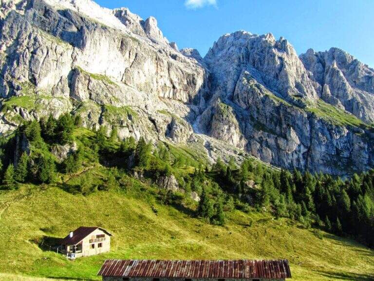
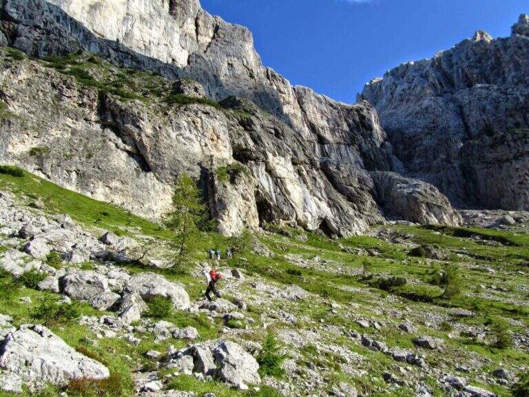
    La Ferrata Stella Alpina ` the equipped road that leads to Monte Agner, in the Pale di San Martino. The complete è tra i più challenging Italian landscape: more than 10 hours, reserved for very experienced hikers not only of ferrate but also of high mountain. At the difficulty and the stretch is added the long crossing of the Laste, the ascent all'Agner and the difficult descent along the Canalone.

    ⚠ Itinerary very long (more than 10 hours, altitude difference almost 1700 m, peak 2872 m) and extremely serious. The crossing of the Laste è exposed, with signs often faded, and becomes prohibitive with fog; with wet è rocks; not recommended. The discesa along the Canalone è steep, on unstable gravel bottom, often with snow in the lower part: useful ramps and telescopic sticks. Face it only in good state of training and with stable weather; it is recommended to break it in two days (Bivacco Biasin in Forcella Pizzon).
    ▲Approach

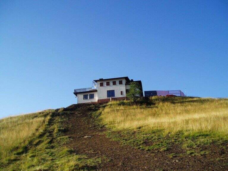
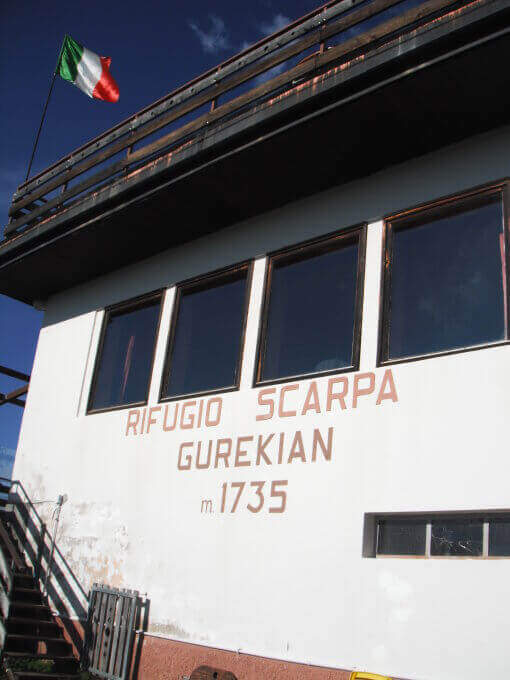
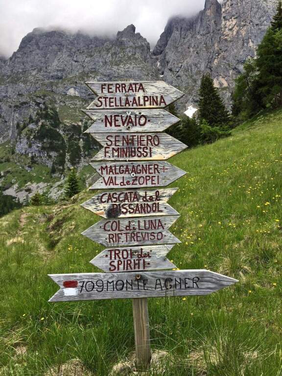
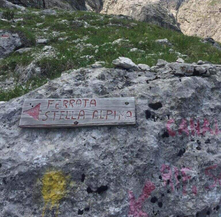
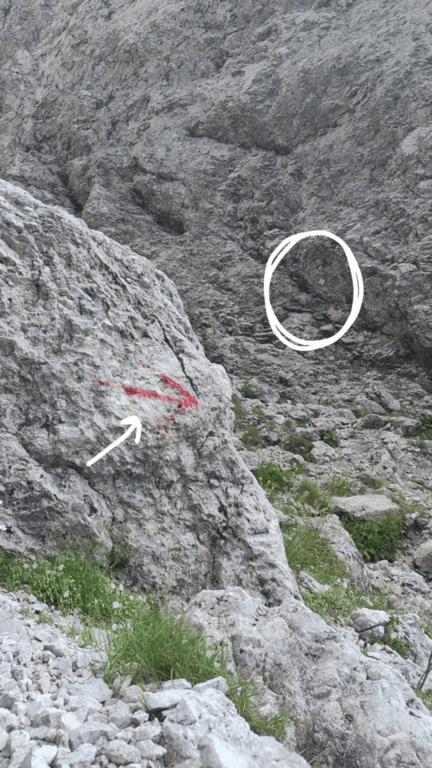
    The starting point is Frassanè (Belluno), at the foot of the Agner, reachable from Agordo or from Fiera di Primiero. Open road signs on Google Maps. In the village, from Via della Vittoria take via Domadore to a biforcation with CAI signposts (right on 771, left on 772) and park in a deck (1182 m). It goes up with 771 lungo la forestale, poi per prati lungo le piste da sci fino al Rifugio Scarpa (1735 m, 1h dal parcheggio). Dal rifugio, seguendo le indicazioni per la Ferrata e il Sentiero Miniussi, si raggiunge Malga Losch e si tiene la sinistra uscendo dal bosco; avvicinandosi alle bastionate dell'Agner, a un bivio (dove davanti si vede il nevaio del canalone di rientro) si segue a sinistra per l'attacco, al termine di una gola senza uscita, su roccette con bolli giallo-rossi e l'attraversamento di un canale fino al cartello romboidale (1955 m, 1h 45' dal parcheggio).

    ▲The path

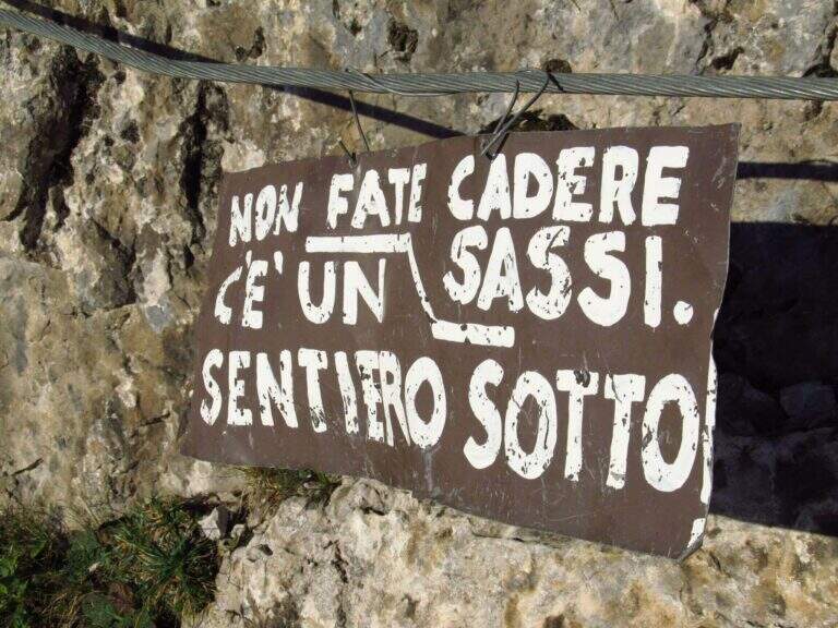
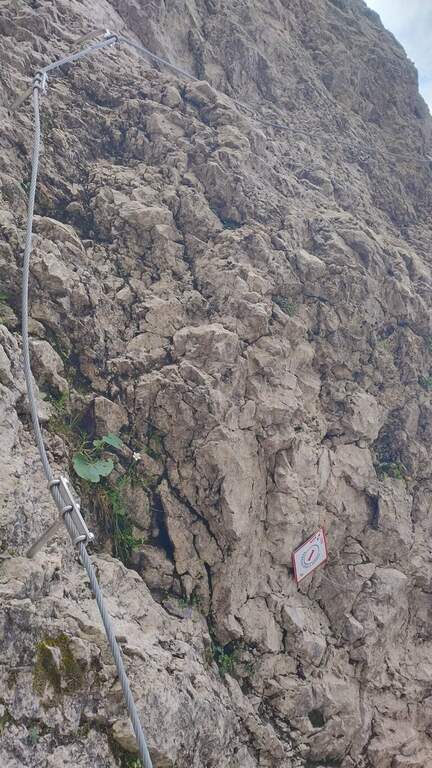
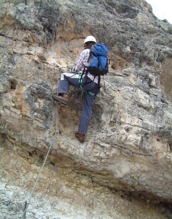
    La prima sezione supera un risalto roccioso, verticale ma appigliato, poi piega a destra su roccette e a sinistra; segue un tratto di collegamento su ghiaia, prato e roccia con vistosi bolli gialli. Si ritrovano le attrezzature presso un cartello che invita a non smuovere sassi: inizia la seconda e più impegnativa sezione. Dopo un tratto diagonale, il cavo sale verticale su una parete dagli appigli poco evidenti, poi traversa a destra verso il primo di una serie di camini, risalito in spaccata con l'aiuto di alcuni pioli. Si traversa a destra verso una stretta gola (attenzione agli zaini ingombranti), che si risale sul versante sinistro; seguono passaggi verticali in esposizione crescente, con il canalone innevato del rientro alle spalle. L'ultima sezione traversa a sinistra fino a un aereo spigolo con vista sul Rifugio Scarpa; si sale una parete verticale fino a un passaggio delicato e leggermente strapiombante lungo una fessura, da affrontare con agilità, poi il cavo piega a destra sotto il passaggio chiave: una placca verticale e liscia da risalire cercando i pochi appigli naturali e i pioli metallici. Gli ultimi metri esposti portano a «Le Laste» (2320 m, 1h 45' dall'attacco, 3h 30' totali). Inizia qui il lungo attraversamento delle Laste dell'Agner, su sentiero dapprima su sassi e prato poi su fondo roccioso, tutt'altro che banale (proibitivo con la nebbia): si seguono segni sbiaditi e ometti, fra roccette da arrampicare in libera e tratti attrezzati su placca e cengia, generalmente esposti e sconsigliati con roccia bagnata, fino al Bivacco Biasin a Forcella Pizzon (2645 m, 1h 45' dal termine della ferrata, 5h 15' totali). Per chi prosegue verso la vetta, si aggira la parete sud-occidentale dell'Agner su tratti attrezzati e un'esposta e aerea cengia, poi una rampa esposta ma non difficile e una traccia ripida fino alla croce sull'anticima dell'Agner (2872 m, 1h dal Bivacco Biasin, 6h 15' totali).

    ▲Character and difficulty

    The technical difficulties of the single stretch are "very difficult"; to these are added the objective difficulties of the Laste, the climb to the Agner and the difficult descent along the Canalone, in addition to a long approach and return. Overall it is one of the most demanding excursions in Italy.

    ▲Period and safety

    GPS tracks (GPX and KMZ) are available. From Forcella Pizzon you can go back avoiding the climb to the summit. Bivacco Biasin is in good condition for overnight stays.

    ▲Discipline

    Dalla vetta si torna a Forcella Pizzon e al Bivacco Biasin (45' dalla vetta), prestando attenzione al tratto tra cima e cengia per i pochi segni sbiaditi. Dal bivacco si scende ripidamente sul lato sinistro del canalone, su fondo sdrucciolevole con tratti attrezzati, fino a un bivio (segni sbiaditi su roccia): a destra il sentiero lungo il Canalone (qui descritto), a sinistra la via normale con segni gialli. Il Canalone scende a ripidi tornanti su ghiaione instabile, con nevaio nella parte bassa, fino in vista del Rifugio Scarpa e al bivio dell'attacco (1820 m, 1h 30' dal bivacco, 8h 30' totali); poi a ritroso fino al Rifugio Scarpa e, per il 771, al parcheggio (circa 10h totali).

    ▲To match

    Itinerary that alone engages comfortably two days. Staying in the Pale di San Martino you can reach Ferrata dell'Orsa in Val San Lucano or, in Val Canali, la Ferrata Buzzati, il Hunter's Path e la Ferrata del Canalone; towards Civetta la Yellow Flames, the extenuating Constantine, la Titus e l'Alleghesi.

    ▲Gallery
    Technical data
    • DifficultyVery difficult
    • RegionVeneto
    • GroupPale di San Martino
    • Approach1:45 h
    • Ferrata1:45 h
    • Itinerary (a/r)10:00 h
    • Hardware level difference346 m
    • Route difference1692 m
    • Max2872 m
    • Length14,4 Km
  • Ferrata Senza Confini (Cellon)

    Ferrata Senza Confini (Cellon)

    Vie Ferrate › Friuli-Venezia Giulia › Udine
    Ferrata Senza Confini (Cellon)
    Very difficult● OpenDescriptionComplexityMapsGallery

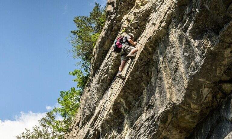
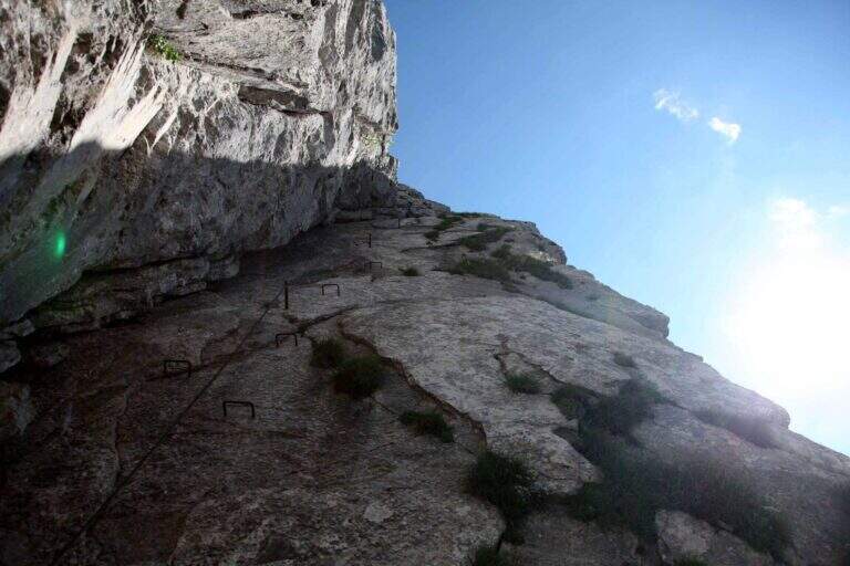
    La Ferrata Senza Confini sale al Cellon (Creta di Collinetta), al Passo di Monte Croce Carnico, sul confine tra Italia e Austria. È una via molto impegnativa, verticale, esposta e fisica, da evitare se non ben allenati e abituati all'esposizione, ma di forte interesse storico: l'itinerario consente di percorrere anche una lunga galleria bellica della Prima Guerra Mondiale. La vetta della Creta di Collinetta tocca i 2241 m.

    ▲Approach

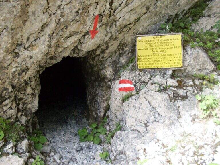
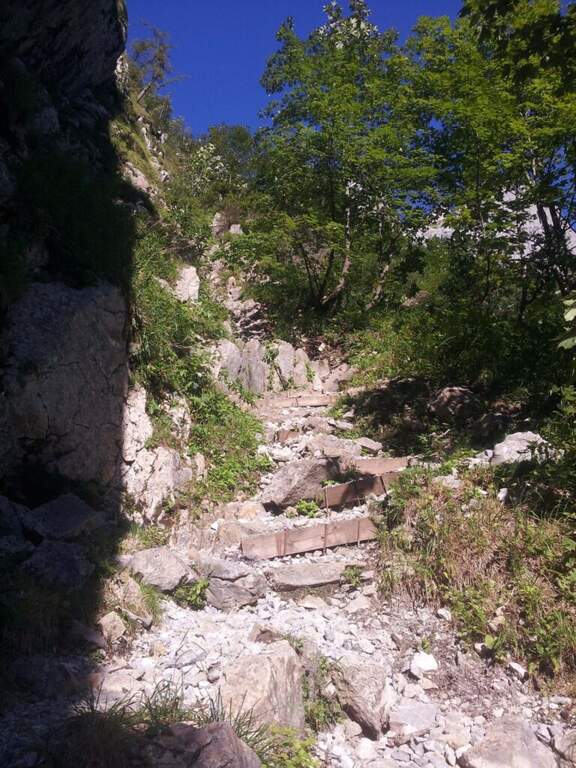
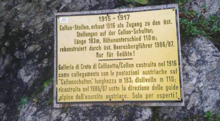
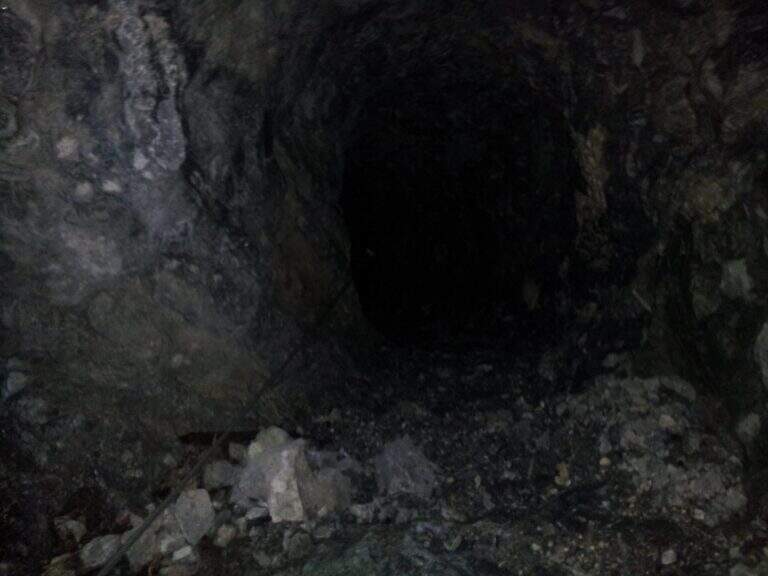
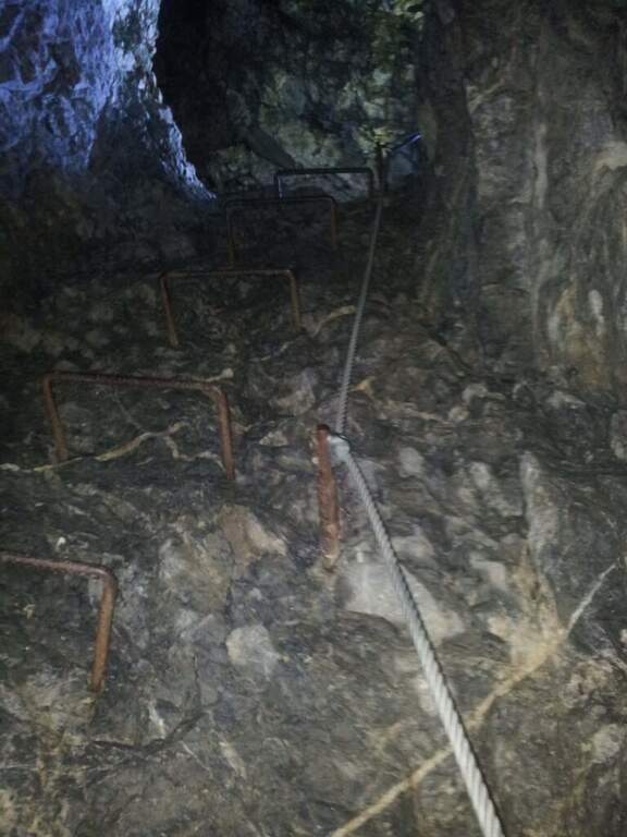
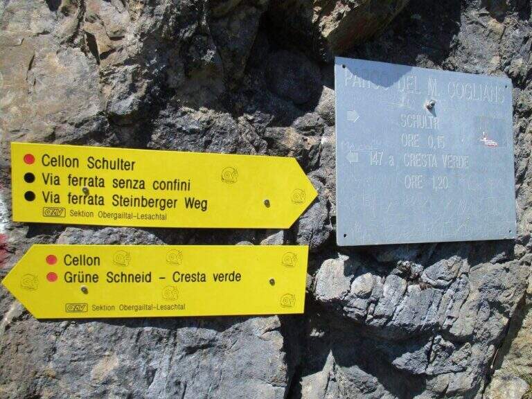
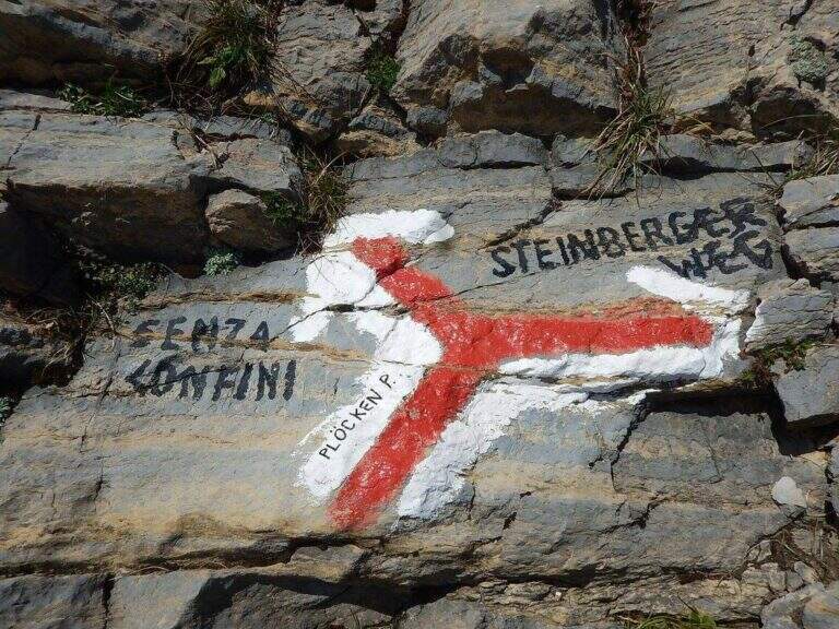
    Starting point the Passo di Monte Croce Carnico (1360 m), reachable in about 40' from Tolmezzo (Udine) to the SS 52b. Open road signs on Google Maps. L' itinerary begins in Austrian territory and falls from Italian territory. After passing the customs, on the western side of the pass, the CAI path towards the Crete of Collinetta; one ignores a first sign for the Without Confini on the left continuing straight towards the Gallery and the Canalone Steinbergerweg. After about 15' at a crossroads the sinistra is held steeply uphill towards the Schulter Gallery; a first steep stretch equipped with rope leads to war settlements and all' entrance of the Gallery of the Cellon (1541 m, about 30'). The gallery rises about 110 m of altitude difference on almost 200 m of development: steep interior, wet and slippery rock, equipped with rope for the whole length and with some brackets in the più traits; I'm sorry. It comes out in a little less than 30' from a narrow slit, you go through a stretch equipped and you reach a counterfeit war (1h from the parking lot). Keeping the right towards the top and, at a second crossroads marked on rock, still the left (on the right goes to the Steinbergerweg), continue between grass, mooring and stone up to a evident dihedron/fenditure diagonal where the ferrata begins, without tags (1h 30' from the parking lot).

    ▲The path

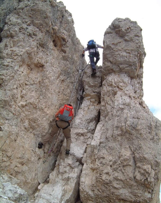
    L' attack è about 4 meters from the ground and must be reached climbing free on passages supported with good hooks. I took the cable, climb rocks leaning with some easy leap, then bend right into a channel at whose end the cable turns abruptly vertically at the base of a lungo, challenging and diedro plane: the plate è poor of natural hooks and equipped with distant brackets among themselves, which oblige a certain traction on the cable; ldisplay&39; Exit from the dihedron and move left on a challenging passage, you arrive on the ridge, plane, with view on the step. They follow più passages; easy that soon return on medium-difficult levels: tilted plates first to the left then to the right of the crest, an exposed edge and some diagonal plates to face in adherence and with good force of arms. At a c' framed rock; ` a first overhanging pass equipped only with rope, requiring agilità and strength; più forward a second strapiombo, initially with metal steps, then a diedron and a well-graded fireplace, both climbed on the left side. A stretch of crest supported with mughi invites you to rest; faithfully resumes the ridge, air, up to the book of signatures and a last dihedron, beyond which the equipment ends. A ridge path leads to some barracks of the Great War and a crossroads (2103 m, 1h 30' ); from here it rises to the summit of the Crete of Collinetta (2241 m, 20' from the end of the ferrata, about 3h totali), with metal cross and memorial plaque.

    ▲Character and difficulty

    Athletic and difficult to test: little climbing for long stretches, with individual high-level passages leading to a strong traction on the cable. It runs in part parallel to a historic Friulian climbing route (Mazzilis and De Infanti).

    ⚠ Suitable only for trained hikers, with force of arms and who do not suffer from dizziness: a couple of steps are very exposed. For the Cellon tunnel è indispensable a frontal stack, forché the first section è completely dark; the inner rock è wet and slippery.

    ▲Period and safety

    GPS tracks (GPX and KMZ); the map of the Central Carnic Alps is useful for the area. The words "Creta di Collinetta" and "Cellon" are used indistinctly.

    ▲Discipline

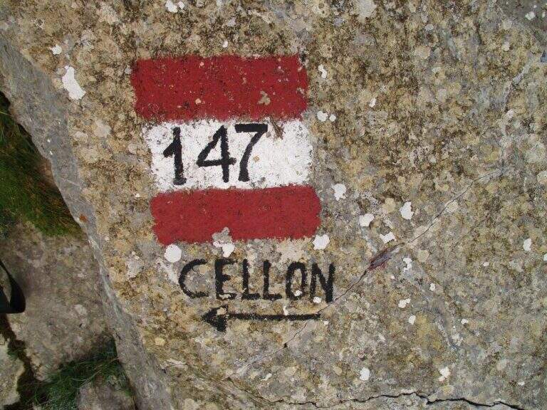
    You return to the crossroads reached at the end of the ferrata and you go right on the path 147, Italian side, cutting horizontally; then along the mule track you rejoin the path dell' approach and return to the parking lot (1h 30' from the summit, 4h 30' totali).

    ▲To match

    The itinerary shares approach and return with the neighbor Ferrata Steinbergerweg, assessable as a downhill option for experienced hikers. In Carnia, more south of the pass, the Path equipped Cuestalta and, reachable via Rifugio Romanin, la Ferrata del Coglians; further south, in the province of Udine, the Cassiopea al Torrione Comici, la 50° of the Clap e la Ferrata at the Clap Varmost.

    ▲Gallery
    Technical data
    • DifficultyVery difficult
    • RegionFriuli-Venezia Giulia
    • GroupAlps Carnia
    • Approach1:30 h
    • Ferrata50
    • Itinerary (a/r)5:30 h
    • Hardware level difference408 m
    • Route difference868 m
    • Max2228 m
    • Length6,8 Km
  • Ferrata Sci Club 18 (Monte Faloria)

    Ferrata Sci Club 18 (Monte Faloria)

    Vie Ferrate › Veneto › Belluno
    Ferrata Sci Club 18 (Monte Faloria)
    Very difficult● OpenDescriptionComplexityMapsGallery

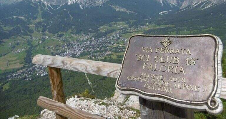
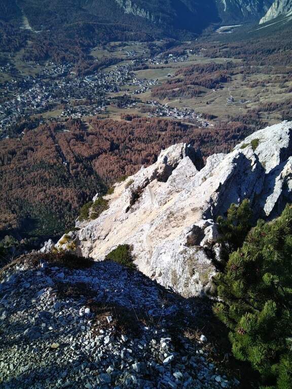
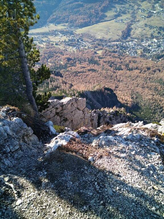
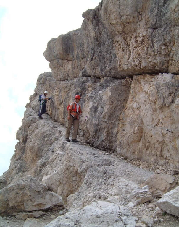
    La Ferrata Sci Club 18 climbs from Monte Faloria, above Cortina d'Ampezzo, with an itinerary ripido, athletic and very difficult. The via è vertical, exposed throughout the track and with challenging passages that often force to traction on the cable: & free; reserved for trained and experienced hikers. The return is also possible with the cable car.
    ▲Approach

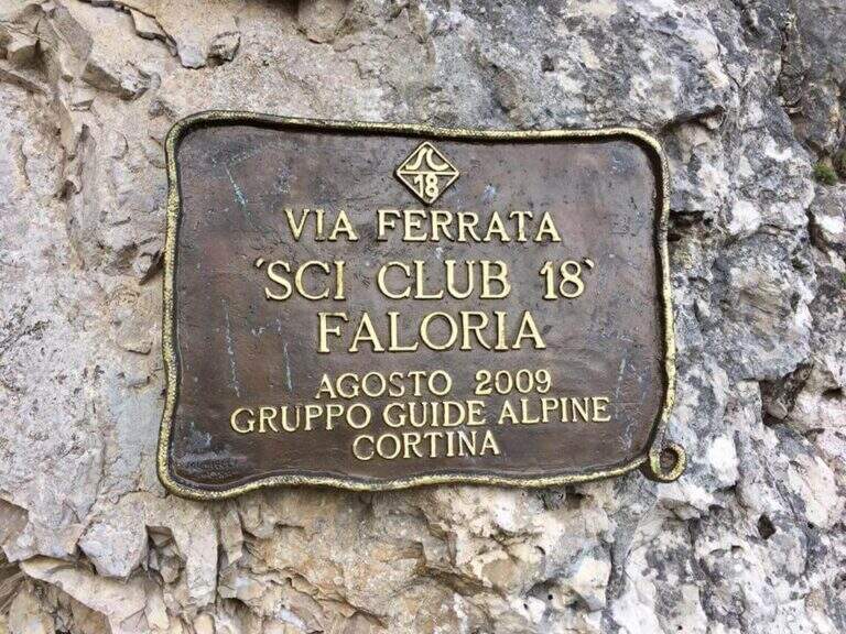
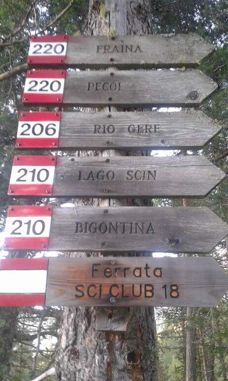
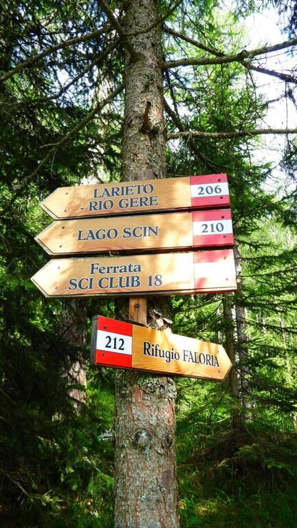
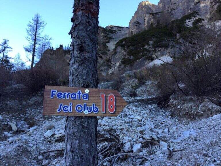
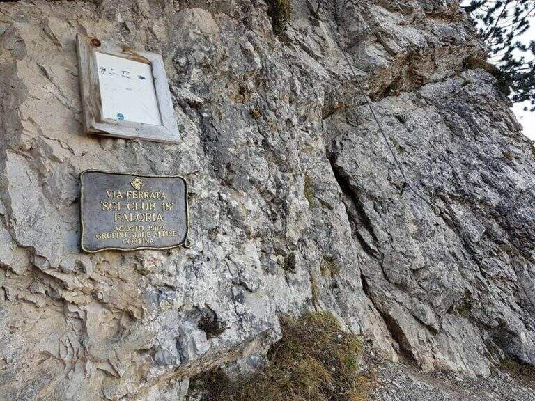
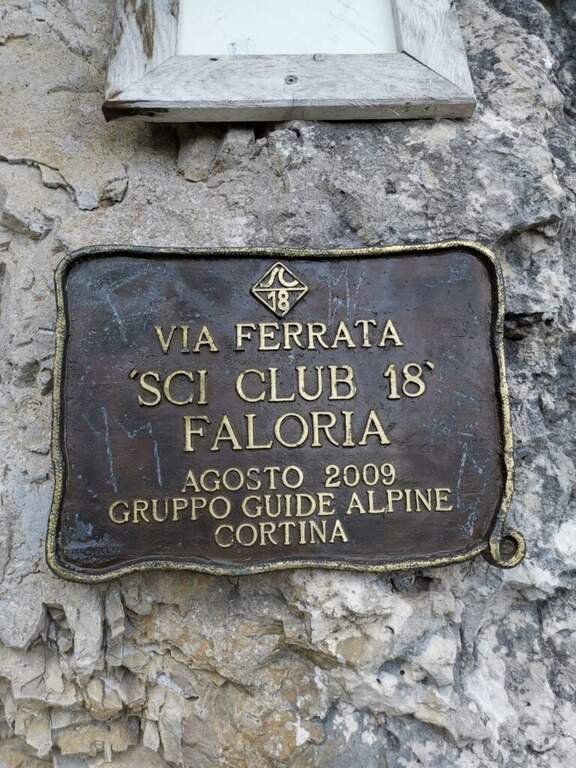
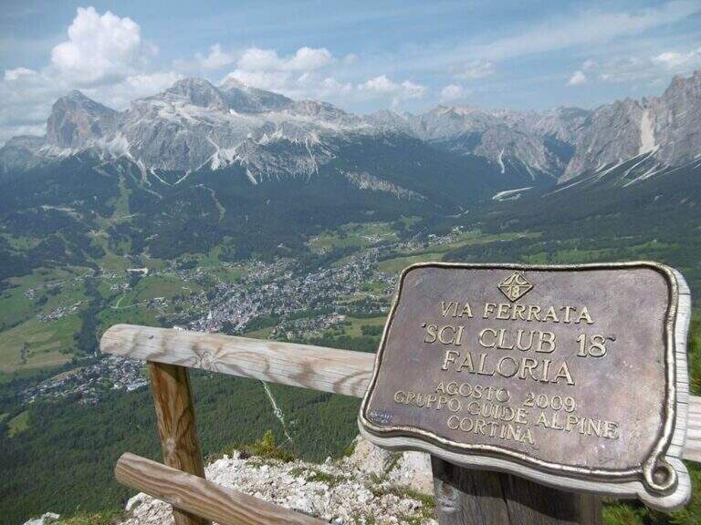
    It starts from the locality; Sompiei, above Cortina: from the center take the Regional Road of the Dolomites towards Misurina/Auronzo and, after less than a kilometre, before the sign «Alverà», a road on the right; just before the cable car a dirt road takes off to the left and leads to the parking lot (attention to the private areas). Open road signs on Google Maps. From the parking lot you go east towards the mountain station of the cable car to the intermediate station Mandres; from here the path 206, on a slight ascent, comes out from the wood and climbs steeply towards the wall of the Faloria. Following the abundant signs you leave the 206 holding the right until all' attack of the Ski Club 18, signaled by a metal plate with the date of construction (1h from the parking lot).

    ▲The path

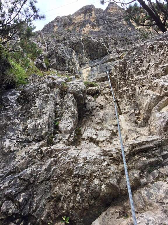
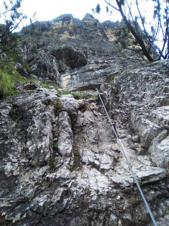
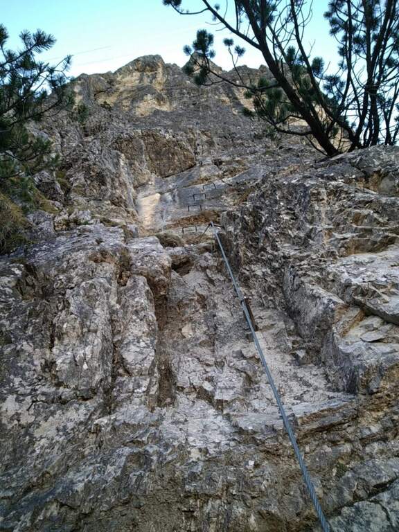
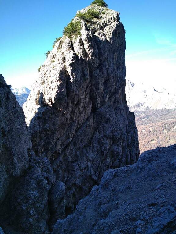
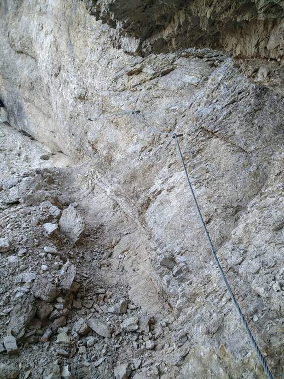
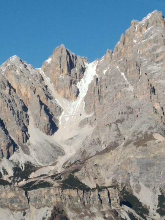
    L'attacco è subito verticale: i primi due metri richiedono una trazione, poi compaiono appoggi per i piedi. Superato il primo balzo, ci si trova sotto una parete liscia sbarrata da un tetto roccioso, che si aggira piegando a destra con solide staffe; si continua a guadagnare quota alternando staffe e appoggi su un tratto leggermente strapiombante, poi si piega a destra in una cengia fino a uno spigolo. Aggirato lo spigolo si risale una lunga parete liscia dove in più punti, mancando appigli, si sale trazionando sul cavo (circa 20 m di placca) fino a un terrazzino di sosta. Seguono un breve tratto appoggiato e un traverso ascendente verso destra su roccia levigata, un nuovo spigolo dopo un'esile cengia, e un tratto verticale; in alto la fune piega a destra su un traverso esposto sostenuto da staffe, fino a una cengia panoramica proprio sotto la funivia del Faloria. Si affronta poi un tratto verticale più appigliato, si scende a un canalino dal fondo instabile e, oltre una cengia, si risale uno spigolo che porta a una placca verticale decisamente impegnativa: le staffe sono distanti e la roccia molto levigata, rendendo i passaggi atletici. Si supera un tetto con una breve scaletta, un terrazzino, altri metri verticali impegnativi, poi un camino arrampicabile in spaccata e una fessura da risalire in spaccata fino a un ampio balcone panoramico sulle Tofane. L'ultima sezione percorre una cengia in salita verso sinistra fino a un imponente spigolo a forma di diedro, fittamente attrezzato di staffe su entrambi i lati; si esce sul lato destro in forte esposizione, si supera un tetto roccioso più atletico con una staffa, poi cenge, un salto verticale attrezzato, un canalino detritico non protetto e una forcellina; dalla forcellina un tratto verticale con staffe porta alla cresta, che si percorre fra brevi tratti attrezzati fino al termine della via (2h dall'attacco, 3h totali).

    ▲Character and difficulty

    Atypical Ferrata for the Dolomites: it does not carry on a real summit, has recent equipment with well-drawn cable and abundant but not excessive brackets, and cones on the tokens that increase safety — important on such a vertical way, where a possible fall factor can have serious consequences. It is sometimes criticized for the difficulty that solicits the arms, forcing them to pull on the cable.

    ⚠ Via molto difficile, verticale ed esposta lungo tutto il tracciato, atletica e faticosa per le braccia: solo per ferratisti esperti e allenati. Non è percorribile in discesa.

    ▲Period and safety

    GPS tracks (GPX and KMZ) are available; the map of Cortina and the 4Land Dolomites is useful for the area.

    ▲Discipline

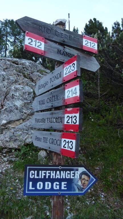
    From the end you are in sight of the refuge Faloria, where the cable car from Cortina arrives. Two options: walk down the trail at the crossroads 212 verso destra in direzione Mandres (dapprima ripido poi più dolce) fino al bivio dell'andata presso la stazione intermedia, quindi a ritroso (1h 30' dal termine, 4h 30' totali); oppure prendere la funivia e scendere alla stazione intermedia, poi a ritroso per il sentiero di avvicinamento (20' dalla stazione intermedia).

    ▲To match

    A challenging itinerary that hardly leaves energy for a second route in the day. From Cortina there are many routes: towards Auronzo la White e la Dibona al Cristallo; towards Dobbiaco the Third Cengia del Pomagagnon, la Bo, la Bullshit, il Path to the Fanes Falls e la Renè de Pol; to the south Ferrata dei Caprioli san Vito di Cadore.

    ▲Gallery
    Technical data
    • DifficultyVery difficult
    • RegionVeneto
    • GroupHeadquarters
    • Approach1:00 h
    • Ferrata2:00 h
    • Itinerary (a/r)4:30 h
    • Hardware level difference340 m
    • Route difference673 m
    • Max2123 m
    • Length6,5 Km
  • Ferrata Pursteinwand

    Ferrata Pursteinwand

    Vie Ferrate › Trentino-Alto Adige › Bolzano
    Ferrata Pursteinwand
    Very difficult● OpenDescriptionComplexityMapsGallery

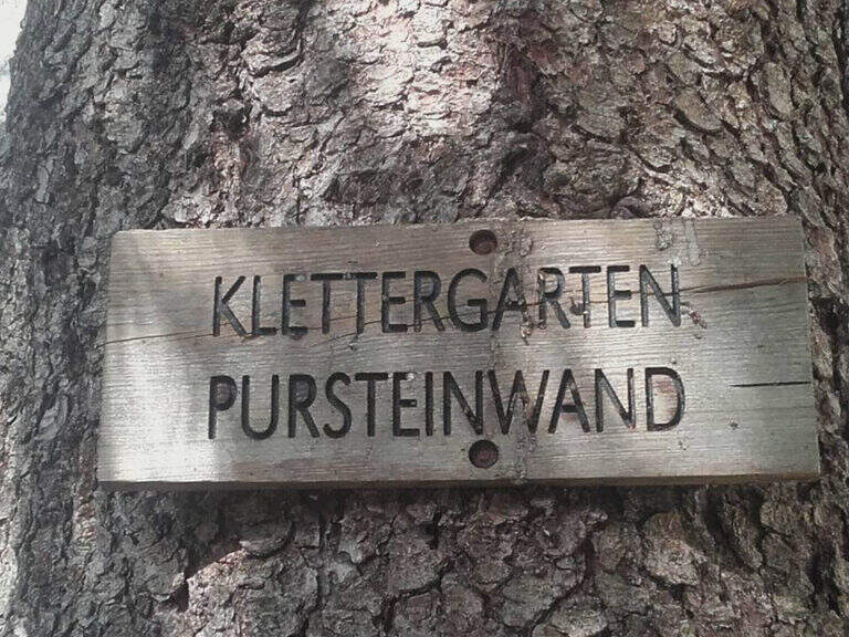
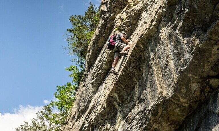
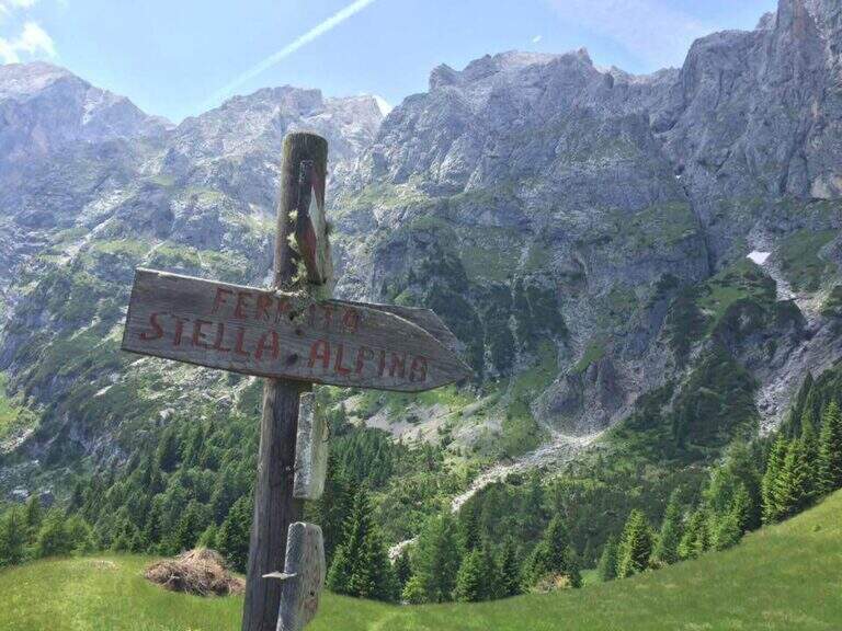
    The recent and athletic Ferrata Pursteinwand climbs up a steep slope on the eastern side of the Aurina Valley, above Campo Tures. It is a short itinerary but not to be underestimated, which requires strength and technique and does not lead to a peak but to a panoramic point on the valley. For style — polished rock and abundant metal equipment — it recalls more the French ferrates of the Western Alps than the classic Dolomite routes.

    ▲Approach

    The starting point is Campo Tures, in Valle Aurina, reachable from Brunico; just before the village, in an industrial area, you park at the last building. Starting point on Google Maps. You follow the signs for the ferrata and the rock gym towards the wall, well visible from the parking lot; you pass under the wall on the floor, then to the right you take the marked deviation. A sign of stone fall is held on the right, climbing a rocky slope up to the attack sign (15' from the parking lot).

    ▲The path

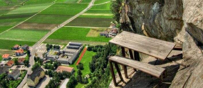
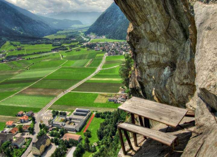
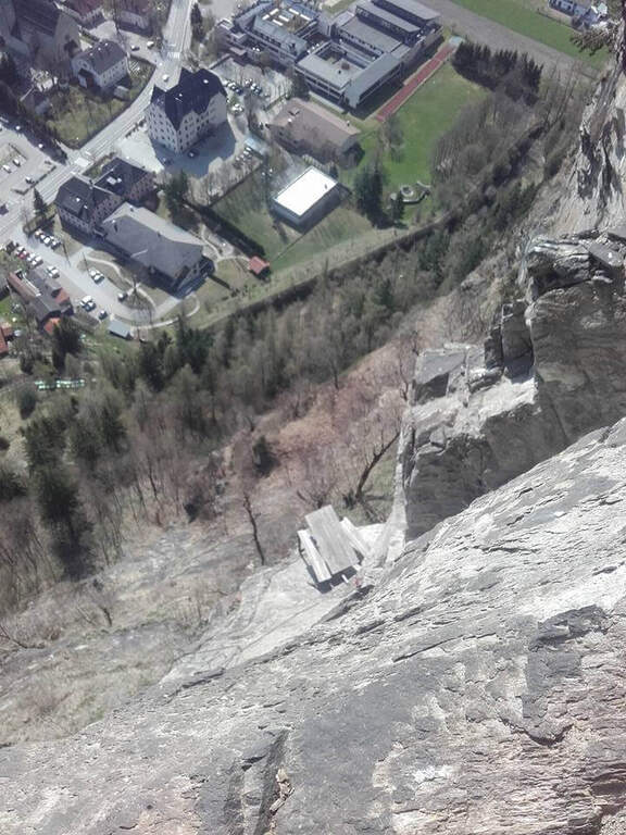
    The attack is under a long tilted black plate. The first meters, vertical and often humid, with a couple of brackets, then bend to the left before a difficult oblique traverse to the right: immediately you notice the figure of the street, a compact and smooth rock that, in the absence of natural hooks, obliges you to use a lot of the cable. You climb vertically on narrow brackets up to a challenging leap with a overhanging belly, to be overcome with good force of arms; diagonally to the left and then on an exposed and difficult traverse to the right you gain a panoramic terrace on the Aurina Valley. A pair of vertical and diagonal tears make gain altitude and exposure before a long traverse, less challenging but challenging for the distance between the brackets; it comes out on an exposed edge where the cable changes direction of 90° and goes right up to one of the most iconic points of the street, a table with two benches anchored to the rock, with the feet almost empty. The last part is the most vertical: a wall smoothed with many brackets, a short oblique traverse on the right, a very athletic overhanging stretch at a corner, the passage under a roof with a first metal scale to overcome of momentum, then the cable bends left under an evident rocky roof. On a strong display there is a new vertical and a traverse on the right (providential brackets when the energies fall), then a overhanging leap with a second metal scale in the lower part, whose exit remains very demanding and requires good technique or traction on the cable; the last meters are a right traverse without hooks and some vertical passages closing the street (1h 30' from the attack, 1h 45' total).

    ▲Character and difficulty

    Athletic and anomalous Ferrata for the South Tyrolean landscape, which deliberately seeks technical difficulties and overhanging passages on polished rock; it varies, with many horizontal and obliquious traverses that also test the expert Ferratists. Recent equipment and in good condition.

    ⚠ It requires strength, technique and absence of dizziness. Useful to bring a fectuccia or a referral to rest in the most demanding traits. Itinerary short, ideal on uncertain days where a long excursion is not recommended.
    ▲Discipline

    From the end you follow the trail in the forest that leads in short to a road; you keep the right downhill and, following the signs (cartel 27A), you descend to Campo Tures and on asphalt you return south to the parking lot (30' from the end, 2h 15' total).

    ▲To match

    In the Aurina Valley, further north, the long and challenging mountain route of the Ferrata del Ghiste-Camino al Sasso Nero; near Campo Tures the difficult Ferrata Hans Kammerlander (2022). To the south Ferrata di Valdaora and, towards the Alps of Sesto, the Ferrata dei Costoni di Croda Rossa.

    ▲Gallery
    Technical data
    • DifficultyVery difficult
    • RegionTrentino-Alto Adige
    • GroupValle Aurina
    • Approach0:15 h
    • Ferrata1:30 h
    • Itinerary (a/r)2:15 h
    • Hardware level difference200 m
    • Route difference380 m
    • Max1125 m
    • Length3,4 Km
  • Ferrata di Pietra Nera

    Ferrata di Pietra Nera

    Vie Ferrate › Emilia-Romagna › Parma
    Ferrata di Pietra Nera
    Very difficult● OpenDescriptionComplexityMapsGallery

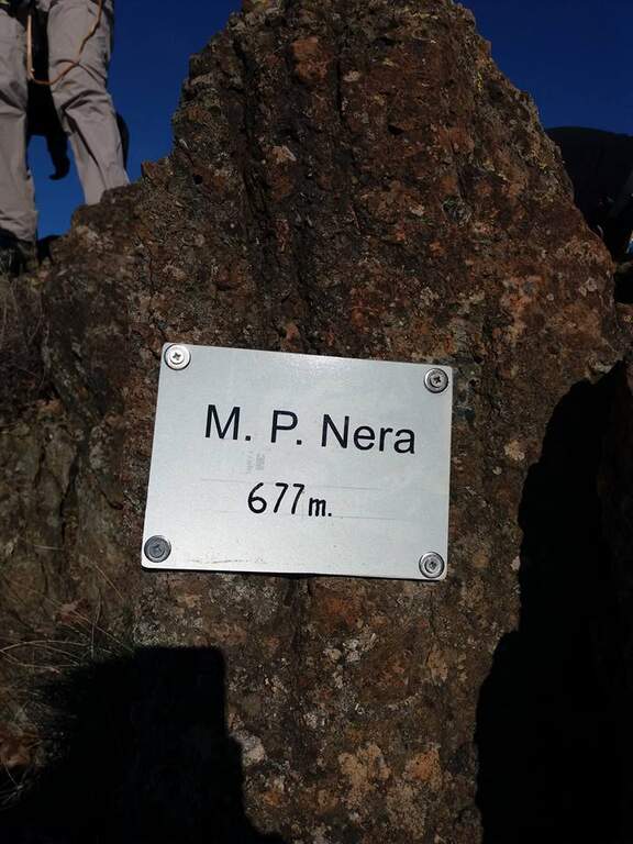
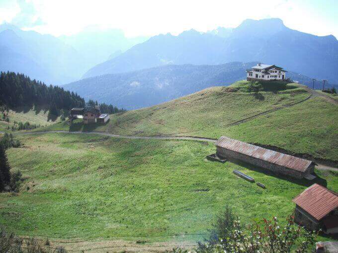
    The Ferrata di Pietra Nera dates back to a curious mountain of dark ophiolitic rock in the Parmensi hills, a few kilometers from Salsomaggiore Terme. It is a short but surprisingly varied itinerary, divided into three sections with a completely different character; the modest quota (vetta at 677 m) makes it available practically throughout the year.
    ▲Approach

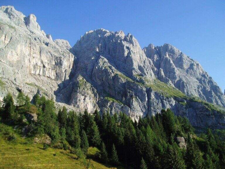
    From Salsomaggiore Terme take the SP359 towards Bardi and turn right at the junction for the hamlet of Grotta (about 40' from the A1 toll of Salsomaggiore-Fidenza). Crossing the village, just before the deviation for Case di Pietra Nera, you leave the car in the pitches along the road; on the opposite side, beyond a bar, part of an unnumbered CAI path marked in white-red — there is no sign for the ferrata. Starting point on Google Maps. Follow the path in the woods and, bypass some rocky ridges, in about ten minutes you reach the attack.

    ▲The path

    The route is divided into three net sections. The prima è real hardware: you climb a non-banal initial dihedron, then a più plaque; lean; follows a horizontal beam to be followed in adherence, you climb a edge and you get to the key passage, a traverse with the low chain, to be faced with looseness and to close quickly (15' from the parking &# The seconda non è section; equipped: è a stretch to climb into free climbing on rocky difficult ` growing, protected by spit — first some rocks of I degree, then a spur of II and finally a diedron of III (10', 35' from parking). The terza comes back in a piece: you go around a corner, you climb an easy diagonal ramp and you get to a rock blade, where you can può choose — on the left the easy line, with some metal brackets, which leads to the summit without problems; on the right the difficult variant, which faces the chain without artificial hooks and requires good technique forch&eac. The two lines rejoin over a corner and in a few minutes close the short street (5', 40' from the parking lot).

    ▲Character and difficulty

    Even short and low, it should not be taken under the boat. Three technical steps, if faced without leaning on the chain, require good climbing technique, and the central section goes free (I-III) on spit.

    ⚠ Technical itinerary despite the brevity: helmet, set from ferrata and familiarity with the rock are indispensable. Drained with wet rock, which makes the traverses in grip and the final blade.
    ▲Period and safety

    At 677 m of altitude it is practicable almost all year round, including the beautiful winter days; to avoid after the rain.

    ▲Discipline

    From the peak of Monte Pietra Nera (677 m) you descend in two ways: right along the crinaletto to the provincial road and back right down to the car (15', 1h from the parking lot); or left to the CAI path to the saddle between Pietra Nera and Monte Canate, then right on a mule track up to the car (15').

    ▲To match

    Just 40' from the motorway exit, it is perfect as a stopover. In the surroundings of the Apennines between Emilia and Liguria: Ferrata Mazzocchi e Ferrata Adolfo Ferrari on the border between Piacenza and Genoa, the Ferrata Deanna Orlandini, la Ferrata del Barranco del Dolo, la Ferrata Monte Penna and the ways of Stone of Bismantova.

    ▲Gallery
    Technical data
    • DifficultyVery difficult
    • RegionEmilia-Romagna
    • GroupHanging Parmense
    • Approach0:10 h
    • Ferrata0:20 h
    • Itinerary (a/r)1:00
    • Hardware level difference70 m
    • Route difference150 m
    • Max677 m
    • Length1,7 Km
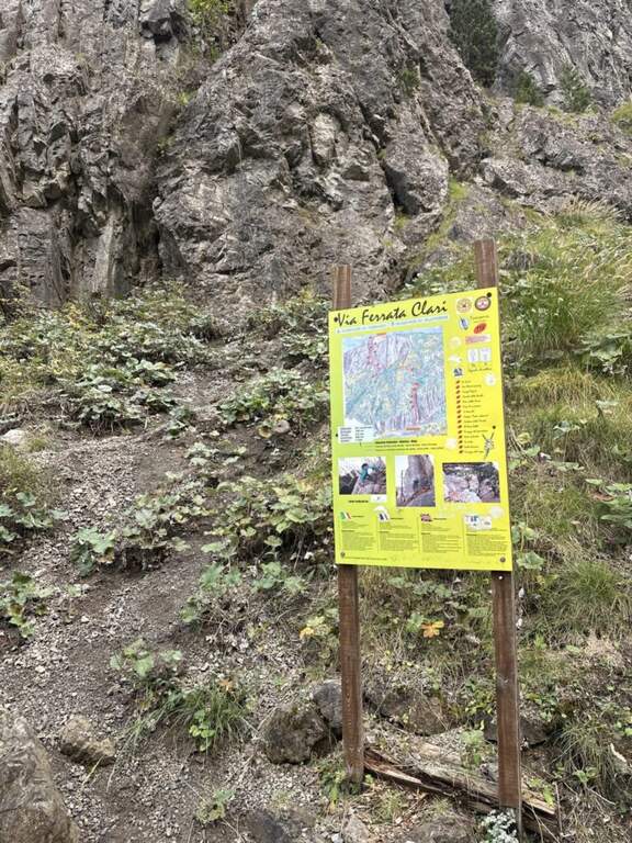
  • Ferrata Perona-Saglia alla Rocca di Clarì

    Ferrata Perona-Saglia alla Rocca di Clarì

    Vie Ferrate › Piedmont › Turin
    Ferrata Perona-Saglia alla Rocca di Clarì
    Very difficult● OpenDescriptionComplexityMapsGallery

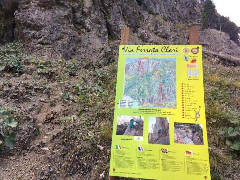
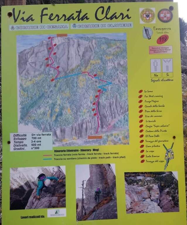
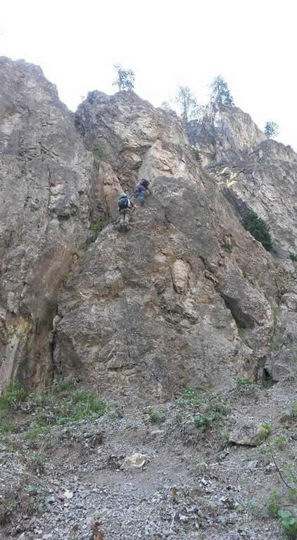
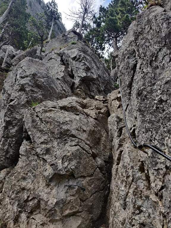
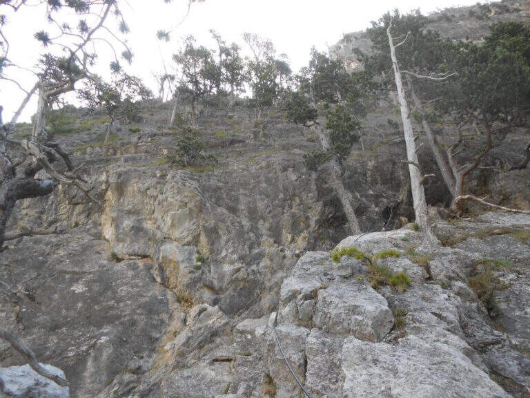
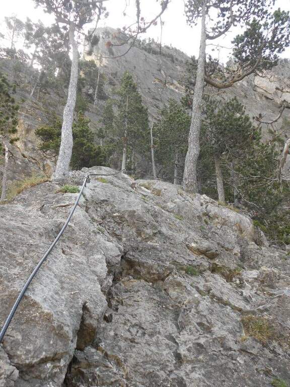
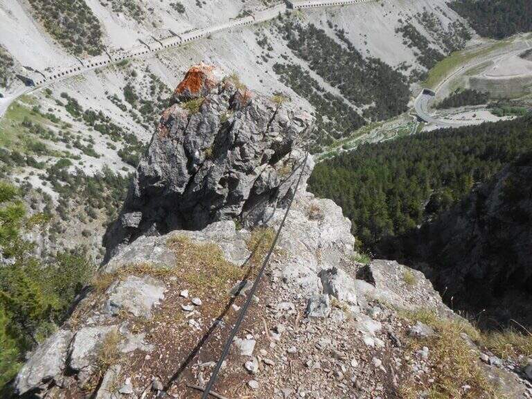
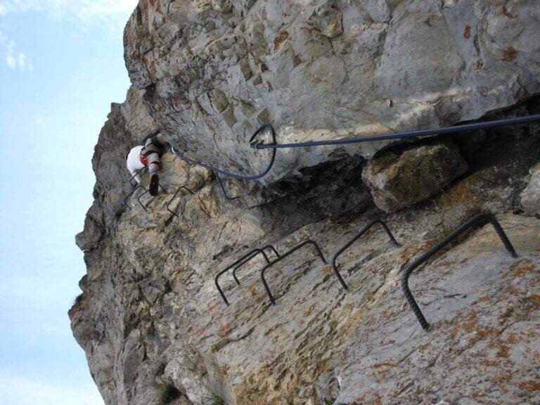
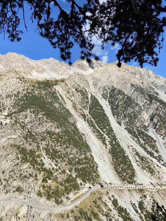
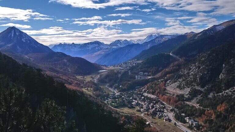
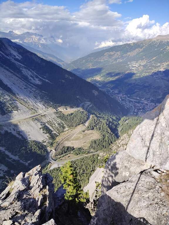
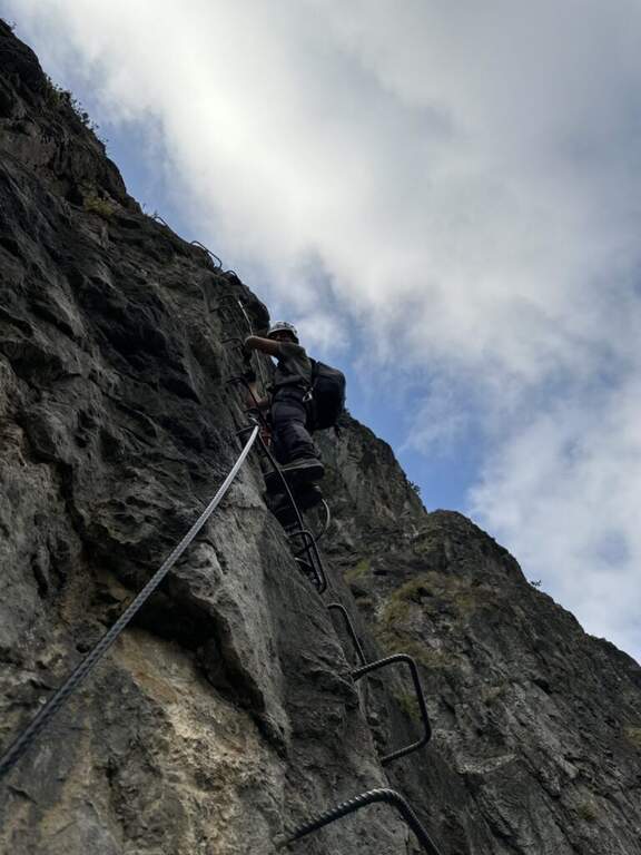
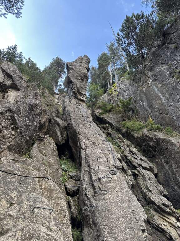
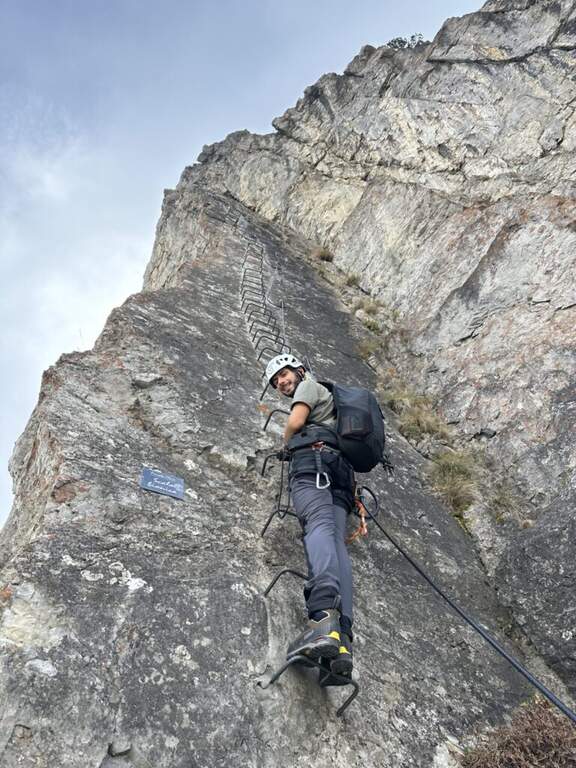
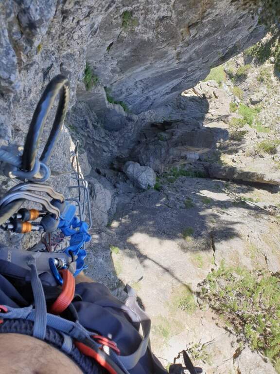
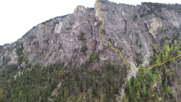
    The Ferrata Perona-Saglia alla Rocca di Clarì, in the upper Val di Susa, is one of the most demanding and beautiful in Piedmont. Athletic but also very varied, it alternates vertical walls (equipped and not), climbing traits, air passages, beams and short disarrampicate along the thread of an uphill edge. It is not suitable for neophytes and requires good training and absence of dizziness.

    ▲Approach

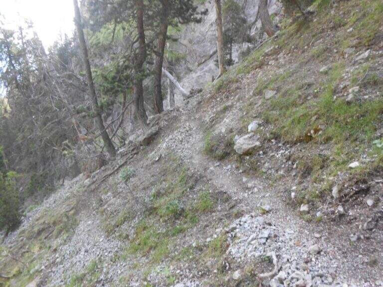
    Departure from Claviere (Turin). Two options: park along the straight between Claviere and Cesana Torinese, in a dirt square before the tunnel, or at the campsite of Claviere, where the path for the Tibetan bridge "Sergio Bompard". Starting point on Google Maps. From the first you descend a path towards the Gorge of San Gervasio, you go up the river and, cross it on a bridge, climb on the right horogram until the attack (15'); from the second you go down steeply to the creek, cross it and climb right up to the sign of the ferrata, which attacks a few meters above the path (15').

    ▲The path

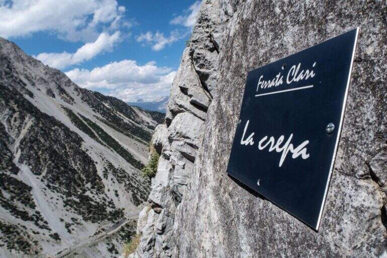
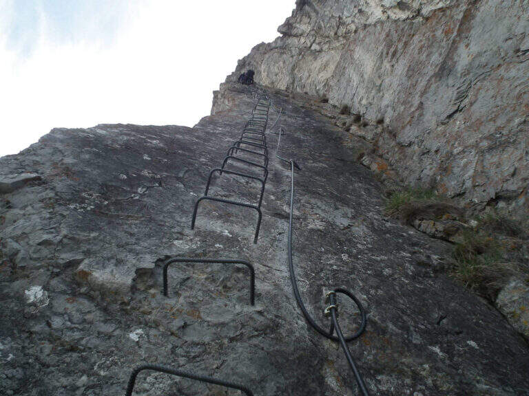
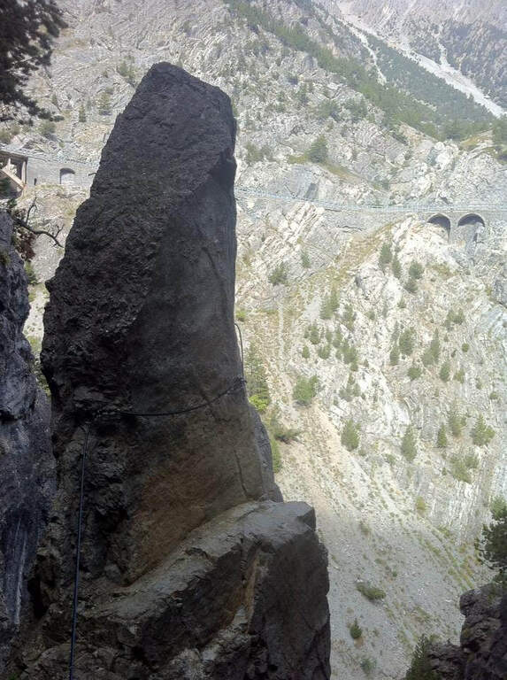
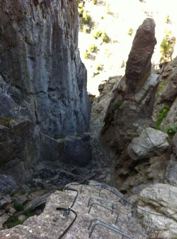
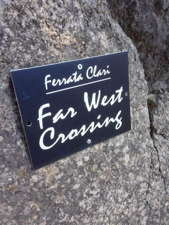
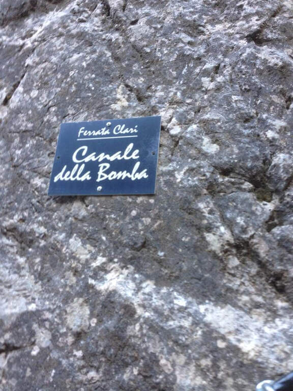
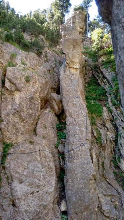
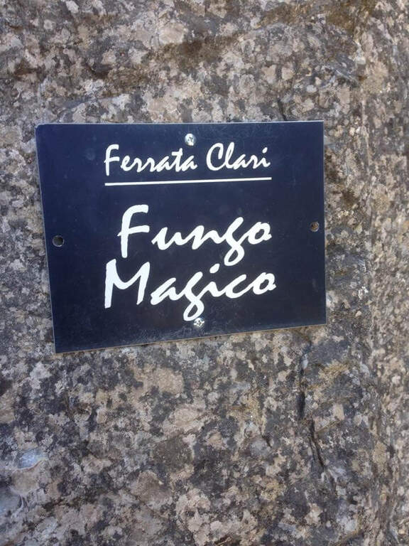
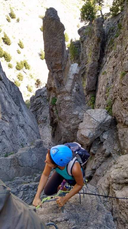
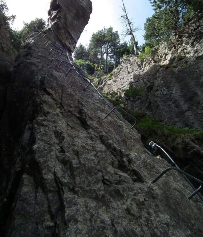
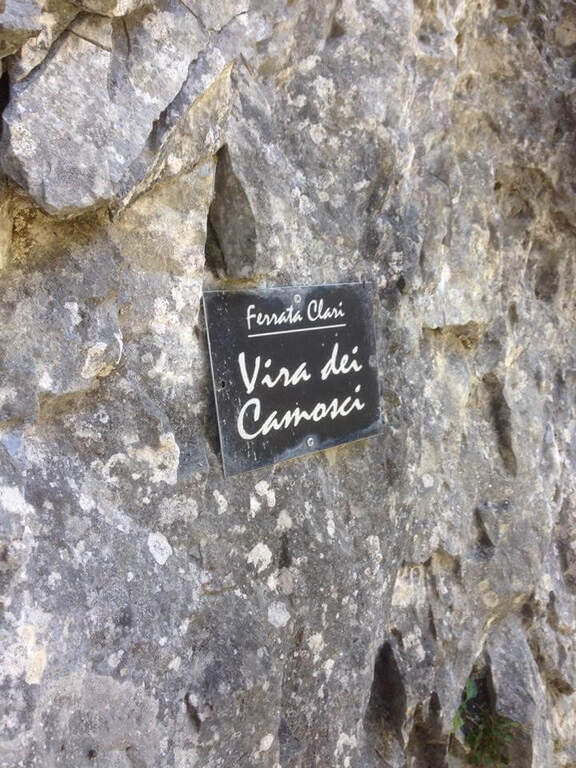
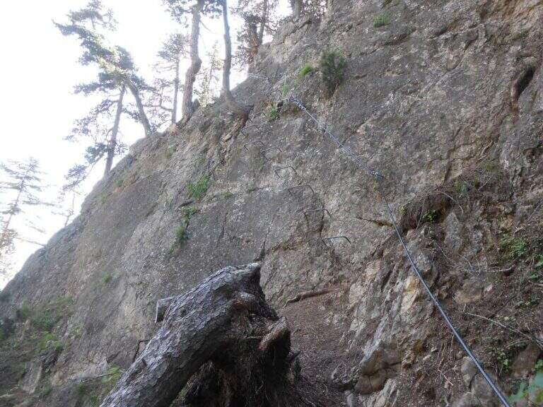
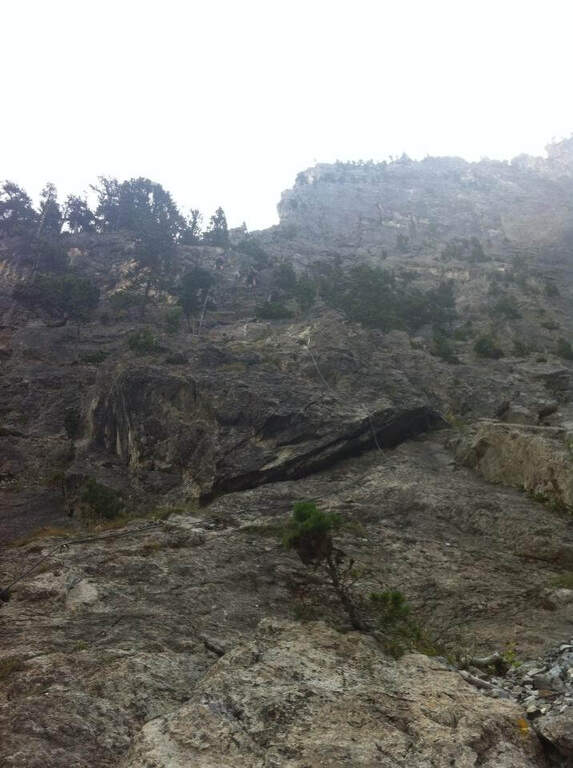
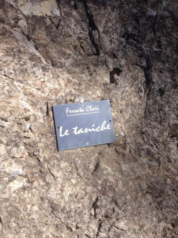
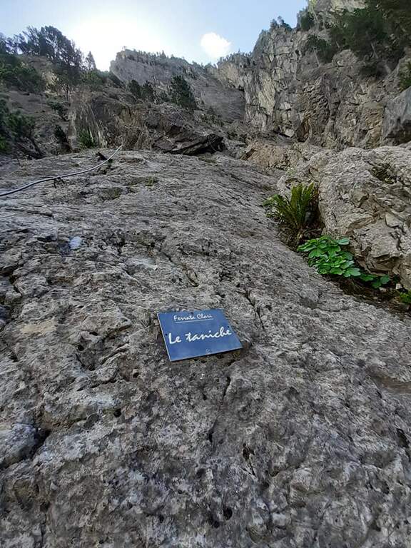
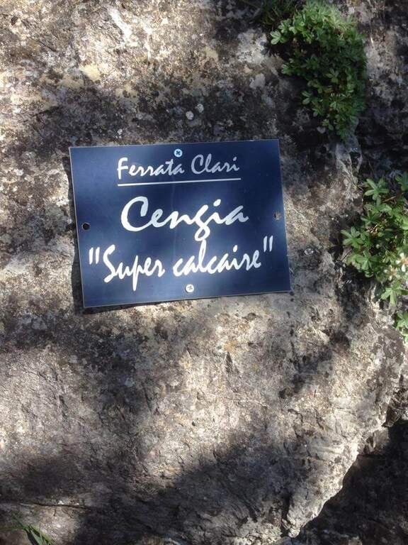
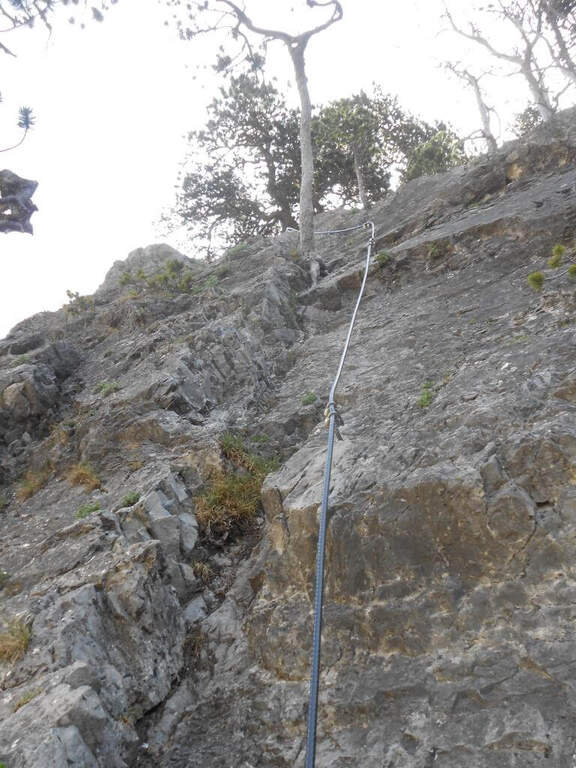
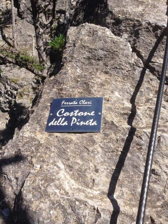
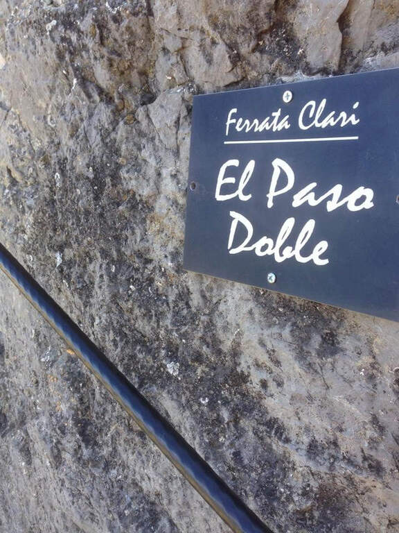
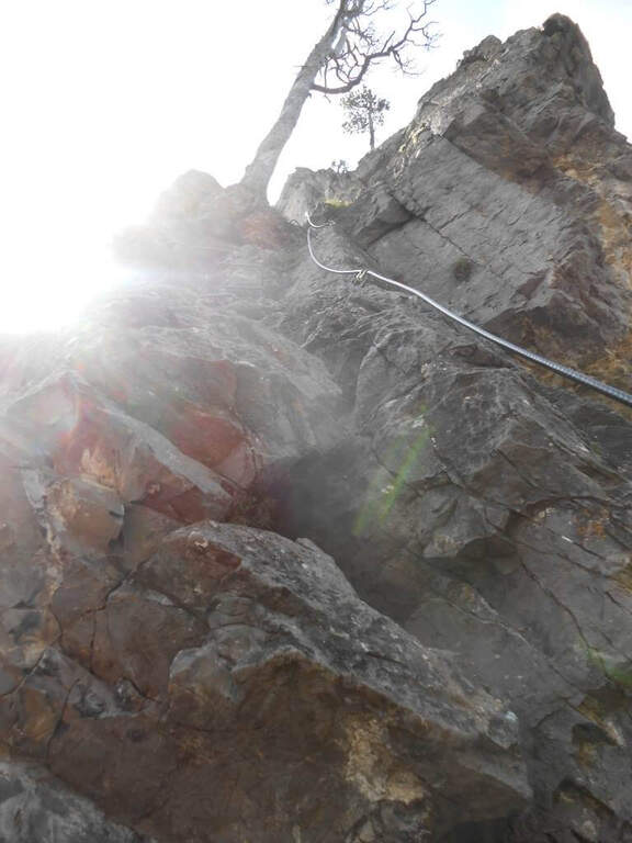
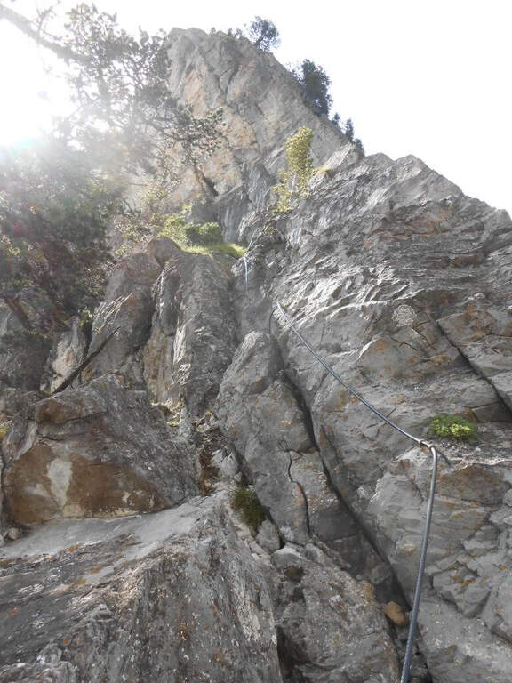
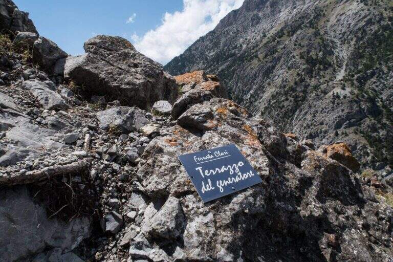
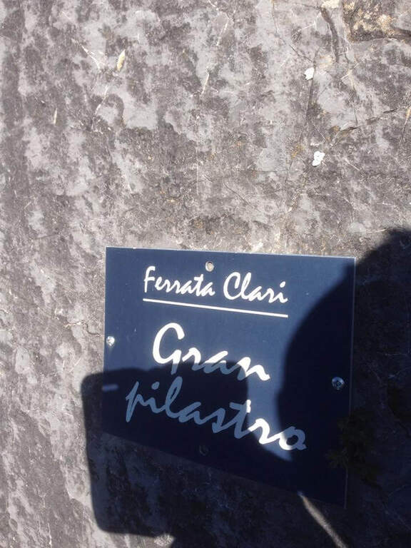
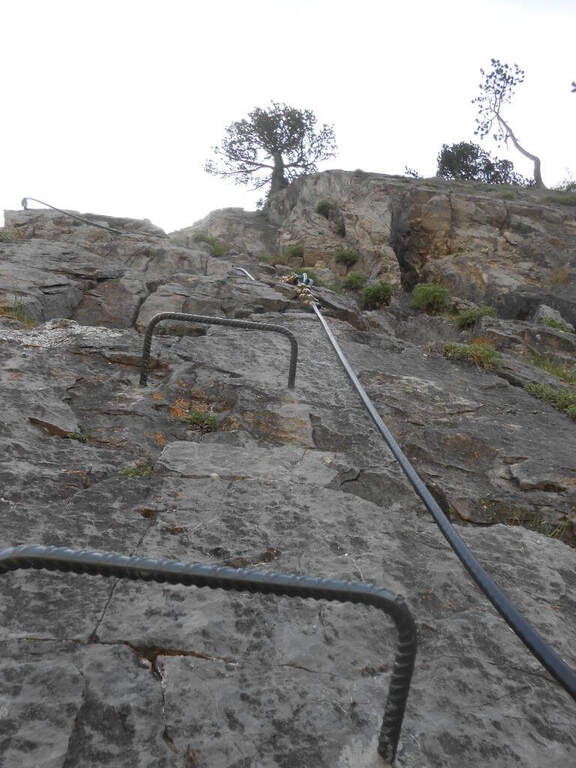
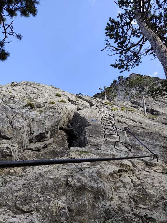
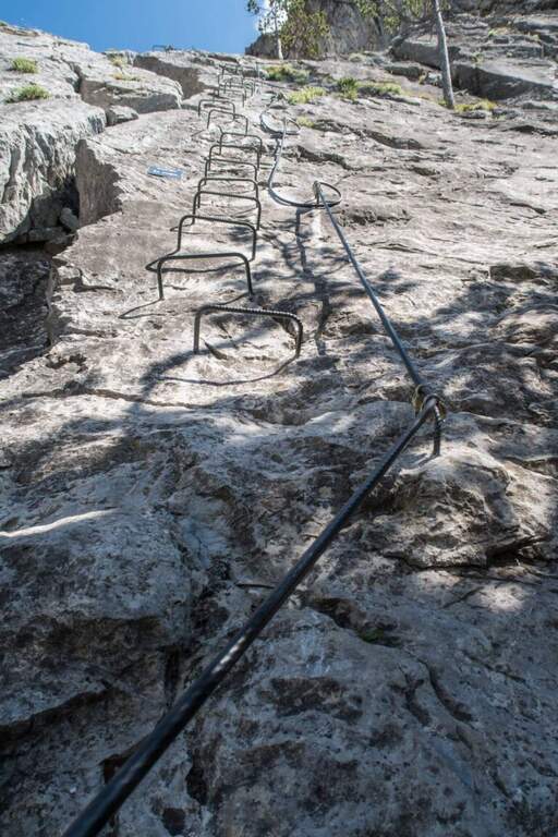
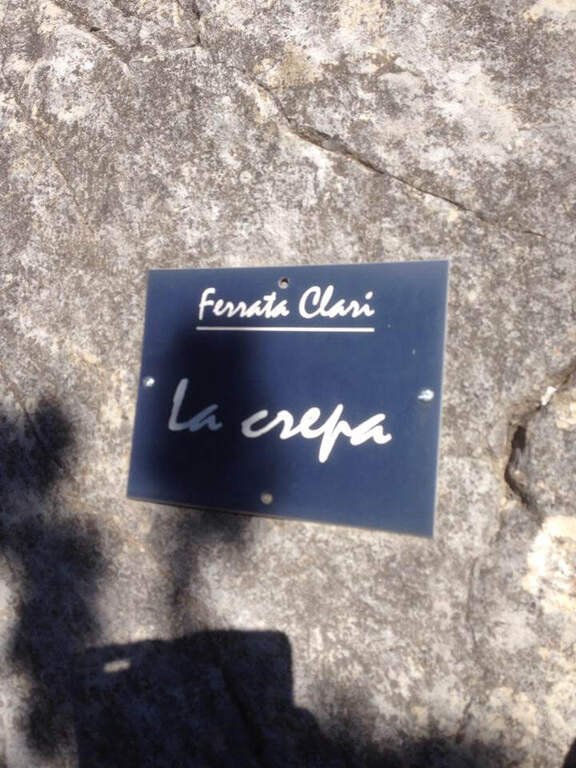
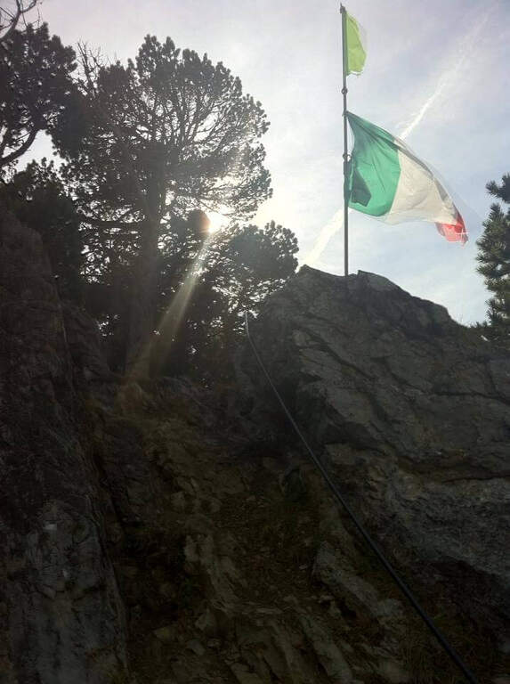
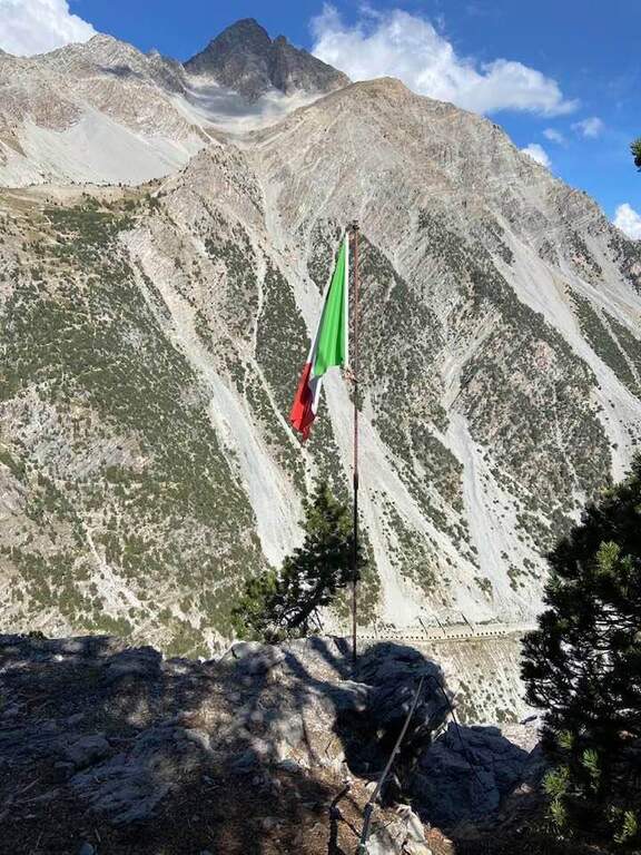
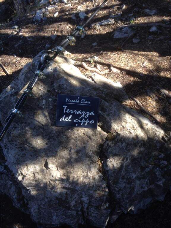
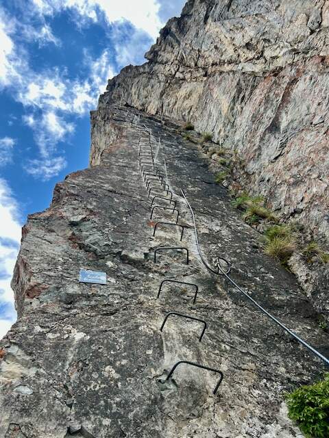
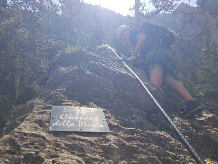
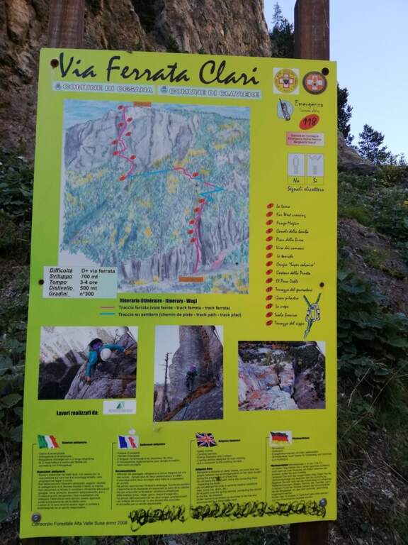
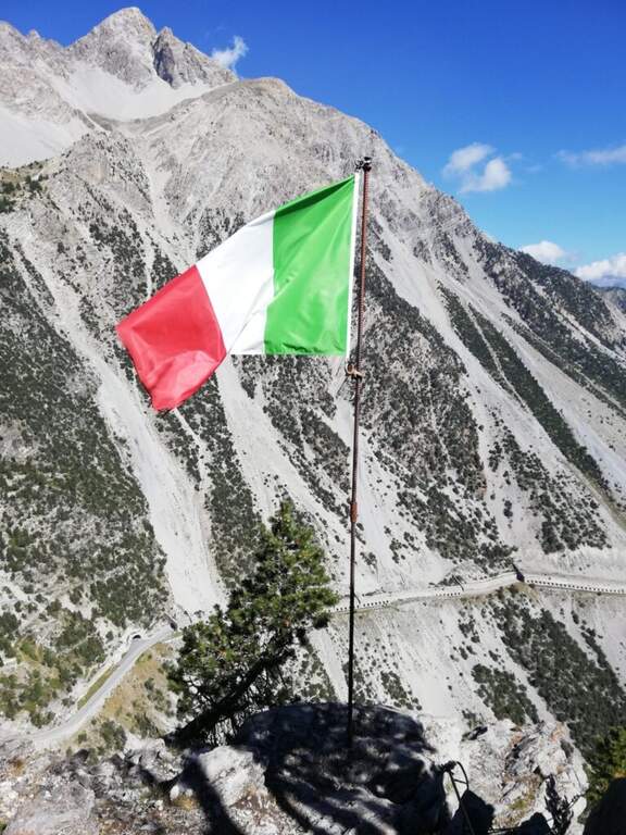
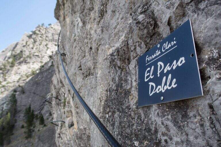
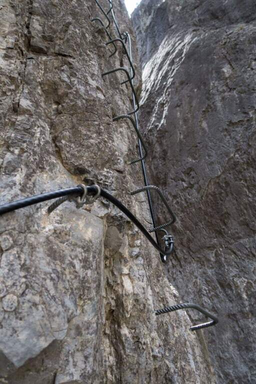
    The route is divided into 15 sectors, each with its own name. It is attached to the vertical wall («La Lama»), with brackets and climbing passages, immediately gaining altitude on the stream; inside a canalone and after a right turn a vertical blade is up on the brackets, then a rocky cres with natural hooks. The "Far West Crossing" crosses the "Canale della Bomba" and reaches the gendarme of the "Fungo Magico", climbed over the brackets, circled and crossed along a narrow and exposed blade. After the stop of the «Pian della Birra» you pass the franosa throat of the «Via dei Camosci» and you get to the most climbing section, «Le Taniche», on beautiful steps ranked. Follow the "Cengia Super Calcaire" and the "Costone della Pineta", then "El Paso Doble", a traverse on the left in light overhanging, short but very exposed. After the «Terrazzo del Generator» three beautiful sections remain: the «Gran Pilastro», with the cable on the edge and an exit at the center of the wall in strong exposure; «La Crepa», vertical and smooth wall made accessible by abundant brackets; and finally the «Scala Bionica», a steep vertical wall on brackets, aerial and exposed, with slightly overhanging athletic exit to the left. It exits at the top of the Rocca di Clari (2045 m), at the "Terrazza del Cippo" with the Italian flag (3h from the attack, 3h 15' total), with a view on Chaberton, Claviere and Cesana.

    ▲Character and difficulty

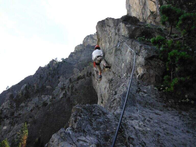
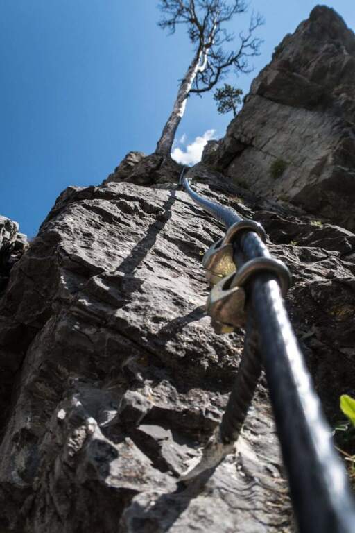
    Excellently equipped, with brackets positioned intelligently and not invasively. The inguainated black cable forms a ring at the tokens: excellent in case of fall (it avoids the musketet-fittone clash), but little tense, therefore it is better to climb by exploiting hooks and natural and artificial supports. It requires good form and experience.

    ⚠ Itinerary long, athletic and very exposed, not suitable for beginners: it serves specific training and absence of dizziness. You can rent the equipment at the ticket office of the Tibetan bridge.
    ▲History

    The route is dedicated to Mario Perona, Alpina Guide, and to Aldo Saglia, a helicopter pilot, very appreciated in Val di Susa, who died in Easter 2003 in a tragic helicopter accident. The idea of the ferrata was by Perona; the construction dates back to 2010.

    ▲Discipline

    You descend west on a clear track above the summit to some abandoned military stations, then on dirt road to La Coche (skiing plants) and still downhill to Claviere. Just before the village you turn right, cross a ski lift and take the path towards the Gorges of San Gervasio up under the Tibetan bridge; from the, depending on the parking lot, you return to the backward car (1h 30' from the downhill attack, 4h 45' total).

    ▲To match

    It combines with Ferrata del Bunker (of the Military) on the opposite side of the Tibetan bridge; always from Claviere the Low Battery Ferrata and the Chaberton Ferrata. The lower the valley offers the Ferrata dell'Orrido di Foresto e la Ferrata dell'Orrido di Chianocco.

    ▲Gallery
    Technical data
    • DifficultyVery difficult
    • RegionPiedmont
    • GroupVal di Susa
    • Approach0:15 h
    • Ferrata3:00 h
    • Itinerary (a/r)4:15 h
    • Hardware level difference315 m
    • Route difference550 m
    • Max2045 m
    • Length8 Km
Need help? Write to us!