Paese: Italia

  • Path equipped GER

    Path equipped GER

    Vie Ferrate › Lombardy › LC
    Path equipped GER

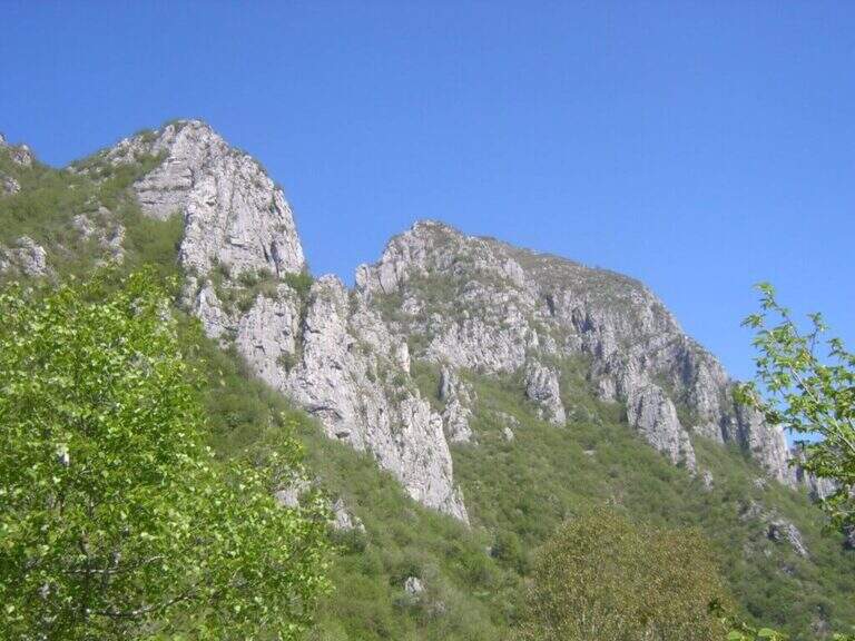
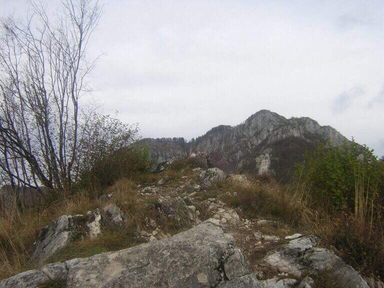
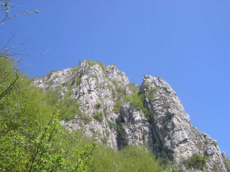
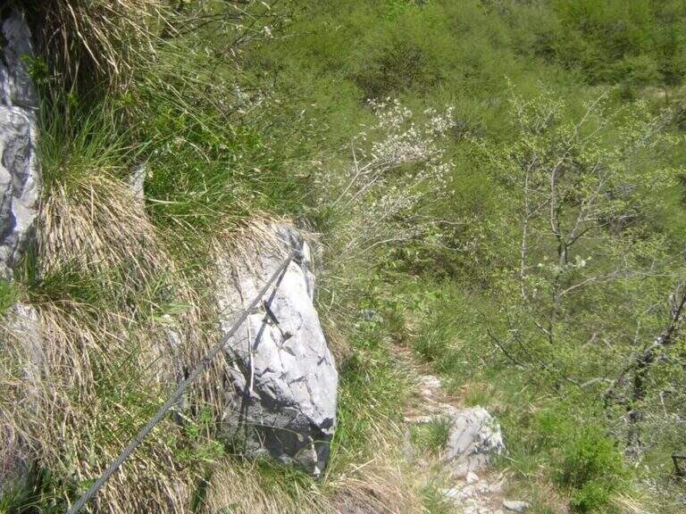
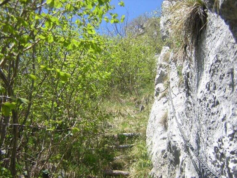
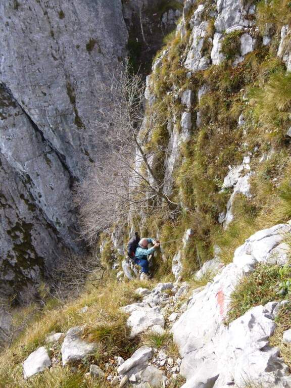
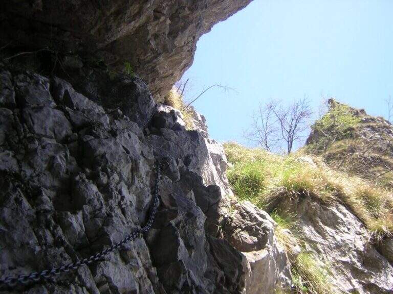
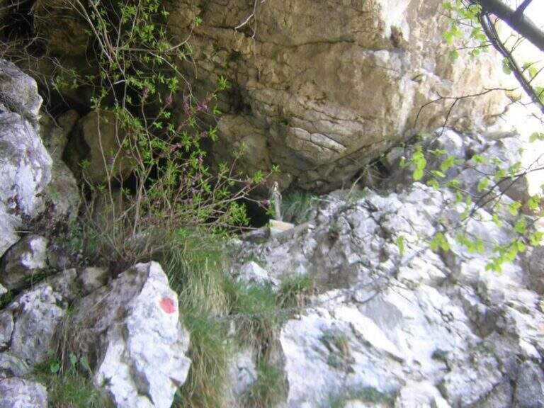
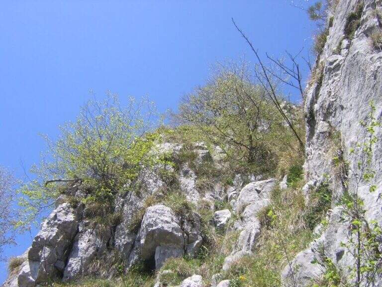
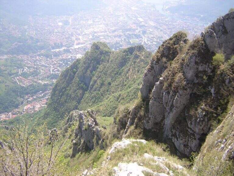
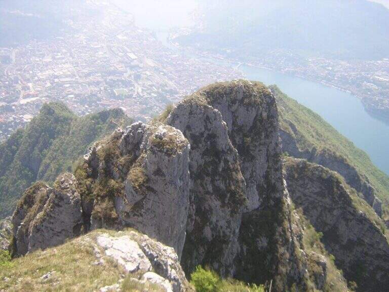
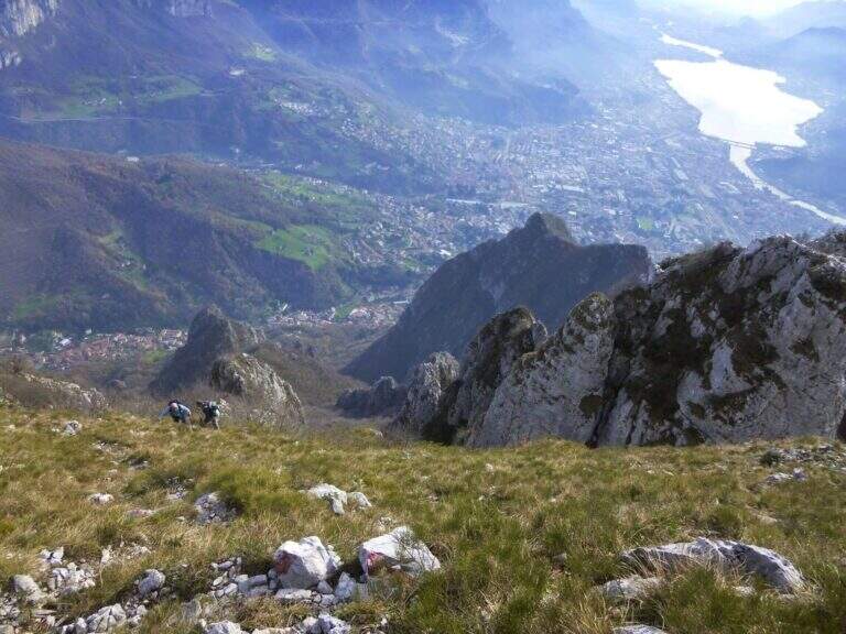
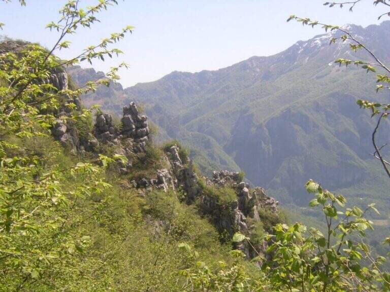
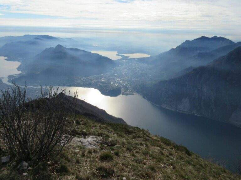
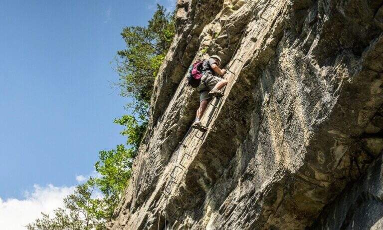
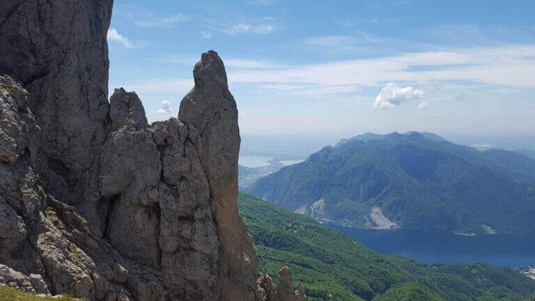
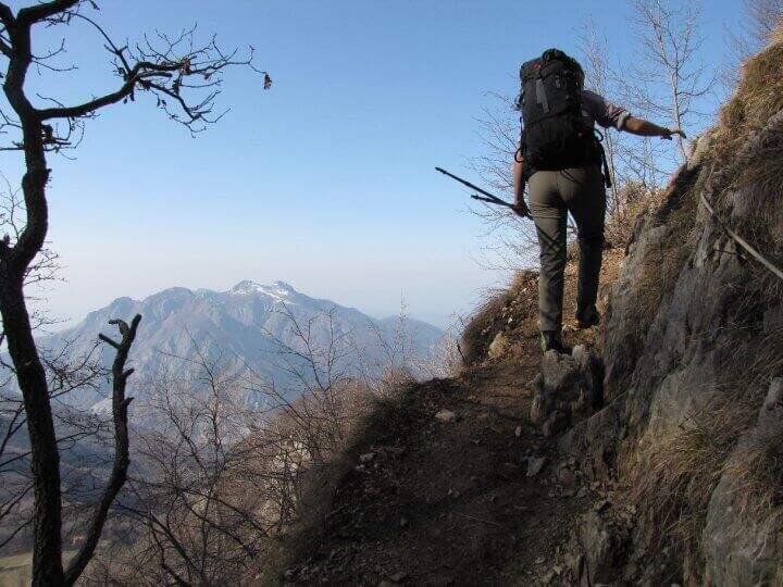
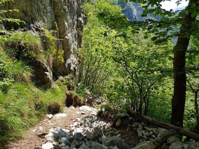
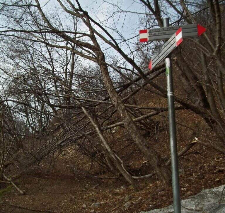
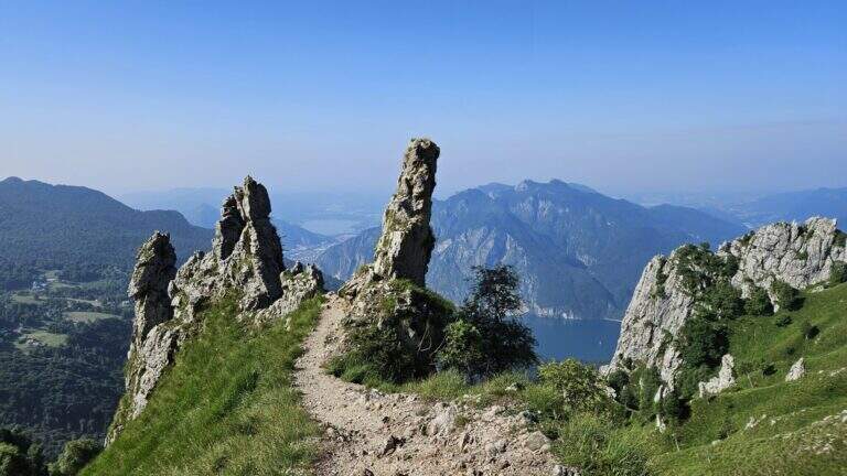
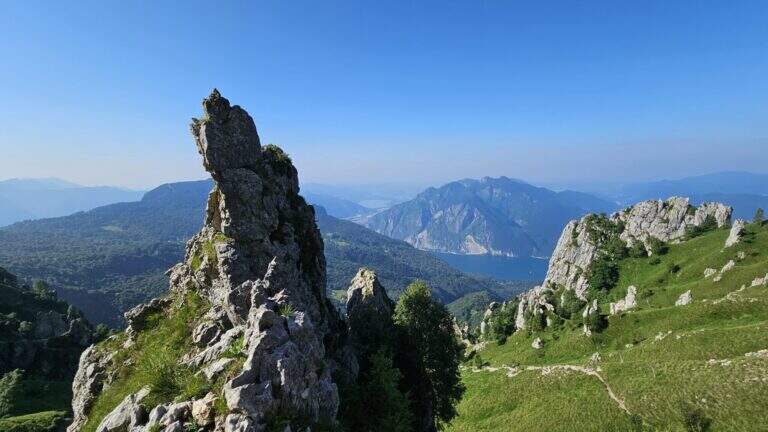
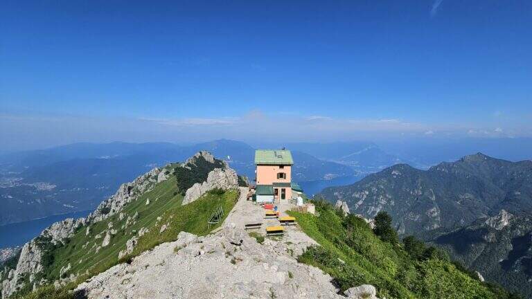
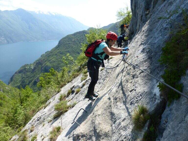
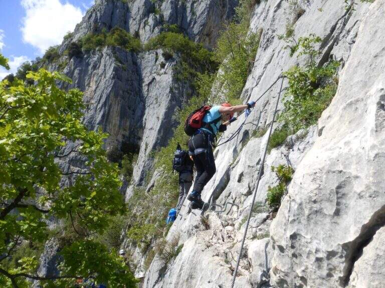
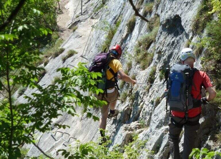
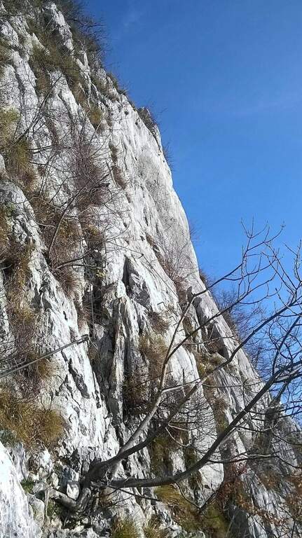
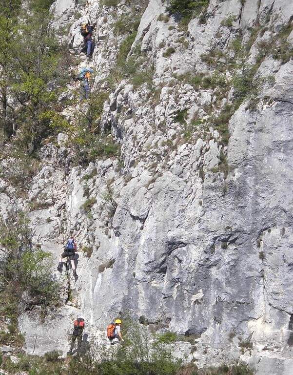
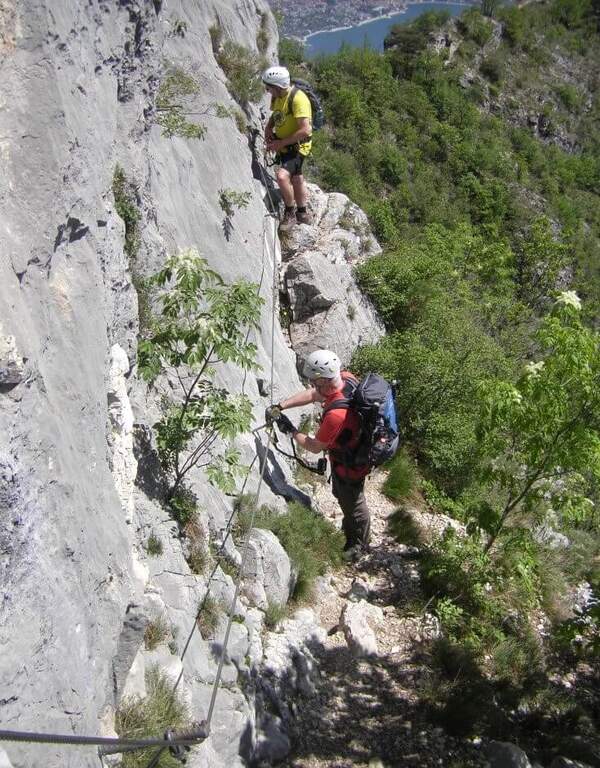
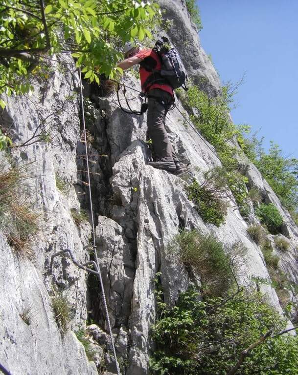
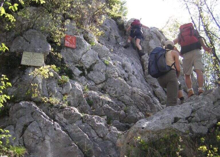
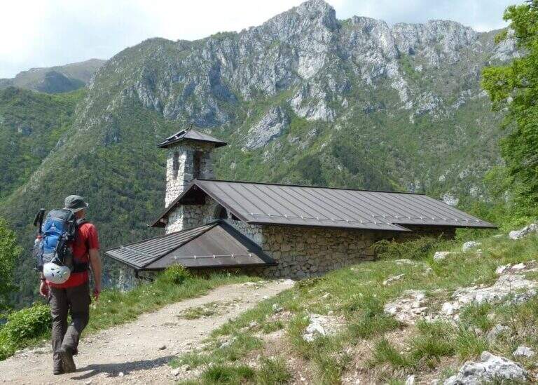
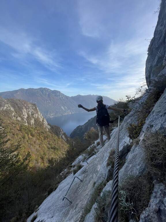
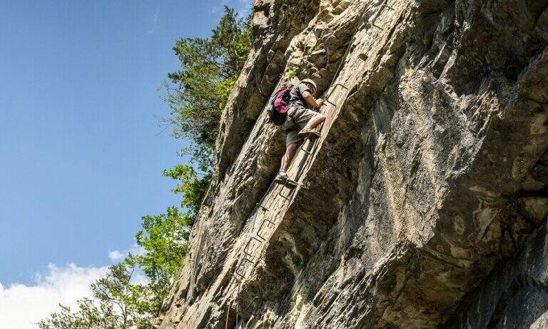
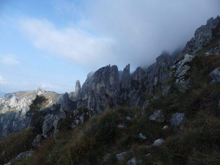
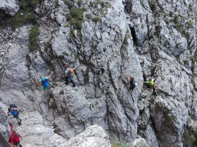
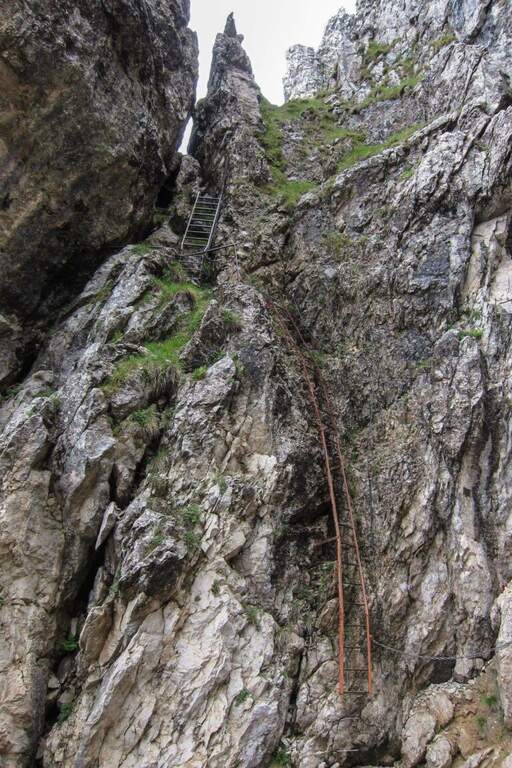
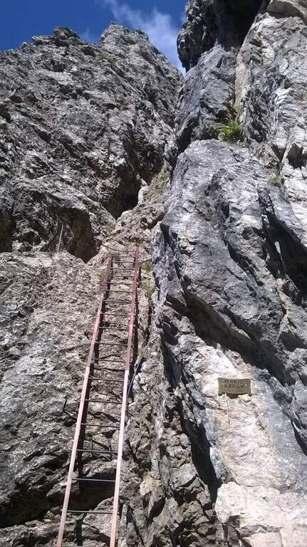
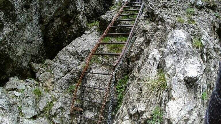
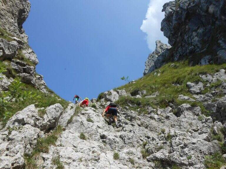
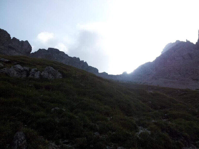
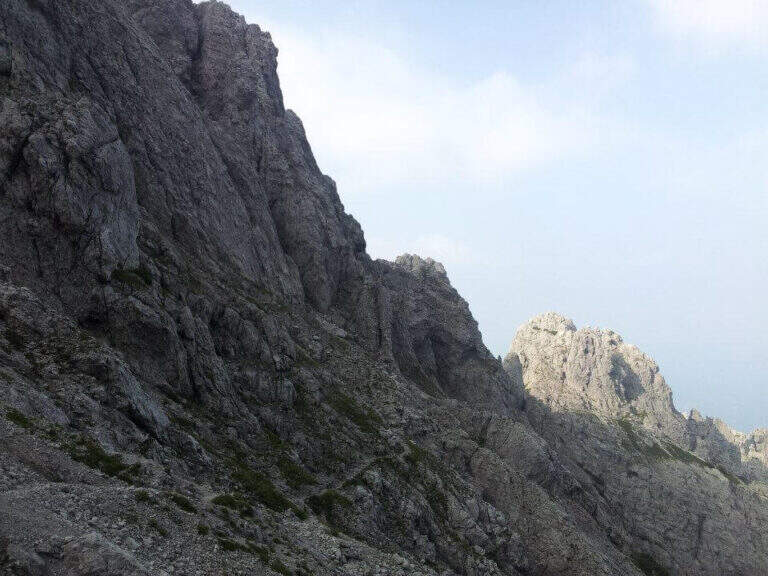
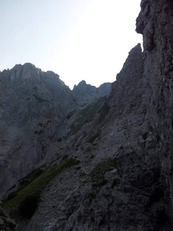
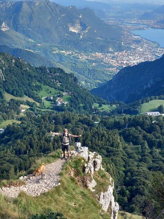
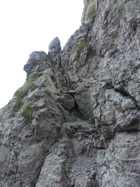
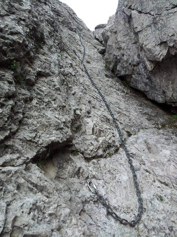
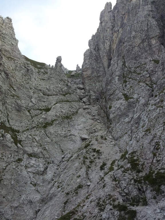
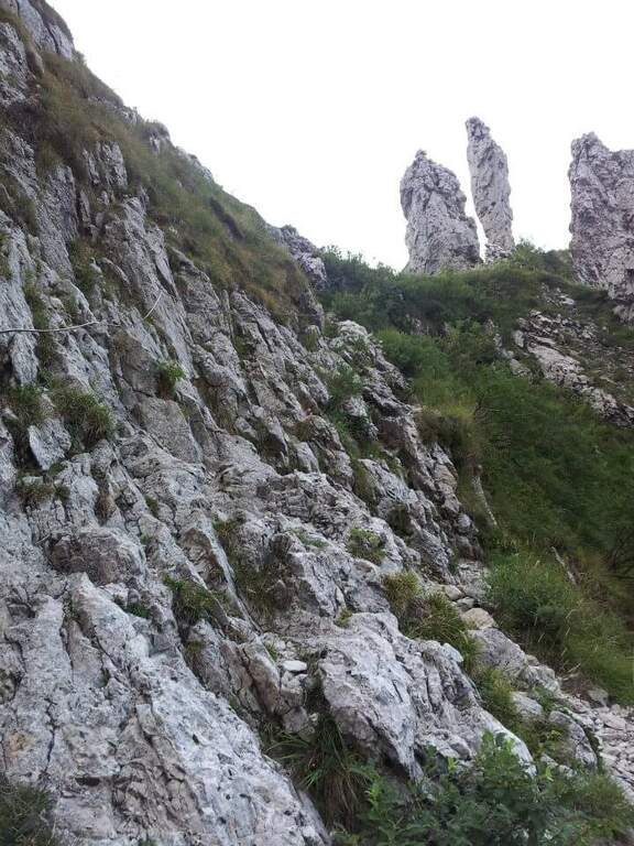
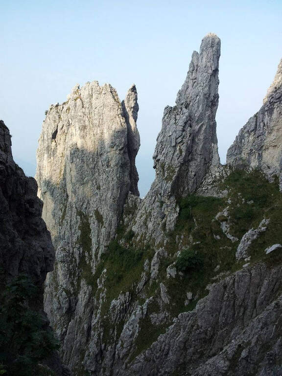
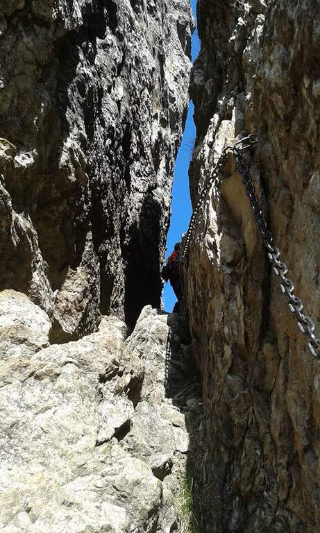
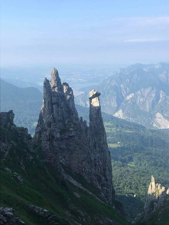
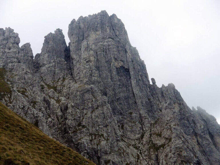
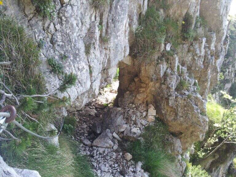
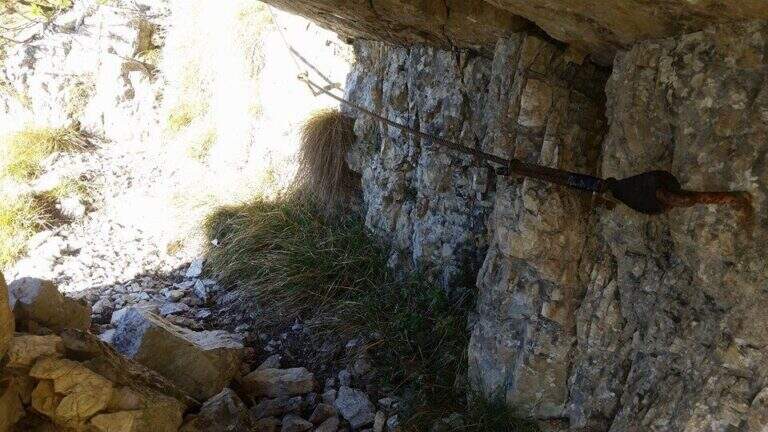
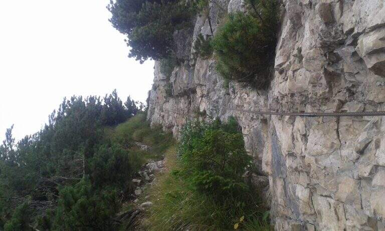
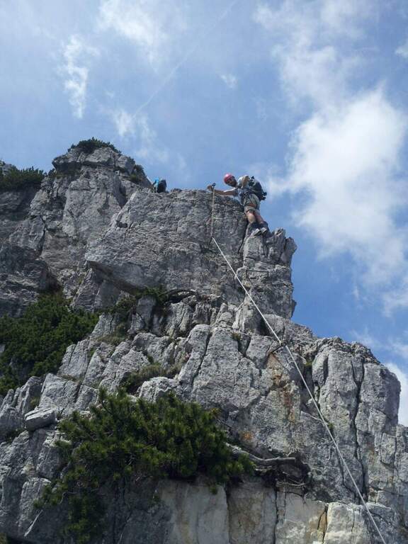
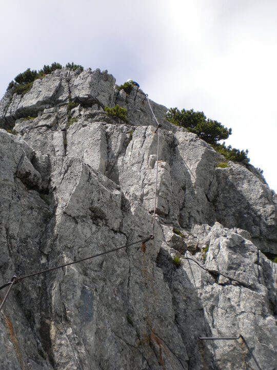
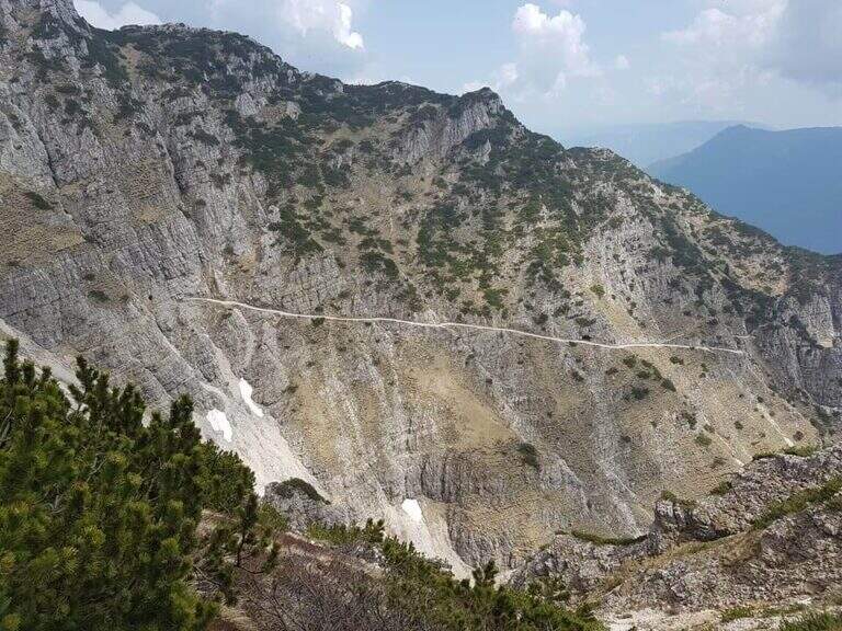
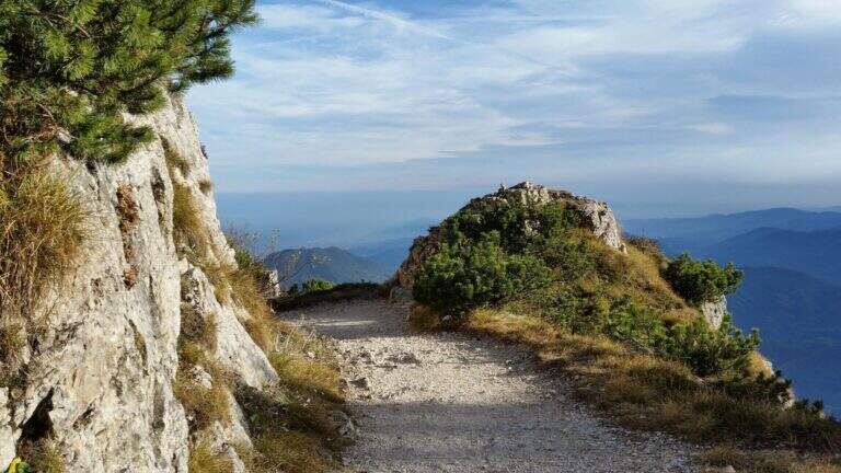
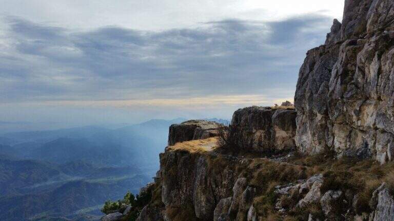
    The Sentiero Attrezzato GER — signed by the Gruppo Escursionisti Rancesi — dates back to the southern slope of Monte Coltiglione above Lecco: a long prealpine itinerary, with exposed sections and an exceptional panorama on Lake Como and the surrounding Alps.

    How to arrive and approach

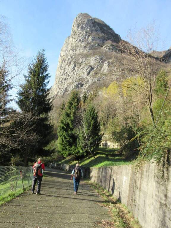
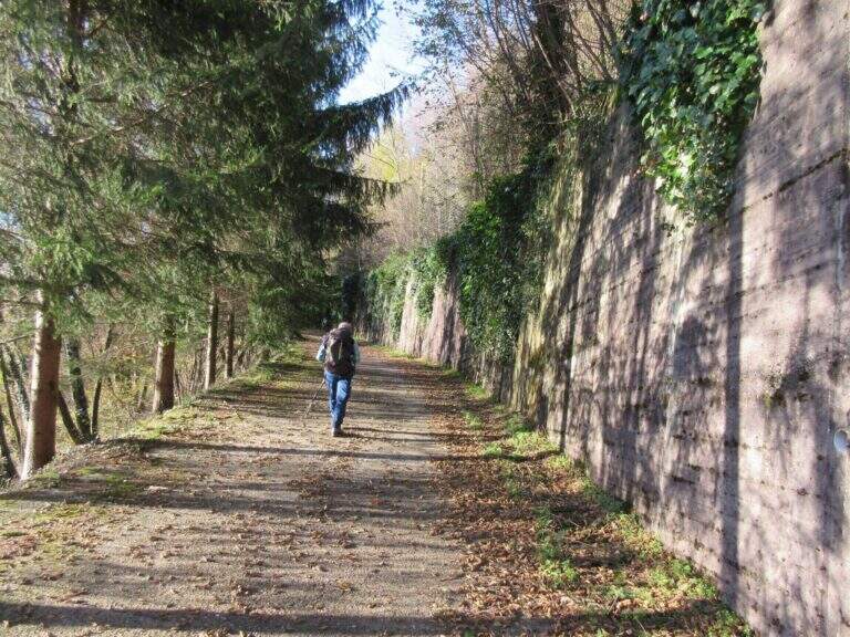
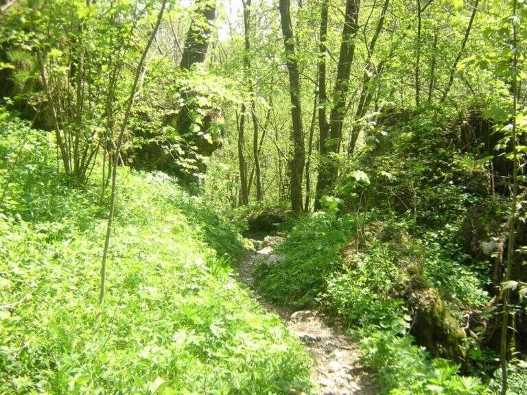
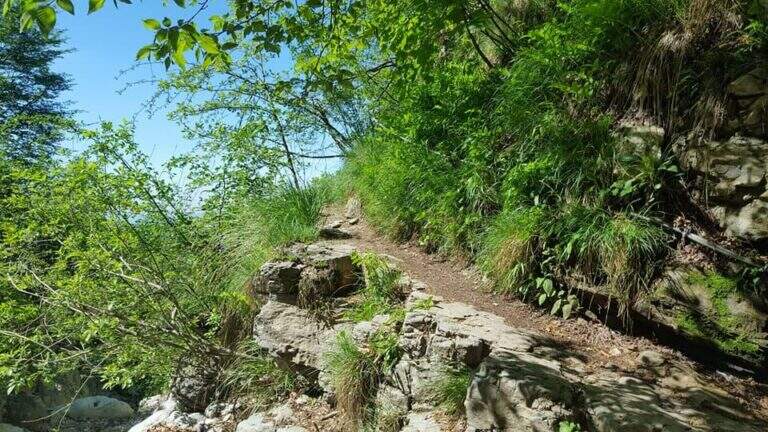
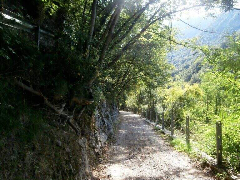
    The starting point is located in Rancio Alto, a hilly hamlet above the district of Rancio di Lecco, reachable via Quarto from the city of Lecco. You climb up to a bar that prevents transit to motorized vehicles and park in the few spaces available along the road. The approach from the bar to the attack of the first equipped sections requires about 1h30′ walk in the forest on a path without technical difficulties.

    The path

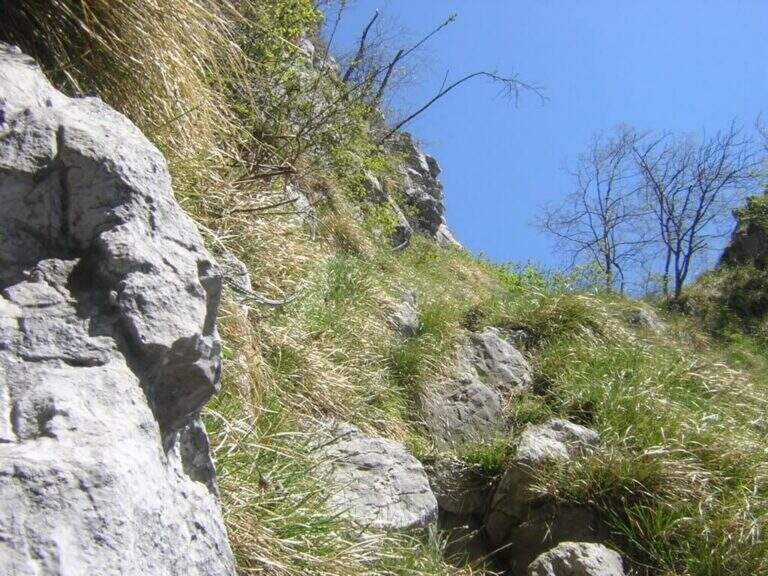
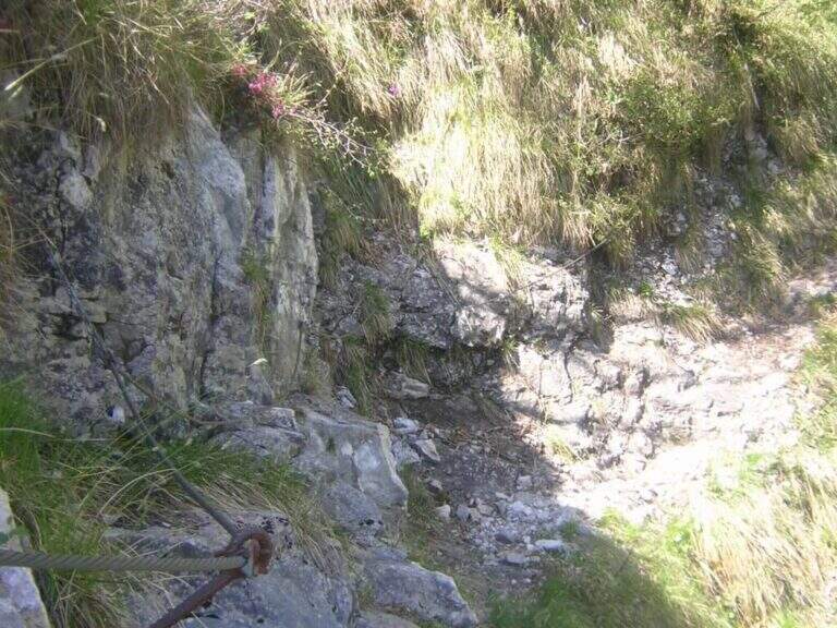
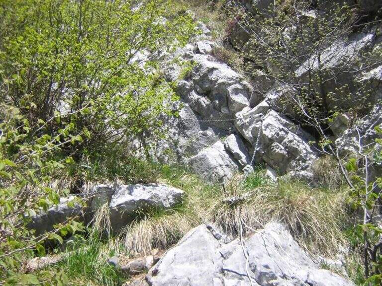
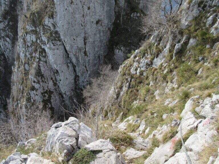
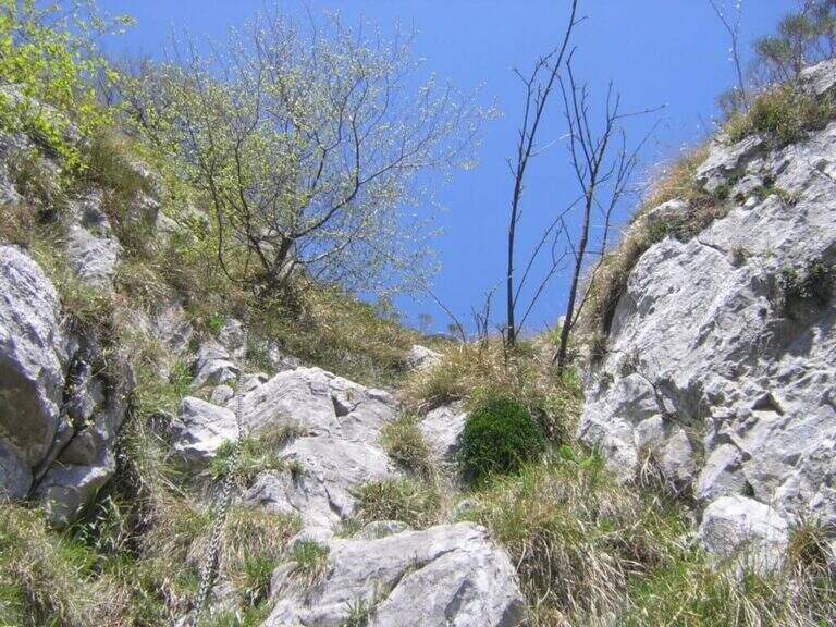
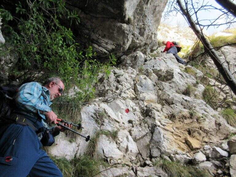
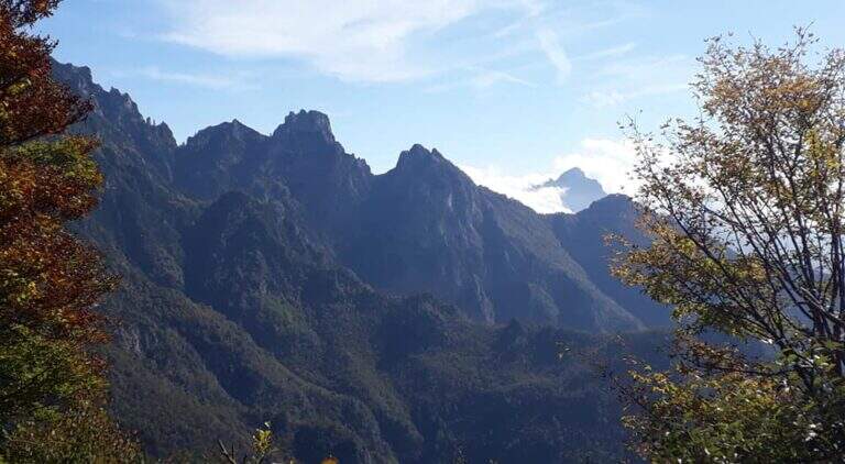
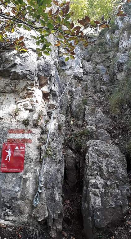
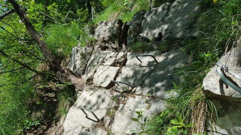
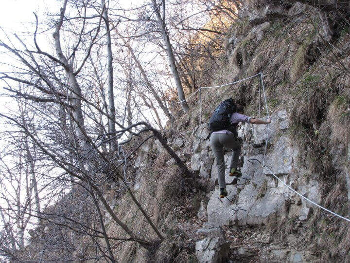
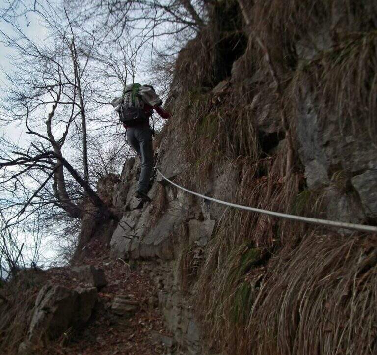
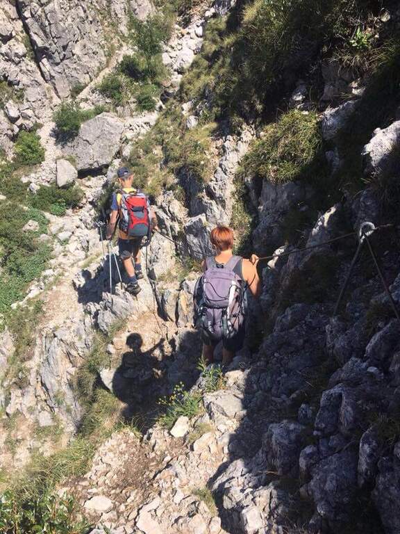
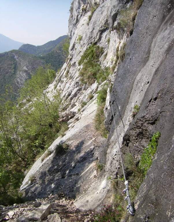
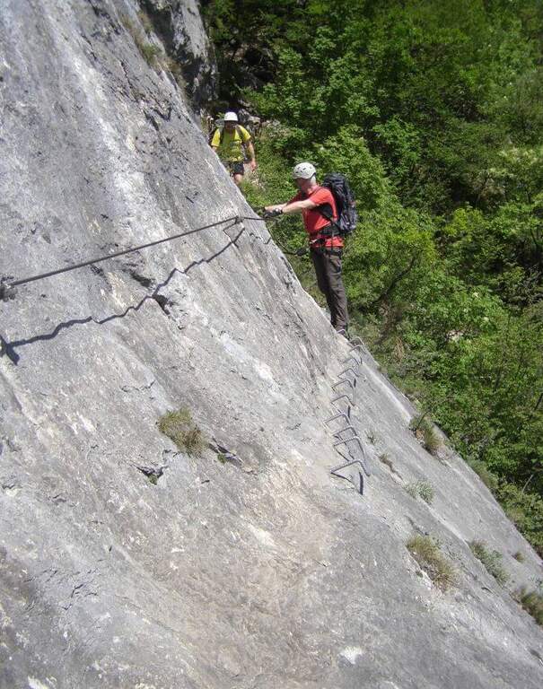
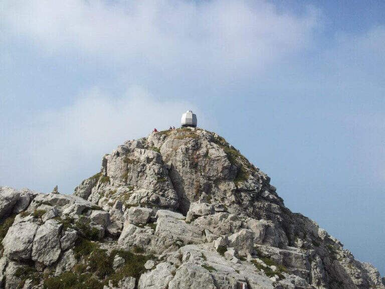
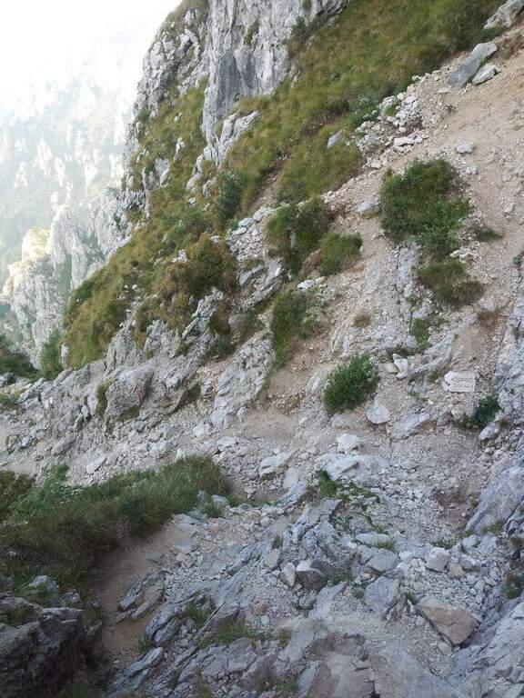
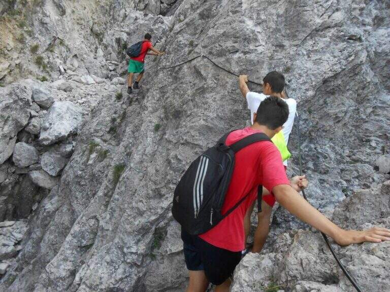
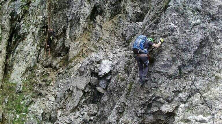
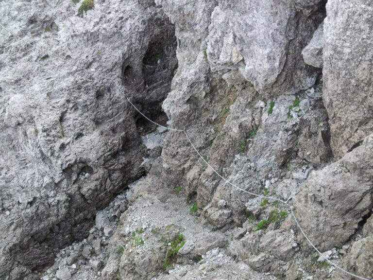
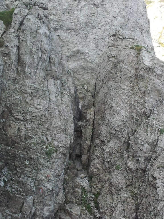
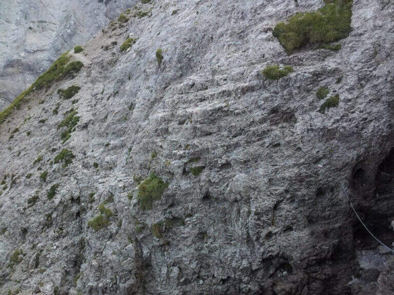
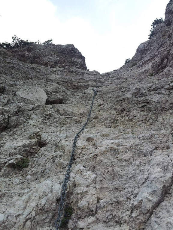
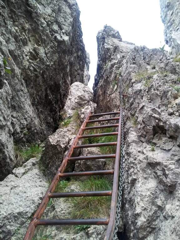
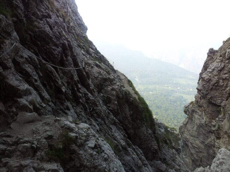
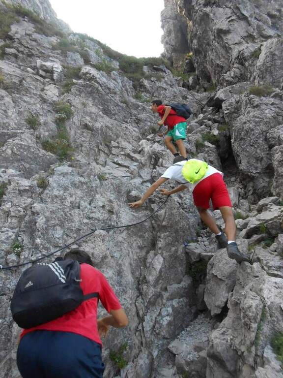
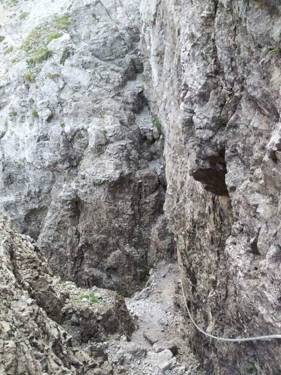
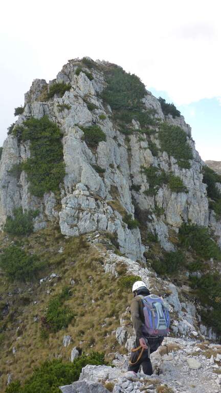
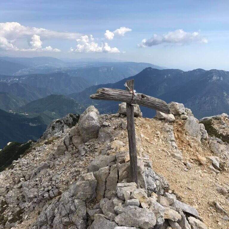
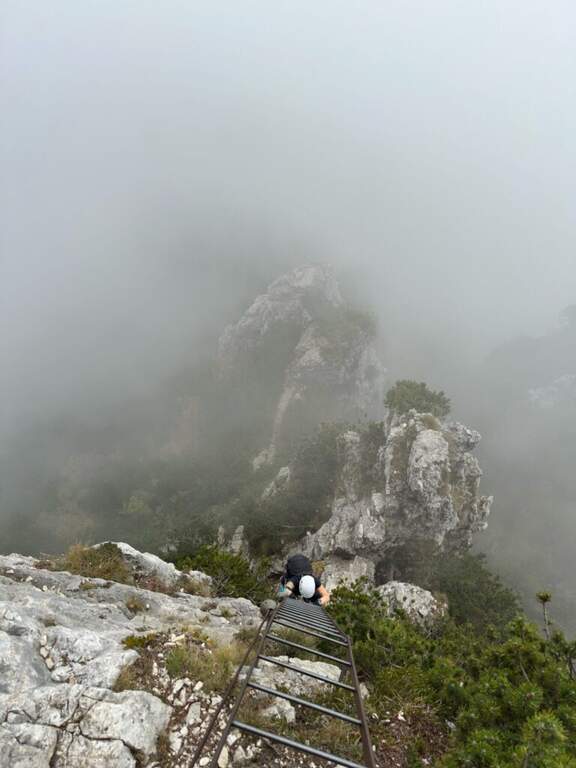
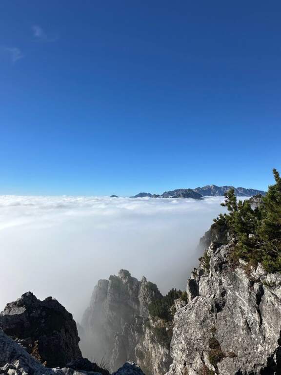
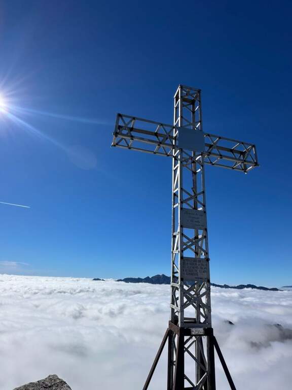
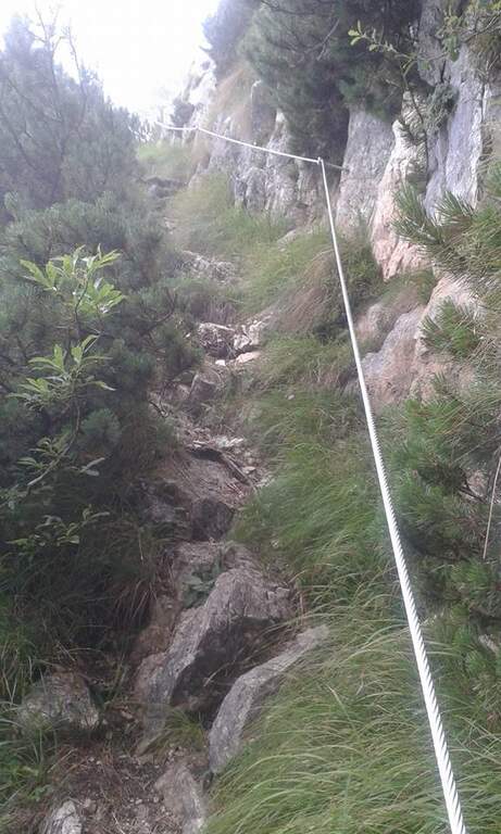
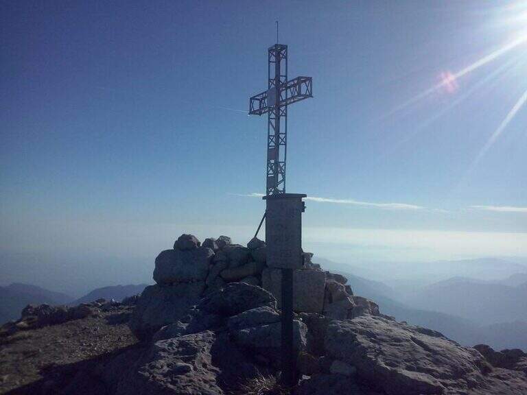
    From the parking lot you go up the forest on the path to the attack of the first equipment, on the south side of Monte Coltiglione (1479m). The equipped stretch develops for about 1h45′ with fixed cables and piles that exceed the steepest sections of the limestone slope. The route also includes unequipped exposed traits that require attention and sense of orientation. The peak of Monte Coltiglione (1479m) offers ample views of Lake Como, the Grigne and the Lombard Prealps to the Alps.

    Character and difficulty

    Itinerary difficult and tiring mainly for the length (16km, 1110m of total difference, 6 hours total) more than for the individual technical difficulties of the equipment. Some unequipped exposed traits require autonomous progression on prealpine soil. The GER is mainly frequented by hikers from Lecco and Rancio. Difficulty: Hard. Not suitable for fog or poor visibility for unequipped traits.

    Period and safety

    Recommended from April to October. The length and altitude difference make the itinerary challenging on hot summer days: prefer autumn or spring for the most favorable temperatures. Beware of unequipped traits in case of wet. There are no shelters along the path: adequate supply of water and food is necessary.

    Discipline

    The descent takes place on the return path towards Rancio Alto, completing the ring tour in about 6 hours total. The route does not have intermediate water points: plan stocks accordingly.

    To match

    The Monte Coltiglione is located in the heart of the Prealps of Lecco, where there are numerous equipped routes. Nearby are the Sentiero Attrezzato della Direttissima on the South Grigna and the Route of the River mandello del Lario.

    ▲Gallery
    Technical data
    • DifficultyHard
    • RegionLombardy
    • GroupPrealpi Lombarde
    • Approach1:30 h
    • Ferrata1:45 h
    • Itinerary (a/r)6:00 h
    • Hardware level difference250 m
    • Route difference1110 m
    • Max1479 m
    • Length16 Km
  • Path equipped Franco Galli

    Path equipped Franco Galli

    Vie Ferrate › Trentino-Alto Adige › TN
    Path equipped Franco Galli

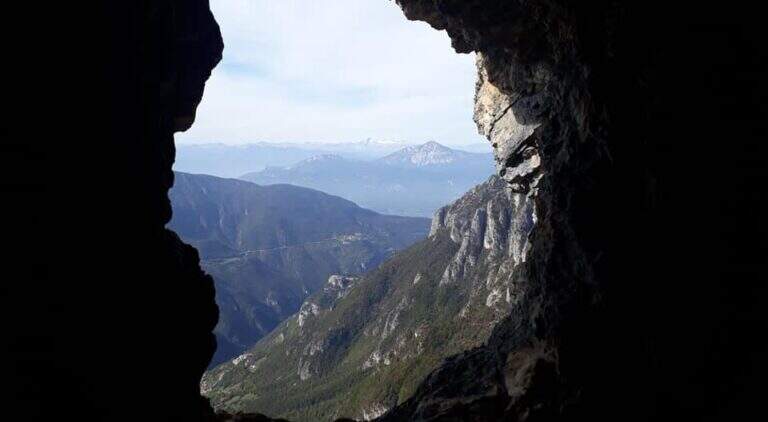
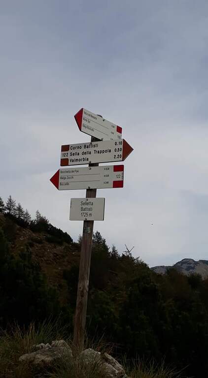
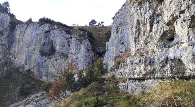
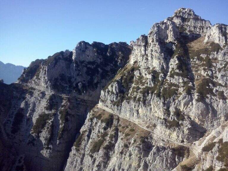
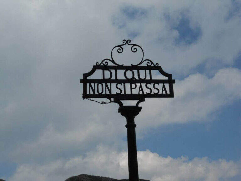
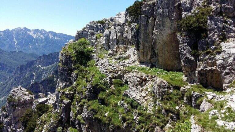
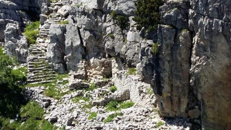
    The Attrezzato Path Franco Galli leads to the Corno Battisti (1762m) on the Trentino side of the Massif of the Pasubio, going through places marked by the events of the First World War and rich of still well preserved war installations.

    How to arrive and approach

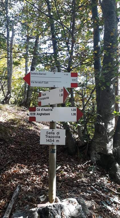
    The starting point is the village of Tezze, near Valmorbia (TN), on the state road 46 Rovereto-Valli del Pasubio. From Valmorbia turn left towards the center of the village and then right on the first road uphill, narrow and winding, up to a slargo where leave the car (about 750m). Parking is poor: those who do not find a place can leave the car in the village and walk the last stretches on asphalt road, adding about 200m of altitude difference. We recommend the route counterclockwise so that the tunnels are crossed uphill: take the 122A signpost to the right, leaving the 123 mark on the left (it will be the return route). The path 122A climbs steadily and steeply in the woods without technical difficulties until the Sella di Trappola (1435m, about 2 hours from Tezze); from the saddle you hold the left towards the Corno Battisti.

    The path

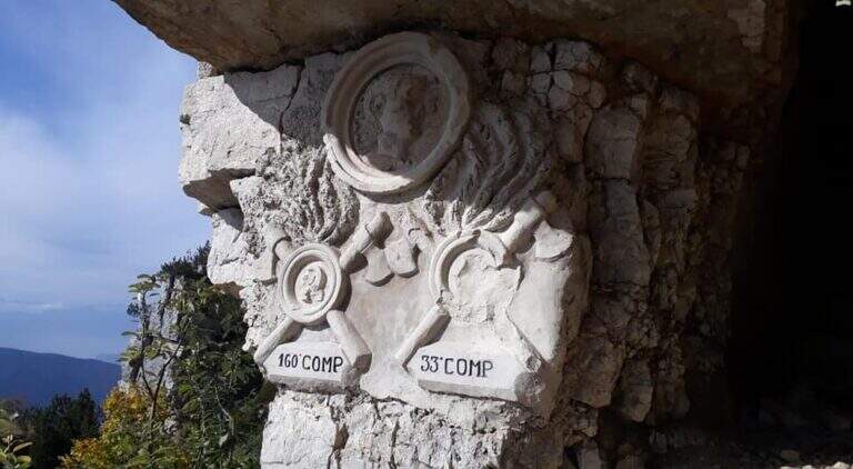
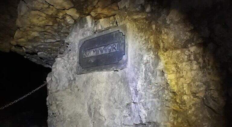
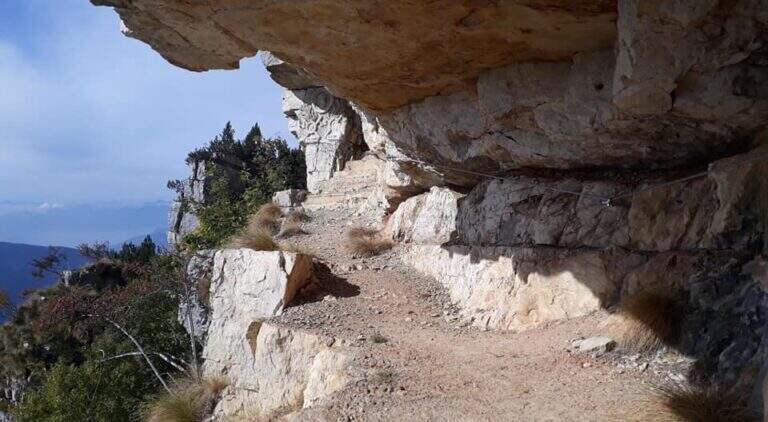
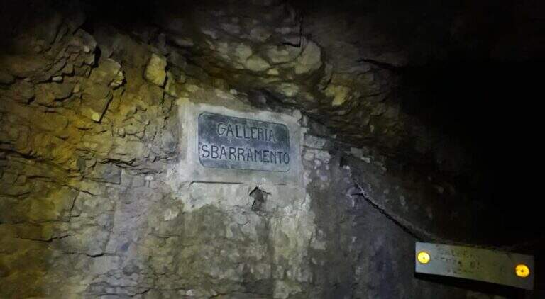
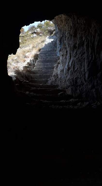
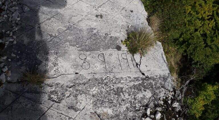
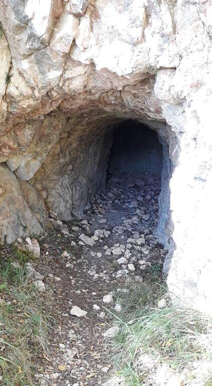
    From Sella di Trappola (1435m) begins the stretch equipped towards Corno Battisti. The path in the forest rarely leads to the first war station of the Great War and to the first equipped highlight marked by a characteristic red sign. You go up a rocky canal, you reach another location and then a first gallery. Following the white-red signposts you will meet new positions and a sign indicating the Pulcinella Hat (photography, optional deviation on the left). The itinerary alternates galleries and outdoor paths; a staircase carved into the rock precedes a wooded section and then a new gallery to be climbed internally for a long staircase. At the exit, marble marks commemorate the military units that fought in this area. You will walk through a picturesque nod and a rocky highlight before taking the main tunnel, to be crossed entirely without entering the closed branches. You can reach the Corno Battisti (1762m).

    Character and difficulty

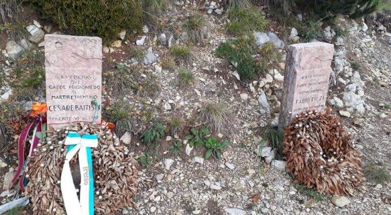
    Itinerary of considerable historical interest — in these places were captured by the Austrian troops the Trentino irredentists Cesare Battisti and Fabio Filzi — and physically challenging for the total length and difference (1000m, 14km, 6 hours total). The equipped traits are of average level but follow after a long approach that requires good physical preparation. Difficulty: Hard. Need a front torch for tunnels.

    Period and safety

    From May to October. The galleries are in the dark: the front torch is indispensable. Attention to the wet rock in the exposed sections of the nod. In winter, tunnels can present ice. The length of the route (6 total hours) requires adequate supply of water and food and to leave early morning.

    Discipline

    From Corno Battisti (1762m) you descend for the 123 marker, which closes the ring returning to Tezze in about 3h30′. This return path is more direct than the route but without the tunnels. The total time of the ring hike is about 6 hours.

    To match

    On the Venetian side of the Pasubio is the Sentiero Attrezzato Falcipieri alle 5 Cime del Pasubio, great crossing equally rich in history of the Great War. The Piccole Dolomiti and Massiccio del Pasubio host many other historical and mountaineering routes.

    ▲Gallery
    Technical data
    • DifficultyHard
    • RegionTrentino-Alto Adige
    • GroupSmall Dolomites
    • Approach2:30 h
    • Ferrata1:30 h
    • Itinerary (a/r)6:00 h
    • Hardware level difference200 m
    • Route difference1000 m
    • Max1762 m
    • Length14 Km
  • Sentiero Attrezzato delle Foppe

    Sentiero Attrezzato delle Foppe

    Vie Ferrate › Lombardy › LC
    Sentiero Attrezzato delle Foppe
    Moderately Hard● OpenDescriptionComplexityMapsGallery

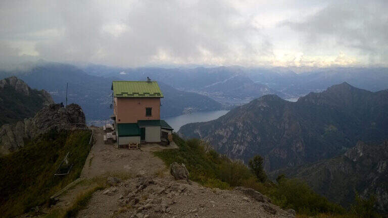
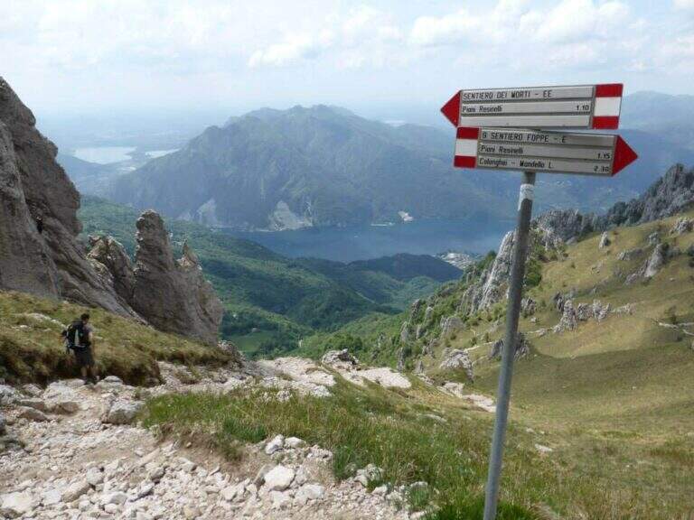
    The Sentiero Attrezzato delle Foppe is a difficult path that connects the Piani dei Resinelli to the Rosalba Refuge, a gateway to the South Grigna, with a few but well positioned equipped sections.

    How to arrive and approach

    You can reach the Piani dei Resinelli da Ballabio, going up the panoramic road with its many bends. When you arrive at the hamlet you will find parking near the former Alippi refuge. From the parking lot follow the abundant indications for path no. 9, also called Sentiero delle Foppe. At first you can walk to the Foppe, a private asphalted road with moderate slope that leads out of the village; at a signposted crossroad you continue to the right increasing the steepness and following the white-red road signs up to the first equipped section (about 30 minutes from the parking lot).

    The path

    The first equipped stretch is immediately after a detritic canal: a chain ensures the most exposed passage. Continuing you leave on the left the deviation for the Mountain Towers Punta Giulia, Torre Costanza and Mongolfiera. A short distance away is the second short stretch, consisting of a pair of metal brackets and a fixed rope that helps to climb a short jump of rock. From this point the slope increases considerably and the equipped section ends, leaving room for a steep path in the woods. A third and last equipped passage — an easy wall — precedes the arrival to the Rosalba Refuge (1730m), destination of the route (about 1 hour in total from the first equipped sections).

    Character and difficulty

    Path with very limited technical difficulties: the few equipment present help to overcome the rare challenging steps without requiring real experience of ferrata. The altitude difference of 550m in 13km makes it a suitable itinerary for hikers who want to approach the paths equipped in a landscape of great beauty. Difficulty: Moderately Difficult. On summer weekends the path and the shelter are very frequent.

    Period and safety

    Recommended from April to November. The path takes place mainly in the wood and the equipment is easy to progress; however, limestone rock can become slippery in case of frost or rain. Pay attention to crowding on summer weekends. The Rosalba Refuge (1730m) offers refreshment and shelter in case of rapid deterioration of weather conditions.

    Discipline

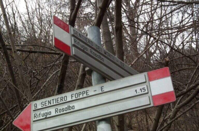
    From the Rosalba refuge you can return to the Resinelli for the uphill path in about 1 hour (3 hours total). An interesting alternative is the descent to the Path Attrezzato dei Morti: from the refuge you descend briefly, then you turn left on a steep path with a stretch equipped on exposed traverse, which reports just above the first section of the Path of the Foppe (about 1h30′ from the refuge, 3h30′ total).

    To match

    From the Rosalba refuge there are many equipped and mountaineering routes on the South Grigna. From here you can continue towards Sentiero Attrezzato della Direttissima and towards Sentiero Cecilia. The Route GER at Monte Coltiglione can be reached from the same area of the Resinelli.

    ▲Gallery
    Technical data
    • DifficultyModerately Hard
    • RegionLombardy
    • GroupPrealpi Lombarde
    • Approach0:30 h
    • Ferrata0:30 h
    • Itinerary (a/r)3:00 h
    • Hardware level difference60 m
    • Route difference550 m
    • Max1730 m
    • Length13 Km
  • Path equipped Foletti

    Path equipped Foletti

    Vie Ferrate › Trentino-Alto Adige › TN
    Path equipped Foletti

    The Sentiero Attrezzato Foletti is a short but exposed route that descends from the north side of Cima Capi towards Biacesa di Ledro, frequently combined as a descent path to Ferrata Susatti.

    How to arrive and approach

    The village of Biacesa is reached from Riva del Garda along the tunnels towards the Val di Ledro; after the second tunnel it is almost immediately in Biacesa. In the village take Via dei Dazi on the right and, at the bottom, turn right still continuing briefly until a playground with large parking, which is the base of the excursion. Those who intend to walk the Foletti as a descent path after Ferrata Susatti will have to read the report of the Ferrata for the starting point at altitude. For those who want to go back to the Foletti from the bottom, you can reach the Church of San Giovanni for the Path Atrezzato delle Laste (1 hour) or for the CAI 417 path and then CAI 460 from Biacesa (1 hour).

    The path

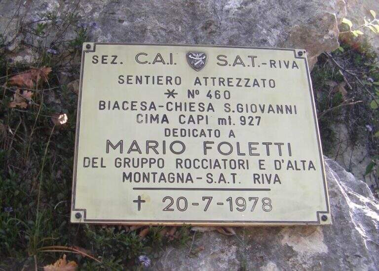
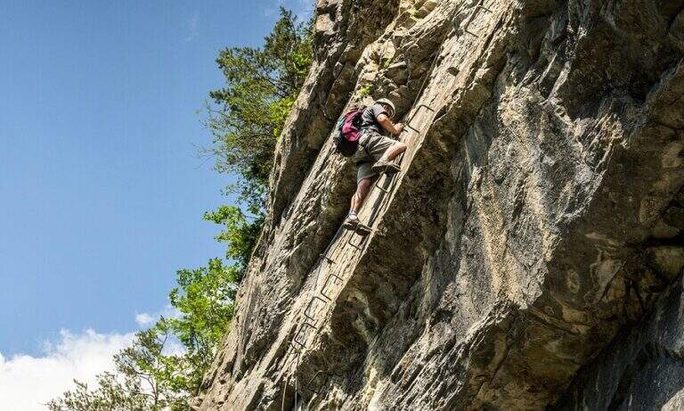
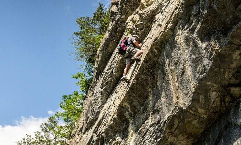
    The first metal equipment guides along a beam exposed to inclined plates, where the foot support points are good and the metal handles fill the missing traits. It follows a vertical stretch uphill and then a more challenging one downhill on the wall. The progression continues up to a wall to be crossed diagonally without particular technical difficulties, until the plaque that marks the end of the equipped path (about 20 minutes from the attack).

    Character and difficulty

    Short course, without marked technical difficulties, but to be faced carefully especially in the downhill section that requires coordination and safe step. The Foletti does not require advanced experience of ferrata, but the exposure of some passages suggests to equip itself at least with sling and longe. The low altitude and brevity make it suitable as a natural completion of the tour with Ferrata Susatti. Difficulty: Hard.

    Period and safety

    Unconscious on the hottest days of summer for the solar exposure of the slope. The limestone rock of Upper Garda can be slippery in the presence of moisture. The low altitude of Cima Capi (909m) allows the journey in almost all seasons, with greater caution in winter. Pay special attention in the downhill section.

    Discipline

    At the end of the Sentiero Foletti is located near the Church of San Giovanni. From here you will descend to Biacesa following the Route Attrezzato delle Laste (about 45 minutes from the church, 4 hours total starting from Biacesa with the Ferrata Susatti) or along the CAI 460 path in connection with the CAI 417.

    To match

    The Foletti is matched by definition to Ferrata Susatti for Cima Capi, of which it constitutes the classic path of descent. In the area there are also numerous other routes and paths equipped on the Gardesane Prealps, including the Ferrata delle Laste.

    ▲Gallery
    Technical data
    • DifficultyHard
    • RegionTrentino-Alto Adige
    • GroupPrealps Gardesane
    • Approach2:45 h
    • Ferrata0:20 h
    • Itinerary (a/r)4:00 h
    • Hardware level difference70 m
    • Route difference490 m
    • Max909 m
    • Length8,1 Km
  • Route of the River

    Route of the River

    Vie Ferrate › Lombardy › LC
    Route of the River

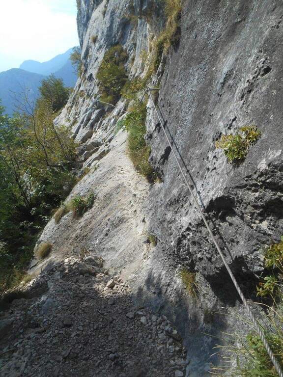
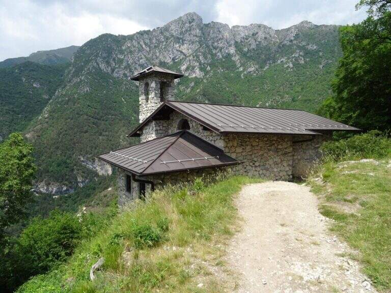
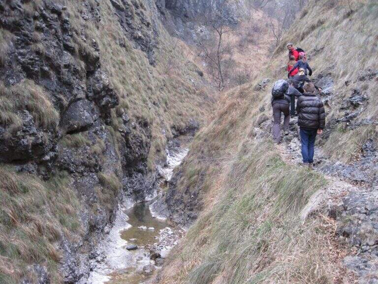
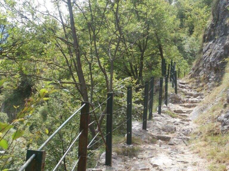
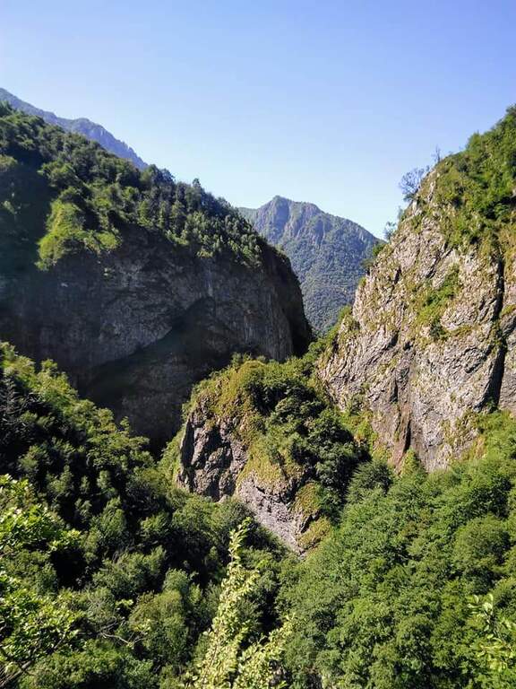
    The Sentiero Attrezzato del Fiume runs uphill through the picturesque hill of the river Era in the surroundings of Mandello del Lario, offering a low altitude hike through almost all seasons.

    How to arrive and approach

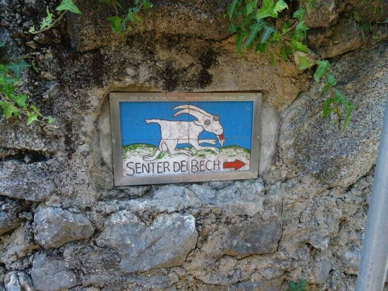
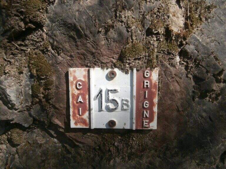
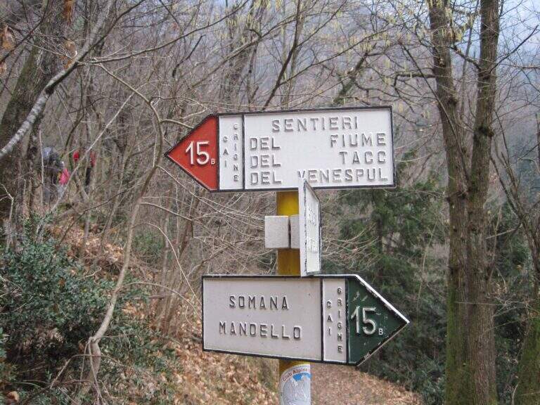
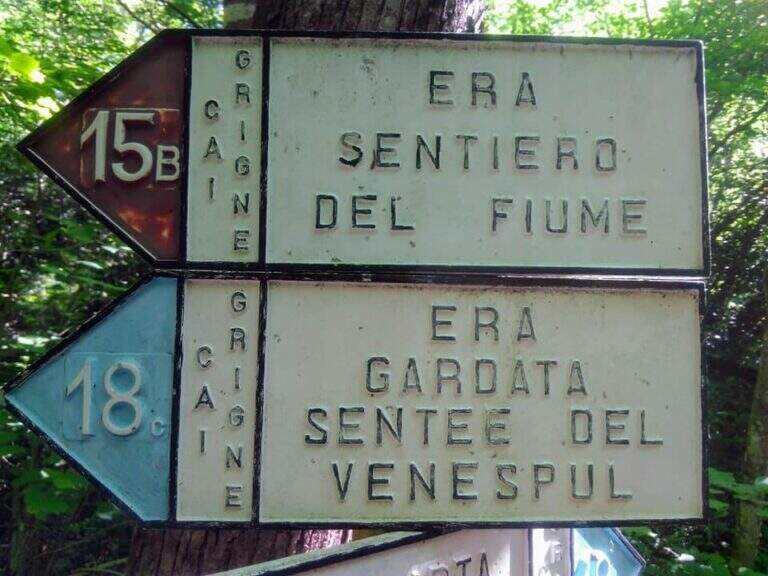
    The starting point is located in the hamlet of Sonvico, in the municipality of Mandello del Lario (LC), reachable from the Larian state leaving in Abbadia Lariana and following the signs for Mandello del Lario. From Mandello you go up to the hamlet of Somana and then towards Sonvico. At the crossroads you will find some parking options. From the parking lot follow the signs: the route is marked with the number 15B. You walk on a false plateau in the woods to a fountain (at the crossroads you hold the left), then still on the floor until a second pole (newly on the left), then in a slight descent to the river Era, where the route begins (about 30 minutes from the parking lot).

    The path

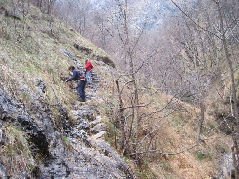
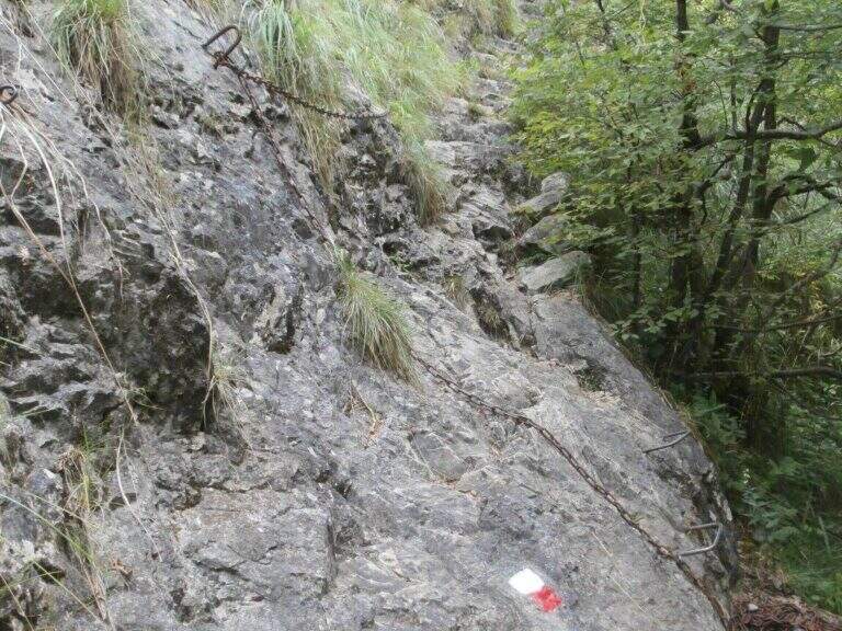
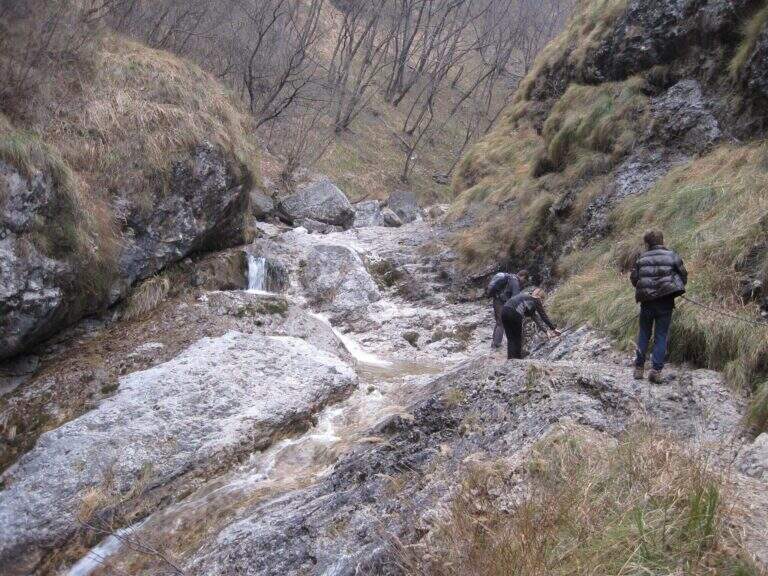
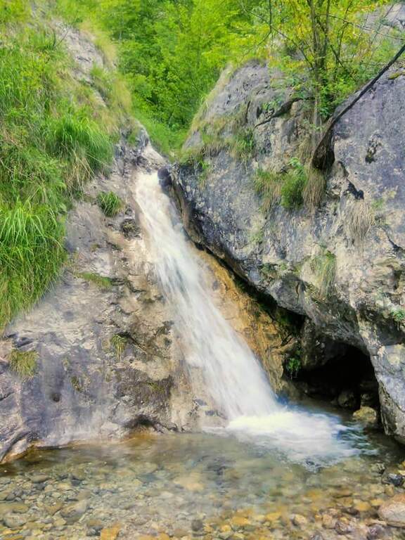
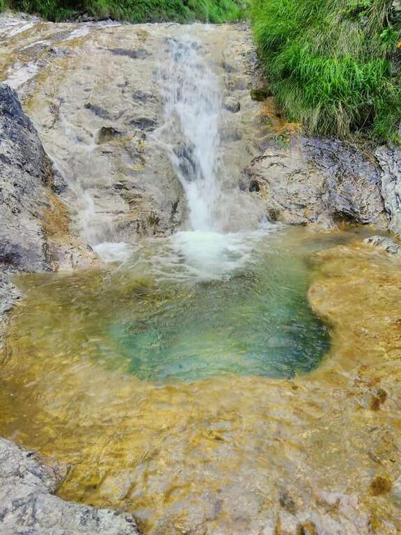
    The path, marked with red and white-red signs, develops mainly on the left bank of the river Era. After a first forado you will meet the stretches equipped with chains that ensure the most exposed steps. The itinerary alternates uphill stretches and descent, with the noise of the water always present. A second time you cross the water course, taking you to the right bank, and gradually climb up rocky ridges. In close proximity to an area of rapids and particularly scenic waterfalls there is a cross equipped with metal brackets. The longer vertical stretch — about 6 meters — goes up with excellent hooks for hands and feet. Some concluding rocks and a traverse to the right complete the equipped section (about 1 hour from the attack).

    Character and difficulty

    Despite the low altitude and brevity, the route has high difficulty passages due to the presence of vertical rock traits requiring progressive technique. The sections with chain are interspersed with stretches of unequipped path in which it is essential not to miss the signs. Difficulty: Hard. It is recommended equipped by ferrata (imbrago, longe, helmet) for vertical stretches. The low altitude and the surrounding wood keep the route fresh even on summer days.

    Period and safety

    It can be traveled almost all year thanks to the maximum modest quota (about 850m). It is essential to avoid the route in case of full of the river Era: some sections take place in the river bed or very close to the water and under high level conditions become impractical and dangerous. Be careful to keep the signs in particular in the stretches where the path crosses the same bed of the stream.

    Discipline

    At the end of the equipped route there is a pole with the signs. To return to the parking lot of Sonvico descends left on path n. 15, which leads to the starting point in about 1h15′ (3h30′ total for the entire excursion). There are at least two other variants of descent to the Mandello del Lario area.

    To match

    From Mandello del Lario there are several routes on the Larian Prealps. Nearby is the Route GER at Monte Coltiglione, more challenging itinerary for length and altitude difference on the same slope prealpino lecchese.

    ▲Gallery
    Technical data
    • DifficultyHard
    • RegionLombardy
    • GroupPrealpi Lombarde
    • Approach0:30 h
    • Ferrata1:00 h
    • Itinerary (a/r)3:30 h
    • Hardware level difference250 m
    • Route difference500 m
    • Max850 m
    • Length9,2 Km
  • Sentiero Attrezzato della Direttissima

    Sentiero Attrezzato della Direttissima

    Vie Ferrate › Lombardy › LC
    Sentiero Attrezzato della Direttissima
    Moderately Hard● OpenDescriptionComplexityMapsGallery

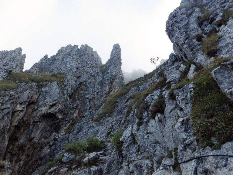
    The Direttissima alla Grigna Meridionale is one of the most beautiful equipped routes of the Lombard Alps, able to give spectacular views on the limestone spires of Grignetta up to Lake Como.

    How to arrive and approach

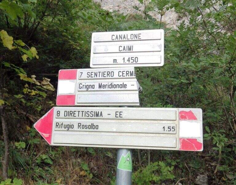
    The starting point is the plateau of the Resinelli in the province of Lecco, reachable from Ballabio along the panoramic road that goes up with numerous bends the left golden slope. Arrived near the brown welcome sign you continue a hairpin bend, then you hold the left to the next branch along the narrow paved road until the parking lot near a bar. From the parking lot you can reach the Rifugio Carlo Porta in a few minutes, from which you take the path n. 8 that goes up in the woods. At a first crossroads you leave the Cresta Cermentati on the right and continue on the left towards the Direttissima. After transiting near a canalone, the track gradually becomes steeper until the first metal equipment (about 30 minutes from the parking lot).

    The path

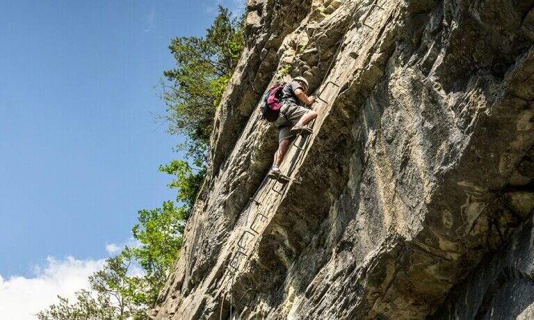
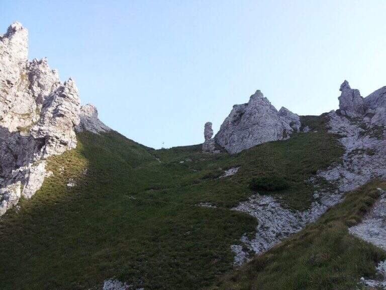
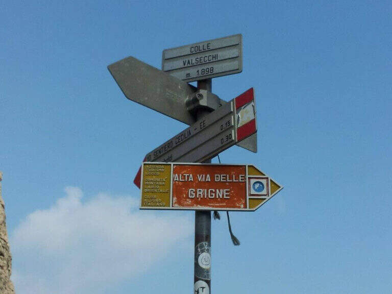
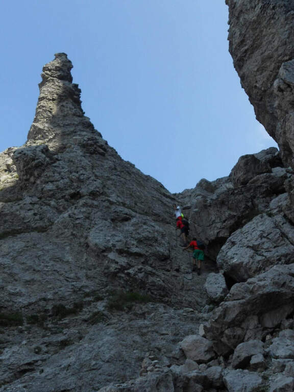
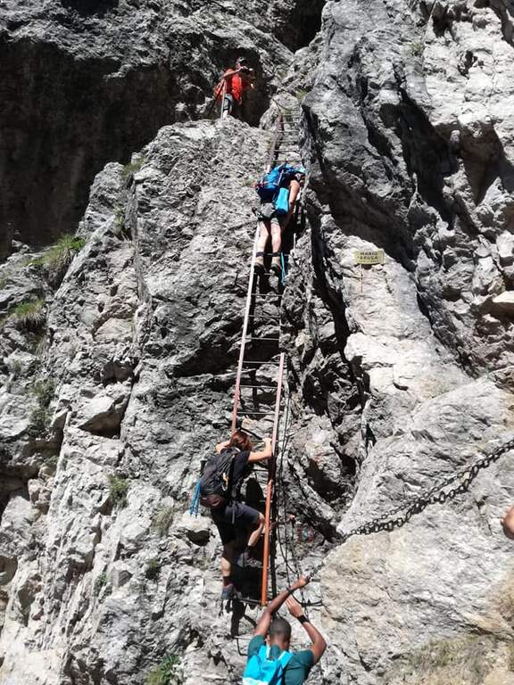
    The equipped road develops on rocky spurs, often diagonally, where you can exploit the rock to rise without relying exclusively on the chains. They face a series of laughter assisted by a metal cable, therefore an exposed traverse equipped with brackets for the feet, before entering into a canalone with some jumps. The most technical section is the Pagani Caminetto, climbed up with two metal stairs: the first overhanging, the second most supported. Exit from the fireplace — attention to the voluminous backpacks in the narrow passage — you walk a scenic stretch between the pinnacles and limestone spires, ignoring the lateral deviations. After a crossroads near the Canalone Angelina, there are walls resting up to Colle Valsecchi (2177m), where the main equipment ends.

    Character and difficulty

    Moderate difficulty path, never technical in an extreme way but rich in exposed passages that require good balance and absence of dizziness. Progression is almost always intuitive and the equipment is rational. The most challenging sections are the exposed traverse before the Pagani Caminetto and the two metal stairs of the fireplace itself. Difficulty: Moderately Difficult. Recommended standard hardware equipment: sling, double longe with heatsink, helmet.

    Period and safety

    Recommended from May to October, avoiding days with low fog or risk of afternoon storms. The route takes place at altitudes between 1300m and 2177m: even in summer temperatures can be lowered quickly with the arrival of disturbances. The limestone rock of the Grignetta becomes slippery after the rain. On summer weekends the path is very popular: an early departure allows to avoid queues on the equipment.

    Discipline

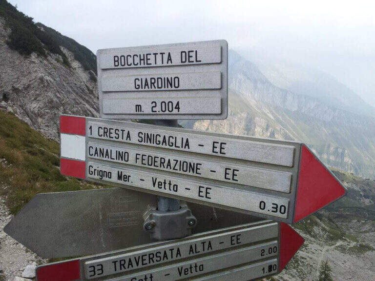
    From Colle Valsecchi (2177m) you have multiple return options. You can continue on the Path Attrezzato Cecilia or go down towards the Val Scarlettone following the Canalino Federation, a well-equipped route that leads back to the Resinelli. Alternatively, Cresta Cermentati or Cresta Sinigaglia offer longer but panoramic descents. The total time of the tour is 6 hours.

    To match

    The Athletic Path of the Direttissima naturally matches Sentiero Attrezzato Cecilia, with which he shares the terminal stretch from Colle Valsecchi. In the immediate vicinity are also located Sentiero Attrezzato delle Foppe for the Rosalba refuge and numerous other mountaineering itineraries on the South Grigna.

    ▲Gallery
    Technical data
    • DifficultyModerately Hard
    • RegionLombardy
    • GroupPrealpi Lombarde
    • Approach0:45 h
    • Ferrata2:30 h
    • Itinerary (a/r)6:00 h
    • Hardware level difference600 m
    • Route difference930 m
    • Max2177 m
    • Length10 Km
  • Sentiero Attrezzato Falcipieri

    Sentiero Attrezzato Falcipieri

    Vie Ferrate › Veneto › VI
    Sentiero Attrezzato Falcipieri
    Moderately Hard● OpenDescriptionComplexityMapsGallery

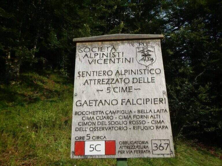
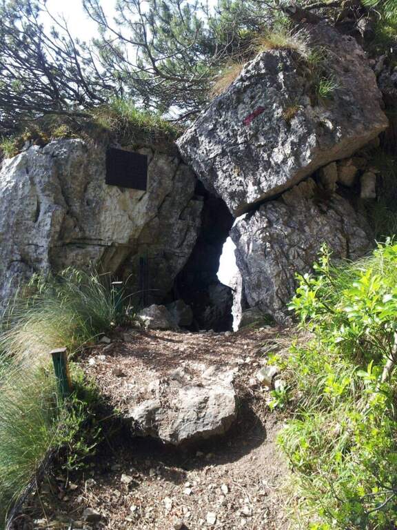
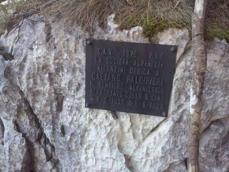
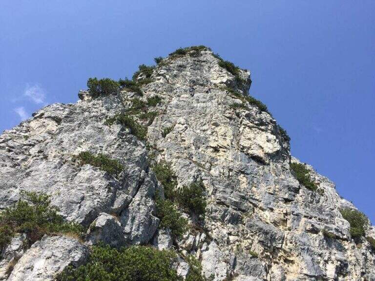
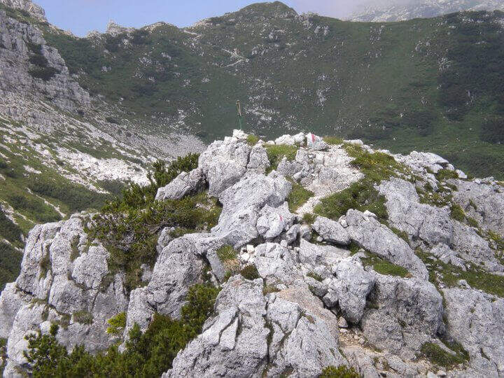
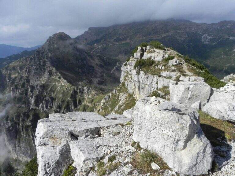
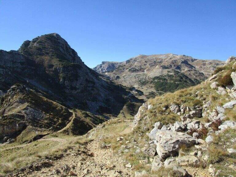
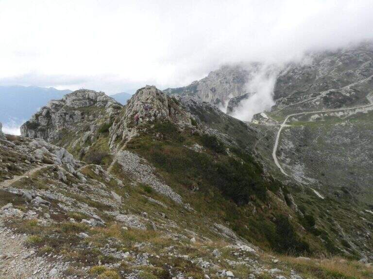
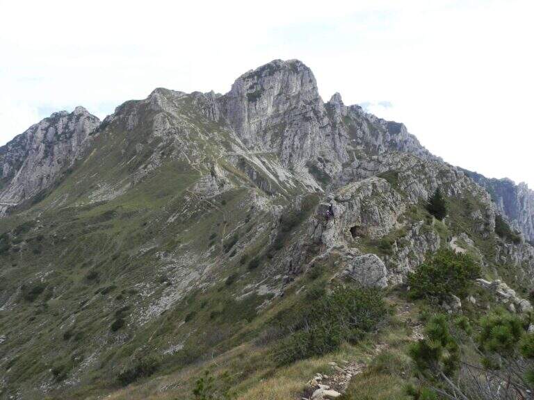
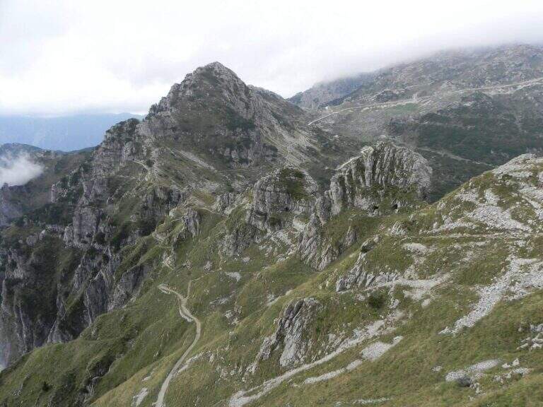
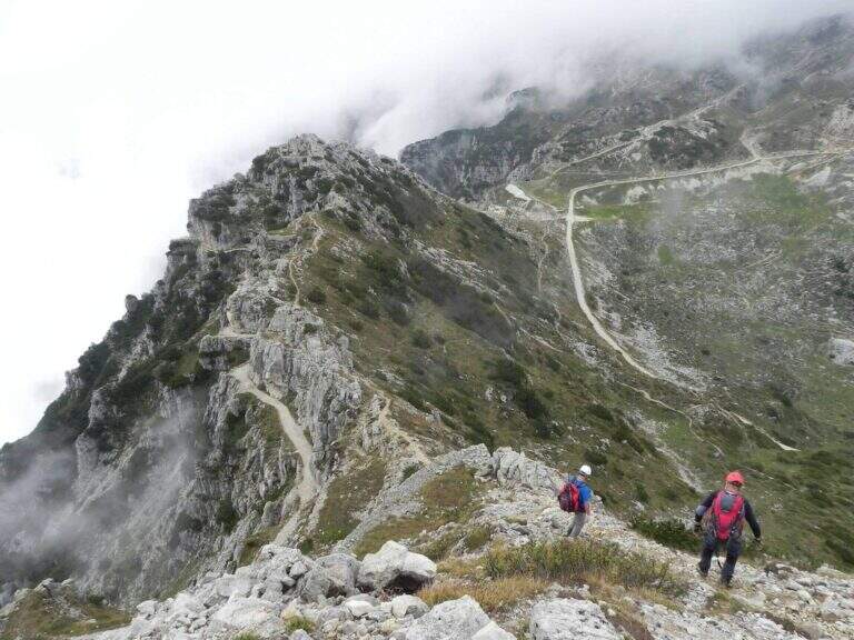
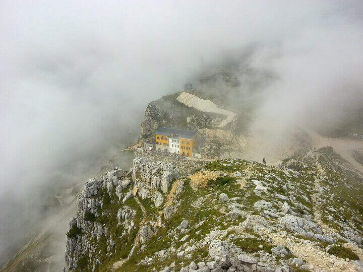
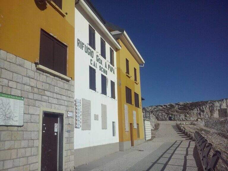
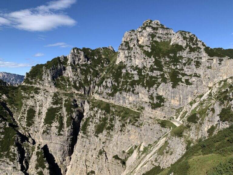
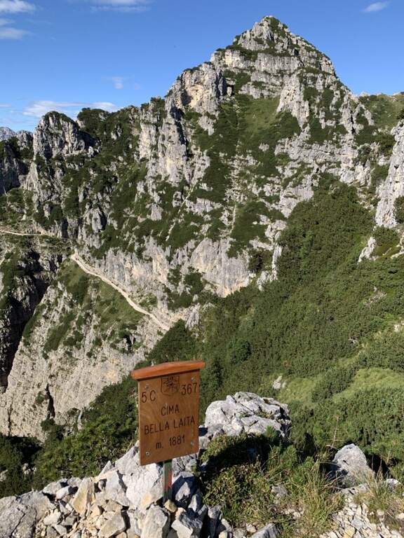
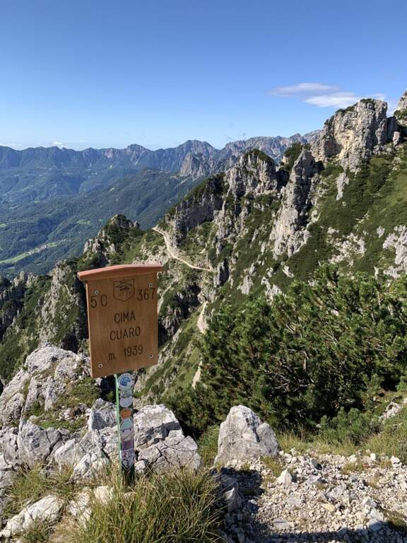
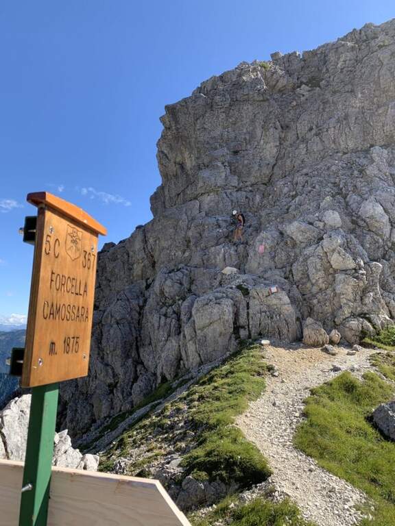
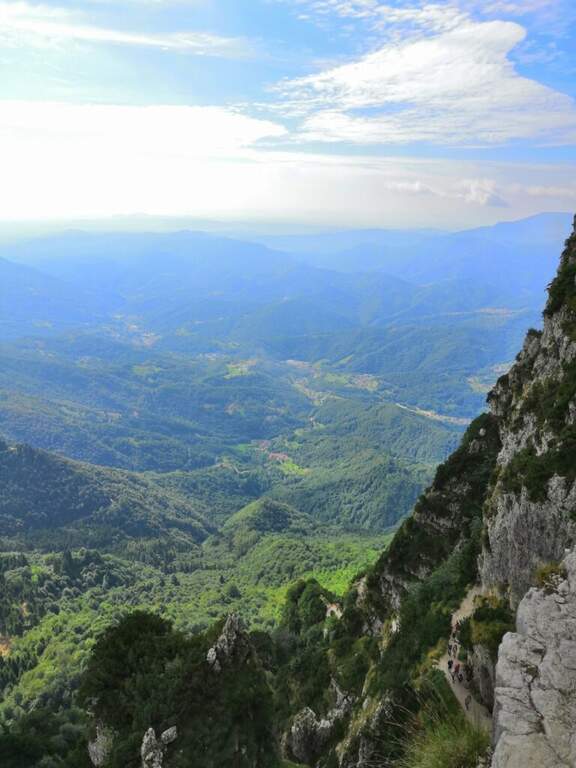
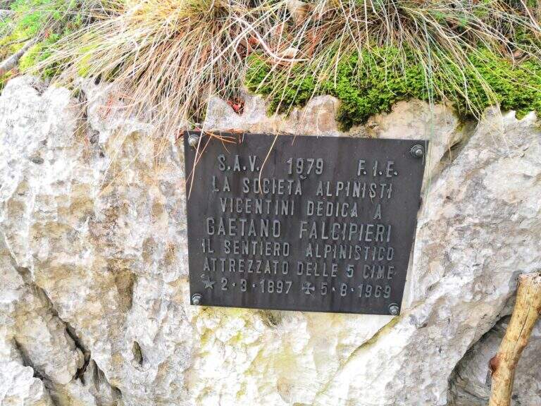
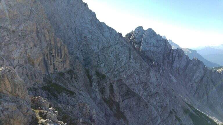
    The Sentiero Attrezzato Falcipieri is a long crossing on the 5 peaks of the Pasubio (Veneto), in an environment steeped in history of the Great War with extensive views on the small Vicentin Dolomites.

    How to arrive and approach

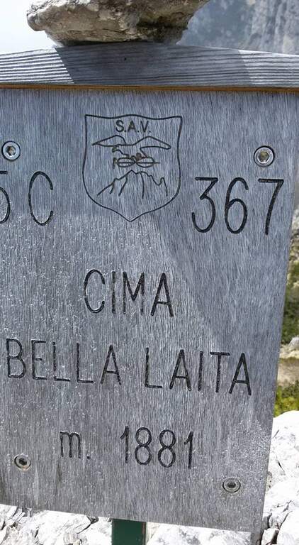
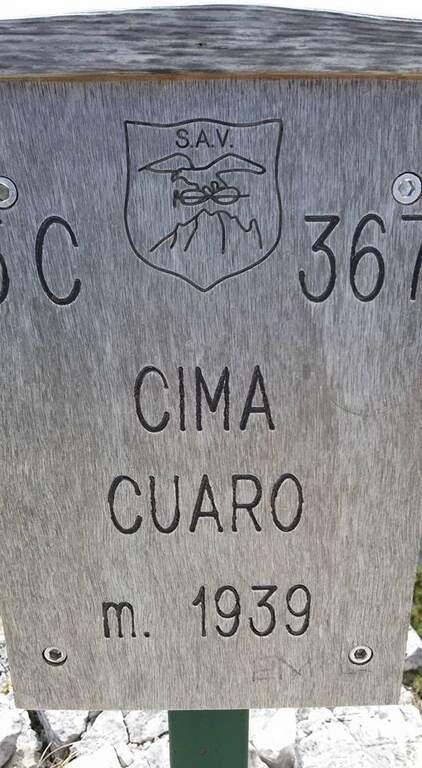
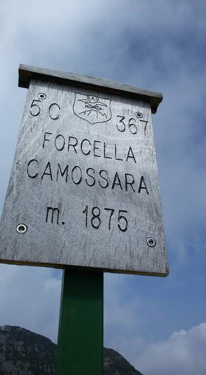
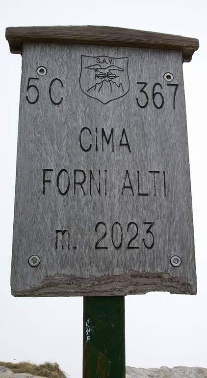
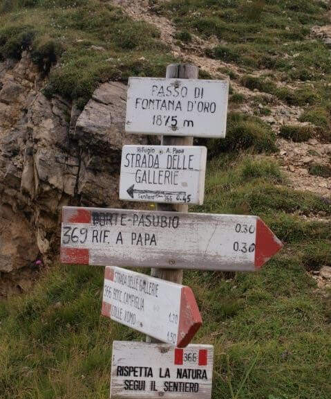
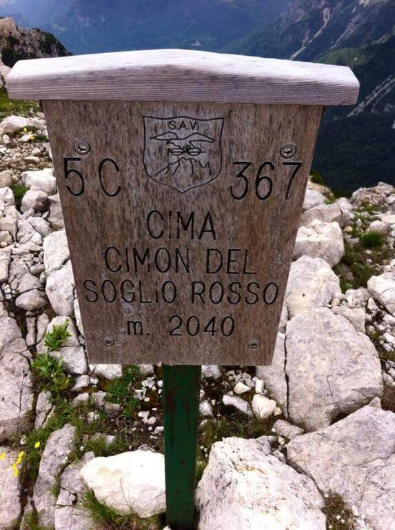
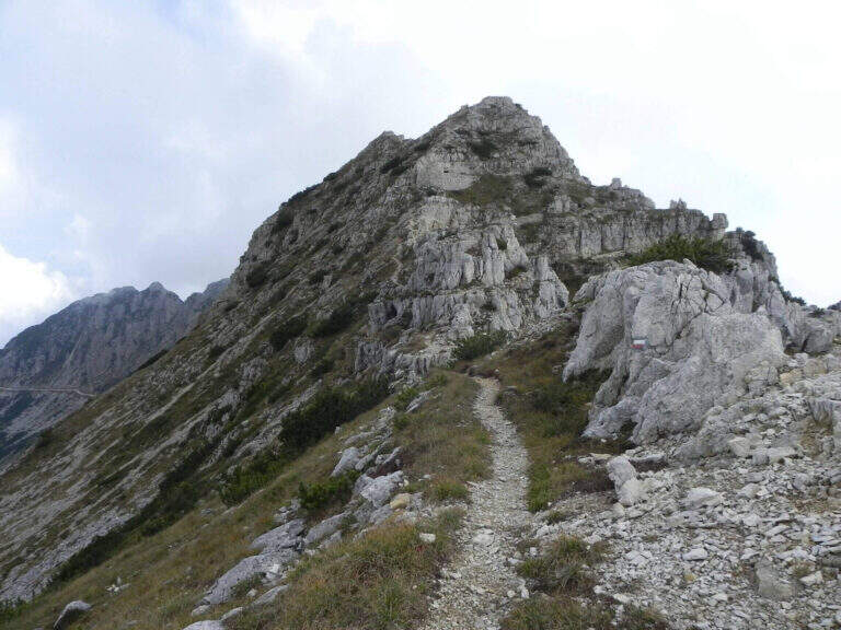
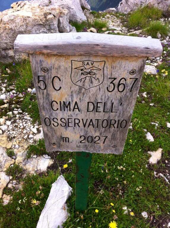
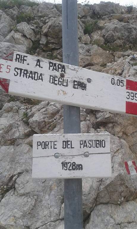
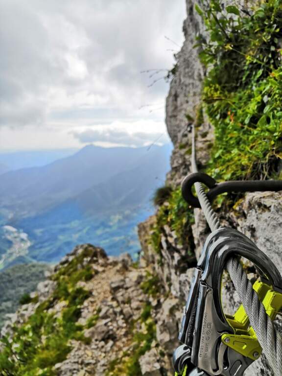
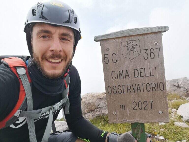
    The starting point is Bocchetta di Campiglia (1220m), in the province of Vicenza, reachable from Schio or Rovereto along the road that climbs towards Pian delle Fugazze. From the large parking lot of the Bocchetta di Campiglia take the 367 signpost that, in short approach of about 15 minutes walk, leads to the attack of the equipped route.

    The path

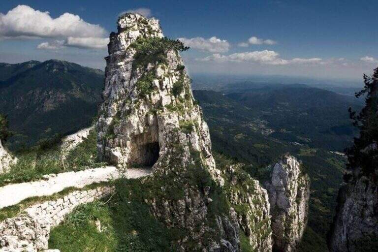
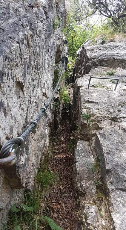
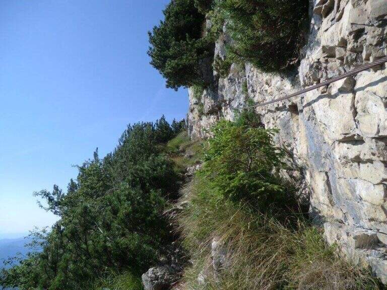
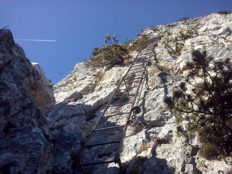
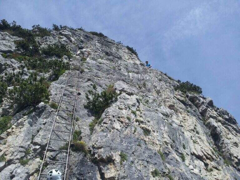
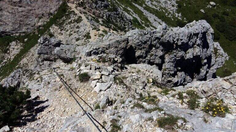
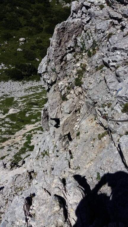
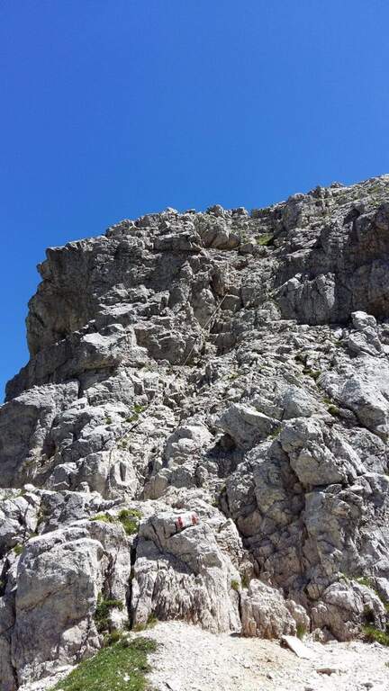
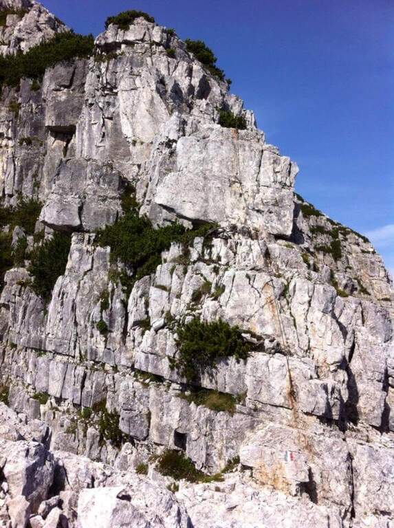
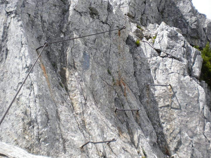
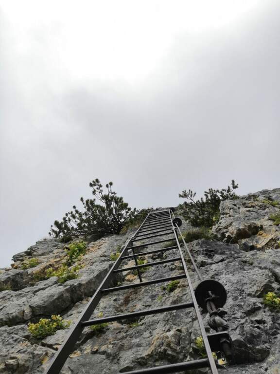
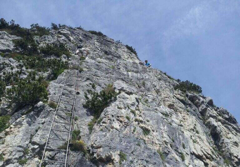
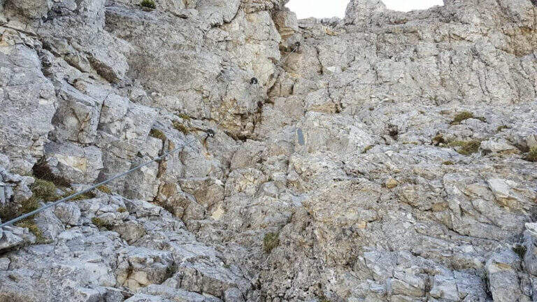
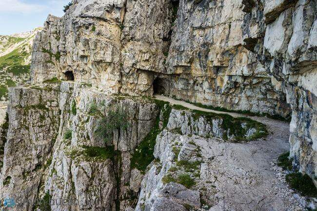
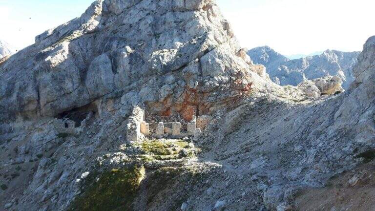
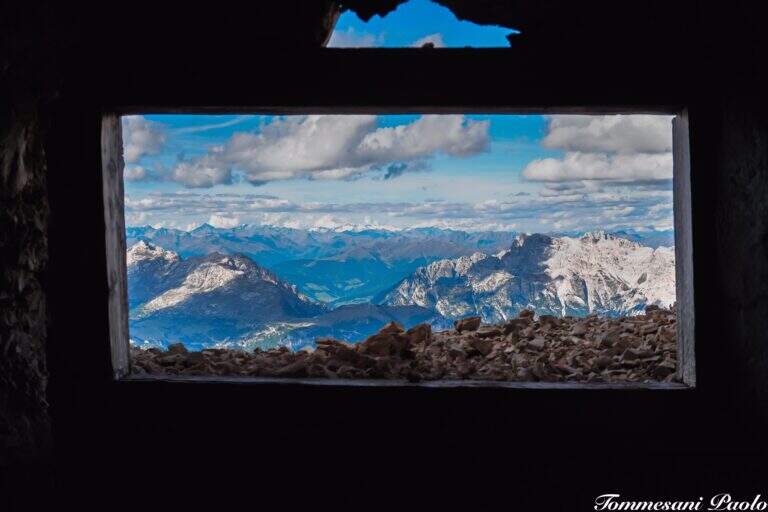
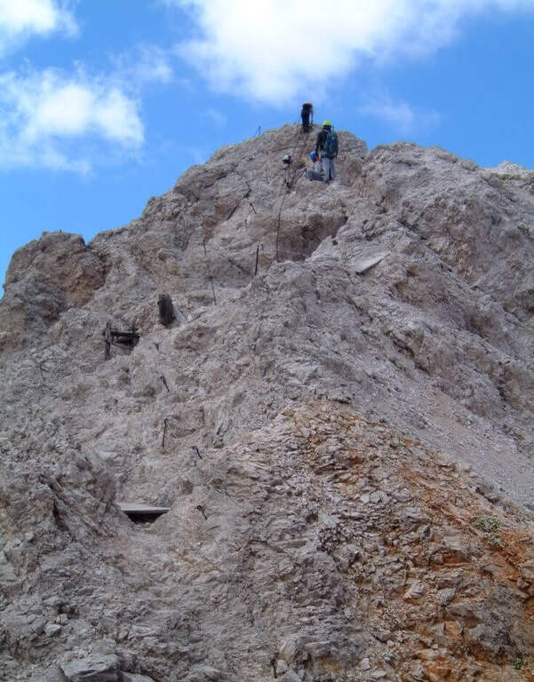
    The Sentiero Falcipieri develops for about 5 hours along the ridge of the 5 peaks of the Pasubio, with a difference in altitude of 700m. The track follows the 367 mark through open and windy environments where the testimonies of the First World War are still very visible: walks, trenches and tunnels dug in the live of the rock. The equipped sections follow the various peaks with metal cables and piles that make sure the most exposed passages. The maximum quota reached is 2040m. The complete crossing, for length and environment, is one of the most characteristic of the Venetian-trentine Prealps.

    Character and difficulty

    The Falcipieri is especially challenging for the duration (5 hours of equipped path, 7h30′ total) and the open environment on the ridge, more than for the technical difficulties of the individual passages. Wind exposure and rapid weather variations typical of Pasubio require good physical preparation and ability to manage energies on a long path. Difficulty: Moderately Difficult. Exceptional historical interest: the entire area was the scene of bloody fighting of the Great War. Standard equipment from recommended hardware.

    Period and safety

    Recommended from June to September. The ridge of the 5 Peaks is completely exposed: in case of afternoon thunderstorms the retreat may be difficult along the path. The morning departure is essential to complete the crossing before the afternoon. In the presence of residual snow (possible even in May to 2000m) the ridge strokes require careful assessment of the conditions.

    Discipline

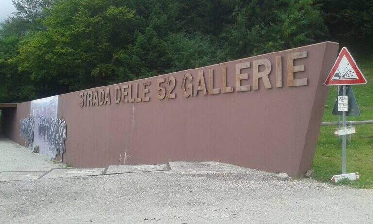
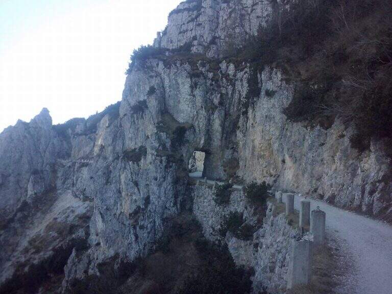
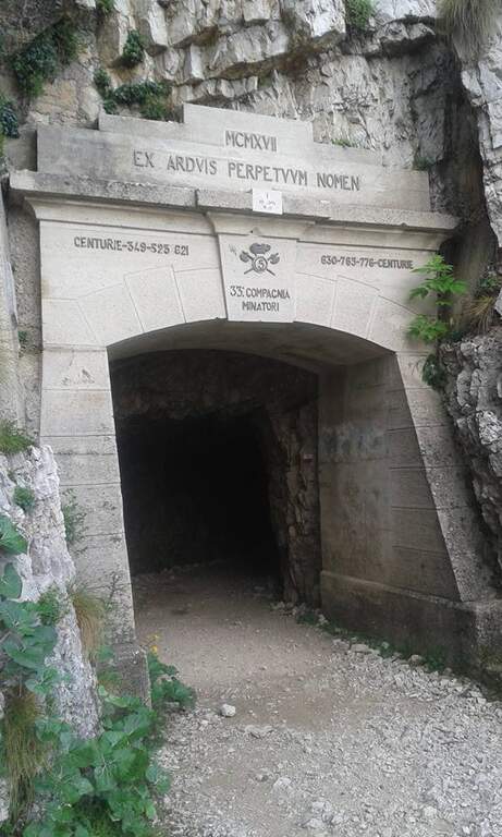
    The return from the crossing takes place on the 52 Galleries Road (mark 366), a historic military route of the Great War that descends towards the Bocchetta di Campiglia. This descent itinerary is itself of great historical interest. Total time of the excursion: about 7h30′ including the approach.

    To match

    On the Trentino side of the Pasubio is the Sentiero Attrezzato Franco Galli al Corno Battisti, as rich in history of the First World War. The Piccole Dolomiti offer many other ferrates in the area between Recoaro Terme and Rovereto.

    ▲Gallery
    Technical data
    • DifficultyModerately Hard
    • RegionVeneto
    • GroupPasub
    • Approach0:15 h
    • Ferrata5:00 h
    • Itinerary (a/r)7:30 h
    • Hardware level difference700 m
    • Route difference808 m
    • Max2040 m
    • Length11 Km
  • Ferrata Ivano Dibona al Cristallo

    Ferrata Ivano Dibona al Cristallo

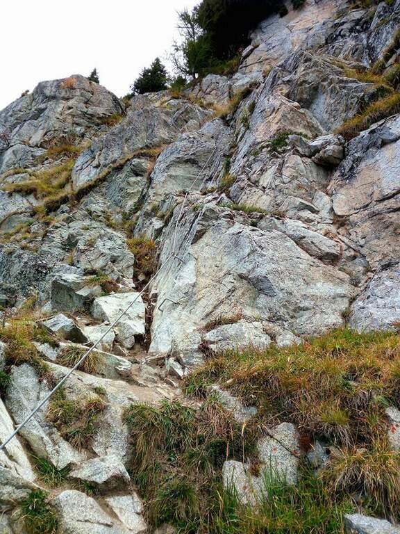
    Vie Ferrate › Veneto › Belluno
    Ferrata Ivano Dibona al Cristallo
    Moderately Hard● OpenDescriptionComplexityMapsGallery

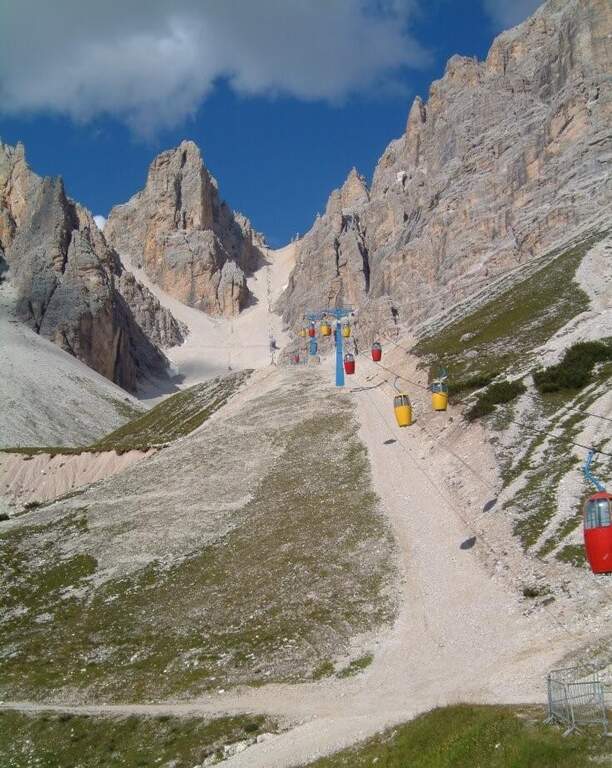
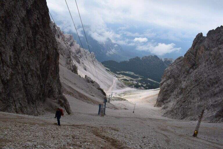
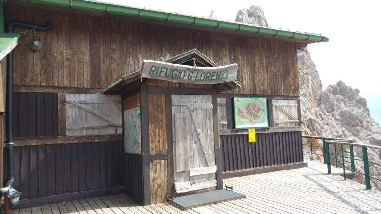
    viso Notice — The bidonvia that climbed to Forcella Staunies has been dismantled (July 2017) and is waiting for reconstruction to date to be allocated; the only way to reach the attack is today to trace the steep detritic valley of the Gran Staunies, on an unstable gravel bottom (at least 2h from the end of the chairlift). The Lorenzi refuge, at the beginning of the ferrata, is also closed. It is a long and challenging itinerary regardless: plan time and weather carefully.

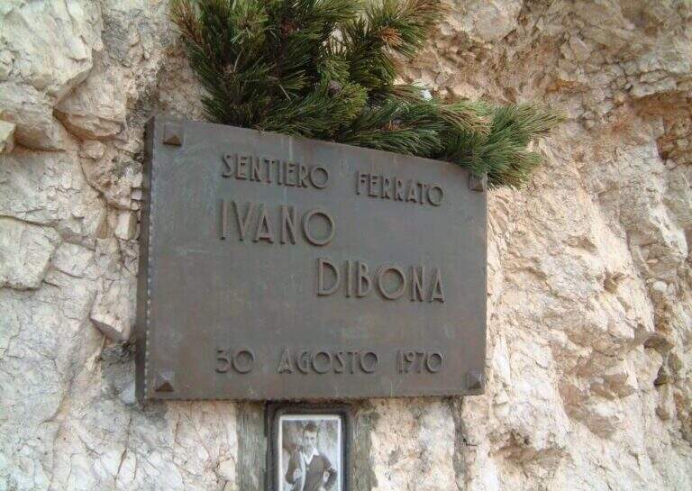
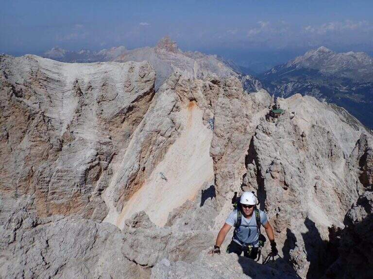
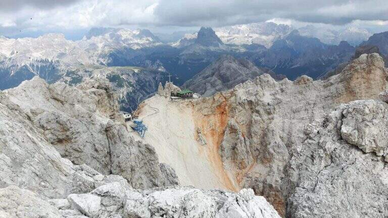
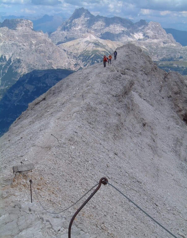
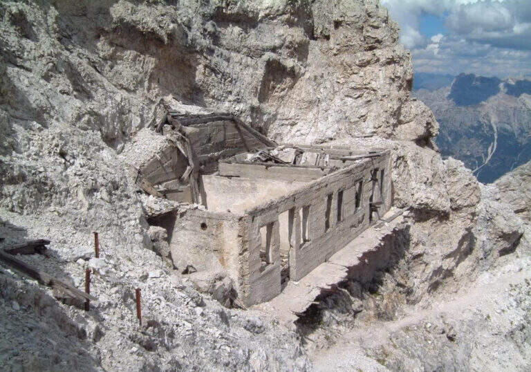
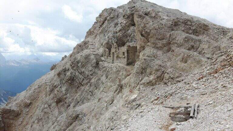
    The Ferrata Ivano Dibona is a wonderful ridge route on the Crystal Group. From Forcella Staunies runs through the entire ridge that descends to the Col dei Stombi, in a path of great landscape interest and rich in in indelible traces of the fighting of the Great War. The technical difficulties are not high, but some traits are exposed and above all the overall difference requires an excellent training.

    ▲Approach

    Starting from the parking lot at the Restaurant Rio Gere, from which rises the chairlift that connects Rio Gere (1700 m) with the Son Forca Refuge (2215 m), along the road of the Passo delle Tre Croci that joins Cortina d’Ampezzo to Auronzo di Cadore, on the ampezzano slope (open up Google Maps). The attack is in Forcella Staunies (2932 m): from Rio Gere there are almost 1250 m of altitude, so it is highly recommended to use the chairlift up to the Son Forca Refuge. From here, dismantling the old bidonvia that climbed to the fork, the only solution is to climb up the detritic valley of the Gran Staunies, a steep channel and on unstable gravel bottom to deal with carefully, taking into account at least 2 hours from the end of the chairlift.

    ▲The path

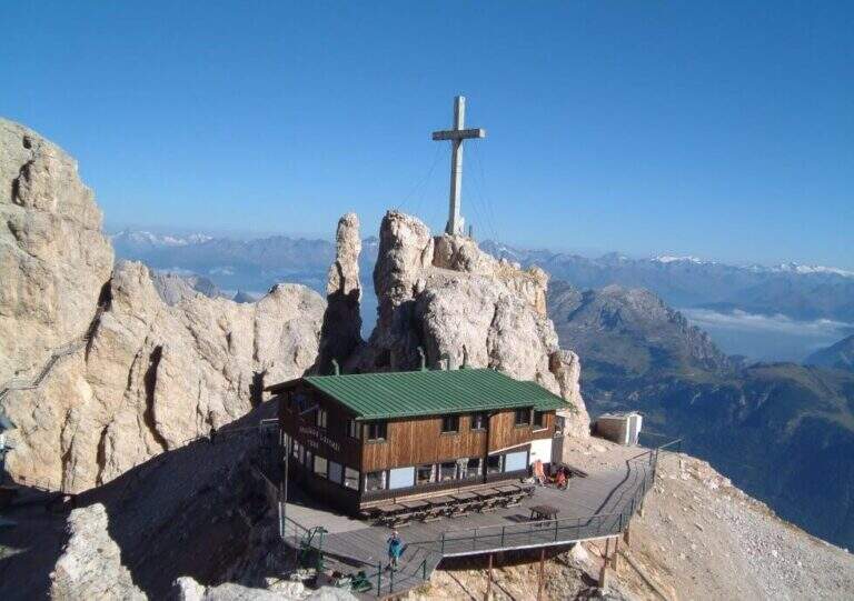
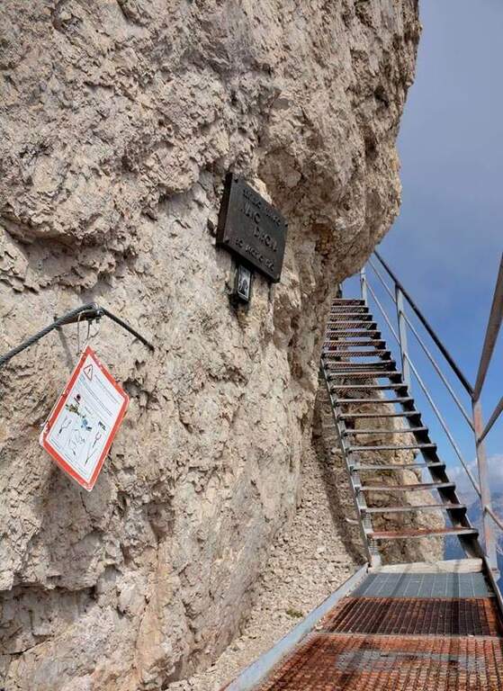
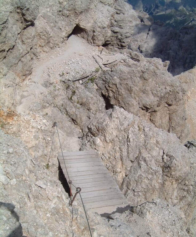
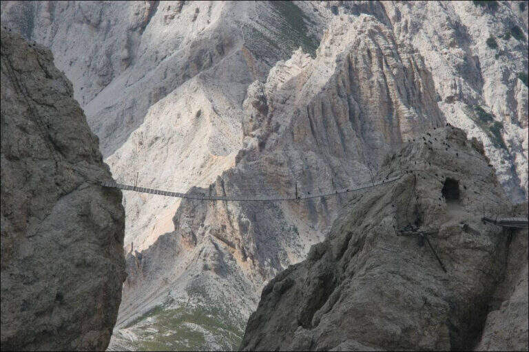
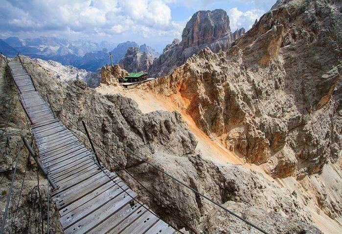
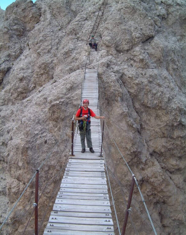
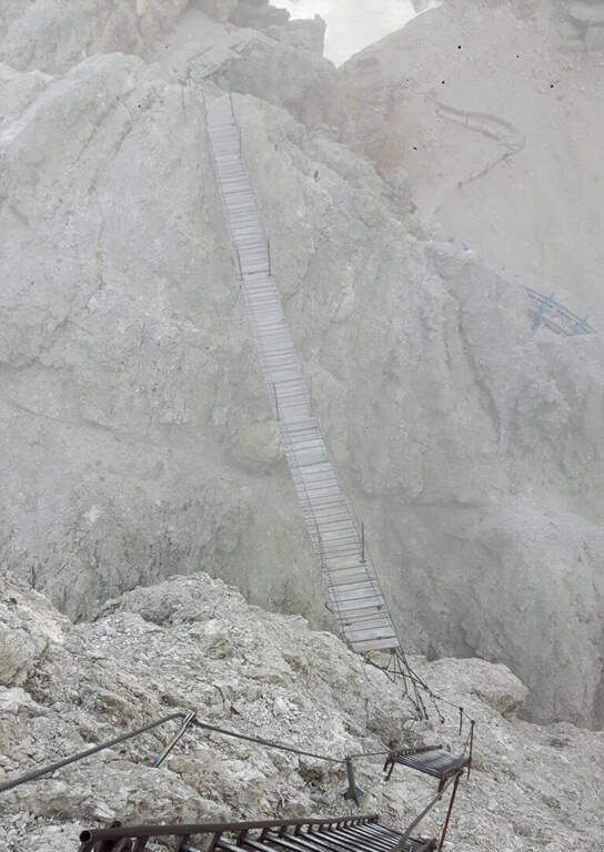
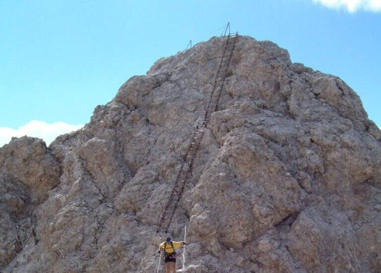
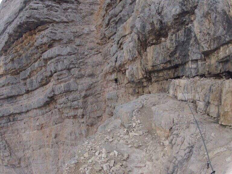
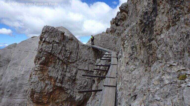
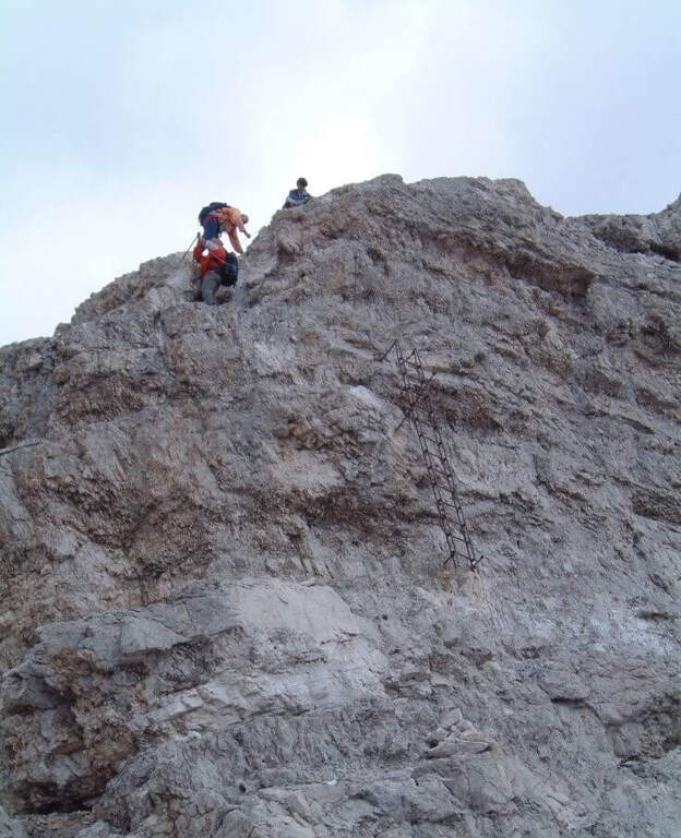
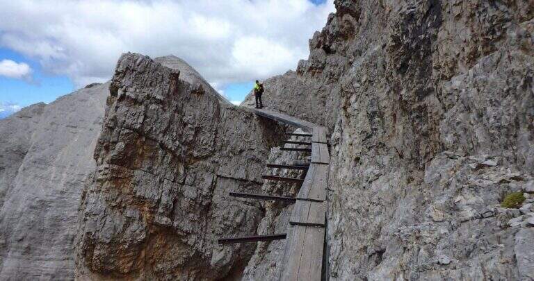
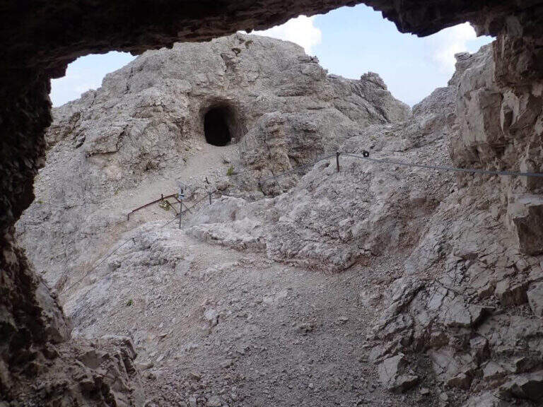
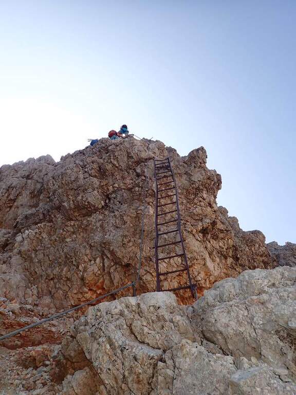
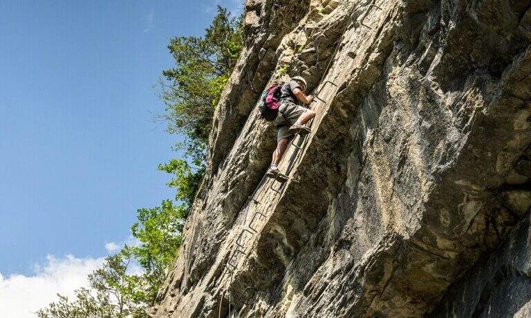
    Adding the Forcella Staunies you can see the silhouette of the Lorenzi Refuge, in a beautiful but closed position; behind it a metal staircase set in the rock gives start to the ferrata. After finishing the metal walkway, a ladder starts the first section, the most “ferrate” of the entire itinerary: a nod with a passage on a wooden walkway, a short passage that circumvents a rocky highlight with a couple of climbs without difficulty, some small rocks towards a rather short arcade that bends immediately to the left (not necessary twist) and a comfortable nod with wooden walkway. There are other small rocks and you will continue just below the ridge, with large passages and wooden walkways where the ground narrows, up to the suspended bridge of about 30 meters, one of the most iconic points of the route: turning you see the Lorenzi Refuge just left and the beginning of Ferrata Bianchi, which proceeded in reverse direction (15′ from the attack to the refuge, 2h30 total). The bridge is very large, built with wooden beams (a pair not fixed). Beyond the bridge a long metal staircase, divided into two sections, earns altitude and leads on the long ridge that characterizes this part of the route, well equipped with rope despite it is almost everywhere wide. After a slight descent to the Forcella Grande you will find a crossroads (2980 m, 15′ from the bridge, 30′ from the attack): you can go straight on the Dibona or take the optional turn left for Cima Cristallino, going up halfway to an insellatura and then on a corner not difficult to the base of the summit (2997 m, 10′ from the junction); you will climb preferably from the west side, Resumption downhill the Dibona, descends towards the Forcella Grande (2874 m), where on the right is the path to the Ferrata Renè de Pol at the Punta del Forame and you will meet some remains of snipers of the Great War; on the fork is held the left remaining on the Dibona. On the left side you pass next to the ruins of a former Italian military shelter and follow, under the Cresta Bianca, a section where you alternate paths, cenges, easy walks and walks equipped with a modest difference in altitude, up to the Forcella Padeon (2762 m, 2h from the attack included the deviation to the Cristallino, 4h15 total), where stands the Bivacco Buffa di Perre Guerra Continue on a half-coast on the south side of Vecio del Forame, with some exposed cenges at unprotected strokes, up to a detritic canalone that descends on the left with a long stretch, reaching first the Forcella Alta (2650 m) and then a fork (2490 m, 1h from the Bivacco Buffa di Perrero, 5h15 total). Here, while on the left the steep franous canal of Val Padeon is a difficult and little advisable escape route, continue straight on the path Dibona up to the Forcella Bassa (2450 m); then walk halfway without equipment along the Cresta dello Zurlon, climb a ladder that leads to some military ruins (2360 m, 40′ from Forcella Bassa, 6h total) and, after a short climb From Col dei Stombi you descend steeply, between bends and serpentine, up to the graft on the forest (CAI 203, 1700 m, 30′ from the hill, 7h15 total).

    ▲Character and difficulty

    The technical difficulties are not high, but the itinerary is long and contracting, with exposed traits and some unprotected cenges; the difference in level to be faced is remarkable and requires excellent training. Historically it is one of the most fascinating routes in the Dolomites, scattered with traces of the Great War.

    ⚠ Itinerary very long (23 km, up to 10h) and challenging, with exposed traits and blinds at unprotected strokes: start early, with stable weather, and take into account the now more tiring access (risalita del Gran Staunies).
    ▲Period and safety

    High mountain summer itinerary (max. 3008 m at Cristallino). The length, exposure and demanding access make it suitable for well-trained and autonomous hikers.

    ▲Discipline

    Adding the forest is left on path 203, ignoring all deviations, up to Passo Son Forcia (2109 m, 1h45 from graft on the forest, 8h total). From here you can go up to the Son Forca refuge to take the chairlift that goes down to the Rio Gere (attention to the opening hours of the lifts), or keep the right on 203 until you turn left for the CAI 206 (1948 m, 20′ from the Son Forcia Pass), in the direction of Malga Lareto; go down on 206 until you find an exotic unmarked track that goes down to the Rio Gere (30′ from the end of the inn.

    ▲To match

    From the Forcella Grande the Ferrata Renè de Pol to the Punta del Forame, natural continuation for those who still have energies.
    ▲Gallery
    Technical data
    • DifficultyModerately Hard
    • RegionVeneto
    • GroupCrystal
    • Approach2:15 h
    • Ferrata5:00 h
    • Itinerary (a/r)10:00 h
    • Hardware level difference1300 m
    • Route difference1300 m
    • Max3008 m
    • Length23 Km
  • Sentiero Attrezzato del Vofrede (Ferrata dello Sperone)

    Sentiero Attrezzato del Vofrede (Ferrata dello Sperone)

    Vie Ferrate › Aosta Valley › Aosta
    Sentiero Attrezzato del Vofrede (Ferrata dello Sperone)

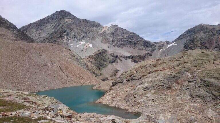
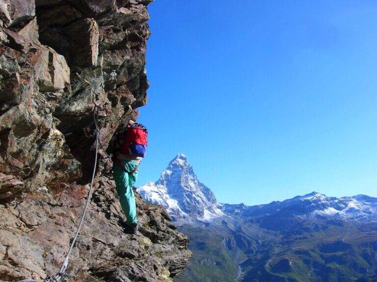
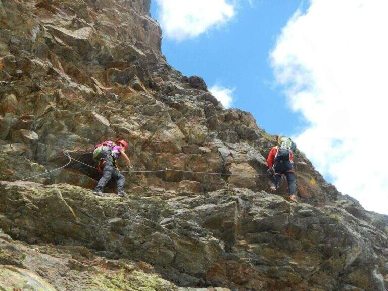
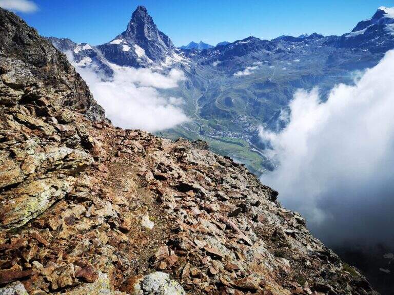
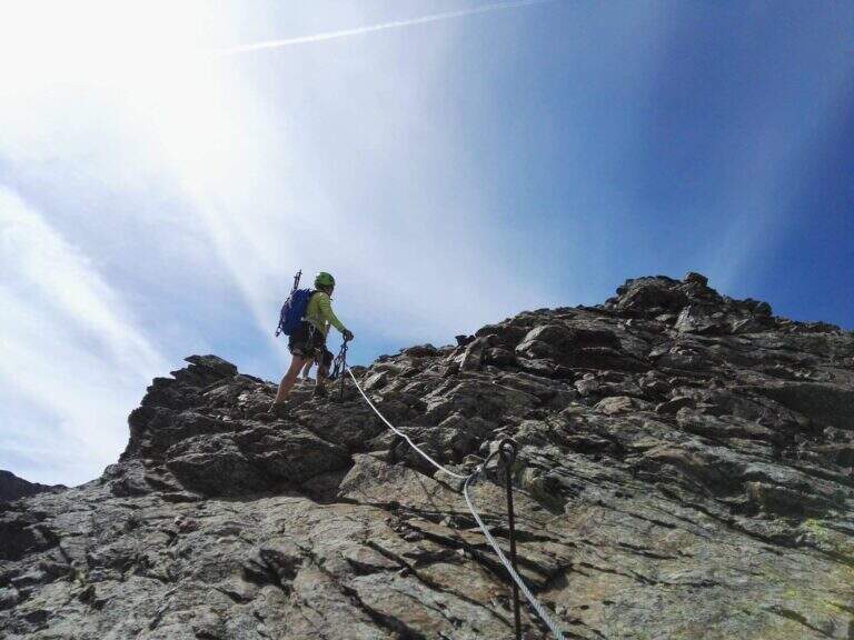
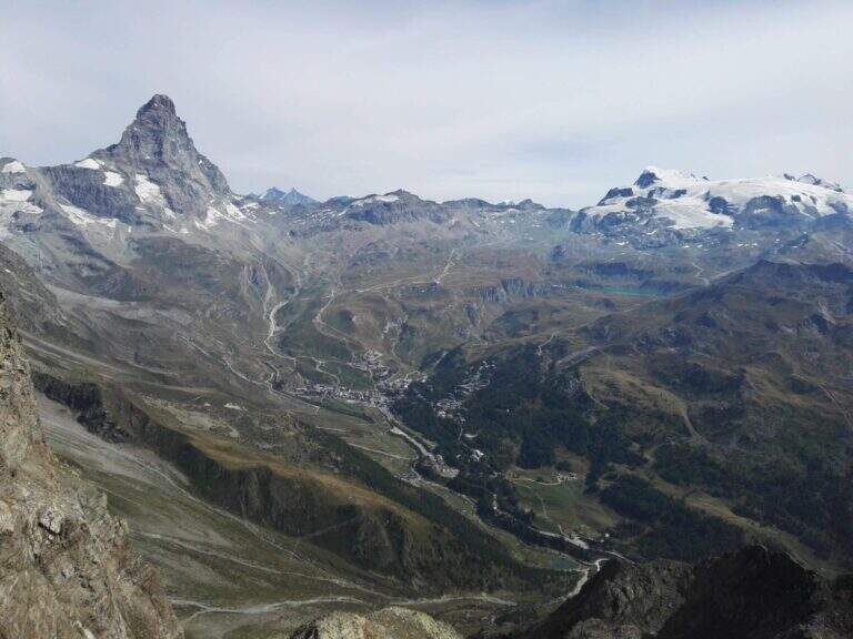
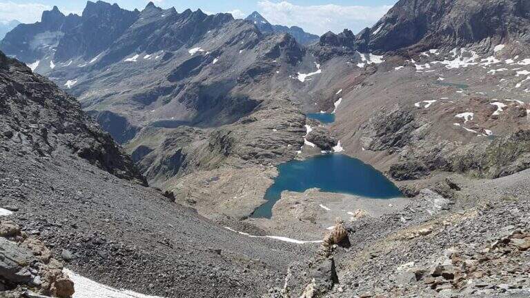
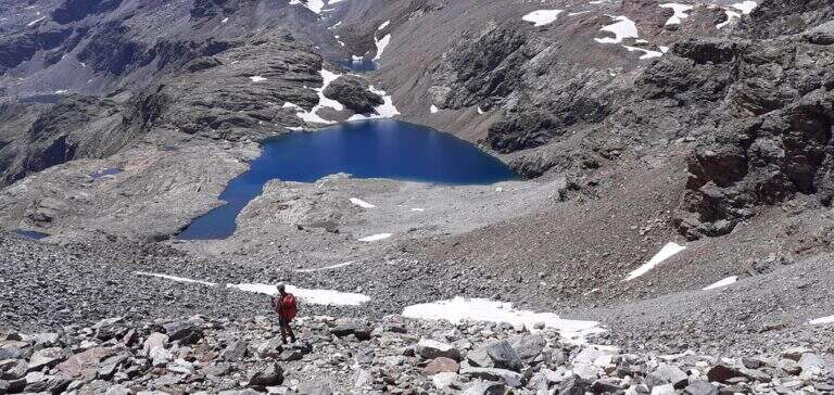
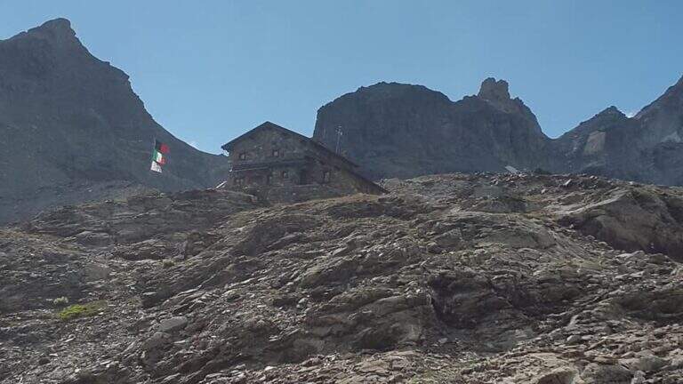
    The Sentiero Attrezzato del Vofrede — called by some Ferrata dello Sperone — is a difficult itinerary but with breathtaking views, which dates back to the Cignana valley surrounded by beautiful alpine lakes. You arrive near the Colle di Vofrede with a ring return on a very satisfying tour, under the look of the Divine.
    ▲Approach

    The starting point is along the road from Châtillon to Breuil-Cervinia (AO). Pass Valtournenche and continue beyond the hydroelectric power station of Perrères until you see on the left an area where you work the sand; along a straight you notice a dirt road that goes down that direction and, before crossing the bridge, you park on the road. If the entrance to the dirt road was not possible for work, continue for a few meters on the main road and park on the right in a small street, elongating the excursion (open up Google Maps). From the parking lot you pass the bridge on the Marmore stream, turning right towards the lake for sports fishing; near the sign for access you take the wide path that goes up the valley of the creton stream, up to a pole with the various signposts, where you hold the signpost 9 (yellow signs). Where the path bends to the left you cross a stream and you go up a hill on a living rock; on a comfortable path you reach a crossroad where, while on the left you go towards the glacier of Vofrede, you keep the right continuing straight along the moraine and, after some bends, you reach the attack of the Sentiero Attrezzato del Vofrede (2h from the parking lot).

    ▲The path

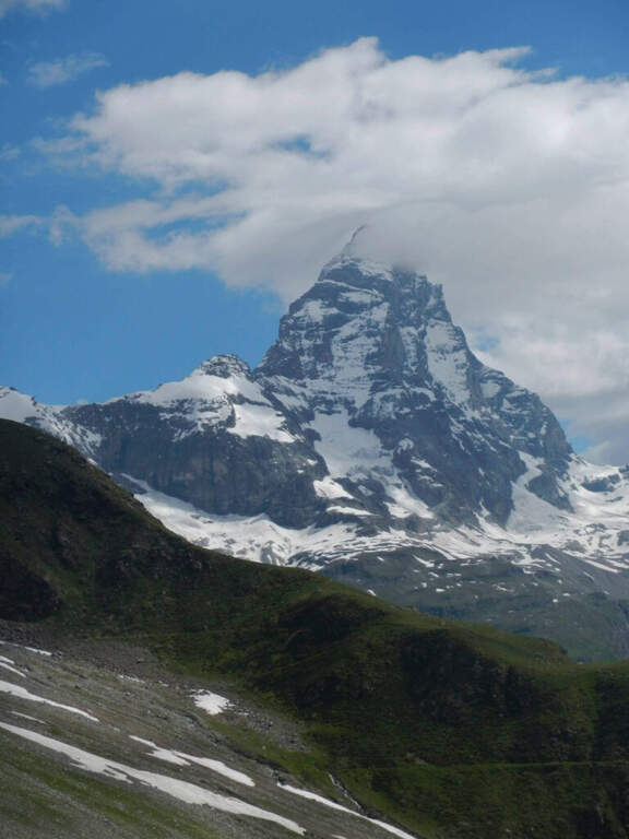
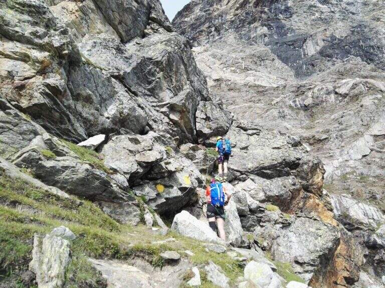
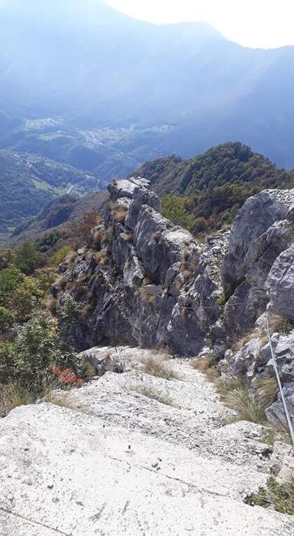
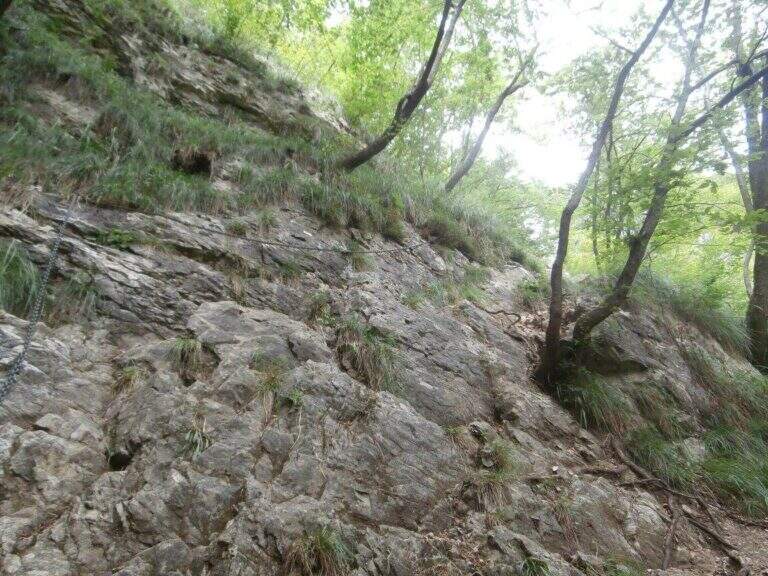
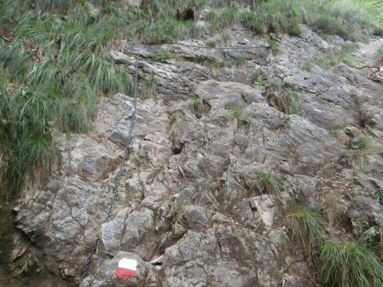
    The first section takes place on some short walls, followed by a horizontal traverse exposed but with plenty of place for the feet; there is an unmarked edge and easy rocks rise. The equipment ends momentarily and follows the track up to a vertical wall, easily climbed secured by the cable; overcoming some rock leaps not steep until a balcony overlooking the Vofrede glacier. From the terrace you face a vertical wall of a few meters, not difficult, which leads to a second panoramic balcony, beyond which continues the vertical tract; the equipped path continues without difficulty until you cross a split in the rock, now near the term. The last tens of meters run and, in the plateau under the Castelletto Whymper, the equipped path ends with a magnificent view of the nearby Cervino (1h30 from the attack, 3h30 total). From the end you continue west (left) along the stone towards the Colle di Vofrede (3130 m, highest point of the excursion, 4h total), following the yellow signs and omits.
    ▲Character and difficulty

    The itinerary is not technically difficult, but it is long: arrived at the Colle di Vofrede you are less than half a hike, so the total length, especially for the return.
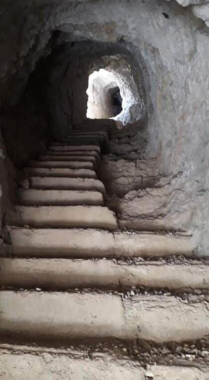
    ⚠ The return, although not difficult, takes place in a remote area with path not always well marked: it can make sense to carry a GPS track, in particular in case of announcements or fog with difficulty of orientation.
    ▲Period and safety

    High-mountain summer itinerary (maximum rate 3130 m), in wild and beautiful surroundings. Long development and distance from support points require good autonomy and attention to the weather.
    ▲Discipline

    From the Colle di Vofrede you descend west towards the Gran Lago, following the labile track of the path and then the drains to the eastern side of the basin; follow the wall of containment towards the valley up to a small ruin from the grounded roof, from which a path connects shortly after a larger one that goes up to the wall where rises the Perucca Vuillermoz Refuge. From the hut follow the path 6 – Alta Via 3 towards the bivouac Manenti, to the bends, to the edge of Lake Balanselmo; continue along a half-coast at the Alpe di Chevalley, then on a dirt road up to a saddle from which you take the path 107, holding the left towards the refuge La Riondè and continuing towards the visible sand quarry and then to the parking lot (330).

    ▲Gallery
    Technical data
    • DifficultyEasy
    • RegionAosta Valley
    • GroupCervino – Valtournenche
    • Approach2:00 h
    • Ferrata1:30 h
    • Itinerary (a/r)7:30 h
    • Hardware level difference450 m
    • Route difference1200 m
    • Max3130 m
    • Length14,9 Km
  • Sentiero Attrezzato delle Scalette al Catinaccio (Larsec)

    Sentiero Attrezzato delle Scalette al Catinaccio (Larsec)

    Vie Ferrate › Trentino-Alto Adige › Trento
    Sentiero Attrezzato delle Scalette al Catinaccio (Larsec)
    Moderately Hard● OpenDescriptionComplexityMapsGallery

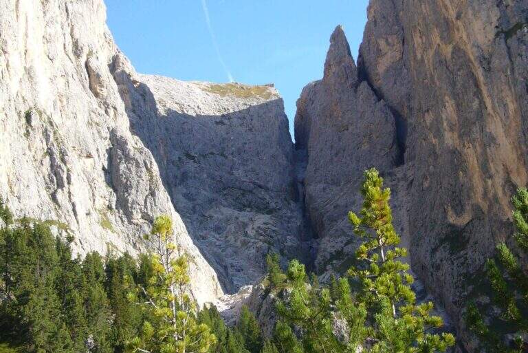
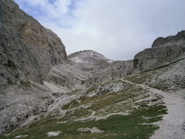
    The Sentiero Attrezzato delle Scalette is the most direct route from Rifugio Gardeccia to the austere valleys of Larsec and Laussa, in the heart of Catinaccio. The itinerary does not have particular technical difficulties and can be routed also by those who are the first experiences on the equipped routes; however, great attention should be paid to the weather if you decide to continue in the two valleys at altitude.

    ▲Approach

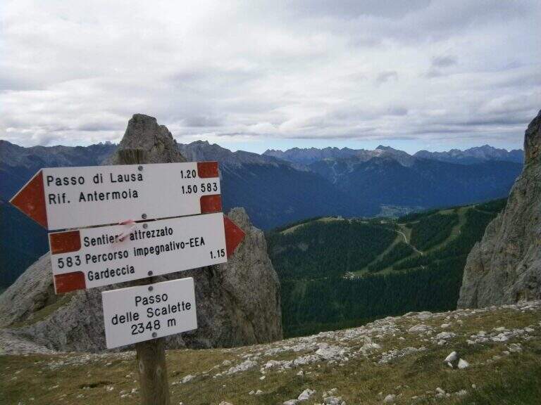
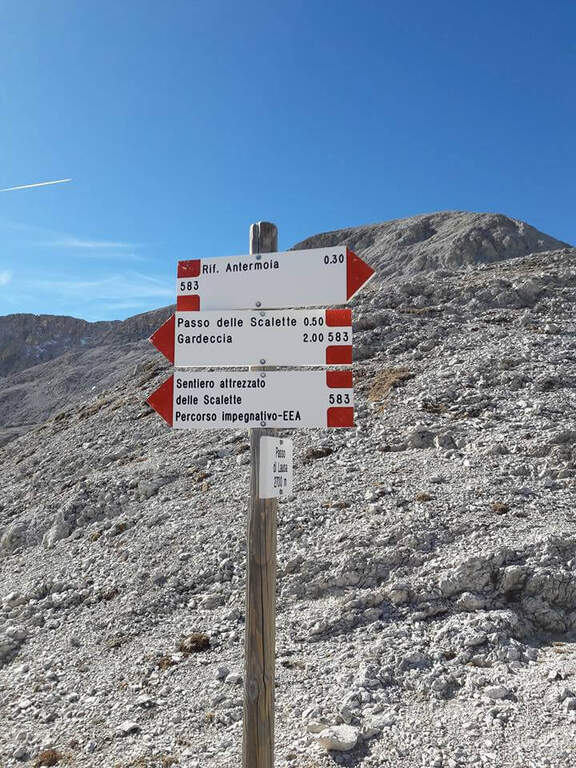
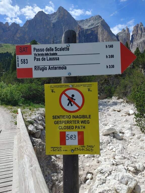
    The starting point is the Rifugio Gardeccia, in the Val del Vajolet (parallela alla Val di Fassa, TN) and the private traffic. To reach it there are various options: go up with the cable car from Vigo di Fassa to the Ciampedie Refuge and continue on a comfortable path in about 45′; use the shuttle bus from Pozza di Fassa (20′, you should check point and times with the tourist office); or go up with the cable car from Pera di Fassa and reach the refuge on foot (open up Google Maps). From the Gardeccia Refuge (1949 m) follow the CAI 583 which, halfway, passes under the Larsec cliffs to the east, wanders the imposing rocky ramparts and continues to the north in more marked ascent; at a certain point a pole indicates to keep the left on a new track, which replaces an old street subject to a landslide (1h from the Gardeccia Refuge).

    ▲The path

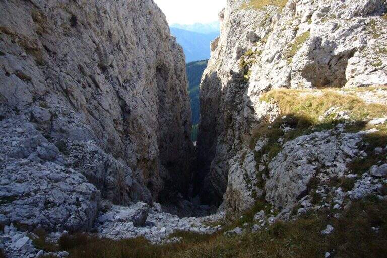
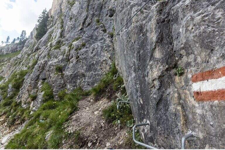
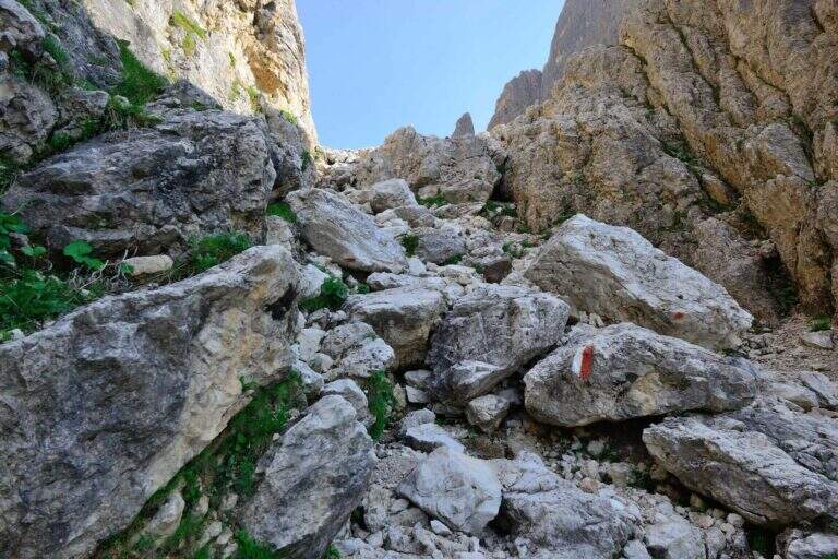
    From here onwards you will walk through the actual Sentiero delle Scalette, which is inerpica in a canalone at the end of which you will reach the Passo delle Scalette. The first stretches are on an exposed nod, besides which a series of metal brackets allows to trace a traverse; it follows a stretch of erto path without equipment up to a second stretch equipped, consisting of small rocks that rise on the left side of the canalone. We pass a short vertical leap, where some new metal cambres give support, and we go up a further stretch of steep path to the Passo delle Scalette (2348 m, 1h from the attack, 2h from the Rifugio Gardeccia).

    ▲Character and difficulty

    The path does not have particular technical difficulties; the main commitment is the difference in level, which requires a good state of form. It deserves a note apart from the possible continuation in the debris valleys of Larsec or Laussa.

    ⚠ The Larsec and Laussa valleys are devoid of support points: continuing the hike under a storm can make them much more prohibitive than normal. Plan the route with a constant eye to the weather.
    ▲Period and safety

    High mountain summer itinerary (max. 2720 m on the longest ring). Technical difficulties are contained, but high altitude development and environment require good physical preparation and attention to weather conditions.

    ▲Discipline

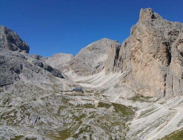
    From the Step of the Stairs you choose between various options of return. The most beat runs through the desolate Valle del Larsec to Passo Pope (2720 m), from which you descend along the steep path Don Guido to the Vajolet Refuge (2243 m) and, along the Vajolet Valley, to the Gardeccia Refuge (1950 m, 5h30). The longest option remains on the CAI 583 in the Valle di Laussa up to the homonymous pass (2700 m), to get off at the Rifugio d’Antermoia (2497 m) at the glacial lake, or keep the left towards Passo Principe; from the Rifugio Antermoia you can reach the Passo Principe by taking the Ferrata to the Catinaccio d’Antermoia, and from the Passo Principe go down all the Valle del Vajolet 30 to the The shortest, but less fulfilling option is the return to return along the route (3h30 total).

    ▲To match

    The path can be combined with Ferrata at the Catinaccio d'Antermoia — as described in the return — or Ferrata Bepo de Medil, preferably downhill.

    ▲Gallery
    Technical data
    • DifficultyModerately Hard
    • RegionTrentino-Alto Adige
    • GroupCatering
    • Approach1:00 h
    • Ferrata1:00 h
    • Itinerary (a/r)5:30 h
    • Hardware level difference150 m
    • Route difference761 m
    • Max2720 m
    • Length16 Km
Need help? Write to us!