Paese: Italia

  • Sentiero Attrezzato Vidi al Grostè

    Sentiero Attrezzato Vidi al Grostè

    Vie Ferrate › Trentino-Alto Adige › Trento
    Sentiero Attrezzato Vidi al Grostè
    Moderately Hard● OpenDescriptionComplexityMapsGallery

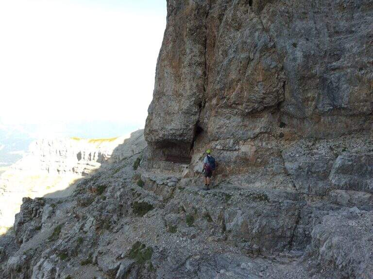
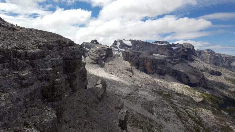
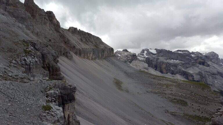
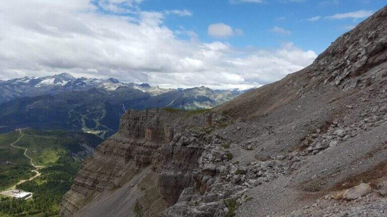
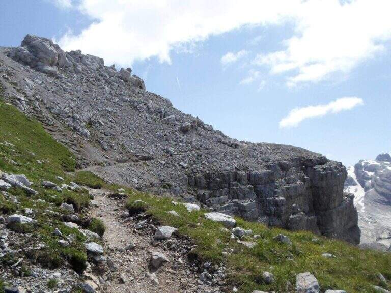
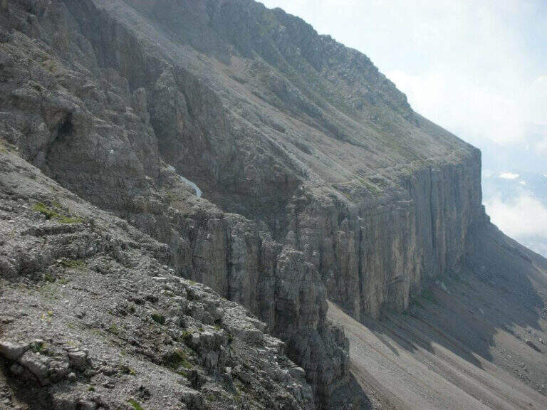
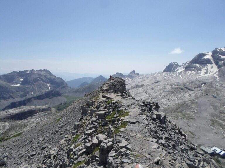
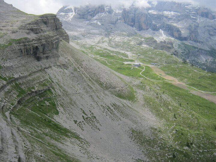
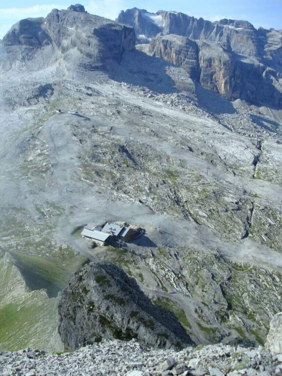
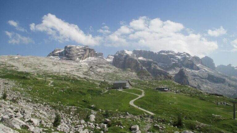
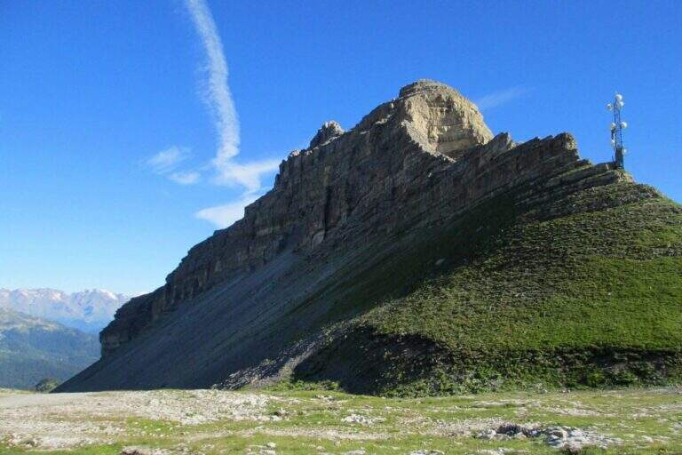
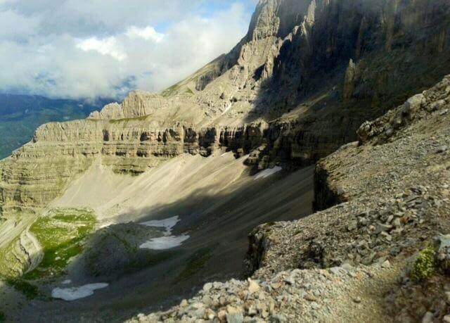
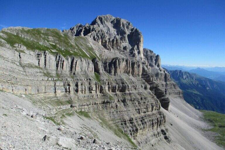
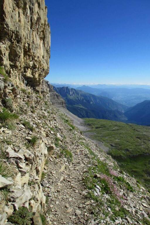
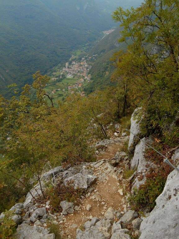
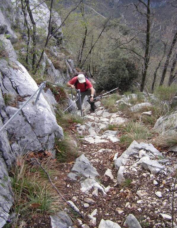
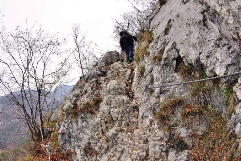
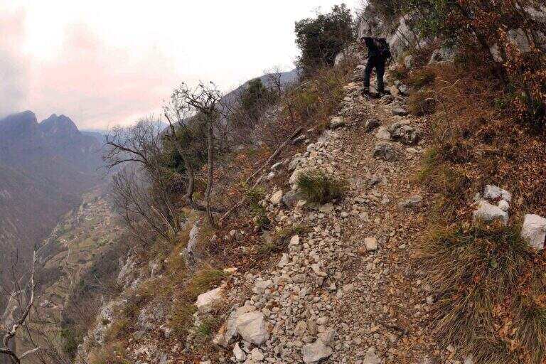
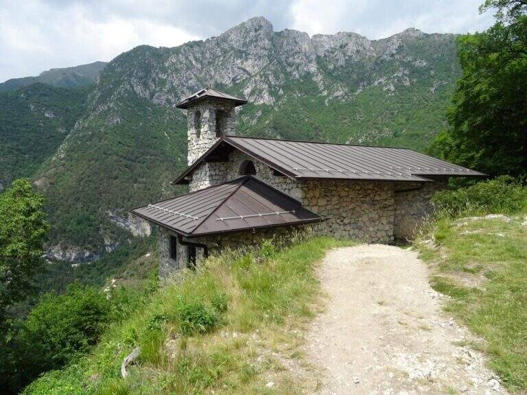
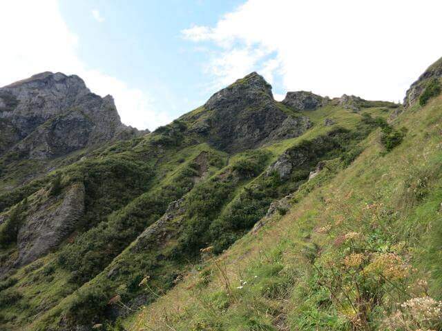
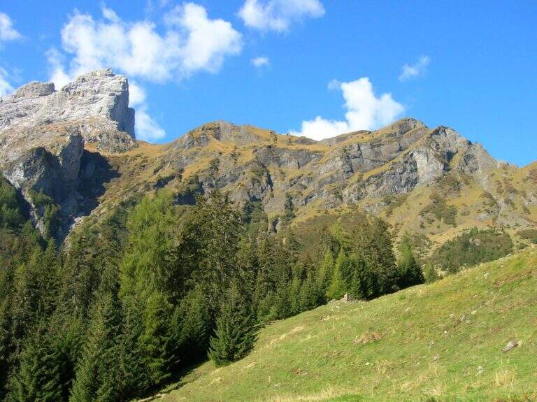
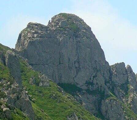
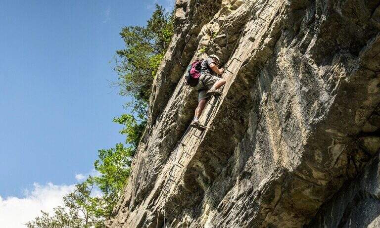
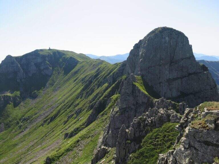
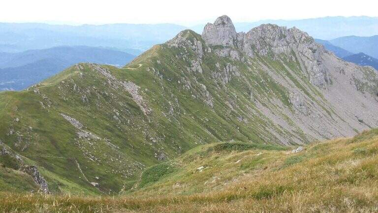
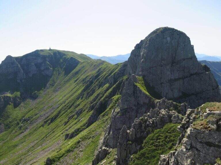
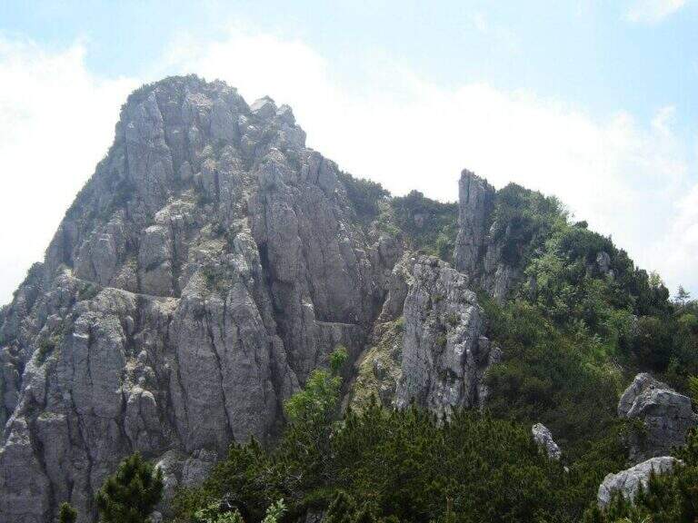
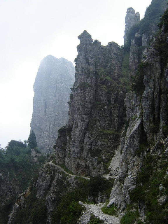
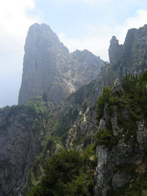
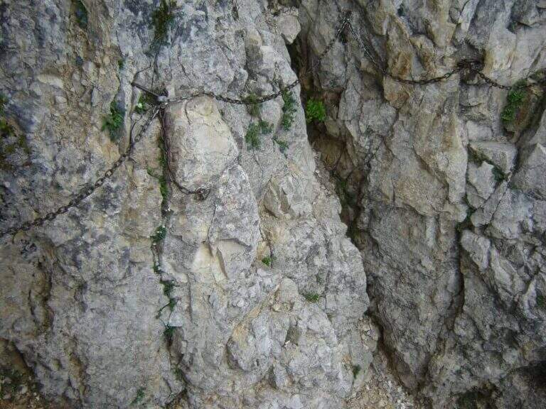
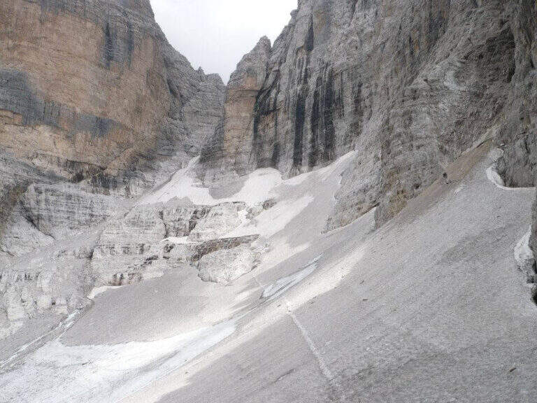
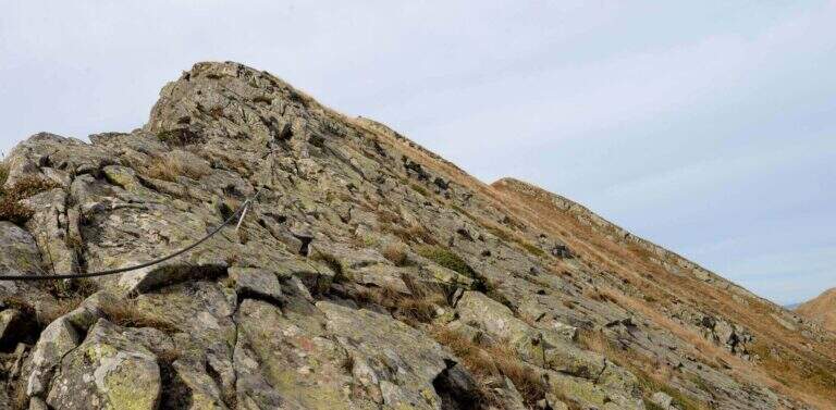
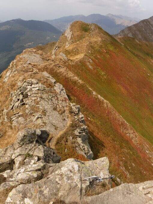
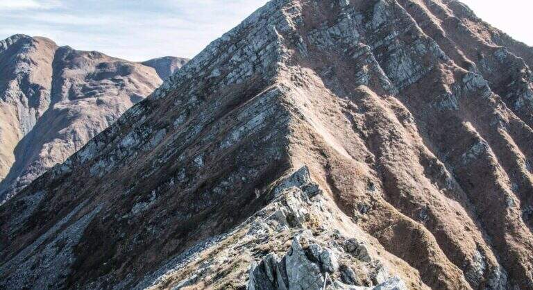
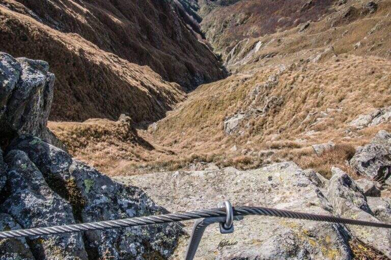
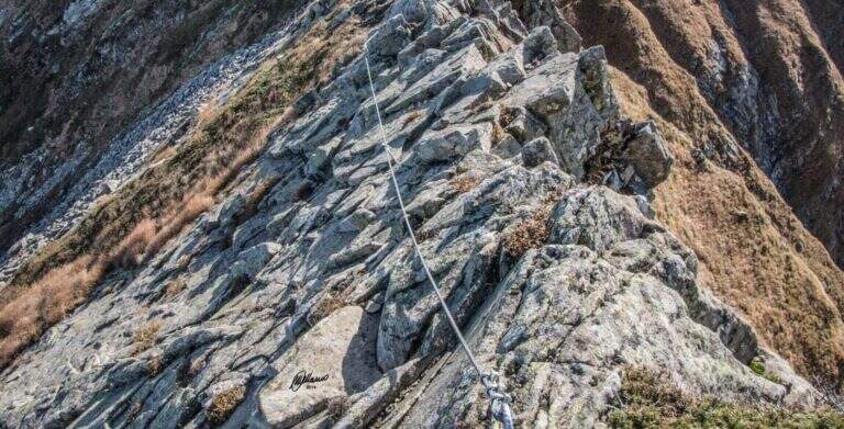
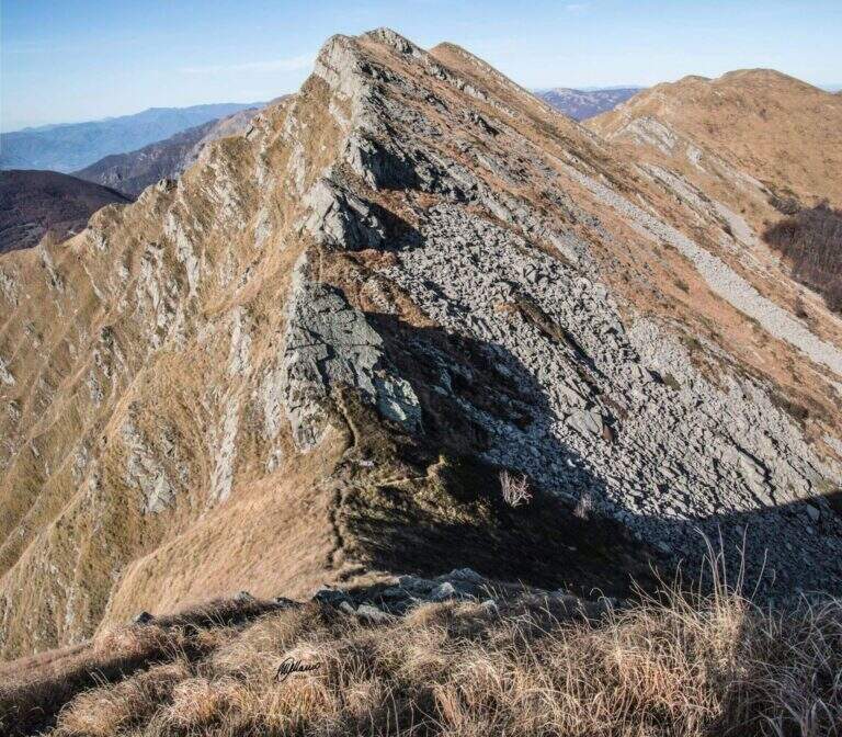
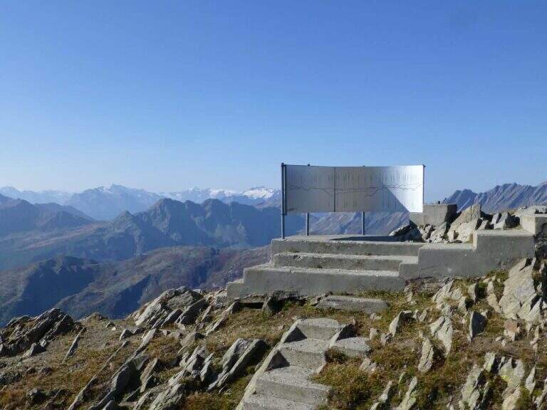
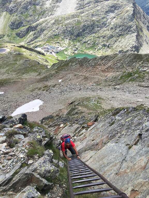
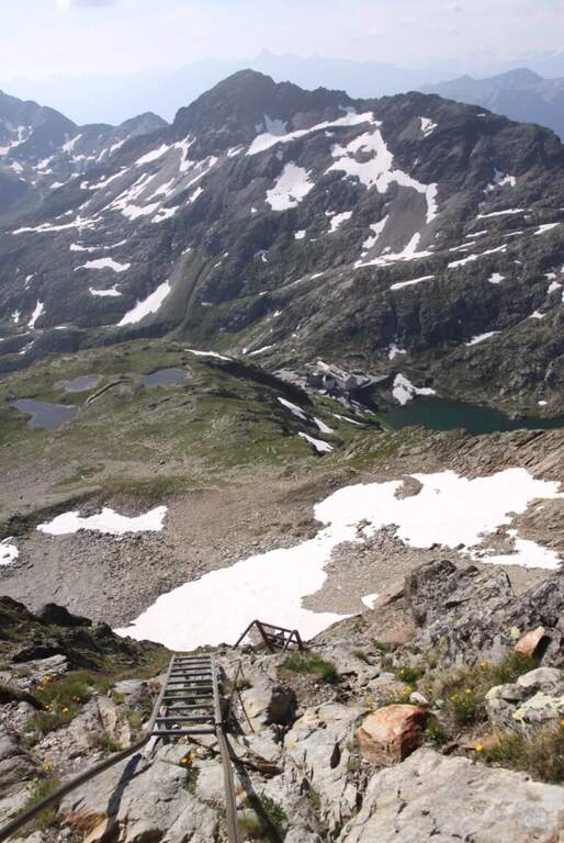
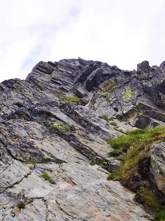
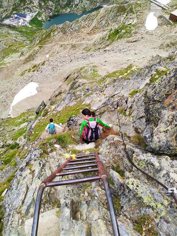
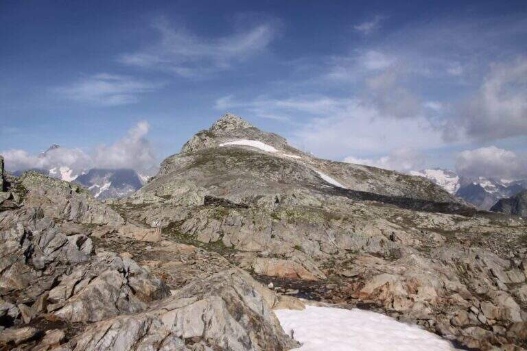
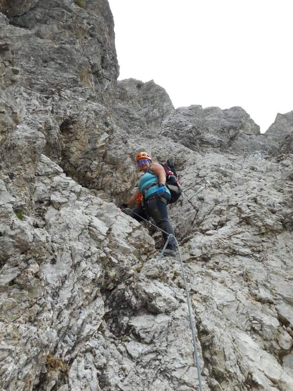
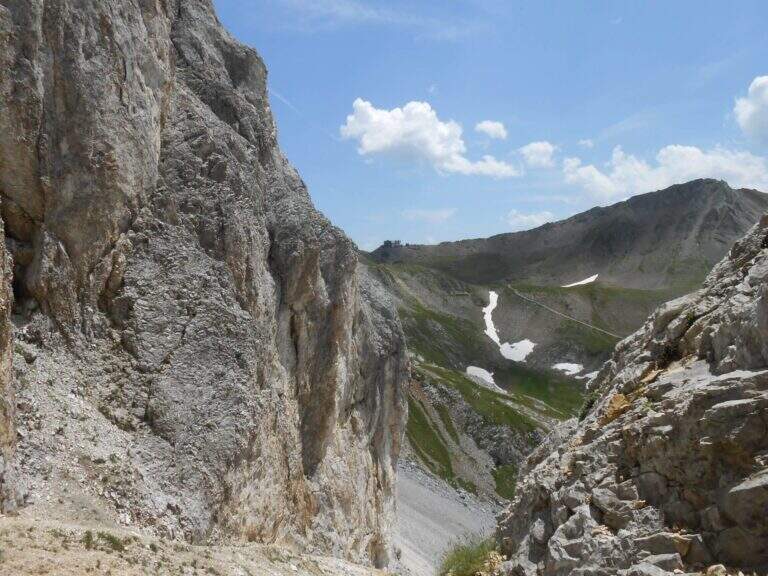
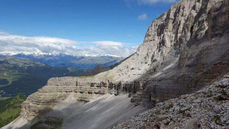
    The Sentiero Attrezzato Gustavo Vidi winds around Pietra Grande and the Orti della Regina in the Brenta Dolomites, starting from the mountain station of Madonna di Campiglio al Grostè. A ring of rare beauty in a corner among the least frequented of the Brenta, with exposure not to be underestimated despite the technical difficulties contained.

    ▲Approach

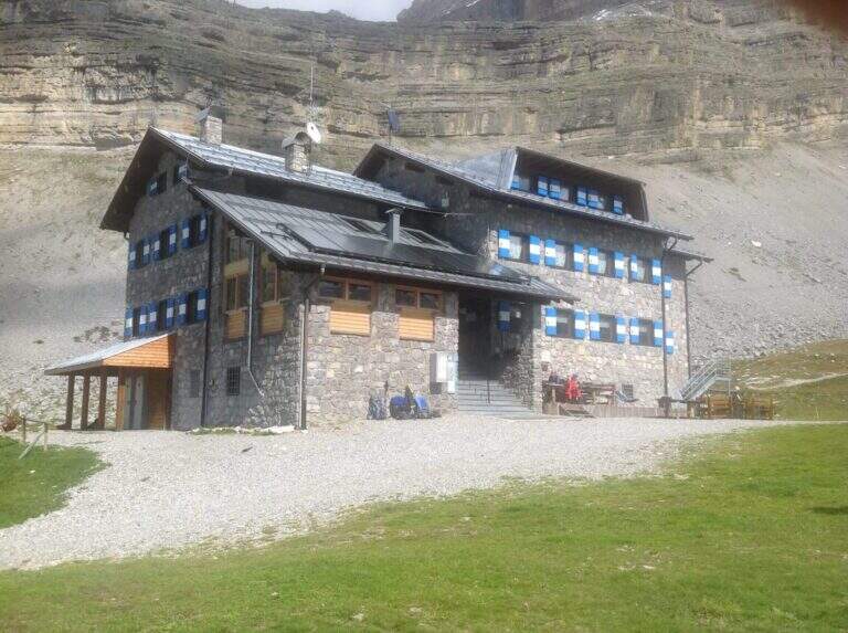
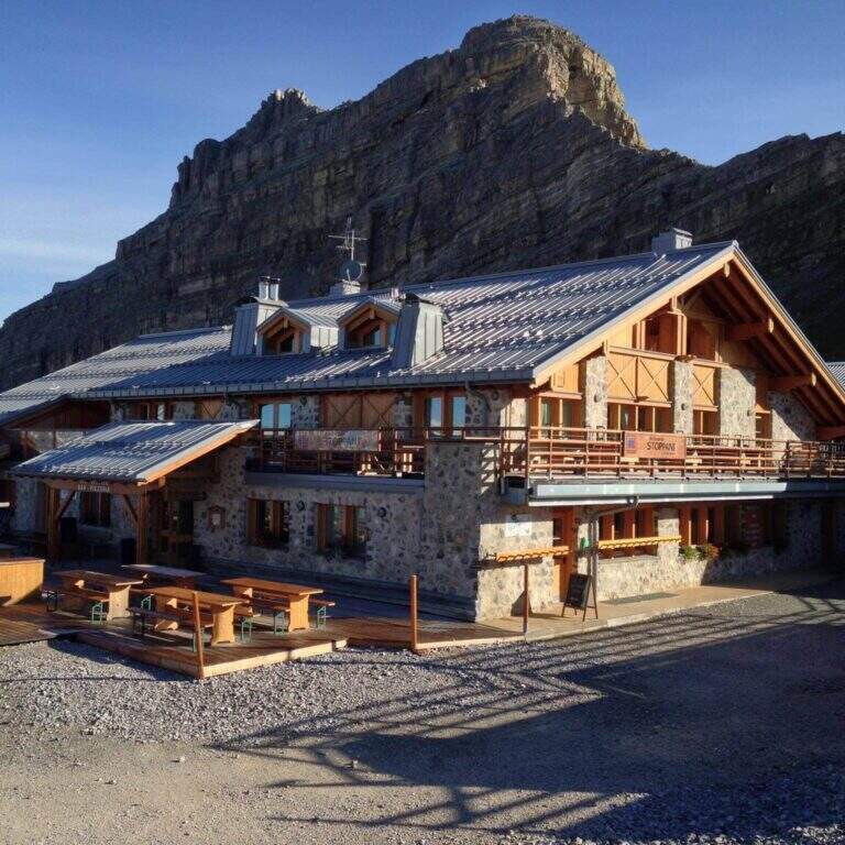
    You can reach Madonna di Campiglio and take the cable car to Stoppani Refuge at Grostè (directions road map). Alternatively, you walk up the CAI 301 path, which recovers 800 m of altitude in about two hours without excessive slope.

    ▲The path

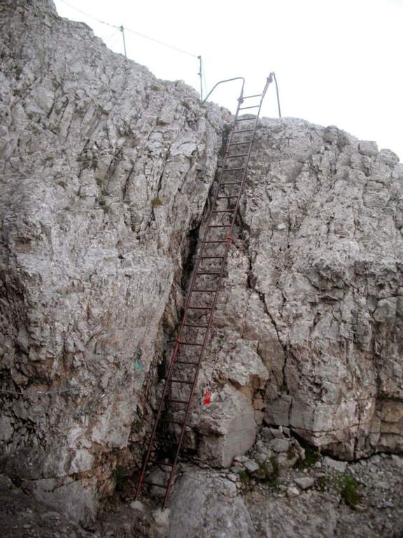
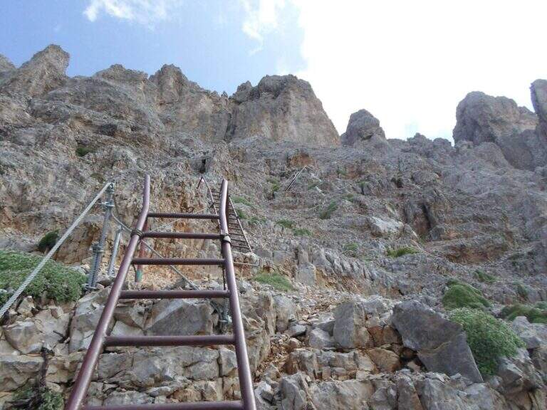
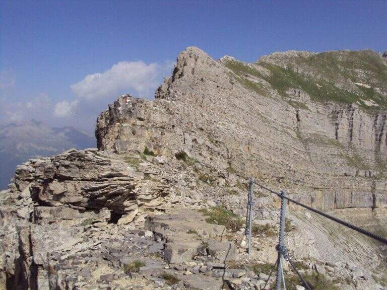
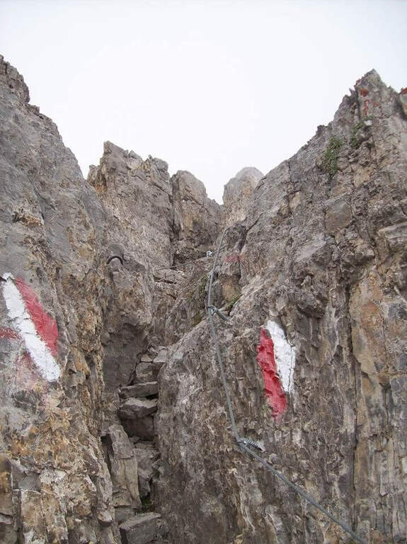
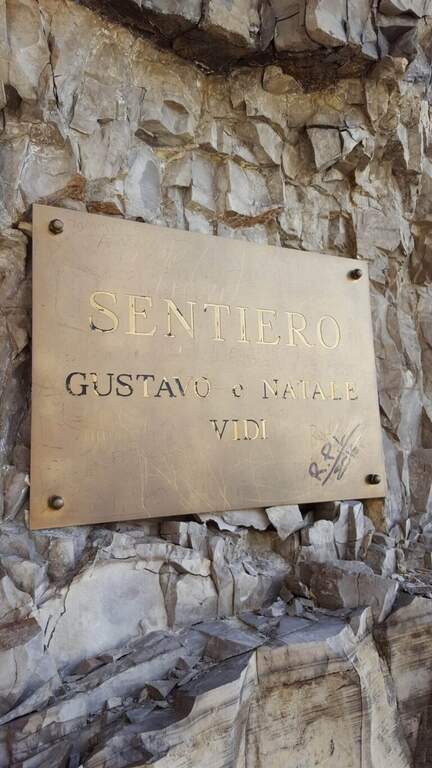
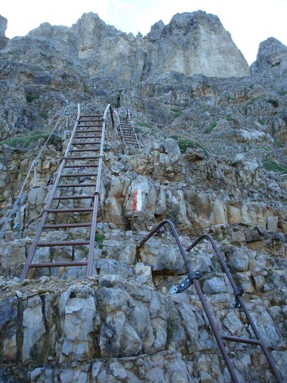
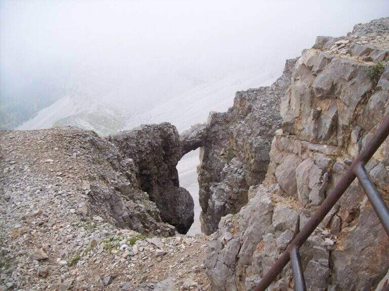
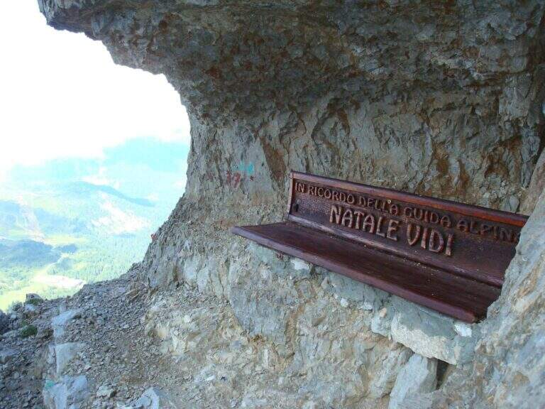
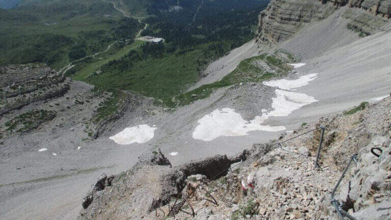
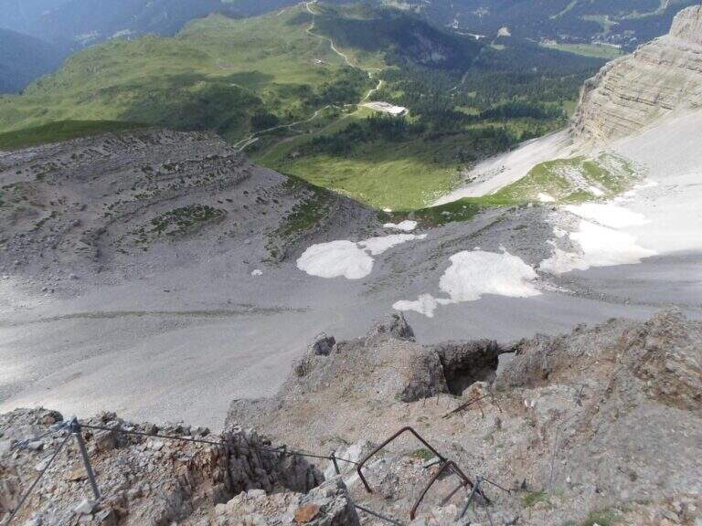
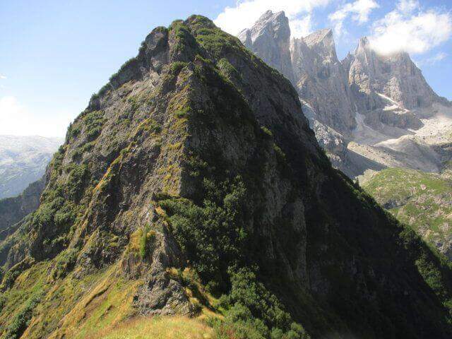
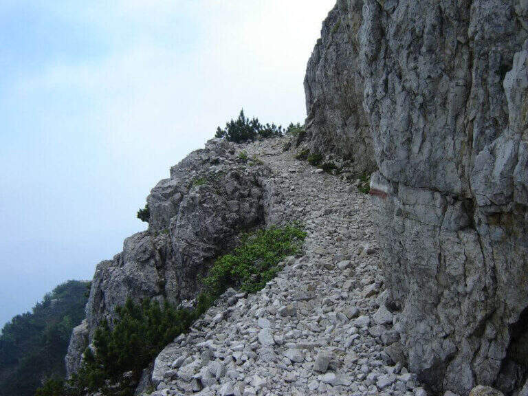
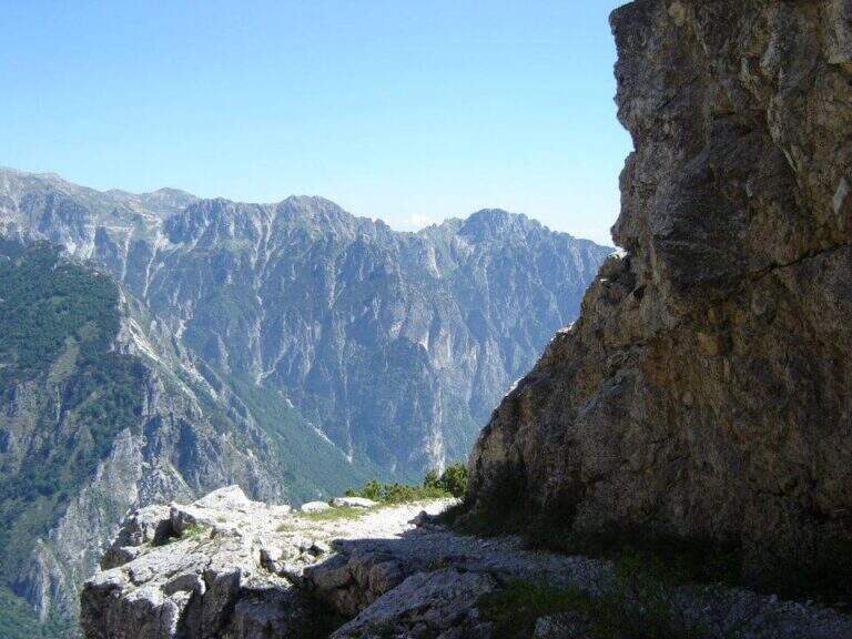
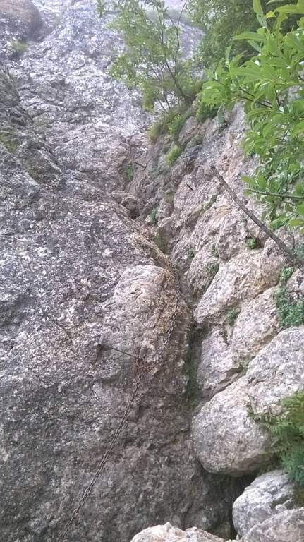
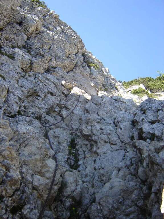
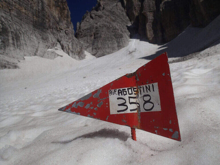
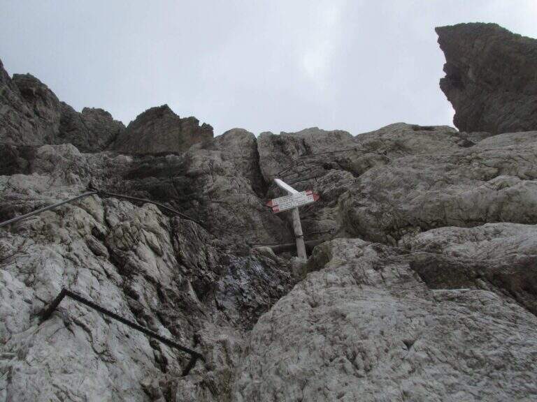
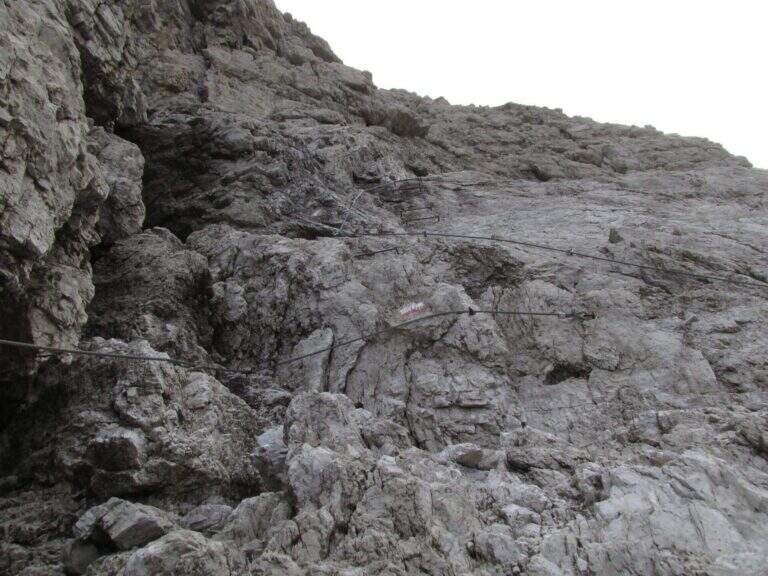
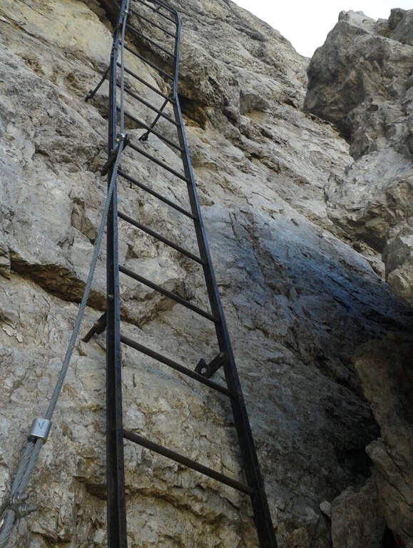
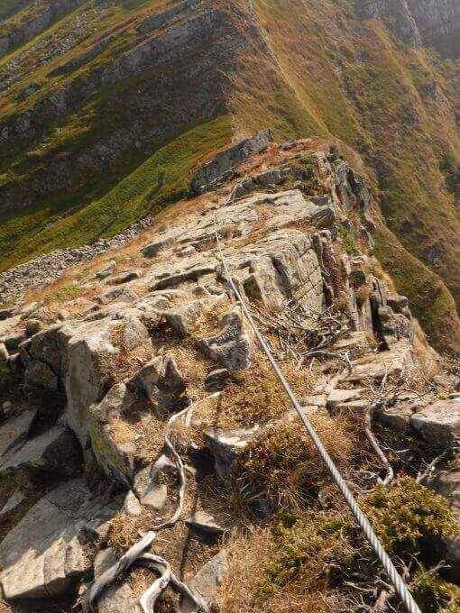
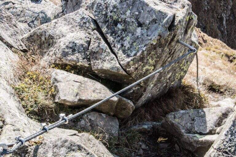
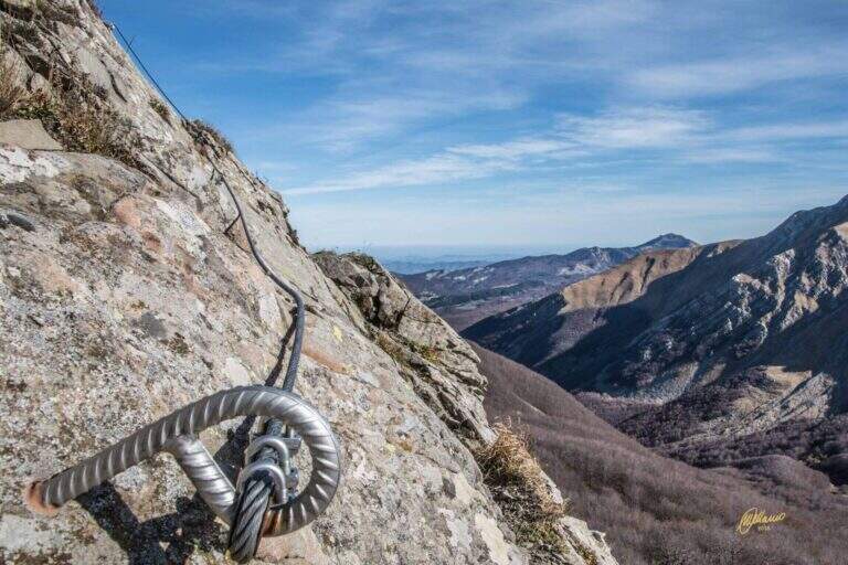
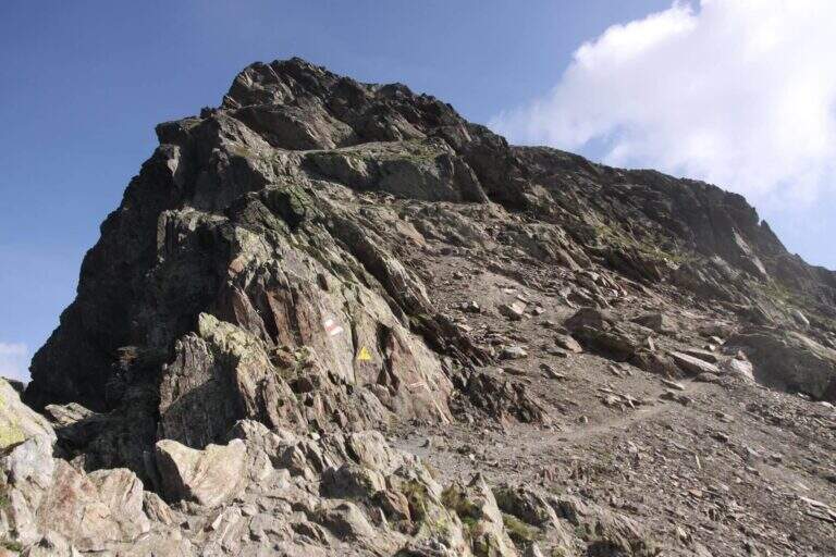
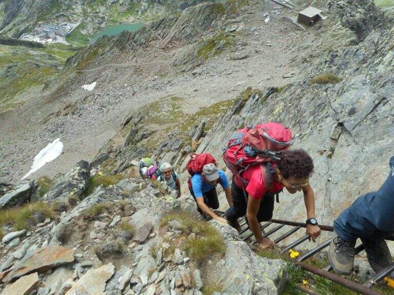
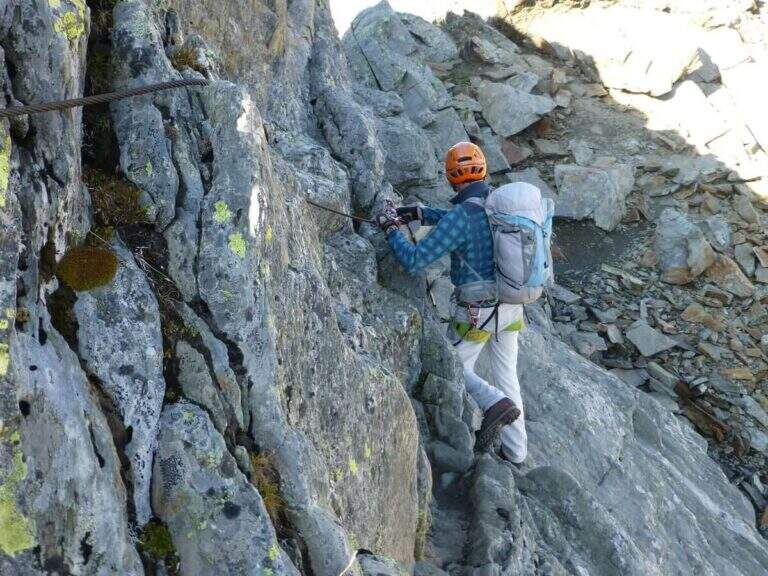
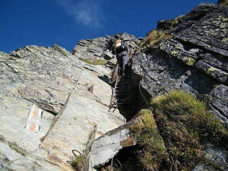
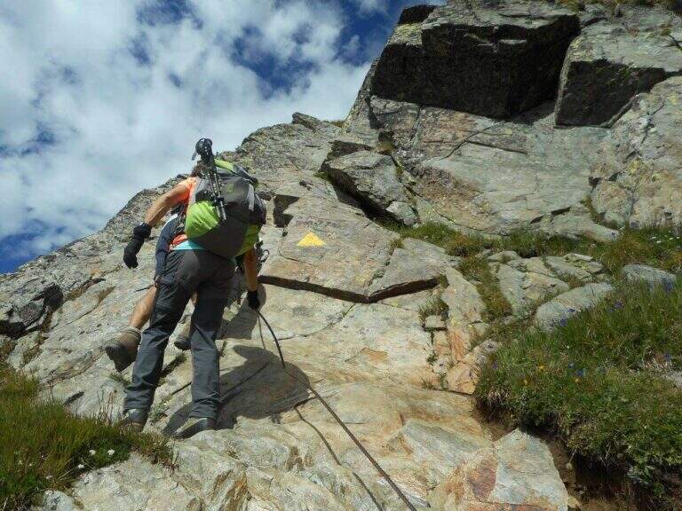
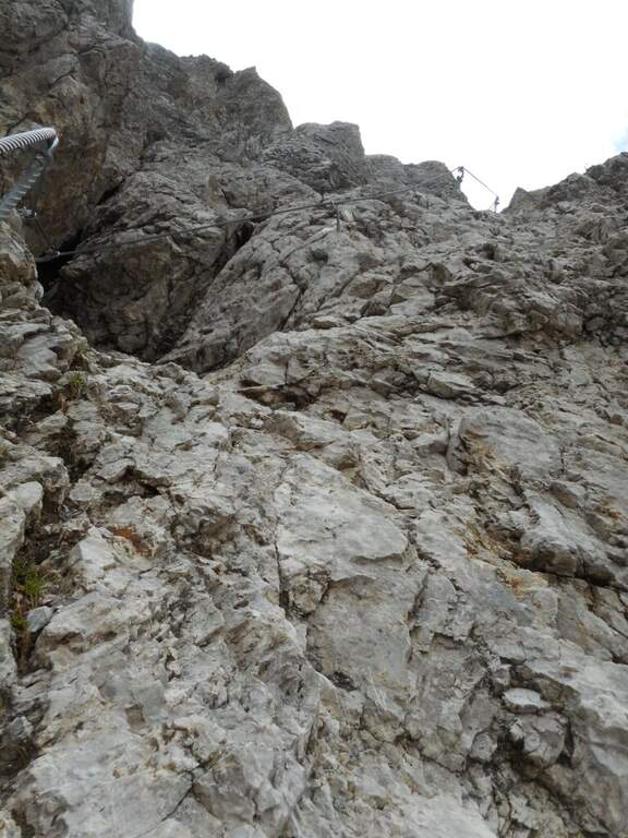
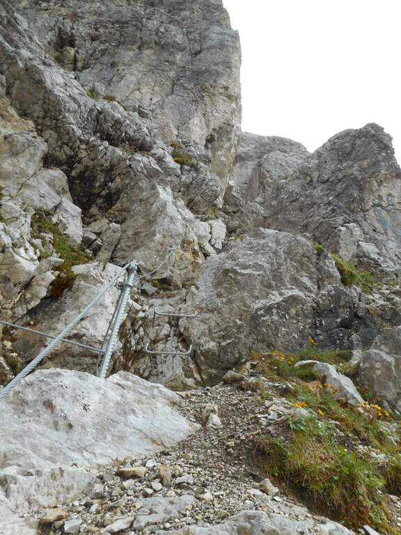
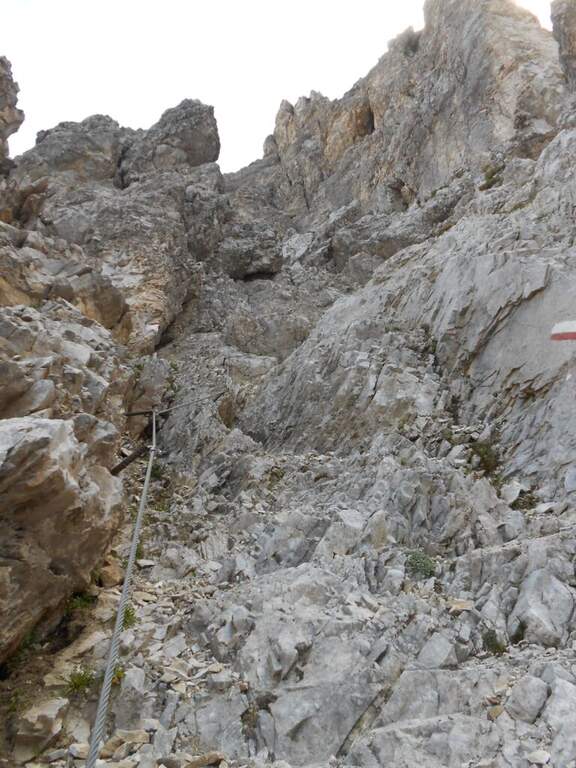
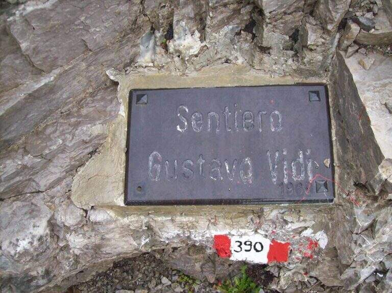
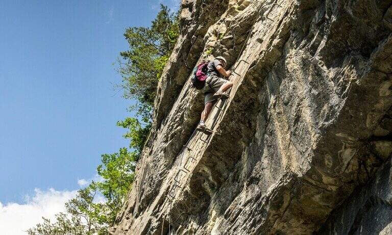
    From the mountain station of the cable car follow the many CAI 390 signs towards Pietra Grande. In twenty minutes you will meet the first red sign that marks the official entrance to the Route Attrezzato Vidi. There are some easy rocks and a steep and gravel path up to a characteristic wide nod, where a metal plate recalls the dedication of the route. Continue north, keeping the altitude, until a first narrowing of ridge with metal equipment. After some unprotected rocks, you face a narrow canal where the cable accompanies the ascent. The route describes an arc around the massif: a long stretch of nod, partially without protection, requires firm foot and concentration. Below you can see the Rifugio Graffer, destination of the return (about 2h 30' from the attack).

    ▲Character and difficulty

    Classified Moderately Difficult. Strictly equipped traits do not have high technical difficulties, but wide nods are exposed and free of cable: they require safe foot and lack of dizziness. Complexity: technique 2/5, physics 2/5, exposure 3/5, environment 2/5.

    ⚠ In late season some passages can preserve snow or ice: peak or ramps as precaution, similar to the whole sector of the Brenta.
    ▲Period and safety

    Recommended from June to September. Avoid in the presence of rainfall or afternoon temporal risk. The cable car closes seasonally: check its availability before leaving.

    ▲Discipline

    From the Rifugio Graffer you will descend by cable car from the intermediate station or continue on foot along the CAI 301 path to Madonna di Campiglio (about 5h total counting the cable car uphill and the descent on foot). Alternatively, go up to the Stoppani Refuge to resume the cable car (3h 30' total).

    ▲To match

    In the same area of the Brenta you can match the Ferrata della Val Gelada or the neighbor Path Equipped with the Palete.
    ▲Gallery
    Technical data
    • DifficultyModerately Hard
    • RegionTrentino-Alto Adige
    • GroupDolomiti di Brenta
    • Approach0:20 h
    • Ferrata2:30 h
    • Itinerary (a/r)3:30 h
    • Hardware level difference220 m
    • Route difference300 m
    • Max2662 m
    • Length4,4 Km
  • Sentiero Attrezzato delle Laste – Cima Capi

    Sentiero Attrezzato delle Laste – Cima Capi

    Vie Ferrate › Trentino-Alto Adige › Trento
    Sentiero Attrezzato delle Laste – Cima Capi

    The Sentiero Attrezzato delle Laste is the most direct way to climb from Biacesa to Bivacco Arcioni and the Church of San Giovanni, under Cima Capi and Cima Rocca. Short path, without marked exposure, suitable for those who move the first steps on the paths equipped in a lake context of great charm.

    ▲Approach

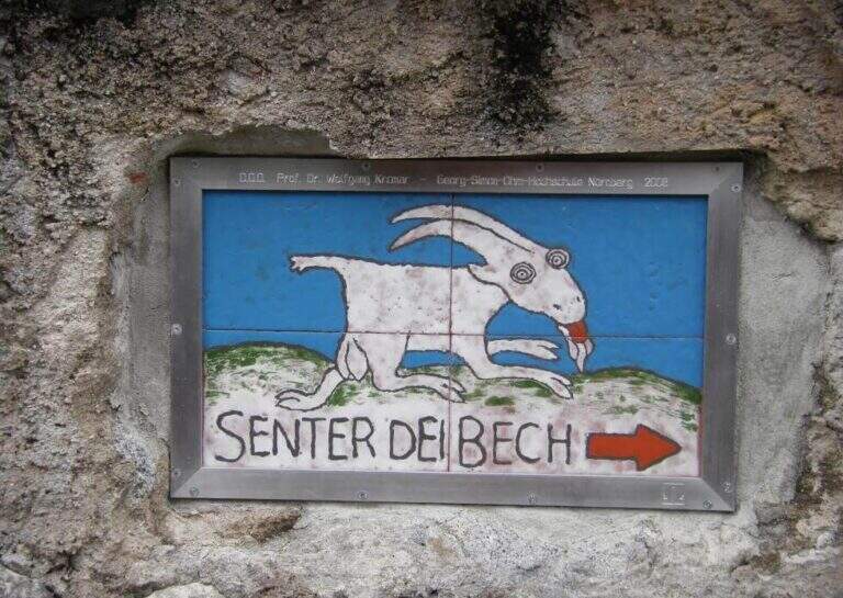
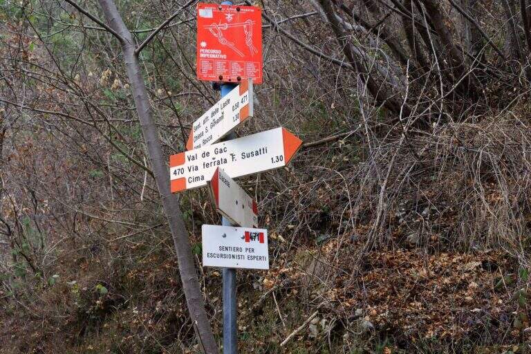
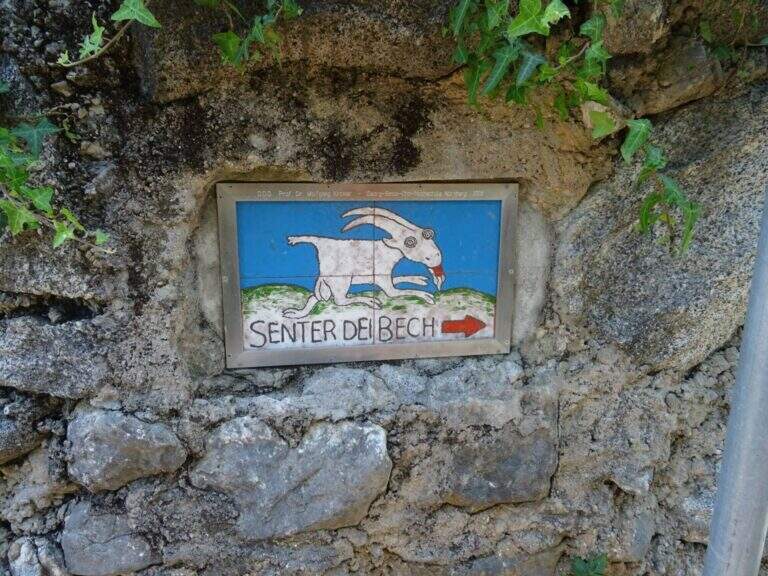
    You reach Biacesa, 4 Km from Riva del Garda along the tunnels towards Val di Ledro (directions road map). By taking Via dei Dazi and turning right you will reach a playground with large parking. Follow the CAI 470 trail (Sentiero dei Bech) east towards Cima Capi for about 15 minutes until the junction where the CAI 471 climbs left: it is the attack of the Laste Path.

    ▲The path

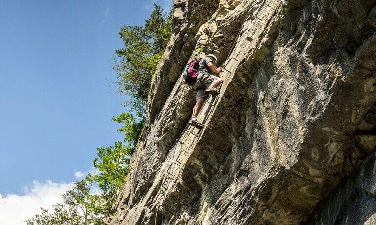
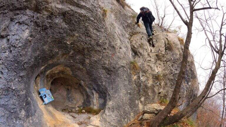
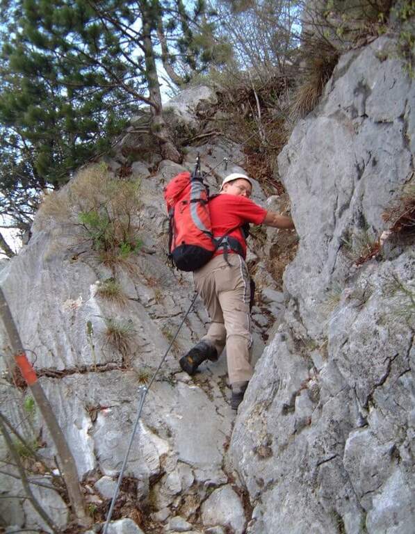
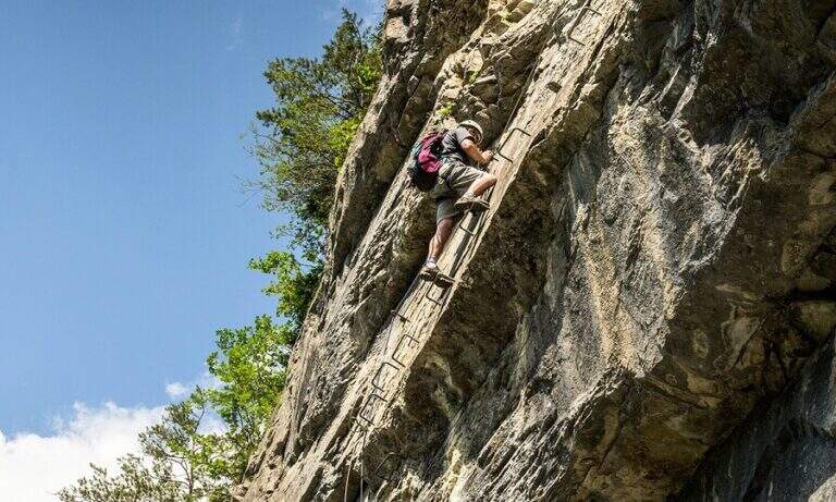
    The first obstacle is a dihedron of 6 meters with cable on the left side and good natural sticks on the right. They follow a grassy census in the woods and a well-groomed diagonal ramp. You get to a gallery with book of signatures — great stop point. Starting up a wall with large metal cambres, then a second section similar diagonally exhausts the equipment. The path continues on the most open ground to Bivacco Arcioni (45' from the attack), then to the Church of San Giovanni.

    ▲Character and difficulty

    Classified Easy: the equipped sections do not exceed the second degree and do not display. Complexity: technique 1/5, physics 2/5, exposure 1/5, environment 2/5. Suitable for children already accustomed to the use of helmet and harness with adult supervision.

    ▲Period and safety

    It can be traveled almost throughout the year thanks to the modest share. In case of rain the initial dihedron can be slippery.

    ▲Discipline

    From the Church of San Giovanni take the CAI 460 path west to the crossing with CAI 417, then left towards Biacesa (45' — 1h 45' total including the ascent).

    ▲To match

    In the same area of Garda: the Hiking trail Mora Pellegrini.

    ▲Gallery
    Technical data
    • DifficultyEasy
    • RegionTrentino-Alto Adige
    • GroupMonte Baldo and Garda
    • Approach0:15 h
    • Ferrata0:45 h
    • Itinerary (a/r)1:45 h
    • Hardware level difference231 m
    • Route difference440 m
    • Max858 m
    • Length4 Km
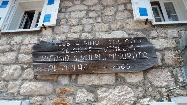
  • Sentiero Attrezzato dei Mar al Mulaz

    Sentiero Attrezzato dei Mar al Mulaz

    Vie Ferrate › Veneto › Belluno
    Sentiero Attrezzato dei Mar al Mulaz
    Moderately Hard● ClosedDescriptionComplexityMapsGallery

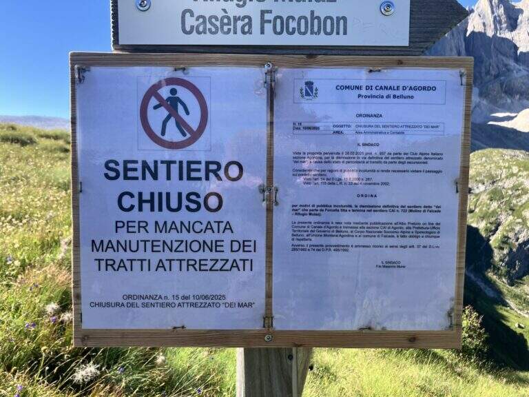
    : ATTENTION — Via CHIUSA: The Equipped Path of the Sea is closed. Check the current conditions before any planning.

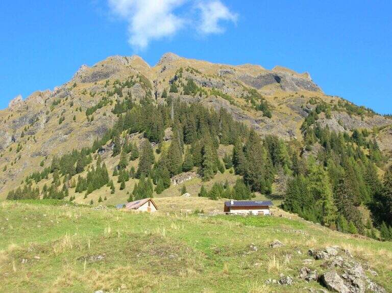
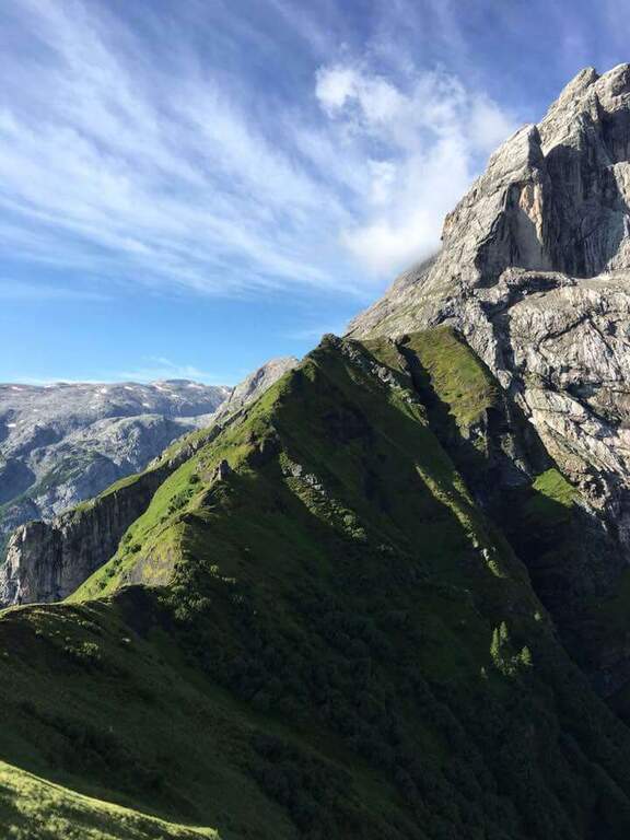
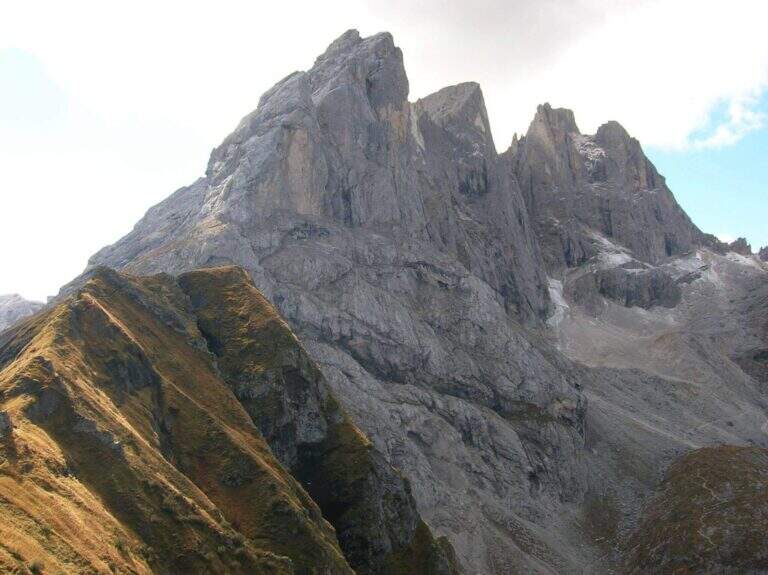
    The Path Attrezzato dei Mar runs through the northern side of the Pale di San Martino with departure from the isolated inhabited area of Gares, climbing towards the Mulaz between views of the Focobon. Itinerary not frequented, technically not difficult but with sometimes insidious background on grass and terrous.

    ▲Approach

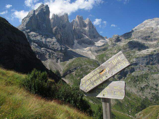
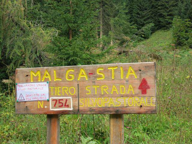
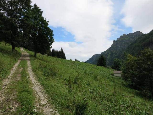
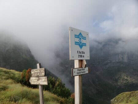
    You reach Gares from Canale d'Agordo turning south (west) for about 7 Km on a beautiful valley (directions road map). Comfortable parking in the village. On foot you will reach the church and take the route towards Malga Stia following the signs, first climbed on track then on path 754 on the left side of Val di Greta. In about 50 minutes you will reach Malga Stia (1785 m), then continue on path 752 towards Forcella Stia.

    ▲The path

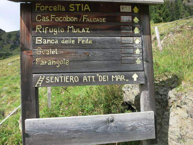
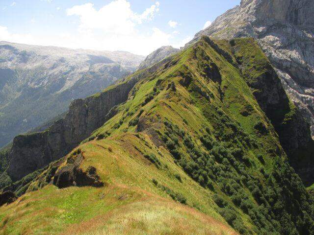
    From Malga Stia follow the path 752 on meadows towards Forcella Stia. At the Cresta dei Mar you arrive at a metal ladder and a sign that marks the beginning of the equipment. You go up the ladder and face a first esile equipped nod. Continue on a grassy ridge following the labile trace towards the rocky ridge that you walk just under the ridge thread, following the metal cables and paying attention to the grassy and terrous bottom that can be slippery with moisture. The route finally leads to the Mulaz.

    ▲Character and difficulty

    Classified Moderately Difficult. The equipped strokes are not technically demanding but the unstable background and lability of the track require orientation and caution. Complexity: technique 2/5, physics 3/5, exposure 2/5, environment 3/5.

    ⚠ It is currently closed. Do not travel without checking the status of the equipment with the competent CAI Section or with the Falcade Finance Guard.
    ▲Period and safety

    Normally open from July to September. Check the reopening before planning the excursion.

    ▲Discipline

    From the Mulaz you descend to the Mulaz refuge and then on a path towards Falcade or return to Gares for the uphill road.

    ▲To match

    In the Pale di San Martino: la Ferrata del Canalino al Mulaz e la Ferrata Gabitta d'Ignoti.

    ▲Gallery
    Technical data
    • DifficultyModerately Hard
    • RegionVeneto
    • GroupPale di San Martino
    • Approach1:45 h
    • Ferrata1:
    • Itinerary (a/r)7:00 h
    • Route difference1180 m
    • Max2560 m
    • Length13 Km
  • Hiking trail Monte Gendarme – Passo del Cerreto

    Hiking trail Monte Gendarme – Passo del Cerreto

    Vie Ferrate › Tuscany › Massa-Carrara
    Hiking trail Monte Gendarme – Passo del Cerreto

    : ATTENTION — Via SMANTELLATA: The equipped sections of the Monte Gendarme Path were dismantled. The climb now requires unprotected climbing passes of the second degree or to be protected with individual material. Do not walk as an equipped path.

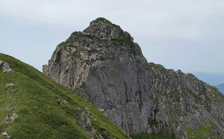
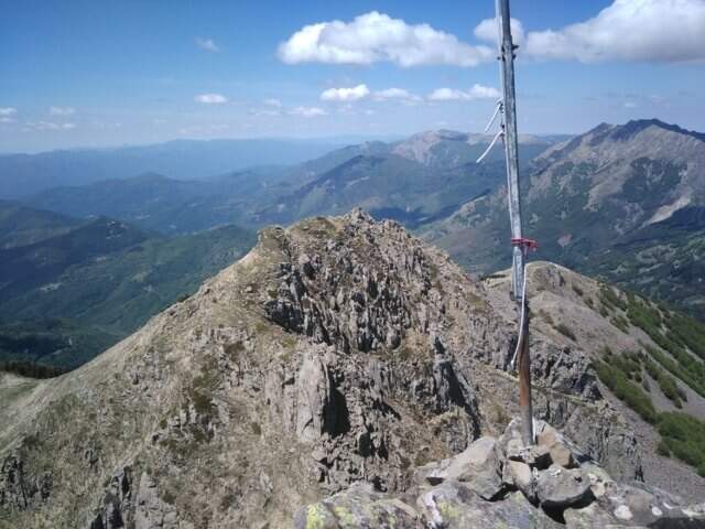
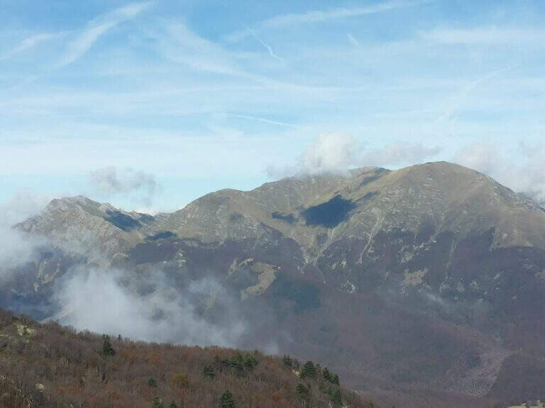
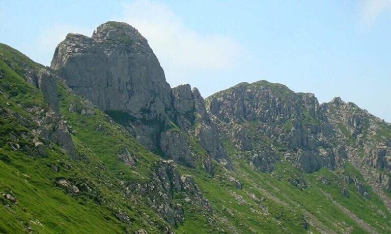
    The Attrezza del Monte Gendarme path goes up the Vallone dell'Inferno on the Tuscan-Emilian Apennines, starting from the Cerreto Pass towards the 1895 m of Monte La Nuda and Monte Gendarme (1872 m). The original street had a short stretch equipped in the top section, now removed. The hiking trail remains accessible but requires basic alpine experience.

    ▲Approach

    The Cerreto Pass (1261 m) can be reached from Reggio Emilia or from Aulla (A15) along the SS 63 (directions road map). Spacious parking and dining options at the pass. Follow the path 00 towards the Vallone dell'Inferno.

    ▲The path

    From Passo del Cerreto you go up the Vallone dell'Inferno along the path 00 to Bivacco Rosario (1h 30'). Once you reach the ridge you can climb left towards Monte La Nuda (15') or right to follow the CAI 94 which runs along the valley to the base of the rocky wall of Monte Gendarme (1h 45' total). The top section where the equipment was placed now requires free passages of 2 degree. The summit (2h approximately) offers views of the Apuans to the west and the Gulf of Spezia to the northwest.

    ▲Character and difficulty

    Originally classified Easy for the presence of the equipment. After dismantling the summit passes require mountaineering experience (II degree). Hiking complex: technique 1/5, physics 2/5, exposure 2/5, environment 3/5.

    ⚠ The way is officially dismantled. Do not approach the summit section without climbing knowledge or without adequate individual protections.
    ▲Period and safety

    The Vallone dell'Inferno is available from May to October as an excursion. The climb to the summit of Gendarme is not recommended without adequate climbing equipment.

    ▲Discipline

    You descend along the way up to Passo del Cerreto.

    ▲To match

    On the Emilian Apennines: the Ferrata degli Alpini alla Pietra di Bismantova e la Ferrata dell'Ultimo Sole.

    ▲Gallery
    Technical data
    • DifficultyEasy
    • RegionTuscany
    • GroupAppennino Tosco-Emiliano
    • Approach1:45 h
    • Ferrata0:15 h
    • Itinerary (a/r)3:30 h
    • Hardware level difference47 m
    • Route difference630 m
    • Max1895 m
    • Length13 Km
  • Sentiero Attrezzato al Monte Cornetto – Passo Campogrosso

    Sentiero Attrezzato al Monte Cornetto – Passo Campogrosso

    Vie Ferrate › Veneto › Vicenza
    Sentiero Attrezzato al Monte Cornetto – Passo Campogrosso

    The Path Trained to Mount Cornetto runs a ring route from Passo Campogrosso through the tunnels and trenches of the Great War, climbing to the Passo degli Onari and the top of Cornetto. A historical and panoramic route, in the complex easy but with a stretch equipped with medium difficulty to walk carefully.

    ▲Approach

    The Campogrosso Pass (Vicenza) can be reached from Recoaro Terme via Merendaore or from Rovereto via Pian delle Fugazze (directions road map). You park at the pass and follow the path 170 north towards Malga Boffetal.

    ▲The path

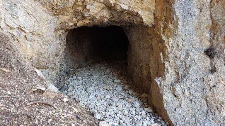
    From the Campogrosso Pass take the path 170, wide and well marked, westward of the slopes of Monte Cornetto up to the junction with path 176 that bends right uphill. Cross the first military tunnel — useful but not indispensable a torch — and continue on path not difficult through further galleries of war origin. The route diagonally cuts the southern wall of Cornetto on fairly wide panoramic cenges, then enters a throat where the metal cable assists in the narrower passage. It exits from the throat and climbs towards the Passo degli Onari, meeting new tunnels, to the top of Monte Cornetto. The return takes place on path 149 halfway to the Baffelan Pass and back to the Campogrosso Pass.

    ▲Character and difficulty

    Classified Easy with a stretch equipped with medium difficulty in the throat. Complexity: technique 1/5, physics 2/5, exposure 2/5, environment 2/5. The galleries add historical interest without increasing the risk.

    ⚠ Bring a torch to the tunnels. The bottom can be wet inside; attention to slippery terrain at the exit.
    ▲Period and safety

    From April to November due to the relatively low share. Avoid snow or ice on exposed traits.

    ▲Discipline

    Complete ring: Passo degli Onari → path 149 → Passo del Baffelan → Passo Campogrosso.

    ▲To match

    In the small Dolomites Vicentine: la Ferrata del Vajo Stretto e il Pojesi Path at Carega.

    ▲Gallery
    Technical data
    • DifficultyEasy
    • RegionVeneto
    • GroupSmall Dolomites – Lessini Mountains
    • Approach0:45 h
    • Ferrata1:45 h
    • Itinerary (a/r)4:30 h
    • Hardware level difference100 m
    • Route difference450 m
    • Max1899 m
    • Length11 Km
  • Sentiero Attrezzato dell’Ideale – Bocca d’Ambiez

    Sentiero Attrezzato dell'Ideale – Bocca d'Ambiez

    Vie Ferrate › Trentino-Alto Adige › Trento
    Sentiero Attrezzato dell'Ideale – Bocca d'Ambiez
    Moderately Hard● OpenDescriptionComplexityMapsGallery

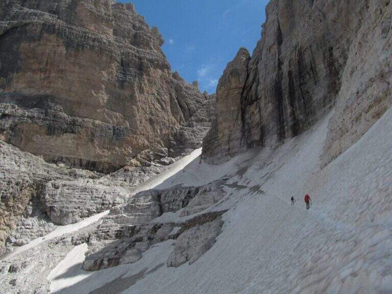
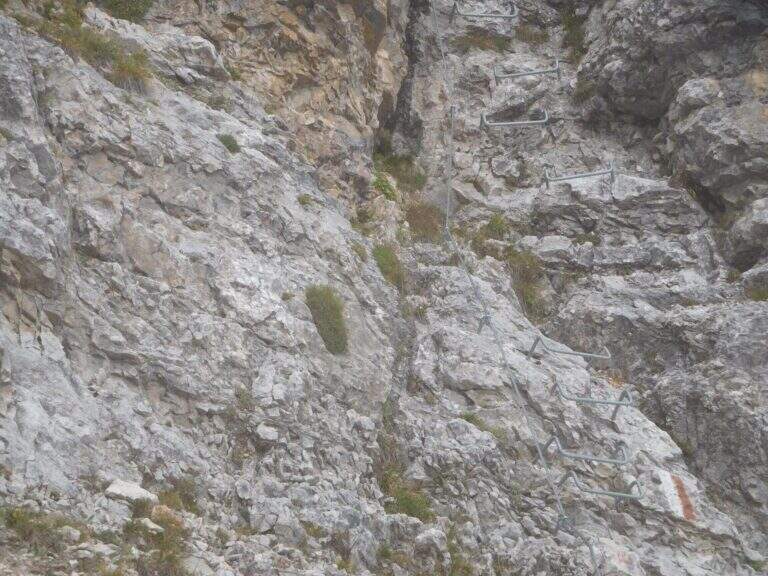
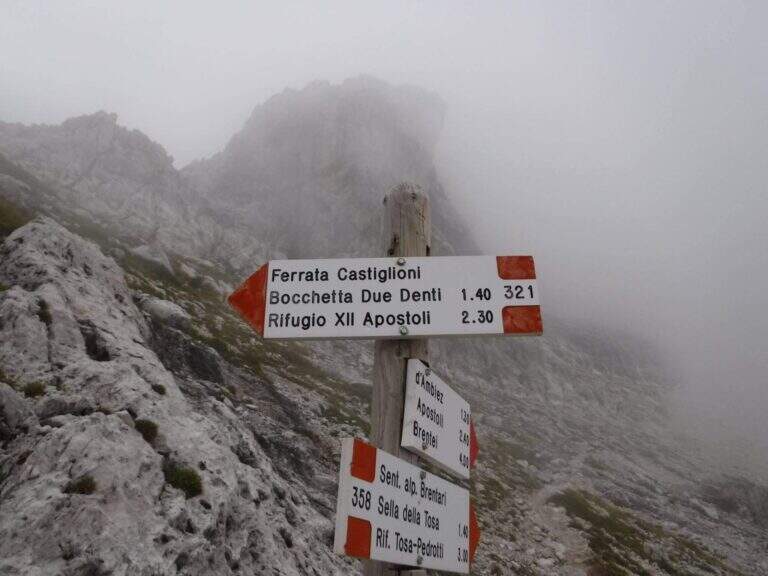
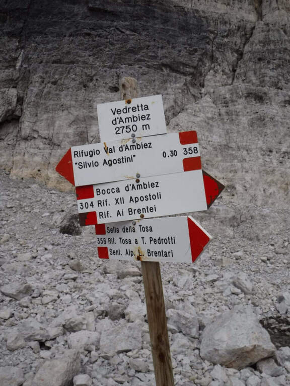
    The Attrezza dell'Ideale Path crosses the wall under the Cima d'Ambiez in the Brenta Dolomites, connecting the Refugi XII Apostoli and Agostini. Although historically classified as an equipped path, it has vertical traits and exposed worthy of a true via ferrata — not to be underestimated.

    ▲Approach

    The most common starting point is the cable car from Pinzolo to Doss del Sabion (directions road map). From Pinzolo on the SS 239 you park in the wide beaches next to the lifts. From the mountain station, follow the Attrezza della Scala Santa path to reach the XII Apostoli refuge (about 3h).

    ▲The path

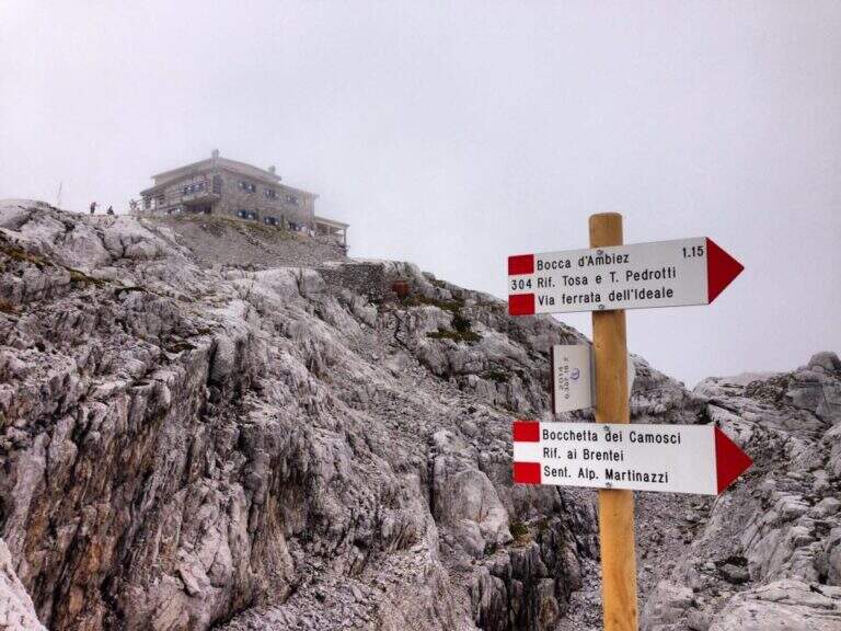
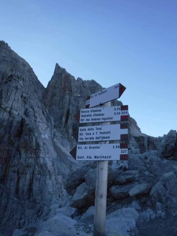
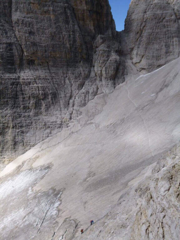
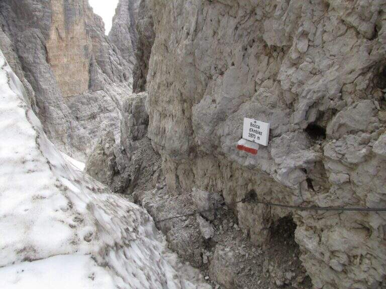
    From Rifugio XII Apostoli follow the CAI 307 towards the east towards the Bocchetta dei Camosci. You go up a valley on a detritic background with slope supported up to a point where the wall tightens: here begin the vertical and exposed traits that justify the reputation of this path. The route climbs towards the Bocca d'Ambiez alternating equipped rocks and aerial cenges. The exit leads to the Rifugio Agostini. The route can also be routed in reverse direction, or as a natural continuation of the Ferrata Brentari that starts from the Rifugio Pedrotti.

    ▲Character and difficulty

    Classified Moderately Difficult, but with passages that approach the Difficult for exposure and verticality. Not suitable for those with the use of the hardware set. Complexity: technique 2/5, physics 3/5, exposure 3/5, environment 3/5.

    ⚠ The itinerary takes place at high altitude in the Brenta: possible presence of snow and ice even in summer. Check the conditions at the Rifugio Agostini before leaving.
    ▲Period and safety

    From July to September. High altitude and shaded orientation can keep snow long. Recommended in company or after having traveled other similar level ferrates.

    ▲Discipline

    From the Rifugio Agostini you can descend towards Molveno along CAI paths or return to the Rifugio XII Apostoli to resume the cable car towards Pinzolo.

    ▲To match

    Complementary Ferrata Brentari, al Sentiero della Scala Santa and Ferrata Benini.

    ▲Gallery
    Technical data
    • DifficultyModerately Hard
    • RegionTrentino-Alto Adige
    • GroupDolomiti di Brenta
    • Approach3:00 h
    • Ferrata2:30 h
    • Itinerary (a/r)10:30 h
    • Hardware level difference400 m
    • Route difference450 m
    • Max1750 m
    • Length6 Km
  • Sentiero Attrezzato del Monte Cernera

    Sentiero Attrezzato del Monte Cernera

    Vie Ferrate › Veneto › Belluno
    Sentiero Attrezzato del Monte Cernera

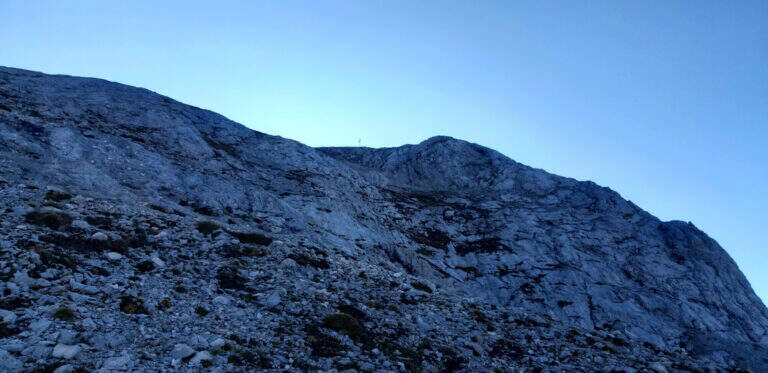
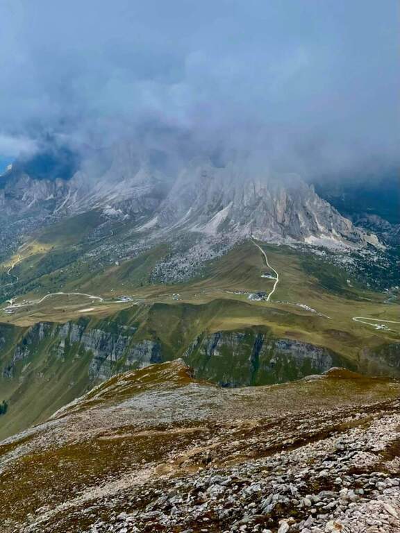
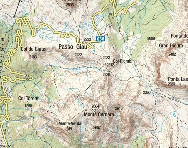
    The Route of Monte Cernera climbs from the Giau Pass to the panoramic summit (2664 m) in the group of the Croda da Lago. Short and only partially equipped path, with a terminal channel that requires special attention when wet.

    ▲Approach

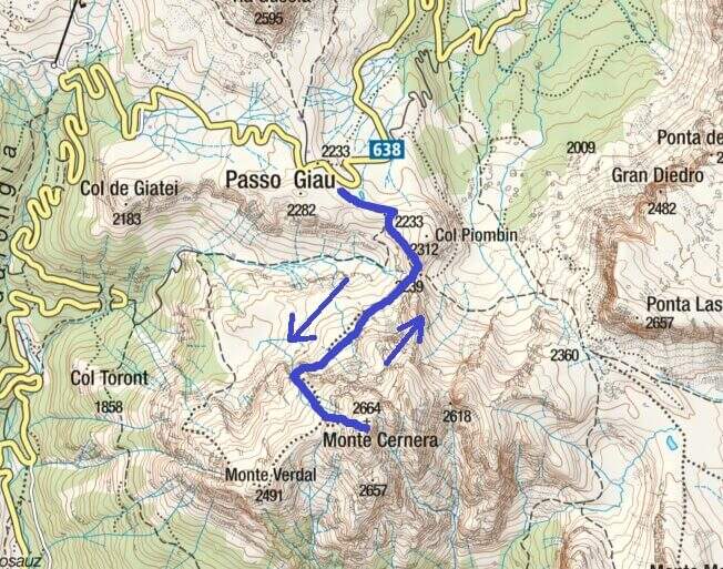
    The Giau Pass (2233 m) can be reached on the road between Alleghe and Cortina d'Ampezzo (directions road map). Large parking space at the pass. Follow the CAI 436 path south towards Forcella Col Piombin. Adding the fork you turn right along the meadows following the track until the first stretch (30' from the parking lot).

    ▲The path

    The first equipped section dates back to a rocky plaque of a few meters. After the highlight you reach a carving and slightly higher you face the second stretch, slightly more vertical than the first. Continue on increasingly steep track until the base of a rocky canal often wet for drainage: it is the key passage, to be followed carefully. After the canal, a few meters of easy climbing on rocks lead to the peak cross (1h 30' approximately from the parking lot), with 360° views of the Giau Pass and the surrounding Dolomites.

    ▲Character and difficulty

    Classified Easy. The equipped sections are short and well-addressed. Complexity: technique 1/5, physics 2/5, exposure 2/5, environment 2/5.

    ⚠ The final canal drains the water of the wall and is often wet even on peaceful days: pay attention to the slippery bottom.
    ▲Period and safety

    From June to October. Avoid in case of storm: the top is exposed. The pass can be snowed at the beginning of the season.

    ▲Discipline

    Back on the uphill path to Passo Giau (3h total round and back).

    ▲To match

    Moving north you can reach the routes of Cortina: the Ferrata Sci Club 18, la Ferrata Strobel e la Ferrata dell'Averau.

    ▲Gallery
    Technical data
    • DifficultyEasy
    • RegionVeneto
    • GroupDolomiti Ampezzane – Croda da Lago
    • Approach0:30 h
    • Ferrata1:15 h
    • Itinerary (a/r)3:00 h
    • Hardware level difference50 m
    • Route difference431 m
    • Max2.664 m
    • Length6 Km
  • Caves of Camporaghena and Monte Alto

    Caves of Camporaghena and Monte Alto

    Vie Ferrate › Emilia Romagna › RE
    Caves of Camporaghena and Monte Alto
    Moderately Hard● OpenDescriptionComplexityMapsGallery

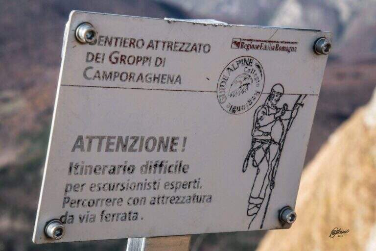
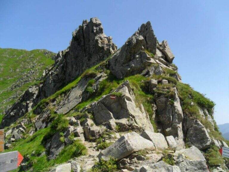
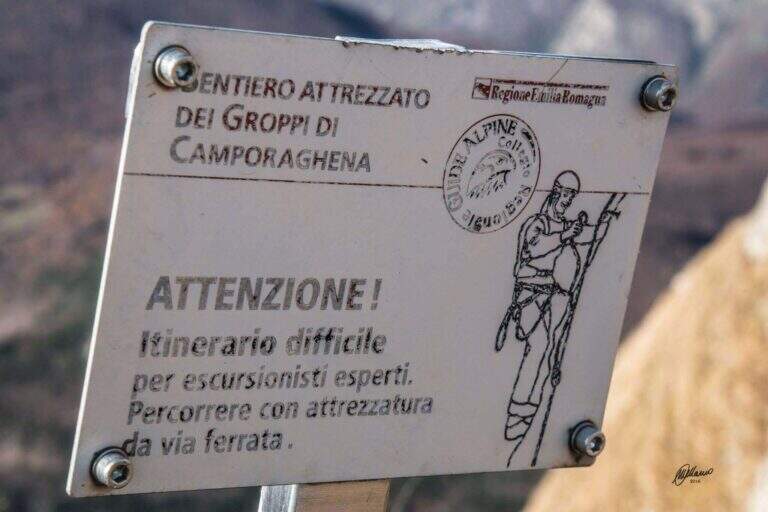
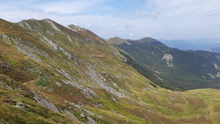
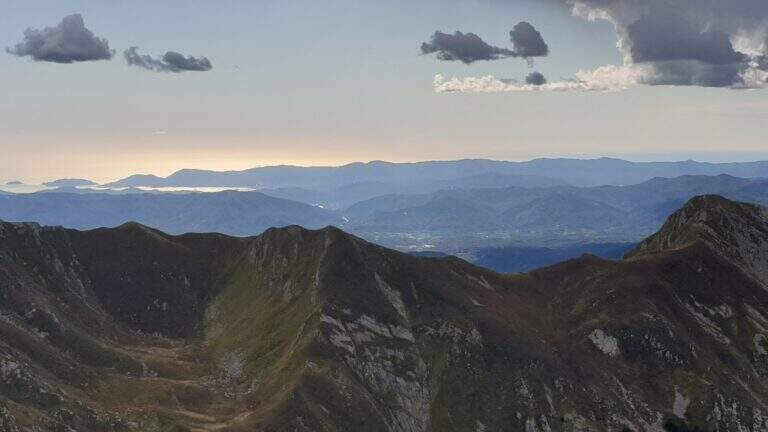
    The Groppi di Camporaghena and Monte Alto (1904m) represent the most alpine corner of the Tuscan-Emilian Apennines: a long itinerary with three sections equipped on Monte Alto at the triple border between the provinces of Reggio Emilia, Parma and Massa-Carrara.

    How to arrive and approach

    The starting point is Succiso Nuovo, a small hamlet of the municipality of Ventasso in the province of Reggio Emilia (RE), reachable along the road that climbs from Busana or from Collagna to the upper valley of the Secchia. Park in the village and take the CAI 653 signpost that leads to the high altitude. The approach takes about 3 hours: the path crosses the Torrente Liocca and goes up towards the plateau of Camporaghena, area of high altitude pastures at the provincial border RE/PR/MS.

    The path

    From Succiso Nuovo you go up to the 653 signpost, crossing the Torrente Liocca and earning altitude towards the panoramic Groppi di Camporaghena. The three equipped sections are located on the crest of Monte Alto (1904m) and exceed the steepest and rocky sections of the itinerary with about 2h30′ of equipped route (rail level difference: 100m). The landscape has a morphology reminiscent of prealpine areas, with unusual vertical walls for the northern Appennine. The maximum quota is 1904m.

    Character and difficulty

    A challenging itinerary mainly for the exceptional length (16km, 9 total hours, 1325m of total altitude difference) and the isolation of the environment. The three sections equipped on Monte Alto are never technically extreme but the fatigue accumulated in the 3 hours of approach makes them more significant. The environment of the Tuscan-Emilian Apennines at this altitude is wild and far from services. Difficulty: Moderately Difficult. Not suitable for beginners for durability and insulation.

    Period and safety

    Recommended from June to October. The length requires morning departure to complete the itinerary with daylight (9 hours). The isolation of the path requires bringing water, food and clothing for all weather conditions. In case of bad weather the descent can be complicated. Check snow conditions at altitude in late spring.

    Discipline

    The descent takes place through the reverse climb, descending from Monte Alto to the Groppi di Camporaghena and then along the 653 signpost to Succiso Nuovo. The total time of the round trip is about 9 hours.

    To match

    The Monte Alto and the Groppi di Camporaghena are located in a small area of the Apennine reggiano-parmense, suitable for those who love hiking in wild environments and far from the crowd. In the nearby Apuan Alps (Turkish) there are more technical and spectacular ferrate. The Alta Via dei Parchi runs through this area of the northern Apennines.

    ▲Gallery
    Technical data
    • DifficultyModerately Hard
    • RegionEmilia-Romagna
    • GroupAppennino Tosco-Emiliano
    • Approach3:00 h
    • Ferrata2:30 h
    • Itinerary (a/r)9:00 h
    • Hardware level difference100 m
    • Route difference1325 m
    • Max1904 m
    • Length16 Km
  • Path equipped Grande Chenalette

    Path equipped Grande Chenalette

    Vie Ferrate › Aosta Valley › AO
    Path equipped Grande Chenalette

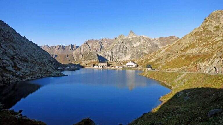
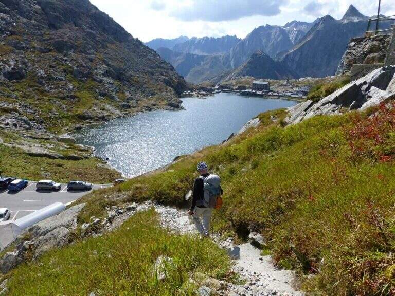
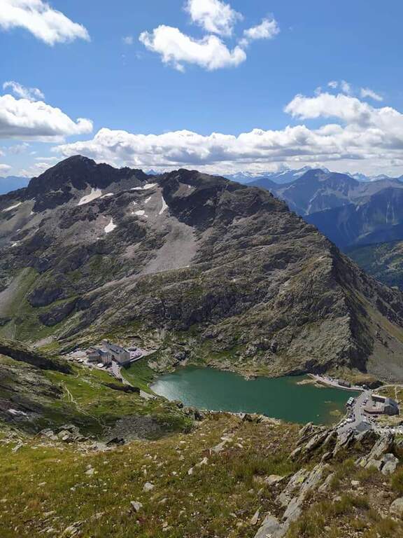
    The Sentiero Attrezzato della Grande Chenalette climbs from the Colle del Gran San Bernardo up to 2950m of the Valdostana peak, with technical traits on rock diedri in an alpine border between Italy and Switzerland.

    How to arrive and approach

    The starting point is located at the Colle del Gran San Bernardo (2469m), the Alpine pass on the border between Valle d’Aosta and Switzerland, reachable from Italy via the hill road or the Traforo del Gran San Bernardo. It is parked in the area of the hospice, on the Swiss side of the pass. Approximation takes about 1h20′′: go up north passing near the ruins of the ski slopes of the 80’s until a panoramic viewpoint at altitude 2650m. The real attack of the equipped section is located at 2780m, about 1h20′ from the parking lot.

    The path

    From altitude 2780m begins the equipped section of the Great Chenalette. The route develops on a rocky dihedron assisted by metal pioli and fixed ropes for a height difference of 108m in about 1 hour. The progression on rock is technical but the equipment is well placed. The summit of the Great Chenalette (2950m) is the destination of the itinerary: from here the panorama stretches over the Pennine Alps to the Italian-Swiss border in all directions.

    Character and difficulty

    Path difficult especially for the high altitude (about 2950m) and exposure of the dihedron. Despite the relative brevity (6.4km, 1 hour of equipped stretch), the altitude requires good acclimatization and trained physical. The technical-athletic complexity index is high on all parameters. Difficulty: Hard. Route for experienced climbers and mountaineers accustomed to high altitude.

    Period and safety

    Recommended from July to August. At 2950m snow and ice can persist even in summer, especially in the equipped dihedron exposed to the north. The strong wind is frequent on the border ridge. Carefully check the nivometeorological conditions before taking the excursion. Complete fitting indispensable.

    Discipline

    The descent takes place on the way up: from the equipped diedro comes back to the belvedere at 2650m and then to the hospice of the Gran San Bernardo. Total excursion time: about 3h30′.

    To match

    The Gran San Bernardo is located in the heart of the Valdostane Alps. The Aosta Valley offers some of the most demanding ferrates in the Western Alps, in a unique high glacial mountain context. Nearby are alpine paths on the ridge of the Italo-Swiss border.

    ▲Gallery
    Technical data
    • DifficultyHard
    • RegionAosta Valley
    • GroupAlps Pennine
    • Approach1:20 h
    • Ferrata1:00 h
    • Itinerary (a/r)3:30 h
    • Hardware level difference108 m
    • Route difference530 m
    • Max2950 m
    • Length6,4 Km
  • Sentiero Attrezzato Gino Badia

    Sentiero Attrezzato Gino Badia

    Vie Ferrate › Trentino-Alto Adige › TN
    Sentiero Attrezzato Gino Badia

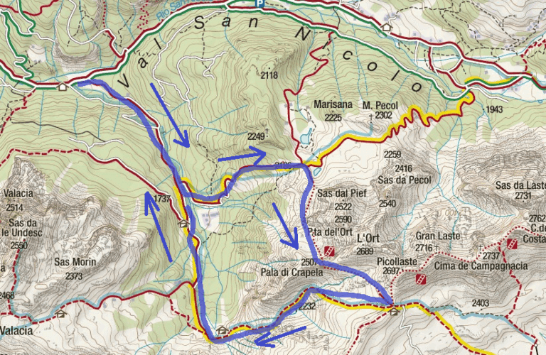
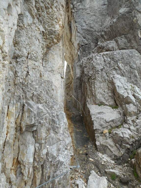
    The Sentiero Attrezzato Gino Badia is a high mountain route in the Trentino Dolomites of Val San Nicolò, near Pozza di Fassa: a challenging climb with equipped stretches that culminates in the iconic carving of the Forcella del’Ort between two rocky towers.

    How to arrive and approach

    The starting point is Malga Crocefisso (1522m), reachable from Val San Nicolò — right side of Val di Fassa — near Pozza di Fassa (TN). Follow the forest road that goes up the Val San Nicolò until the parking lot at the hut. From the parking lot take the 603 signpost that enters the valley. Approximation takes about 2 hours to the Forcella from Pief (2186m), along the signs 603, 641 and 640A in succession.

    The path

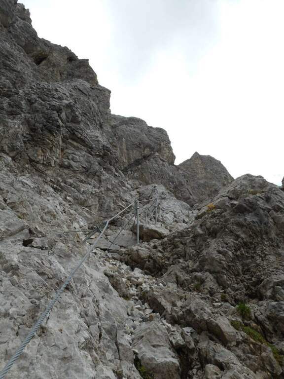
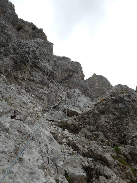
    From Malga Crocefisso (1522m) go up for the 603-641-640A signs to the Forcella from Pief (2186m) in about 1h30′. From the fork begin the equipped sections of the Sentiero Gino Badia: about 45 minutes of progression on dolomitic rock with a height difference of 75m. The route culminates in the spectacular Forcella del Ort, a narrow air carving between two rocky Dolomite towers that constitutes the most characteristic passage of the route. The maximum quota reached is 2528m.

    Character and difficulty

    The path is classified difficult especially for the long approach (2 hours) and the total difference (1006m on 13km total). The section equipped in the strict sense is short-lived but takes place on dolomitic soil at more than 2400m of altitude, requiring good technique of progression and absence of dizziness. The Forcella del Ort is a very characteristic air passage. Difficulty: Hard.

    Period and safety

    Recommended from July to September. At an altitude of 2528m the Dolomitic weather can change quickly: the morning departure is mandatory to avoid the afternoon storms. Snow presence possible even in summer in the canals of the Forcella del Ort. Check conditions before facing the route, especially in the first and last part of the summer season.

    Discipline

    From the highest point (2528m) it descends towards the Forcella from Pief and then to Malga Crocefisso for the climb path, or you can access other routes of the Val Monzoni area. The total time of the excursion is about 5h30′.

    To match

    The Val di Fassa and the surrounding Dolomites are equipped with trails of all levels. The Val San Nicolò is a quiet and unpopular environment, ideal for approaching other peaks of the Monzoni Group. In the surroundings of Pozza di Fassa there are numerous itineraries of the Dolomites of Fassa.

    ▲Gallery
    Technical data
    • DifficultyHard
    • RegionTrentino-Alto Adige
    • GroupDolomites
    • Approach2:00
    • Ferrata0:45 h
    • Itinerary (a/r)5:30 h
    • Hardware level difference75 m
    • Route difference1006 m
    • Max2528 m
    • Length13 Km
Need help? Write to us!