Paese: Italia

  • Sentiero Attrezzato della Vergella al Monte San Martino

    Sentiero Attrezzato della Vergella al Monte San Martino

    Vie Ferrate › Lombardia › Lecco
    Sentiero Attrezzato della Vergella al Monte San Martino

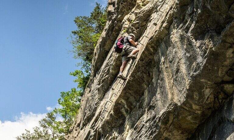
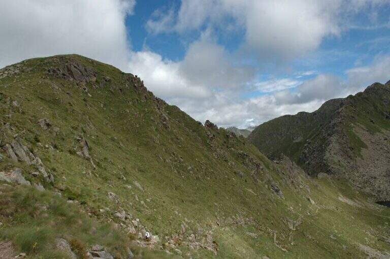
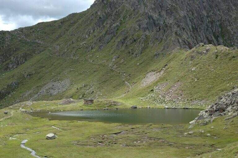
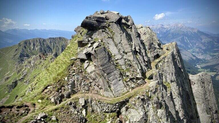
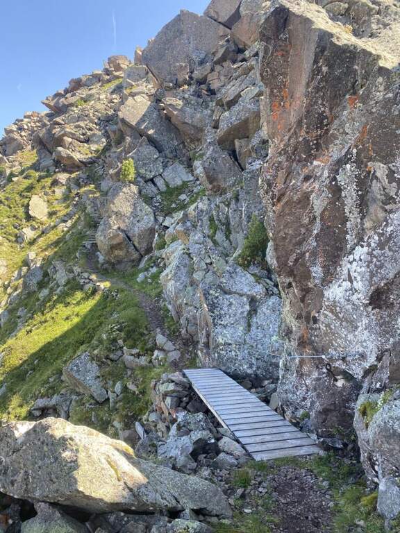
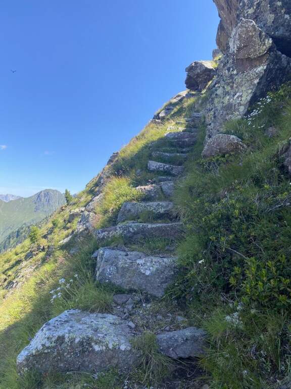
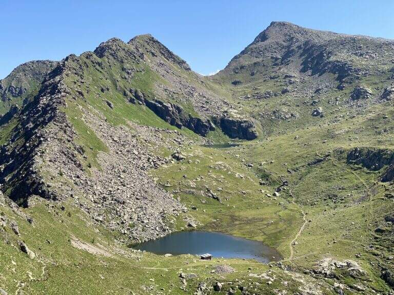
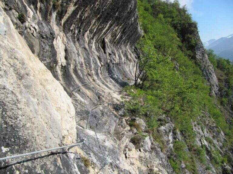
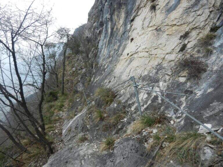
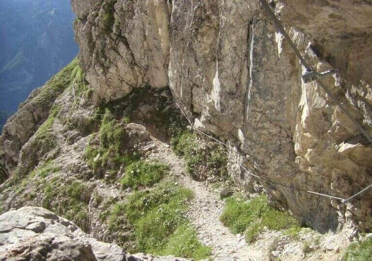
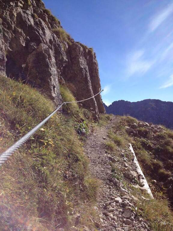
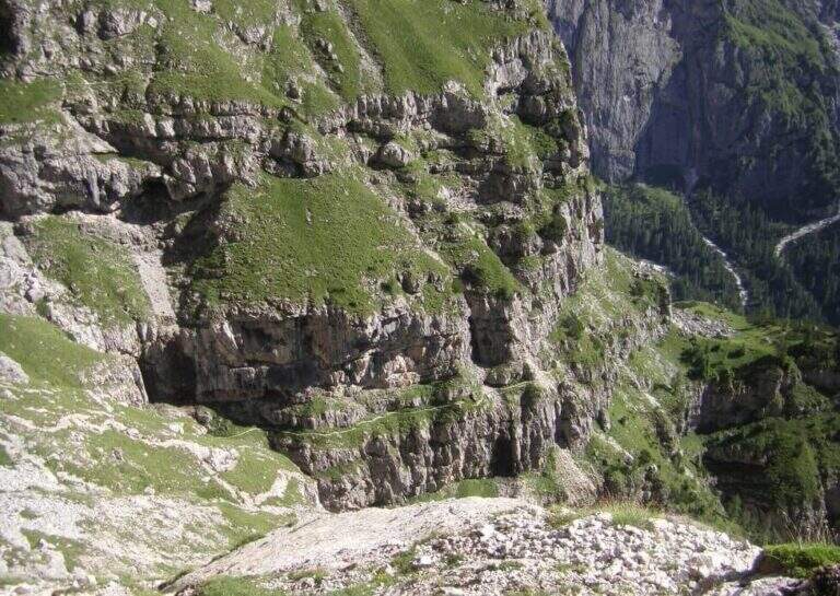
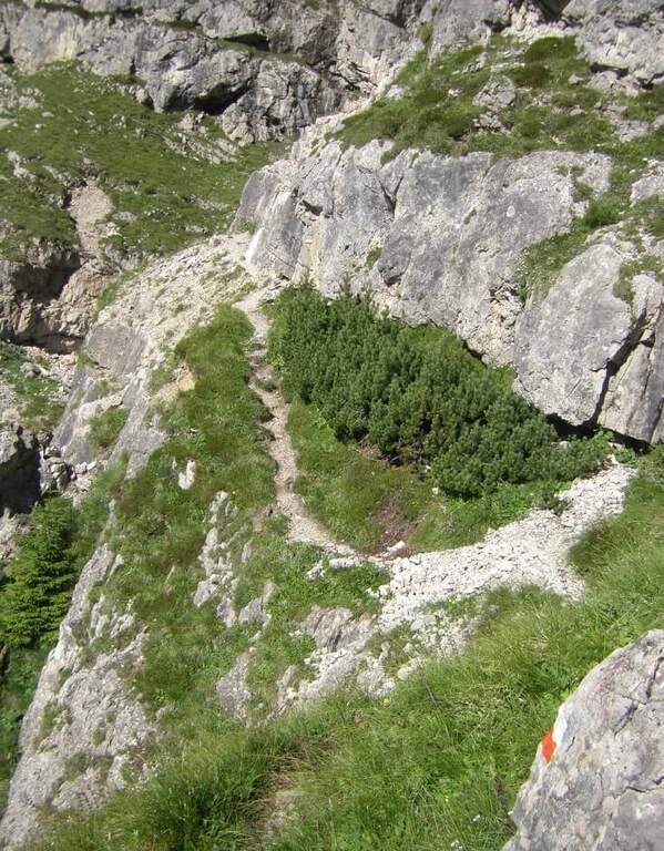
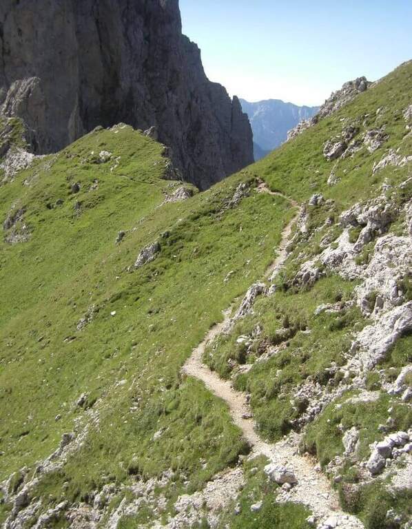
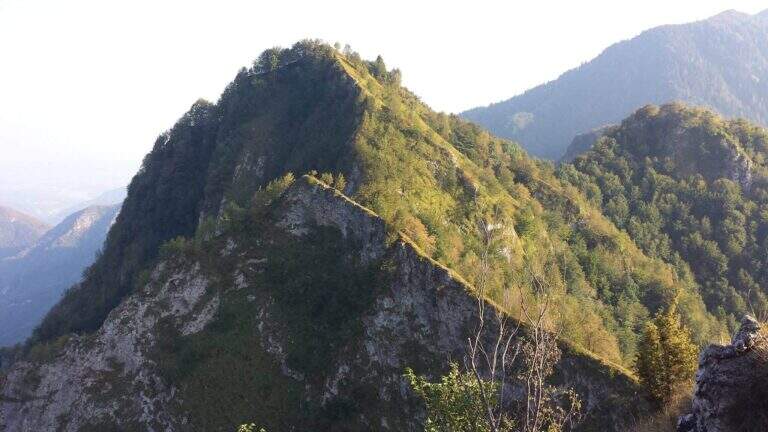
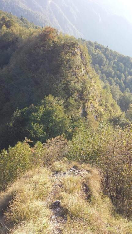
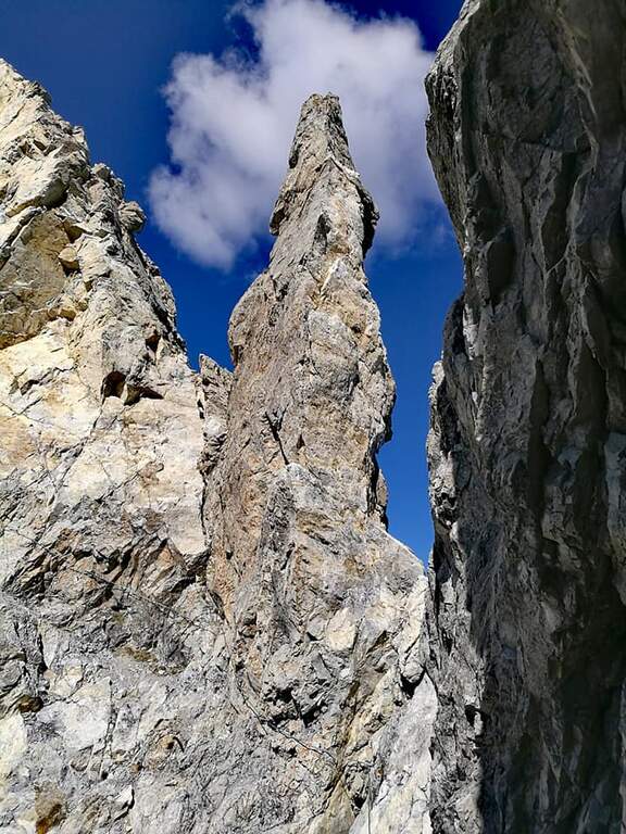
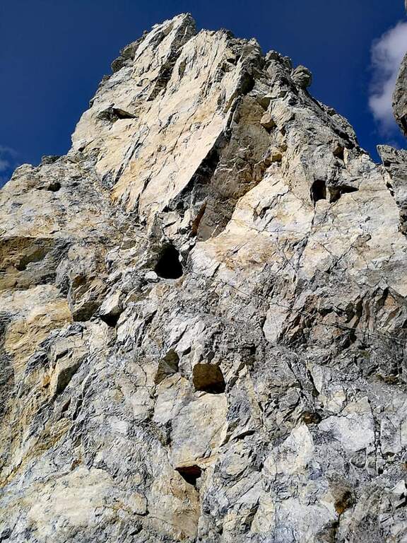
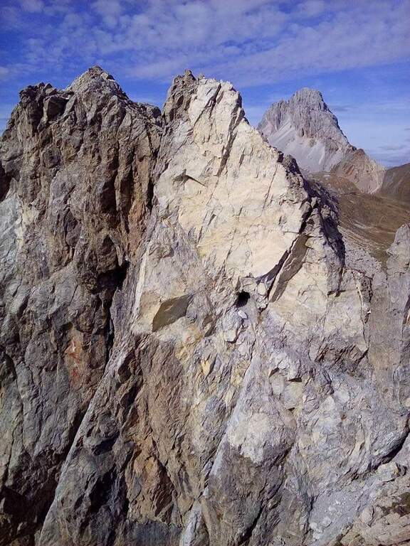
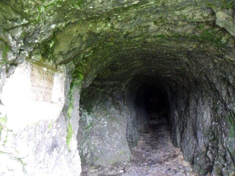
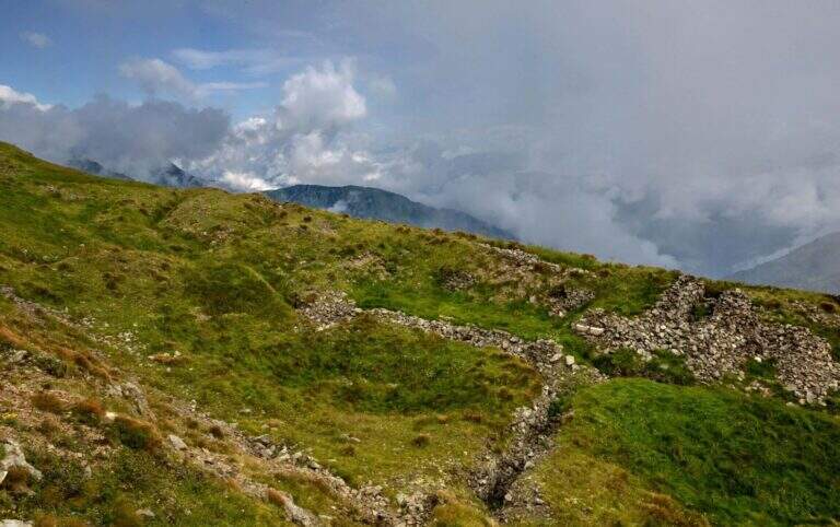
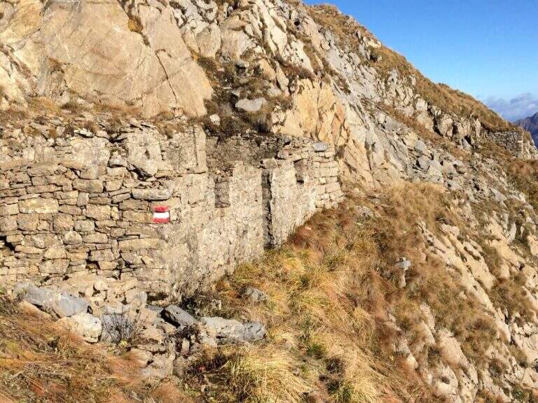
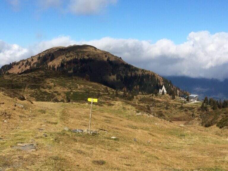
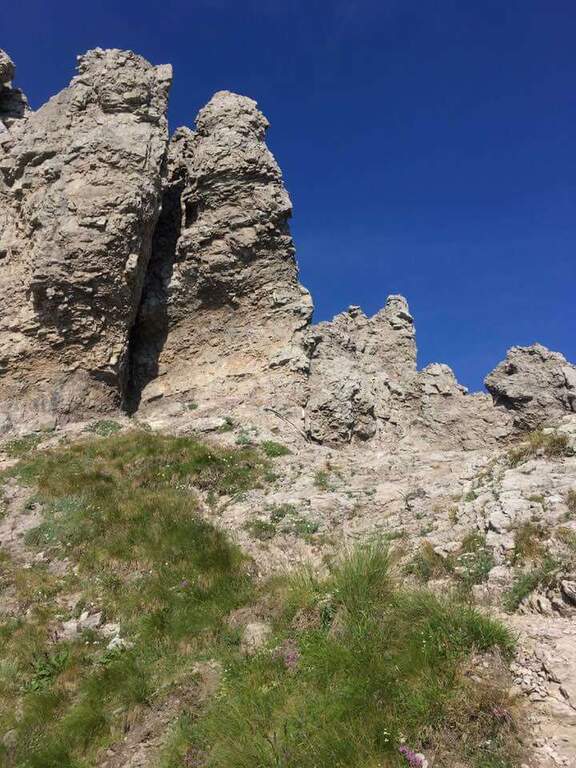
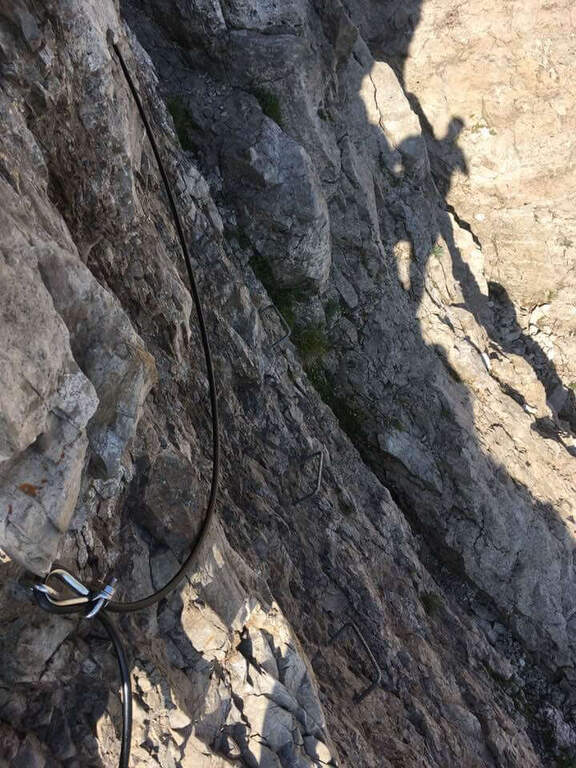
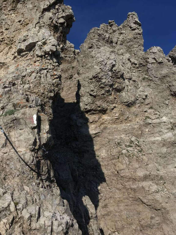
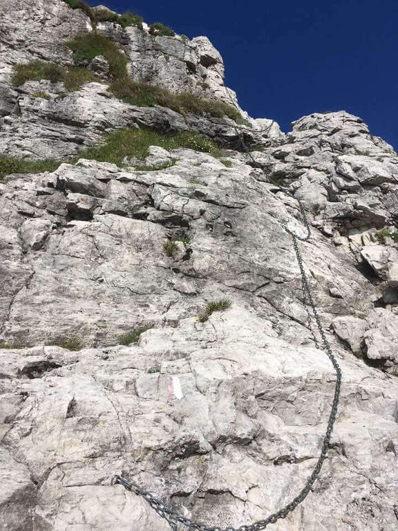
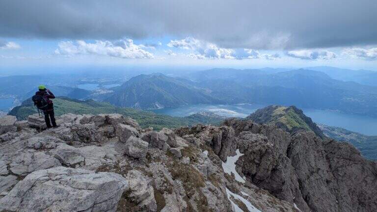
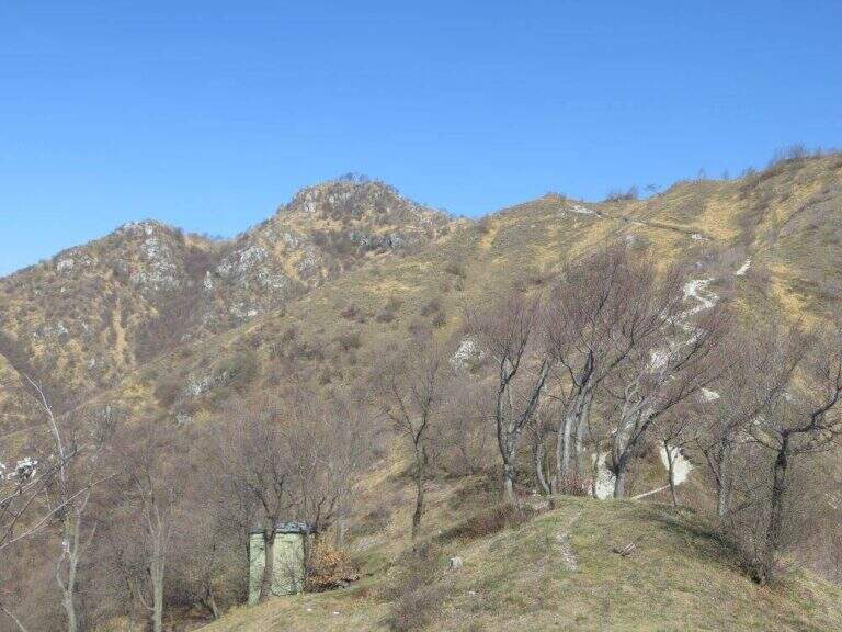
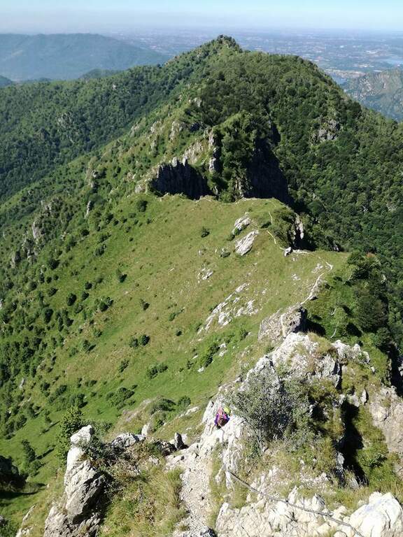
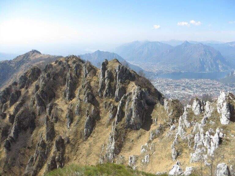
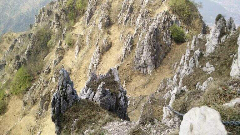
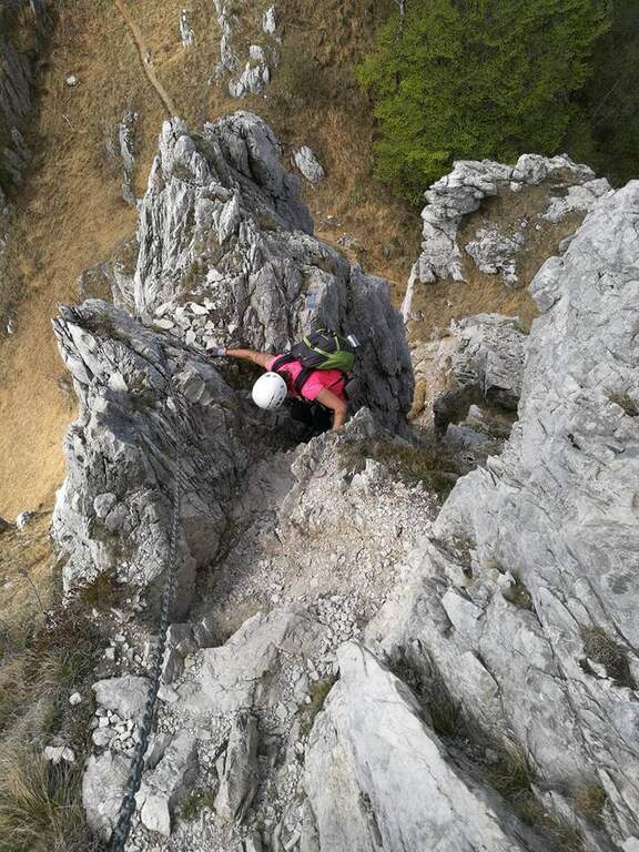
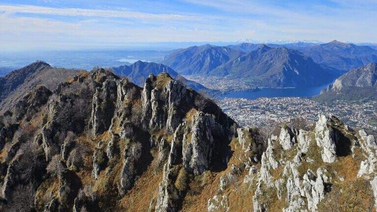
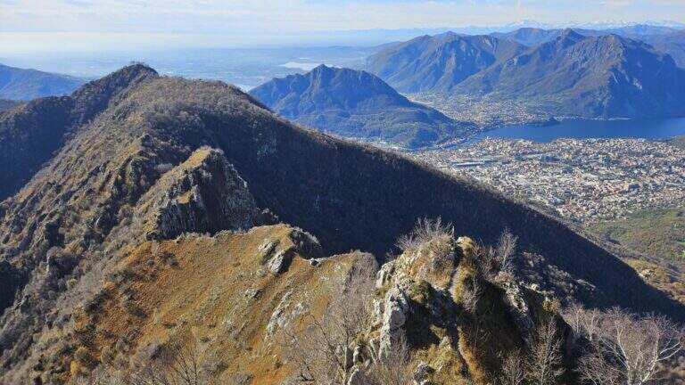
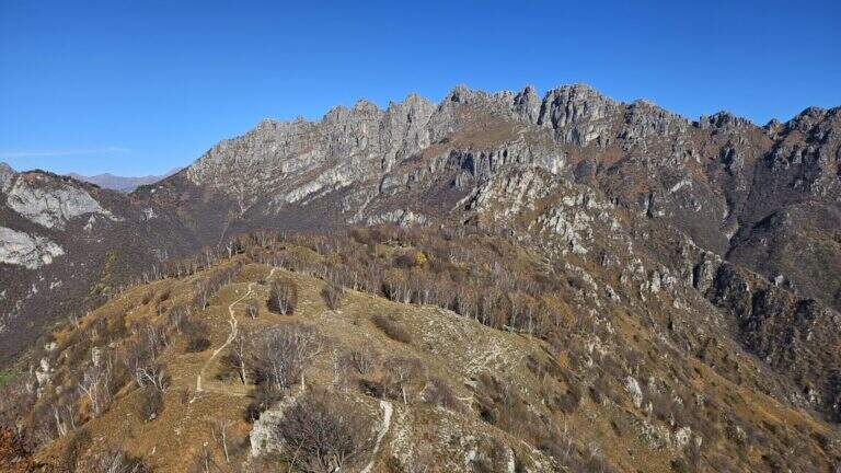
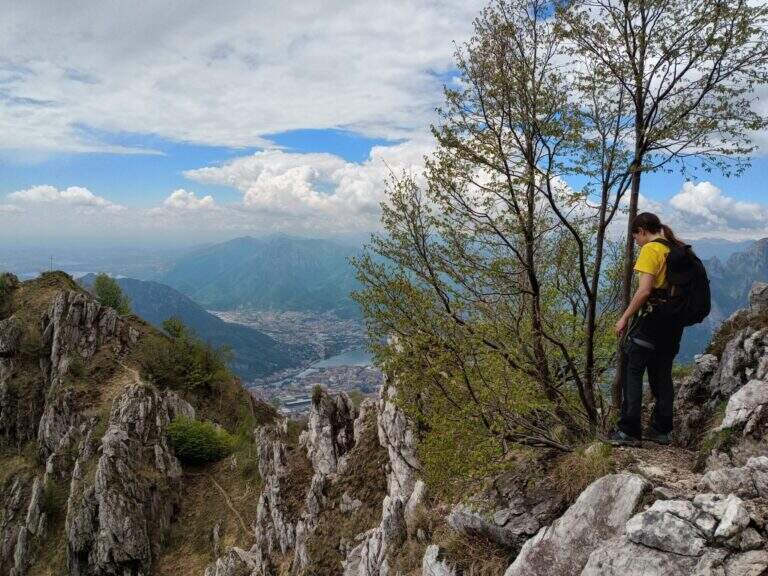
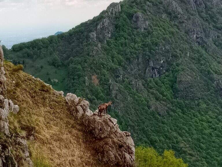
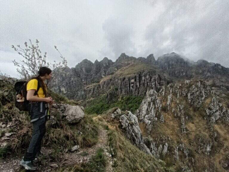
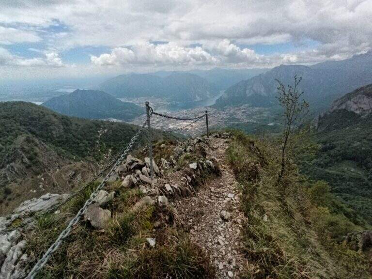
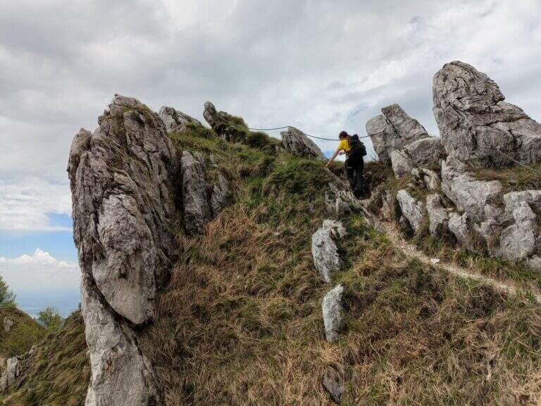
    The Sentiero Attrezzato della Vergella is a variant of ascent compared to the most beaten path that from Lecco leads to the Chapel of Madonna del Carmine, under Monte San Martino. It has no hardship and allows to trace back a couple of more challenging rocky laughter with the help of some chains. It is generally available throughout the year, paying attention to the warmest months.

    ▲Approach

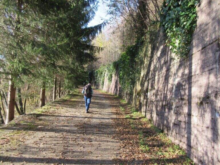
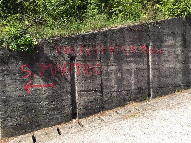
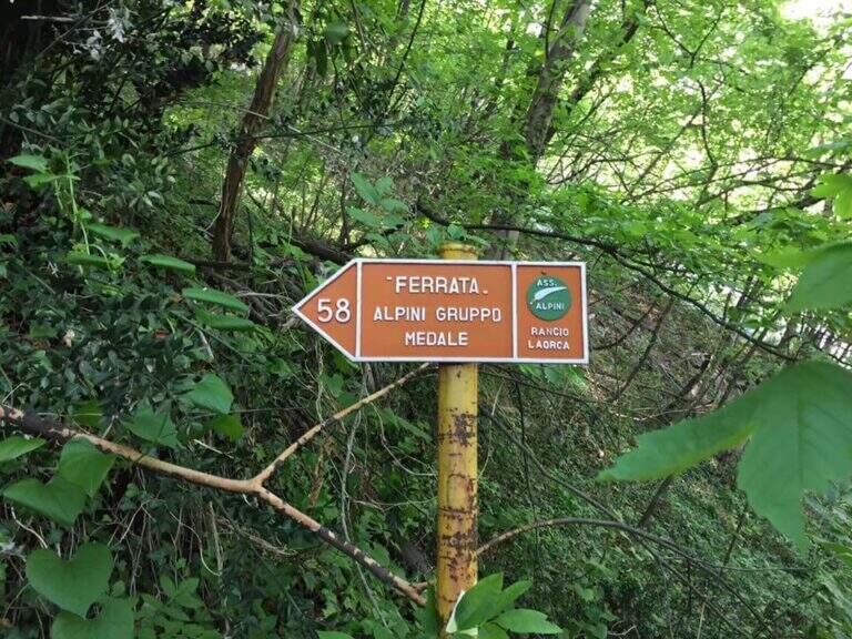
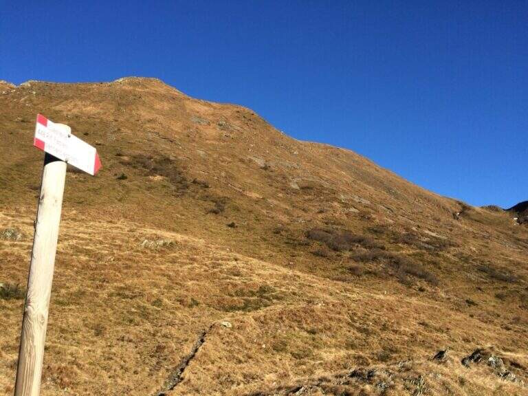
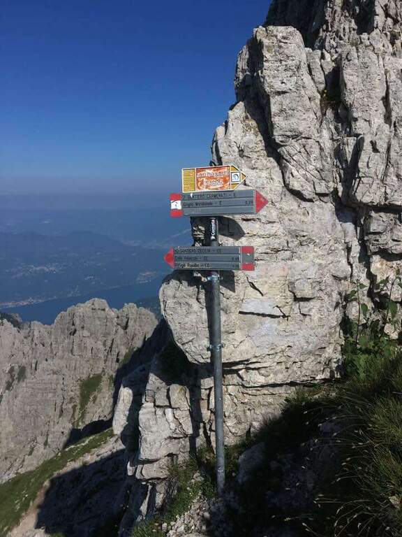
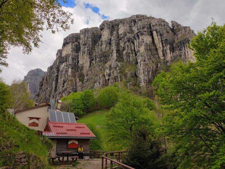
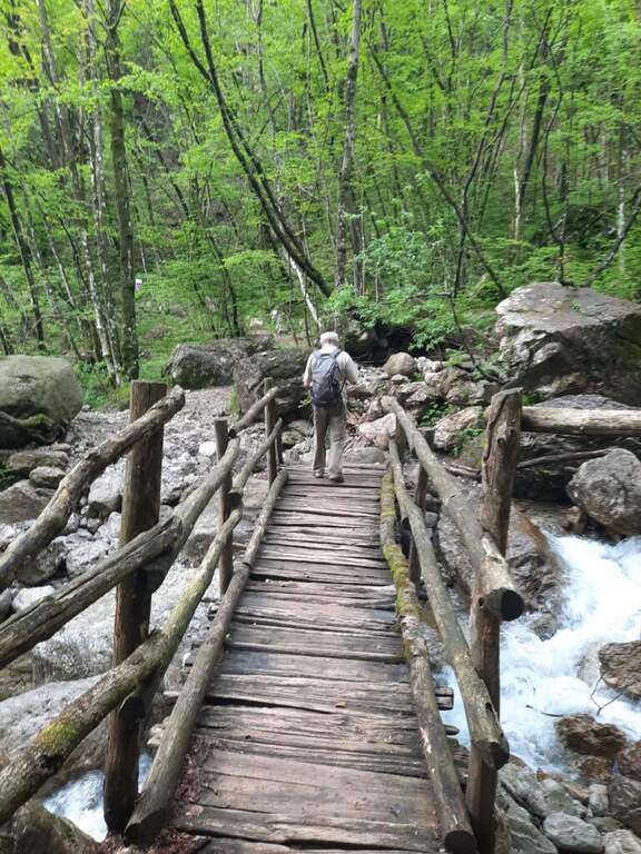
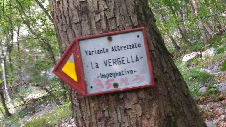
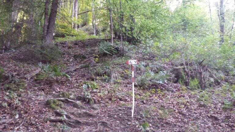
    It starts from the town of Rancio Alto, over Lecco. From Lecco take the road towards Ballabio up to a evident double hairpin bend in the middle of the houses: near the second bend, where on the left a road continues straight, take Via Quarto and walk about 200 meters until you notice, near a pedestal, an asphalted road on the right that goes steeply with an open rusty white bar. You go up this steep street, you turn a first bend on the left and, at a crossroad, you go right uphill for a couple of minutes until a bar where you park (open up Google Maps). From the parking lot continue on the cemented road to a bend, where you continue straight on a mule track (CAI 52); you ignore some bivores that detach to the right (including CAI 58 for Ferrata del Medale) and, under the walls of Monte San Martino, you go back some bends up to a crossroad where a white sign indicates left the Sentiero Attrezzato della Vergella (20′ from the parking lot).

    ▲The path

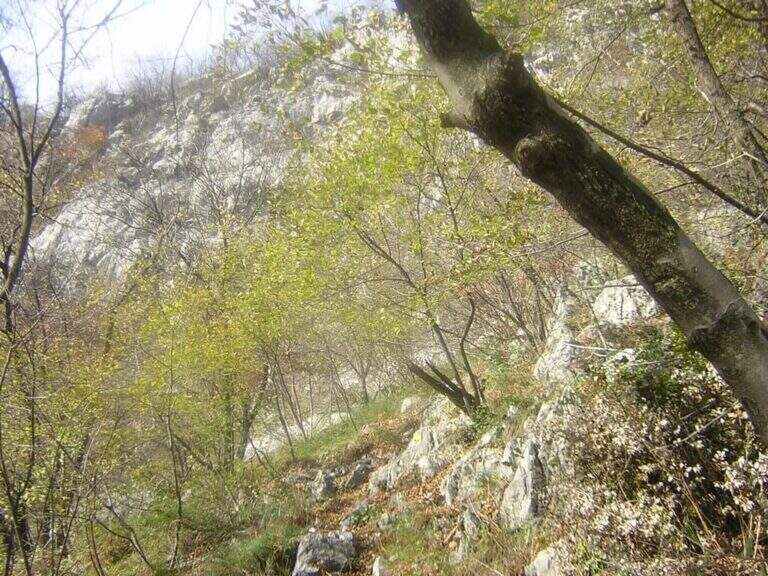
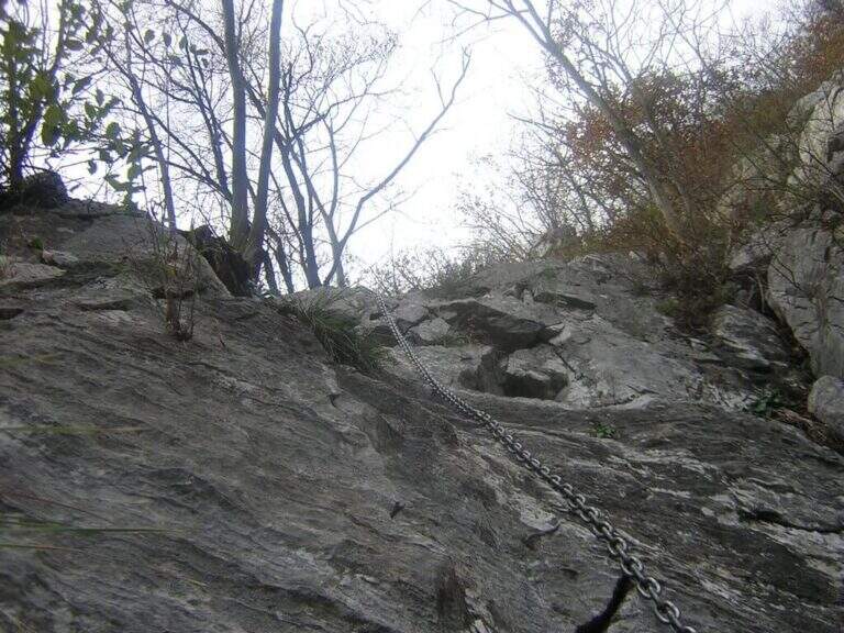
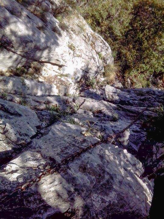
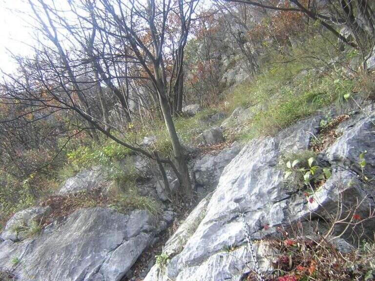
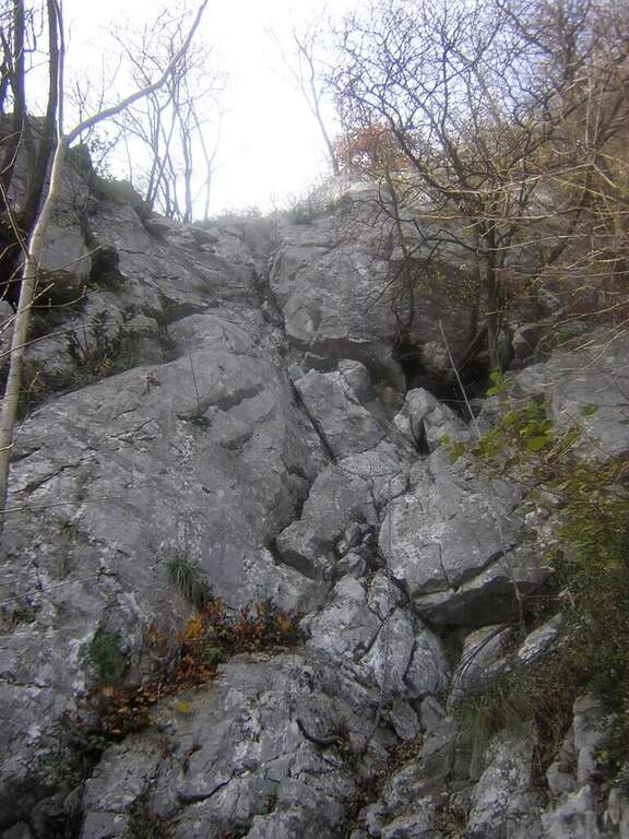
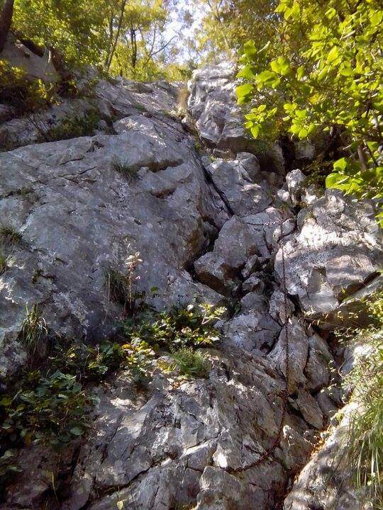
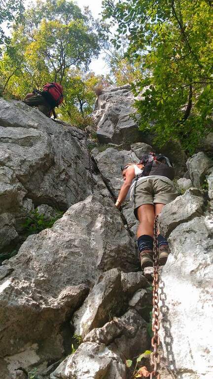
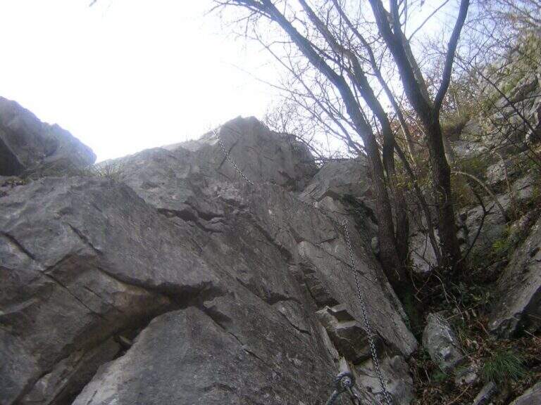
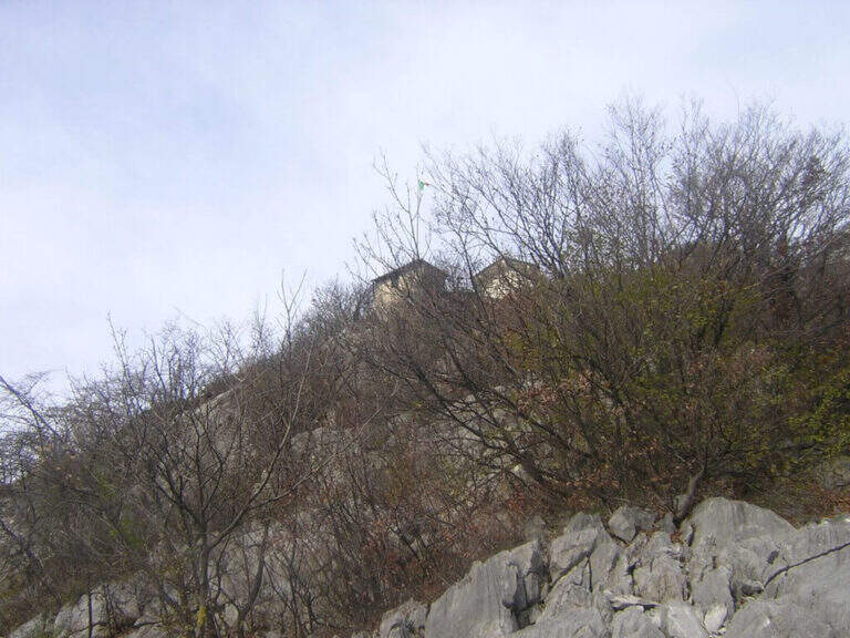
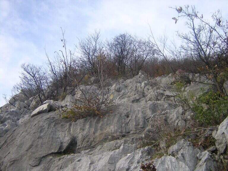
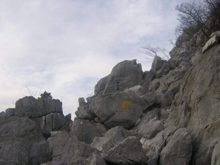
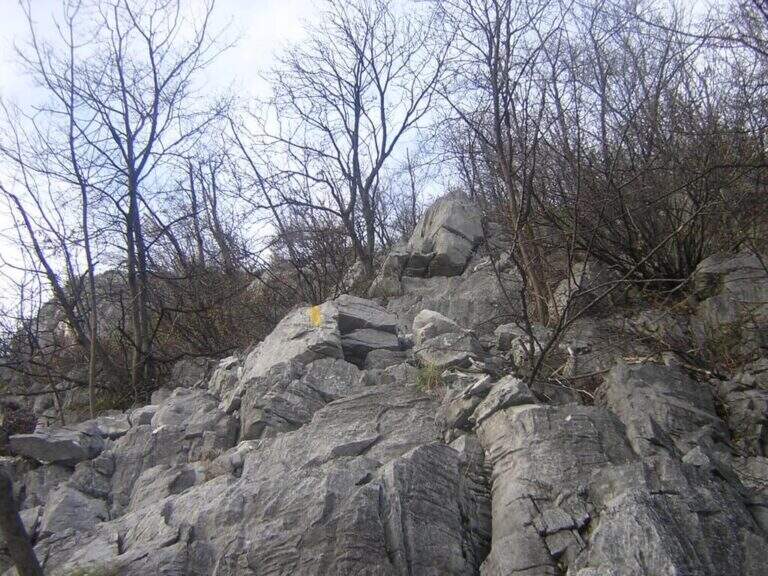
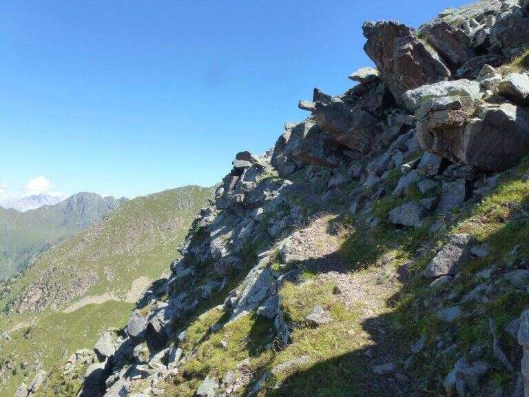
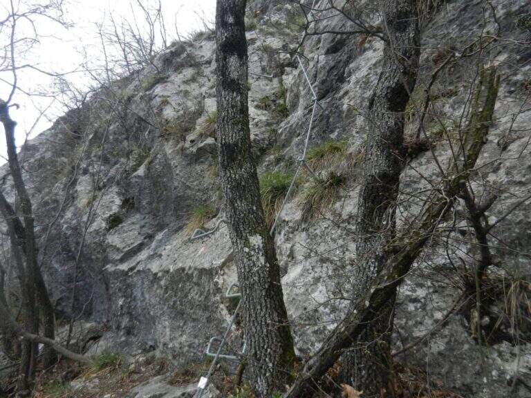
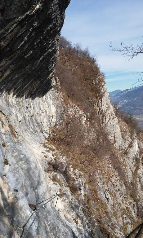
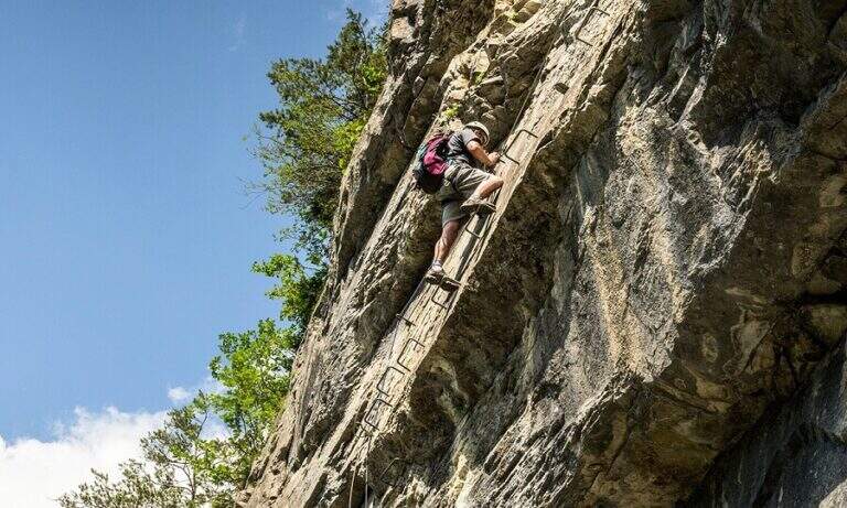
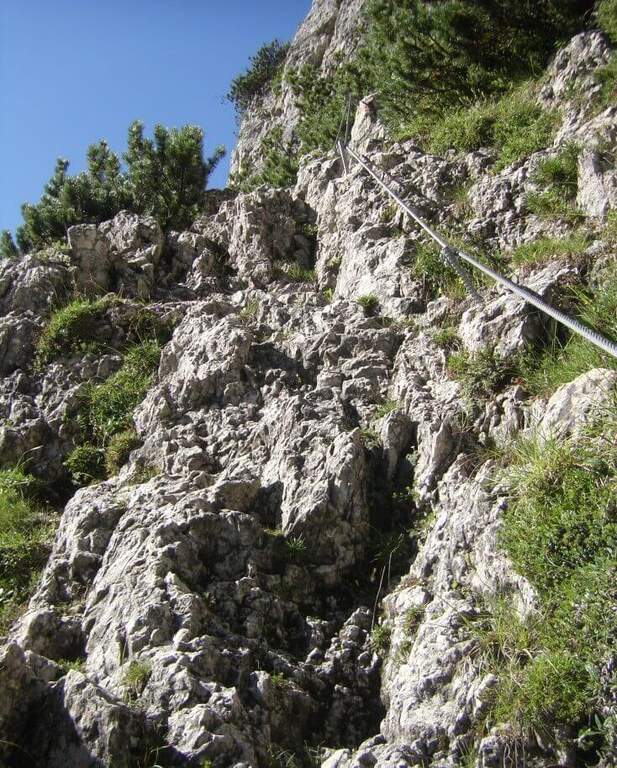
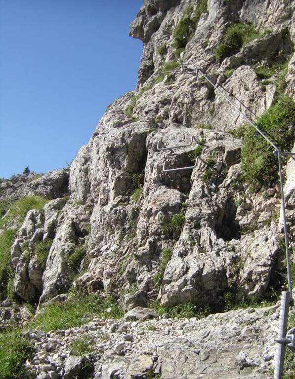
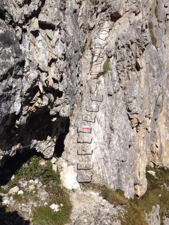
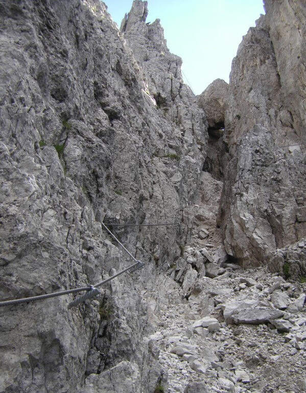
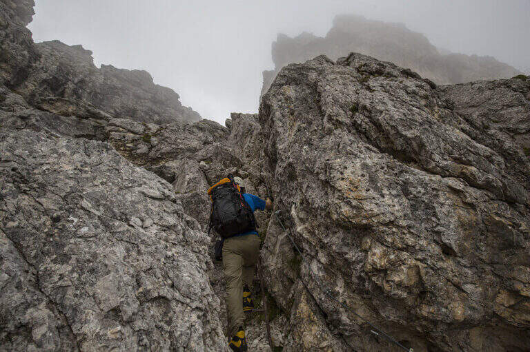
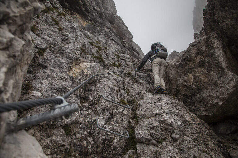
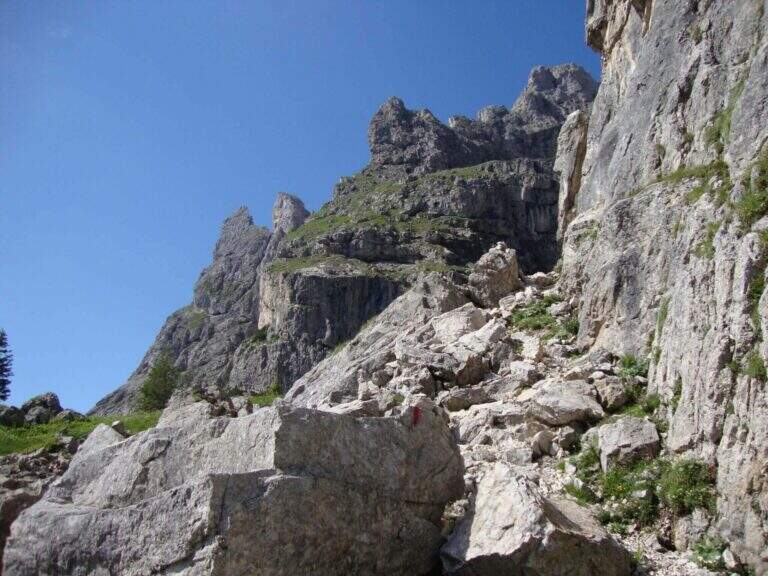
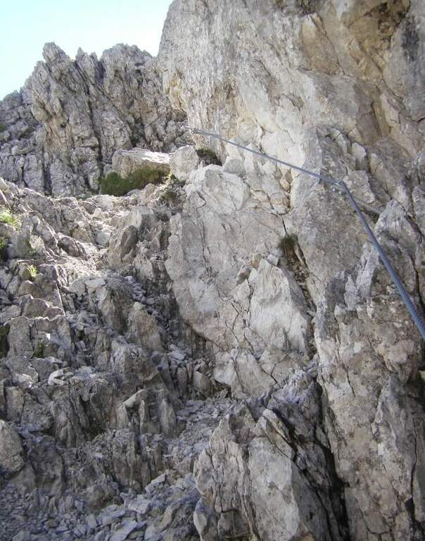
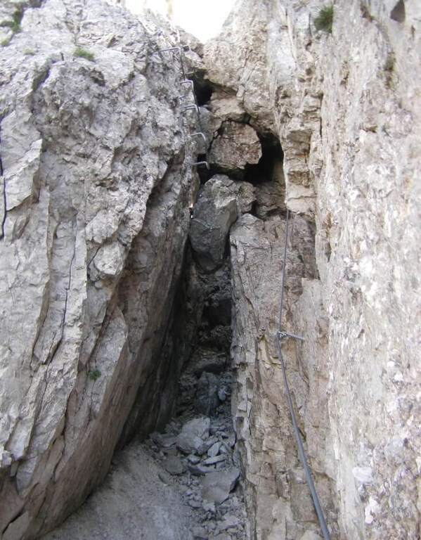
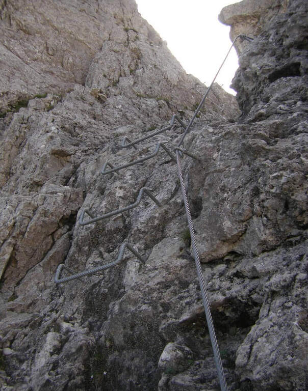
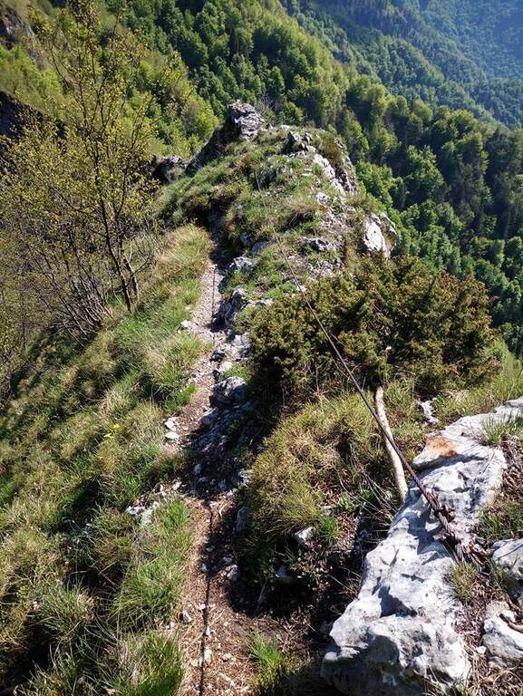
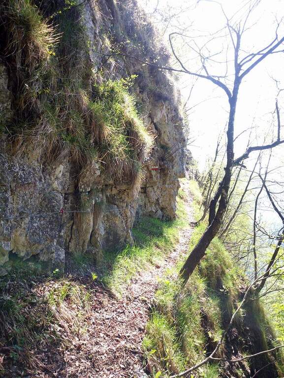
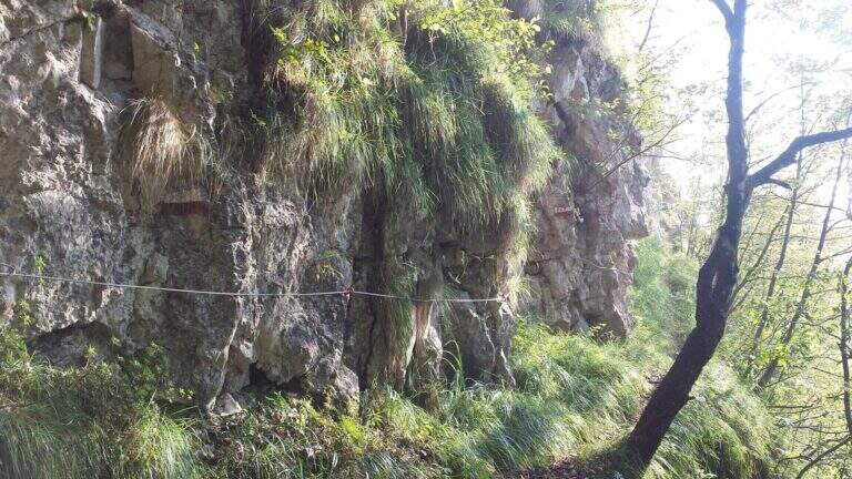
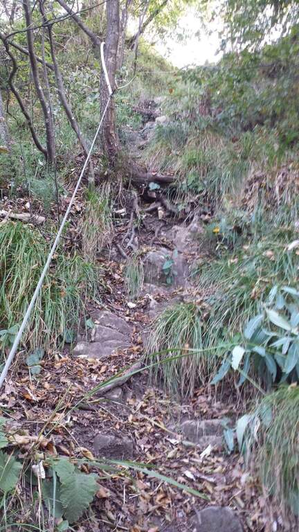
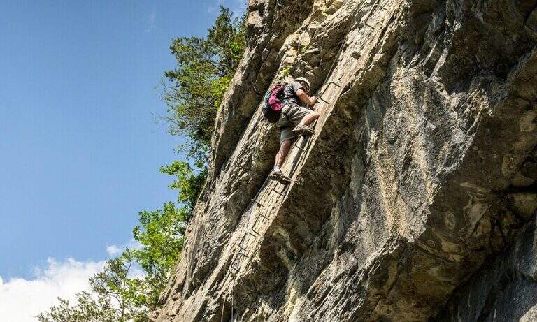
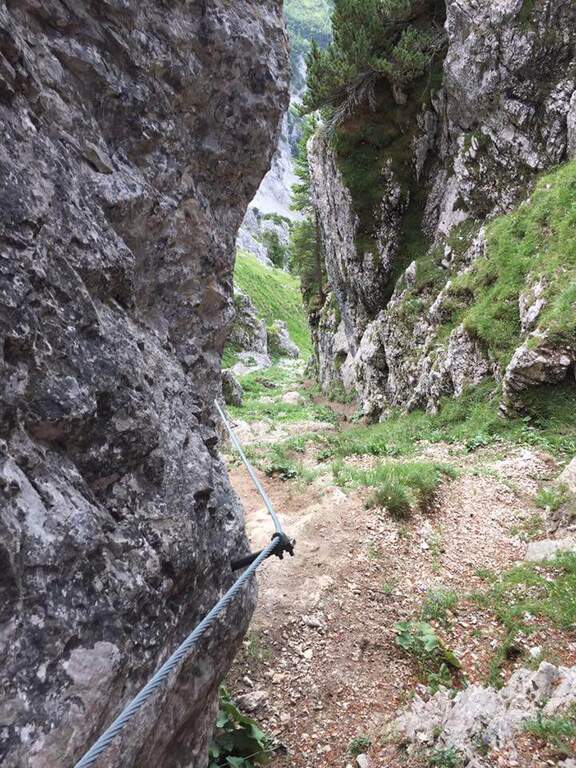
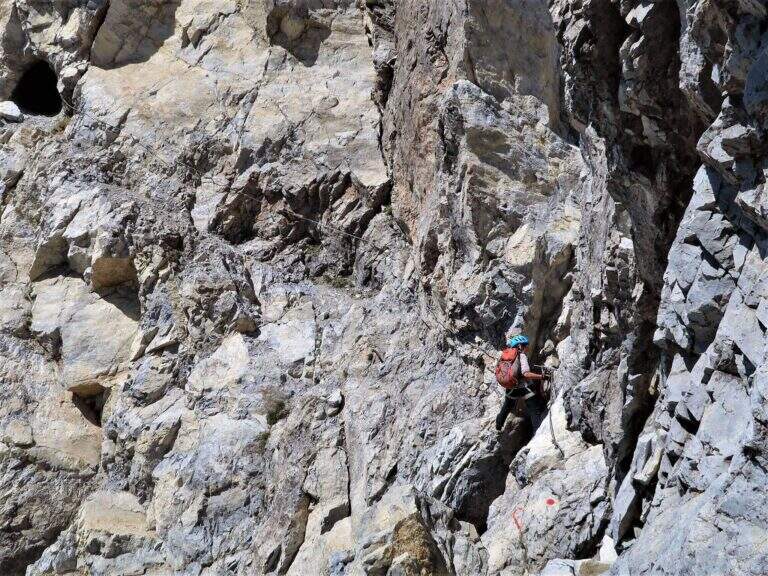
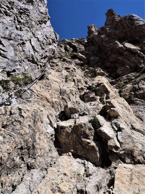
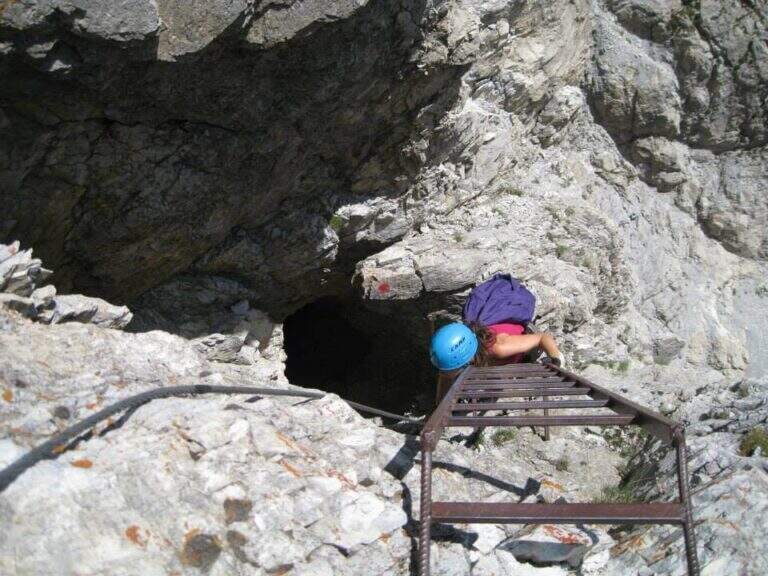
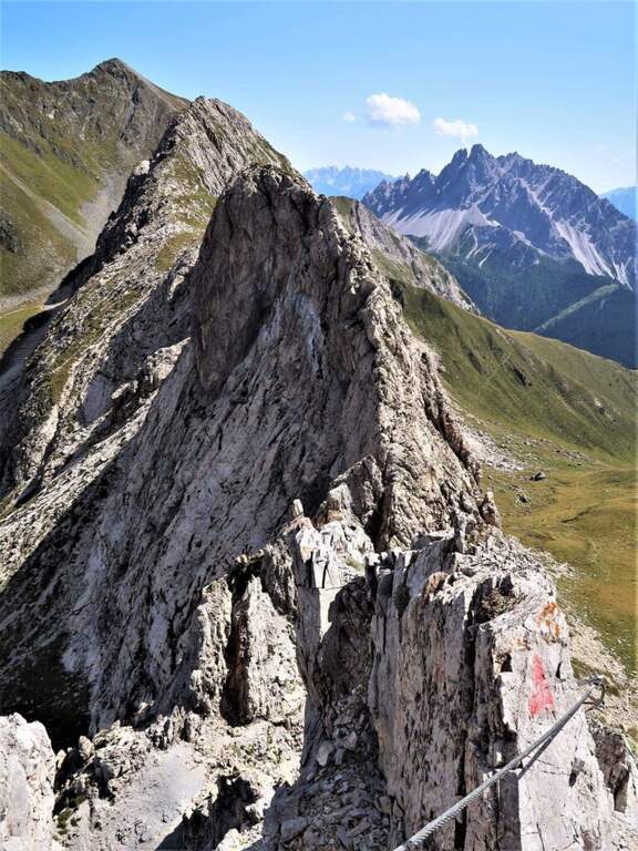
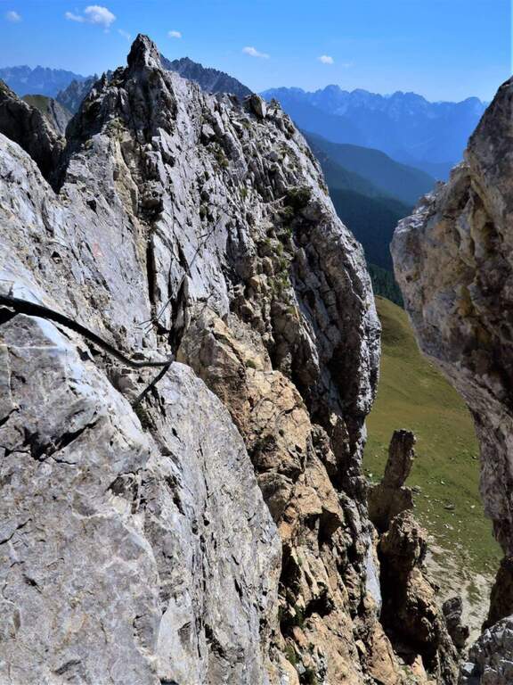
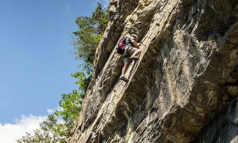
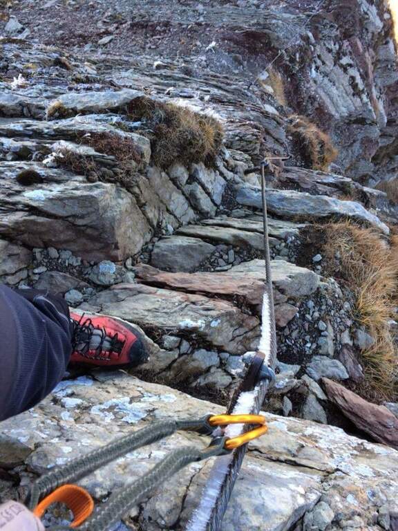
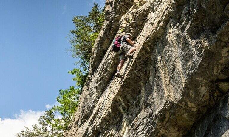
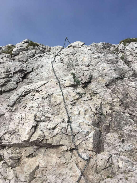
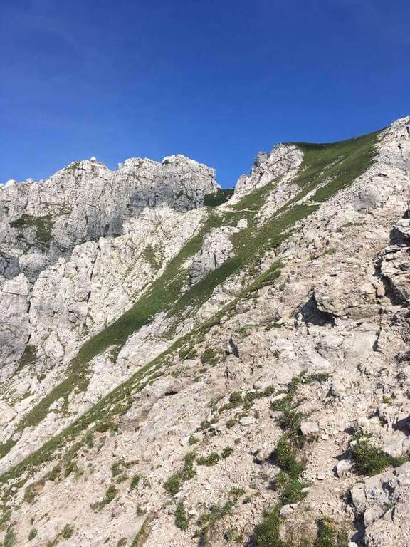
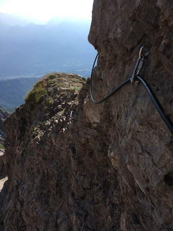
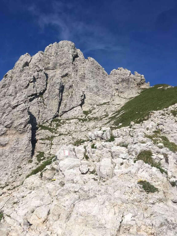
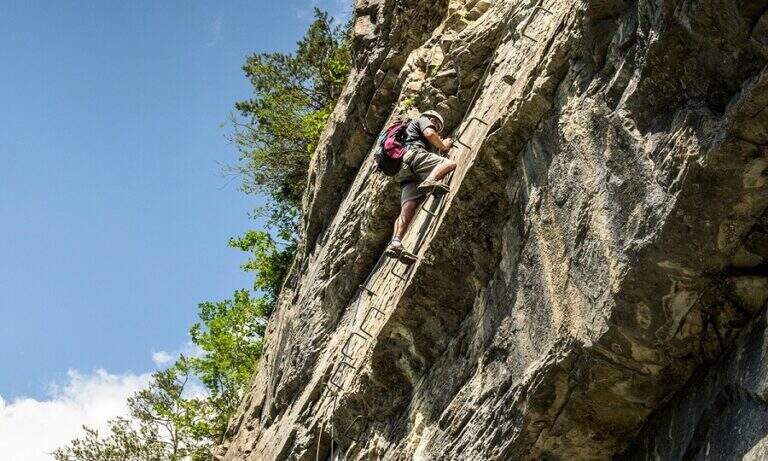
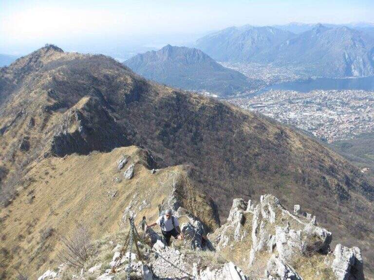
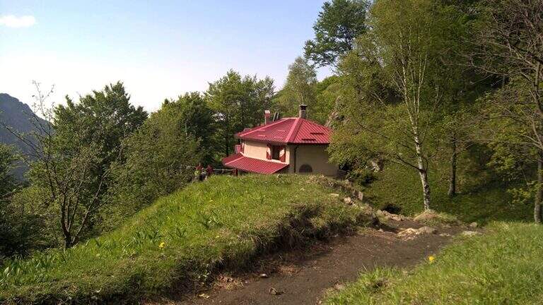
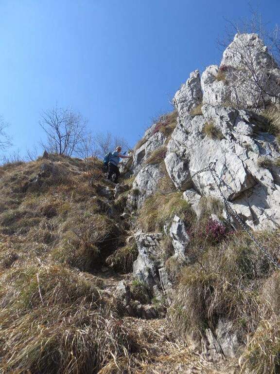
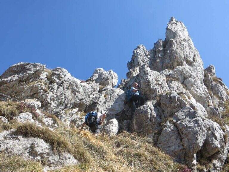
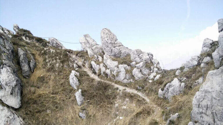
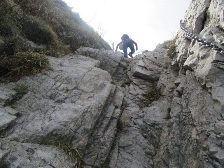
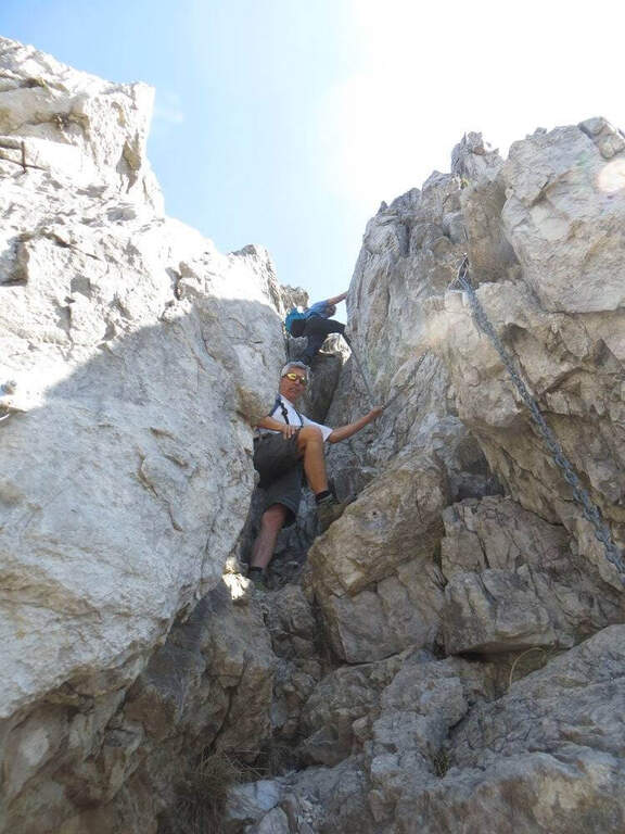
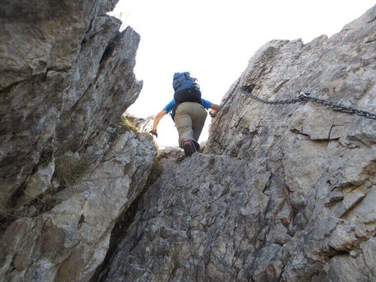
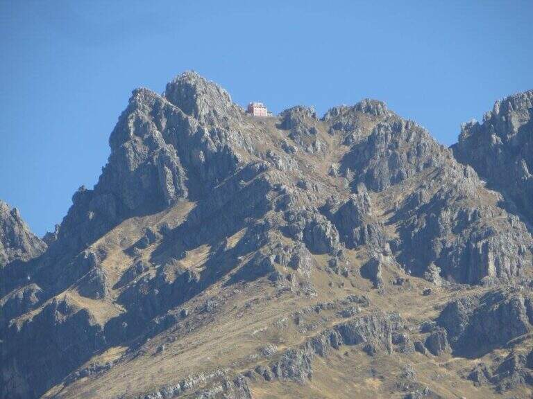
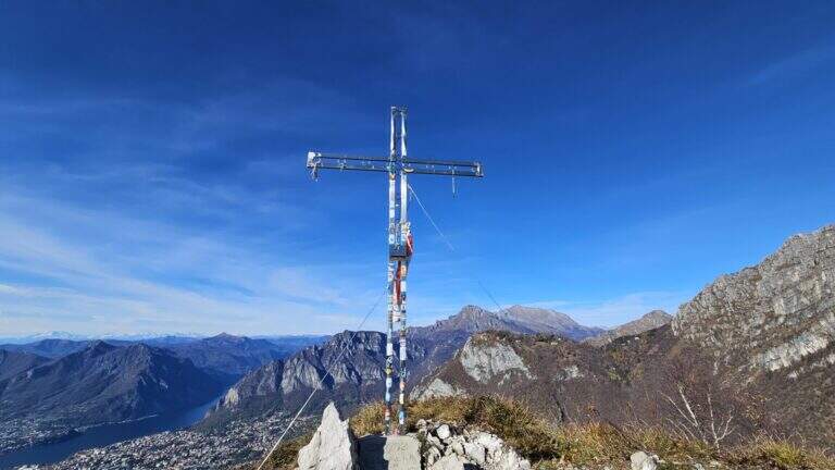
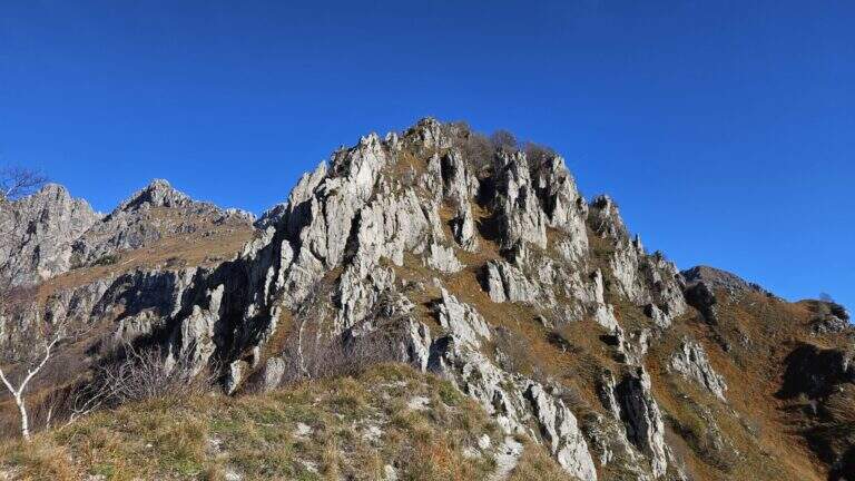
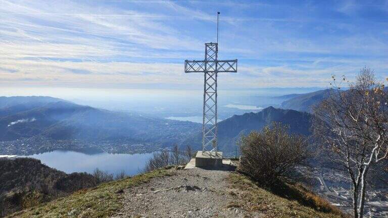
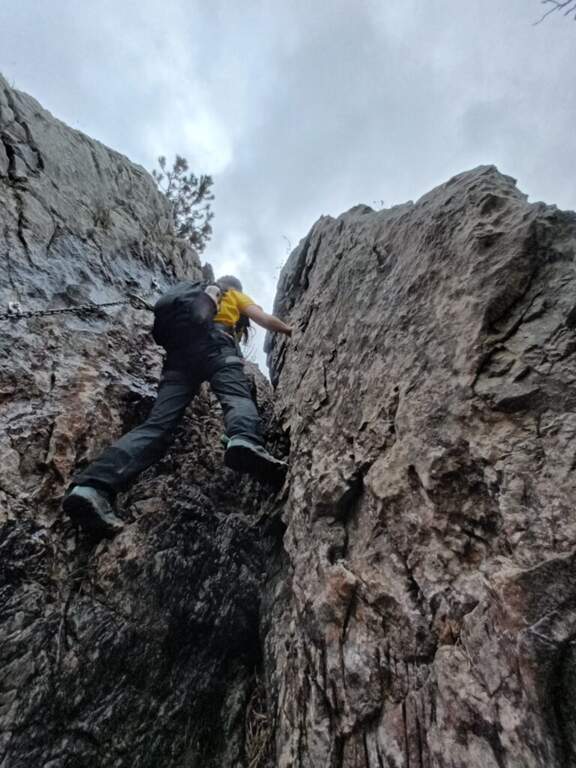
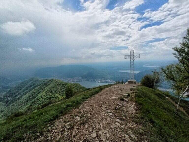
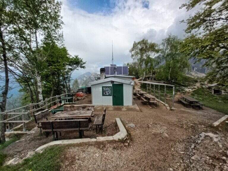
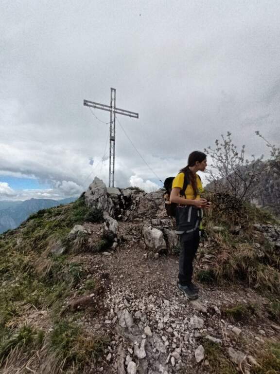
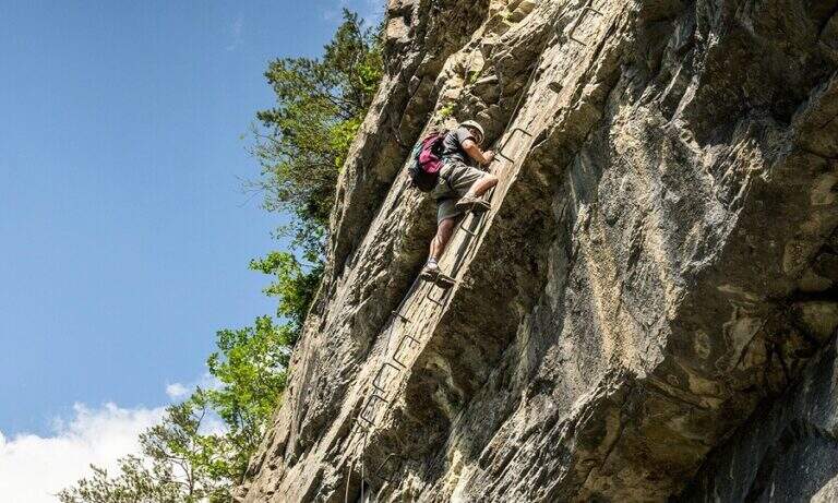
    From the deviation follow the yellow signs of the route; near the crag of the Placchette di San Martino you continue straight until the attack. The equipped path goes up a rocky channel in which the chain immediately develops vertically on a wall at first smoothed, then more entangled, climbs quite smoothly; in the upper part it crosses to the left leaving on a beautiful panoramic terrace. Continue up to a second vertical wall, from the appearance of an unmarked dihedron, which sticks following the chain on the left side; climb the wall and face a traverse to the left, exit and rise some rocky steps until the end of the equipment. Between rocky balconies and uncomplicated rocks, and a last steep stretch of path, ends the Path of the Vergella (1h from the attack, about 1h30 from the parking lot), with the Chapel of the Madonna del Carmine now in sight.

    ▲Character and difficulty

    The itinerary has no significant difficulty. The two more vertical sections are suitably equipped and give the necessary safety to less experienced hikers, while those who are more trained can try to trace them back without using the chain.

    ⚠ After abundant rains or in autumn months the foliage makes slippery some stretches, especially if the path is traveled downhill.
    ▲Period and safety

    Low altitude (maximum 742 m): it is a route almost all year round, with attention to the heat in the summer months and the slippery of the bottom in the humid seasons.

    ▲Discipline

    If the itinerary ends at the chapel, take the path to its right, which descends first into the woods, then between rocky steps and finally under the walls of Monte San Martino, until you reach the path of the way and then to the parking lot (45′ from the chapel, 2h15 total). Alternatively you can continue along other routes: on the right of the chapel take the Sentiero Attrezzato Silvia for the summit of Monte San Martino (45′), evaluating then if you continue towards the Corno del Medale and descend along the Path of the Medale, or towards the Coltiglione along the Sentiero del GER; another possibility is to climb up the summit for the normal route and, towards the Rifugio Piazza, descend along the most difficult Sentiero dei Pitti.

    ▲To match

    For experienced hikers an interesting alternative is to climb the challenging Ferrata del Medale and descend along the Sentiero Attrezzato Silvia and then this of the Vergella. In the surroundings there are also GER Path to the Coltiglione and the most difficult Sentiero Attrezzato dei Pizzetti.
    ▲Gallery
    Technical data
    • DifficultyEasy
    • RegionLombardy
    • GroupPrealpi Lecchesi – Monte San Martino
    • Approach0:20 h
    • Ferrata1:00 h
    • Itinerary (a/r)2:00 h
    • Hardware level difference150 m
    • Route difference372 m
    • Max742 m
    • Length7 Km
  • Sentiero Attrezzato del Gronton a Cima Bocche

    Sentiero Attrezzato del Gronton a Cima Bocche

    Vie Ferrate › Trentino-Alto Adige › Trento
    Sentiero Attrezzato del Gronton a Cima Bocche

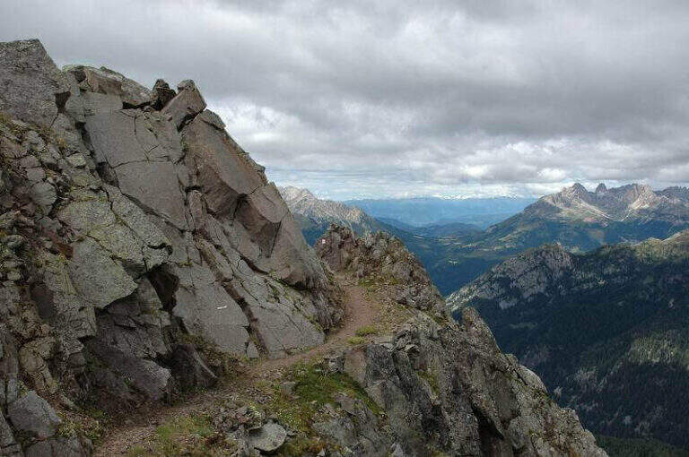
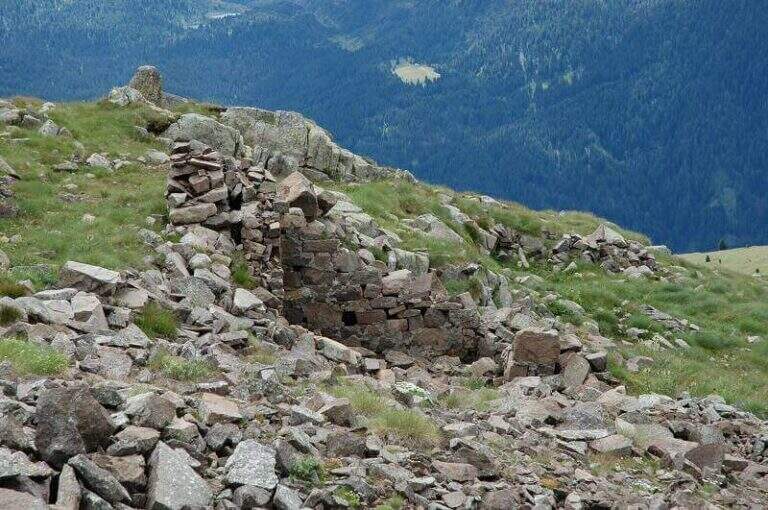
    The Gronton Path is a high-rise path that has no particular technical difficulties, but whose exhibition, constant throughout the itinerary, requires a certain mountain experience. Starting from the Lusia Pass, he climbs to Cima Bocche and descends to the Lakes of Lusia, winding on an Austrian defense line of the Great War.

    ▲Approach

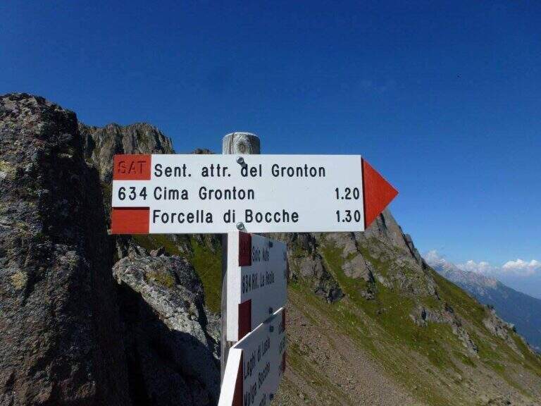
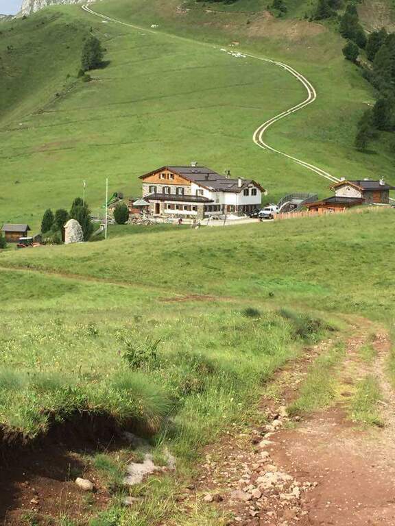
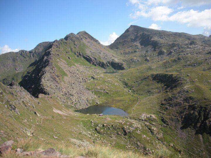
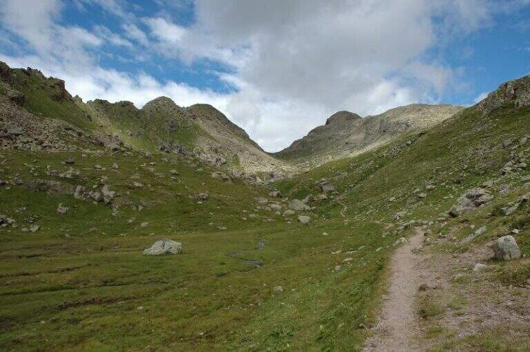
    The starting point is the Lusia Pass, which can be reached via a dirt road that is detached from the San Pellegrino Pass state near Moena (TN). From Moena we proceed towards Passo San Pellegrino for a few kilometers up to the ski lifts Lusia, usable to reach the refuge; those who go up by car take the dirt road that goes right after the passage under the slopes and walks it for a few kilometers up to the refuge (open up Google Maps). From the Rifugio al Passo Lusia (2055 m) we proceed south on the CAI 633 towards Cima Bocche, going up the meadows with a modest slope to the Sella Lusia (2360 m), from which you have an ideal view on the whole lap: on the left the ridge of Gronton, straight ahead Cima Bocche and down the lakes, along which you will return. From the saddle you descend to the Redolf Bivacco (2335 m), where at a crossroads you leave 633 (which will be the return path) and the CAI 634 is held left for the equipped Gronton, which begins at Forcella Cajerin (2365 m, 1h30 from the Lusia Refuge).

    ▲The path

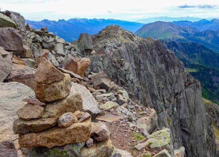
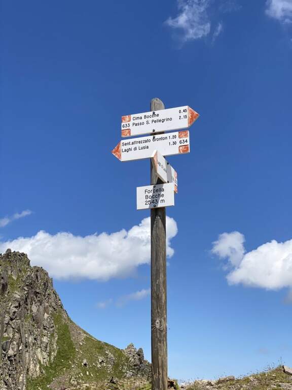
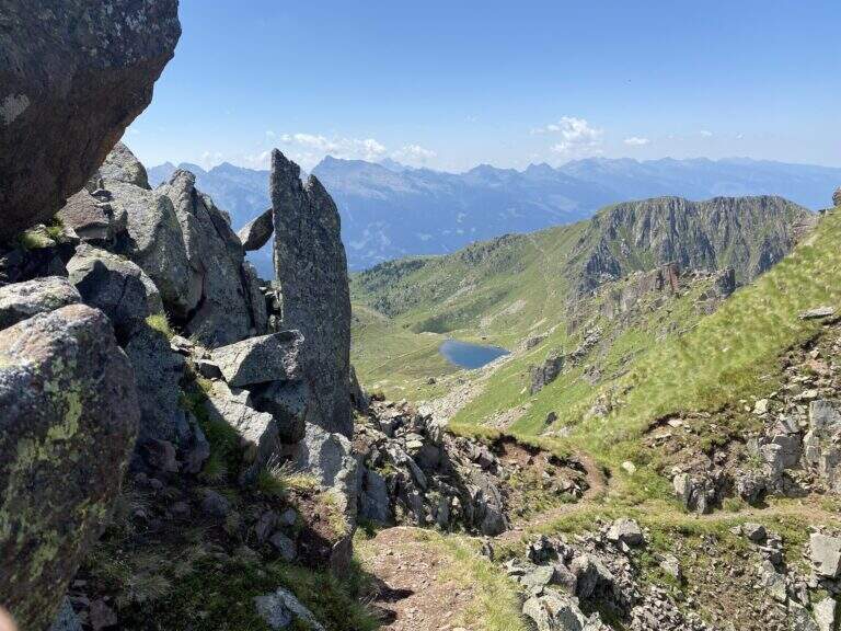
    From Forcella Cajerin, the equipped path generally develops under the ridge, except in the concluding section, and is protected at the most exposed points. Shortly after the beginning there is a nod exposed with the rope to the right, besides which there are passages on large blocks of rock alternating at certain levels, residues of the military activities of a century ago. A new nod is reached with a harmless bridge suspended by ropes, which leads to a clearly visible fork; overcoming the fork, you lose slightly altitude along an exposed and equipped nod. The ascent, not particularly steep, leads to the ridge, from which you can see the path just made and the underlying Lakes of Lusia; then you go along the most scenic section, an exposed hint that wanders a rocky spur, and a last stretch of crest up to a crossroads: to the right you descend towards the Forcella delle Bocche, to the left you climb to Cima Gronton (1h round and back, with other beautiful remains). The excursion continues to the Forcella delle Bocche (2543 m, 1h from the attack, 2h30 totals); just before, on the left, a crossroad allows you to climb to Cima Bocche (2745 m, 1h return, recommended climb, 3h30 total).

    ▲Character and difficulty

    There is no technical difficulties or vertical climbing situations; is a pleasant excursion, interesting from the historical and landscape point of view and less beat than many other of the nearby valleys. The only true note of commitment is the exhibition, present along the whole route and not indifferent.

    ⚠ The exhibition accompanies the whole itinerary, even with protections in the most critical traits: they serve mountain experience and steady pace.
    ▲Period and safety

    High mountain summer itinerary (max. 2622 m). The environment around the Lakes of Lusia is very characteristic; more than the technique, it is the exposure to demand attention.

    ▲Discipline

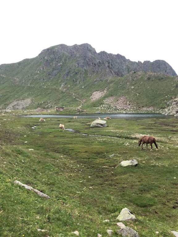
    From the Forcella delle Bocche you return along the path 633, which descends into the valley of the Lakes of Lusia — it is not uncommon to meet horses in the brado state — to the Forcella Lusia and then to the Rifugio al Passo Lusia (2h from Forcella Bocche; 4h30 total without the ascent to Cima Bocche, 5h30 with the ascent).

    ▲To match

    On the opposite side of the valley leading to Passo San Pellegrino there are two more challenging routes: theAlta Via Bepi Zac e l’Alta Via Bruno Federspiel.

    ▲Gallery
    Technical data
    • DifficultyEasy
    • RegionTrentino-Alto Adige
    • GroupLagorai – Chain of Bocche
    • Approach1:30 h
    • Ferrata1:00 h
    • Itinerary (a/r)4:30 h
    • Hardware level difference256 m
    • Route difference567 m
    • Max2622 m
    • Length13,4 Km
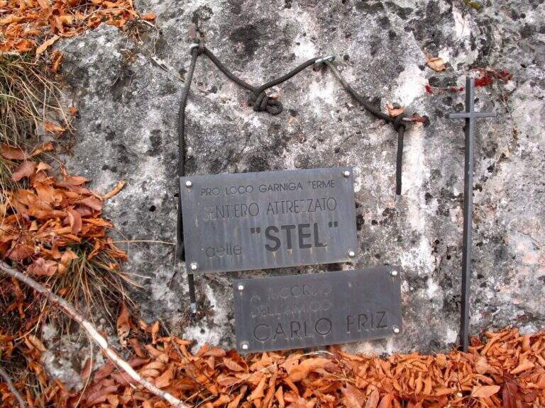
  • Sentiero Attrezzato de le Stel in Val d’Adige

    Sentiero Attrezzato de le Stel in Val d'Adige

    Vie Ferrate › Trentino-Alto Adige › Trento
    Sentiero Attrezzato de le Stel in Val d'Adige

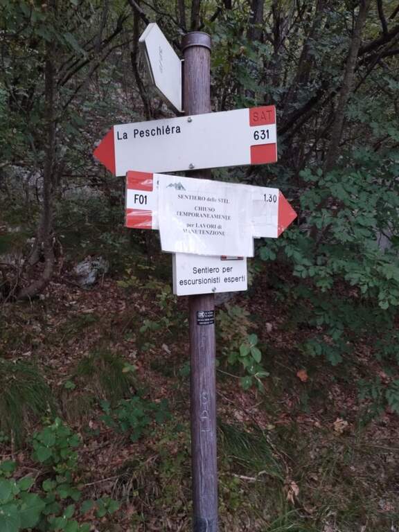
    The Sentiero Attrezzato de le Stel is a rather easy route of the Val d’Adige, with some equipped passages and a short climbable stretch. Developing at low altitude, it is recommended in winter or early season, when high altitudes are not yet available.

    ▲Approach

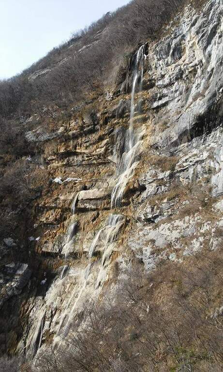
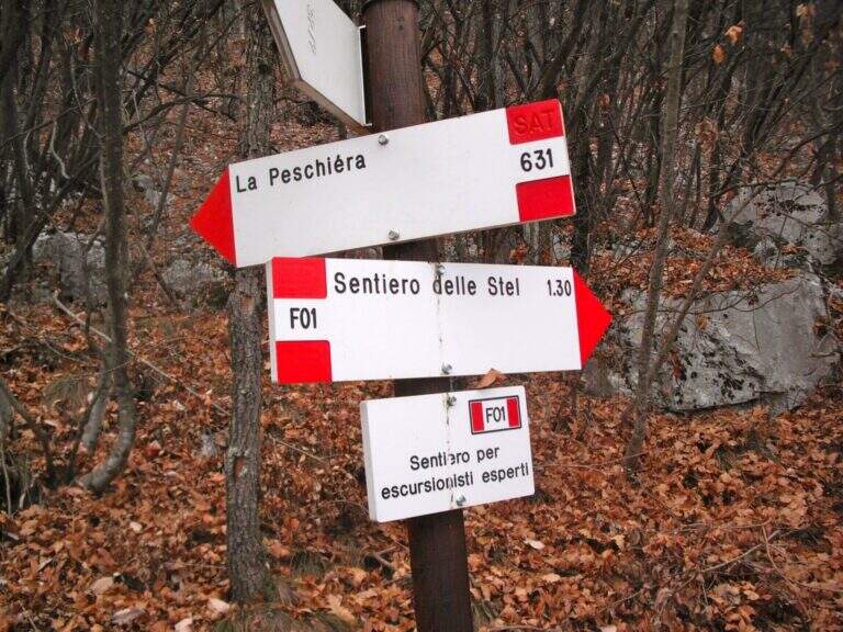
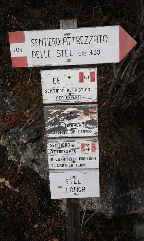
    From the village of Aldeno, in Val d’Adige south of Trento. You can reach the town of La Busa along Via al Bondone, where a road climbs steeply west: you look for parking nearby and take the cemented road (open up Google Maps). It climbs through the vineyards following the CAI 631 on a carrareccia, ignoring some traces that detach to the right and left, up to a panoramic point with benches (40′ from the parking lot). You face some harmless stretches equipped, then you leave 631 on the waterfall path, you reconnect briefly on 631 and finally you leave it to take the path F01, that is the Sentiero Attrezzato de le Stel, well marked by the white-red signs of the CAI (620 m, 1h from the parking lot).

    ▲The path

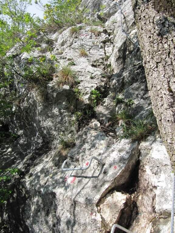
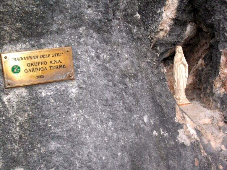
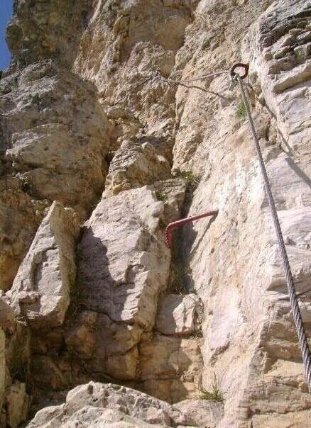
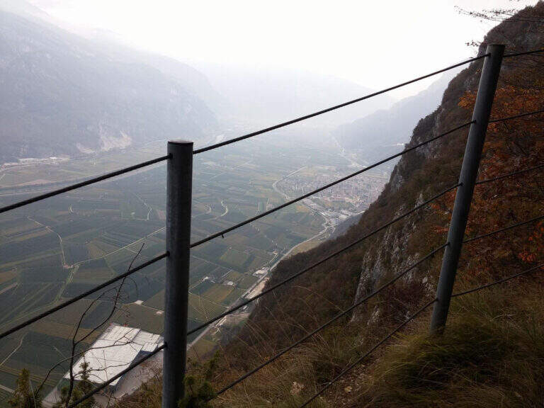
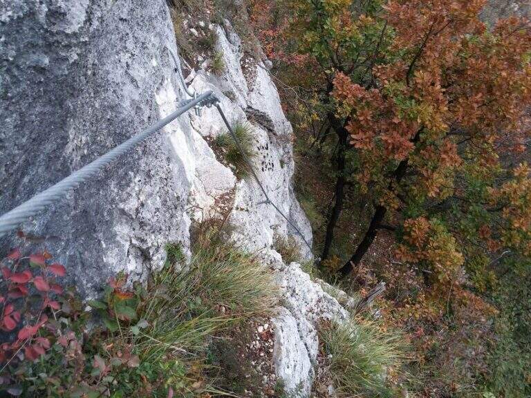
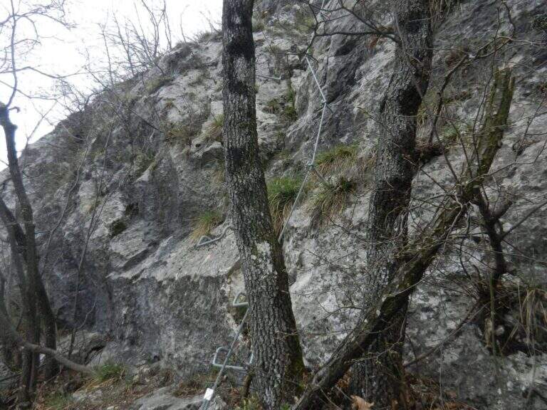
    The path winds halfway on good track, with some easy balconies equipped with metal fixtures that facilitate its passing; alternate stretches of easy path to short stretches equipped steep but easy, until you reach the Madonna characteristic of the route, where a bench invites you to stop and admire the Val d’Adige with its vineyards and orchards. Once again the path, now narrower, you arrive at a narrow rocky nod rather exposed but properly equipped; finished the nod, the slope increases on small balconies and equipped rocks. It is the most interesting part: you can climb the easy steps, never higher than the II degree, keeping the equipment as self-insurance. You then earn steeply up to a pole with a sign that marks the end of the Sentiero de le Stel (about 1h30 from the beginning of the equipped part, 2h30 overall).

    ▲Character and difficulty

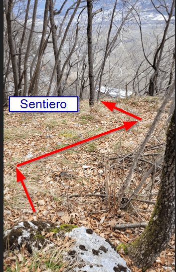
    The route is not difficult, even if a section climbs through easy climbing steps. The most challenging part is probably to find the way in the first half: the track is not marked impeccablely and sometimes it serves a bit of breath to understand the continuation in the wood between the dungs.

    ⚠ Non-banal orientation in the first half, with incomplete signage. Be careful at a point where the old track climbs to the left, with a cordon in non-excellent conditions: old and new path gather a little further.
    ▲Period and safety

    Low altitude (max 808 m): it is one of the ideal routes for winter or early season. The technical difficulties are contained, but it should be faced with dry rock, given some exposed traits.

    ▲Discipline

    From the end of the path you climb for a short stretch in the woods, then take the descent alternating stretches on forest in and out of the woods; you proceed without difficulty in parallel with the Sentiero de le Stel until you reconnect on 631 and continue the descent (2h from the end of the equipped path, 4h30 total).

    ▲To match

    From Aldeno you can reach quickly, along the Val d’Adige, the village of Mori, where the exposition rises Ferrata Marangoni; not far away is easy and panoramic Somator Ferrata. In Val d’Adige you can also walk Ferrata Rio Secco near Cadino, while climbing to Trento meet the Sentiero Attrezzato Bertotti and the difficult Ferrata Segata bondone.

    ▲Gallery
    Technical data
    • DifficultyEasy
    • RegionTrentino-Alto Adige
    • GroupMonte Bondone – Val d'Adige
    • Approach1:00 h
    • Ferrata1:30 h
    • Itinerary (a/r)4:30 h
    • Hardware level difference90 m
    • Route difference583 m
    • Max808 m
    • Length8,8 Km
  • Sentiero Attrezzato del Cacciatore alla Cima Stanga

    Sentiero Attrezzato del Cacciatore alla Cima Stanga

    Vie Ferrate › Trentino-Alto Adige › Trento
    Sentiero Attrezzato del Cacciatore alla Cima Stanga
    Moderately Hard● OpenDescriptionComplexityMapsGallery

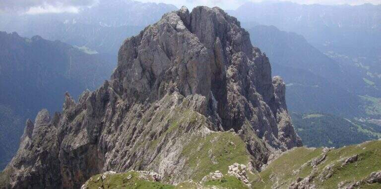
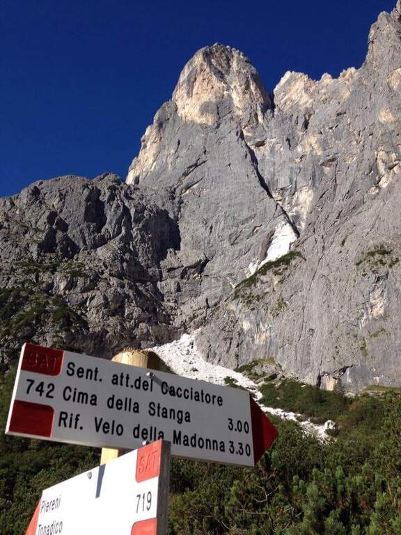
    The Path Atrezza del Cacciatore dates back to the eastern wall of Sass Maor, in the Pale di San Martino. It is a route with a high level and quite long, but not difficult from a technical point of view, immersed in one of the most spectacular environments of the Dolomites.

    ▲Approach

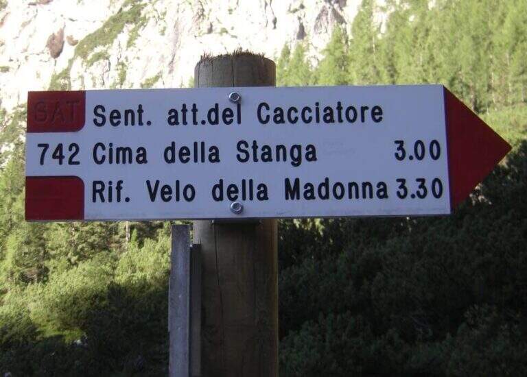
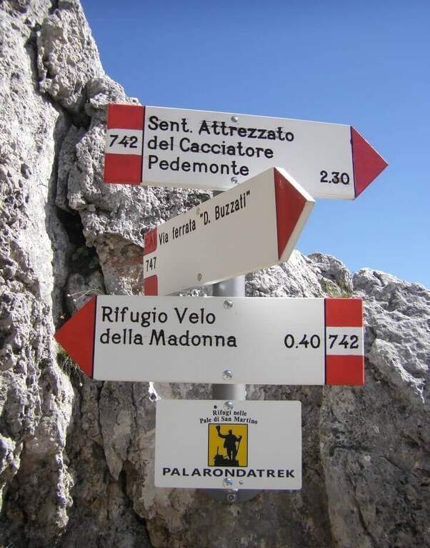
    The starting point is in Val Canali, in the locality of Prati Fosne. To reach the Val Canali follow the SS 347 of Passo Duran: coming from Fiera di Primiero (TN) you continue for about 5 km towards Agordo up to a wide bend with clear indications for the Val Canali, then you go up the valley, you pass a wide bend to the left and you continue on narrow road and sometimes dirt until the Hotel Casera; at the intersection near the hotel you take the right parkingopen up Google Maps). The Cacciatore is often combined with the nearby Ferrata Buzzati as a way back; here we propose it uphill, with return along the Path Attrezzato Depaoli passing through the Rifugio Velo della Madonna. From the village of Fosne you follow the road and in short you leave it for the signpost 719, which climbs moderate slope, first in the woods; exit from the forest you proceed north up the Val Pradidali in falsepiano until the fork in the locality Pedemonte (1h30 from the parking lot): while right you will go up to the Rifugio Pradidali, you take the left on the signpost 742, which with steep eastern parking.

    ▲The path

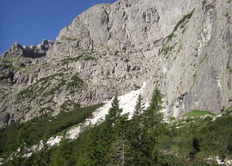
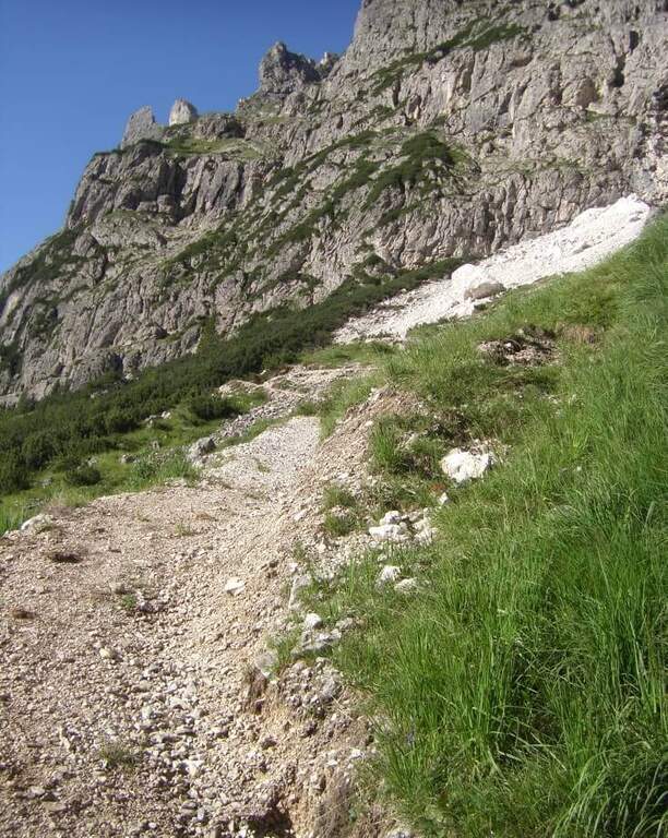
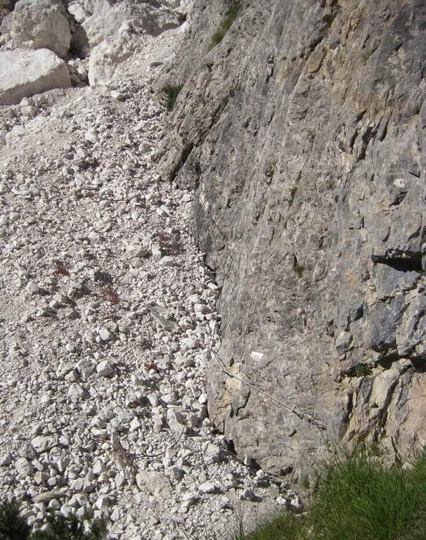
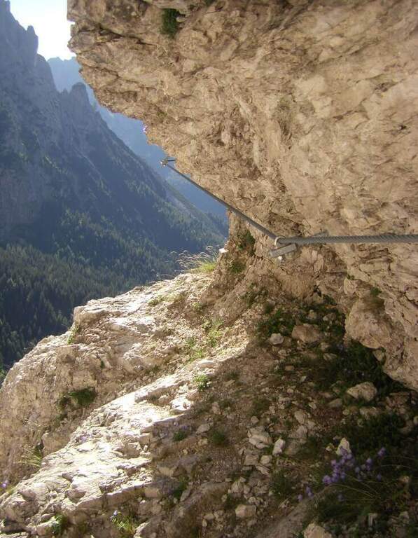
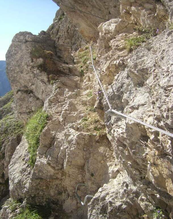
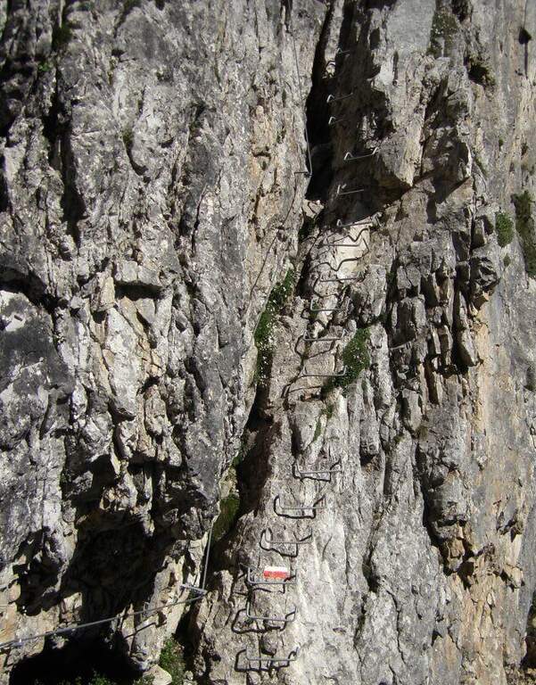
    It goes up with the equipment the area affected by the landslide up to the original attack of the path; it is around a edge and climbs to the left on a census to exposed sections, which continues under the overhanging walls of the Sass Maor. The ascent is pleasant and alternating stretches of nod protected with short climbing rocks and without difficulty, with some metal brackets in the more vertical passages: these new fixtures, added in the last maintenance, have considerably reduced the challenging traits of this historic path. We continue on a long line from the grassy bottom, in constant exposure, until we wander around a spur and enter the valley that separates the Cimerlo from the Sass Maor; crossed a stretch on unstable background we reach what was the key point of the street, a challenging dihedron that today rises thanks to a long series of metal cambres, which reduce if they do not eliminate the original difficulties. Exit from the passage, in a mixed valley of stones and grass follow the white red signs up to the fork (2410 m, 2h30 from the attack), reached with tiring but not difficult climb, where the itinerary ends.

    ▲Character and difficulty

    The route is long and with a considerable difference in altitude, but the technical difficulties are reduced: it serves mainly caution in the various unequipped sections. The only challenging passage of the original layout, the dihedron, is now equipped with many brackets and therefore greatly facilitated.

    ⚠ Itinerary long and with strong difference in altitude (1370 m, 8h30): they serve constant resistance and attention in the unequipped and exposed traits, at the bottom of unstable traits.
    ▲Period and safety

    High mountain summer itinerary (max. 2550 m). The challenging development and exposure of some cenges require good physical preparation and steady step.

    ▲Discipline

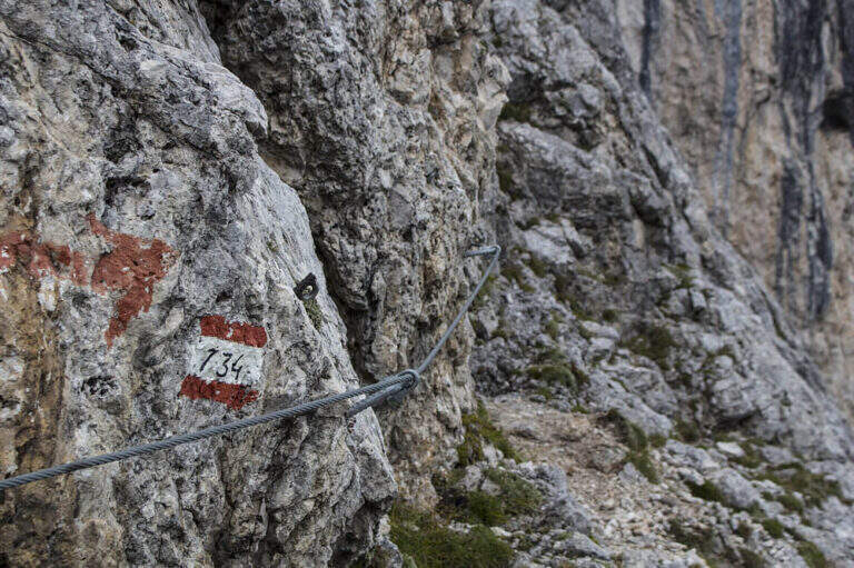
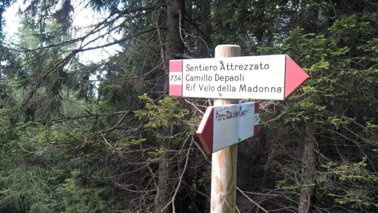
    From the fork you have two options: on the left, along the initial ridge path with 747 signpost and then for equipped stretches (described in the report of Ferrata Buzzati), you reach the eastern spallone of Cimerlo and you can climb to the summit (1h from the fork); on the right, on the trail 742, you go up to the Passo della Stanga (2530 m) and you go down to the Rifugio Velo della Madonna (2358 m). Following this second option, from the refuge take the signpost 734 of the Attrezzato Path Depaoli, which brings back to the parking lot along the western walls before the Stanga and then of the Cimerlo: you face some stretches equipped not difficult — a canal, some cenges, an easy fireplace — until the end of the complex equipment, then cut halfway with beautiful views, gradually losing altitude until Fosne (3h Velo).

    ▲To match

    Classical matching is with Ferrata Buzzati at Cimerlo, often used as a way back. In the same area there is also the Ferrata del Velo della Madonna.

    ▲Gallery
    Technical data
    • DifficultyModerately Hard
    • RegionTrentino-Alto Adige
    • GroupPale di San Martino
    • Approach2:00 h
    • Ferrata3:00 h
    • Itinerary (a/r)8:30 h
    • Hardware level difference650 m
    • Route difference1370 m
    • Max2550 m
    • Length14,2 Km
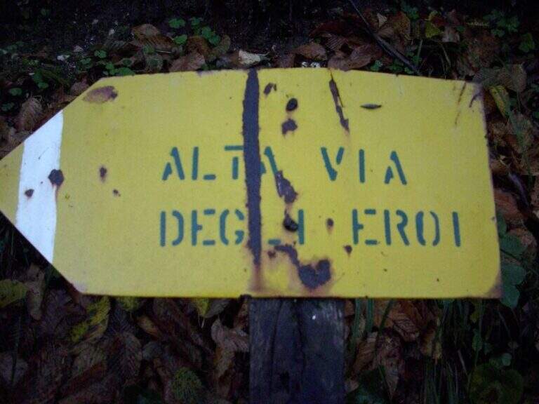
  • Sentiero Attrezzato degli Eroi al Monte Peurna

    Sentiero Attrezzato degli Eroi al Monte Peurna

    Vie Ferrate › Veneto › Belluno
    Sentiero Attrezzato degli Eroi al Monte Peurna

    The Athletic Path of the Heroes rises to Mount Peurna, in Val Schievenin. It is easy in the short stretches equipped, but ostic in the long stretches not protected on unstable background; the itinerary is not subject to punctual maintenance and sometimes it is difficult to identify. It runs in an area full of testimonies of the Great War.

    ▲Approach

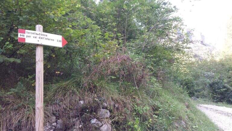
    You reach the Schievenin Valley, in the province of Belluno: from the Piave valley, near Quero, you proceed towards the east following the indications for Schievenin; arrived in the village you enter the valley on a narrow but paved road until a parking lot, beyond which there is no transit (attention to some colatoi and holes that can damage the low cars) (open up Google Maps). From the parking lot (515 m) you walk along the road to the north, on dirt road with signpost 848, following for Forcella Bassa; in proximity to a curve a track takes off to the left in the wood, without pole and signaled only by a small sign (15′ from the parking lot). The path 848 climbs along the Valley of Hell to Forcella Bassa: a stretch that at 2017 was rather poorly kept, with divel trees, trace at times difficult to spot and half-coast passes on slippery bottom and exposed on the left side. Adding Forcella Bassa (1044 m, 1h from the crossroads), the left is held on the longest path of the Heroes (AV8 carts), of which you only walk a stretch; southward, on the eastern side of the Peurna, the path has stretches on grass and insidious and unprotected soil. Attached the east wall, on the south-eastern side you reach the first equipped stretch (1h15 from Forcella Bassa, 2h30 total).

    ▲The path

    The first equipped stretch develops in the ridge, with the cable to the right: it descends along this stretch until an easy and wide equipped nod. Continue on the path south to the second stretch equipped, where you go up a very steep passage on slippery bottom, protected for safety. Beyond this point the equipment ends and with them the equipped part of the Heroes Path (30′ from the attack, 3h total).

    ▲Character and difficulty

    Where protected, the itinerary does not have technical difficulties; the main difficulties are due to the numerous stretches of path on an insidious and unprotected background. It is also easy to lose the track: both approaching and returning there are points with fallen trees and traits invaded by tall orchards and herbs.

    ⚠ Itinerary little maintained and at times difficult to spot, with long stretches not protected on unstable, slippery and exposed background. Long trousers and telescopic poles are recommended; carefully evaluate weather and orientation capacity.
    ▲Period and safety

    Low altitude (maximum 1207 m): the route is accessible in most of the hiking season, but the conditions of the bottom and the vegetation can make it tiresome. Care in orientation is the main security factor.

    ▲Discipline

    Continue on a slight descent until you cross the path 843, you keep the left and shortly after the left following the signpost 839 that leads to Schievenin. Once the paved road runs along the way, you find yourself downstream from the parking lot, then you go up the road to the starting point (2h from the end of the equipment, 5h overall).

    ▲To match

    To the south, towards Bassano del Grappa, there are two ferrates that go up to the sacred area of Grappa, the Ferrata Sass Brusai e la Ferrata Guzzella; for something more challenging, although short Ferrata Santa Felicità. To the north you reach the Lagorai with the Ferrata Gabrielli in Cima d’Asta, while towards the Dolomites Feltrine lies Ferrata at Monte Coppolo.

    ▲Gallery
    Technical data
    • DifficultyEasy
    • RegionVeneto
    • GroupDolomiti Feltrine – Val Schievenin
    • Approach2:30 h
    • Ferrata0:30 h
    • Itinerary (a/r)5:00 h
    • Hardware level difference100 m
    • Route difference785 m
    • Max1207 m
    • Length9,1 Km
  • Sentiero Attrezzato degli Alpini in Forcella Jau Tana

    Sentiero Attrezzato degli Alpini in Forcella Jau Tana

    Vie Ferrate › Veneto › Belluno
    Sentiero Attrezzato degli Alpini in Forcella Jau Tana

    The Sentiero Attrezzato degli Alpini in Forcella Jau Tana, in the Marmarole Group, is a challenging itinerary: high altitude difference, wild and unspoilt environment. The equipped strokes are of medium-low difficulty, but the long stretches are not protected and must be avoided absolutely with bad weather.

    ▲Approach

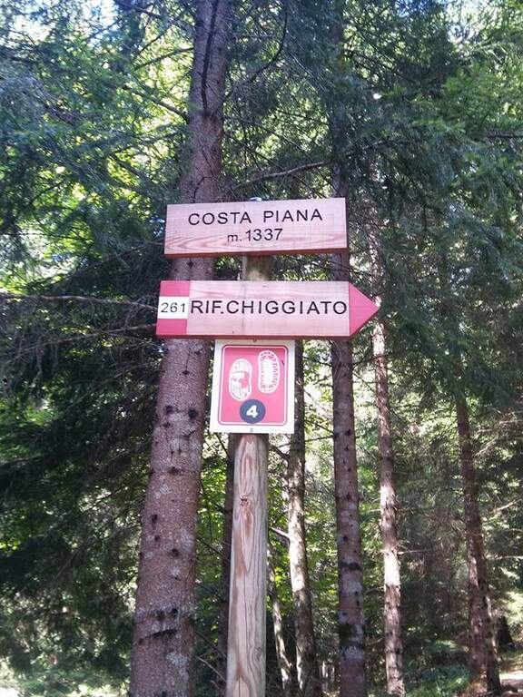
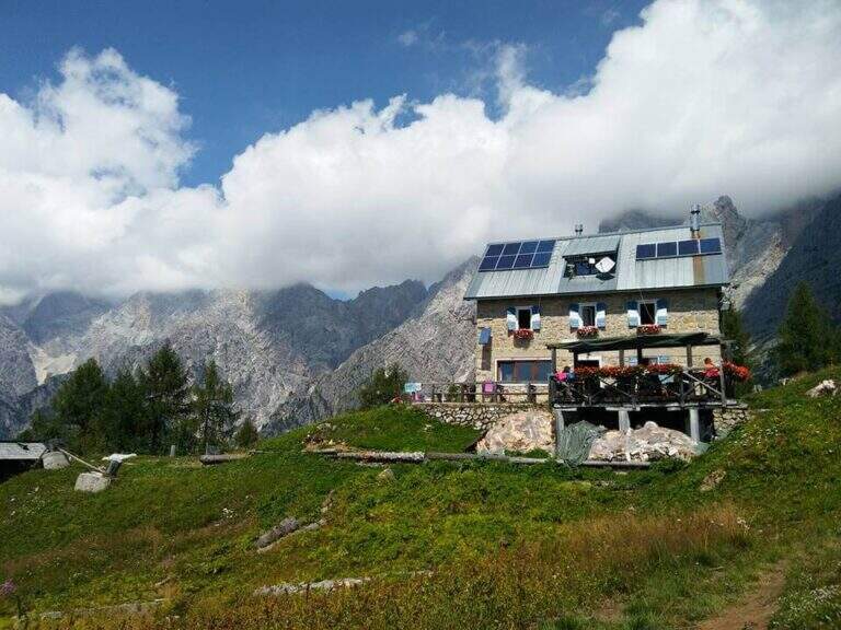
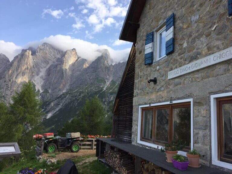
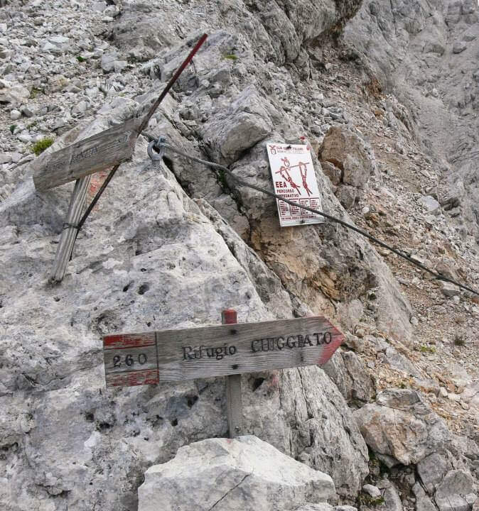
    It starts from the resort Stua, near Calalzo di Cadore (BL). In Calalzo follow the signs for Pian dei Buoi, on a narrow but asphalted road, entering the wood towards Val d’Oten up to a crossroads 2,5 km from the center, where you take to the right and continue for another 2,5 km in the wood until the parking lot (open up Google Maps). From Stua (1555 m) follow the path 261, which climbs steeply in the forest to the bends towards the Chiggiato Refuge: you pass the resort Costapiana (1337 m, 30′ from the parking lot) and the locality La Serra, recognizable for a trip that recalls the passage of Pope John Paul II, up to the Chiggiato Refuge (1911 m, 2h from the parking lot). From the refuge you go north along the high street 5, signpost 260/262, to the Forcella Sacu, where you will meet a first easy passage equipped (1914 m, 15′ from the shelter, 2h15 total). From here the path changes character and begins to climb north-east, cutting diagonally the south walls of the Cimon della Froppa with a succession of narrow cenges exposed; at the top, straight at the front, you can see the fork Jau Tana, the destination. Crossing a detritic valley meet the first metal equipment (1h by Forcella Sacu, 3h15 total).

    ▲The path

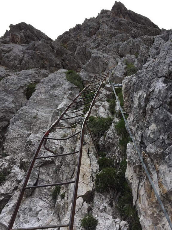
    There are about twenty meters of rocks without particular difficulty and you reach a first metal staircase resting; the ropes then help to climb up the canal, entering the throat that leads to the fork. After a second ladder, a corner is around and climbs towards the fork, with typically easy stretches alternating with stretches of unprotected and rather exposed path, to be faced with caution. In the upper part of the valley you climb on the right side without crossing it, with few equipment, until you reach the fork after a long and constant climb (1h from the attack, 4h15 total). The environment is wild and imposing, with the Cimon della Froppa that stands out right. The route now bends right towards the Forcella delle Marmarole, where the descent begins: it cuts in half-coast the summits, with attention to the bottom not always stable, until the Forcella delle Foppe (2790 m), then a stretch of descent at times equipped leads to the Forcella Marmarole (2661 m, 1h15 from Forcella Jau Tana), with in front of the Cresta degli Invalidi. The difficulties, however, are not finished: the descent continues along the Vallon del Froppa, a steep canyon with an unstable bottom, equipped in the first meters and followed by about 20 minutes on a steep and exposed background to be covered with great attention. At the end of the wreath we start on path 262, where the difficulties — and with them the equipped path — end (1h from Forcella Marmarole, 6h30 total).

    ▲Character and difficulty

    The equipped sections do not have any technical difficulties: the real difficulties are the long stretches not protected on unstable background, in particular the connection section at altitude and the descent in the Vallon del Froppa. It is a physically demanding itinerary, in a wild and unpopular environment.

    ⚠ Long stretches not protected on unstable and infido background, exposed, to avoid absolutely with bad weather. Development (17 km, 1498 m of altitude difference, 8h15) requires excellent physical preparation, experience and stable weather.
    ▲Period and safety

    High mountain summer itinerary (max. 2790 m), reserved for trained and experienced hikers, autonomous on unstable and unprotected terrain. The detritic background and exposure impose constant prudence.

    ▲Discipline

    Follow the path 262 downhill towards the south (right) to the Forcella Sacu and then back, along the approach path, to the Chiggiato Refuge and finally to the parking lot (1h45 from the graft on 262, 8h15 overall).

    ▲Gallery
    Technical data
    • DifficultyHard
    • RegionVeneto
    • GroupMarmarole
    • Approach3:15 h
    • Ferrata3:15 h
    • Itinerary (a/r)8:15 h
    • Hardware level difference200 m
    • Route difference1498 m
    • Max2790 m
    • Length17 Km
  • Sentiero Attrezzato d’Ambros sulla Cresta Pitturina

    Sentiero Attrezzato d'Ambros sul Cresta Pitturina

    Vie Ferrate › Veneto › Belluno
    Sentiero Attrezzato d'Ambros sul Cresta Pitturina
    Moderately Hard● OpenDescriptionComplexityMapsGallery

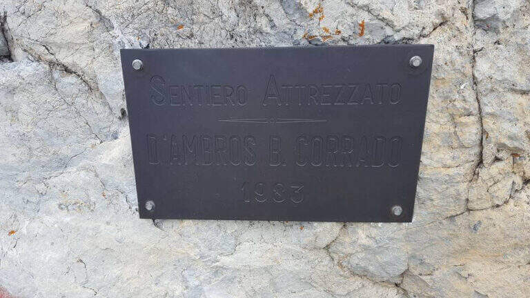
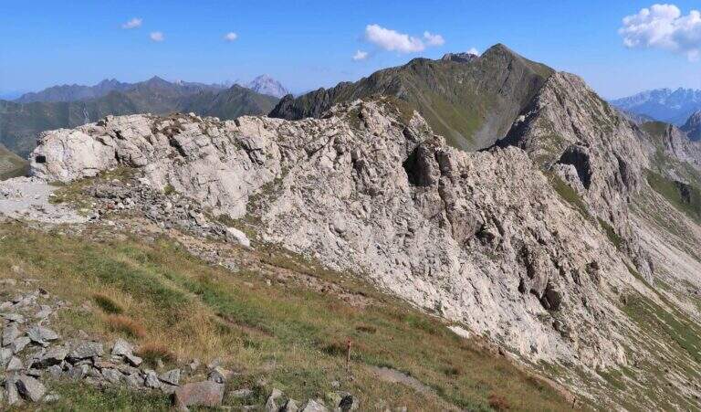
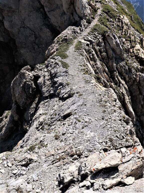
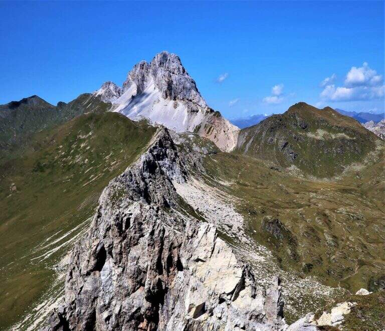
    The Path Atrezzato d’Ambros runs along the well-known Cresta Pitturina, on the border between Italy and Austria, between Monte Cavallino and Cima Vallona. It is a very exposed but never too difficult ridge itinerary, with very beautiful views of the Carnic Alps and the nearby Sesto Dolomites.

    ▲Approach

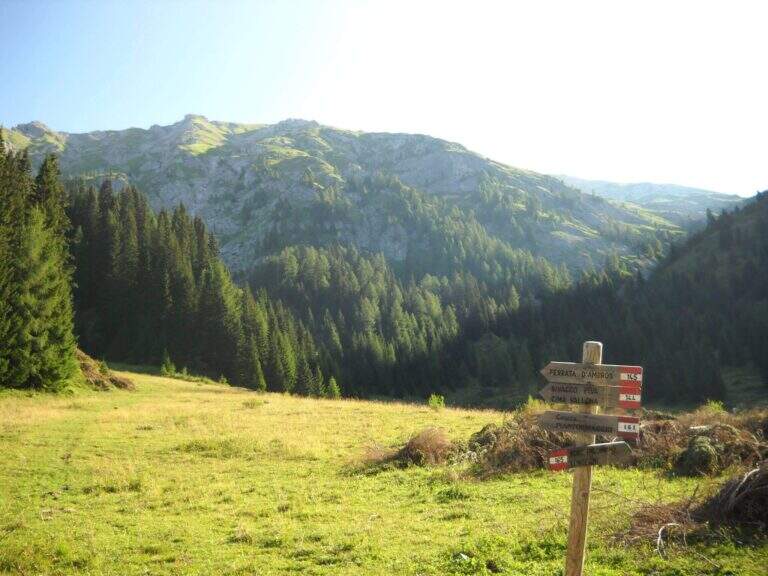
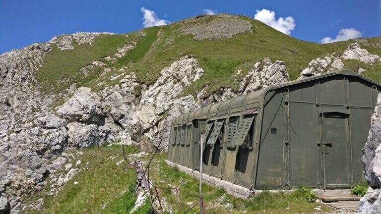
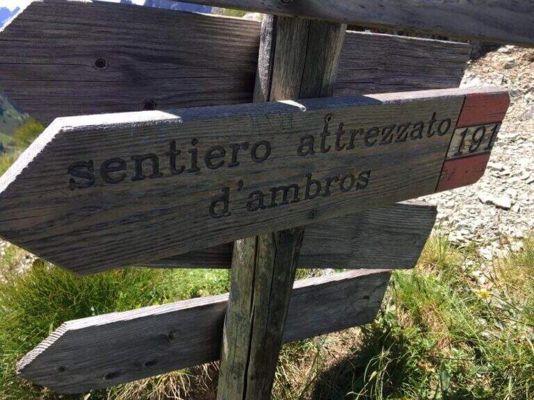
    Starting from Malga Melin, in the municipality of San Nicolò di Comelico (BL), reachable on a narrow road but asphalted by the town of Sega Digon, along the SS 52 Carnica that connects San Candido (BZ) with Venzone (UD) (open up Google Maps). From Casera Melin (1673 m) follow the signs to the north for the path 144, directed to Bivacco Piva and the Path of Ambros: climb steep first on 161, then holding the right on 144, going up a long series of hairpin bends up to Bivacco Piva (2250 m, 1h15 from the parking lot), from the unusual form that recalls a military tent. Just before the bivouac you follow the signs to the right to Cima Vallona, on the path 191; climb steeply towards Cima Vallona until you find a track that detaches to the left and leads to a fork. Near the fork, on the Italian-Austrian border, there is the attack of the Ambros Path (30′ from the Piva Bivacco, 1h45 from the parking lot).

    ▲The path

    The road develops along the sharp border ridge that ends at Monte Cavallino. It rises for about fifteen meters, mainly diagonally and with easy transverses, up to a stretch not protected of crest, decidedly exposed but without difficulty. A second equipped section goes on the left side of the wire, on the Italian side; it descends a few meters towards a rocky point and you walk through cenges and beams, exposed but never challenging, up to a cave already visible from the crest. You climb on some small rocks and you reach a second and a third gallery, where a front torch is useful because of the rather unstable background; exit, a staircase leads to the ridge. Continue on the sharp crest up to a wide grassy saddle, where you ignore a way of escape, and continue little below the thread, first on the Italian side, then on the Austrian side and finally in more marked descent on the Italian side; at the end of the descent you face carefully a fireplace. You will then reach an equipped fork, besides which you will find the key passage: a short traverse but on plate, above the average of the street — not difficult, but to deal with carefully. Continue along with a stretch of descent on the wall of 8-10 meters, well attached, then a stretch of connection up to a canal equipped with ridge; return on the crest, in good exposure, alternate stretches not equipped to a stretch equipped up to the highest point of the crest. The path leads finally to the end of the street, at a marble block that marks the border between Italy and Austria (2h from the attack, about 4h overall).

    ▲Character and difficulty

    Although it is called a well-equipped path, it has some vertical climbs that approach it more to a ferrata: there are no particular technical difficulties, except for 3-4 more challenging points, but — as often happens in the ridge paths — the exhibition is strong along almost all the way.

    ⚠ Strong exposure on almost all ridge path. For tunnels, a front torch (unsteady background). Attention to return, not marked in an impeccable way: useful orientation experience.
    ▲Period and safety

    High mountain summer itinerary (max. 2486 m). Constant exposure and presence of unprotected traits require steady pace, experience and stable time.

    ▲Discipline

    From the end of the road it is possible to reach the nearby peak of Cavallino (1h gone, 1h45 gone and back) continuing on the crest and following the traces on the gland up to some small rocks and on the summit cross. The return to Casera Melin takes place on the left, on the Italian side, taking the path 160, parallel to the crest just crossed, up to Bivacco Piva and then back along the path (2h from the end of the ferrata, about 6h overall). There are some shorter reentry routes that avoid bivouac, but are more impervious.

    ▲Gallery
    Technical data
    • DifficultyModerately Hard
    • RegionVeneto
    • GroupCarnic Alps – Comelico
    • Approach1:45 h
    • Ferrata2:00 h
    • Itinerary (a/r)6:00 h
    • Hardware level difference100 m
    • Route difference813 m
    • Max2486 m
    • Length12 Km
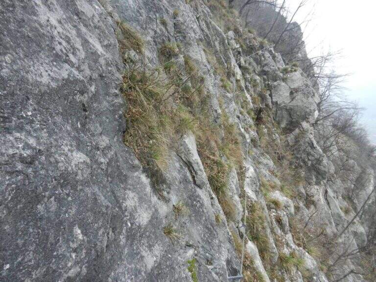
  • Path Trained at the Cuestalta (Hoher Trieb)

    Path Trained at the Cuestalta (Hoher Trieb)

    Vie Ferrate › Friuli-Venezia Giulia › Udine
    Path Trained at the Cuestalta (Hoher Trieb)

    The Sentiero Attrezzato al Cuestalta climbs to the homonymous mountain (Hoher Trieb in German), located on the border between Italy and Austria. It is a long but never excessively demanding itinerary, with a stretch of ridge equipped in the most exposed and vertical points, in a carnic environment rich in history of the Great War.

    ▲Approach

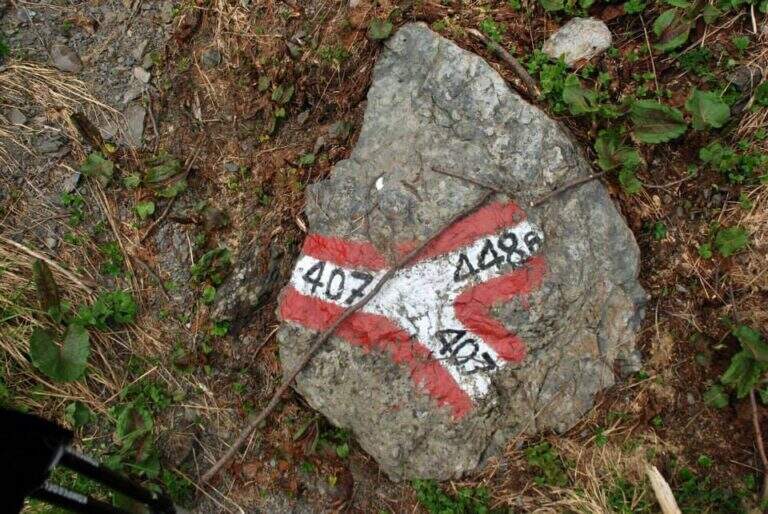
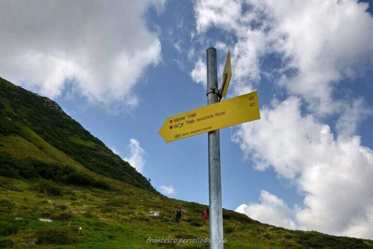
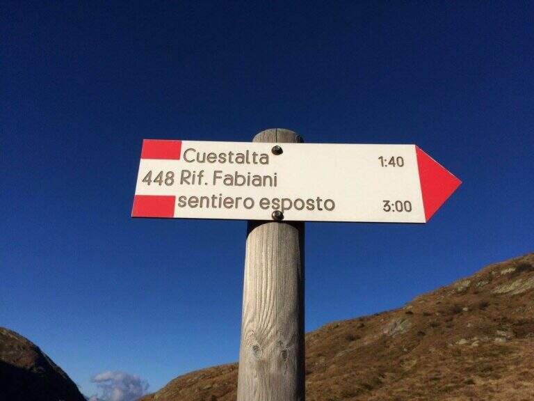
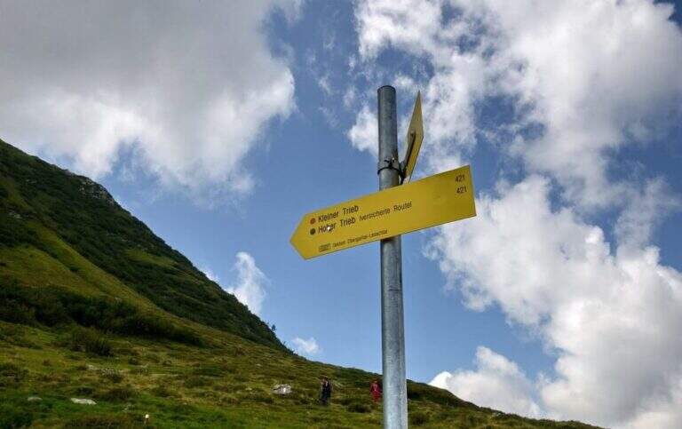
    Starting from Malga Pramosio, in the municipality of Paluzza (UD), reachable on a dirt road in good condition from the village of Claulis, along the state that from Tolmezzo rises to the Pass of Monte Croce Carnico; at the entrance of the village a clear sign indicates the Forest of Pramosio, and follow the road until the end at the malga, which also offers possibility of overnight stay (open up Google Maps). From Casera di Pramosio (1521 m) follow the path 407 to the east; immediately ignore the junction of 404 and cross the Sella di Cercevesa and the ruins of the homonymous house. At a new crossroads (1h15 from the parking lot) you leave the 407 that goes right and you stay on path 448, indicated as exposed, which cuts halfway the Cuestalta ridge (attention to the bottom in case of abundant rains). At a later crossroads, where on the left the 448 climbs to the normal Italian road, continue halfway on the 448th towards the Fabiani Refuge; the path bends towards the Red Crete, reached after a stretch of ridge a little exposed but not difficult (1770 m, 1h from the junction of 407, 2h15 total), and from here descend steeply to the Fabiani Refuge (1539 m, 2h40 total). From the refuge the path 454 climbs to Passo Pecol di Chiaula (1797 m, 3h total), border of State between Italy and Austria, with numerous testimonies of the Great War: tunnels, trenches and barracks. You descend now in the Austrian territory towards a refuge with a chapel; after a few minutes, ignore the traces on the left, it is advisable to descend to a signaled cross and follow on the left the sign for the Kleiner Trieb (path 421) going up towards Cima Medatte; steep, you reach the cross of Punta Medatte (2095 m, 1h from Passo Pecol di Chiaula, 4h total).

    ▲The path

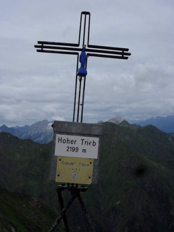
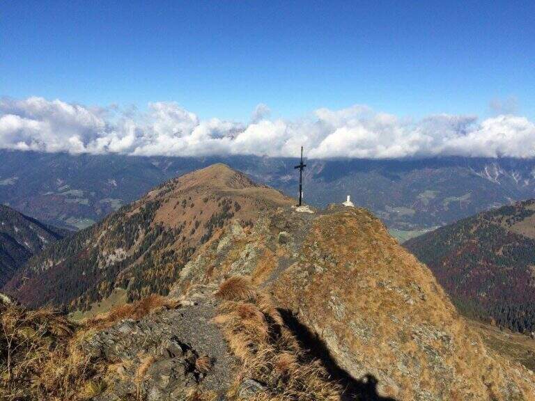
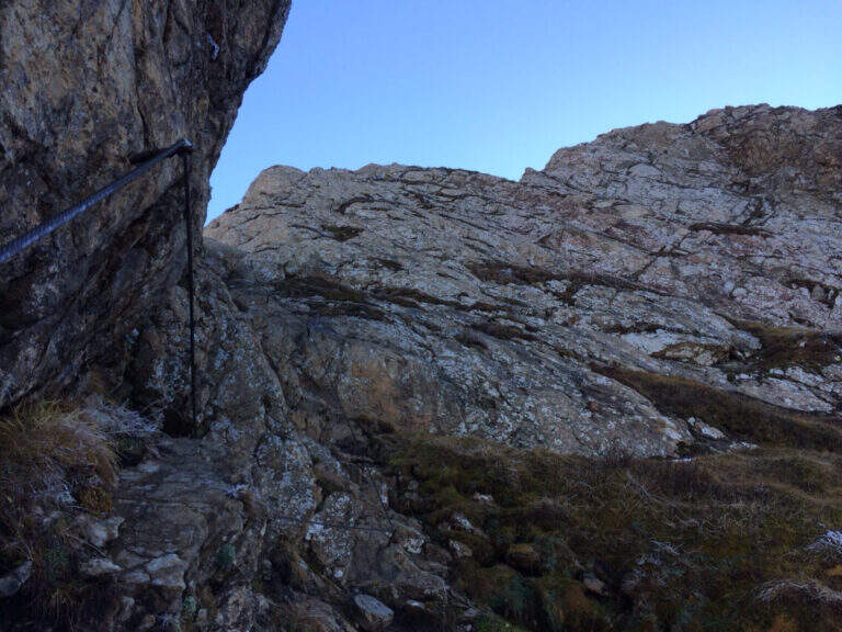
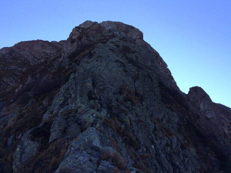
    Start here the ridge stretch with the equipped steps. Punta Medatte (Kleiner Trieb) is separated from the nearby Cuestalta (Hoher Trieb) by a saddle: descend along the ridge, equipped with handcuffed cable at the exposed points. From the saddle (10′ from Punta Medatte) starts the short ferrata that climbs to the Cuestalta: you pass some unprotected rocks until you meet the cable, which leads first on small rocks and then, from left to right, on a wall. The easy-level ferrata climbs on a very well-dressed crest, pleasant to climb; being a ridge path is exposed, but never excessively. The climb, very logical, deposits just below the top of the Cuestalta, signaled by a metal cross that is reached on the path (2199 m, 20′ from the saddle, 30′ from Punta Medatte, 4h30 overall).

    ▲Character and difficulty

    It is a beautiful itinerary that cuts a piece of the border of Italy-Austrian, long but not excessively challenging: the equipped part only serves to climb the ridge in the more vertical and exposed sections. The historical context, with the testimonies of the Great War, is one of its strengths.

    ⚠ Itinerary along (13 km, 6h15) in the border mountain environment: attention to the bottom of the half-coast stretches in case of abundant rains.
    ▲Period and safety

    Summer season, maximum altitude 2199 m. Despite no significant difficulties, long development requires good time management and attention to the weather, given the high mountain environment.

    ▲Discipline

    From the top of the Cuestalta you descend along the steep stretches, some ruins of trenches, up to the crossroads between the path 448 (normal Italian road) and the one that continues on the crest towards the Passo Pramosio. It remains on the latter, of crest only at exposed and free climbing traits, passing near Monte Scarniz (saw with a short deviation), up to Passo Pramosio (1785 m, 1h15 from Cuestalta, 5h30 overall). From the pass, visible a few hundred meters further downstream, you reach the Malga Pramosio with a stretch of path and then dirt road (6h15 overall).

    ▲To match

    Along this line there are other routes equipped, generally more difficult and athletic: in increasing order of commitment, relatively close, the Ferrata Steinbergerweg at Cellon, la Ferrata al Coglians e la Ferrata Senza Confini.

    ▲Gallery
    Technical data
    • DifficultyEasy
    • RegionFriuli-Venezia Giulia
    • GroupAlps Carnia
    • Approach4:00 h
    • Ferrata0:30 h
    • Itinerary (a/r)6:15 h
    • Hardware level difference150 m
    • Route difference678 m
    • Max2199 m
    • Length13 Km
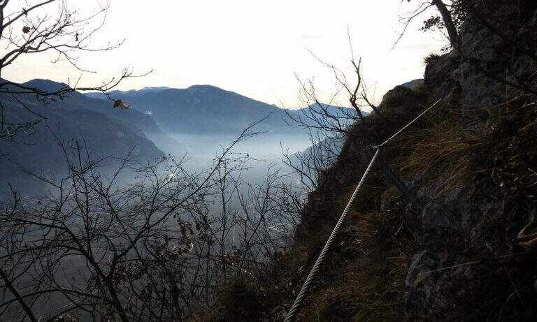
  • Sentiero Attrezzato della Cresta Sinigaglia alla Grigna Meridio

    Sentiero Attrezzato della Cresta Sinigaglia alla Grigna Meridio

    Vie Ferrate › Lombardia › Lecco
    Sentiero Attrezzato della Cresta Sinigaglia alla Grigna Meridio
    Moderately Hard● OpenDescriptionComplexityMapsGallery

    The Attrezzato Path of Cresta Sinigaglia is one of the possible climbs to the South Grigna starting from the Resinelli Plans. Compared to the nearest and most frequented Cresta Cermenati is less beaten and a little more difficult, while remaining on moderate technical difficulties; the last stretch is very exposed, although the climbing difficulties remain contained.
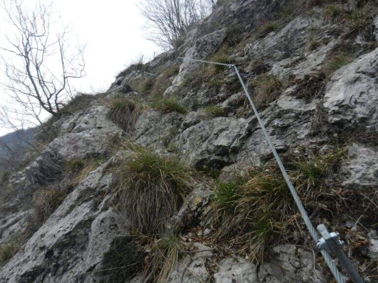
    ▲Approach

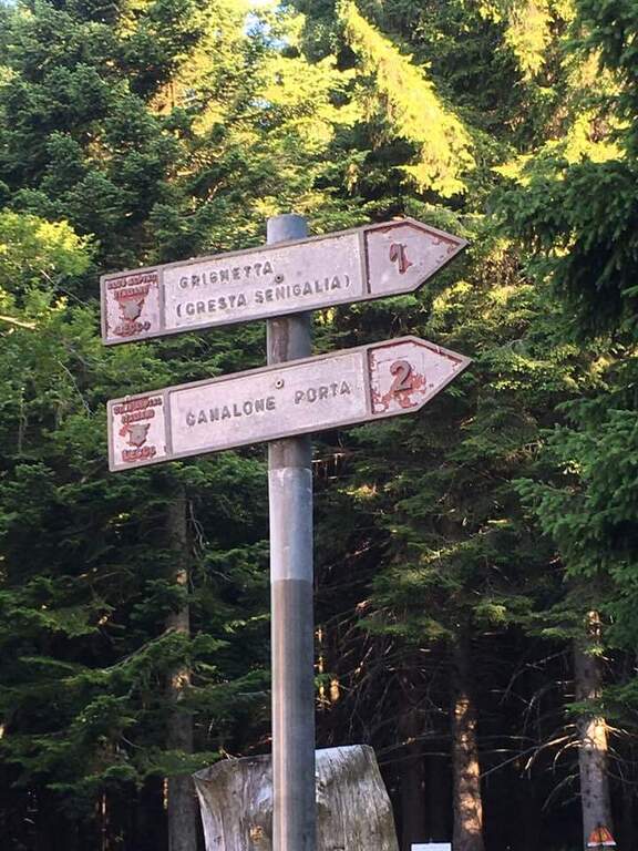
    It starts from Piani dei Resinelli, in the province of Lecco. From Ballabio you go up the uphill slope and, after the many bends, near the big brown welcome sign you continue for a hairpin bend; you climb briefly and at the next junction you hold the left along the narrow paved road until a parking lot at a bar (open up Google Maps). From the parking lot in 5 minutes you reach the Rifugio Carlo Porta and continue on the paths 1/2 inside the forest; you ignore a crossroads to the right for the Rifugio Soldanella, then, exit the forest, another crossroads where on the left the path 2 goes up the Canalone Porta. Unknown both, continue on path 1 to Cresta Sinigaglia climbing steeply to the north-east; you ignore the crossroads through the mountain routes up to a pitch for the landing of the helicopters, continue straight and, ignored also the path 3 that goes down to Canalone Porta, you reach the first equipped parts (2h from the parking lot).

    ▲The path

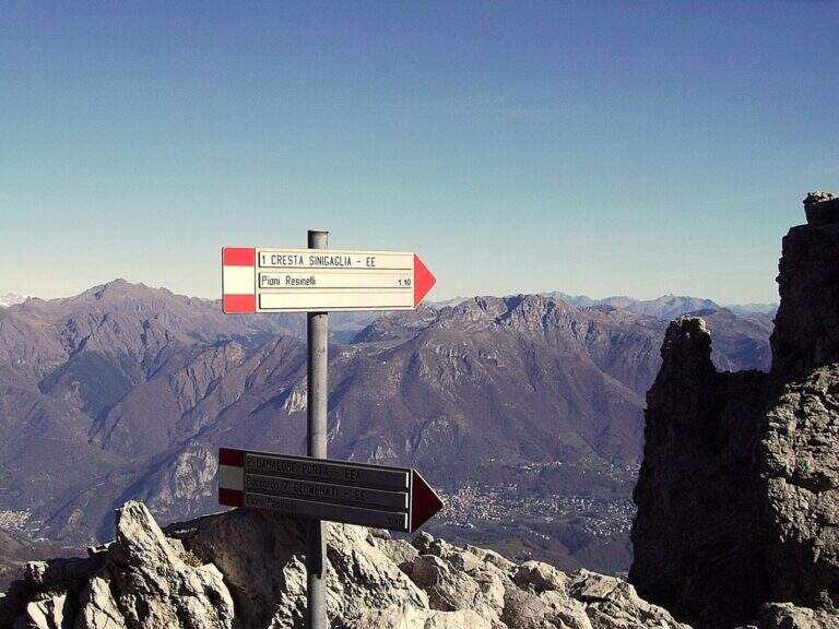
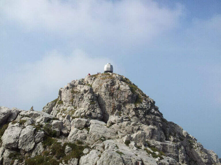
    The equipped stretch begins with an exposed traverse, the “Salto del Gatto”, where a wire rope with black sheath helps to pass in greater safety until the beginning of a rocky canal to rise. After the canal you arrive at the Wind Mouth (2065 m), from which you can finally see the top of the South Grim. Continue along the ridge of path 1 to the west, ignoring the path that on the right descends along the steep Canalino of the Federation; after the fork there is about ten minutes to the summit, to be earned going up the last stretch equipped with big chains: a series of small rocks and a last exposed wall lead to Bivacco Ferrario and the summit cross (45′ from the Salto del Gatto, 2h45 overall).

    ▲Character and difficulty

    Two points deserve attention along the way: the “Salto del Gatto” and the last equipped stretch that leads to the top. They are not difficult steps, but are exposed and require a minimum of experience.

    ⚠ The last stretch towards the cross is very exposed, although with technical difficulties contained: firm foot and a minimum of habit to the equipped paths.
    ▲Period and safety

    High mountain summer itinerary in the Grigne (max. 2177 m). The exposure of the equipped sections requires attention, especially with wet rock.

    ▲Discipline

    From the South Grigna the most used way to return to the Rifugio Carlo Porta is the path 7 along the Cresta Cermenati: not difficult, but generally quite crowded and a little slippery. In about 1h30 he returns to the refuge (4h total).

    ▲To match

    You can combine in a long ring with the Sentiero Attrezzato Cecilia towards the Rosalba refuge, then descending to the Resinelli plains with the Foppe Path. For a multi-day itinerary towards the North Sea you can evaluate the Ferrata del CAI Mandello.

    ▲Gallery
    Technical data
    • DifficultyModerately Hard
    • RegionLombardy
    • GroupGrims
    • Approach2:00 h
    • Ferrata0:45 h
    • Itinerary (a/r)4:00 h
    • Hardware level difference123 m
    • Route difference629 m
    • Max2177 m
    • Length6 Km
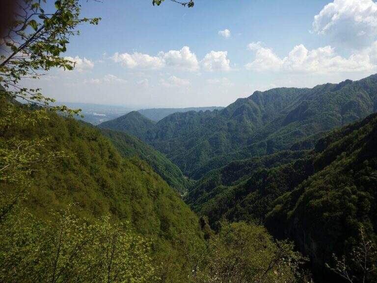
  • Sentiero Attrezzato della Cresta Giumenta al Monte Magnodeno

    Sentiero Attrezzato della Cresta Giumenta al Monte Magnodeno

    Vie Ferrate › Lombardia › Lecco
    Sentiero Attrezzato della Cresta Giumenta al Monte Magnodeno

    The Path Attrezza della Cresta Giumenta is a scenic ridge route that winds between Monte Magnodeno and Passo Fò, under the Resegone. It is very panoramic and in some sections exposed, but protected with chains for self insurance. You can walk in both ways: in the direction of Magnodeno – Passo Fò is easier, because the most challenging stretches face uphill.

    ▲Approach

    From the large square of the cable car to Piani d’Erna, in Lecco. Arrived in Lecco from the highway that connects the city with Ballabio and Valtellina, at the exit of a gallery take the exit with the clear indications for “Piani d’Erna” and climbs between hairpins to the square (open up Google Maps). The path connects Passo Fò (Monzesi/Ghislandi Alpine bivouac) to Monte Magnodeno (Magnodeno bivouac). To start from the Magnodeno, from the parking lot take the path 1 towards the Stoppani refuge: after about 30 minutes, at a crossroad where on the left continues the path 1 (Rifugio Stoppani), you keep the right towards the Azzoni refuge and Campo de Boi; further on, to another crossroad where on the left the path 1 goes to Erna and to the Azzoni refuge, you go straight on the 25A for the Magnodeno refuge Alternatively, from Passo Fò, you can reach it from the mountain station of the cable car along the path 5 (50′) or from the car park following path 1 to the junction with 6 (1h30).

    ▲The path

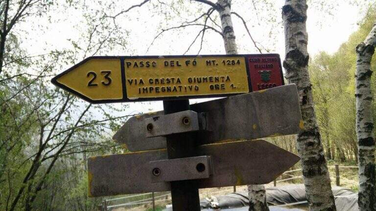
    We describe the meaning Monte Magnodeno – Passo Fò. From the peak of the Magnodeno you descend a few meters helping with some chains up to a first crossroads for the Alpine hut Monzesi; you continue briefly in that direction up to a fountain with bench, where a signposted crossroad indicates on the left the Cresta di Giumenta. Exit from the wood with a half-coast stretch you reach the beginning sign of the equipped part. It begins with a downhill stretch on slippery rocks, then a second stretch equipped in climbs; therefore a long stretch of crest, not difficult but exposed, with the chain present almost everywhere. Risaled a tower, the crest leads to the most challenging and satisfying section: a series of towers that lead to the Cima del Fò, partly laughtered and partly wandered with the help of the chain and, in some cases, of the rope with sheath; stand out a couple of small walls, short but more climbing than the rest. At the end of an exposed tower you return to the crest until a first technically more difficult canal; a climb between towers and saddles engages for 10-15 minutes until the Cima Fò with its cross (1348 m), from which is clearly visible the Azzoni refuge in the summit of Resegone. From the top you go down to a saddle where, on the right, you start a way of escape that avoids the last difficult stretches, while on the left continues the equipped; staying on the crest you get to the key passage, a channel that climbing takes the look of a fireplace, to rise for about ten meters. Finally, there are a few short rocky pillars up to the monument to the Falls of the Mountain and then to the Passo Fò (1284 m, 1h30 from the attack, 3h30 overall), under the bastion on which the Ferrata del Centenario and the Sentiero Attrezzato del Caminetto, natural continuations of the route.

    ▲Character and difficulty

    Although it is not difficult, some stretches are exposed and, if you go downhill, require attention: for this the Magnodeno sense – Passo Fò, which faces uphill the most challenging steps. The chain, present along almost all the way, allows a comfortable self insurance; the more technical points are a canal and the fireplace of the key passage.

    ⚠ It grows panoramic but exposed, with some stretches on slippery rock: steady foot and attention, especially in the steps facing downhill.
    ▲Period and safety

    Itinerary for the hiking season (max. 1348 m). The development is long and ridge: it serves good management of the step in the exposed sections and a minimum of habit to the equipped excursions.

    ▲Discipline

    The descent depends on the chosen direction: you can use the other of the two approaching options as a way back to the end of the path, reducing the time needed by a 20% indicative.

    ▲To match

    At Passo Fò the path naturally connects to the bastion of the Resegone, where the Ferrata del Centenario e il Sentiero Attrezzato del Caminetto, its ideal continuations.

    ▲Gallery
    Technical data
    • DifficultyEasy
    • RegionLombardy
    • GroupResegone
    • Approach2:00 h
    • Ferrata1:30 h
    • Itinerary (a/r)5:00 h
    • Hardware level difference200 m
    • Route difference850 m
    • Max1348 m
    • Length9,8 Km
Need help? Write to us!