Paese: Italia

  • Sentiero Attrezzato Orsi – Brenta Dolomites

    Sentiero Attrezzato Orsi – Brenta Dolomites

    Vie Ferrate › Trentino-Alto Adige › TN
    Sentiero Attrezzato Orsi – Brenta Dolomites

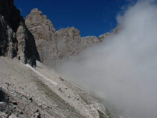
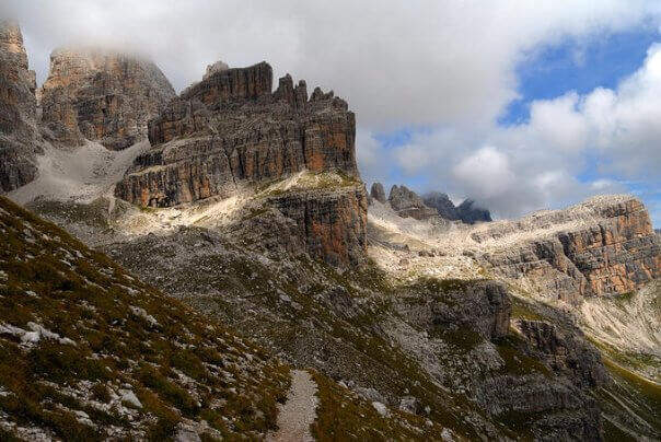
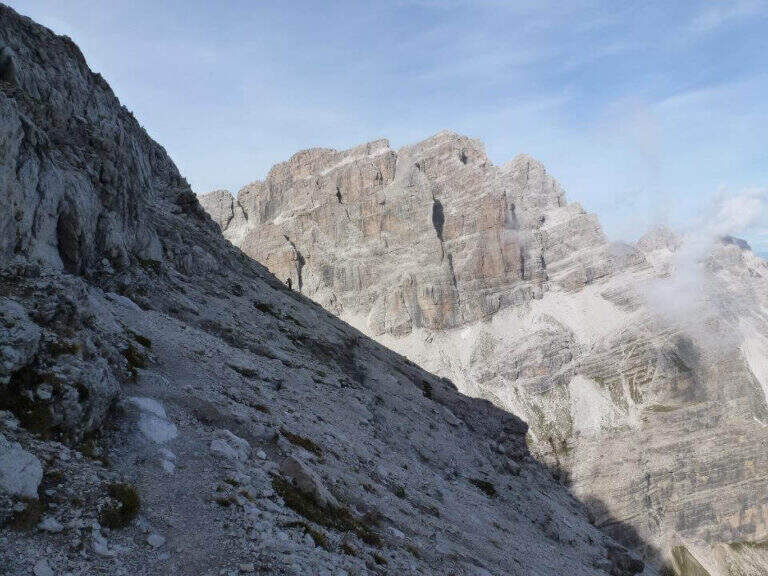
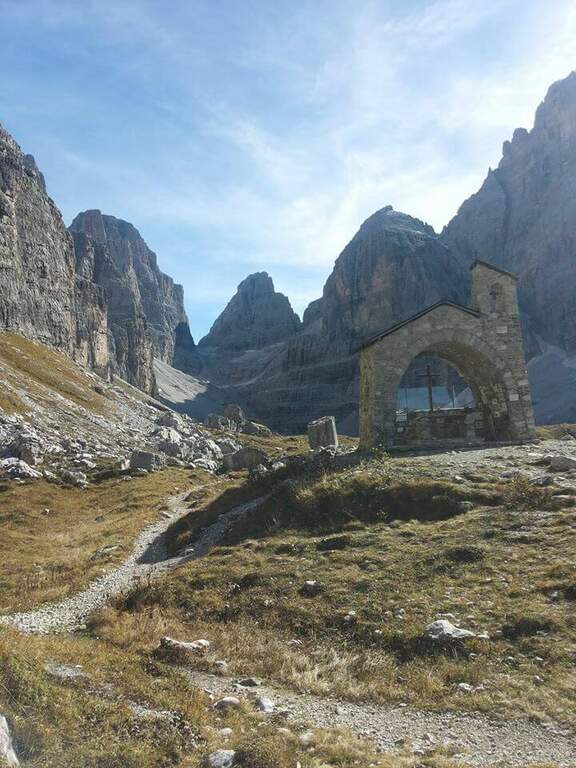
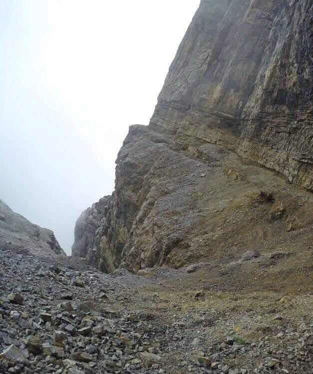
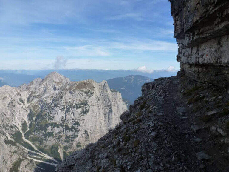
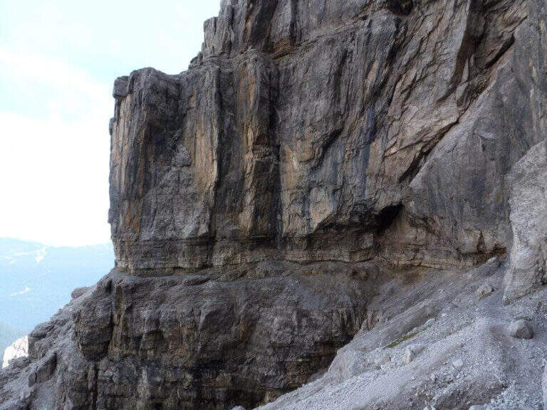
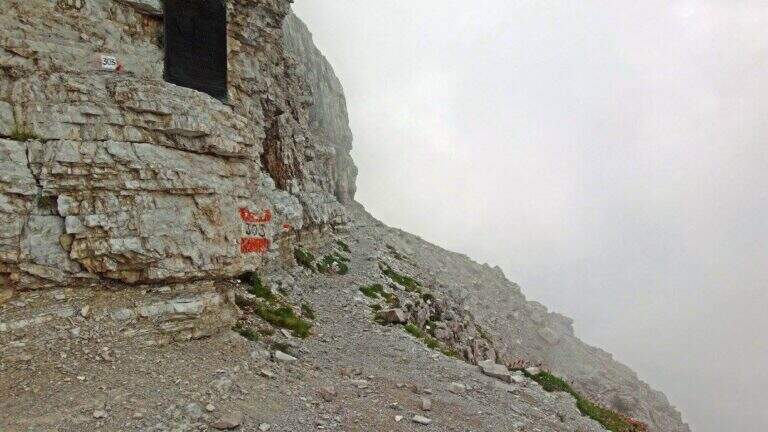
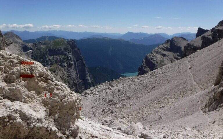
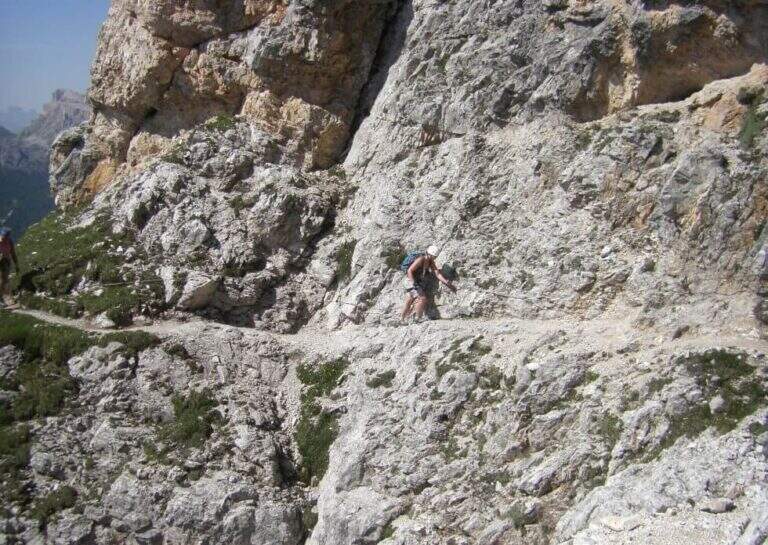
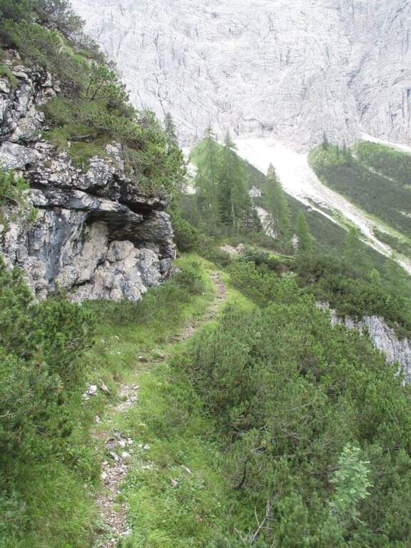
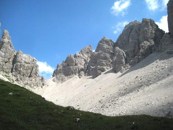
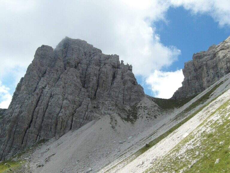
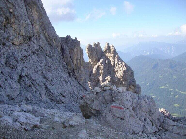
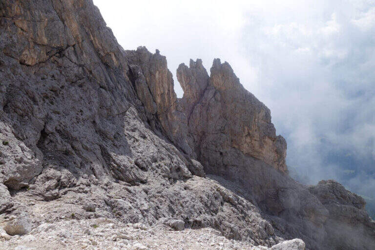
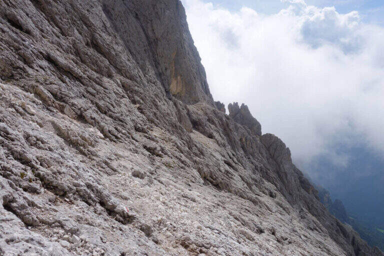
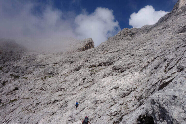
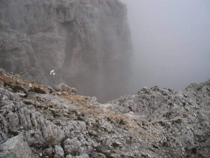
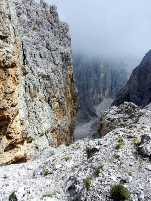
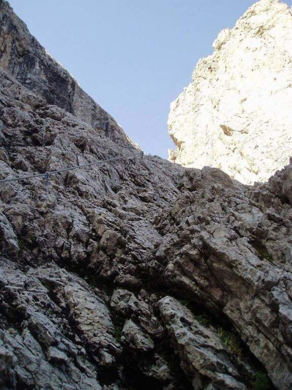
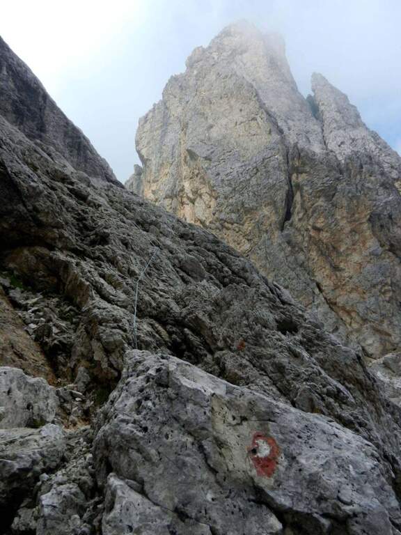
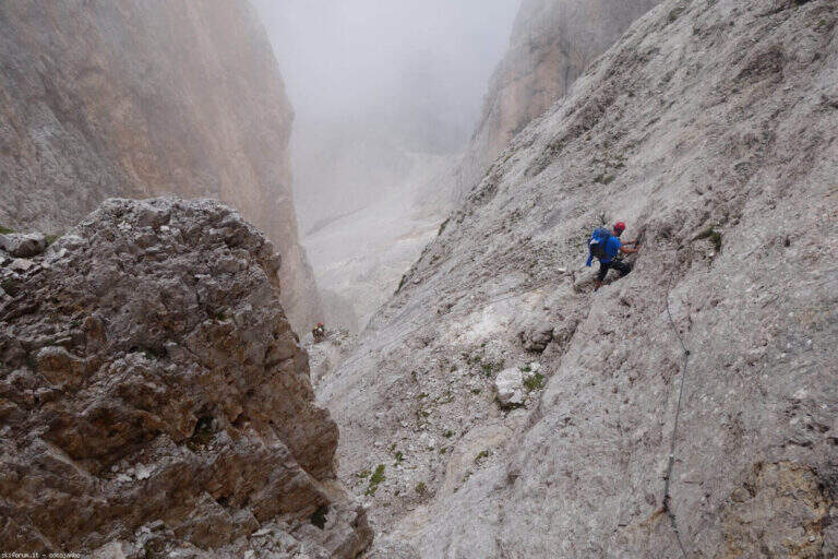
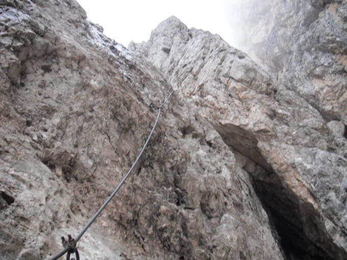
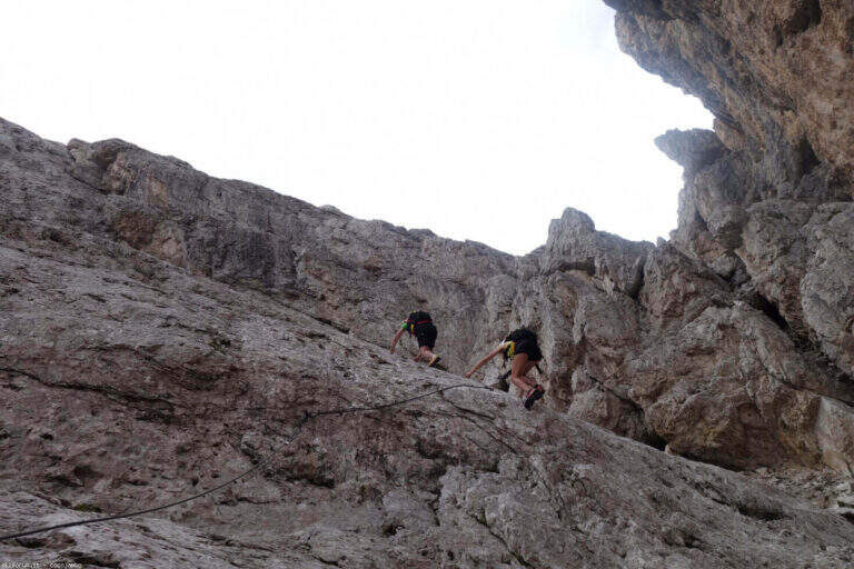
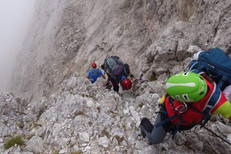
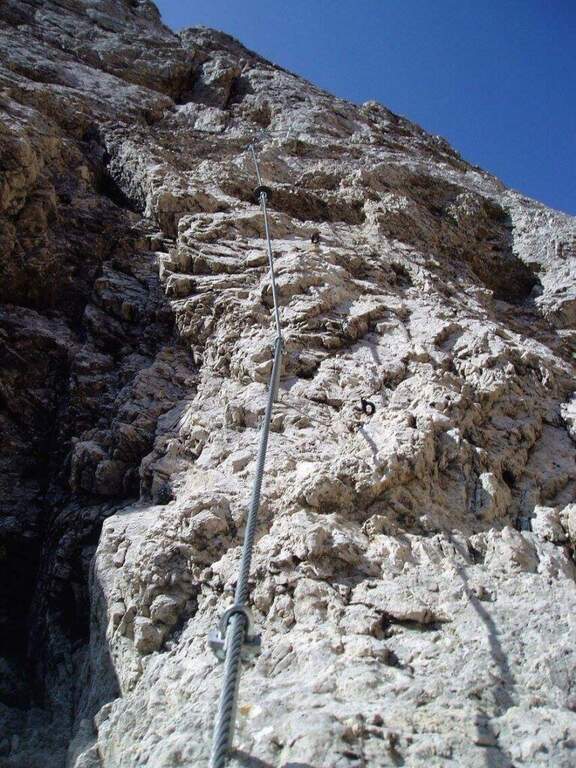
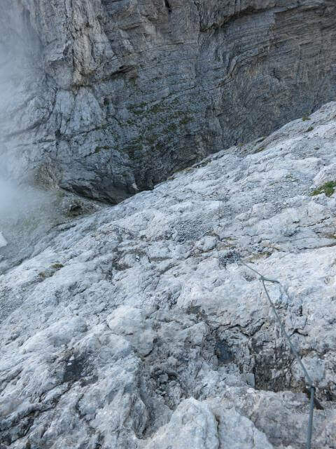
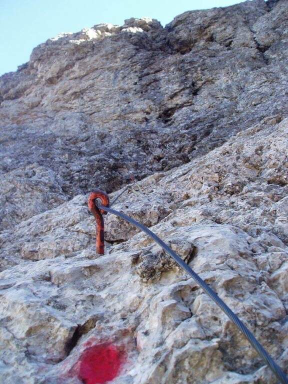
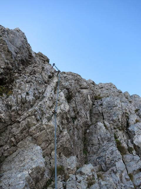
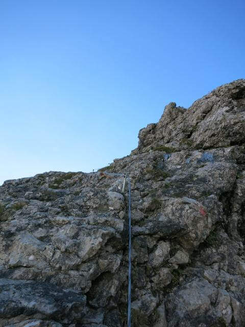
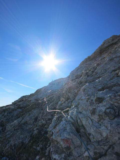
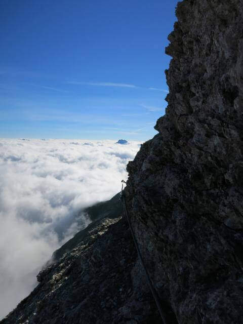
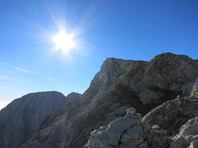
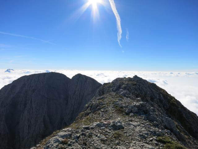
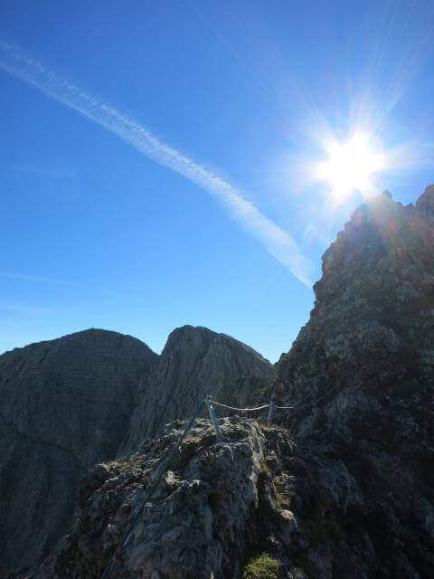
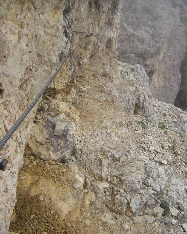
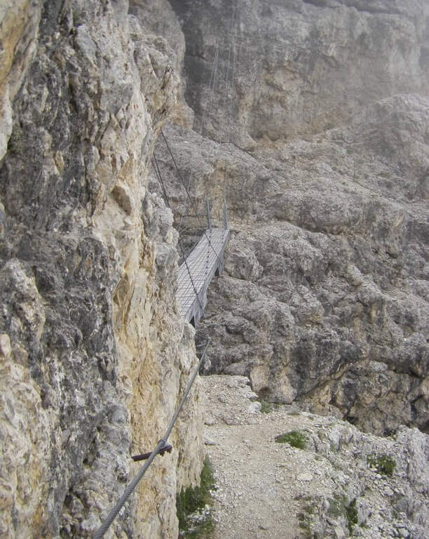
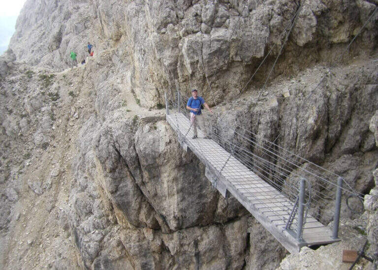
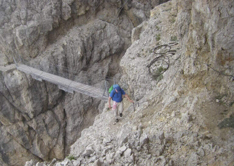
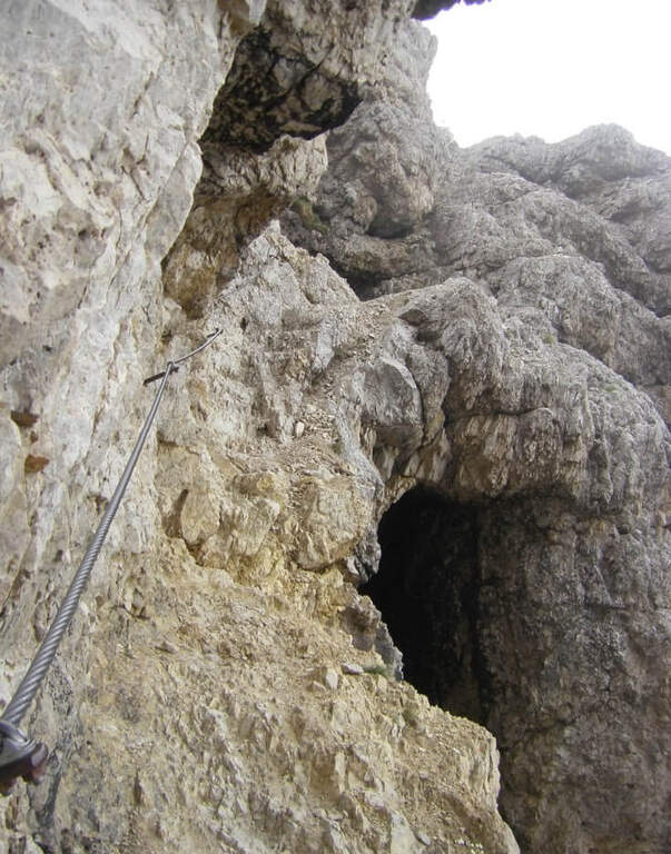
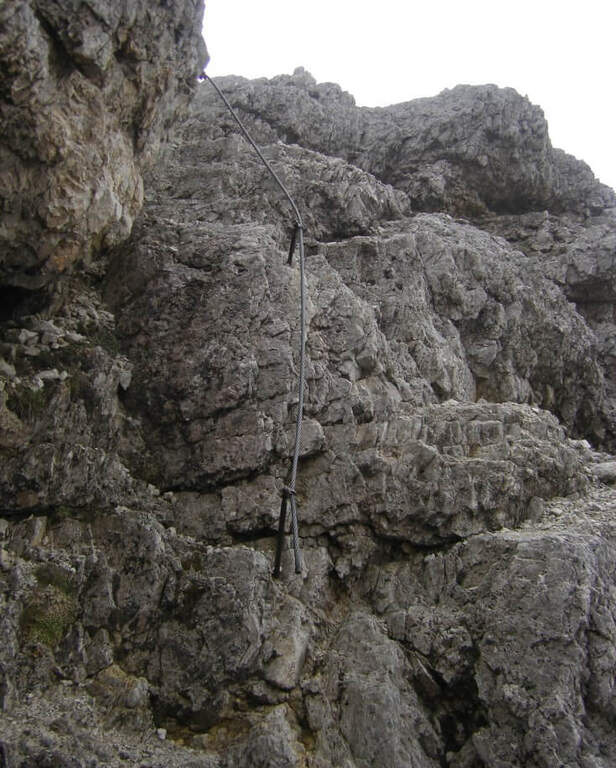
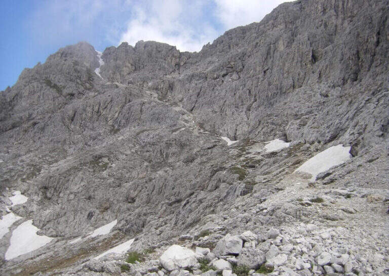
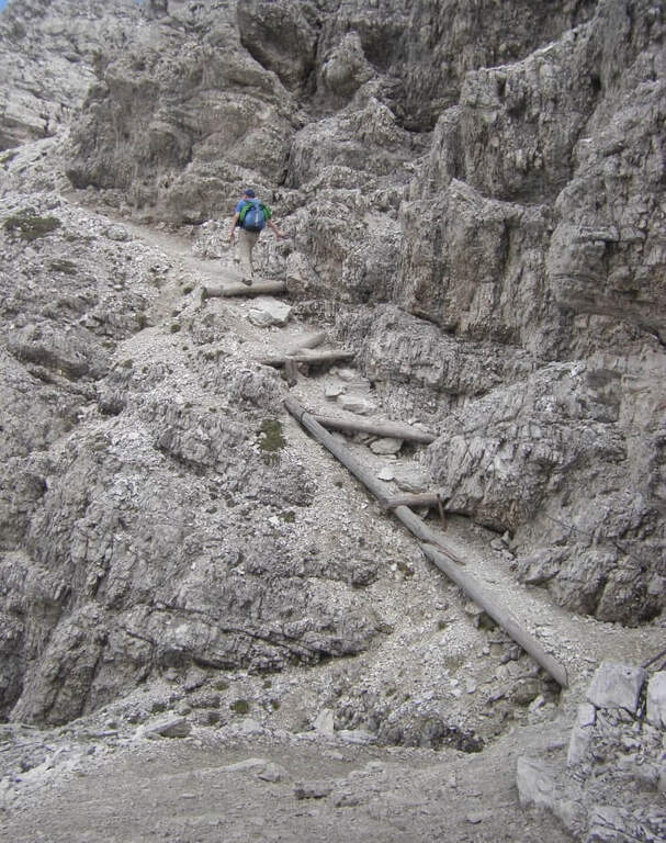
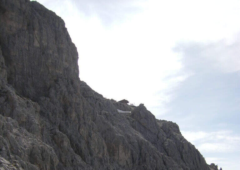
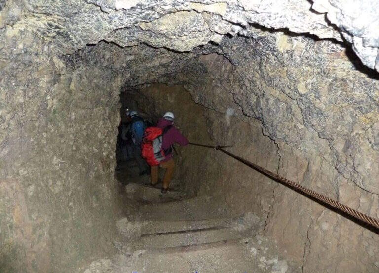
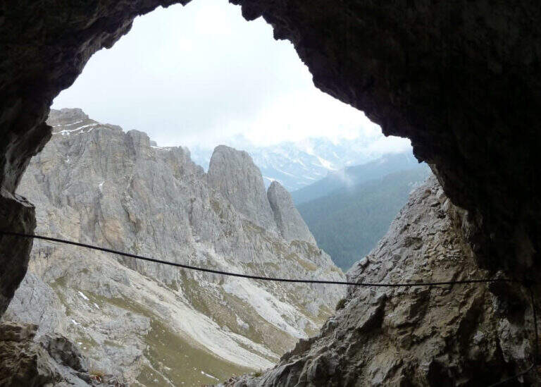
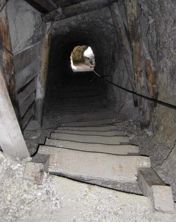
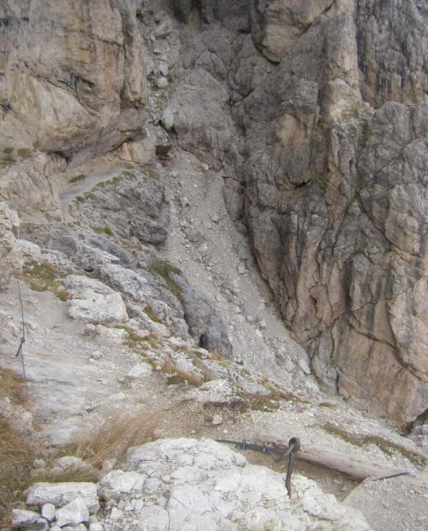
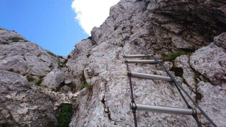
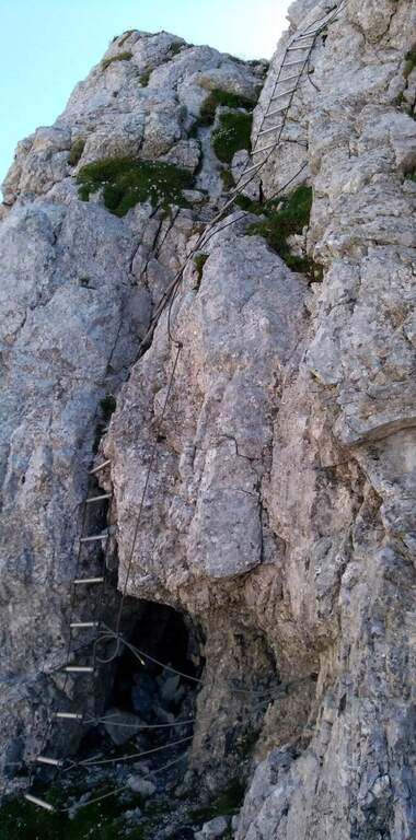
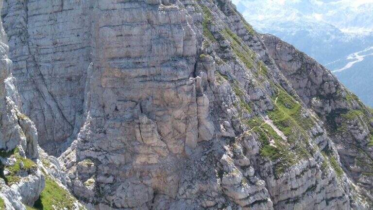
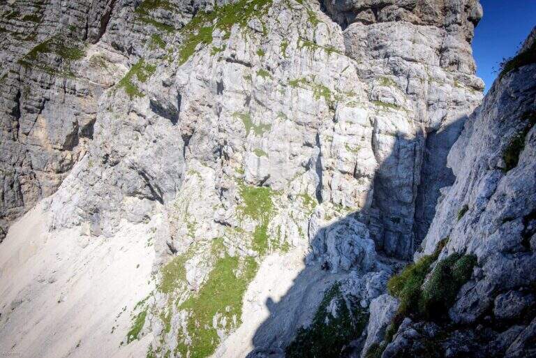
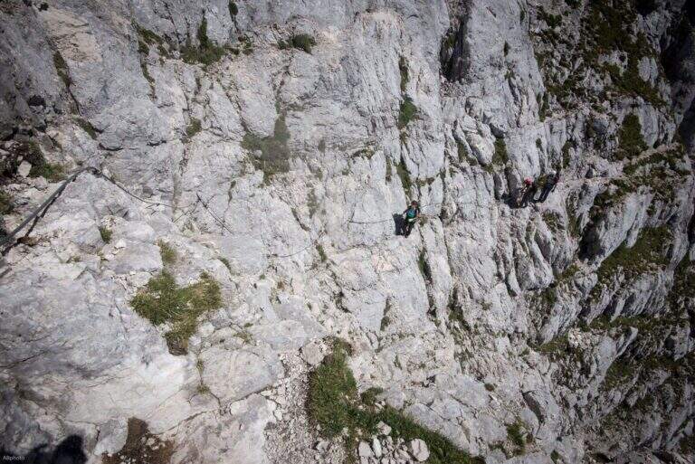
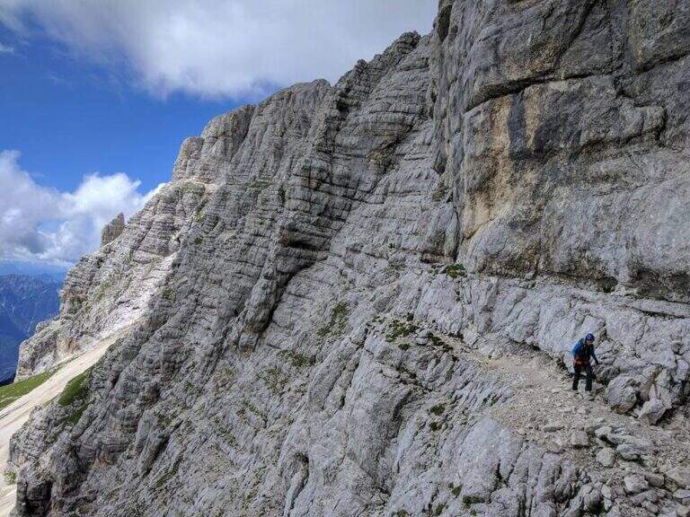
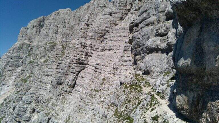
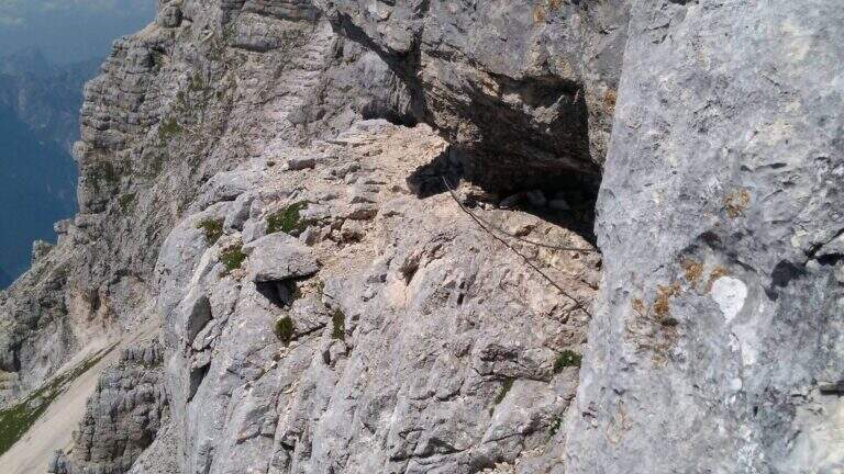
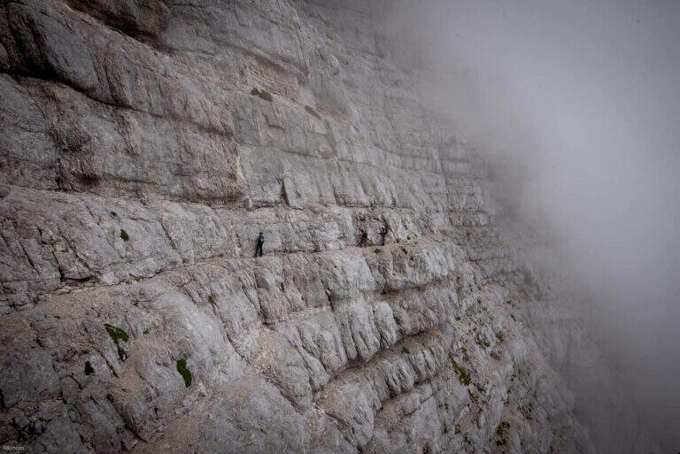
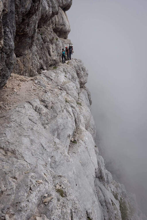
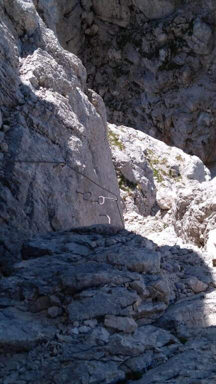
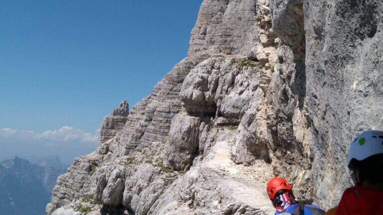
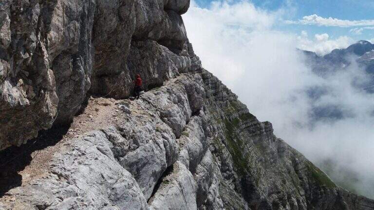
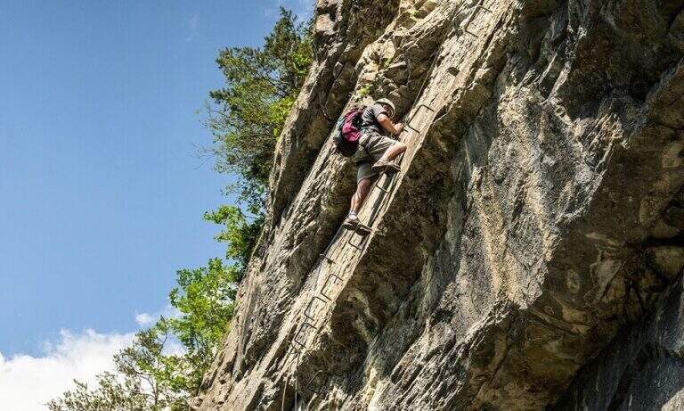
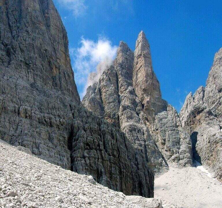
    The Sentiero Attrezzato Orsi connects the Bocca di Tucket to the Rifugio Pedrotti in the central sector of the Brenta Dolomites, crossing the exposed cenges of the Naso dei Massodì, the Busa d’Armi and the Campanile Basso. An ambitious itinerary that requires familiarity with challenging alpine environments, ideal as a second day of a stay at altitude.

    ▲Approach

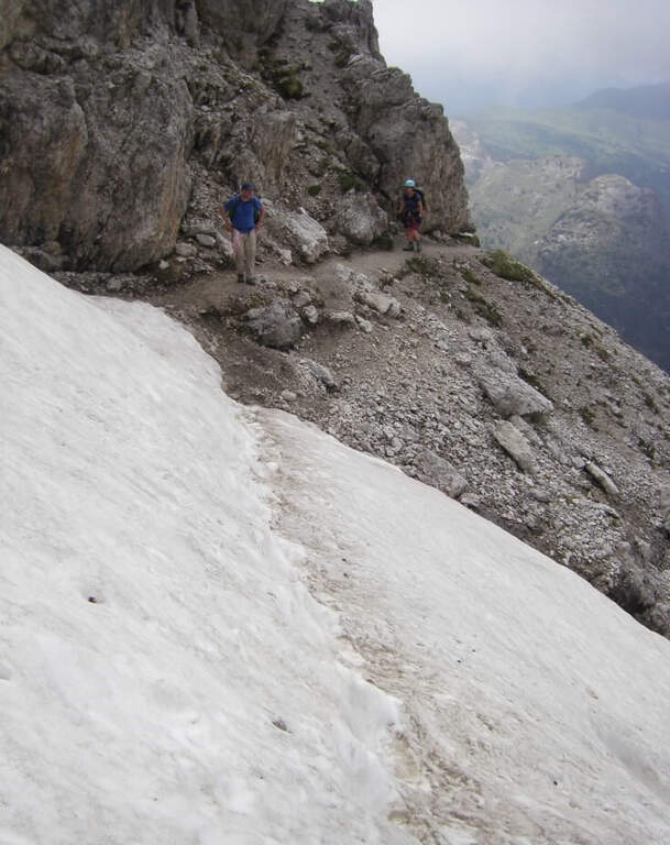
    From the mountain station of the Grostè cable car (2437 m, directions road map) follow the CAI 316 path to the Tucket Refuge (2272 m, 1h30′). From the shelter you climb to the Bocca di Tucket through the vedretta: you often need to have ramps or proceed with maximum attention on the ice (1h from the shelter).

    ▲The path

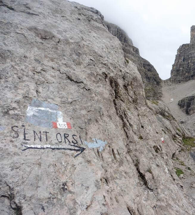
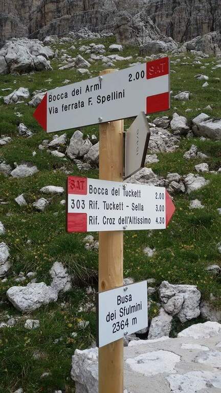
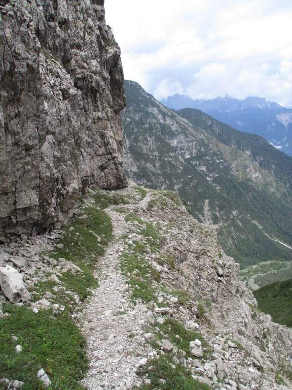
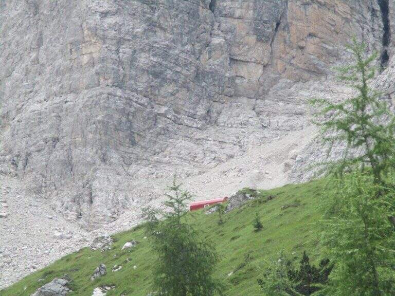
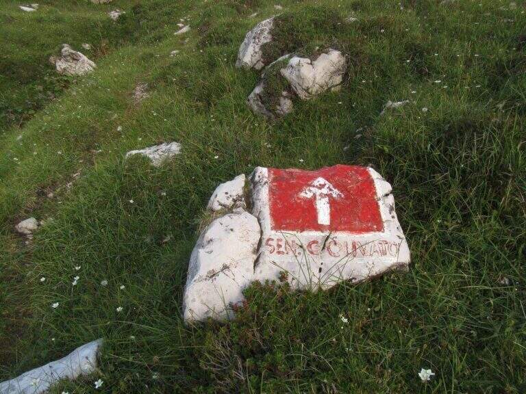
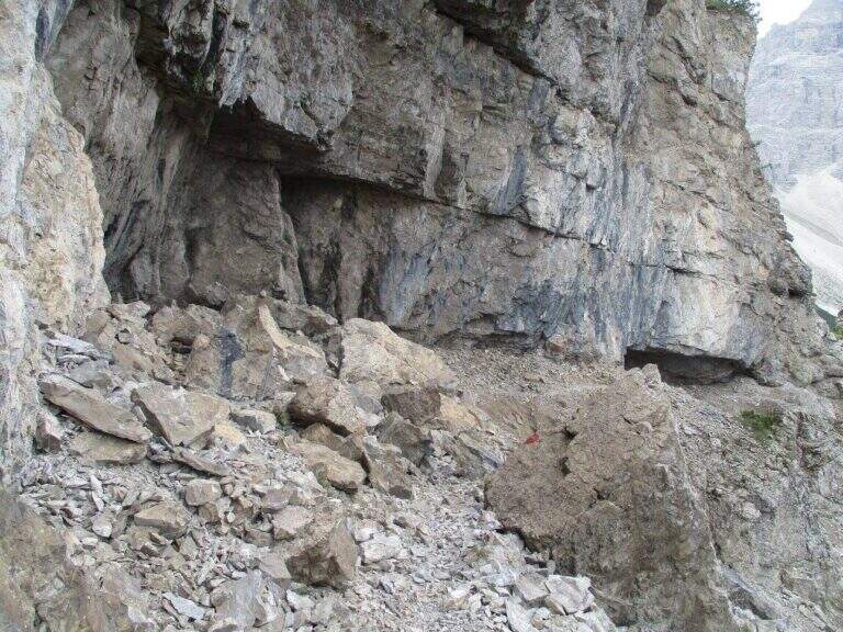
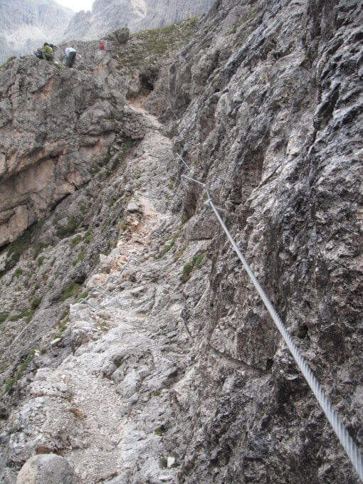
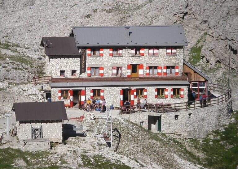
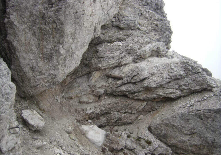
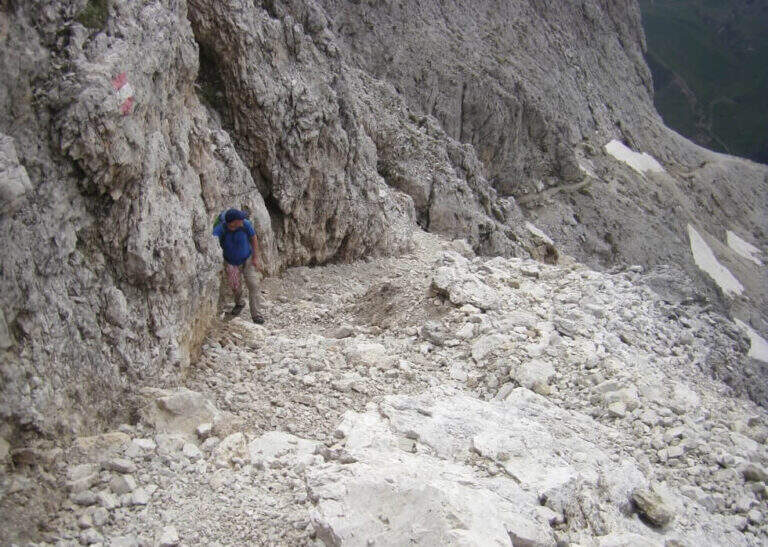
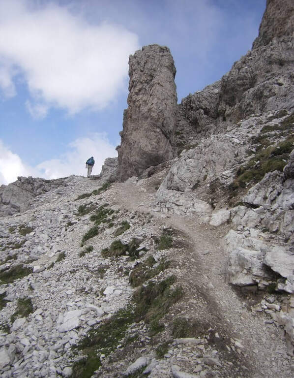
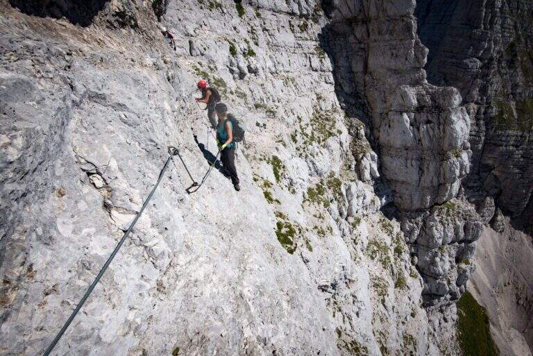
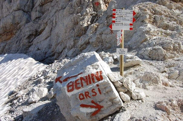
    From the mouth of Tucket (about 2640 m) take the Sentiero Orsi (CAI 303) to the east. The route runs on a very exposed census of the Naso dei Massodì and Spallone, with the whirlwind of the Arms Busa opening on the right. It alternates short stretches and sections on crest that require safe foot. The trail passes near the Campanile Alto and the Campanile Basso, with extraordinary views of the heart of the Brenta, before reaching the Rifugio Pedrotti (2491 m, 2h30′ from the Bocca di Tucket, 5h30′ total).

    ▲Character and difficulty

    Classified Hard. The difficulty is given by the harsh environment, by prolonged exposure and by the presence of the vedretta in the approach. The equipped sections are not technically extreme, but the context requires mountain autonomy.

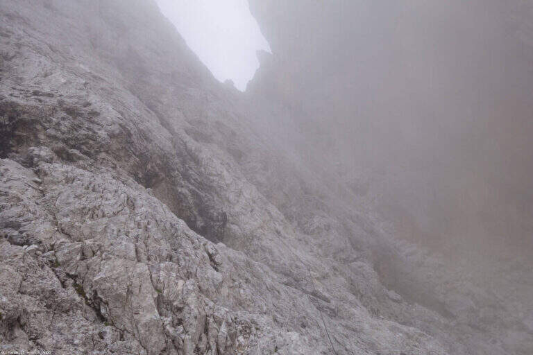
    ⚠ The Tucket Mouth preserves snow and ice until advanced season: the ramps are almost always necessary. Do not venture into fog or imminent bad weather.
    ▲Period and safety

    From July to August for the best conditions on the glacier. Avoid in case of afternoon thunderstorms.

    ▲Discipline

    You return by reverse path (10h30′ total) or stay at the Rifugio Pedrotti by organizing a crossing in two days towards the Rifugio Graffer or along the Bocchette.

    ▲To match

    The Rifugio Pedrotti is the starting point for the Sentiero delle Bocchette Alte, the Via delle Bocchette and Ferrata Spellini: the central Brenta area is one of the richest areas in the Alps.
    ▲Gallery
    Technical data
    • DifficultyHard
    • RegionTrentino-Alto Adige
    • GroupDolomiti di Brenta
    • Approach3:00 h
    • Ferrata2:30 h
    • Itinerary (a/r)10:30 h
    • Hardware level difference150 m
    • Route difference1365 m
    • Max2699 m
    • Length24 Km
  • Sentiero Attrezzato Olivieri – Rifugio Ra Vales

    Sentiero Attrezzato Olivieri – Rifugio Ra Vales

    Vie Ferrate › Veneto › BL
    Sentiero Attrezzato Olivieri – Rifugio Ra Vales
    Moderately Hard● OpenDescriptionComplexityMapsGallery

    Itinerary under the east wall of Punta Anna in Tofane, with a path equipped on exposed cenges, stairs and a fireplace that leads to 2580 m in the heart of the Dolomites of Ampezzo. The Ra Vales Refuge is the intermediate destination of the ring, immersed in an exceptional Dolomite scenery reachable from Cortina.

    ▲Approach

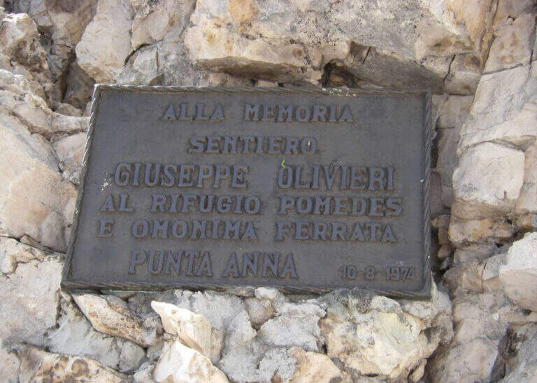
    From Cortina d'Ampezzo you can climb to Baita Pie Tofana (1675 m), directions road map) and continue on the chairlift or on foot on the path 405 to the Pomedes Refuge (2303 m). From the shelter you can walk the track and then a trace in the gravel under the eastern wall of Punta Anna, to the commemorative plate that marks the attack (1h15′ from the upper system, 1h45′ total).

    ▲The path

    It sticks with an uphill slope equipped, followed by the descent of a short wall with canal (possible remaining snow in spring). You cross a second canal and follow a new nod on a detritic background. You meet the first exposed staircase, then some small rocks and a downhill nod. A steep and winding stretch on gravel leads to the spur with the second staircase. There is a fireplace whose first leap is athletic, we walk through a census under a roof and we pass a corner: the Path Attrezzato ends at 2580 m (1h15′ from the attack). From here you descend into the right valley towards the Ra Vales Refuge (2470 m, 2h total).

    ▲Character and difficulty

    Classified Moderately Difficult. The fireplace with the first athletic leap and the exposed stairs are the steps that require more technique. The detritic background and the possible residual snow increase the degree of attention needed.

    ⚠ The canals can store snow until late July. Check conditions before leaving, especially in the first part of the season.
    ▲Period and safety

    July to October. The Ra Vales Refuge offers halfway catering.

    ▲Discipline

    From the Ra Vales Refuge follow the path 407 north to the Forcella Ra Vales (2300 m), then descend to the bay to the Baita Pie Tofana (5h30′ total ring). Alternatively, you return to the cable car from the Pomedes Refuge.

    ▲To match

    The Tofane area offers many other high altitude routes in the Dolomites of Ampezzo.

    ▲Gallery
    Technical data
    • DifficultyModerately Hard
    • RegionVeneto
    • GroupDolomiti Ampezzane
    • Approach2:00 h
    • Ferrata2:00 h
    • Itinerary (a/r)5:30 h
    • Hardware level difference120 m
    • Route difference280 m
    • Max2576 m
    • Length2,9 Km
  • Sentiero Attrezzato Olivato – Monte Miaron

    Sentiero Attrezzato Olivato – Monte Miaron

    Vie Ferrate › Friuli-Venezia Giulia › UD
    Sentiero Attrezzato Olivato – Monte Miaron
    Moderately Hard● OpenDescriptionComplexityMapsGallery

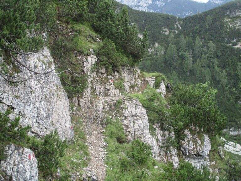
    The route to Mount Miaron starts from the Mauria Pass and goes up the north-west side of the mountain along the cenges and canalons, with short stretches equipped, up to the Bivacco Vaccari at 2050 m. A corner of the Carnic Prealps not frequented, with wild environments and a key section on the guinea without protections that is the true discriminating passage of the excursion.

    ▲Approach

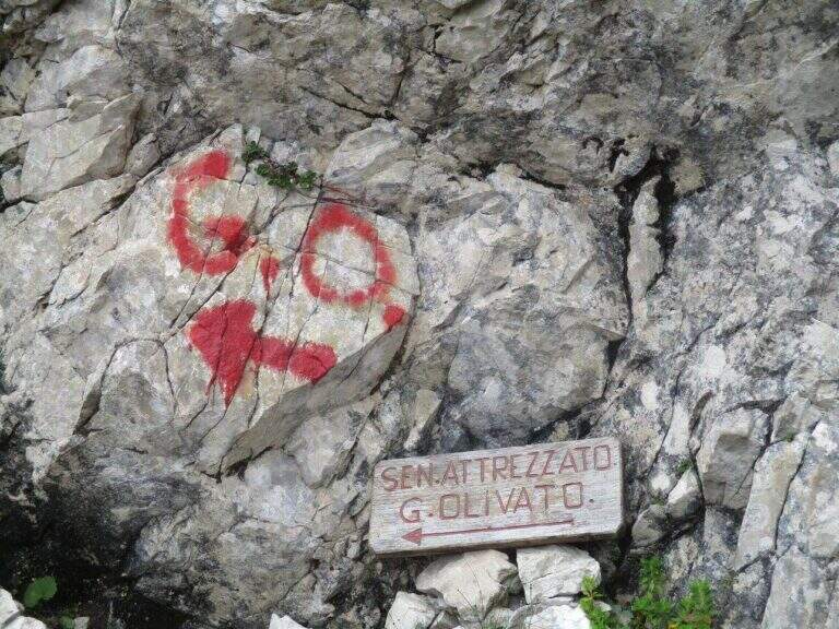
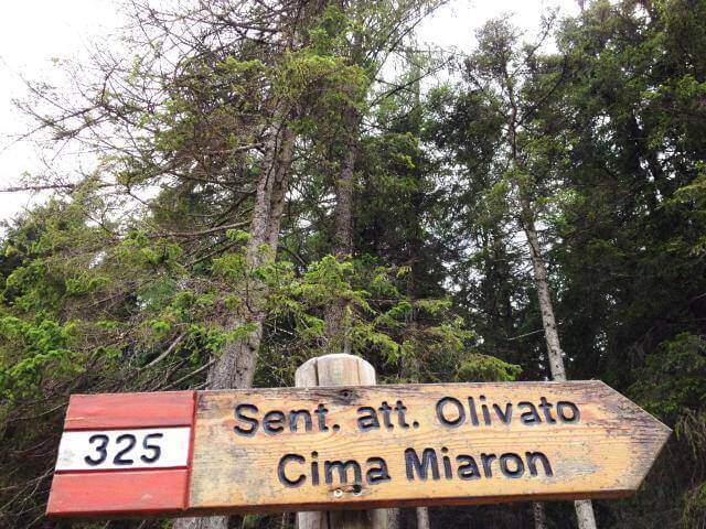
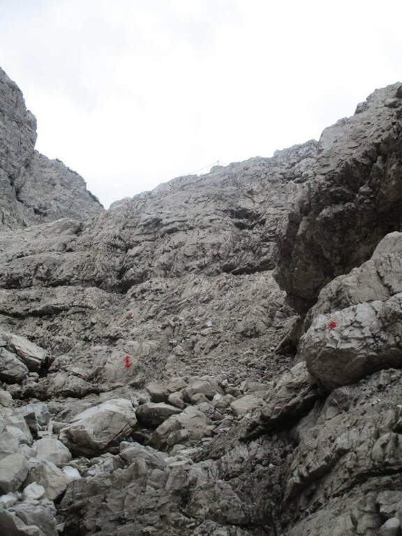
    From the Mauria Pass (1298 m, directions road map) take the trail 325, prohibited by cars. You can reach the Military Miaron in about 45 minutes. At the biforcation you leave the path 327 (normal road) and take the 325 to the right, which leads on a halfway between mughi on the NW side. A red indication signals the deviation towards the detritic ski lift.

    ▲The path

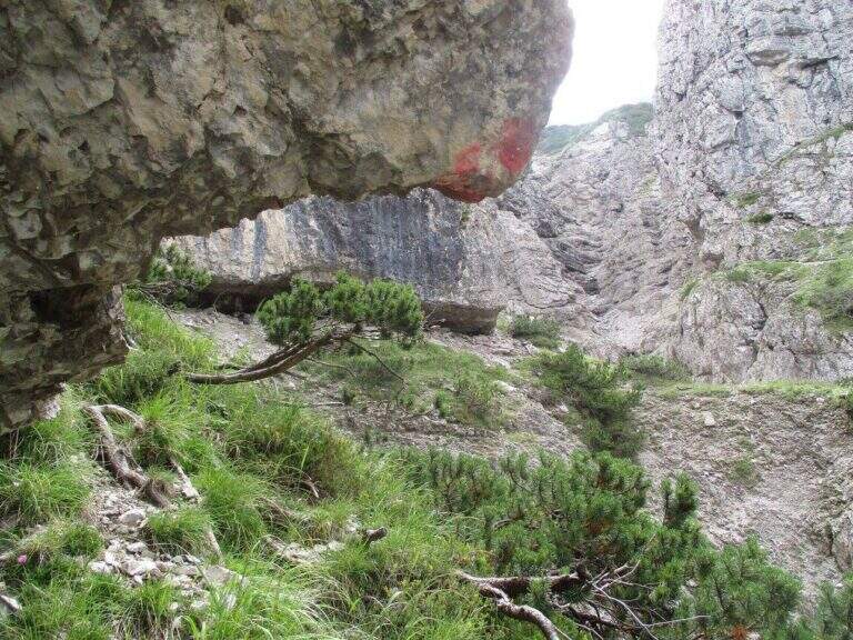
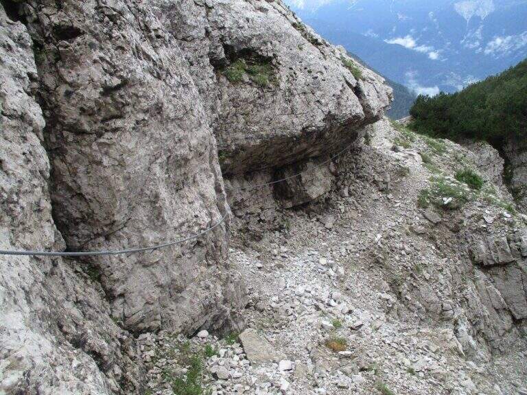
    It faces a first vertical wall equipped to the side of a straw canal, then a half-coast stretch on rocky edge. They follow cenges and canalons on the west side of Miaron, where the helmet is mandatory for the risk of falling mass. You reach a pylon-fork, then at a second similar nod. The key passage is an unprotected wreath at 1900 m altitude: the step must be carefully calibrated since the ground does not offer rope safety. After this stretch, a stable nod leads to a third inlet with a narrow nod equipped, then to Bivacco Vaccari (2050 m, 3h45′ from Passo Mauria).

    ▲Character and difficulty

    Classified Moderately Difficult. The main difficulty does not lie in the equipped traits but in the unprotected gland, which requires safe foot and absolute prudence. Lonely and wild environment.

    ⚠ The helmet is mandatory. Avoid crossing the west side in the presence of other hikers on the wall above for the risk of massive fall.
    ▲Period and safety

    From June to September. The unprotected gland is particularly insidious in wet conditions.

    ▲Discipline

    From Bivacco Vaccari you descend along the path 340 east towards the Forca del Cridola (2176 m), then along the path 348 to the Forcella Fossiana (1967 m), going down the Val del Cadorini to Passo Mauria (6h30′ total).

    ▲To match

    The Mauria Pass is a reference point for numerous itineraries in the Carnic Prealps on the border between Friuli and Veneto.

    ▲Gallery
    Technical data
    • DifficultyModerately Hard
    • RegionFriuli-Venezia Giulia
    • GroupCarnic prealps
    • Approach1:45 h
    • Ferrata2:00 h
    • Itinerary (a/r)6:30 h
    • Hardware level difference90 m
    • Route difference878 m
    • Max2176 m
    • Length9 Km
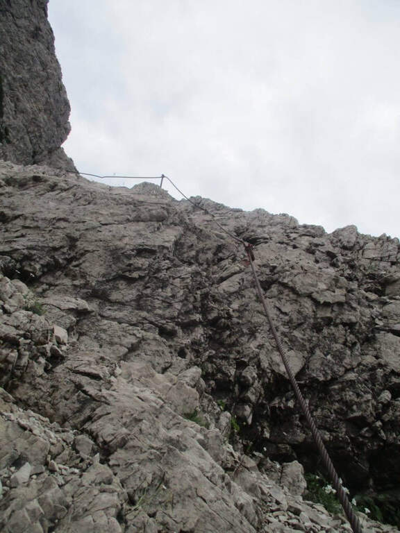
  • Sentiero Attrezzato Gusella – Passo di Ball

    Sentiero Attrezzato Gusella – Passo di Ball

    Vie Ferrate › Trentino-Alto Adige › TN
    Sentiero Attrezzato Gusella – Passo di Ball
    Moderately Hard● OpenDescriptionComplexityMapsGallery

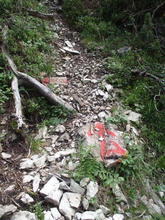
    A large mountain ring in the Pale di San Martino that combines the short Ferrata della Vecia with the most challenging Sentiero Attrezzato Gusella–Ball, crossing wild forks and high mountain environments in a complete itinerary of about 9 hours. One of the most complete proposals of the Natural Park Paneveggio–Pale di San Martino.

    ▲Approach

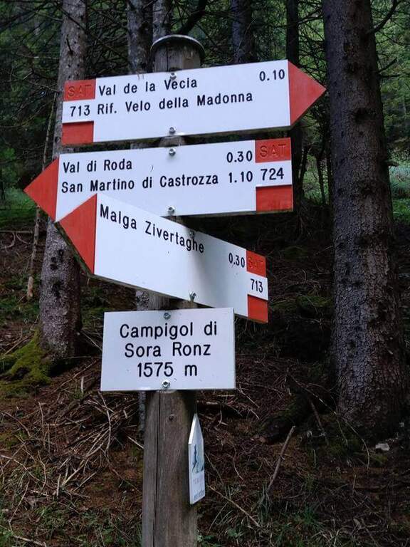
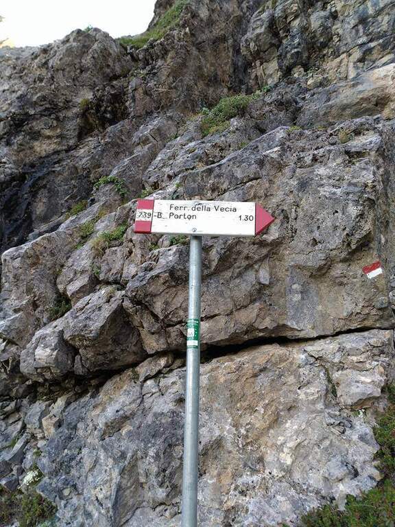
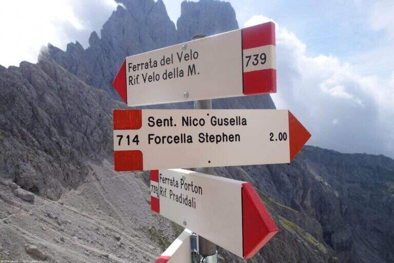
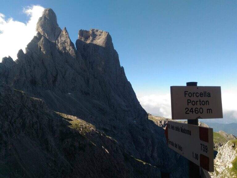
    From Malga Civertaghe (1375 m, directions road map) take the path 713 towards the upper malages. Follow the 713 until the Malga Sopra Ronz, then left the steep variant towards the stone. At a crossroads take the path 739 left towards Ferrata della Vecia (2h30′ to Forcella del Porton at 2460 m).
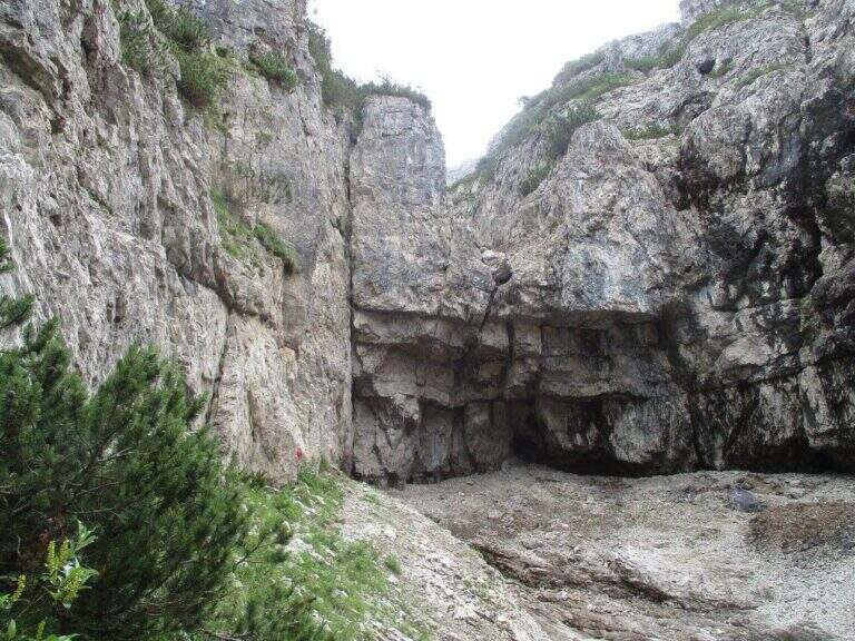
    ▲The path

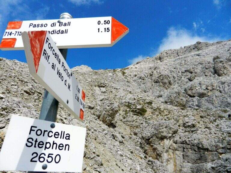
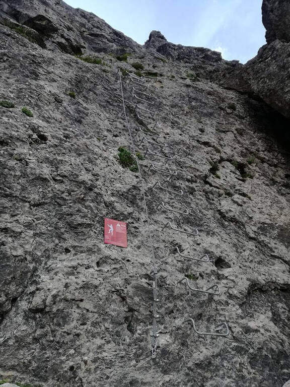
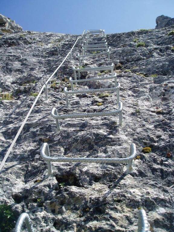
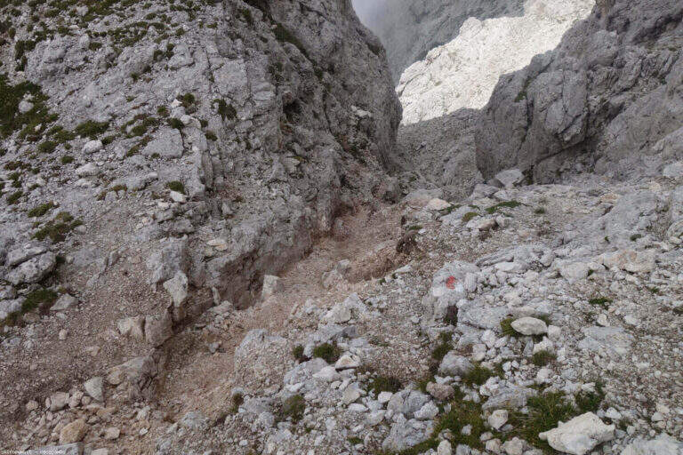
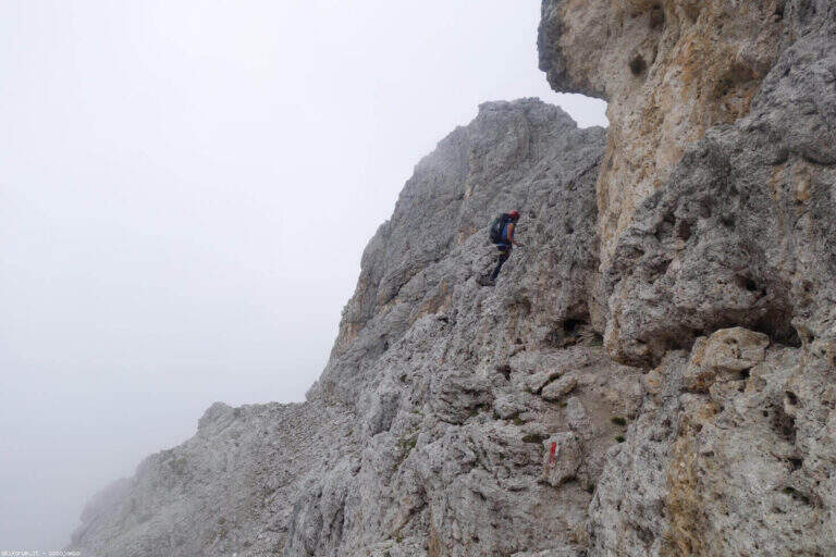
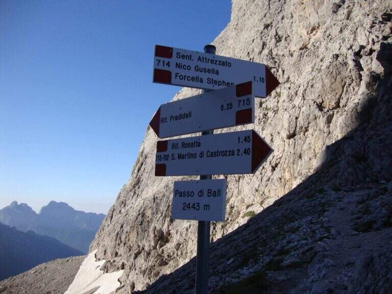
    The Ferrata della Vecia covers about 50 m of vertical cambres. From the Forcella del Porton (2460 m) take the path 714 towards Gusella, bypassing the Cima Ball on the south side and going up to the Forcella della Fede. You descend a canal without protections, then the Sentiero Attrezzato Gusella begins: a long diagonal crossing on the west side of Cima Ball marked by red stamps, with equipped strokes alternating sections on free ground. You reach Forcella Stephen (2650 m, 4h total). The descent to the Ball Pass (2443 m, 4h45′) is steep and equipped in several points: a 20 m plaque, a fireplace and vertical blinds require attention. From the pass you reach the Pradidali Refuge (2278 m) and then go back to the Porton and return to Malga Civertaghe (9h total).

    ▲Character and difficulty

    Classified Moderately Difficult, but long and physically challenging. Combine real ferrata, equipped alpine path, exposed free stretches and long high altitude crossing. It is necessary to leave at dawn.

    ⚠ The Gusella tract is marked only by red stamps: follow them carefully. Not suitable for early hardware.
    ▲Period and safety

    From July to September, verifying that the Forcella della Fede is free from snow. Recommended departure at the first lights.

    ▲Discipline

    From the Rifugio Pradidali go up to the Porton (7h15′ total) and return to the path 713 in Malga Civertaghe (9h total).

    ▲To match

    The area of the Pale di San Martino offers itineraries for all levels; the Ferrata del Porton, included in this ring in the ascent section, is also accessible as an excursion to itself.

    ▲Gallery
    Technical data
    • DifficultyModerately Hard
    • RegionTrentino-Alto Adige
    • GroupPale di San Martino
    • Approach2:30 h
    • Ferrata2:15 h
    • Itinerary (a/r)9:00 h
    • Hardware level difference262 m
    • Route difference1270 m
    • Max2698 m
    • Length18 Km
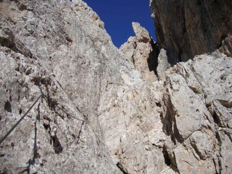
  • Sentiero Attrezzato dei Morti – Rifugio Rosalba

    Sentiero Attrezzato dei Morti – Rifugio Rosalba

    Vie Ferrate › Lombardy › LC
    Sentiero Attrezzato dei Morti – Rifugio Rosalba

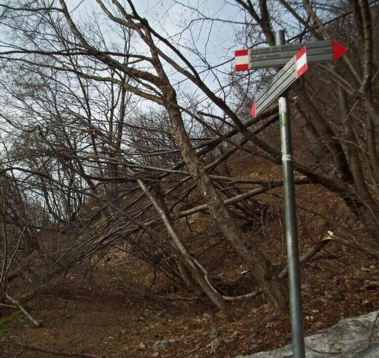
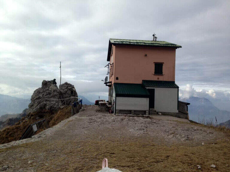
    Itinerary short but of character along the side of the South Grigna, with a single stretch equipped on sloped and fragrant soil that leads to the Rosalba Refuge. The evocative name, the unstable terrain and the panorama on the crests of the Grigna make this path all but trivial despite the modest length.

    ▲Approach

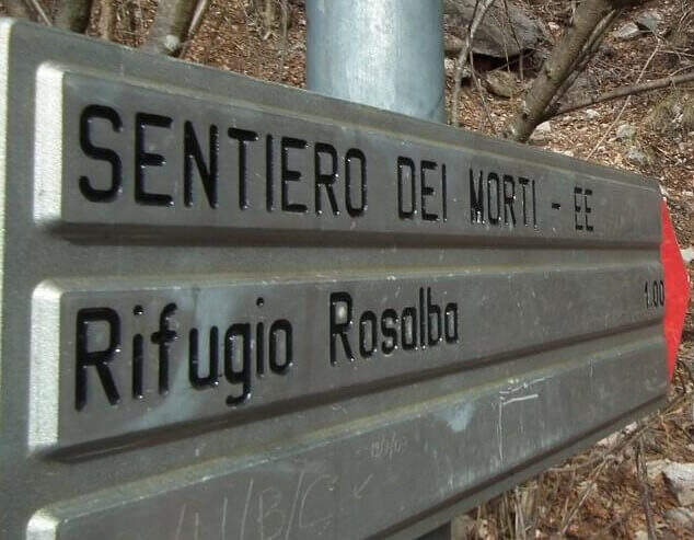
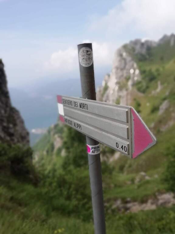
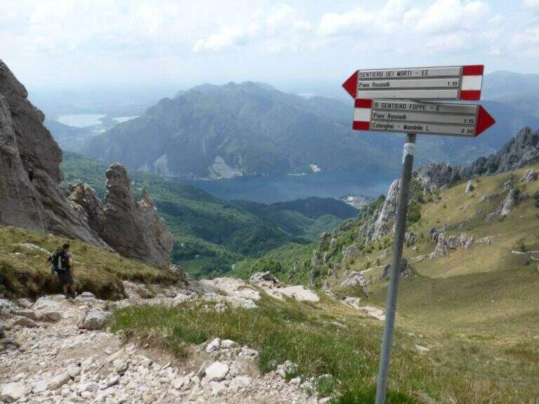
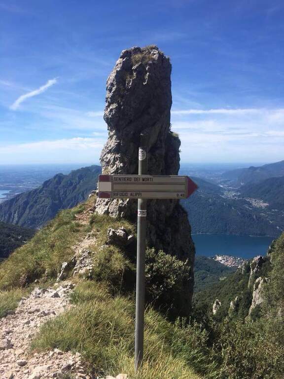
    Dai Piani Resinelli (former Alippi refuge, directions road map) follow the path 9 towards Foppe for about 30′, until a pole that indicates the deviation to the right towards the Path of the Dead. You climb into the woods and then through steep meadows.

    ▲The path

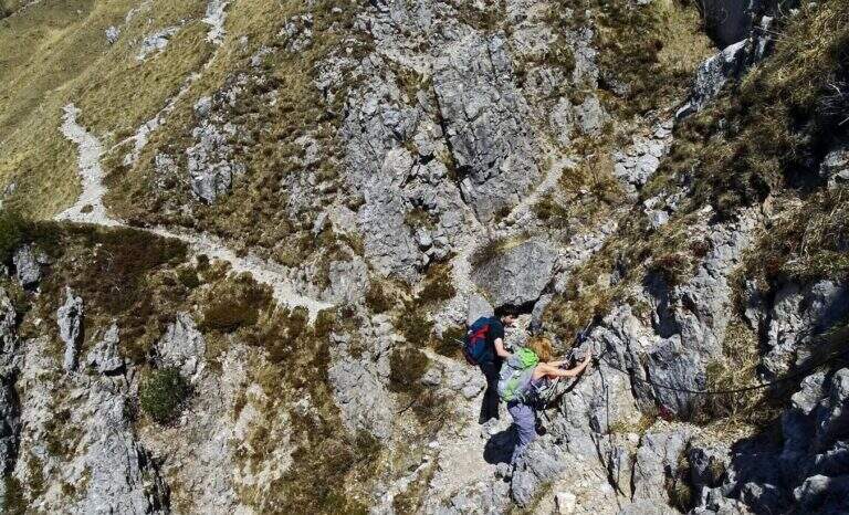
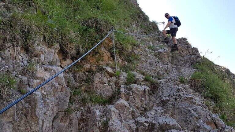
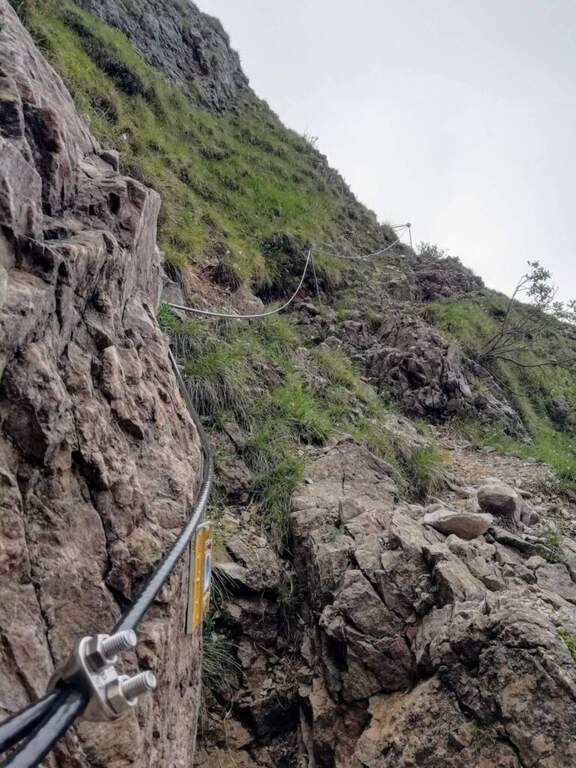
    The equipped stretch is a single sloped crossing with cable on slippery and partially fragrant soil, which requires continuous attention throughout its extension. The unstable fund amplifies the risk: a false step at this point can be dangerous. After passing the cross, go up to the Rosalba Refuge (1h from the junction, 1h30′ total from the Resinelli Plans).

    ▲Character and difficulty

    Classified Difficult despite the reduced development, due to the unstable and fragrant soil in the equipped stretch.

    ⚠ Avoid completely after recent rains or in the presence of residual snow. Telescopic sticks are recommended for the traverse. Always keep the slings attached to the cable.
    ▲Period and safety

    Recommended from May to October with dry soil. Avoid in case of rain or immediately after rainfall.

    ▲Discipline

    You return to the same path or go down to Foppe following the alternative path.

    ▲To match

    There are numerous itineraries on the southern Grigna. The neighbor Sentiero Attrezzato del Moregallo completes a weekend of exits in the Larian Prealps.

    ▲Gallery
    Technical data
    • DifficultyHard
    • RegionLombardy
    • GroupLarian Prealps
    • Approach0:30
    • Ferrata1:00 h
    • Itinerary (a/r)3:00 h
    • Hardware level difference40 m
    • Route difference550 m
    • Max1730 m
    • Length9,2 Km
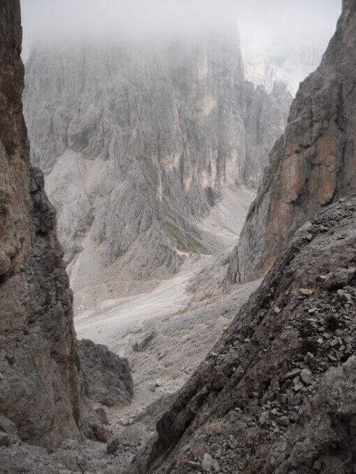
  • Sentiero Attrezzato del Moregallo

    Sentiero Attrezzato del Moregallo

    Vie Ferrate › Lombardy › CO
    Sentiero Attrezzato del Moregallo

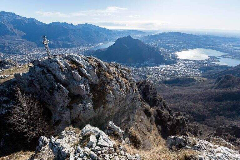
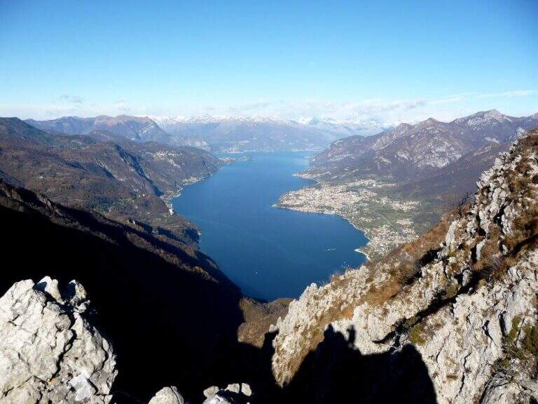
    The Attrezzato Path of Moregallo scales the western ridge of the mountain of the same name that looms on Lake Como and on Valmadrera, leading to the summit with an exposed and athletic path among the most famous proposals of the Larian Prealps. A journey of satisfaction with one of the widest views of the lake and the surrounding peaks.

    ▲Approach

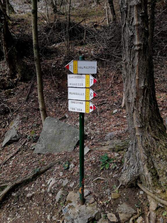
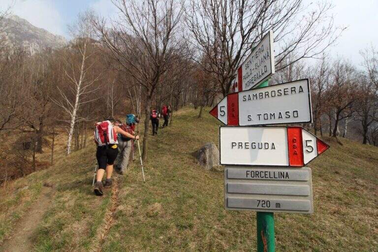
    From Valmadrera/Belvedere you can reach the Chapel of San Tomaso following the signs 6 and 7 (directions road map). Continue to Sambrosera until the Bocchette di Moregge, starting point of the equipment (2h15′ from the start).
    ▲The path

    The Bocchettes attack the west ridge. After an initial saddle, a first stretch of chains introduces to the progression at altitude. The trail then runs halfway with a short crossroads: on the right the way to Tavoulera, on the left the direct continuation on the crest. Alternating ramps, short vertical walls and air blinds with increasing exposure. The last vertical and air stretch leads to the summit of Moregallo in about 40′ from the Bocchette.

    ▲Character and difficulty

    Classified Hard. The equipped passages require good technique of progression and absence of dizziness; the exposure is marked in the upper part of the west ridge.

    ⚠ The final ridge is exposed on both sides: proceed carefully even in favorable weather conditions.
    ▲Period and safety

    From April to November, preferably in the morning to avoid summer afternoon storms. Drained with wet rock or in presence of strong wind.

    ▲Discipline

    The descent can take place either on the east ridge or on the west ridge towards the Bocchette di Moregge and then at the starting point.

    ▲To match

    There are many other routes in the Larian Alps Sentiero Attrezzato dei Morti towards the Rosalba refuge is a valid alternative in the same area.

    ▲Gallery
    Technical data
    • DifficultyHard
    • RegionLombardy
    • GroupLarian Prealps
    • Approach2:15 h
    • Ferrata0:40 h
    • Itinerary (a/r)5:00 h
    • Hardware level difference90 m
    • Route difference1025 m
    • Max1276 m
    • Length12 Km
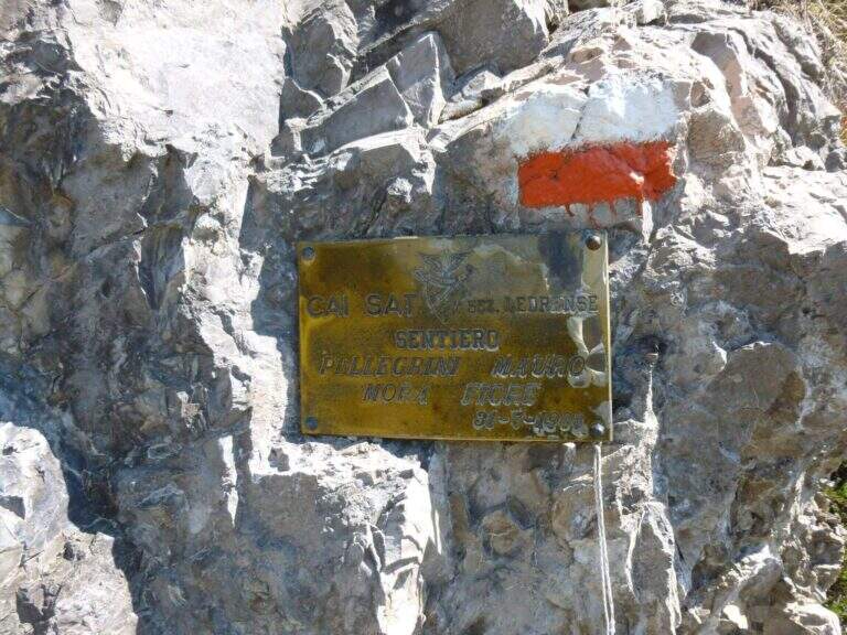
  • Hiking trail Mora Pellegrini

    Hiking trail Mora Pellegrini

    Vie Ferrate › Trentino-Alto Adige › TN
    Hiking trail Mora Pellegrini

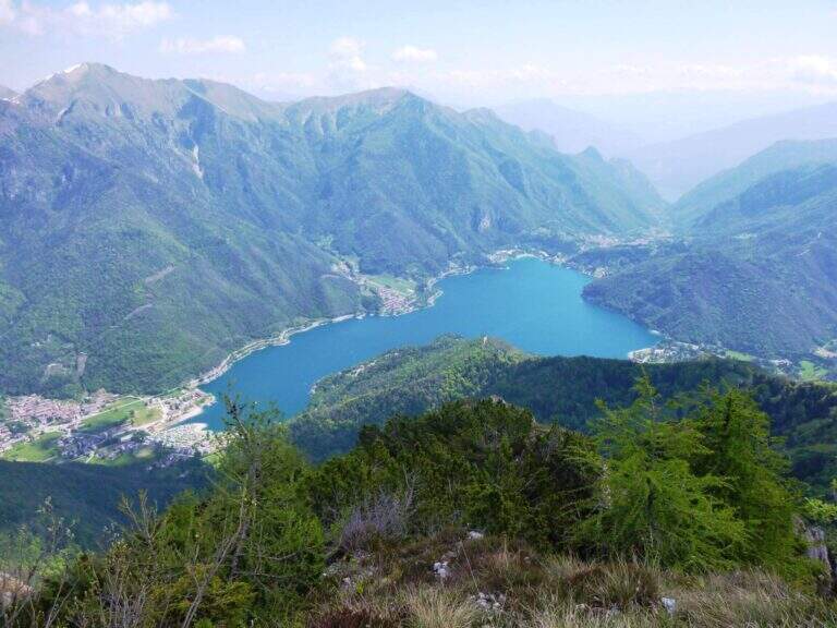
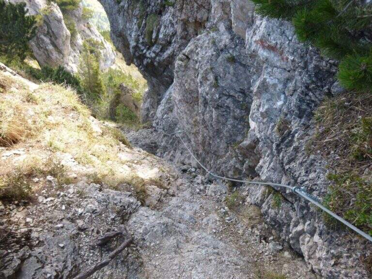
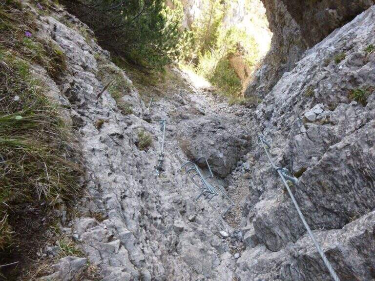
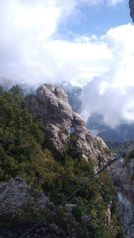
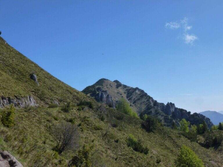
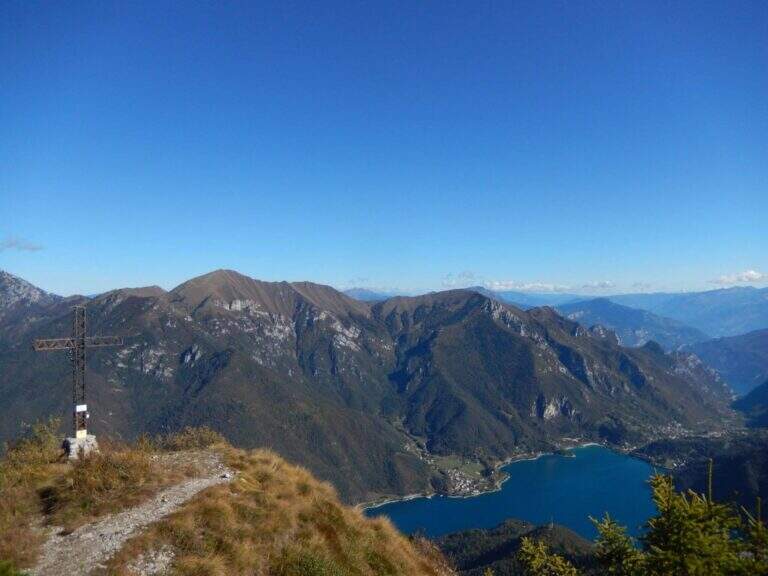
    Itinerary along the ridge above Lake Ledro, in the heart of the Prealps Giudicarie, which leads to the summit of the Cima Casèt with opening on the panorama of the lake and the Trentino valleys. A little popular route, varied in the rooms and with a stretch equipped with authentic mountaineering character.

    ▲Approach

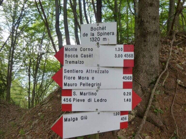
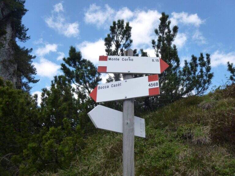
    From the parking lot of the Garibaldi hut to Passo Tremalzo take the path 419 towards the north. In about 30′ you reach the Bochet de Caset (1645 m), where you leave the main track and take the trail 416 left. Then climb up 456B towards Cima Caset, pointing to the eastern slope where the attack of the equipment (1h15′ from the parking lot, directions road map).

    ▲The path

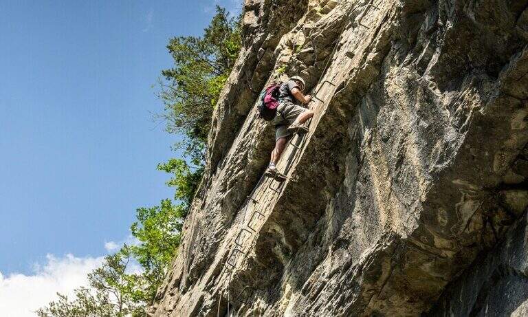
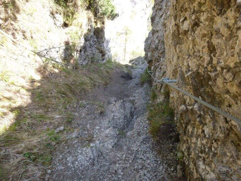
    The first metal protections accompany the climb of the east wall of Cima Casèt. Earn the top, descend towards the Pubregn (1774 m) along a nod equipped with cable. It then faces a colatoio of about 30 m down through ropes, which flows on a panoramic balcony with a direct view of Lake Ledro. The next section goes up with fireplace, brackets and short verticals until the plaque that marks the end of the route equipped to Bocca Corno Caset (1h45′ from the attack, 5h total).

    ▲Character and difficulty

    Classified Hard. The route alternates steep pathways and stretches equipped with cables and brackets. The descent of the 30 m colatoio with the ropes is the most challenging passage, followed by the census exposed above Lake Ledro. The rock is in some friable traits: always proceed with caution.

    ⚠ Avoid the colander equipped in the presence of residual snow or wet rock: the rope does not offer sufficient safety on slippery bottom.
    ▲Period and safety

    From June to October, preferably in stable weather conditions. Unconscious immediately after abundant rainfall.

    ▲Discipline

    From the end of the equipped path you descend to the Bochèt of Spinera (1318 m) through the path 456 towards Malga Giù, returning to the fork and then to the parking lot of Passo Tremalzo (5h total).

    ▲To match

    The Tremalzo area also offers the nearby Sentiero Attrezzato Segata on the opposite side of the lake.

    ▲Gallery
    Technical data
    • DifficultyHard
    • RegionTrentino-Alto Adige
    • GroupJudicial prealps
    • Approach1:15 h
    • Ferrata0:30 h
    • Itinerary (a/r)5:00
    • Hardware level difference40 m
    • Route difference225 m
    • Max1774 m
    • Length7 Km
  • Sentiero Attrezzato Marino Guardian – Monte Pelf

    Sentiero Attrezzato Marino Guardian – Monte Pelf

    Vie Ferrate › Veneto › Belluno
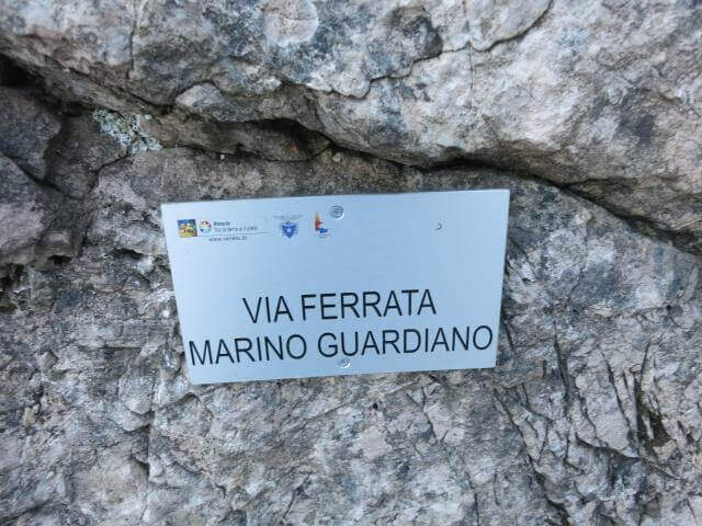
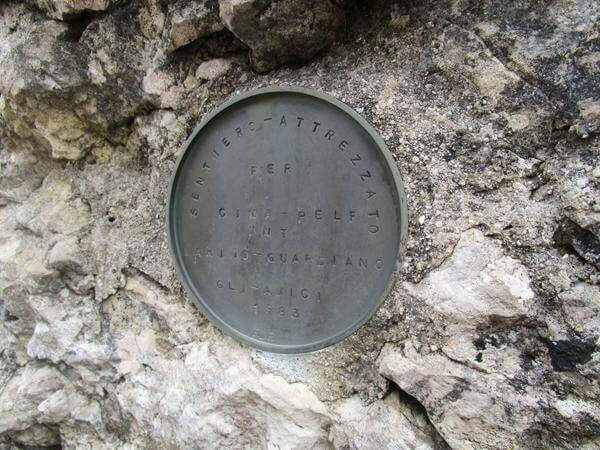
    Sentiero Attrezzato Marino Guardian – Monte Pelf
    Moderately Hard● OpenDescriptionComplexityMapsGallery

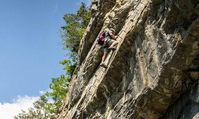
    The Sentiero Attrezzato Marino Guardian climbs to Monte Pelf in the Schiara Group, one of the wildest massifs in the Belluno Dolomites. Long and challenging itinerary — ideal to be combined with other routes of the Schiara in a more days — with moderate technical difficulties in the equipped traits but exposed and not trivial in unprotected passages.

    ▲Approach

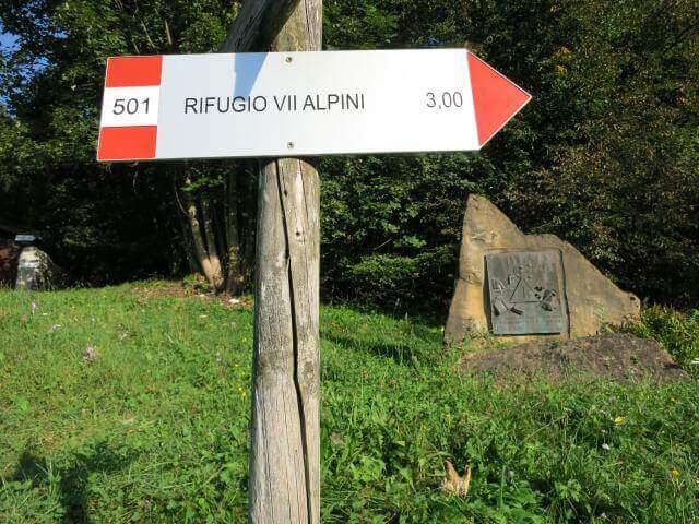
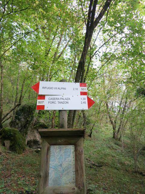
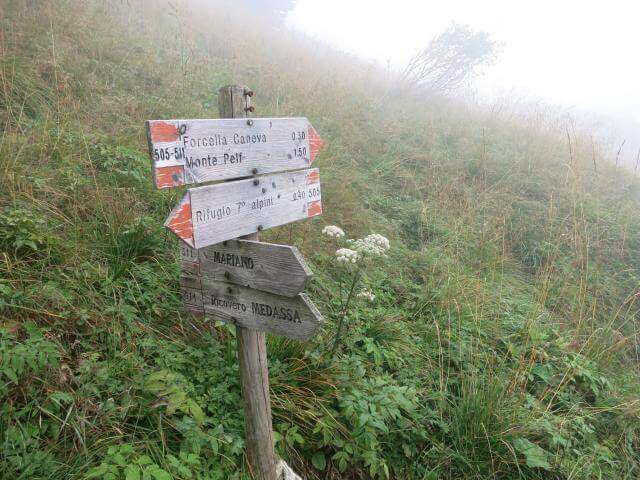
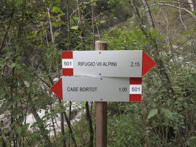
    From Case Bortot (695 m) in the province of Belluno (directions road map): from Belluno follow the road of Col di Lana, then towards Bolzano Bellunese and the Parco delle Dolomiti Bellunesi. Parking is on the final deck. Follow the CAI 501 in the forest: after the Ponte del Mariano (30′) the left for Rifugio VII Alpini (1502 m — 2h 45′).

    ▲The path

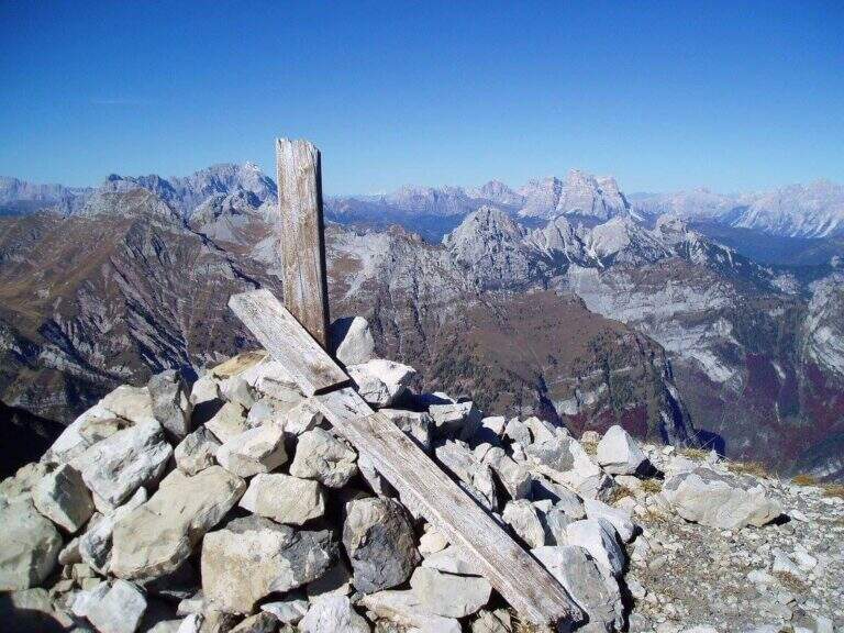
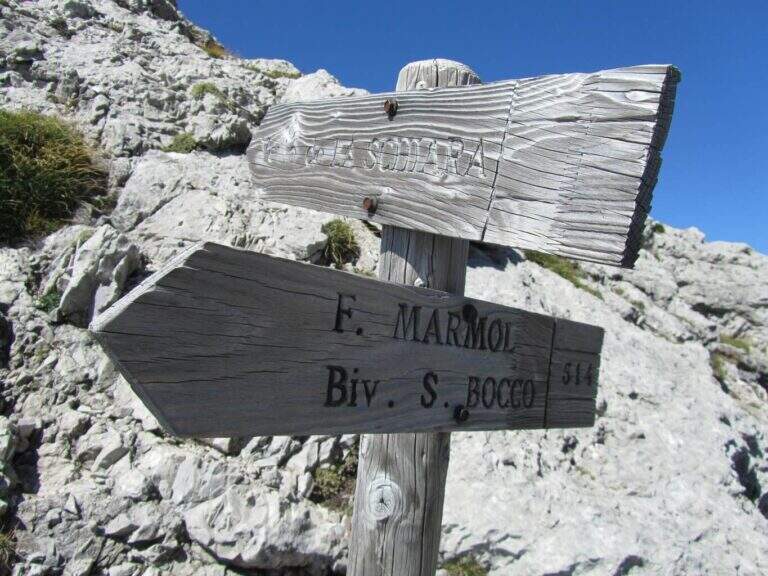
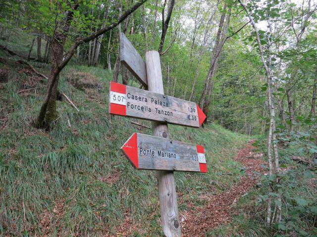
    From Rifugio VII Alpini go up towards Forcella Marmol with Ferrata Marmol, which is the first equipped stretch of the day. Adding the fork you leave the ferrata and attack the Path Attrezzato Guardian in the direction of the Pelf: the route rises on mixed ground, alternating rock and grass, with stretches equipped with moderate difficulty and long passages on exposed crest without protections. The summit of Monte Pelf is the highest and most panoramic point of the itinerary. The return descends along the CAI 507 to Ponte del Mariano and the departure parking.

    ▲Character and difficulty

    Classified Moderately Difficult, with a total length of day very challenging. The equipped routes do not exceed MD but the itinerary is not suitable for those who have no experience on alpine terrain. Complexity: technique 2/5, physics 4/5, exposure 3/5, environment 4/5.

    ⚠ Itinerary not to be underestimated for length and isolation. Bring abundant food and water; check availability of Rifugio VII Alpini (open seasonally).
    ▲Period and safety

    From July to September. The complete excursion takes a full day or an overnight stay at the refuge. Start at dawn to avoid afternoon thunderstorms.

    ▲Discipline

    From Pelf you descend to CAI 507 towards the Mariano Bridge and to the parking lot of Case Bortot (ring itinerary).

    ▲To match

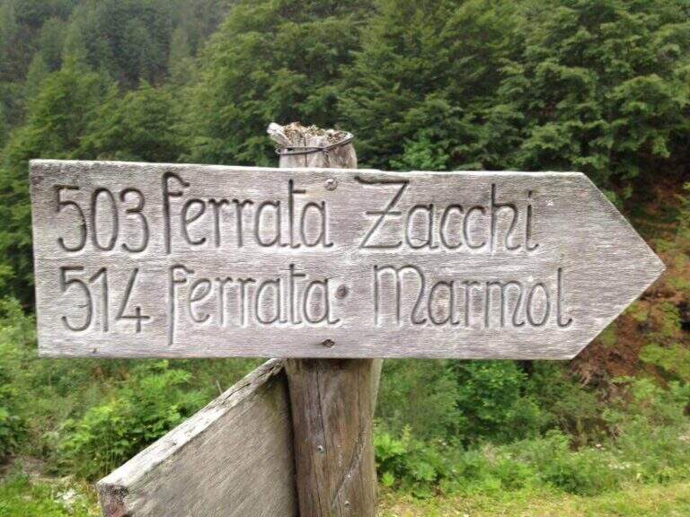
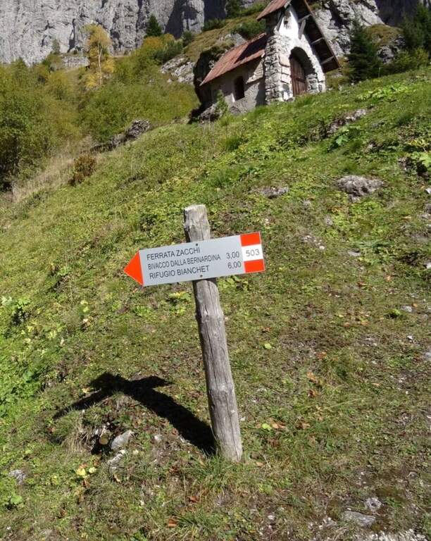
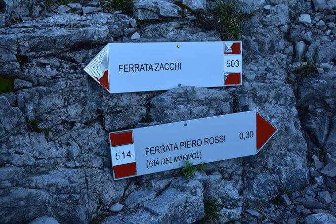
    In the Schiara Group: the Ferrata Zacchi, la Ferrata Marmol e la Ferrata Berti.

    ▲Gallery
    Technical data
    • DifficultyModerately Hard
    • RegionVeneto
    • GroupDolomiti Bellunesi – Group Schiara
    • Approach6:30 h
    • Ferrata1:30 h
    • Itinerary (a/r)11:30 h
    • Hardware level difference340 m
    • Route difference1805 m
    • Max2502 m
    • Length22 Km
  • Route Kaiserjager at Lagazuoi

    Route Kaiserjager at Lagazuoi

    Vie Ferrate › Veneto › Belluno
    Route Kaiserjager at Lagazuoi

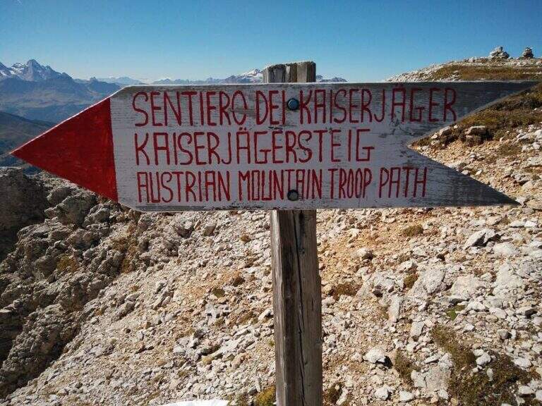
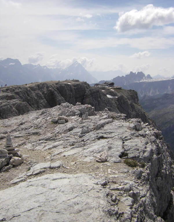
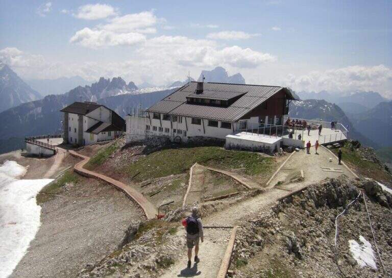
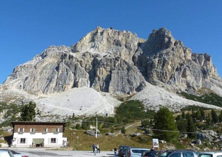
    The Kaiserjager Trail climbs to the Piccolo Lagazuoi from the Valparola Pass, in an impregnated context of war history: the Austrian trenches and defensive structures of the Great War accompany each step. Itinerary easy, ideal to approach the world of ferrate routes with a panoramic experience of great impact.

    ▲Approach

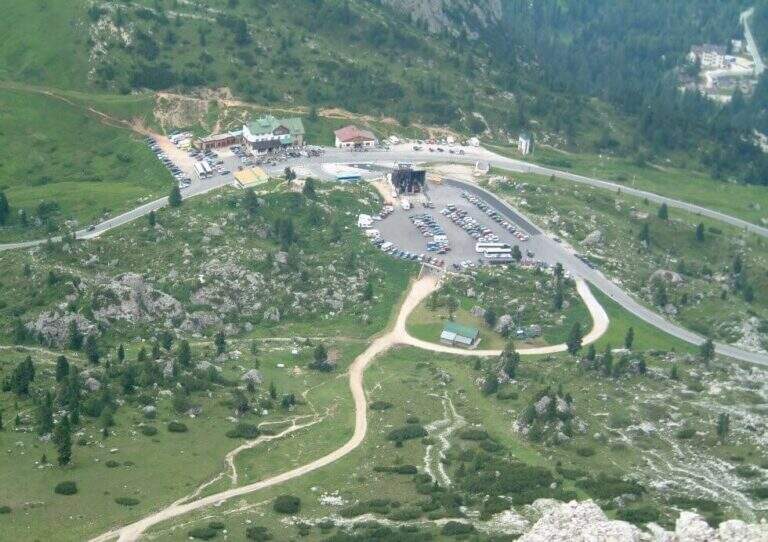
    You can reach the Valparola Pass, 2 Km east of the Falzarego Pass on the road between Cortina and Val Badia. Large parking space near the restaurant bar (directions road map). From the parking lot you descend slightly on the path and walk along a track pointing towards the southern walls of Lagazuoi, identifying the gorge with the suspended bridge. In about 45 minutes you can reach the equipped nod that marks the start of the route.

    ▲The path

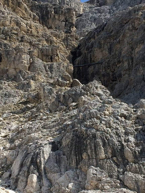
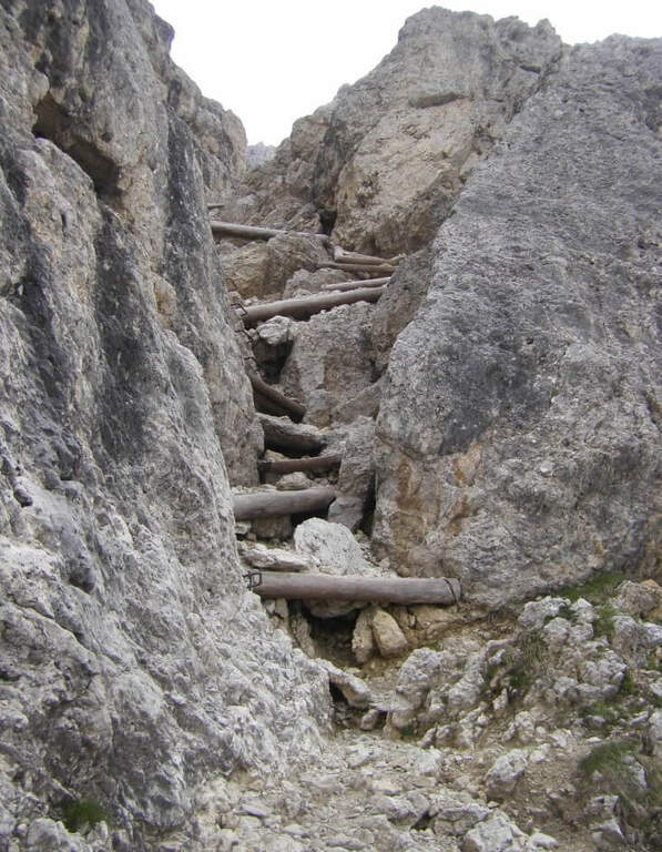
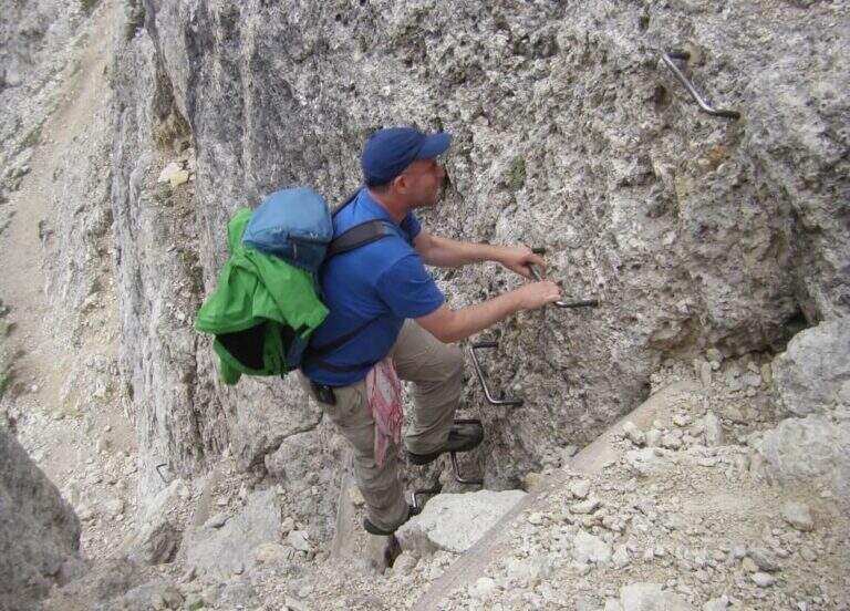
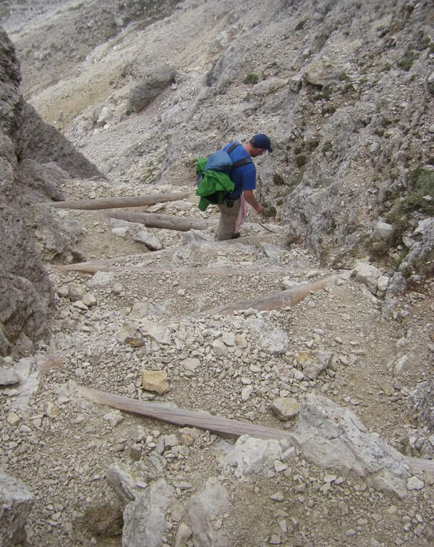
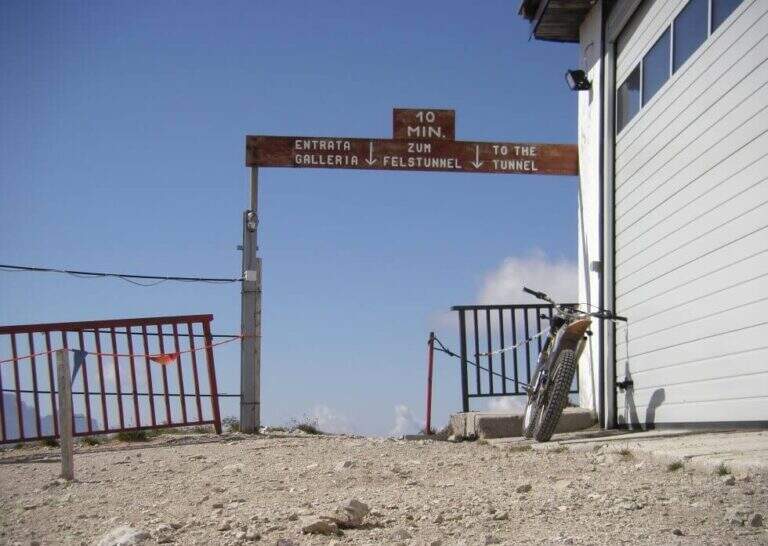
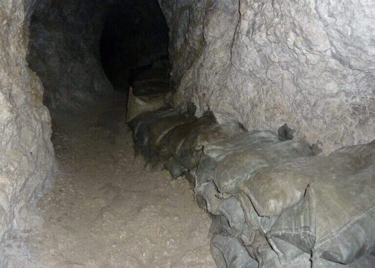
    It goes through the nod to a canal: it goes up using wooden boards framed as steps and a series of metal fixtures without continuous cable. Caution — on these infixes you must ensure individually if you want to proceed safely. After passing the canal you enter an equipped nod with cable that leads upwards, offering an ever wider view of the Dolomites. You reach the summit plateau and the military bivouac of the Piccolo Lagazuoi (1h 15′ from the attack, 2778 m). Downhill you can choose the same route or take the war tunnel of Lagazuoi which goes down to the cable car station.

    ▲Character and difficulty

    Easy classified: the equipped steps do not have significant technical difficulties. Complexity: technique 1/5, physics 2/5, exposure 2/5, environment 2/5. Great for neophytes with guide or for families with hiking experience.

    ⚠ The metal frames of the canal do not have a continuous cable: who intends to make sure must connect the longe directly to each infix. Check the route conditions in spring season.
    ▲Period and safety

    From June to October. Avoid in case of storm: the nod is exposed to lightning. The Lagazuoi cable car offers a comfortable alternative return.

    ▲Discipline

    Go down the uphill road (45′ to the parking lot) or go through the war tunnel inside the Lagazuoi to the cable car station and go down to Passo Falzarego (extra charge).

    ▲To match

    Nearby: la Ferrata Fusetti at Sas de Stria, la Ferrata Tomaselli and the classic ♪.

    ▲Gallery
    Technical data
    • DifficultyEasy
    • RegionVeneto
    • GroupDolomiti Ampezzane
    • Approach0:40 h
    • Ferrata1:15 h
    • Itinerary (a/r)4:45 h
    • Hardware level difference350 m
    • Route difference575 m
    • Max2778 m
    • Length5,2 Km
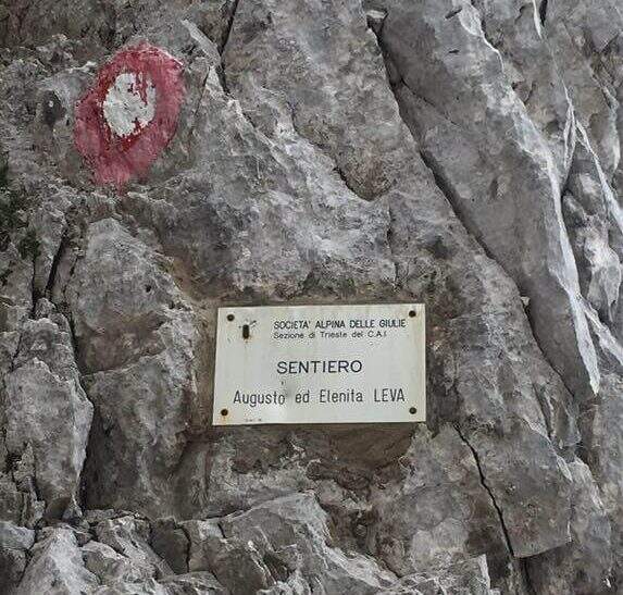
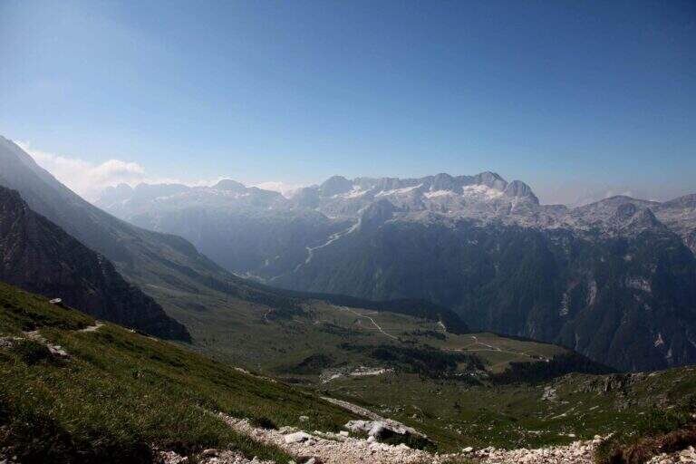
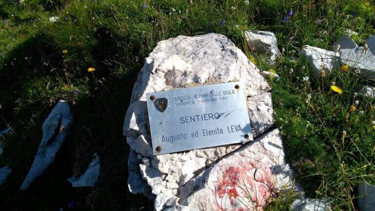
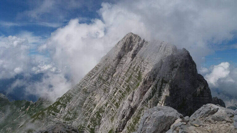
  • Sentiero Attrezzato Leva – Cima di Terrarossa, Montasio

    Sentiero Attrezzato Leva – Cima di Terrarossa, Montasio

    Vie Ferrate › Friuli-Venezia Giulia › Udine
    Sentiero Attrezzato Leva – Cima di Terrarossa, Montasio
    Moderately Hard● OpenDescriptionComplexityMapsGallery

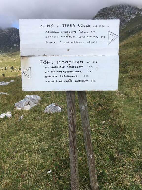
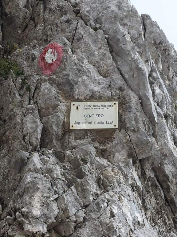
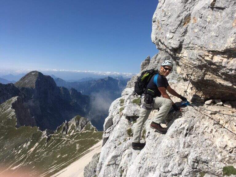
    The Path Attrezzato Leva walks through the scenic hint between the Cima di Terrarossa and the Forca dei Disteis on the slopes of the Jof di Montasio. Itinerary of medium difficulty with exposed and unprotected traits that require safe passage: ideal to be inserted in a more days on the Montasio plateau.

    ▲Approach

    You reach Chiusaforte on the A23 (exit Carnia Tolmezzo) and continue east for 20 Km until Sella Nevea. From a hairpin bend follow the brown sign for Altopiano del Montasio until the end of the road, where there is a large parking (directions road map). The proposed route passes through the Rifugio Brazza and the Cima di Terrarossa; it does not include the climb to the Jof di Montasio (that is the Ferrata Amalia).

    ▲The path

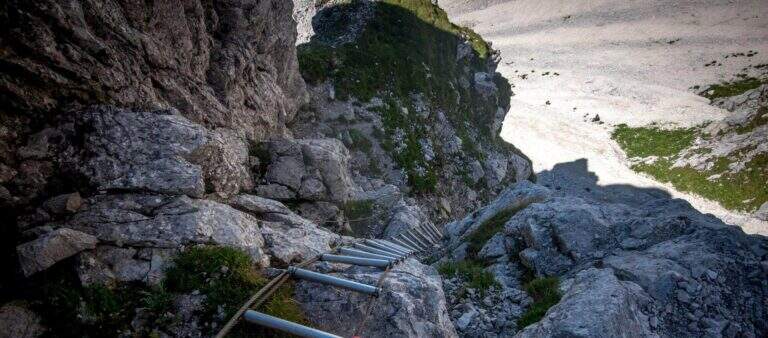
    Take the path from Cima Terrarossa to the west towards Forca dei Disteis. From the top you descend towards the Forca del Pallone (2242 m) facing a characteristic metal staircase leaning on the rock — it requires attention. Then take the equipped nod that wanders the west wall of the Cima Terrarossa: the stretch is exposed for long stretches and not always protected by cables. After passing the Forca del Pallone, the route resumes on the opposite side of the gorge and climbs back to the Forca dei Disteis. The most vertical stretches are located near the Forca, where the most challenging climb of the entire route takes place.

    ▲Character and difficulty

    Classified Moderately Difficult. The equipped traits are contained but the unprotected passages on exposed census represent the real challenge: they require concentration and stability even with heavy backpack. Complexity: technique 2/5, physics 3/5, exposure 3/5, environment 3/5.

    ⚠ The Montasio plateau can preserve snow until late June. Check the conditions with the Rifugio Brazza before leaving.
    ▲Period and safety

    From July to September. High mountain with unstable weather: start early. The route can be reached in both directions but in the direction described (east→west) the more vertical section is going uphill.

    ▲Discipline

    From the Forca dei Disteis you descend to the Rifugio Brazza and then to the starting parking lot along the paths of the Montasio plateau.

    ▲To match

    In the Julian Alps: the Ferrata Goitan at Jof Fuart e la Ferrata Julia at Canin.

    ▲Gallery
    Technical data
    • DifficultyModerately Hard
    • RegionFriuli-Venezia Giulia
    • GroupJulian Alps
    • Approach2:00 h
    • Ferrata1:30 h
    • Itinerary (a/r)5:00 h
    • Hardware level difference178 m
    • Route difference918 m
    • Max2420 m
    • Length9,1 Km
Need help? Write to us!