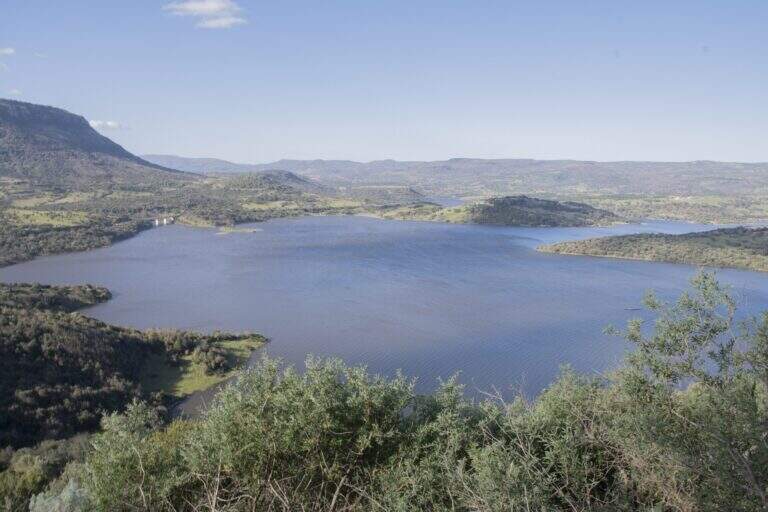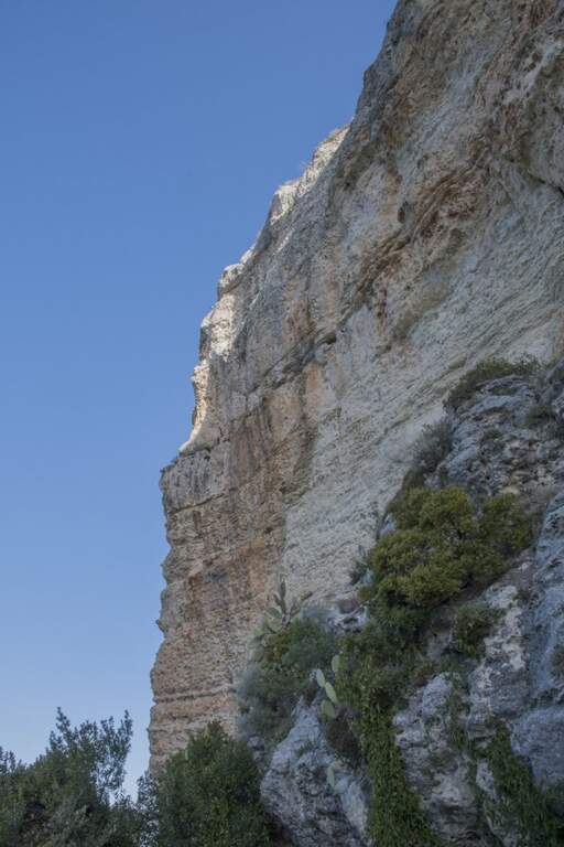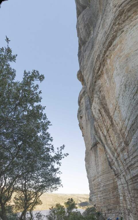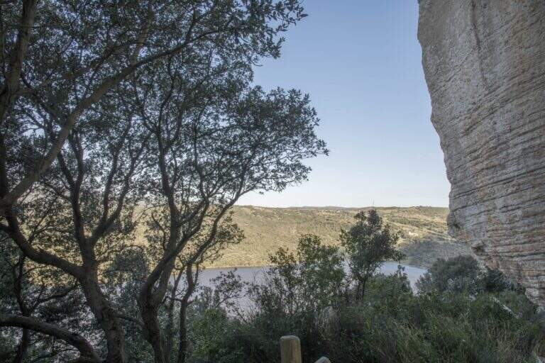
Stato: Aperta

  • Ferrata Rio Secco in Cadino

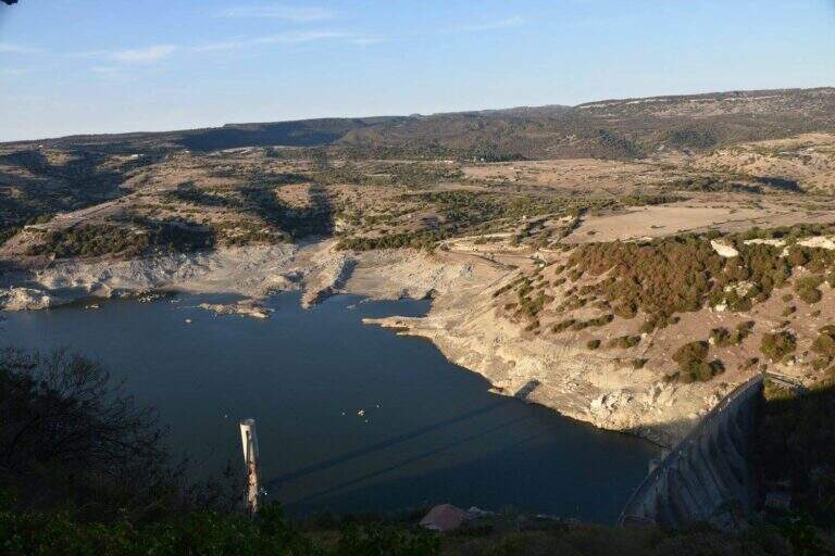
    Ferrata Rio Secco in Cadino

    Vie Ferrate › Trentino-Alto Adige › Trento
    Ferrata Rio Secco in Cadino
    Moderately Hard● OpenDescriptionComplexityMapsGallery

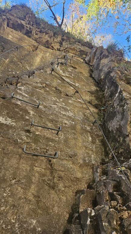
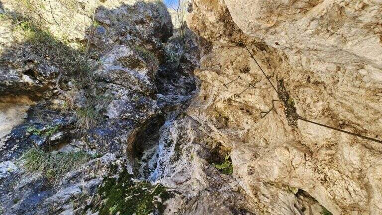
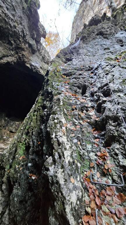
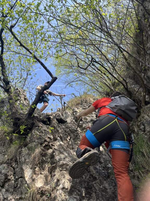
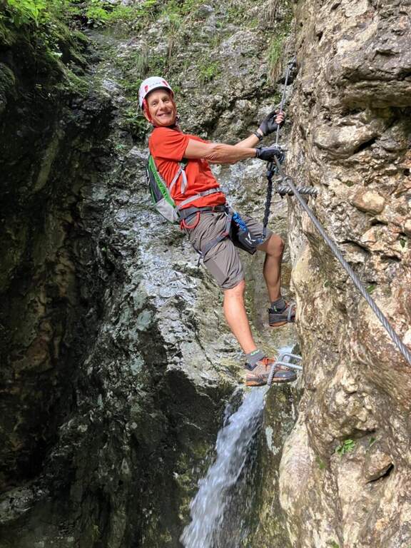
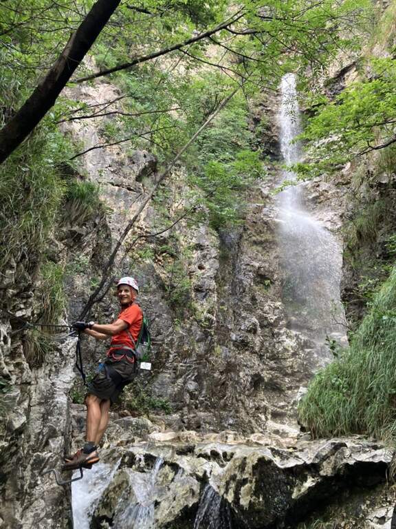
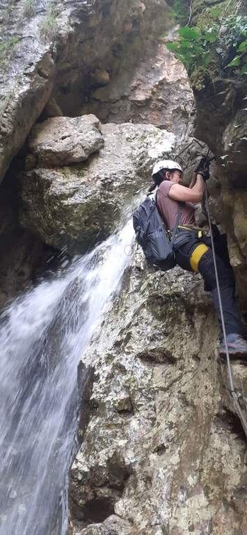
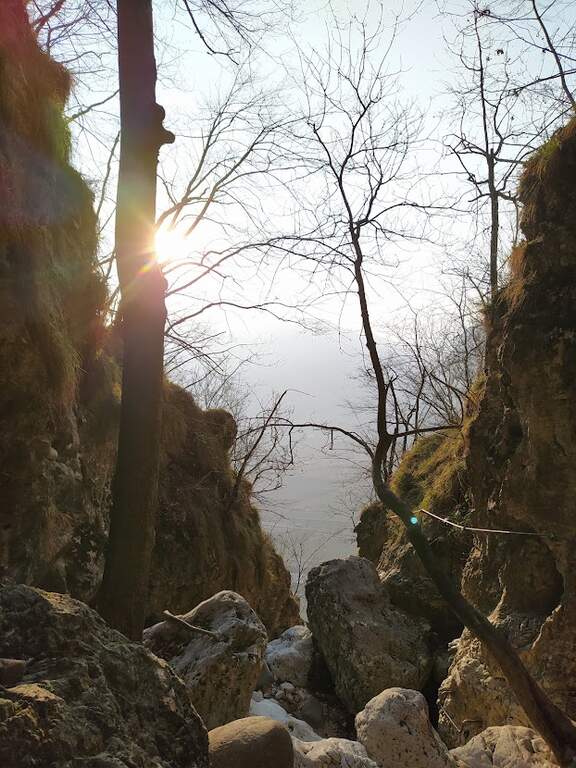
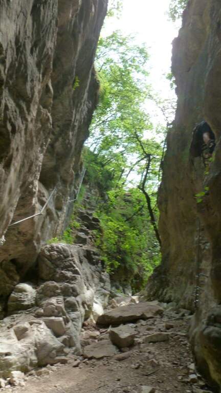
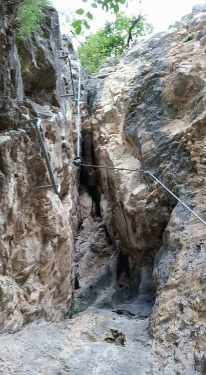
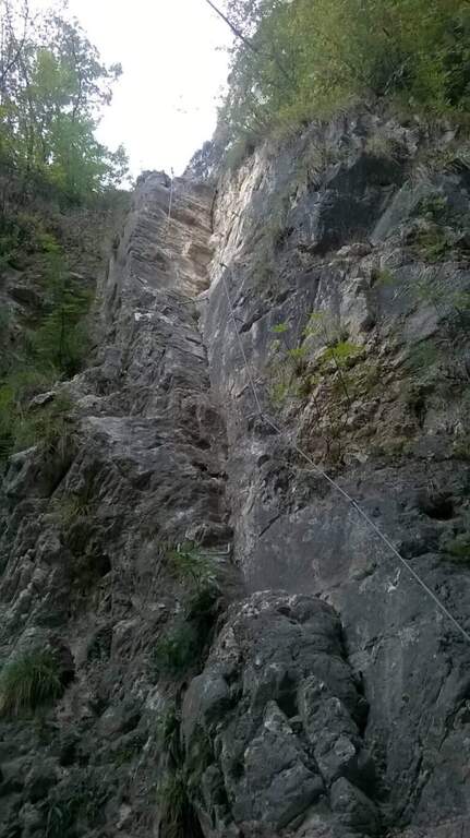
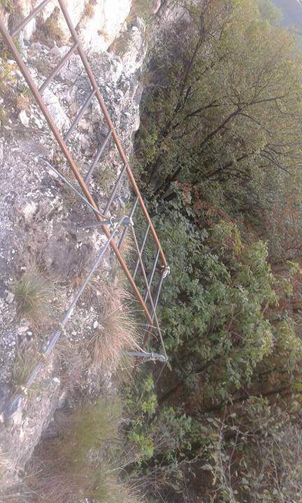
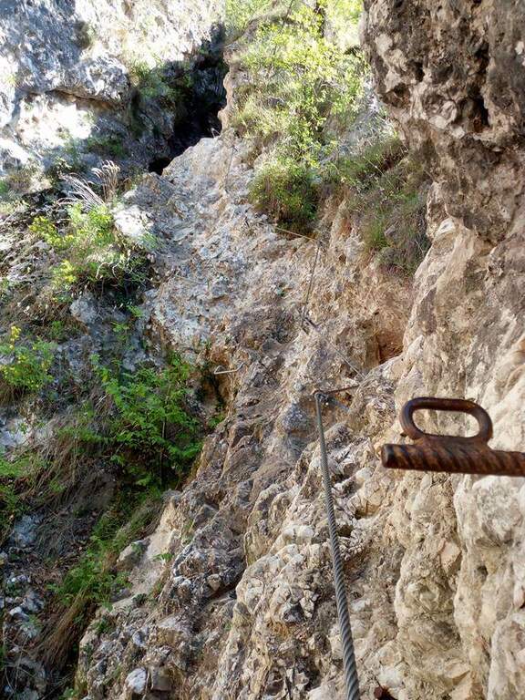
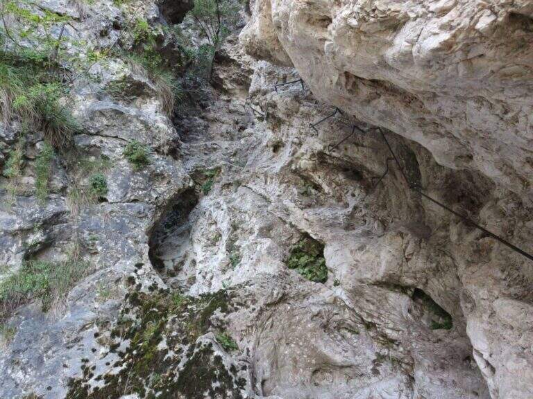
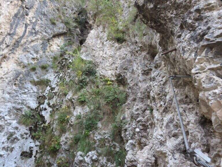
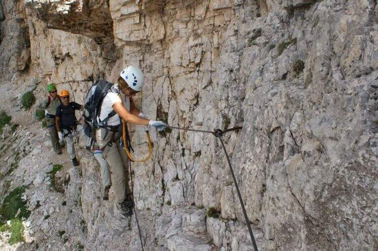
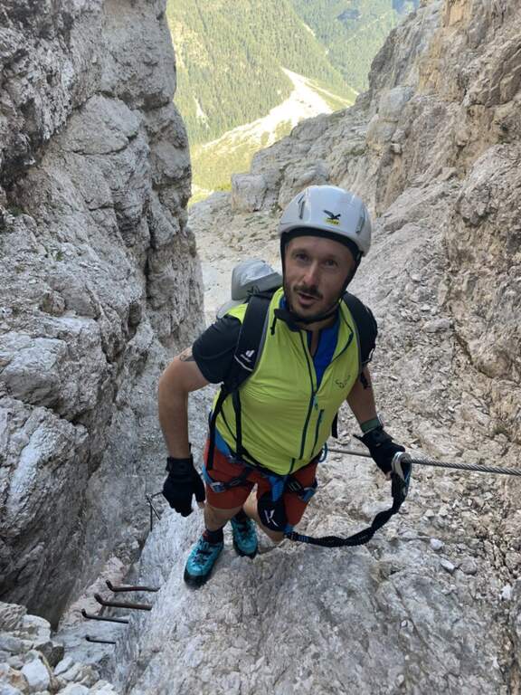
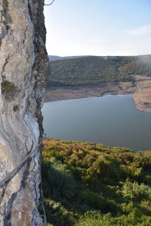
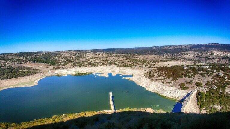
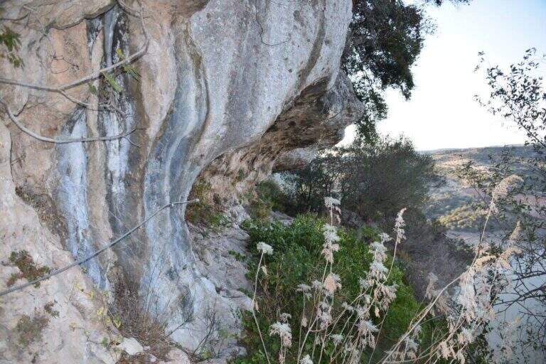
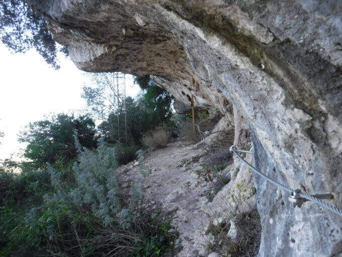
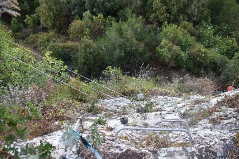
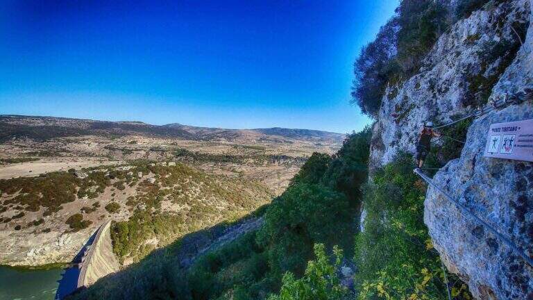
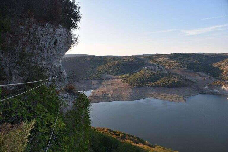
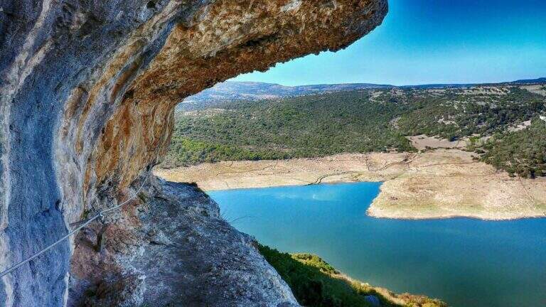
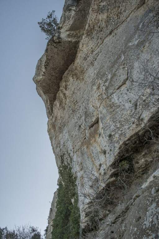
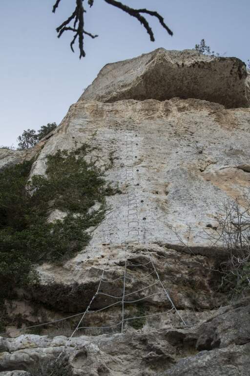
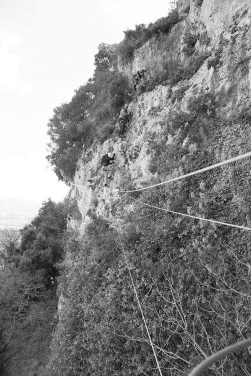
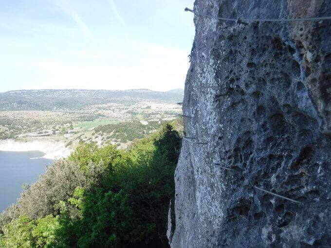
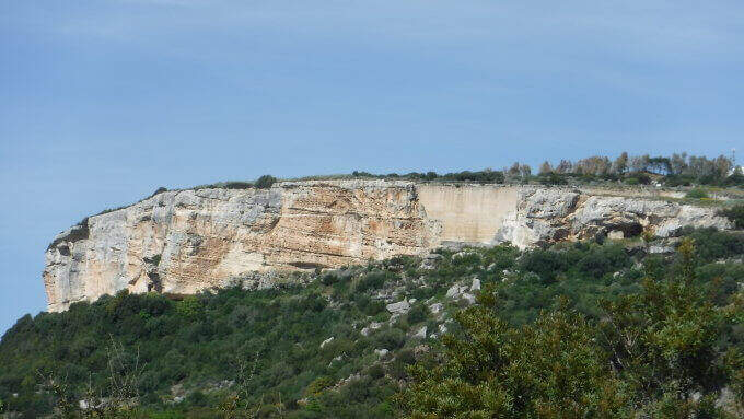
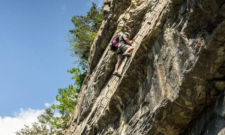
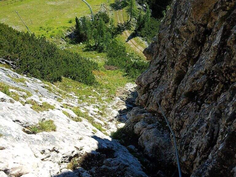
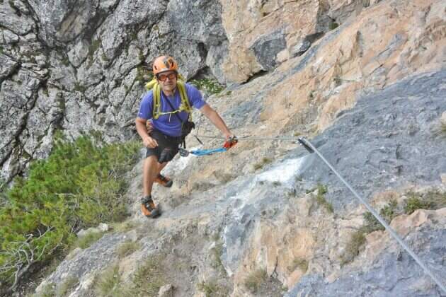
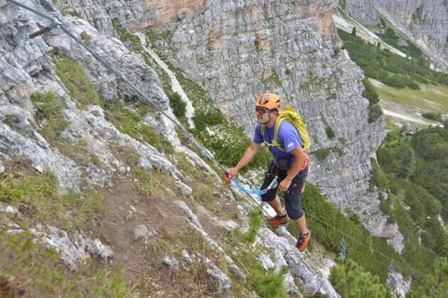
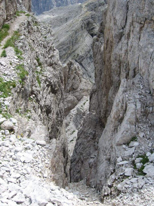
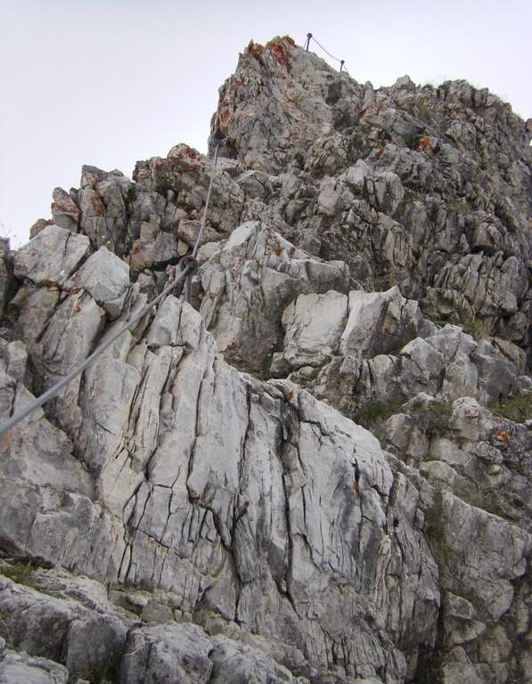
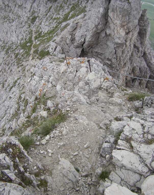
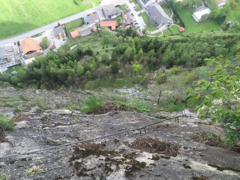
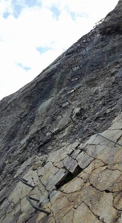
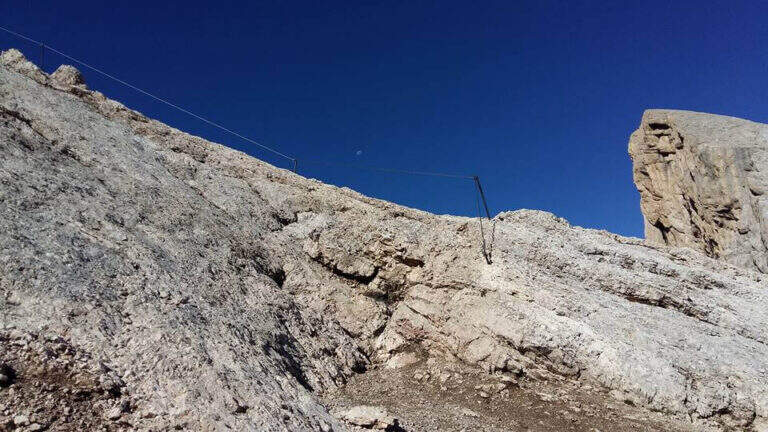
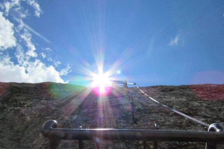
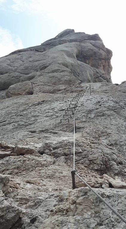
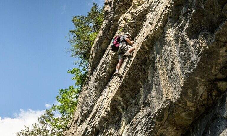
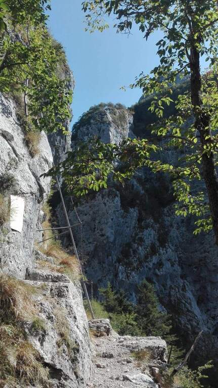
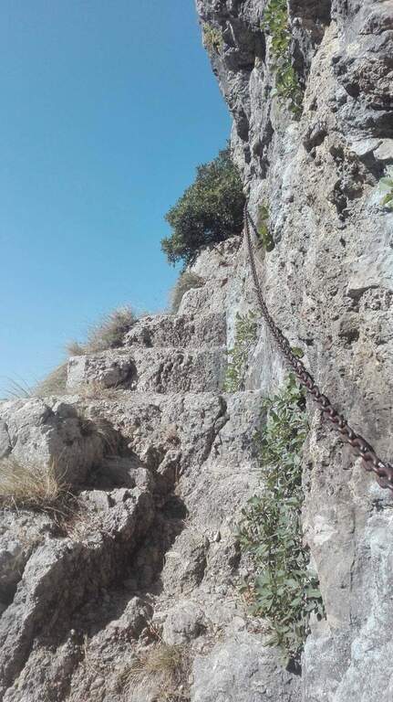
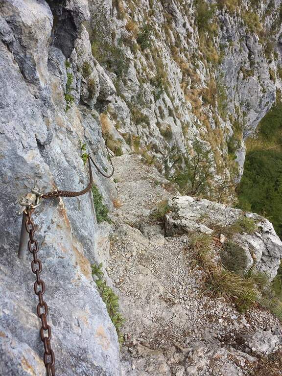
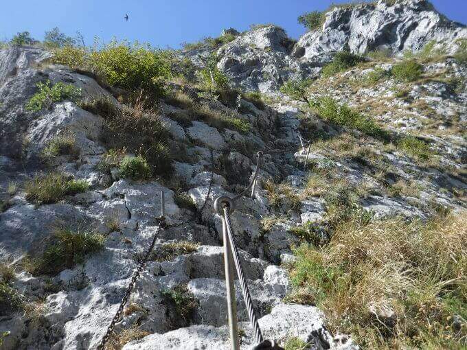
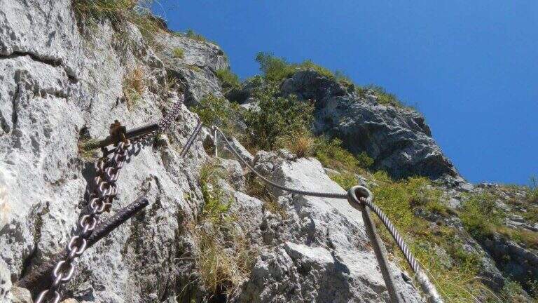
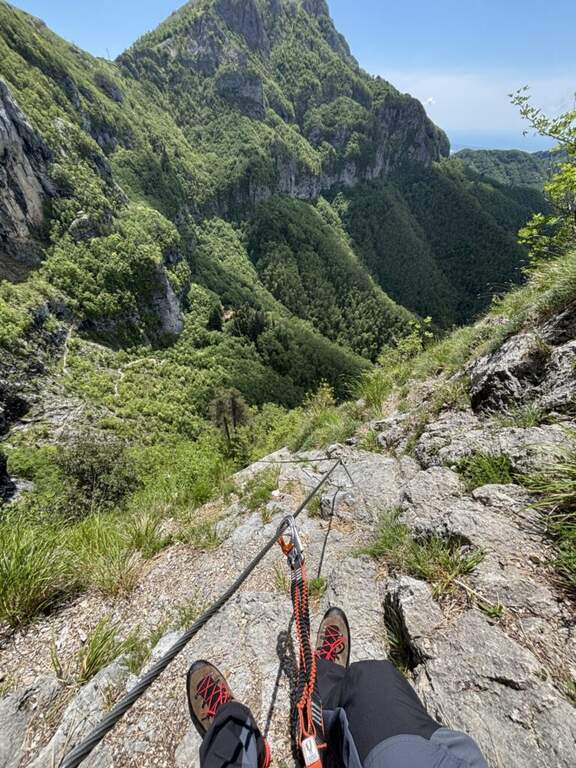
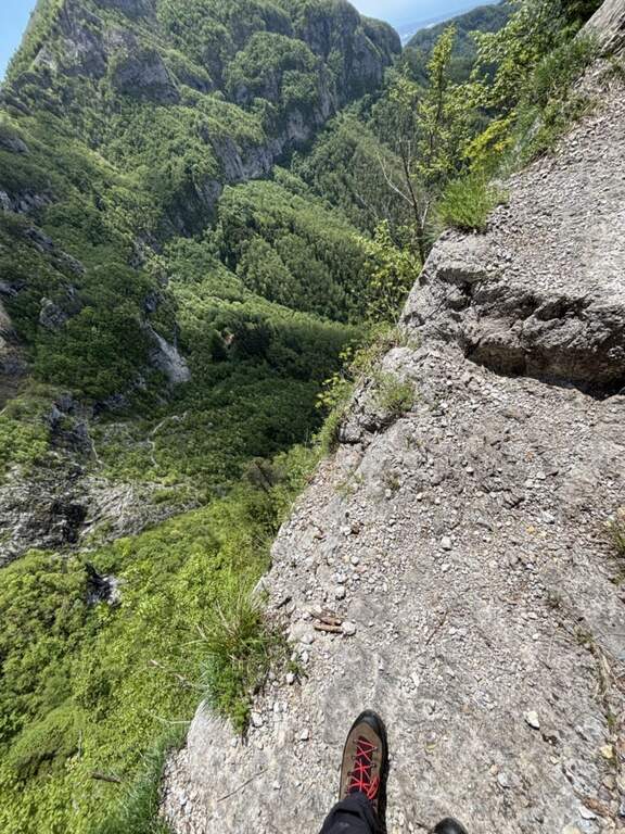
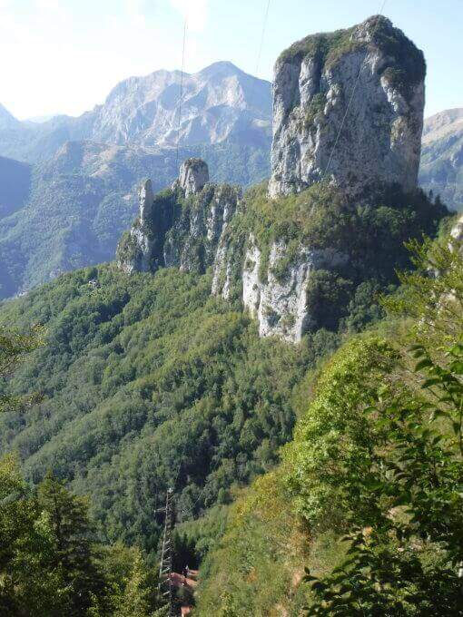
    The Ferrata Rio Secco takes place in the picturesque forra of a rio almost always dry (from which the name), above Cadino. È a varied and satisfying way, with some athletic traits but never technically prohibitive; remaining for the più at' shadow, the temperature remains pleasant also d' summer.

    ▲Approach

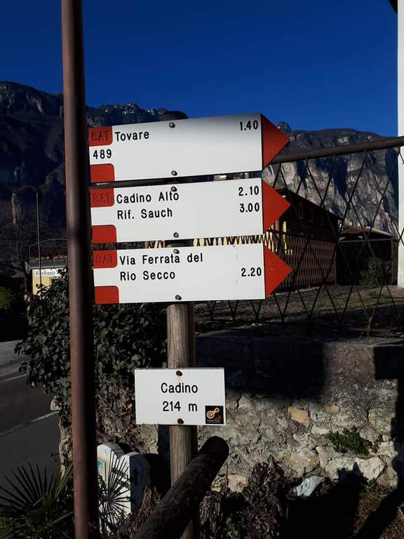
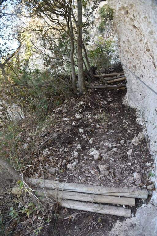
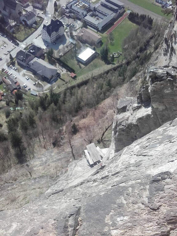
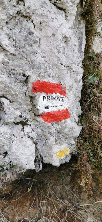
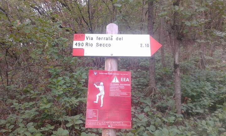
    Starting point l' inhabited by Cadino (TN): exit from ' Brennero highway in San Michele all'Adige and, remaining on the eastern side of the valley, go up for about 4 km towards Bolzano until you find convenient parking at the Restaurant Al Cadino. Open road signs on Google Maps. On the opposite side of the parking lot the white red marks CAI rise steeply in the woods; at a crossroad you hold the destra (left go down the return path) and climb up to a wooden bench, where you can comfortably wear a harness and helmet (15' from the parking lot).

    ▲The path

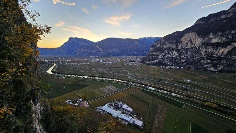
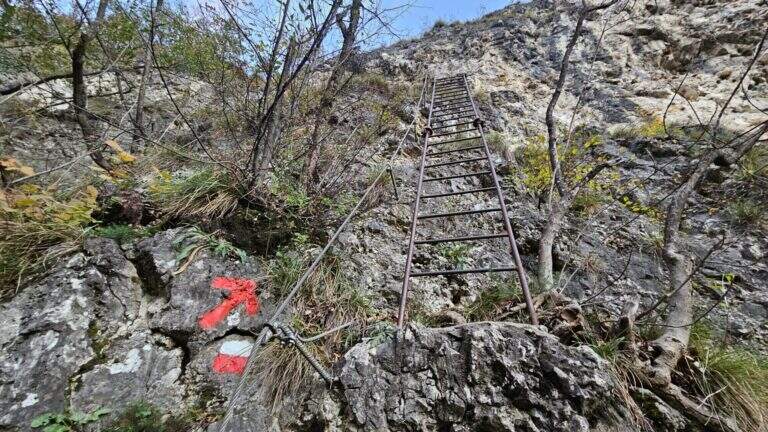
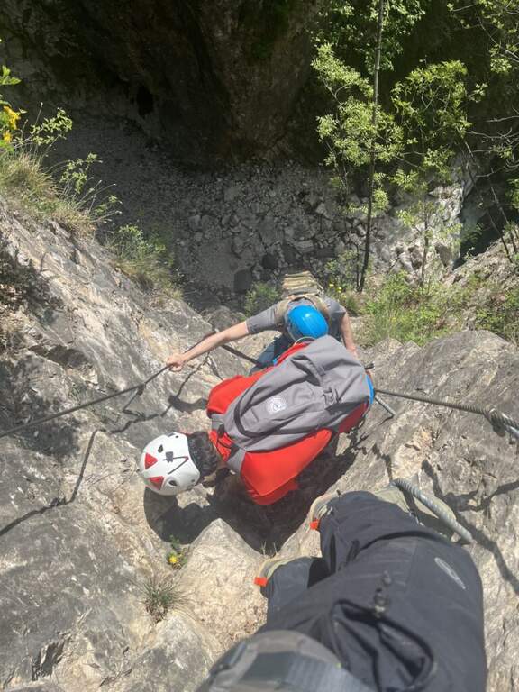
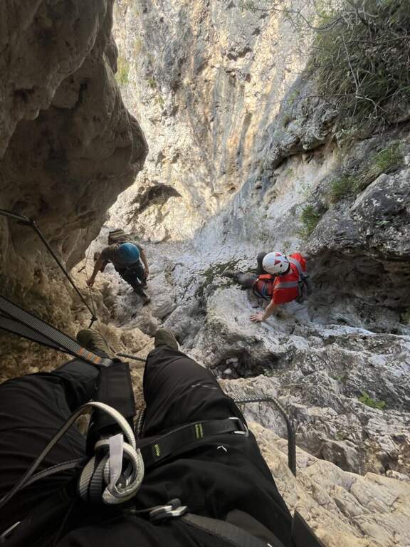
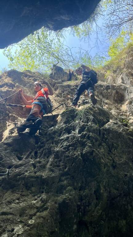
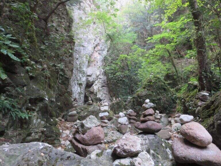
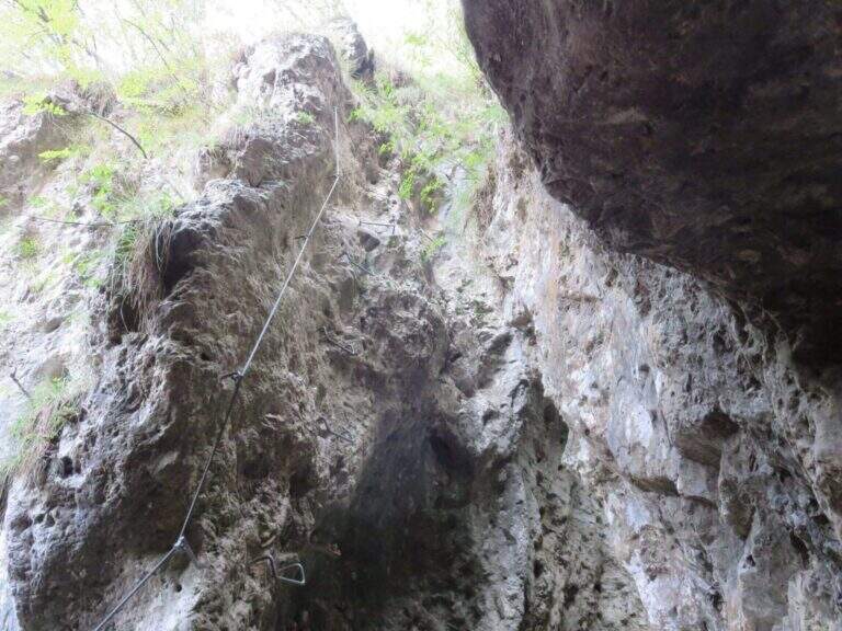
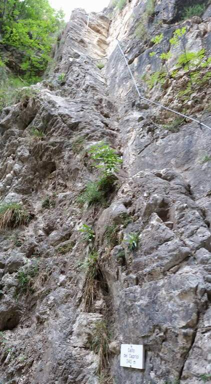
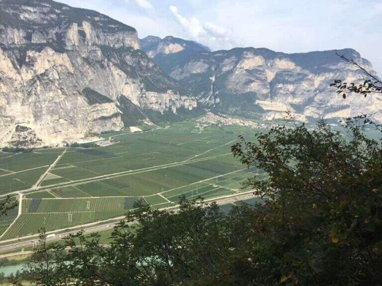
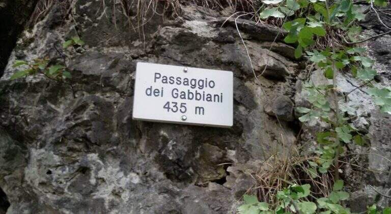
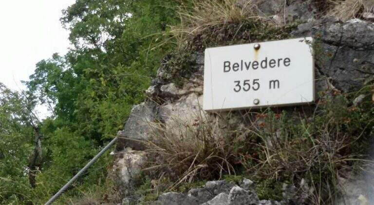
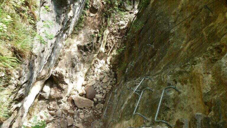
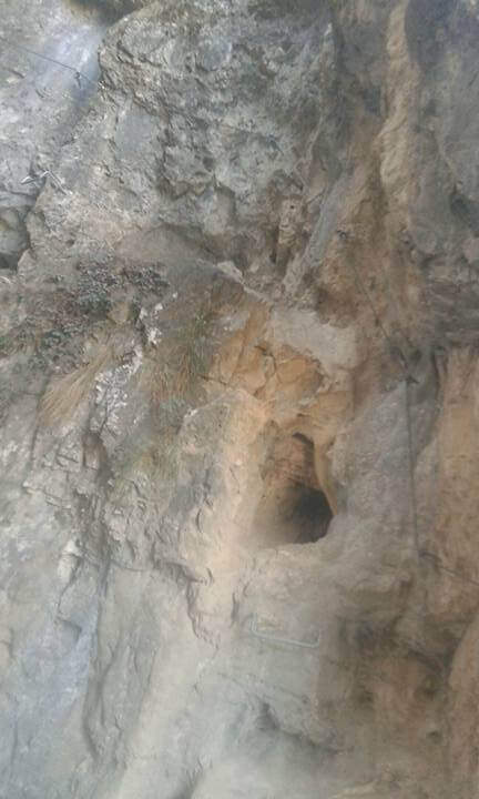
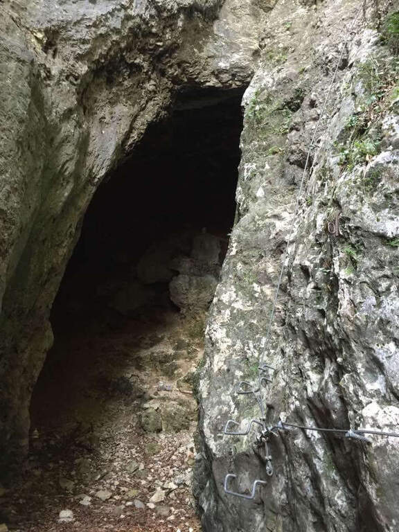
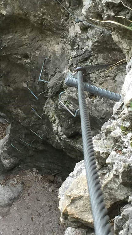
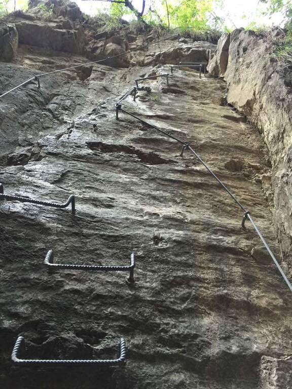
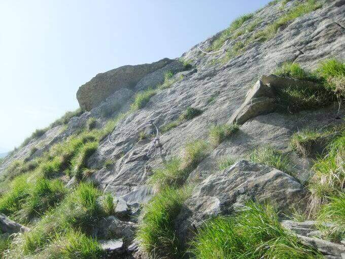
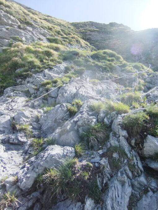
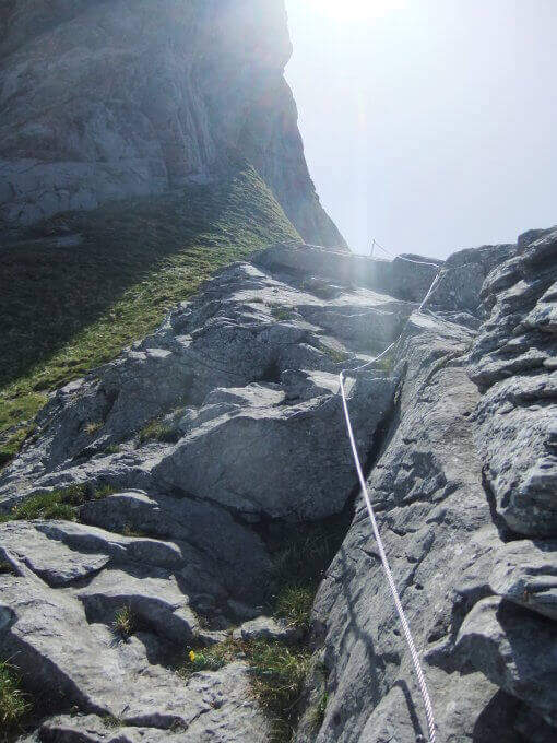
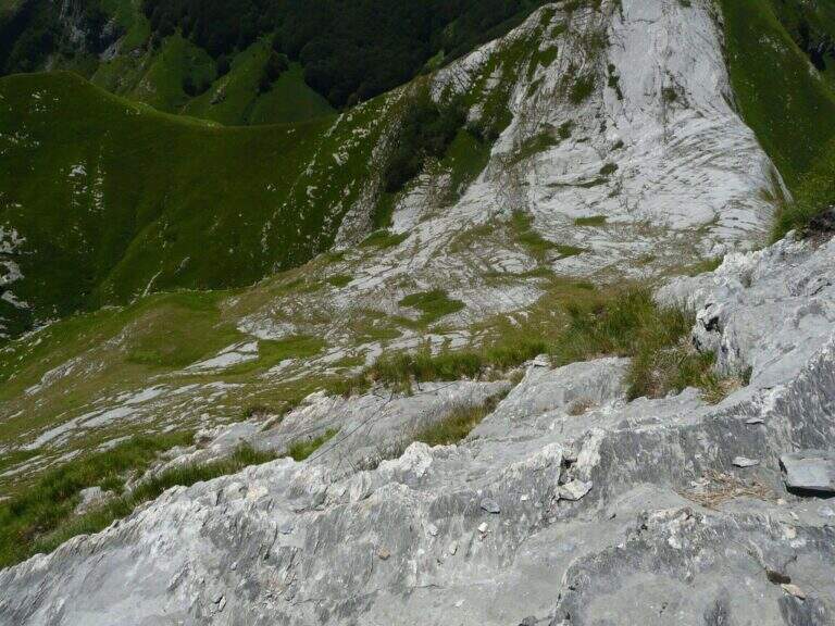
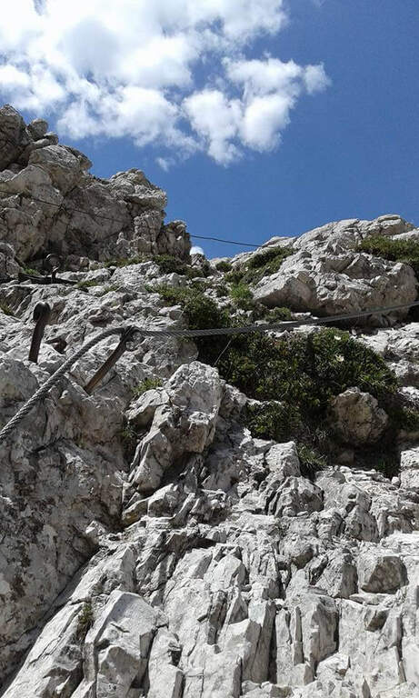
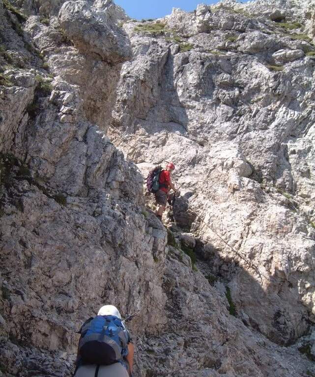
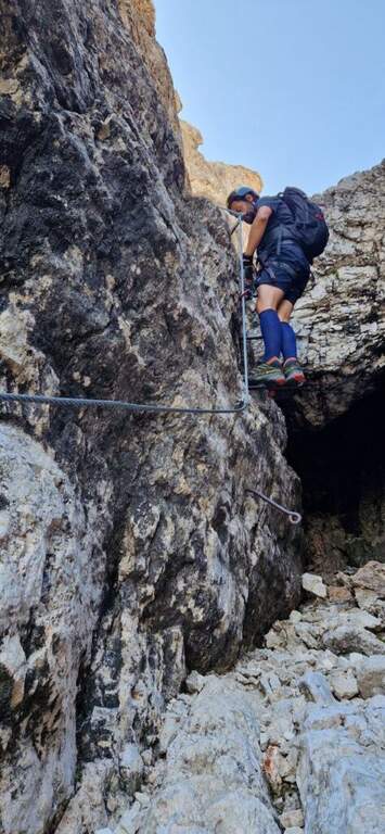
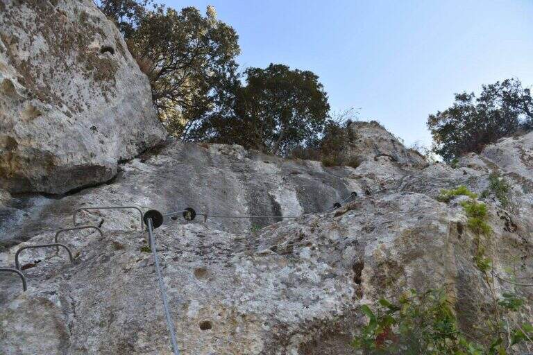
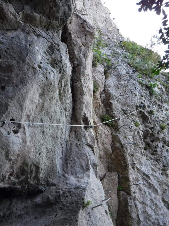
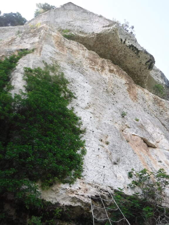
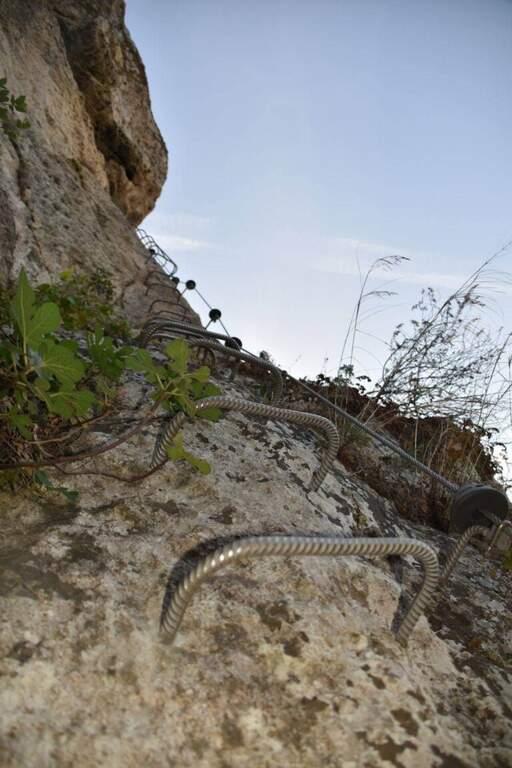
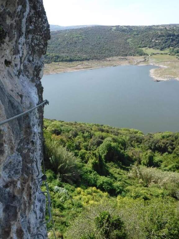
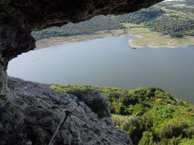
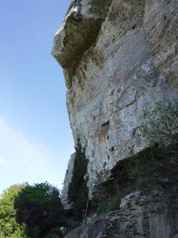
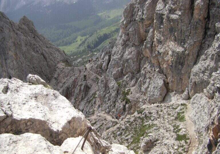
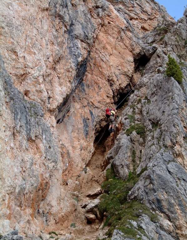
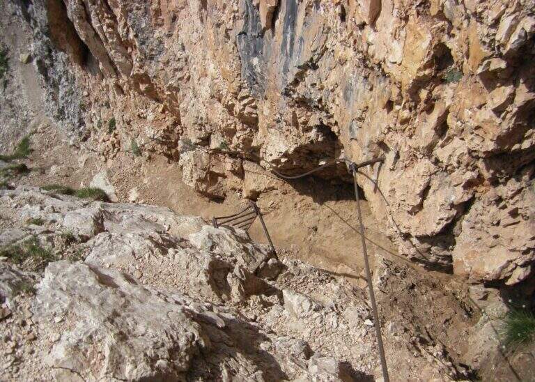
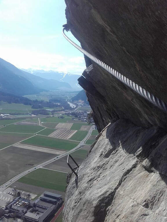
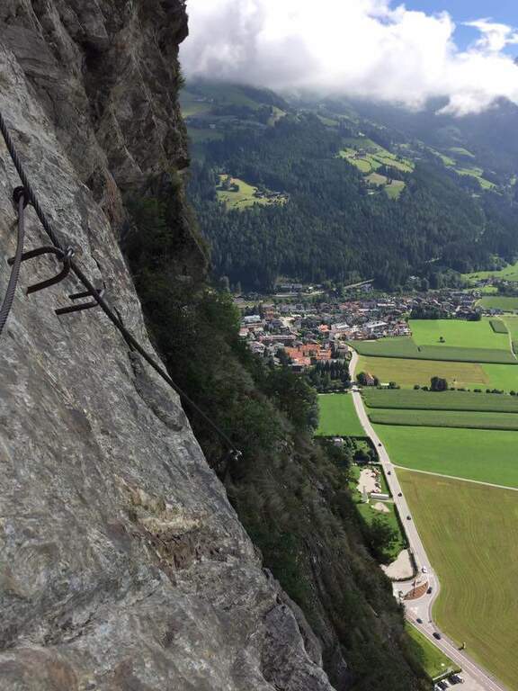
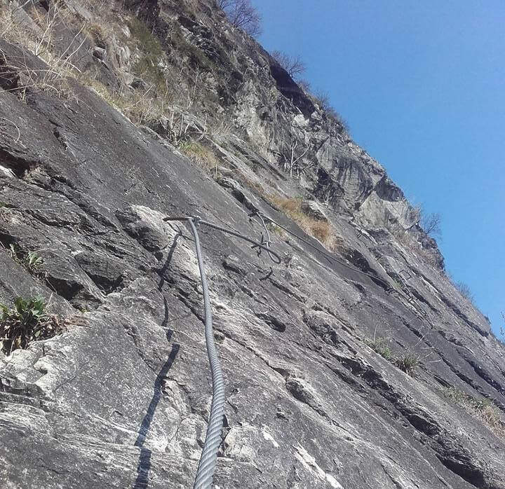
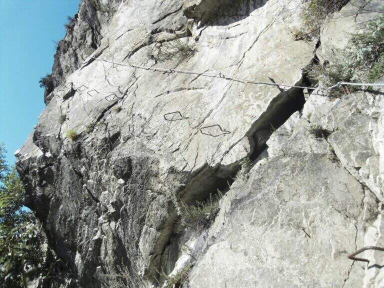
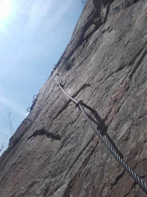
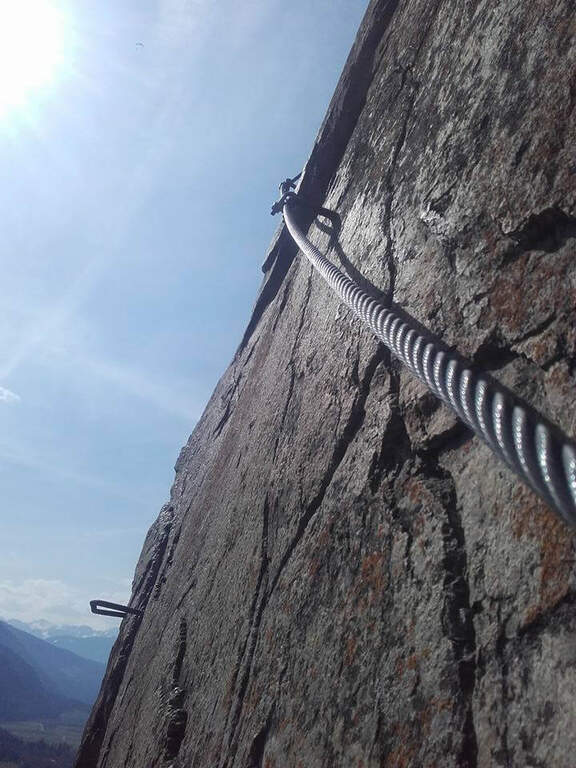
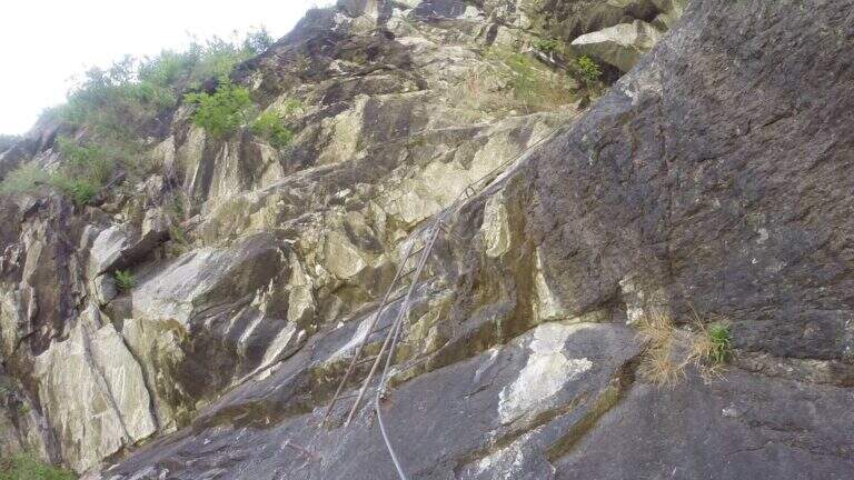
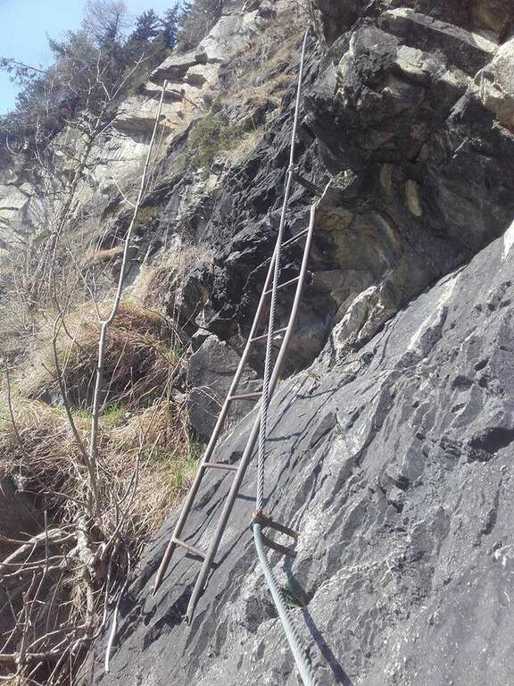
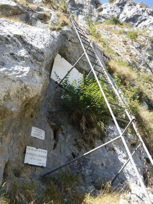
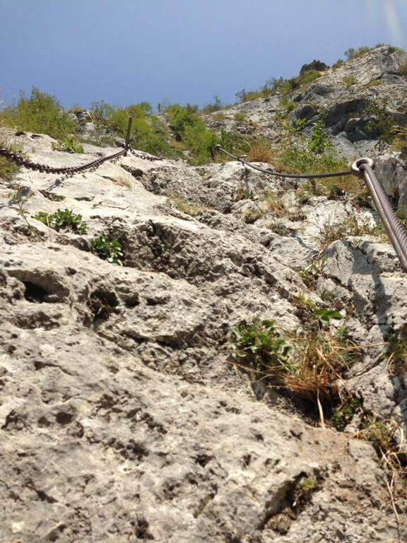
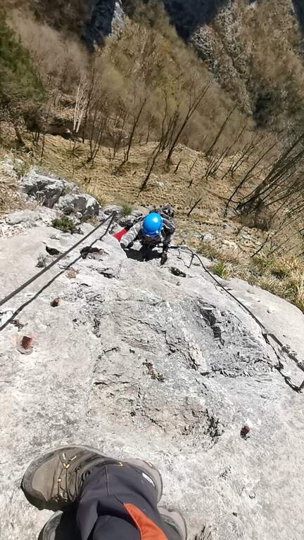
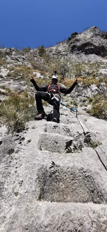
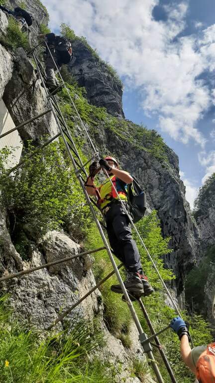
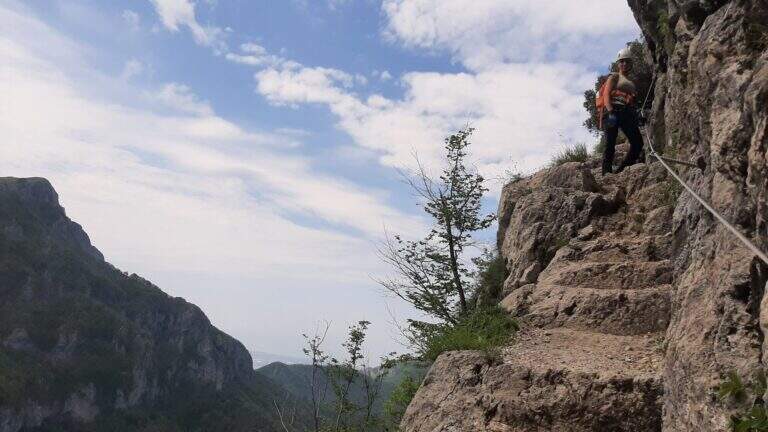
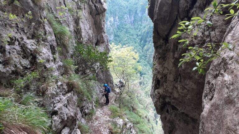
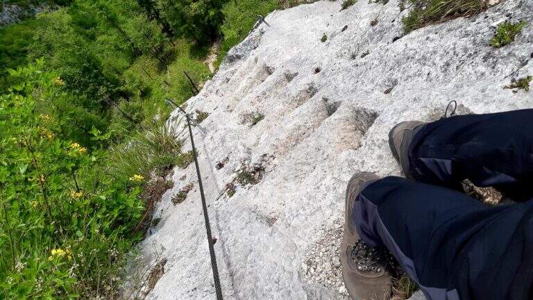
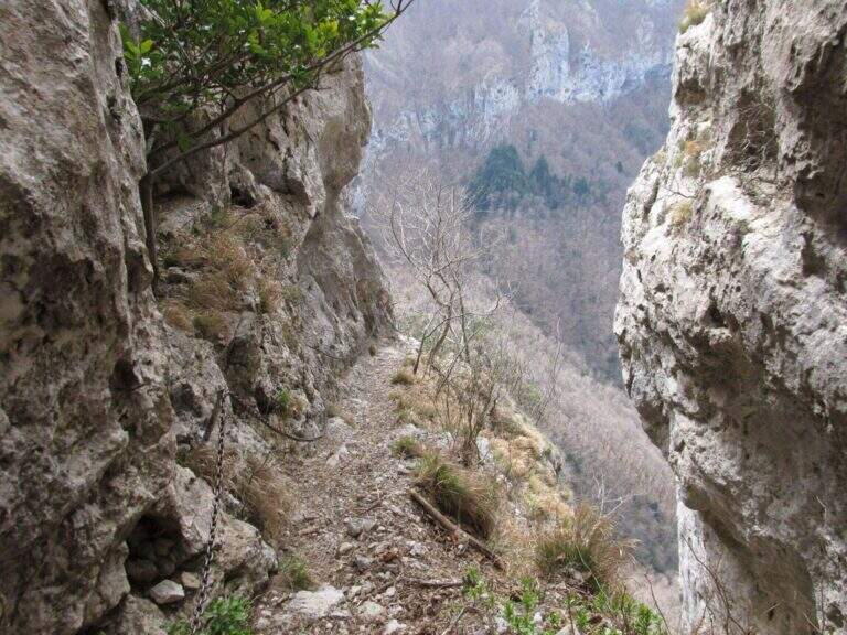
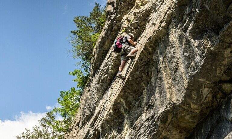
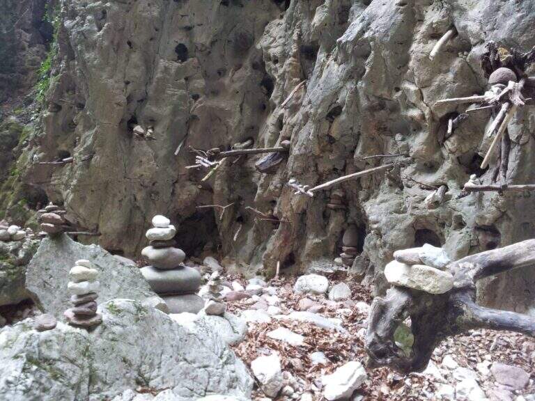
    I primi metri seguono una facile cengia discendente fino al letto del torrente, spesso secco. Sul versante opposto si risale una parete liscia e leggermente strapiombante, agevolata da numerose cambre metalliche e da due corde; poi si traversa a destra su un tratto pianeggiante prima del «Salto dei Caprioi», un bel diedro che alterna ottimi appigli naturali e ampie cambre. Si piega a sinistra su una cengia che aggira uno spigolo e porta sotto una parete verticale solcata da una profonda fessura (buoni appigli naturali e artificiali). Una targhetta «Belvedere» invita a voltarsi sul panorama della piana Rotaliana; un tratto di sentiero attrezzato scende in un caratteristico anfiteatro roccioso con molti omini di pietra. Si risale il versante opposto (sinistra orografica) in un anfratto di roccia levigata e si percorre un lungo traverso a sinistra risalendo il rio, fino a un sentiero attrezzato nel bosco e al «Passaggio dei Gabbiani», un aereo spigolo oggi superabile con discreto sforzo ma senza affanno eccessivo. Segue un lungo traverso in leggera salita con brevi balzi; si passa sulla destra orografica e la parete si stringe in verticale, da risalire con le cambre, poi un breve traverso fino a una via di fuga: a sinistra il CAI 490A (30' per il rientro), a destra si prosegue la via (45' dall'attacco / 1h totali). Si continua su facili roccette e passaggi attrezzati fino al secondo anfiteatro, la «Grotta del Basalisc», dove i passaggi si fanno più impegnativi per la roccia levigata: il primo tratto sale in diagonale su roccia liscia priva di appigli naturali, resa percorribile dalle cambre (media difficoltà, un po' spinti in fuori dal cavo). Al libro delle firme seguono un paio di facili traversi a sinistra e l'aggiramento di uno spigolo esposto dove le staffe aiutano molto; presso la Grotta della Mariotta si risale una parete verticale ben servita da staffe e appigli, dove terminano le attrezzature (1h 15' dall'attacco / 1h 30' totali). Un sentiero ripido nel bosco porta in 5 minuti al cartello che indica a sinistra il rientro a Cadino.

    ▲Character and difficulty

    Difficultà media: varied route, with athletic traits but without technically prohibitive steps. Recent and abundant equipment; very suggestive hole environment, to be covered also in the warm months.

    ⚠ Rio water flow varies with the season: in spring and winter water can be present even impetuous; in summer and autumn (new rains rising) the rio is actually dry. Evaluate the conditions after precipitation.
    ▲Period and safety

    It can be traveled most of the year thanks to the low altitude (maximum 640 m) and shaded exposure. Level difference of 234 m, total development about 2.5 km.

    ▲Discipline

    Il sentiero esce in breve dal bosco affacciandosi sulla Val d'Adige 600 metri più in basso e scende ripido (utili i bastoncini). Si incontra una lunga scala metallica e alcuni facili tratti attrezzati in discesa, per cui conviene tenere ancora l'imbrago; si prosegue ripidi nel bosco fino al bivio dell'avvicinamento, dove si tiene la destra per scendere al parcheggio (1h dal termine della ferrata / 2h 30' totali).

    ▲To match

    For the short approach it combines well with other routes of Val d'Adige: the nearby Ferrata di Favogna, la Ferrata Mendola al Roen, la Ferrata delle Aquile in Andalo, or, in Val di Sarca, the Ferrata Pisetta, la Ferrata Che Guevara e la Ferrata Marangoni to Mori. To be noted also the recent Ferrata della Croce di Fai.
    ▲Gallery
    Technical data
    • DifficultyModerately Hard
    • RegionTrentino-Alto Adige
    • GroupVal d'Adige
    • Approach0:15 h
    • Ferrata1:15 h
    • Itinerary (a/r)2:30 h
    • Hardware level difference234 m
    • Route difference384 m
    • Max640 m
    • Length2,5 Km
  • Ferrata Poppele Knott in Laces (Val Venosta)

    Ferrata Poppele Knott in Laces (Val Venosta)

    Vie Ferrate › Trentino-Alto Adige › Bolzano
    Ferrata Poppele Knott in Laces (Val Venosta)

    The Ferrata Poppele Knott is a short equipped street just above Laces, in Val Venosta: short and uncomplicated itinerary, perfect for a half day or for those who move the first steps on the ferrates. The name comes from a big erratic rock, the Poppele Knott, which meets right near the attack.

    ▲Approach

    You leave l' car to the small parking lot of the church in locality; Tiss, near Laces (about fifteen places). Open road signs on Google Maps. From the parking lot take the road that descends towards sinistra among the apple groves; in about ten minutes you arrive almost to the state of Stelvio. Shortly before reaching it, on the sinistra, a pole clearly signals the ferrata («Tiss Klettersteig»); a last steep tear in the wood leads to all' attack (15' from parking ).

    ▲The path

    The street is short: about 60 m of height difference for 0,6 km of development, available in about twenty minutes, with a maximum quota around 750 m. At present the source does not publish the detailed description, step by step, of the equipped section: for correctness we do not bring it back and we stick to the only certain data (development, difference in level, times and degree). The overall character is easy, in a sunny setting between the apple trees of Val Venosta.

    ▲Character and difficulty

    Difficultà facile, also suitable for those who ` the first experiences on an equipped basis. The brevità makes it ideal as an introductory exit or as a complement of one' another in the area.

    ⚠ Although it is easy to use a rock-mounted road: imbrago, helmet and homologated ferrata kit are mandatory. It should be covered with dry rock.
    ▲Period and safety

    Low altitude: accessible in most of the season with dry rock. In summer the wall remains exposed to the sun.

    ▲Discipline

    After finishing the ferrata follow the sentiero 5A towards sinistra, which in about fifteen minutes reports all' attack; from here you return to the parking lot (circa 50' in total).

    ▲To match

    In the surroundings, in Naturno, the difficult Ferrata Hoachwool and varied Ferrata Knott; in Merano Ferrata Heini Holzer (deadly difficult), good next step to raise the degree. Recently inaugurated: the Ferrata Olberg near Vipiteno (2022) and the Ferrata Larix in Val Senales (2022). Along the state road of Stelvio you reach the Ferrata di Trafoi; to Trento, of medium difficulty, the Ferrata Mendola al Roen e la Ferrata di Favogna.

    ▲Gallery
    Technical data
    • DifficultyEasy
    • RegionTrentino-Alto Adige
    • GroupVal Venosta
    • Approach0:15 h
    • Ferrata0:20 h
    • Itinerary (a/r)0:20 h
    • Hardware level difference60 m
    • Route difference90 m
    • Max750 m
    • Length0,6 Km
  • Ferrata Malfatti al Sumbra

    Ferrata Malfatti al Sumbra

    Vie Ferrate › Tuscany › Lucca
    Ferrata Malfatti al Sumbra

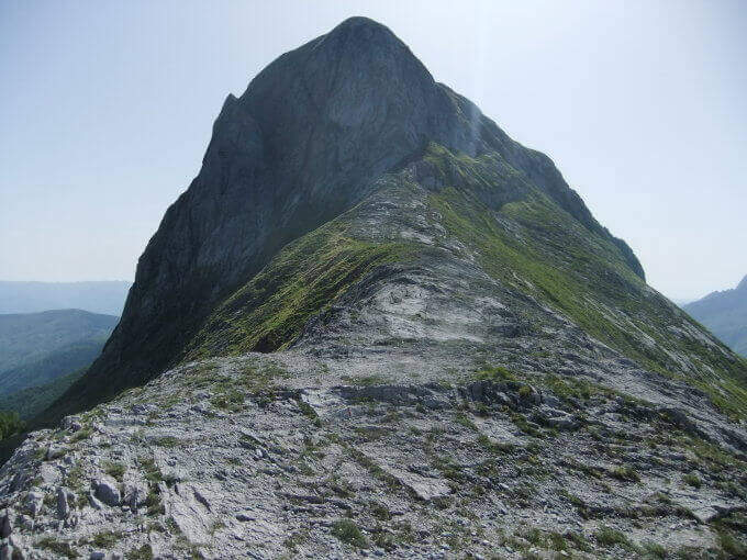
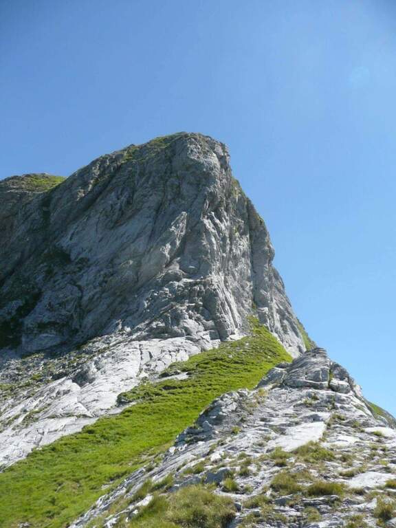
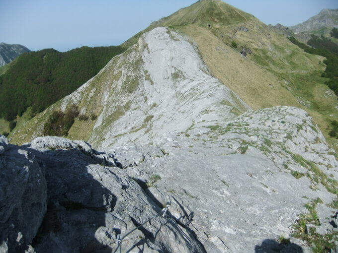
    The Ferrata Malfatti is an easy road that goes up Monte Sumbra from the slope of Passo Fiocca, in the southern Apuans. It develops above all on grassy balconies exposed but never complicated, with the cable that acts as a handrail: a route suitable for those who approach the ferrates.

    ▲Approach

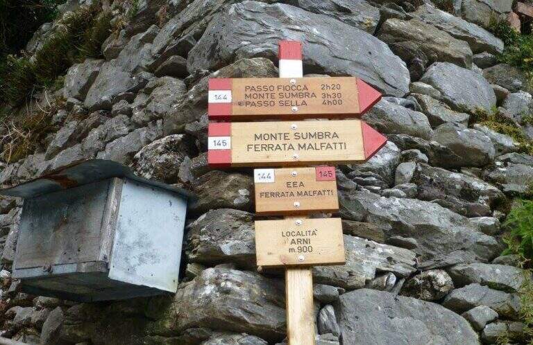
    The starting point is the village of Arni (Lucca), reachable from the Garda side or from the Versilia along the SP13: from Garfagnana (Castelnuovo) turn right before the gallery towards Campagrina and Arni; from Versilia you pass the gallery and turn left for Arni. Starting point on Google Maps. Parked at the obvious church, you climb the staircase and behind you take a road towards the last houses of Arni, where the CAI 144 path begins for the Fiocca Pass (1560 m). The path climbs steep between junipers and shrubs, then halfway the south wall of Monte Fiocca (traccia not always evident, follow the signs); after Malpasso (1h 40' from the parking lot) you face a passage not protected a bit more complex and exposed. Then you enter a beech forest, you get two often dry streams and, beyond a grassy stretch, you reach a saddle; from here a steep slope of rocks and then naked marble leads to Passo Fiocca (2h 30' from the parking lot). From the pass turn right onto the CAI 145 towards the wall of the Sumbra and in a short time you reach the attack (15' from the Fiocca Pass, 2h 45' from the parking lot).

    ▲The path

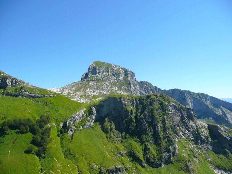
    The road goes up the south slope of the Sumbra, daring at first sight but in reality more equipped path than real ferrata. Start by reassembling some rocks and continue between exposed grassy balzes until you get on the main path for the summit (30' from the attack, 3h 15' from the parking lot). Turning left on steep ascent you will arrive in short at the top of Mount Sumbra, with satisfying view between the Apennines, sea and Apuane (3h 25' from the parking lot).

    ▲Character and difficulty

    Technical difficulty contained, with the value of bringing to the top of a mountain: a good choice to start with the ferrates.

    ⚠ The equipment is not all in good state of maintenance. To avoid bad weather: the CAI 144 between Arni and Passo Fiocca has points that become ostic with wet soil.
    ▲History

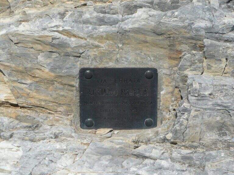
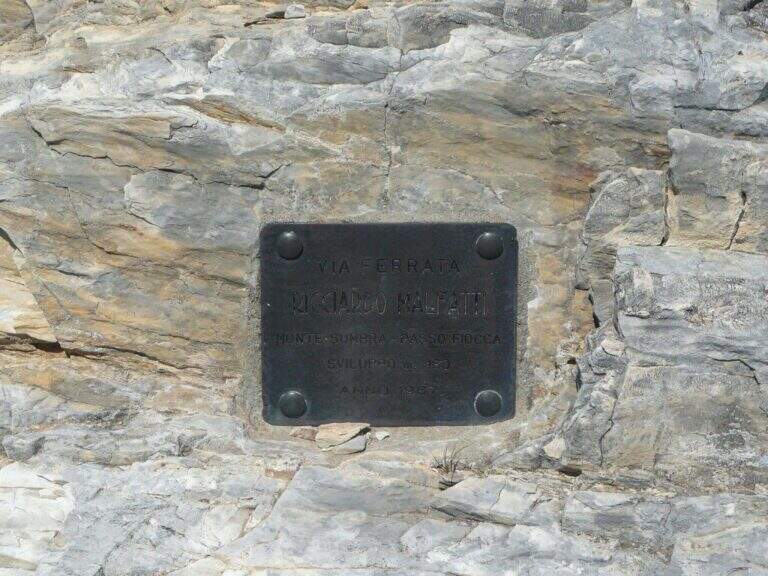
    Ferrata Malfatti was installed in 1987.

    ▲Discipline

    From the summit the ferrata goes back to Passo Fiocca, where there are two options: redefine the steep CAI 144 backwards towards Arni (about 2h from Sumbra, 5h 30' total); or continue straight on CAI 144 (and climb to Monte Fiocca in 40' a/r) that, bypassing the north wall of Fiocca, leads to Passo Sella, from which 31.

    ▲To match

    For length and difference in altitude it is difficult to concatenate in the day, but stopping in the southern Apuans you can walk in the adjacent days Ferrata Salvatori e la Ferrata del Procinto.

    ▲Gallery
    Technical data
    • DifficultyEasy
    • RegionTuscany
    • GroupApuan Alps
    • Approach2:45 h
    • Ferrata0:30 h
    • Itinerary (a/r)5:30
    • Hardware level difference180 m
    • Route difference849 m
    • Max1765 m
    • Length12,5 Km
  • Ferrata Renè de Pol al Forame

    Ferrata Renè de Pol al Forame

    Vie Ferrate › Veneto › Belluno
    Ferrata Renè de Pol al Forame
    Moderately Hard● OpenDescriptionComplexityMapsGallery

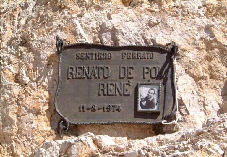
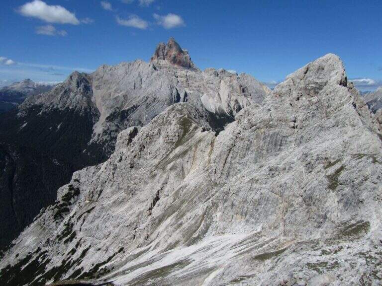
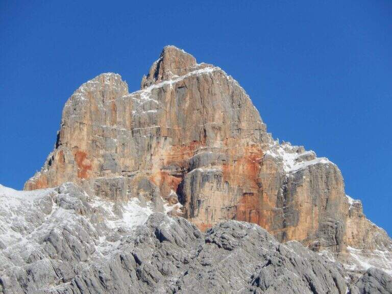
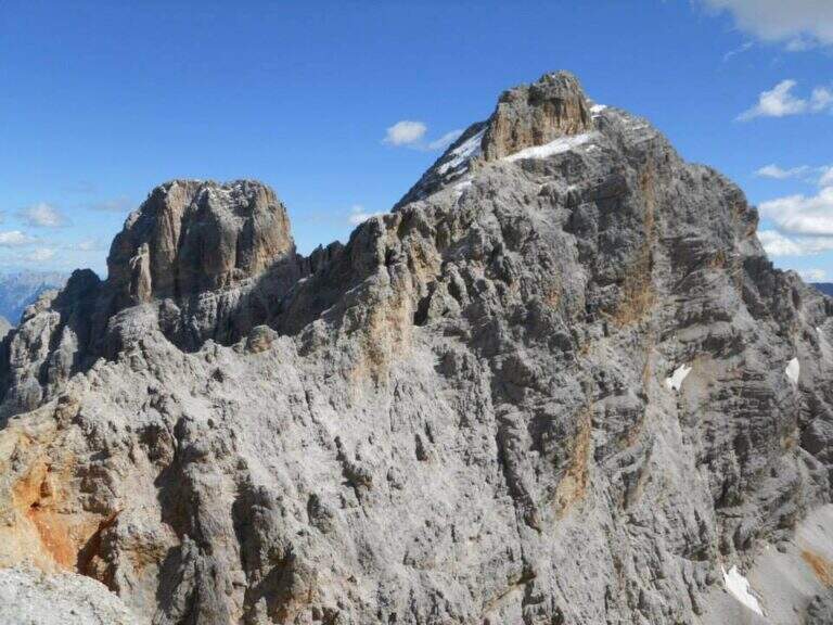
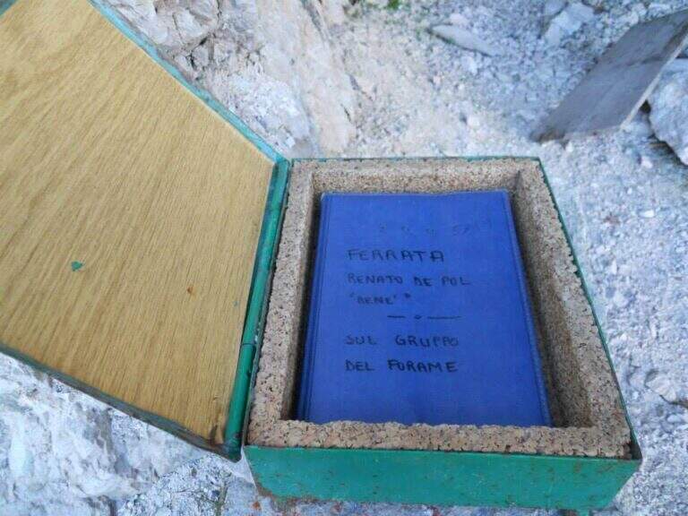
    The Ferrata De Pol is a short route that climbs to the Punta Ovest del Forame, in the Group of the Cristallo, in a rather long itinerary full of traces of the Great War. The equipped stretch has only one challenging passage, a fireplace; the return is long and the first stretch of ridge between Forcella Gialla and Forcella Verde should not be underestimated.

    ▲Approach

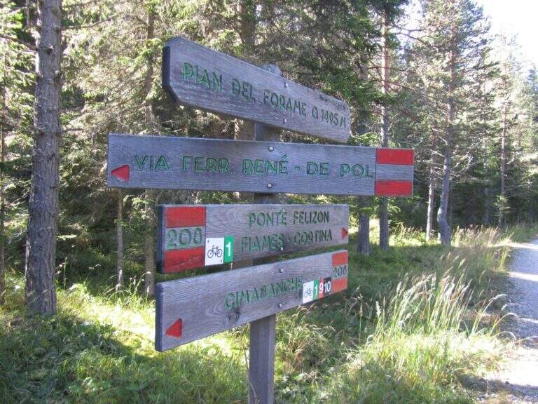
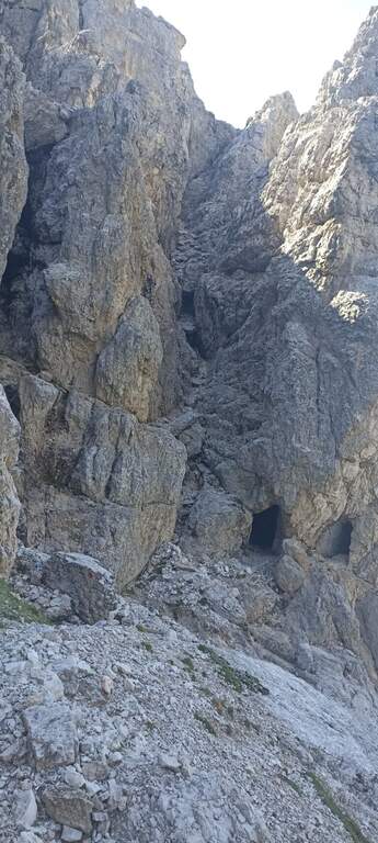
    The starting point is the Cimabianche Pass, on the SS51 between Dobbiaco and Cortina d'Ampezzo. Starting point on Google Maps. You can park even further downstream, on the side of Veneto at the Restaurant Ospitale, but you should leave the car at the pass: a landslide of 2017 made the way back from the end of the ferrata to the Ospitale, forcing to return to Cimabianche. From the pass you descend on the path 208, which runs on the left the road in moderate slope, remaining on the right side of a stream; in the town of Pian del Forame (1495 m, 30' from the pass) follow the signs left for Ferrata Renè de Pol. It climbs east into the woods, steep, up to a signposted crossroads where the left is held (right descended the old path of return, today franate); northwards you go up a channel meeting some military shelters of the First World War, and an uphill nod leads to the attack (1945 m, 2h from the junction on the state, 2h 30' total).

    ▲The path

    You start with a short left turn, then the road continues without equipment to the right towards a canal; a rock that hinders the passage is reassembled with a metal ladder. Then go up on steep unprotected path following omits and red boils, then left on path at times equipped until a nod of military construction that leads to a fireplace. You climb it on the left side: a slightly athletic passage, then some pioli help in the remaining part. Exit from the fireplace you climb a vertical wall well-painted that bends right, then a wall of about twenty meters to the right; in the last stretch you go up a detritic canal with the rope on the right and on the path you reach the Punta Ovest del Forame (2318 m, 1h from the attack, 3h 30' total), with beautiful view on Croda Rossa d'Ampezzo, Monte Cristallo and Popena.

    ▲Character and difficulty

    The equipped sections do not have difficulty; the most challenging passage is the fireplace, however of average difficulty.

    ⚠ Itinerary long and quite isolated, return included along the wild Val Pra del Vecia. The downhill ridge path is a bit fragrant: walk through it with a stable time. Remember that from Forcella Verde it is no longer possible to go down to the Ospitale for the landslide, so you return to Cimabianche.
    ▲Discipline

    It descends on the opposite side, to the south-east, on steep path following the red boils up to Forcella Gialla (2400 m), then with a crest climb to Forcella Verde (2380 m). From here take the path 233, which descends along the wild Val Pra del Vecia to the Cimabianche Pass (2h 30' from the end of the ferrata, 6h total).

    ▲To match

    The area of the Cristallo is rich in equipped routes: on the Cristallo la Ferrata Marino Bianchion Pomagagnon Ferrata Strobel e il Sentiero al Terza Cengia del Pomagagnon. Going down towards Cortina la la la la la la la la la la la la la la la la la la la la la la la la la la la la la la la la la la la la la la la la la la la la la la la la la la la la la la la la la la la la la la la la la la la la la la la la la la la la la la la la la la la la la la la la la la la la la la la la la la la la la la la la la la la la la la la la la la la la la la la la la la la la la la la la la la la la la la la la la la la la la la la la la la la la la la la la la la la la la la la la la la la la la la la la la la la la la la la la la la la la la la la la la la la la la la la la la la la la la la la la la la la la la la la la la la la la la la la la la la la la Ferrata Ettore Bovero and the difficult Ferrata Sci Club 18.

    ▲Gallery
    Technical data
    • DifficultyModerately Hard
    • RegionVeneto
    • GroupCrystal
    • Approach2:30 h
    • Ferrata1:00
    • Itinerary (a/r)6:00 h
    • Max2424 m
    • Length11,3 Km
  • Ferrata della Regina

    Ferrata della Regina

    Vie Ferrate › Sardinia › Sassari
    Ferrata della Regina

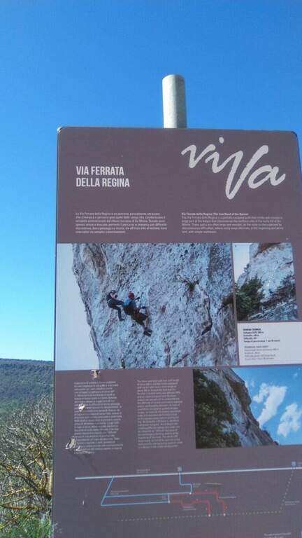
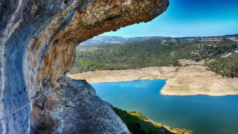
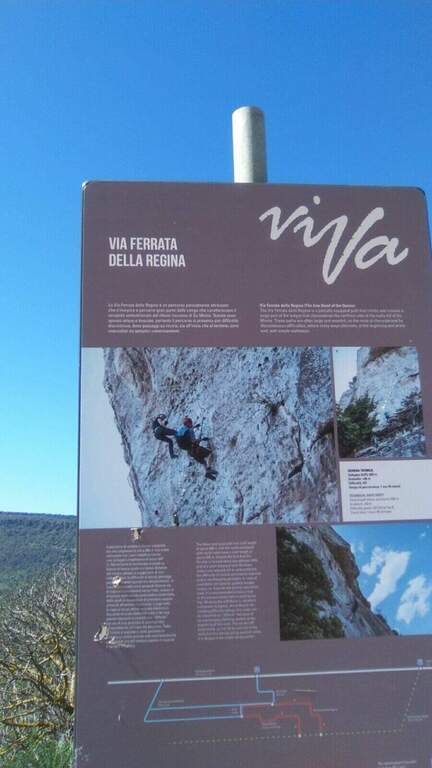
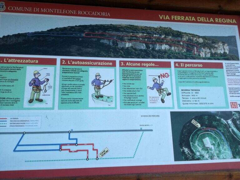
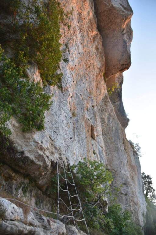
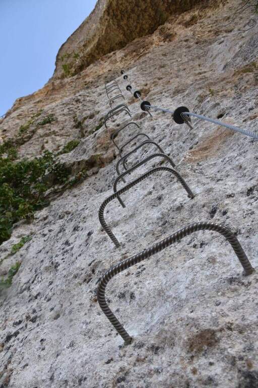
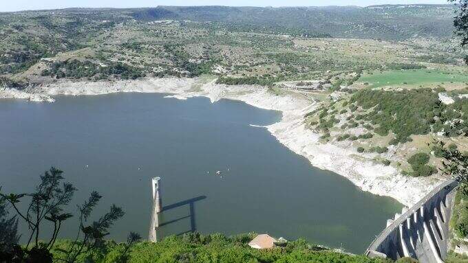
    The Ferrata della Regina runs a wide section of the cenges that characterize the relief of Su Monte, near Monteleone Rocca Doria, south of Sassari and close to Lake Temo. It is widely equipped with brackets, which makes it technically not difficult, but exposed along wide stretches and embellished by an adrenaline-free Tibetan bridge.

    ▲Approach

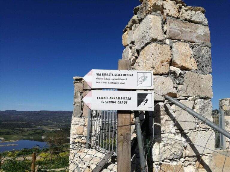
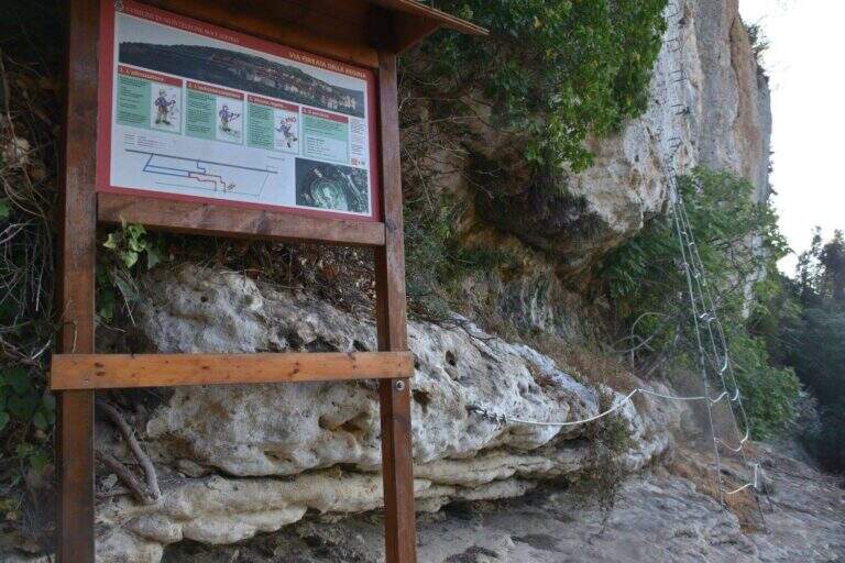
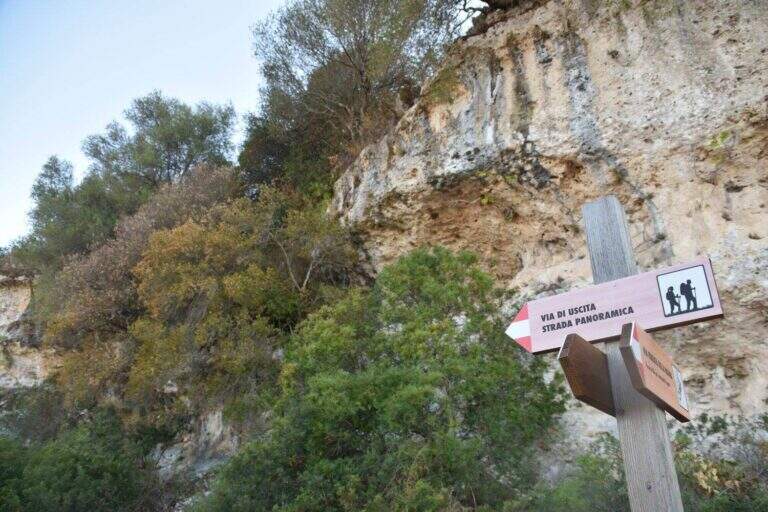
    The starting point is on the Strada Panoramica Subramonte that runs around Monteleone Rocca Doria: along the road you can see a wooden basin with information on the street, where you park. Starting point on Google Maps. From the dirt road you continue to a sign that indicates a path downhill towards the ferrata; you descend a few steps, turn right and, always downhill, you arrive under a rocky roof and then under a majestic wall; between climbs you reach a spring to the attack, signaled by a wooden basin (20' from the car).

    ▲The path

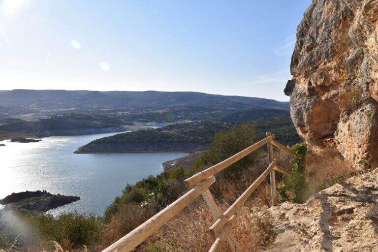
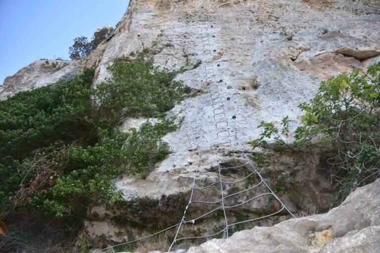
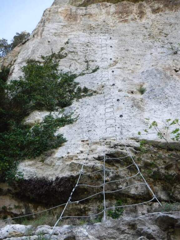
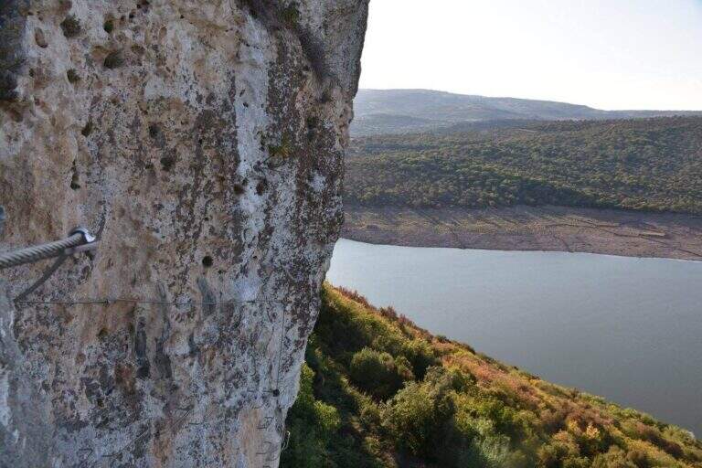
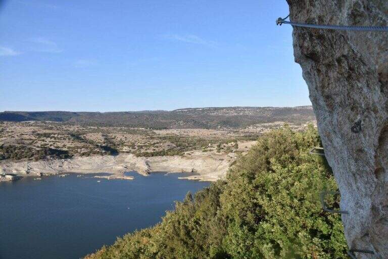
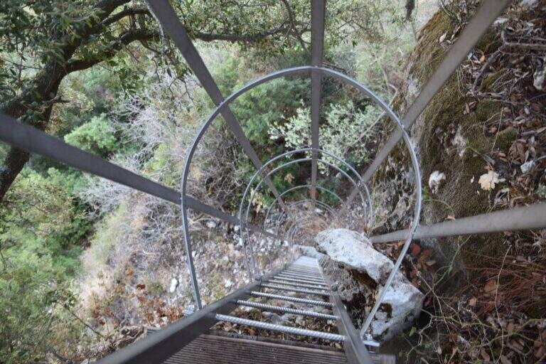
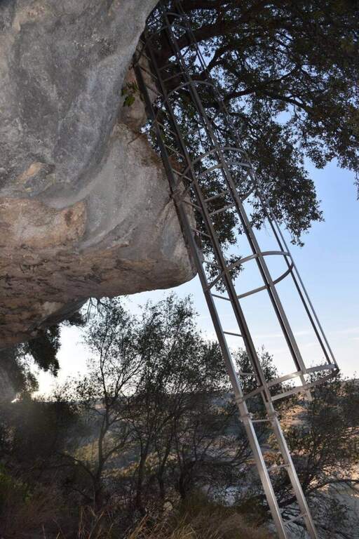
    The attack is very special: a network of wires that goes up like a staircase. On the top you climb the vertical wall on brackets, in slight overhanging, gaining altitude quickly; the cable turns left and on brackets you continue horizontally by wandering an exposed edge. After finishing the horizontal, the cable starts vertically, always with abundant brackets, until a passage in light overhanging that deposits on a wide census partly protected. Continuing on the nod, overlooking the artificial lake and the dam, you will arrive at a crossroads: on the left the escape route, straight the continuation. Continue on the path up to a sign that indicates on the left a staircase with metal armor to be descended; from the underside it continues horizontally up to a series of downhill cambres, with the suspended bridge already visible below. Cross the Tibetan bridge with 3 ropes, cross a long horizontal census and go up a vertical wall equipped with cambre; finally, to the right, a census under a roof and a last stretch down close the road close to the attack (1h 15' from the attack, 1h 30' total).

    ▲Character and difficulty

    The brackets along all the walls reduce the technical difficulty; the commitment comes from the exhibition, present for large sections, and from the Tibetan bridge (about 15-20 m).

    ⚠ Itinerary: helmet and ironing set indispensable. An escape route allows you to stop halfway.
    ▲Period and safety

    At low altitude and in mild climate, it is possible to travel most of the year; to avoid with wet rock and in the warmest hours of summer.

    ▲Discipline

    You follow the return path that takes you short on the approach path and then uphill to the car (20' from the end, 1h 50' total).

    ▲To match

    It is one of the Sardinian ferrates. Less than two hours by car Ferrata del Cabirol, la Ferrata del Castello Medusa, la Ferrata di Badde Pentumas e la Ferrata di Giorrè; la Ferrata degli Angeli in Tavolara requires to organize the boat. Towards Sulcis le Ferrata del Pan di Zucchero e Gutturu Xeu.

    ▲Gallery
    Technical data
    • DifficultyHard
    • RegionSardinia
    • GroupMonteleone Rocca Doria
    • Approach0:20 h
    • Ferrata1:15 h
    • Itinerary (a/r)2:00 h
    • Hardware level difference70 m
    • Route difference70 m
    • Max400 m
    • Length1,4 Km
  • Ferrata Ra Pegna

    Ferrata Ra Pegna

    Vie Ferrate › Veneto › Belluno
    Ferrata Ra Pegna

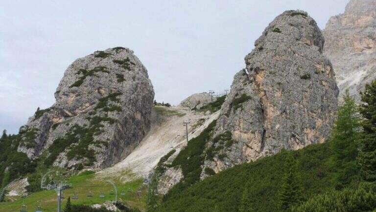
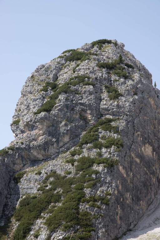
    The recent Ferrata Ra Pegna climbs the homonymous rocky monolith between the Duca d'Aosta Refuge and the Pomedes Refuge, above Cortina d'Ampezzo. It is an easy ferrata, inserted in a short itinerary suitable for neophytes and families.

    ▲Approach

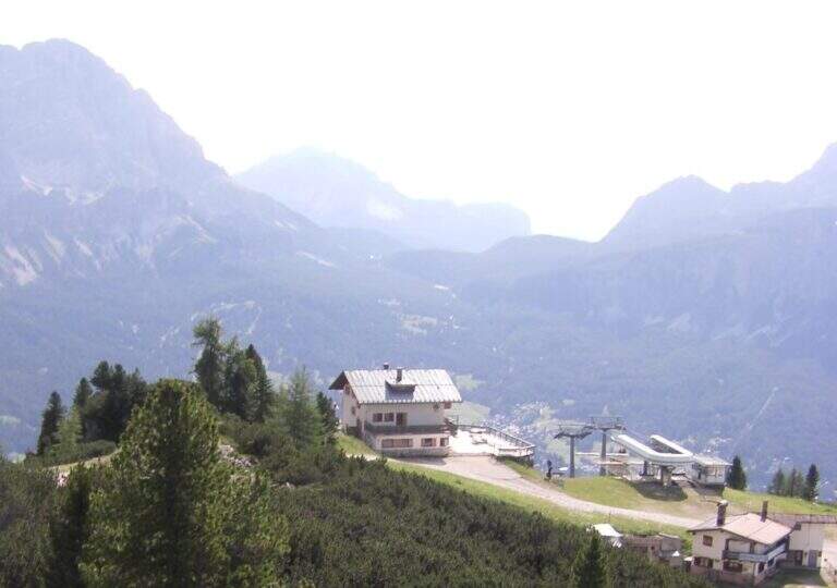
    There are two starting points. You can climb from Cortina to the Falzarego Pass and take the right road to the Dibona Refuge; at a crossroad where on the right you go up to the Duca d'Aosta Refuge you should park in the beach near the crossroads, because the road is accidents (useful option to combine the ring return with the Astaldi Trail). Starting point on Google Maps. Alternatively, park at the large square of the Baita Pie Tofana (1675 m), from which a chairlift goes up to the Duca d'Aosta Refuge (useful option for jumping the approach or returning to the chairlift). For the ferrata you can reach the Rifugio Duca d'Aosta (2098 m): from the junction, 405 mark, about 30'; or by chairlift; or for the Sentiero dei Camosci (405) from the hut (1h 30'). From the hut a chairlift climbs towards Pomedes in the valley between two monoliths: on the right the Ra Bujela (with Ferrata Maria and Andrea Ferrari), on the left the Ra Pegna. On Ra Pegna you can see a rocky rib on the left side: the attack is under that rib, reached up to the slopes up to a sign on the left side (10' from the Rifugio Duca d'Aosta).

    ▲The path

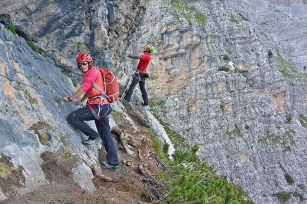
    The street rises where the diagonal plate meets the rocky rib, forming a supported dihedron. Rockets rise and easy leaps for about ten minutes without any particular difficulty; under a rocky roof you go through a nod to the right, then you go still diagonally to the right and you face a well-dressed vertical leap (the key step). Continue on rocks and stretches of path equipped to the last easy meters and to the top of the monolith, with a splendid view on Punta Anna and the Tofane. It is advisable not to remove the sling: some easy stretches to the east and, with a ladder, a more marked leap that closes the way (45' from the attack, 1h from the Rifugio Duca d'Aosta).

    ▲Character and difficulty

    Easy fitting without challenging steps that, for the brevity of approach and return, is also accessible by families.

    ⚠ Although easy remains an equipped road with a stretch of descent: helmet and set of necessary ferrata, attention to the return ski slope.
    ▲Discipline

    From the end you turn right down the steep ski slope to the Rifugio Duca d'Aosta, already visible (15' from the end); from here you return to the car park backwards to the approaching path.

    ▲To match

    Easily match the neighbor Ferrata at Ra Bujela (longer and harder). Climbing towards the Pomedes the Path equipped Astaldi and, towards the Tophans, the Ferrata Olivieri e la Ferrata Aglio. Towards the Falzarego Ferrata Tomaselli, la Ferrata at Col dei Bos e la Ferrata all'Averau.

    ▲Gallery
    Technical data
    • DifficultyEasy
    • RegionVeneto
    • GroupTofane – Dolomiti Ampezzane
    • Approach1:00 h
    • Ferrata0:45 h
    • Itinerary (a/r)2:15 h
    • Hardware level difference100 m
    • Route difference200 m
    • Max2241 m
    • Length1,5 Km
  • Ferrata Ra Gusela at Nuvolau

    Ferrata Ra Gusela at Nuvolau

    Vie Ferrate › Veneto › Belluno
    Ferrata Ra Gusela at Nuvolau

    The easy Ferrata Ra Gusela climbs the south wall of the Nuvolau Group, in the Dolomites Ampezzane. It is suitable for neophytes, with no significant technical difficulties, and very beautiful landscape, with medium length approach and return. You can walk both from the Giau Pass and from the Falzarego side, possibly shortening with the plants.

    ▲Approach

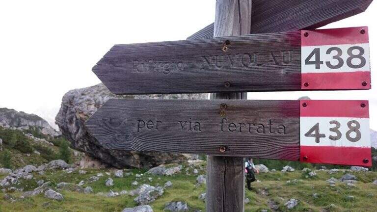
    The most logical option is from Passo Giau (2236 m), going up from Cortina d'Ampezzo or from Selva di Cadore, to close a ring without implants. Starting point on Google Maps. From the pass you walk north, towards the Nuvolau, and in less than 10' you reach a crossroads: to walk uphill you hold the right (path 443), then return on path 452. Continue north-east on a wide path to another crossroads, where the left is held on path 438 (indications for the Ferrata and the Nuvolau Refuge); the 438 is steep up to the first wire rope, at an easy nod (1h from the Giau Pass).

    ▲The path

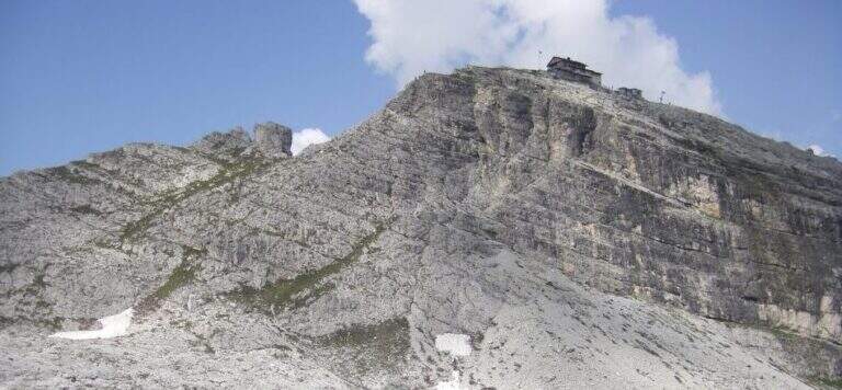
    From the first cable you follow the right-hand side: it is wide and without difficulty, with the cable that acts as a handrail, and bypasses a edge taking under the yellowish eastern wall of Ra Gusela, where a canal cuts the mountain diagonally. You reach the canal with the nod, you climb easy rocks and you enter the canal, from the friable soil, holding on the left side along the rope; a more vertical leap is exceeded with a short metal ladder. Exit from the canal, after a few easy leaps you go through a new nod until a fork, besides which a plateau leads to the Nuvolau Refuge (attention not to lose the signs). There are about 60 meters of altitude to the ridge: first a census, then an edge that leads to greater exposure on the final ridge, with a first metal ladder, a couple of passages on exposed but not difficult rocks and a second ladder; in short you will reach the Nuvolau Refuge (2575 m, 1h from the attack, 2h from the Giau Pass).

    ▲Character and difficulty

    Itinerary easy, without difficult steps and exposed only in a few points: ideal also for half-day excursions and for those who approach the ferrates.

    ⚠ Attention to the friable bottom of the canal and to the stretches of crest exposed; however easy, remains a road equipped with helmet and iron set.
    ▲Discipline

    Follow the tourist path that descends gently north to Forcella Nuvolau and to the Averau refuge (from which the Ferrata to Auverau leaves); from here you return to the Giau Pass with the path 464/452 to the left (1h 30' from the term, 3h 30' total), or you go right to the Scoiattoli Refuge with the 439 (1h from the term).

    ▲To match

    The Nuvolau Group joins the neighbor Ferrata all'Averau; towards Selva di Cadore the easy Ferrata at Sass de Rocia. Towards the Civetta three challenging routes: the Ferrata degli Alleghesi, la Ferrata Tissi e la Ferrata Fiamme Gialle al Pelsa, up to Ferrata Costantini at Moiazza; towards Cortina la Ferrata Sci Club 18 faloria.

    ▲Gallery
    Technical data
    • DifficultyEasy
    • RegionVeneto
    • GroupNuvolau – Dolomiti Ampezzane
    • Approach1:00 h
    • Ferrata1:00 h
    • Itinerary (a/r)3:30 h
    • Hardware level difference174 m
    • Route difference338 m
    • Max2574 m
    • Length6,6 Km
  • Ferrata Pursteinwand

    Ferrata Pursteinwand

    Vie Ferrate › Trentino-Alto Adige › Bolzano
    Ferrata Pursteinwand
    Very difficult● OpenDescriptionComplexityMapsGallery

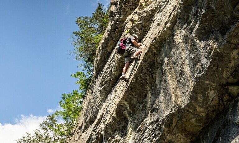
    The recent and athletic Ferrata Pursteinwand climbs up a steep slope on the eastern side of the Aurina Valley, above Campo Tures. It is a short itinerary but not to be underestimated, which requires strength and technique and does not lead to a peak but to a panoramic point on the valley. For style — polished rock and abundant metal equipment — it recalls more the French ferrates of the Western Alps than the classic Dolomite routes.

    ▲Approach

    The starting point is Campo Tures, in Valle Aurina, reachable from Brunico; just before the village, in an industrial area, you park at the last building. Starting point on Google Maps. You follow the signs for the ferrata and the rock gym towards the wall, well visible from the parking lot; you pass under the wall on the floor, then to the right you take the marked deviation. A sign of stone fall is held on the right, climbing a rocky slope up to the attack sign (15' from the parking lot).

    ▲The path

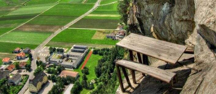
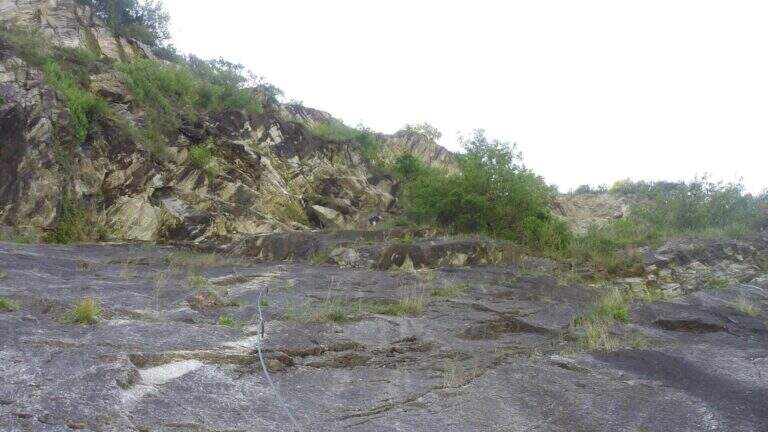
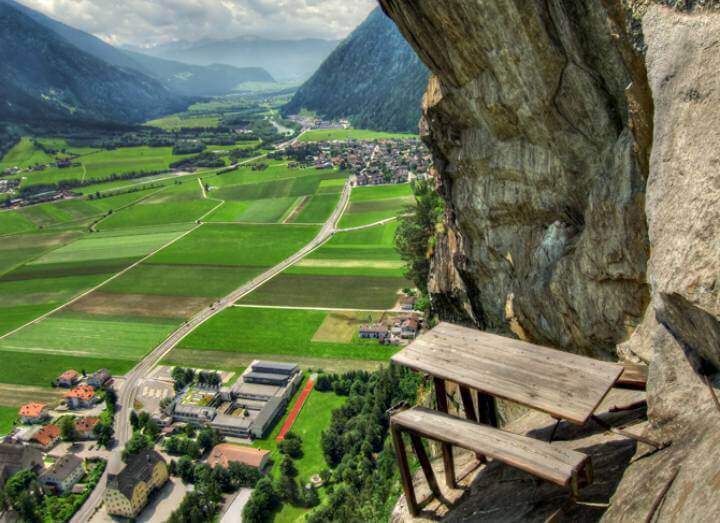
    The attack is under a long tilted black plate. The first meters, vertical and often humid, with a couple of brackets, then bend to the left before a difficult oblique traverse to the right: immediately you notice the figure of the street, a compact and smooth rock that, in the absence of natural hooks, obliges you to use a lot of the cable. You climb vertically on narrow brackets up to a challenging leap with a overhanging belly, to be overcome with good force of arms; diagonally to the left and then on an exposed and difficult traverse to the right you gain a panoramic terrace on the Aurina Valley. A pair of vertical and diagonal tears make gain altitude and exposure before a long traverse, less challenging but challenging for the distance between the brackets; it comes out on an exposed edge where the cable changes direction of 90° and goes right up to one of the most iconic points of the street, a table with two benches anchored to the rock, with the feet almost empty. The last part is the most vertical: a wall smoothed with many brackets, a short oblique traverse on the right, a very athletic overhanging stretch at a corner, the passage under a roof with a first metal scale to overcome of momentum, then the cable bends left under an evident rocky roof. On a strong display there is a new vertical and a traverse on the right (providential brackets when the energies fall), then a overhanging leap with a second metal scale in the lower part, whose exit remains very demanding and requires good technique or traction on the cable; the last meters are a right traverse without hooks and some vertical passages closing the street (1h 30' from the attack, 1h 45' total).

    ▲Character and difficulty

    Athletic and anomalous Ferrata for the South Tyrolean landscape, which deliberately seeks technical difficulties and overhanging passages on polished rock; it varies, with many horizontal and obliquious traverses that also test the expert Ferratists. Recent equipment and in good condition.

    ⚠ It requires strength, technique and absence of dizziness. Useful to bring a fectuccia or a referral to rest in the most demanding traits. Itinerary short, ideal on uncertain days where a long excursion is not recommended.
    ▲Discipline

    From the end you follow the trail in the forest that leads in short to a road; you keep the right downhill and, following the signs (cartel 27A), you descend to Campo Tures and on asphalt you return south to the parking lot (30' from the end, 2h 15' total).

    ▲To match

    In the Aurina Valley, further north, the long and challenging mountain route of the Ferrata del Ghiste-Camino al Sasso Nero; near Campo Tures the difficult Ferrata Hans Kammerlander (2022). To the south Ferrata di Valdaora and, towards the Alps of Sesto, the Ferrata dei Costoni di Croda Rossa.

    ▲Gallery
    Technical data
    • DifficultyVery difficult
    • RegionTrentino-Alto Adige
    • GroupValle Aurina
    • Approach0:15 h
    • Ferrata1:30 h
    • Itinerary (a/r)2:15 h
    • Hardware level difference200 m
    • Route difference380 m
    • Max1125 m
    • Length3,4 Km
  • Ferrata di Punta Penia (cresta Ovest della Marmolada)

    Ferrata di Punta Penia (cresta Ovest della Marmolada)

    Vie Ferrate › Trentino-Alto Adige › Trento
    Ferrata di Punta Penia (cresta Ovest della Marmolada)
    Moderately Hard● OpenDescriptionComplexityMapsGallery

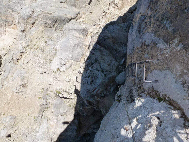
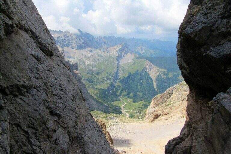
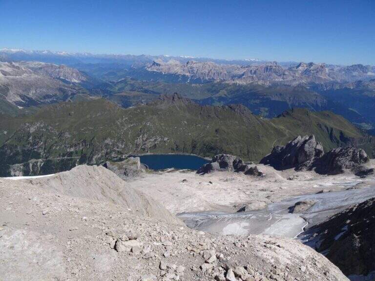
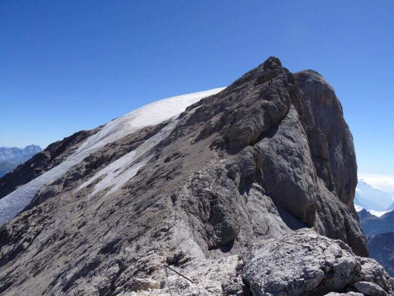
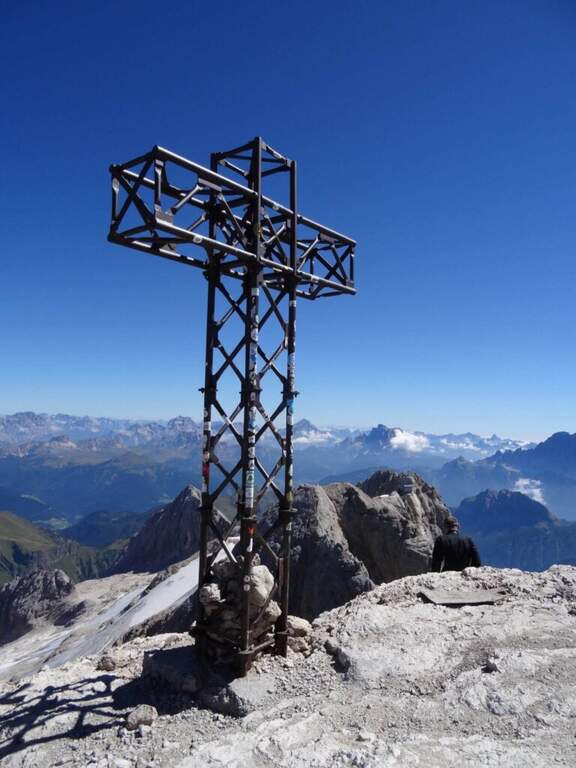
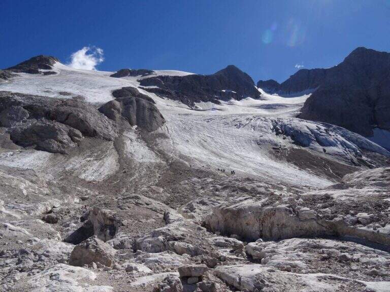
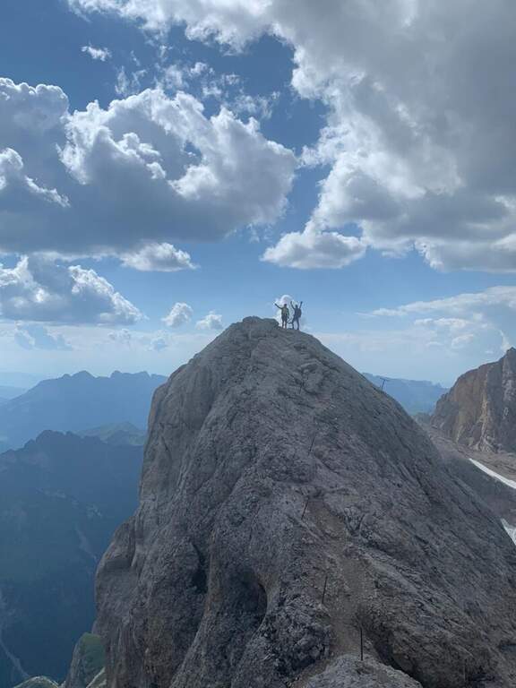
    The Ferrata di Punta Penia climbs up the western ridge of Marmolada to the highest point of the group (3343 m). It is a historical route that during the ascent does not present particular technical difficulties, but develops in a wild high mountain environment; the return takes place for the Marmolada glacier. An itinerary to be carefully planned for length, altitude difference and glacial conditions.

    ▲Approach

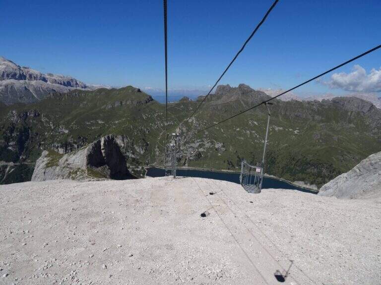
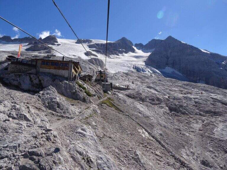
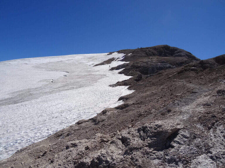
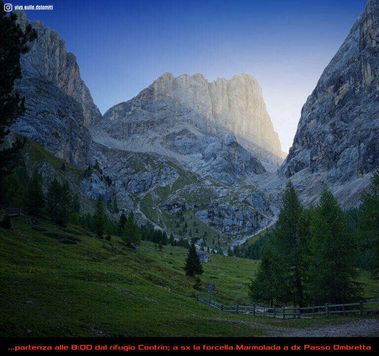
    The starting point is Passo Fedaia, reachable from Canazei (Trento) or from Malga Ciapela (Belluno); park in the square at the plants for Pian dei Fiacconi. Starting point on Google Maps. From the dam (2070 m) it once climbed into the cable car to Pian dei Fiacconi (2722 m); the plant is now closed, following an avalanche that destroyed the shelter, therefore it climbs on foot in about 1h 30' for the CAI 606 path. From Pian dei Fiacconi we continue west on CAI 606, on a glacial valley, bypassing the northern spallon of Punta Penia; we lose altitude up to 2470 m and then steeply go up the detritic valley towards Forcella Marmolada. Entering the Vernel glacier you should keep the central part (and not the left side); you can reach the right edge of the glacier until the first ropes, at a red sign (1h 45' from the mountain station).
    ▲The path

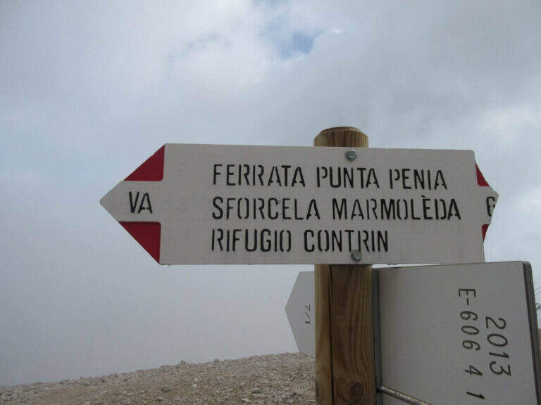
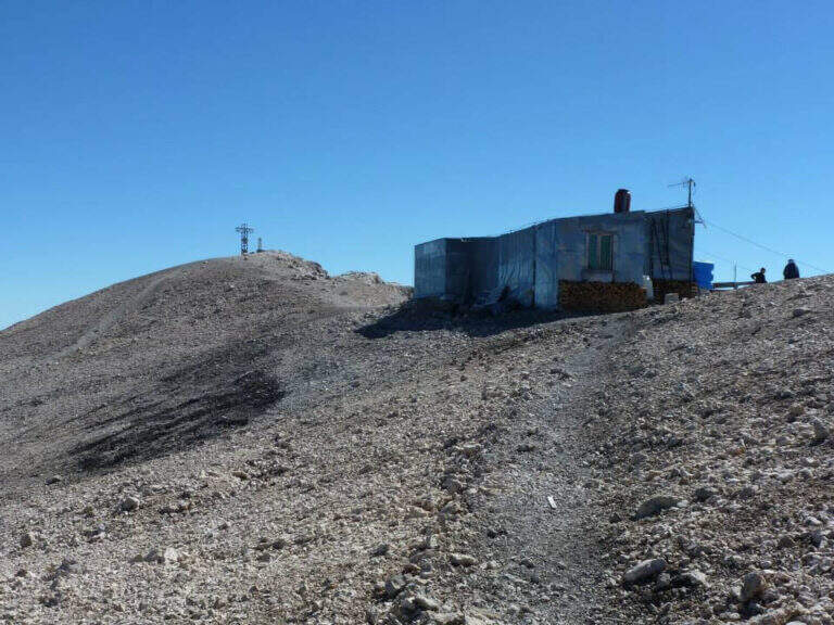
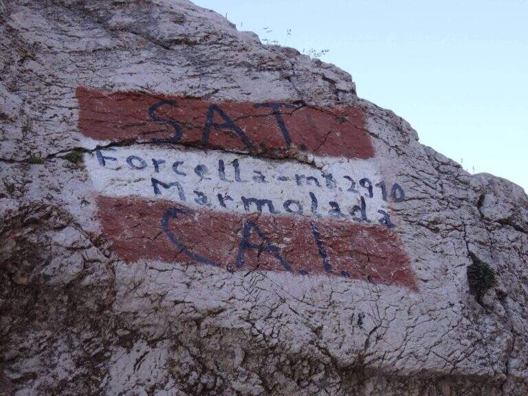
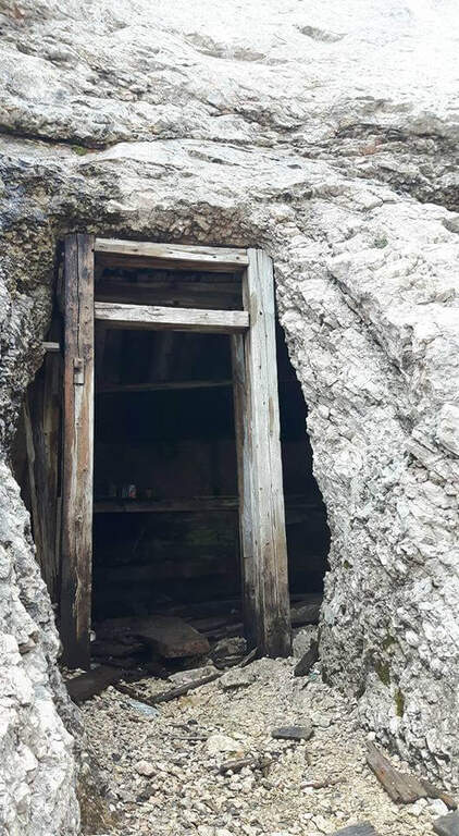
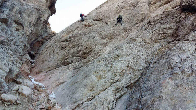
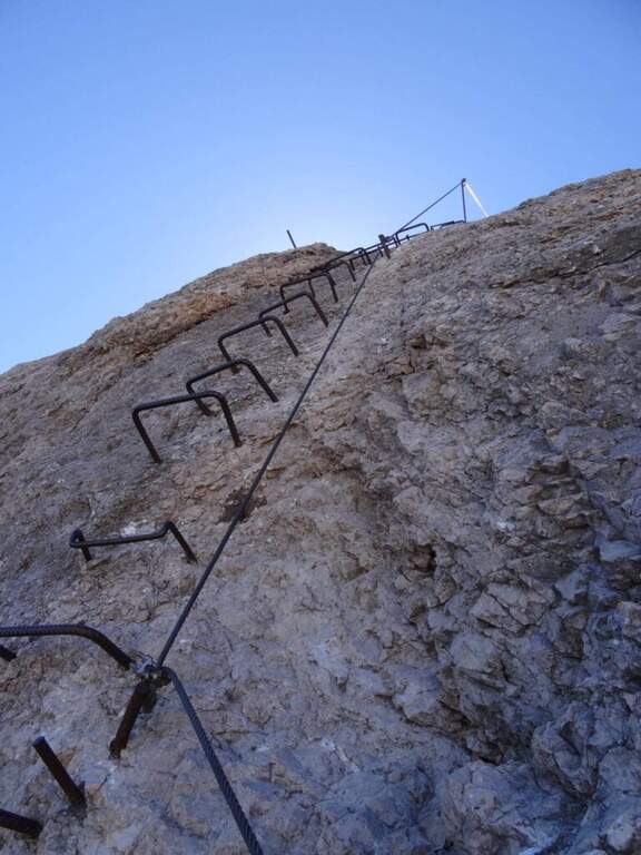
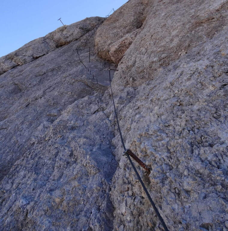
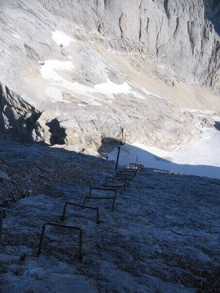
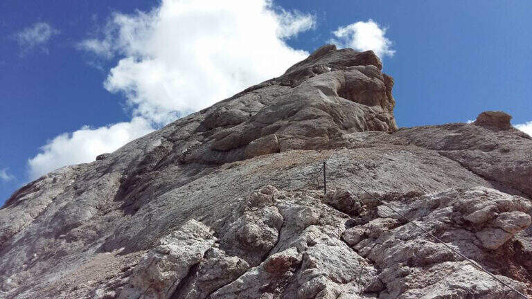
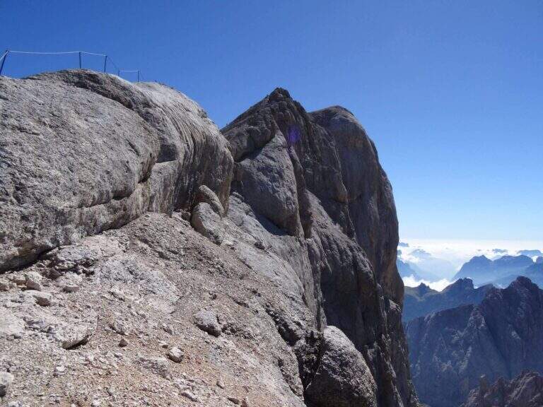
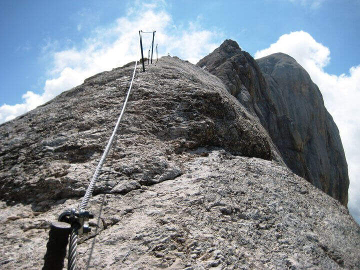
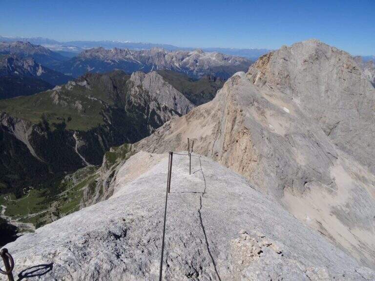
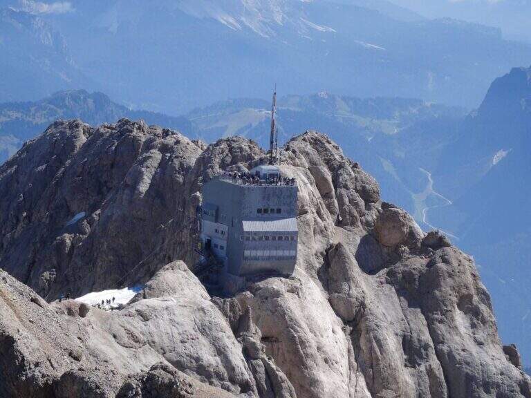
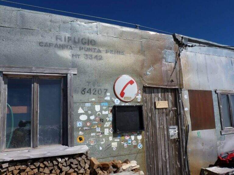
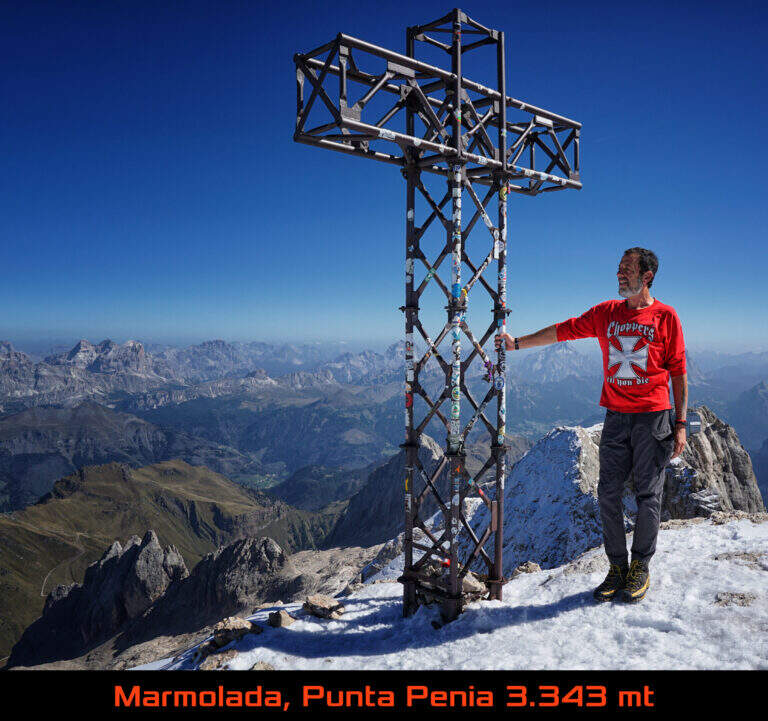
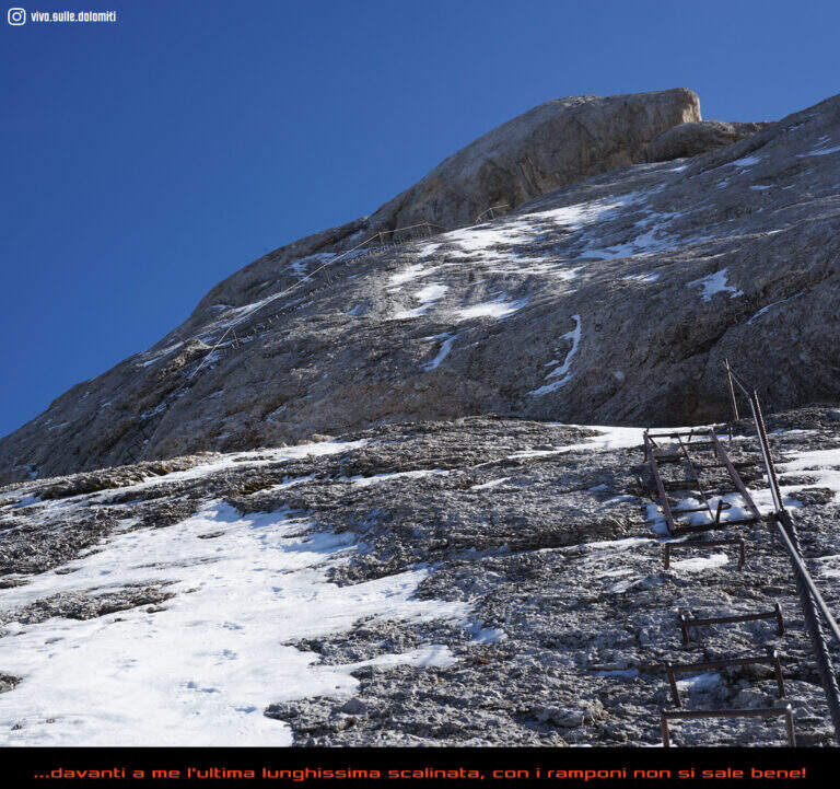
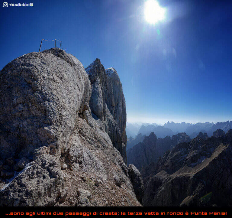
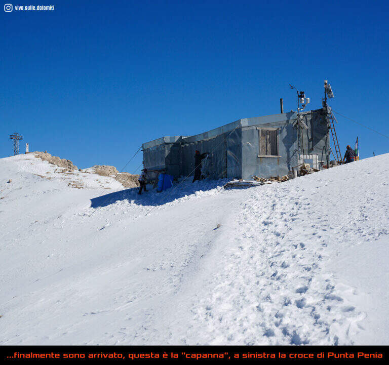
    The first ropes carry, without difficulty (short sloped plates and easy balconies), to Forcella Marmolada (2910 m, 2h total), where you will meet the path from Val de Contrin and the remains of war huts dug into the rock. Then a plate with no flats is climbed thanks to a series of brackets, continue on tracks until a sloped ramp equipped and at a more steep stretch with cambre; after a crossing with piles and brackets you enter a fireplace equipped with piles, brackets and a ladder. Exit from the fireplace, small rocks and a vertical wall lead to a long sloped ramp where the cable helps balance; it follows a plaque with brackets, quite lean, and then a stretch that seems to be repeated, alternating cambre and plaques, up to a panoramic terrace. The last section runs on the crest above the imposing bastion of the south wall of Marmolada: between modest climbers and easy rocks the equipment ends, and a last stretch without cable leads to the Capanna di Punta Penia and then to the summit cross (3343 m, 2h 15' from the attack, 4h totals).

    ▲Character and difficulty

    Technically the way is modest, but the environment is that of the high mountain, with all its pitfalls. It dates back to the early 20th century (1903, then known as Hans-Seyffer-Weg) and logically follows the weaknesses of the wall.

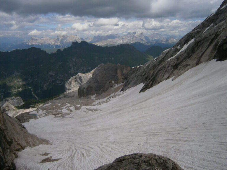
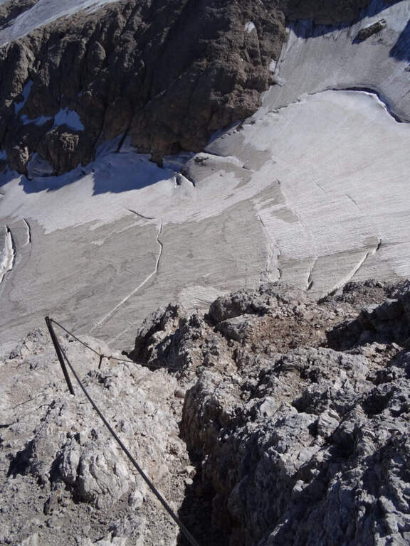
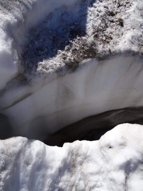
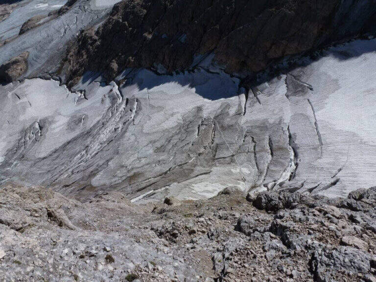
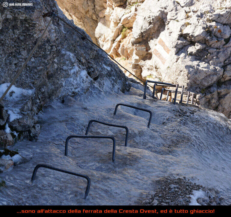
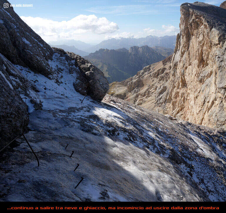
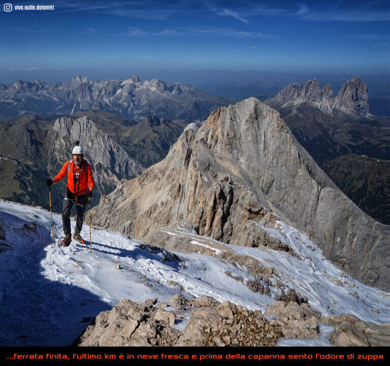
    ⚠ Itinerary of serious mountaineering. The cabin of Pian dei Fiacconi is closed: approach only on foot. Approaching and returning through snow and the glacier of Marmolada, today in strong retreat and solcato by crepacci: they serve experience, self insurance, ramps and reliable weather (conditions can change quickly). At the beginning of the season the fresh snow facilitates the climb; in late season you walk on live ice.
    ▲Period and safety

    High altitude road to be tackled in summer; planning must take into account the conditions of the Vernel glacier uphill and the Marmolada glacier downhill, as well as the weather.

    ▲Discipline

    It is possible to descend backwards along the ferrata, but the most logical descent, with a ring, reaches the Ghiste della Marmolada below after some stretches equipped downhill; then follow the obvious trace on the glacier — with attention to the crevices, especially in case of fog — up to the Rifugio Pian dei Fiacconi (26262626 m) and back downstream (1h 45' from the summit, 5h 45' total).

    ▲To match

    On the opposite side of the Marmolada runs the other historic street, the Eterna Ferrata at Piz Serauta, longer, exposed and difficult. From Passo Fedaia, towards Porta Vescovo, the beautiful Ferrata delle Trincee; in Val de Contrin la Funds for the Colac, la Ferrata Ombretta e la Ferrata at Col Ombert.

    ▲Gallery
    Technical data
    • DifficultyModerately Hard
    • RegionTrentino-Alto Adige
    • GroupMarmolada
    • Approach3:00 h
    • Ferrata2:15 h
    • Itinerary (a/r)7:30 h
    • Hardware level difference443 m
    • Route difference720 m
    • Max3343 m
    • Length7 Km
  • Ferrata del Procinto (Aristide Bruni)

    Ferrata del Procinto (Aristide Bruni)

    Vie Ferrate › Tuscany › Lucca
    Ferrata del Procinto (Aristide Bruni)

    The Monte Procinto is a truly unique formation: a square tower of 150 m with straight and overhanging walls on the four sides. For almost a century, an equipped road goes up its side and leads to the summit grove in about 40 minutes. Technically it is not difficult, but it is strongly exposed and should be faced both uphill and downhill.

    ▲Approach

    The starting point is the Rifugio Alto Matanna, reachable by a narrow steep road but in good condition: from Lucca you enter Garfagnana on the SS12, then towards Diecimo and Pescaglia; passed Pascoso, following the indications for "Rifugio Alto Matanna" turn left on an asphalt road. Starting point on Google Maps. Behind the refuge starts the path CAI 5, which follows right uphill to the north; you cross the basin of the Callare di Matanna and you descend along the south wall of Mount Nona, glimpse the panettone of the Procinto to the south-west. In the forest, at a crossroads, you leave the CAI 5 (which goes down to the Forte dei Marmi Refuge) for a narrow right track indicated for the Monte Procinto; a wooden bridge crosses the narrow nod at the base of the tower, you hold the left and, with attention, you will find the deviation to the right (without signals) that leads to the tombstones and the attack of Ferrata Aristide Bruni (1h from the parking lot).

    ▲The path

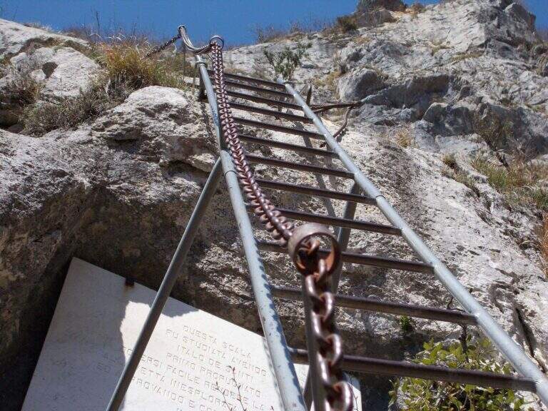
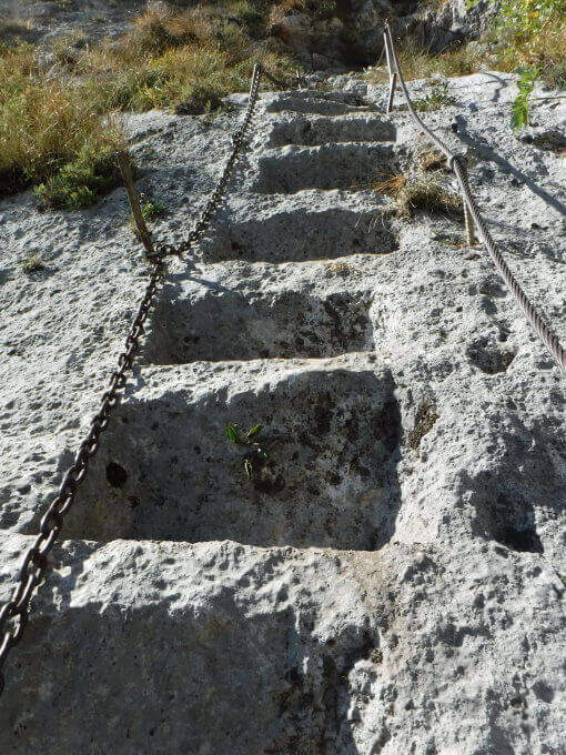
    A ladder equipped with cable and chain goes up immediately, then a wall where artificially carved several steps that rise in marked exposure, with metal equipment in support of progression. Once you reach a comfortable terrace you face a passage where it is not trivial to find supports for your feet; you continue taking advantage also some artificial steps, you walk a diagonal census and, with the last minutes in the woods, you reach the top (40' from the attack, 1h 40' from the parking lot).

    ▲Character and difficulty

    Short but strongly exposed: more than technical difficulties, it is the air under the feet to make it challenging.

    ⚠ It goes both uphill and downhill on the same route: maximum attention to hikers who proceed in the opposite direction, above and below. The rope and chain are not perfectly stretched and can unbalance; for the strong exposure it is not suitable for neophytes.
    ▲History

    It is the oldest railway in Italy: it dates back to 1893, several times renovated (last revision in 2020). It is named after Aristide Bruni, who in 1879 climbed first, with others, this unique tower in the first documented climb; the route was then converted into a path equipped with the support of the CAI of Florence.

    ▲Discipline

    You go down the same route, with care for those who go up. Back to the base of the Forcinto you go back to CAI 5 left on the way: you go up, you go over the Callare di Matanna and you go down to the car (1h 20' from the end of the ferrata, 3h overall).

    ▲To match

    It is often combined with the neighbor Ferrata Salvatori at Monte Forato, extending the itinerary of at least 3 hours: from the graft on the CAI 5 it is held the right, then the CAI 121 and the CAI 109 to the Foce di Petrosciana, from which the crest of the Salvatori.

    ▲Gallery
    Technical data
    • DifficultyHard
    • RegionTuscany
    • GroupApuan Alps
    • Approach1:00 h
    • Ferrata0:40 h
    • Itinerary (a/r)3:00 h
    • Hardware level difference170 m
    • Route difference170 m
    • Max1172 m
    • Length4 Km
Need help? Write to us!