Stato: Aperta

  • Sentiero Attrezzato dellโ€™Ideale โ€“ Bocca dโ€™Ambiez

    Sentiero Attrezzato dell'Ideale โ€“ Bocca d'Ambiez

    Vie Ferrate โ€บ Trentino-Alto Adige โ€บ Trento
    Sentiero Attrezzato dell'Ideale โ€“ Bocca d'Ambiez
    Moderately Hardโ— OpenDescriptionComplexityMapsGallery

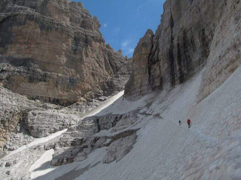
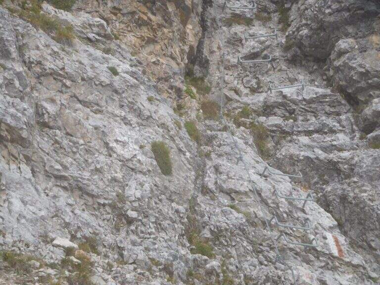
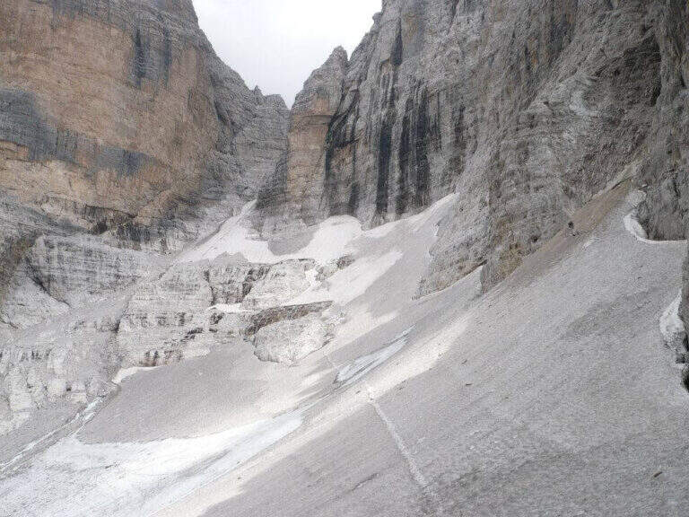
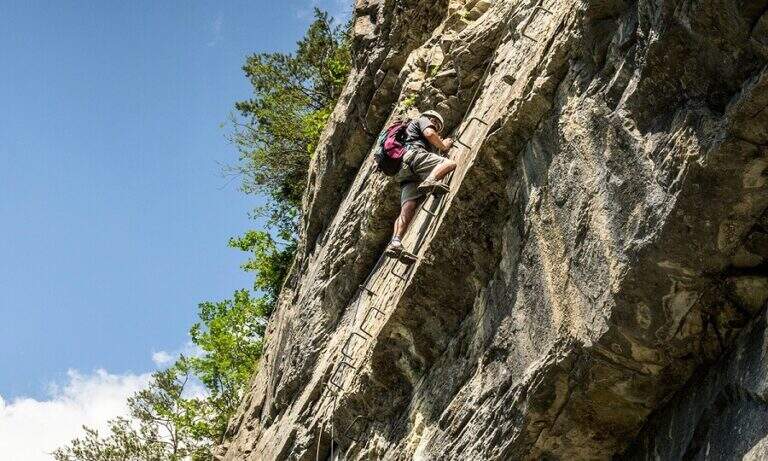
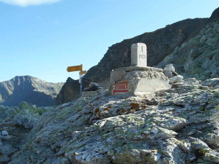
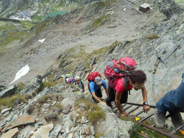
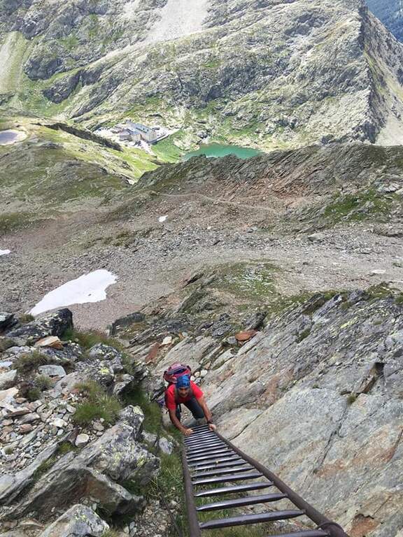
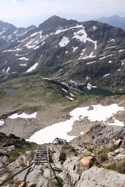
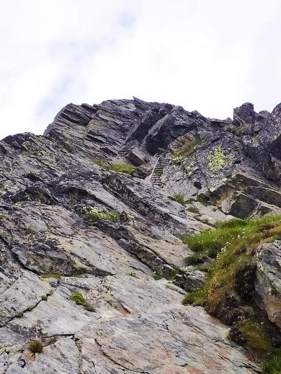
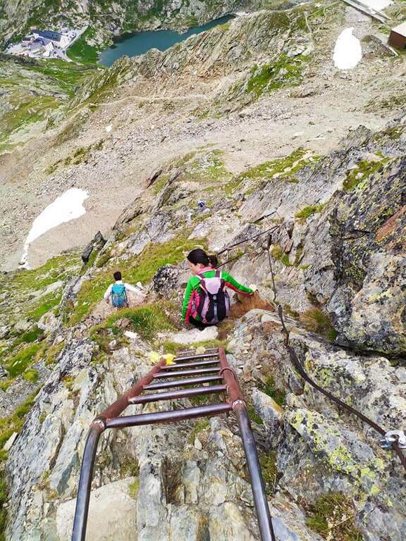
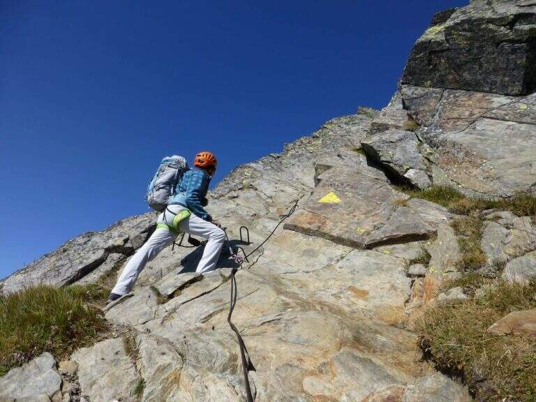
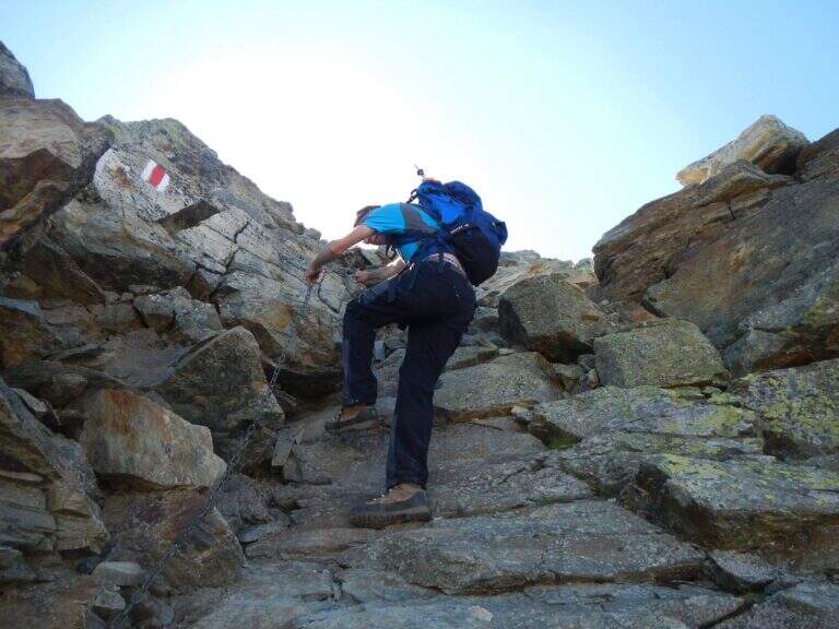
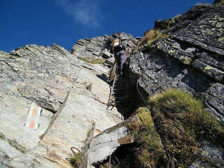
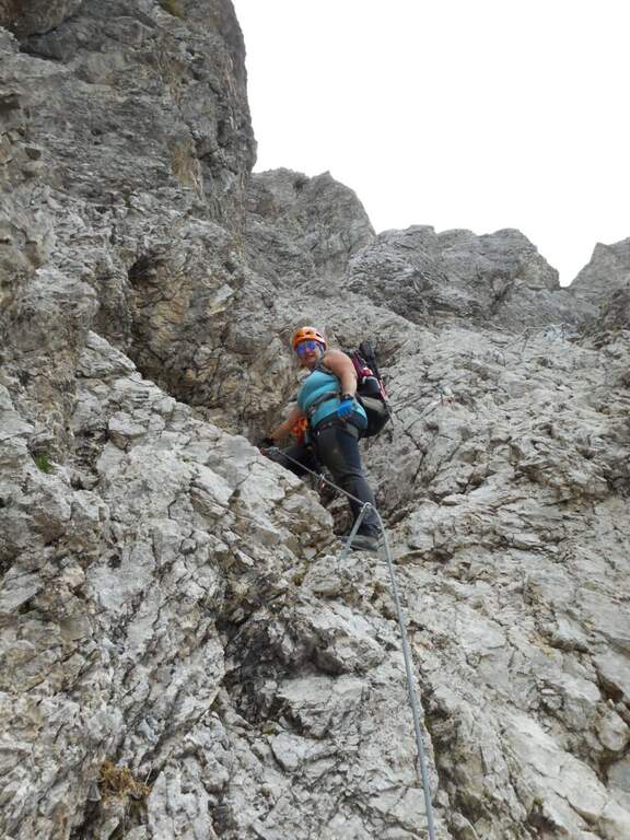
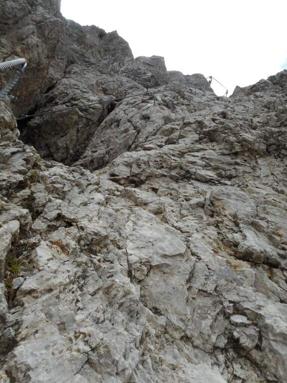
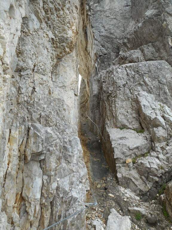
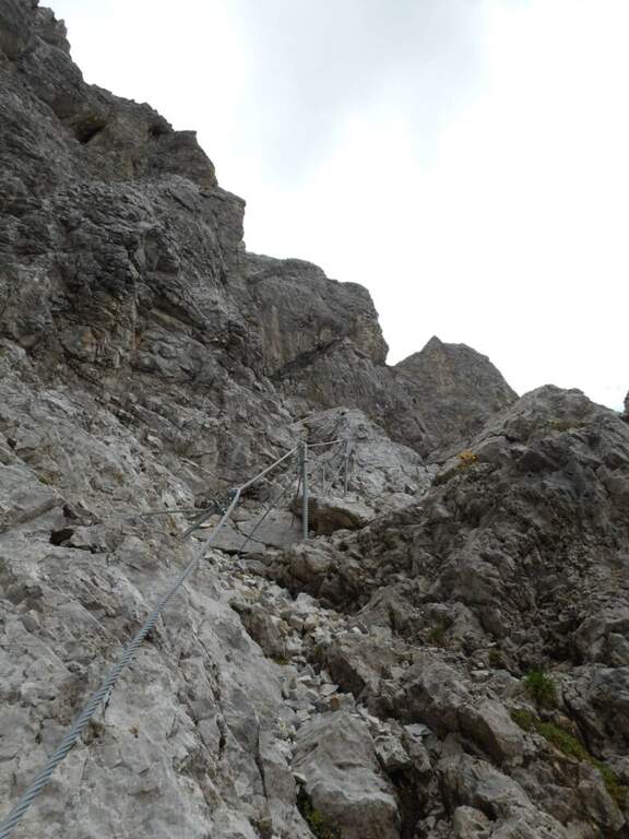
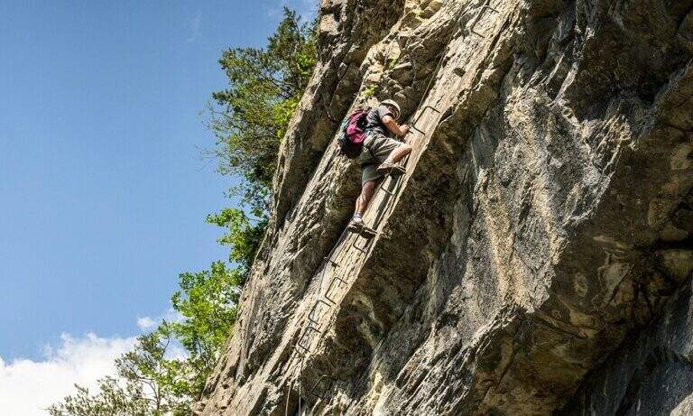
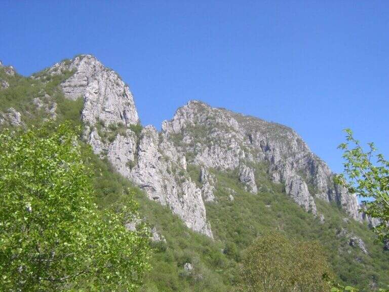
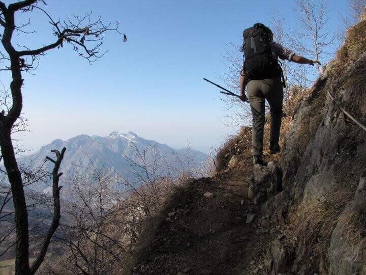
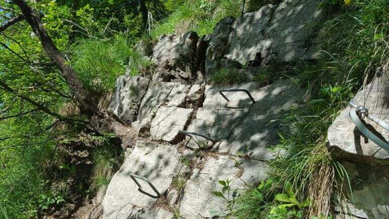
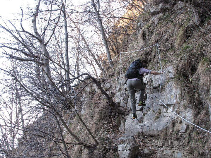
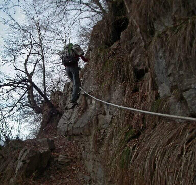
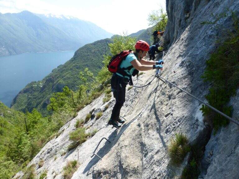
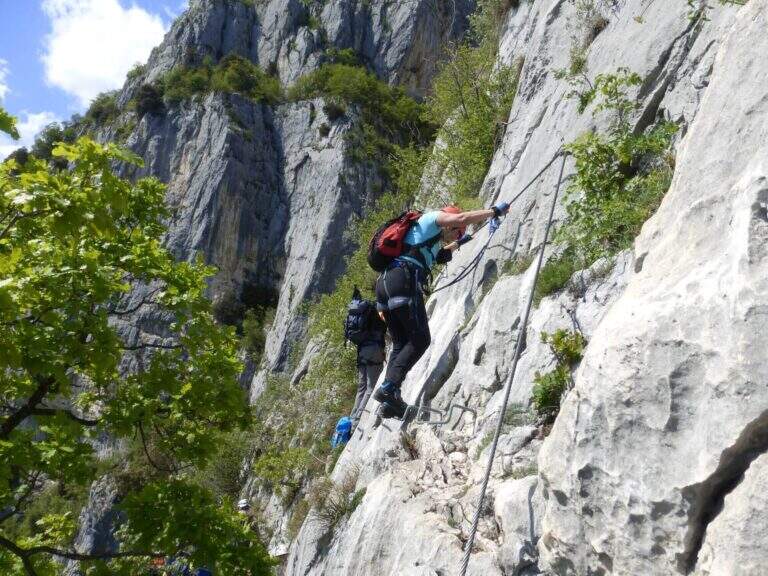
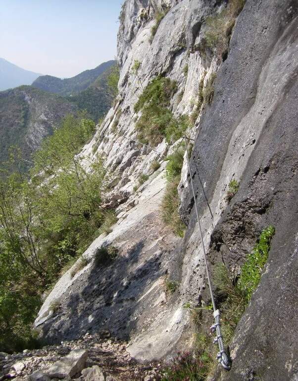
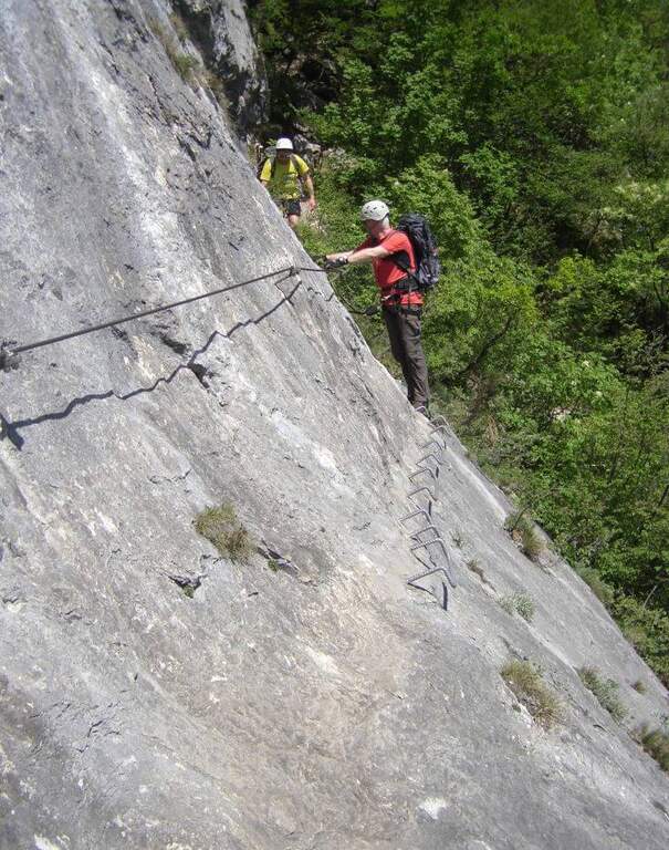
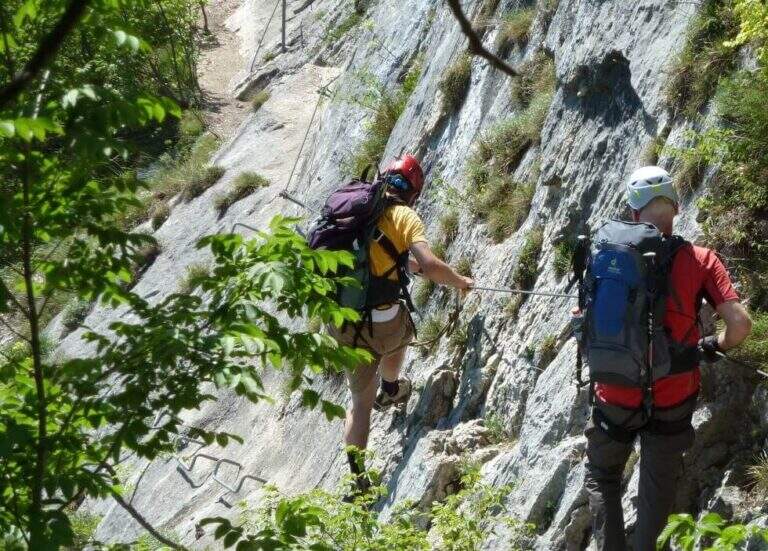
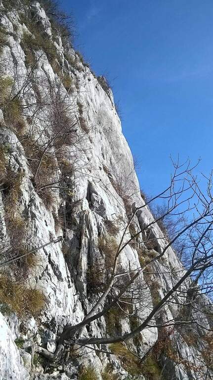
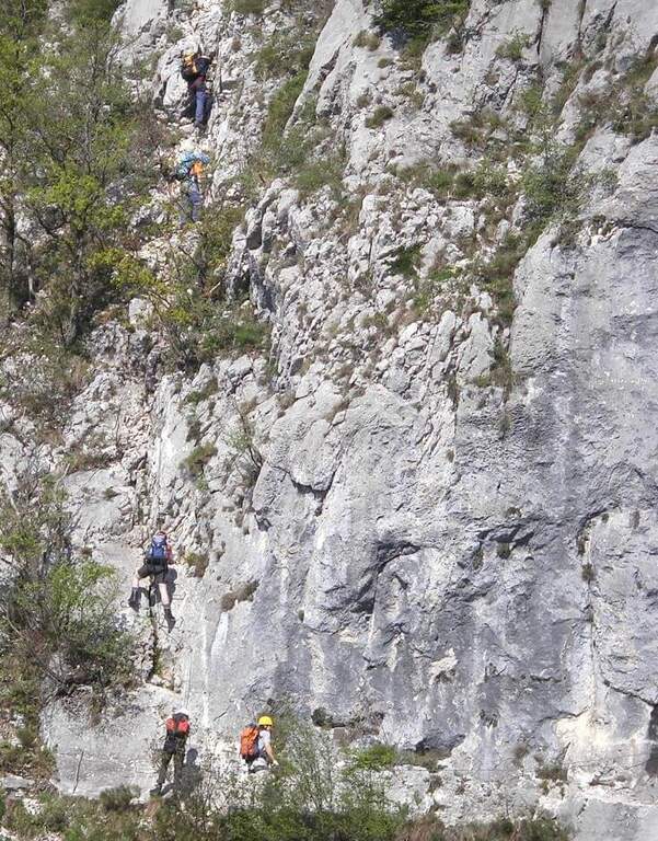
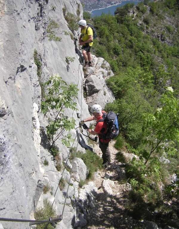
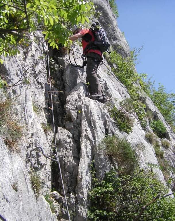
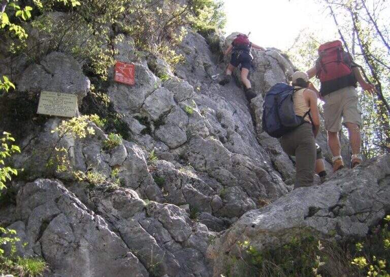
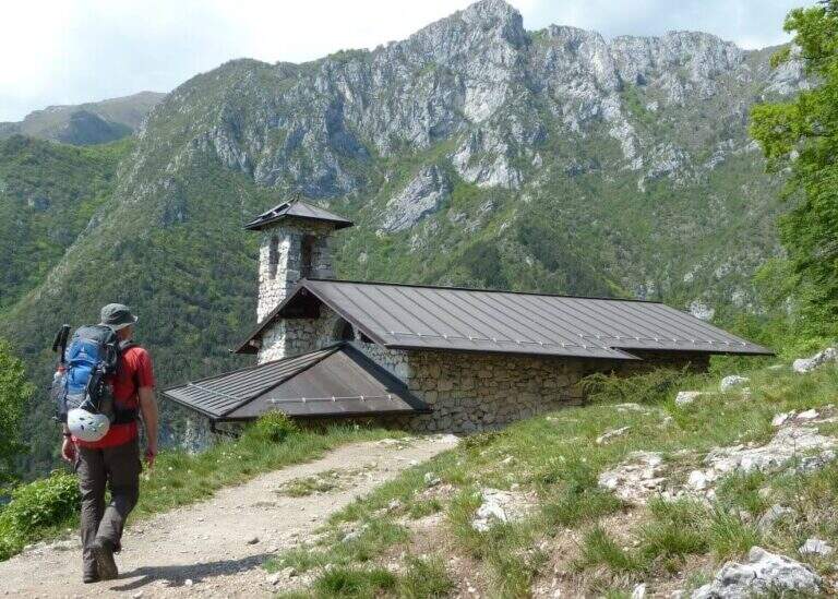
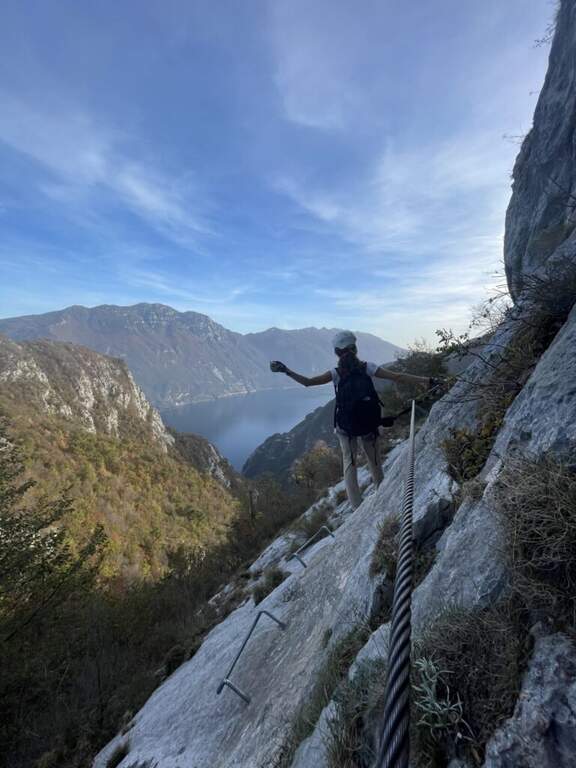
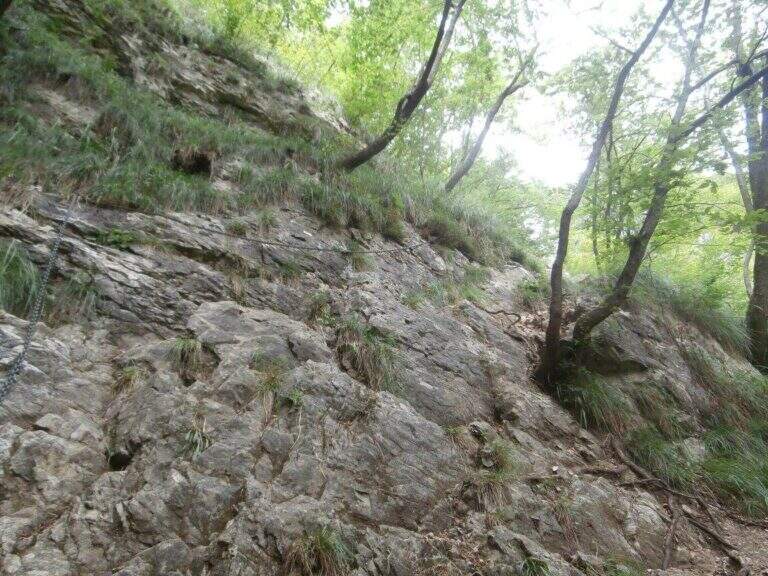
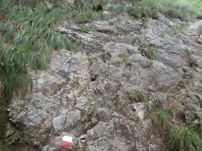
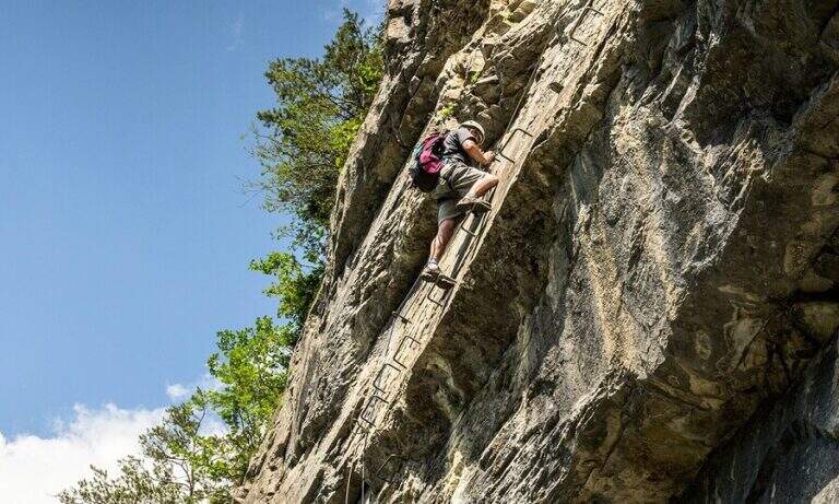
    The Attrezza dell'Ideale Path crosses the wall under the Cima d'Ambiez in the Brenta Dolomites, connecting the Refugi XII Apostoli and Agostini. Although historically classified as an equipped path, it has vertical traits and exposed worthy of a true via ferrata โ€” not to be underestimated.

    ▲Approach

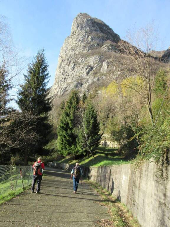
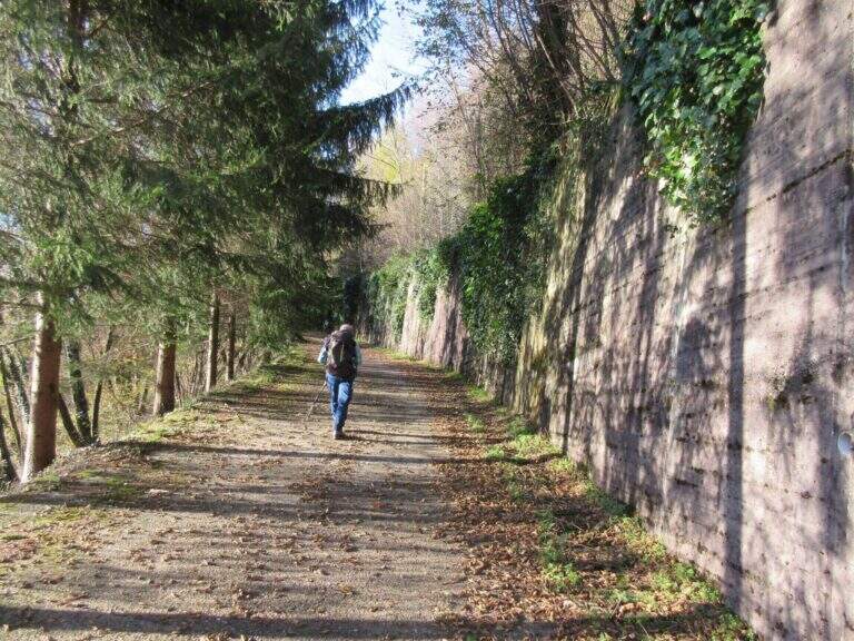
    The most common starting point is the cable car from Pinzolo to Doss del Sabion (directions road map). From Pinzolo on the SS 239 you park in the wide beaches next to the lifts. From the mountain station, follow the Attrezza della Scala Santa path to reach the XII Apostoli refuge (about 3h).

    ▲The path

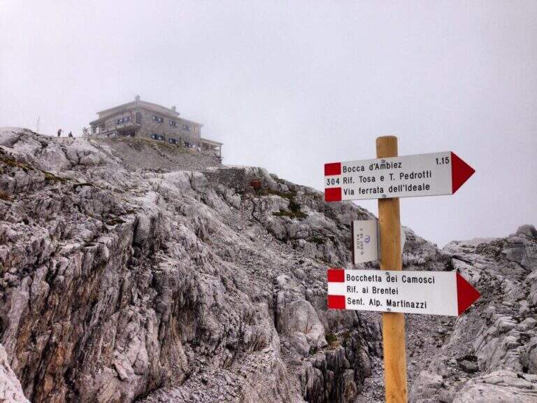
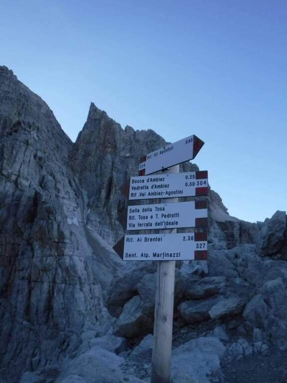
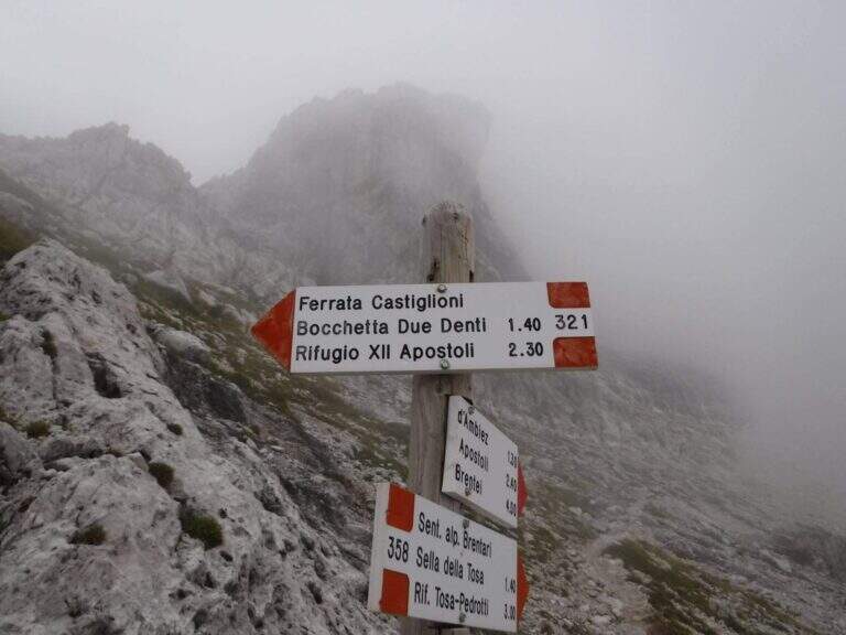
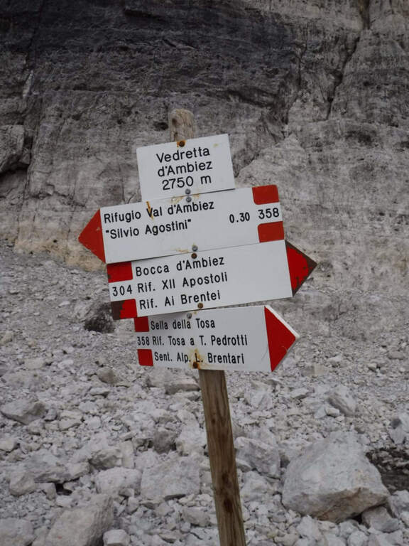
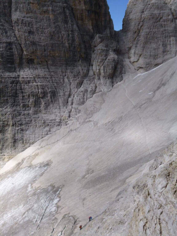
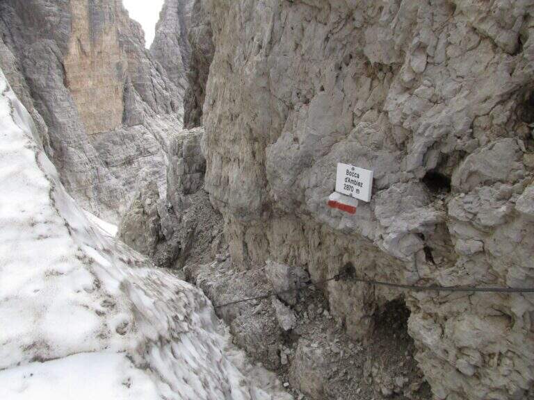
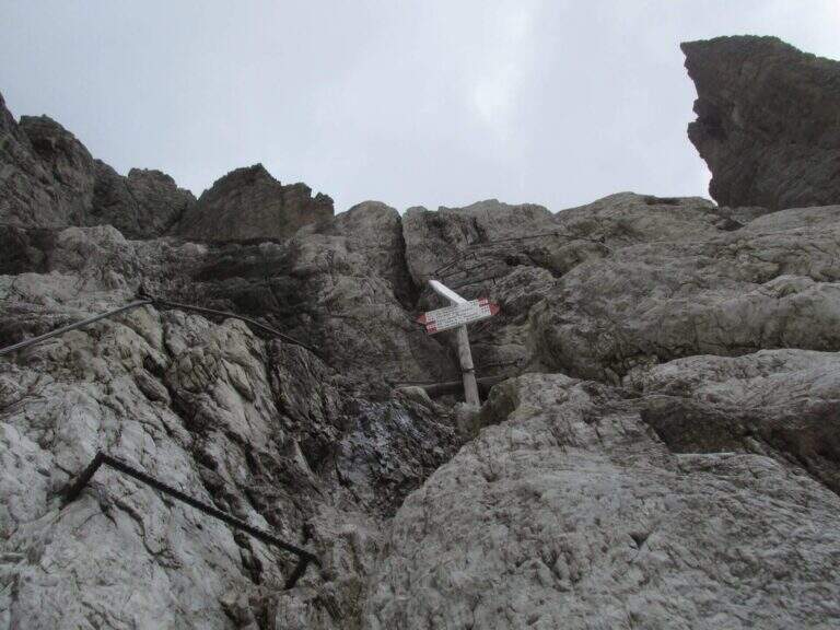
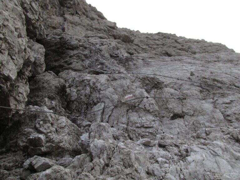
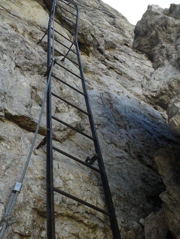
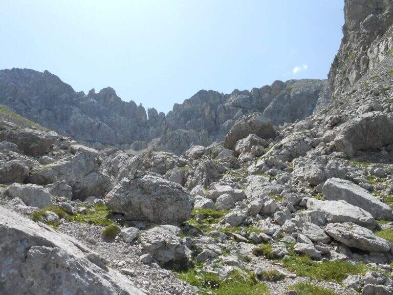
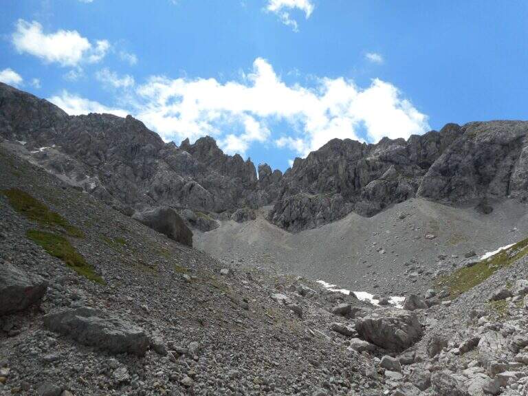
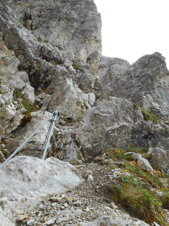
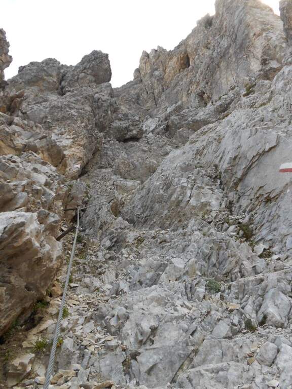
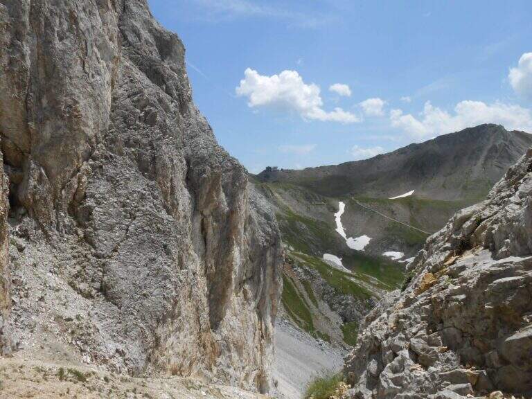
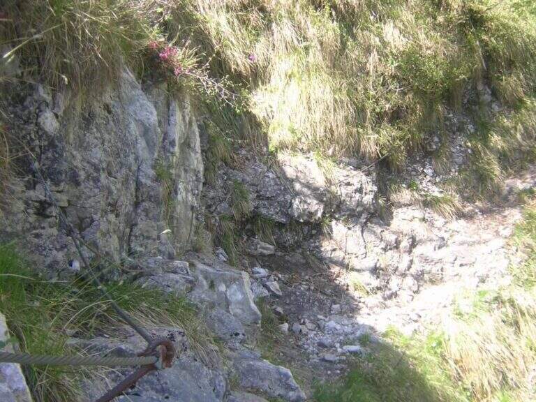
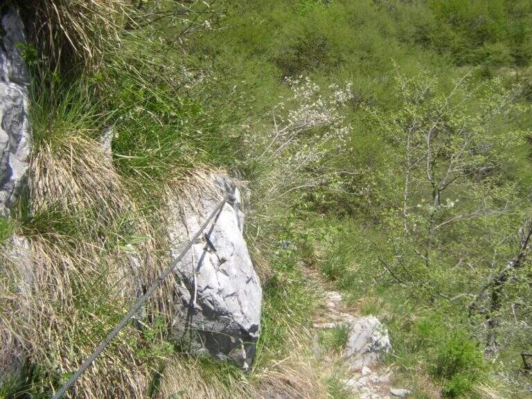
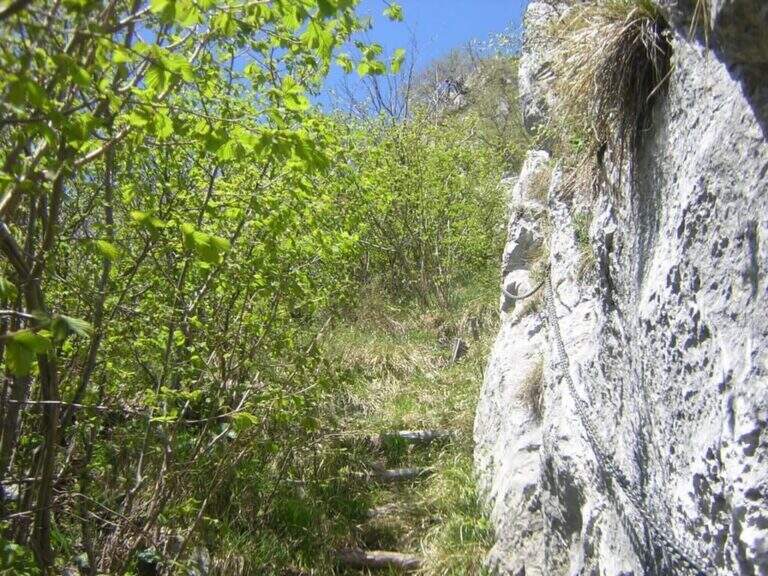
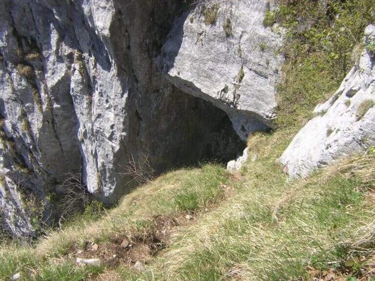
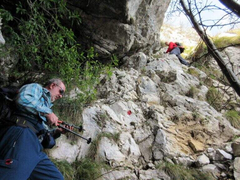
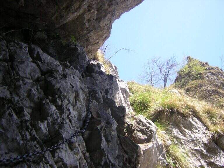
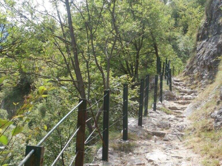
    From Rifugio XII Apostoli follow the CAI 307 towards the east towards the Bocchetta dei Camosci. You go up a valley on a detritic background with slope supported up to a point where the wall tightens: here begin the vertical and exposed traits that justify the reputation of this path. The route climbs towards the Bocca d'Ambiez alternating equipped rocks and aerial cenges. The exit leads to the Rifugio Agostini. The route can also be routed in reverse direction, or as a natural continuation of the Ferrata Brentari that starts from the Rifugio Pedrotti.

    ▲Character and difficulty

    Classified Moderately Difficult, but with passages that approach the Difficult for exposure and verticality. Not suitable for those with the use of the hardware set. Complexity: technique 2/5, physics 3/5, exposure 3/5, environment 3/5.

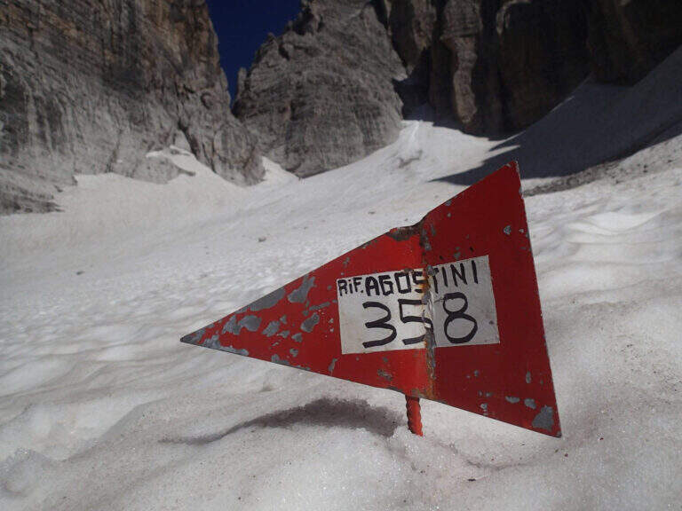
    ⚠ The itinerary takes place at high altitude in the Brenta: possible presence of snow and ice even in summer. Check the conditions at the Rifugio Agostini before leaving.
    ▲Period and safety

    From July to September. High altitude and shaded orientation can keep snow long. Recommended in company or after having traveled other similar level ferrates.

    ▲Discipline

    From the Rifugio Agostini you can descend towards Molveno along CAI paths or return to the Rifugio XII Apostoli to resume the cable car towards Pinzolo.

    ▲To match

    Complementary Ferrata Brentari, al Sentiero della Scala Santa and Ferrata Benini.
    ▲Gallery
    Technical data
    • DifficultyModerately Hard
    • RegionTrentino-Alto Adige
    • GroupDolomiti di Brenta
    • Approach3:00 h
    • Ferrata2:30 h
    • Itinerary (a/r)10:30 h
    • Hardware level difference400 m
    • Route difference450 m
    • Max1750 m
    • Length6 Km
  • Sentiero Attrezzato del Monte Cernera

    Sentiero Attrezzato del Monte Cernera

    Vie Ferrate โ€บ Veneto โ€บ Belluno
    Sentiero Attrezzato del Monte Cernera

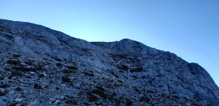
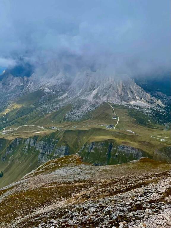
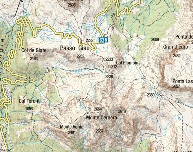
    The Route of Monte Cernera climbs from the Giau Pass to the panoramic summit (2664 m) in the group of the Croda da Lago. Short and only partially equipped path, with a terminal channel that requires special attention when wet.

    ▲Approach

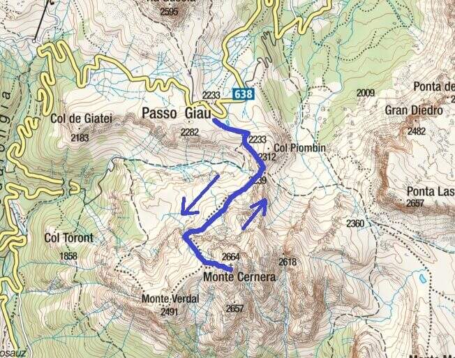
    The Giau Pass (2233 m) can be reached on the road between Alleghe and Cortina d'Ampezzo (directions road map). Large parking space at the pass. Follow the CAI 436 path south towards Forcella Col Piombin. Adding the fork you turn right along the meadows following the track until the first stretch (30' from the parking lot).

    ▲The path

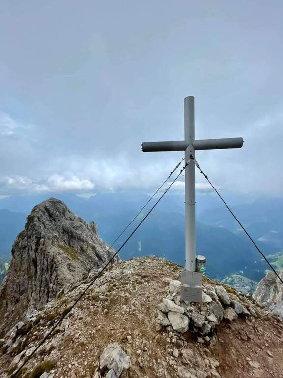
    The first equipped section dates back to a rocky plaque of a few meters. After the highlight you reach a carving and slightly higher you face the second stretch, slightly more vertical than the first. Continue on increasingly steep track until the base of a rocky canal often wet for drainage: it is the key passage, to be followed carefully. After the canal, a few meters of easy climbing on rocks lead to the peak cross (1h 30' approximately from the parking lot), with 360ยฐ views of the Giau Pass and the surrounding Dolomites.

    ▲Character and difficulty

    Classified Easy. The equipped sections are short and well-addressed. Complexity: technique 1/5, physics 2/5, exposure 2/5, environment 2/5.

    ⚠ The final canal drains the water of the wall and is often wet even on peaceful days: pay attention to the slippery bottom.
    ▲Period and safety

    From June to October. Avoid in case of storm: the top is exposed. The pass can be snowed at the beginning of the season.

    ▲Discipline

    Back on the uphill path to Passo Giau (3h total round and back).

    ▲To match

    Moving north you can reach the routes of Cortina: the Ferrata Sci Club 18, la Ferrata Strobel e la Ferrata dell'Averau.

    ▲Gallery
    Technical data
    • DifficultyEasy
    • RegionVeneto
    • GroupDolomiti Ampezzane โ€“ Croda da Lago
    • Approach0:30 h
    • Ferrata1:15 h
    • Itinerary (a/r)3:00 h
    • Hardware level difference50 m
    • Route difference431 m
    • Max2.664 m
    • Length6 Km
  • Caves of Camporaghena and Monte Alto

    Caves of Camporaghena and Monte Alto

    Vie Ferrate โ€บ Emilia Romagna โ€บ RE
    Caves of Camporaghena and Monte Alto
    Moderately Hardโ— OpenDescriptionComplexityMapsGallery

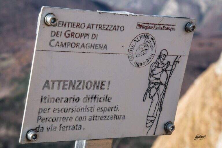
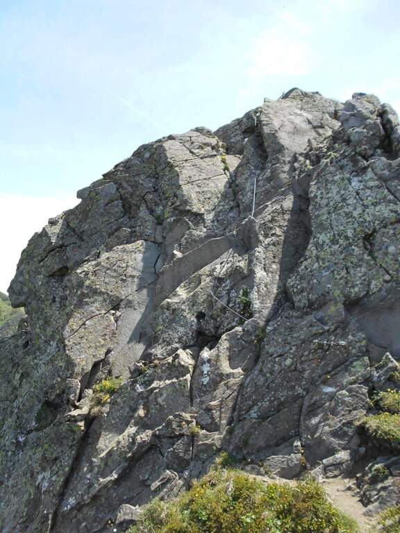
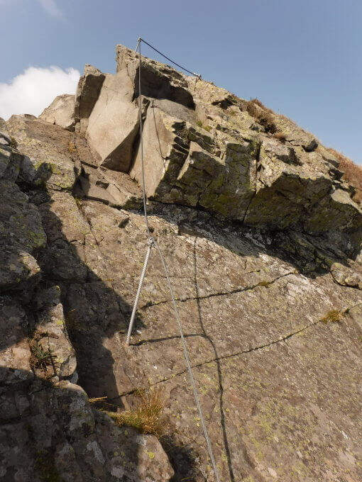
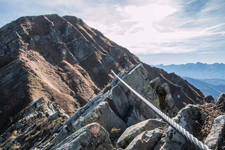
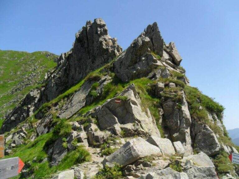
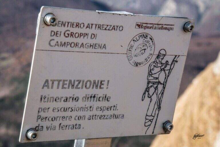
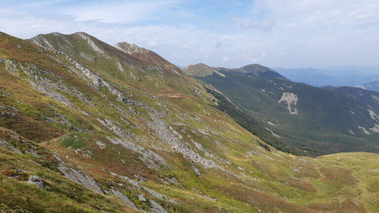
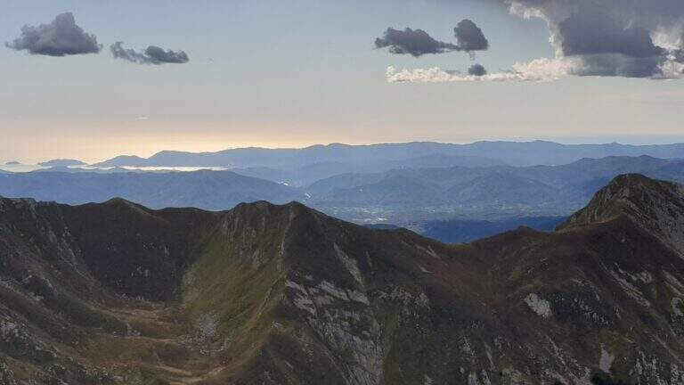
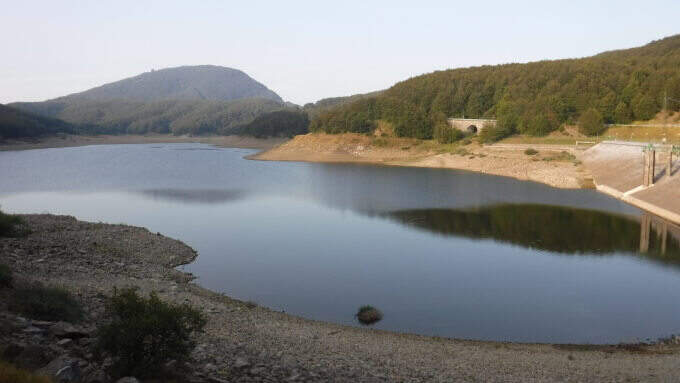
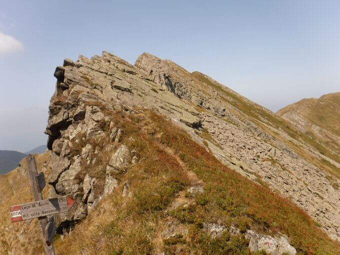
    The Groppi di Camporaghena and Monte Alto (1904m) represent the most alpine corner of the Tuscan-Emilian Apennines: a long itinerary with three sections equipped on Monte Alto at the triple border between the provinces of Reggio Emilia, Parma and Massa-Carrara.

    How to arrive and approach

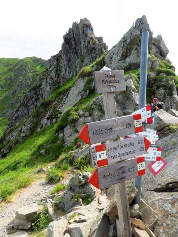
    The starting point is Succiso Nuovo, a small hamlet of the municipality of Ventasso in the province of Reggio Emilia (RE), reachable along the road that climbs from Busana or from Collagna to the upper valley of the Secchia. Park in the village and take the CAI 653 signpost that leads to the high altitude. The approach takes about 3 hours: the path crosses the Torrente Liocca and goes up towards the plateau of Camporaghena, area of high altitude pastures at the provincial border RE/PR/MS.

    The path

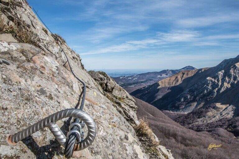
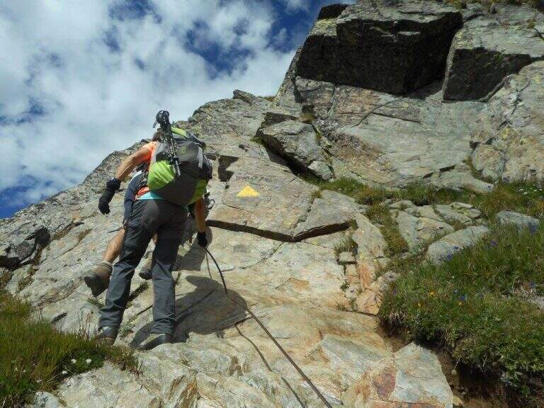
    From Succiso Nuovo you go up to the 653 signpost, crossing the Torrente Liocca and earning altitude towards the panoramic Groppi di Camporaghena. The three equipped sections are located on the crest of Monte Alto (1904m) and exceed the steepest and rocky sections of the itinerary with about 2h30โ€ฒ of equipped route (rail level difference: 100m). The landscape has a morphology reminiscent of prealpine areas, with unusual vertical walls for the northern Appennine. The maximum quota is 1904m.

    Character and difficulty

    A challenging itinerary mainly for the exceptional length (16km, 9 total hours, 1325m of total altitude difference) and the isolation of the environment. The three sections equipped on Monte Alto are never technically extreme but the fatigue accumulated in the 3 hours of approach makes them more significant. The environment of the Tuscan-Emilian Apennines at this altitude is wild and far from services. Difficulty: Moderately Difficult. Not suitable for beginners for durability and insulation.

    Period and safety

    Recommended from June to October. The length requires morning departure to complete the itinerary with daylight (9 hours). The isolation of the path requires bringing water, food and clothing for all weather conditions. In case of bad weather the descent can be complicated. Check snow conditions at altitude in late spring.

    Discipline

    The descent takes place through the reverse climb, descending from Monte Alto to the Groppi di Camporaghena and then along the 653 signpost to Succiso Nuovo. The total time of the round trip is about 9 hours.

    To match

    The Monte Alto and the Groppi di Camporaghena are located in a small area of the Apennine reggiano-parmense, suitable for those who love hiking in wild environments and far from the crowd. In the nearby Apuan Alps (Turkish) there are more technical and spectacular ferrate. The Alta Via dei Parchi runs through this area of the northern Apennines.

    ▲Gallery
    Technical data
    • DifficultyModerately Hard
    • RegionEmilia-Romagna
    • GroupAppennino Tosco-Emiliano
    • Approach3:00 h
    • Ferrata2:30 h
    • Itinerary (a/r)9:00 h
    • Hardware level difference100 m
    • Route difference1325 m
    • Max1904 m
    • Length16 Km
  • Path equipped Grande Chenalette

    Path equipped Grande Chenalette

    Vie Ferrate โ€บ Aosta Valley โ€บ AO
    Path equipped Grande Chenalette

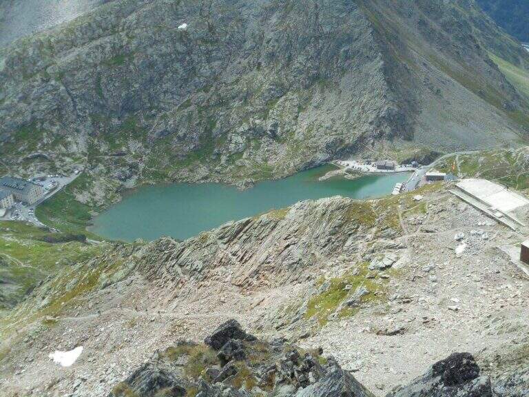
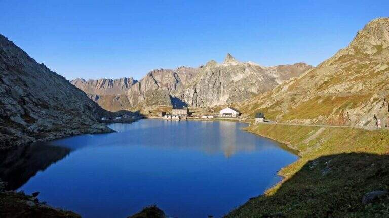
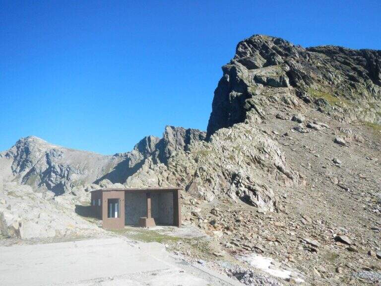
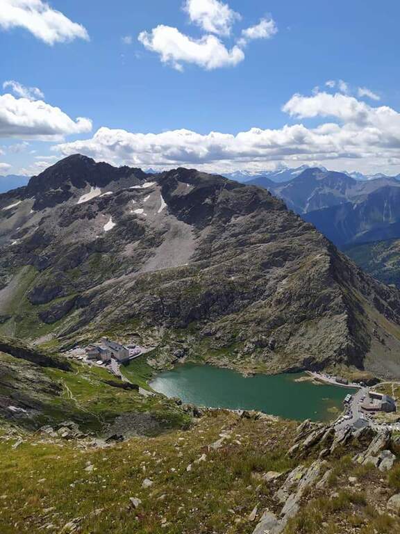
    The Sentiero Attrezzato della Grande Chenalette climbs from the Colle del Gran San Bernardo up to 2950m of the Valdostana peak, with technical traits on rock diedri in an alpine border between Italy and Switzerland.

    How to arrive and approach

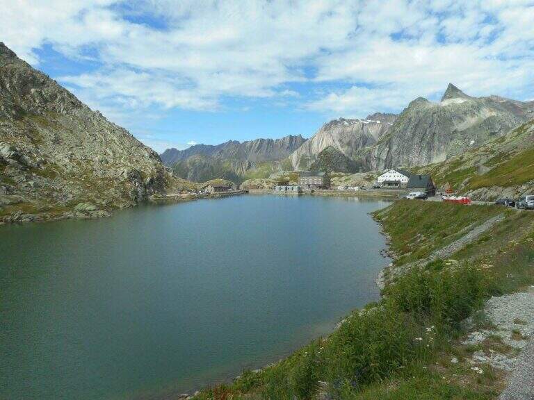
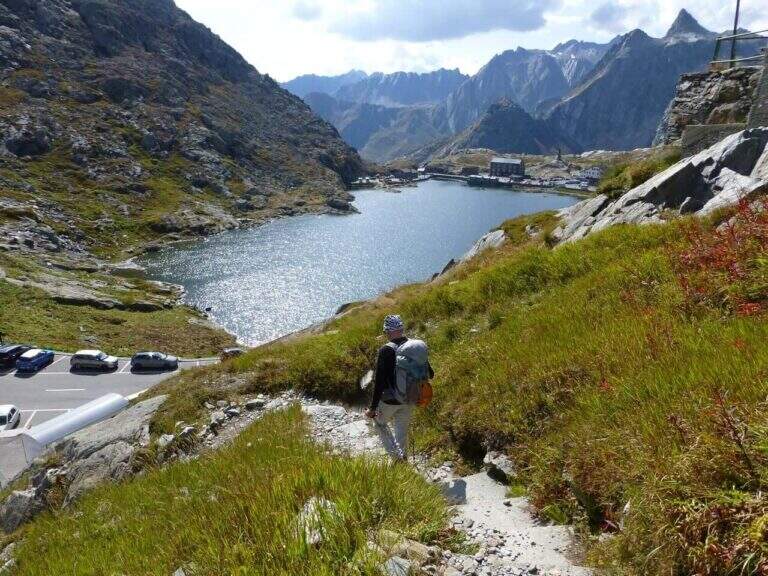
    The starting point is located at the Colle del Gran San Bernardo (2469m), the Alpine pass on the border between Valle dโ€™Aosta and Switzerland, reachable from Italy via the hill road or the Traforo del Gran San Bernardo. It is parked in the area of the hospice, on the Swiss side of the pass. Approximation takes about 1h20โ€ฒโ€ฒ: go up north passing near the ruins of the ski slopes of the 80โ€™s until a panoramic viewpoint at altitude 2650m. The real attack of the equipped section is located at 2780m, about 1h20โ€ฒ from the parking lot.

    The path

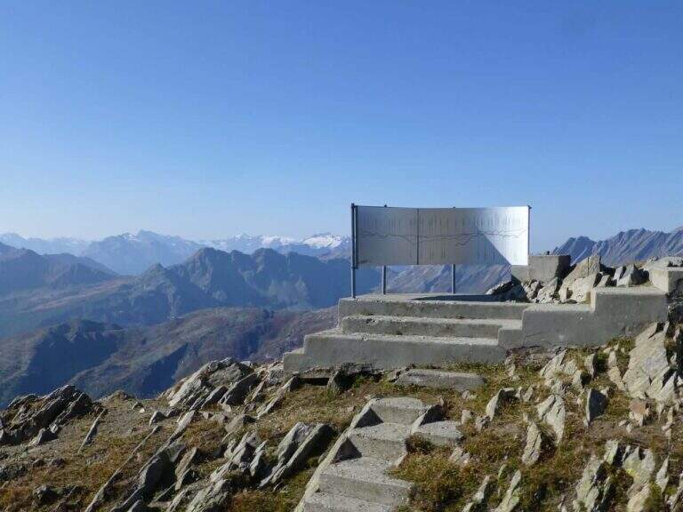
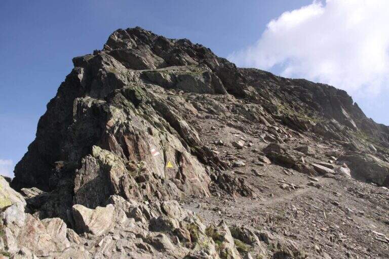
    From altitude 2780m begins the equipped section of the Great Chenalette. The route develops on a rocky dihedron assisted by metal pioli and fixed ropes for a height difference of 108m in about 1 hour. The progression on rock is technical but the equipment is well placed. The summit of the Great Chenalette (2950m) is the destination of the itinerary: from here the panorama stretches over the Pennine Alps to the Italian-Swiss border in all directions.

    Character and difficulty

    Path difficult especially for the high altitude (about 2950m) and exposure of the dihedron. Despite the relative brevity (6.4km, 1 hour of equipped stretch), the altitude requires good acclimatization and trained physical. The technical-athletic complexity index is high on all parameters. Difficulty: Hard. Route for experienced climbers and mountaineers accustomed to high altitude.

    Period and safety

    Recommended from July to August. At 2950m snow and ice can persist even in summer, especially in the equipped dihedron exposed to the north. The strong wind is frequent on the border ridge. Carefully check the nivometeorological conditions before taking the excursion. Complete fitting indispensable.

    Discipline

    The descent takes place on the way up: from the equipped diedro comes back to the belvedere at 2650m and then to the hospice of the Gran San Bernardo. Total excursion time: about 3h30โ€ฒ.

    To match

    The Gran San Bernardo is located in the heart of the Valdostane Alps. The Aosta Valley offers some of the most demanding ferrates in the Western Alps, in a unique high glacial mountain context. Nearby are alpine paths on the ridge of the Italo-Swiss border.

    ▲Gallery
    Technical data
    • DifficultyHard
    • RegionAosta Valley
    • GroupAlps Pennine
    • Approach1:20 h
    • Ferrata1:00 h
    • Itinerary (a/r)3:30 h
    • Hardware level difference108 m
    • Route difference530 m
    • Max2950 m
    • Length6,4 Km
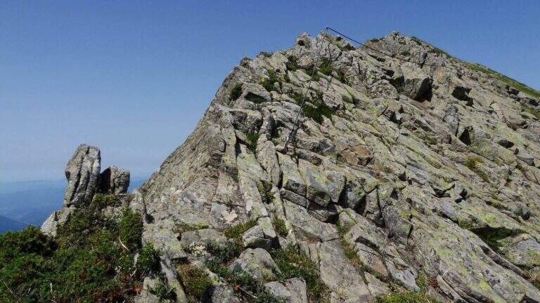
  • Sentiero Attrezzato Gino Badia

    Sentiero Attrezzato Gino Badia

    Vie Ferrate โ€บ Trentino-Alto Adige โ€บ TN
    Sentiero Attrezzato Gino Badia

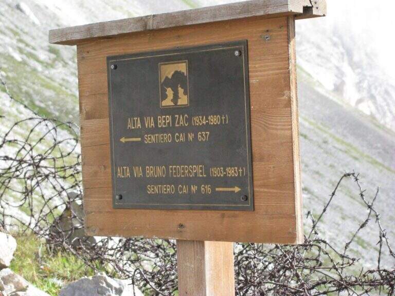
    The Sentiero Attrezzato Gino Badia is a high mountain route in the Trentino Dolomites of Val San Nicolรฒ, near Pozza di Fassa: a challenging climb with equipped stretches that culminates in the iconic carving of the Forcella delโ€™Ort between two rocky towers.

    How to arrive and approach

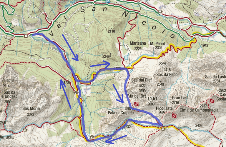
    The starting point is Malga Crocefisso (1522m), reachable from Val San Nicolรฒ โ€” right side of Val di Fassa โ€” near Pozza di Fassa (TN). Follow the forest road that goes up the Val San Nicolรฒ until the parking lot at the hut. From the parking lot take the 603 signpost that enters the valley. Approximation takes about 2 hours to the Forcella from Pief (2186m), along the signs 603, 641 and 640A in succession.

    The path

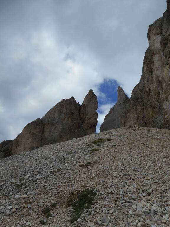
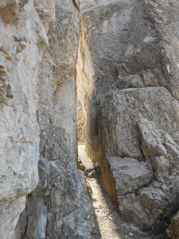
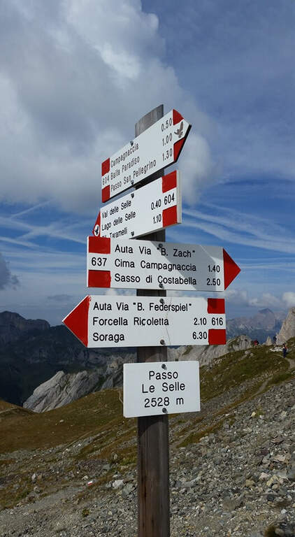
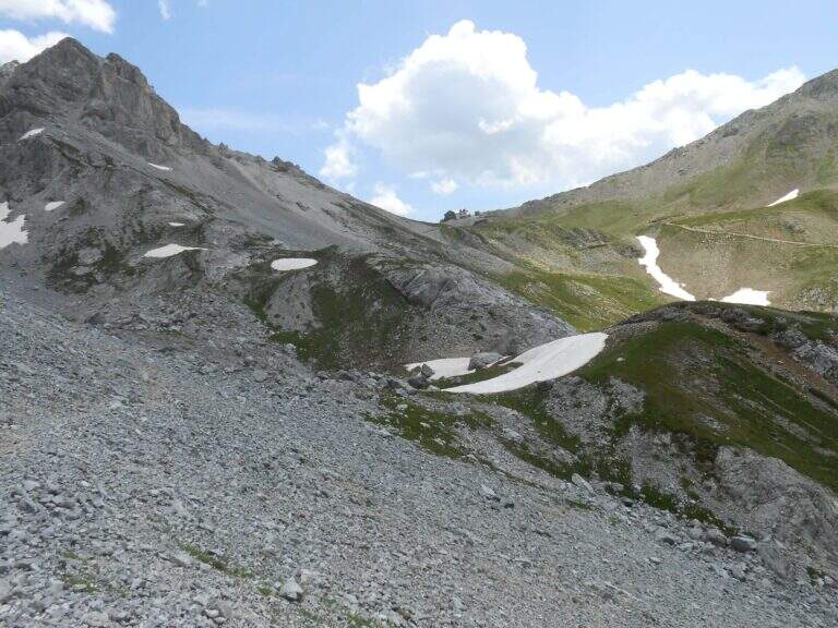
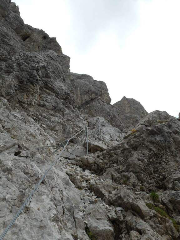
    From Malga Crocefisso (1522m) go up for the 603-641-640A signs to the Forcella from Pief (2186m) in about 1h30โ€ฒ. From the fork begin the equipped sections of the Sentiero Gino Badia: about 45 minutes of progression on dolomitic rock with a height difference of 75m. The route culminates in the spectacular Forcella del Ort, a narrow air carving between two rocky Dolomite towers that constitutes the most characteristic passage of the route. The maximum quota reached is 2528m.

    Character and difficulty

    The path is classified difficult especially for the long approach (2 hours) and the total difference (1006m on 13km total). The section equipped in the strict sense is short-lived but takes place on dolomitic soil at more than 2400m of altitude, requiring good technique of progression and absence of dizziness. The Forcella del Ort is a very characteristic air passage. Difficulty: Hard.

    Period and safety

    Recommended from July to September. At an altitude of 2528m the Dolomitic weather can change quickly: the morning departure is mandatory to avoid the afternoon storms. Snow presence possible even in summer in the canals of the Forcella del Ort. Check conditions before facing the route, especially in the first and last part of the summer season.

    Discipline

    From the highest point (2528m) it descends towards the Forcella from Pief and then to Malga Crocefisso for the climb path, or you can access other routes of the Val Monzoni area. The total time of the excursion is about 5h30โ€ฒ.

    To match

    The Val di Fassa and the surrounding Dolomites are equipped with trails of all levels. The Val San Nicolรฒ is a quiet and unpopular environment, ideal for approaching other peaks of the Monzoni Group. In the surroundings of Pozza di Fassa there are numerous itineraries of the Dolomites of Fassa.

    ▲Gallery
    Technical data
    • DifficultyHard
    • RegionTrentino-Alto Adige
    • GroupDolomites
    • Approach2:00
    • Ferrata0:45 h
    • Itinerary (a/r)5:30 h
    • Hardware level difference75 m
    • Route difference1006 m
    • Max2528 m
    • Length13 Km
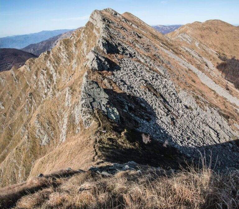
  • Path equipped GER

    Path equipped GER

    Vie Ferrate โ€บ Lombardy โ€บ LC
    Path equipped GER

    The Sentiero Attrezzato GER โ€” signed by the Gruppo Escursionisti Rancesi โ€” dates back to the southern slope of Monte Coltiglione above Lecco: a long prealpine itinerary, with exposed sections and an exceptional panorama on Lake Como and the surrounding Alps.

    How to arrive and approach

    The starting point is located in Rancio Alto, a hilly hamlet above the district of Rancio di Lecco, reachable via Quarto from the city of Lecco. You climb up to a bar that prevents transit to motorized vehicles and park in the few spaces available along the road. The approach from the bar to the attack of the first equipped sections requires about 1h30โ€ฒ walk in the forest on a path without technical difficulties.
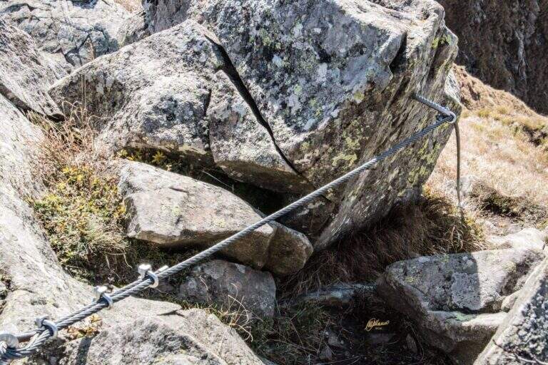
    The path

    From the parking lot you go up the forest on the path to the attack of the first equipment, on the south side of Monte Coltiglione (1479m). The equipped stretch develops for about 1h45โ€ฒ with fixed cables and piles that exceed the steepest sections of the limestone slope. The route also includes unequipped exposed traits that require attention and sense of orientation. The peak of Monte Coltiglione (1479m) offers ample views of Lake Como, the Grigne and the Lombard Prealps to the Alps.

    Character and difficulty

    Itinerary difficult and tiring mainly for the length (16km, 1110m of total difference, 6 hours total) more than for the individual technical difficulties of the equipment. Some unequipped exposed traits require autonomous progression on prealpine soil. The GER is mainly frequented by hikers from Lecco and Rancio. Difficulty: Hard. Not suitable for fog or poor visibility for unequipped traits.

    Period and safety

    Recommended from April to October. The length and altitude difference make the itinerary challenging on hot summer days: prefer autumn or spring for the most favorable temperatures. Beware of unequipped traits in case of wet. There are no shelters along the path: adequate supply of water and food is necessary.

    Discipline

    The descent takes place on the return path towards Rancio Alto, completing the ring tour in about 6 hours total. The route does not have intermediate water points: plan stocks accordingly.

    To match

    The Monte Coltiglione is located in the heart of the Prealps of Lecco, where there are numerous equipped routes. Nearby are the Sentiero Attrezzato della Direttissima on the South Grigna and the Route of the River mandello del Lario.

    ▲Gallery
    Technical data
    • DifficultyHard
    • RegionLombardy
    • GroupPrealpi Lombarde
    • Approach1:30 h
    • Ferrata1:45 h
    • Itinerary (a/r)6:00 h
    • Hardware level difference250 m
    • Route difference1110 m
    • Max1479 m
    • Length16 Km
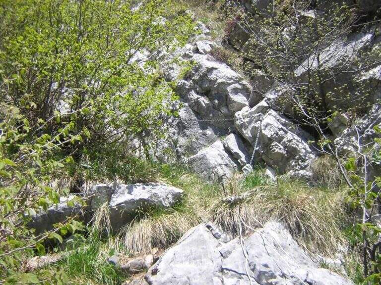
  • Path equipped Franco Galli

    Path equipped Franco Galli

    Vie Ferrate โ€บ Trentino-Alto Adige โ€บ TN
    Path equipped Franco Galli

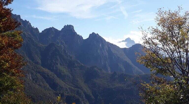
    The Attrezzato Path Franco Galli leads to the Corno Battisti (1762m) on the Trentino side of the Massif of the Pasubio, going through places marked by the events of the First World War and rich of still well preserved war installations.

    How to arrive and approach

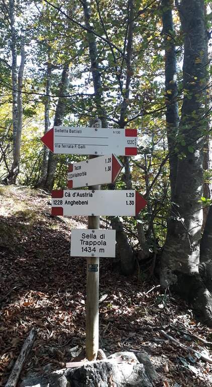
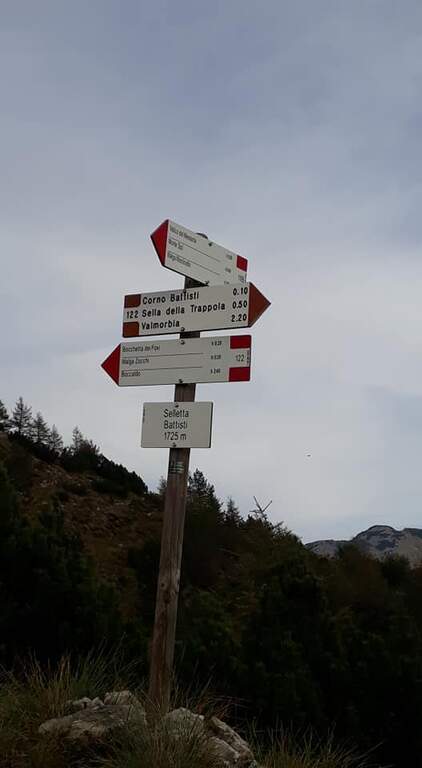
    The starting point is the village of Tezze, near Valmorbia (TN), on the state road 46 Rovereto-Valli del Pasubio. From Valmorbia turn left towards the center of the village and then right on the first road uphill, narrow and winding, up to a slargo where leave the car (about 750m). Parking is poor: those who do not find a place can leave the car in the village and walk the last stretches on asphalt road, adding about 200m of altitude difference. We recommend the route counterclockwise so that the tunnels are crossed uphill: take the 122A signpost to the right, leaving the 123 mark on the left (it will be the return route). The path 122A climbs steadily and steeply in the woods without technical difficulties until the Sella di Trappola (1435m, about 2 hours from Tezze); from the saddle you hold the left towards the Corno Battisti.

    The path

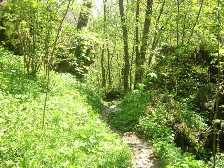
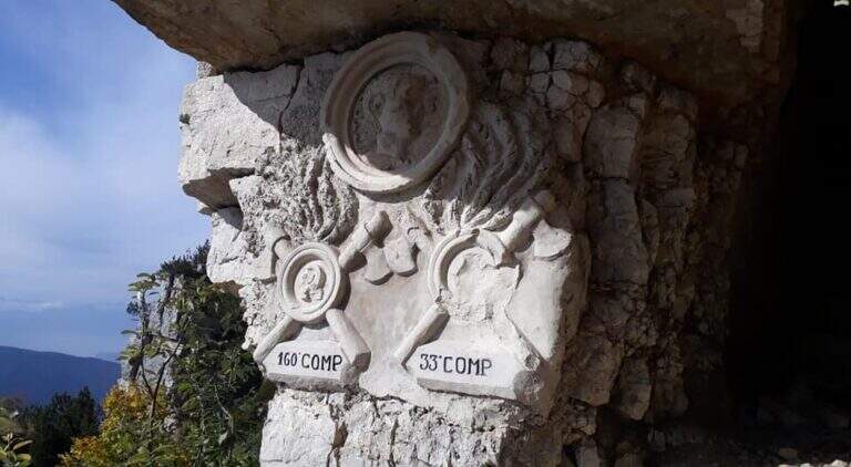
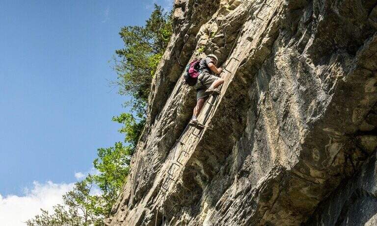
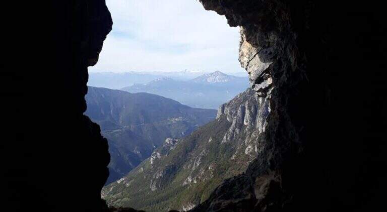
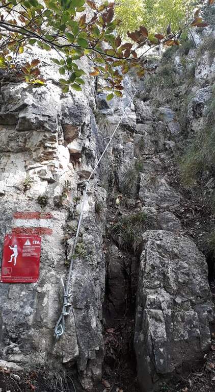
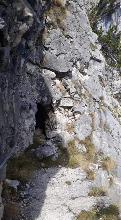
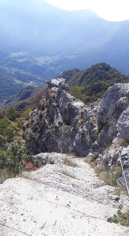
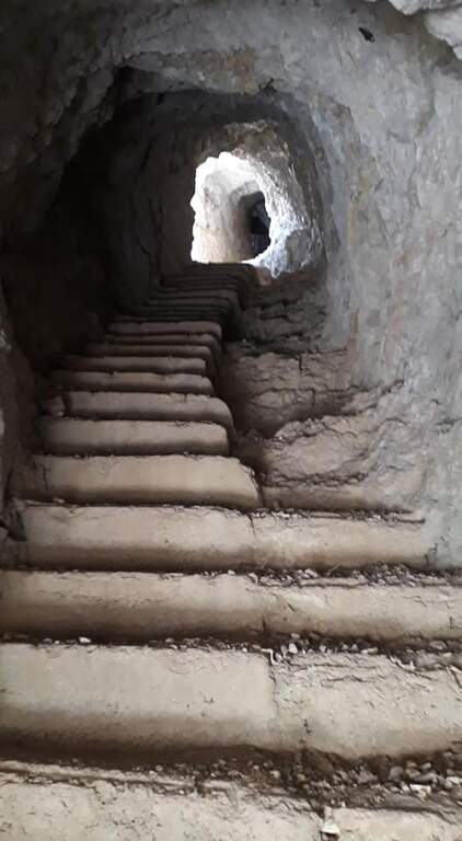
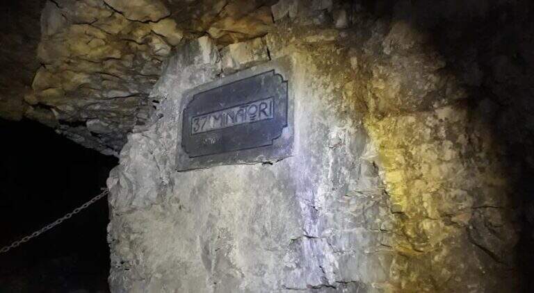
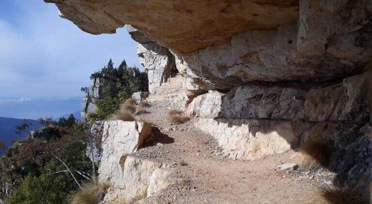
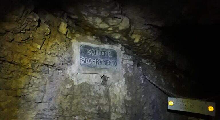
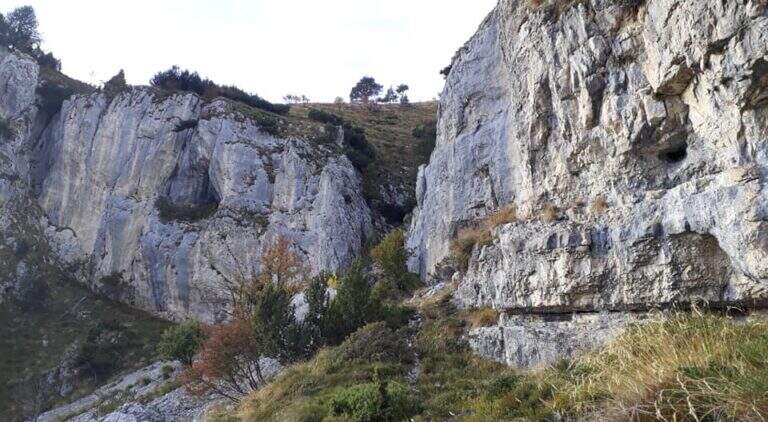
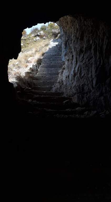
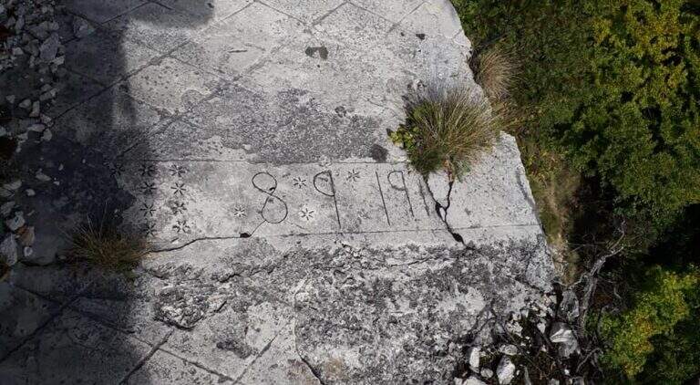
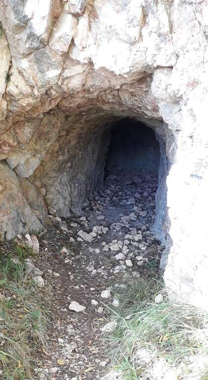
    From Sella di Trappola (1435m) begins the stretch equipped towards Corno Battisti. The path in the forest rarely leads to the first war station of the Great War and to the first equipped highlight marked by a characteristic red sign. You go up a rocky canal, you reach another location and then a first gallery. Following the white-red signposts you will meet new positions and a sign indicating the Pulcinella Hat (photography, optional deviation on the left). The itinerary alternates galleries and outdoor paths; a staircase carved into the rock precedes a wooded section and then a new gallery to be climbed internally for a long staircase. At the exit, marble marks commemorate the military units that fought in this area. You will walk through a picturesque nod and a rocky highlight before taking the main tunnel, to be crossed entirely without entering the closed branches. You can reach the Corno Battisti (1762m).

    Character and difficulty

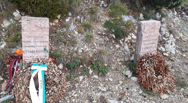
    Itinerary of considerable historical interest โ€” in these places were captured by the Austrian troops the Trentino irredentists Cesare Battisti and Fabio Filzi โ€” and physically challenging for the total length and difference (1000m, 14km, 6 hours total). The equipped traits are of average level but follow after a long approach that requires good physical preparation. Difficulty: Hard. Need a front torch for tunnels.

    Period and safety

    From May to October. The galleries are in the dark: the front torch is indispensable. Attention to the wet rock in the exposed sections of the nod. In winter, tunnels can present ice. The length of the route (6 total hours) requires adequate supply of water and food and to leave early morning.

    Discipline

    From Corno Battisti (1762m) you descend for the 123 marker, which closes the ring returning to Tezze in about 3h30โ€ฒ. This return path is more direct than the route but without the tunnels. The total time of the ring hike is about 6 hours.

    To match

    On the Venetian side of the Pasubio is the Sentiero Attrezzato Falcipieri alle 5 Cime del Pasubio, great crossing equally rich in history of the Great War. The Piccole Dolomiti and Massiccio del Pasubio host many other historical and mountaineering routes.

    ▲Gallery
    Technical data
    • DifficultyHard
    • RegionTrentino-Alto Adige
    • GroupSmall Dolomites
    • Approach2:30 h
    • Ferrata1:30 h
    • Itinerary (a/r)6:00 h
    • Hardware level difference200 m
    • Route difference1000 m
    • Max1762 m
    • Length14 Km
  • Sentiero Attrezzato delle Foppe

    Sentiero Attrezzato delle Foppe

    Vie Ferrate โ€บ Lombardy โ€บ LC
    Sentiero Attrezzato delle Foppe
    Moderately Hardโ— OpenDescriptionComplexityMapsGallery

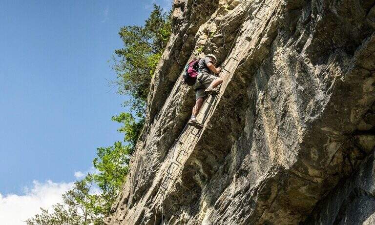
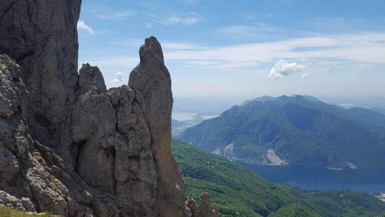
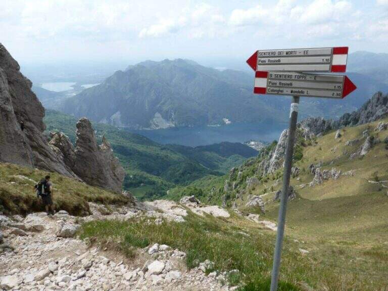
    The Sentiero Attrezzato delle Foppe is a difficult path that connects the Piani dei Resinelli to the Rosalba Refuge, a gateway to the South Grigna, with a few but well positioned equipped sections.

    How to arrive and approach

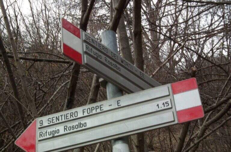
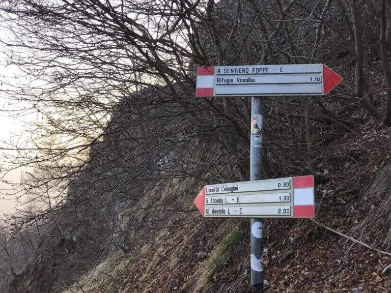
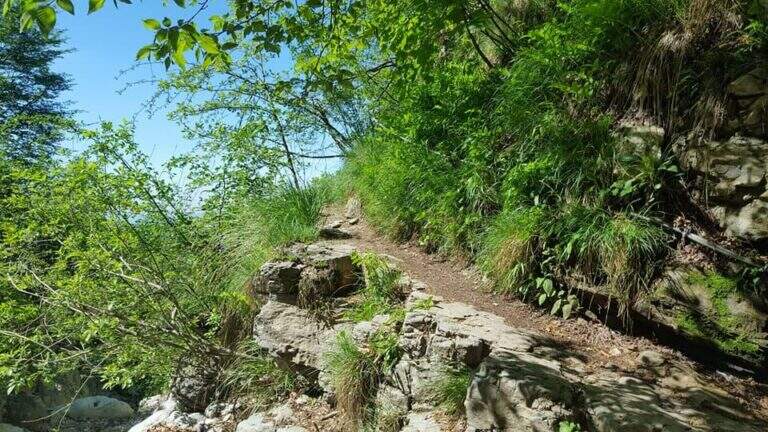
    You can reach the Piani dei Resinelli da Ballabio, going up the panoramic road with its many bends. When you arrive at the hamlet you will find parking near the former Alippi refuge. From the parking lot follow the abundant indications for path no. 9, also called Sentiero delle Foppe. At first you can walk to the Foppe, a private asphalted road with moderate slope that leads out of the village; at a signposted crossroad you continue to the right increasing the steepness and following the white-red road signs up to the first equipped section (about 30 minutes from the parking lot).

    The path

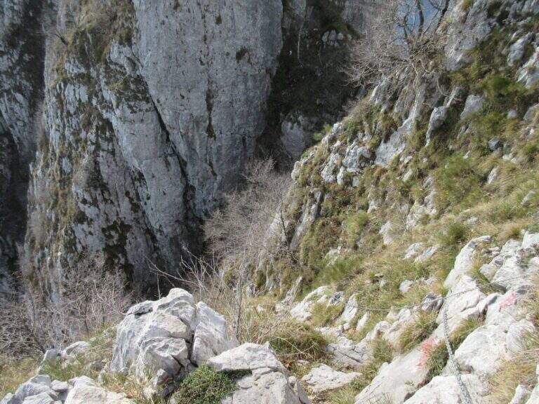
    The first equipped stretch is immediately after a detritic canal: a chain ensures the most exposed passage. Continuing you leave on the left the deviation for the Mountain Towers Punta Giulia, Torre Costanza and Mongolfiera. A short distance away is the second short stretch, consisting of a pair of metal brackets and a fixed rope that helps to climb a short jump of rock. From this point the slope increases considerably and the equipped section ends, leaving room for a steep path in the woods. A third and last equipped passage โ€” an easy wall โ€” precedes the arrival to the Rosalba Refuge (1730m), destination of the route (about 1 hour in total from the first equipped sections).

    Character and difficulty

    Path with very limited technical difficulties: the few equipment present help to overcome the rare challenging steps without requiring real experience of ferrata. The altitude difference of 550m in 13km makes it a suitable itinerary for hikers who want to approach the paths equipped in a landscape of great beauty. Difficulty: Moderately Difficult. On summer weekends the path and the shelter are very frequent.

    Period and safety

    Recommended from April to November. The path takes place mainly in the wood and the equipment is easy to progress; however, limestone rock can become slippery in case of frost or rain. Pay attention to crowding on summer weekends. The Rosalba Refuge (1730m) offers refreshment and shelter in case of rapid deterioration of weather conditions.

    Discipline

    From the Rosalba refuge you can return to the Resinelli for the uphill path in about 1 hour (3 hours total). An interesting alternative is the descent to the Path Attrezzato dei Morti: from the refuge you descend briefly, then you turn left on a steep path with a stretch equipped on exposed traverse, which reports just above the first section of the Path of the Foppe (about 1h30โ€ฒ from the refuge, 3h30โ€ฒ total).

    To match

    From the Rosalba refuge there are many equipped and mountaineering routes on the South Grigna. From here you can continue towards Sentiero Attrezzato della Direttissima and towards Sentiero Cecilia. The Route GER at Monte Coltiglione can be reached from the same area of the Resinelli.

    ▲Gallery
    Technical data
    • DifficultyModerately Hard
    • RegionLombardy
    • GroupPrealpi Lombarde
    • Approach0:30 h
    • Ferrata0:30 h
    • Itinerary (a/r)3:00 h
    • Hardware level difference60 m
    • Route difference550 m
    • Max1730 m
    • Length13 Km
  • Path equipped Foletti

    Path equipped Foletti

    Vie Ferrate โ€บ Trentino-Alto Adige โ€บ TN
    Path equipped Foletti

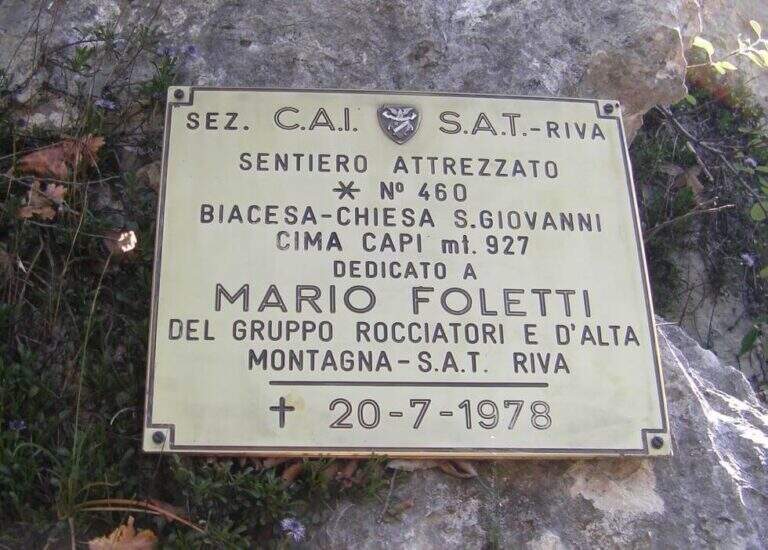
    The Sentiero Attrezzato Foletti is a short but exposed route that descends from the north side of Cima Capi towards Biacesa di Ledro, frequently combined as a descent path to Ferrata Susatti.
    How to arrive and approach

    The village of Biacesa is reached from Riva del Garda along the tunnels towards the Val di Ledro; after the second tunnel it is almost immediately in Biacesa. In the village take Via dei Dazi on the right and, at the bottom, turn right still continuing briefly until a playground with large parking, which is the base of the excursion. Those who intend to walk the Foletti as a descent path after Ferrata Susatti will have to read the report of the Ferrata for the starting point at altitude. For those who want to go back to the Foletti from the bottom, you can reach the Church of San Giovanni for the Path Atrezzato delle Laste (1 hour) or for the CAI 417 path and then CAI 460 from Biacesa (1 hour).

    The path

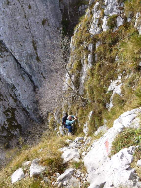
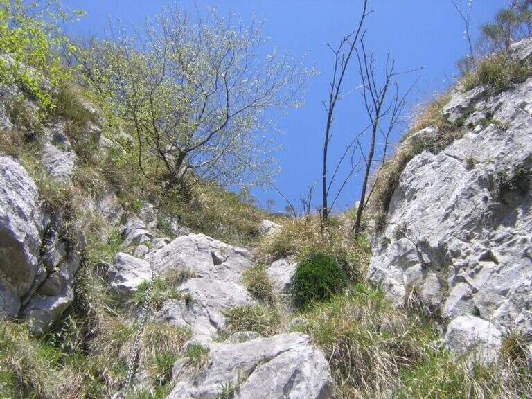
    The first metal equipment guides along a beam exposed to inclined plates, where the foot support points are good and the metal handles fill the missing traits. It follows a vertical stretch uphill and then a more challenging one downhill on the wall. The progression continues up to a wall to be crossed diagonally without particular technical difficulties, until the plaque that marks the end of the equipped path (about 20 minutes from the attack).

    Character and difficulty

    Short course, without marked technical difficulties, but to be faced carefully especially in the downhill section that requires coordination and safe step. The Foletti does not require advanced experience of ferrata, but the exposure of some passages suggests to equip itself at least with sling and longe. The low altitude and brevity make it suitable as a natural completion of the tour with Ferrata Susatti. Difficulty: Hard.

    Period and safety

    Unconscious on the hottest days of summer for the solar exposure of the slope. The limestone rock of Upper Garda can be slippery in the presence of moisture. The low altitude of Cima Capi (909m) allows the journey in almost all seasons, with greater caution in winter. Pay special attention in the downhill section.

    Discipline

    At the end of the Sentiero Foletti is located near the Church of San Giovanni. From here you will descend to Biacesa following the Route Attrezzato delle Laste (about 45 minutes from the church, 4 hours total starting from Biacesa with the Ferrata Susatti) or along the CAI 460 path in connection with the CAI 417.

    To match

    The Foletti is matched by definition to Ferrata Susatti for Cima Capi, of which it constitutes the classic path of descent. In the area there are also numerous other routes and paths equipped on the Gardesane Prealps, including the Ferrata delle Laste.

    ▲Gallery
    Technical data
    • DifficultyHard
    • RegionTrentino-Alto Adige
    • GroupPrealps Gardesane
    • Approach2:45 h
    • Ferrata0:20 h
    • Itinerary (a/r)4:00 h
    • Hardware level difference70 m
    • Route difference490 m
    • Max909 m
    • Length8,1 Km
  • Route of the River

    Route of the River

    Vie Ferrate โ€บ Lombardy โ€บ LC
    Route of the River

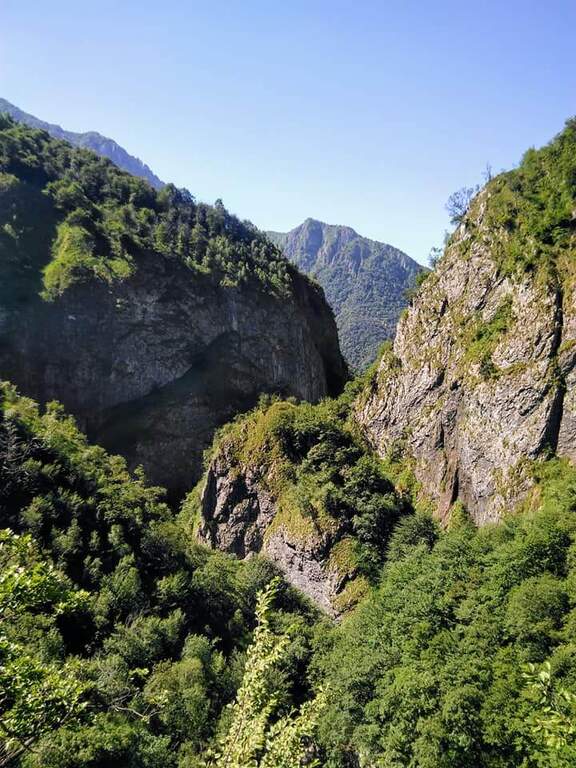
    The Sentiero Attrezzato del Fiume runs uphill through the picturesque hill of the river Era in the surroundings of Mandello del Lario, offering a low altitude hike through almost all seasons.

    How to arrive and approach

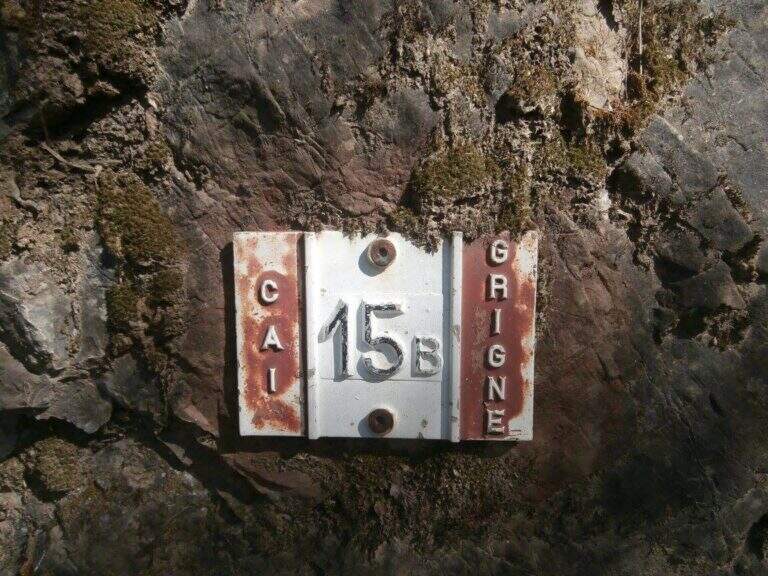
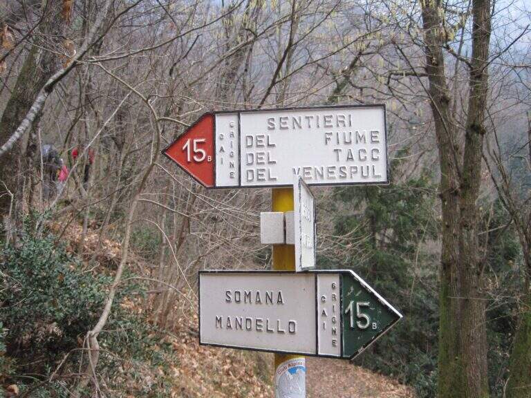
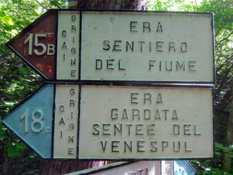
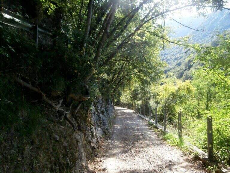
    The starting point is located in the hamlet of Sonvico, in the municipality of Mandello del Lario (LC), reachable from the Larian state leaving in Abbadia Lariana and following the signs for Mandello del Lario. From Mandello you go up to the hamlet of Somana and then towards Sonvico. At the crossroads you will find some parking options. From the parking lot follow the signs: the route is marked with the number 15B. You walk on a false plateau in the woods to a fountain (at the crossroads you hold the left), then still on the floor until a second pole (newly on the left), then in a slight descent to the river Era, where the route begins (about 30 minutes from the parking lot).

    The path

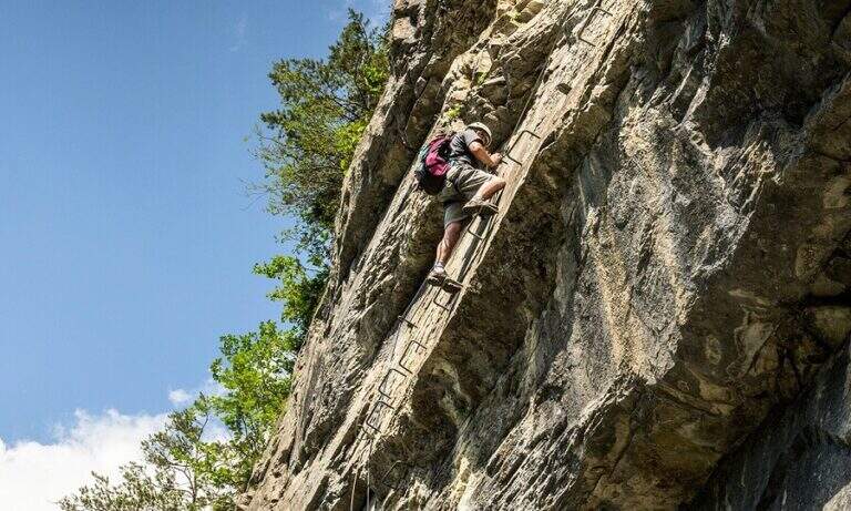
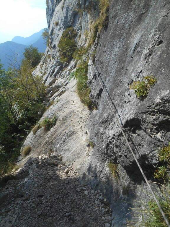
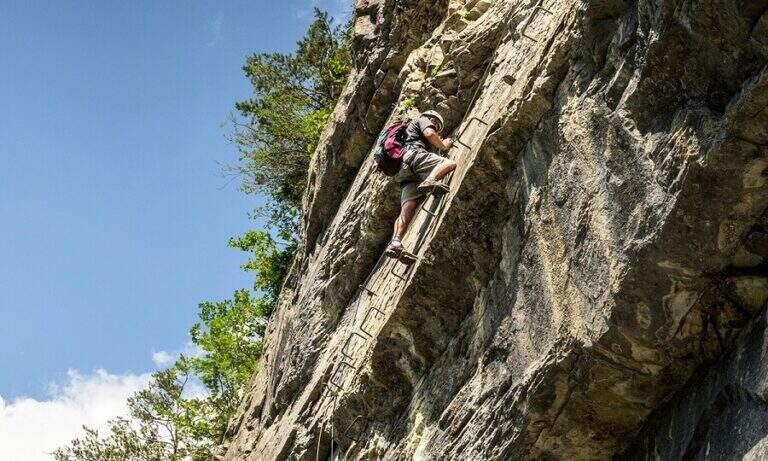
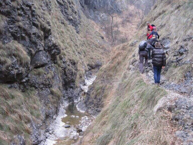
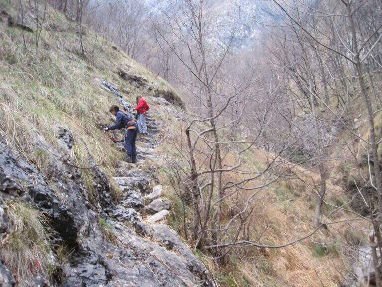
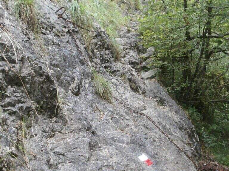
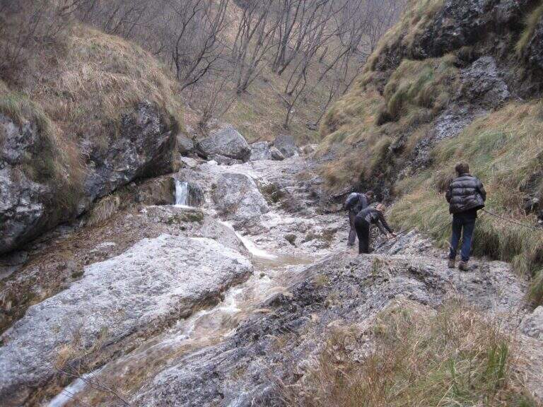
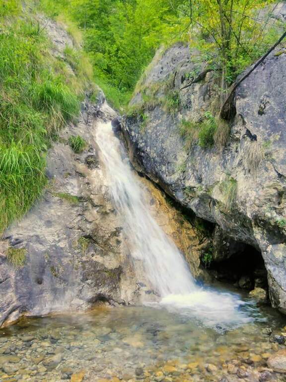
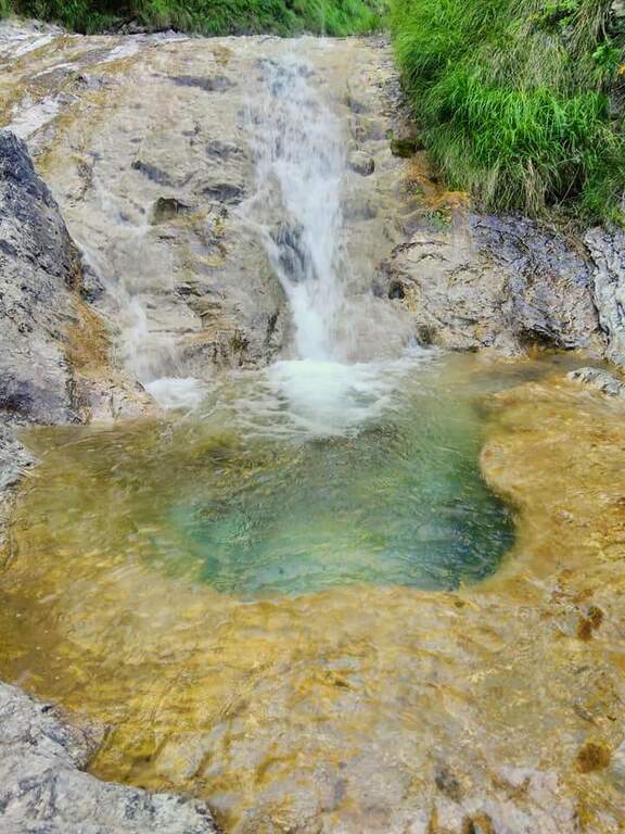
    The path, marked with red and white-red signs, develops mainly on the left bank of the river Era. After a first forado you will meet the stretches equipped with chains that ensure the most exposed steps. The itinerary alternates uphill stretches and descent, with the noise of the water always present. A second time you cross the water course, taking you to the right bank, and gradually climb up rocky ridges. In close proximity to an area of rapids and particularly scenic waterfalls there is a cross equipped with metal brackets. The longer vertical stretch โ€” about 6 meters โ€” goes up with excellent hooks for hands and feet. Some concluding rocks and a traverse to the right complete the equipped section (about 1 hour from the attack).

    Character and difficulty

    Despite the low altitude and brevity, the route has high difficulty passages due to the presence of vertical rock traits requiring progressive technique. The sections with chain are interspersed with stretches of unequipped path in which it is essential not to miss the signs. Difficulty: Hard. It is recommended equipped by ferrata (imbrago, longe, helmet) for vertical stretches. The low altitude and the surrounding wood keep the route fresh even on summer days.

    Period and safety

    It can be traveled almost all year thanks to the maximum modest quota (about 850m). It is essential to avoid the route in case of full of the river Era: some sections take place in the river bed or very close to the water and under high level conditions become impractical and dangerous. Be careful to keep the signs in particular in the stretches where the path crosses the same bed of the stream.

    Discipline

    At the end of the equipped route there is a pole with the signs. To return to the parking lot of Sonvico descends left on path n. 15, which leads to the starting point in about 1h15โ€ฒ (3h30โ€ฒ total for the entire excursion). There are at least two other variants of descent to the Mandello del Lario area.

    To match

    From Mandello del Lario there are several routes on the Larian Prealps. Nearby is the Route GER at Monte Coltiglione, more challenging itinerary for length and altitude difference on the same slope prealpino lecchese.

    ▲Gallery
    Technical data
    • DifficultyHard
    • RegionLombardy
    • GroupPrealpi Lombarde
    • Approach0:30 h
    • Ferrata1:00 h
    • Itinerary (a/r)3:30 h
    • Hardware level difference250 m
    • Route difference500 m
    • Max850 m
    • Length9,2 Km
Need help? Write to us!