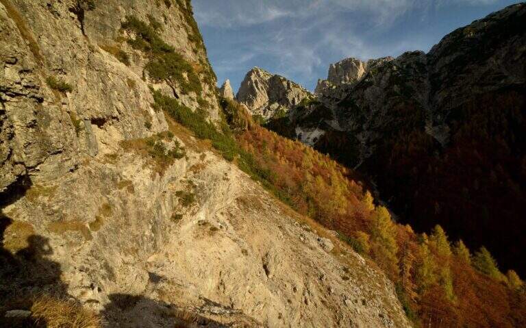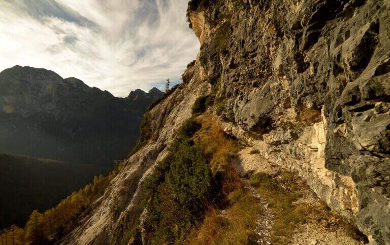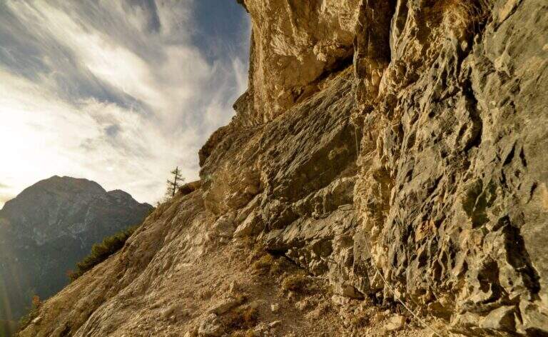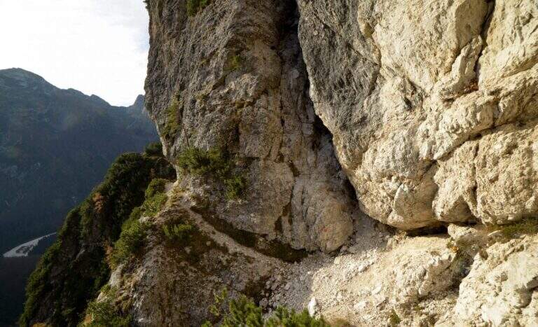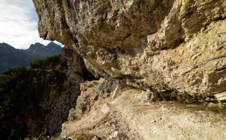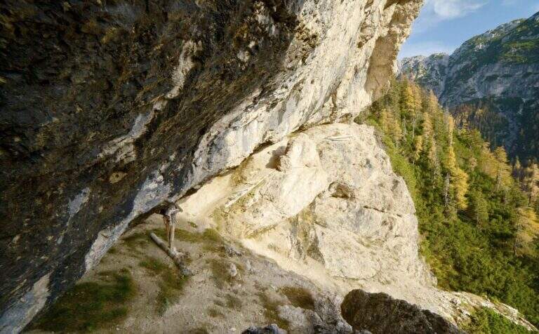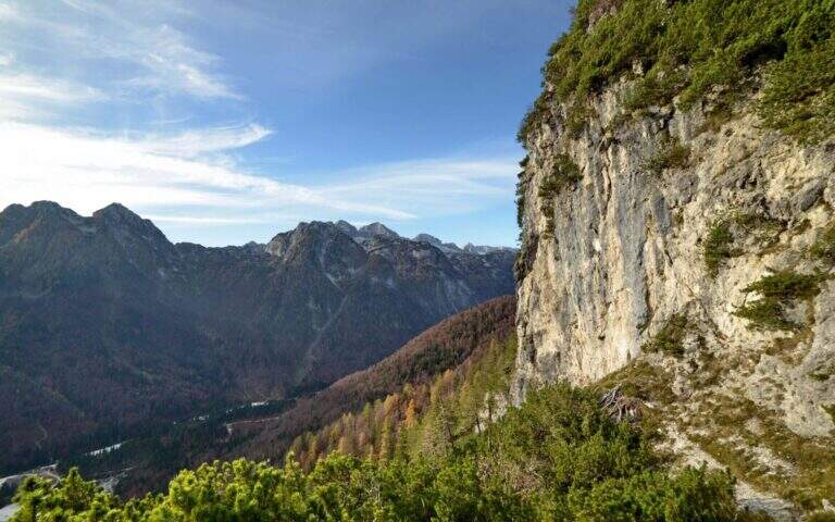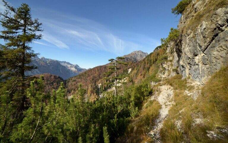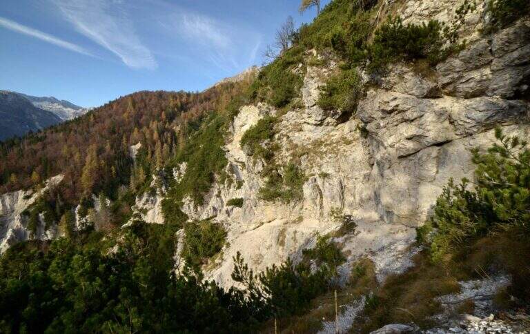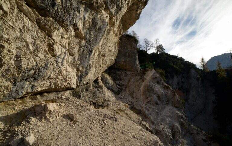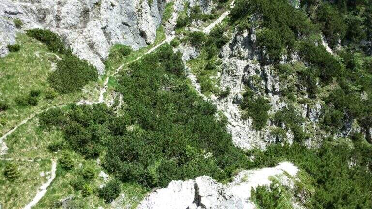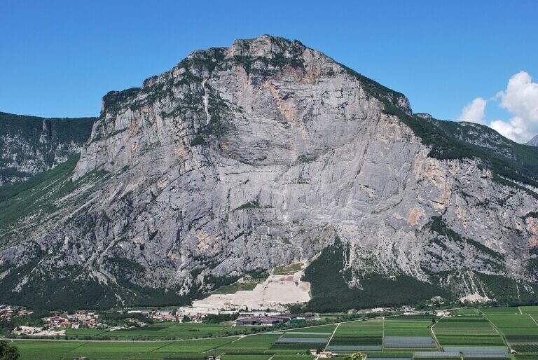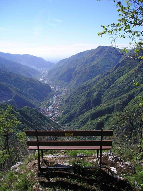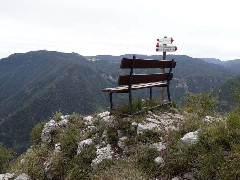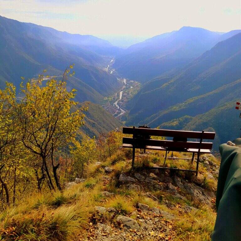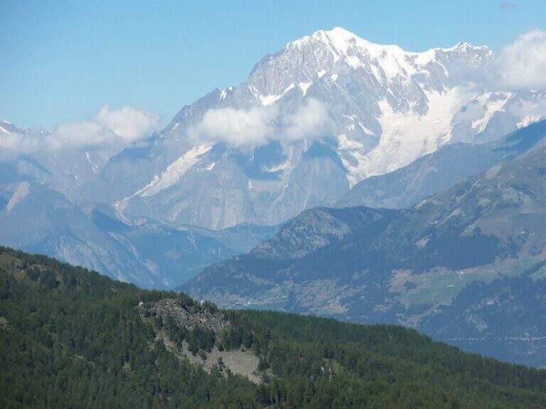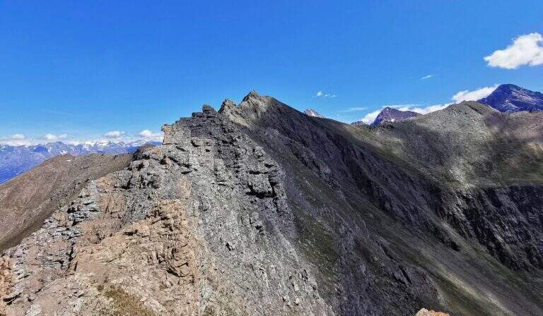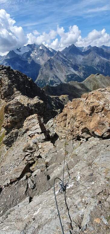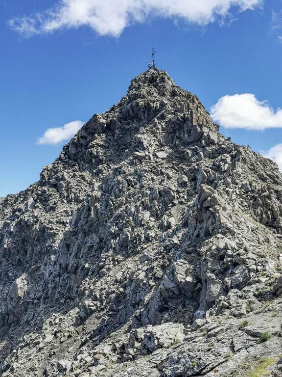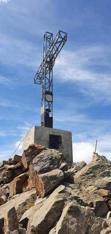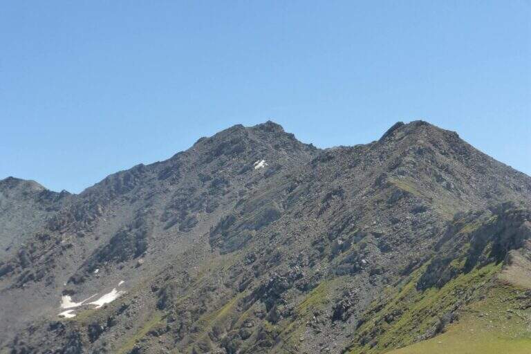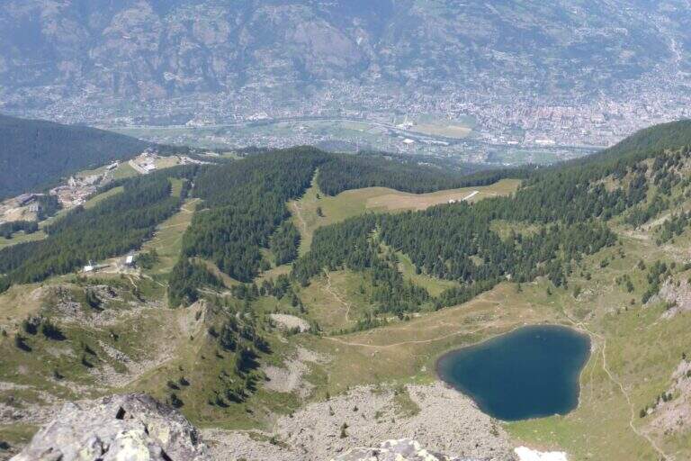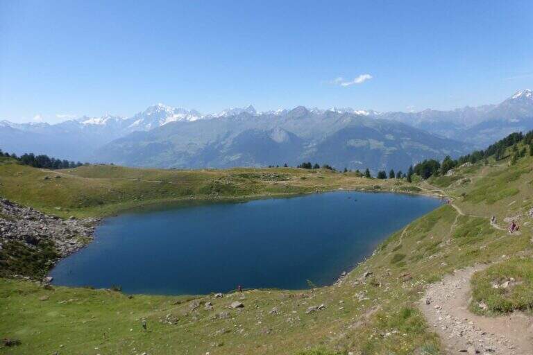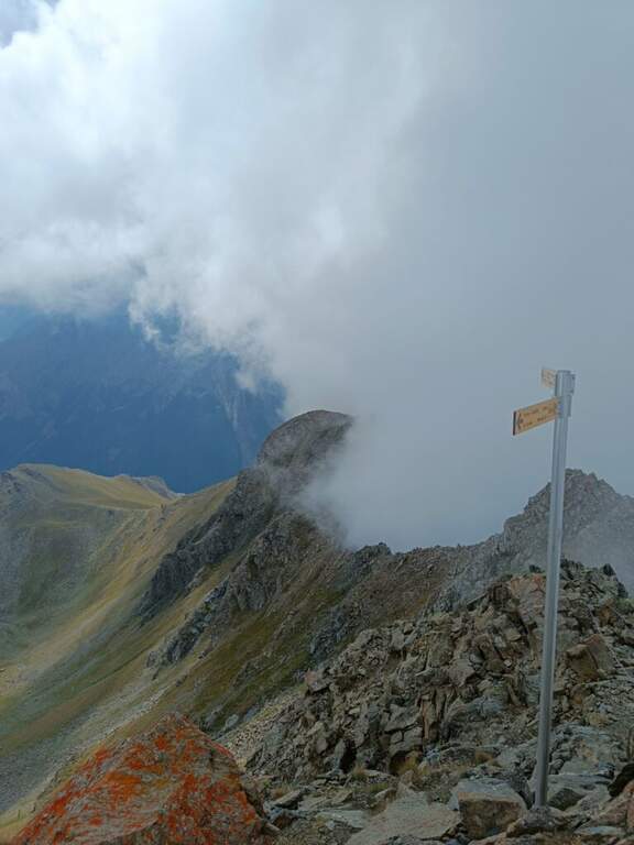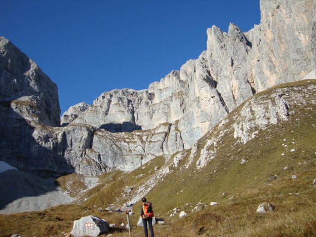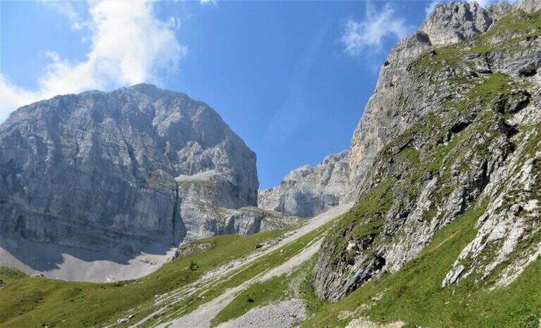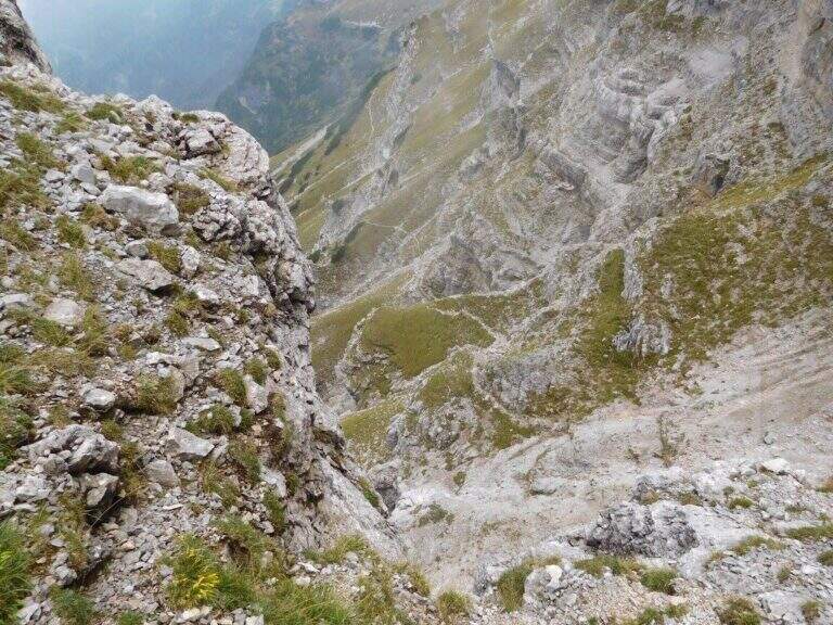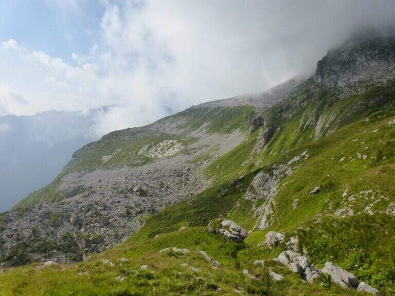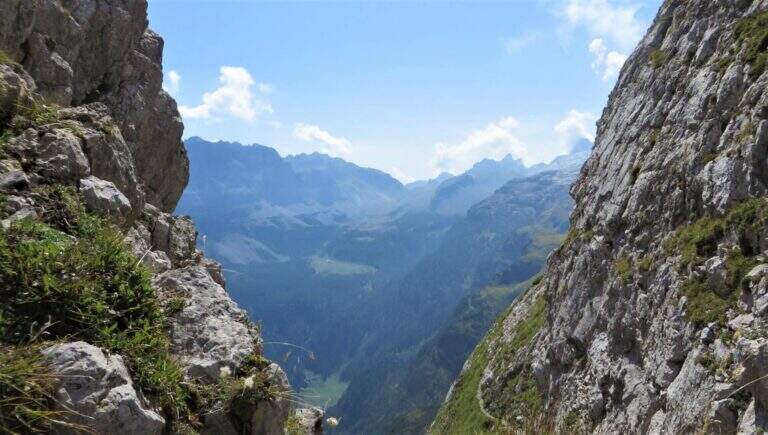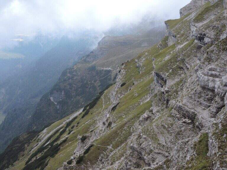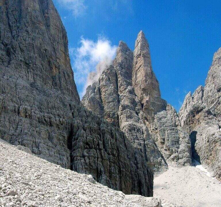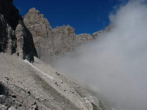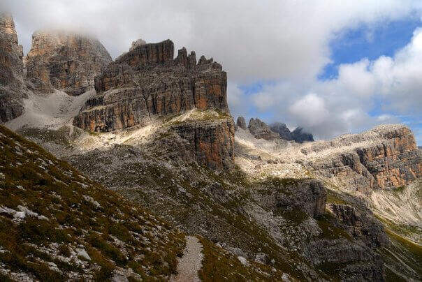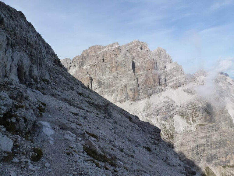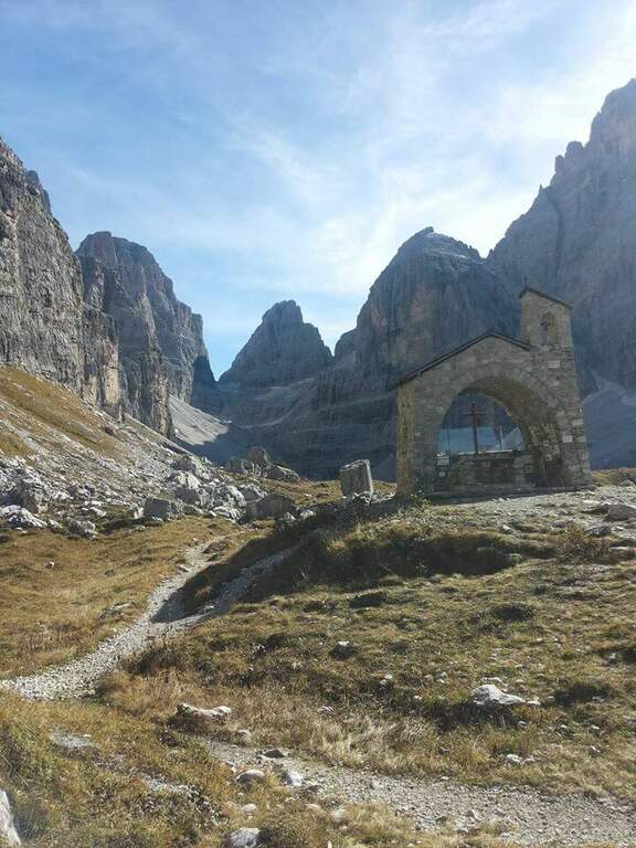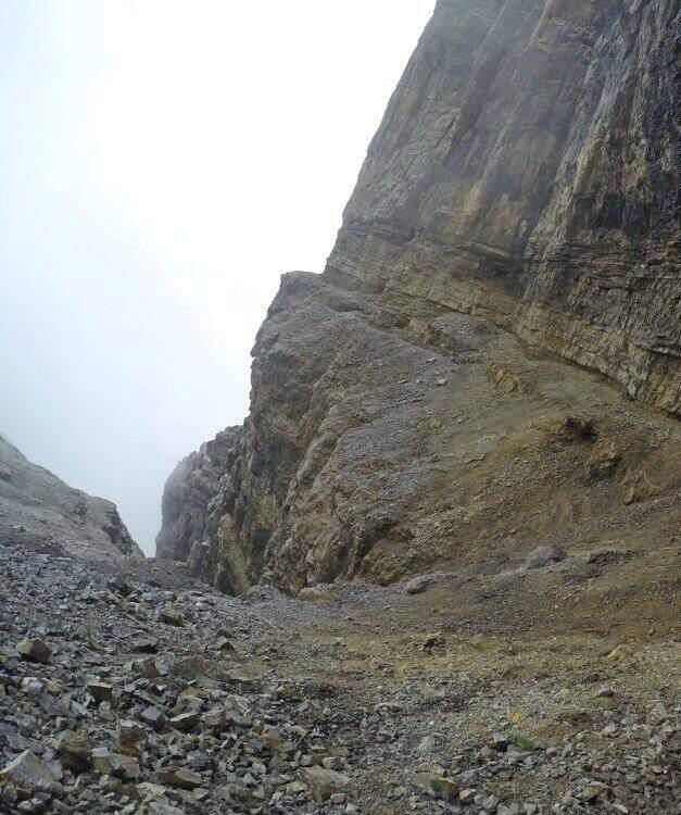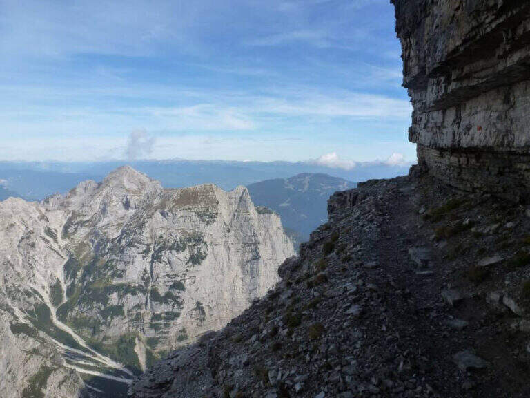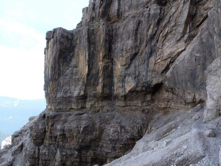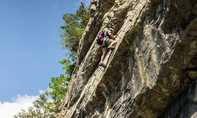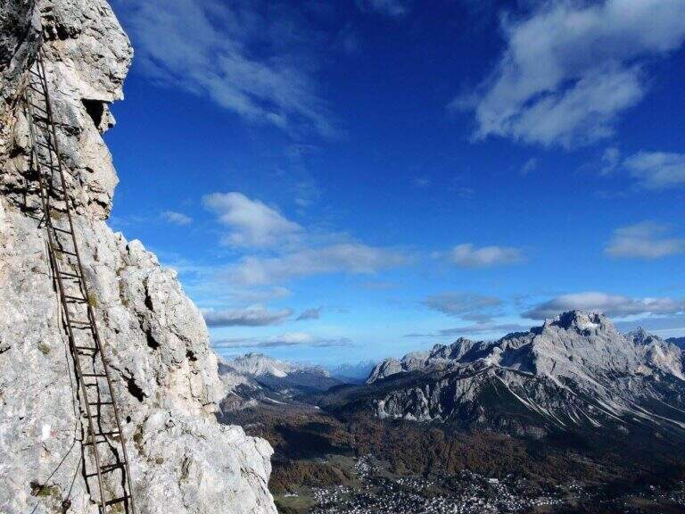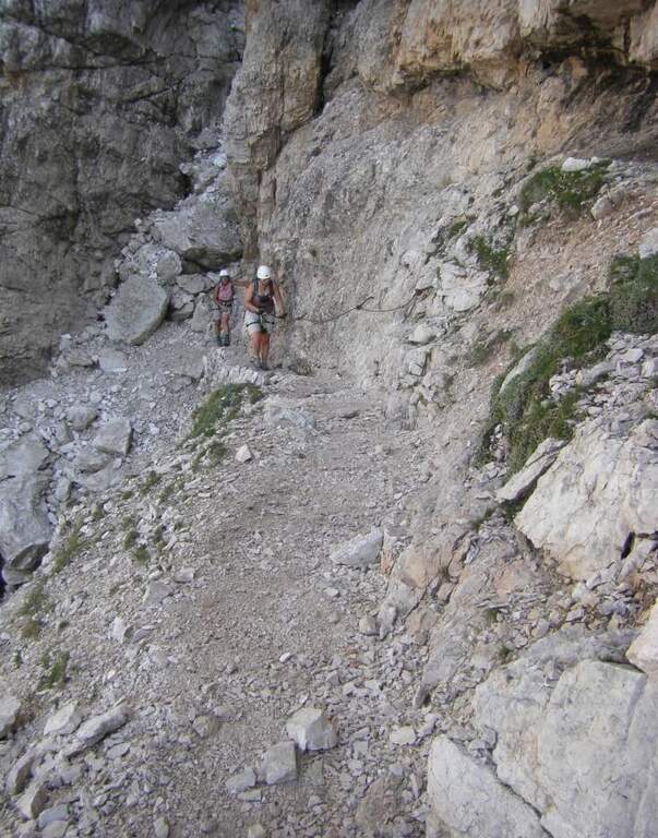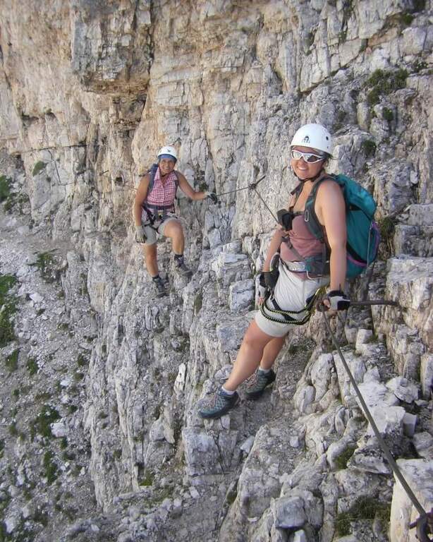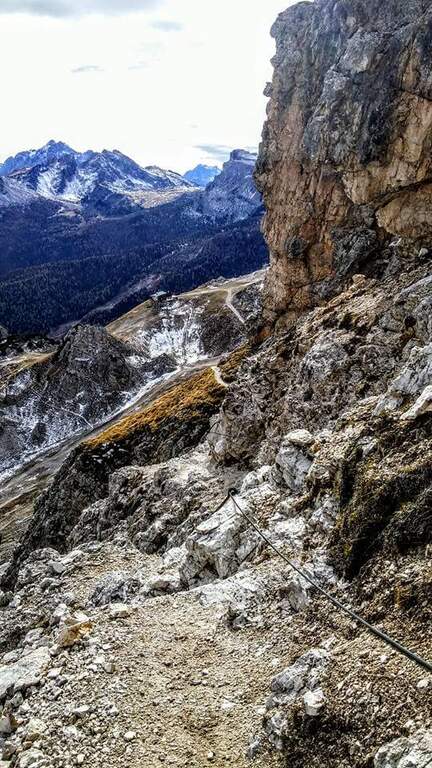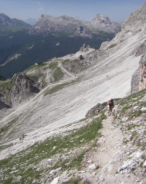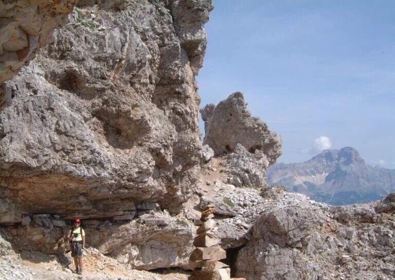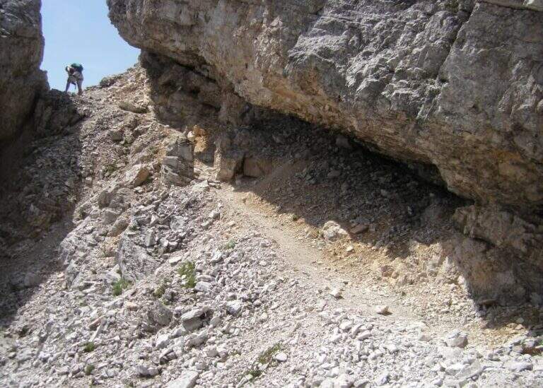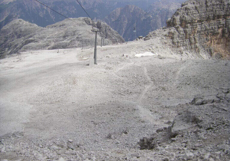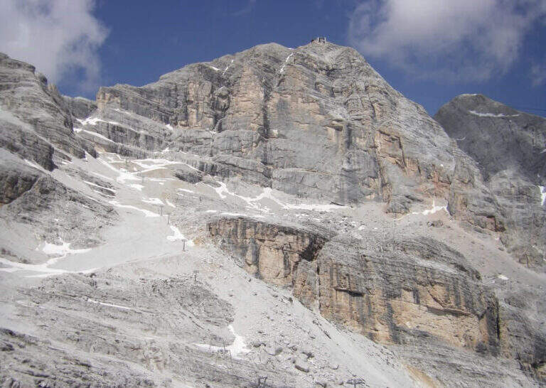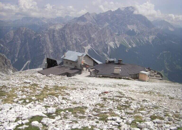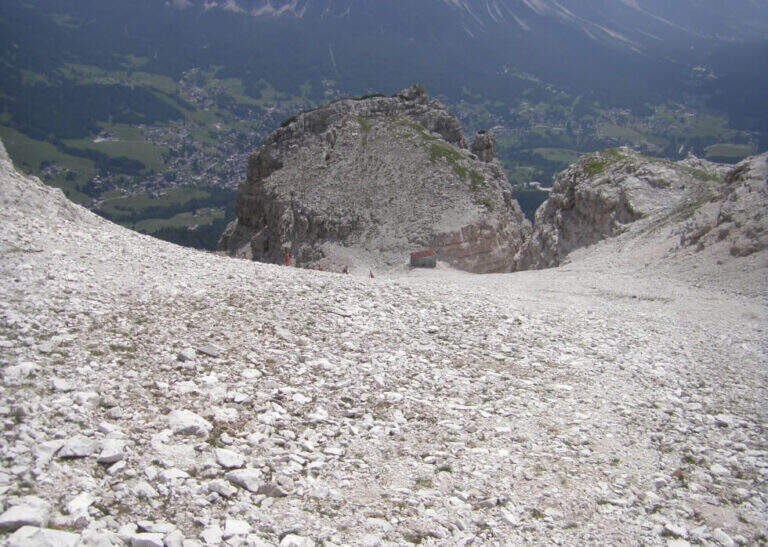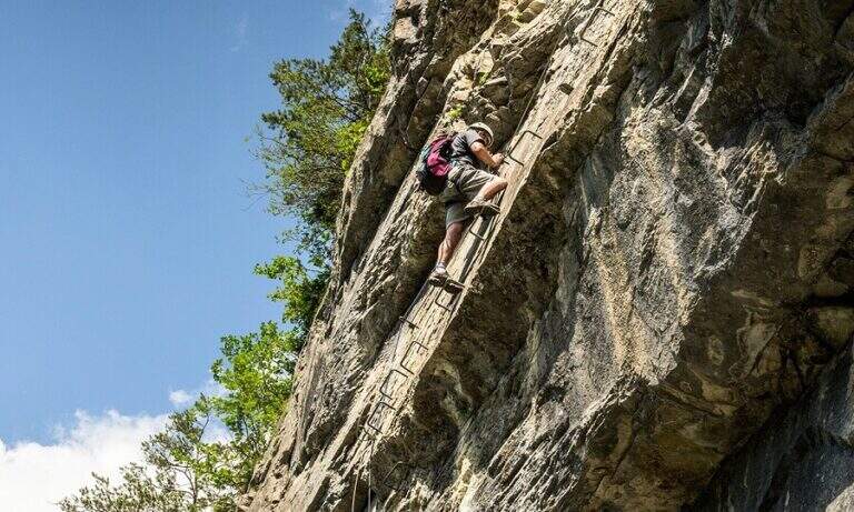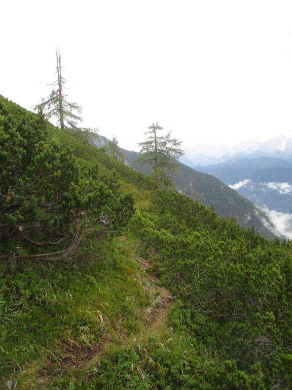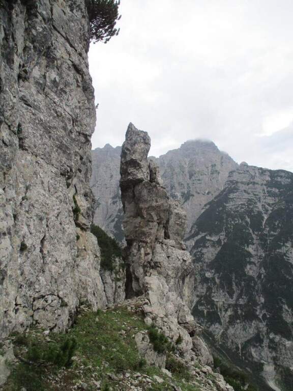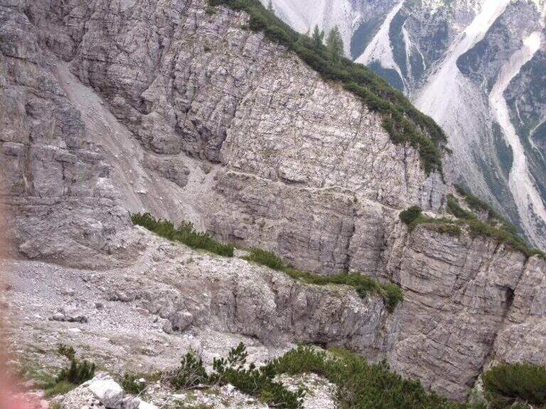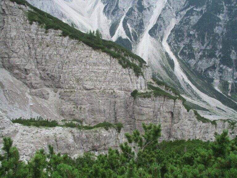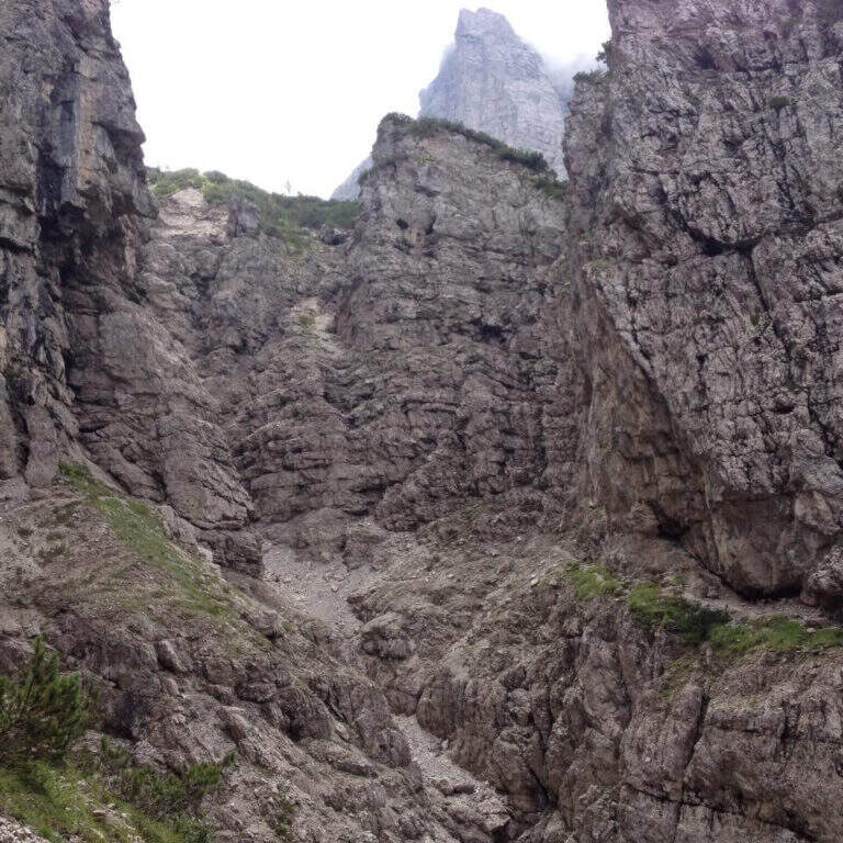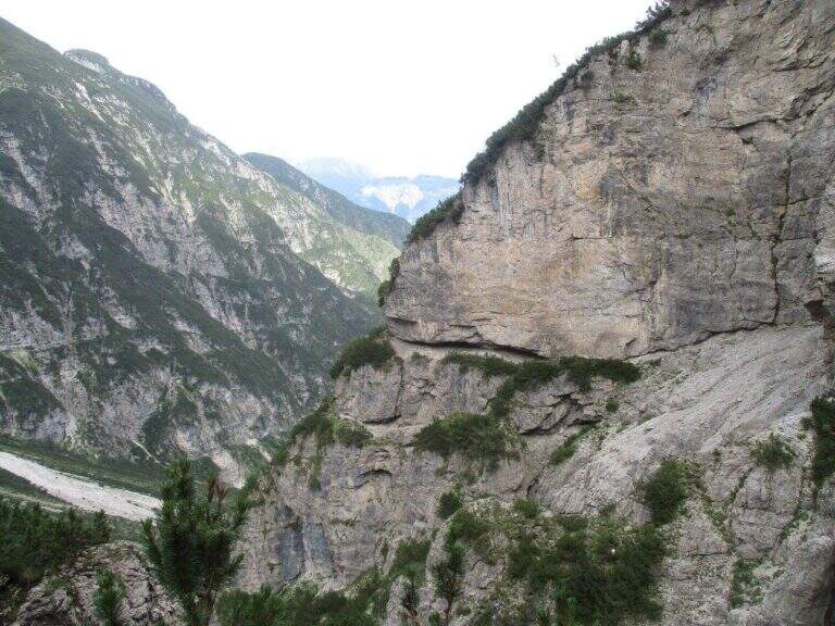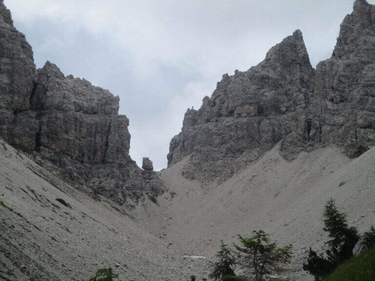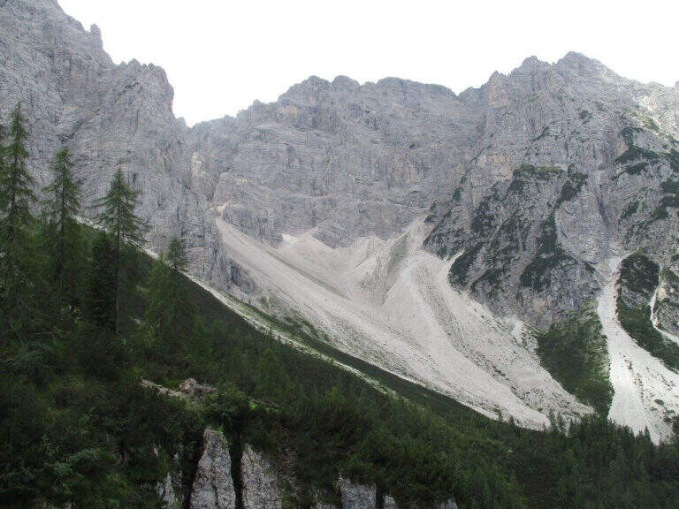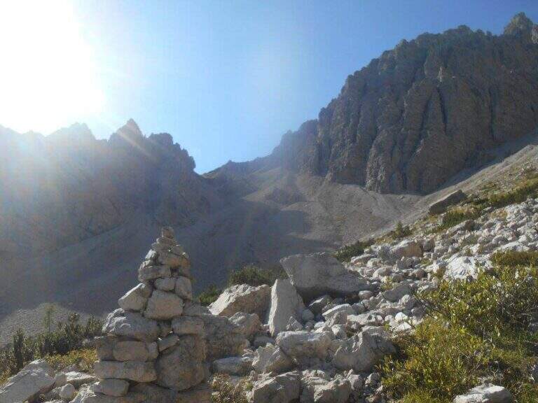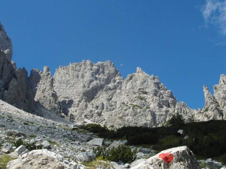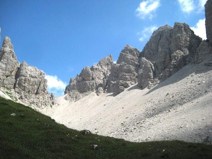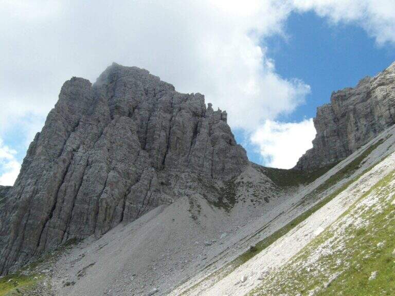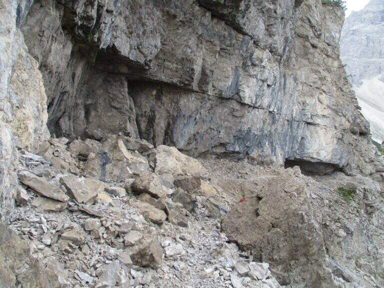
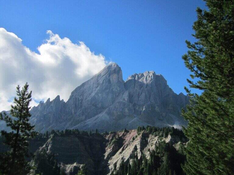
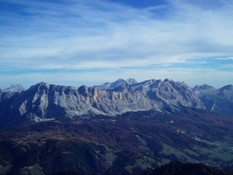
Panoramic hike in the Dolomites that leads to the summit cross of the Sass de Putia (2875 m) going up the south side of the Passo delle Erbe. The equipped path only lasts 150 m, but the overall itinerary is long and scenically extraordinary, with views of the Odle, the Belluno Dolomites and the Aurine Alps.
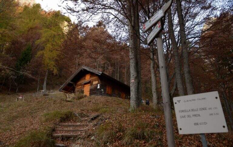
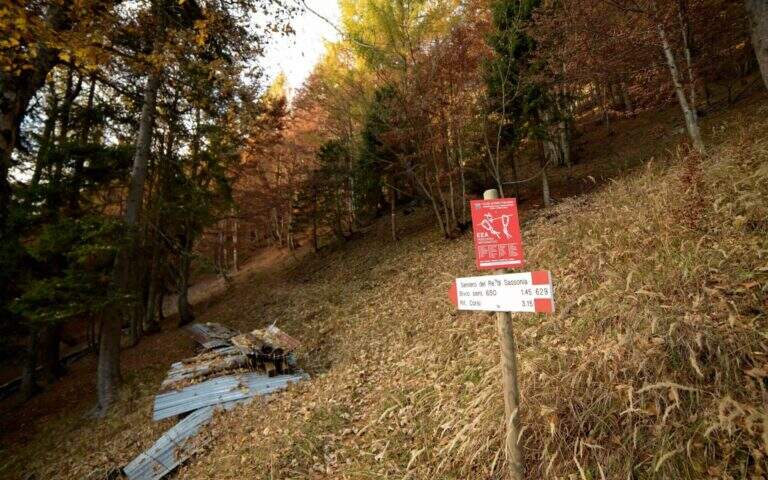
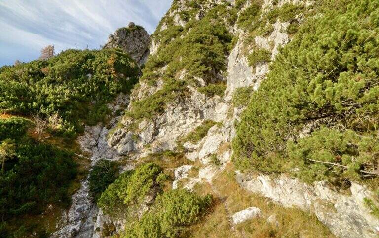
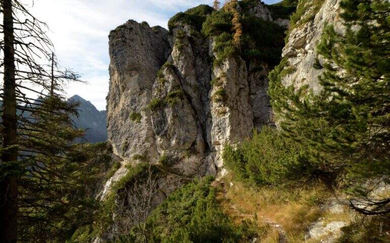
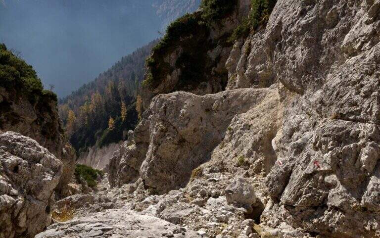
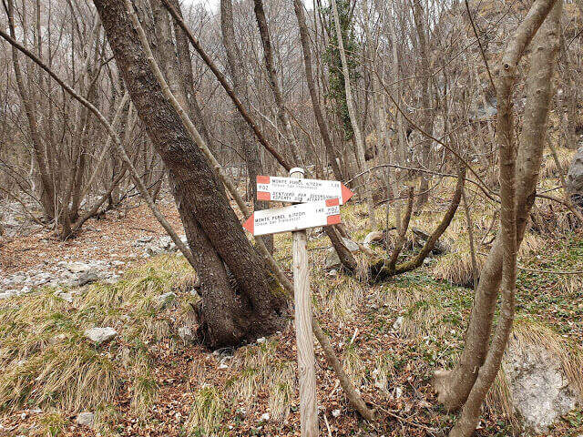
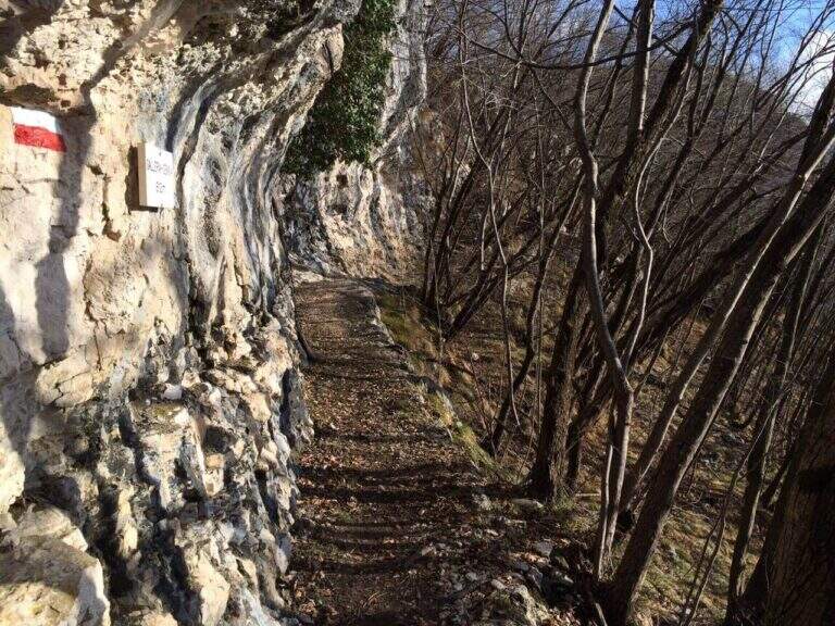
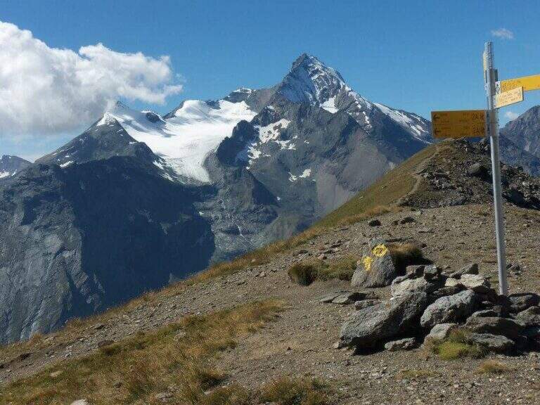
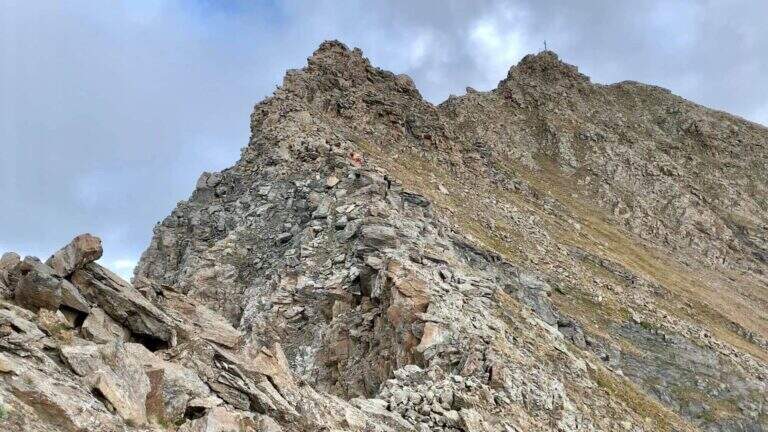
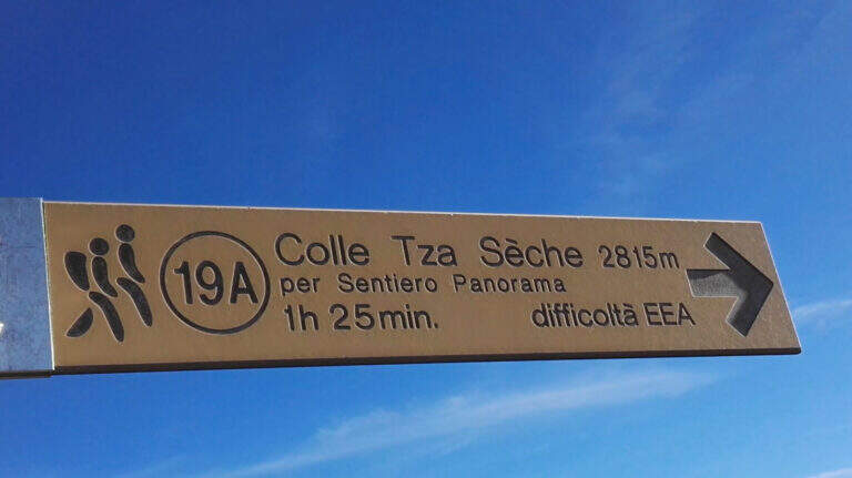
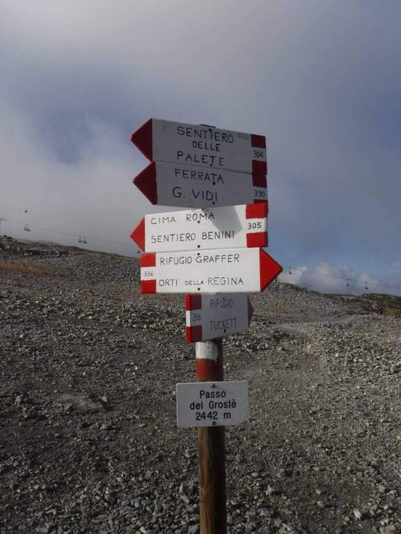
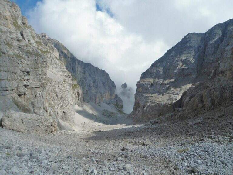
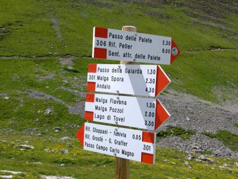
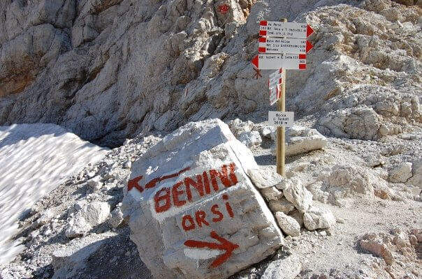
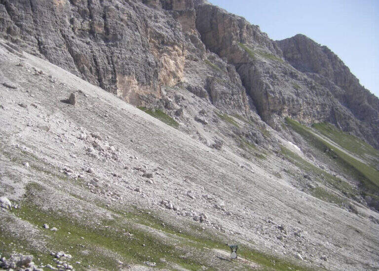
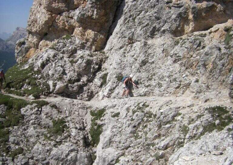
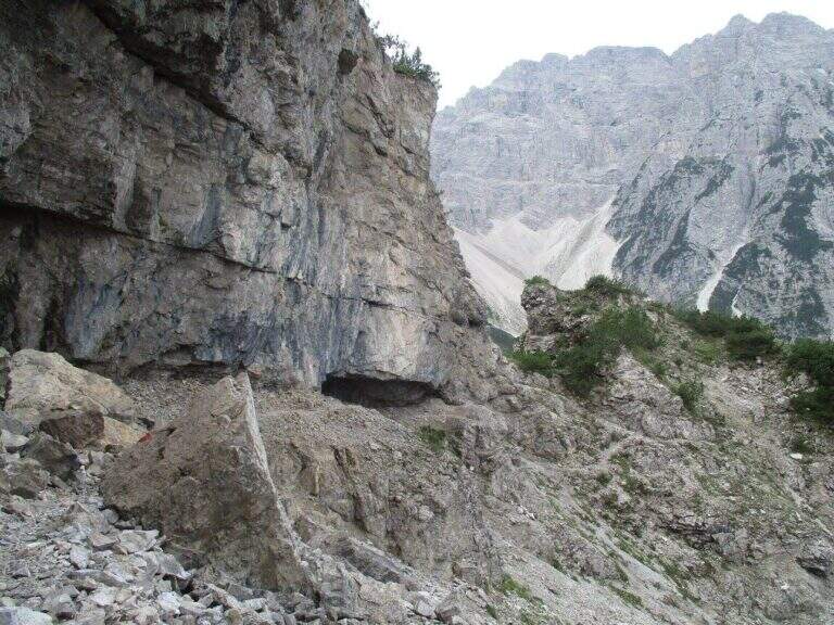
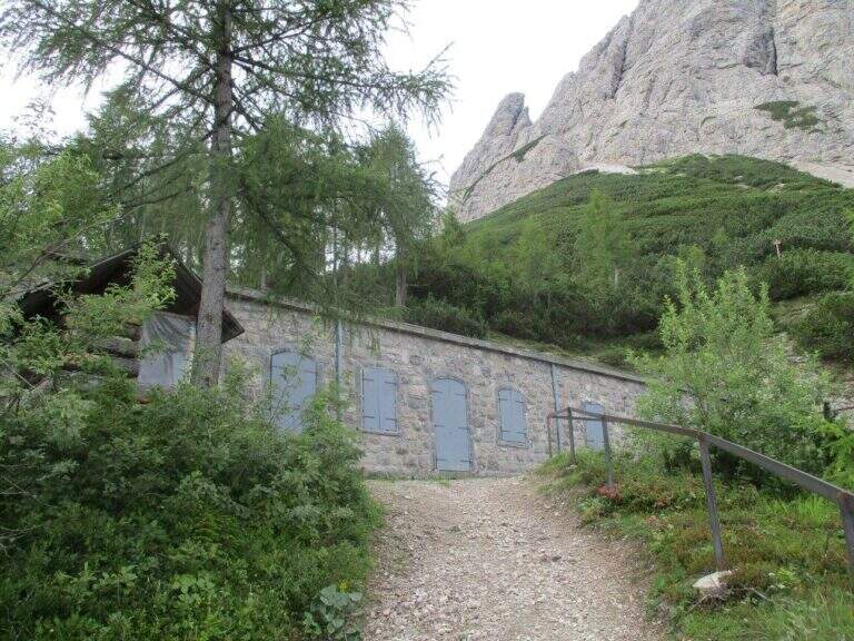
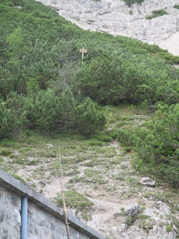
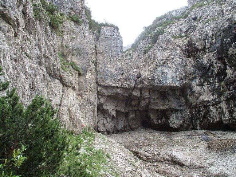
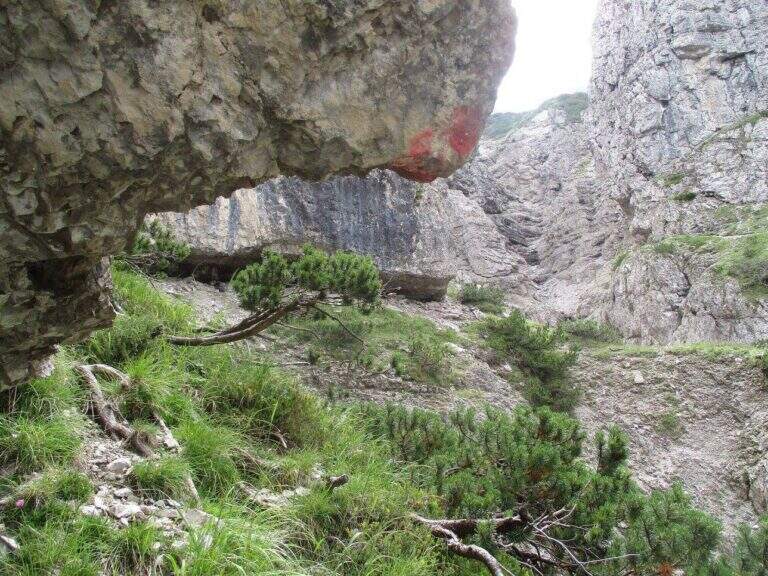
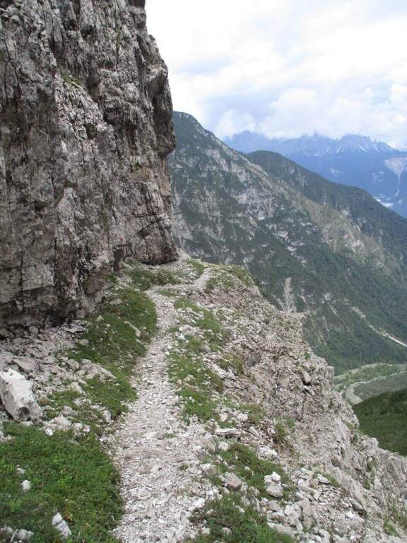
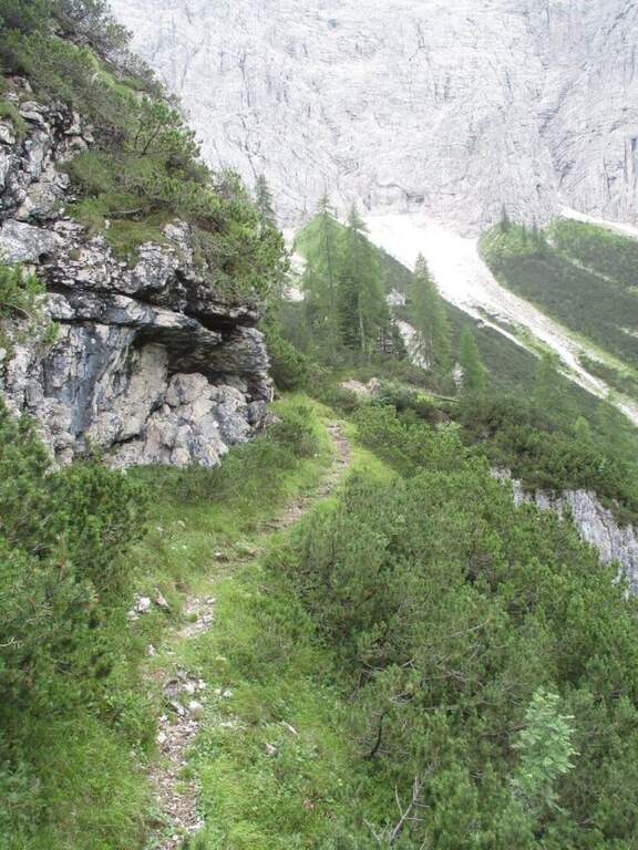
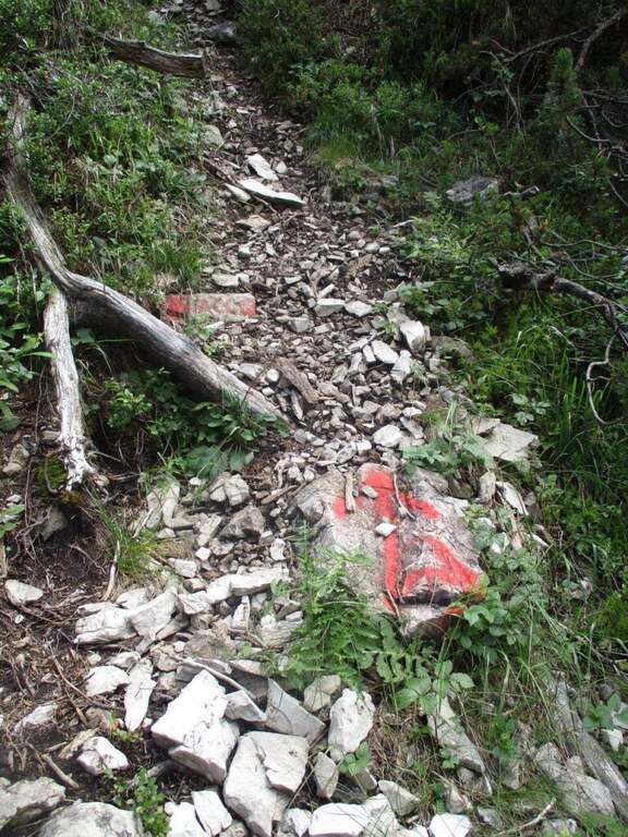
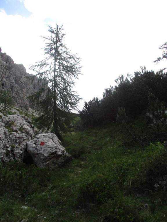
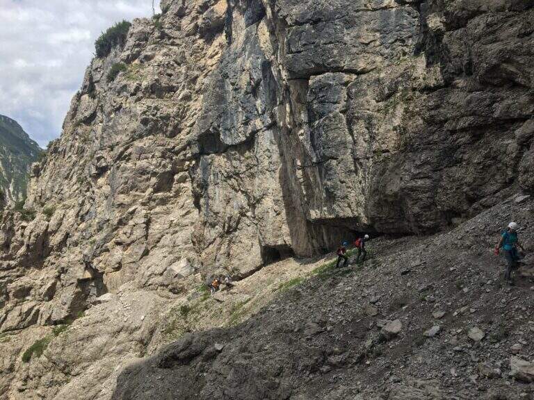
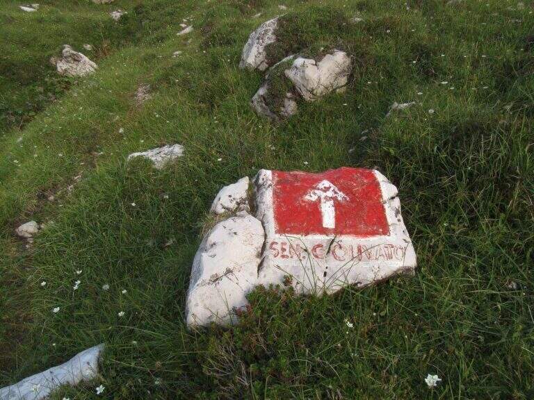
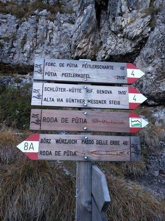
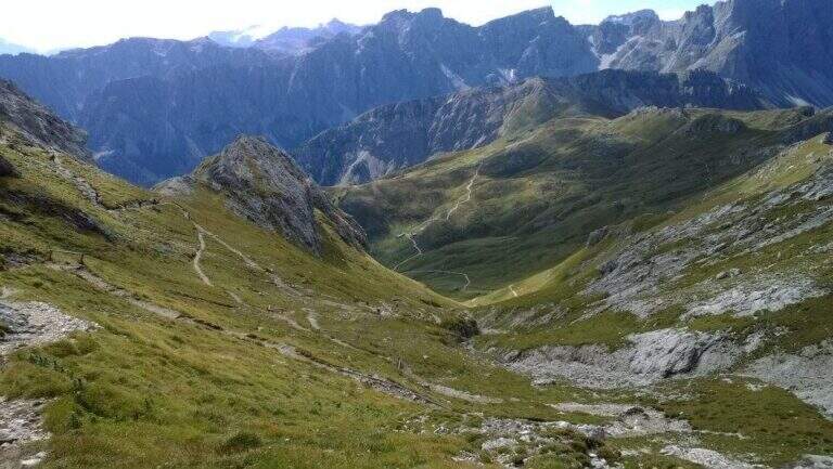
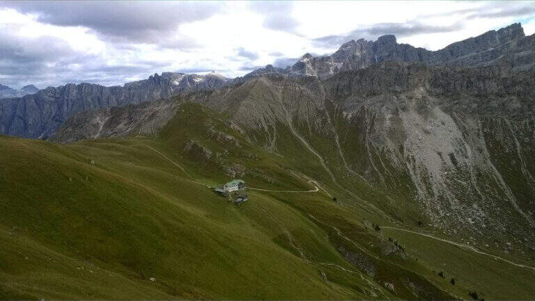
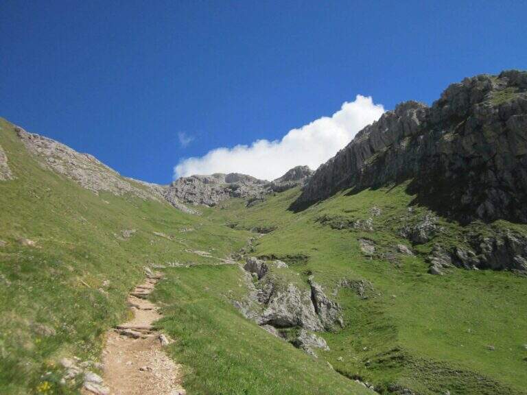
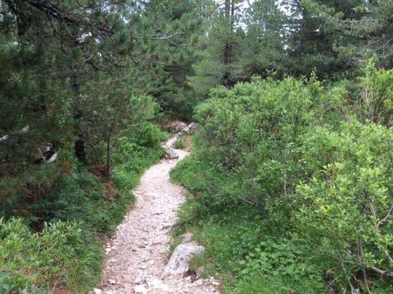
The Passo delle Erbe (1987 m) is reached from the A22 exit of Chiusa following the signs for the Val di Funes and then for the pass. From the car park to the pass, take the wide track marked as path 8 towards the east. On the first crossroads, you will take the right on the path 8A that climbs in false ground towards the east to the Forcella de Putia (2357 m, 1h30'). Along the path you walk around the north wall of the Sass de Putia and you get on the path 4 — the Alta Via Günther Messner — which leads to the fork.
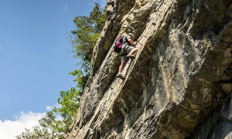
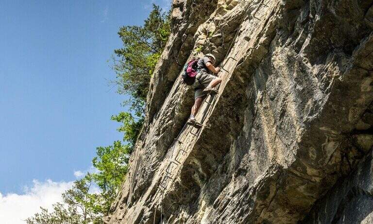
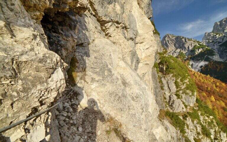
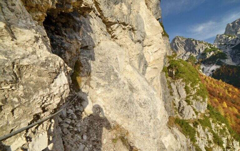
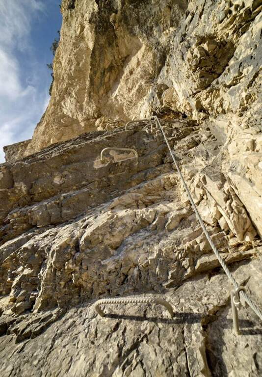
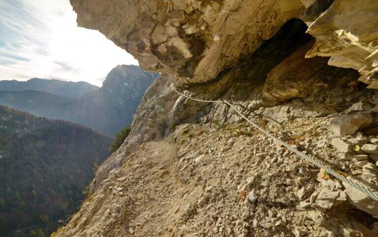
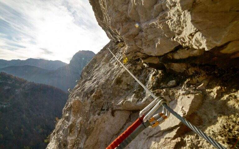
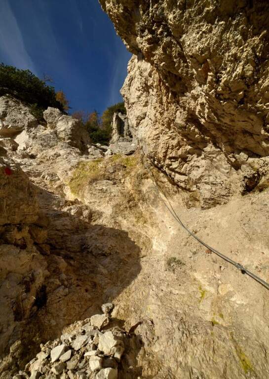
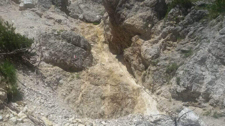
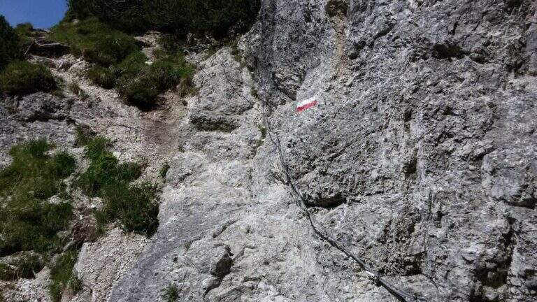
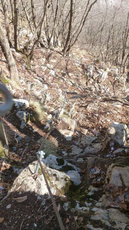
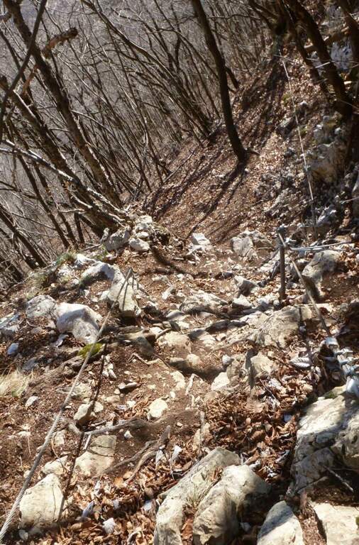
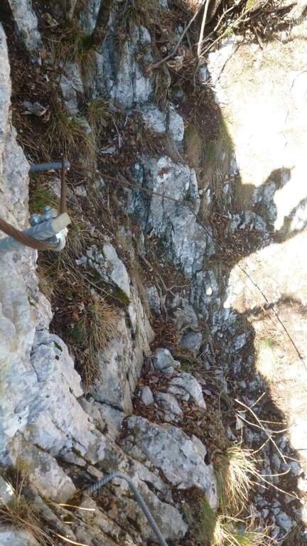
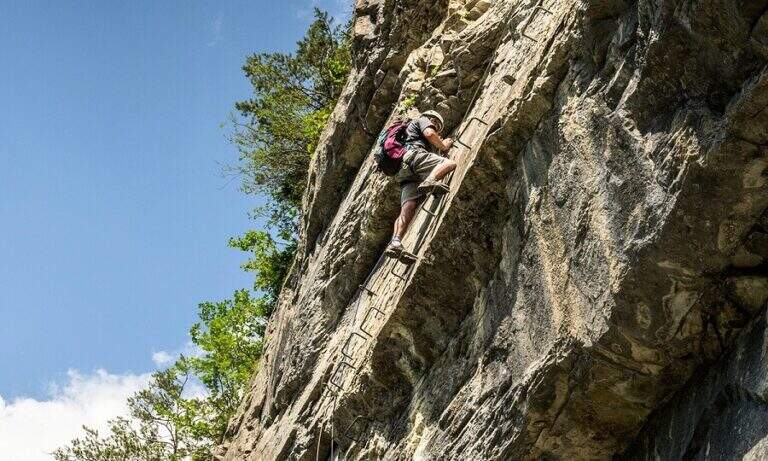
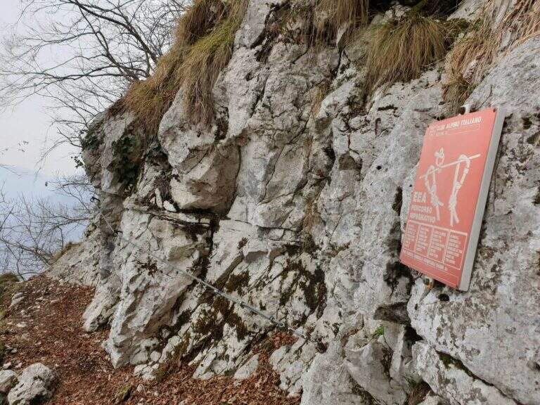
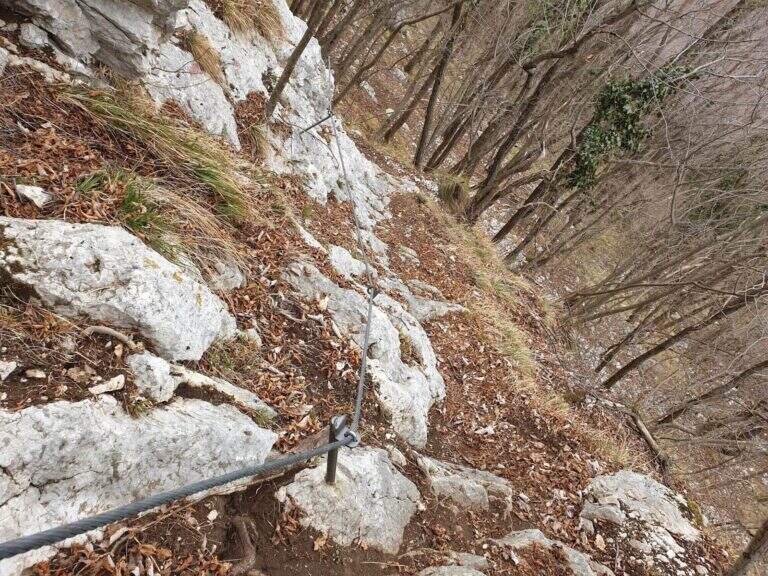
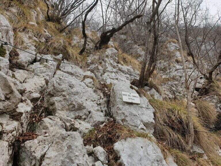
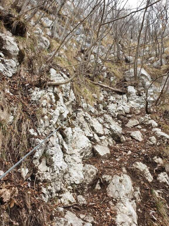
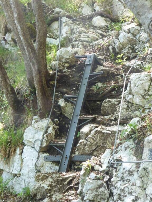
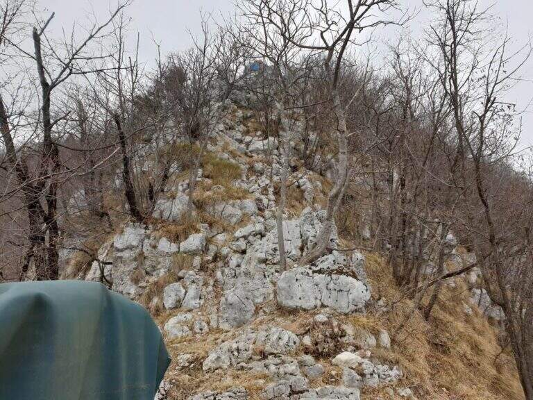
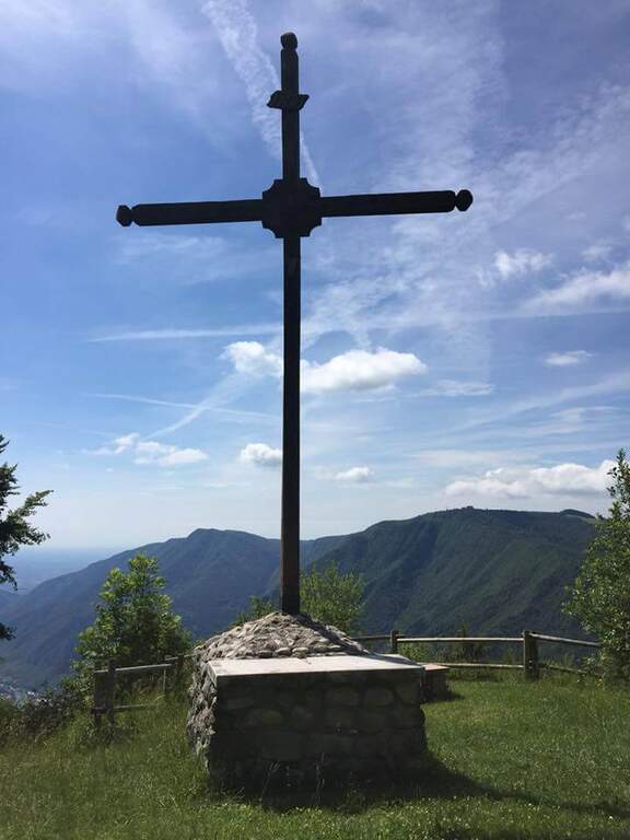
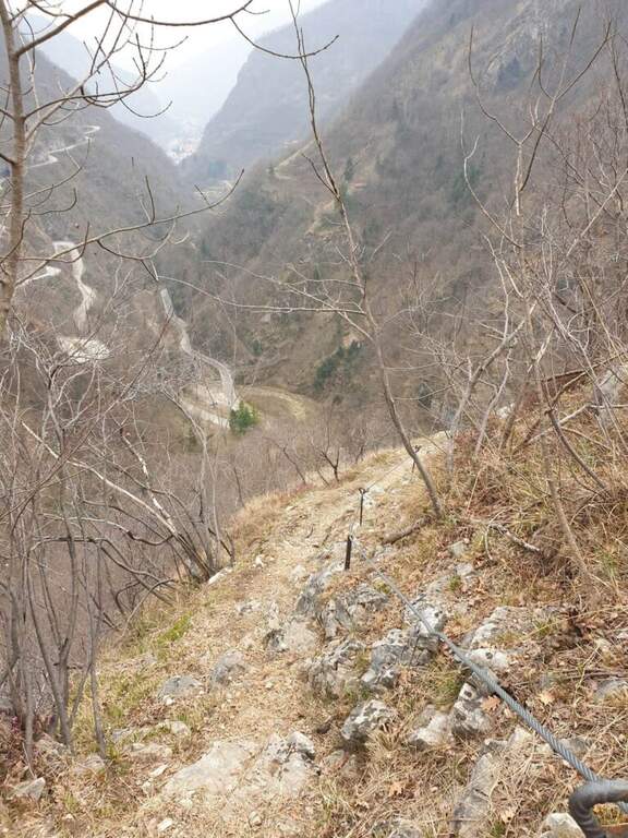
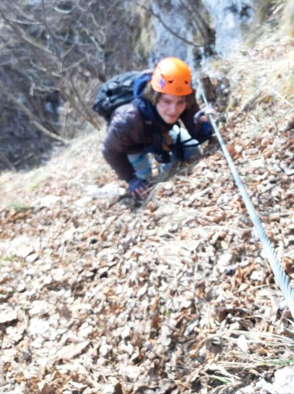
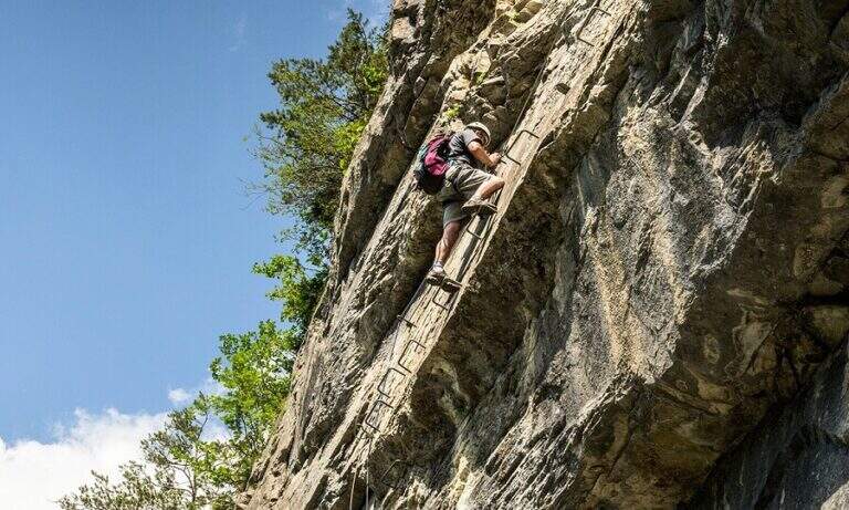
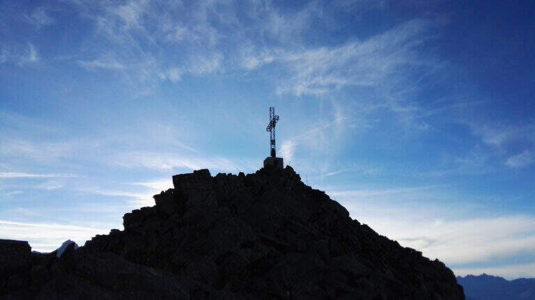
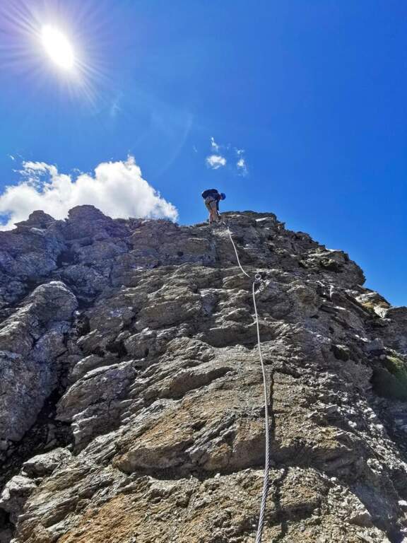
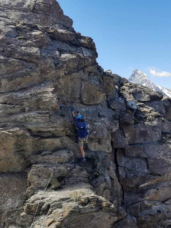
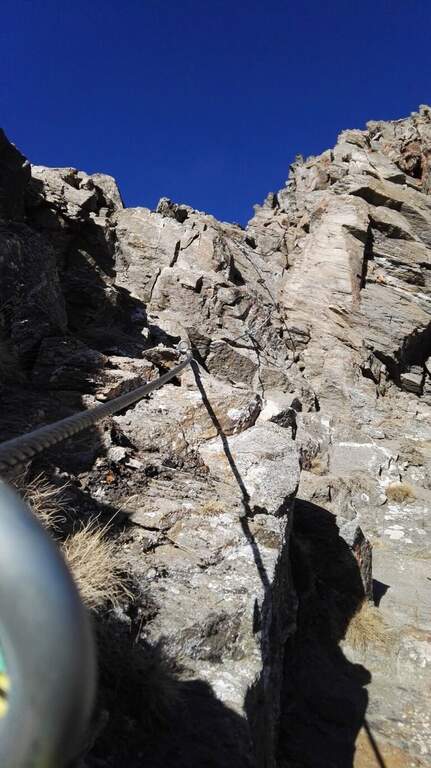
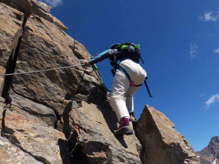
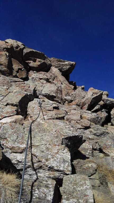
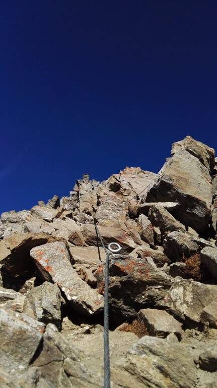
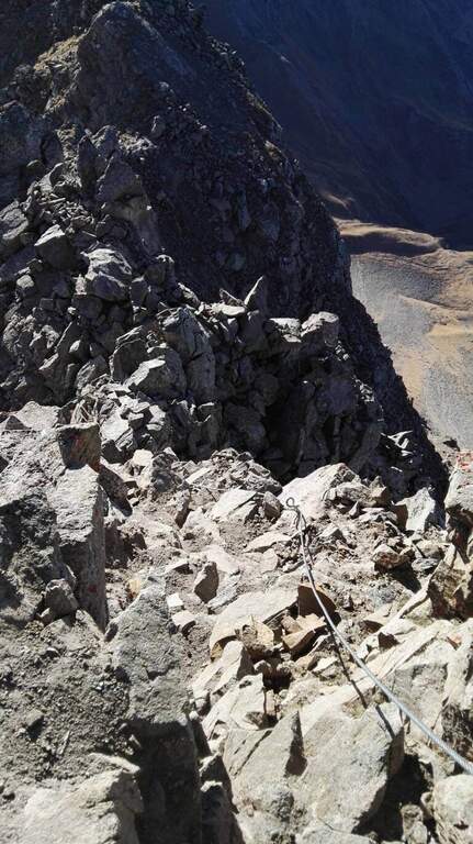
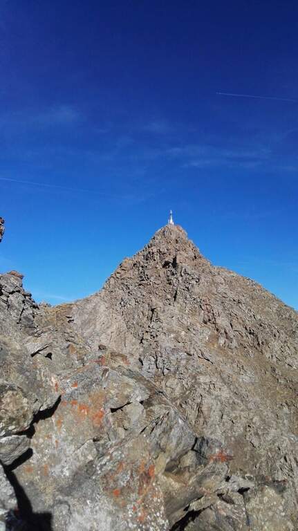
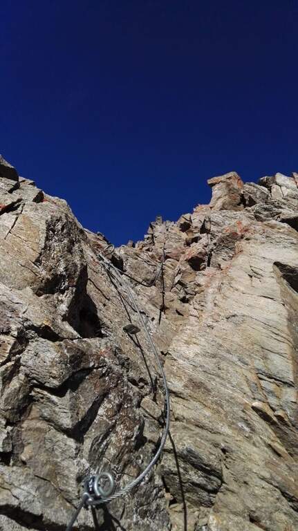
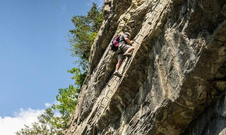
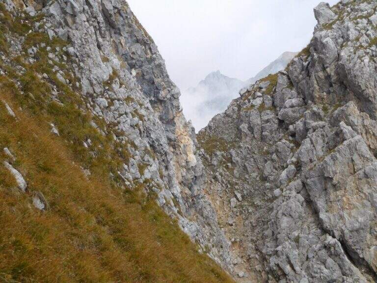
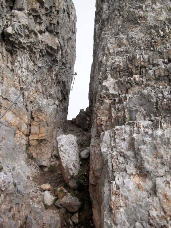
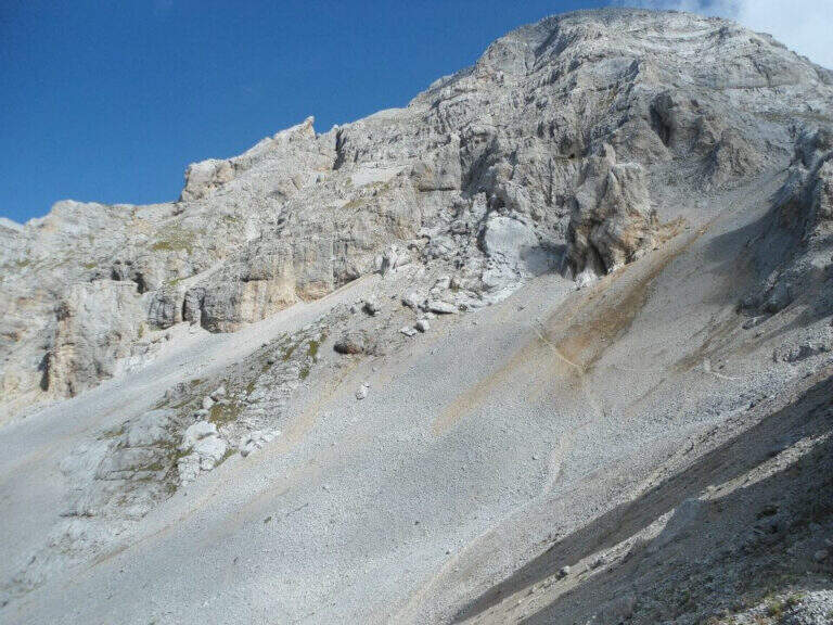
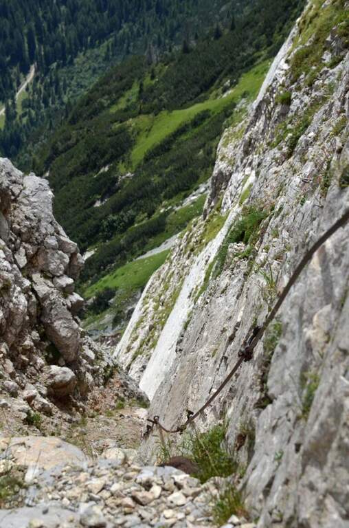
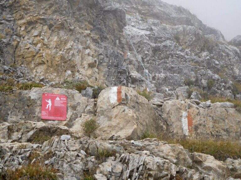
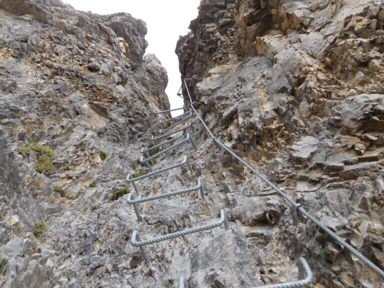
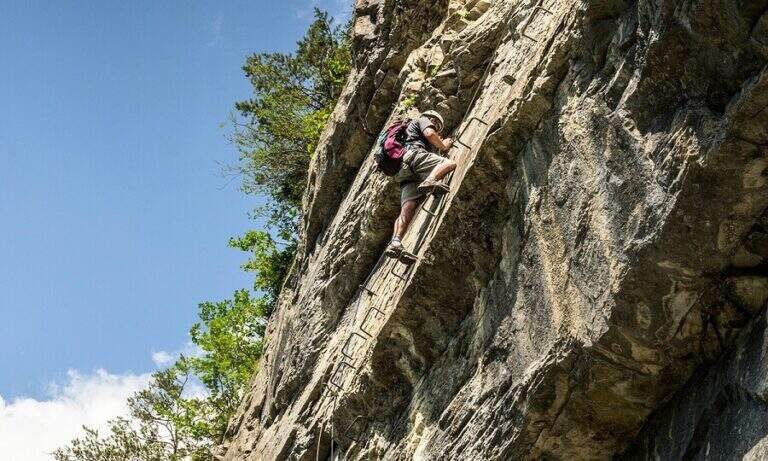
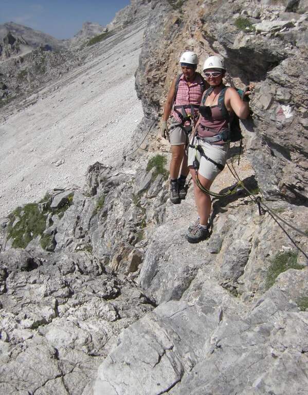
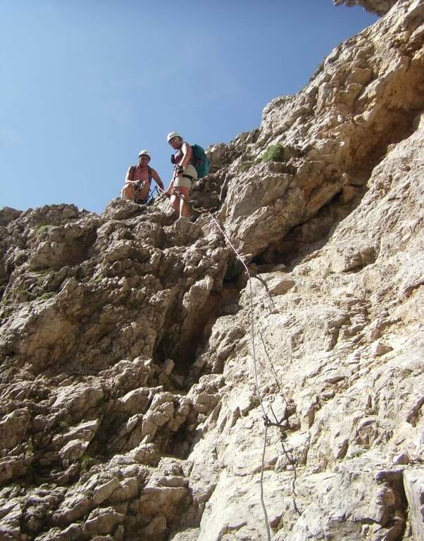
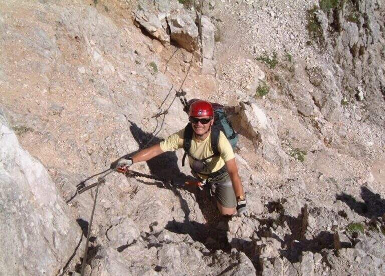
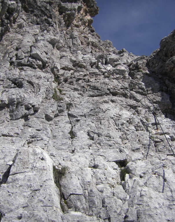
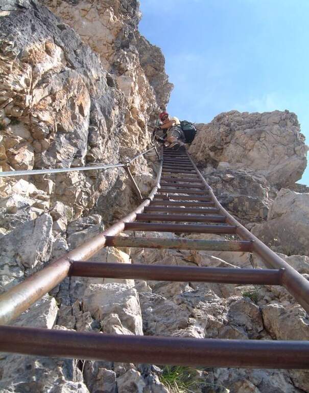
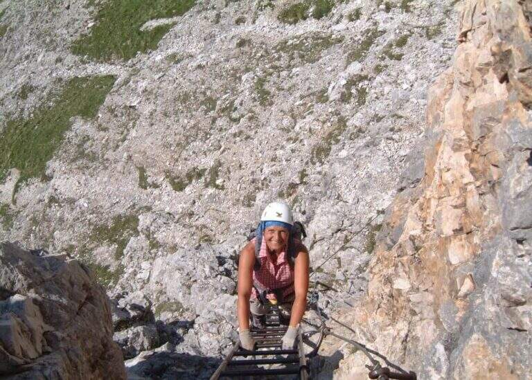
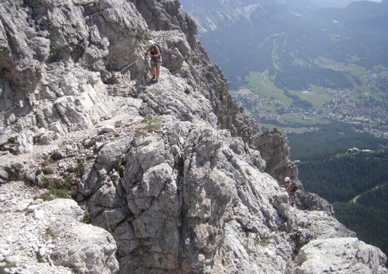
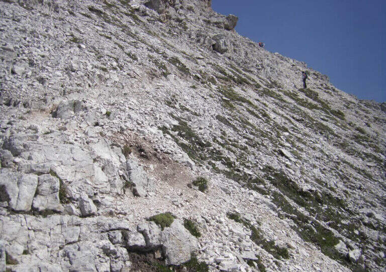
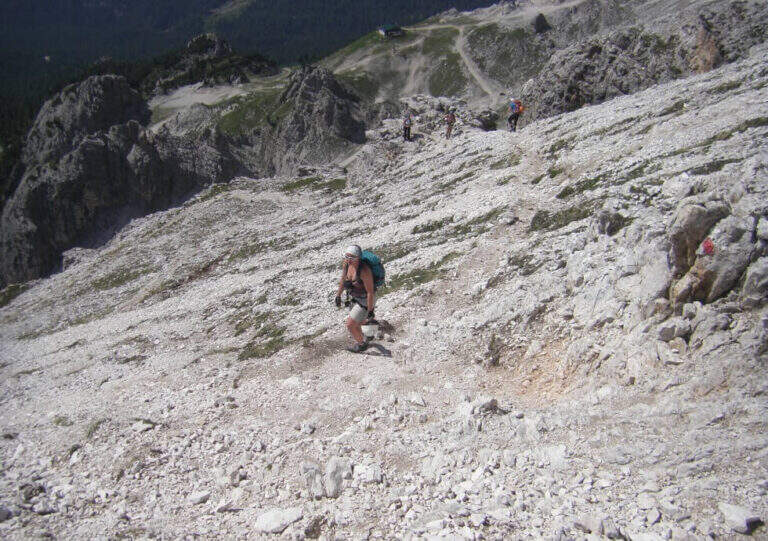
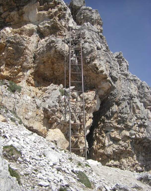
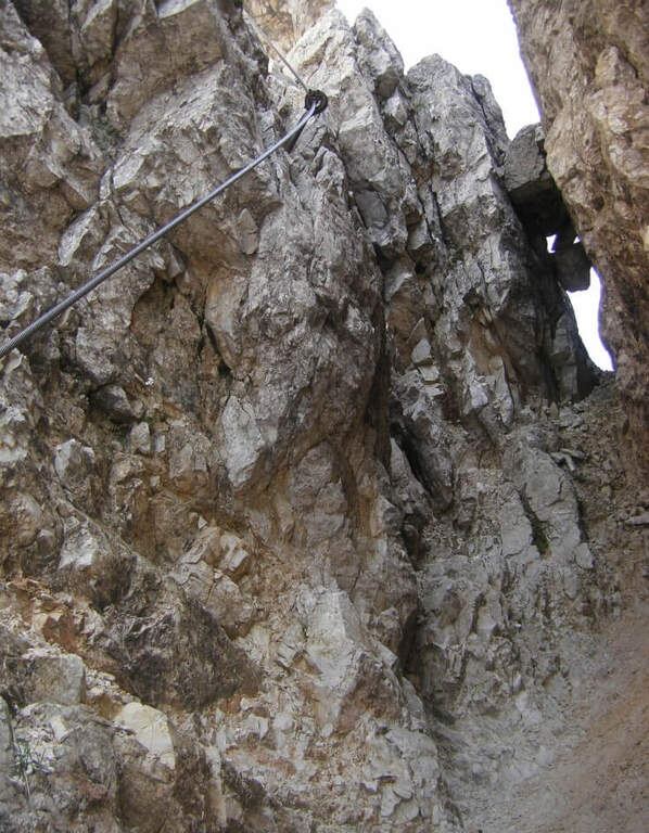
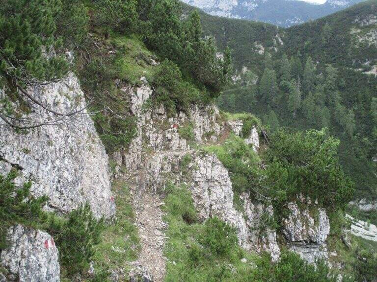
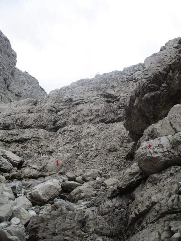
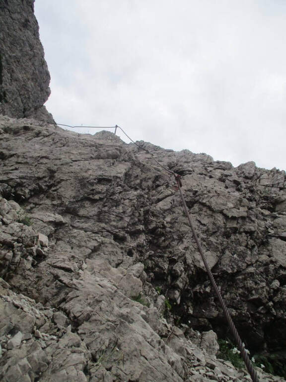
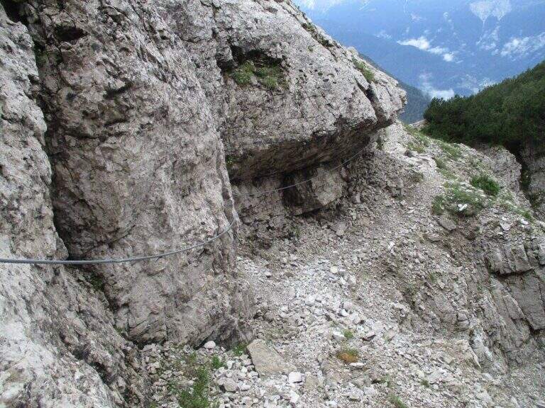
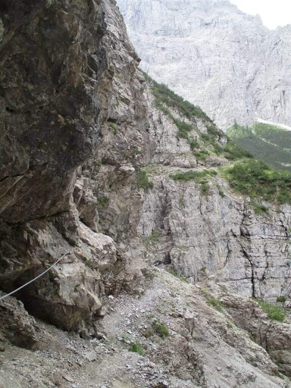
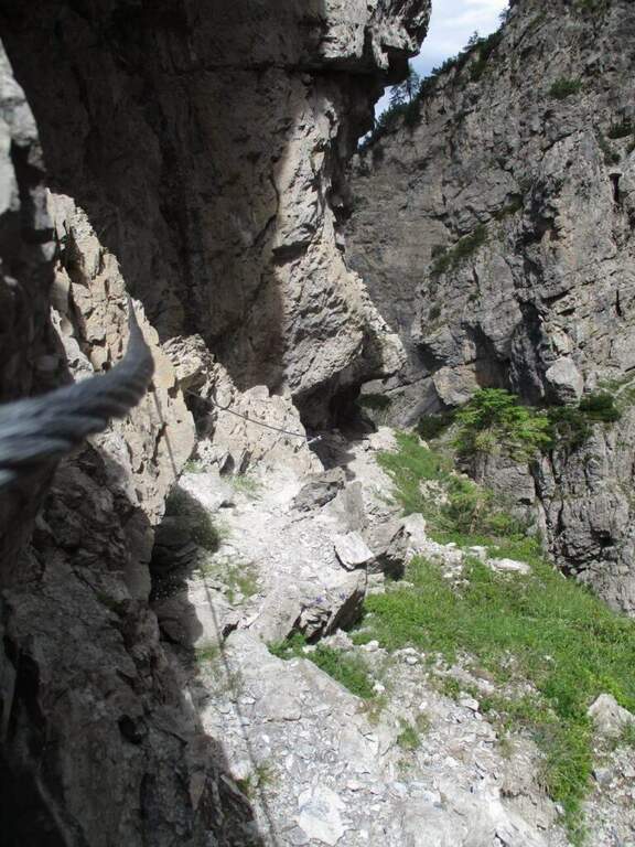
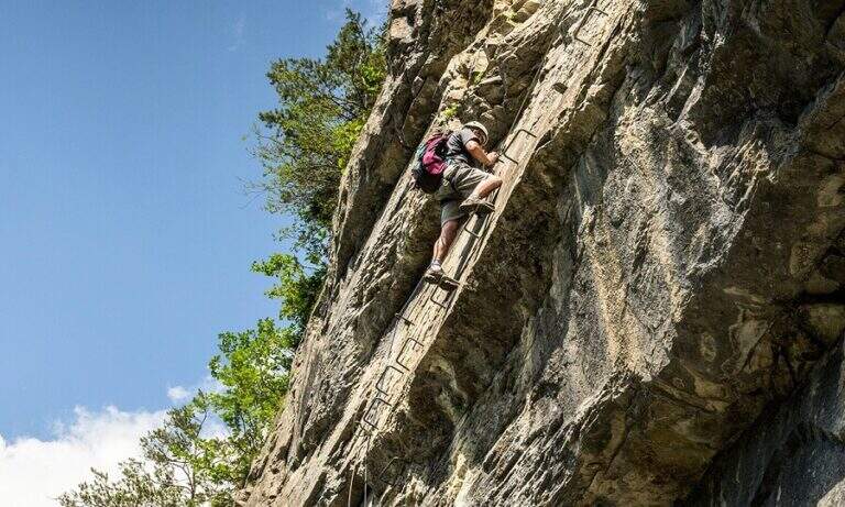
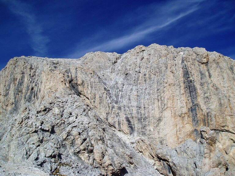
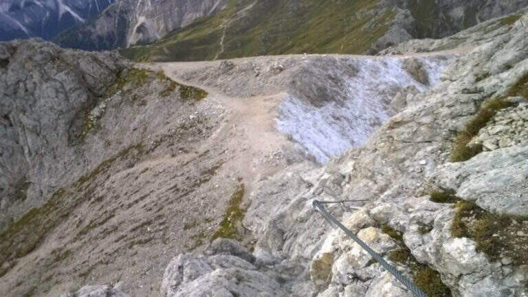
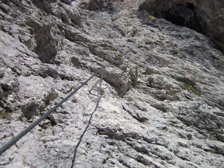
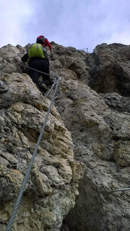
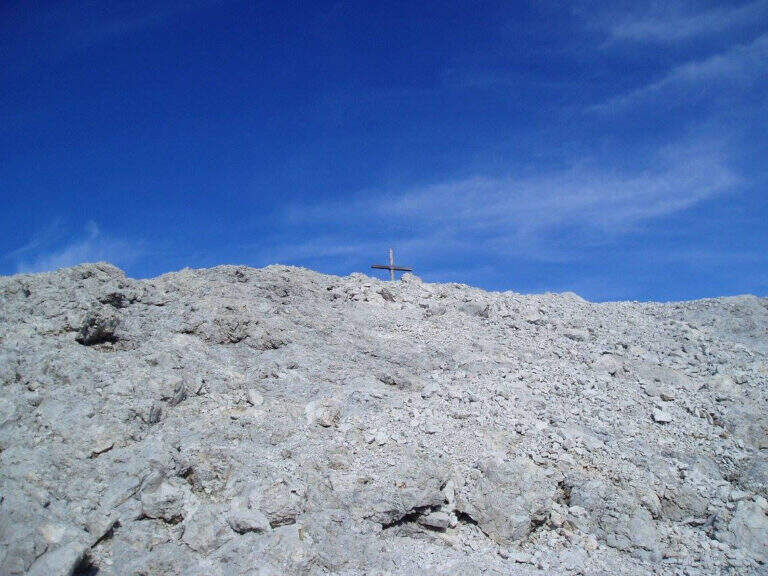
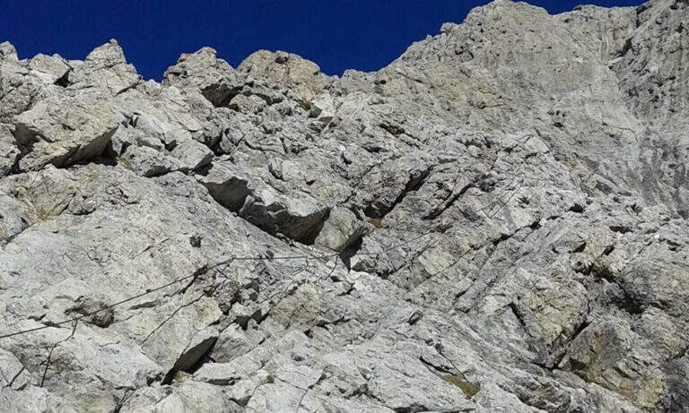
From the Forcella de Putia follow the clear indications that on the left lead on a grassy path towards the wide stone plateau below the summit. The last 150 m are equipped with cables: you go up a comfortable sloped ramp, some small rocks and you reach the single most challenging passage, a short fireplace with an initially long stretch that you pass thanks to a bracket on the right side of the crack. A few metres of rock lead to the peak cross with 360-degree panorama (2875 m, 3h total from the start).
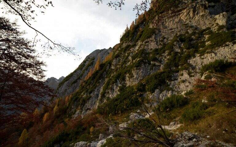
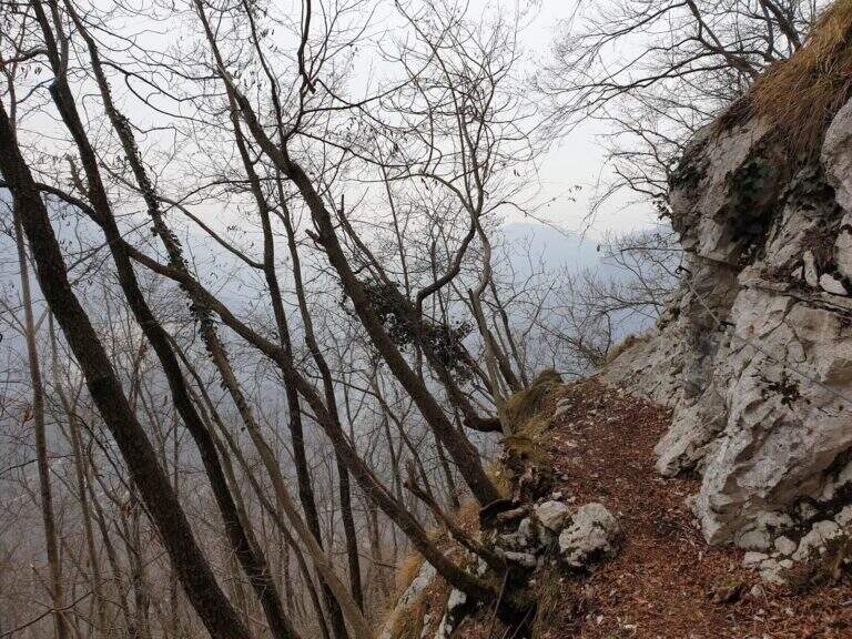
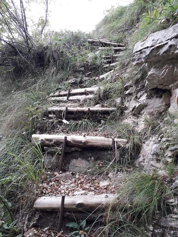
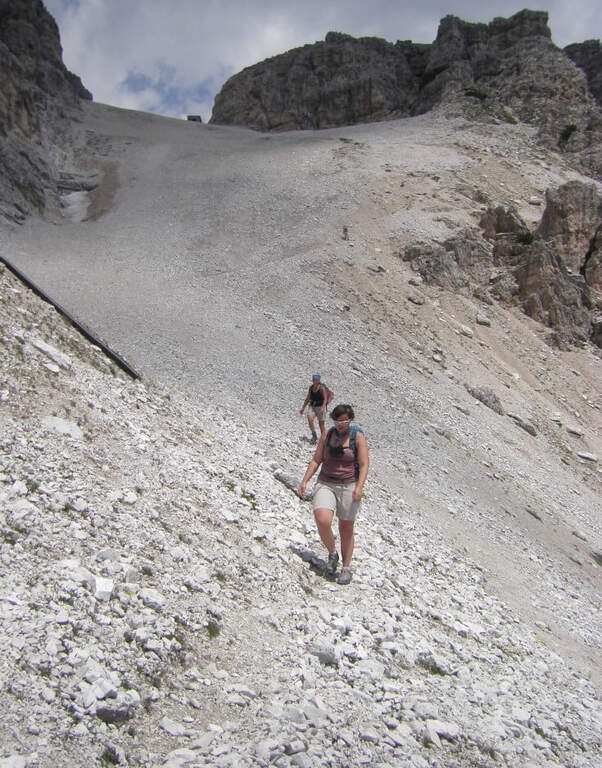
Easy. The 150 m equipped do not have technical difficulties and the equipment is in good condition. The environment is that of the high Dolomite mountain with a clear marking.
July - September. Avoid in case of afternoon storms, frequent in the Dolomites. The map of Val Badia or Val Gardena-Val di Funes (4Land).
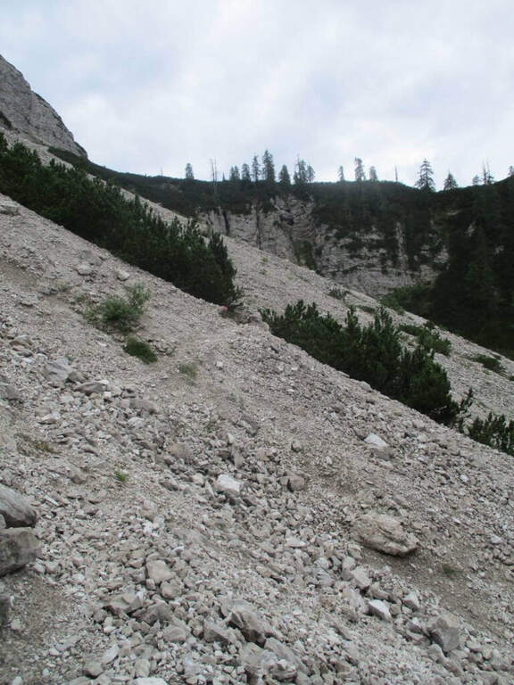
From the top you descend to the climb (5h30' total). Alternatively, it is recommended to walk along the ring following the 4B path and then 35 around the southern slope of the Sass de Putia to the Goma Pass (2111 m, 1h from the Forcella de Putia) and from there the 8B path leads to the parking (6h total).
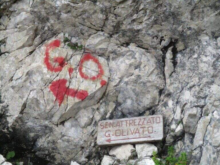
Nearby are the Sentiero Attrezzato Tru Dolomieu al Piz Conturines e la Ferrata Alta Via Günther Messner.
- DifficultyEasy
- RegionTrentino-Alto Adige
- GroupOdle/Puez
- Approach1:30 h
- Ferrata2:30 h
- Itinerary (a/r)6:00 h
- Hardware level difference150 m
- Route difference869 m
- Max2875 m
- Length12,8 Km