Paese: Italia

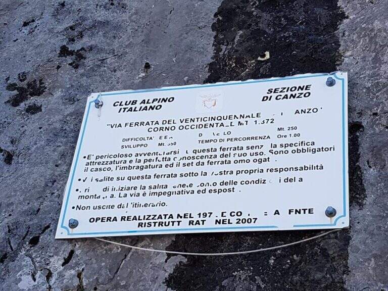
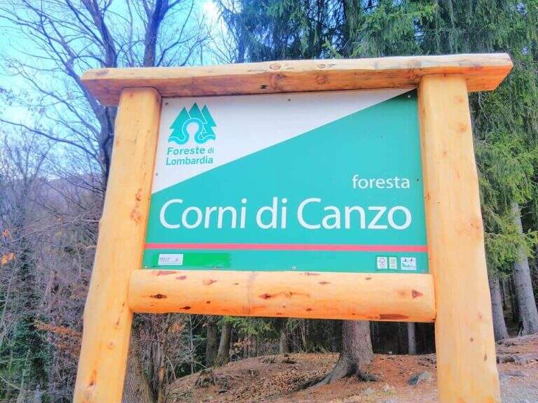
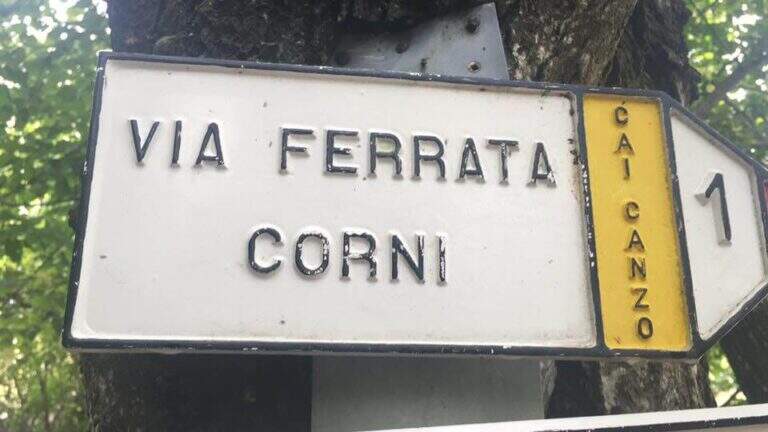
  • Ferrata del Twenty-fivennale al Corno Occidentale di Canzo

    Ferrata del Twenty-fivennale al Corno Occidentale di Canzo

    Vie Ferrate › Lombardy › Como
    Ferrata del Twenty-fivennale al Corno Occidentale di Canzo

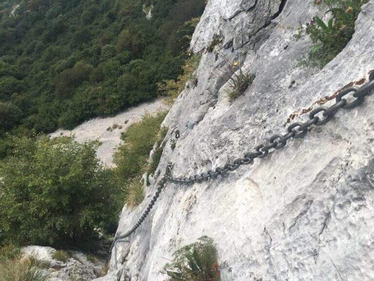
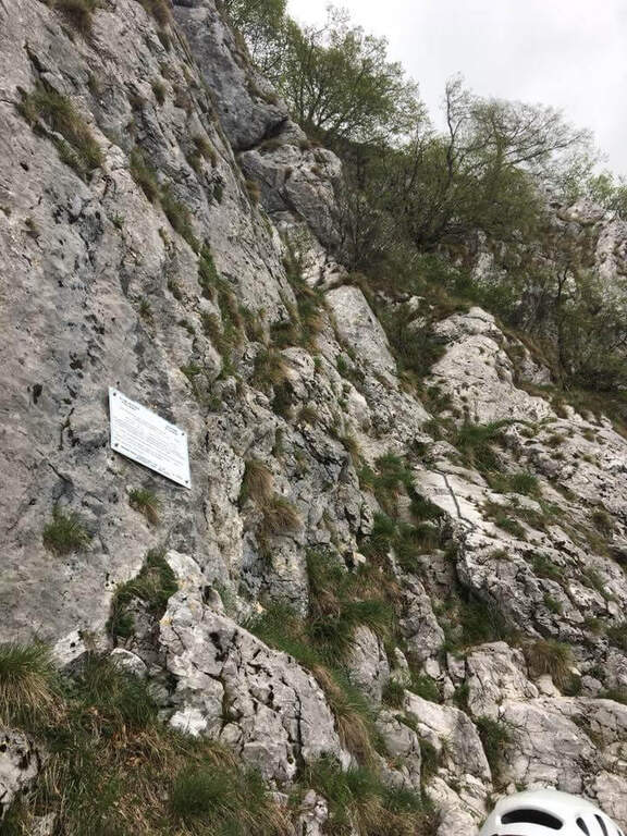
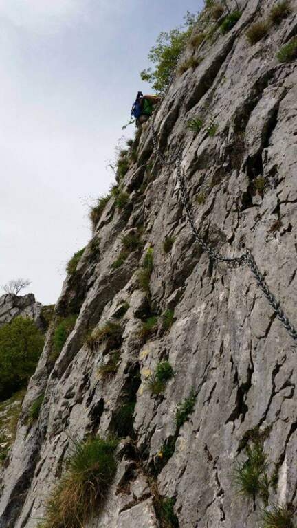
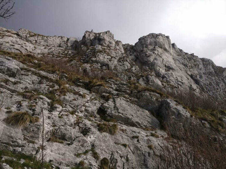
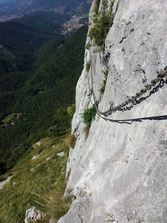
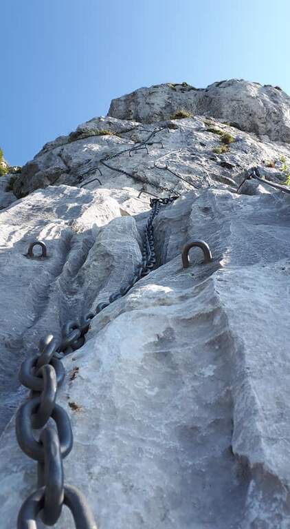
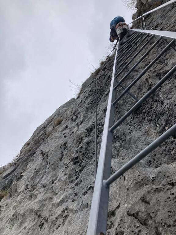
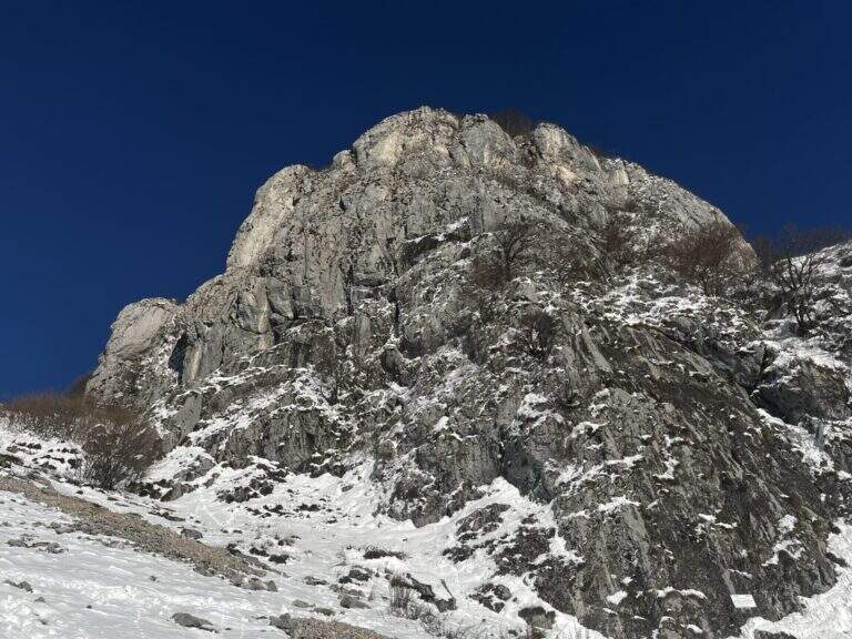
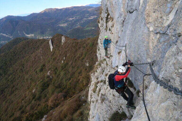
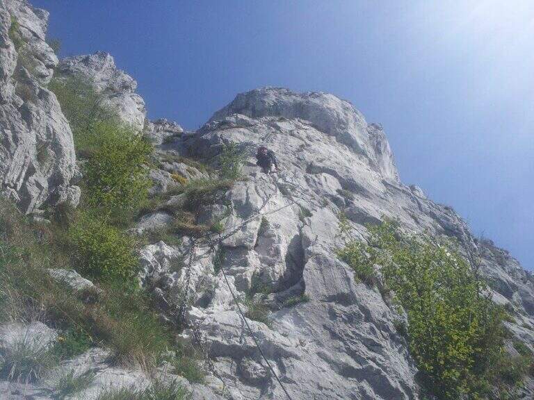
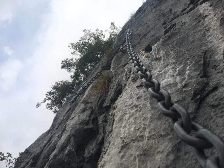
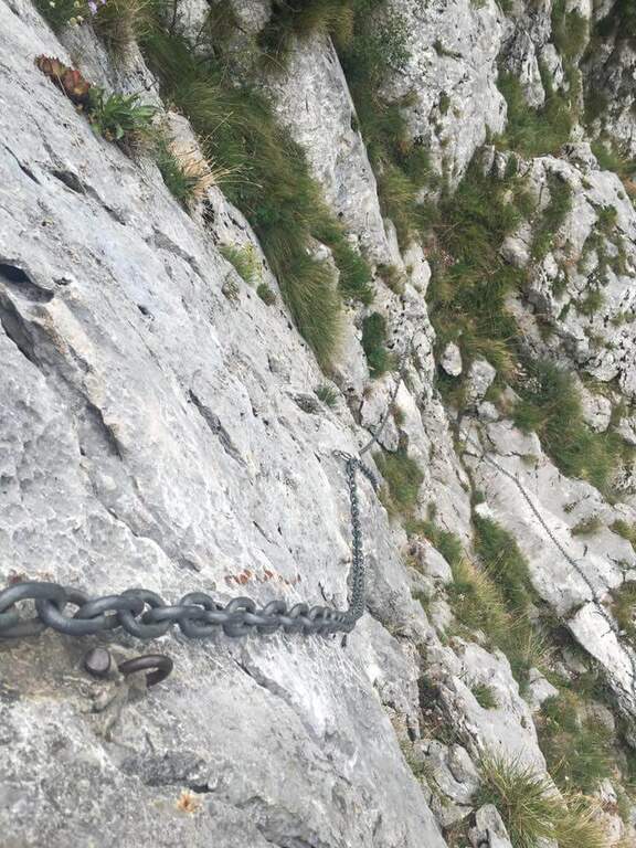
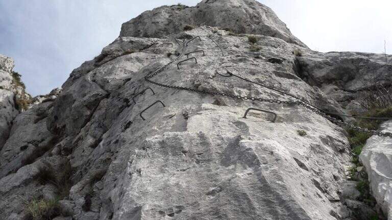
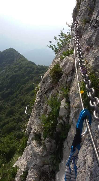
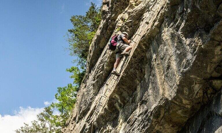
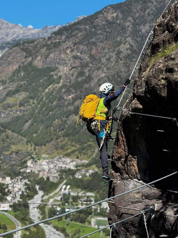
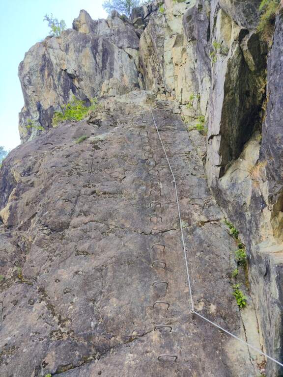
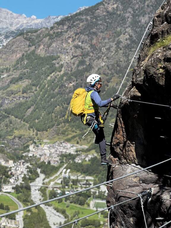
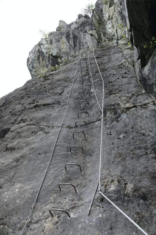
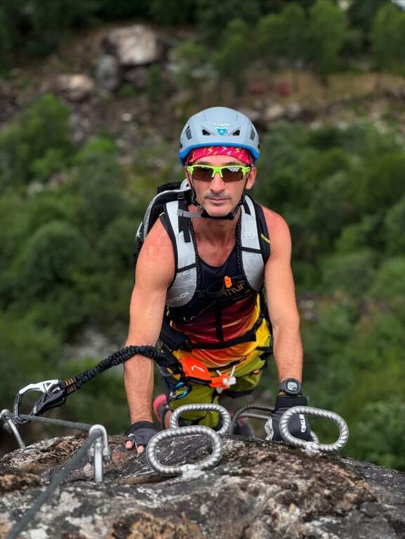
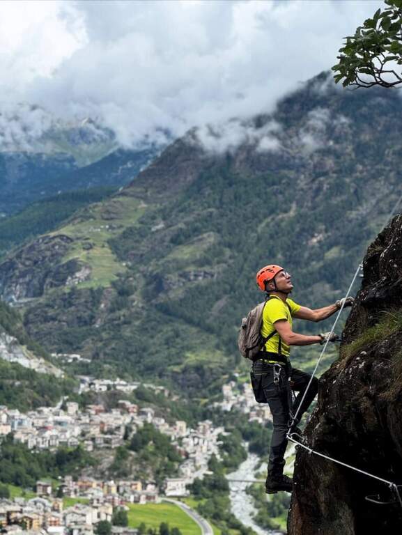
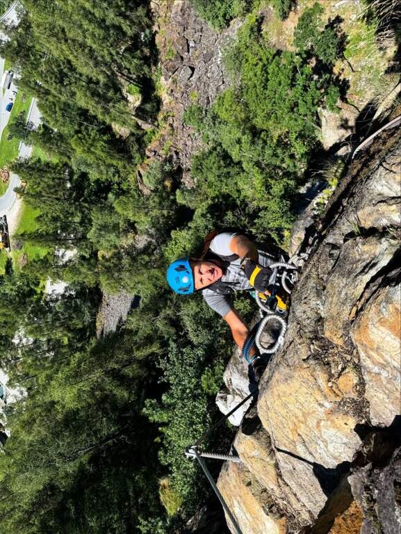
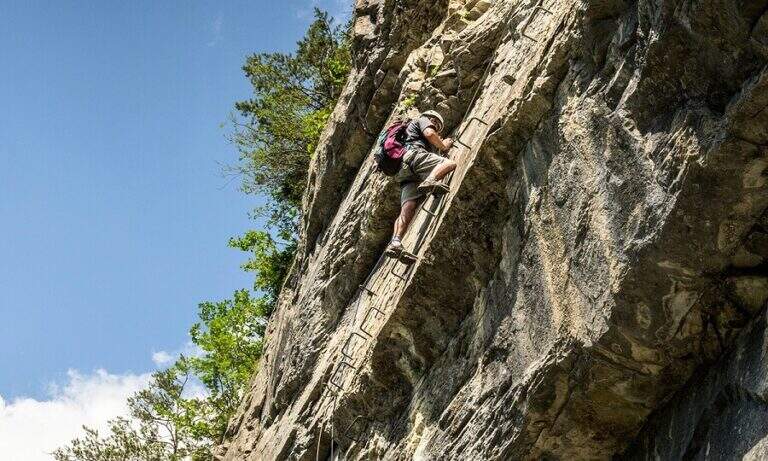
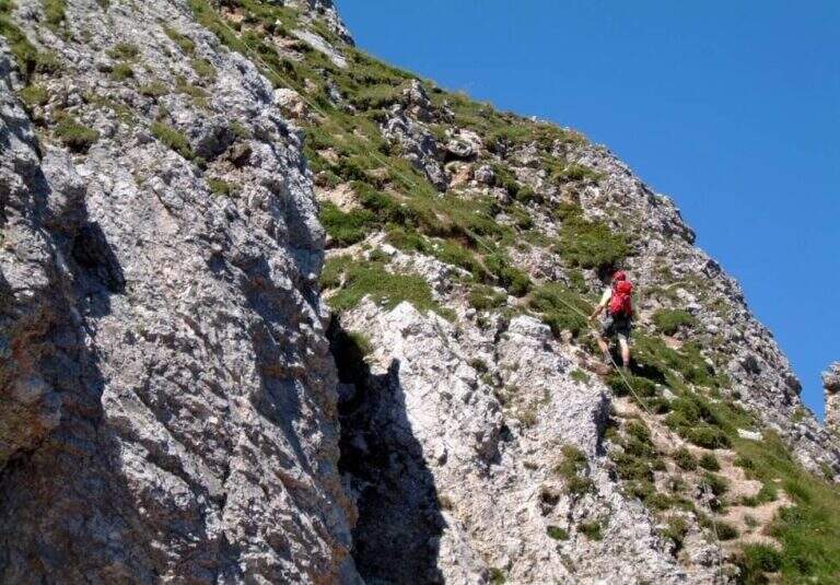
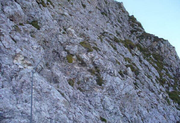
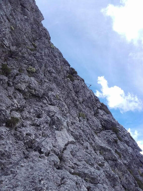
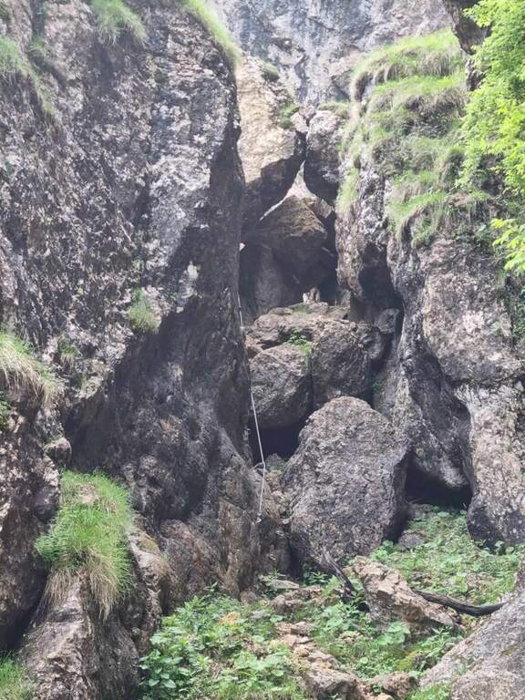
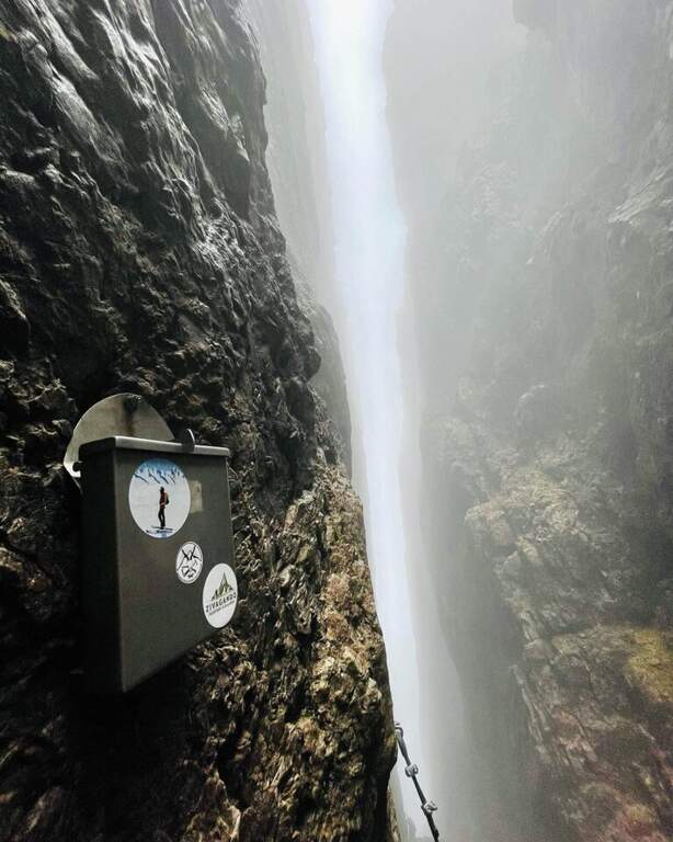
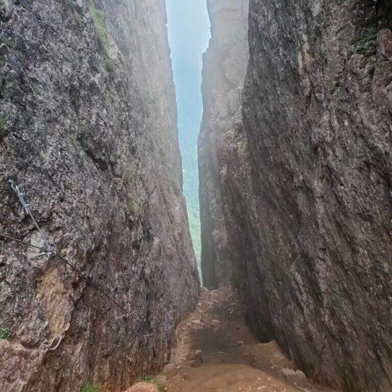
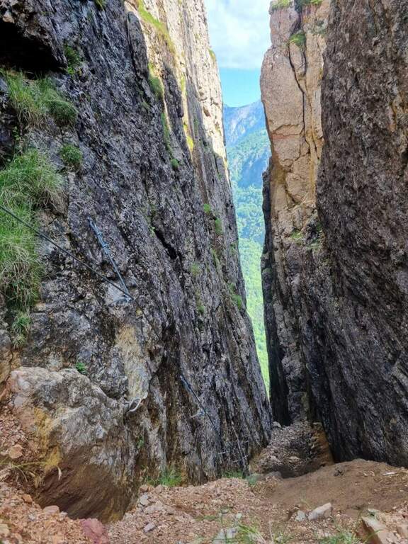
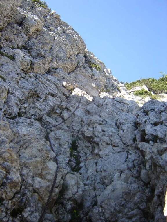
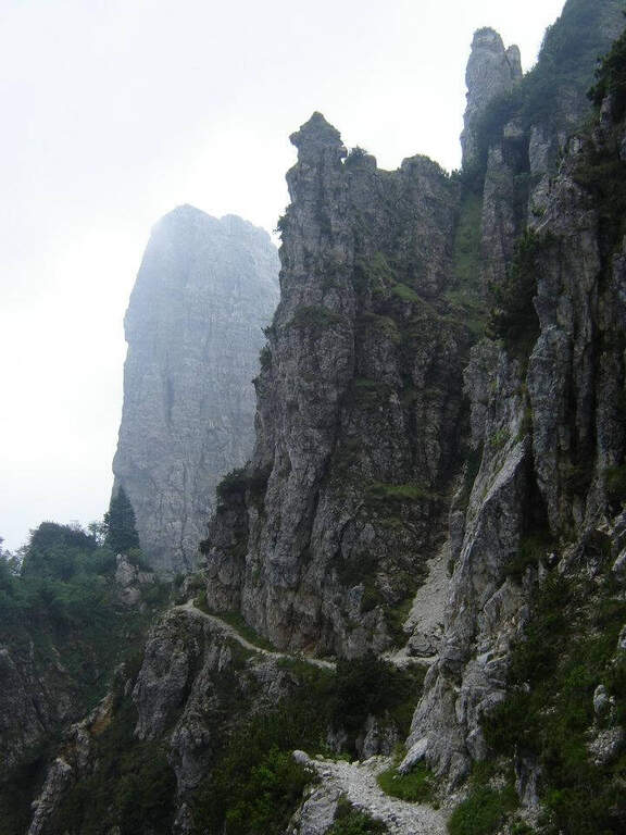
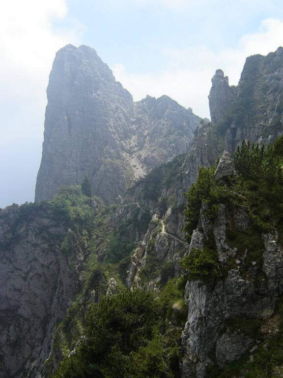
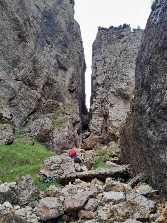
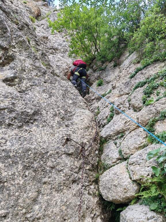
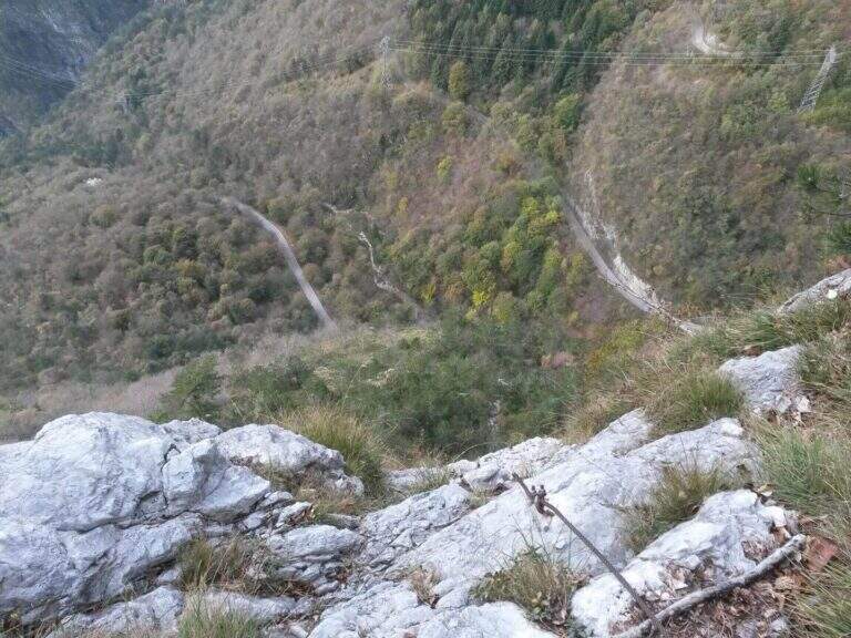
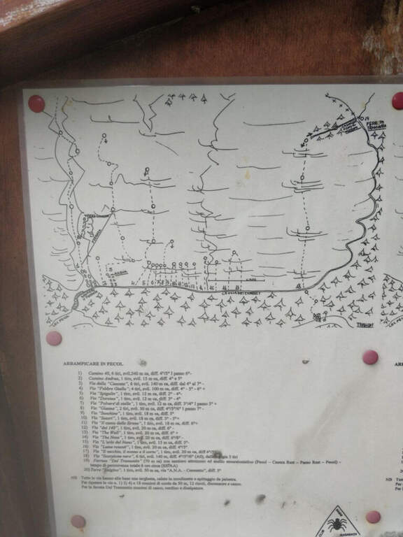
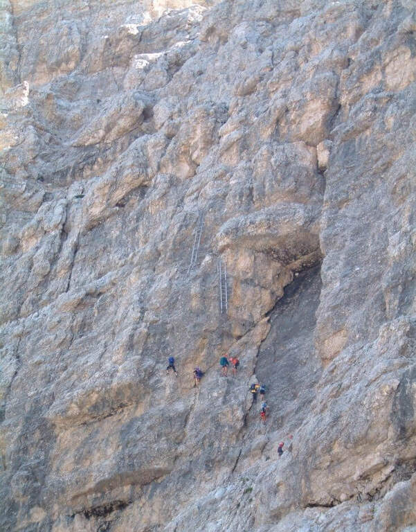
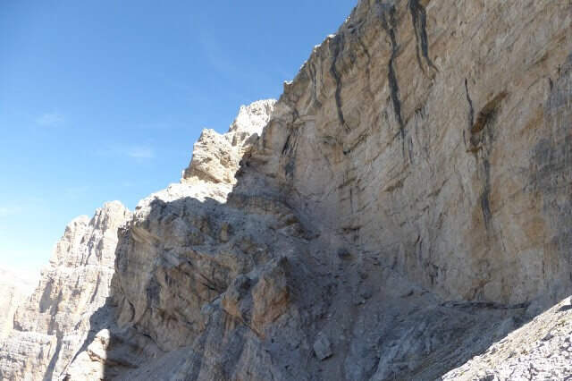
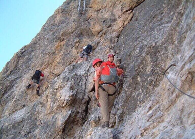
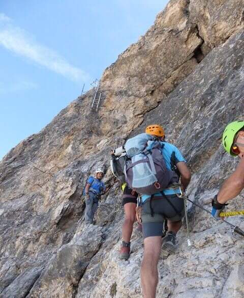
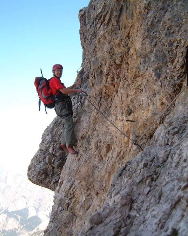
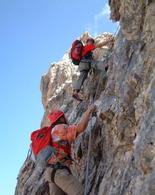
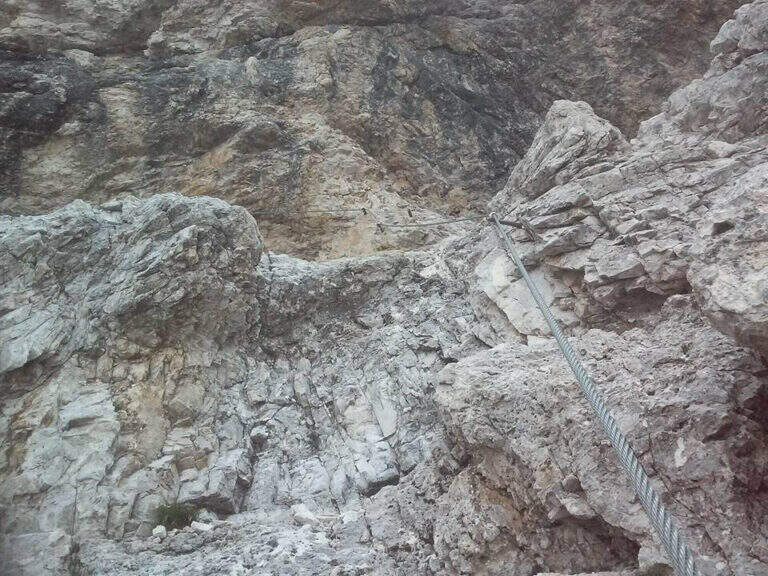
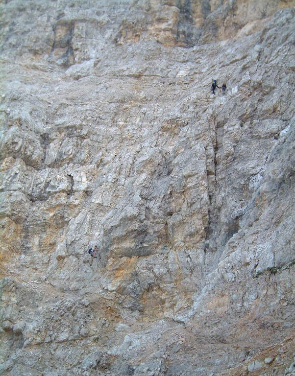
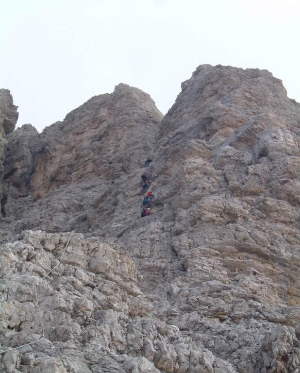
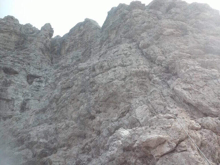
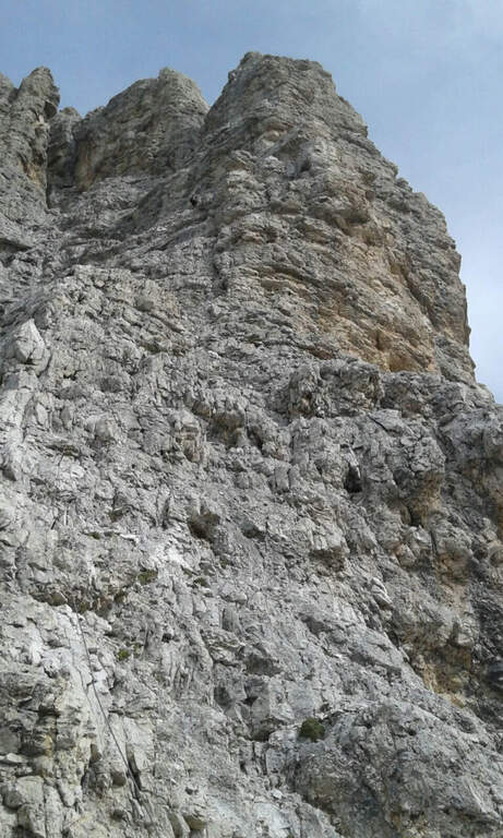
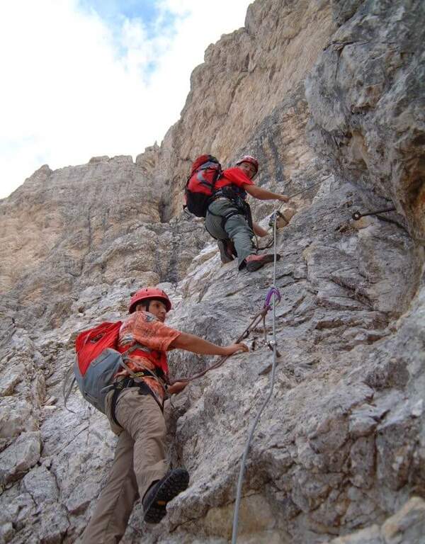
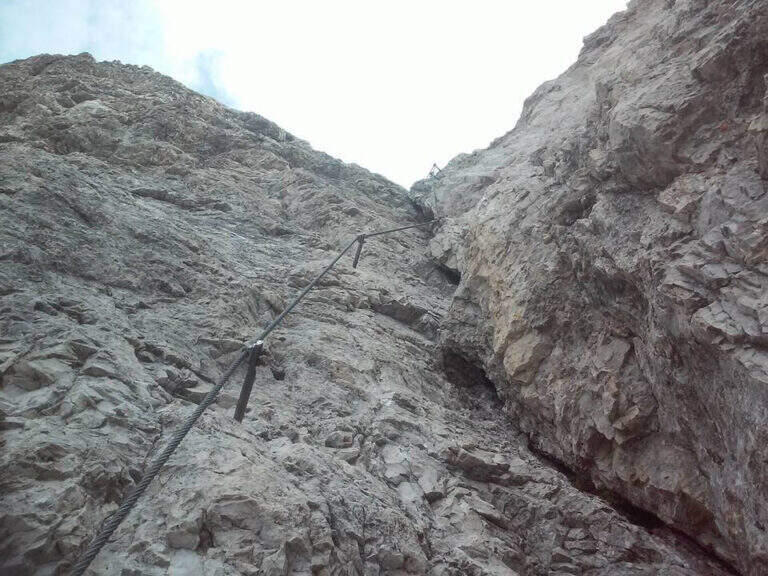
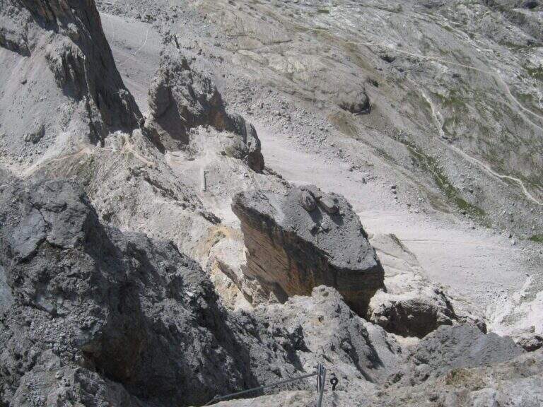
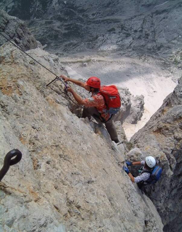
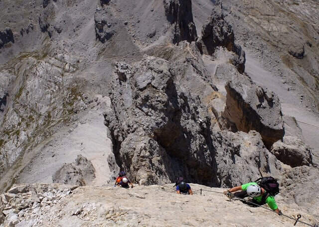
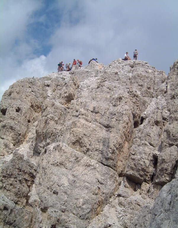
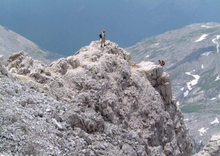
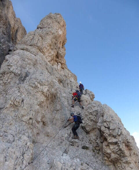
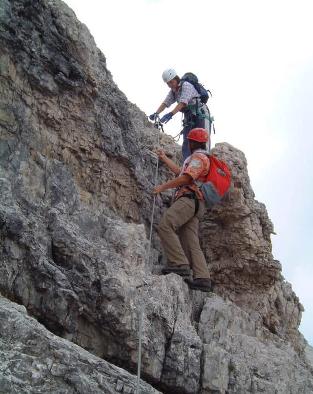
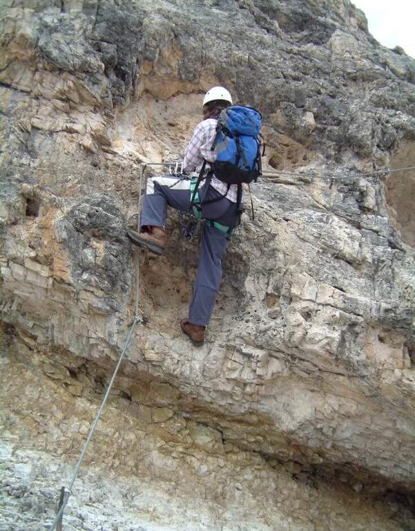
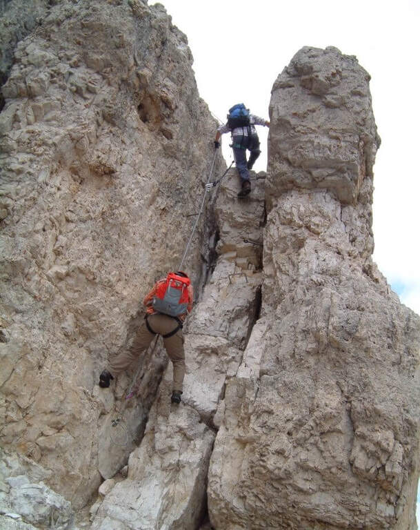
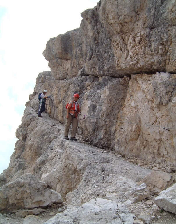
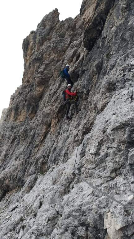
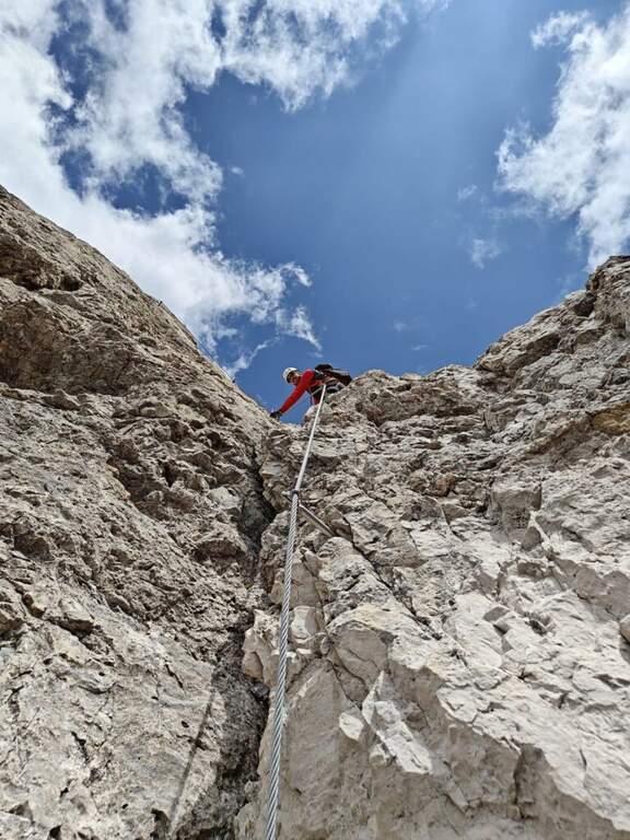
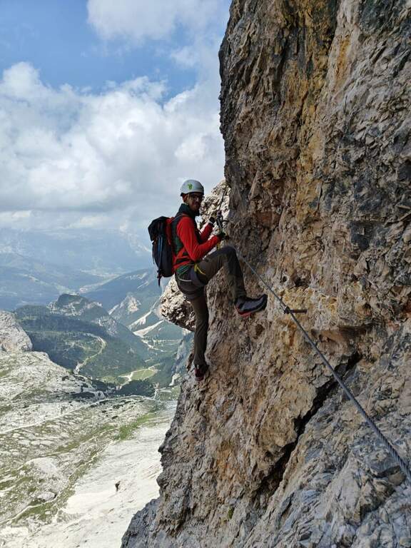
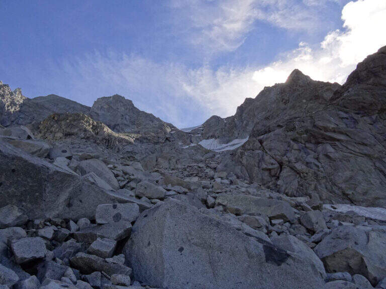
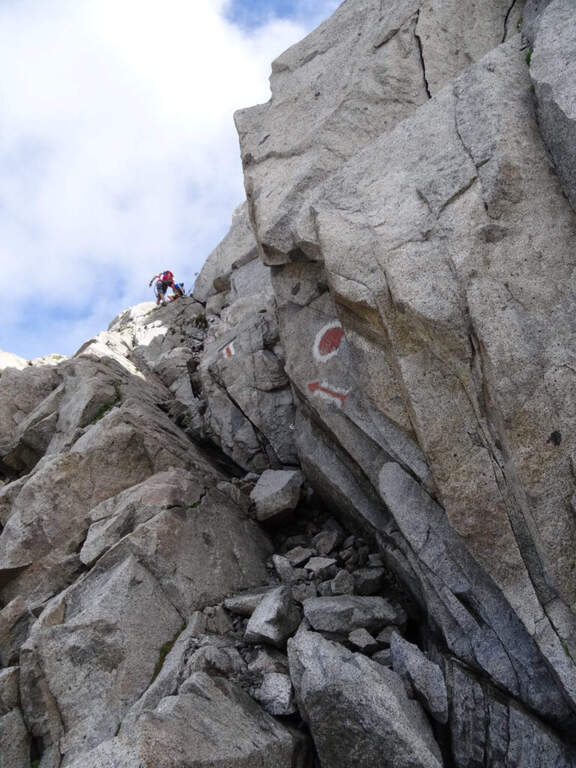
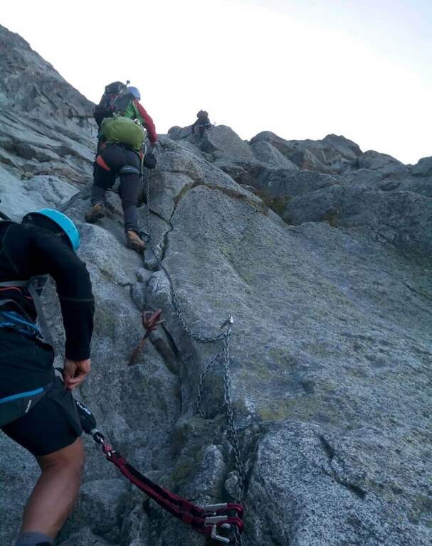
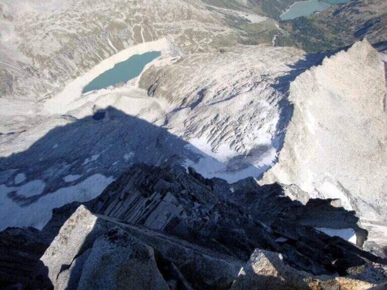
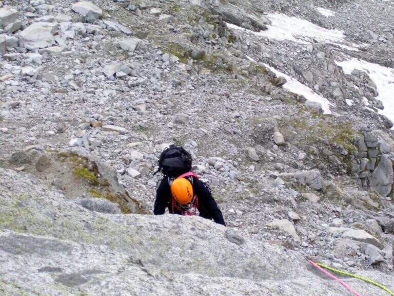
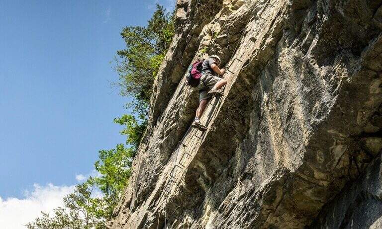
    La Ferrata del Twenty-fivennale at the Western Horn of Canzo, in the comasco, is a challenging route with rather long approach. It develops on a wall that makes little use of brackets: in order not to strain unnecessarily the arms on the chain it is advisable to climb, exploiting the excellent natural hooks.

    ▲Approach

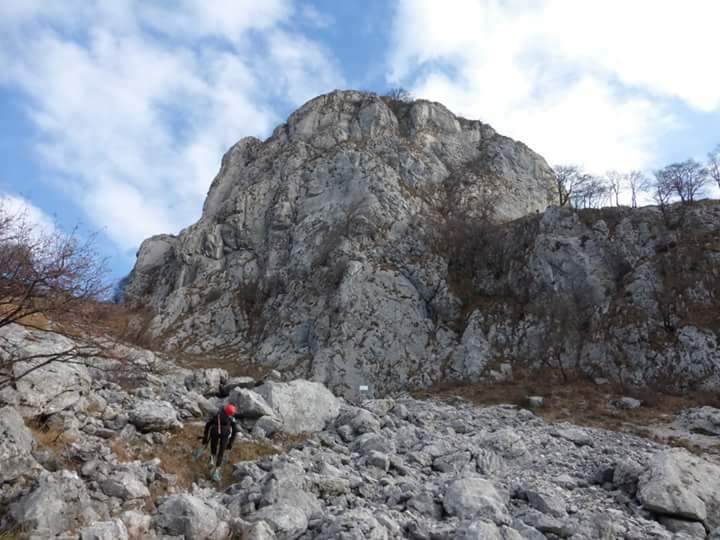
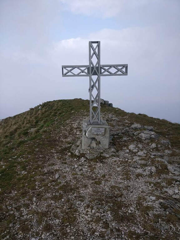
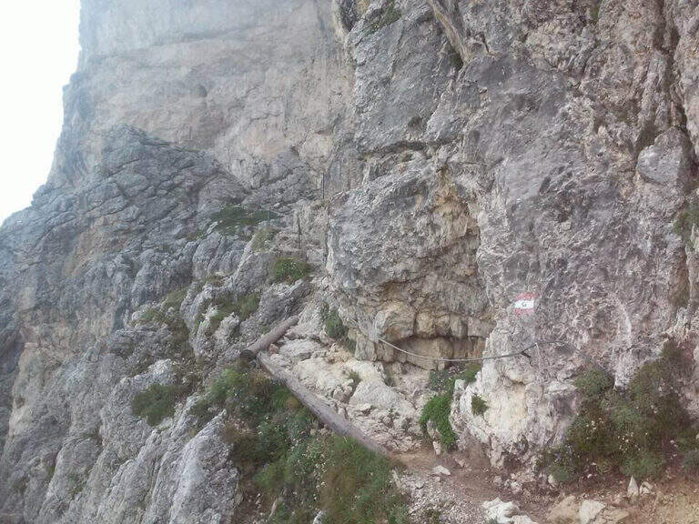
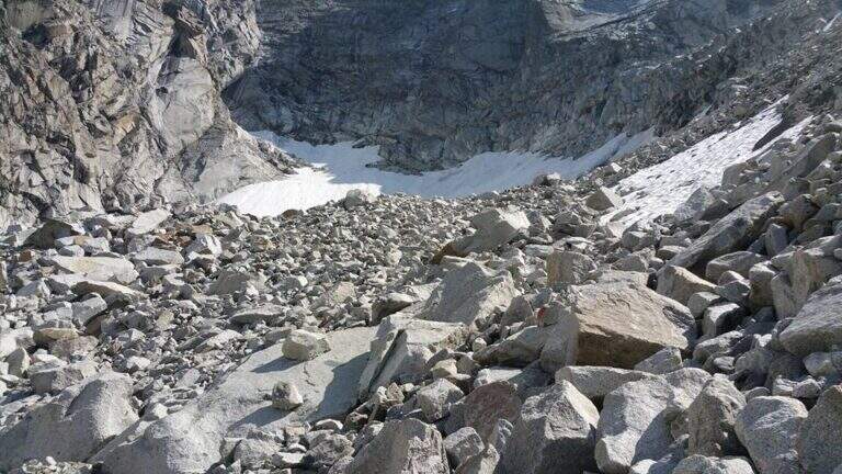
    It starts from the Sorgenti of Gajum, in Canzo (Como), where at the end of via Gajum c'è a deck to park. Open road signs on Google Maps. Da Gajum si raggiunge il Rifugio Terz'Alpe (sentiero lungo il torrente Ravella oppure per Prim'Alpe e Second'Alpe); dal rifugio si sale ripidi a nord verso la Colma di Pianezzo e, poco prima della croce, si segue a destra una traccia che per un ghiaione porta all'attacco (1h 45' da Gajum).

    ▲The path

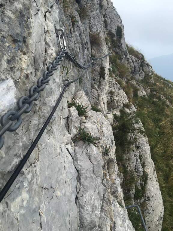
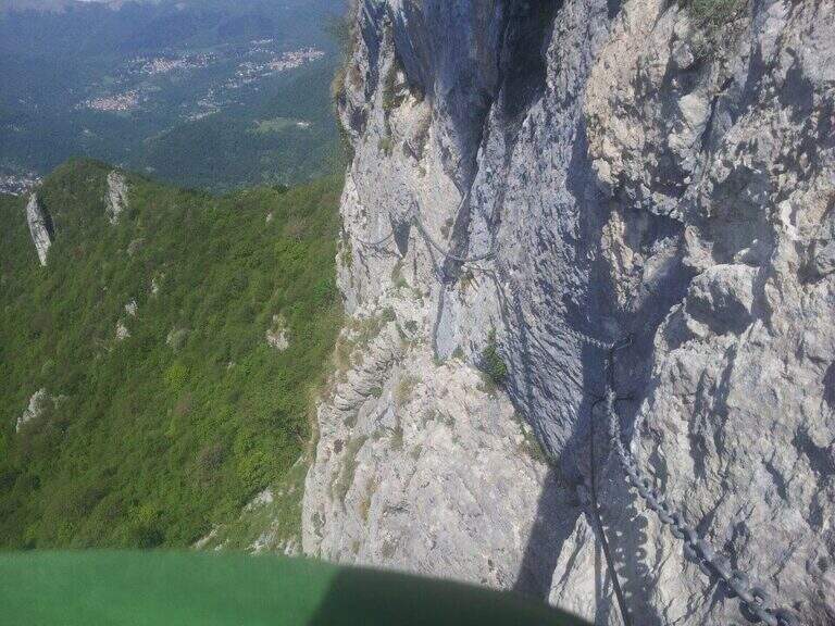
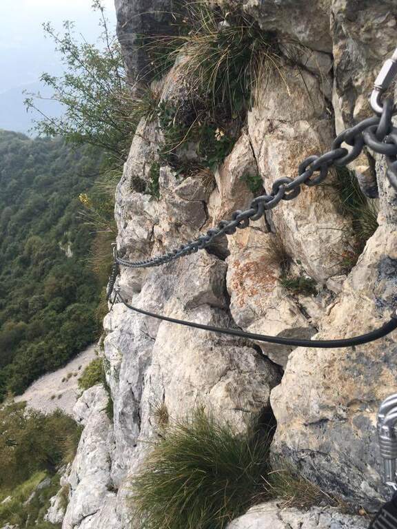
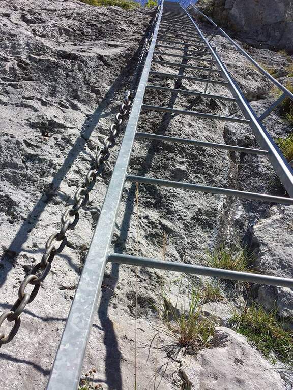
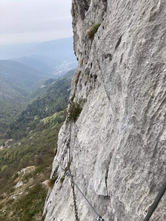
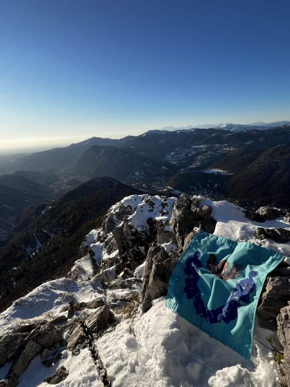
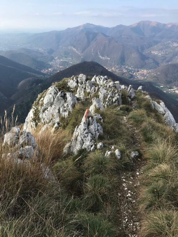
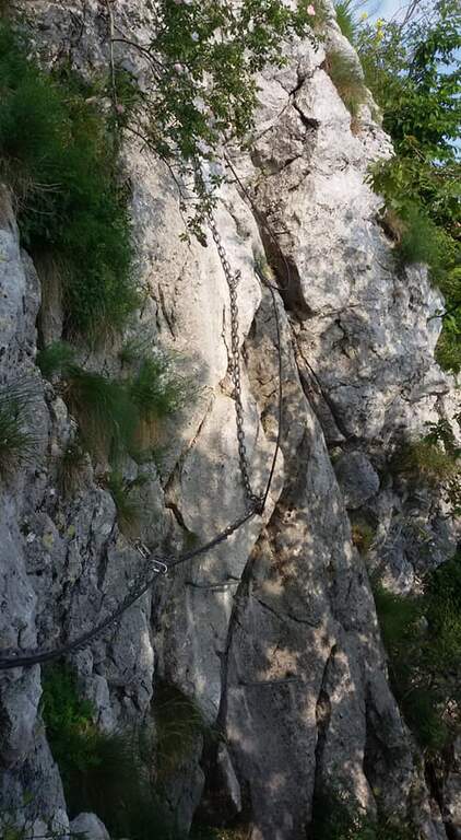
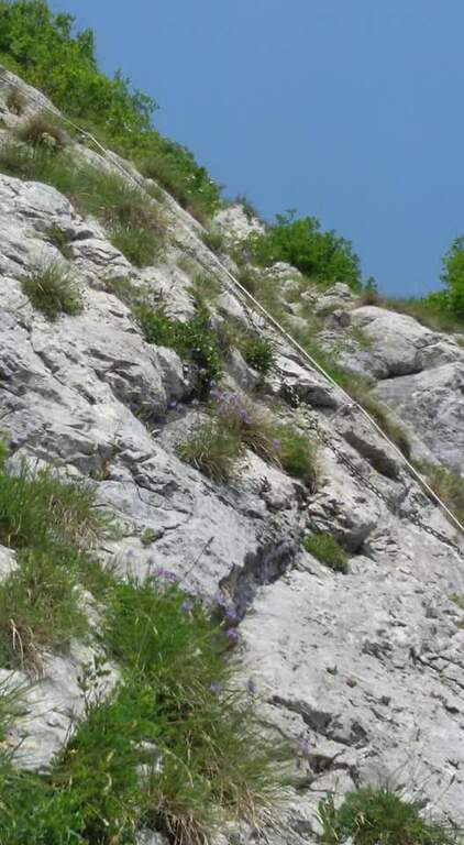
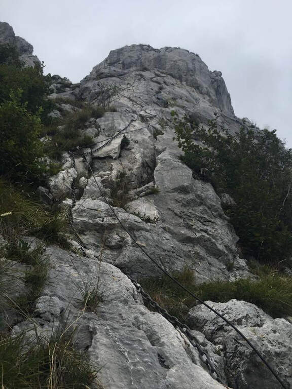
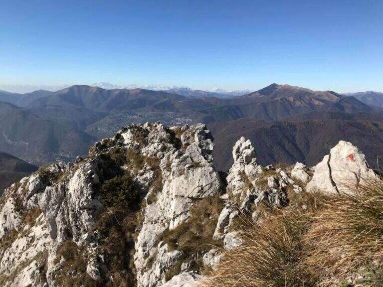
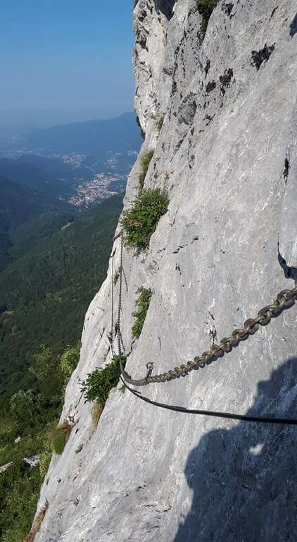
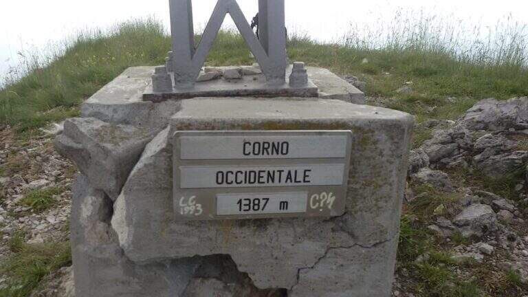
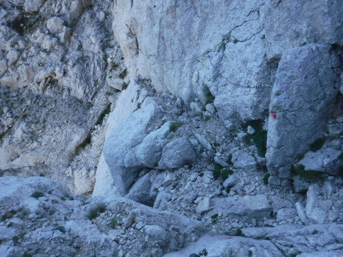
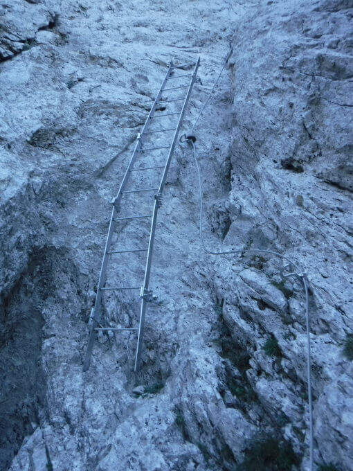
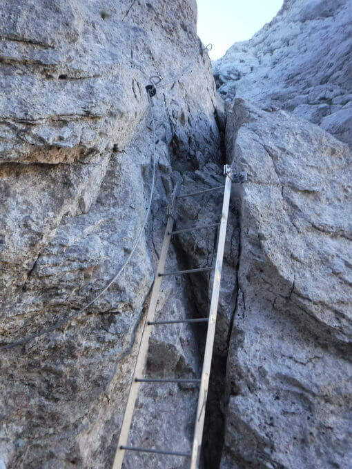
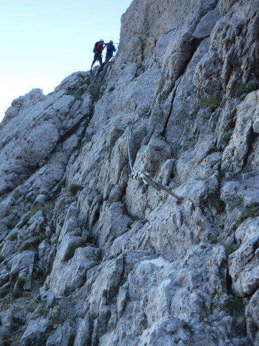
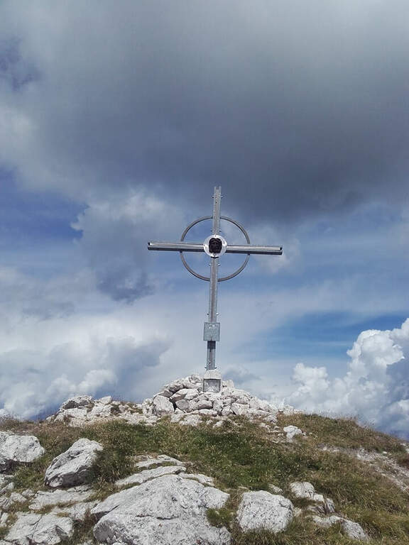
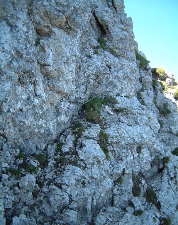
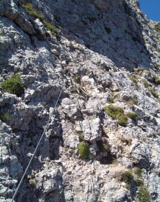
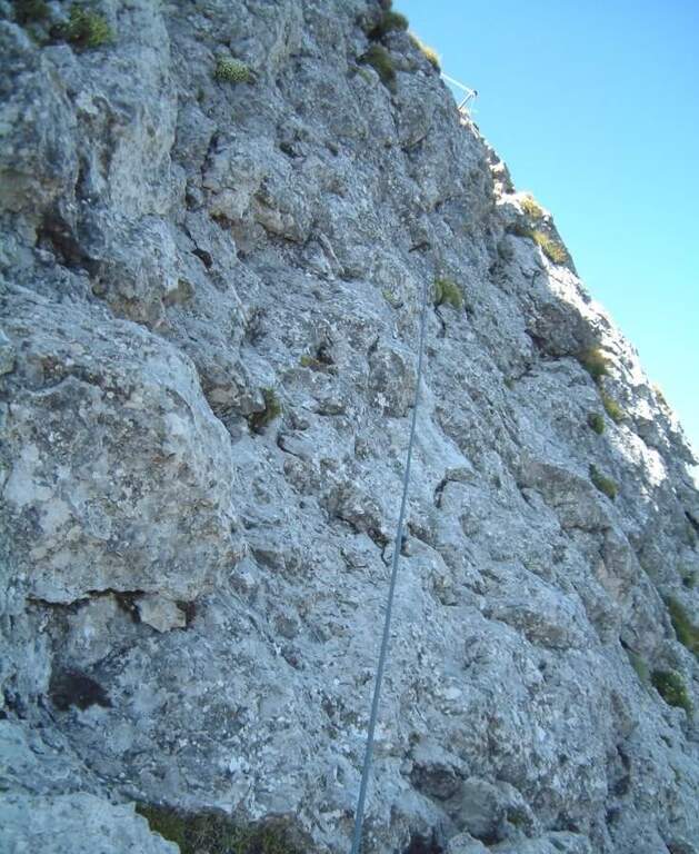
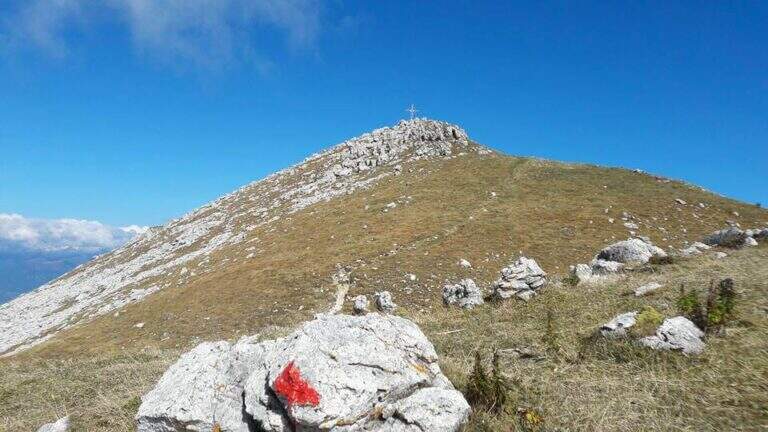
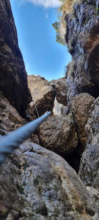
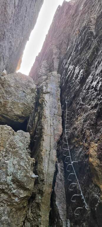
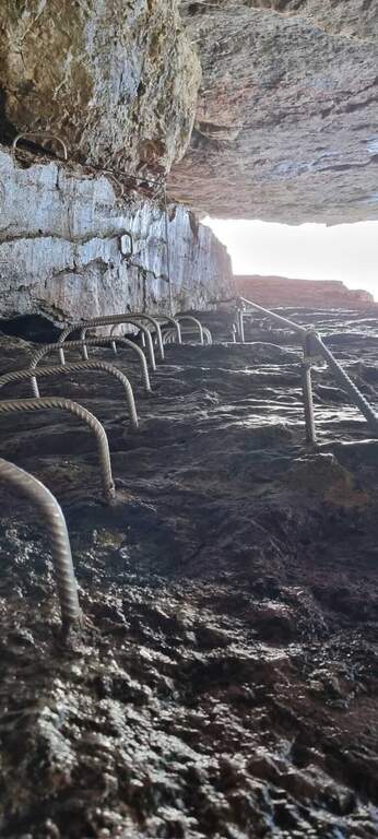
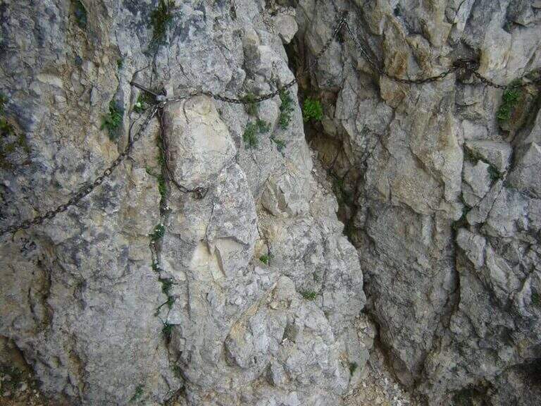
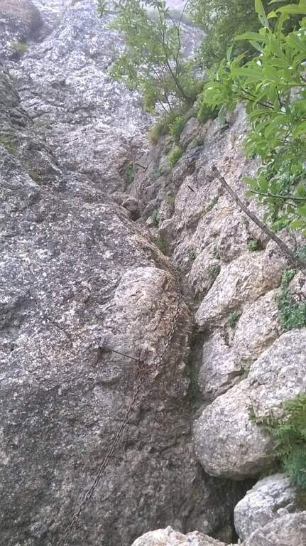
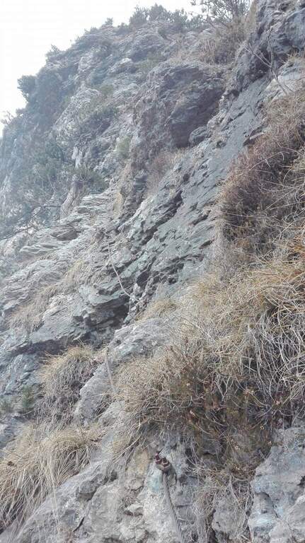
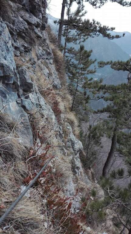
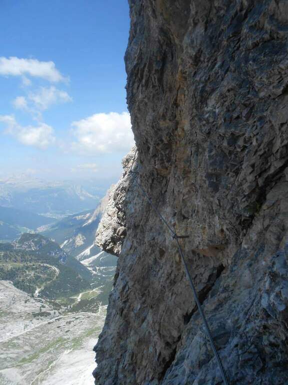
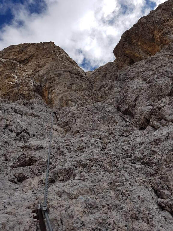
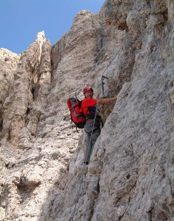
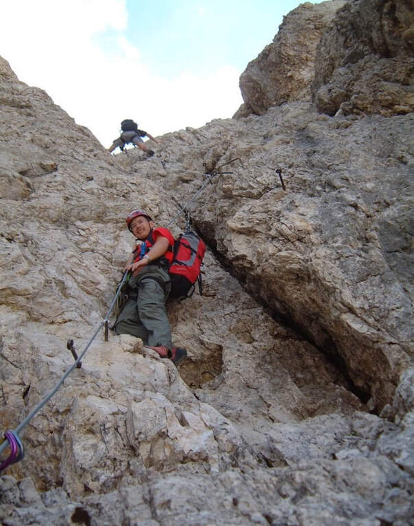
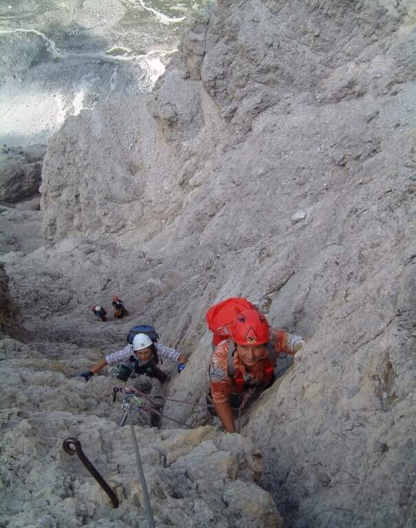
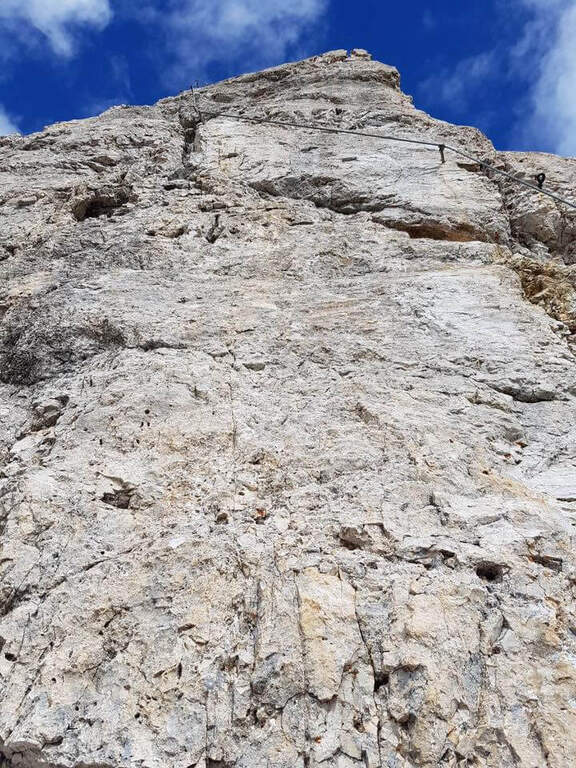
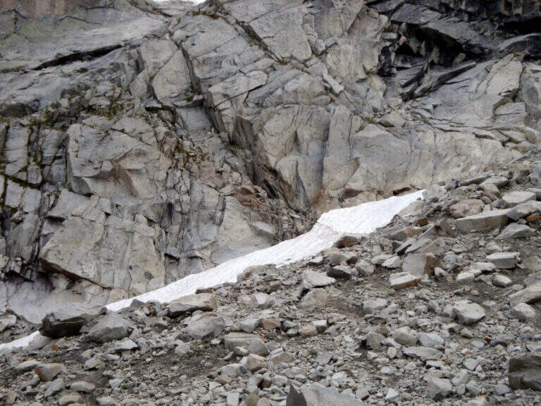
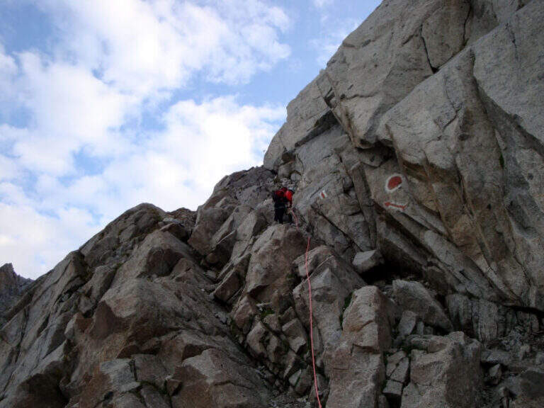
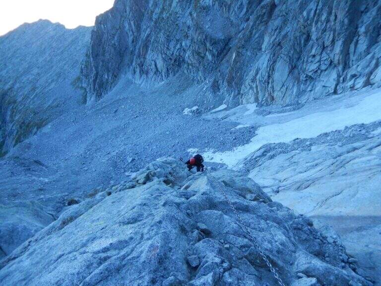
    It sticks on a short plate leaning on the right, then on the left diagonally on a well-dressed wall up to a long smooth plate, originally without brackets and today with some artificial hooks: it should climb. Turn right into a narrow canal with two brackets, walk around a tree and face a long traverse to the right with good supports but not always easy hooks (use the chain to balance, without induging in the stretches in light overhangs). There is a non-banal dihedron, some small rocks, a vertical wall of medium difficult to use; and a wire scale of about 20 meters; after a belly and small rocks you can reach a well-equipped path and l' last pillar, which requires good technique on smooth plaques (some staff present). After the walls, follow the red boils to the right, descend the saddle and go up to the summit of the Corno Occidentale (1h 30' from the attack, 3h total).

    ▲Character and difficulty

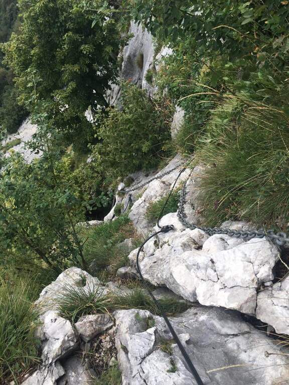
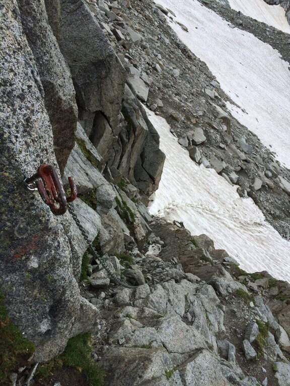
    Not long but with numerous technical steps, not recommended for beginners. The rope è often flanked or replaced by a catena coarse which sometimes prevents the carabiner to flow. Lifting height 250 m, total 900 m, maximum altitude 1373 m, development 11 km.

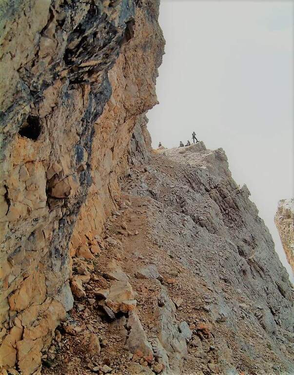
    ⚠ Beware of the Passo della Vacca, to be faced at least once at the end of the summit: passage not difficult but exposed, not to be underestimated just when you relax after the effort.
    ▲Discipline

    Two options. For a ripido Canalno (passages of I degree, slippery if wet) follow the red boils north to the fork of the Two Horns, then to the Rifugio Pianezzo and Gajum (1h 45' from the term, 4h 45' totali). Alternatively, go back to the path from the saddle to the ridge to a less steep canal, descending at the cross of the' approach and then to the Rifugio Pianezzo and Gajum (2h from the term, 5h total).

    ▲To match

    The most trained hikers can combine it in a long ring with Ferrata at Corno Rat, from Valmadrera.
    ▲Gallery
    Technical data
    • DifficultyHard
    • RegionLombardy
    • GroupLarian Triangle
    • Approach1:45 h
    • Ferrata1:30 h
    • Itinerary (a/r)4:45 h
    • Hardware level difference250 m
    • Route difference900 m
    • Max1373 m
    • Length11 Km
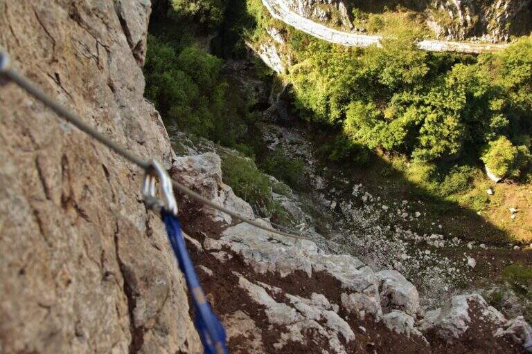
  • Ferrata Ventricini at Corno Piccolo

    Ferrata Ventricini at Corno Piccolo

    Vie Ferrate › Abruzzo › Teramo
    Ferrata Ventricini at Corno Piccolo
    Moderately Hard● OpenDescriptionComplexityMapsGallery

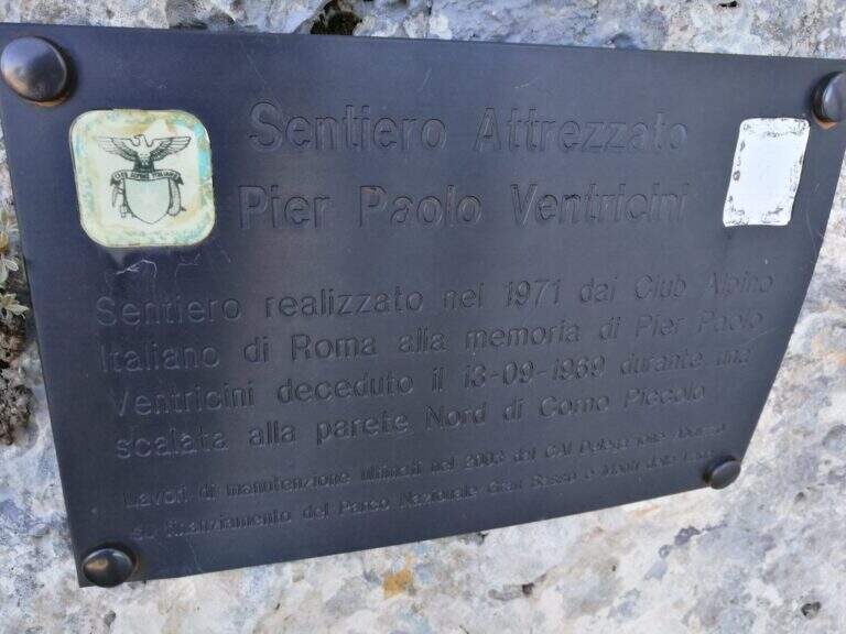
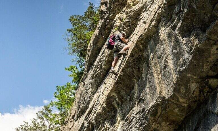
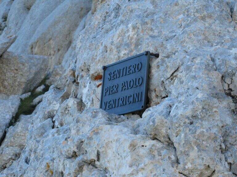
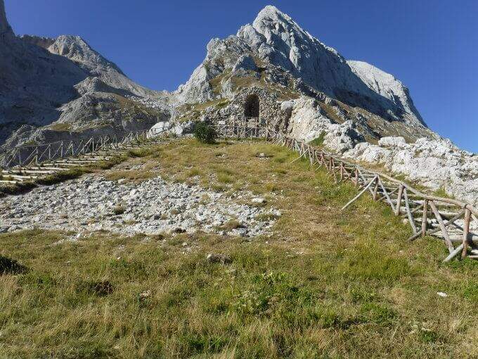
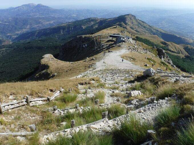
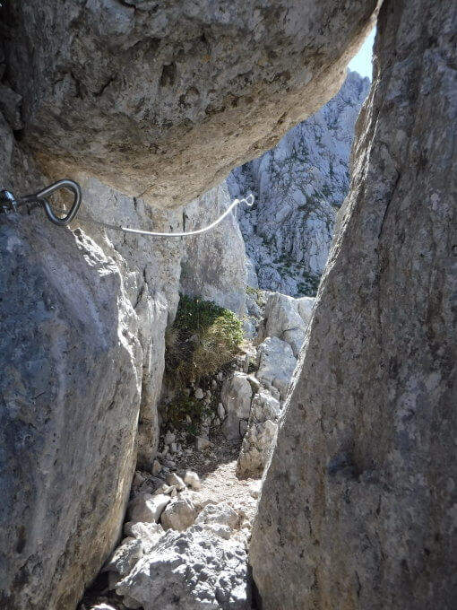
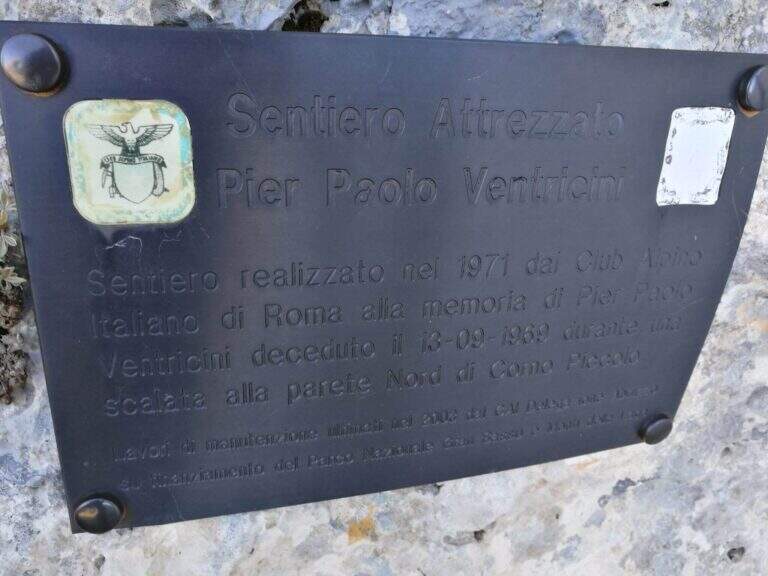
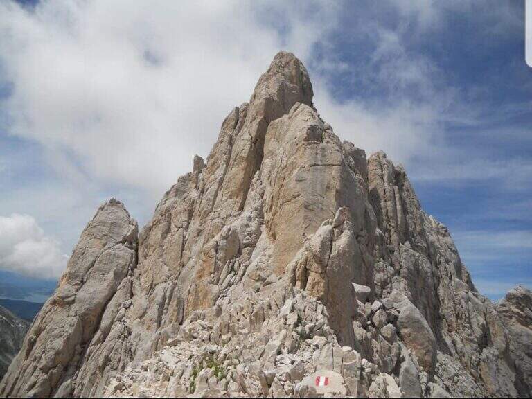
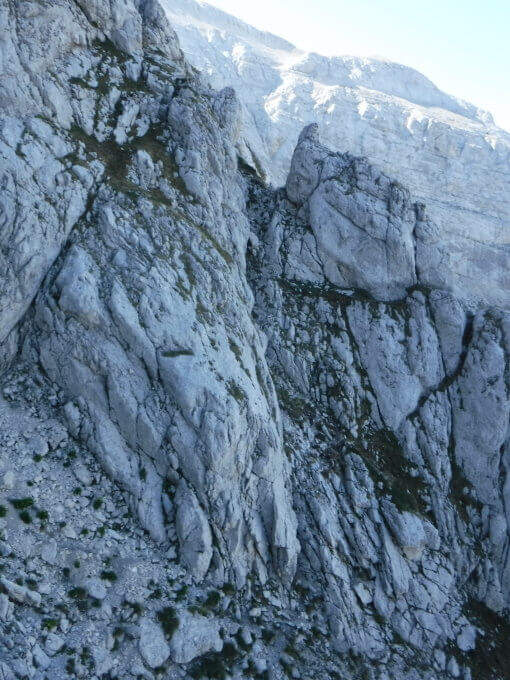
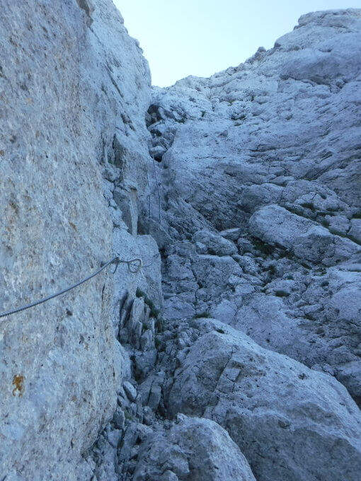
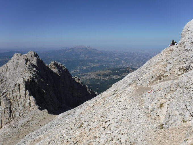
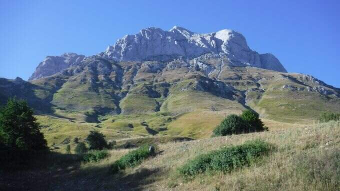
    Il Sentiero Ventricini, newly equipped with new ropes and stairs, bypasses the west wall of the Corno Piccolo in the Gran Sasso. È an interesting and never difficult itinerary, largely assimilated to a challenging equipped path: also suitable for those who have not yet gained experience on complex ferrate routes.

    ▲Approach

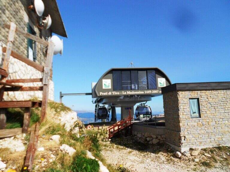
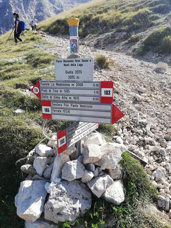
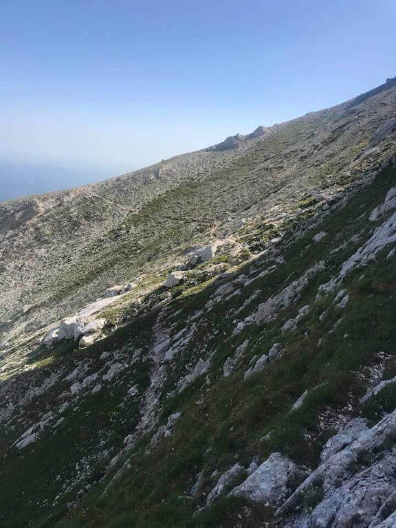
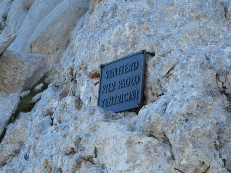
    You can reach Prati di Tivo (Teramo), on the slopes of the Gran Sasso (exit A24 S. Gabriele – Colledara, then SS del Gran Sasso). Open road signs on Google Maps. Dalla stazione a monte dell'ovovia (località la Madonnina) si segue il sentiero 103 verso il Rifugio Franchetti; dopo circa 10' si tiene il bivio a destra e, a mezzacosta sul fianco nord del Corno Piccolo, si raggiunge la targa d'inizio della ferrata (45' dall'ovovia).

    ▲The path

    The initial part è in discesa for a few meters along the white-red bubbles, up to a equipped stretch that goes up vertical with cable and never difficult stairs. You reach the west wall of the Corno Piccolo and continue between climbs, blinds and easy passages sometimes not protected, up to a passage framed between two massive where, impossible to pass with the backpack on the shoulder, it is best to hang it all' Imbrago with a postponement or a fettuccia. Shortly after the ferrata ends (1h 20' from' attack, 2h 15' totali).

    ▲Character and difficulty

    Technically easy way, great to take confidence with the environment of the Gran Sasso and to build ring routes. Level difference in ferrata 250 m, total 550 m, maximum altitude 2575 m, development 7 km.

    ⚠ Access depends on the opening of the Prati di Tivo ovovia: check the times and any closures of the plant before leaving, as an alternative, evaluating the ascent on foot from the Cima Alta refuge.
    ▲Discipline

    Dal termine si può salire a sinistra la via normale al Corno Piccolo (passaggi di I grado, 1h) e poi rientrare a ritroso lungo il Ventricini fino all'ovovia (5h 30' totali); oppure proseguire fino alla Sella dei Due Corni e scendere al Rifugio Franchetti, da cui per la Ventricini si torna all'ovovia (1h 30' dal termine, 4h 45' totali).

    ▲Gallery
    Technical data
    • DifficultyModerately Hard
    • RegionAbruzzo
    • GroupGran Sasso
    • Approach0:45 h
    • Ferrata1:20 h
    • Itinerary (a/r)5:30 h
    • Hardware level difference250 m
    • Route difference550 m
    • Max2575 m
    • Length7 Km
  • Ferrata di Volturara Irpina (Maroia)

    Ferrata di Volturara Irpina (Maroia)

    Vie Ferrate Campania › Avellino
    Ferrata di Volturara Irpina (Maroia)
    Moderately Hard● OpenDescriptionComplexityMapsGallery

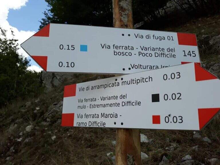
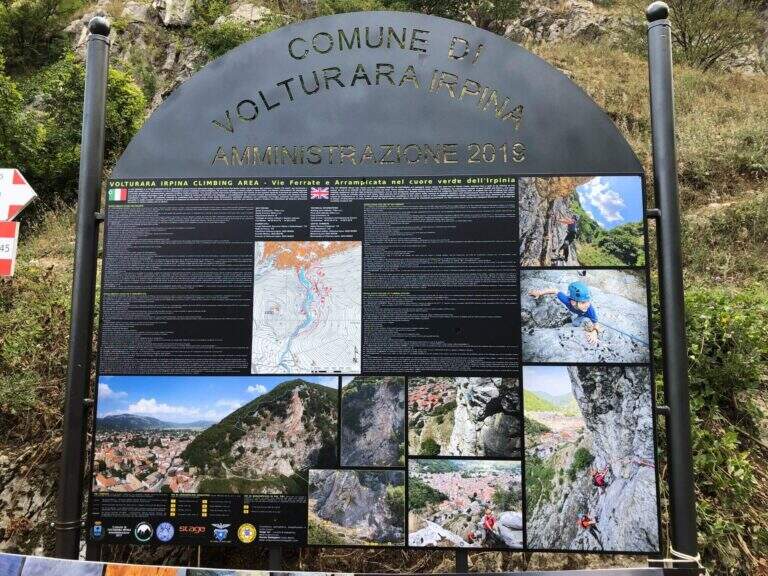
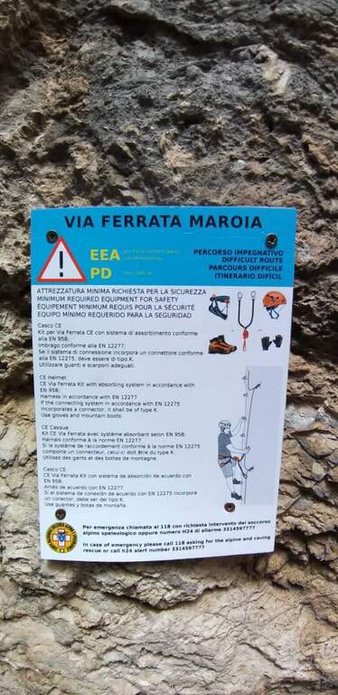
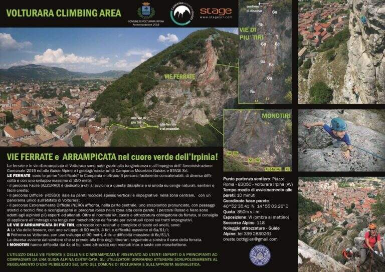
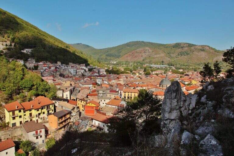
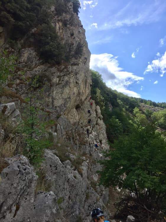
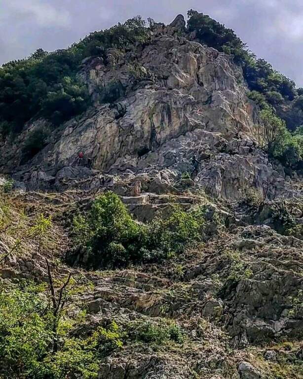
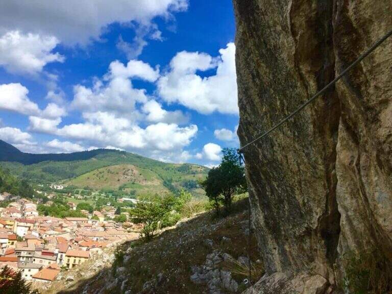
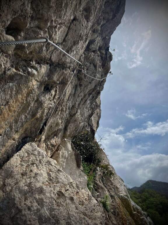
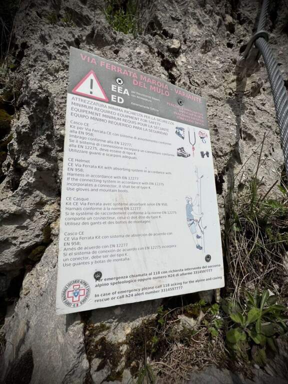
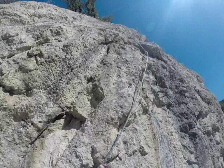
    La Ferrata di Volturara Irpina (or Ferrata di Maroia) è the first via ferrata certified in Campania, installed in 2019 on the west wall of Monte Costa. It offers tre routes difficultà growing – an easy base track, a moderately difficult variant and an extremely difficult variant with strapiombi – in a beautiful and out of the usual destinations.

    ▲Approach

    It starts from the center of Volturara Irpina (Avellino), with the wall clearly visible to the southeast. Open road signs on Google Maps. From' crossroads between Via Sibilla, Via Candragone and Via Pasquale de Feo a road to the wall: follow the signs, ignoring on the left the multipitch routes, and in a few meters you reach l' hardware attack (10' from center).

    ▲The path

    The route has a first common obligated trait, then it is divided into three tracks with an escape route after the first stretch. The blue path (easy) climbs a ramp to the right and a stranded edge in climbing, then descends a couple of meters to the left on an exposed and panoramic traverse; it continues left on path in the forest (here the escape route) and ends with blinds and easy leaps on the summit cres. The Red Path (the real Ferrata Maroia, moderately difficult) keeps the right on a ' wide nod, exceeds a challenging diagonal traverse, a strapiombo with athletic pitch and beautiful exposure, until you reach the blue path. The Black Path (Mount, extremely difficult) & short but very athletic: after an easy start rooms challenging walls up to a netto vertical strapiombo devoid of hooks, to pass fast, before rejoining the red path.

    ▲Character and difficulty

    Recently with equipment in good condition and the possibility to choose the level suitable for your preparation. Level difference in ferrata 150 m, total 180 m, maximum altitude 800 m, development 4 km.

    ⚠ The red and especially black variants have athletic strapiombi: honestly evaluate their conditions before engaging them and taking advantage of the escape route after the first stretch if necessary.
    ▲Discipline

    From the word follow signs CAI 145 and 145a which in about 20' they report to the center of the village: on the left (north) you descend into the forest until the census of the ' attack, on the right (south) you reach the alleys of the country (2h totali).

    ▲Gallery
    Technical data
    • DifficultyModerately Hard
    • RegionCampania
    • GroupMonti Picentini
    • Approach0:10 h
    • Ferrata1:30 h
    • Itinerary (a/r)2:00 h
    • Hardware level difference150 m
    • Route difference180 m
    • Max800 m
    • Length4 Km
  • Ferrata Vigneron in Caspoggio

    Ferrata Vigneron in Caspoggio

    Vie Ferrate › Lombardy › Sondrio
    Ferrata Vigneron in Caspoggio
    Moderately Hard● OpenDescriptionComplexityMapsGallery

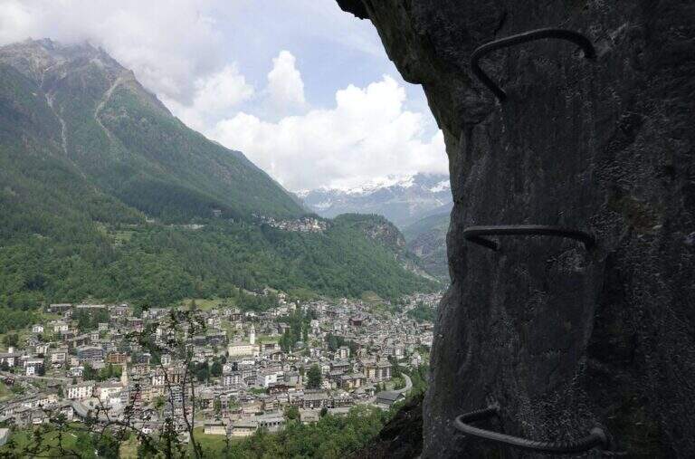
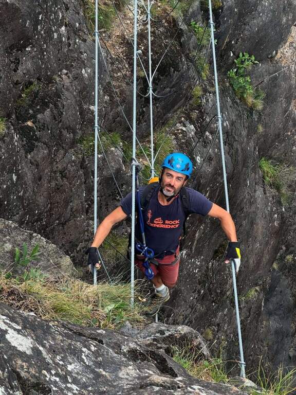
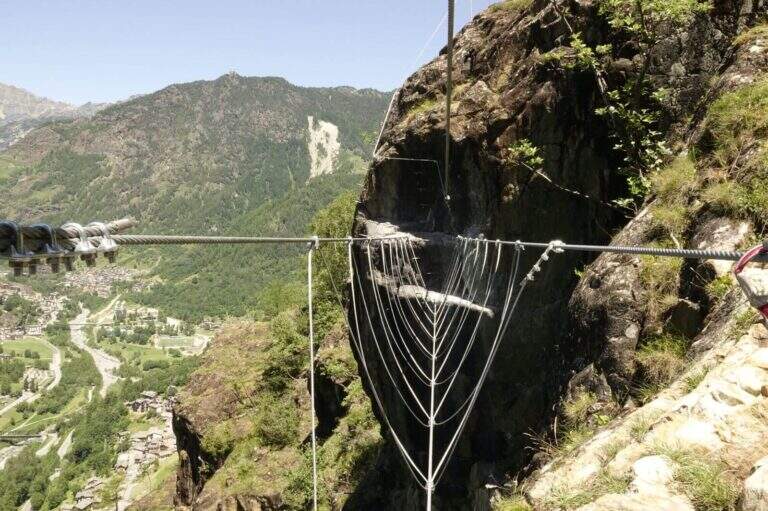
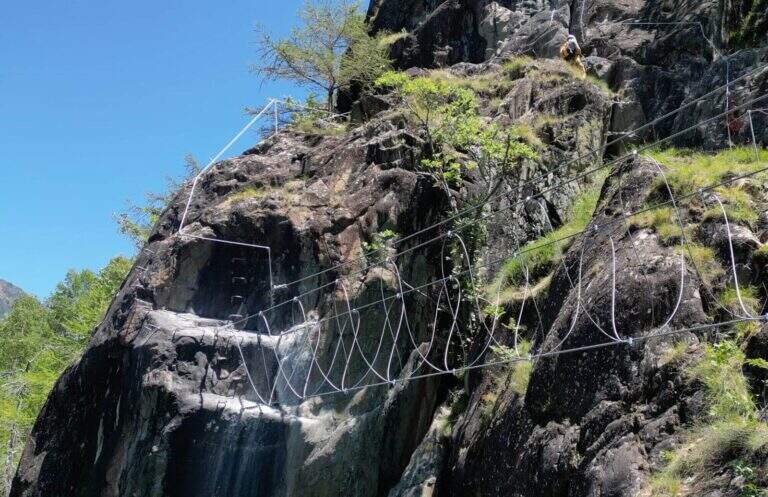
    La Ferrata Vigneron in Caspoggio (Valmalenco, Sondrio) è un via «alla Francese», athletic, vertical and exposed but without particular difficulties; techniques: it goes up long plates abundantly equipped with brackets and rope very tense, and gives a ponte tibetano and spectacular views of the valley.

    ▲Approach

    You leave at the resort "Castello" in Caspoggio (SO): you park near the roundabout on the provincial road of Valmalenco (or at the parking lot of the first bend for Caspoggio). Open road signs on Google Maps. You climb the town for about 150 m to the hairpin bend; over a large boulder a first sign indicates the path to the crag « The Castle » and a second l' attack of the ferrata, on the southern edge of the cliff ( approximately 10' from'auto).

    ▲The path

    It begins with a wall with almost vertical leaps that oblique to the left, then a wall leads to the large end of the first section. An easy crossing north leads to the second section, più long: vertical balzes and leans up to an almost vertical ramp, a short traverse and an air passage between edge and dihedron overlooking Primolo. After a resting edge you reach the più tract; vertical, the muro of Old England, overhanging for a few meters all' start (athletic and exposed pass) and then vertical. The oblique street on the left until the ponte tibetano (about 12 meters), which ends with a short vertical wall very airy and a panoramic edge on the Valmalenco Church; who wants to avoid the può bridge; bypass it on the right on the nod. It follows another long wall, at some point vertical and exposed, then the ferrata is lowered and by line of life on a well-equipped path you will arrive at the end (1h 45' from' attack, about 2h totali), overlooking the Pizzo Scalino and Caspoggio.

    ▲Character and difficulty

    Vertical and exposed with athletic difficulties but well equipped; the low altitude makes it possible almost all year round except the coldest winter months. Level difference in ferrata 210 m, total 260 m, maximum altitude 1215 m, development 3 km.

    ⚠ The road remains in shadow in the morning and takes little sun d' winter: attention to the possible ice on the path of return and prudence in the forest after the rains.
    ▲Discipline

    Dal boschetto sommitale, a sinistra (nord) un comodo sentiero porta in 10' alla frazione di Santa Elisabetta; prima delle prime villette si vira a sinistra (ovest) nel bosco verso Caspoggio, si raggiunge il centro sportivo Zenith e, per via Vanoni e via Burri, si segue verso la frazione Albertazzi fino alla strada dei parcheggi (45' dal termine, circa 3h totali).

    ▲To match

    In Valmalenco you can match the Ferrata al Torrione Porro above Clarification.

    ▲Gallery
    Technical data
    • DifficultyModerately Hard
    • RegionLombardy
    • GroupValmale
    • Approach0:10 h
    • Ferrata2:00 h
    • Itinerary (a/r)3:00 h
    • Hardware level difference210 m
    • Route difference260 m
    • Max1215 m
    • Length3 Km
  • Ferrata di Valdaora alla Cima di Colli Alti

    Ferrata di Valdaora alla Cima di Colli Alti

    Vie Ferrate › Trentino-Alto Adige › Bolzano
    Ferrata di Valdaora alla Cima di Colli Alti

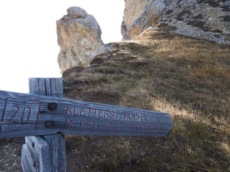
    La Ferrata di Valdaora (Olanger Klettersteig) at the Cima di Colli Alti is an easy route that offers an alternative to the normal route to climb this panoramic top above the Val di Braies. The route is long and with good difference in altitude but without any technical difficulties, suitable for all trained hikers.

    ▲Approach

    Starting from the parking lot north of the Lago of Braies, at l'Hotel Lago di Braies (1490 m); between Monguelfo and Villabassa turn south along the Braies Valley. Open road signs on Google Maps. È a long ring: from the lake you climb on the eastern side with the sentiero 20 at constant slope; after about one' hour, at a crossroad, you hold the 20 (indications « Pra Medals of Vacche») while the sentiero 61 on the left & the normal way back. Continue più steep up to a panoramic fork on the Val Pusteria (2140 m) with directions to the ferrata; exit from the forest, after a climb a po' exposed on a grassy path then rocky, you reach the first ropes (2h 30' from the start).

    ▲The path

    The ferrata è technically easy and takes place on small rocks, stretches of equipped path and a couple of vertical jumps followed by easy walks. Developing on the cross north, the può soil; be wet or snowy and the equipment helps in the più traits; exposed. It rises between sphas and grass, then più steep on rocks towards the north wall of Kaserkopf; a pair of diagonal strokes and a single well-dressed vertical tract precede the key pass, a right traverse that bypasses an exposed edge, well-dressed and short. Equipment ends just before the summit of the Kaserkopf (2414 m, 30' from the attack, 3h total); on a half-coast path on the south side you will reach the cross of the Cima of Colli Alti (2542 m, 3h 30' total).

    ▲Character and difficulty

    Easy way, ideal for those who want a more varied alternative to the normal way; the commitment lies above all in the length and the difference in altitude. Level difference in ferrata 140 m, total over 1000 m, maximum altitude 2542 m, development 9.1 km.

    ⚠ Developing on the north side, at the beginning of the season the route can be wet or snowy: useful attention and an assessment of the conditions.
    ▲Discipline

    We go down normal way: from the southern meadows of the Cima di Colli Alti follow the red signs with the indications of the path 61A and then 61, up to the junction of ' gone and then back to Lake Braies (2h 30' from the summit, 6h totali).

    ▲To match

    In the Puster-Aurina area: la Ferrata Piz de Peres and, above Campo Tures, the Ferrata Speikboden.

    ▲Gallery
    Technical data
    • DifficultyEasy
    • RegionTrentino-Alto Adige
    • GroupDolomiti di Braies
    • Approach2:30 h
    • Ferrata1:00 h
    • Itinerary (a/r)6:00 h
    • Hardware level difference140 m
    • Route difference1053 m
    • Max2542 m
    • Length9,1 Km
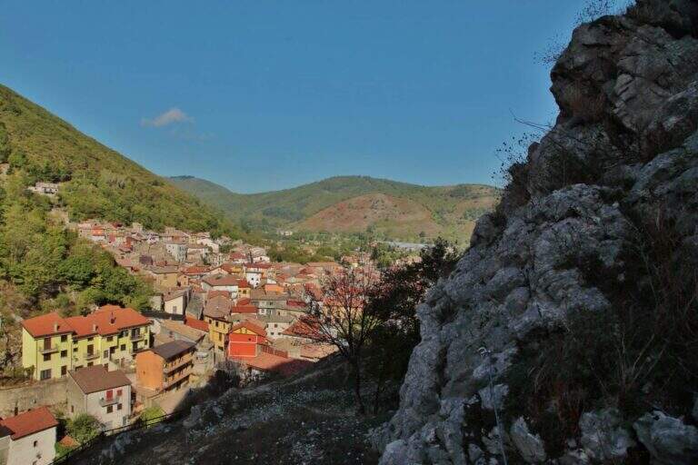
  • Ferrata del Vajo Stretto

    Ferrata del Vajo Stretto

    Vie Ferrate › Trentino-Alto Adige › Trento
    Ferrata del Vajo Stretto
    Moderately Hard● OpenDescriptionComplexityMapsGallery

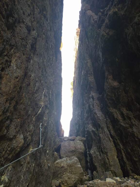
    La Ferrata del Vajo Stretto rises the eastern wall of the Monte Cornetto, in the small Dolomites on the border between Trento and Vicenza. It stands a narrow rocky streak with difficulty and agrave; never significant, in a very beautiful environment; combined with the summit of Cornetto becomes a long and fulfilling ring.

    ▲Approach

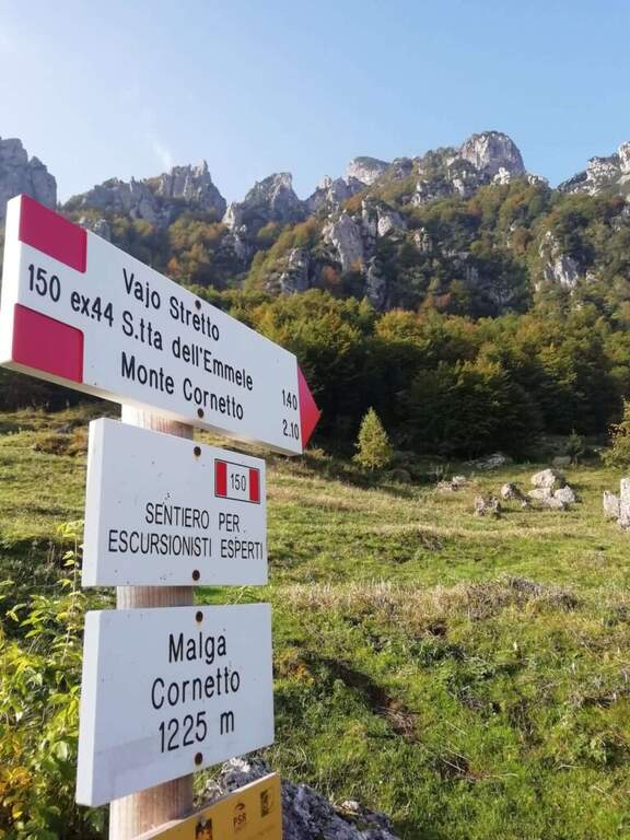
    Starting from Malga Cornetto (1225 m), on the road connecting Pian delle Fugazze to the Pasubio Shrine (large paid parking). Open road signs on Google Maps. Follow the sentiero 150 (ex 44) first on meadows then in the forest, with CAI signs and written on stones, up to ' attack ( approximately 40' from parking ).

    ▲The path

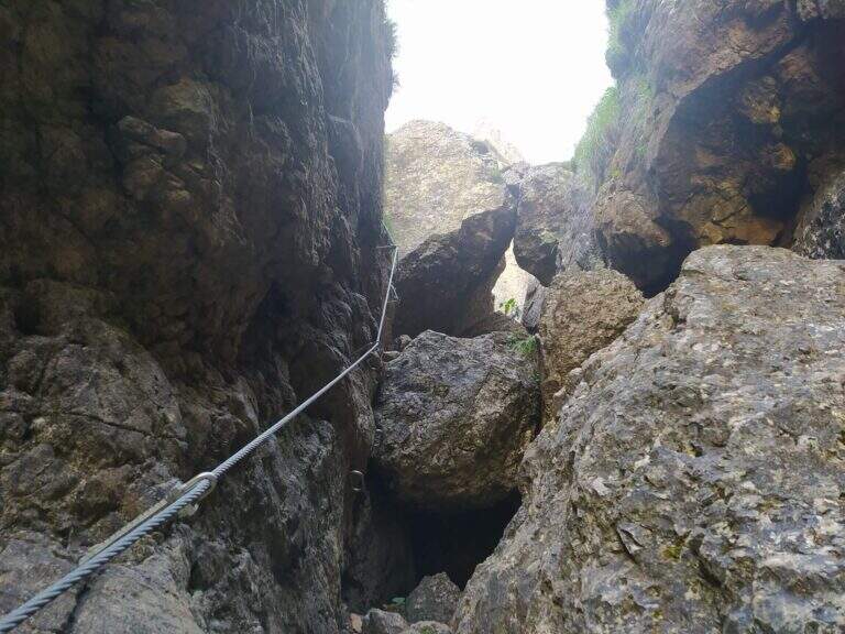
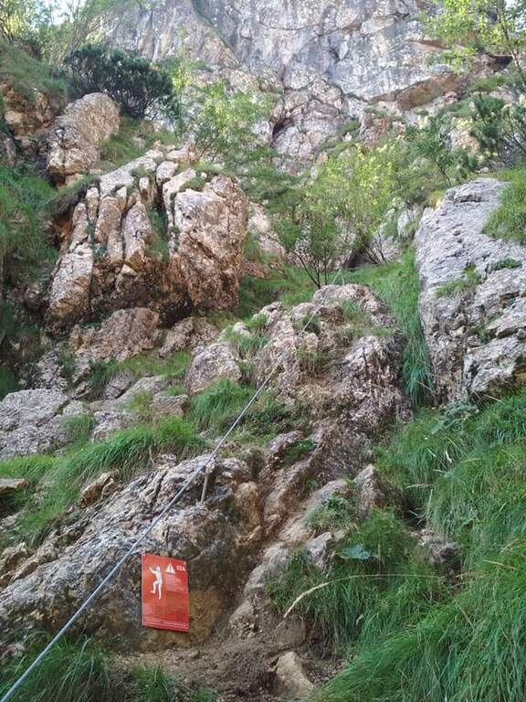
    Dal cartello rosso si salgono facili roccette verso l'evidente canalone, alternando risalti e cenge erbose fino all'ingresso del vajo. Le attrezzature si interrompono e ci si sposta sul lato sinistro per risalire il canale su roccia appigliata e qualche cambra, verso un caratteristico tunnel naturale tra massi incastrati. Oltre il tunnel si prosegue nella fenditura tra incombenti pareti, alternando tratti di sentiero a tratti assicurati con passi di arrampicata mai difficili e diversi passaggi in camino tra rocce incastrate. Un passaggio più verticale (molte cambre) e un traverso esposto a sinistra, oltre un grande masso spesso umido, portano al libro firme; si sale infine la rampa sul lato destro e si esce dal Vajo Stretto, dove termina la ferrata (circa 1550 m, 1h dall'attacco, 1h 45' dal parcheggio). All'intersezione col Vajo Cassa da Morto si tiene la sinistra in salita fino a un ghiaione e alla Selletta dell'Emmele (1675 m, 20'); consigliato proseguire per la vecchia mulattiera militare alla Forcella del Cornetto (1825 m) e, per il sentiero attrezzato della via normale (esposto ma non difficile, tratti con catena), alla croce del Monte Cornetto (1899 m, circa 3h dal parcheggio).

    ▲Character and difficulty

    Itinerary of difficulty contained but of great atmosphere, between fireplaces and framed stones. Overall difference 600 m, maximum altitude 1899 m, development 8.6 km.

    ⚠ Helmet absolutely necessary for the danger of falling stones along the vajo. Attention to the slippery bottom of some sections; bulky backpacks create problems in the most cramped points, better a small backpack or connect it to the harness with a fectuccia.
    ▲Discipline

    You go down backwards the path equipped with summit up to path 149; it is recommended to continue south halfway towards the Baffelan and the Campogrosso Pass, between never difficult stretches and war tunnels, up to the Passo degli Onari (1760 m) and the Passo del Baffelan. From here the sentiero 177 (Boale del Baffelan) descends a canalone (attention, with a vertical jump protected by chain) to the Road of the King (sentiero 175) which reports to Malga Cornetto (3h from the summit, 6h totali).

    ▲To match

    The Cornetto area is rich in equipped itineraries: towards Carega la Ferrata del Vajo Scuro e la Ferrata Campalani at Carega.

    ▲Gallery
    Technical data
    • DifficultyModerately Hard
    • RegionTrentino-Alto Adige
    • GroupSmall Dolomites
    • Approach0:40 h
    • Ferrata1:00 h
    • Itinerary (a/r)6:00 h
    • Route difference600 m
    • Max1.899 m
    • Length8,6 Km
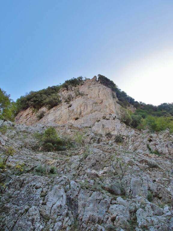
  • Ferrata Ulassai One

    Ferrata Ulassai One

    Vie Ferrate › Sardinia › Nuoro
    Ferrata Ulassai One
    Moderately Hard● OpenDescriptionComplexityMapsGallery

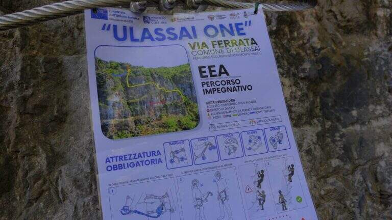
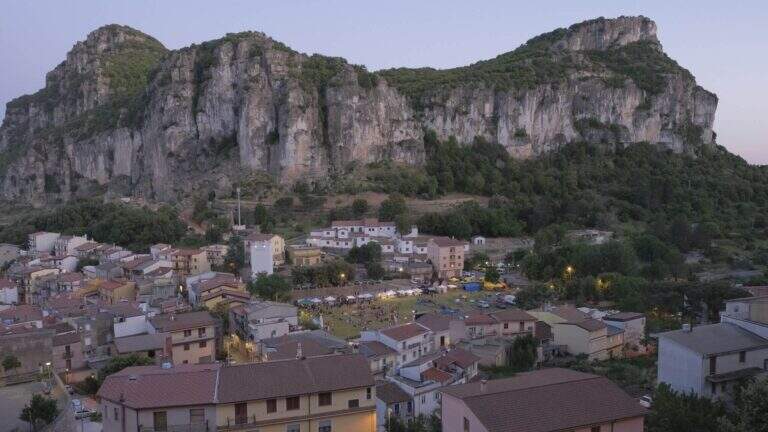
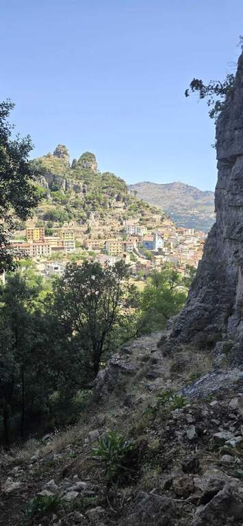
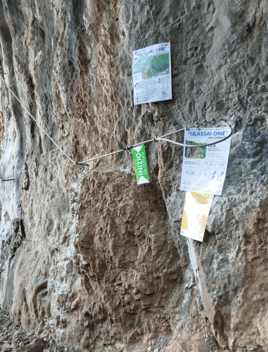
    La Ferrata Ulassai One ` a recent, short and fun way, over the village of Ulassai in Ogliastra. It offers a constant view of the country and stretches exposed mainly horizontal, on beams, in addition to a Tibetan bridge; from the summit; the look reaches the sea.

    ▲Approach

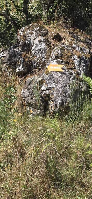
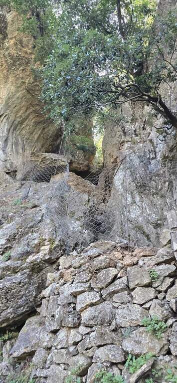
    From the village of Ulassai, parking between the playground and the kiosk-bar. Open road signs on Google Maps. You take the road behind the kiosk and in a couple of minutes you enter a grove, following the orange arrows; you climb up to a channel between the rocky walls, you pass a small fence (open with già ropes; present) and you reach l' attack on the left (10' from the parking lot).

    ▲The path

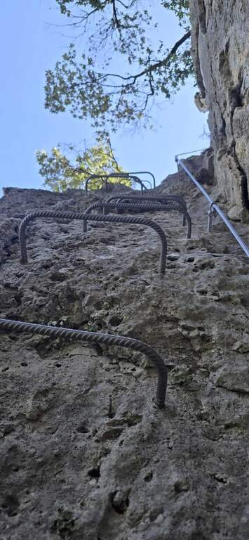
    Si inizia con un traverso verso sinistra che esce dal canale, poi una scala staffata sale in verticale una decina di metri fino a una cengia da cui si apre il panorama su Ulassai. Si prosegue arrampicando facilmente su roccia ricca di appigli, un traverso diagonale porta a uno spigolo esposto, quindi un altro traverso e una parete in salita diagonale (con appoggi e cambre dove servono) conducono a una cengia. Una breve verticale staffata porta al ponte tibetano, lungo circa 10 metri e stabile; oltrepassatolo si sale ancora a destra su roccia ben appigliata e, con un'ultima scala staffata verticale, si raggiunge la sommità e la fine della ferrata, con vista fino al mare (1h dall'attacco, 1h 10' dal parcheggio).

    ▲Character and difficulty

    Not particularly difficult, with some exposed points and a Tibetan bridge; short approach and duration of about an hour. Inaugurated in 2025, it develops mostly in the shade and lends itself well even on summer days. Maximum altitude 830 m, development 1 km.

    ⚠ In the attack channel and downhill some service ropes are worn: pay attention in the supports.
    ▲Discipline

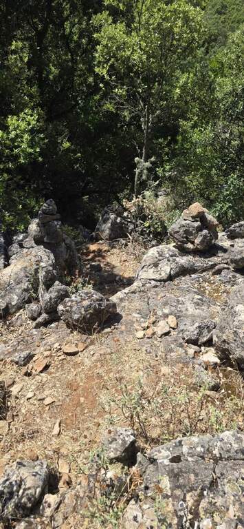
    Dal termine si tiene la destra seguendo gli ometti di pietra lungo un percorso che chiude l'anello: in breve si raggiunge il sentiero nel boschetto e l'apice del canale dell'attacco; si scende il canale aiutati da alcune corde, tra grandi rocce, gradoni e un suggestivo camino, fino all'attacco (20' dalla fine) e poi a ritroso al parcheggio (1h 40' totali).

    ▲Gallery
    Technical data
    • DifficultyModerately Hard
    • RegionSardinia
    • GroupOgliastra
    • Approach0:10 h
    • Ferrata1:00 h
    • Itinerary (a/r)1:45 h
    • Route difference120 m
    • Max830 m
    • Length1 Km
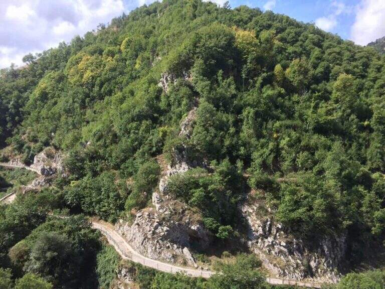
  • Ferrata Tramuntin at Monte Rest

    Ferrata Tramuntin at Monte Rest

    Vie Ferrate › Friuli-Venezia Giulia › Pordenone
    Ferrata Tramuntin at Monte Rest
    Moderately Hard● To checkDescriptionComplexityMapsGallery

    La Ferrata Tramuntin climb the Monte Rest in the Carniche Prealps, on the Pordenonese side. It is a very scalable and logical way, with only one really challenging passage and many pleasant traits to climb without traction on the cable, in an isolated and unpopular environment.

    ▲Approach

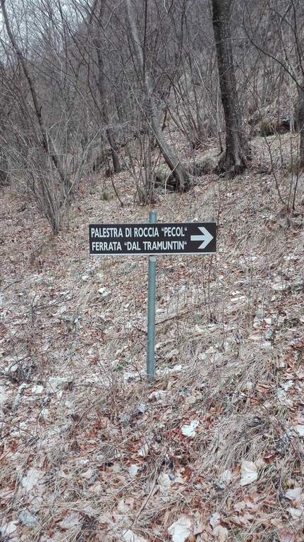
    Start along the road that connects Tramonti di Sopra (Pordenone) to Ampezzo (Udine): at a bend accentuated to the left (coming from the south) a sign on a dark background indicates the Palestra di Roccia and the Ferrata del Tramuntin. Open road signs on Google Maps. It follows the trail in the forest that, with a semicircle in an anti-clockwise sense, leads in about 30' all' attack, little beyond a mountaineering path on canalone and numerous pitches of a nearby cliff (30' from parking).
    ▲The path

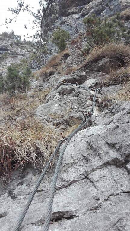
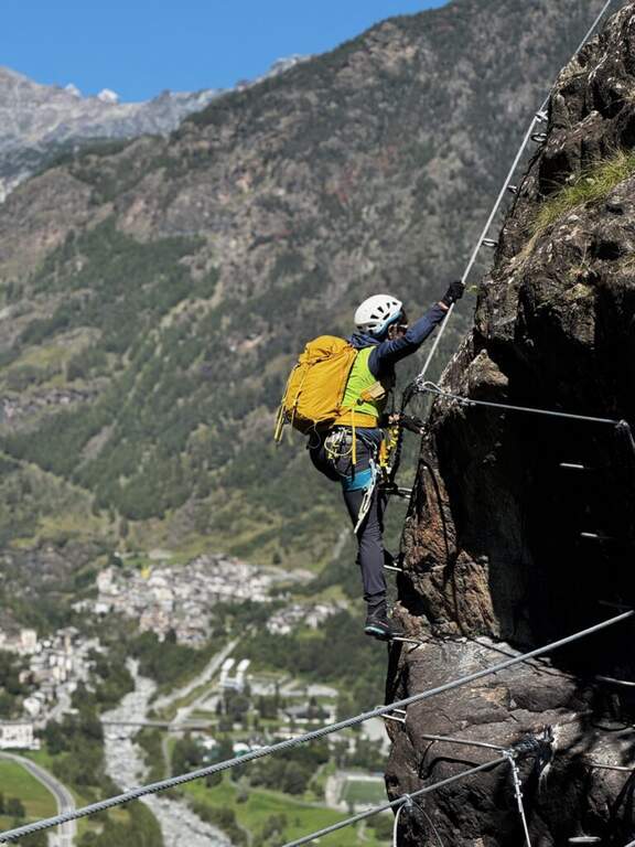
    La via risale una parete selvaggia cercando le debolezze della roccia: sviluppo breve (circa 100 m) ma impegnativo. L'inizio è appoggiato e ricco di appigli; dopo pochi minuti si incontra una prima serie di passaggi più impegnativi e si traversa a sinistra con un singolo passaggio più difficile. Nel complesso resta molto arrampicabile, con roccia talora instabile ma ricca di appoggi. Si risale l'ampio colatoio fino al termine delle attrezzature (circa 40' dall'attacco, 1h 15' dall'auto). Da qui inizia il tratto più impegnativo dell'escursione: il sentiero che collega il termine della via a Casera Monte Rest è molto ripido, su roccette ed erba potenzialmente scivolose, a tratti attrezzato; seguendo i bolli rossi si esce dalla faggeta e si raggiunge la casera, da cui si sale in vetta al Monte Rest (1780 m, circa 4h totali).

    ▲Character and difficulty

    Itinerary pleasant and isolated, despite the low altitude. Level difference in ferrata 120 m, total 870 m, maximum altitude 1780 m, development 8 km.

    ⚠ The non è officially opened (due to a dispute between the territorial CAI and the one that installs it;) and does not appear on the hiking maps. The second stretch of the climb, only partially equipped, has free passages not trivial and exposed, and the path towards Casera Rest può be in bad condition: not recommended with uncertain weather, wet background or to inexperienced people. Advisable to have with sé corda and brake to make sure in the stretches where the old equipment is clustered.
    ▲Discipline

    From Monte Rest you go back to Casera Rest, then continue north-north-west, losing altitude to the asphalted road; alternating roadside and stretches of path that cut the mountain you return to the parking lot (2h from Monte Rest, 6h totali).

    ▲To match

    The other equipped route of Pordenone is theAlta Via dei Rondoi on Monte Cavallo. Towards Forni di Sopra, two very different routes: the athletic and modern Adventure Climb at Clap Varmost and the impegnative Ferrata Cassiopea al Torrione Comici.

    ▲Gallery
    Technical data
    • DifficultyModerately Hard
    • RegionFriuli-Venezia Giulia
    • GroupCarnic prealps
    • Approach0:30 h
    • Ferrata1:00 h
    • Itinerary (a/r)6:00 h
    • Hardware level difference120 m
    • Route difference870 m
    • Max1780 m
    • Length8 Km
  • Ferrata Cesco Tomaselli in Cima Fanes

    Ferrata Cesco Tomaselli in Cima Fanes

    Vie Ferrate › Veneto › Belluno
    Ferrata Cesco Tomaselli in Cima Fanes
    Very difficult● OpenDescriptionComplexityMapsGallery

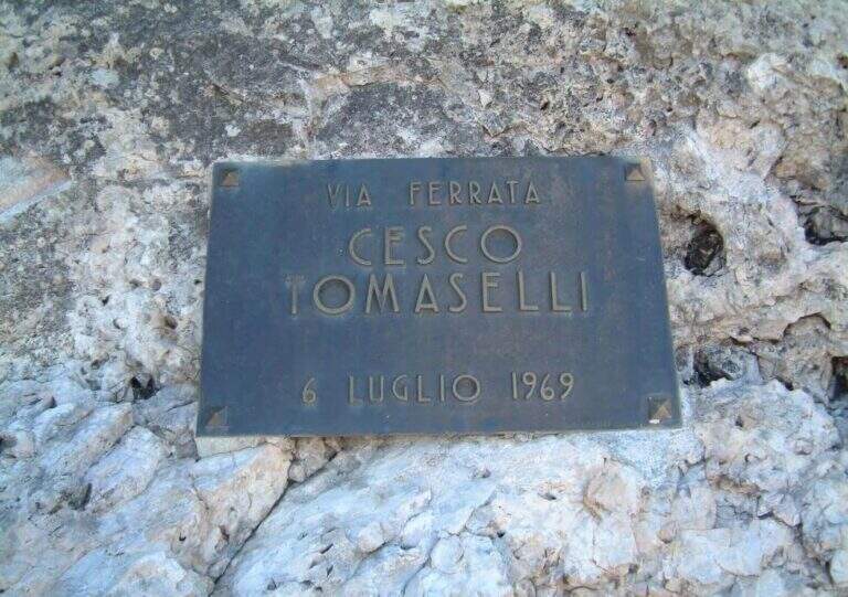
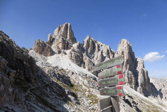
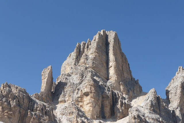
    La Ferrata Cesco Tomaselli climbs the west wall of the Punta di Fanes Sud: a vertical, demanding way, with exposed and technically difficult passages. It is short but very intense, with a series of athletic passages that require experience and strength; from the summit the panorama spans the Tofane and the Dolomites of Badia.

    ▲Approach

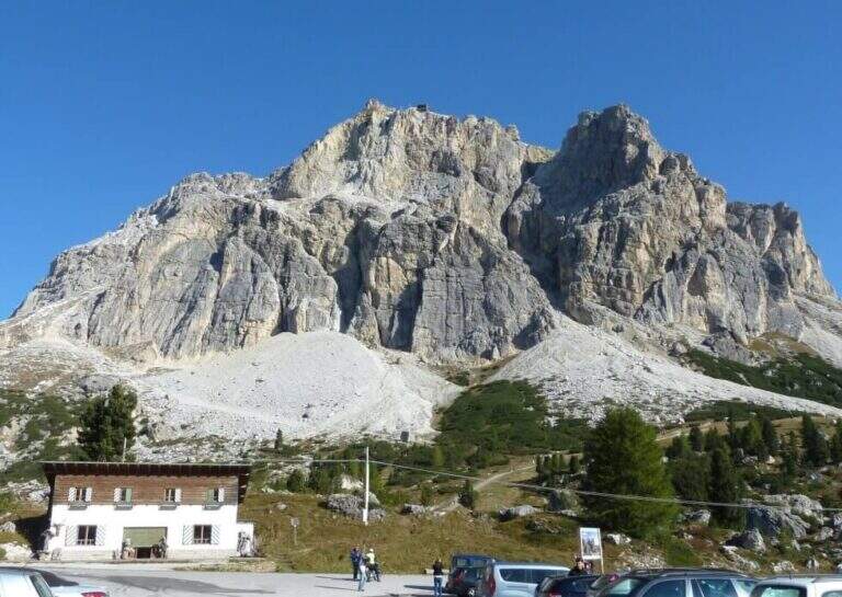
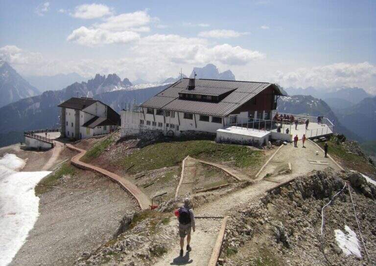
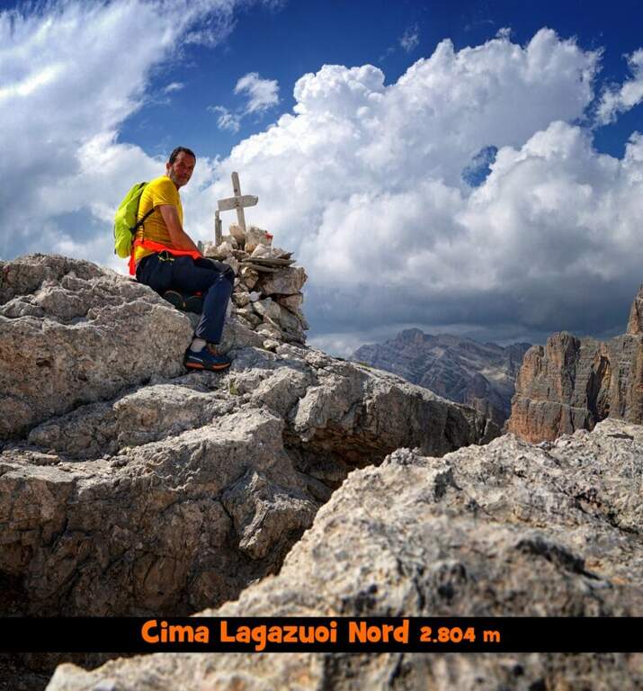
    The più mode; quick & free; climb to the Passo Falzarego (2105 m) and take the cable car to the Lagazuoi Refuge. Open road signs on Google Maps. From the mountain station (2752 m) descend north with trail 401 towards the Forcella Lagazuoi (2573 m, 15'); the left on the trail 20 in falsepiano, then to the right the 20B halfway on the west wall of the Great Lagazuoi to the site of the 'ex Bivacco della Chiesa (2655 m, 1h from the refuge), now dismantled. From here, già visible l' attack, a track north leads under the wall all' attack (1h 15' totali).

    ▲The path

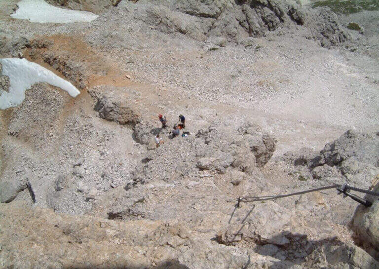
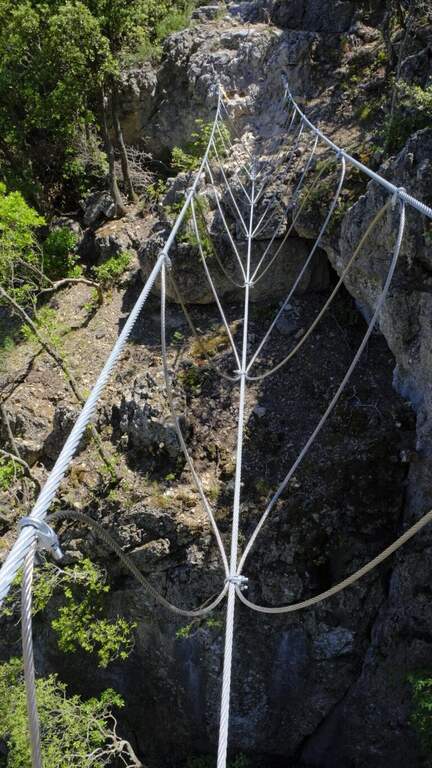
    Il key passage is immediately to attack: after the first easy meters you face a traverse that climbs diagonally on a polished wall, then obliges you to descend 2-3 meters very exposed, a horizontal traverse on smooth rock and a 4-5 meters lift; selective and poor stretches of hooks, to walk decided not to fatigue your arms. On a terrace there is a breath and a vertical and exposed wall of about twenty meters, più perched on the top, up to a detritic terrace. A section of exposed and unprotected path and a nod with ups and downs lead to ' start of the second section equipped: horizontal nod, stepped rocks, un' another nod exposed to the right, you get around a corner and you reach the terza section (attention not to follow the left the Ferrata at Cengia Veronesi). There is an entangled plaque, then vertical passages sometimes assisted by pioli, up to the characteristic long dihedron equipped along a deep crack: the first vertical and poor feet of hooks are passed tractioning on the cable, then the rope crosses the dihedron (uses a comfortable right bracket) and continues air to a pulpit in fork. Two very exposed plates, first vertical then diagonal, and a short ridge lead to the summit at Cima Fanes Sud (2960 m, 1h 45' from the attack, 3h from Lagazuoi), with 360° view.

    ▲Character and difficulty

    Vertical and exposed, athletic, with thick rock: the initial traverse and the long dihedron are the most selective traits. Level difference in ferrata 326 m, maximum altitude 2980 m, development 7.5 km.

    ⚠ Also the discesa è a challenging ferrata, with vertical balconies, a slightly overhanging traverse and the descent of a fireplace: it should be faced carefully. Reserved for experienced and trained drivers.
    ▲Discipline

    Dalla vetta si prosegue a nord-est e si scende per una via ferrata di discesa impegnativa: balzi verticali da studiare, un traverso con breve passaggio strapiombante e la discesa di un camino (staffa provvidenziale a metà), poi una cengia e gli ultimi metri verticali fino al canalone che porta al Bivacco della Chiesa (45' dalla vetta, 3h 45' totali). Da qui, per la funivia, si torna a ritroso al Rifugio Lagazuoi (45', 4h 30' totali); in alternativa si tiene la sinistra del crinale verso la Forcella Travenanzes e si scende al Passo Falzarego tra i resti della Grande Guerra (1h 15' dal termine della discesa attrezzata, circa 5h totali).

    ▲To match

    From Falzarego and Lagazuoi: the Kaiserjager Trail, la Ferrata Fusetti at Sas de Stria, la Alpine Brigade at the Col dei Bos; towards Cortina la Ferrata dell'Averau and on the Tofana of Rozes la Ferrata Lipella.

    ▲Gallery
    Technical data
    • DifficultyVery difficult
    • RegionVeneto
    • GroupFanes
    • Approach1:15 h
    • Ferrata1:45 h
    • Itinerary (a/r)4:30 h
    • Hardware level difference326 m
    • Route difference326 m
    • Max2980 m
    • Length7,5 Km
  • Ferrata Terzulli all’Adamello

    Ferrata Terzulli at Adamello

    Vie Ferrate › Lombardy › Brescia
    Ferrata Terzulli at Adamello

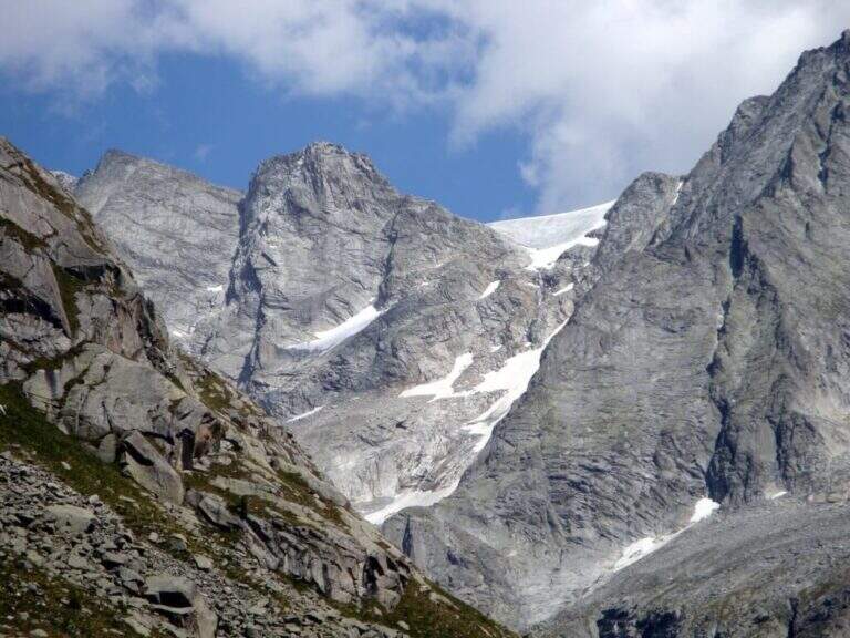
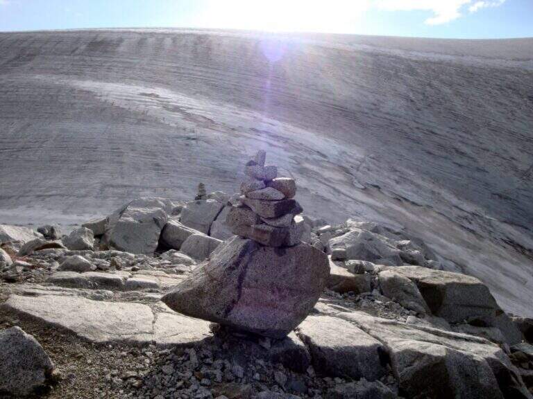
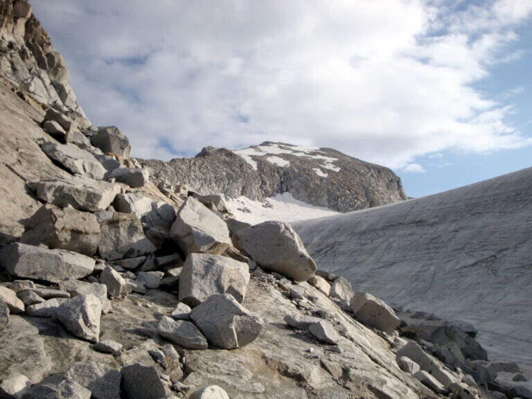
    La Ferrata Terzulli connects the Val Miller with the Adamello Pass and is normally inserted in the ascent to the Adamello. The equipment itself is of limited difficulty, but the itinerary takes place in a high mountain environment with a strong mountain character: it is therefore reserved for those with experience of ferrate and high altitude, with stable time.

    ▲Approach

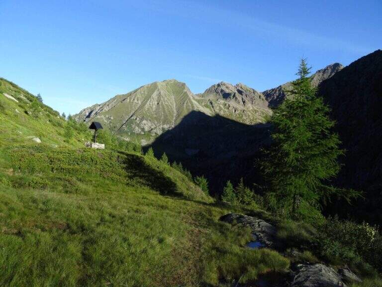
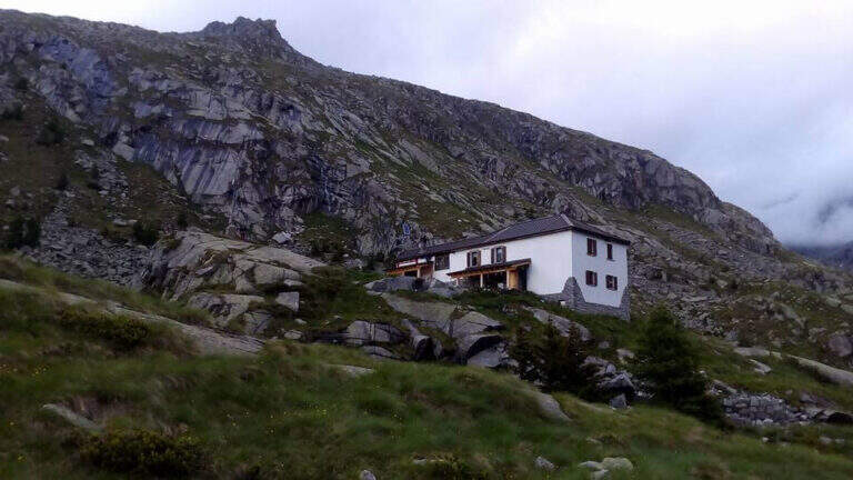
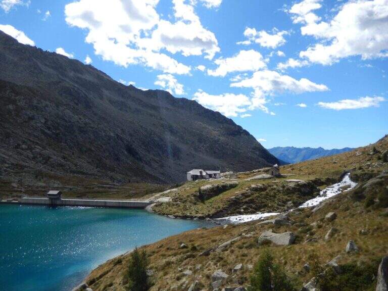
    Start from the beach at the bridge on the river Remulo, along the road to Val Malga (1528 m). Open road signs on Google Maps. Beyond the bridge, follow the dirt road to Malga Premassone, then the sentiero 23 over Malga Frino (1698 m) and go up the Miller Valley, passing the characteristics Scale Miller (rock steps with short equipped sections, 2050 m). You can reach the Rifugio Gnutti (2166 m, 1h 30' from the parking lot); continue on the 23rd along the Lake Miller and crossing the «Pantano Miller», on soil always più rocky and with possible snow languages, until all' attack (2930 m, 2h from Gnutti, 3h 30' totali).
    ▲The path

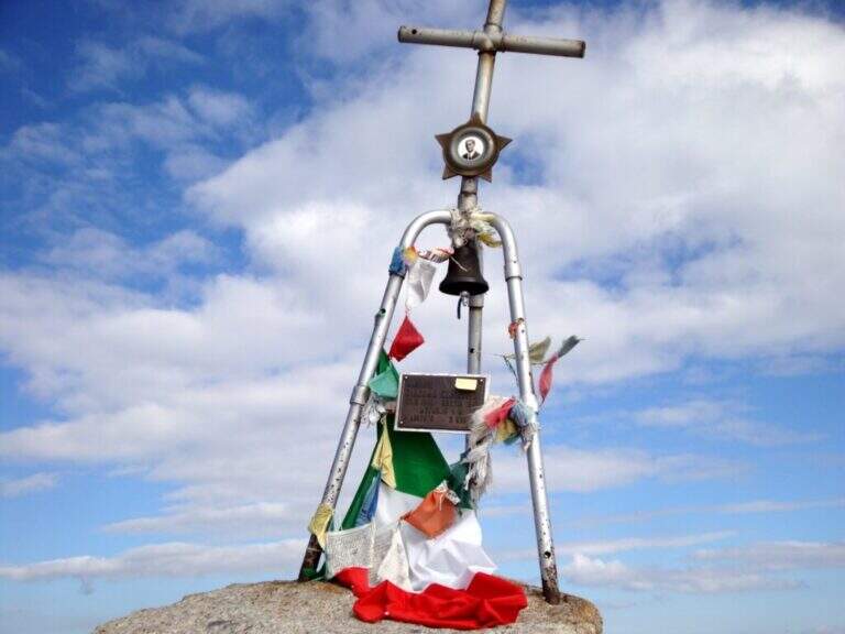
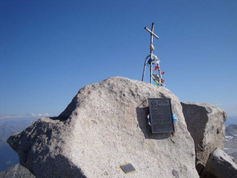
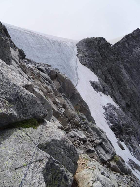
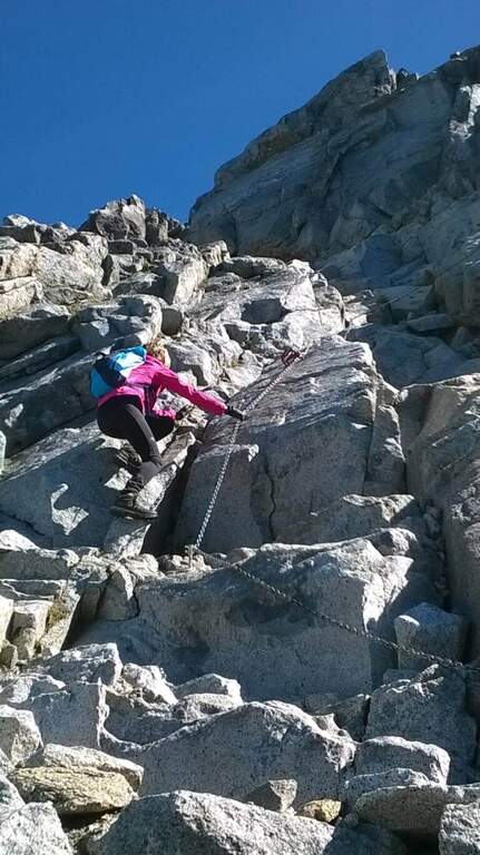
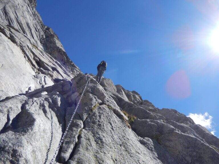
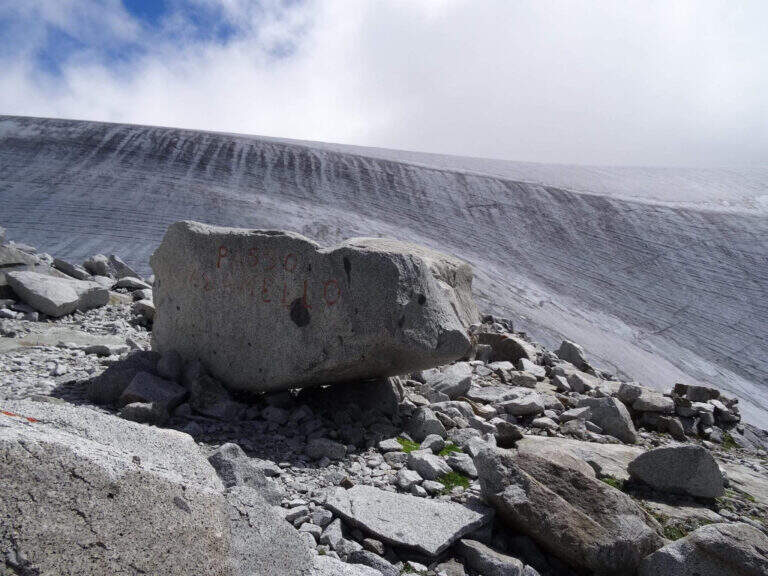
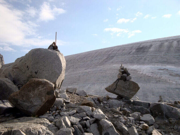
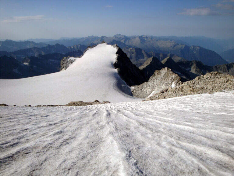
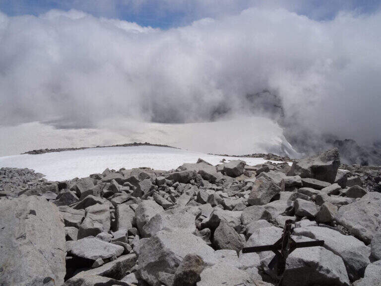
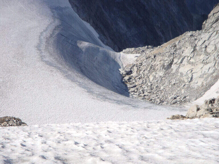
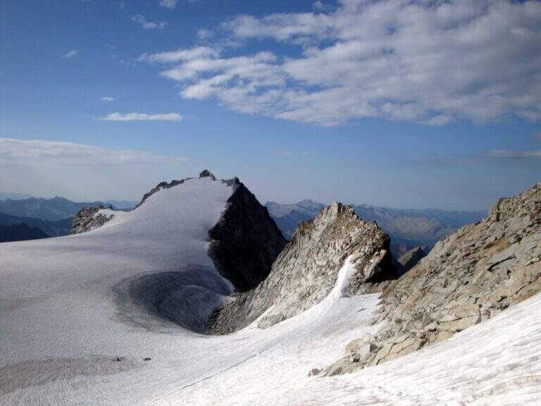
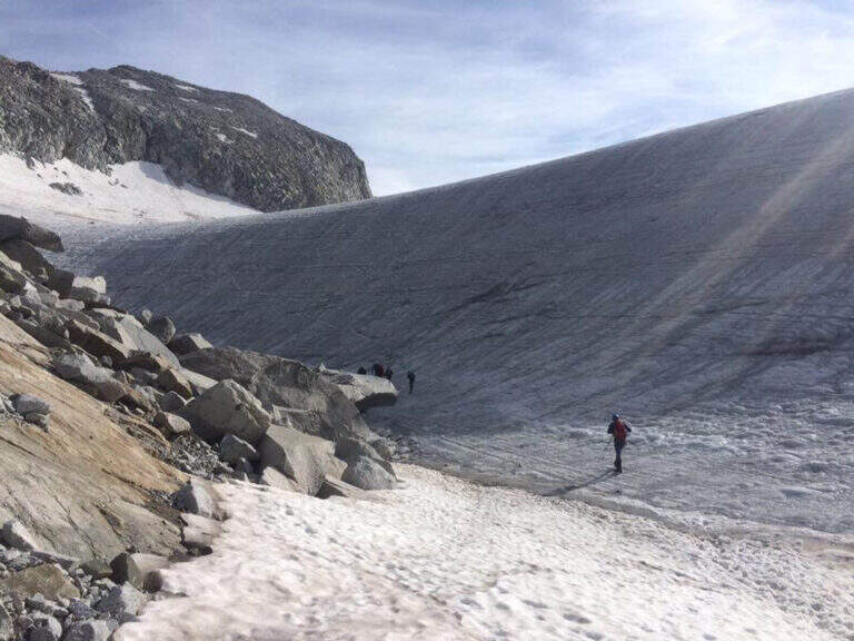
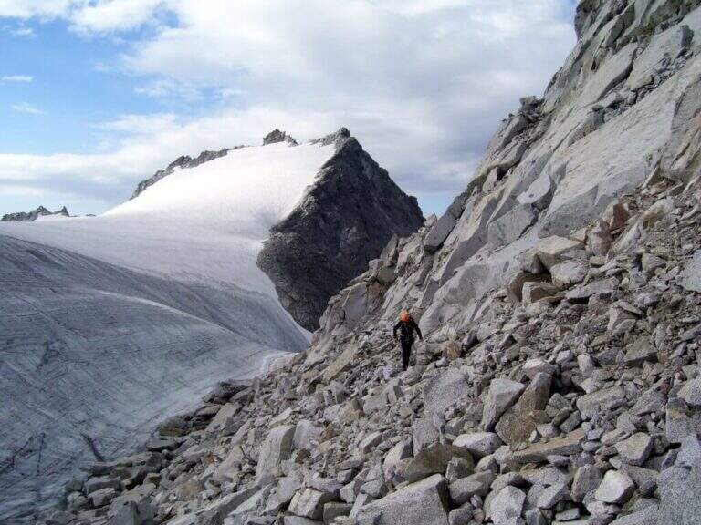
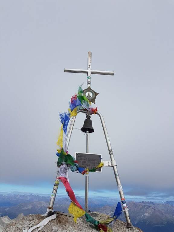
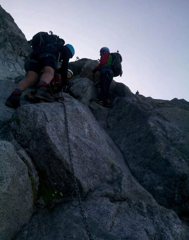
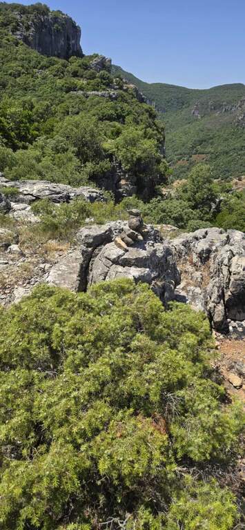
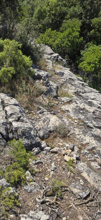
    La via è attrezzata con catena a tratti. Si inizia su un breve spigolo; a un primo terrazzino si cambiano i moschettoni su una nuova catena e si sale verticali su roccia compatta ma levigata. Terminata la catena, un sentierino esposto e roccette portano a un tratto diagonale a sinistra e poi a una salita più ripida ma senza difficoltà tecniche. Dove le attrezzature finiscono si seguono segni bianco-rossi e ometti fino a una placca inclinata dove le catene riprendono: la si risale in linea retta e poi a destra, si percorre una cengia terrosa e un traverso esposto attrezzato, quindi una breve placca chiude le attrezzature poco sotto il Passo dell'Adamello (3240 m, 1h from the attack, 4h 30' total). From here the itinerary continues in the glacial environment: you descend on the left edge of the Adamello Glacier (Bivacco Ugolini and Cima del Laghetto on the left), then climb the last ~300 m on rocks of I degree up to the west ridge and, for the thread with small balconies exposed, to the summit cross of the Adamello (3539 m, 1h 30' from the Pass, 6h total).

    ▲Character and difficulty

    Technically the ferrata is not difficult for those who already have good experience; the rock is good but not always rich in hooks. The real difficulties are the environment, the length, the altitude difference (over 2000 m overall) and the altitude. Development 22 km, maximum altitude 3539 m.

    ⚠ Itinerary d' high mountain: necessary ramponi and peak for the Snow Plan, evaluation of the conditions of the glacier on the spot and stable weather. The descent è long, exhausting and at times steep and exposed (in particular the crest from the summit to the glacier). It is recommended to break l' two-day itinerary by staying at the Gnutti Refuge.
    ▲Discipline

    The descent follows l' the entire ascent itinerary, disarrampicando also the Ferrata Terzulli (the normal & free route; a different itinerary that would require an overnight stay). From the summit, taking care of the steep and exposed traits; from the refuge there are the Miller Stairs and the last kilometers up to ' car (1h 30' from the refuge, 5h from the summit, 11h totali).

    ▲To match

    Staying in the upper Val Camonica you can walk, further south, the Ferrata at Corno di Grevo e la Ferrata at Pizzo Badile Camuno; towards the Tonale Pass Ferrata del Sentiero dei Fiori and, on the trentino side, the Ferrata Monte Nero.

    ▲Gallery
    Technical data
    • DifficultyHard
    • RegionLombardy
    • GroupAdamello
    • Approach3:30 h
    • Ferrata1:00 h
    • Itinerary (a/r)11:00 h
    • Hardware level difference200 m
    • Route difference2011 m
    • Max3539 m
    • Length22 Km
Need help? Write to us!