Paese: Italia

  • Sentiero Attrezzato della Scala Santa – Dolomiti di Brenta

    Sentiero Attrezzato della Scala Santa – Dolomiti di Brenta

    Vie Ferrate › Trentino-Alto Adige › TN
    Sentiero Attrezzato della Scala Santa – Dolomiti di Brenta

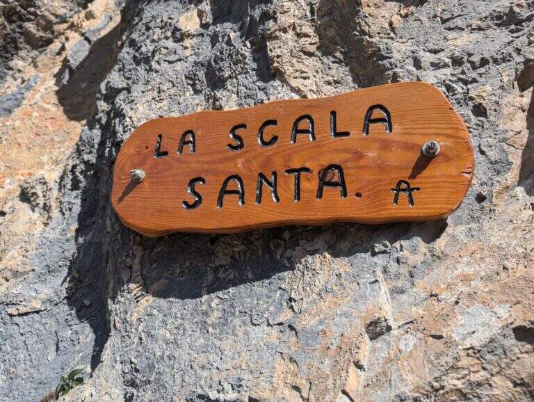
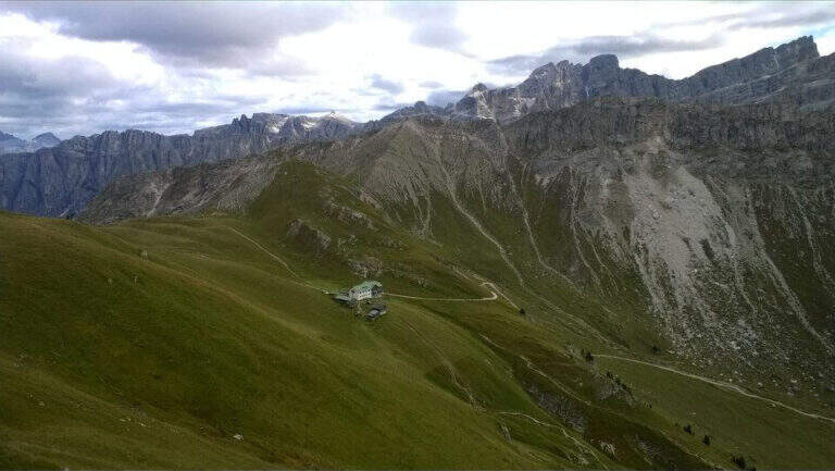
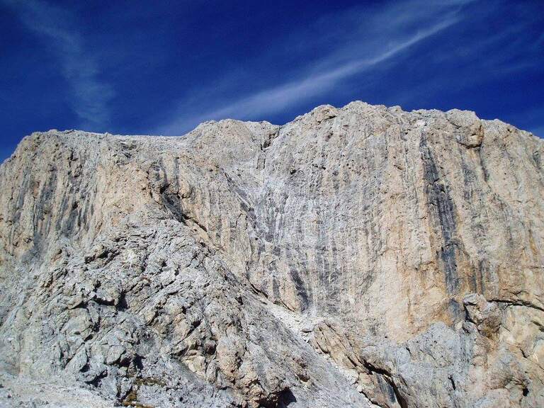
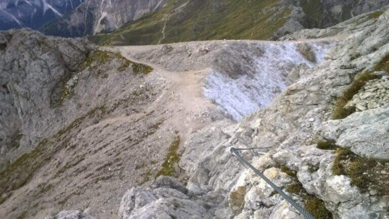
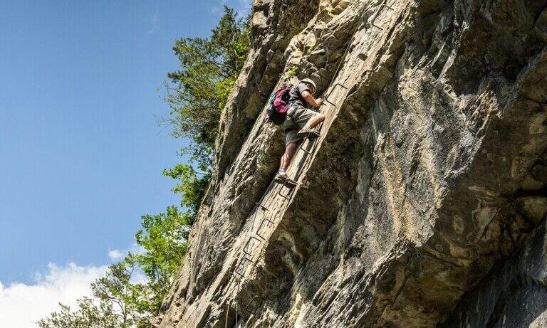
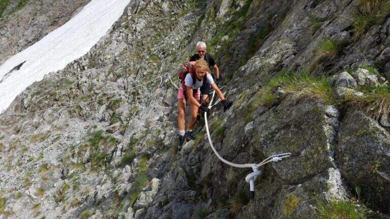
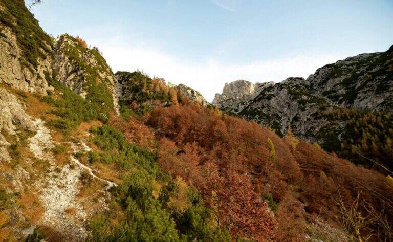
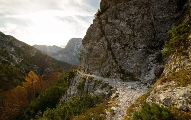
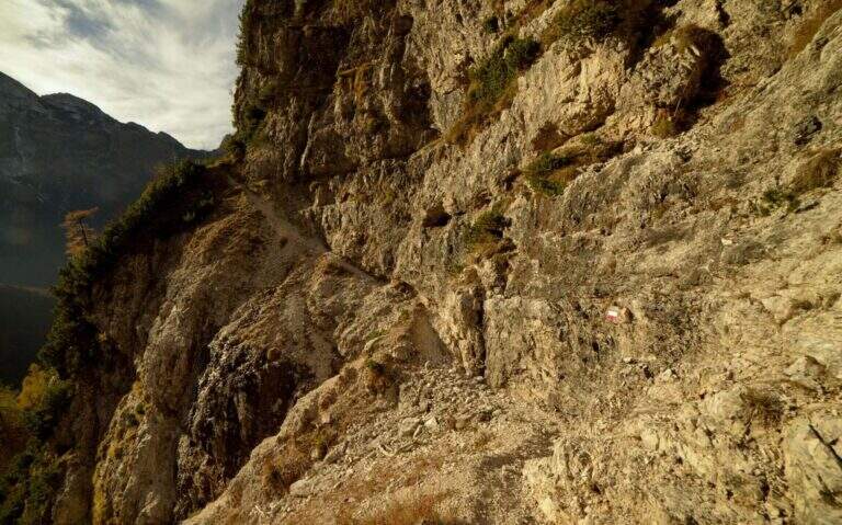
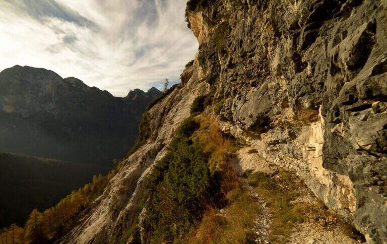
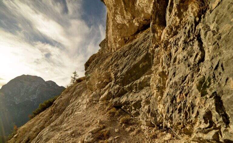
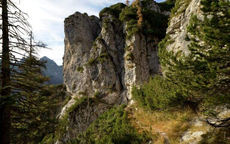
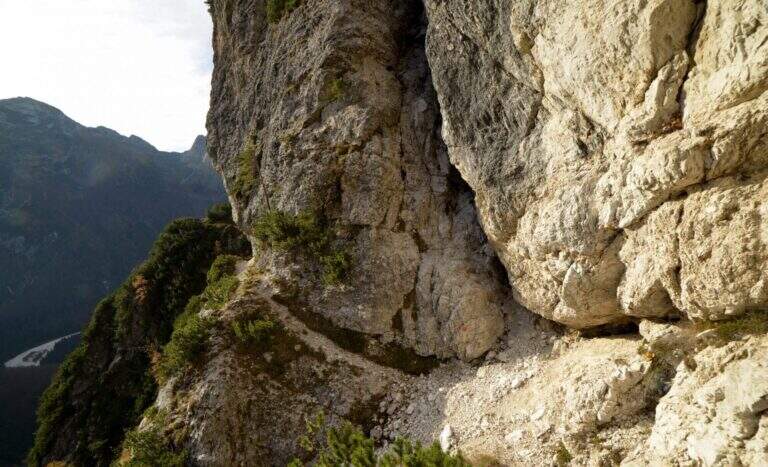
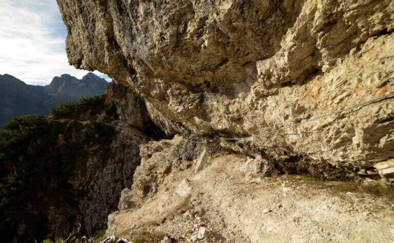
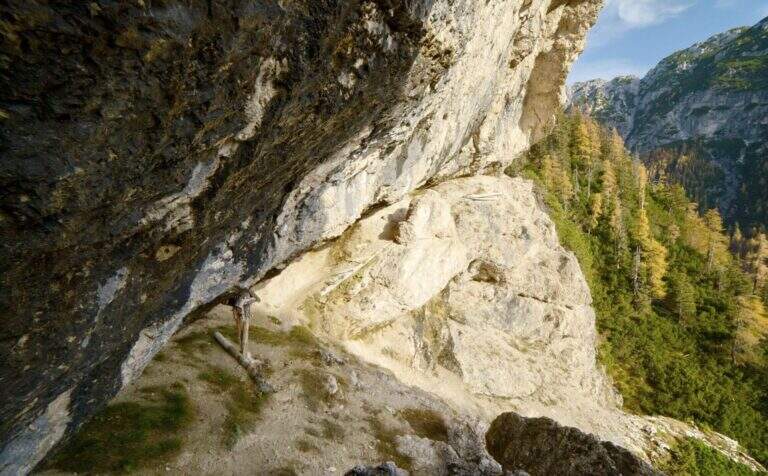
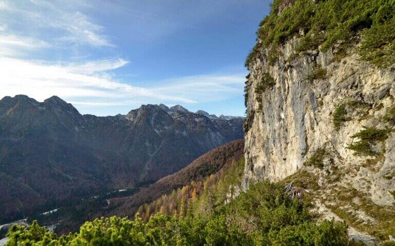
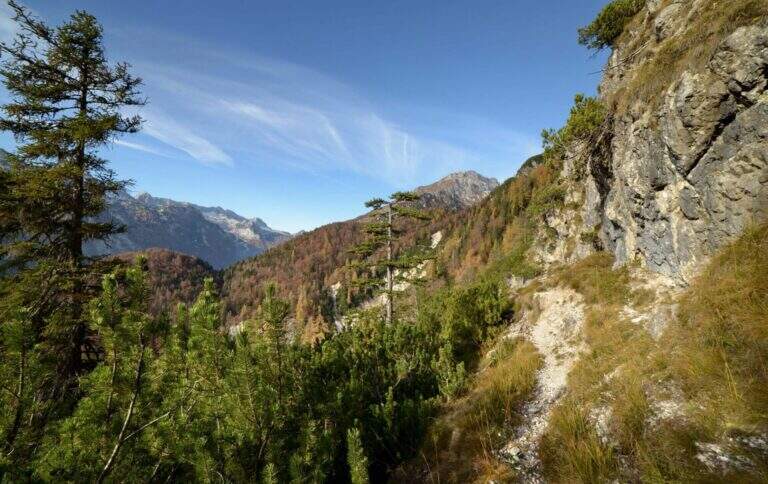
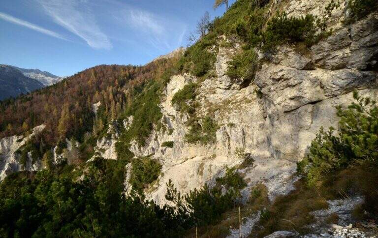
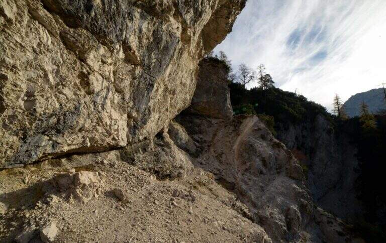
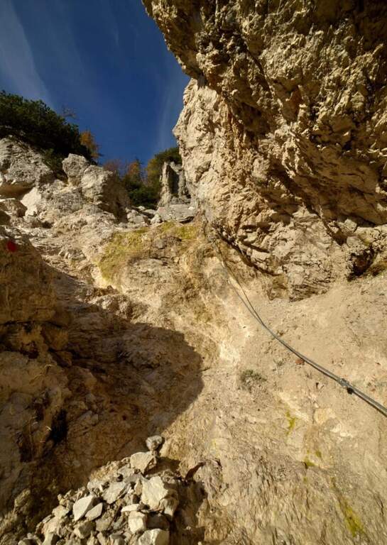
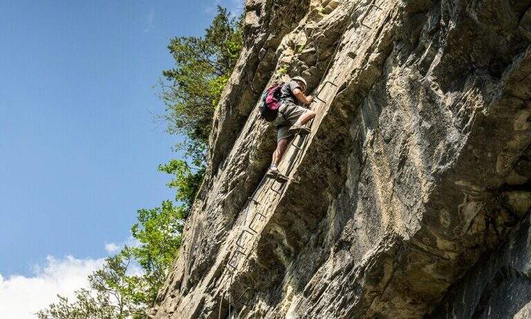
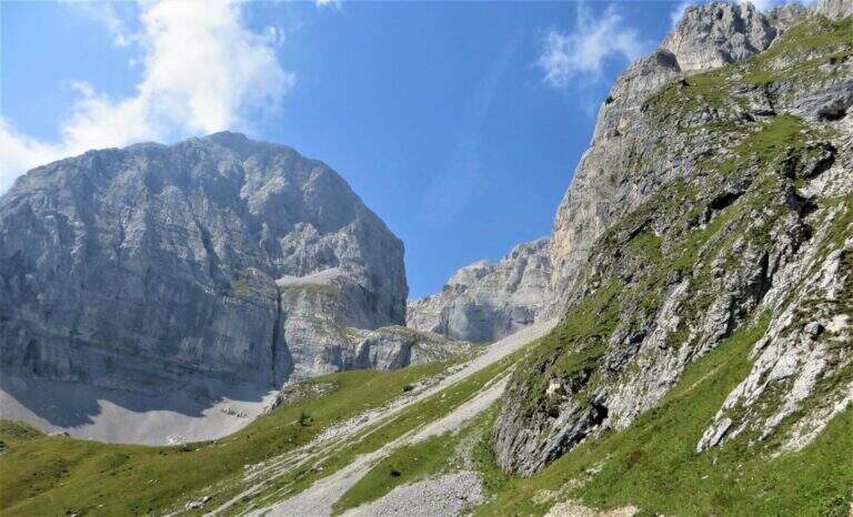
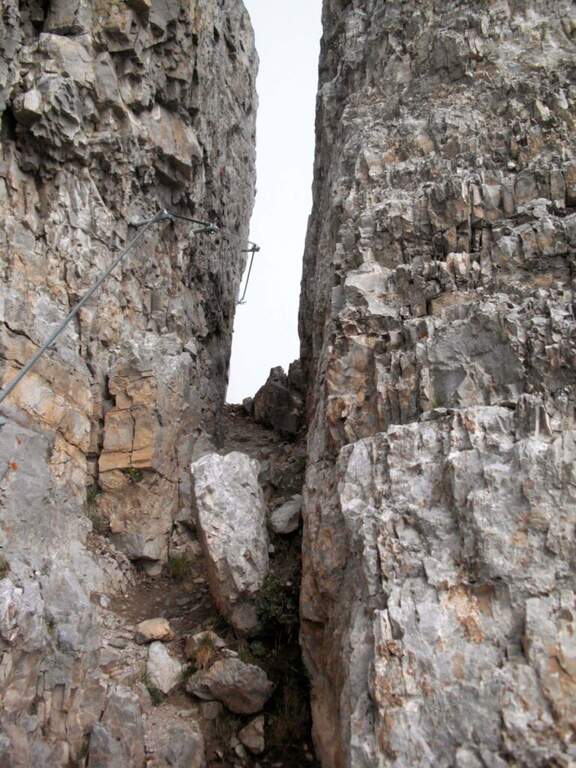
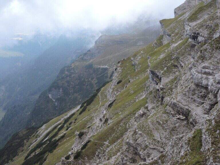
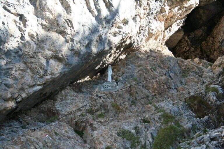
    Main access to the XII Apostle Refuge in the Dolomites of Southern Brenta, the Sentiero della Scala Santa is a characteristic carving equipped alongside an iconic Madonnina carved in the rock. Easy from the technical point of view, it is the starting point for many more challenging routes in the Brenta.

    ▲Approach

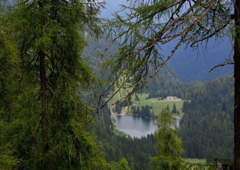
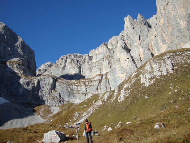
    From Pinzolo (SS239 from Trento) take the cable car to the Doss del Sabion (2101 m). Alternatively, walk with the CAI 307B from Pinzolo through the Pra Rodont Refuge (1530 m). From the mountain station, cross a half-coasted path to the east, intercepting the CAI 307 in Baita del Cacciatori (1836 m). You enter the Val dei Nardi to the east from Lake Agola, then continue on the right side of the valley until the clear plain of Lake Asciutto, where the cable car is detached for the refuge. From here the path is steeper (1h30' from the upstream station).

    ▲The path

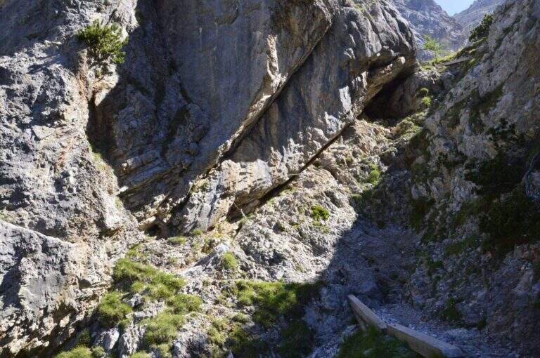
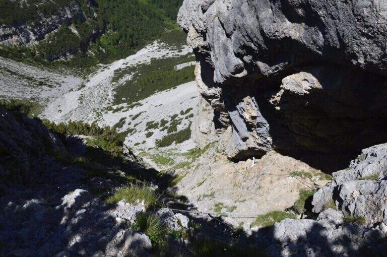
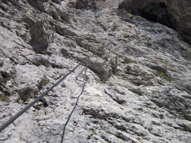
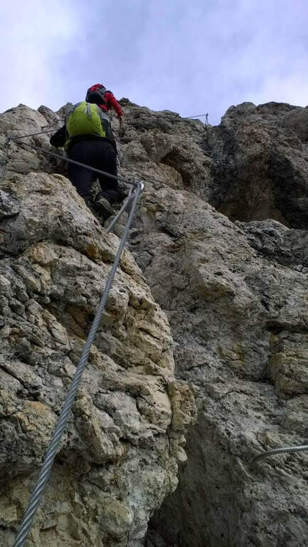
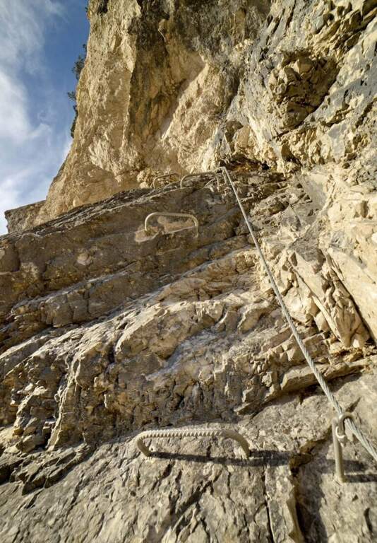
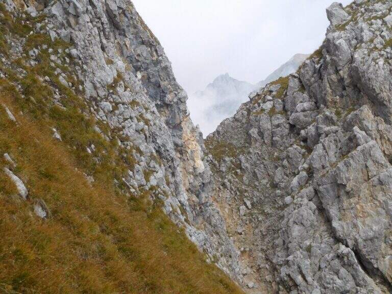
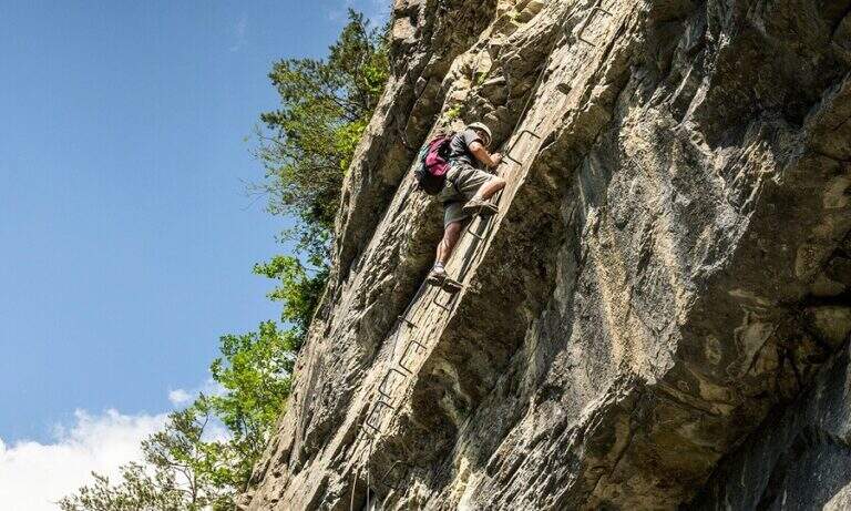
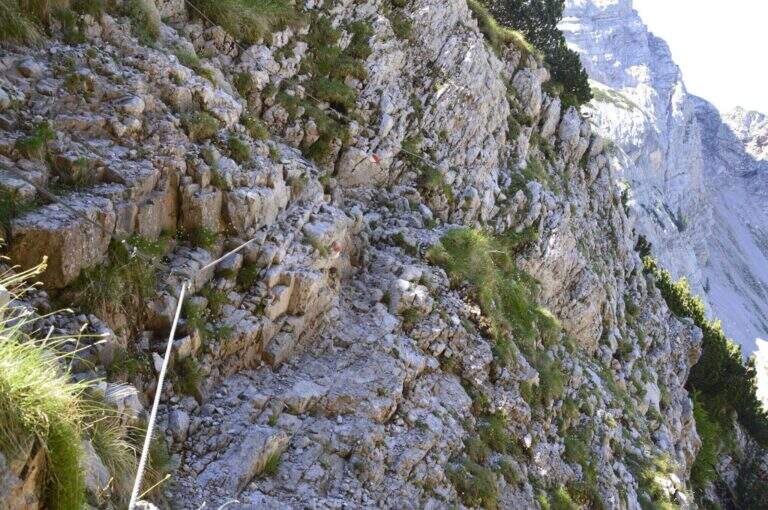
    From Lake Asciutto it is aimed towards the carving in the rock that characterizes the Scala Santa. The equipped stretch is steep but without technical difficulties once insured: climb next to the carved Madonnina, then on wooden steps and steep path. Exit from the equipped section you go up a moraine valley on swallows following carefully the white red signs not to leave the path. A stone paved characteristic precedes the plateau of Rifugio XII Apostoli where the excursion ends (1h30' from Scala Santa, 3h total from the mountain station).

    ▲Character and difficulty

    Easy. The equipped stretch is well dotted with fixtures and has no intrinsic difficulties. Attention to the marking on the nail that follows the Scala Santa.

    ▲Period and safety

    July-September, check the opening of the Pinzolo cable car and the XII Apostle Refuge. The ring can be partially snowed at the beginning of the season.

    ▲Discipline

    It goes back for the climb to the mountain station of the cable car (2h from the hut, 5h total).

    ▲To match

    From the refuge XII Apostoli the famous paths of the Bocchette: the Bocchette Central Trail, il High Bocchette Path e il Path Ideal Mouth of Ambiez.
    ▲Gallery
    Technical data
    • DifficultyEasy
    • RegionTrentino-Alto Adige
    • GroupDolomiti di Brenta
    • Approach1:30 h
    • Ferrata1:30 h
    • Itinerary (a/r)5:00 h
    • Hardware level difference200 m
    • Route difference389 m
    • Max2489 m
    • Length12 Km
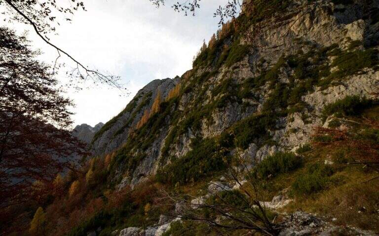
  • Sentiero Attrezzato Sas de Putia – Odle Dolomites

    Sentiero Attrezzato Sas de Putia – Odle Dolomites

    Vie Ferrate › Trentino-Alto Adige › BZ
    Sentiero Attrezzato Sas de Putia – Odle Dolomites

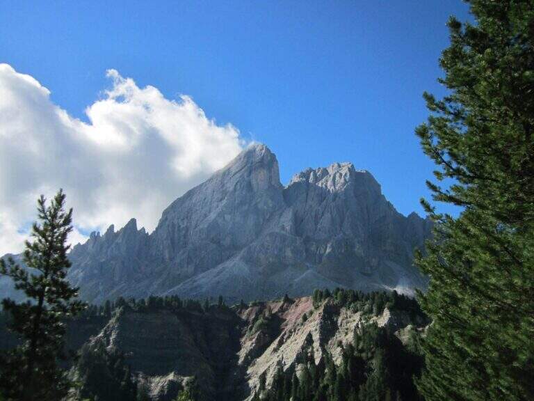
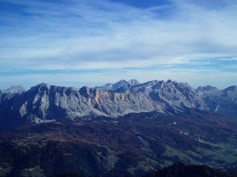
    Panoramic hike in the Dolomites that leads to the summit cross of the Sass de Putia (2875 m) going up the south side of the Passo delle Erbe. The equipped path only lasts 150 m, but the overall itinerary is long and scenically extraordinary, with views of the Odle, the Belluno Dolomites and the Aurine Alps.

    ▲Approach

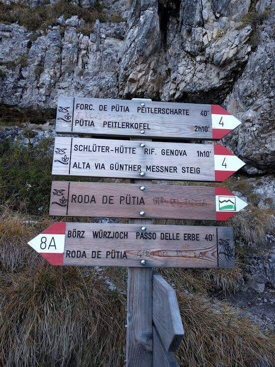
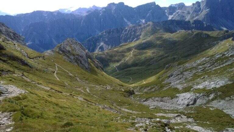
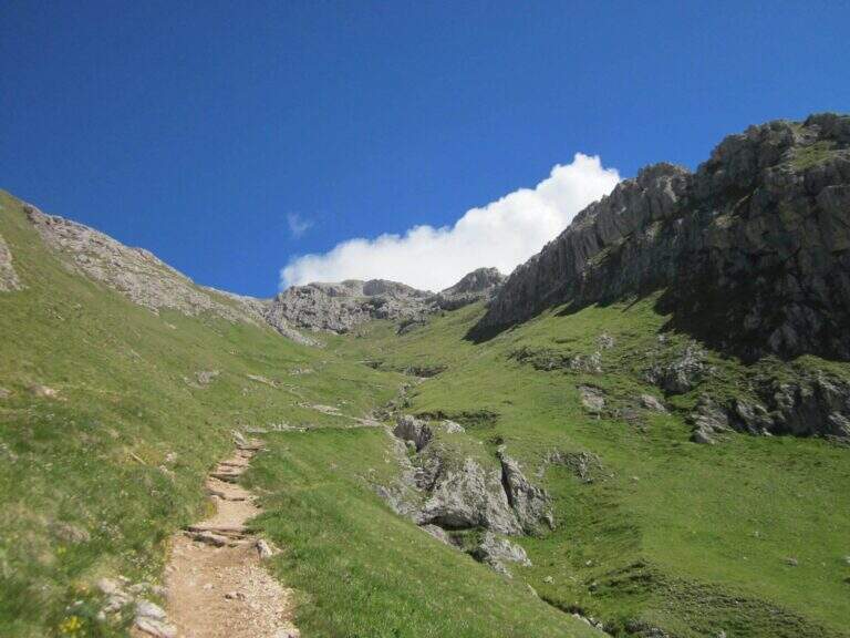
    The Passo delle Erbe (1987 m) is reached from the A22 exit of Chiusa following the signs for the Val di Funes and then for the pass. From the car park to the pass, take the wide track marked as path 8 towards the east. On the first crossroads, you will take the right on the path 8A that climbs in false ground towards the east to the Forcella de Putia (2357 m, 1h30'). Along the path you walk around the north wall of the Sass de Putia and you get on the path 4 — the Alta Via Günther Messner — which leads to the fork.

    ▲The path

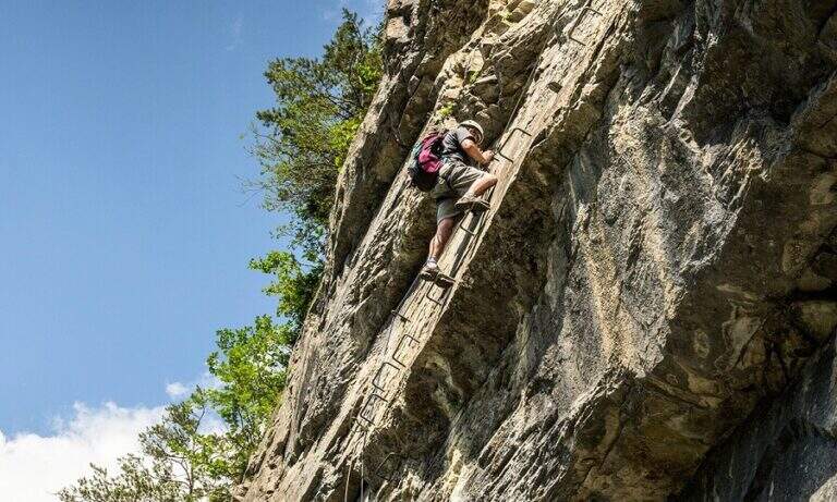
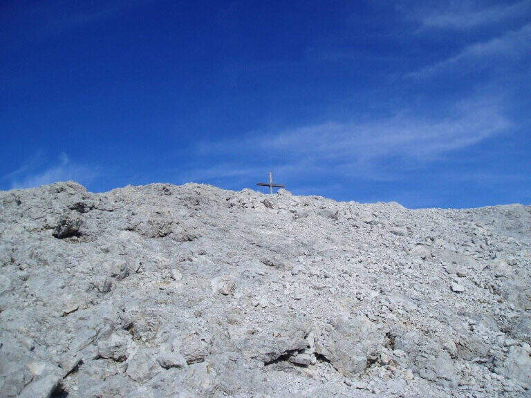
    From the Forcella de Putia follow the clear indications that on the left lead on a grassy path towards the wide stone plateau below the summit. The last 150 m are equipped with cables: you go up a comfortable sloped ramp, some small rocks and you reach the single most challenging passage, a short fireplace with an initially long stretch that you pass thanks to a bracket on the right side of the crack. A few metres of rock lead to the peak cross with 360-degree panorama (2875 m, 3h total from the start).

    ▲Character and difficulty

    Easy. The 150 m equipped do not have technical difficulties and the equipment is in good condition. The environment is that of the high Dolomite mountain with a clear marking.

    ▲Period and safety

    July - September. Avoid in case of afternoon storms, frequent in the Dolomites. The map of Val Badia or Val Gardena-Val di Funes (4Land).

    ▲Discipline

    From the top you descend to the climb (5h30' total). Alternatively, it is recommended to walk along the ring following the 4B path and then 35 around the southern slope of the Sass de Putia to the Goma Pass (2111 m, 1h from the Forcella de Putia) and from there the 8B path leads to the parking (6h total).

    ▲Gallery
    Technical data
    • DifficultyEasy
    • RegionTrentino-Alto Adige
    • GroupOdle/Puez
    • Approach1:30 h
    • Ferrata2:30 h
    • Itinerary (a/r)6:00 h
    • Hardware level difference150 m
    • Route difference869 m
    • Max2875 m
    • Length12,8 Km
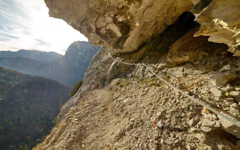
  • Sentiero Attrezzato al Rifugio Quintino Sella – Monte Rosa

    Sentiero Attrezzato al Rifugio Quintino Sella – Monte Rosa

    Vie Ferrate › Aosta Valley › AO
    Sentiero Attrezzato al Rifugio Quintino Sella – Monte Rosa
    Moderately Hard● OpenDescriptionComplexityMapsGallery

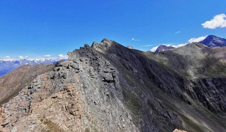
    Impressive mountain itinerary that climbs from Gressoney-La-Trinité to the Rifugio Quintino Sella (3585 m) in the Monte Rosa massif. The last equipped stretch runs along an air crest and exposed with alternating ridge wire, wooden walkway and a short vertical. It requires maximum attention to weather conditions and snow.

    ▲Approach

    From Gressoney-La-Trinité you can reach Stafal (fine road, parking) and take the lifts (funivia then covered chairlift) to the Colle della Bettaforca (2680 m, approx. 30'). From the mountain station follow path 9 towards the north on stone with yellow and omit signs. You reach the Colle Bettolina Inferiore, then the Colle Bettolina Superiore (nevaio residual until late season), where you intersect the path 10 from Pian di Verra Superiore. Continue on bubbles and stones vertically, with a more clear mark, until the final ridge (2h45' from the upstream station).

    ▲The path

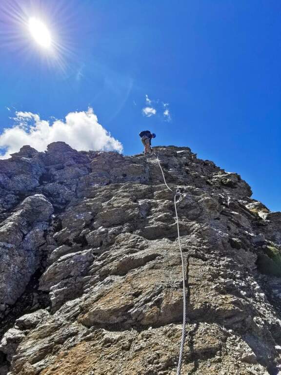
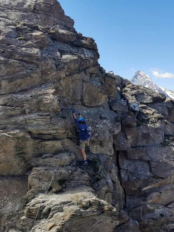
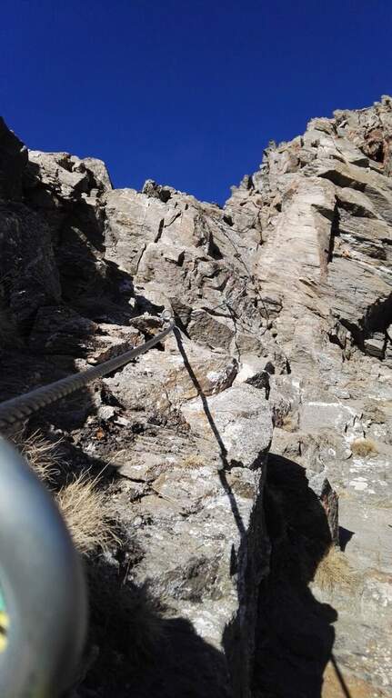
    The last crest before the shelter is airy and exposed, equipped with fixed rope. Take the ridge line alternating left and right side to a wooden walkway that connects two points of the crest. You pass a narrow traverse and then a short vertical of about 2 m with natural hooks for hands and feet. The last metres of ridge lead to the Rifugio Quintino Sella (40' from the equipped ridge, 3h30' total).

    ▲Character and difficulty

    Moderately difficult. The equipped ridge air does not present excessive technical difficulties but requires safe passage, no dizziness and the ability to read the ground at high altitude.

    ⚠ High mountain at 3585 m: weather can deteriorate rapidly. Persistent Nevary at the Colle Superiore until late July. Start early in the morning.

    ▲Period and safety

    July-September with stable weather. Always check the snow conditions and the weather forecast of Monte Rosa before departure. High altitude requires adequate clothing and water supply.

    ▲Discipline

    Same climb (3h from the hut, 6h30' total). Alternativa: at the Colle Superiore you can follow the path 10 towards Pian di Verra Superiore, adding about an hour to the route.

    ▲To match

    In the area of Gressoney lies the Ferrata Angster in Gressoney e la Ferrata Guide of Gressoney.

    ▲Gallery
    Technical data
    • DifficultyModerately Hard
    • RegionAosta Valley
    • GroupMonte Rosa
    • Approach2:45 h
    • Ferrata0:40 h
    • Itinerary (a/r)6:30 h
    • Hardware level difference90 m
    • Route difference850 m
    • Max3585 m
    • Length9,5 Km
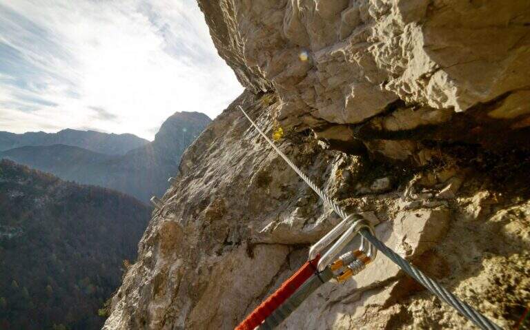
  • Sentiero Attrezzato al Rifugio Dalmazzi – Bacino del Triolet

    Sentiero Attrezzato al Rifugio Dalmazzi – Bacino del Triolet

    Vie Ferrate › Aosta Valley › AO
    Sentiero Attrezzato al Rifugio Dalmazzi – Bacino del Triolet

    ⚠ The equipped path is at the moment dismantled. The fixed ropes were removed. Check the updated conditions before approaching the refuge.

    Itinerary of high mountain in Val Ferret which leads to the Dalmazzi refuge in the Triolet Glacier basin (White Mountain). Technically not difficult, the severe alpine context with snow, blackberry and risk falling stones requires high mountain experience. Equipped path currently dismantled.

    ▲Approach

    The starting point is the hamlet of Arnouva, last resort of Val Ferret in the town of Courmayeur (AO). You park in the square in front of the restaurant-camp and follow the dirt road (mark 23 then 32) for about 1 km towards the Elena Refuge. At a right corner there is the crossroads on the left for the Dalmazzi Refuge. You go up the valley bottom ignoring the Bivacco Comine (sentiero 22), you cross 4 streams triluent of the Dora di Ferret and you reach the Moor of the Triolet Glacier. Following the yellow boils, follow the stone, the north side of the valley, a stretch in light descent towards the glacial valley and then again uphill to the ridge, where a snowman precedes the last stretch (2h from the parking lot).
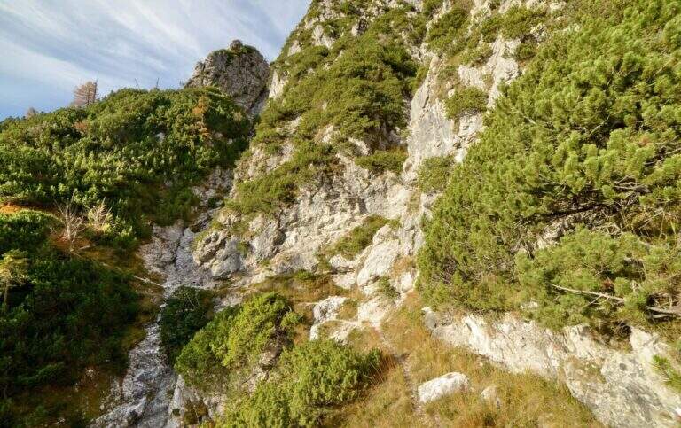
    ▲The path

    From the ridge you will encounter big rocky rocks with fixed rope brushes anchored to fittons and nails (currently removed). You go up the channel to the left, you pass an exposed edge and you face a dihedron with ropes and metal brackets. On the grassy plateau above a traverse to the right and a few meters of path conclude the stretch equipped in proximity of the Dalmazzi refuge (30' from the first rope, 2h30' from the parking lot).

    ▲Character and difficulty

    Easy technically, but it is a high mountain hike with severe environments, nearby glaciers and risk of rock fall along the ascent channel.

    ⚠ A challenging alpine environment: do not underestimate the altitude, the glacier and the rockfall along the uphill channel.

    ▲Period and safety

    Summer (July-August) with stable weather. Snow remaining at altitude until late season. Before leaving check the state of the route equipped with the shelter or local guides.

    ▲Discipline

    Same climb (2h from the hut, 5h total). The equipped sections, if present, are easy downhill.

    ▲Gallery
    Technical data
    • DifficultyEasy
    • RegionAosta Valley
    • GroupMont Blanc / Val Ferret
    • Approach2:00 h
    • Ferrata0:30 h
    • Itinerary (a/r)5:00 h
    • Hardware level difference150 m
    • Route difference800 m
    • Max2590 m
    • Length9,8 Km
  • Path equipped King of Saxony – The Tower, Julian Alps

    Path equipped King of Saxony – The Tower, Julian Alps

    Vie Ferrate › Friuli-Venezia Giulia › UD
    Path equipped King of Saxony – The Tower, Julian Alps

    A well-equipped trail that runs through the band of Jof Fuart in the Julian Alps, developing on the south side of La Torre. Easy from the technical point of view, with a vertical leap of 7-8 m dotted with metal cambres as a key step; the slippery bottom and exposed hinges require attention.

    ▲Approach

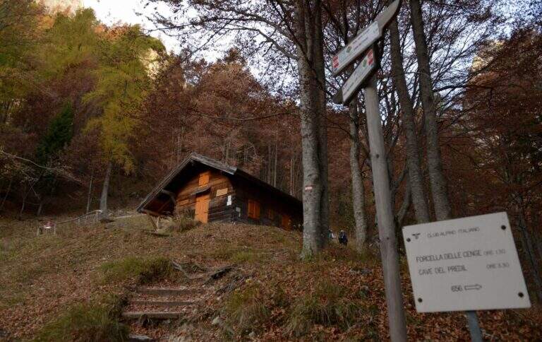
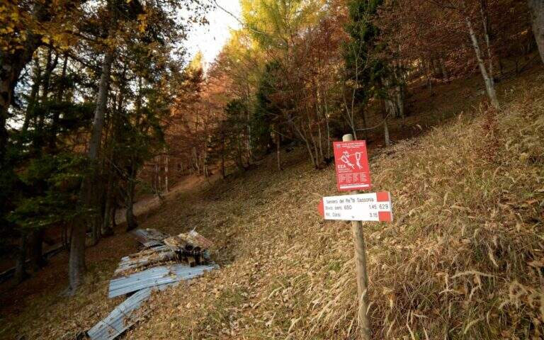
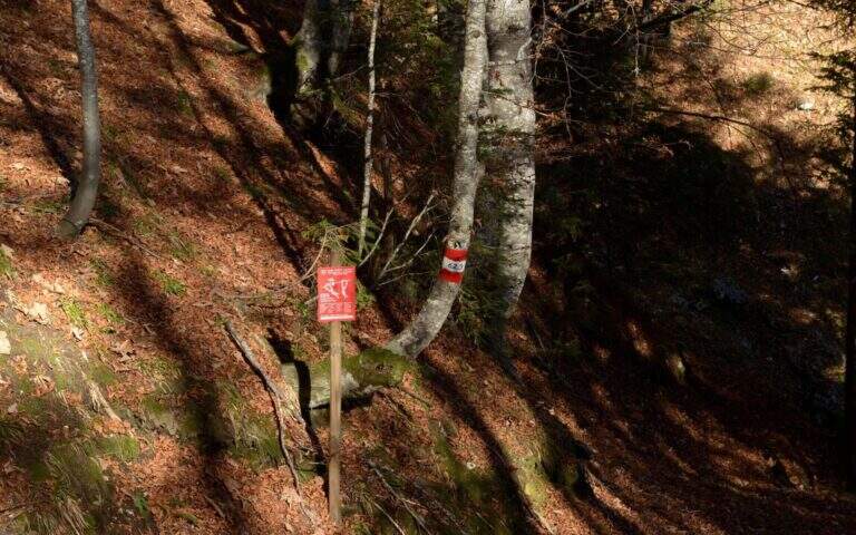
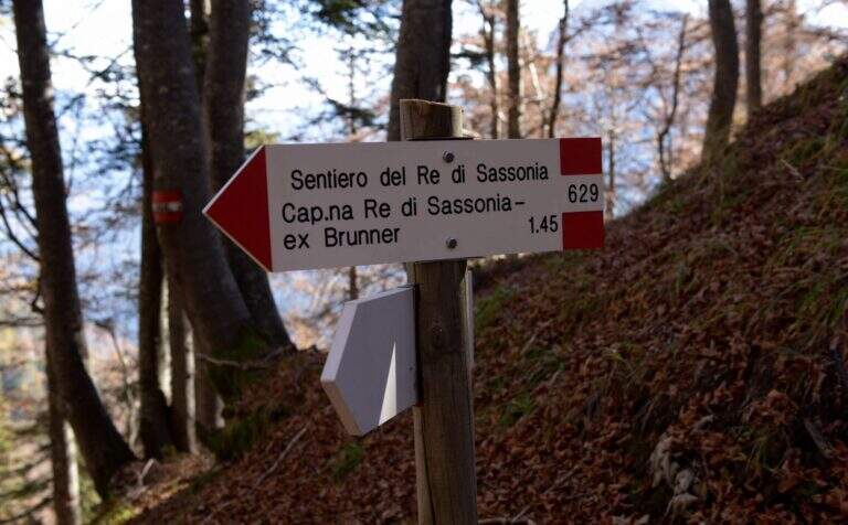
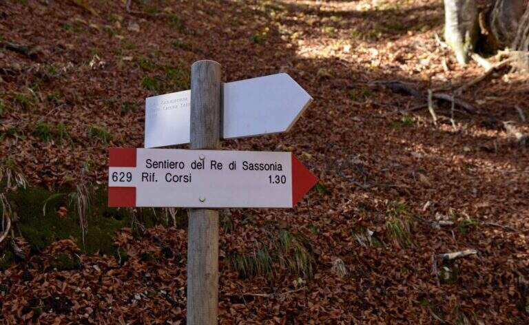
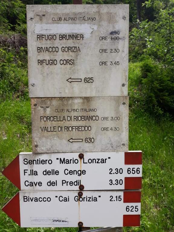
    From Chiusaforte (A23, exit Carnia-Tolmezzo) follow the signs to Sella Nevea towards the east for 20 km. Once in the village, continue on the SP76 towards the Slovenian border for another 6.3 km up to two corners: parking (997 m) is immediately before the first bend. You go up with the CAI 625 along the Rio Bianco in the woods to the hut King of Saxony (1432 m, Refuge Brunner, unmanaged, 1h30'). You ignore the indications for the Caves of the Predil (CAI 656) and take the path 629 to the left.

    ▲The path

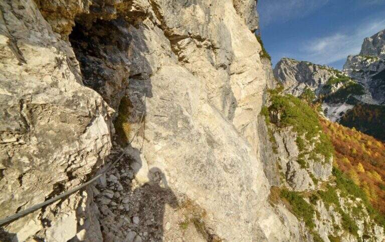
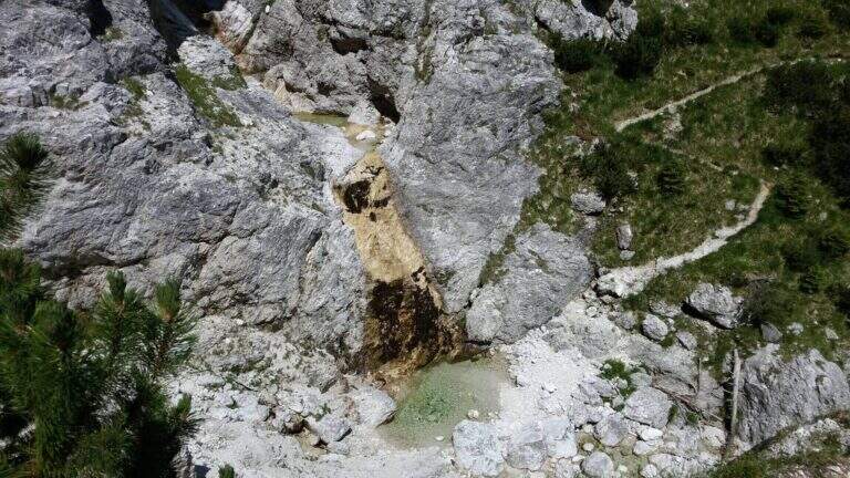
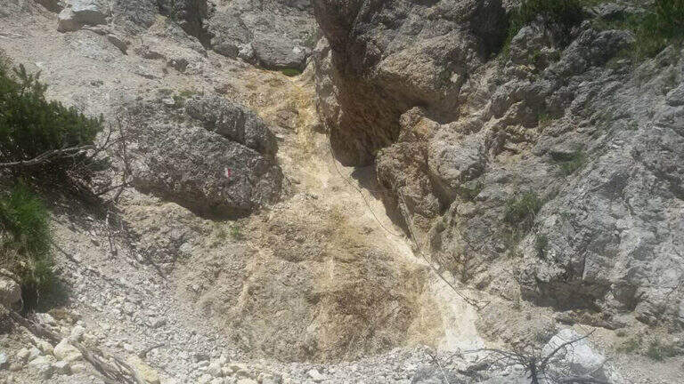
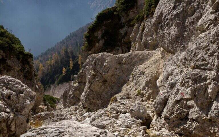
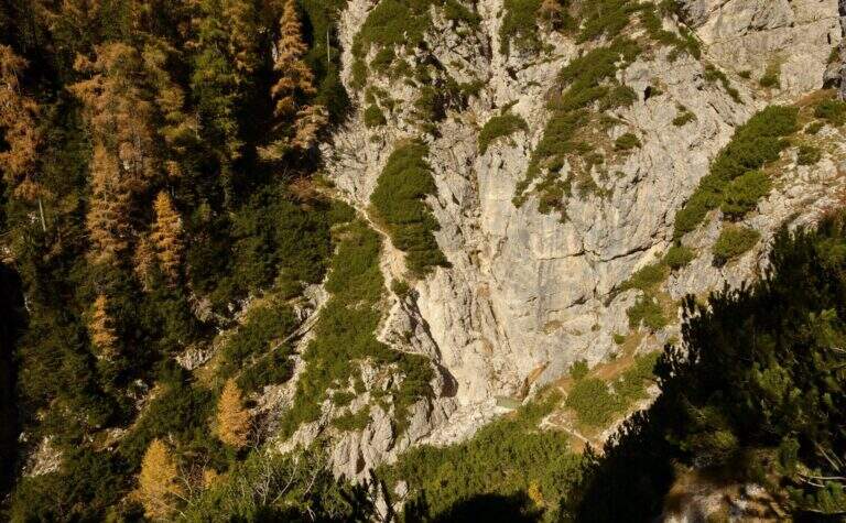
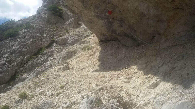
    From the path 629 you climb diagonally below the forest approaching the south walls of La Torre. Exit from the woods you will find a beautiful waterfall on the south-east side. You lose slightly altitude approaching the rocks where the first equipped section begins: a nod exposed on a gravel bottom to the left. A second section is displayed, then it goes up on the opposite side through a narrow nod. The most demanding passage is a vertical leap of 7-8 m with cambre and metal fixtures leading to the upper nod. From here you go through a horizontal traverse under a rocky roof — cambre for the feet make easy the exposed passage — then you go down of 3 m and you resume a census on the left. Cross a colander and continue towards a rocky bastion with analogous passages until the end of the equipped path.

    ▲Character and difficulty

    Easy. The vertical leap and exposed beams are well equipped. Attention to the slippery bottom on unprotected traits.

    ⚠ Cenges and unprotected sections with slippery bottom: the cable is not always present. Suitable boots and recommended hardware sets.

    ▲Period and safety

    Summer-autumn. The route is accessible in both directions. Avoid with rain or snow.

    ▲Discipline

    From the end of the well-equipped path, you turn back towards the starting car park.

    ▲To match

    The nearby Julian Alps are located Ferrata Anita Goitan at Jof Fuart e la Ferrata Julia at Canin.

    ▲Gallery
    Technical data
    • DifficultyEasy
    • RegionFriuli-Venezia Giulia
    • GroupJof Fuart / Julian Alps
    • Approach1:15 h
    • Ferrata1:30 h
    • Itinerary (a/r)4:15 h
    • Hardware level difference80 m
    • Route difference449 m
    • Max1446 m
    • Length8,3 Km
  • Sentiero Attrezzato del Rampin – Monte Casale

    Sentiero Attrezzato del Rampin – Monte Casale

    Vie Ferrate › Trentino-Alto Adige › TN
    Sentiero Attrezzato del Rampin – Monte Casale

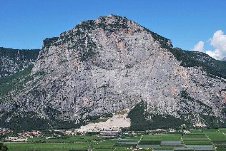
    Long excursion equipped by Pietramurata to the summit of Monte Casale (1632 m) in the province of Trento. Technically easy, however, the path requires good training and attention to the insidious background and the overall level difference. Unconscious in the hot summer months.

    ▲Approach

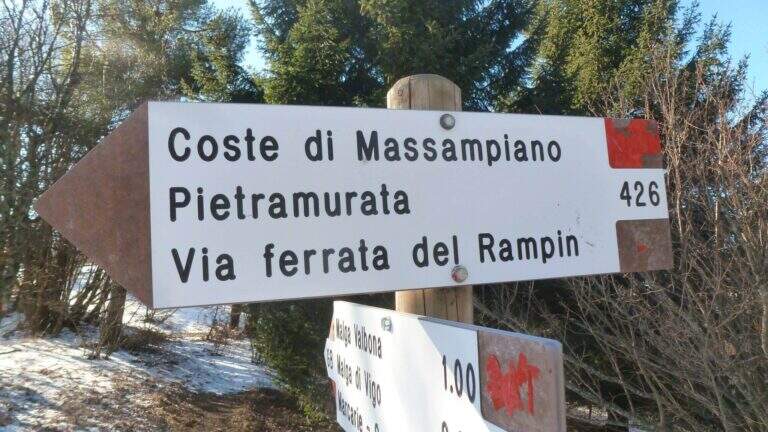
    The starting point is the village of Pietramurata near Sarche (TN). Arriving from Riva del Garda or Sarche, take the main road to almost the south exit of the village, where a deck with a bar offers parking. Take the side of the road to the south to the signposter that indicates the CAI 426 path on the right. This crosses the forest by cutting the bends of the Massampia Forest Road to the attack of the equipped path (1h45' from the parking lot).
    ▲The path

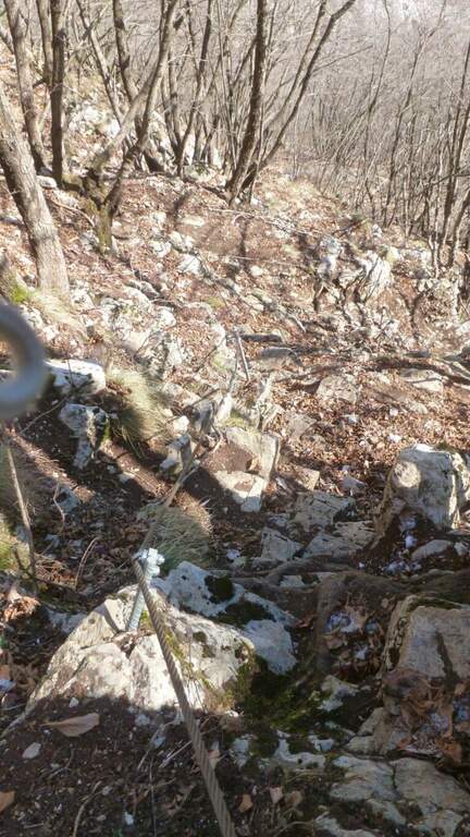
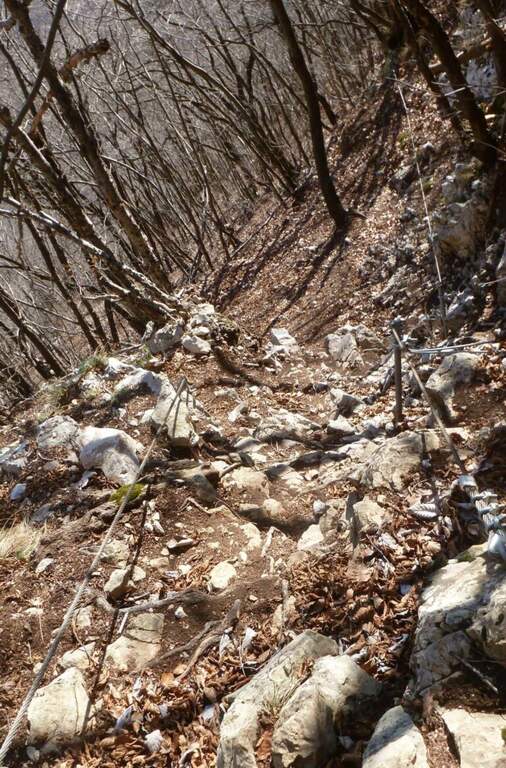
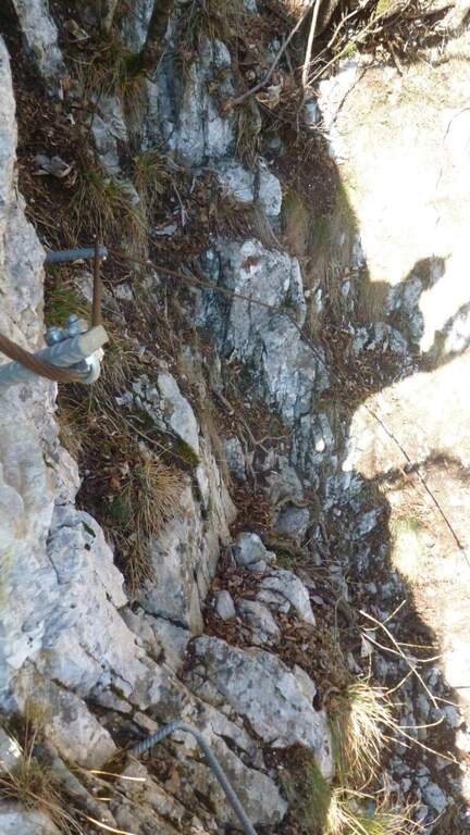
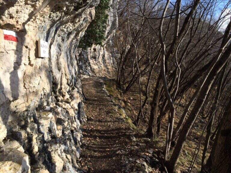
    The attack opens on stretches equipped on small rocks and sloped ramps in the wood with bottom that can be slippery. Steps with cable go up until the end of the equipped section (1h15' from the attack, 3h total). Continue right on the CAI 408 towards the locality Le Quadre, then take the right on the CAI 411 that climbs up to the Rifugio Don Zio Pisoni (to check the opening) and to the cross of Monte Casale (1632 m, 4h total).

    ▲Character and difficulty

    Easy from the technical point of view, the path is however insidious for the slippery and challenging bottom for the length and altitude difference.

    ⚠ Use ferrata sets and telescopic sticks for unprotected traits. Don't go too hot: the way is long and tiring.

    ▲Period and safety

    Excellent in spring and autumn. Summer months can bring excessive heat on an itinerary that exceeds 7 hours overall. Good exercise necessary.

    ▲Discipline

    From the summit of Monte Casale you descend north towards the Pisoni Refuge, then on the CAI 427 between pastures and beech trees towards Godersi and then towards Sarche. Following the CAI 427B you return to Pietramurata (3h from the end of the ferrata, 7h total).

    ▲To match

    In the same area is the Ferrata Che Guevara at Monte Casale, more challenging but with spectacular views.

    ▲Gallery
    Technical data
    • DifficultyEasy
    • RegionTrentino-Alto Adige
    • GroupMonte Casale / Arco
    • Approach1:45 h
    • Ferrata1:15 h
    • Itinerary (a/r)7:00 h
    • Hardware level difference540 m
    • Route difference1380 m
    • Max1630 m
    • Length16 Km
  • Sentiero Attrezzato Pierino dal Zuanna – Monte Pubel

    Sentiero Attrezzato Pierino dal Zuanna – Monte Pubel

    Vie Ferrate › Veneto › VI
    Sentiero Attrezzato Pierino dal Zuanna – Monte Pubel

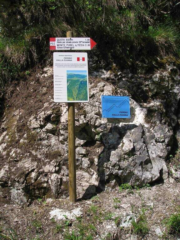
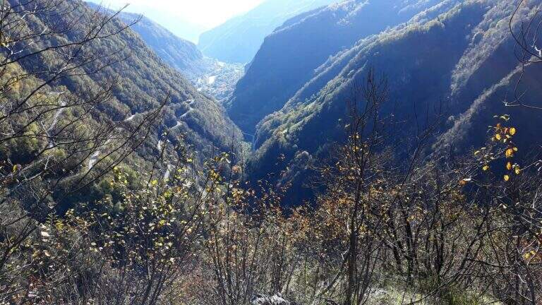
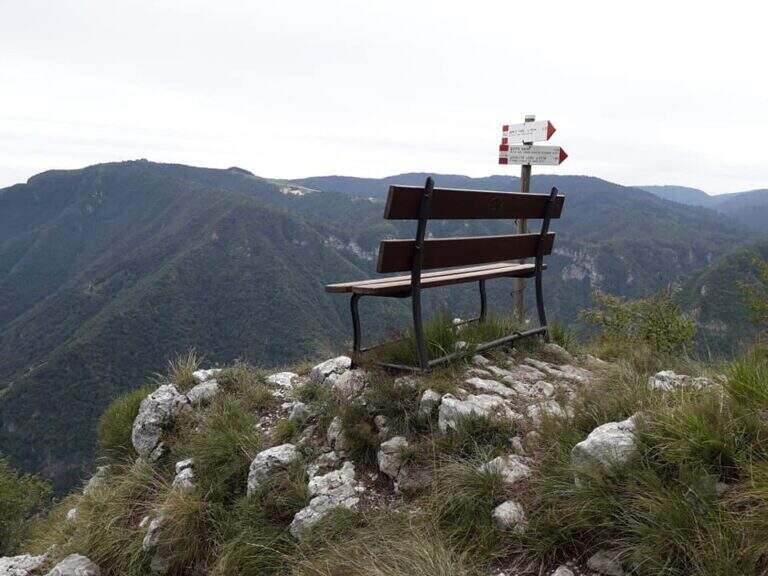
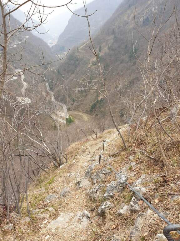
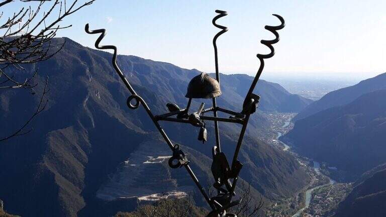
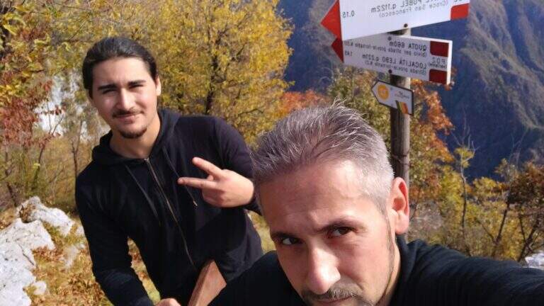
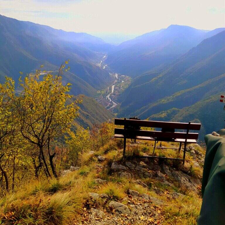
    Historical path of the Great War that goes up Mount Pubel along the artificial nod carved by the mountaineers. Technically elementary, with cables useful especially on wet and wooded soil, ideal as the first approach to the equipped environment.

    ▲Approach

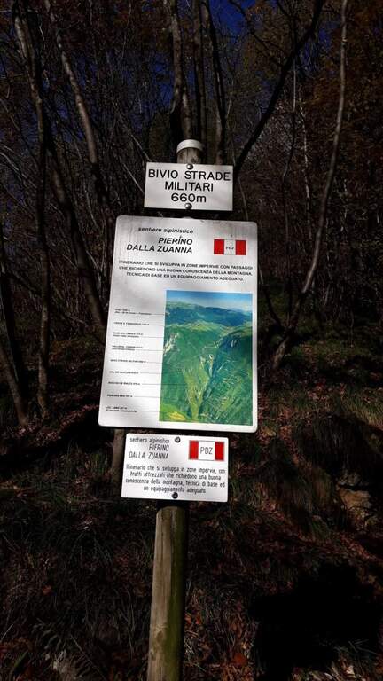
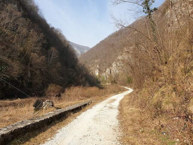
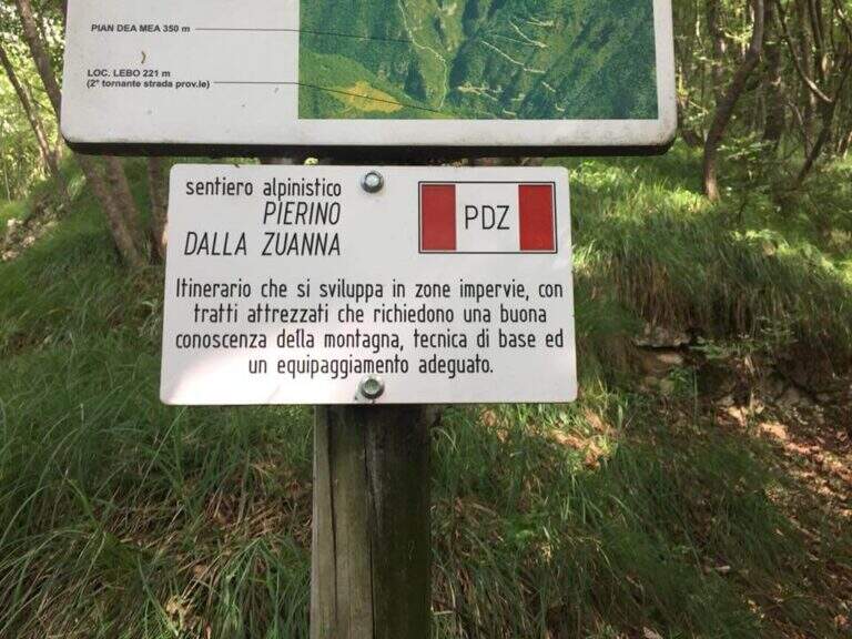
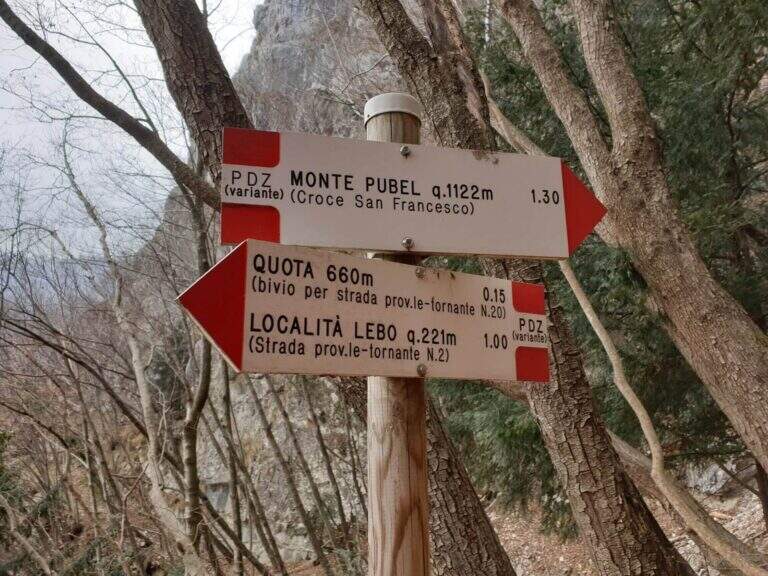
    The starting point is located on the road that connects Valstagna with Foza (Vicenza): you reach Valstagna from the SS47 of Valsugana from Bassano sul Grappa, turn left towards Piazza San Marco and follow the signs for Foza until the second bend, where a sign signs Cala del Sasso. You park on the road. From the parking lot, take a dirt road west in Val Frenzela, then take the path 779, well marked for the Path Pierino dal Zuanna (PDZ).

    ▲The path

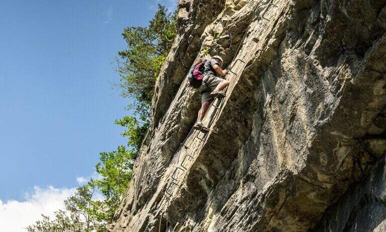
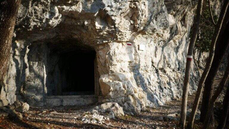
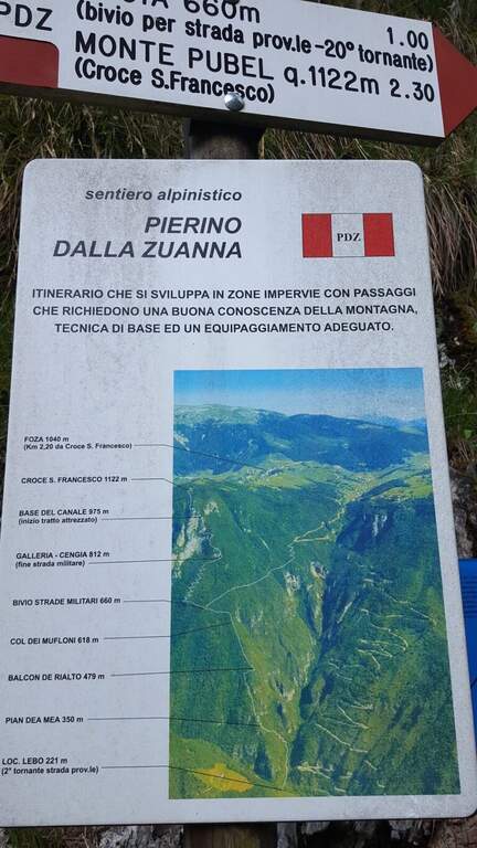
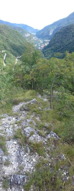
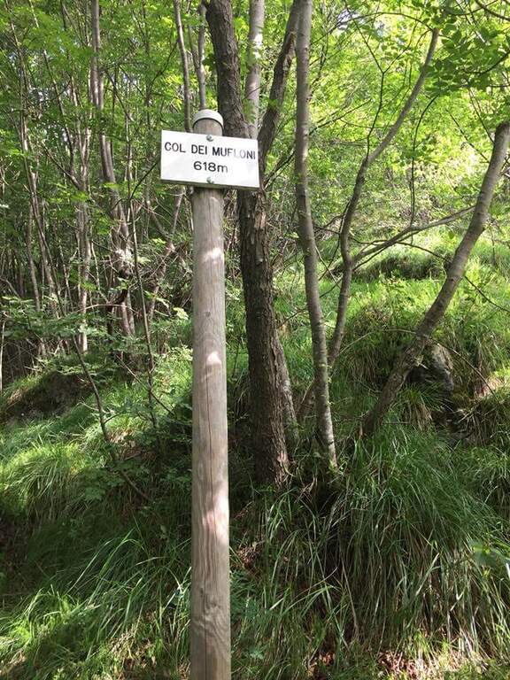
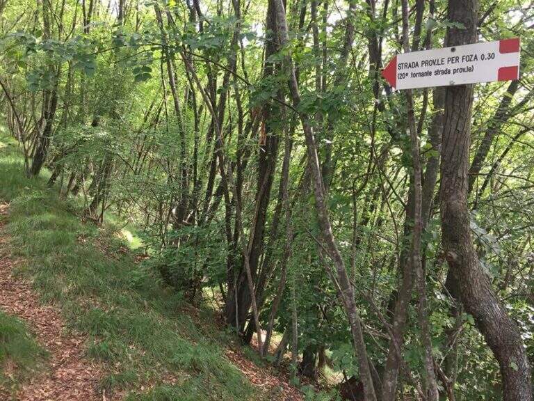
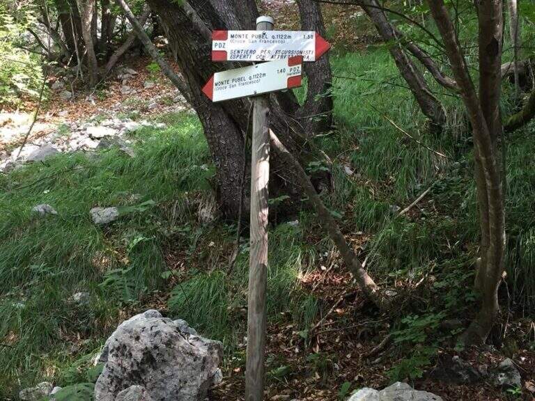
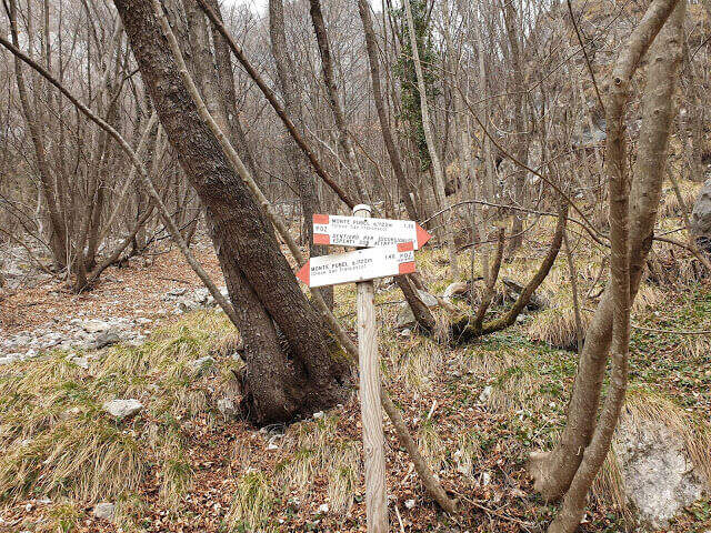
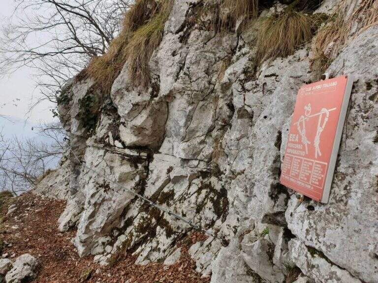
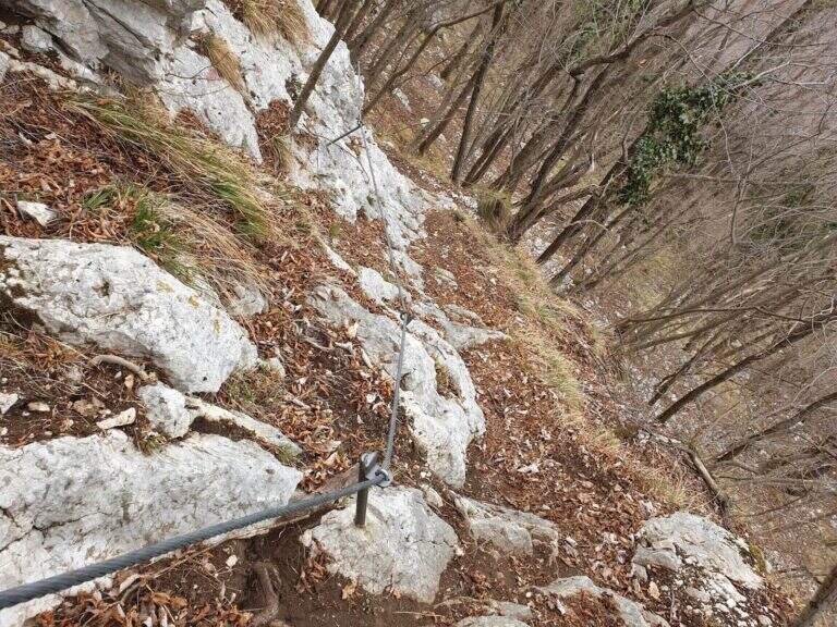
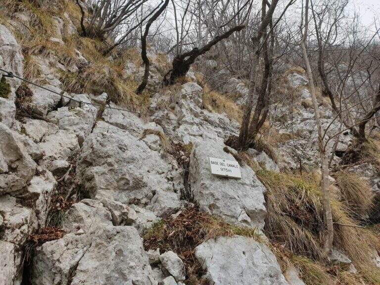
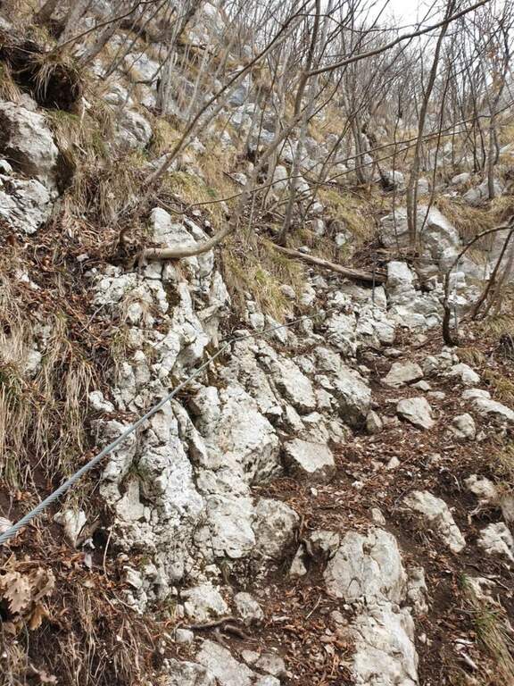
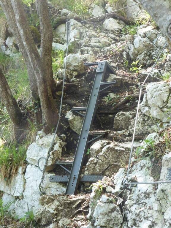
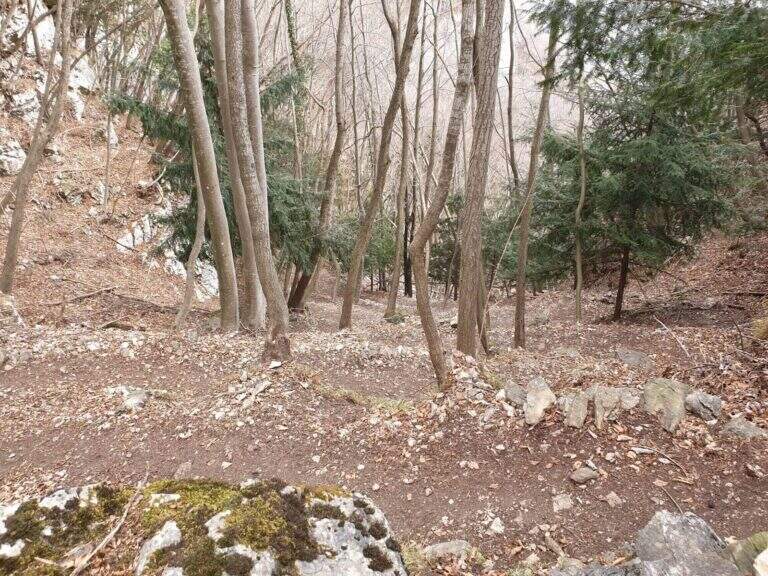
    The path climbs on a clear track, reaching the Pian dea Mea (350 m), the Balcon de Rialto (479 m) and the Col dei Mufloni (618 m). At about an hour from the parking lot you arrive at the Bivio Strada Militare (660 m): holding the left you enter the most interesting part of the itinerary. Shortly after a second crossroads: on the left descends the easy unequipped variant used on the return, on the right the variant is equipped in the wood. You climb up to a military gallery with target, then you walk the artificial nod carved into the rock. A steep stretch with cable leads to the Base del Canale (975 m), from which a metal ladder and about 100 m alternating between equipped sections and path leads to the top of Mount Pubel.

    ▲Character and difficulty

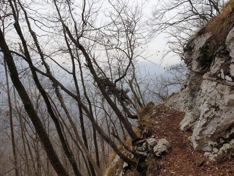
    Easy. The equipment does not compensate for climbing difficulties but increases safety on a wooded, slippery and at some point exposed. The artificial census excavated by mountaineers is the most characteristic passage of the route.

    ⚠ Insidious background with rain or snow: telescopic sticks recommended in the unequipped sections of the wood.

    ▲Period and safety

    From spring to autumn. The street is exposed to the east and the lower part of the forest remains wet long after the rains. Avoid snow or ice. It does not require mountaineering equipment, but the ferrata set is recommended.

    ▲Discipline

    From the end of the road it comes back again taking the unequipped variant to the left of the second junction, which brings back to the junction of the Military Road and then to the parking space.

    ▲To match

    In the area of Monte Pasubio and Altopiano there are several itineraries of the Great War: the Path equipped Baglioni e il Sentiero Falcipieri at 5 Peaks of Pasubio.

    ▲Gallery
    Technical data
    • DifficultyEasy
    • RegionVeneto
    • GroupAsiago / Valbrenta plateau
    • Approach1:00 h
    • Ferrata1:00 h
    • Itinerary (a/r)4:30 h
    • Hardware level difference150 m
    • Route difference900 m
    • Max1138 m
    • Length9 Km
  • Sentiero Attrezzato Baglioni – Pasubio

    Sentiero Attrezzato Baglioni – Pasubio

    Vie Ferrate › Veneto › VI
    Sentiero Attrezzato Baglioni – Pasubio

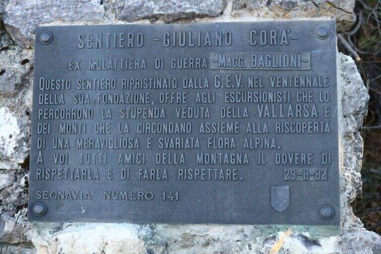
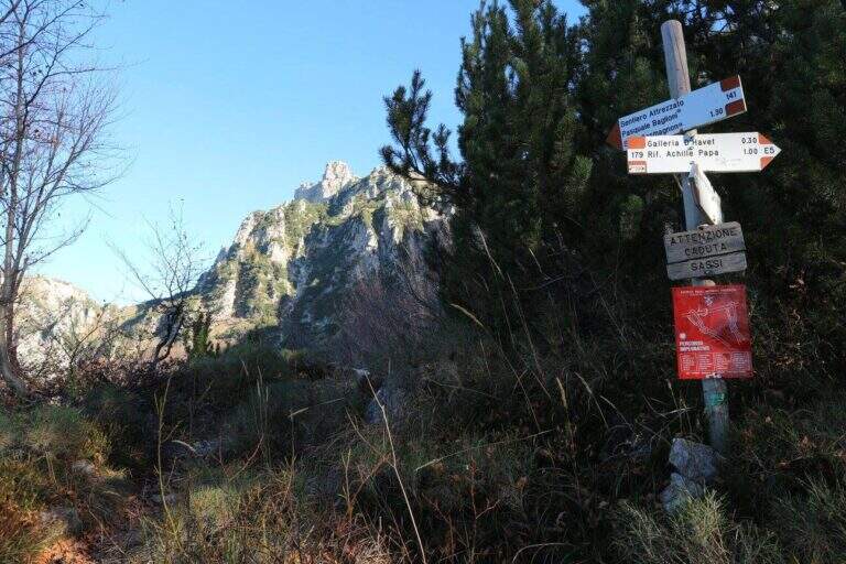
    ⚠ SENTIERO CHIUSO The Path Attrezzato Baglioni is currently closed due to a dangerous landslide along the way. Do not venture until the official reopening confirmed by the local CAI or the Park Authority.

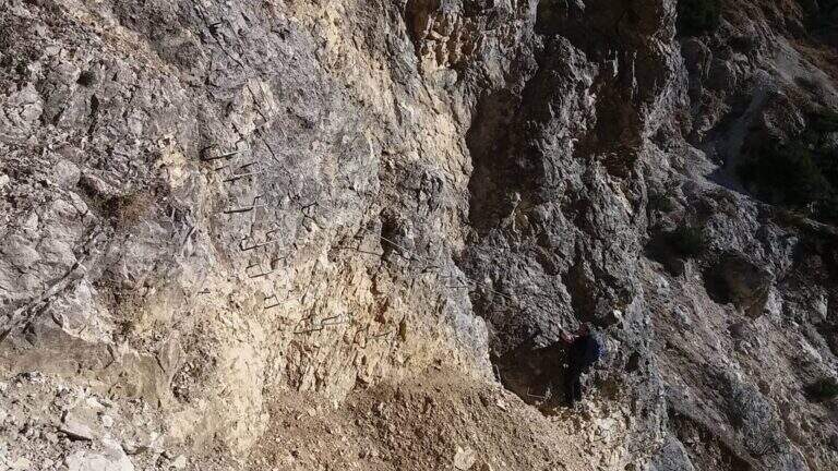
    Path Attrezzato, titled at Pasquale Baglioni, runs on the western side of Pasubio, in the Prison Valley, in an area full of testimonies of the First World War. The route starting from Pian delle Fugazze is as interesting from the historical point of view as varied in the environments, with equipped sections, galleries and belvederi on the valley below.

    ▲Approach

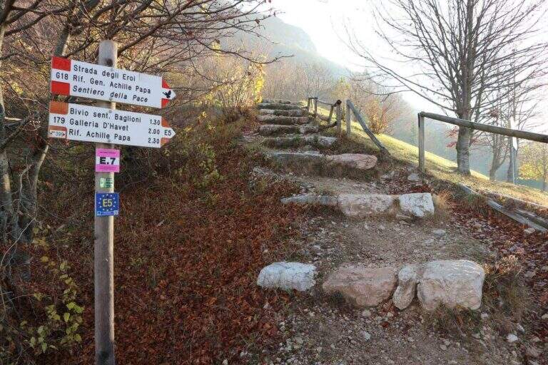
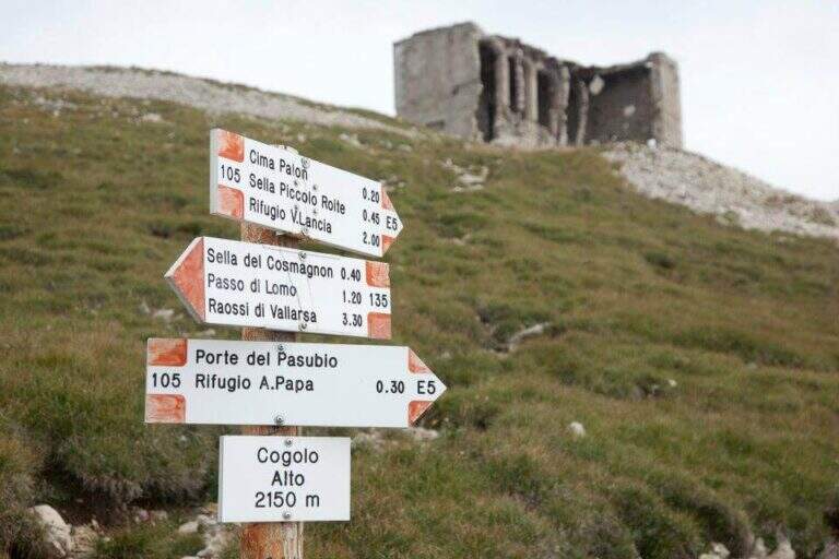
    From Pian delle Fugazze (wide park at the pass, reachable from Rovereto or Schio, directions road map) cross the road to the north and climb to the CAI path 179 (‘Strada degli Eroi’), a track that will also travel back. The path shortens the bends of the road and arrives at Malga Val di Fieno, where you leave the path 170 for the Pope Refuge and follow the signs for the Path Attrezzato Baglioni with CAI 141 marker (1645 m, 1h15′ from the parking lot).

    ▲The path

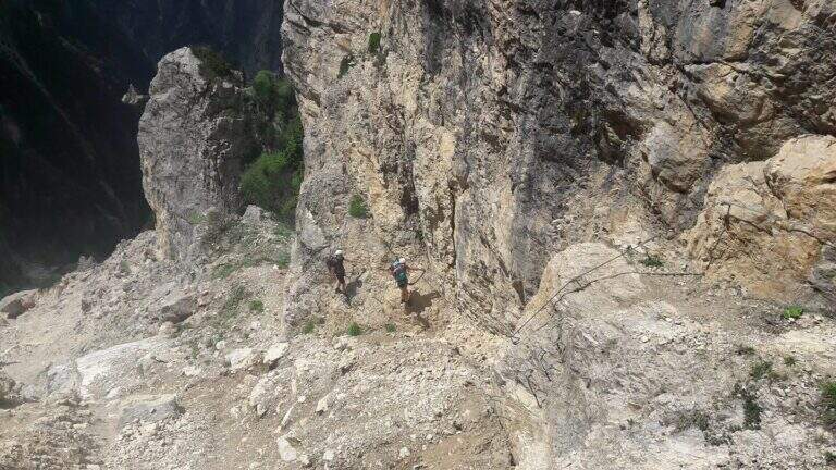
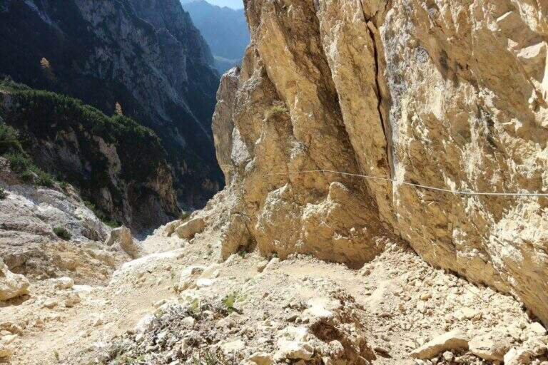
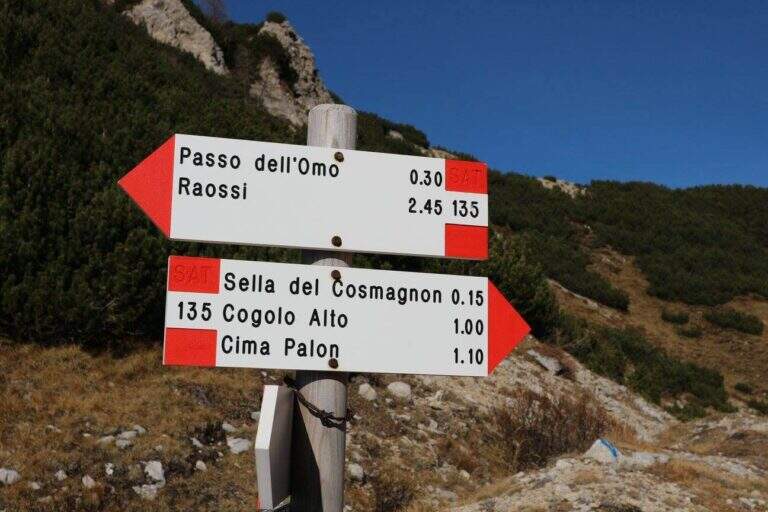
    The path continues halfway, cutting the southern dorsal of the Cima Palon. The first equipped sections, with cables that act more as a handrail than as a true protection, accompany a slight loss of altitude. The view of the valley below and overhead reliefs is remarkable for all progression. You reach the most challenging passage: a rocky canal with unstable and fragrant background, descended while keeping on the right side with the help of cambre. After about 1h15′ from the beginning of the Baglioni Path, two galleries cross the rock without requiring the torch. After the tunnels go up a green valley up to a crossroads: on the left the Homo Pass, straight the continuation (1h45′ from the beginning, 3h total).

    ▲Character and difficulty

    Classified Hard. The canal with franous background is the most technical passage; the traits equipped in the rest of the route have difficulty contained. The added value is the unique historical-alpinistic environment of the Pasubio with its galleries and testimonies of the Great War.

    ⚠ Attention to the afternoon fog, characteristic of the Pasubio and frequent even in summer. Prefer the morning hours for the excursion.
    ▲Period and safety

    The trail is currently closed. When reopened, the recommended season is from May to October. Always check the opening status at the local CAI before leaving.

    ▲Discipline

    From the end of the Sentiero Baglioni follow the path 135 towards the right with indications for the General Pope's Refuge. You can go down to the refuge or continue at altitude through tunnels and war finds, grafting on the path to the Pope from Pian delle Fugazze and going down to the fork (2h30′ from the end, 5h45′ total).

    ▲To match

    The small Dolomites offer great value itineraries including Alpine trail Falcipieri, il Sentiero Attrezzato al Monte Cornetto, la Ferrata Campalani, il Pojesi Path at Carega, la Ferrata Biasin, la Ferrata Viali e la Ferrata Ezio Ferrari.

    ▲Gallery
    Technical data
    • DifficultyHard
    • RegionVeneto
    • GroupSmall Dolomites
    • Approach1:15 h
    • Ferrata1:45 h
    • Itinerary (a/r)5:45 h
    • Hardware level difference100 m
    • Route difference988 m
    • Max2150 m
    • Length8 Km
  • Sentiero Attrezzato Panorama – Punta Valletta

    Sentiero Attrezzato Panorama – Punta Valletta

    Vie Ferrate › Aosta Valley › AO
    Sentiero Attrezzato Panorama – Punta Valletta

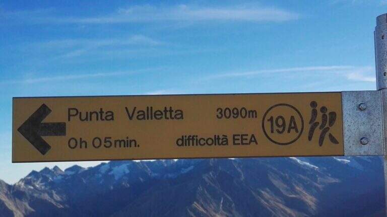
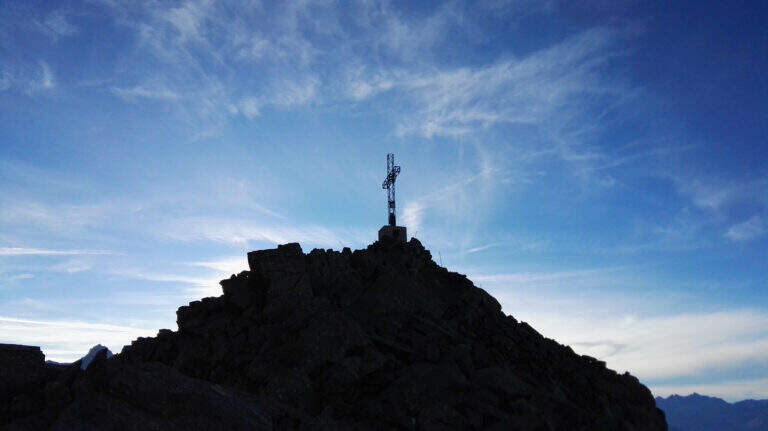
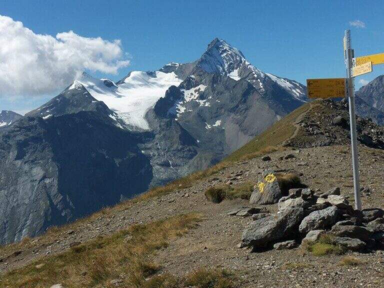
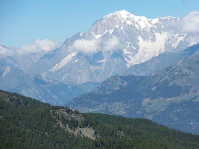
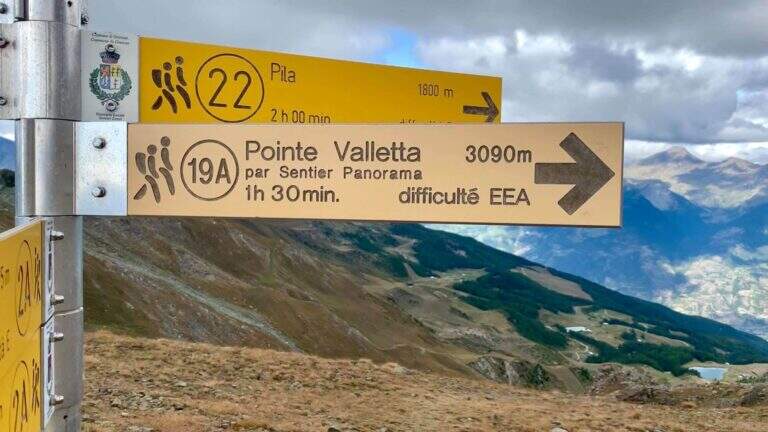
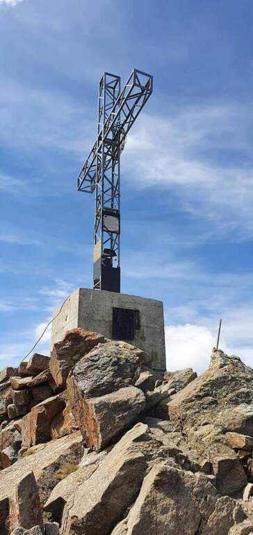
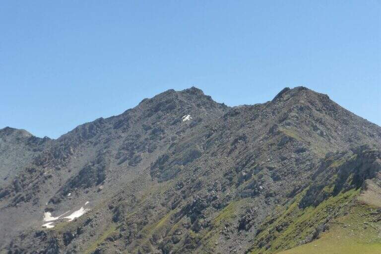
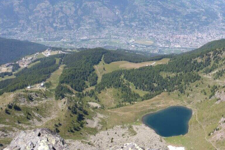
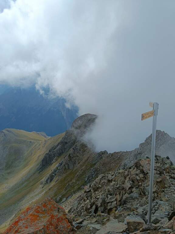
    The Sentiero Attrezzato Panorama runs through the ridge that culminates on the Punta Valletta (3090 m) above Aosta, reaching an easy three thousand with metal equipment to support the most delicate passages. An excursion with departure and arrival by cable car from Pila, with superb views of Mont Blanc, Cervino, Monte Rosa and Gran Paradiso.

    ▲Approach

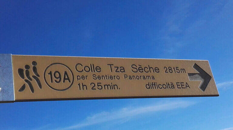
    From Chamôle station upstream of Aosta–Pila plants (directions road map) descend slightly on path 19C ignoring deviations towards chairlift Couis 1. Then take left the deviation for the Col Tsa Setse following path 22. The climb, never too steep and guided by yellow signals on the rocks, leads to the Col Tsa Setse (2815 m) with magnificent views of the Mont Blanc massif. From the hill, directions left towards Punta Valletta lead to path 19A, point of attack of the equipment (2h from the mountain station).

    ▲The path

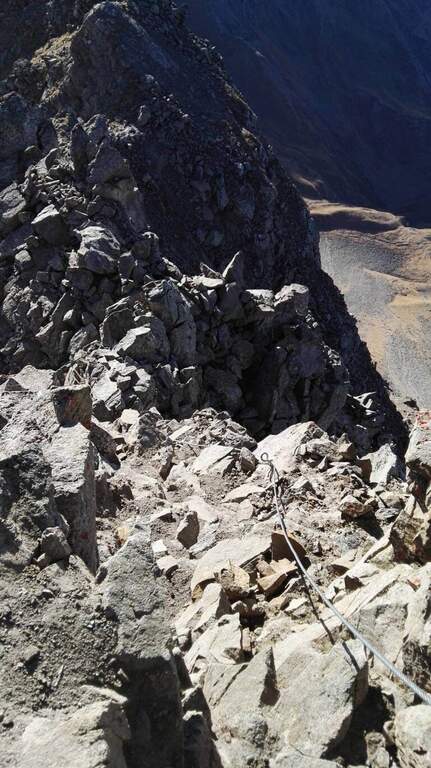
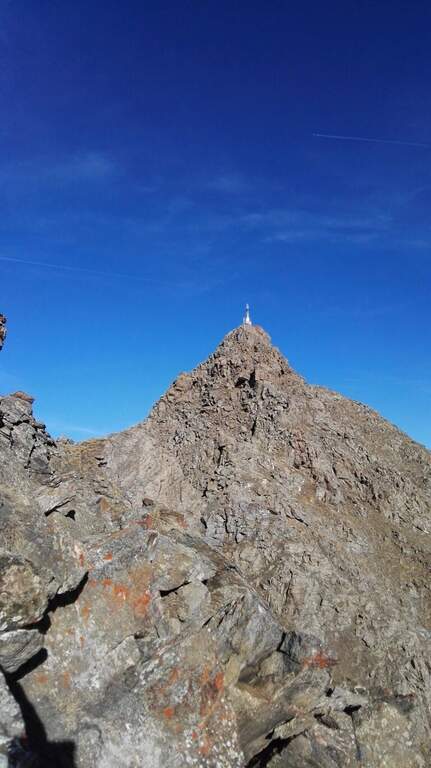
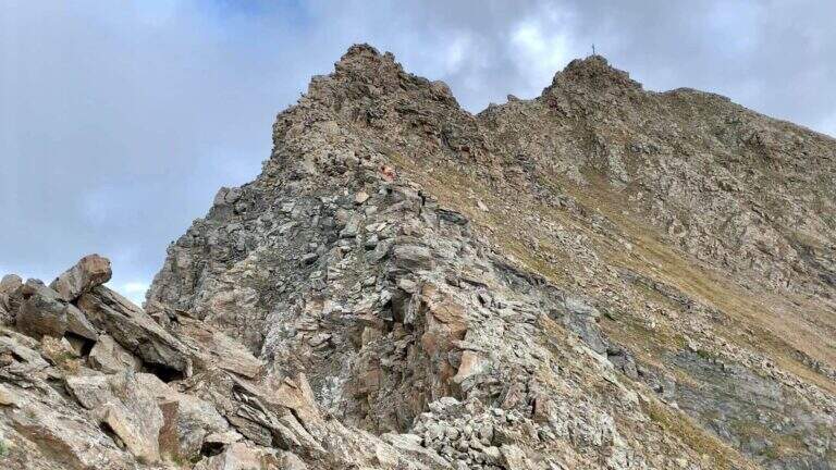
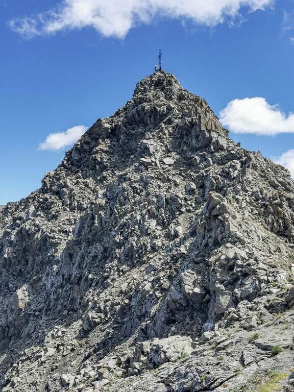
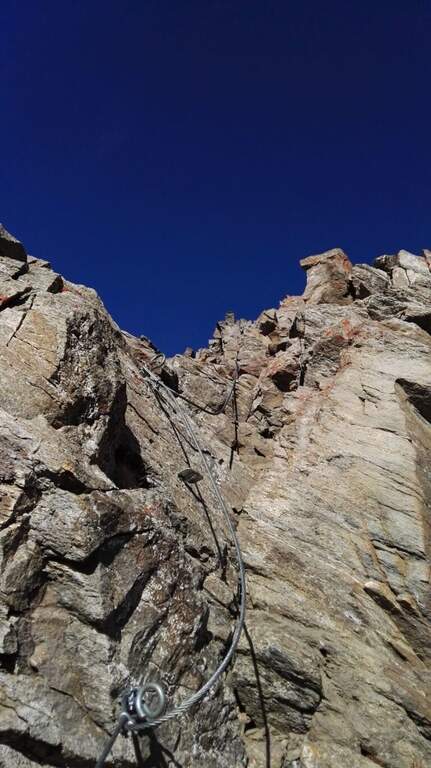
    The Attrezzato Path begins with a short descent equipped and then a rocky gendarme. Walk along the rocky crest towards the anticyme, bypassing a second gendarme in adherence with the cable. A cross-exposed little below the crest wire introduces to a long stretch of crest with the already visible cross. The last highlight features a few short stretches of rocky walls and balconies, as well as the peak cross of the Punta Valletta (3090 m, 1h from the attack, 3h total from the mountain station).

    ▲Character and difficulty

    Classified Difficult for altitude, ridge exposure and short climbing routes ensured in the final part. The equipment is recent and the route has no high technical difficulties at any point; however, the high altitude environment and the steep descent to the Col de Chamôle require extensive hiking experience.

    ⚠ Downhill, ignore the yellow arrow that indicates a steep and dangerous canyon: always follow the official path towards the Col de Chamôle. Beware of the fog that can suddenly rise from the valley below.
    ▲Period and safety

    From July to September with good conditions. The altitude requires high mountain experience, especially in the steep stretch of descent to the Hill of Chamôle.

    ▲Discipline

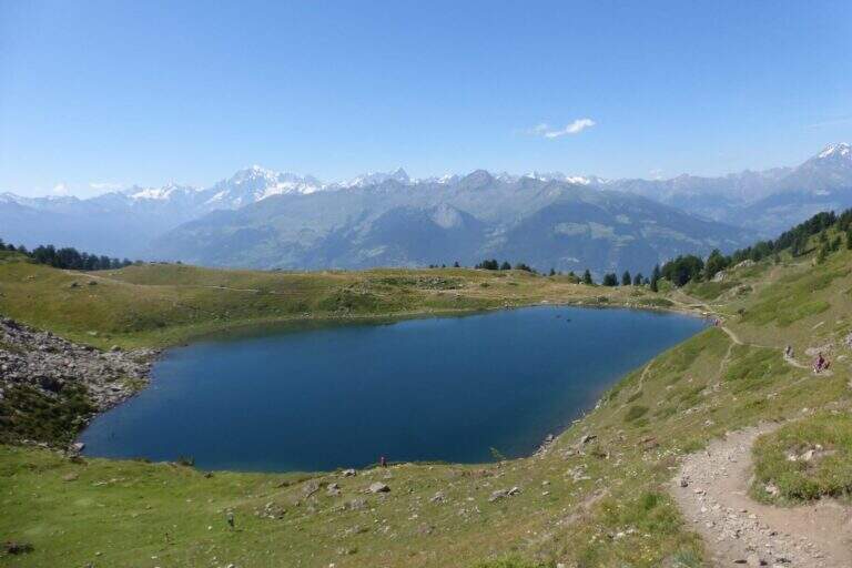
    From the summit you descend north on the normal road, on slopes and grassy crest towards Tête Noire and then to the Col de Chamôle. From here you can reach the Chamôle lake near the cable car to return (2h from Punta Valletta, 5h total).

    ▲To match

    From the same cable car of Pila is accessible the most demanding Monte Emilius Ferrata. The Arbolle Refuge, accessible from the Col de Chamôle, is a useful base for connecting the two routes.

    ▲Gallery
    Technical data
    • DifficultyHard
    • RegionAosta Valley
    • GroupAlps
    • Approach2:00 h
    • Ferrata1:00 h
    • Itinerary (a/r)5:00 h
    • Hardware level difference250 m
    • Route difference800 m
    • Max3090 m
    • Length12,8 Km
  • Path Equipped with the Palete

    Path Equipped with the Palete

    Vie Ferrate › Trentino-Alto Adige › TN
    Path Equipped with the Palete

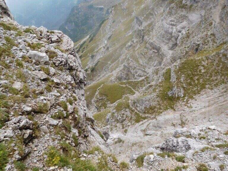
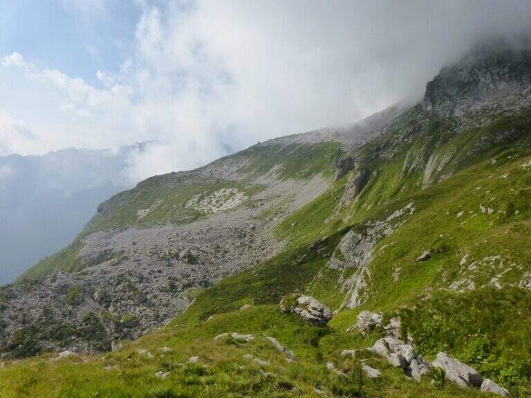
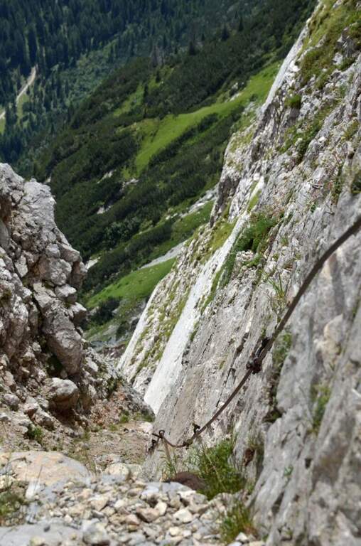
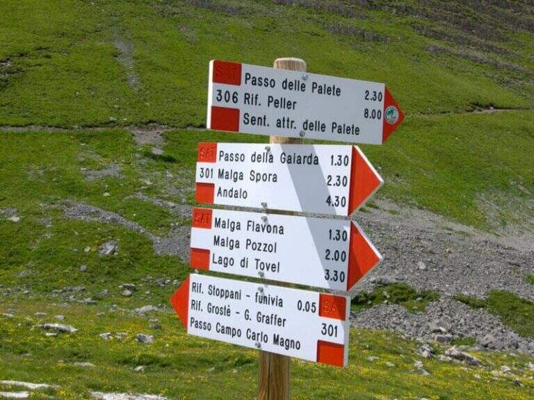
    A long ring in the Brenta Dolomites that touches the Passo delle Palete, the Val Gelada with its ferrata and the Orti spur, returning to the Grostè through the Sentiero Attrezzato Vidi. The peculiarity of this route is that the most insidious traits are those not equipped: exposed cenges without cable require safe foot and concentration higher than that which the metallic sun protections would suggest.

    ▲Approach

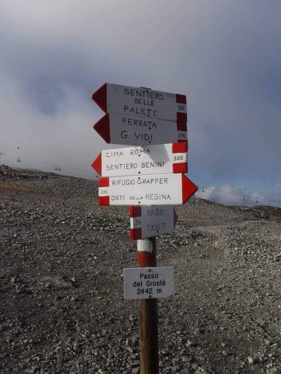
    From the mountain station of the cable car to Grostè (2442 m, directions road map) follow the CAI 306 path north for 10 minutes to the entrance of the Val delle Giare.

    ▲The path

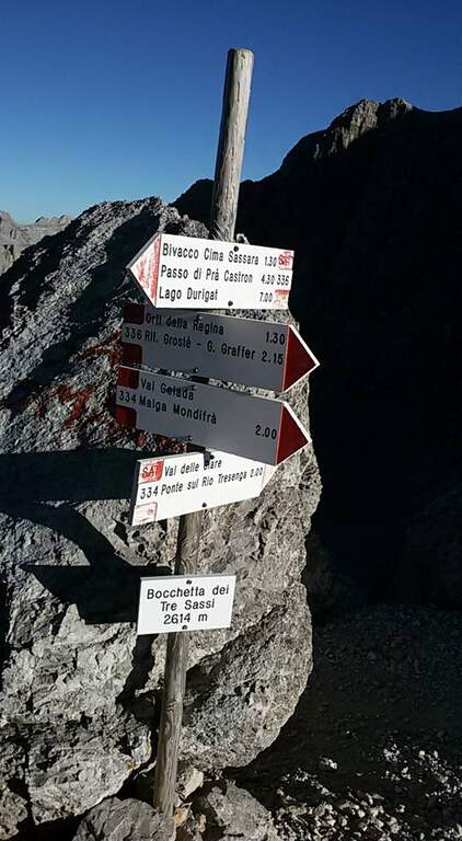
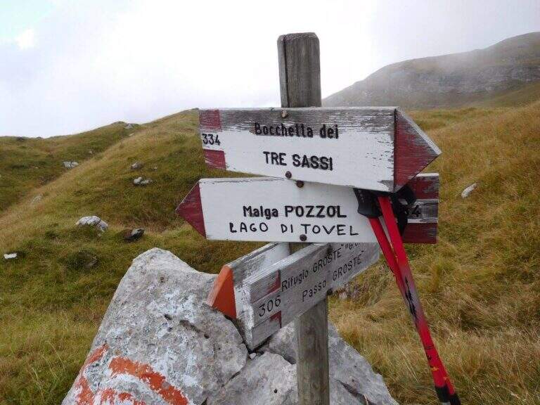
    You descend into the Val delle Giare (2177 m, 1h15′) along exposed blinds and short stretches equipped. You pass the Passo delle Palete (2319 m) and descend for a gravel canal up to Livezza Grande (2184 m, 3h15′). Go up the Val Gelada with the CAI 380 path to Ferrata Val Gelada: a fireplace and stretches equipped in canal lead to the Val Gelada Pass (2686 m, 5h15′). Continue on the CAI 336 path of the Costanzi until Bocchetta Tre Sassi (2613 m, 6h) and the Orti spur (2520 m, 7h15′). From here the Sentiero Attrezzato Vidi returns to the Grostè station (9h total).

    ▲Character and difficulty

    Classified Difficult mainly for length (9h), the cumulated difference in altitude and the exposed unequipped strokes that meet in the grippers and along the path. The equipped stretches (Ferrata Val Gelada) are medium challenging. Excellent physical condition indispensable.

    ⚠ Departure at the indispensable dawn. The Val Gelada keeps snow late. The unequipped sections on display are the real difficulty of this itinerary.
    ▲Period and safety

    From July to September. Avoid in case of imminent bad weather or afternoon fog, frequent on the peaks of the Brenta.

    ▲Discipline

    The return takes place through the Route Attrezzato Vidi from the Bocchetta degli Orti to the Grostè station.

    ▲To match

    The same Grostè station gives access to Sentiero Attrezzato Orsi towards the Rifugio Pedrotti and the whole system of the Bocchette del Brenta.

    ▲Gallery
    Technical data
    • DifficultyHard
    • RegionTrentino-Alto Adige
    • GroupDolomiti di Brenta
    • Approach0:10 h
    • Ferrata3:00 h
    • Itinerary (a/r)9:00 h
    • Hardware level difference100 m
    • Route difference215 m
    • Max2687 m
    • Length17 Km
Need help? Write to us!