Regione: Friuli-Venezia Giulia

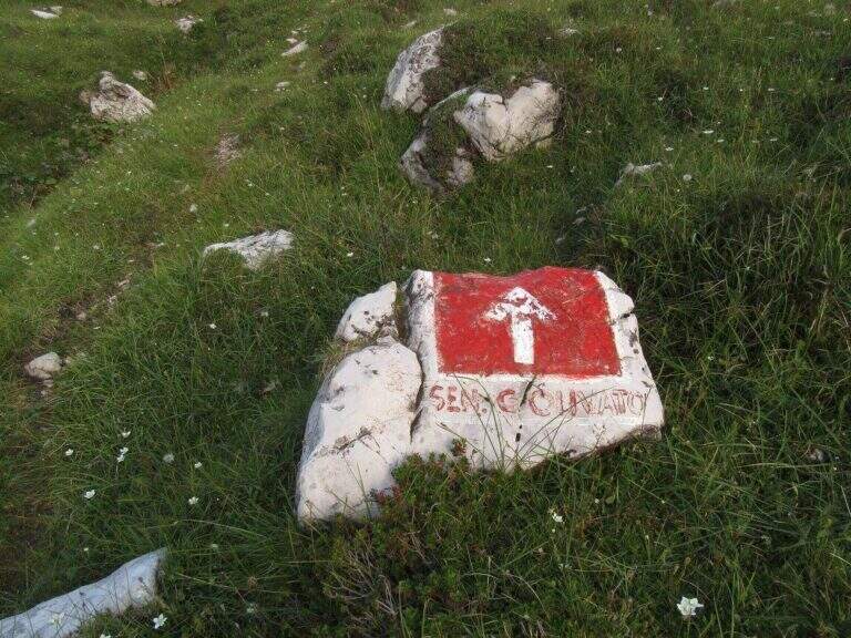
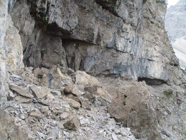
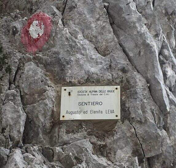
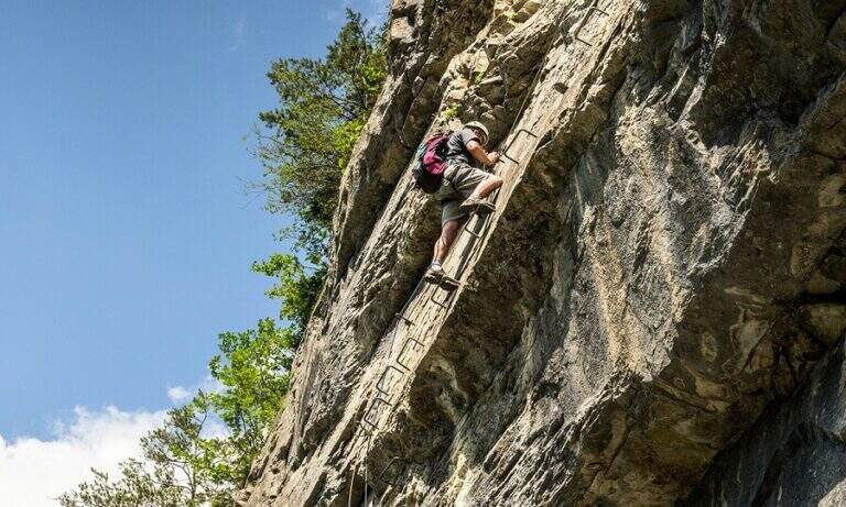
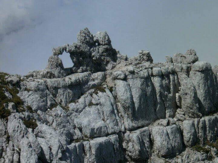
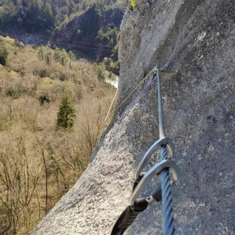
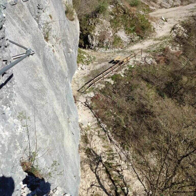
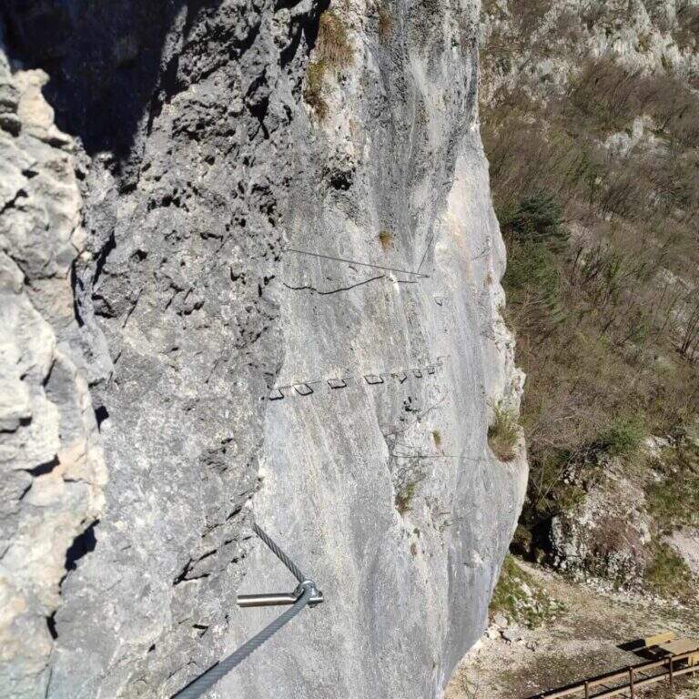
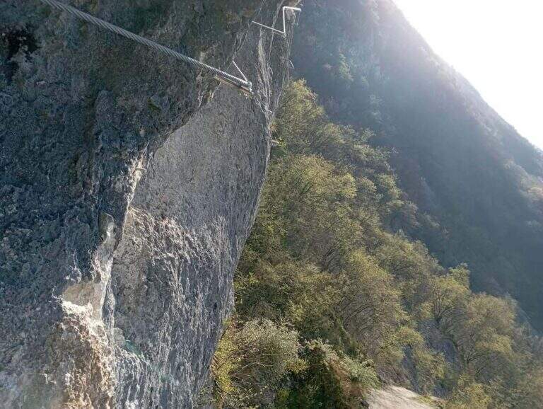
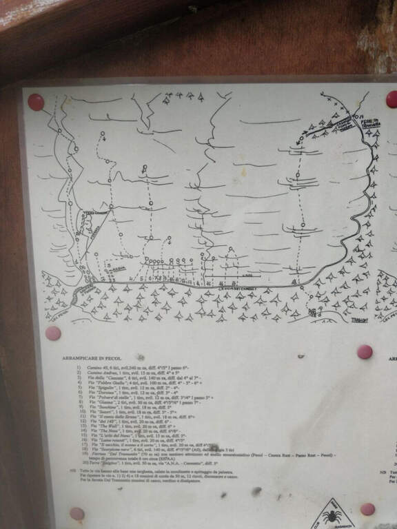
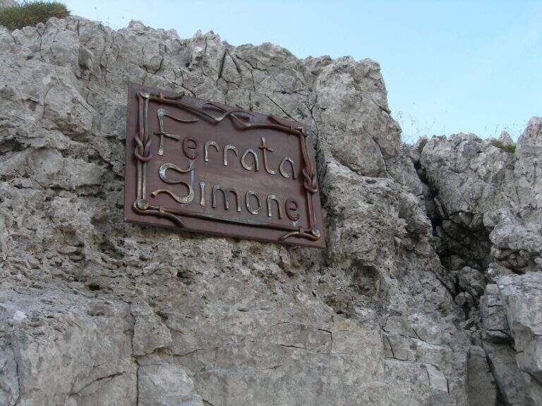
  • Sentiero Attrezzato Simone – Creton dell’Arco, Alpi Carniche

    Sentiero Attrezzato Simone – Creton dell'Arco, Carniche Alps

    Vie Ferrate › Friuli-Venezia Giulia › UD
    Sentiero Attrezzato Simone – Creton dell'Arco, Carniche Alps
    Moderately Hard● OpenDescriptionComplexityMapsGallery

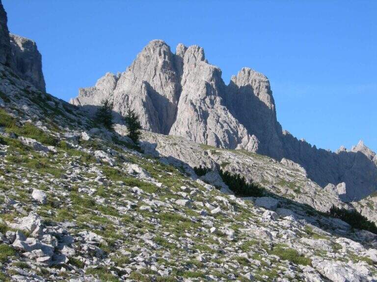
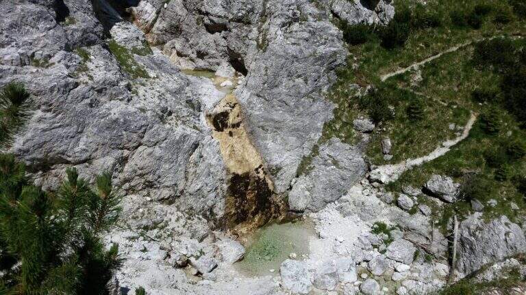
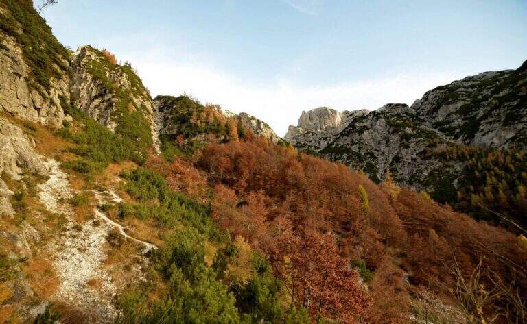
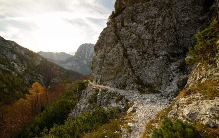
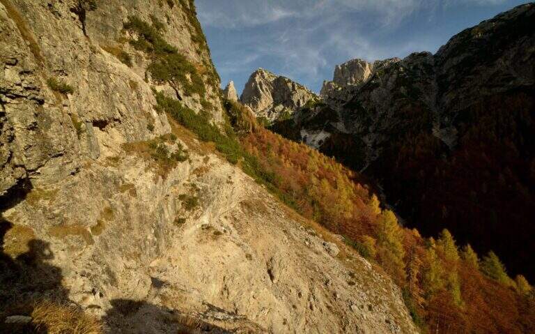
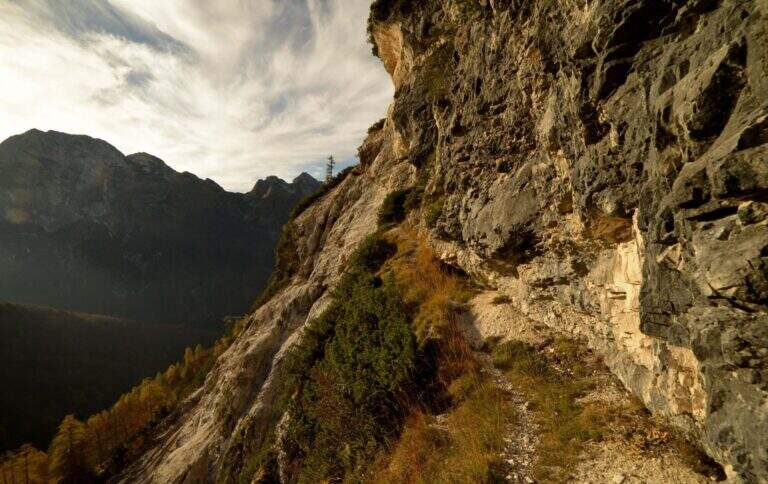
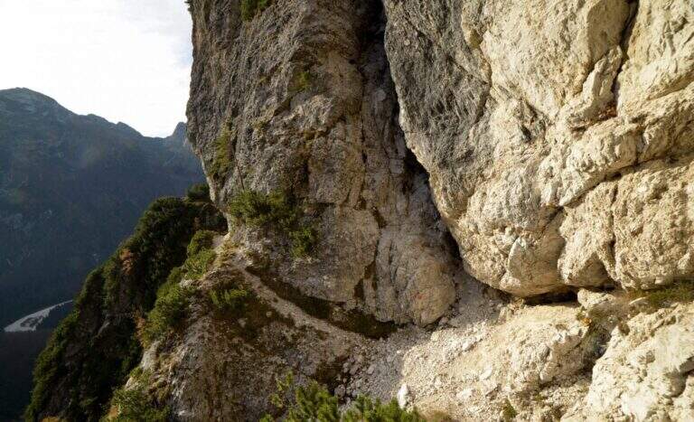
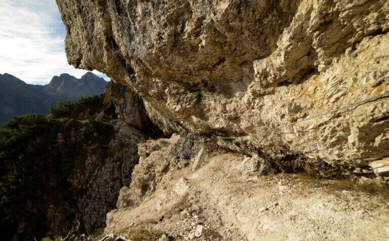
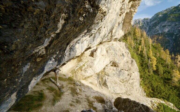
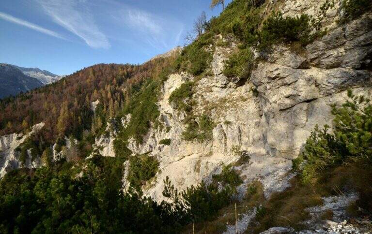
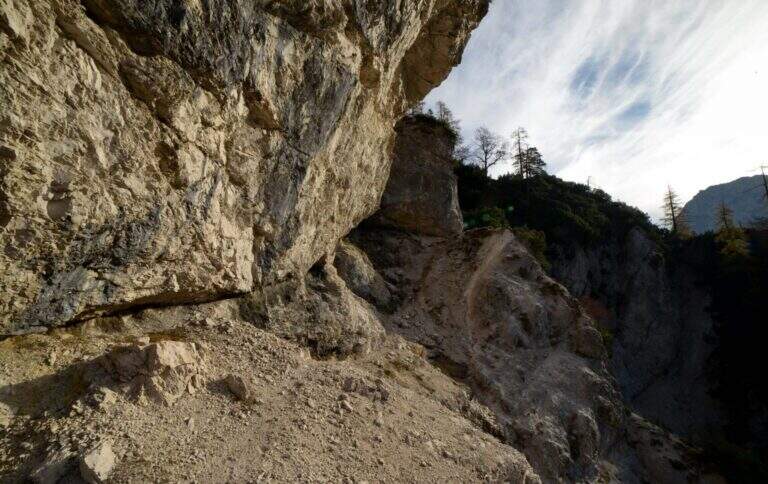
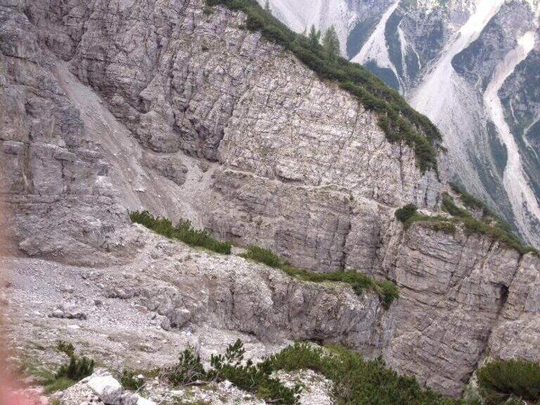
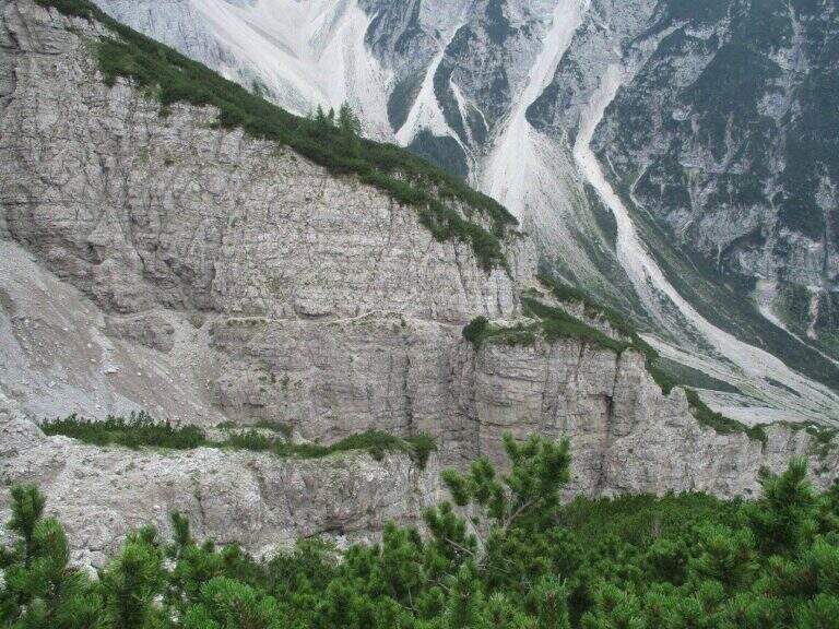
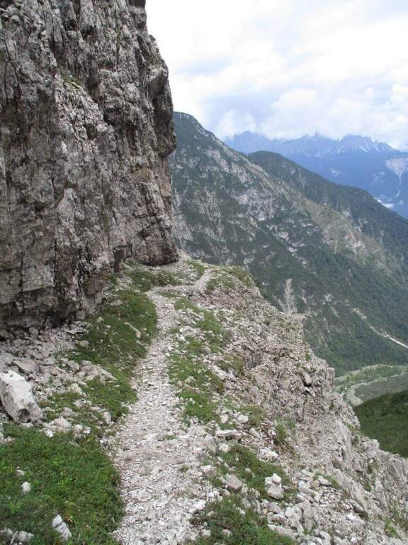
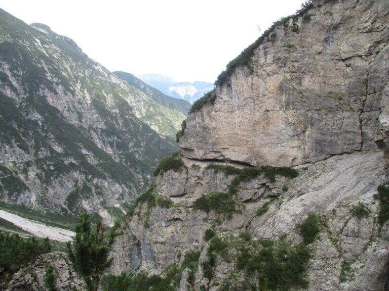
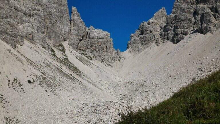
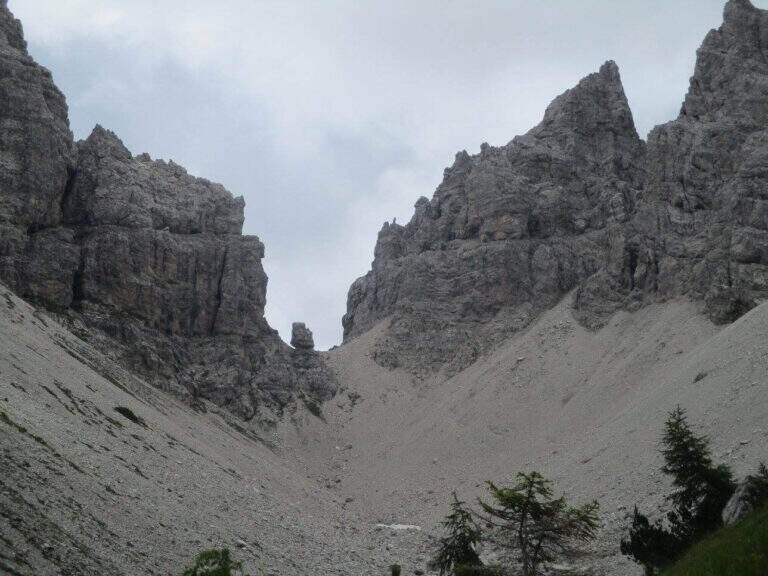
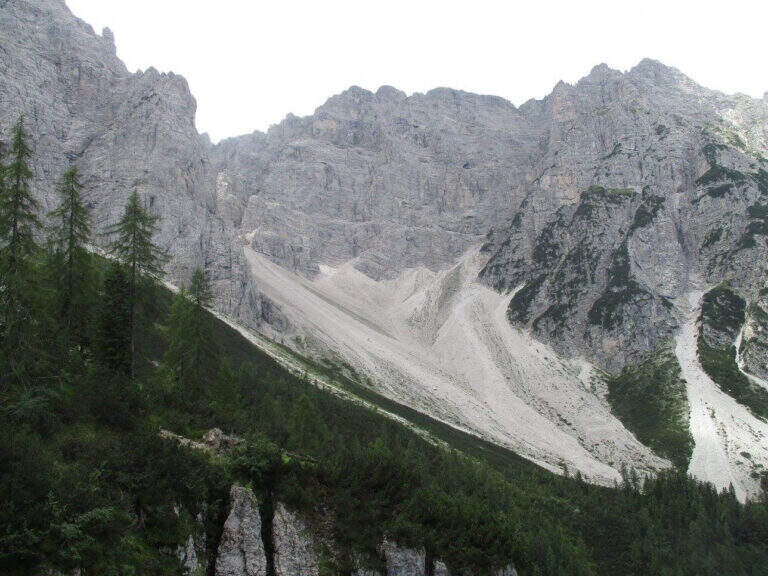
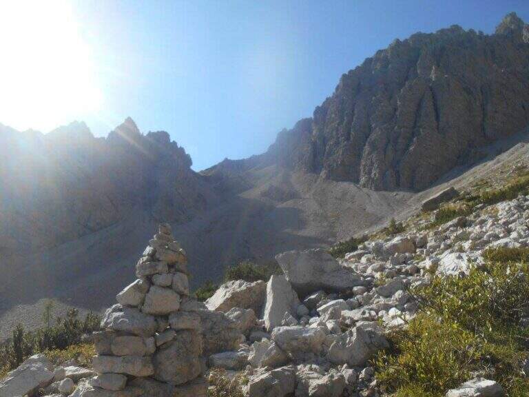
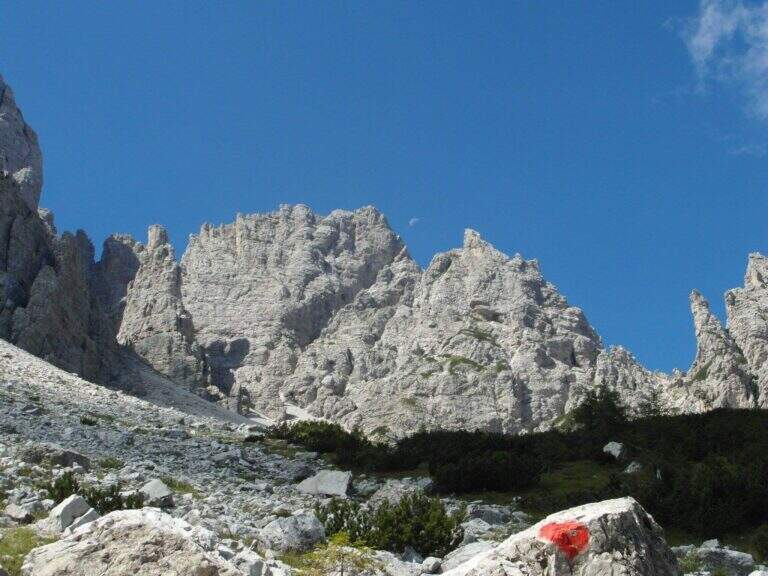
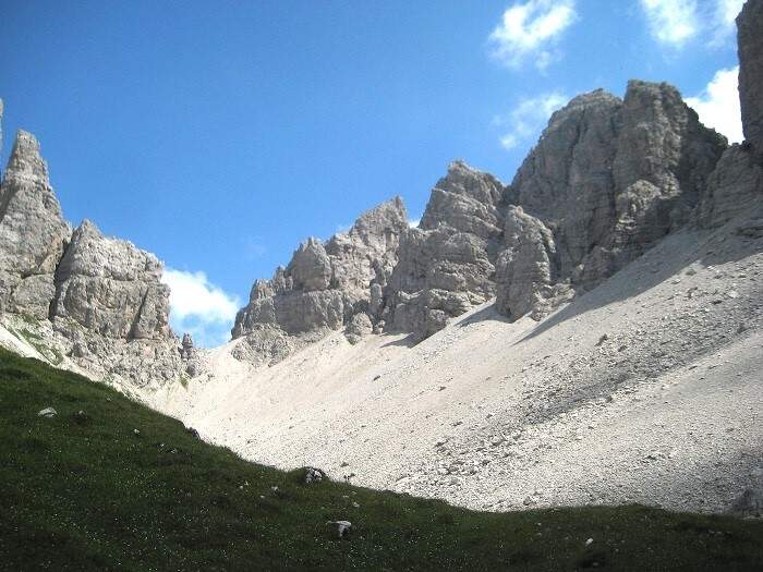
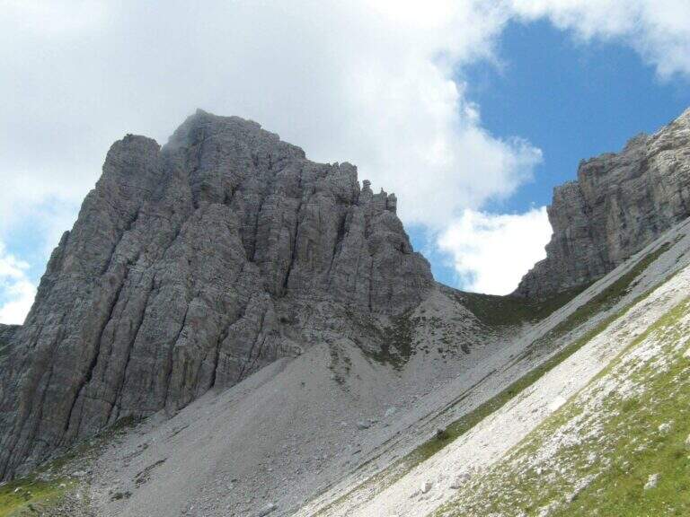
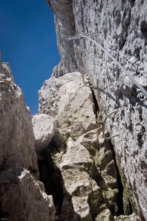
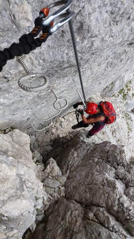
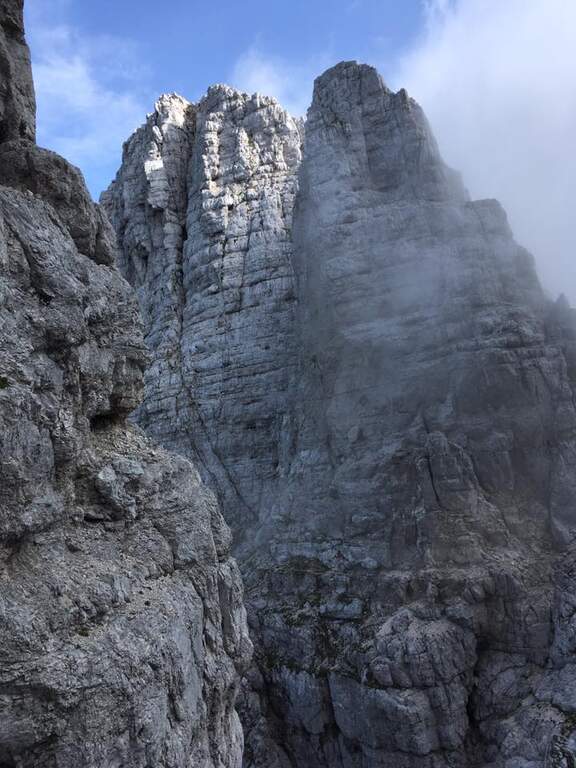
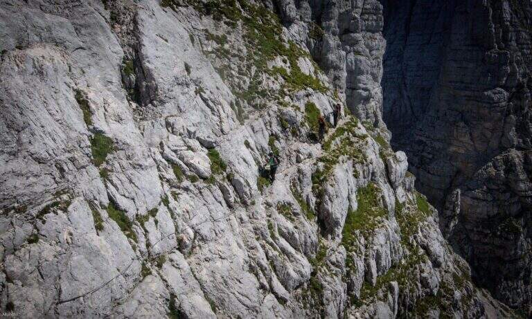
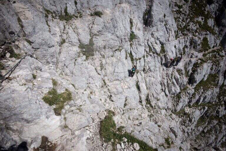
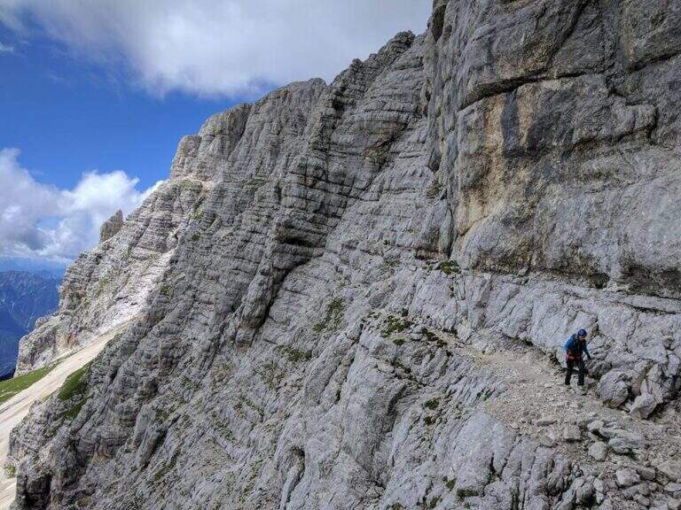
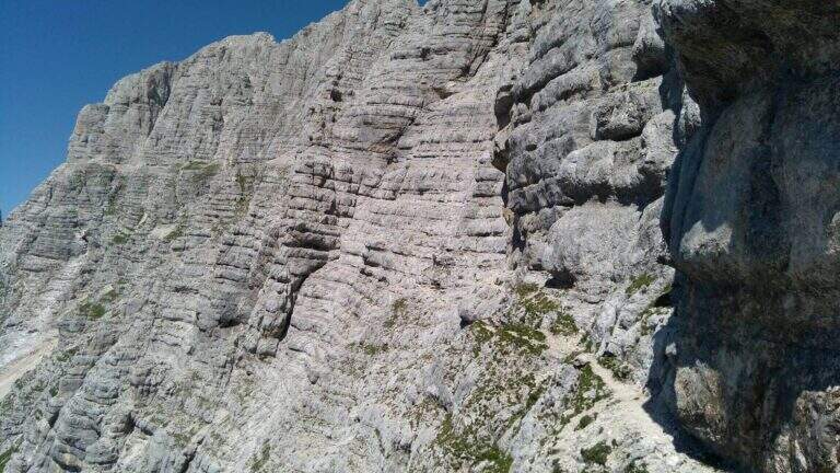
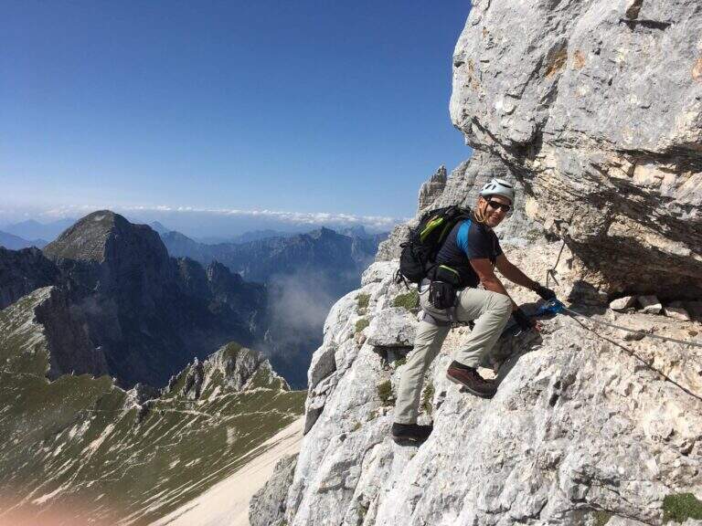
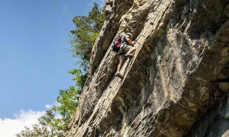
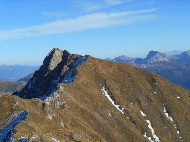
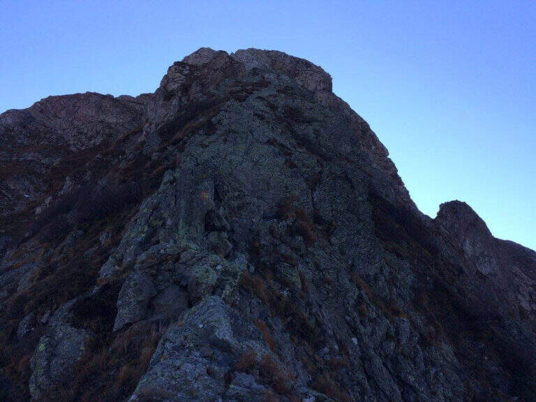
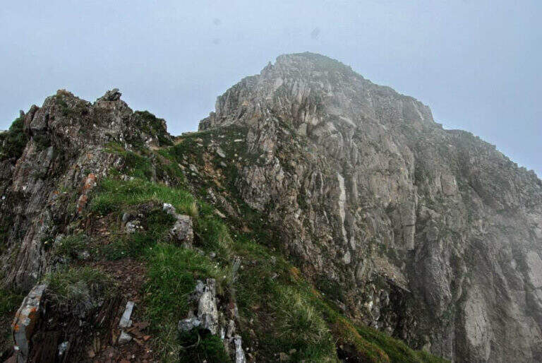
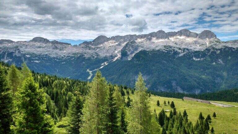
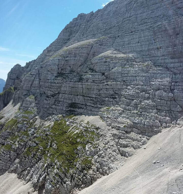
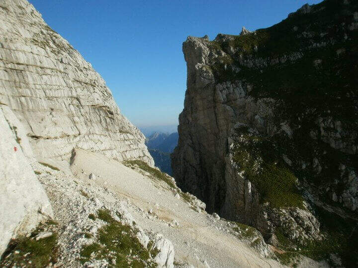
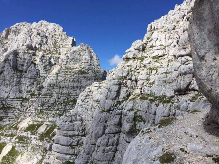
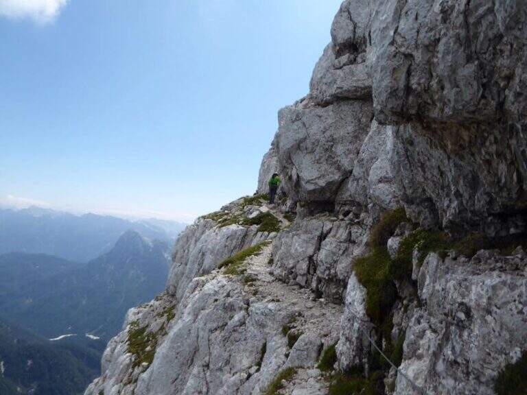
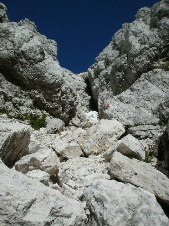
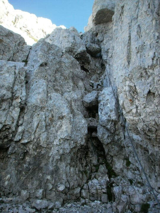
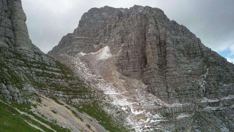
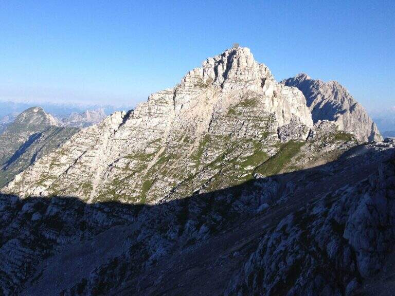
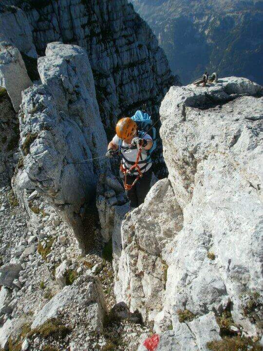
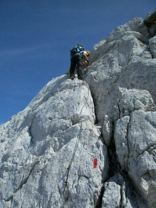
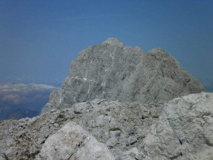
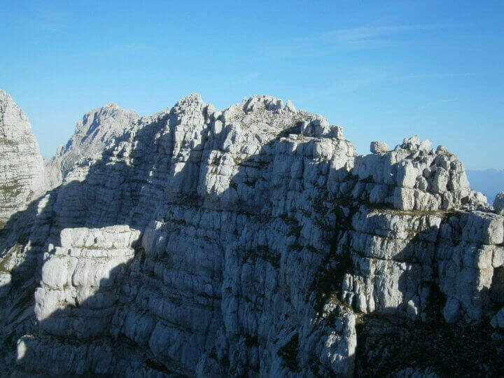
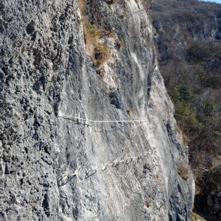
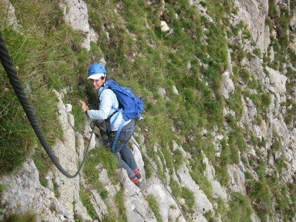
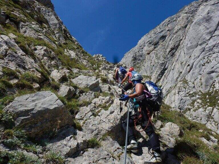
    Itinerary of medium difficulty leading to the Creton dell'Arco (2357 m) in the Carnic Alps near Sappada. The final fireplace is the most technical passage of the street. Easily combined with the most demanding Ferrata dei Cinquanta del Clap for a long and varied day.

    ▲Approach

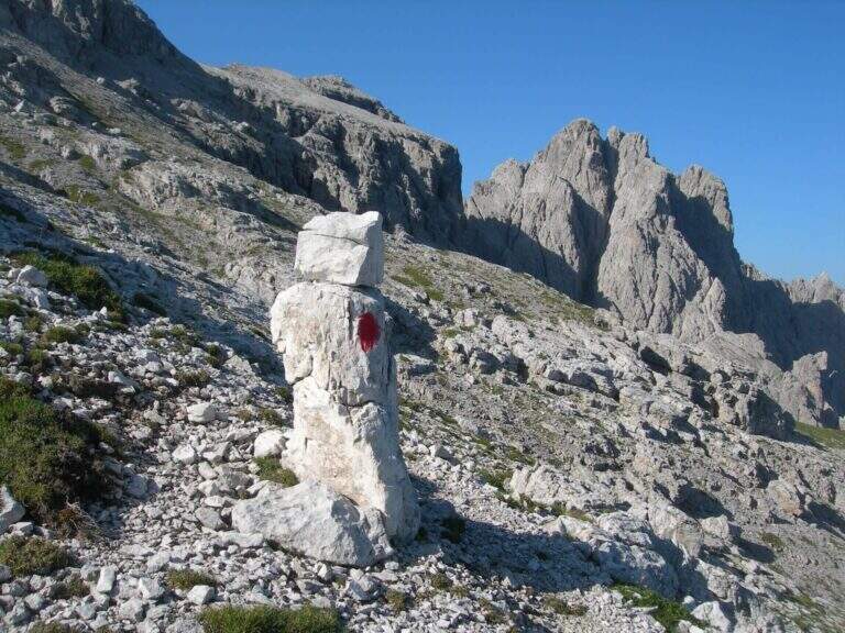
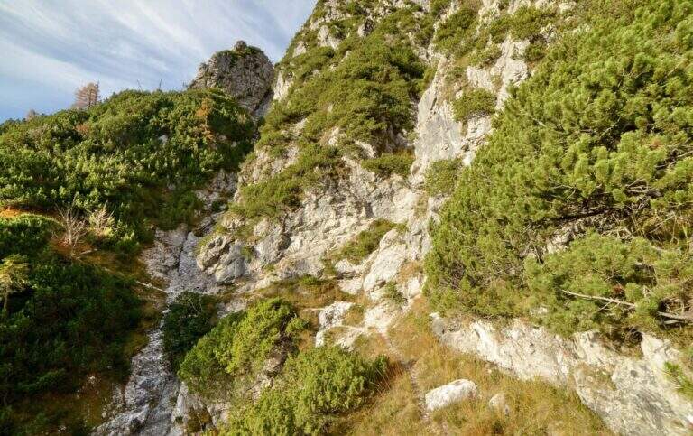
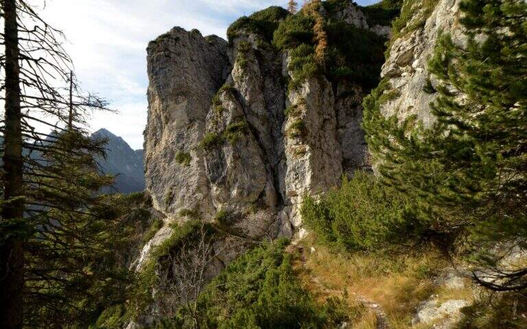
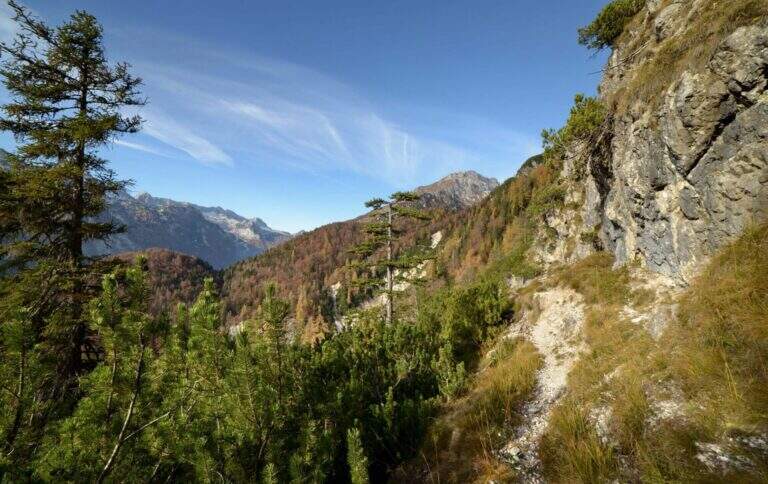
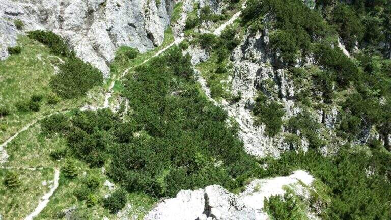
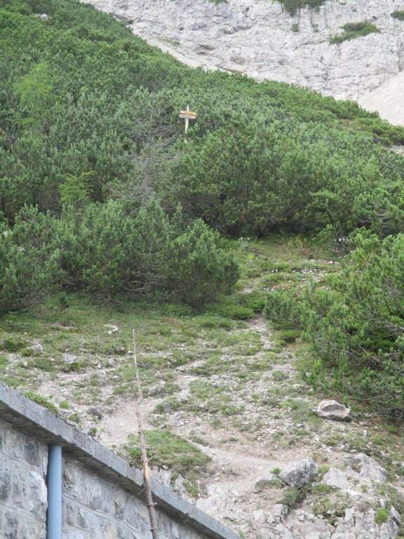
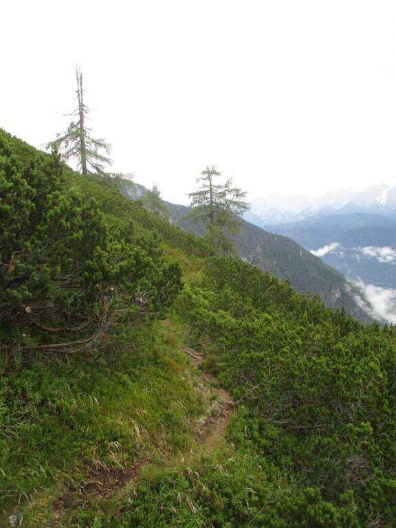
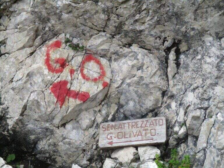
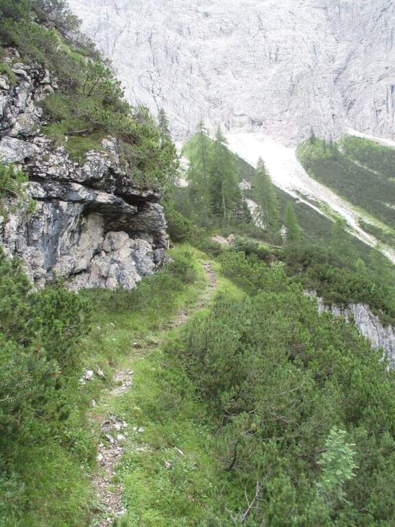
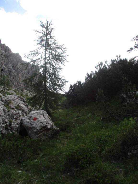
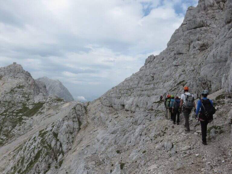
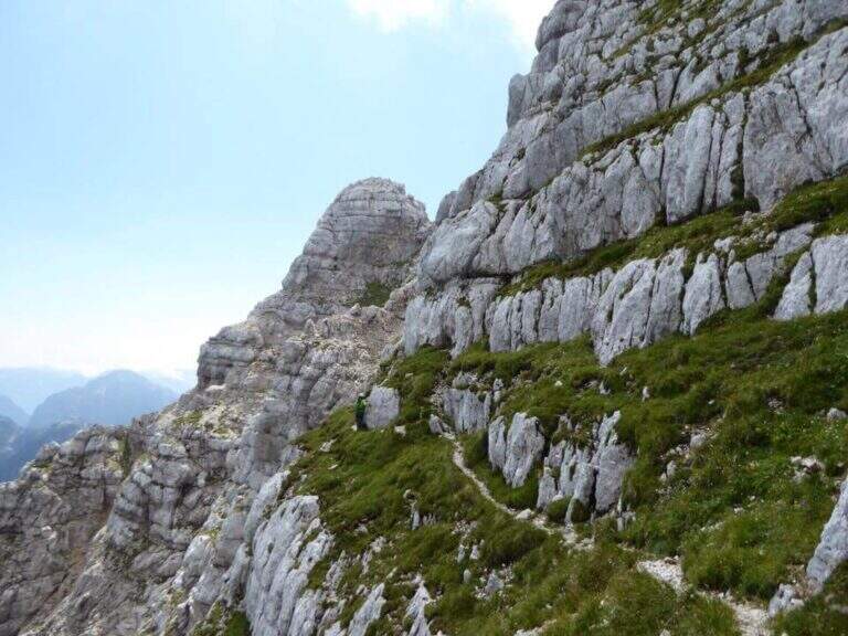
    From Sappada (UD) you park in the wide south of Piave, near the camper stop. Follow the path 317 on the right of the Rio Storto, ignoring the right track for the Bivacco Damiana (sentiero 322, which will be option of return). You climb into the wood with hairpin bends to Passo dell'Arco (1907 m, 1h30'), recognizable for the homonymous rock arch. Already near the pass, on the right there is a well marked track that leads to the attack (1h45' from the parking lot).

    ▲The path

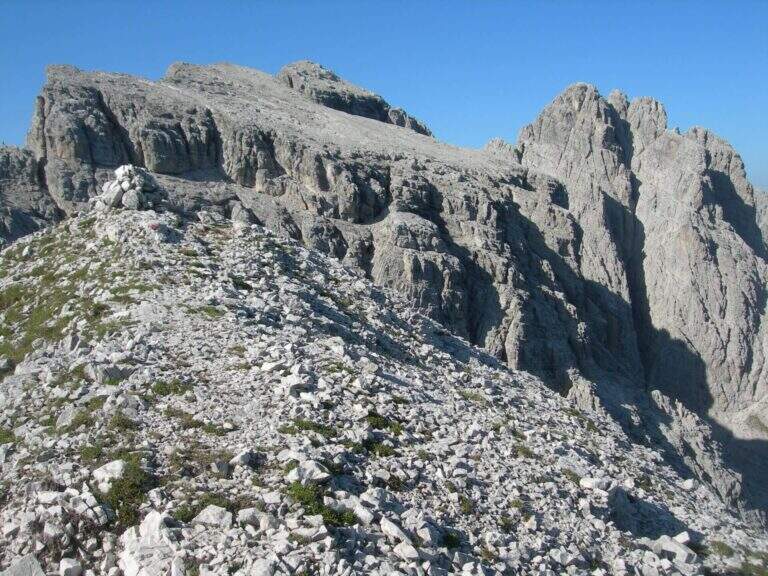
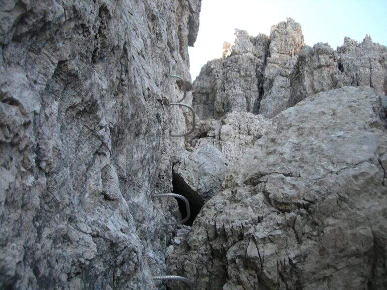
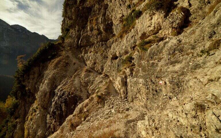
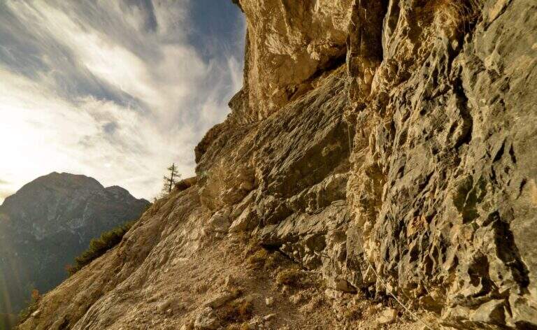
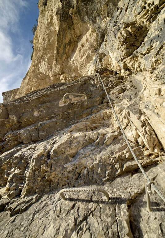
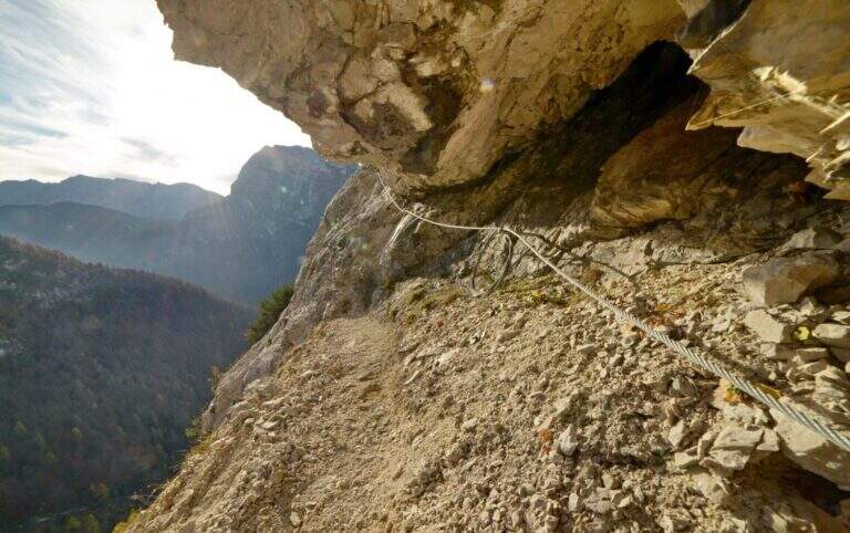
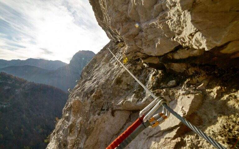
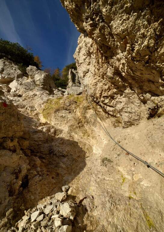
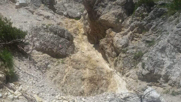
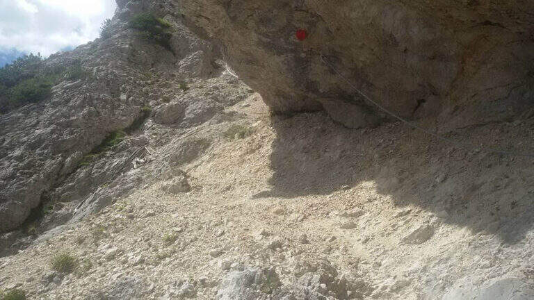
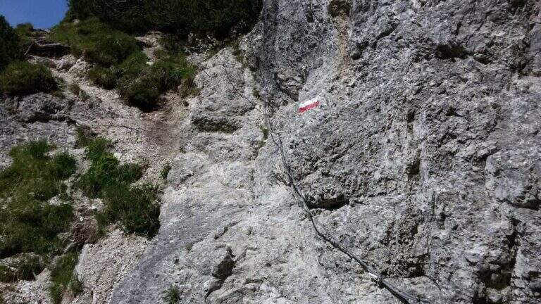
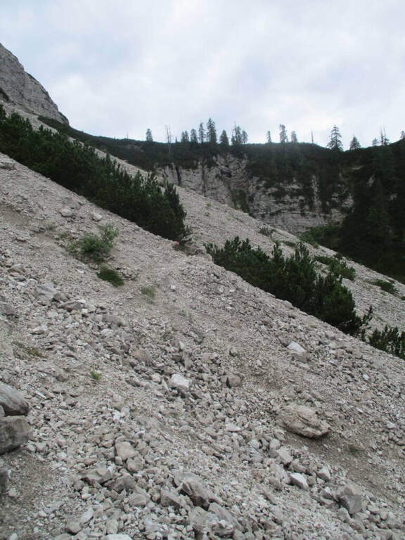
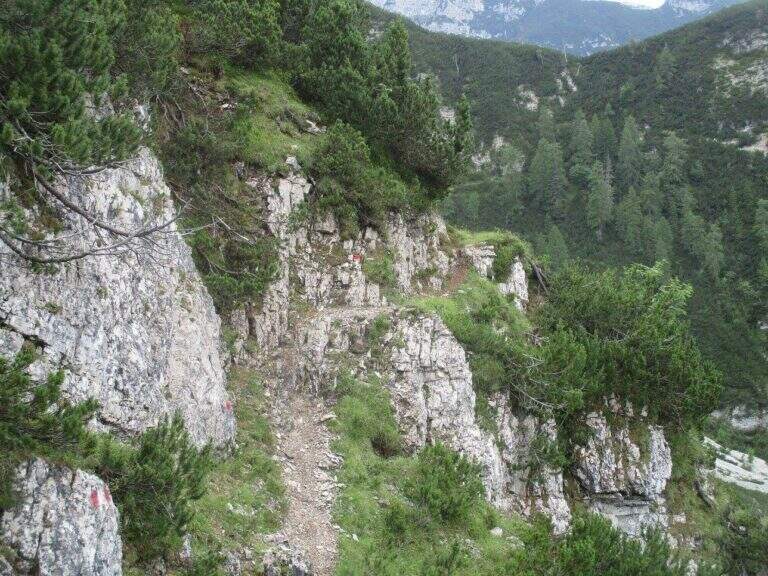
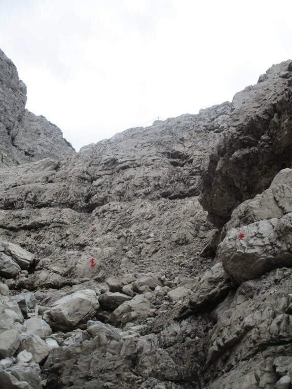
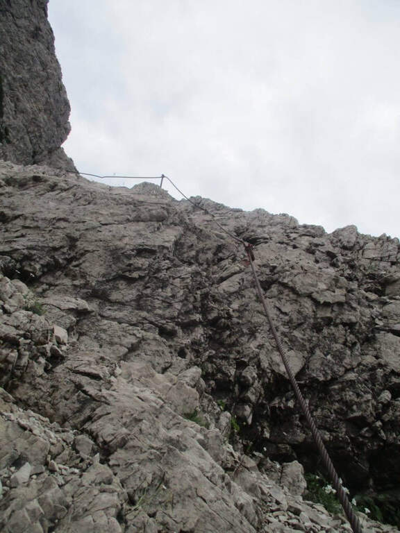
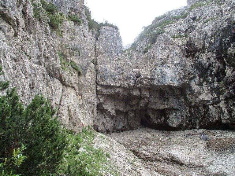
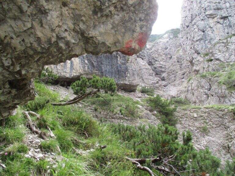
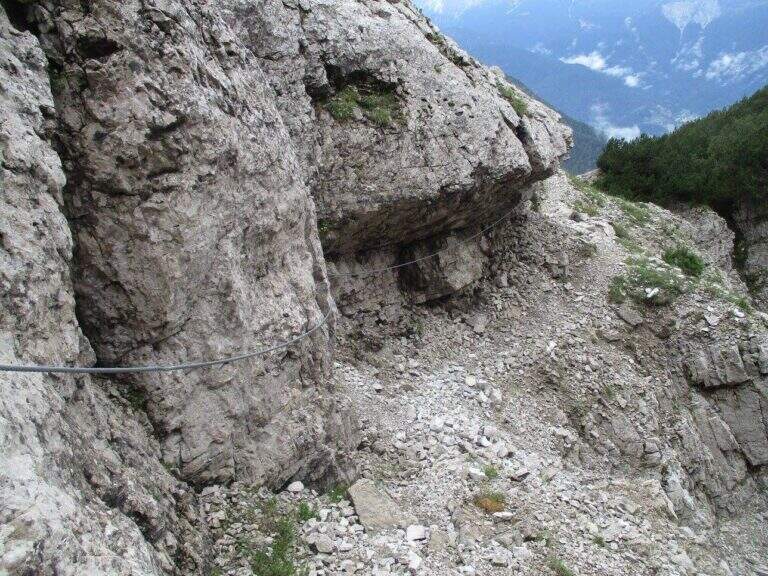
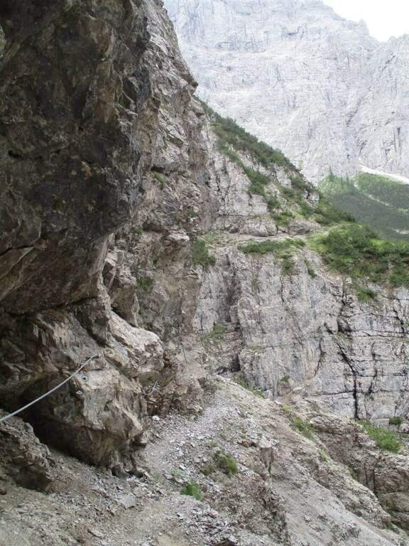
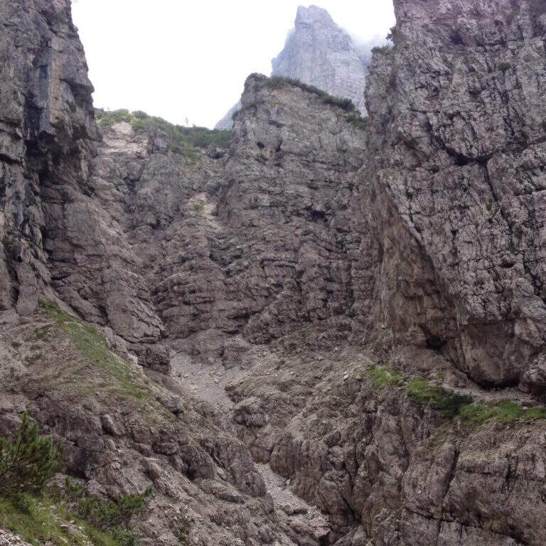
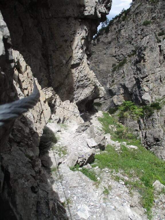
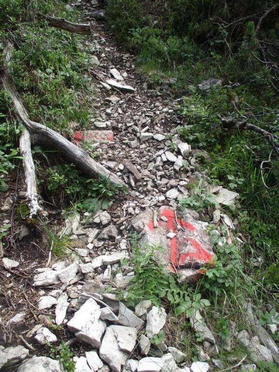
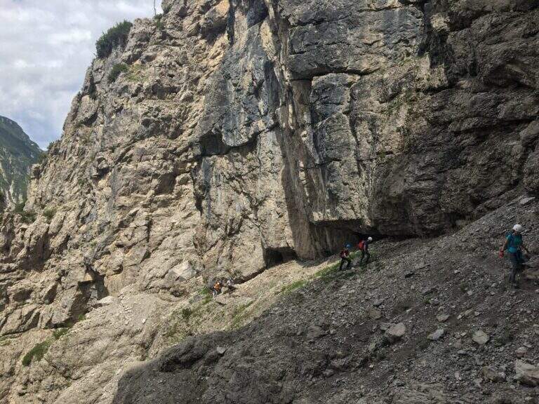
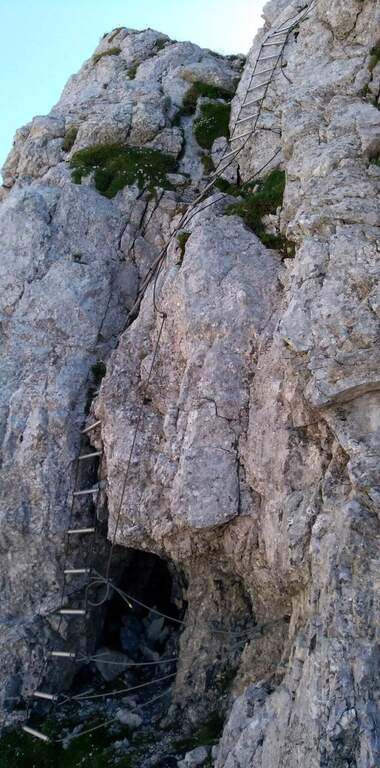
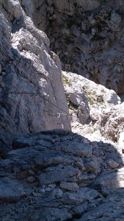
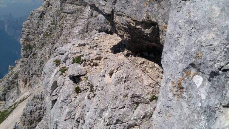
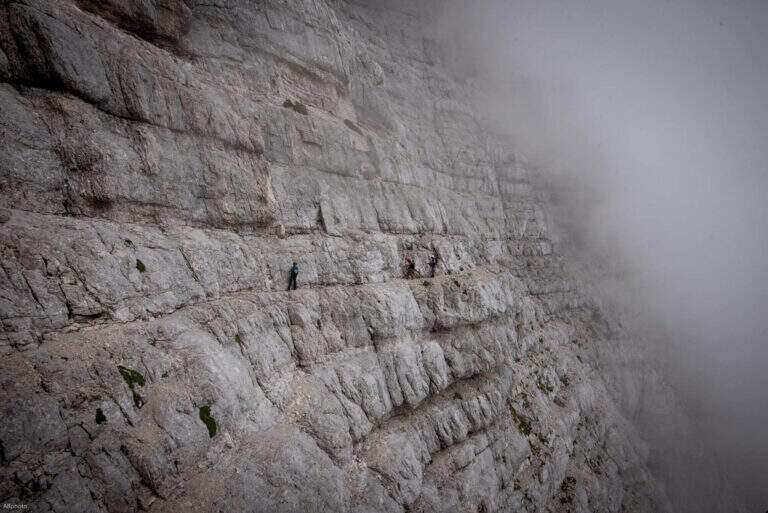
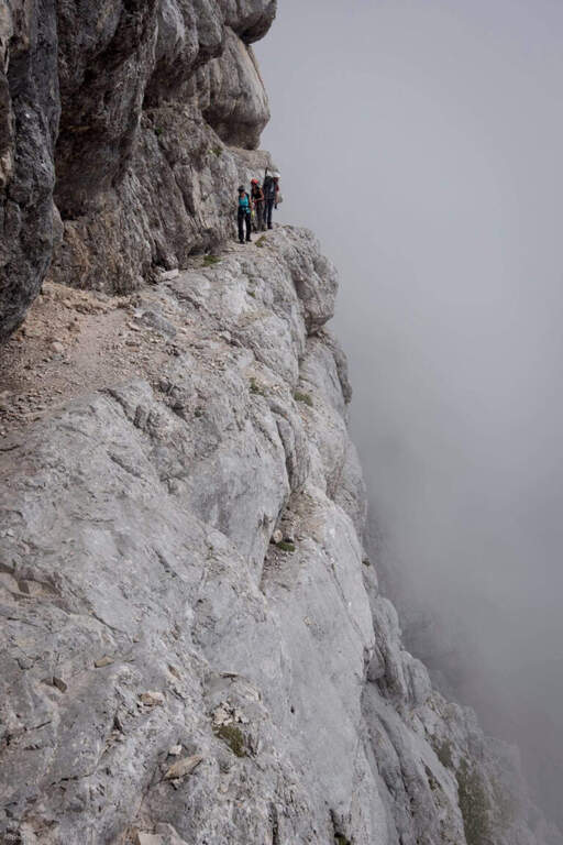
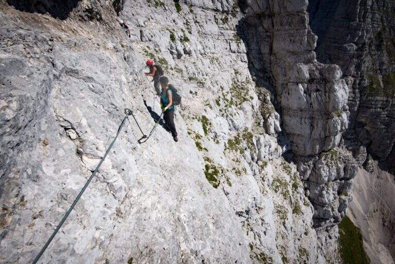
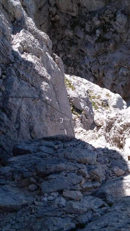
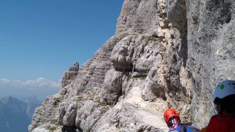
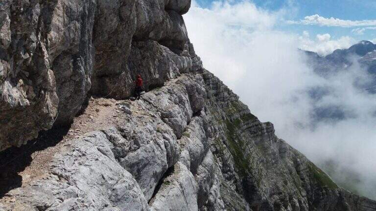
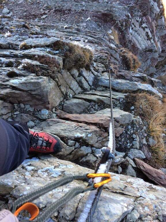
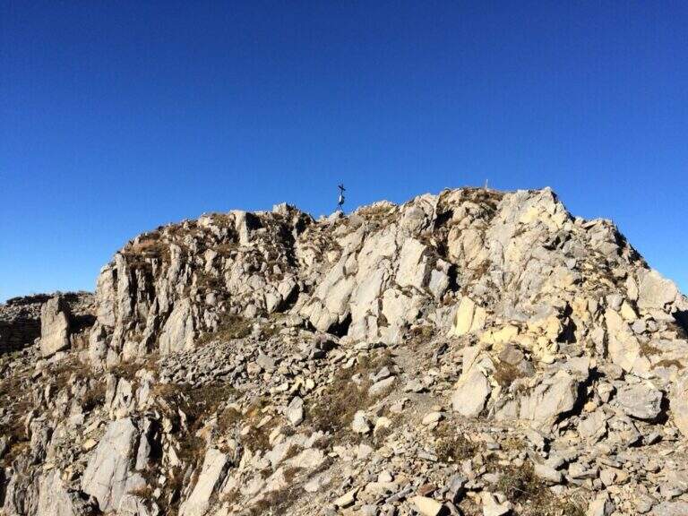
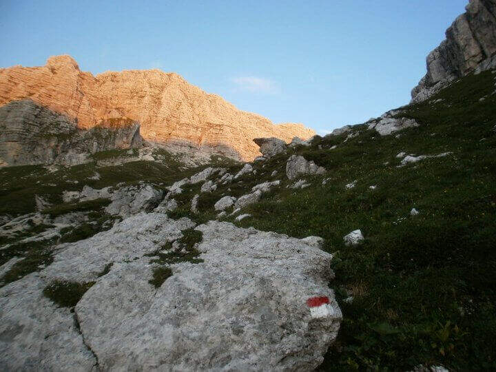
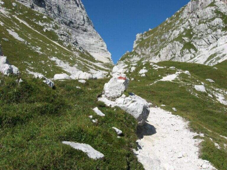
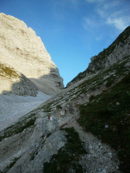
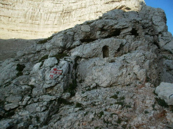
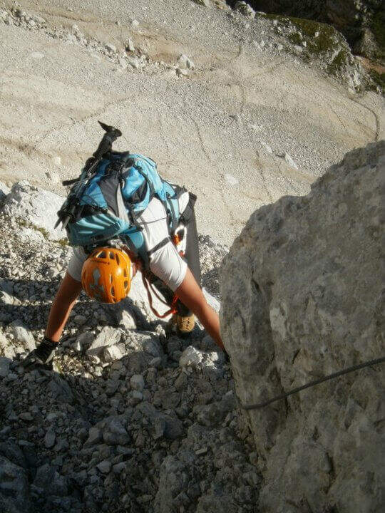
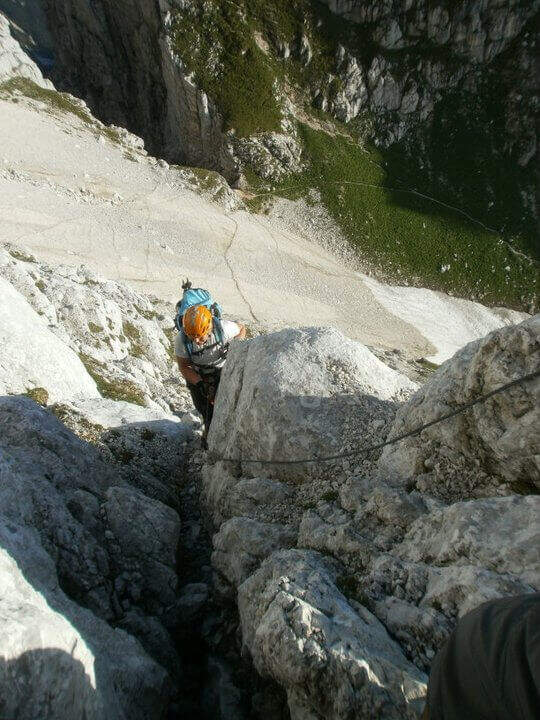
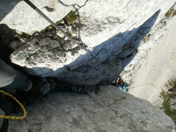
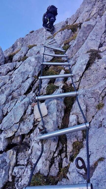
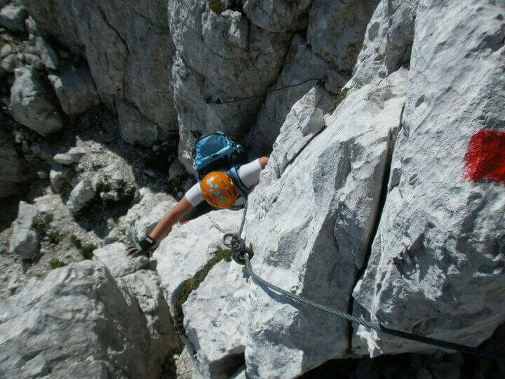
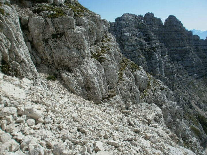
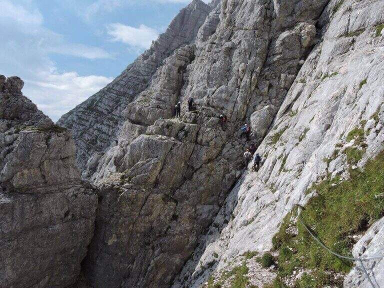
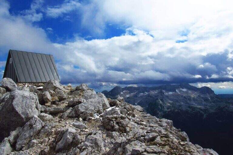
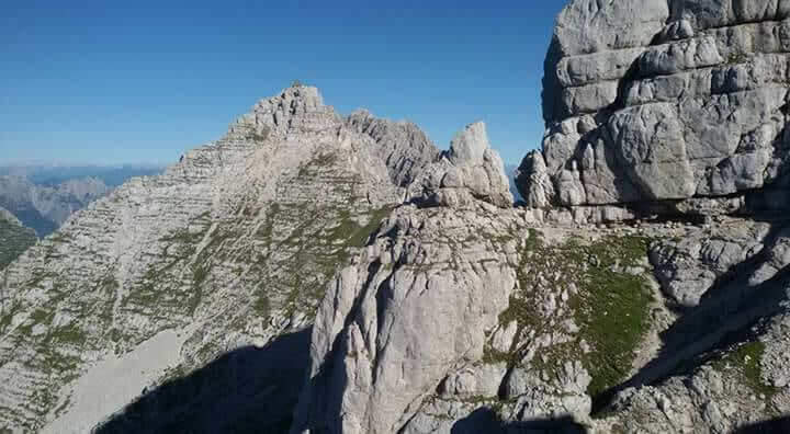
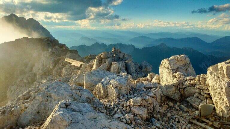
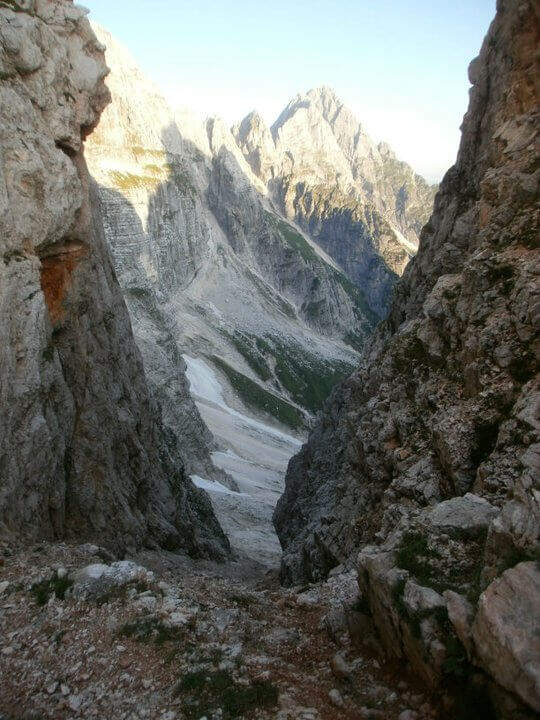
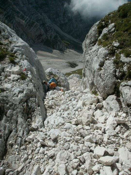
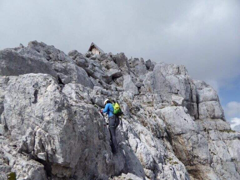
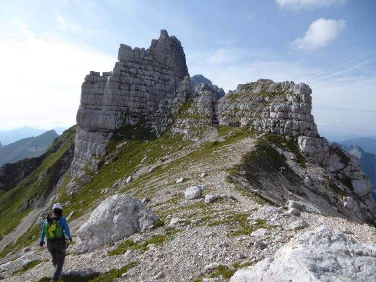
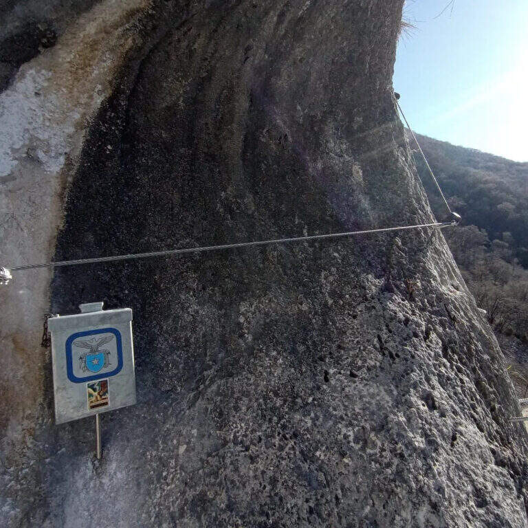
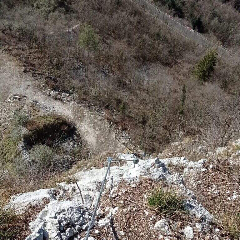
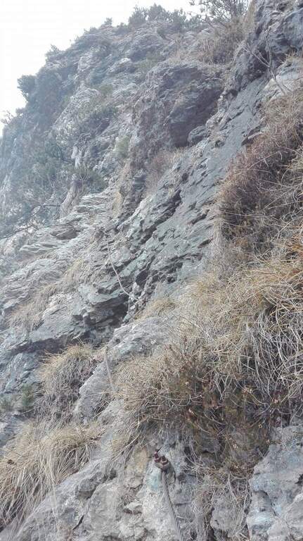
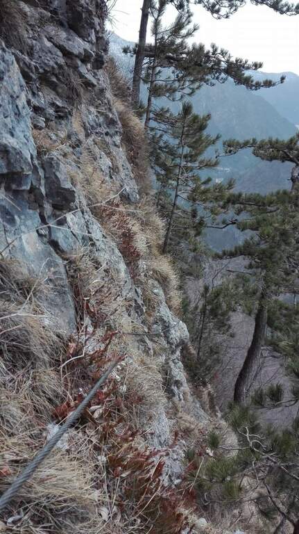
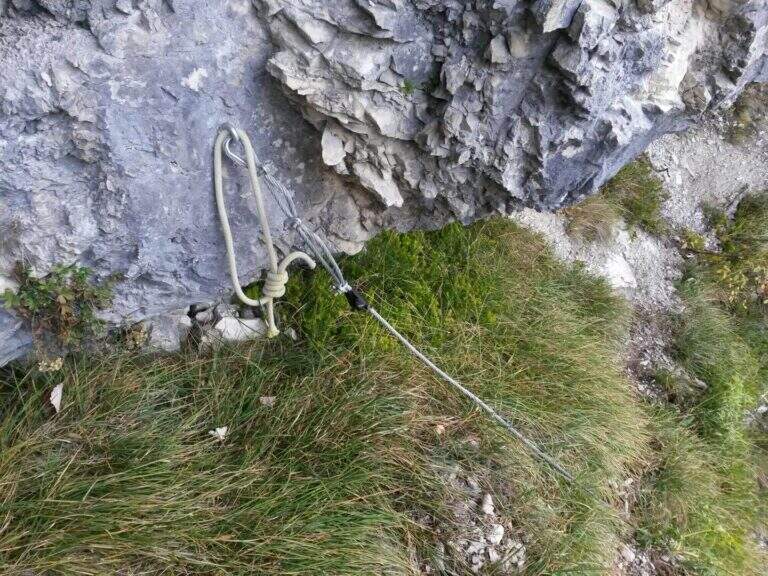
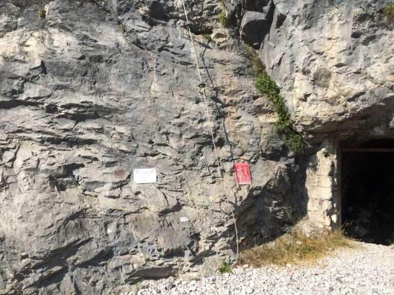
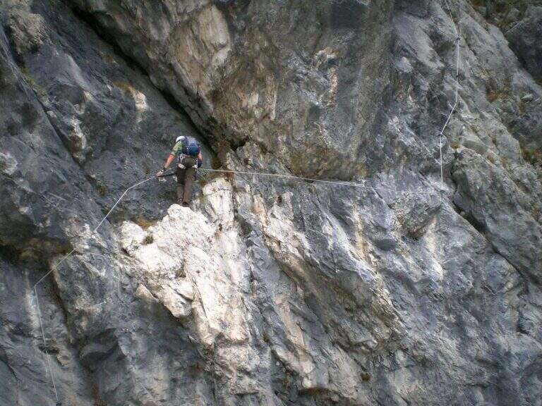
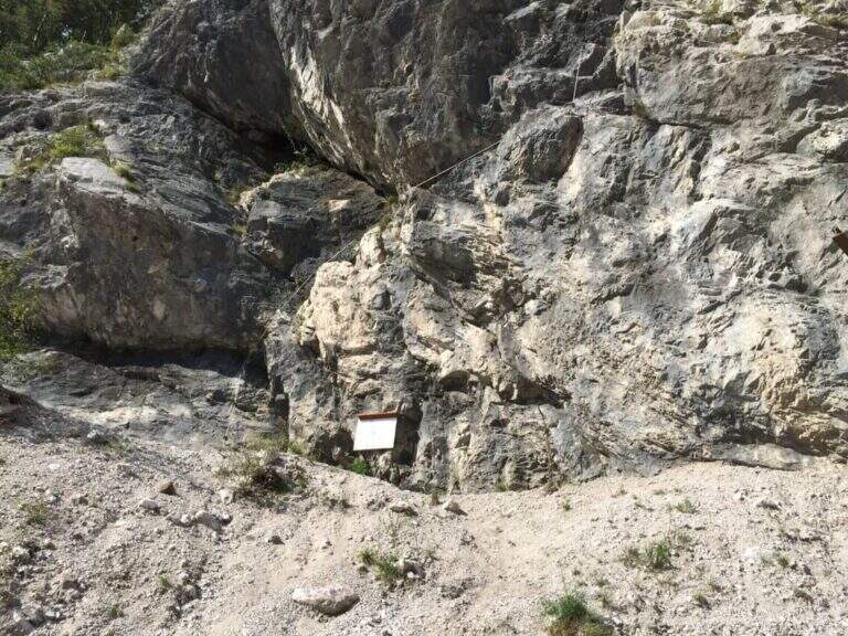
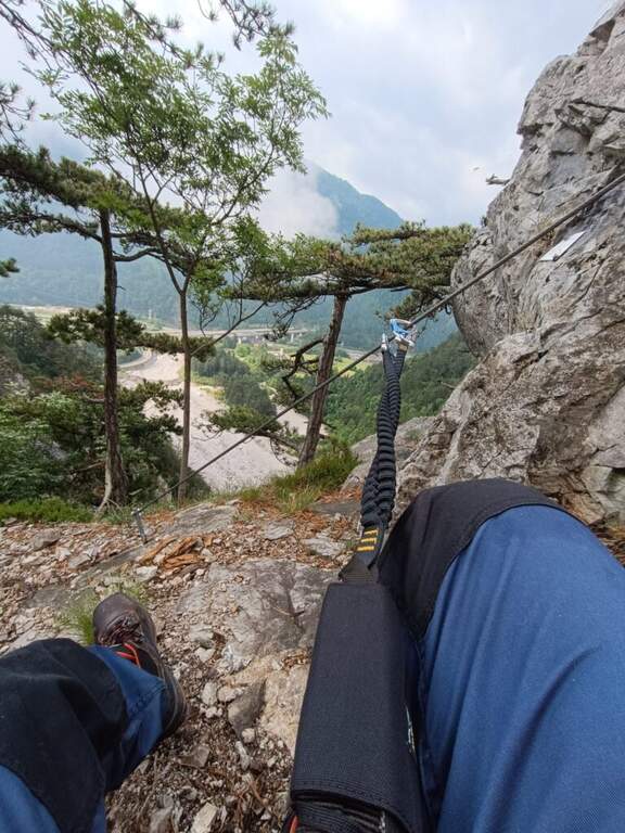
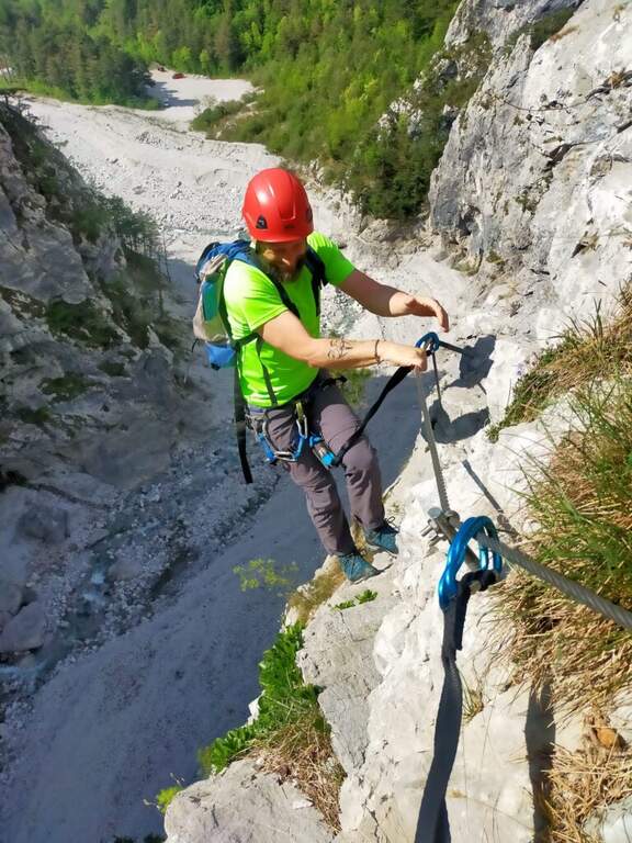
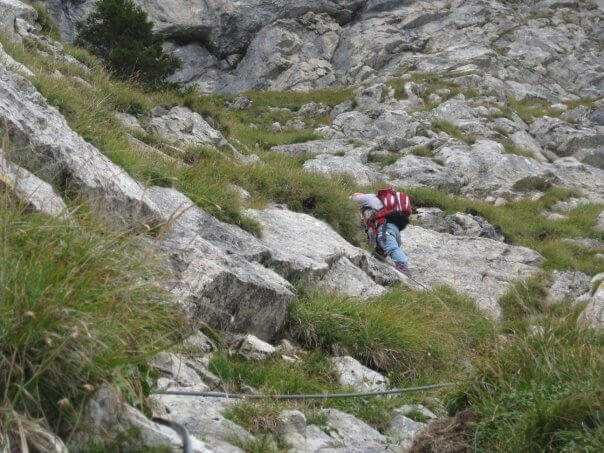
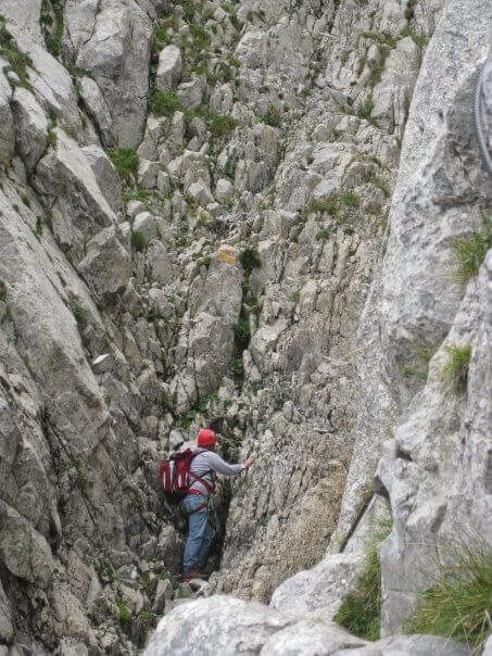
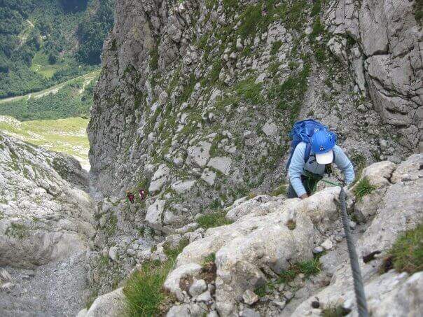
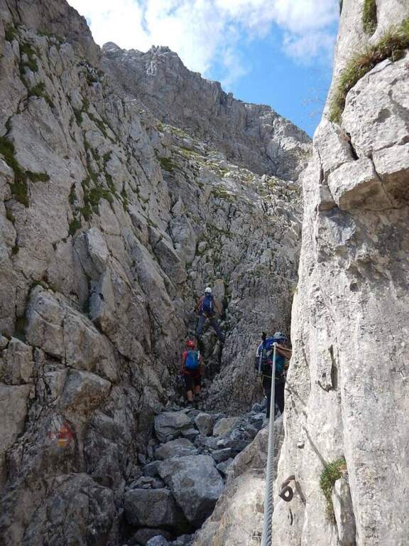
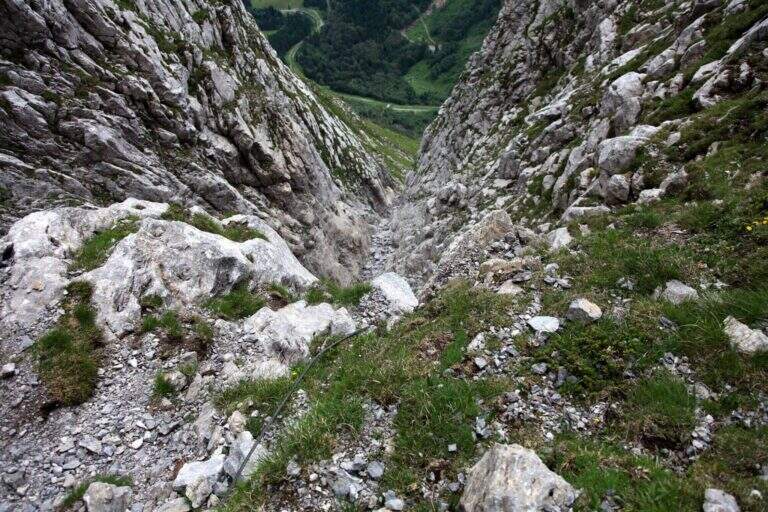
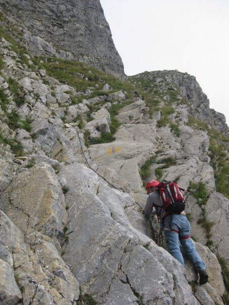
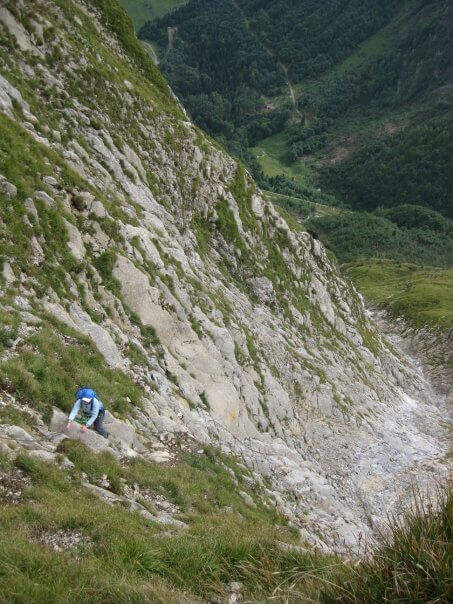
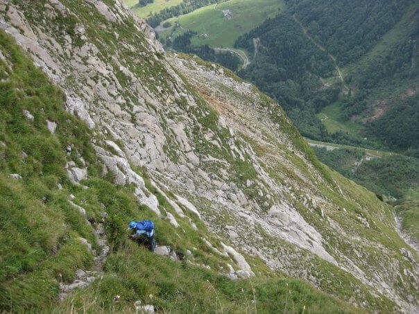
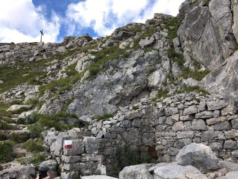
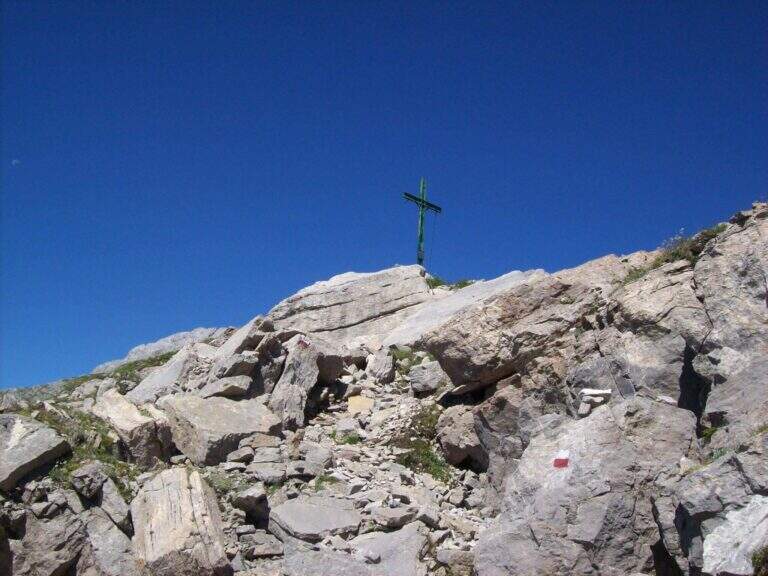
    The first equipped section dates back to a detritic canal with unstable grassy background. It reaches a nod that leads to the rocky walls and then to the beginning of the throat, which goes up with the help of some metal brackets alternating stretches equipped with a path with reduced difficulty. The last stretch is the most technical: a right-hand crossing on excellent hooks and then a well-dressed but more challenging fireplace of the average. After the fireplace you gain the final slope and on obvious trace with white-red signs you arrive at the Creton dell'Arco (2357 m, 1h15' from the beginning equipment, 3h total).

    ▲Character and difficulty

    Moderately difficult. The final fireplace requires good technique and safety on the vertical steps.

    ⚠ The unstable grass bottom of the first canal can be insidious. Wet rock makes the final fireplace significantly more difficult.

    ▲Period and safety

    Summer (July-September). Avoid with wet rock. The throat remains shaded until mid-morning.

    ▲Discipline

    It is restored for the same climb (2h from the peak, 5h total). A demanding alternative: from the top you can reach an intermediate point of the Ferrata dei Cinquanta del Clap, but this option is technically much more difficult and not recommended downhill.

    ▲To match

    La Fifties of the Clap at the Creton de Culzei is the natural combination for those looking for a more challenging day in the Carnic Alps of Sappada.

    ▲Gallery
    Technical data
    • DifficultyModerately Hard
    • RegionFriuli-Venezia Giulia
    • GroupCarnic Alps / Sappada
    • Approach1:45 h
    • Ferrata1:15 h
    • Itinerary (a/r)8:00 h
    • Hardware level difference250 m
    • Route difference1177 m
    • Max2357 m
    • Length15 Km
  • Path equipped King of Saxony – The Tower, Julian Alps

    Path equipped King of Saxony – The Tower, Julian Alps

    Vie Ferrate › Friuli-Venezia Giulia › UD
    Path equipped King of Saxony – The Tower, Julian Alps

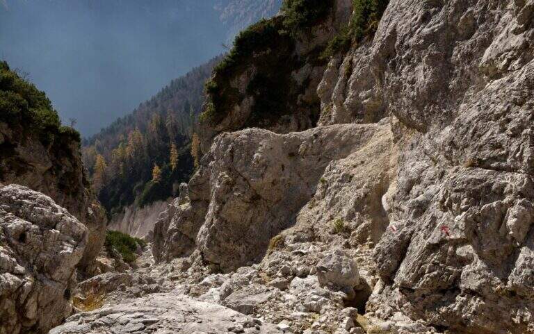
    A well-equipped trail that runs through the band of Jof Fuart in the Julian Alps, developing on the south side of La Torre. Easy from the technical point of view, with a vertical leap of 7-8 m dotted with metal cambres as a key step; the slippery bottom and exposed hinges require attention.

    ▲Approach

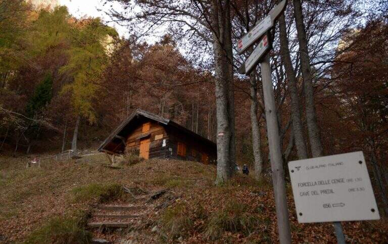
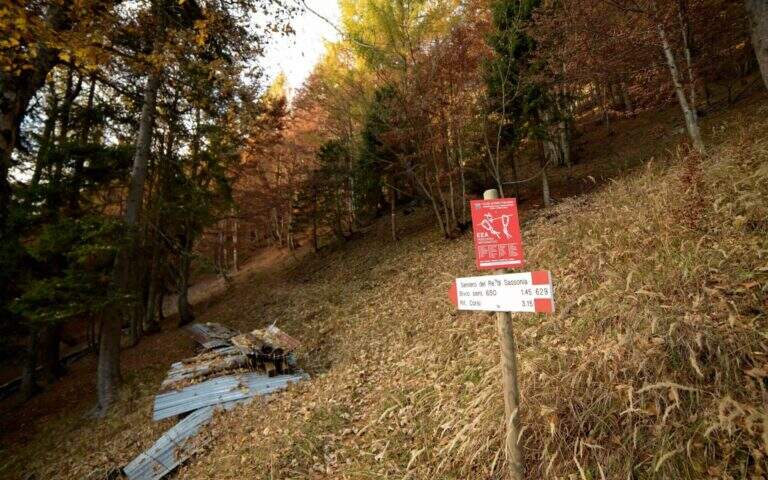
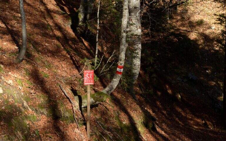
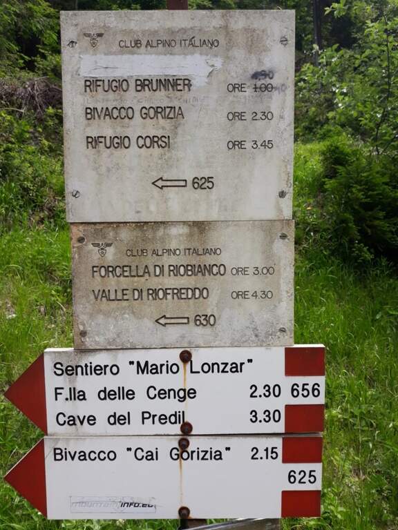
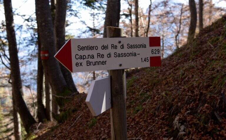
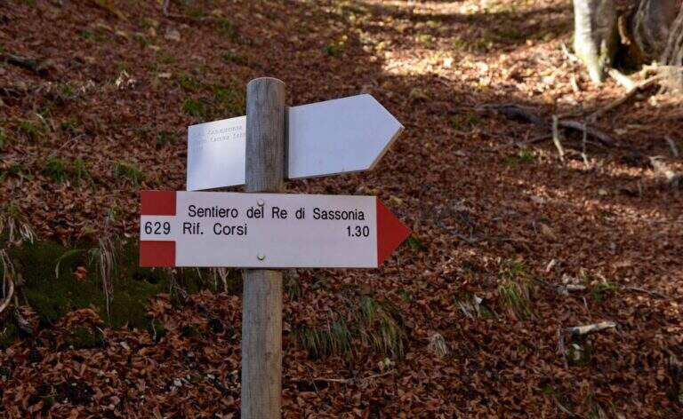
    From Chiusaforte (A23, exit Carnia-Tolmezzo) follow the signs to Sella Nevea towards the east for 20 km. Once in the village, continue on the SP76 towards the Slovenian border for another 6.3 km up to two corners: parking (997 m) is immediately before the first bend. You go up with the CAI 625 along the Rio Bianco in the woods to the hut King of Saxony (1432 m, Refuge Brunner, unmanaged, 1h30'). You ignore the indications for the Caves of the Predil (CAI 656) and take the path 629 to the left.

    ▲The path

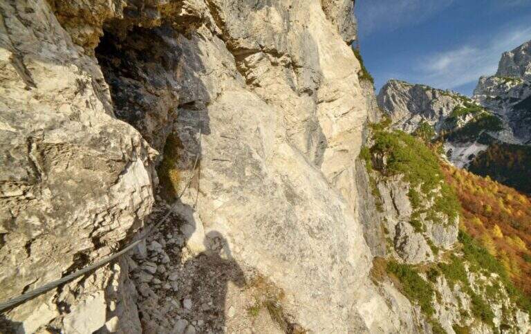
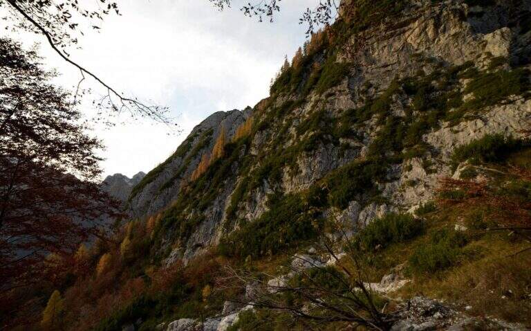
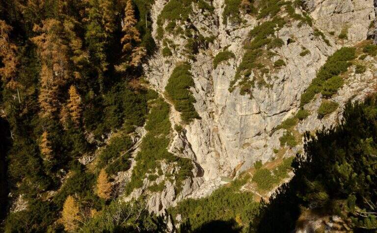
    From the path 629 you climb diagonally below the forest approaching the south walls of La Torre. Exit from the woods you will find a beautiful waterfall on the south-east side. You lose slightly altitude approaching the rocks where the first equipped section begins: a nod exposed on a gravel bottom to the left. A second section is displayed, then it goes up on the opposite side through a narrow nod. The most demanding passage is a vertical leap of 7-8 m with cambre and metal fixtures leading to the upper nod. From here you go through a horizontal traverse under a rocky roof — cambre for the feet make easy the exposed passage — then you go down of 3 m and you resume a census on the left. Cross a colander and continue towards a rocky bastion with analogous passages until the end of the equipped path.

    ▲Character and difficulty

    Easy. The vertical leap and exposed beams are well equipped. Attention to the slippery bottom on unprotected traits.

    ⚠ Cenges and unprotected sections with slippery bottom: the cable is not always present. Suitable boots and recommended hardware sets.

    ▲Period and safety

    Summer-autumn. The route is accessible in both directions. Avoid with rain or snow.

    ▲Discipline

    From the end of the well-equipped path, you turn back towards the starting car park.

    ▲To match

    The nearby Julian Alps are located Ferrata Anita Goitan at Jof Fuart e la Ferrata Julia at Canin.

    ▲Gallery
    Technical data
    • DifficultyEasy
    • RegionFriuli-Venezia Giulia
    • GroupJof Fuart / Julian Alps
    • Approach1:15 h
    • Ferrata1:30 h
    • Itinerary (a/r)4:15 h
    • Hardware level difference80 m
    • Route difference449 m
    • Max1446 m
    • Length8,3 Km
  • Sentiero Attrezzato Olivato – Monte Miaron

    Sentiero Attrezzato Olivato – Monte Miaron

    Vie Ferrate › Friuli-Venezia Giulia › UD
    Sentiero Attrezzato Olivato – Monte Miaron
    Moderately Hard● OpenDescriptionComplexityMapsGallery

    The route to Mount Miaron starts from the Mauria Pass and goes up the north-west side of the mountain along the cenges and canalons, with short stretches equipped, up to the Bivacco Vaccari at 2050 m. A corner of the Carnic Prealps not frequented, with wild environments and a key section on the guinea without protections that is the true discriminating passage of the excursion.

    ▲Approach

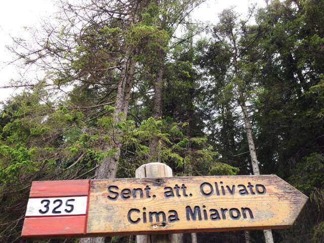
    From the Mauria Pass (1298 m, directions road map) take the trail 325, prohibited by cars. You can reach the Military Miaron in about 45 minutes. At the biforcation you leave the path 327 (normal road) and take the 325 to the right, which leads on a halfway between mughi on the NW side. A red indication signals the deviation towards the detritic ski lift.

    ▲The path

    It faces a first vertical wall equipped to the side of a straw canal, then a half-coast stretch on rocky edge. They follow cenges and canalons on the west side of Miaron, where the helmet is mandatory for the risk of falling mass. You reach a pylon-fork, then at a second similar nod. The key passage is an unprotected wreath at 1900 m altitude: the step must be carefully calibrated since the ground does not offer rope safety. After this stretch, a stable nod leads to a third inlet with a narrow nod equipped, then to Bivacco Vaccari (2050 m, 3h45′ from Passo Mauria).

    ▲Character and difficulty

    Classified Moderately Difficult. The main difficulty does not lie in the equipped traits but in the unprotected gland, which requires safe foot and absolute prudence. Lonely and wild environment.

    ⚠ The helmet is mandatory. Avoid crossing the west side in the presence of other hikers on the wall above for the risk of massive fall.
    ▲Period and safety

    From June to September. The unprotected gland is particularly insidious in wet conditions.

    ▲Discipline

    From Bivacco Vaccari you descend along the path 340 east towards the Forca del Cridola (2176 m), then along the path 348 to the Forcella Fossiana (1967 m), going down the Val del Cadorini to Passo Mauria (6h30′ total).

    ▲To match

    The Mauria Pass is a reference point for numerous itineraries in the Carnic Prealps on the border between Friuli and Veneto.

    ▲Gallery
    Technical data
    • DifficultyModerately Hard
    • RegionFriuli-Venezia Giulia
    • GroupCarnic prealps
    • Approach1:45 h
    • Ferrata2:00 h
    • Itinerary (a/r)6:30 h
    • Hardware level difference90 m
    • Route difference878 m
    • Max2176 m
    • Length9 Km
  • Sentiero Attrezzato Leva – Cima di Terrarossa, Montasio

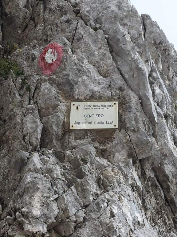
    Sentiero Attrezzato Leva – Cima di Terrarossa, Montasio

    Vie Ferrate › Friuli-Venezia Giulia › Udine
    Sentiero Attrezzato Leva – Cima di Terrarossa, Montasio
    Moderately Hard● OpenDescriptionComplexityMapsGallery

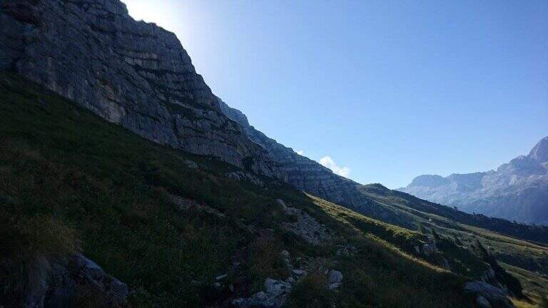
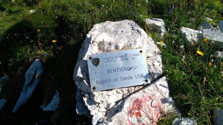
    The Path Attrezzato Leva walks through the scenic hint between the Cima di Terrarossa and the Forca dei Disteis on the slopes of the Jof di Montasio. Itinerary of medium difficulty with exposed and unprotected traits that require safe passage: ideal to be inserted in a more days on the Montasio plateau.

    ▲Approach

    You reach Chiusaforte on the A23 (exit Carnia Tolmezzo) and continue east for 20 Km until Sella Nevea. From a hairpin bend follow the brown sign for Altopiano del Montasio until the end of the road, where there is a large parking (directions road map). The proposed route passes through the Rifugio Brazza and the Cima di Terrarossa; it does not include the climb to the Jof di Montasio (that is the Ferrata Amalia).

    ▲The path

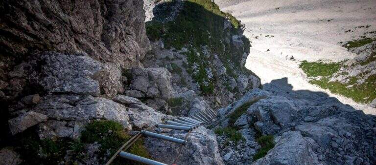
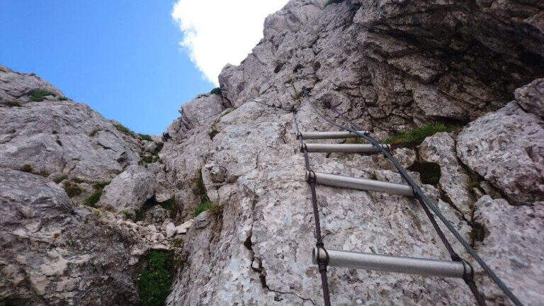
    Take the path from Cima Terrarossa to the west towards Forca dei Disteis. From the top you descend towards the Forca del Pallone (2242 m) facing a characteristic metal staircase leaning on the rock — it requires attention. Then take the equipped nod that wanders the west wall of the Cima Terrarossa: the stretch is exposed for long stretches and not always protected by cables. After passing the Forca del Pallone, the route resumes on the opposite side of the gorge and climbs back to the Forca dei Disteis. The most vertical stretches are located near the Forca, where the most challenging climb of the entire route takes place.

    ▲Character and difficulty

    Classified Moderately Difficult. The equipped traits are contained but the unprotected passages on exposed census represent the real challenge: they require concentration and stability even with heavy backpack. Complexity: technique 2/5, physics 3/5, exposure 3/5, environment 3/5.

    ⚠ The Montasio plateau can preserve snow until late June. Check the conditions with the Rifugio Brazza before leaving.
    ▲Period and safety

    From July to September. High mountain with unstable weather: start early. The route can be reached in both directions but in the direction described (east→west) the more vertical section is going uphill.

    ▲Discipline

    From the Forca dei Disteis you descend to the Rifugio Brazza and then to the starting parking lot along the paths of the Montasio plateau.

    ▲To match

    In the Julian Alps: the Ferrata Goitan at Jof Fuart e la Ferrata Julia at Canin.

    ▲Gallery
    Technical data
    • DifficultyModerately Hard
    • RegionFriuli-Venezia Giulia
    • GroupJulian Alps
    • Approach2:00 h
    • Ferrata1:30 h
    • Itinerary (a/r)5:00 h
    • Hardware level difference178 m
    • Route difference918 m
    • Max2420 m
    • Length9,1 Km
  • Path Trained at the Cuestalta (Hoher Trieb)

    Path Trained at the Cuestalta (Hoher Trieb)

    Vie Ferrate › Friuli-Venezia Giulia › Udine
    Path Trained at the Cuestalta (Hoher Trieb)

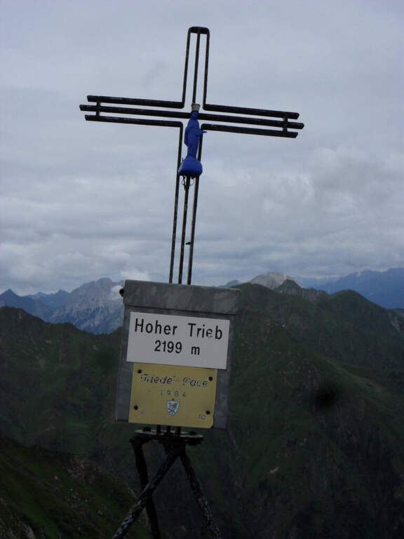
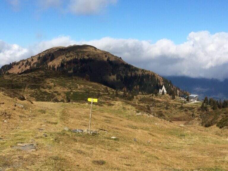
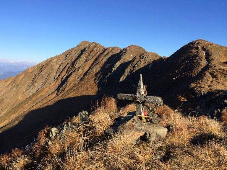
    The Sentiero Attrezzato al Cuestalta climbs to the homonymous mountain (Hoher Trieb in German), located on the border between Italy and Austria. It is a long but never excessively demanding itinerary, with a stretch of ridge equipped in the most exposed and vertical points, in a carnic environment rich in history of the Great War.

    ▲Approach

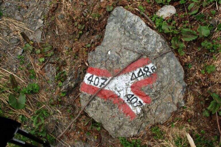
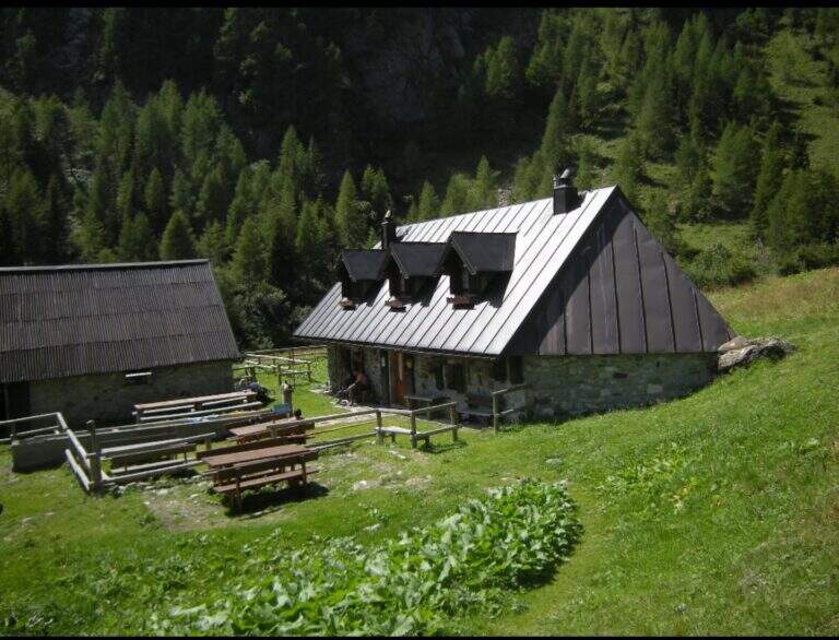
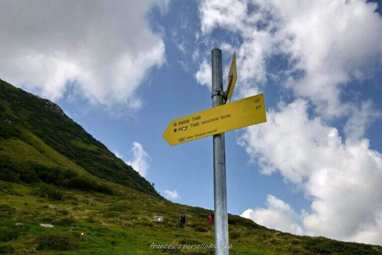
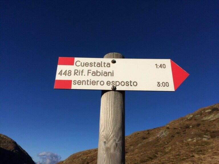
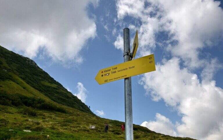
    Starting from Malga Pramosio, in the municipality of Paluzza (UD), reachable on a dirt road in good condition from the village of Claulis, along the state that from Tolmezzo rises to the Pass of Monte Croce Carnico; at the entrance of the village a clear sign indicates the Forest of Pramosio, and follow the road until the end at the malga, which also offers possibility of overnight stay (open up Google Maps). From Casera di Pramosio (1521 m) follow the path 407 to the east; immediately ignore the junction of 404 and cross the Sella di Cercevesa and the ruins of the homonymous house. At a new crossroads (1h15 from the parking lot) you leave the 407 that goes right and you stay on path 448, indicated as exposed, which cuts halfway the Cuestalta ridge (attention to the bottom in case of abundant rains). At a later crossroads, where on the left the 448 climbs to the normal Italian road, continue halfway on the 448th towards the Fabiani Refuge; the path bends towards the Red Crete, reached after a stretch of ridge a little exposed but not difficult (1770 m, 1h from the junction of 407, 2h15 total), and from here descend steeply to the Fabiani Refuge (1539 m, 2h40 total). From the refuge the path 454 climbs to Passo Pecol di Chiaula (1797 m, 3h total), border of State between Italy and Austria, with numerous testimonies of the Great War: tunnels, trenches and barracks. You descend now in the Austrian territory towards a refuge with a chapel; after a few minutes, ignore the traces on the left, it is advisable to descend to a signaled cross and follow on the left the sign for the Kleiner Trieb (path 421) going up towards Cima Medatte; steep, you reach the cross of Punta Medatte (2095 m, 1h from Passo Pecol di Chiaula, 4h total).

    ▲The path

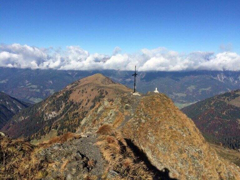
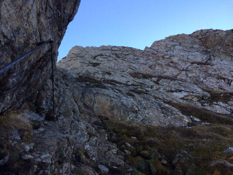
    Start here the ridge stretch with the equipped steps. Punta Medatte (Kleiner Trieb) is separated from the nearby Cuestalta (Hoher Trieb) by a saddle: descend along the ridge, equipped with handcuffed cable at the exposed points. From the saddle (10′ from Punta Medatte) starts the short ferrata that climbs to the Cuestalta: you pass some unprotected rocks until you meet the cable, which leads first on small rocks and then, from left to right, on a wall. The easy-level ferrata climbs on a very well-dressed crest, pleasant to climb; being a ridge path is exposed, but never excessively. The climb, very logical, deposits just below the top of the Cuestalta, signaled by a metal cross that is reached on the path (2199 m, 20′ from the saddle, 30′ from Punta Medatte, 4h30 overall).

    ▲Character and difficulty

    It is a beautiful itinerary that cuts a piece of the border of Italy-Austrian, long but not excessively challenging: the equipped part only serves to climb the ridge in the more vertical and exposed sections. The historical context, with the testimonies of the Great War, is one of its strengths.

    ⚠ Itinerary along (13 km, 6h15) in the border mountain environment: attention to the bottom of the half-coast stretches in case of abundant rains.
    ▲Period and safety

    Summer season, maximum altitude 2199 m. Despite no significant difficulties, long development requires good time management and attention to the weather, given the high mountain environment.

    ▲Discipline

    From the top of the Cuestalta you descend along the steep stretches, some ruins of trenches, up to the crossroads between the path 448 (normal Italian road) and the one that continues on the crest towards the Passo Pramosio. It remains on the latter, of crest only at exposed and free climbing traits, passing near Monte Scarniz (saw with a short deviation), up to Passo Pramosio (1785 m, 1h15 from Cuestalta, 5h30 overall). From the pass, visible a few hundred meters further downstream, you reach the Malga Pramosio with a stretch of path and then dirt road (6h15 overall).

    ▲To match

    Along this line there are other routes equipped, generally more difficult and athletic: in increasing order of commitment, relatively close, the Ferrata Steinbergerweg at Cellon, la Ferrata al Coglians e la Ferrata Senza Confini.

    ▲Gallery
    Technical data
    • DifficultyEasy
    • RegionFriuli-Venezia Giulia
    • GroupAlps Carnia
    • Approach4:00 h
    • Ferrata0:30 h
    • Itinerary (a/r)6:15 h
    • Hardware level difference150 m
    • Route difference678 m
    • Max2199 m
    • Length13 Km
  • Path Ceria Merlone at Modeon del Buinz

    Path Ceria Merlone at Modeon del Buinz

    Vie Ferrate › Friuli-Venezia Giulia › Udine
    Path Ceria Merlone at Modeon del Buinz
    Moderately Hard● OpenDescriptionComplexityMapsGallery

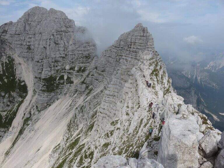
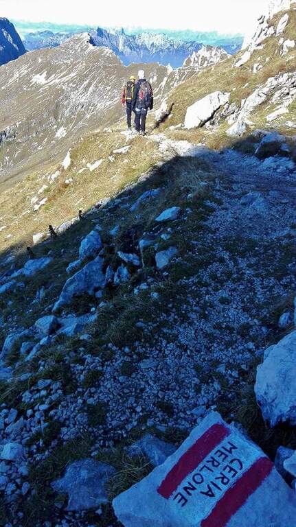
    The Ceria Merlone Trail is a long and panoramic route of the Julian Alps, starting from the Montasio plateau. After a long approach to the Forcella Lavinal dell’Orso, follow a magnificent ridge path that closes a large downhill ring to the Rifugio Brazzà. Numerous traits are not protected, and in some cases require short climbing passes: a superb path but to be experienced. The route is dedicated to the mountaineers Celestino Ceria and Ruggero Merlone, and was inaugurated in 1971 by the Cividale Alpine Battalion, in memory of the line held by the Alpini on this ridge during the Great War.

    ▲Approach

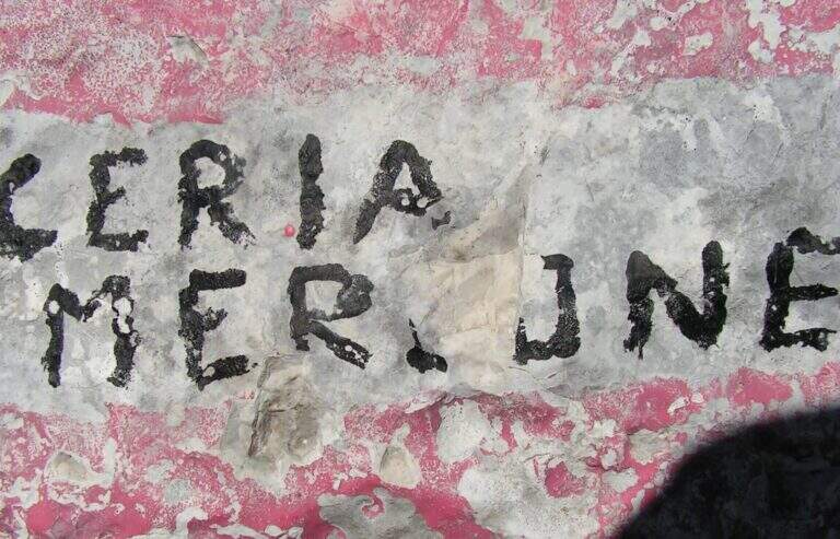
    It starts from a large parking lot along the road that connects Malga Montasio with Sella Nevea, on the Montasio plateau (UD). To get to Sella Nevea you reach Chiusaforte, 20 minutes from the Carnia-Tolmezzo exit of A23; from there follow the signs to Sella Nevea towards the east, you pass the bridge and you drive for 20 km to the village, where a hairpin a brown sign indicates the plateau of Montasio, to follow until the end of the road (open up Google Maps). The route is proposed here from the east (Forcella Lavinal dell’Orso) to the west (Cima Terrarossa), towards which many equipped sections run uphill. From the parking lot (about 1500 m) you climb on dirt road towards the Rifugio Brazzà; after a few minutes you cross a dirt road with 624 signpost that cuts right into a false plateau. Losing a little bit of altitude you pass the Casere Parte di Mezzo and then the Casere Larice (1479 m, 30′ from the parking lot); ignored a track to the right that goes down to Sella Nevea, you reach the Casere Cregnedul Refuge above (1515 m, 1h from the parking lot). It is snowed on the path 625 that climbs from Sella Nevea, it is held the left uphill, first in the forest and then pointing to the north; the south wall of the Cregnedul to Passo degli Scalini (2022 m, 1h from Casere Cregnedul Refuge, 2h totals). Passed the pass opens a valley: on the left you can see the Lavinal Forcella dell’Orso and the ridge of Ferrata Goitan. You cut the valley following the track and, on the opposite side, the white-red signs, going up with a certain affanno towards the fork; just before you follow a writing on rock and a trace that detaches to the left: here begins the Path Ceria Merlone (30′ from the Passo degli Scalini, about 2h30 total).

    ▲The path

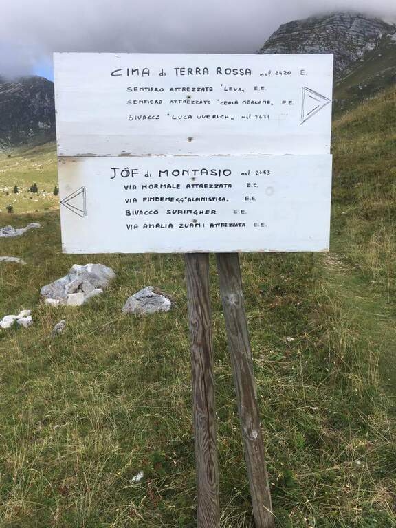
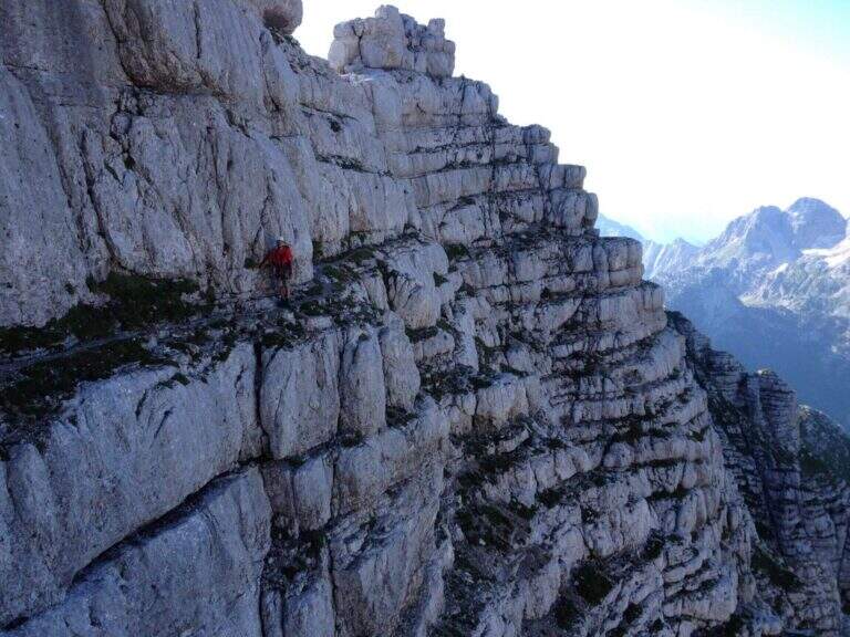
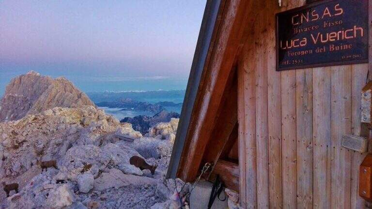
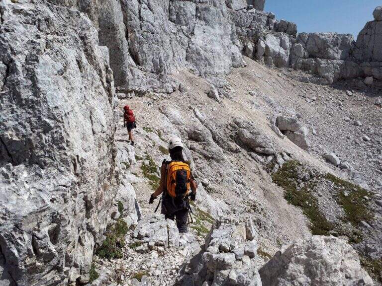
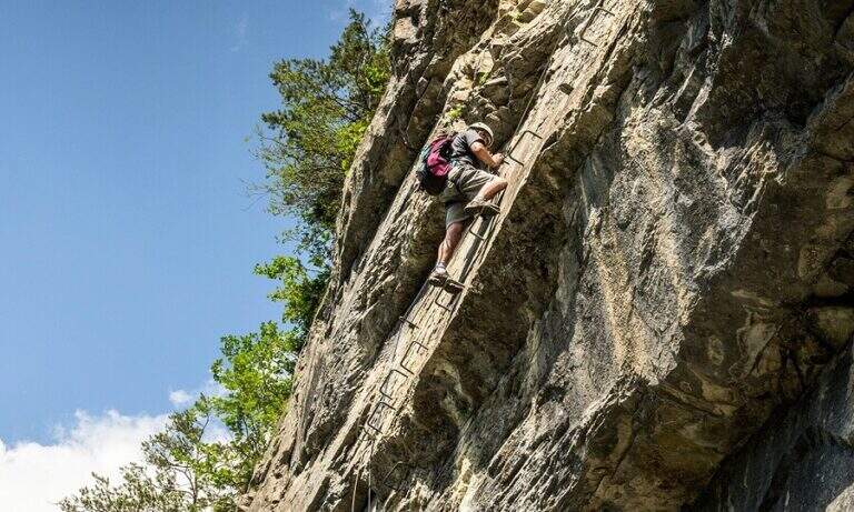
    The first goal is the Forcella Cregnedul, reached by gaining around 200 meters around the imposing walls of Punta Plagnis. It climbs on a pebble bottom up to a first stretch equipped that exceeds some rocks, a vertical wall and a tilted plaque; left behind the Lavinal Forcella dell'Orso, proceeds diagonally up to a fireplace equipped and a metal ladder resting on the rock, and in an alternation of passages on the right and on the left closes the first tiring section to the Forcella Cregnedul (2340 m). Now follow the trail on a wide unprotected nod that wanders the southern walls of Punta Plagnis, passing from the east to the west side: the passages are exposed but generally wide, except for a couple of forks and rocks on the west side where the path tightens; the most exposed sections have a handrail. With a stretch equipped downhill you descend a few meters, then walk on wide and comfortable cenges to the Forca de la Val (2352 m, 1h15 from Forcella Cregnedul), which separates the Modeon del Buinz from the Cima de la Puartate. You can climb equipped canals interspersed by detritic gland, holding to the south to avoid to the north the steep wall, in a stretch rich of exposed protected cenges; you reach a fork nestled and you begin to wander the southern wall of the Modeon del Buinz towards the Sella di Buinz, with in front of the Foronon del Buinz and its bivouac just below the summit. There is an exposed nod equipped, you climb a short stretch sprotetto on an unstable background, you walk a census and you take on the west wall of Modeon; along a wide ridge on the south side, on a slight ascent, you pass stretches equipped with rocks and easy rocky balconies up to the new and functional Bivacco Vuerich (2531 m, 1h15 from Forca de la Val, 3h45 from the attack). From the top of the Foronon del Buinz follow the wide ridge, walk through a walkway and start to lose altitude with easy passages of climbing, equipped in the most demanding cases; holding on the south side you walk exposed cenges usually not protected and you reach a new vertical stretch, with a well-equipped canal but well-dressed, followed by some rocks, up to the Forca de Lis Siens From the wide saddle the path runs on a false plateau between modest climbs on the south side to the crossroads marked with stone writing (2285 m, 15′ from Forca de Lis Siens, 5h from the attack) between the climb to Cima Terrarossa and the Path Ceria Merlone, where the equipped road ends.

    ▲Character and difficulty

    It has no particular technical difficulties, neither in the equipped or unprotected traits; however, it deserves great attention to the numerous passages exposed along the canals and canals. It develops entirely at altitude, with the Bivacco Vuerich halfway in excellent conditions, but with only two escape routes, both unmarked.

    ⚠ Itinerary very long (9h, 16 km) in high mountain environment, with many exposed and unprotected features and short climbing passes. The only two escape routes — in Forca de la Val towards the Conca di Casera Cregnedul and in Punta Plagnis for Plagnota — are steep and unmarked, to be used only in emergency. Start soon, with stable weather and good autonomy.
    ▲Period and safety

    High mountain summer itinerary in the Julian Alps (max. 2531 m). The equipment and signs are in good condition, but the development, exposure and scarcity of escape routes require experience, training and attention to the weather.

    ▲Discipline

    From the final crossroads (2285 m) the quickest descent is to the left, towards the plateau of Montasio; if you want you can climb to the nearby Cima Terrarossa (2420 m, 45′ return). Keeping the right and descending towards the plateau you reach the Rifugio Brazzà (1660 m, 1h15 from the end of the ferrata) and then parking (about 1h30 from the end, 9h overall).
    ▲To match

    The environment is suitable for several days: you can climb to the Jof in Montasio for the Ferrata Amalia and use the Ceria Merlone to return to the north side, or match it to Sentiero Attrezzato Leva overnight in a refuge or bivouac. From the Lavinal Fork of the Bear you can take the Ferrata Goitan towards the Jof Fuart. Staying in the Julian Alps we also signal Ferrata Julia at Canin e la Ferrata della Vita al Mangart.

    ▲Gallery
    Technical data
    • DifficultyModerately Hard
    • RegionFriuli-Venezia Giulia
    • GroupJulian Alps
    • Approach2:30 h
    • Ferrata5:00 h
    • Itinerary (a/r)9:00 h
    • Hardware level difference257 m
    • Route difference1031 m
    • Max2531 m
    • Length16 Km
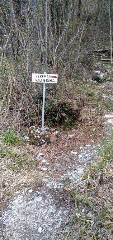
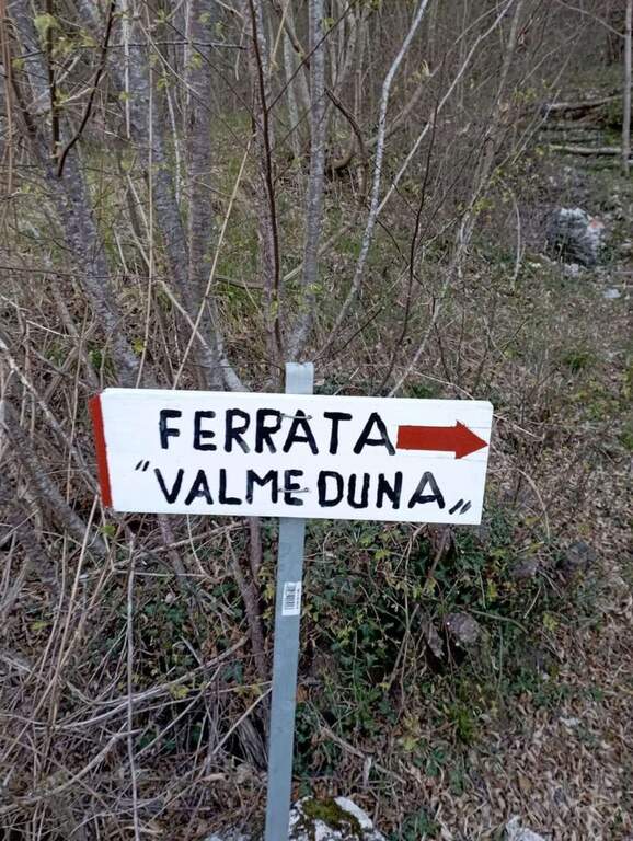
  • Ferrata di Valmeduna

    Ferrata di Valmeduna

    Vie Ferrate › Friuli-Venezia Giulia › Pordenone
    Ferrata di Valmeduna

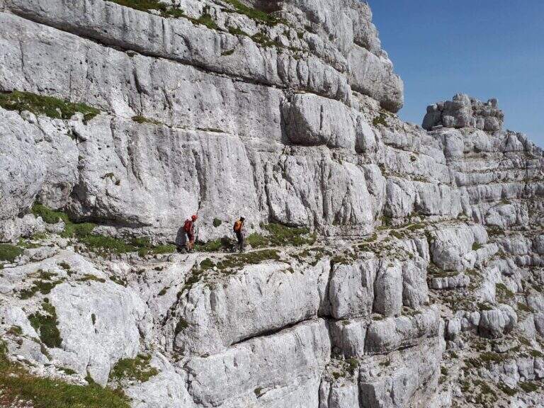
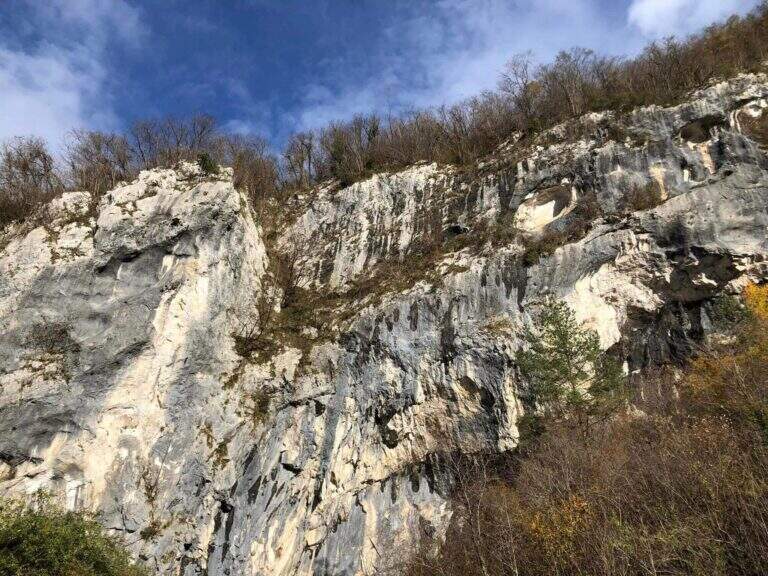
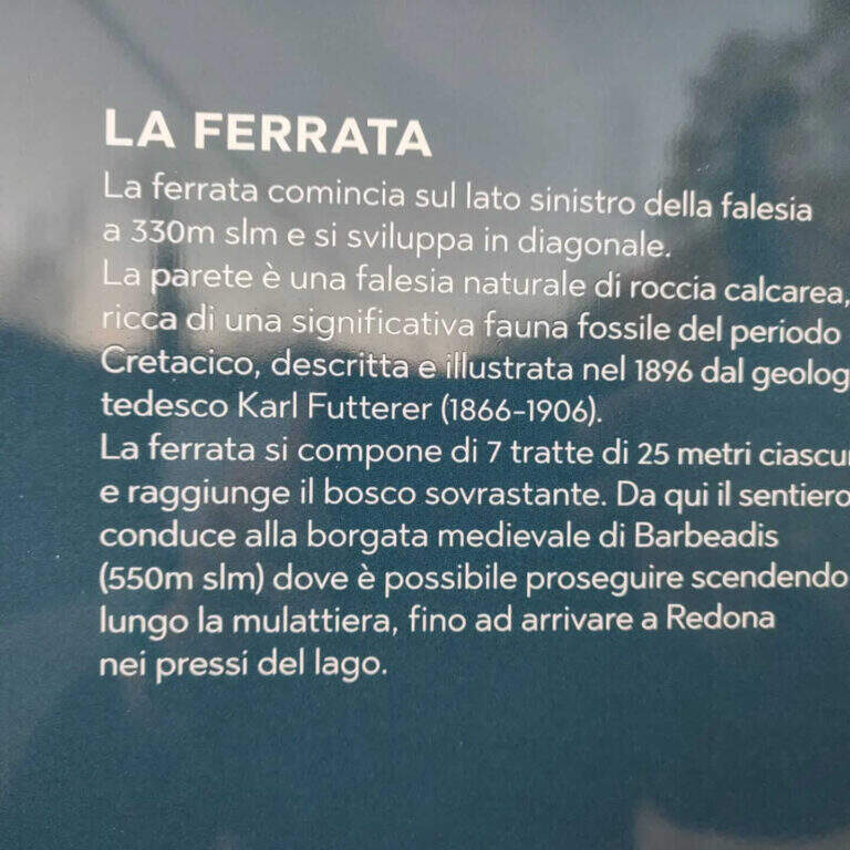
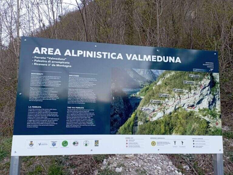
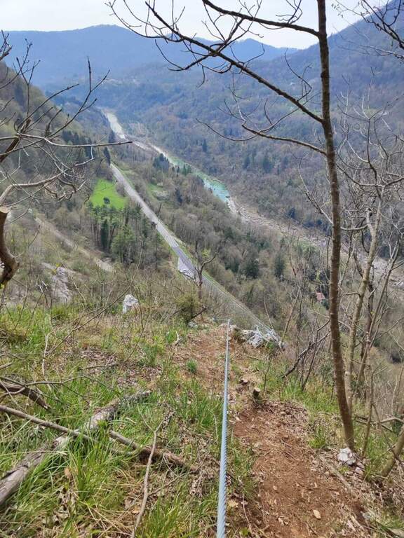
    La Ferrata di Valmeduna is a recent route in the province of Pordenone, near the town of Redona. Of modern style, it proposes quite constant difficulties in an environment from "rock plate": it does not reach a peak, but it is an excellent training for altitude itineraries. It is well equipped and not devoid of athletic passages.

    ▲Approach

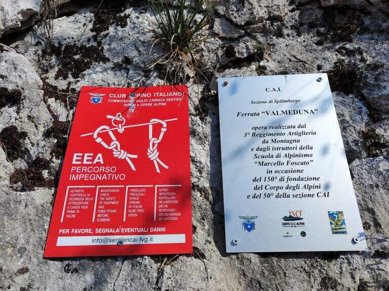
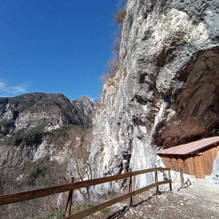
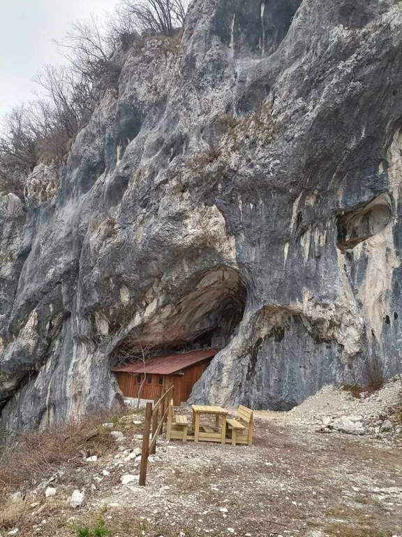
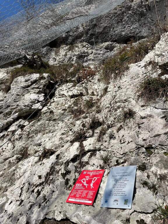
    Follow the regional road linking Meduno a Tramonti di Sopra: arriving from the south, the parking is on the right side before the "Tramonti di Sopra" sign and before the artificial invader. Open road signs on Google Maps. From the parking lot follow the sidewalk to a path that climbs on the right; following the signs and the bolli red towards the east-southest you arrive at a bend, then at a crossroad where you descend slightly left to the new rock gym on beautiful limestone, where you will find a bivacco, tables and benches, d' routes; climbing and climbing. Near the bivouac a path descends to the left at ' attack, on the left side of the wall, at the CAI red sign and a paramass network (about 10').

    ▲The path

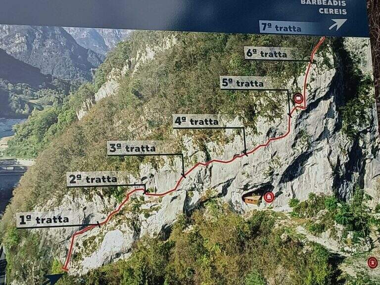
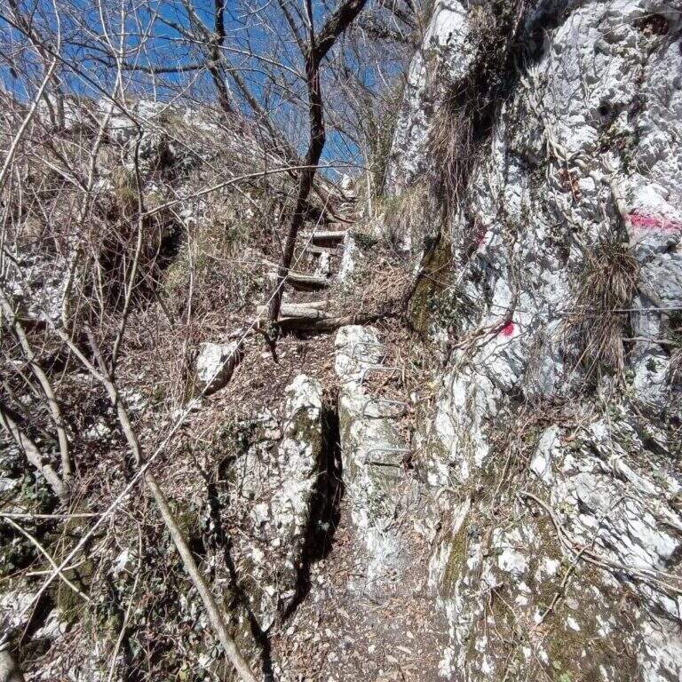
    The development è mainly on traverses and short vertical traits. It is attacked by a paretin backed under the paramassive network, climbing on rock very jagged; climb some small rocks proceed rightwards meeting the first beams and a in grip. You can reach and double a edge, with a view below sé on the ' area of the ' approach. The central part è the più challenging: a long series of horizontal and diagonal transverses from left to right, some on cambre for the feet, others in adherence, with stretches in slightly overhanging that require decision and rapidtà in the changes of muskete; without becoming extreme, the way asks for a certain physical and good habit all' exposure. You can reach a nicchia with the book cassette signatures; from here a short passage crosses a edge and the cable continues vertical for a few meters without cambre, where you should climb. After a few più meters; easy ends the central section. The final part, on small rocks and short balconies, & difficult & agrave; lower: following the uphill cable, after about ten minutes you reach the end of the street (about 45' from' attack, 1h from' car).

    ▲Character and difficulty

    Technical and athletic route, with constant exposure in the central section and very beautiful limestone rock. Recent and abundant equipment. The difficulty remains concentrated in the central part of the overhanging transverses.

    ⚠ The slightly overhanging beams require trained arms and rapidity in musketeton changes: it is not a way for those who are at first experience. Although it is of low altitude, helmet and ferrata sets are indispensable.

    ▲Period and safety

    Inaugurated on November 26, 2022 (50° anniversary of the CAI section of Spilimbergo, with the Alpini group of the 3rd Mountain artillery). Given the low altitude it lends itself to the whole year, including the beautiful winter days.

    ▲Discipline

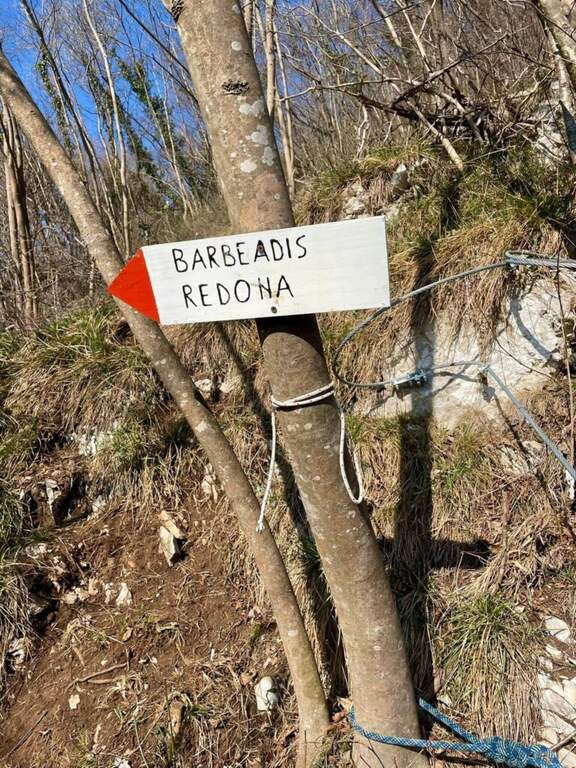
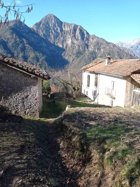
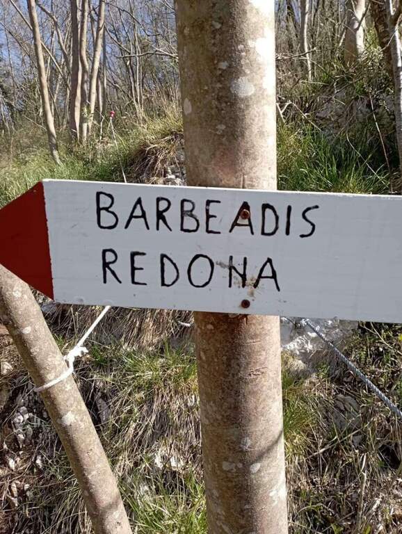
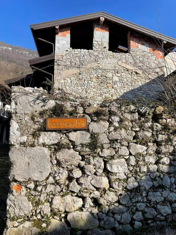
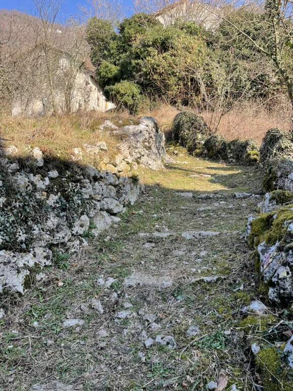
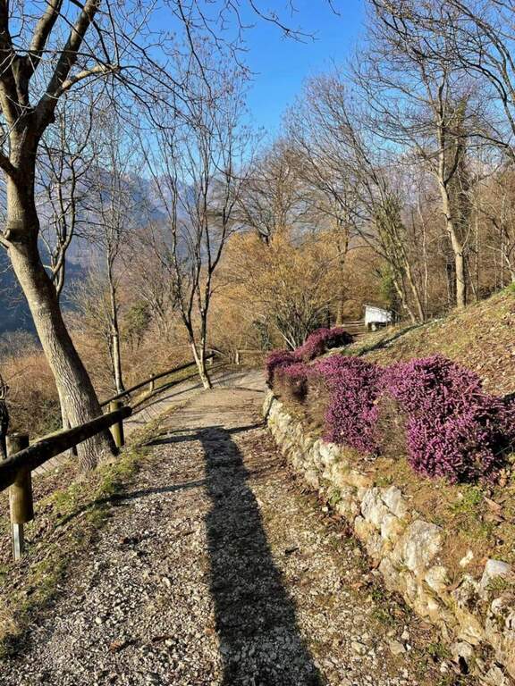
    You should not immediately remove l'imbrago: a few minutes after the term you will meet a equipped roofing channel. Following the signs you descend towards the localtà Barbeadis, a small village only reachable on foot, returning to ring along a mule track in the woods with panoramic views of the valley (about 1h 15' overall).
    ▲To match

    In the province of Pordenone there is also the Ferrata del Tramuntin e l'Alta Via dei Rondoi. Climbing to Forni di Sopra there are Ferrata Adventure Climb at Clap Varmost e la Ferrata Cassiopea al Torrione Comici.

    ▲Gallery
    Technical data
    • DifficultyHard
    • RegionFriuli-Venezia Giulia
    • ProvincePordenone
    • GroupCarnic prealps
    • Approach10 min
    • Ferrata45 min
    • Complete itinerary (a/r)1h 20'
    • Hardware level differenceca 125 m
    • Route differenceca 220 m
    • Maximumca 550 m
    • Lengthca 4 km
    • Year2022
  • Ferrata Tramuntin at Monte Rest

    Ferrata Tramuntin at Monte Rest

    Vie Ferrate › Friuli-Venezia Giulia › Pordenone
    Ferrata Tramuntin at Monte Rest
    Moderately Hard● To checkDescriptionComplexityMapsGallery

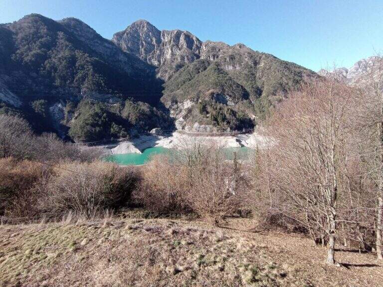
    La Ferrata Tramuntin climb the Monte Rest in the Carniche Prealps, on the Pordenonese side. It is a very scalable and logical way, with only one really challenging passage and many pleasant traits to climb without traction on the cable, in an isolated and unpopular environment.

    ▲Approach

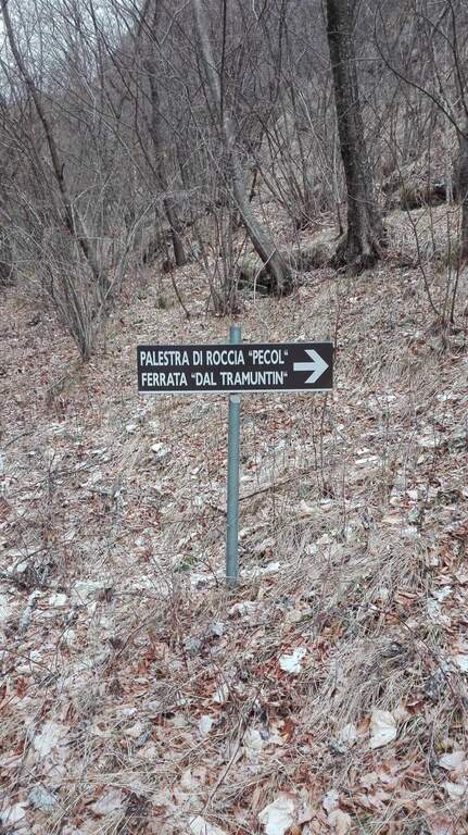
    Start along the road that connects Tramonti di Sopra (Pordenone) to Ampezzo (Udine): at a bend accentuated to the left (coming from the south) a sign on a dark background indicates the Palestra di Roccia and the Ferrata del Tramuntin. Open road signs on Google Maps. It follows the trail in the forest that, with a semicircle in an anti-clockwise sense, leads in about 30' all' attack, little beyond a mountaineering path on canalone and numerous pitches of a nearby cliff (30' from parking).
    ▲The path

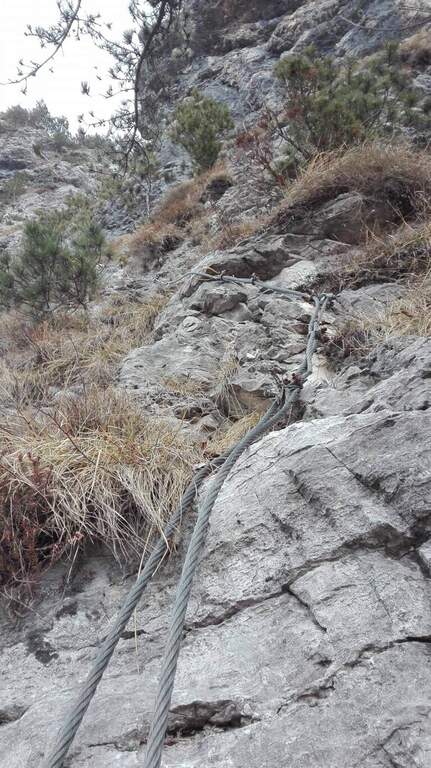
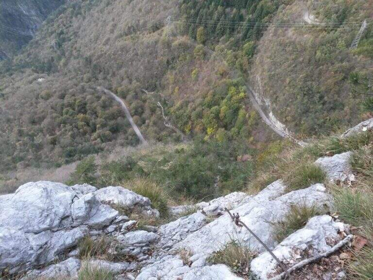
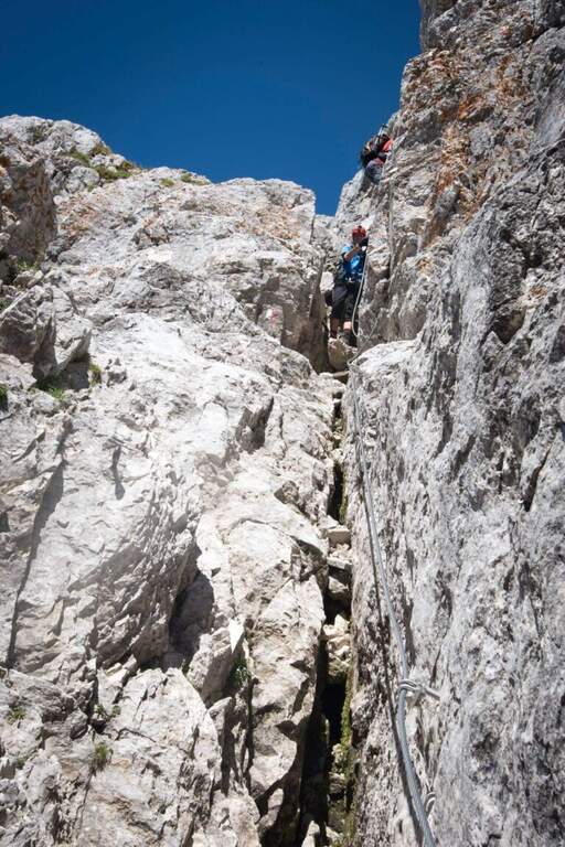
    La via risale una parete selvaggia cercando le debolezze della roccia: sviluppo breve (circa 100 m) ma impegnativo. L'inizio è appoggiato e ricco di appigli; dopo pochi minuti si incontra una prima serie di passaggi più impegnativi e si traversa a sinistra con un singolo passaggio più difficile. Nel complesso resta molto arrampicabile, con roccia talora instabile ma ricca di appoggi. Si risale l'ampio colatoio fino al termine delle attrezzature (circa 40' dall'attacco, 1h 15' dall'auto). Da qui inizia il tratto più impegnativo dell'escursione: il sentiero che collega il termine della via a Casera Monte Rest è molto ripido, su roccette ed erba potenzialmente scivolose, a tratti attrezzato; seguendo i bolli rossi si esce dalla faggeta e si raggiunge la casera, da cui si sale in vetta al Monte Rest (1780 m, circa 4h totali).
    ▲Character and difficulty

    Itinerary pleasant and isolated, despite the low altitude. Level difference in ferrata 120 m, total 870 m, maximum altitude 1780 m, development 8 km.

    ⚠ The non è officially opened (due to a dispute between the territorial CAI and the one that installs it;) and does not appear on the hiking maps. The second stretch of the climb, only partially equipped, has free passages not trivial and exposed, and the path towards Casera Rest può be in bad condition: not recommended with uncertain weather, wet background or to inexperienced people. Advisable to have with sé corda and brake to make sure in the stretches where the old equipment is clustered.
    ▲Discipline

    From Monte Rest you go back to Casera Rest, then continue north-north-west, losing altitude to the asphalted road; alternating roadside and stretches of path that cut the mountain you return to the parking lot (2h from Monte Rest, 6h totali).

    ▲To match

    The other equipped route of Pordenone is theAlta Via dei Rondoi on Monte Cavallo. Towards Forni di Sopra, two very different routes: the athletic and modern Adventure Climb at Clap Varmost and the impegnative Ferrata Cassiopea al Torrione Comici.

    ▲Gallery
    Technical data
    • DifficultyModerately Hard
    • RegionFriuli-Venezia Giulia
    • GroupCarnic prealps
    • Approach0:30 h
    • Ferrata1:00 h
    • Itinerary (a/r)6:00 h
    • Hardware level difference120 m
    • Route difference870 m
    • Max1780 m
    • Length8 Km
  • Ferrata Lieutenant Ferrante di Ruffano

    Ferrata Lieutenant Ferrante di Ruffano

    Vie Ferrate › Friuli-Venezia Giulia › Udine
    Ferrata Lieutenant Ferrante di Ruffano
    Very difficult● OpenDescriptionComplexityMapsGallery

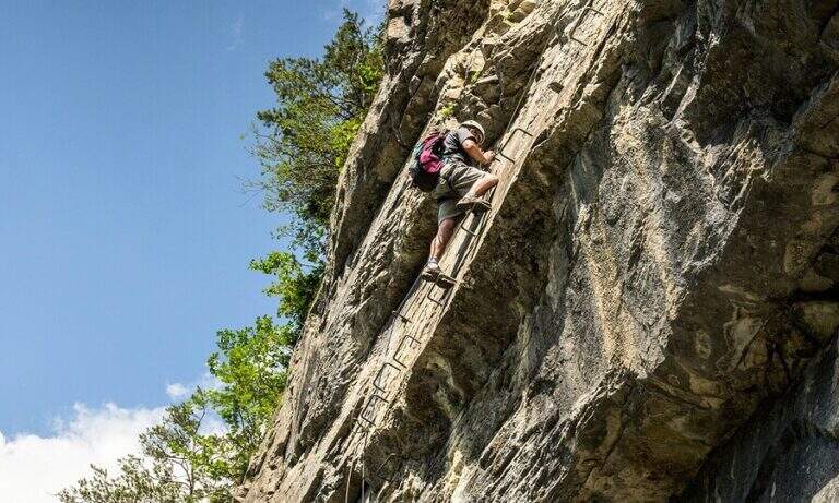
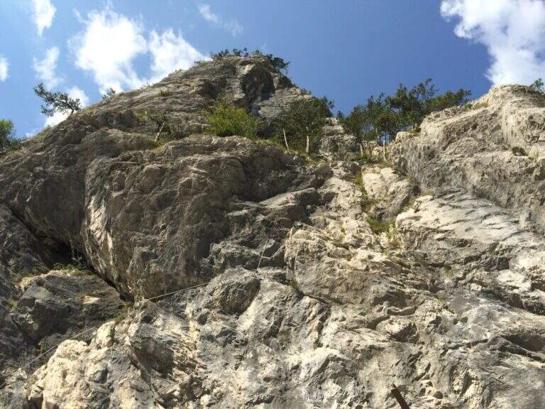
    La Ferrata Lieutenant Ferrante di Ruffano was created by the Alpini near Pontebba, in the province of Udine. It is a vertical, challenging and athletic way in many passages, ideal as training in the months when high altitudes are not practicable: it does not reach any peak and develops at low altitude alongside numerous climbing pitches.

    ▲Approach

    From the tollgate of Pontebba you hold the left towards the center; over a bridge, under the viaduct of the highway you turn right on an asphalted road that continues under the highway towards the valley, becomes dirt in good condition and ends at a pedestal. Open road signs on Google Maps. Continue towards the Falesia Rio degli Uccelli following a sign that indicates l' the ferrata attack (5' from'auto), on the right side of the stream, reached with some fixed ropes just above the raw.

    ▲The path

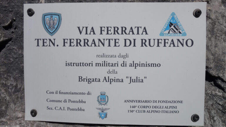
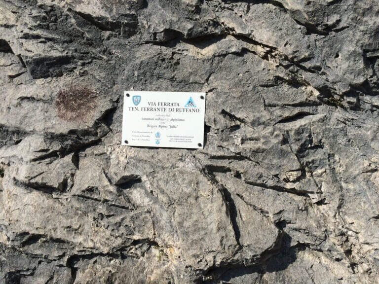
    Accanto alla targa commemorativa il cavo parte verticale e l'impostazione atletica è subito chiara. I primi metri salgono su roccia levigata e traversano a destra fino a un terrazzino con breve cengia; segue un impegnativo traverso orizzontale di 6-8 metri, dove la scarsità di appoggi per i piedi è la difficoltà principale: si scende un paio di metri e poi il cavo riparte verticale, agevolato da alcune cambre. Con l'aiuto di staffe si raggiunge un breve tratto di collegamento appoggiato (attenzione a non smuovere sassi su chi segue). Dopo una cengia a sinistra ci si porta verso un evidente diedro: lo si sale prima a destra, poi attraversandolo a sinistra senza difficoltà sostanziali grazie a numerose cambre, fino a un passo strapiombante da affrontare con decisione e rapidità (qui avviene il cambio di moschettone in pieno strapiombo). Si esce su una parete verticale molto esposta ma ricca di cambre, dove è possibile riposare; ci si sposta a sinistra su buona roccia e si sale una paretina e un bel diedro, quindi facili gradoni appoggiati. La via riparte verticale e impegnativa fino a un tratto di sentiero attrezzato tra i pini, da cui una deviazione raggiunge un pulpito. Riprende con un traverso a sinistra in leggera discesa (occhio ai sassi mobili) e uno in salita in lieve strapiombo, fino a uno spigolo da cui inizia un lungo tratto di discesa attrezzata su placca, non difficile ma che richiede attenzione nella ricerca degli appoggi. Si raggiunge così il termine della via (circa 1h 30' dall'attacco).

    ▲Character and difficulty

    Low-altitude, training and vertical, physical at the most difficult points and with new fixtures in good state. Not to be underestimated also for the long stretch of descent equipped. Level difference in ferrata 130 m, total 160 m, development 4 km.

    ⚠ Along the vertical and overhanging traits it is worth planning the stops; in the connecting tract and in the beams they are easily removed stones: maximum prudence for those below.
    ▲Period and safety

    It is a low-altitude è route; it can be reached in much of the ' year, rock conditions allowing. GPX and KMZ tracks are available.

    ▲Discipline

    From the end of the road follow the trail used for nearby climbing routes ( approximately 30', 2h totali).

    ▲Gallery
    Technical data
    • DifficultyVery difficult
    • RegionFriuli-Venezia Giulia
    • GroupAlps Carnia
    • Approach0:15 h
    • Ferrata1:15 h
    • Itinerary (a/r)2:00 h
    • Hardware level difference130 m
    • Route difference160 m
    • Max726 m
    • Length4 Km
  • Ferrata Steinbergerweg

    Ferrata Steinbergerweg

    Vie Ferrate › Friuli-Venezia Giulia › Udine
    Ferrata Steinbergerweg
    Moderately Hard● OpenDescriptionComplexityMapsGallery

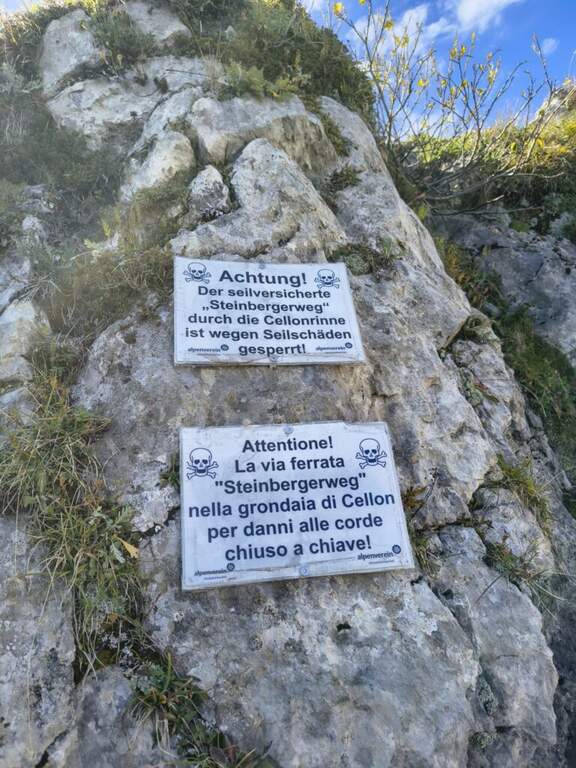
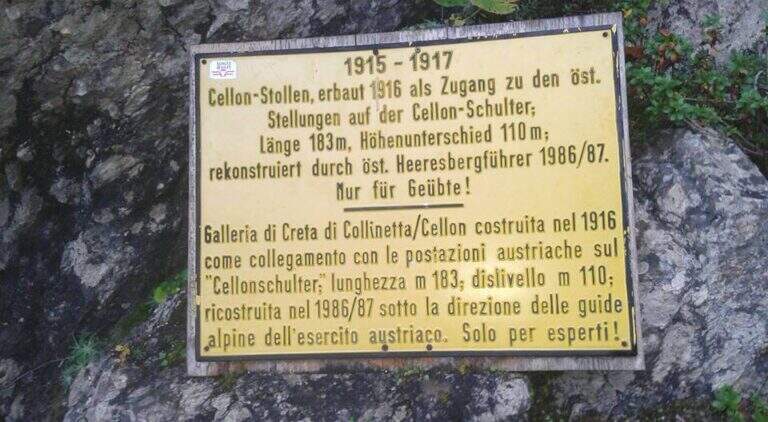
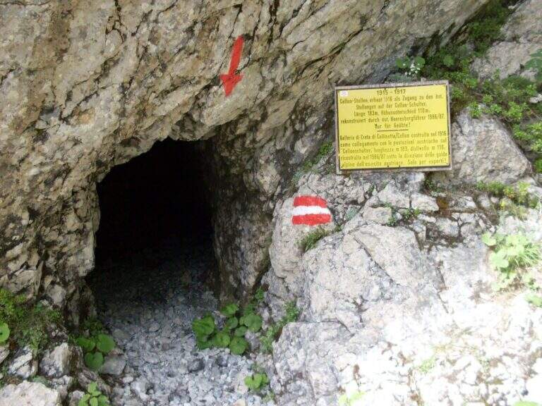
    La Ferrata Steinbergerweg retrace the historic climb on the north-eastern wall of the Crete Collinetta (Cellon), opened during the Great War by an Austrian military expedition led by Major Steinberger. Salt without excessive difficulty; long gorges and colatoi, and è of great historical interest for the numerous testimonies of the fighting. Difficultà medio-bassa in the equipped sections.

    ▲Approach

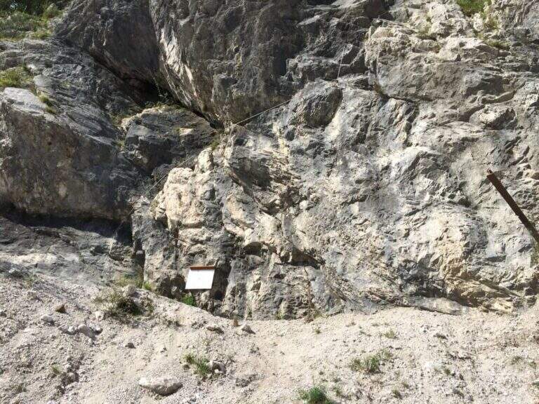
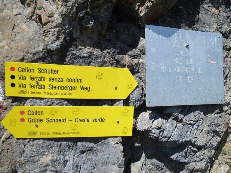
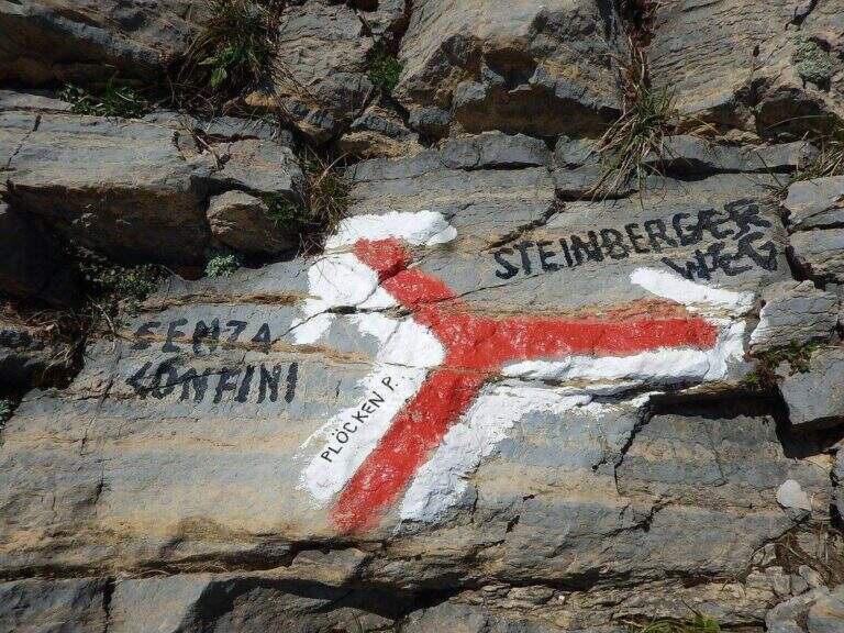
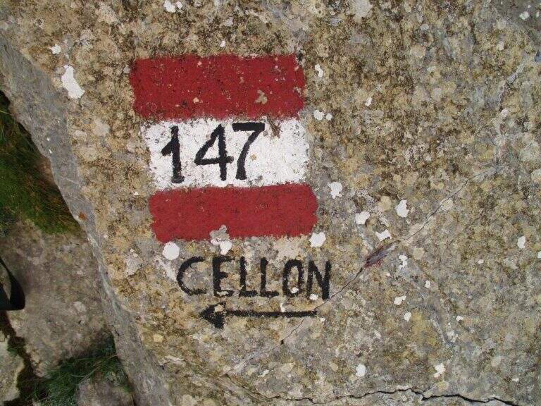
    Starting point the Passo di Monte Croce Carnico (1360 m), on the Italian-Austria border, reachable in about 40' from Tolmezzo (Udine) to the SS 52b. Open road signs on Google Maps. You can climb from the Austrian side (with the option of crossing the Cellon war tunnel, described in the sheet of the Ferrata Senza Confini) or from the Italian one, described here: longer but less challenging. From the parking lot follow the signs 146 on comfortable mule track on the southern side of the ridge, until you cross the path 147 for the Cellon (from the Marinelli Refuge); taken on 147 to the right you climb più decided along a war mule track with exposed cenges and short tunnels until the Schulter Contrafforte (1736 m). Continue on rocks and mug, paying attention not to lose the track, until a crossroads marked on rock (left the Senza Confini, right the Steinbergerweg): holding the right, on the gravel and then cutting in altitude the north-eastern wall, you reach l' attack, with a marble plate in German (1870 m, 1h 30' from the parking ).

    ▲The path

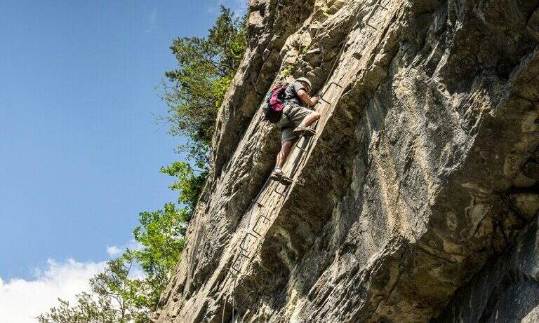
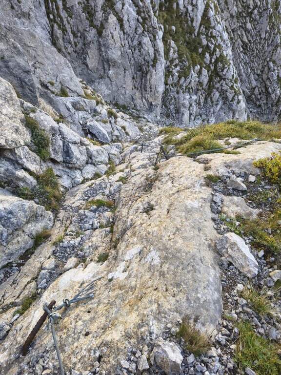
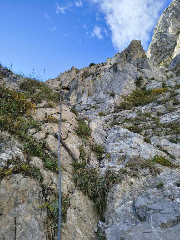
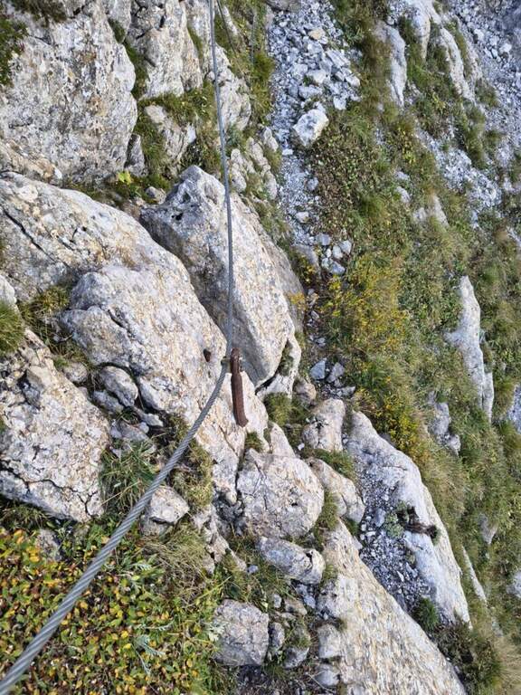
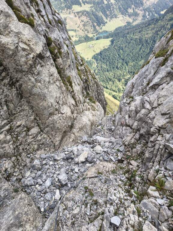
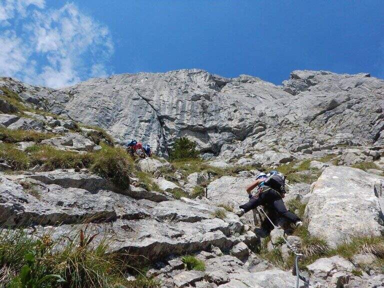
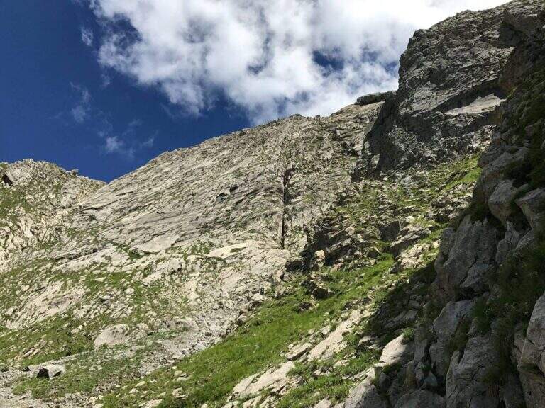
    The route follows the route followed by Austrian soldiers. A colatoio rises and gradually crosses left onto rocks and grass in discreet exposure (attention to the bottom and unstable rocks; the cable è instead it has been recently renovated). We then move to a gola rocky where we face many equipped stretches, with some free climbing passage (maximum I+) and unstable stones. The cable is found on the left side, climbing steep passages towards a short ridge, then a last colatory with l' aid of the rope up to a grassy saddle where the cables end and join the paths from the Senza Confini and the Italian side (2103 m, 1h from' attack, 2h 30' totali). On clear track you climb all' east anticyme and, among many remains of the Great War, to the summit of the Crete of Collinetta (2241 m, 20' from the end of the ferrata, about 3h totali), with metal cross and memorial plaque.

    ▲Character and difficulty

    Pleasant, medium-low difficulty and very climbing: apart from the initial cross-section and a couple of more vertical steps, it is devoid of objective difficulty.

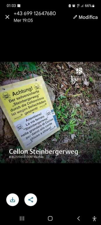
    ⚠ Beware of the few unprotected steps where you climb and the unstable rocks along gorges and colatoi. The words "Creta di Collinetta" and "Cellon" are used indistinctly.

    ▲Period and safety

    GPS tracks (GPX and KMZ); the map of the Central Carnic Alps is useful for the area.

    ▲Discipline

    You return to the crossroads reached at the end of the ferrata and you go right on the path 147, Italian side, cutting horizontally; along the mule track you rejoin the path dell' approach to the parking lot (1h 30' from the summit, 4h 30' totali).

    ▲To match

    Shares a lot of approach and return with the most demanding Ferrata Senza Confini. From nearby Rifugio Marinelli you reach the attack of the difficult Ferrata to the north wall of Coglians; downstream of the pass the Path equipped Cuestalta. Further south, in the Carnic Prealps, the Cassiope, la Ferrata at the Clap Varmost e la 50 of the Clap.

    ▲Gallery
    Technical data
    • DifficultyModerately Hard
    • RegionFriuli-Venezia Giulia
    • GroupAlps Carnia
    • Approach1:30 h
    • Ferrata1:30 h
    • Itinerary (a/r)4:30 h
    • Hardware level difference358 m
    • Route difference868 m
    • Max2228 m
    • Length8,2 Km
Need help? Write to us!